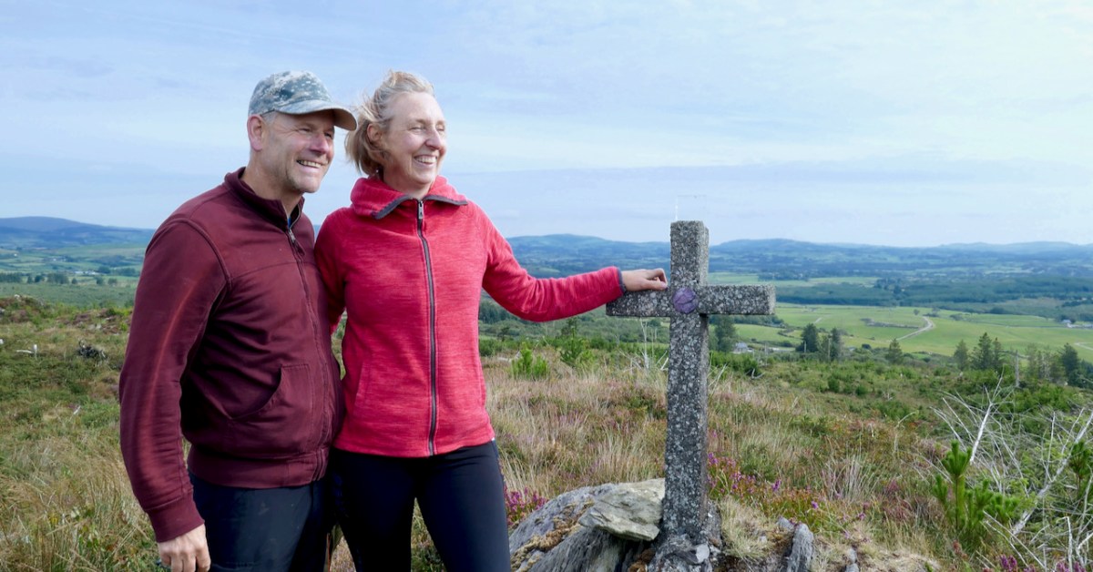
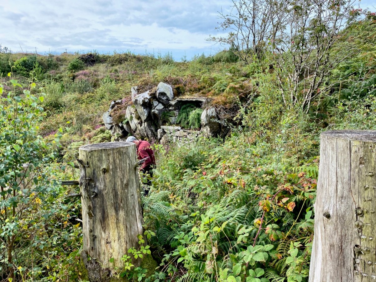
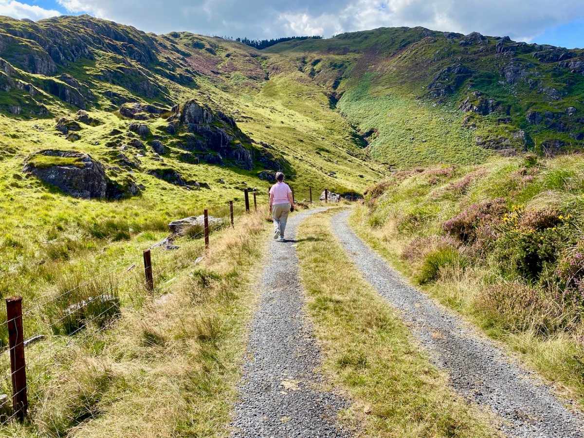
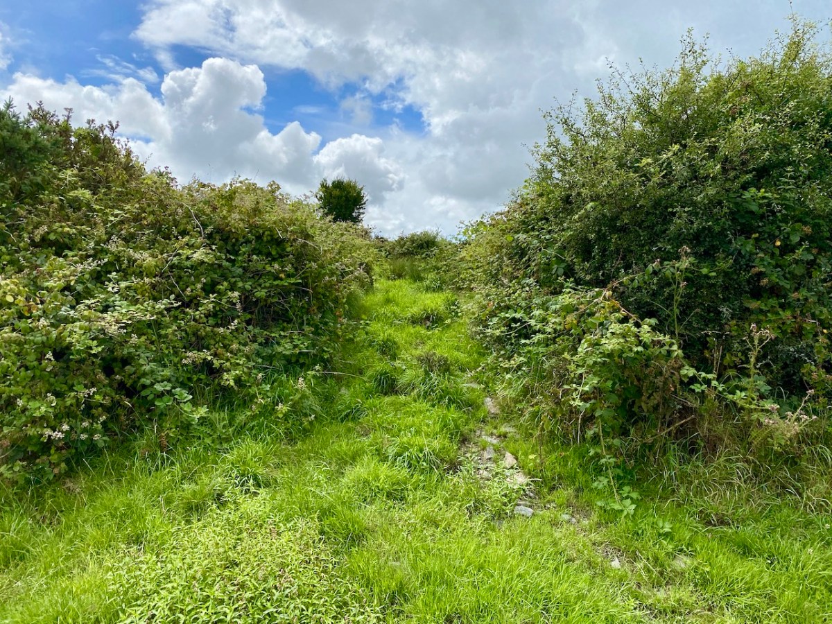
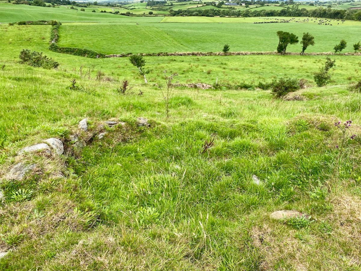
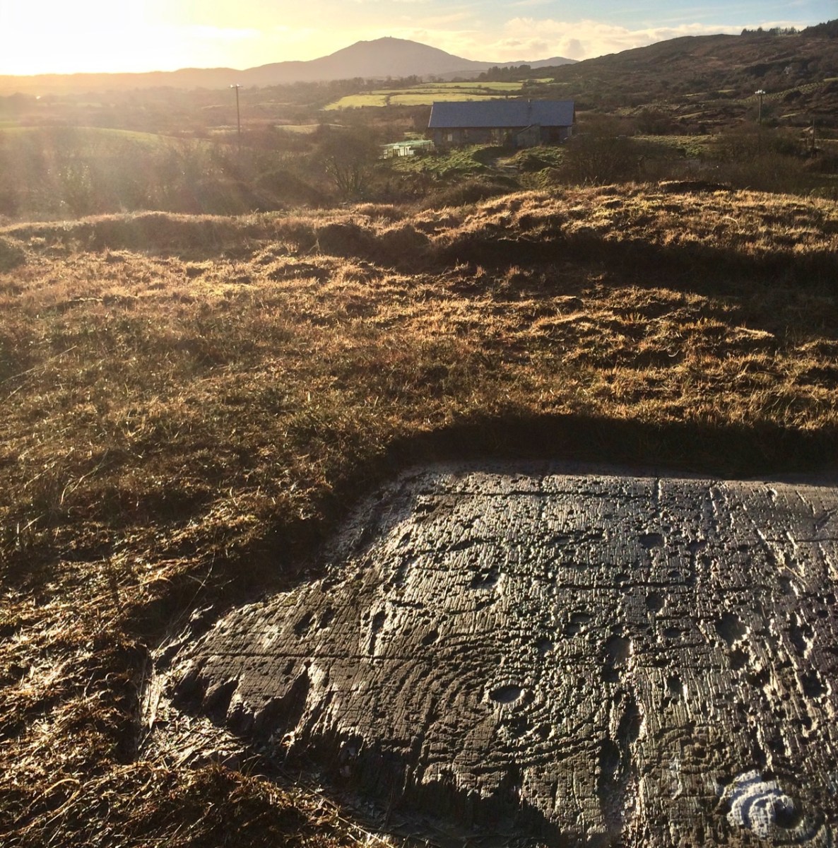
Would we like to see a Mass Rock? The question came from Oliver, and the answer was an enthusiastic YES! (The phrase Is the Pope Catholic may have been employed.) This particular mass rock has been re-discovered in recent times, but its origins are a bit of a mystery. It’s not listed on the National Monuments Record of Sites, and some elements are clearly dated to the early 1950s. There is no defined trail and it would be very easy to get lost, so we were very grateful indeed to our guides, Oliver Farrell and Tracey Daly (above), who live close by and use the trails frequently with their sons. Rio the Wonder Dog accompanied us.
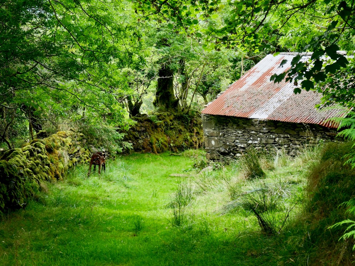
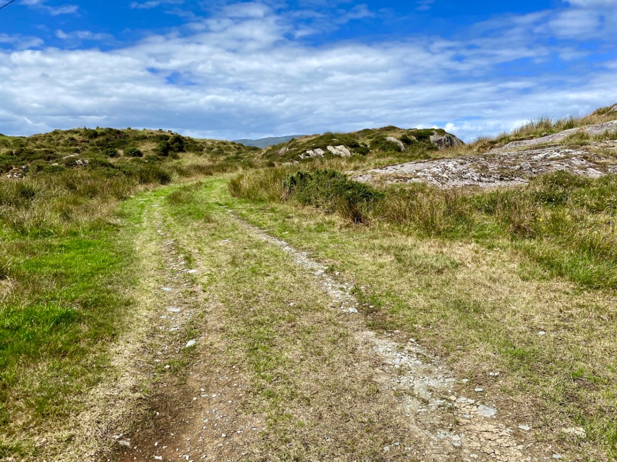
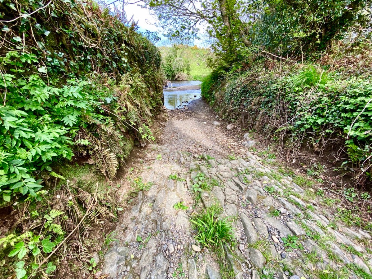
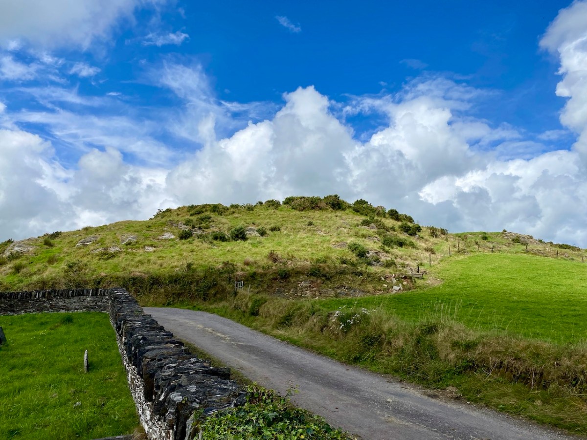
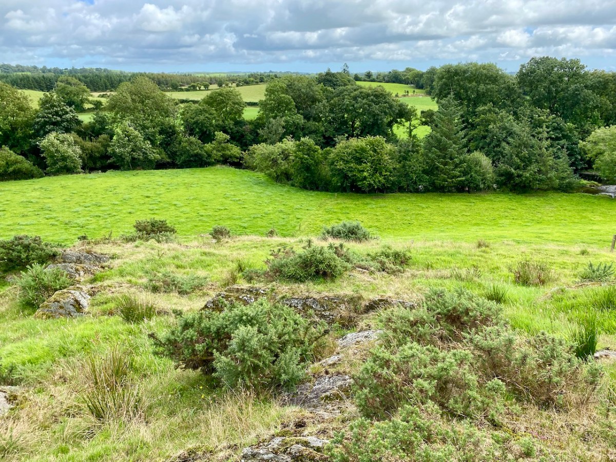
Garrane (it’s Garrane on the OS maps, but often spelled Gurrane, especially locally, and it means ‘grove’) is a townland in the area between Ballydehob and Caheragh. The area is managed by Coillte, and starts among tall trees. As you ascend, though, you emerge into rocky scrub territory that was cleared in more recent times, leaving interesting stumps here and there, like stubby totems.
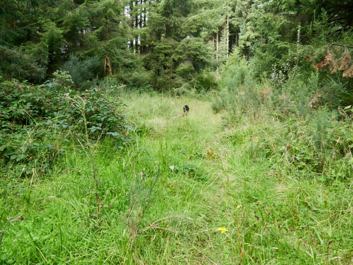
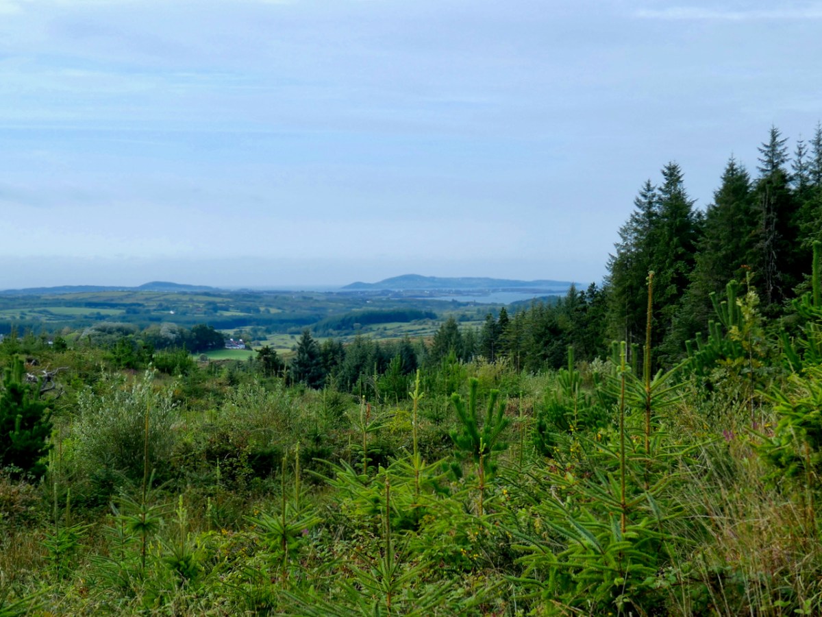
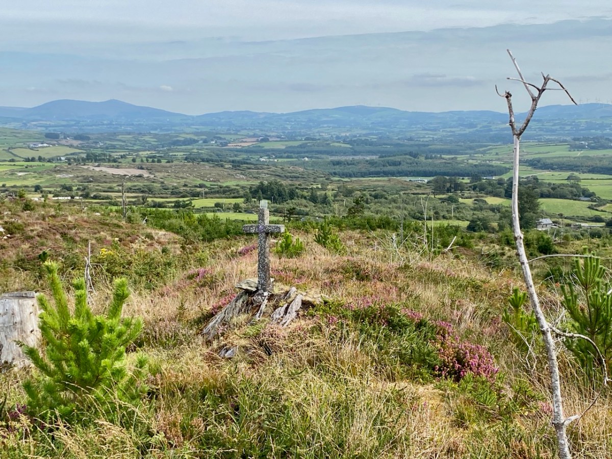
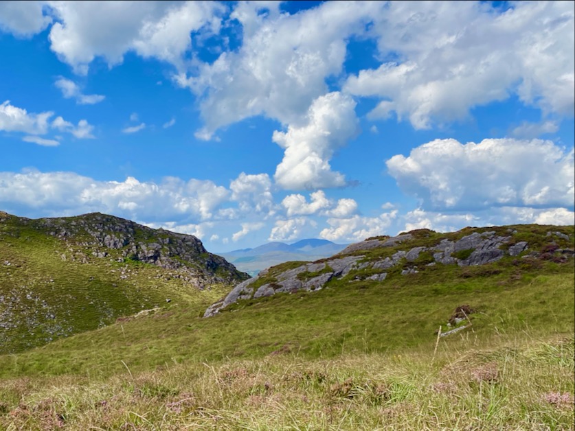
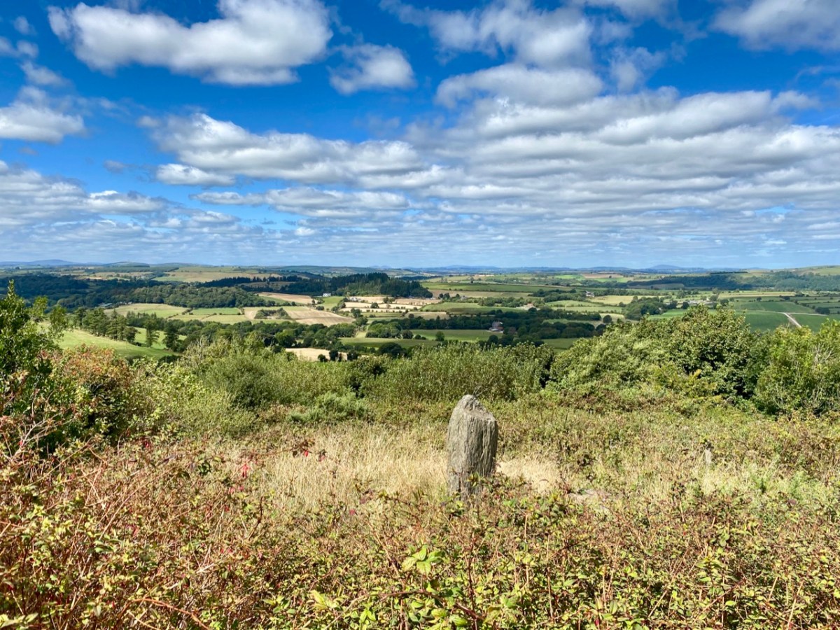
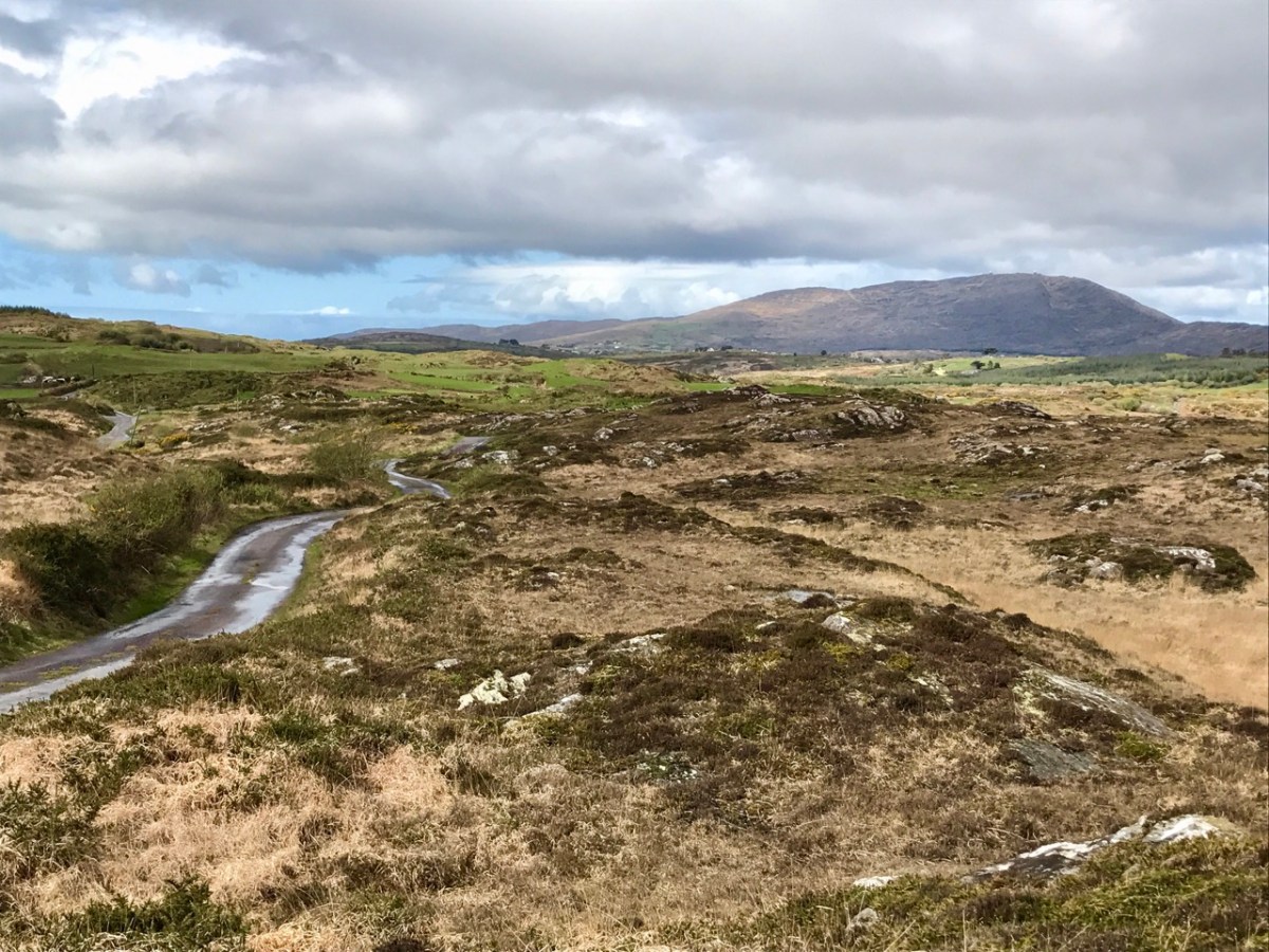
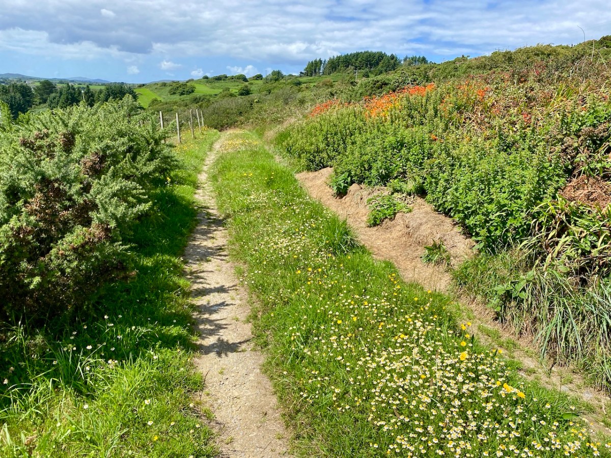
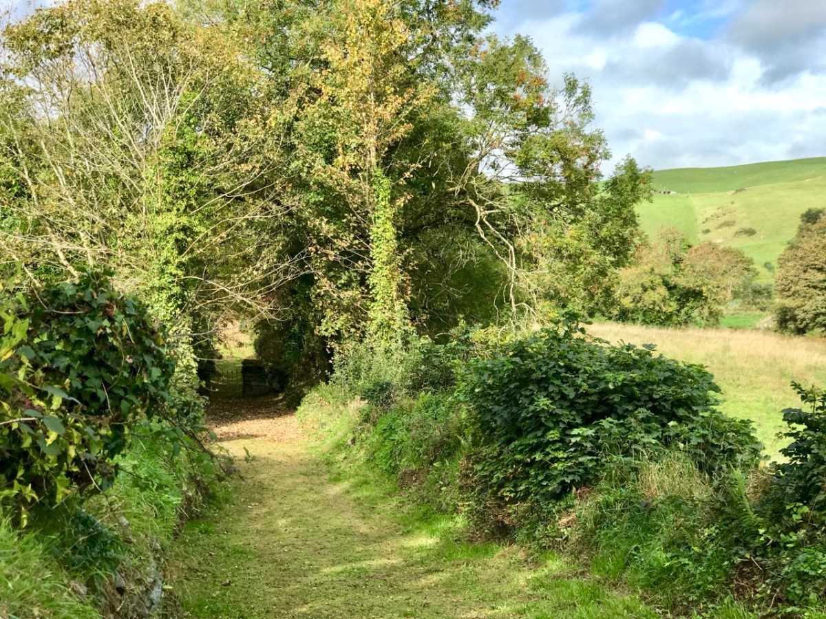
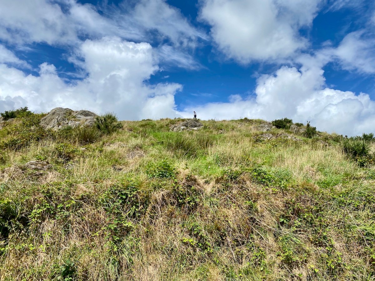
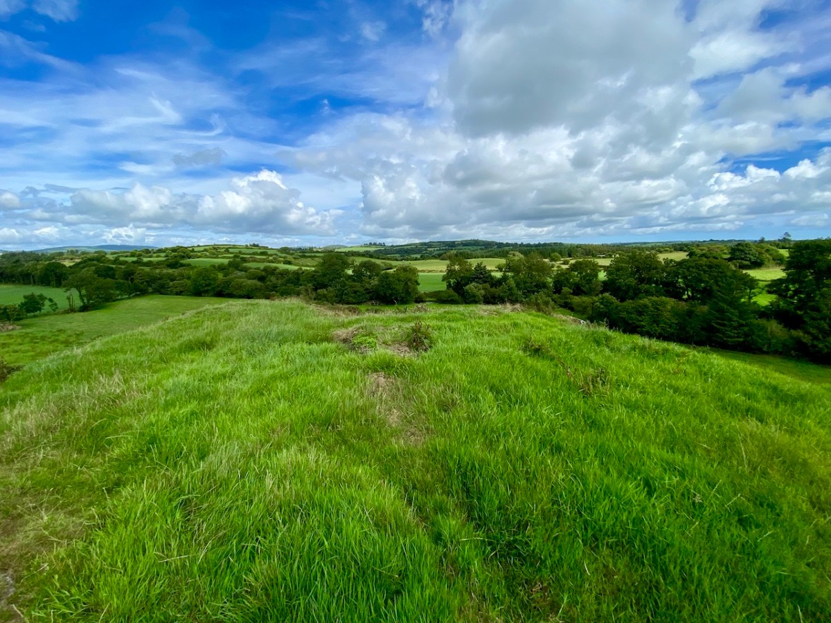
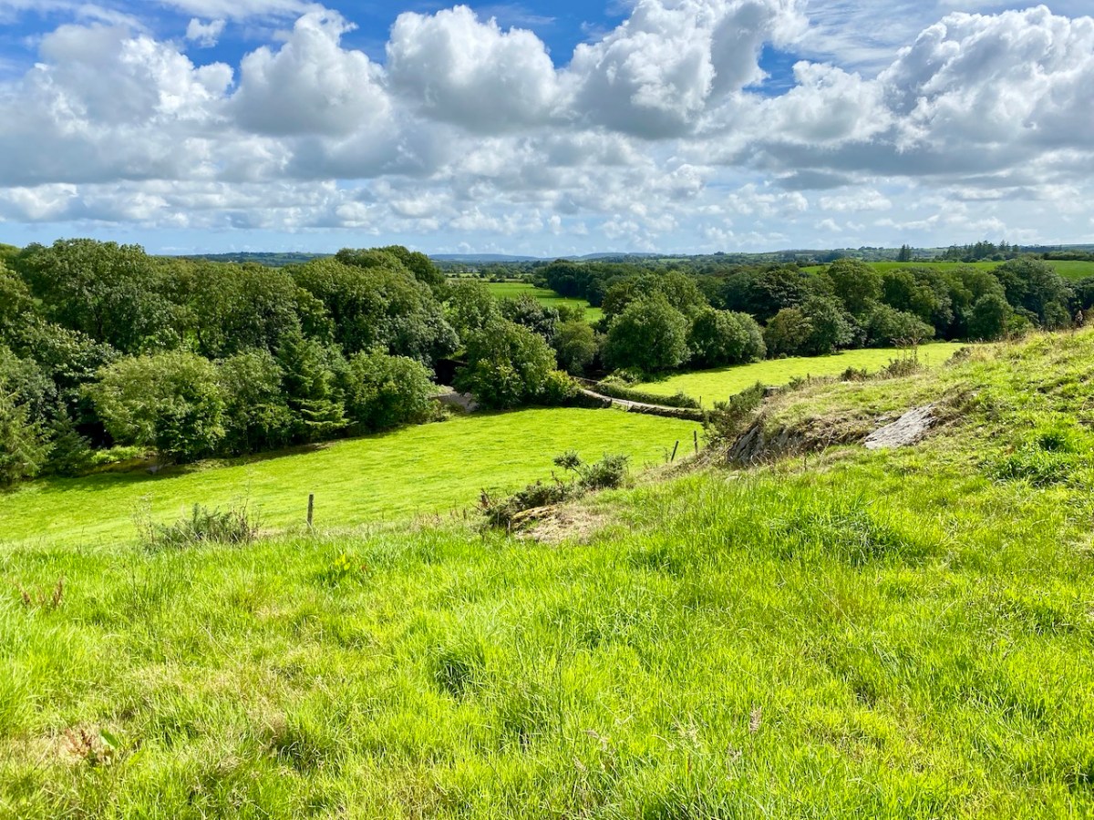
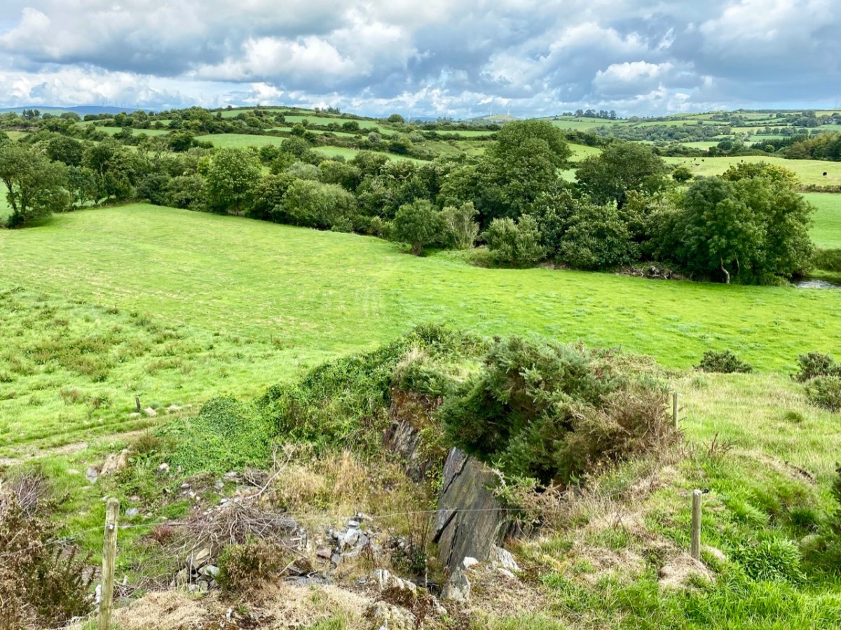
It’s a lovely hike up (although I’m not sure I could find it by myself again) and soon we were enjoying panoramic vistas across the countryside and over to Roaringwater Bay and Cape Clear beyond. Rio led the way, occasionally disappearing into the bushes but always coming back to his humans to make sure we were keeping up.
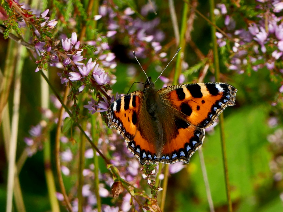
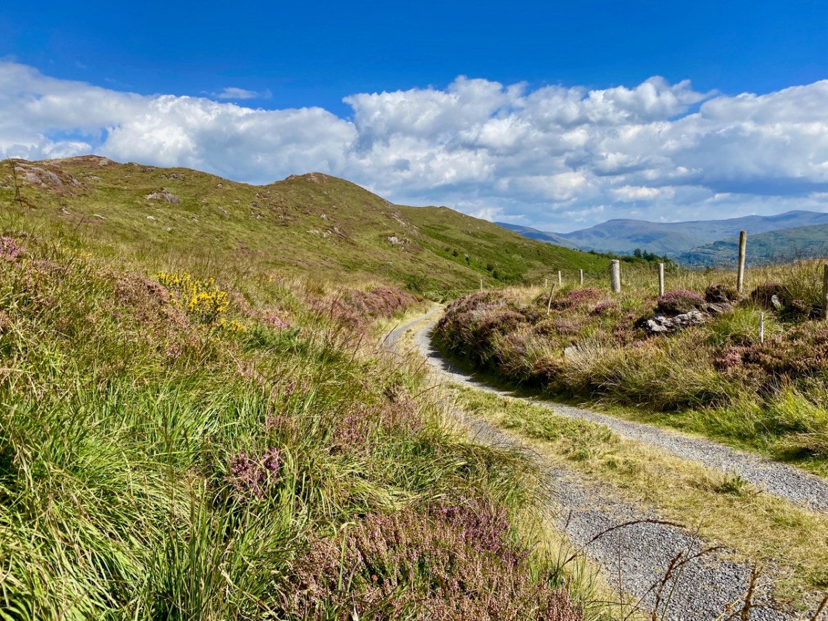
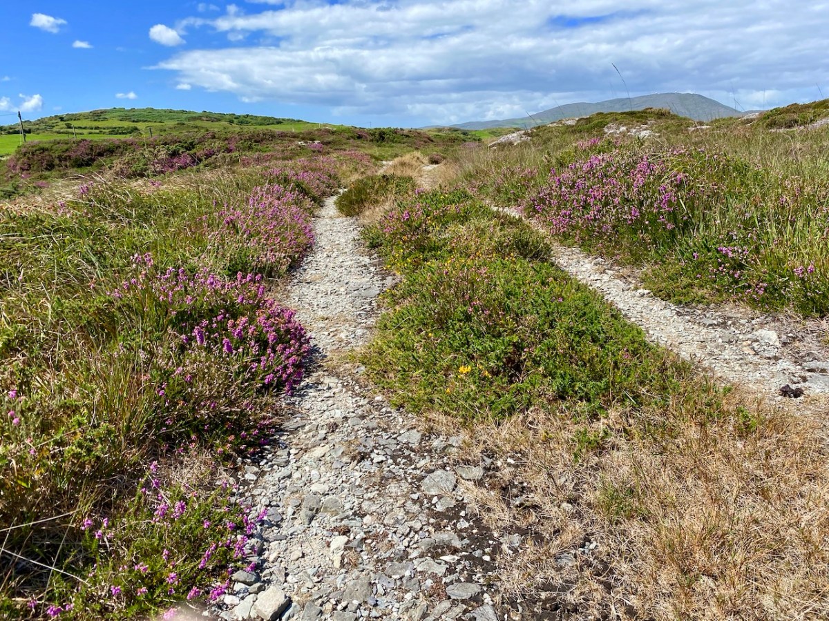
At this time the hills are covered in Western Gorse and heathers and butterflies were flitting through the shrubs as we ascended, attracted by the blooming Ling.
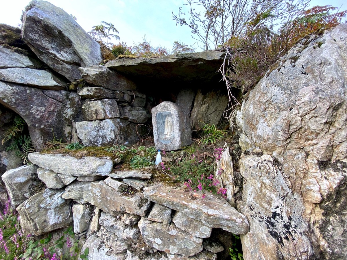
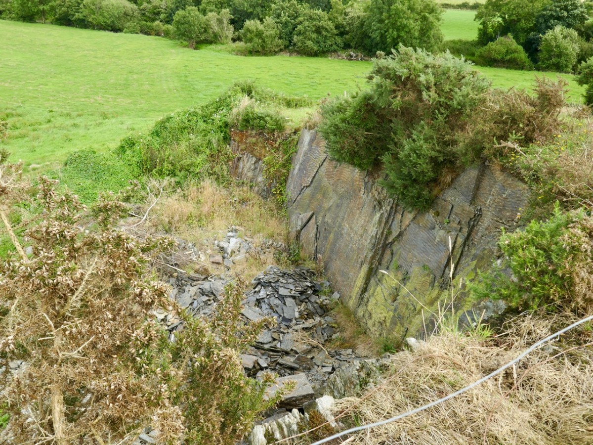
When Oliver said we’d arrived, I didn’t see anything except what looked like a pile of stones.. The bracken was everywhere, including within the mass rock itself. Oliver set to work and soon it was revealed – a flat, altar-like surface, with a niche in which a small shrine had been placed.
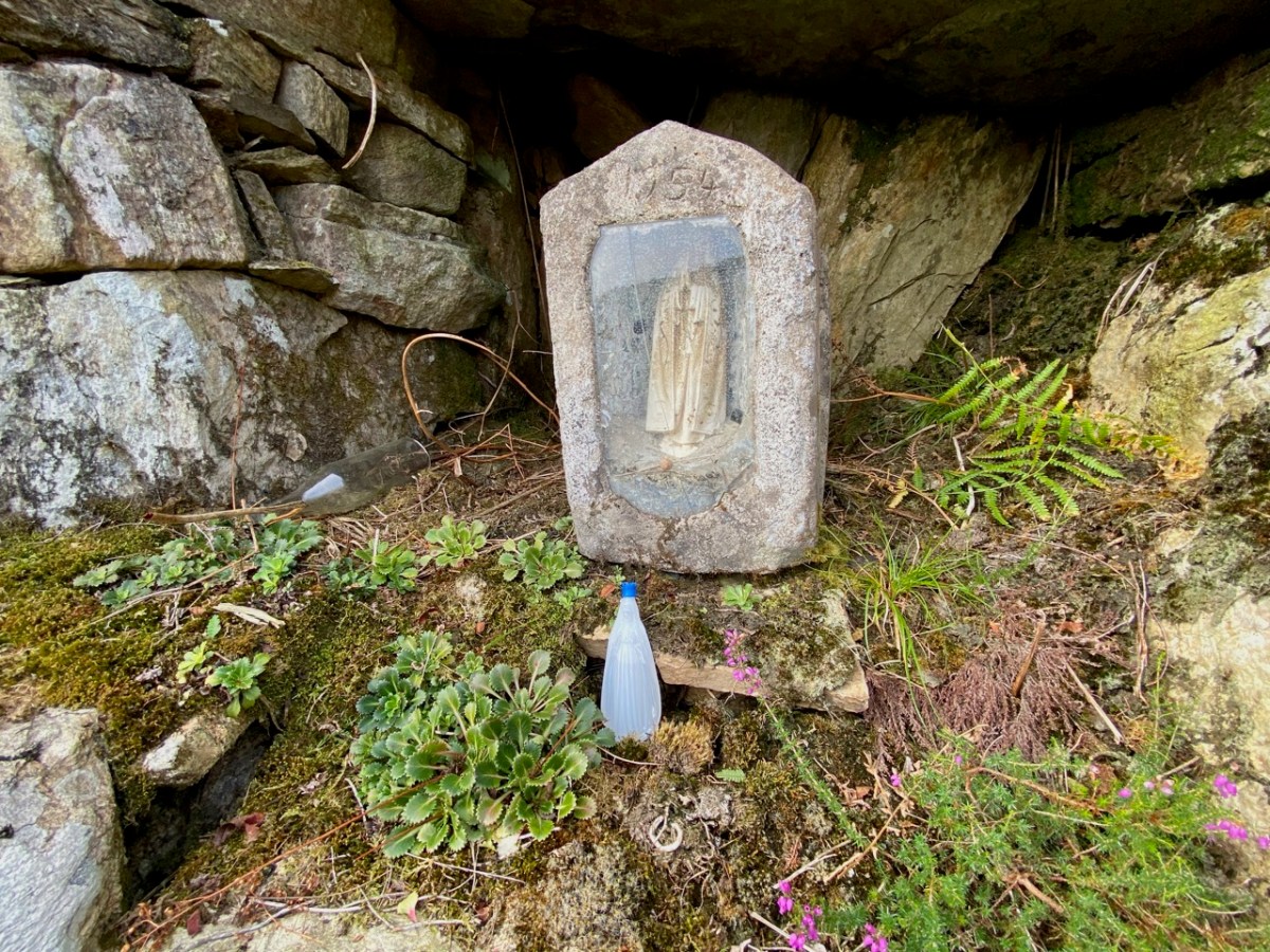
The shrine – a concrete box containing a statue of the Blessed Virgin Mary, was dated 1954. This marks it as having been inserted into the niche during the Marian Year. Most of the grottoes we see in every village and town across Ireland date to 1954 – for more on this see my post Mary Mary. It’s possible, perhaps, that the mass rock itself was refurbished during this time, to make it suitable to contain the shrine.
What exactly is a mass rock, I hear my non-Irish readers ask. Take a look at my post Were you at the Rock, or go to the wonderful Find a Mass Rock, an excellent site maintained by Dr Hilary Bishop of Liverpool University.
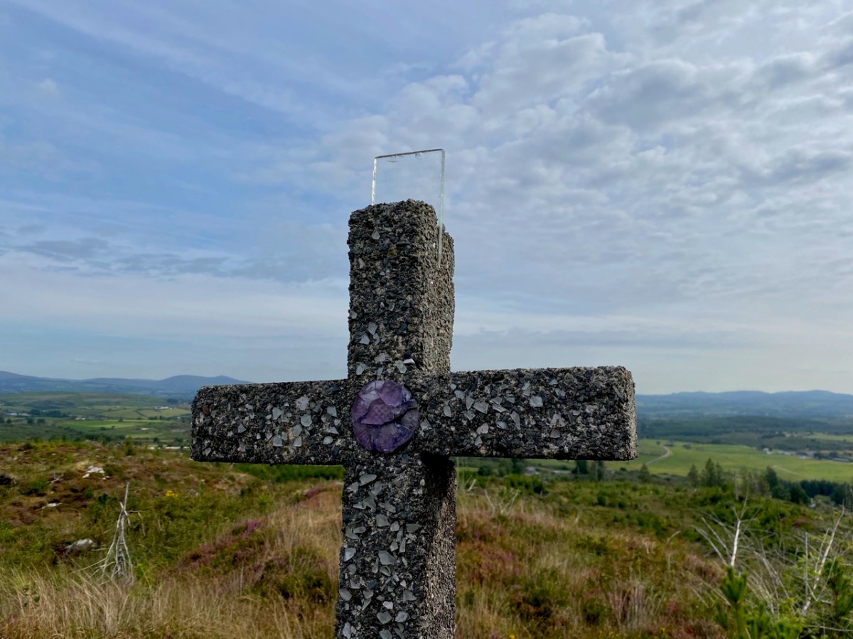
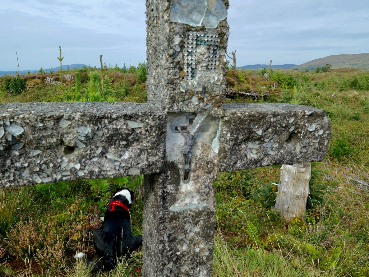
So we had found the mass rock, but there was more. Tracey and Oliver led us higher still to a spot overlooking the mass rock to a concrete cross. Although much battered, it retained much of the original decoration – glass, clear and coloured, and a small crucifix. Exploring this area, their sons had discovered the mass rock a few years earlier – it had likely been hidden for 50 years by forestry.
We wondered if this was erected at the same time as the shrine had been inserted in the mass rock, in 1954, or whether perhaps it had been erected in 1950, the Holy Year. And all around Ireland in 1950 villages and towns erected hilltop crosses – see my post Sanctifying the Landscape for more about the Holy Year and the Vatican directive that sent Irish communities up their local mountains to set up huge (and in this case not so huge) concrete crosses.
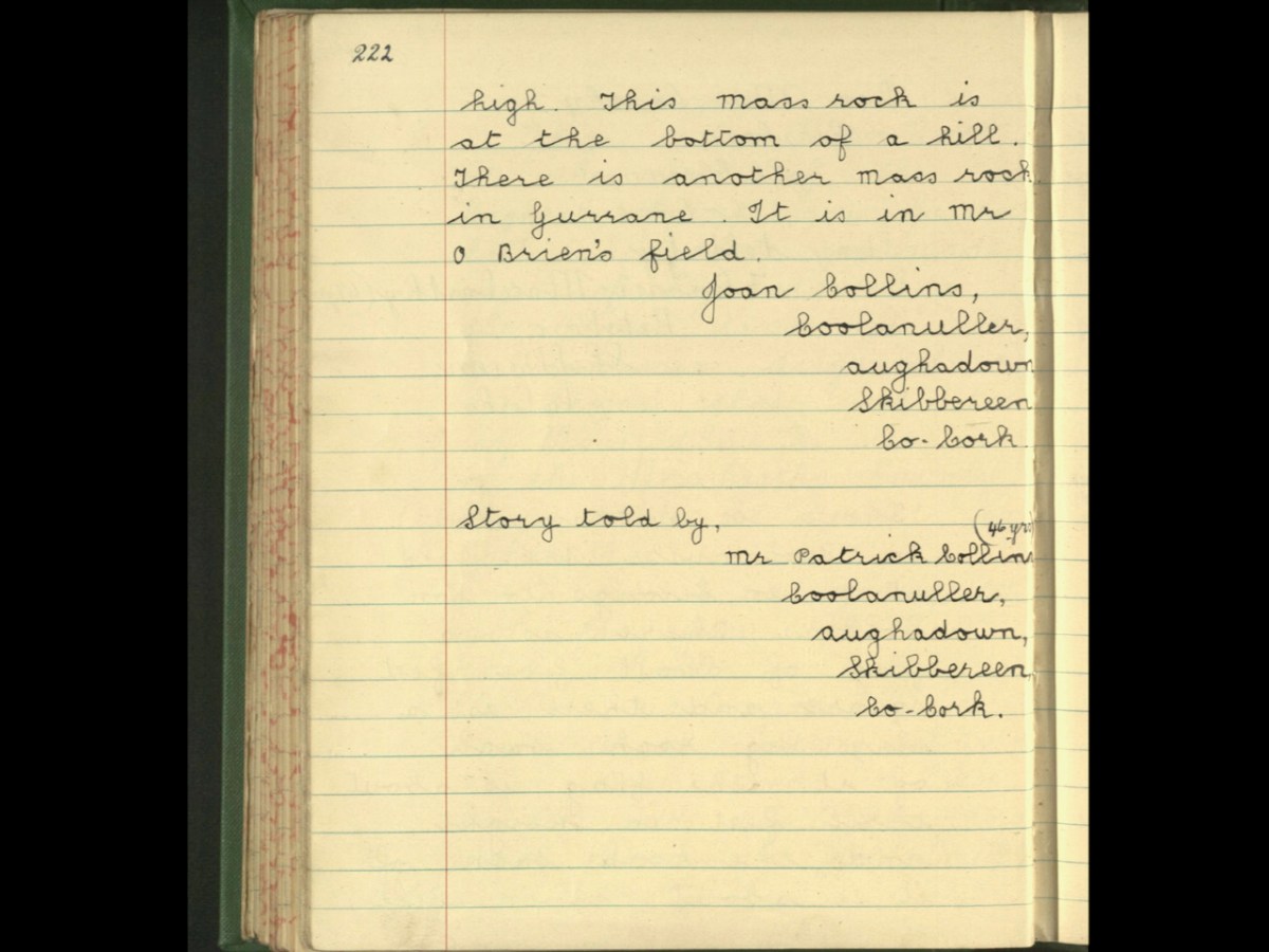
So – this spot was obviously the focus of devotional activity on the early 50s, most likely chosen because of the already existing mass rock. The memory of the mass rock was still held in the community, making it the perfect location for the Holy Year and Marian Year memorials. As we often do, we turned to the Schools Folklore Collection to see if we could find references to a mass rock in the record for the old primary school, now long closed, at Garrane. Here’s what we found:
That’s all, and frustratingly opaque, referring to the mass rock being in a ‘field.’ I would be interested in hearing from local people who might know more about the history of this particular mass rock, so that we can get it listed as a National Monument. If you know anything, please comment below, or get in touch via our contact page.
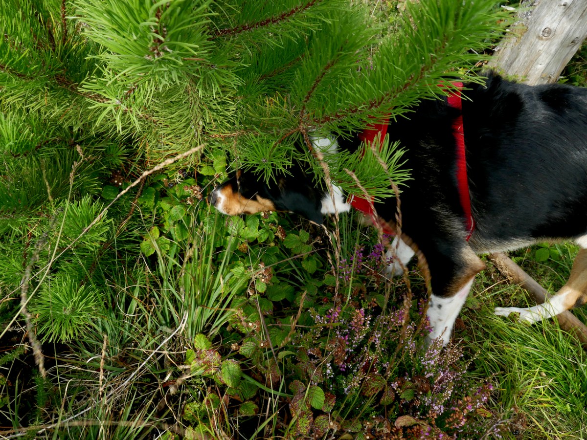
Rio led us back down the mountain, pausing occasionally to do something I had never see a dog do before – eat blackberries right off the brambles. He beat us to some of the best ones too as we headed down to the tall trees.
The Gurrane and Ballybane Trails Development Group is working on a plan for trails in the area, including this one – good news!
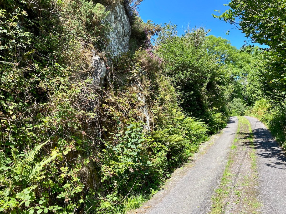
Not long ago I reported on some ‘small road’ works close by our home in West Cork. Whenever we travel here in Ireland, we are on the lookout for ‘byways’ … very narrow routes, seldom used, but which often traverse the most scenic landscapes. For some – such as today’s example – you have to be fairly brave, and prepared to travel a long way in reverse if necessary!
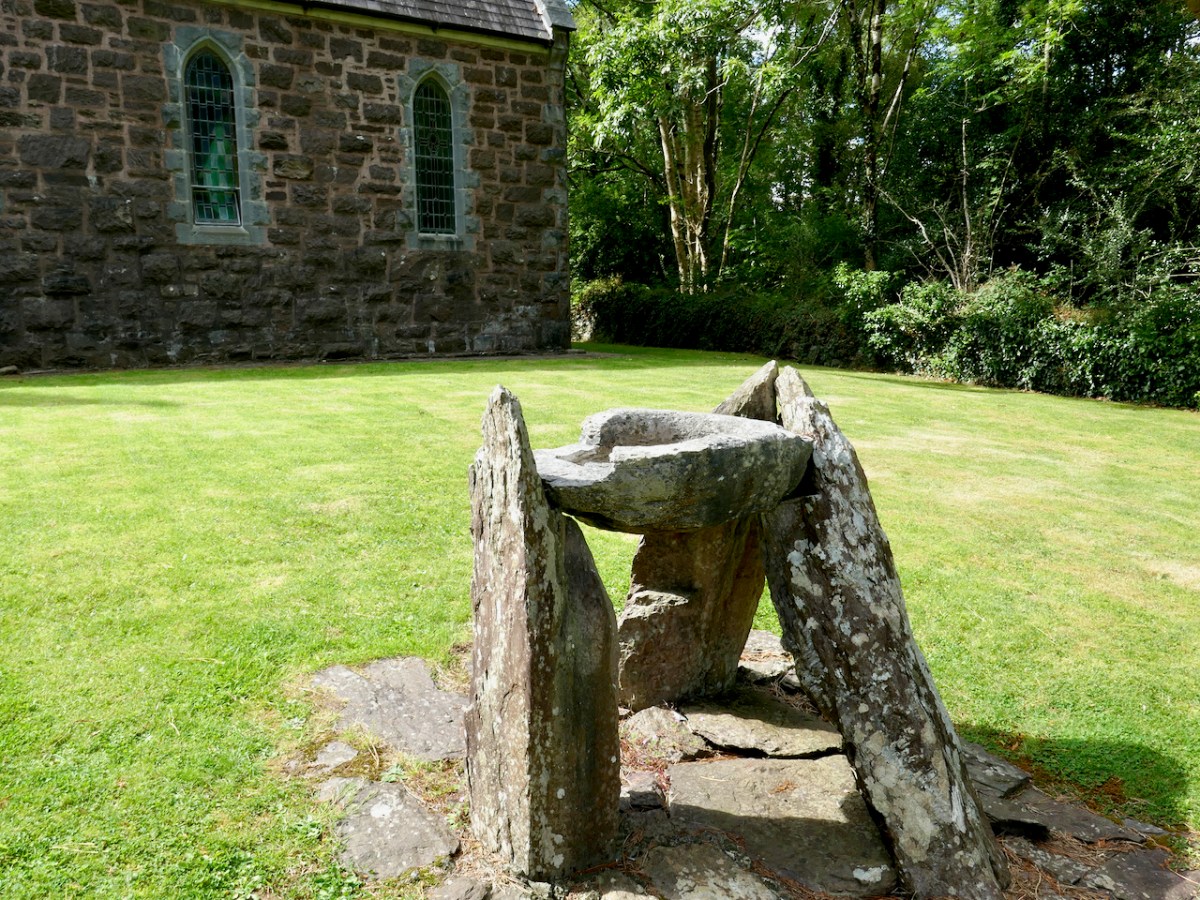
We were coming back from a day out in Kenmare, aiming for our West Cork home. There’s a corner of the Beara Peninsula – within Kerry – that we had never explored before so we headed out to revisit the little church at Dawros, Tuosist parish. We have always been fascinated by the stone basin that is in the church grounds, mounted on crude pillars – I have seen it described as a ‘baptismal font’:
From the church we went north, over a mountain road which eventually connected to the main N71 towards West Cork, Glengariff, and home.
It looks straightforward enough on the Google map – and there are no turnings, so you can’t get lost! The winding route from Dawros to the N71 is about 10 kilometres. If you could go in a straight line it would be about half that distance! During our whole journey on that mountain road we didn’t see a single vehicle (but we can’t guarantee that would always be the case).
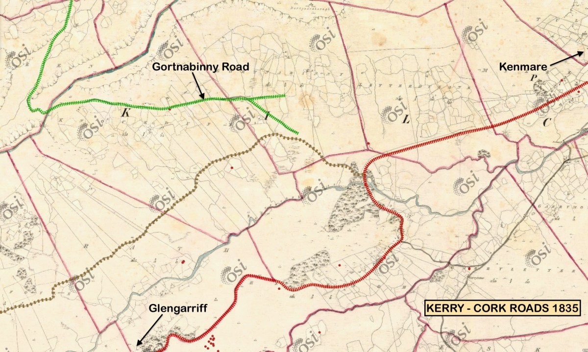
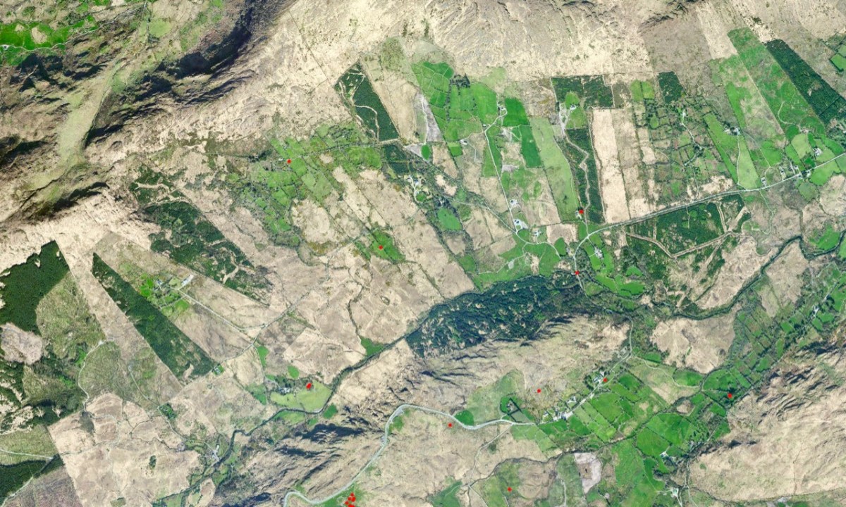
The early OS map (upper) and aerial view (lower) give an impression of the topography over part of the route. The field boundaries are fascinating – and obviously ancient: sweeping linear enclosures cascading down the slopes. From the early map we can see that the road we travelled (known in part as Gortnabinny Road – marked in green) did not actually reach the main Kenmare to Glengarriff road in those times. It presumably just served remote settlements and lonely holdings.
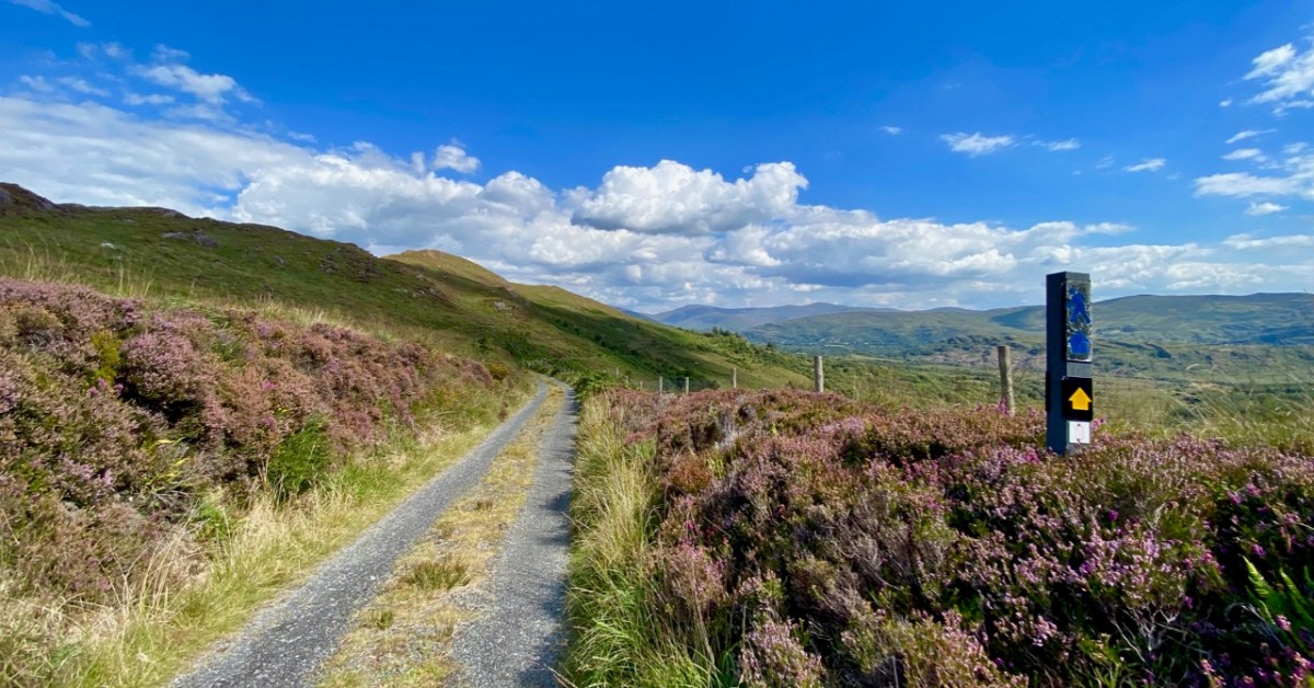
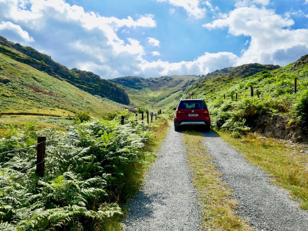
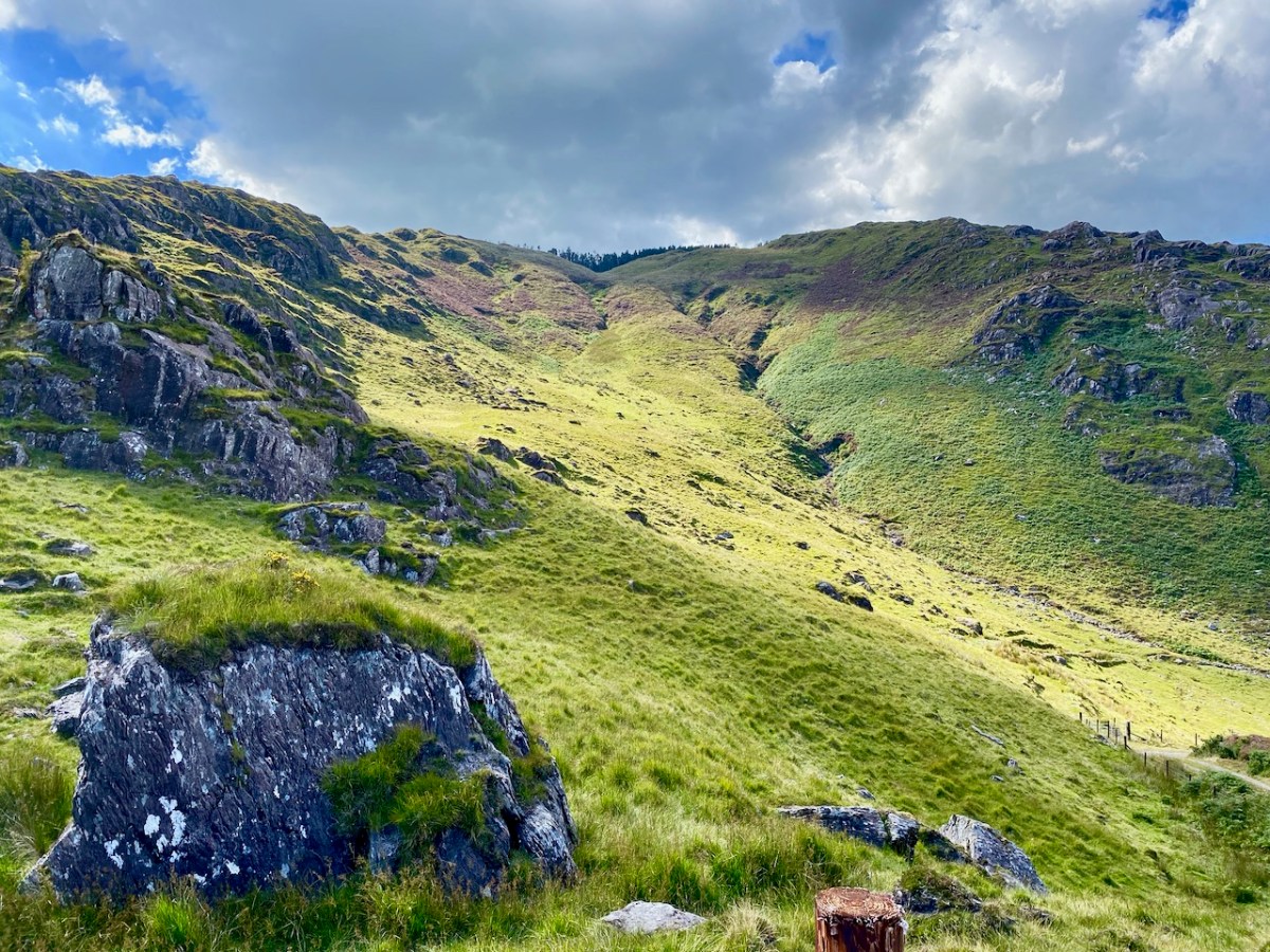
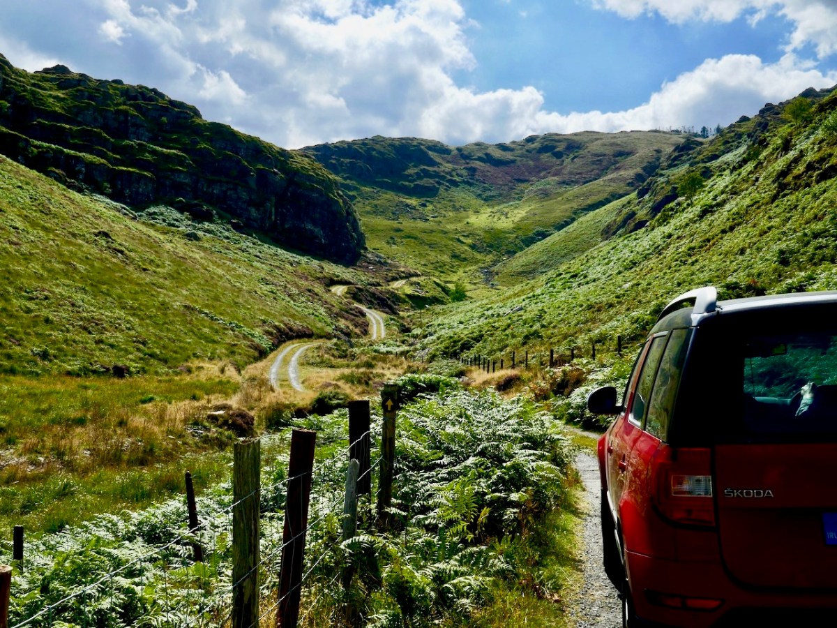
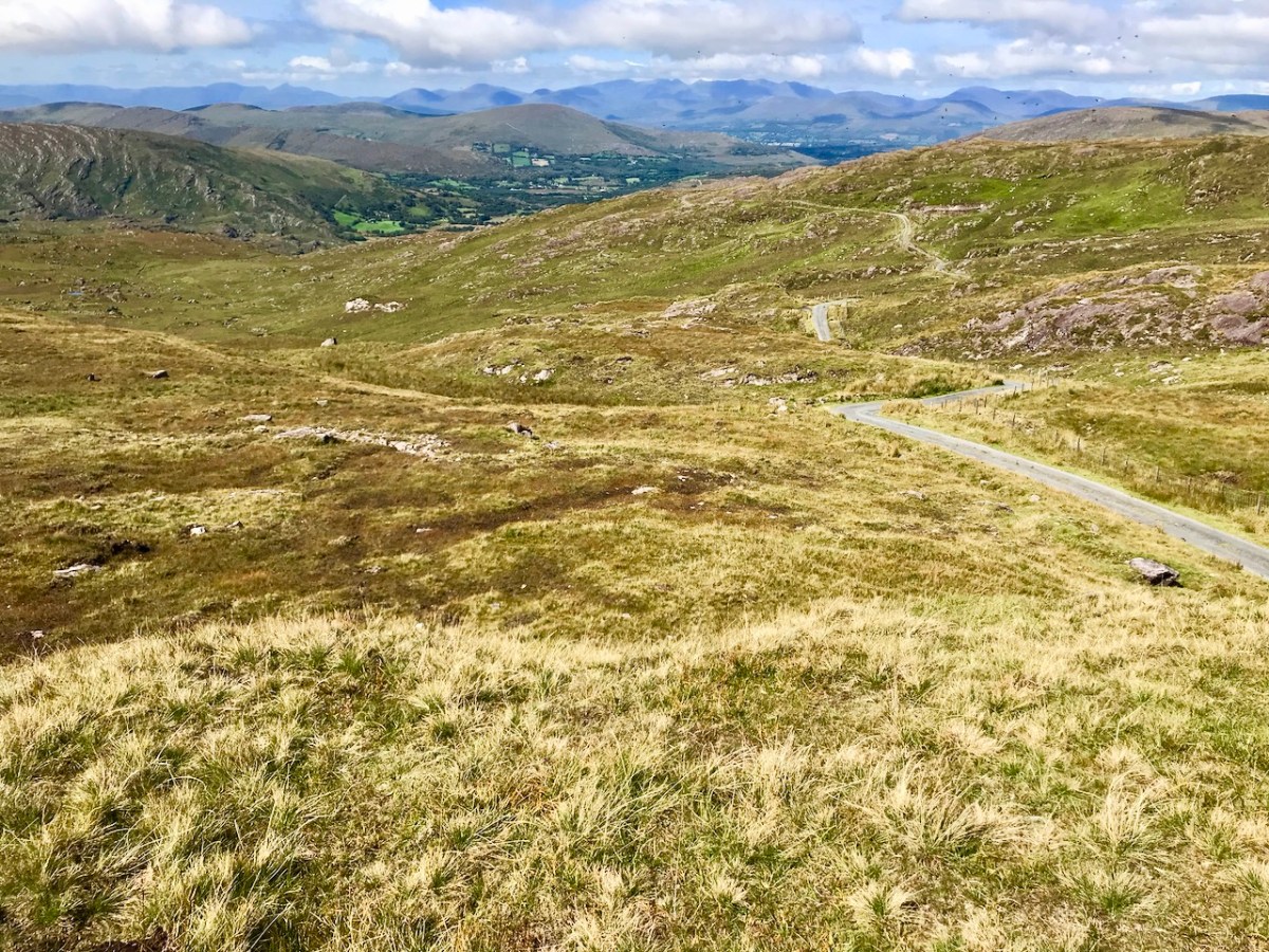
It couldn’t have been a better day for the drama of sunshine and clouds that outlined the valleys and hills. There is little sign, here, of a drought that is causing problems on farms and in town gardens. When distant views opened up, we were treated to some of the finest vistas in our counties.
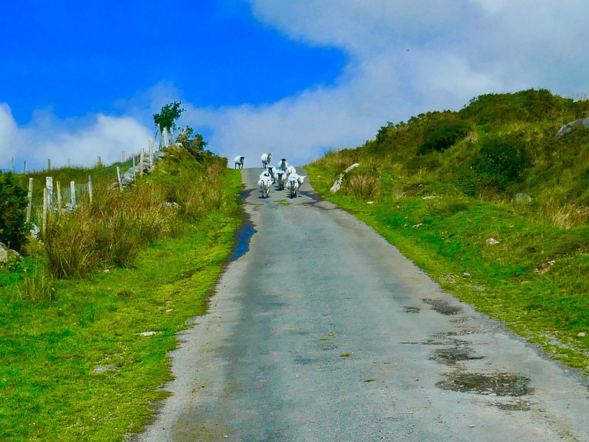
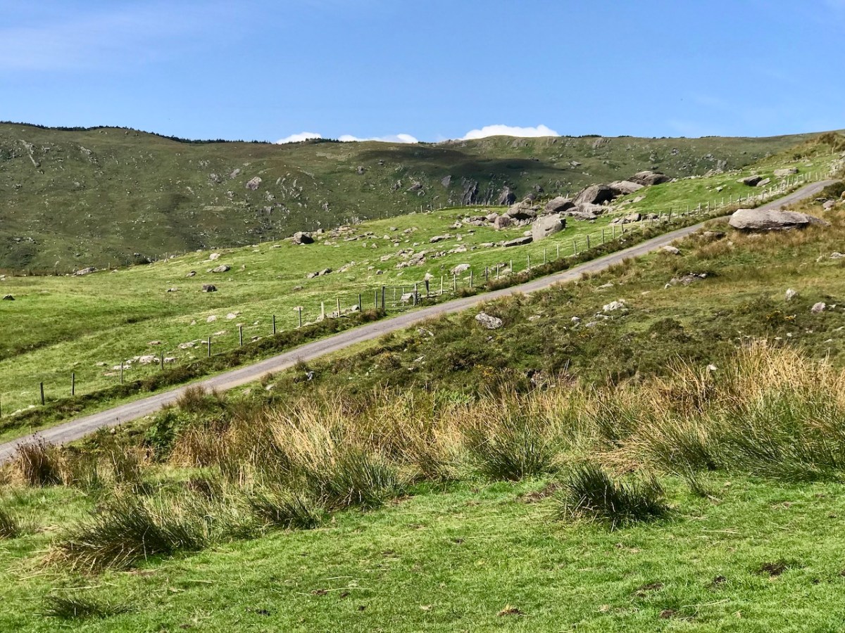
Against the drama of the surrounding peaks we felt secure in our little vehicle which progressed steadily along the narrowest of boreens. Our only living companions in this place were sheep, easy to discern because of their brightly dyed coats.
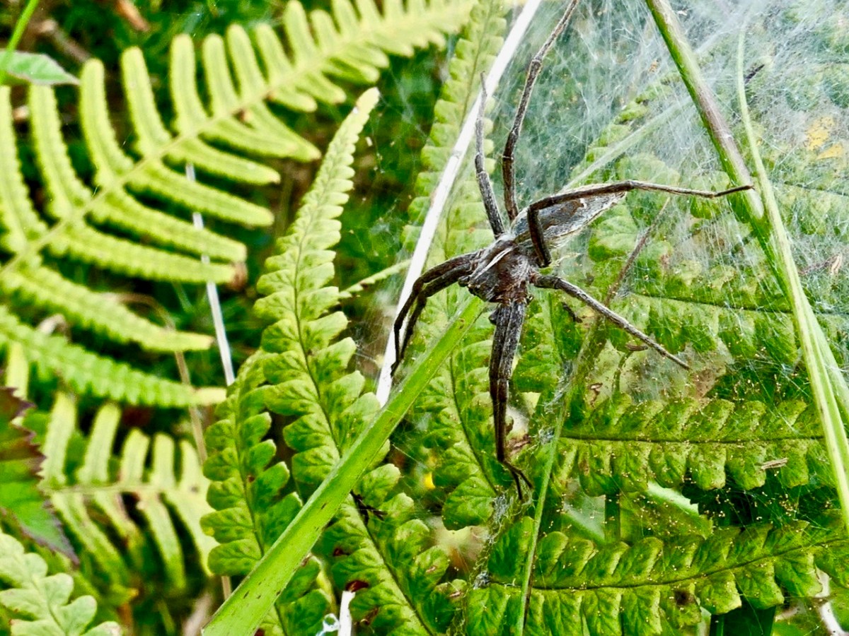
While driving on roads such as this is a richly rewarding experience, you also need to get out and encounter the wildlife close-up.
We are always on the lookout for adventures, and we don’t have to be travelling far away from home in order to find them. In our experience, the ‘small roads of Ireland’ – wherever they are – can take us to unexplored territory.
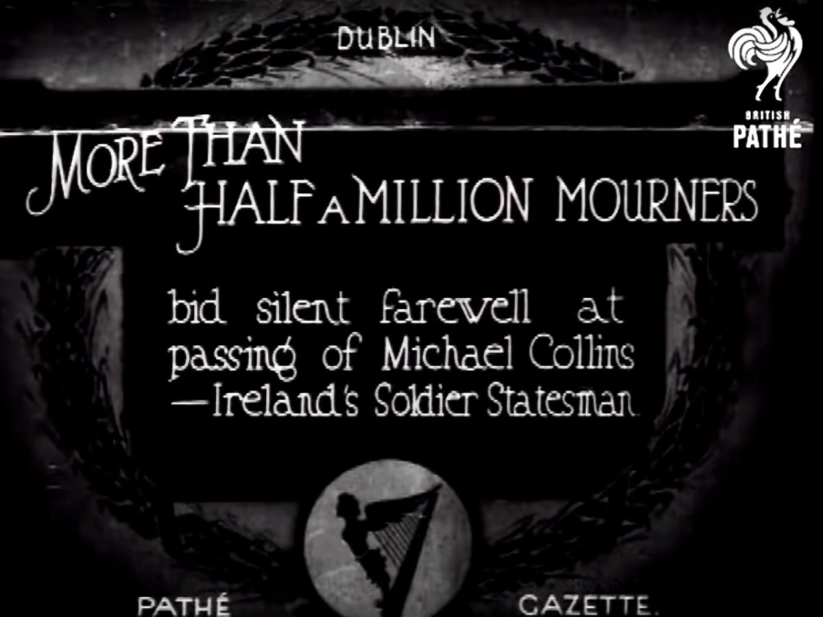
It would have been hard to miss the centenary of the death of Michael Collins over this past week. He was killed at Béal na Bláth, West Cork on 22 August 1922, during the Irish Civil War. His passing – and his life – has been the stuff of legend ever since. He’s buried in Glasnevin Cemetery, Dublin, but the events this week were focussed on the place where his life ended – not far from where we live.
Micheál Martin – Taoiseach and Head of Government in Ireland – (on the left, above) and Leo Varadkar – Tánaiste and Deputy Head of Government – (on the right) presided over the ceremony at Béal na Bláth this week (picture courtesy of The Independent). This was an historic get-together as both men lead different parties – Fianna Fáil and Fine Gael respectively: these are in coalition at the moment, together with the Green Party. The Taoiseach said in his speech that the willingness of those of differing political views to try to find common ground was one of the great strengths of modern Ireland. In Collin’s time, a century ago, such coming together would have seemed extremely implausible.
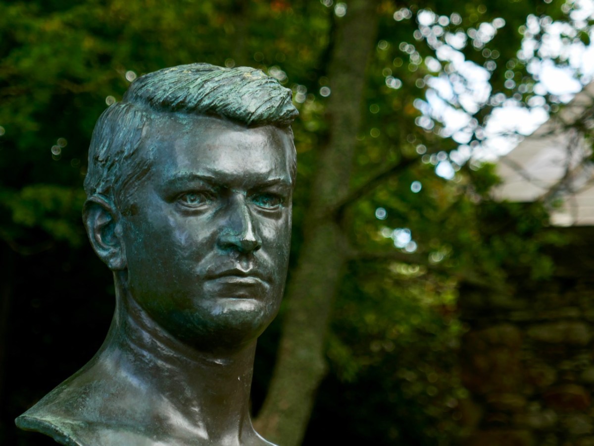
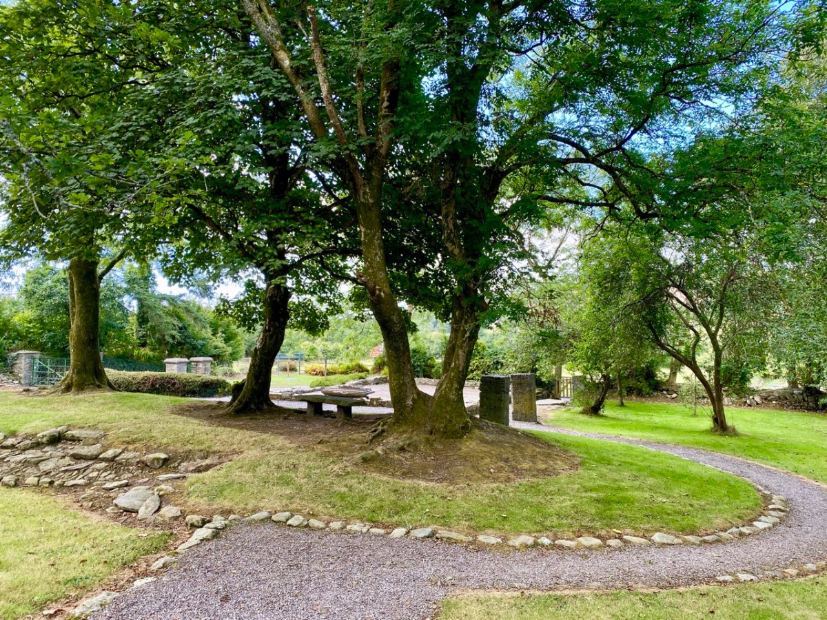
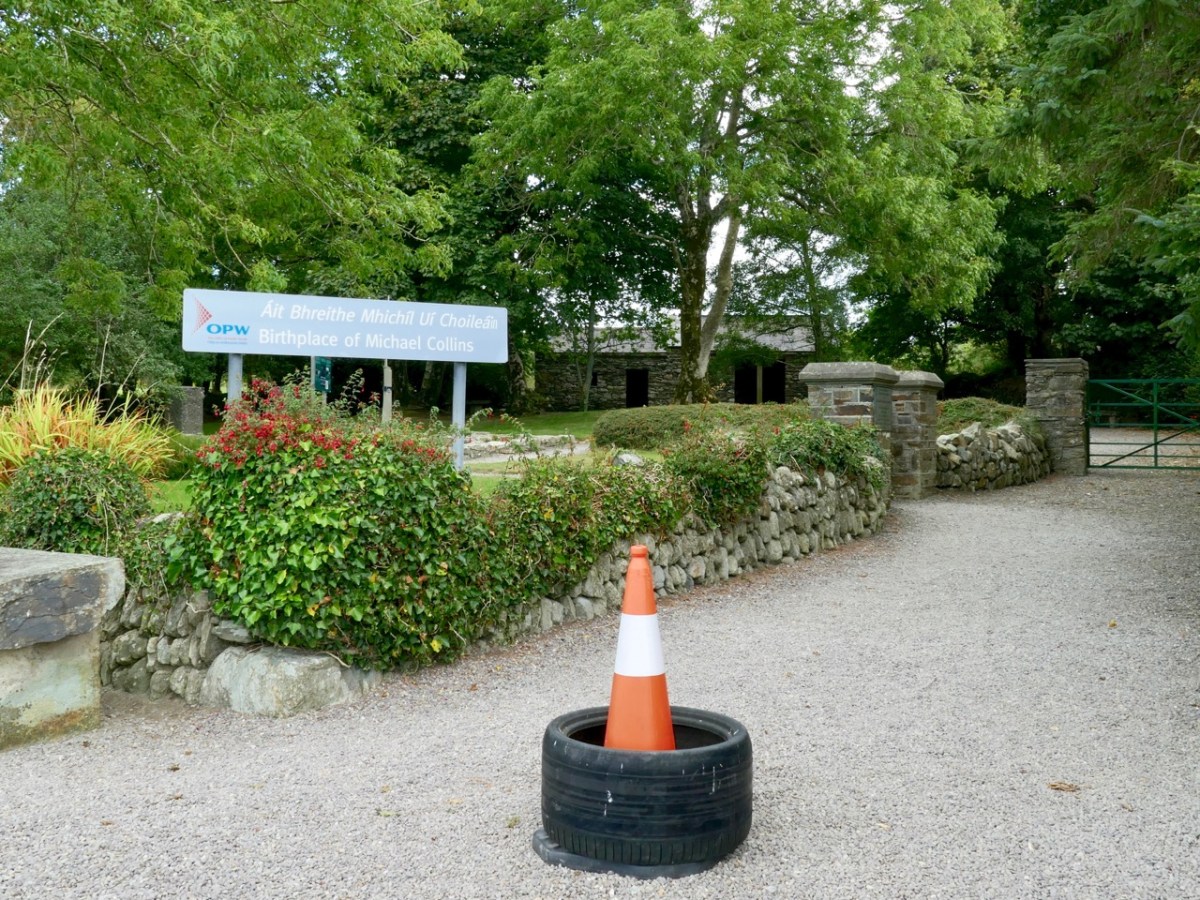
This bust of Michael Collins is sited at his home place, Woodfield, Sam’s Cross in West Cork. There’s nothing left of the main house now (below): it was burned down during the Irish Civil War. But the original cottage still stands as a shell (it’s behind the trees in the background of the lower photo, to the right of the Public Works signpost). It was there that Collins was born.
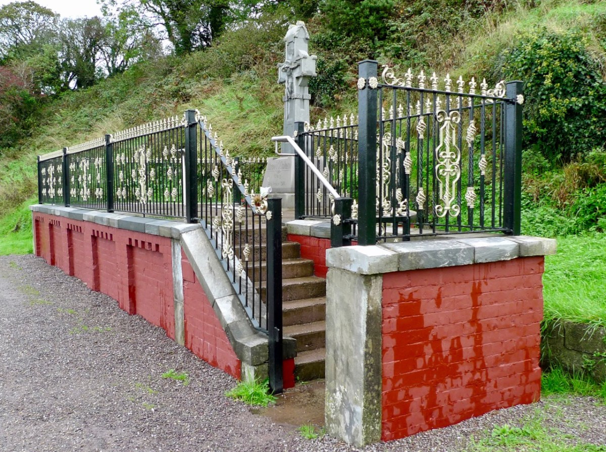
We didn’t go to the official ceremony at Béal na Bláth on the 21st: many thousands of people attended. We were interested to visit a bit later in the week, to see how the site has been upgraded to mark the centenary. Previously, the memorial itself was gaunt and severe: here’s a pic from our visit in 2013:
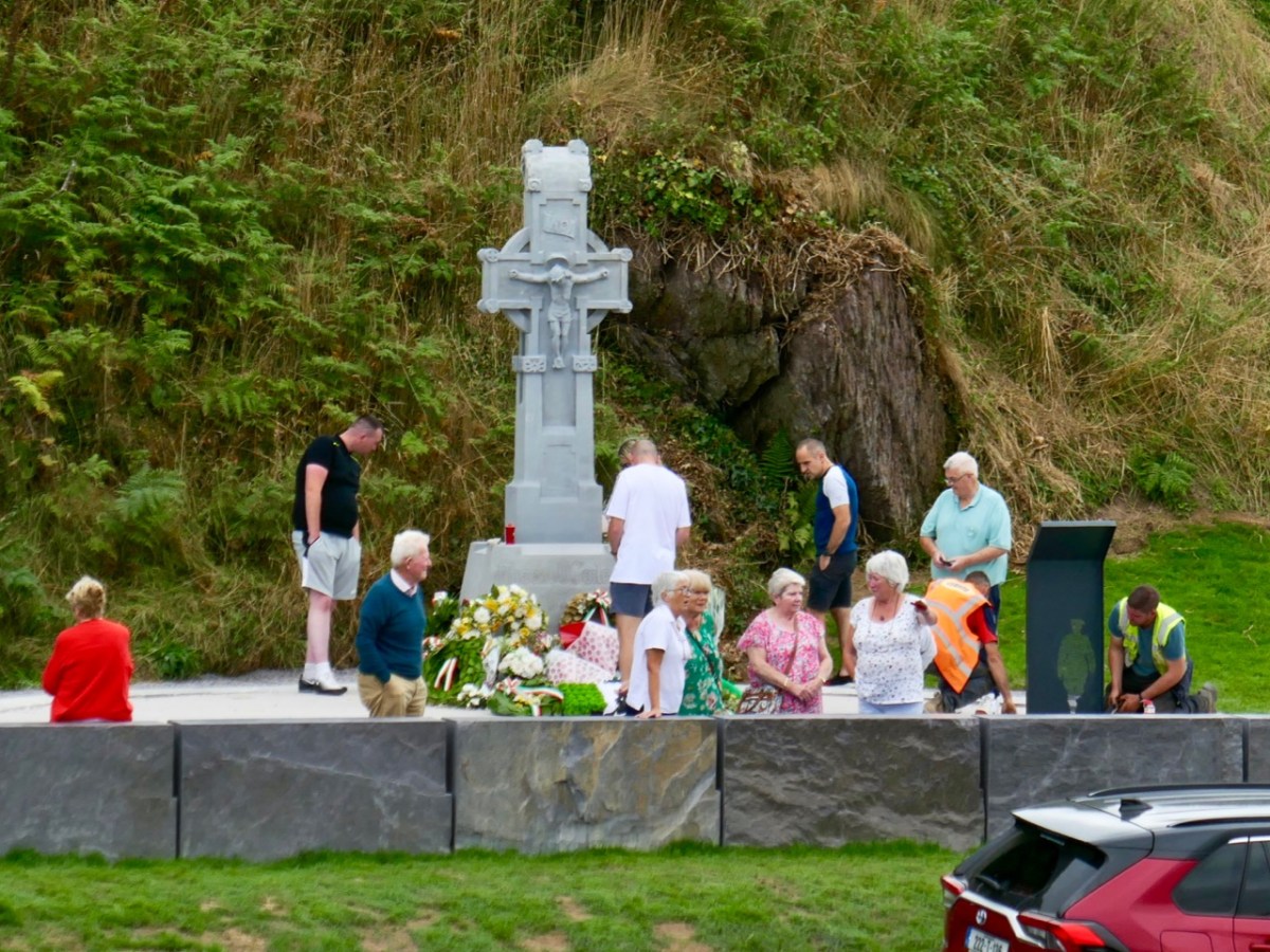
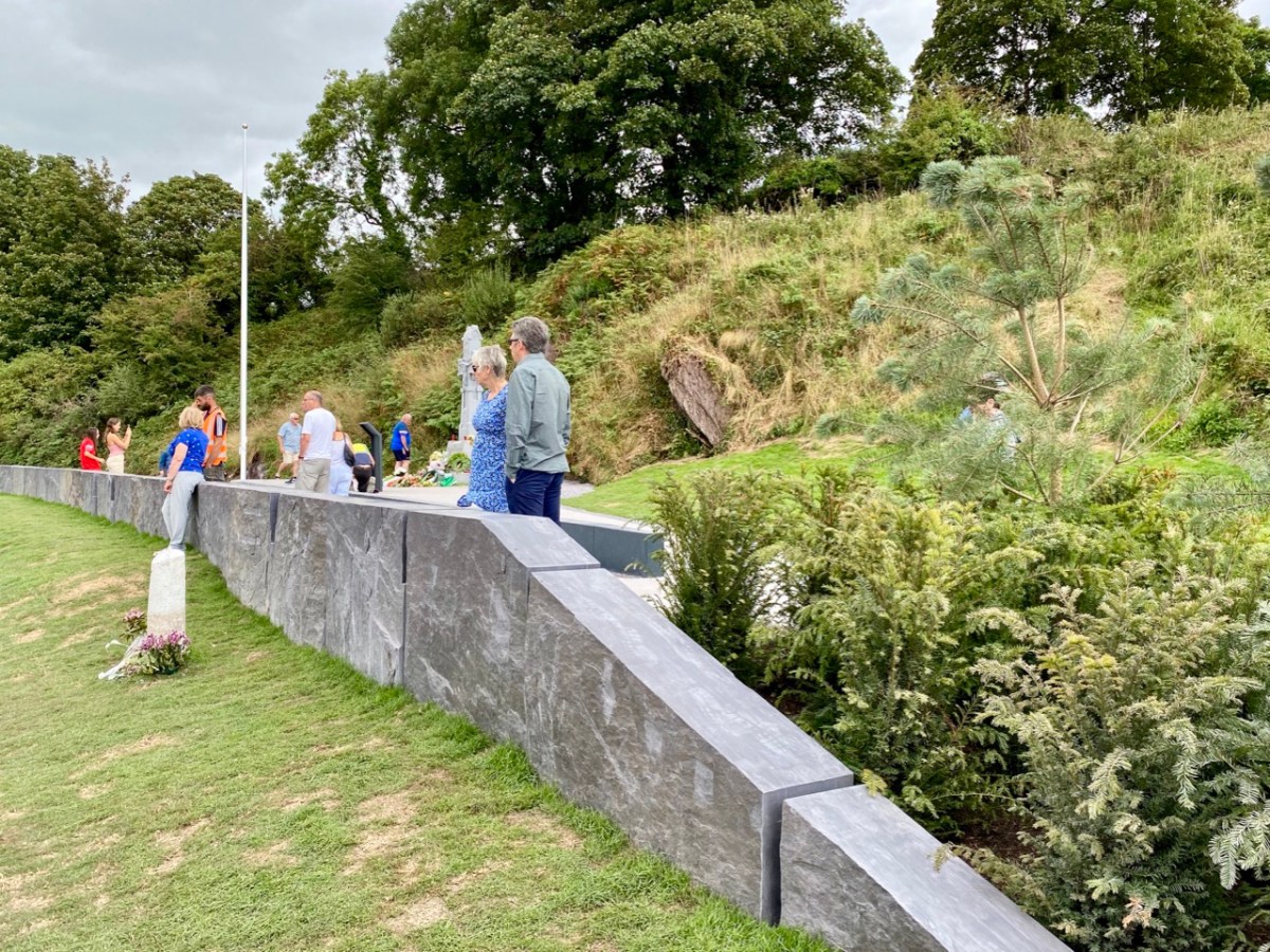
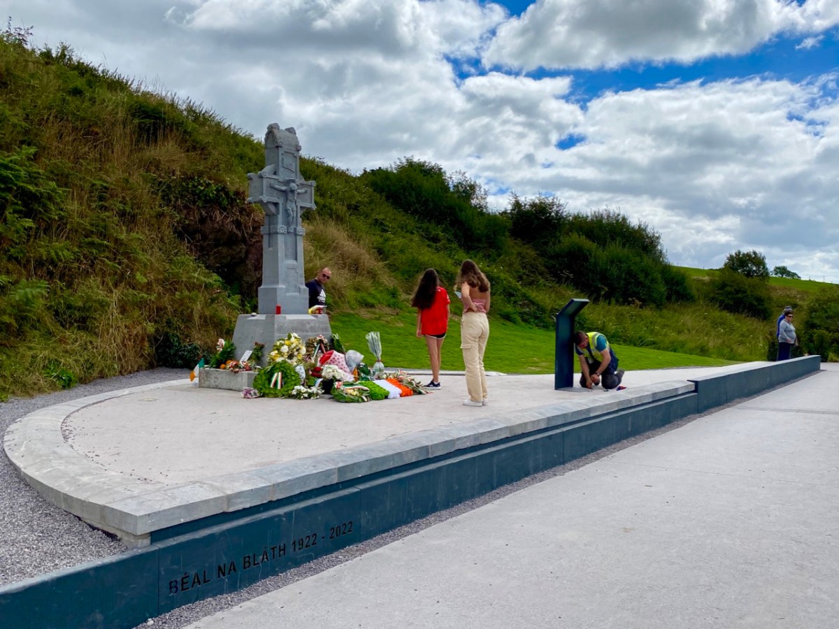
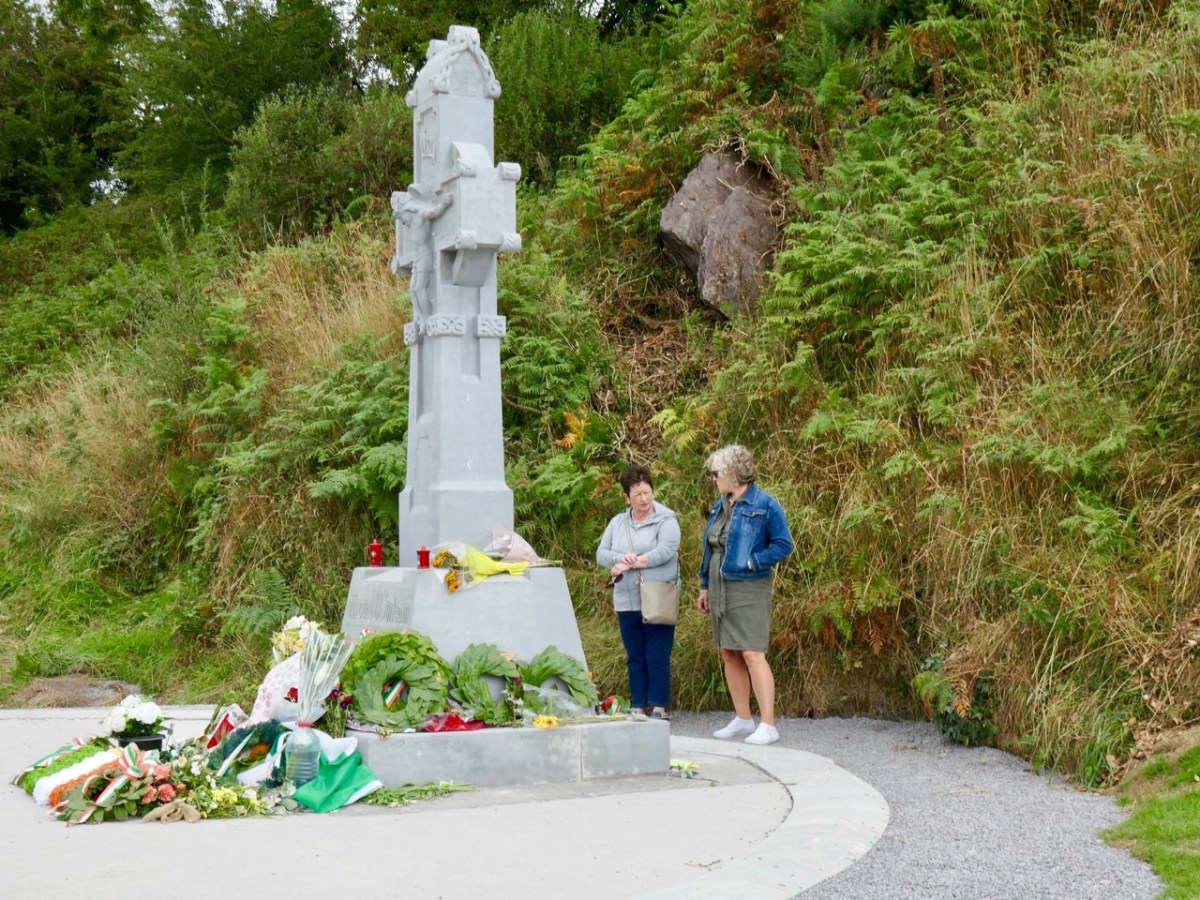
It’s significantly different now: car parking has been rationalised and the commemorative cross is the main focus, with some significant hard landscaping. In our opinion, the works (by Cork County Council) have succeeded in focussing the main elements, and the scale is more human.
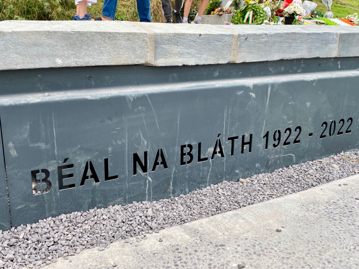
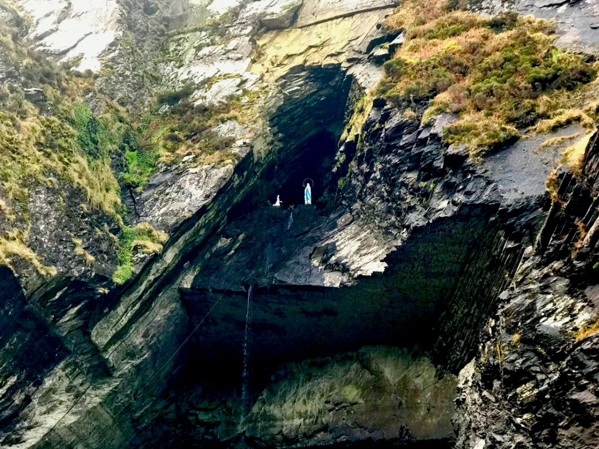
The new walling defining the edge of the memorial site is built from huge blocks of slate from Valentia Island Quarry, Co Kerry: “. . . the most westerly quarry in Europe . . .” The material is fittingly monumental. When we visited Valentia back in January 2019, we recorded the fact that this quarry has its very own Marian grotto:
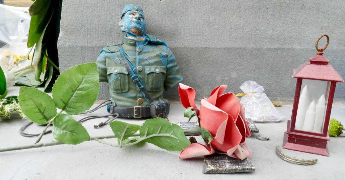
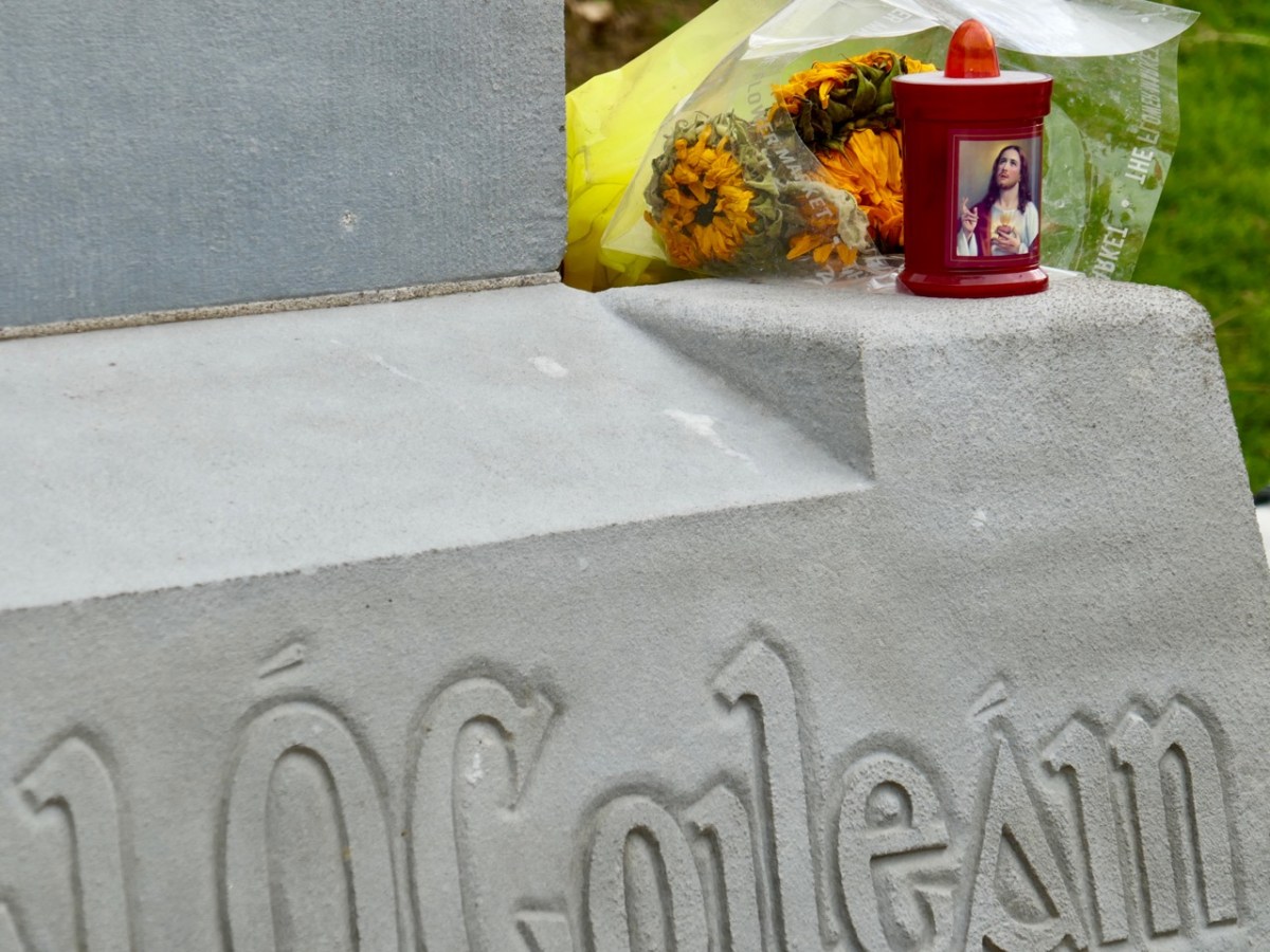
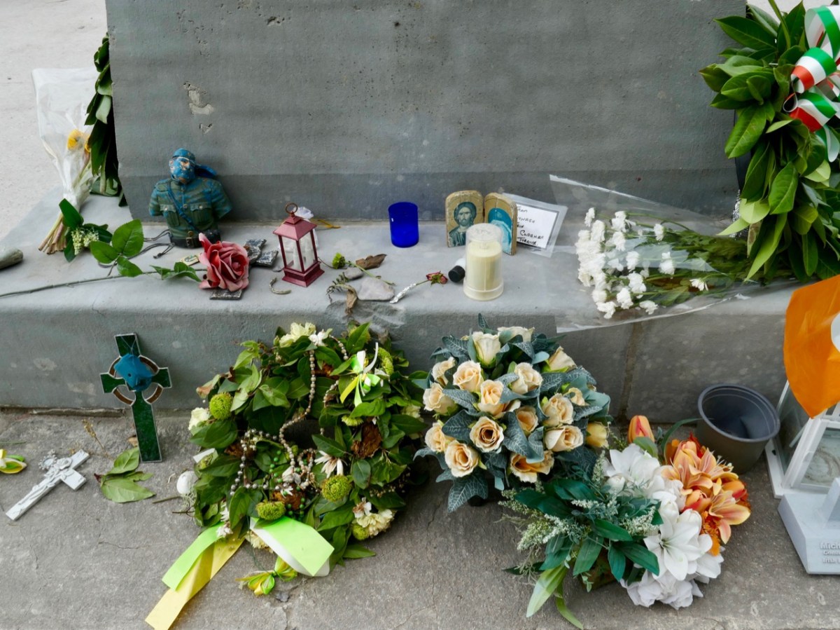
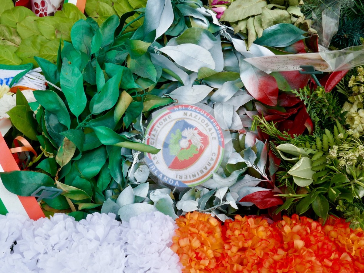
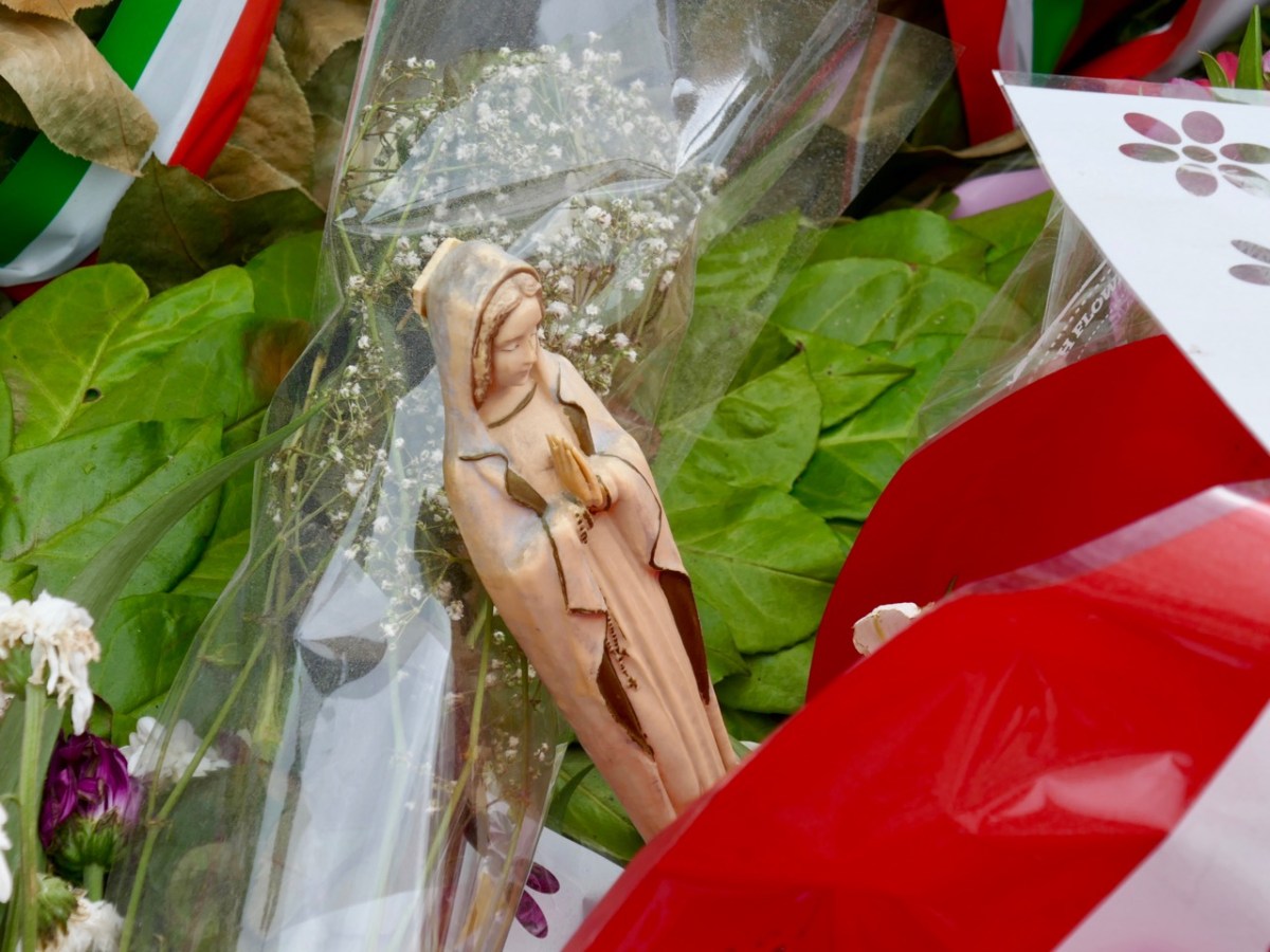
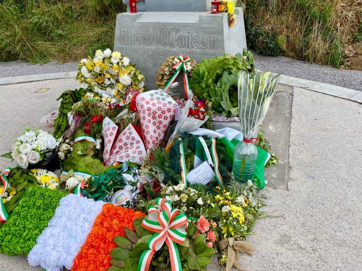
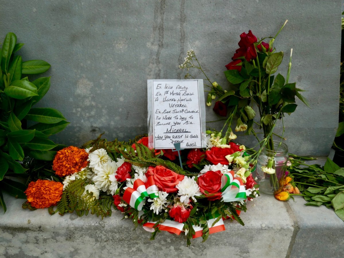
We were interested – and pleased – to see that the upgraded memorial still gives space to ‘popular’ offerings. We maintain that Michael Collins is on his way to beatification, and he is already being treated as more than a fallen warrior (although that status is, in itself, heroic). Amongst the floral tributes are religious symbols, messages, and ‘relics’.
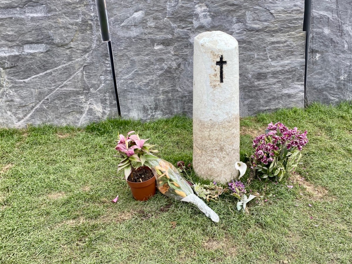
And – of course – the fateful spot (above) where Collins fell is still marked by the simple white stone which has been at this site for generations.
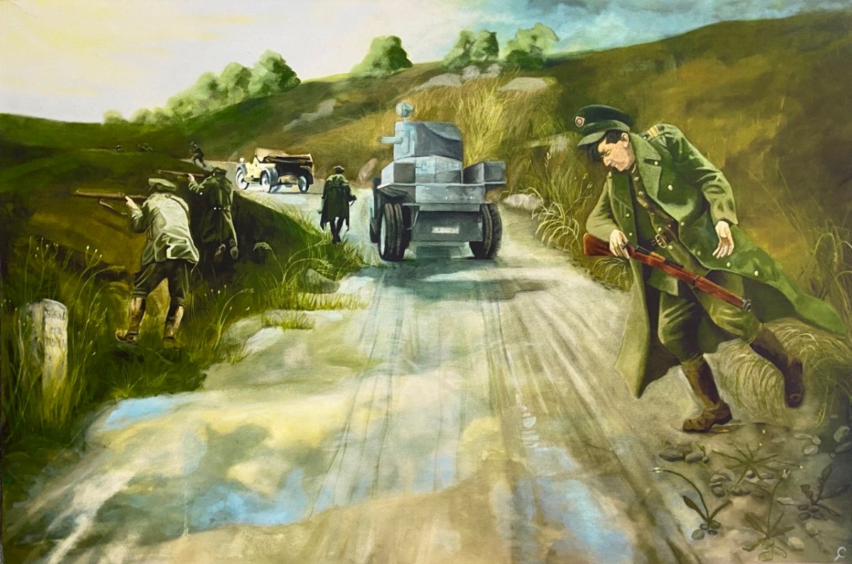
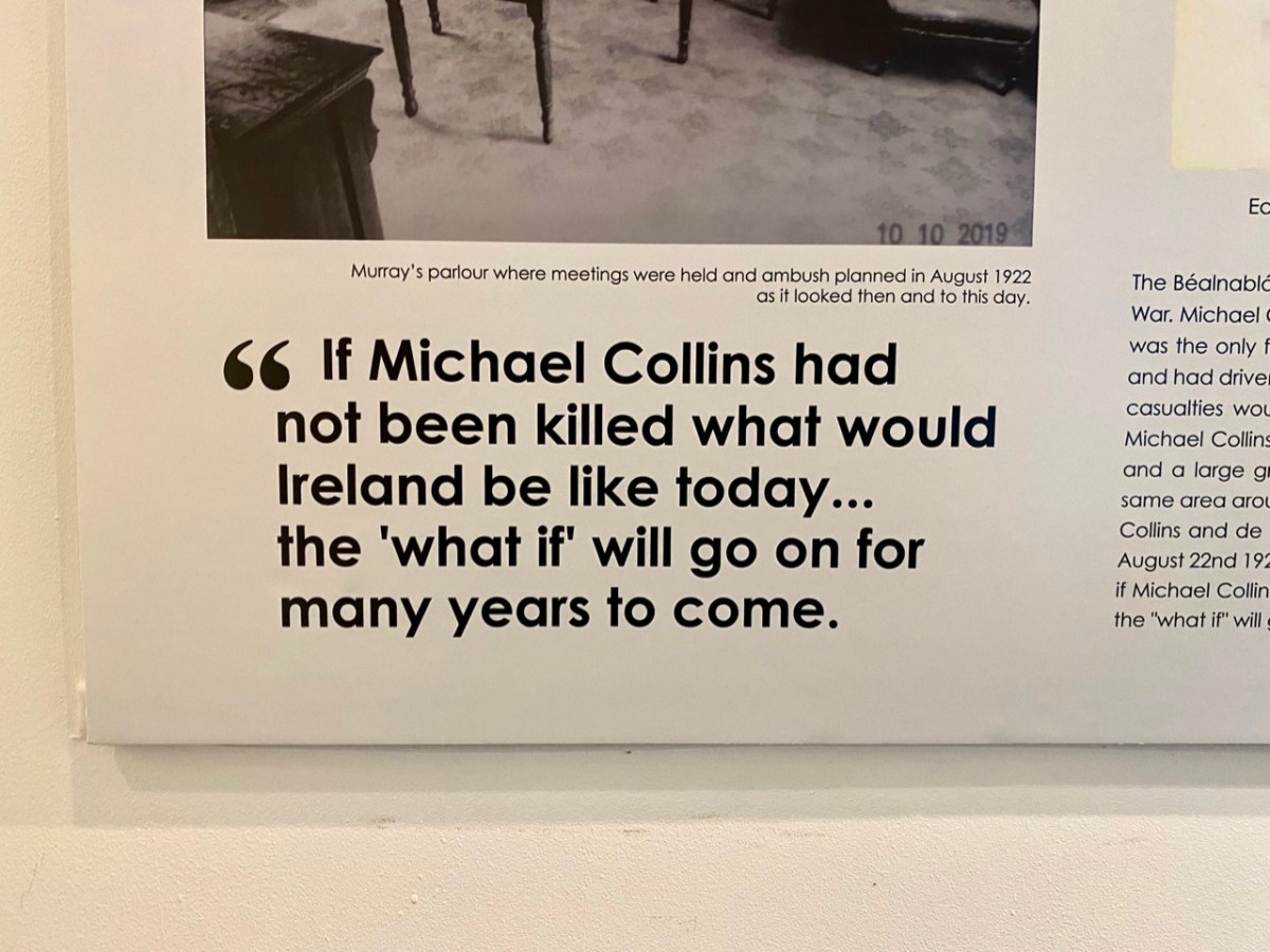
‘The Moment’ at which Collins was shot by an enemy bullet, captured in a dramatic painting (above), now on display in the Michael Collins Centre at Castleview, Clonakilty. No one has ever been held to account for the shooting, which was the only fatality on that day, and some have suggested that Collins was not intentionally targeted, and may have been the victim of an accidental ricochet. It’s most likely that we will never know the true story, but there’s no doubt that popular folklore has stepped in to fill the gaps.
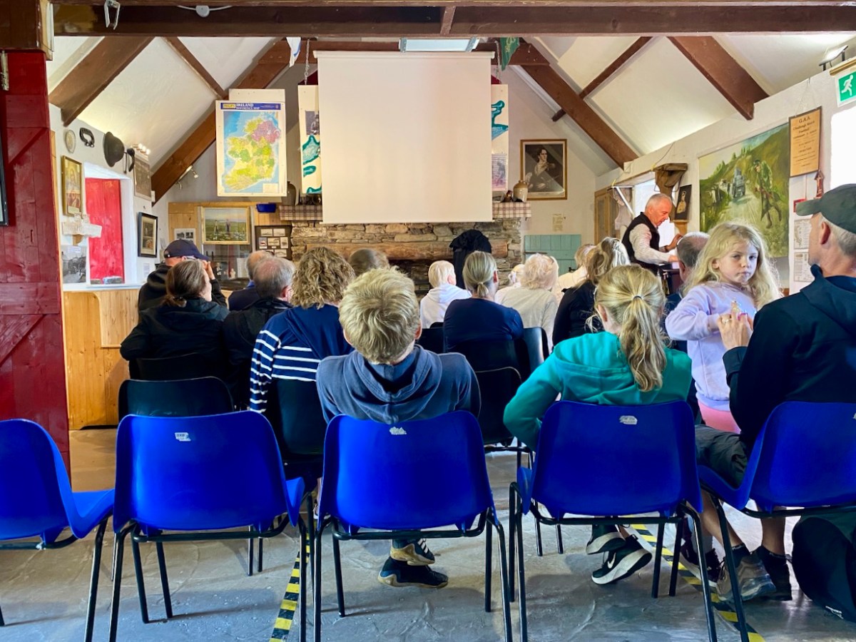
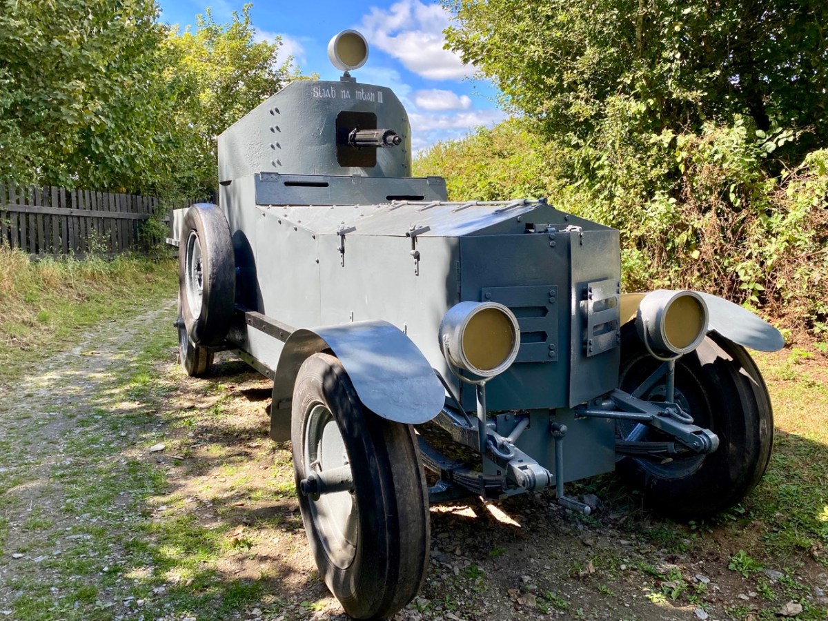
The Michael Collins Centre (above) has been run for over 23 years by members of the Crowley family who are directly related to Collins. Visitors are given a comprehensive presentation on his life and times – and his death. There are many artefacts and memorabilia, including replicas of the vehicles which were in the convoy at Béal na Bláth. It’s also well worth looking out from the Museum grounds to the spectacular view across the Argideen River valley (below). Argidín means Little Silver River, and it flows from Reenascreena to Courtmacsherry.
We are keenly watching the progression of Michael Collin’s journey towards sainthood – or further. During the narrations we attended, we noted the descriptions of some of his followers as ‘apostles’. Also, we can’t ignore the fact that he foretold his own death (after he was sent to England to negotiate and sign the Anglo-Irish Treaty). His sister Mary Collins was nine years old when Michael was born in what she said were ” … miracle conditions, as there was no doctor and no trained nurse … mother and baby were well and comfortable … ” Michael was adored by the family, with his old Uncle Paddy predicting the future upon his birth, saying: “Be careful of this child, for he will be a great and mighty man when we are all forgotten” …
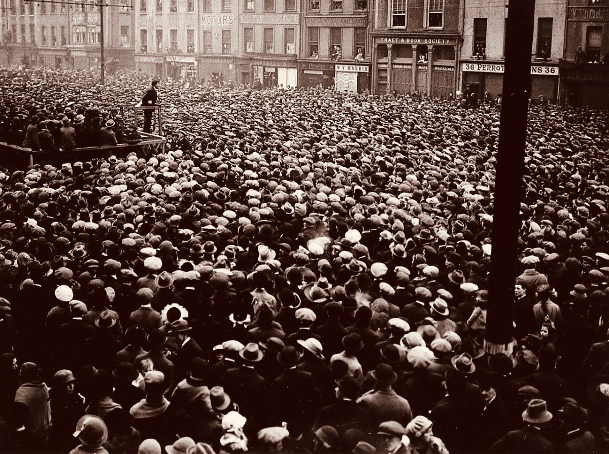
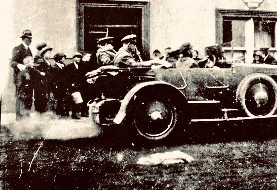
(Above) – a reminder of the ‘glory days’ – Michael Collins addressing huge crowds at a Free State demonstration in Cork City, 13 March 1922 (Wikimedia Commons). (Below) – Collins (behind the driver) leaving the Eldon Hotel, Skibbereen, 22 August 1922: the last known photograph of the hero (Cork Public Museum).
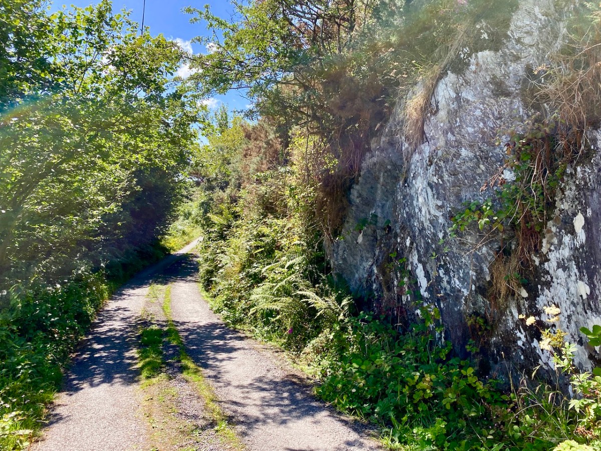
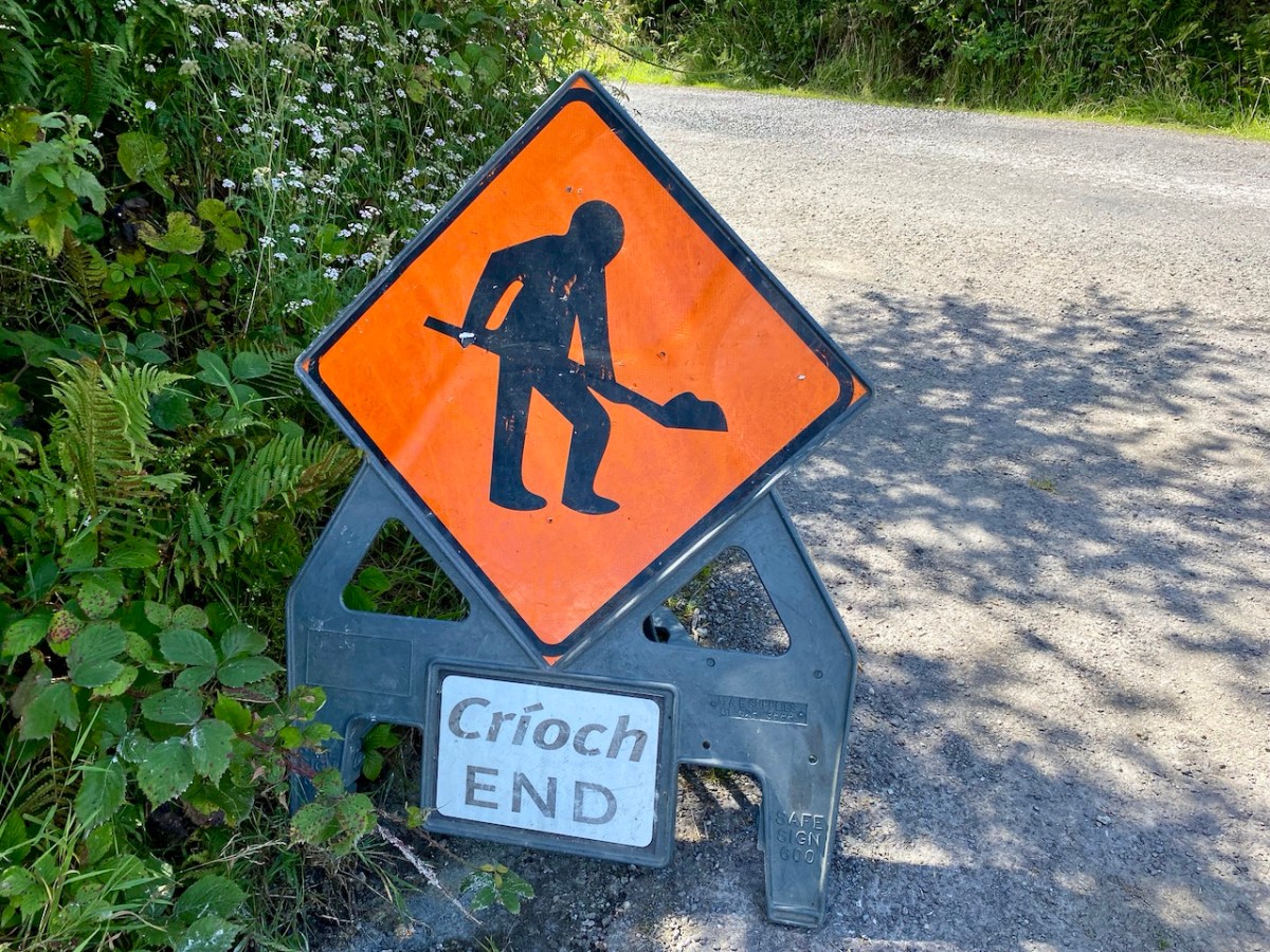
Road repairs in rural Ireland peak in the summer months. Favourable weather is responsible. Always be ready for holdups and diversions. ‘Boreens’ – narrow roads in country areas – are often unable to take the machines required to cut edges, fill potholes and restore surfaces while letting traffic through at the same time. In the worst cases, alternative routes can add many kilometres to a journey. So, when setting out, always leave yourselves plenty of time.
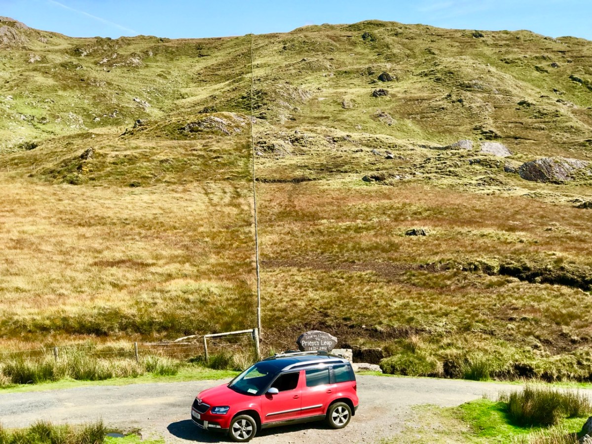
Here’s our Yeti straddling the border between Cork and Kerry on the Priest’s Leap road. That’s one of our favourites: the scenery is outstanding, but there can be problems if you meet someone coming the other way. In fact, that difficulty is present on very many of our local byways: hone your reversing skills!
It’s not always other vehicles you have to watch out for . . .
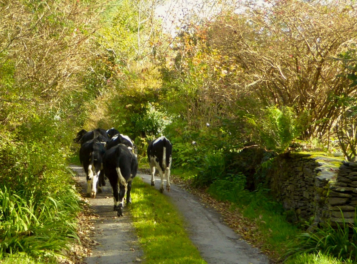
A rural road can be a challenge: never be in a hurry. You just have to go with the flow, even if that means reversing for half a mile. In that situation, of course, the main difficulty is making the decision as to who will have to reverse: you, or the vehicle coming the other way. If that oncoming vehicle is a large tractor and trailer, you may not have much choice.
Yes, there are still a few roads around in very out-of-the-way places which are not surfaced as you might expect. They fit well into their rural surroundings!
Take care not to get lost . . . Some of these boreens are not even marked on the map!
Give a thought to those who built these byways: quite a lot of engineering has been involved in carving through rocks to create a more or less level route.
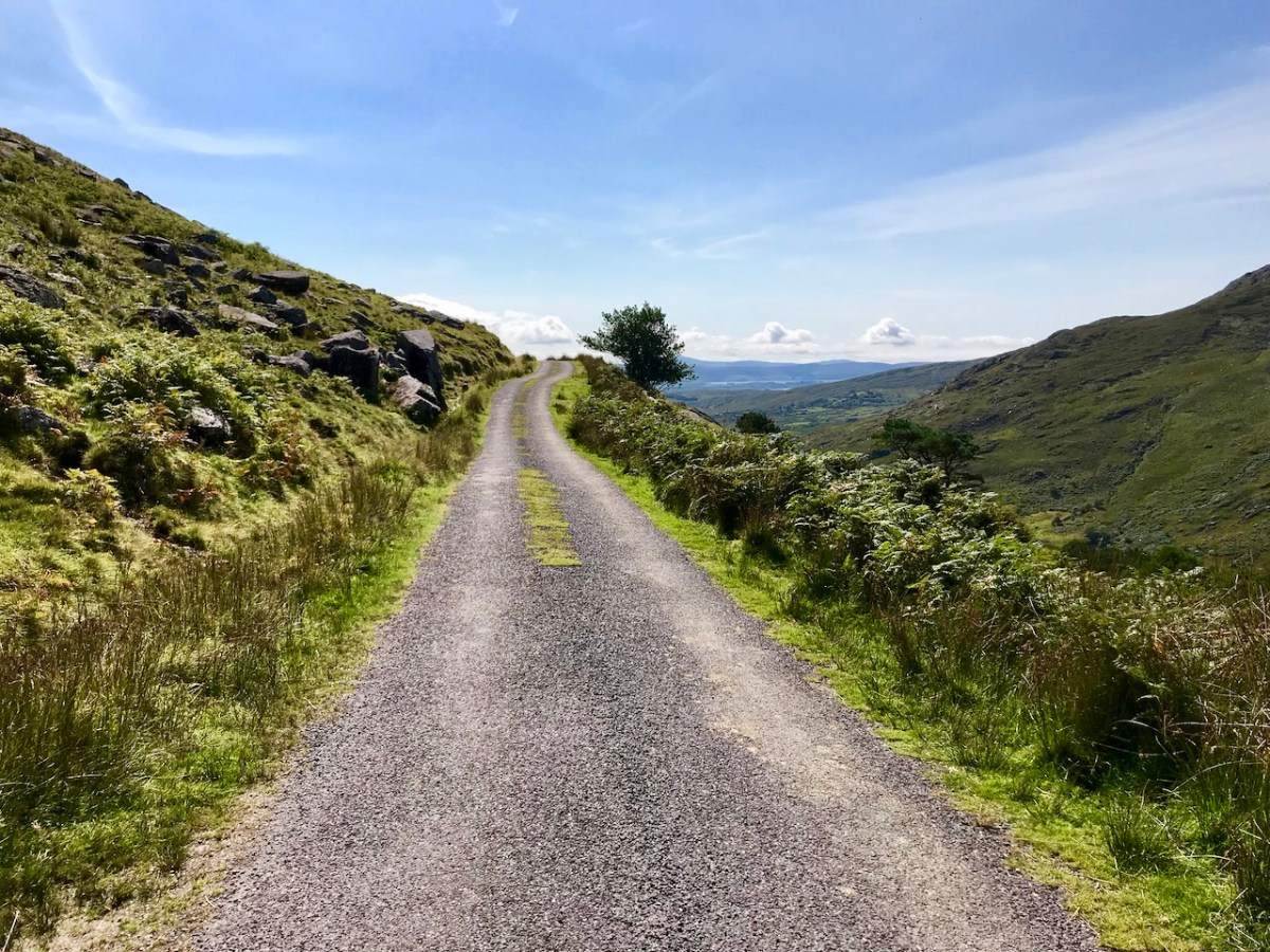
Some roads lead to a dead end. I prefer those that fly high – over the mountain passes; the scenery never disappoints.
. . . The Road goes ever on and on Down from the door where it began. Now far ahead the Road has gone, And I must follow, if I can, Pursuing it with eager feet, Until it joins some larger way Where many paths and errands meet. And whither then? I cannot say . . .
from ‘the old Walking Song’ by J R R Tolkein
There’s always a reward to be had for travelling uphill: it’s the view from the top!
I’ll explain at the outset that Caheragh is (more or less) pronounced ‘corer’ (as in coring apples)! It’s a parish in West Cork that we have visited before. Have a look at my article on the Ilen River, here. This locality is brimming over with history and we go exploring as often as possible: there is always more to find. And – with wide views and cloud scapes in all directions from the high ground – it’s an uplifting place, especially when blessed with the August sun.
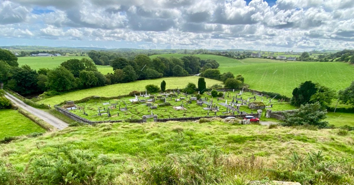
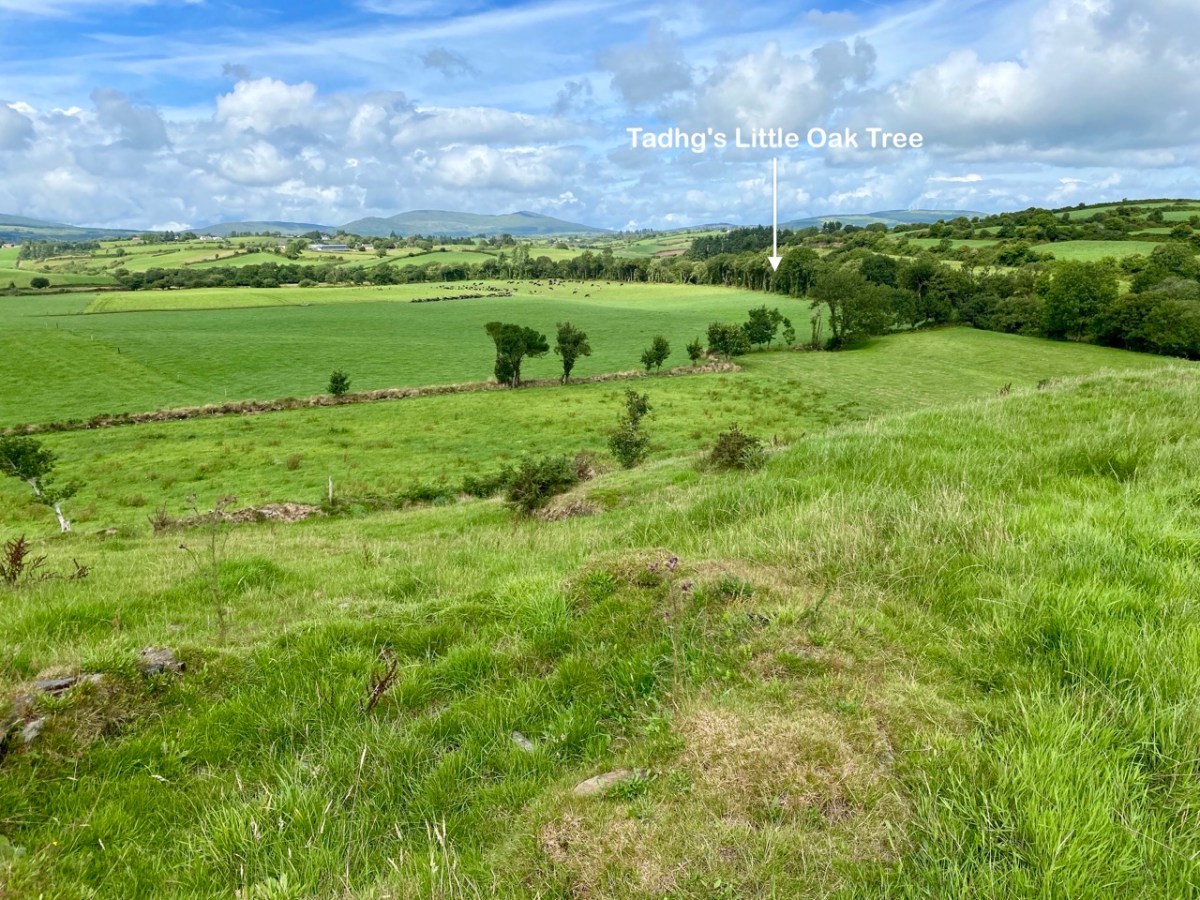
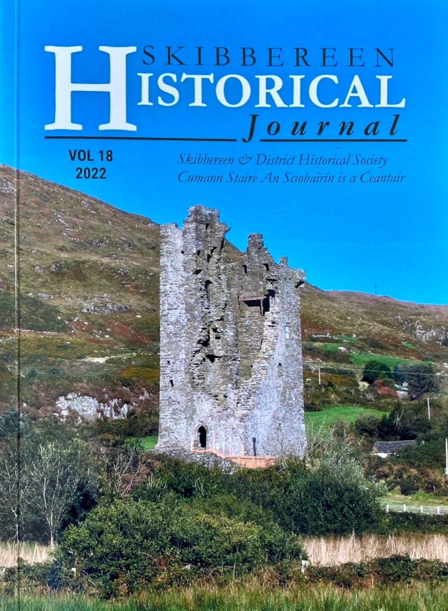
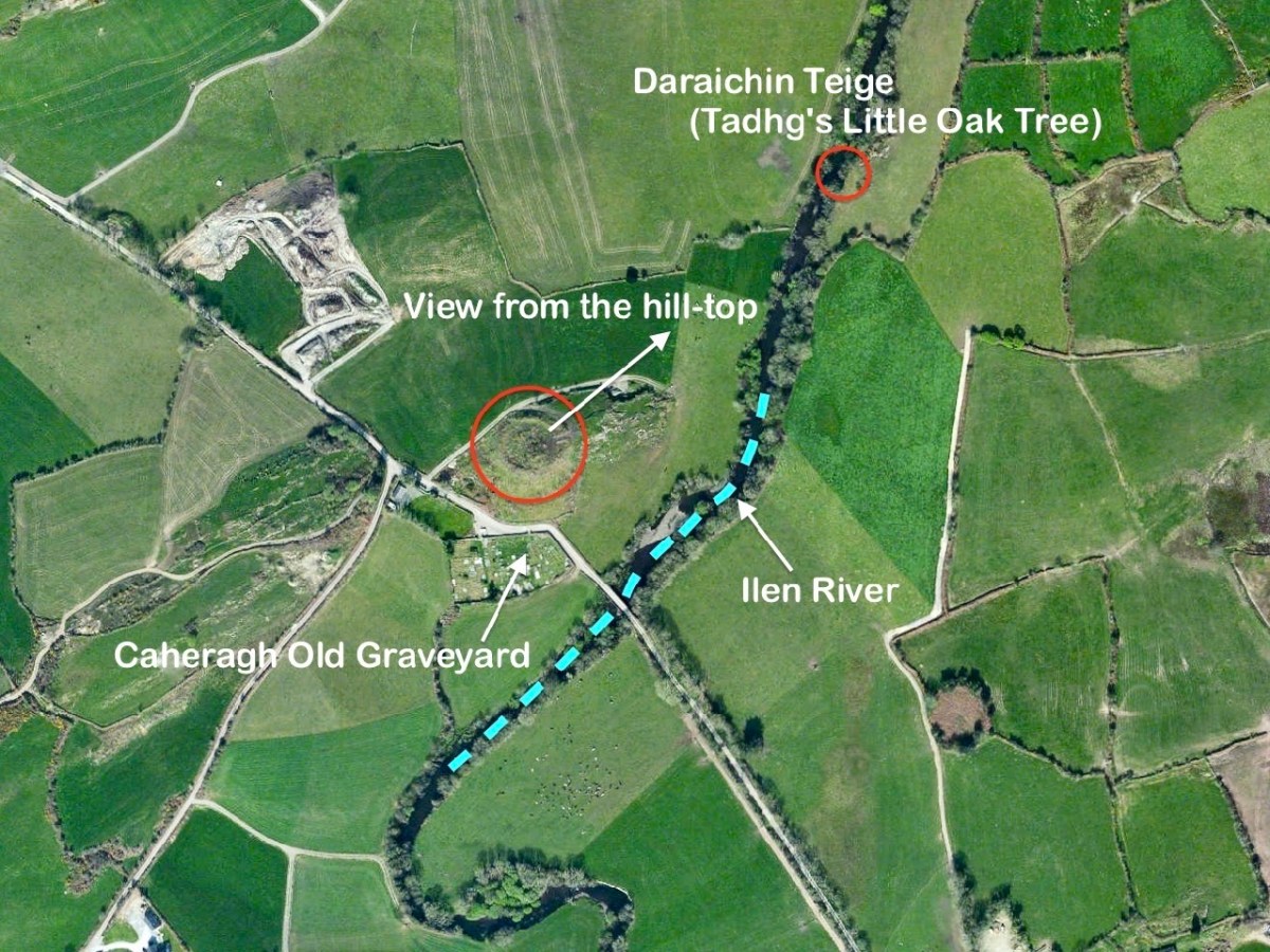
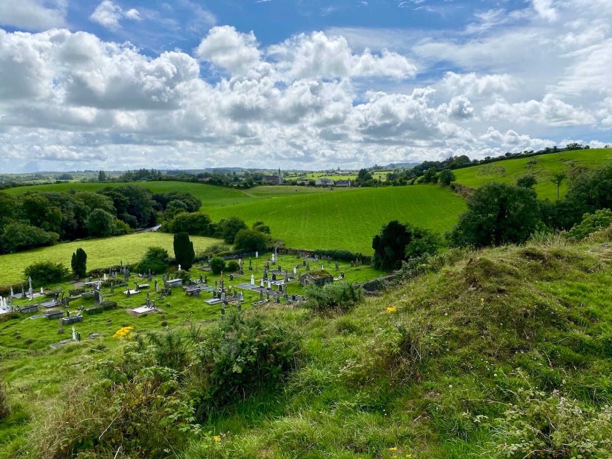
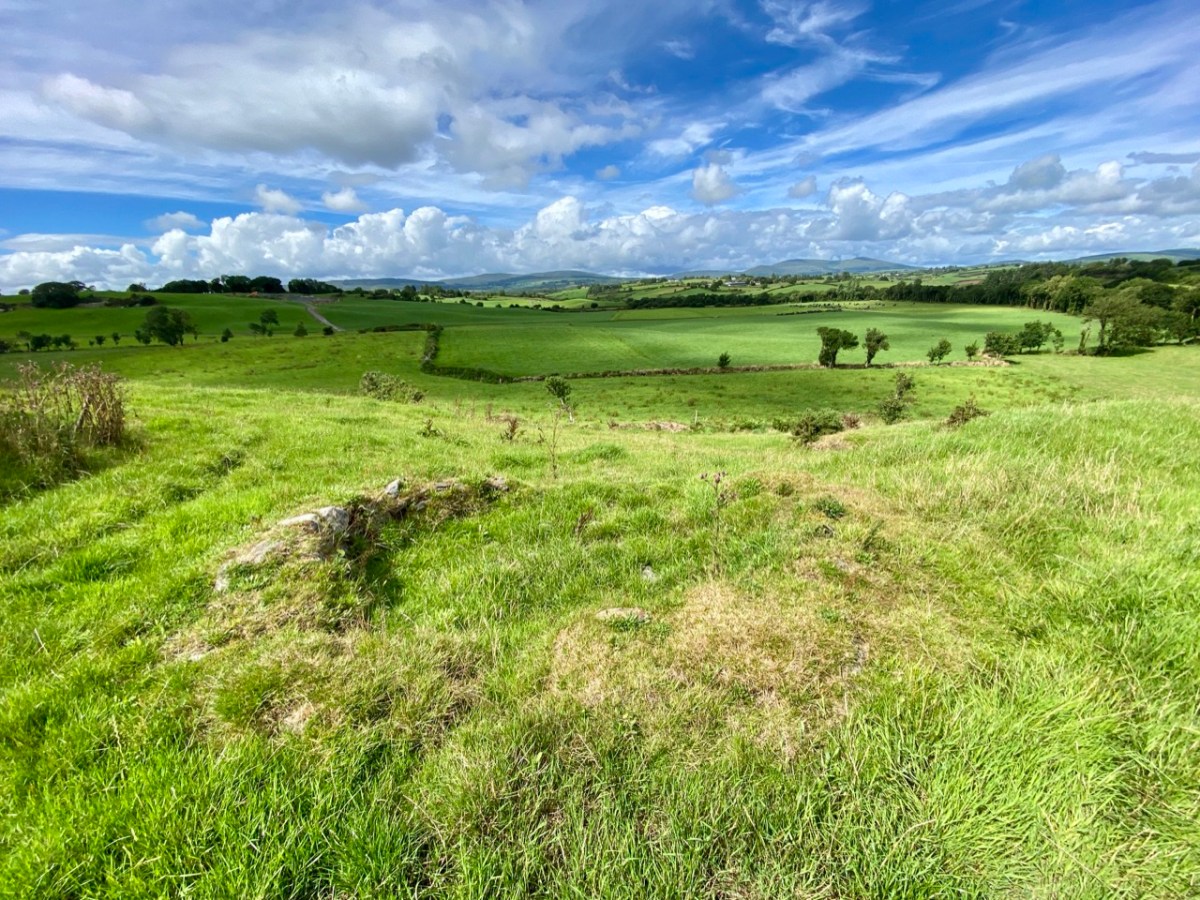
Here’s a vista to the north-east, from the top of the mound beside the graveyard that might just be a ring-fort, or possibly the site of a monastic centre dating from medieval times – more on that later. In the middle distance is the Ilen River with its wooded banks, heading out towards Castle Donovan and – eventually – to its source on Mullaghmesha (or, perhaps, Nowen Hill – we have yet to determine exactly where it rises. This post from the Sweet Ilen series covers the area). And that Donovan castle itself graces the cover of the latest Skibbereen Historical Journal (Volume 18, 2022), which you can get in bookshops locally, or online here. You will find a summary of some of my research on the Ilen River in this journal, together with many other fascinating and erudite articles.
But, going back to that sunlit vista, you’ll notice Tadhg’s Little Oak Tree is indicated. I can’t resist quoting the story of this feature that appears as a ‘Redundant Record’ in the Historic Environment Viewer:
. . . On E bank of River Ilen. Site of tree, ‘Darriheen Teige’ or ‘Daraichin Teige’ (Tadhg’s little oak tree), where Tadhg O’Donovan, chieftain of Clan Cahill, was slain c 1560 by rival group of O’Donovan’s (O’Donoghue 1986, 55). Nearby is Poll a’ Daraichin (pool of the little oak) . . .
Archaeology.ie Historic Environment Viewer – Record CO132-066
Well, it seems strange that the ‘site of a tree’ is a recorded monument. In fact, if the oak was still flourishing (we couldn’t find it), it would probably be just one of only a few trees included in Ireland’s vast record of archaeological monuments!
For today’s post I am indebted to our historian friend Pat Crowley, who directed us to a clip from The Southern Star newspaper dated January 12, 1929. It was a letter written to the newspaper by Captain Francis O’Neill, retired Chief of Police in Chicago and well-known prolific collector of traditional Irish music. O’Neill (1848-1936) was raised in his family home at Tralibane, in the parish of Caheragh. He has been mentioned in this journal, and I was fascinated to read his letter, which became a protracted discussion on the parish, the old graveyard, historic sites and archaeology in the area.
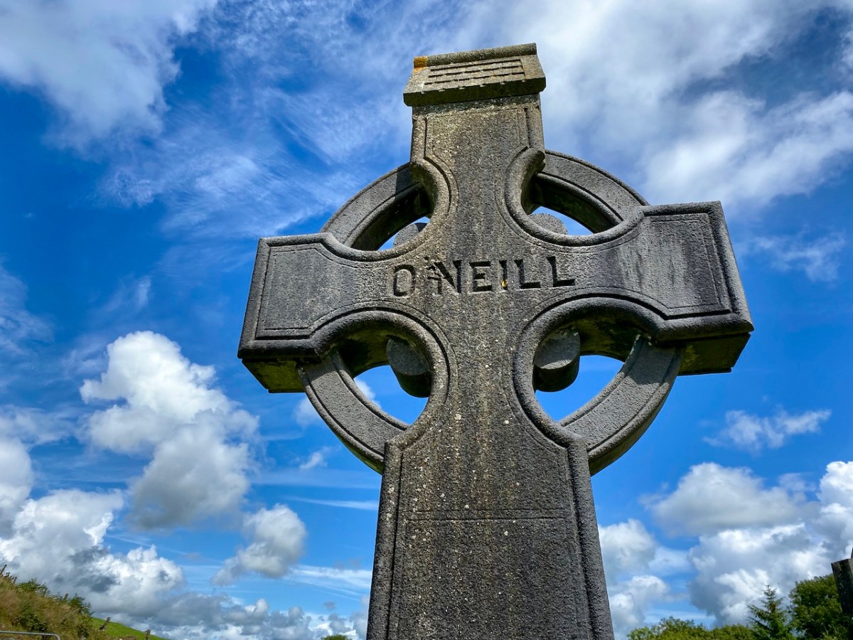
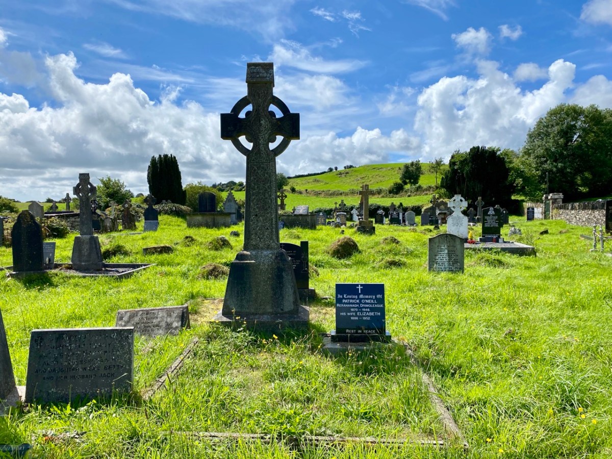
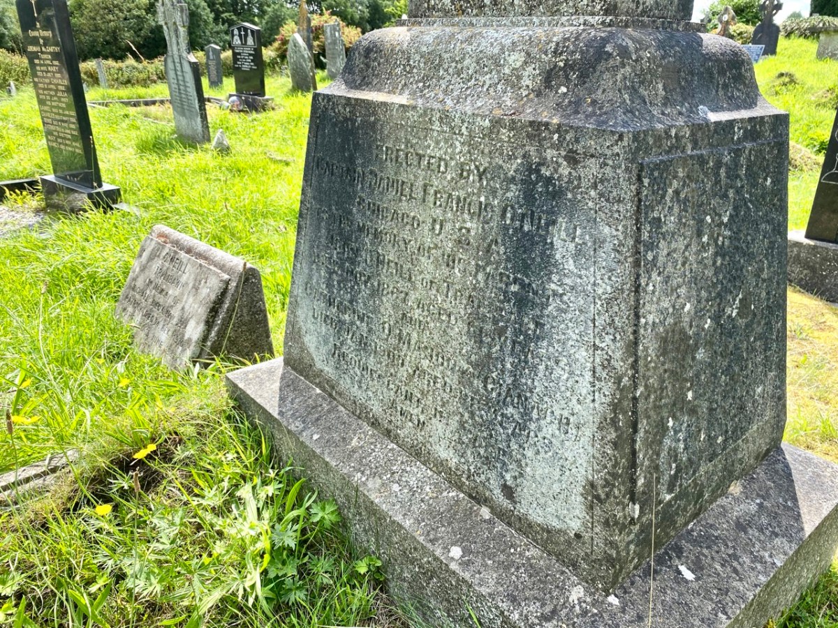
All this came about because Francis had returned from Chicago to West Cork in 1906 – after a long absence – ostensibly to visit the burial place of his parents, and to order a suitable monument to mark their graves (above).
. . . On my return to Ireland July 1906, after an absence of 41 years, I visited the bleak Caheragh graveyard, in which the remains of my parents, and O’Neill ancestors, were buried. There being nothing visible in the environment to indicate its origin as a cemetery, personal curiosity, abetted by that of the Downings of Tralibane – cousins of McCarthy Downing, MP – led to investigation . . . The result, somewhat disconnected and fragmentary, is herewith submitted for publication . . .
Southern Star 12.01.1929
The O’Neill burial plot at Caheragh. Francis ordered the large cross to mark the graves of his parents. The inscription reads:
Erected By Captain Daniel Francis O’Neill Chicago USA To the Memory of his Parents John O’Neill of Tralibane Died Nov 1867 Aged 66 Years And Catherine O’Mahoney (Cianach) Died 1900 Aged 88 Years Requiescant In Pace Amen
Quoting again from Francis O’Neill’s letter to the Southern Star:
. . . All available authorities in my library have been consulted, and I find that references to the parish of Caheragh are both meagre and obscure… The earliest mention of this parish which has come to my notice, is in the report of Dive Downes, Episcopal Bishop of Cork and Ross, who made a trip on horseback to all parishes in his diocese in the years 1699 – 1702. Following is the entry: –“Caheragh Church, about two miles distant from Drommaleage Church to the SW lies close to the Island River (he means Ilen). On the west side of the river are 35.5 lowlands in this parish, of which 20 lie on the west side of the river, and 6.5 lie on the east side of the said river . . . There are about 12 Protestant families in this parish. ’Tis thought there are forty Papists for one Protestant in this parish . . . Will Gureheen, a very old man, is priest of this parish. . . The church is ruinous. The north side is down . . .”
Southern Star 12.01.1929
A vista to the west, from the top of the mound beside the graveyard. The present-day village of Caheragh is distant beyond the green pasture (a long way from this ‘Old Graveyard’ – why…?), identifiable through the spire of the 1963 Holy Family Church. O’Neill continues, now quoting from Samuel Lewis “A Topographical Dictionary of Ireland” published in London in 1837:
“Near Lisangle are the ruins of a strong castle, once the residence of McCarthy, King of Cork. The ruins of the old church also remain, which the people here call the ‘Abbey of Cahir” . . . The absence of ruins at Caheragh, which, by the way, seems to have never attracted the attention of historians or antiquaries, is easily accounted for. The stones, conveniently at hand, were utilised in the building of the walls which encompassed the graveyard . . .
Southern Star 12.01.1929
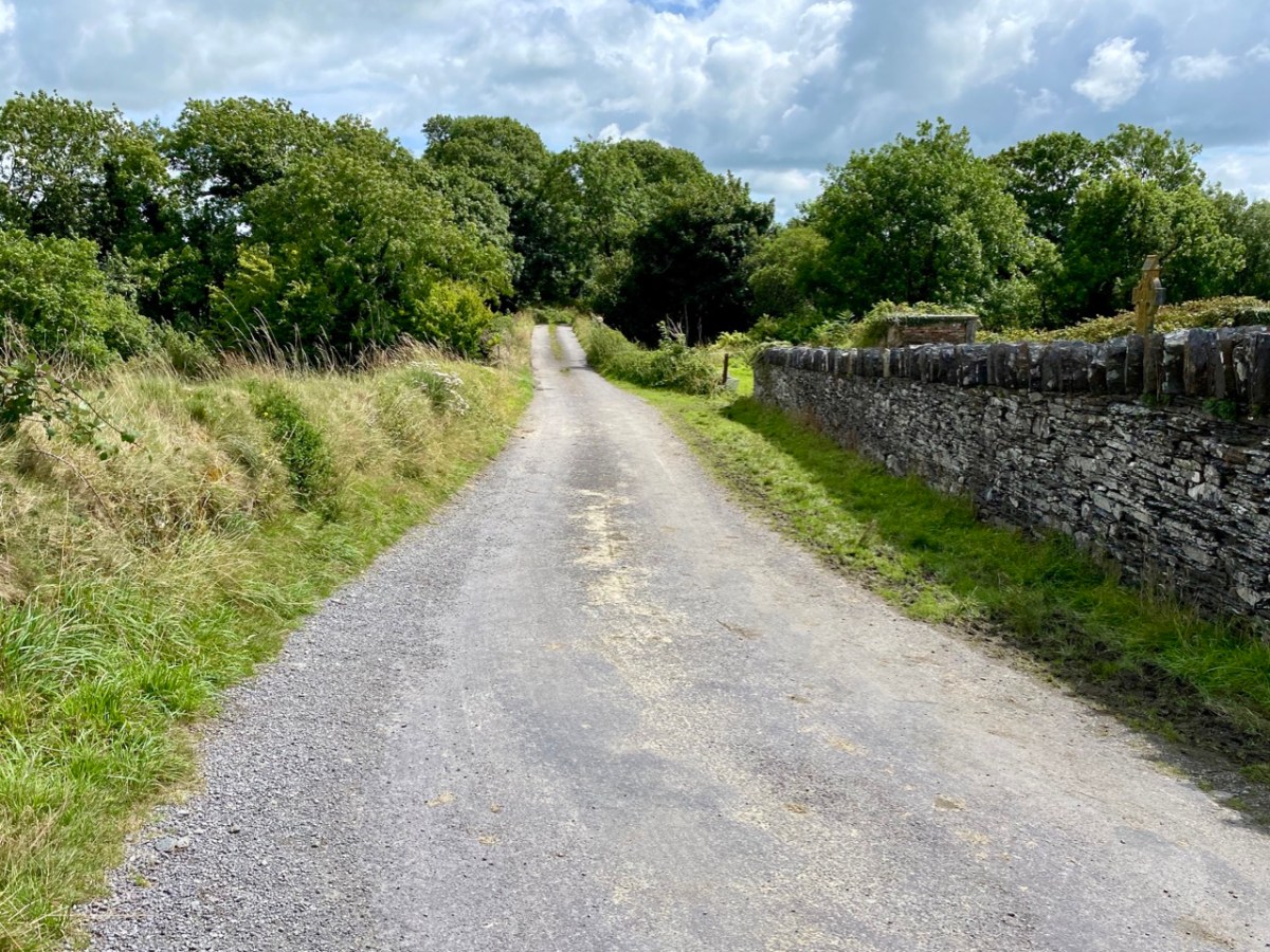
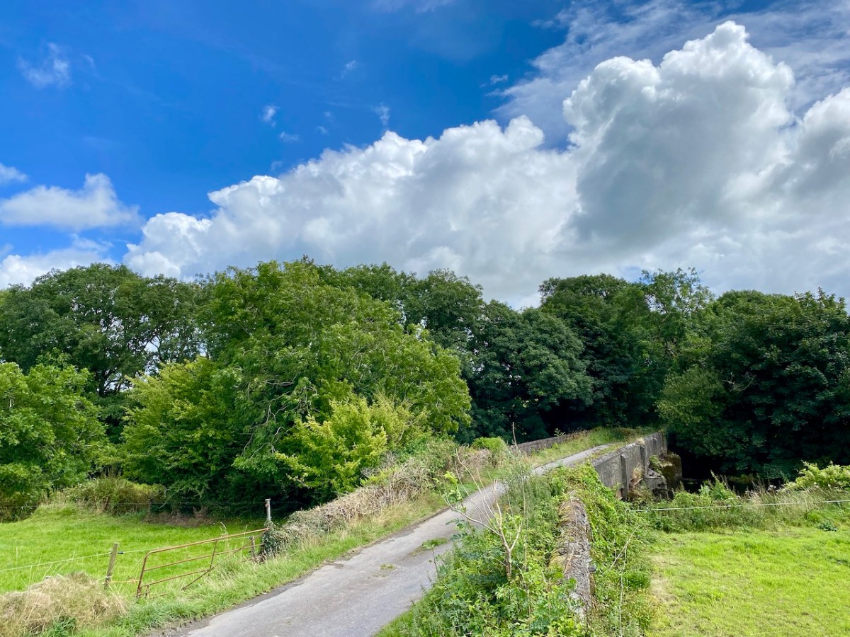
Above – the western boundary wall of Caheragh Old Graveyard. The small road continues over the Ilen River: the bridge here was built by the Congested Districts Board for Ireland in the early years of the twentieth century, to replace a ford, the stone flag bed of which can still be seen.
. . . The Irish word Cathair, spelled and pronounced in English Caher or Cahir, meant a circular stone fort, and therefore Caheragh, under any form of spelling, signifies the field of the stone fort. But where is the fort? one naturally asks. Remembering the descriptive nature of the Irish place names on my short call at Caheragh in 1906, I looked for something to justify the name and found it. In order to gain a vantage point, to view the country round about, I struggled through the thicket of furze to the top of the hill east of the road and, unexpectedly, to my great delight, found the outlines of the stone foundations of the Cahir, mostly covered with soil and grass, but quite distinct on the flat top. Again was the correctness of Irish topographical names vindicated . . .
Letter from Capt Francis O’Neill, Southern Star 12.01.1929
This feature (the two pictures above) is the hilltop referred to by O’Neill, where he claims to have found the ruins of the ‘Cahir’. Today it is recorded on the National Monuments Record as a ‘ringfort’ or ‘rath’:
CO132-017001-
Class: Ringfort – rath
Townland: CAHERAGH
Description: In pasture, atop hillock broken by rock outcrop. Circular area (36.5m N-S; 37.5m E-W) enclosed by earthen bank (max H 3.8m). Break in bank to NNW (Wth 5m); and WSW (Wth 4m), where triangular feature adjoins inner bank face. Possible souterrain (CO132-017002-) in SW quadrant
Archaeology.IE National Monuments Record
Top: flat-topped mound with circular summit, very much in line with the expectation of a ringfort structure. Centre: stone embankment seen from the top of the ‘fort’. Lower: a defined ‘entrance’ through the ‘fort embankment’ on the summit of the mound. This could be ancient or modern: cattle use the fields in which this feature is located, and some of the topography could be shaped by this usage over centuries.
. . . The builders of Abbeys and Monasteries were wise in their day in the choice of locations for their establishment, and one essential desideratum was near to a plentiful supply of water, such as the banks of lakes and rivers, or adjoining never-failing springs. In this instance the River Ilen met all requirements, and taking everything into consideration, I am led to the conclusion that the graveyard at Caheragh was the site of the “Abbey of Cahir” mentioned by Lewis in the Topographical Dictionary of Ireland . . .
Letter from Capt Francis O’Neill, Southern Star 12.01.1929
Above: evidence of built structures on the summit of the ‘ringfort’ mound at Caheragh. A significant circular foundation is clearly outlined. Perhaps, after all, there is some substance in the Captain’s musings on what occupied this site in earlier times? This account is from The county and city of Cork remembrancer; or, Annals of the county and city of Cork by Francis H Tuckey, Savage and Son, 1837:
. . . 1317 December 28, Geoffrey Fitz John de Cogan is presented by the King (by mandate to the Bishop of Cork), to the church of the Blessed Mary de Catheragh, in the King’s gift, by reason of his wardship of the lands and heir of John de Cogan . . . ‘Blessed Mary de Caheragh’ was a monastic site, said to be ‘situated on the hilltop commanding the view above the graveyard at Caheragh’ (possibly on the site of the ringfort). It was no doubt founded here because of the proximity of the watercourse . . .
So there – for your consideration – is the suggestion that the hill above Caheragh’s Old Graveyard (which may, in earlier times, have been a ringfort with a souterrain) was the monastic settlement Blessed Mary de Caheragh in medieval times. That’s quite a thought. My own opinion would be that the monastery would have been founded on the level ground close to the river: in fact where the graveyard is today. As the monastery declined, a church might have remained, eventually becoming a ruin. It was common for old churches and their environs to be used for burials and this might account for the comparative remoteness of this site from the village itself. Now – of course – there is no trace of a church ruin. This theory would hold good except for the annals quoted above, which state that a monastic site was situated on the hilltop overlooking what is now the graveyard.
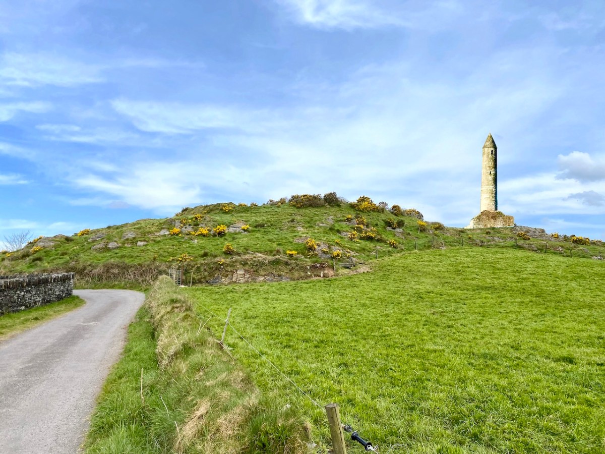
Evidence of stone quarries on the hillside suggest that significant quantities of stone has been used locally. Graveyard wall, field fences, or built structures? But the most challenging feature has to be the ringed foundation, or base, clear to see on the edge of the hill (below). Could it be a souterrain entrance – or, more fanciful, the base of a round tower?
I’ll leave you with that conundrum (and my whimsical daydream below) for now, but we will continue with Francis O’Neill’s musings (which become even more complex) in a future post.
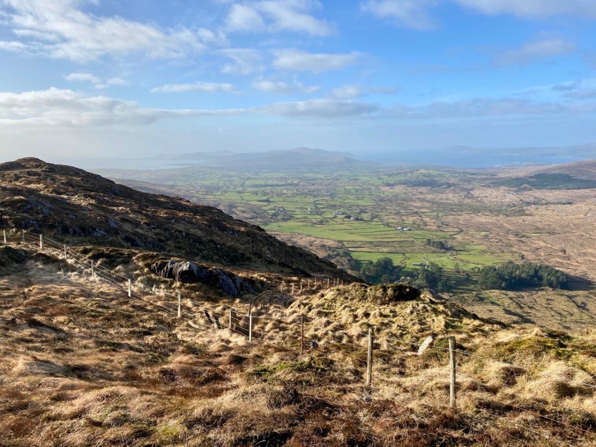
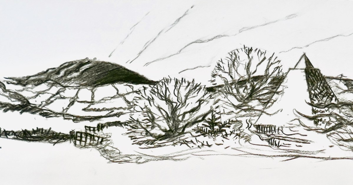
Mount Gabriel is, I believe, a rarely regarded topographical prominence on the Mizen. Yet it is impossible to ignore: the summit can be seen from most parts of this western peninsula. And, for those visitors who do notice it – and make the effort to scale its heights, it presents the most spectacular of views over rugged landscapes to the oceans beyond.
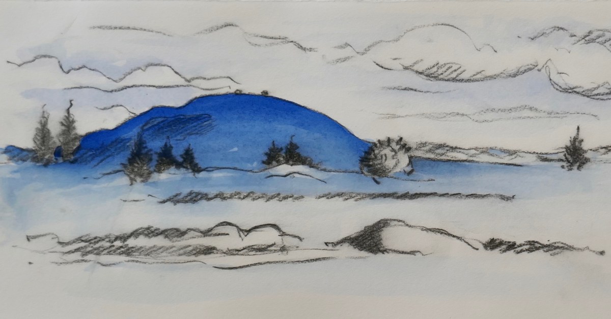
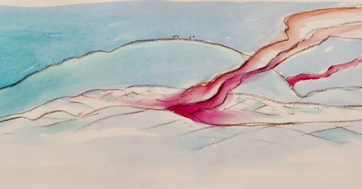
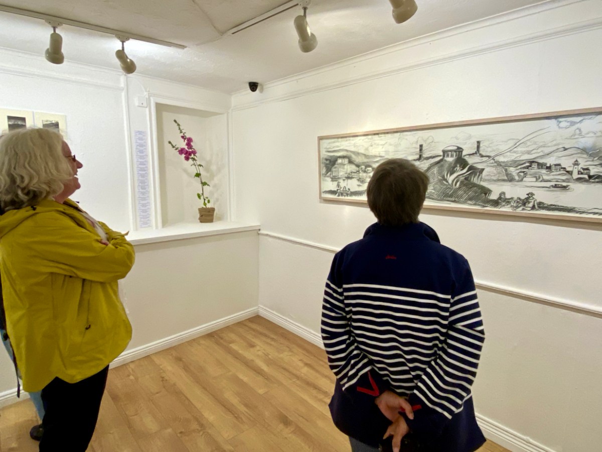
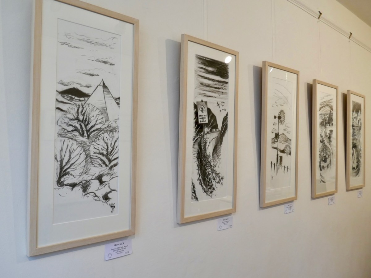
Brian Lalor has chosen to make this peak the centrepiece of his new exhibition, which opened in Schull’s Blue House Gallery at the weekend: Thirty-Six Views of Mount Gabriel. You have to see it. The works are for sale, so it will be impossible, probably, to assemble them as one entity ever again. (Unless, perhaps, in a hundred years time – if there is still an intellectual world in existence – Brian’s genius will be fully recognised and appreciated, and an astute curator will raid collections from all over the world in order to put this canon back together as a centenary project).
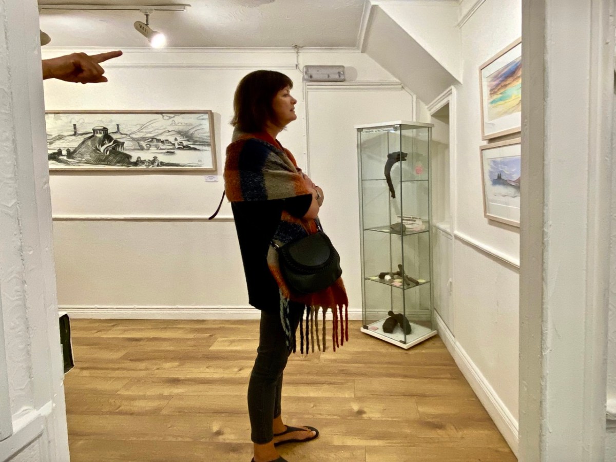
The works themselves draw attention to some of Brian’s many artistic talents: conté crayon drawings, exquisite watercolour sketches and linocut prints. They make an impressive whole on the walls of Schull’s eccentric gallery, which is a jumble of smallish rooms, a staircase and landing, with a minimalist shop-window frontage. Circumnavigating the spaces is a revealing and stimulating experience.
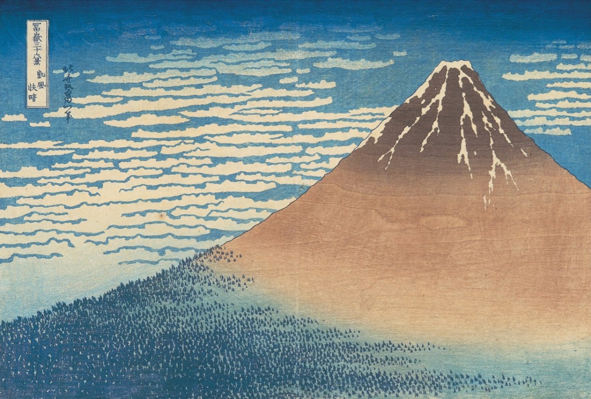
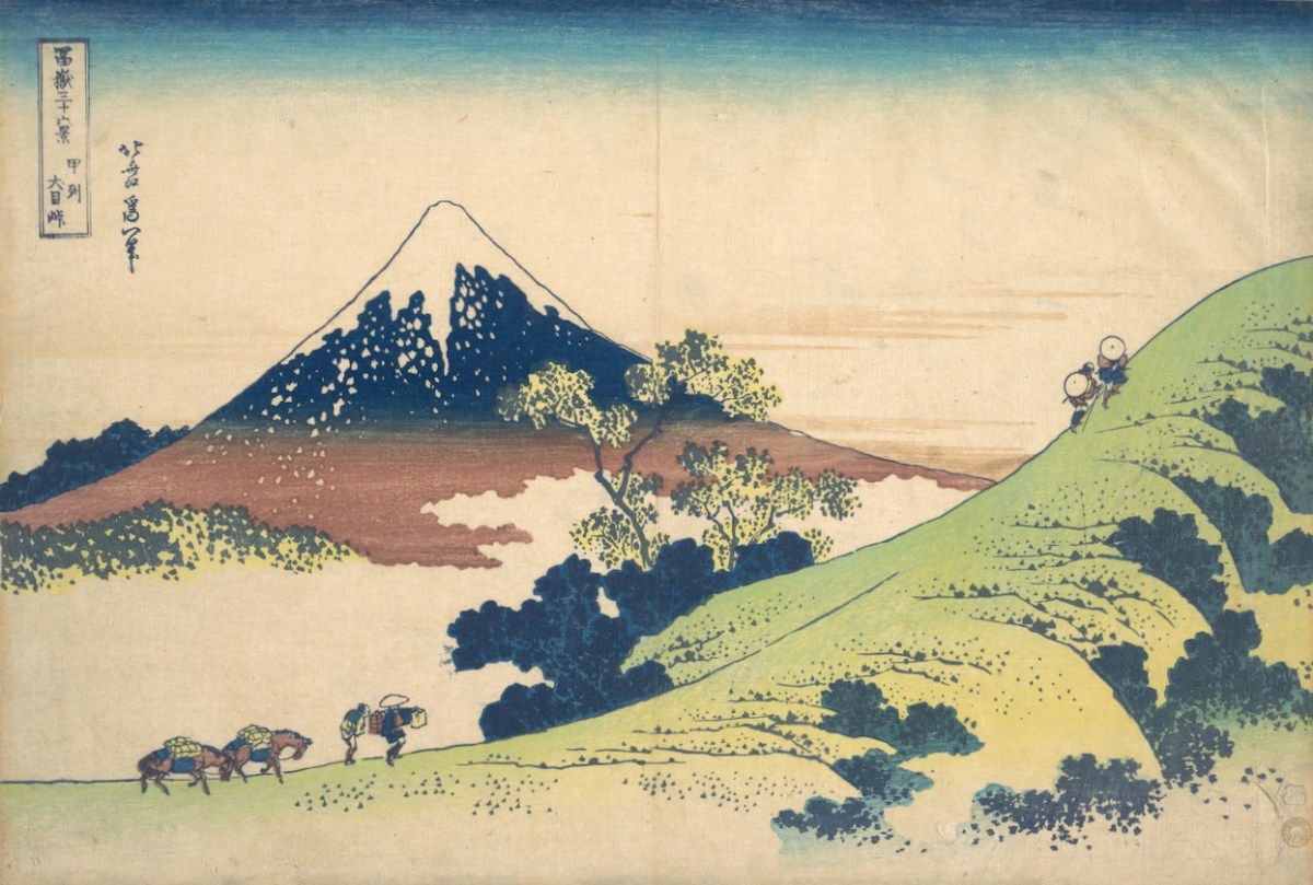
Returning to the subject matter of the work, Brian – General Editor of Gill & Macmillan’s mammoth 2003 volume The Encyclopaedia of Ireland – and considered a prime authority on Ireland’s art heritage and its place in world culture, is familiar with artists’ legacies from many other domains. He grew up in a household which contained significant pieces of Japanese art and was au fait from a young age with the concept of ukiyo-e – the floating world. His early awareness of the arts of Japan provided the source of inspiration for this exhibition: Katsushika Hokusai’s Thirty-Six Views of Mount Fuji, woodblock prints which date from the early 1830s. Here are Fine Wind, Clear Morning (upper) and Inume Pass (lower) from the series:
Fuji is one of Japan’s Holy Mountains. Brian’s juxtaposition is brilliant: our Mount Gabriel has to be a holy place. It is named after an Archangel, who is said to have descended to the mountain top to view the unsurpassed beauty of West Cork’s landscapes, the reputation of which had reached to Heaven even back in those days. In so doing he left behind his footprint, which is still to be seen on the summit.
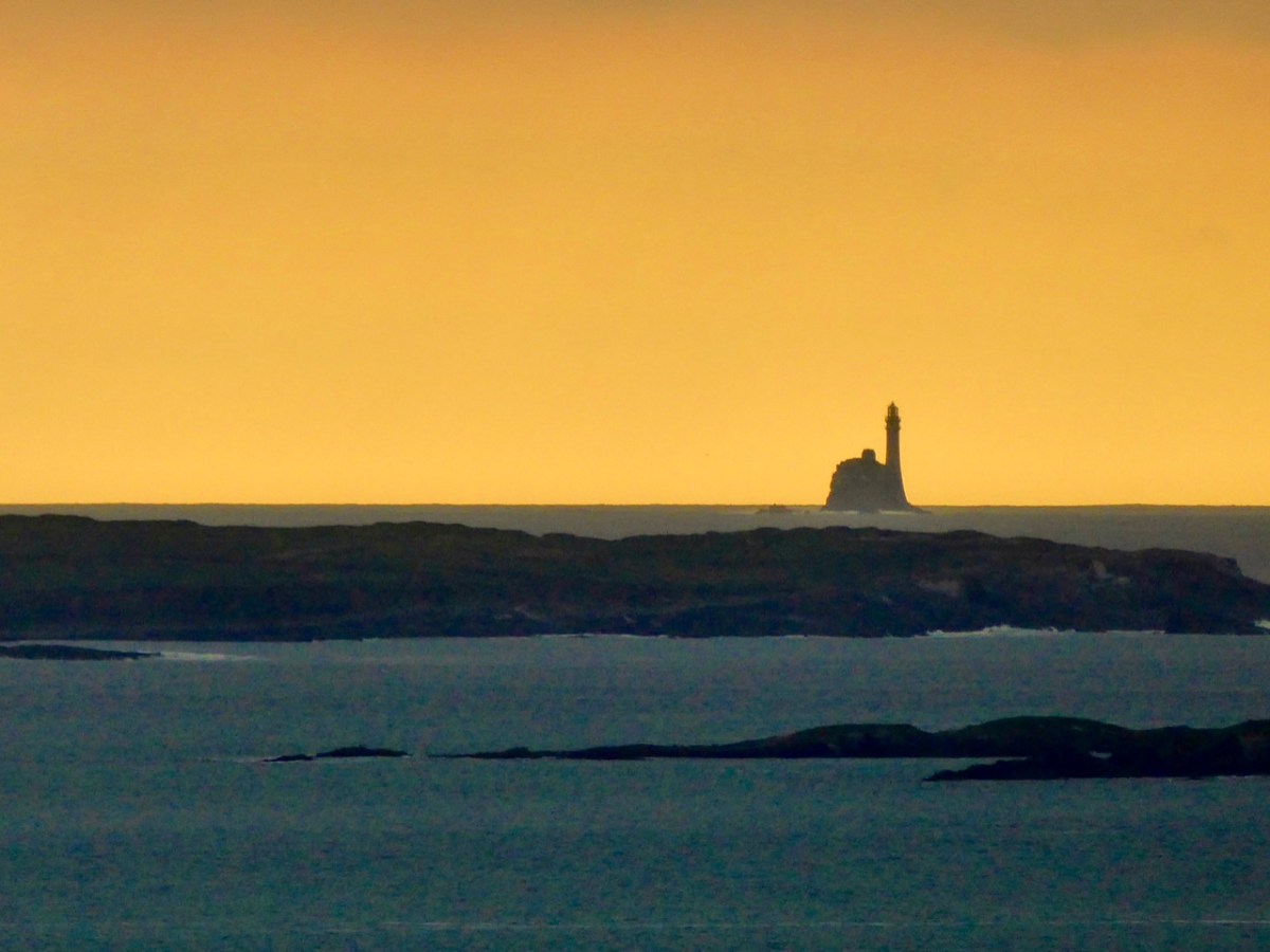
The Archangel was not the only biblical character to visit Gabriel: Satan himself touched down, but stumbled on a large rock. In a fit of temper he picked up the rock and threw it far off into the sea beyond. This caused such a hazard to shipping that we have had to erect a lighthouse on it. Here is Finola’s photographic view of The Fastnet, taken at sunset. For me, it has a suitably print-like quality . . .
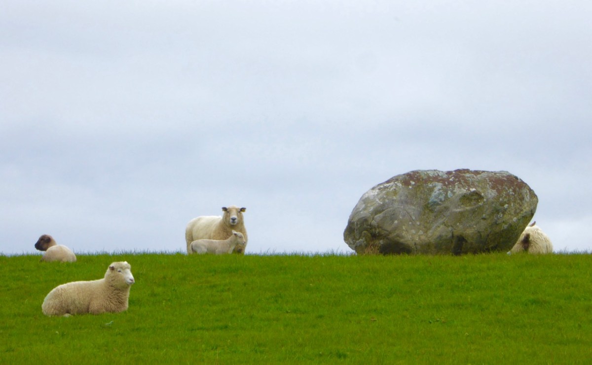
Legends attached to Gabriel include many that attribute Irish heroes to activities on the summit. Finn MacCool, for example, is also credited with throwing large rocks from the mountain, including this fine boulder burial at Rathruane:
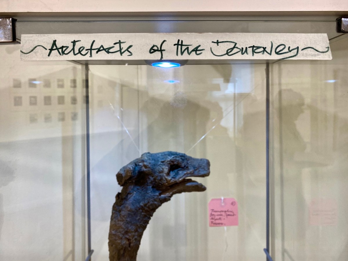
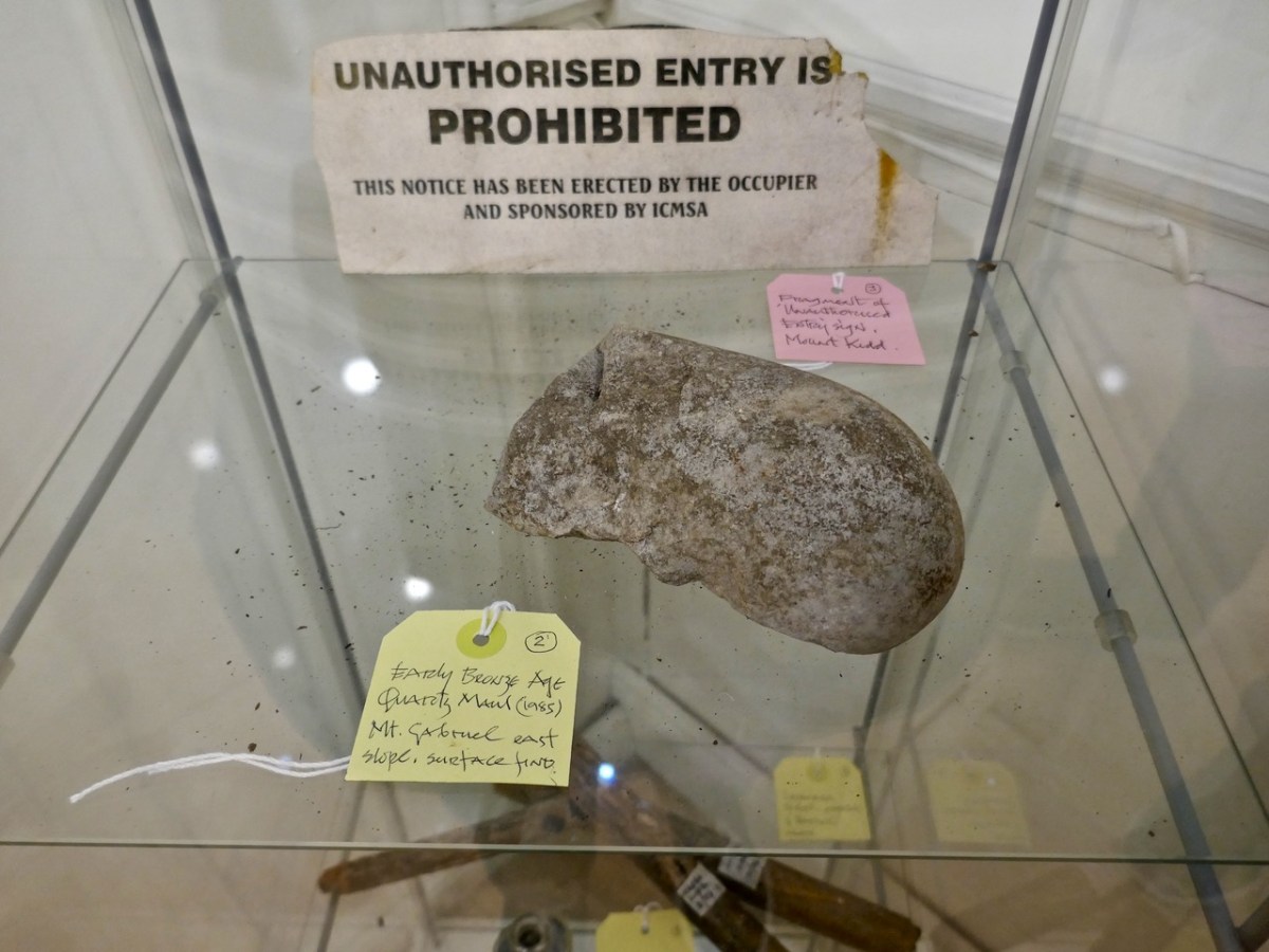
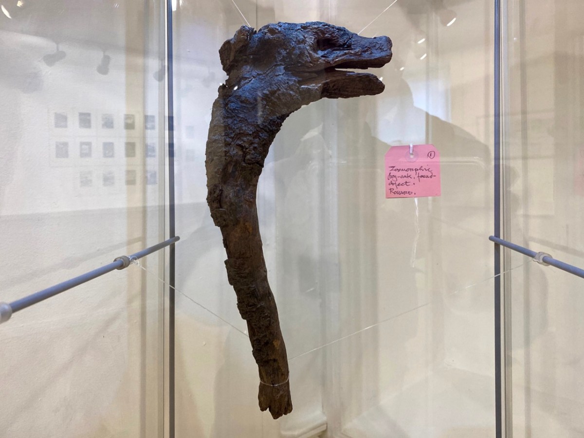
Brian’s observation and humour are not missing from this exhibition. He has included a cabinet of ‘artefacts’ distilled from his own explorations on the mountain. These make reference to the ancient history of the site and its connection with copper extraction in the Bronze Age and in medieval times, and also the twentieth century manifestations of air traffic control technology (known as ‘Gabriel’s Balls’) . . .
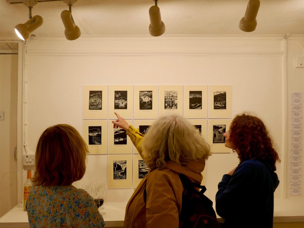
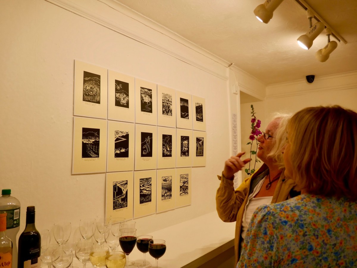
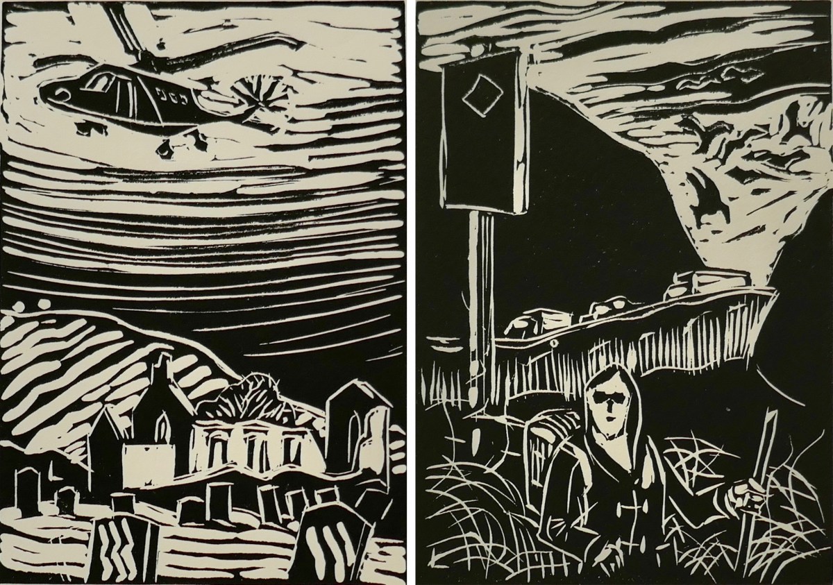
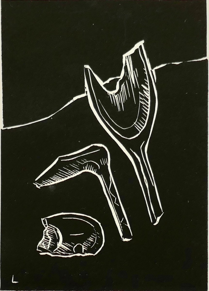
I am particularly taken with Brian’s linocut series – a limited edition of only ten of each print. They provide the ‘fine detail’ in the overall assemblage, and work so well together on the back wall of the largest room.
The detail print, above, shows Brian’s representation of archaeological finds connected with ancient copper mining which have been found during excavations on the mountain.
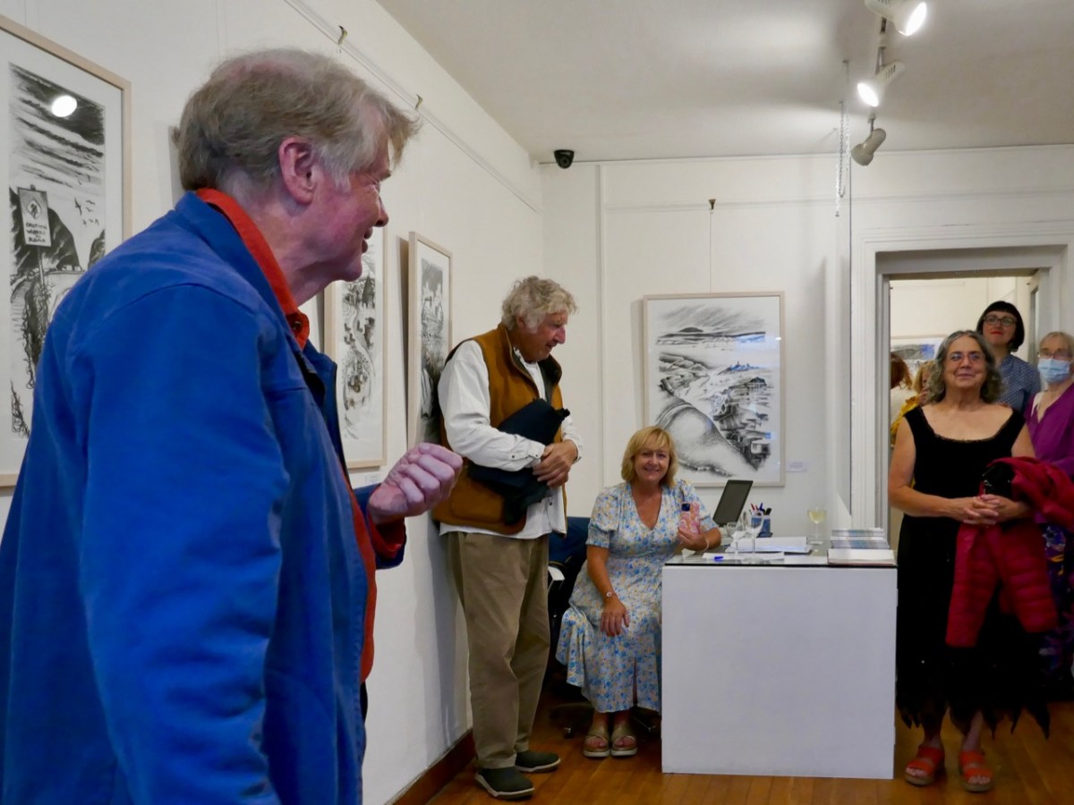
As ‘Guest Curator’ of this exhibition I was delighted to introduce it to an eager audience on the opening night in Schull (above). The show only runs until the 3rd of August, so please rush over in order not to miss it. It is (for me) the highlight of West Cork’s summer offerings!
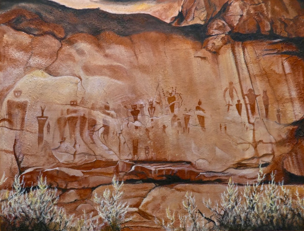
The gallery also has on show some work by other West Cork artists, well worth exploration, so don’t miss them when you go. I can’t resist finishing with one of them: this work (below) by Keith Payne – Sego Canyon. Keith has always been fascinated by ‘Rock Art’ in all parts of the world, and painted this based on his visit to a collection of petroglyphs on a cliff-face in Utah. It’s very apt, I think, to see this work in the context of the Brian Lalor exhibition. Below it is our own photograph of 5,000 year old Rock Art at Derreenaclough, West Cork – discovered only a few years ago. I am personally of the opinion that the siting of this rock in full view of ‘sacred’ Mount Gabriel is purely intentional!
A fully illustrated catalogue is available to purchase in the gallery
Welcome to the UCD Library Cultural Heritage Collections blog. Discover and explore the historical treasures housed within our Archives, Special Collections, National Folklore Collection and Digital Library