The Centre of Ireland

We have written previously about the sacred site reputed to be the “Centre of Ireland”. In other words the midpoint of the country: that’s the whole of the island of course – the division into Ireland and Northern Ireland is an artificial designation barely a century old. It’s a many-centuries-old tradition that the Hill of Uisneach, in Co Westmeath, is regarded as the geographical centre of this whole island and has been regarded as a major ritual site for the assembly of the ruling families and debate on the lore of the land.
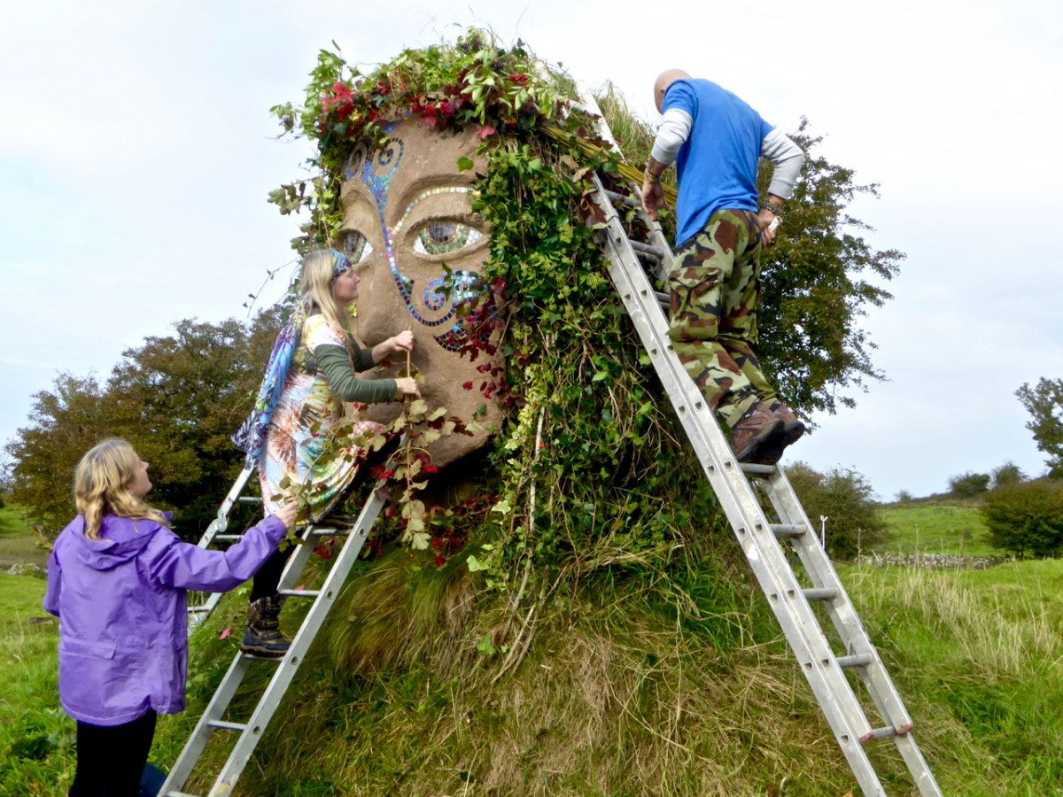
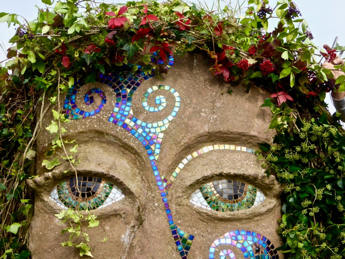
We visited the hill in October 2016, while preparations were being made to celebrate autumn festivities there. In the picture above, you can see the Godess Eriu being decorated. It was she who gave Ireland its name – Eire. Before you read on about Uisneach’s other claim to fame, have a look at my post from six years ago, here. My friend Michael read this post and sent me a fascinating article on the subject of ‘the geographical centre of Ireland‘. Please read it – and, if you understand the technicalities of the process, please let me know!

. . . The calculation to find the exact geographic centre of Ireland was carried out by OSi using the most up-to-date, openly available geospatial data and widely used geographic information system (GIS) technology.  Specifically, OSi used Esri’s Mean Centre Point tool in ArcMap and features data for the Republic of Ireland from its own open-source data set, OSi Admin Areas Ungeneralised, as well as an openly available OSNI Largescale County Boundaries data set from Land & Property Services of Northern Ireland (LPS). The Northern Ireland features were reprojected from an Irish National Grid coordinate system to line up with the OSi features for the republic of Ireland (ITM), enabling the datasets to be processed together.  In just a few short minutes, the coordinates 633015.166477, 744493.046768 were revealed, providing one scientific answer to an age-old question . . .

Ordnance Survey of Ireland Data February 25th 2022

To get to the salient point, the Ordnance Survey of Ireland is rejecting tradition in favour of science! They claim the true centre of this island is a little distance from Uisneach:

. . . According to a new calculation from Ordnance Survey Ireland (OSi), the centre of the island of Ireland actually lies at the Irish Transverse Mercator (ITM) coordinates 633015.166477, 744493.046768, near the community of Castletown Geoghegan, between the towns of Athlone and Mullingar.  This scientifically-calculated centre point is situated, as the crow flies, approximately 31km east of the Hill of Berries, 35km east-south-east of the townland of Carnagh East and a mere 5km south-east of the Hill of Uisneach, Loughnavalley, Co. Westmeath . . .

Ordnance Survey of Ireland Data February 25th 2022

Whilst acknowledging that ” . . . Over time, new data, advancing technologies and new techniques could generate different versions of the truth . . .” the Ordnance Survey throws out a challenge to tradition. I’m throwing that challenge right back!
If I was going to set out to find the geographical centre of Ireland, I would take a large map and pin it up on the wall:
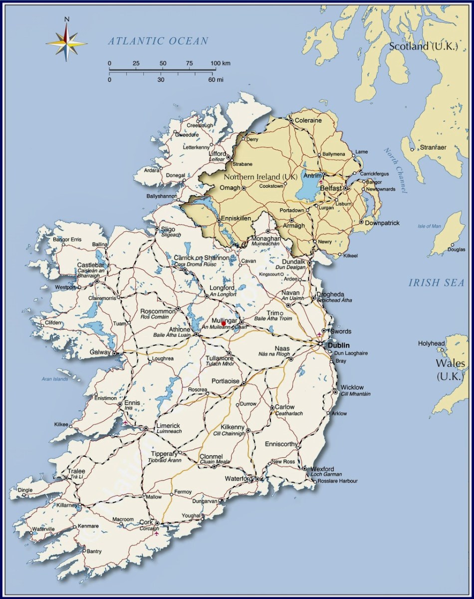
Then I would throw a dart at it – aiming for the middle! I’d get somewhere near, for sure. In fact, there’s a little red dot on this map – just under Mullingar: this is where Uisneach is located. But, if you want something more technical, might you work out a centre based on distances from the extremities? Here are some possibilities:
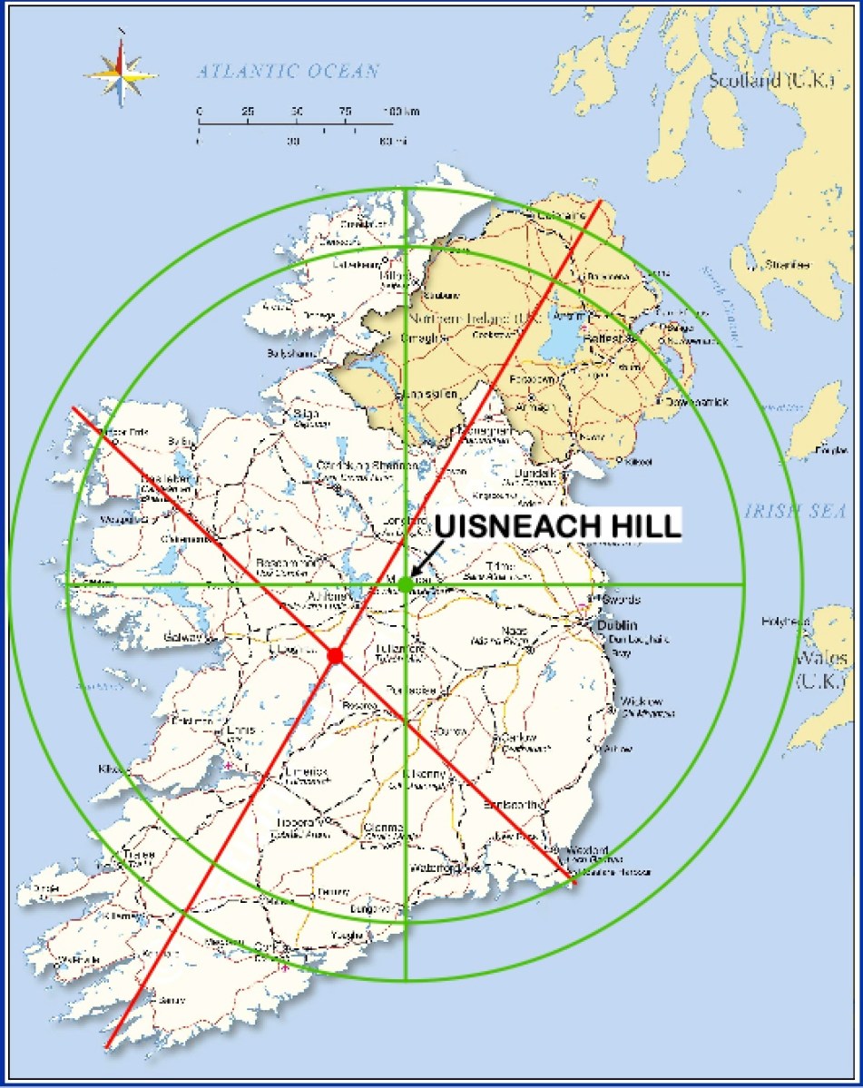
However, this map does rather show up the inadequacies of this methodology! So, what does Uisneach have to recommend it – and justify the long-held tradition? Well, it does have a large rock, known as ‘The Cat’s Stone’ . . .
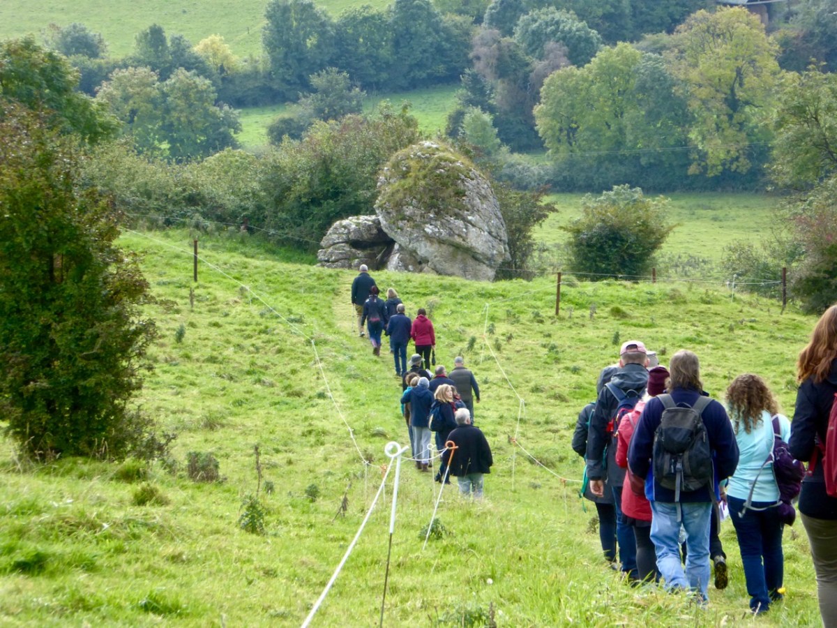
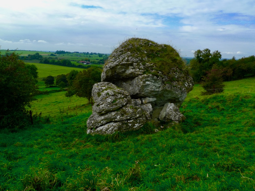
This enormous erratic is also known as ‘The Navel’, which is quite a clue as far as I’m concerned. so, how might our ancestors have come to this conclusion – by maps?
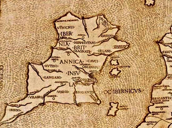
This is known as Ptolemy’s Map of Ireland. It is often said to date from 140AD, but is in fact a Greek copy dating from around 1400AD. Ptolemy did produce maps: he didn’t visit the distant locations, but based his projections on information recorded by sailors who explored the corners of the world.
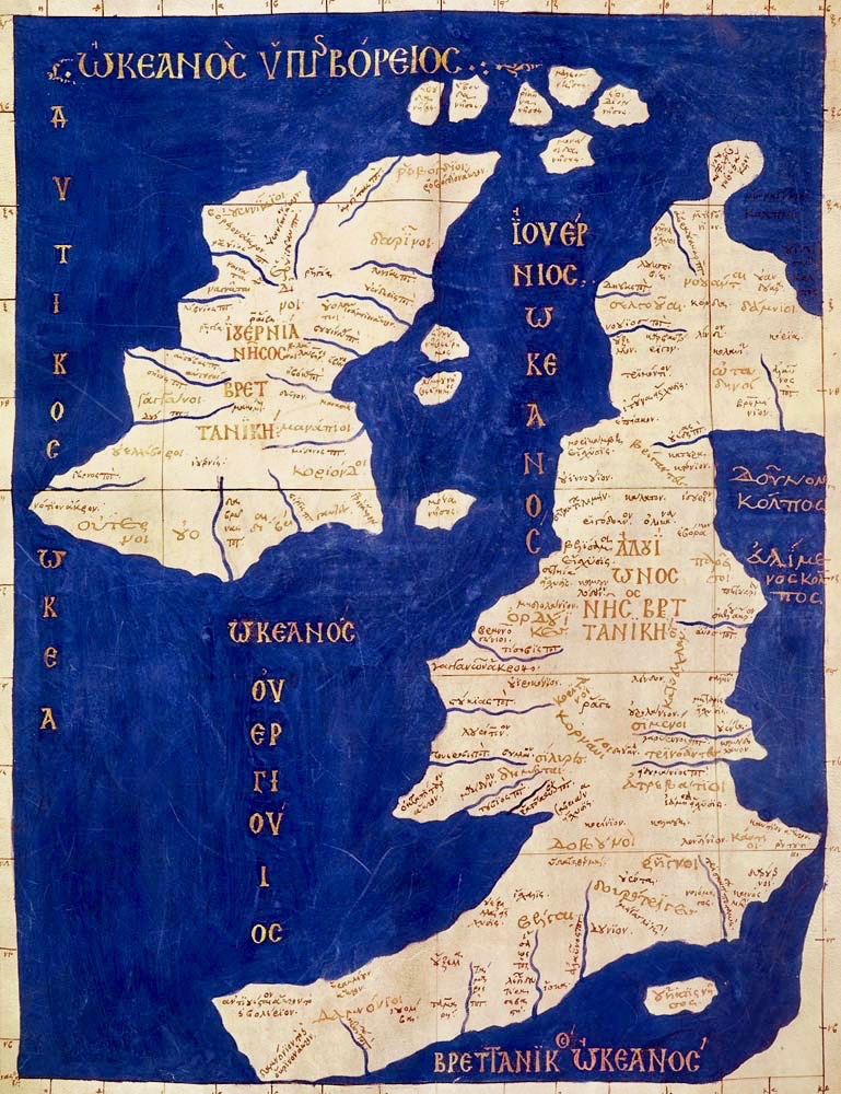
This map of the British Isles has a similar heritage. Again, you could throw a dart at the centre of Ireland on either of these maps and get pretty close to Uisneach!
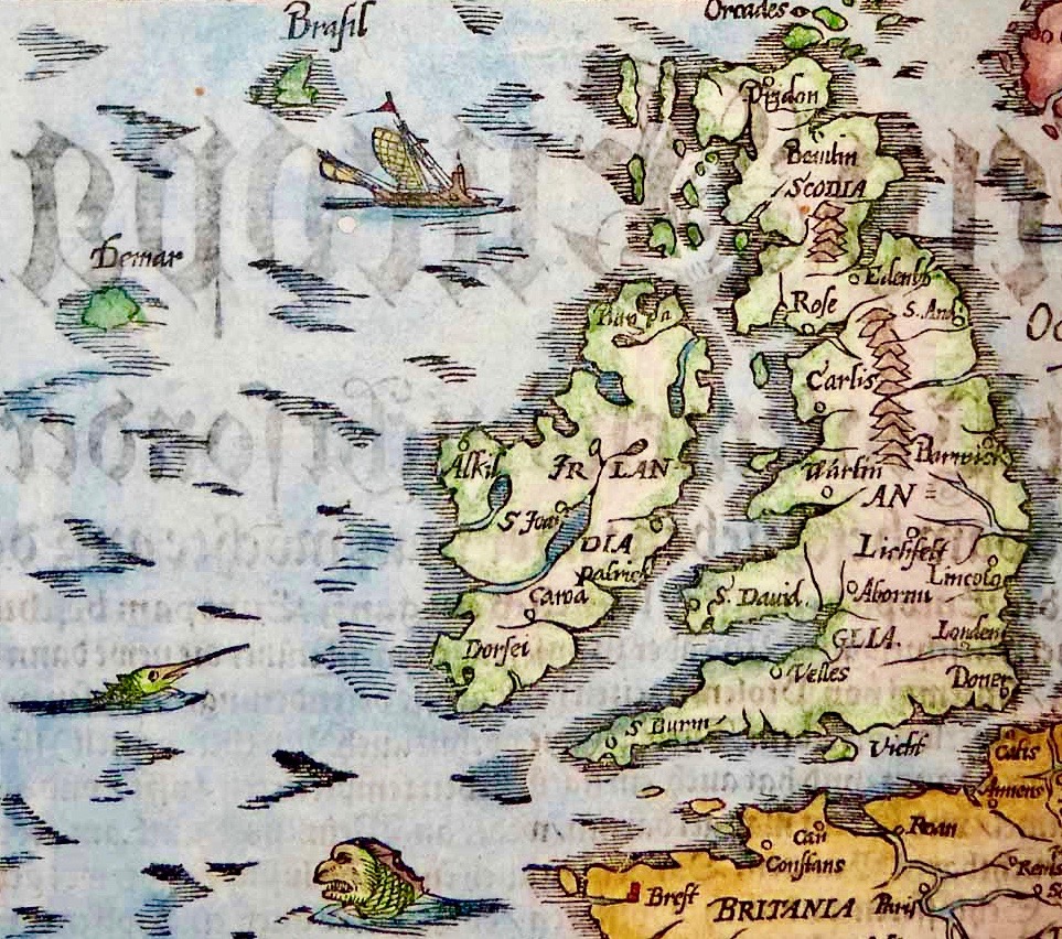
This map is somewhat later (1325) and is far more accurate. It’s interesting to me that it shows the fabled islands of Brasil and Demar, mentioned in accounts of St Brendan’s sixth century voyage. We can also wonder at the fact that the only place marked on the south western part of Ireland here is Dorsie (Dursey). But none of these early maps – while fascinating – can support the observation that anyone living in those days could calculate the ‘centre’ of Ireland by looking on a map!
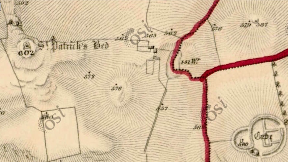
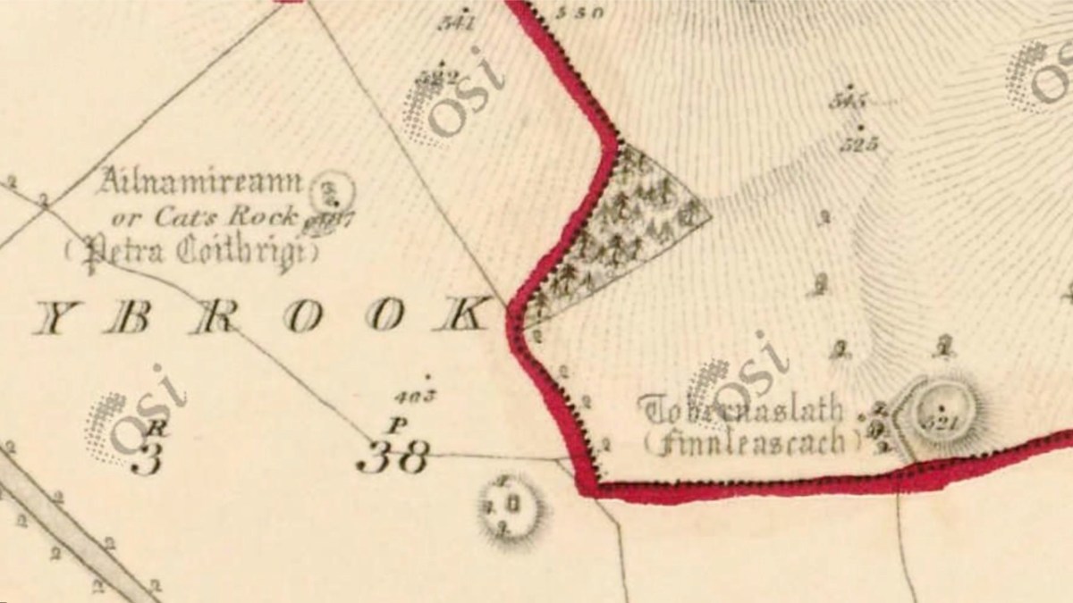
Examining the area around Uisneach on the earliest Ordnance Survey maps (above) gives an idea of the earthworks which were considered important to record in the area. I’m wondering what the ‘cave’ is that’s indicated lower right in the top extract?
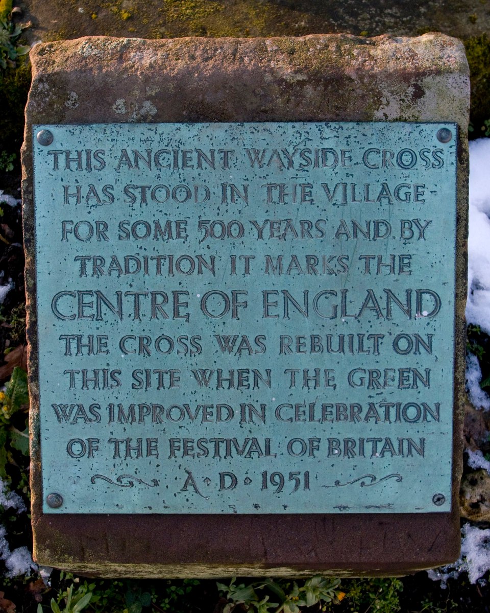
Interestingly, in the UK, the village of Meriden is traditionally said to mark the centre of England. But the UK Ordnance Survey has also challenged this.
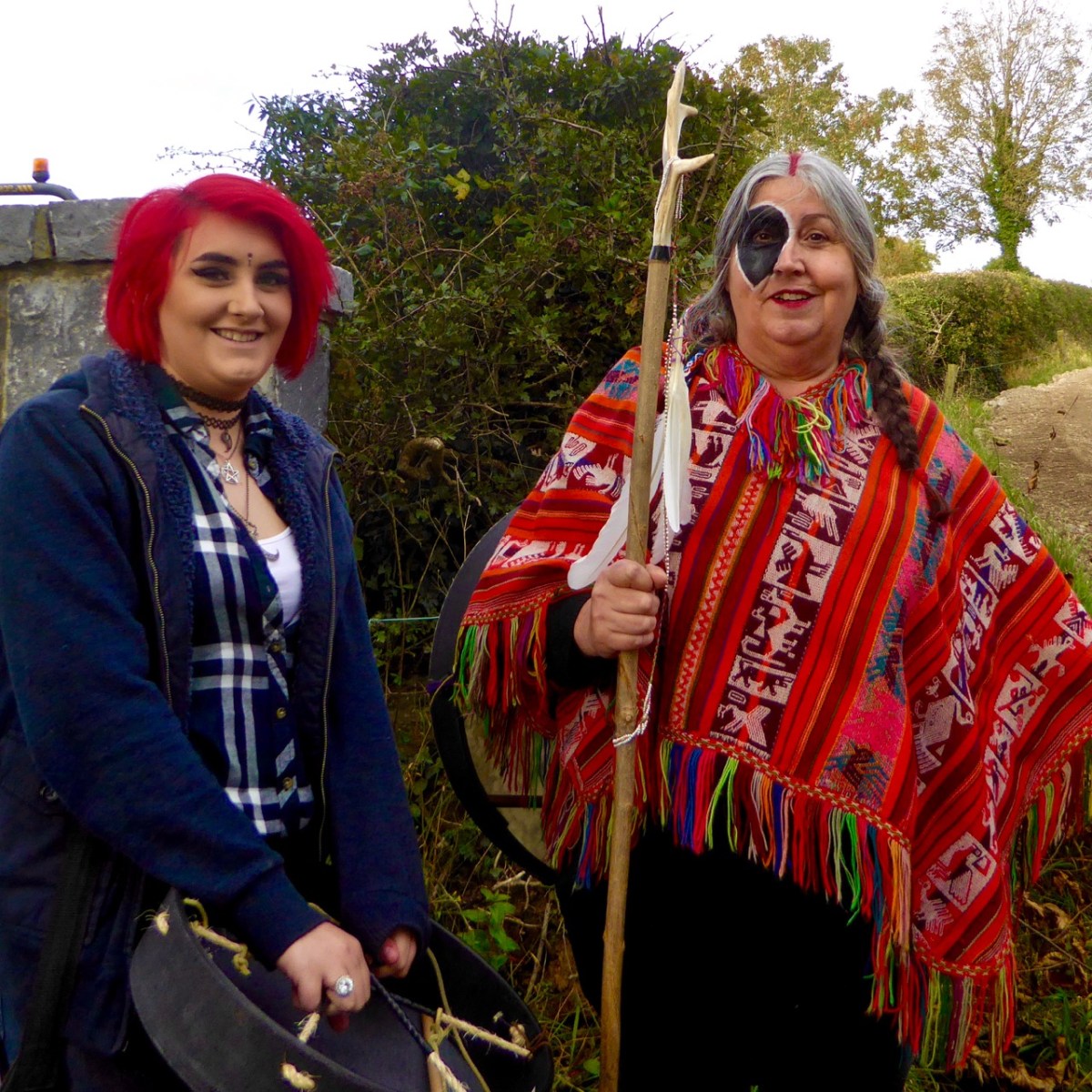
Preparing for the autumn ceremony at Uisneach Hill, above. We can ponder and argue on the claims to be able to locate the centre of an island (and it’s certainly fascinating to do so) but – while thanking my friend Michael for stimulating this thought process – perhaps the UK Ordnance Survey should be given the final word here:

. . . The truth is, that there can be no absolute centre for a three dimensional land mass sitting on the surface of a sphere and surrounded by the ebb and flow of sea water. If you consider the movement of tides on a beach, the shape of the object will change on a constant basis. Another contributing factor is how far you consider the coast to stretch up river estuaries. Different projections, scales and methods of calculation will all produce different results . . .

Ordnance Survey UK 2014
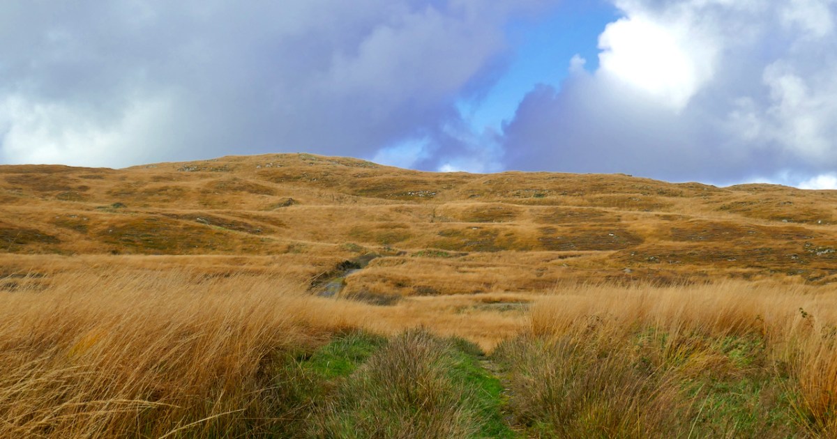
Fionnán: an Autumn Walk

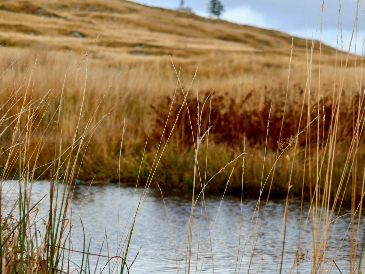
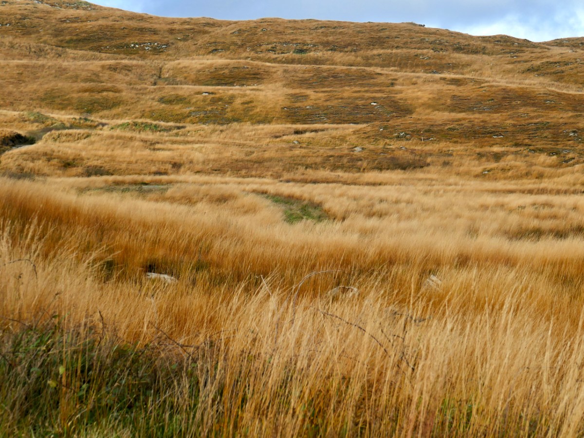
All across West Cork, at higher elevations, autumn heralds the emergence of vast carpets of amber grass. Shading from yellow to red and everything in between, it is the distinctive colour of the uplands. We call it Fionnán (pronounced fyuh-nawn).

Fionnán is a particularly apt name because the root, fionn, means blonde, but fionnadh can mean shaggy animal hair. In English, this is the far less romantic and puzzling Purple Moor Grass. Actually, when it’s young, the first spikes can have a purplish hue, but that colour certainly does not spring to mind in the autumn. In Latin, it’s Molinia caeruleaMolinea after the man who named it, a Chilean naturalist, and caerulea meaning blue. Right – that’s more than you wanted to know about the name.

A Fionnán and Rush pasture is a recognised and important habitat, and should be rich in wildflowers, sedges, and other grasses. But it’s a delicate balance that can be upset by a number of factors – too much or too little drainage, under- or over-grazing, grazing by the wrong animals, and too-frequent burning.

Burning and over-grazing by sheep have affected many of our Fionnán pastures in West Cork. Repeat burning (often done in the belief that it improves grazing and gets rid of gorse) in particular allows the Fionnán and bracken to take over at the expense of other species and in the end degrades the soil.

Birdwatch Ireland says that the answer is sustainable grazing levels to keep certain bog grasses in check, such as Purple Moor Grass (Molinia caerulea). Too little grazing and the grasses can become rank, smothering the important bog mosses, heathers and sedges. This reduces the species diversity and the ability to be an active, peat-forming bog.

On our walk this week it was difficult to assess the health of this particular pasture, since nothing much is still blooming. However, I have walked it before and am happy to report that I have noted many of the species that are indicators of a healthy moor-grass pasture – Meadow Thistle, Heath spotted-orchid,  Lousewort, and Cross-leaved Heath. 

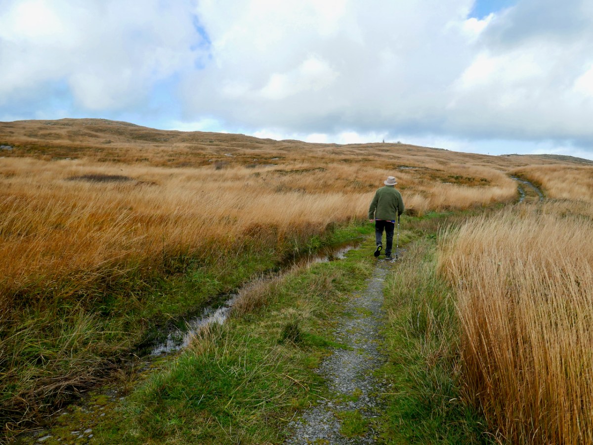
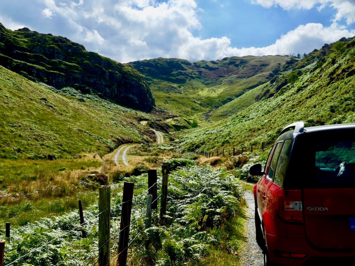
To walk in a Fionnán pasture is a deeply pleasurable experience. There is something about being surrounded by waving expanses of golden grasses – perhaps Sting’s Fields of Gold was influenced by such an experience. The weather has been very variable but we did manage to catch some sun, and evade the inevitable downpour by getting back to the car in the nick of time.

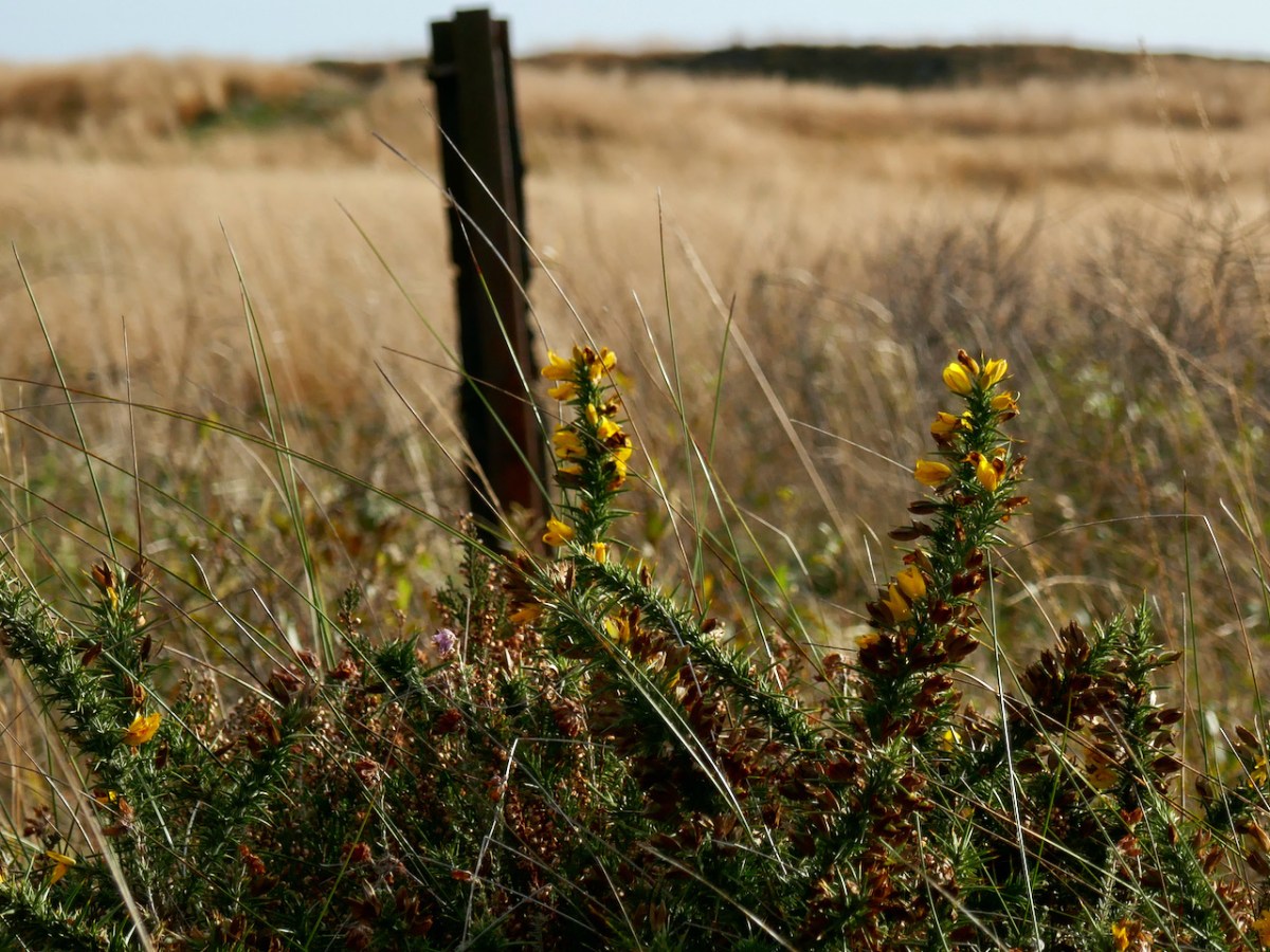
As I said, not a lot was still in bloom – except the gorse because, you know, when gorse is out of blossom, kissing’s out of fashion. But there is still lots to see and sense. Chamomile grows abundantly along the track and its heady scent drifts upwards as you tramp over it. 

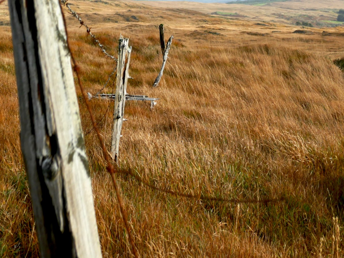
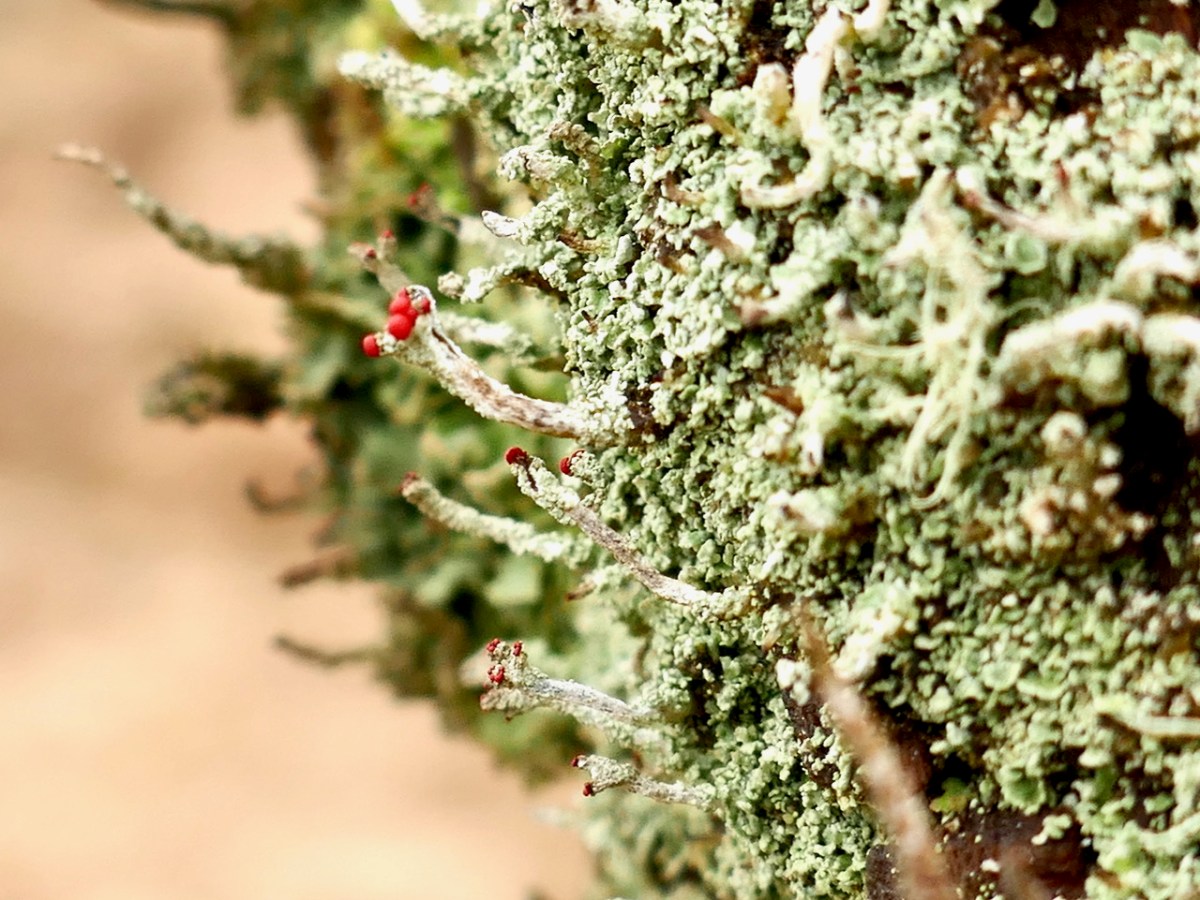
Old fence posts still hang on, with their rusted barbed wire still attached, along with lichens. I was especially delighted to see Devil’s Matchstick lichen on one of the old posts.

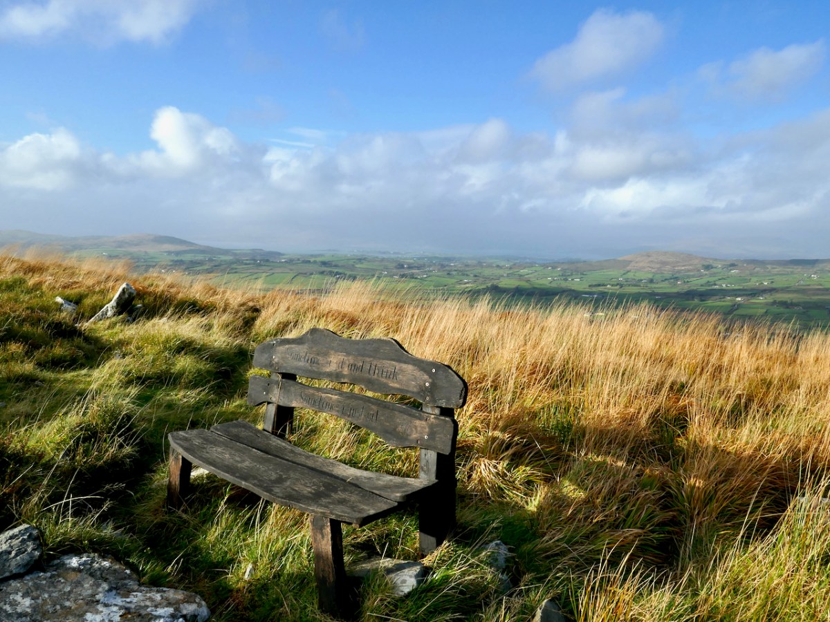
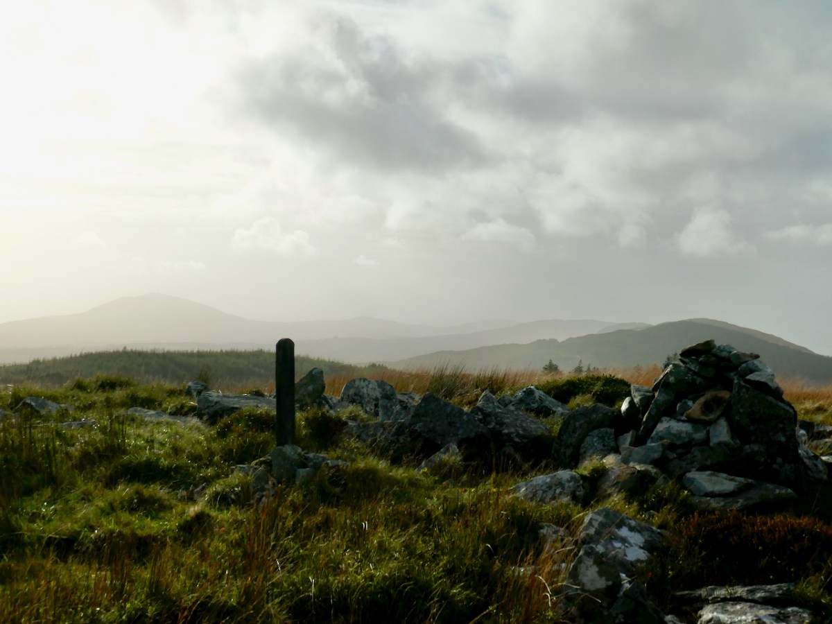
This track leads upwards to an intriguing cairn (another of the anomalous structures that I wrote about last week). There’s a memorial bench to a man who used to come here to commune with nature – and you can see why he would. Last time we were there, the bench needed repair but it’s now perfect again – thank you, anonymous fixer!

There are fabulous vistas from the top – on this occasion it afforded us a magnificent view of the squall that was heading our direction, over Mounts Corrin and Gabriel. It was our cue to dash back down again. 

The Politics of Peat

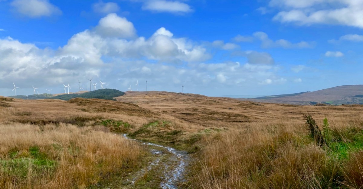
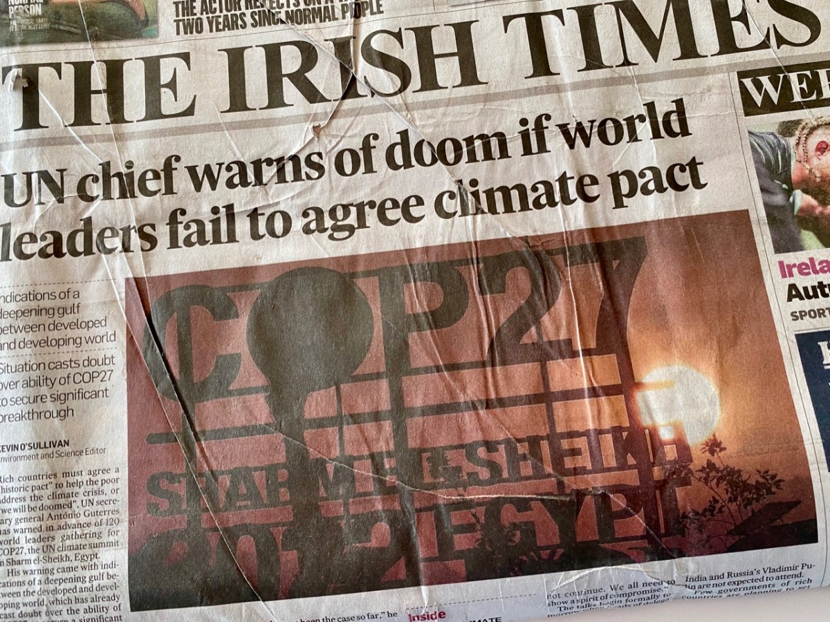
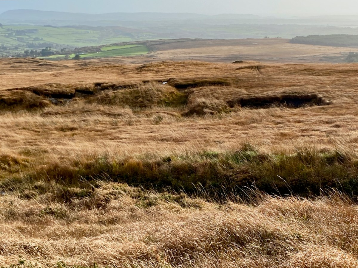
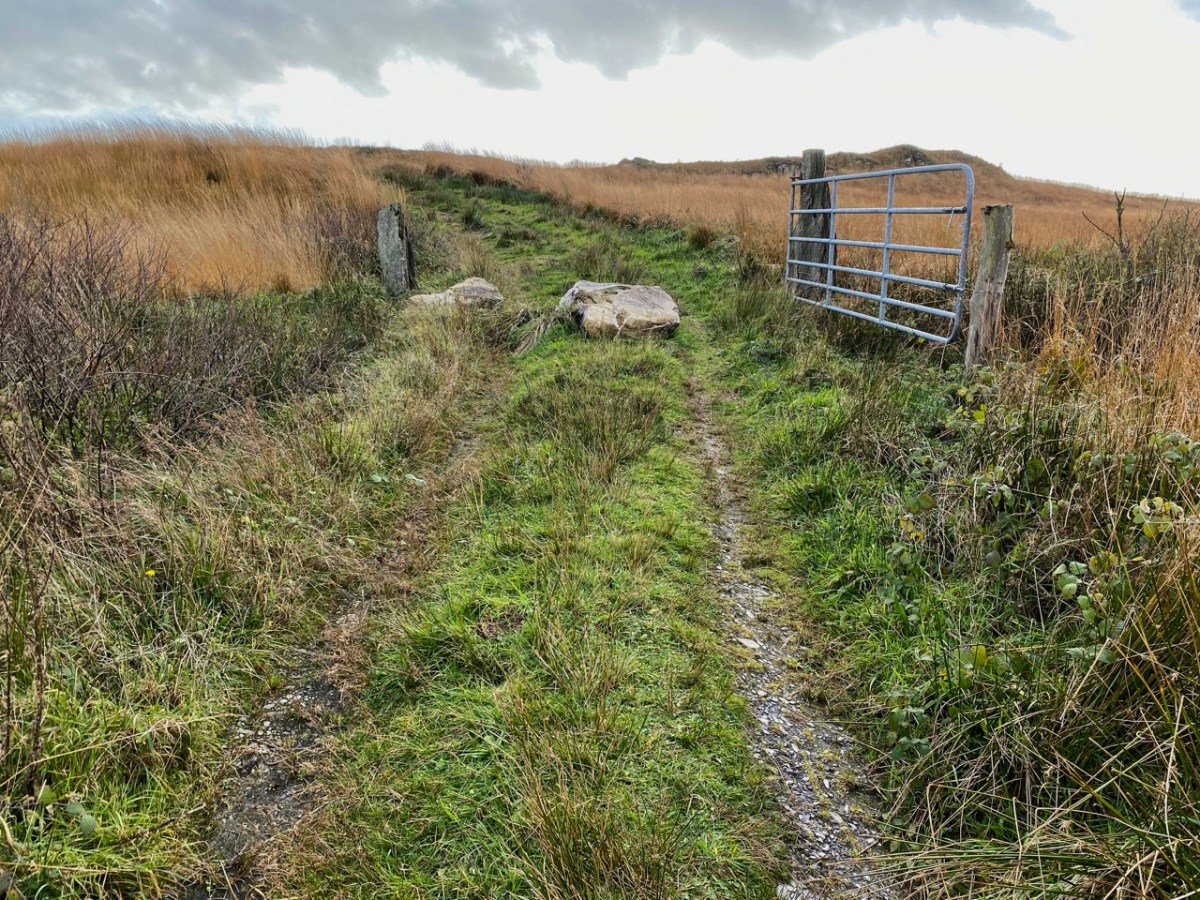
It’s a poignant juxtaposition, perhaps: the old turf road that leads into the peat cuttings at Letterlickey, here in West Cork, with – beyond – our newest energy technology lining the distant hills. On October 31st this year, the sale of turf, smoky coal, and wet wood in shops or online was banned in Ireland as part of the drive to improve our climate.

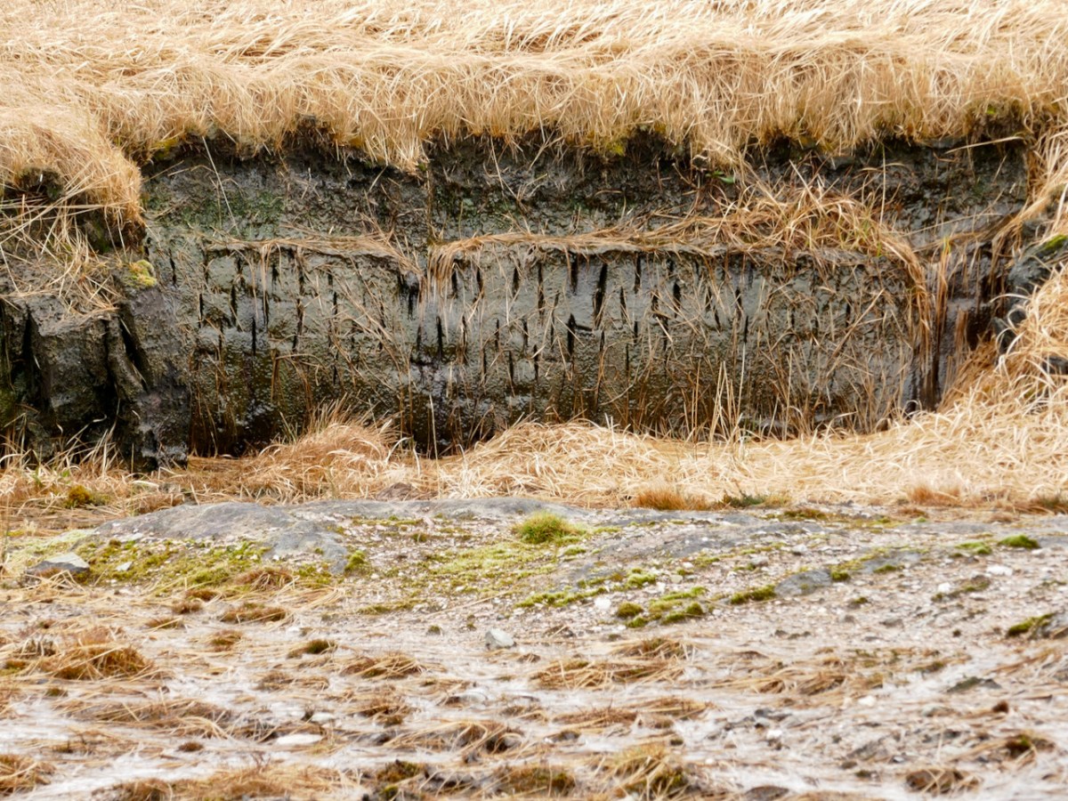
The move marks the loss of an ancient tradition in Ireland. ‘Turf’ – or peat – has been harvested from our bogs for countless generations. But it’s a resource that can’t be readily renewed. It’s also relatively inefficient: the gruelling labour required to cut, dry, store and transport turf on a domestic scale is hardly justified by the output of heat which it provides. However, such work has been deeply ingrained in family life for centuries by those who have always accessed the bogs. The word ‘bog’ derives from the Irish bógach, or “soft place,” and 17 percent of Ireland’s 27,000-square-mile national territory was originally covered in peatland. Commercial extraction, however, has significantly diminished this resource. What has been realised – in comparatively recent times – is that peatlands, including bogs, store twice as much carbon as all the world’s forests – if left intact.

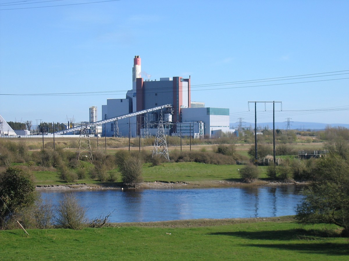
The turf workings at Letterlickey: the significant and ancient bog there has been in use in very recent times – perhaps it still is active. The new ban doesn’t prevent families who have always had turf-cutting rights from continuing to gather it for their own use. But all commercial peat extraction has now ended. It’s a sobering thought that electricity was generated by peat-fired power stations in Ireland for many years: ‘peat power’ peaked in the 1960s, providing 40% of Ireland’s electricity. But burning peat for electricity emits more carbon dioxide than coal, and nearly twice as much as natural gas. In 2016, peat generated nearly 8% of Ireland’s electricity, but was responsible for 20% of that sector’s carbon emissions. Today all of the peat-fired powers stations here have been closed. The West Offaly power station at Shannonbridge (below) was the largest in Ireland: it shut down in December 2020.

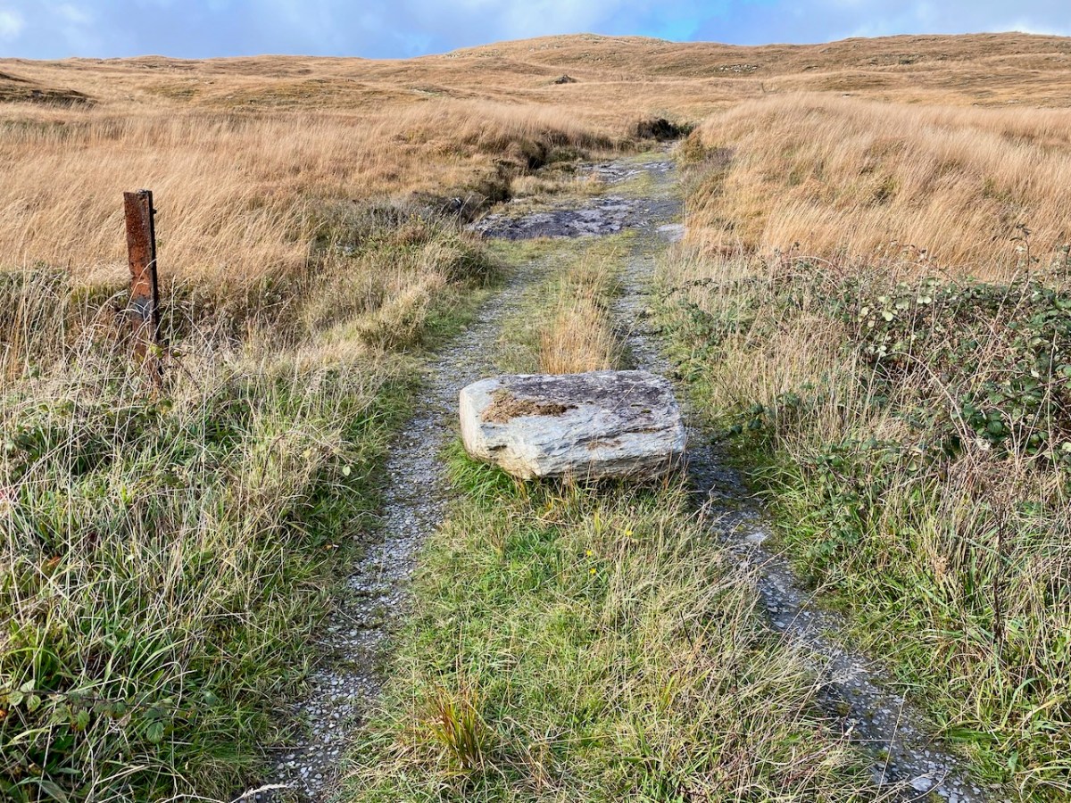
We are witnessing the end of an era here in Ireland. At the same time we are embracing the search for new technologies: we are harnessing the wind – that will never stop blowing! PV cells are now commonplace, and we know that it’s likely we will mostly be driving electric cars as the decade advances. Other ways forward are still waiting in the wings. We were interested to see – when we were walking the Letterlickey turf road yesterday – that the trackway has been deliberately blocked by large boulders:

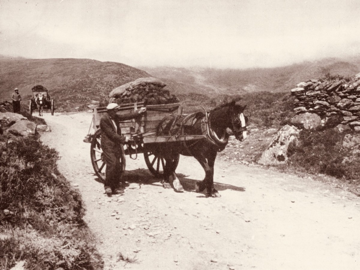
These blockages have been put in place since we last visited – and, probably, fairly recently. There could be local access issues: we don’t know. It could be to do with neighbours or trespassing, but it’s also possible that current political preoccupations are being practically addressed. It’s certainly interesting that significant moves are under way since the importance of peat bog preservation as carbon sinks has been fully understood. ‘Bringing home the turf’ will soon become a solely historical concept. The image below is by Tomás Ó Muircheartaigh:

“. . . Ireland has more than half the European Union’s remaining area of a type of peatland known as raised bog, one of the world’s rarest habitats and, scientists say, the most effective land form on earth for sequestering carbon . . .”

New York Times 04/10/2022

Ten Years!

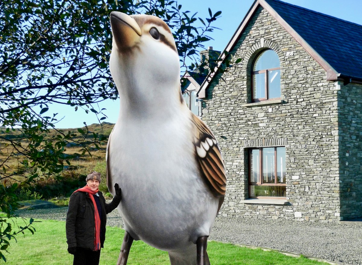
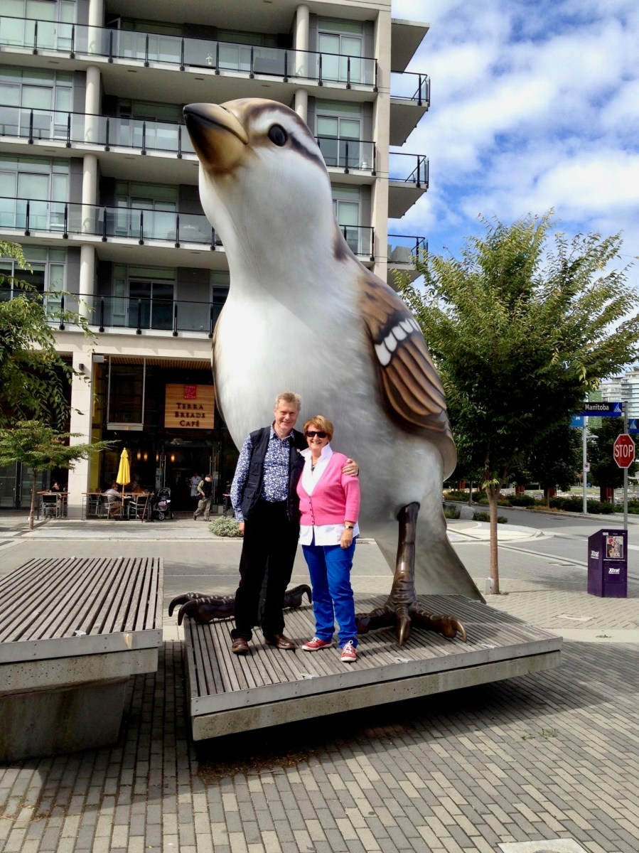
Why have we chosen this photograph to head up our ten year anniversary blogpost? That’s simple: the pic was taken on 15 October 2012. We had moved into Ard Glas – just outside Ballydehob – for a six-month rental to see how we liked West Cork!

But – what about the giant sparrow?

Wait a minute. We very obviously ended up liking West Cork so much that we bought a house in Cappaghglass (the townland next door to Ard Glas), and have stayed there ever since. As you can see, we have been thoroughly enjoying ourselves over the last decade:

Yes, but, that very large sparrow…?

Be patient! Believe it or not, we have kept the blog posts going, with hardly any interruption, ever since. This is Roaringwater Journal post number 968. In the last decade, our Journal has been viewed over 1.5 million times and we have acquired over 5,700 followers between our various platforms.

Our posts are all still there in the archives – and you can still read them. Search by using the three-bar icon on the home page and select All Pages-Navigation, or one of the other menus. Alternately, press the cog button under the Roaringwater Journal title at the top of the page, then scroll down to Archives. Roll down through all the months. Or enter a search term into the magnifying glass symbol next to the cog. That will show whether we have mentioned your chosen subject in any of our blogs. We warn you that some posts (especially the very early ones) haven’t survived the test of time perfectly: but we leave them in there because it’s all a bit of history.

Sparrow?

Hang on! Of course, things change a bit as the years go by (although we don’t*). We have varied the layout of the blog, and the header etc. We had thought of refreshing it all again to celebrate this milestone but… ah, well – perhaps for the twentieth anniversary.

Sp……..?

Another pic from 2012 (above) showing mixed weather conditions over Roaringwater Bay. It hasn’t always been sunshine here (have a look at this) but it always feels sunny to us – or just about to be sunny. One of our newest posts -here – shows us doing what we like the most, and always have: exploring remote and often forgotten West Cork byways.

Our regular readers will know that, over ten years, we have developed our interests to take in history, archaeology, rock art, stained glass, architecture, topography, folklore, wildflowers, art and culture, landscape and language… and very much more. We share our adventures often with Amanda and Peter Clarke, our fellow bloggers and friends – see Holy Wells of Cork and Kerry and Hikelines.

What of the next ten years? Well, we are trying to be innovative. This week we have introduced a ‘guest post’ for the first time: this one, by our friend Brian O’Riordan, explores the exploits of an intrepid 79-year old woman who sailed solo across the Atlantic to Ireland in 1994 , which falls right into our own interests, and – hopefully – yours too.
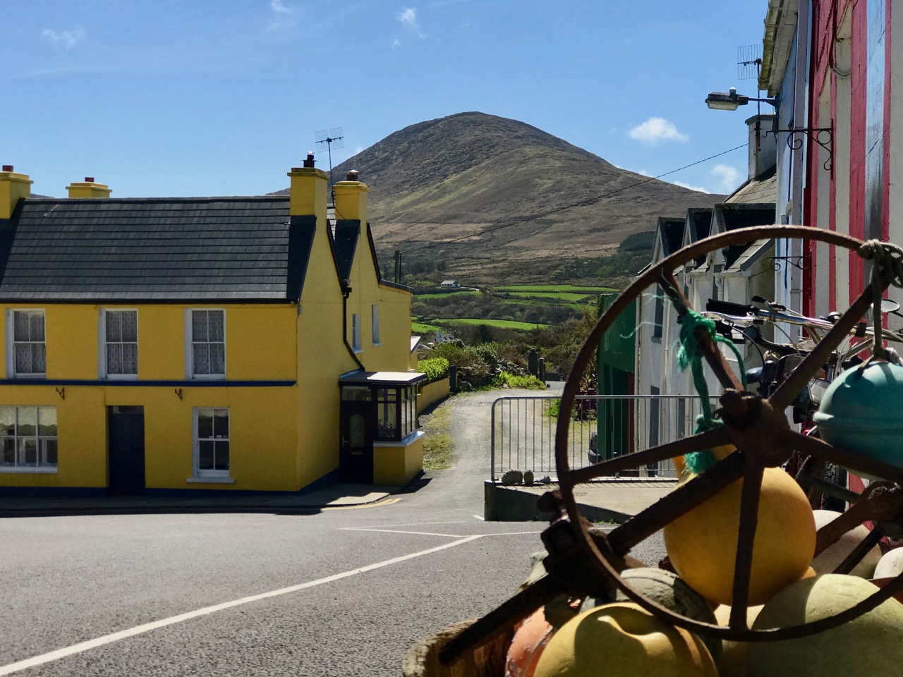
S…………..?

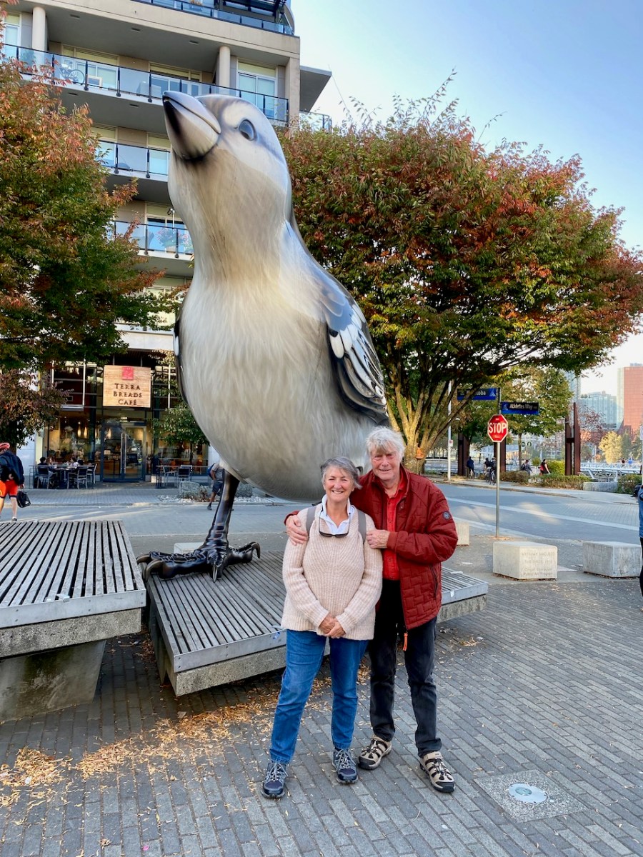
Ok – we have got the message! About the sparrow, that is. The original giant sparrow is one of two (a male and a female) which were created for the Olympic Park in Vancouver, Canada, in 2010 by the sculptor Myfanwy MacLeod. One was transported by our own photo magic to Ard Glas! Perhaps they are not relevant to West Cork, but they are meaningful to Finola and Robert, as we saw them together in Canada ten years ago – pic below. We have just recently returned from a visit to Canada, enjoying a long-awaited catch-up with Finola’s family there. We made sure to record our presence there with another photo-op (below the below).

* Hopefully this demonstrates how youthful we remain, imbibing as we do the stimulating West Cork air. Here’s to the next ten….!

Sun’s Out! A Further Look at The Beara

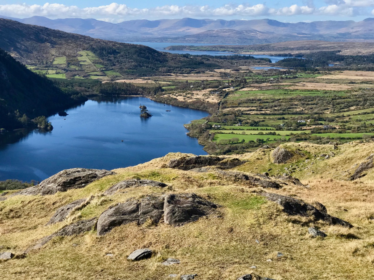
A few years ago, on one April day after a bleak, harsh winter that had gales, hurricanes, blizzards and unceasing bitter east winds thrown at us – the sun came out! We were out too, and headed up to the Beara Peninsula to see if we could remember what sun-soaked landscapes felt like… They felt great!

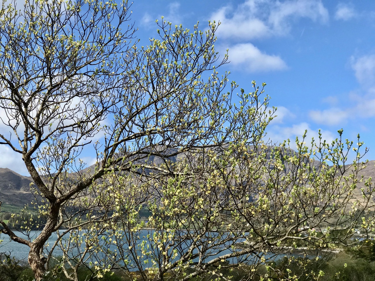
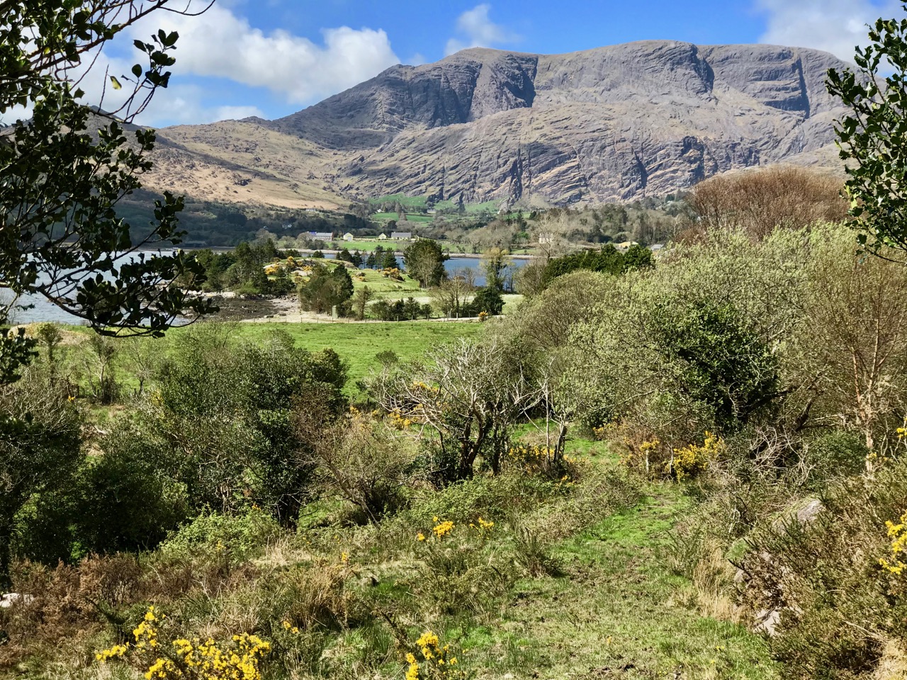
Header – the glories of Cork and Kerry combine on the spectacular Beara; top photograph – finally, after a long,harsh winter, we see the spring blossoms appearing; middle – a wayside shrine on the road out from Glengariff; bottom – Hungry Hill dominates the views as we head west on the peninsula

You will remember our previous visits to the Beara: there are not enough superlatives for what it has to offer in the way of stunning scenery and colour. None of these photographs have been enhanced – what you see is exactly what we saw on the day – and it’s what you will see, too, if you choose aright (although even on dull days we always find plenty to interest us).

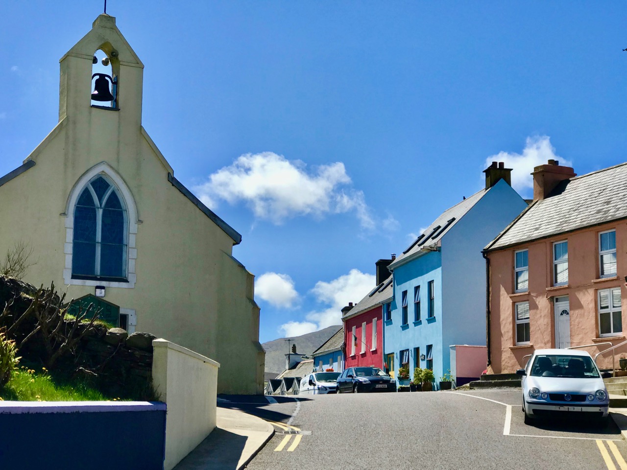
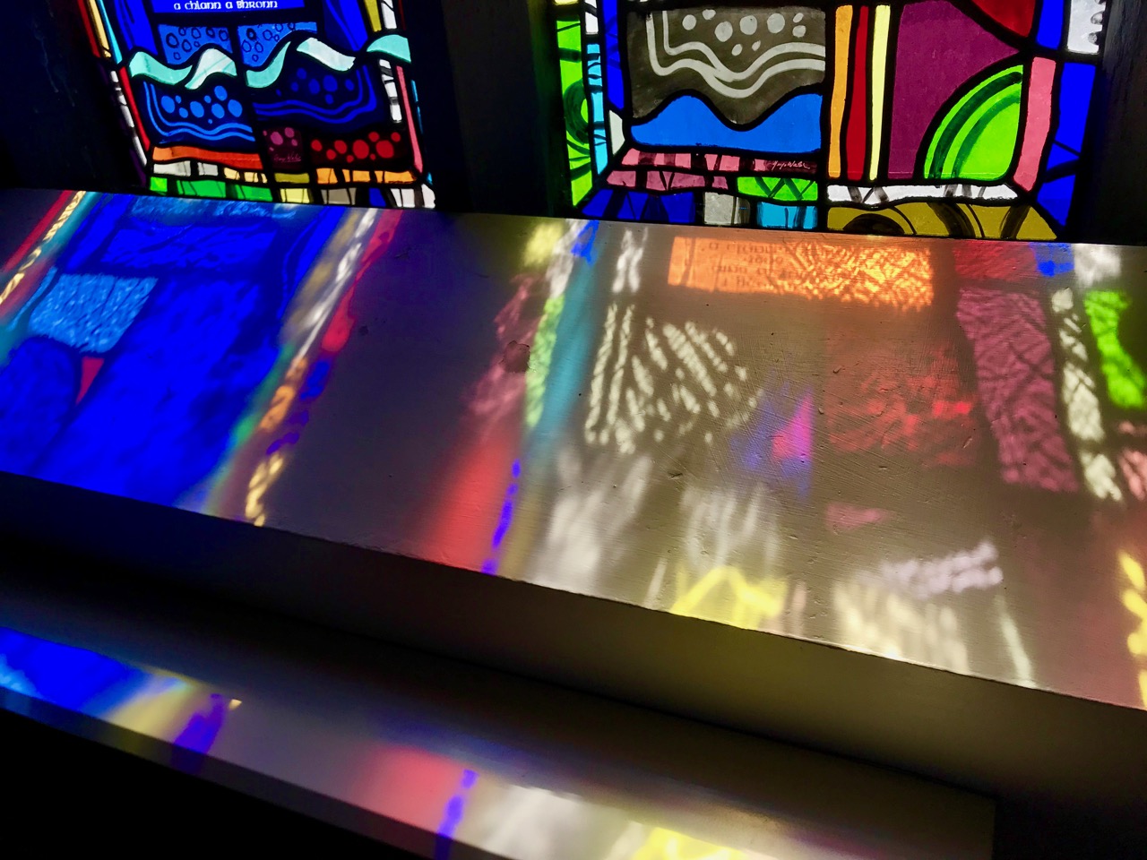
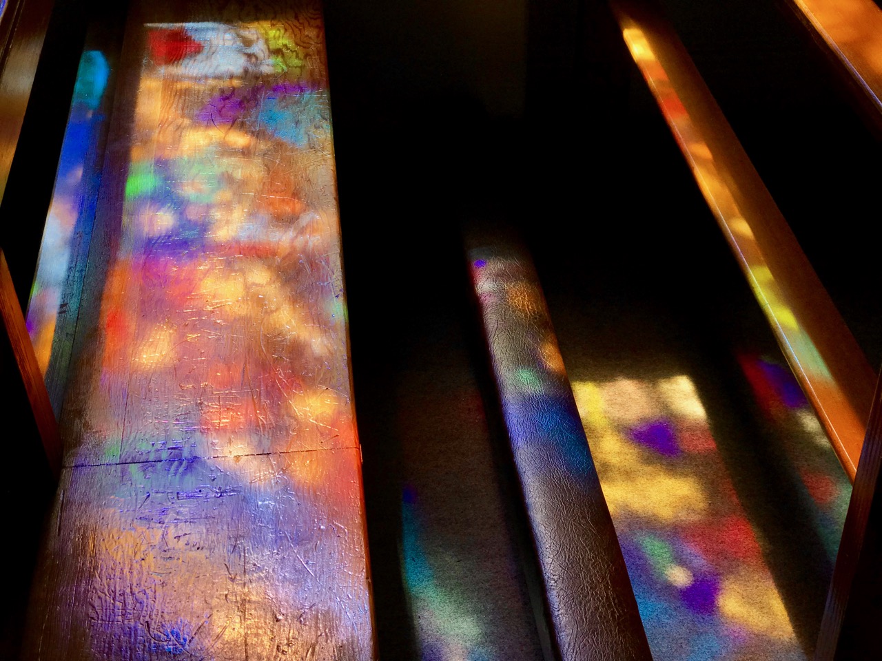
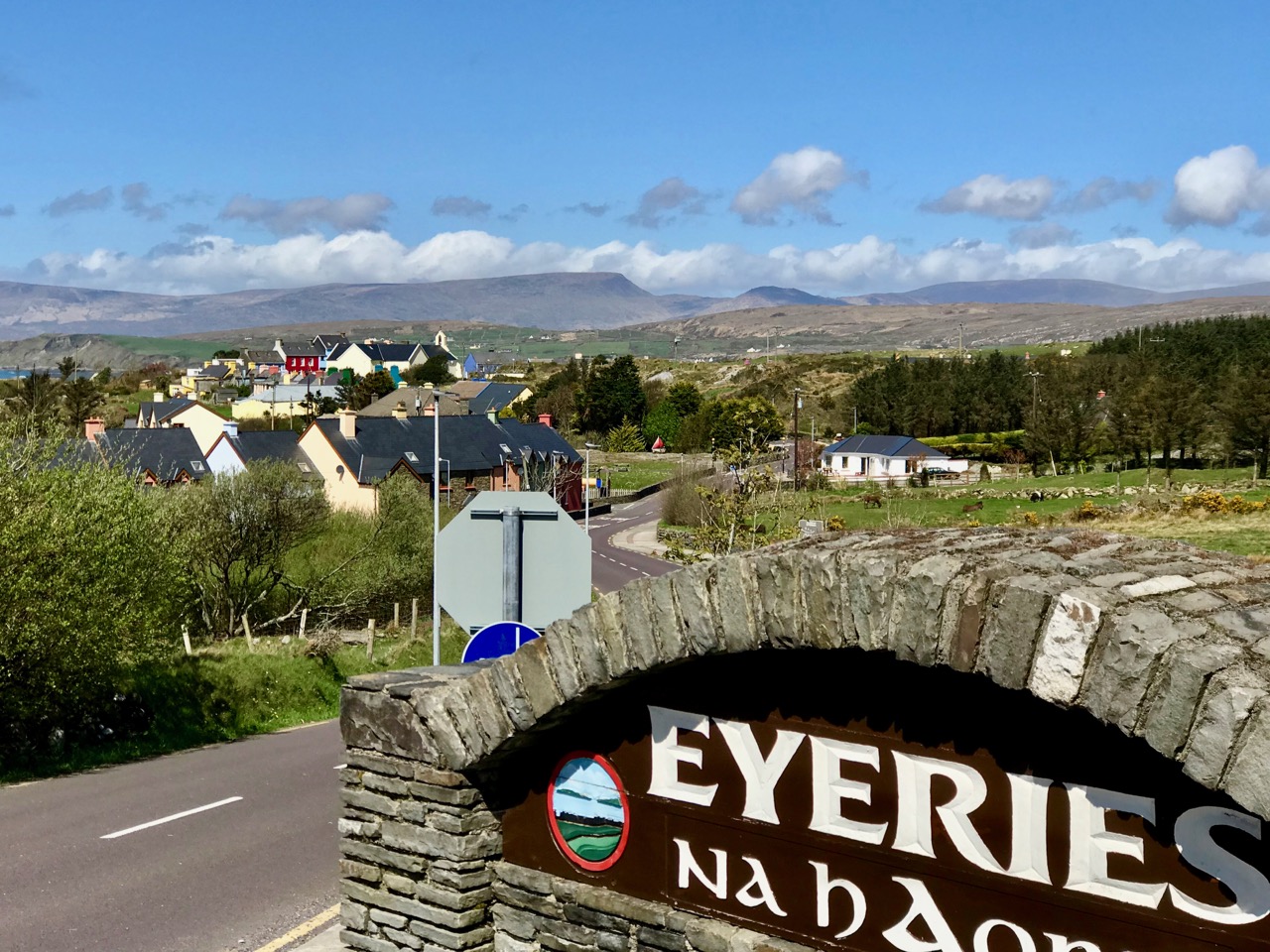
Top photograph – St Kentigern’s Church is in the centre of one of Ireland’s most colourful villages; middle – the sunlight plays games with the beautiful windows by glass artist George Walsh; bottom – light from the windows dances on the pews

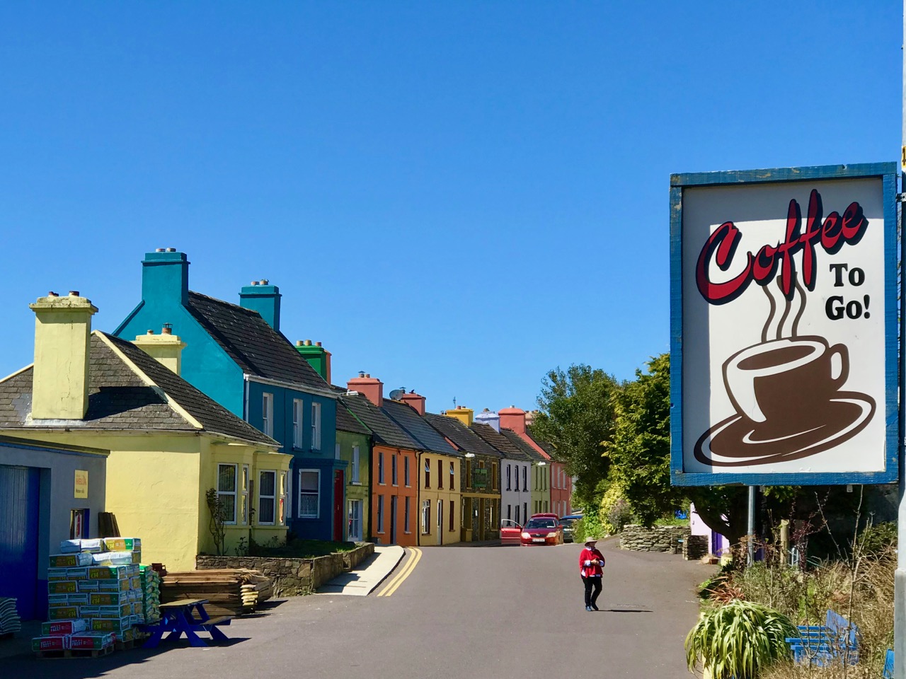
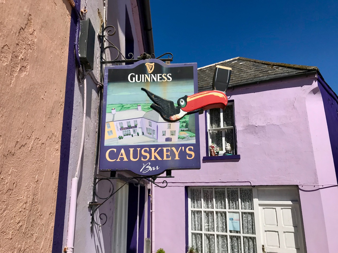
We knew where we were going: Finola was keen to revisit the little Catholic church of St Kentigern in Eyeries, which has a fine collection of windows by George Walsh: it’s a gem – and at its best for the quality of the light enhancing it on the day. I wanted to see the settlement itself in the early spring sunlight as it’s one of the most colourful places in the whole of Ireland! Neither of us was disappointed.

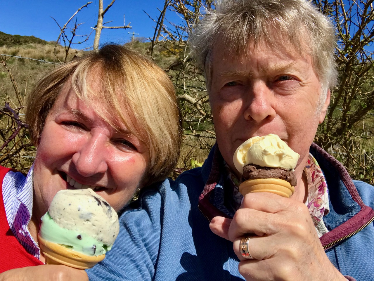
Just a taster of the treats in store in Eyeries: on a beautiful spring day there was hardly a soul around, but we were still able to find an ice cream in O’Sullivan’s!

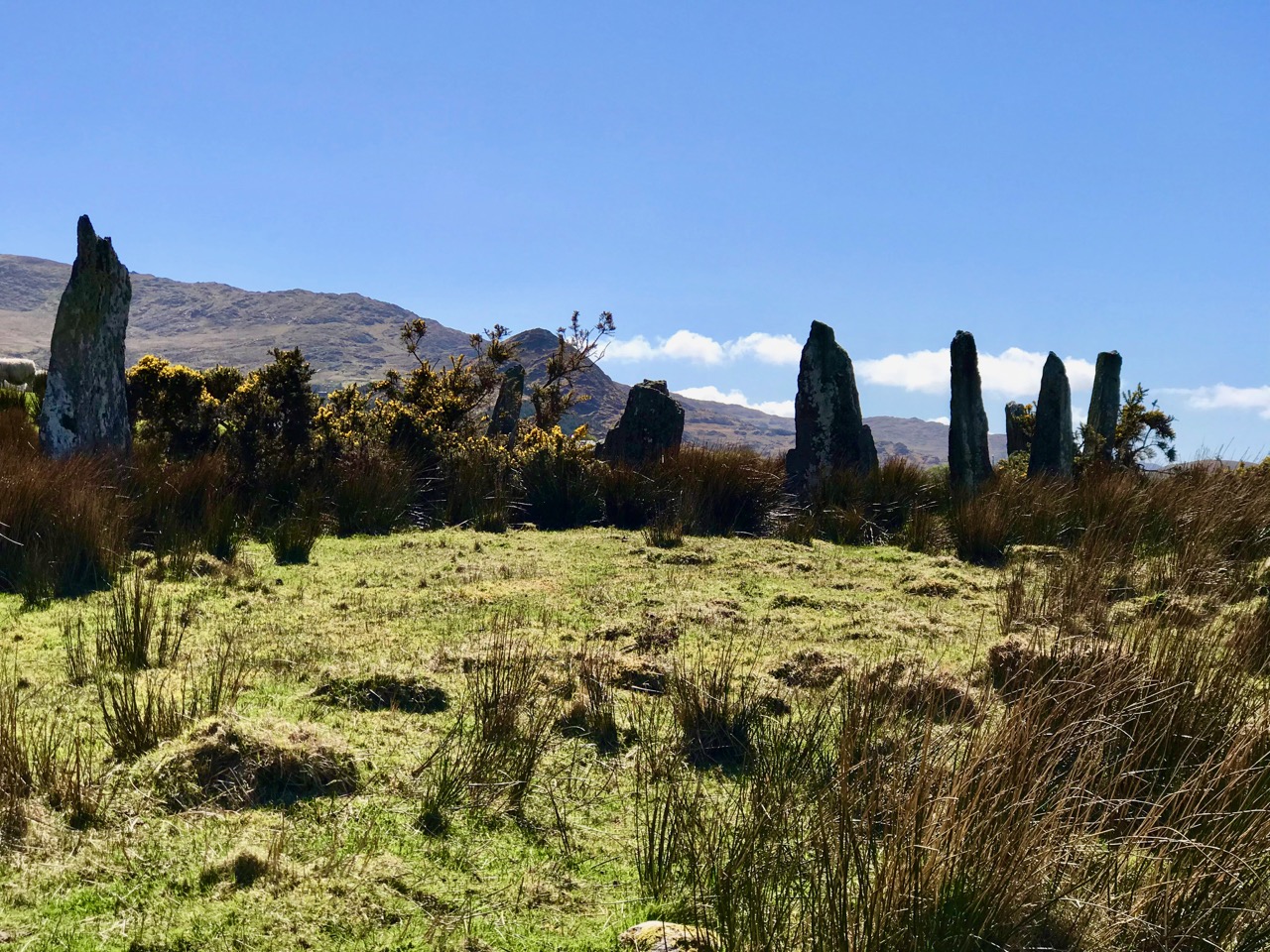
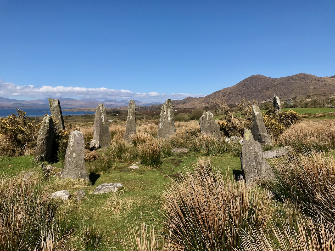
Our second objective was to travel into the hills and find Ardgroom Outward stone circle. The trail involves farm gates, stiles and a lot of mud – but the 9 stone circle (named locally ‘Canfea’) is a fine, almost intact monument with wide vistas to mountain and sea. The impressive outlier stone is 3.2m in height.

The magnificent Ardgroom Outward (or ‘Canfea’) stone circle is accessible via a marked, boggy path: the vistas from the site make the journey worthwhile. Finola is dwarfed by the huge outlier!

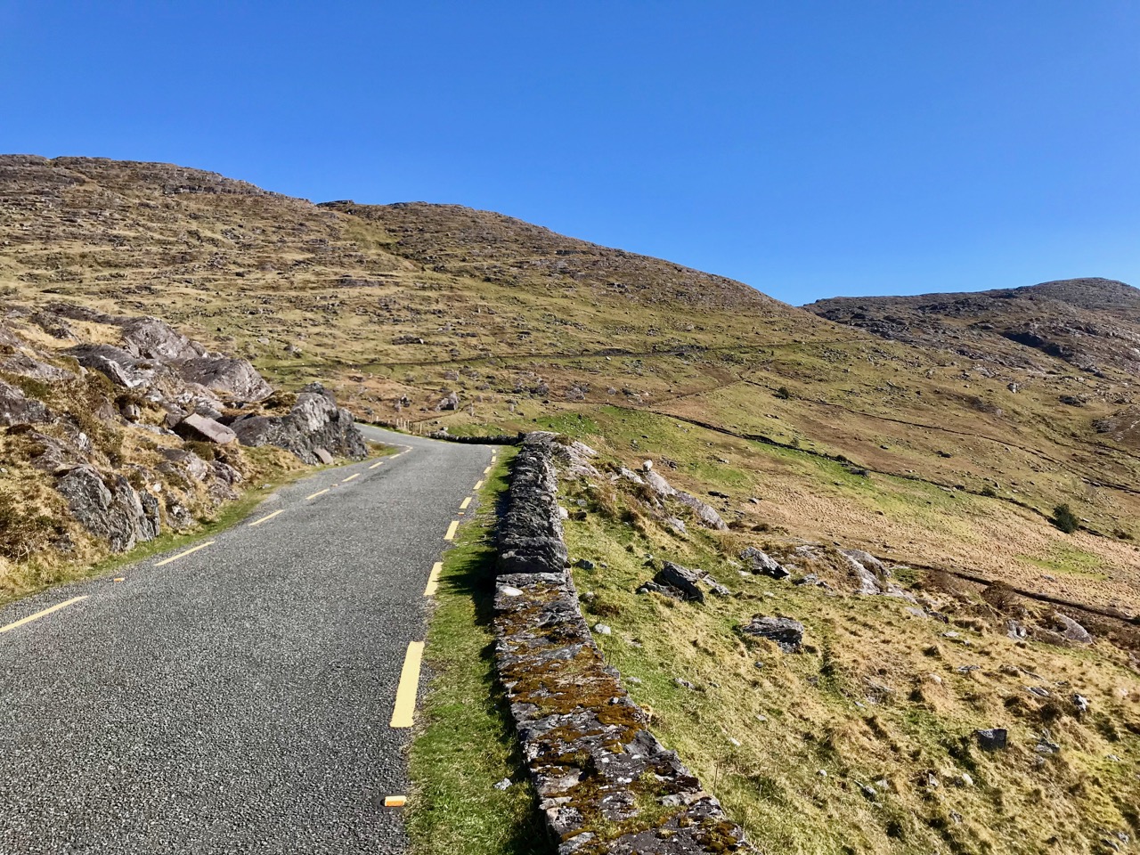
It’s barely a skip up to Eyeries from Nead an Iolair, so we had to carry on around the peninsula and take in the almost surreal views of oceans, lakes and mountains before dipping into Kerry and then heading over the top back into Cork county and down the Healy Pass – surely one of Ireland’s most spectacular road trips.

Returning home – with the evening sun setting gloriously over Roaringwater Bay – we reflected that there can’t be many places in the world where a single day can offer such a feast to satisfy all the senses.

Garrane Mass Rock

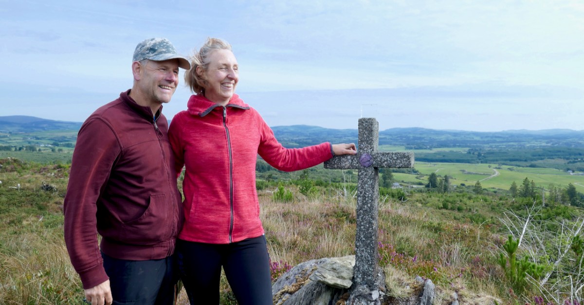
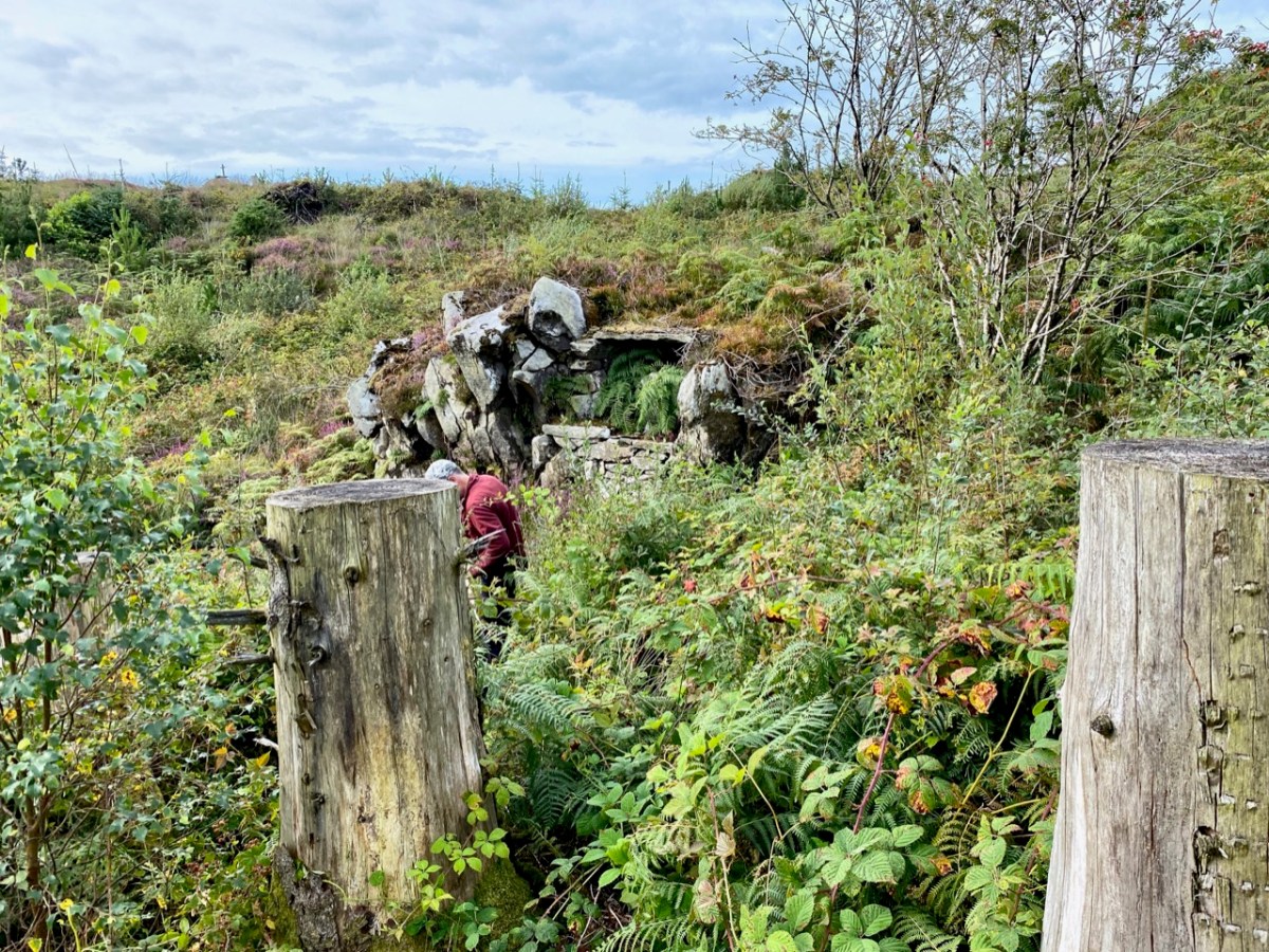
Would we like to see a Mass Rock? The question came from Oliver, and the answer was an enthusiastic YES! (The phrase Is the Pope Catholic may have been employed.) This particular mass rock has been re-discovered in recent times, but its origins are a bit of a mystery. It’s not listed on the National Monuments Record of Sites, and some elements are clearly dated to the early 1950s. There is no defined trail and it would be very easy to get lost, so we were very grateful indeed to our guides, Oliver Farrell and Tracey Daly (above), who live close by and use the trails frequently with their sons. Rio the Wonder Dog accompanied us.

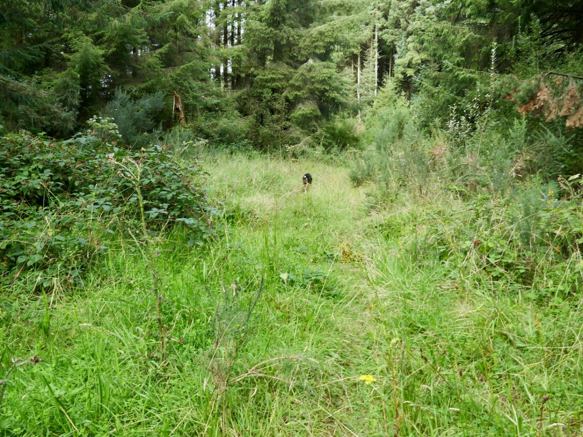
Garrane (it’s Garrane on the OS maps, but often spelled Gurrane, especially locally, and it means ‘grove’) is a townland in the area between Ballydehob and Caheragh. The area is managed by Coillte, and starts among tall trees. As you ascend, though, you emerge into rocky scrub territory that was cleared in more recent times, leaving interesting stumps here and there, like stubby totems.

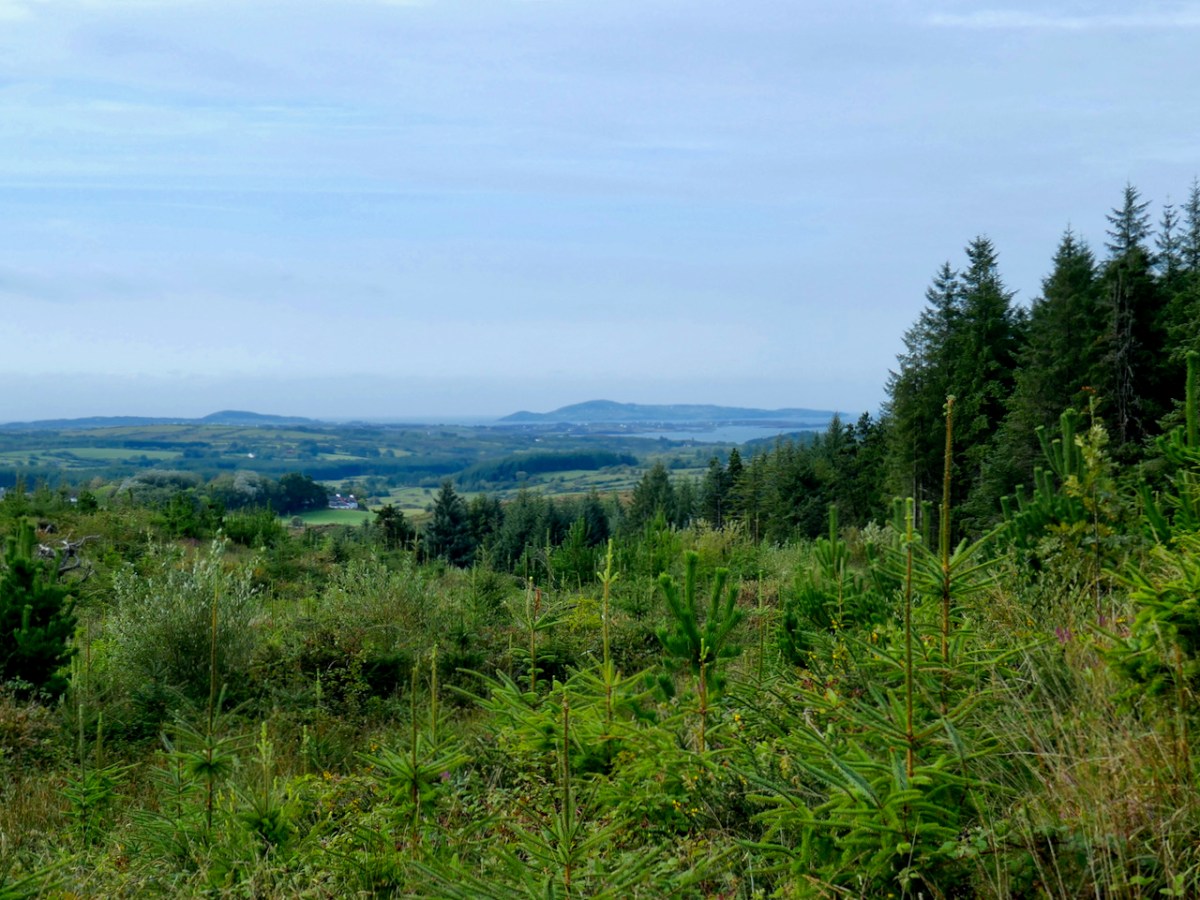
It’s a lovely hike up (although I’m not sure I could find it by myself again) and soon we were enjoying panoramic vistas across the countryside and over to Roaringwater Bay and Cape Clear beyond. Rio led the way, occasionally disappearing into the bushes but always coming back to his humans to make sure we were keeping up.

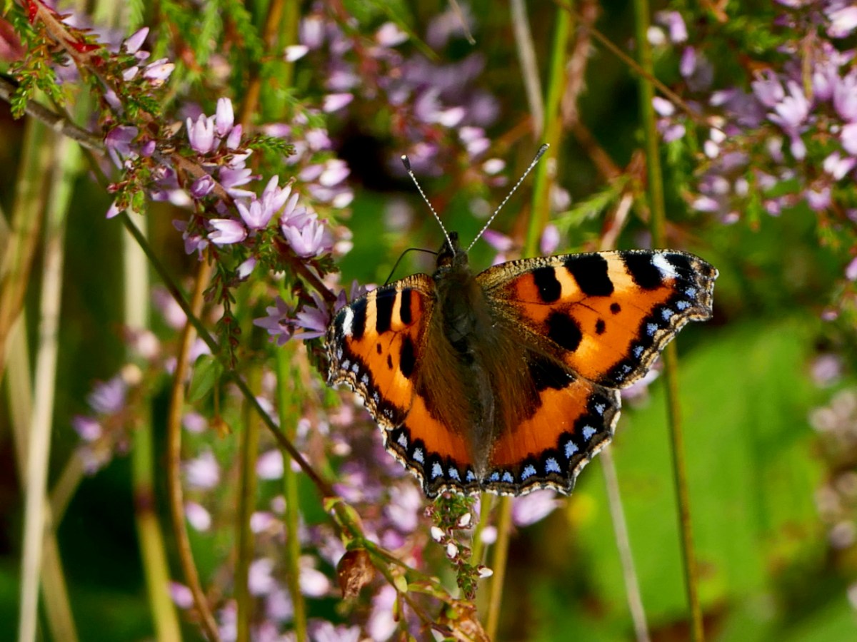
At this time the hills are covered in Western Gorse and heathers and butterflies were flitting through the shrubs as we ascended, attracted by the blooming Ling.

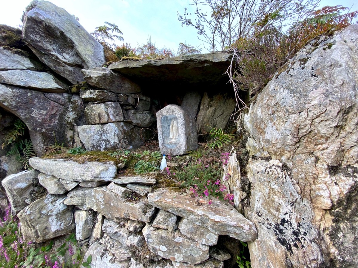
When Oliver said we’d arrived, I didn’t see anything except what looked like a pile of stones.. The bracken was everywhere, including within the mass rock itself. Oliver set to work and soon it was revealed – a flat, altar-like surface, with a niche in which a small shrine had been placed.

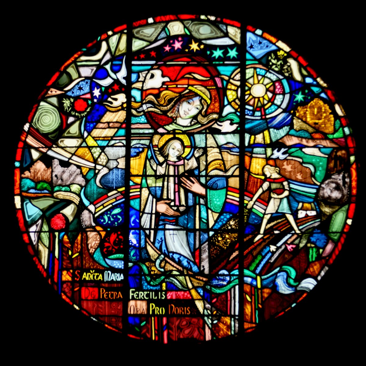
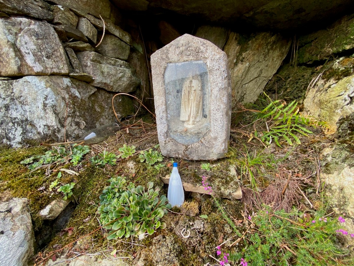
The shrine – a concrete box containing a statue of the Blessed Virgin Mary, was dated 1954. This marks it as having been inserted into the niche during the Marian Year. Most of the grottoes we see in every village and town across Ireland date to 1954 – for more on this see my post Mary Mary. It’s possible, perhaps, that the mass rock itself was refurbished during this time, to make it suitable to contain the shrine.

What exactly is a mass rock, I hear my non-Irish readers ask. Take a look at my post Were you at the Rock, or go to the wonderful Find a Mass Rock, an excellent site maintained by Dr Hilary Bishop of Liverpool University. 

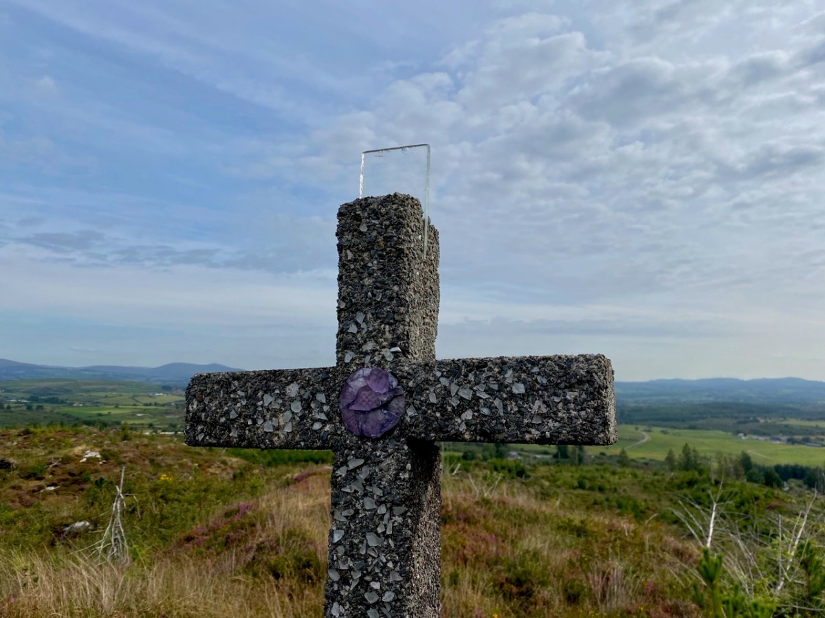
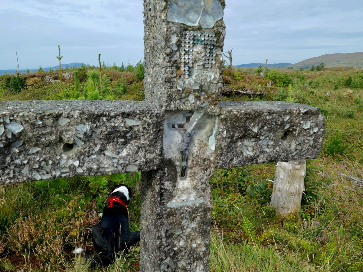
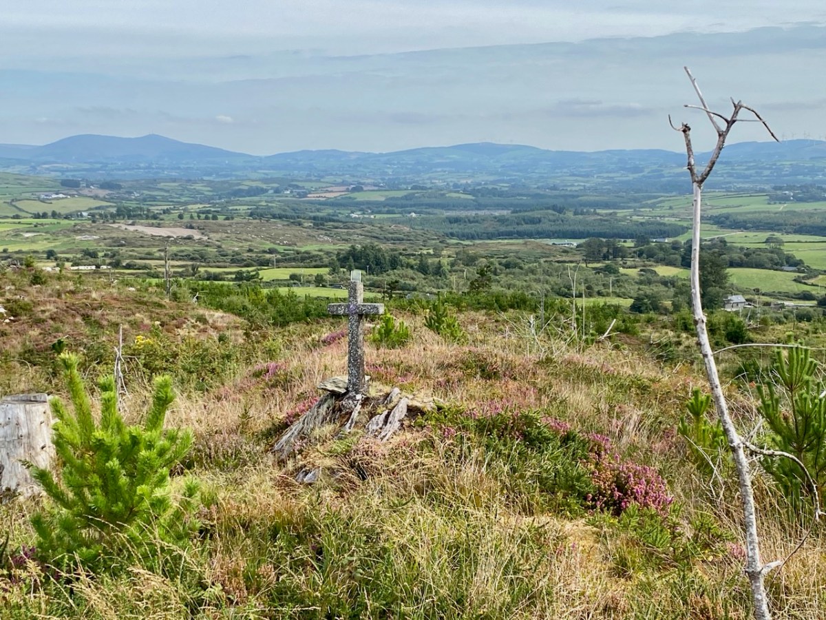
So we had found the mass rock, but there was more. Tracey and Oliver led us higher still to a spot overlooking the mass rock to a concrete cross. Although much battered, it retained much of the original decoration – glass, clear and coloured, and a small crucifix. Exploring this area, their sons had discovered the mass rock a few years earlier – it had likely been hidden for 50 years by forestry.

We wondered if this was erected at the same time as the shrine had been inserted in the mass rock, in 1954, or whether perhaps it had been erected in 1950, the Holy Year. And all around Ireland in 1950 villages and towns erected hilltop crosses – see my post Sanctifying the Landscape for more about the Holy Year and the Vatican directive that sent Irish communities up their local mountains to set up huge (and in this case not so huge) concrete crosses.

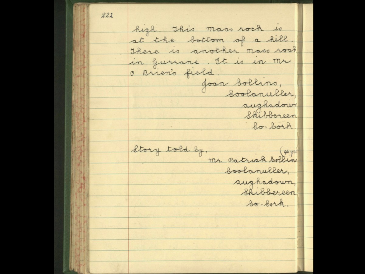
So – this spot was obviously the focus of devotional activity on the early 50s, most likely chosen because of the already existing mass rock. The memory of the mass rock was still held in the community, making it the perfect location for the Holy Year and Marian Year memorials. As we often do, we turned to the Schools Folklore Collection to see if we could find references to a mass rock in the record for the old primary school, now long closed, at Garrane. Here’s what we found:

That’s all, and frustratingly opaque, referring to the mass rock being in a ‘field.’ I would be interested in hearing from local people who might know more about the history of this particular mass rock, so that we can get it listed as a National Monument. If you know anything, please comment below, or get in touch via our contact page.

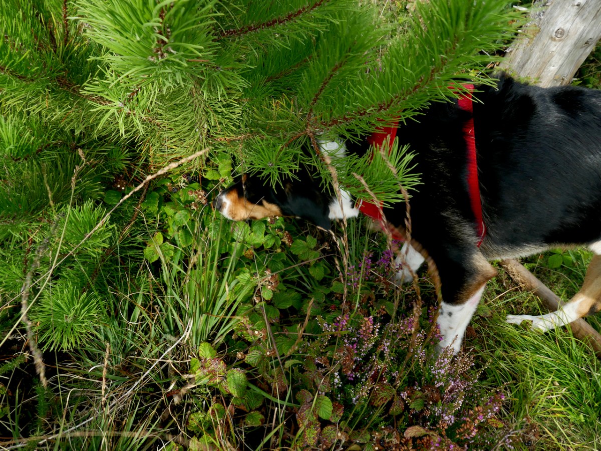
Rio led us back down the mountain, pausing occasionally to do something I had never see a dog do before – eat blackberries right off the brambles. He beat us to some of the best ones too as we headed down to the tall trees.

The Gurrane and Ballybane Trails Development Group is working on a plan for trails in the area, including this one – good news!