Welcome to the Stranger: Asenath Nicholson in West Cork

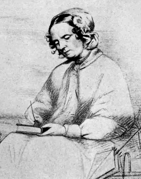
Who was Asenath Nicholson? When I saw that a new play was to be performed during the Skibbereen Arts Festival this year, I became curious about the subject. The play, Welcome to the Stranger, is based on Asenath’s books, Ireland’s Welcome to the Stranger, and Annals of the Famine in Ireland written about her sojourn in Ireland before and during the Great Hunger. As an eye witness account of the conditions she saw, it is invaluable. So why is she not a household name?

As I discovered, there is actually quite a lot about Asenath available online, much of it centred on the research of Maureen O’Rourke Murphy of Hoffstra University, who has written the definitive book on Nicholson, Compassionate Stranger, as well as editing Asenath’s own writings for re-release. Prof Murphy has provided a piece about the book to Irish Central, and the book itself has been comprehensively reviewed in the Irish Times by Christine Kinealy, Director of Quinnipiac’s Great Hunger Museum. Both of these articles summarise Asenath’s life and the significance of her account of her time in ireland, so pop over there now for a quick read, and then come back here. There is also a lecture by Prof Murphy online (entertaining and erudite), as well as a very well-done radio documentary (although I can’t find out who produced it). These take a bit longer so save them for later.


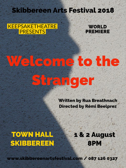
Rua Breathnach, the writer of the new play, is taking an interesting approach to depicting Asenath’s lengthy time in Ireland (four years in all) and the production is being staged and directed by his long-time collaborator, Rémi Beelprez. It will debut in Skibbereen on Aug 1, followed by a discussion session. Robert and I have our tickets already (you can get yours here) and are looking forward to seeing what Rua and Rémi have done with such rich source material.
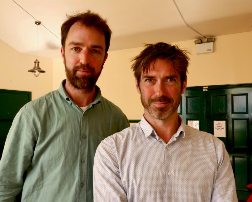
Rua and Rémi

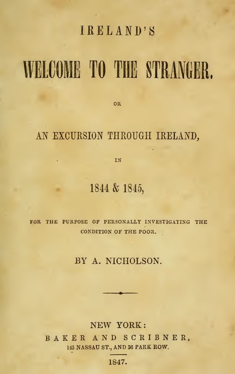
Seeking more information, I discovered that Ireland’s Welcome to the Stranger is available online in its original form, and also in a clickable version, and of course I was immediately drawn to the chapters about her time in West Cork and in Bantry in particular. This was in February 1845, before the potato crop had failed for the first time, but here Asenath describes perfectly the conditions that prevailed among the poor which led ultimately to the catastrophic events of the next few years – the extreme poverty and lack of resources, the lack of employment of any sort, and the dependence on a single food source.

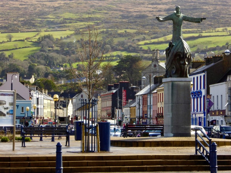
Bantry as it is now, a thriving and attractive market town

Her chapter section heading is “Arrival at the miserable town of Bantry.” Here is why she went there:

When about leaving Cork for Killarney I intended taking the shortest and cheapest route ; but Father Mathew said, “If you wish to seek out the poor, go to Bantry; there you will see misery in all and in every form.” I took his advice, went to Bantry, and there found a wild, dirty sea-port, with cabins built upon the rocks and hills, having the most antiquated and forlorn appearance of any town I had seen; the people going about not with sackcloth upon their heads, for this they could not purchase, but in rags and tatters such as no country but Ireland could hang out.

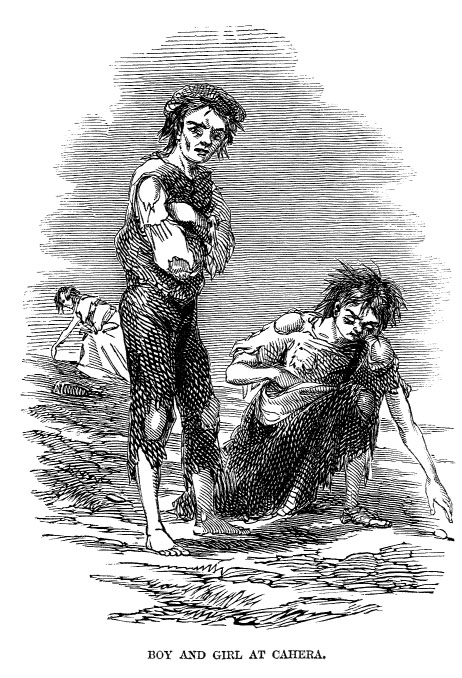
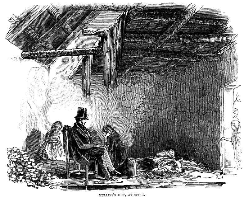
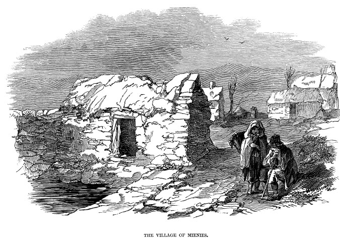
This and the other wood engravings* are by James Mahony for the Illustrated London News of 1847, and are from Niamh O’Sullivan’s book, The Tombs of a Departed Race; Illustrations of Ireland’s Great Hunger, available at The Skibbereen Heritage Centre. 

Asenath was in Ireland specifically to observe and record the conditions of the poor, but she was unprepared for what she saw in Bantry. She even feels moved to warn her readers, If you have tears, prepare to shed them now.

The morning opened my eyes to look out upon sights which, as I write, flit before me like haggard spectres. I dressed, went forth, and made my way upon the rocks, found upon the sides of them some deplorable cabins, where smoke was issuing from the doors, and looking into one, the sight was appalling – Like an African kraal, the door was so low as to admit only a child of ten or twelve, and at the entrance a woman put out her head, with a dirty cloth about it; a stout pig was taking its breakfast within, and a lesser one stood waiting at a distance. The woman crouched over the busy swine with her feet in the mud, and asked what I wanted?. . .Looking in, I saw a pile of dirty broken straw, which served for a bed for both family and pigs, not a chair, table, or pane of glass, and no spot to sit except upon the straw in one corner, without sitting in mud and manure.

There was a new workhouse in the town, which Asenath describes as lofty and well-finished but it was closed and shuttered, though all things had been ready for a year ; the farmers stood out, and would not pay the taxes. Asenath goes on to say The poorhouse was certainly the most respectable looking of any building in Bantry; and it is much to be regretted, that the money laid out to build and pay a keeper for sitting alone in the mansion, had not been expended in giving work to the starving poor, who might then have had no occasion for any house but a comfortable cottage.

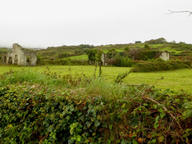
The ruins of the Schull Workhouse

As an aside, in the end the workhouse did open, but the conditions in it were appalling. You’ll find a link to Dr Stephen’s report (be warned, it’s heart-rending) in our post about the Schull Workhouse, which also contains lots of information about workhouses in general.

Asenath refers to ‘wading’ through the streets of Bantry. She describes a set of dwellings called Wigwam Row: a row of cabins, built literally upon a rock, upon the sloping side of a hill, where not a vestige of grass can grow, the rock being a continued flat piece like slate. The favored ones who dwell there pay no rent, having been allowed in the season of the cholera to go up and build these miserable huts, as the air upon the hill was more healthy. And there, like moss, to the rocks have they clung, getting their job when and where they can, to give them their potatoes once in a day, which is the most any of them aspire to in the shortest winter days.

As she walks, Asenath sings hymns and dispenses tracts and testaments, some of which she keeps in an enormous bearskin muff. She attracts attention everywhere she goes and the children of Bantry follow her around. Begging is endemic and she is frequently cheated. However, she comes to admire the Irish and particularly their sense of hospitality and their generosity to her and to each other. In a typical description she writes about a Bantry woman with whom she interacts: I looked at this woman, and at the appurtenances that surrounded her. “The whole chart of Ireland,” from lips that could neither read English nor Irish! She had a noble forehead, an intelligent eye, and a good share of common sense; she had breathed the air of this wild mountainous coast all her sad pilgrimage, and scarcely, she said, had a “decent garment covered her, or a wholesome male of mate crossed her lips, save at Christmas, since the day she left her parents that raired her.”

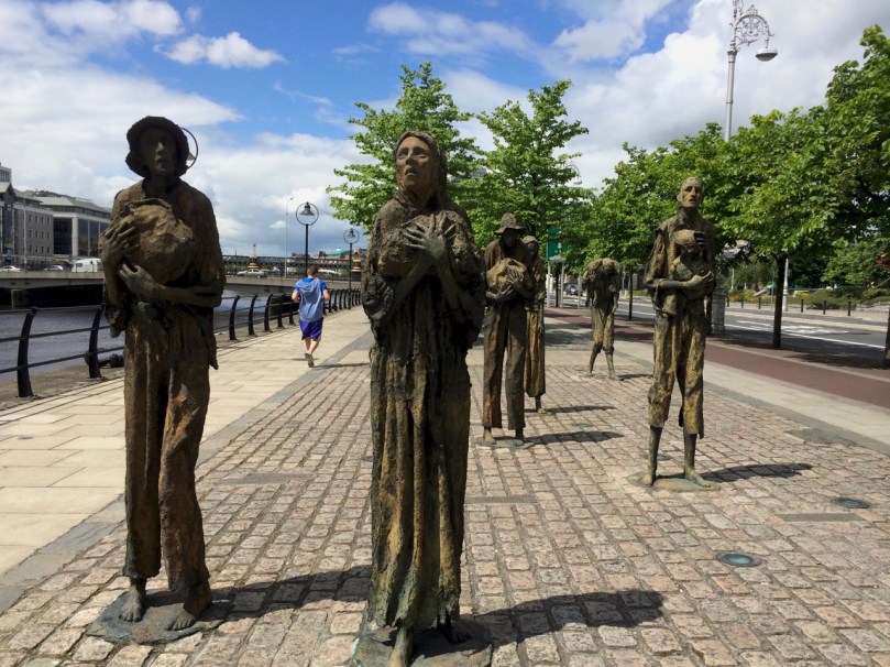
Famine Memorial, Dublin

We will leave Asenath on the road to Glengarriff, struggling to make headway as the magnificent scenery claims her attention, to the relief of her helper, John, who, burdened with her ‘purse’ and her muff, is able to take frequent rests while she catches up. She has given us a unique, first-hand, eye-witness account of Bantry in 1844 – one that contrasts tragically with the beautiful market town we have come to know well. She went on to travel the length and breadth of the country and to open her own soup kitchen in Dublin at the height of the Famine, this time dispensing bread, rather than tracts – let’s follow up with her in August at the play!

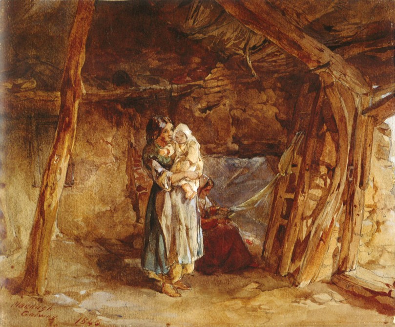
The interior of an Irish cabin in 1844 by Francis William Topham,  painting now in the Ulster Museum

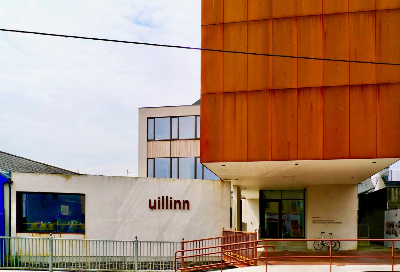
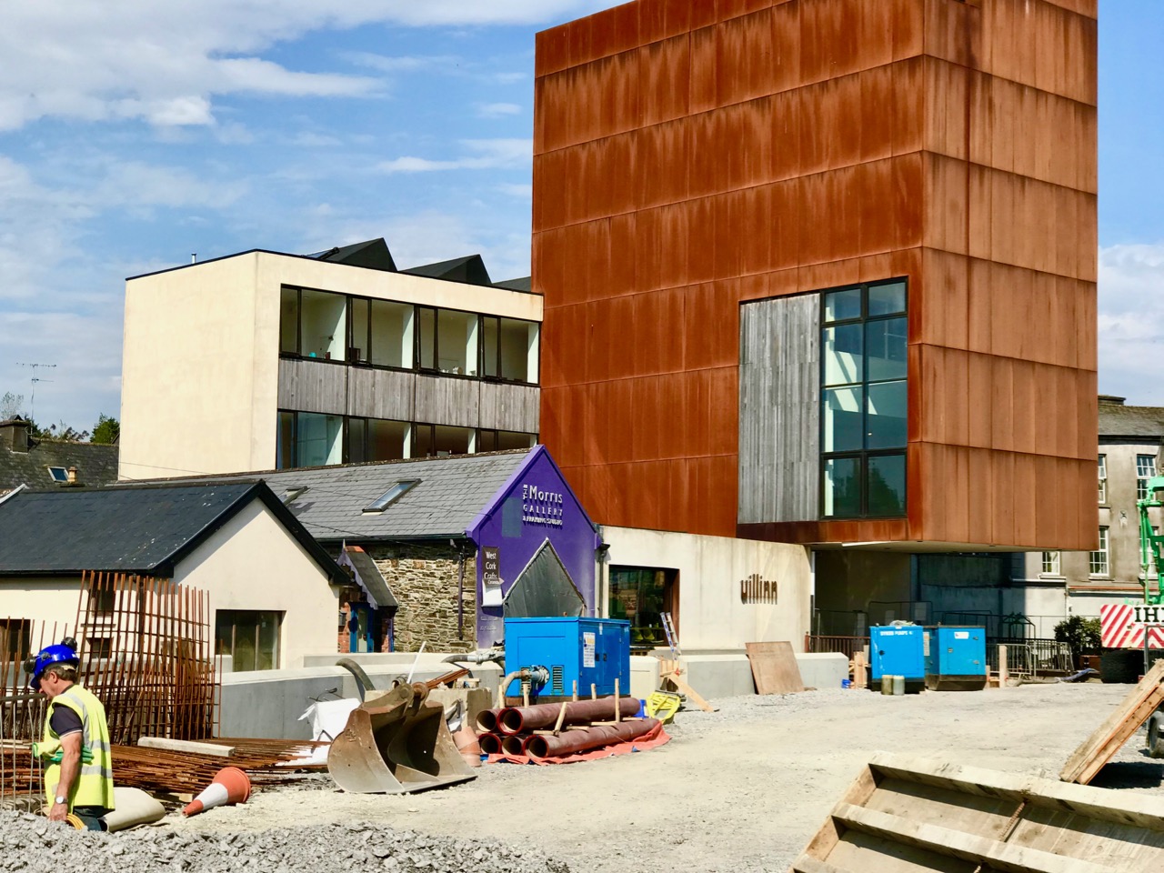
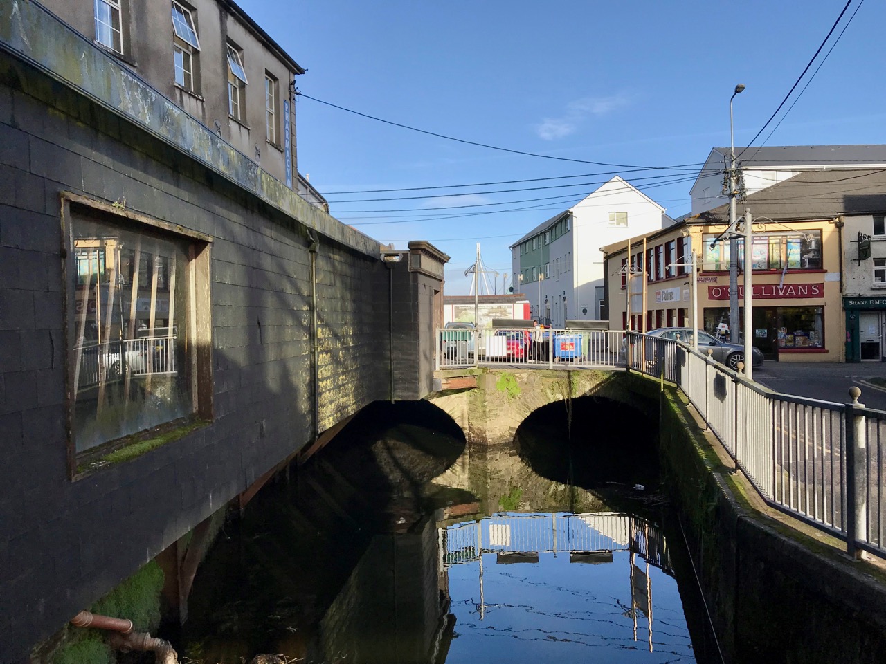
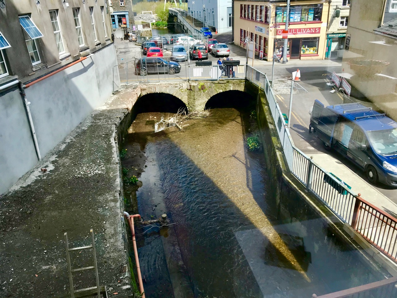
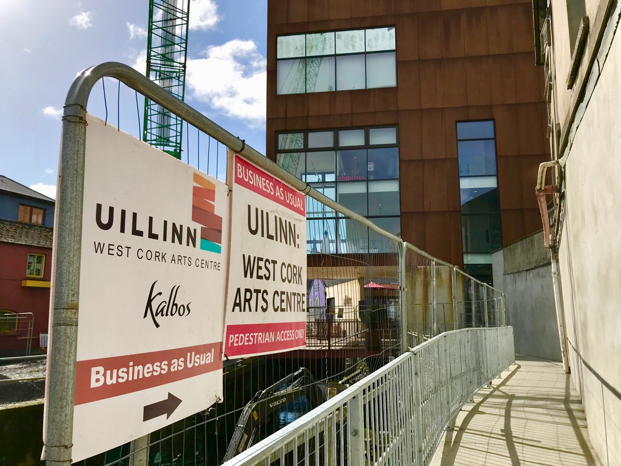
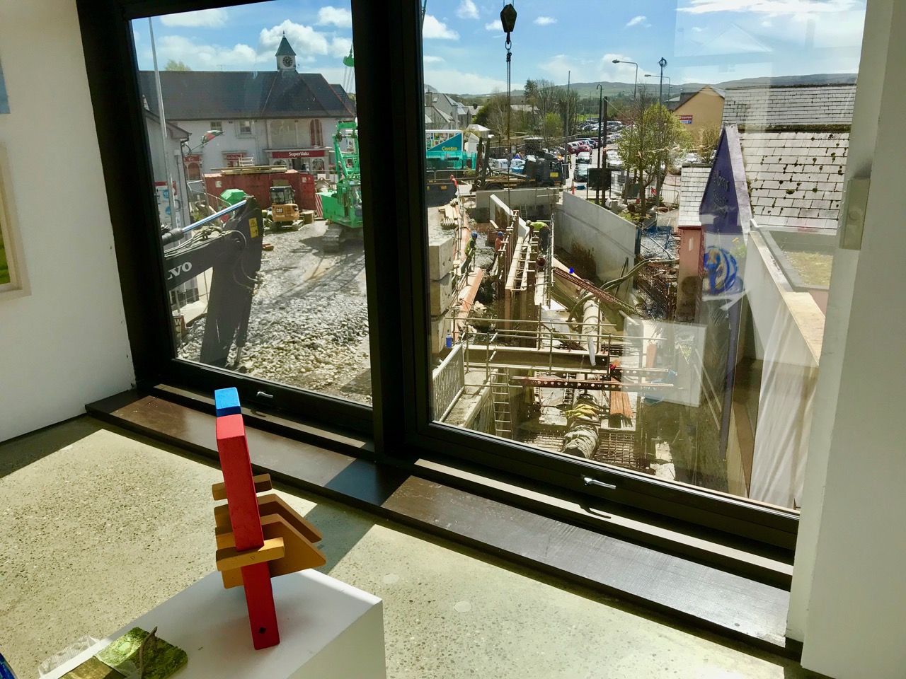
This summer we also look forward very much (harrowing as it will be) to a major exhibition at Uillinn (the West Cork Arts Centre): Coming Home is an exhibition of the largest Famine-related art collection in the world. It’s on loan from Quinnipiac University in the US, and opens on July 20th. There will also be a very special Performance/Event at the Schull Workhouse by acclaimed Irish artist Alanna O’Kelly titled Anáil na Beatha, Breath of Life. Future posts!

*More about wood engravings, from Brian LalorThe process is an exceptionally important pre-photography development in visual communication terms and, in its day (early 19C), quite as radical as email. The reporter, O’Mahony, drew on the spot in pencil, the drawings were sent by postal coach and packet boat to London where a team of engravers worked through the night to meet the publishing deadline, on the small (generally 4” square) blocks of fruitwood that fitted with the type into a letterpress printer. For speed, they often had a number of engravers working on a single image by using separate blocks which were then bolted together. On the ILS 1844 image of Ballydehob (not shown) you can see the joins.

Family-Friendly Archaeology Day in West Cork (Updated)

This is an update of a post originally published a while back. I’ve added a holy well (to finish your day off right) and some new photographs, and deleted some out-of-date information. I’ve also provided a list of informative posts about the monuments you’ll be seeing at the end.

West Cork is loaded with prehistoric monuments but many are on private land or inaccessible. So we’ve planned a day for you in which you can have a Grand Day Out and a tour through some of the best West Cork archaeology sites. Load the kids into the car, stick Discovery Map 85 in your pocket (or print out the one we’ve provided in this post), bring boots or wellies, and off you go! By the way, we advise leaving the dog at home when on a field trip like this, since you will be visiting private farm land which will likely have cattle on it.

Our starting point is Ballylicky – here’s your opportunity to pick up a picnic at the marvellous Manning’s Emporium, while you fuel up with a pre-trip latte. Ready now? First stop is Mill Little.

1 Mill Little Complex

From Ballylicky, head west along the scenic seaside road towards Glengarriff for a couple of kilometres and take the first turn right at Snave. You’ll be following the Coomhola Rive as it tumbles down between high hills. Once you’ve crossed Snave Bridge continue for a about a km, take the second left and then immediately right. One km on, take a left and then the next right. Park along here and the Mill Little complex is in a field on the left.

This is a complicated site, comprising a stone pair (don’t be confused by the other stones around the pair, which have been piled here), three boulder burials, and a small five-stone circle. All these monuments probably date from around the same time – the Bronze Age, about three to four thousand years ago. A particular feature of West Cork archaeology is that boulder burials, standing stones (single, in pairs, or in rows) and stone circles are often found together. Stone circles and stone rows are oriented towards significant solar events, such as the rising solstice sun or the setting sun at an equinox. In the Mill Little stone circle the alignment over the recumbent is NE/SW. At a site like this, it is possible that all the features formed a large observational arena, with the stone row, boulder burial and stone circle providing multiple alignment possibilities and marking both solar and lunar events.

The boulder burial nearest the stone circle is the most classic in appearance – a large glacial erratic sitting on top of three support stones. Excavations at boulder burials in West Cork, however, haven’t really yielded evidence of actual burials – perhaps the term is a misnomer!

2 Carriganass Castle

Retrace your steps back towards Ballylicky and take the road to Kealkill – or try an overland route using the map. At Kealkill take the last fork signposted to Gougane Barra and you will see Carriganass Castle almost right away.

Carriganass is an excellent example of the medieval tower house – take a look at the posts linked below (at the end) for more about these structures in West Cork. There’s easy parking around the back and lots of explanatory signs around the castle. This is a good place for a picnic, or you can wait until after you’ve been to Maughanasilly, since you come back this way. If it’s a hot day, such as we’re experiencing right now in West Cork, the kids will enjoy a dip in the river here.

3 Maughanasilly Stone Row

Continue past the back of the castle. At the first junction take the left fork and continue until you see a small lake on your left. Shortly after you will come to a cross roads. Turn right and park – the stone row is in the field on your right.

This is a good example of a multiple stone row: it occupies a very dramatic setting on a knoll overlooking the lake. There’s a helpful explanatory sign.. Note that, instead of being straight, the stones form a slight arc. This is deliberate, as is the placement of the stone lying flat on the ground According to one expert, this stone is placed so that anyone walking up to it and standing with toes touching its edge is looking straight at the equinox. This stone row also appears to have been an important one for lunar observations. It takes the moon over 18 years to complete its cycle and from this site observations of the lunar maximums (the most extreme northerly and southerly moonrises) were likely made.

Ponder on the sophistication of our Bronze-Age ancestors. Much of the knowledge they built up so that they could keep track of time and seasons had to be re-learned by later people.

4 Kealkill Stone Circle

Back you go to Carriganass (picnic now, if you haven’t done so already) and on to the village of Kealkill – a pretty and well-kept village (and home to a famous St. Patrick’s Day parade). The stone circle is signposted from the village – just follow the steep and winding road that runs up from the church. After a sharp bend to the right, take the first left turn. There’s enough room to park at a small pull-out. The walk across the field to the circle is often muddy and squelchy so make sure to wear your boots here.

This is yet another complicated site. There is a standing stone pair, a five-stone circle and a radial cairn. But perhaps the first thing you will notice is the spectacular view. From this spot you can see all the way down the spine of both the Sheep’s Head and the Beara Peninsula to the South-West, and across the valley to the Shehy Range to the North and East.

One of the stone pair is over 4m high. But it’s broken – and may originally have stood over 6m high.  Imagine the difficulty of erecting this!

The radial cairn is a mysterious monument – nobody is quite sure of its function – and relatively rare. Once again, it is often found in conjunction with other monuments – stone alignments or stone circles. This one was excavated, but nothing conclusive was found to help determine its function. Note the small upright projecting stones that look like the face of a clock among the cairn stones.

5 Breeny More, Ring Fort, Boulder Burials and Stone Circle

This is almost directly south of the Kealkill circle and on the other side of the road. Go back down the hill towards the village of Kealkill, take the first left and it’s around the first bend. There’s a ring fort (Early Medieval farmhouse enclosure, perhaps 1000 years old) right inside the gate. This is a farm field so check there are  no animals or machinery working before venturing across and up it. There’s a multiple stone circle here, with four boulder burials within it. There’s not much left of the stone circle, but the portal stones and recumbent remain, so the alignment can be discerned. The boulder burials are laid out in square formation in the centre – a very unusual occurrence, since boulder burials are normally outside the circle.

The site is on a natural ridge, with similar panoramic views to the Kealkill Stone Circle. One writer has speculated that if trees were removed it would be possible to see the tall standing stone at Kealkill from this site.

6 Kealkill Holy Well

What’s a field trip without a holy well? This one is wonderful. Park at the graveyard about a km from Kealkill on the road towards Ballylicky and walk up through it, then follow the path across a small field to the Marian statue. The holy well is behind the shrine. Known locally as Tobairín Mhuire (Mary’s Little Well), mass was traditionally celebrated here on August 15th. If you’d like to learn more about holy wells, or visit some other West Cork examples, have a good browse around Holy Wells of Cork – it’s the go-to website on this subject (see list below).

Here’s more information about the kinds of monuments you’ll be visiting:

Stone Circles: Ancient Calendars

Standing Stones and Rows: Monoliths, Mysteries and Marriages

Holy Wells: Holy Wells of Cork

Boulder Burials: Boulder Burials: A Misnamed Monument?

Castles: Several posts about tower houses

We hope you enjoy your day! Let us know how you get on.

A Day on Cape Clear: Guest Post by Hugo Caron, 11

On Tuesday 12th June my Mum, my Aunt, Finola, and I went to Cape Clear. We left the house at about 10 o’clock. We went to a coffee shop before we went to Cape Clear. I had a hot chocolate (which I would later throw up over the side of the boat).

When we got to the boat I started taking photos of the other boats.

It took about an hour to get to Cape Clear.

My Mum bought an ice-cream for me when we got there . After we had the ice-creams, we walked up a mountain on Cape Clear.

We got on the boat to Fastnet Rock.

We got back to Cape Clear, and waited for the boat back to Schull.

When we got back to my Aunt’s house, I cropped all my photos (there was 172). I had great day.

Note from the Aunt: Hugo took (and processed) all the photos except one (last one, above, of Hugo and his mum), and wrote the text for this post. The reason I took the last one is that he was feeling queasy (see paragraph 1). 

Some That Got Away!

I have been going through my collection of Quirks – pictures I have taken of Irish oddities, signs and sundry graphic images. For whatever reason, they have missed out in my series on good signs: I think it’s time I gave some of them an airing. They are not all humorous: sometimes they just conjure up a thought or an idea. The one above, for instance, is a really good name for a boat – it makes you think of lazy, sunny days drifting on calm waters. Many, of course, require no explanation at all. Here’s one…

There are those that I’ve retrieved from the reject pile because actually they are arresting enough to make you want to have another look. Some of it is just elaborate graffiti…

In other cases, people have been imaginative in their use of signs…

Then, there are those which just needed to fill an empty space…

Just in case you have to look twice, there’s a message in here somewhere…

Here’s a particularly strange one, on a memorial in Gowran Church, that had me scratching my head…

I’m sure the erudite among you will not have been puzzled – I had to resort to the dictionary, where I found that the term ‘deplored’ has two meanings: the less usual one is ‘lamented’!

But – enough! The rest can just speak for themselves…

And – last, but not least – I couldn’t resist this one from a farm gateway out on the Sheep’s Head…

Uillinn – Surviving and Thriving

Uillinn, Skibereen’s unique contemporary art gallery, is thriving and surviving while apparently ‘under siege’ from the onslaught of the major engineering works engulfing the town centre at the moment. It’s all about making the town and its buildings safe from future flooding: extreme weather conditions – which are likely to get worse as the years go by – are threatening Cork city and many of the low-lying  West Cork communities and works are now in hand to protect these settlements against serious flooding into the foreseeable future. The result is a whole lot of disruption but, as always, imperturbable Cork Rebels are just getting on with life in spite of it all.

Peace and quiet in Skibbereen, before the works commenced. Header picture – the Caol Stream reflected on the canopy of the cantilevered gallery

When the West Cork Arts Centre took the plunge to propose a significant arts gallery in Skibbereen back in the early years of the new Millennium, an architectural competition was held. In 2009, the winning design, by Dublin based Donaghy and Dimond Architects, proposed a dramatic 5-storey high Corten steel-clad box cantilevering over the Caol Stream that runs beside the site, gaining valuable ‘bonus’ space for accommodating the work of the Centre. In fact, the name Uillinn means ‘elbow’, and the gallery is situated on a bend – or elbow – of the stream. Economically – after the collapse of the Tiger years – it was a difficult time for Ireland and numerous projects were being cut or shelved, but work on the gallery went ahead, although not without compromise. Here’s an excellent article from the Irish Times which charts the progress of the building process.

Now, the gallery is facing new challenges as the flood relief works are encroaching on the surroundings of the building. The basis of the engineering solution to protect Skibbereen from further floods is to build high, waterproof walls around every watercourse in and around the town. The principal one of these is the River Ilen, which skirts the north side of the town. However, the Caol Stream – a tributary of the river – runs right through the commercial centre, and right by Uillinn. Finola has written about the abundant natural life that was contained in this stream, albeit much of it partly hidden from view. Everything is changing now, as the sides of the waterway are being steel-piled and concrete walls are being built up to a height of 1100mm all the way around it, as you can see in the photographs below. In places, toughened glass sheets will be inserted in perforations in the retaining walls to enhance the structure and allow views to the water.

Of course, a fresh ecosystem will establish itself in the new, concrete-encased channel, although the character of it is sure to change. Uillinn’s problem is that it is bounded by the stream all the way along its east elevation – and the main entrance is via a bridge (now temporarily dismantled) over the waterway.

Close work: the channel of the Caol Stream is being excavated and then lined as it passes beside Uillinn. The bridge providing the main access to the gallery has been removed to allow these works to proceed

In spite of all these works (which, for Skibbereen as a whole, won’t be finished until 2019) Uillinn – and the renowned Kalbo’s Café which it embraces – have to remain open and viable at all times. This is being achieved by constant liaison and close co-operation with the contractors, Jons Civil Engineering, appointed by Cork County Council, as agents of, and in partnership with the Office of Public Works. Although delayed by the ravages of Hurricane Ophelia and other severe winter storms, the contractors have pulled out all the stops in order to restore normality to the centre of the town as soon as possible and have managed to maintain full access to the gallery and cafe, and all premises in the path of the works, although some disruption to businesses in such circumstances is inevitable. On the west side of the Caol Stream, between Uillinn and Skibbereen’s Main Street, a disused single story shop has been purchased and demolished, and its site now provides a new pedestrian access to the gallery – and it’s one which will continue to be used once everything is finished and the bridge is restored. Suitably streetscaped, the overall approach to Uillinn will be much improved as a consequence of all these works.

The ‘old shoe shop’ (top) was an unusual structure, partly cantilevered out over the Caol Stream. Its removal (lower pictures) has enabled an extra pedestrian access to be established from Main Street

As a member of the Board of Uillinn, closely involved with much of the liaison between the gallery personnel and the contractors, I can confirm that relations have at all times been caring, cordial and helpful, and I commend those involved in the physical work for their skills and approachability through all the potential difficulties. I also commend the Director, Anne Davoren, and her dedicated team at the gallery for keeping cheerful and smiling throughout, and always maintaining a smooth efficiency. The staff of Kalbo’s Café have also kept up their impeccable standard of service and remain such an asset to Uillinn.

It’s unlikely that things will be back to normal before the opening of Uillinn’s momentous venture on 20 July this year – Coming Home: Art and the Great Hunger

. . . The exhibition of artworks at Uillinn, including work by major Irish and Irish American artists of the past 170 years such as Daniel Macdonald, Paul Henry, Jack B. Yeats, William Crozier, Hughie O’Donoghue, Dorothy Cross and Alanna O’Kelly, will be accompanied by a rich and diverse programme of performances, talks, lectures and events at Uillinn, and off-site in other locations in West Cork. These will resonate with the history and legacy of the Great Hunger and also amplify the contemporary themes explored in the exhibition. The themes include famine, the politics of food, poverty, displacement of peoples, refugees, emigration, identity, memory and loss . . .

We are all looking forward to the launch of this unique event in Skibbereen, and we know our contractors will ensure that everything will be done to prioritise good access and presentation of the gallery through the duration of the exhibition.

Coming Home: Art and the Great Hunger runs from 20 July to 13 October at Uillinn, Skibbereen

Heir Island – a Modern Paradise

You know that term, Island Paradise? Well, this week I went there. It’s called Heir Island, and it’s one of the inhabited islands of Roaringwater Bay. It was the first of many visits, I hope, and it was taken in the good company of Trish Punch and two Islanders, Christine Thery and Sarah Mathews.

This is the view of Heir Island from our own home – the grouping of houses behind the sandy beach is called Paris!

Heir (sometimes rendered as Hare) is Inis Ui’Drisceoil in Irish, and indeed it was very much part of the O’Driscoll territory up to the 1600s. The population has dwindled, along with that of all the islands, until now there are only about 20 permanent residents. But it’s a popular destination in the summer, with an active sailing school, a renowned restaurant (the Island Cottage) and of course the Bread-Making School that Robert and I attended and enjoyed enormously.

It’s got wonderful peaceful boreens, picturesque cottages, panoramic views over Roaringwater Bay and to the other islands, golden beaches – all this and it’s only a four minute ferry ride to the mainland. But shush – don’t tell anyone else or they’ll all want to come.

Trish is doing a long-term photographic project focusing on the islands of the Wild Atlantic Way and was keen to get back to Heir to capture the views. I had been following a Facebook Page called Heir Island Wildlife Project and had contacted Christine and Sarah, two of the admins on that page, to see if they would meet us when we came and tell us a little about their project. They did better than that, walking the length of the Island with us, and answering all our questions. (Not to mention the coffee and those Portuguese buns!)

I had boned up a little on the island plants, with the help of The Wild Plants of Sherkin, Cape Clear and adjacent Islands of West Cork by John Akeroyd et al, a publication of the Sherkin Island Marine Station that we had visited way back. The book outlines the habitats and growing conditions of the islands, and enumerates the “astonishing” richness of plant species that are to be found on them. Heir is second only to Sherkin in the number of Flowers and ferns to be found, several of which are nationally rare.

The islands ‘specialise’ in heathland species, due to the dominance of open ground, the lack of trees and the broken rocky nature of the terrain. As Akeroyd explains, Thin soils dry out during the summer, thus preventing encroachment by more vigorous species and allowing the plants themselves to die down and the seeds to ripen. Most of this group of plants are annuals more characteristic of southern Europe and the Mediterranean region. . . 

This slideshow requires JavaScript.

And indeed what I found was an astonishing variety of wildflowers. When I got home I counted that I had taken photographs of 45 different plants! But that was only part of the wildflowers we saw, since I didn’t photograph everything we came across. Several were new to me, including the Amphibious Bistort and the Pond Water-crowfoot that had arrived unbidden in Sarah’s newly-dug pond.

Butterflies, hover flies and bumble bees seemed to be everywhere we looked. The orange-tip butterfly (the one that loves the Cuckooflower) wouldn’t stay still enough for a snap, but a Common Blue Butterfly with its iridescent wings, and a Cinnabar moth with bold stripes both cooperated.

At the West end of the Island rugged cliffs provide a perfect breeding ground for European Shags. These birds have been amber-listed in Ireland because breeding populations are very localised. Therefore, it’s important that they have found a suitable nesting site on Heir and it’s wonderful to see that this small colony seems to be successfully hatching their young. Looking quite like a cormorant and similar in size, up close they have a striking green gloss to their feathers.

The headland from which we observed the shags provided a carpet of spring heath on which to loll about and admire the views across the Cape Clear and the Mainland. My eyes were immediately drawn down, however, to the ground beneath me. Orchids, Wild Thyme, Thrift, Lousewort, and a beautiful rose-coloured Kidney Vetch provided swaths of pink and purple, while Milkwort and Dog-violet yielded hint of blue and Scurvygrass (Common, I think) rounded it all out with a mat of white flowers.

I didn’t find (or didn’t recognise) some of the very rare plants that grow on these islands, like Wormwood, Deptford Pinks and Spotted Rockrose. Obviously another expedition is called for!

I worry all the time about habitat loss in West Cork. The sound of the rock breaker is a constant in our lives, carving out new fields where there was heath and hedge, and thereby reducing food and shelter for our pollinators and small mammals. I feel despair when I arrive at my favourite place to see a certain set of wildflowers, only to find that someone has been in there with Roundup and it’s now a brown wasteland. Places like Heir Island have a unique opportunity, perhaps even a responsibility, to stay as pristine as possible, to remain an Island Paradise as long as possible for all our sakes. Fortunately, lots of the local residents think so too and that make me hopeful.

A glimpse into Christine’s studio – her exhibitions are always eagerly anticipated locally

Thank you, Sarah and Christine for a wonderful day, and Trish for your excellent company. Let’s do it again soon!