Punishment and Pilgrimage in 16th Century Ireland

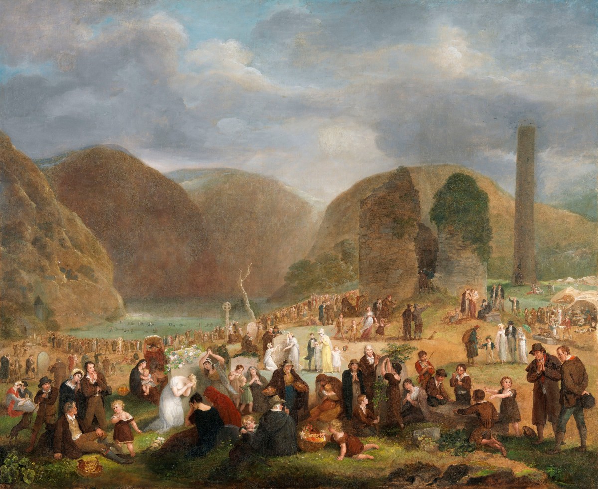
In 1539 a certain Heneas MacNichaill (Henry McNicol) of Armagh confessed to a particularly heinous crime, that of strangling his son. We know nothing about the reason, nothing about the son – an indication that it was more important to record the punishment than the details of the crime. 

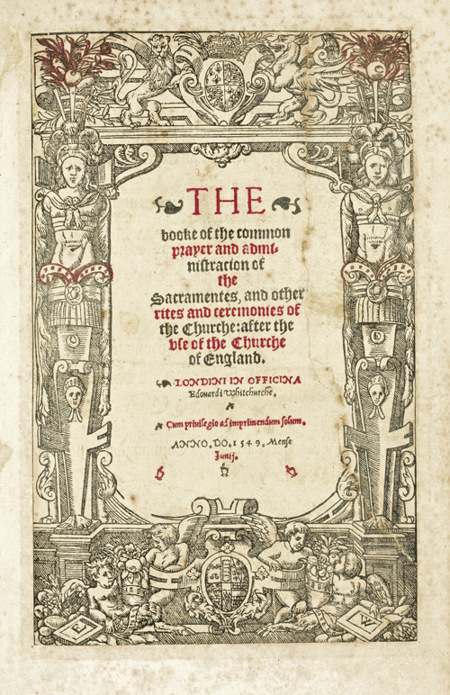
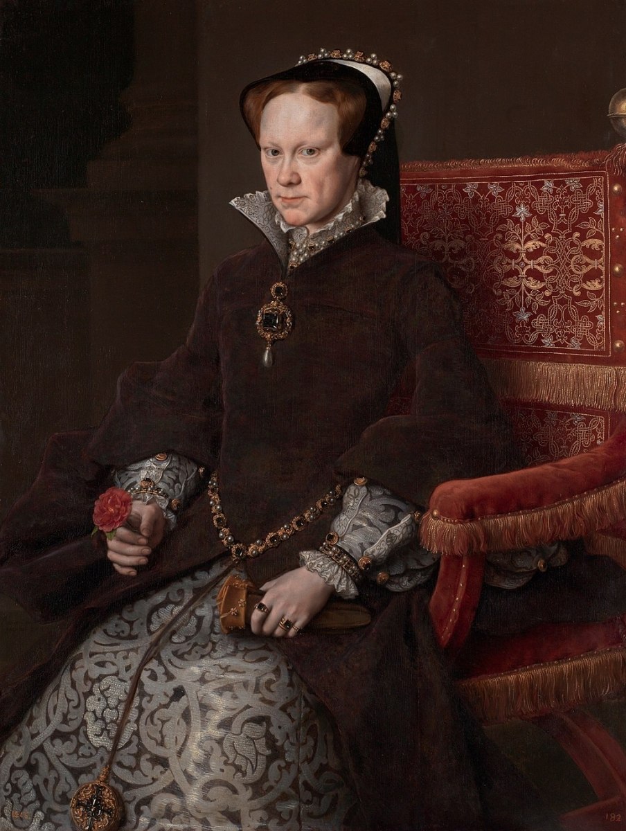
We know what the punishment was because it is recorded in the Register of Bishop George Dowdall. Dowdall was a fascinating character, living in a time when it was prudent to be Catholic, then Protestant, then Catholic again and finally back to Protestant. Dowdall was not for turning – he resigned his seat as Primate of Ireland rather than approve of the Book of Common Prayer. He was later restored to the See by Bloody Mary (below), dying conveniently just before she did. While in office he kept what is known as ‘Dowdall’s Register’, the last in the series of volumes of medieval records which survive for Armagh.

One of Dowdall’s Deans, Edmund, meted out the punishment to Heneas MacNichaill. He was ordered to do a round of pilgrimages to all of the great Irish Medieval Pilgrim sites – 18 of them. We don’t know how common such a sentence was, but Salvador Ryan tells us that such punishments

. . . often took the form of a long, arduous pilgrimage, a substantial deed of almsgiving or some kind of penitential abstinence or fasting.

The annalists frequently record instances of pilgrimages undertaken as penance. The Annals of Ulster, for instance, relate that in 1491 ‘Henry, son of Hubert, son of James Dillon slew his own father, namely Hubert, with thrust of knife and he himself set out for Rome after that. The sinner might also found a monastery, as expiation for sin, or at least offer to sponsor an existing foundation’s restoration. Some accounts of the Mag Uidhir clan illustrate how individuals belonging to an important Gaelic family, in this case rulers of Fermanagh, made reparation to their God. In 1428, ‘Aedh, son of Philip Mag Uidhir went on his pilgrimage to the city of St James…and died…after cleansing of his sins in the city of St James.’

From: Popular Religion In Gaelic Ireland

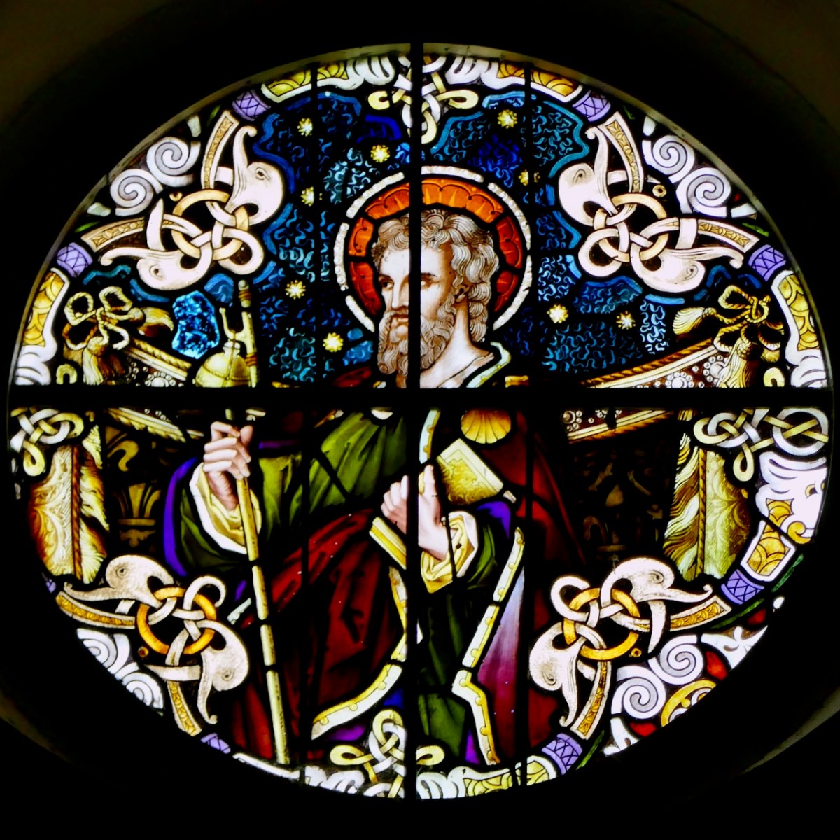
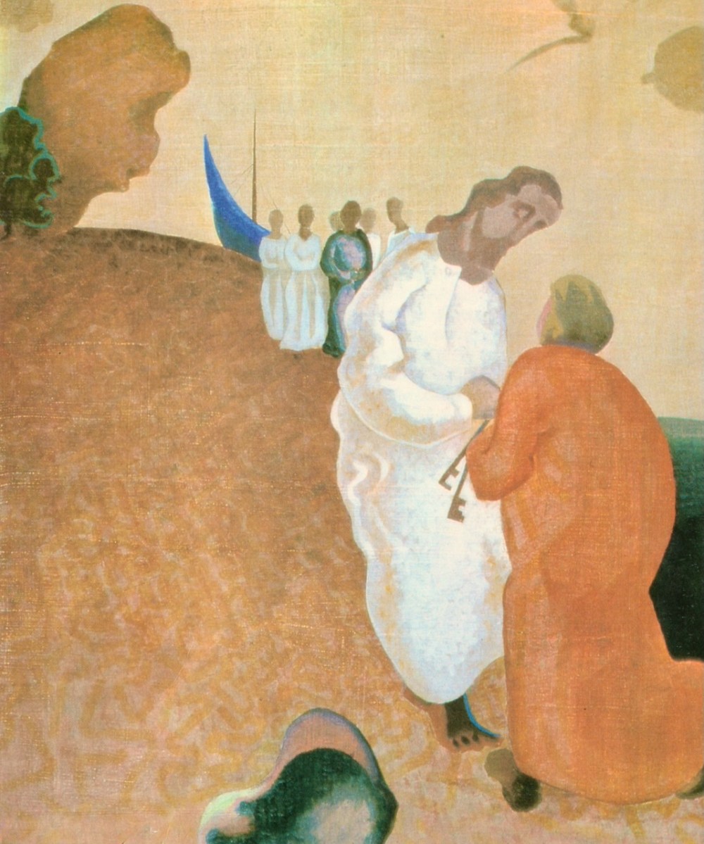
St James, above, with his pilgrim’s attributes of the scallop shell and the staff and pouch.

Heneas returned two years later, in 1541. The Register records it thus:

71. Certificate of fulfilment of penance. Memorandum that, on the 4th April, 1541, Heneas McNichaill, a layman of Armagh, appeared before the Primate to declare that he had fulfilled the penance imposed on him by Edmund, Dean of Armagh and custos of the spiritualities of the vacant see, for having strangled his son. 

He had visited : 

1. Struhmolyn in Reghterlaegen in Patria Kewan (or Rewan ?). 

2. Lectum Cayn in Glendalough (i.e., St. Kevin’s Bed). 

3. Rosse Hyllery 0 Garbre in patria McCarbre Rewa, principale purgatorium hic ut dicit (Ros-ailithreach, Co. Cork). 

4. S heilig Meghyll in patria McCathiremore (i.e., The Skelligs, off the coast of Kerry). 

5. Arayn Nenaw (i.e., Ara na Naomh). 

6. Cruake Brenan in patria militis Kerray (Crock Brendain, in Kerry). 

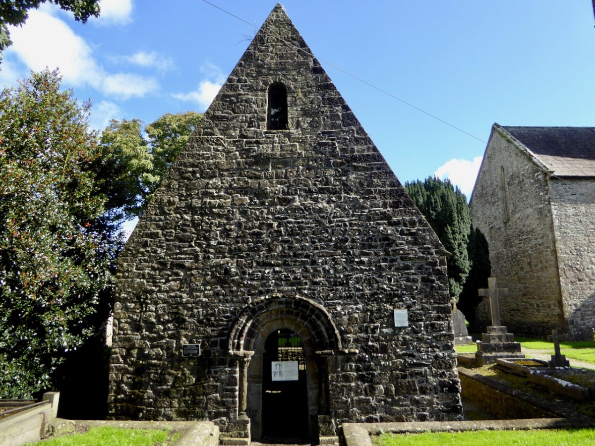
7. Sanctorum Flanani et McEdeaga in Momonia (i.e., Killaloe). 

8. Comllum. Sti. Patricii in Conacia in patria Y maille (i.e., Croagh Patrick).

9. Purgatorium Sti. Patricii apud Loughdirge in patria Ydonyll (i.e., St. Patrick’s Purgatory in Lough Derg). 

10. Enysskworym Sti. Gworain Anmerrys Downy 

11 in Conacia (Gort, Co. Galway). 11. Cornancreigh in patria McSwyne. 

12. Tyrebane in patria Ydonyll. 

13. Sanctum Cntcem apud Woghterlawan in patria Comit?s Ormond (i.e., Holy cross). 

14. Can eh C ai s sill (i.e., The Rock of Cashel). 

15. Dwyne, et Sawyll, et Craen Yssa (or Craev Yssa) et Strwyll (i.e., Down, Saul . . . and Struell). 

The Primate re-affirmed the absolution. (Primas continuavit causam absolu tio

Laurence P Murray*

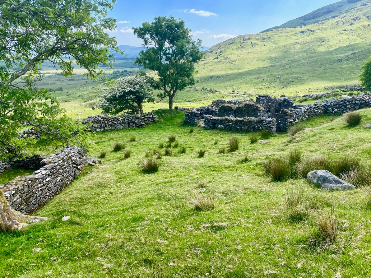
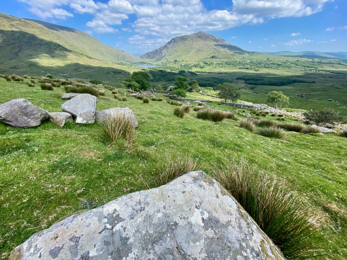
So Heneas had done his time and was forgiven his great sin. But where had he gone on this trip around Ireland? The sites have all been identified by scholars. Some are obvious (Cashel, Lough Derg, Croagh Patrick, Glendalough) and remain important sites of pilgrimage to this day.

Pattern at Glendalough by Peacock, courtesey of the National Gallery of Ireland

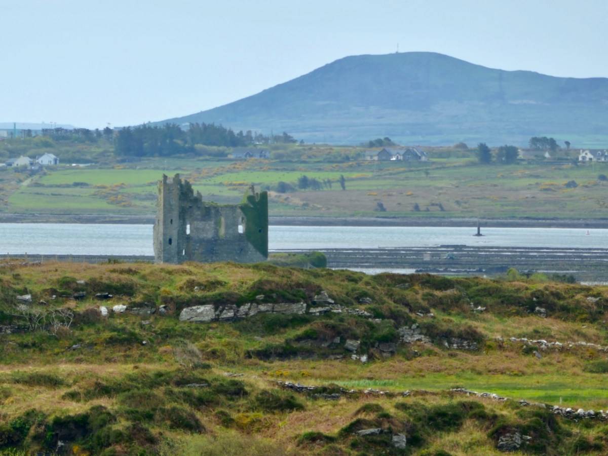
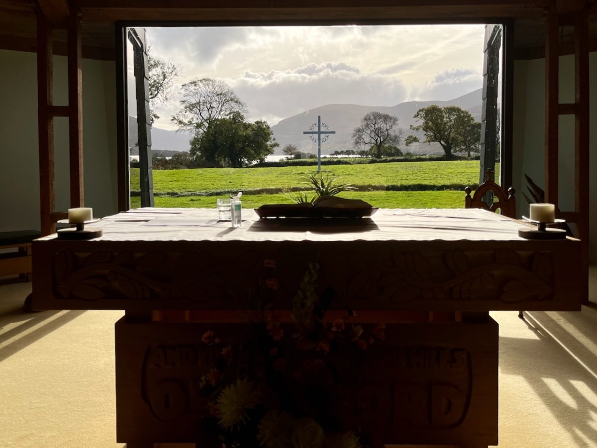
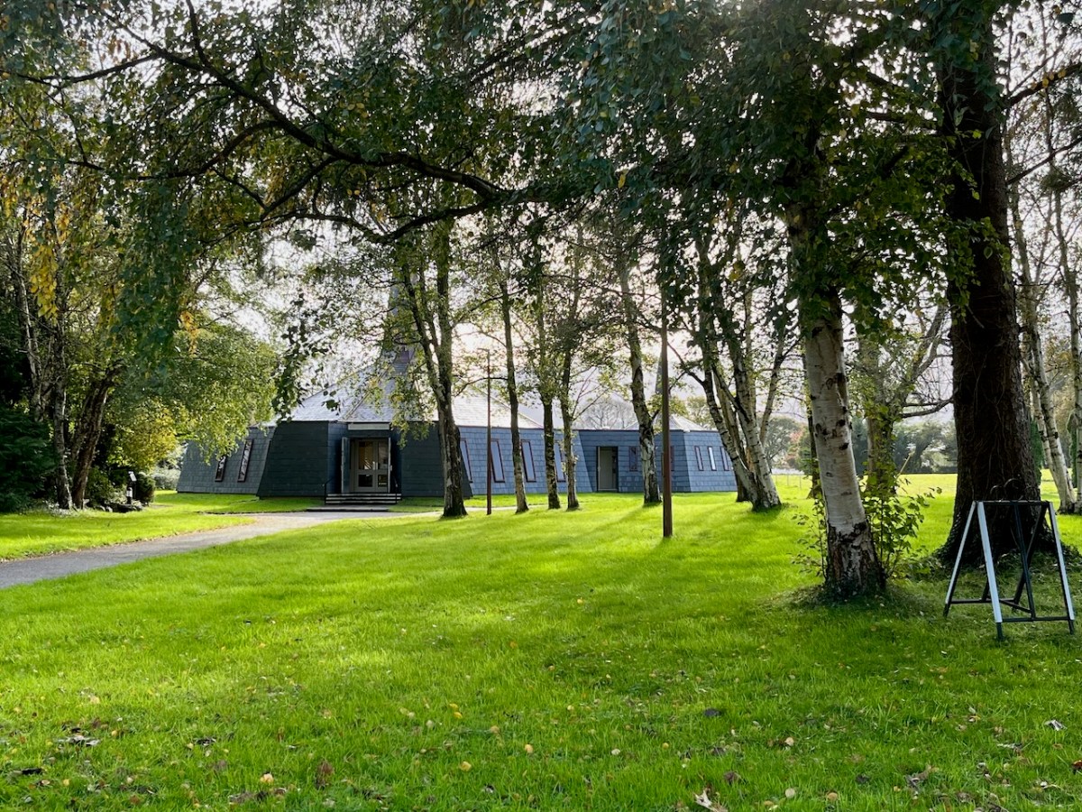
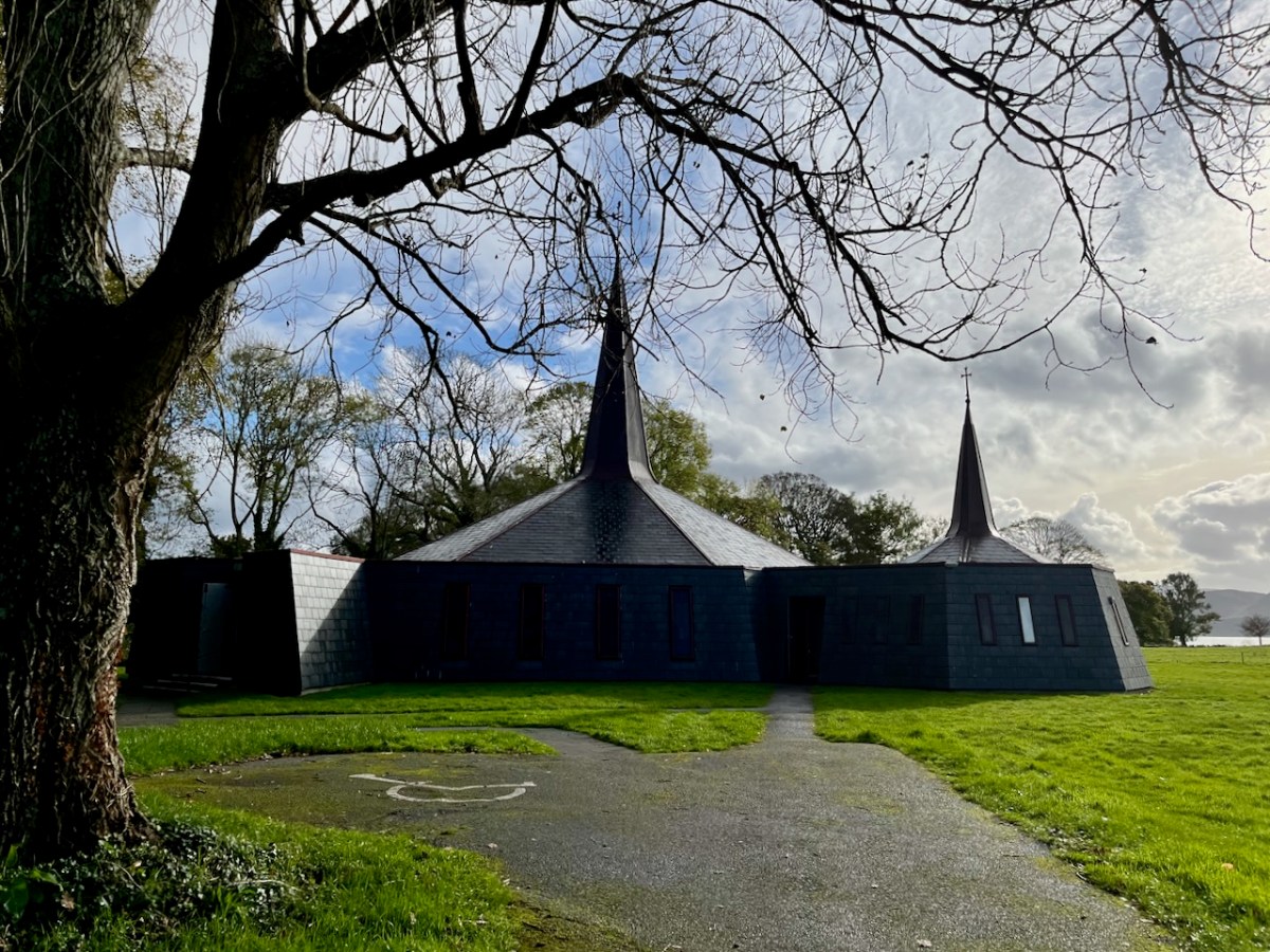
But some are obscure – and it’s one of those I want to talk about today.  Number 7 on the list is recorded as Sanctorum Flanani et McEdeaga in Momonia. Sanctorum Flanani is straightforward – it’s St Flannan’s Shrine in Killaloe (below).

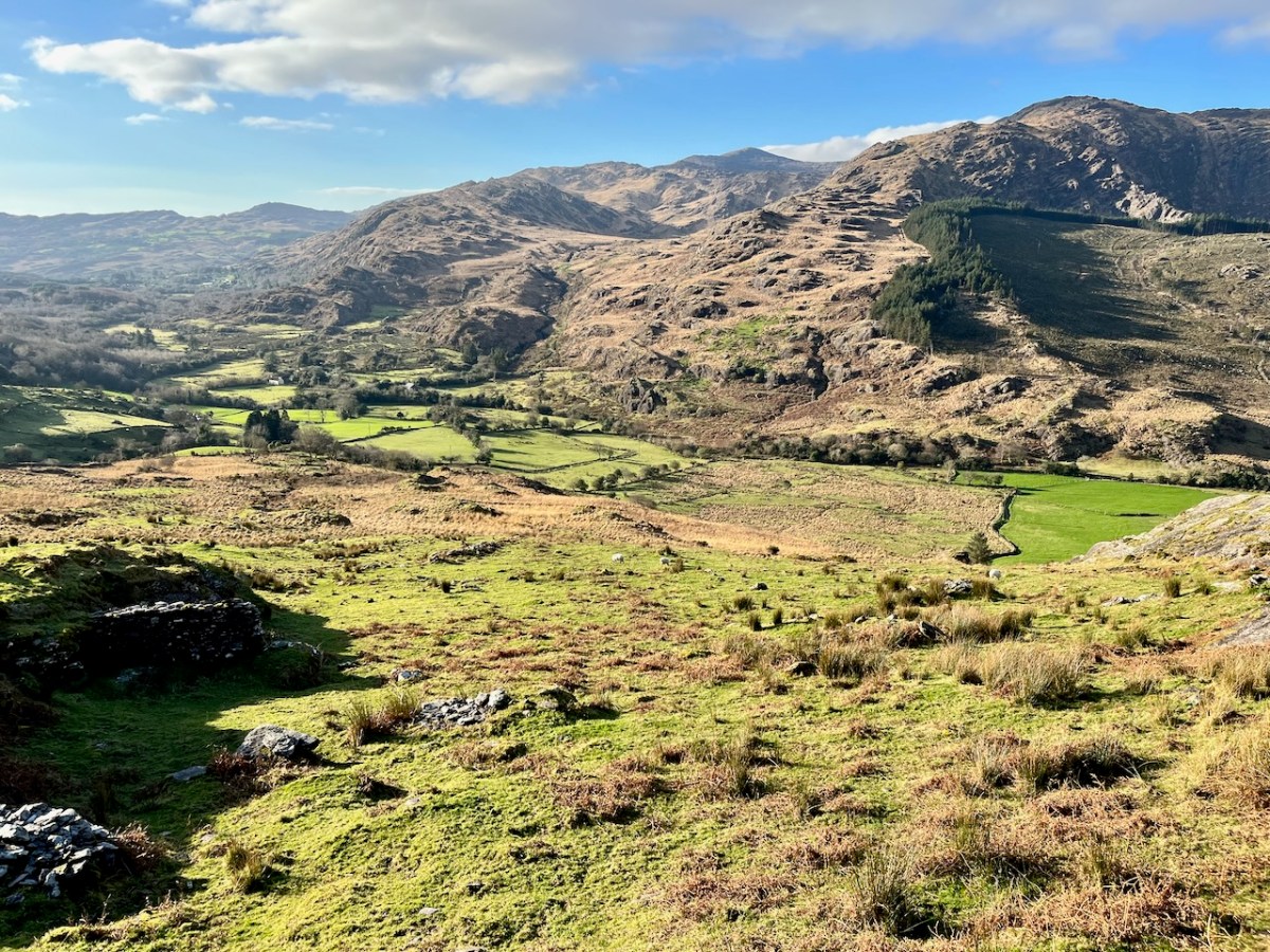
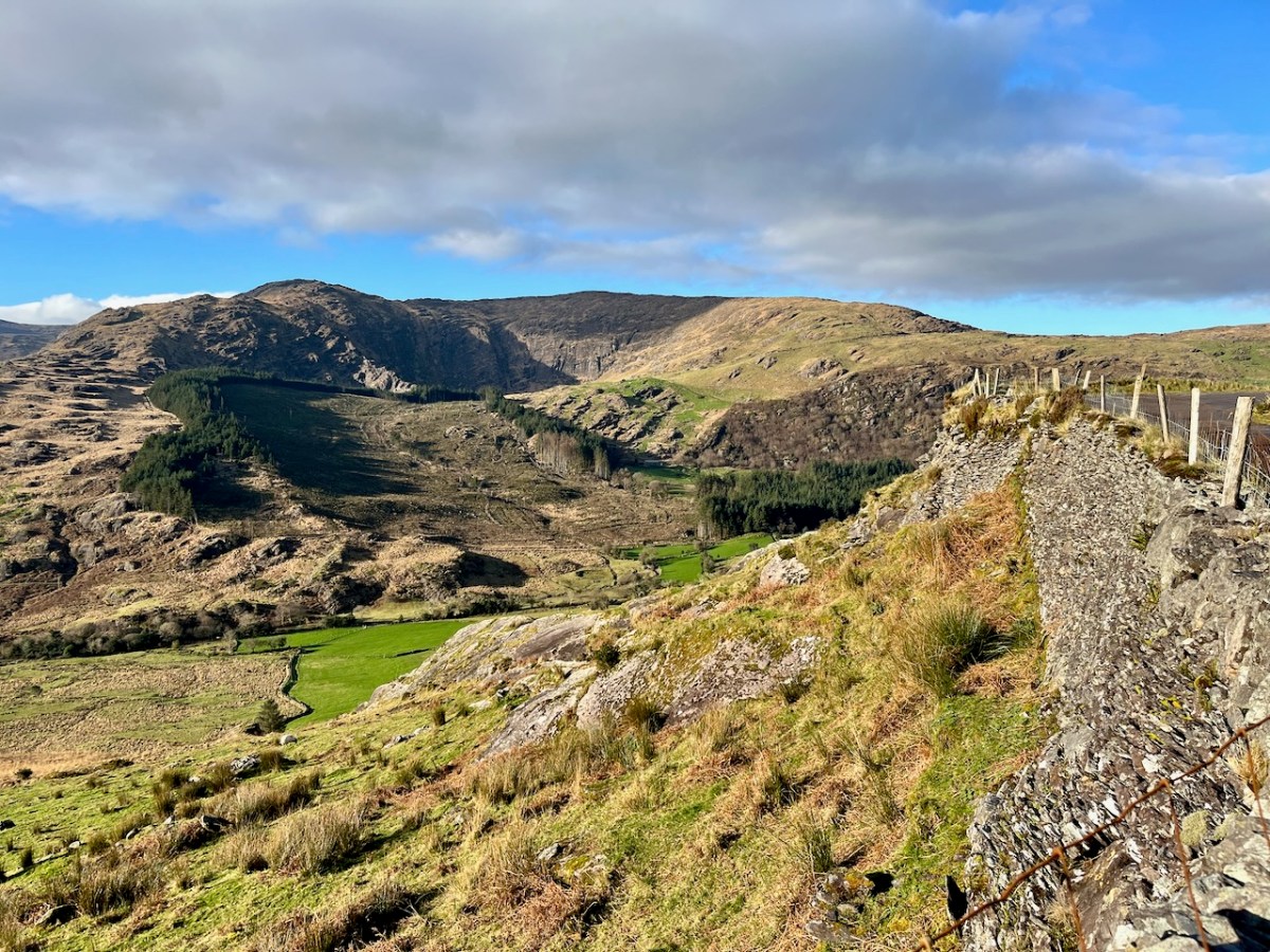
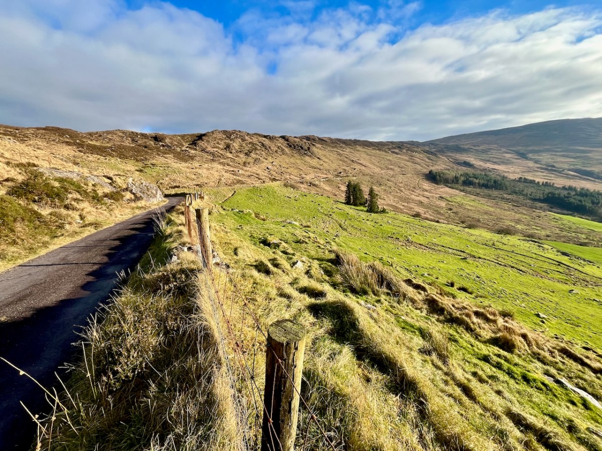
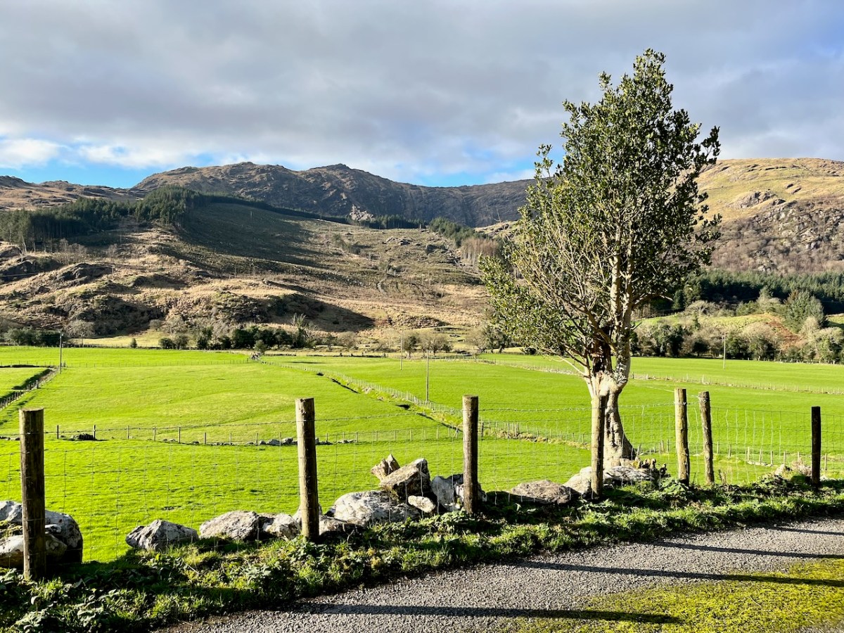
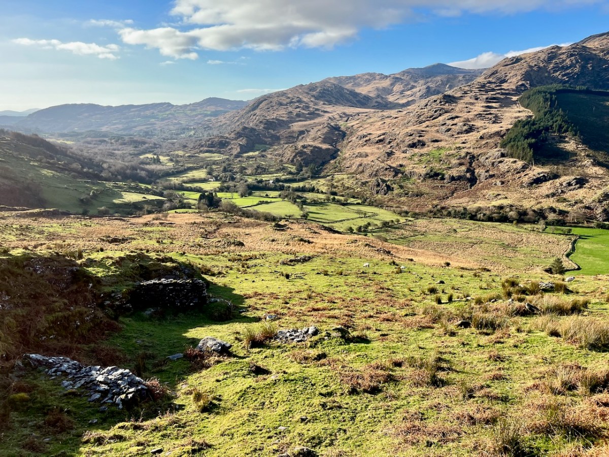
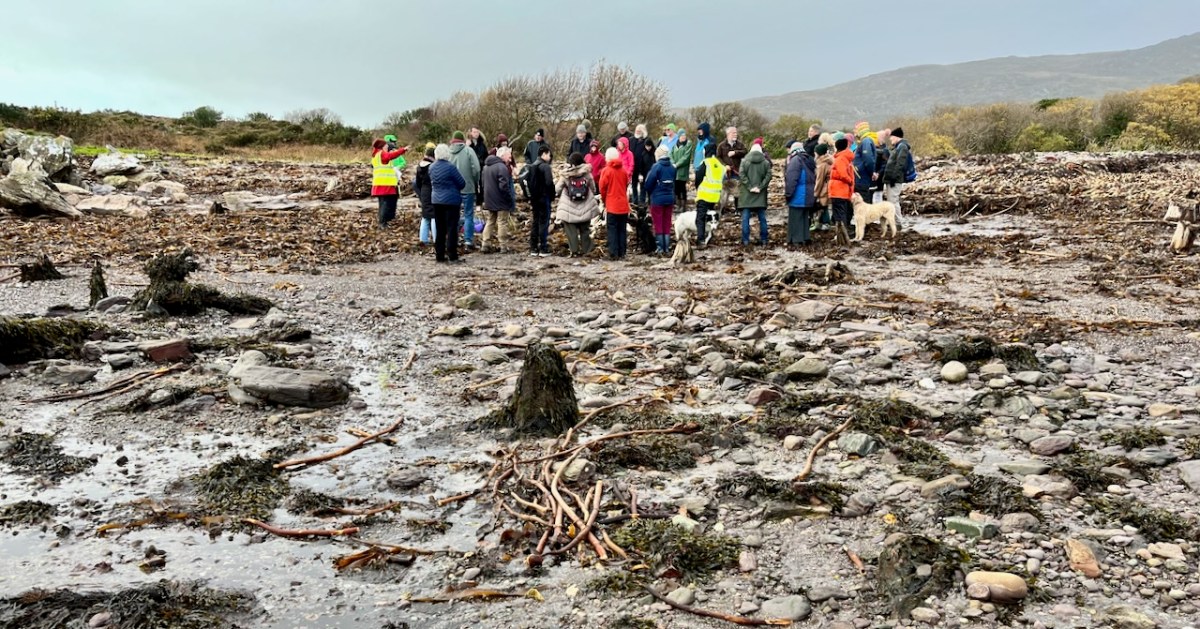
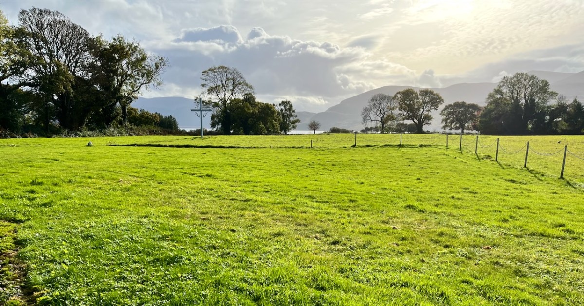
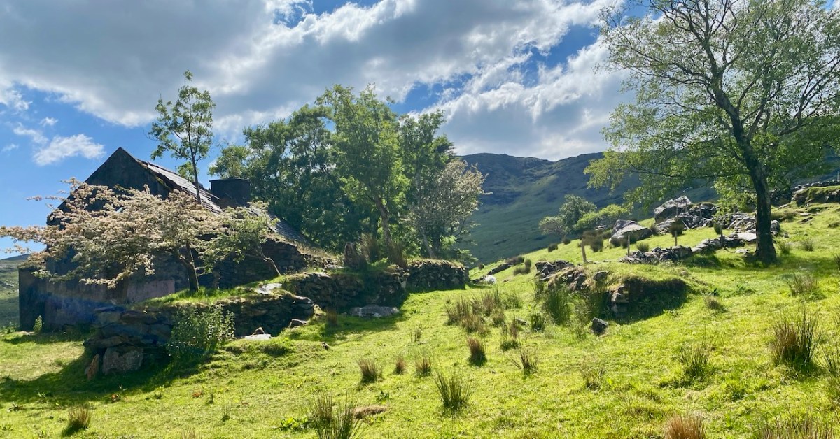
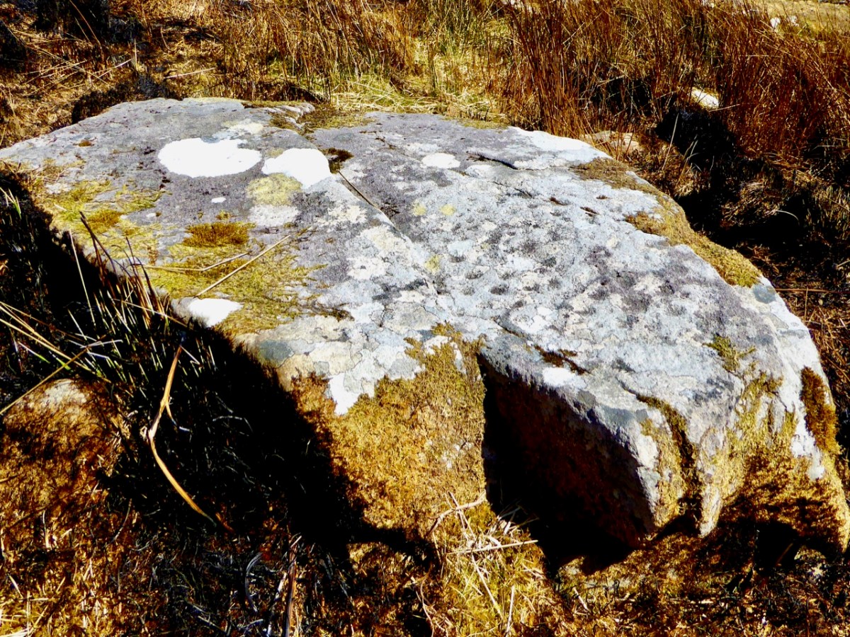
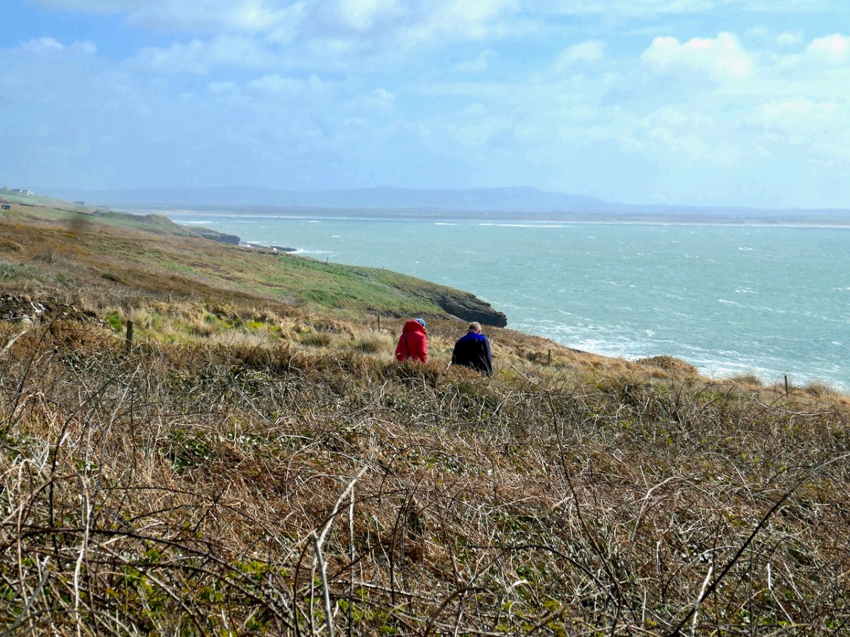
It’s the one next to it that had scholars chewing their pencils – McEdeaga in Momonia. But it has now been identified as St Erc’s Holy Well in Glenderry, near Ballyheigue, on Kerry Head in the extreme northwest corner of Kerry. Amanda had tried to find it twice before but last week she hit it lucky and I was along for the ride. 

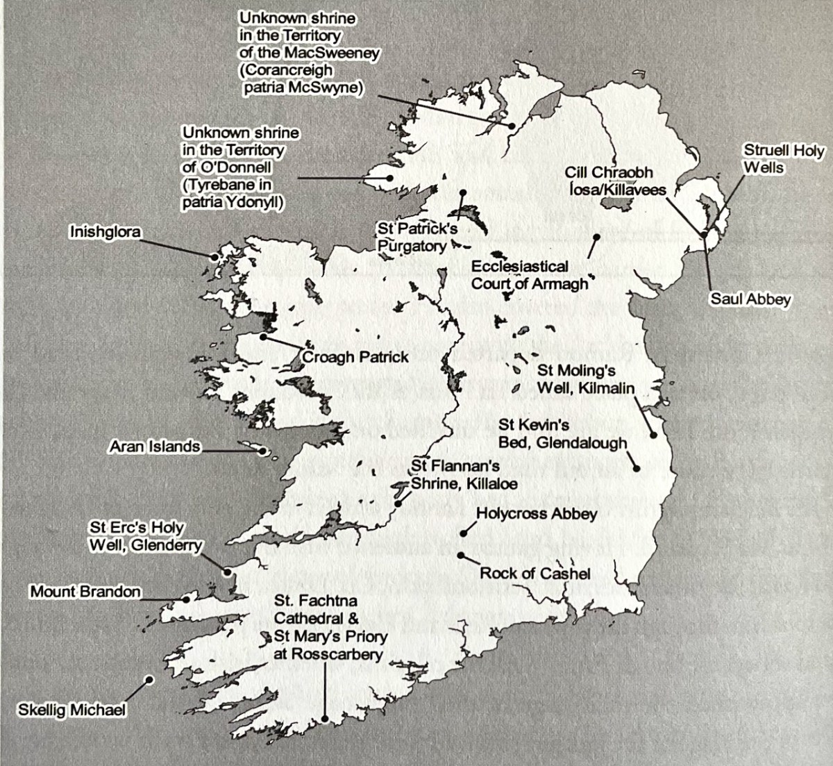
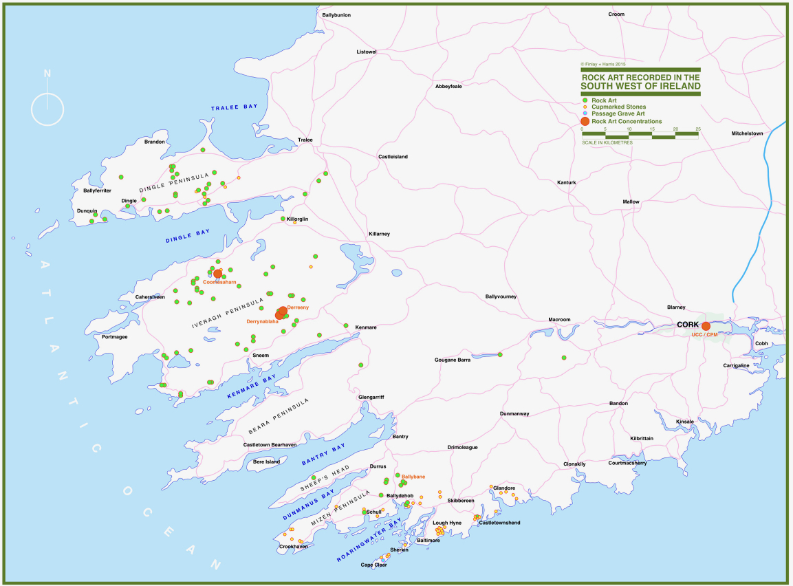
This map is from the wonderful Journeys of Faith: Stories of Pilgrimages from Medieval Ireland by Louise Nugent. One of our reasons for being in Kerry was to hear Louise’s talk to the Kerry Archaeological and Historical Society and she showed us this illustration of Heneas’s journey – I was immediately captivated by the fact that the well Amanda was seeking was on the map!

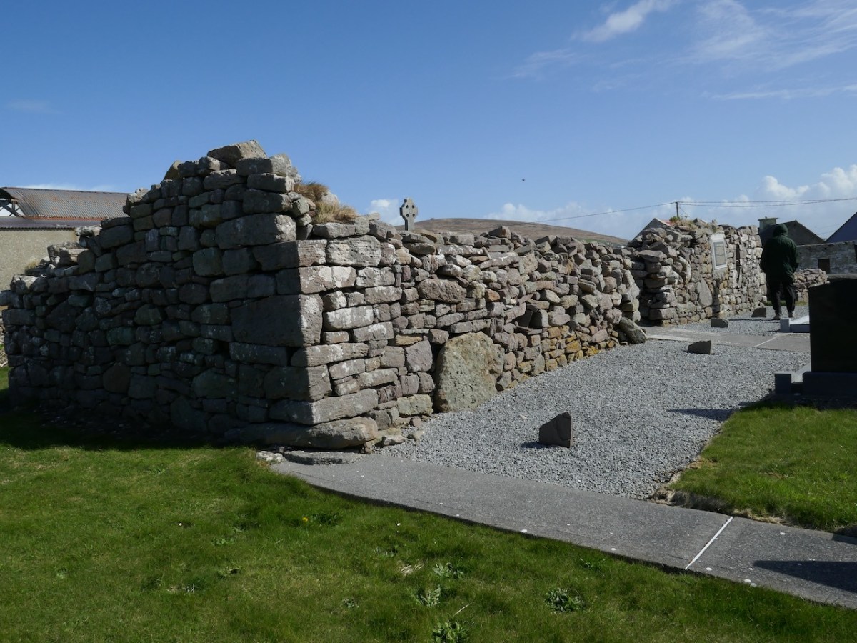
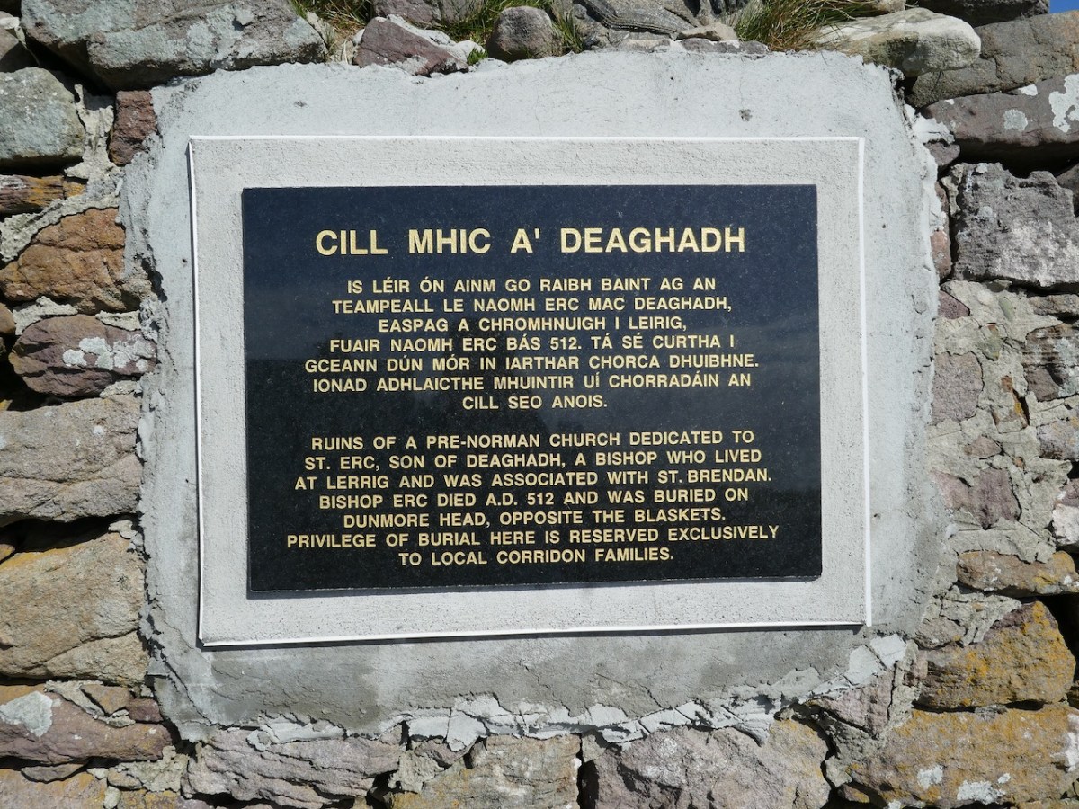
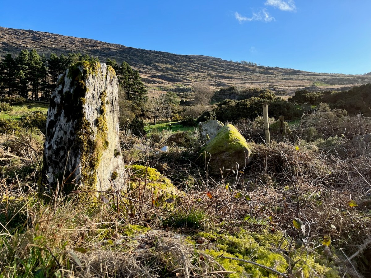
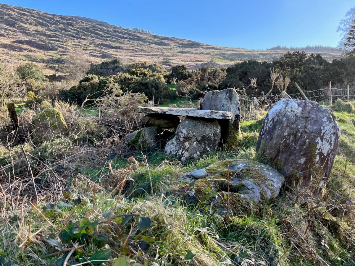
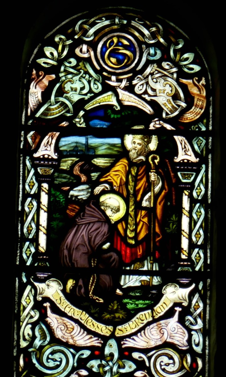
I can’t emphasise enough how obscure this well is now. Although the Corridons, the traditional well-keepers have kept the knowledge alive, it has faded from the memory of everyone else and is no longer a site of pilgrimage at all. And who was St Erc? His little church, above, is still a sacred spot on Kerry head. He is associated with St Brendan – he baptised Brendan and blessed his voyage.

I will treasure forever Amanda’s excitement at Michael Corridon’s offer to take her to the well, and the enormous beam on her face upon her return. But there was one more thrill in store – so what I want you to do now is go to Amanda’s blog and she will take up the story. This is a co-op blog!

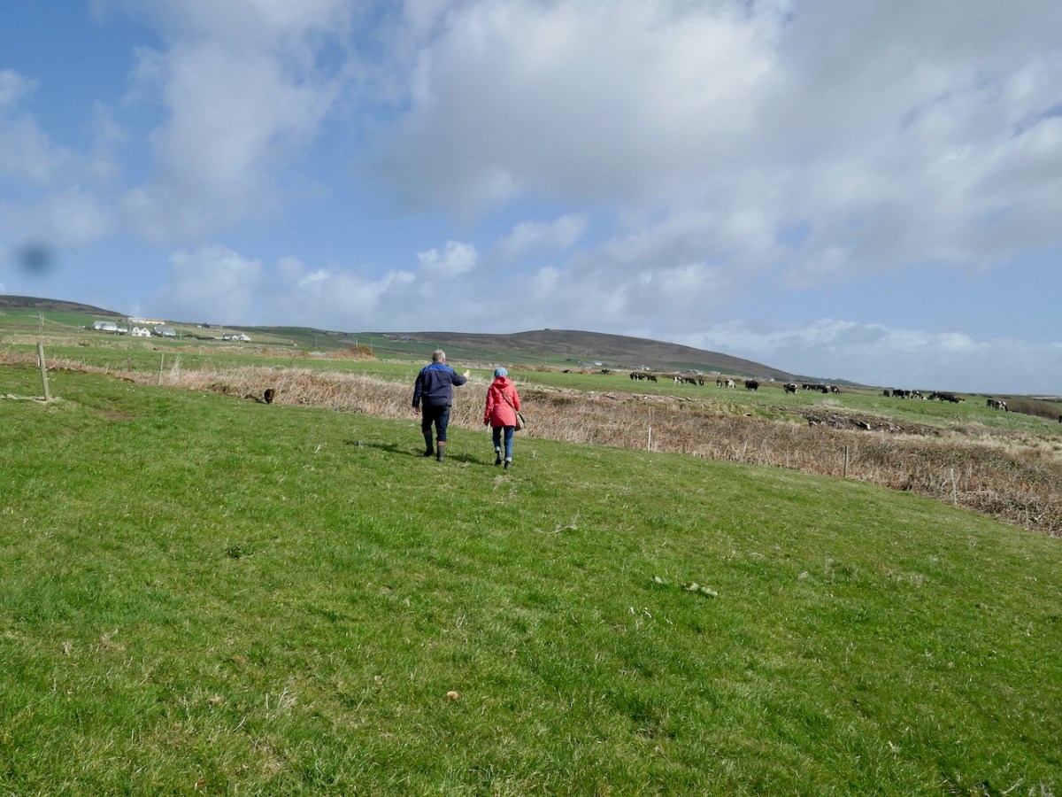
I will leave you with Michael Corridon and Amanda setting off for the well. Now go to A Mysterious Well at the End of the World – St Erc, Kerry Head

*The Register of Bishop George Dowdall can be found in a series of articles for the Journal of the County Louth Archaeological and History Society: from their issues of 1926 to 1930.
A Calendar of the Register of Primate George Dowdall, Commonly Called the “Liber Niger” or “Black Book.” (Continued) Author(s): Laurence P. Murray Source: Journal of the County Louth Archaeological Society , Dec., 1927, Vol. 6, No. 3 (Dec., 1927), pp. 147-158 Available on Jstor

Back to Borlin Valley

We have certainly travelled this route many times – it’s our favourite way of getting from Kenmare home to West Cork. Assuredly not a direct road, but spectacular – and you’ll hardly see a soul. Here’s a map – the road is in red:

And here (below) – a sculptural abstract – is the nature of the terrain which the satellites spy on – looking straight down!

We passed over this high road that skirts the valley on an idyllic January day early in the new year (2024). For the first time, we also traversed the full length of the lane that goes into the heart of the vale, only serving scattered houses and farms. This goes by a complex stone circle and Mass Rock in the townland of Derrynafinchin – or Doire na Fuinseann. The group – also featured on the header – has been fully described by Amanda’s post Derrynafinchin: a bullaun, Mass rock & stone circle from a couple of years ago. Well worth a read!

The little lane also passes into the townland of Derreencollig. We were intrigued by some kinetic sculptures we found beside the way: we did not come across the artist, nor anyone else on this part of the journey.

The views into this remote townland and its few habitations is seen from the minor road that follows the contour at high level, heading for Bantry.

If you find our minor roads tricky, then stick to the main ones. But, if you are not in a hurry, you couldn’t do better on a day of winter sunshine than to traverse the gentler, secret ways.

Description is hardly needed in this little topographical diversion. I’m not sure where else in the world you could find your senses as satiated as here in West Cork (and Kerry!). Travel on!

To my mind there’s no more satisfying way of journeying: keep to the crags and cornices of the high tracks.

Exploring Ancient Drowned Landscapes

‘Drowned Landscapes’ – that’s an adequate enough description for us to look again at a subject which RWJ covered five years ago in this post: Tralong Bay, Co Cork – give it a read. I was reminded of the subject when we took part in an Archaeology Festival based in West Kerry just a week ago: Amanda’s current holy well blog describes the expeditions. One of the sites visited was Bunaneer Drowned Forest, where we saw stumps of trees on the beach there which were alive thousands of years ago. At low tide many tree remains become visible at Bunaneer, near Castlecove village on the south coast of Kerry’s Iveragh Peninsula. Our guides for this expedition were plant biologist Calum Sweeney and archaeologist Aoibheann Lambe.

This large jumble of roots (above) is known as Goliath. All the remains here can be seen at regular low tides: at other similar sites elsewhere in Ireland, remains of ancient tree boles and roots are only revealed when tides are exceptionally low. I find it remarkable to be able to see and readily touch these archaic pieces of timber: we are communing with distant history!

Carbon dating has shown that these remains were alive between three and a half and five millennia ago. This is evidence that sea levels were significantly lower then, and that the shore line was further out – perhaps 50 metres from where we see it today. We are constantly – and quite rightly – being warned about rising sea levels resulting from our changing climate in the long term: here we see clear verification that it’s a continuing – and now apparently accelerating – process.

Our friends Robin and Sue Lewando were also on this expedition. Robin has a particular interest in sea-level changes in the Late Quaternary and subsequent eras, and he pointed me to a 2015 paper which explores the subject specifically in the Bantry Bay area of West Cork. That’s a good place to be looking at ancient history: remember the story of Cessair – Noah’s daughter-in-law – who came ashore at Donemark? You first read about it here! So this is a scientific diagram which sets out how sea-levels have been changing over time in our locality:

It’s an interesting comparison to take our horizons wider in our study of changing sea levels across the islands of Ireland. Over on the east coast – north of Bray, Co Wicklow – there is another substantial area where tree remains have been revealed at certain tidal conditions.

Above are the areas of beach between Bray and Killiney where ‘drowned forest’ remains have been observed. While at Youghal, Co Cork, further finds have occured:

This example catches our interest because the name of the settlement – Youghal – is derived from the Irish word ‘Eochaill’ meaning ‘Yew Woods’: they were evidently once common in the area, leading us to wonder whether the tree remains in this instance are of yew. In 2014 the following account of another ‘ancient drowned forest’ discovery appeared in the Irish Times (photograph courtesy of Joe O’Shaughnessy):

. . . Walking out on to the shoreline at low tide, geologist Prof Mike Williams points to the oak, pine and birch stumps and extensive root systems which were once part of woodlands populated by people, wolves and bears. These woodlands extended out into lagoons and marshlands that pre-dated the formation of Galway bay, Prof Williams says.

An extensive layer of peat also exposed at low tide in the same location in Spiddal was formed by organic debris which once carpeted the forest floor. The stumps at Spiddal are surrounded by root systems which are largely undisturbed. The carpet of peat is covered in strands of a reed called phragmites, which can tolerate semi- saline or brackish conditions.

“These trees are in their original growth position and hadn’t keeled over, which would suggest that they died quite quickly, perhaps in a quite rapid sea level rise,” Prof Williams adds. Up until 5,000 years ago Ireland experienced a series of rapid sea level rises, he says. During the mid-Holocene period, oak and pine forests were flooded along the western seaboard and recycled into peat deposits of up to two metres thick, which were then covered by sand.

Prof Williams estimates that sea level would have been at least five metres lower than present when the forests thrived, and traces of marine shell 50cm below the peat surface suggest the forest floor was affected by very occasional extreme wave events such as storm surges or tsunamis. He says most west coast sand-dune systems date to a “levelling” off period in sea level change about 5,000 years ago. Dunes in Doolin, Co Clare, are older still, having first formed around 6,500 years ago.

Prof Williams has located tree stumps in south Mayo and Clare, along with Galway, which have been carbon dated to between 5,200 and 7,400 years ago at the chrono centre at Queen’s University, Belfast. Some of the trees were nearly 100 years old when they perished . . .

Lorna Siggins
Irish Times 07/03/2014

Goliath, West Kerry, November 2023

Cashels in Kerry 2: Cahergal

Cahergal is undoubtedly one of the finest examples of a stone ringfort or cashel in Ireland. What makes it outstanding is not the overall size of the enclosure or the height of the enclosing wall but the quality of the drystone masonry, the width of the entrance, the thickness of the wall and the well-planned and executed almost symmetrical stairs and terraces on the inner side of the wall.


Excavations at Cahergal, Co. Kerry:
A Venue for Royal Ceremony in Early Medieval Corcu Duibne

All quotes in this post are from the 2016 excavation report by Conleth Manning of National Monuments*. Con’s report deals with the 1986 brief excavation near the entrance, and his own 1990-1991 excavations inside the cashel. The excavations established a date for the fort – it was originally built between the mid 7th and the mid-9th centuries – as well as providing evidence for its status and uses. It also established the basis upon which most of the restoration work was done – although note I say ‘most.’ In the photo above you can clearly see the old and newer stonework.

Like Leacanabuaile, this was a rather tumbledown ruin before excavation and restoration projects. All that incredible masonry work did not save it from the ravages of time, although the exceptionally high standards of building became clear as it was dug out from the jumbles of stone and grass that covered it.

The initial stages of building included the walls, with its staircases, the entry passageway and the fine paving, as well as the round house in the interior.

The stairs and terraces on the inside of the walls are one of the striking features of this fort. There are two levels of terraces along most of its length, but in one area the stairs went up to three flights. The excavation report states, The third set of steps probably led to a wider viewing terrace, which was likely to have been flanked externally by a parapet wall.

After the excavations the OPW continued to work on the restoration of the fort and this finding was interpreted to mean that this section of the walls was much higher than other sections. This led to a decision to raise the top of the wall in this section, leading to the somewhat startling profile we see now. According to Con Manning this is a skewed interpretation by the OPW and it is highly unlikely that it reflects what the wall actually looked like.

The entrance to the fort had completely collapsed but excavation revealed how deep it had been. A pair of upright jamb stones and fallen lintels were found, leading to the reconstruction as we see it today.

The house was circular and the amount of fallen stone inside led to the conclusion that the roof was originally made of stone, probably using a corbeling technique. If this was the case, this house is the largest round building known to support a stone roof, well known from church sites (such as Kilmalkeader) where the stone roofs are rectangular and steeply pitched. 

A very finely laid-down pavement led from the fort entrance to the door of the house. The pavement was delineated at the side by edge-on kerb stones.  The house originally had three doors, with the main one positioned across from the entrance to the fort, and accessed by walking along the pavement.

Internally, there was a central fireplace (Feature F74 in the pan below). Stake holes around this central feature were probably to support a beam or spits for cooking purposes. The fireplace itself showed that numerous fires had been burned in it. Other stake holes supported furniture for sitting or sleeping.

The strange thing about Cahergal is that the excavations yielded very few finds (compared to Leacanabuaile, for example) and what was found mainly dated to later periods of occupation. So – what was going on during the original period of occupation – mid 7th to mid 9th centuries? Manning speculates that this was actually a royal site, built to impress, to inspire awe, and perhaps to entertain. Ritual feasting would take place in the main house, which would be cleaned carefully afterwards and readied for the next great occasion.

The three doors might support its interpretation as a royal site. Manning says:

In each case the side entrance might have been for people of lower status, with the main entrance being reserved for kings, nobles and important guests. On the other hand one could regard the three doorways as symbolic, three being a magical number as in the triads, and in this case could symbolise the three divisions of Corcu Duibne. In the tale of Branwen daughter of Llyr, in the medieval Welsh Mabinogion, a royal hall with three doors is mentioned in the house of Gwales (Grassholm), where one door, facing Cornwall, was kept permanently closed with a taboo on opening it.

This interpretation of the function of the fort and house – designed to impress and to underscore the prestige of the builders – reflects the later castle-building of Irish chieftains. Here in Ivaha, for example, the O’Mahony clan built tall, overpowering castles to cement their control over the land and the sea around them. Cahergal is within sight of two other cashels – the Castles of Ivaha were often within sight of each other too. Annals tells us that the Taoiseach of the O’Mahony clan built a castle for each of his sons, or other members of his ‘derbfine’ – the family group from which the chief was chosen. 

As if to confirm this possibility, Ballycarbery Castle, a 15th century tower house, lies within clear sight towards the coast. Was this a continuation of the same tradition by the same family – the Falveys? Manning concludes his report by stating:

This [high-status] phase ended with a burning of the internal features and subsequent, probably occasional, lower-status use of the house between the eleventh and fourteenth centuries. Iron forging took place here in the fourteenth century. After the eastern half of the stone roof collapsed and the structure was abandoned for some time, it was roughly rebuilt as a D-shaped structure probably in the fifteenth century.

The last period of occupation was the modern period – the small building built against the wall in the photograph below was probably a sheep-pen noted by an antiquarian visitor.

The final fort we will talk about is Staigue – in many ways it’s the most spectacular (despite not being as well built as Cahergal) but it has not been excavated so less is actually known about it. Meanwhile, if you can’t get to Cahergal but want a Cahergal experience, visit the marvellous Voices from the Dawn – Howard works his 3D magic on this page.

*Conleth Manning. Excavations at Cahergal, Co. Kerry: A Venue for Royal Ceremony in Early Medieval Corcu Duibne. Proceedings of the Royal Irish Academy: 2016, Vol. 116C

All four posts in this series can be found here.

Prince of Peace: A Modern Irish Church

On our travels in Kerry recently, we happened across a striking church building. It’s situated west of Killarney and overlooks Lough Leane: in fact the view of that stretch of water is a principal feature from the interior of the church. An enormous picture window is situated beyond the altar.

I have titled this piece: A Modern Irish Church. Everything is relative, of course: this Fossa Church was completed in 1977, getting on for half a century ago, but one could only fairly describe the style as ‘modern’. It is one of twenty seven ecclesiastical buildings designed by the architectural practices of Liam McCormick (1916-1996). While based in Derry the architects carried out commissions throughout Ireland: the practice of Mullarkey Pedersen Architects, Derry and Dublin, continues their work to this day. My own life experience as an architect – (I carried out a number of church projects) – tempts me to embark on a tour of McCormick’s buildings, many of which are visually dramatic..

The lakeside church was designed to supersede an earlier building – St Lelia’s – which dated from the 1840s. That building remains and is in communal use (above): it is set back from the present site.

Unusually, there is no contemporary stained glass in this building. Instead, the focal point is the central view. I wonder whether this might be a distraction while the priest is in action? It may be that he would always be in silhouette in daylight: there is no means of subduing the window. The church does contain some distinctive artwork, however.

The Stations of the Cross are notable. They are the work of Nell Murphy Pollen (1927-2011). A ceramicist, woodcarver and sculptor, she was a native of New Ross and studied at the Crawford.

Perhaps one of the most striking aspects of the church at Fossa is the little Blessed Sacrament Chapel: “. . . a chapel of reconciliation dedicated to the Prince of Peace . . .” This (above) is decorated with murals by Patrick Pye (1929-2018). They are produced in a traditional medium which dates from the time of the early Renaissance, tempera on a gesso ground.

Pye’s tempera/gesso painting Peter receiving The Keys from The Christ – The Blessed Sacrament Chapel, Fossa. Patrick Pye is an artist whose work we have followed, and he will have a post to himself before too long. He was born in Winchester, in Hampshire – a city in which I lived for a while in my younger days, but it is more famous for having been the home and burial place of Saint Swithun, a ninth century Anglo-Saxon Bishop who died in 862 AD – he whose feast day (15 July) traditionally marks either 40 days of fair weather or (more usually) constant rain.

Patrick Pye at the RHA annual exhibition in 2007. Photograph with many thanks to Cyril Byrne.

Above: you will find outside the church a bog-oak sculpture, specially commissioned to commemorate the visit of Pope Francis to Ireland. The carved heart at its centre is designed to offer all married couples and sweethearts the traditional Celtic opportunity to touch hands through the opening to commit to each other.

This little Kerry church is very well endowed with high quality artworks, both inside and outside. The carved altar (and a bench, not shown) is by Imogen Stuart (b1927), while (lower and below) is the tabernacle which we believe is by John Behan (b1938) who is also responsible for the cross outside the window. The tabernacle rests on a carved granite plinth by Michael Biggs. All these artists were longtime collaborators of McCormick’s. A brochure has been produced on the church which would give further information on the furnishings, but we have not yet located a copy.

This special church enjoys such a stunning setting with lough and mountains beyond, and is endowed with very fine artworks: it is well worth turning aside for.

Derrynablaha and its Rock Art

A bit of a nostalgia trip for Finola and me this week: we spent a couple of days in Kerry and dropped in to Derrynablaha – the iconic valley which has some of Ireland’s most notable Rock Art. These stones were carved on natural rocks on the hillsides many thousands of years ago. To this day, we don’t know what they signify.

Some years ago, Finola and I organised exhibitions showing examples of Rock Art – many taken from Finola’s 1973 University of Cork thesis. The map above was drawn for the exhibitions: you can find Derrynablaha in the centre of the Iveragh Peninsula, left of centre. Below is a rendering of Finola’s thesis drawing showing – arguably – the most significant piece of Rock Art on this island:

Here’s a photo of these rocks which I took on my first visit to this valley, in 2012. It was a dull day! The next photo was taken on a better day three years later. This shows how weather conditions can affect the way that Rock Art motifs are seen:

On our most recent visit – last week – we didn’t have time to scale the steep hillside to view this rock formation, but we enjoyed just taking in the stunning landscapes of the townland.

Above, and in the header picture, you can see the ruin of the cottage, which was once the only dwelling in this valley. It was still lived in when Finola visited to carry out her survey of the Rock Art in 1972 – fifty years ago. Then it was occupied by John O’Sullivan and his sister, May. John’s brother – Daniel – discovered much of the Rock Art in the surrounding landscape and reported this in the 1960s to Michael Joseph O’Kelly, then Professor of archaeology at UCC, and his wife Claire. Subsequently the O’Kellys made some expeditions to Derrynablaha, as did the Italian rock art expert, Emannuel Anati. Daniel had died prior to Finola’s visits and she recalls that the remaining family were excellent stewards of the Rock Art, ensuring that it was preserved and not damaged. She has ‘hazy memories’ of being brought into the house and given cups of tea and brown bread.

After we had published earlier posts about Derrynablaha, Finola was contacted by Faith Rose – the great niece of the O’Sullivans who lived in this cottage in 1969: Faith had visited the valley in that year. She recalls:

. . . I remember their bedroom was downstairs, the staircase to the upstairs being unsafe. There were none of the usual services in the house. There was an old fashioned fireplace where you could cook with a settle at the side. I seem to remember being told it had been built under some government scheme and the original stone farmhouse was to be seen slowly returning to nature close by. I wonder if you recall any of this. My great aunt and uncle were shy people who extended us the best hospitality. To my sister and I it was a magical place, but the hardness of their lives there was clear . . .

Faith Rose 2021

There are the ruins of several other buildings set within this landscape, indicating that the settlement was once significantly more populated in earlier times. Now it is wildly lonely, but impressively beautiful. When Finola carried out her surveys, she recorded 23 pieces of Rock Art. Today it is recognised that there are 26 known examples, with a further 7 stones in the adjacent townland of Derreeny. Long term readers of this Journal may recall that we visited the townland in April of 2015 – together with a small group of enthusiasts – to seek out all the known examples. At that time Ken Williams was using techniques he had developed to photograph the carvings in fine detail. These employed several portable light sources. The following sequence shows one of the rocks (number 12) taken without lighting; Finola’s drawing traced in 1972; then Ken’s technique in action and his results, which are remarkable:

Once again you are reading about the Rock Art at Derrynablaha! There have been several posts on this subject over the years, but we make no apologies: we never tire of the beautiful landscapes of Kerry – and we have seen it in all weathers. It would be good if we could be closer to solving the meanings of these rock carvings; this is unlikely to happen. Over the last 300 years since the phenomenon was first recorded in Ireland (and Britain, and many other places in Europe and the world) there have been varying theories – dozens – put forward for its existence: none of them is conclusive. Think on . . .