The Céide Fields Visitor Centre
How did we farm in Ireland in Neolithic times? Turns out, much as we do now!
We’re just back from an inspiring trip to Mayo, the highlight of which was a visit to the largest Neolithic site in the world – the Céide Fields (pronounced Kay-jeh, for our non-Irish readers).

Collapsed field walls under the bog. The white stakes mark the line of the uncovered wall
When we think of the Neolithic (or New Stone Age, or Early Farming) period in Ireland, we automatically think of the megalithic tombs – spectacular sites like Newgrange and Loughcrew, or the smaller portal tombs, like Poulnabrone or Arderrawinny. But how did these people make their living? What were their daily lives like? We found the answers, going back almost 6,000 years, at the Céide Fields.

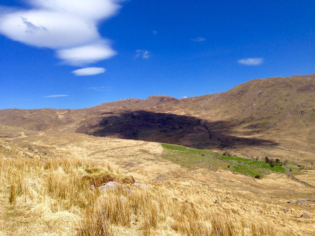
The extent of the fields around the Visitor Centre
The Céide Fields is an extensive system of enclosures, stretching for kilometres from the sea over the hills, used for livestock farming. Occasionally, besides grazing fields, there is evidence for corrals, grain-growing, and farmhouses. In fact, much like we see around us in West Cork nowadays, people lived in their own farmhouses, surrounded by their fields, within sight of their neighbours.

This enclosure surrounded a farmhouse
Society was cooperative – it had to be, in order for such an enormous network of fields to be constructed. And life was peaceful: there is no evidence of defensive structures. The weather was warmer than now – warm enough so cattle could graze outside all winter – and there was enough land and food for everyone.

They quarried rocks for fences and for structure like court tombs
They had a spiritual life, building their own version of megaliths – the Court Tombs. We were fortunate to meet the manager of the Céide Fields site, Gretta Byrne, who gave us directions to Rathlackan Court Tomb – a site she had excavated. Court tombs are a type of chambered tomb, generally oriented towards the east and featuring a forecourt at the front of a long mound that covered the chambers. Rathlackan is a fine example, with three chambers and a nicely preserved forecourt. It took a highly organised society to build a complex structure such as this.


In the 1930s a local schoolteacher, Patrick Caulfield, first discovered what were clearly pre-bog collapsed walls when cutting peat in the deep blanket bog that covers this part of Mayo. Decades later his son, Seamus, now an archaeologist, headed the investigations that led to the realisation of how extensive the field system was. Mostly this was done by probing – sending a thin metal bar down through the soft peat until it hit a rock. This technique was so successful that miles of walls could be charted without the need to excavate. Excavation focussed on uncovering small sections of wall and features like enclosures and house-sites.

I take a hand at probing
About 5,200 years ago, a combination of climate change and forest clearance led to the development of the blanket bog that covers the land today and ultimately forced these Neolithic people, after 500 years of successful farming, to abandon their fields. The ecology of bogland and the conditions that create it are the subject of some of the museum exhibits and also of the excellent guided tour that covered two hectares behind the Visitor Centre.

A section of wall disappears under the bog
If you find yourself in this part of Ireland, do plan a visit to the Céide Fields. Take some bug spray – although they weren’t in evidence when we were there, the Céide midges have a reputation for ferocity. Enjoy the display in the award-winning Visitor Centre first and fortify yourself with a coffee and cake.

This pine came from the bog
Once outside, as you walk along beside the ancient stone walls, look across the valley towards Downpatrick, and marvel at the continuity of a way of life – small cattle farms among stone-walled fields – that began almost 6,000 years ago.

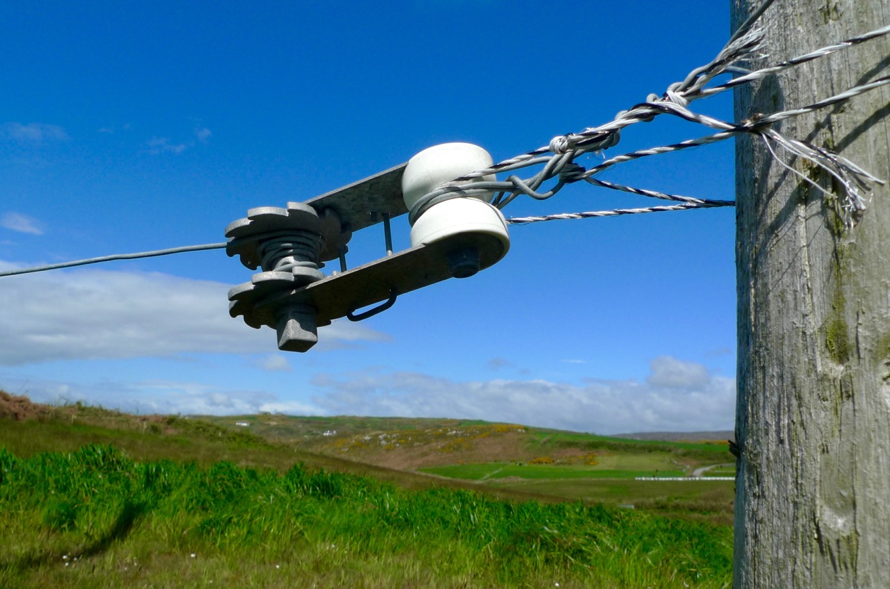
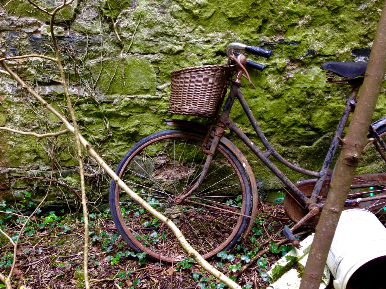
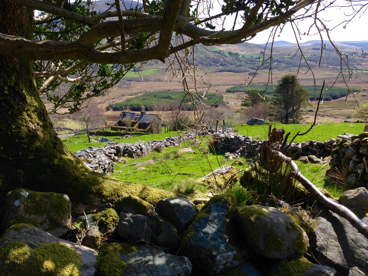
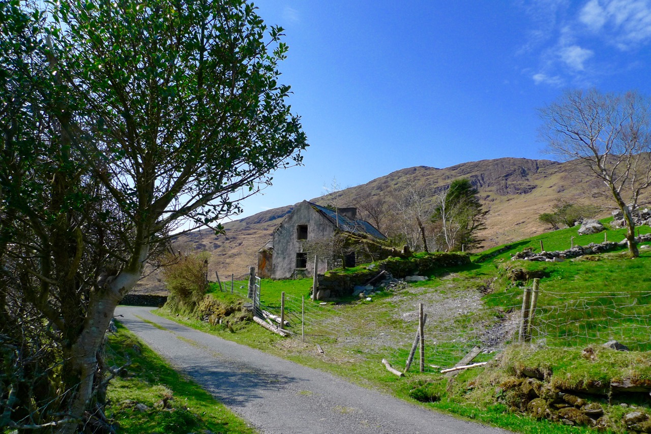
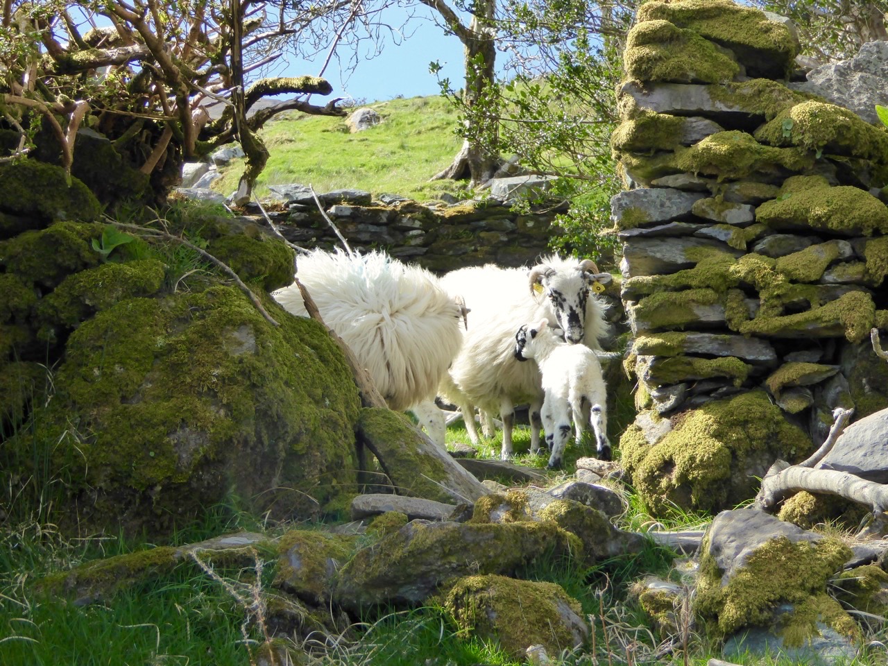
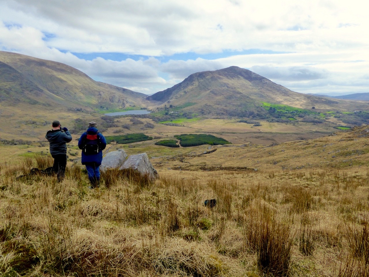
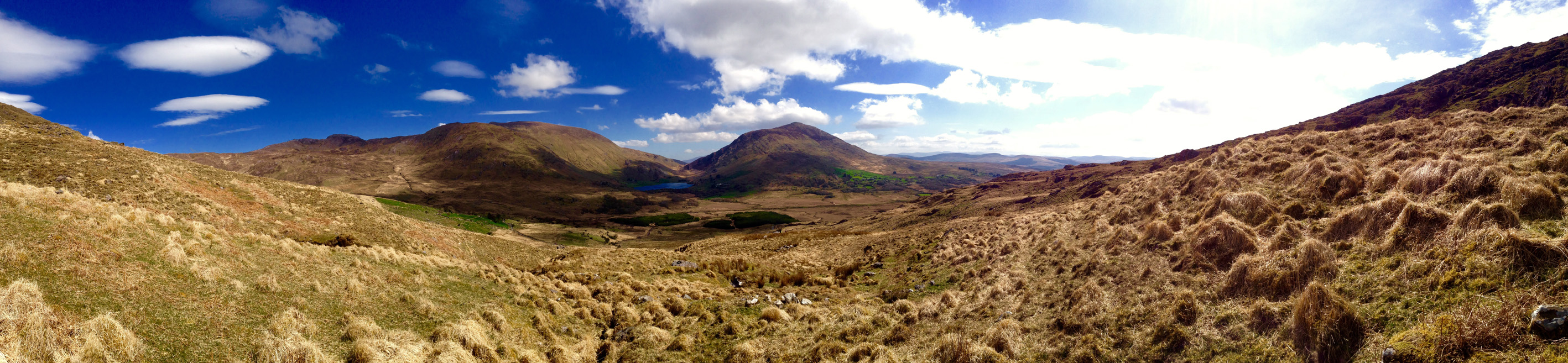
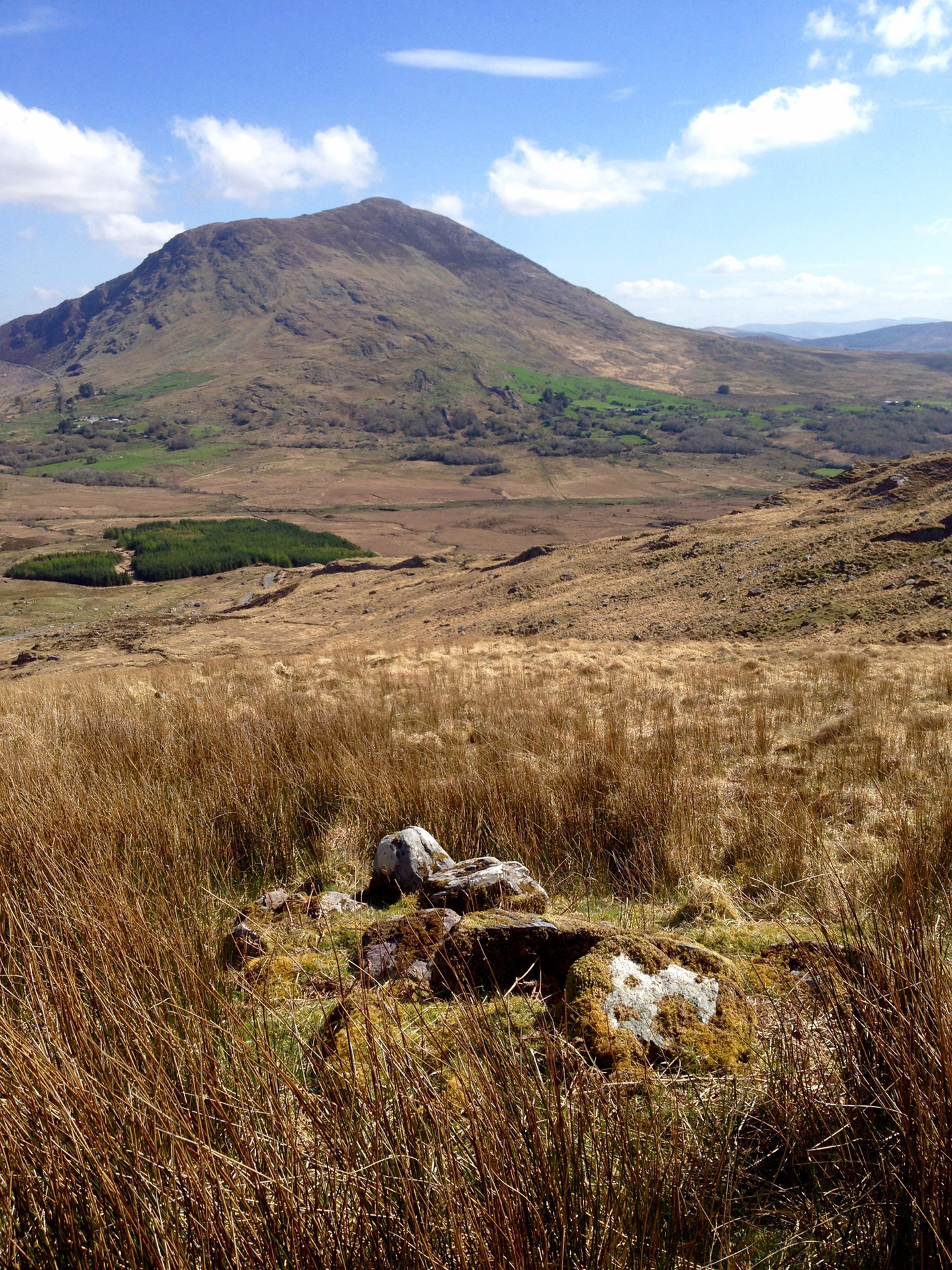
This scene, in Galway, could have happened 6,000 years ago in North Mayo
We’ll let Seamus Heaney have the last word. His poem, Belderg, was inspired by the Céide Fields:
When he stripped off blanket bog
The soft-piled centuries
Fell open like a glib;
There were the first plough-marks,
The stone-age fields, the tomb
Corbelled, turfed and chambered,
Floored with dry turf-coomb.
A landscape fossilized,
Its stone wall patternings
Repeated before our eyes
In the stone walls of Mayo.

Looking towards Downpatrick Head from the Visitor Centre