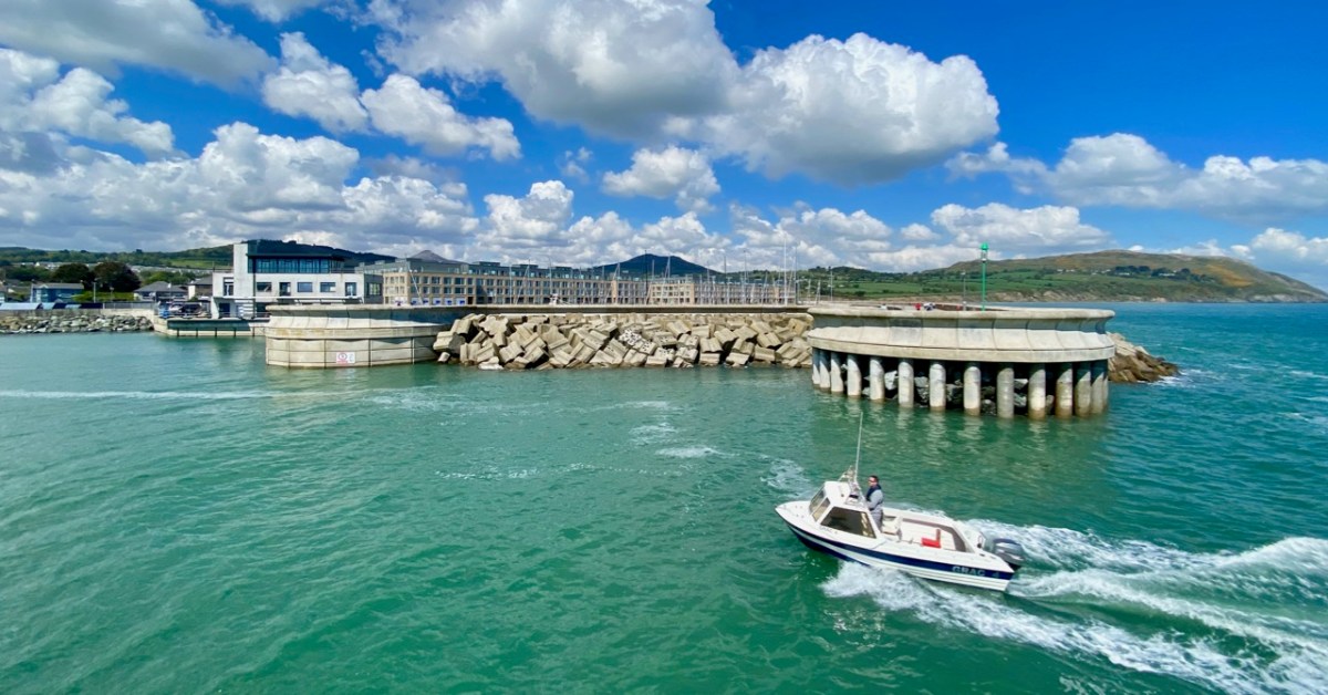
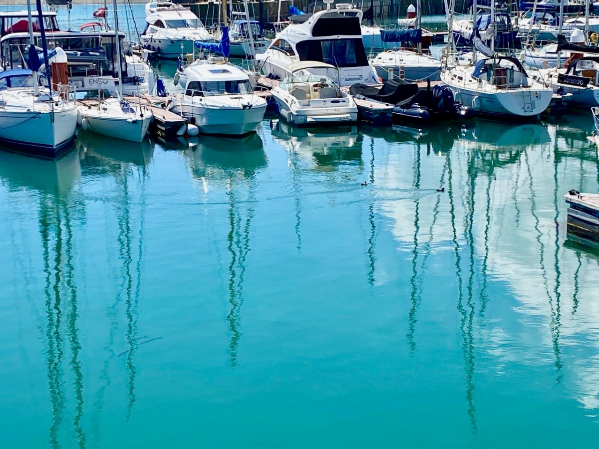
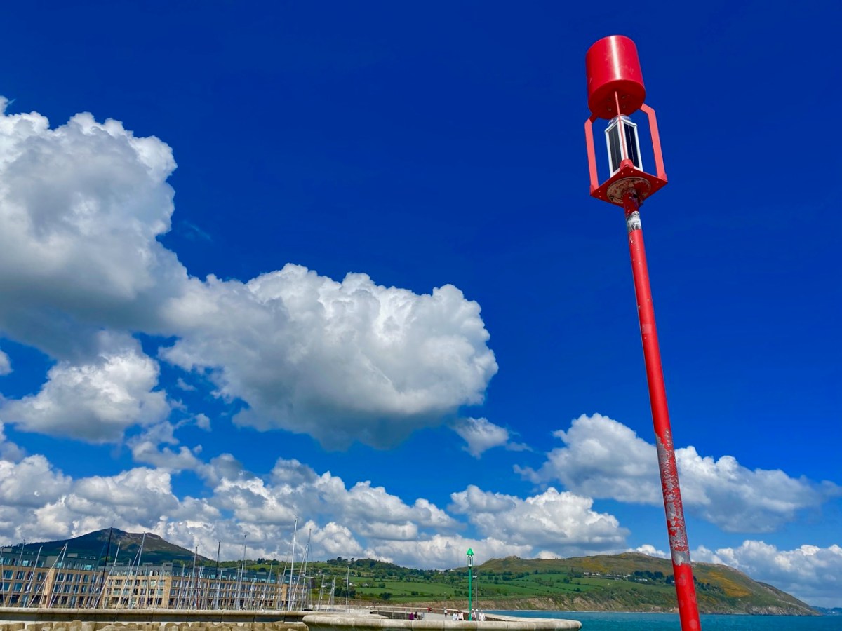
There is a world beyond West Cork! In fact, we quite often visit Wicklow and Ireland’s ‘Ancient East’: it’s a contrast to our wild Mizen, and currently looking verdant in the early summer sunlight. We have taken a trip to Ireland’s ‘garden county’ to celebrate a bit of a let-up in the long, hard lockdown that we have all endured for most of this year. We based ourselves in Greystones (that’s the entrance to Greystones Harbour in the header pic). On a hot weekend it was buzzing with people, but we did all have to keep our distance from each other which, in Ireland particularly, is a sad state of affairs.
Greystones (evidently named after the ‘grey stones’ on the beach) has transformed itself from the sleepy seaside town and small harbour photographed by Co Wicklow man Robert French in the late 19th century (above). You can see many more of his photographs in this excellent website. Today it boasts a smart new marina and harbour, modern houses and apartments, and a major amenity park giving access to the old cliff walk that leads to Bray. It’s an attractive and vibrant venue in the 21st century, popular with residents and visitors alike.
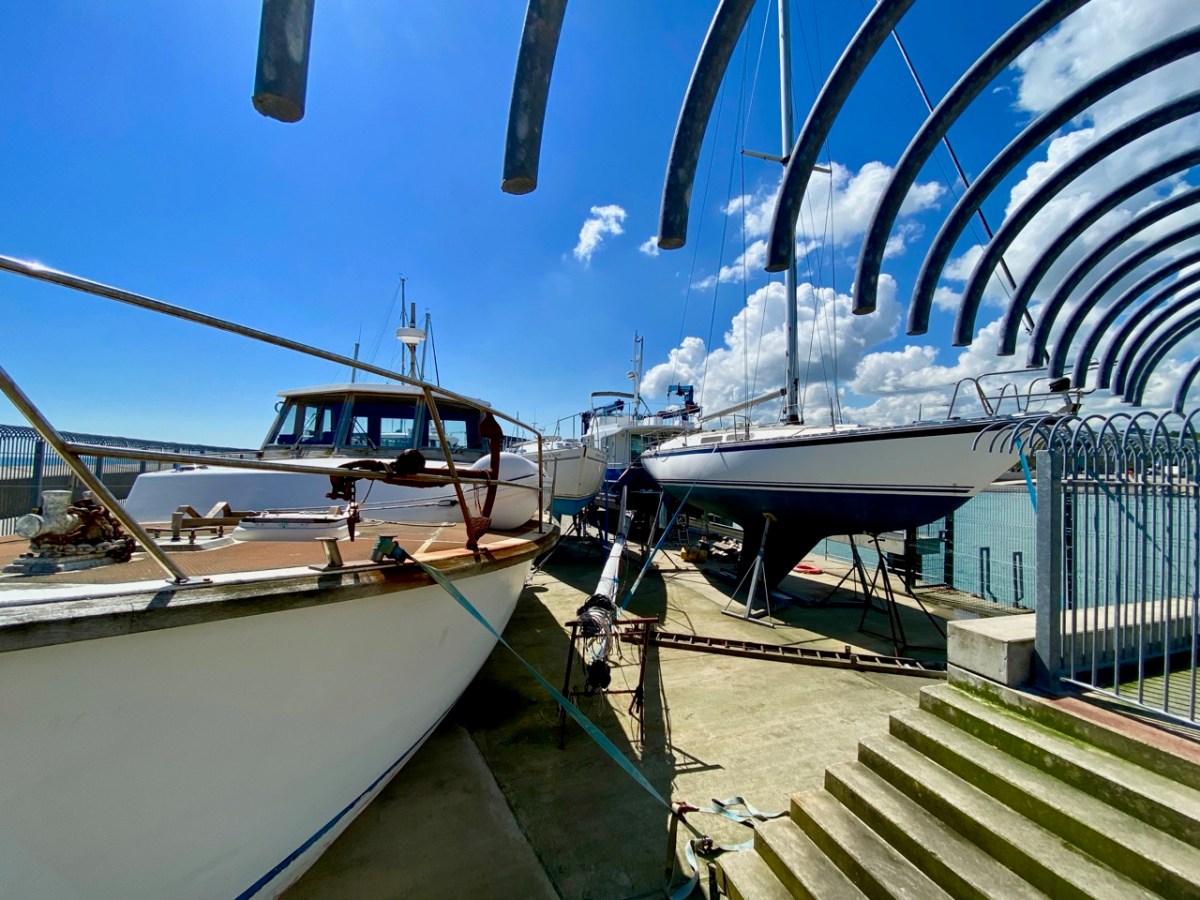
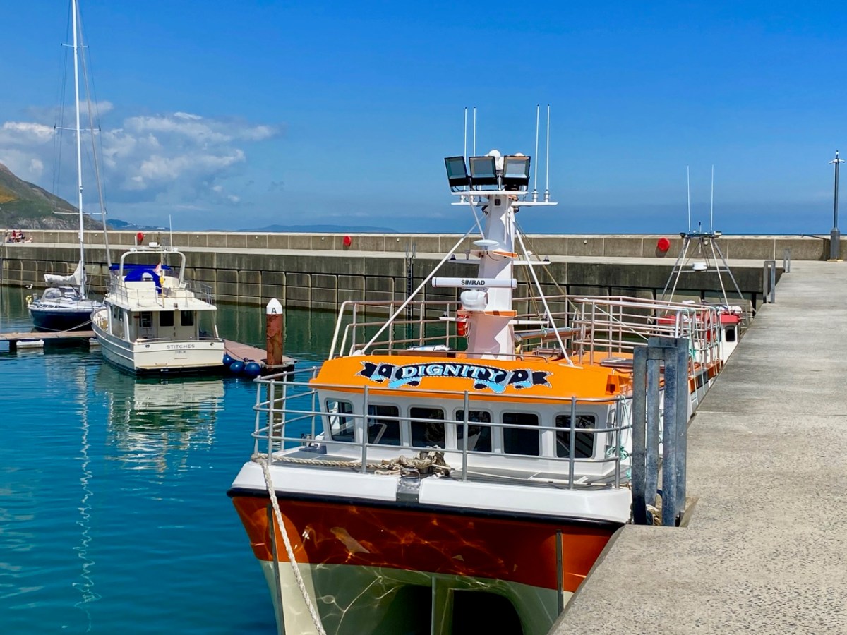
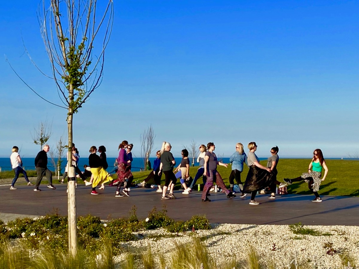
Greystones : nautical connections, dancing in the new park, aqua shades and Patrick O’Reilly’s wonderful ‘Marching Bear’ sculpture on the sea-front. When this statue was unveiled in 2014 it created quite a stir. Some locals claimed it was an eyesore and ‘spoiled the sweeping sea views’. The striking feature cost the town nothing, as it was donated by Dermod Dwyer – a local property developer and guardian of Ireland’s National Gallery – in memory of his daughter Caroline who, sadly, had died of cancer.
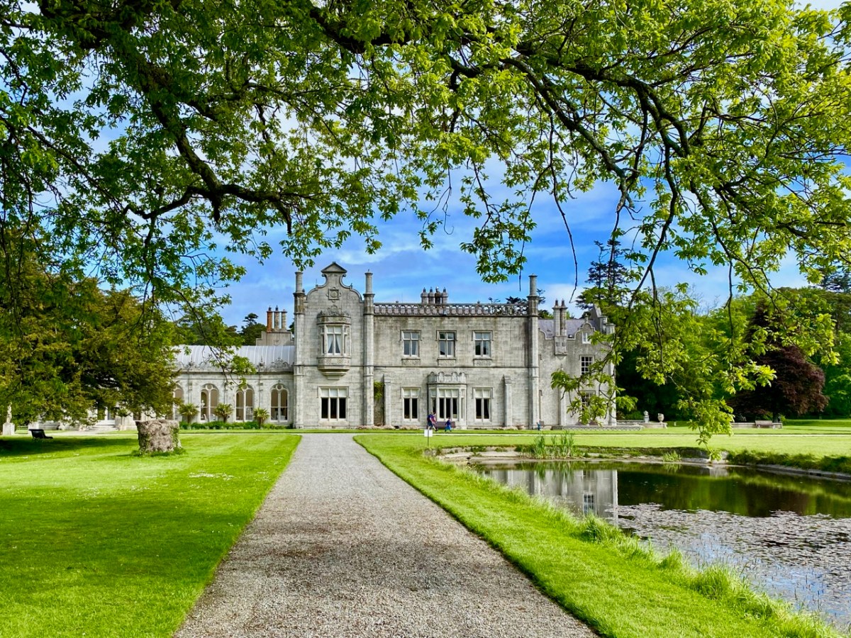
Not far from Greystones is Killruddery House and estate. This was founded by William Brabazon of Leicestershire in the 1500s and went through several incarnations, with the present house being substantially reconstructed between 1820 and 1830. The Brabazon family and their descendants remain in the house to the present day: they became the Earls of Meath, a title created in 1627. The estate, which amounts to 800 acres, is open to the public as an amenity and it is possible to perambulate the grounds for a small fee. We visited: in fact, Finola is descended from the Brabazons somewhere down the line, and she knows her way about!
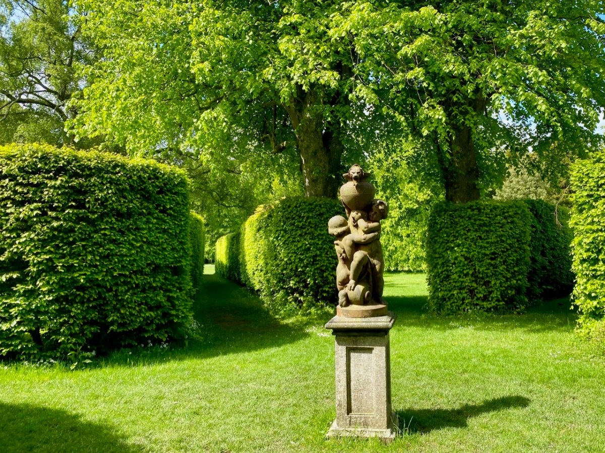
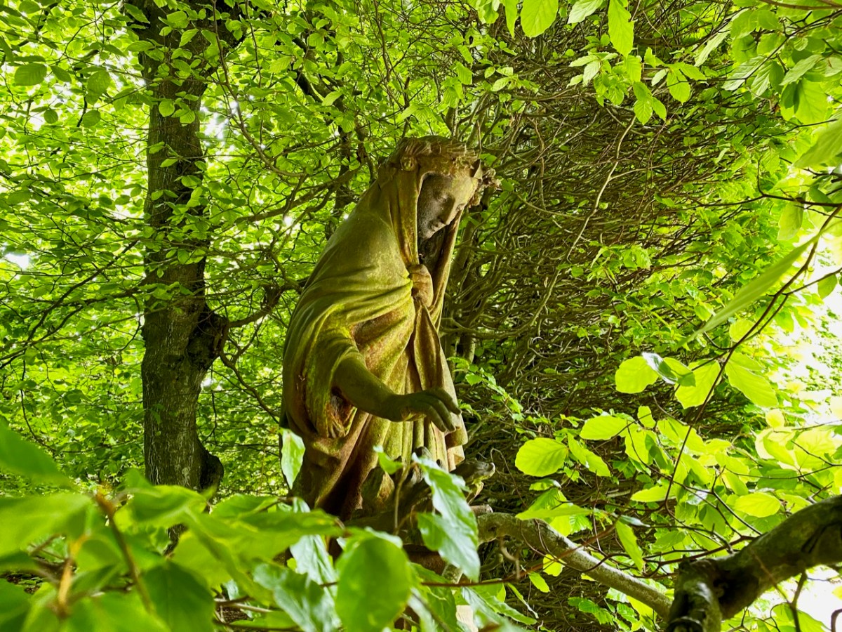
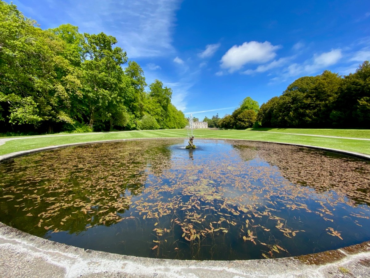
The demesne is beautiful, and elegantly laid out, with canals, pools, fountains and well placed statues. In its fresh summer greenery it is an impressive place to explore. Finola’s post today is all about Killruddery.
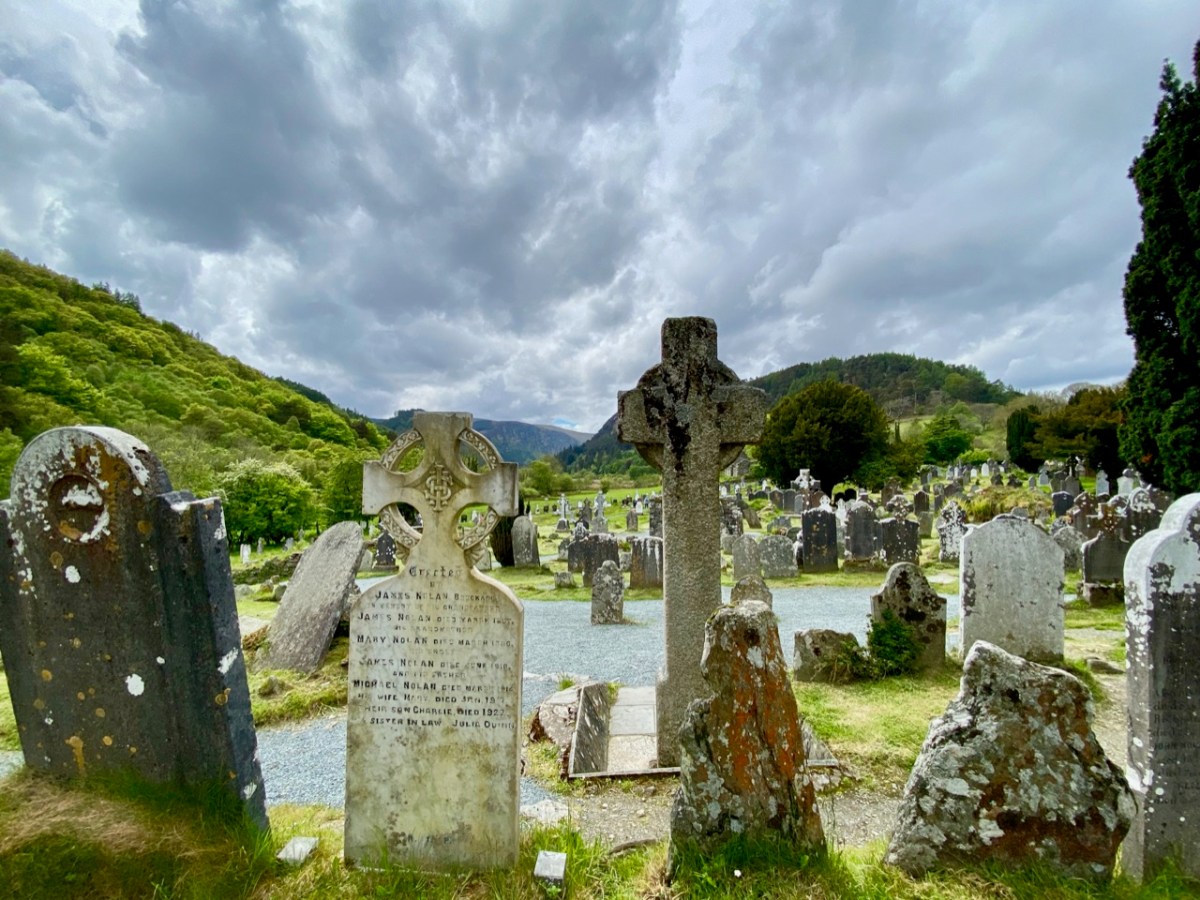
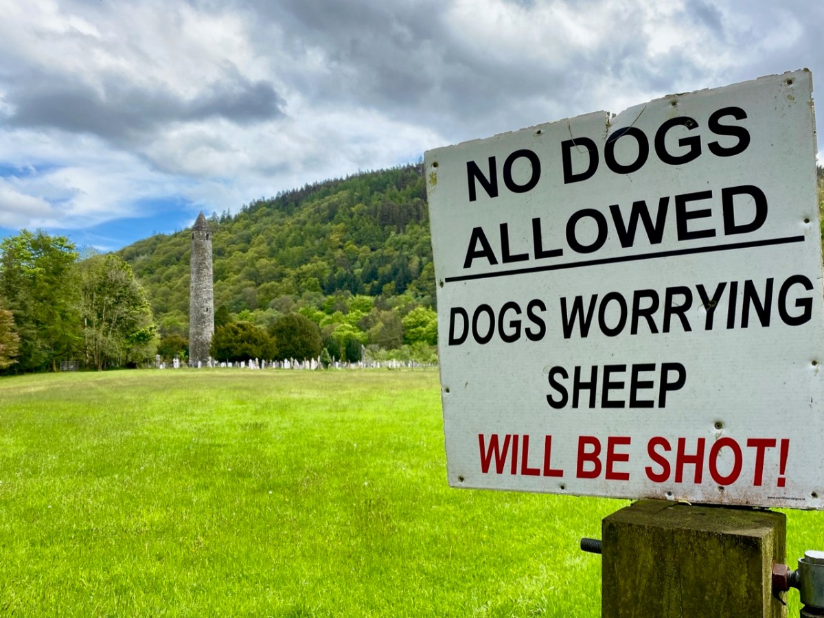
On another day we revisited a further Co Wicklow treasure – Glendalough, and admired again the extensive Monastic City, its fine examples of Romanesque architecture, round tower and stone crosses.
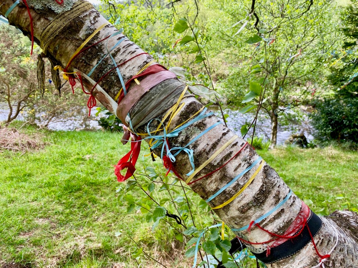
Amanda (Holy Wells of Cork and Kerry) and Peter (Hikelines) were with us on our Glendalough visit and, to my own surprise and delight, we were led to St Kevin’s holy well in the grounds of Glendalough which we had never known about previously. It took a bit of finding, but it was complete with a rag tree – and cures for headaches and eye ailments.
I hope you will agree that County Wicklow has something to offer everyone. We have just dipped in to its treasures in our few days away from West Cork. There is so much more to be discovered… But, of course, the same can be said of all parts of Ireland.
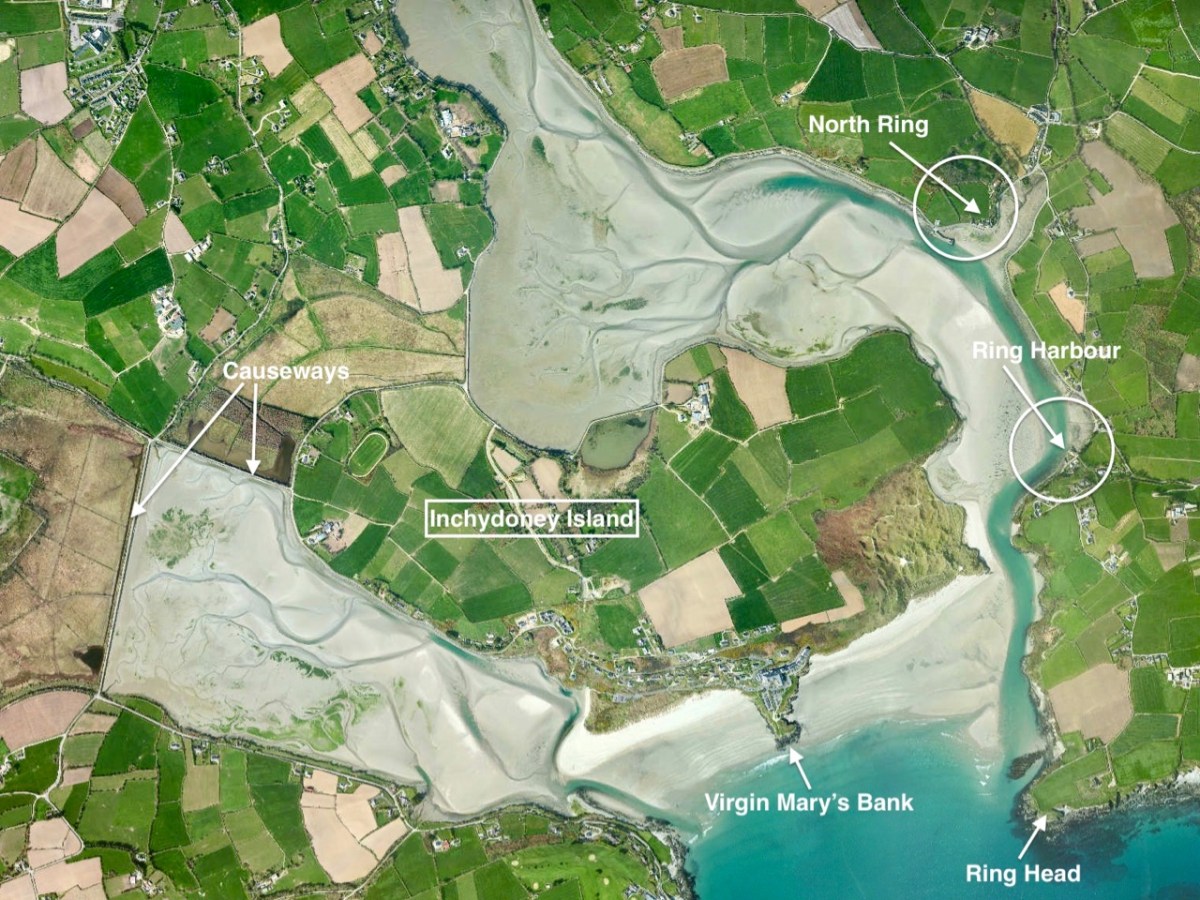
A few weeks ago we took ourselves round Ring, a perhaps less-well-trodden part of West Cork’s many delights, just to the south east of Clonakilty. I ran out of time and space in that post and left the rest for another day. This is the day! Last week we were just across the water from Ring – on Inchydoney Island – and that exploration enthused me again. I’ll remind you of the geography:
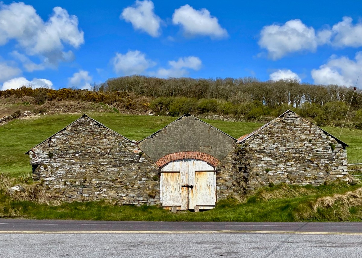
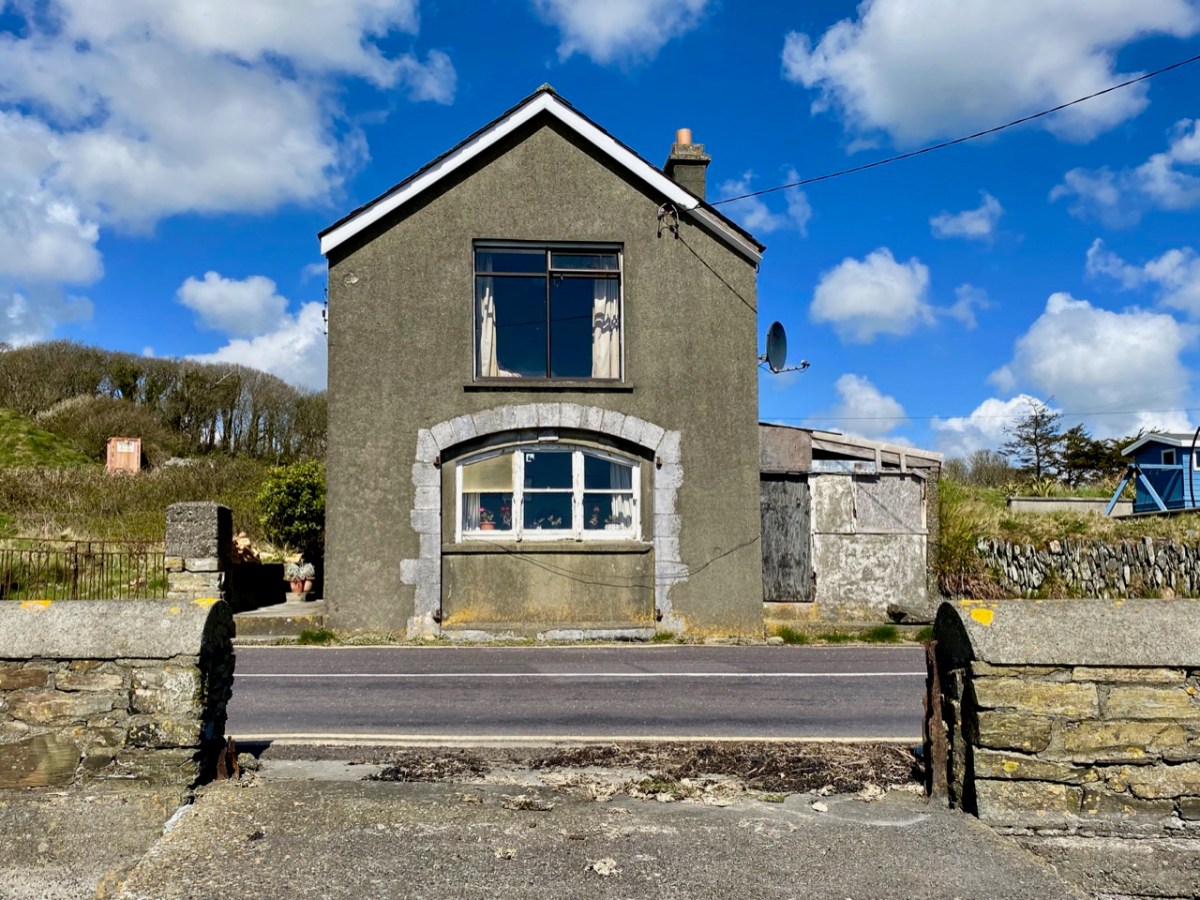
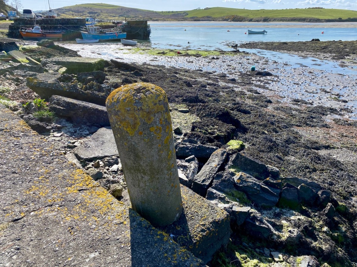
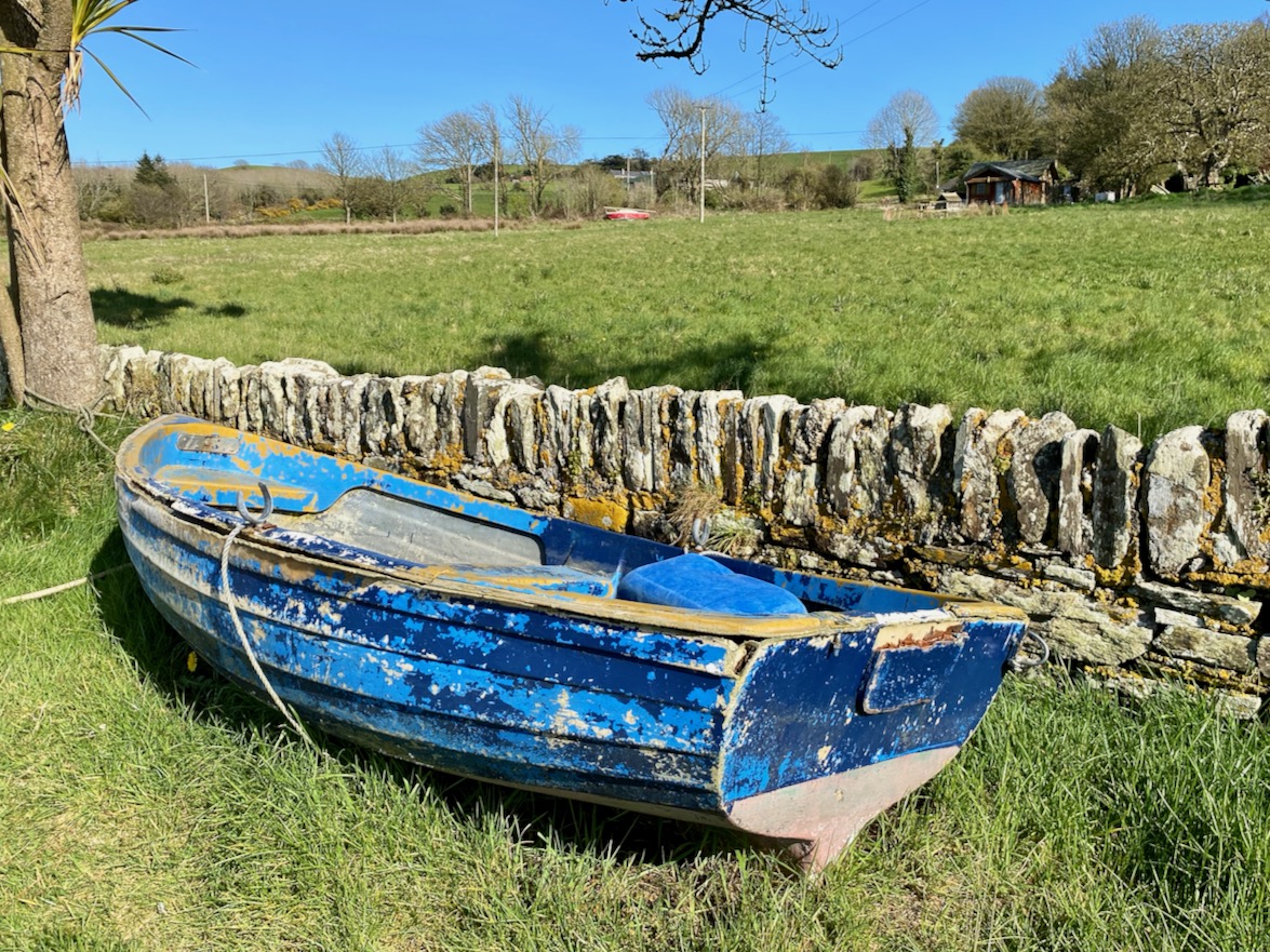
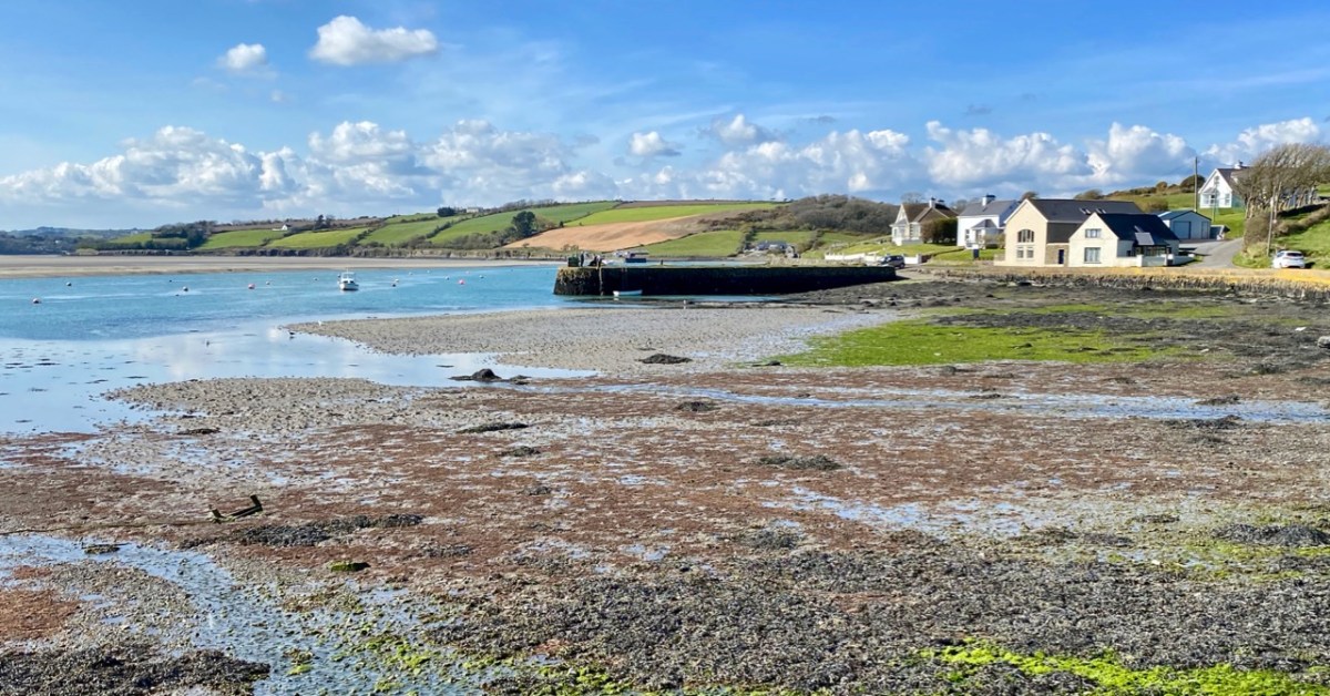
Between North Ring and Ring Harbour the road skirts the coast, and it’s obvious from the buildings along the way that boats and boating were the most significant assets to the area in past times, and are important also today.
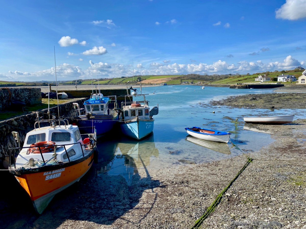
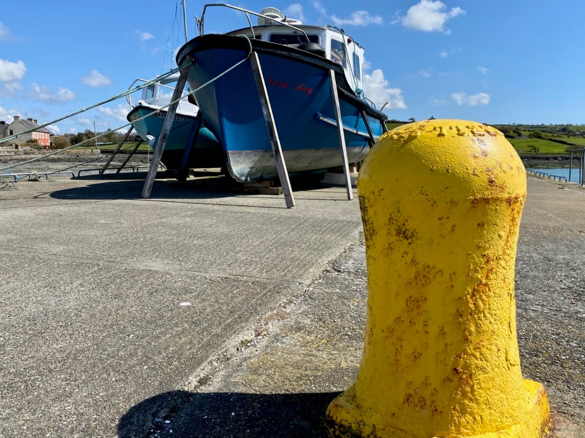
The two buildings with arched openings, above, were boathouses and stores. They are on the road which runs right beside the water going south out of Curraghgrane More. The colourful craft are at Ring Pier, which is still an active centre for fishing and – well – just messing about in boats.
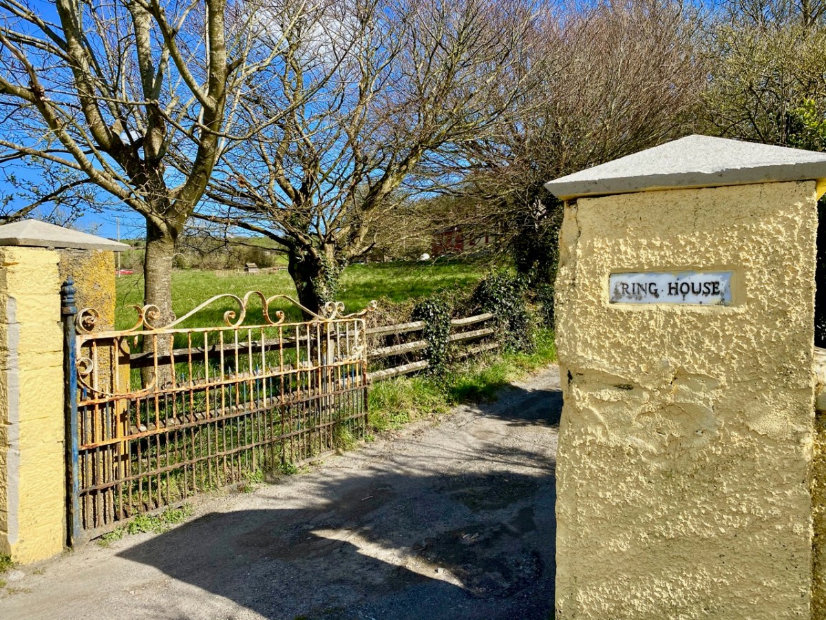
Just beside the harbour at Ring is the entrance to Ring House, which is on the National Inventory of Architectural Heritage, described thus:
. . . Pair of semi-detached three-bay two-storey houses, built c.1820, having single- and two-storey with dormer attic extensions to sides (north, south) elevations . . . An interesting pair of houses, which are unusual as they are semi-detached and large scale, yet in a rural area. Though some traditional features have been replaced, nonetheless the pair retains its historic character and is a notable contributor to Ring Harbour . . .
National inventory of architectural heritage, Reg no 20913532
The gateway is promising, but there is very little to see of Ring House from the road. I also could not find any other accounts or any history of the place. I wondered if it had always been two semi-detached houses – as described in the National Inventory – or whether it was originally a single dwelling of some stature.
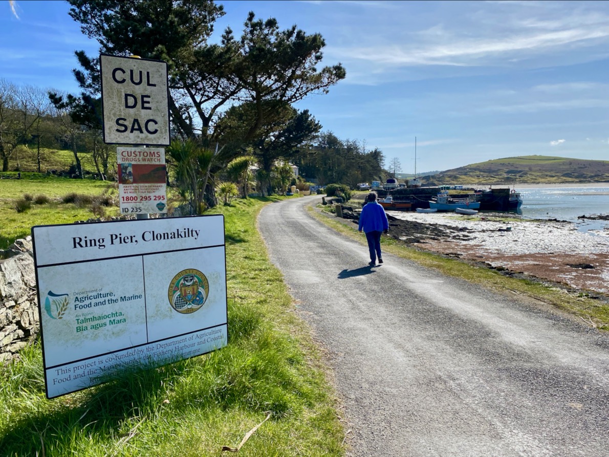
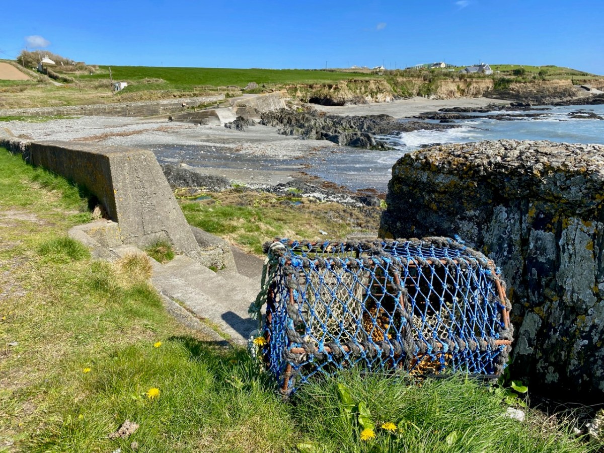
Our journey took us along the south facing coastline and we dropped down to the little inlets at Sheep Cove and Simon’s Cove. Both are worth visiting, involving negotiating tiny culs-de-sac, but there’s always room to turn at the end. Look out for the small paths leading to flagstone and sandy beaches. As always, there is evidence of the resourceful use of the maritime environment.
At Simon’s cove we turned and retraced our steps: we were barely 15 minutes away from the town of Clonakilty. Next time we will travel further east, and hopefully uncover more West Cork treasures.
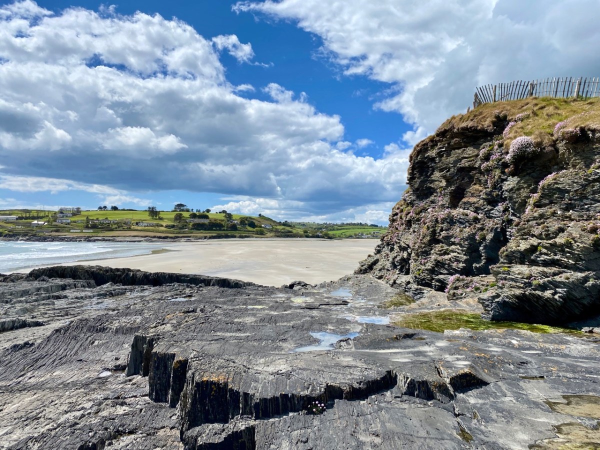
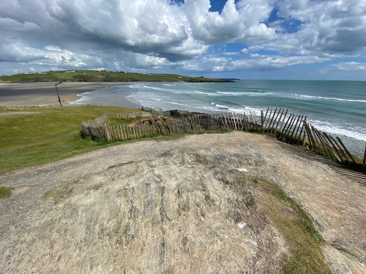
Virgin Mary’s Bank: it’s the intriguing name of a smallish rock outcrop that juts out into the sands at Inchydoney, West Cork. Stories abound, of course. Let’s do a bit of exploring…
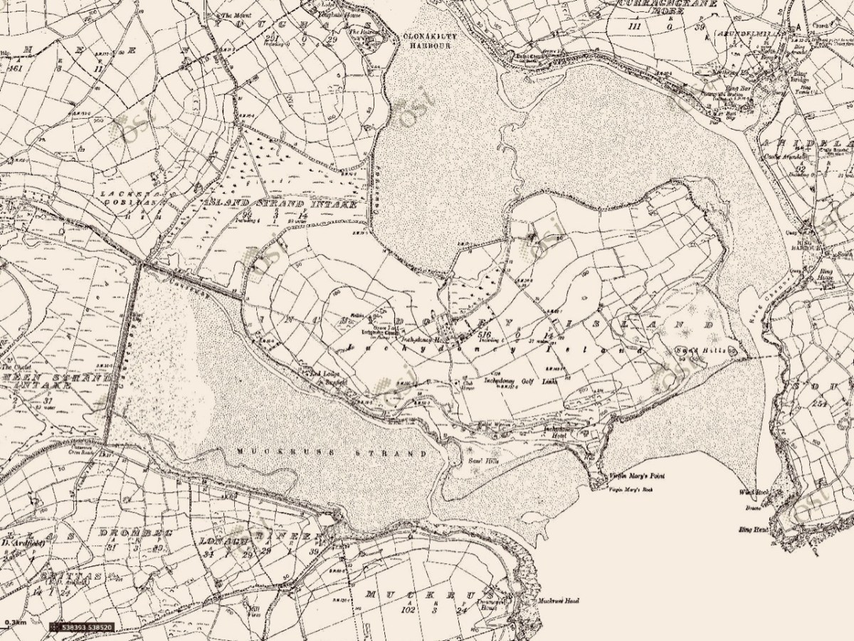
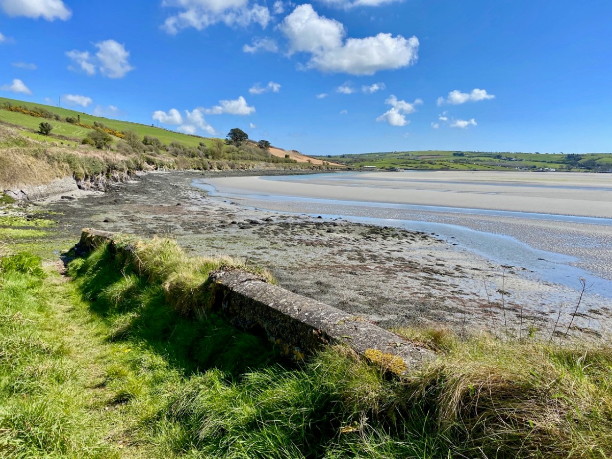
We first saw the name – Virgin Mary’s Bank (sometimes Virgin Mary’s Point or Virgin Mary’s Rock) – on the map when we were orientating our views across the sands from Ring on our excursion last month (above). There’s such a huge, sandy estuarial strand over on that side, stretching all the way from Ring and beyond Inchydoney island: it must be one of West Cork’s most covetable assets!
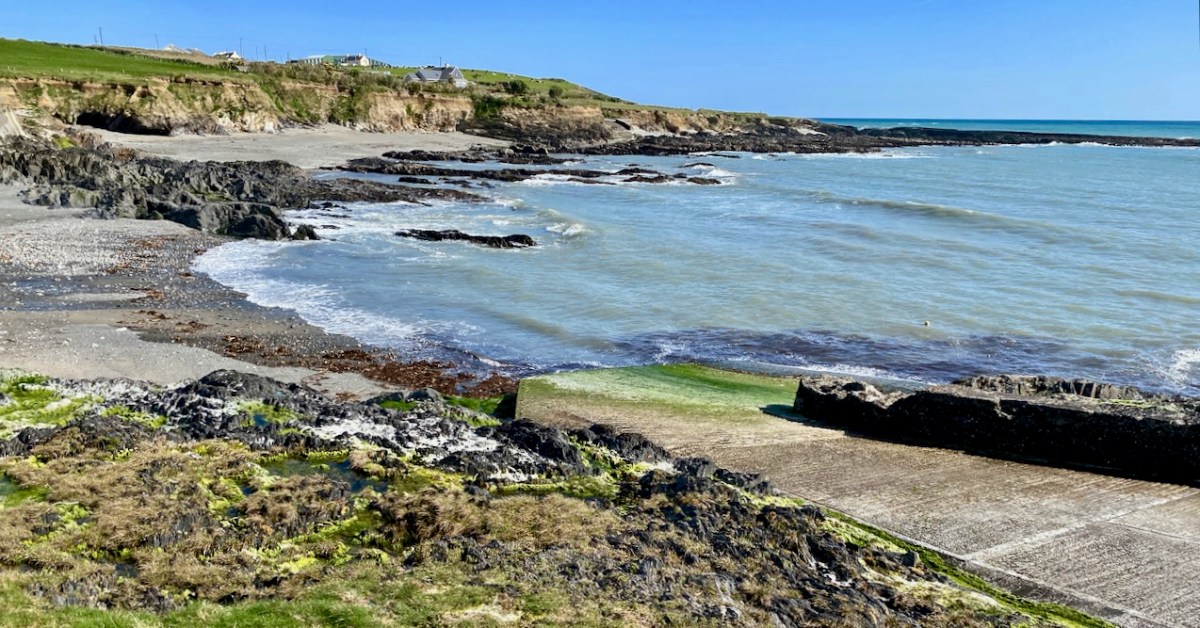
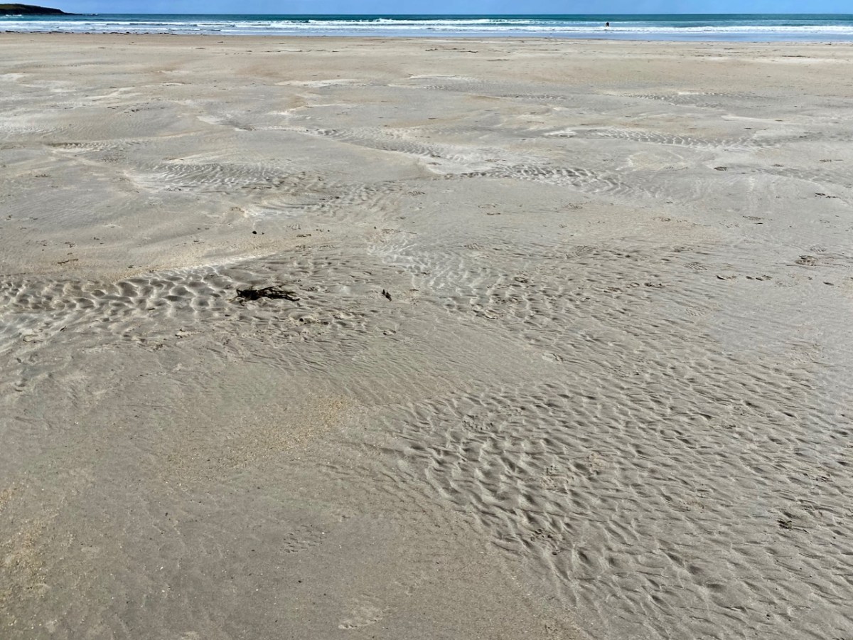
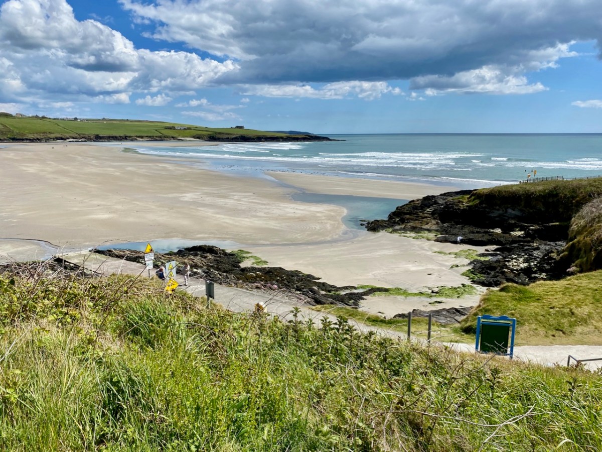
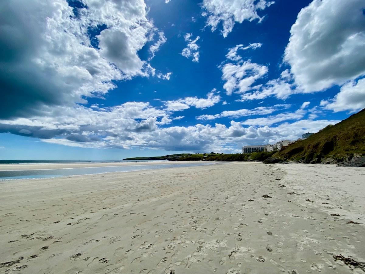
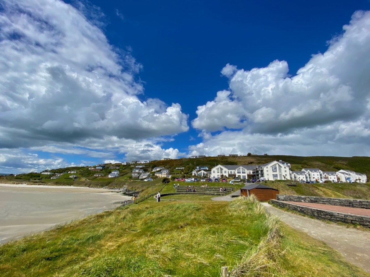
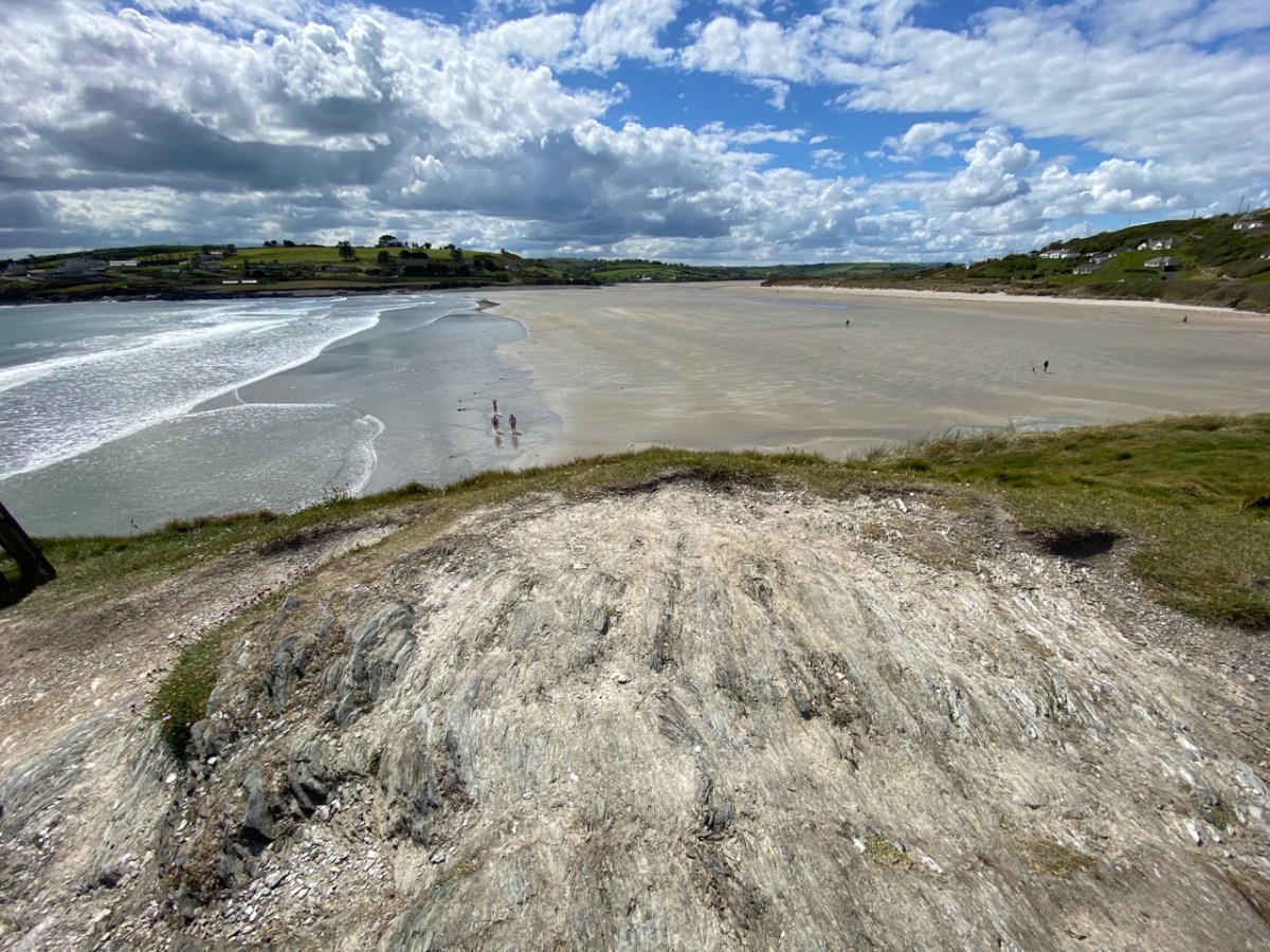
The view above – looking east from Inchydoney Island towards Ring Head – shows barely half the extent of the sands – and beautiful, golden sands they are. In the summertime, of course, the area is buzzing with visitors and sun-seekers, but there is plenty of room, and the beaches are never overrun, although car parking can be at a premium – get there early, if you can, in peak season. But why is Inchydoney an island, you might ask, when you look at the aerial view which seems to show it linked to the pastured landscapes to the north west? Here’s the answer:
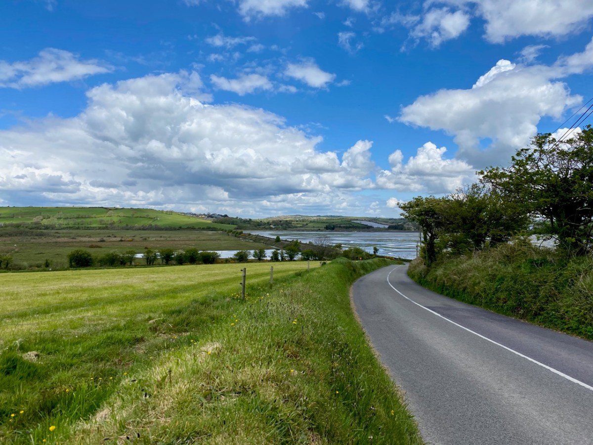
The top map is an extract from the earliest 6″ Ordnance Survey map, mostly surveyed in the 1840s. There you can see the island, clearly surrounded by water, with a causeway on the northwest side linking it to the nearby mainland. The principle features on the island at that time are Inchidoney House, a ruined church and burial ground. The later Cassini 6″ map (above) shows how causeway dams have been built to enclose areas of reclaimed land, here called ‘intakes’, effectively joining the former island to the adjacent mainland. The causeways are very clear if you approach the island from the west side (below).
The Cassini map was surveyed in the late 19th century, and we know from historical records that the causeway system was constructed by the Congested Districts Board in the 1840s, probably as a famine relief scheme. The roads and retaining boundaries were constructed from limestone quarried on the island. It is recorded that workers were paid a penny a day, and that on the first day of the works nine people died – presumably of malnutrition.
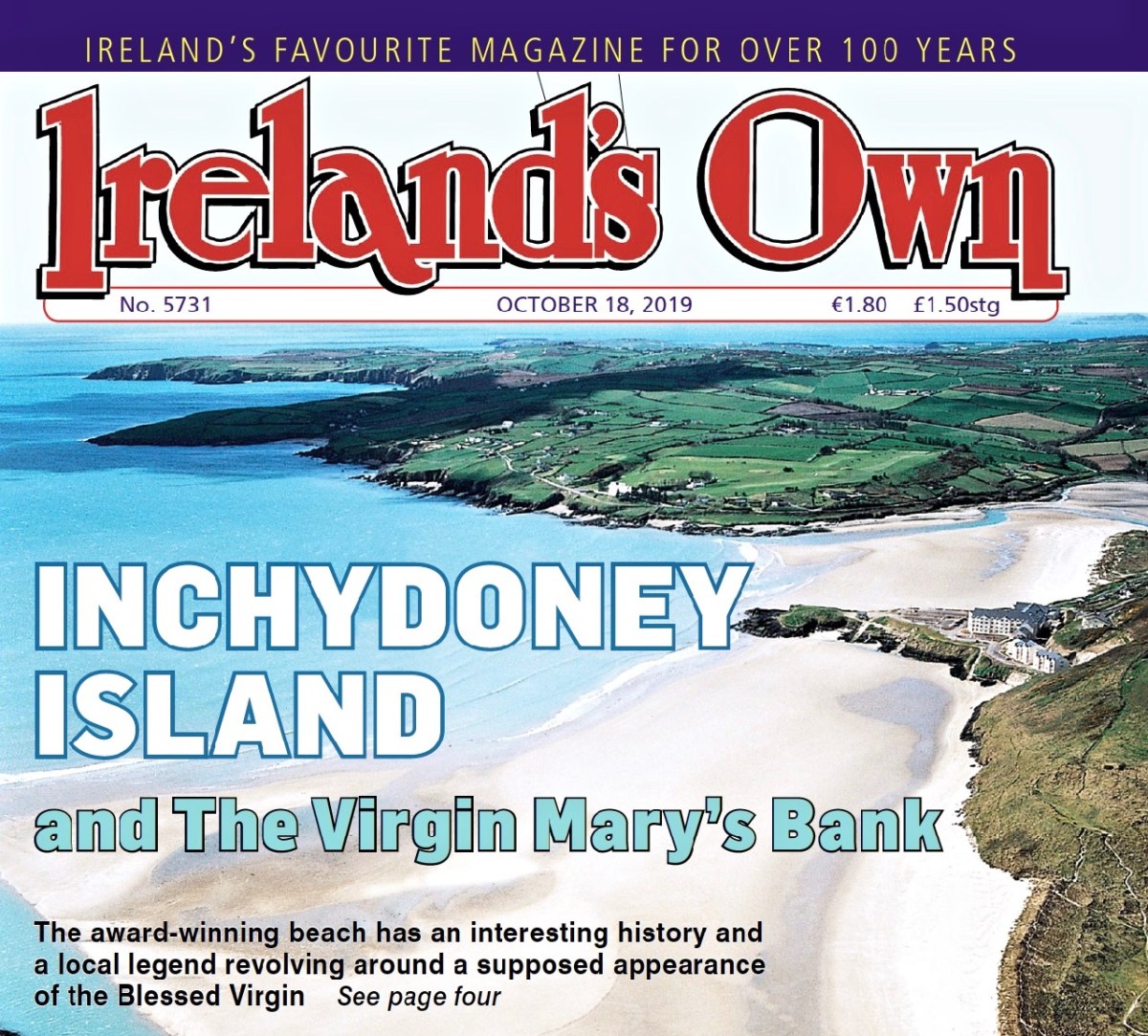
I found an excellent article on Inchidoney Island in a recent edition of Ireland’s Own (October 2019), available to download online, written by Mary Rose McCarthy. She relates how Richard Hungerford, from a Somerset family background, owned a substantial part of the island in 1690 and his descendants were there until the early 1900s. They rebuilt Inchydoney House in the early 1800s: it still stands. The writer ‘Mrs Hungerford’ – Margaret Hamilton of Rosscarbery – married into the Hungerford family and was notorious for an incident in 1905. Here is an extract from a letter sent by her to the Clonakilty Urban District Council on August 16th:
On 10th inst I received a letter from the Town Clerk of Clonakilty who ‘had been directed by the Urban District Council to ask me to receive a deputation with reference to asking me to open my grounds to the public on Sundays’ . . .
The Urban District Council, in proposing this resolution, ‘regretted that I had not followed the example of Mr Bence Jones’ (who had kindly thrown his most lovely garden open to the public every second Sunday) and one member, whom I shall not name but with whom I have had a little business transaction in the past, was of opinion that ‘I should have done so without waiting to be asked’. Now, during the past summer I have permitted every person, and at every hour, who asked leave at the hall door to go through to the strands. The result has been as usual in Ireland, disappointing, Gates were left open and of course my animals strayed away and people had to leave their work to hunt for them and the portion of ‘the public’ who considered asking for leave too much trouble, or perhaps, too derogatory, wandered over the land wherever they choose and papers, bottles etc, etc, littered the place . . .
Miss Hungerford, The Island, Clonakilty 1905
Mary Rose McCarthy, in her Ireland’s Own article, recounts:
. . . Locals felt they had a right to travel to the beach by an old roadway past Inchydoney House. Clonakilty UDC mediated but Miss Hungerford refused all approaches. A group of locals marched from town, tore down the gates, and asserted their right to travel to the beach. This gave rise to a local song – Who broke the island gates?, although the words were never recorded . . .
Mary Rose McCarthy, Ireland’s Own, October 2019
The author also notes that Margaret Hamilton (Miss Hungerford) wrote novels, the most famous of which – Molly Bawn – is mentioned by James Joyce in Ulysses; and also credits her with having coined the phrase ‘beauty is in the eye of the beholder’.
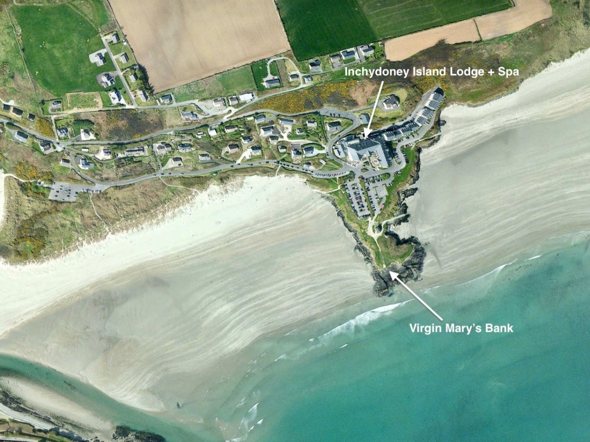
The most notable building on the Island today is the Inchodoney Island Lodge & Spa which – with associated apartments – commands a stunning view over the whole south strand. It replaces the earlier Inchydoney Ocean Hotel, built in the 1930s and famous for its ballroom – and the dances and fancy-dress parties held there, which always went on into the early hours of the morning. The postcard below, published by H Rosehill, Cork, shows the hotel in 1940.
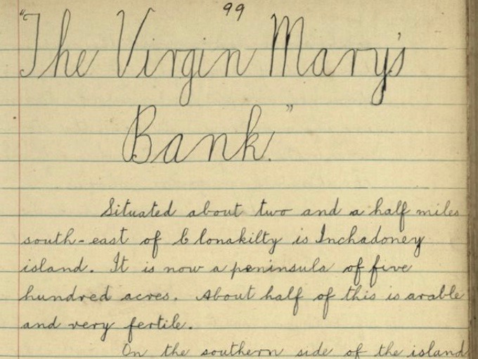
The aerial view gives an idea of the extent of the present day building, and also shows how it relates to the principal subject of today’s post: Virgin Mary’s Bank. The legend of this promontory is best told through the pages of the Duchas Schools Folklore Collection:
. . . Situated about two and a half miles south-east of Clonakilty is Inchadoney island. It is now a peninsula of five hundred acres. About half of this is arable and very fertile.
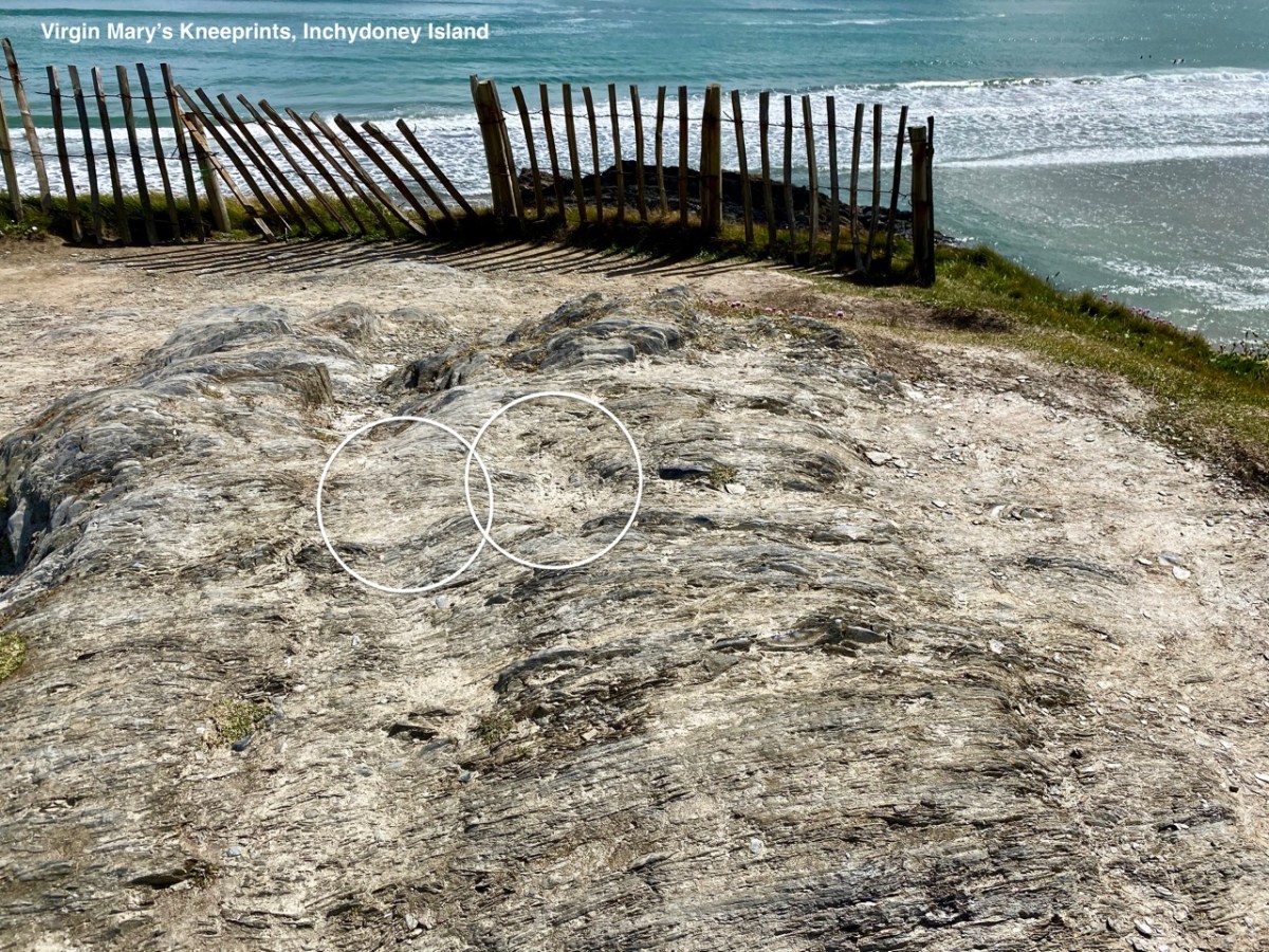
In the southern side of the island there is a bank jutting out into the sea called the Virgin Mary’s bank. It is said that there was a ship coming in there once and the sailors saw a beautiful woman praying on the bank. She was as white as snow and she was kneeling on a knoll which bears the impression of her knees to-day . . .
All the sailors but one began to mock and blaspheme her. Suddenly a great storm arose and the ship was blown to pieces and all her sailors were drowned except the one who took no part in the mockery. When the storm ceased the lady went out and brought the drowning sailor ashore . . .
In olden times there was a flourishing convent on the island and the remains of which are to be seen to-day. Some people say it was one of the nuns of this convent but it is more likely that it was the “Virgin Mary” who saved the man from drowning . . .
Tim Cowhig, Duchas Schools Collection, Clonakilty 1936
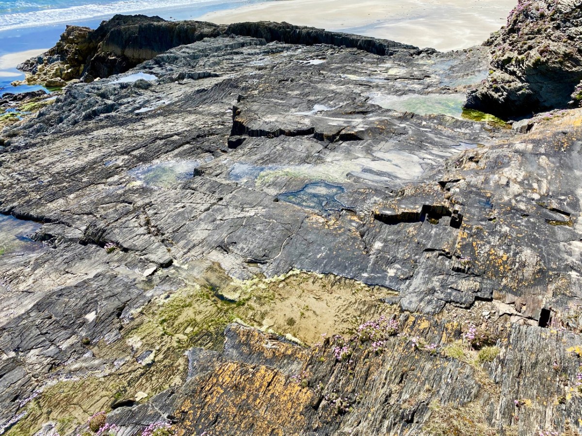
If ever doubt was to be cast as to the veracity of this story, there – as clear as day – are the knee-prints on the rock! A tragedy on the strand in 1932 is commemorated by a carving on the flaggy formation, just below Virgin Mary’s Bank. In August 22-year-old Timothy O’Sullivan from Casement Street in Clonakilty and 19-year-old Joseph Santry, a plasterer from Clarke Street Clonakilty, drowned. Charles P Millar from Summerhill, Cork, managed to rescue a third man who was also in difficulty but due to rough sea conditions he was unable to save the others despite his heroic attempts.
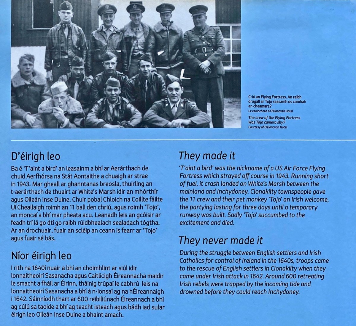
A Wild Atlantic Way information board close to Virgin Mary’s Bank tells of another incident, in more recent times.
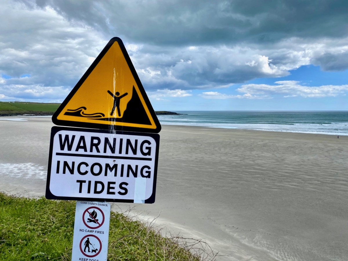
But note the paragraph They never made it, above. In 1642 around 600 Irish rebels were trapped by the incoming tide and drowned on the sands: a salutary warning, perhaps, for those who come to the beaches here and don’t keep a wary eye on the tide. Because of the wide, flat expanses of open strand it comes in at a great pace.
An all but forgotten Cork poet, Jeremiah Joseph Callanan (1795 – 1829), heard the story of the appearance of the Virgin Mary at Inchydoney and penned some verses which – according to local legend – all Clonakilty primary school children had to learn by rote. I have transcribed it from the Duchas Schools Collection record above, as the dramatic rendition is well worth quoting in full.
The Evening Star rose beauteous above the fading day, As to the lone and silent beach the Virgin came to pray, And hill and dale shone brightly in moonlight’s mellow fall; But the bank of green where Mary knelt was brightest of them all.
Slow moving o’er the waters, a gallant barque appeared, And her joyous crew looked from the deck as to the land she neared; To the calm and sheltered haven she floated like a swan, And her wings of snow o’er the waves below in, pride and beauty shone.
The Master saw Our Lady as he stood upon the prow, And marked the whiteness of her robe – the radiance of her brow; Her arms were folded gracefully upon her stainless breast, And her eyes looked up among the stars, to Him her soul loved best.
He showed her to his sailors, and he hailed her with a cheer, And on the kneeling Virgin they gazed with laugh and jeer; And madly swore, a form so fair they never saw before; And they cursed the faint and lagging breeze that kept them from the shore.
The ocean from its bosom shook off its moonlight sheen, And up its wrathful billows rose to vindicate their Queen, And a cloud came o’er the heavens, and a darkness o’er the land, And the scoffing crew beheld no more the Lady on the strand.
Out burst the pealing thunder, and the lightning leapt about, And rushing with his watery war, the tempest gave a shout; And that vessel from a mountain wave came down with thundering shock, And her timbers flew like mattered spray on Inchadony’s rock.
Then loud from all the guilty crew one shriek rose wild and high; But the angry surge swept over them, and hushed their gurgling cry; And with a hoarse, exulting tone the tempest passed away, And down, still chafing from their strife, the indignant waters lay.
When the calm and, purple morning shone out on high Dunmore, Full many a mangled corpse was seen on Inchadony’s shore; And to this day the fisherman shows where the scoffers sank, And still they call that hillock green “The Virgin Mary’s Bank”.
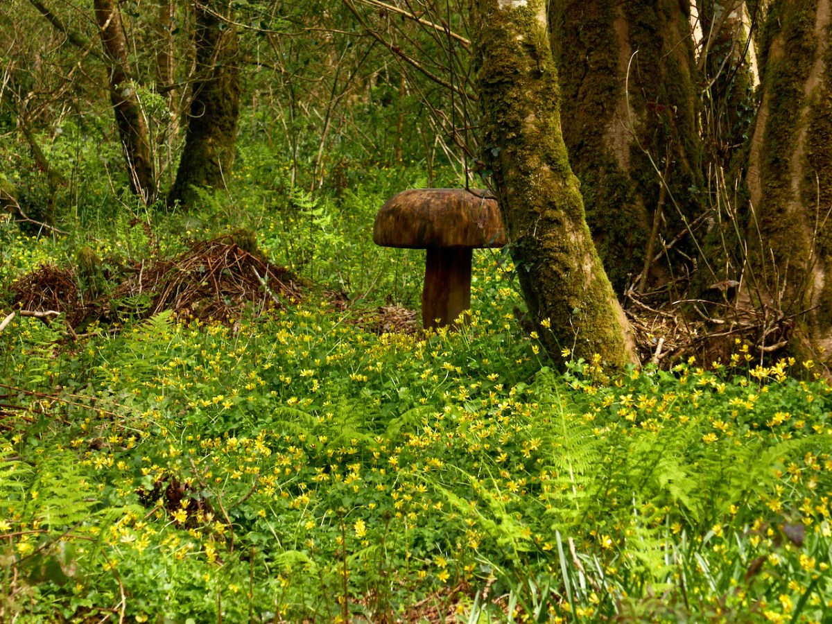
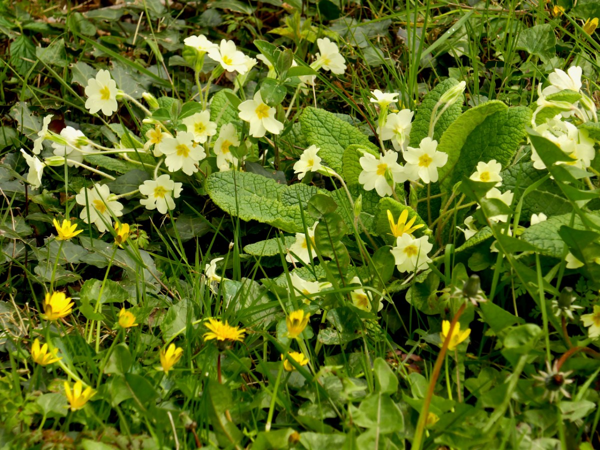
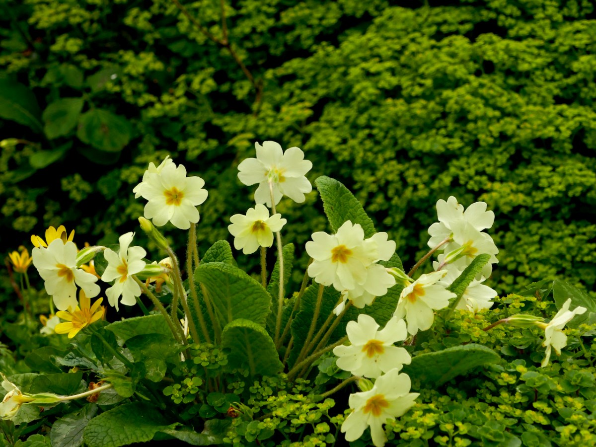
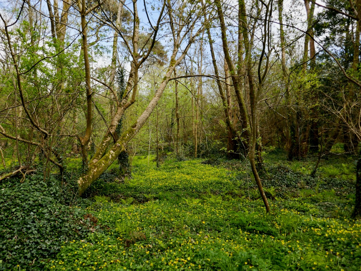
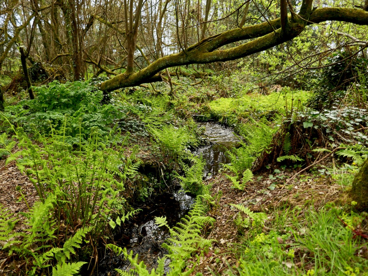
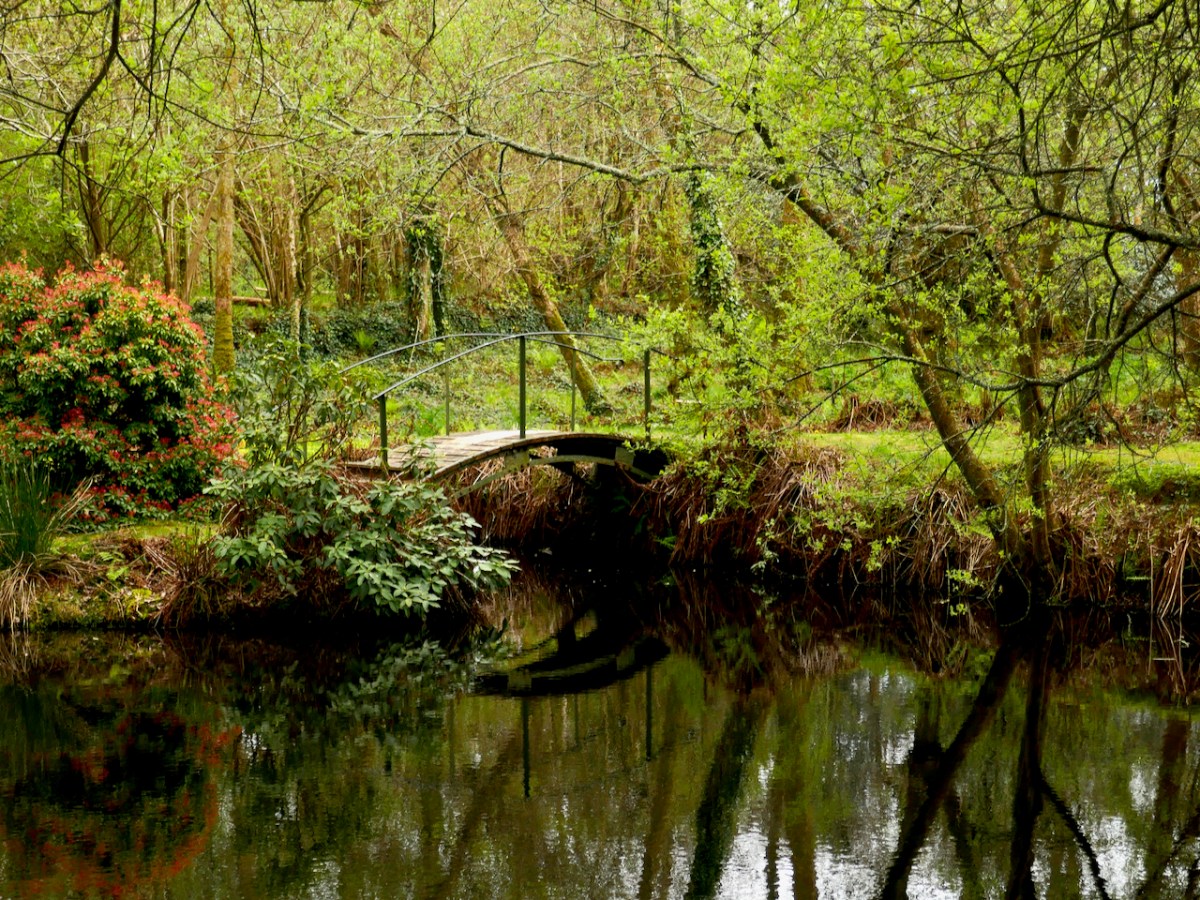
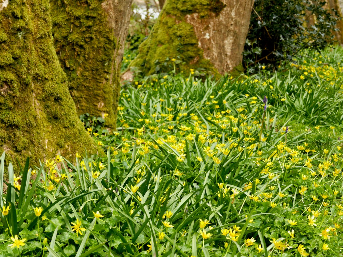
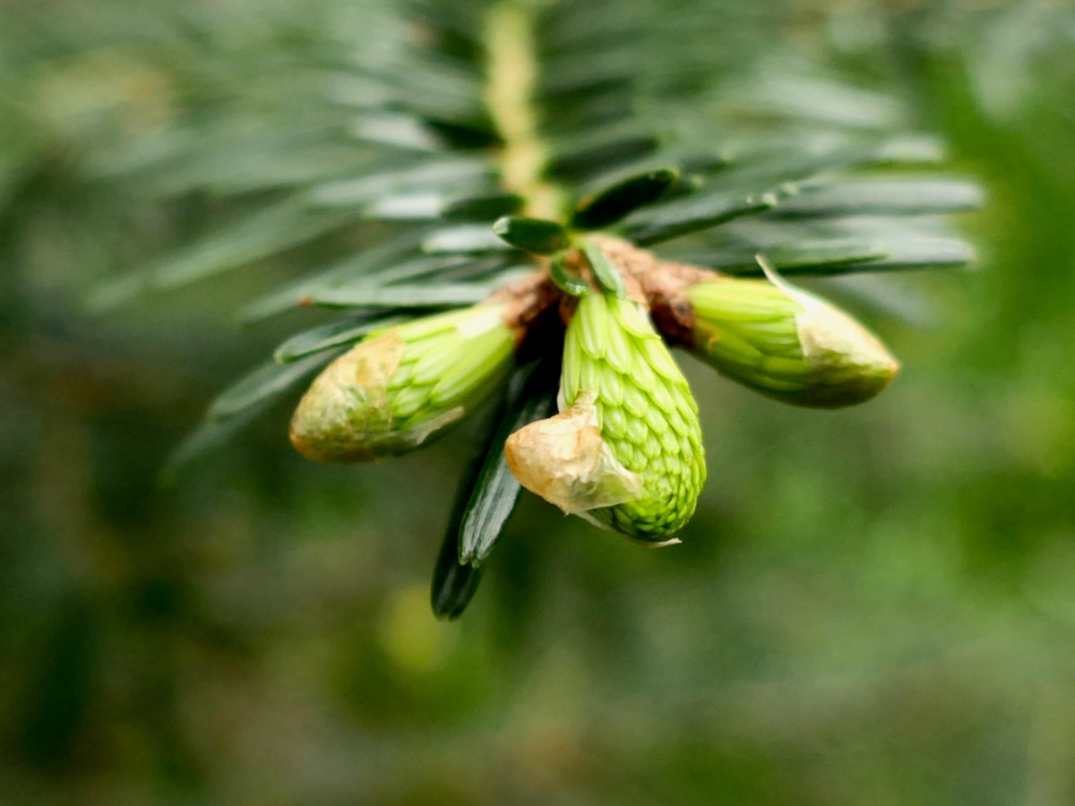
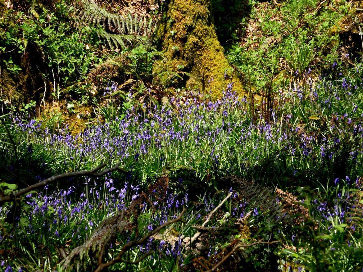
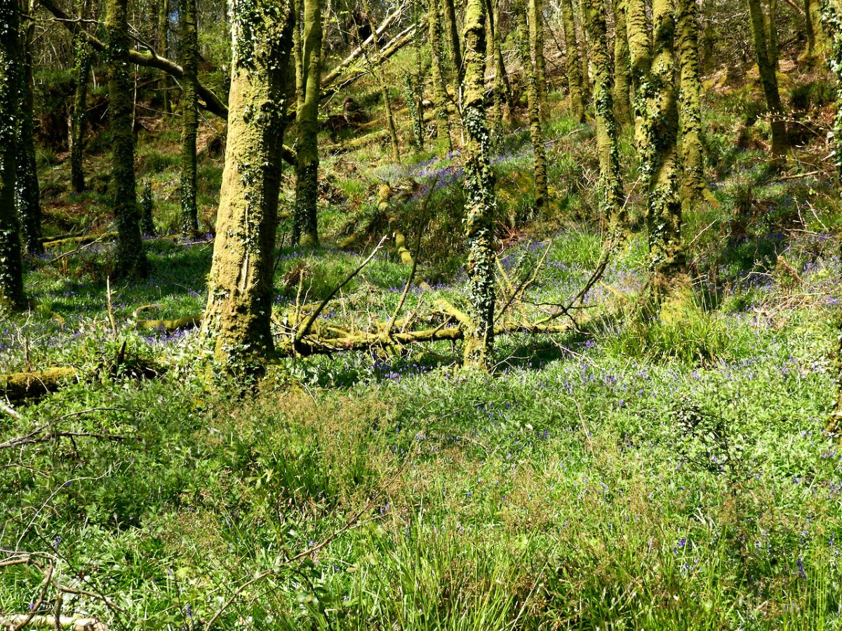
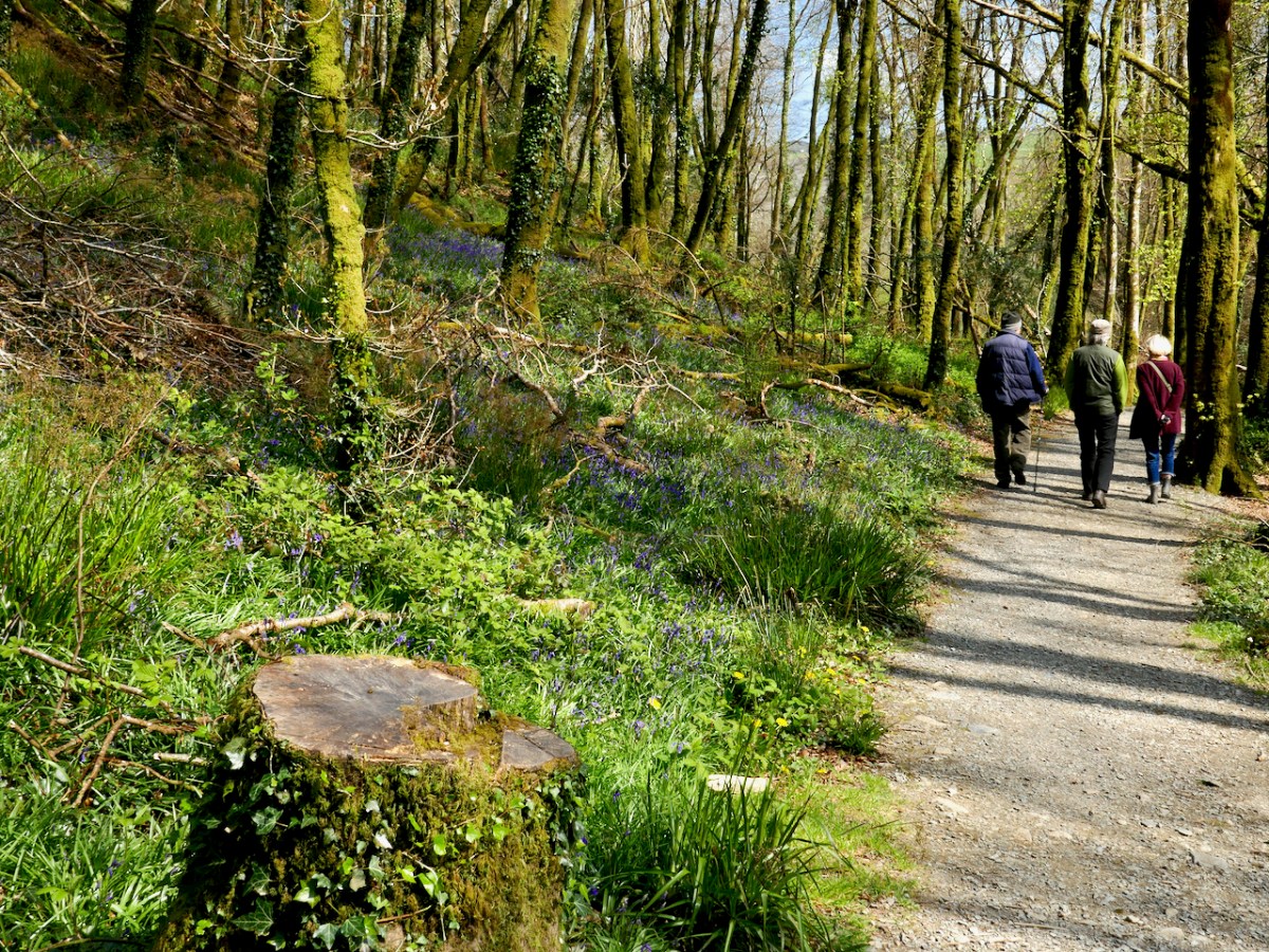
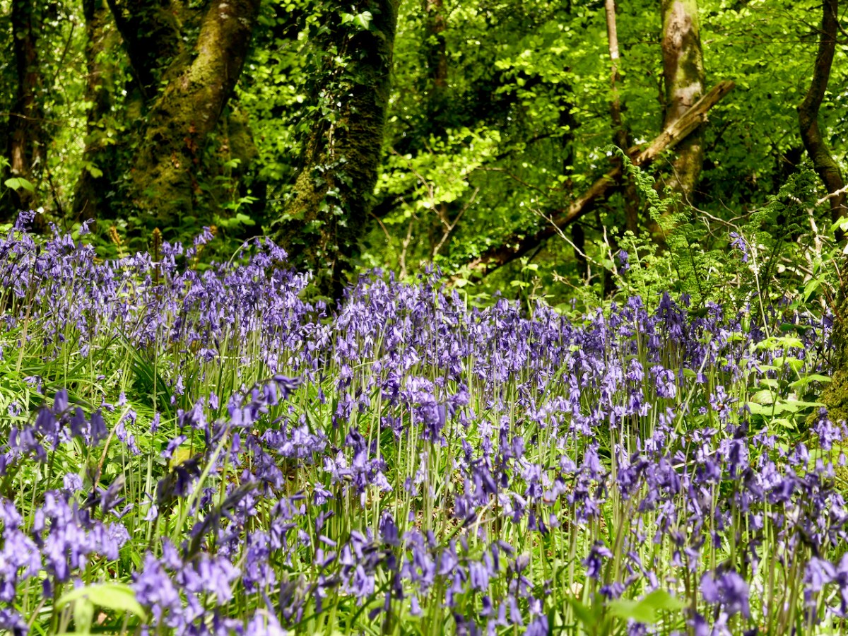
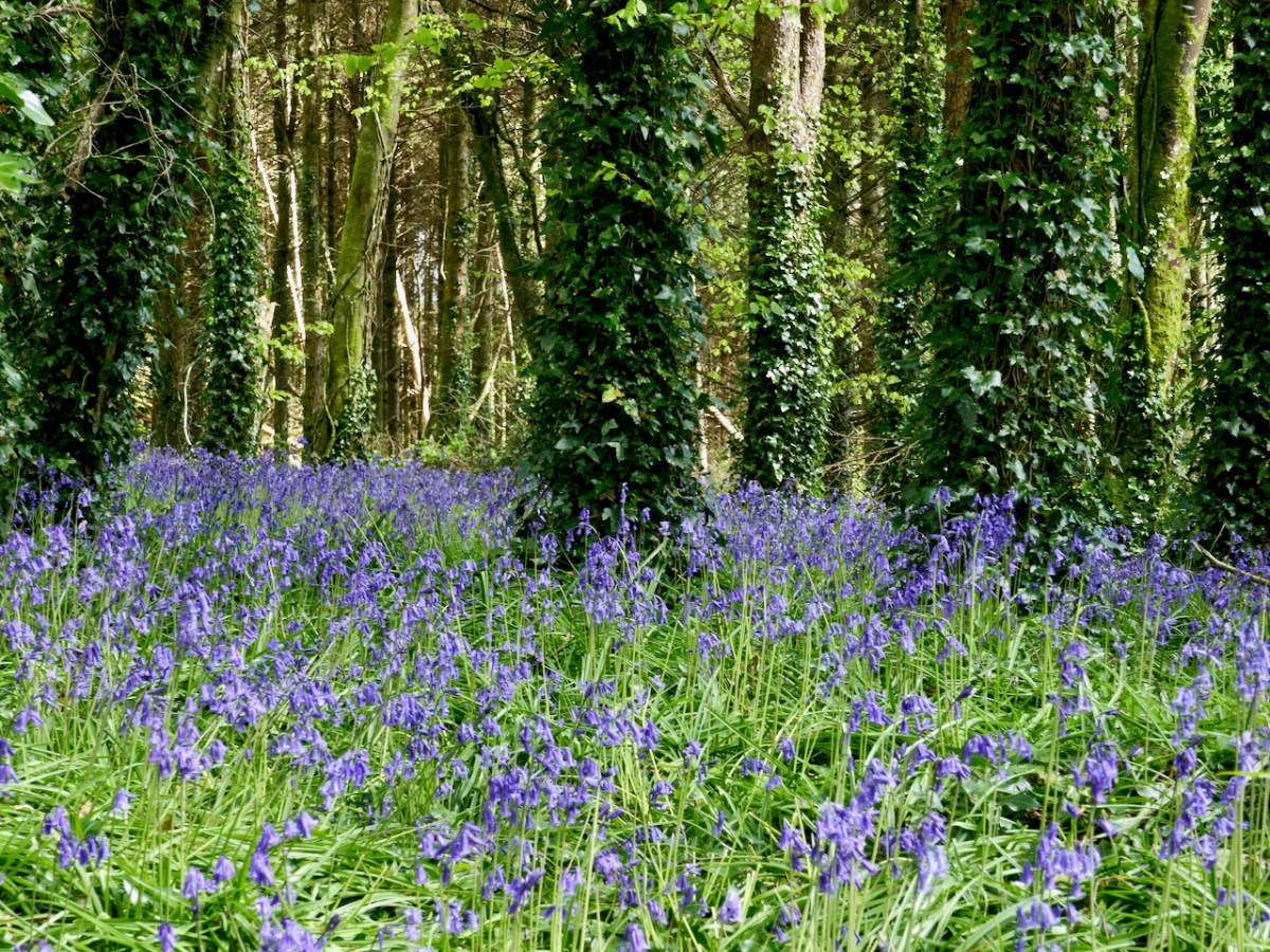
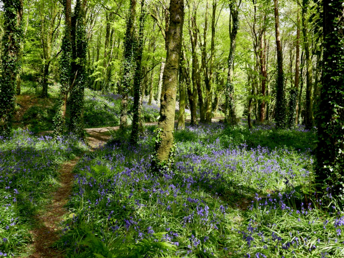
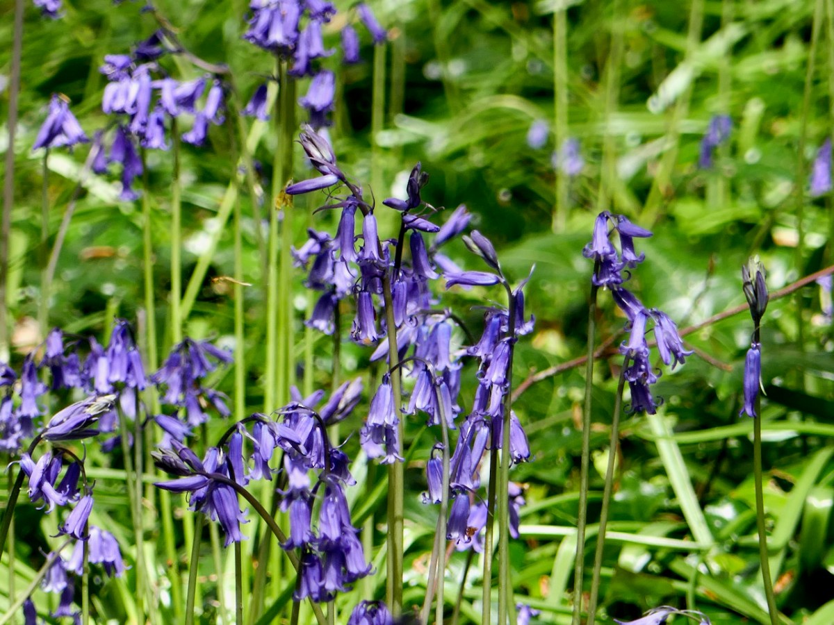
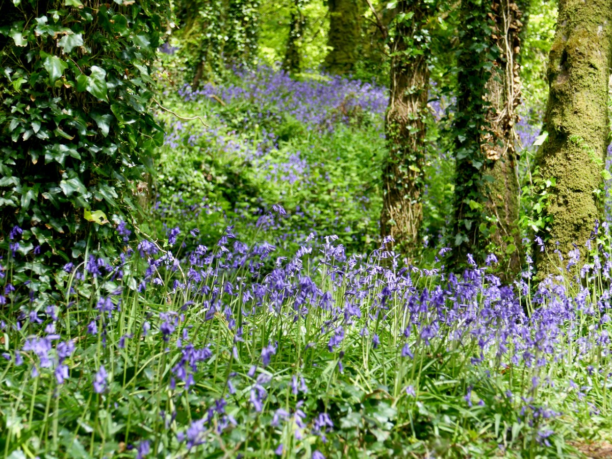
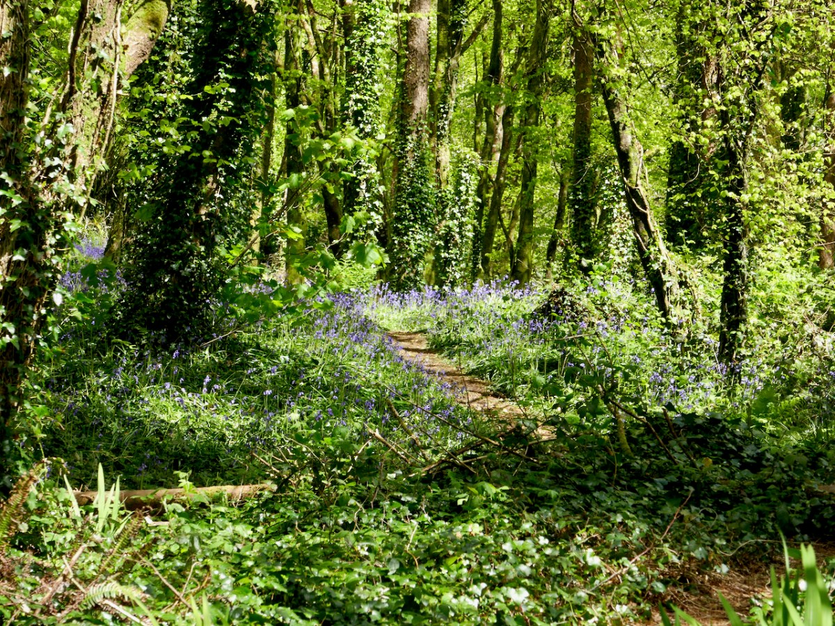
There’s something that compels us into the woods in the spring. It’s all that verdant growth, perhaps – the sap rising in us as well as in the trees. Or maybe it’s the cool green-ness or those swathes of extravagant bluebells and celandine. Here are three of our favourites, just in little slideshows.
Inish Beg
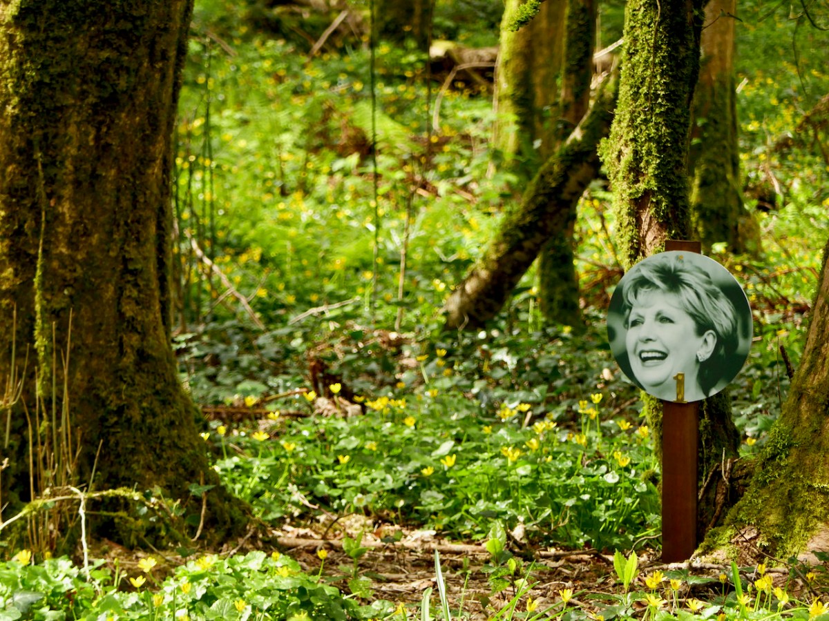
An old estate, beautifully managed by its owners. We visited in April, before the bluebells but in time for the carpet of Celandine. The walks are varied, there are lots of ponds and riverside vistas, and treasure hunts for kids and adults. Do you know all the Presidents of Ireland? Can you find them all?
Dromillihy
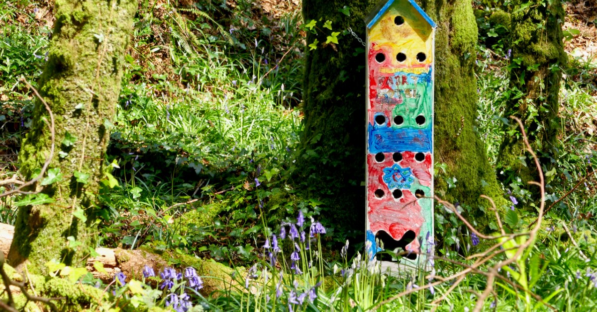
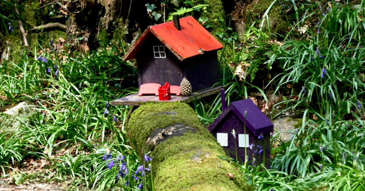
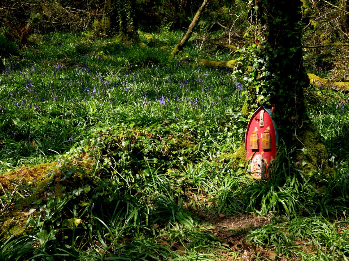
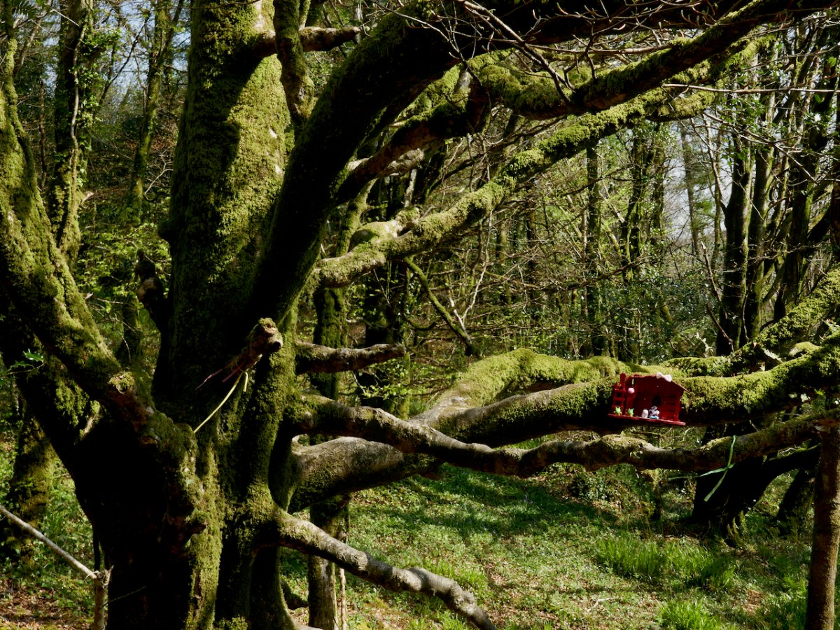
Betwen Leap and Cononagh along the N71 you will find a car park providing access to this woodland managed by Coillte, the Irish Forest Service. More extensive than it looks from the road, these walks are a delight for all ages, with lots of fairy houses for the kids and, when we walked the trails recently, acres of bluebells.
Castlefreke
Another old estate managed by Coillte – a series of woodland walks linked by roads and trails. There’s a ruined church and old graveyard, great views across old farm buildings, and ancient trees. We were there a week ago and the bluebells were heavenly.
What are your favourite woodland walks in West Cork?
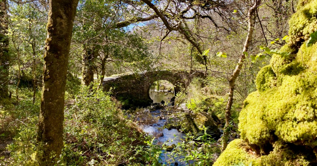
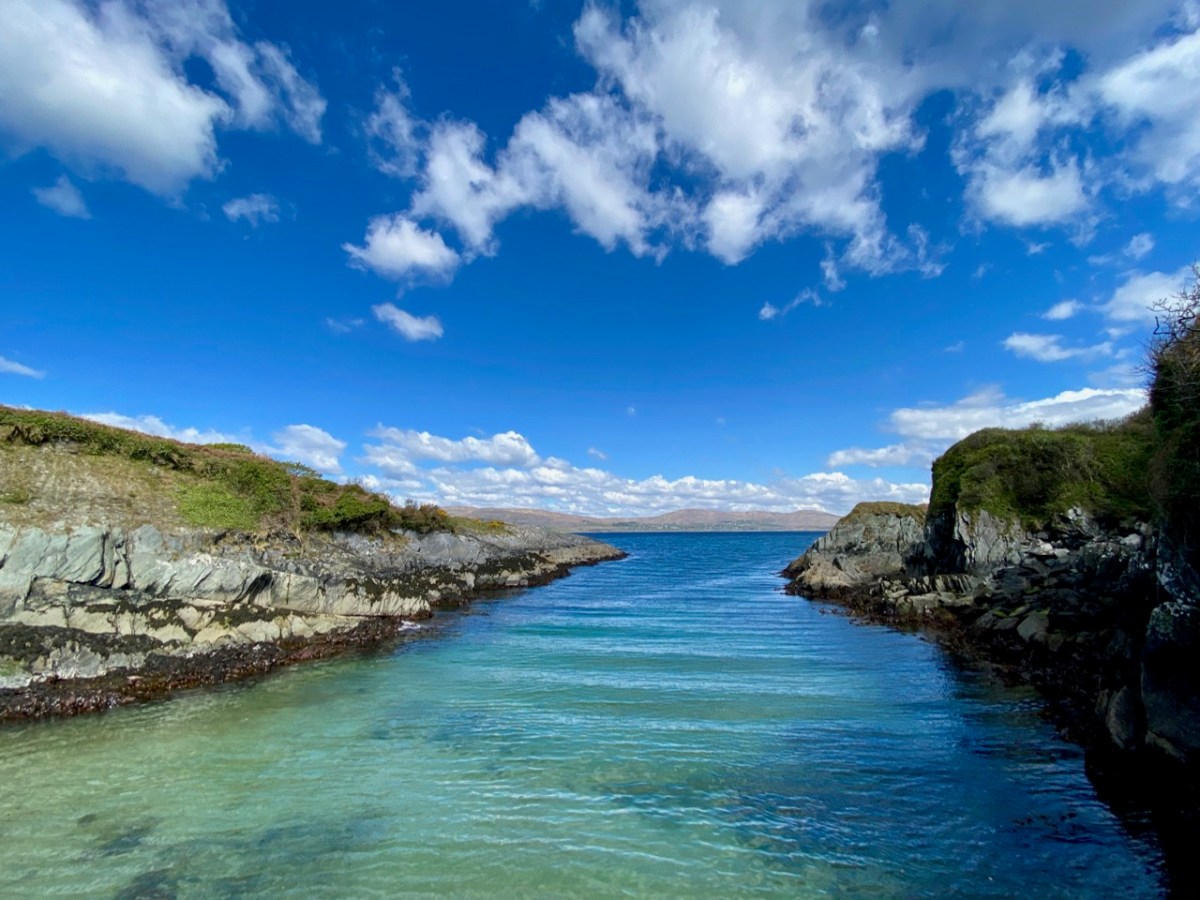
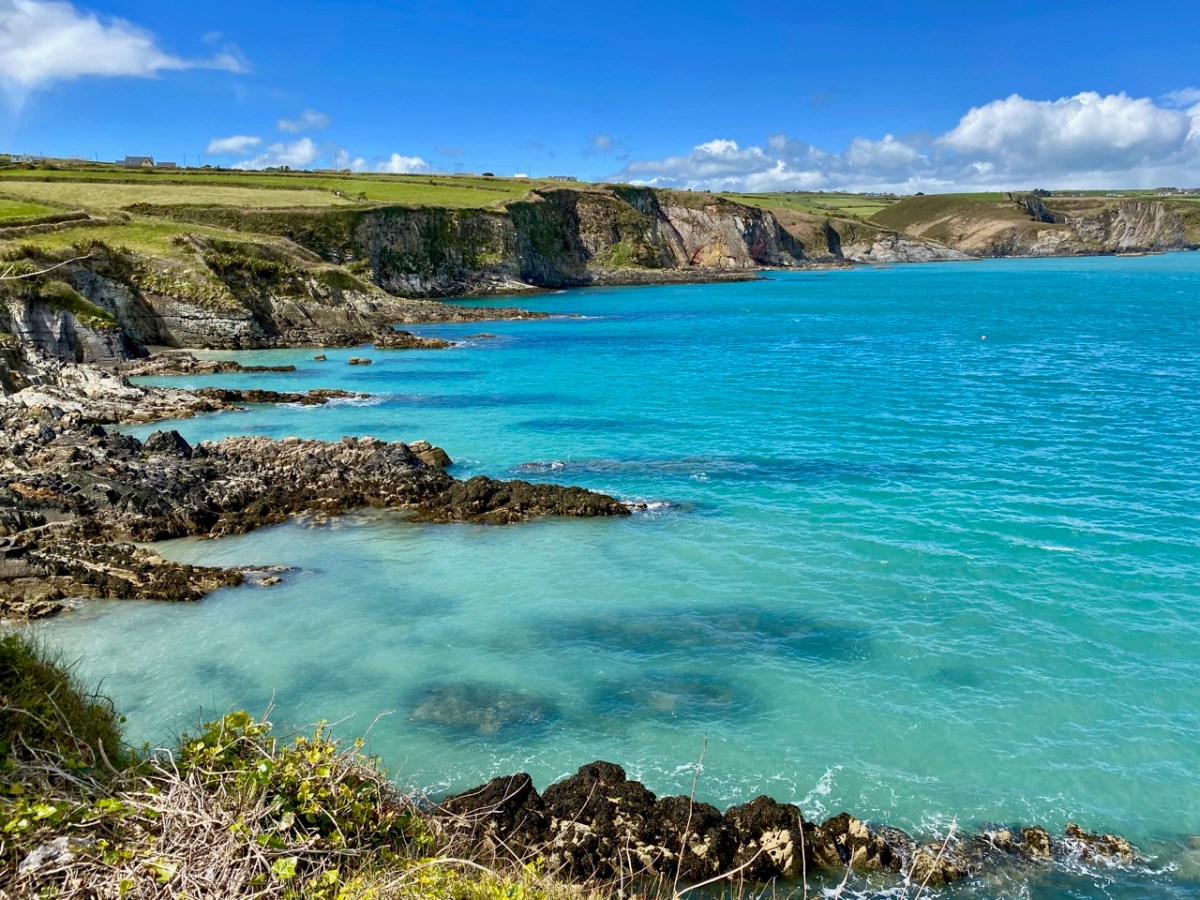
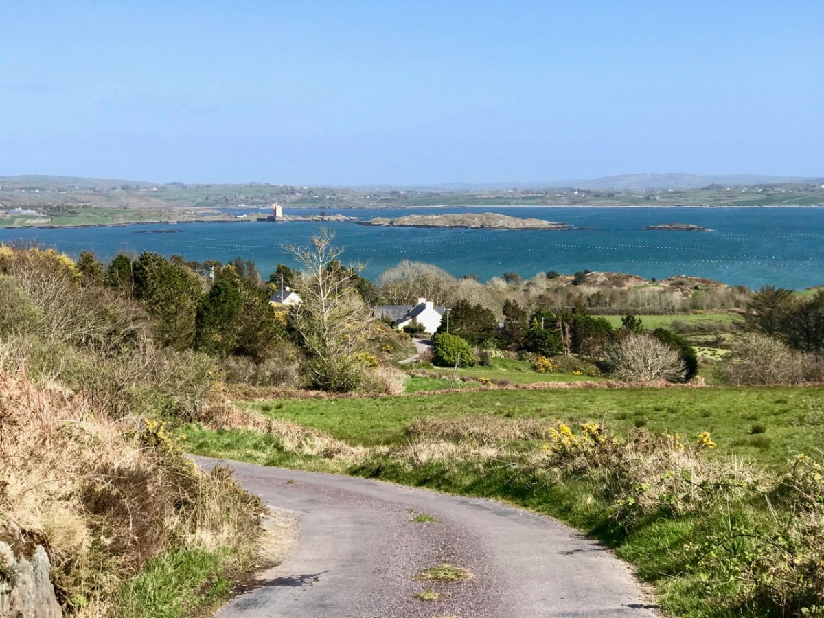
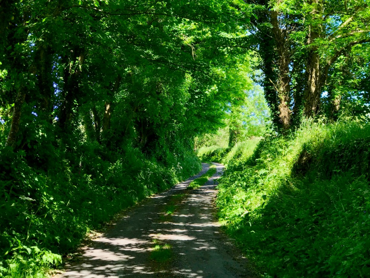
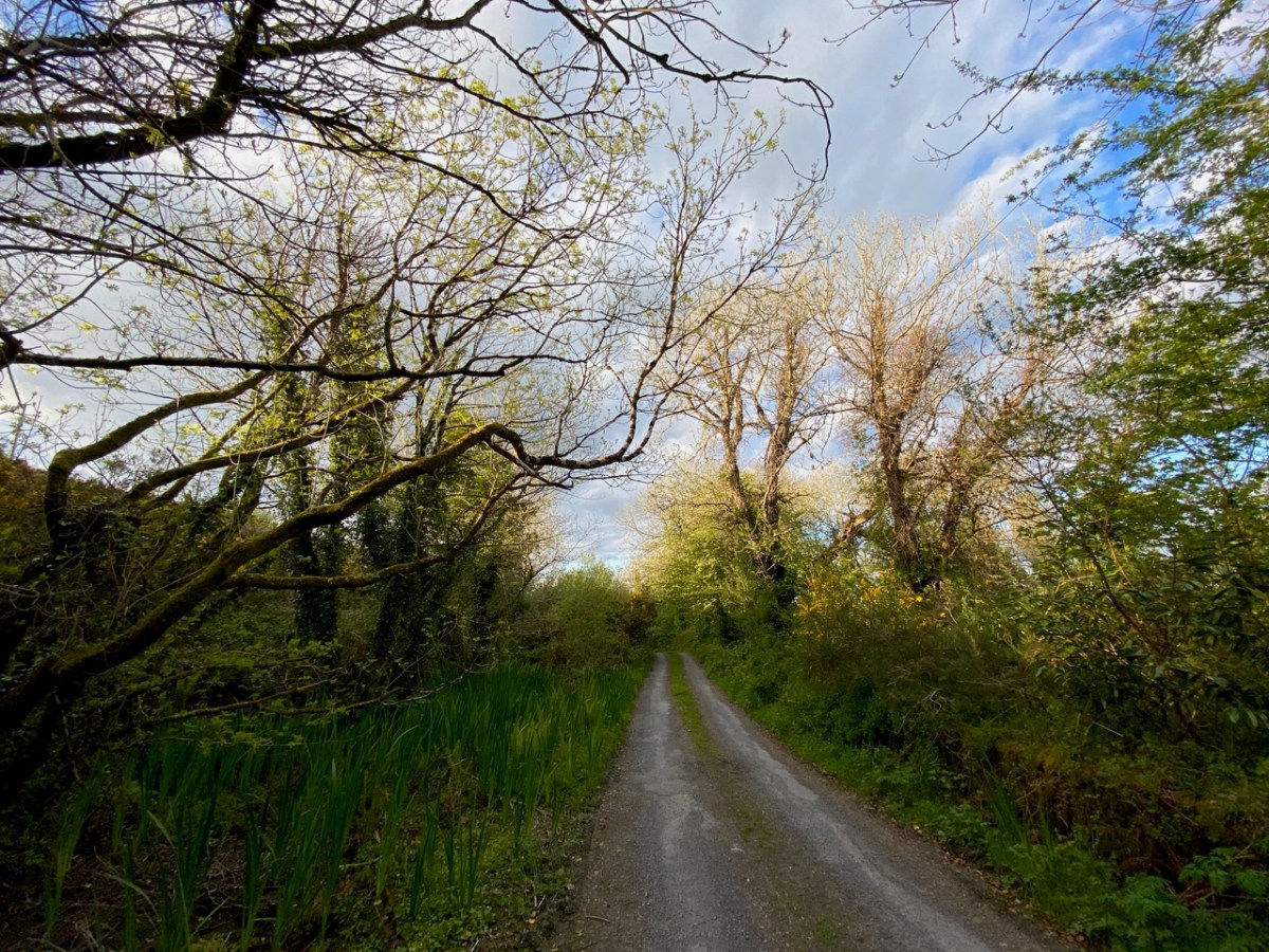
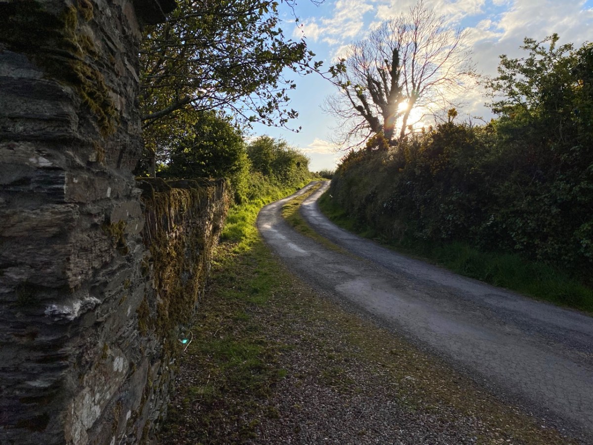
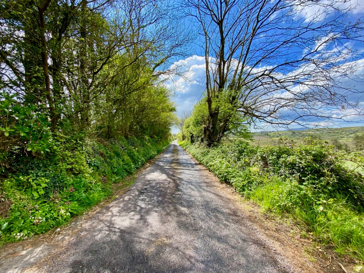
You’d think we would know every centimetre of West Cork by now… Of course we don’t! But we do like a challenge so, on occasion, we will follow a whim and deliberately go off main roads and randomly follow the smallest lanes. We invariably find ourselves emerging at places we know, but the journey along unfamiliar ways is always worthwhile. I thought that this week I will treat you to just such an exploration – in fact it’s a few explorations: I’m not going to tell you where any of the pictures is taken. You will travel with us and open up many new vistas (hopefully), just to give you a taste of the boreens, which you can also find for yourself when you come and visit – unless you are fortunate, as are we, to live here already.
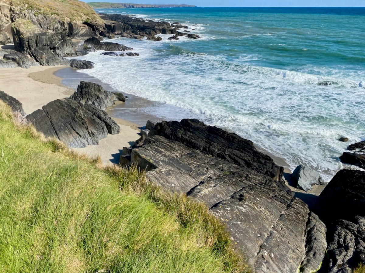
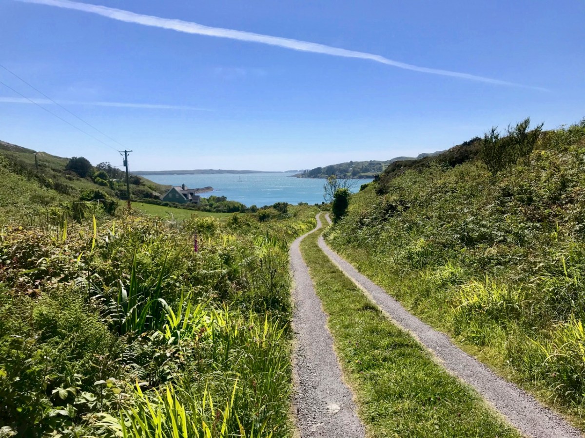
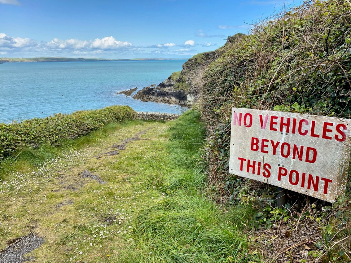
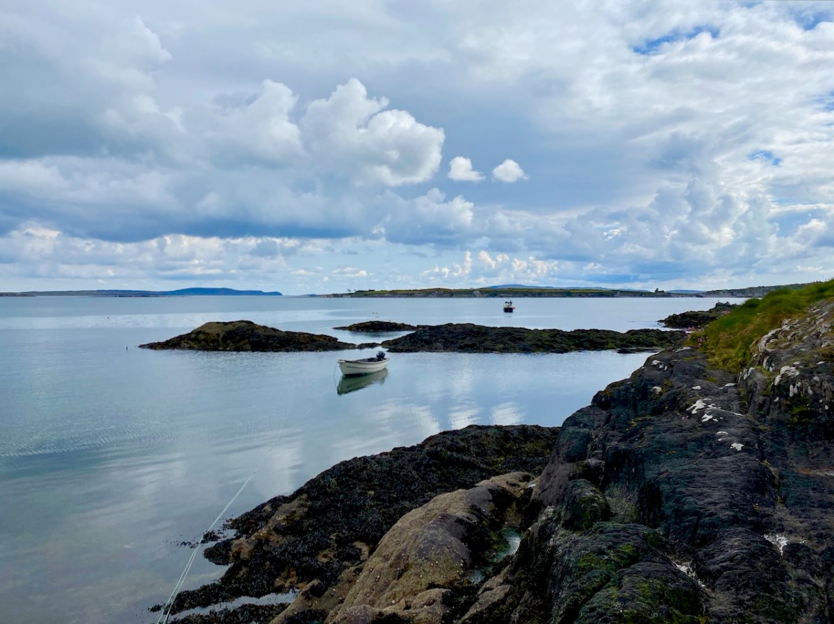
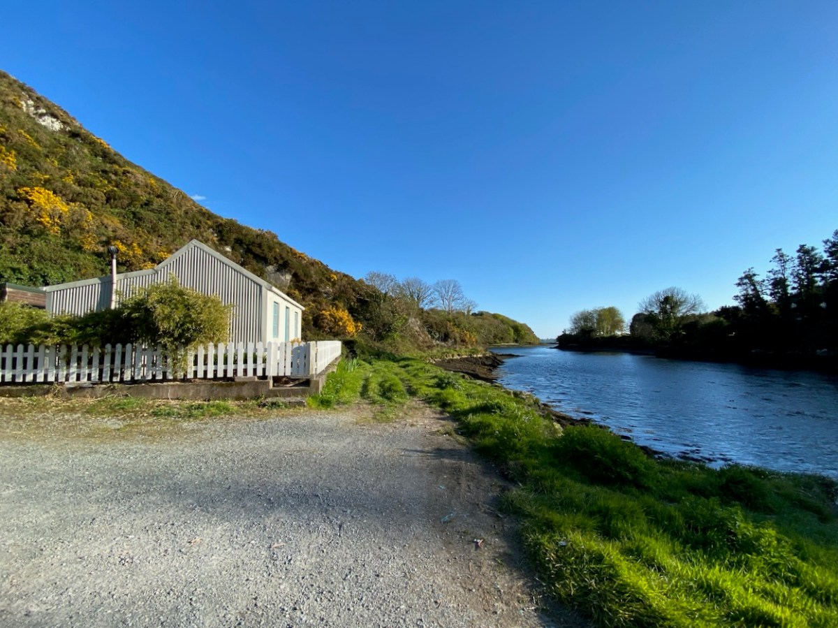
Wherever you are in West Cork, you will not be far from the sea – and there’s seldom a view which doesn’t have at least a silver horizon or a glimpse of water which is so brilliantly hued at the moment under our clear spring skies. We have taken to following the smallest of lanes which lead down to a dead-end at some little inlet, bay or remote pier along our coasts.
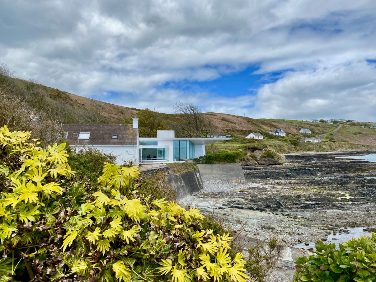
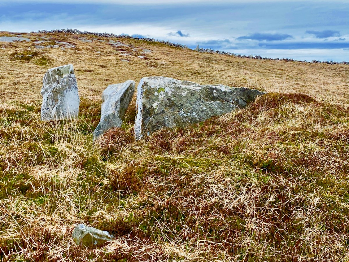
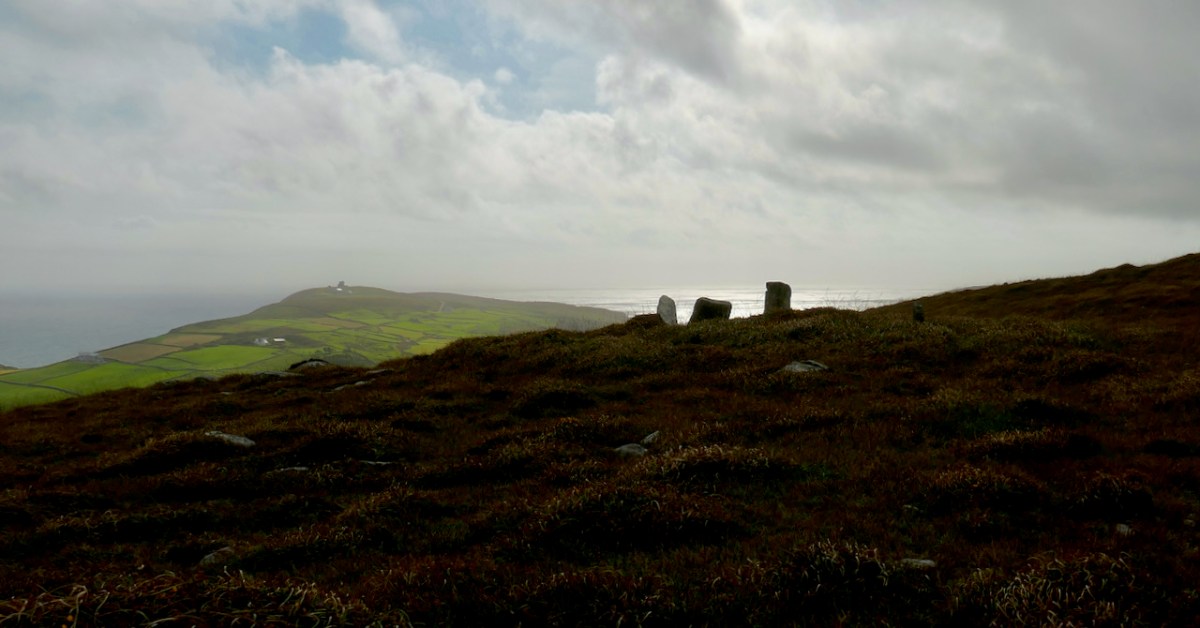
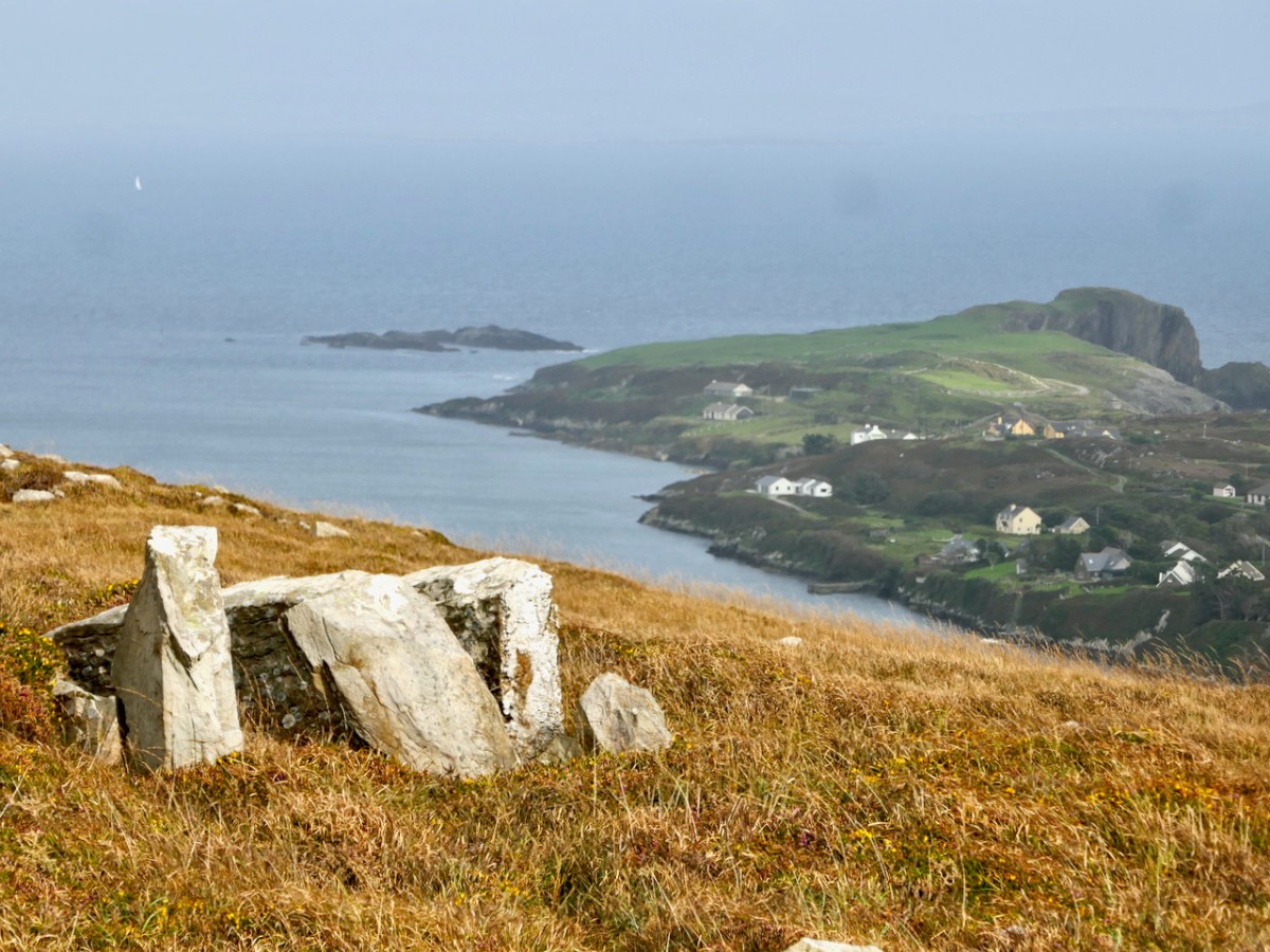
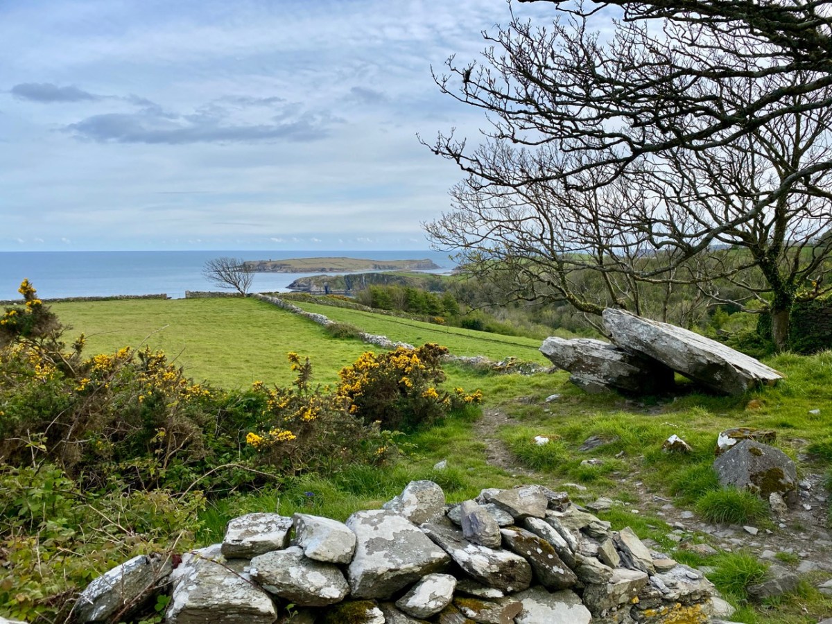
As a retired architect, I was delighted to find this modern gem at the very end of a cul-de-sac, a long way off the beaten track. An extension to a traditional house, it is right on the water’s edge: a spectacular location. I researched the building, and found that it was designed by Níall McLaughlin Architects – London based, but with obviously Irish roots. Below is a piece of architecture a few thousand years older, a possible passage grave, on the far end of the Mizen – equally spectacular and with a dramatic view.
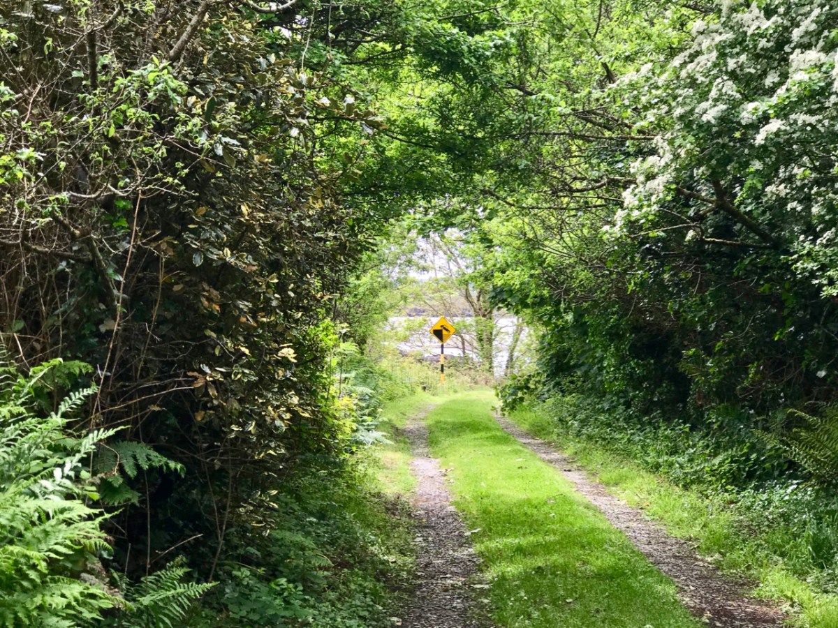
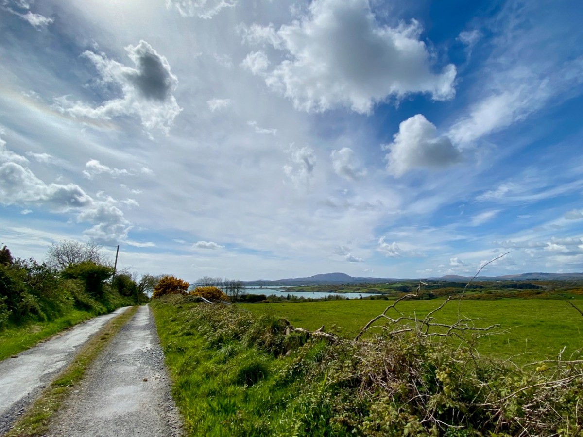
Not every byway discovery is as memorable as some of these examples: just a lane lined on each side with natural hedges can be inviting in its simplicity – and could be hard to find again!
Often it is important, of course, to know where you are going – and to find your way back. The latter is seldom a problem, especially with boreens which have an obvious end.
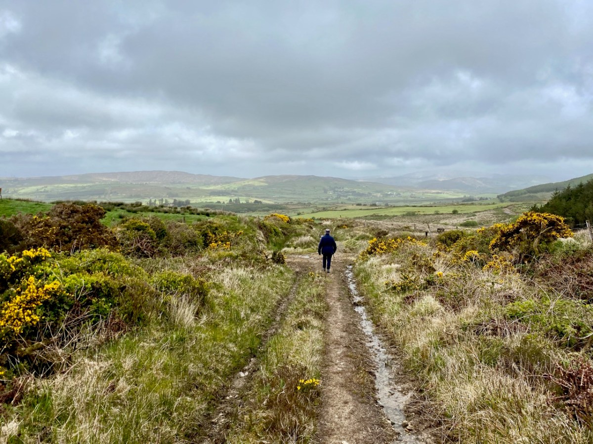
Sometimes you have to leave the car behind and explore the tiniest of trackways: we know them as ‘grey roads’ on the map. Finola uses the term ‘Tis a grand road’ quite frequently, as the mud sticks to our boots and progress becomes slow.
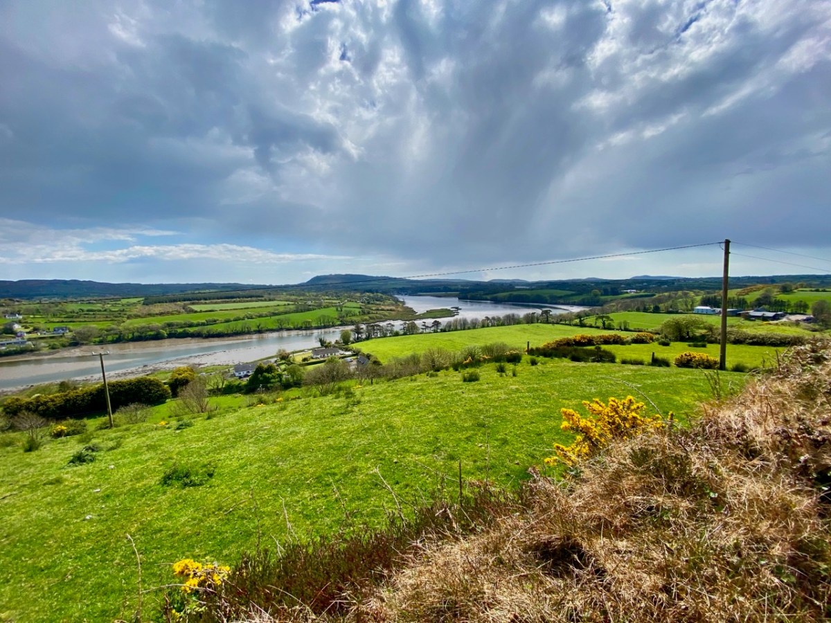
I am pleased when we come to the top of a small rise and suddenly find we have a wide view set out below us. On this occasion (above) we were presented with an unexpected prospect of the Ilen River in its broad tidal reaches before it becomes a true estuary. Of course, there are many moments when the view revealed to us is no surprise, as we have trodden so many paths so many times.
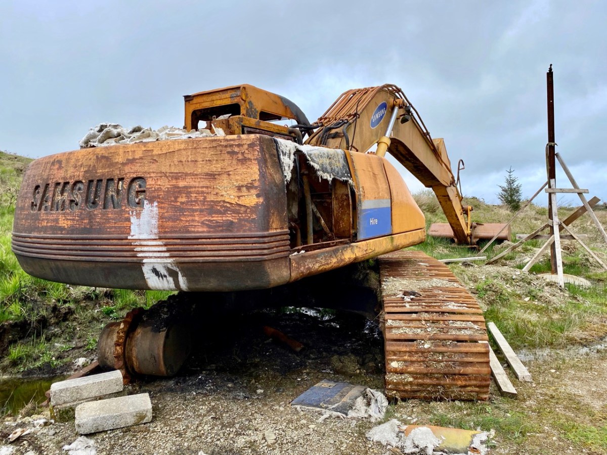
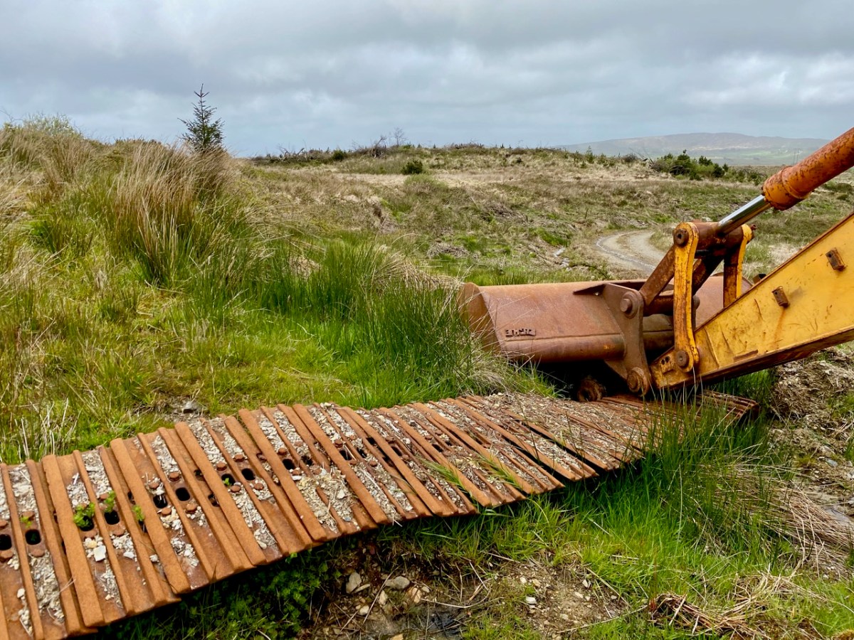
There have to be some contrasts in our travels – and some curiosities. Here, not too far from home, we were presented (below) with the answer to ‘where do all the old rock-breakers go’? We have lived here long enough now, to be familiar with the constant sound, day and night, as landscapes are broken down and smoothed off in order to ‘improve’ pasture for the farming industry: it’s a conundrum for the archaeologists among us who can see the danger of ancient history written on the land being swallowed up in the name of progress.
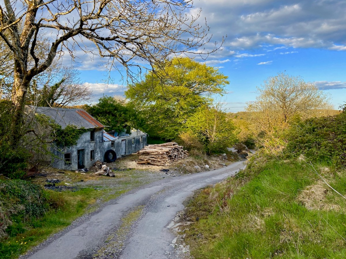
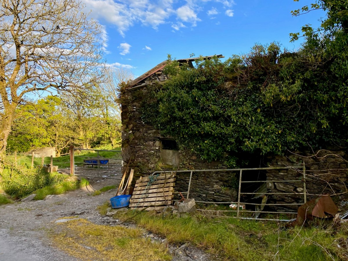
There is still so much history which remains visible, of course. This (below) was a thriving established village not too far from here dating from pre-famine times. It once had a church, a shop, two schools, mining, and maritime related industries. Now all are gone – or in ruins – and there is barely a family living in the area.
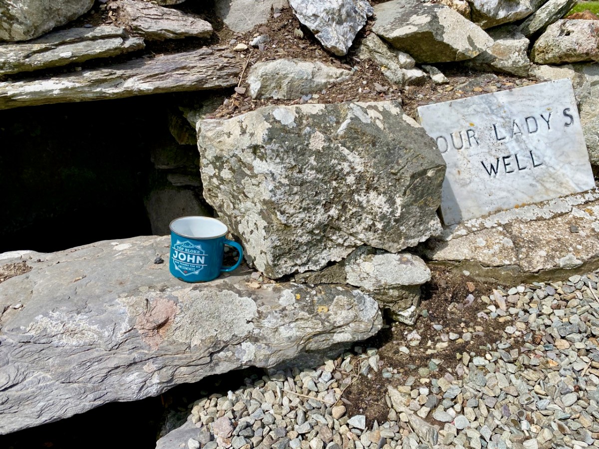
We are always delighted to discover spots such as this (below): again, a long way from any main road and right out in the middle of nowhere – yet a site which is immaculately maintained and celebrated. Note the ‘Top Bloke’ cup…
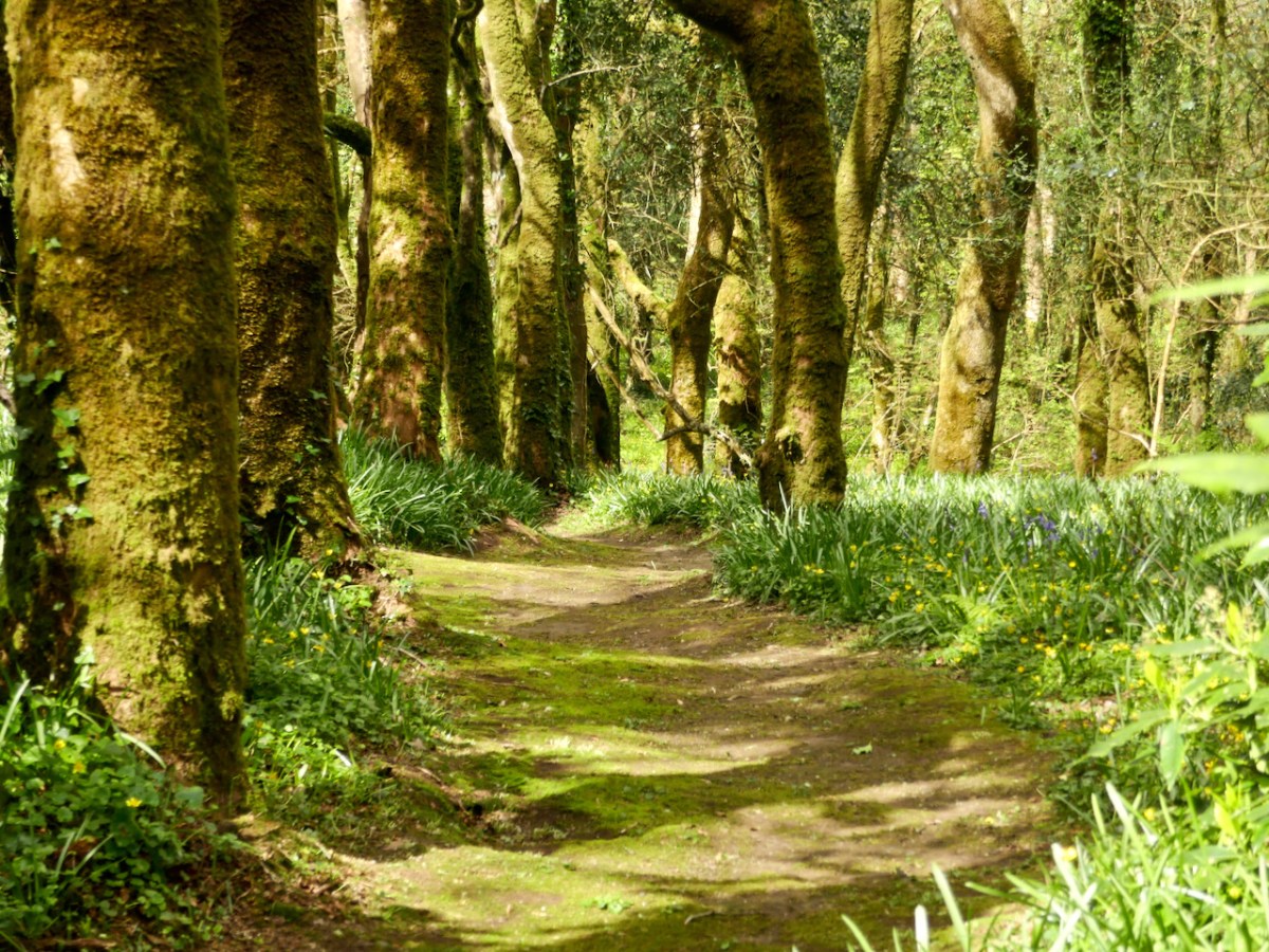
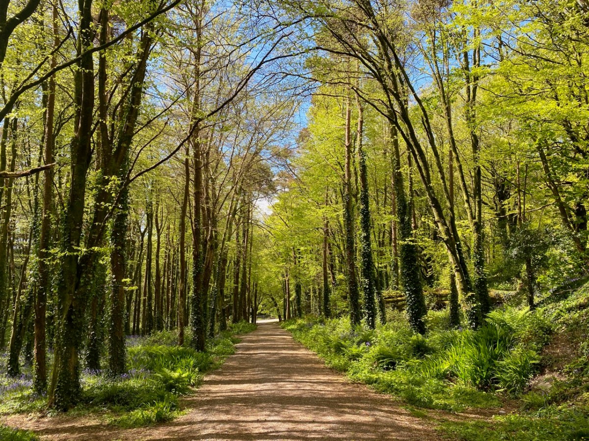
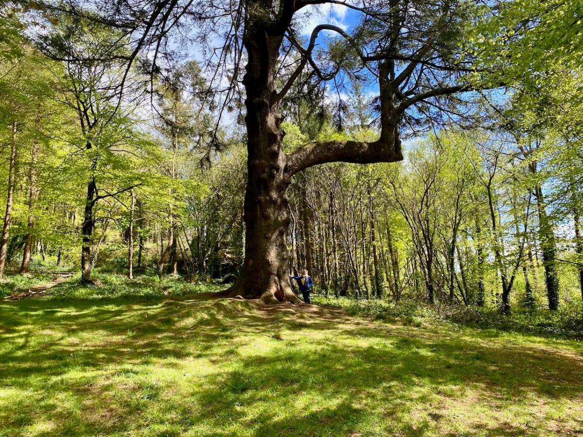
This post could go on forever. I have so many photographs of boundless boreens, captivating seascapes and intriguing sites – enough to revisit the subject in future posts. Let’s close with a woodland walk which is on a West Cork demesne, and open to all: at this time of the year it is magnificently decorated with all the spring wildflowers and vivid young shoots creating a green cloud in the tree canopies.
Drawn by the lure of sea-arches, we visited Lackavaun this week. Wild, remote and uninhabited now, but it wasn’t always so.
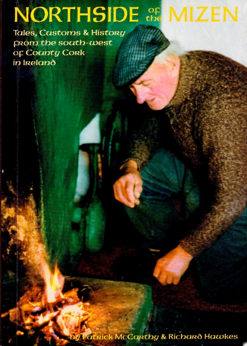
We’ve written before about Northside of the Mizen by Patrick McCarthy and Richard Hawkes, with illustrations by Thelma Ede. Published in 1999, it’s still available. I am drawing on this book for information about Lackavaun, with gratitude to the authors for all the work that went into this marvellous compendium of Tales, Customs and History.
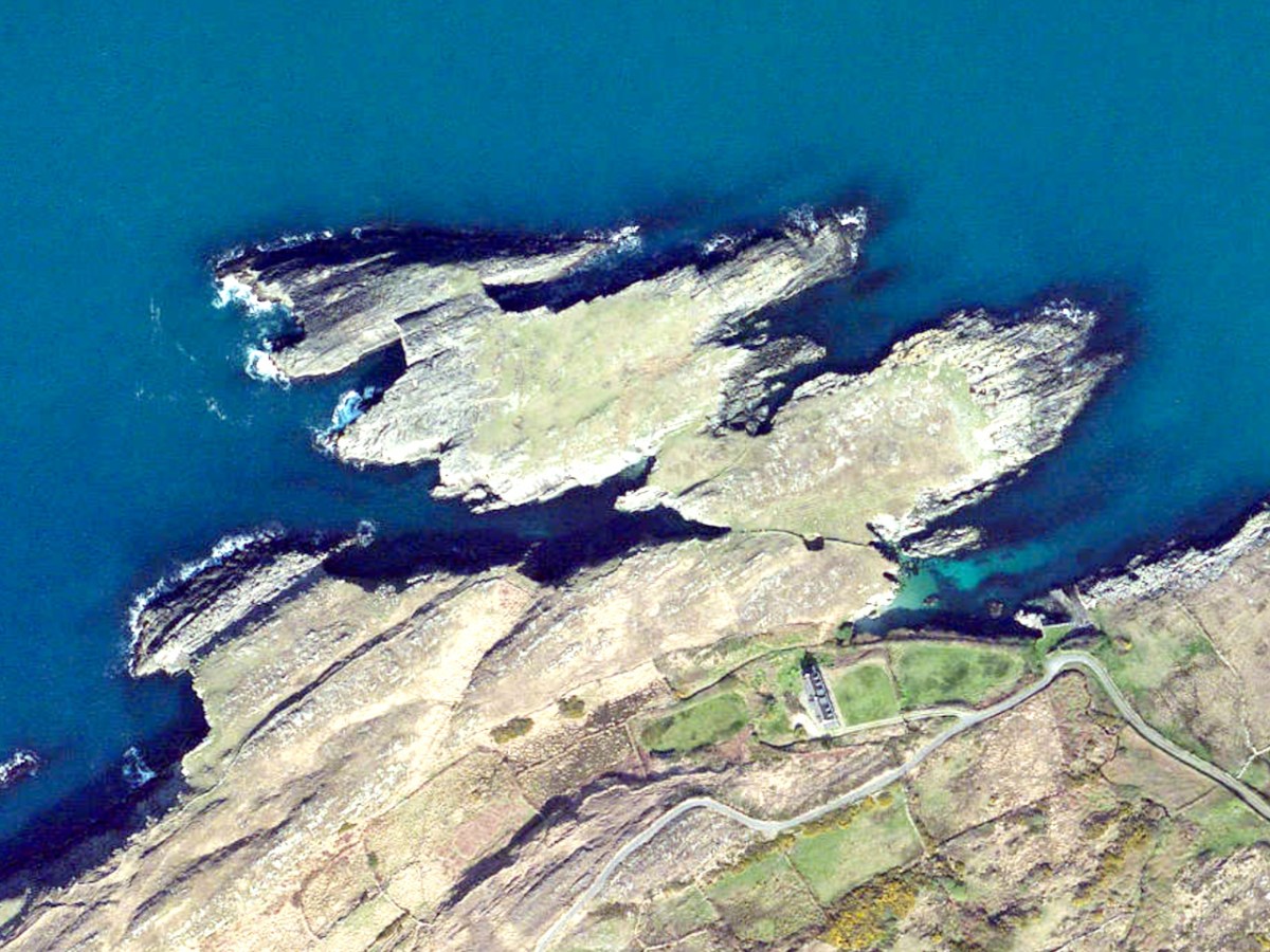
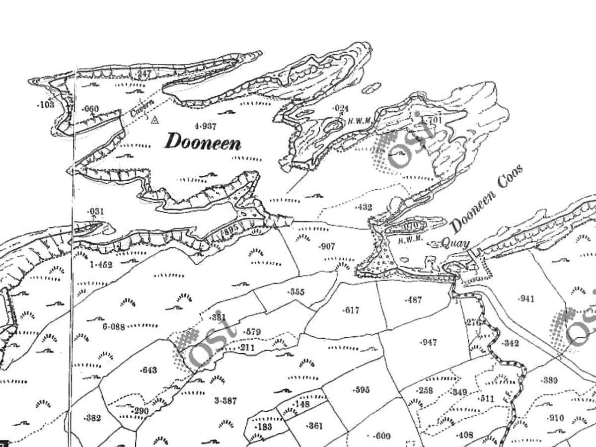
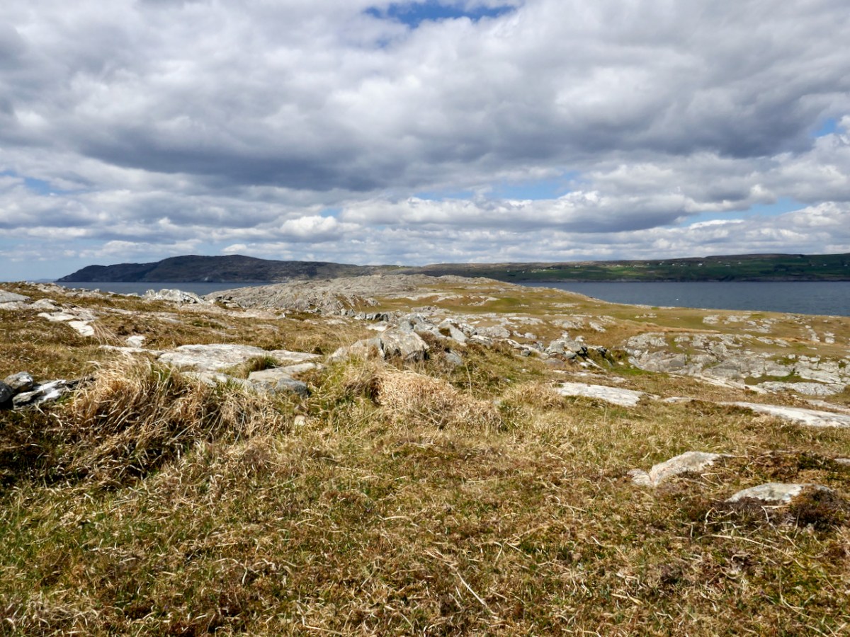
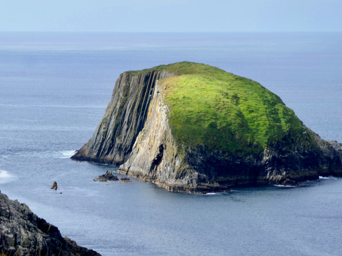
As you can see from the map, the main feature of Lackavain (leaca bhán – white slabs) is a rugged and bare peninsula. Not very promising, you might think. But see that sheltered spot on the south-eastern end – a grand place for a little quay. It was used for many purposes – fishing, of course, but also for getting to Bird Island. And even though there are no houses on the peninsula now, and none on the historic maps, we came across evidence of cultivation, in the form of potato ridges.
The peninsula we explored, with good friends Con and Una, was traditionally known as the Meallán (pronounced mal – awn, meaning a small knoll). It is also labelled Dooneen (Little Fort) on the historic 25inch map, and the harbour Dooneen Coos. This is rendered as Doonleen on the Historic 6inch map, which looks like it might be a misprint, since there isn’t a sensible translation. Northside doesn’t use either of those names.
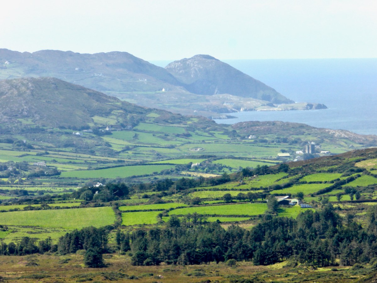
The photograph above was taken from Mount Gabriel. The peninsula we are visiting, The Meallán, in the townland of Lackavaun, is the land that projects into the sea at the top right. Can you make out the sea-arch?
The Northside of the Mizen says of this place:
The first settlers may well have been those from the Iron Age who developed the dun (promonotory fort) at Meallán in Lacakavun, the remains of which still exist. The name Dunkelly (Ceallach’s Fortress) may have derived from this fort and was the name for the whole of the Northside area in the past.
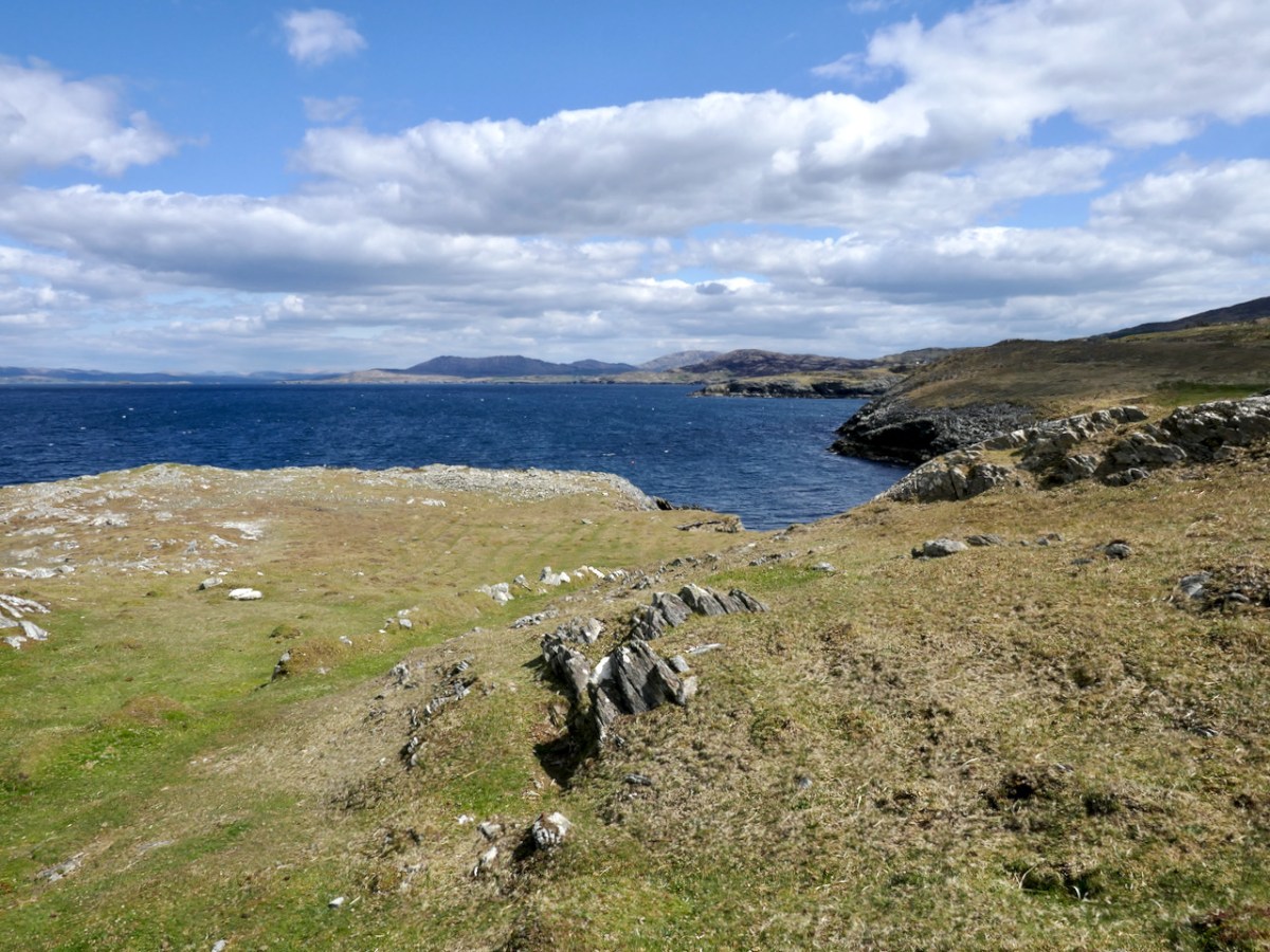
Looking out in to the Meallán – the knoll is straight ahead
This is intriguing! The name Dunkelly is nowadays reserved for two townlands to the east of Lackavaun. The Cailleach (a more usual spelling, pronounced a bit like Kye-lock) is of course the Old Woman, the Hag, the wise woman prominent in Irish folklore. This area, in fact the whole of the Mizen, is the ancestral territory of the O’Mahonys. Another family associated with this area is the Canty clan. Robert has written about Canty the Pirate and we did visit his Cove and his Pirate Steps on this occasion.
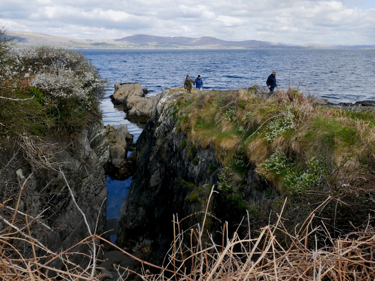
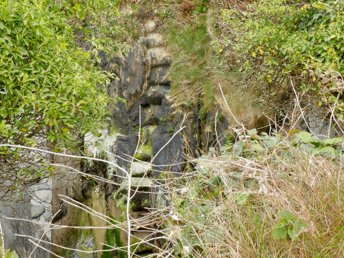
Finding the pirate steps again after a few years took a bit of searching and wandering around headlands but here they are, in all their slippery treacherous steepness
But Northside of the Mizen has another take on the Cantys:
In the early seventeenth century the Northside was recorded as being Dunkelly (Dunnekilly) and owned by the bardic O’Canty family, who were possibly bards to the O’Mahonys of Dunmanus Castle. The O’Canty’s took part in a rebellion in 1641, when they attacked Crookhaven and as a result their land was confiscated and granted to an Englishman, Sir William Petty.
Northside goes on to enumerate the population of the area – 11 in 1659, 635 in 1841, shrinking again to 291 people after the famine. By 1911 it was down to 169 souls. Very few people live there now – Northside poignantly estimates it at about the same number as three centuries ago – that is, about 11 people. Some of the houses are holiday homes and so the population rises somewhat over the summer.
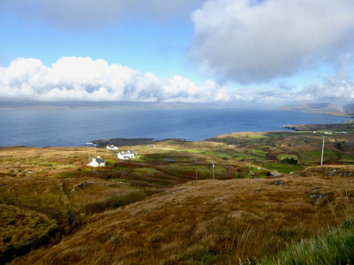
Looking down on Lackavaun from the high ground to the south, it is obvious how depopulated it is now
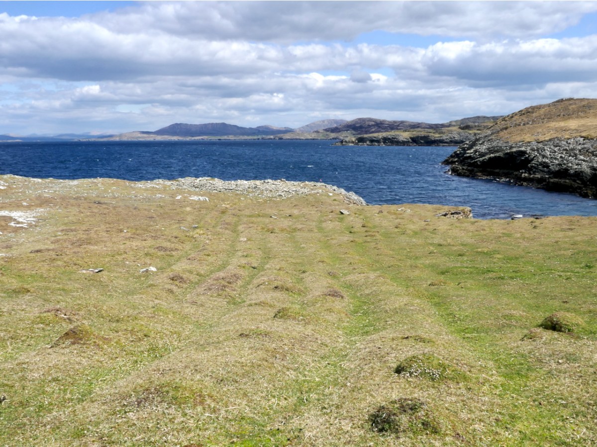
As we know, potatoes were the staple food of most people before the Famine, and this continued afterwards, when the crops recovered. We came across clear evidence of this on the Meallán, in the form of long disused lazy beds, the traditional method for cultivating potatoes in the West of Ireland. It’s impossible to know how recently these beds might have been abandoned. They could be pre-Famine but are more likely to be more recent than that. None of the historic maps show any dwellings on the Meallán itself, so this was a patch to which people came specifically for this purpose, probably building up the soil over generations with sand and seaweed.
The parallel ridges are the tell-tale sign of former potato ridges, known as lazy beds even though they were labour-intensive
Northside has much to say about the practices, and the vocabulary, of potato growing, beginning in February with the Ridge of Graf.
In the first week of February you would begin on ‘the Ridge of Graf’ lazy bed system using a dry, sunny and sloping ground to give an early crop of potatoes. The ‘Ridge of Graf’ system, although hard work, would give you up to 3 times more crop than setting potato seed in a drill. A good supply of manure was used and you would use stable manure (horse or donkey) as it was said it had a better ‘heat to it’ then yard (cow) manure. The stable manure was spread on to the grass and the seed potato placed on top. This was then covered with the sods, cut with a grafán to open a trench on each side, of 18 – 20 inches. This gave you a ridge of about three feet. Soil from the trench was then put up on the ridge. This was called ‘the first earth’. The last shovel of earth from the trench was put up against the edge of the ridge, and with a good pat from the back of the shovel the grua (side of the ridge) was made.
Each tool had its own name and function. The potato spade was inserted as deep as the bucán, or foot rest. The seed potatoes, or sprouters, were covered in earth using a farraheen to fill in the holes.
Around this time of year – the start of May – the little quay was put to good use and local boys and men took a trip to Bird Island.
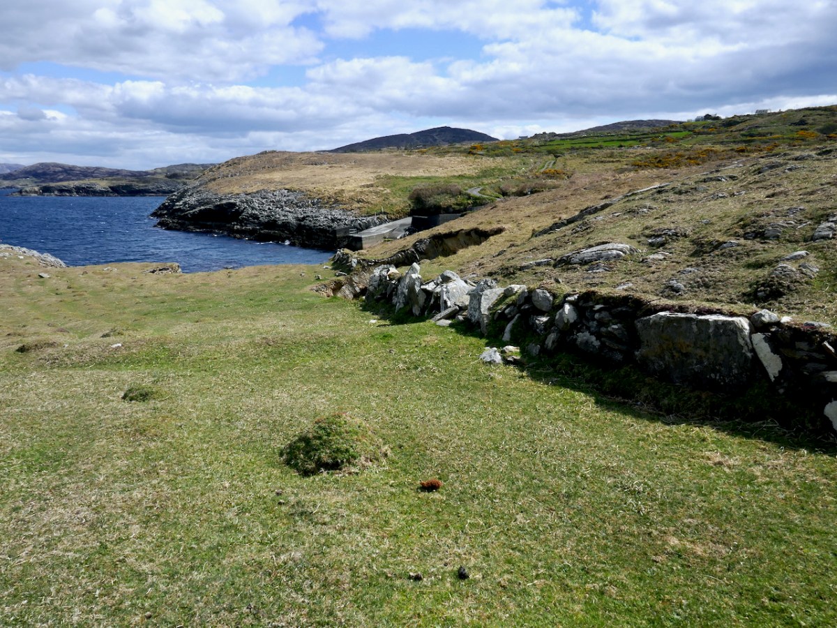
The quay, and an old field wall – impossible to say what period the wall belongs to
This was a tricky island to get on to, there was no landing place and it could only be attempted in calm weather. The first trip was to collect the eggs of the cóbach (the Black-backed Gull). Once ashore, the men attached ropes to iron bars which had been driven into the rock faces, and climbed down the cliffs to gather the eggs.
With the cóbach going mad, it was a tricky job to pull yourself back up with a hand basket and your pockets full of eggs, and often you would end up in a sticky situation!
I get vertigo just looking at the picture – can you imagine collecting eggs from those cliffs?
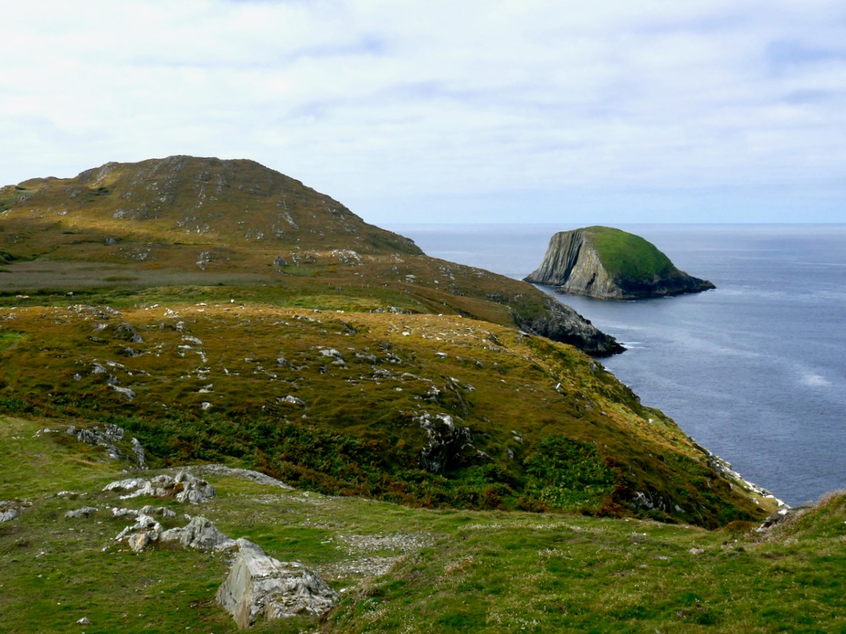
The second trip to Bird Island was to take sheep there for summer grazing. This happened once the Scairivín na gCuach was over – the ‘cold wind of the cuckoo’ that lasted a week or two (it’s happening as I write this) and was generally seen as the last gasp of winter. That’s Bird Island below, this time seen from the west.
It was a great day for the young and fit lads, and at least three would have to go. Fifteen sheep were taken from Canty’s Cove at Dunkelly or the pigeonholes (Cuasnacolúr) on the south side of Meallán. Getting off at the island was a different matter and you needed a still day, as to get up onto the island, even with a gentle heave, was anything but a joke without a landing place. Once you had a man up, a rope was used to haul up the sheep. In the passing of four months on Bird Island the sheep would be as fat as pigs and as wild as the sea around them. It was the very devil to get them off again. By the time you had a brehóg of sheep in the boat, you would be sweating buckets!
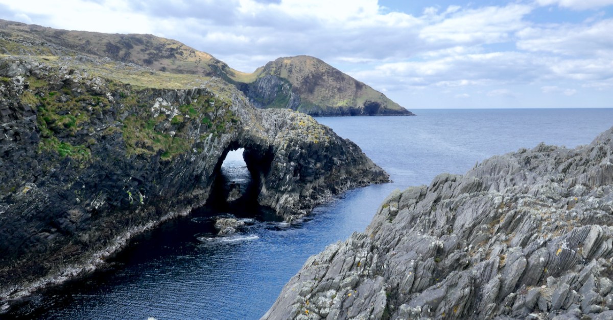
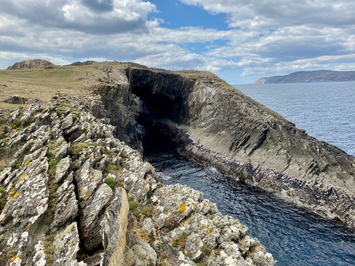
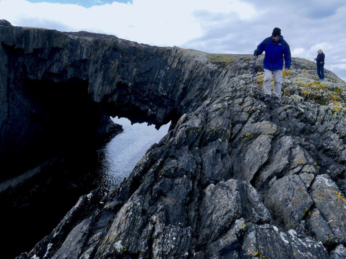
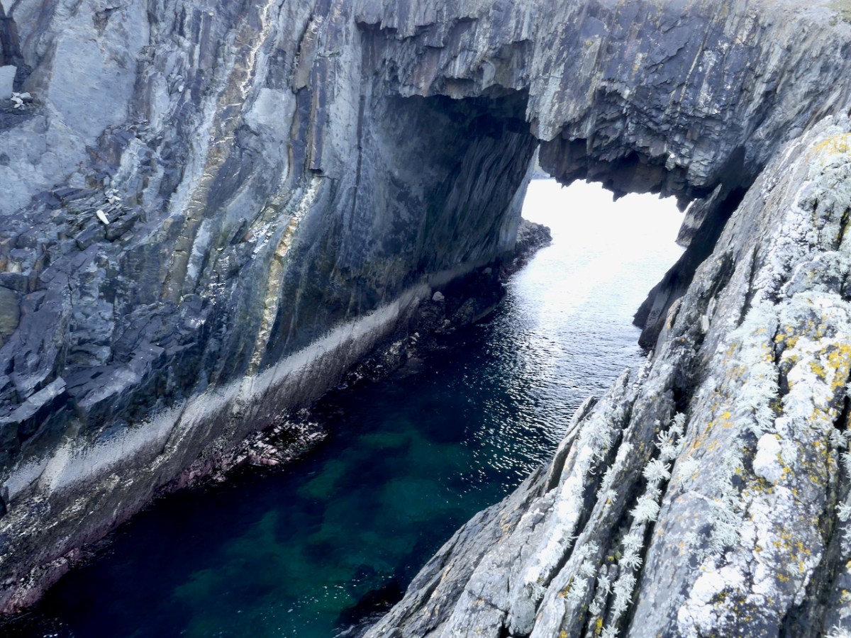
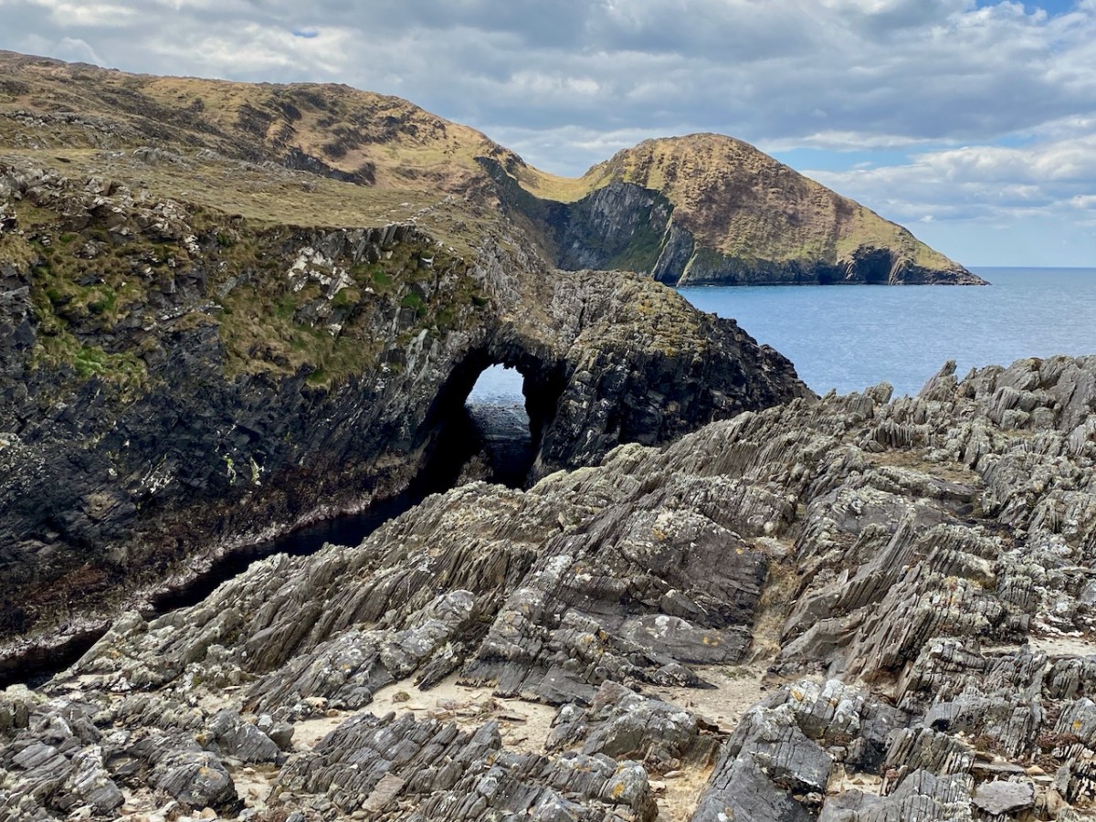
But what about the reason we went there in the first place – those sea-arches? It’s an indescribably eerie feeling to stand on one and see and feel the sea heaving below you.
Your head knows that the chances it will give way under you are minuscule, but it feels dangerous and thrilling nonetheless.
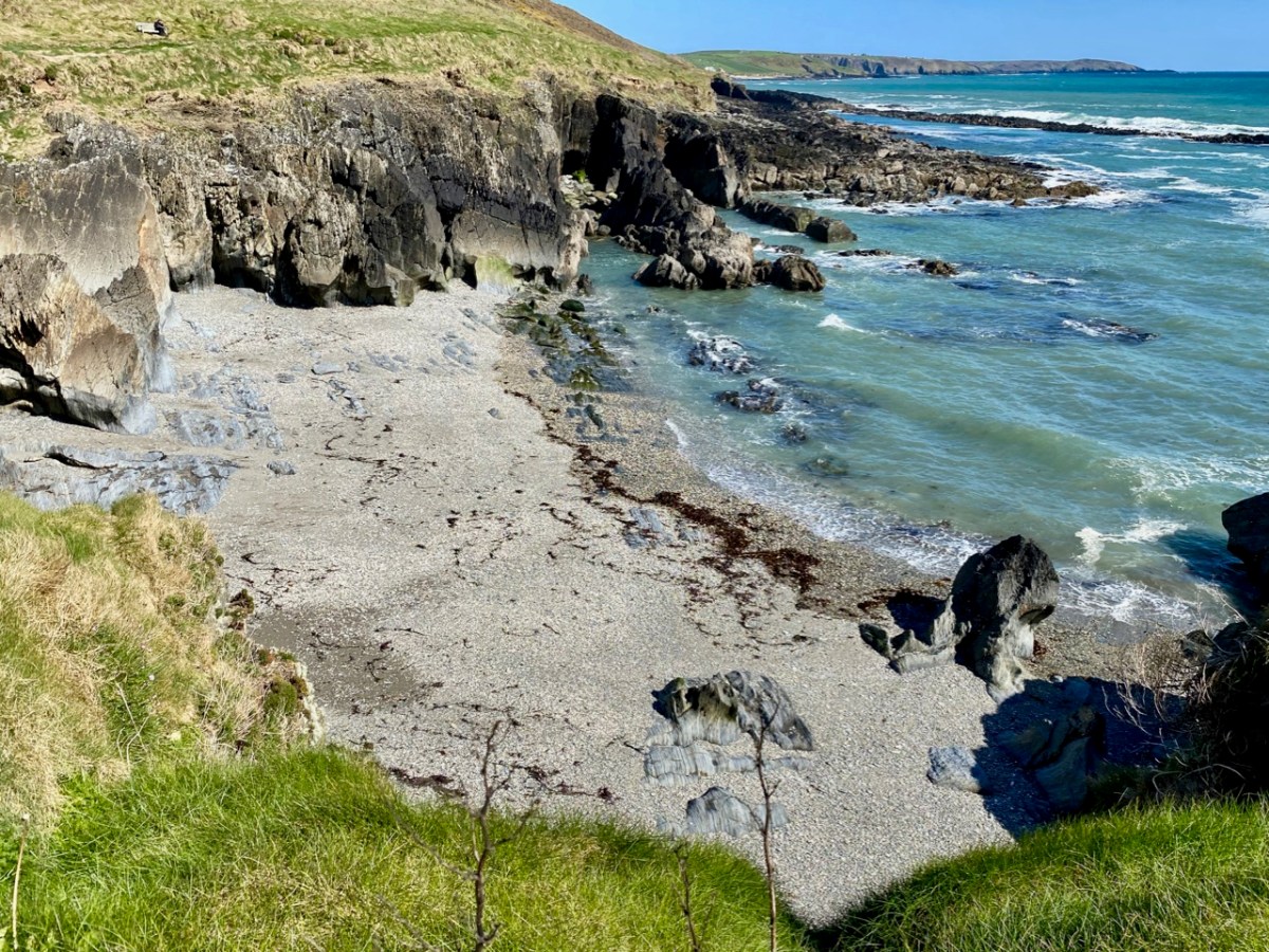
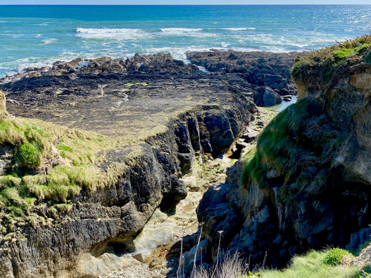
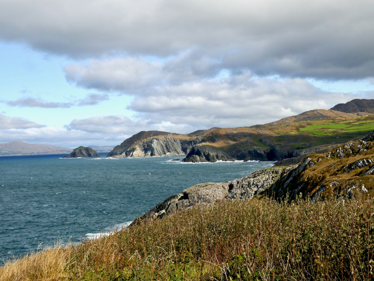
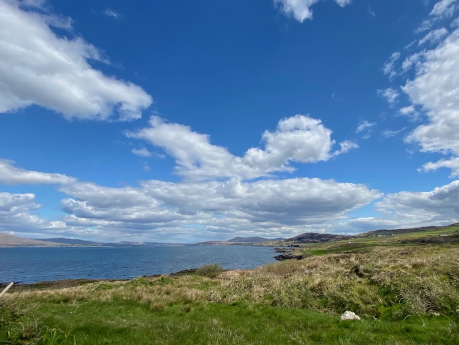
There’s a small sea arch of more recent vintage on the east end of The Meallán, near the lazy beds – you can see the land has collapsed relatively recently. And yet a third on the mainland just west of the Meallán – equally as spectacular as the one we crossed over (above, and the lead photograph). From all points there are amazing views up and down Dunmanus Bay and across to the Sheeps Head.
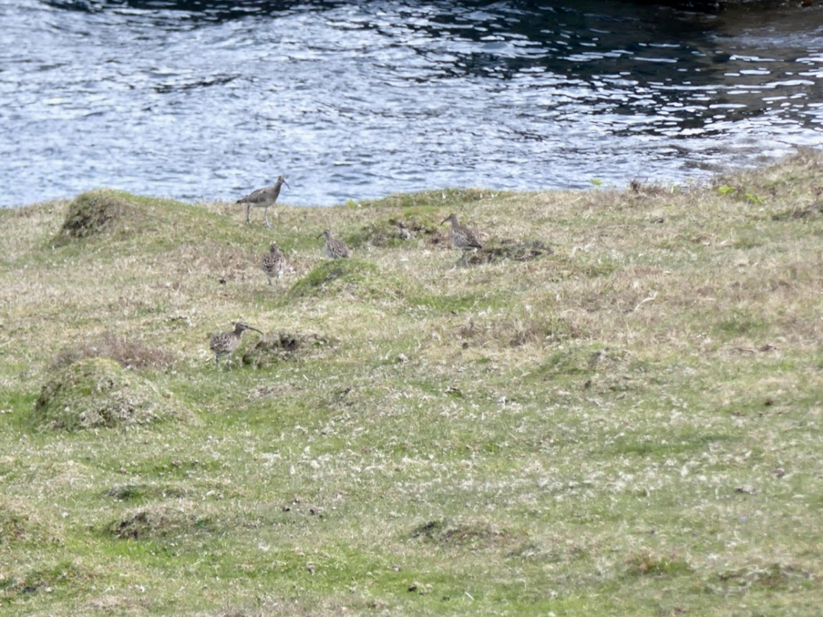
But perhaps the most special sight of all was Con’s discovery of a nest with three eggs. Una had spotted what we thought were curlews – they had flown up right in front of her as she rounded a ridge, and we reckoned there were six of them. They’re well disguised in the picture below. But – read on. . .
Ireland has lost over 80% of our curlew population since the 1970s and it felt apt, somehow, on this wild and uninhabited corner of the Mizen that they were trying to hang on. Una reported the sighting, but the expert opinion turned out to be that what we saw was actually the nest of an oystercatcher or whimbrel – much more common and not endangered at all. The ‘curlews’ in the photo above are also more likely to be whimbrels – curlews don’t flock in May but the similar whimbrels do. Disappointing!
The Meallán can’t be more than a few acres – but what a place!
Welcome to the UCD Library Cultural Heritage Collections blog. Discover and explore the historical treasures housed within our Archives, Special Collections, National Folklore Collection and Digital Library