The Luxuriant Gardens of Bantry House

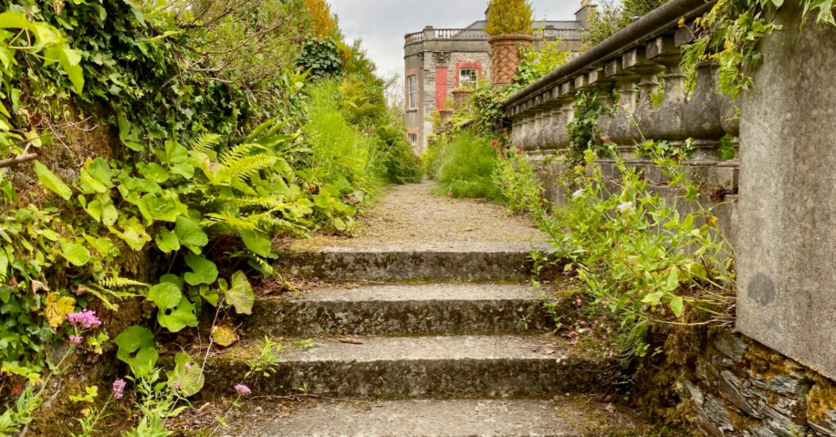
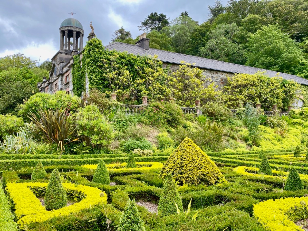
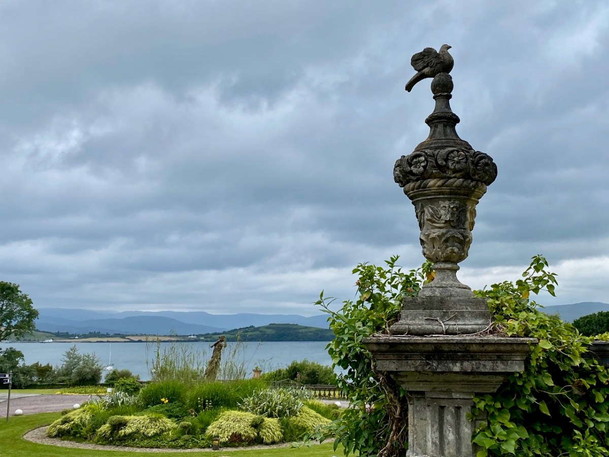
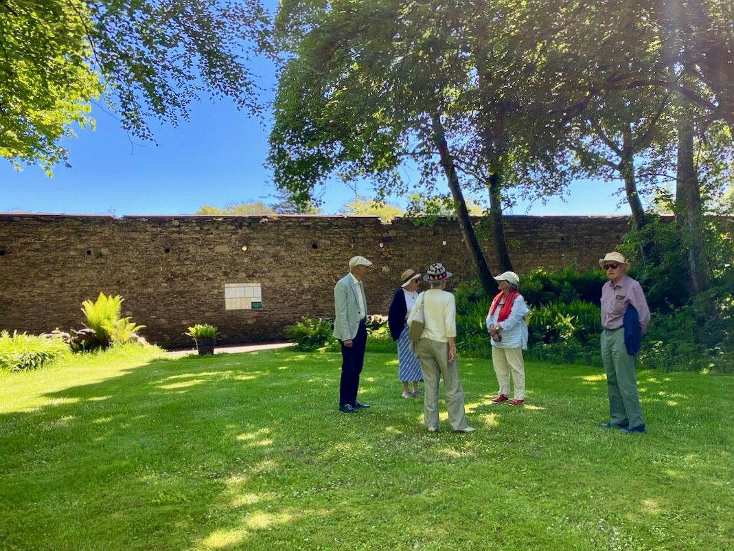
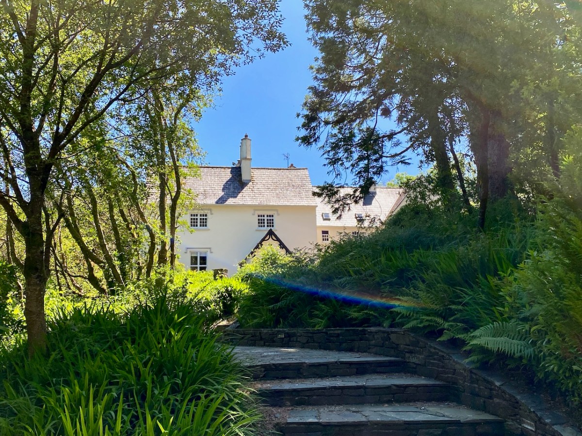
Pandemic days can be well spent in West Cork. Visit Bantry House: for a small fee you can walk around the extensive gardens all day, pausing en route to partake of more-ish refreshments from the Tea Kitchen. There’s ample room to socially distance; panoramic views out to the Bay – and plenty of history to absorb.

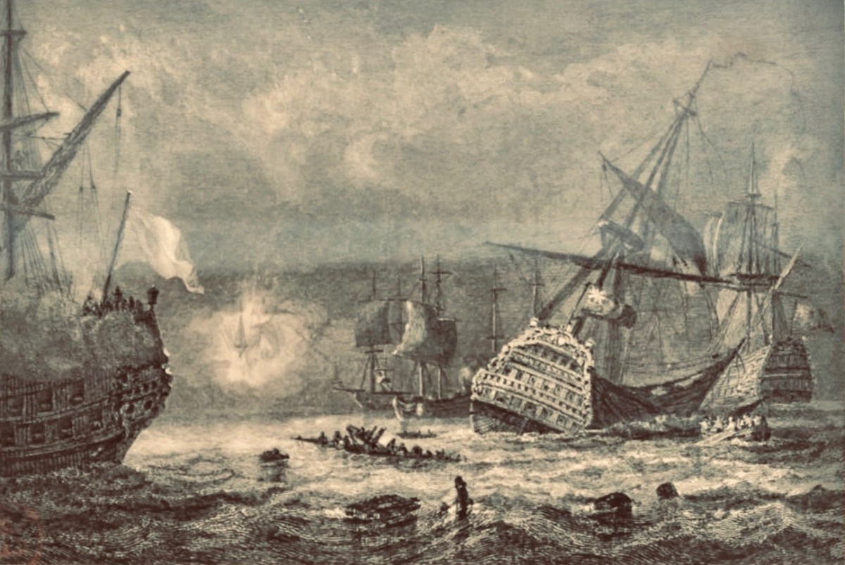
On 11 May 1689, the Battle of Bantry Bay was fought between the French and British forces (above). It was inconclusive, but considerable damage was suffered by both fleets.

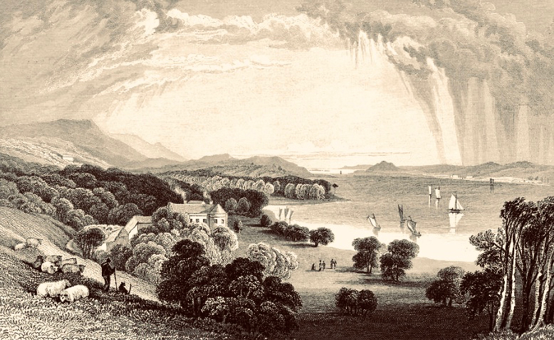
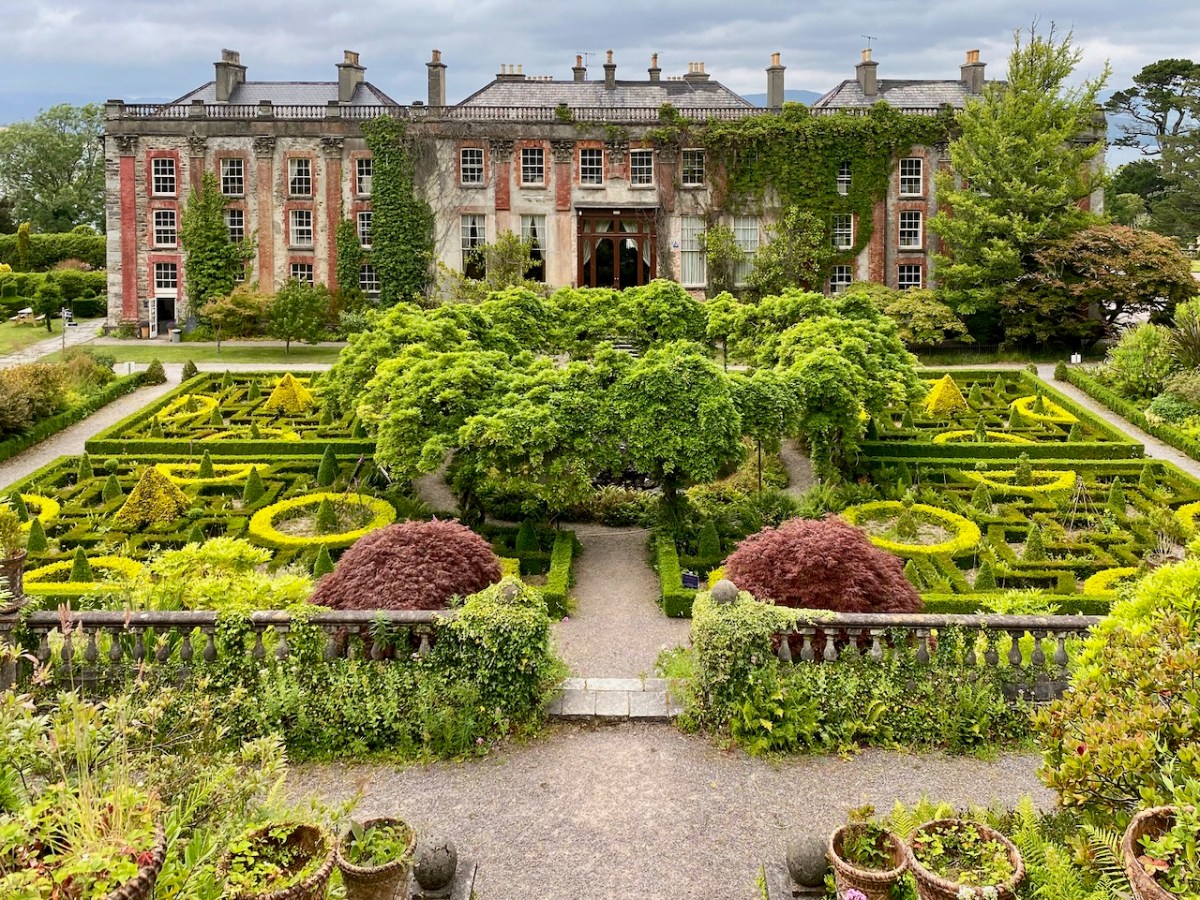
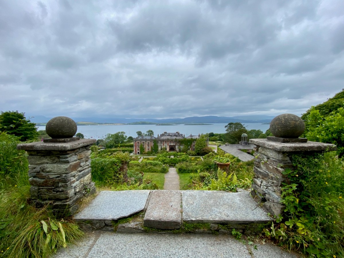
Originally a farmhouse known as Blackrock, the property was built by Samuel Hutchinson in 1710; it was purchased by Captain Richard White of Whiddy Island in the 1760s. His grandson – also Richard – renamed the house Seafield, and witnessed an engagement between the French and British forces in the Bay in 1796. He became the first Earl of Bantry and his eldest son – another Richard – extended the house and laid out the grounds more or less as we see them today (here is a post from Finola narrating a visit to the house in pre-pandemic days). The idyllic view above dates from 1840, around the time of the renovation and landscaping work.

More naval activity in Bantry Bay can be seen in the background of the above photograph, dating from the first decade of the twentieth century.

. . . For eight days past, the mammoth battle ships Bellerophon, Lord Nelson, and Agamemnon have been manoeuvring in Bantry Bay, between the Roancarrig Light and Whiddy Island. The thunder of the big 12-inch guns can be heard at immense distances, and electric and searchlight displays may be witnessed at night from places far inland . . .

Southern Star, 27 March 1909

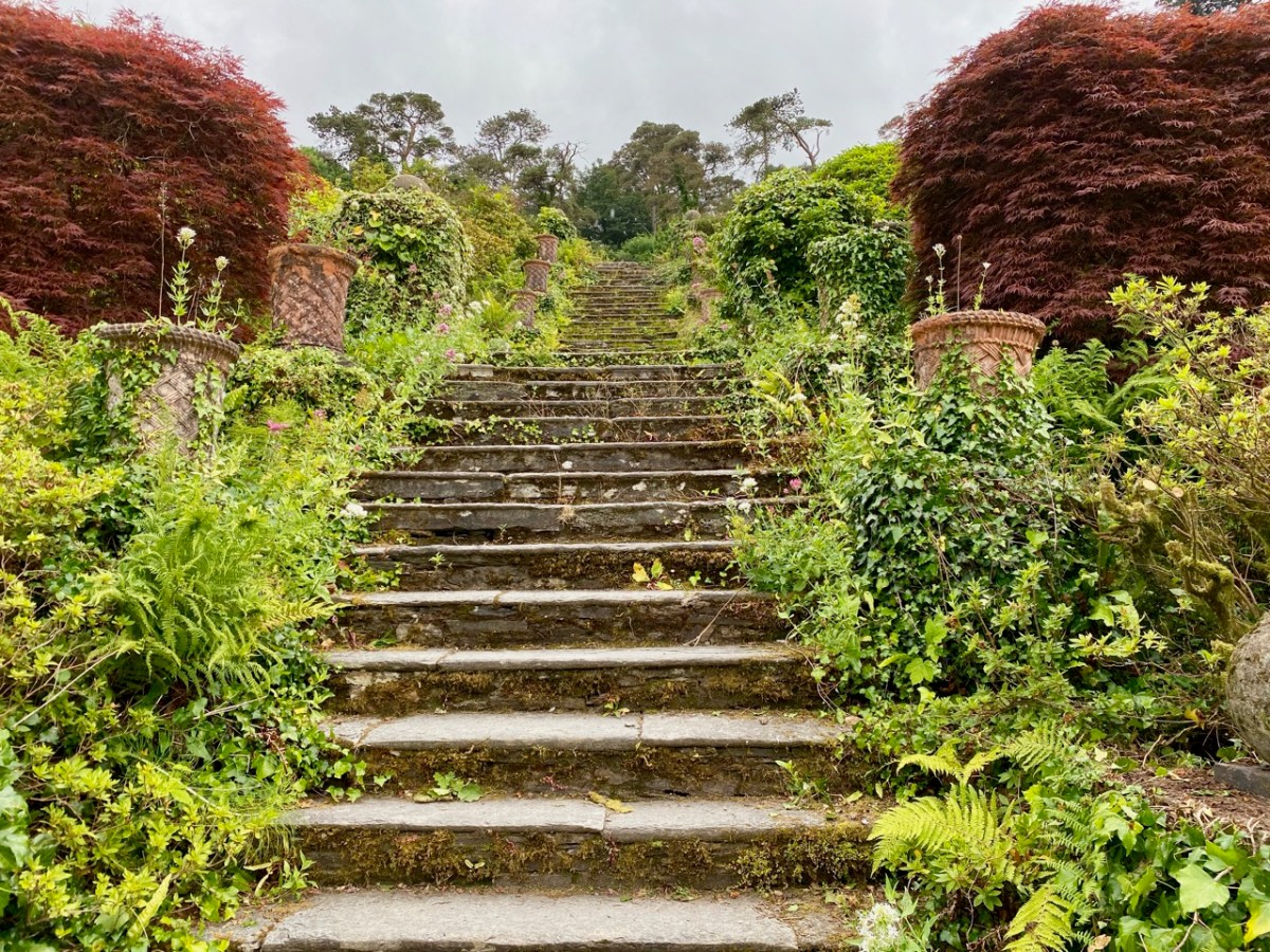
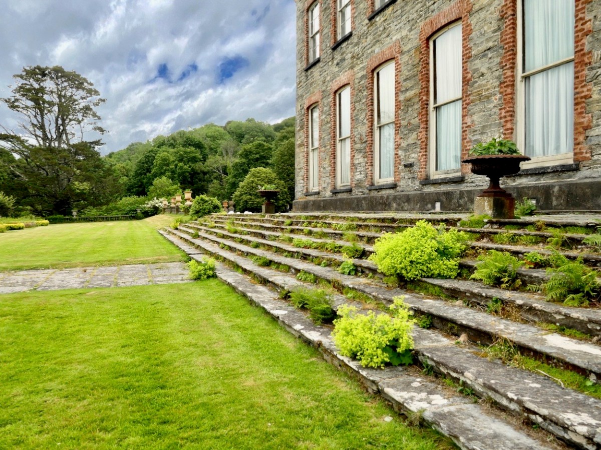
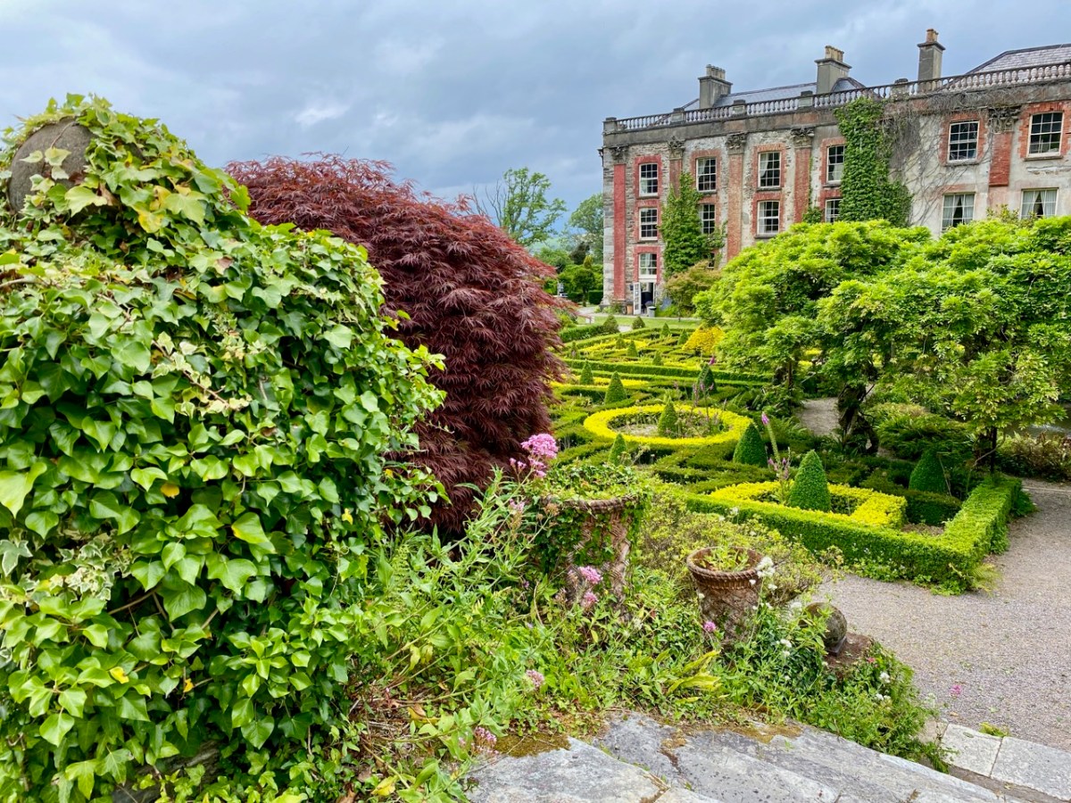
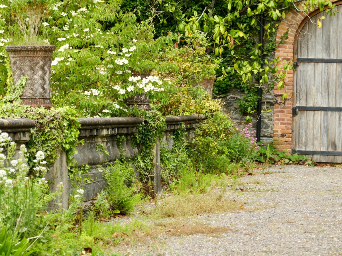
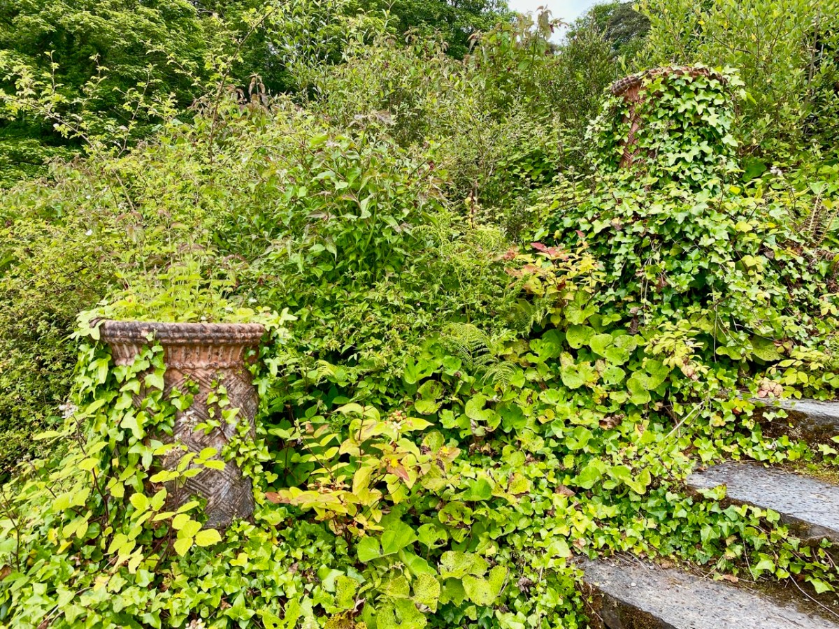
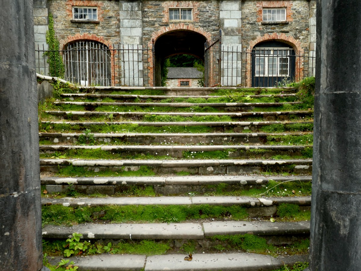
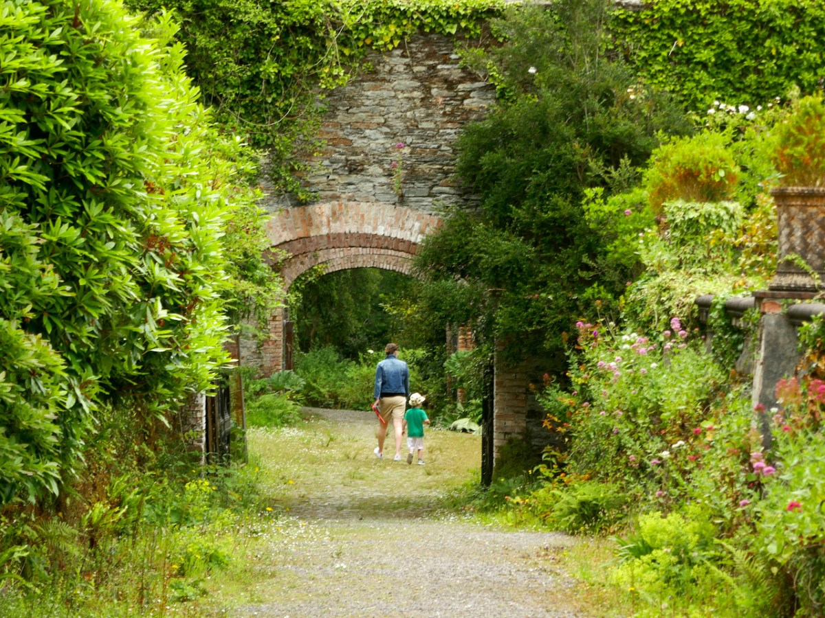
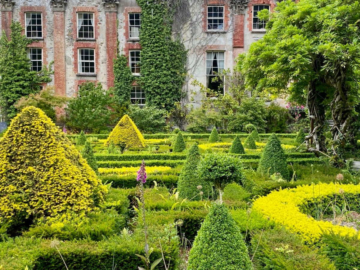
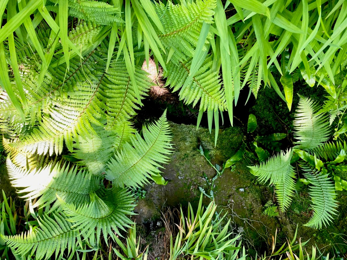
The fortunes of Bantry House have varied during the last hundred years, but it remains in the ownership of the descendants of the Whites, and has been opened to the public since 1946. Now a very significant tourist attraction, the property has eased itself into the 21st century and can be seen today pursuing a laudable philosophy of encouraging the grounds to support informal wildflower spread and natural habitats within the previous strict formality of the terraced gardens laid out by the second Earl. In our view, this approach is highly successful and in fact softens, complements and enhances the mature house and its setting of terraces, steps, courtyards, paths and woodlands. It also provides excellent habitats for pollinators and contributes to a more sustainable world.

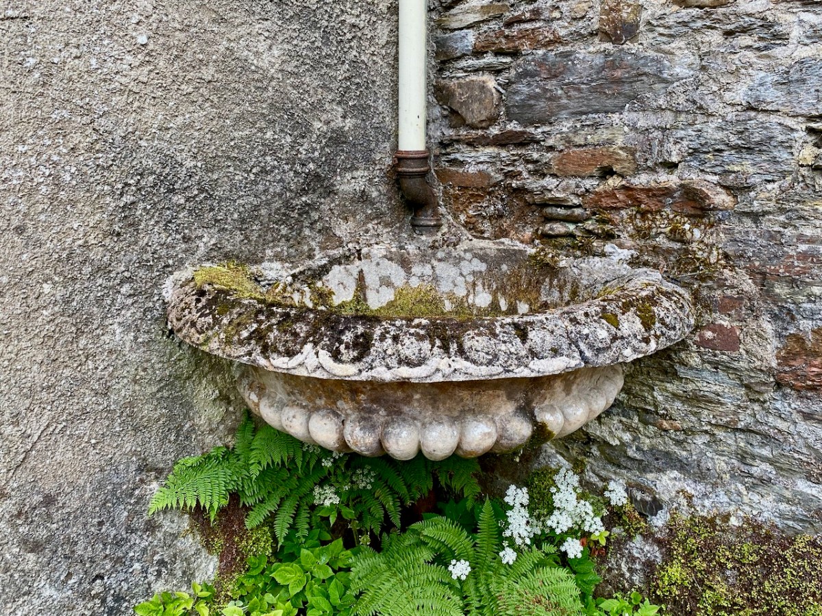
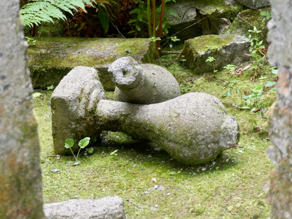
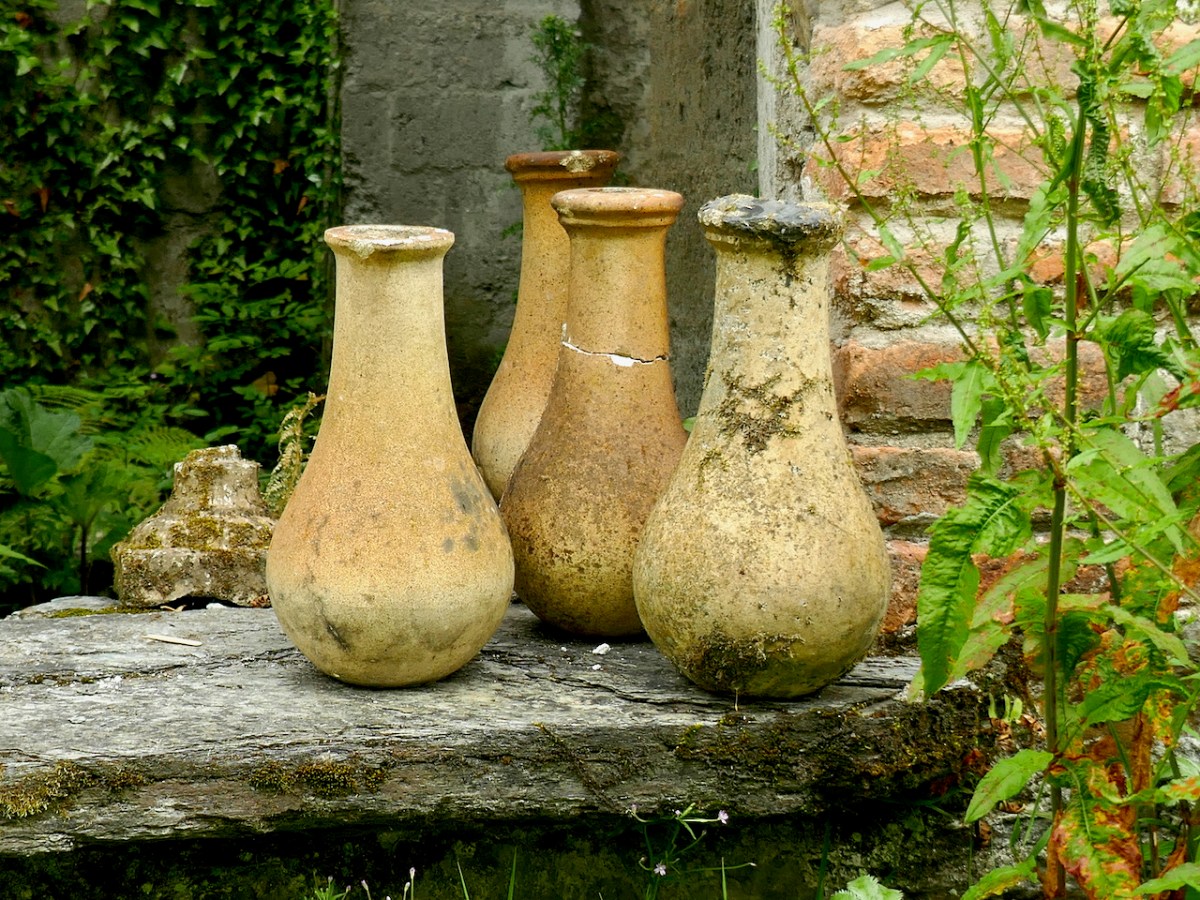
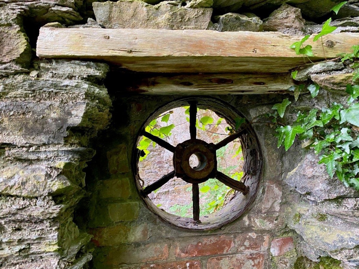
Every part of the grounds is worthy of exploration. There are two former stable blocks: both are time capsules. The activities of generations of gardeners, groundsmen, grooms, and farriers can be imagined from the surviving evidence.

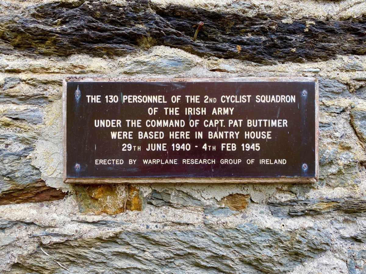
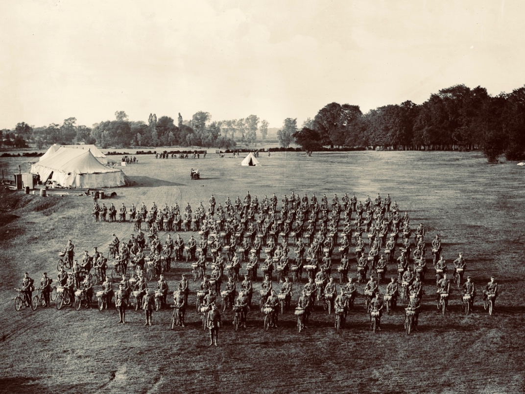
I was fascinated by the plaque, above, and added it to my collection of classic signs. I then set about trying to find photographic evidence of this squadron, sadly without success. But I did find an equivalent from Suffolk, England, dating from 1910, which is worth a share:

I hope you will follow in our footsteps and visit the gardens at Bantry House. This is a great time of the year to experience the burgeoning growth of the wilder elements, and, if you have the happy fortune to hit a good spot of sunshine (or even if you don’t), there is no better place in West Cork to while away the constraints of this pandemic.

Caherlehillan

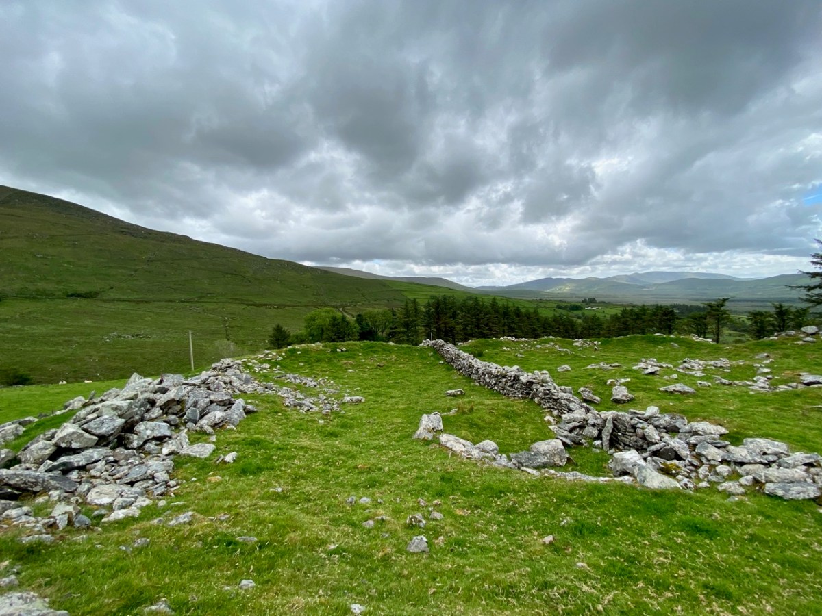
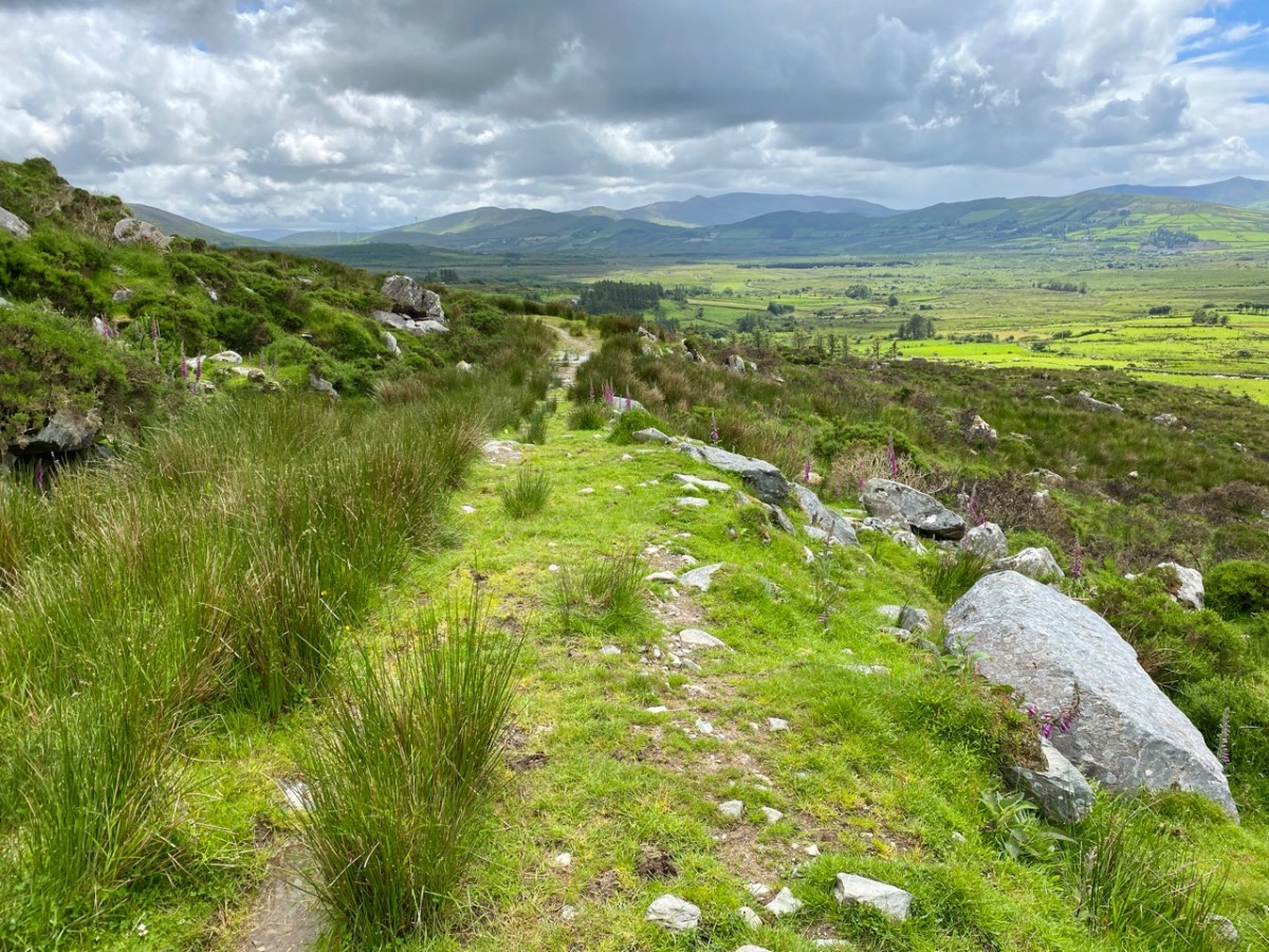
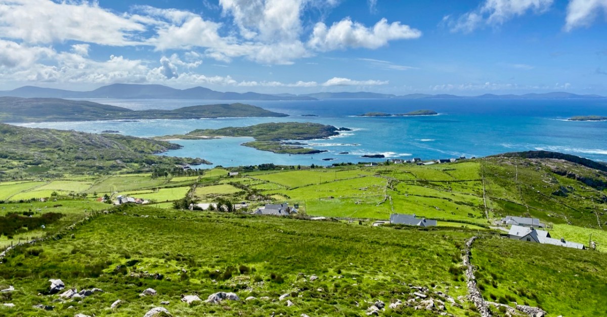
The Iveragh is the largest of the Atlantic peninsulas of Ireland: it is, perhaps, also the most romantically named. In Irish it is Uíbh Ráthach – ‘descendants of Ráthach‘. But we don’t know who Ráthach might have been: a Gaelic chieftain, a notable family – ancient inhabitants lost even to legend? Certainly this terrain is amongst the wildest and most beautiful in this green island. Today we are focussing on just one Kerry townland which encompasses a deep vein of history stretching back to prehistoric times.

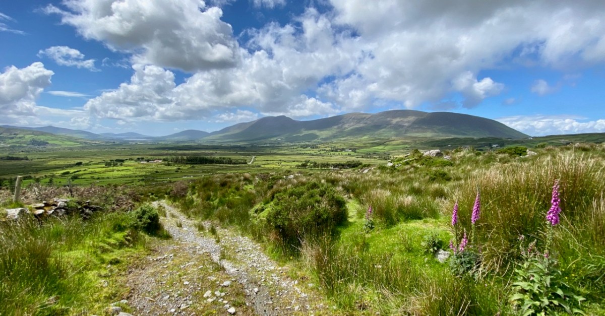
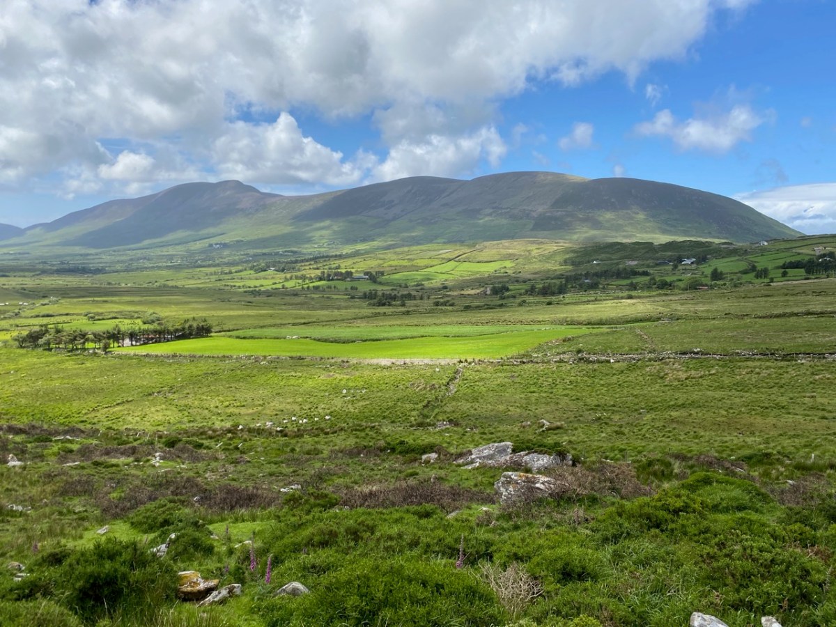
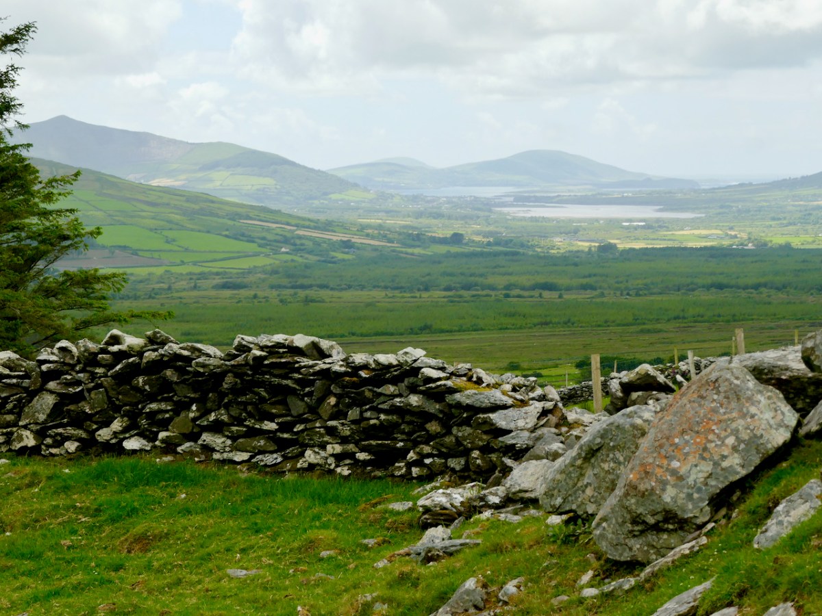
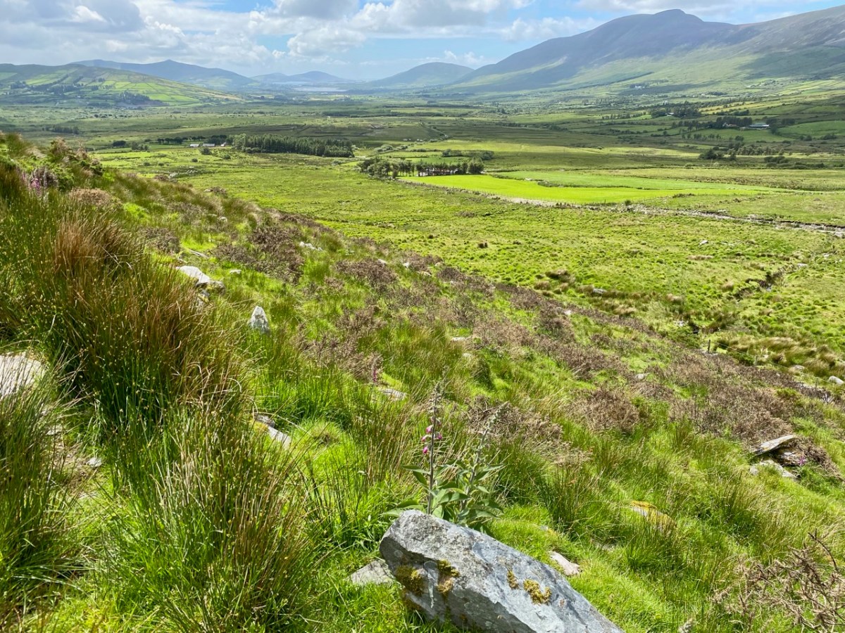
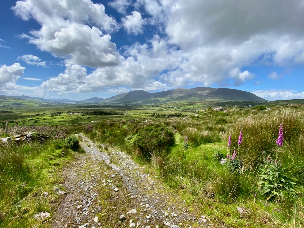
The townland of Caherlehillan is defined by mountains. To the north is Knocknadobar (header and above), to the east Mullaghnarakill, and to the south Caunoge. The Fertha River flows down from Coomacarrea and creates a long, fertile valley floor which opens to Valencia Harbour at Cahersiveen.

It would be reasonable to assume that the river valley would have supported communities in ancient times, and the recorded archaeology of the area confirms this. The earliest antiquities include a Bronze Age stone row and – possibly Neolithic – Rock Art, explored and recorded by Finola fifty years ago: an eager student travelling alone through the wildernesses on a borrowed Honda 50!

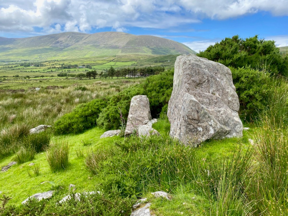
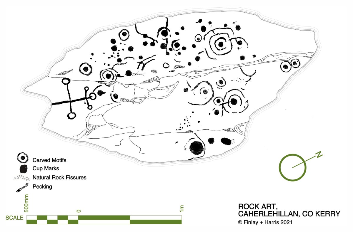
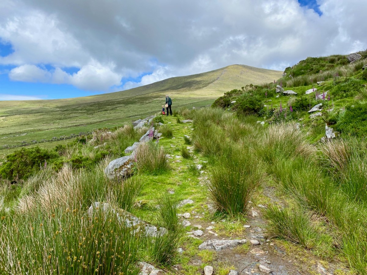
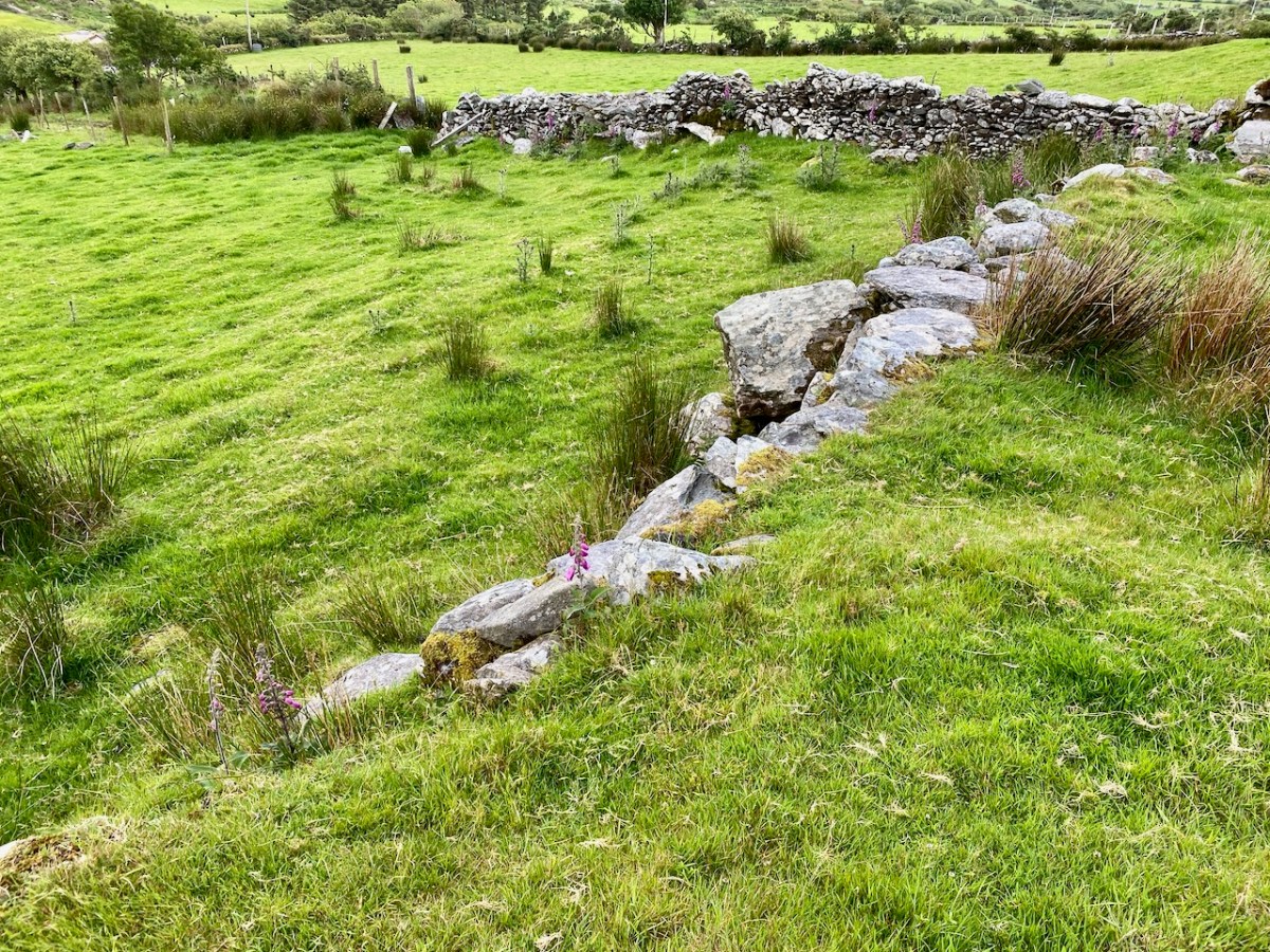
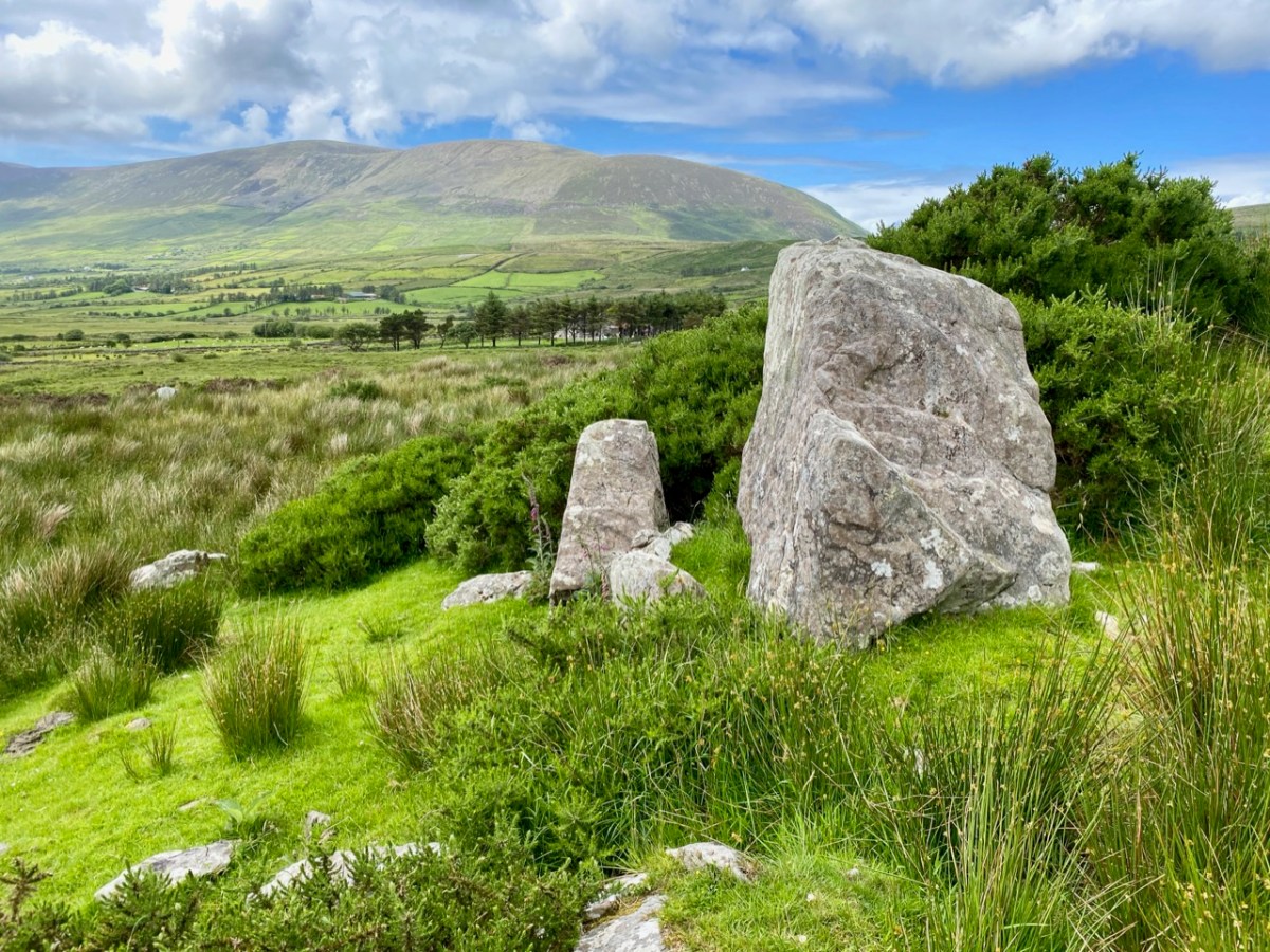
Upper picture – stone row in Caherlehillan townland; lower – Finola’s drawing of Rock Art made in 1973 for her UCC thesis. Note the cruciform motif at the southern end of this large sandstone boulder: it is probable that this carving dates from a later period, and may have indicated its use as a Mass Rock in penal times. However, the ‘Patriarchal Cross’ format is unusual in this context, and warrants further study. Since Finola travelled those boreens, many more examples of Rock Art have been revealed in the area and are now identified on the Sites and Monuments records. On our visit to Caherlehillan we searched the hillsides in vain for some of these more recently discovered panels (below).

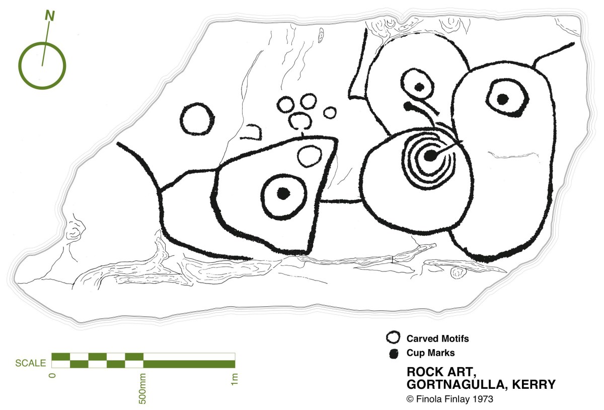
This further representation of Rock Art (above), also recorded by Finola, lies on the borders of the townlands of Caherlehillan and Gortnagulla: the motifs are quite unusual.

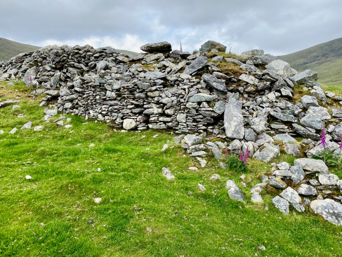
The central feature of Caherlehillan is the Caher (above), which gives the townland its name. The suffix ‘lehillan’ is probably from the Irish Leith-Uilleann, meaning half-angle, or elbow. There is a sharp bend in the Fertha River below the settlement, and it is most likely that this natural feature gave rise to the nomenclature. A Caher (Irish Cathair) is a stone fort, and is distinguished from a typical earthen rath, or ring-fort, by its size and construction. Forts, whether stone or earthen, were the dwelling places and shelters of people who lived in the first millennium in Ireland. Generally, stone-built forts were larger than earthen examples and are likely to have been inhabited by higher status families or communities. They would have been impressive structures and good views over the surrounding landscape was a requisite. Interestingly, the word Cathair is also given the meaning ‘city’ – ‘monastic city and settlement’ – and ‘Paradise’ (Teannglann). All of these could be relevant, as close to this Caher is an early ecclesiastical settlement.

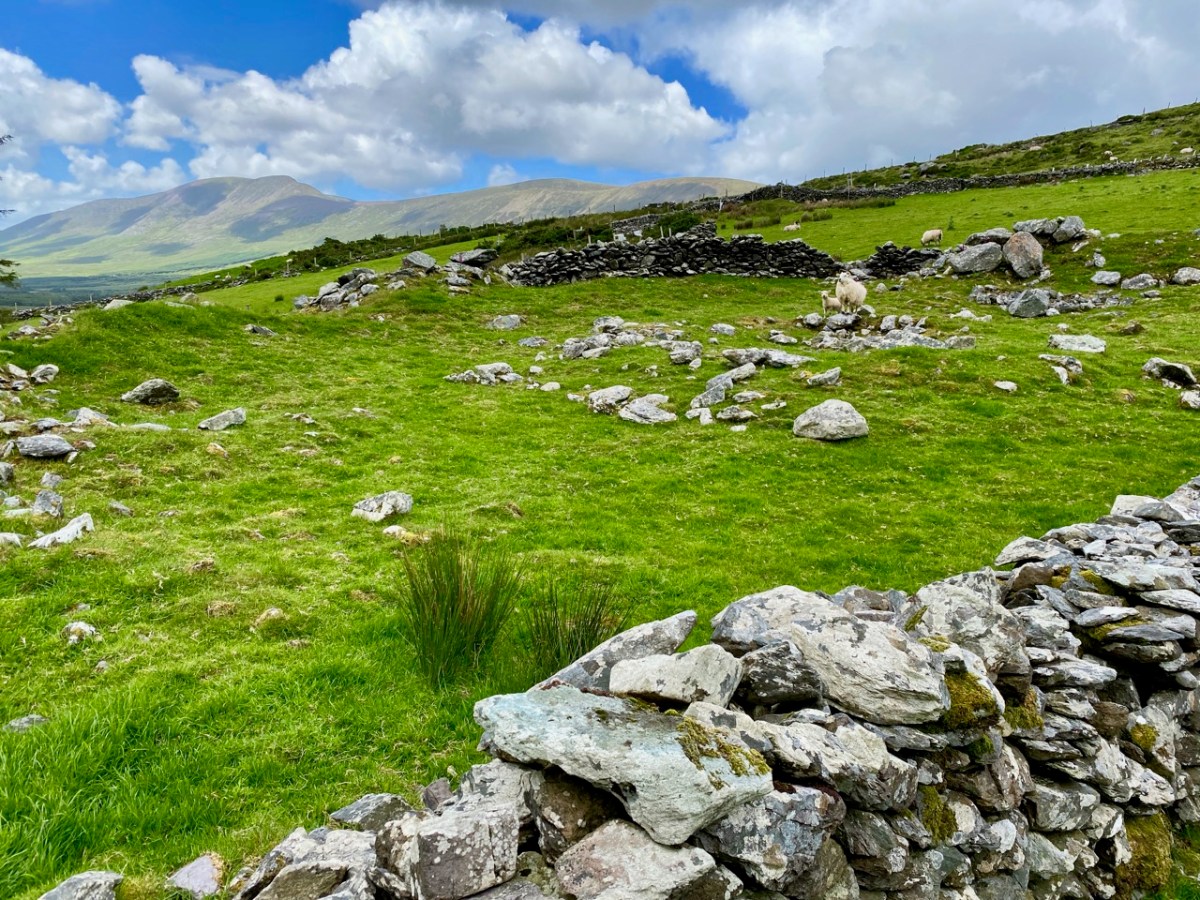
This picture shows the spectacular setting of the Caher; the previous views show the extent of the enclosing stonework. Today it is a desolate place: many of the walls have been partially dismantled for use elsewhere, and the only close habitation is a single farm dwelling just below the fort. In this remote yet beautiful site it is hard to imagine the activity that was focussed here a thousand years ago.

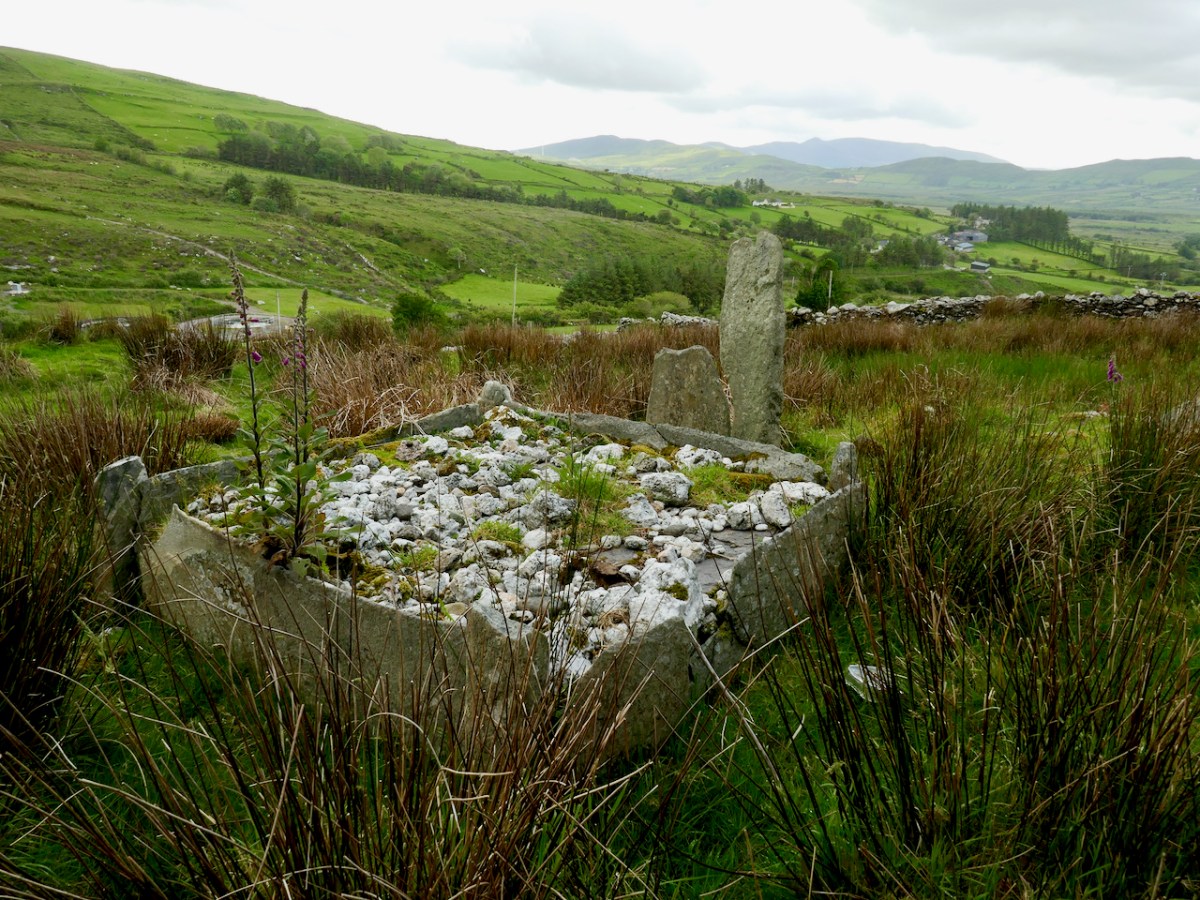
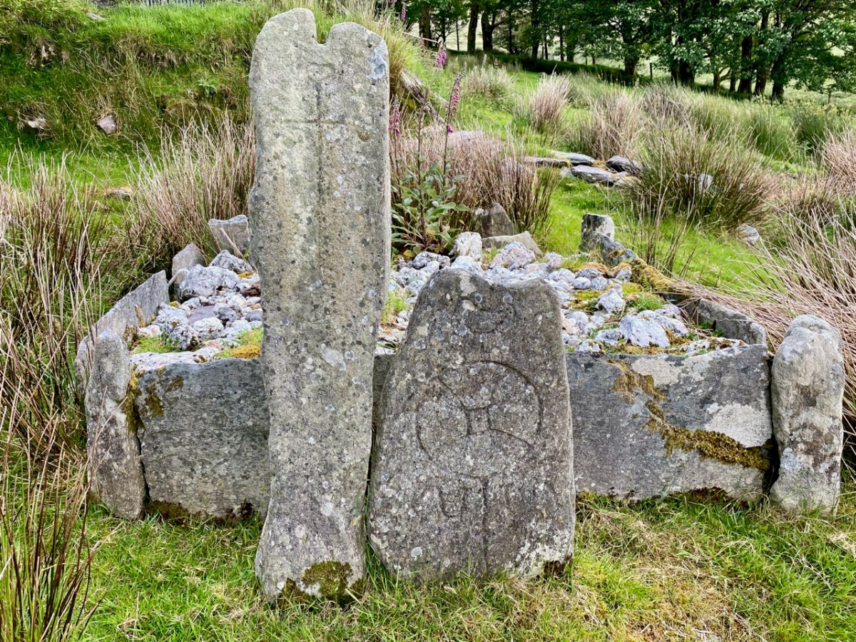
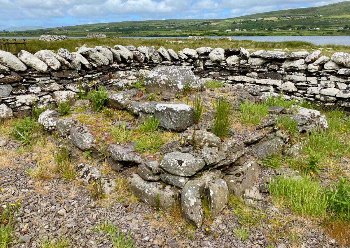
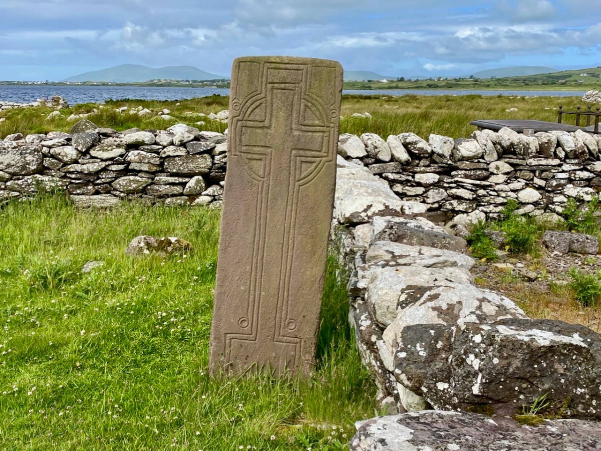
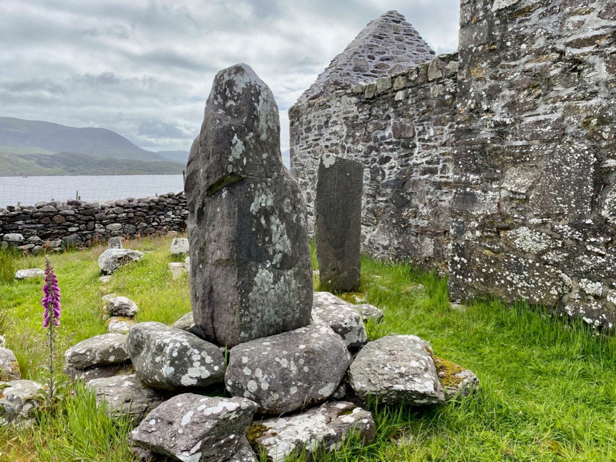
Just to the west of the lone farmhouse is a small enclosure, bounded by stone walls. It would be easy to overlook this, but for one feature which stands out (above). It catches the eye because it is so unusual: a square box structure with stone sides and corner posts, and two upright engraved cross-slabs facing down the valley. Quartz rocks form a raised bed within the square. Around this ‘box’ are a number of low, unshaped stones set in the ground. This was long thought to have been just a children’s burial ground – a Ciilín or Ceallúnach, but we now know that this was a later use. Between 1994 and 2004 the site was substantially investigated and excavated by students from University College Cork’s Department of Archaeology under the direction of John Sheehan, with remarkable results.

. . . Recent excavations at the early medieval ecclesiastical site at Caherlehillan, Co Kerry, have resulted in the discovery of important information on its initial development and structure. The ritual core of the site, consisting of a church, cemetery and shrine (which probably originated as a ‘special’ or founder’s grave), dates to what is probably the formative phase of Christianity in the south-west of Ireland. The picture emerges of a site that was conceived and built as a coherent entity in accordance with a clear conceptual template . . .

John Sheehan, A Peacock’s Tail: Excavations at Caherlehillan, Ivereagh, 2009

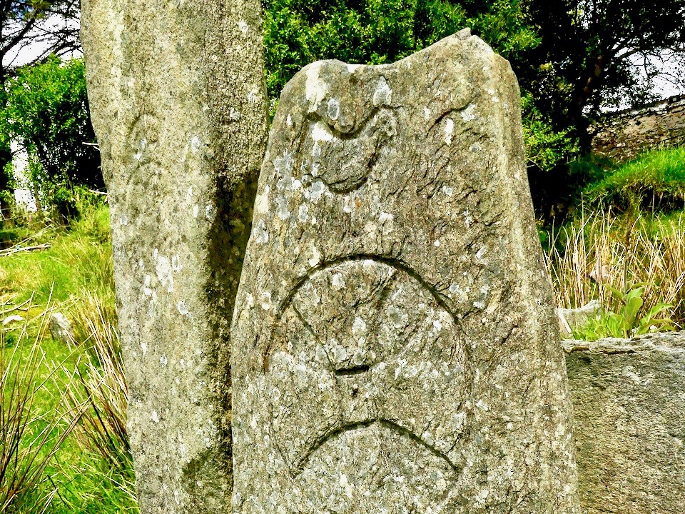
These two illustrations are from the Sheehan / UCC Excavation summary. The photograph is a good representation of the two upright cross-slabs, while the illustration shows two fragments which were found during excavation. Both show the same motif displayed on the smaller slab, yet each representation is to a different scale. This motif therefore occurs three times at this site.

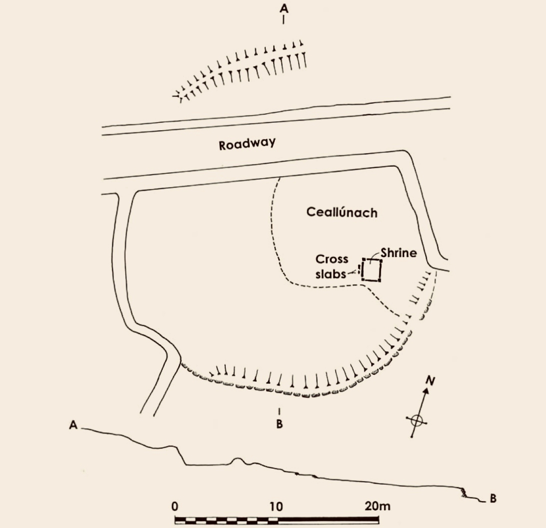
This is the plan that was made at the commencement of excavation, showing the ecclesiastical site at Caherlehillan. The south-eastern boundary is a built-up stone retaining wall (shown on the photograph below), and the indicated embankment above the later roadway implies that this site was originally circular in form (courtesy John Sheehan). Carbon dating of excavated materials suggest a date of mid-5th to early 6th centuries for the earliest activity on the site, while activity appears to have ceased beyond the 8th century. Most importantly, the excavations revealed – to the north-east of the ‘shrine’ – the foundations of a timber church dating from the 5th century – possibly the earliest church remains ever found in Ireland.

The photograph above is from Church Island on Lough Currane, Co Kerry, a site which we visited recently. It shows the shrine of Saint Fionán Cam, who was the founder of that ecclesiastical settlement. The island foundation was set up in the sixth century, and the name of the holy man and his exploits are recorded for us to observe today. Sheehan suggests that the ‘box’ at the Caherlehillan site is also a founder’s shrine, but we have no record of who this ‘saint’ or holy man was. Four hundred years of occupation of the site have, apparently, left him without a name, either through inscription, implication or oral tradition.

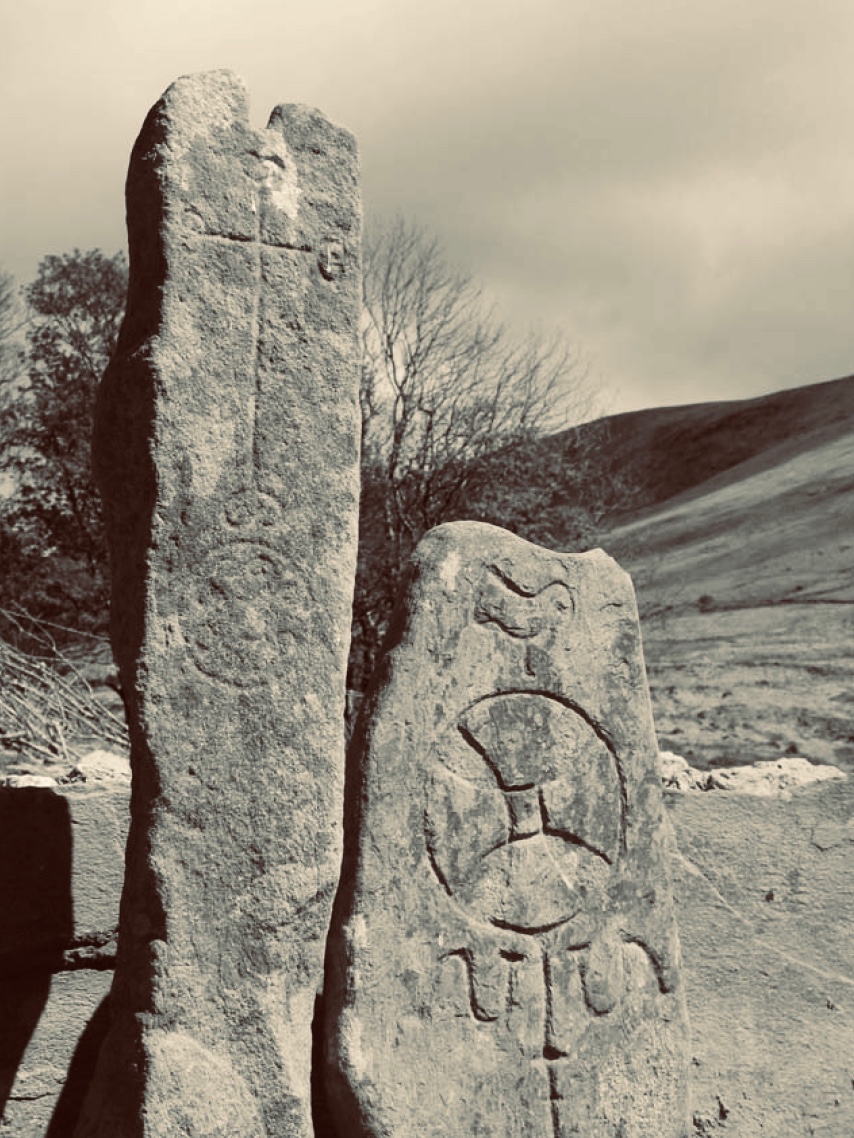
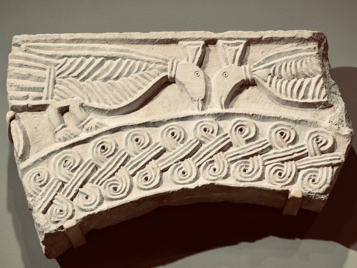
The upper picture shows a detail of the carving on the smaller cross slab at Caherlehillan. Sheehan (and others) suggest that the bird representation is in fact a peacock, which features frequently in early Christian art. This is because the wonderful plumage of the bird is entirely renewed every year, through moulting, and this symbolizes the underlying Christian theme of death and resurrection. The relief carving (above) from Northern Italy is dated to the 8th century and shows two confronted peacocks, ” . . .symbols of paradise and immortality in early Christian and Byzantine art . . . “. Sheehan in fact goes further, suggesting that the symbols on the shrine stones at Caherlehillan show a direct link with early Christian influences from the Mediterranean, something that is borne out by ceramic fragments also recovered from his excavations. These are of of ‘Bii type’, a form of pottery of north-eastern Mediterranean origin that may be firmly dated to the period between the late 5th and mid-6th centuries.

So there we have it: a small, remote settlement in a wild Kerry mountainside that has given up its ancient secrets to us. Dwellers there left us enigmatic Rock Art, possibly 5,000 years ago. Their descendants populated the fertile valley, farming the land and building here a prestigious stone fort, while nearby – and contemporary with that fort – was established perhaps the very earliest Christian foundation in Ireland! Today the place is sparse and rugged but, in keeping with Ireland’s spirit, breathing with an almost remembered past.
The researches and writings of John Sheehan, lecturer in Archaeology at University College Cork have been invaluable in formulating this post.

Half a Kerry Day

Kerry is an Irish county rich in history and archaeology. Our day was spent in the company of the ‘Saints’ – a term given to devout men and women who set themselves apart, leading small communities in the remotest of places, dedicated to order, prayer, knowledge, and the contemplation of humanity. Traces of these medieval ecclesiastical sites abound in Ireland, (sometimes described as The Land of Saints and Scholars), and we are always eager to search them out.

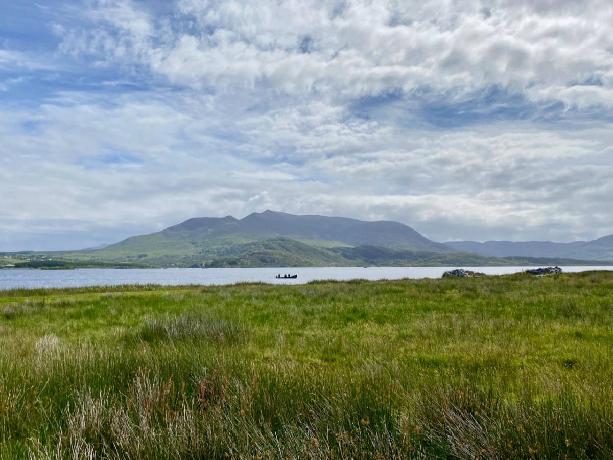
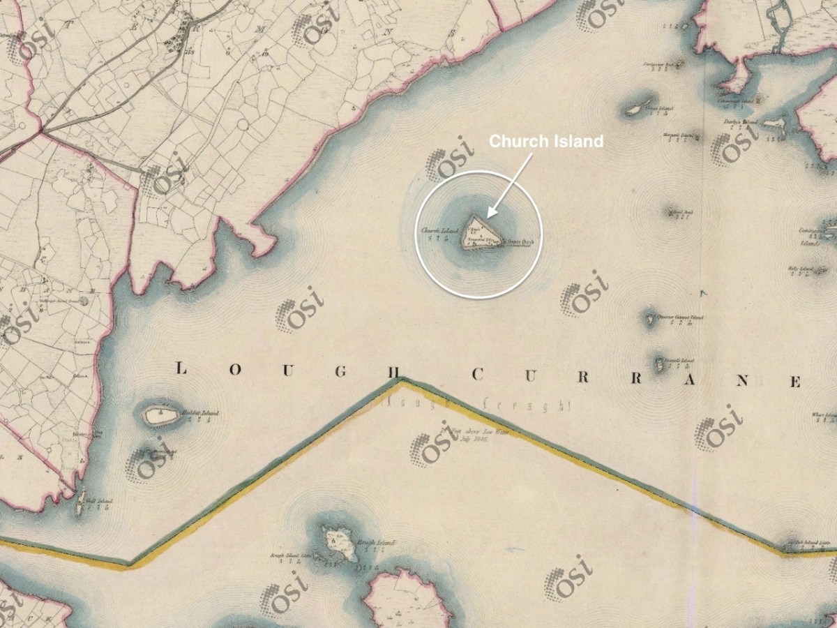
The header and the picture above are from Church Island, formerly known as Inis Uasal (meaning Island of the nobles), on Lough Currane near Waterville. The Lough – also known as Loch Luioch or Leeagh – is a substantial body of water, about 1,000 hectares in area. It is fed by the Cumneragh River in the north, Isknagahiny in the east, and drains to Ballinskelligs Bay at its south-western end. This Aerial view (below) shows the Lough in context, while the 6″ OS map extract dates from the 1840s.

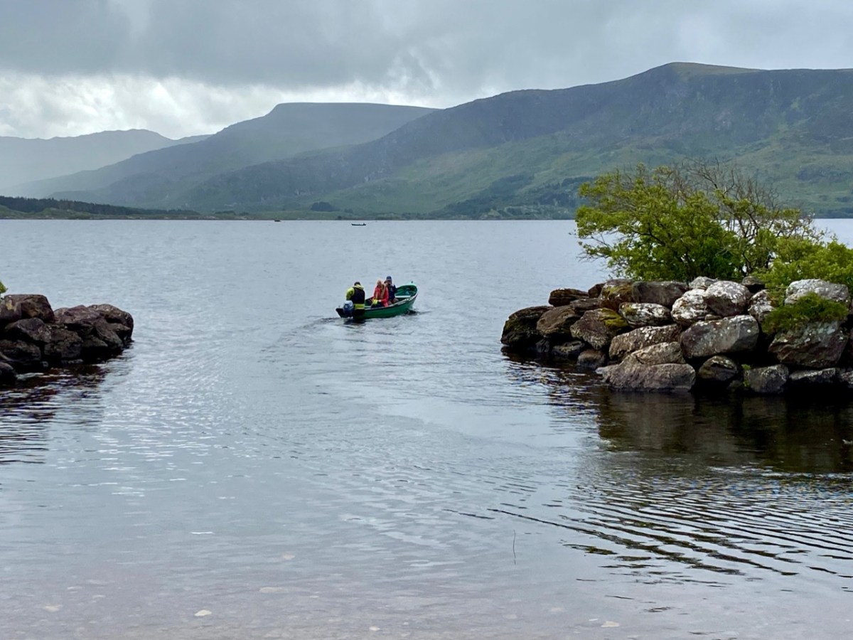
We were fortunate to be taken to the island by Tom O’Shea. He is the owner of the island today, and a mine of information on its history and traditions associated with it. He is also a Ghillie – anciently the attendant of a Gaelic chief, whose job it was to carry the chief across a river or lake – but in the present day an organiser of fishing or hunting expeditions: Lough Currane is one of Ireland’s premier sea trout fisheries. We hired Tom to carry us across the water to this ancient sanctuary which had been occupied by saints and monks for over a thousand years!

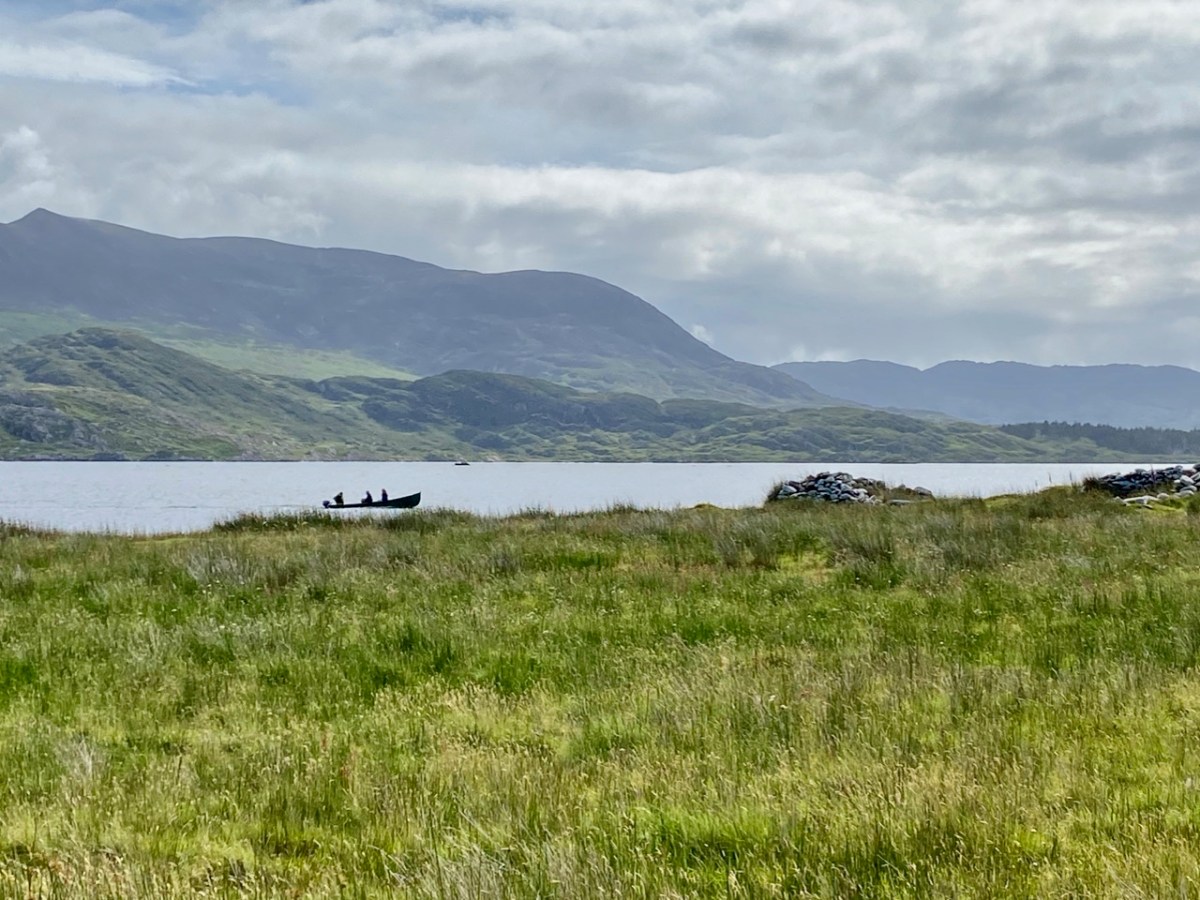
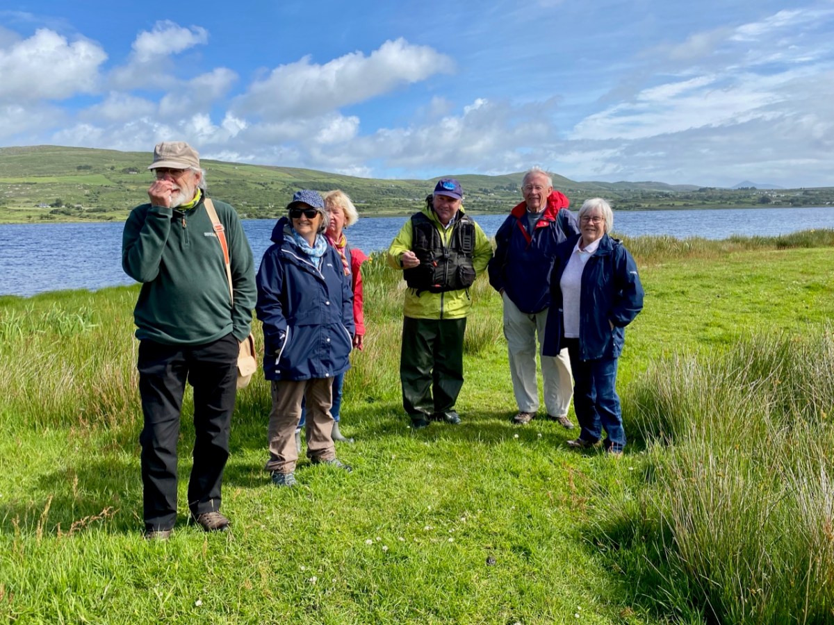
That’s Tom ferrying us across the lake in the upper picture – only two at a time due to Covid restrictions. Above is my picture of the rest of our group on the island, with Tom in the centre explaining the geography and history of this remarkable place. The day was organised by our good friends Amanda and Peter Clarke, and we had along with us friends from Kerry – David and Janet, all of us discovering this gem for the first time.

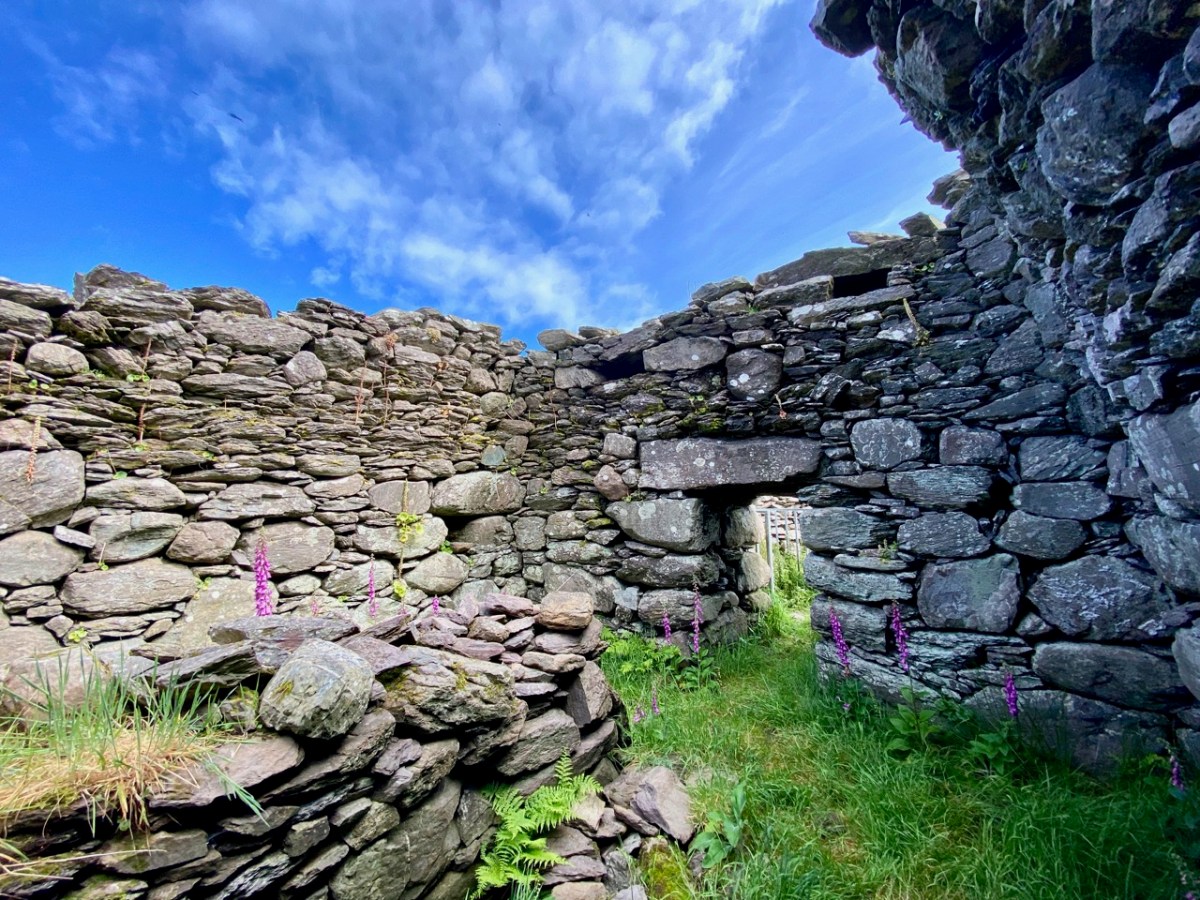
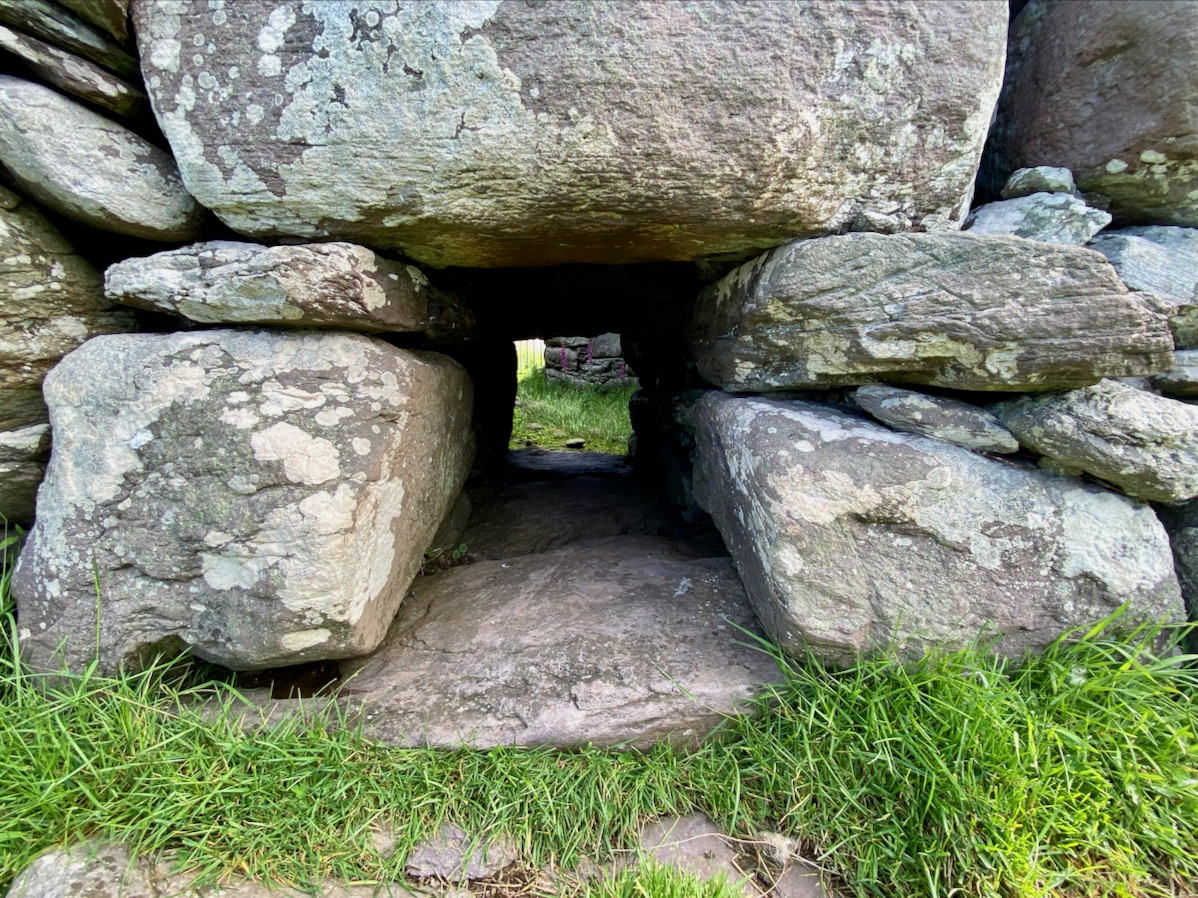
The monastic foundation on Church Island was set up by Saint Fionán Cam in the sixth century. Cam means ‘bent’ or ‘squint-eyed’, and it is significant that the name already gives us a picture of the man – a picture which has survived in local tradition for more than fifteen hundred years. One of the most impressive aspects of this island is that some of the historic structures date from the time of the saint – the one above is known as his oratory, or ‘cell’. This is a ‘gallurus’ type of oratory, and would have been roofed completely in corbelled stone: the upper part of the roof has fallen. Archaeologists do not agree over the dating of the structure, but local tradition is clear that it was built by the saint himself, and his community. At its eastern end is a low doorway with two roof boxes above, while opposite is a small, rectangular ‘squint’. It has been noted that the opes of this oratory align with the sunrise at midsummer. As that is almost upon us as I write, it is appropriate that we should have visited at this time of the year. The old photograph is courtesy of the National Library of Ireland Lawrence Collection, dating from the late 1800s. Below is the same view today: the ivy and creeper growth has been removed, revealing the roof box ‘slots’.

Fionán Cam was an important figure in Kerry: he is regarded as one of the three coinnle – or ‘candles’ of the Múscraighe, and descended from Conaire Cóem, High King of Munster. His birth was miraculous, his mother Beagnad – a virgin – having conceived while swimming in Killarney Lake, with a salmon. There are numerous dedications to this Fionán in the west of Ireland, but most traditions link him to Lough Currane and he is reputed to be buried beneath one of the three Leachta – or shrines – on the island, within the enclosure of the Romanesque church at its eastern end.

The OPW took over the archaeology of the island in 1880 and this illustration (above) from the Duchas information board shows pilgrims paying their devotions at the Leachta in 1000 AD. Nearly a century and a half on, the OPW has not yet completed their work on the island! There were plans to restore the west doorway of the twelfth century church (below), but this has not happened.

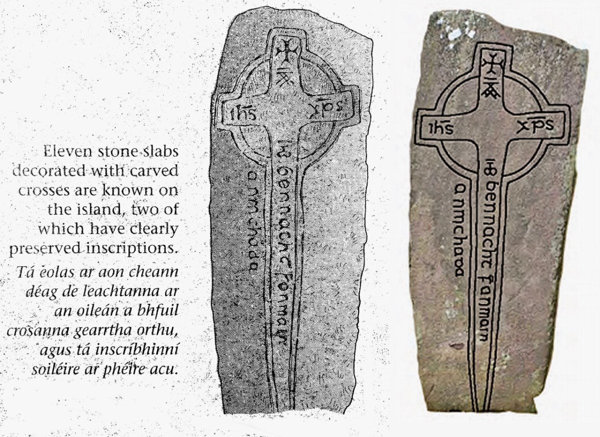
One of the Leachta (shrines) in the church enclosure. This probably marks the burial place of a later saint (or holy man) – Anmchad Ua Dúnchada – described as ‘anchorite of God’ in the Annals of Inisfallen, which states that he was buried here in 1058. Close by this shrine, and shown in the photograph above, is an inscribed slab on which can still be read the inscription to him:

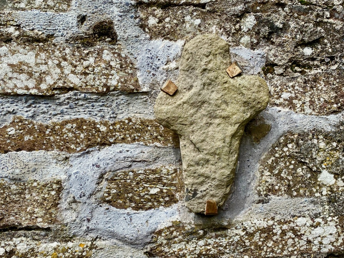
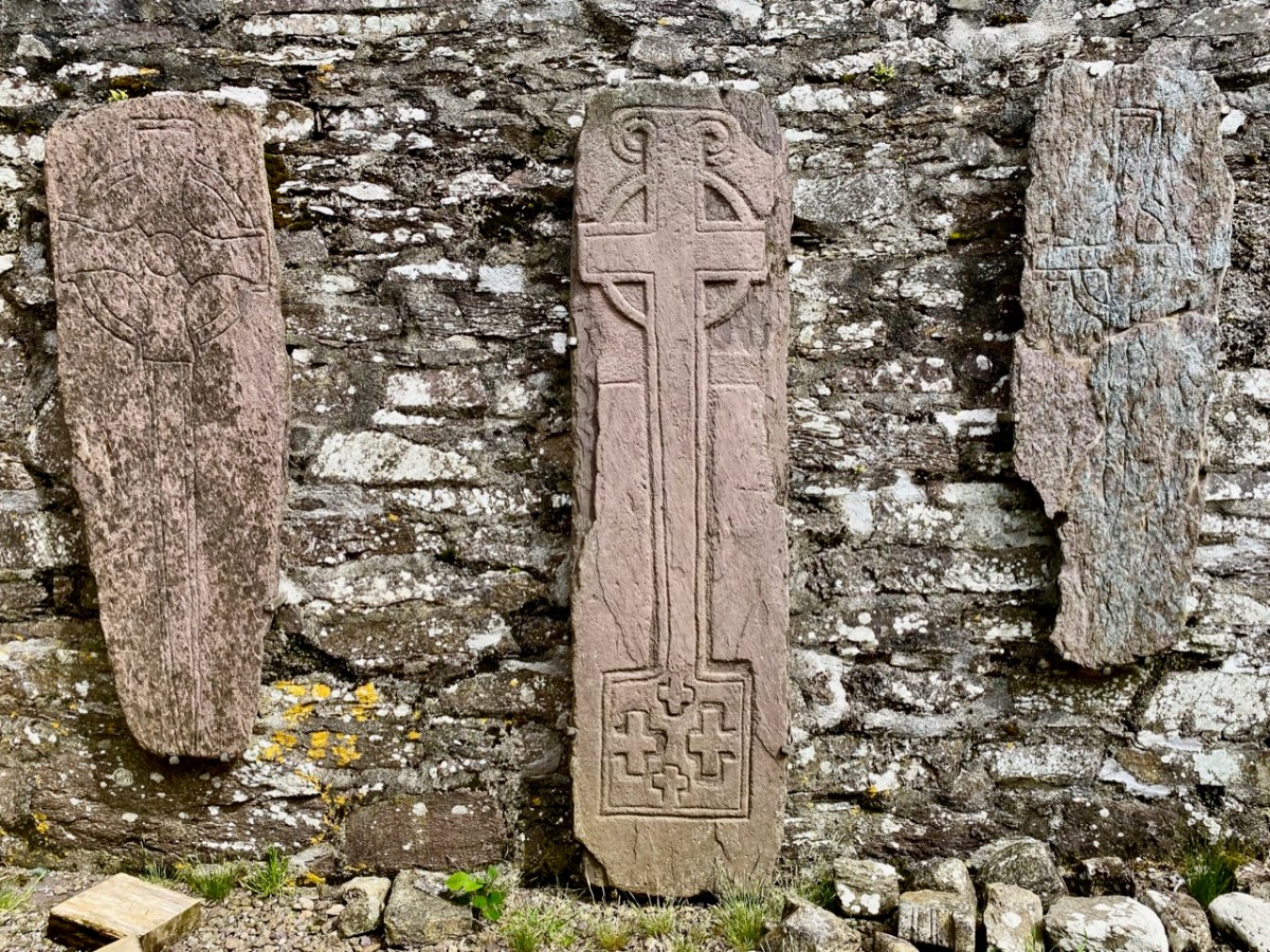
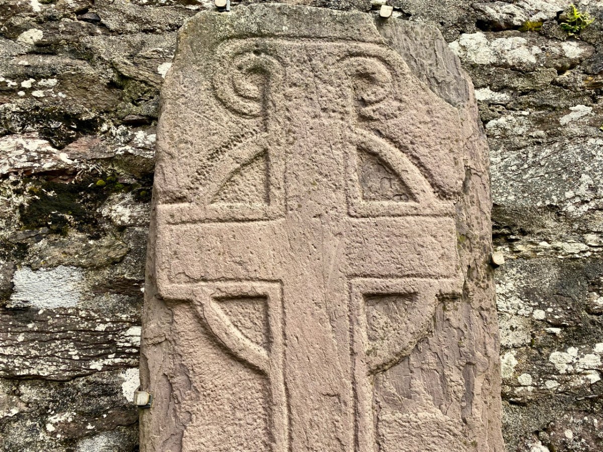
The eleven stone slabs – mentioned on the Duchas information board – are beautiful examples of this medieval craft: some are displayed now within the church building, although still open to the elements. Nevertheless they are surviving reasonably well.

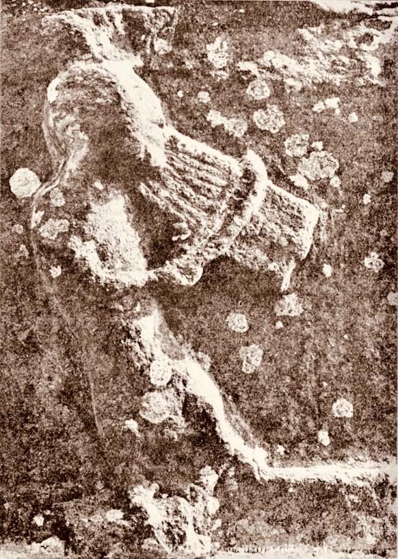
One carved stone from Church Island is very unusual, being a rare representation of a musician. Known as ‘the fiddler’ the figure is clearly playing a stringed instrument with a bow. It is thought to be a lyre, an instrument which came to Europe in the eleventh century. This is the only known early representation of a lyre found in Ireland. In fact, the stone that we saw is a replica (on the left, below), which has become very weathered: the original (right) is being conserved in museum conditions.

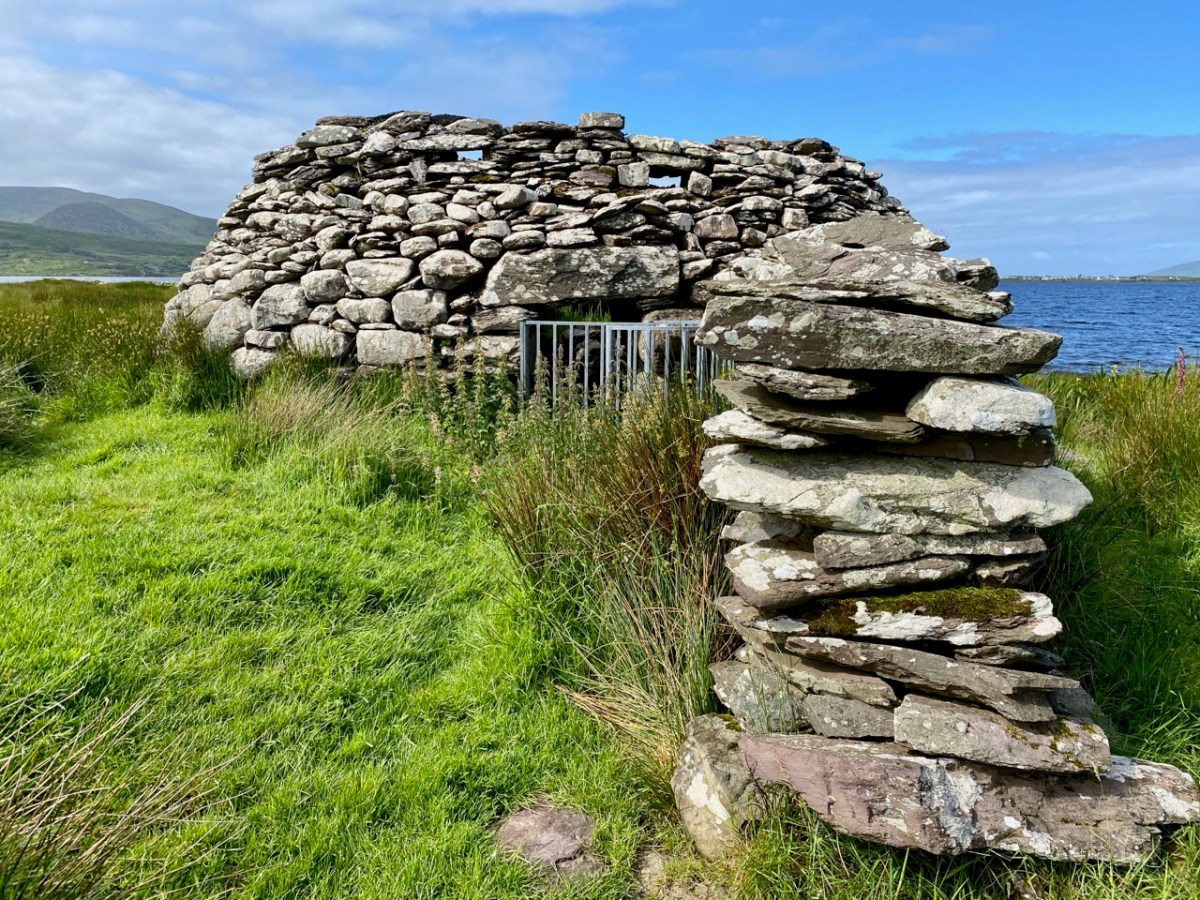
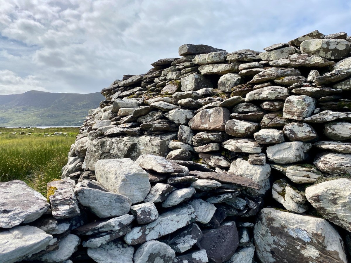
There are other early buildings on the island, including the base of a ‘beehive hut’, said to have been the home of the early saint.

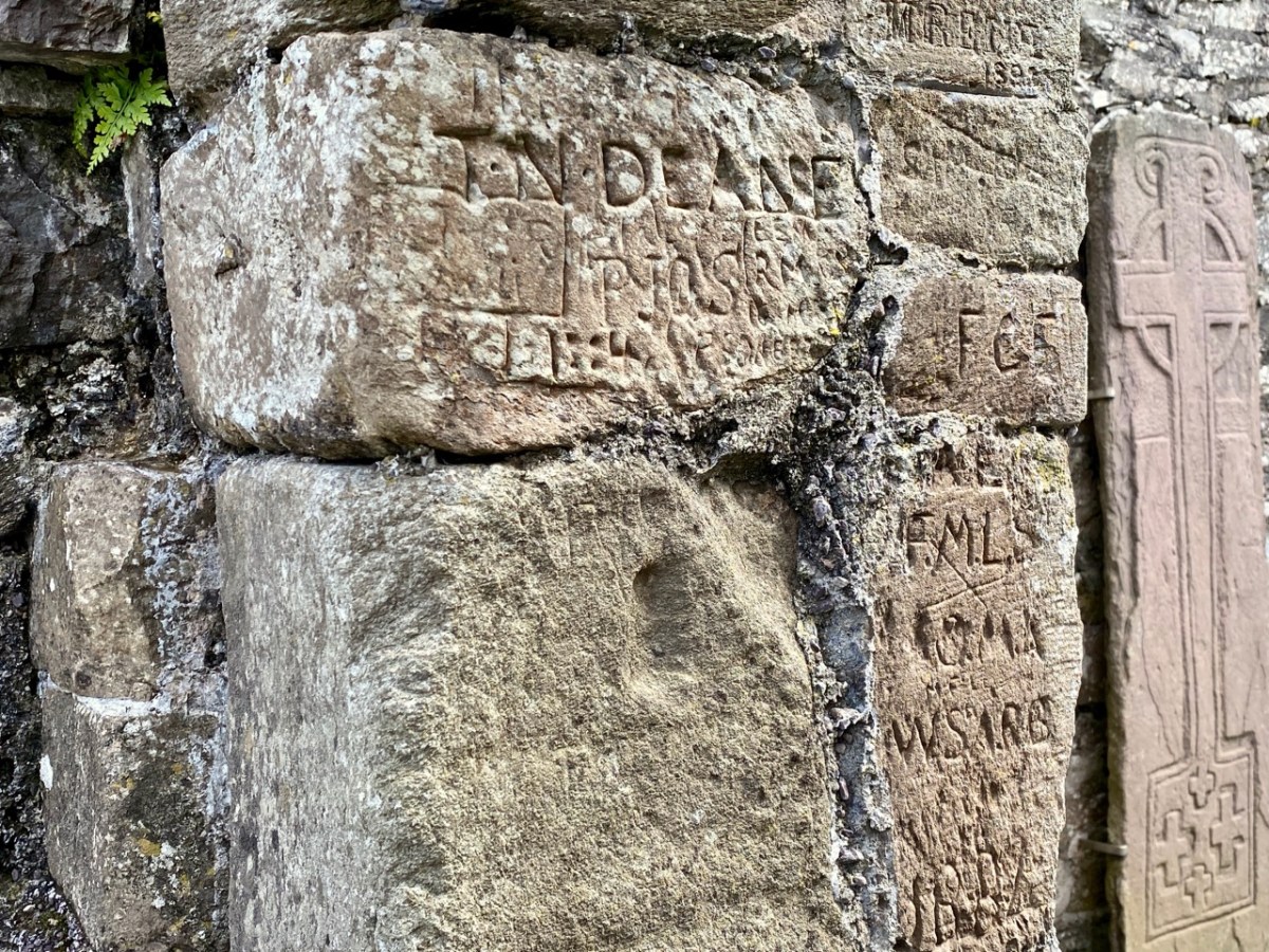
Some quite fine examples of graffiti by visitors to the island, on the Romanesque church walls: some of it dates from the nineteenth century.

Our visit to Church Island only occupied half of our Kerry day. We had more treats from medieval times – and earlier – in our explorations later on. These will have to wait for another post, but here are some tasters:

Brunch at Liss Ard!

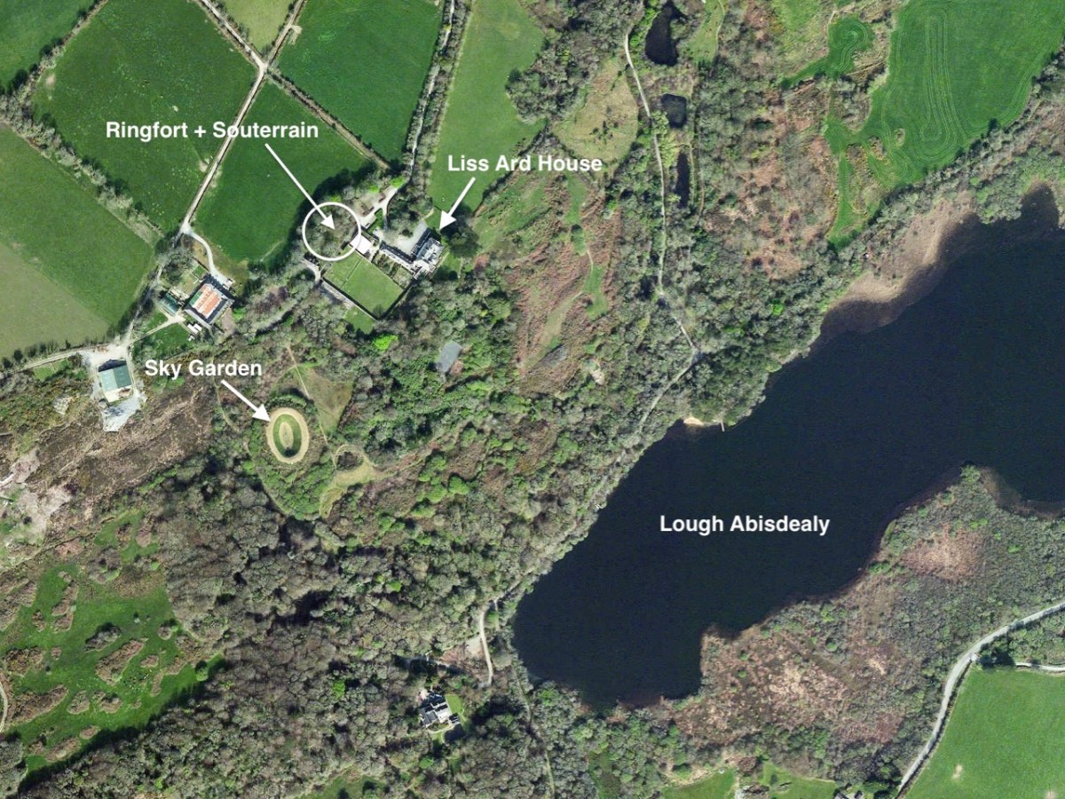
Just along the road from us in West Cork lies Liss Ard Estate. One of Ireland’s ‘big houses’, it was built in 1853 and was for generations the home of The O’Donovan, leader of that Gaelic clan. During the ‘cold war’ era of the 20th century it was owned by the Swiss government, who saw in West Cork a potential safe haven if the world descended into a nuclear holocaust. Just recently it has been taken over by an American company who will continue to run it as a hospitality venue. Finola’s eagle eye picked out the other day that Liss Ard were opening up for outdoor Sunday brunch! How could we resist?

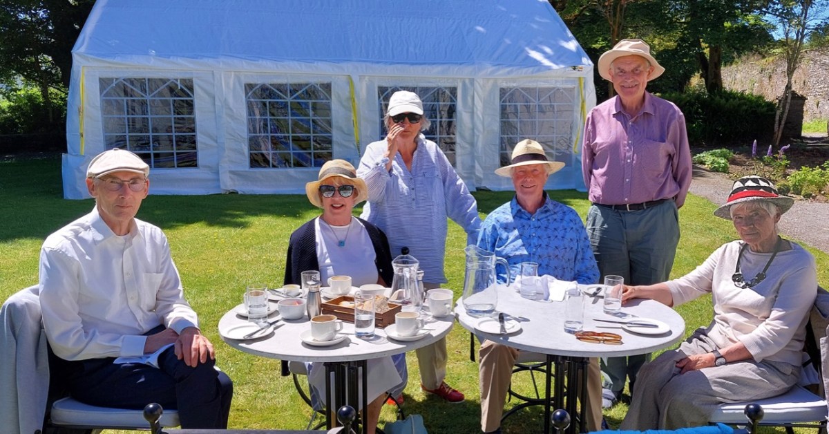
Here’s the brunch group: George, Una, Finola, myself, Con and Clair. We thoroughly enjoyed the occasion – partly because it was like being let out of jail (although I doubt – but can’t say for certain – that any of us has experienced that particular phenomenon), but also because, as customers, we were able to follow the excellent breakfast and coffee with a walk around the 163-acre estate.

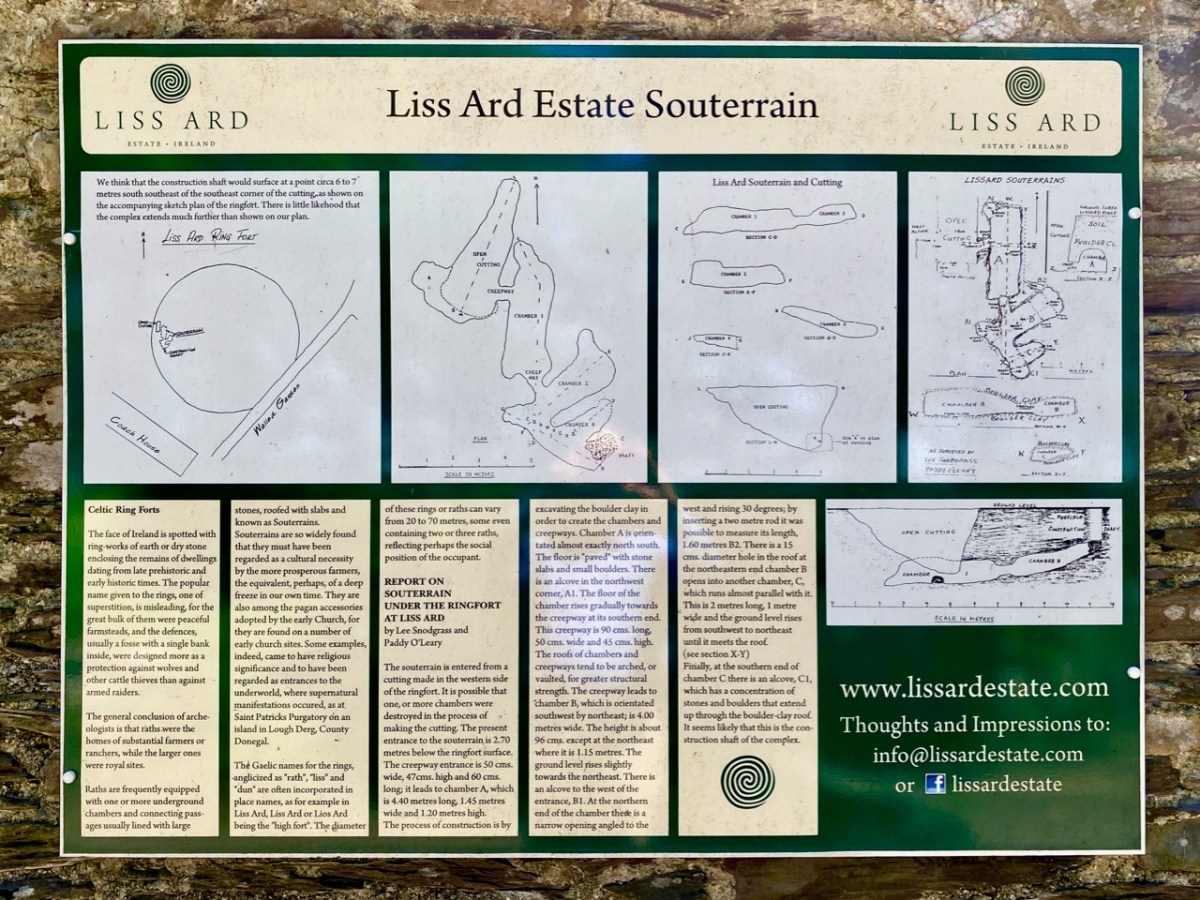
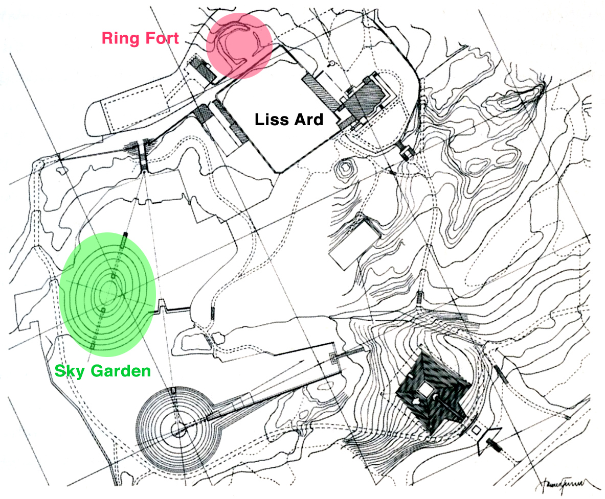
Finola and I have special feelings for Liss Ard, as we were married there in 2014 in an ancient ringfort! So, easing ourselves out of our chairs in the summer sunshine our first port of call was the feature after which the house is named: Lios Ard = High Fort. At our wedding the souterrain which was an integral part of the fort was not visible: today it can be seen, from above (at least, the entrance to it can be seen). The souterrain is a series of underground chambers, and this one – cut from rock and clay – has survived for well over a millennium. It was fully explored by a good friend of ours, Lee Snodgrass and her partner Paddy O’Leary – both archaeologists – back in the 1980s, and an information board just beside the fort tells the story in their words.

Above: Lee and Paddy’s survey drawings of the fort and souterrain, with a view of the entrance at the west side of the enclosure, and the cave-like structure which can be seen today, surrounded by ferns. Below is our group standing in the circle of the fort: such structures were probably high status homes defended by banks and timber palisades. They would also have provided protection for domestic animals who would have been predated by wolves.

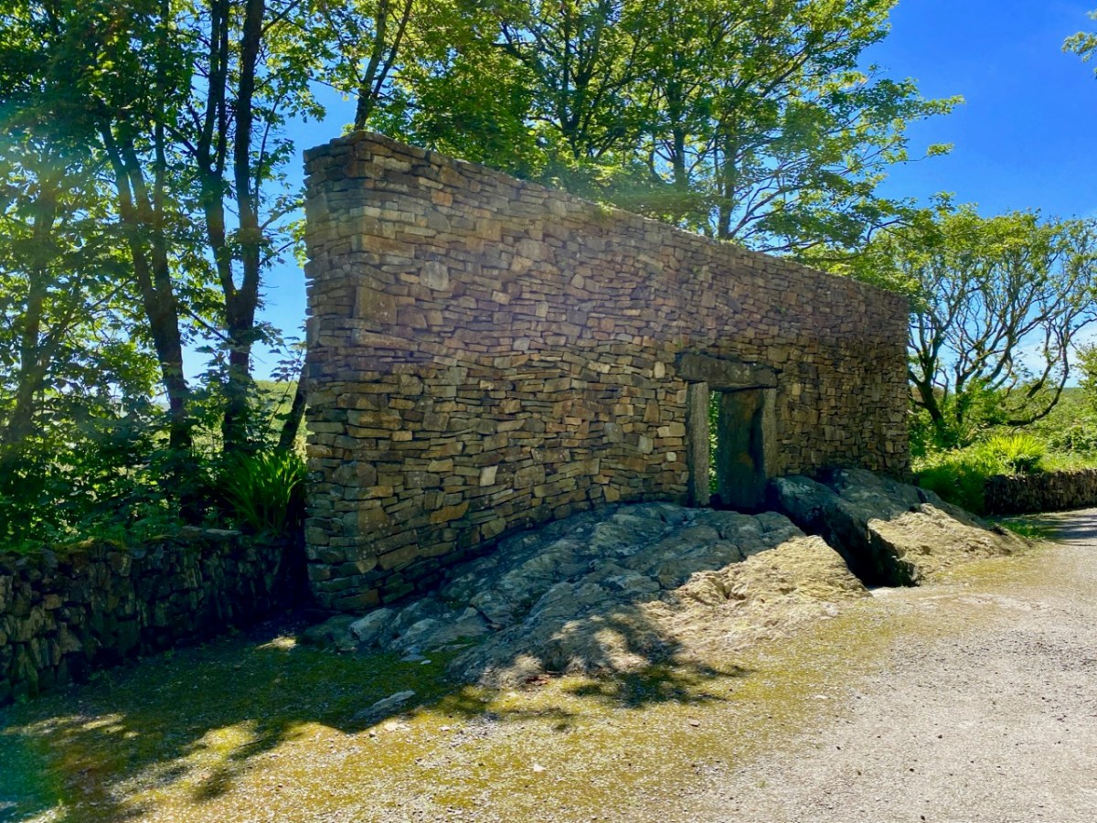
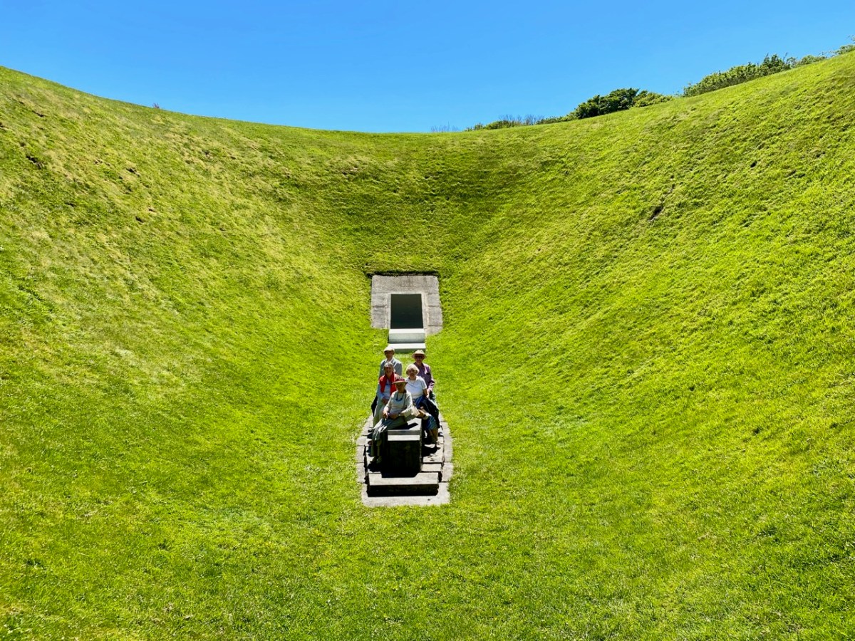
Another feature in the grounds of Liss Ard may also seem like something ancient, but actually only dates from 1992:

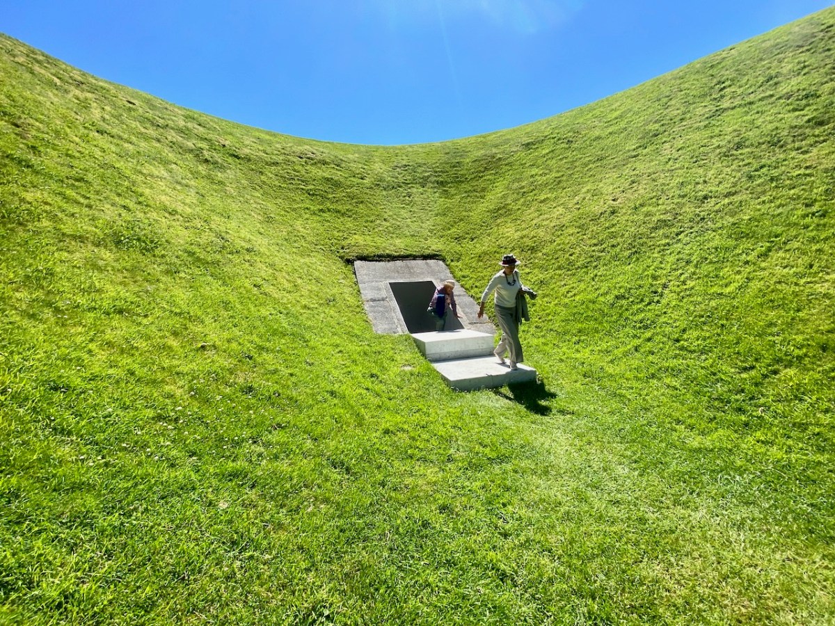
. . . The Liss Ard Project brings together the conservation of nature and contemporary art: it will combine animal wildlife preservation, controlled ‘wild’ gardens and a contemporary art project – the Sky Garden . . .

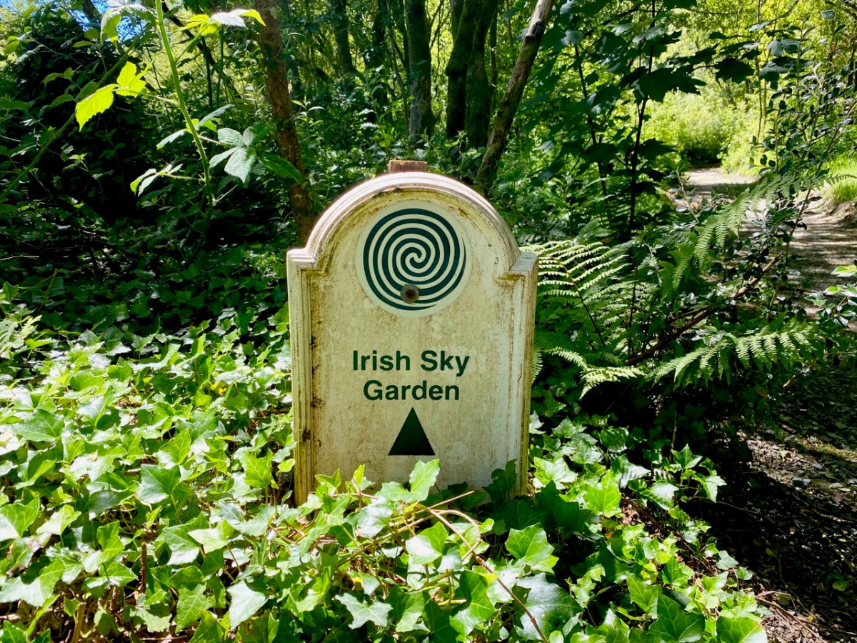
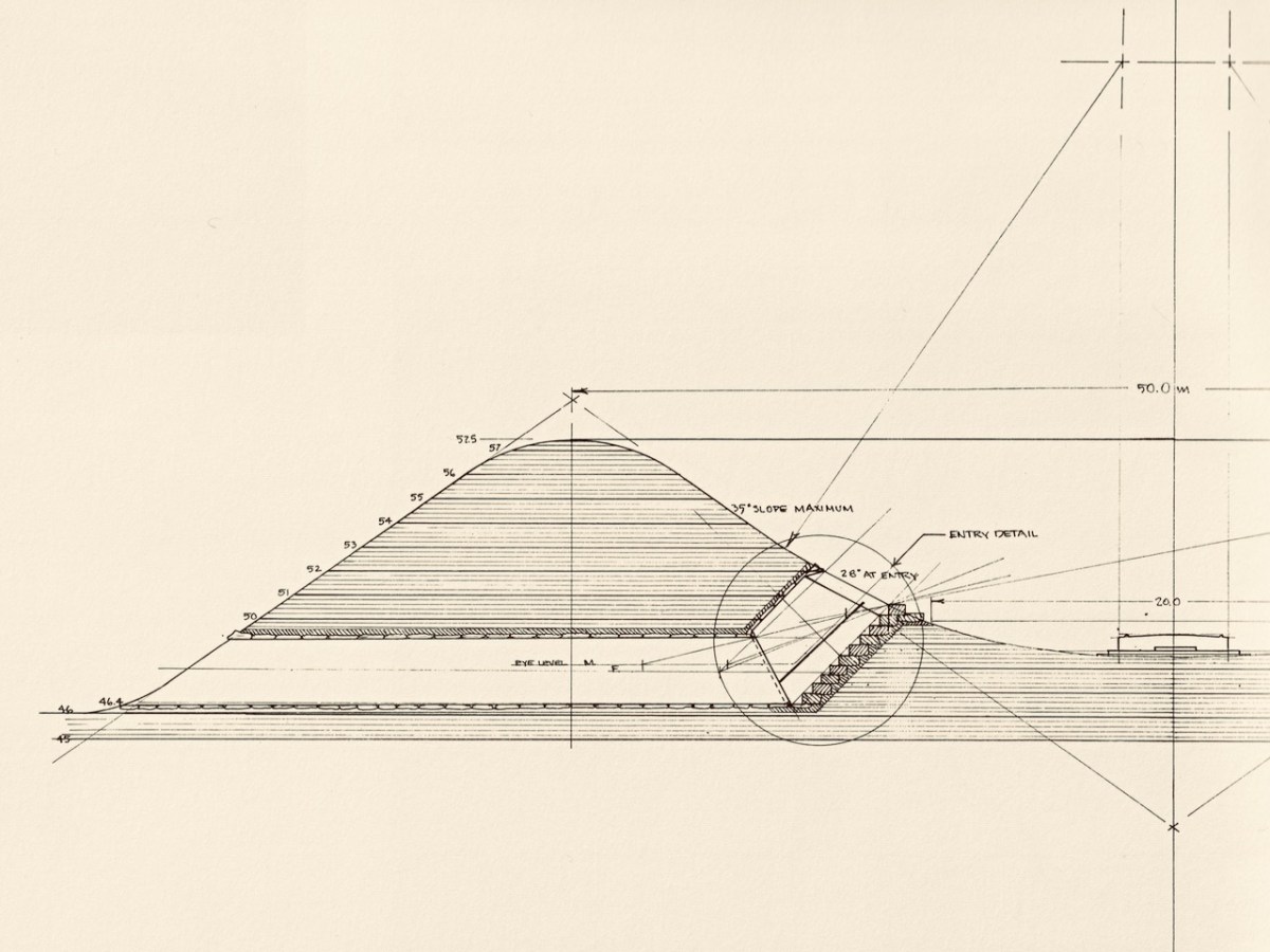
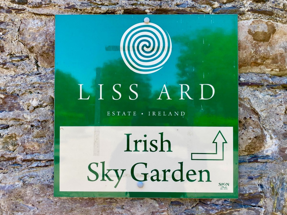
The Irish Sky Garden is an incomplete work of art by Californian James Turrell (born in 1943): I wrote about him and his work a few years ago, here. Turrell had West Cork connections:

. . . Turrell traced his wife (Julia)’s ancestors to Castletown Bearhaven. He had his two youngest children, Sophie and Arlen, baptised in the church there . . . This (West Cork) is the countryside that inspired his Sky garden. It could not be realised anywhere else. Jim is responding to what he has found in Liss Ard, and his sensitive response will enhance the attraction of the site even more. Jim and Veith (the Zurich art dealer who bought the estate in 1989) study the site like two conspiring brothers. Both radiate assurance. Something unique and shared is being created there. The joy of it shows in their faces . . .


James Turrell
from the exhibition – Long Green, Turske & Turske, Zurich 1990

The Irish Sky Garden is an as yet incomplete work of art. The whole project was set to incorporate other ‘land works’ including a pyramid and a vault. Turrell’s most famous work, perhaps, is the Roden Crater in the Arizona desert. It is also work still in progress: construction began in 1977.

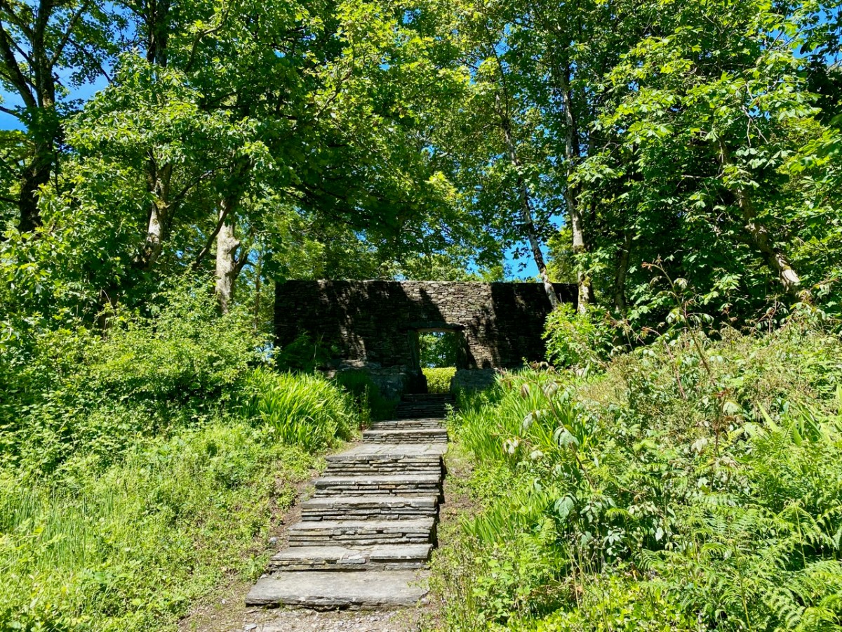
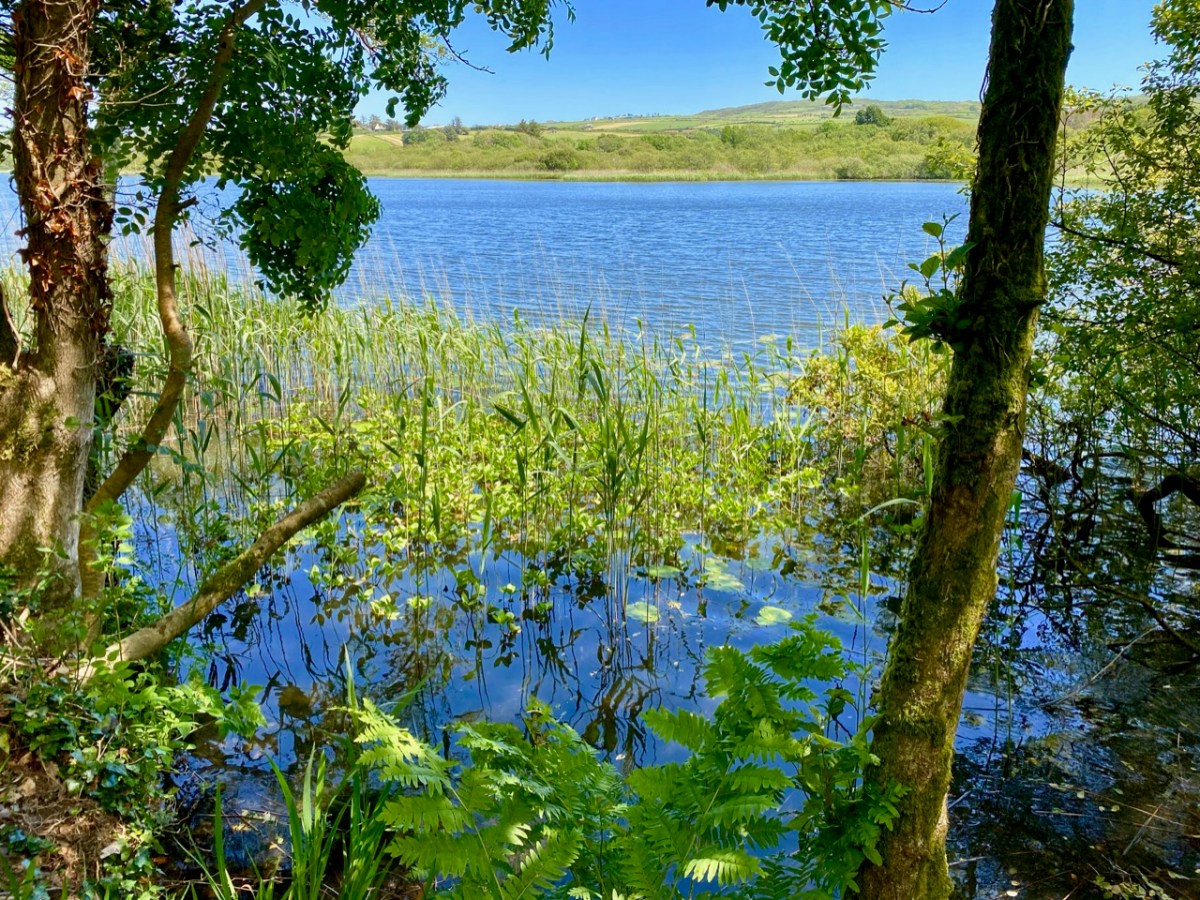
Quite apart from the ancient history and modern art, the gardens at Liss Ard have so much to offer. There is a maze of paths and steps, lush – almost tropical – growth and views across the substantial lake which forms part of the demesne: Lough Abisdealy.

As we walked beside the lake I was entranced by the sound of the wind in the reeds, and have tried to capture it with this little recording: you can imagine the combination of the swaying reeds, the crescendo of the light wind, the distant birdsong and the lapping water.

I can only give you a brief impression of our sensory experiences from the day: much is left unsaid and unseen but – all you need to do is book your Sunday brunch, and you stand a good chance of following our footsteps. I only hope that the day is as brilliant for you as it has been for us!

Back to Clonfert

Clonfert is only a couple of counties over from us: we just have to skip through a bit of Cork and Tipperary and there we are in Galway – a tiny corner of it that is shaped by the River Shannon. So, on a Thursday afternoon at the beginning of June, we found ourselves tripping along dead straight boreens – narrow for the most part – taking us through lush dairy lands – on a quest to revisit Clonfert’s medieval Cathedral, and its associations with one of Ireland’s most famous saints: Brendan the Navigator.

As we approached the little settlement of Clonfert, our empty road ahead was interrupted by a small white car, which seemed to travel erratically from one side of the lane to the other, and our arrival made little difference to its progress. As we got near, we realised that there was a wiry Jack Russell ambling along the road in front of the car: it was clear that the terrier was having its daily walk, with the owner driving along protectively behind it, regardless of where its fancy might take it. Ah, sure – we were in no hurry, so we joined the procession and waited as the dog sniffed and shuffled its way back home: eventually, dog, car and owner vanished through a gate, and we had the road to ourselves once again . . . This is life in Ireland, and it’s good!

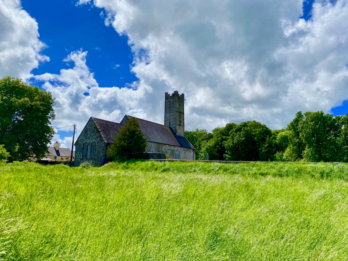
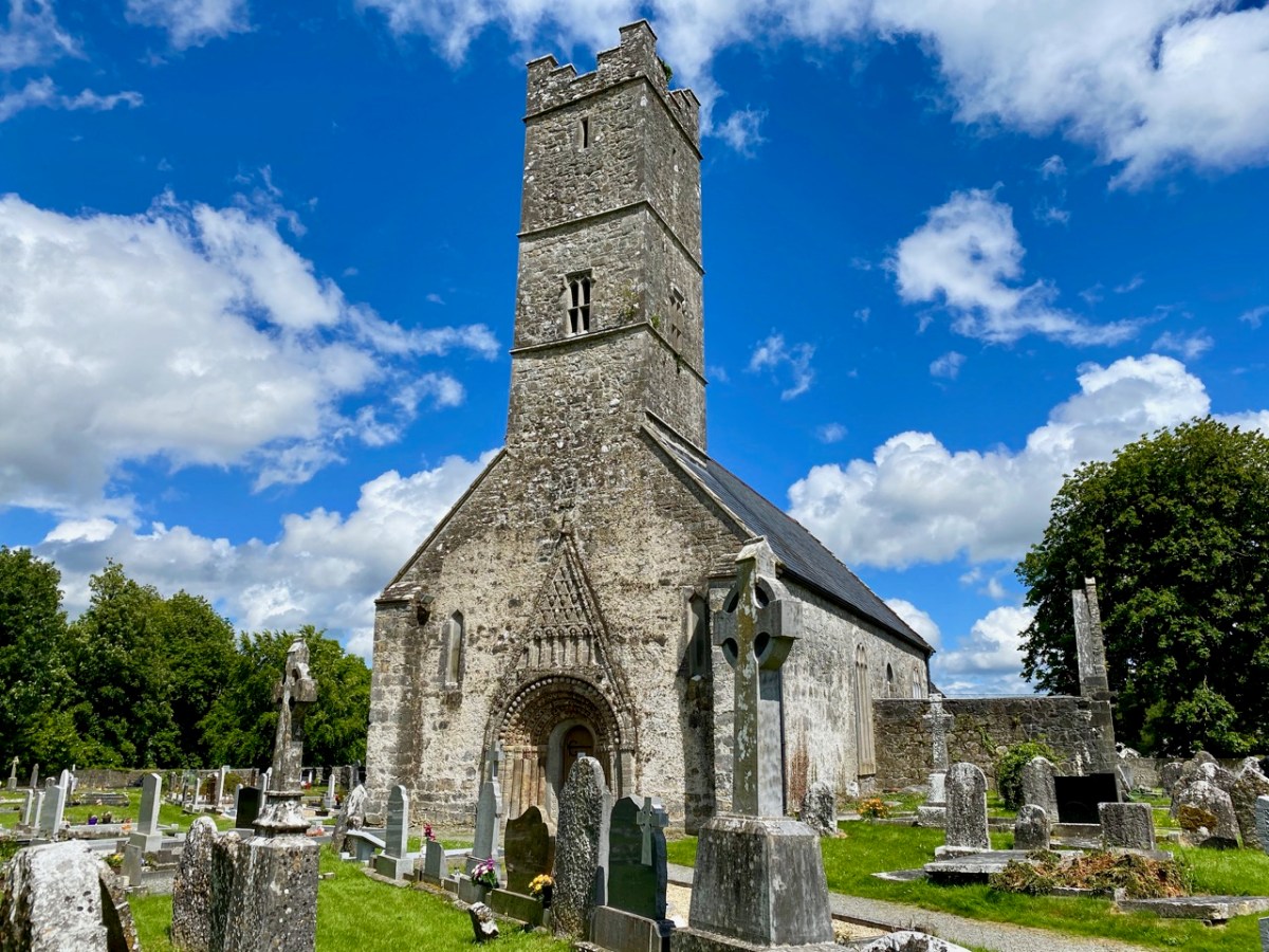
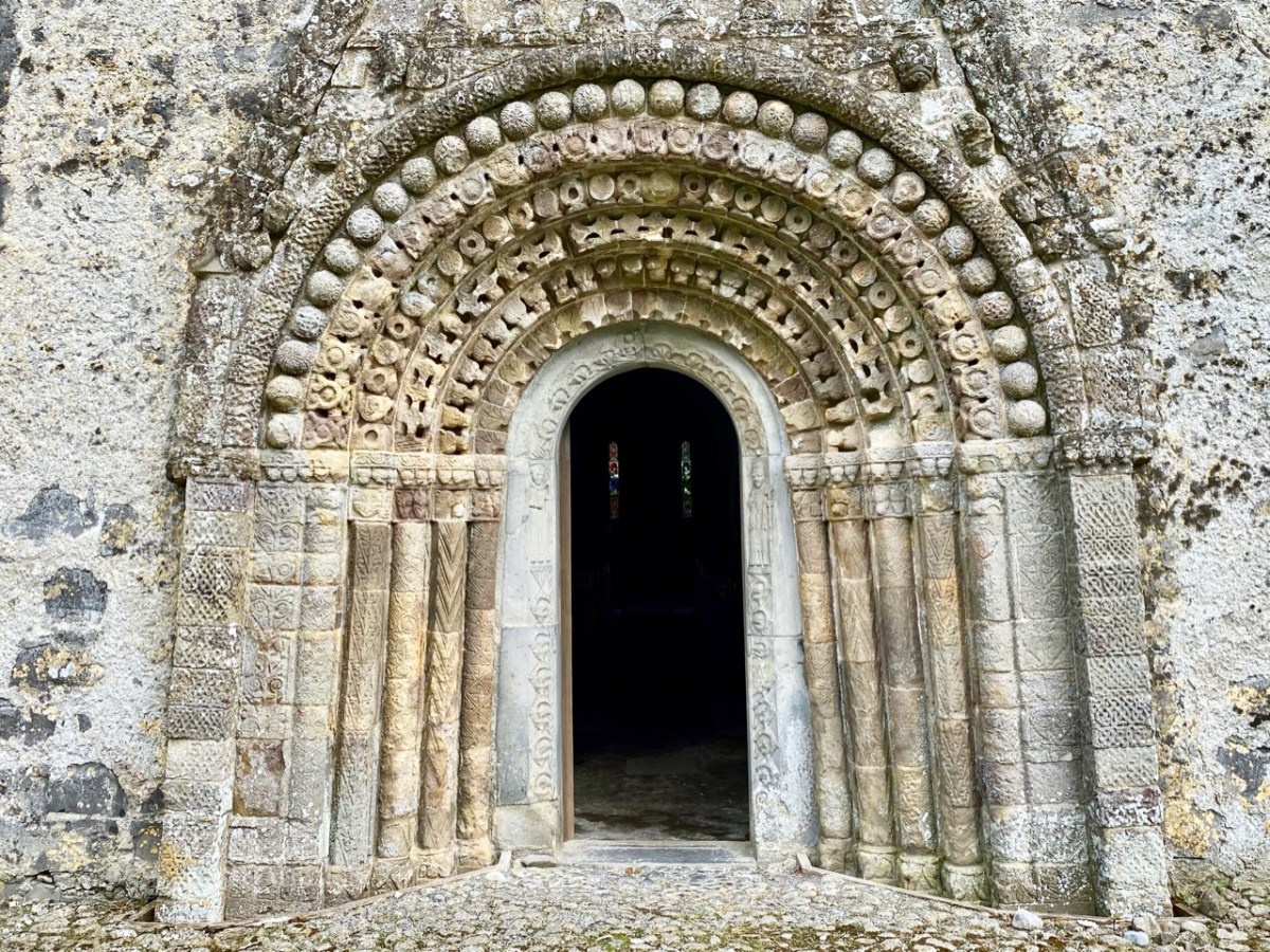
Clonfert’s grandly styled ‘Cathedral’ is so important historically, yet it could hardly be more remotely situated. From the east (upper picture above) it looks like many another Church of Ireland building, maybe not worth a second glance – unless, like us, you can’t resist examining every unturned stone because there is invariably something unexpected to be found under it. Just turn the corner and have a look at the west entrance door:

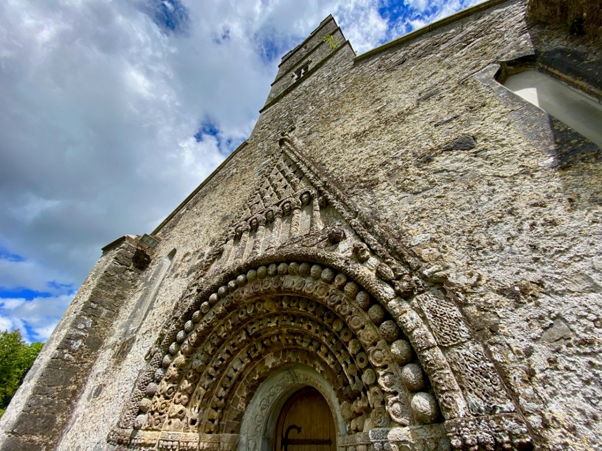
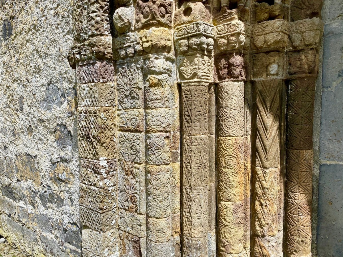
That doorway, with its exquisite decoration dating probably from the 12th century, has been described as ‘the supreme expression of Romanesque decoration in Ireland’. The carvings, although suffering from hundreds of years of wear and tear from the Irish elements, still display an extraordinary richness and variety: we can only wonder at the inspiration, skill and knowledge of the carver, who must have been deeply immersed in both lore and craft. Tadhg O’Keeffe, current Professor of Archaeology at University College Dublin, suggests a date of c1180 for this doorway. Records state that the church was burnt during a Viking raid in 1179, the same year in which a synod was held there by St Laurence O’Toole; installation of this imposing entrance may be connected with these events. Finola’s post today also explores Romanesque carvings not too far away, at Clonmacnoise. She has also written on Clonfert’s architecture in her Irish Romanesque series.

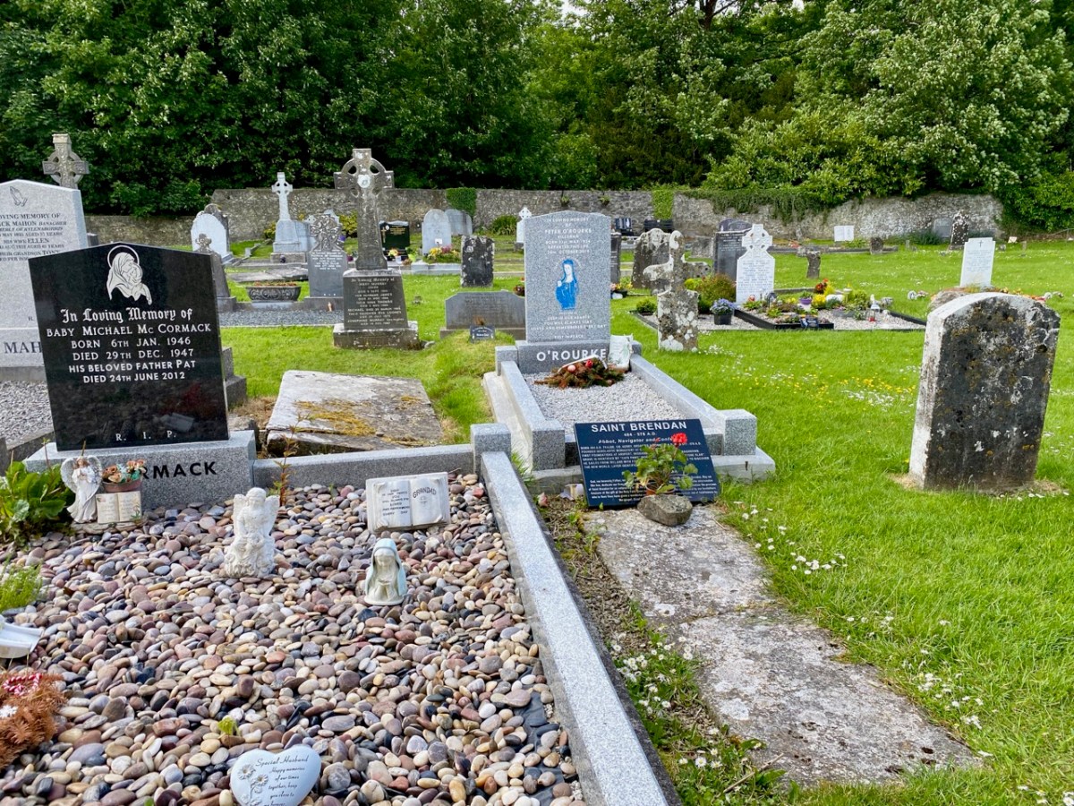
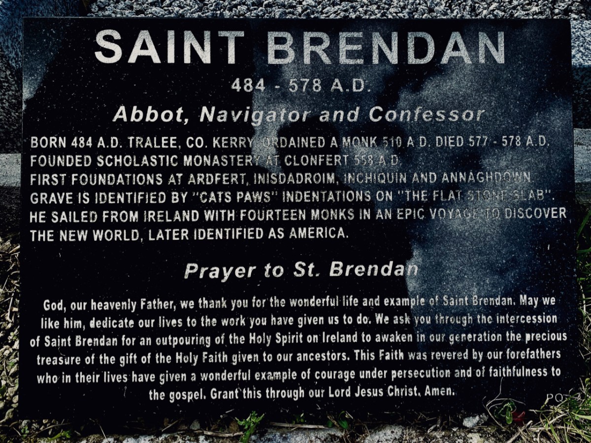
St Brendan lived from 484 to 577. We saw his birthplace in Fenit, Co Kerry, a few years ago. He founded many monasteries in Ireland but arranged for his body to be taken secretly to Clonfert Cathedral for burial as he didn’t want his remains to be disinterred by relic hunters. His grave is a stone slab just outside the great west door. On it are said to be the marks of cats’ paws – interestingly linked, according to folklore, with the many carvings of cats’ heads on the doorway arches.

When we first visited Clonfert, many years ago, the cathedral itself was closed and we went away with the impression that we had seen all the wonders that the place had to offer by our explorations of the outside of the building and its setting. We were wrong: on this occasion the door was unlocked and there were unexpected treats hidden for us in the interior.

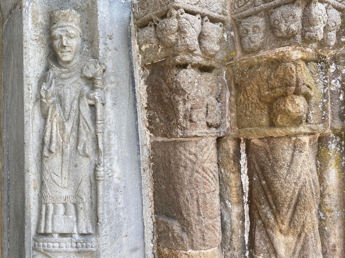
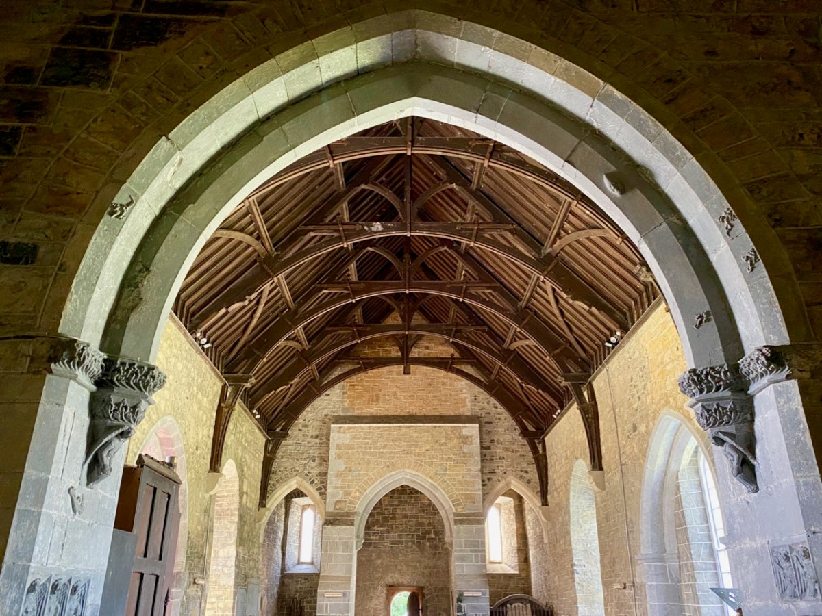
Further carvings decorate the church walls: they vary in date and style, but all are fascinating. Here is a selection – notice the seemingly random arrangement of heads and animal features on the great 15th century chancel arch, above.

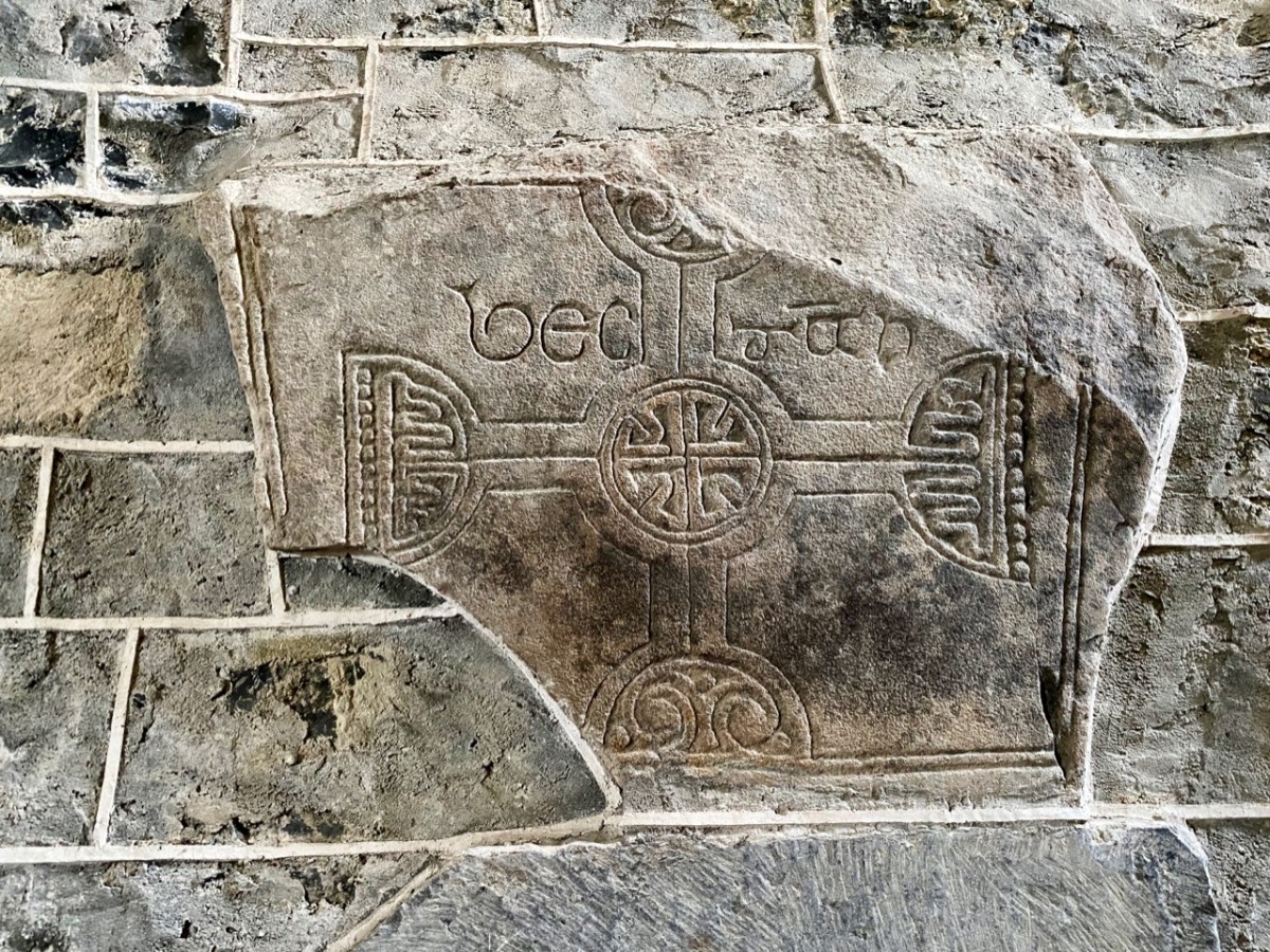
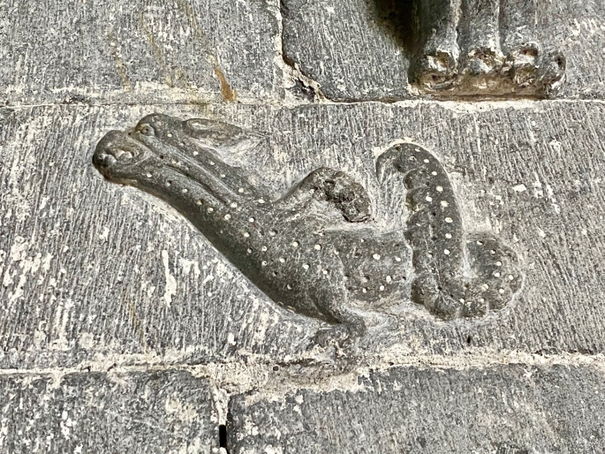
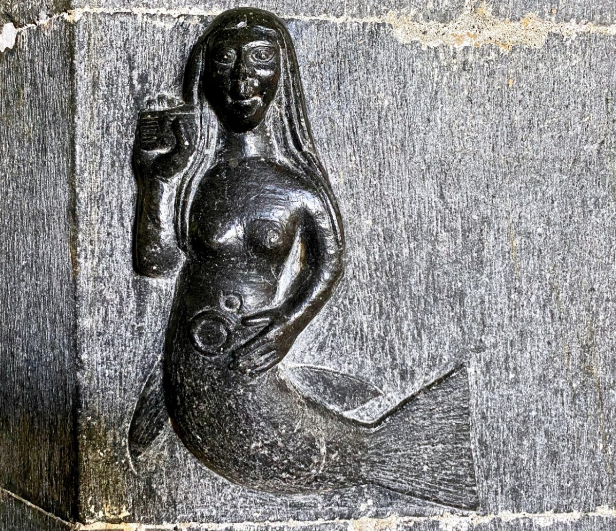
Angels, cross-slabs, a wyvern and, astonishingly, this fine mermaid complete with comb and mirror. I have found very little information to identify why these various carvings are found here in the Cathedral, apart from general legends which suggests links with Saint Brendan.

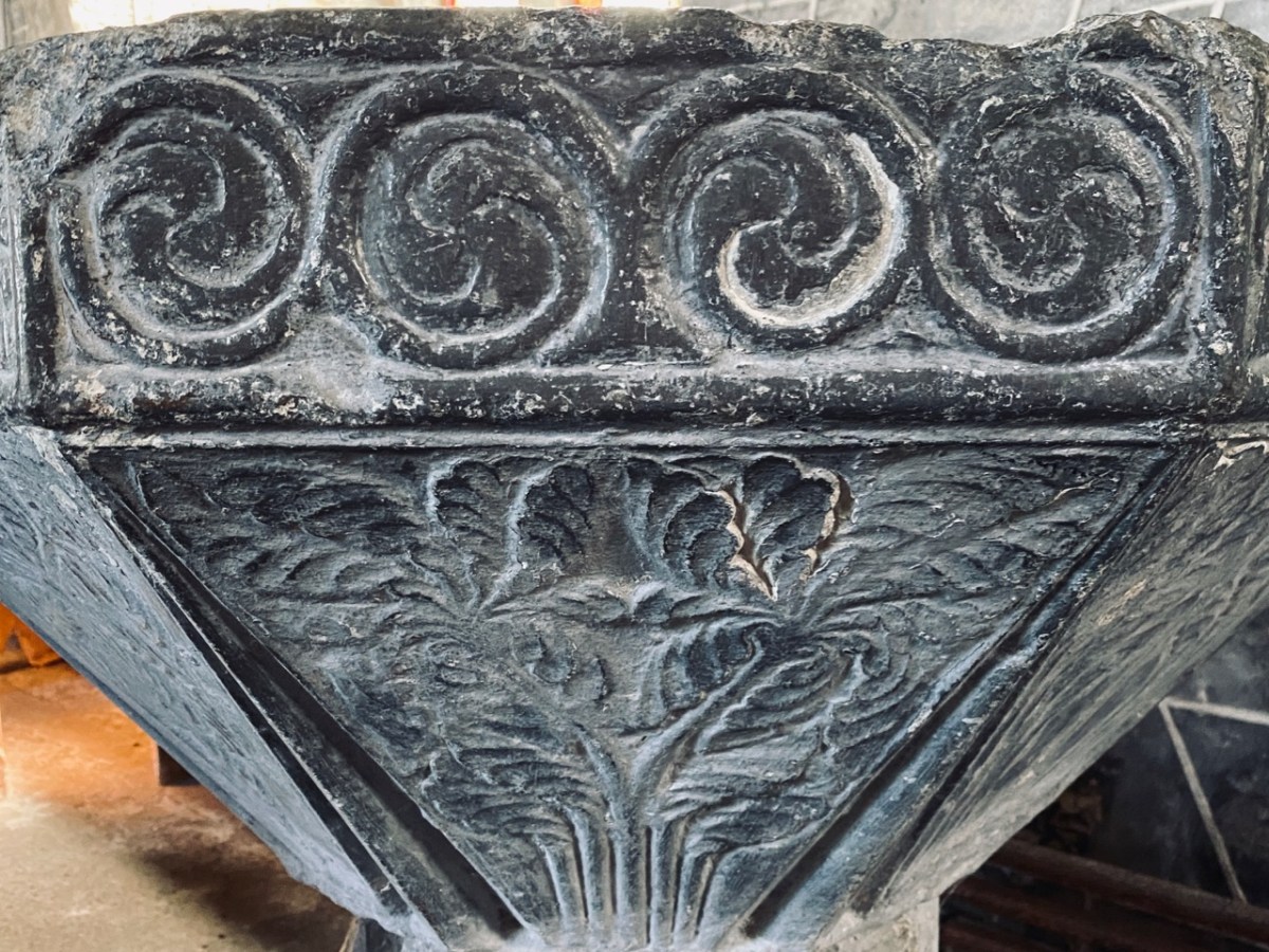
The carved stone head was found ‘in the ceiling’ when restoration work was carried out in 1985. It is said to date from around 1500, while the ancient and beautiful font is attributed to the thirteenth century. We could linger and feast on further treasures inside the church, but we need to look at the surroundings, which reveal yet more history.

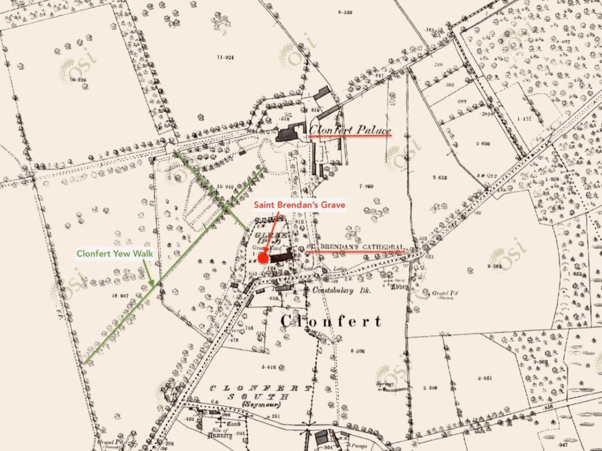
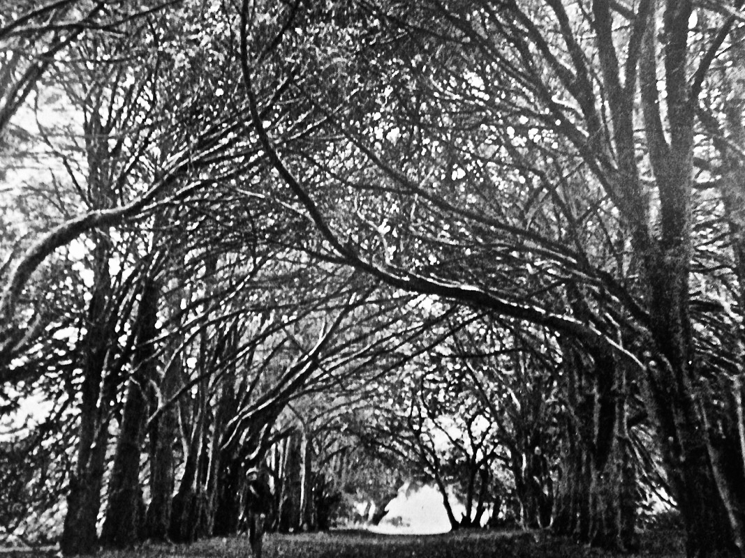
This extract from the 25″ OS map – late nineteenth century – shows the cathedral and some of the landscape features associated with it. We came here a few years ago, when we were researching Ireland’s waterways, following in the footsteps of English writer L T C Rolt. In his book ‘Green & Silver’ we read of his admiration for Saint Brendan, and his determination to find the grave at Clonfert, which he did in 1946. His book is illustrated with photographs taken by his wife Angela, and the one picture from Clonfert which is used in the book is this one of the ‘Yew Walk’ which was laid out as part of the gardens of the Bishop’s Palace, which you can see marked on the map.

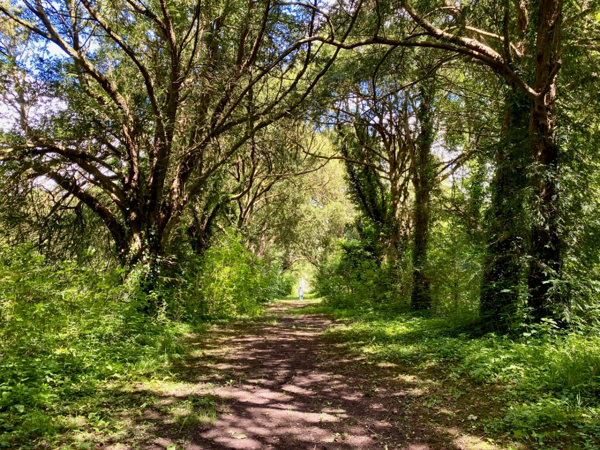
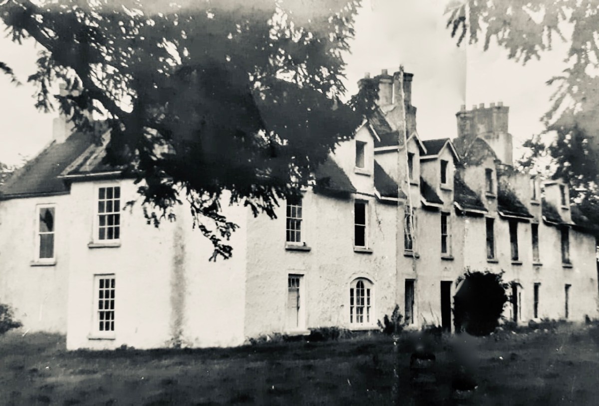
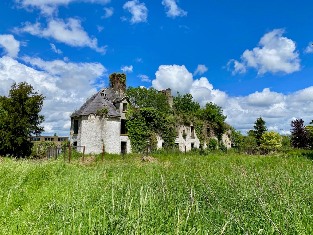
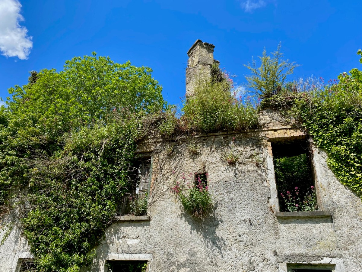
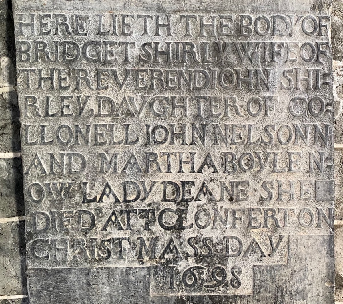
Our own photo of the Yew Walk at Clonfert was taken a few days ago. You can see that it survives, although neglected today. Some of the yew trees are said to be up to 500 years old. From the map you can also see that the Yew Walk connected the Cathedral to the 16th century ‘Clonfert Palace’, and was set out as an ornamental cruciform route, suggesting the path that might have been taken by the monks a thousand years ago. When we explored previously, we discovered the ruins of the Palace at the end of the Yew Walk, and wondered why it has been left in this state (since 1954, as we subsequently learned). The answer to that is fascinating, and I urge you to read my full account from that first visit, here. Below is a photo dating from c1950, showing the Palace at that time (with thanks to Dr Christy Cunniffe). My own photos from this week’s visit follow.

Clonfert might have been a very different place today if Queen Elizabeth had been listened to:

 . . . We are desirous that a college should be erected in the nature of a university in some convenient place in Irelande, for instruction and education of youth in learning. And we conceive the town of Clonfert within the province of Connaught to be aptlie seated both for helth and comodity of ryver Shenen running by it . . .

Queen Elizabeth, Letter to the Bishop Of Clonfert, 1579

The Queen’s advice was not taken up, and Trinity College Dublin was established instead – in 1592 – becoming Ireland’s first University.

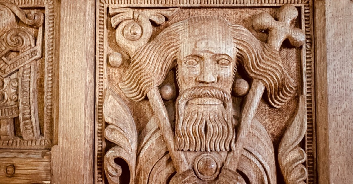
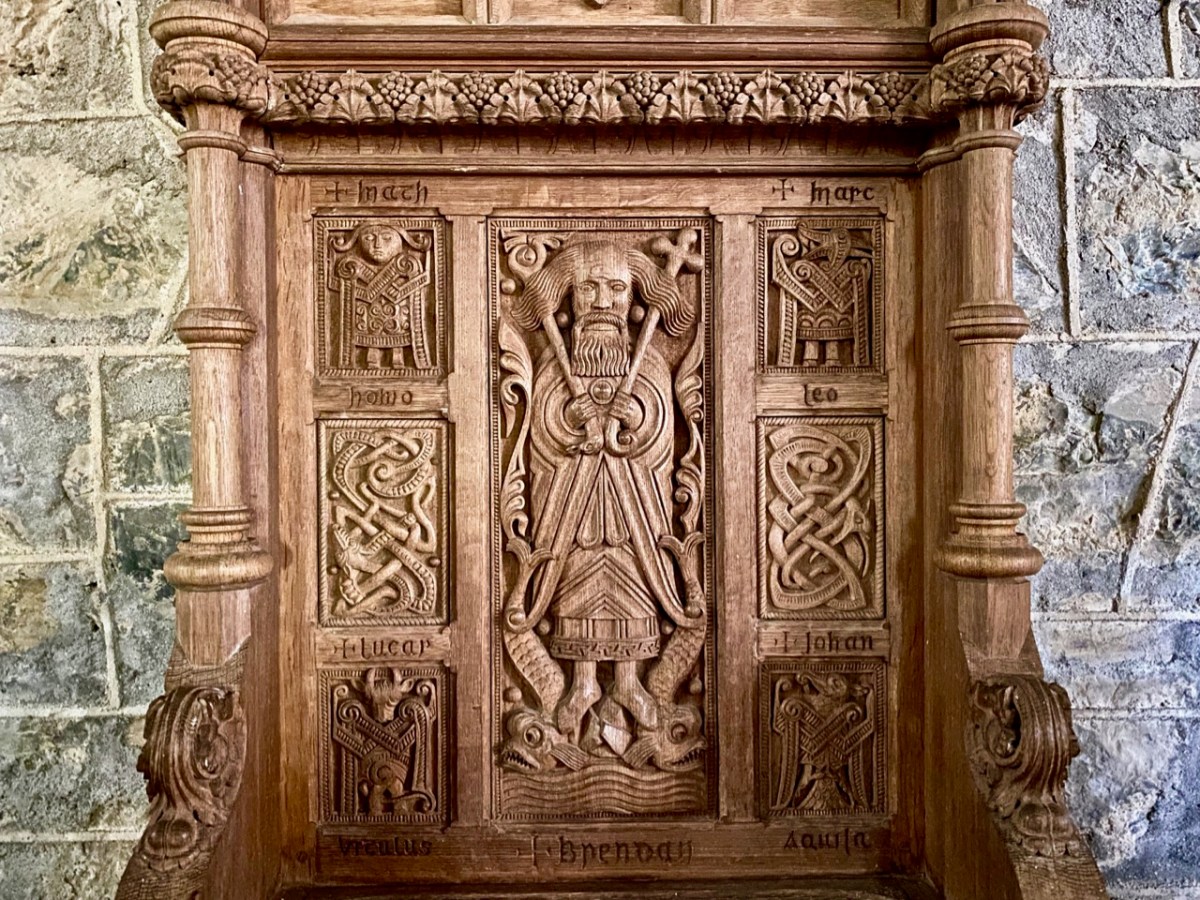
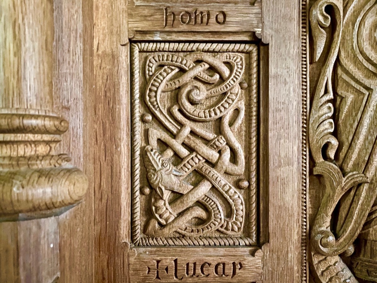
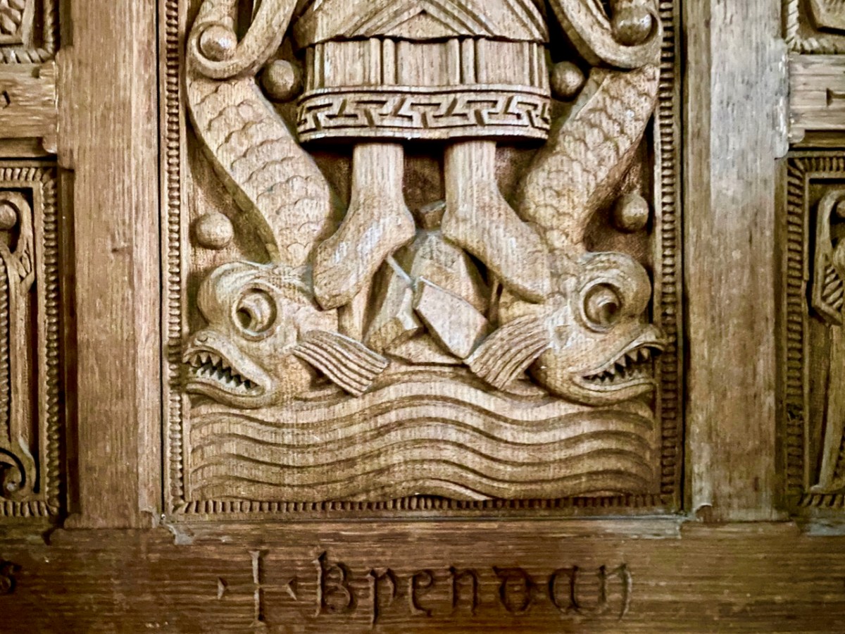
The site at Clonfert is so interesting – and covers so many periods in Ireland’s history – right up to the 20th century. It was well worth revisiting – and will merit further visits in the future, too. I’ll leave you with one aspect that probably impressed us most this time around. It’s the Bishop’s Throne which is hidden in the shadows of the Cathedral chancel. Carved from oak, most likely in the 19th century, it is a wonderful representation of Saint Brendan himself, surrounded by the Four Evangelists, crafted in the style of the Book of Kells. Look at him, also, on the header. Here is the Irish saint who set sail out on a voyage into the unknown – seeking Paradise – and discovered the World!

Wicklow Ways

There is a world beyond West Cork! In fact, we quite often visit Wicklow and Ireland’s ‘Ancient East’: it’s a contrast to our wild Mizen, and currently looking verdant in the early summer sunlight. We have taken a trip to Ireland’s ‘garden county’ to celebrate a bit of a let-up in the long, hard lockdown that we have all endured for most of this year. We based ourselves in Greystones (that’s the entrance to Greystones Harbour in the header pic). On a hot weekend it was buzzing with people, but we did all have to keep our distance from each other which, in Ireland particularly, is a sad state of affairs.

Greystones (evidently named after the ‘grey stones’ on the beach) has transformed itself from the sleepy seaside town and small harbour photographed by Co Wicklow man Robert French in the late 19th century (above). You can see many more of his photographs in this excellent website. Today it boasts a smart new marina and harbour, modern houses and apartments, and a major amenity park giving access to the old cliff walk that leads to Bray. It’s an attractive and vibrant venue in the 21st century, popular with residents and visitors alike.

Greystones : nautical connections, dancing in the new park, aqua shades and Patrick O’Reilly’s wonderful ‘Marching Bear’ sculpture on the sea-front. When this statue was unveiled in 2014 it created quite a stir. Some locals claimed it was an eyesore and ‘spoiled the sweeping sea views’. The striking feature cost the town nothing, as it was donated by Dermod Dwyer – a local property developer and guardian of Ireland’s National Gallery – in memory of his daughter Caroline who, sadly, had died of cancer.

Not far from Greystones is Killruddery House and estate. This was founded by William Brabazon of Leicestershire in the 1500s and went through several incarnations, with the present house being substantially reconstructed between 1820 and 1830. The Brabazon family and their descendants remain in the house to the present day: they became the Earls of Meath, a title created in 1627. The estate, which amounts to 800 acres, is open to the public as an amenity and it is possible to perambulate the grounds for a small fee. We visited: in fact, Finola is descended from the Brabazons somewhere down the line, and she knows her way about!

The demesne is beautiful, and elegantly laid out, with canals, pools, fountains and well placed statues. In its fresh summer greenery it is an impressive place to explore. Finola’s post today is all about Killruddery.

On another day we revisited a further Co Wicklow treasure – Glendalough, and admired again the extensive Monastic City, its fine examples of Romanesque architecture, round tower and stone crosses.

Amanda (Holy Wells of Cork and Kerry) and Peter (Hikelines) were with us on our Glendalough visit and, to my own surprise and delight, we were led to St Kevin’s holy well in the grounds of Glendalough which we had never known about previously. It took a bit of finding, but it was complete with a rag tree – and cures for headaches and eye ailments.

I hope you will agree that County Wicklow has something to offer everyone. We have just dipped in to its treasures in our few days away from West Cork. There is so much more to be discovered… But, of course, the same can be said of all parts of Ireland.