Seaweed and Sealing Wax

Finola has been involved in the Ellen Hutchins Festival since it began in 2015 – the 200th anniversary of the death of Ireland’s first female botanist. This year she was asked to help organise and MC an outdoor event, and has had a very busy time – together with her collaborators – leading up to this. On the day – last Friday – I went along to see the culmination of their hard work, and I thought I would share the experience with you.

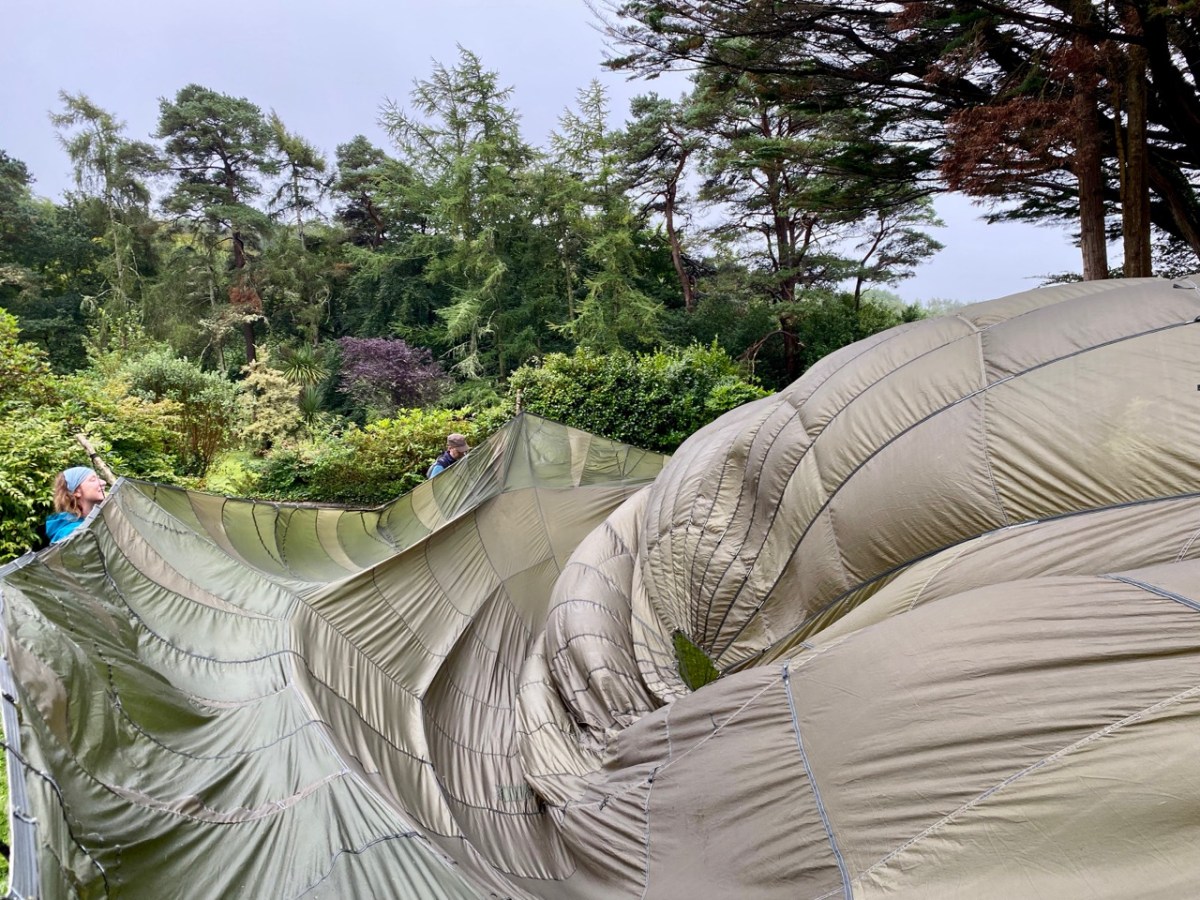
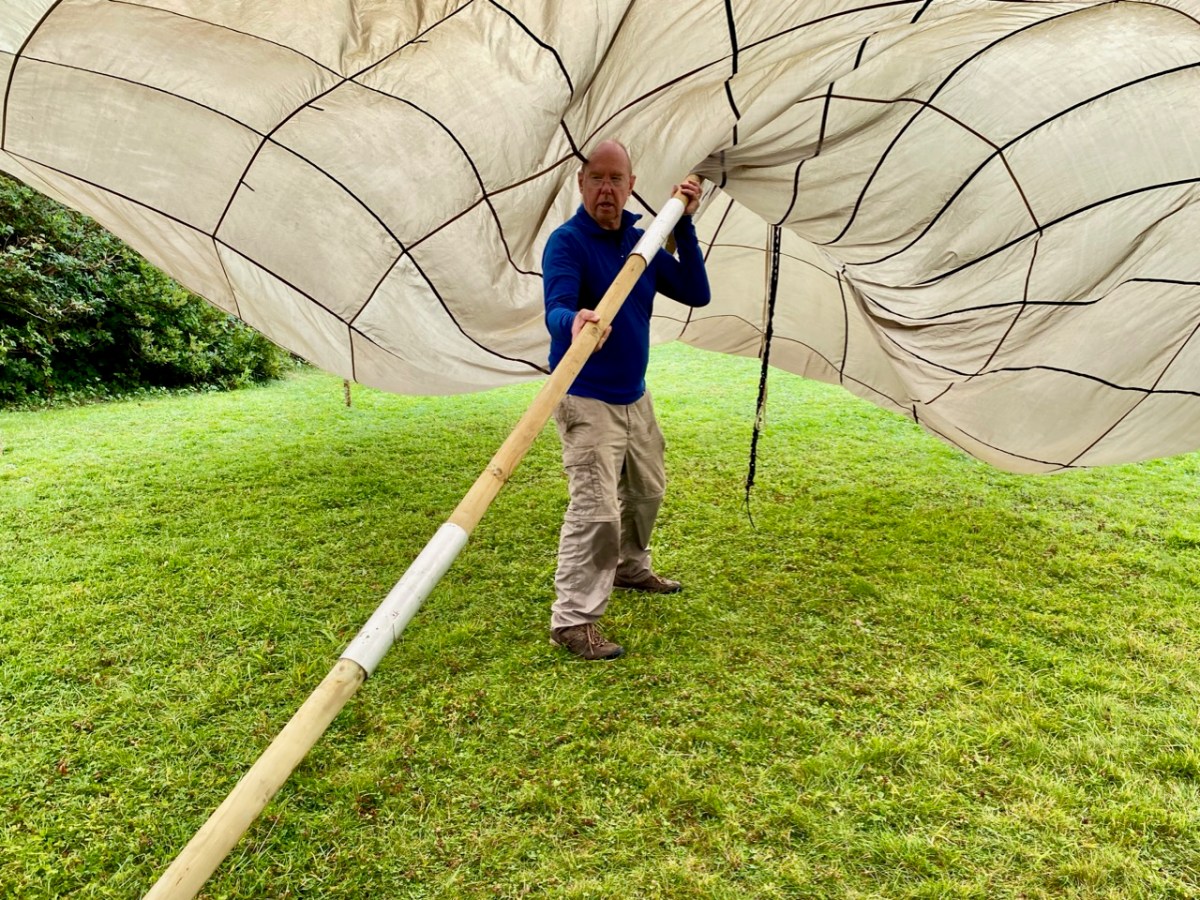
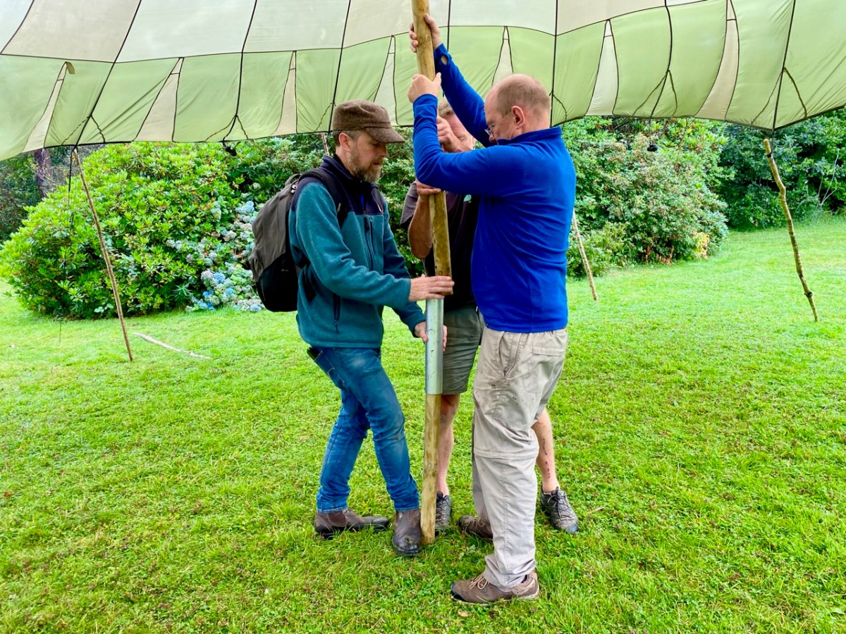
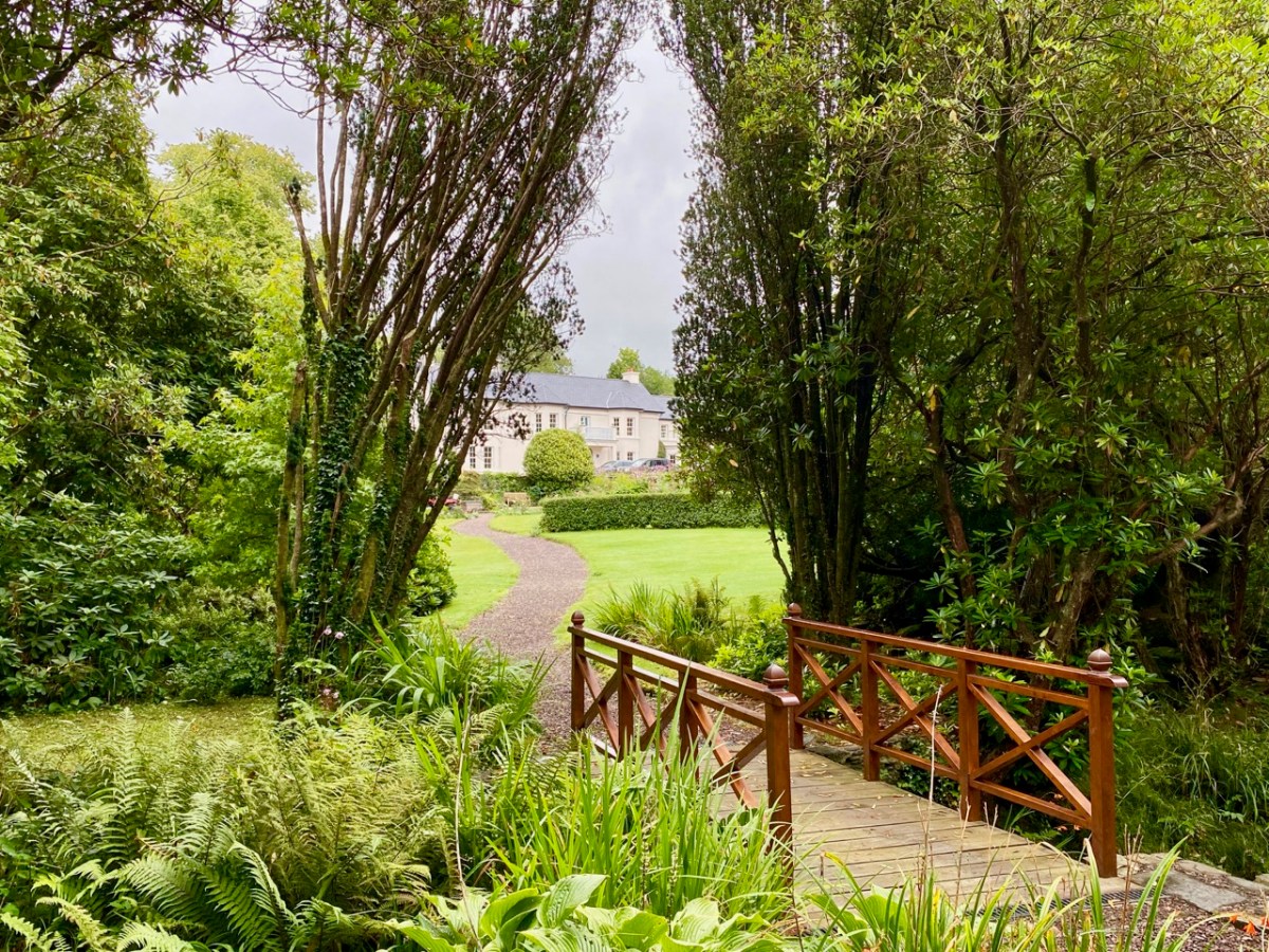
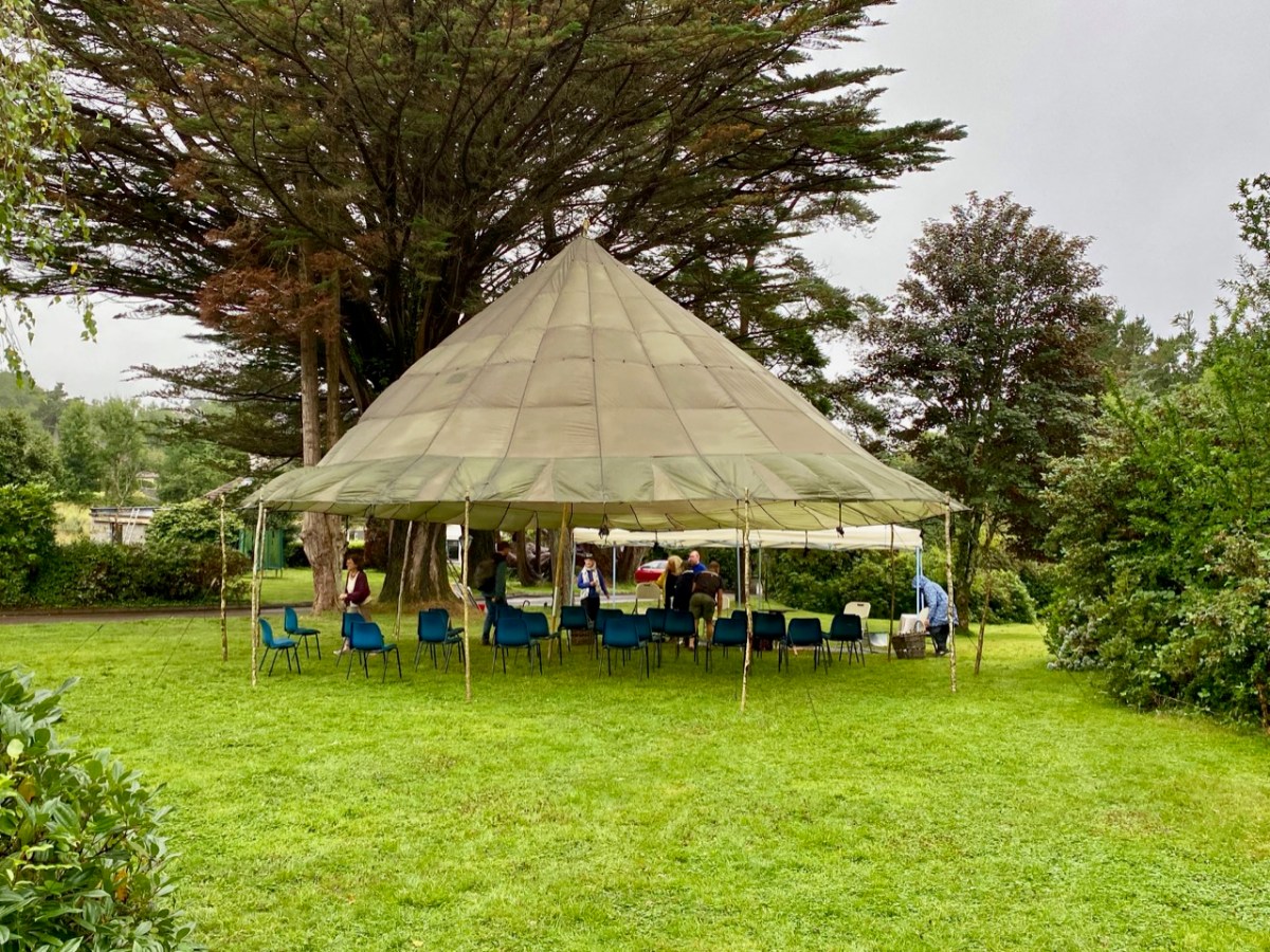
The weather forecast for that day was atrocious! Heavy rain and thunderstorms were predicted for the duration, and we set out for Ballylickey with some trepidation. However, as is often the case in West Cork, the weather forecasters were confounded. Nevertheless, the Festival team had prepared for all eventualities and we arrived in time to contribute to the setting up of a shelter made from a silk parachute and a number of wooden poles. The transformation of an empty area of lawn in the gardens of Seaview House Hotel into an impressive performance space in a very short time was quite remarkable – and a visual treat – as the swirling mass of silk was tamed by our team, directed by Seán Maskey.

Watching (and, indeed, participating) in this constructional triumph, I was taken back to the days when I lived in Cornwall and followed the escapades of two theatre groups there: Kneehigh Theatre and Footsbarn. Both started out as small troupes of travelling players who took their performance spaces with them and incorporated the action of creating and erecting their transitory auditoria into their shows: all part of the visual entertainment. Both those groups have evolved and travelled far away from their roots, but the evanescent nature of their early shows has stayed with me, to be pleasantly awakened by the happenings at Ballylickey.
To see where Ballylickey fits in to the story of Ellen Hutchins, have a look at Finola’s post from 2015. Ellen was born in 1785 in Ballylickey House and lived much of her short life there. Seaview House – now the Hotel – was built partly in the grounds of the Hutchins family home, so it is a fitting venue for Festival events, as we know that we are following her own footsteps as she became interested in the world of plants and seaweeds which she discovered all around her as she was growing up.

. . . Ellen was a pioneering botanist who specialised in a difficult branch of botany, that of the non-flowering plants or cryptogams. She discovered many plants new to science and made a significant contribution to the understanding of these plants. She was highly respected by her fellow botanists and many named plants after her in recognition of her scientific achievements.In addition to being an outstanding scientist, Ellen was also a talented botanical artist. Botanical drawings serve science in a very important way . . .

Ellenhutchins.com
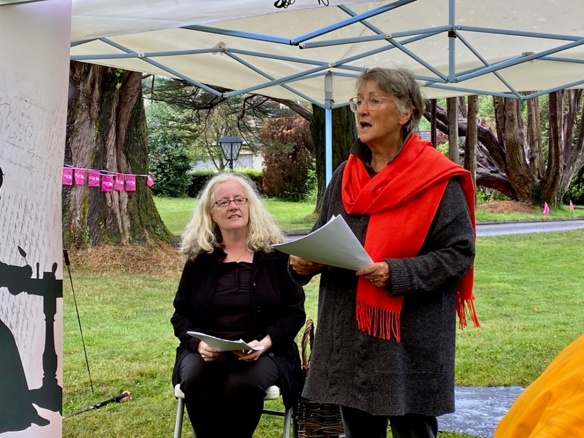
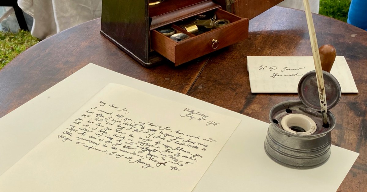
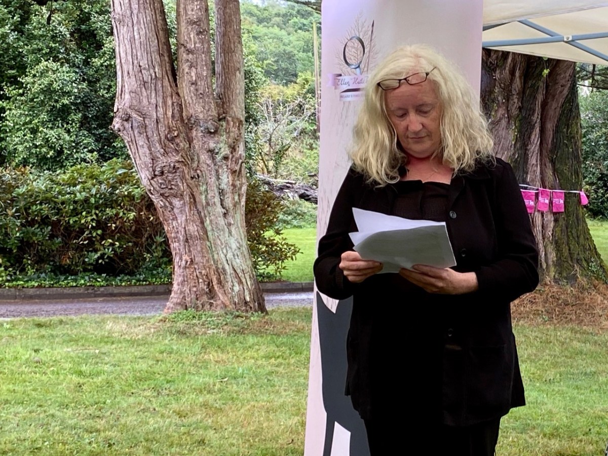
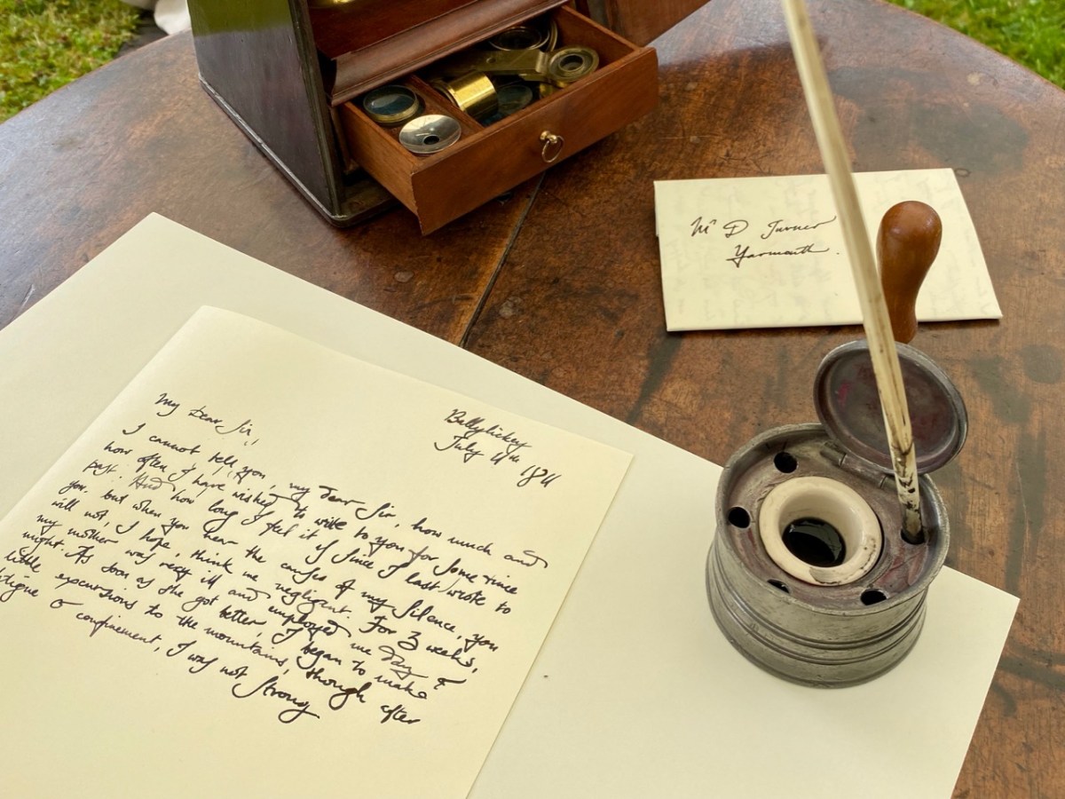
That’s Finola (above) introducing the subject of the day: the correspondence that passed between Ellen and Dawson Turner of Yarmouth, Norfolk, who had become a recognised authority on botany in early 19th century Britain, even though this was always a leisure pursuit: professionally he worked for his father, who was head of Gurney and Turner’s Yarmouth Bank and took over his role on his death. Dawson wrote numerous books on plants and got to know the leading botanists of the day, including Ellen. Amazingly, one hundred and twenty letters between her and Dawson survive. Those from Dawson Turner to Ellen are held by the Royal Botanic Gardens, Kew, and those from Ellen to Turner are at Trinity College Cambridge. Friday’s event was a reading of a selection of these letters. On Finola’s right, above, is Karen Minihan, an actor and drama director who lives in Schull: she read the letters from Ellen. Moreover, it was she who selected and organised the extracts – which were the heart of the performance.

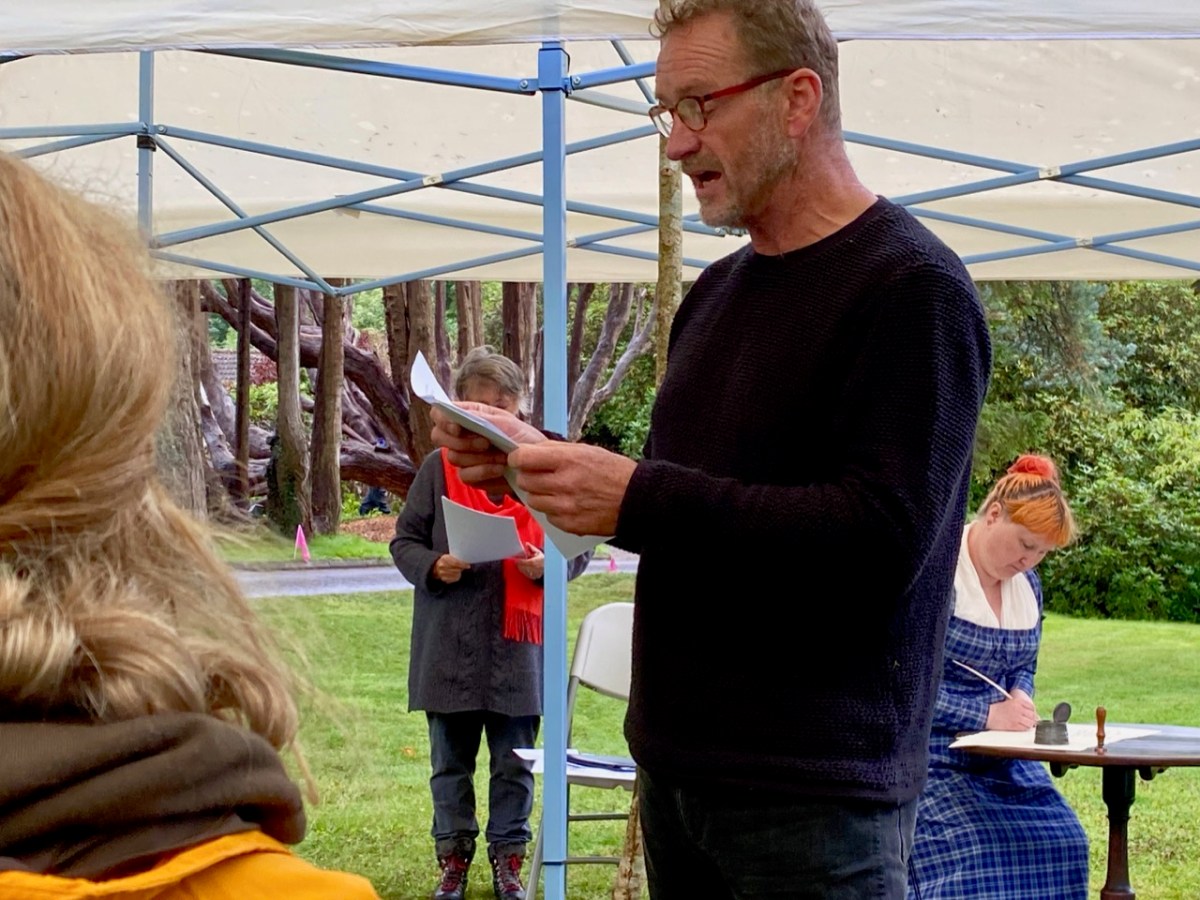
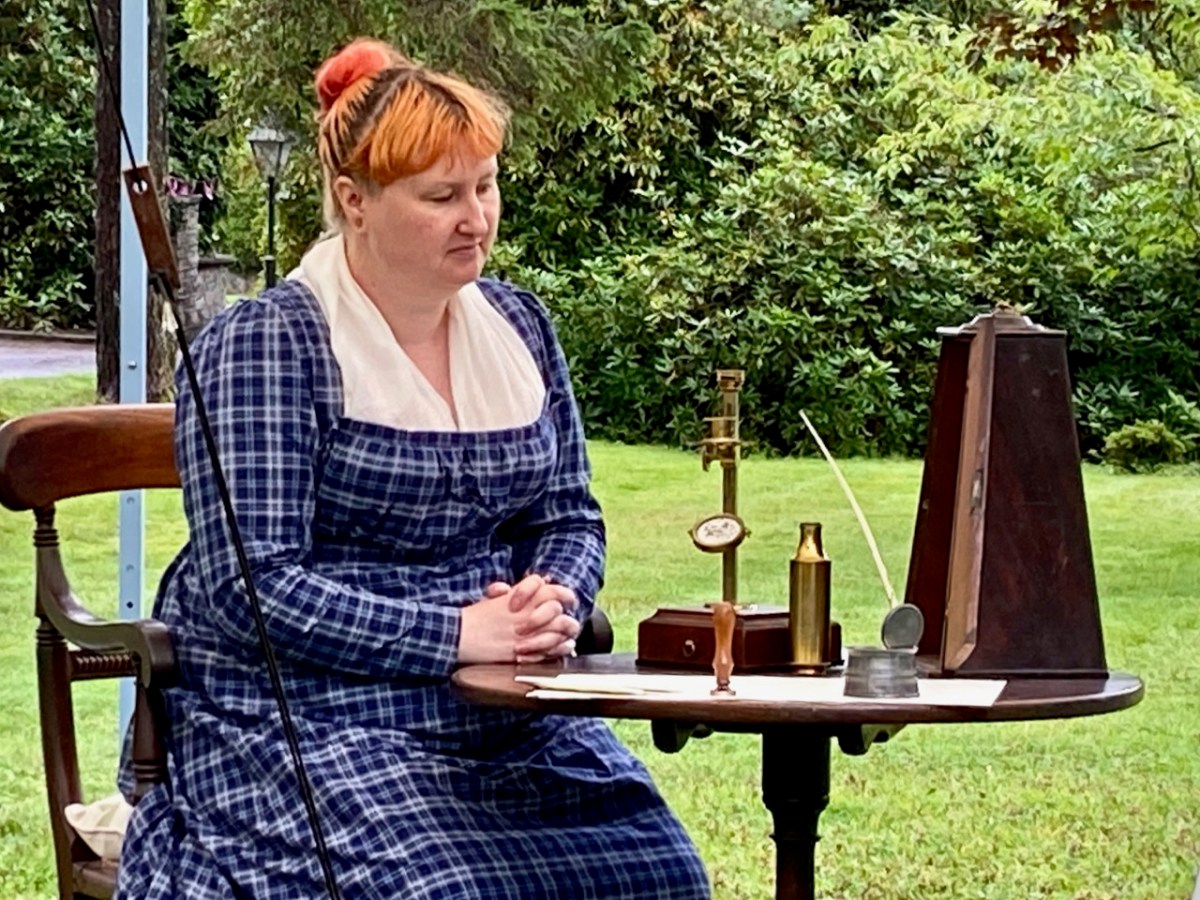
Above are the two other performers: on the right is Mark O’Mahony from Cappaghglass – he is a part-time actor, and here he reads the letters from Dawson. On his right is Carrie O’Flynn. She is a historic re-enactor and researcher: she appeared as Ellen, in authentic period dress, and provided really illuminating interpolations between letter-readings, informing us about the act of letter-writing itself in the early 1800s – the ink and quill pens; the postal service; Ellen’s probable appearance and dress (there are no surviving portraits of her) and the difficulties which Ellen would have had to face in pursuing here chosen interests, especially as she was herself quite frail and was for many years the carer of her own mother. Her achievements in the light of all this are truly remarkable, and Carrie succeeded in bringing this out with her contributions. Below she shows us the brass microscope that Ellen used – an essential item of equipment for her work.
As the reading of the letters progressed it became gradually obvious that a deep friendship was developing between the two botanists, and the language reflected this. Particularly telling (and this was drawn out in the selection of the letters) was the way the missives were framed as time went on. From a simple, almost curt formality in the earliest, we begin to read how their shared interests extended beyond the botanical; they exchange newly discovered poetry; Dawson tells Ellen that he has named his newly-born daughter after her; they imagine how they would like to meet each other and walk their favourite landscapes together. Each sends the other packages containing examples of the plants and seaweeds that preoccupy them, and their greetings at the top and tail of every page become increasingly warmer. We, the audience, open our imaginations as to how a happy fulfilment could ever metamorphose – West Cork and Norfolk are as far apart as any two place could be in early 19th century Britain. Poignantly, we learn that they never met: Ellen – always in poor health – died in 1815 at the age of twenty nine. We can only imagine that Dawson, remote in Norfolk, was desolate.

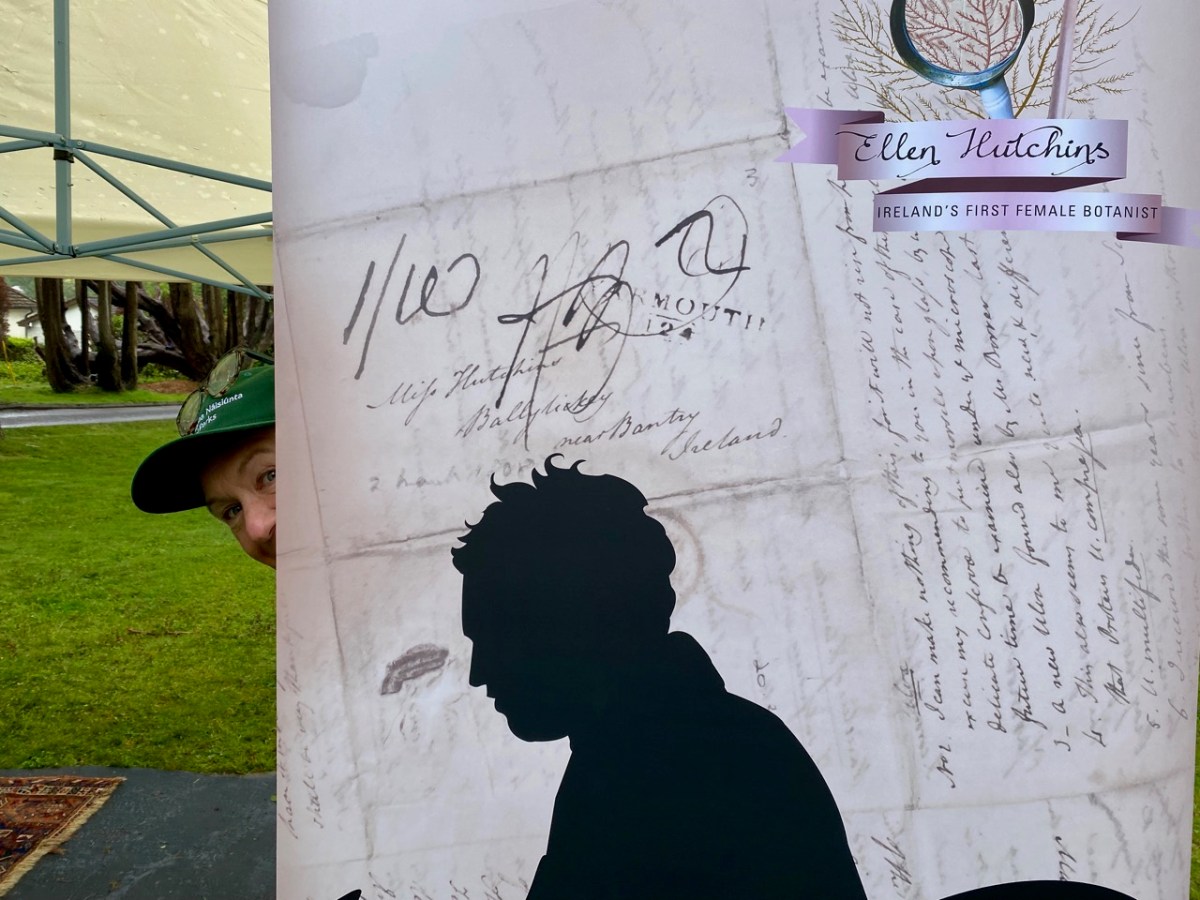
Important to our day – apart from the presenters and actors – were Madeline Hutchins (above – showing us some of Ellen’s drawings of seaweed), great great grand-niece and a co-founder of the Festival; and – behind the scenes but essential – the team, including Clare Heardman, co-founder of the Festival and a Conservation Ranger at the National Parks and Wildlife Service. Here’s Clare in action setting everything up – and running the Festival shop:
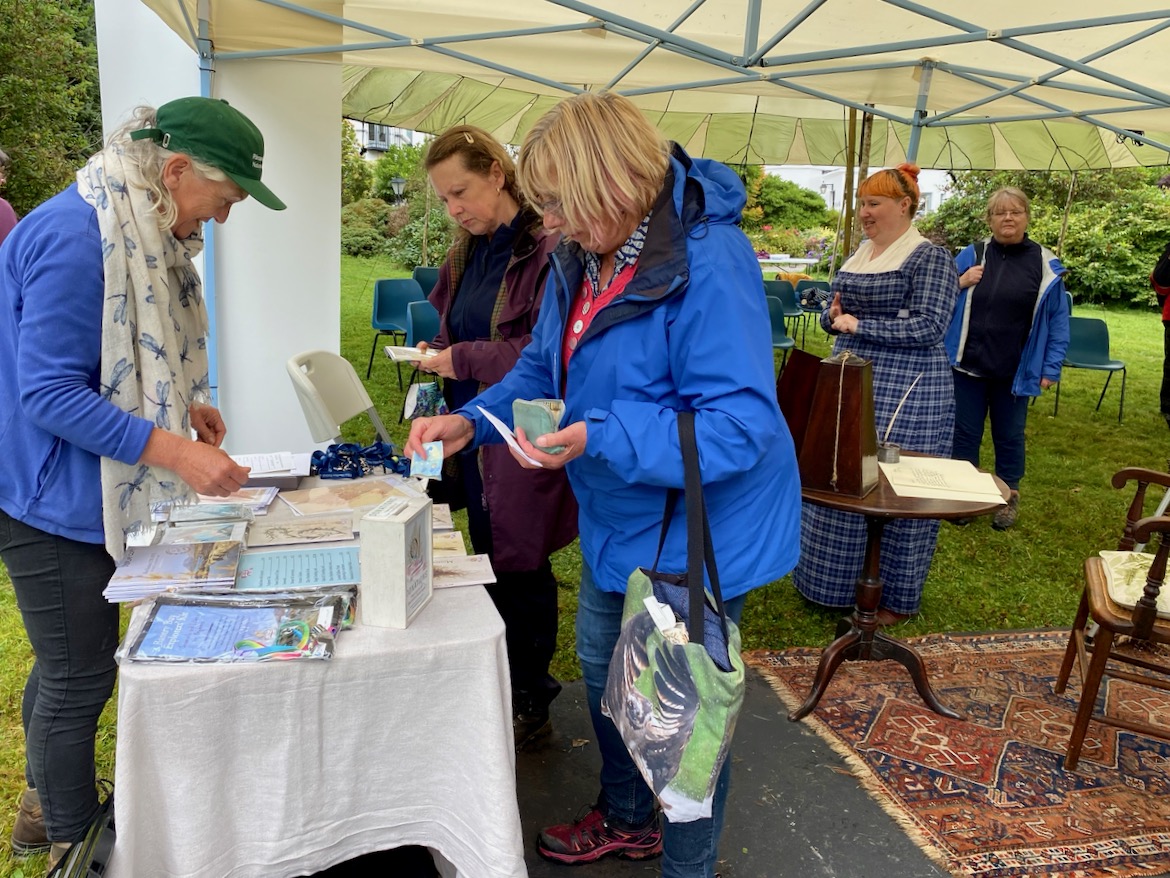
We had a further treat in store for us after the show: we were taken on a guided tour of some of the environments which Ellen would have known and explored during her life at Ballylickey. This felt really special, and brought us close, again, to the extraordinary young woman whose short but productive life we now celebrate here in West Cork.
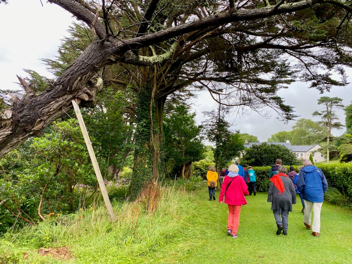
Please note that Ballylickey House today is private property, and visitors should not seek access. There is plenty of the natural environment that Ellen would have been familiar with around Ballylickey and on the shores of Bantry Bay – well worth an exploration. And this link to the Ellen Hutchins Audio Trail is invaluable, especially to anyone who was not able to be at Friday’s event.
Particular thanks, of course, to all who participated – and attended – the event. It was a great success! Thank you to the weather Gods. And many thanks to Seaview House Hotel for providing the venue
An Evanescent Signal Tower – Glandore Head

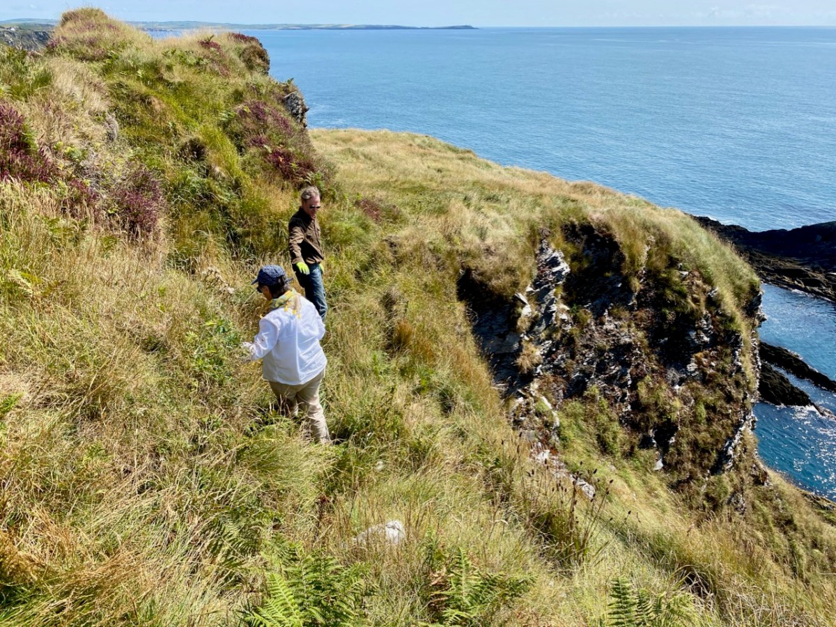
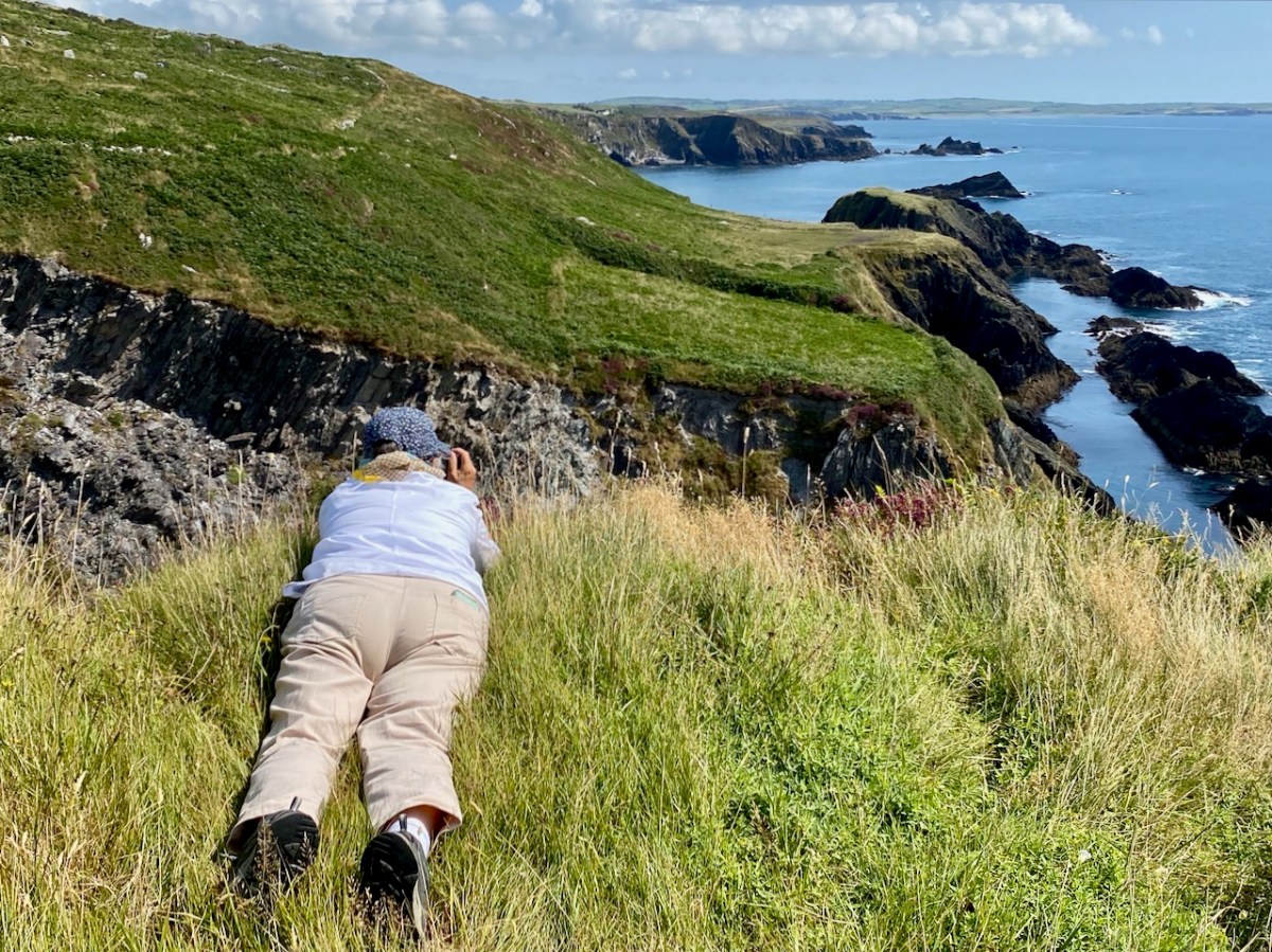
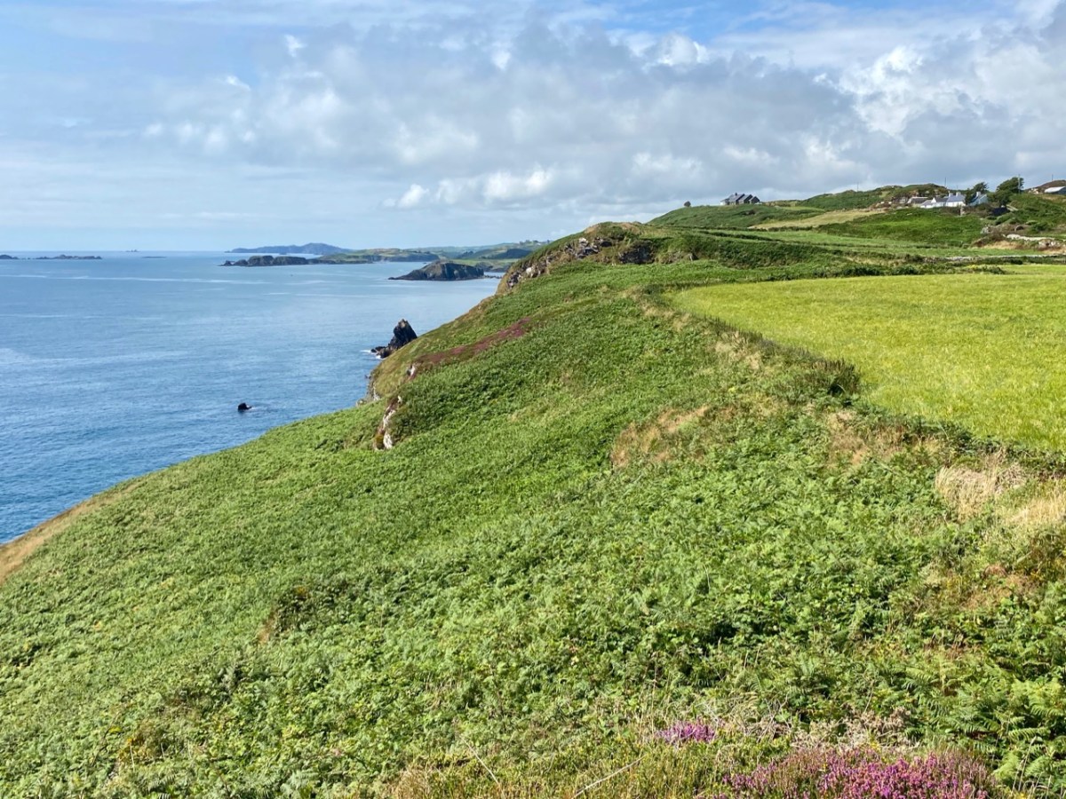
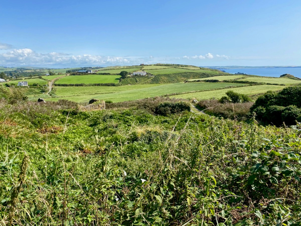
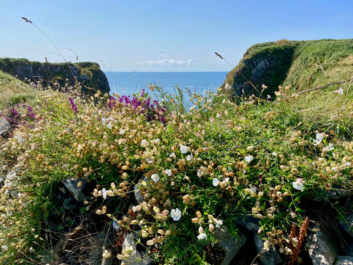
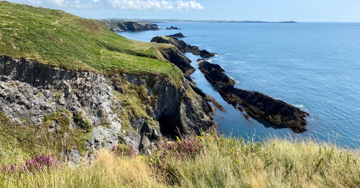
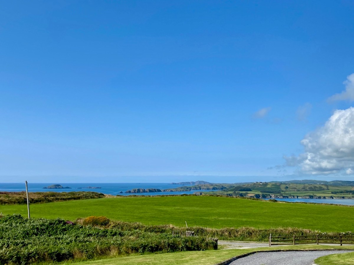
This is a bit of an epilogue to my Signal Success in Irish Engineering series (although that is not yet complete!). Here is the site of a Napoleonic-era Signal Tower in West Cork – but the tower itself has completely vanished! It’s no 28 on the map which accompanies Bill Clements’ book – Billy Pitt Had Them Built – Napoleonic Towers in Ireland (The Holliwell Press 2013) and it is given the name Glandore Head. We recently visited friends who have a house in the townland of Reenogrena, which is south-east of the village of Glandore and its extensive natural harbour. The topography of the area is soul-stirring – that’s probably an understatement: look at the view of the coastline there, above, and the distant views both west and east, below.

We were fortunate with the day we had. The benign weather gave us a possibly false sense of security as we explored a wild, riven coastline. We could well imagine how exposed we might feel there in one of West Cork’s severe storms: our climate-changing extremes are becoming ever more prevalent. But on this occasion we were confident enough to venture to the very edges of the land, always conscious that humans had settled in these remote places many generations before us.

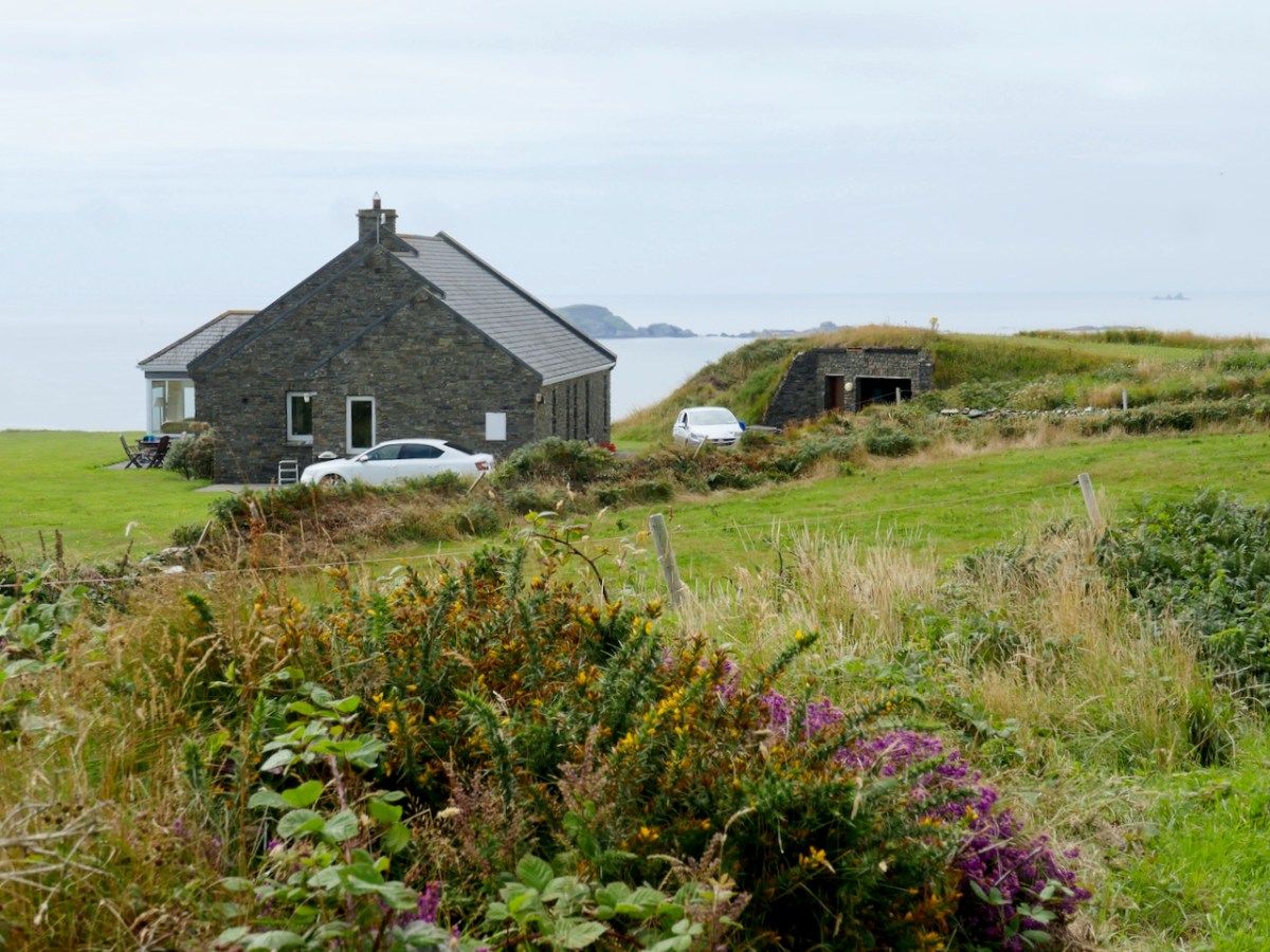
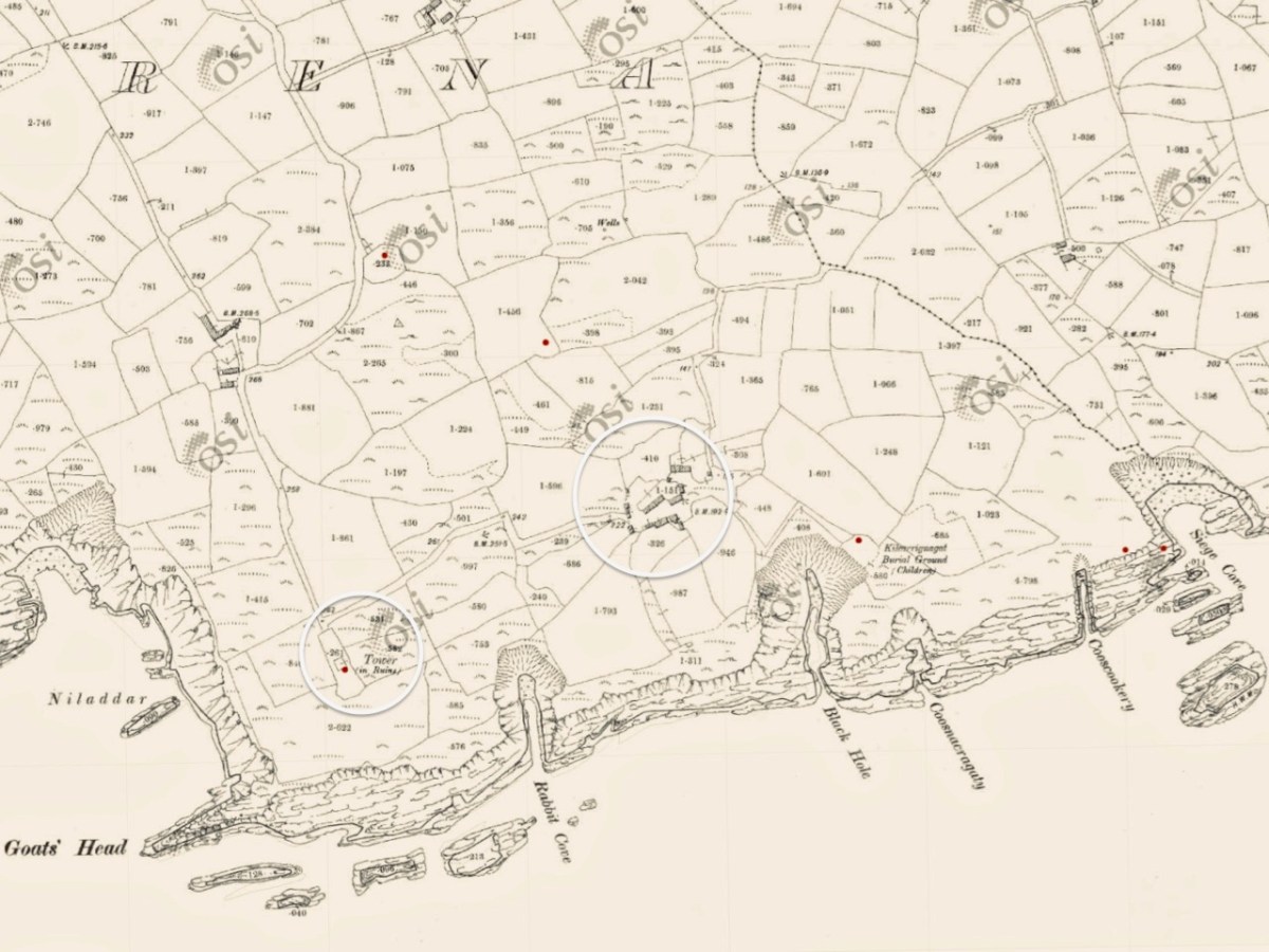
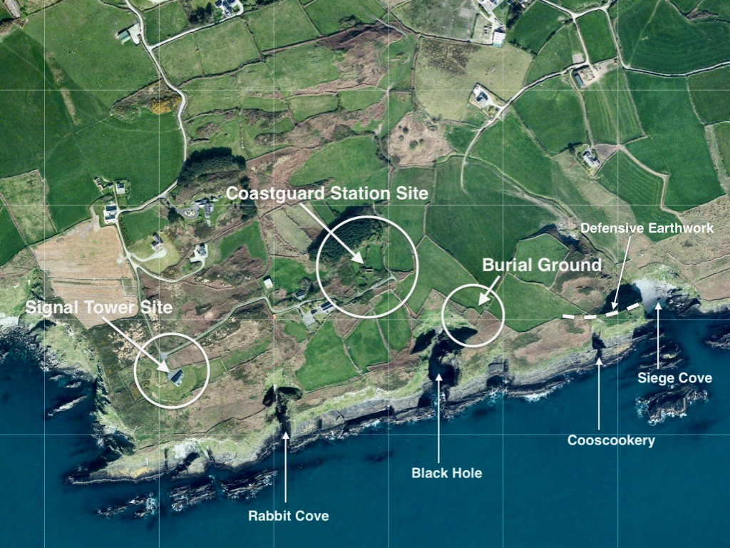
There is nothing left of the signal tower at Glandore Head, which would have been constructed between 1801 and 1804. The site has now been taken over by a recently built house which enjoys the excellent views in all directions. In the picture below it seems that the tower was located in the area of the earth-sheltered garage. We know more or less where it was because it appears on the earliest Ordnance Survey maps from around 1840. Even by then the structure itself had lost its original function, as the threat of Napoleonic invasion had passed, but it is labelled as a ‘Telegraph’. On the later 25″ map – dating from the late 1800s – the site is marked as ‘Tower in ruins’.

Centre – the earliest 6″ OS map; lower – the later – and far more detailed – 25″ OS map. It’s interesting to compare the two versions. The accuracy of the later map in terms of topographical detail and humanly constructed features – buildings, trackways etc is very noticeable. Below is the contemporary aerial view. 50 years separate the two OS maps, while the satellite image is 100 years later again.

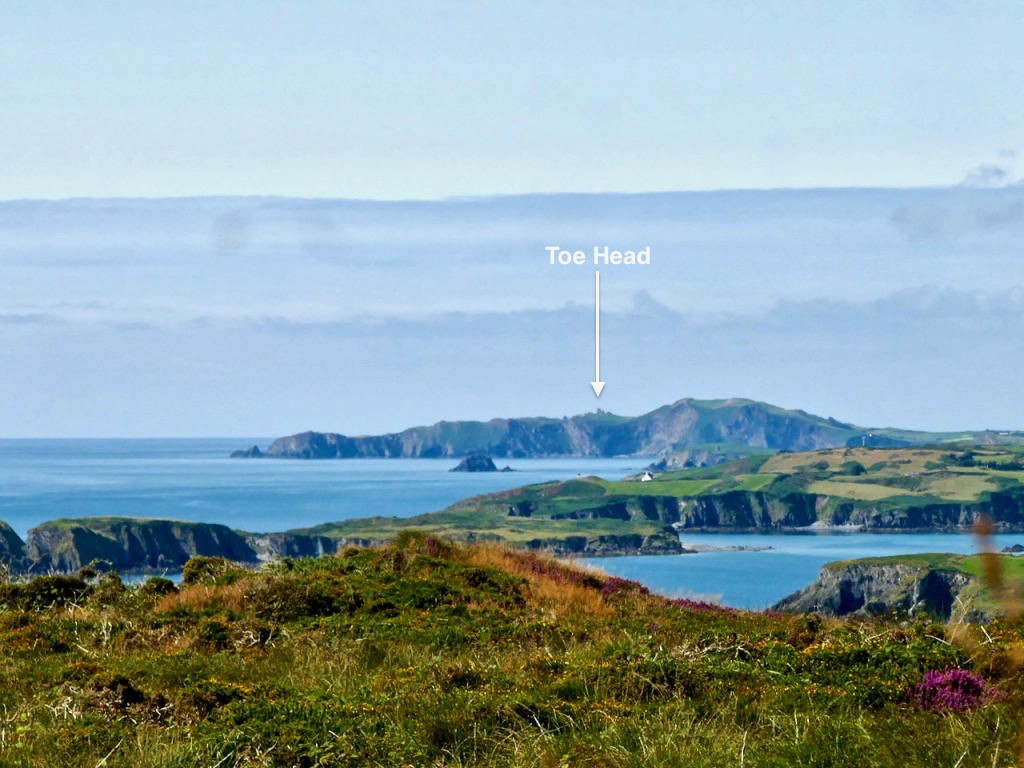
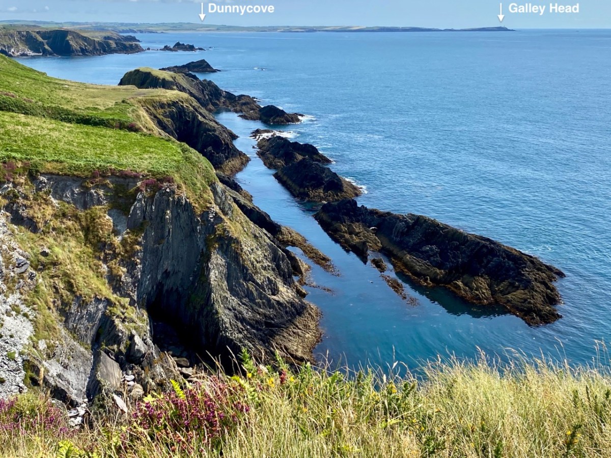
The reason why I like to examine and compare the mapped information is my interest in reading the history of a place through its landscape, and this particular vignette of West Cork is a prime example of the process. Firstly, the signal tower location was chosen because of visibility to other significant places on the coastline which are in view: the towers at Toe Head to the west and Galley Head (Dunnycove) to the east (below).

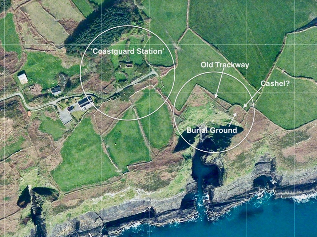
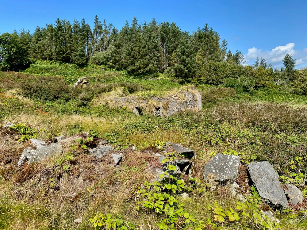
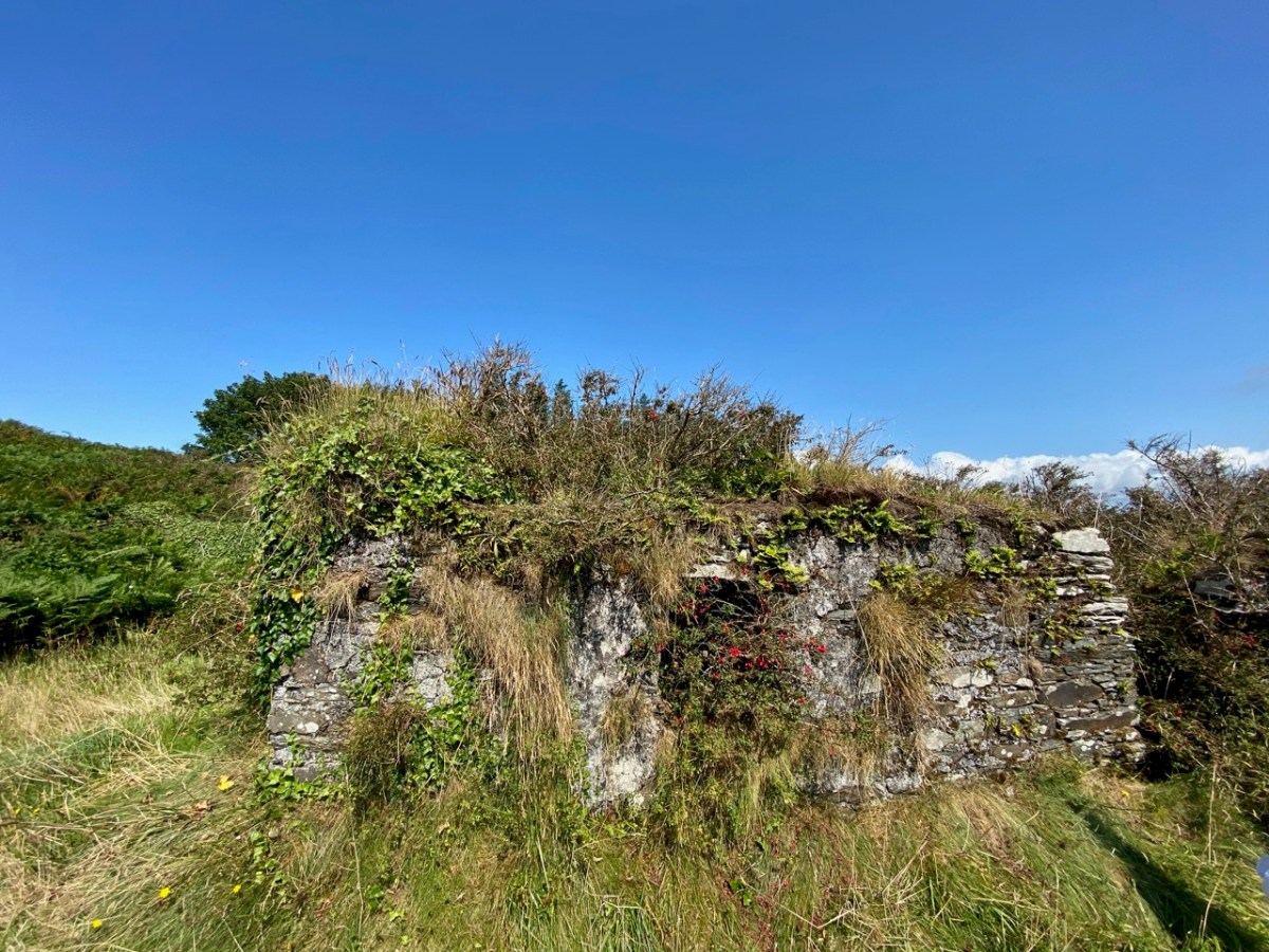
Next, look at the ‘Coastguard Station’ site. This is marked on the c1840 OS map, but not on the later 25″ map. But that later map does show a number of buildings on that site. As you can see from the aerial view, there are only the remnants of buildings now. Also the older map shows no roadway or track accessing the ‘Coastguard Station’ – it could only be reached by crossing fields. Here’s a closer look at this group of ruined buildings today, followed by some of our photos.

While it is likely that there are old coastguard buildings amongst these ruins, it seemed to us equally possible that we were also looking at the earlier remains of a settlement – cottages and cabins. Records of the area are scant. There’s nothing we found – apart from the OS maps – to give any further light on what we were scrutinising. Surprisingly, very little information is available on the early years of the Irish Coast Guard service, other than its establishment as the Water Guard, or ‘Preventative Boat Service’ in 1809, initially under Navy control but from 1822 part of the Board of Customs. From this we might assume that its purpose was to intercept smuggling operations, rather than to give any assistance to seafarers. Incidentally, it is important to note that in Ireland the name has always been two words: Coast Guard.

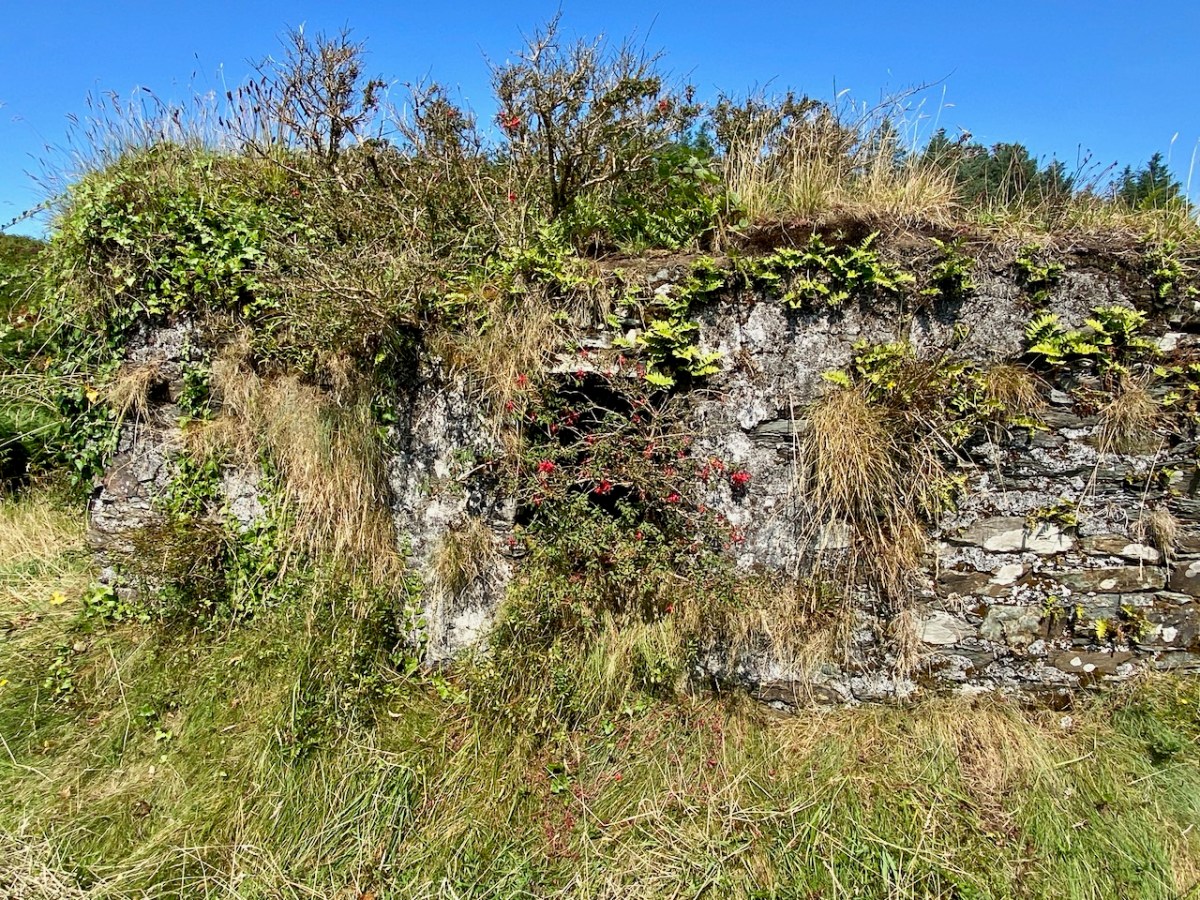
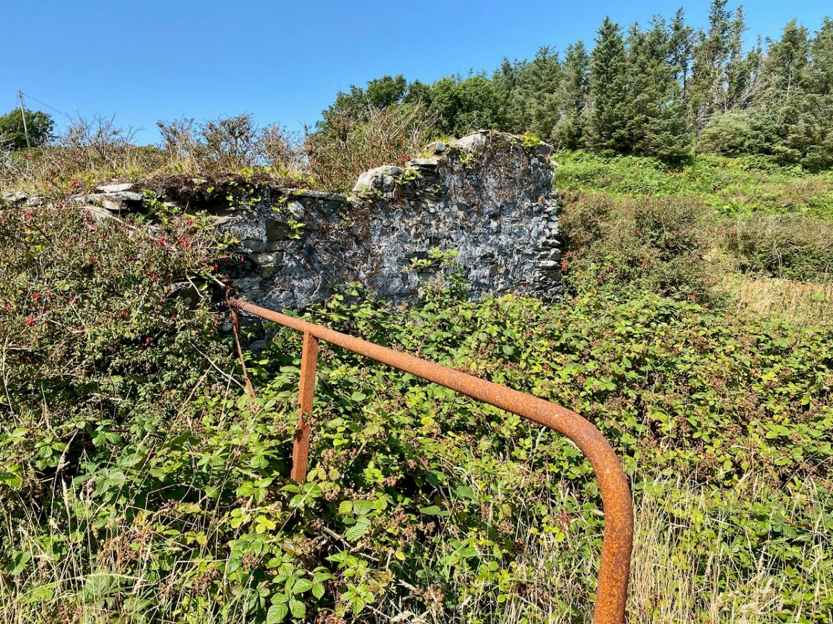
It’s easy to see that this hostile coastline – which would not be benign to small fishing boats – would nevertheless attract subversive landings. The only nearby access to the water is Siege Cove, to the east of the Coast Guard site. The upper photo depicts the curiously named Cooscookery inlet – not a good landing point, while the lower is Siege Cove – itself a difficult climb to the fields from sea level. The names of the topographical features would be a good study in themselves – and might reveal some hidden history: Coosnacragaty, Black Hole, Rabbit Cove, and Niladdar. The small burial ground is known as Kilcarrignagat (it means the ‘church at the rock of the cat’). That’s the overgrown trackway leading to it, below. It is of particular interest – partly because you wonder what communities it served, but also because it seems to have been established in a previously existing ring-fort or cashel.

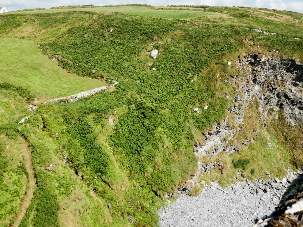
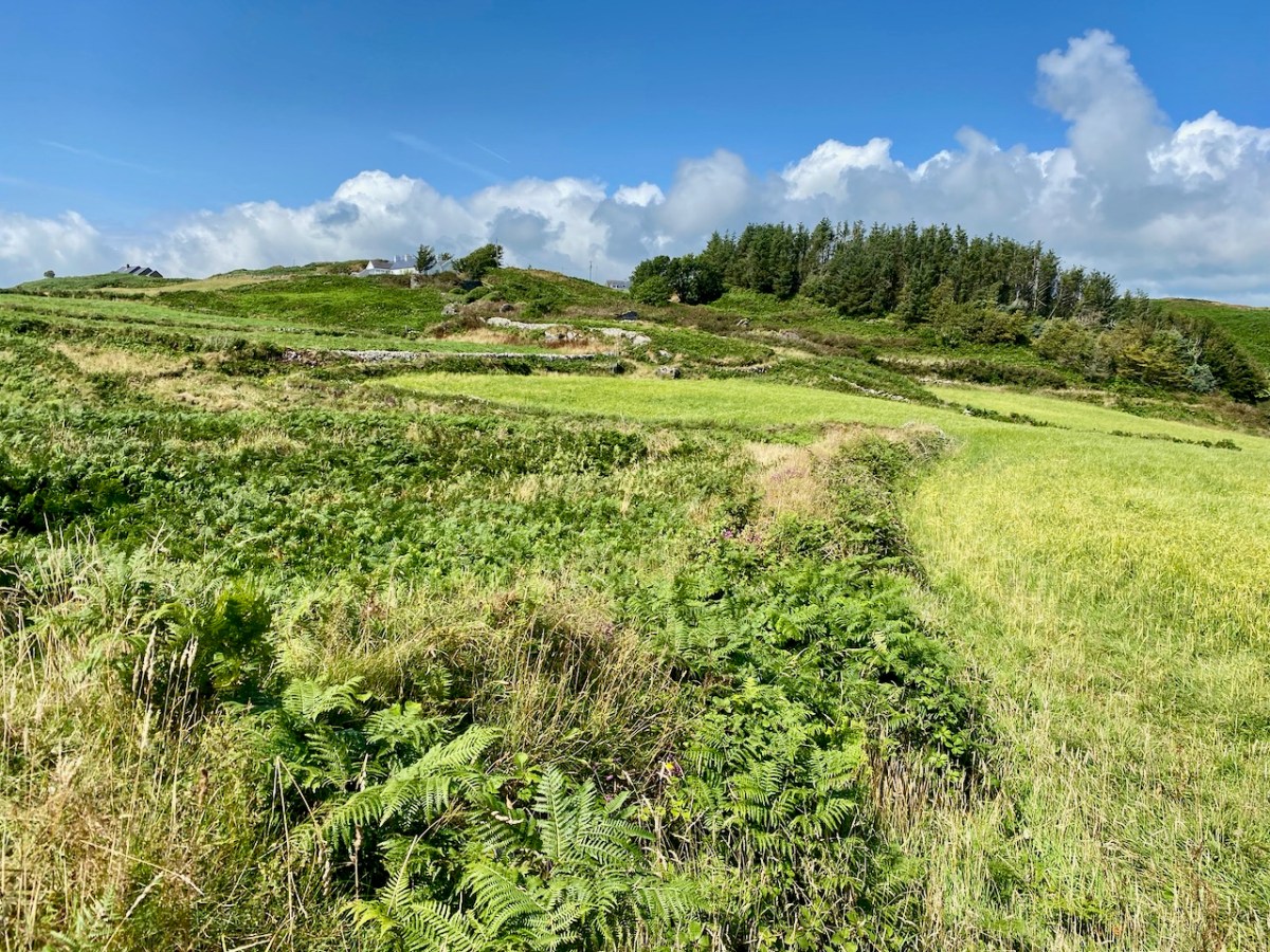
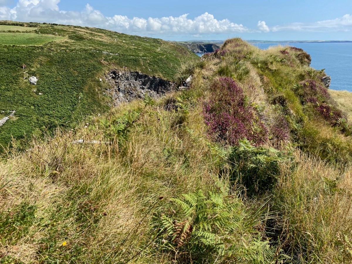
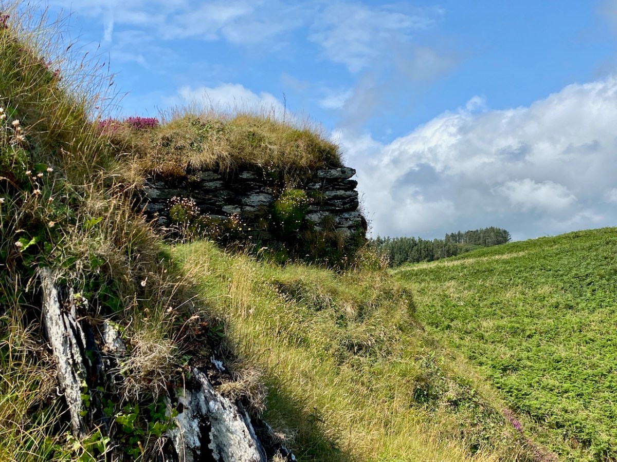
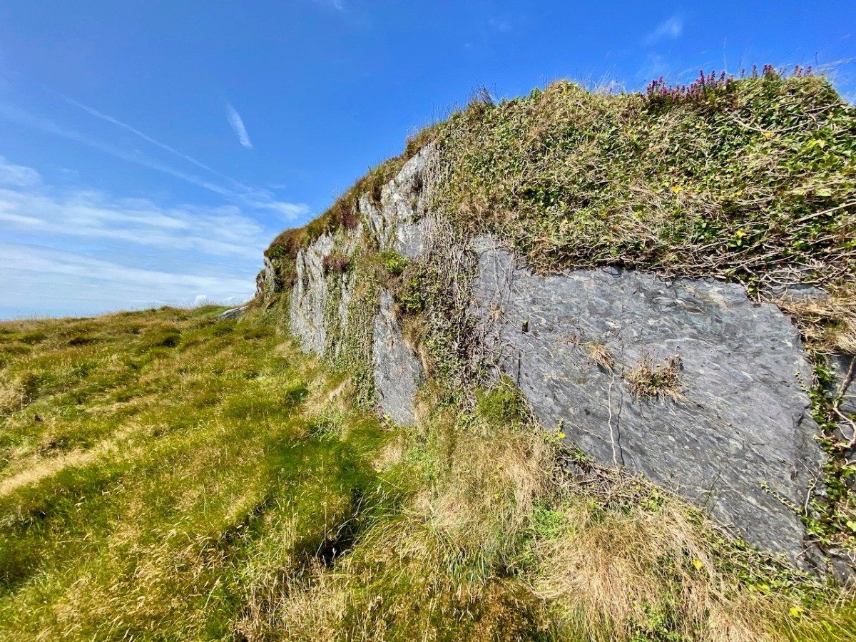
Further yet to the east, and directly above Siege Cove, are the distinct remains of a defensive structure, partly taking in natural outcrops but also built up with stone. This is likely to be indications of the first habitation in this area – perhaps a thousand years ago. There seems to be at least one promontory fort here, and Finola will take up that subject in this locality in future posts (she has already tackled examples elsewhere). It seems to me that this whole coastal region would be worthy of a detailed archaeological study – UCC take note! Meanwhile, we can only express our gratitude to friends Michael and Jane for introducing us to the many wonders of their own territory.

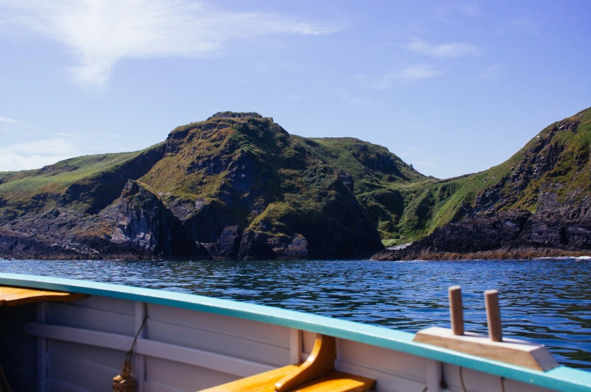
Addendum: After I had published this post I discovered an excellent photograph of Siege Cove and the coastline in this area taken from the sea. I cannot find a contact for the photographer. I do know his name is Tim, and that he publishes an occasional diary of his journeys in a boat (an Ilur based, I believe, In Glandore). I hope he won’t mind me publishing this and including a link to his website.

West Cork Villages and Towns – Schull

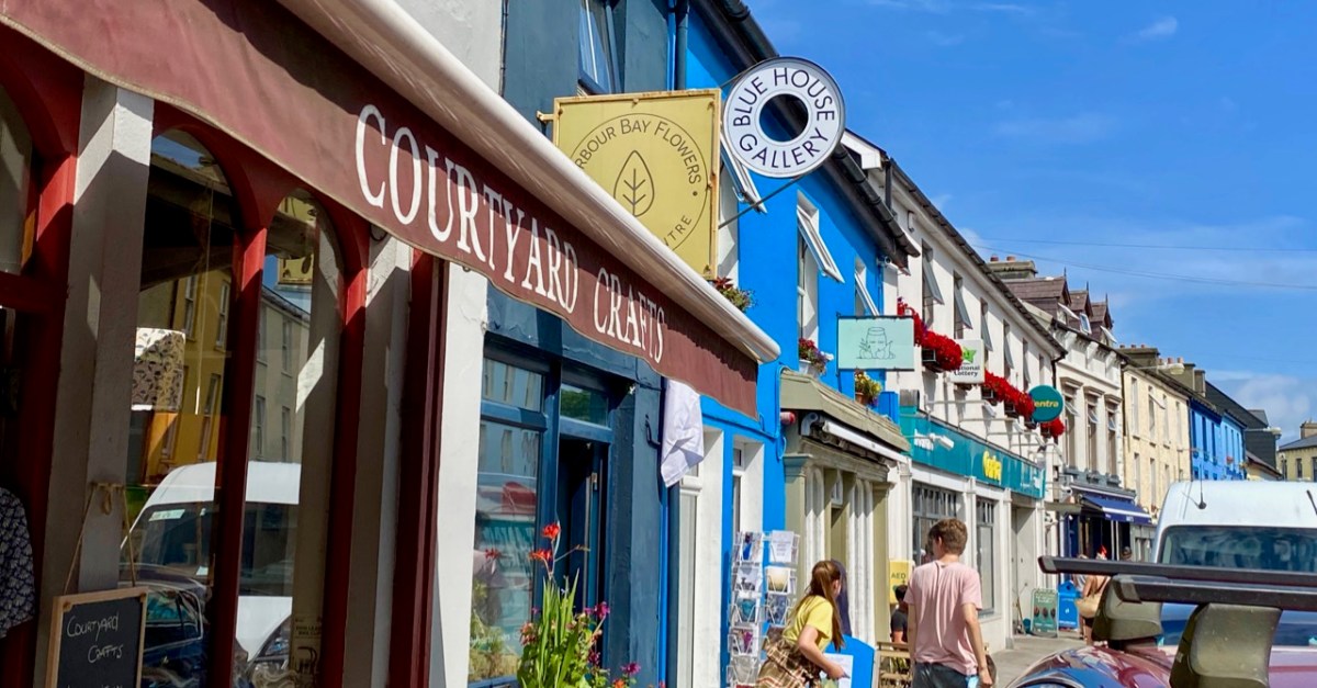
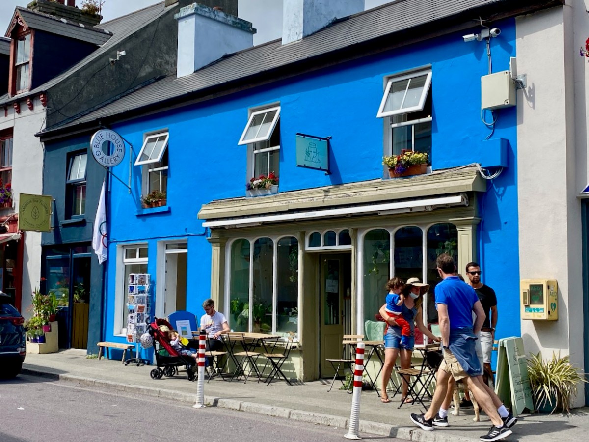
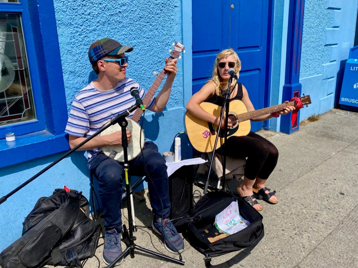
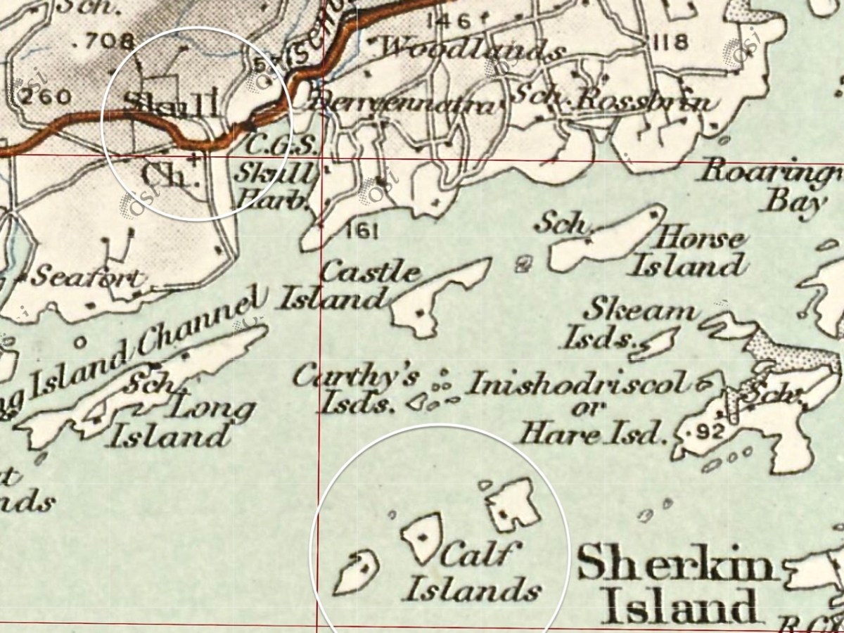
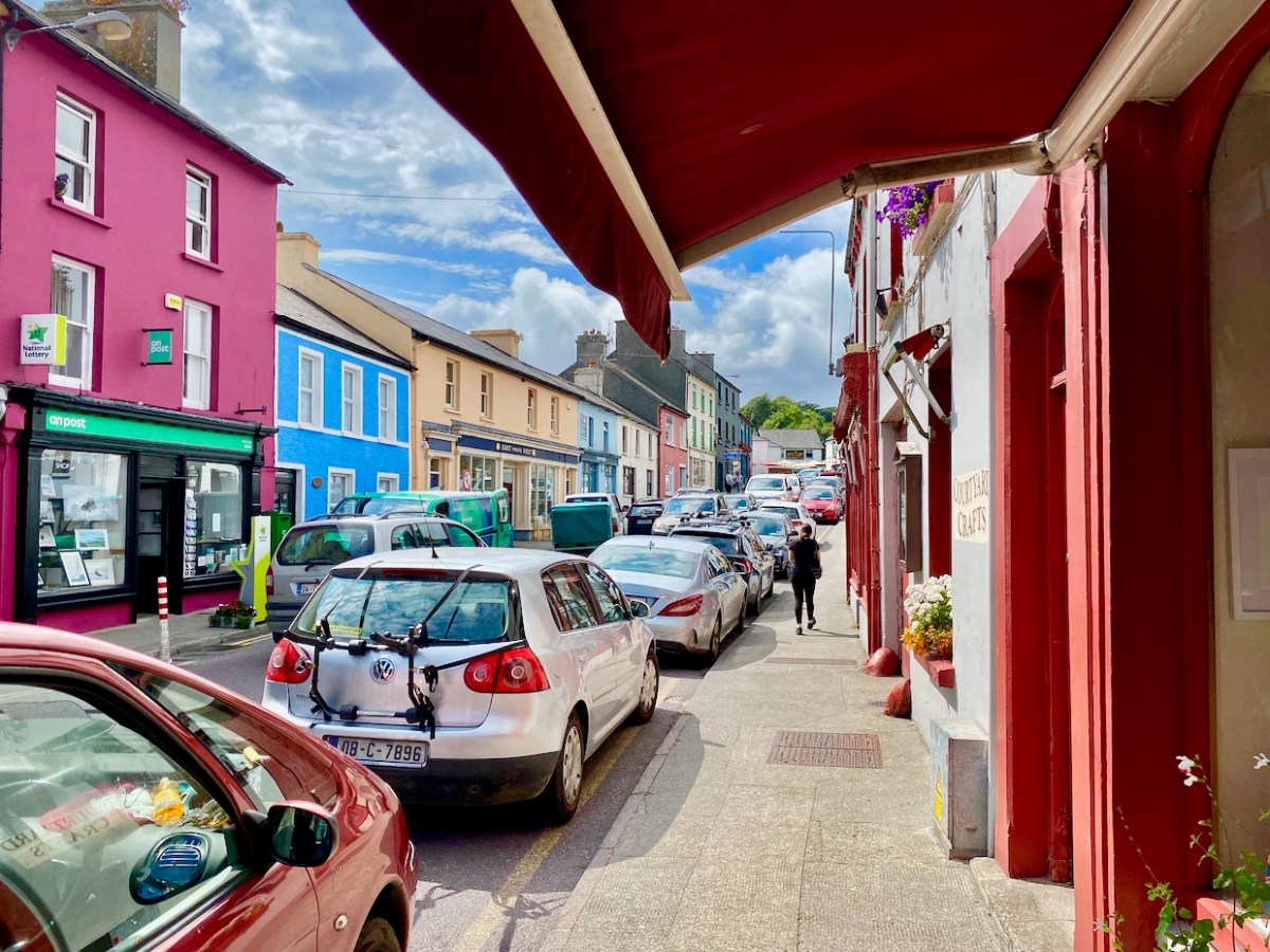
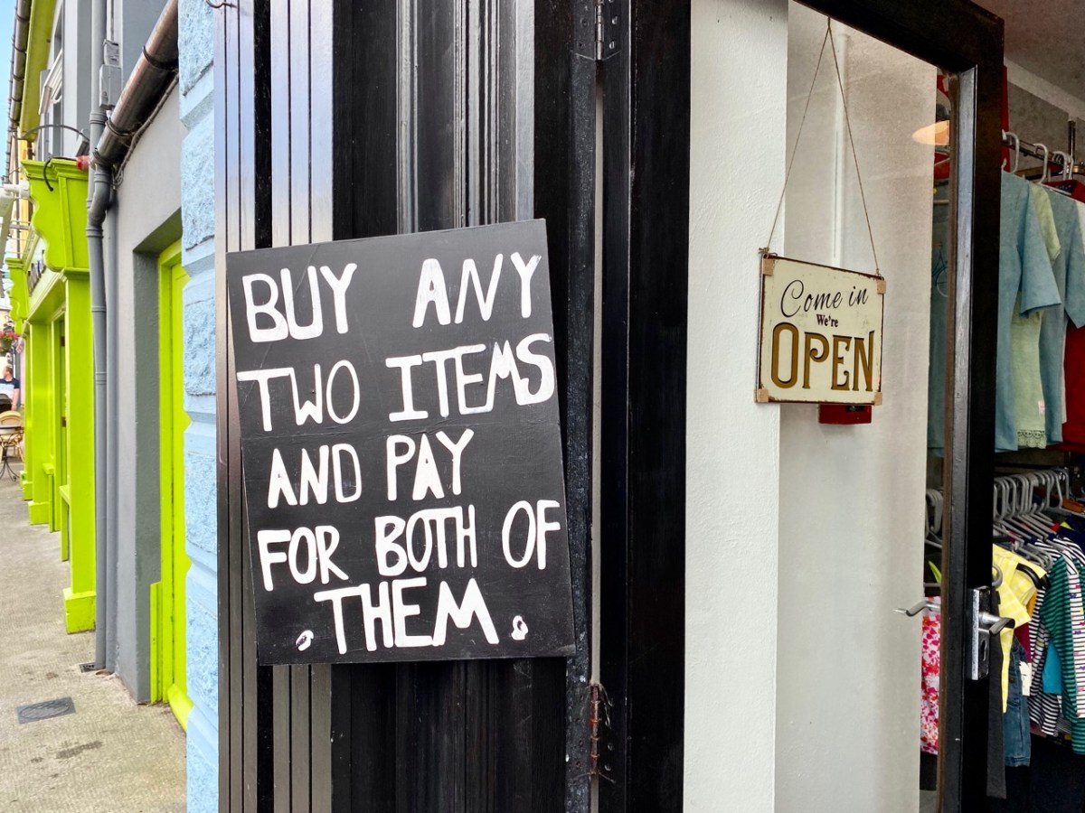
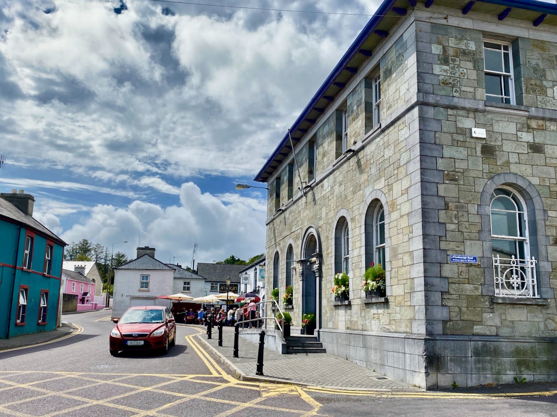
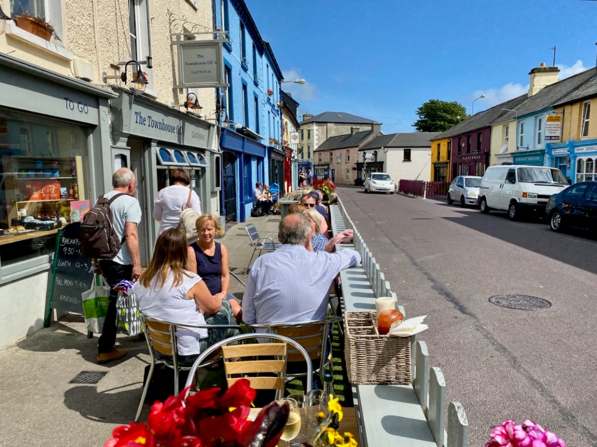
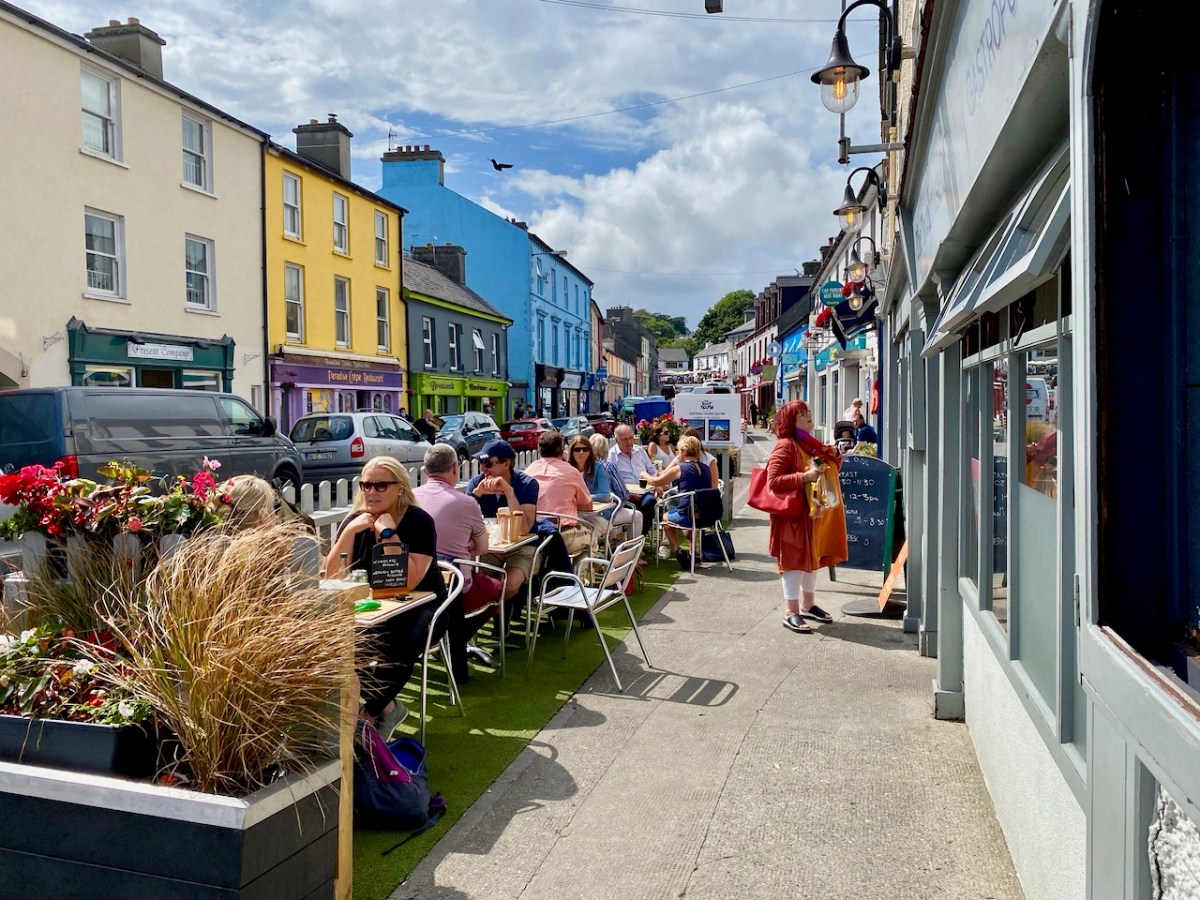
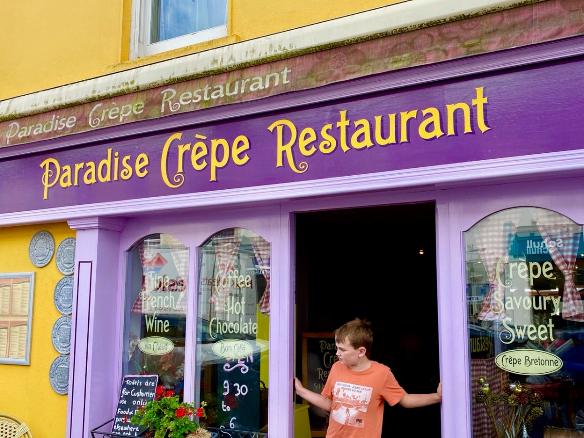
What better time to visit Schull than during Calves Week? That’s a big sailing festival at the beginning of August every year, and you have to be a sailor to understand the nuances of its title. It’s held at the same time as the UK’s premier sailing event – Cowes Week, ‘…the world’s longest running sailing regatta…’ and is focussed around the three Calf Islands in Roaringwater Bay. So there you have it – Cowes and Calves! What it means, of course, is that the village of Schull is at its busiest and, since Covid has given a boost to outdoor socialising, the streets are crowded with visitors enjoying the shops, pavement cafés and galleries.

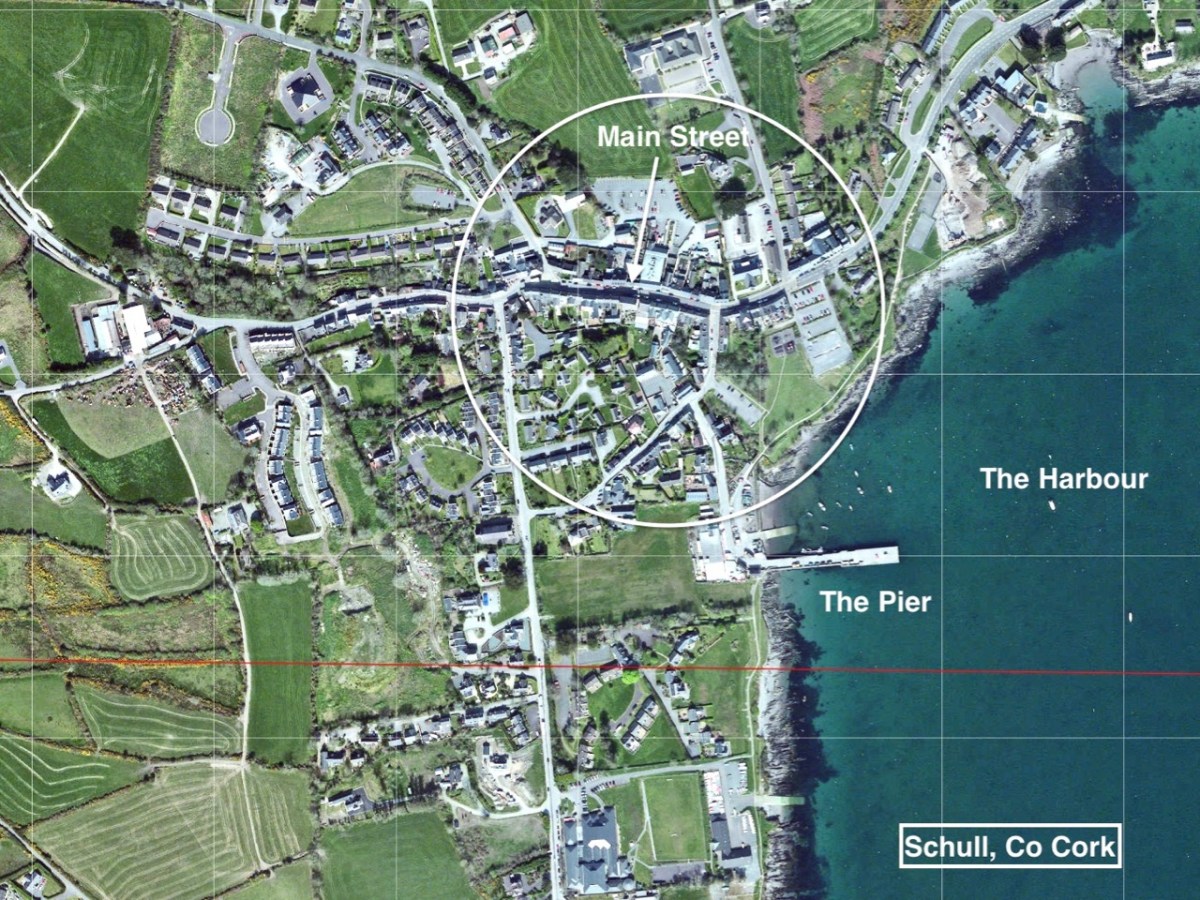
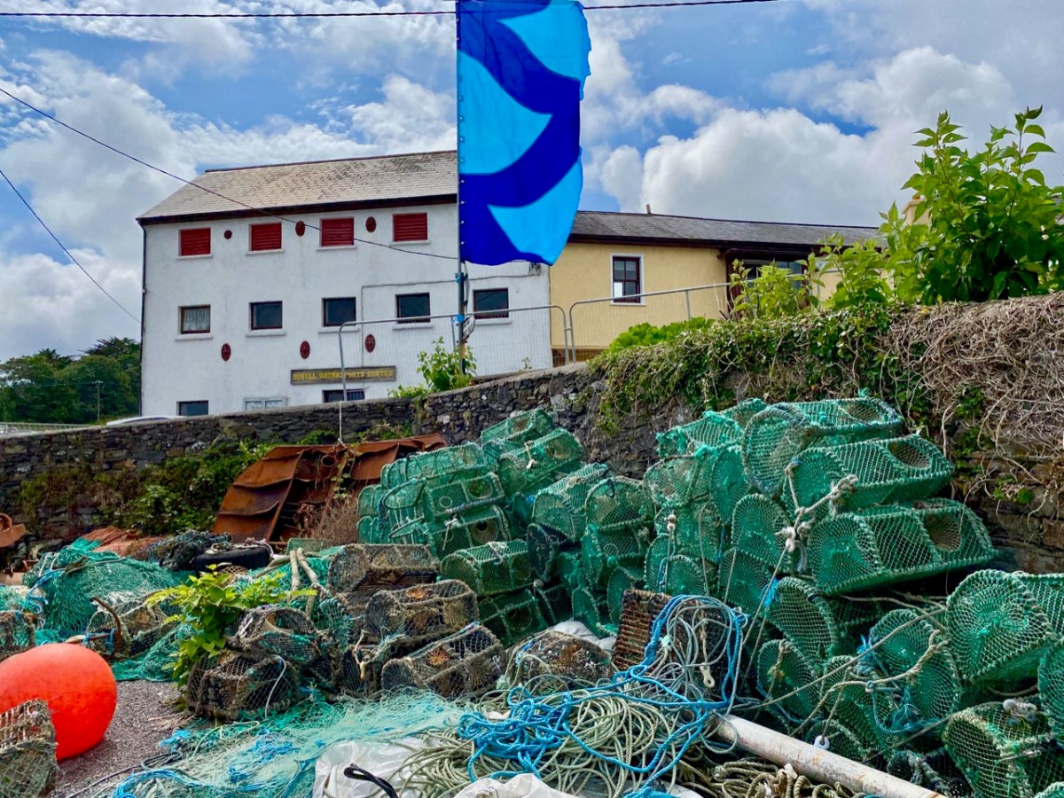
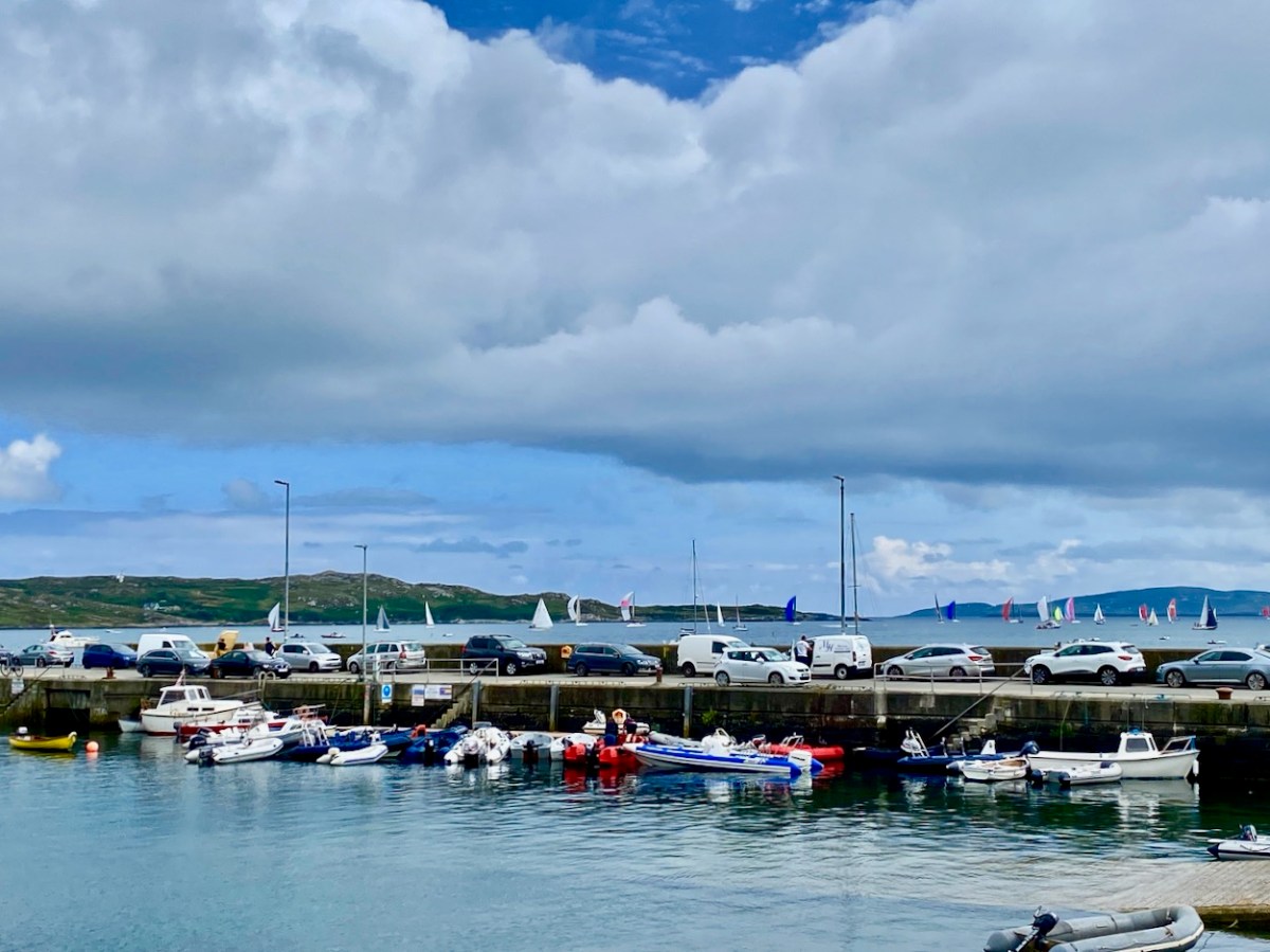
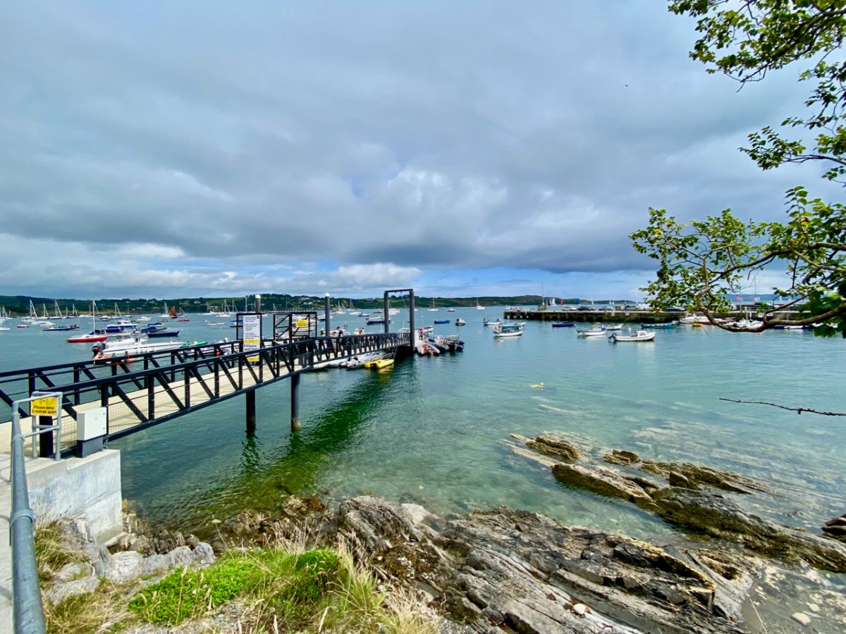
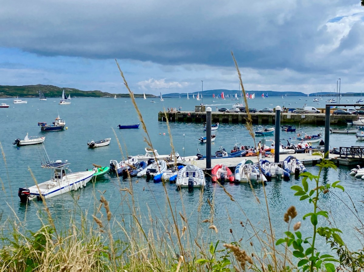
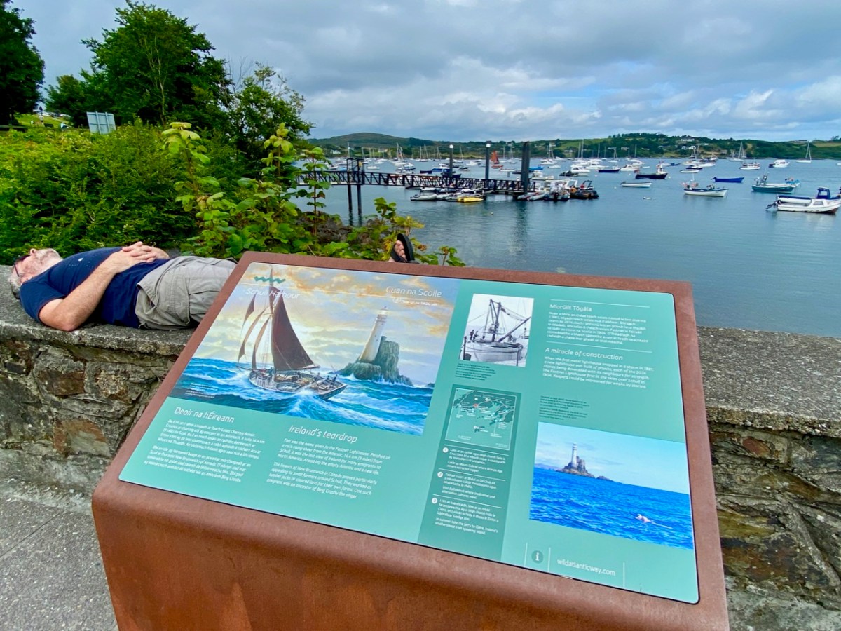
In this occasional series on the Towns and villages of West Cork we will take one community and try to discover why and how it has developed through history, and how it fares in the present day. A snapshot of the place will be presented – hopefully – in the best possible light (although this won’t always be on a sunny summer’s day!) From the aerial view above, you can see how Schull has been built up around its connection with the water. Schull Harbour is at the head of a long sheltered inlet, and the pier today is always busy with fishing and pleasure boats, ferries and yachts.

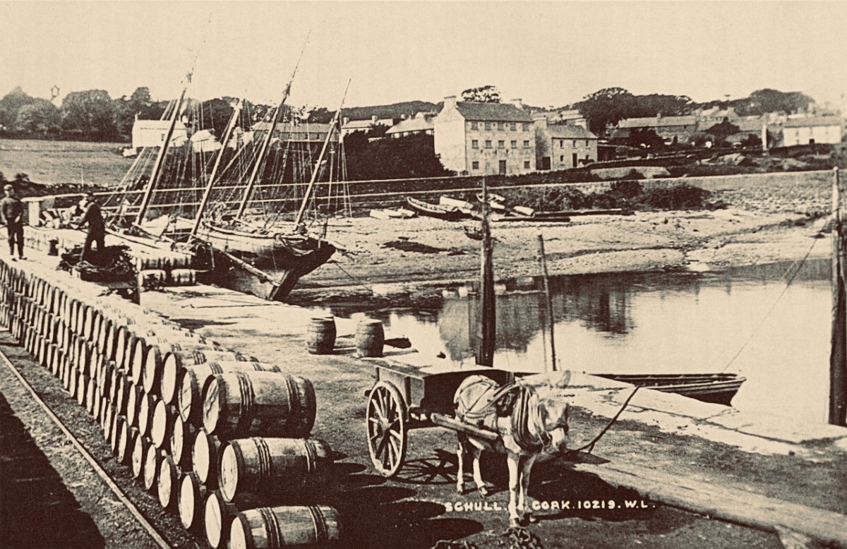
That’s the road to the pier, above, and it’s just a few steps from the village centre. If you are a visitor, you may have no idea that Ireland’s most south-westerly railway line once ran right on to this pier! The narrow gauge Schull, Ballydehob & Skibbereen Tramway and Light Railway was in service between 1886 and 1947, connecting these remoter parts of the county to Skibbereen and then, via the main line, Cork city. Although never considered a commercial success, it was a valuable element of infrastructure enabling local passengers to get to shops and markets, and fishermen to send their catches to distant merchants as hastily as possible (bearing in mind there was a speed limit of 15 miles per hour on most of this rural line). This photograph from the NLI Lawrence Collection (below) dates from the 1890s, and shows barrels of fish stacked up next to the railway track on Schull pier, awaiting despatch. They are likely to contain salted pilchards and herrings.

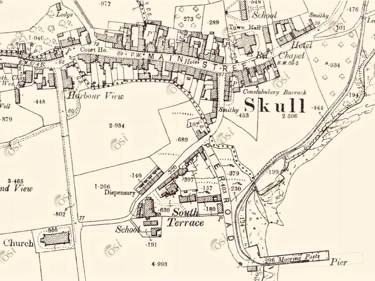
In all these pictures of the pier and pontoon areas above you can see the lively sailing activity in the background. Below are two extracts from early OS maps, one showing Schull and its location to some of the offshore islands, and the other showing the town centre, probably around 1890. It’s thought-provoking to see on the latter the various facilities which the town offered at that time, as well as the railway: Court House, Constabulary Barrack, Smiths, Schools, Hotel and Dispensary.

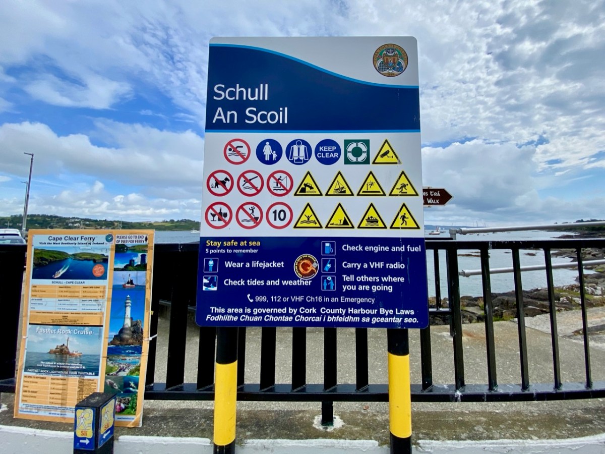
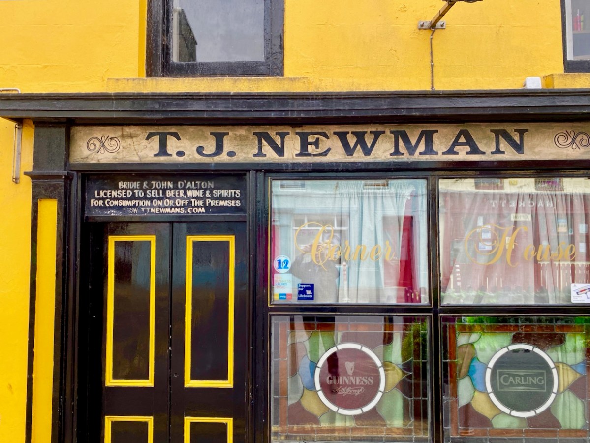
Note that on both the maps above, which date from more than a century ago, the settlement’s name is given as Skull: it still is on all OS Ireland maps up to the present time. Mostly today it’s known as Schull, or in Irish An Scoil, which translates as The School. Some of you may remember my posts earlier this year when I looked in to the possible origins of this village name – and the earliest ‘School’: a site described on Archaeology Ireland as a ‘possible early Christian settlement’:  . . . the ancient school of Sancta Maria de Scholia, ‘a place known in early times as a centre of learning’ . . . There’s a fair bit of local lore surrounding the subject, and you need to read Schull resident John D’Alton’s article on this to find an alternative view to the perhaps romanticised ideas of an ancient monastic site: I’m sitting on the fence!

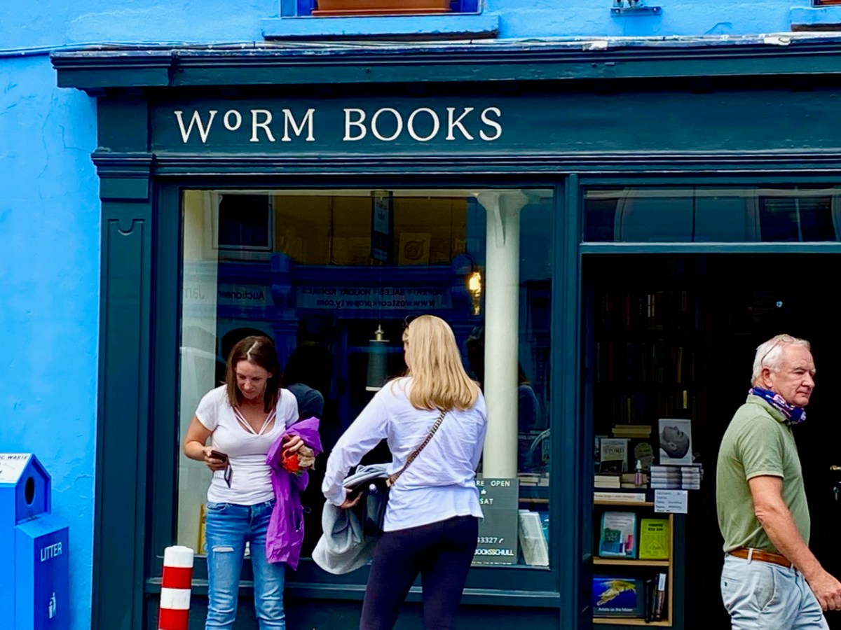
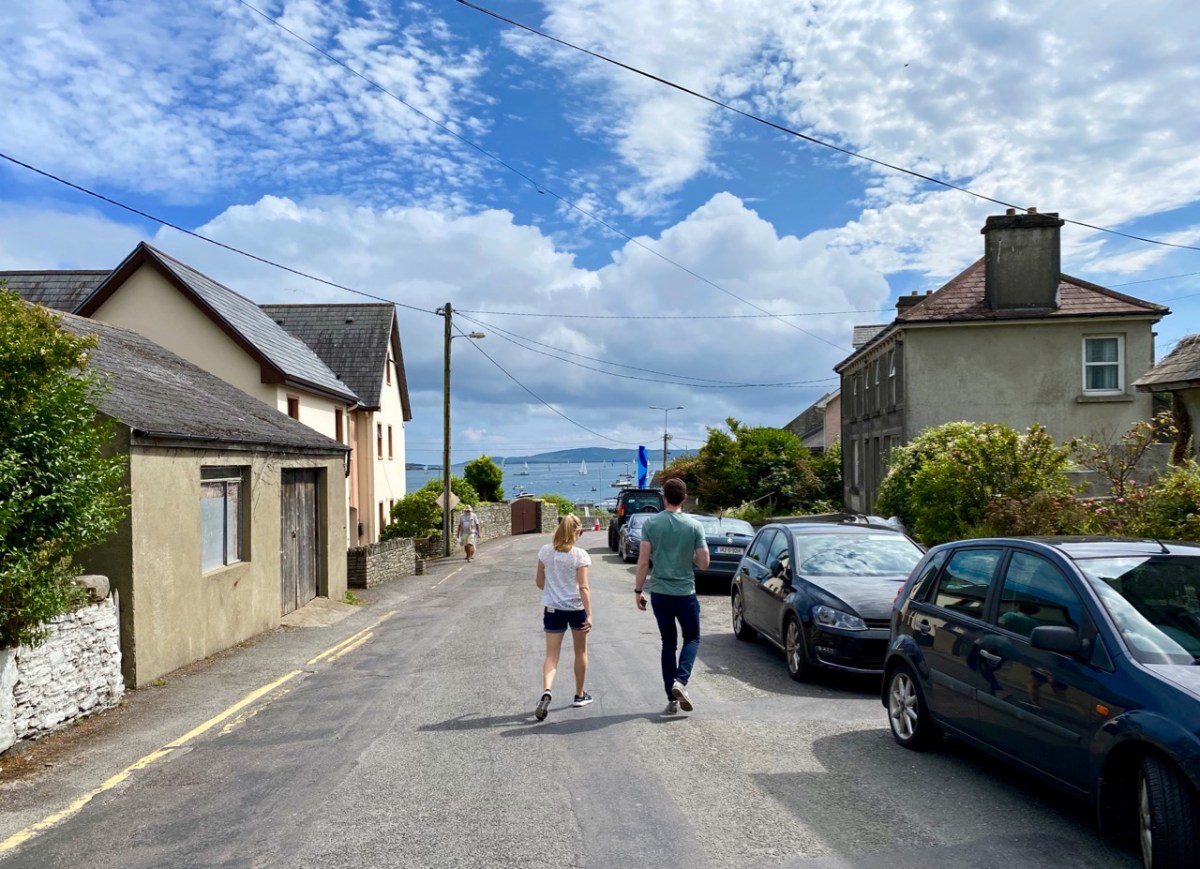
Historic village – perhaps with medieval origins – to vibrant sailing centre and colourful streets in the 21st century. Schull has come a long way, and has far to go. Today the resident population numbers around 1,050: this is boosted substantially with the influx of summer visitors. It’s good to see long established names and new businesses on the streets, contributing to the colourful palette of the architecture. Great things are happening in the future: the old bank building (below) is to become a cinema and film centre: a focal point for the acclaimed annual Fastnet Film Festival.

Year round, Schull is worth exploring. Mount Gabriel, the area’s highest point, is above the village and offers superb vistas over the bay and islands. Finola has looked at the many legends associated with this peak and there is ancient history there, too: the remains of Bronze Age copper mines on its slopes. Good walks can be had on the high ground and on the coastal footpaths – see the Explore West Cork website.

Gardens at Kilquade

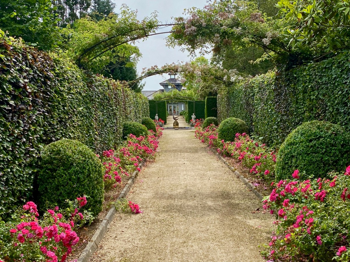
Wicklow is the Garden County of Ireland. Whenever we visit, we are impressed by the exuberance of the verdant landscapes and woodlands, and outstanding gardens abound. Do you remember our exploration of the Kilruddery Estate a few weeks ago? Here’s another venue well worth a visit: Kilquade Arboretum, formerly the ‘National Garden Exhibition Centre’. The modest 5.2 acre site is billed as the perfect escape from the stresses of everyday life – and rightly so. Not only can you wander through a collection of inspirational gardens, formal and informal, which were designed by a number of highly experienced horticulturists, but also you can eat and drink in superb outdoor dining settings: everything is well maintained and efficient. And – if you are a gardener yourself – there is a great shop to supply your every need!
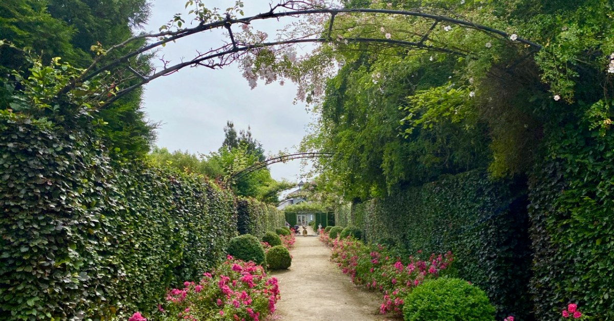
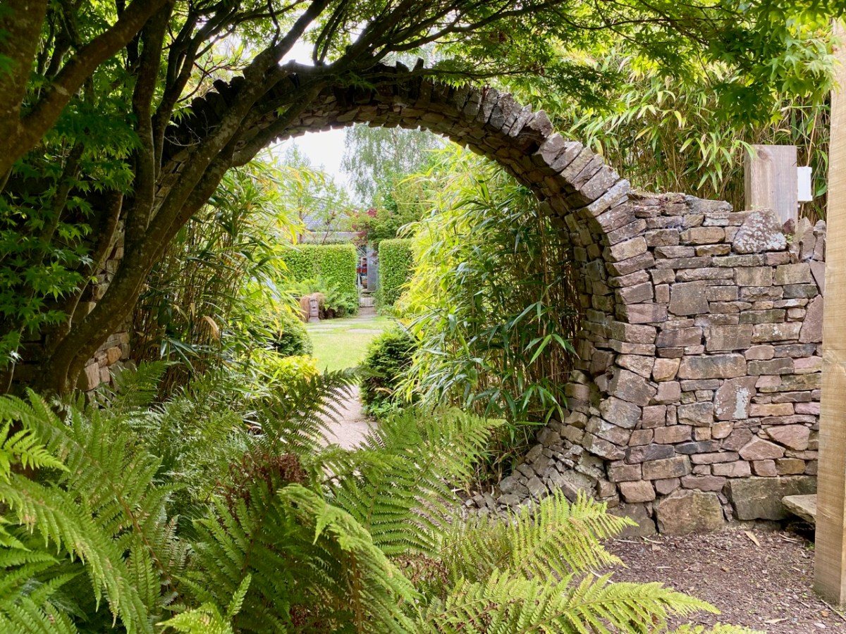
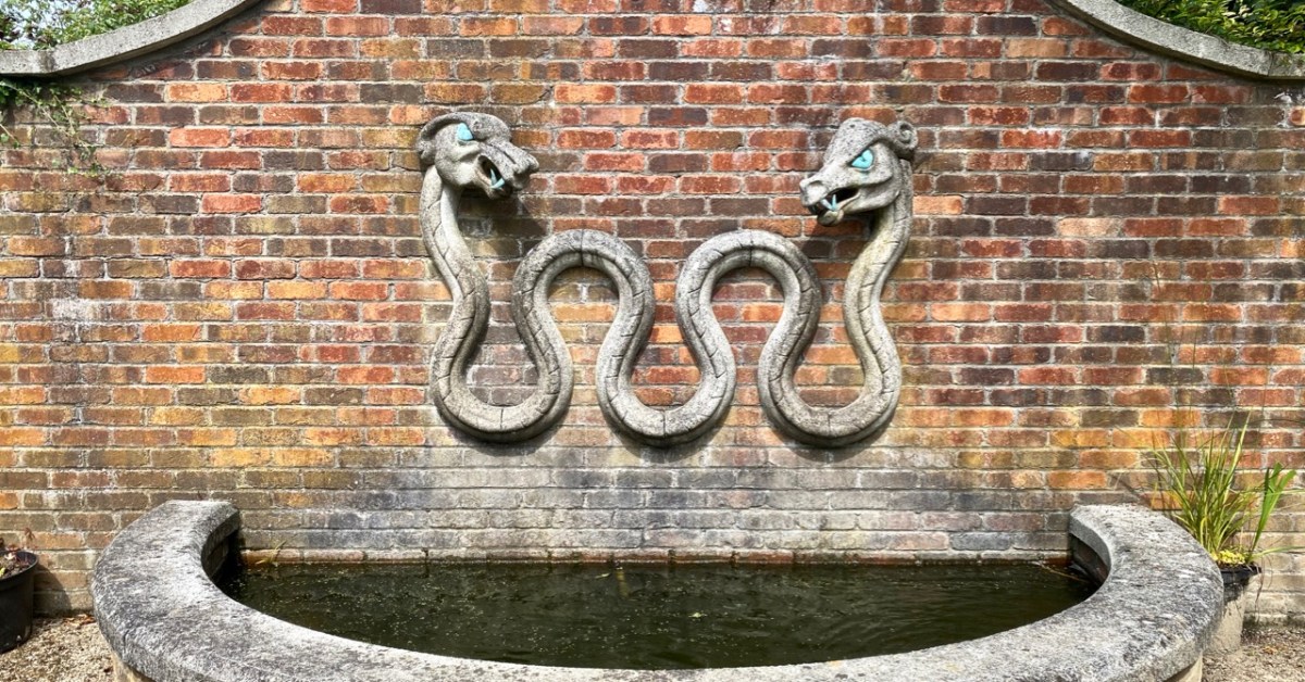
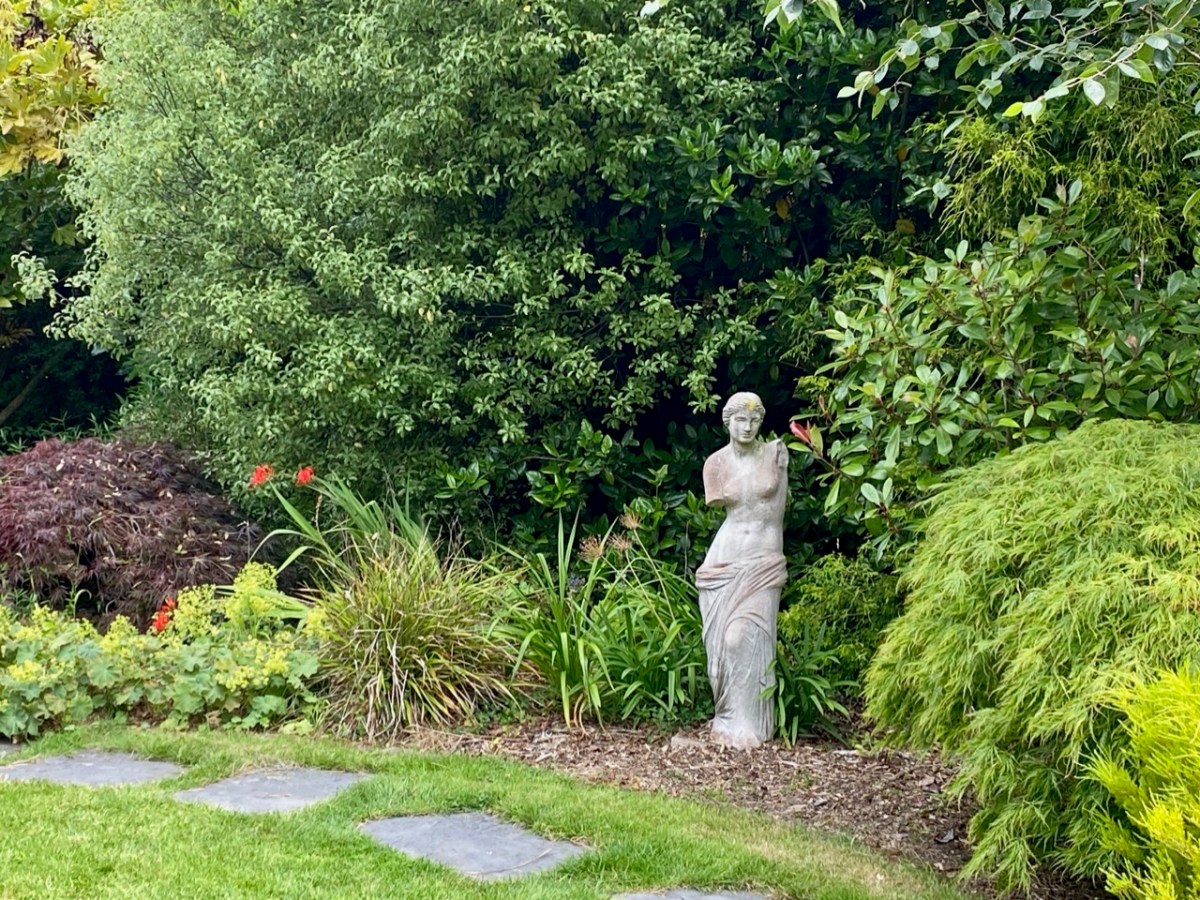
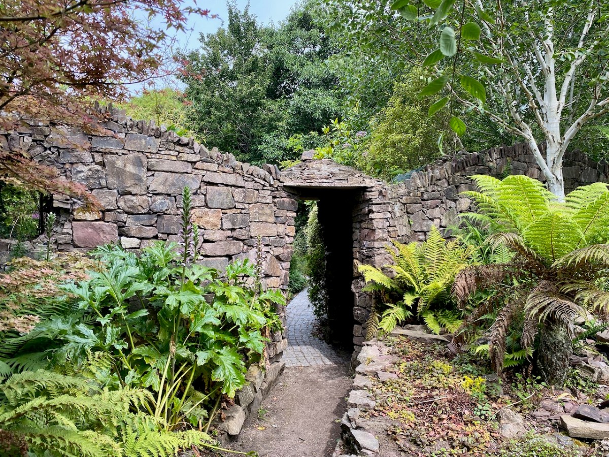
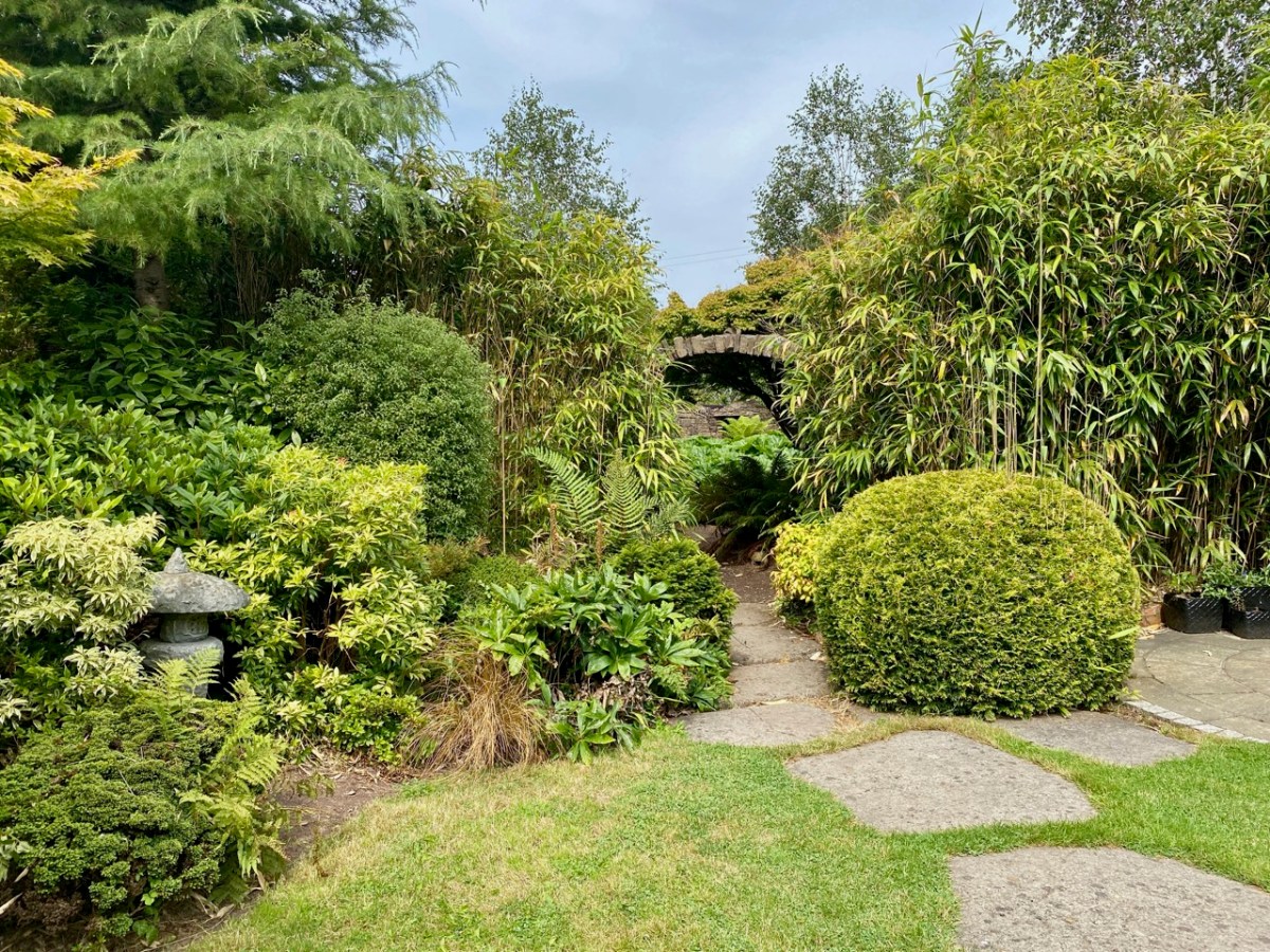
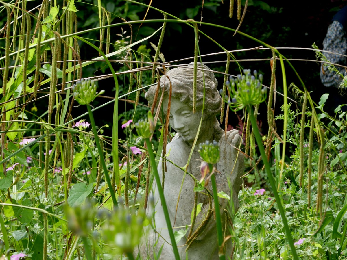
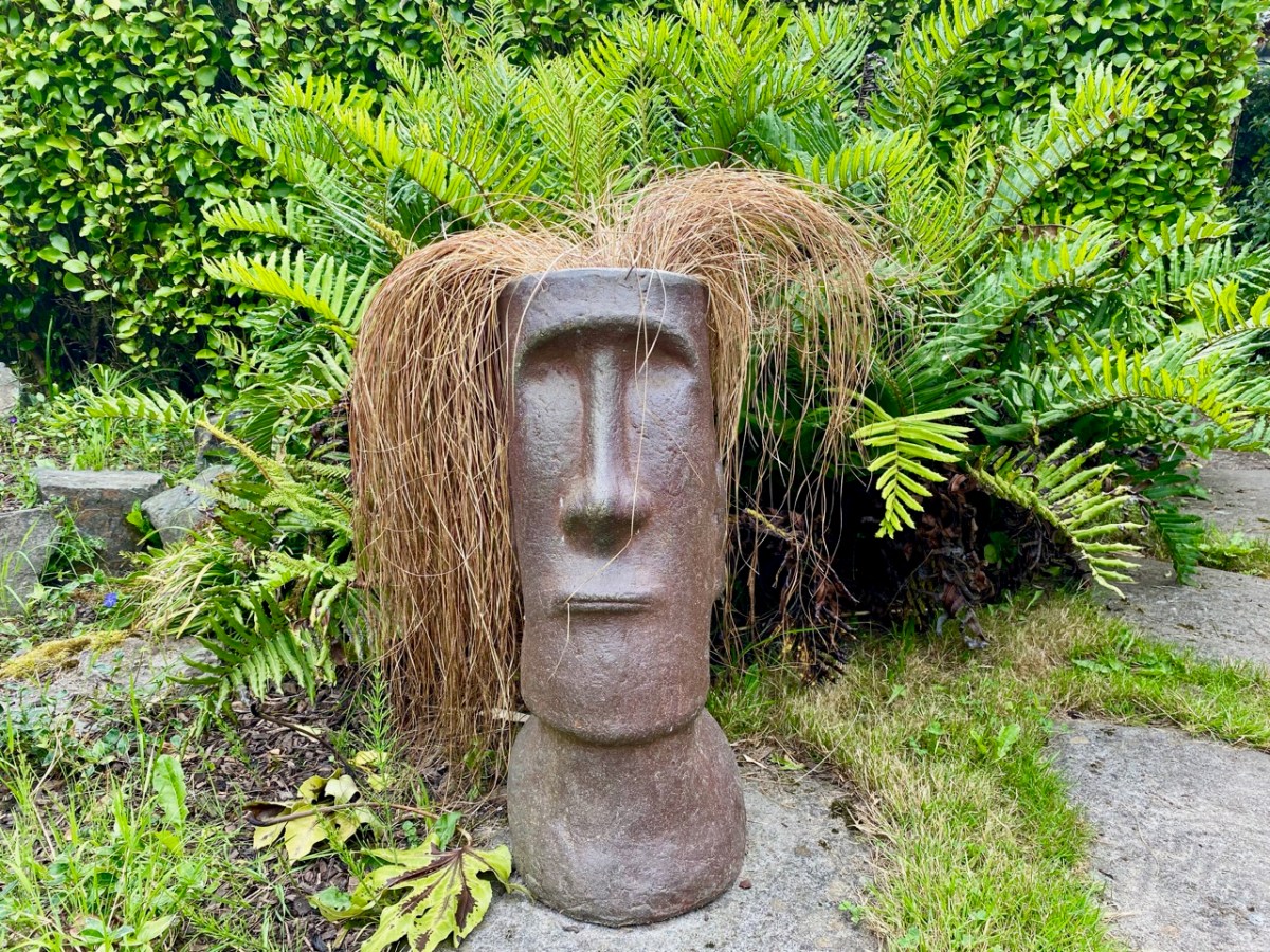
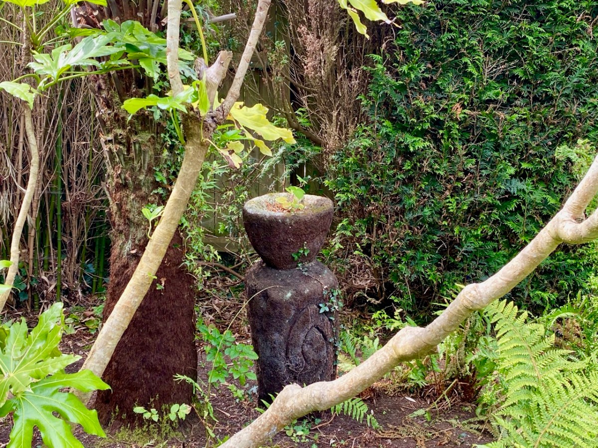
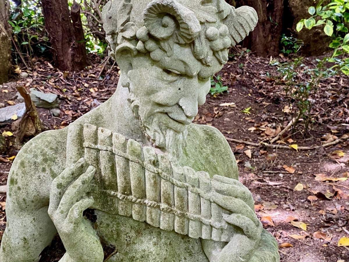
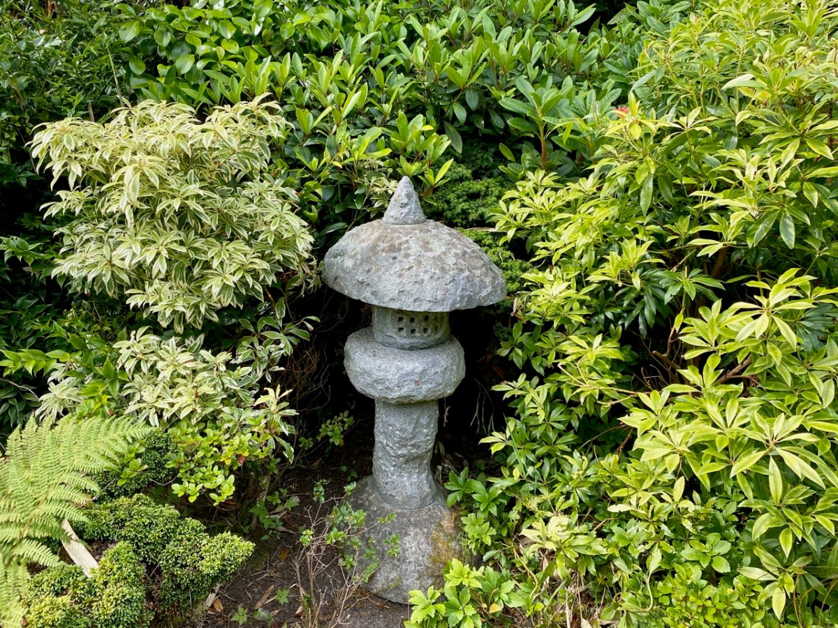
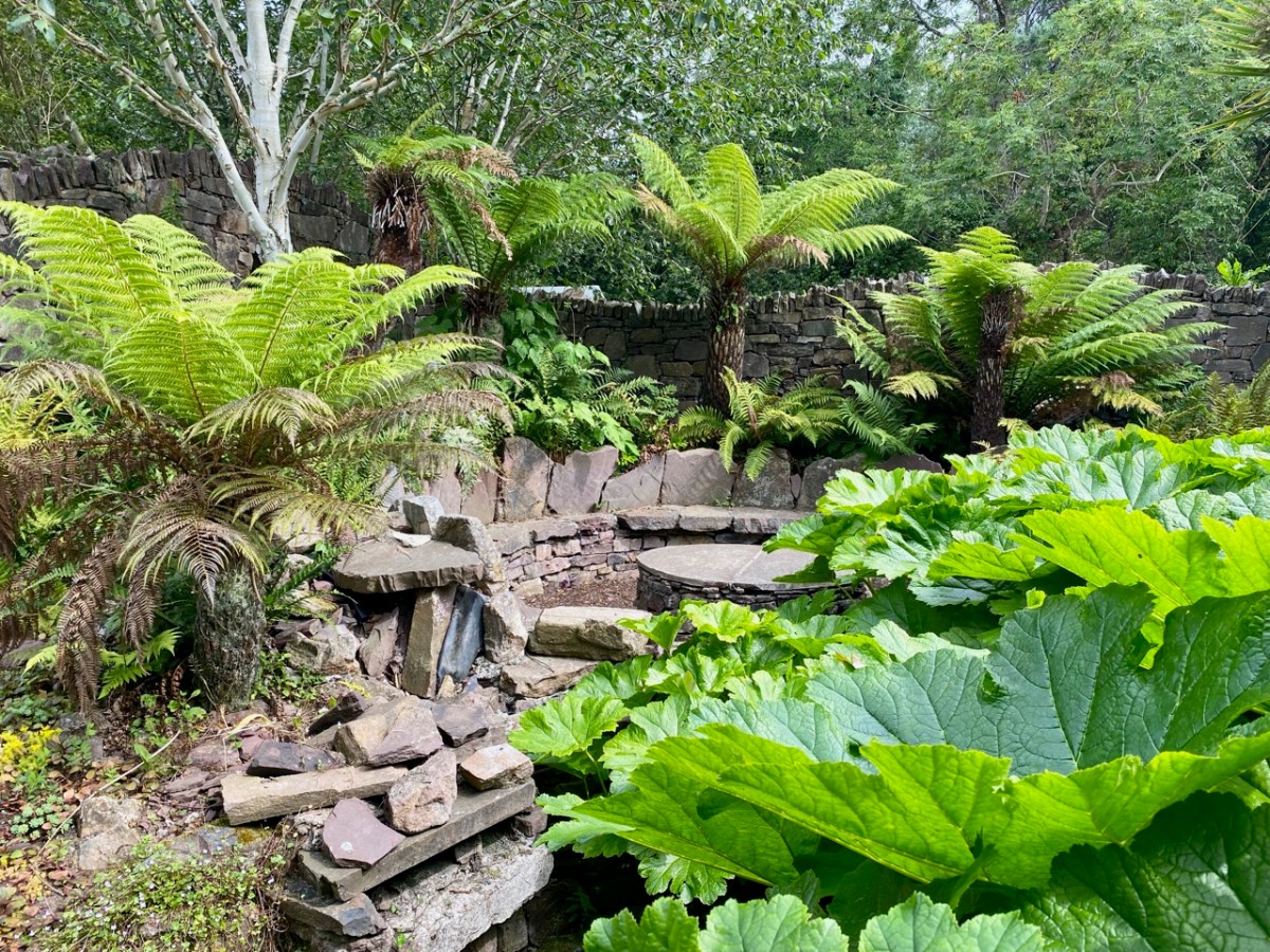
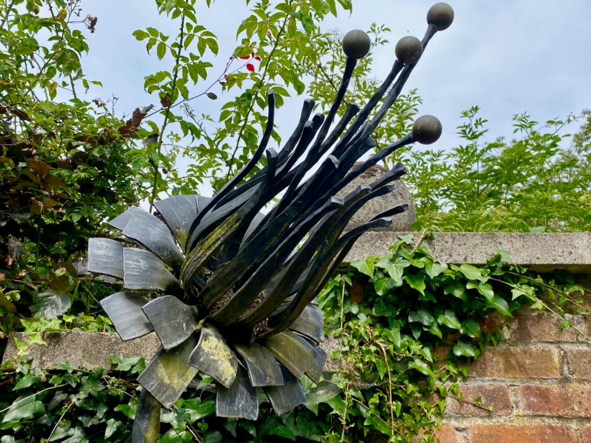
As you can see, you never know what might await you as you traverse the grounds, moving from one creative vision to another. At the height of this Irish summer – which is unmatched, so far, in its brilliant weather – you are guaranteed shady nooks and surprises, and plenty of places to rest and contemplate. You will happily spend half a day or more at Kilquade, and come away satisfied in body and mind! Here’s an enigmatic sculpture by Fiona Coffey:

Water is used refreshingly within the gardens – at times you have the feeling of wandering beside a mountain stream; at others you can just find a spot for contemplation by a cool pool.

You can be methodical in your walks through each of the garden areas or you can, like us, wander haphazardly, not taking any particular straight line. If you do this, you are sure to miss something – but that’s good reason for a return visit. We are keen to come back when the autumn is setting in: the colours will be a treat. But we will return before then anyway: the excellent coffee and snacks are calling!

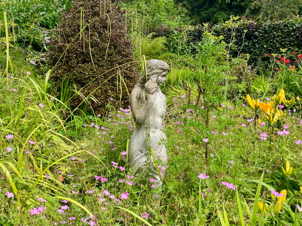
I haven’t mentioned the profuse planting that veers between formal and – as you can see – naturally wild. Finola is particularly pleased to see the latter: she firmly believes that wildflowers have a big part to play, nowadays, in any established garden: have a look at our post on West Cork’s Bantry House Gardens, here. Allowing nature to contribute to established planting schemes will ensure that good habitats evolve to support our pollinators and a balanced eco-system.

One of the things that struck us on our visit to Kilquade was how easy it is to get away from the crowds! We saw others walking through the gardens but we often had each little designed space to ourselves. Possibly the unbelievable (for Ireland) weather (temperatures approaching 30 degrees) meant that many visitors were sweating it out on the beaches. We were calm and cool, and felt safely tucked away from ‘the madding crowd’. All in all, the experience was exceptional.

Glen of the Downs

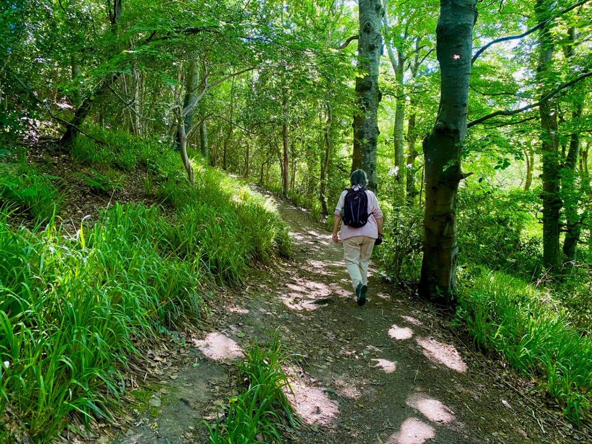
There’s a very attractive woodland walk near Delgany, County Wicklow, to the south of Dublin. It’s well worth an exploration, but be prepared for the intrusive sound of the main N11 road which runs alongside the path as you set out from the public car park: you will leave it behind – eventually – as you climb up into the trees.

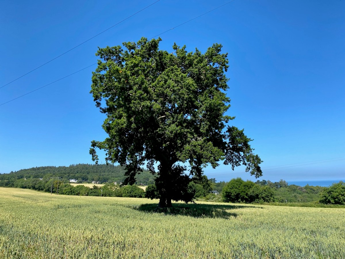
It’s a now rare ancient Irish oak wood, once all part of Bellevue Estate, a 300 acre demesne established by the La Touche family in the mid eighteenth century. Through many generations the Huguenot family was known as an ‘ample benefactor of mankind’ who ‘left a record of noble deeds behind them’. During their heyday the La Touches acquired the lands of Upper and Lower Rathdown on which much of modern Greystones has been built, and their name is familiar in the fabric of that town today.

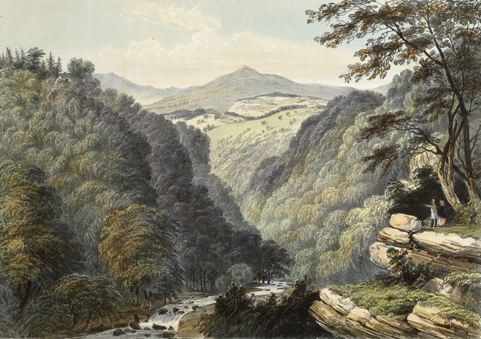
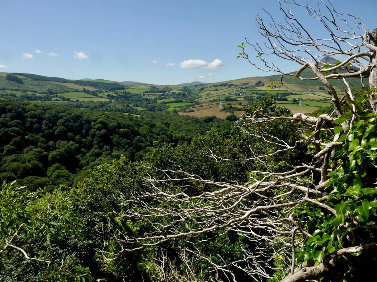
The beauty of this part of County Wicklow has been celebrated by many artists over the years: here are a couple of examples from the late 1700s showing the Glen of the Downs landscape. Always, one or both of the topographical high-points – the Great and Little Sugar Loaves – are prominently featured.

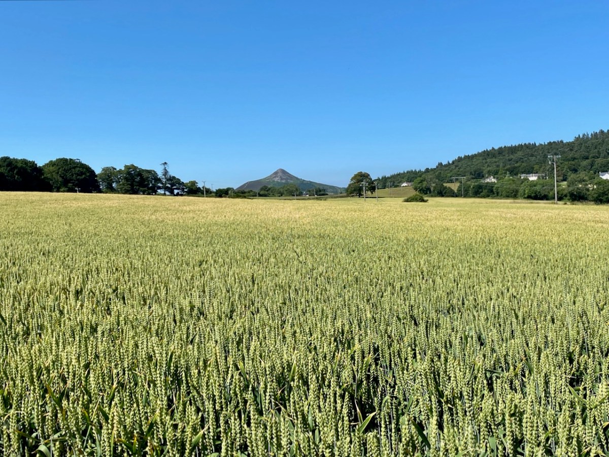
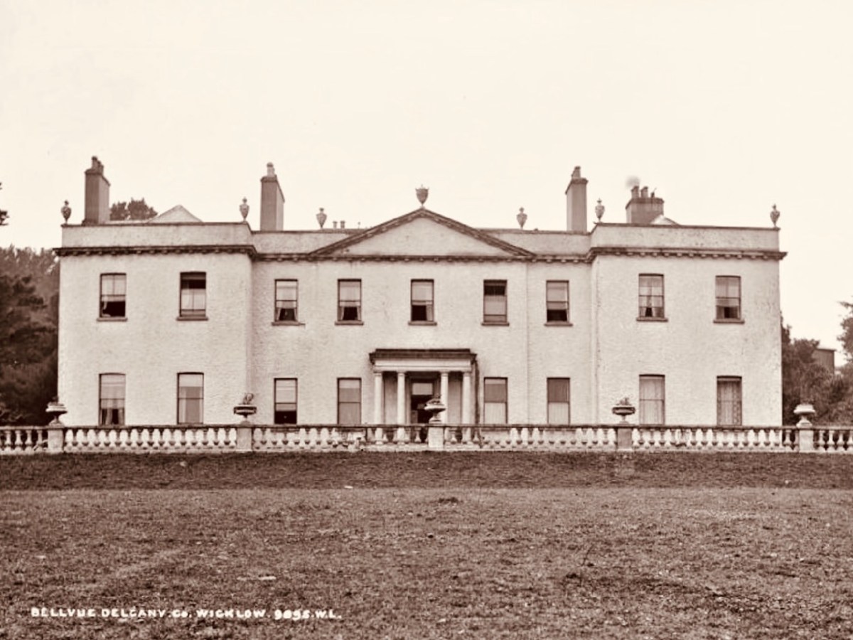
We have photographic records of the La Touche mansion, Georgian Bellevue House – with its famed hot-houses where many exotic plants were cultivated, before its decline in the 1900s and its eventual demise: the crumbling pile was demolished in 1950 to make way for wheat-fields and a golf course.

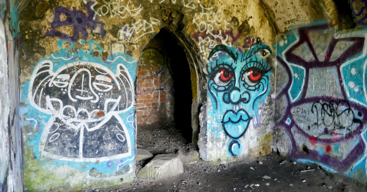
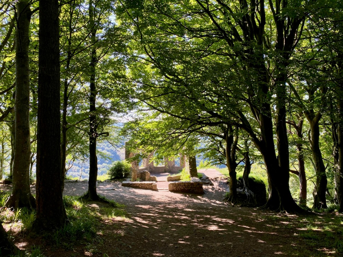
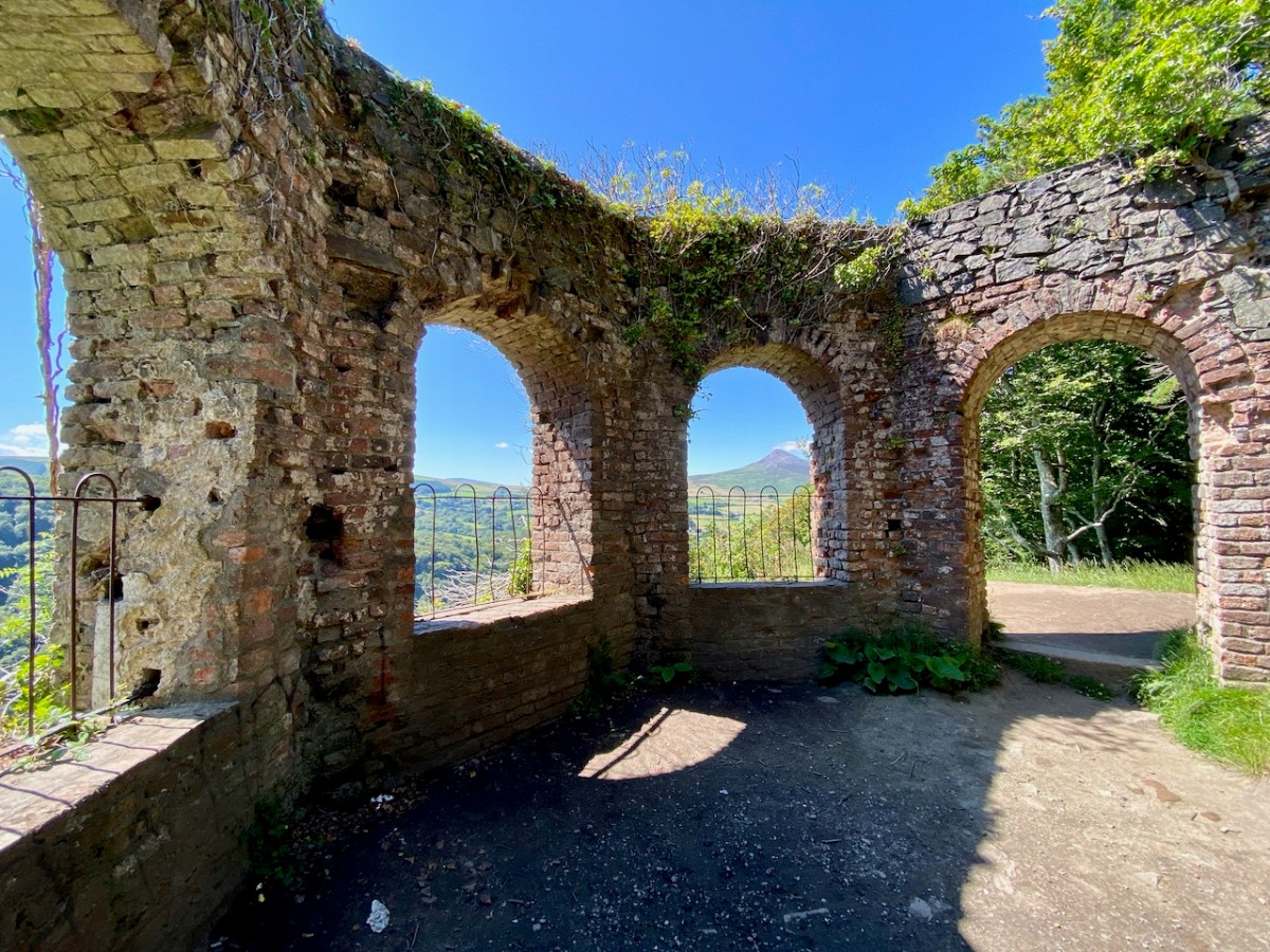
Hidden away in the oak wood is a remnant of the once vibrant La Touche estate: today it’s known as ‘The Octagon’ because of its shape. Its purpose originally was a banqueting hall, set high up on a platform looking out over the landscape. It must have been quite an undertaking, bringing food, furnishings and serving staff up from the ‘big house’: there are remains of tunnels said to have been used for this purpose. Most intriguingly . . .

. . . The estate at Ballydonagh comprised 300 acres, with fine views across the Glen of the Downs and towards the Irish Sea. David, the younger La Touche, built his favourite country retreat here between 1754 and 1756, at a cost of £30,000, and called it Bellevue. Beautiful gardens were laid out with winding paths and “extras” built by David and his son, Peter, when he inherited in 1785. Among these was the Octagon, built in 1766, with a panther on springs, which could be made to jump out at unwary visitors. The house was most famous for its huge glasshouse, built between 1783 and 1793, in which many exotic plants were grown . . .


Judith Flannery, The Story of Delgany, 1990

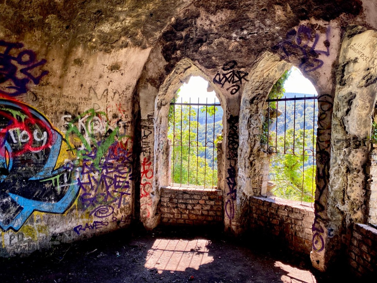
There is no doubt that the building was superbly sited to maximise the good views. Beyond that, it’s hard to fathom how the architecture functioned – and the panther on springs remains a puzzle! Over years of exposure to the elements, and inquisitive visitors, the Octagon has gained a patina of graffiti – which adds, perhaps, to its character and attributes.

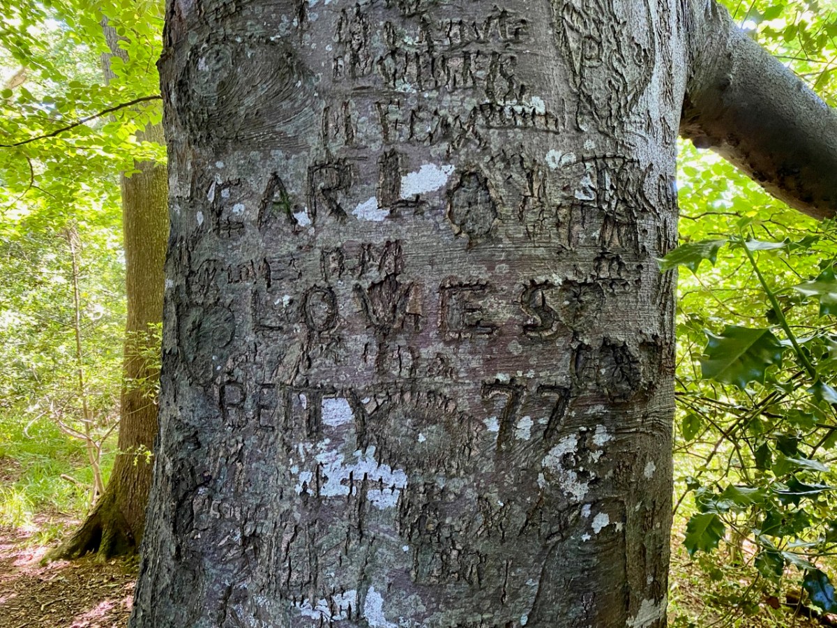
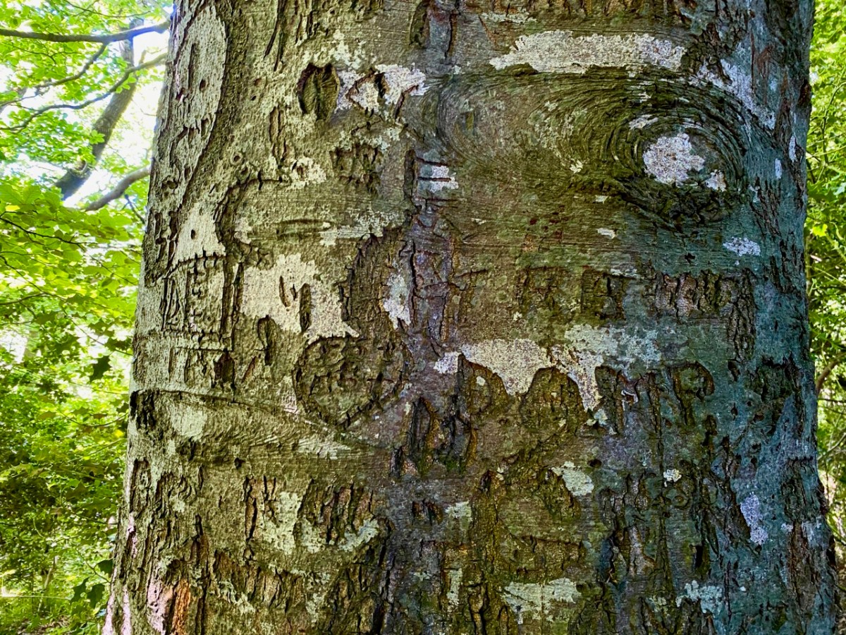
The practice of ‘making one’s mark’ seems to have migrated to trees surrounding the site: perhaps some of these can be attributed to people who lived in them once! In 1997 eco-warriors staged a protest campaign when plans were put forward to upgrade and widen the N11 road, involving felling over 1,700 mature beech, oak and ash trees. The protesters ‘occupied’ the trees for over two years (below), ‘climbing down’ eventually when the Courts upheld the highway authority proposals.

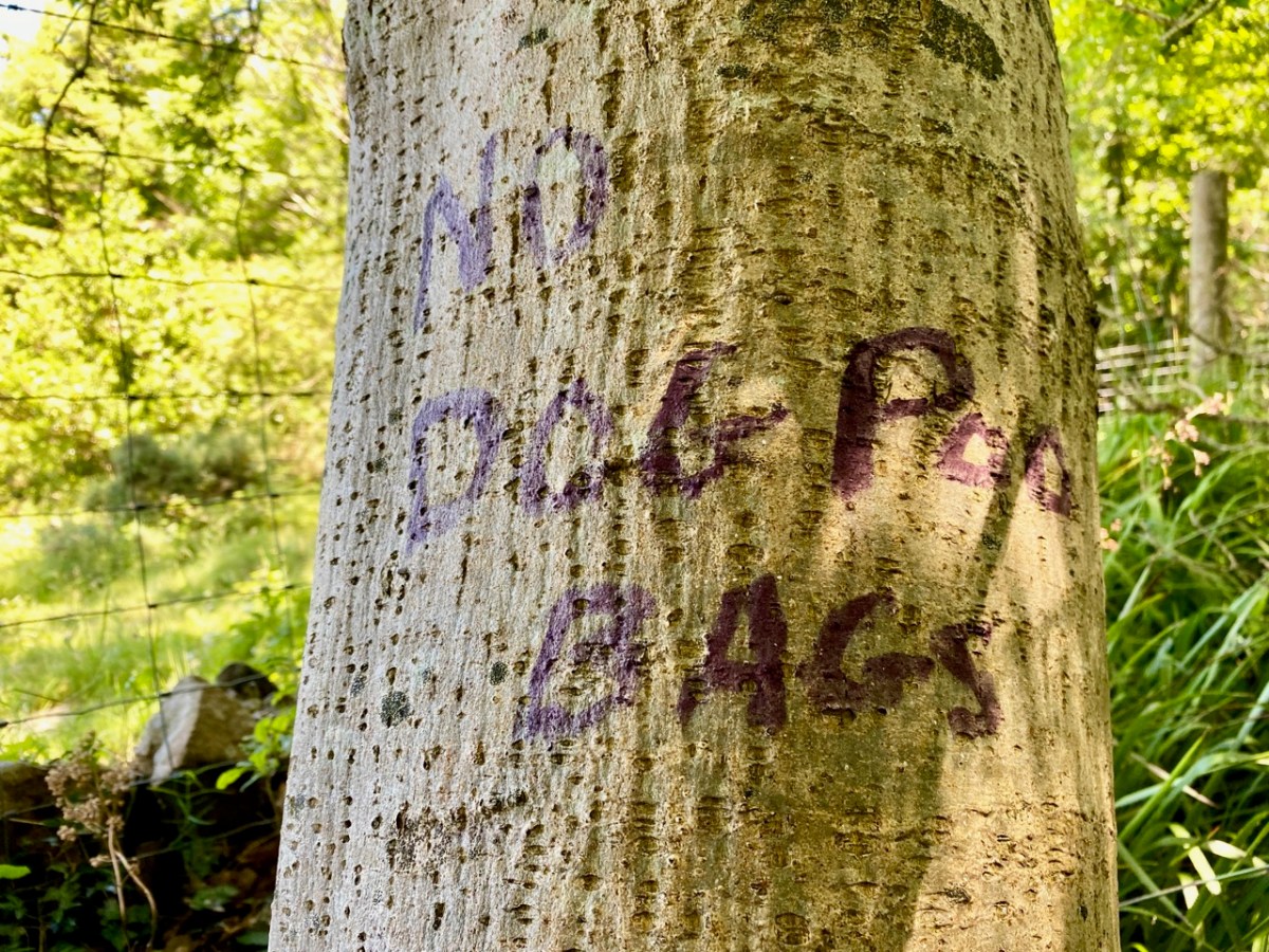
The road has since been widened, and the intrusive traffic sound within the Glen of the Downs has accordingly increased manyfold. Interestingly, there are currently proposals under discussion to further improve the N11/M11 route in this same locality – including the possibility of a road tunnel which might even remove traffic altogether. Meanwhile, the trees continue to present us with messages for our own complex times . . .
For all its ups and downs, and possibly mixed messages, the Glen of the Downs woodland walk is beautiful, and well worth a visit. Who knows what – or who – you might encounter among the trees?

Kerry Leftovers

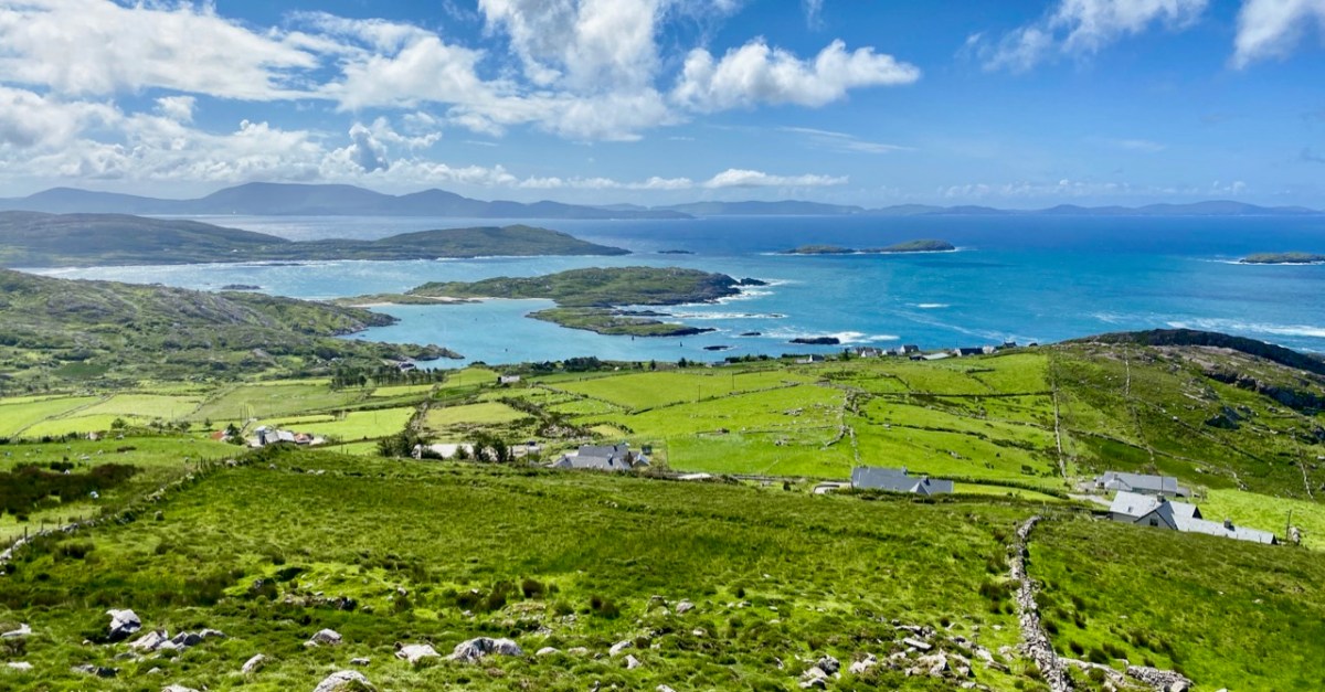
We spent a couple of days in Kerry a week before midsummer, and gave you some account of our discoveries on Church Island, Lough Currane, and up in the hills at Caherlehillan – both memorable Early Christian sites. Our adventures did not end there: we managed to take in, also, some other ancient treasures, a couple of Kerry characters, and some stunning scenery – hard to match – as we travelled back to West Cork along the Ring of Kerry road (above).

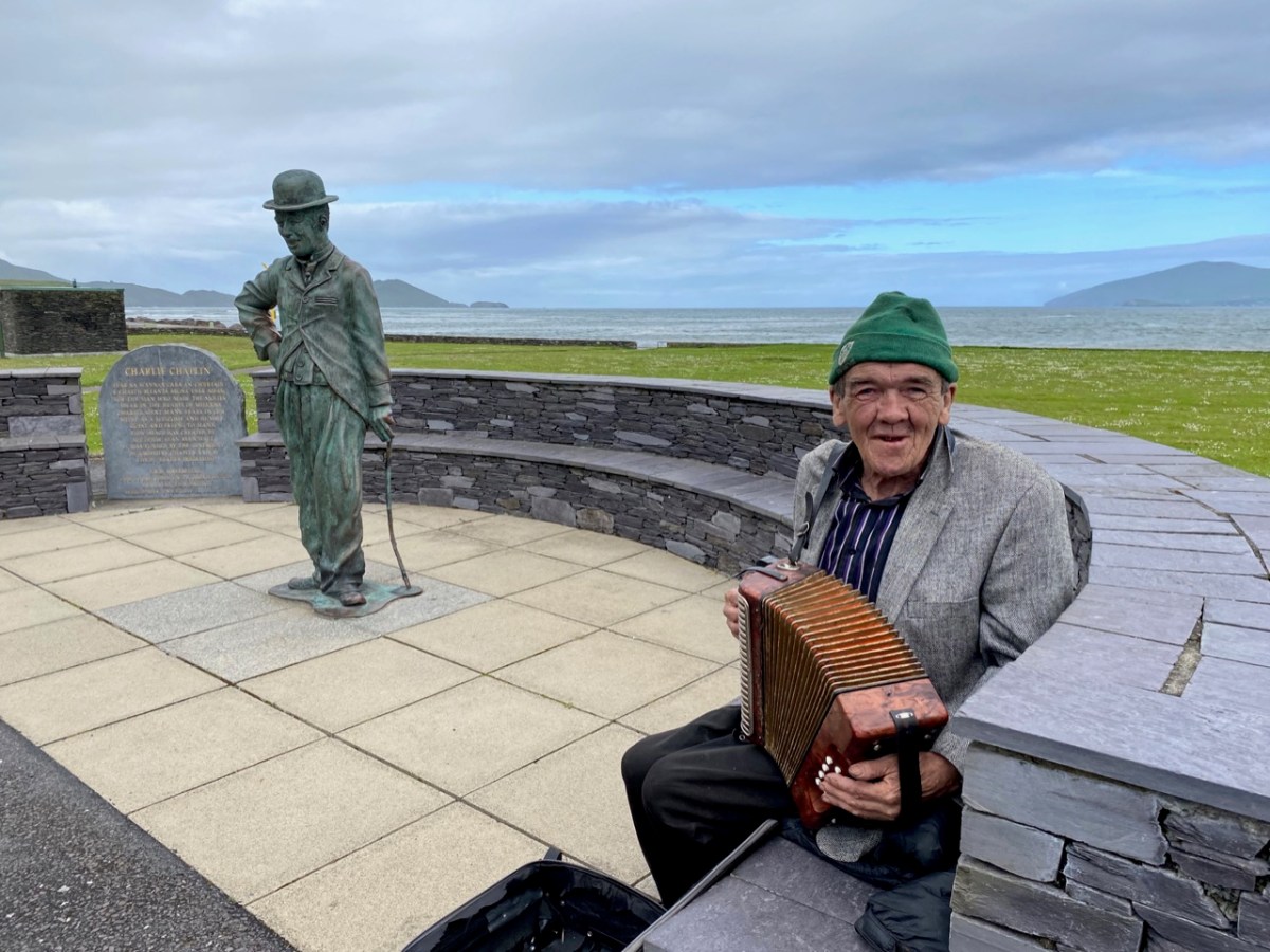
Firstly, here are Charlie Chaplin and Michael Collins (above), both familiar figures in Waterville. The Hollywood star spent his summer holidays in the coastal town for many years with his family and is commemorated by a bronze statue, while Michael can be found on most days in this much photographed location, always ready to entertain with Kerry polkas and slides on his accordion.

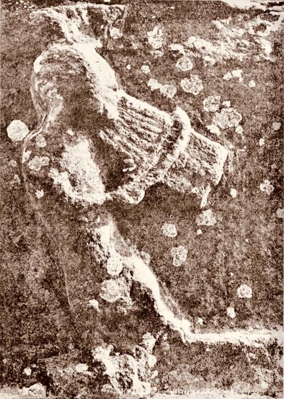
Here’s a much earlier Kerry musician: he’s known as ‘The Fiddler’, and is an unusual medieval representation of an instrumentalist found in the romanesque ruin on Church Island, Lough Currane. I was pleased to find this photograph in the Royal Society of Antiquaries of Ireland Notes from 1908 by P J Lynch as it shows the carving as it was found by the OPW when they took over the site. Now the original, which had suffered accelerated weathering, is kept protected in a museum while a well-worn replica is in place on the site. I believe the carving is a good representation of a medieval bowed lyre, an instrument with six strings which survives today in some cultures, although Lynch gave the following commentary:
. . . The interest in this stone centres in the musical instrument. The examples of ancient carving in Ireland representing stringed instruments are few, and confined to harpers. The photograph illustrates this instrument very clearly. It is the ancient cruit or fidil, said to be the parent of the violin. There are six strings indicated by sunken lines in the stone. The figure appears to wear a kind of tight-fitting tunic. Dr O’Sullivan states that the word fidil being a teutonic version of the original name vièle, it may be concluded that the original instrument was introduced through the Anglo-Saxons, and not through the Normans. He adds that up to the eleventh century it consisted of a conical body, and after that it became oval. If this be a portion of the twelfth-century instrument, the older pattern must have survived. The Kerry people were probably as unwilling to change in those days as they are at present . . .

P J Lynch – Some notes on church island – RSAI 1908

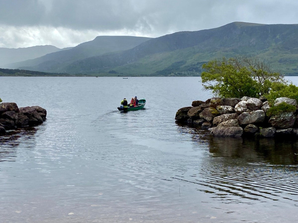
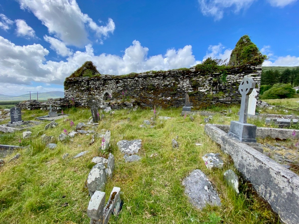
Our trip out to Church Island (above) was accompanied by moody weather, but we were fortunate with other expeditions which included the discovery of ancient sites in the townland of Srugreana (Srúbh Gréine in Irish, which is translated variously as sunny stream, gravelly stream or – my favourite – snout of the sun: Kerry certainly offers some tricky pronunciations for those unfamiliar with the area, or the language!).

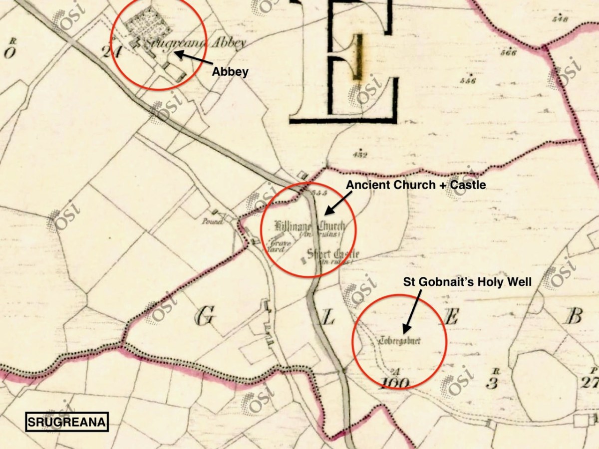
This extract from the 6″ OS map, dating from the mid-1800s, shows one area we explored on our Kerry day. It throws up some enigmas: Killinane Church (the church of Saint Lonan or Lonáin) is often referred to as Srugreana Abbey, but this is a separate site indicated further to the north-west on the early plan.

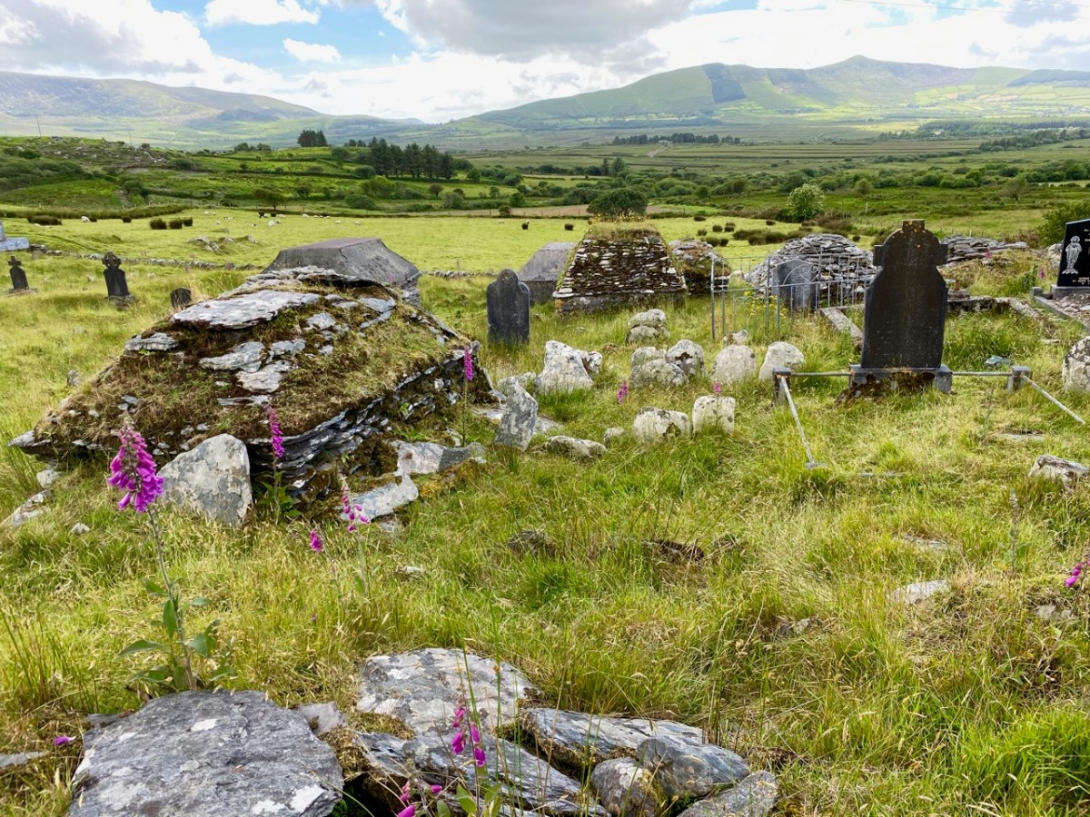
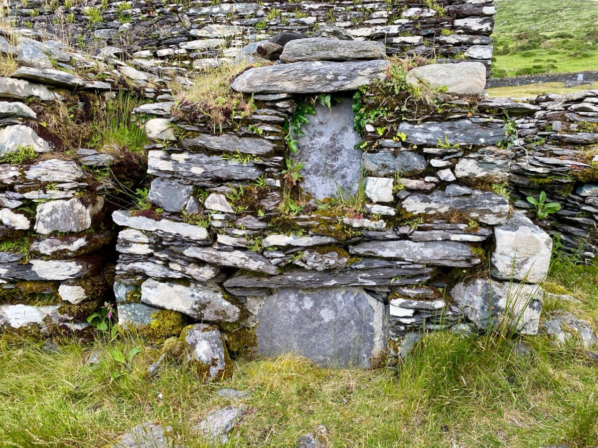
The church site at Srugreana is remarkable in many ways. A 2012 survey commissioned by Kerry County Council Heritage Office found there are at least 1,290 unhewn, uninscribed gravemarkers around the medieval church, and a significant number of ‘house type’ tombs, some of which are ‘two-storey’, like the one above. The concentration of graves – many of which cannot be dated – suggests how populous this now remote area was at one time.

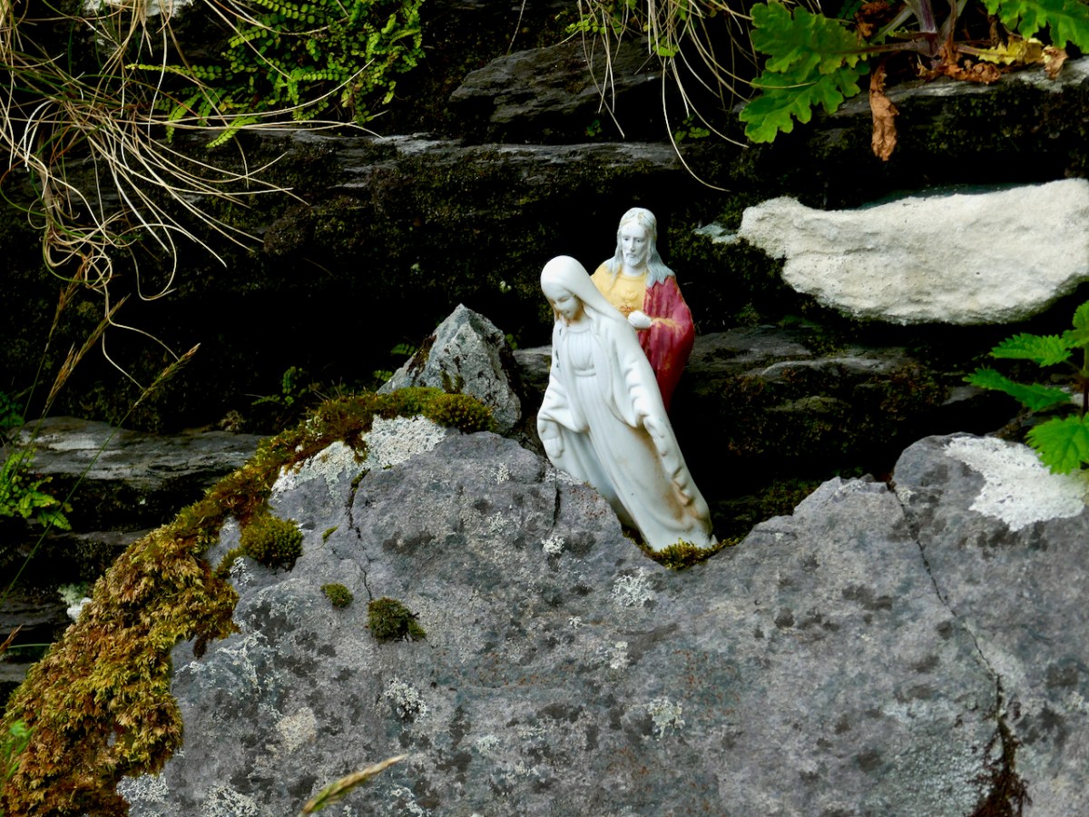
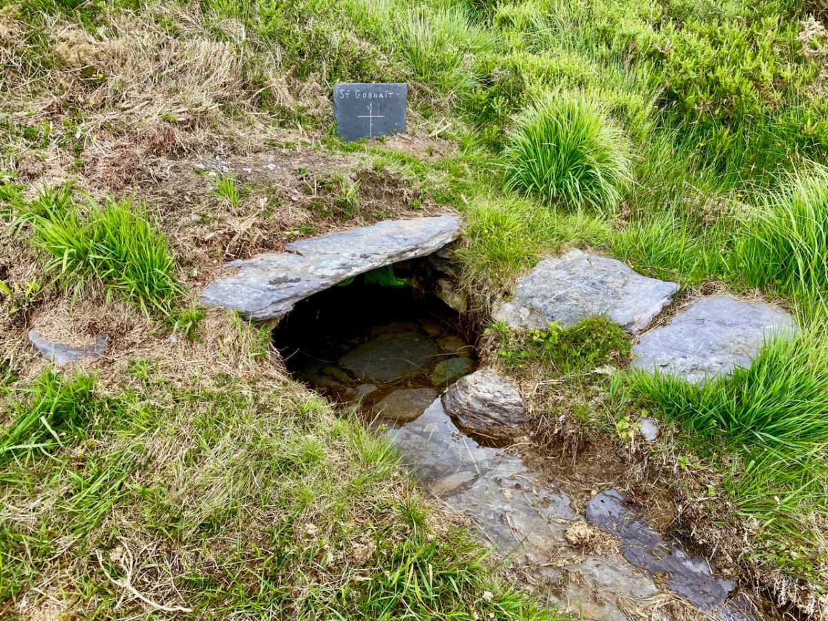
The main purpose of our visit to Srugreana was to search out a holy well dedicated to Saint Gobnait (above). The expedition was led by Amanda, who runs the Holy Wells of Cork and Kerry website. You need to read her comprehensive article on this particular saint here. Interestingly, while we were visiting the well we met the new owner of the land on which it sits. She had no idea that there was a holy well here, and also was unaware of its apparently recent renovation! Note the crosses carved on the stones by visiting pilgrims, above.

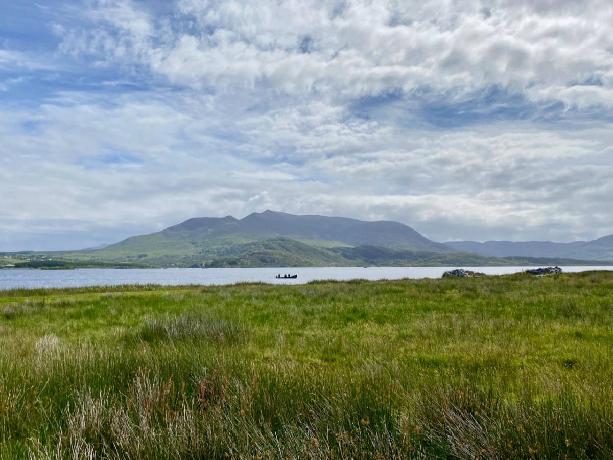
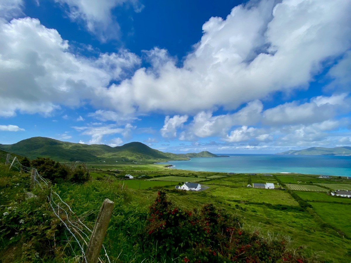
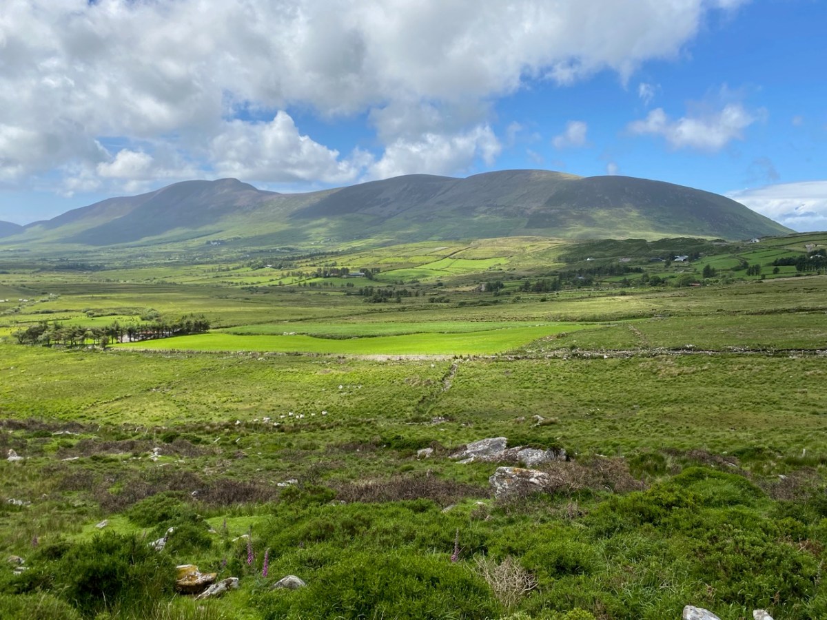
From the above accounts, and our two previous posts, you can tell that we had a most productive time exploring just one small area in the ‘Kingdom’ of Kerry. I am rounding off this entry with some more photographs of our journey back along the coast. The weather gave of its best for this county which is our neighbour, and we will continue to explore it and look for more archaeological gems. Keep reading!