Outlook: Unsettled!

Exactly ten years ago I wrote a Roaringwater Journal post titled Outlook: Changeable! It was about the weather and – interestingly – things haven’t changed much in that respect over a decade. So I thought it was worth a re-run, with some adaptations. The new title, for a start – Outlook: Unsettled! – is apt, perhaps, for the whole world we are living in today and not just the weather. The year 2014 produced the fiercest storm – Darwin – that many in West Cork (and beyond) had experienced in their lifetimes. Certainly we had property damage, felled trees and powerlines, and were without electricity, phone and internet for very many days.
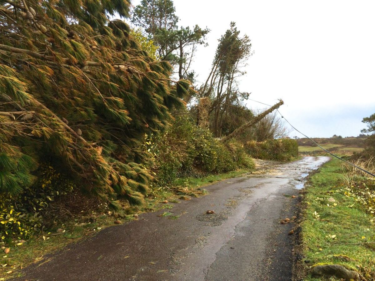
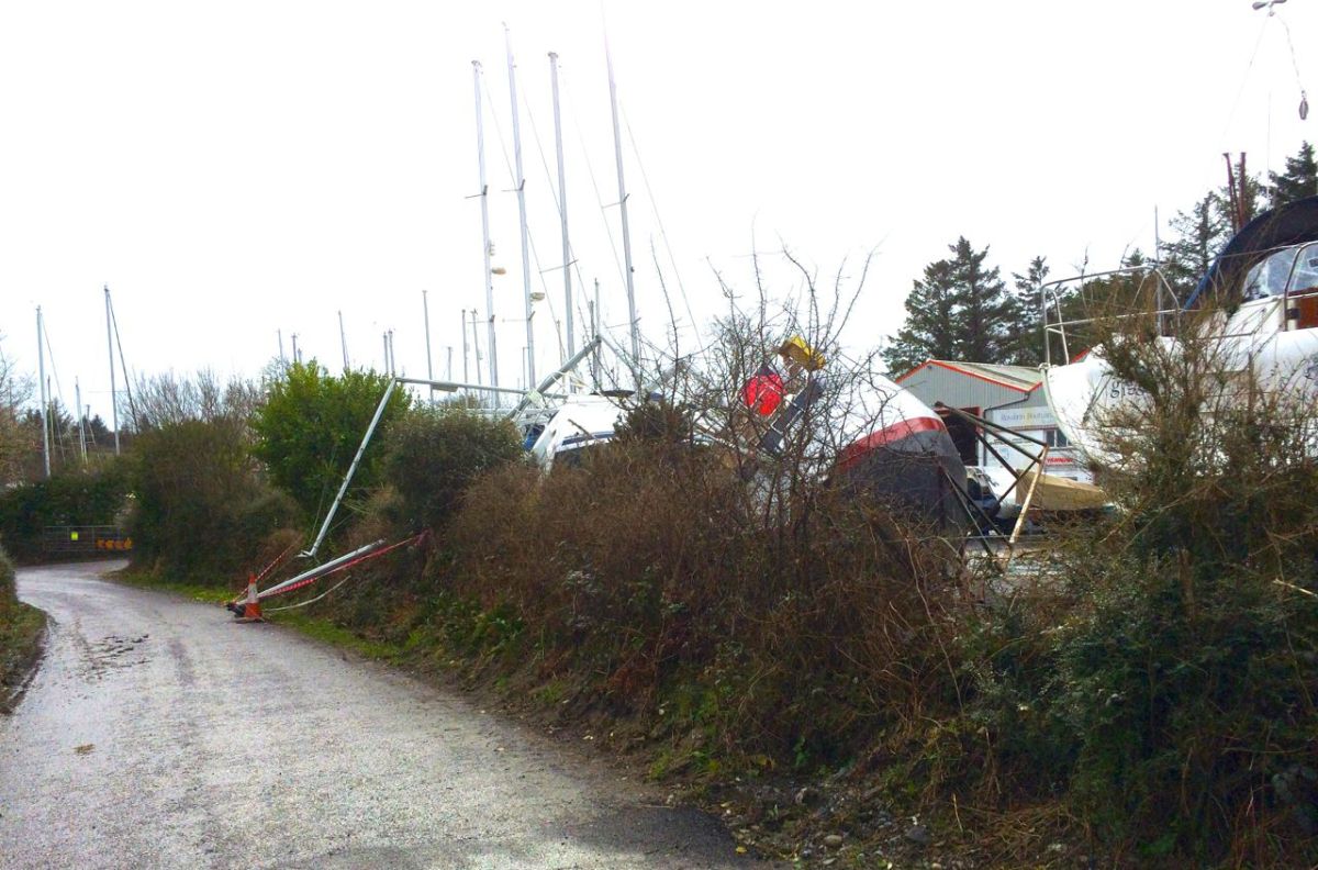
Examples of the damage caused by Darwin in 2014: neighbouring cables felled (upper) and boats toppled from their keel blocks in Rossbrin Boatyard

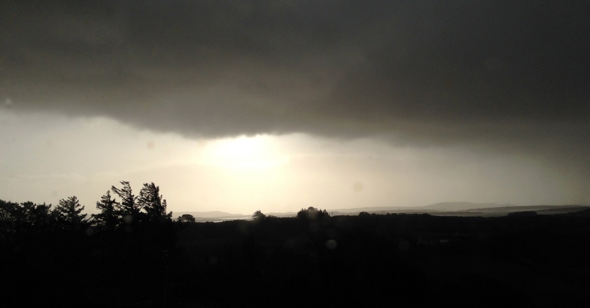
From January 2014: …One of my favourite expressions about the weather was learned from an elderly gentleman who had lived all his life in Hampshire, England. …Tis black over Will’s Mother’s… This would have described very well the scenes around us in Nead an Iolair when we awoke this morning. As an Englishman I would be expected to talk about the weather all the time; Irish people are not far behind in this, probably because there is such a variety of weather – even in a single day – that it demands to be described. …Is iomaí athrú a chuireann lá Márta dhe… means: …There is a lot of weather in a March day… This might just as well refer to a January day, or a day in any month in our experience. To illustrate this we decided to try a time lapse video, using an iPhone and a tripod. We had to shoot it through the window, hence the reflections – just as well because during the process we had torrential hail to add to the variety. So this is a thirty minute session of Irish weather coming in to Roaringwater Bay compressed to thirty seconds, each frame being shot a second apart:

By asking around the locality I have compiled some Irish expressions for weather. These are ones that I particularly like:

A snipe won’t stand in the morning… (meaning expect icy weather)

It’s a hure of a day… (meaning it’s a hure of a day – Finola has her own version here)

 Bad aul’ day isn’t it?

And – very occasionally – The Sun does be splittin’ the stones

Coming back to 2024 It’s worth delving into the archives of the The Schools’ Folklore Collection: the following entries were written down in the 1930s and provide an insight into weather-lore from the time:

“…When the sheep go under the wall there is a sign of rain.
When the curlew begins to whistle there is a sign of rain.
When the cricket begins to sing there is a sign of rain.
There is a sign of rain when the hills look near.
When the dust is flying off the road there is a sign of rain.
When the river is roaring there is a sign of rain.
When the fire is blue there is a sign of rain.
When the clouds are running in the sky there is a sign of rain.
When the smoke from the chimney is going up straight there is a sign of rain.
When the sky is red in the morning it is a sign of a wet day.
When there are a lot of clouds in the sky it is a sign of rain.
When there is a rainbow in the morning it is a sign of a rain.
The South wind brings most rain in this district. A red sky is a sign of a storm.
Black clouds are a sign of rain.
When the swallows are flying it is a sign of rain.
When the dog is eating grass it is a sign of rain.

When rain is expected the cat lies near the fire.
The crows lie on the walls when rain is expected.
The nearer the ring is to the moon the farther the rain is from us.
The farther the ring is from the moon the nearer the rain is to us.
When the lake is rough it is a sign of rain.
When the water-fall roars it is a sign of rain.
When the soot is falling it is a sign of rain.
When the cricket comes into the house it is a sign of rain.

If a robin comes in very near the door of the house its the sign of bad weather.
If crows fly in flocks together and are always cawing its the sign of rain.
The South and South West winds are the most that bring rain.
If the ducks quack loudly and the cricket sings sharply its the sign of rain.
A ring around the moon at night is the sign of rain…”

All these sayings have been collected by informants Willie Noone, John Monoghan and Michael Halloran, Co Mayo. It’s instructive that they are only about rain.
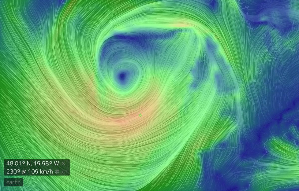
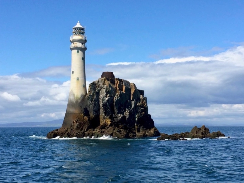
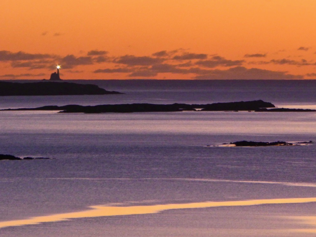
This is a record of the Earth Wind Map from early January, 2014. It’s centred over Ireland. Only 109 km/h is recorded. That’s classified as “Violent Storm” and just a few km/h short of a hurricane. Storm Darwin hit wind speeds of 177 km/h. That was a record for the time, but it’s worth noting that the greatest wind speed ever measured (so far) in Ireland was 191 km/h at Fastnet Lighthouse, County Cork on 16 October 2017. That’s just across the water from us here at Nead an Iolair! Here it is seen from our house (by Finola) on a happily calm day…
Back to Borlin Valley

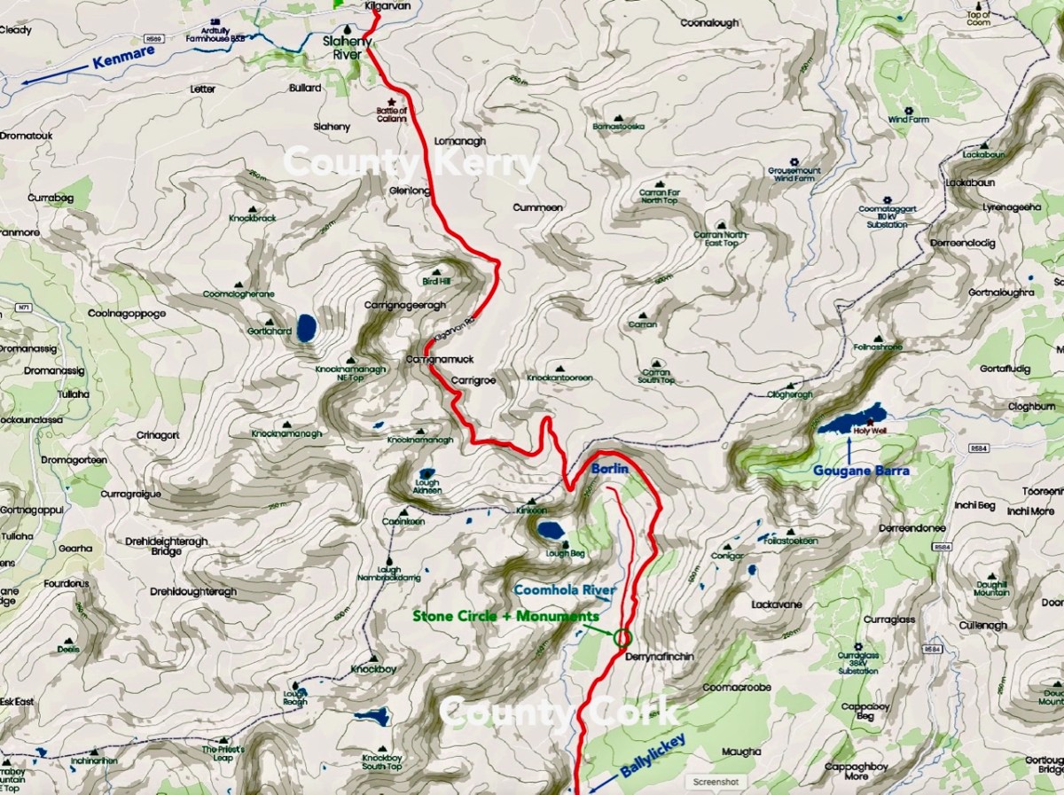
We have certainly travelled this route many times – it’s our favourite way of getting from Kenmare home to West Cork. Assuredly not a direct road, but spectacular – and you’ll hardly see a soul. Here’s a map – the road is in red:

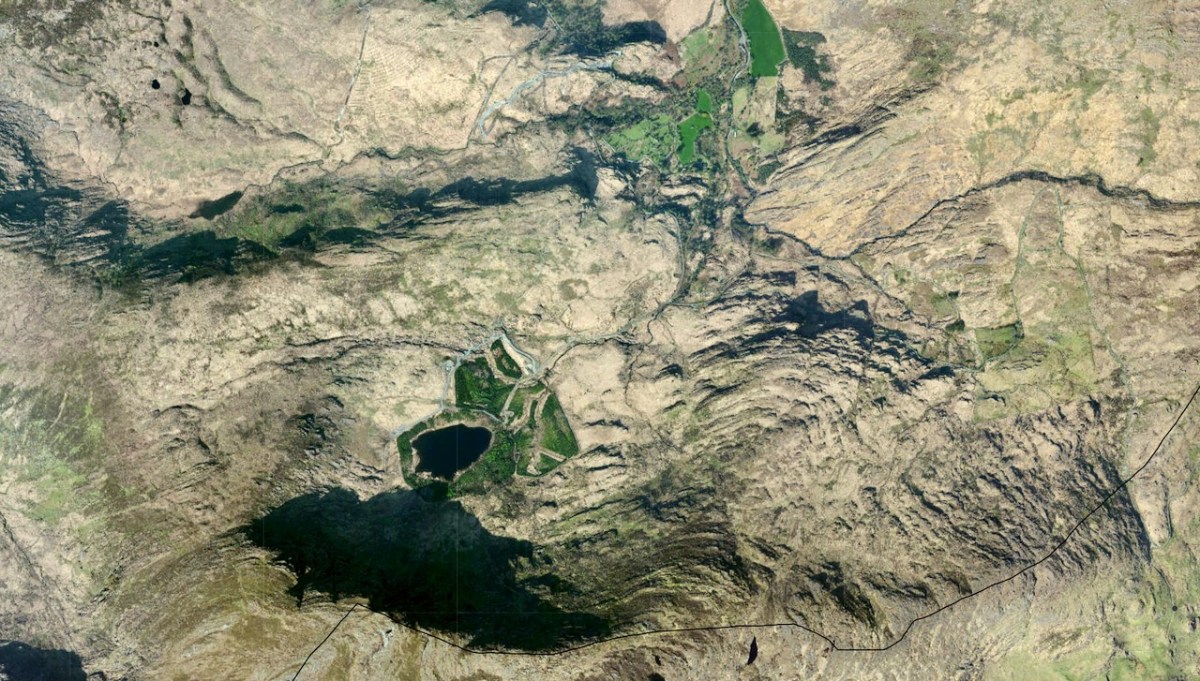
And here (below) – a sculptural abstract – is the nature of the terrain which the satellites spy on – looking straight down!

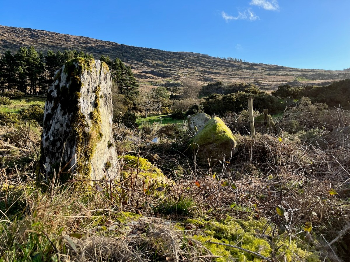
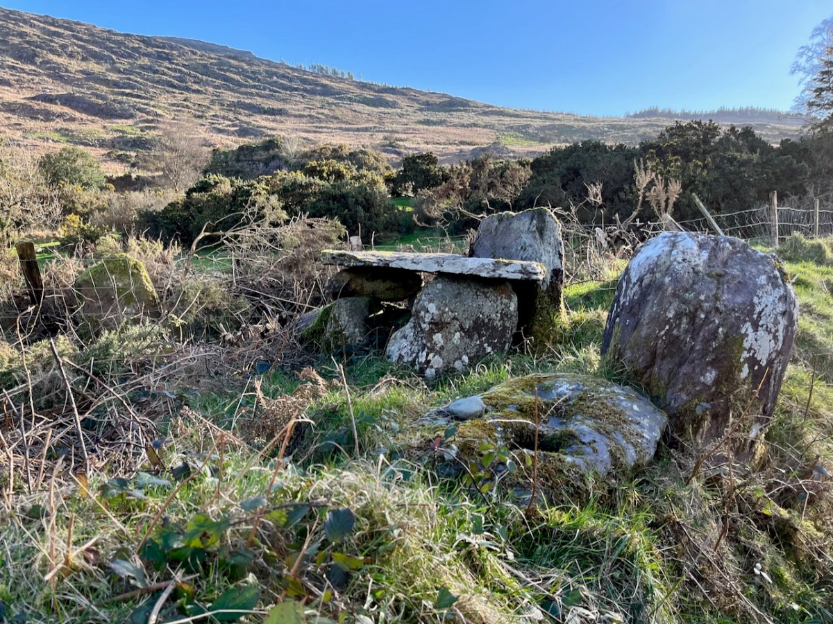
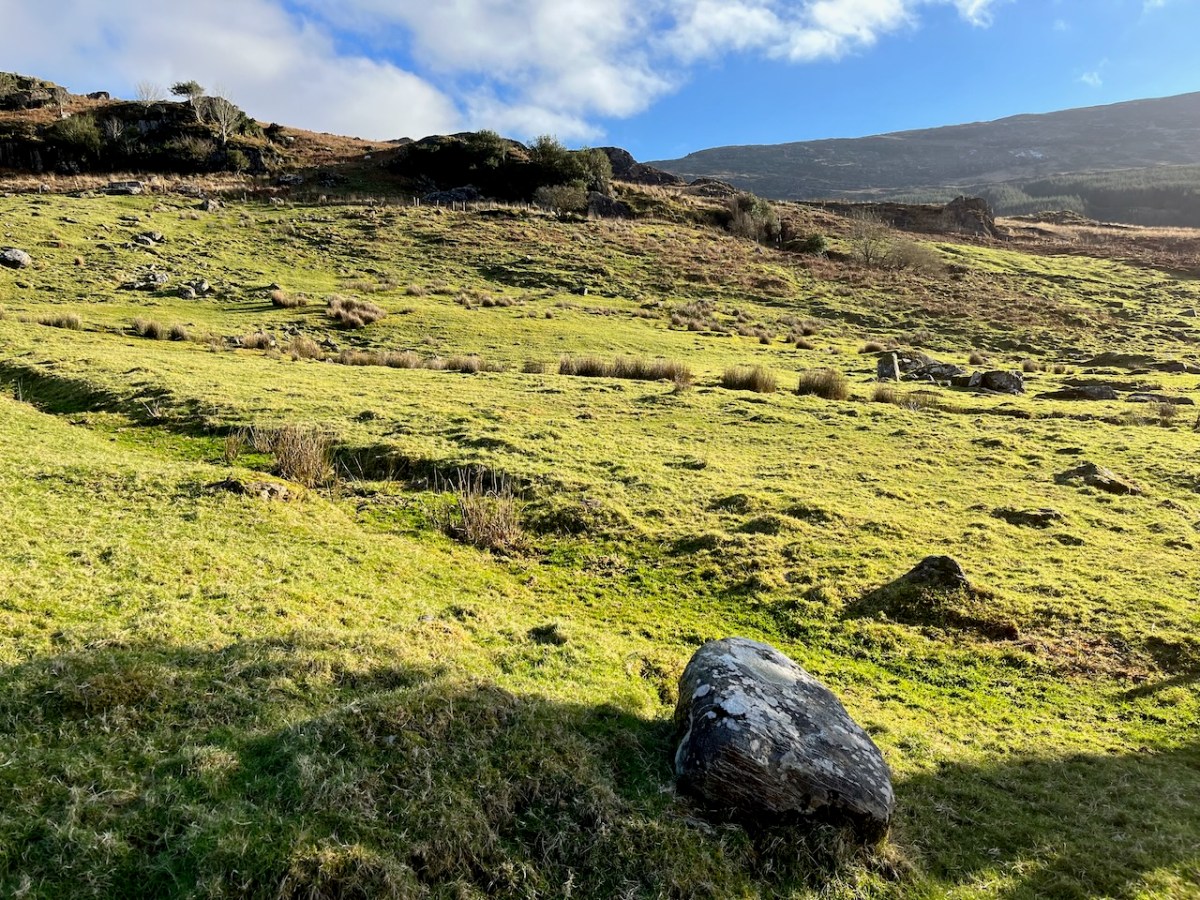
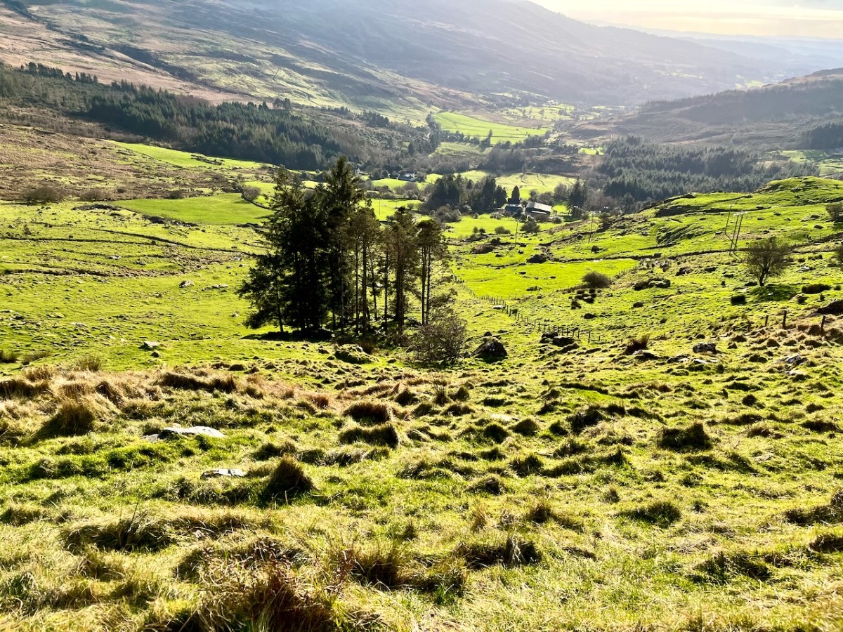
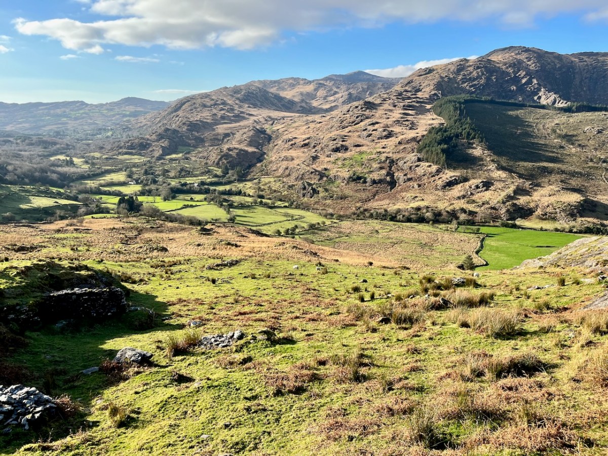
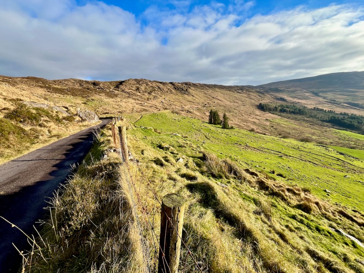
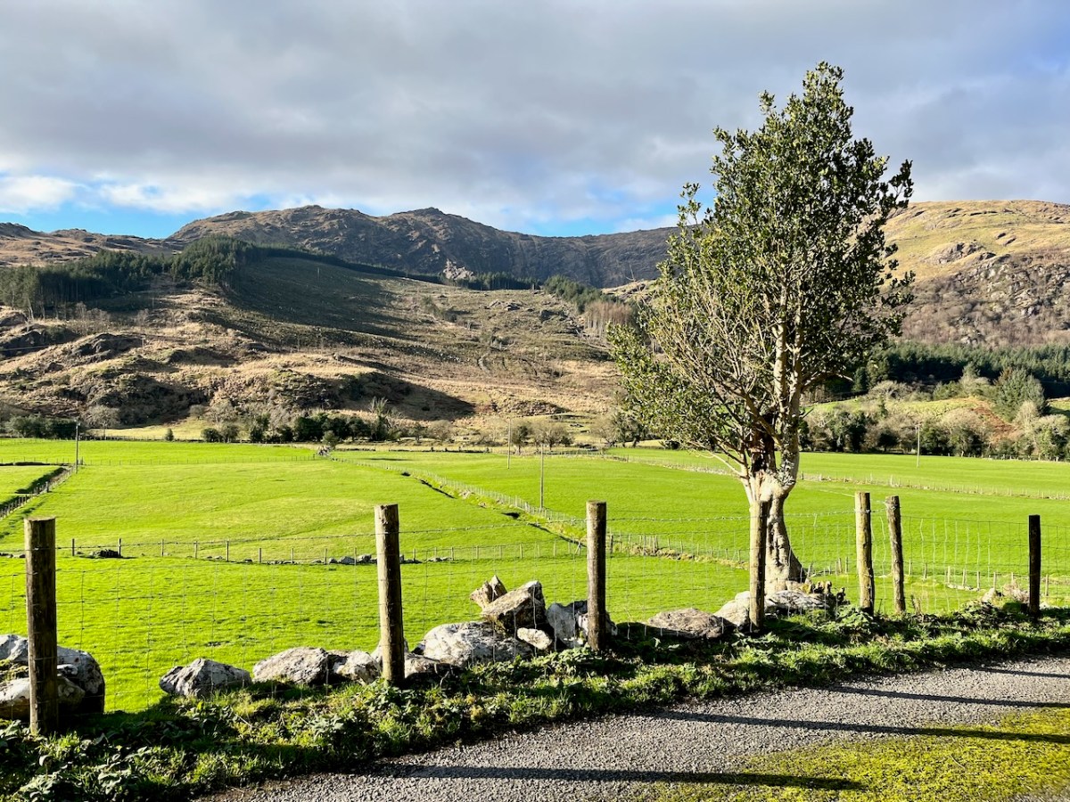
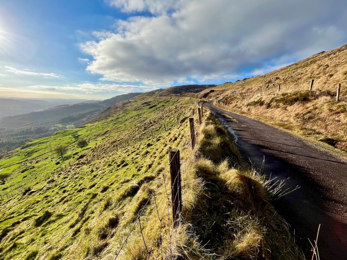
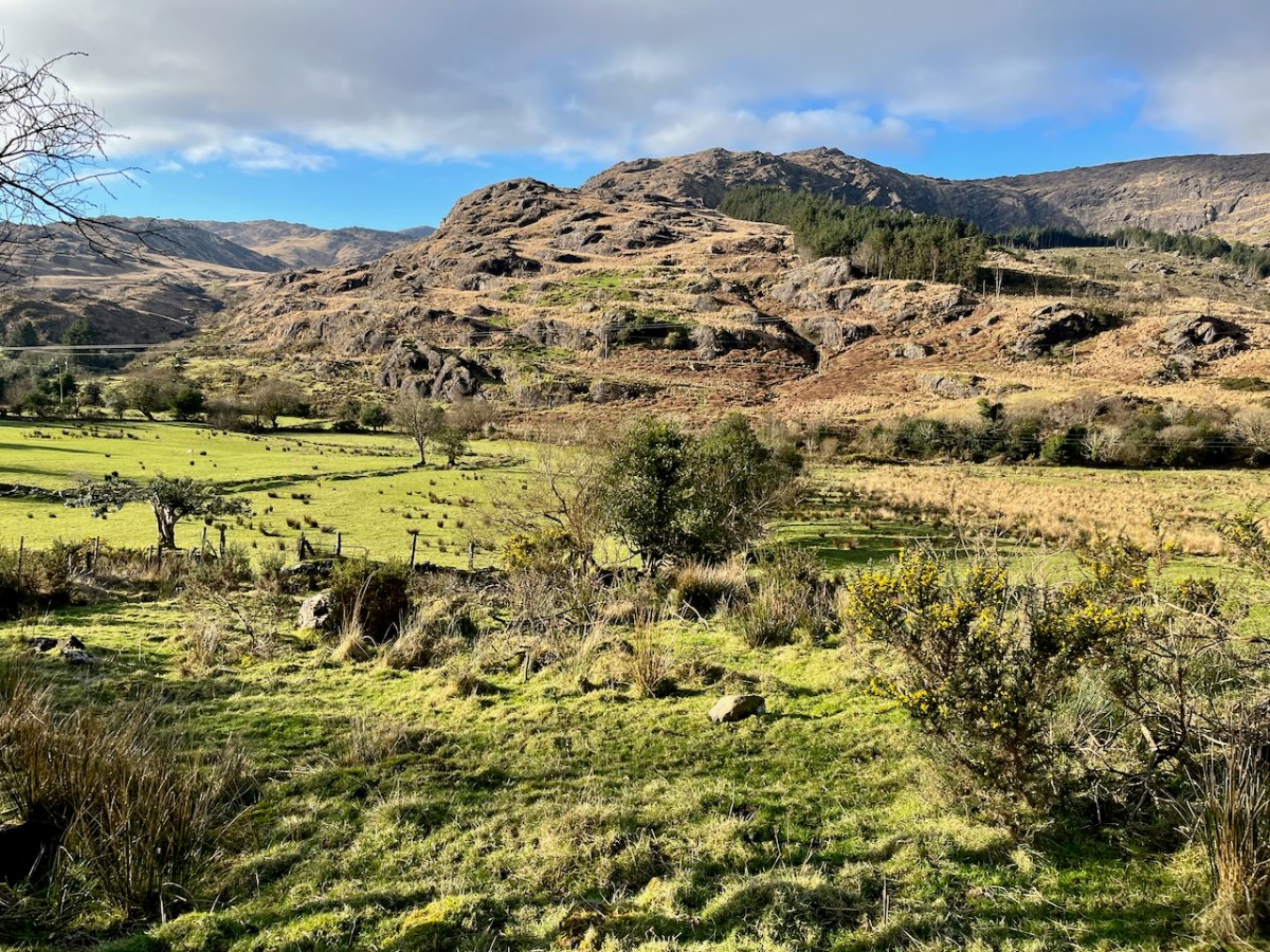
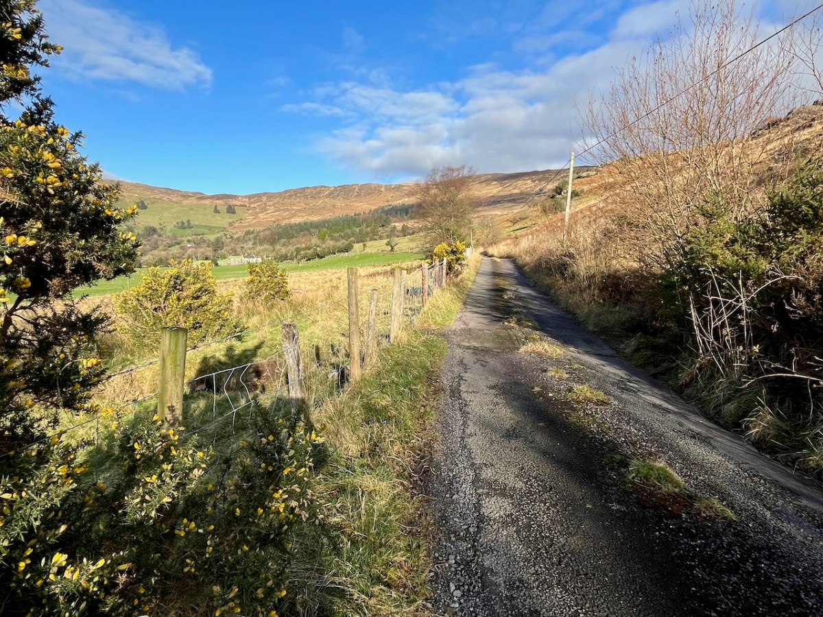
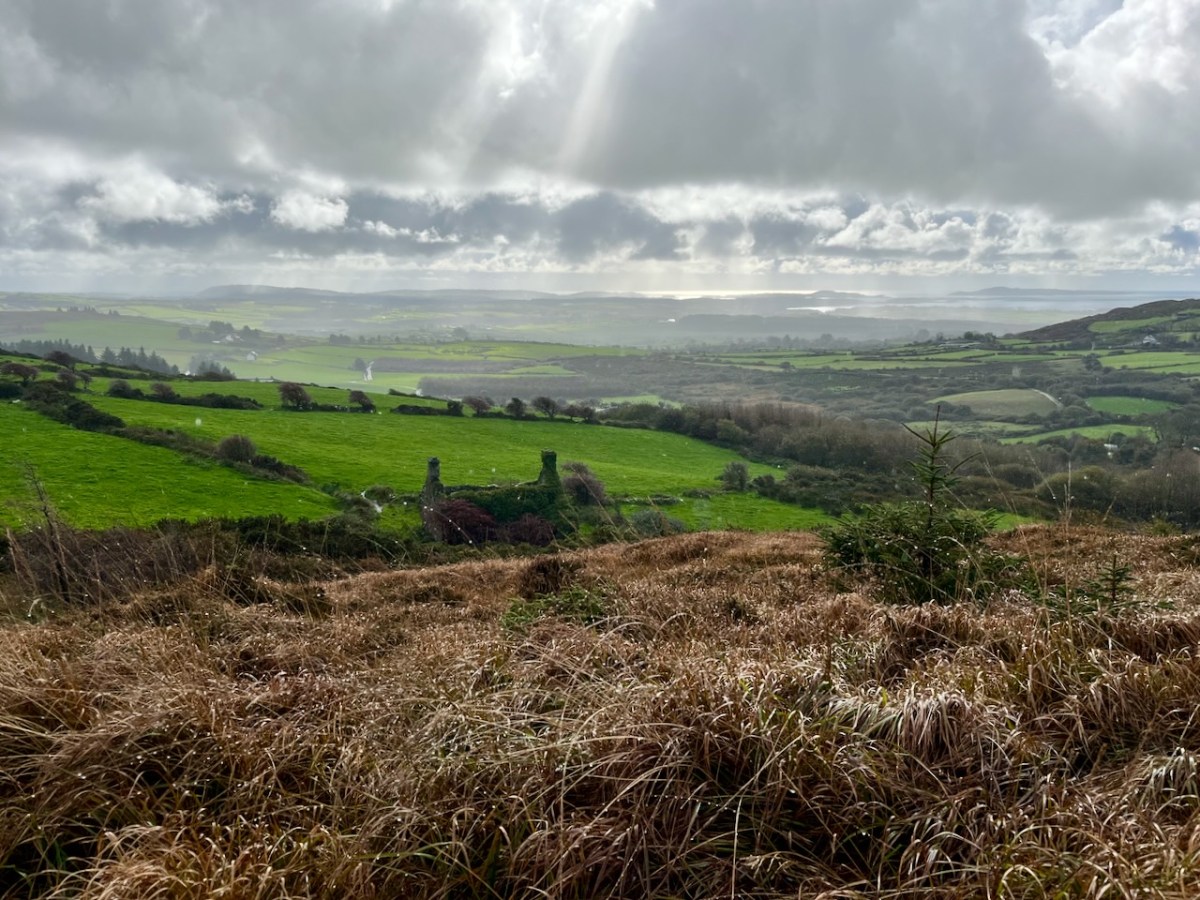
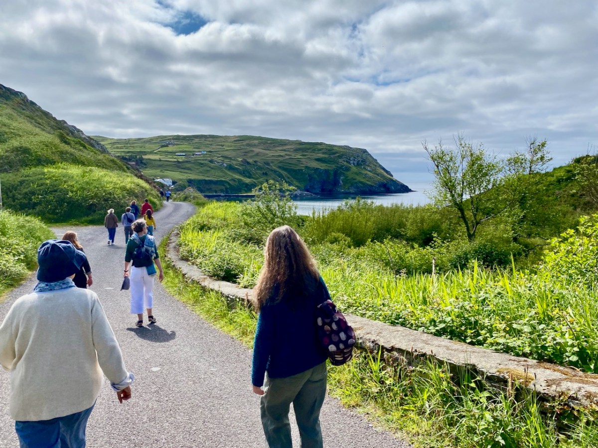
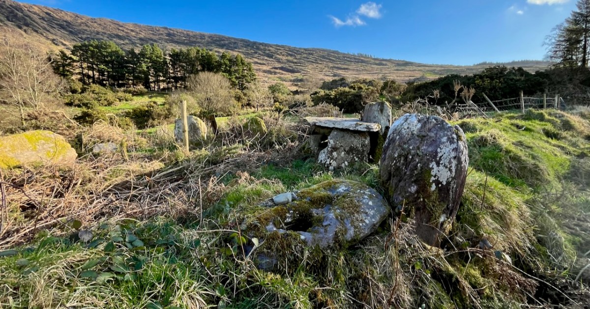
We passed over this high road that skirts the valley on an idyllic January day early in the new year (2024). For the first time, we also traversed the full length of the lane that goes into the heart of the vale, only serving scattered houses and farms. This goes by a complex stone circle and Mass Rock in the townland of Derrynafinchin – or Doire na Fuinseann. The group – also featured on the header – has been fully described by Amanda’s post Derrynafinchin: a bullaun, Mass rock & stone circle from a couple of years ago. Well worth a read!

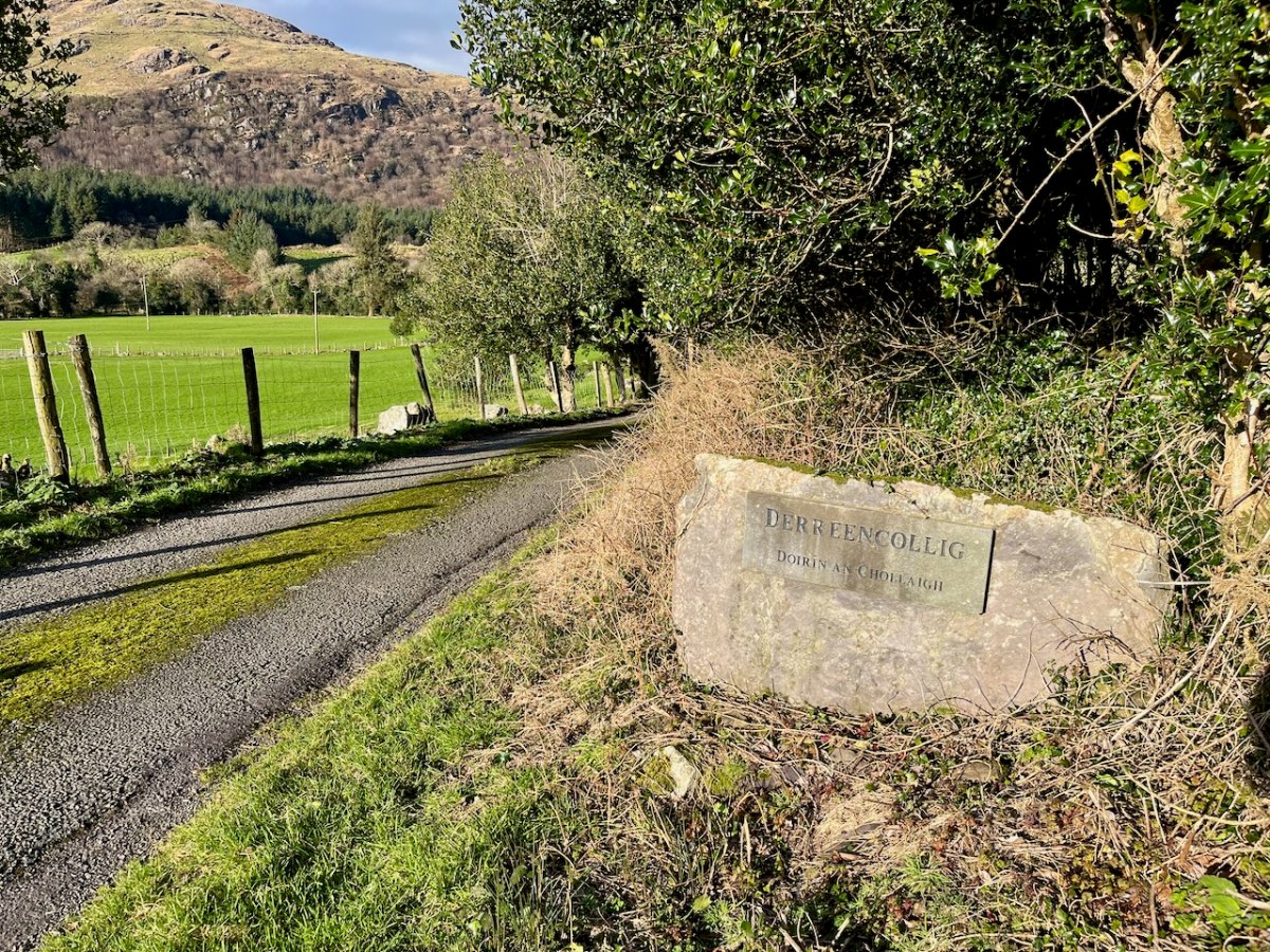
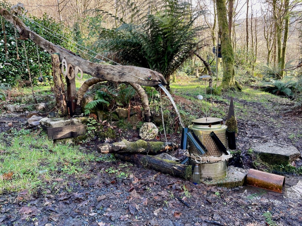
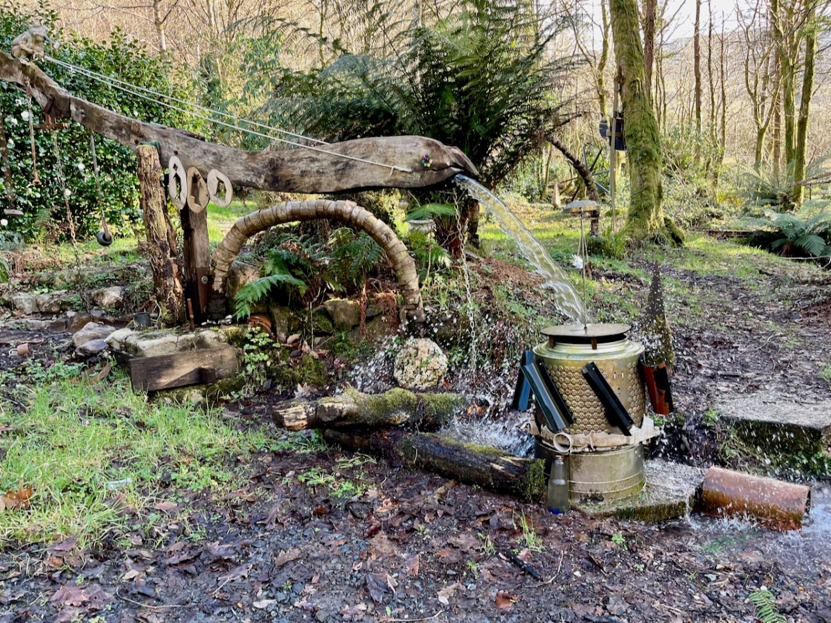
The little lane also passes into the townland of Derreencollig. We were intrigued by some kinetic sculptures we found beside the way: we did not come across the artist, nor anyone else on this part of the journey.

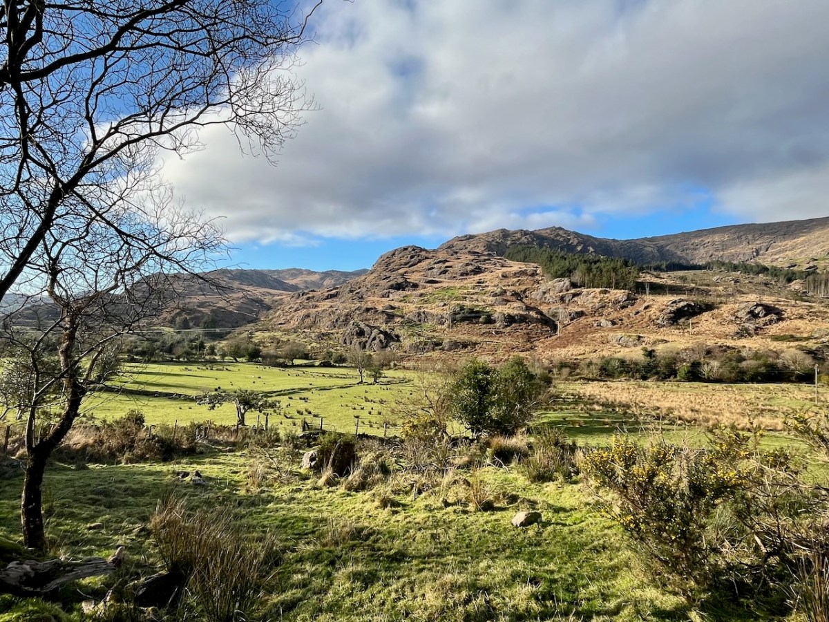
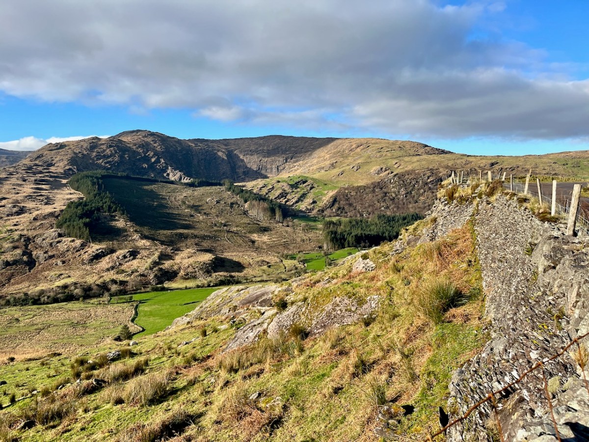
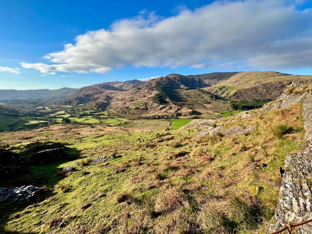
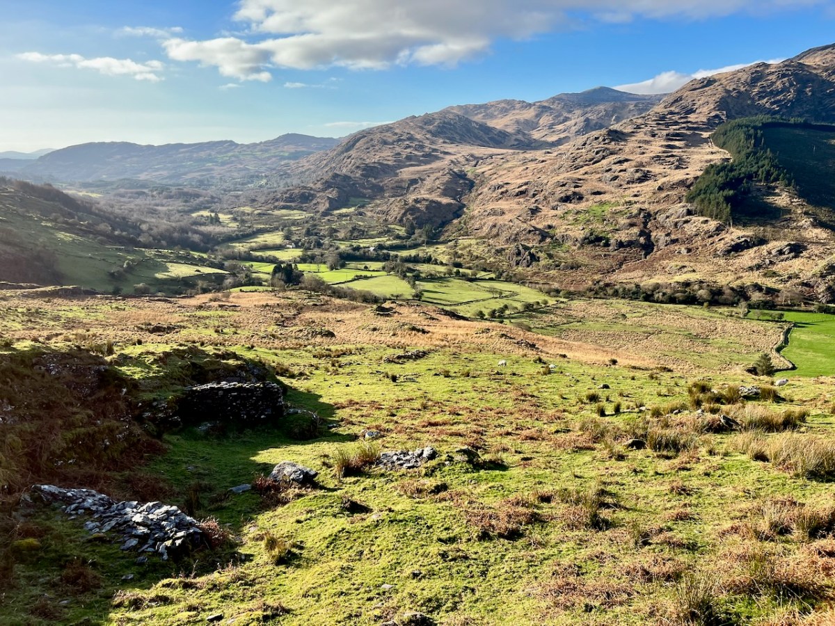
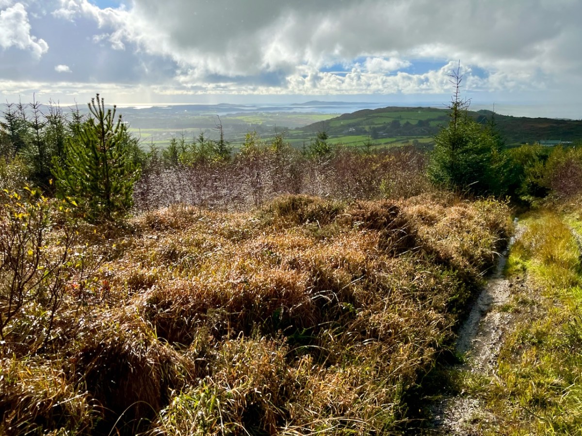
The views into this remote townland and its few habitations is seen from the minor road that follows the contour at high level, heading for Bantry.

If you find our minor roads tricky, then stick to the main ones. But, if you are not in a hurry, you couldn’t do better on a day of winter sunshine than to traverse the gentler, secret ways.

Description is hardly needed in this little topographical diversion. I’m not sure where else in the world you could find your senses as satiated as here in West Cork (and Kerry!). Travel on!

To my mind there’s no more satisfying way of journeying: keep to the crags and cornices of the high tracks.

Exploring Ancient Drowned Landscapes

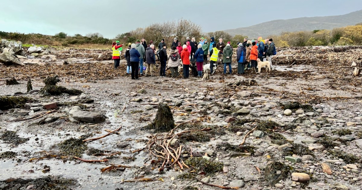
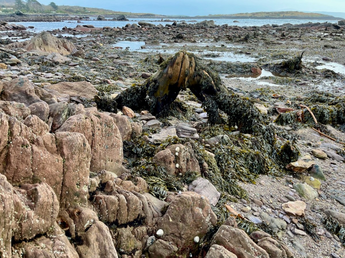
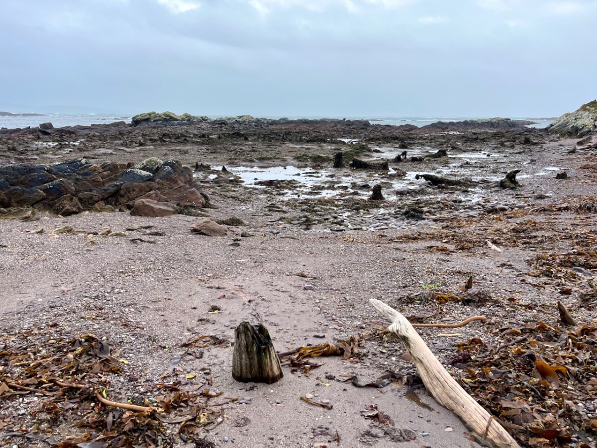
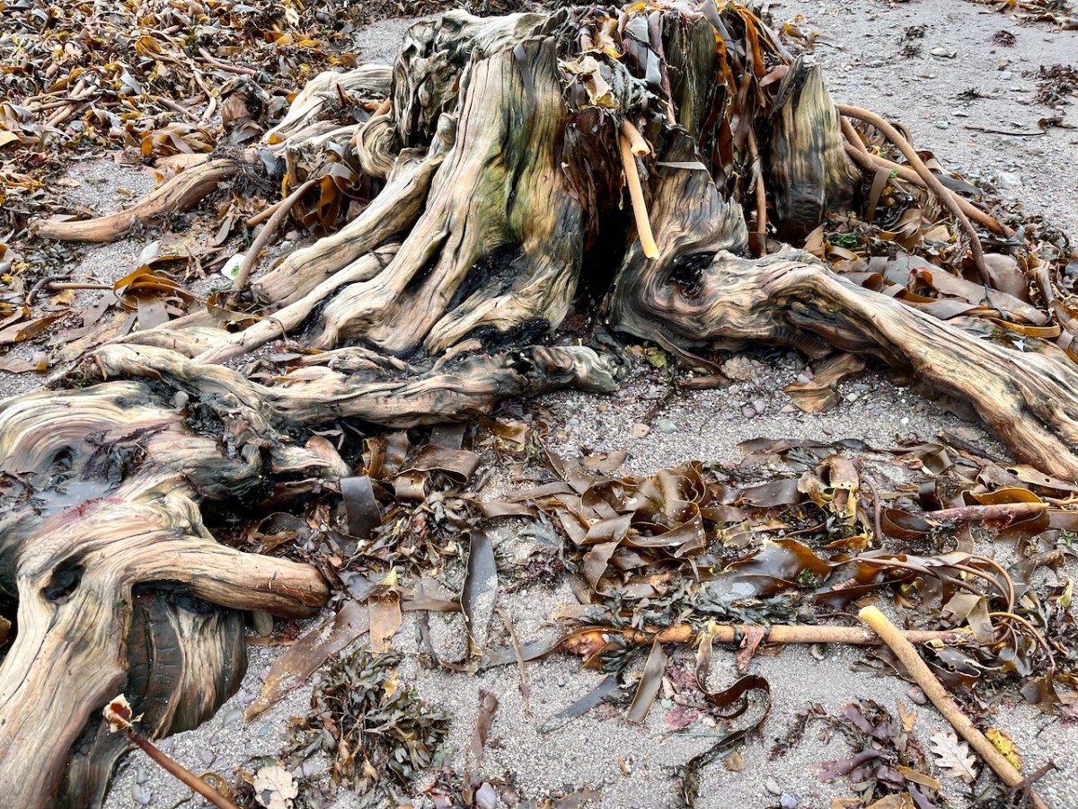
‘Drowned Landscapes’ – that’s an adequate enough description for us to look again at a subject which RWJ covered five years ago in this post: Tralong Bay, Co Cork – give it a read. I was reminded of the subject when we took part in an Archaeology Festival based in West Kerry just a week ago: Amanda’s current holy well blog describes the expeditions. One of the sites visited was Bunaneer Drowned Forest, where we saw stumps of trees on the beach there which were alive thousands of years ago. At low tide many tree remains become visible at Bunaneer, near Castlecove village on the south coast of Kerry’s Iveragh Peninsula. Our guides for this expedition were plant biologist Calum Sweeney and archaeologist Aoibheann Lambe.

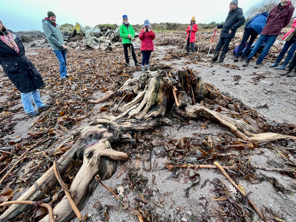
This large jumble of roots (above) is known as Goliath. All the remains here can be seen at regular low tides: at other similar sites elsewhere in Ireland, remains of ancient tree boles and roots are only revealed when tides are exceptionally low. I find it remarkable to be able to see and readily touch these archaic pieces of timber: we are communing with distant history!

Carbon dating has shown that these remains were alive between three and a half and five millennia ago. This is evidence that sea levels were significantly lower then, and that the shore line was further out – perhaps 50 metres from where we see it today. We are constantly – and quite rightly – being warned about rising sea levels resulting from our changing climate in the long term: here we see clear verification that it’s a continuing – and now apparently accelerating – process.

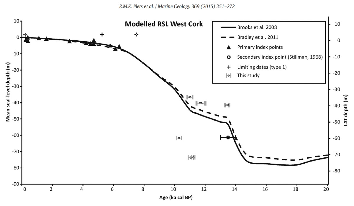
Our friends Robin and Sue Lewando were also on this expedition. Robin has a particular interest in sea-level changes in the Late Quaternary and subsequent eras, and he pointed me to a 2015 paper which explores the subject specifically in the Bantry Bay area of West Cork. That’s a good place to be looking at ancient history: remember the story of Cessair – Noah’s daughter-in-law – who came ashore at Donemark? You first read about it here! So this is a scientific diagram which sets out how sea-levels have been changing over time in our locality:

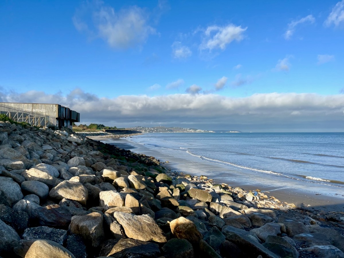
It’s an interesting comparison to take our horizons wider in our study of changing sea levels across the islands of Ireland. Over on the east coast – north of Bray, Co Wicklow – there is another substantial area where tree remains have been revealed at certain tidal conditions.

Above are the areas of beach between Bray and Killiney where ‘drowned forest’ remains have been observed. While at Youghal, Co Cork, further finds have occured:

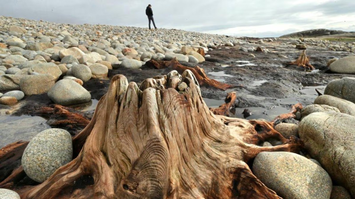
This example catches our interest because the name of the settlement – Youghal – is derived from the Irish word ‘Eochaill’ meaning ‘Yew Woods’: they were evidently once common in the area, leading us to wonder whether the tree remains in this instance are of yew. In 2014 the following account of another ‘ancient drowned forest’ discovery appeared in the Irish Times (photograph courtesy of Joe O’Shaughnessy):

. . . Walking out on to the shoreline at low tide, geologist Prof Mike Williams points to the oak, pine and birch stumps and extensive root systems which were once part of woodlands populated by people, wolves and bears. These woodlands extended out into lagoons and marshlands that pre-dated the formation of Galway bay, Prof Williams says.

An extensive layer of peat also exposed at low tide in the same location in Spiddal was formed by organic debris which once carpeted the forest floor. The stumps at Spiddal are surrounded by root systems which are largely undisturbed. The carpet of peat is covered in strands of a reed called phragmites, which can tolerate semi- saline or brackish conditions.

“These trees are in their original growth position and hadn’t keeled over, which would suggest that they died quite quickly, perhaps in a quite rapid sea level rise,” Prof Williams adds. Up until 5,000 years ago Ireland experienced a series of rapid sea level rises, he says. During the mid-Holocene period, oak and pine forests were flooded along the western seaboard and recycled into peat deposits of up to two metres thick, which were then covered by sand.

Prof Williams estimates that sea level would have been at least five metres lower than present when the forests thrived, and traces of marine shell 50cm below the peat surface suggest the forest floor was affected by very occasional extreme wave events such as storm surges or tsunamis. He says most west coast sand-dune systems date to a “levelling” off period in sea level change about 5,000 years ago. Dunes in Doolin, Co Clare, are older still, having first formed around 6,500 years ago.

Prof Williams has located tree stumps in south Mayo and Clare, along with Galway, which have been carbon dated to between 5,200 and 7,400 years ago at the chrono centre at Queen’s University, Belfast. Some of the trees were nearly 100 years old when they perished . . .

Lorna Siggins
Irish Times 07/03/2014

Goliath, West Kerry, November 2023

‘The Mountain’

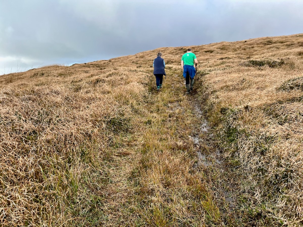
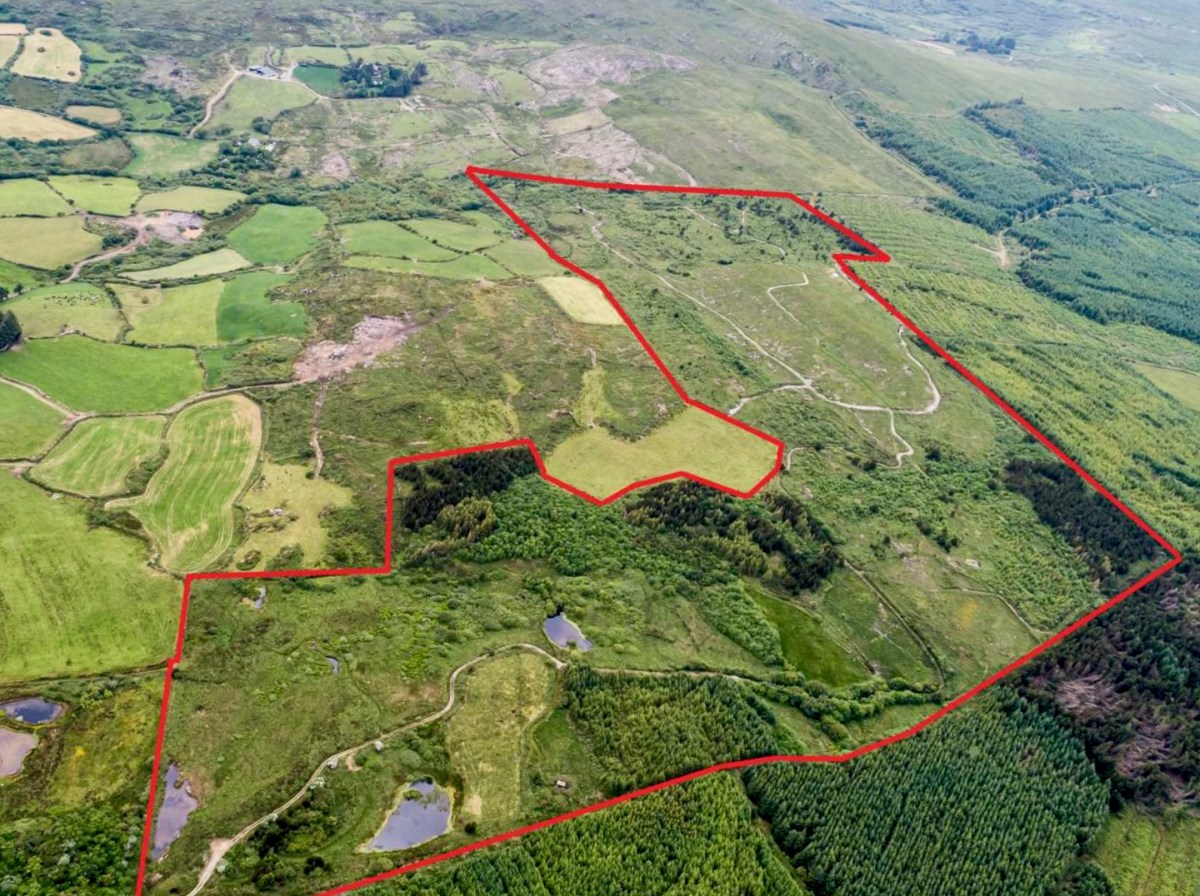
We spent a day on ‘The Mountain’. It’s a West Cork location, not too far away from us. The land has a history that touches on many of our interests covered here in Roaringwater Journal – and some of the West Cork people we have written about over the years – so it’s pretty special. We were delighted to be welcomed to it by its present owner, Oliver Farrell: that’s himself, in the pic below. You have met him before, here. Thank you, Oliver, for allowing us to experience this special site, and for letting us put out this post about it.

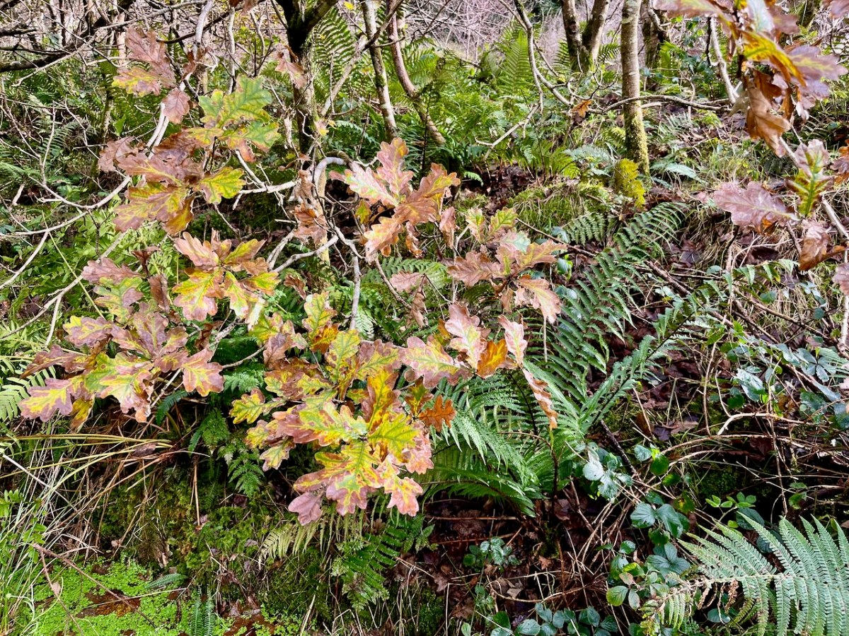
Previously, the 70 acre ‘Mountain’ site was owned by the Wrights – Lynne and Ian (above): you saw them in the 2022 Ballydehob Arts Museum exhibition, here. When they purchased it – in 1997 – it was rough pasture and bog. They aimed to develop an environmentally and economically sustainable forest using existing grants, and successfully challenged the decision of the Forest Service (through the EU) to only grant aid the planting of alien conifers. They set about transforming it: they had a vision of a ‘pure’ West Cork landscape supporting an ecosystem of native species. Now – many years later – it’s possible to see that the Wrights’ vision was fully justified – and realised. Today Oliver is undertaking essential maintenance work, and is committed to expanding on the inherent sustainable qualities that the site embodies. In fact, ‘The Mountain’ is largely in excellent environmental order.

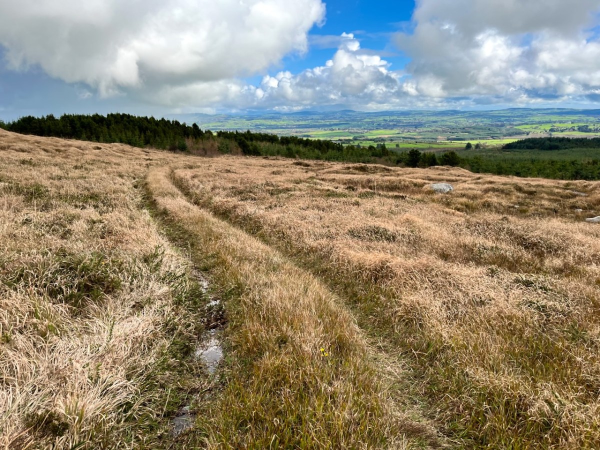
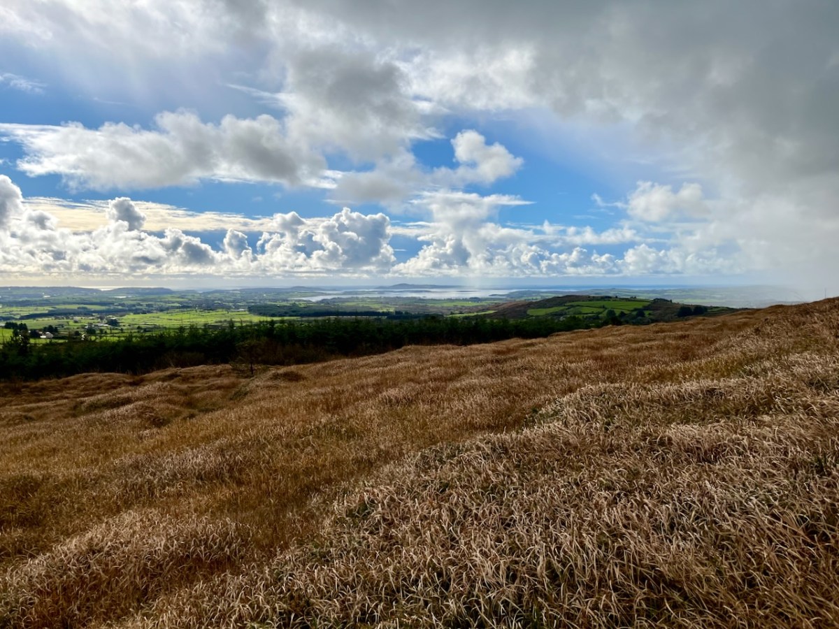
Interestingly, Ian told us that when they made the decision to buy the site they had only seen it under cloud: the spectacular view wasn’t revealed until later on. We were fortunate on the day of our visit to see the full panorama of Roaringwater Bay stretched out before us.

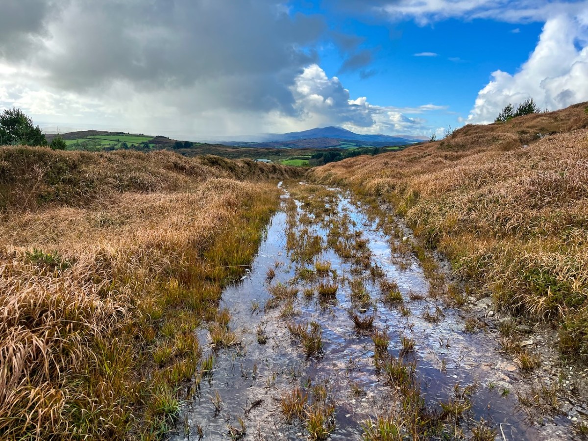
This dramatic view towards Mount Gabriel is a reward for climbing ‘The Mountain’. The ground was waterlogged on the day of our visit as this autumn has been a time of relentless rainfall, but always interspersed with brief dry patches: it’s great to be out to catch these. Springs rise on the high ground here, and I’m working out that they either feed the Roaringwater River – the water that gives its name to the whole Bay and islands that are central to our view from up here in Nead an Iolair, or another of the many streams that drain the West Cork hills below us.

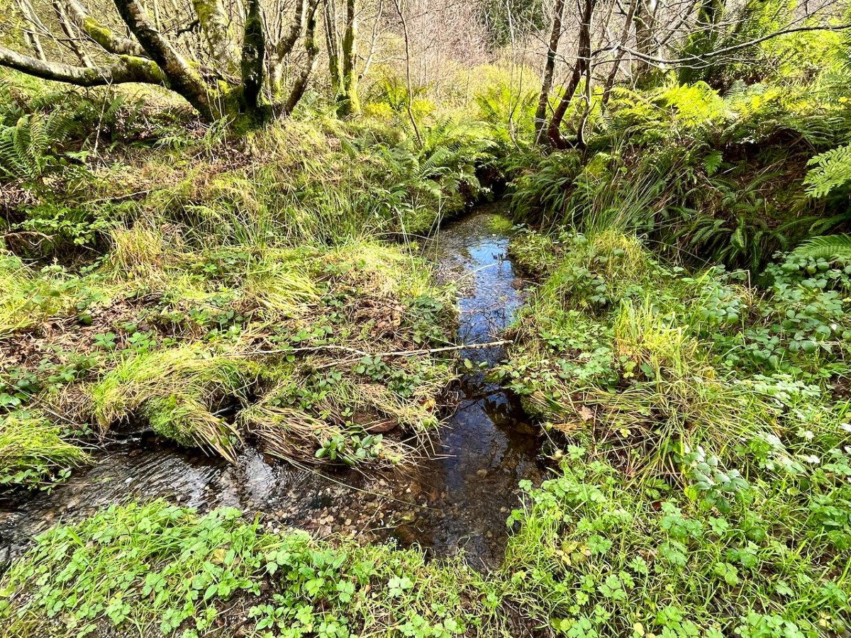
Oliver stands above one of the spring outlets that form the infant waterway (top), while the stream matures as it flows on down through his land (lower). Below – Oliver and Finola inspect one of the lakes which has been created within the site.

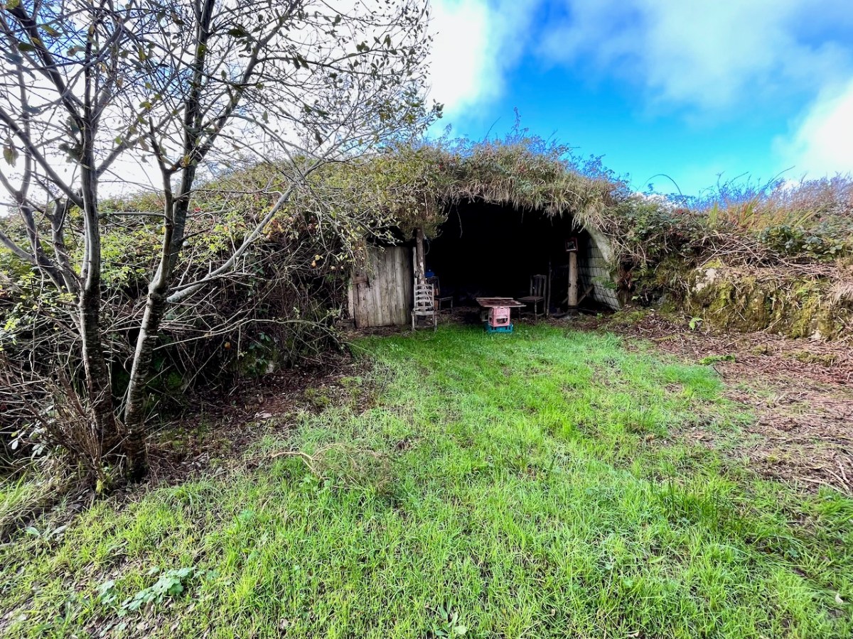
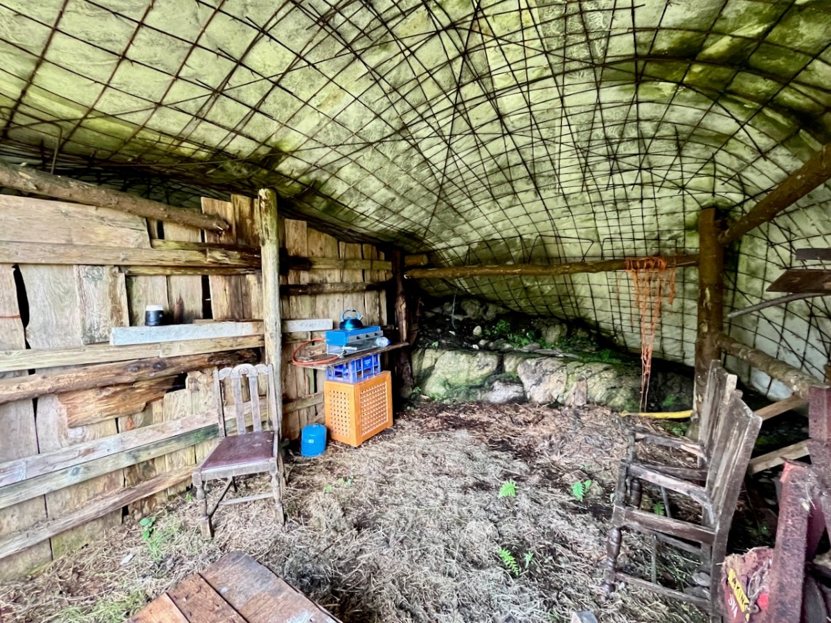
At one stage in his life Ian researched, developed and introduced the building of low–tech ferro–cement boats as a cottage industry on Lake Malawi to help address the problem of unsustainable fishing practices there. At the ‘Mountain’ site he experimented with ferro-cement as a material for establishing a well blended-in shelter and store.

Straddling two townlands, ‘The Mountain’ is an impressive example of how an area of West Cork wilderness has been perfectly moulded into its natural setting. It is an out of the ordinary place which demands exploration.

I’ll be visiting the site, and writing about it more in the future. Oliver will be keen to allow access: keep watching this space.

Counting Rare Plants

The National Biodiversity Centre is this incredible organisation punching way above its weight when it comes to the application of scientific principles to the assessment and preservation of Ireland’s natural heritage. They are also brilliant communicators, involving individuals, farming organisations and community groups in the effort to maintain and enhance our biodiversity.

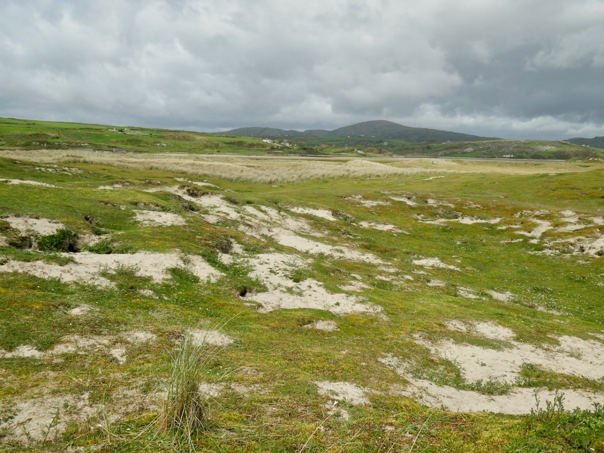
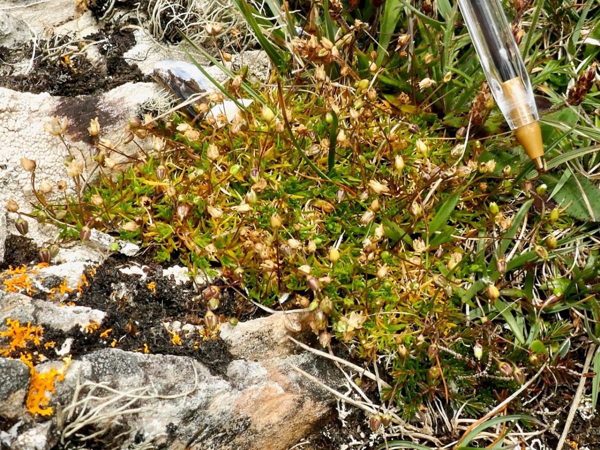
I signed up a few years ago to monitor some rare plants and it’s been an eye-opening experience. Doing this, you see first hand the challenges facing our native wildflowers in the face of loss of habitat, competition from other plants (sometimes alien invaders), herbicides, and now of course, climate change. Sometimes the plant populations aren’t so much threatened as just inherently rare. That’s the case with Early Sand-grass. According to one of my favourite sites, Irish Wildflowers, Jenny Seawright , this little plant is Very rare in Ireland, only one known location on SW coast. Found by T.O’Mahony in 2005 on disturbed ground among coastal sand-dunes. T O’Mahony, by the way, is another of my botanical Heroes, author of The Wildflowers of Cork City and County. Happily for me, that one known location is Barley Cove, above. (In fact I’ve just seen it is found in Dublin Bay as well.)

Not very exciting, is it? Scrubby little patches of brown grass scattered in the sand. But every plant plays its part in the complex web of life and in this highly specialised sand dune habitat who knows what tiny insects depend on the particular sustenance this unassuming little grass provides?

And actually, once you get up close, it’s quite a handsome little cluster of surprisingly colourful stalks, with little while filaments emerging from the heads.

One of my monitoring days was in the company of my friend Damaris and we were also looking for Heath Pearlwort. Paul Green had shown it to us during the workshop the previous year (below) but finding it again was a different matter. It was raining and cold and we were crawling over the exposed hill above Barley Cove looking for a tiny plant. We hardly noticed, until we turned blue.

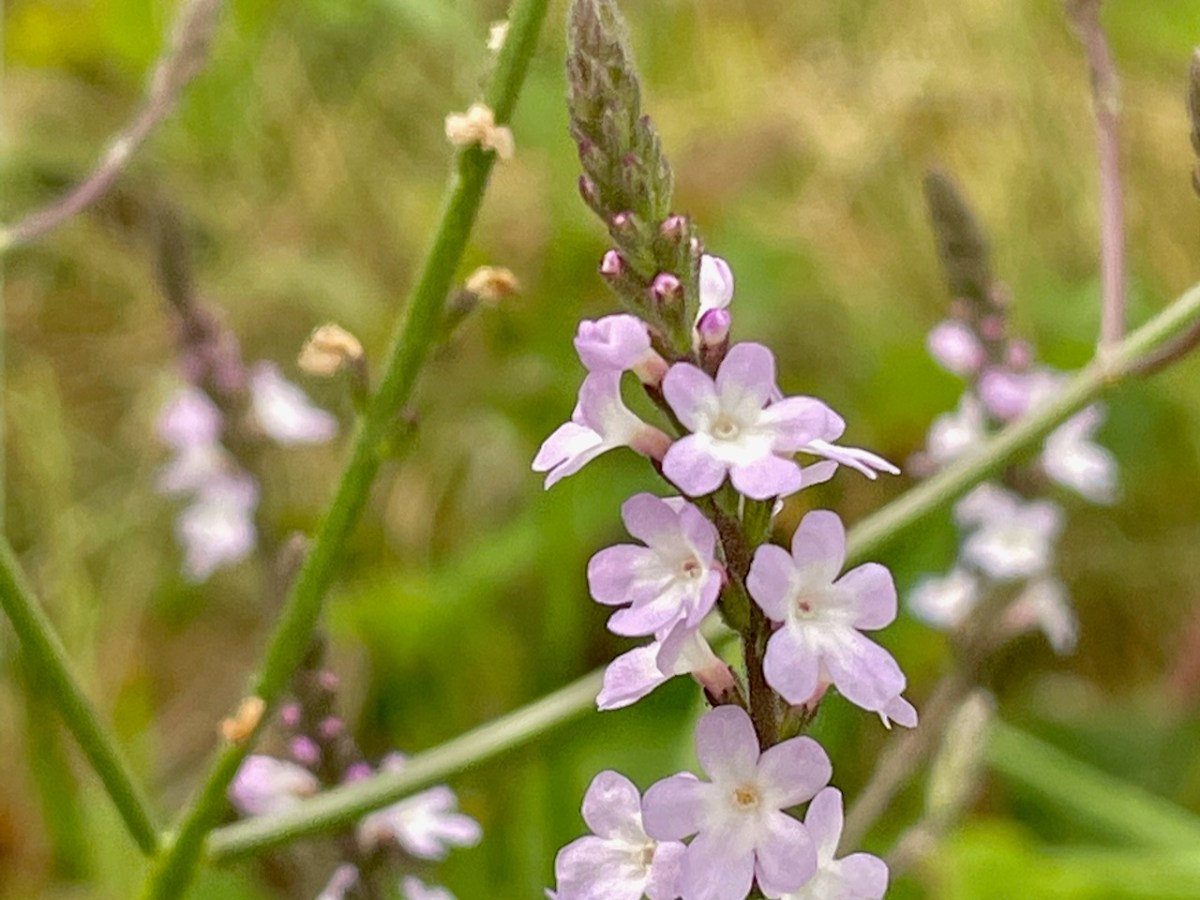
A much easier assignment for me is Vervain, a beautiful, fragile-looking but surprisingly tough flower that happens to grow near me.

Three years ago, one of the spots where it was growing was scraped clean and covered in tarmac. It had been a dangerous corner and the Vervain was simply overlooked. I was devastated – this little location was completely wiped out. Imagine my surprise and delight when I found it again the following summer, struggling up through the tarmac! And by this summer, not only had the population recovered but far from struggling, large and vigorous plants were growing up, finding their way through the pavement and flourishing.

But overall the story of the Vervain populations I have been monitoring is emblematic of the difficulties facing many wildflowers. Of the three original locations I started with, I am down to one (above). The good news is that this year I found a new location – all fingers crossed this one manages to hang in there.

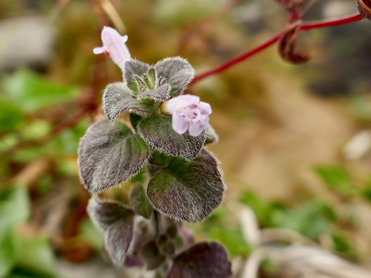
My final plant is the lovely member of the mint family called Calamint.

It’s facing two challenges. The first is that it’s growing on a stone wall, and so is Pellitory-of-the-wall, which has a habit if spreading and taking over all available space. In fact that’s what’s happening.

In the photo above the flower with the reddish spikes is Pellitory-of-the-wall, while the patch of brighter green in the middle is Calamint, trying to hold on to its territory. The Calamint has another problem, though.

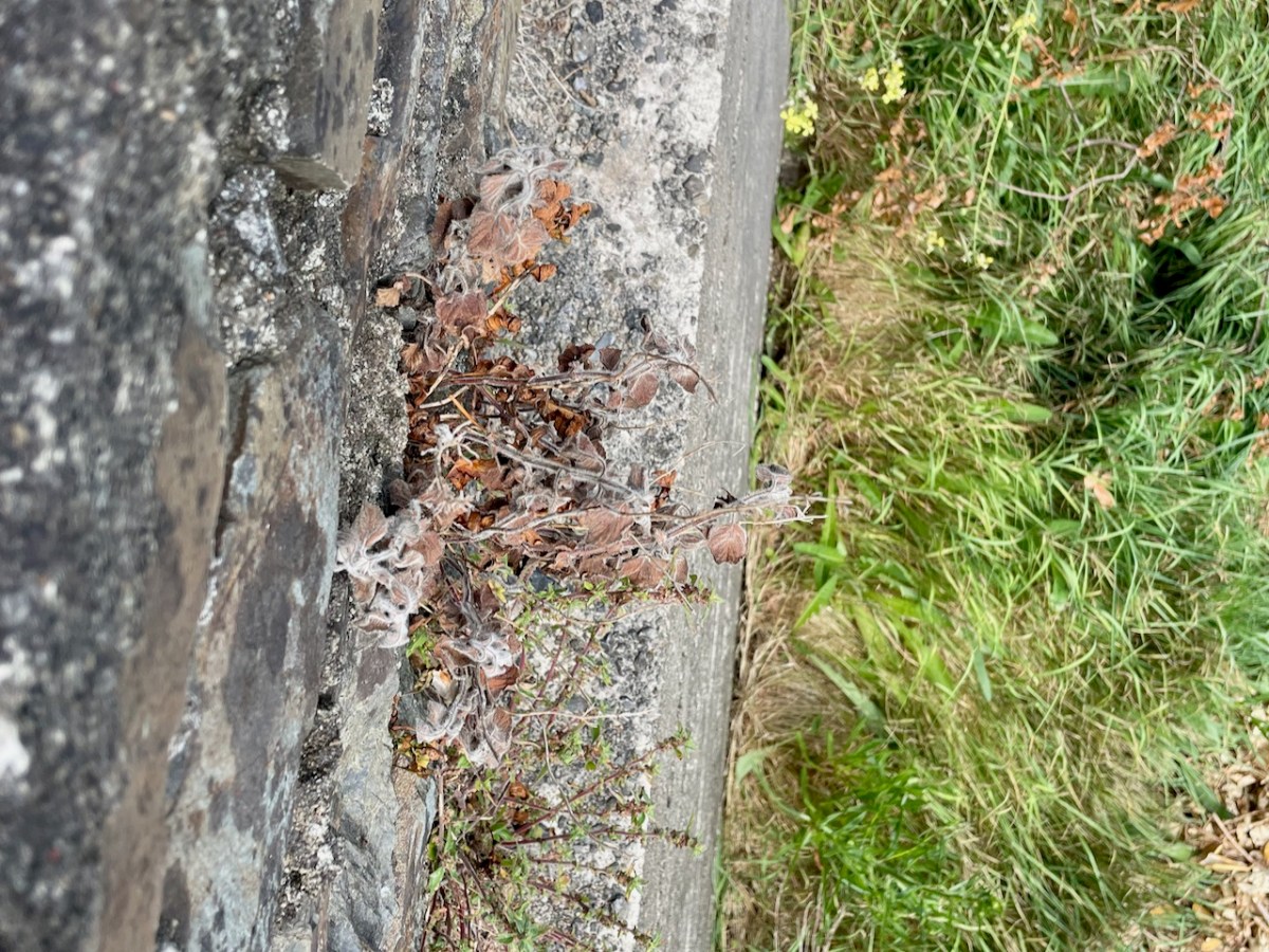
Someone has decided the wall needs to be kept tidy and has dosed it liberally with Roundup, killing some of the Calamint (above). Sigh.

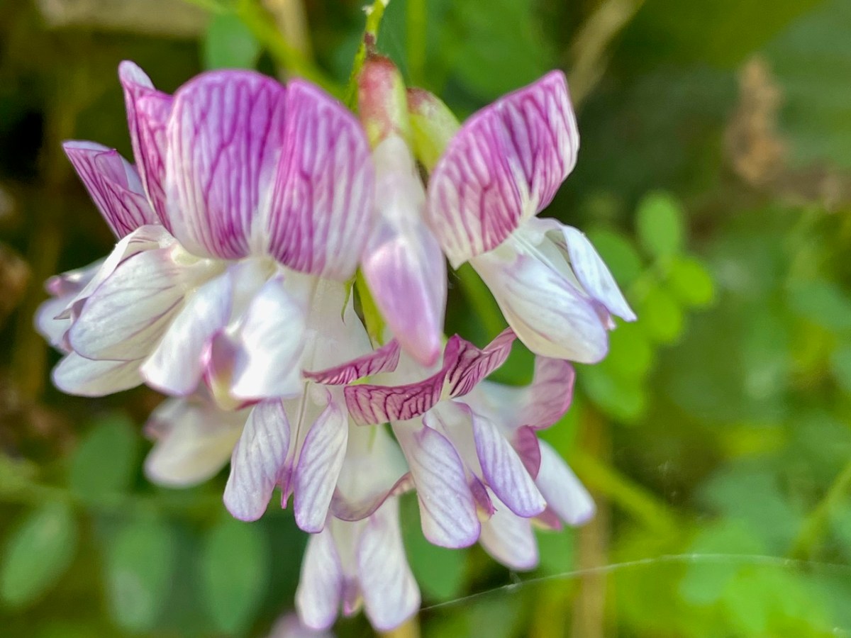
I’m going to leave you with a couple of pics of rare wildflowers I’ve seen this year – just to cheer us up and remind us of the beauties that manage to survive here and there against the odds. This is Wood Vetch.

And this is Yellow Horned-poppy.

And finally, the incredible Bee Orchid.

Films on Cape

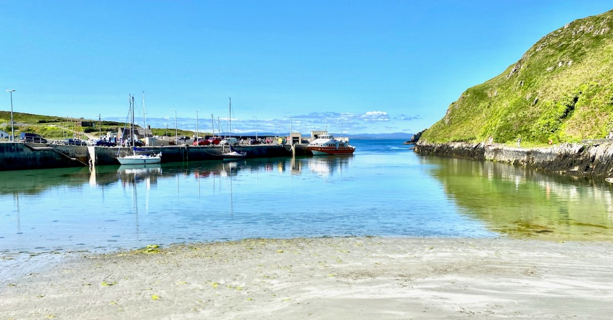
The island of Cape Clear is a constant in our daily view from Nead an Iolair. We don’t visit often enough… But this week the Fastnet Film Festival – based in Schull – had a day out on The Cape, and we went along for the excursion! That’s the harbour, above.
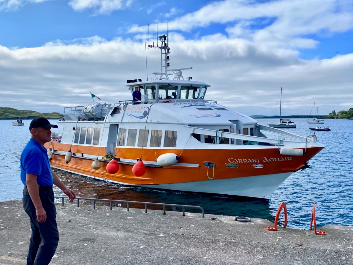
And this is Schull Harbour, where Cape Clear Ferries’ newest boat, Carraig Aonair, picked us up. The name is Irish for The Fastnet and means, literally, The Lone Rock. We have written about the lighthouse in previous posts.

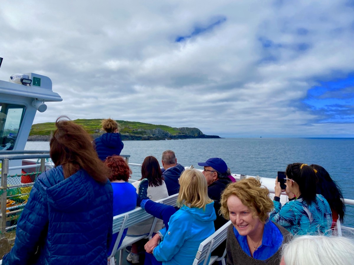
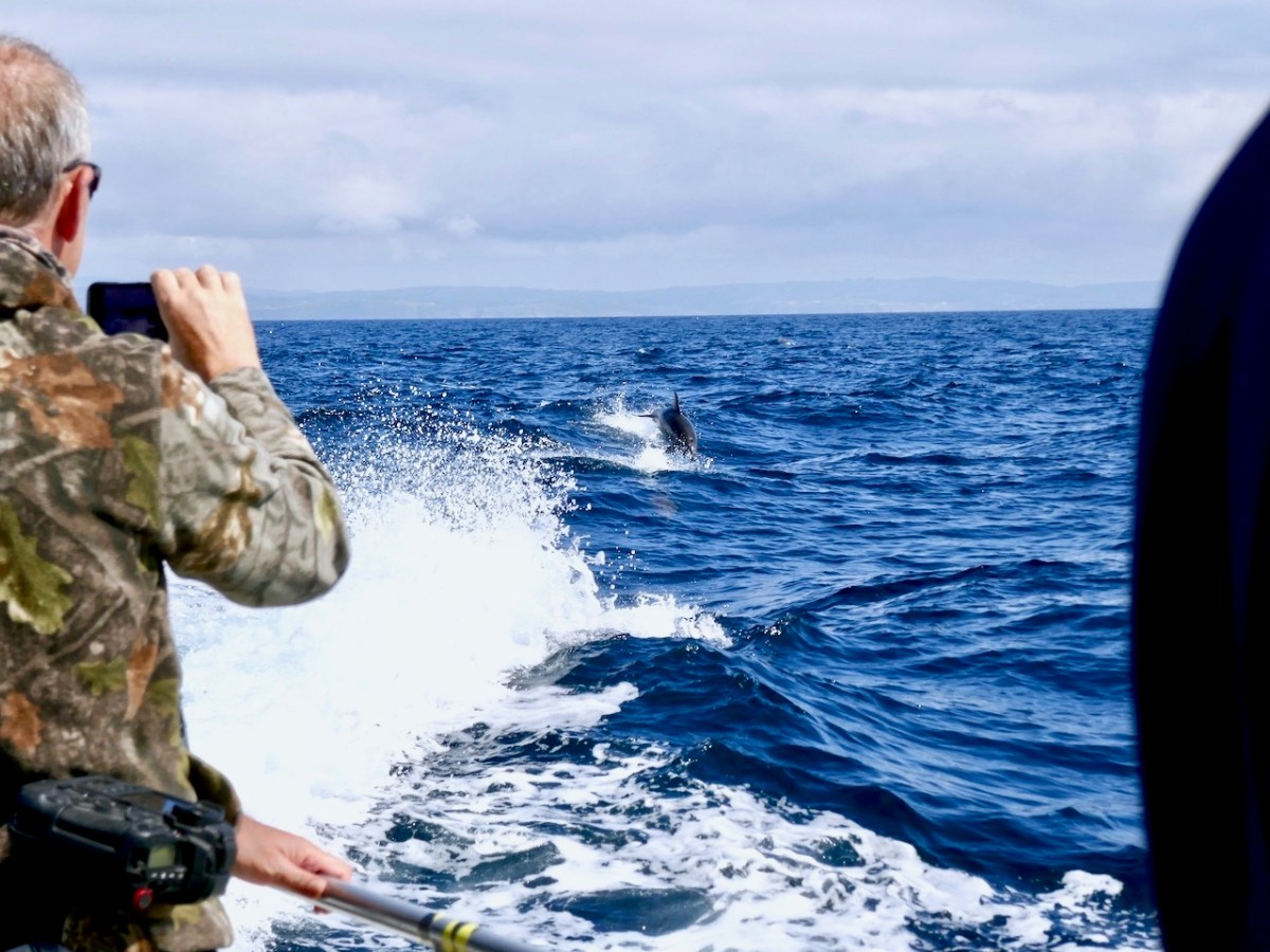
The dot on the horizon, seen here (above) from our ferry to Cape Clear, is the Fastnet Lighthouse. The crossing from Schull takes only half an hour and we were fortunate to have good weather and calm waters. The crowd on board was delighted by a diversion on the way – a pod of dolphins kept the boat company for a while.

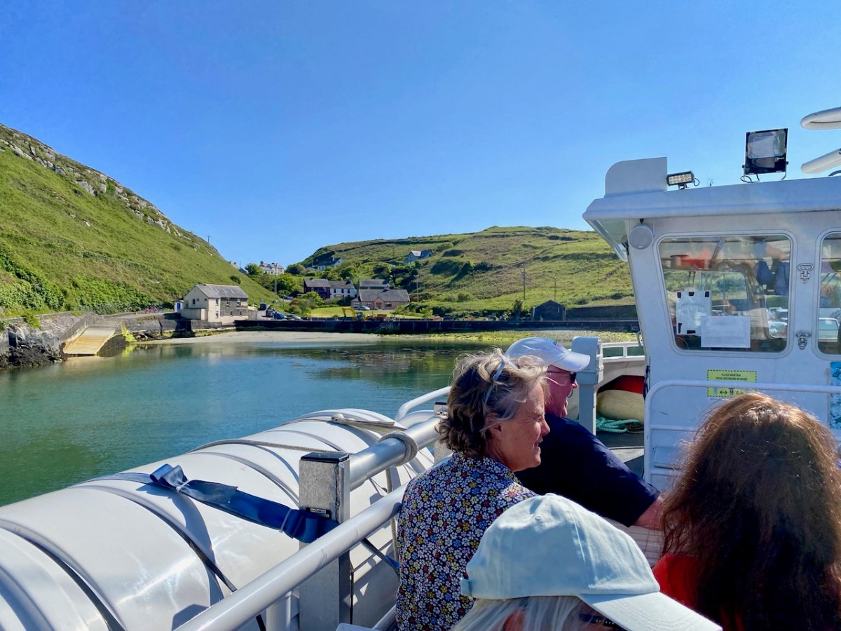
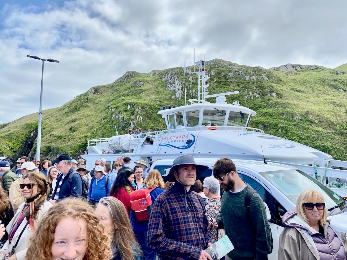
Arriving in the North Harbour we were looking forward to our Teanga na Gaeilge ar Oileán Chléire: an Irish Language Day on Cape Clear. First, we had a long hill to climb to reach an Halla Mór: a whole team of islanders were on hand to provide lifts in cars and buses. Some of us chose to do it the hard and steep way, but were rewarded by stunning views and azure water.

Our first film treat was An Cailín CiúinThe Quiet Girl.

. . . Nominated for this year’s 95th Academy Awards in the ‘International Feature Film’ category of the Oscars, Colm Bairéad’s debut feature became one of the most lauded Irish films of recent years. Adapted from Foster, a short story by Claire Keegan, it centres on nine-year-old Cáit, a shy and withdrawn child who receives little affection from a family ruled by an uncaring patriarch. When she is sent to spend the summer with her aunt Eibhlín (Carrie Crowley) and her husband Seán (Andrew Bennet), she blossoms in their care. At the end of the summer, difficult decisions must be faced . . .

2023 Fastnet Film Festival Programme

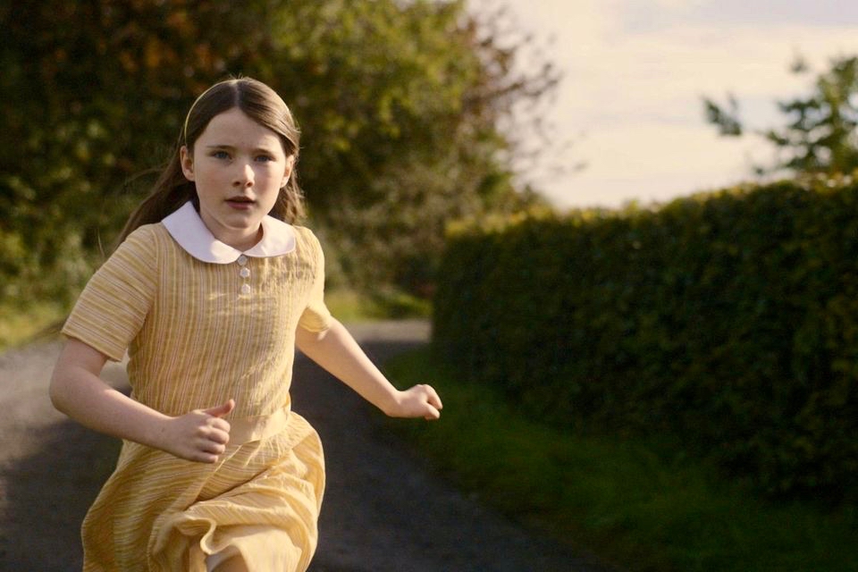
Catherine Clinch is ‘The Quiet Girl’ in the film (above). Born in 2009, this is her debut role. Happily, she joined us for our day on the island. I was affected by the story in the film, as were many others in the audience. In fact, I don’t think I have been as moved by something on screen since I was taken to see Bambi at the age of five. Although not topping the Oscars ‘Best International Feature Film’ category (this went to All Quiet on the Western Front) it has rightly gained many other accolades. I think the most apt review I read said simply:

” . . . As beautiful as it is devastating . . .” (Boston Globe).

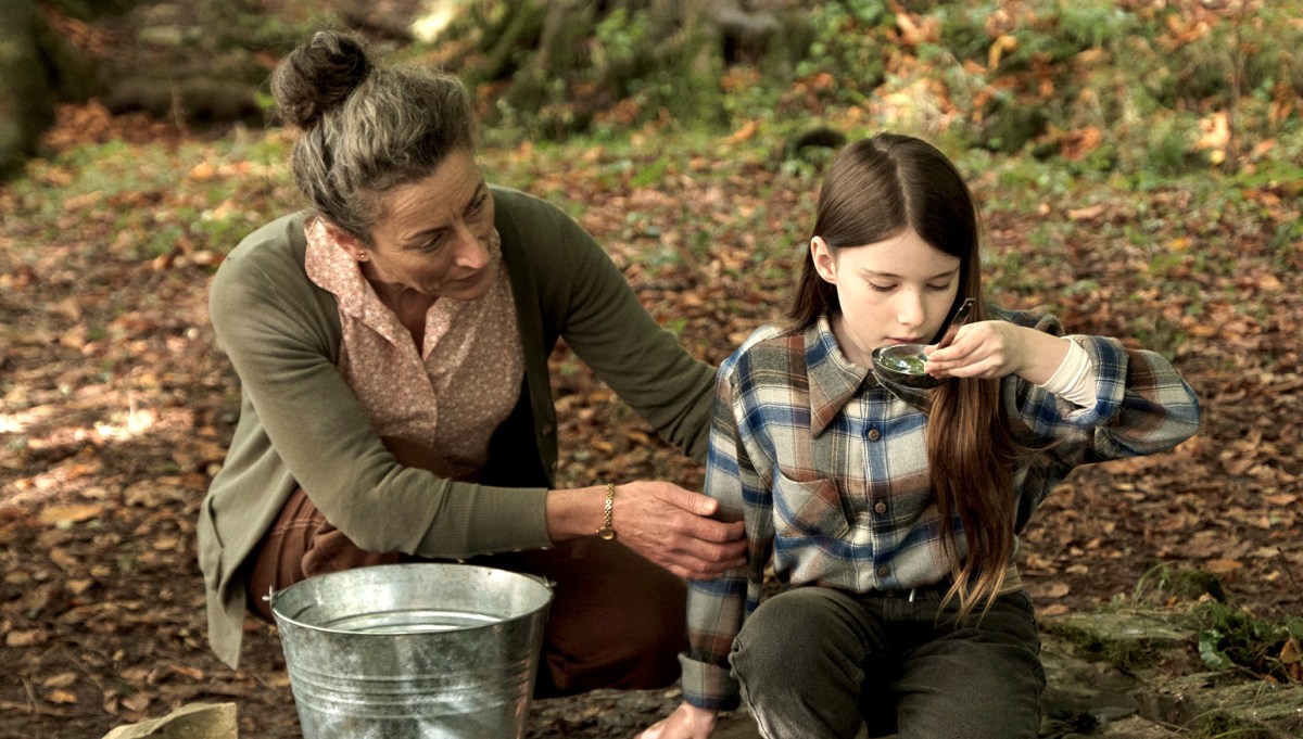
Carrie Crowley also deserves mention for her sensitive role as the aunt of The Quiet Girl. Crowley and Clinch – below.

This Irish language film was undoubtedly the highlight of the day, but there were plenty more moments, including short film viewings, coffee and good lunches, on Cape Clear. With some long-awaited summer weather to help us enjoy the island.

We had to be sure to arrive back at the harbour before the boat left at five. The alternative would be to sleep out under the stars – tempting! For very many reasons, this was a most memorable day.