Films on Cape

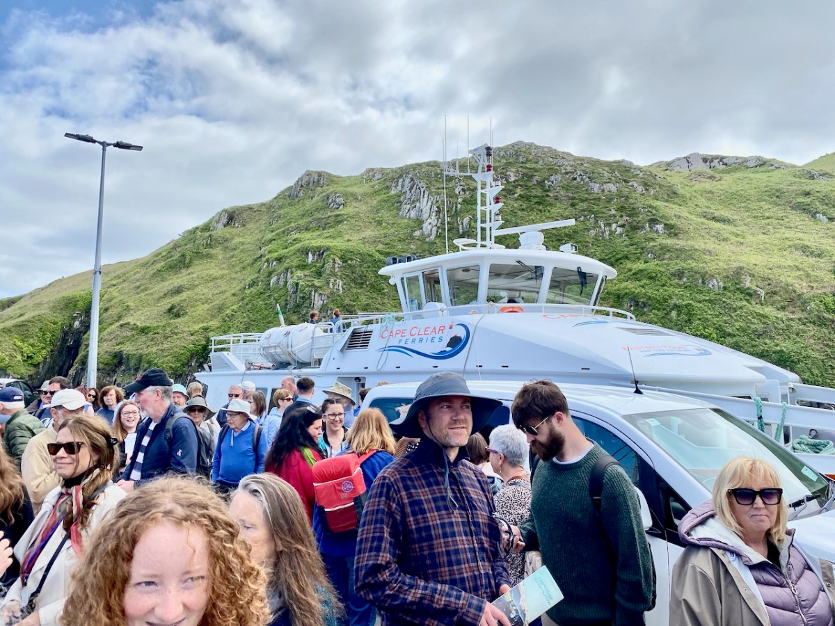
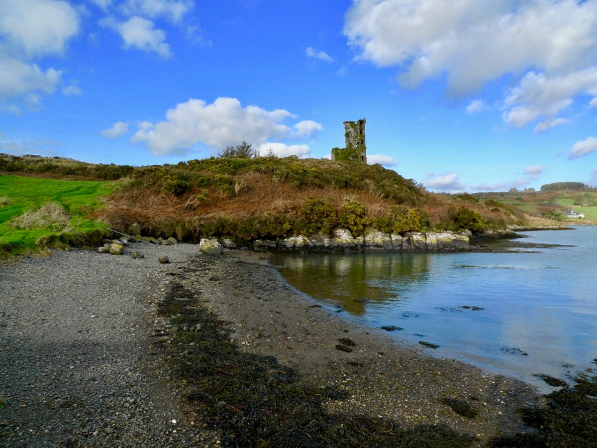
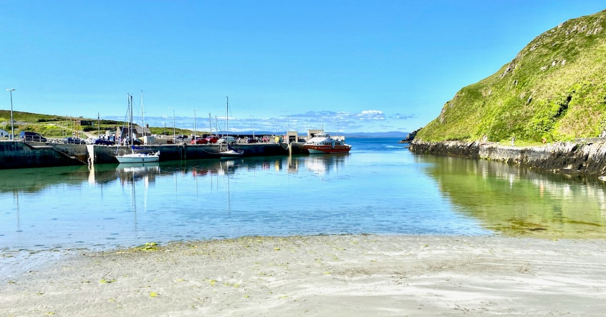
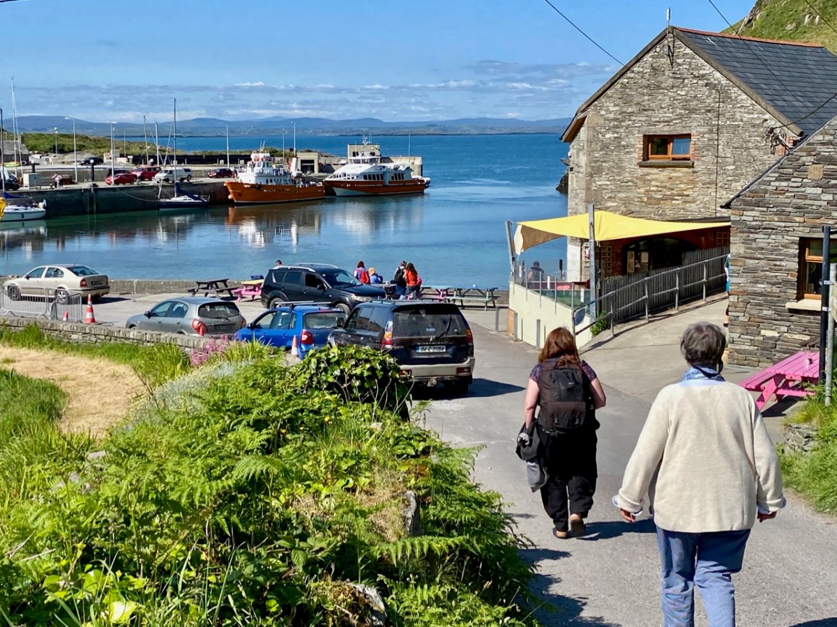
The island of Cape Clear is a constant in our daily view from Nead an Iolair. We don’t visit often enough… But this week the Fastnet Film Festival – based in Schull – had a day out on The Cape, and we went along for the excursion! That’s the harbour, above.
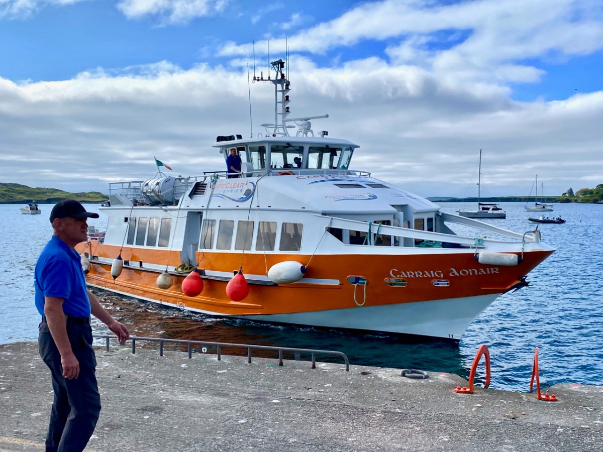
And this is Schull Harbour, where Cape Clear Ferries’ newest boat, Carraig Aonair, picked us up. The name is Irish for The Fastnet and means, literally, The Lone Rock. We have written about the lighthouse in previous posts.
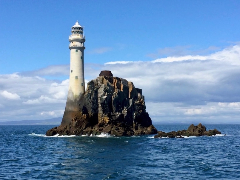
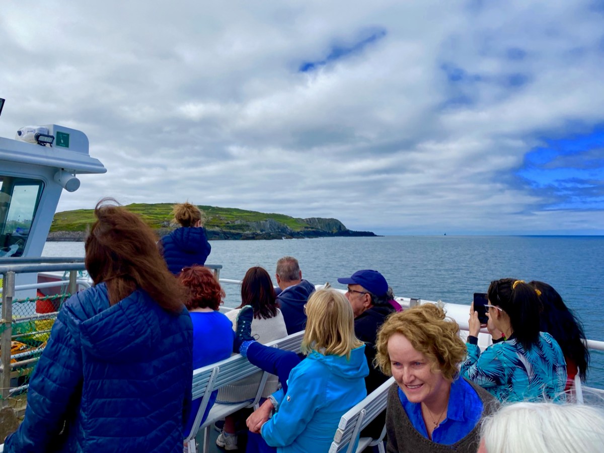
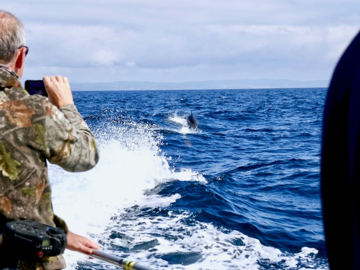
The dot on the horizon, seen here (above) from our ferry to Cape Clear, is the Fastnet Lighthouse. The crossing from Schull takes only half an hour and we were fortunate to have good weather and calm waters. The crowd on board was delighted by a diversion on the way – a pod of dolphins kept the boat company for a while.
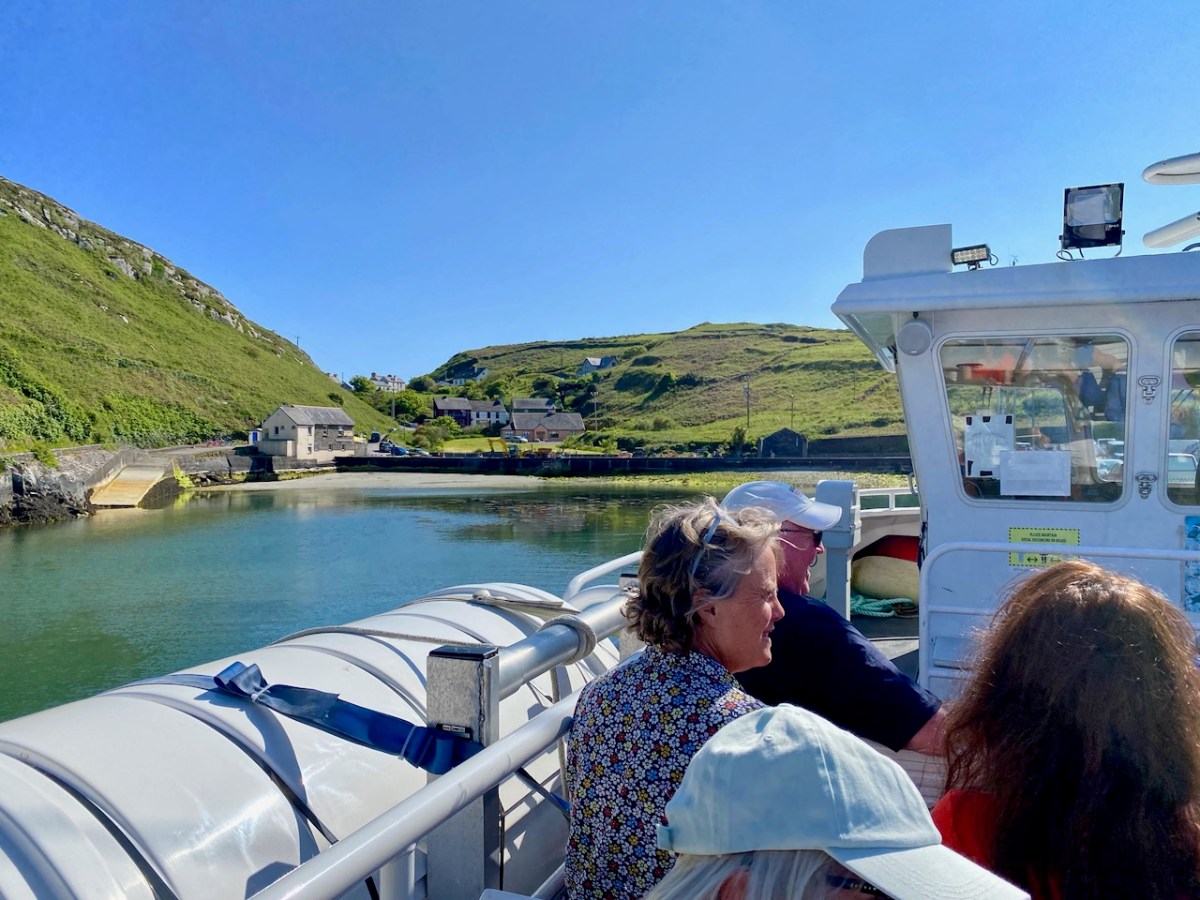
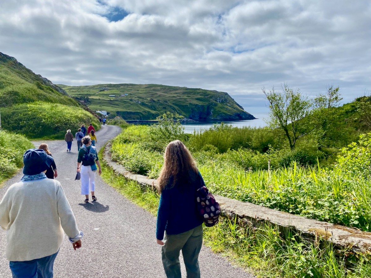
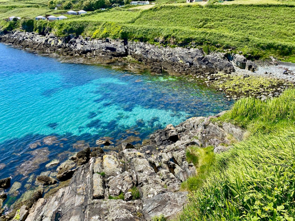
Arriving in the North Harbour we were looking forward to our Teanga na Gaeilge ar Oileán Chléire: an Irish Language Day on Cape Clear. First, we had a long hill to climb to reach an Halla Mór: a whole team of islanders were on hand to provide lifts in cars and buses. Some of us chose to do it the hard and steep way, but were rewarded by stunning views and azure water.
Our first film treat was An Cailín CiúinThe Quiet Girl.

. . . Nominated for this year’s 95th Academy Awards in the ‘International Feature Film’ category of the Oscars, Colm Bairéad’s debut feature became one of the most lauded Irish films of recent years. Adapted from Foster, a short story by Claire Keegan, it centres on nine-year-old Cáit, a shy and withdrawn child who receives little affection from a family ruled by an uncaring patriarch. When she is sent to spend the summer with her aunt Eibhlín (Carrie Crowley) and her husband Seán (Andrew Bennet), she blossoms in their care. At the end of the summer, difficult decisions must be faced . . .

2023 Fastnet Film Festival Programme
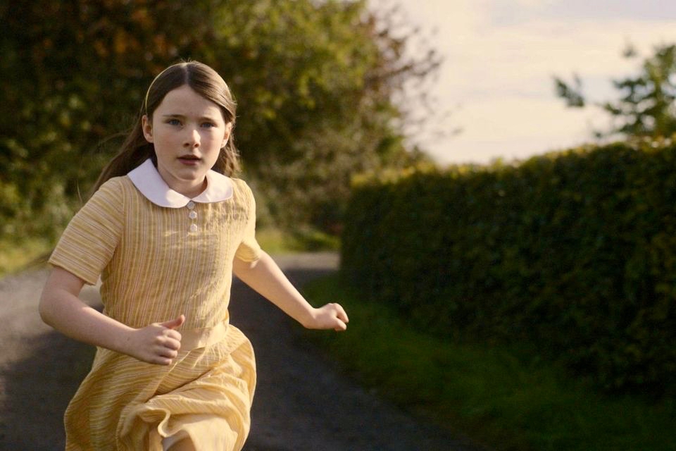
Catherine Clinch is ‘The Quiet Girl’ in the film (above). Born in 2009, this is her debut role. Happily, she joined us for our day on the island. I was affected by the story in the film, as were many others in the audience. In fact, I don’t think I have been as moved by something on screen since I was taken to see Bambi at the age of five. Although not topping the Oscars ‘Best International Feature Film’ category (this went to All Quiet on the Western Front) it has rightly gained many other accolades. I think the most apt review I read said simply:

” . . . As beautiful as it is devastating . . .” (Boston Globe).

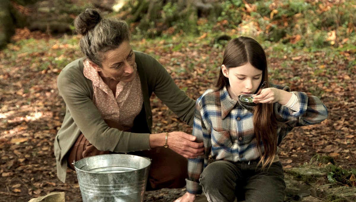
Carrie Crowley also deserves mention for her sensitive role as the aunt of The Quiet Girl. Crowley and Clinch – below.
This Irish language film was undoubtedly the highlight of the day, but there were plenty more moments, including short film viewings, coffee and good lunches, on Cape Clear. With some long-awaited summer weather to help us enjoy the island.
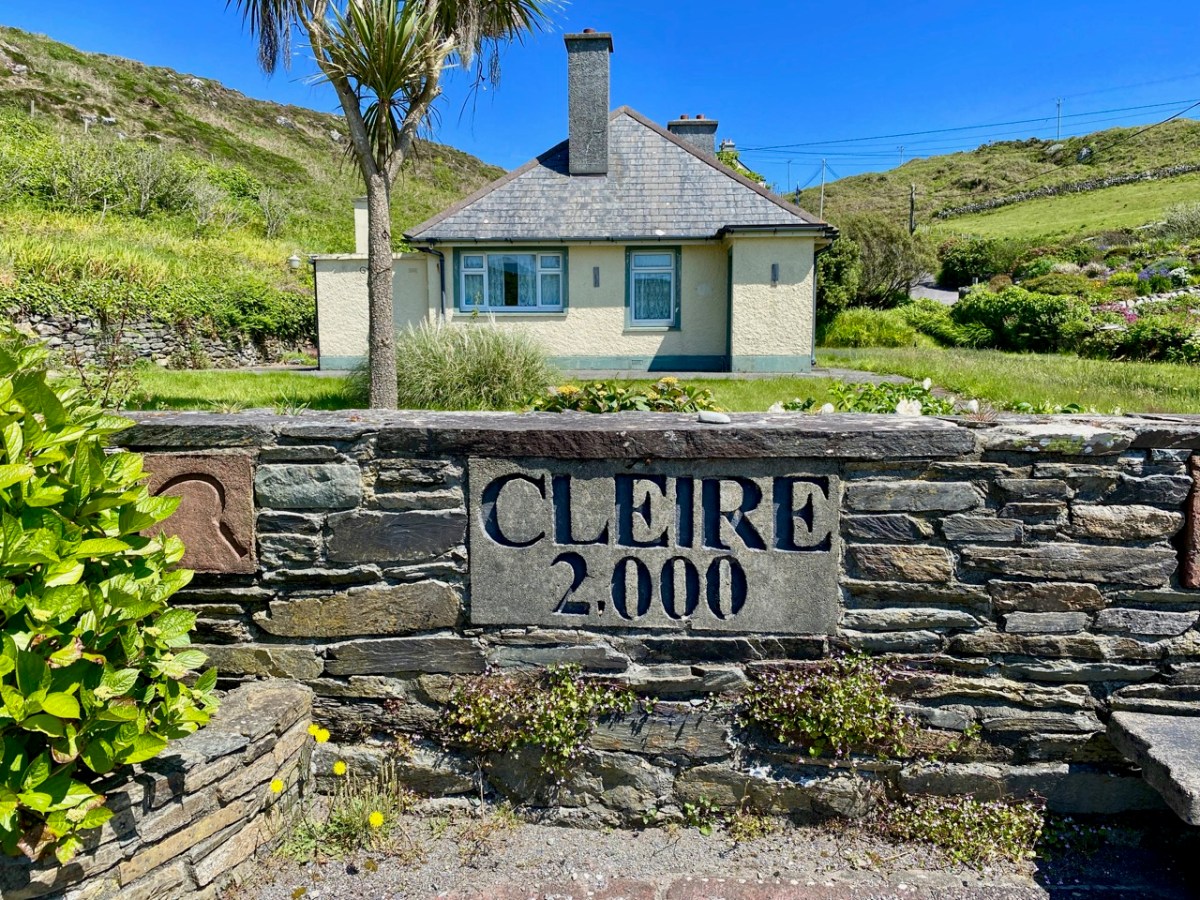
We had to be sure to arrive back at the harbour before the boat left at five. The alternative would be to sleep out under the stars – tempting! For very many reasons, this was a most memorable day.
Ships in Churches

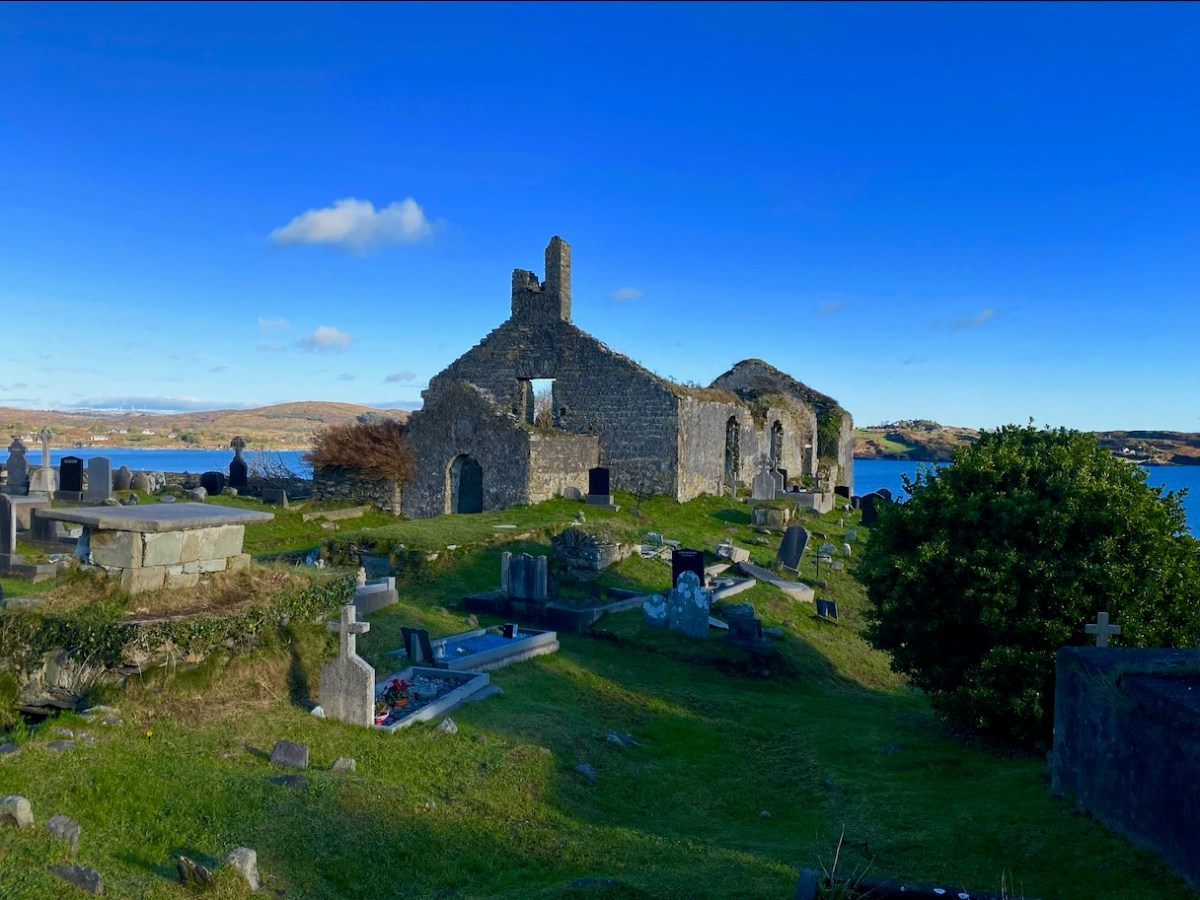
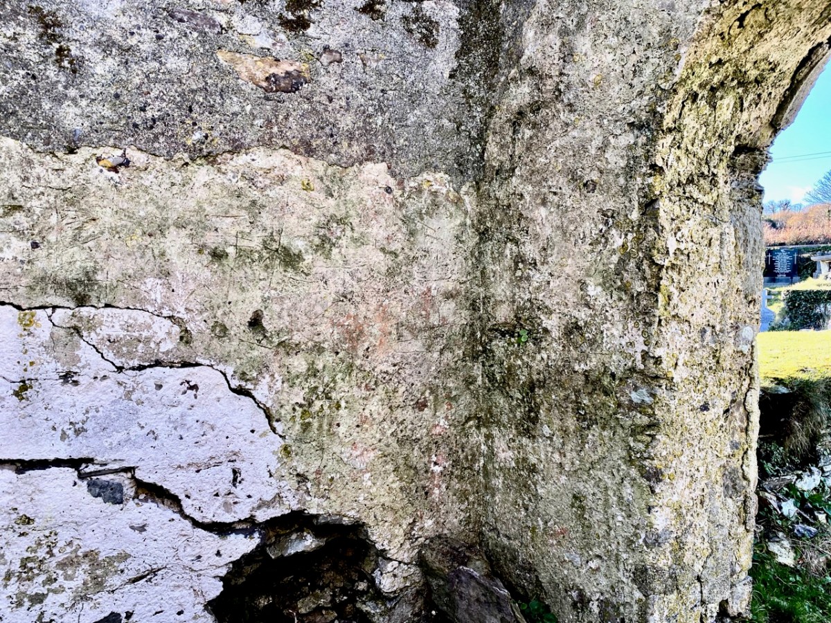
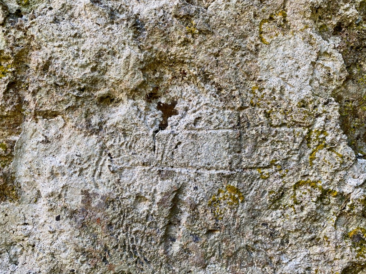
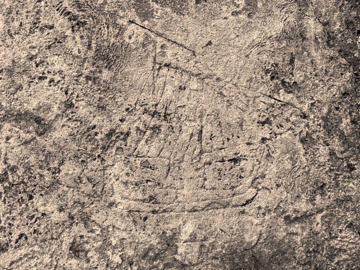
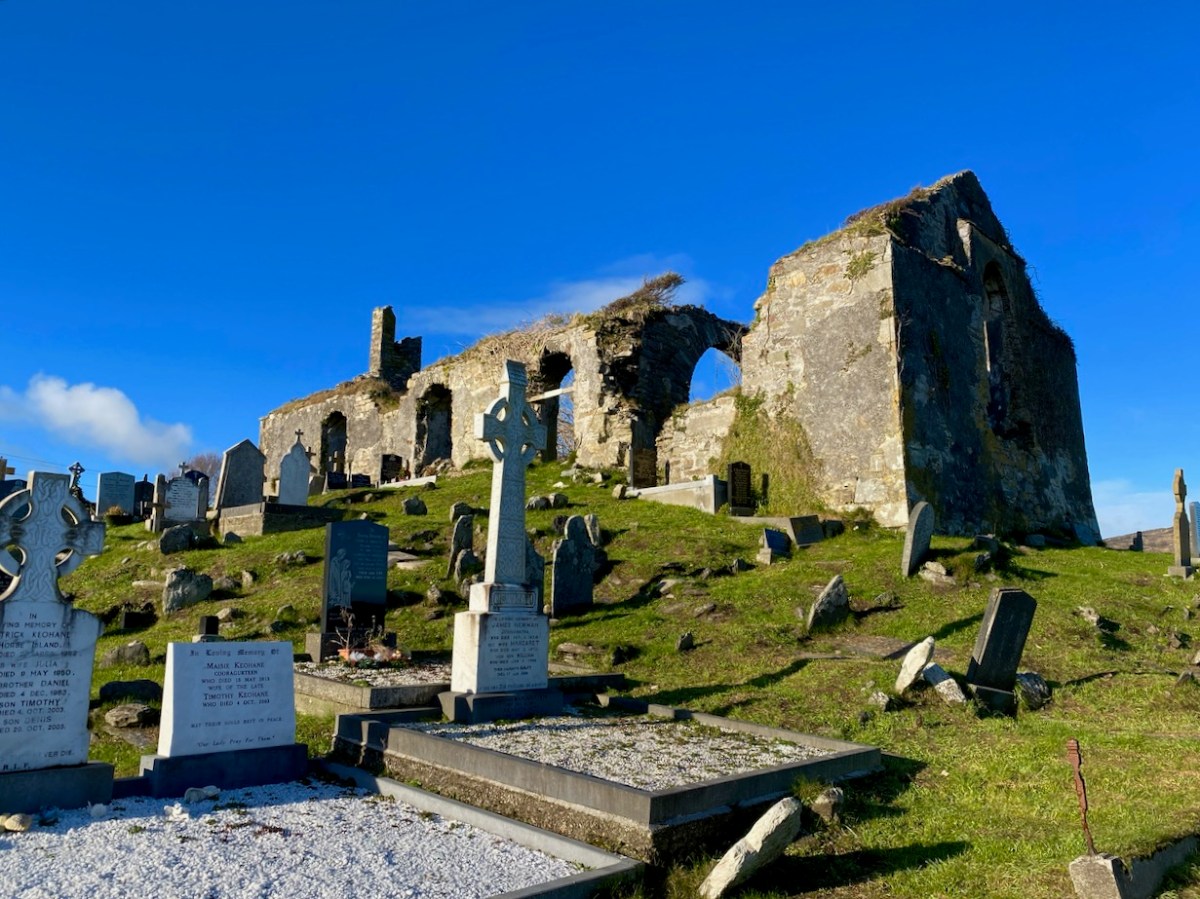
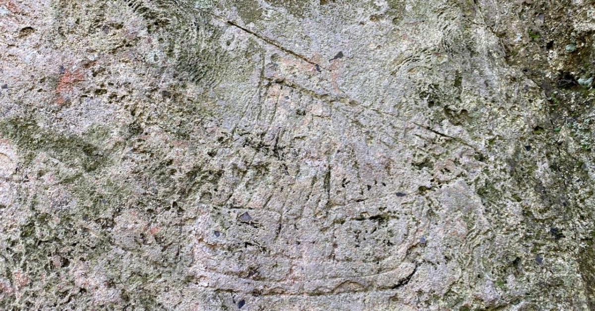
You’ll have to look carefully at the photo above. It’s inside the ruined church which stands in St Mary’s graveyard, Colla Road, Schull.

Here’s the church – a view taken a day or two ago, in a spell of clear, cold weather. It has a fascinating history, which you can read here. Go in through the old main entrance, and immediately look to the wall on your right. Scratched into the plaster there is the ship image. But it’s not the only one.

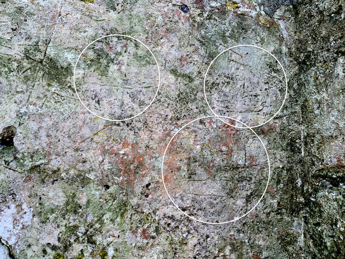
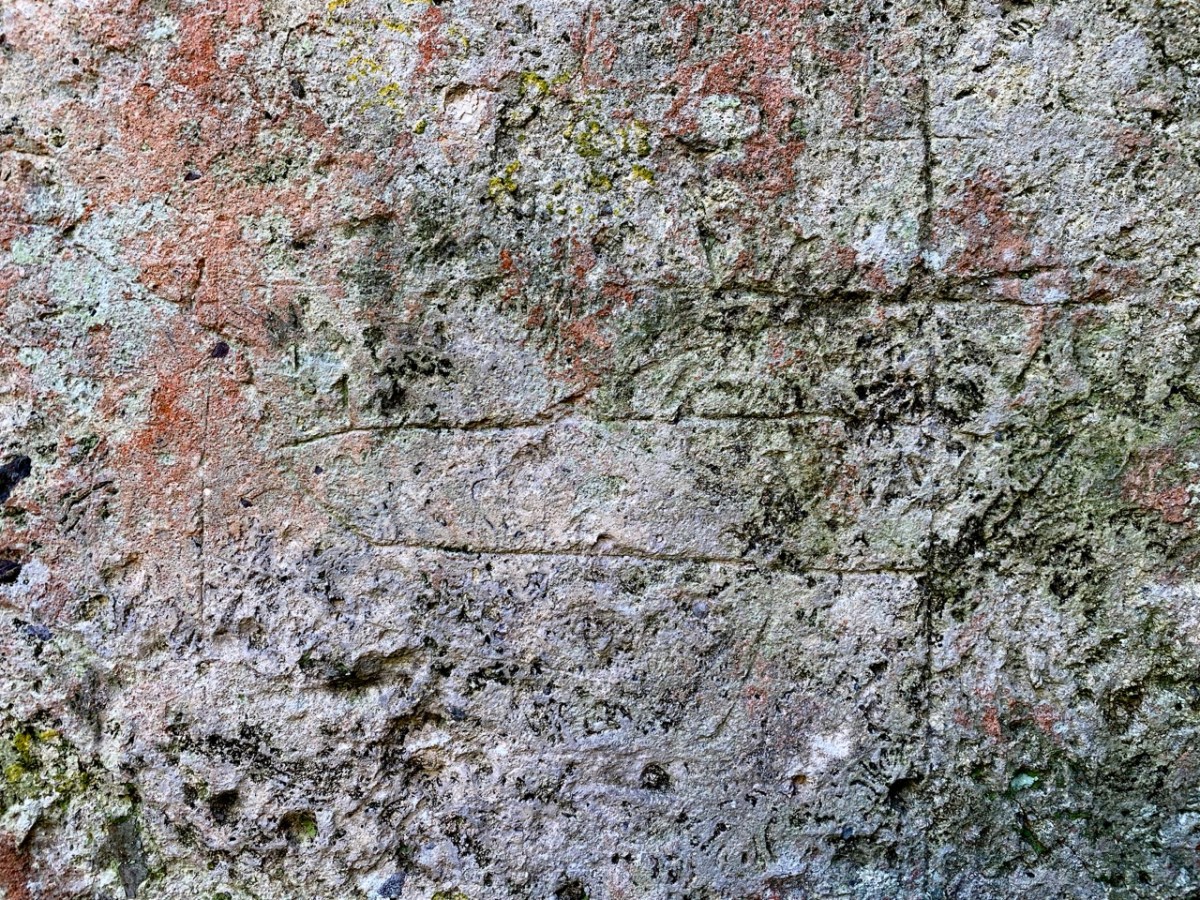
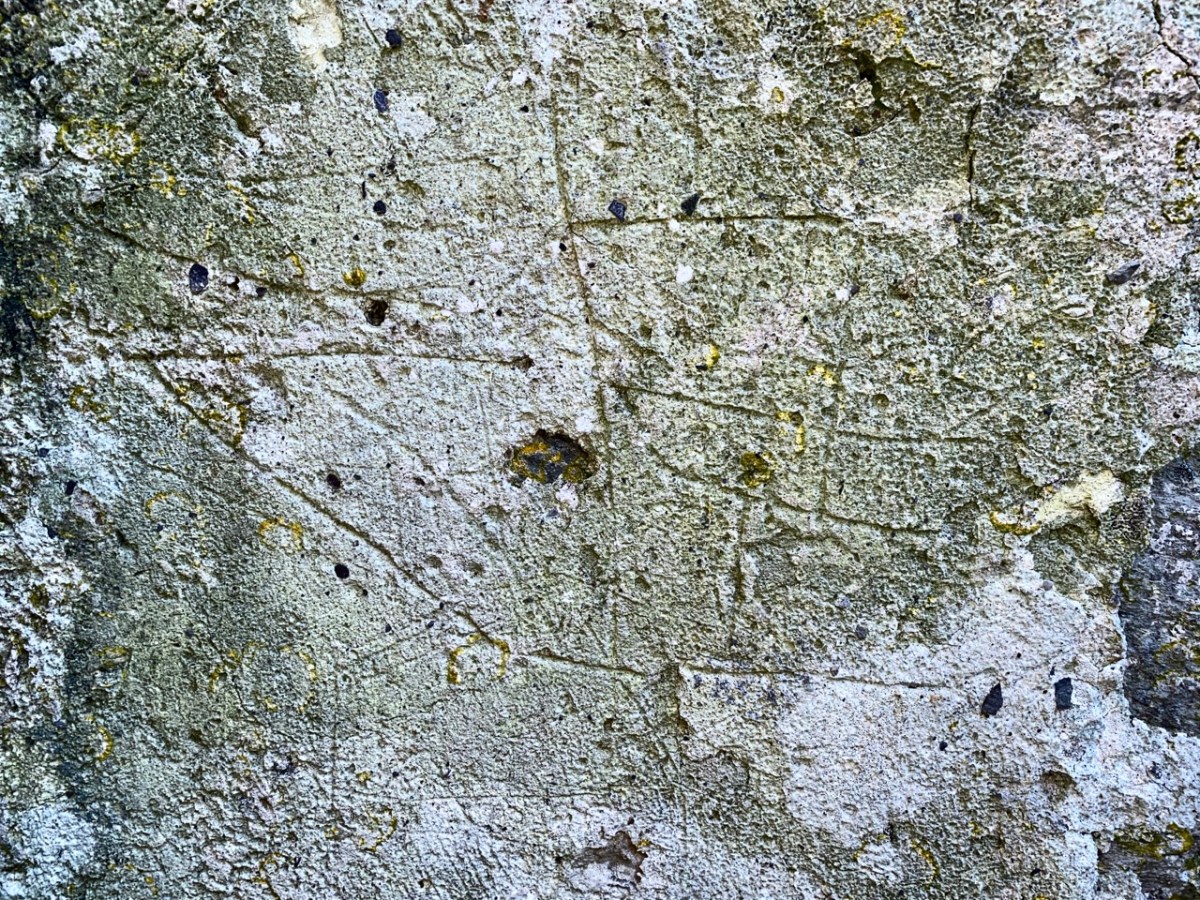
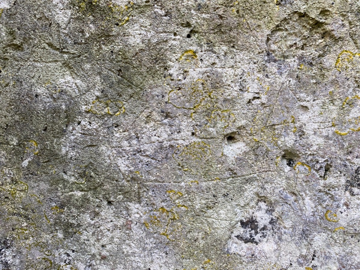
There are more ship images visible on this porch wall; the first – shown in the header – is the most clearly defined. Here are more detailed views of others (I have counted five in total), including further examples on the opposite wall. There may once have been more.

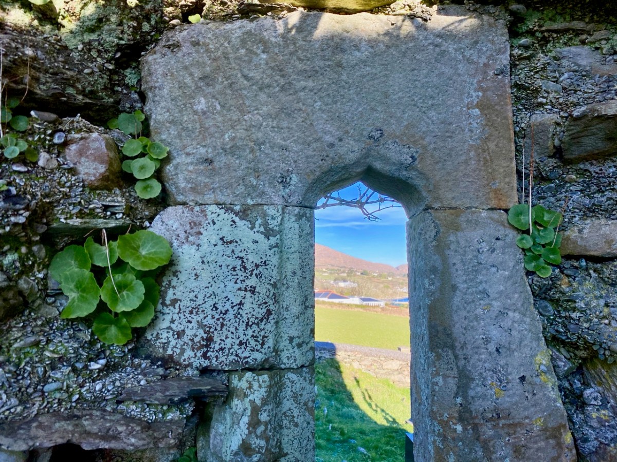
Of course, we would like to know the story of these carvings: who made them? When? And why? As to the ‘when’ we have to sift through the history of the building, although what is known is somewhat fragmentary. One record states that what we see today was built in 1720, but there must have been something there before that, as there is an ogival window in the north-eastern part of the building which is thought to be fifteenth century, and some further architectural features which suggest an even earlier construction:
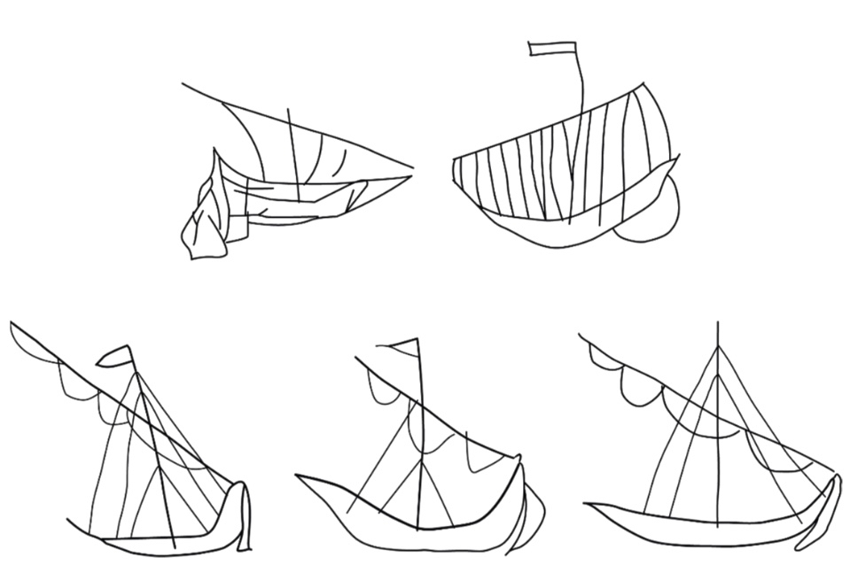
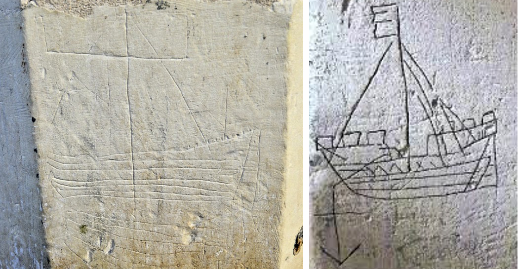
The north porch – where the ship scribings are – is likely to date from the early eighteenth century, so the ships could not be any older than this. They could have been drawn any time, perhaps, over three hundred years – but are most likely to have been from the earlier part of that period. It has even been suggested that they could have been made by the craftsmen who rendered the walls. Interestingly, ‘graffiti’ which shows ships in churches is not uncommon: there are further instances in Ireland, Britain, and other parts of the Christianised world. The following were traced from St Spas church, Nessebar, Bulgaria. They are possibly the closest examples I have found so far that resemble our main Schull scribing. Interestingly, only one is shown in ‘full sail’. Most examples of this type of graffiti show the vessels without sails, or with the sails furled. Our Schull example is undoubtedly under full sail – and this makes it rare. I attach a further image below the Bulgarian scribings: I have tried to enhance the contrast of the photograph.
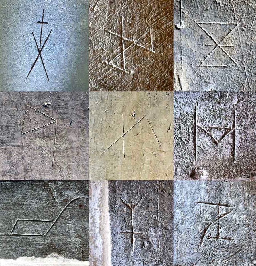
What about ‘Who Made Them’? We don’t have an answer to that. We must remember that the Schull examples are a very small part of a very widespread phenomenon and, as I mentioned, there have been suggestions that the ships were a deliberate part of the construction process of the churches: they might have been drawn by the plasterers themselves. Masons left behind their own ‘marks’ on stone walls, ever since medieval times. A British project was started in 2010 to survey all types of ‘informal’ marking on stone and plaster found specifically in Norfolk.

These stone inscribed Masons’ marks are from the Norfolk survey. Below – from the same source – two images of ship graffiti from Cley-on-Sea, Norfolk:
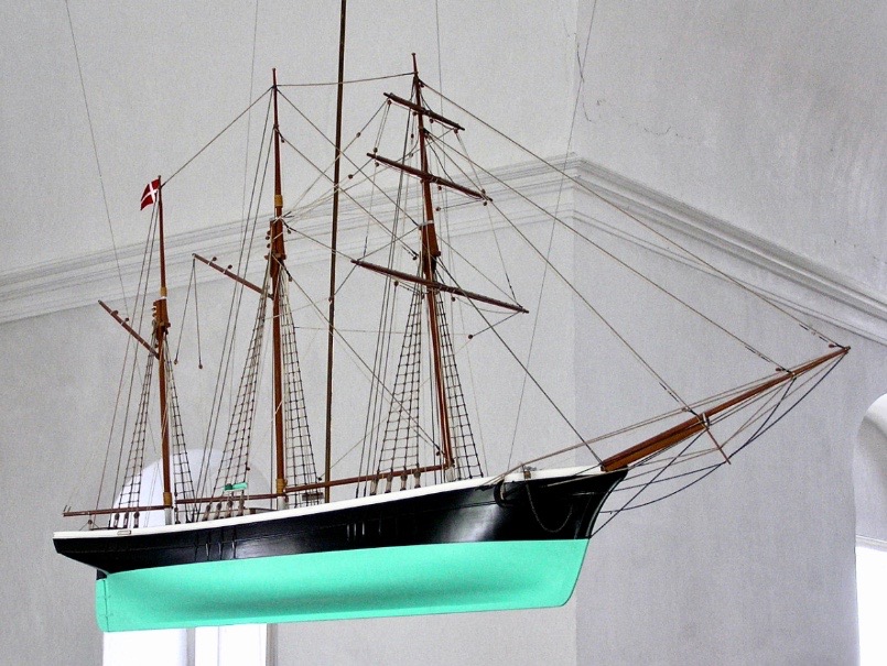
Where do we go from here in our little review of this strange find in Schull? Well, it’s worth noting that these are not the only ‘ships in churches’ image that we find in the corpus of European-wide church architecture. I often remember going into churches and noticing model replicas of ships hanging from the ceiling! I don’t remember seeing such a thing in Ireland, but certainly in Britain and Scandinavia. Here is one from Denmark:
Strangely, I have never looked for an explanation of these. When you start reading about them, it is suggested that they are always in churches which are associated with the sea and with maritime communities, and the church models are seen as prophylactic votive offerings: representing and honouring the ships that the community sail in will prevent them from coming to harm. That begins to make sense, as does the idea that the plaster ship graffiti is also, perhaps, a preventative measure against disaster or ill-fortune.

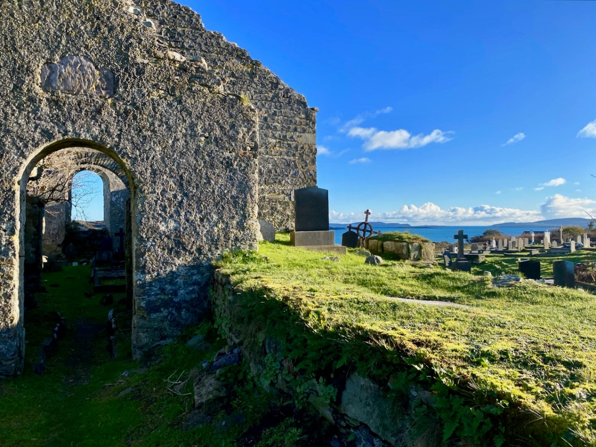
That theory could be presented as a strong likelihood for finding ship graffiti in churches – but there’s a problem. There are as many examples of ship graffiti in churches which are located far inland as there are on or close by the coast. If you would like my own opinion on this whole quandary, take a look at the photo of Schull church, above. It is built on a mound, perhaps natural but maybe not, with its east wall facing outwards like a ship’s prow. Could there be a far wider symbolism in all this when it comes to the nature of a church building? Is it a stone representation of a vessel, captained by priest or parson, and crewed by the faithful of the community? A final thought on this: when you go into the main body of a church, you enter the Nave. Definition of a nave:

. . . The name of the main public area of the church, the nave, was derived directly from the Latin word navis, meaning ‘ship’ or ‘vessel’, and references dating back to the very earliest days of the Christian church direct that a church should be built ‘long . . . so it will be like a ship’ . . .


MATTHEW CHAMPION – MEDIEVAL SHIP GRAFFITI IN ENGLISH CHURCHES, 2015

The Down Survey – Closer to Home

Last week we gave a brief introduction to the wealth of historical material that we can find in the website devoted to the 17th century Down Surveyhere’s a link to that site, and another (here) to our previous article. The subject – and some of the deeper detail we can discover in the website – is well worth a further look.

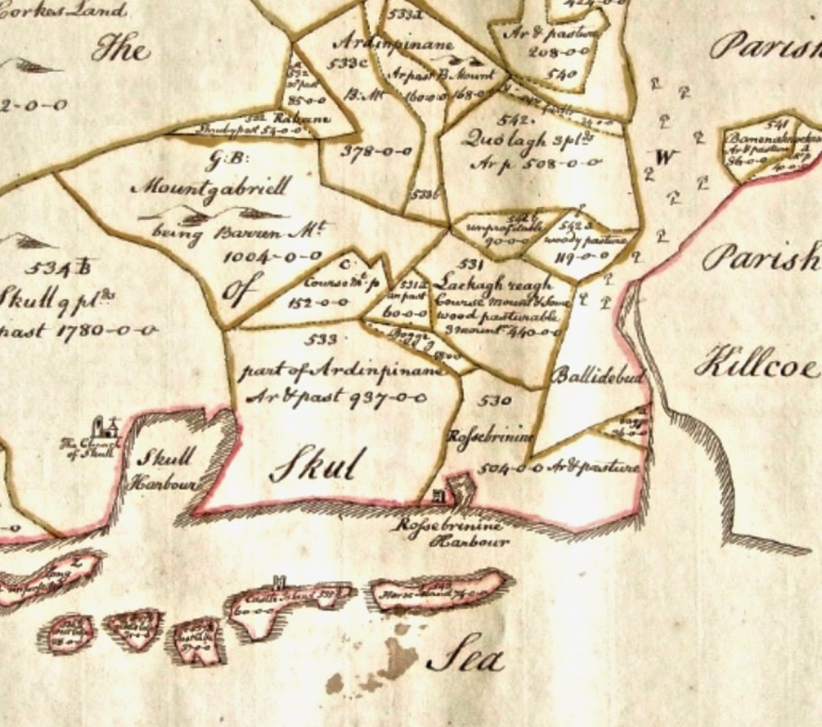
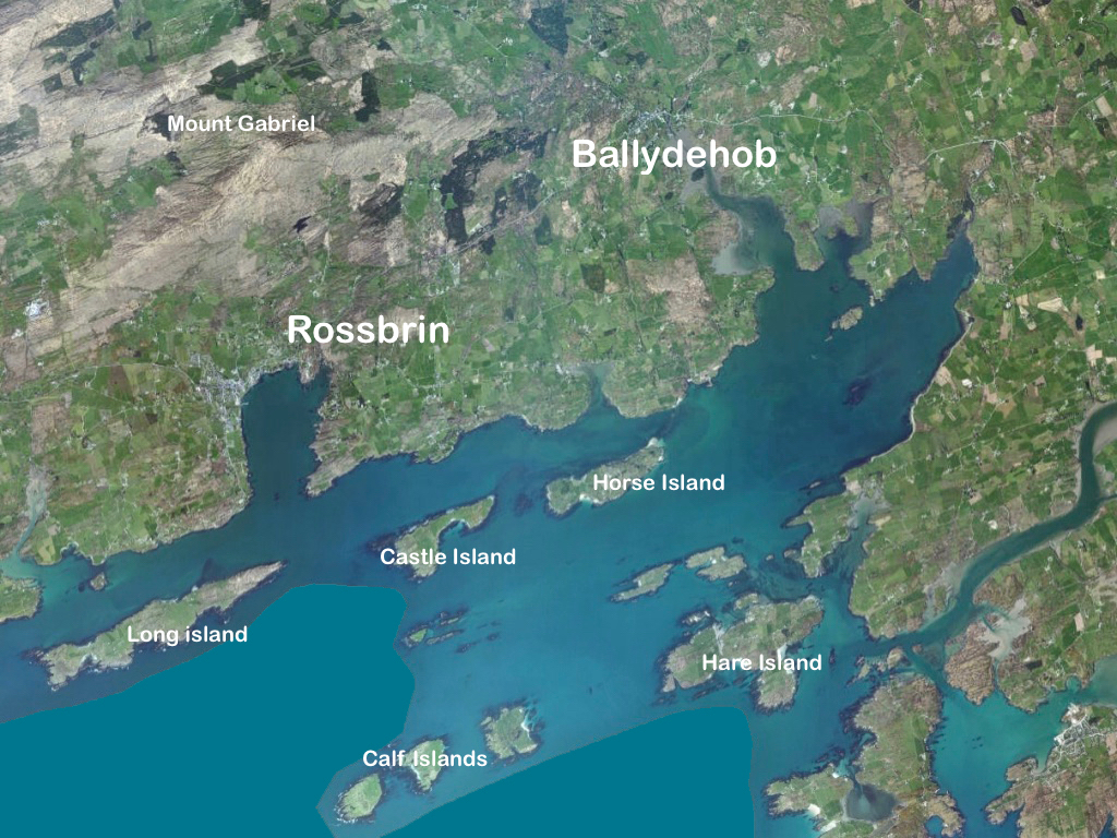
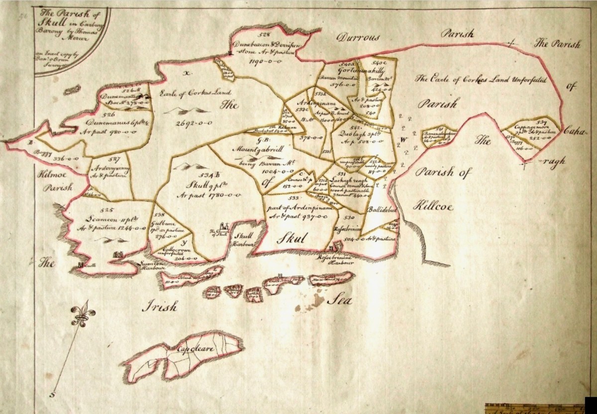
The Down Survey (the above view of some of the islands out in Roaringwater Bay is extracted from it) was carried out between 1656 and 1658, and thus gives us an excellent picture of how terrain we are so personally familiar with was perceived pictorially in the mid 17th century. We don’t know who the surveyors were, except that they were under the command of Sir William Petty, ‘surgeon- general of the English army’. Ireland became one of the most-mapped countries in the world at that time, following the Cromwellian and Williamite land redistributions. The beneficiaries were the new landlords of the Ascendancy, who wanted to know exactly what they had acquired, and the initial emphasis was on boundaries and basic land-measurement.

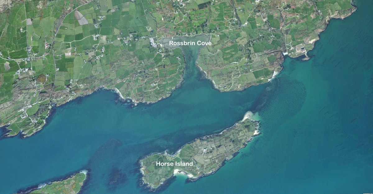
We wanted to know what our little bit of West Cork looked like on those earliest maps. Our view is down toward Rossbrin Cove, below where we live, and our house is a mere blip on the contemporary aerial view at the top of the page. In the first example from the Down Survey mapping – under that view – the cove of ‘Rofsbrinine Harbour’ is marked, and the castle, whose remains still guard the harbour entrance to this day (above), is clearly shown.

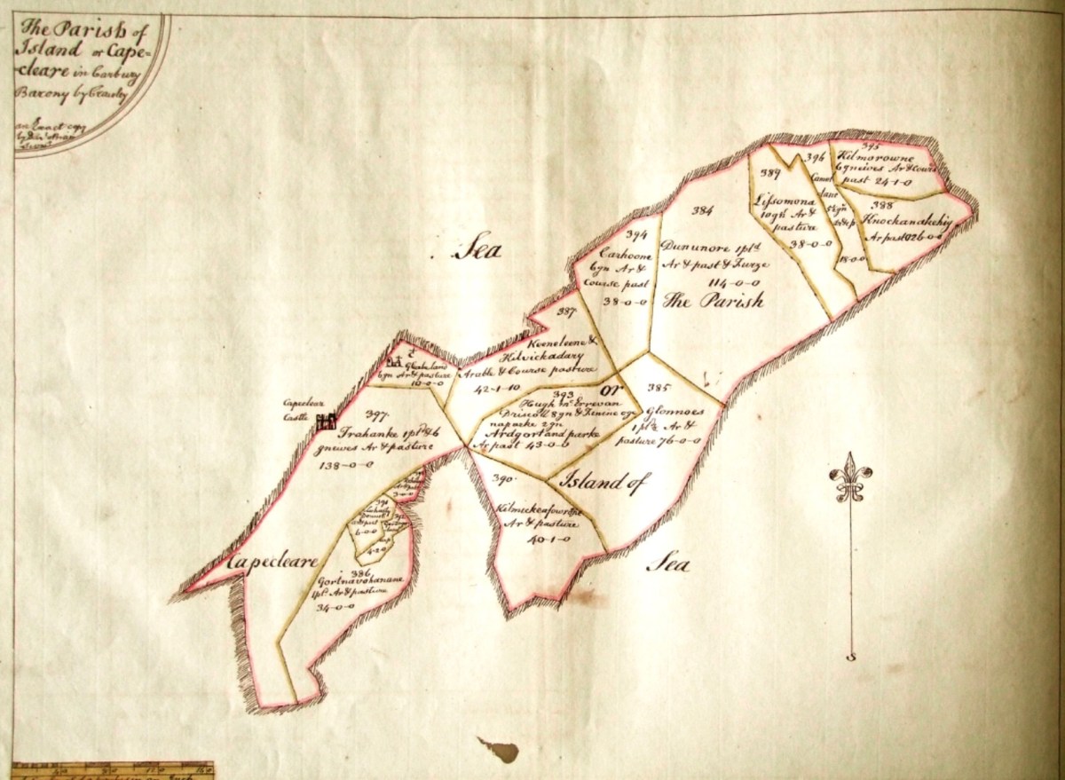
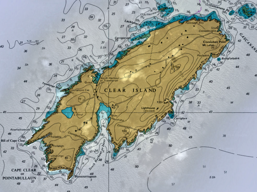
This view looks across the channel from the site of Rossbrin Castle. Immediately in the foreground is Horse Island, while beyond is the distinctive profile of Cape Clear. Let’s look at the Down Survey entry for Cape Clear – with. for comparison – a modern map of that island below it.

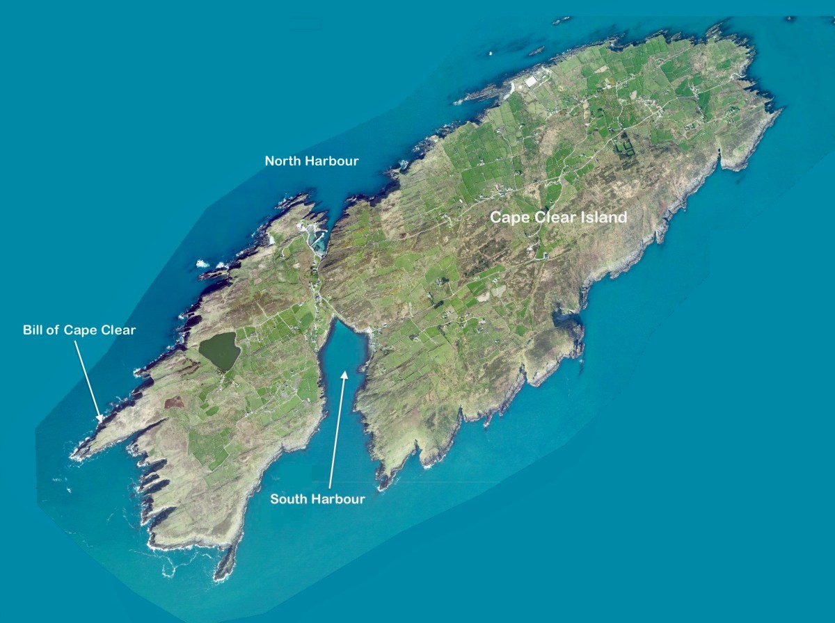
That map, above, is taken from a nautical chart. It’s understandable that a 17th century map wouldn’t have the level of accuracy we would expect from a modern survey, but take a look, now, at this contemporary aerial view of Cape Clear Island:

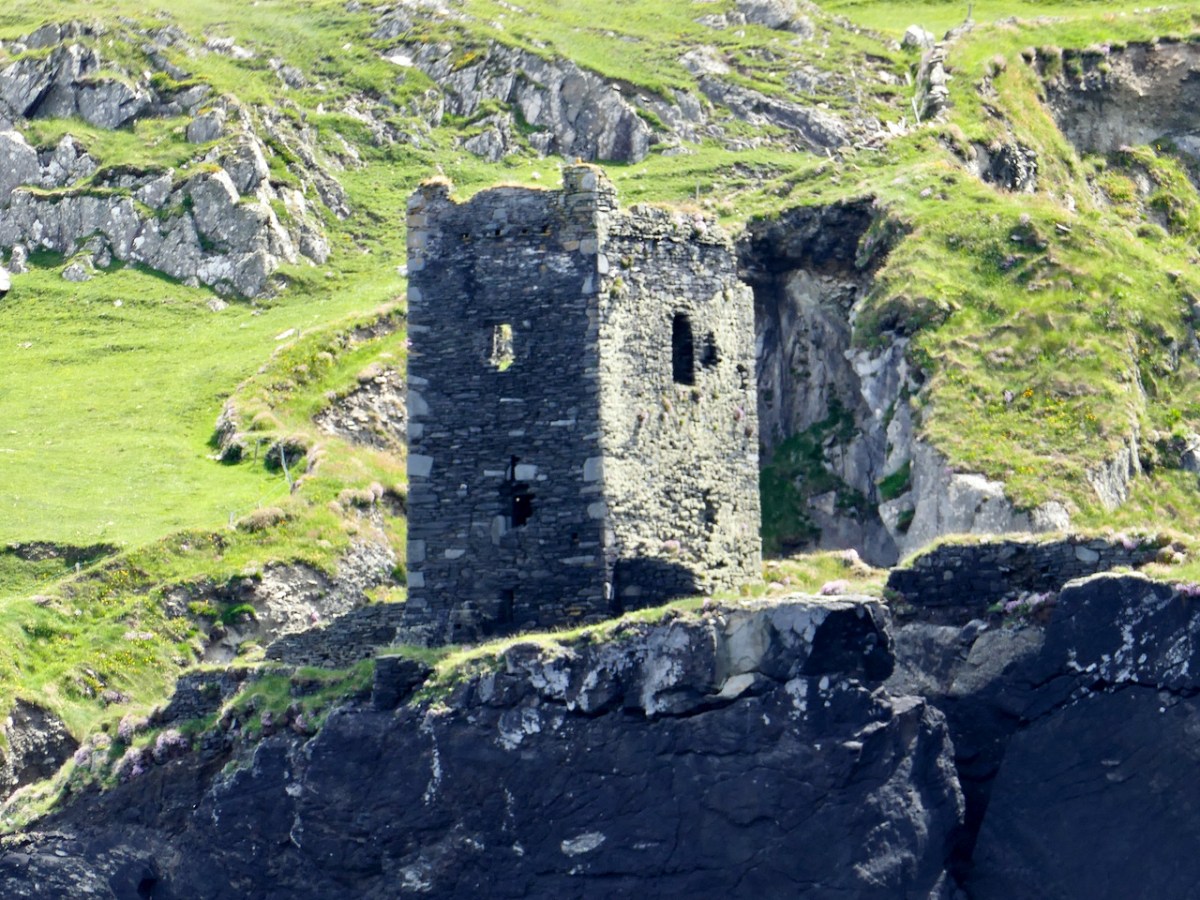
It’s remarkable, I think, how strikingly the early map resembles the profile – if not the fine detail – of the modern chart – and also the shape of the island as shown on the aerial view. For example, the ‘Bill of Cape Clear’ shows up very clearly on the chart – the beak-like protrusion on the far western end of the land-mass – a feature which is represented as very similar on the 17th century version, and of course on the modern prospect. Here’s a view of Dún an Óir – Cape Clear’s castle – today:

Just to add to the experience, the above satellite view gives a more ‘flattened’ impression of what is really going on locally: compare this to the expanded view of our coastline from the Down Survey – note that ‘Cape Cleare’ is included on this extract:

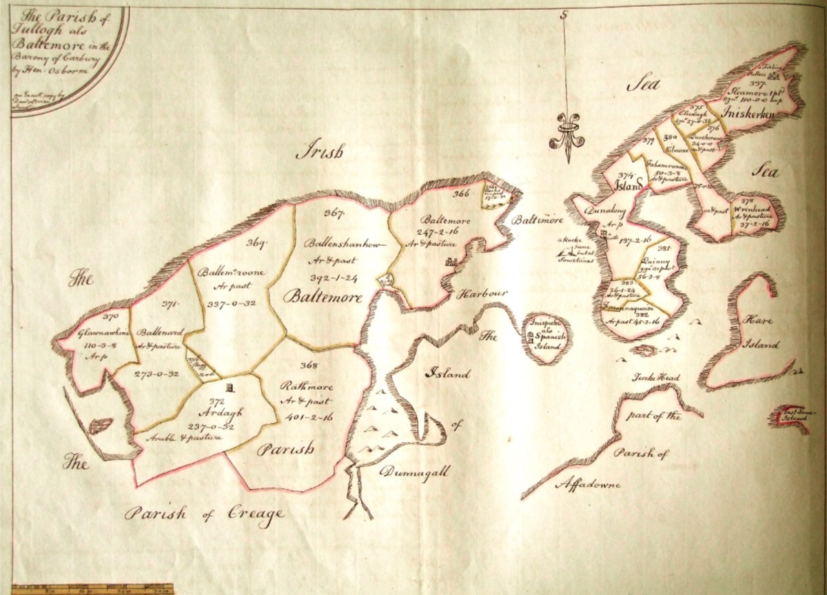
As a further example, to finish off this brief overview (which will be continued in future posts) let’s have a look at the Down Survey entry for the Baltimore area – a little further along our coast, travelling east:

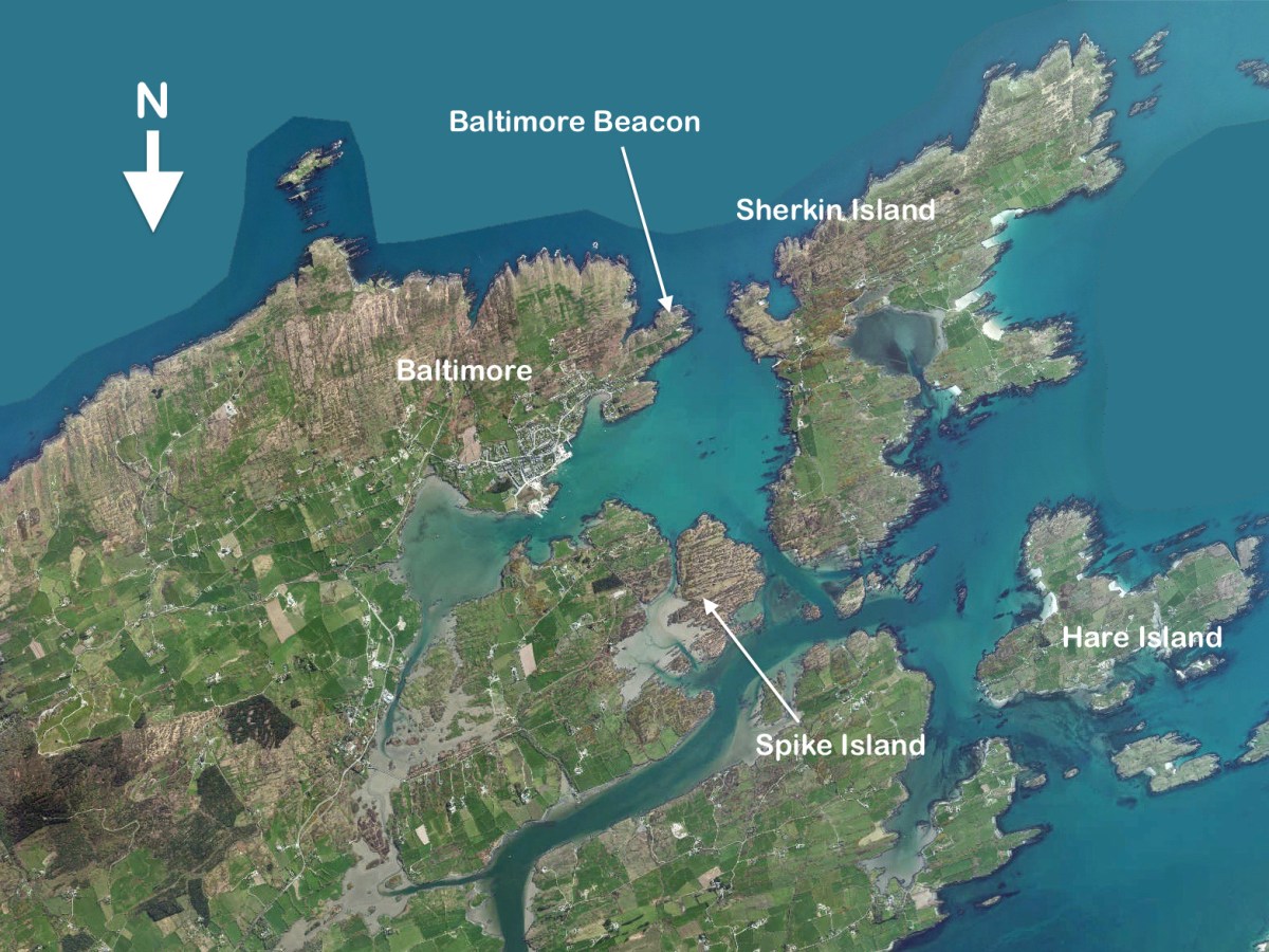
This is in fact the Down Survey entry for the Parishes of ‘Tullogh & Baltimore’. The first thing to note is that the north point is facing downwards! If you look at many of the survey pages the orientation varies considerably, and is probably more to do with what conveniently fits on a sheet than any attempt to be consistent. So that we can make an easier comparison with today’s terrain, I have also switched the orientation of this aerial view:

In my opinion it’s remarkable that the Down Survey maps do bear a very reasonable resemblance to the reality. Obviously, a great deal of detail is missing, but the purpose of the maps – to delineate land ownership – is satisfactorily served (albeit that this is to the benefit of the incoming English lords and landowners).

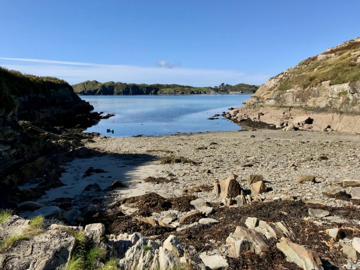
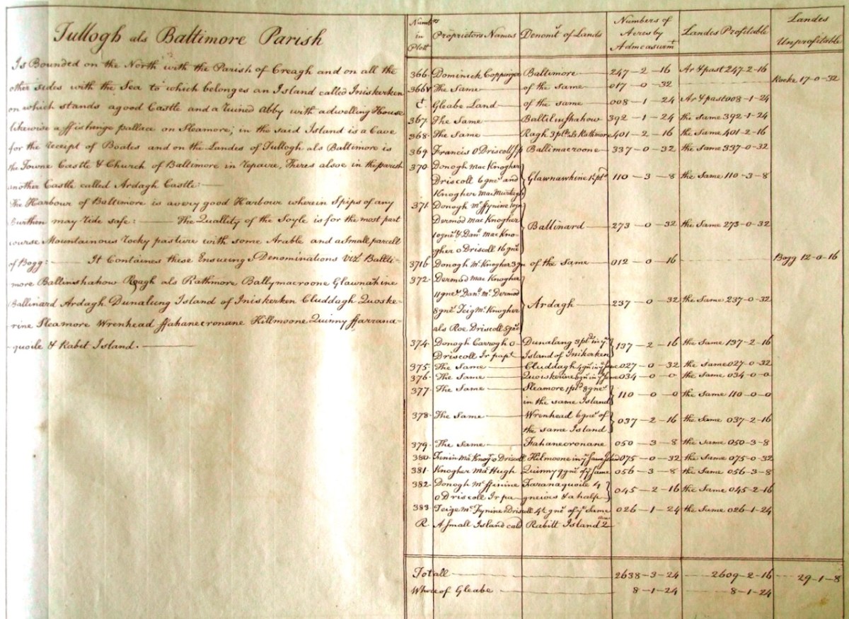
Here’s a view of the site of the medieval fish palace at Baltimore. The Down Survey comprises more than maps: there is other related material, including terriers. These particular terriers don’t have legs or tails – it’s a term for a written, descriptive survey of an estate: some english examples are recorded from the ninth century. Here’s the terrier for Baltimore within the Down Survey:

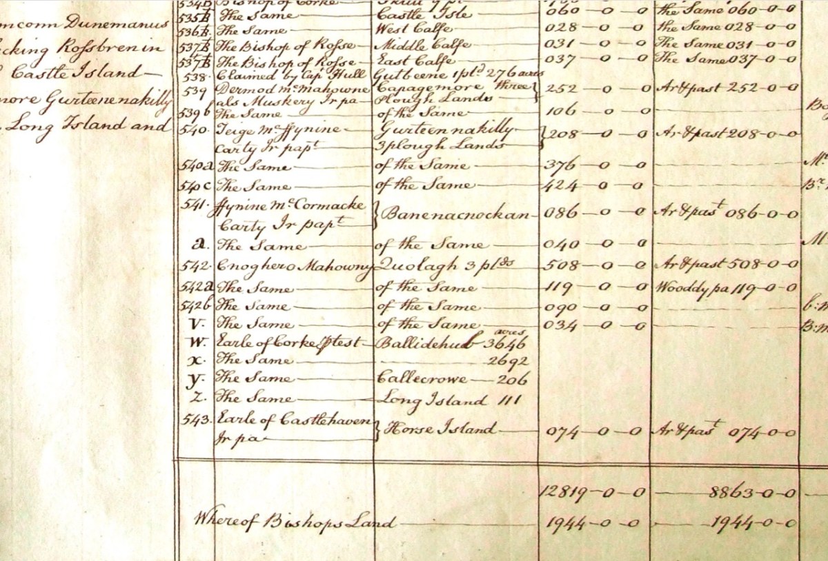
The terrier in this case is mainly a description of parcels of land, their owners, and the values. Here’s a closer example, from a terrier for ‘Skull’:

There’s a lot more of West Cork within the Down Survey archives. A future post will turn in greater detail to some of this material.

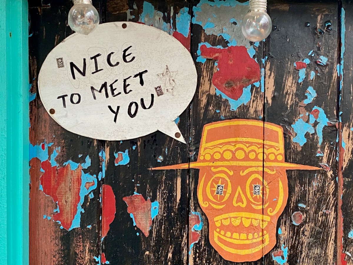
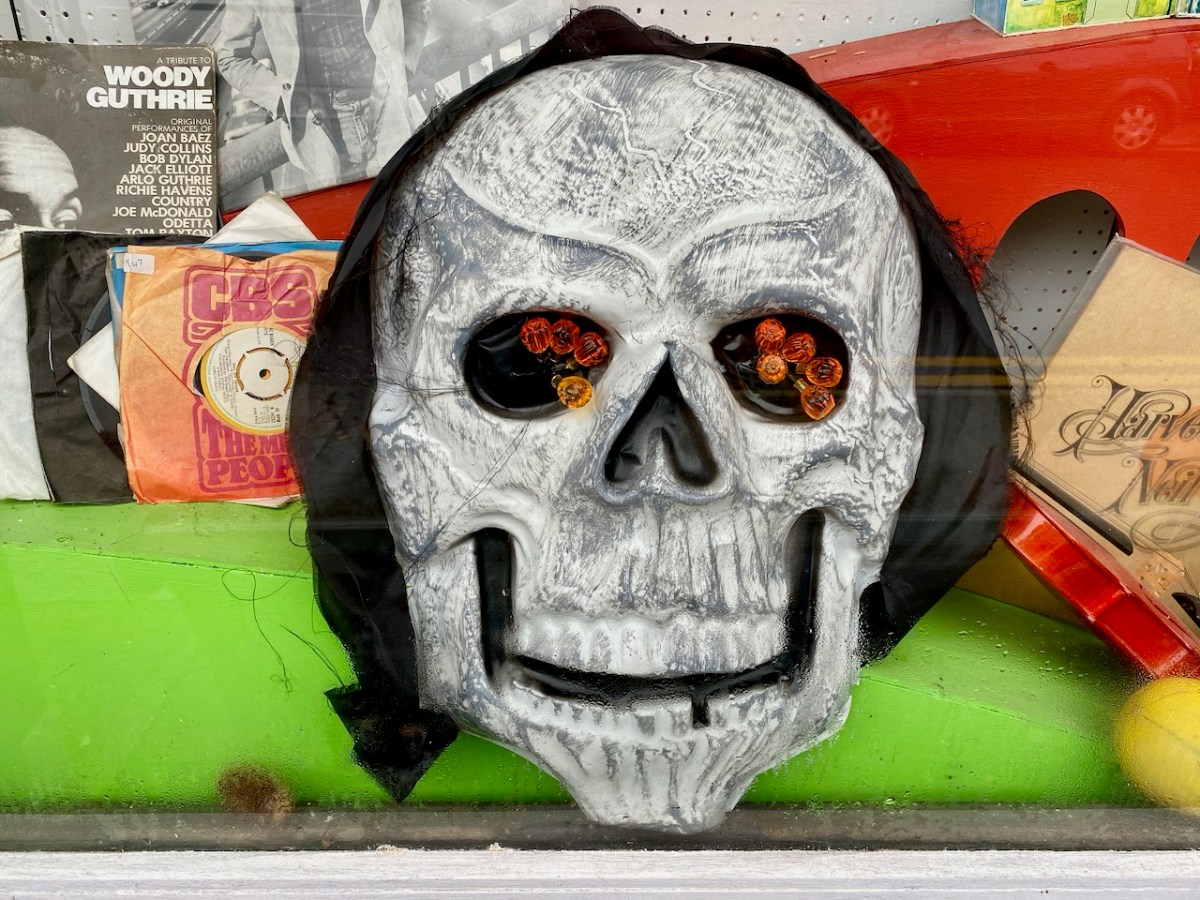
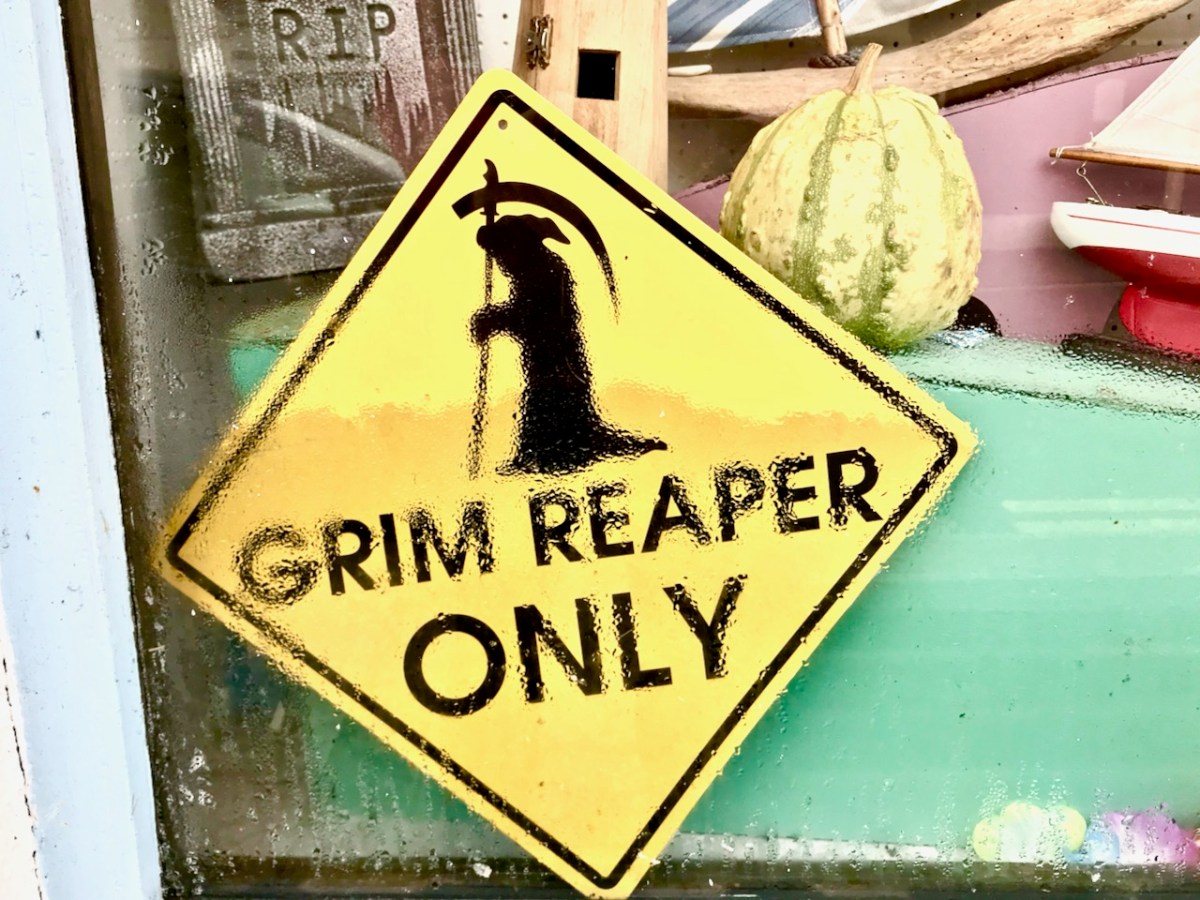
Spooky!

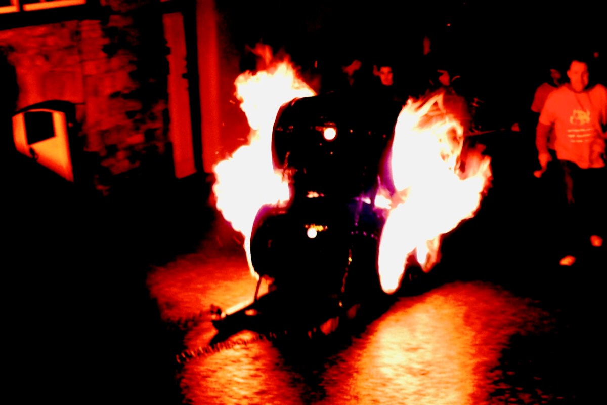
It’s Hallowe’en. When I lived in Devon, England, in my younger days, we didn’t know the meaning of the word. We certainly celebrated the coming of the dark time of the year, but there the story was all about Guy Fawkes, the ‘Gunpowder Plot’, bonfires and fireworks. Here’s a pic I retrieved from my old files: Hatherleigh, Devon, around the beginning of November. Huge barrels were soaked in tar, set alight, and pulled down the very steep hill that runs through the town at dawn and dusk. It was certainly scary – but not Spooky!

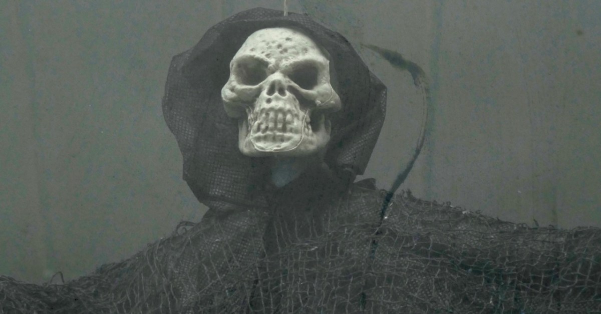
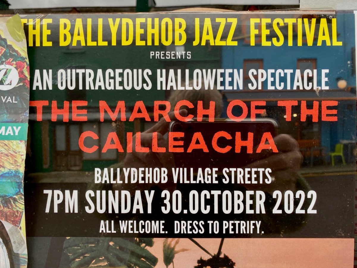
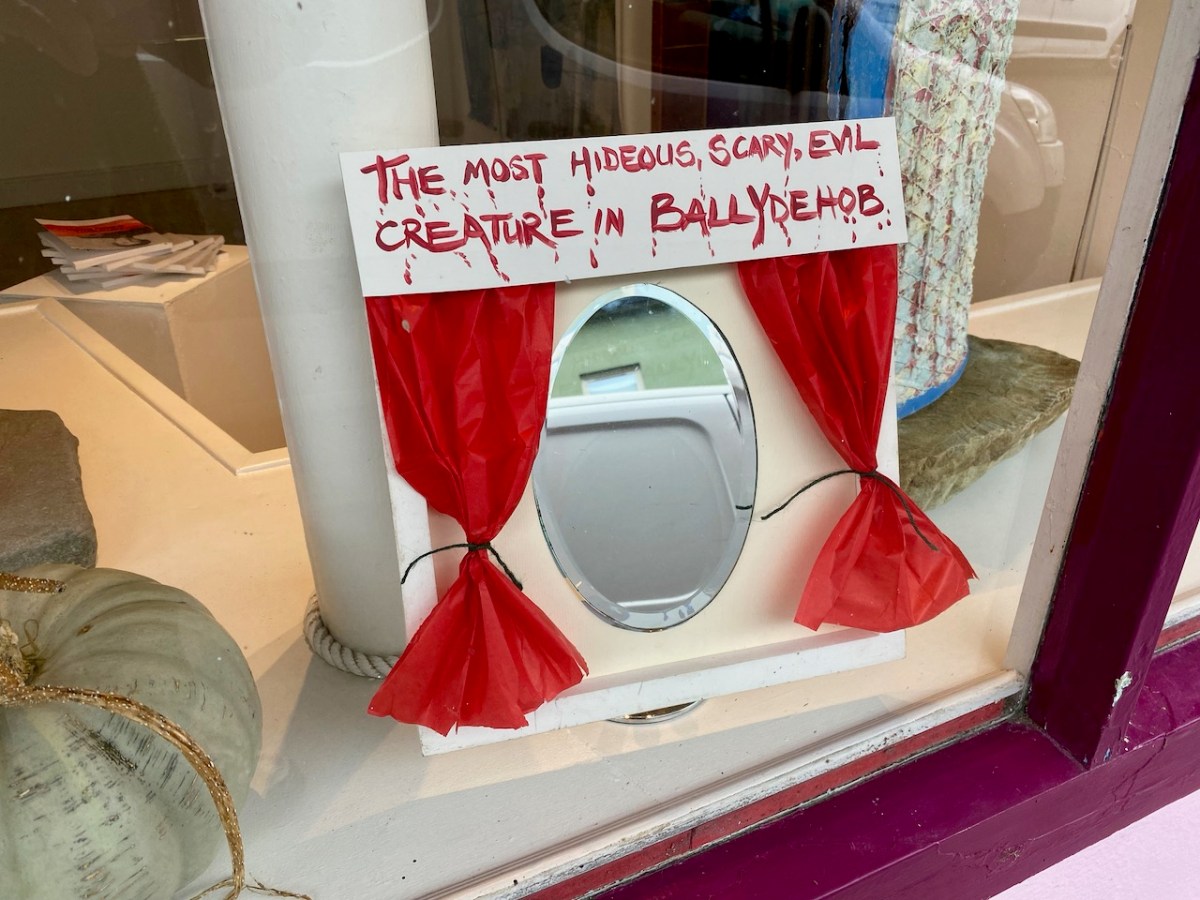
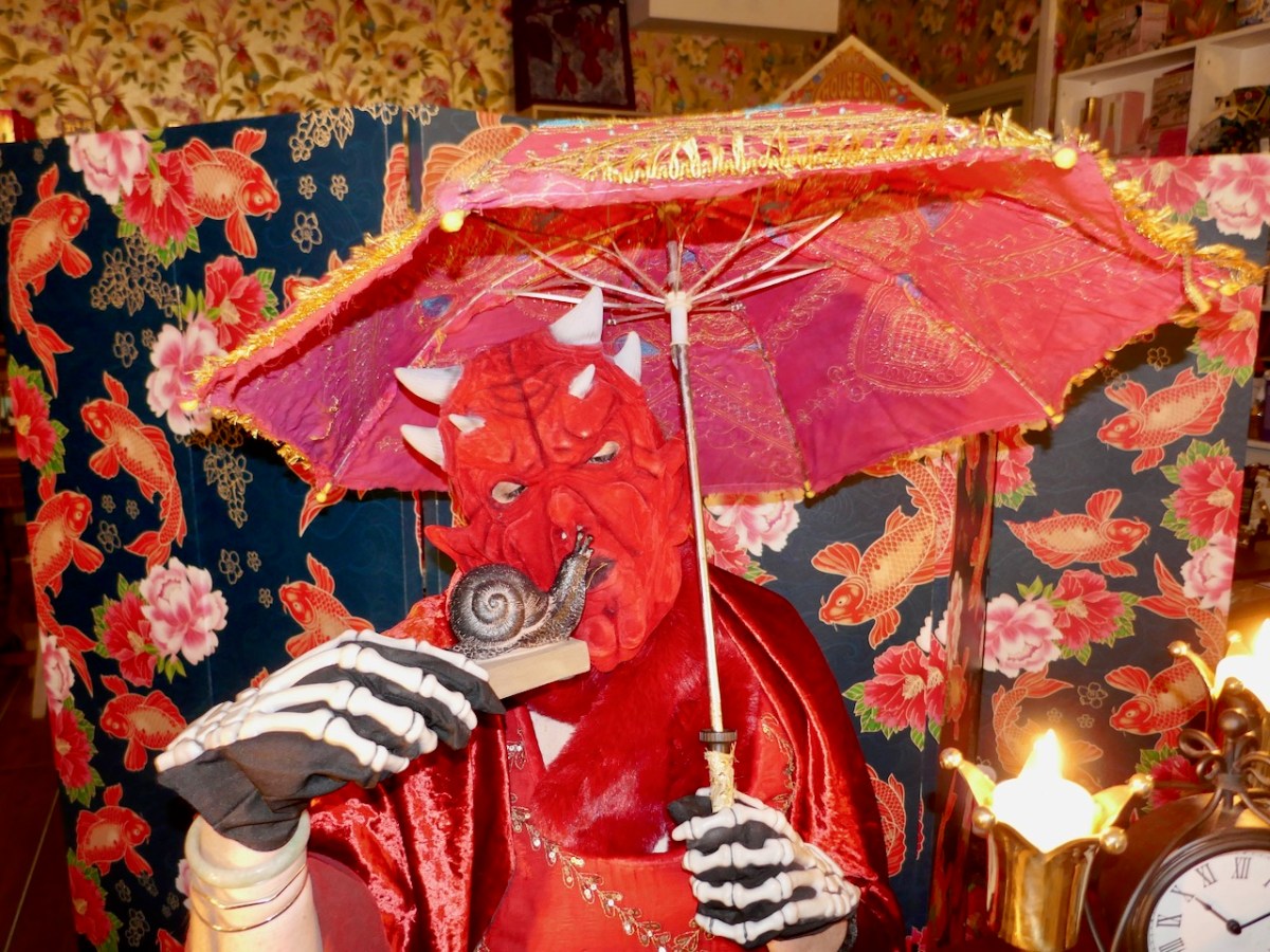
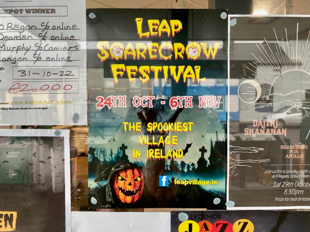
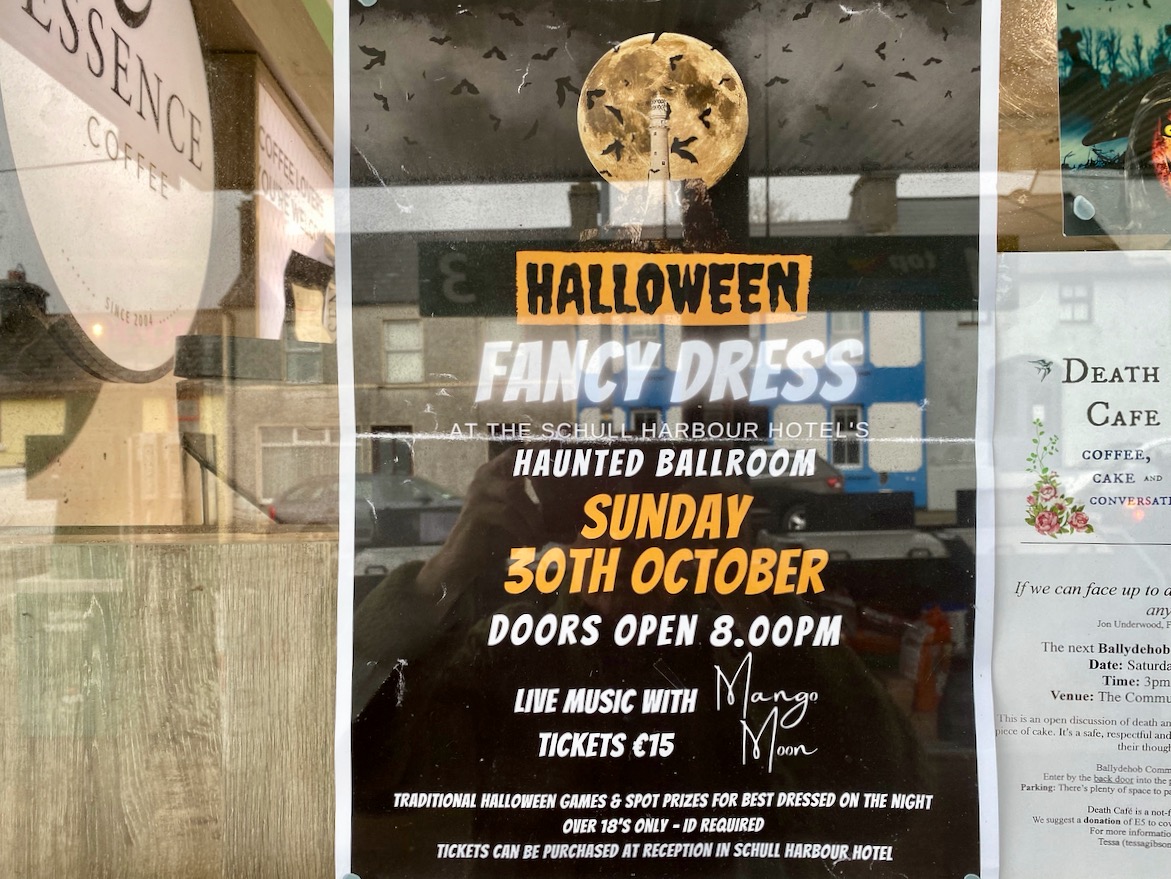
Here things are different. In Ballydehob we are preparing for our own celebration of the shadowy times. There will be a procession through the streets tonight. It will be scary, in a spooky way…

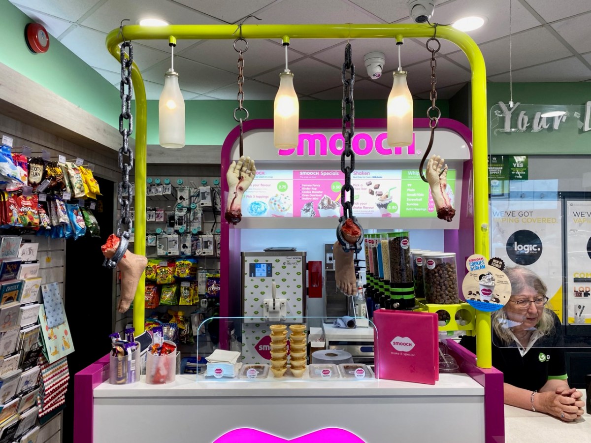
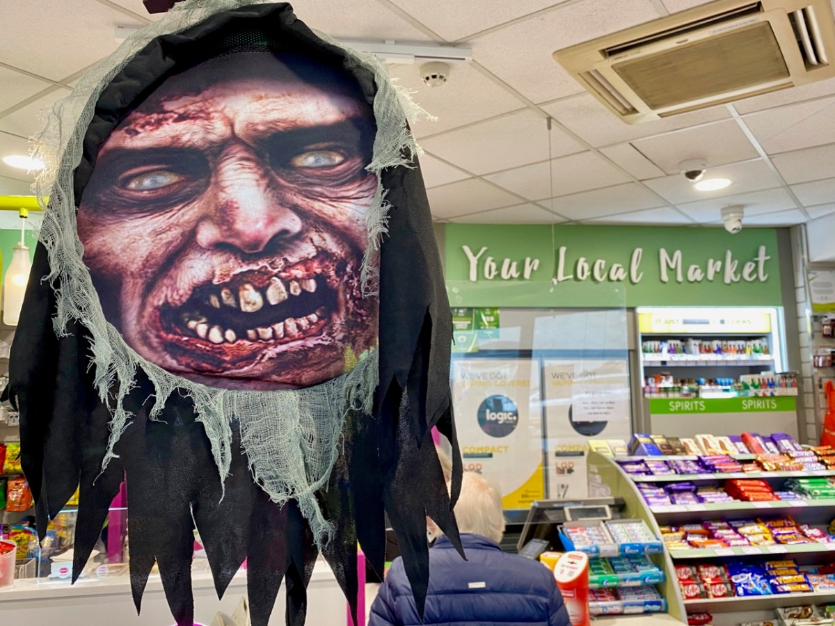
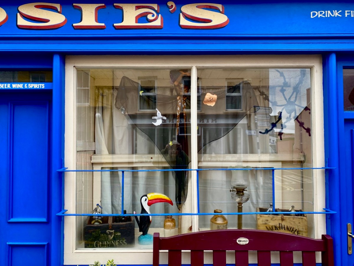
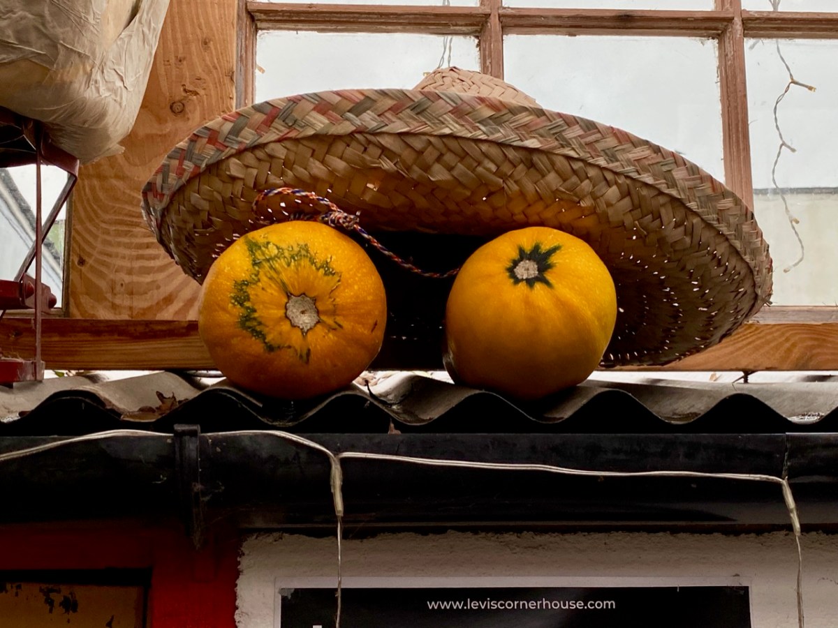
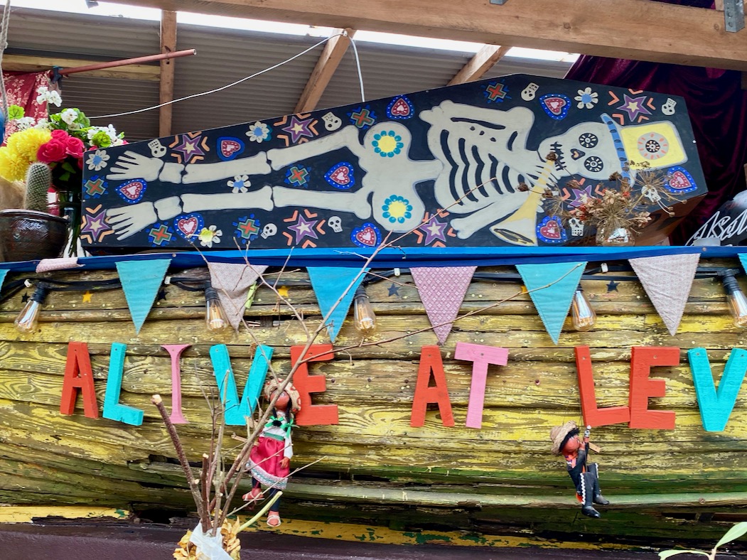
The whole town enters into the ‘spirit’ of things. This post sets out to look at the preparations for the night’s events. I particularly like the display – perhaps slightly understated – put on at the ice cream counter in Camier’s garage and shop at the bottom of the town:

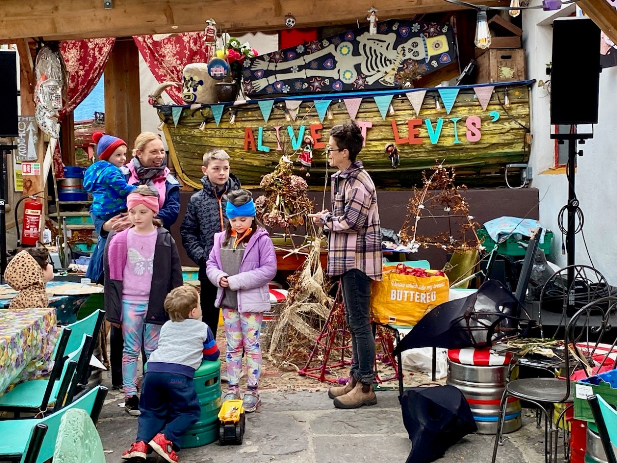
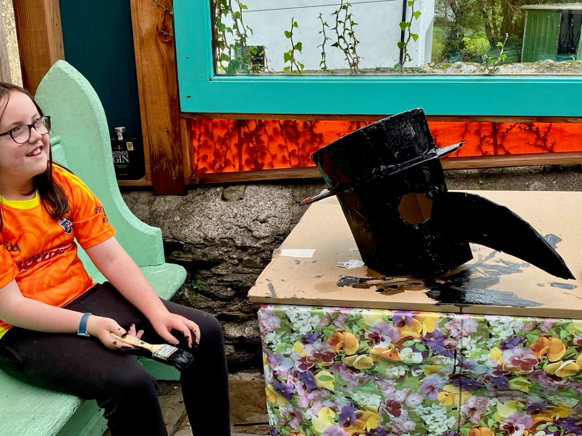
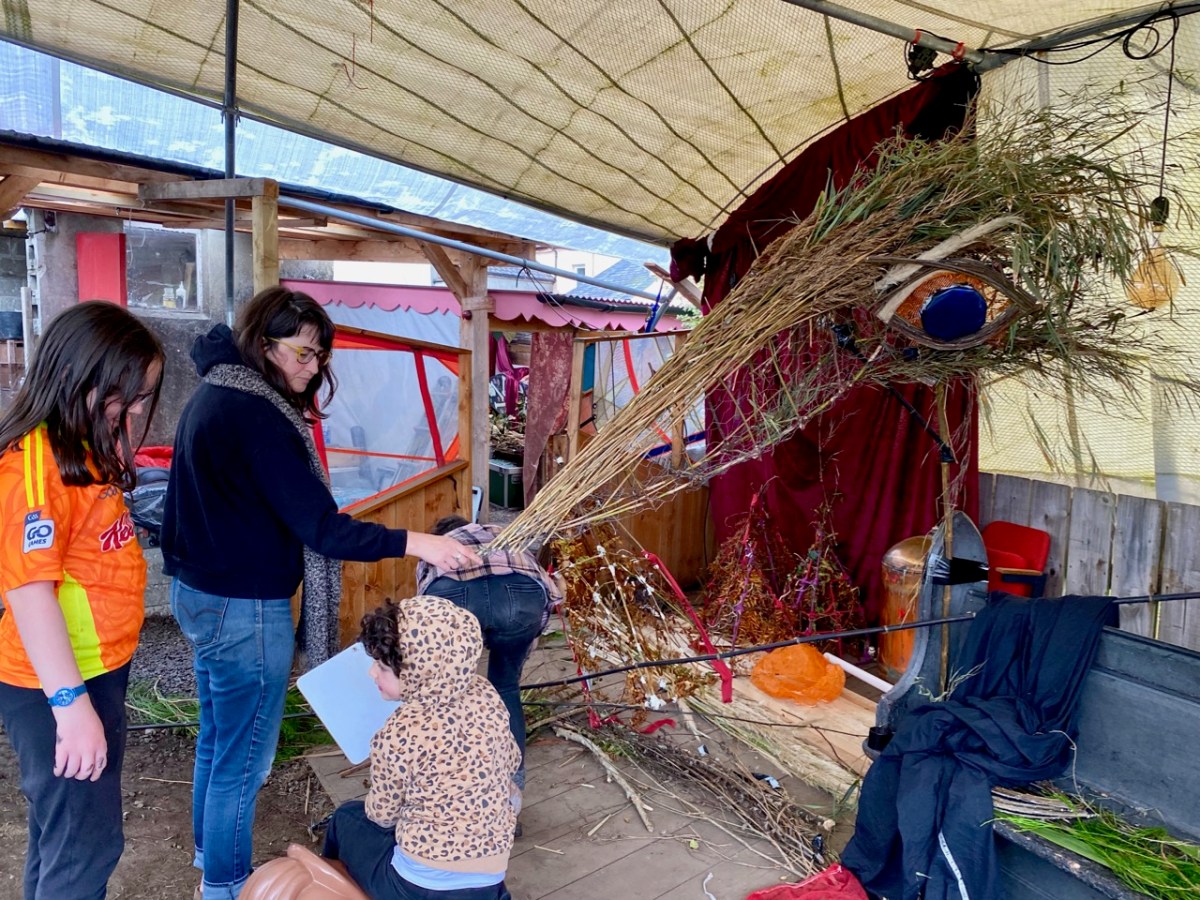
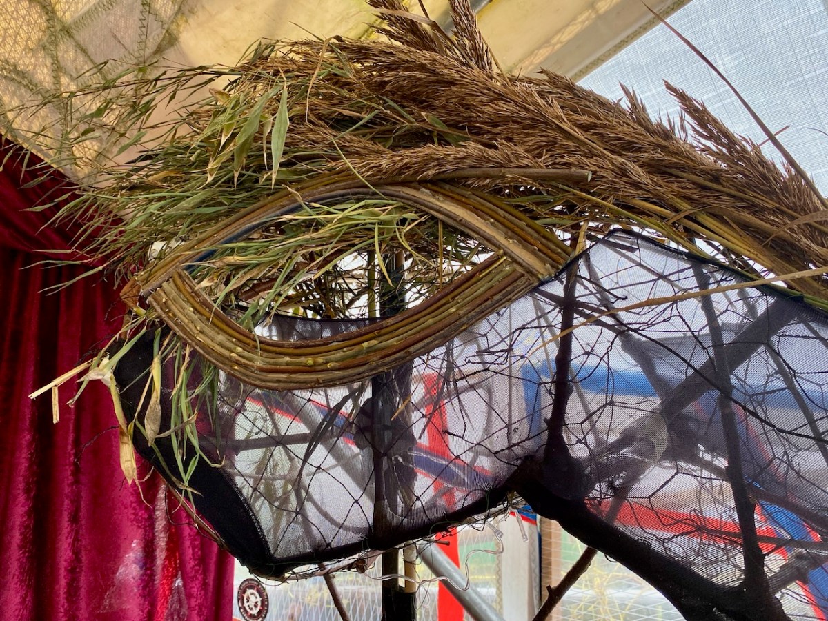
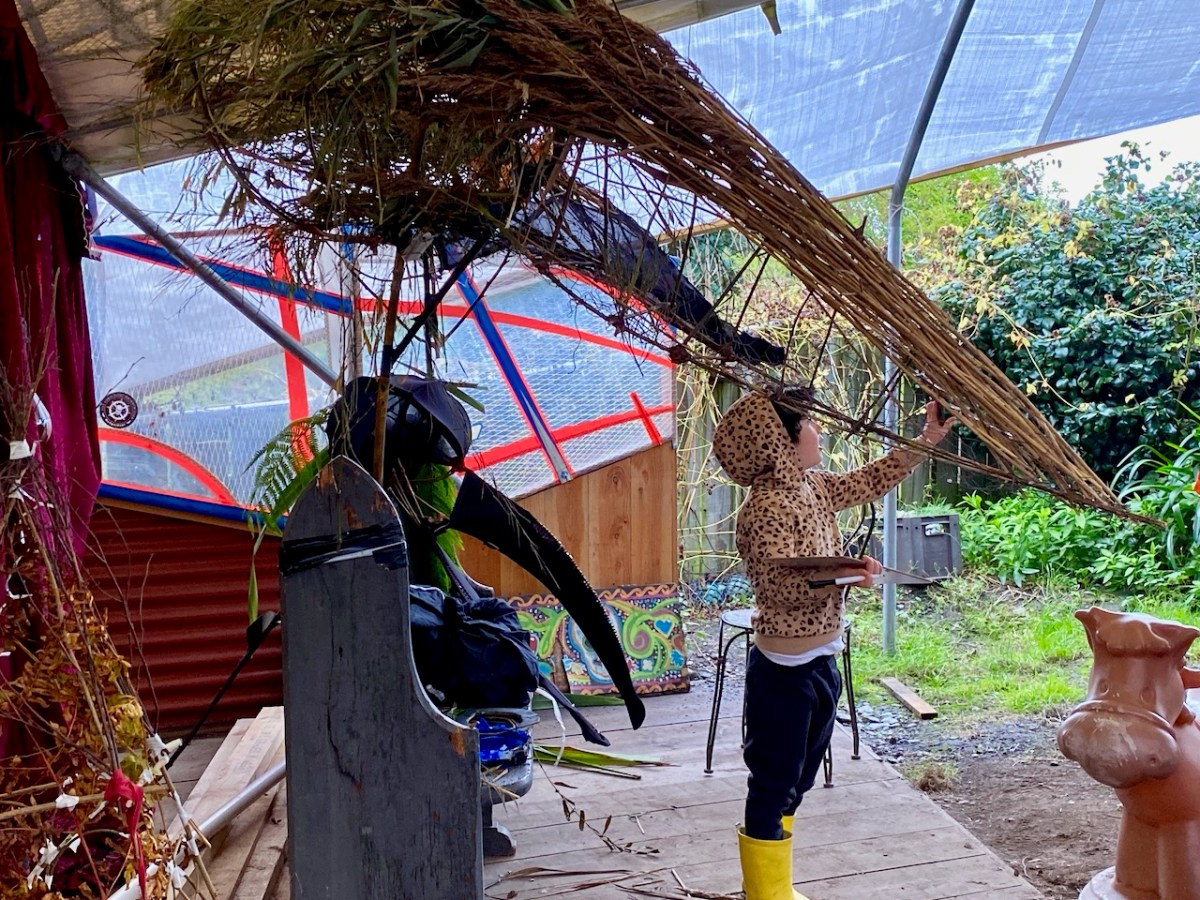
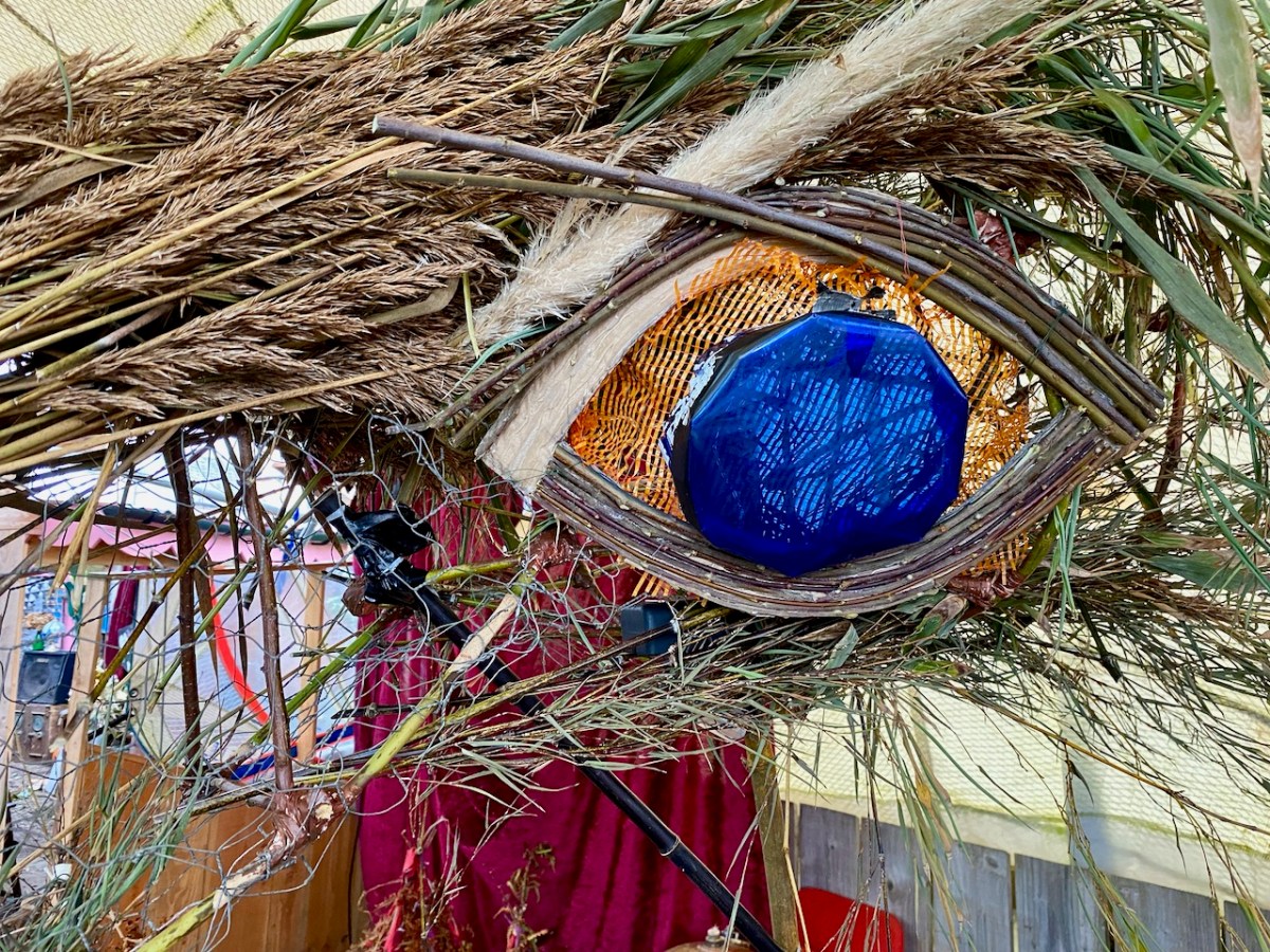
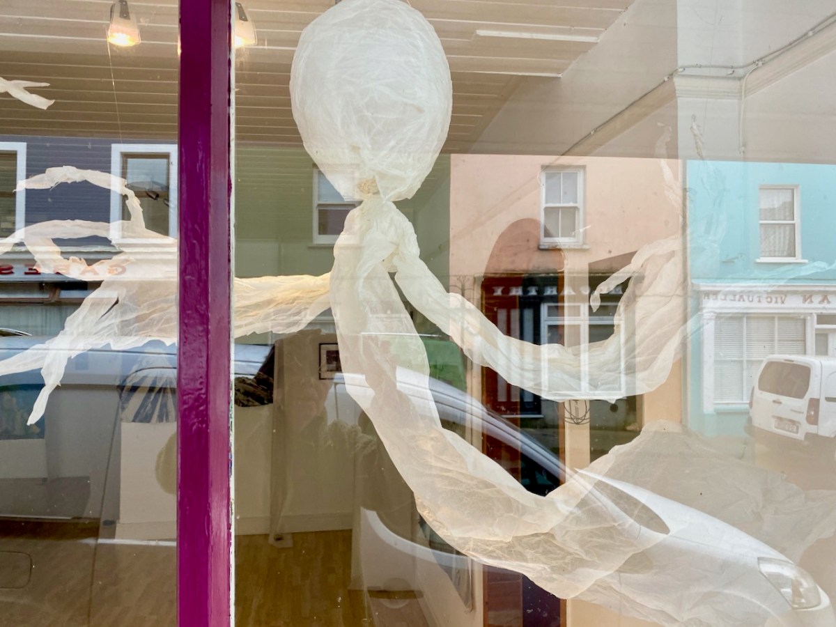
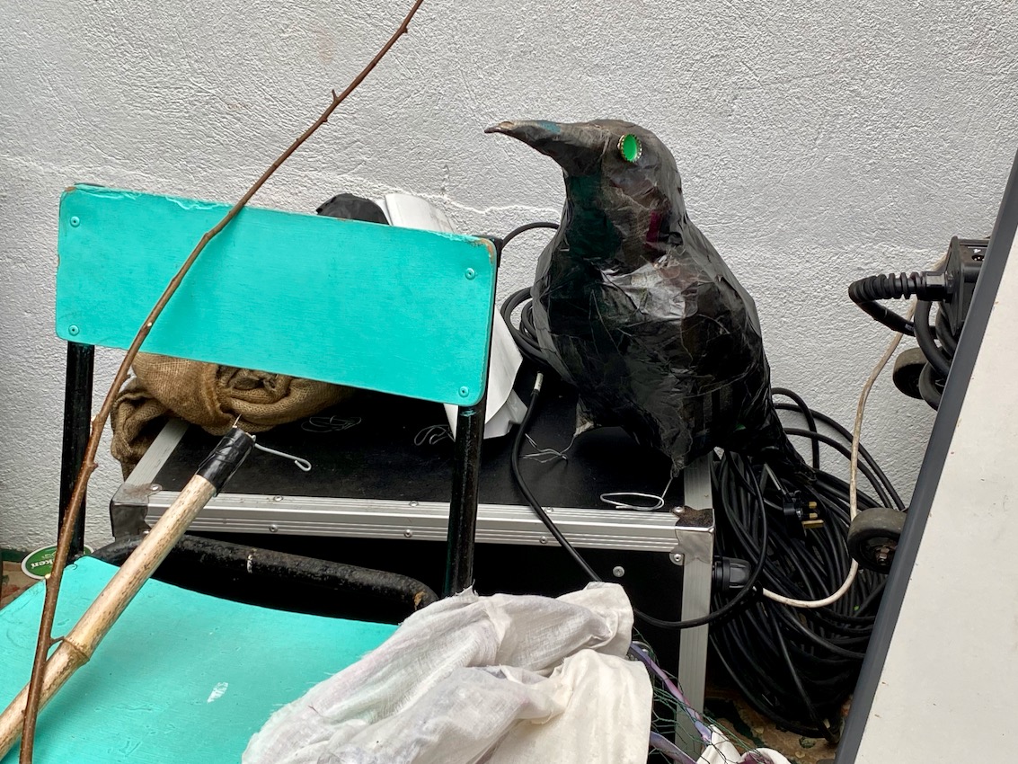
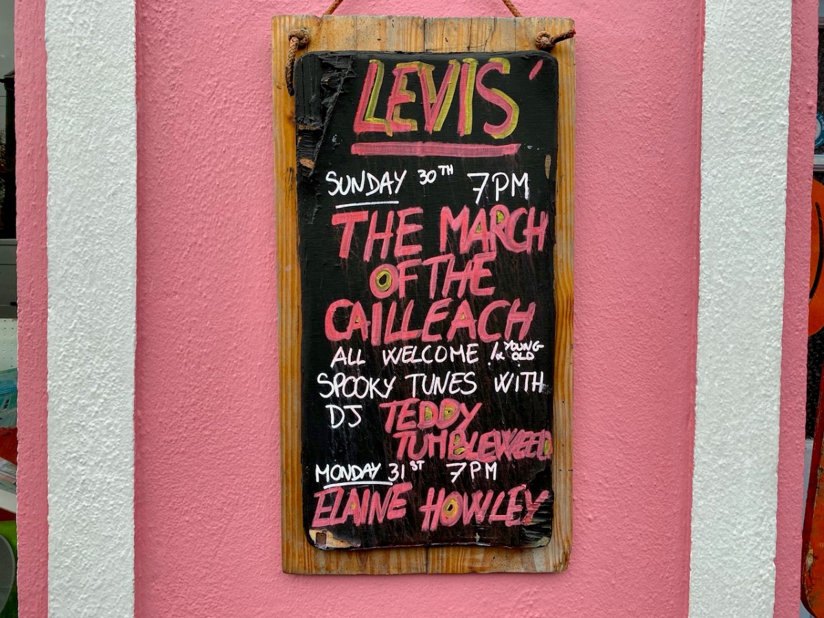
Levis’ Bar is at the centre of things, and I called in to see the workshops taking place to prepare for the evening’s events:

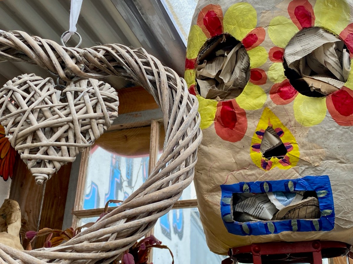
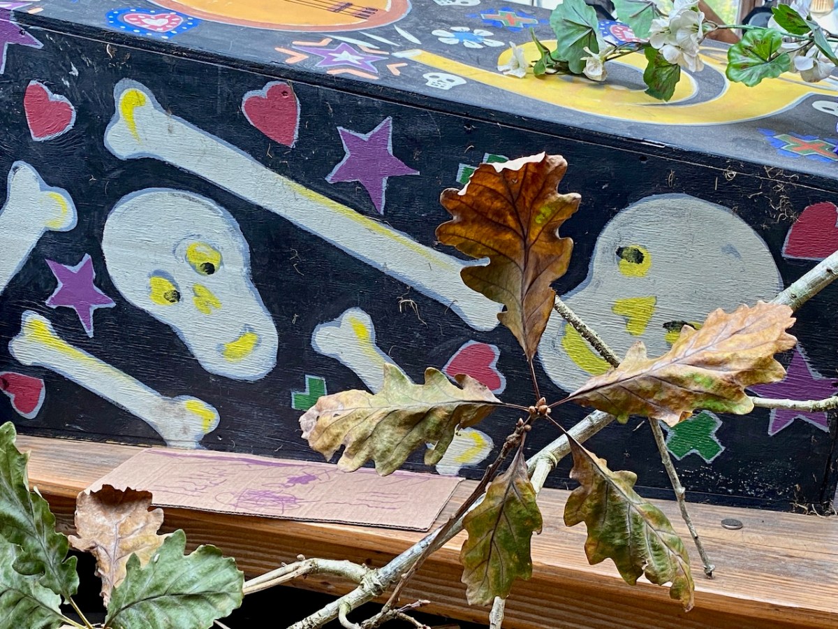
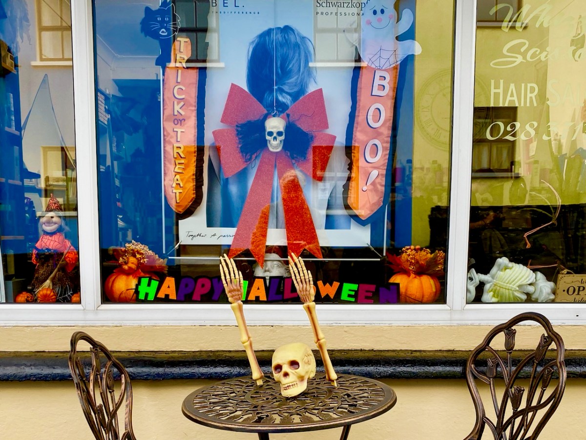
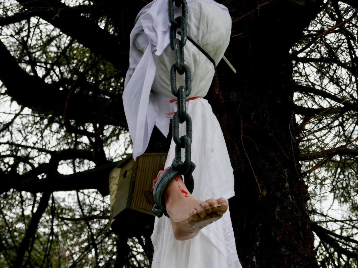
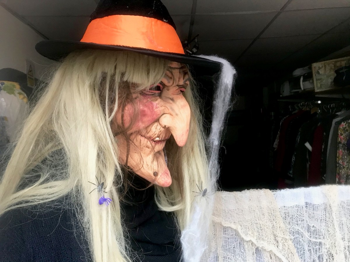
I think this evening’s activities are going to be spectacularly spooky! I will let you know. Elsewhere in our village of Ballydehob, everyone is getting into the right mood.

It’s never ‘half-measures’ in Ballydehob. Everyone joins in with complete enthusiasm. And there are plenty more celebrations of this spooky time going on around us in West Cork. Don’t stay at home!

Thirty-Six Views of Mount Gabriel

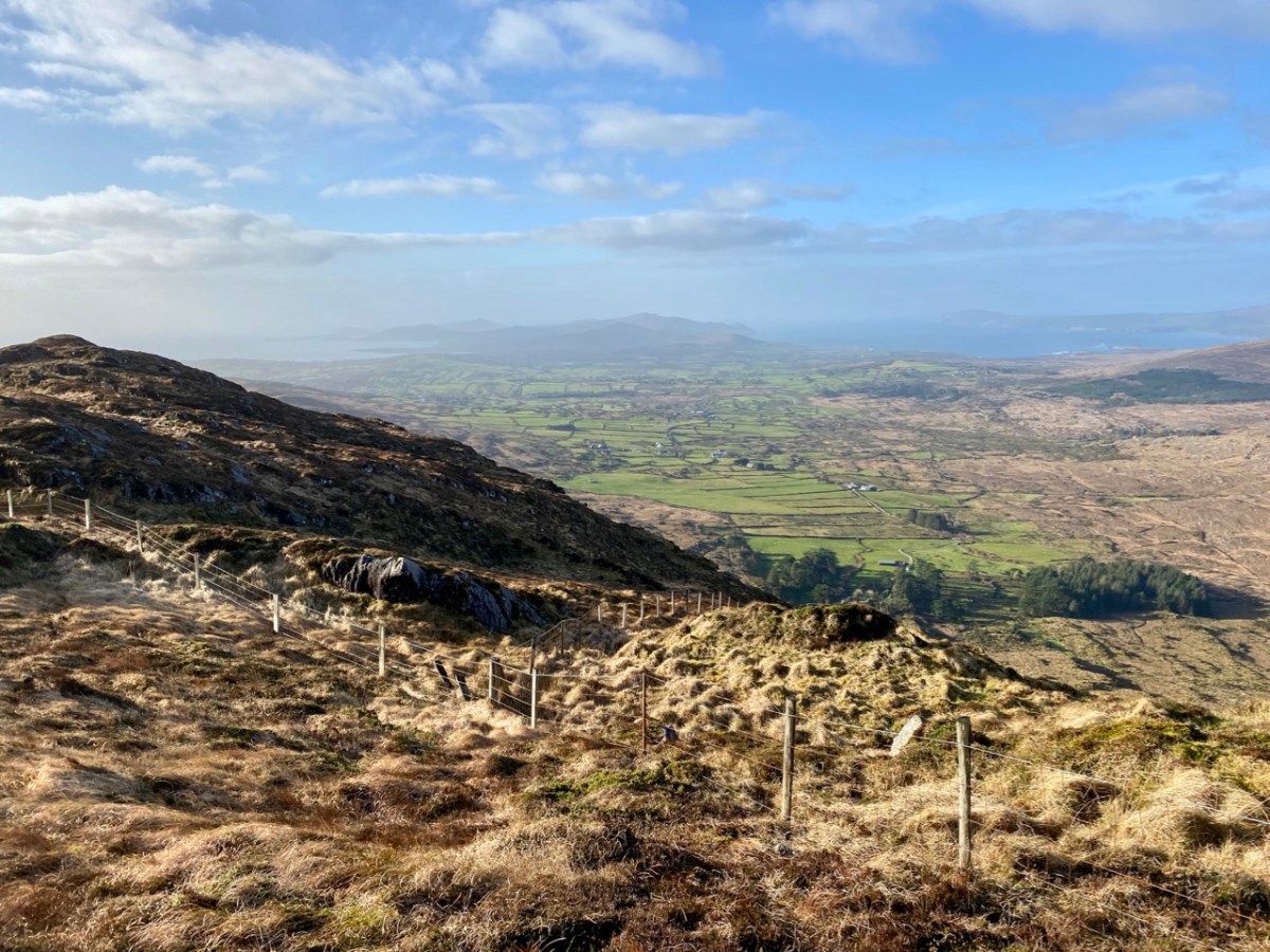
Mount Gabriel is, I believe, a rarely regarded topographical prominence on the Mizen. Yet it is impossible to ignore: the summit can be seen from most parts of this western peninsula. And, for those visitors who do notice it – and make the effort to scale its heights, it presents the most spectacular of views over rugged landscapes to the oceans beyond.

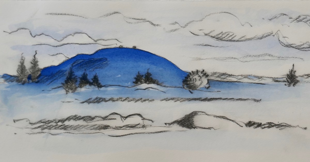
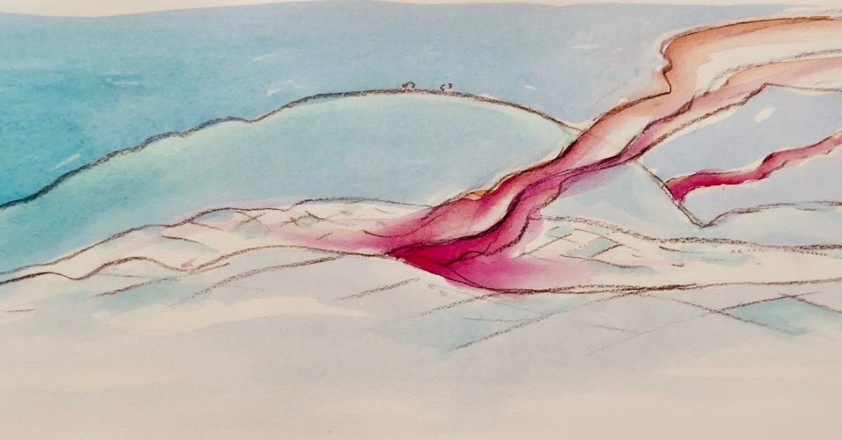
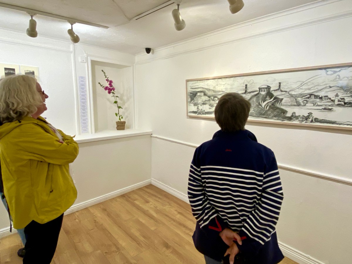
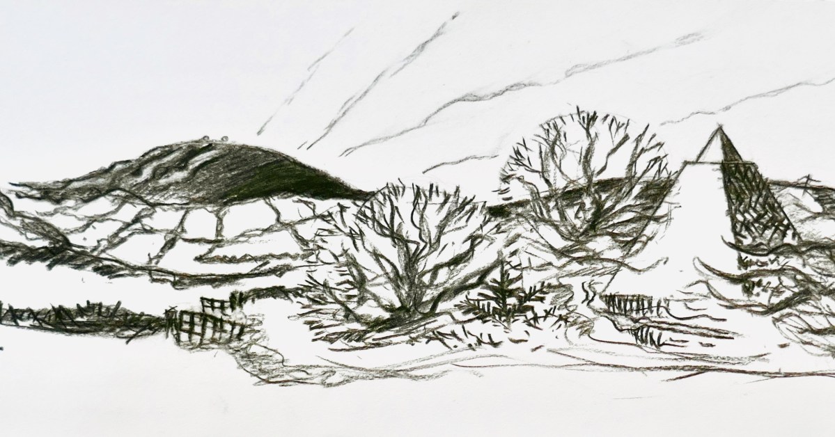
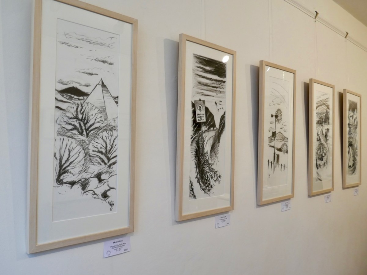
Brian Lalor has chosen to make this peak the centrepiece of his new exhibition, which opened in Schull’s Blue House Gallery at the weekend: Thirty-Six Views of Mount Gabriel. You have to see it. The works are for sale, so it will be impossible, probably, to assemble them as one entity ever again. (Unless, perhaps, in a hundred years time – if there is still an intellectual world in existence – Brian’s genius will be fully recognised and appreciated, and an astute curator will raid collections from all over the world in order to put this canon back together as a centenary project).

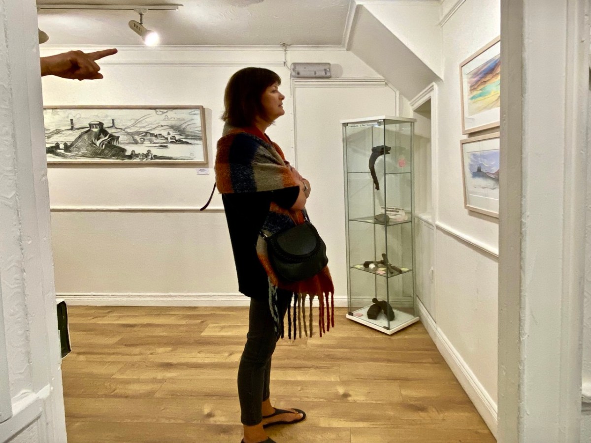
The works themselves draw attention to some of Brian’s many artistic talents: conté crayon drawings, exquisite watercolour sketches and linocut prints. They make an impressive whole on the walls of Schull’s eccentric gallery, which is a jumble of smallish rooms, a staircase and landing, with a minimalist shop-window frontage. Circumnavigating the spaces is a revealing and stimulating experience.

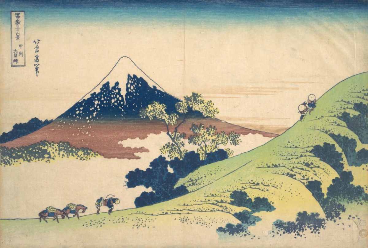
Returning to the subject matter of the work, Brian – General Editor of Gill & Macmillan’s mammoth 2003 volume The Encyclopaedia of Ireland – and considered a prime authority on Ireland’s art heritage and its place in world culture, is familiar with artists’ legacies from many other domains. He grew up in a household which contained significant pieces of Japanese art and was au fait from a young age with the concept of ukiyo-e – the floating world. His early awareness of the arts of Japan provided the source of inspiration for this exhibition: Katsushika Hokusai’s Thirty-Six Views of Mount Fuji, woodblock prints which date from the early 1830s. Here are Fine Wind, Clear Morning (upper) and Inume Pass (lower) from the series:

Fuji is one of Japan’s Holy Mountains. Brian’s juxtaposition is brilliant: our Mount Gabriel has to be a holy place. It is named after an Archangel, who is said to have descended to the mountain top to view the unsurpassed beauty of West Cork’s landscapes, the reputation of which had reached to Heaven even back in those days. In so doing he left behind his footprint, which is still to be seen on the summit.

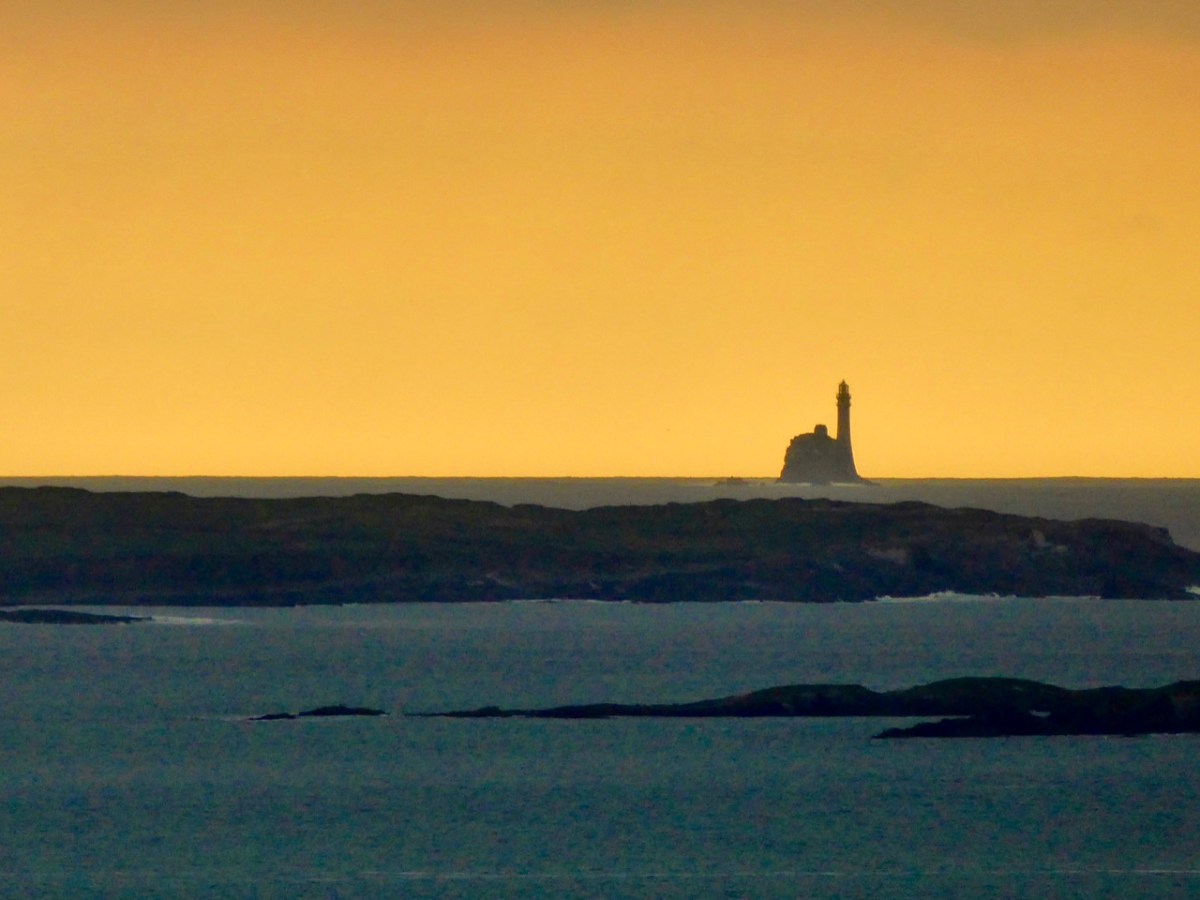
The Archangel was not the only biblical character to visit Gabriel: Satan himself touched down, but stumbled on a large rock. In a fit of temper he picked up the rock and threw it far off into the sea beyond. This caused such a hazard to shipping that we have had to erect a lighthouse on it. Here is Finola’s photographic view of The Fastnet, taken at sunset. For me, it has a suitably print-like quality . . .

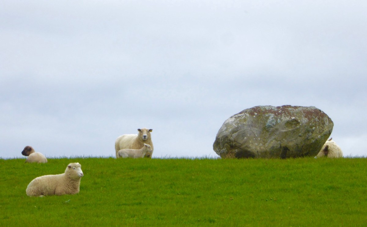
Legends attached to Gabriel include many that attribute Irish heroes to activities on the summit. Finn MacCool, for example, is also credited with throwing large rocks from the mountain, including this fine boulder burial at Rathruane:

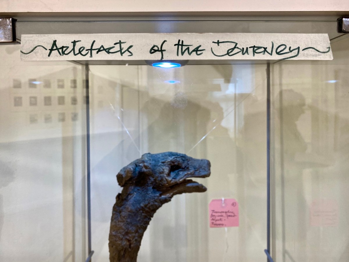
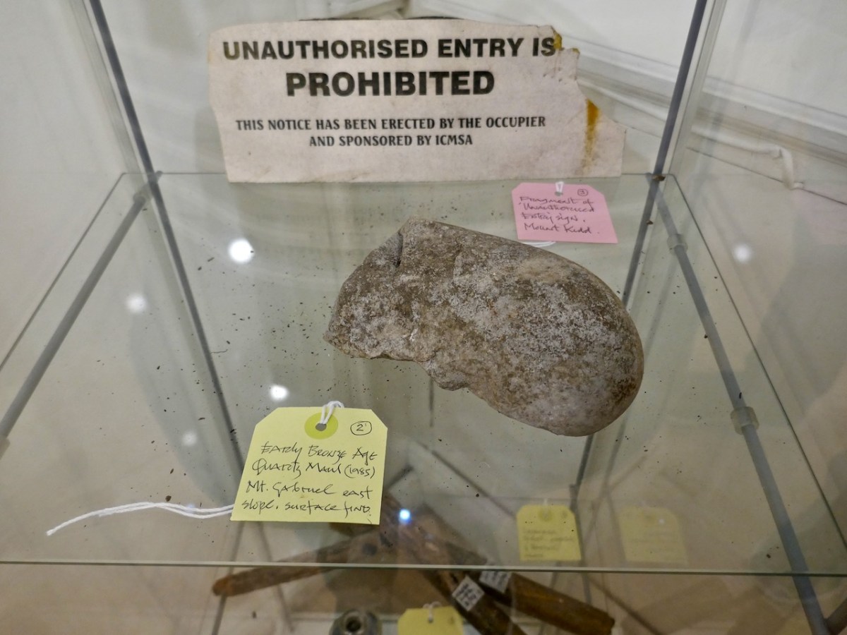
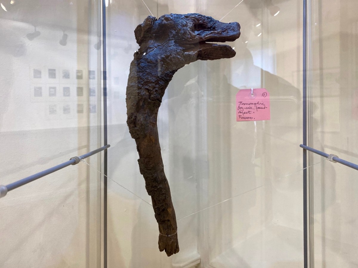
Brian’s observation and humour are not missing from this exhibition. He has included a cabinet of ‘artefacts’ distilled from his own explorations on the mountain. These make reference to the ancient history of the site and its connection with copper extraction in the Bronze Age and in medieval times, and also the twentieth century manifestations of air traffic control technology (known as ‘Gabriel’s Balls’) . . .

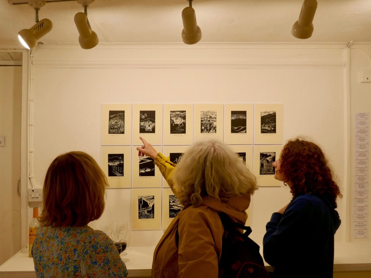
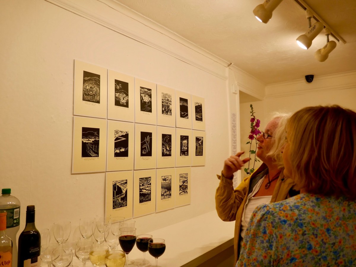
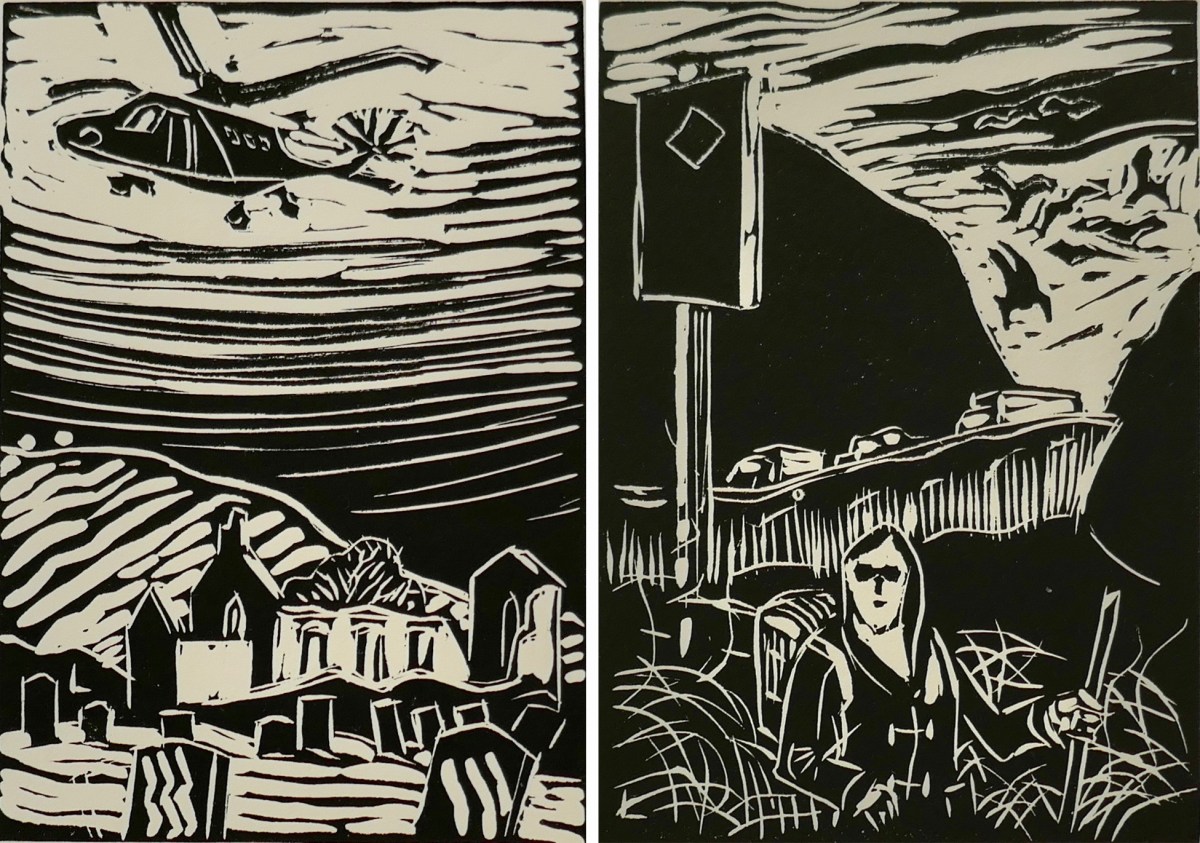
I am particularly taken with Brian’s linocut series – a limited edition of only ten of each print. They provide the ‘fine detail’ in the overall assemblage, and work so well together on the back wall of the largest room.

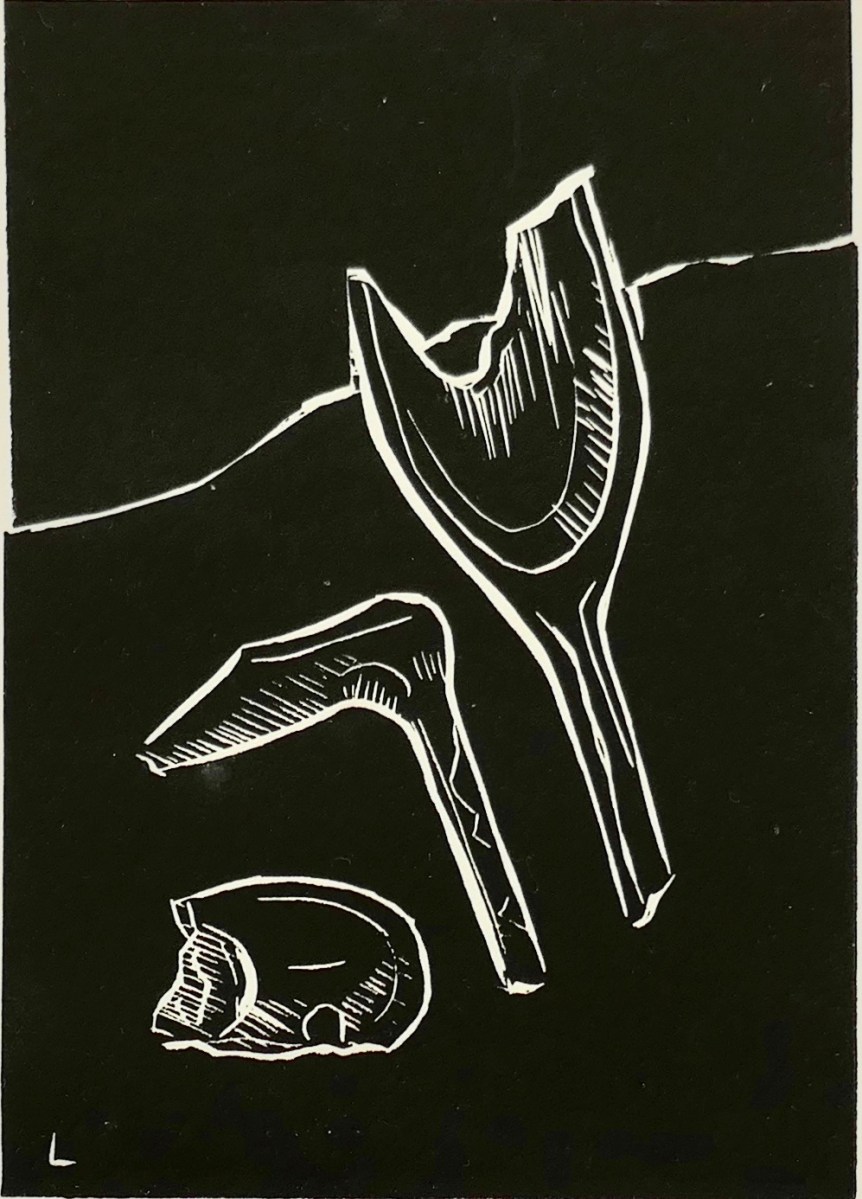
The detail print, above, shows Brian’s representation of archaeological finds connected with ancient copper mining which have been found during excavations on the mountain.

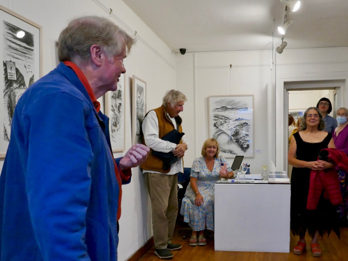
As ‘Guest Curator’ of this exhibition I was delighted to introduce it to an eager audience on the opening night in Schull (above). The show only runs until the 3rd of August, so please rush over in order not to miss it. It is (for me) the highlight of West Cork’s summer offerings!

Blue House Gallery, Schull

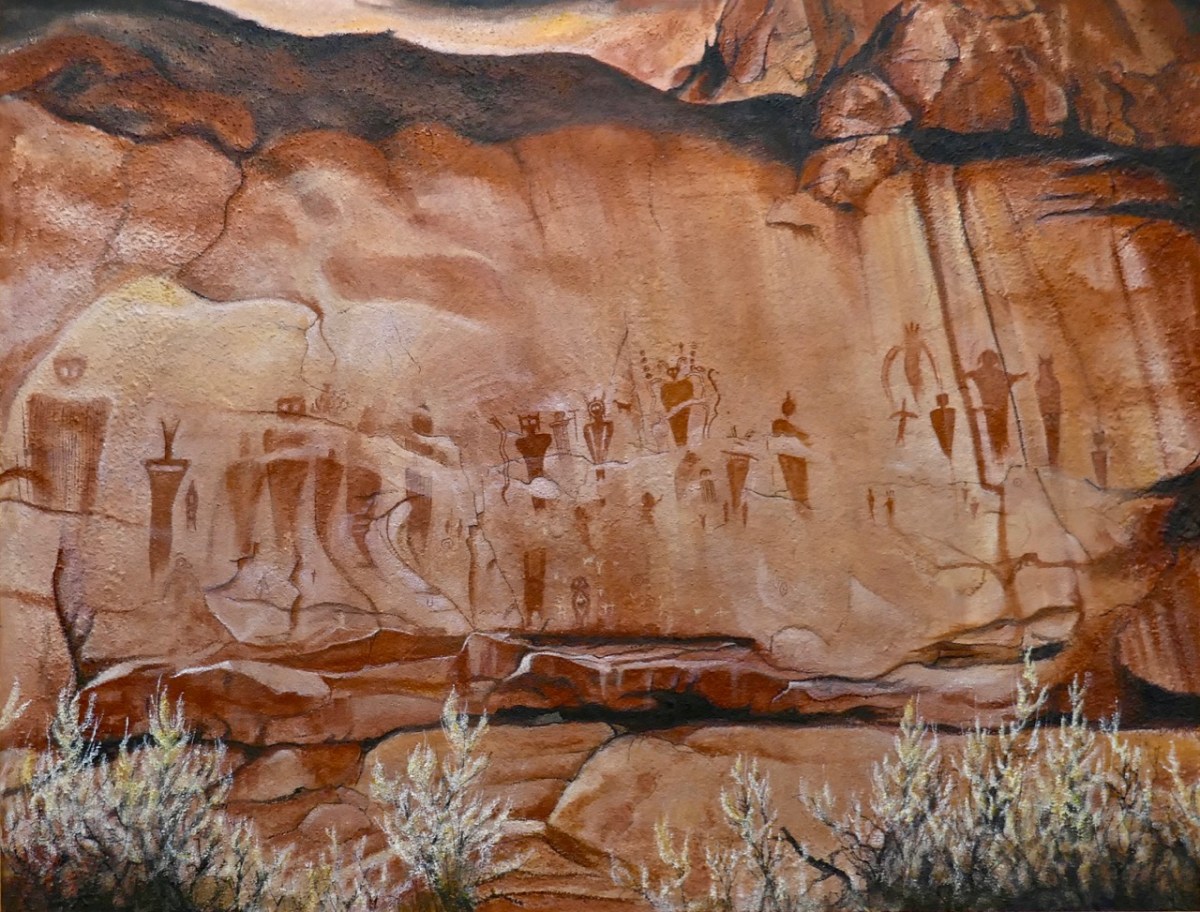
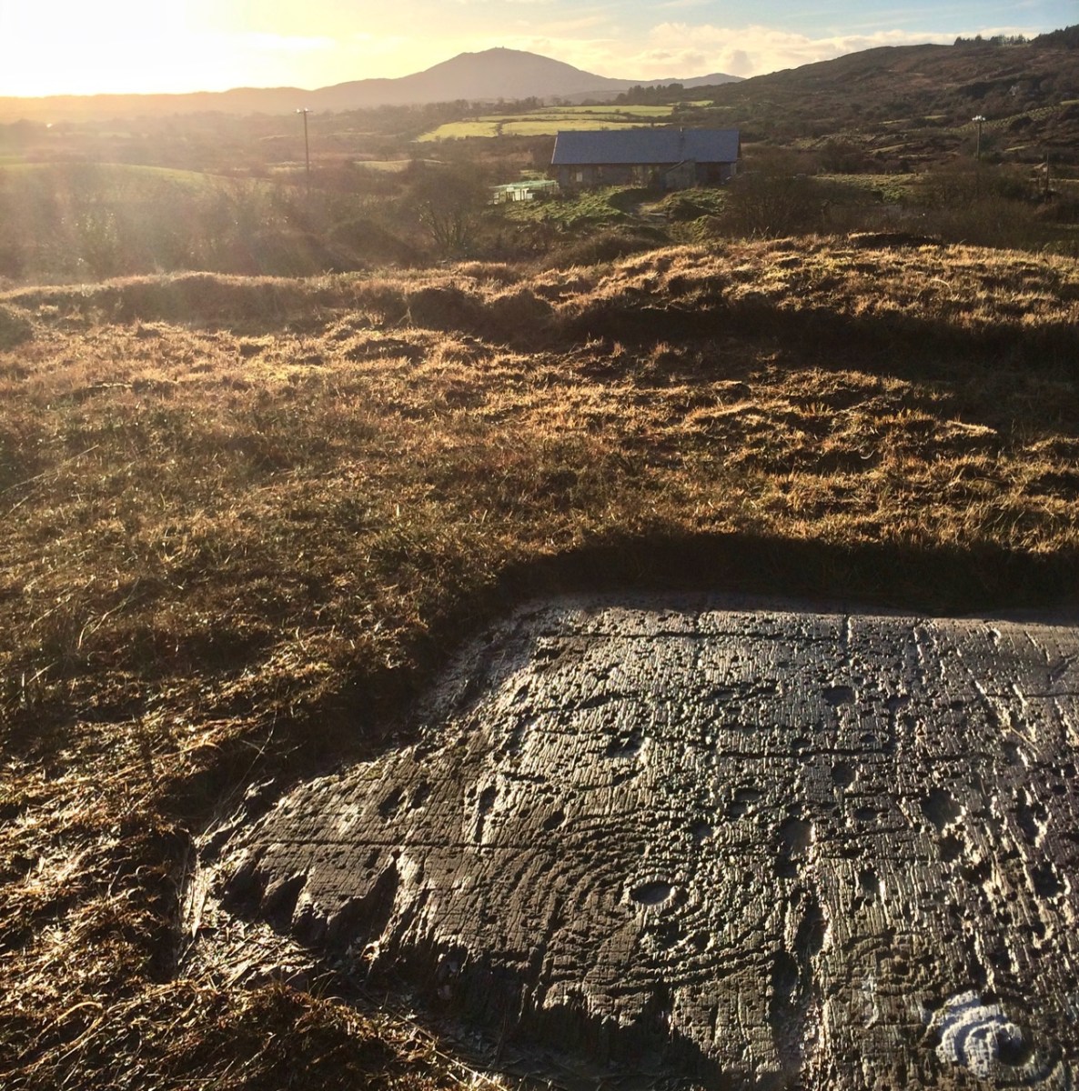
The gallery also has on show some work by other West Cork artists, well worth exploration, so don’t miss them when you go. I can’t resist finishing with one of them: this work (below) by Keith Payne – Sego Canyon. Keith has always been fascinated by ‘Rock Art’ in all parts of the world, and painted this based on his visit to a collection of petroglyphs on a cliff-face in Utah. It’s very apt, I think, to see this work in the context of the Brian Lalor exhibition. Below it is our own photograph of 5,000 year old Rock Art at Derreenaclough, West Cork – discovered only a few years ago. I am personally of the opinion that the siting of this rock in full view of ‘sacred’ Mount Gabriel is purely intentional!

A fully illustrated catalogue is available to purchase in the gallery

Some useful links:

Our Favourite Photos You Never Saw – Robert

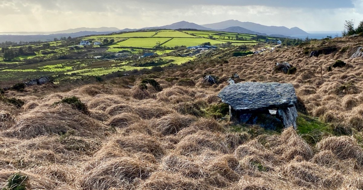
At this time we usually do a couple of ‘reviews’: looking back through the year and picking posts and photographs that jump out at us, asking to be shown again. Next week’s offering will be our selection of favourite Roaringwater Journal articles from 2021, but here, following on from Finola, is my choice of photographs that have never been published. We gave ourselves the stipulation that they have to be from West Cork, and they had to be taken this year. We are trying to have a minimum amount of commentary – and hope they will speak for themselves. First up – above – is Ratooragh Wedge Tomb, far down on the Mizen: we discovered it in February, and that exploration resulted in this article.

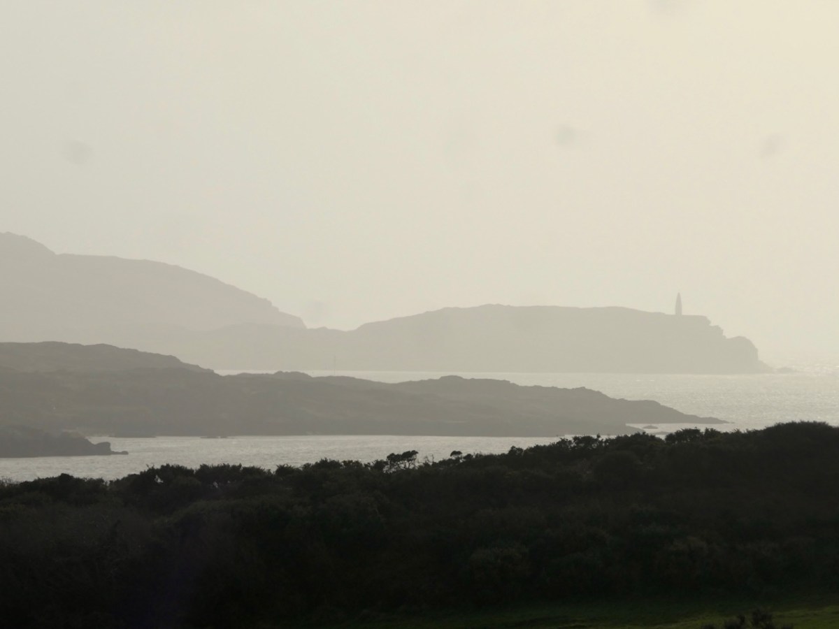
Baltimore Beacon has a recognisable profile: we can see it in the far distance from our home: Nead an Iolair
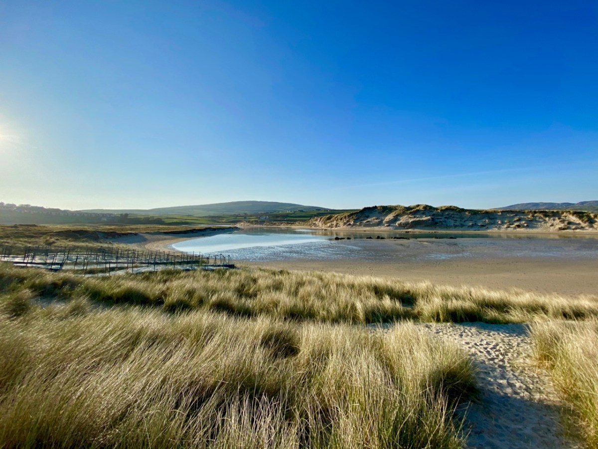
Barley Cove is a favourite place for us to walk – far enough away from the madding crowds: there are few of those in West Cork!
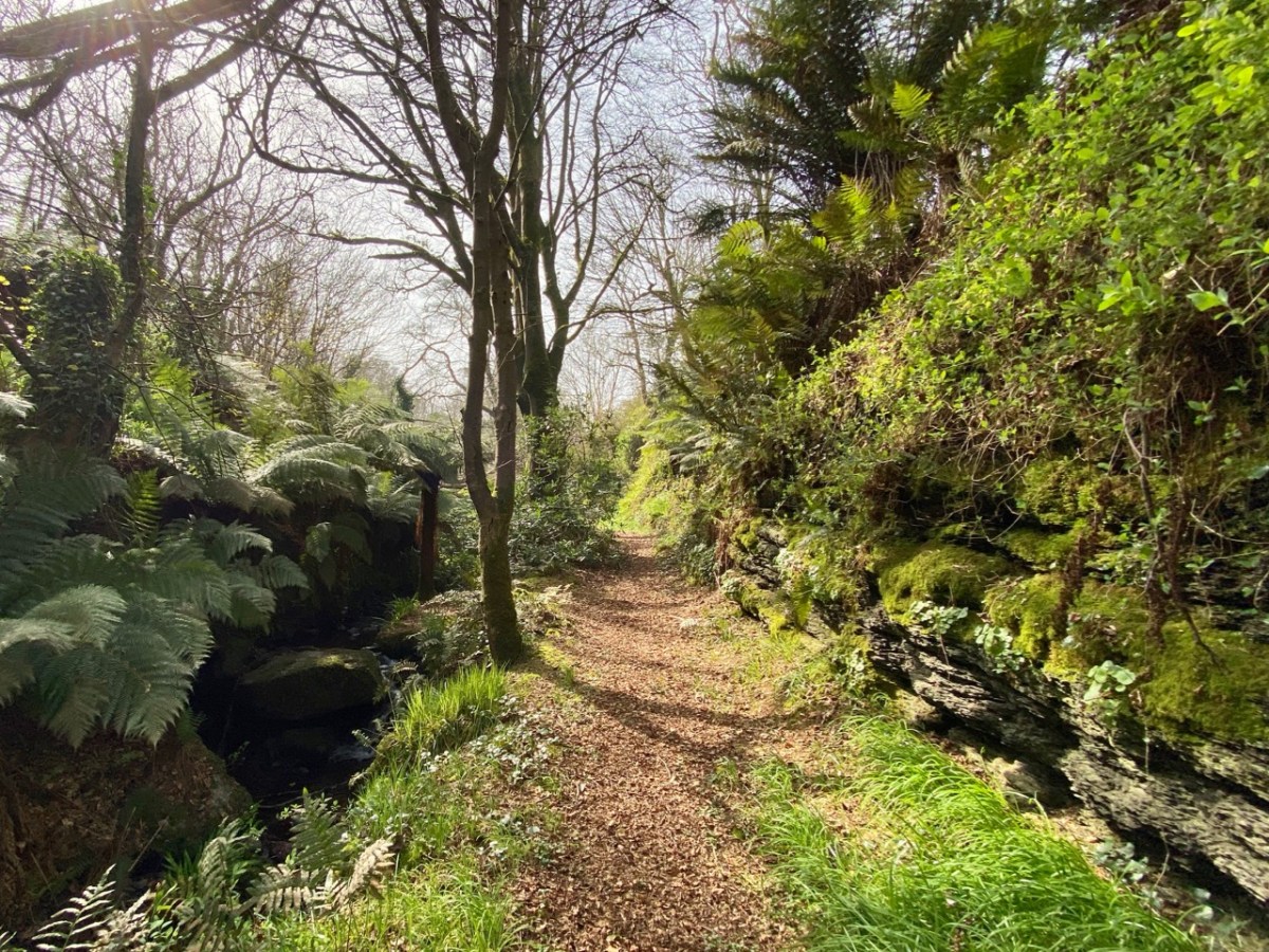
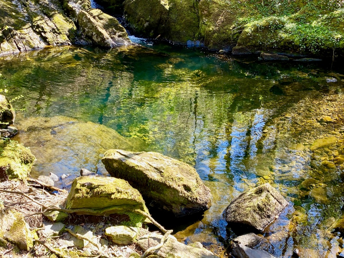
A path beside a stream at Caslehaven: there is a lot of history there – and a holy well!
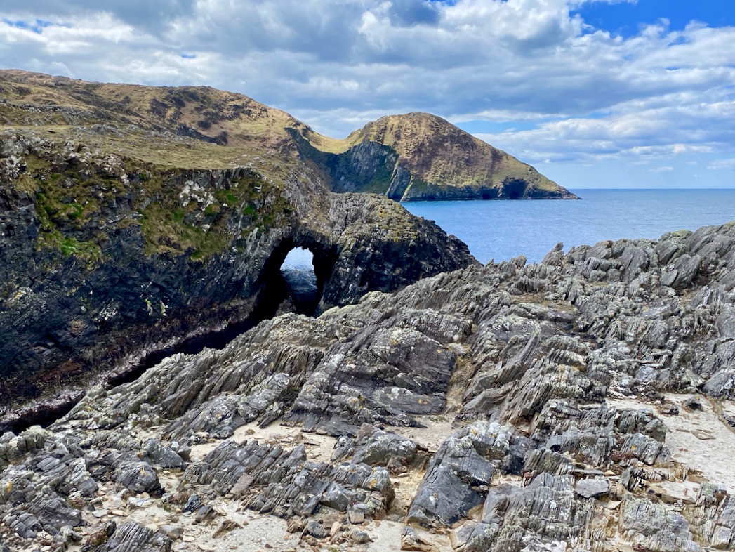
We like to explore the seascapes over by Dunkelly: here is a wonderful natural sea-arch
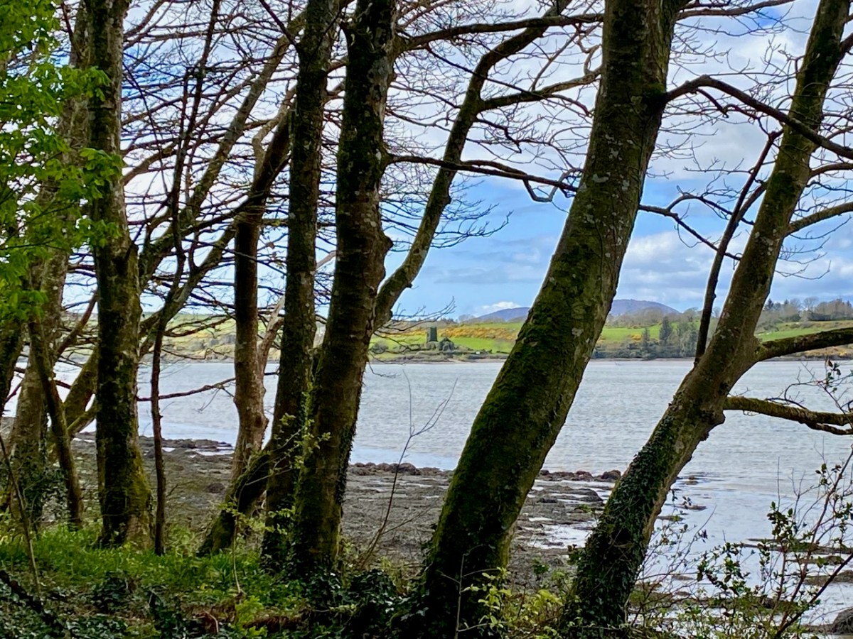
This view is from Inish Beg Estate, looking across the Ilen River towards the burial ground at Aughadown. In the background is Mount Gabriel
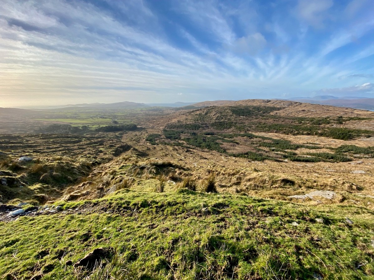
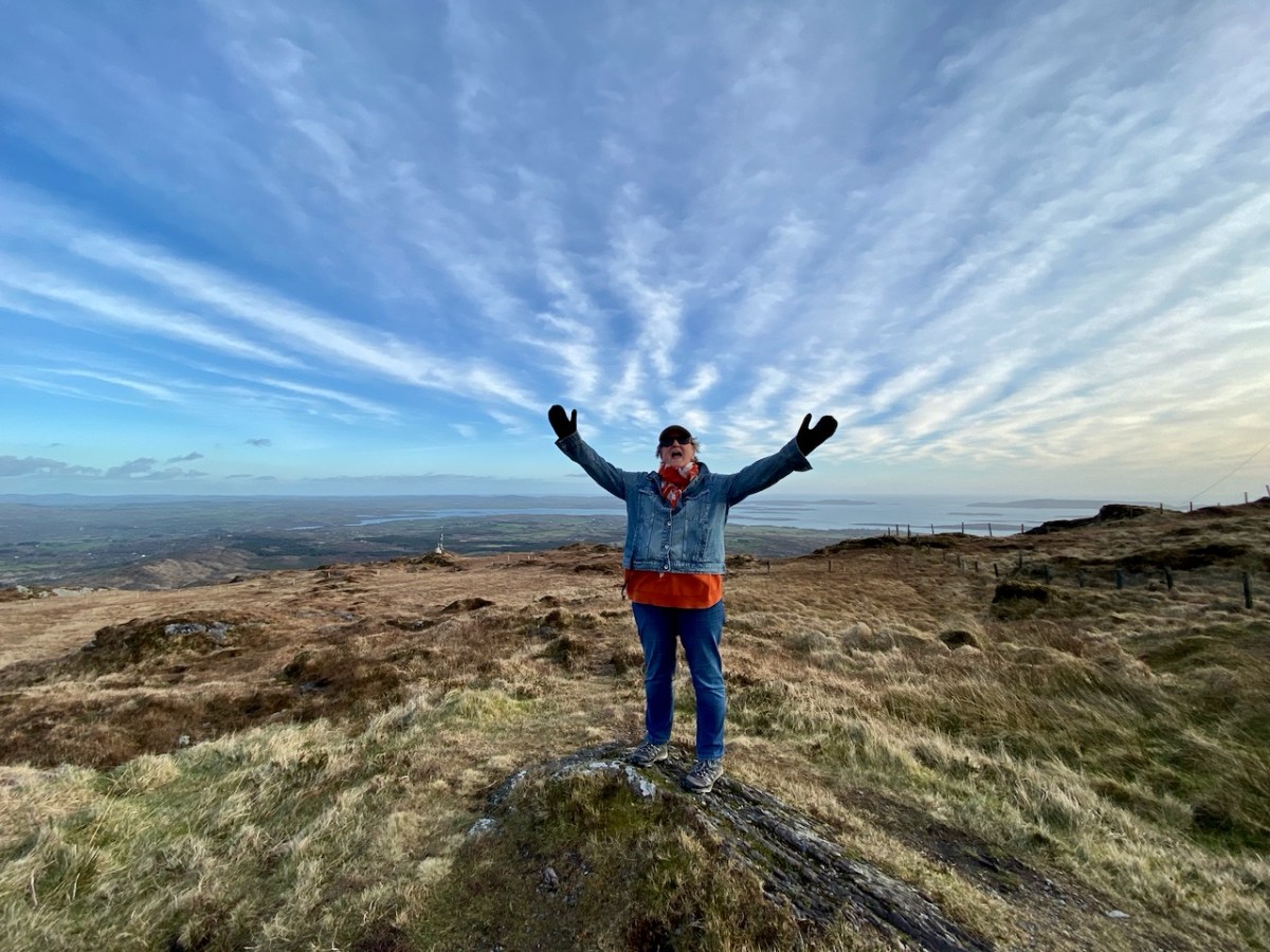
…And here is the view from the upper slopes of Mount Gabriel. Go up there on a good day and you are ensured the most scenic prospect from the top. During the year, Finola walked all the way up and – next – you can see her celebrating her achievement!
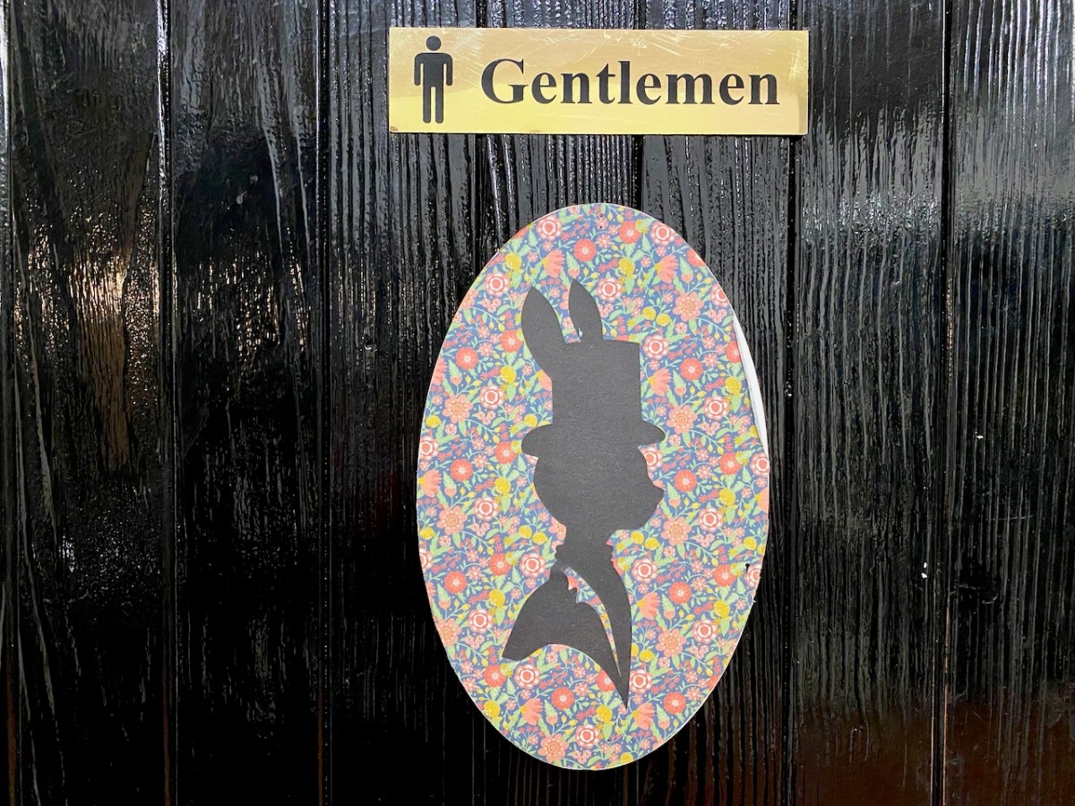
I can never resist a good sign! Ireland has plenty, and here’s one I had to put in my collection… For my latest examples, have a look at this post
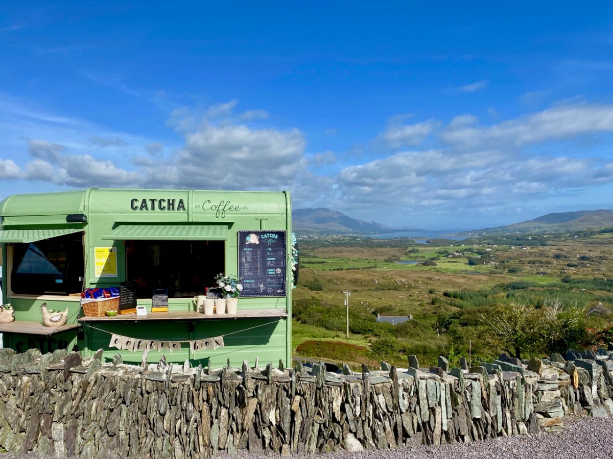
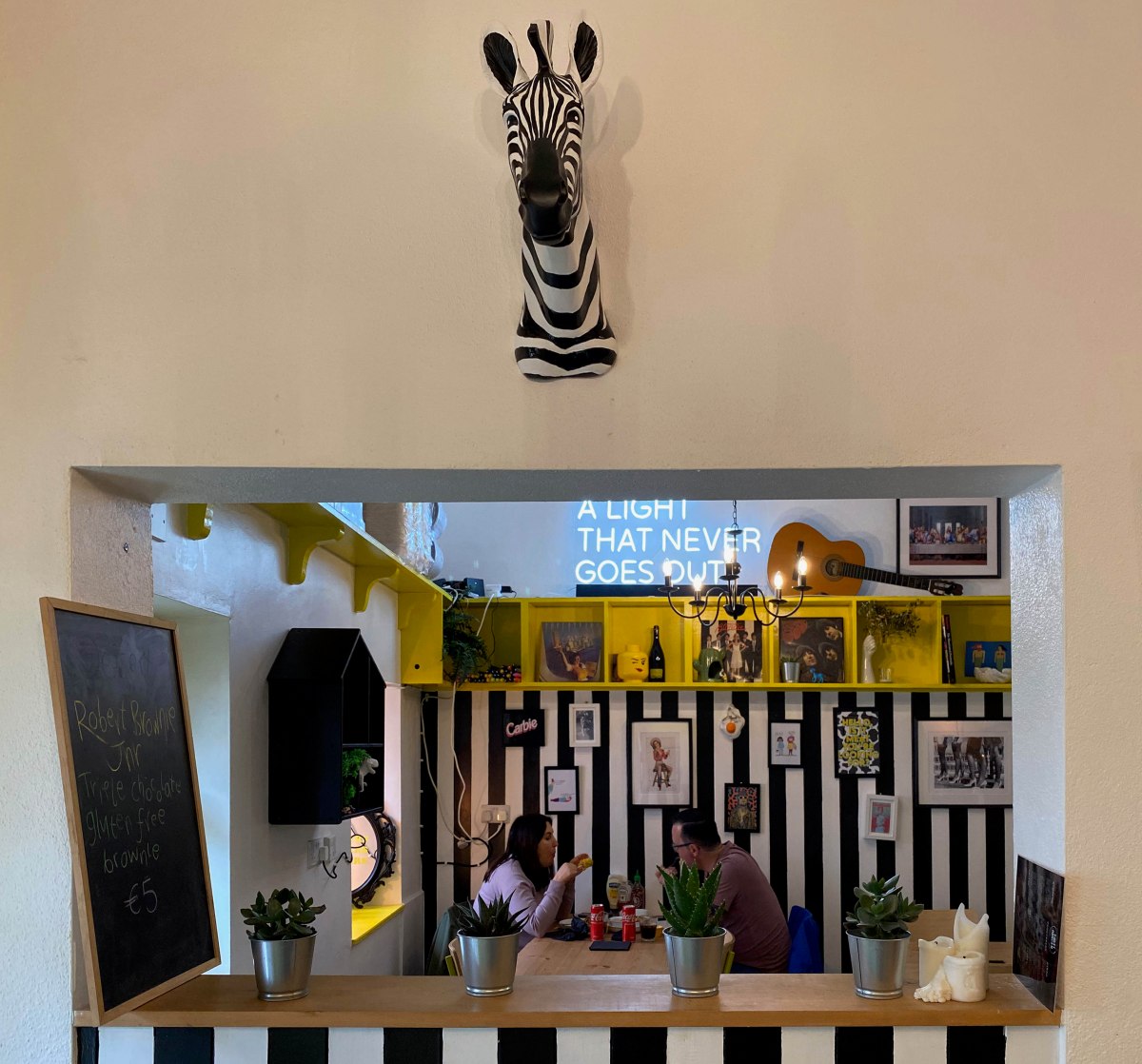
The strange times that we live in have seen an abundance of food and drink outlets springing up in town and country. I like the look of this one on the Beara
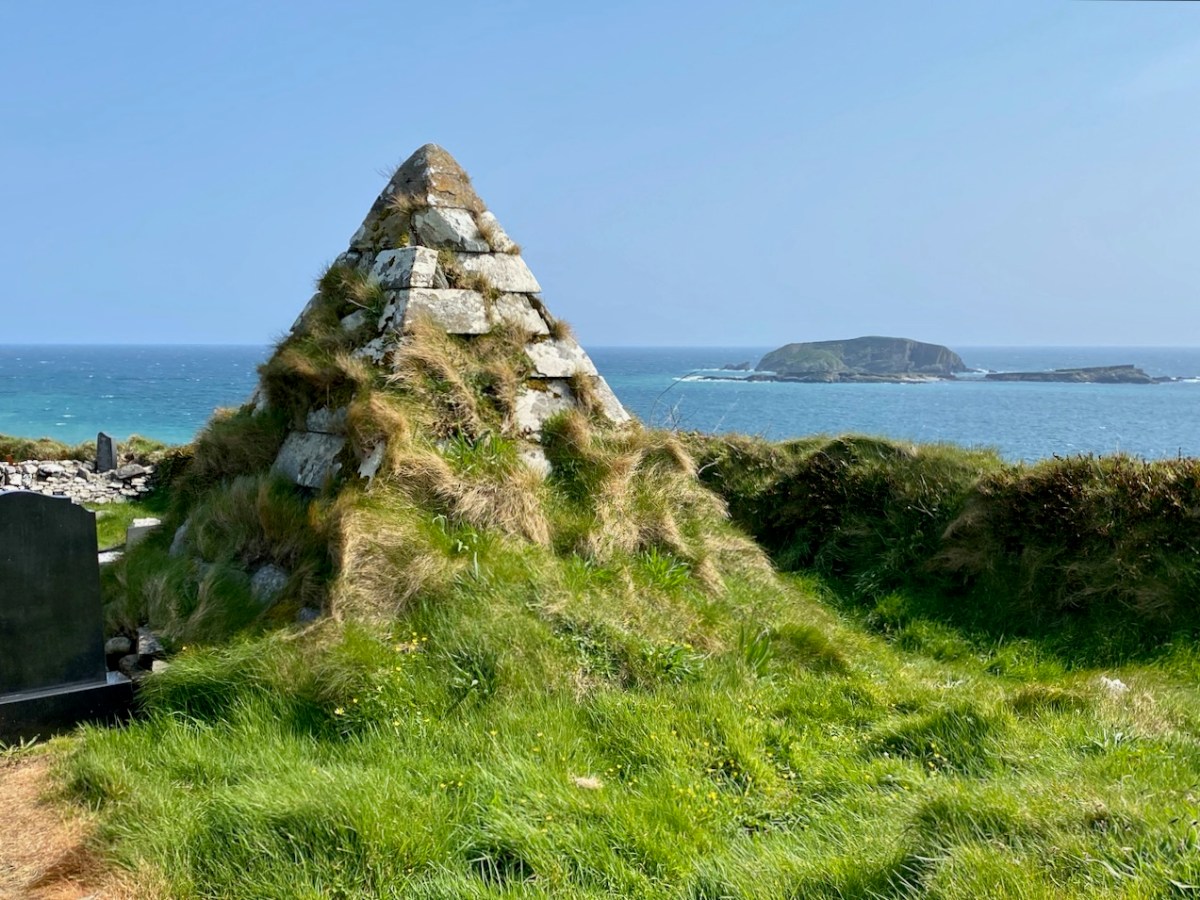
This pyramidical grave marker is one of a few in West Cork: it’s at Myross, and looks out over High Island and Low Island
We explored the area of land and sea to the south of Clonakilty, resulting in this post, titled ‘Round Ring’
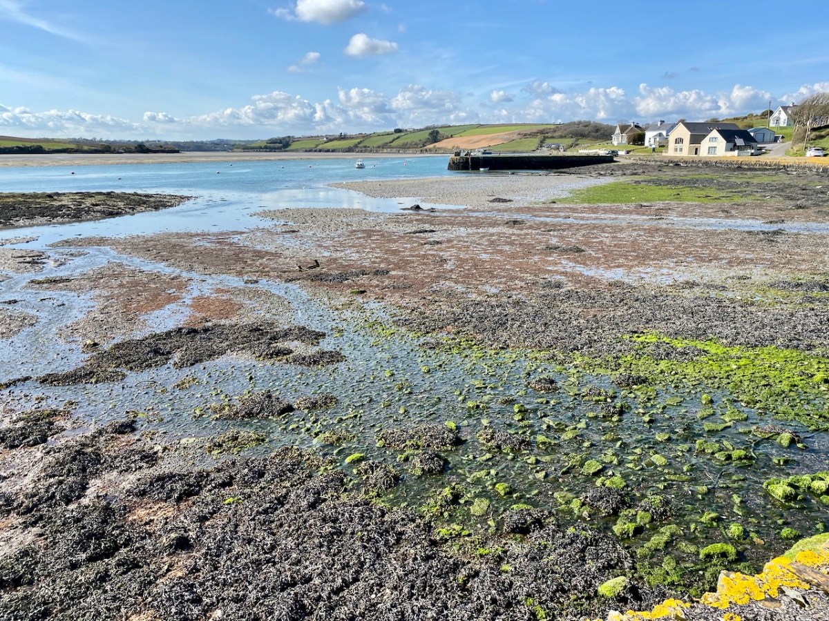
The West Cork landscapes offer an always changing mix of water and rock
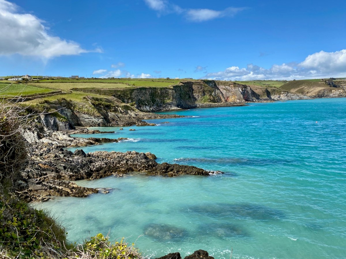
This is the coastline at Dirk, beyond Ring: it really is that colour under the summer sun!
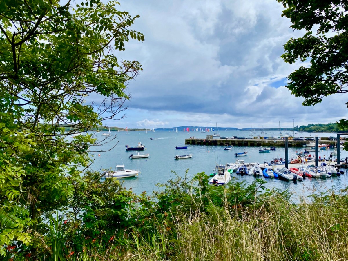
Our neighbouring town is Schull, which even in these Covid times was busy with seafarers in the summer holidays
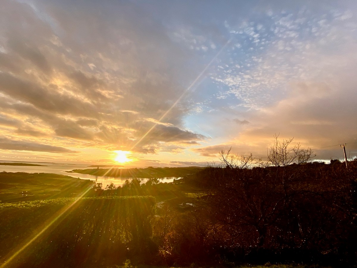
We look down on Rossbrin Cove. Here is our view on a clear day in February
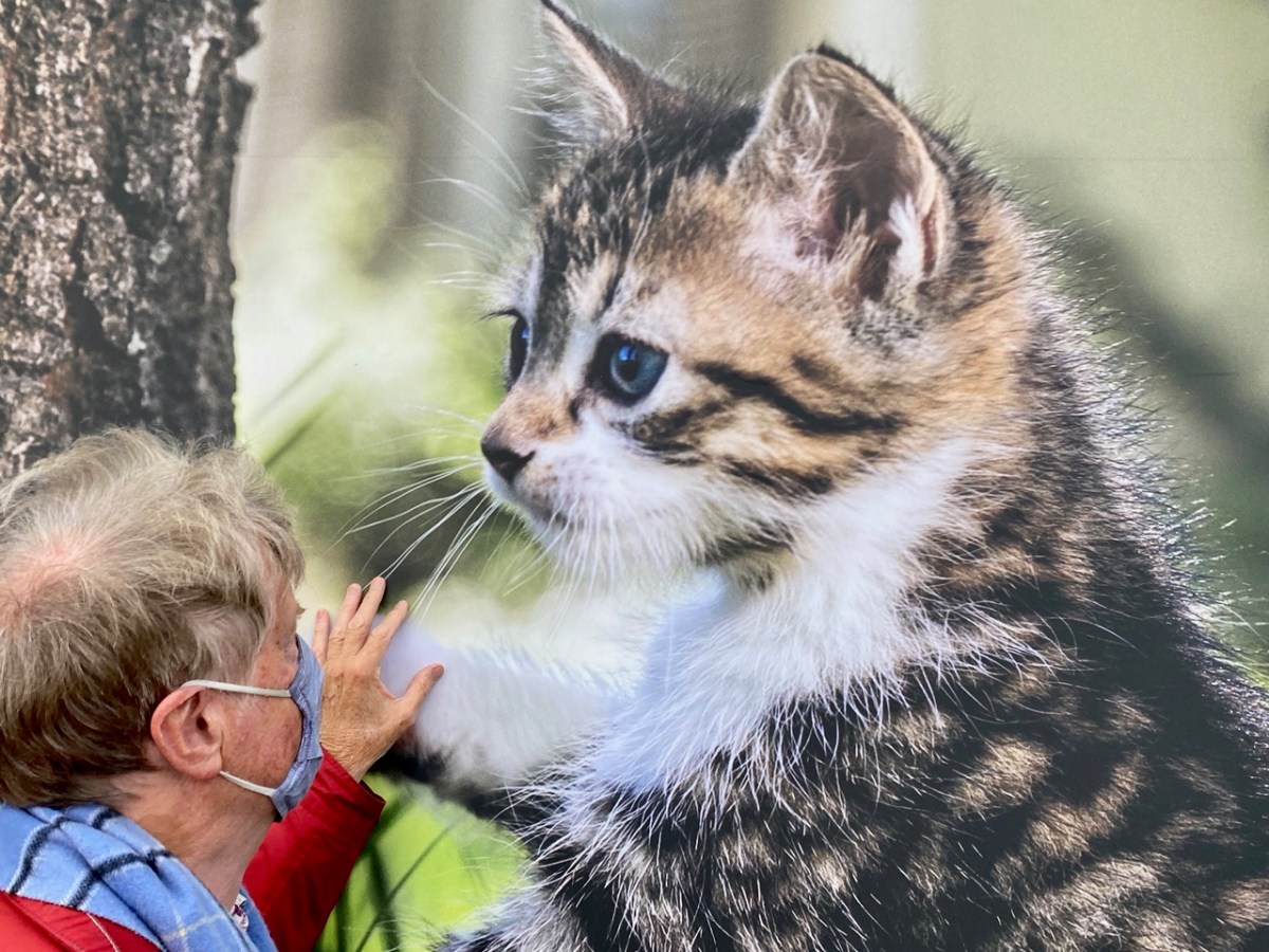
I asked Finola to take my picture next to this gentle giant – I couldn’t resist!
This may seem a surprising picture to finish off with, but Yay Burger has become our go-to on a Sunday night after a hard day on the Blog! Yay Burger has been a life-saver for us through the pandemic, and is one of a number of food outlets that have earned Ballydehob the title ‘centre of the culinary universe’