Antiquarians Loved Glendalough

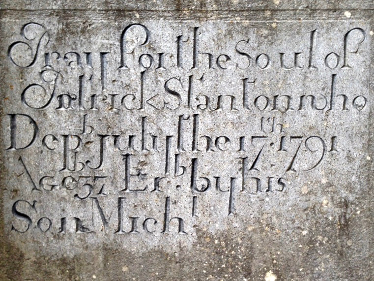
Researching a post on Romanesque architecture at Glendalough, I have come across so many depictions of Glendalough by tourists and antiquarians that I thought I would start by sharing some of these with you, by way of a general introduction to this outstanding heritage site. Situated in the heart of the Wicklow Mountains, the ecclesiastical settlement of Glendalough occupies one of the most beautiful valleys in Ireland and this combination of wild scenery and picturesque ruins made it a favourite of antiquarians, travellers and illustrators.

This illustration from Halls Tour of Ireland, Vol II, published in the early 1840s, concentrates less on architectural accuracy and more on an impression of romantic picturesqueness, although it does get the main features more or less right

Another view, this time by Lovett from his Irish Pictures of 1888

This is also a highly significant archaeological and historical site. I’ve been reading a most lucid and illuminating guide to it and I highly recommend it – Glendalough by Christiaan Corlett. Chris is an archaeologist with the National Monument Service and nobody knows this place better than he. Of the valley he says, Is there anywhere else in the Christian world that can boast so many churches and related buildings dating from before the year 1200 that have remained so intact?

I’ve started this post with the most recent image, done in 2008 by our friend Brian Lalor, but in the style of an antiquarian drawing and showing the full scope of structures at Glendalough – eight churches and three towers – as the valley would have been seen in the thirteenth century. The round tower is the most prominent feature on the landscape – and the image that most visitors take away with them. It was, of course, originally a bell tower (although it may have served other functions) since the call to prayer was an important part of the monastic day. In the drawing directly above, done by W H Bartlett (see last week’s post about this wonderful illustrator) about the same time as the Hall’s Tour sketch, you can see that the round tower is roofless. Although once again Bartlett is careful to create a wildly romantic scene he also shows the principal structures, including the Gatehouse, which is pictured below as it is today.

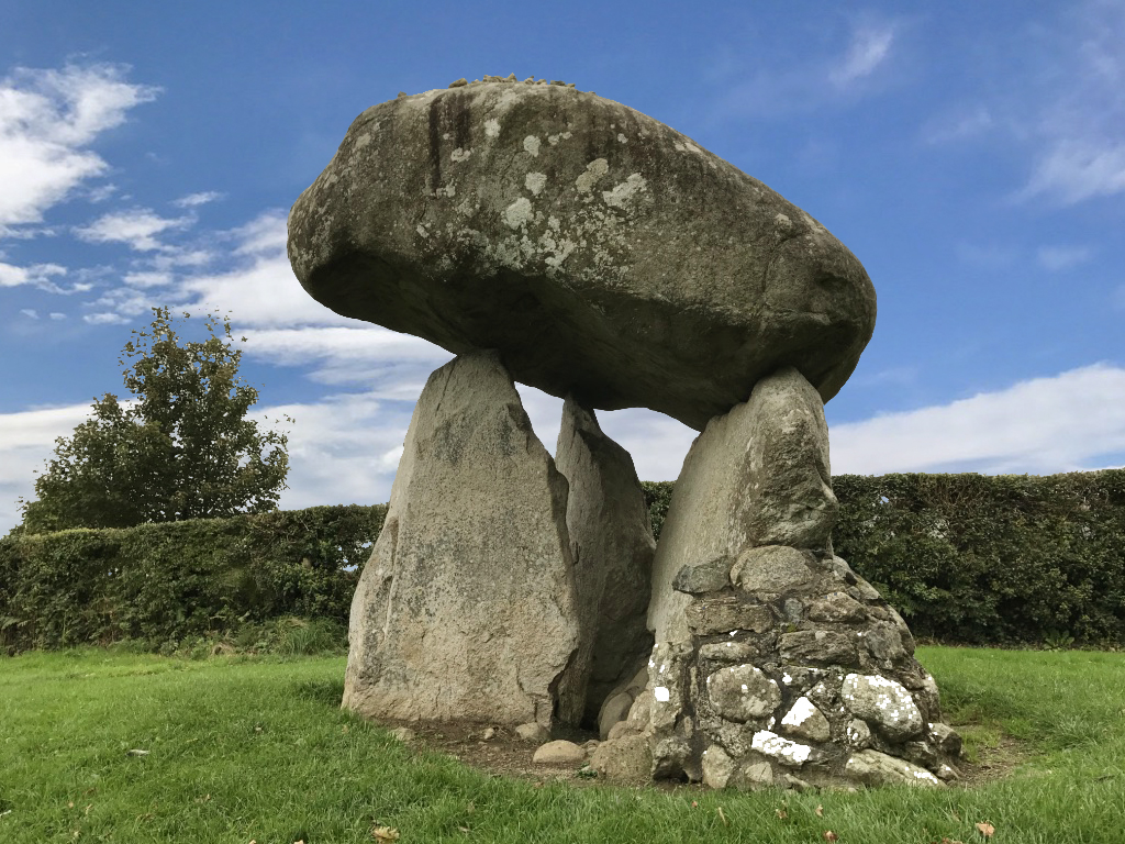
Note the projections of the wall on either side of the arch – these features are known as antae and were typical of early church construction in Ireland. See my post Irish Romanesque – an Introduction for more on this topic

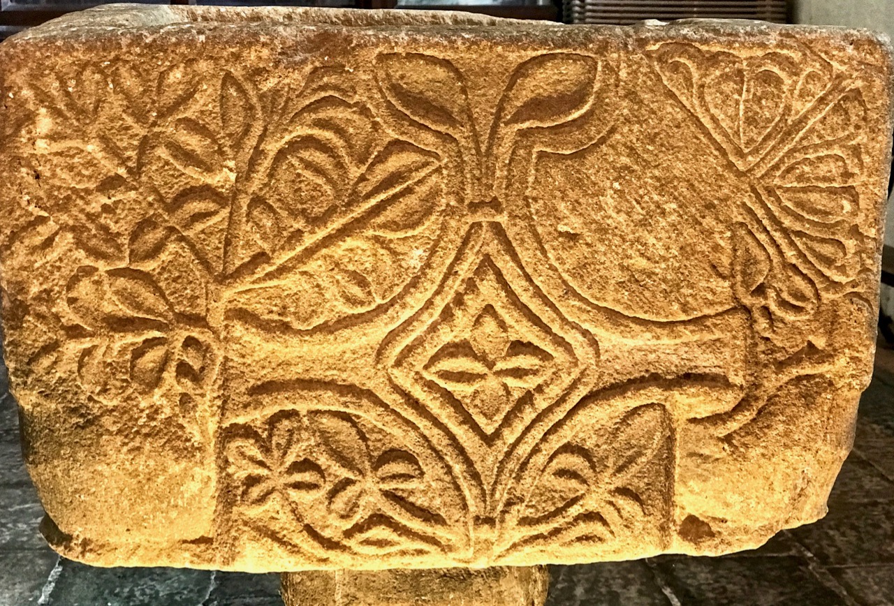
Of the two other bell towers, only the one atop St Kevin’s Church still exists. The other was similarly situated on Trinity Church but has since collapsed. But we do have evidence of it – see the final illustration in this post! Here we see why antiquarian drawings are so important. The ravages of time have taken their toll on the buildings and carvings at Glendalough: some have simply disintegrated away while some carvings recorded by these early illustrators have disappeared, presumably stolen.

St Kevin’s Church, the vestiges of St Ciaran’s Church (foreground), the Round Tower, and the east wall of the Cathedral

There’s another consideration too – the well-meaning rebuilding efforts of the Victorian period. As a consequence of the Disestablishment of the Church of Ireland which came into effect 150 years ago on Jan 1, 1871, responsibility for all the ancient ecclesiastical sites transferred from the Church of Ireland to the state, and from there to the Office of Public Works. An urgent need to conserve ruinous buildings combined with an enthusiastic approach to ‘reconstruction’ and improvement led to many monuments all over Ireland getting a make-over. As one of Ireland’s premier tourist destinations, then and now, Glendalough became the focus of such activity.

A Petrie engraving from 1827

Perhaps the most visible change was to the round tower, which was blessed with a brand new conical cap. The work was done carefully, using stones found at the site, and there is ample evidence that this was the original shape of the roof.

Some of the other reconstruction efforts may be less accurate, perhaps based more on conjecture than on evidence, but at least in the case of Glendalough the antiquarian drawings could provide some clues as to the condition of the monuments within the last 100 years, if not in their original state.

The Priests’ House (above) is a case in point. It had almost totally collapsed. As Corlett says, what can be seen today is a reconstruction carried out in the 1870s from the stones that survived among the rubble. This has presented a lot of problems for our attempts to understand the original nature of function of this building.

The Board of Works focused on the drawings of Gabriel Beranger from 1779 and rebuilt the elaborate romanesque arch as Beranger had depicted it. It remains somewhat controversial since it is highly unusual for such a feature to be on the outside of a building, although Corlett points out that its function may be related to the veneration of relics inside the chapel by pilgrims mounting the step to gaze through the small window.

Next time, I will concentrate on the architecture of Glendalough. It dates mostly from the 12th century and illustrates gloriously the persistence of traditional building designs from the early Irish church as well as the introduction of the Romanesque style with its arches and carvings. Some of the best examples are those that fewest people visit, so you may have a couple of surprises in store.

Beranger’s painting of Glendalough, done in the 1770s and showing the bell tower on Trinity Church, now gone

Inspired by Stone

One of the many archaeological excitements in Ireland last summer was the discovery of a hitherto unknown passage grave with significant carvings beside Dowth Hall in the Bru na Boinne area of County Meath. These carvings are likely to date from around 5,500 years ago. In the picture above (courtesy of agriland.ie) from left to right are Minister for Culture, Heritage and the Gaeltacht Josepha Madigan; agri-technology company Devenish’s lead archaeologist Dr Cliodhna Ni Lionain; Devenish’s executive chairman Owen Brennan; and Professor Alice Stanton.

As you know, we are Rock Art addicts, so this week went along to this year’s Stone Symposium in Durrus, West Cork, to hear Cliodhna, above, give a fascinating illustrated talk on the finds at Dowth. Have a look at this post on the inaugural Stone Symposium from 2017. It’s great that the event is thriving and attracting interest and participants from far and wide.

Our attendance at the Symposium set me thinking about the whole subject of stone. It’s the most basic of creative materials, as relevant today in construction and art as it was to our Neolithic ancestors. Proleek Dolmen in County Louth (above) is an example of the early use of stone to create a structure which made a huge impact on the landscape. It’s a portal tomb over 3 metres high, and the supporting stones are around 2 metres high: the capstone is estimated to weigh 35 tons. It’s probably a more visually impressive structure today – in its ‘naked’ state – than it was when completed, as it is likely to have been covered over with a mound of earth and / or stones. There is folklore attached to this monument: it is known locally as the Giant’s Load, having been  carried to Ireland by a Scottish giant named Parrah Boug McShagean, who is said to be buried in the tomb or nearby.

Here’s another portal tomb – the largest in Europe – which I discussed in this post from last year. It’s known as Brownshill Dolmen, and is in County Carlow. Finola is in the picture to give the scale. This capstone is said to weigh 103 tons. The portal tombs demonstrate the use of stone in its rawest and most spectacular state: they are examples of Ireland’s earliest architecture, and we don’t really know what they were for. Perhaps it’s to do with status, either of the builders or of the chiefs or priests who might have been buried in them. They certainly make mighty marks on the landscape…

…As do all the other stone monuments which celebrate their makers – although perhaps they remain enigmatic to us today. Bronze Age stone circles have always fascinated, and at least we know that they have orientations which must have been significant. Drombeg in West Cork (above) is much visited at the winter solstice, when the path of the setting sun falls over the recumbent stone when observed through the two portal stones at the east side of the circle.

While the earliest dwellings of the inhabitants of Ireland thousands of years ago were probably constructed from organic materials  – earth, sticks and furze – stone began to play a part in architectural construction in Christian times. The remarkable Gallarus Oratory (above) on the Dingle Peninsula, County Kerry, was long thought to have dated from around the 8th century, although an early commentator – antiquarian George Petrie, writing in 1845 – suggested:

I am strongly inclined to believe that it may be even more ancient than the period assigned for the conversion of the Irish generally by their great apostle Patrick . . .

It’s a fascinating discussion to follow – Peter Harbison sets it out in detail here, and concludes that the Oratory could have been built as late as the 12th century, even after the great Romanesque flowering which included the building of monastic settlements and round towers.

The 12th century cathedral and (possibly earlier) round tower at Ardmore, County Waterford (above), should be a Mecca for stone enthusiasts because of its monumental architecture and carvings: St Declan founded the site in the 5th century, and his monastic cell survives. The Romanesque period in Ireland has many other examples of stone craftsmanship to show, proving that working with stone had become a high art in those medieval times. The examples below are from Killaloe Cathedral in County Clare.

One of the finest Romanesque sites is the Rock of Cashel in County Tipperary. Finola has written in detail on this architectural gem here and here. Suffice it for me to illustrate only one of its treasures – Cormac’s tomb, a sarcophagus beautifully carved in the ‘Urnes’ style – a Scandinavian tradition of intertwined animals.

For centuries, stone has also been a ubiquitous utilitarian building material all over Ireland. ‘Castles’ or – more properly ‘Tower Houses’ – date from roughly 1400 to around 1650, and many remain in a ruined condition, particularly on the coastline of West Cork: we can see five of them from Nead an Iolair. Some have been restored in modern times, including Jeremy Irons’ Kilcoe Castle. The example below is from Conna, East Cork.

Ireland’s landscape is sculpted from stone. Drystone walling is an ancient tradition still practiced for dividing up land, and varies considerably in style regionally, reflecting the differing geology across the island. Two examples from the Beara Peninsula (below) show the essential geometry of field patterns which stone wall building has created over the centuries.

Stone has also long been a medium for communication. We have commemorated our ancestors for centuries with grave markers, often with elegantly carved lettering. Of the two examples below, the first is from Clonmacnoise, and is likely to be early medieval, while the second is an inscription from 1791.

This is just a brief history of our use of stone, dating over thousands of years: I have chosen many examples – almost at random – but hope that I have demonstrated how important it is to continue this ancient craft. The West Cork Stone Symposium is doing sterling work in promoting it today: long may this continue!

Discovering Carrowmore

stone and sky

At the heart of the Coolrea peninsula in County Sligo lies one of the greatest megalithic complexes of ancient Ireland, An Cheathrú Mhór or Carrowmore as we call it today: the Irish name means ‘The Great Quarter’. Spread over a plateau of some 150 acres and centred on the high point of Listoghil are thirty recognisable tomb sites but it is suggested that there were once at least a hundred monuments here.

Carrowmore 1

The Carrowmore monuments that we know today cover over 150 acres: it’s likely that there is much more to this site which has been lost, or which remains to be recovered

The changing landscape has taken its toll: from the 18th century onwards land clearance and quarrying have damaged and obliterated many of the remains and even as recently as 1983 Sligo County Council sought to place a municipal landfill dump adjacent to the known sites. Fortunately a few alert local residents objected and took the case to the High Court in Dublin. Initially their objections were overruled but in 1989 an appeal to the Supreme Court was successful and the very important landscape context of Carrowmore has been saved, hopefully for all time. In that same year the state commenced purchase of a part of the site and has developed a sensitively planned visitor facility now run by the Office of Public Works. Since then more of the surrounding site has been purchased and is in public ownership.

stone and skyscape

Carrowmore landscape: this view to the great central cairn on Listoghil shows the nature of the terrain and the context of the monuments which it is so important to preserve

It’s the integrity of the complex that is so special here. The monuments found at Carrowmore are called boulder circles, though several have central dolmens or rudimentary passages. Generally around 12 to 15 metres in diameter, the circles contain 30 to 40 boulders, usually of gneiss, the material of choice for the tombs. Sometimes an inner boulder circle is also present.They are considered to be an early type of chambered cairn, or passage grave, though in fact, they may be the ancestor of a few monument types. This is the view of local man Martin Byrne, historian, artist, musician and our tour guide for the day. He pointed out to us how the passage of each of the boulder groupings is oriented, not towards a solar or calendrical event but to Listoghil, where an enormous cairn encloses a box-like stone chamber with a large capstone.

Monument, mountain and sky

One of the boulder circles at Carrowmore with its central chambered tomb. This view is looking away from Listoghil and towards another significant landscape feature, Knocknarea, which is topped by the cairn known as Queen Maeve’s Tomb, 6 km to the west. There are 6 more mountain-top cairns on the peaks of the Ox Mountains to the south. The central focus of the Carrowmore complex is the cairn on Listoghil, although this is not as dramatically visible as many of the surrounding cairns

The chamber on Listoghil has been given a modern context, with the original cairn covering having been cut away to allow access. This chamber displays the only examples of rock art to be found so far within the Carrowmore complex. This is hard to see in normal lighting conditions, but successive observations have enabled these images to be made:

Listoghil carvings Guillaume Robin 1994

The formerly covered central chamber of the Listoghil cairn: top left is a photograph taken during excavations by Göran Burenhult in 1996-98 – this shows three boulders in front of the tomb which are said to have been an earlier Neolithic monument displaced by the tomb construction. Top right is the OPW interpretation board for the chamber and above are drawings of the rock art on the edge of the roof slab compiled by Guillaume Robin

It’s startling to discover that the Carrowmore complex could be over 6,000 years old: carbon dating from some of the finds has suggested this. If so, then it’s the earliest of the passage grave cemeteries in use in Ireland. Many cremated remains have been found over this site (spread over a long period of time), although unburnt human bones were also recovered in the Listoghil chamber. It could be speculated that the focal point of Listoghil must have been the resting place of a very important person – or dynasty; we will never know for sure. 

‘Accidental’ rock art and rock scribing noticed on monuments at Carrowmore: these boulders have natural markings on them but it is possible that the monument builders were attracted by these marks, which may themselves have inspired carvings

The Carrowmore complex has been visible enough historically to attract the attention of antiquarians – which is useful for later archaeologists, as some parts which are now lost have been historically recorded, albeit using methodology which would nowadays be considered inadequate. Gabriel Beranger, who was born in Rotterdam in 1725, settled in Dublin in 1760 and was a notable illustrator of antiquities in Ireland during a long lifetime; he visited and recorded Carrowmore. A local landlord, Roger Walker, carried out some excavations of the tombs in the 19th century but made no significant records; it is suggested that he was a treasure hunter. George Petrie surveyed the site and numbered the tombs in 1837 but it was another 50 years before archaeologist William Gregory Wood-Martin made the first methodically recorded excavations. William Wakeman produced some exquisite watercolour sketches in 1879. More recently Swedish archaeologist Göran Burenhult undertook detailed studies between 1977-1982 and 1994-1998 and this work included the excavation and subsequent reconstruction of the Listoghil cairn.

Upper Left: the work of Gabriel Beranger who visited the area in the 1700s – this shows Queen Maeve’s Tomb on Knocknarea. Upper right: William Wakeman’s watercolour of Tomb 4 in 1879 (Sligo County Library). Above: Listoghil chamber tomb today

Our guide Martin has studied the complexes at both Carrowmore and Carrowkeel (a future destination for us) for many years and is imbued with the archaeology and the landscape. He gently pointed us to the fact that relationships can perhaps be seen between the profiles of some of the boulders – particularly the capstones of the tombs – and the more distant landscape. I find this fascinating: I have always felt, as an architect, that there should be a conscious designed relationship between any building that is erected by human endeavour and the setting of that building within nature. Could these parallels that we might be seeing at Carrowmore be conscious?

Dolmen and Mountain

Rocks reflecting nature? Were the capstones chosen to specifically echo the landscape context? A debatable – and very subjective – notion…

My day was made when I discovered that Martin was a musician – as is Margaret, and I joined them in their colourful house for a little session!

martin + margaret