You’ll all know that Ballydehob is the true centre of art in West Cork. Our posts about the Ballydehob Arts Museum (BAM) set out the history of the community from the 1950s onwards. Artists settled in the environs – some camping out in the hills, and many of them remain connected with the area to this day. Local residents were at first amused – or bemused – by this ‘invasion’, but it soon became an accepted part of the character of the village.
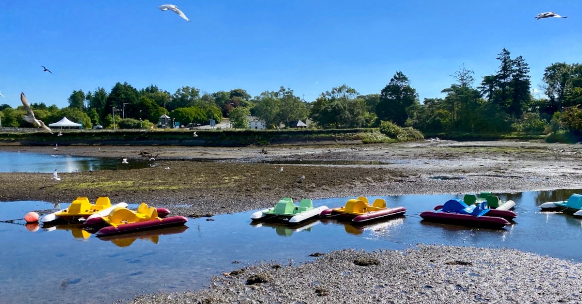
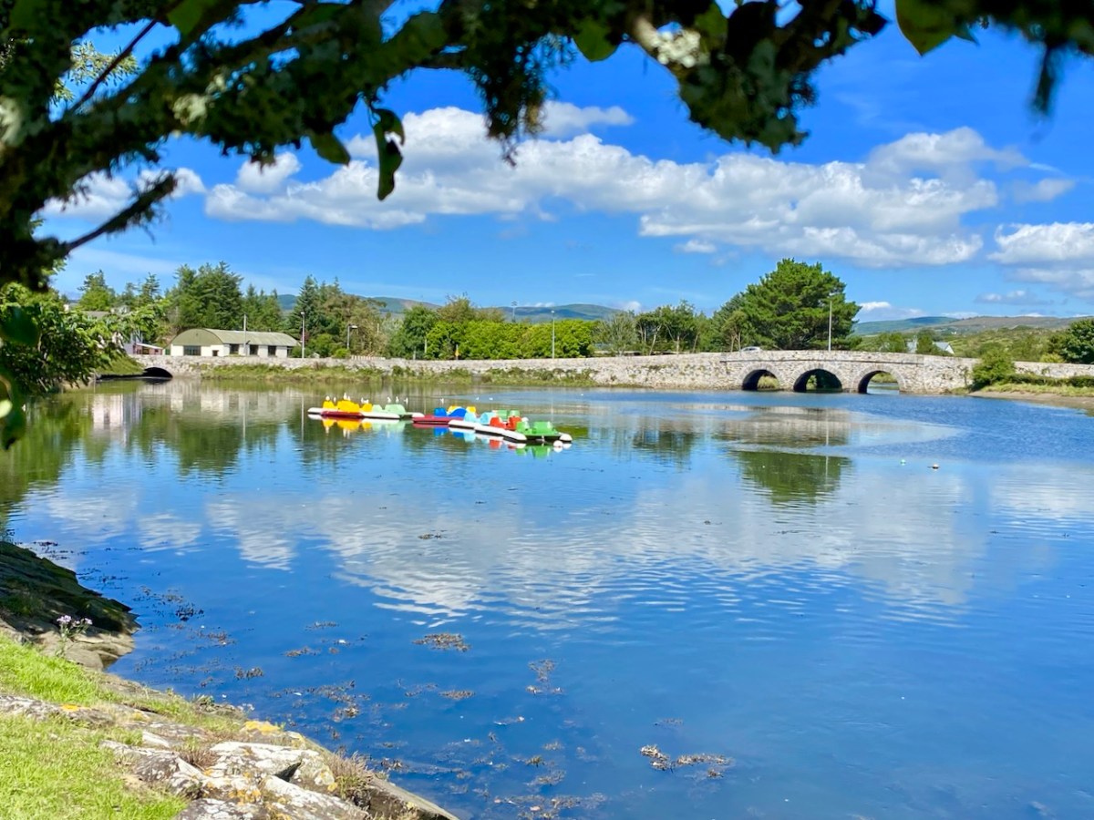
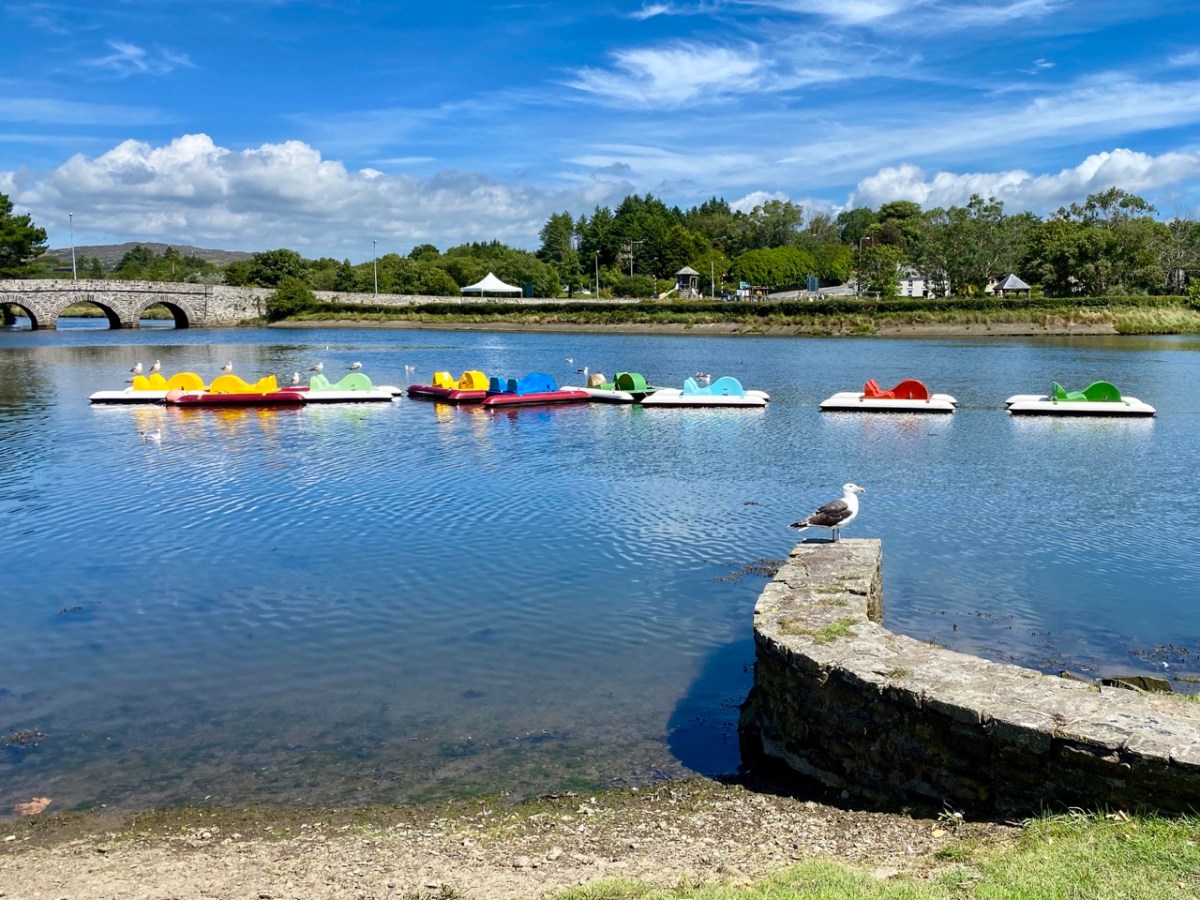
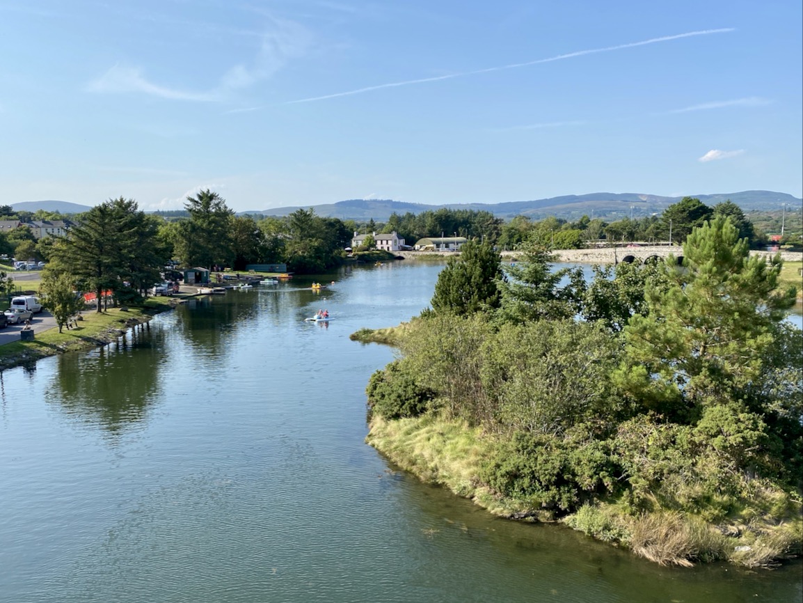
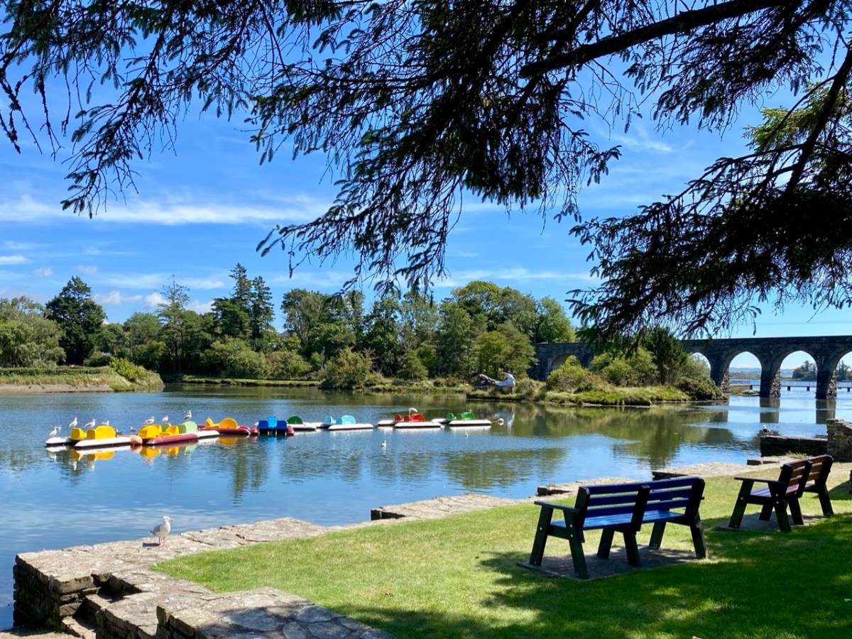
Right at this moment, an innovative installation is in place on the water in Ballydehob, just above the 12 arch viaduct and by the road bridge that comes into the town from the east. This is where the two rivers meet, the Bawnknockane and Rathraune, giving the town its name: Béal Átha an Dá Chab, which literally means Mouth of the Two River Fords.
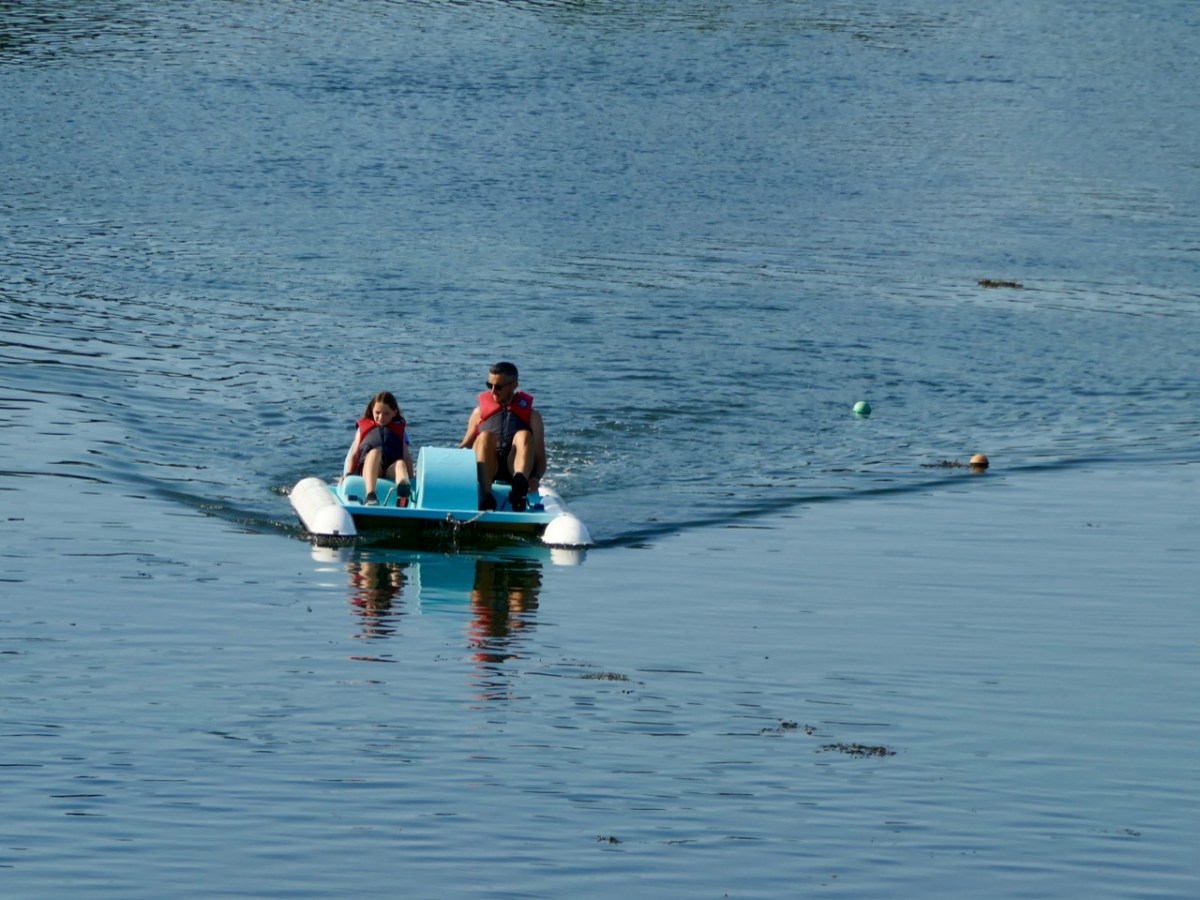
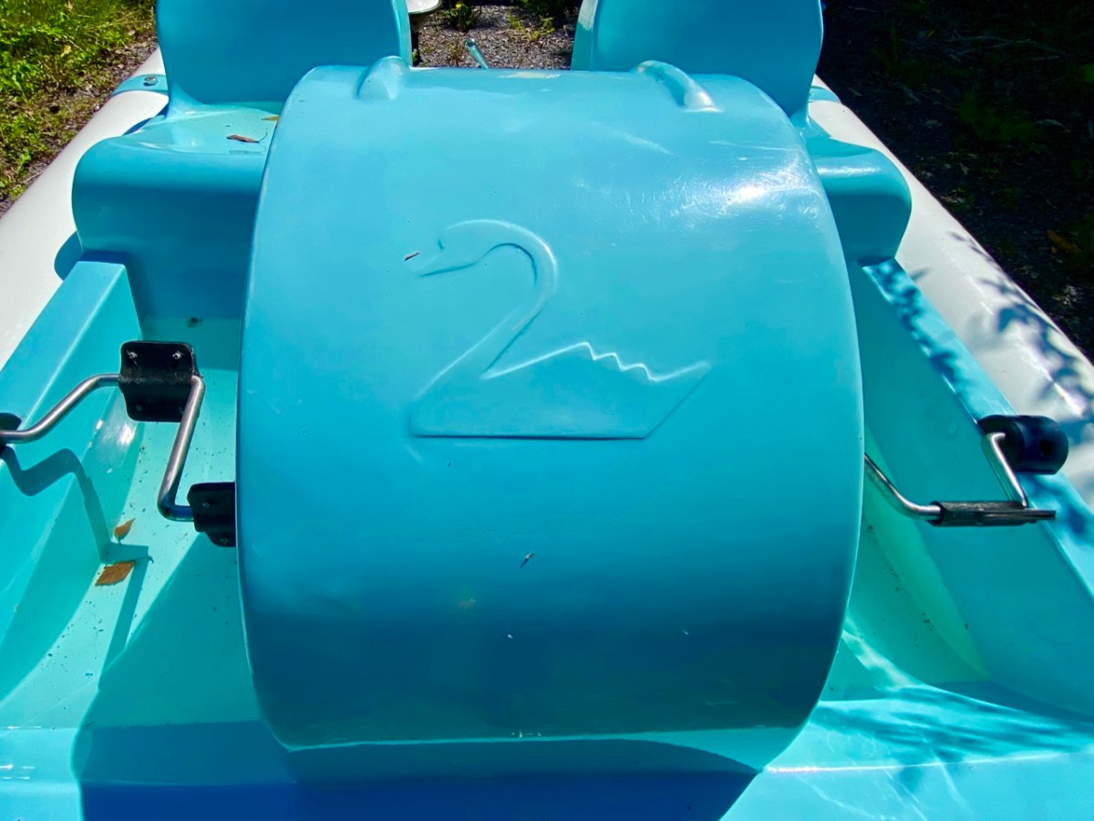
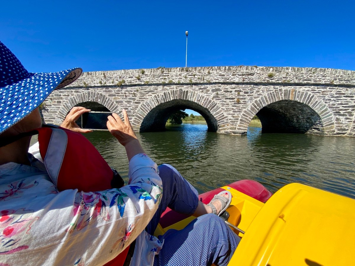
In summary, this art installation by Muireann Levis offers you a close experience of the water accompanied by a sensory soundtrack which is projected into the bay through a series of loudspeakers. The name of the project is Inbhear, which translates simply as Estuary. The way you experience the water is by climbing on board one of the ‘pedalo’ boats that were a common scene on the water here in Ballydehob back in the late 20th century. I remember seeing them on the estuary when I visited West Cork in that time, but they have not been in active use since then, so we were delighted to be among the first to experience their revival, a couple of days ago.
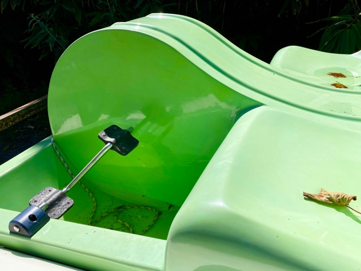
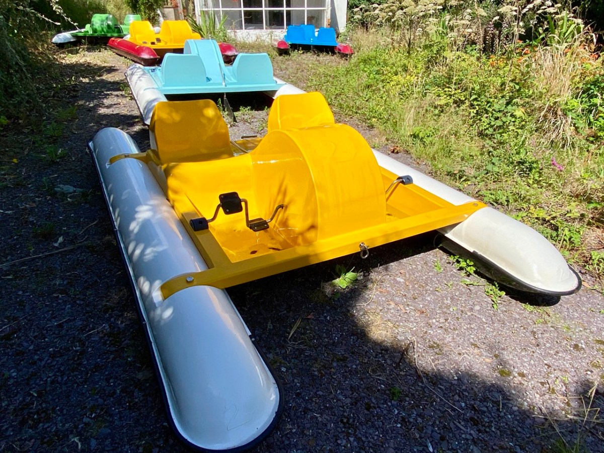
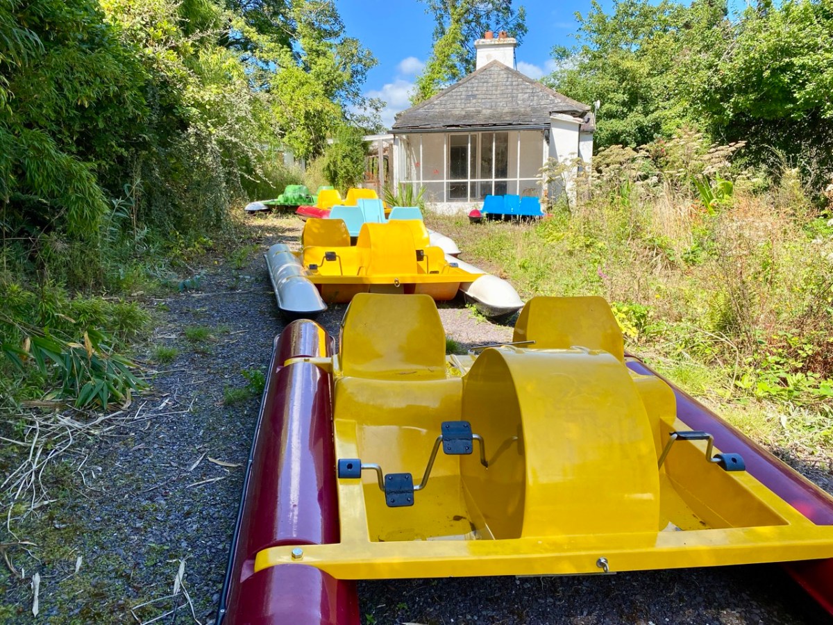
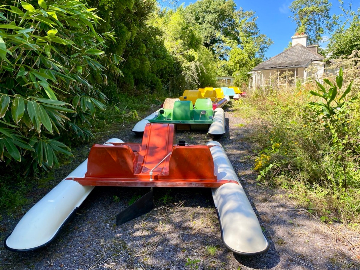
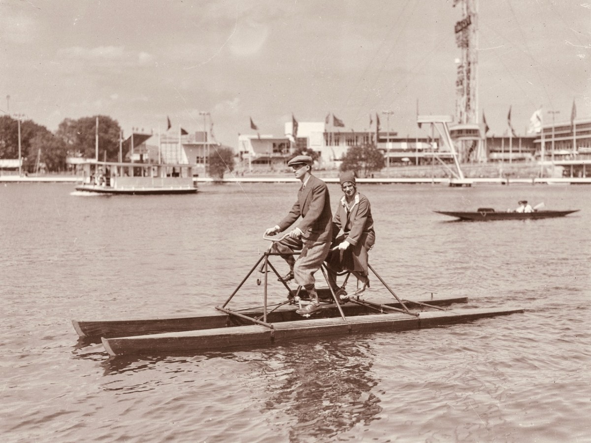
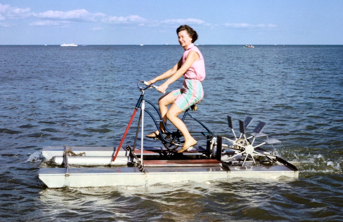
The pedalos have been kept safe and required only a little maintenance before coming back into service. Wouldn’t it be great to think that they might be brought out again on occasion? They are colourful and brimming with character. Have a look at these further examples from the historical archives of ‘pedal powered boats’; the first dates from 1930 in Stockholm, and the second is in Michigan, dated 1963.
Interestingly, the pedalos which we are seeing today were actually assembled in Ballydehob. They were made as part of a government employment scheme, and some were destined to be used in Barley Cove, with a small ‘fleet’ being set up in Ballydehob Bay. The latter deteriorated, but the Barley Cove boats have been stored well, and were recovered for this installation. So it’s a remote deja vu for these craft.
The meeting of the Bawnknockane and Rathraune rivers (above) creates an inner tidal pool – between the three-arched road bridge and the old railway viaduct, and this is where the installation has been set up.
. . . Working with field, hydro-phonic and electromagnetic recordings of the rivers and their many tributaries, Muireann invites us in to a relearning of her childhood environment, creating a piece that draws us closer to the everyday presence of water and elevates its endless subtleties . . . Inbhear, the Irish for “estuary”, finds meaning in its Old Irish roots where it translates to “a carrying in”. It offers a focal point for the carrying in and meeting of old and new identities, both social and environmental . . .
Inbhear event publicity
Finola shot these two videos while we were out on the water experiencing the event, and the soundtracks give an impression of what we could hear while we were afloat:
It may be too late for you to book this event: it’s only happening for a few days. Let’s hope that there’s a demand for a re-run in the near future: it’s such a celebration of so many aspects of Ballydehob, not least as a centre of pedalo boat production back in the day: who knew?
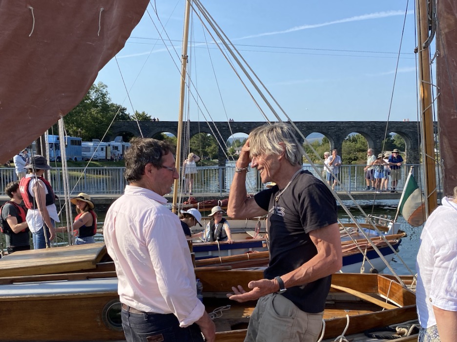
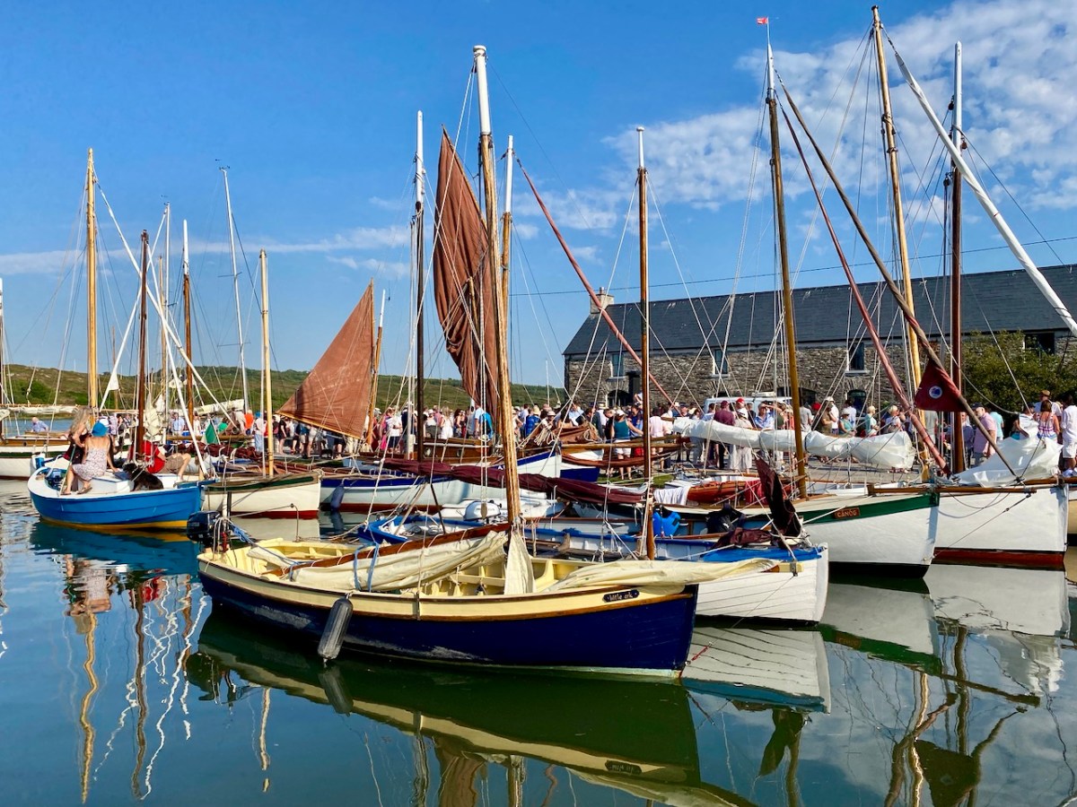
It’s very apt that I should be writing the post on this weekend, as we have just celebrated another Ballydehob event: the annual Cruinniú Bád (boat gathering) which happens at the quay around the highest tide of the summer:
With many thanks to Muireann Levis for inspiring the installation, and to Cormac Levis and William Swanton for information on the history of Ballydehob’s pedalo boats. We should also acknowledge the tireless endeavours of Eleanor Regan and the late Kevin Heaps who operated the pedalos getting on for forty years ago. William told me that Ballydehob Community Council has long been petitioning for the ‘Slob’ below the historic quay to be dredged to allow more boats to use that quay through the year. The sight of boats, small or large, on the water as visitors enter the village from the west would undoubtedly encourage enhanced footfall to the shops and hostelries of this remarkable community
I’ll explain at the outset that Caheragh is (more or less) pronounced ‘corer’ (as in coring apples)! It’s a parish in West Cork that we have visited before. Have a look at my article on the Ilen River, here. This locality is brimming over with history and we go exploring as often as possible: there is always more to find. And – with wide views and cloud scapes in all directions from the high ground – it’s an uplifting place, especially when blessed with the August sun.
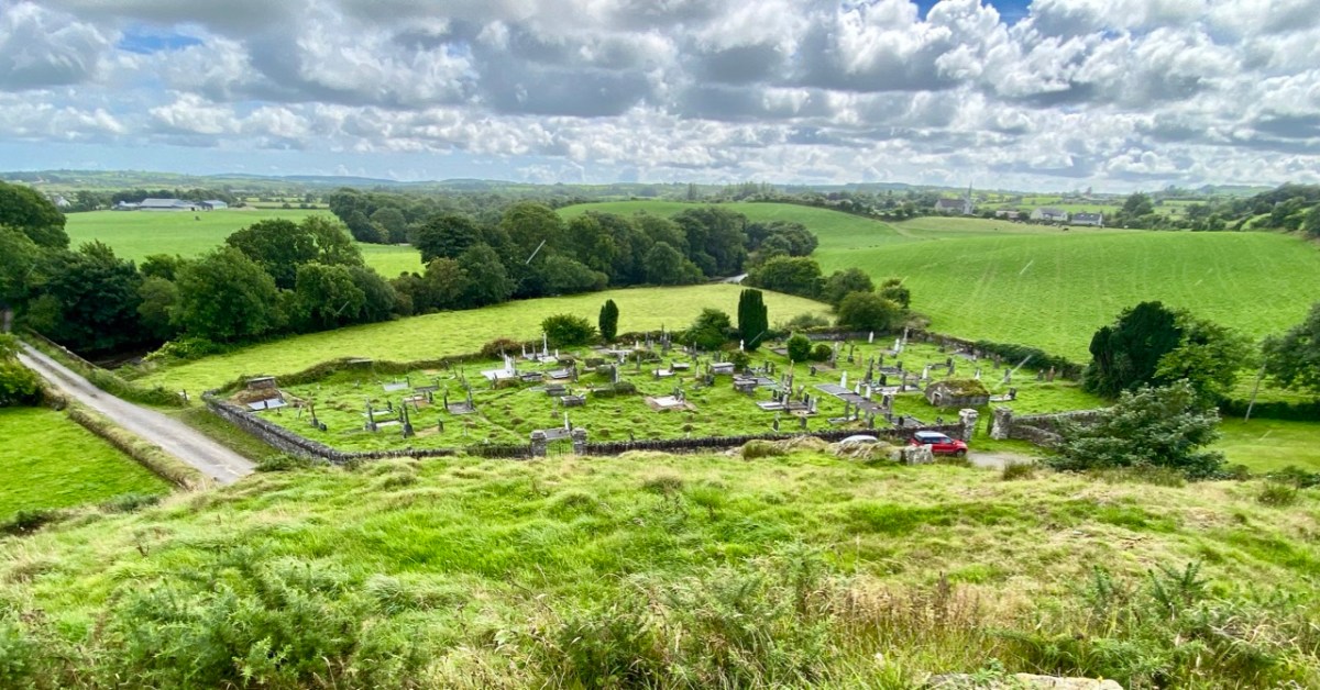
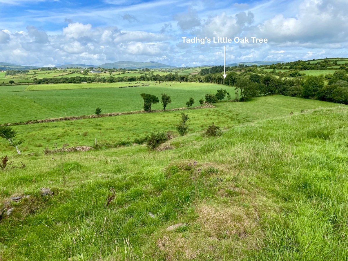
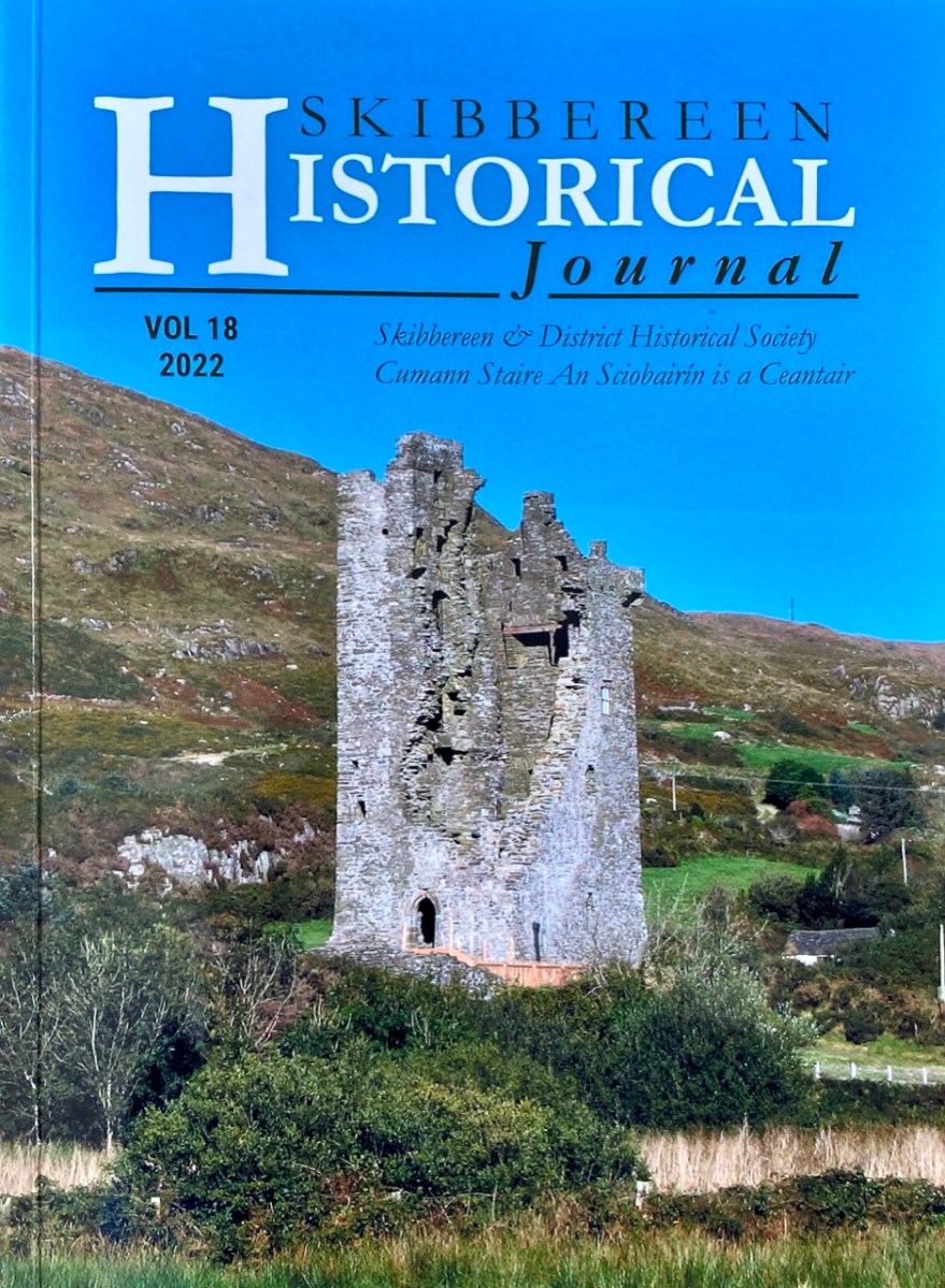
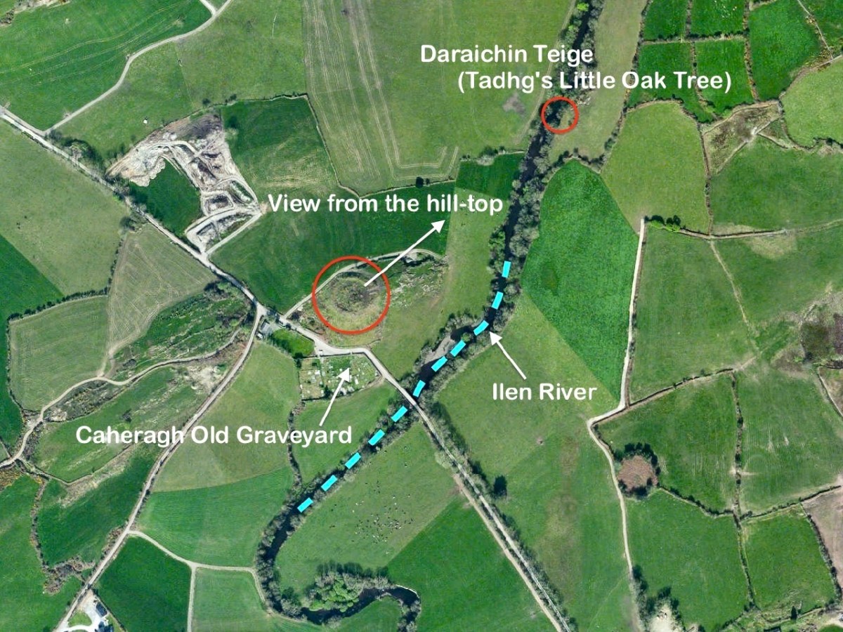
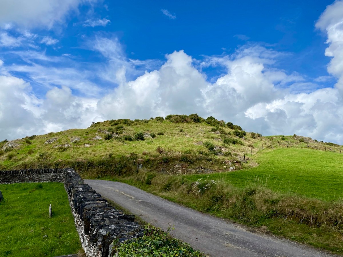
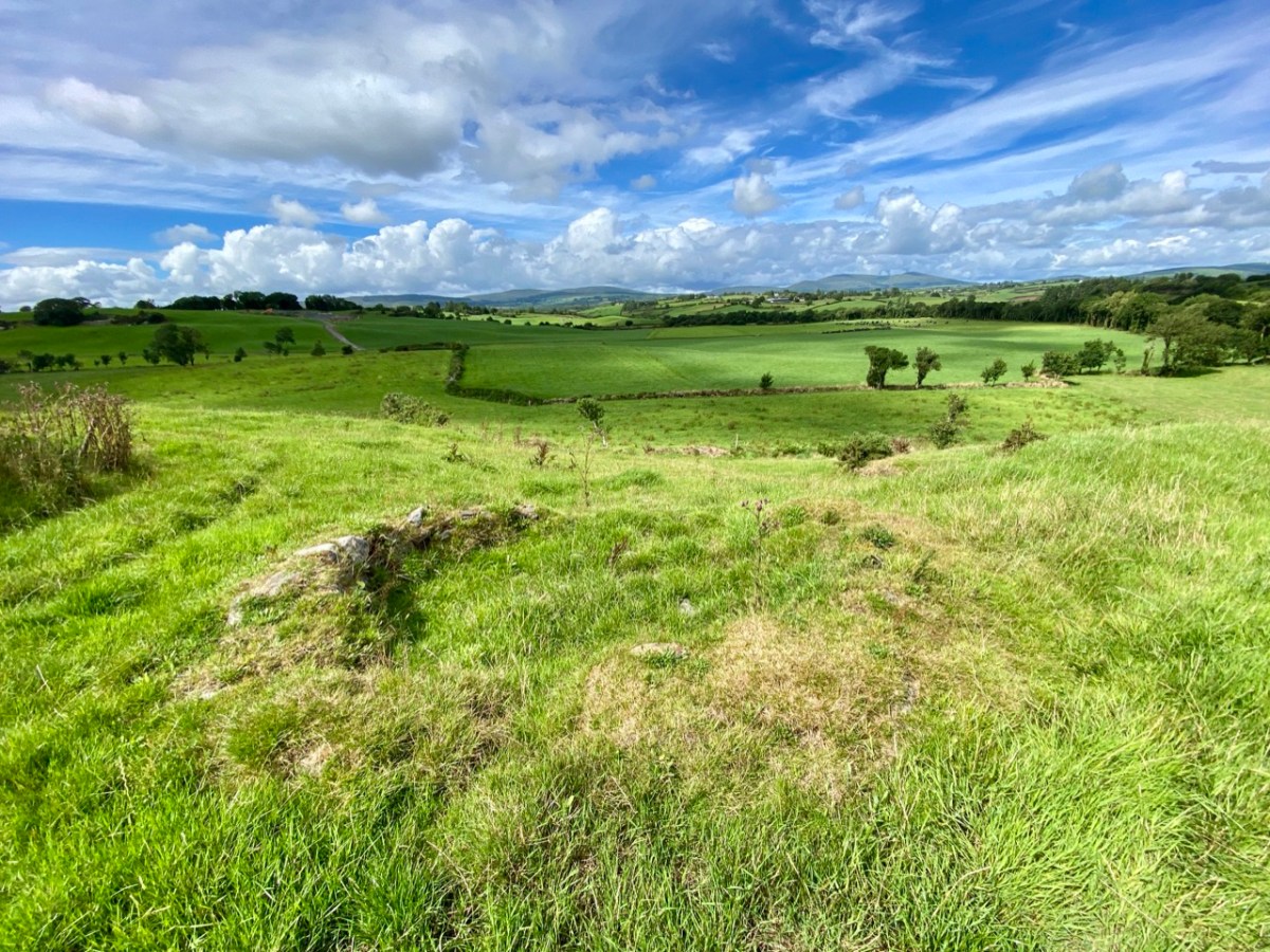
Here’s a vista to the north-east, from the top of the mound beside the graveyard that might just be a ring-fort, or possibly the site of a monastic centre dating from medieval times – more on that later. In the middle distance is the Ilen River with its wooded banks, heading out towards Castle Donovan and – eventually – to its source on Mullaghmesha (or, perhaps, Nowen Hill – we have yet to determine exactly where it rises. This post from the Sweet Ilen series covers the area). And that Donovan castle itself graces the cover of the latest Skibbereen Historical Journal (Volume 18, 2022), which you can get in bookshops locally, or online here. You will find a summary of some of my research on the Ilen River in this journal, together with many other fascinating and erudite articles.
But, going back to that sunlit vista, you’ll notice Tadhg’s Little Oak Tree is indicated. I can’t resist quoting the story of this feature that appears as a ‘Redundant Record’ in the Historic Environment Viewer:
. . . On E bank of River Ilen. Site of tree, ‘Darriheen Teige’ or ‘Daraichin Teige’ (Tadhg’s little oak tree), where Tadhg O’Donovan, chieftain of Clan Cahill, was slain c 1560 by rival group of O’Donovan’s (O’Donoghue 1986, 55). Nearby is Poll a’ Daraichin (pool of the little oak) . . .
Archaeology.ie Historic Environment Viewer – Record CO132-066
Well, it seems strange that the ‘site of a tree’ is a recorded monument. In fact, if the oak was still flourishing (we couldn’t find it), it would probably be just one of only a few trees included in Ireland’s vast record of archaeological monuments!
For today’s post I am indebted to our historian friend Pat Crowley, who directed us to a clip from The Southern Star newspaper dated January 12, 1929. It was a letter written to the newspaper by Captain Francis O’Neill, retired Chief of Police in Chicago and well-known prolific collector of traditional Irish music. O’Neill (1848-1936) was raised in his family home at Tralibane, in the parish of Caheragh. He has been mentioned in this journal, and I was fascinated to read his letter, which became a protracted discussion on the parish, the old graveyard, historic sites and archaeology in the area.
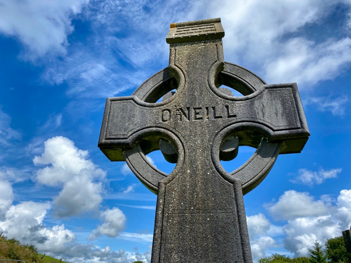
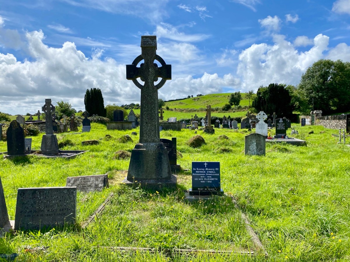
All this came about because Francis had returned from Chicago to West Cork in 1906 – after a long absence – ostensibly to visit the burial place of his parents, and to order a suitable monument to mark their graves (above).
. . . On my return to Ireland July 1906, after an absence of 41 years, I visited the bleak Caheragh graveyard, in which the remains of my parents, and O’Neill ancestors, were buried. There being nothing visible in the environment to indicate its origin as a cemetery, personal curiosity, abetted by that of the Downings of Tralibane – cousins of McCarthy Downing, MP – led to investigation . . . The result, somewhat disconnected and fragmentary, is herewith submitted for publication . . .
Southern Star 12.01.1929
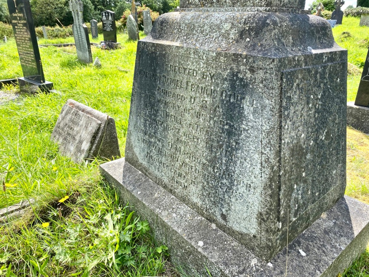
The O’Neill burial plot at Caheragh. Francis ordered the large cross to mark the graves of his parents. The inscription reads:
Erected By Captain Daniel Francis O’Neill Chicago USA To the Memory of his Parents John O’Neill of Tralibane Died Nov 1867 Aged 66 Years And Catherine O’Mahoney (Cianach) Died 1900 Aged 88 Years Requiescant In Pace Amen
Quoting again from Francis O’Neill’s letter to the Southern Star:
. . . All available authorities in my library have been consulted, and I find that references to the parish of Caheragh are both meagre and obscure… The earliest mention of this parish which has come to my notice, is in the report of Dive Downes, Episcopal Bishop of Cork and Ross, who made a trip on horseback to all parishes in his diocese in the years 1699 – 1702. Following is the entry: –“Caheragh Church, about two miles distant from Drommaleage Church to the SW lies close to the Island River (he means Ilen). On the west side of the river are 35.5 lowlands in this parish, of which 20 lie on the west side of the river, and 6.5 lie on the east side of the said river . . . There are about 12 Protestant families in this parish. ’Tis thought there are forty Papists for one Protestant in this parish . . . Will Gureheen, a very old man, is priest of this parish. . . The church is ruinous. The north side is down . . .”
Southern Star 12.01.1929
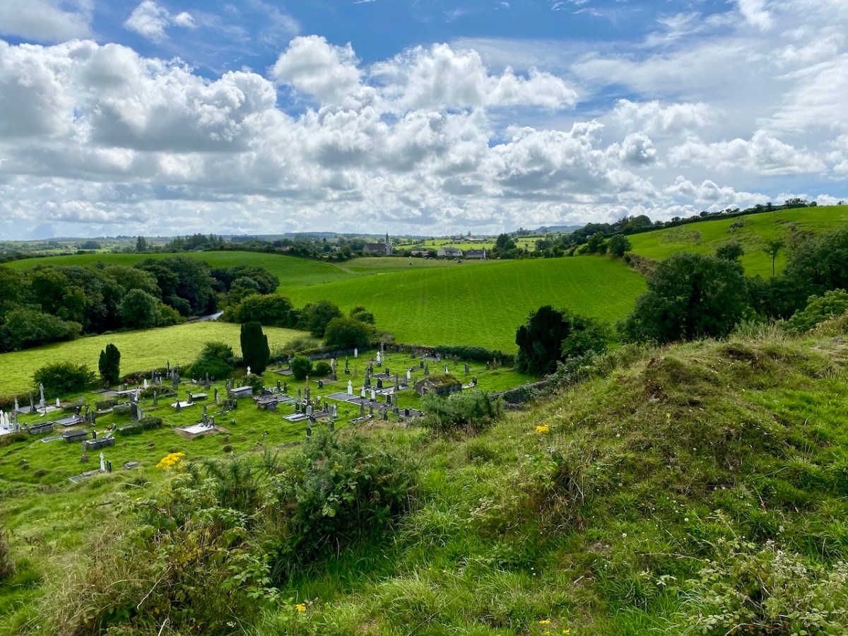
A vista to the west, from the top of the mound beside the graveyard. The present-day village of Caheragh is distant beyond the green pasture (a long way from this ‘Old Graveyard’ – why…?), identifiable through the spire of the 1963 Holy Family Church. O’Neill continues, now quoting from Samuel Lewis “A Topographical Dictionary of Ireland” published in London in 1837:
“Near Lisangle are the ruins of a strong castle, once the residence of McCarthy, King of Cork. The ruins of the old church also remain, which the people here call the ‘Abbey of Cahir” . . . The absence of ruins at Caheragh, which, by the way, seems to have never attracted the attention of historians or antiquaries, is easily accounted for. The stones, conveniently at hand, were utilised in the building of the walls which encompassed the graveyard . . .
Southern Star 12.01.1929
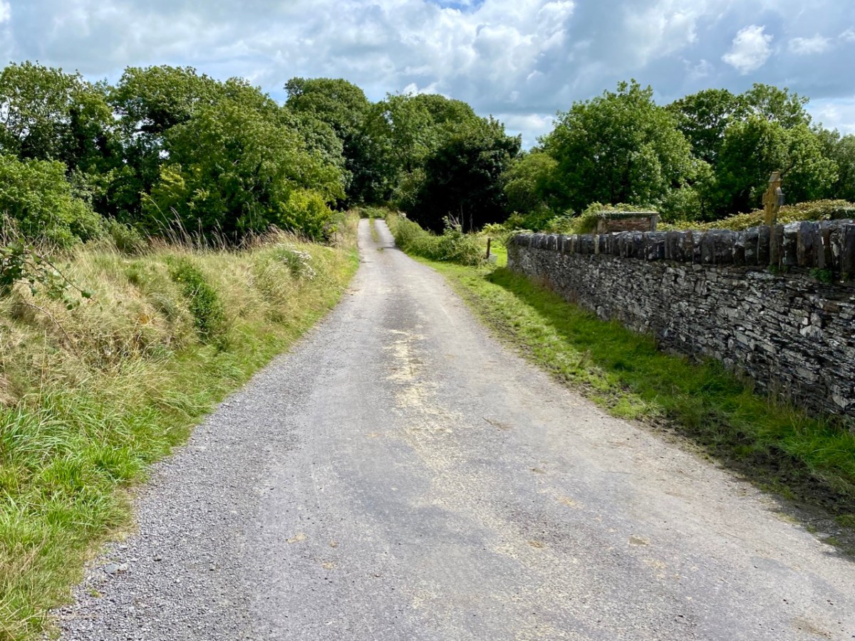
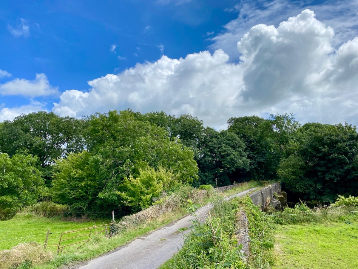
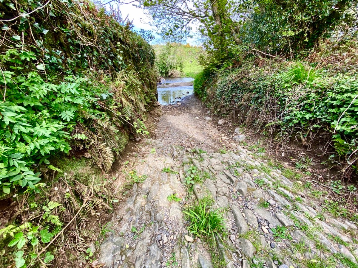
Above – the western boundary wall of Caheragh Old Graveyard. The small road continues over the Ilen River: the bridge here was built by the Congested Districts Board for Ireland in the early years of the twentieth century, to replace a ford, the stone flag bed of which can still be seen.
. . . The Irish word Cathair, spelled and pronounced in English Caher or Cahir, meant a circular stone fort, and therefore Caheragh, under any form of spelling, signifies the field of the stone fort. But where is the fort? one naturally asks. Remembering the descriptive nature of the Irish place names on my short call at Caheragh in 1906, I looked for something to justify the name and found it. In order to gain a vantage point, to view the country round about, I struggled through the thicket of furze to the top of the hill east of the road and, unexpectedly, to my great delight, found the outlines of the stone foundations of the Cahir, mostly covered with soil and grass, but quite distinct on the flat top. Again was the correctness of Irish topographical names vindicated . . .
Letter from Capt Francis O’Neill, Southern Star 12.01.1929
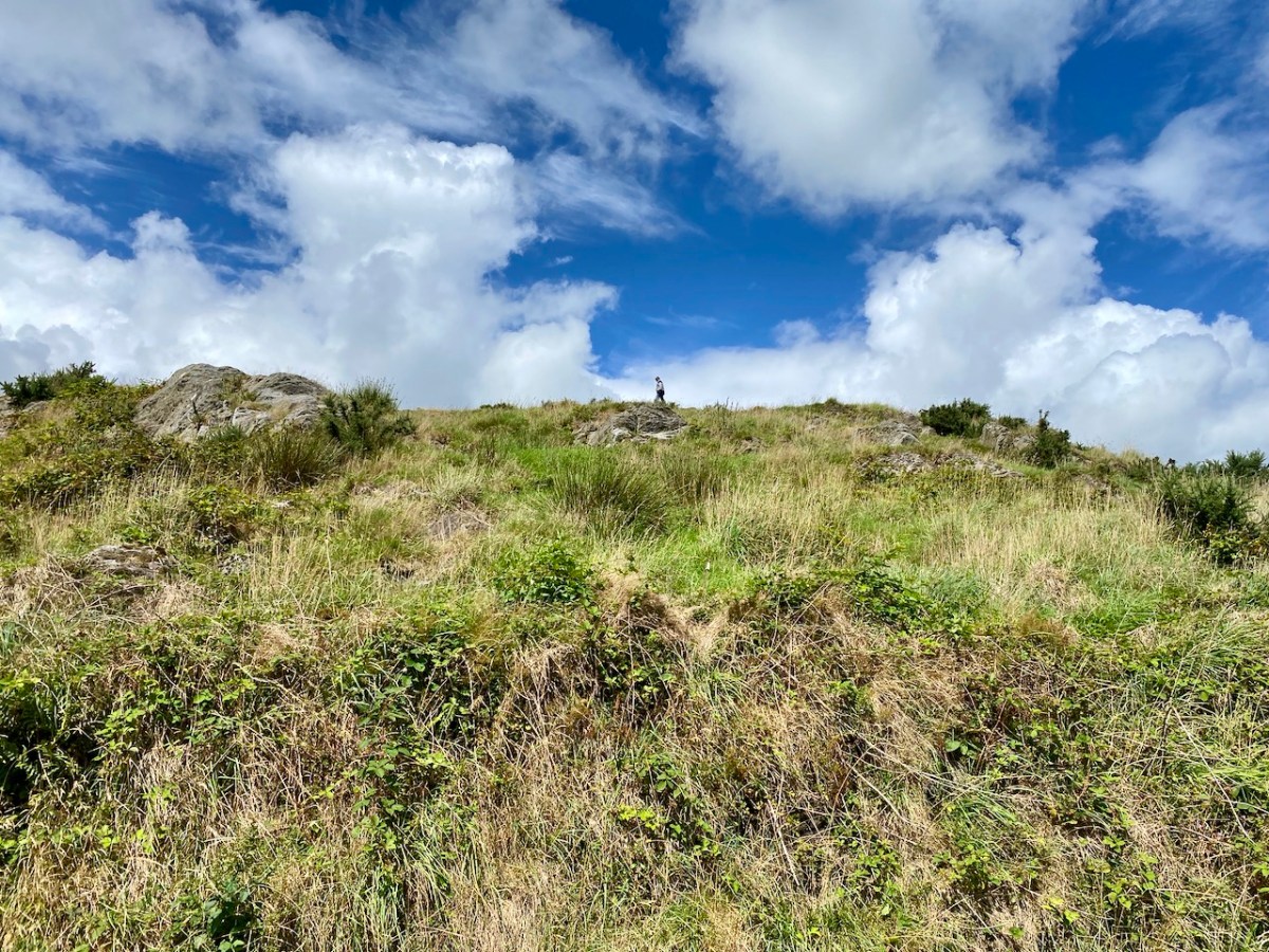
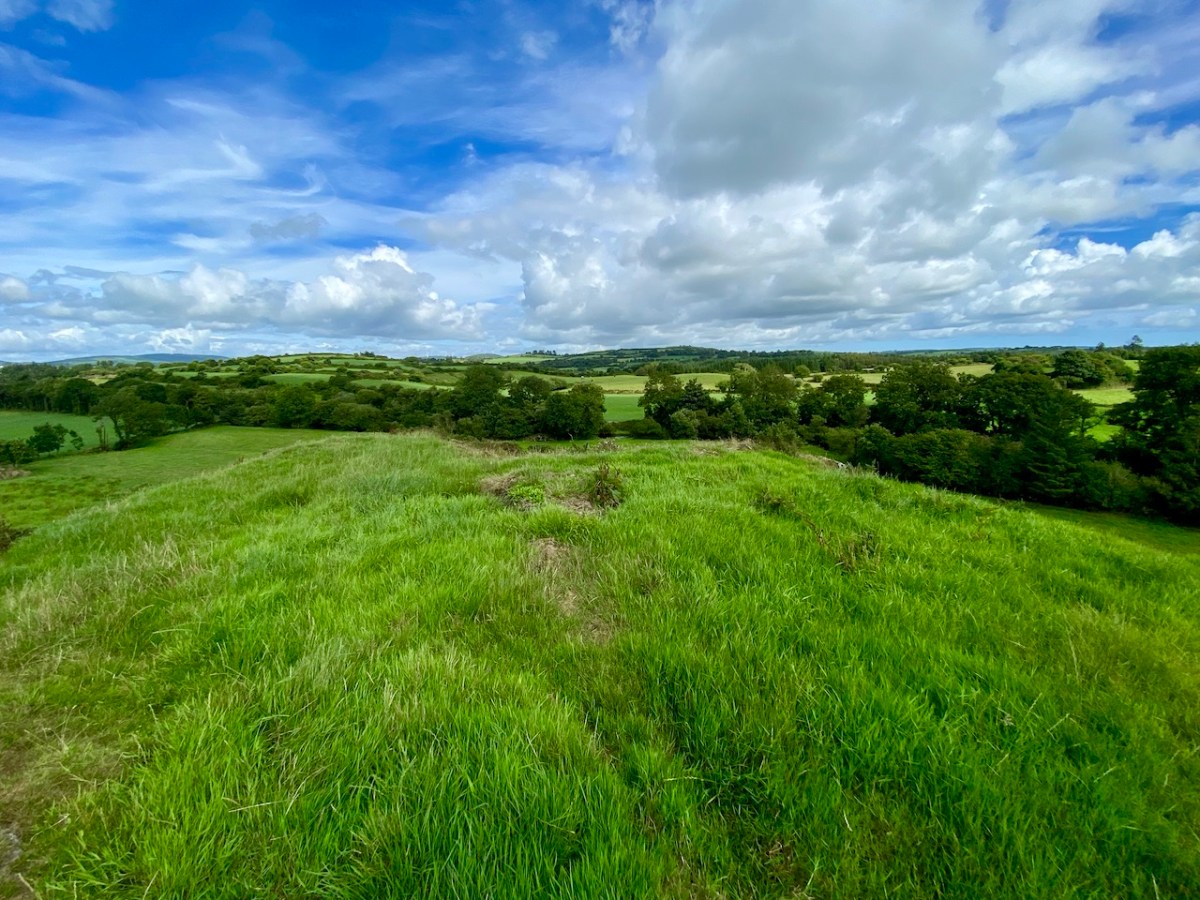
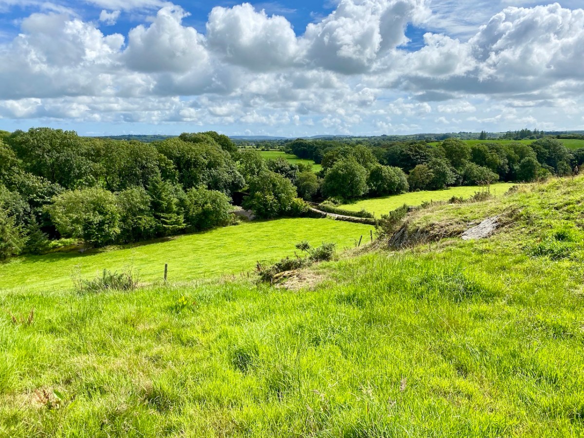
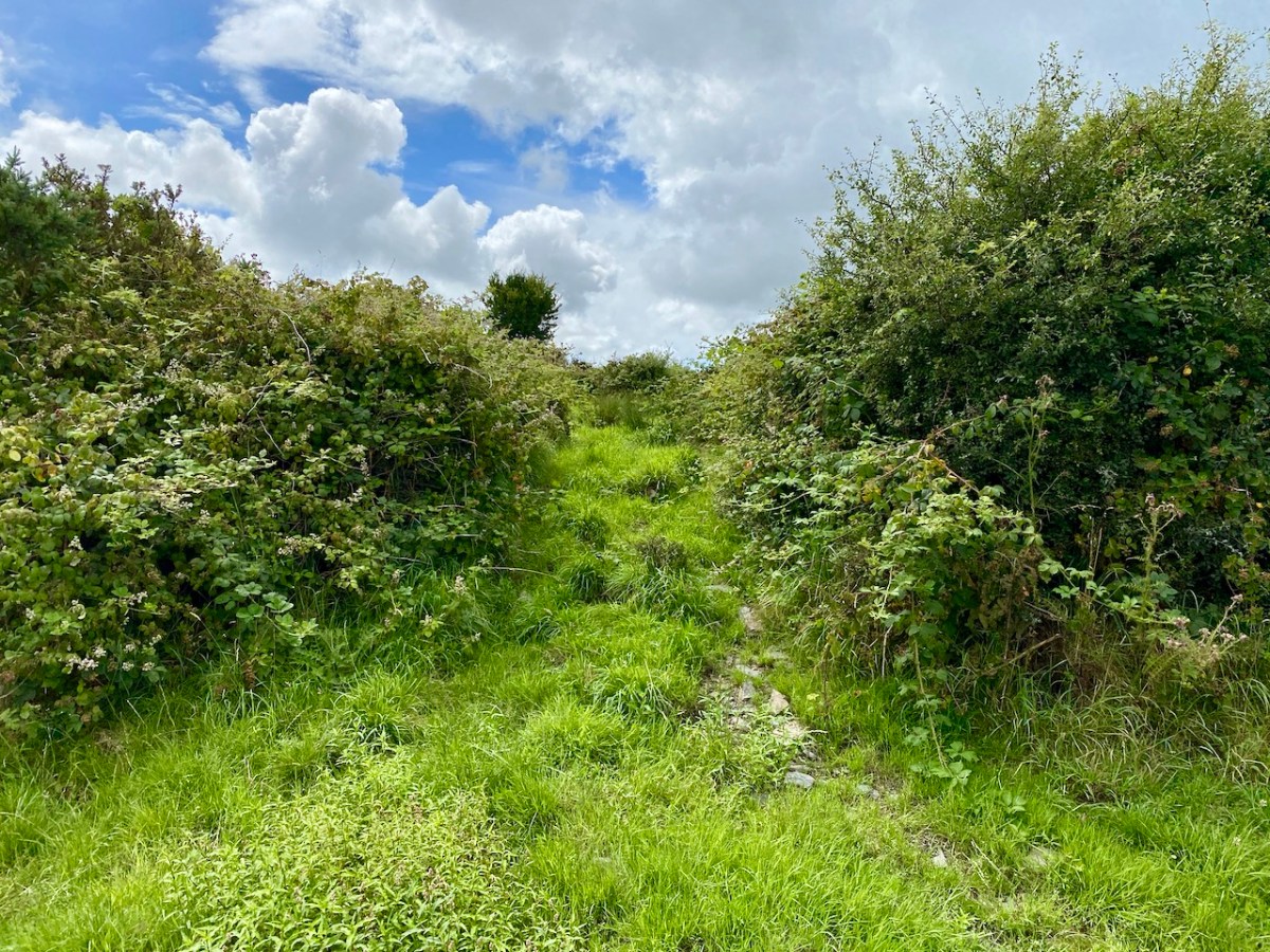
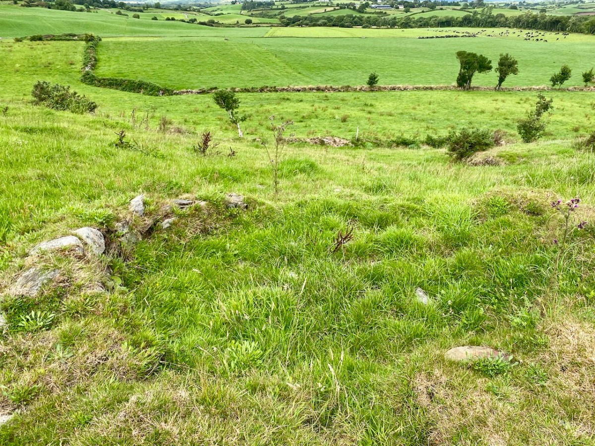
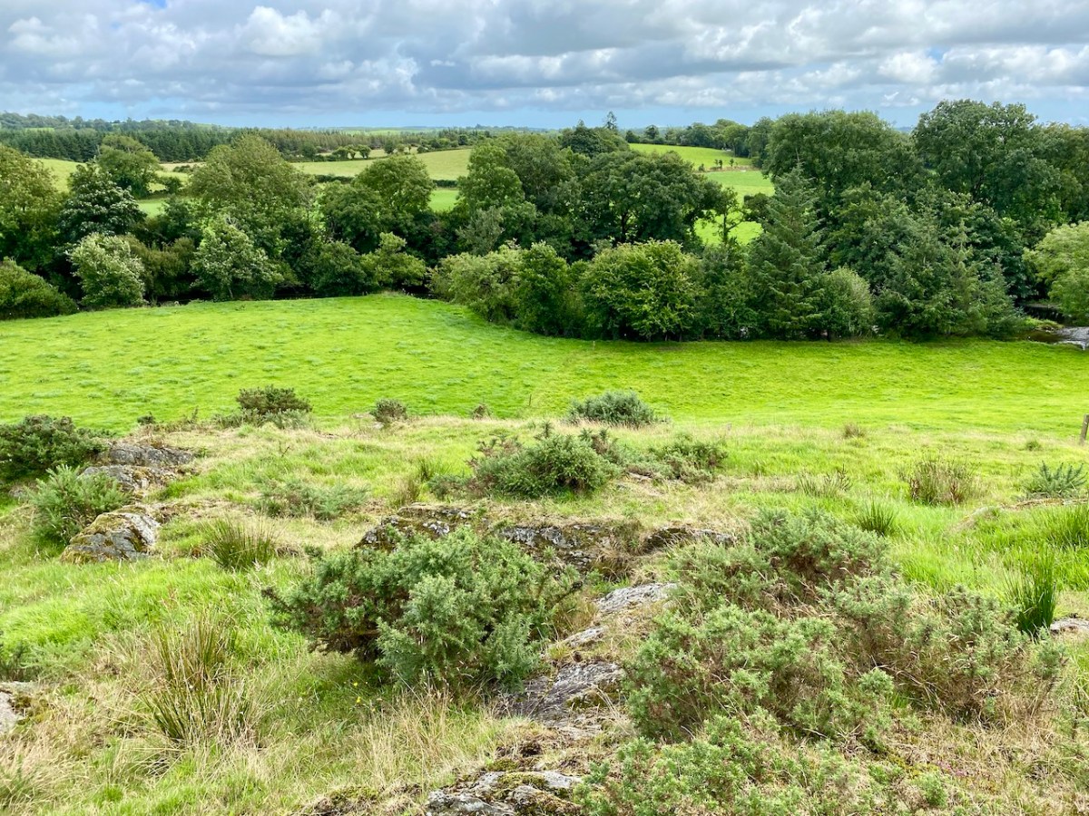
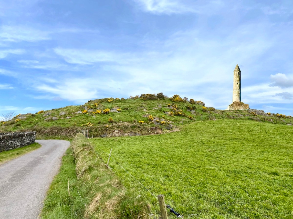
This feature (the two pictures above) is the hilltop referred to by O’Neill, where he claims to have found the ruins of the ‘Cahir’. Today it is recorded on the National Monuments Record as a ‘ringfort’ or ‘rath’:
CO132-017001-
Class: Ringfort – rath
Townland: CAHERAGH
Description: In pasture, atop hillock broken by rock outcrop. Circular area (36.5m N-S; 37.5m E-W) enclosed by earthen bank (max H 3.8m). Break in bank to NNW (Wth 5m); and WSW (Wth 4m), where triangular feature adjoins inner bank face. Possible souterrain (CO132-017002-) in SW quadrant
Archaeology.IE National Monuments Record
Top: flat-topped mound with circular summit, very much in line with the expectation of a ringfort structure. Centre: stone embankment seen from the top of the ‘fort’. Lower: a defined ‘entrance’ through the ‘fort embankment’ on the summit of the mound. This could be ancient or modern: cattle use the fields in which this feature is located, and some of the topography could be shaped by this usage over centuries.
. . . The builders of Abbeys and Monasteries were wise in their day in the choice of locations for their establishment, and one essential desideratum was near to a plentiful supply of water, such as the banks of lakes and rivers, or adjoining never-failing springs. In this instance the River Ilen met all requirements, and taking everything into consideration, I am led to the conclusion that the graveyard at Caheragh was the site of the “Abbey of Cahir” mentioned by Lewis in the Topographical Dictionary of Ireland . . .
Letter from Capt Francis O’Neill, Southern Star 12.01.1929
Above: evidence of built structures on the summit of the ‘ringfort’ mound at Caheragh. A significant circular foundation is clearly outlined. Perhaps, after all, there is some substance in the Captain’s musings on what occupied this site in earlier times? This account is from The county and city of Cork remembrancer; or, Annals of the county and city of Cork by Francis H Tuckey, Savage and Son, 1837:
. . . 1317 December 28, Geoffrey Fitz John de Cogan is presented by the King (by mandate to the Bishop of Cork), to the church of the Blessed Mary de Catheragh, in the King’s gift, by reason of his wardship of the lands and heir of John de Cogan . . . ‘Blessed Mary de Caheragh’ was a monastic site, said to be ‘situated on the hilltop commanding the view above the graveyard at Caheragh’ (possibly on the site of the ringfort). It was no doubt founded here because of the proximity of the watercourse . . .
So there – for your consideration – is the suggestion that the hill above Caheragh’s Old Graveyard (which may, in earlier times, have been a ringfort with a souterrain) was the monastic settlement Blessed Mary de Caheragh in medieval times. That’s quite a thought. My own opinion would be that the monastery would have been founded on the level ground close to the river: in fact where the graveyard is today. As the monastery declined, a church might have remained, eventually becoming a ruin. It was common for old churches and their environs to be used for burials and this might account for the comparative remoteness of this site from the village itself. Now – of course – there is no trace of a church ruin. This theory would hold good except for the annals quoted above, which state that a monastic site was situated on the hilltop overlooking what is now the graveyard.
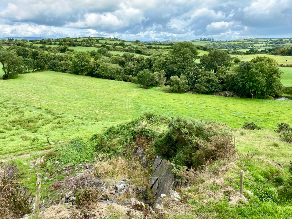
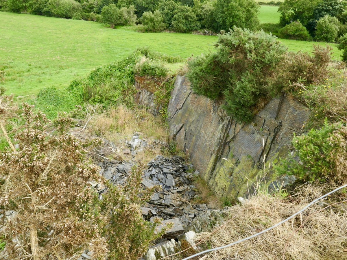
Evidence of stone quarries on the hillside suggest that significant quantities of stone has been used locally. Graveyard wall, field fences, or built structures? But the most challenging feature has to be the ringed foundation, or base, clear to see on the edge of the hill (below). Could it be a souterrain entrance – or, more fanciful, the base of a round tower?
I’ll leave you with that conundrum (and my whimsical daydream below) for now, but we will continue with Francis O’Neill’s musings (which become even more complex) in a future post.
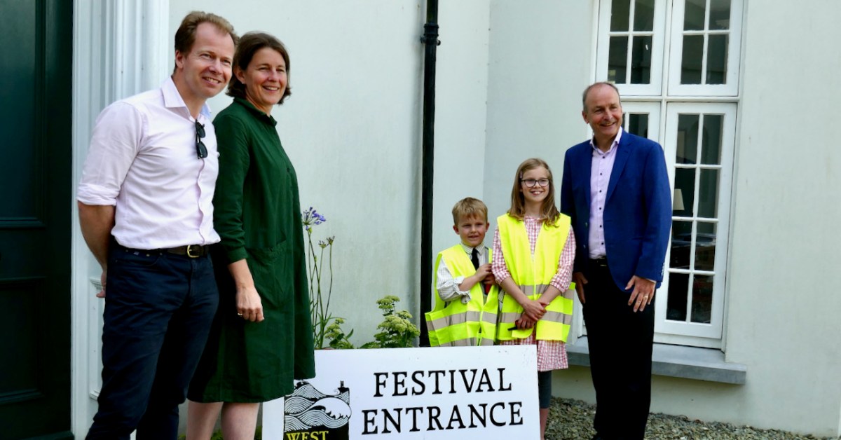
August has roared into West Cork bringing gorgeous weather and a plethora of can’t-miss events. I am wrecked already and we are only a week in! As I type we are in the middle of the marvellous West Cork History Festival. Yesterday Micheál Martin, our Taoiseach, came for the afternoon, as he has done several times in the past. He’s a former history teacher and very supportive of our Festival. He spoke compellingly in a few introductory remarks about our need for a nuanced view of Irish history, one that no longer depends on a single narrative. It was an honour to have him there – no fuss, very discrete security detail, and giving us his whole attention. (Above, Simon and Victoria Kingston, visionary Festival Founders, with their children Rory and Constance, and An Taoiseach.)
The theme of the first day was Black 47 – its the 175th anniversary of the worst year of the Famine – and I am struck anew by the horror of it all (That’s Lilian Lucy Davidson’s harrowing depiction, titled Gorta, above, which featured in the Coming Home Exhibition in Uillinn in 2018). Take a look at the Festival Program to see the range of what we were offered today. It’s a blended festival this year: a small in-house audience but anyone can register for the program online. It’s a high-quality production too – several pony-tailed and bearded young men in black were in command of all that. You can still buy tickets for the online portion – they will be good for two weeks. The luminous Jessie Kennedy, a long-time Festival collaborator, has assembled the Celestial Quartet, and together they have devised a selection of classical and newly-composed music to honour Agnes Clerke, the famous astronomer who grew up in Skibbereen during the Famine. Read all about her in my post From Skibbereen to the Moon.
The festival continues today with an emphasis on the Bandon Valley Killings – a traumatic episode in our West Cork History that deserves a full examination 100 years later.
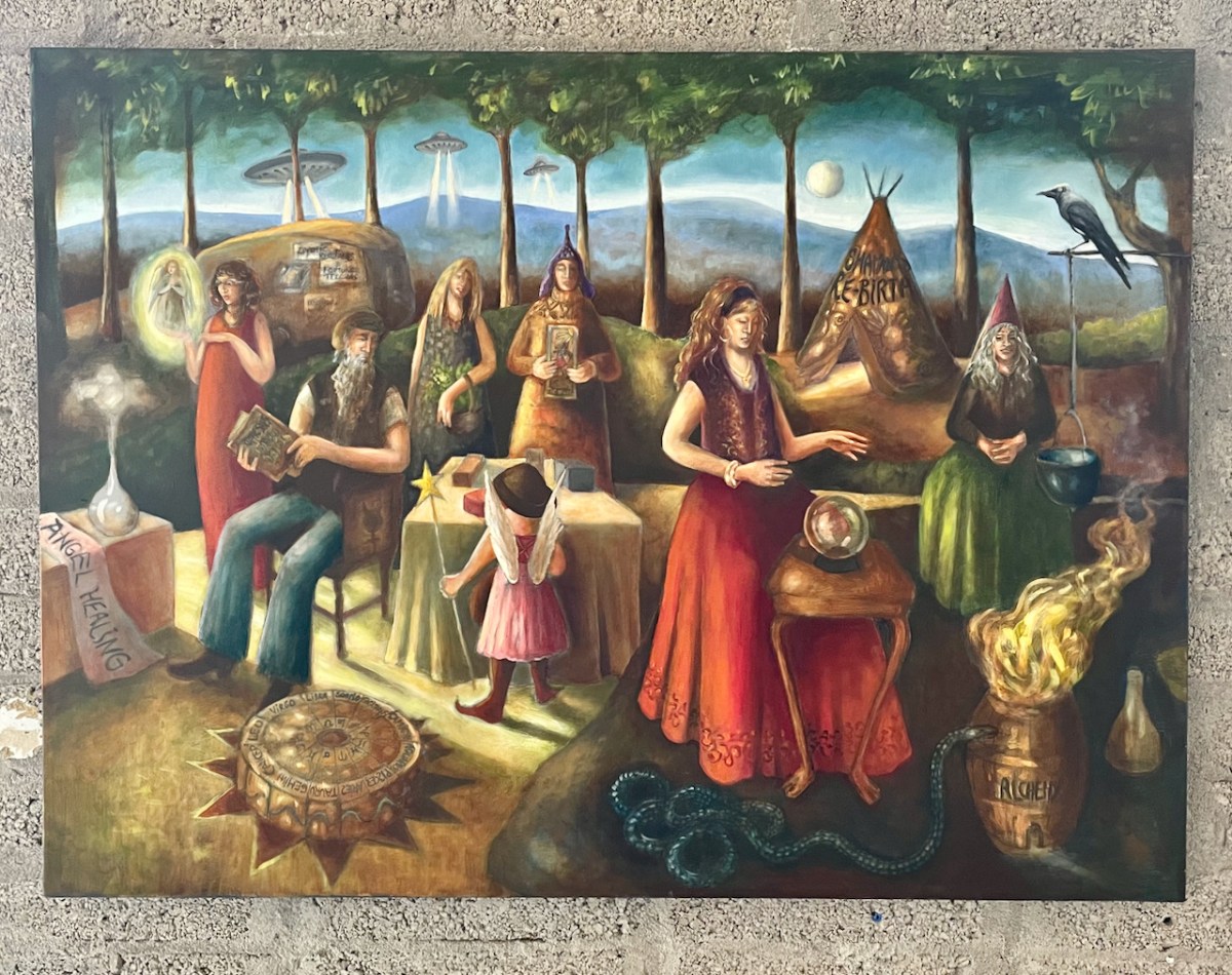
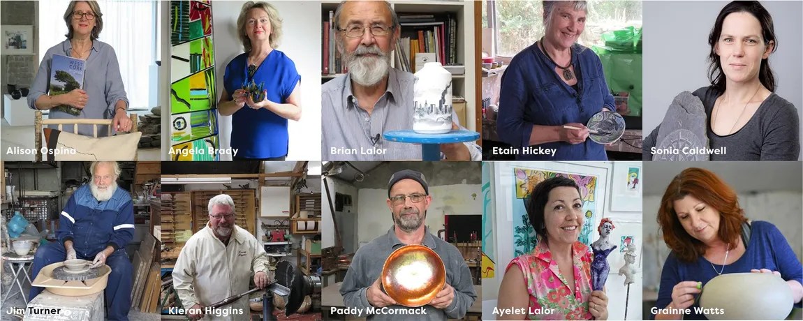
On a more cheerful note, yesterday marked the opening of what is consistently the best art and craft show in West Cork, year after year. It’s calledWest Cork Creates, is located in the O’Driscoll building in Skibbereen, and is curated by Alison Ospina and her jury panel. The calibre is as high as you will find anywhere. Above, for example, is Hilary Nunan’s work, which mixes fibres with acrylic paint – these are titled Grasses. Below is New Age Medieval, a painting by Carin MacCana. I wrote about Carin’s stained glass work in this post – she is now retired from teaching and has stated to devote her time to painting. She and Penny Dixie share an extension of the Gallery for their own show as well.
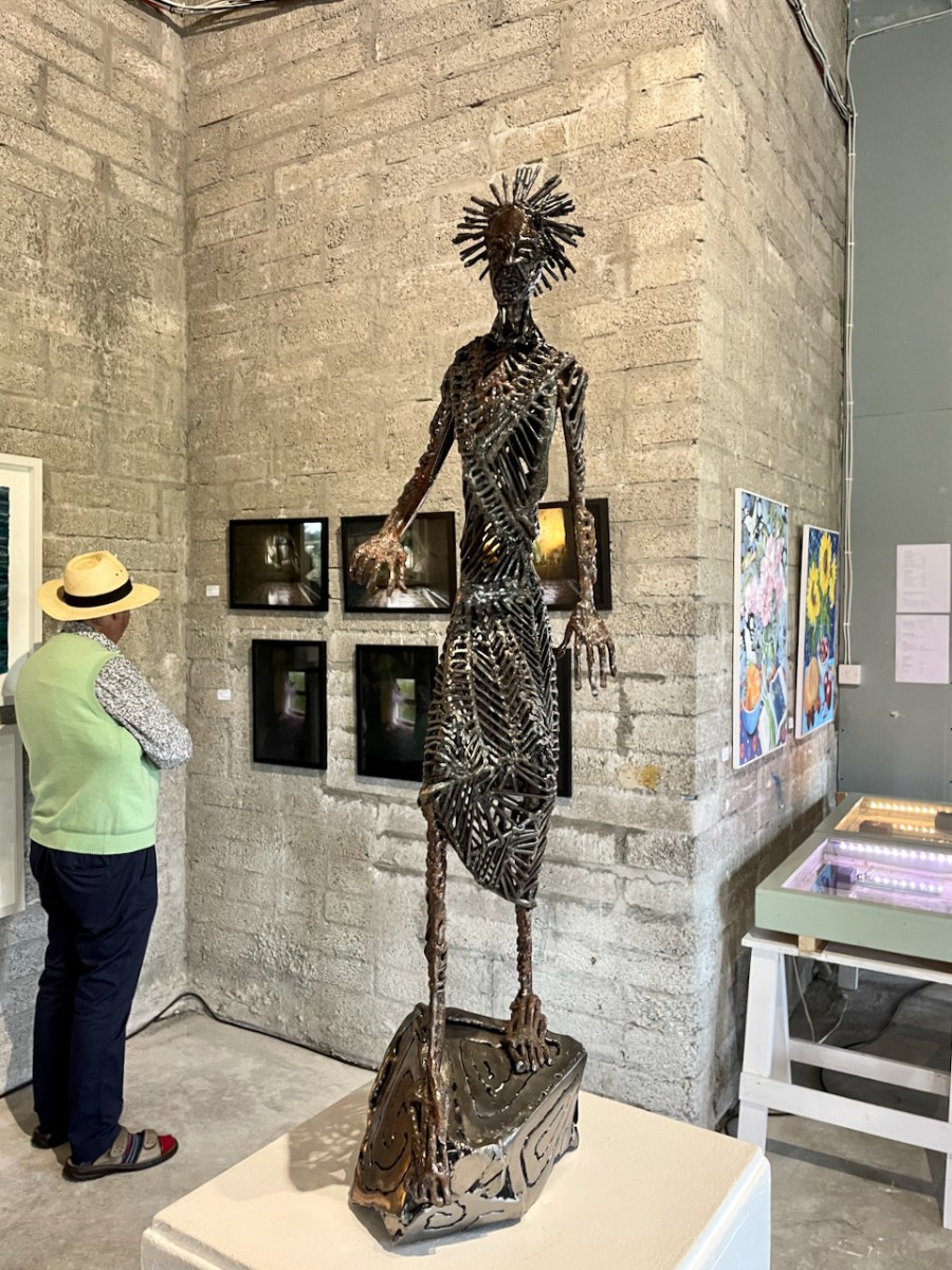
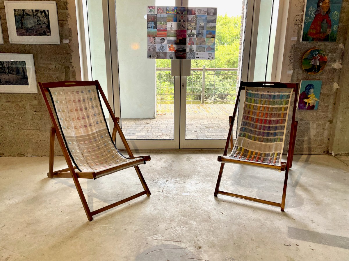
Dubhaltach Ó Colmán has several striking metal sculptures in the show (above). His work goes from strength to strength. But perhaps our favourite were the two deckchairs below, reclaimed by Suzanne McGuirk and covered with her own exquisite organic linen woven fabric. They are soon to grace the terrace of our own home!
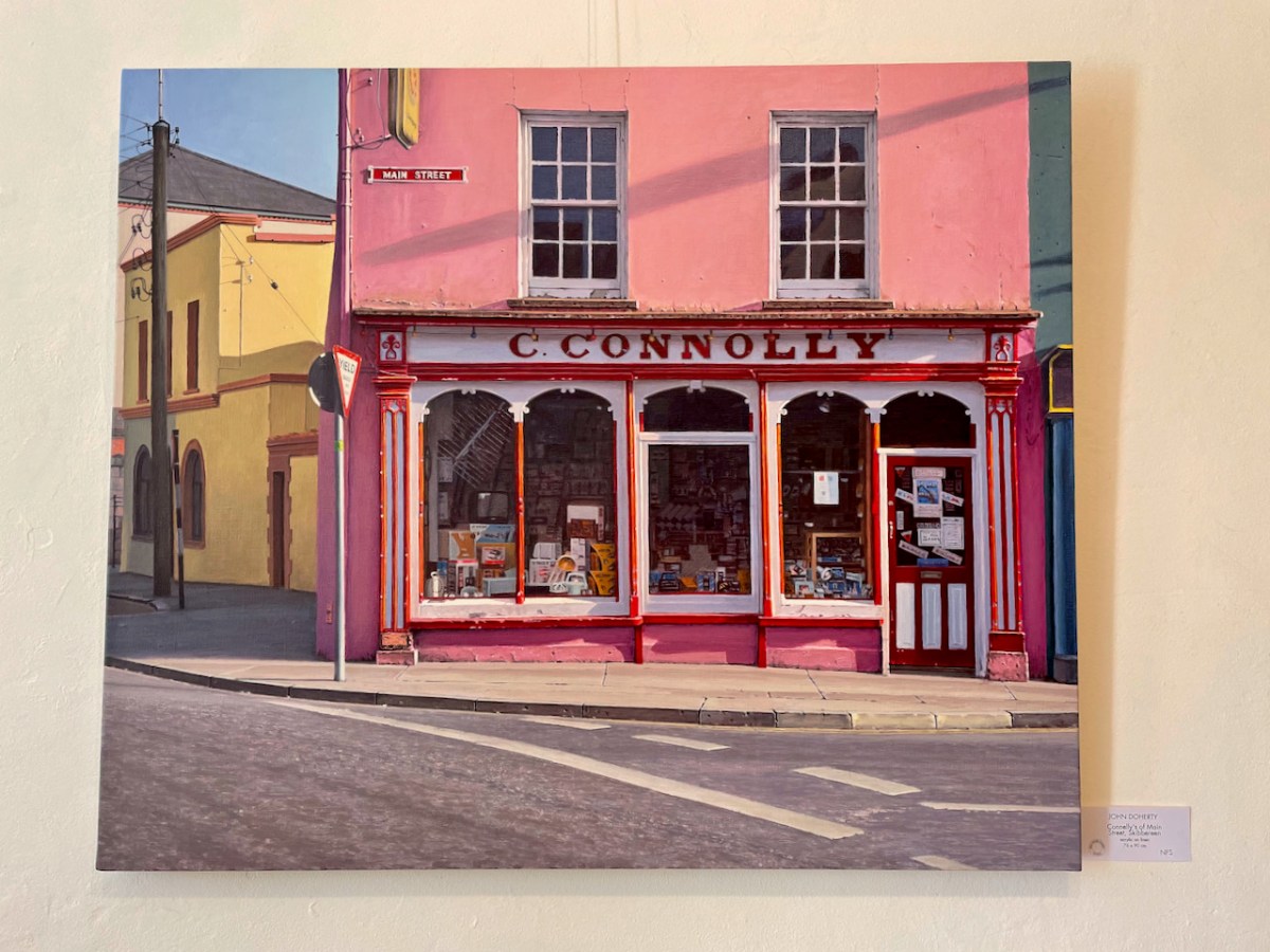
In Schull, the Blue House Gallery has just opened an exhibition of work by John Doherty. A photorealist painter, John’s work draws you in initially with its detailed representation of everyday objects: it’s nostalgia, you think at first, before it dawns on you that, as the Taylor Gallery says of his work: His images, coupled with the wry wit of their titles, point towards the human stories that exist behind the facades that represent a meticulous examination of the half-forgotten life of the past. No, that’s not a photograph, below, of Connolly’s of Skibbereen – it’s one of John’s paintings.
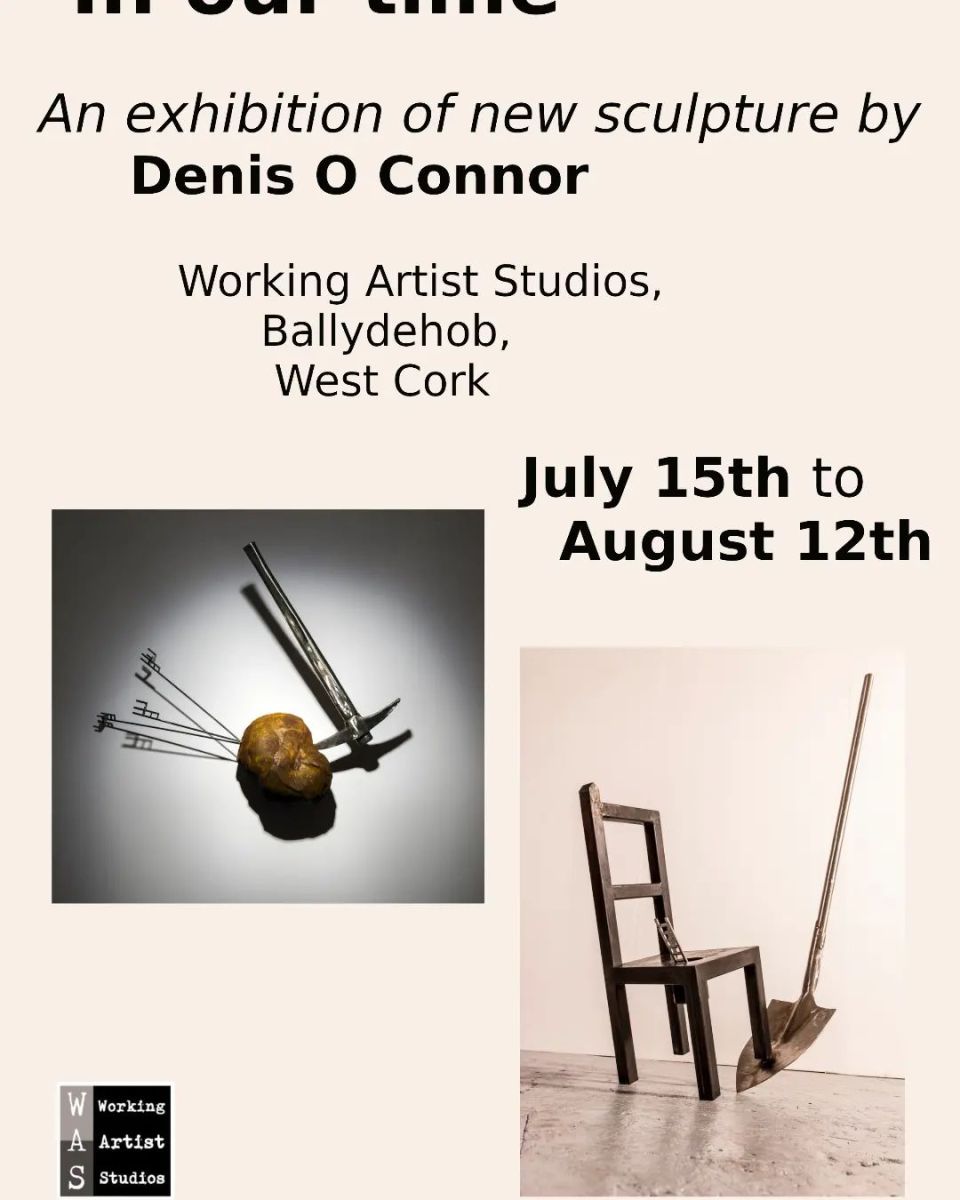
And in our small village of Ballydehob we have not one but four exhibitions, all worth visiting right now! Starting from the top of the main street, let’s first drop by The Working Artists Studio, who are currently hosting the sculptor Denis O’Connor. He’ll be giving a talk on Friday and we intend to be there.
Of his work he says:
Process and Making are central to my sculpture, working in an intuitive, physically dynamic way, trying to develop new ways of defining my language of sculpture. I work with the medium of steel towards creating physical forms [rocks and boulders] which begin to transcend a sense of how elements of the landscape are made but also its physical vulnerability and hostility.
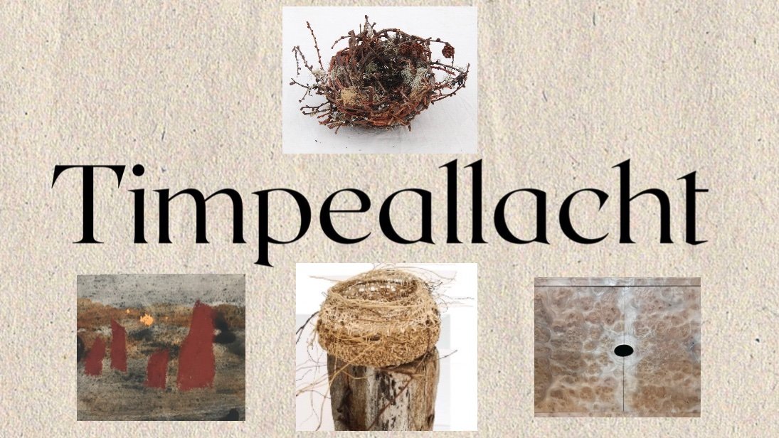
Finally, a new-ish addition to the village, the Kilcoe Studios is hosting Timpeallacht (it means surroundings or environment) in which all the items have been made from local and natural materials.
There’s more – much more – but this will give you a flavour of how we are spending our time right now. Next up for us is the superb Ellen Hutchins Festival. No wonder I’m exhausted – and blissed out. I will leave you with a ‘Head’ from the indefatigable Angela Brady – regular readers will remember we took a glass workshop with her.
It’s not West Cork, but – if you are looking for an impressive archaeological site – take a little trip over the border into the North, as we did very recently. Just outside Belfast City we found The Giant’s Ring. The size of it is astonishing – 180 metres in internal diameter, and covering an area of 2.8 hectares. And what we see today is only part of a cluster of monuments here.
This marked up location plan, produced by archaeologist Barrie Hartwell in 1998, shows the Giant’s Ring, and other sites nearby which have been discovered by aerial survey and crop marks. We can’t really know what the focus of the whole complex is. Guesses are made as to what its function might have been, based on similarities to other finds, but the size of this ‘Ring’ sets it apart from most other equivalent discoveries. If you want West of Ireland comparisons, then Drombeg Circle has a diameter of 9.3 metres; The Giant’s Ring, at 180m, is twenty times greater! Also, the Grange Stone Circle in Co Limerick – which appears very large to us (it’s the Republic’s largest) – has a diameter of ‘only’ 60 metres.
It’s hard to judge the scale from a photograph, but looking at the figure just visible at the right-hand edge of this view, above, helps to set the scene. The ‘small’ pile of stone that you can also see within the enclosure is, in fact, a monument in its own right, generally thought today to be the remains of a passage grave. Here’s a nearer view, followed by close-ups. The structure – a type which used to be called a ‘dolmen’ (and still is in some of the accounts of The Giant’s Ring) is quite substantial.
This passage grave is far less impressive than – say – Newgrange, but why would it be sited in this enormous ring – which resembles a ‘henge’? It is dwarfed by the huge circular bank. It is likely that the grave or tomb structure was covered by a mound. Here is an artist’s impression of the enclosure being used for a ritual purpose:
In 1995 archaeologist Barrie Hartwell provided the following commentary to this sketch:
. . . This conjectural reconstruction of the Giant’s Ring brings together a number of ideas. Here the Giant’s Ring stands on the southern edge of a plateau overlooking the fertile land of the Lagan Valley. The internal slope of the bank is lined with stones and the bank has a flat top on which people crowd to view the spectacle unfolding within. The passage grave, embedded in an earthen mound provides the focus of activity. The quarry ditch can be seen between the two. In the right foreground is a circular bank, first seen as a crop mark in an aerial photograph. This was excavated in 1991, when the remains of a stoney bank were found on the eastern side. The central area had been removed by quarrying to a depth of 3m and backfilled within the last two hundred years . . .
Prehistory of The Giant’s Ring & Ballynahatty Townland Barrie Hartwell LISBURN.COM
Above is an image from Google Earth showing the context of the circular monument in its immediate surroundings. There is no sign in this image of the many nearby sites which have been identified close to the Ring (look again at Barrie Hartwell’s location plan), but archaeologists have been busy at this location in comparatively modern times. Hartwell summarised some of the excavations in an article for Archaeology Ireland Volume 5, No 4, Winter 1991. He reports a description of a ‘chamber’ that was described in 1855 by Robert MacAdam, editor of the Ulster Journal of Archaeology:
. . . On November 21st 1855, Robert MacAdam picked up the Belfast Newsletter in his office in the Soho Foundry in Belfast . . . His attention was caught by a paragraph in the paper announcing the ‘discovery of an ancient tomb on the farm of Mr David Bodel of Ballynehatty’. He immediately visited the spot, just six miles south of Belfast, with his friend Mr Getty, and found that the tomb was still largely intact and that most of the contents had been rescued by the farmer. Equally interesting was its position close to the great enigmatic banked enclosure of the Giant’s Ring on an isolated, undulating, upland block of land overlooking the River Lagan. They were impressed enough to return at the weekend with other members of the Belfast Natural History and Philosophical Society to record it properly . . .
Archaeology Ireland Volume 5 No 4 – Winter 1991
The above illustration accompanies the article. Note that this find appears to have been sited outside of the Giant’s Ring itself. Hartwell’s account continues:
. . . Their plan and description shows that this curious structure had been built in a paved, 1.5m deep, flat-bottomed pit and with a corbelled roof supported by a stone perimeter wall, five internal stone dividers and a central prop. The top of the roof was 0.5m below the ground surface and may have been covered with small stones to form a cairn. In two of the radial compartments so formed were found the remains of four ‘…urns, about twelve inches high by ten broad…’ each containing burnt bones. One of the urns had disintegrated, and two of them were later described as being large and rudely formed. One of these survives today as a Bronze Age Collared Urn. The fourth was a typical globular-shaped Carrowkeel Ware pot usually found in Neolithic passage tombs . . .
Archaeology Ireland Volume 5 No 4 – Winter 1991
I found a further reference to the discovery of this ‘chamber’ in the archives of the Belfast News, 1855:
Hartwell’s fascinating account describes other finds in the area, and reports how Bodel – the farmer who owned the land – could remember stories of previous finds going back through generations of his family: a number of sites had been destroyed through agricultural clearance or ‘treasure hunting’. According to his memories these included a standing stone, another megalithic tomb, a multiple cist cairn, a number of single cist burials and two ‘cemeteries’ which produced many cart-loads of human bones. He also noted that similar sites had been found in his neighbours’ fields.
We can distil from these various stories that what we see today at this site was central to a very significant cultural hub, much of which is now lost. Hartwell suggests that some of the more recent excavations provide evidence that human activity here dates from 3039 to 2503 BC. His conclusion is significant:
. . . It is placed firmly in the late Neolithic rather than the Bronze Age. The closest parallel in Ireland is surely Newgrange. Indeed, the Bend in the Boyne and the ‘Loop in the Lagan’ invite close comparison. The scale of the monuments may vary but all the elements of a ceremonial landscape are there – passage tombs, henges, pit circles, flat cemeteries, and, of course, the river. Just as the river at its extremities defines a natural region, it mat also have defined a human territory with the ceremonial centre at its hub . . . Ancestral rights to territory were anchored by a thousand years of burial rites and the sanctity of the land shown by the continuum of ritual from the Neolithic to the Bronze Age . . .
Archaeology Ireland Volume 5 No 4 – Winter 1991
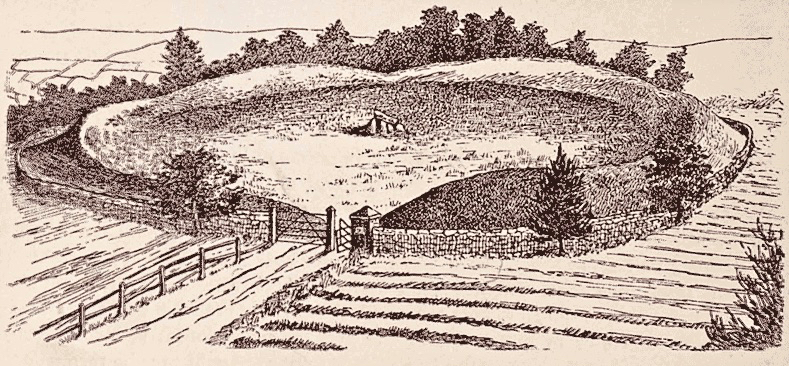
Former landowners of the estate on which this monument stands were the Dungannons of Belvoir House. In the mid nineteenth century Lord Dungannon built a protective wall around the Giant’s Ring (shown in the top sketch which reportedly dates from 1897). The plaque on the entrance gate (above) marks a visit to the site by Countess Dungannon, presumably to commemorate the completion of this wall.
The site has understandably attracted artists and photographers. The upper photo by R Welch dates from 1902 and the centre photo by S Kirker dates from 1905. The old postcard, above, is undated, but is remarkably similar in its viewpoint to the 1897 sketch – which one came first?
So there we have it: a very significant ceremonial site which has been compared in importance to Newgrange. What was it for? A burial place imbued with connections to an afterlife? We cannot know. But my own thoughts when looking at this vast circle is that in the present day we would call it an ‘arena’, and we might use it for sports, drama or processions. In fact I noted a report that stated it was used for horse-racing in the eighteenth century. A significant disappointment for me is that I have been unable to find any folklore or ‘stories’ about The Giant’s Ring. Northern Ireland does not share the equivalent of the Dúchas Folklore Collections which we have in Ireland, dating from the 1930s. There must have been tales told about it through the generations: I would be most interested to hear from anyone who can fill in this omission, please.
Back in May I put up a post celebrating our discovery of documentary artist Simon Coleman. There is plenty of material from Coleman that I didn’t use. Today, I’m showcasing more of his work: it’s invaluable to Irish folklore and folklife researchers. We have to be forever grateful to The Dúchas Collections, and their field-workers who spent so much time scouring the rural landscapes of Ireland and its inhabitants, and recording their findings in detail, preserving the rich memories of those times for our benefit.
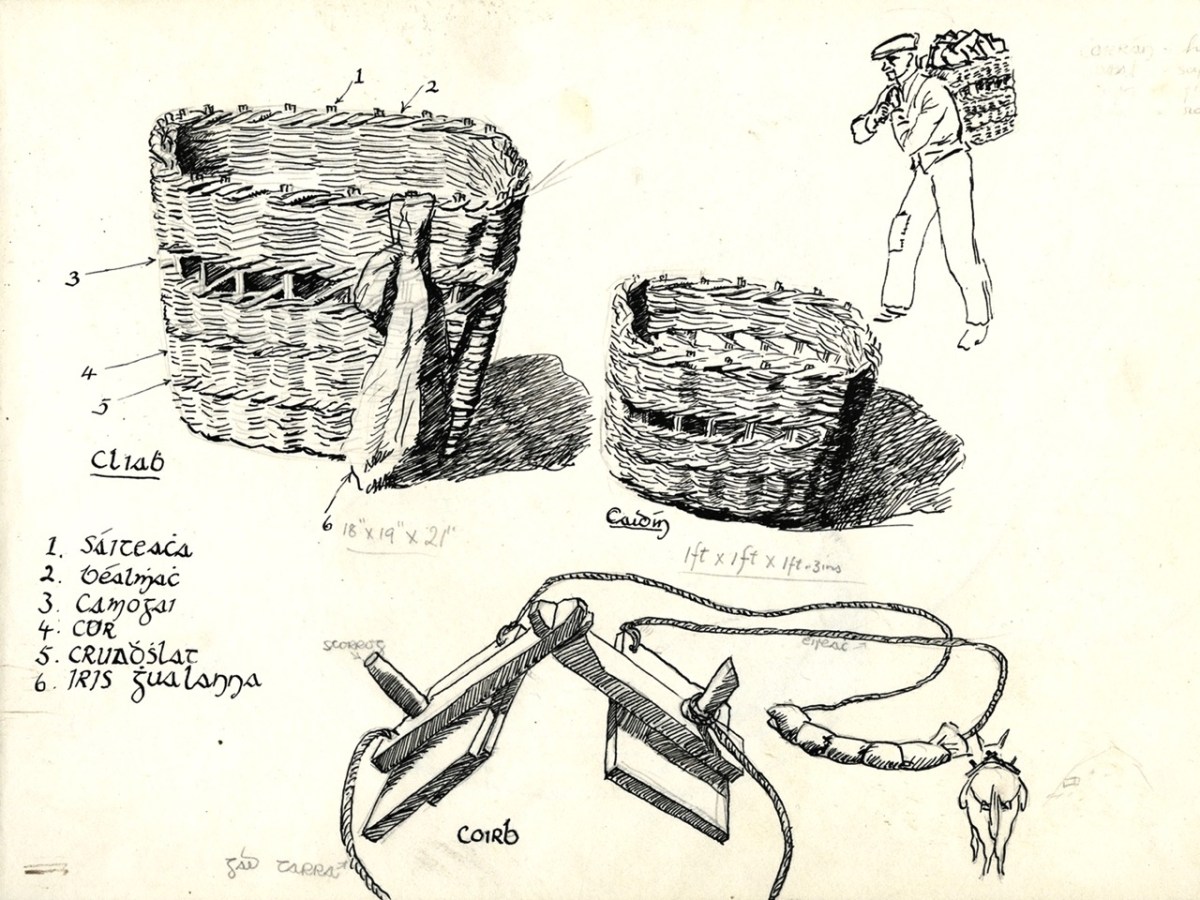
The header shows one of Coleman’s attractive watercolours which record the landscapes he traversed during his folklife researches. His sketch-pads, however, are filled with drawn details showing the basics of rural life, such as this one (above) recording baskets which were carried on the back or which were made as panniers for donkeys, mules and horses. Such methodical records are invaluable to our understanding of the paraphernalia of ordinary life, now virtually vanished. More technology for lifting and carrying loads is shown below.
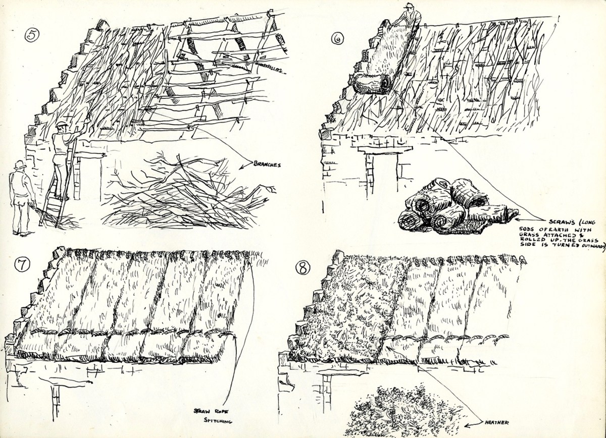
The drawing above shows in typically fine detail the process of ‘turfing’ a roof using clods of earth with grass attached. the grass is on the outer surface. Also shown is the use of ‘ling’ – or heather – as a roof covering.
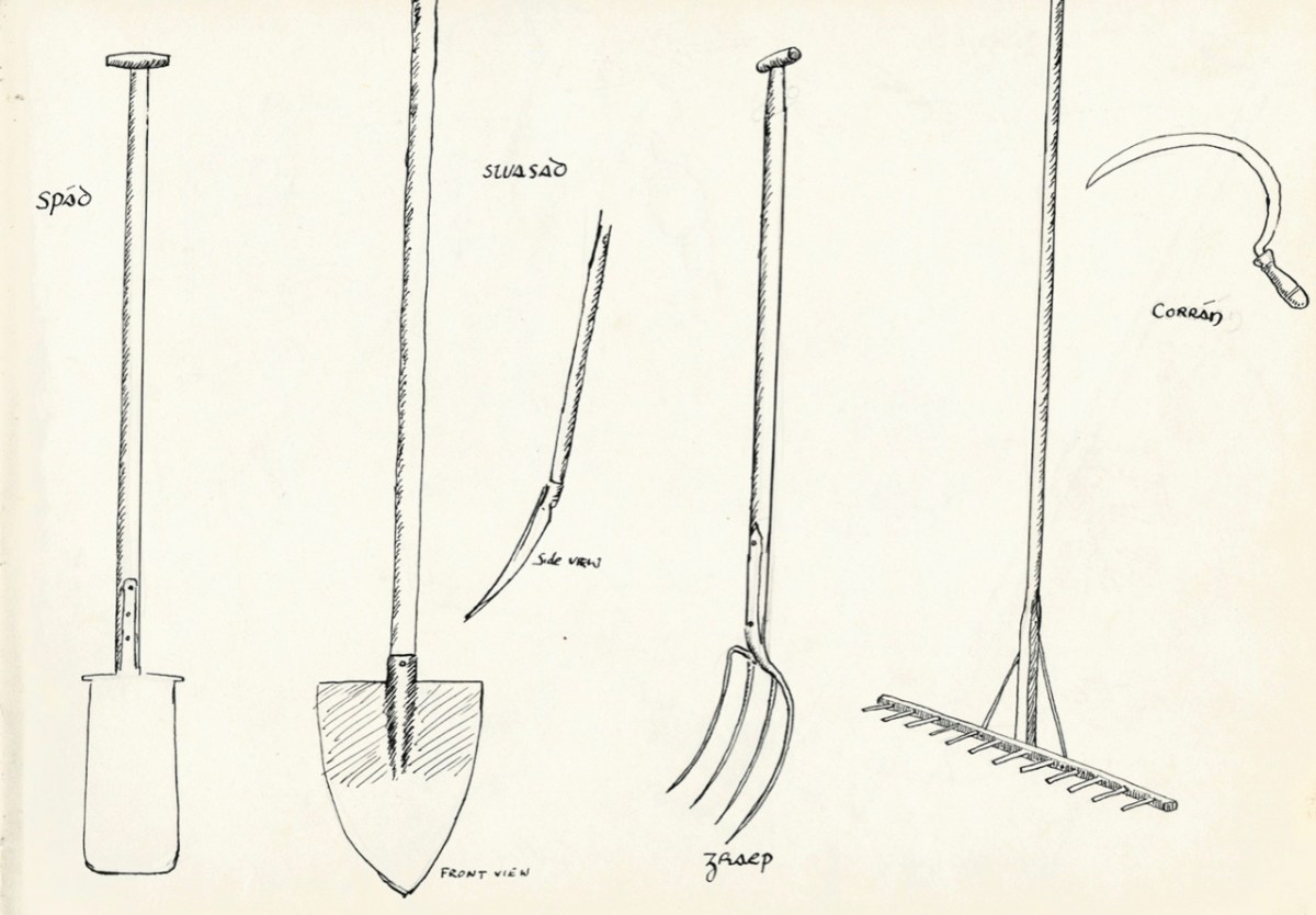
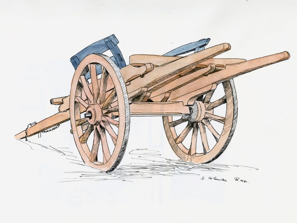
Straightforward hand implements used on farms (upper) are complemented by very fine watercolour sketches, such as the one above, recording the wagon – an essential element of life in the country.
Coleman was also an accomplished painter, as is evidenced by this portrait in oils of Anna Nic A’Luain, one of the most gifted storytellers encountered by the renowned Donegal folklore collector, Seán Ó Heochaidh. Anna was from Croaghubbrid, in the Blue Stack Mountains, Co Donegal, and lived from 1884 to 1953. The painting dates to 1949.
Cois Fharraige, above, another work in oils by Coleman.
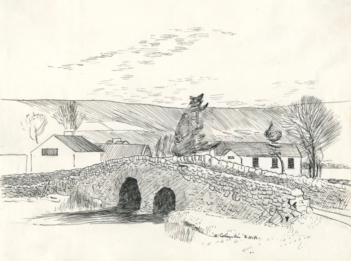
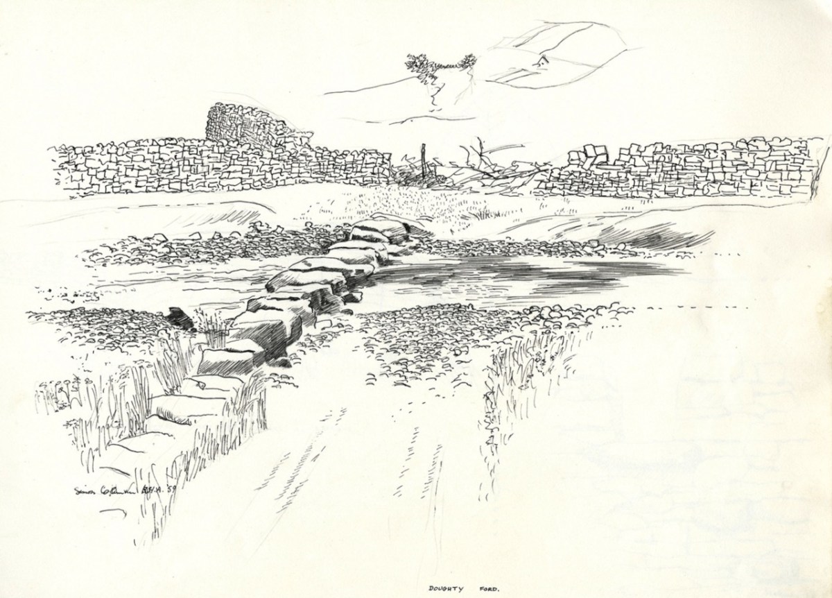
Doolin, Co Clare – Old stone bridge, Lough Agraffard, 1959 – Doughty Ford: all from Coleman’s sketch books. A valuable record stored in the Folklore Commission Archives. Slightly unusual, perhaps, is this house (below) which Coleman sketched in Galway city.
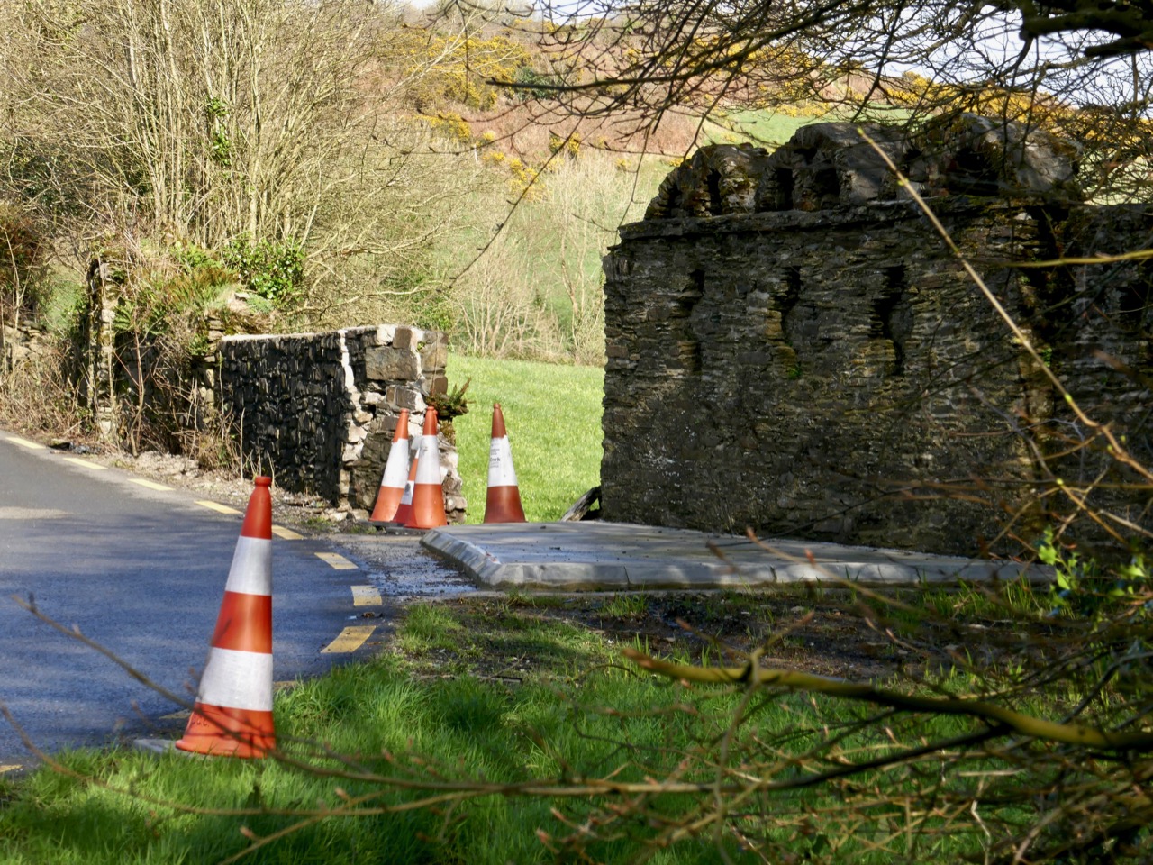
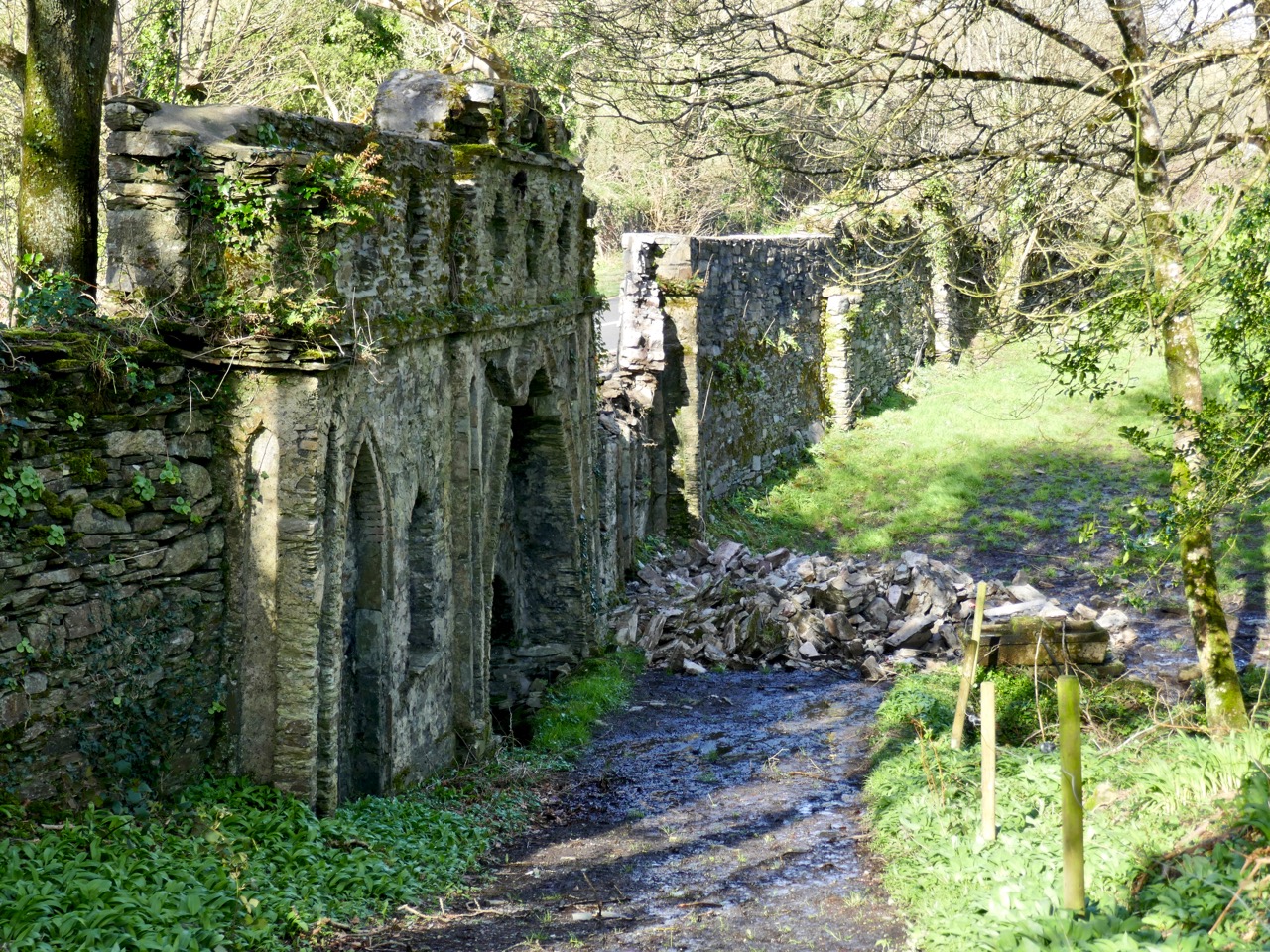
In 2019 I reported on the damage to the New Court Bridge and discussed why that was serious – the curious wall that we pass so often turned out to be a unique and important remnant of an eighteenth century designed landscape. The Good News is that the damage has been repaired, excellently, by Cork Co Council – this is what it looks like now (above).
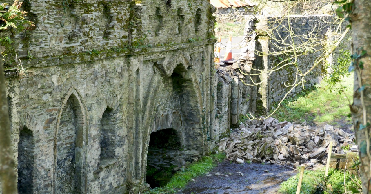
This (below) is what it looked like in 2019. What follows is what I wrote then. T(he repair work was done in 2020 and I have been meaning to update the post since.)
New Court Bridge has been badly damaged recently. Why does that matter?
The damage from behind the wall. Now you can see that this is a bridge – but a most unusual one!
Most people driving by this dangerous bend, where the Ilen River meets the N71 just west of Skibbereen, notice the funny arches on top of the wall, but don’t think twice about them. It’s too risky to stop and take a close look, after all. Most people, in fact, probably don’t realise that they are driving over a bridge, although that’s a bit more obvious now as the County Council have put in one of those concrete pads that are going in front of all bridge walls at the moment (see lead photograph).
Water under the bridge
Does anyone know how the damage happened? Did a car take the bend too fast and hit the wall? Did the concrete work loosen the structure of the wall? Let us know if you have information. I hope nobody was hurt. All I know is that one morning I was driving into Skibbereen and there was a chunk of the wall – gone! [EDIT: Apparently a young and inexperienced driver took the bend too fast and hit the wall. He was not badly hurt, thank goodness.]
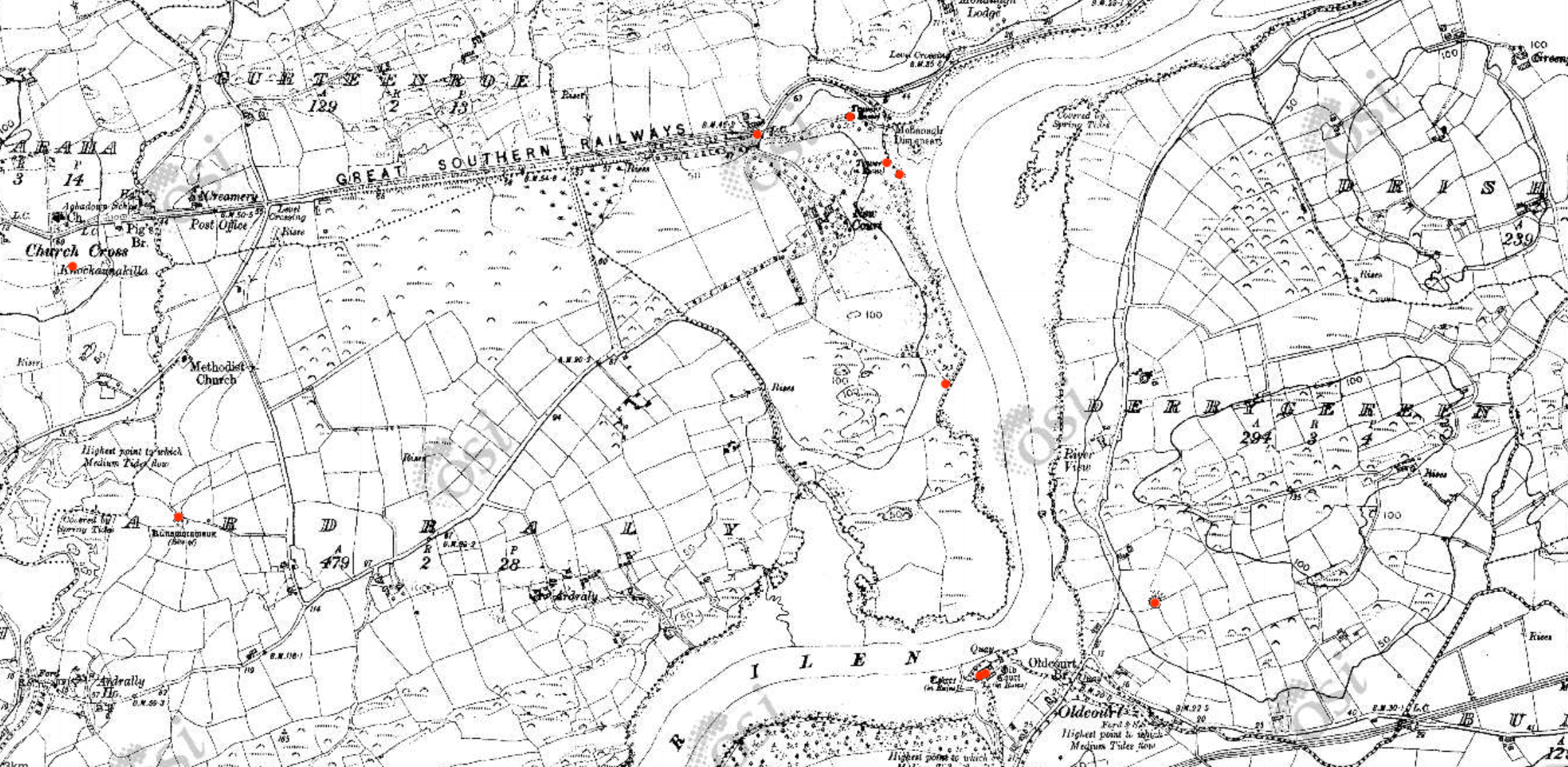
Early Ordnance Survey map of the New Court Estate, bounded by the Ilen River on the east and south. The red dots indicate the locations of the belvederes (marked as towers) and the bridge
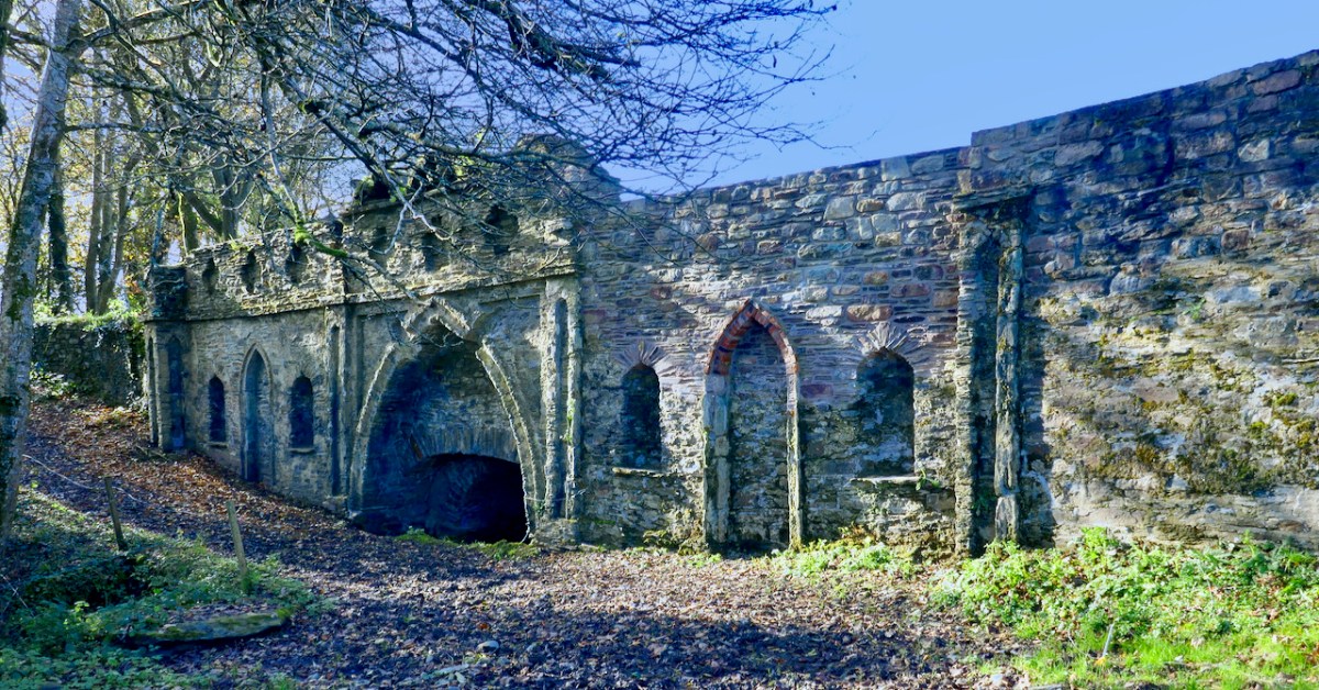
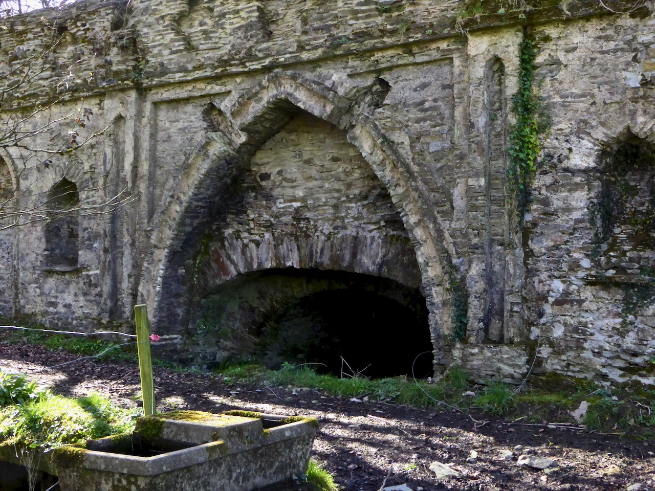
We tend in Ireland to think of old estate walls like this one as ‘Famine Walls’, erected during the mid nineteenth century as work projects. But this wall was far older than that, and it hid a secret – an elaborate facade on the back with decorative arches and niches. It was part of the plan for a pleasure garden undertaken by Henry Tonson at his newly acquired ‘seat’ which he called New Court, to distinguish it from Old Court, across the river. Originally, there was a matching wall across the road, but it was demolished in a truck accident many years ago. EDIT: I misinterpreted this – rather than a matching wall across the road, in fact there were matching arches on either side of the road, west of the entry to New Court. Both are now gone, one at least due to the aforementioned truck accident. Thanks to Sean Norris for this information.
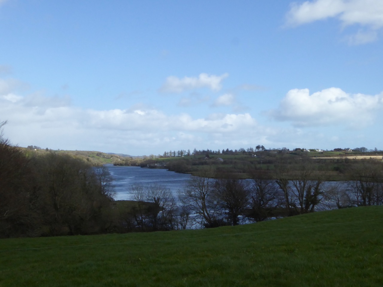
The Ilen floats by – a navigable river was a must for transporation to and from these early estates
The Tonsons had arrived in the 1660s. According to Burke’s Peerage, Major Richard Tonson received a grant of land in the county of Cork from Charles II for his distinguished exertions in favour of royalty during the Civil Wars and purchased the castle and lands of Spanish Island, in the same county. If he built anything on Spanish Island, just off Baltimore, no traces remain, and indeed, although strategic in marine terms at that time, it is hard to imagine how the island, mostly bare rock, would have made for comfortable accommodation.
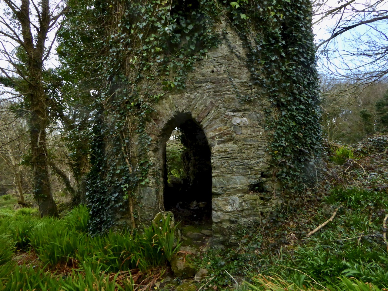
The stump of one of the belvederes, overlooking the river
It appears he, or his son, Henry, bought the land on the west bank of the Ilen and Henry set about establishing his dwelling there. This included building the wall around the estate. Eventually, and we are not sure when, one of the Tonsons (over time they acquired a title, Lord Riversdale) developed the area around the house as a vast pleasure garden.
The most complete belvedere. This one also functioned as a dovecote
. . . a different style of landscaping. . . dominated garden design in Britain, pioneered by William Kent and Charles Bridgeman and reaching its peak in the work of Lancelot ‘Capability’ Brown. The effect they strove for was naturalistic (as opposed to natural) – a planned layout that mirrored but enhanced their idea of a ‘wild’ and romantic landscape. Large expanses of grass, strategically placed lakes and ponds, plantings of carefully chosen tree and shrub species, and clever little structures such as temples, summer houses and belvederes all combined to delight the eye, create a romantic mood and, of course, attest to the taste and wealth of the owner.
A closer look at the construction of the bridge. It would be fascinating to attempt a reconstruction drawing. The niches may well have held statuary or decorative urns
Although the grand houses at the centre of the estate have now gone (see this photograph in the National Library for a glimpse of the last one), there is lots of evidence still of such a designed landscape. Originally lawns sloped to the river – no need to build artificial ponds as the Ilen provided the perfect watery scene. Little round towers were built to be used as gazebos or belvederes (and in one case a dovecote): three in all, of which the stump of one and a fairly complete second are still to be seen. The bridge with its elaborate facing was the crowning glory of the estate wall.
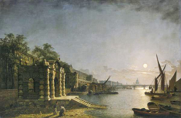
The York House Water Gate as it would have looked originally on the Thames (Wiki Commons)
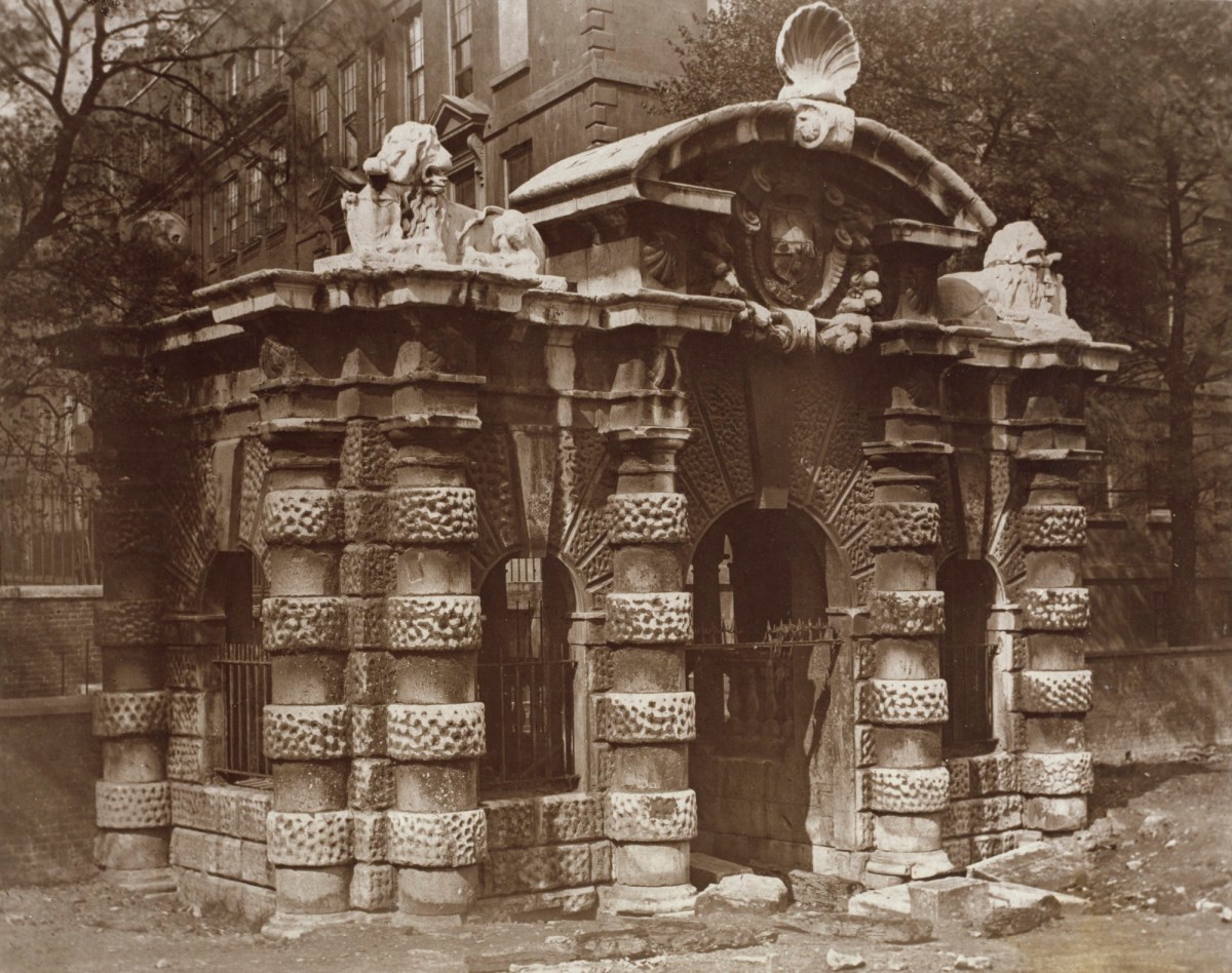
What did the bridge wall look like originally? We don’t know, but Peter Somerville-Large in his Coast of West Cork says it was modelled on the ‘water gates at Hampton Court’. I can’t find any images of this online, but I have found the water gate at York House, which is still there. It was built as a ceremonial landing place on the Thames (above) although it is now a long way from the river.
The York House Water Gate in an early photograph (www.royalacademy.org.uk/art-artists/work-of-art/O18442 Credit, Royal Academy of Arts / Photographer William Strudwick )
Of course, it is larger and more elaborate, but you can still see the basic shape, with its curved arch on top and the arched niches in the wall. The arches at New Court may have been plastered, perhaps, or faced with some material. The York House Water Gate dates to 1626 and it’s all that left of the York House estate – the Tonsons may well have been familiar with it or with similar water gates along the Thames. Building such an edifice would have been aspirational, indicating a desire to impress.
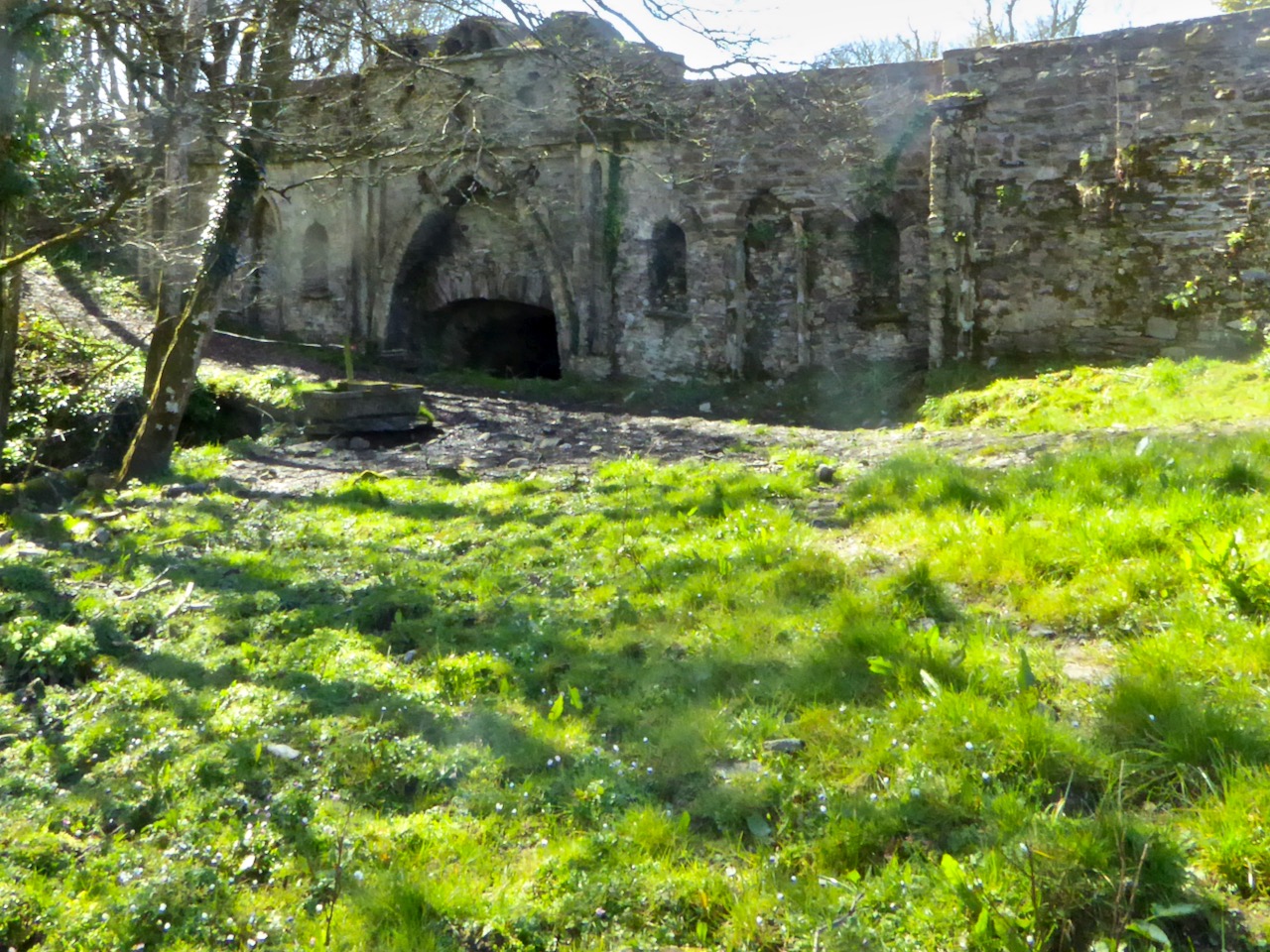
This was what it looked like in 2016 – taken by a camera with spots on the lens
The likelihood, therefore, is that the bridge at New Court is most probably eighteenth century, and early eighteenth century at that – about three hundred years old. We don’t have a lot of structures in West Cork dating to then. Surely it’s worth preserving those that still exist? I am hopeful that the National Monuments Service (they’ve been alerted and have notified their Monument Protection Unit) will come riding to the rescue. I’ll be keeping an eye on it all – you do too. But note that this is private property, so no walking or driving through the gates without permission.
UPDATE, MARCH 20, 2019. This notice was received from the National Monuments Protection Unit: “Cork County Council (Bridge Management) have indicated it is prepared to repair the wall as a Reactive Maintenance Incident and will ensure repairs meet any necessary heritage requirements.”
Welcome to the UCD Library Cultural Heritage Collections blog. Discover and explore the historical treasures housed within our Archives, Special Collections, National Folklore Collection and Digital Library