Morton’s book – dating from December 1930 – deserves a further look as a view of Ireland from an English perspective back in the early part of the last century (here’s the first part of this review). What was going on, historically, in the young Free State at that time? Firstly, I was surprised to learn that there was a Governor-General (Seanascal Shaorstát Éireann) whose role was to be ‘the British monarch’s representative in Ireland’. While this was largely a ceremonial role (and was paralleled in Canada and Australia at the time), this continuing official link with a King was understandably unpopular. The first holder of the post was former Irish Parliamentary Party MP Timothy Healy, a Bantry man. Healy held the role between 1922 and 1928, and it was taken over by James McNeill, who retained it until 1932 – there’s a British Pathé newsreel on McNeill’s inauguration (below). The last holder of the office was Domhnall Ua Buachalla: In December 1936, when King Edward VIII abdicated, the Irish cabinet took the decision to abolish the governorship-general and emphasise the separation of the country from any sense of British heritage.
Through the 1930s, Ireland projected its image as a newly created modern state, but also consciously presented itself romantically as a pastorally idyllic country with a rich history and esoteric folk culture. This, of course, cast an eye on the potential for attracting tourism, and Morton’s book concentrates on this heritage, particularly in the choice of photographs. He writes on this relationship:
. . . It is one of Ireland’s many misfortunes that the common people of England have never been taught anything about her, have never shown any interest in her and, apart from a small section of well-to-do people, have never travelled in this beautiful island. I would like to hope that this book of mine may help, in no matter how small a way, to encourage English people to spend their holidays in Ireland and make friends with its irresistible inhabitants. Friendship and sympathy between two such warm-hearted and kindly people would be a fitting end to centuries of political misunderstanding . . .
H V Morton – In search of Ireland 1930
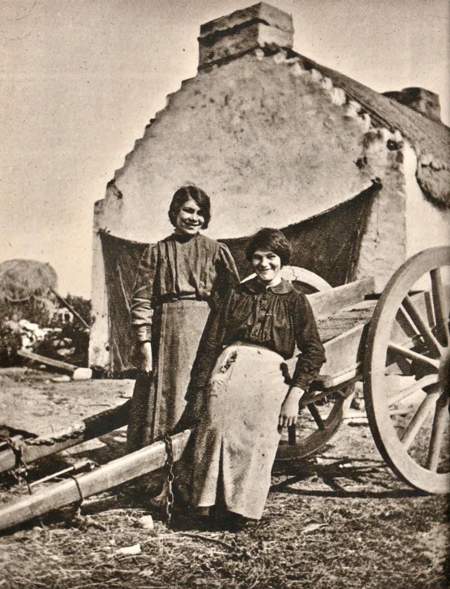
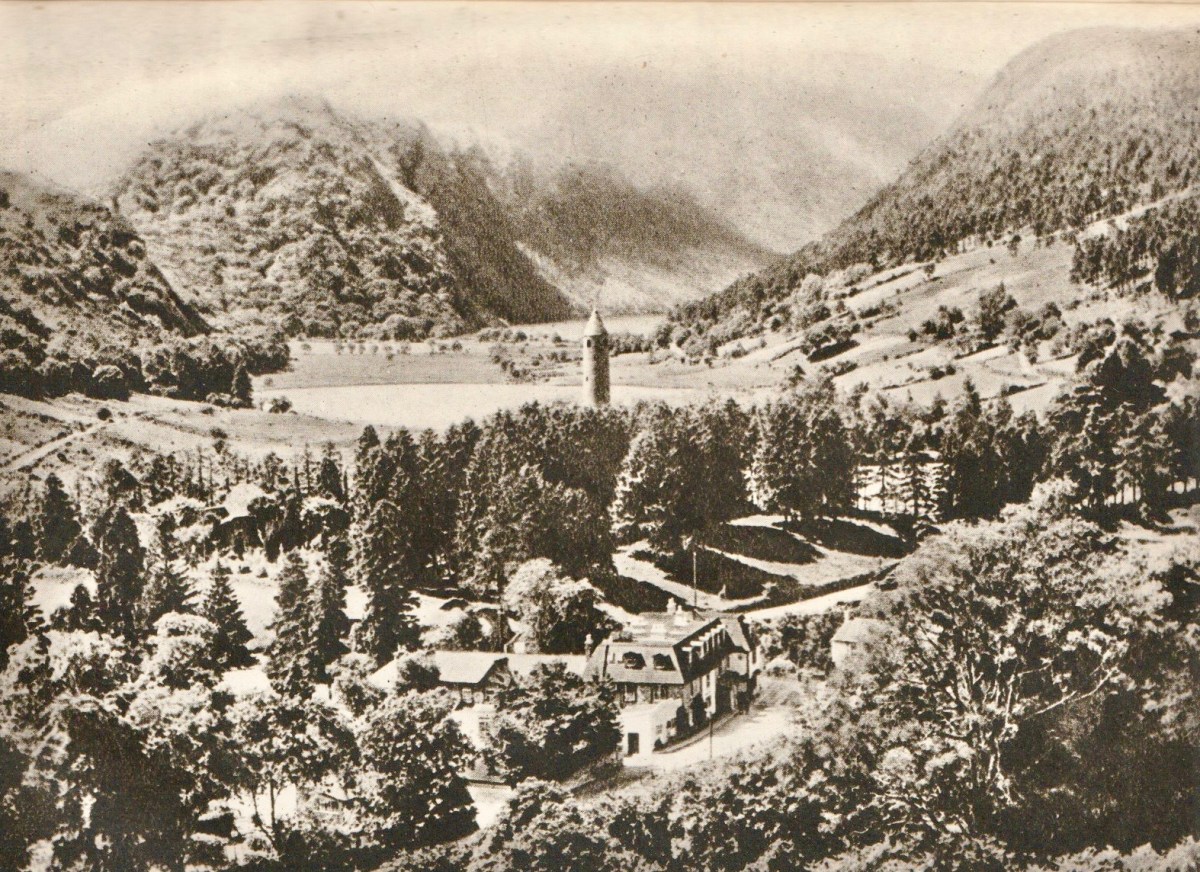
From ‘In Search of Ireland’ – above: Two Connemara Girls. Below: Glendalough.
Today, the British obsession with its nationalist roots – which we are calling ‘Brexit’ – threatens all the compromise and hard work which has been expended on positively and peacefully resolving the ‘Irish Question’ over the past few decades. Interestingly, in 1930, H V Morton had something to say about Northern Ireland, which has some uncanny resonances with today’s imminent problems:
. . . It happens that when you are in Donegal you can look south into Northern Ireland, and when you are in either Londonderry, Tyrone or Fermanagh you can look north into Southern Ireland! This is no doubt an excellent joke except to those who have to live in it! It must be exasperating to find yourself barred by a customs barrier from the country town in which you have always enjoyed free trading. But as long as it profits the Free State to build up her enterprise behind a tariff wall, or as long as Northern Ireland remains outside the Free State (which, I am told, will be for ever), this inconvenient and costly boundary with its double line of officials will remain, the only frontier in the British Isles . . .
H V Morton – In search of Ireland 1930
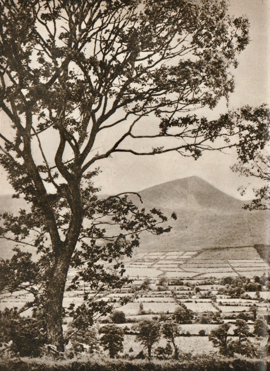
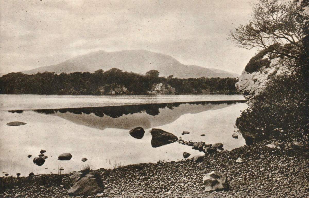
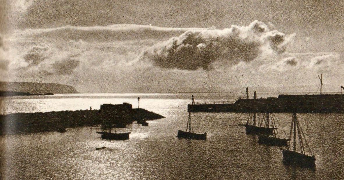
From ‘In Search of Ireland’ – above: Plain of Tipperary. Below: Middle Lake, Killarney.
Having read my way through Morton’s book on Ireland (which I picked up on a stall in Skibbereen market), I am left with very mixed feelings about its author. I am partly influenced, I think, by what I have noted elsewhere about the man and his life. In particular, picking up on his apparent sympathy with the Nazis during the Hitler years, but also becoming aware that he and his second wife, Violet Mary (they married in 1934) emigrated to South Africa after the Second World War, became citizens, and apparently endorsed Apartheid.
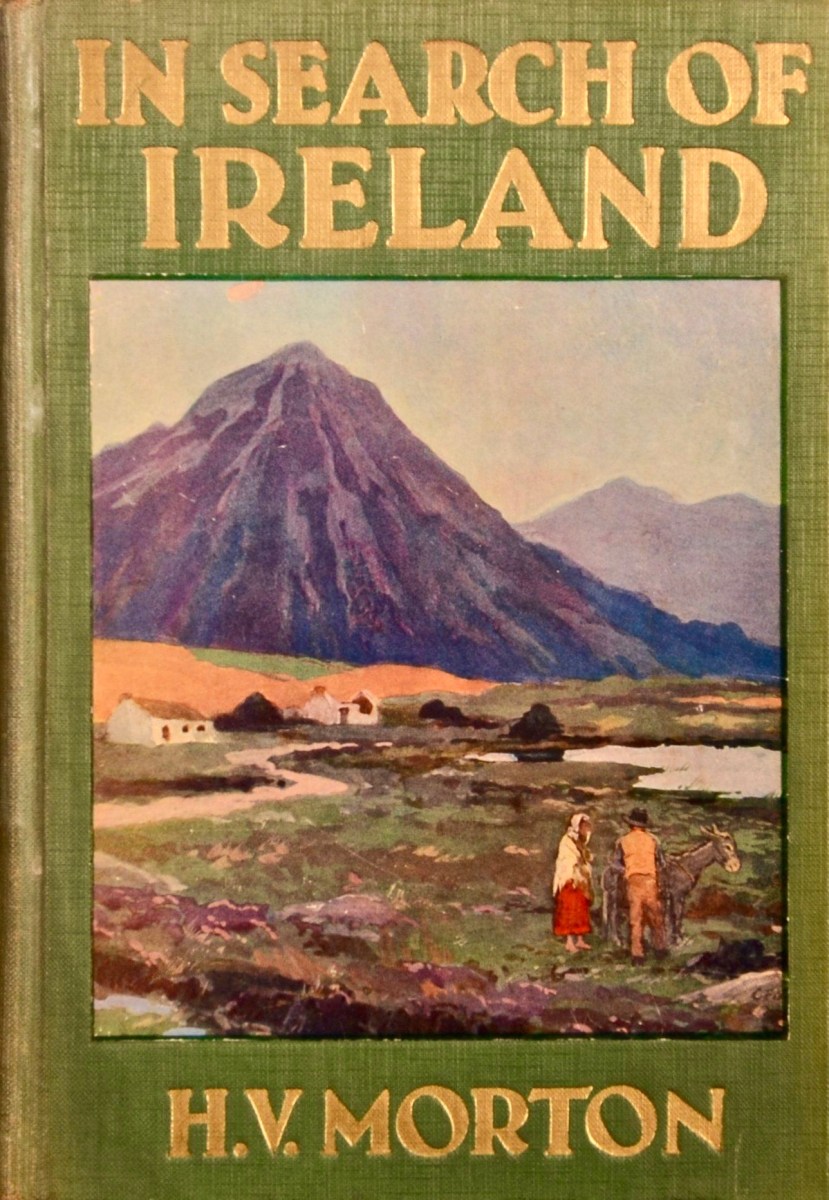
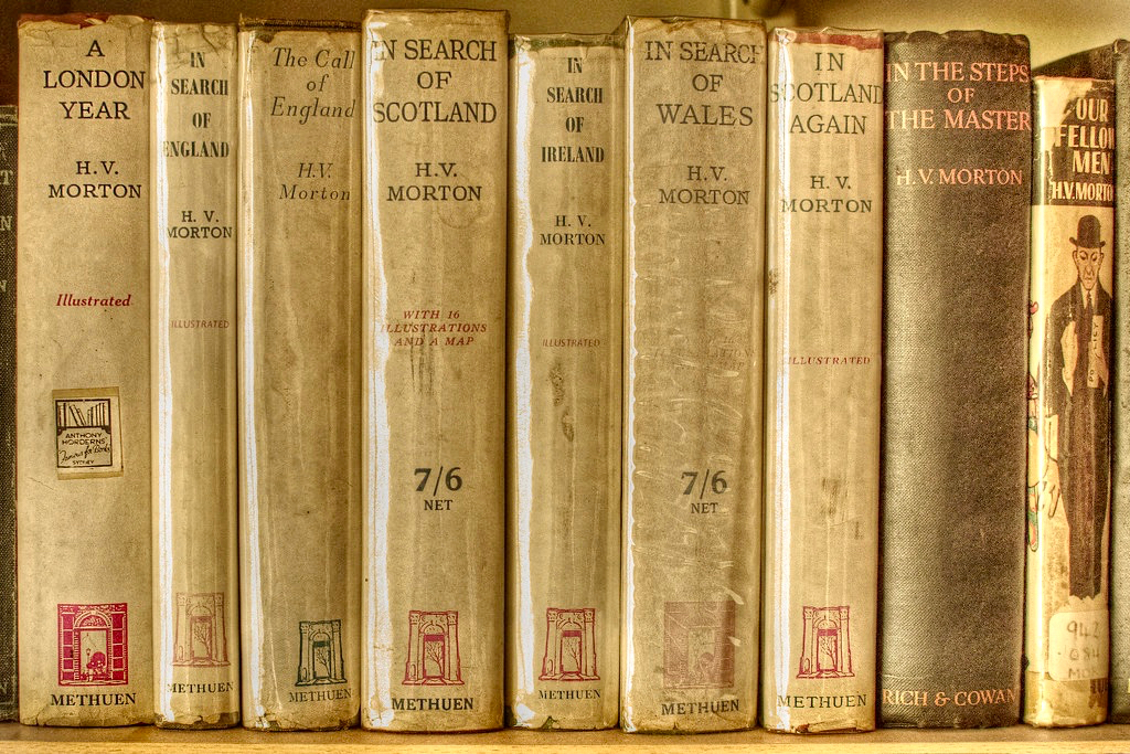
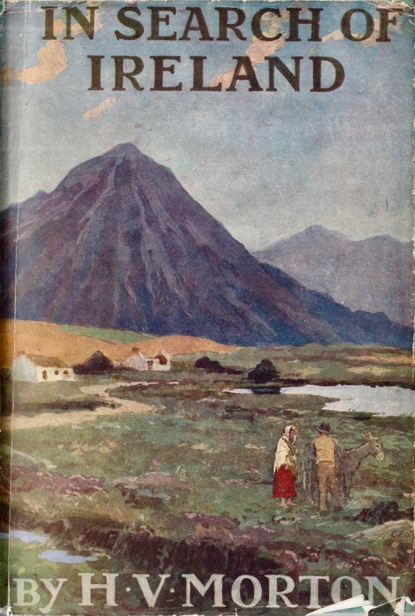
Above: the cloth cover of the sixth edition of Morton’s Ireland book, dating to 1934. Below: H V Morton is still a much collected writer.
Ultimately, I feel that Morton doesn’t have the depth I’m looking for in any respected scribe on Irish matters. He is, foremost, a journalist – and crafts his words for maximum effect. Perhaps this is unkind, but his views seem to me almost theatrical: taking a romantic stance that will appeal to tourists, he sets a tone that is slightly imbued with a sense of superiority, although he does not hesitate to be critical of the British position as he saw it at the time of writing. I am quoting his last paragraph – ‘saying good-bye to Ireland’ to try to defend my stance, which I fully accept is just a personal viewpoint.
. . . When my feet first trod Irish soil I felt that I had come to a magic country and now, as I said good-bye, I knew it truly as an enchanted island. That minor note which is like a vibration in the air, something that lives in the light and in the water and in the soil, runs through every Irish thing, but, like the cry of a bat, it is too high to be heard. But a man is conscious of it everywhere. Ireland of the Sorrows is no more. The sun sets, and the hill grows dark. I know that in the West at this moment men are raking the ashes of the turf fires. In thousands of little white cabins they are kneeling before the wide hearth, piling up the ashes around the red glow, and in the morning there will be new light. The shadows have fallen over the fields of Meath. The air is grey with night. St Patrick rises up over the mounds of Tara, his hands uplifted. And in the silence and the darkness I listen again for that hidden music. It is not for my ears. I hear nothing but the night wind in the grass; and I say good-bye to Ireland . . .
H V Morton – In search of Ireland 1930
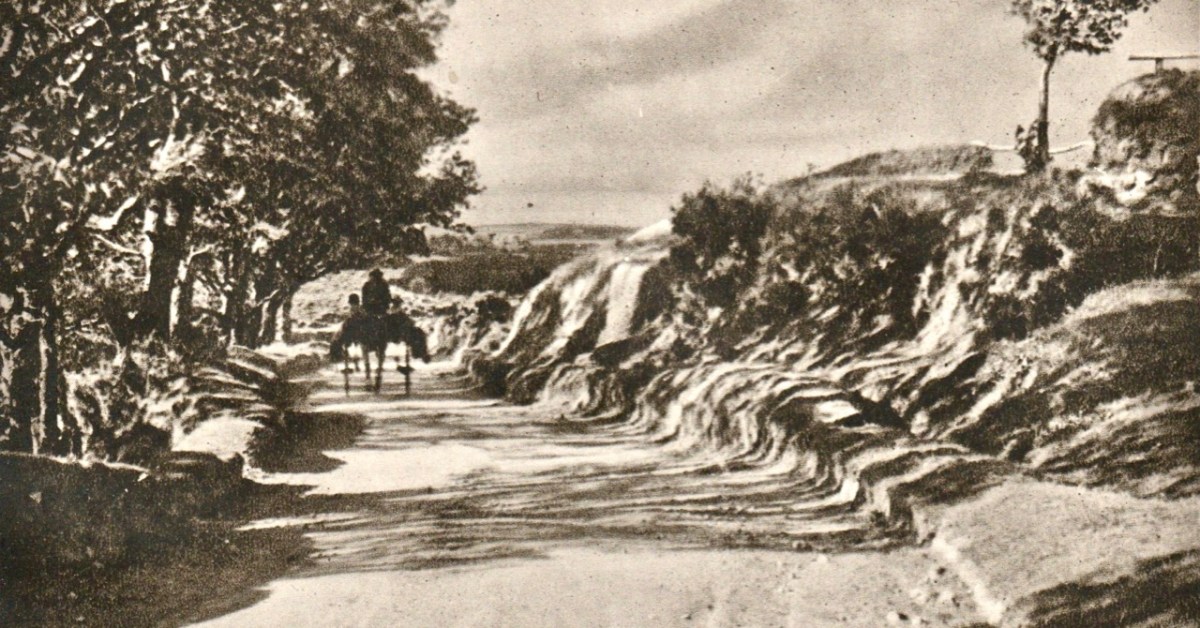
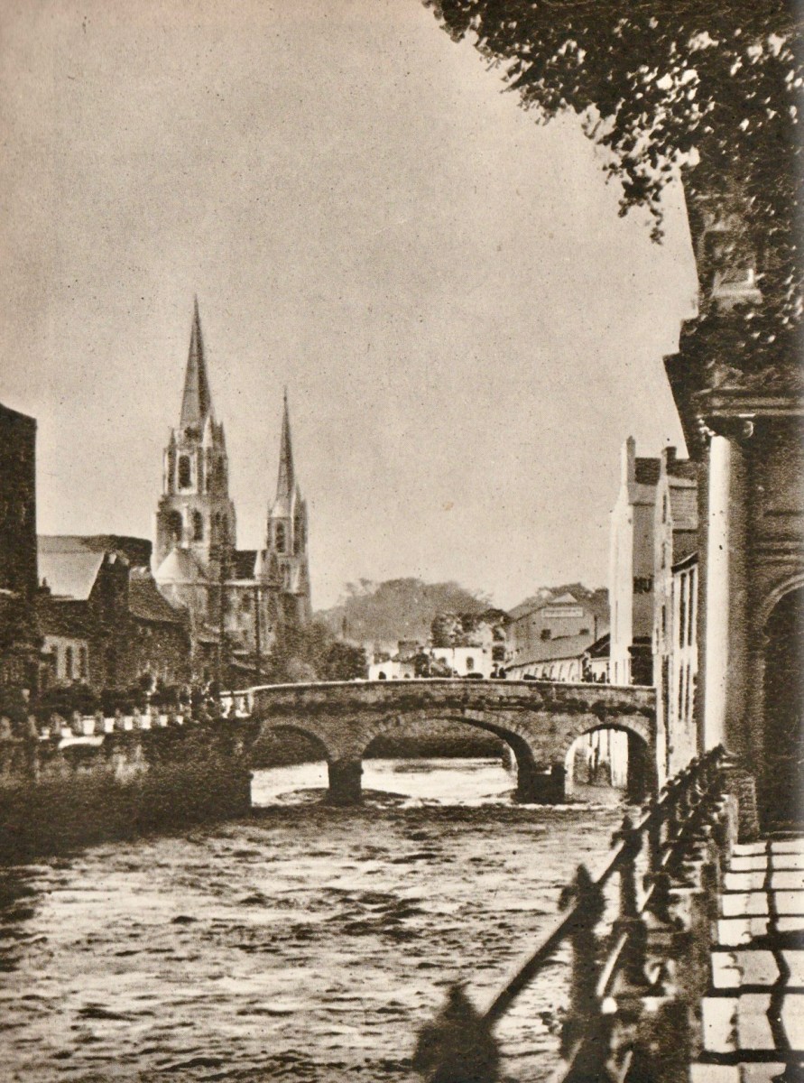
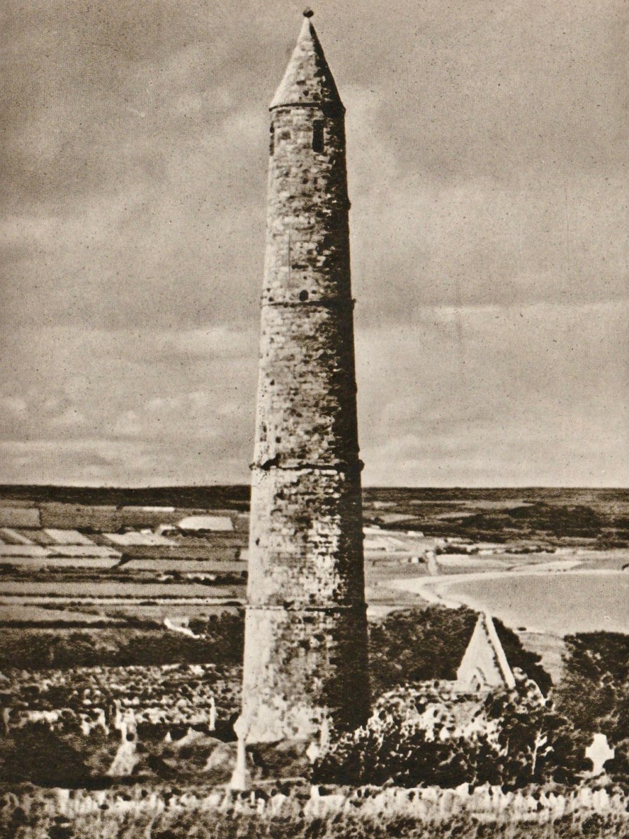
From ‘In Search of Ireland’ – above: Cork South Bridge. Endpiece: Ardmore Round Tower, County Waterford – 12th century.
Don’t be put off by my own standpoint. This book is an important Irish travelogue and sets a scene of a particular time in Irish history (ninety years ago) viewed from a close neighbour’s perspective.
In Search of Ireland was first published in 1930. It’s always interesting to read the accounts of an English traveller in Ireland. I used to be one once, but I’m now – happily – permanently here. And a citizen! I really don’t want to be anywhere else in this turbulent world.
I recently happened upon this book – and was immediately attracted by the cover, and the many photographs it contains, which date mainly from the 1920s. But let’s start off finding out who the author is.
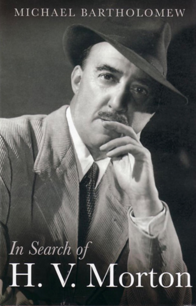
Henry Canova Vollam Morton was born in Lancashire, England, in 1892. He was the son of Joseph Morton, editor of the Birmingham Mail, and followed his father into journalism. Morton served in the First World War and then worked in London, for the Evening Standard and the Daily Express. While with the latter he ‘scooped’ the story of the discovery of Tutankhamen’s tomb at Luxor in 1923 and reaped celebrity from that event. After this he started writing books, mainly about travel. Between 1925 and his death in 1979 some 55 books were published. His work appealed to a popular audience. The book about him, above – written after his death – suggests another side to this man: he had secretly been a Nazi sympathiser and another writer, Max Hastings, gleaned this entry from Morton’s private diaries of 1941 – “I am appalled to discover how many of Hitler’s theories appeal to me”.
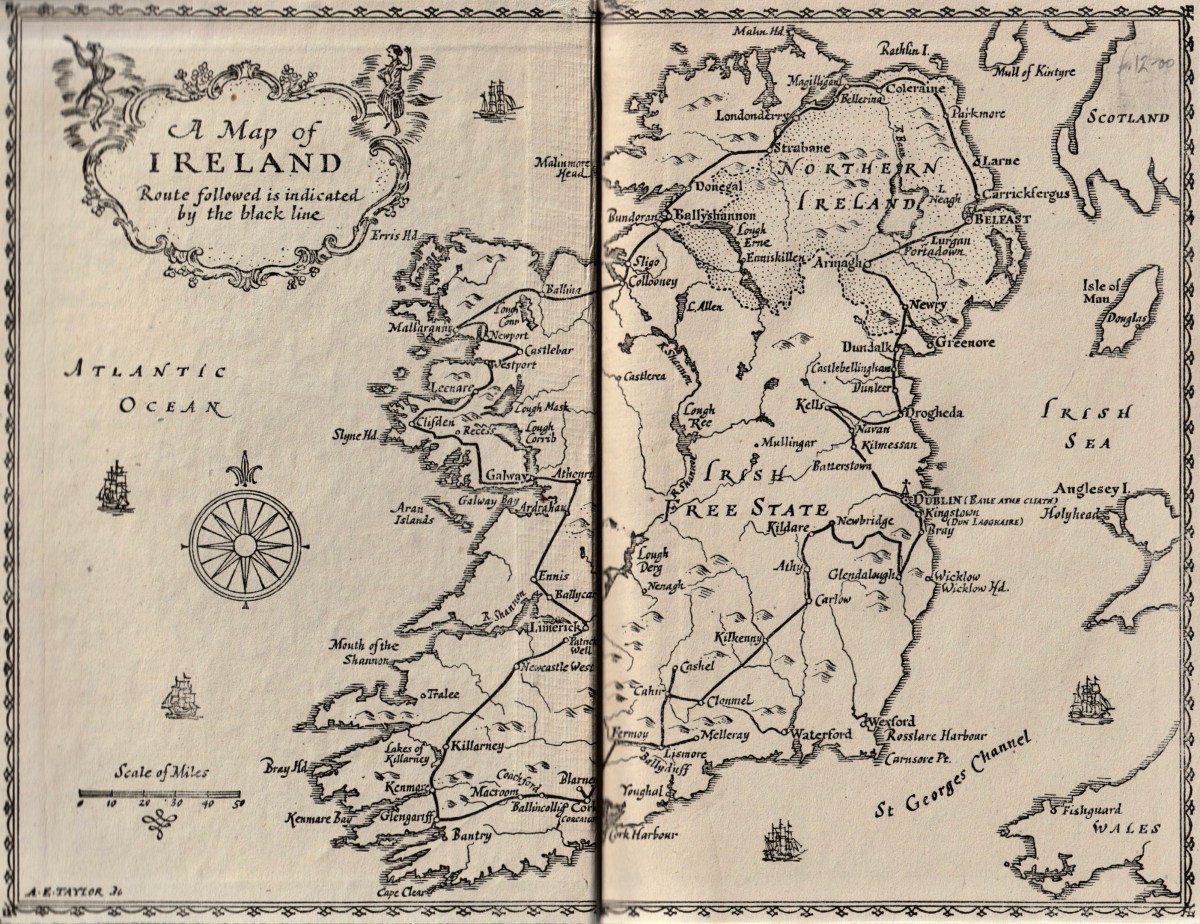
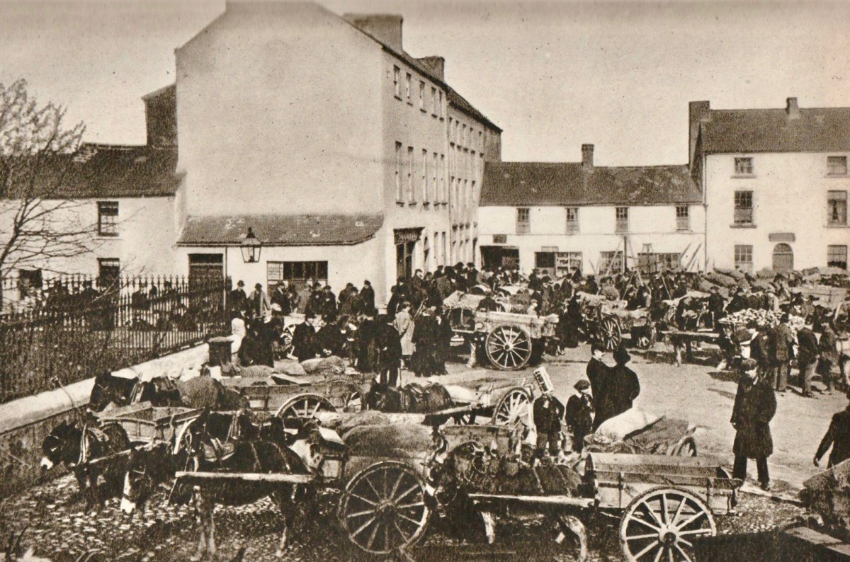
Morton travelled in Ireland during the 1920s and wrote many articles about his journeys, which became the substance of this book. The book’s endpapers (top) present a map showing the route he followed in his car: he appears to have foolishly omitted the best part of Ireland – our own West Cork! The lower photograph (above) is simply captioned ‘Fair Day’ and is credited to a Dublin photographer (Thomas Mason). I cannot identify the location, although it seems a little familiar. In the book it is juxtaposed close to an account of Kenmare.
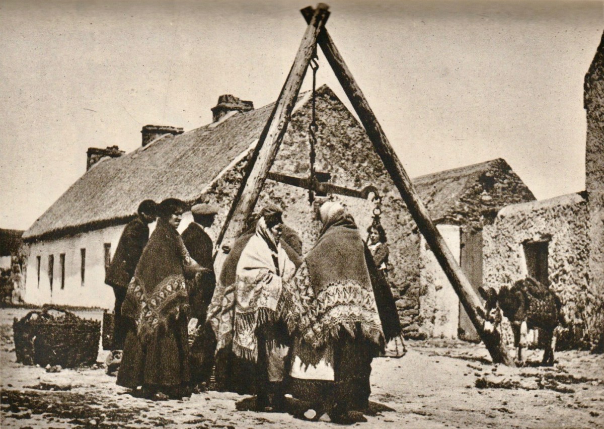
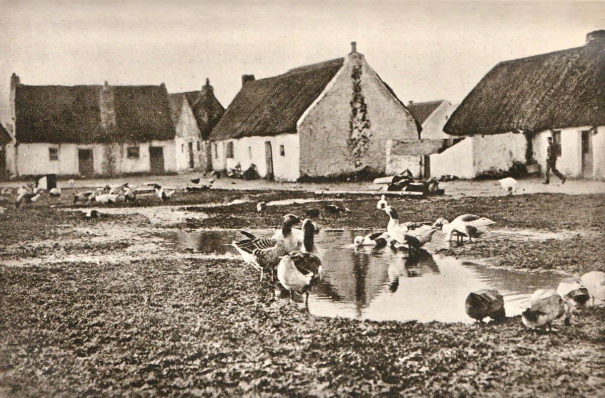
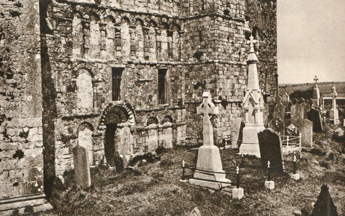
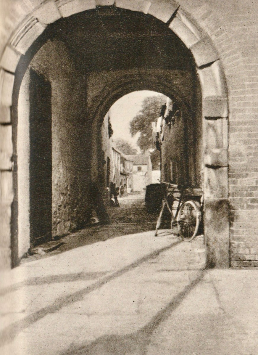
The upper photograph is titled ‘Market Day in Connemara’, and the lower one is ‘The Claddagh, Galway’. Most of the photographs are accredited to publishers or newspapers: H V Morton only provided a brace of pictures himself. They are below – ‘Cormac’s Chapel, Cashel’ and ‘An Archway in Killarney’:
From the dust-jacket of my nineteenth edition (which was published in 1945):
. . . In this book H V Morton describes a first visit to Ireland – not the tragi-comic Ireland of 19th century fiction, but the new Ireland. His charming book is the record of a motor-car tour right round the island, and in the course of his delightfully haphazard wanderings, he discourses on the Irish landscape, Irish people, Irish history, falls in love with Kerry and Connemara, attends a wake in Mayo, and crosses the hills of Donegal into Northern Ireland . . .
Frontispiece – In Search of Ireland by H V Morton
This is the first of two posts about H V Morton’s book. Next time around I will quote further from his text to try and give you an insight into this complex man, but also show you more of the illustrations from the book. None of us can resist looking so directly into the past!
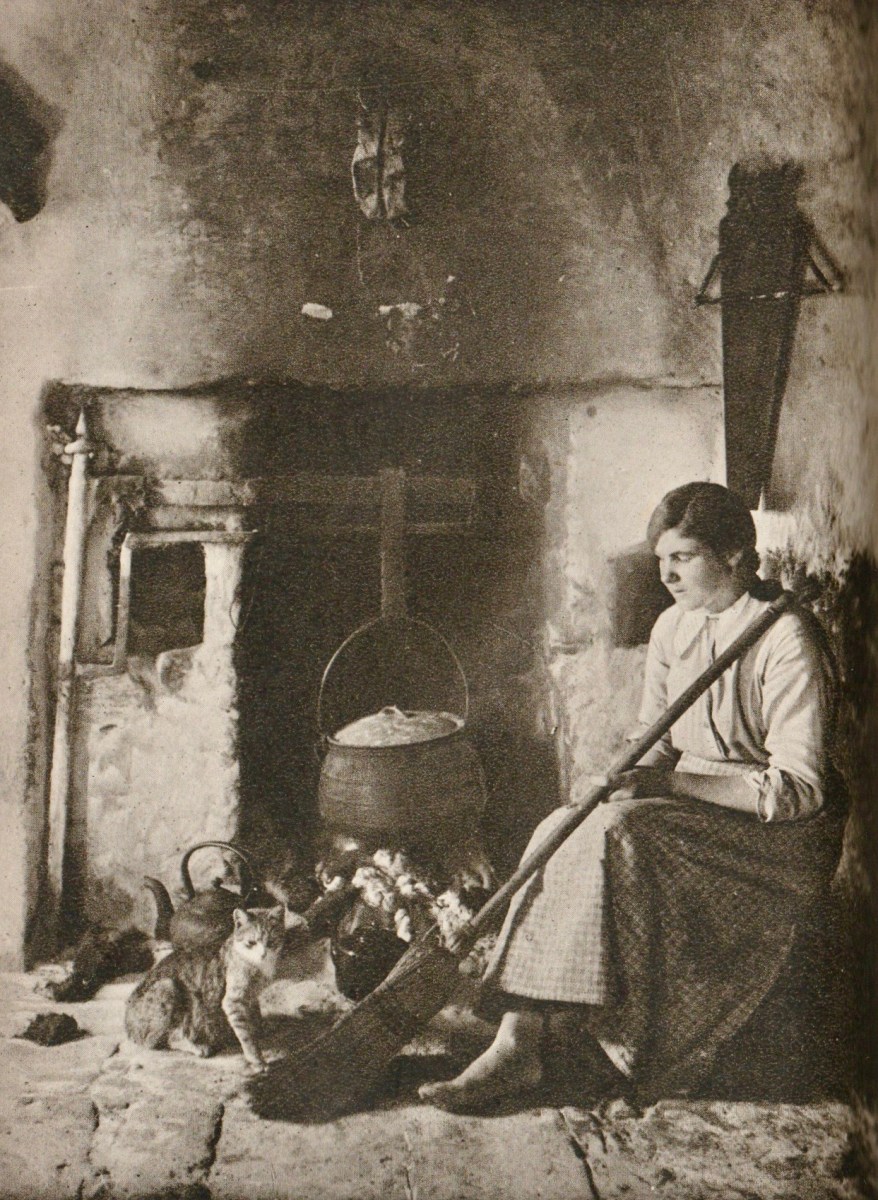
From ‘In Search of Ireland’ – above: Connemara Girl
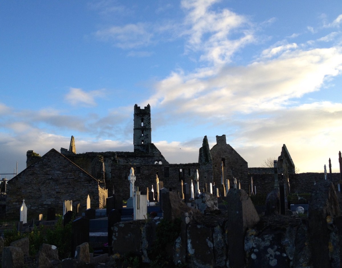
We had a great afternoon yesterday, exploring aspects of the history of Timoleague, in West Cork. Our Finola Finlay (above) was involved in an event organised by the Glass Society of Ireland. . . a professional all-island, non-profit association that opens a window onto the contemporary Irish Glass Community . . . The day’s proceedings were centred around the ecclesiastical buildings in the town, the earliest of which is the Franciscan Friary, now a substantial ruin beside the Argideen River.
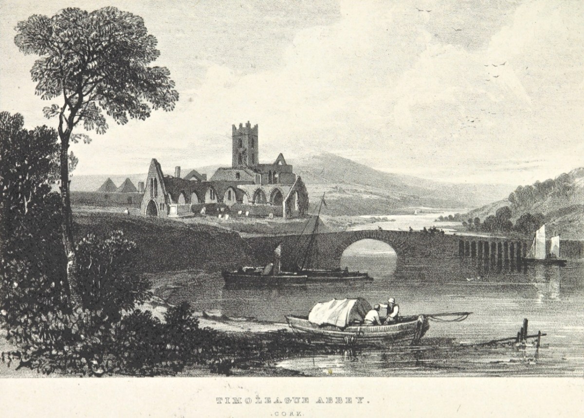
This view of the ruined ‘abbey’, above, dates from 1830. It is located on the site of an early Christian monastic settlement founded by Saint Molaga, from whom the town of Timoleague derives its name. A story that I heard for the first time yesterday was told by local historian Donal Whooley: the Saint was trying to found his community back in the sixth century, but everything that he and his followers built fell down the following day. According to legend, it was originally to be built a mile west of Timoleague, but all work done on that site by day would fall down by morning. Interpreting this as God’s wish that the church should be built elsewhere, Molaga fixed a blessed candle on a sheaf of corn, and floated it down the Argideen river, siting his settlement on the spot that it came ashore, on the big bend in the waterway where the Friary ruins can be found today. Here is a view from the great three-light window which looks out to the east over the river. Finola told us that, in its heyday, this window would have been filled with beautiful medieval glass, bringing light and colour into the substantial nave of the church.
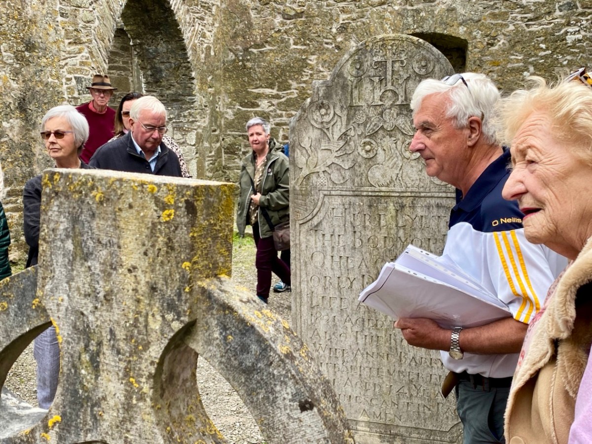
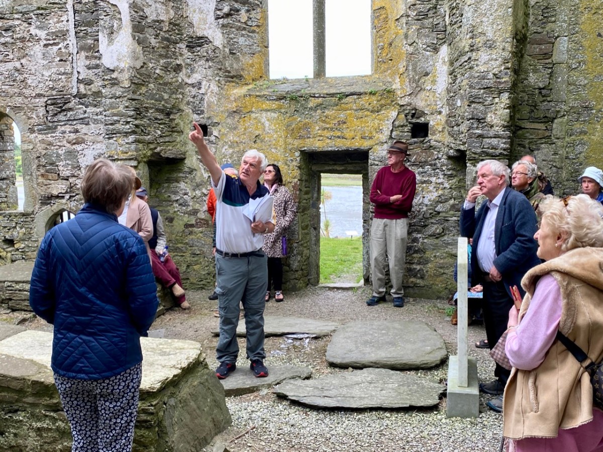
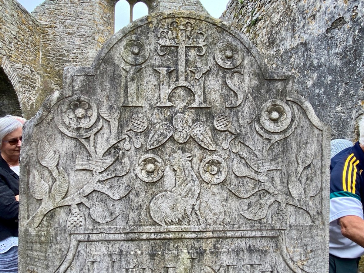
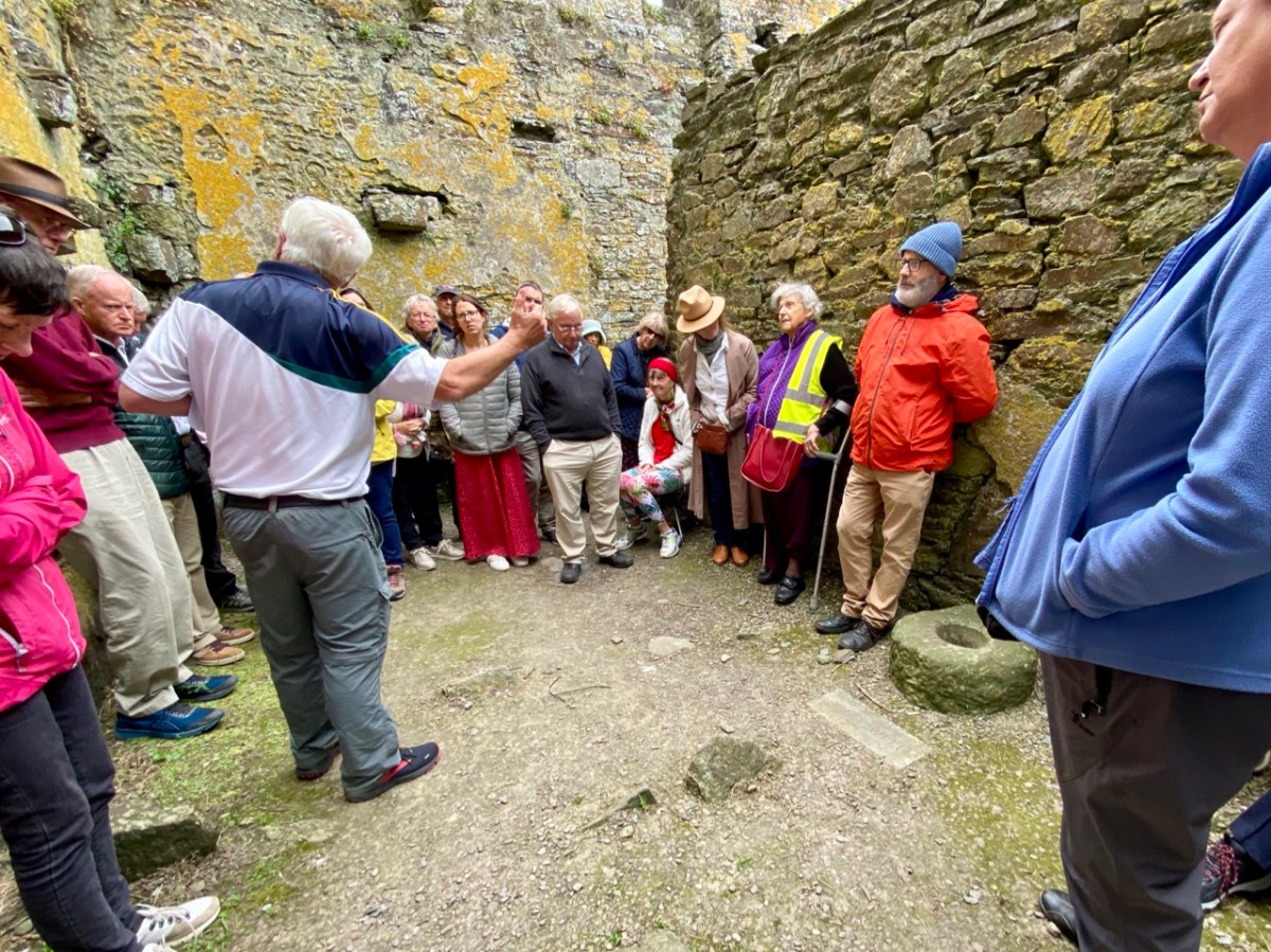
That’s Donal, above, leading our group of almost fifty keenly attentive people who shared an interest in the town and its history. To the right (in a blue jacket) is Father Patrick Hickey. He told us of the symbolism of the cockerel you can see on the large headstone in the nave (below), dating from 1821. Evidently some of the disciples were standing together while Christ was being crucified: nearby stood a pot in which a rooster was being boiled for supper. Judas reportedly said: do you think there’s any chance that our Lord will rise again? Mrs Judas retorted: there’s about as much chance of that as there is of that rooster jumping out of the pot and crowing! At which point – of course – the cockerel did just that!
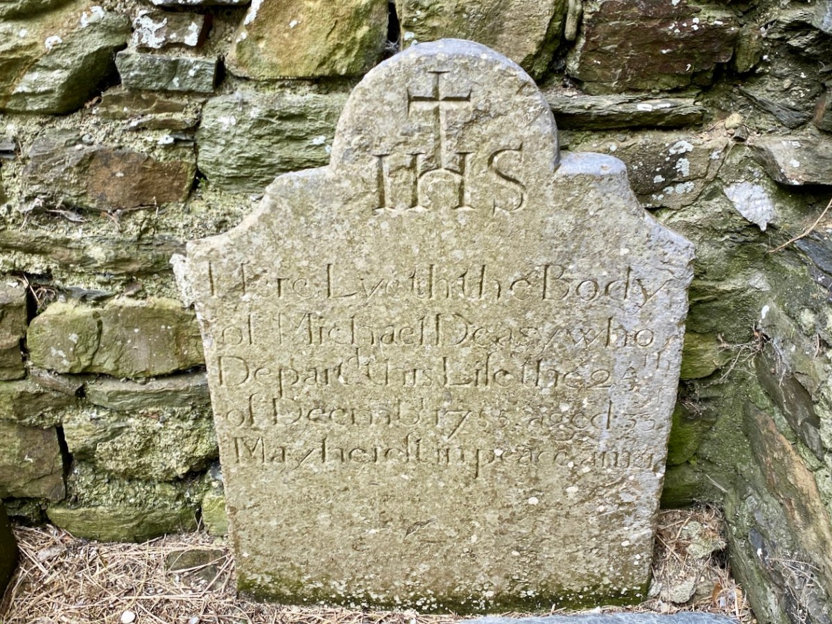
It was the custom to place burials in ruined church buildings. Here’s another fine headstone in Timoleague Abbey, to Michael Deasy, ” . . . who departed this life on the 23 December 1755, aged 33. May he rest in peace. Amen . . . “
Lively discussions ensued on the efficacy of wart wells, and Donal suggested that this repurposed bullaun stone, above could be the oldest human element on the whole site!
Here’s an aerial overview of the geography of Timoleague. The Friary ruin is only one of many historic sites of interest which caught our interest yesterday. It was Finola’s task to introduce us (or those of us who had never seen it) to the little Church of the Ascension.
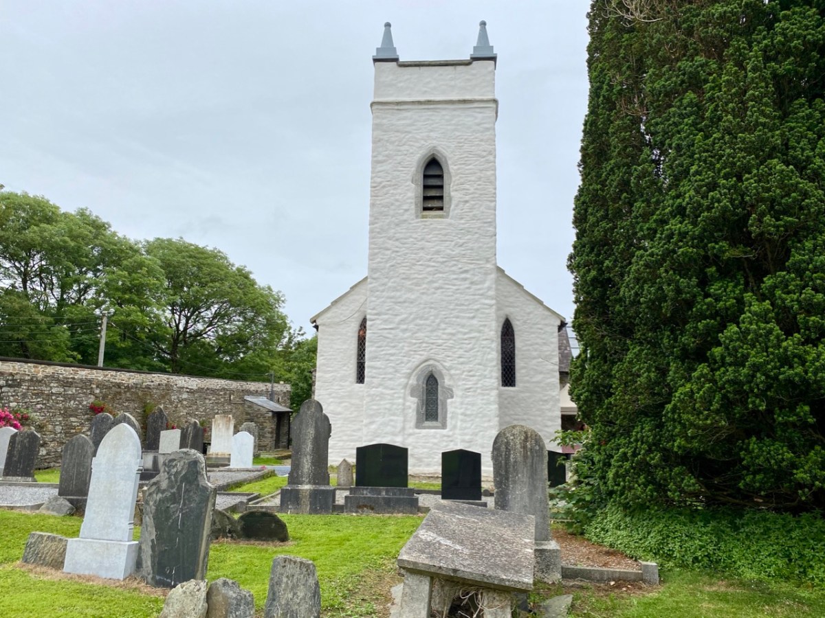
This building is currently undergoing major improvement works: the lime rendered tower has created a striking landmark in the town. This work has become necessary by water penetration through the stonework leading to deterioration of the fabric. The conservation project is led by a hard-working Parish committee who also served us delicious tea and cakes since the tour was a fund-raiser for their efforts.
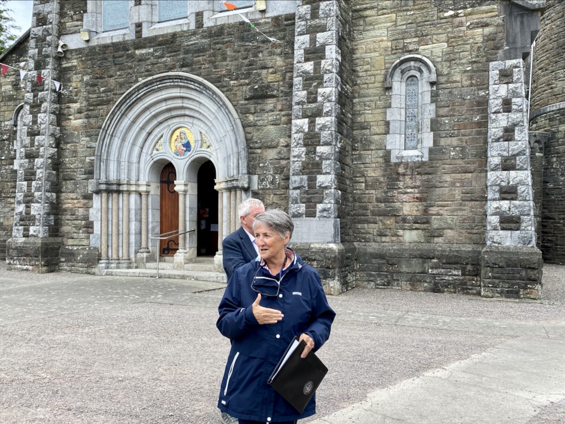
The early OS map extracts, above, give further context to the town’s history. The top map dates from the 1830s and comparison of the plan forms of the Church and Chapel buildings with those in the lower map, which dates from c1900, and then the present day aerial view (higher up the page) shows the degree of change which has taken place. We finished our town tour in the Church of the Nativity of the Blessed Virgin Mary. Here’s Finola standing outside it, below, prior to giving us an introduction to the history of the building, and its windows.
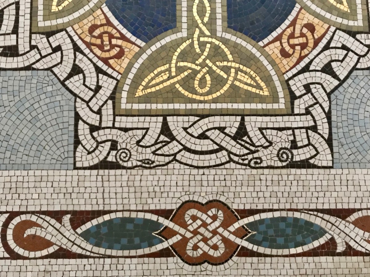
The fine Harry Clarke Studio window (one panel of which is shown in the upper picture) is a ‘must-see’, as is the mosaic work from the same church. The building work for this Catholic church, replacing an earlier chapel, dates from 1912.
Father Patrick Hickey nicely rounded off our day of Timoleague history by showing us the replica of the ‘Timoleague Chalice’ (above). The replica is kept in this Catholic church. According to Fr Hickey, ‘back in the penal days’ three monks were found floating in an open boat just off the island of Cape Clear. They had with them a box, or trunk. They were brought ashore but two of them died. The other asked that the box be kept on the island – but unopened – until he could return to retrieve it. He never returned, and in later years another visiting Priest said it could be opened. Inside was a gold chalice – blackened with age – and some liturgical vestments. The vestments fell to dust immediately, but the chalice was sent away for inspection, and was confirmed as coming from the Friary at Timoleague, where the replica is now kept.
Here is another ‘souvenir’ of Timoleague – it’s an extract from a poem written in Irish: The Mourner’s Soliloquy in the Ruined Abbey of Timoleague. The poet, Seághan Ó Coileáin, ” . . . was a Gaelic-language poet born in County Cork, in a time of faded Irish glory. He lived as a village schoolmaster, with a large family and no patron . . . “
Abroad one night in loneliness I stroll’d, Along the wave-worn beach my footpath lay; Struggling the while with sorrows yet untold, Yielding to cares that wore my strength away: On as I mov’d, my wayward musings ran O’er the strange turns that mark the fleeting life of man.
The little stars shone sweetly in the sky; Not one faint murmur rose from sea or shore; The wind with silent wing went slowly by, As tho’ some secret on its path it bore: All, all was calm, — tree, flower, and shrub stood still, And the soft moonlight slept on valley and on hill.
We are often invited to join our friends Amanda and Peter Clarke on their journeys of exploration into the wild places of West Cork and Kerry. We even stray over into Limerick on occasion! And it’s usually all to do with Holy Wells. Amanda has been writing about them for years, and you can find her accounts of them in Holy Wells of Cork & Kerry, here.
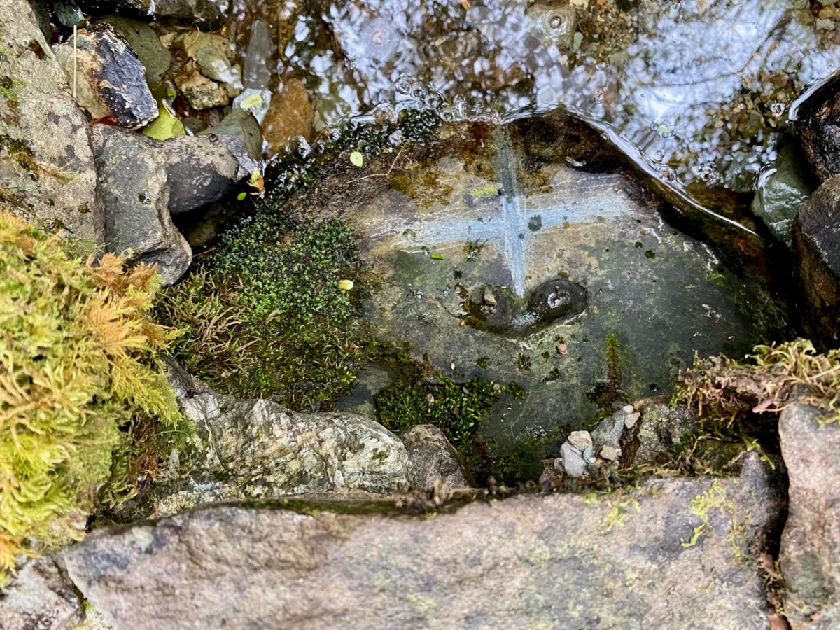
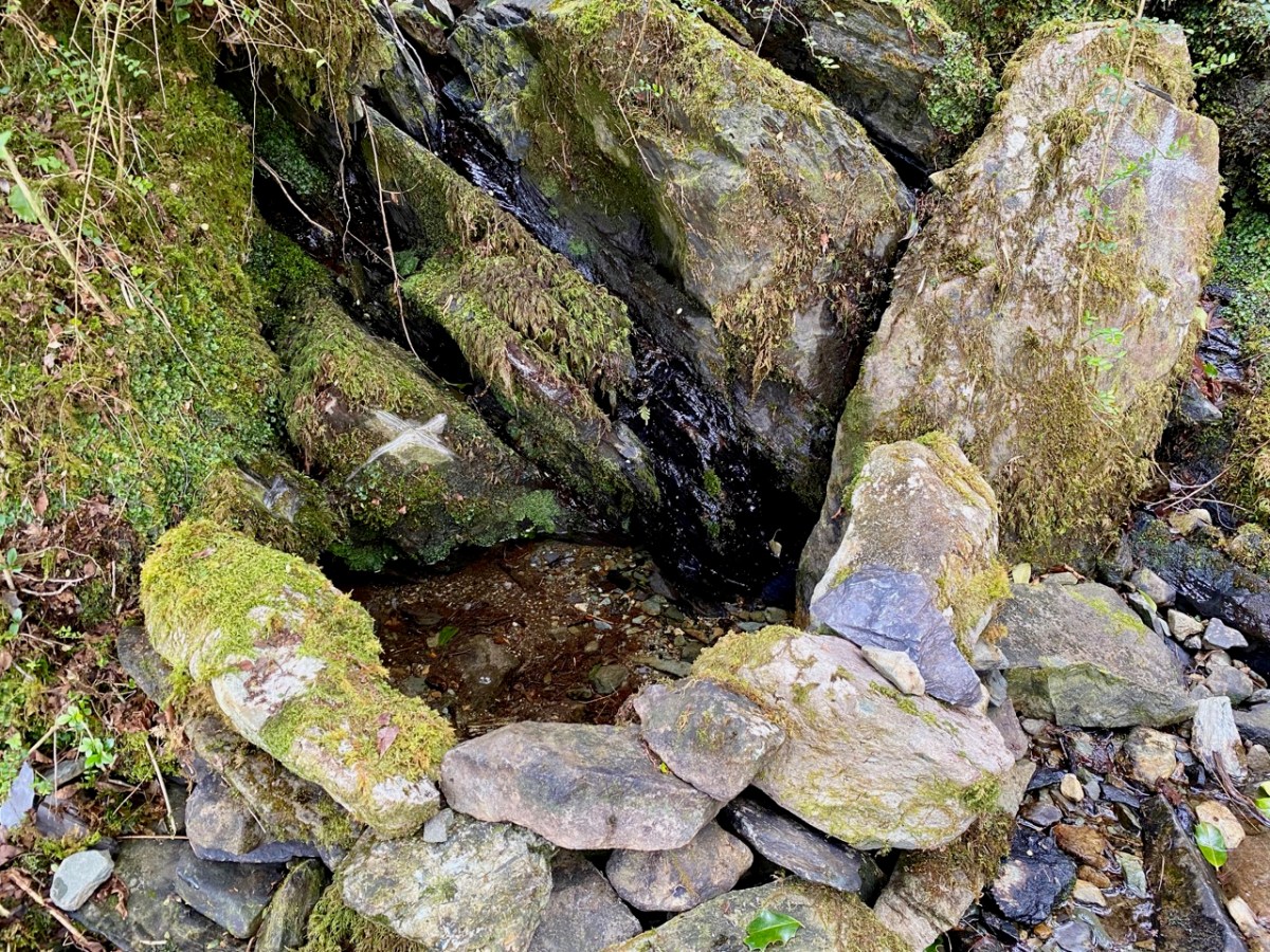
Recently we were at Loo Bridge, near Kilgarvan, Co Kerry. There’s a well there – Tobar na Naomh – All Saint’s Well, and there’s a lively account of it in the Dúchas Schools Folklore Collection. Evidently a ‘band of Saints’ travelling over the mountain to Gougane Barra stopped at this well for refreshment. One of them (St Finnbarr) left his spectacles behind and didn’t realise it until he was a long way up the steep path. Fortunately, there were so many of his companions that he was able to pass a message back down to those who were still starting off from the well and the spectacles were retrieved! But – because they were holy spectacles, they left their imprint on the rock at the well – forever. There it is in the picture above.
There are several crosses etched into the stones around this well by visitors. It’s wonderful to think of the continuity of those pilgrims seeking out the well and keeping its veneration alive – probably through countless generations.
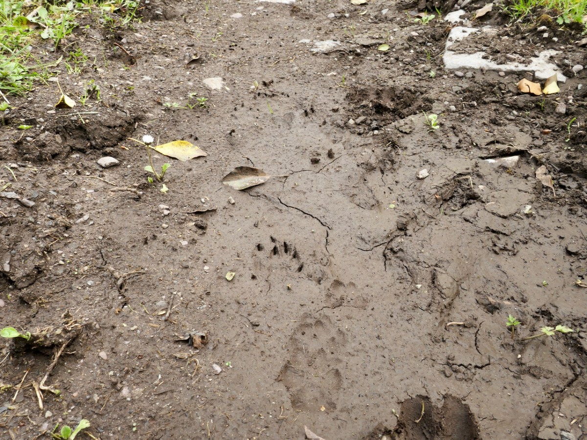
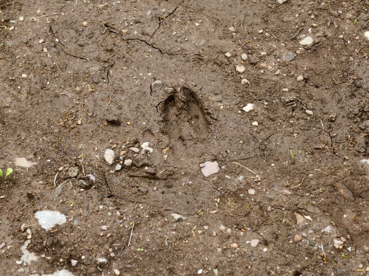
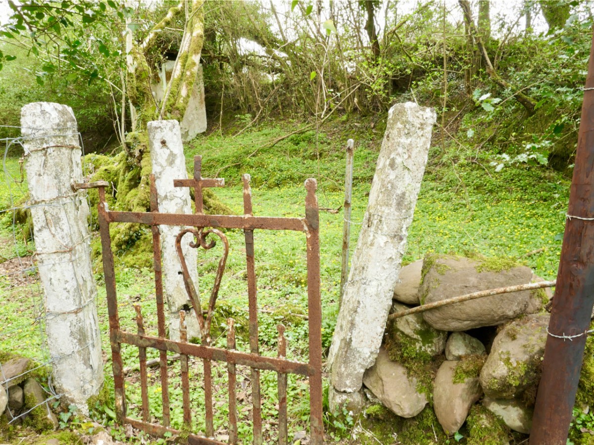
Another well on our agenda involved us walking over a long, muddy trackway. We could see the prints of the feet of other travellers: the top pic looks like bear paws (although perhaps more likely to be badgers), whereas the cloven hoof above is either Satan or a deer. We met none of these on the path that led, eventually, towards the Wells of St Peter and St Paul.
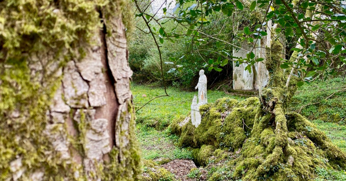
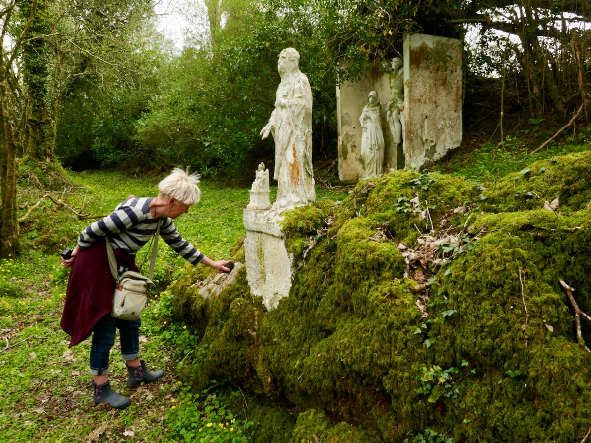
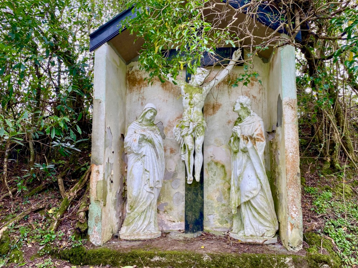
St Peter’s well is clearly defined (above, with Amanda looking on). Beyond it is a weather-worn shrine with a Calvary depiction. It’s quite a surprise to find such a substantial life-sized scene in a remote wood.
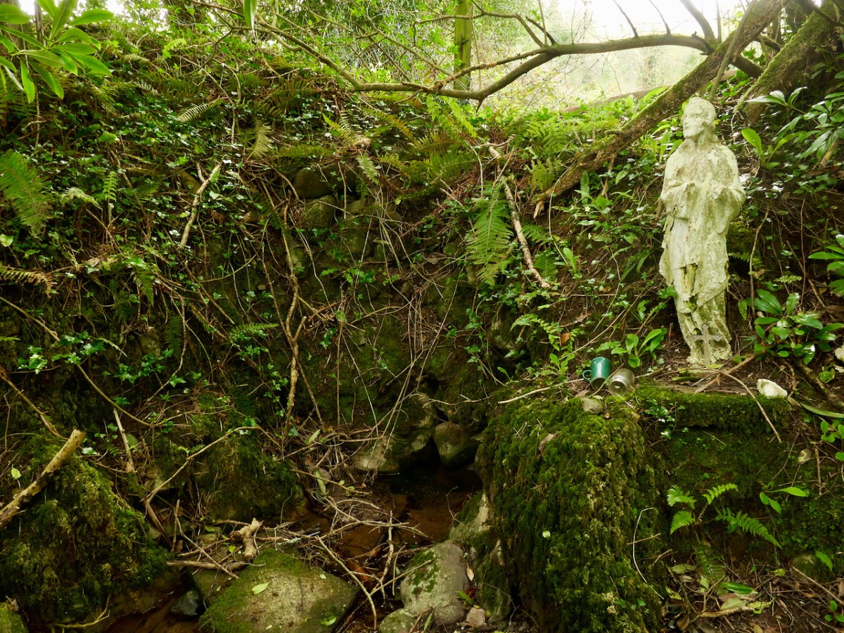
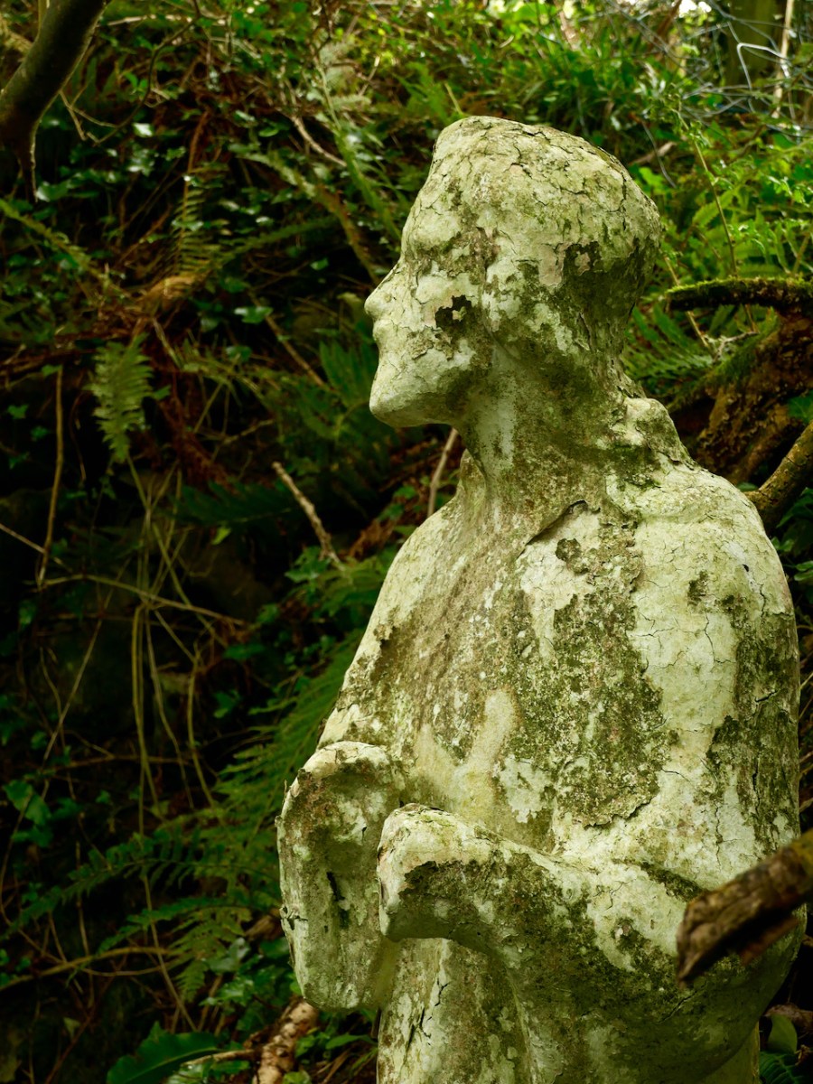
A little way to the east of St Peter is St Paul (above). He looks down on his own well. Note the modern mugs, implying that the well is still in use.
Both St Peter and St Paul share their feast day on 29th June. This is the day when these wells should be visited.
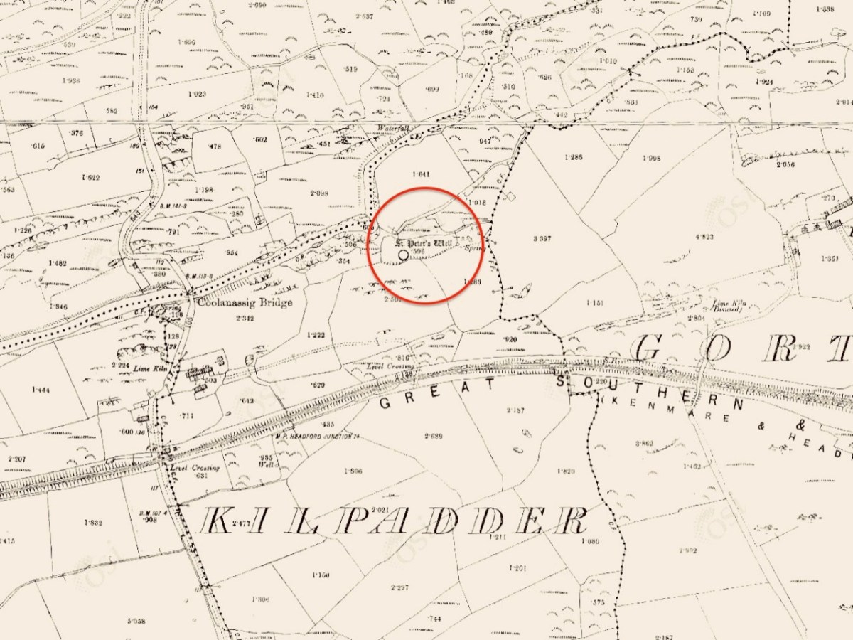
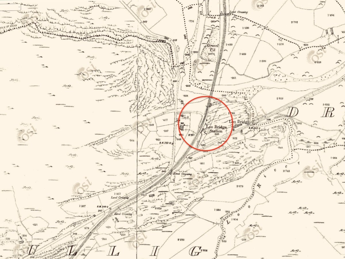
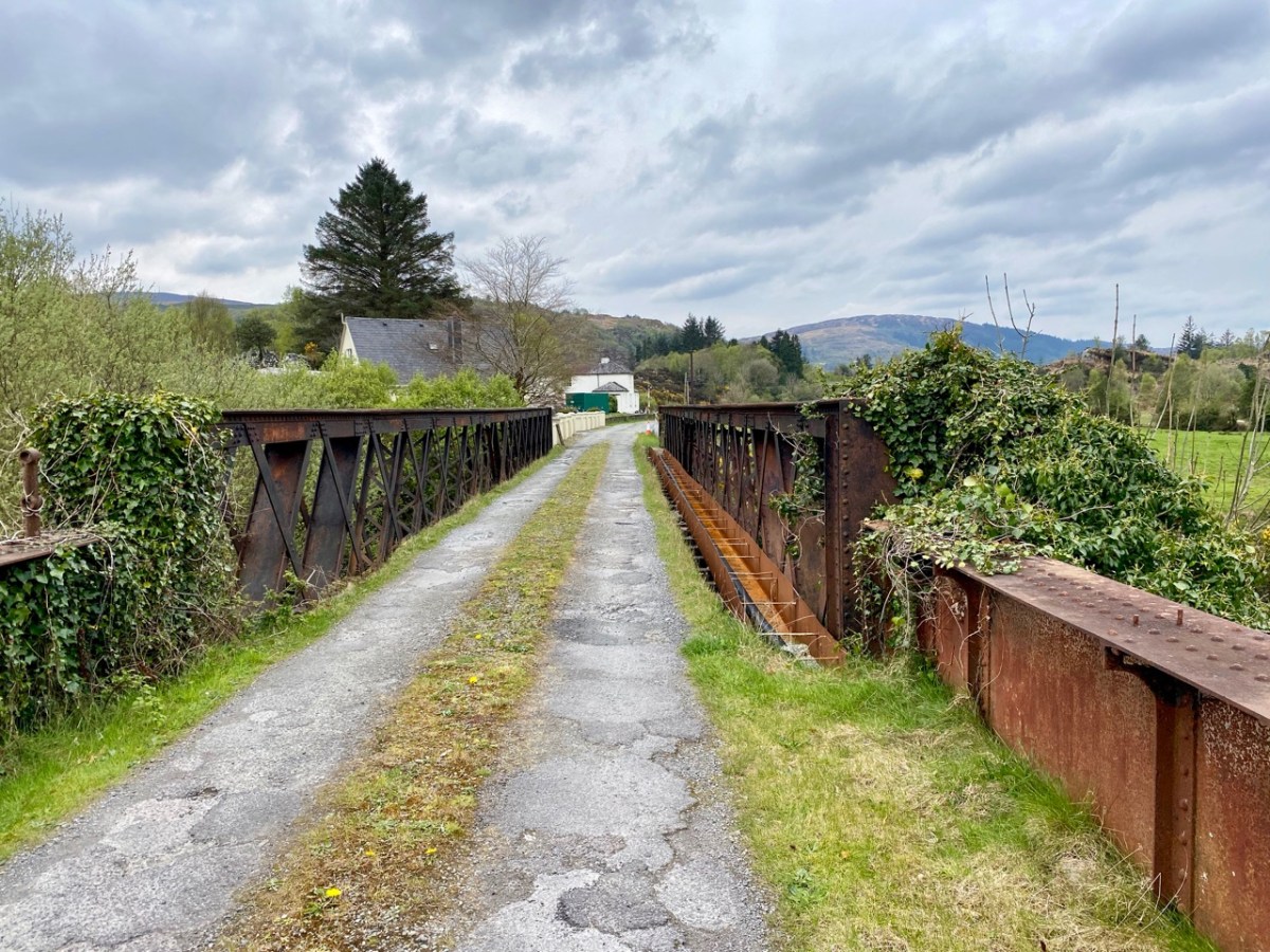
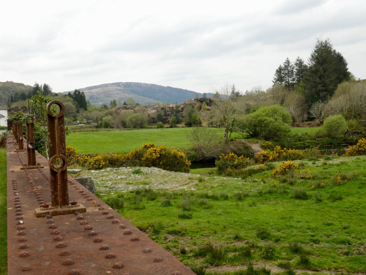
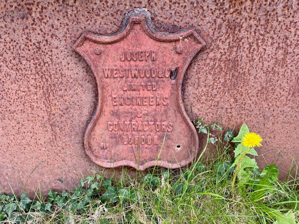
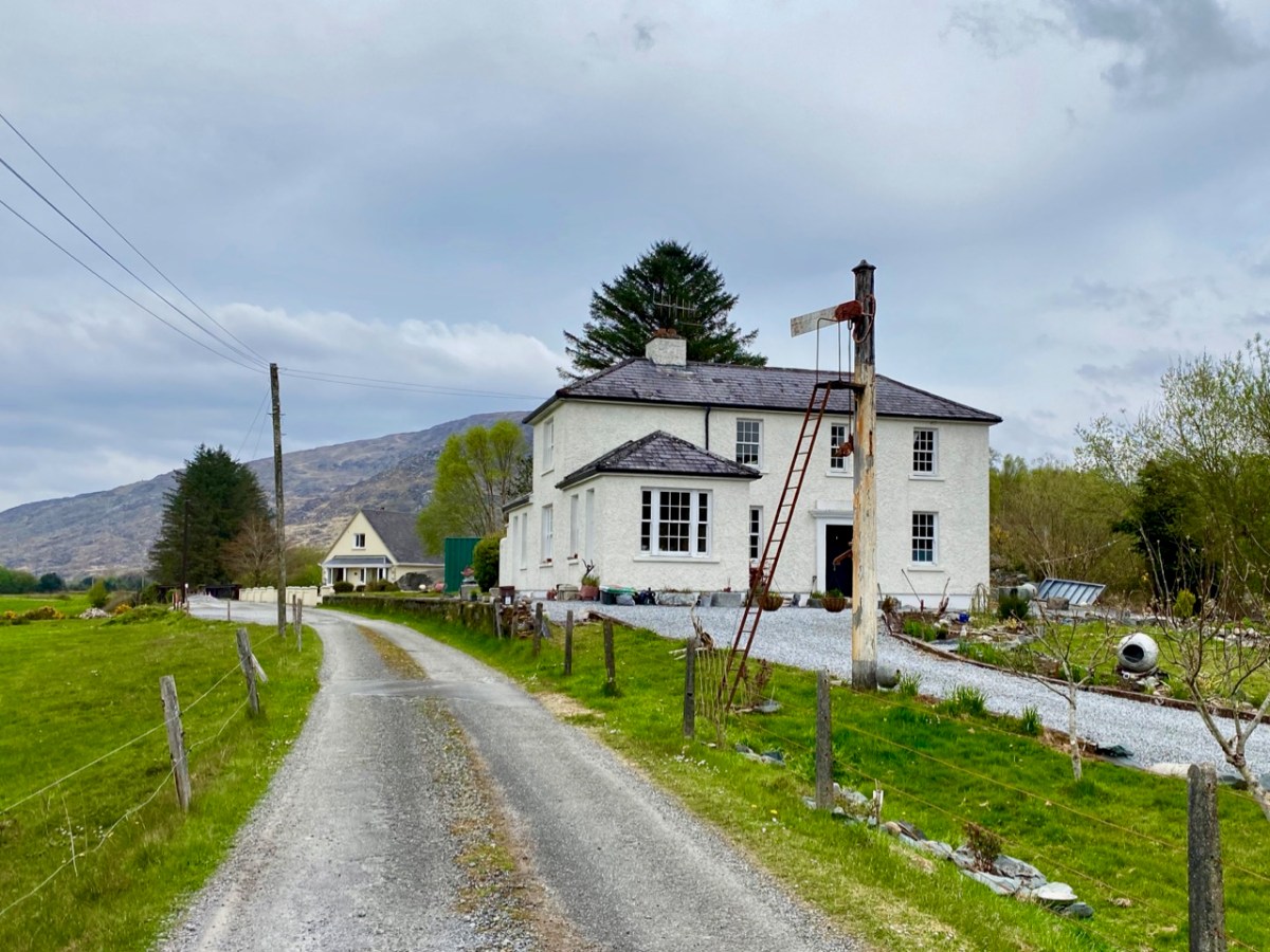
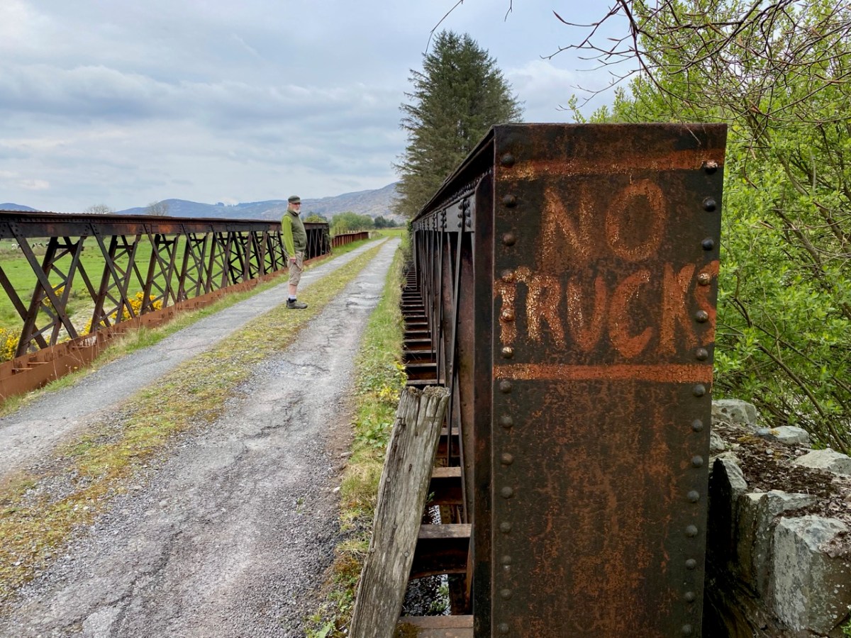
The 6″ OS map, above, dates from the late 19th century. St Peter’s well is marked on it, while St Paul’s only gets mentioned as a spring. Not far to the south is a railway line: The Great Southern Railway: Headford Junction to Kenmare. This was opened in 1890 and closed in 1959. While the track itself is long gone, many features can be traced. We stopped at Loo Bridge where the old station remains, as does an adjacent steel river crossing.
I am always saddened to see abandoned railway lines: they could so easily have had a new lease of life in our present environmentally conscious world. Regardless of their potential functionality, ‘heritage railways’ are also highly popular tourist destinations. I’m afraid, however, that the work and costs now required to recover them is unlikely to be invested any time soon, unless there is a big change in attitude and priority.
Lost railways and fading wells: unlikely bedfellows for a day out in Kerry. But our travels are always fulfilling, and diversity is the essence. In Ireland we can never run out of places to visit, or matters to be researched and recorded. Join us again, on our next expedition!
The Dúchas Collections (duchas.ie) are an invaluable resource for any of us interested in Ireland’s handed-down culture. Encompassing folklore, traditional ways of life, stories and visual images, the material is readily available on-line, and the archives are substantial and perfectly preserved, hopefully for all time. A recent find, for me, is the work of Simon Coleman, who was commissioned by the Irish Folklore Commission to accompany some of its collectors, and to visually record aspects of their work, in the mid twentieth century.
. . . Coleman was commissioned to travel in the company of full time folklore collectors, and to make drawings of local work practices and associated equipment, the traditionally built environments he encountered, as well as the diverse material culture evident in homes and communities of the day . . .
UCD Digital library, national Folklore Collection
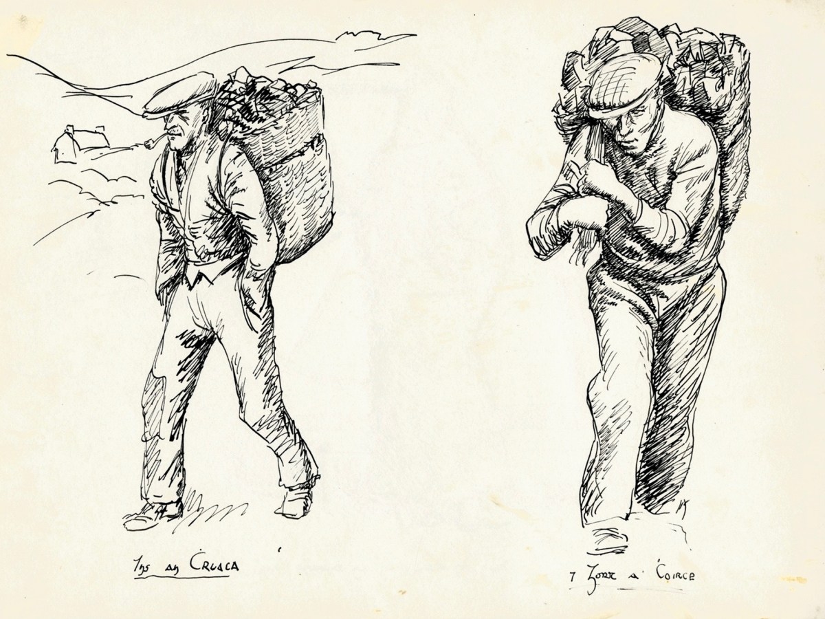
The simple studies by Coleman, above – which portray alternative forms of transporting goods – abundantly describe visually a way of life which is vanished today. The Commission also employed photographers (and the Dúchas collections are also rich in these) but – in my view – there is an immediacy in these drawings which make them completely convincing: we are looking directly into Ireland’s past.
Have you ever heard of “Cad”? I hadn’t, until I looked into the work of Simon Coleman. The word in Irish is Caid, and it refers to a game which was played with sticks. There is a suggestion that it was a precursor to Gaelic football, although I am not convinced about this. In the version that Coleman recorded in 1959 in Inishmaan, Co Galway, the object of play was a short piece of stick, chamfered at both ends. This was hit by one of the players with a large, stout stick, making it fly into the air. As it descended the player gave it a hardy whack into a field, and the aim was to shoot it further than anyone else. Coleman’s drawings are accompanied by his notes:
. . . Sticks Game: the game of ‘cad’, Inish Meadhon. The ‘cad’ (short length of stick: approximately 2 1/2”) lying against a stone in the middle of the road; ‘cad’ is tapped with stick and jumps into the air about 4 or 5 feet thus; before it has time to fall to the roadway again, it is hit full-bloodedly into the adjacent fields. Each player has one try; the distance that the cad is hit is measured by the player with a stick approximately 6ft long . . .
Duchas.ie – Photographic collection
Interestingly, i was speaking to an Irish friend today and I mentioned ‘Cad’. He had heard of it through his family, although was not aware of it being played in his lifetime. The game he described was virtually identical to the notes above.
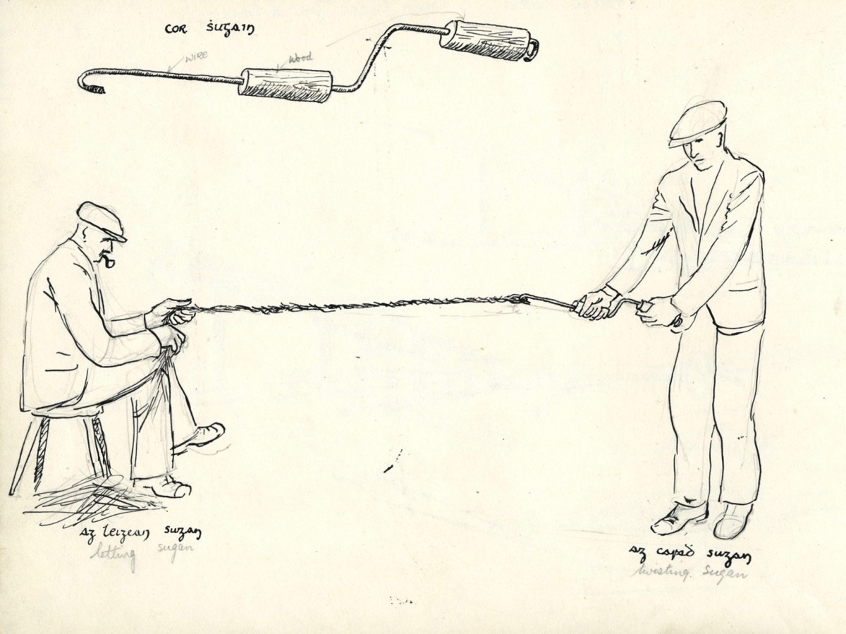
Coleman’s subjects were always wide-ranging. He was employed by the Folklore Commission in 1949 and again in 1959. We might imagine that he chose his own topics provided he fulfilled the brief of making an active record of what he saw. The top picture, above, shows traditional ‘Sunday Attire’, Inishere, Co Galway, and the interior view with bed and turf fire is from Croaghgorm or Blue Stack Mountains, Co Donegal. Also from Donegal is the simple but effective explanation of how ropes are made, below.
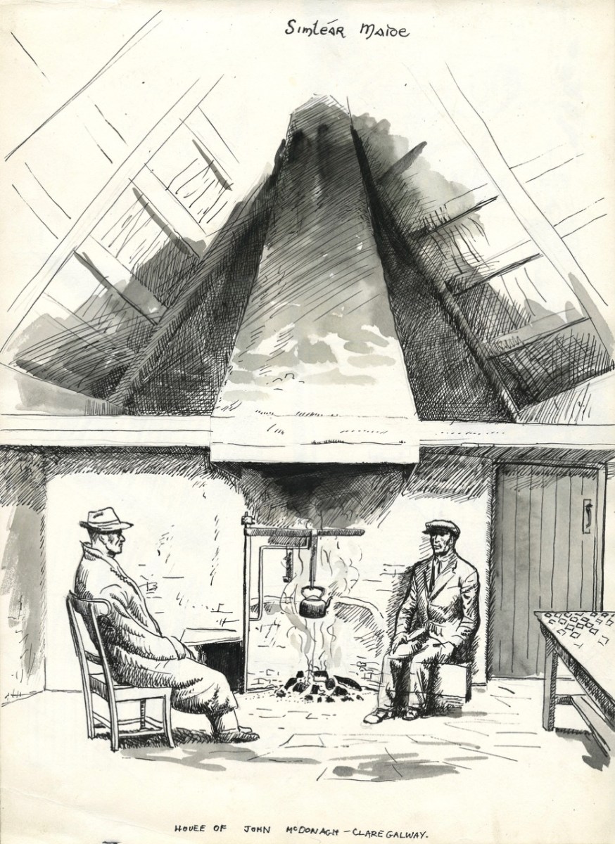
Particularly striking for me is the fact that all these images have been made in my own lifetime: This is an Ireland from not so long ago! There are very many more drawings and paintings by Coleman in this Collection, and I will return to them in future posts. Finally, for today, I can’t resist this spectacular rendering of a cottage interior from Clare, Co Galway.
I gratefully acknowledge and credit the Photographic Collection of Dúchas for all the above images (Cnuasach Bhéaloideas Éireann / National Folklore Collection). The header is a group of cottages at Gortahork, Co Donegal
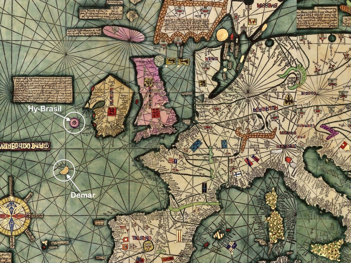
The fine map, above, was drawn in 1375 and is attributed to Abraham Cresques (courtesy Library of Congress, Geography and Map Division). it is known generally as the Atlas Catalan. What interests us is that it depicts two islands off the west and south-west coasts of Ireland (see detail below): Hy-Brasil and Demar. These landfalls are shown on maps since then through the centuries, the last depiction being in 1865.
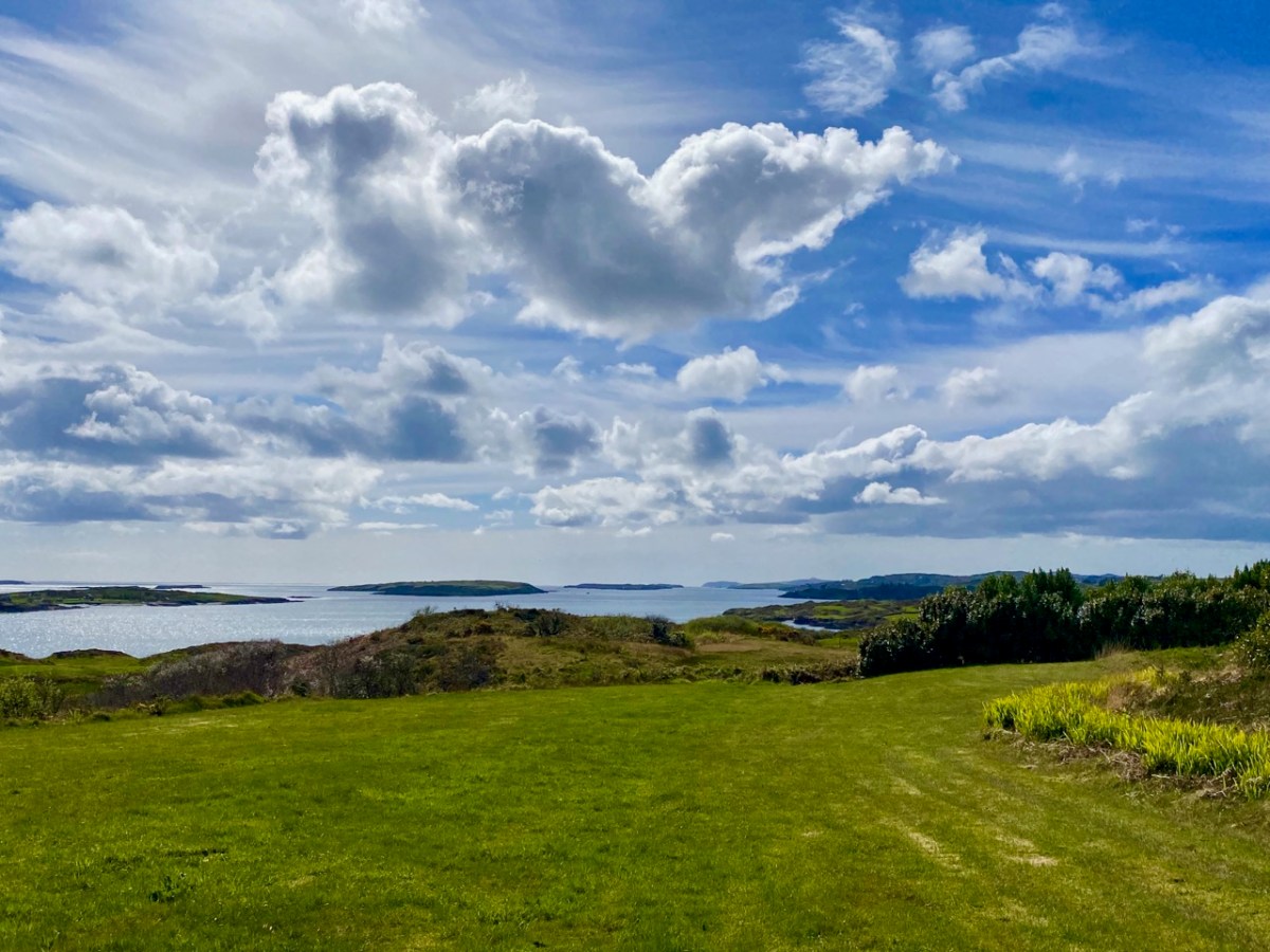
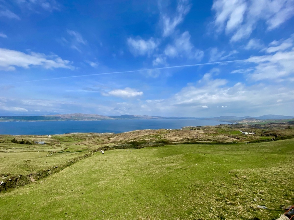
We look out to the hundred Carbery Islands in Roaringwater bay. The view (above) is always changing as sun, rain and wind stir up the surface of the sea and the sky and clouds create wonderful panoramas. But, generally, the view is predictable: we know that Horse island will be across from us, and Cape Clear will always be on the distant horizon, while the smaller islets break up the surface of the ocean in-between, and help calm down its wildness when the storms come.
But, suppose it wasn’t always predictable? What if those islands changed, moved around or appeared and disappeared? It seems that such things do happen, here in Ireland. At least, they do according to some of the recorded evidence. ‘Mythical Islands’ have been mentioned by mariners and storytellers through the centuries.
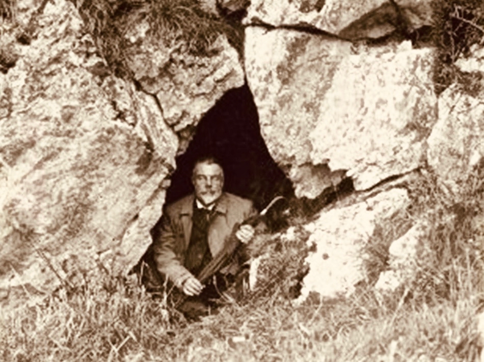
Our best source of information for Ireland’s ‘transcendent’ islands is our old friend Thomas Westropp (above, kitted out for an expedition) who was an archaeologist and folklorist living between 1860 and 1922. He was active in Counties Clare and Limerick and wrote a paper for The Royal Academy in 1912 – Brasil and the Legendary Islands of the North Atlantic: Their History and Fable. This comprehensive paper includes a list of evanescent islands, a new map drawn by Westropp, and a summary of historic maps which have located them:
Westropp’s exploration of the subject is remarkably comprehensive. Here are some extracts:
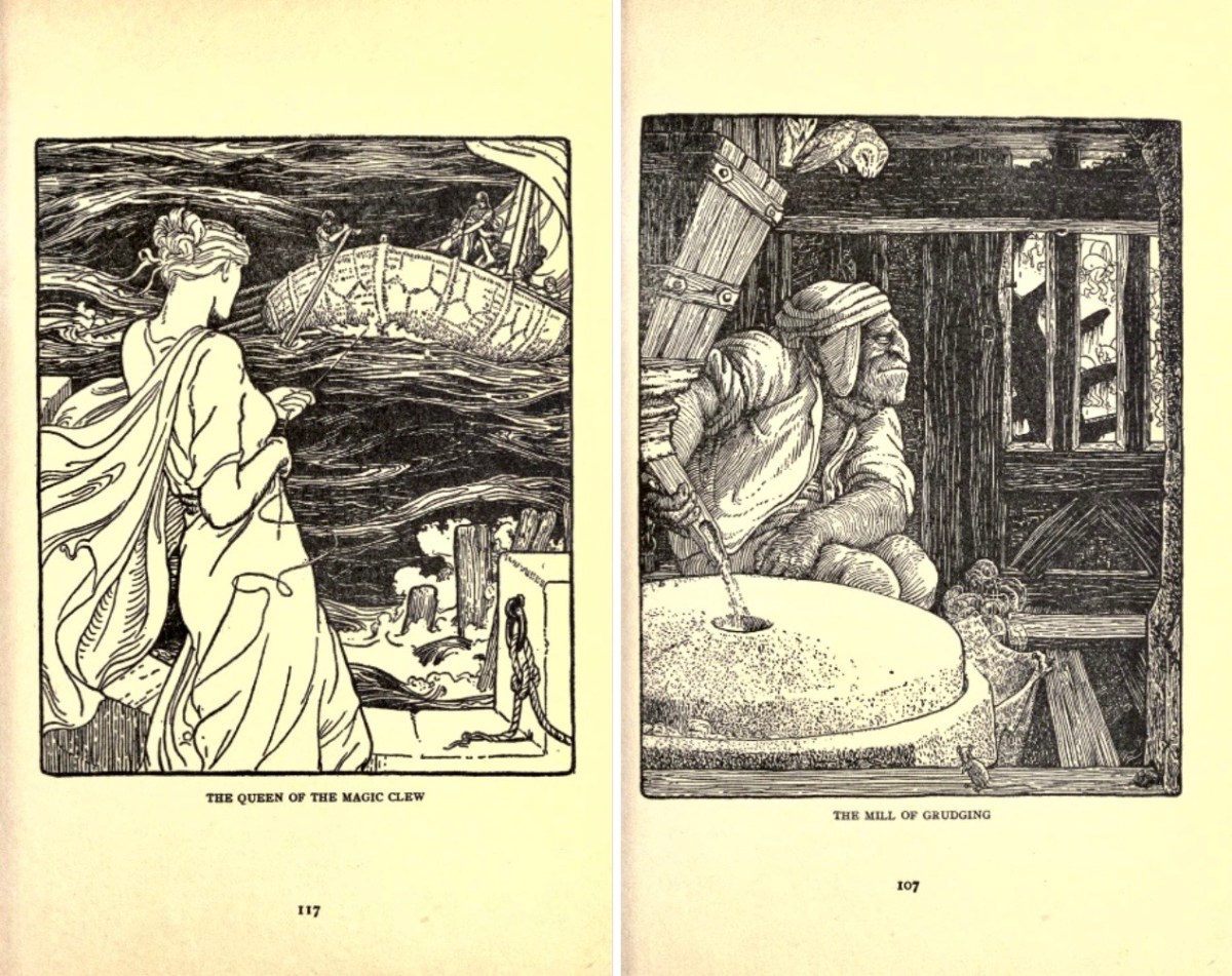
. . . Bran son of Febal, sleeping near his fort, hears sweet music, and awakes to seize a magic apple branch. An unknown woman sings of “a glorious island round which sea-horses glisten – a fair course against the white swelling surge.” In it dwells no wailing, treachery, death, or sickness; it glows many-coloured in incomparable haze, with snowy cliff’s and strands of dragon-stones and crystals. She vanishes, and Bran, with twenty-seven followers, embarks. They meet the sea-god Mananann mac Lir in his chariot, visit Magh Mell, the Isle of Laughter, and the Isle of Women, whose queen draws Bran to it by a magic clue. Entranced by love, the visitors do not note the flight of time; in apparently undiminished youth and strength they return to Ireland; it is only when the first to step ashore falls to ashes, as if centuries dead, that they know the truth. The survivors tell their tale without landing, and sail out into the deep, never to be seen again . . .
Thomas WESTROPP – Brasil and the Legendary Islands of the North Atlantic, 1912
. . . The Sunken Land. I found no name for this in north Mayo save when it was confused with Manister Ladra. Belief in it prevailed in north Erris and Tirawley from Dunminulla to Downpatrick. In 1839 it was said to extend from near Teelin to the Stags of Broadhaven and thence half way to America. A boatman knew a woman named Lavelle who saw from the shore (when gathering Carrigeen moss) a delightful country of hills and valleys, with sheep browsing on the slopes, cattle in green pastures, and clothes drying on the hedges. A Ballycastle boatman, a native of Co. Sligo, corroborated this, adding that he had seen it twice at intervals of seven years, and if he lived to see it a third time he would be able to disenchant it. He could talk of nothing else, became idle and useless, and died, worn out and miserable, on the very eve of the expected third appearance . . .
Thomas WESTROPP – Brasil and the Legendary Islands of the North Atlantic, 1912
. . . Owen Gallagher, Lieutenant Henri’s servant, heard of one Biddy Took, who, when gathering dillish (seaweed), asked some passing boatmen to put her out to an islet and fetch her back on their return : amused by her talk they brought her fishing, and soon got a ” tremendous bite.” They landed a green, fishy-looking child, quite human in shape, and in their fright let him escape and dive. The man who hooked him died suddenly within a year. Gallagher also said that he had fired at and wounded a seal; soon after, when far out to sea in his currach, he got lost in a fog-bank and reached an unknown island. An old man, moaning, with one eye blinded, stood on the shore and proved to be the seal. With more than human forgiveness, he warned his enemy to fly from the land of the seal men, lest his (the seal’s) sons and friends should avenge the cruelty . . .
Thomas WESTROPP – Brasil and the Legendary Islands of the North Atlantic, 1912
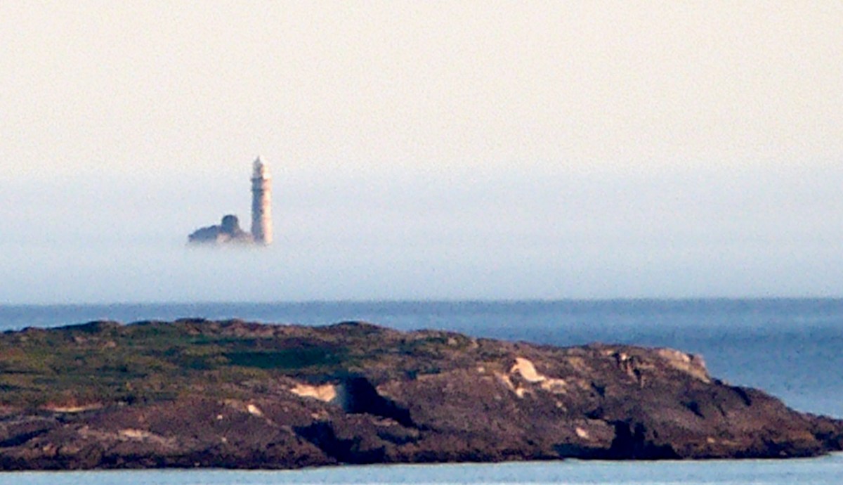
. . . The Aran people now believe that Brasil is seen only once in seven years. They call it the Great Land. In Clare, I have heard from several fishermen at Kilkee and elsewhere that they had seen it ; they also told legends of people lost when trying to reach it. I myself have seen the illusion some three times in my boyhood, and even made a rough coloured sketch after the last event, in the summer of 1872. It was a clear evening, with a fine golden sunset, when, just as the sun went down, a dark island suddenly appeared far out to sea, but not on the horizon. It had two hills, one wooded ; between these, from a low plain, rose towers and curls of smoke. My mother, brother, Ralph Hugh Westropp, and several friends saw it at the same time; one person cried that he could “see New York ” ! With such realistic appearance (and I have since seen apparent islands in 1887 in Clare, and in 1910 in Mayo), it is not wonderful that the belief should have been so strong, probably from the time when Neolithic man first looked across the Atlantic from our western coast. It coloured Irish thought ; stood for the pagan Elysium and the Christian Paradise of the Saints ; affected the early map-makers ; and sent Columbus over the trackless deep to see wonders greater than Maelduin and Brendan were fabled to have seen, till Antilha, Verde, and Brazil became replaced by real islands and countries ; and the birds, flowers, and fruit of the Imrama by those of the gorgeous forests of the Amazon in the real Brazil. ” Admiration is the first step leading up to knowledge, for he that wondereth shall reign.” . . .
Thomas WESTROPP – Brasil and the Legendary Islands of the North Atlantic, 1912
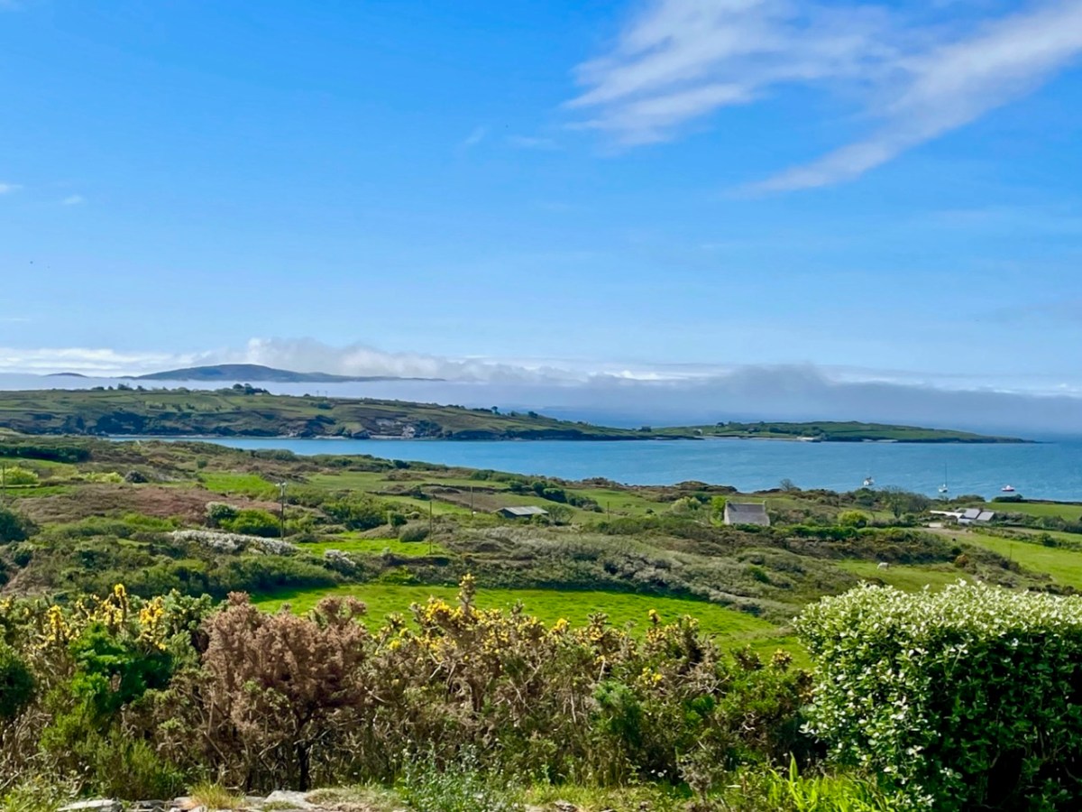
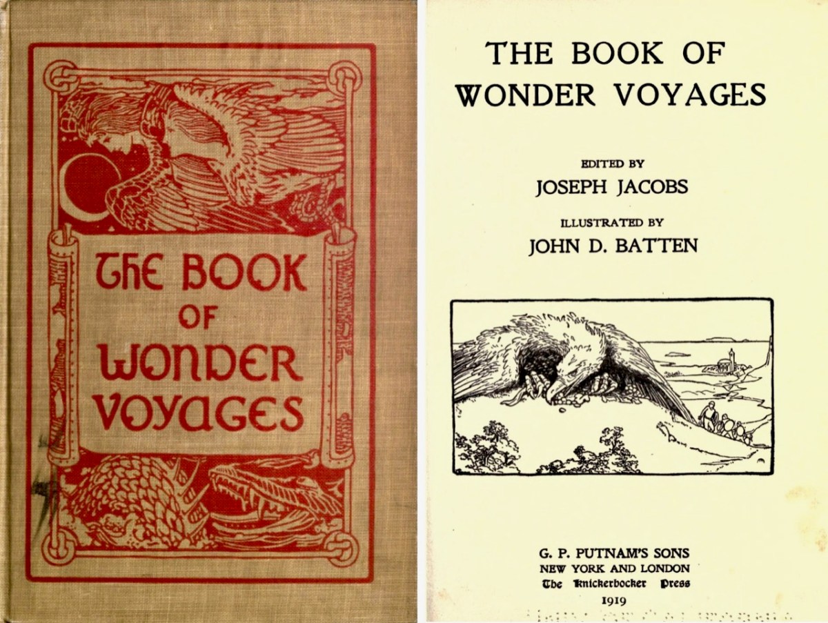
Above is the view from our house – Nead an Iolair – a day or two ago, when a strong sea mist was coming across from the south-west, enveloping Cape Clear and making it float ethereally like one of the mythical islands. Other writers have tackled the subject of the vanishing lands, including Joseph Jacobs, who put together a collection of stories in 1919. The subject is ‘Wonder Voyages’, and the book (available online here) covers some of Ireland’s adventurers, including Máel Dúin – a predecessor of Brendan the Voyager.
Máel Dúin sets out ‘into the limitless ocean’, suggesting that ‘God will bring the boat where it needs to go’. He and his crew encounter a large number of strange islands, including:
The island of ants, from which the men flee because the ants’ intention is to eat their boat
The island of tame birds
The island of the horse-like beast who pelts the crew with the beach
The island of horses and demons
The island of salmon, where they find an empty house filled with a feast and they all eat, drink, and give thanks to Almighty God.
The island with the branch of an apple tree, where they are fed with apples for 40 nights
The island of the “Revolving Beast”, a creature that would shift its form by manipulating its bones, muscles, and loose skin; it casts stones at the escaping crew and one pierces the keel of the boat
The island where animals bite each other and blood is everywhere
The island of apples, pigs, and birds
The island with the great fort/pillars/cats where one of the foster brothers steals a necklet and is burned to ashes by the cat
The island of black and white sheep, where sheep change colours as they cross the fence; the crewmen do not go aboard this island for fear of changing colour
The island of the swineherd, which contained an acidic river and hornless oxen
The island of the ugly mill and miller, who was “wrinkled, rude, and bareheaded”
The island of lamenting men and wailing sorrows, where they had to retrieve a crewman who entered the island and became one of the lamenting men; they saved him by grabbing him while holding their breath
The island with maidens and intoxicating drink
The island with forts and the crystal bridge, where there is a maiden who is propositioned to sleep with Máel Dúin
The island of colourful birds singing like psalms
The island with the psalm-singing old man with noble monastic words
The island with the golden wall around it
The island of angry smiths
The crew voyaged on and came across a sea like a green crystal. Here, there were no monsters but only rocks. They continued on and came to a sea of clouds with underwater fortresses and monsters.
The island with a woman pelting them with nuts
The island with a river sky that was raining salmon
The island on a pedestal
The island with eternal youth/women (17 maidens)
The island with red fruits that were made as a sleeping elixir
The island with monks of Brendan Birr, where they were blessed
The island with eternal laughter, where they lost a crewman
The island of the fire people
The island of cattle, oxen, and sheep
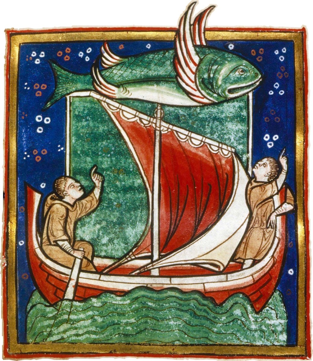
The most well-known voyager of all – in Irish tradition – is Saint Brendan. The image above is from the Finola Window, which was crafted by George Walsh. We all know that Brendan was a real character, who discovered America back in the sixth century. On the way he also encountered many islands – which we cannot locate today (that doesn’t mean they are not there) – and had hair-raising adventures on them. This post will take you through some of his journeyings.
It’s clear that, in the shared Irish psyche, we are aware of places that we can’t always see, or visit. it’s all part of a folk knowledge that’s largely hidden away, except in the memories of older generations, that relates to the sea, and the idea that there are races of people who live on ‘lost’ islands – or even in the sea. In some of the stories about the islands it is suggested that, when they vanish, it’s because they have submerged under the ocean – perhaps temporarily.
There’s a great collection of stories readily available in a series of podcasts known as Blúiríní Béaloidis / Folklore Fragments. Look out for the one titled Blúiríní Béaloidis 16 – Otherworld Islands In Folk Tradition. I have transcribed one of my favourite pieces from this podcast, and will finish this post with it. It summarises, very neatly, the tradition that other worlds are out there, and – at times – our world and theirs meet, providing solid evidence for there being human life under the sea! The tale was collected by Dr McCarthy of Kerry.
. . . People from Dingle Harbour used to sail to Kilrush in Limerick long ago. There was a boat leaving the harbour to Limerick one day with a load of salt. There were 8 men in the boat. They had prepared the boat. There was no quay in Dingle in those days, just a slipway. A fine, strapping young man approached them carrying a pot and a pot-hook, The pot-hook looked as if it had come straight from the forge. He addressed the boat’s captain. Are you going to Limerick, my good man? I am, said the captain, we are just about to leave. Would you mind terribly, said the young man, taking me some of the way? I don’t mind, said the captain, if you wish to come all of the way. He placed his pot and pot-hook in the boat, and got in himself. They rowed away and raised the sail at the mouth of the harbour. They were halfway when the man with the pot and pot-hook roused himself. I’ll be leaving you now, he said to the captain, and I’m very grateful to you. He took hold of his pot and his pot-hook and he leapt into the sea. They never saw him again . . .
Blúiríní Béaloidis
There’s a rather nice postscript to this story:
. . . Some time later, a man with a line and hook was fishing in the sea in the same place, and a boiled potato came up on his hook . . .
Welcome to the UCD Library Cultural Heritage Collections blog. Discover and explore the historical treasures housed within our Archives, Special Collections, National Folklore Collection and Digital Library