“Easter” Island!

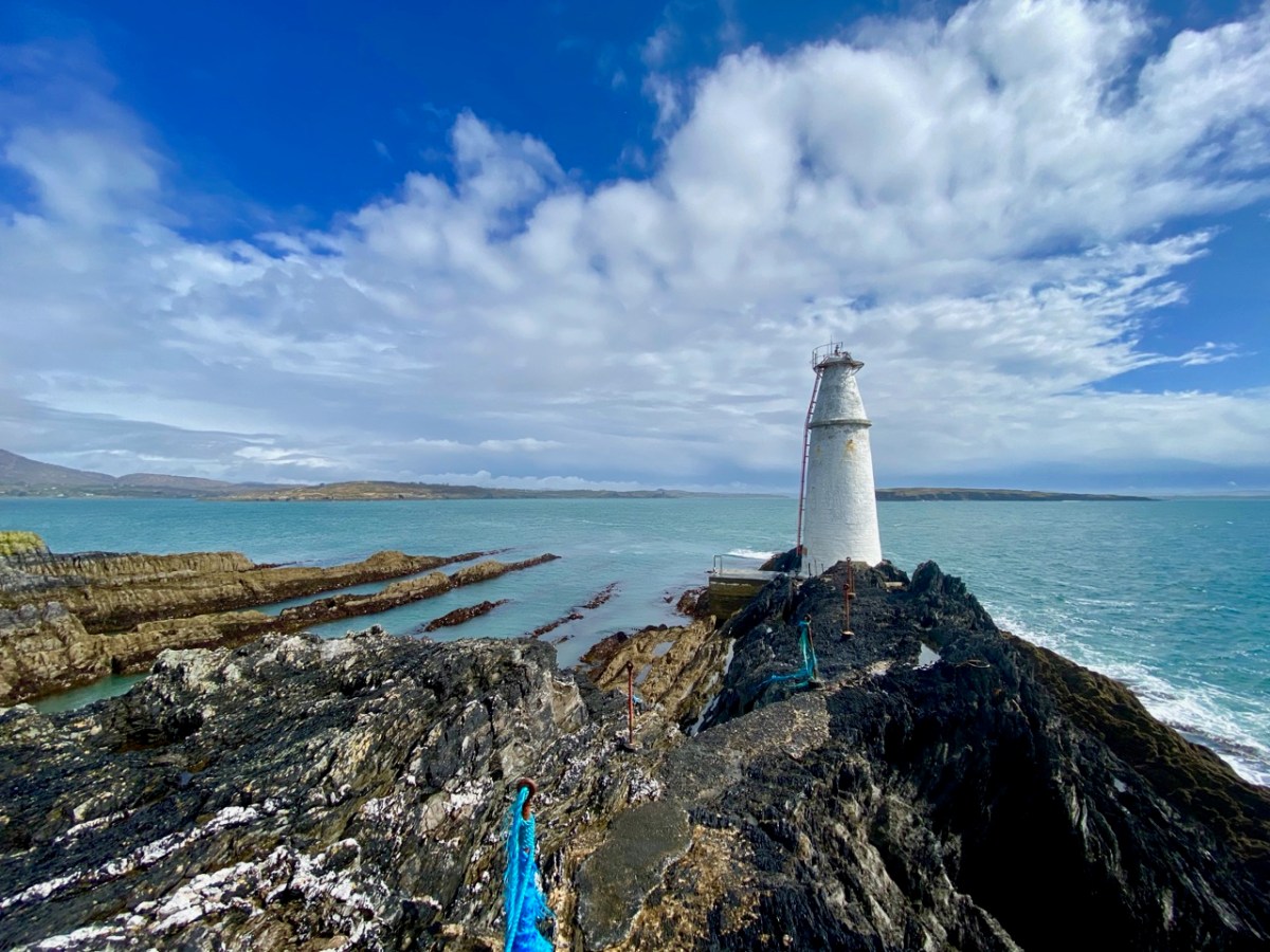
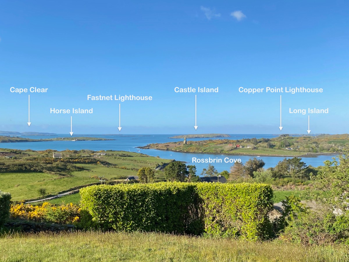
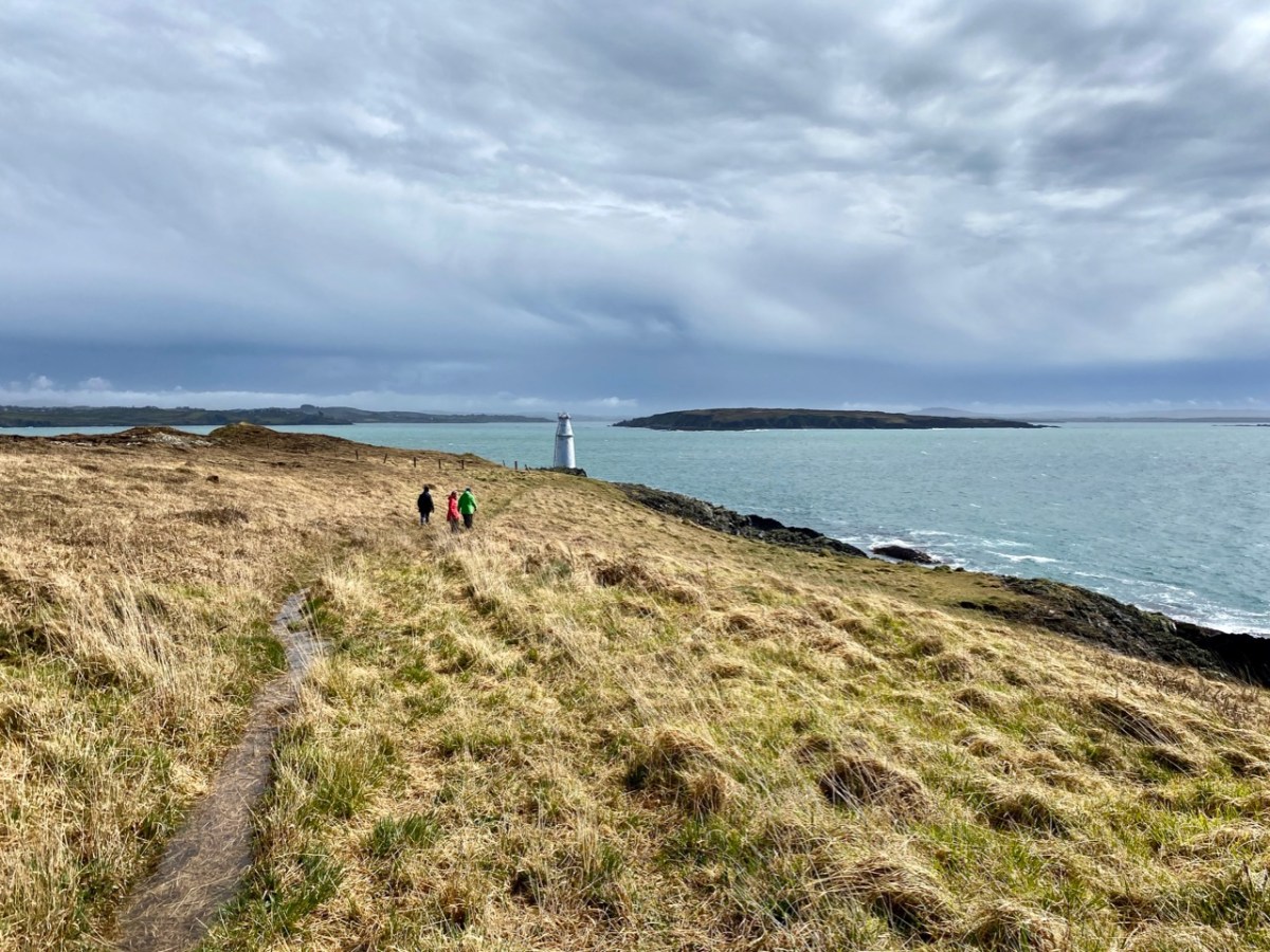
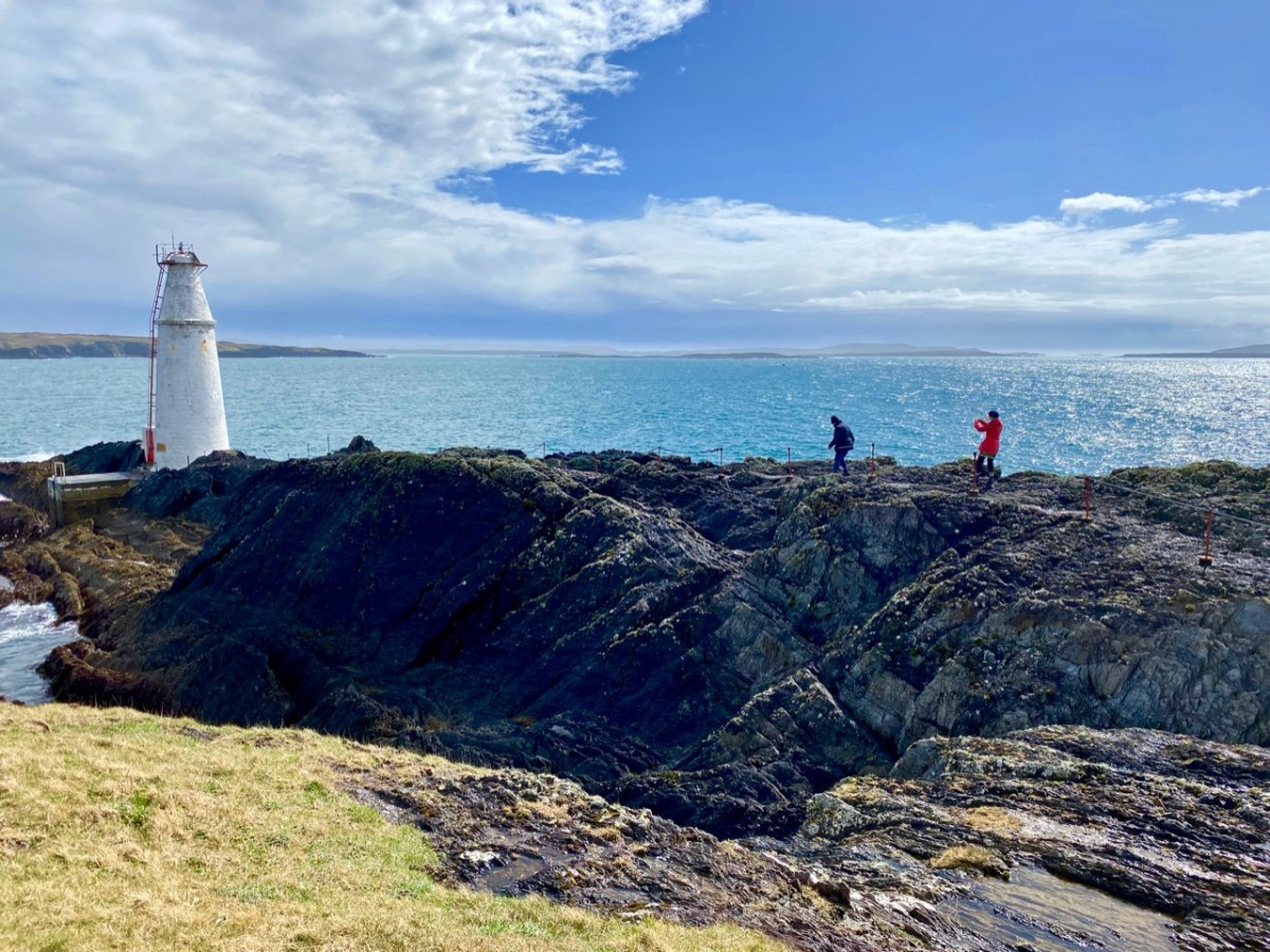
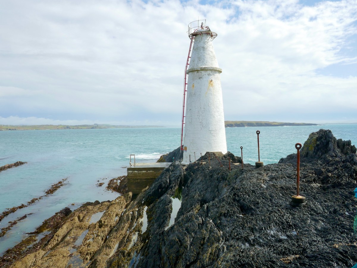
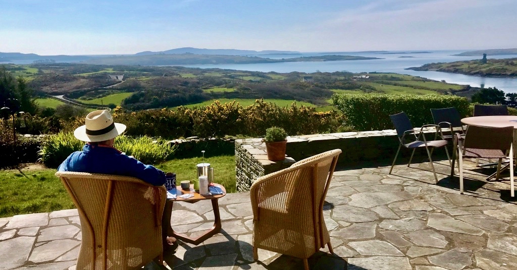
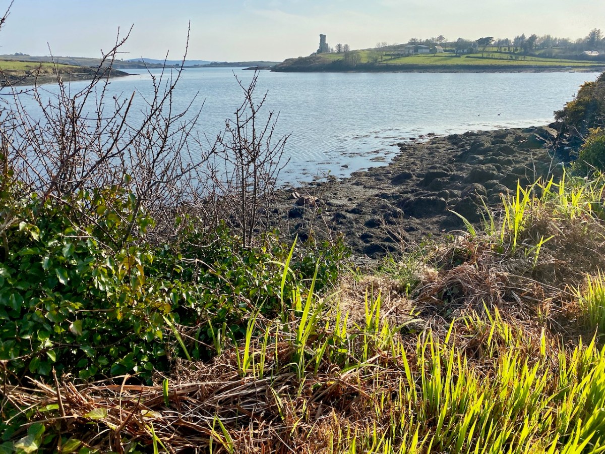
What better place to spend Easter Day than at the ‘Easter end’ of Long Island? We can see the island – out there in Roaringwater Bay – from our home here at Nead an Iolair. The lighthouse on the end of the island faces us – and winks through the night with the character of 3 quick flashes every 10 seconds. The narrow headland on which it stands bears the name ‘Copper Point’ – and so does the lighthouse.

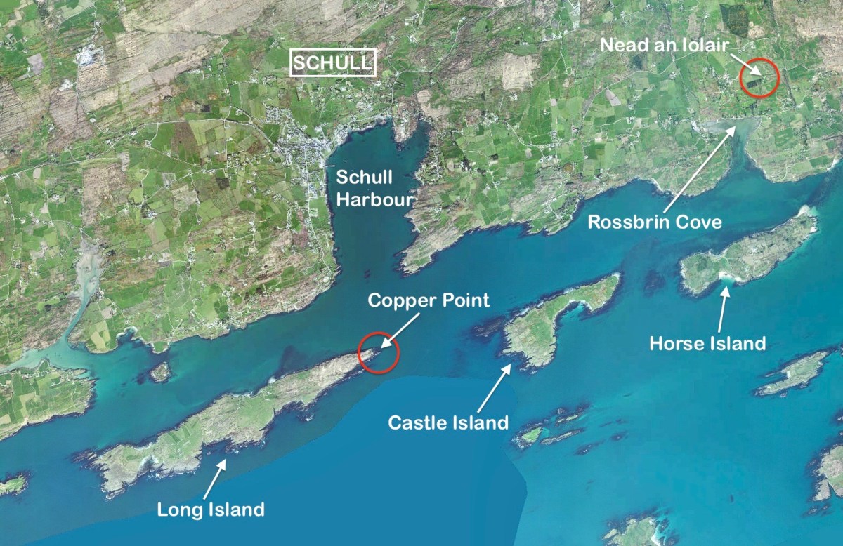
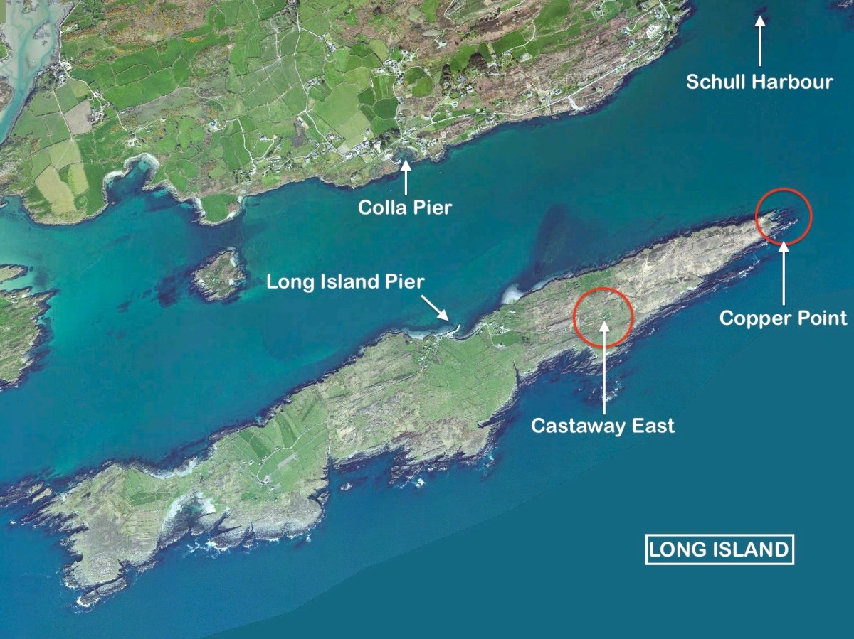
This aerial view shows Long Island in its context – a part of Roaringwater Bay and its ‘Carbery’s Hundred Islands’. Its neighbours to the east are Castle Island and Horse Island – all in our view – (that’s our view, below).

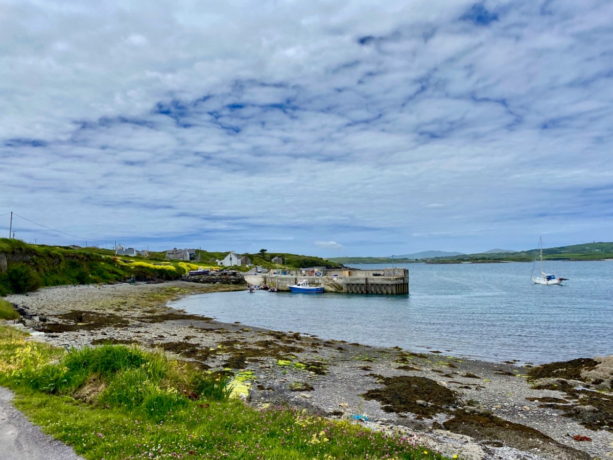
A closer aerial view of the island, above. It’s accessed by a regular ferry which leaves Colla Pier, a short distance from Schull town. The ferry arrives at Long Island Pier: there it is, on the pier (below).

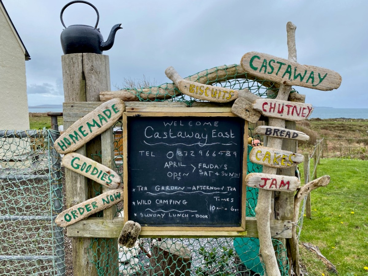
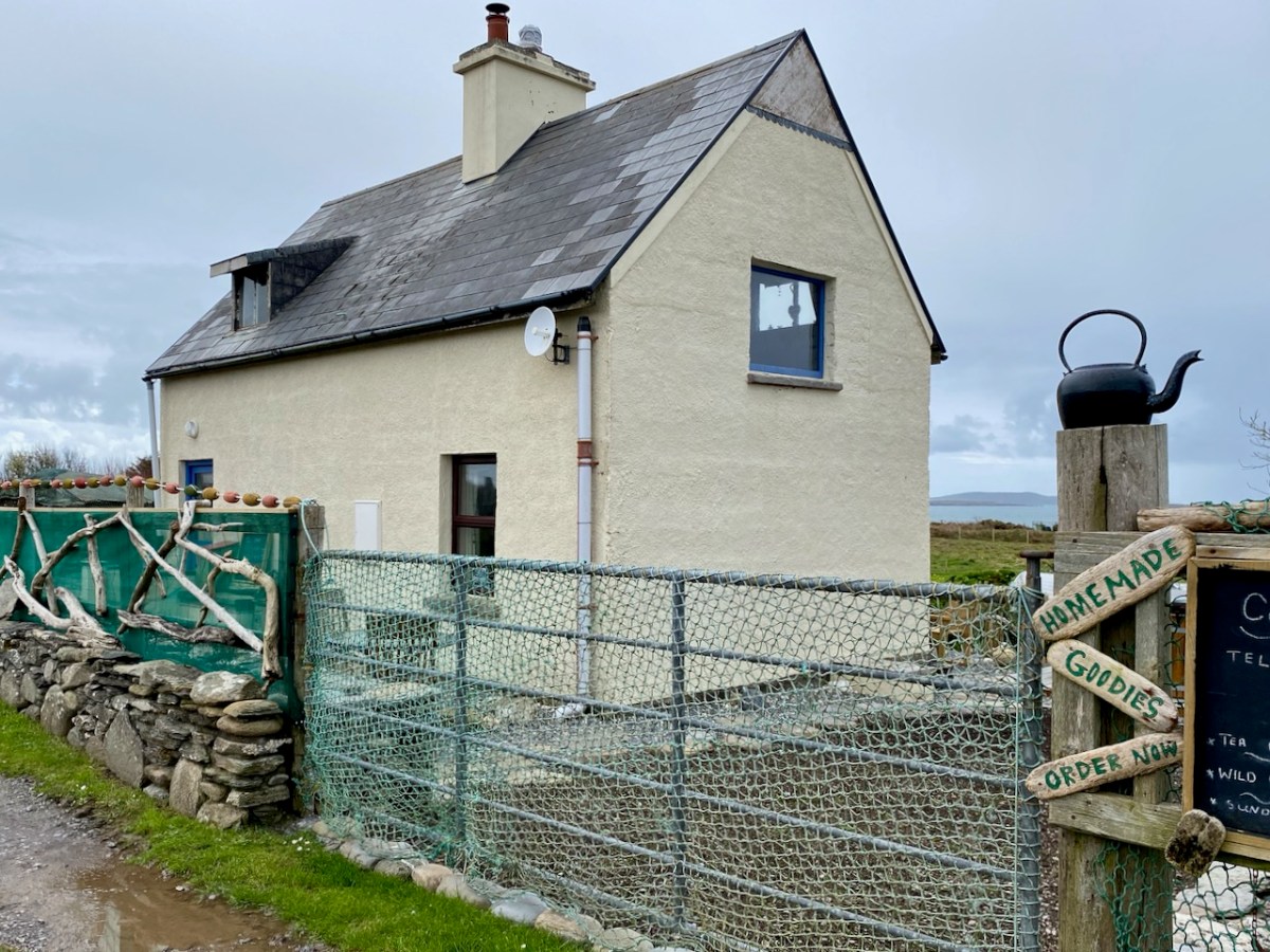
Our destination on this Easter Sunday was Castaway East – the furthest house on the ‘Easter’ end of the island. We have taken you there before, when we organised a Mad Hatter’s Tea Party in July of last year. The hosts there are Tracy and Peter, who served us brilliantly for that occasion, and also for the Wildflower Walks which Finola led last June: the Castaway crew provided a superb picnic for everyone, delivered to us at the island’s western end. This time we decided that we would test Tracy and Peter’s skills by ordering up an Easter Sunday lunch to celebrate a ‘special’ birthday for our good friend, Peter Clarke.

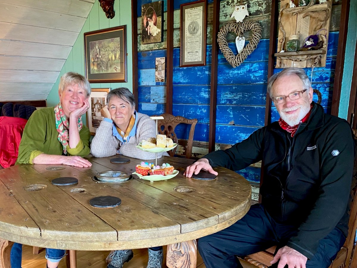
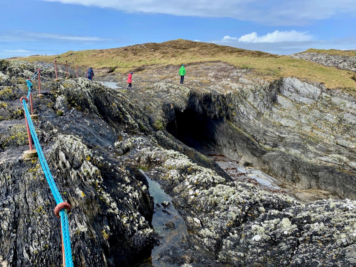
Amanda Clarke, Finola and birthday boy Peter, looking forward to a morning coffee (with delicious Easter treats) after arriving at Castaway East. We had an upstairs room in the Castaway house, with a good view over the island. Before lunch we had an opportunity to explore part of the island we had never been to before, heading down to Copper Point.

Why is it called ‘Copper Point’? Because there was a copper mine close by, one of many such enterprises that were seen in West Cork in the nineteenth century. Explorations on the island were started in the 1840s by the Cornish mining engineer Captain William Thomas: he wrote a Roaringwater Journal post for us a couple of years ago! William sank a trial shaft for 10 fathoms (60 feet) and extended a level south from this shaft for 3 fathoms. No metal bearing lode was found, and the mine was abandoned. Traces of these workings can still be seen not far from the lighthouse. It’s slightly ironic, perhaps, that the name ‘Copper Point’ arrived from somewhere and stuck.

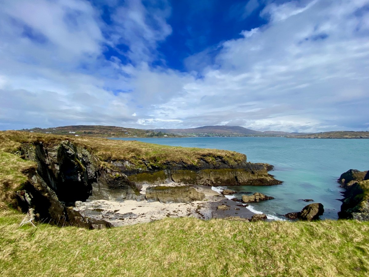
It’s a wild landscape – but very beautiful and imbued with atmosphere. We certainly worked up a good appetite while on our morning walk, and returned to the house with great expectations.

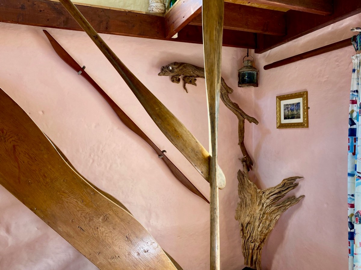
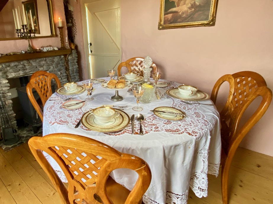
All those expectations were far exceeded when we sat down to our meal. We had a room to ourselves, attractively furnished and comfortable, with a welcome wood-burning stove on the go in one corner. Tracy and Peter have spent considerable time and energy upgrading what was a very run-down cottage, and have used locally available materials with impressive imagination.

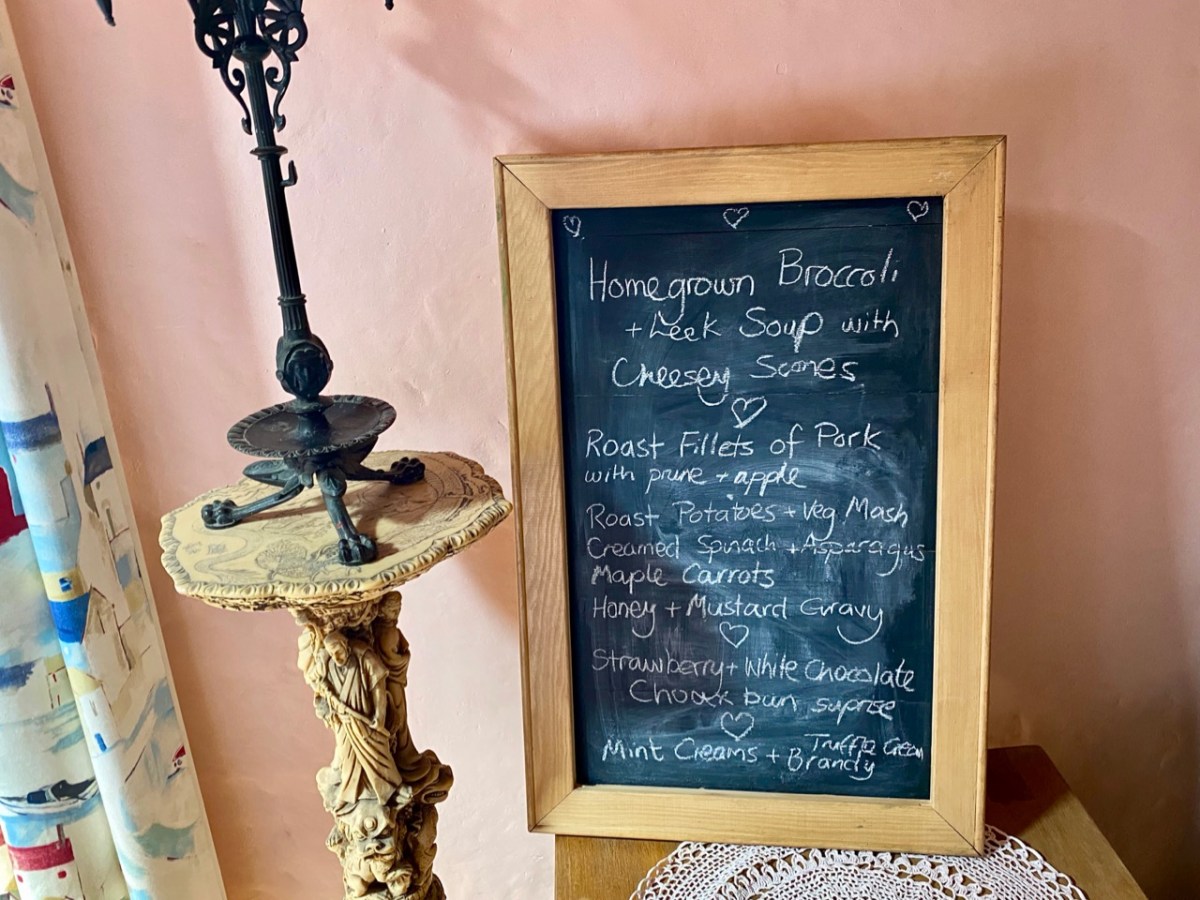
Tracy – in charge of the culinary delights – had worked out a menu which was entirely tailored to our various tastes (and dislikes) – and it was brilliant! All the courses were exemplary.

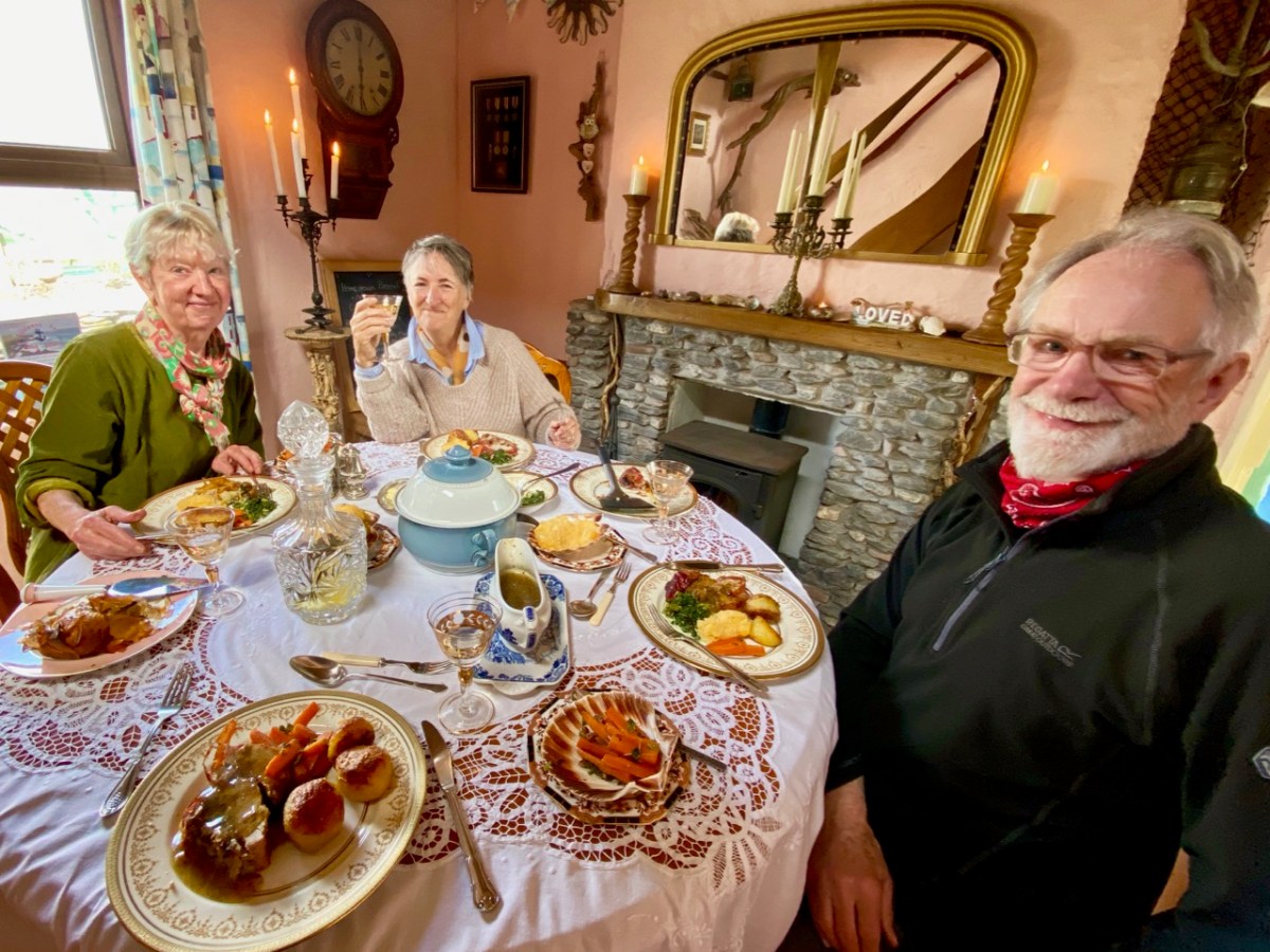
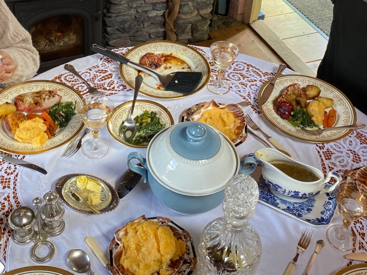
The main was a Sunday roast to make your mouths water… Fillets of pork for the three of us who are not vegetarian, and a miraculous stuffed filo pastry pie for Amanda. The accompanying vegetables were prepared without any meaty elements – so we could all savour them in equal measure.

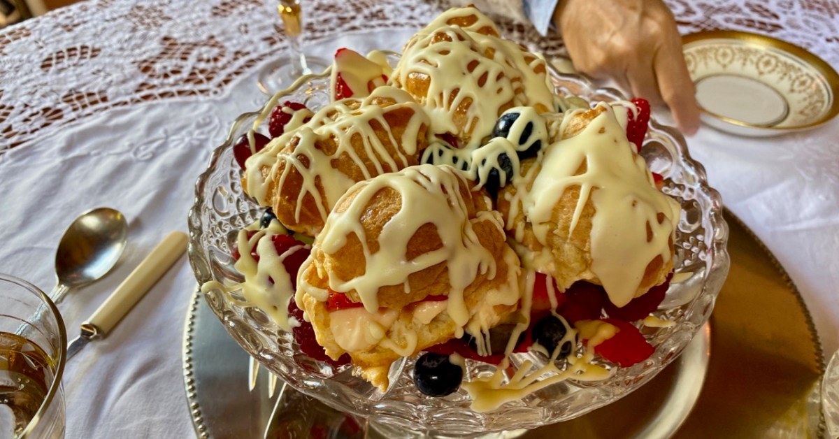
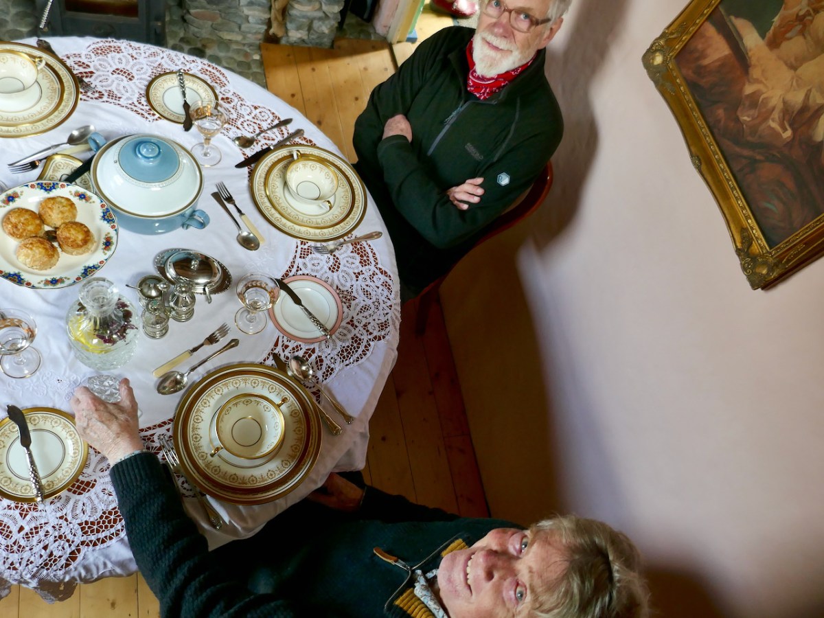
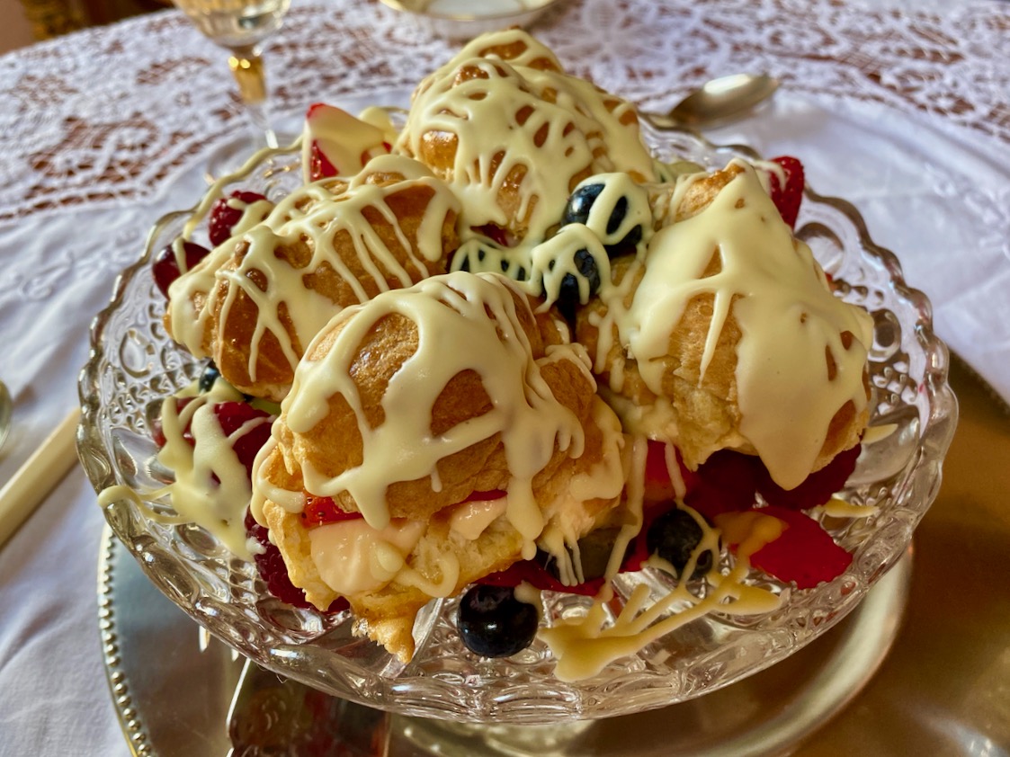
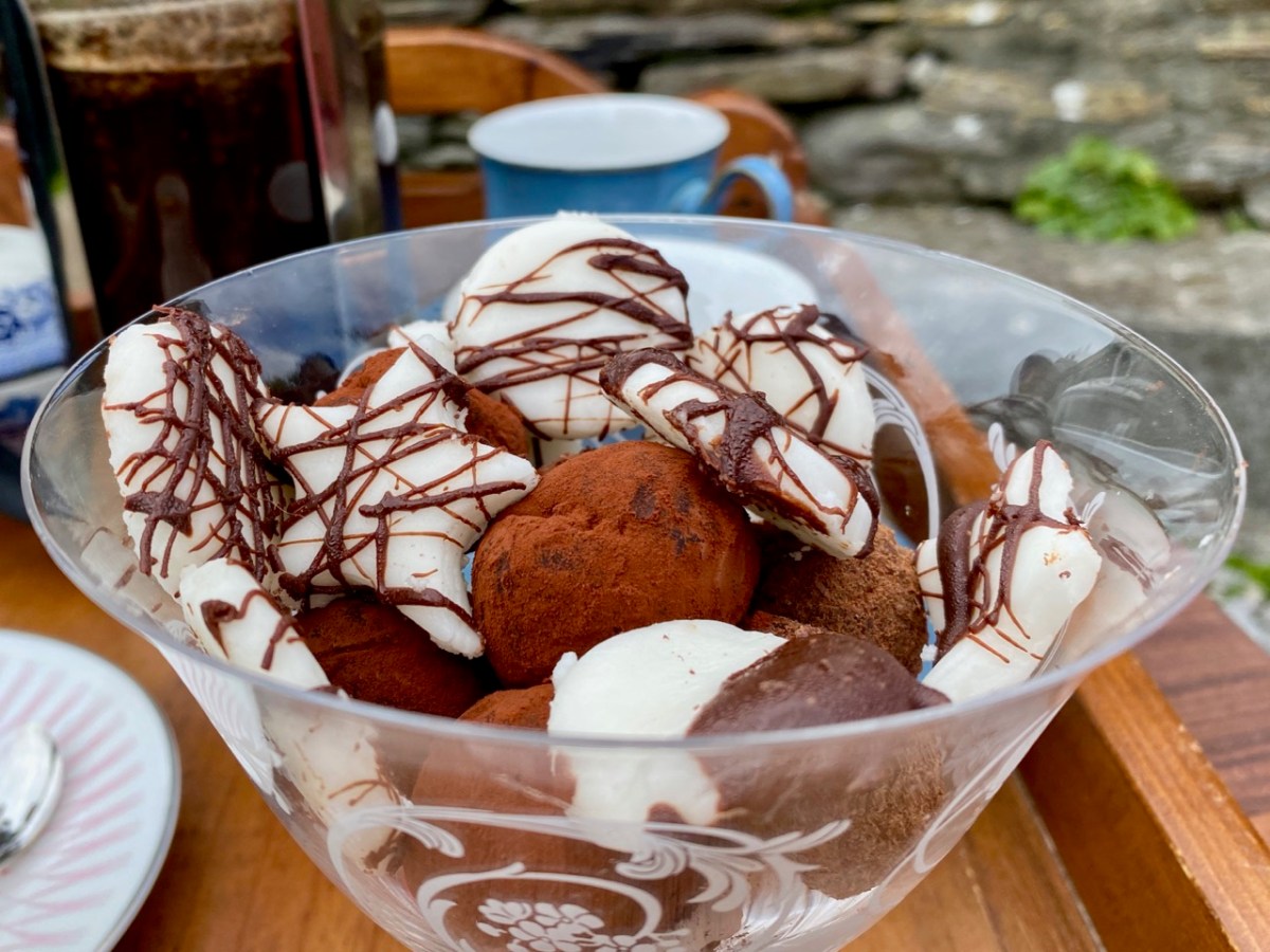
Peter was delighted with every aspect of his celebratory meal – we all were! The choux bun dessert was unbelievable; not a morsel was left behind. The riches never stopped: for our after-dinner coffee we went outside to the terrace-with-a-view and enjoyed home-made fondants and biscuits.

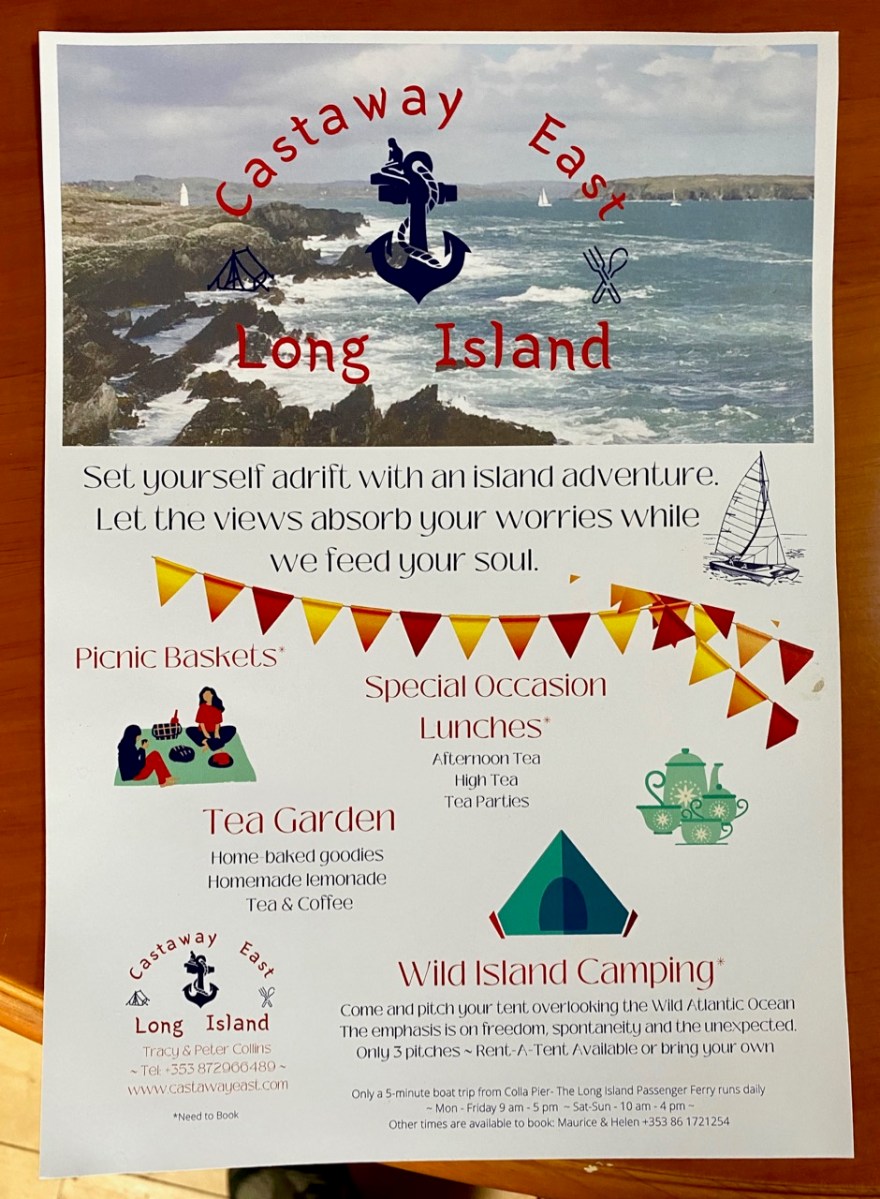
I think you’ve got the message… Sunday lunch at Castaway East is a very special experience indeed. Combine it with a good walk on a beautiful and atmospheric West Cork island and you will have a day you will always remember. If you want the experience for yourselves give Tracy and Peter a shout: they will be delighted to organise it for you.

Contact Tracy & Peter Collins on +353 872966489 or email simplytracy@icloud.com – They also have a campsite!

Notes from the Past

We heard – from our correspondent Justin Cremin – about an ancient copper mine somewhere near Skibbereen: possibly prehistoric (like the mines on Mount Gabriel). Supposedly there were rock scribings there (perhaps like those we explored in the Cooleenlemane valley). The Archaeological records proved a little disappointing:

CO150-070

Townland: GORTSHANECRONE

Class: Redundant record

. . . Description: Listed as an ‘ancient copper mine’ in the RMP (1998). Located in rough hill pasture on the W side of a deep wide ravine running N-S across the hill. A natural cave with two E-facing entrances extends c. 35m W into the hill. The height varies from c. 1m to c. 4m and jagged rocks protrude from the roof. Loose stones are scattered on the uneven floor. While there are traces of green malachite copper staining in a few places there is no evidence to indicate prehistoric mining. The material in the spoil mound outside the lower entrance suggests some unsuccessful 19th century exploration for copper may have been carried out here. The evidence is not sufficient to warrant accepting this as the location of an archaeological monument . . .

archaeology.ie
Compiled by: Connie Murphy

This now ‘redundant’ entry in the official records seemed to imply that the ‘ancient’ mine wasn’t there at all – it was just a cave. But the records also make no mention of any sort of inscription on the cave walls: perhaps, if there were scribings, they were considered ‘modern graffiti’ and of no historic interest. We set out to solve the mystery, accompanied by our intrepid friends David Myler and his children. David has written about the site on his own Facebook page.

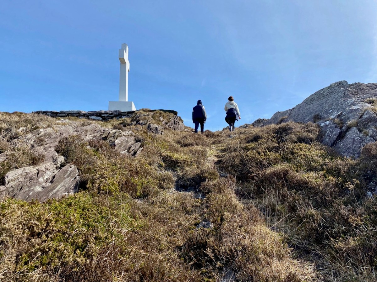
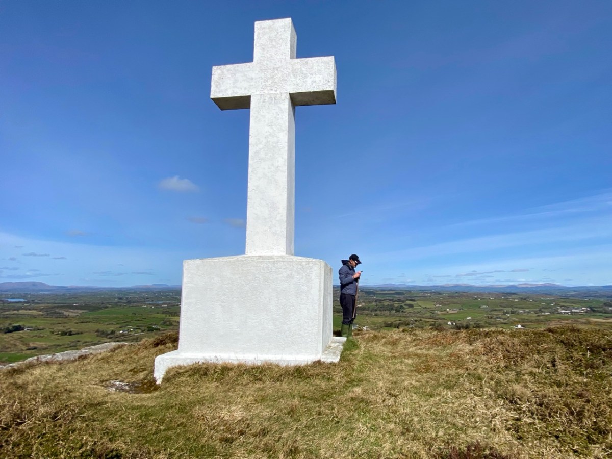
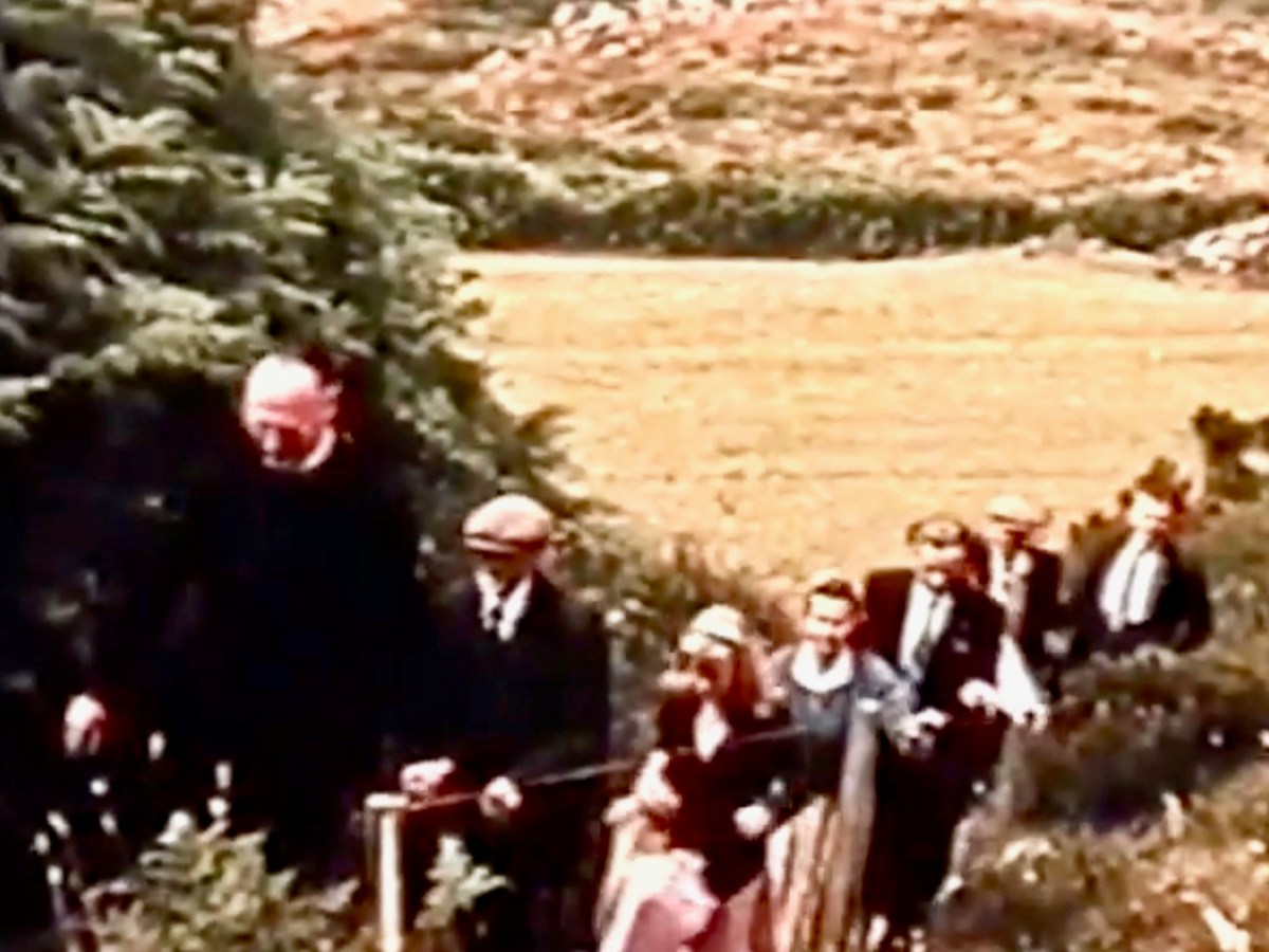
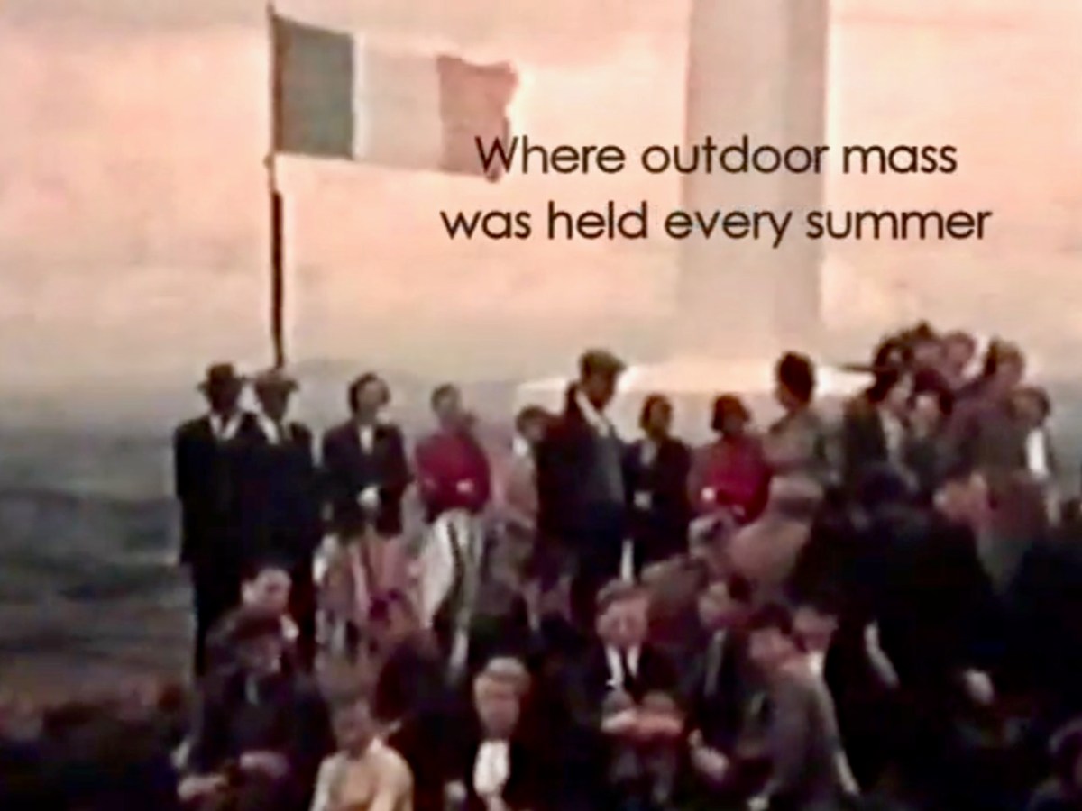
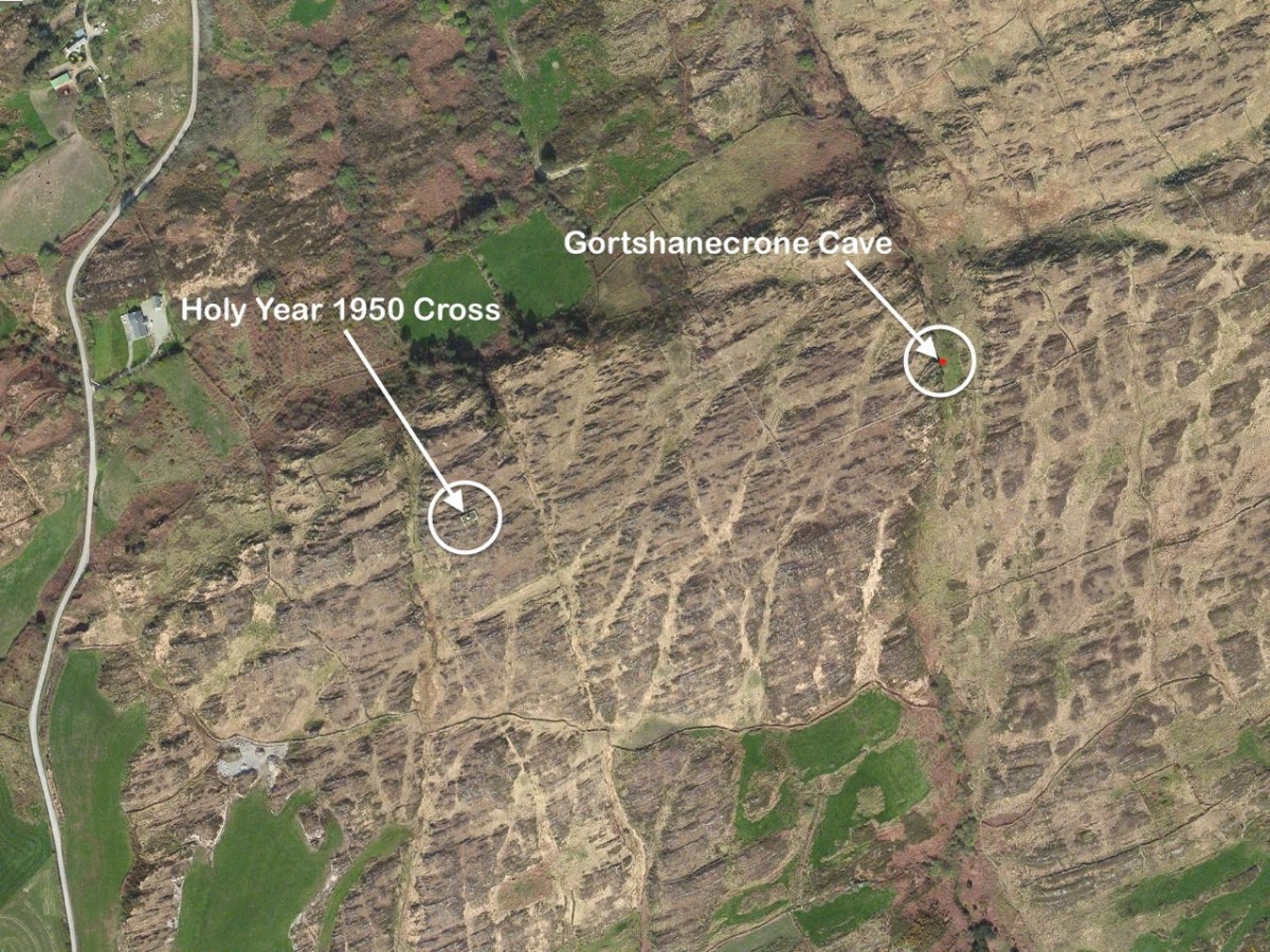
En route was another – much younger – piece of local history that we had long wanted to visit: an enormous white cross set up on top of Coom Hill to commemorate the Holy Year of 1950. Once visited on Corpus Christie day every year by a procession which started in Skibbereen, it remains an important local landmark and is situated with dramatic views in all directions.

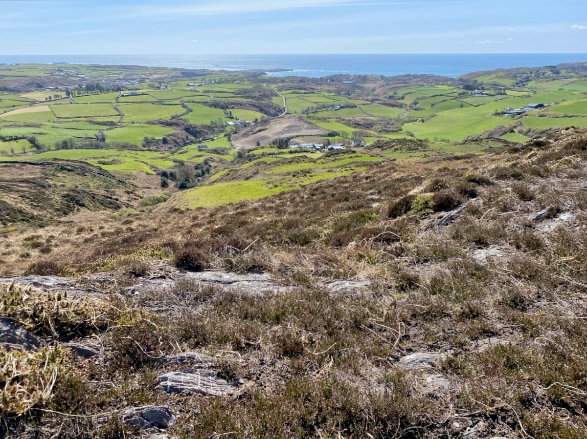
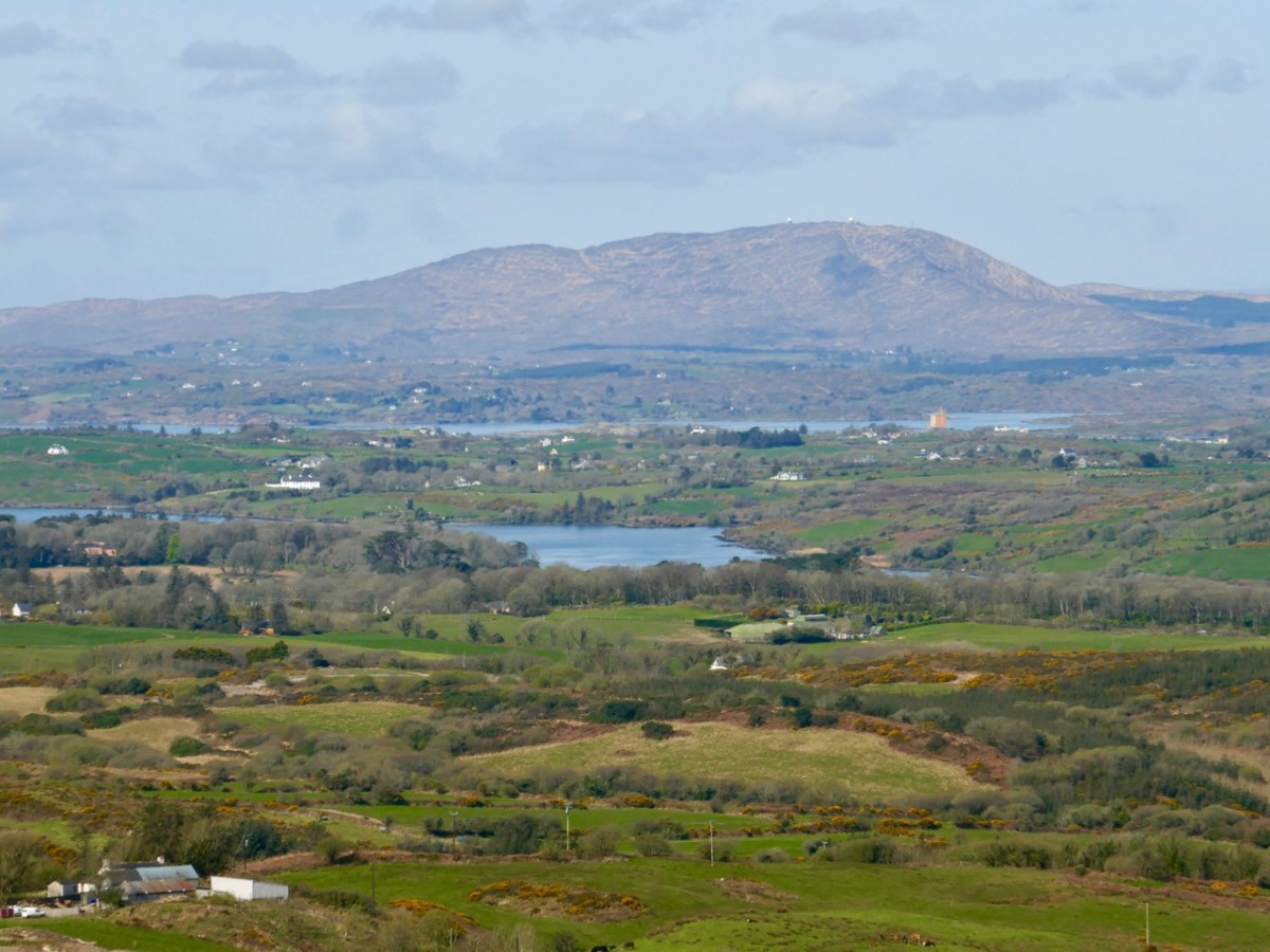
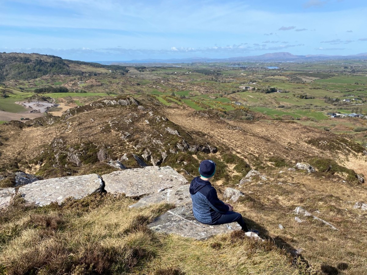
The two screenshots above are from a film taken in the 1960s, showing the procession to the cross. You can watch the full film online here. Below are some of the views which can be seen from the top of the hill.

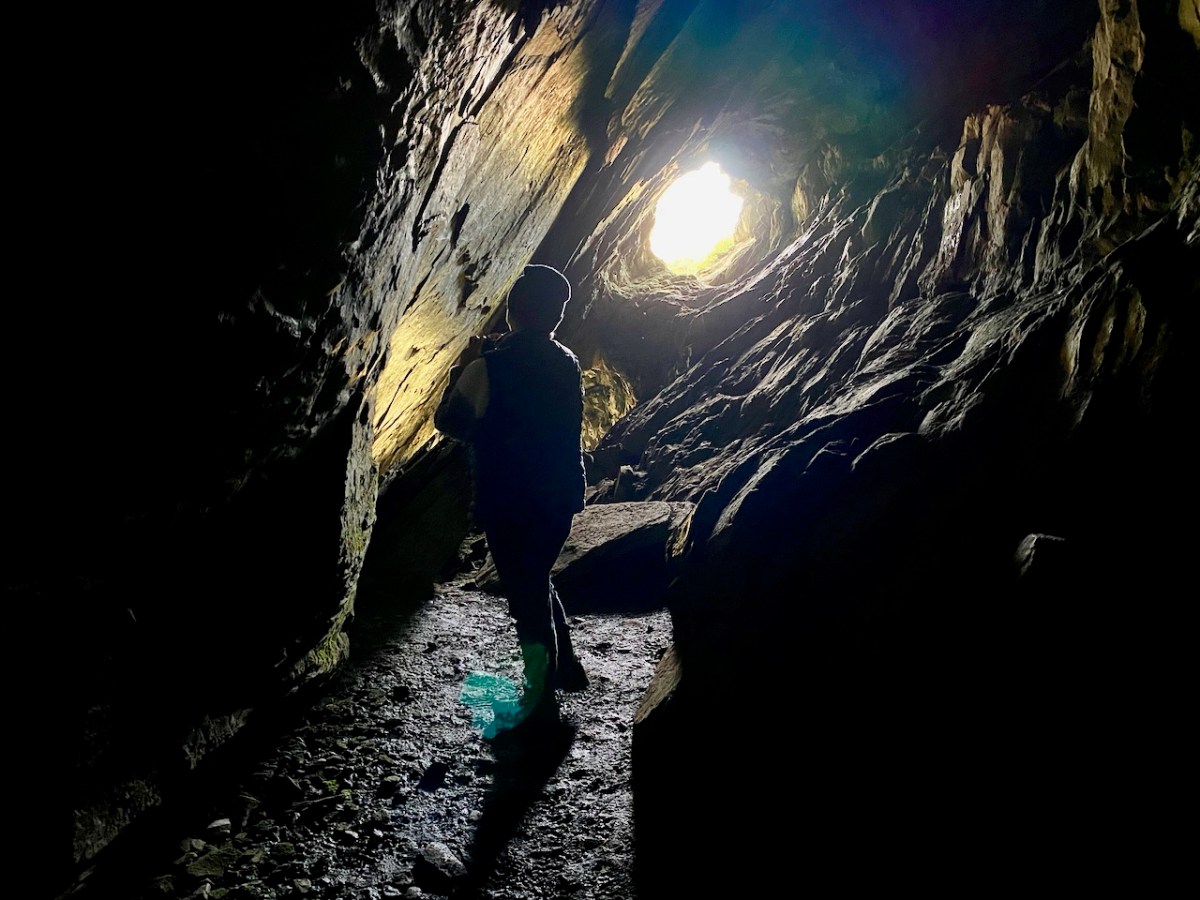
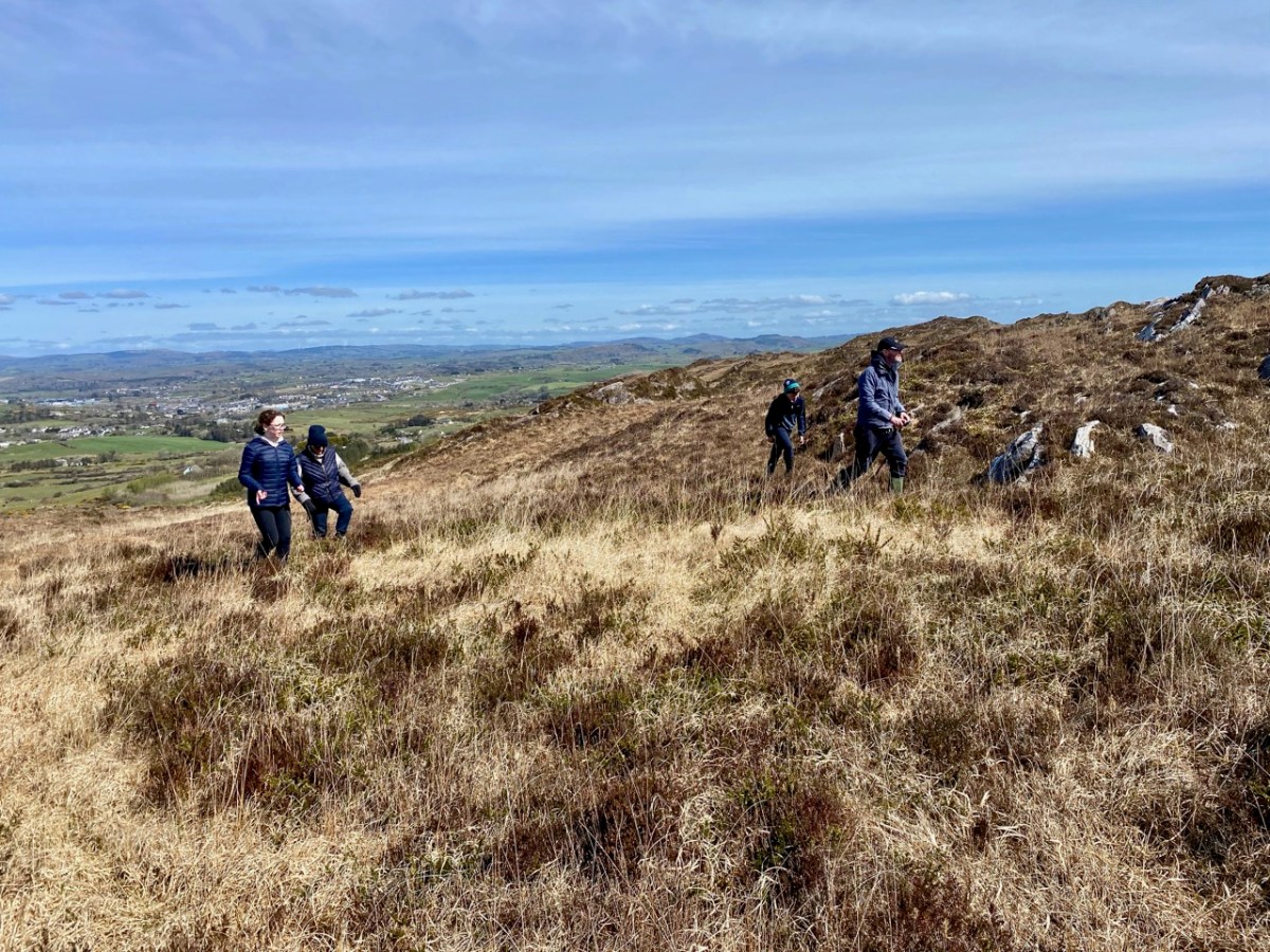
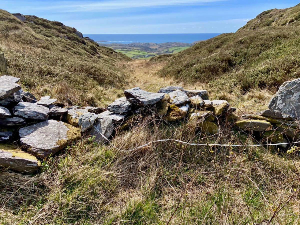
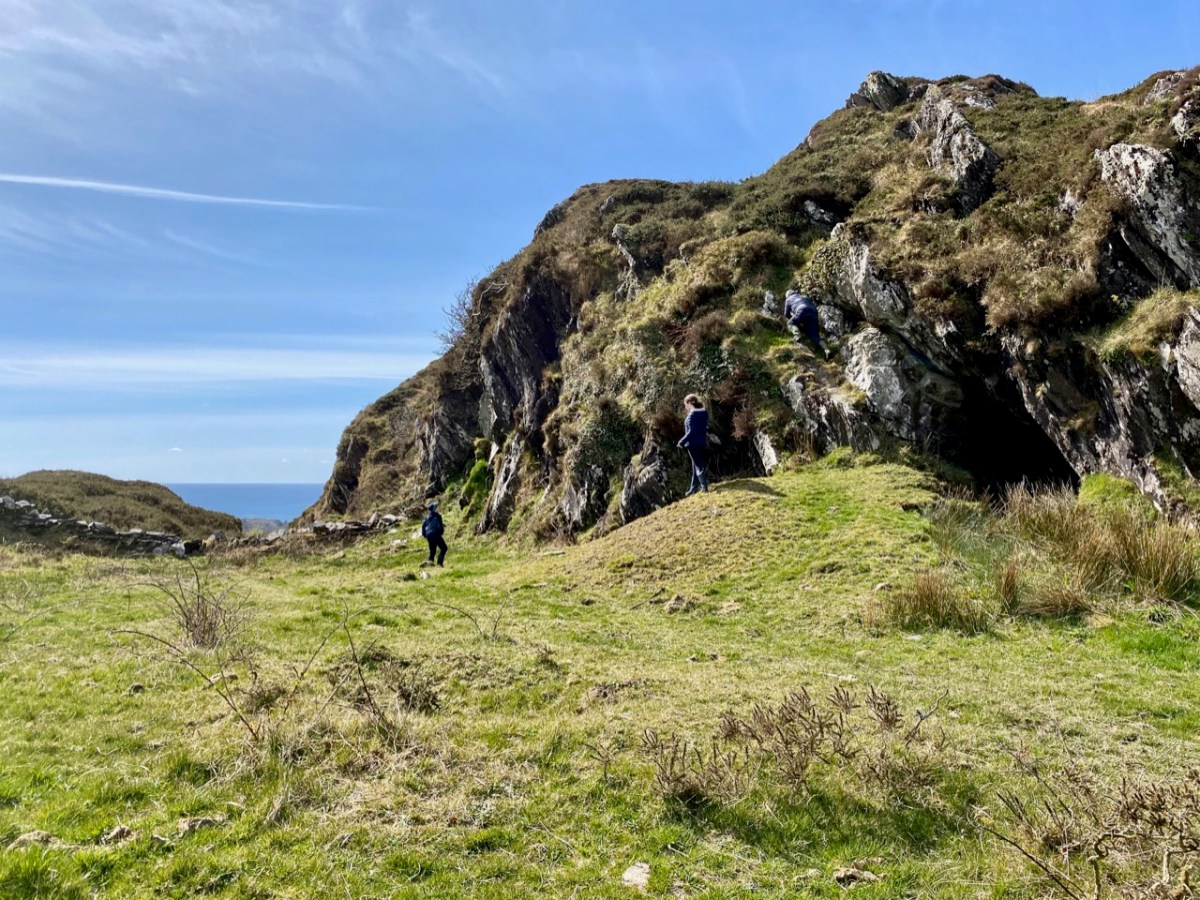
The cross – and the views – were only tasters for the adventures we had in store. Justin had researched the location of the ‘cave’ and his instructions unerringly led us across country towards a gulley – a substantial gash in the landscape running north to south, where the high land dropped away: tucked in just below us we found our goal.

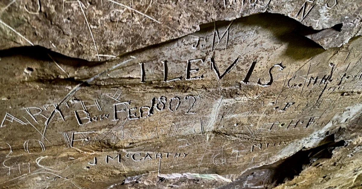
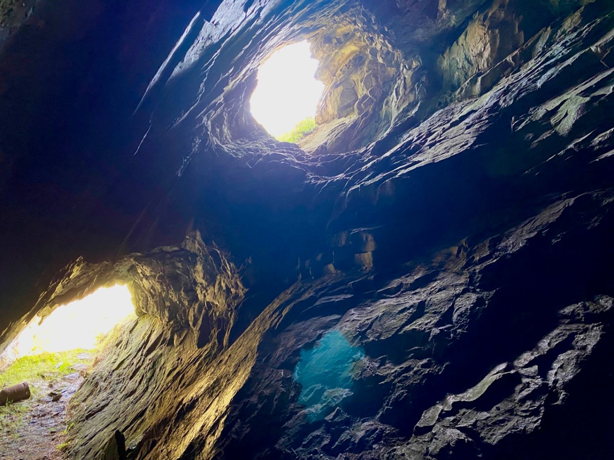
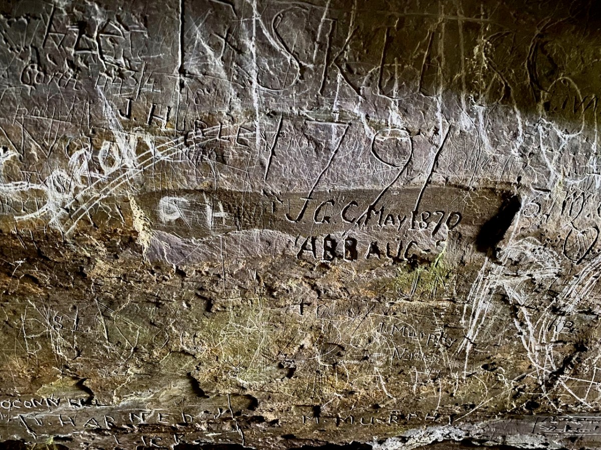
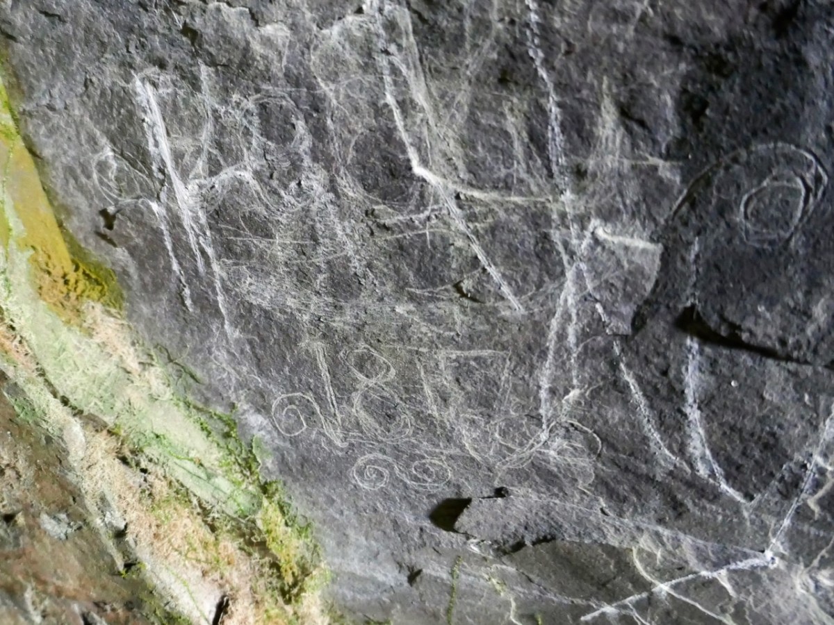
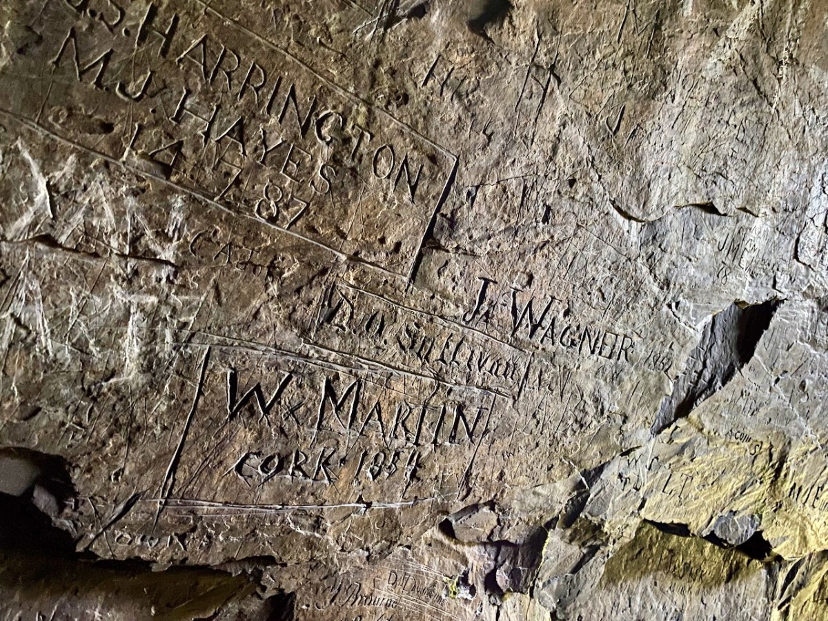
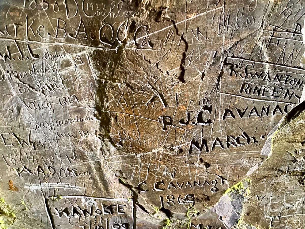
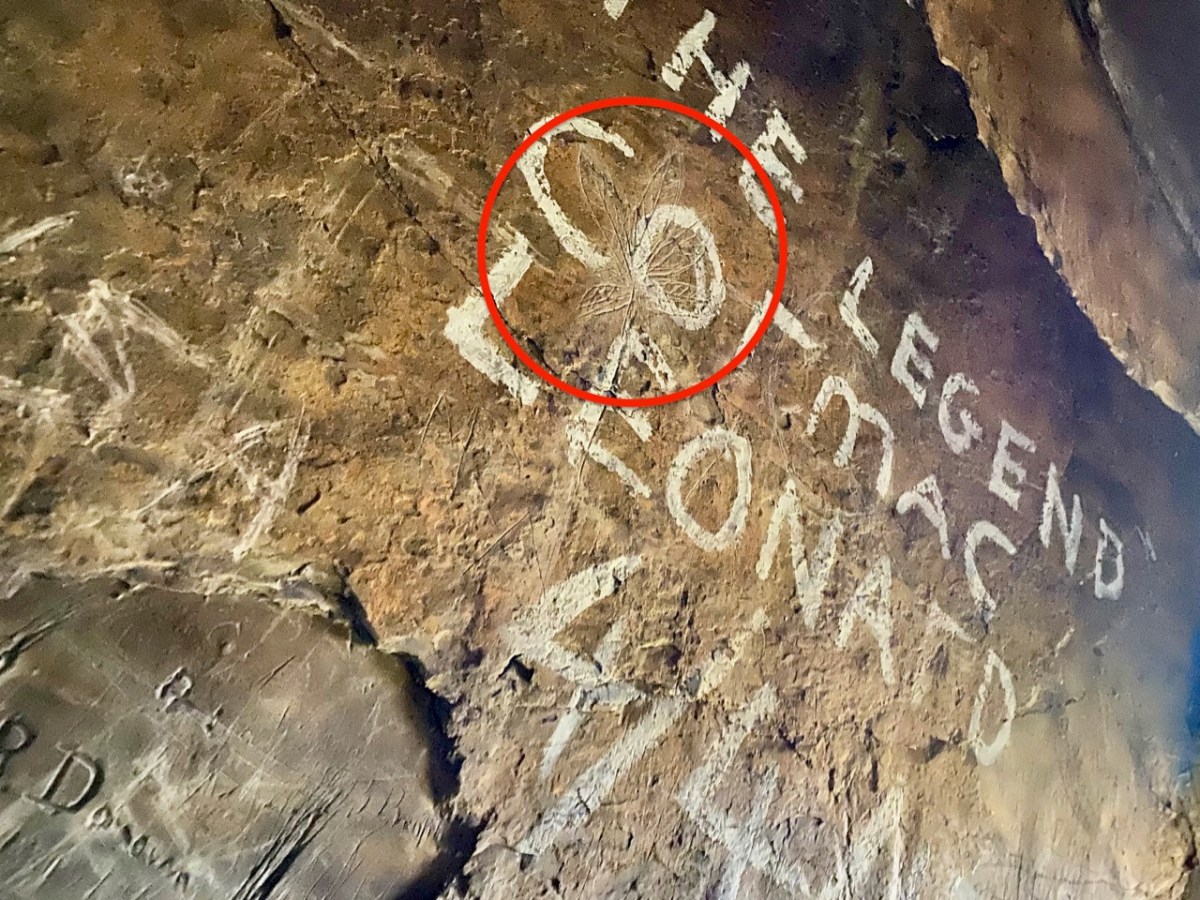
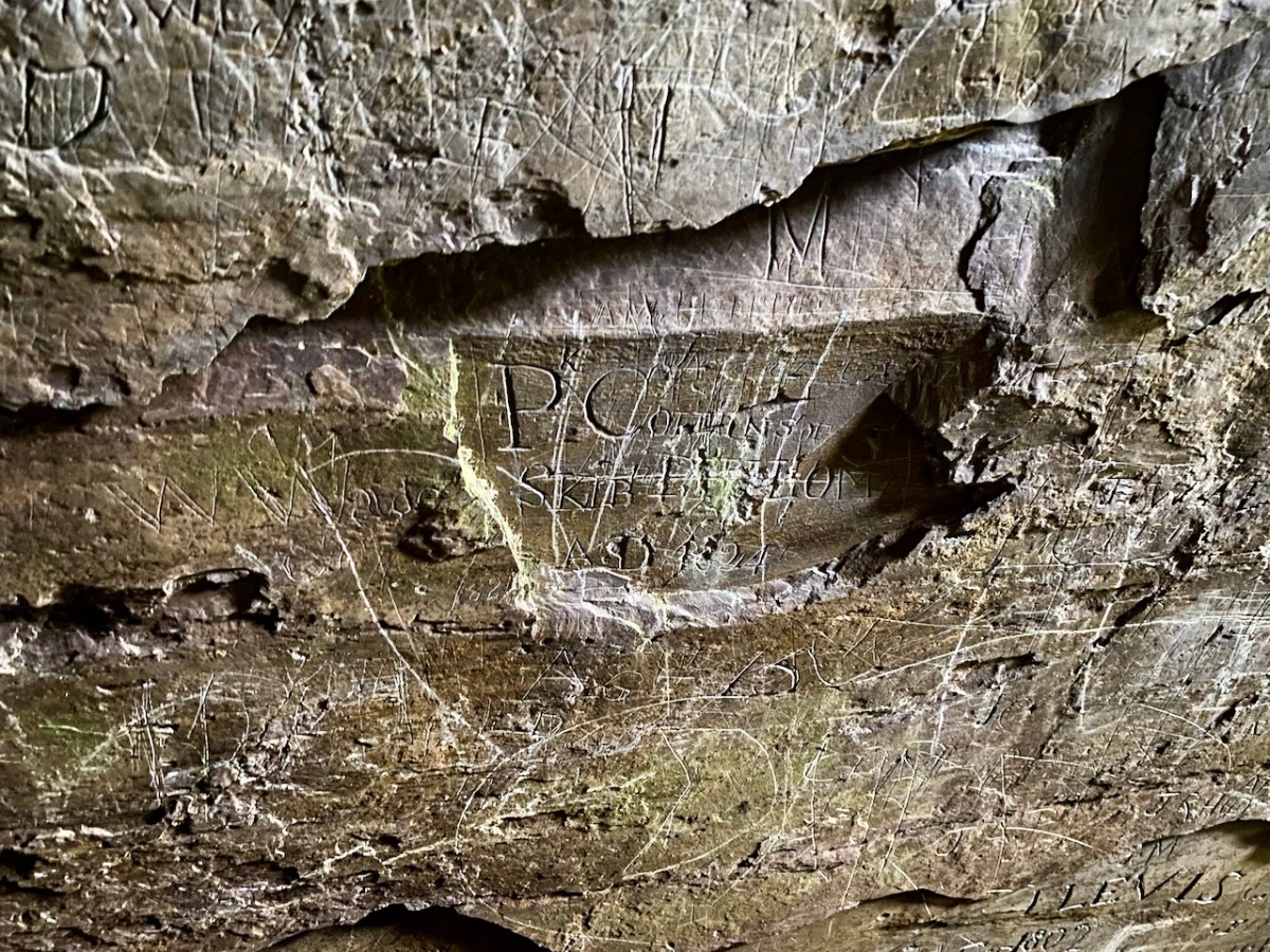
The cave has two entrances – higher and lower – and the rock faces within certainly look as though they had been worked in places. This could be from the “. . . unsuccessful 19th century exploration for copper. . .” mentioned in the archaeological record. But the exposed stone is covered in scratchings: names, words, dates from all periods – recognisably going back as far as the 1700s. There are also a few images, such as this group of leaves which has been partly obscured by modern-day painted lettering: – and note the harp in the top left of the next pic down:

We had been surprised that we could not find any written description of the graffiti which – although not ‘ancient’ – has to be of interest, as it is a record of marks made by people through many centuries. In our recent census (2022) we have all been asked to contribute to a ‘time capsule’ – our words will be sealed up ready for opening by future generations a hundred years from now. (Some of these words have been published on the internet. My favourite is the simple and poignant: “Is there anybody there…?”). This cave is a comparable ‘time capsule’ but perhaps less embracing of contemporary life.

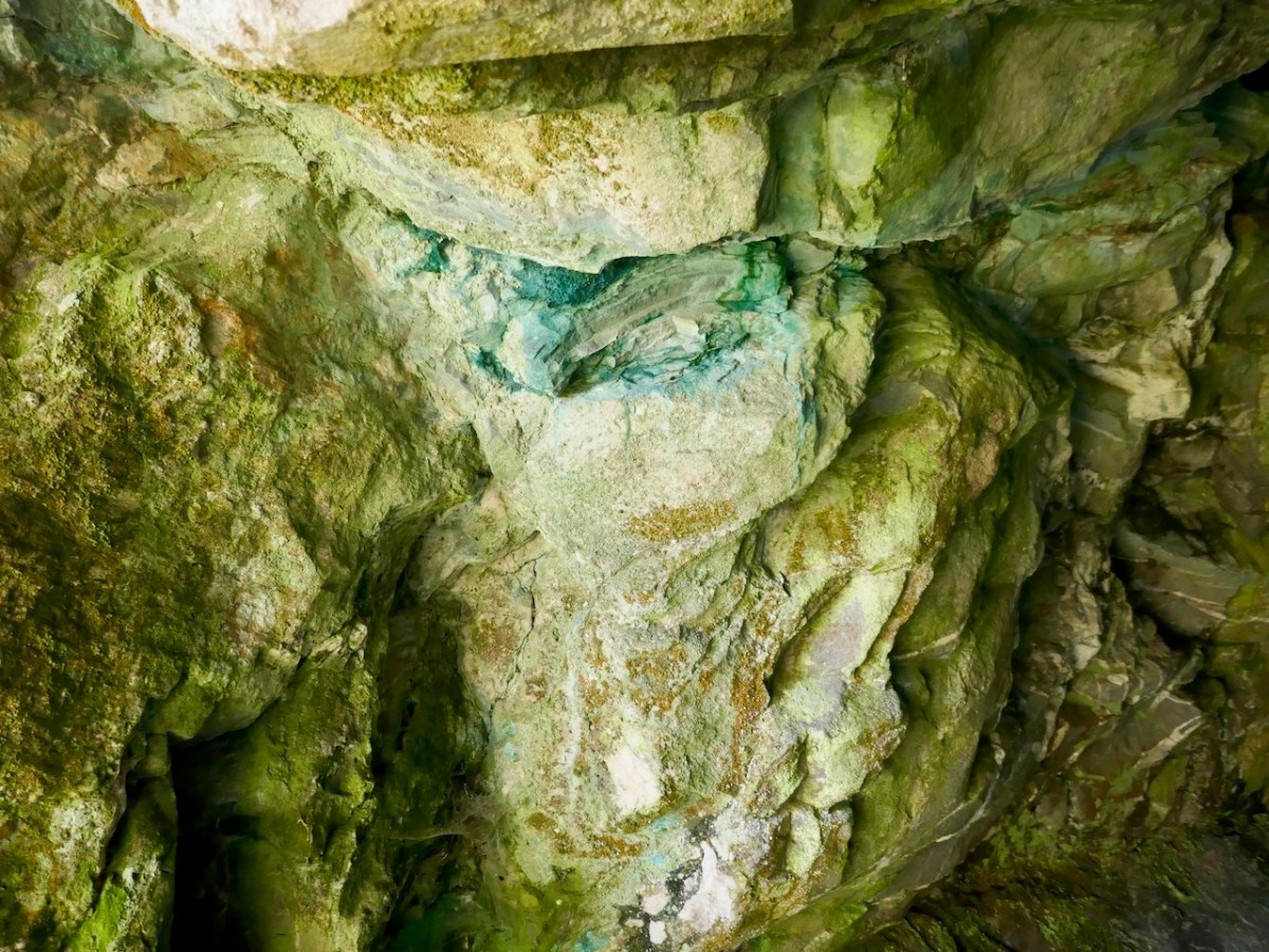
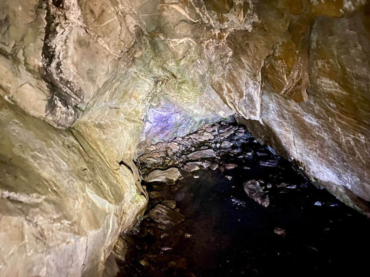
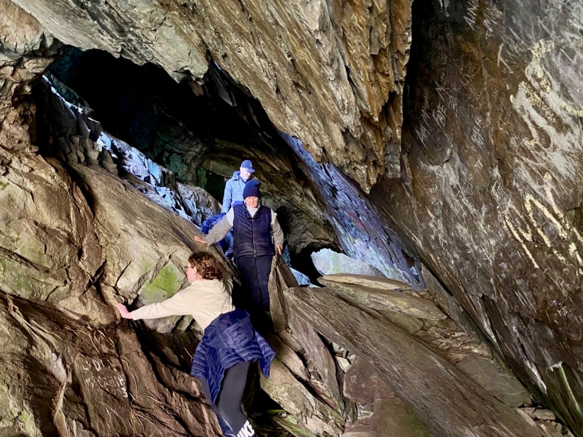
Centre, above: the copper staining, which is mentioned in the redundant archaeological record. Above is the far end of the cave, with some interesting lighting effects. The pic below gives an impression of the scale of the interior.

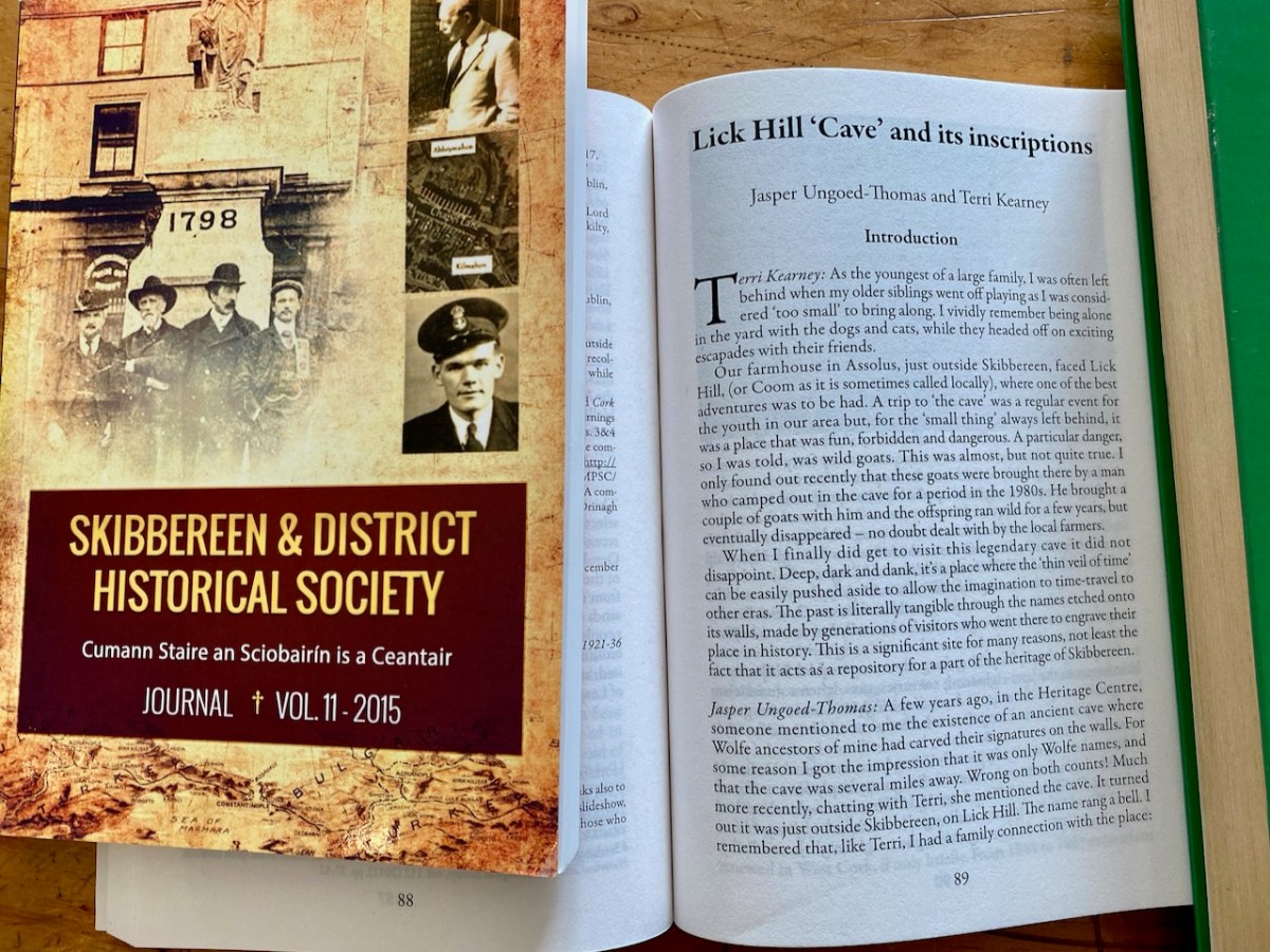
Before writing this post I made a few more enquiries, and discovered that the rock scribings had been thoroughly researched and written up in an article in Volume 10 of the Skibbereen & District Historical Society Journal, dating from 2014. The reason I had not previously discovered this was that the writers chose the local name of Lick Hill, rather than Coom Hill or the townland name (Gortshanecrone). Local knowledge is everything!

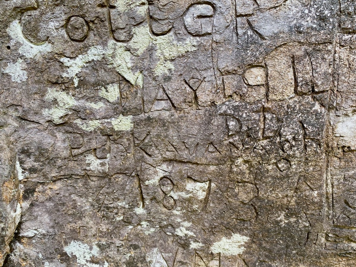
The excellent article is written by Jasper Ungoed-Thomas (whose ancestors – Wolfes – had carved their names on these walls) and Terri Kearney, who has been the Manager of the Skibbereen Heritage Centre since it opened in 2000. The Journal article is as comprehensive as you could ever need, with a full list of the names inscribed on the cave walls, together with information on those named where it is known. As an example, J Cotter, 1790 has the following entry:

. . . Cork Anglo-Protestant family, dating back to at least seventeenth century. Edward Cotter RIC during War of Independence. A Catholic branch existed by twentieth century. Edward Cotter was section commander of Bantry IRA . . .

Skibbereen and District Historical Society Journal , Volume 10 2014

The same Journal article describes well the techniques which have been employed in many of the scribings:

. . . The nature of the rock face, with its hard surface, inevitably influenced the quality of the inscriptions. From the late eighteenth century until the later twentieth century, those who wished to leave a record of their visit had little option but to carve their graffiti. It is quite easy to scratch a name, but the outcome is often difficult, if not impossible, to understand. Results which are usually, but by no mean always, easy to read can be achieved by cutting, probably with a knife. But almost certainly the fairly few very clear inscriptions were done with a sharp chisel. Presumably some visitors came prepared to inscribe their names, since proper carving is not easy; it demands time, application and skill . . .

Skibbereen and District Historical Society Journal , Volume 10 2014

Wolfe and Cotter names are seen in the examples above. Having visited the cave we perhaps thought our adventures were over for the day. However, getting back to where we had parked our cars was hazardous, as we opted to follow what seemed to be an easier route (I have to confess it was my suggestion!).

It proved to be a long and tedious trek. The terrain was uncertain and we had to negotiate bogs and steep, uneven surfaces where there were no visible footholds. When we wearily made it to a boreen, we found we still had far to go. A lesson learned: always go back the way you came – you know you will arrive! In spite of the strains, we had a great day out, and broadened our knowledge of local West Cork history. Don’t forget – as always – seek the permission (and advice) of landowners before you embark on any such exploration. And don’t unduly disturb the local residents!

The Signal Tower at Seven Heads

The series continues! In my previous posts on Napoleonic Signal Towers around the Irish coast (the posts are listed at the end of this one) I stated that 81 towers were built between 1803 and 1806, of which 20 were situated in the County of Cork. Today’s example is firmly within the chimerical district of West Cork. I use the word ‘chimerical’ in this sense: “. . . existing only as the product of unchecked imagination . . .” as there is actually geographically no such place as West Cork, even though we write about it all the time – and claim to live within it!

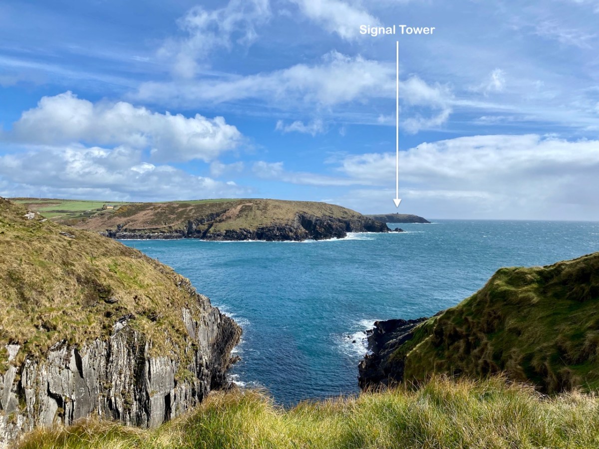
Today’s example has various names: Seven Heads (it’s sited on one of them); Leganagh (that’s the immediate locality) and Ballymacredmond, which is the townland name. It is also called Travarra on some maps and by local people: that is the name of a bay which is over a kilometre to the north-east (and refers to the Barry family who lived in the district). From this tower can be seen another to the west (Dunnycove or Galley Head – which I have written about here), and to the east the tower at The Old Head of Kinsale, here, which is in the present day the best standing example as it has been fully restored and is open to visitors as a historic structure.

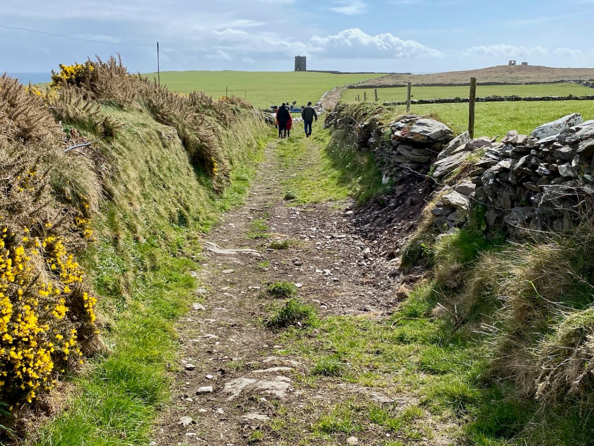
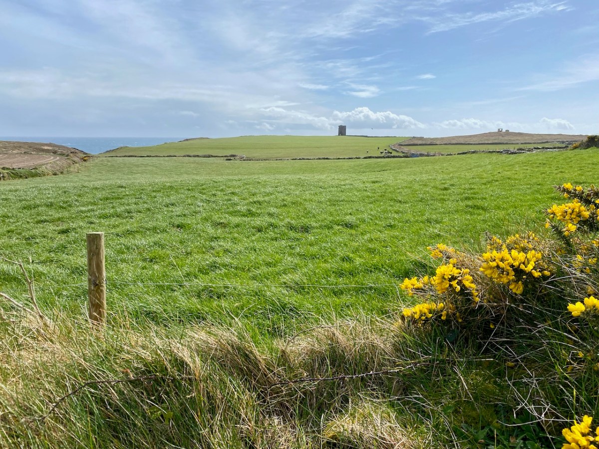
The first two photographs in this post show the Seven Heads Tower which we visited a few days ago as part of a very full expedition which also took in holy wells, promontory forts, and some impressive medieval structures. We had the local help and expertise of guides Diarmuid Kingston and Tim Feen, and were accompanied by our friends Amanda and Peter Clarke, whom you have met frequently in our writings: Amanda runs the Holy Wells of Cork and Kerry blog. The pic above shows our group walking along the clearly defined old roadway which was built to access this signal tower.

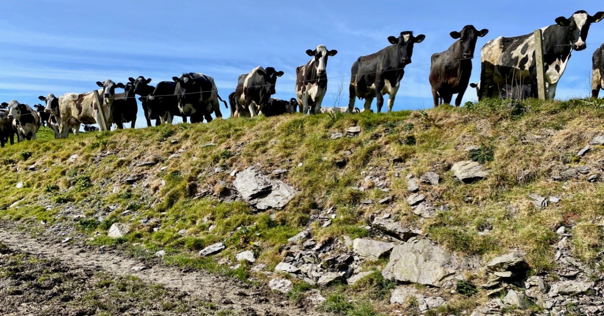
We also had bovine company (above)! This is a constant when you are walking in West Cork. As you can see, our day was mixed, with dark storm clouds and high winds interspersed with good spells of sunshine. The varying light enabled some dramatic photography:

The defined trackway and various well-built stone walls – which I am assuming are contemporary with the tower – show what a significant undertaking this project was in the early years of the nineteenth century. One particular wall to the west of the tower is a noteworthy structure as it is high (between 1.5 and 2.5 metres in places) with some puzzling lintolled openings. The photograph below I have borrowed with thanks from Dominic Creedon as I was unable to get close due to very adverse weather.

You can make out this enigmatic wall on the Google Earth image, above. It is parallel with, and to the west of, the old access road, and forms the western boundary of three rectangular fields. I can find no information on this wall on any history or archaeology sites. I’m tentatively suggesting that it might have been constructed as part of the signal tower works to create a sheltered garden or external storage area: the towers accommodated crews on a rotating basis while in use, and the ‘garden’ – if that is what it was – could have provided a welcome source of fresh produce.

This remote site is also of interest as it has the ruins of two World War 2 Coastal Lookout Posts within a short distance of the Napoleonic-era Signal Tower. I haven’t been able to find out why two were needed here: I can only assume that the first did not prove to give sufficient surveillance. This twentieth century context and link is not unusual, as both lookout posts and signal towers effectively served the same purpose: to keep a watch out for enemy activity, and to alert the appropriate authorities if such activity was spotted. In reality, no such activity was ever reported during either conflict. Written records exist from all the WW2 LOPs (Lookout Posts). Here is an example page from the Seven Heads site, typical of all such records:

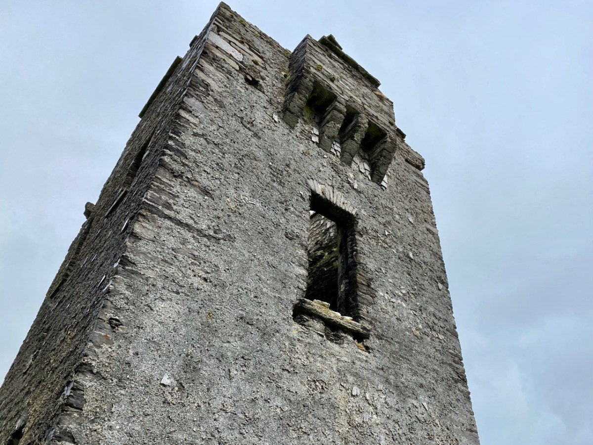
Above are various views of the Signal Tower: it is typical of such structures in general design and layout. Note the machicolation incorporated into the upper parapet: this is an echo of the design of medieval tower houses. The Seven Heads building is an open ruin and is slowly deteriorating. It is sure to crumble away over time. The Seven Heads Walking Trail takes you past the site.
Tailpiece: the pic below is taken from the Dunworley promontory fort, looking towards Seven Heads, and the final pic shows the dramatic sky which enhanced our visit.

The previous posts in this series can be found through these links:

Part 1: Kedge Point, Co Cork

Part 2: Ballyroon Mountain, Co Cork

Part 3: Old Head of Kinsale, Co Cork

Part 4: Robert’s Head, Co Cork

Part 5: Downeen, Co Cork

Part 6: Dunnycove

Part 7: Cloghane, Mizen Head

Part 8: Brow Head

Part 9: Glandore Head

Part 10: Toe Head

Drying Gelignite By The Fire: Extraordinary, Ordinary Women of West Cork

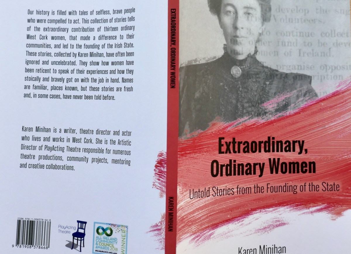
Karen Minihan has spent the last two years seeking out the forgotten stories of West Cork women who played an active role in the founding our our state. She has compiled thirteen of these stories into a compelling book – Extraordinary, Ordinary Women: Untold Stories from the Founding of the State. This book has opened my eyes to the courage and commitment of young (and not so young) women who took on dangerous roles in the War of Independence and the Civil War. Most did so as members of Cumann na mBan (the Women’s Company – the word Cumann actually means friendship), founded as an auxiliary to the IRA. This RTE piece is a good introduction to what the Cumann was all about, and includes an interview with Leslie Price, one of the women quoted in this book. Cumann na mBan, famously, was particularly well organised in West Cork and these women did everything to support the war against British occupation. 

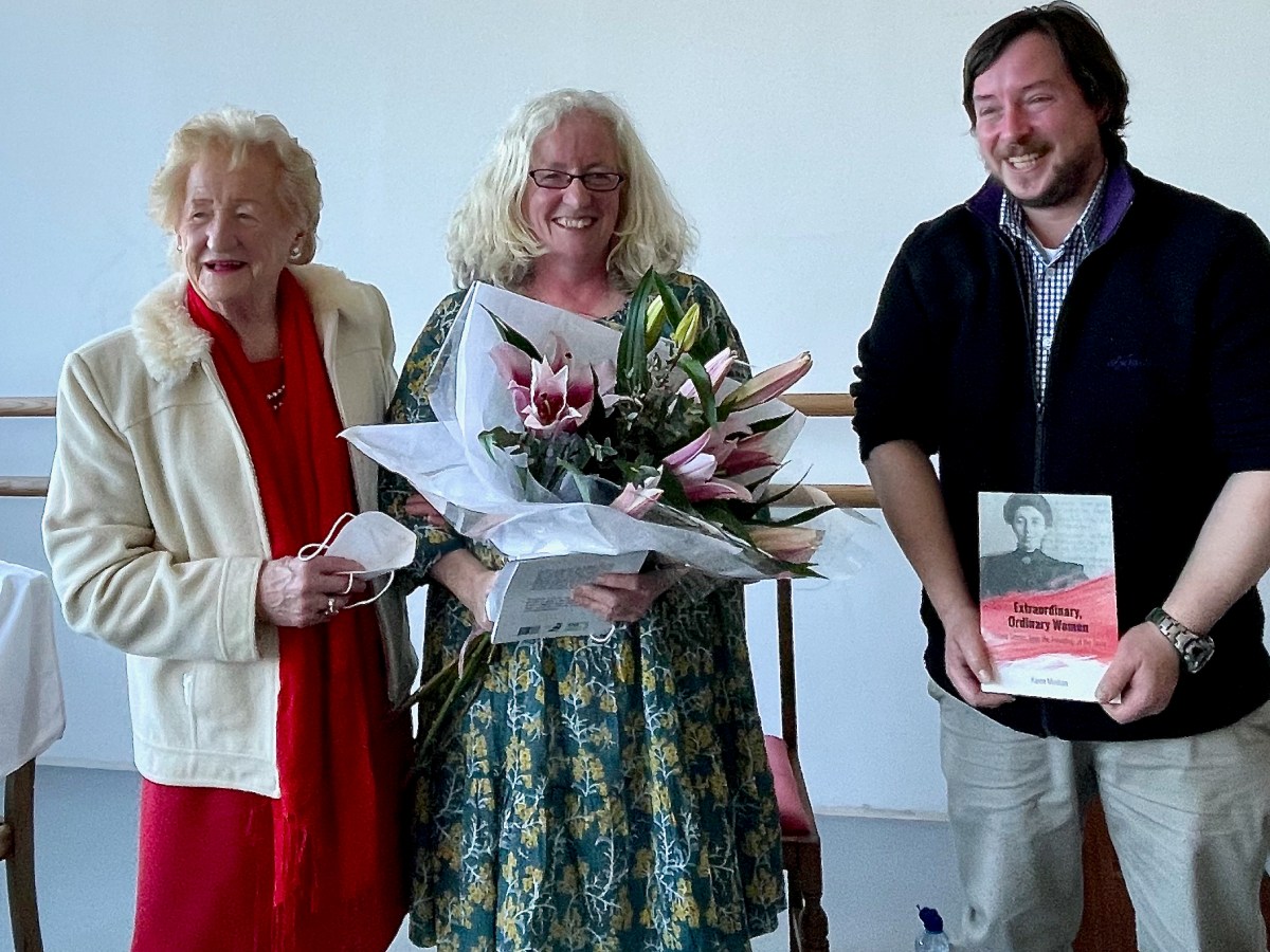
Karen (centre) with her mother and Conor Nelligan, Cork County Heritage Officer at the book launch

The book was launched on Friday at Uillinn (West Cork Arts centre) in Skibbereen, with a talk by Maura Leane (below), Professor of Applied Social Studies at UCC. She said:

Reading through the stories, I felt like I was watching an old, grainy, movie reel. Scenes were spooling out in my mind, providing beguiling insights into the history of the countryside around us, and into the activities that dominated the lives of many people living here, between 1915 and 1923, a time when West Cork, along with the rest of the country, was an active war zone. . . .It subtly shifts the spotlight of history, to pick out scenes that conjure up time and place, a local landscape, the atmosphere, and most importantly, a set of women characters. Characters, who have remained in the shadows, while attention was paid to the male heroes whose stories dominate our understanding of the period.

The stories are of women who were full of courage, spirit, skill and cleverness. The war would have been impossible without them – they scouted, carried dispatches, concealed and transported arms, nursed wounded men, raised money, sent essential supplies (like cigarettes!) to prisoners, passed on intelligence, cooked, sewed (many, many haversacks) and laundered for men on the run. They learned to handle firearms and to do first aid. They looked after the farms while their brothers were off with their Flying Columns. They cycled for miles through dark country roads to raise alarms or deliver messages. 

May Hickey lived in Skeaghnore – that’s her above in later life, not looking at all like the daring young woman revealed in her stories. They had a secret room where they hid men on the run – theirs being a ‘safe house’. May found herself many an evening cleaning rifles from the stashes she maintained in various hedges and ditches in the area. Also, “gelignite, tonite and detonators were given to me on various occasions to keep dry and often I was ordered to dry gelignite near the fire which was damp after the remainder being used for explosive purposes.” 

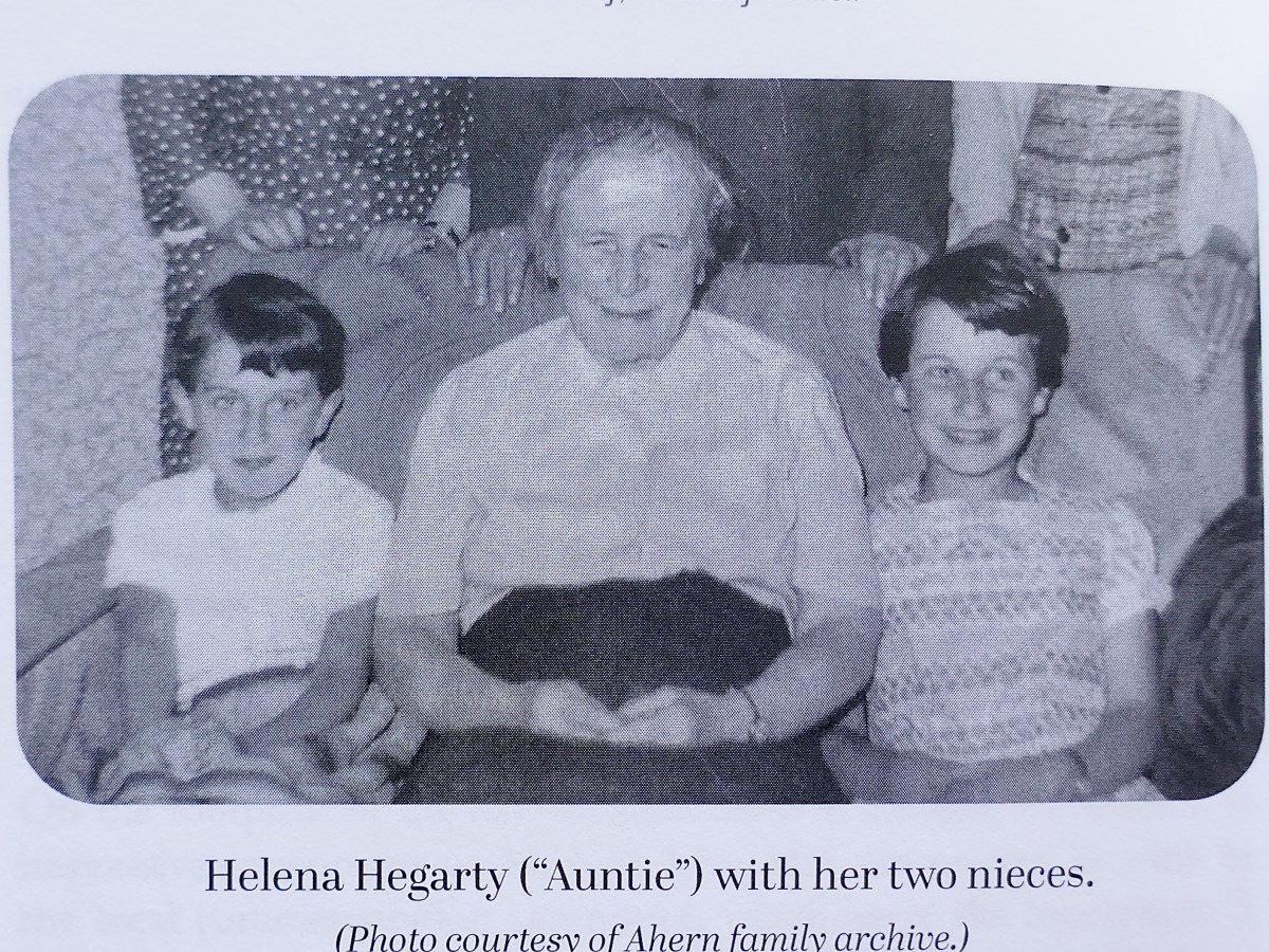
Helena Hegarty was the Matron of the Schull workhouse (above and below, as it is now). Incredibly courageous, she used her place of work to harbour IRA men and tend to the wounded. She even kept a British spy in the workhouse under lock and key for several weeks. She trained other women in first aid, and set up field hospitals. According to one account “she carried out her duties conscientiously and fearlessly.”

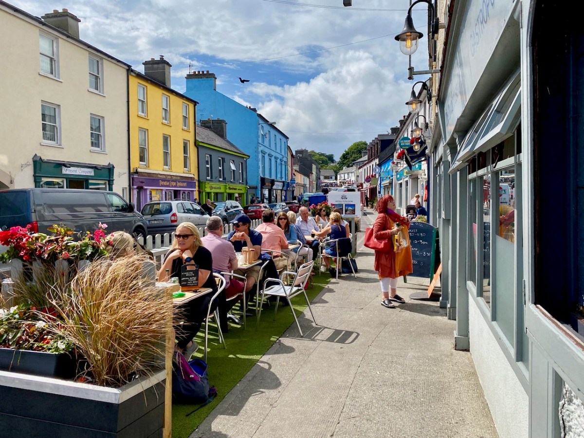
Having been given advance notice that the workhouse would be burned, she got out all the inmates and anything that could be saved. Because the British Military barracks in Schull was being attacked at the same time, she and her charges were under rifle and machine gun fire as they sheltered on the roads outside the workhouse. A recurring motif in the book is that few people knew of the heroism of the women who are portrayed. Below is Schull main street today – Helena Hegarty, warm and gentle and loved by all, ran a shop about where Brosnan’s Centra is now, after she was put out of work by the burning of the workhouse. She was known as Auntie by a generation of Schull children and their parents, who had no idea what she had done.

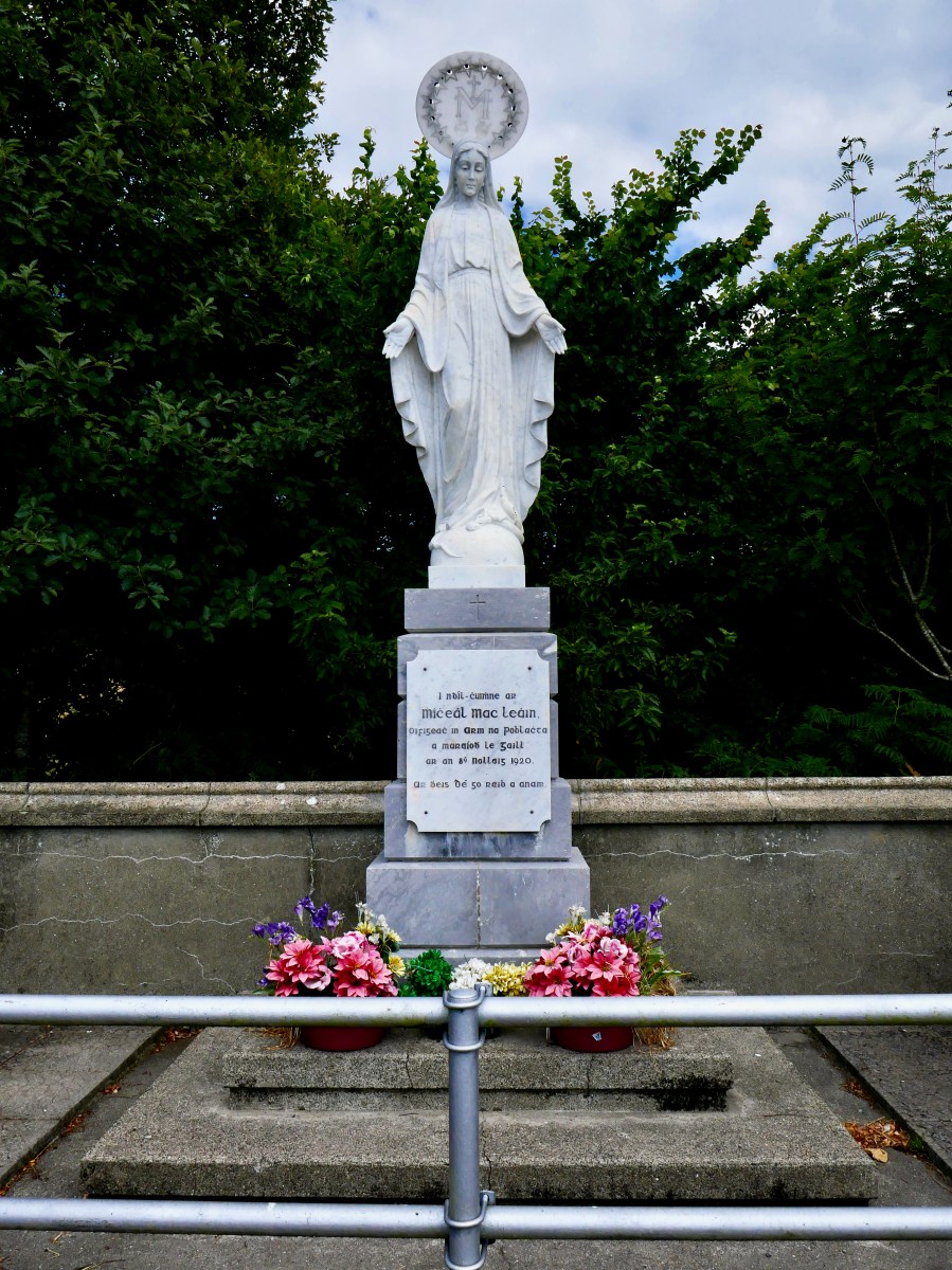
And in return the women were harassed by the Black and Tans and the RIC. Some women were roughed up and their hair was cut – it was called ‘bobbing’ and was a potent mark of punishment, used by all sides. They were threatened with having their house burned – they lived in fear but carried on. It took its toll – after Mary Ellen McLean’s brother, Michael John, was killed by the Black and Tans with appalling cruelty, she was ‘never the same.’ The memorial to her brother in Lowertown, (below), now occupies the spot where her post office was once the hub of intelligence for the region.

Most upsetting to us, as we look back from our present vantage point, is that their roles were undervalued. While heaped with praise both in the Bureau of Military History accounts of their deeds and in the Pension applications, they were routinely denied pensions by the (all-male) board, had their service downplayed and, where they were awarded a pension, were assigned to the lowest grade – E level. (Read more about that here.) Helena Hegarty was one such woman, awarded an E grade pension, despite the emphatic support by local IRA commanders for the work she had done

Karen includes the case of Bridget Noble, murdered by the IRA because she was a observed to be entering the RIC barracks. She had previously been bobbed and had lodged a complaint against the men who forced this on her, thus earning the ‘informer’ label. A thoroughly researched book by Sean Boyne (see his talk to the West Cork History Festival) has documented this case of the ‘disappeared’ woman of the Beara Peninsula.

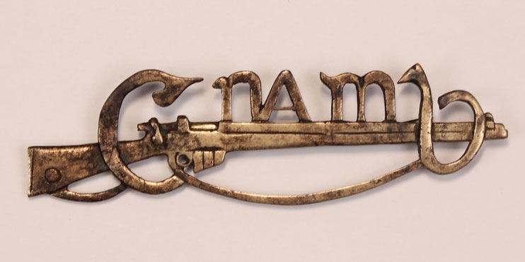
A Cumann na mBan pin – note the centrality of the rifle

At the launch, Maura Leane summed up Karen’s work thus:

By inviting us as readers to engage with Bridget’s story, Karen pulls us, uncompromisingly, into the trauma and the violence and the highly emotive reality of this period of war, in our own localities. And when this period was over, and everyone had to start the journey of living together again, side by side, and in common cause, this trauma had to be set aside. The memories had to be put away, the stories had to be left untold. And so, this time was rendered silent. And this is why Karen’s work here, is so important. Because what Karen has done is to gently and skilfully evoke voices and emotions from this troubled time. She has storied these voices and brought forth war time memories, in all their complexity and in all their nuances. And most importantly of all, she has brought into relief the feelings and the emotional resonance that is embedded in accounts of the past.

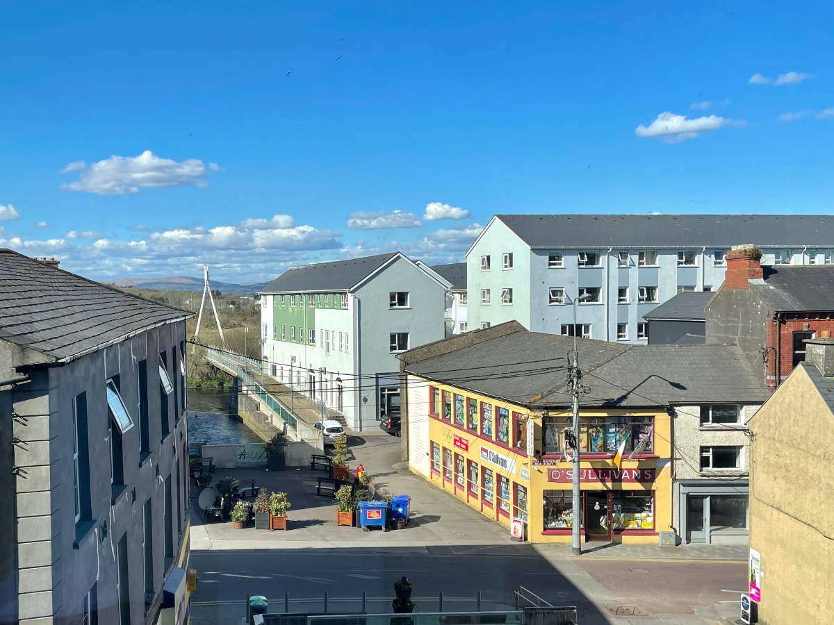
Sullivan’s Toy Shop was once the home and business of Rose O’Connell, one of the extraordinary, ordinary women

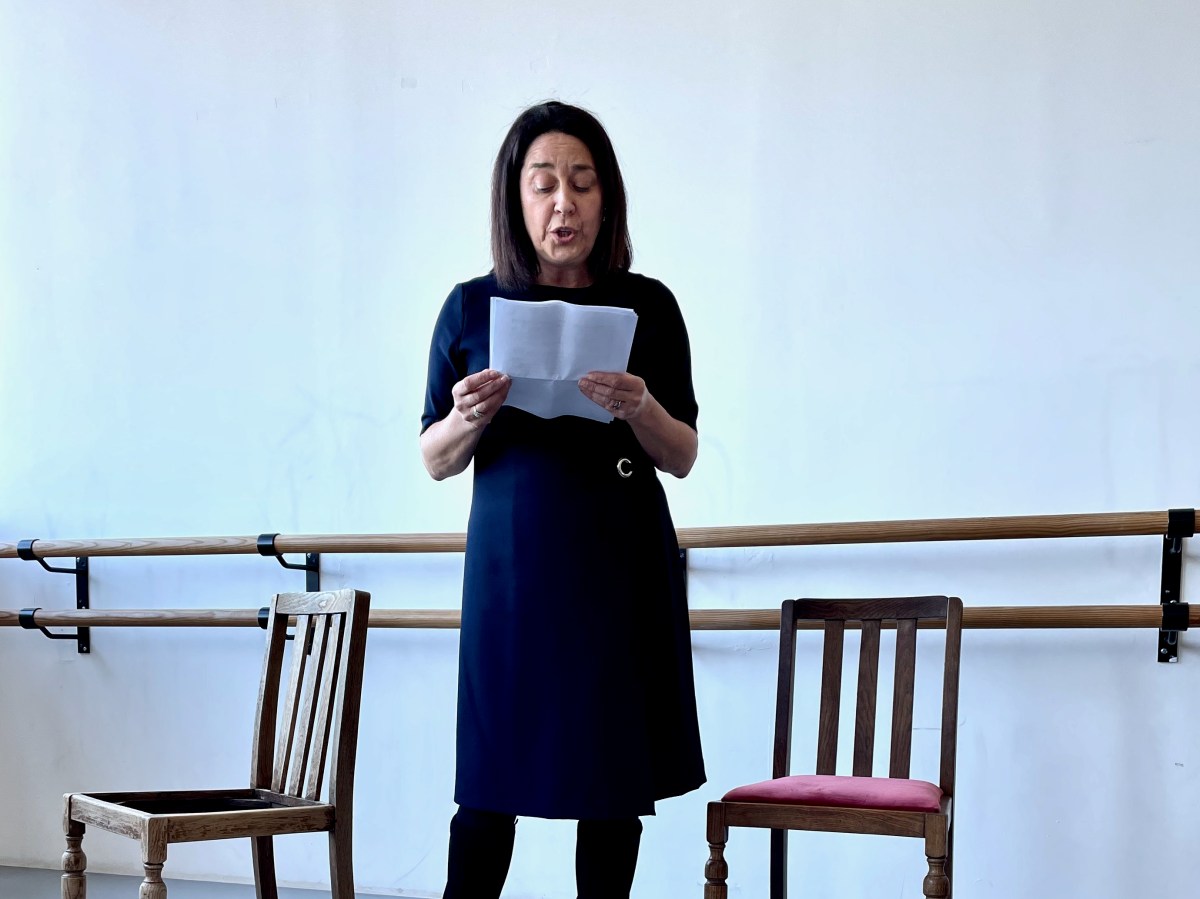
At the launch, Karen enacted a short play based on the chapter on Rose O’Connell. Poignantly, the shop where the action took place could be seen from the room, and some of her descendants were at the event. Karen’s book is available at all good West Cork Bookstores but if you’re not lucky enough to live here you can order it from Schull’s wonderful Worm Books (thewormbookshop@gmail.com). 

Two Years On…

This pic – I’m sitting on our deck at Nead an Iolair – was taken almost exactly two years ago. Very little different to the way it might look today. But – back then – the world was upset: Covid had hit us! Have a look at this post: my first reaction to how we were feeling at that time

We thought ourselves fortunate to have come through those years unscathed. But the Covid has caught up with us both! Two years later, when we thought we could stop worrying: quite suddenly we felt strange – and gave ourselves Covid tests, which showed up positive! Of course, we are both fully vaccinated, and perhaps took too much for granted. We continued to be careful and wore masks in crowds (not that we encountered many of those). Perhaps there’s an inevitability that most people will succumb to it. But we are fortunate that it has seemed like no more than a severe cold. We are almost at the end of our isolation period, and look forward to setting foot on the boreens again.

That’s our local tramping ground: Rossbrin Cove, yesterday. We couldn’t want for a better place to enjoy the lengthening warm days of this new spring which, so far, is proving exceptional for weather. Hopefully, by next week we will be back to normal, with new posts to interest and entertain you!

A pic of the Saturday market at Skibbereen just three weeks ago.

Hell Fire

It’s taken me a while to visit this notorious site which is situated on a summit of the Dublin Mountains. The view across the city from the 390 metre peak is stunning:

It’s the stories and the folklore that attracted me to this place, long known as the Hell Fire Club. In the eighteenth century ‘Speaker’ Connolly built it as a hunting lodge. According to tradition he used the stones from a prehistoric monument that was previously on the hill. It’s now known from recent excavations that at this location was one – or two – passage tombs dating from the Neolithic Period (4500 – 2000 BC). This – or these – were surrounded by a circle of large boulders known as a cairn. Today, some fragmentary traces of the earliest use of the site can be detected. The best information on the neolithic site is found in the Abarta Heritage report, here. An earlier description, dating from 1779 in fact, was written by Austin Cooper, who visited in that year:

. . . Behind the house are still the remains of the cairn, the limits of which were composed of large stones set edgeways which made a sort of wall or boundary about 18 inches high and withinside these were the small stones heaped up. It is 34 yards diameter or 102 yards in circumference. In the very centre is a large stone 9 feet long and 6 feet broad and about 3 feet thick not raised upon large stones but lying low with the stones cleared away from about it. There are several other large stones lying upon the heap . . .

William Connolly (Speaker of the Irish House of Commons) was one of the wealthiest men in Ireland; he had a house in the city and a country estate at Castletown, near Celbridge. It is said that he deliberately used stones from the ancient tomb in the construction of the hunting lodge at Mountpelier. Shortly after it was built the roof, which was originally slated, was blown off in a great storm. Locals attributed this misfortune to the work of the devil, in revenge for the destruction of the cairn. Following this event the lodge gained a reputation as a place where evil prevailed. However, Connolly replaced the slated roof with a stone vault which still exists today, although the building is effectively a ruin.

The Irish Hell Fire Club members were some of the elite of society, and included peers of the realm, high ranking army officers as well as wealthy gentlemen and artists. Here is a portrait of some of them by James Worsdale (himself a Club member); it is in the collection of the National Gallery of Ireland, Dublin.

From left to right: Henry Barry 4th Baron of Santry, Colonel Henry Clements, Colonel Henry Ponsonby, Colonel Richard St George, and Simon Luttrell, 1st Earl Carhampton. Biographies of all of them are summarised here – also from the Abarta reports. Their lives in general were debauched and relatively short. Missing from the portrait are father and son Richard Chappell Whaley and Thomas ‘Buck’ Whaley, who was to become ‘the most famous Buck of all’. Richard’s nickname was ‘Burn-Chapel’ Whaley because of his hatred of religion and in particular, the Roman Catholic church. He would amuse himself on Sundays by riding around Dublin setting fire to the thatched roofs of Catholic chapels. The Whaleys were related through their ancestry to Oliver Cromwell. Their family residence was Whaley Abbey, Co Wicklow: you can find more on this in Finola’s post today.

Mountpelier is a significant mountain top overlooking Dublin, and is now fully accessible to all. A warning, though – in good weather the Coillte car-park very soon fills up (at all times of the year) and there is nowhere else nearby to leave your vehicle – get there early!

It could be said that the ruin of the lodge is ‘maintained’ in that it is stabilised and unlikely to fall down. If you are exploring, look out for the lintel over the large fireplace, which is supposed to be a standing stone removed from the passage grave site.
The Hell Fire Club is, of course, haunted! Not that we saw anything untoward when we visited on a glorious spring day. But the stories abound. They are probably best told through the accounts in the Schools Folklore Collection:

. . . About six miles from Dublin the Hell Fire Club is on a hill. It is a medium size old castle. When the owner of it died nobody else claimed it. All the men of the district came to play cards in it every night. One night when all the men were playing their nightly game one of the men cheated. The men rushed upon him over-powered him. The bound him hand and foot and put him in a barrel of whiskey. Then they set fire to it burning him alive. That was a cruel thing to do but then men did not care. From that day on that old castle was called the Hell Fire Club . . .

Stewart Somerville, Dundrum School

. . . There is an old ruin called Hell Fire Club on the very top of one of the Dublin Hills. This house was built by a man named Connelly, during the time of the Famine. It was built to give employment to the men. Many men used to got to Hell Fire Club to gamble. It is said that one night they were playing cards and there was much money on the table. One man dropped a card on the floor, and when he stooped down to pick it up he noticed a man with cows feet, and he wore a red cloak. The men were very frightened and they made a great uproar. The man turned into a ball of fire. All the men were burned in the fire. There was one man who had a bunch of medals attached to his coat and he was the only man who escaped from the burning house . . .

Mr Finlay, Rockbrook, Co Dublin

. . . The Hell Fire Club, or the Brass Castle is situated near Rathfarnham in the Co Dublin. My Great-grandfather used to pass by the Brass Castle on his way home from work, (he was a mason) he had a habit of hitting the wall with his trowel to hear the ring of the brass. One night a priest had to go on a sick call. When he was coming home through the mountains he lost his way. Seeing a light he went in that direction. He knocked at the door of the house, which happened to be the Brass Castle – The door was opened by a man who was dressed in black with a black mask on his face. The priest was brought in to a room. Sitting at a large table were twelve men dressed the same as the first one. The men were playing cards. On the table was seated a large black cat. The men defied the priest to put the cat away. The priest ordered the cat down, but it never moved. Again he ordered it down, but the cat did not move. The men laughed at the priest and jeered him. The third time the priest said “Begone Satan”. The cat jumped from the table and disappeared up the chimney with a loud roar. The priest told the men that the cat was the devil. The men were never heard of again. The priest got home safe, and from that time onward the Brass Castle was called the Hell Fire Club. This story is true. It was told to me by mother, because the Brass Castle belonged to her ancestors . . .

Seán Ó Nuamáin, Kilbride, Co Wicklow

The Mountpelier Woods consist of around 5.5 kilometres of forest roads and tracks. The woods offer nature trails and a permanent orienteering course. Lord Massy’s Estate and Mountpelier Hill are also traversed by the Dublin Mountains Way hiking trail that runs between Shankill and Tallaght. It’s an attractive walk at all times of the year, with easy access from Dublin city centre.

A comprehensive application to An Bord Pleanála was submitted in July 2017, seeking permission to establish a Dublin Mountains Visitor Centre with associated works relating to tourism, leisure and recreational activities which would embrace the Hell Fire Club site and the mountain trails. Permission was granted, subject to conditions, on 25 June 2020. Another chapter in the story of this notorious locality unfolds . . .

As a tailpiece, I found this image of a ‘Hell Fire Club Goblet’ dating from c1745. It’s currently in the Philadelphia Museum of Art, but it must originate from Ireland: James Worsdale, whose name appears on this glass, was appointed Master of the Revels in the Dublin Hell Fire Club in 1741. It was also he who painted the portrait of Club members illustrated in this post: look at their goblets in the painting!