Two Years On…

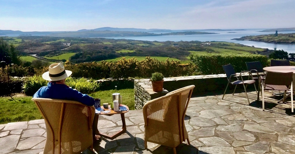
This pic – I’m sitting on our deck at Nead an Iolair – was taken almost exactly two years ago. Very little different to the way it might look today. But – back then – the world was upset: Covid had hit us! Have a look at this post: my first reaction to how we were feeling at that time

We thought ourselves fortunate to have come through those years unscathed. But the Covid has caught up with us both! Two years later, when we thought we could stop worrying: quite suddenly we felt strange – and gave ourselves Covid tests, which showed up positive! Of course, we are both fully vaccinated, and perhaps took too much for granted. We continued to be careful and wore masks in crowds (not that we encountered many of those). Perhaps there’s an inevitability that most people will succumb to it. But we are fortunate that it has seemed like no more than a severe cold. We are almost at the end of our isolation period, and look forward to setting foot on the boreens again.

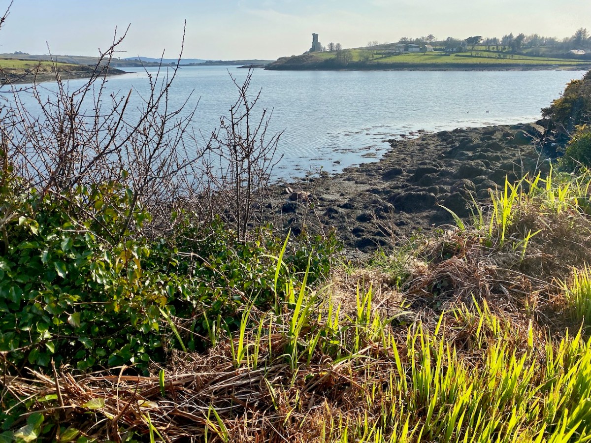
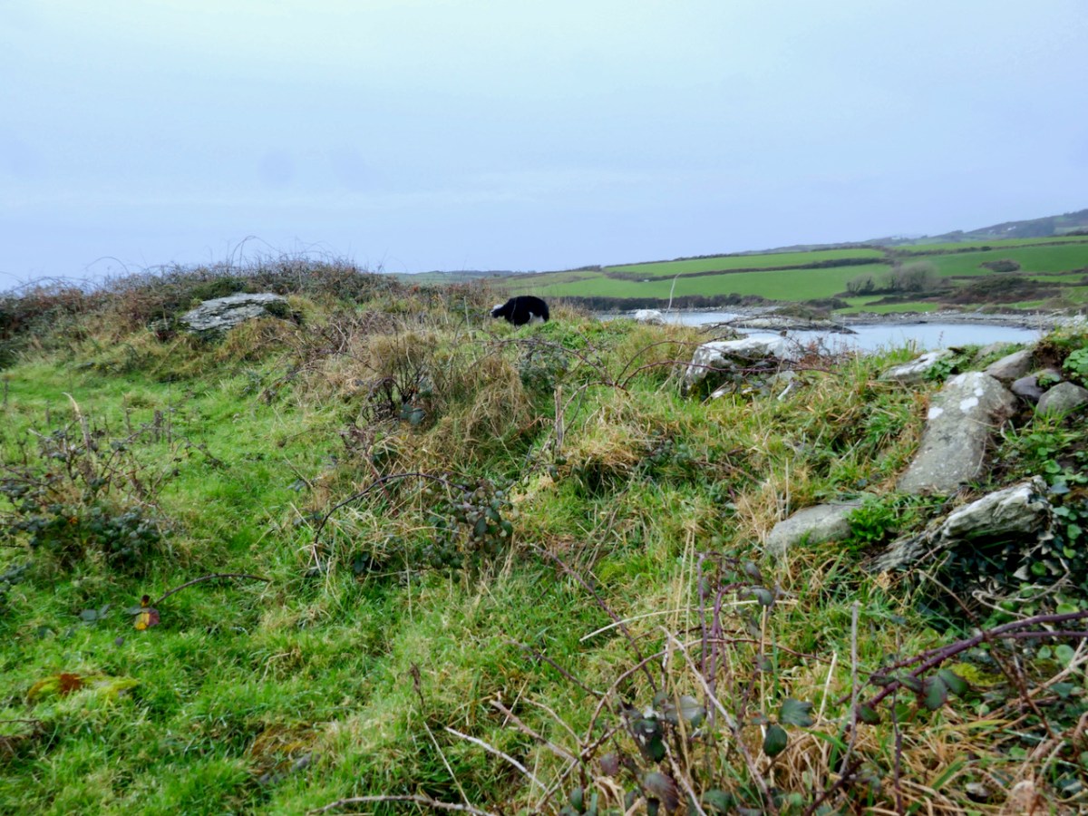
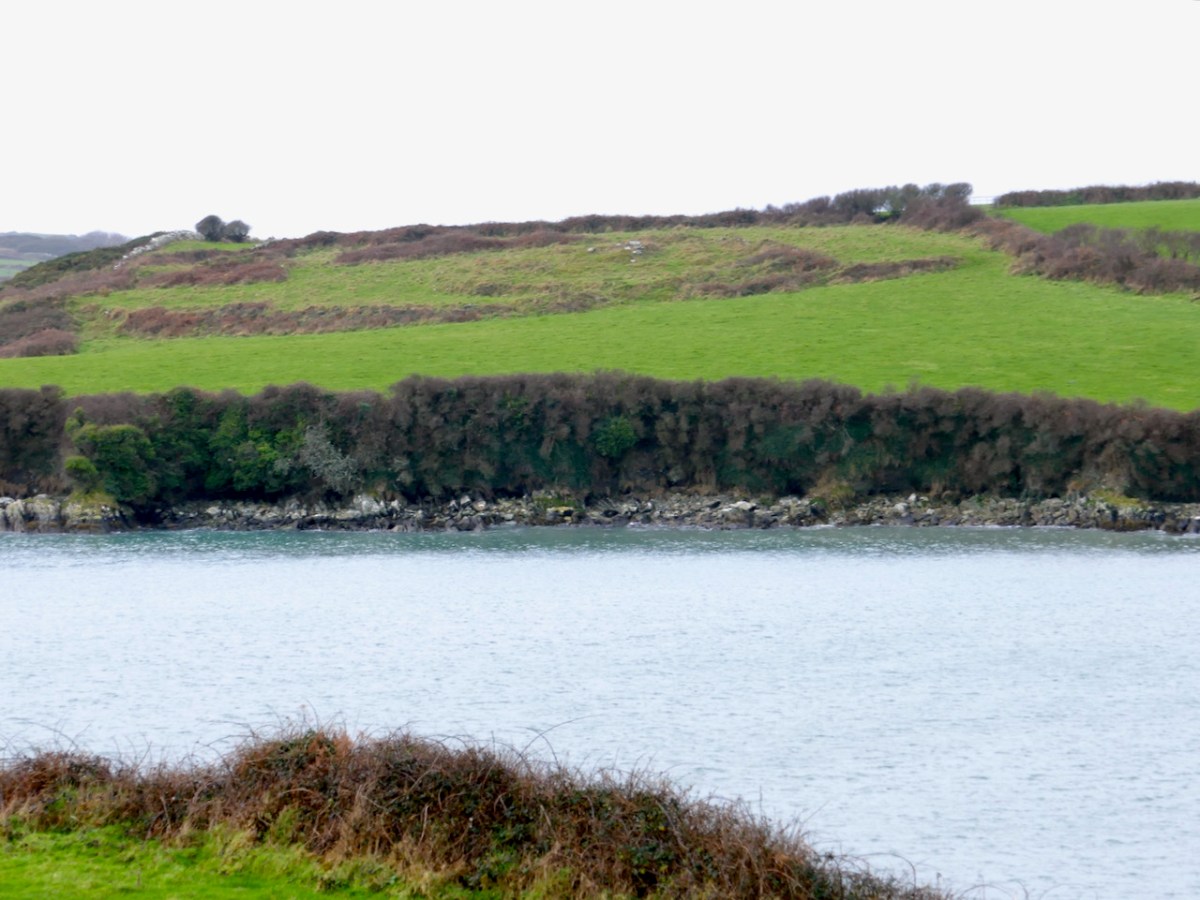
That’s our local tramping ground: Rossbrin Cove, yesterday. We couldn’t want for a better place to enjoy the lengthening warm days of this new spring which, so far, is proving exceptional for weather. Hopefully, by next week we will be back to normal, with new posts to interest and entertain you!

A pic of the Saturday market at Skibbereen just three weeks ago.

Hell Fire

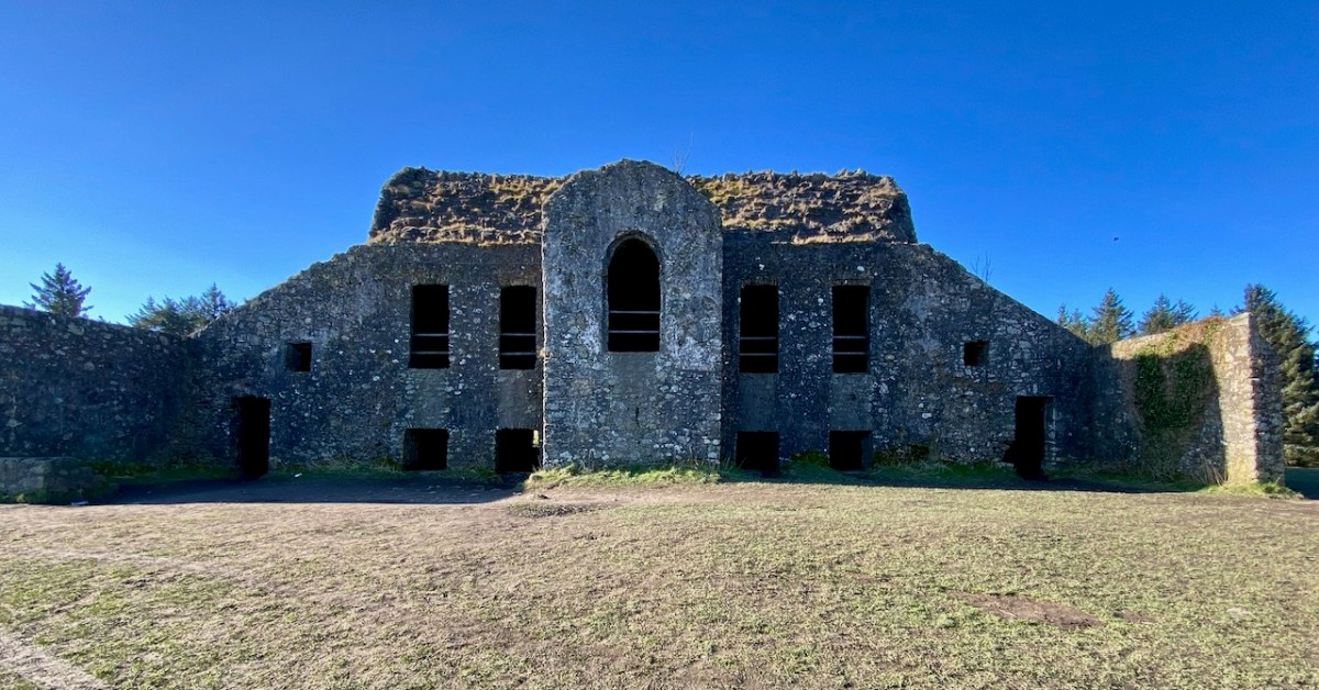
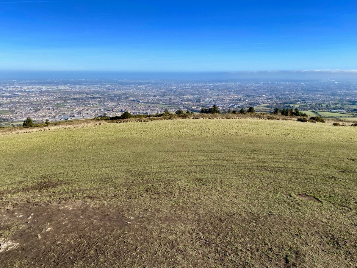
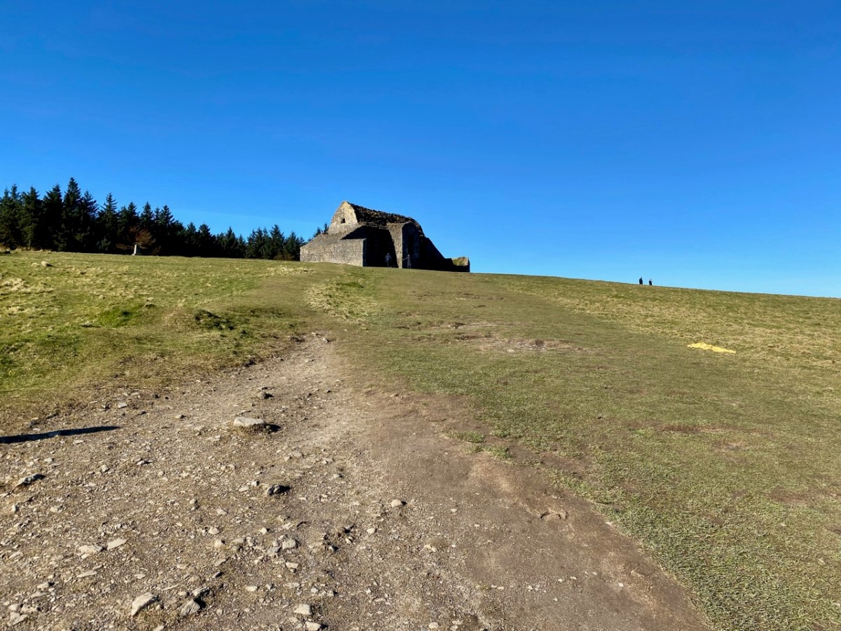
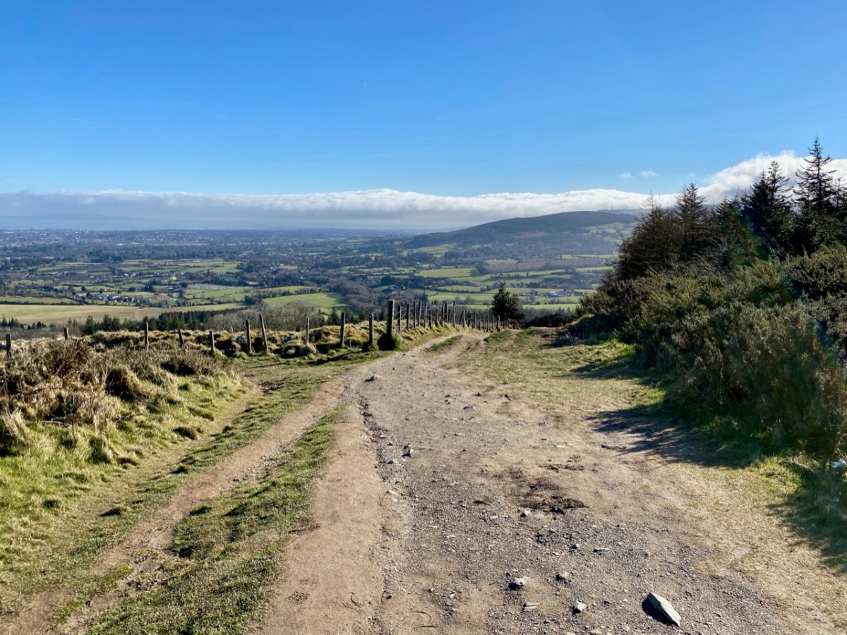
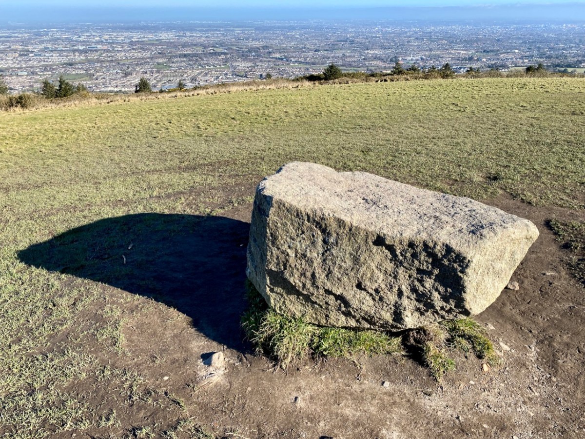
It’s taken me a while to visit this notorious site which is situated on a summit of the Dublin Mountains. The view across the city from the 390 metre peak is stunning:

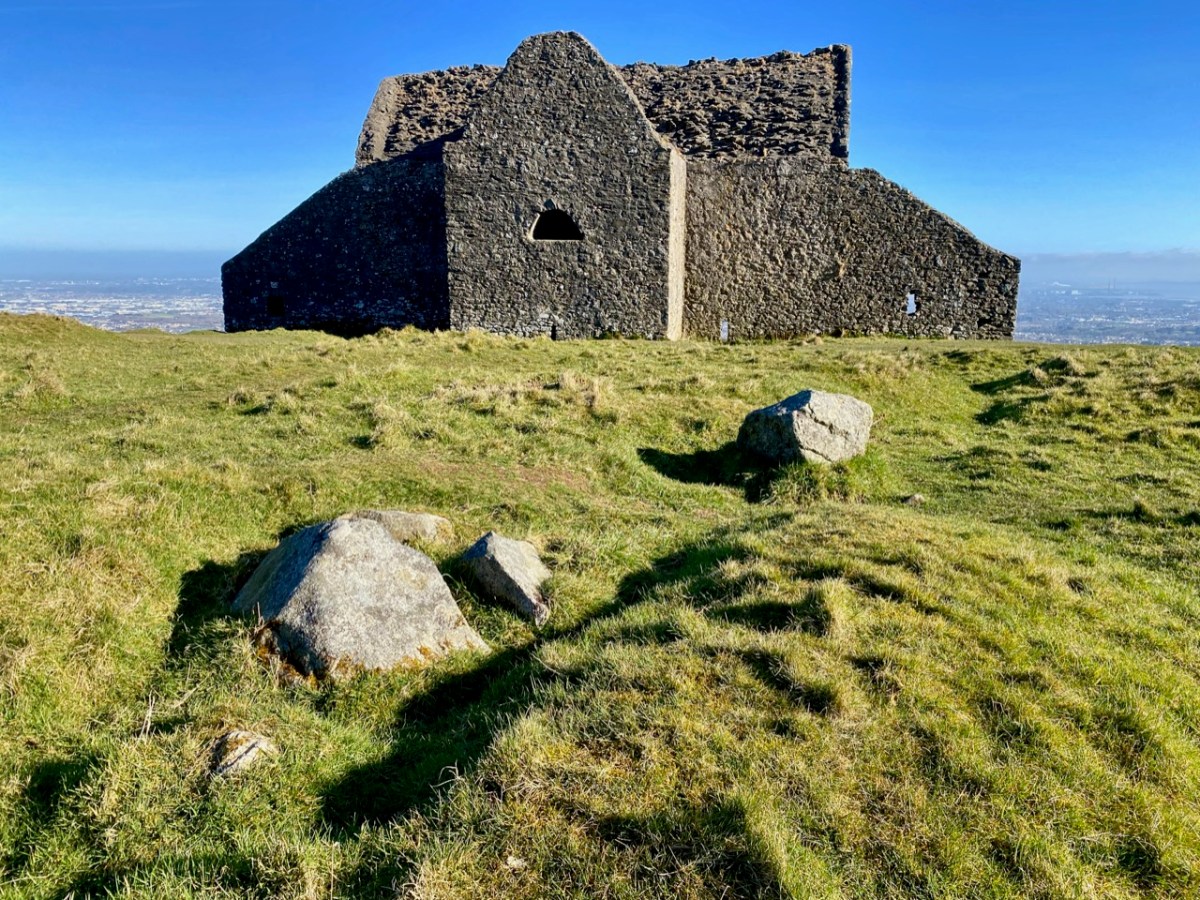
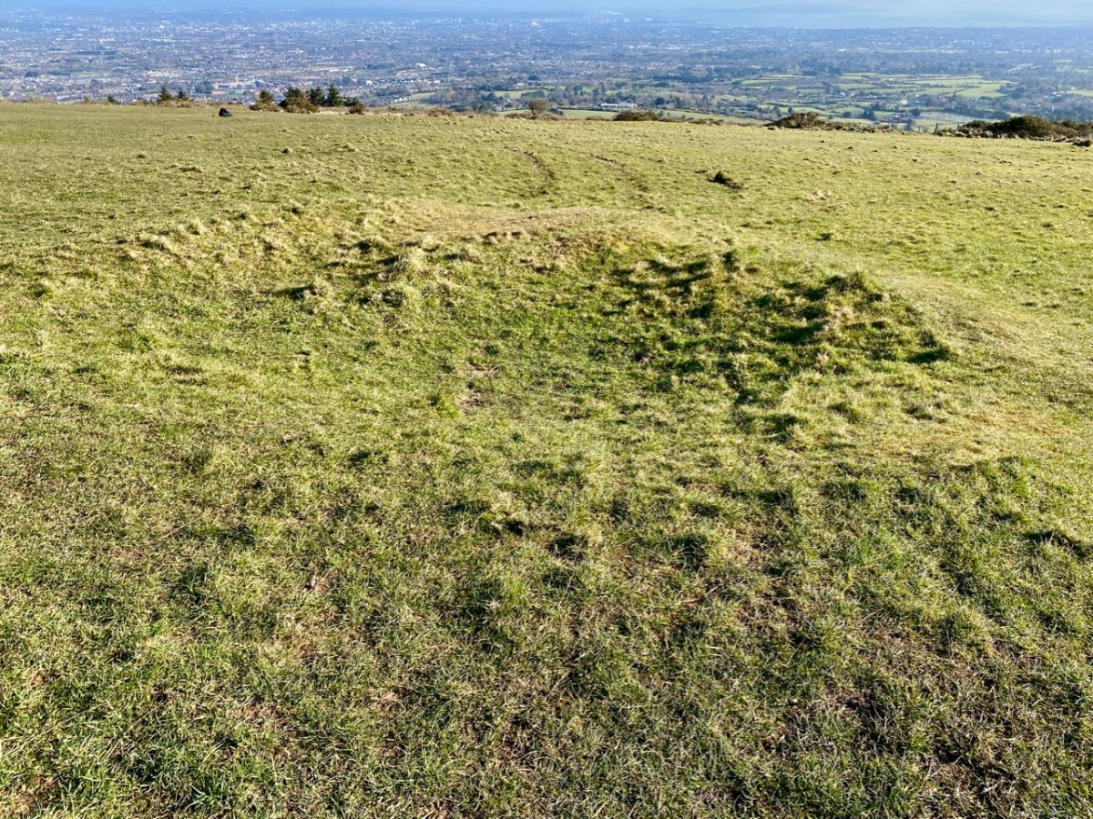
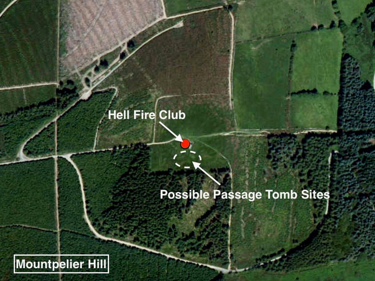
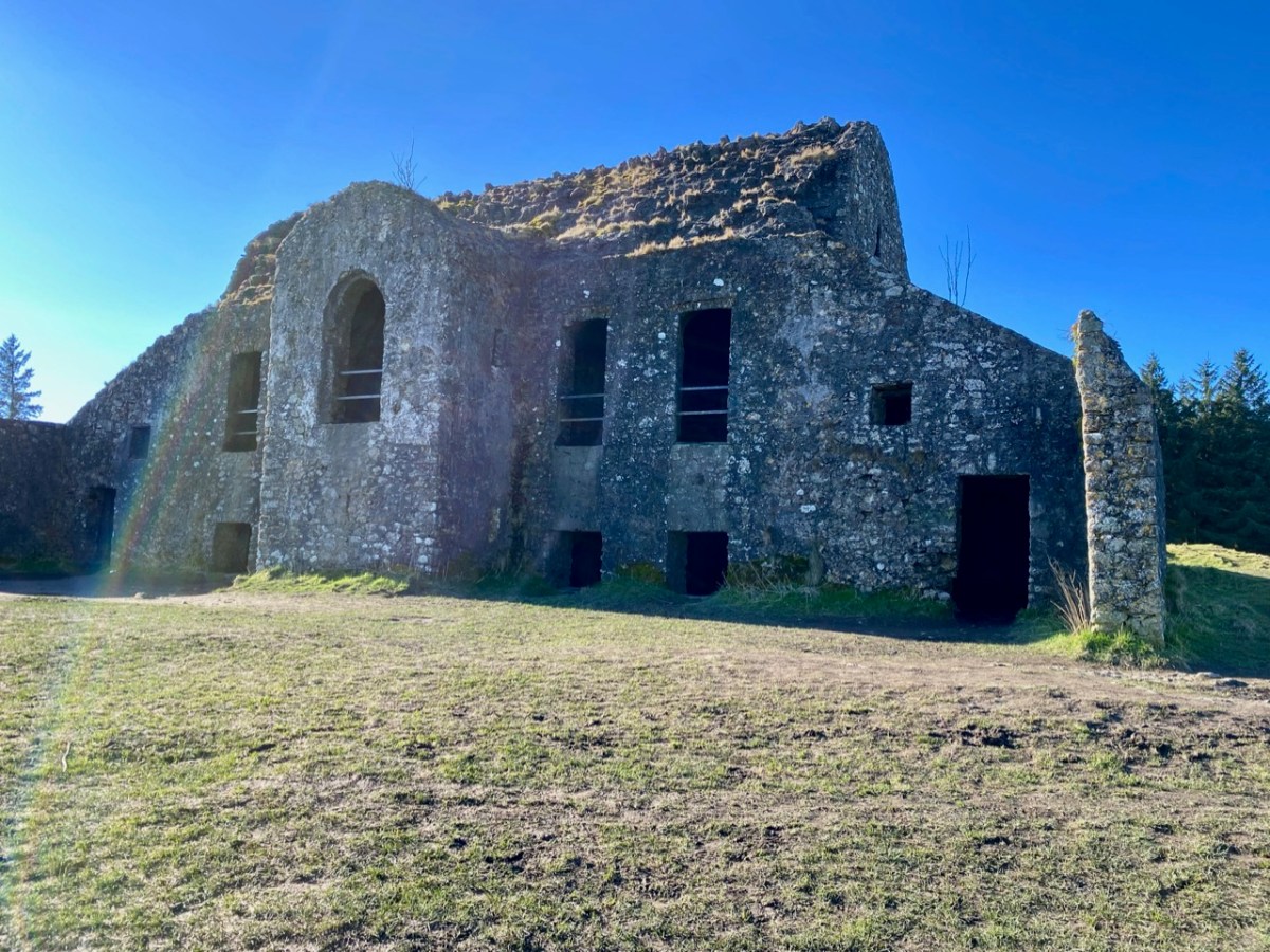
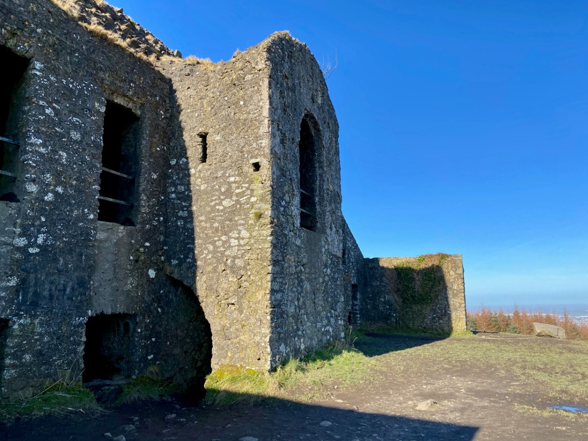
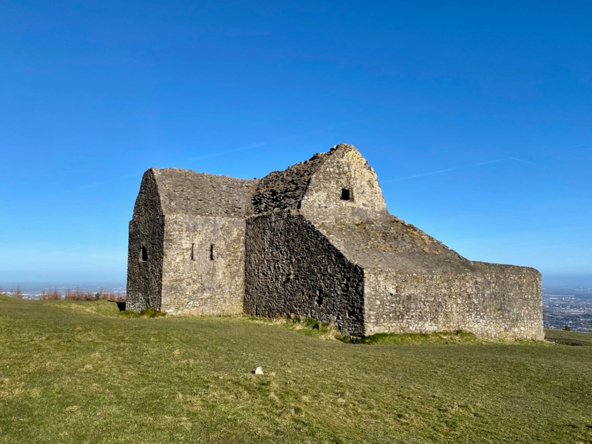
It’s the stories and the folklore that attracted me to this place, long known as the Hell Fire Club. In the eighteenth century ‘Speaker’ Connolly built it as a hunting lodge. According to tradition he used the stones from a prehistoric monument that was previously on the hill. It’s now known from recent excavations that at this location was one – or two – passage tombs dating from the Neolithic Period (4500 – 2000 BC). This – or these – were surrounded by a circle of large boulders known as a cairn. Today, some fragmentary traces of the earliest use of the site can be detected. The best information on the neolithic site is found in the Abarta Heritage report, here. An earlier description, dating from 1779 in fact, was written by Austin Cooper, who visited in that year:

. . . Behind the house are still the remains of the cairn, the limits of which were composed of large stones set edgeways which made a sort of wall or boundary about 18 inches high and withinside these were the small stones heaped up. It is 34 yards diameter or 102 yards in circumference. In the very centre is a large stone 9 feet long and 6 feet broad and about 3 feet thick not raised upon large stones but lying low with the stones cleared away from about it. There are several other large stones lying upon the heap . . .

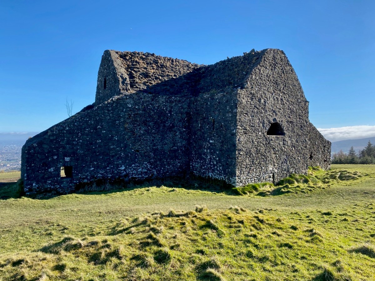
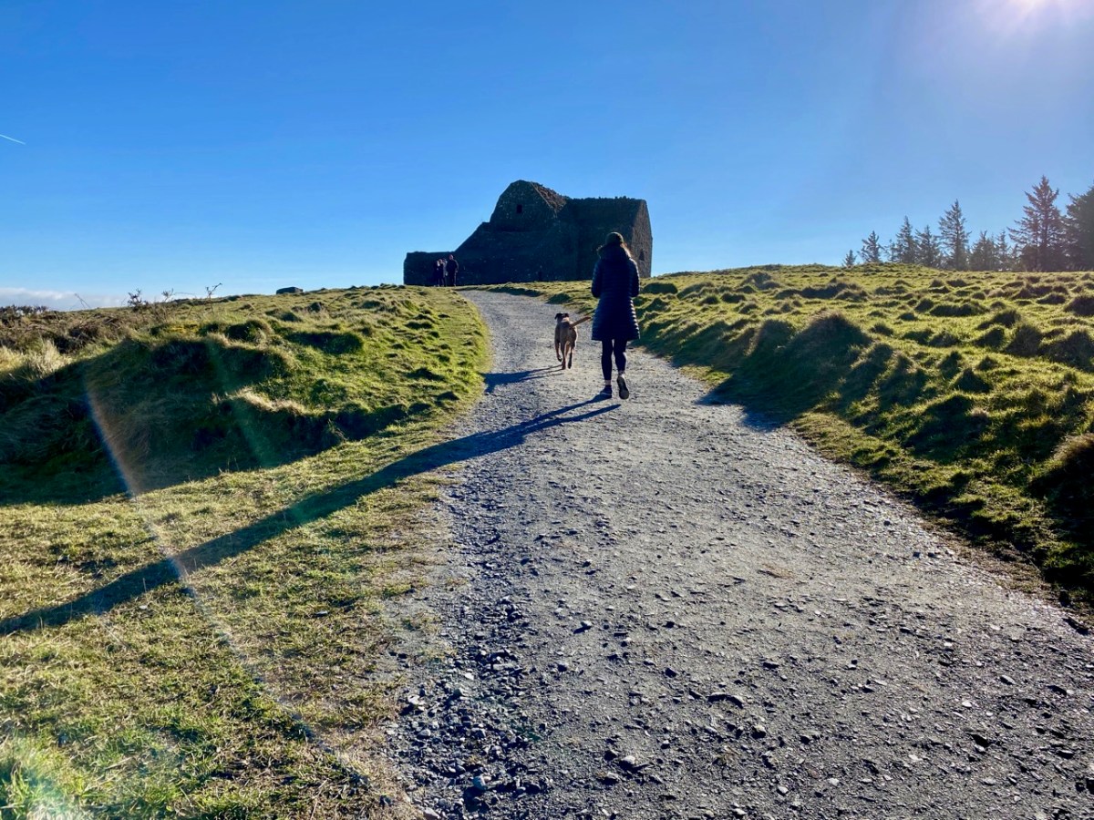
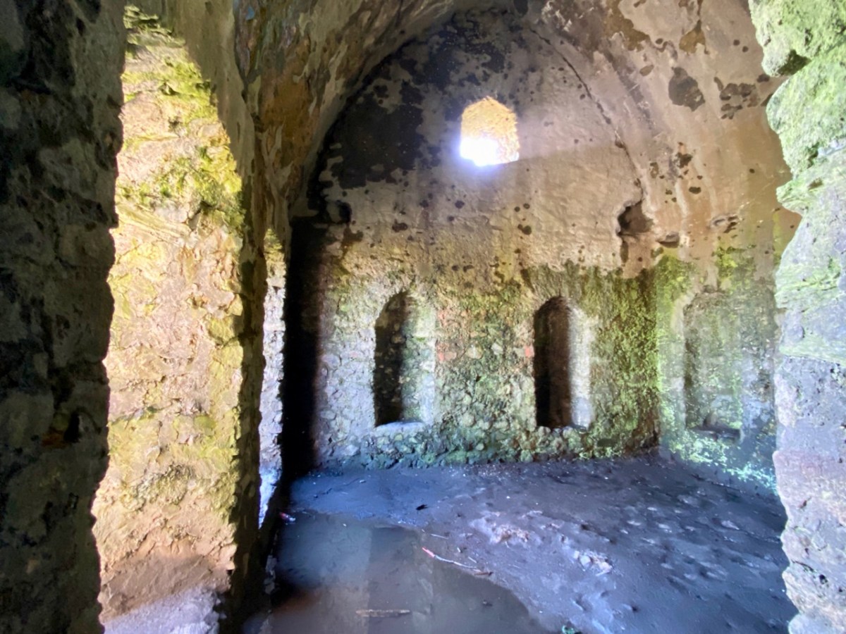
William Connolly (Speaker of the Irish House of Commons) was one of the wealthiest men in Ireland; he had a house in the city and a country estate at Castletown, near Celbridge. It is said that he deliberately used stones from the ancient tomb in the construction of the hunting lodge at Mountpelier. Shortly after it was built the roof, which was originally slated, was blown off in a great storm. Locals attributed this misfortune to the work of the devil, in revenge for the destruction of the cairn. Following this event the lodge gained a reputation as a place where evil prevailed. However, Connolly replaced the slated roof with a stone vault which still exists today, although the building is effectively a ruin.

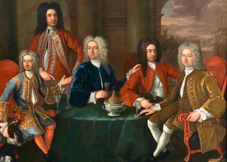
The Irish Hell Fire Club members were some of the elite of society, and included peers of the realm, high ranking army officers as well as wealthy gentlemen and artists. Here is a portrait of some of them by James Worsdale (himself a Club member); it is in the collection of the National Gallery of Ireland, Dublin.

From left to right: Henry Barry 4th Baron of Santry, Colonel Henry Clements, Colonel Henry Ponsonby, Colonel Richard St George, and Simon Luttrell, 1st Earl Carhampton. Biographies of all of them are summarised here – also from the Abarta reports. Their lives in general were debauched and relatively short. Missing from the portrait are father and son Richard Chappell Whaley and Thomas ‘Buck’ Whaley, who was to become ‘the most famous Buck of all’. Richard’s nickname was ‘Burn-Chapel’ Whaley because of his hatred of religion and in particular, the Roman Catholic church. He would amuse himself on Sundays by riding around Dublin setting fire to the thatched roofs of Catholic chapels. The Whaleys were related through their ancestry to Oliver Cromwell. Their family residence was Whaley Abbey, Co Wicklow: you can find more on this in Finola’s post today.

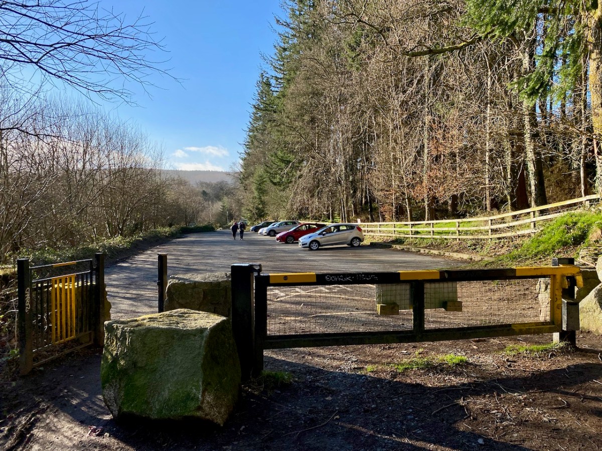
Mountpelier is a significant mountain top overlooking Dublin, and is now fully accessible to all. A warning, though – in good weather the Coillte car-park very soon fills up (at all times of the year) and there is nowhere else nearby to leave your vehicle – get there early!

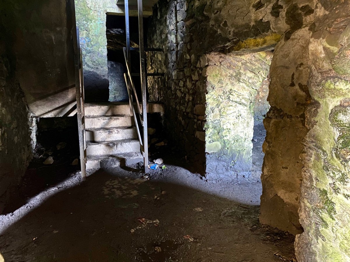
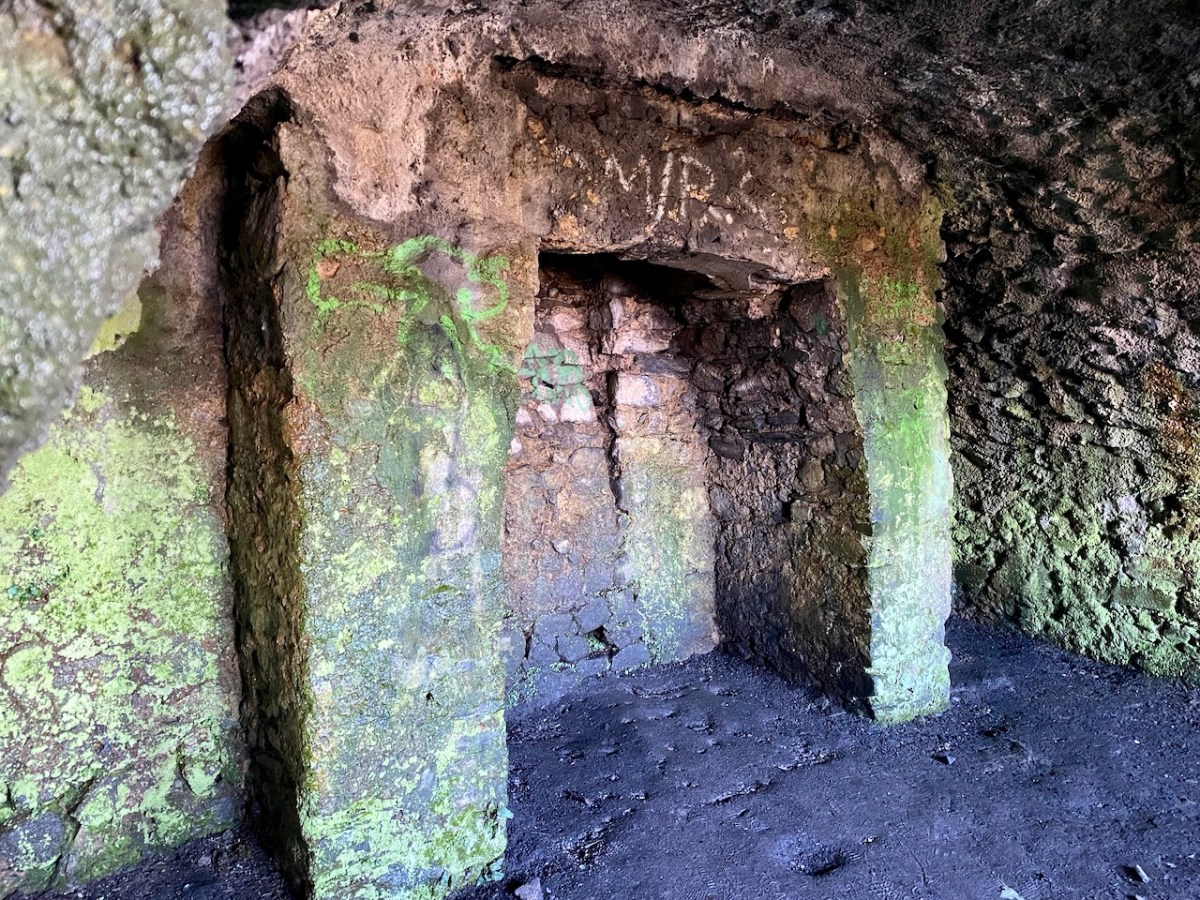
It could be said that the ruin of the lodge is ‘maintained’ in that it is stabilised and unlikely to fall down. If you are exploring, look out for the lintel over the large fireplace, which is supposed to be a standing stone removed from the passage grave site.

The Hell Fire Club is, of course, haunted! Not that we saw anything untoward when we visited on a glorious spring day. But the stories abound. They are probably best told through the accounts in the Schools Folklore Collection:

. . . About six miles from Dublin the Hell Fire Club is on a hill. It is a medium size old castle. When the owner of it died nobody else claimed it. All the men of the district came to play cards in it every night. One night when all the men were playing their nightly game one of the men cheated. The men rushed upon him over-powered him. The bound him hand and foot and put him in a barrel of whiskey. Then they set fire to it burning him alive. That was a cruel thing to do but then men did not care. From that day on that old castle was called the Hell Fire Club . . .


Stewart Somerville, Dundrum School

. . . There is an old ruin called Hell Fire Club on the very top of one of the Dublin Hills. This house was built by a man named Connelly, during the time of the Famine. It was built to give employment to the men. Many men used to got to Hell Fire Club to gamble. It is said that one night they were playing cards and there was much money on the table. One man dropped a card on the floor, and when he stooped down to pick it up he noticed a man with cows feet, and he wore a red cloak. The men were very frightened and they made a great uproar. The man turned into a ball of fire. All the men were burned in the fire. There was one man who had a bunch of medals attached to his coat and he was the only man who escaped from the burning house . . .

Mr Finlay, Rockbrook, Co Dublin

. . . The Hell Fire Club, or the Brass Castle is situated near Rathfarnham in the Co Dublin. My Great-grandfather used to pass by the Brass Castle on his way home from work, (he was a mason) he had a habit of hitting the wall with his trowel to hear the ring of the brass. One night a priest had to go on a sick call. When he was coming home through the mountains he lost his way. Seeing a light he went in that direction. He knocked at the door of the house, which happened to be the Brass Castle – The door was opened by a man who was dressed in black with a black mask on his face. The priest was brought in to a room. Sitting at a large table were twelve men dressed the same as the first one. The men were playing cards. On the table was seated a large black cat. The men defied the priest to put the cat away. The priest ordered the cat down, but it never moved. Again he ordered it down, but the cat did not move. The men laughed at the priest and jeered him. The third time the priest said “Begone Satan”. The cat jumped from the table and disappeared up the chimney with a loud roar. The priest told the men that the cat was the devil. The men were never heard of again. The priest got home safe, and from that time onward the Brass Castle was called the Hell Fire Club. This story is true. It was told to me by mother, because the Brass Castle belonged to her ancestors . . .

Seán Ó Nuamáin, Kilbride, Co Wicklow

The Mountpelier Woods consist of around 5.5 kilometres of forest roads and tracks. The woods offer nature trails and a permanent orienteering course. Lord Massy’s Estate and Mountpelier Hill are also traversed by the Dublin Mountains Way hiking trail that runs between Shankill and Tallaght. It’s an attractive walk at all times of the year, with easy access from Dublin city centre.

A comprehensive application to An Bord Pleanála was submitted in July 2017, seeking permission to establish a Dublin Mountains Visitor Centre with associated works relating to tourism, leisure and recreational activities which would embrace the Hell Fire Club site and the mountain trails. Permission was granted, subject to conditions, on 25 June 2020. Another chapter in the story of this notorious locality unfolds . . .

As a tailpiece, I found this image of a ‘Hell Fire Club Goblet’ dating from c1745. It’s currently in the Philadelphia Museum of Art, but it must originate from Ireland: James Worsdale, whose name appears on this glass, was appointed Master of the Revels in the Dublin Hell Fire Club in 1741. It was also he who painted the portrait of Club members illustrated in this post: look at their goblets in the painting!

Grange – Ireland’s Largest Stone Circle

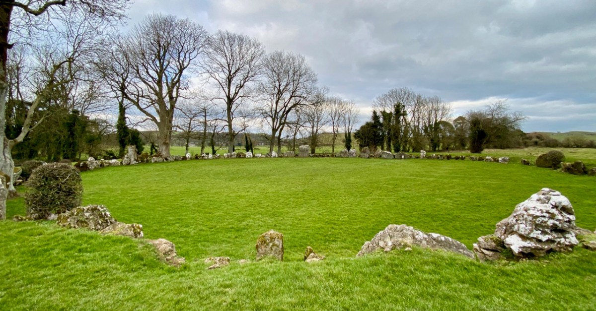
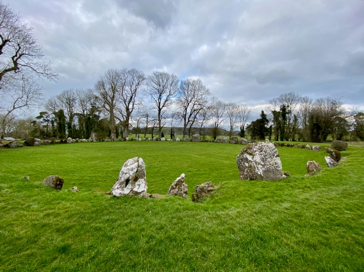
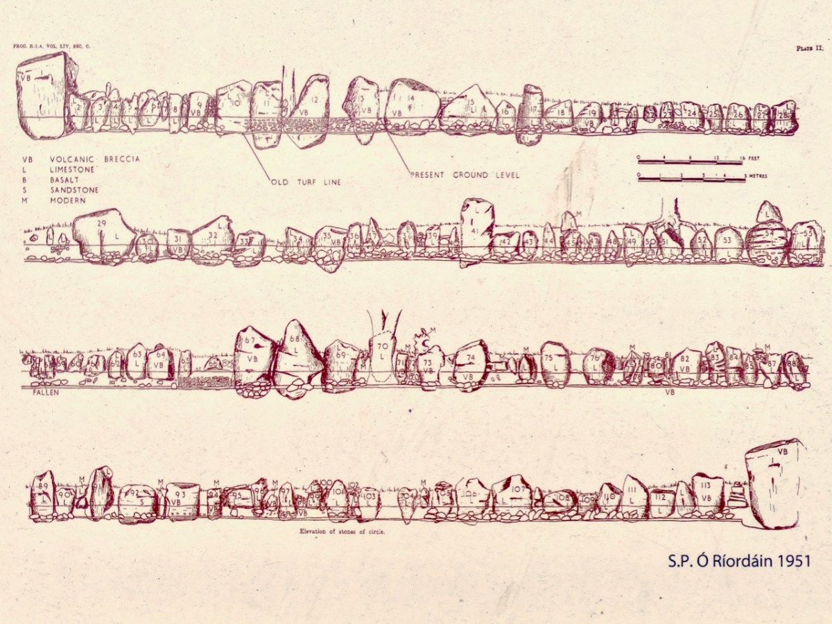
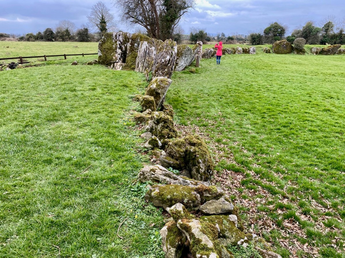
If you are travelling through County Limerick, you shouldn’t miss a visit to Ireland’s largest stone circle: Grange, near the Lough Gur complex. There are 113 stones in this circle today, generally standing close by each other (‘contiguous’) and thus unlike the majority of the circle monuments in Ireland, where individual stones are separated.

The great circular arena which these stones define is also on a platform raised (in the present day) about 600mm above the surrounding land. Excavations which took place between 1939 and 1954 (S P Ó Ríordáin 1951) and subsequent radiocarbon dating indicate a construction date just short of 3,000 BC, which makes the circle one of the oldest in Ireland.

The internal diameter of this circle (a ring drawn around the inner faces of the stones) measures approximately 45.5 metres. Here is Ó Ríordáin’s drawings of the elevations of the stones:

Finola bravely stands against the largest stone in the circle, which is traditionally named Rannach Crom Dubh. The meaning is not clear; Crom suggests ‘bent, crooked, or stooped’, while Dubh means ‘black or dark one’. Rannach can mean ‘open-handed’, which could imply a trading connection. This stone is said to weigh over 40 tonnes and was brought to this spot from three kilometres away. Interestingly, some say that this stone marks the ceremonial entrance into the circle and is aligned with the sunrise on the 1st of August, known as Lughnasadh, the day that marks the beginning of the harvest in Ireland. In fact, there are many orientations that can be given to this circle. This article by Ken Williams explores some possibilities here.

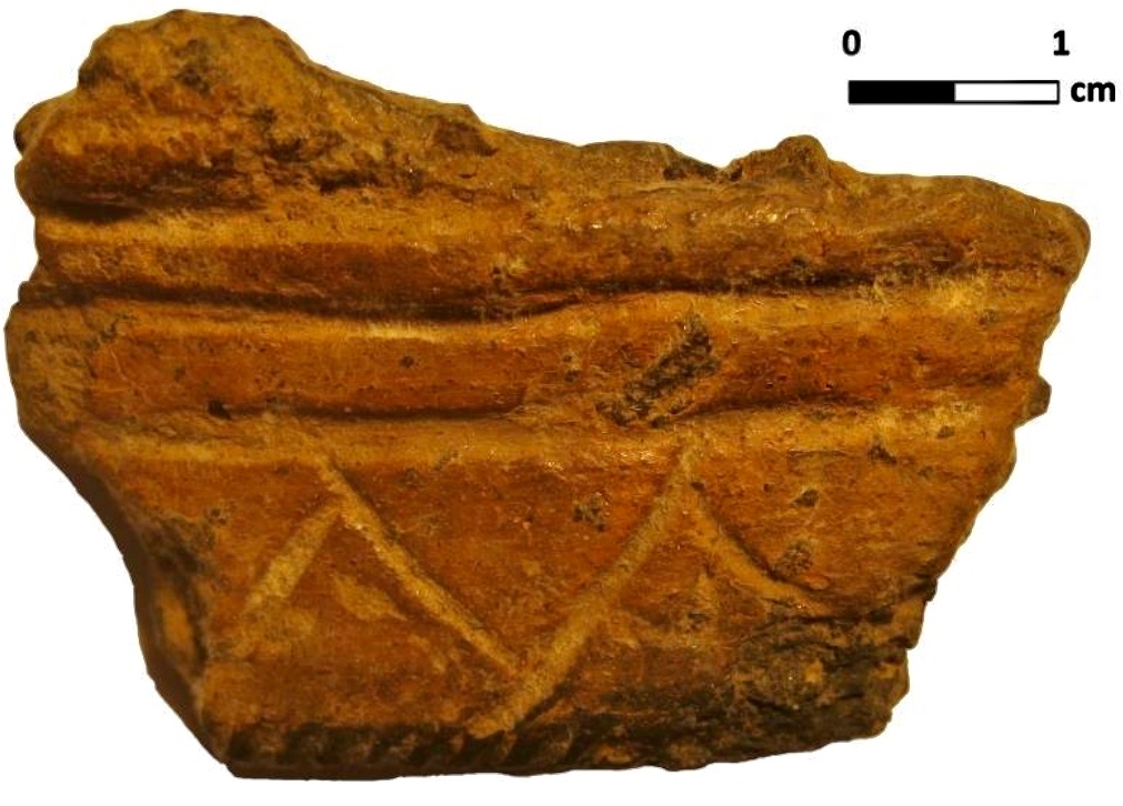
This Beaker pottery sherd was found and recorded by Ó Ríordáin. It is one of a great number of such remains to be found at the site. One commentator made the suggestion that . . . The breaking of Beaker pots against the standing stones seems to have been part of a ceremony . . . Can we trace the more modern tradition of breaking wine glasses after a toast to such an early origin? It’s said to bring luck and happiness in some cultures. This would, of course, imply that the great circle was a celebratory feasting site.
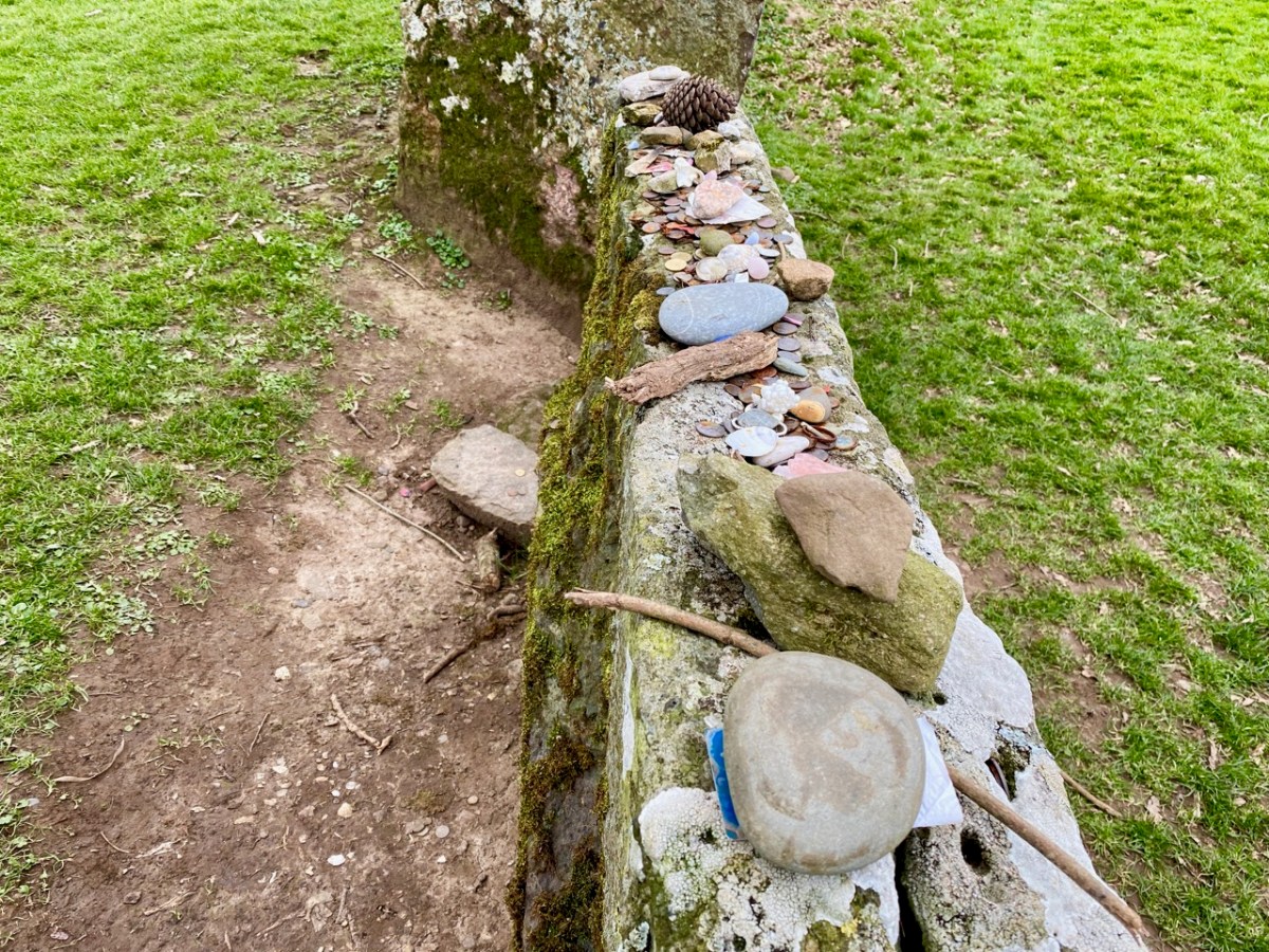
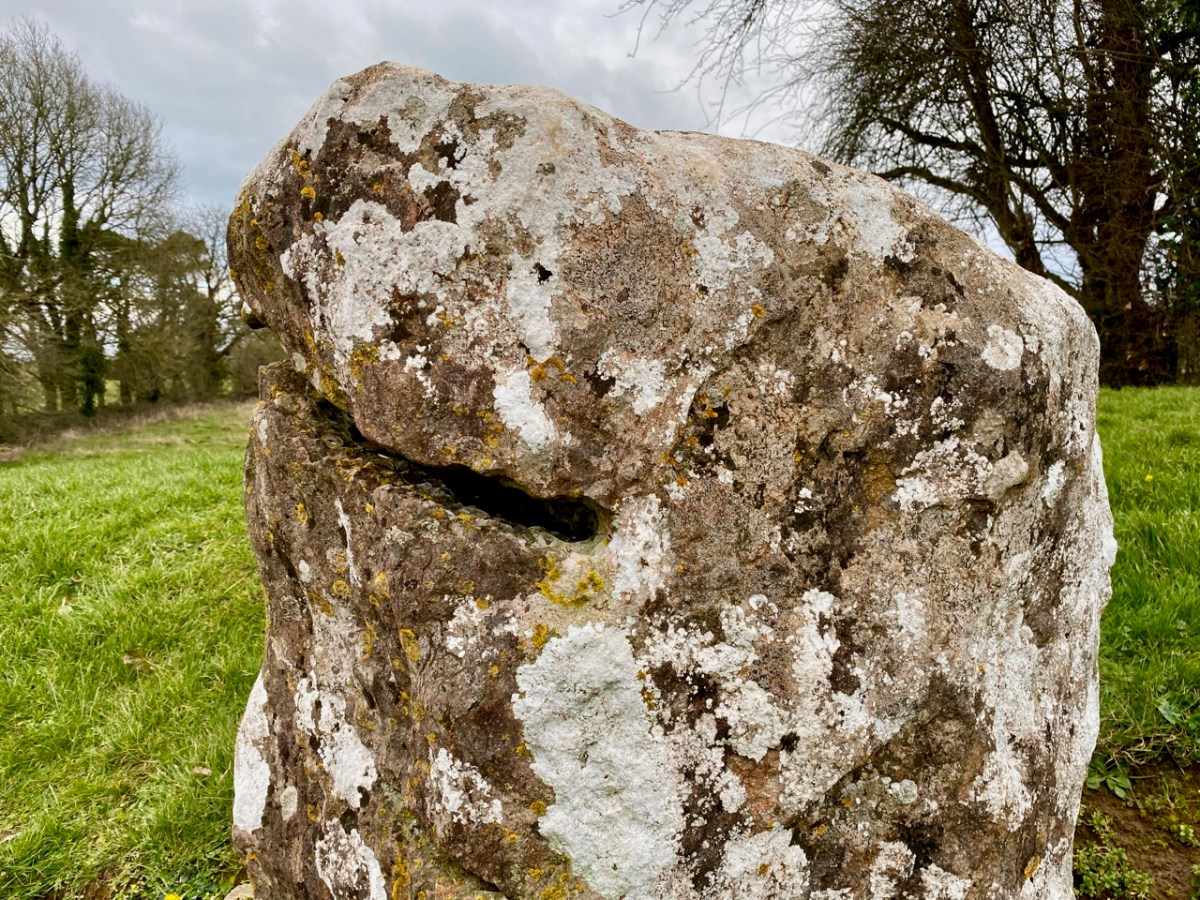
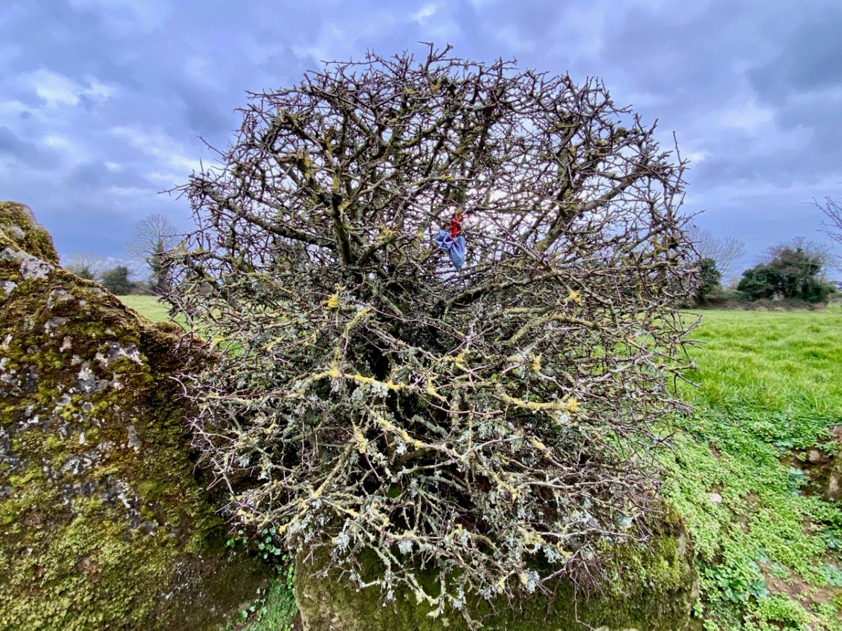
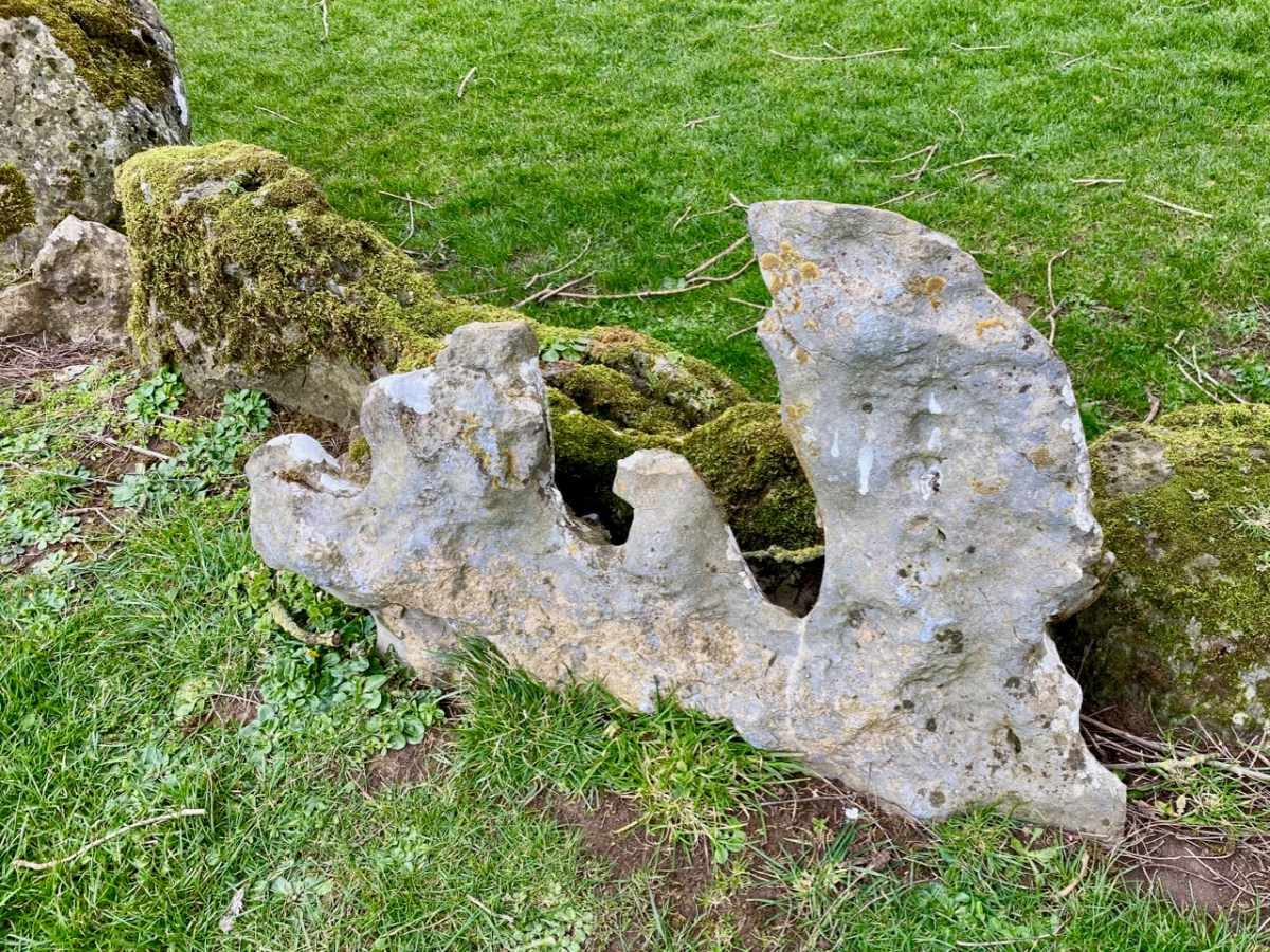
There is evidence today that visitors feel compelled to leave offerings at the site: coins, small stones, beads, and other ephemera. The examples above are adjacent to Rannach Crom Dubh, while below is one of the standing stones in the circle that appears to have been deliberately cut, or slotted, at some time in its history. Today, coins are deposited within this slot.

My own feeling about this site is that it is an arena where people gathered to feast and celebrate. An ancient ‘circus’ perhaps? Ken Williams analyses the possibilities of archeo-astronomical alignments in his article, mentioning our West Cork friend Vice-Admiral Boyle Somerville, whose detailed work we have investigated, here.

The features of this site are fascinating and provide much food for thought, especially when seen through the eyes of archaeologists. Of course, we want to know who conceived this monument, and who was in charge of the human power and organisation that was required to erect it. There won’t be a simple answer to this: it’s likely that many generations were responsible and that there were numerous incarnations over time. That’s what is so fascinating about ancient history: if only we had a time machine!

There are traces of other, smaller, stone circles close by this one, but I was intrigued to read in one of the accounts of this site that there was previously a further – even larger – circle nearby, and this has vanished altogether. I have to ask: how could such a massive structure disappear completely? Legend gives us an answer: it was supposedly stolen by Merlin and brought over to England to create Stonehenge!

Blasket through the Lens

Great Blasket, one of the islands in the parish of Dún Chaoin (Dunquin) off the west coast of Kerry, was the home and life-blood of a tenacious population of Irish families for many hundred years. One of these families – the Ferriters – claim that they controlled the islands as far back as the 13th century and had established a castle there. Whoever lived there had to be tough: the terrain is wild and there is little shelter. Nevertheless, the islanders clung to their territory, and their numbers expanded in the early 19th century when Lord Ventry of Dingle evicted many of his tenants from their holdings and those who left found island life – hard though it was – preferable to persecution.

We are fortunate that, during the early twentieth century, Great Blasket was visited by curious tourists and anthropologists. Among them was Robin Flower, who became Deputy-Keeper of Manuscripts in the British Museum from 1929 to 1944. He had many credits to his name, including Member of the Royal Irish Academy, Doctor of Literature of the National University of Ireland and also of Dublin University. Flower became the historian of the Blaskets, which he ‘immortalised’ through his lectures and writings – and many visits. To the people of the Great Blasket he was playfully known as ‘Bláithin’ – Little Flower – which he considered a great honour. I will write more on Robin Flower in a future post, but concentrate here on some of the photographs of island life which were recorded by likeminded researchers in the first half of the twentieth century. After 1954 there was nothing to record: life on the island, three miles from the mainland and involving an often treacherous crossing, became untenable. The whole remaining population was evacuated in that year, leaving their cottages and settlements to the ruinous ravages of the wild Atlantic gales.

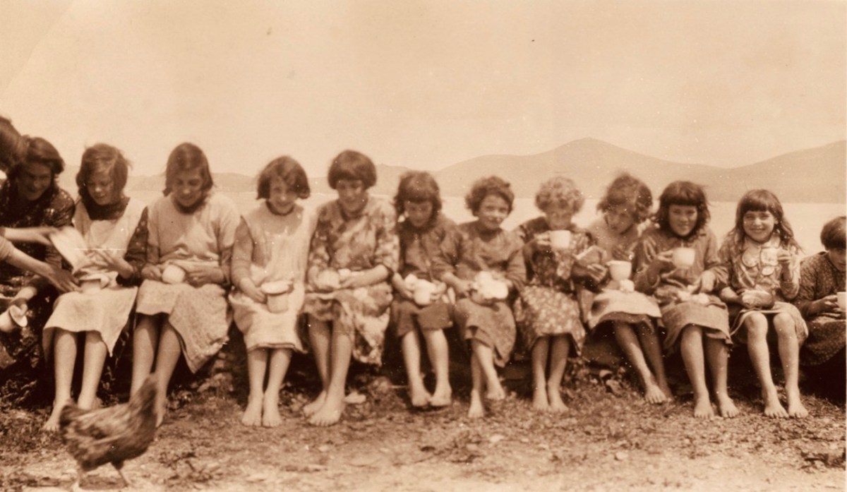
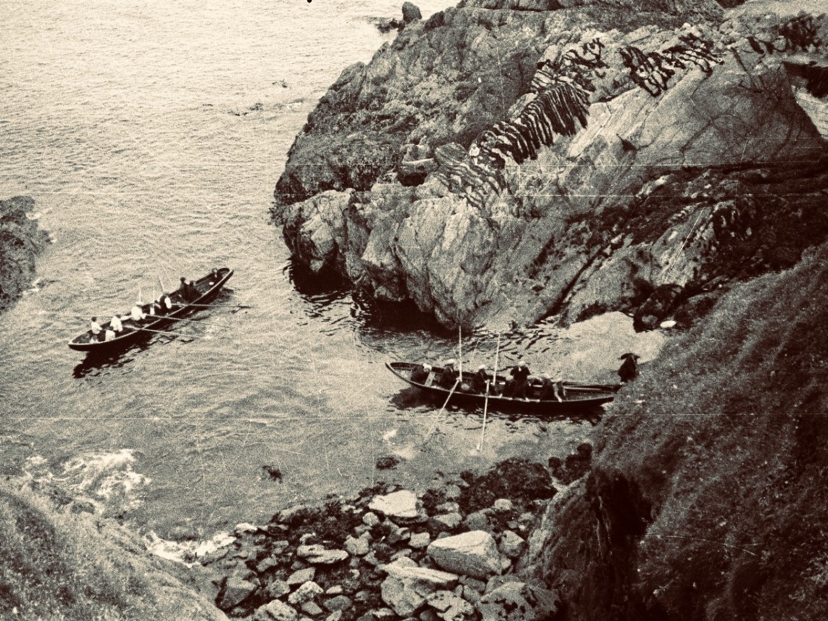
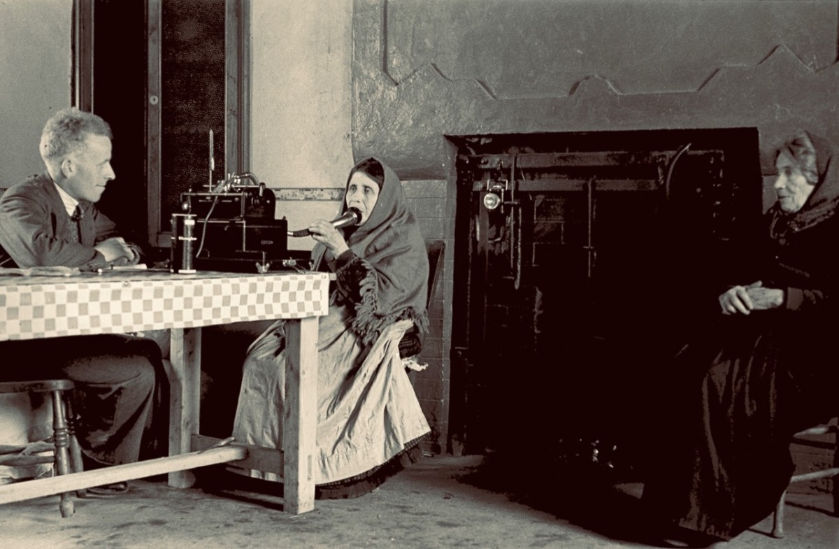
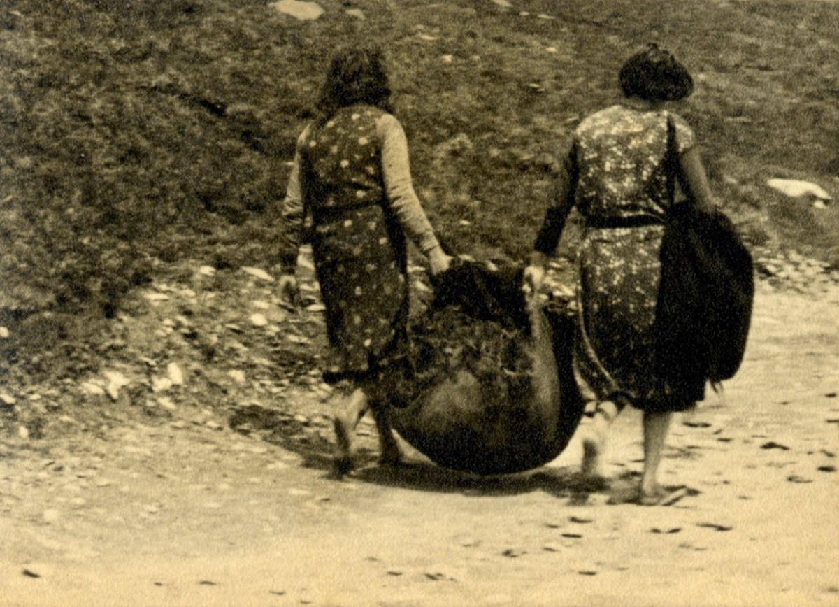
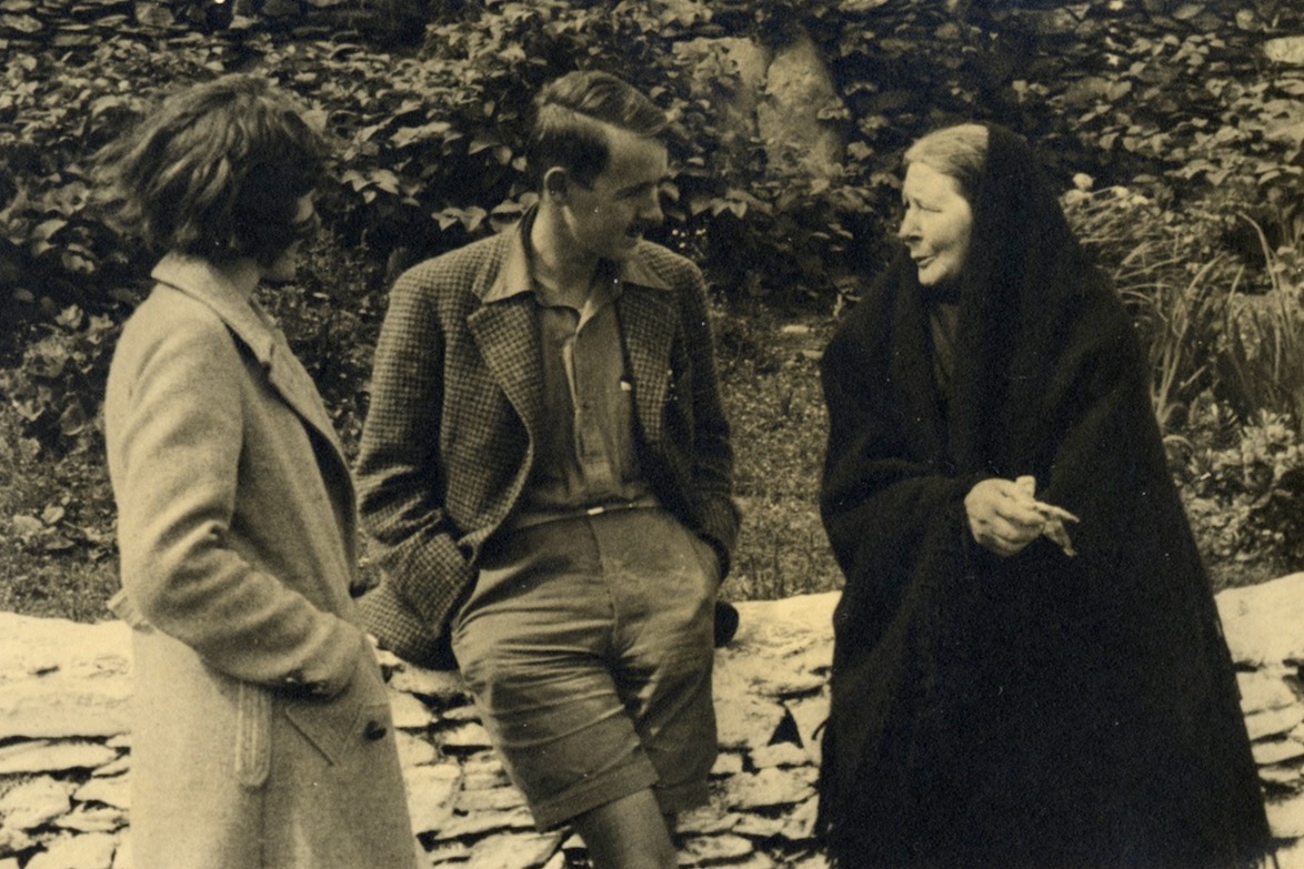
The header picture is a wonderful statement of youth and vigour: island children photographed outside their school in 1932 by Thomas Waddicor. I can’t find anything about this man, but a lot of his work appears in the Dúchas Photographic Collection which was established in the 1930s, so I am assuming he was an active collector and researcher himself. The second picture is by our old friend Tomás Ó Muircheartach, who also spent time on the Blaskets in the 1930s. You will find more about him here. It shows the Blasket men in their fishing curraughs below the craggy rocks of the island. The pic above is also by Muircheartach, and shows Cáit Ruiséal and Máire Ruiséal being interviewed by a follklore collector at their fireside in 1942. I am not sure where this interview took place.

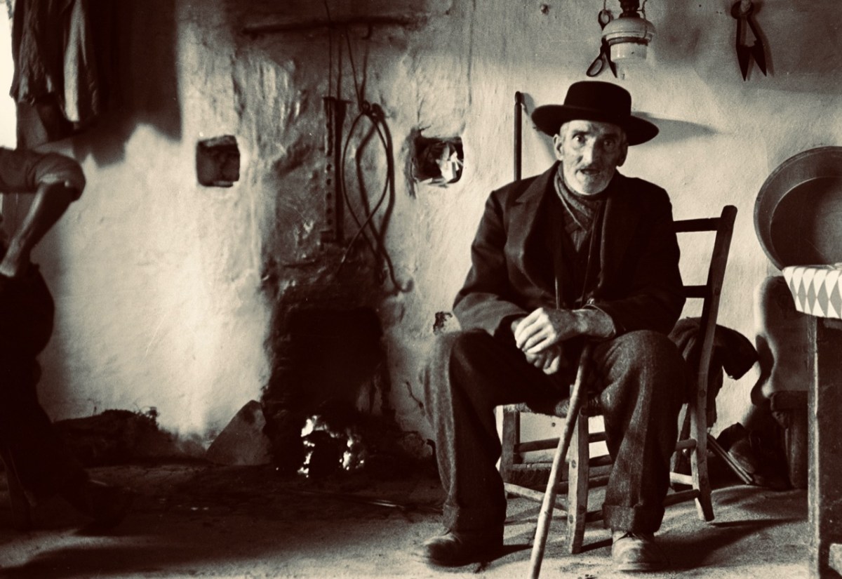
This photograph is also by Thomas Waddicor and dates from 1932. The caption given in the Dúchas Photographic Collection is interesting, if not entirely enlightening: Man, Great Blasket Island: Buffer, note stuffed peaked cap – an island custom.

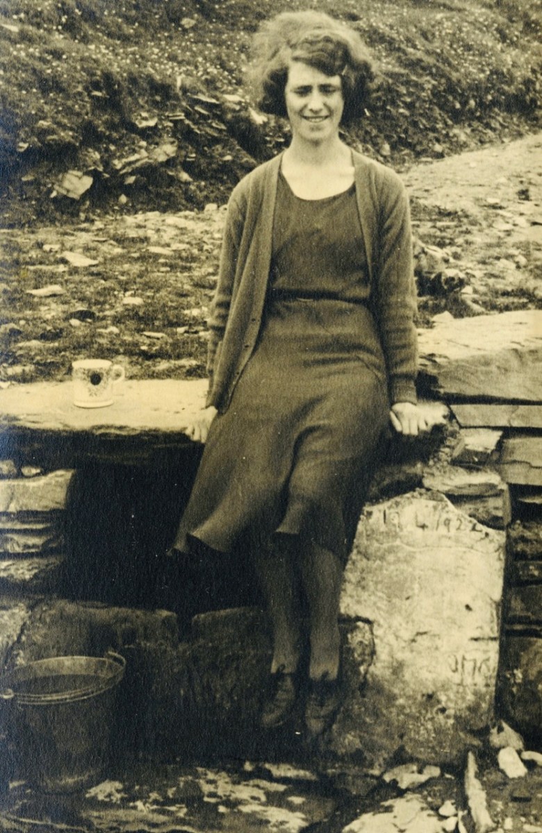
Another from Waddicor, also 1932: Cáit at the Well. I think what strikes me most of all is how real and alive these people are – they certainly don’t seem in any way downtrodden or in danger of extinction: perhaps it’s just because they are ‘posing’ for the camera. But it’s salutary to think that they were only on the island for another generation or so.

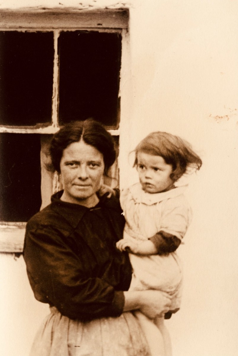
These two photographs (above) are also by Thomas Waddicor and also from 1932. The top one is the ‘Wife and child of Séan the King’, and the lower is ‘Children of Séan the King’. We have a bit of a conundrum here as the last ‘King’ of the Blasket Islands passed away in 1929 (according to this Irish Times article). As Waddicor left behind no photograph of the ‘King’ himself, we have to assume that the lady in the upper photograph was a widow.

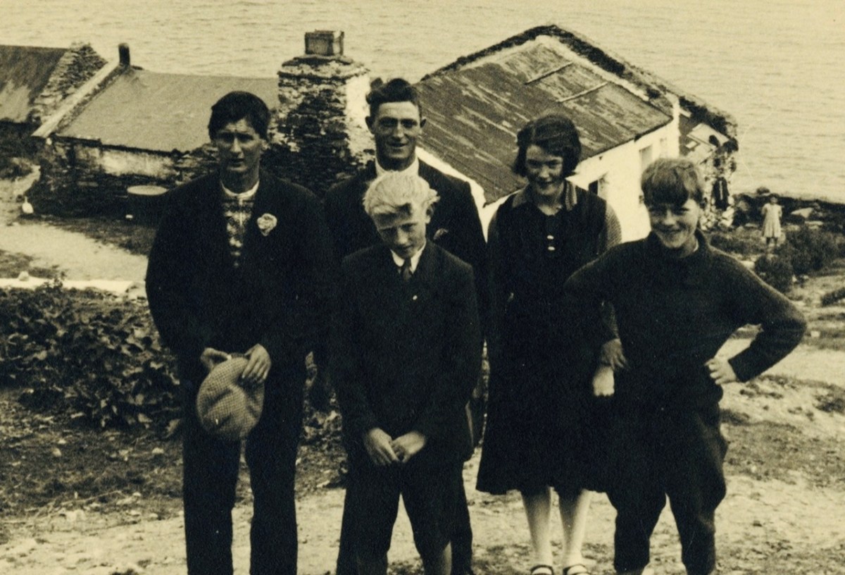
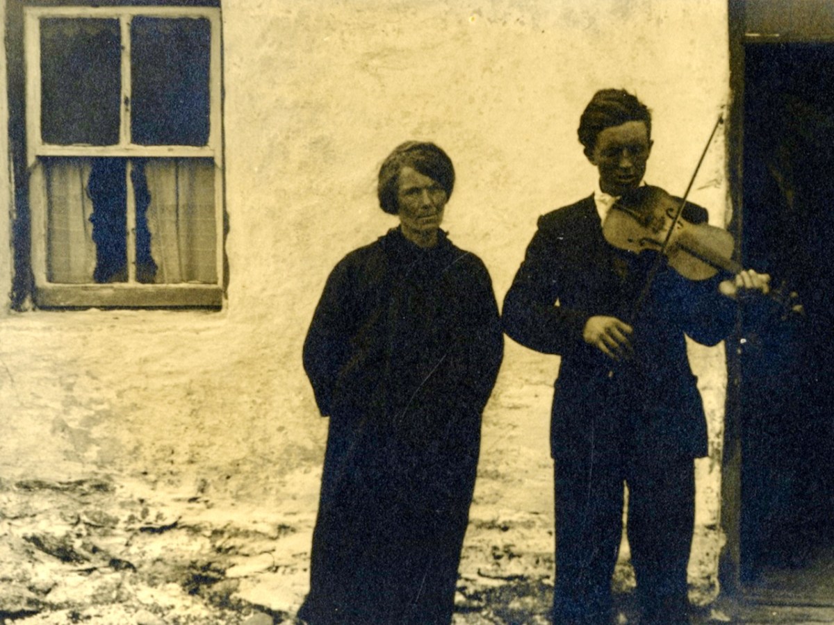
More ‘family’ photographs: the upper of the three is titled ‘Eilis and Brighid’; the centre is just given as ‘Family’, while the lower is ‘Fiddler and Woman’. All are by Waddicor from 1932.

This wonderful lady is also anonymous: sadly we can only know her by the title – ‘Great Blasket Woman’. Again, Waddicor 1932 – and, once more, she seems so full of life!

This is a picture of the Great Blasket Island School. We have some further information: while the folklorists and recorders were visiting the island in 1932, the older schoolchildren decided to interview each other about local customs and lore to mimic the visitors!

Further unnamed portraits: upper ‘Two Women Great Blasket’ and lower ‘Two Women gathering Heather’. From the Waddicor collection, 1932.

We’ll finish off with a few classics. This is Tomas O Criomhthain and it’s a photo from Muircheartach. Better known to us as Tomas O’Crohan, author of the classic book about the Blaskets:

. . . Tomas O’Crohan was born on the Great Blasket Island in 1865 and died there in 1937, a great master of his native Irish. He shared to the full the perilous life of a primitive community, yet possessed a shrewd and humorous detachment that enabled him to observe and describe the world. His book is a valuable description of a new vanished way of life; his sole purpose in writing it was in his own words, ‘to set down the character of the people about me so that some record of us might live after us, for the like of us will never be again’ . . .

The Islandman Book Review

We can’t discuss the Blaskets without mentioning Peig. That’s her, above, with folklorist Kenneth Jackson, taken by Thomas Waddicor in 1932. Peig Sayers was by all accounts a formidable lady but was also described by folklorist Seán Ó Súilleabháin, archivist for the Irish Folklore Commission, as ‘one of the greatest woman storytellers of recent times’. Peig was born in 1873 and died in 1958. She therefore experienced the abandonment of the island, although she had moved away from it in 1942. She was also not born on the island, but in Dunquin, Kerry, She married Pádraig Ó Guithín, a native islander, in 1892 and had eleven children, six of whom survived into adulthood. Sayers is most famous for her autobiography Peig, but also for folklore and stories which have been collected from her.

Finally, this an image of the Loganim Achive entry for Great Blasket Island, written in 1954.

I am grateful to the National Folklore Collection UCD for the use of the Thomas Waddicor images. It’s an incredible resource: this is just a small selection of the hundreds of images which have been archived

Mizen Magic 23: Croagh Cove

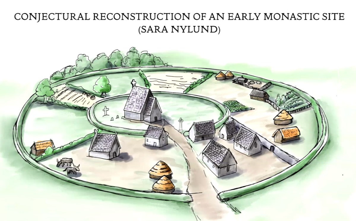
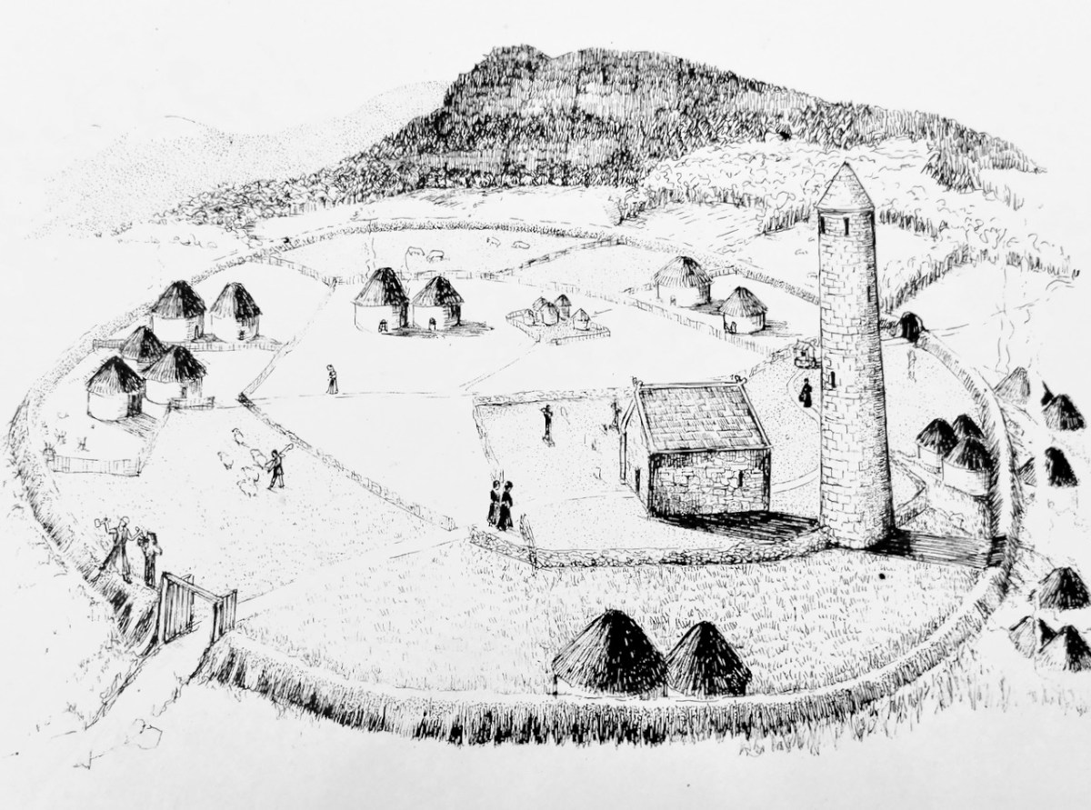
Many thanks to Sara Nylund for her wonderful reconstruction drawing of an early ecclesiastical site

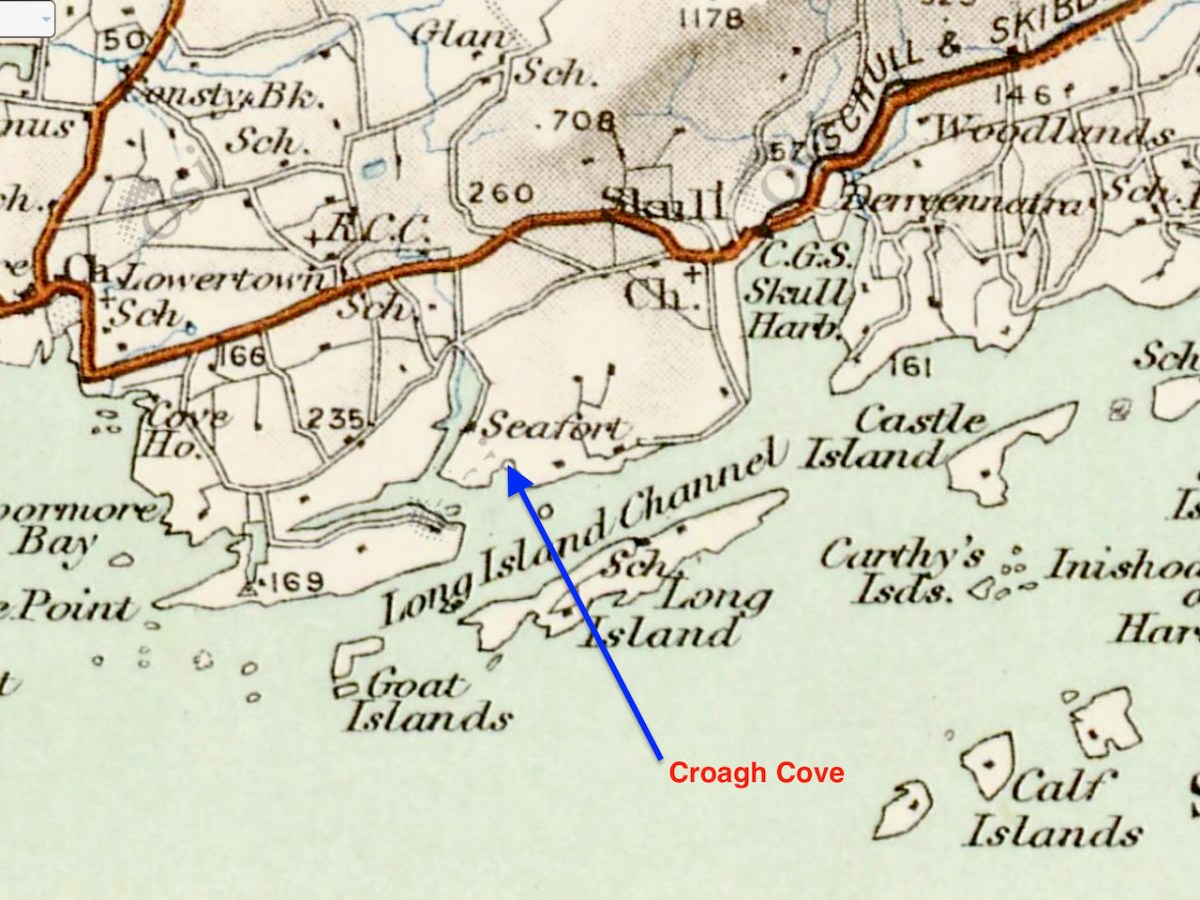
A couple of years ago, confined to explorations within 5km, Robert wrote about Croagh Bay (pronounced locally as Crew Bay). Recently our friends Donagh and Tamsin enticed us back to take a closer look at the eastern part of the Bay – Croagh Cove (Crew Cove). 

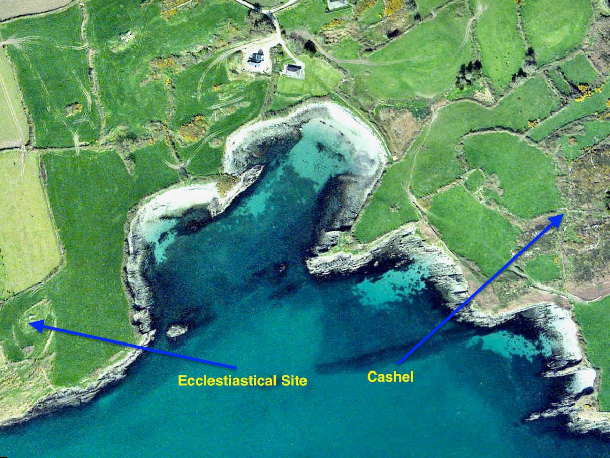
What intrigued us about this place and why we were eager to visit (apart from Donagh’s world-class coffee) was a place marked on the map as an ‘ecclesiastical enclosure.’ There aren’t a lot of those on the Mizen, although there may be more early ecclesiastical sites than have been identified and recorded. Kilbrown (see my post Mizen Mud), Cove and Kilbronogue are the only others so far.

What establishes a site as a likely ‘early ecclesiastical enclosure?’

The Irish church was dominated by scattered rural monasteries from the sixth century onwards. These were surrounded by large enclosures (varying in diameter from 40 a.m. to 400 M), often circular or oval in plan, and usually far more extensive than the surviving graveyards. In some cases the original bank, fosse or stone wall survives but more often the line of the monastic enclosure (or vallum) is indicated by curving field boundaries, roadways or a laneways. As well as the church and graveyard, these enclosures contained the dwellings, outhouses and workshops of a community, sometimes approaching the size of a town. Because the buildings were constructed of wood nothing survives above ground today; the graveyard often contains the ruin of a mediaeval church. In some cases the surviving burial ground has no inscribed headstones but was used for the burial of unbaptised children during the last few centuries. Bullaun stones and cross-inscribed stones are often found on early church sites while holy wells may be situated close by and retain the name of the saint anciently associated with the site. Unfortunately little of the history of the early church in West Cork has survived and the earliest reference to many of these sites is as late as the 12th century.

The Archaeological Inventory of County Cork, Vol I, West Cork. P 271

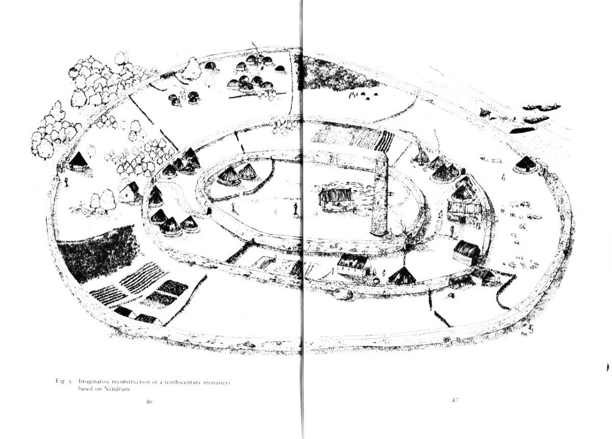
So, as you can see, not much normally survives on the surface but a tell-tale sign is a circular or oval enclosure, or (often) two concentric enclosures, with the barely-discernible signs of buildings inside. (Readers may remember the above illustration from my post on Ardpatrick – no sign of a round tower at Croagh, though!).) The memory of these places as once-sacred seems to be retained locally, and led to their use as Cillíní, or Children’s burial grounds in the past. See my post Unknown Souls for more about Cillíní – ‘the loneliest places on earth.’ Thus – small uninscribed headstones peeking out through the grass is an indication that this may be a cillín, and in turn perhaps something more ancient yet.

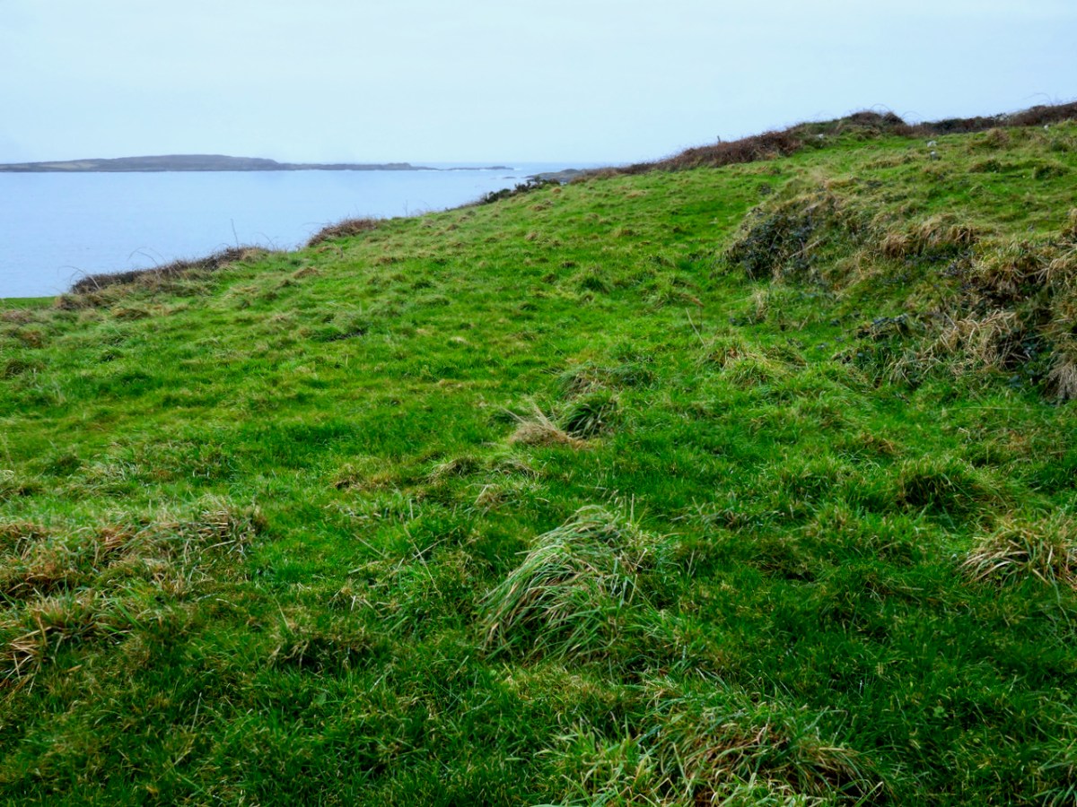
The original site may have been carved out of the hillside – the flattening process leaving a sharp-edged bank on the sea-ward side (above and below). This reminded us of the similar bank we found at the possible ‘Scoil Mhuire’ site that Robert reported on in his post Schull – Delving into History

What would such a site have looked like? They varied enormously in size – for example Glenadalough in Wicklow and Kells in Meath would both have been monastic cities. Most, however, and especially in remote places, would have been small religious foundations in which there would be a central church surrounded by an inner wall, and houses and gardens for the monks surrounded by an outer wall. 

Nendrum in Co Down shows what a monastic settlement considerably larger than Croagh might have looked like. The Illustration is from The Modern Traveller to the Early Irish Church by Kathleen Hughes and Ann Hamlin

The word reilig (pronounced rellig) is the Irish word for graveyard and it comes from the word for relic. Early sites like this were assumed to have had a founding saint, who gave his or her name to the site. Kilbrown, for example, would be the church of Brón, and he would have been buried on the site – hence the ‘relic’ association. Kilcoe was named for a saintly nun, St Coch. The echoes of the cult of those saints would have remained alive through the centuries in the names of townlands and holy wells.

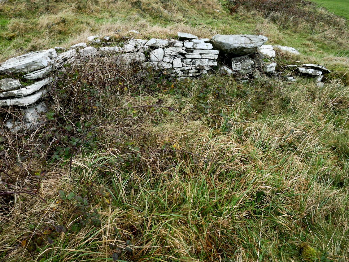
Possible remains of church at Croagh

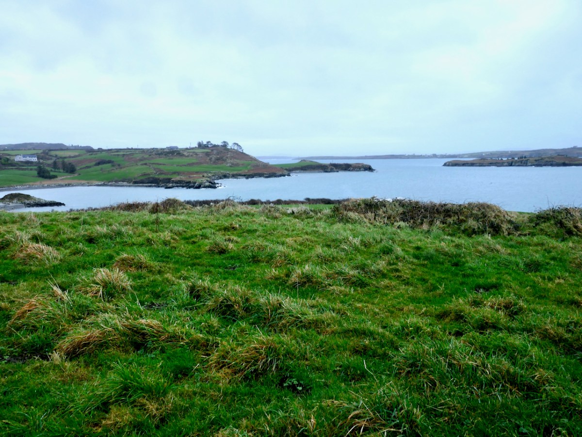
The name Croagh, however, is based not on a saint’s name but on the Irish word for a ‘stack’ and may refer to the gentle hill that rises up from the water. It was, and remains, an almost perfect spot to establish a peaceful settlement based around hard work and prayer. There’s a lovely little beach below, so transport and travel was easy by water. It’s in a sheltered haven protected from storms by Long Island off the cost, and from it there’s a good view out to sea (below) so the monks could see Vikings or other raiders coming.

And right across the Cove there’s a ring fort – a cashel, in fact, since it looks like the walls were made of stone (below). It’s a classic – on elevated ground with commanding views all around, out to sea and to the low hills behind. Puzzlingly, this cashel is not recorded by National Monuments. It’s overgrown by bracken so may not have been obvious at the time of the survey. 

This juxtaposition, across the cove from each other, of an early-medieval monastic settlement and a fortified residence, leads to speculation as to the relationship between the two. Was the monastery endowed by the local chief, committing the monks to say prayers for his eternal soul in exchange for land and protection? This is certainly a familiar pattern from the later medieval period. 

View of the ecclesiastical site from the cashel

This is just a tiny corner of the Mizen. There is much more of interest in this small townland but for today I wanted to focus on these early-medieval sites. In their ruins lie clues to a distant but vibrant past.

Stones Alone

Over the years we have written a lot about stone. That’s not surprising, because our interests in Irish archaeology involve stones: standing stones, stone circles, rock art, gravestones . . . It’s what the surviving history of our earliest dwellers on this island is all about. So I thought it would be a good idea to sift through our Roaringwater Journal photographic library – which goes back a decade – and turn up some pictures and stories which I have never used before: all of them involving stones. That header pic, above, is a boulder burial at Rathruane, just outside our West Cork village of Ballydehob.

Here’s another boulder burial, a long way away in Co Cavan, now surrounded by trees which are probably relatively recent. Finola wrote about this monument type six years ago, and pointed out that they are not well named: when examined archaeologically, very few of these stones have been associated with buried human remains. They are said to have been positioned between 1,500 and 1,000 years BC, a time we refer to as the ‘Bronze Age’. So, by then, humans were already aware of the use of metal for tools, weapons and decorative adornments. But imagine the time before that – when people only had natural materials to hand – wood, vegetation and, of course – if you wanted to create something permanent – stone: we call these times Neolithic – and generally that covers the period of habitation of Ireland from 6,000 BC onwards.

Here is another West Cork site: Breeny More, to the north of Bantry. There’s a whole lot of stones here including, unusually, four ‘boulder burials’ arranged in a square. There are also further stones in this grouping which were once part of a stone circle. The site is magnificently located, with distant views west across to Bantry Bay (below).

We are all familiar with groups of stones arranged in a circle. Here is the ‘stone circle’ at Ardgroom, County Cork: it’s on the Beara Peninsula. As with the Boulder Burials, these monument types are generally thought to date from the Bronze Age.

These modestly sized ‘five stone’ stone circles are also in County Cork. The National monuments Survey of Ireland lists 53 ‘five stone’ circles in the county, while a further 41 ‘multiple stone’ circles are noted. There are also some anomalies which defy definition, such as ‘The Fingers’ at Knockdrum, West Cork, just outside Castletownshend:

This appears to have been, originally, an alignment of five tall standing stones. One has fallen and broken, while the fifth is now missing. It is reasonable to assume, from the number of stone ‘monuments’ all around us in West Cork (and in many other parts of Ireland), that these sites were of great significance to the populations who constructed them. But we don’t know for sure why they are there – although theories abound.

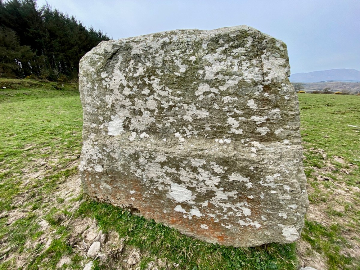
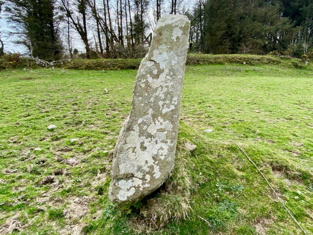
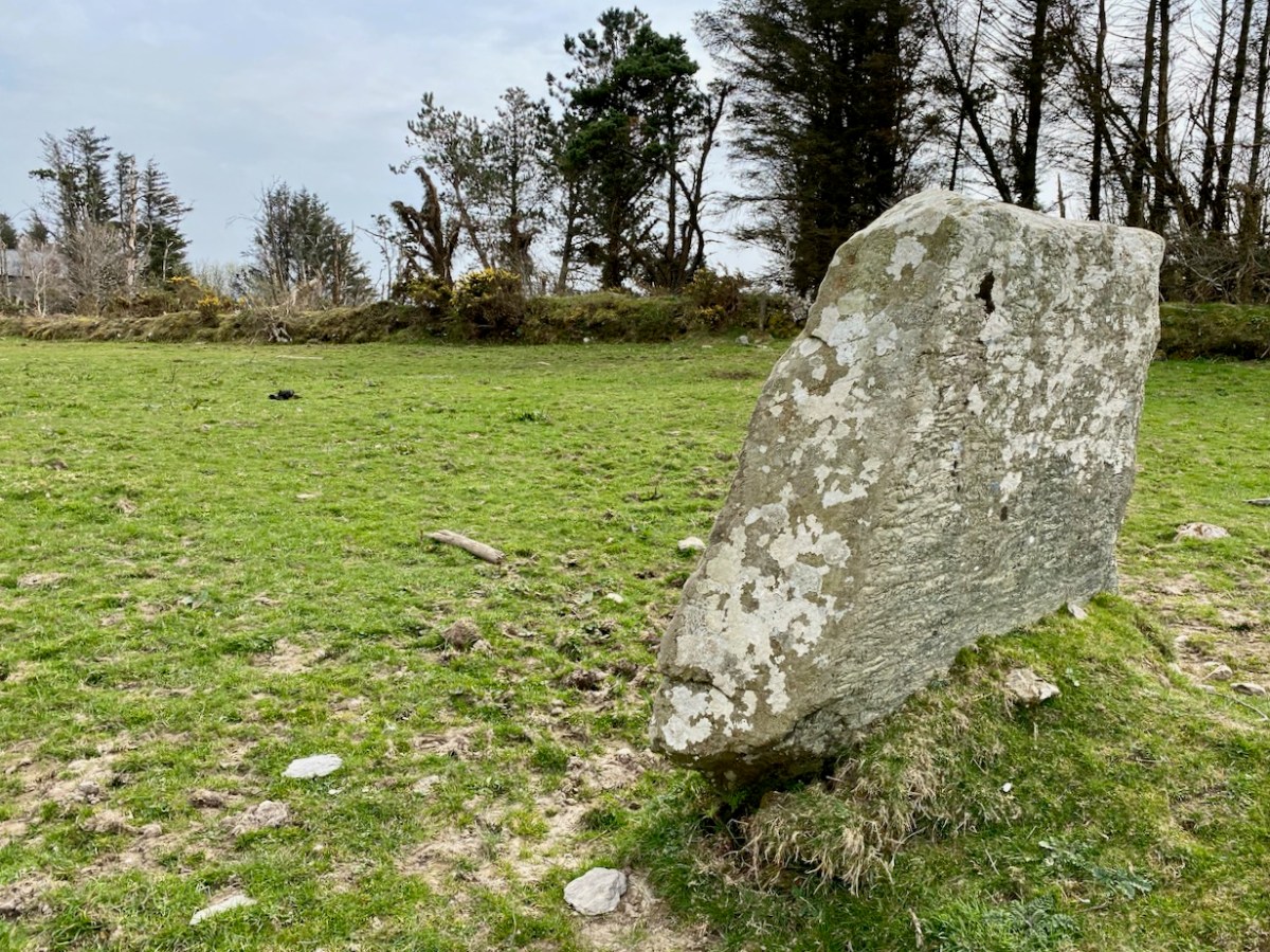
I am fascinated by the number of single standing stones we come across in our travels. It’s impossible to say how many there are in Ireland – probably thousands. And they can range in size from the large stones – above – in West Cork, to individual examples in moorland or fields, or on roadsides – below.

The Irish word ‘carn’ means a heap or pile of stones, Cairn monuments are mounds of stones, often marking the summit of a significant hill or mountain. They may or may not be ancient, and we have seen them change significantly over time. On Mount Corrin, not far from us in West Cork, there were two cairns only a few years ago. Now there is a single, significant cairn (top pic below): this implies a deliberate ‘re-ordering’ of what was there before. Regardless of their history, they can be visually impressive.

The centre pic above is a small cairn on a Sheep’s Head summit, while the enormous one above is in The Burren, County Clare. The Burren is an extraordinary landscape of exposed limestone. The limestone formed as sediments in a tropical sea which covered most of Ireland approximately 350 million years ago. Today, the Burren supports a remarkable assortment of wild flowers: over 70% of Ireland’s species of flowers are found there, among the ubiquitous stone surfaces.

Ever since humans set foot on Irish soil, they have embraced the stones – both for practical uses such as shelter or enclosure, but also as a means of marking and communicating. Readers will be familiar with our particular interests in Prehistoric Rock Art:

This is an important example of Ireland’s Rock Art, from West Cork, perhaps dating from 5,000 years ago: it was discovered in comparatively recent times. The painting is by Keith Payne, and is an interpretation of this same rock outcrop. We have no evidence that the carvings were ever coloured – or pigmented.

Today we are very familiar with the use of stone as a building material: this practice is likely to have been current since very early times. In Ireland we have many examples of ancient – but undateable – stone buildings. The ‘Oratory’ at Gallurus is a good example of a built enclosure (walls and roof) made entirely from stone. A present day view of it, top, shows this remarkably preserved structure; archaeologists and historians have long debated its age and likely use. The print above dates from 1756.

Over the centuries, crafstpeople (like Séamus Murphy – see last week’s post) have used stone as a medium for memorials – the message is likely to survive beyond lifetimes. If only we knew what some of the messages should spell out to us! Our last – striking – image is from Fourknocks – a decorated chambered cairn within the Boyne Valley complex which we visited in 2016. This carved decoration was probably made 5,000 years ago: we can only wonder at its meaning and its authors . . .