681 Days!

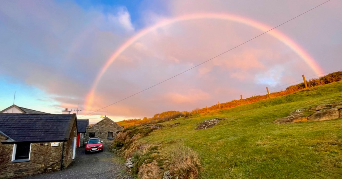
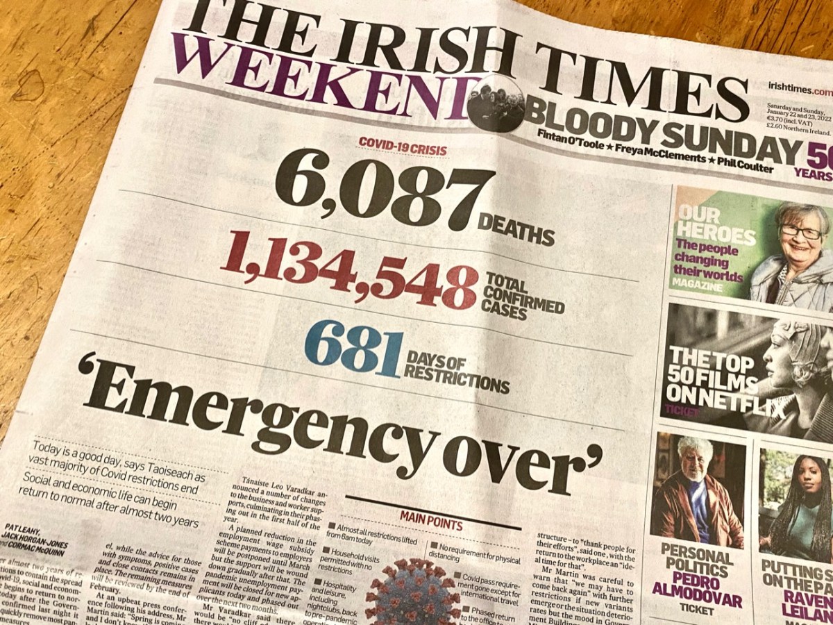
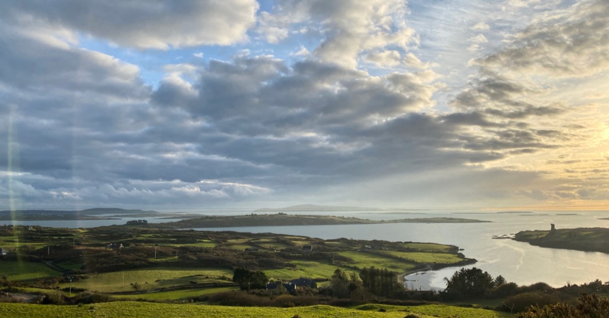
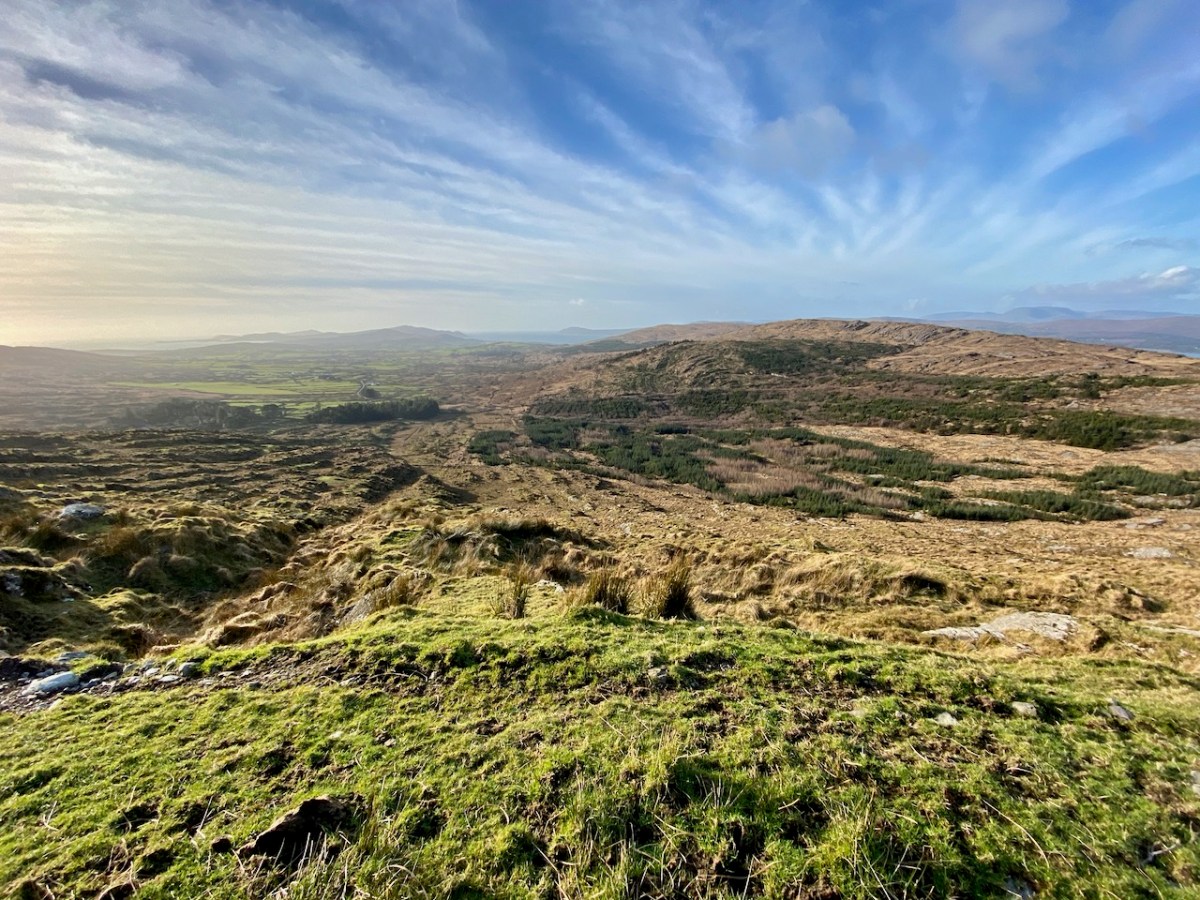
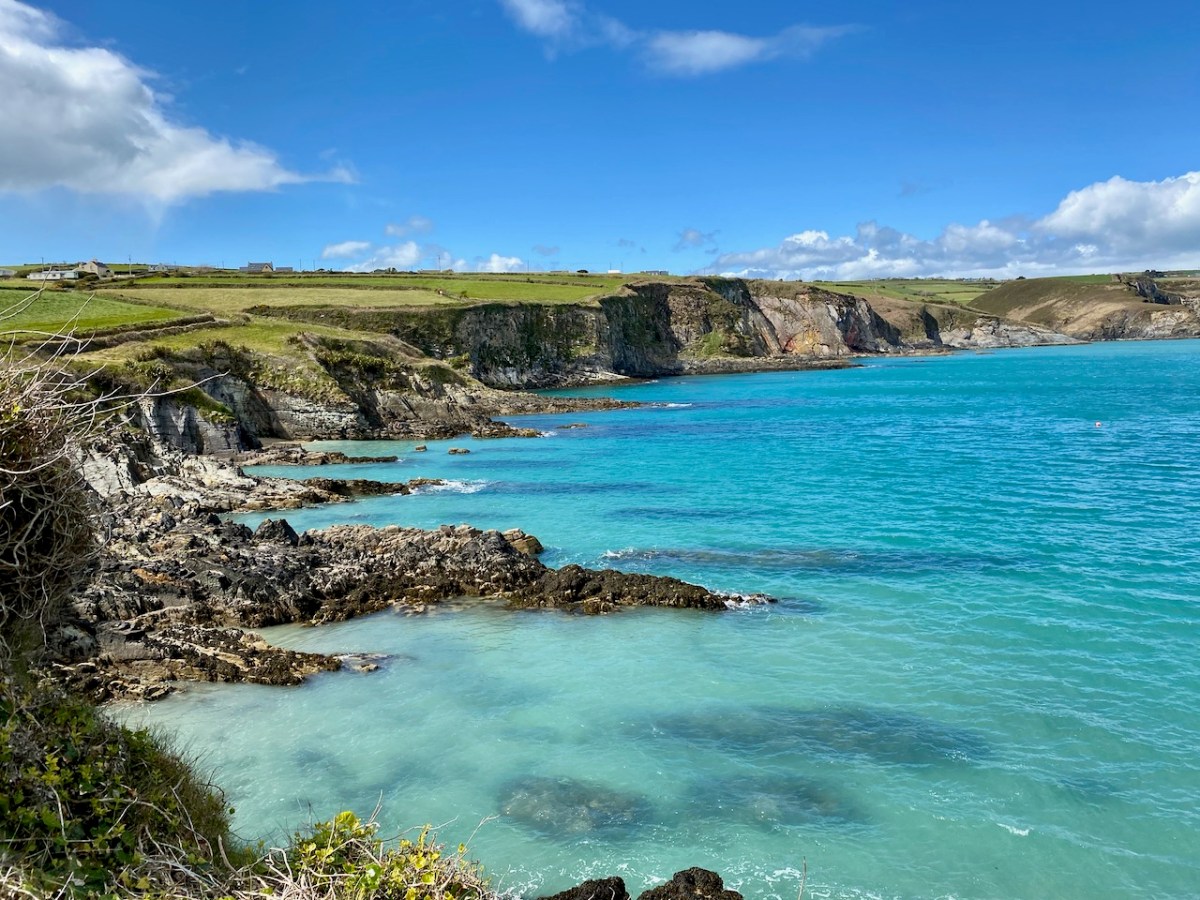
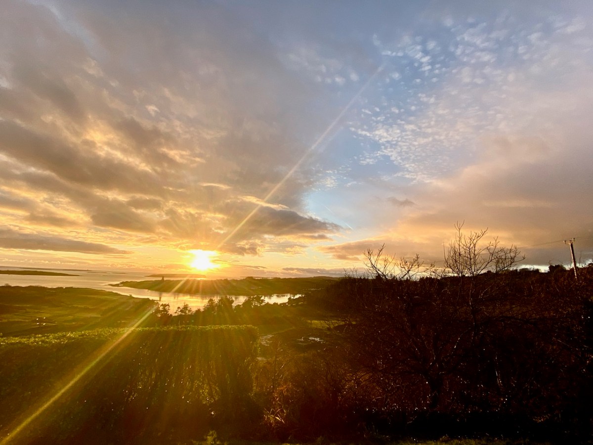
Yes – it has been 681 says since Covid-19 hit us and our world changed. From today, 22 January 2022, most restrictions in the state are gone, apart from the continuing need to wear masks in certain public places. Hopefully that West Cork sky over our house this morning, above, is a good omen for us. Today’s paper shows the stark tally:

The population of the Republic of Ireland as I write this is 5,023,337 (no doubt that is changing by the minute). That tells the story: 22.6% of the people here have had the virus. And of course it hasn’t gone away yet… But at least “social and economic life can begin to return to normal” says the Taoiseach. In order to mark the significance of the moment, my post looks back to our experiences over the last 681 days: in particular, how our lives changed at the beginning of the outbreak.

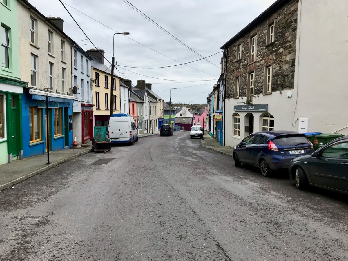
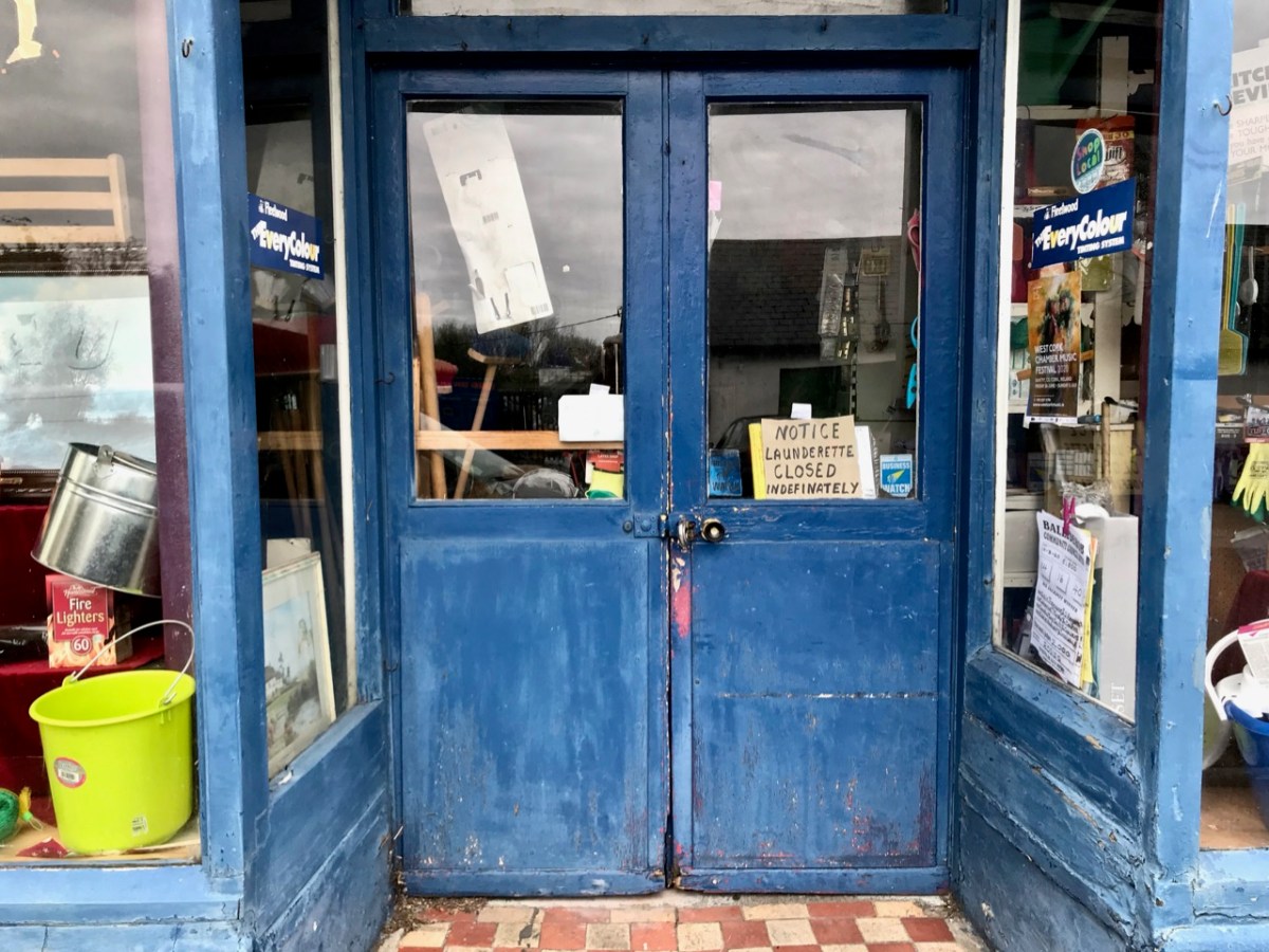
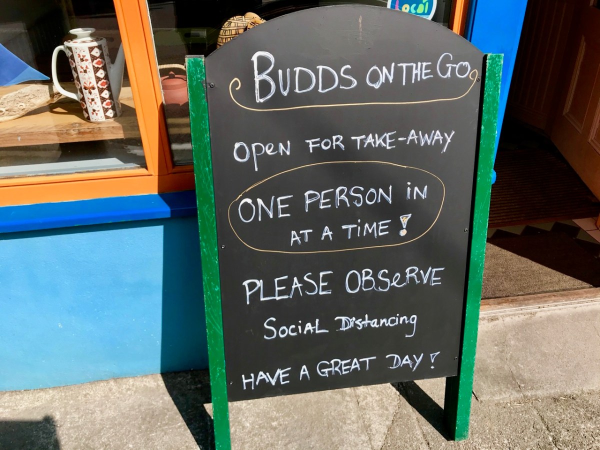
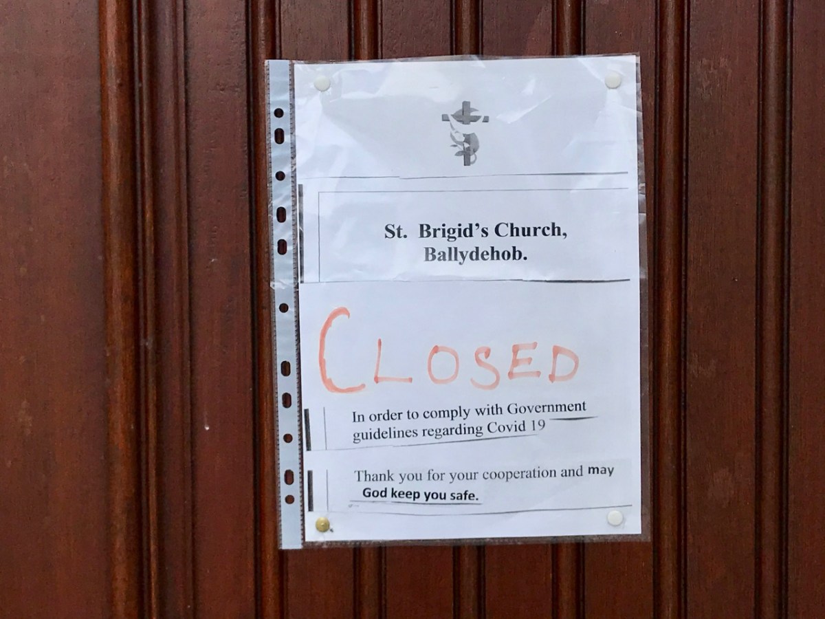
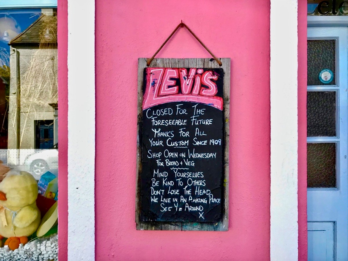
These two images of Ballydehob, taken at the beginning of April, 2020, sum up the shock of empty streets, closed businesses and everyone being advised to isolate. It all seemed very bleak: our movements were initially restricted to 2km from home, then that increased to a radius of 5km. If you lived in rural areas – as we do – you were permitted to travel beyond those distances if you needed to in order to shop or use essential services. We breached those rules on occasion – sometimes to get exercise in the deserted countryside all around us.

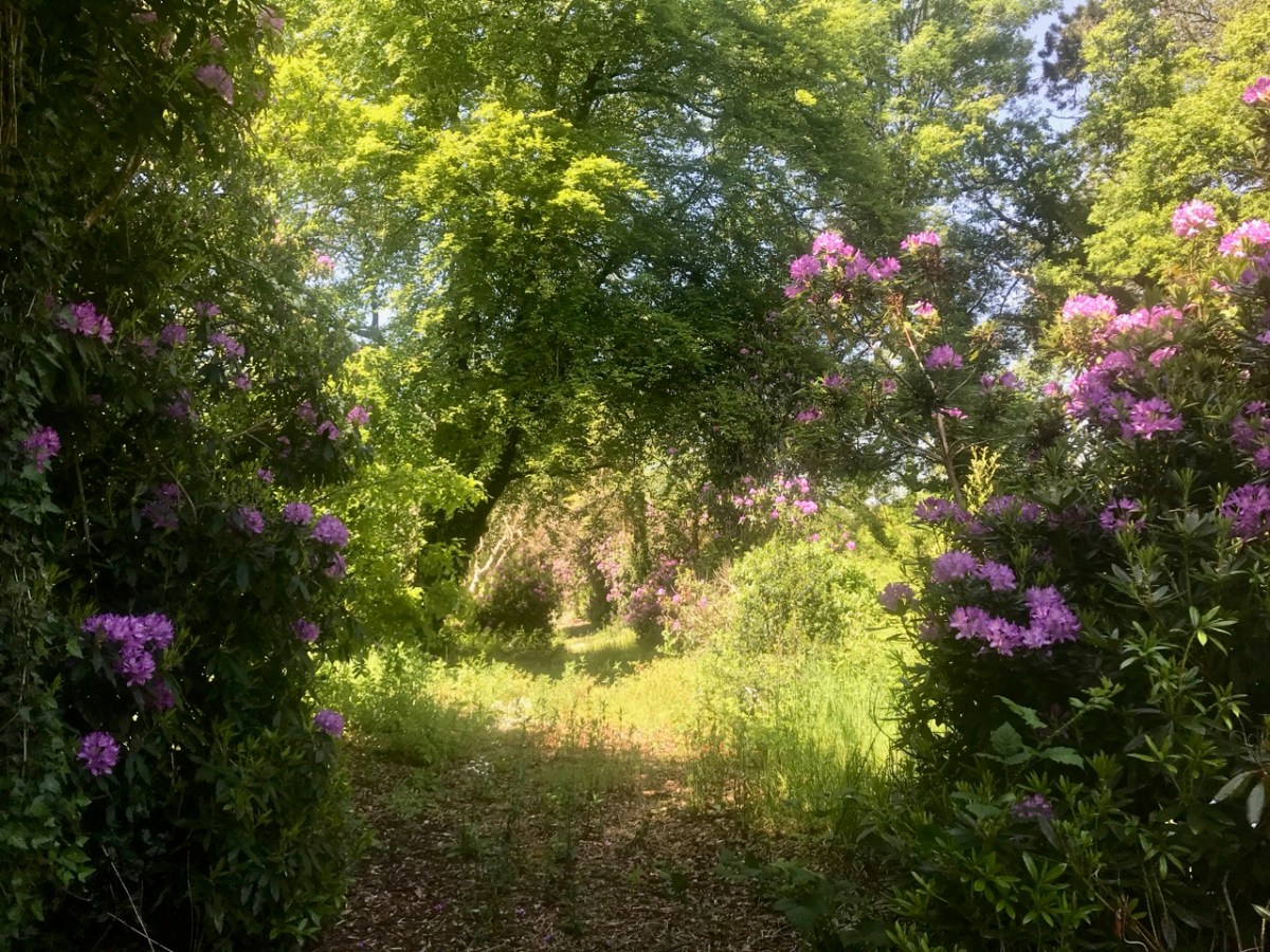
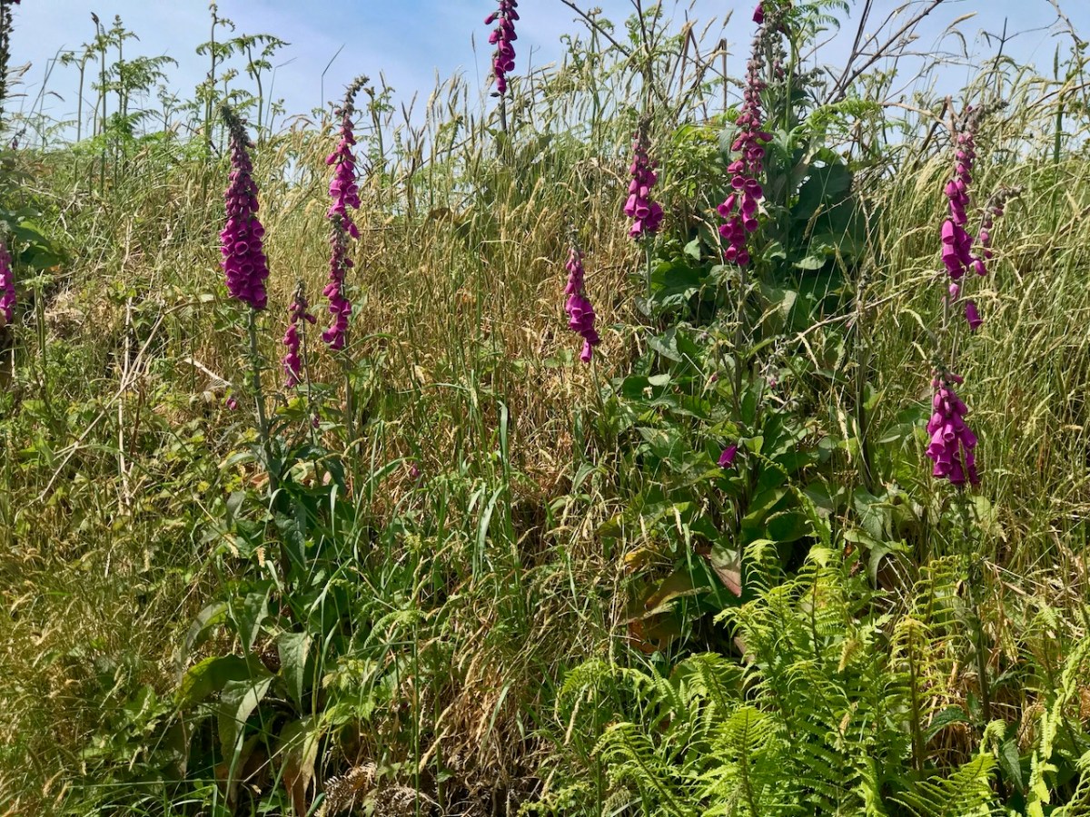
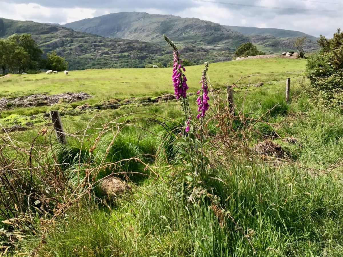
As the days went by, an amazing spring emerged, with day after day of beautiful weather. Human activity was curtailed, but the natural world continued along its course as though nothing was awry!

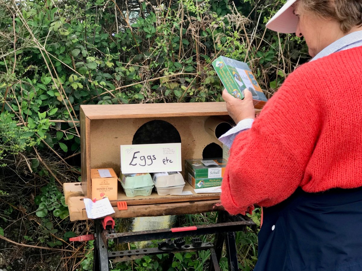
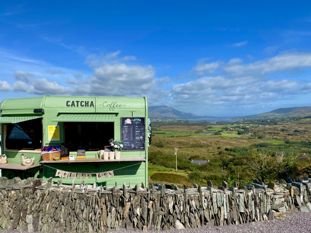
We humans are pretty adaptable. It was amazing to see the ingenuity of folks creating outlets for their energies without having to mix. Food-on-the-go blossomed as a craft industry: here are some examples.

We were very impressed with many of the examples we encountered – and which have survived over the months. Hopefully they will carry on, as casual coffee stalls in the middle of nowhere are welcome to us in our travelling. Pre-pandemic they were probably frowned upon by ‘the authorities’ – and they are certainly regulated – but ‘authority’ would have had to be very hard-hearted to close down these little lifelines. In our experience, every one we encountered was well-run, and spotless. It was an incidental opportunity to have a distanced ‘chat’: always a source of good local information on how others were coping.

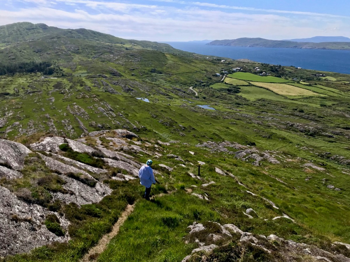
We took the opportunity to climb – and descend – Knockaphuka during the pandemic. It’s a mountain a short distance from Nead an Iolair, but a little outside the limit. No-one was watching! I suppose being restricted to our immediate environment for so long – day after day – made us re-assess it, and our lives. Certainly we have got to know the fine detail of the beautiful place we call home.

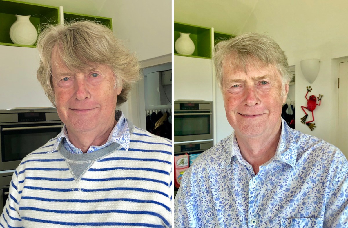
Here’s a social issue: we couldn’t get a haircut for months! Finola kept me in trim, but it was a relief when salons were once again allowed to operate, albeit with some restrictions.

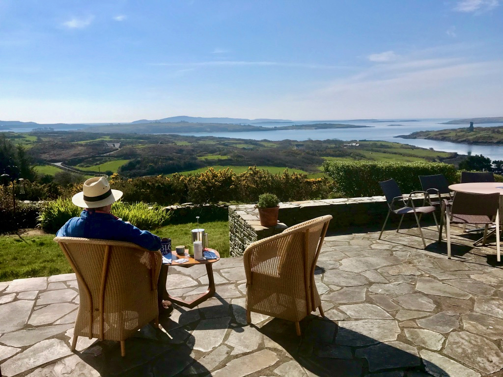
This is us having coffee on our own terrace, looking out over Roaringwater Bay in the wonderful spring of that first pandemic year. In fact, each of the two last years has been benign – with a few exceptional winter storms. We would have felt less relaxed if we had had persistent rain (which sometimes happens).

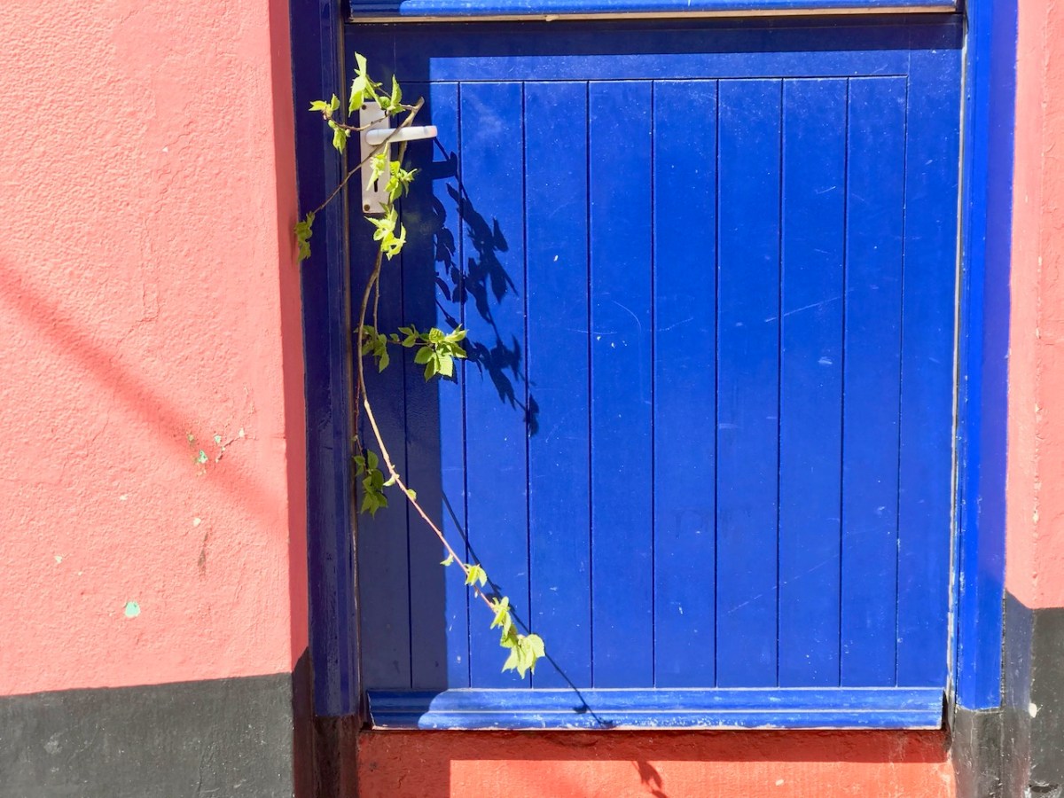
A sprig of green appears on a doorstep on May Day, 2020: a sign that we all still want to continue the old (perhaps ancient) traditions… There were ups and downs: things eased as the year went by and then the new variations came in. Numbers went down and we breathed out. Then they soared – especially with the Omicron variant, and everything went haywire again. Let’s hope that the present easing is here to stay. But the future can never be told…

Chasing Steeples!

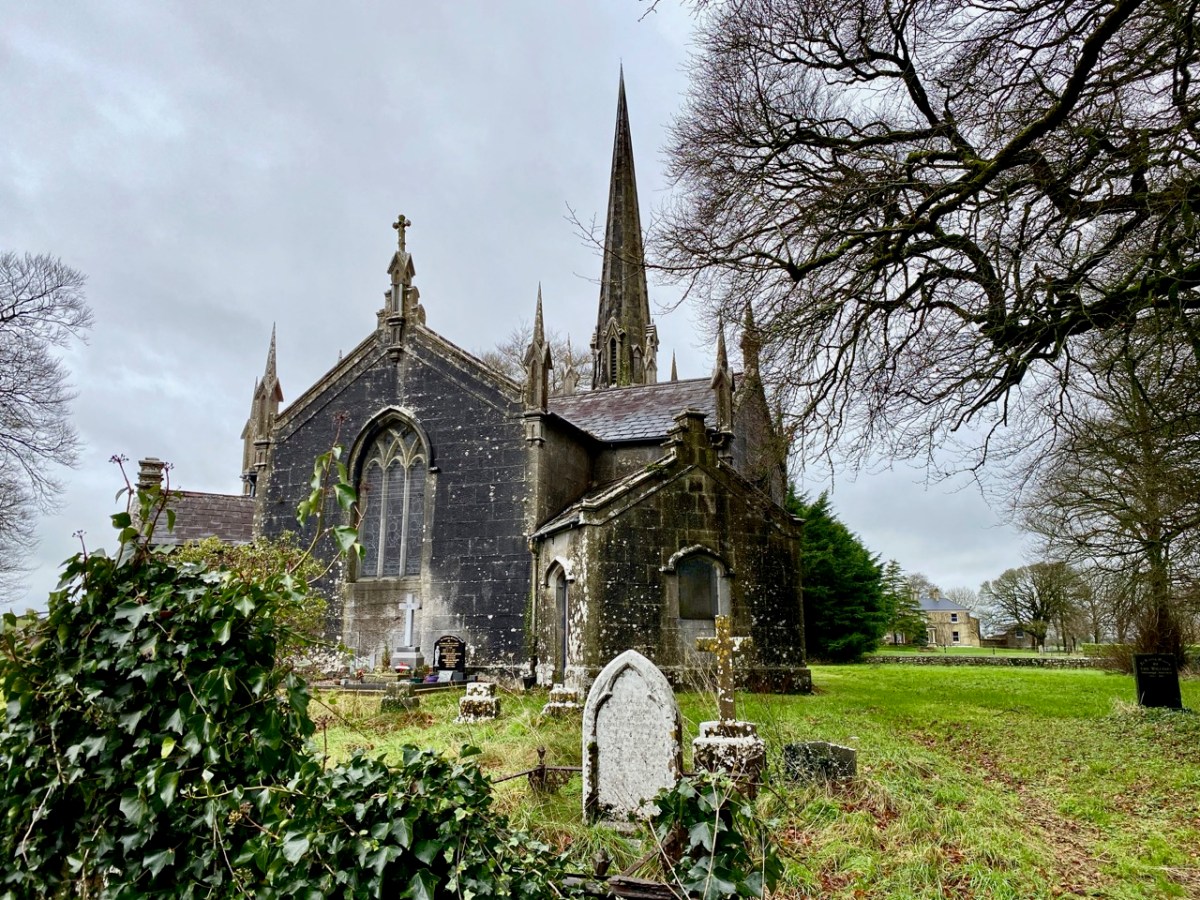
I can’t resist a good Irish story . . . I look out for them wherever we go. Our latest adventure was over in the northern part of County Cork, searching out a number of holy wells and anything related to them: we were led by Amanda Clarke: look at her website here. Regular readers will know that we often get together with Amanda and Peter to share our mutual interests in the Irish landscape. On this most recent expedition our path took us through Buttevant, and specifically to St John’s C of I church there, where Finola was keen to inspect the stained glass windows. The present church was built in 1826, and replaced an older one, established in the late 1600s.
As you can see, it has a tower with a fine, elegant spire. I was fascinated to read that the predecassor of this church is credited with the historical significance of having ‘given birth’ to the Steeplechase horse race.

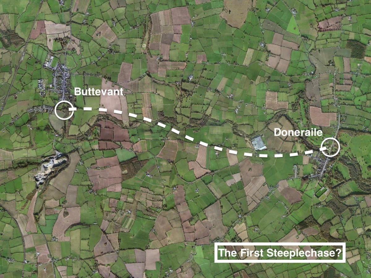
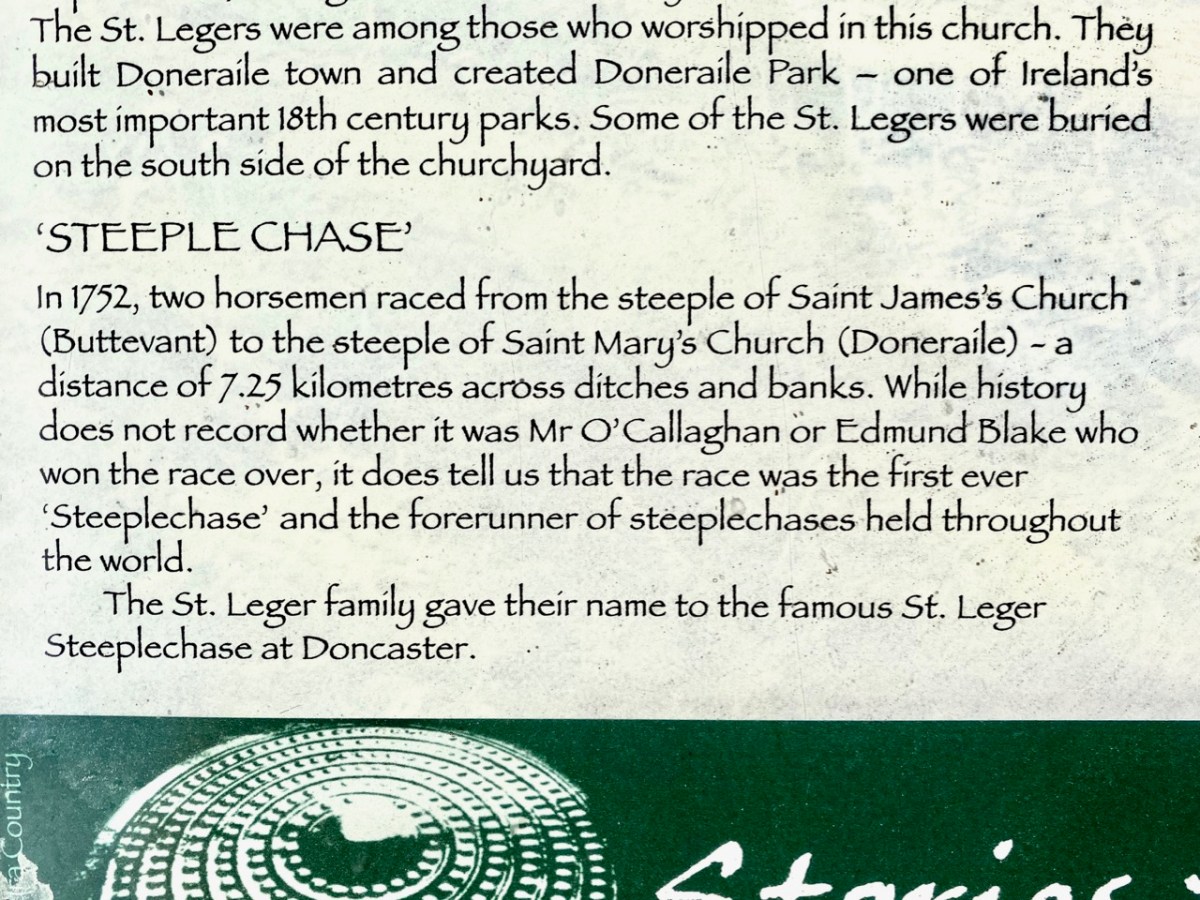
. . . The term ‘steeplechase’ actually originated in a horse race first held in Ireland in the 18th century. As the name might suggest, that very first race took place in 1752 between two steeples in rural county Cork in the south of Ireland. At that time, church steeples were among the tallest buildings in the landscape. On that night, Cornelius O’Callaghan and Edmund Blake were at dinner at Buttevant Castle, having a good time. They made a bet between themselves to race from the steeple of Saint John’s Church in Buttevant to that of Saint Mary’s Church in the town of Doneraile . . .
.europeana.eu

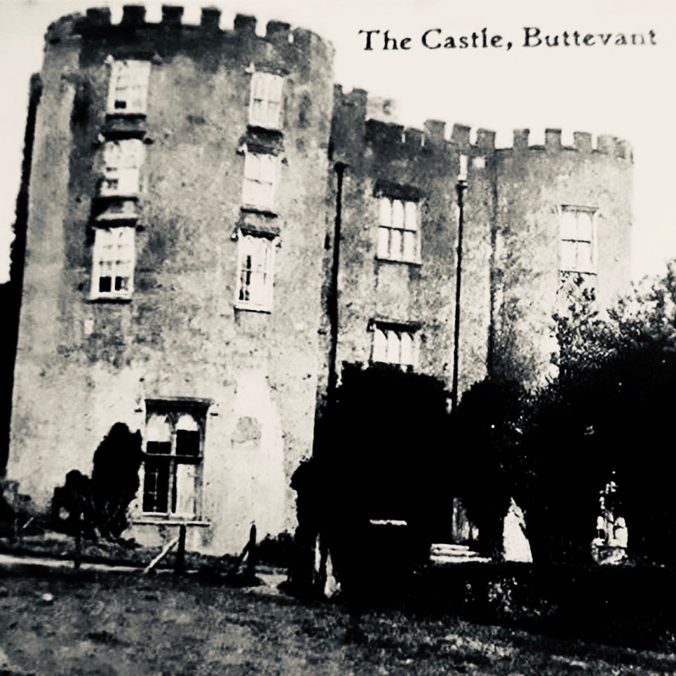
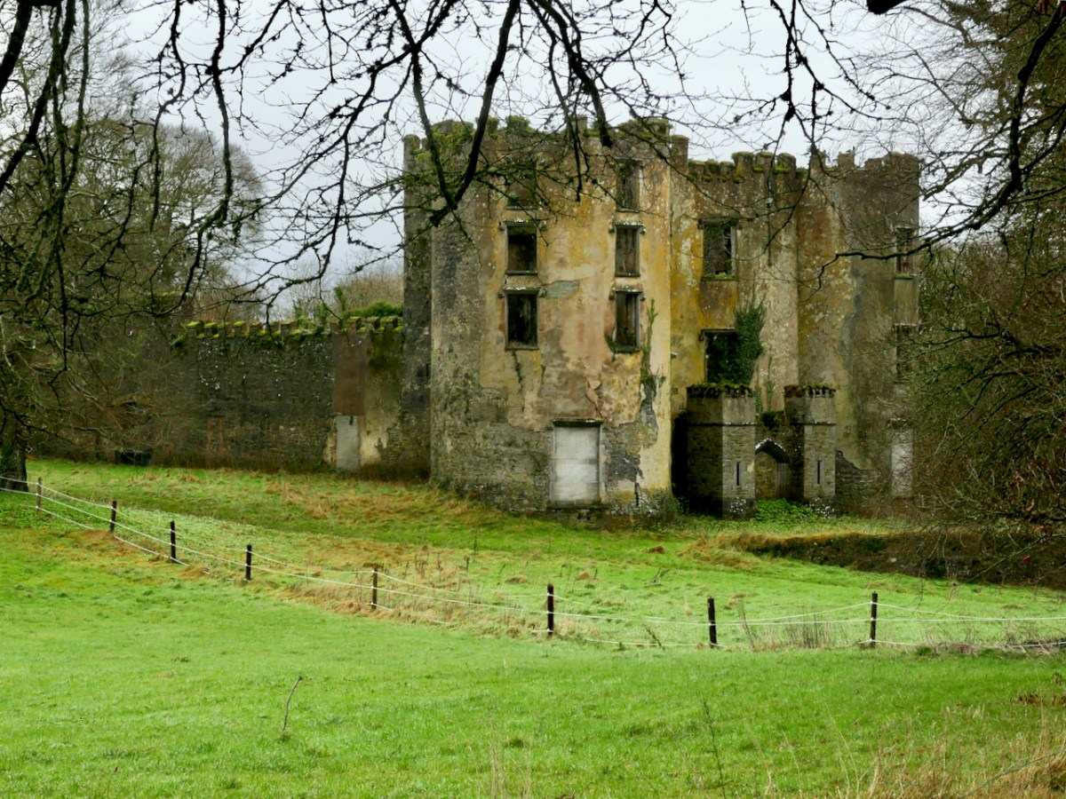
Sadly, the Castle at Buttevant is no longer habitable. It was built around 1200 by Philip and William de Barry, on land seized from the Gaelic O’Donegan’s. The poet Edmund Spenser (1553 – 1599) lived in the nearby castle of Kilcolman for many years, and wrote his poem The Faerie Queene there. He also mentions Buttevant Castle in his writings:
“Old father Mole, (Mole hight that mountain grey
That walls the Northside of Armulla dale)
He had a daughter fresh as floure of May,

VVhich gaue that name vnto that pleasant vale;
Mulla the daughter of old Mole, so hight
The Nimph, which of that water course has charge,
That springing out of Mole, doth run downe right
to Butteuant where spreading forth at large,
It giueth name vnto that auncient Cittie,
VVhich Kilnemullah cleped is of old:
VVhose ragged ruines breed great ruth and pittie,
To travallers, which it from far behold”

Spenser is supposed to have derived the names ‘Mole’ and ‘Armulla’ from Kilnemulla or, more correctly Cell na mullach, an early name for Buttevant. It is possible that the castle here fell victim to the 20th century Irish Civil War, although I cannot find any detailed information on this. Accounts generally suggest that the building was in use until the 1920s and another reference states that there was a significant fire which destroyed the interior in 1936. Today, it is a windowless ruin which is not accessible to the public.

I’m sure you are all anxious to get back to the story of that first Steeplechase – and you want to know who won? When taking in any Irish tale you have to be patient . . . We simple don’t know who won! It’s not recorded anywhere . . . The account continues:

. . .The distance was around 4 miles, crossing countryside and rivers. The winner would be the first to touch the base of the steeple in Doneraile. The prize? More than 600 gallons of port. Sadly, history has not recorded who actually won the race. But that race has gone down in history, with steeplechase races becoming a tradition . . .

.europeana.eu

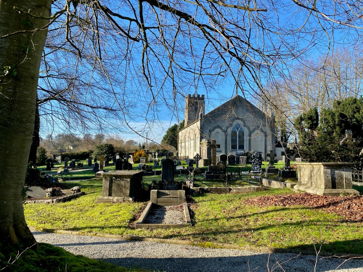
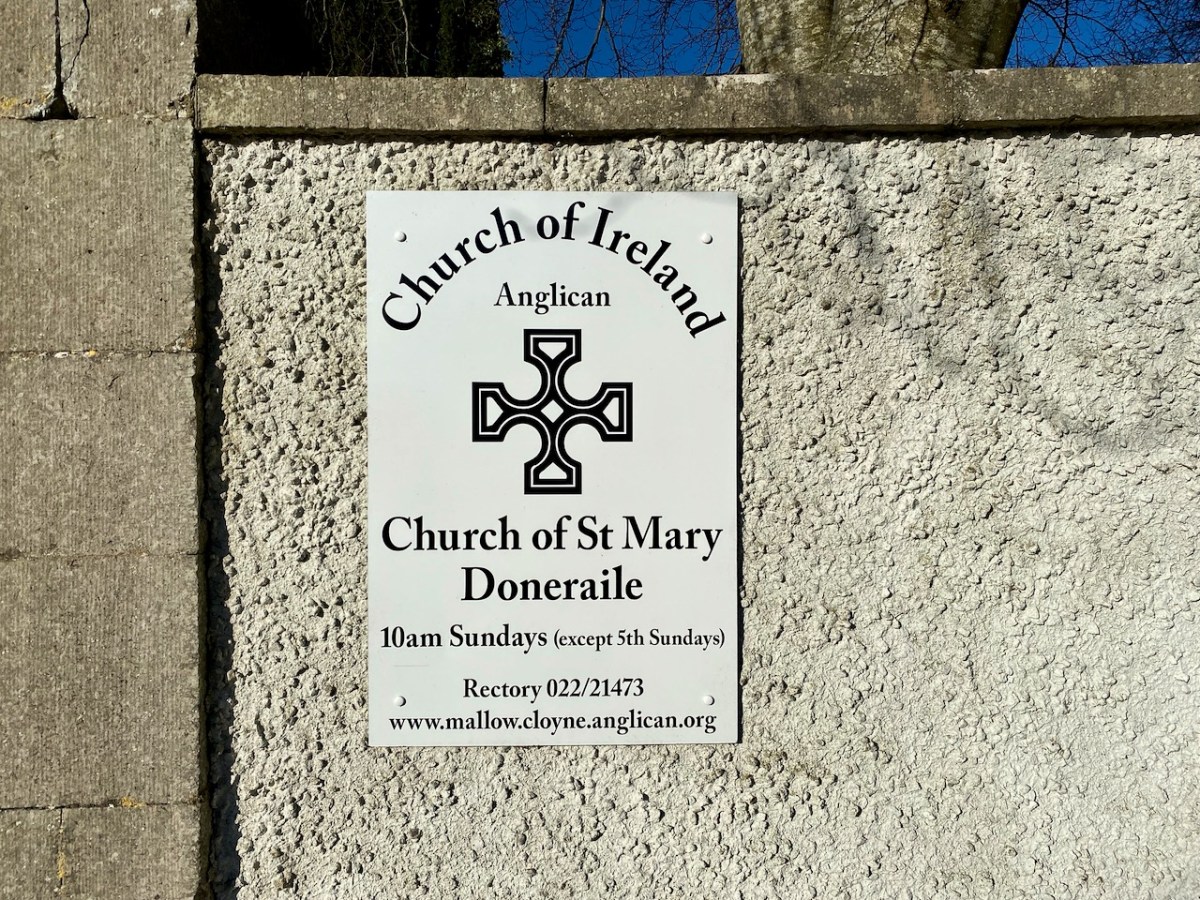
Obviously, we had to continue our expedition with a visit to Doneraile, to view the finishing post. That’s St Mary’s Church, above. The present building does not have a spire: I would have thought that such a feature would be essential if you were looking out for it from a distance of four miles, even with fairly flat countryside in between. However, I have now learned that the term ‘steeple’ correctly refers either to a simple church tower, or a church tower with a spire on it. Have a look at the terrain from a birds’ eye view:

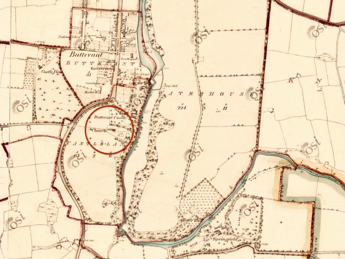
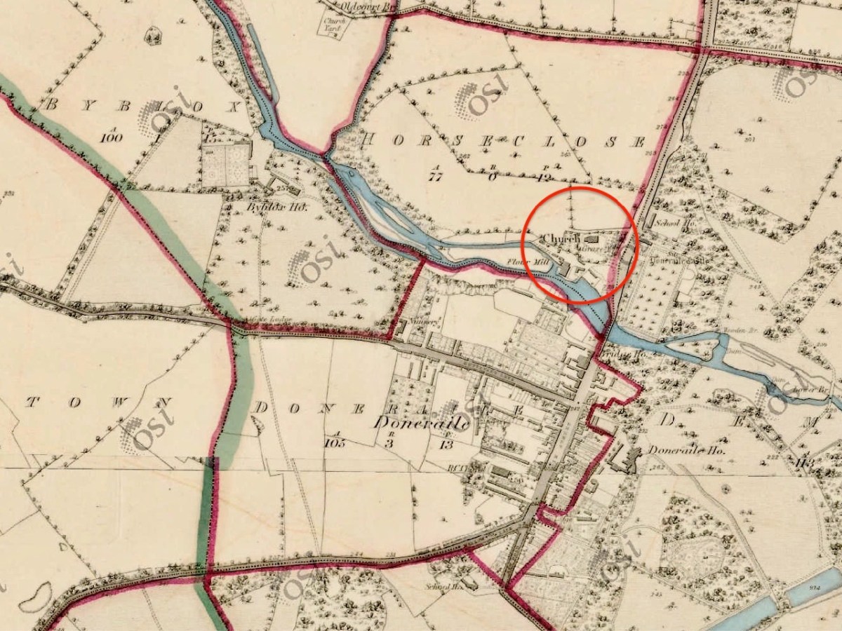
Here I have copied extracts from the first edition 6″ Ordnance Survey map, showing the terrain in more detail around the start and finish points as it was noted in the early nineteenth century:

On this occasion we didn’t have time to explore the route itself: I wonder if anyone else has? Is it significant that the townland which surrounds Doneraile Church is known as Horseclose?

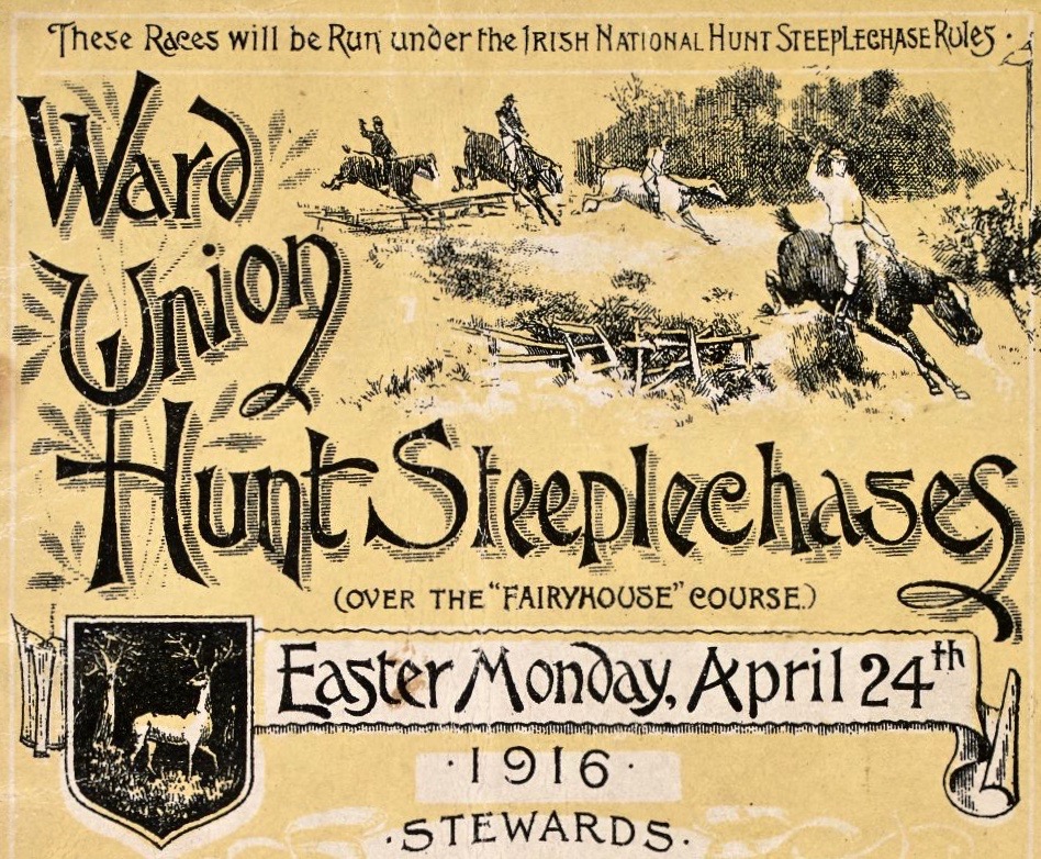
In the present day, of course, Steeplechasing has an equine life of its own. Supposedly, the very first recognised English National Steeplechase took place in March 1830. In 1839, the British Grand National Race at Aintree was established, a race that is still run today over roughly the same distance of around 4 miles. Here’s a poster for the Irish equivalent – at Fairyhouse – on Easter Monday 1916, a very significant date in the Irish calendar . . .

While on the subject of the Aintree event, we must mention the most famous racehorse of all time (probably) who holds the record for winning the Grand National Steeplechase thrice – in 1973, 1974, and 1977 and coming second in 1975 and 1976: Red Rum.

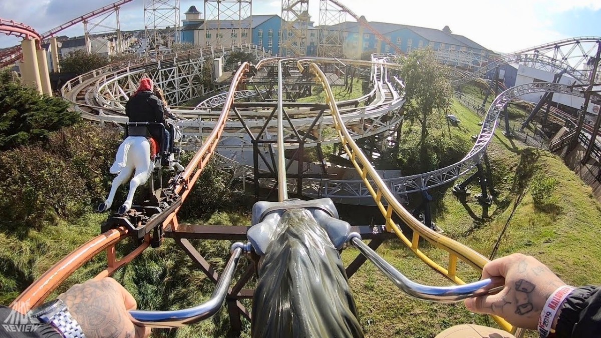
. . . Red Rum was bred at Rossenarra stud in Kells, County Kilkenny, Ireland, by Martyn McEnery. Following a canter at Aintree Racecourse the day before the 1978 Grand National he was retired. The news of Red Rum’s retirement was the lead story on that night’s 9 O’Clock News on the BBC and was also front page news of the following morning’s newspapers. Red Rum had become a national celebrity, opening supermarkets and annually leading the Grand National parade for many further years. His likeness graced playing cards, mugs, posters, models, paintings, plates and jigsaw puzzles. Several books have been written about Red Rum, The horse helped launch the Steeplechase rollercoaster at Blackpool Pleasure Beach in 1977 . . .

Wikipedia

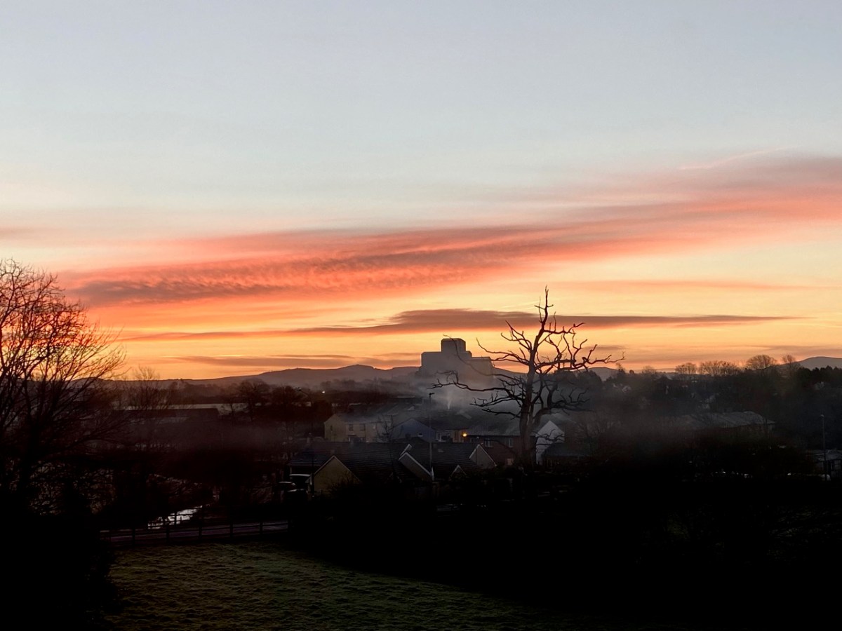
Yes, this is it: the Steeplechase Rollercoaster! You can join in the full experience here. Hopefully my account has enlivened your day: I’m sure there are many of you out there who are familiar with this tale and can, perhaps, add to it? I’ll finish with a view over Buttevant taken on our journey – an atmospheric winter morning.

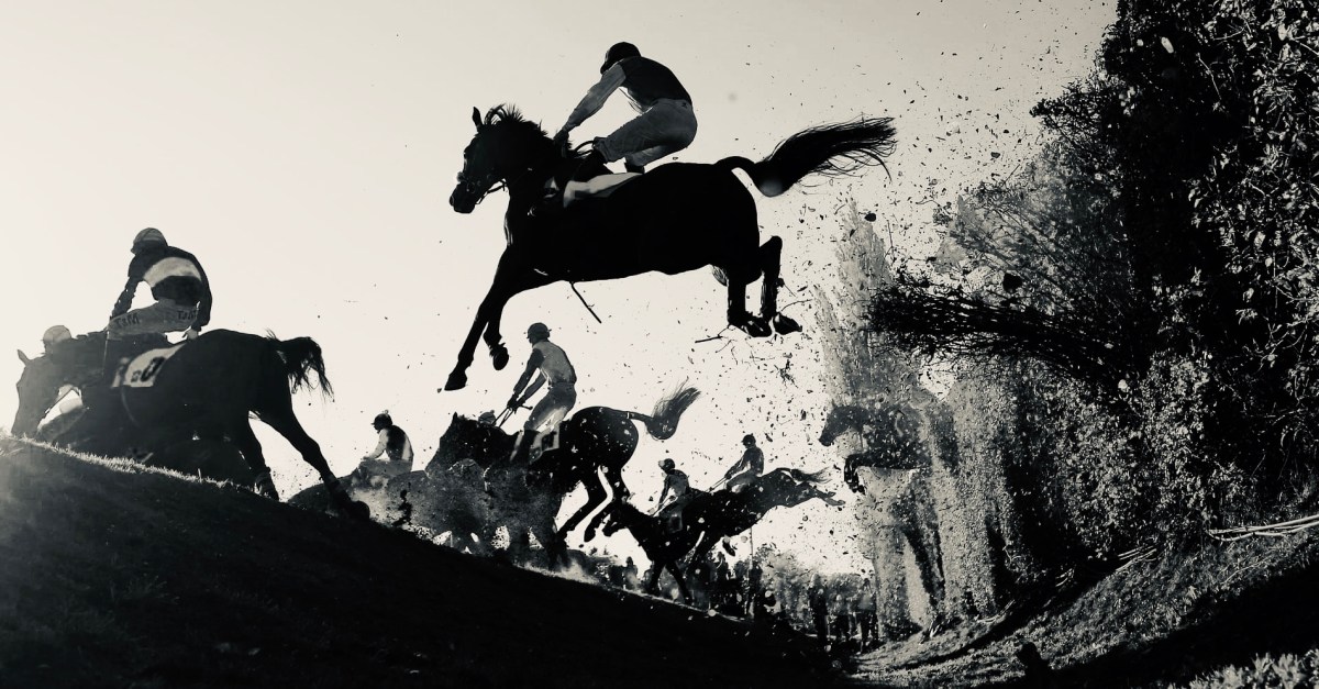
With thanks to The Guardian for the header pic of the Aintree Grand National

Robert’s Favourite Posts of 2021

It was another strange year: we had hopes that the pandemic would be conquered. We have had vaccines, boosters and mutations, but Covid still dominated all the headlines and affected our lives. (Finola’s selection is here.) We coped with lockdowns and restrictions, but took full advantage of the times when we could travel freely. One of the most memorable expeditions brought us to Kerry, where we looked at early Christian sites but also took in a lot more:

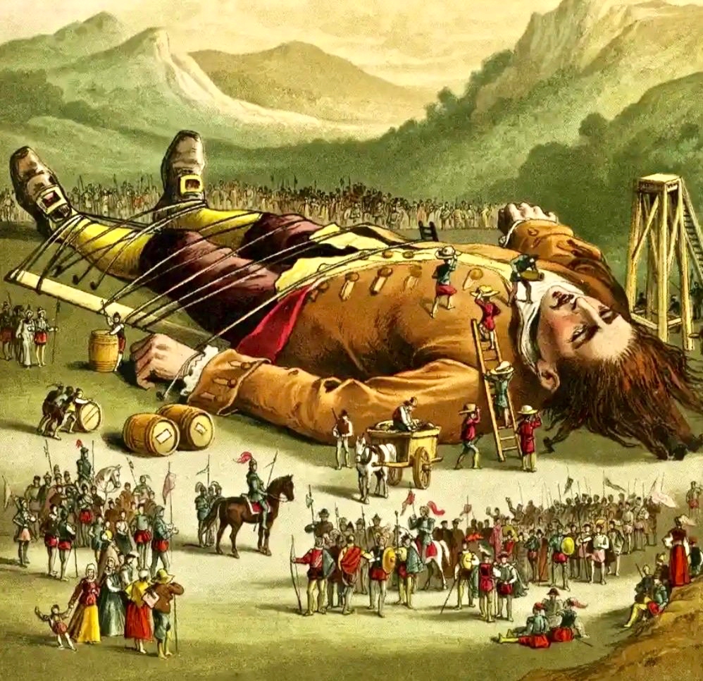
Earlier in the year I went back to my childhood days, remembering when I first learned about Jonathan Swift from my Granma, and walked with her to the places associated with him in the town of my birth: Farnham, Surrey. Here is the post.

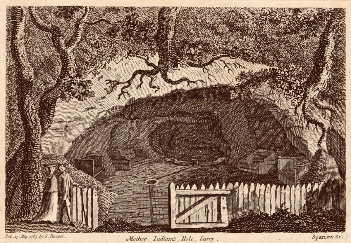
If you read my ‘Dean Swift and I’ post you will find this engraving of ‘Mother Ludlam’s Cave’ which was close to Stella’s Cottage, and must have been familiar to Jonathan Swift during his years living in Surrey. I came across this old print in a local bookshop when I was growing up in Farnham, and it has stayed with me ever since

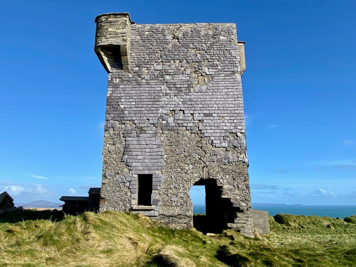
I have been keeping a few series of posts going through the year: one is about the Napoleonic signal towers that dot the coastline all around this island. I began the series in 2020 (do you remember how we thought the Covid restrictions would soon be over?). In 2021 I continued the posts with new episodes. This is one of my favourites.

The Napoleonic Signal Tower at Brow Head, West Cork

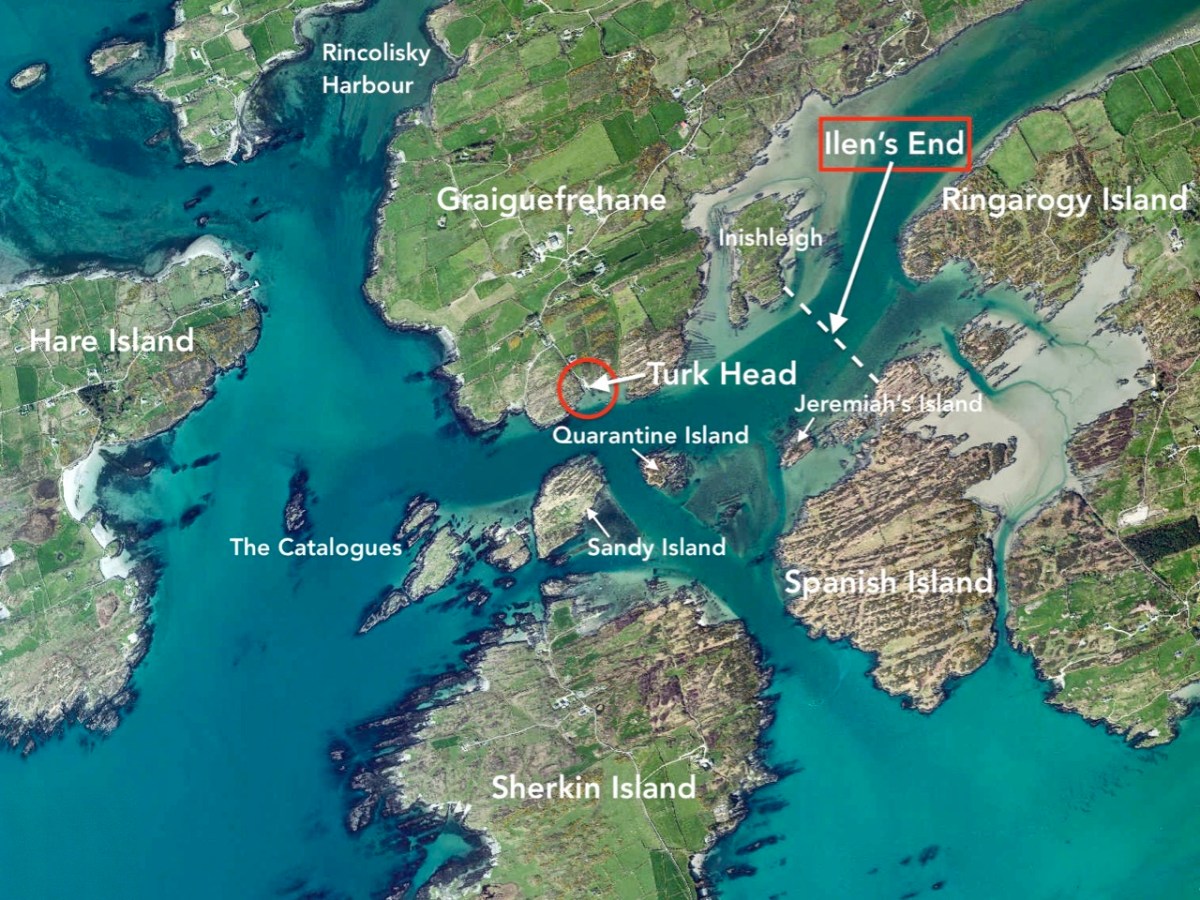
Another series explored the Ilen River, West Cork’s most significant waterway. We still haven’t been to its source – said to be on the summit of Mullaghmesha, north of Castle Donovan – but this post (Ilen’s End) took us to the point at which the river meets the Atlantic.

West Cork had good coverage from our blog during the year which has just ended. I began a series of posts about West Cork Villages and Towns. Perhaps it was an interesting time to concentrate on our local communities: hopefully it proved that we West Corkonians are not deterred from celebrating life as much as is possible in these strange times.

The communities of (top to bottom) Bantry, Schull and Skibbereen have been the subjects of posts in my West Cork Villages and Towns series in the past year. There are many more to come in the future, including the remarkable activities that take place in our ‘home’ village, Ballydehob (below).

All but a year ago I put my tongue firmly in my cheek and imagined an encounter between my ancestor Robáird an Tuairisceoir Fáin and  the Scholar Prince of Rossbrin – Finghinn O Mathuna – who was Tánaiste of the great West Cork O’Mahony clan, and who lived down below us in Rossbrin Castle in the fifteenth century.

It proved a remarkably popular post and I was forced to admit that it did come from my imagination, although all the background historical information can be verified. What really interested me was the interest and enthusiasm that everyone has about life here on our wild West Cork coastline all those centuries ago!

We are most fortunate to live overlooking Rossbrin Cove and the islands of Roaringwater Bay

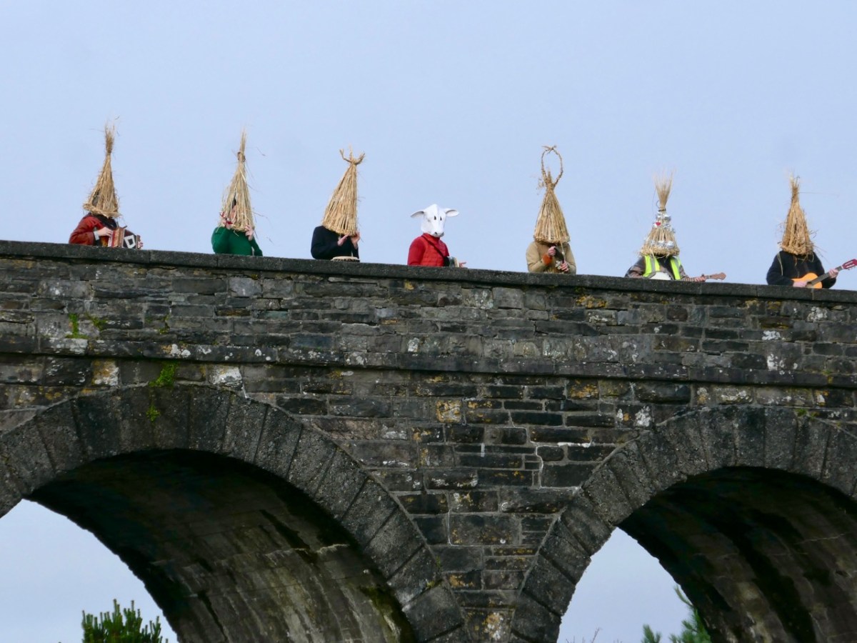
It’s always a difficult task to choose just a few posts from the 50 or so each of us has written over the last twelve months. If I started all over again I would probably choose many different ones. But they are all still there to be read (dating back to 2012): you only have to search the archives! Our new year began – yesterday – with the enactment of an ancient Irish tradition in Ballydehob: the Wran Day. That will be my post next weekend, but here’s a taster. Happy New Year everybody…!

Our Favourite Photos You Never Saw – Robert

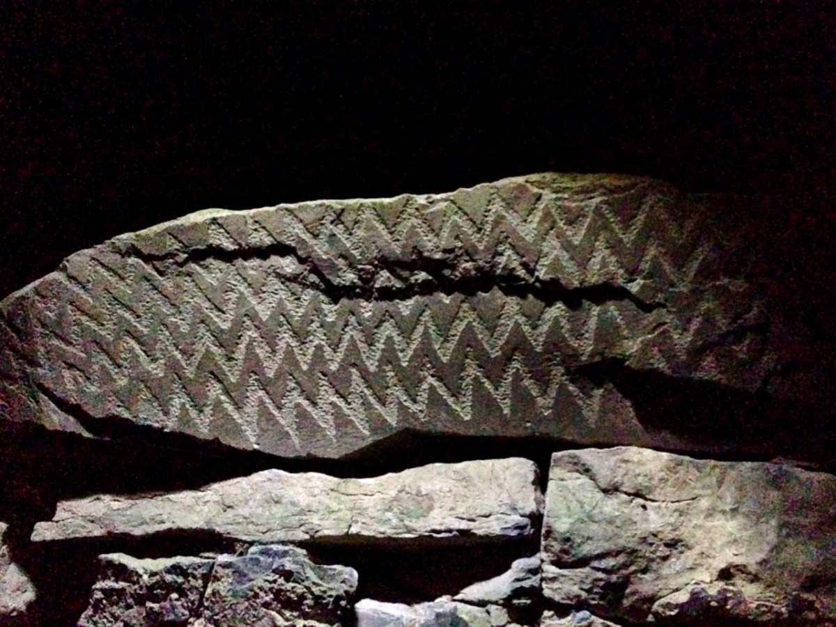
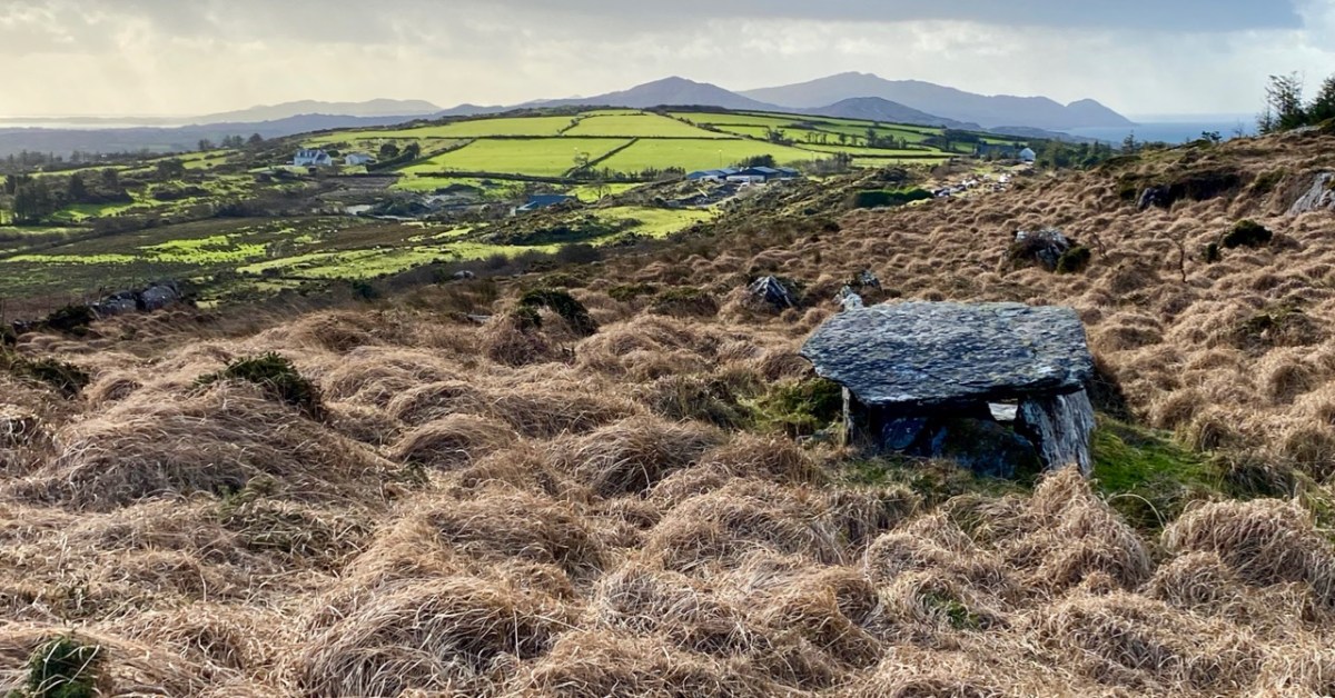
At this time we usually do a couple of ‘reviews’: looking back through the year and picking posts and photographs that jump out at us, asking to be shown again. Next week’s offering will be our selection of favourite Roaringwater Journal articles from 2021, but here, following on from Finola, is my choice of photographs that have never been published. We gave ourselves the stipulation that they have to be from West Cork, and they had to be taken this year. We are trying to have a minimum amount of commentary – and hope they will speak for themselves. First up – above – is Ratooragh Wedge Tomb, far down on the Mizen: we discovered it in February, and that exploration resulted in this article.

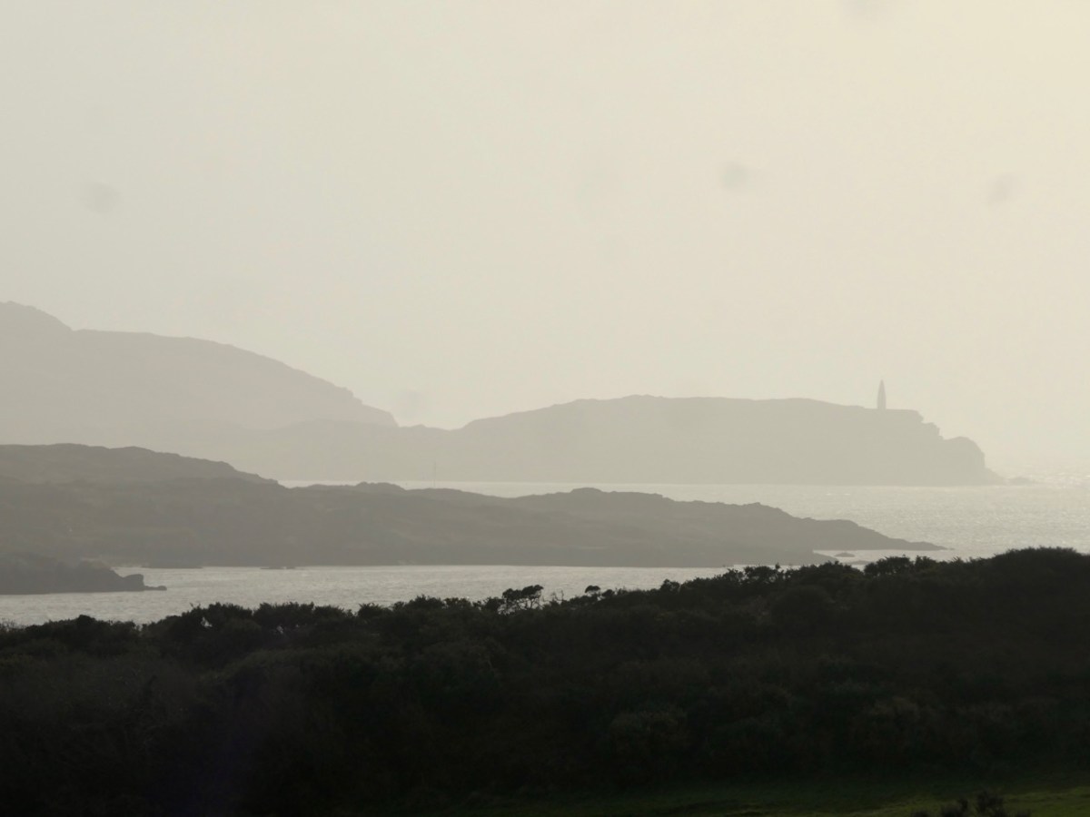
Baltimore Beacon has a recognisable profile: we can see it in the far distance from our home: Nead an Iolair
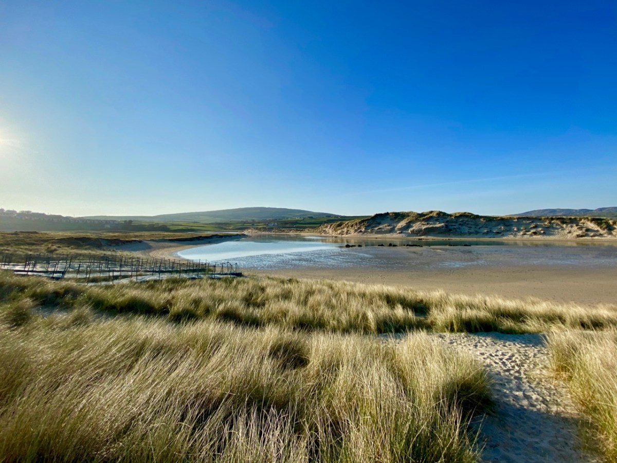
Barley Cove is a favourite place for us to walk – far enough away from the madding crowds: there are few of those in West Cork!
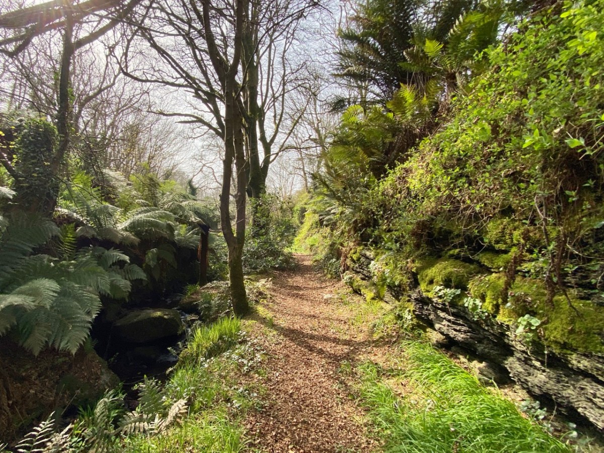
A path beside a stream at Caslehaven: there is a lot of history there – and a holy well!
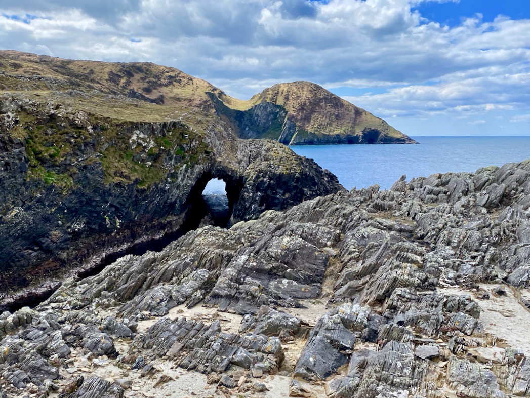
We like to explore the seascapes over by Dunkelly: here is a wonderful natural sea-arch
This view is from Inish Beg Estate, looking across the Ilen River towards the burial ground at Aughadown. In the background is Mount Gabriel
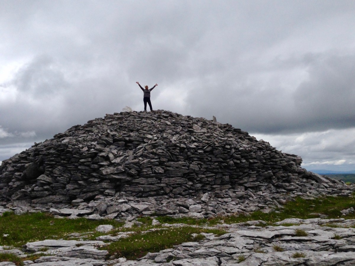
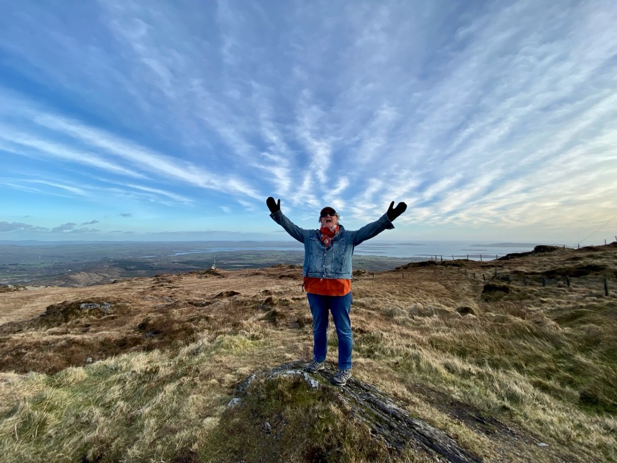
…And here is the view from the upper slopes of Mount Gabriel. Go up there on a good day and you are ensured the most scenic prospect from the top. During the year, Finola walked all the way up and – next – you can see her celebrating her achievement!
I can never resist a good sign! Ireland has plenty, and here’s one I had to put in my collection… For my latest examples, have a look at this post
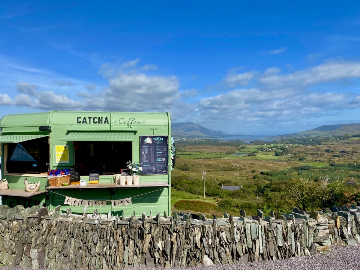
The strange times that we live in have seen an abundance of food and drink outlets springing up in town and country. I like the look of this one on the Beara
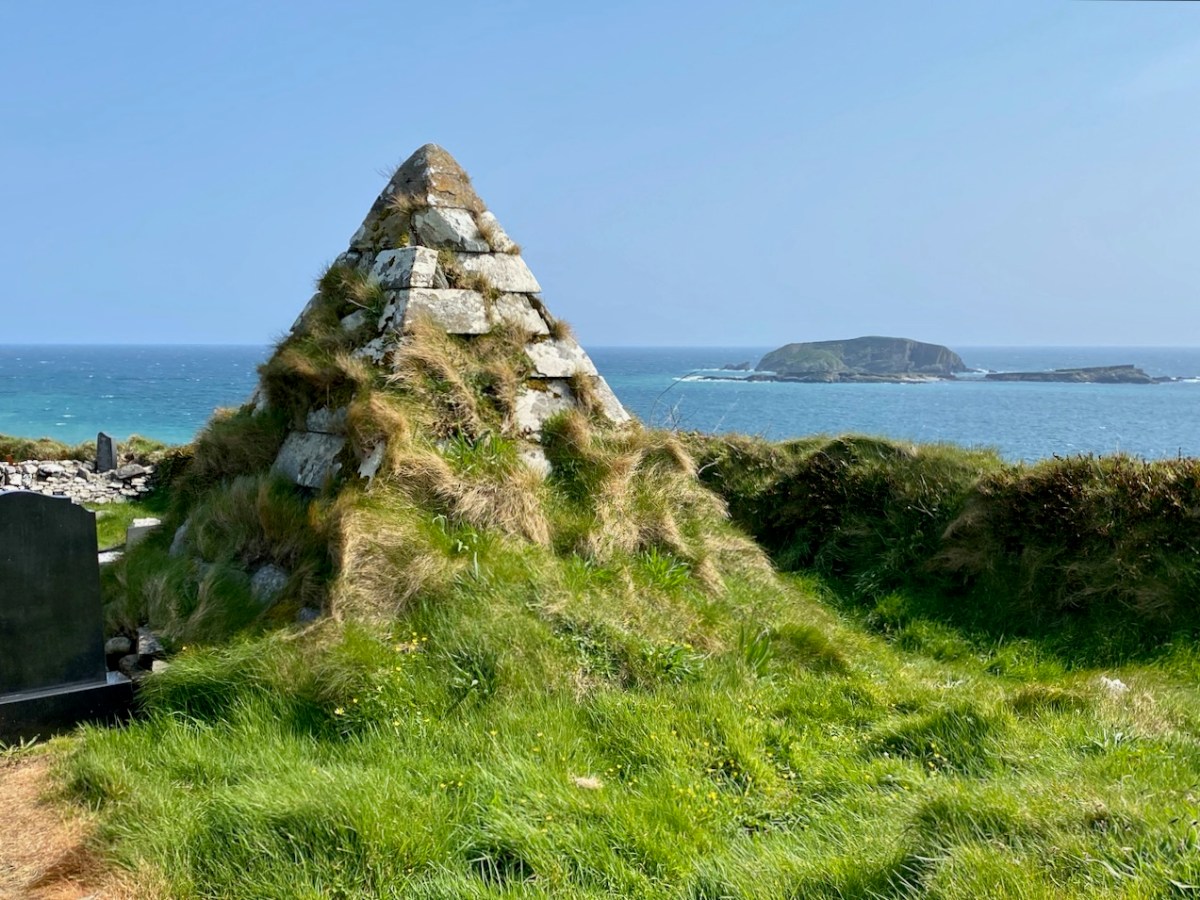
This pyramidical grave marker is one of a few in West Cork: it’s at Myross, and looks out over High Island and Low Island
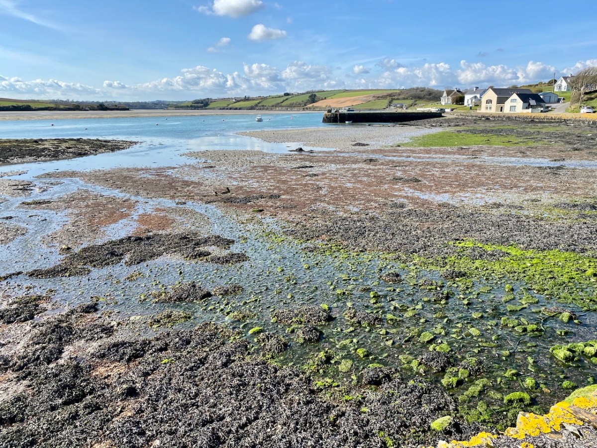
We explored the area of land and sea to the south of Clonakilty, resulting in this post, titled ‘Round Ring’
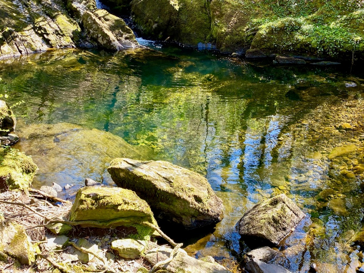
The West Cork landscapes offer an always changing mix of water and rock
This is the coastline at Dirk, beyond Ring: it really is that colour under the summer sun!
Our neighbouring town is Schull, which even in these Covid times was busy with seafarers in the summer holidays
We look down on Rossbrin Cove. Here is our view on a clear day in February
I asked Finola to take my picture next to this gentle giant – I couldn’t resist!
This may seem a surprising picture to finish off with, but Yay Burger has become our go-to on a Sunday night after a hard day on the Blog! Yay Burger has been a life-saver for us through the pandemic, and is one of a number of food outlets that have earned Ballydehob the title ‘centre of the culinary universe’

A Signal Success in Irish Engineering – Part 10: Toe Head

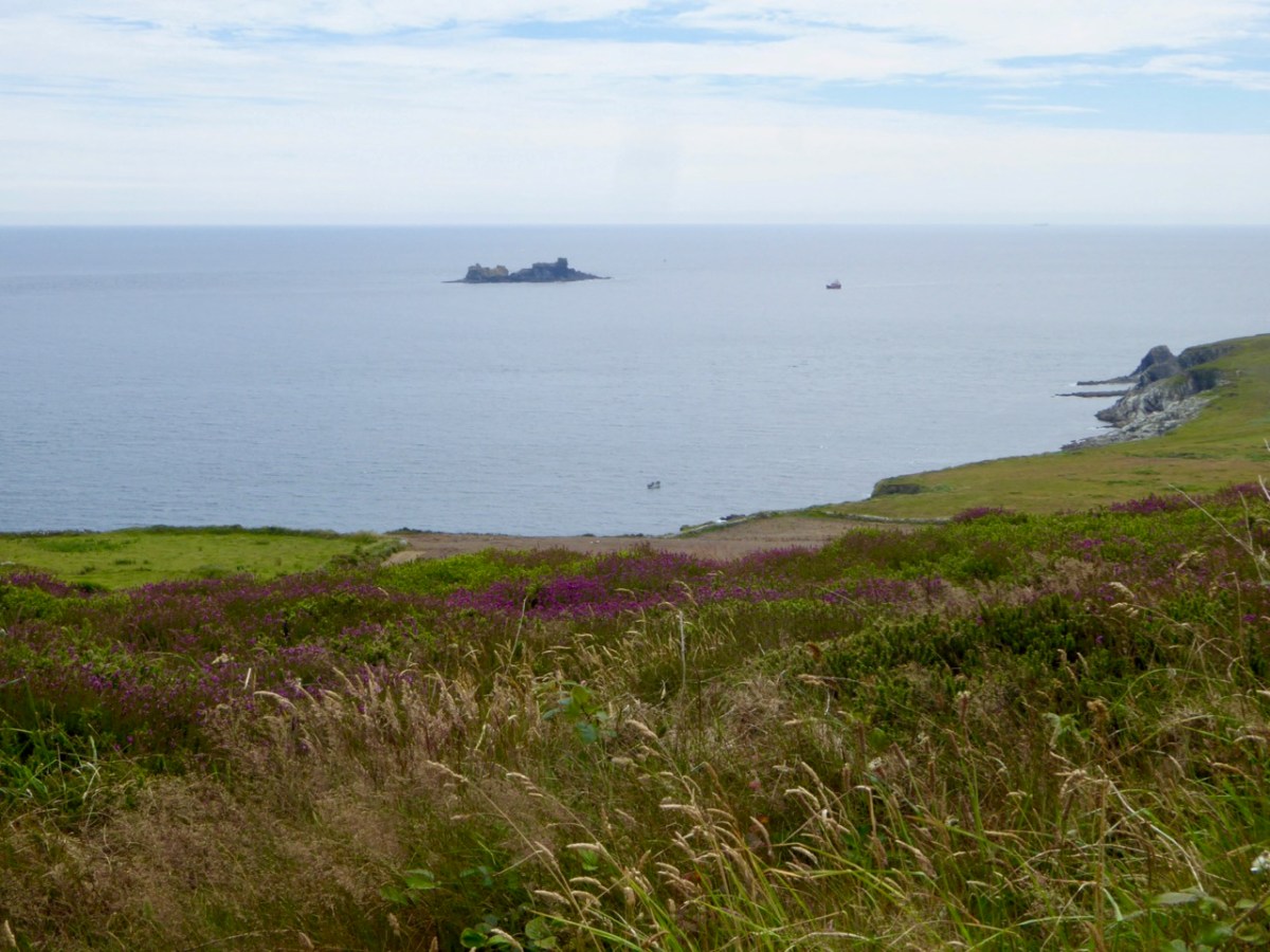
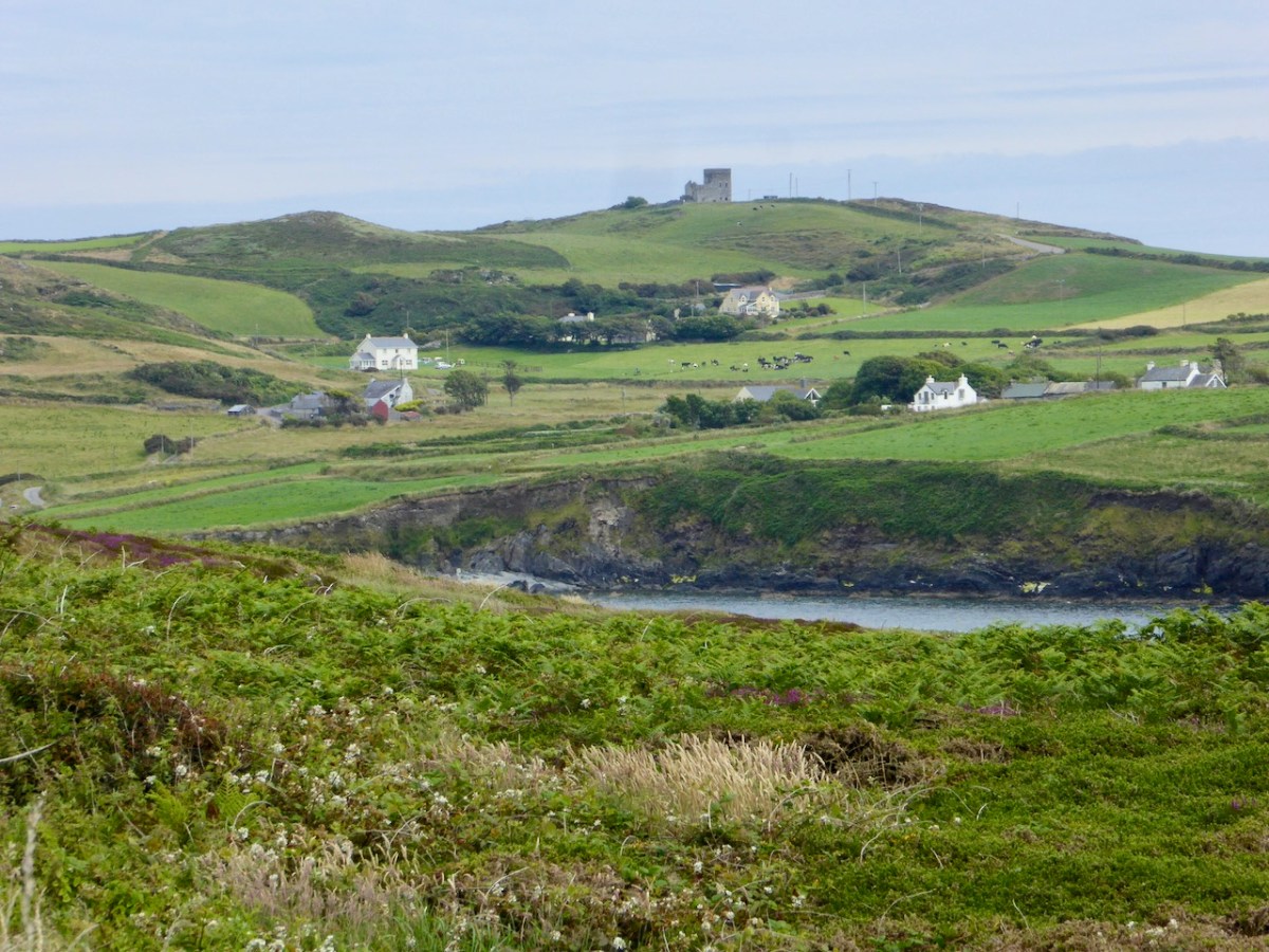
Here’s the latest episode in our series about Napoleonic-era signal towers in West Cork. There are links to the earlier posts at the bottom of this one. That’s Toe Head above – in the far distance, and that view is taken from the signal tower site at Kedge Point, Spain, to the east of Baltimore.

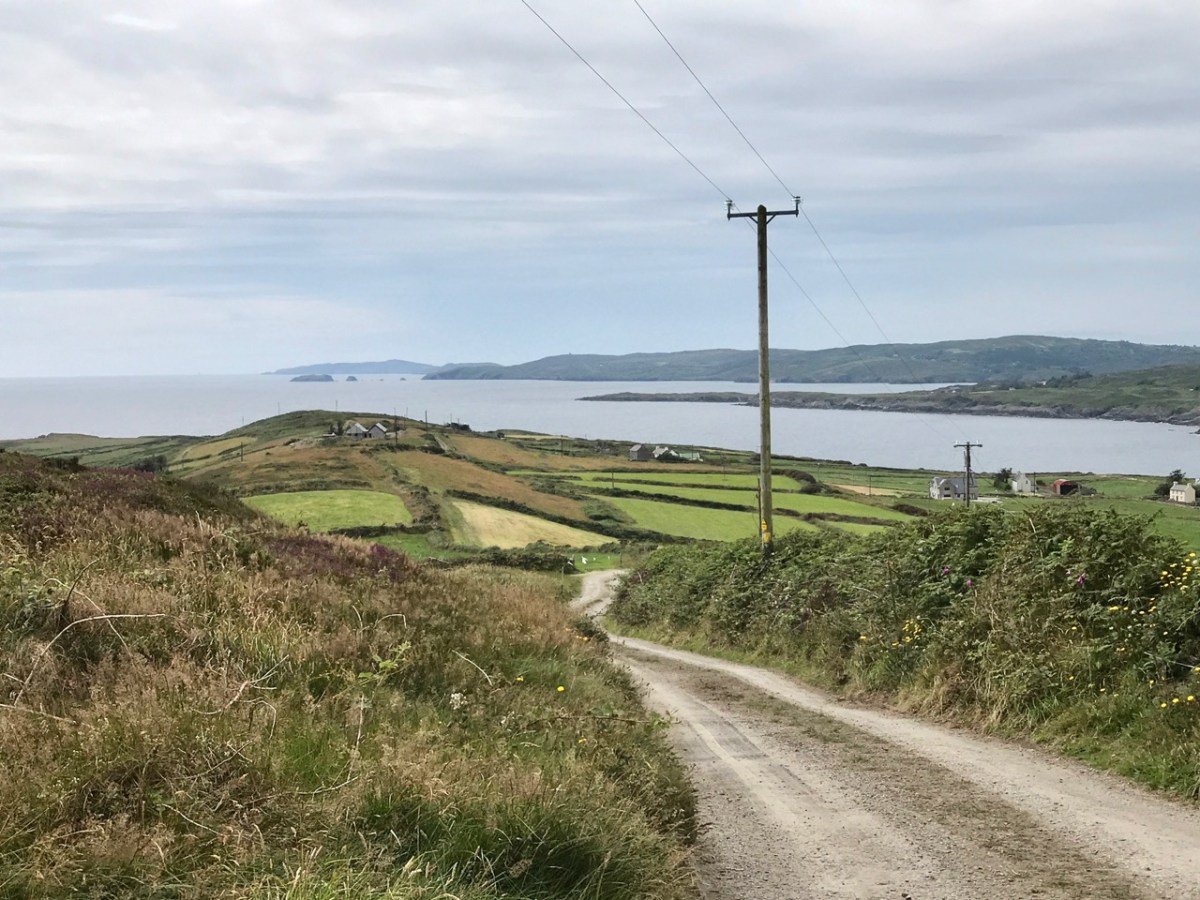
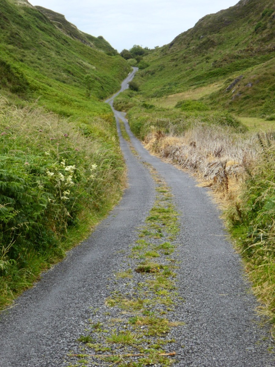
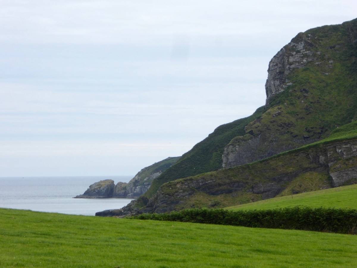
Toe Head itself is a spectacular setting in West Cork: the views, above, show the nature of the terrain, the boreens, and the seascape in the area. So far I have written accounts of nine signal towers: this is the tenth. I’d like to tell you how many of these structures are in West Cork, but that would mean that I would have to geographically define ‘West Cork’. I can’t do that, as there is officially no such area: we are all part of County Cork! All I can do is to let you know that there are nineteen signal tower sites located in the whole County. I have another nine to cover, after this one. But I assure you – Toe Head is definitely in our West Cork!!

Here’s the Toe Head tower – in a sea of black bales. If you have followed the series so far, you will have noticed that each tower is fairly basic, and generally offers the appearance of a medieval castle. But they were all built at the very beginning of the nineteenth century, to provide a system of surveillance and signalling around the coast of Ireland, from Malin Head in the north to Pigeon House Fort, Dalkey, on the east coast. Each signal tower is within view of one – or two – others, depending where it lies on the chain. In the first post in the series, here, I explain the logic and geometry of the project.

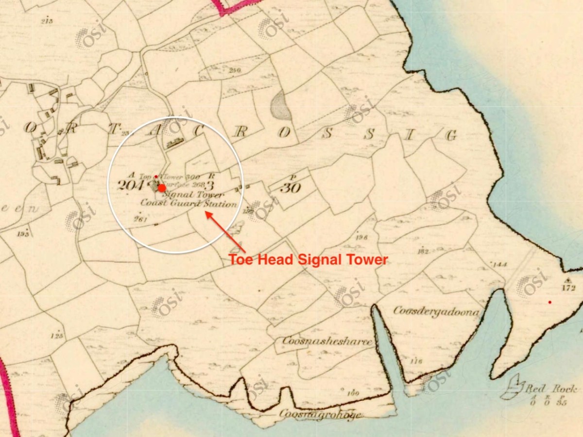
The 6″ Ordnance Survey map extract in the upper picture dates from 1842. By this time the use of the tower for signalling had ceased – the Napoleonic invasion threat lasted only through the first few years of the century: many towers became disused after this and some have vanished altogether, although many ruins do remain because of their remote locations. In the case of Toe Head, the building was adapted to incorporate a Coast Guard Station. I am assuming that, originally, the tower was a simple square structure , and the extension to the rear was added to provide additional accommodation for the Coast Guard service. The current aerial view shows newer farm buildings and an access road close by.

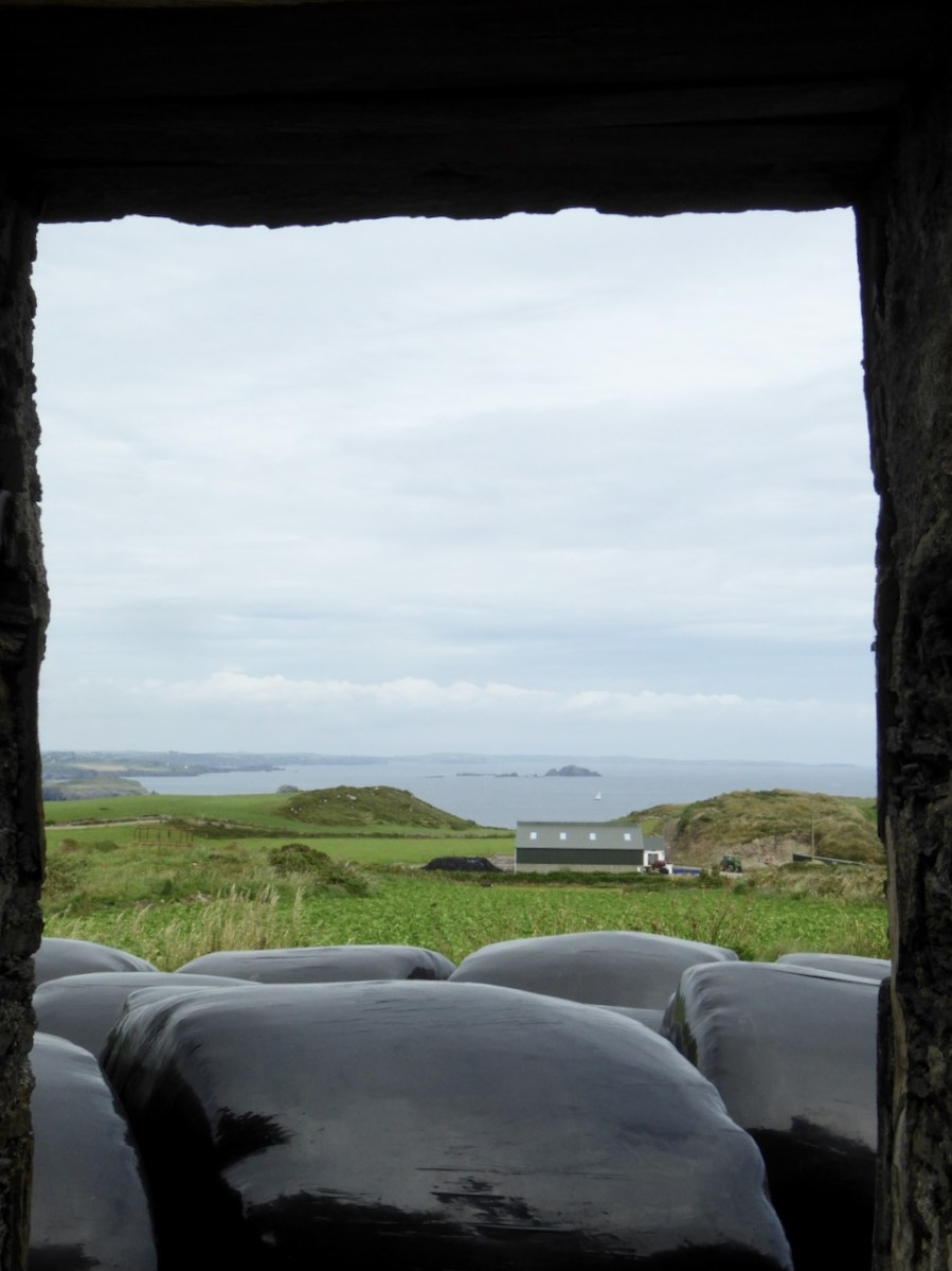
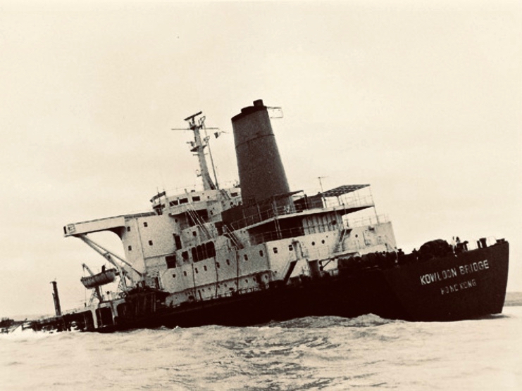
If you look at previous posts in this series, you will see that the Toe Head tower is architecturally simpler, with no bartizans or other ornamentation – it’s more like a small Anglican church tower than a ‘castle’. Like many others, it’s clear to see that this building was slate-hung: this form of weather-proofing was probably added at a later date – possibly when the Coast Guard service took it over. At the centre of the view from the window above you can see the Stag Rocks which in the 1980s became the graveyard of the 900ft long Kowloon Bridge, a bulk cargo carrier travelling from Quebec. The ship was disabled by a storm and then abandoned, drifting on to the Stags. A detailed account of the event was posted in the Irish Examiner 30 years later.

The abandoned Wreck of the Kowloon Bridge close by the Stags in November, 1986 (centre picture). The lower picture shows the wreck underwater today (courtesy Aquaventures.ie): she drifted out of control towards the rocks before running aground on the reef. The resulting fuel spill spread out over the Irish coastline causing extensive damage to local wildlife, and financial losses for the local fishing fleet. Apparently, no-one was ever held to account for the environmental disaster.

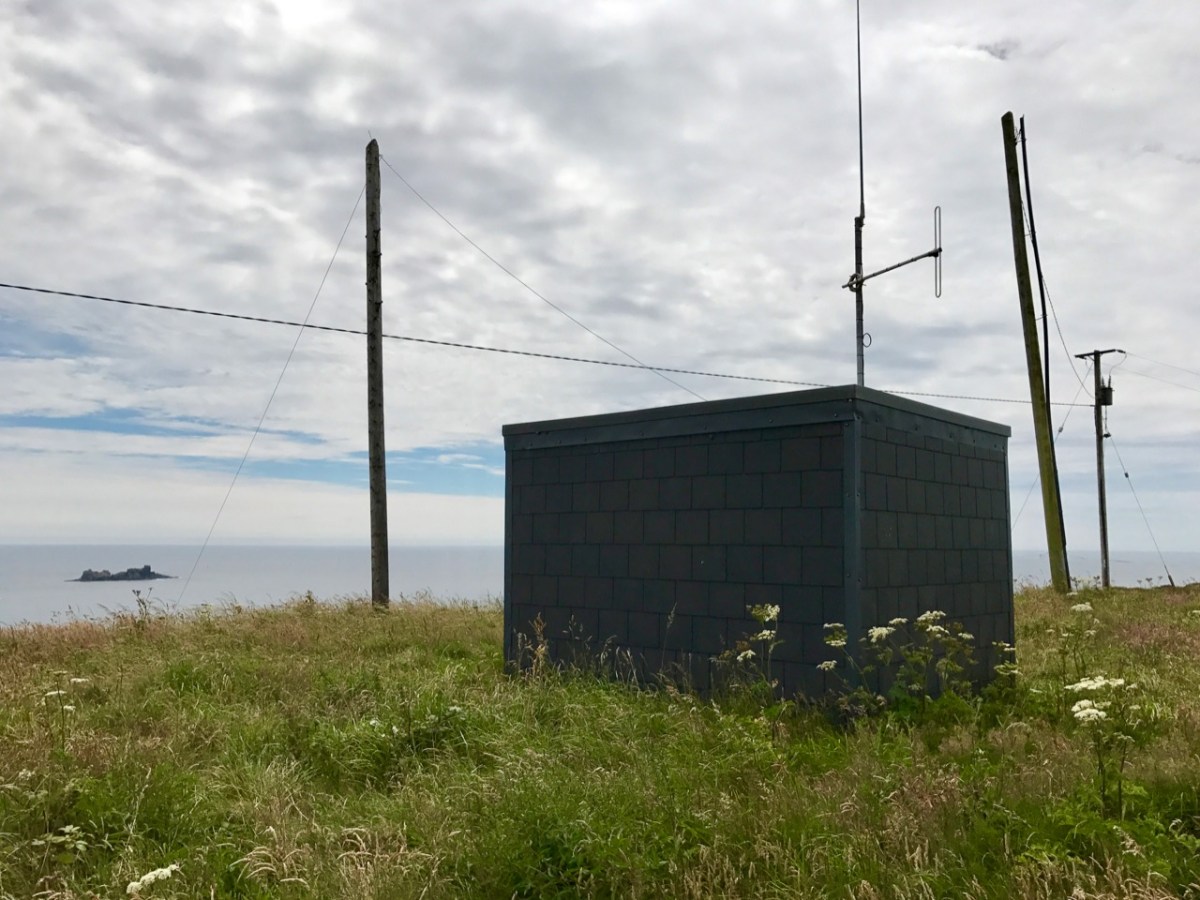
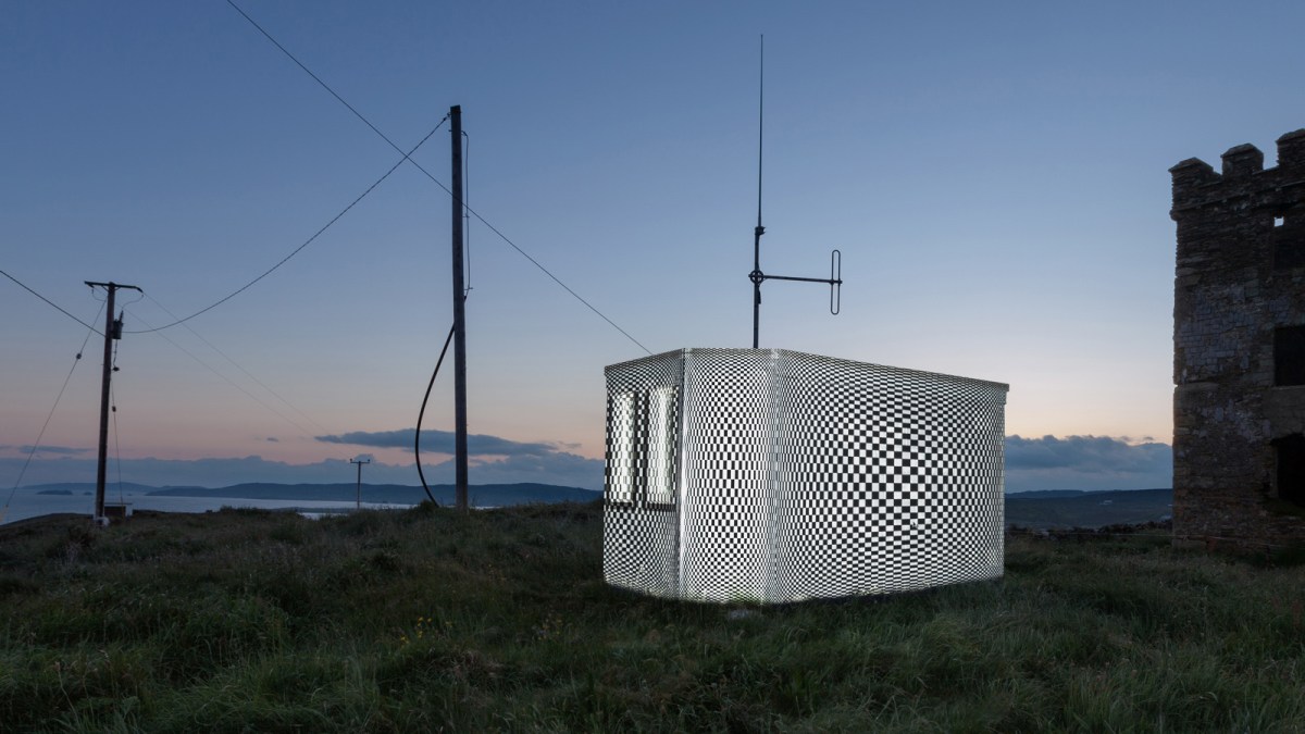
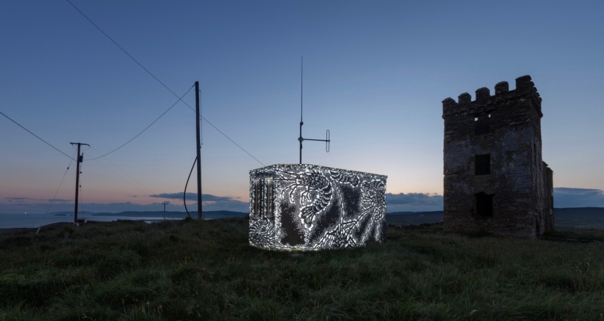
The Stag Rocks can be seen in my picture above, which shows the current incarnation of a World War II Lookout Post that was put in place close by the older signal tower in 1942. You can read more about these lookouts in this post: they were designed by Howard Cooke RIBA of the Irish Office of Public Works at the outbreak of that war (during which Ireland remained neutral). I mentioned in that same previous post an art installation project carried out in 2014 by Tim Schmelzer of Vienna. His work at Toe Head is particularly impressive, and here are some still shots to illustrate the nature of the artworks, which were created on-site using high-powered projection equipment.

The signal tower ruin today is gaunt and desolate. Nevertheless it’s an atmospheric place to visit. On the slopes below the building is an EIRE sign (officially number 28), also dating from the World War II years, when Irish neutrality had to be spelled out to the warring powers flying overhead. I came across an interesting comment from Anne Wilkinson in 2018, giving a slightly different take on the EIRE signs:

. . . These EIRE signs were also to alert German Pilots and crew who were conscientious objectors and who had overflown the UK, to ditch and parachute to safety. Many airmen lived at the Curragh Camp. They were allowed freedom during the day, eg. they often cycled the lanes and roads to enjoy the peace and quiet and then returned to the Curragh Camp for their curfew hour . . .

http://eiremarkings.org/the-map/

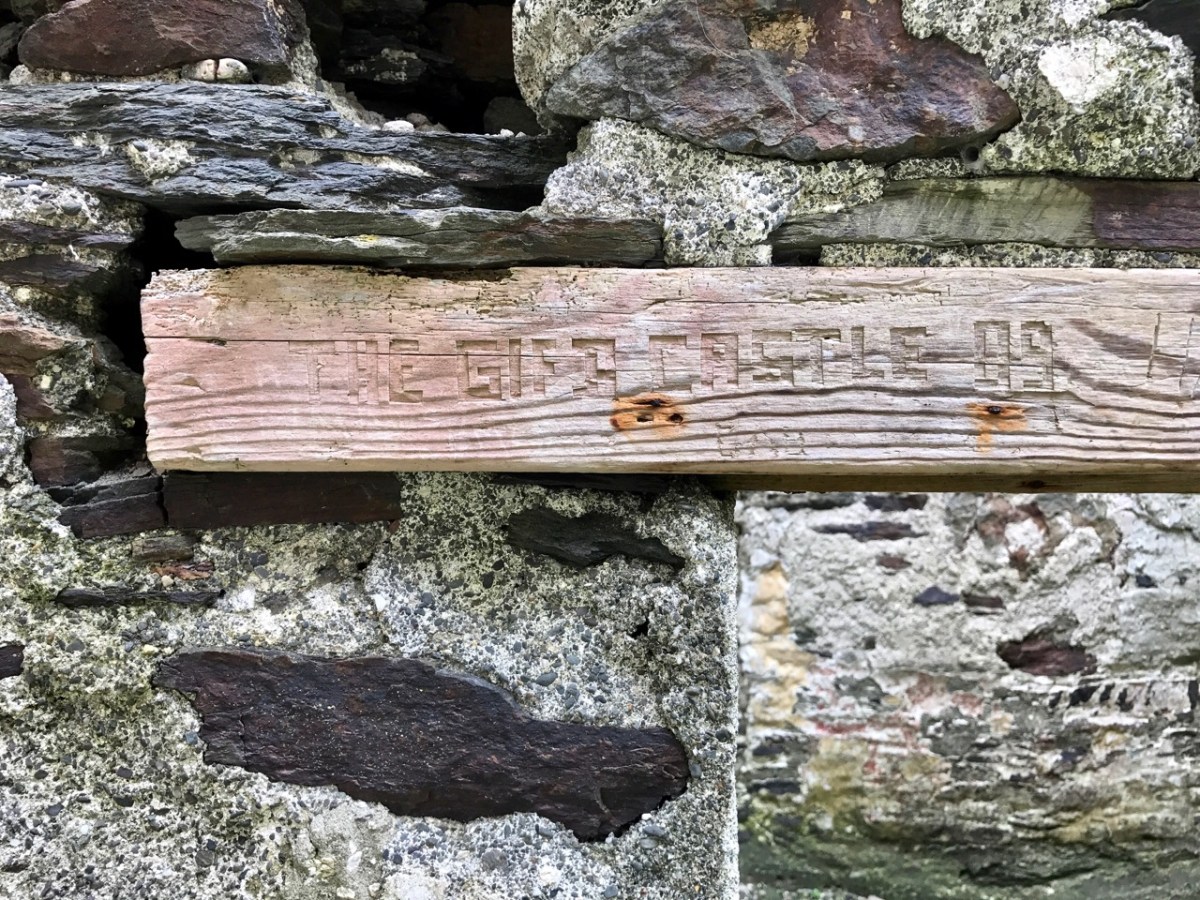
And here’s a little enigma to finish off the post (above). It’s graffiti carved on a timber lintel over one of the openings of the signal tower buildings. It’s probably quite recent – dating from ’89 or’99 – but what does it spell out? And why is it here? It’s tempting to say THE GIFT CASTLE but that ‘T‘ after the GIF doesn’t ring true . . . There’s a story there somewhere: perhaps one of our readers can give us a clue! Finally, here’s a distant view of the signal tower, looking across Toe Head.

The previous posts in this series can be found through these links:

Part 1: Kedge Point, Co Cork

Part 2: Ballyroon Mountain, Co Cork

Part 3: Old Head of Kinsale, Co Cork

Part 4: Robert’s Head, Co Cork

Part 5: Downeen, Co Cork

Part 6: Dunnycove

Part 7: Cloghane, Mizen Head

Part 8: Brow Head

Part 9: Glandore Head

Glencree

On our most recent trip to the east of this beautiful country – County Wicklow – we experienced the first snows of winter lining the edges of the remote roads that penetrate the mountains here. It’s a magnificent although often bleak wilderness: immersed in such vast, empty tracts of moorland you feel as far away from the civilised world as you can get without leaving these shores, yet Dublin city itself is just a stone’s throw distant – another of Ireland’s remarkable idiosyncrasies.

The 1790s was an era of conflict and change across the western world. News of independence in America and revolution in France inspired Catholic and Presbyterian communities in Ireland. In 1791, the Society of United Irishmen was founded, with the hope of uniting all religious persuasions in pursuit of Irish independence. In the late 18th century, the wild, inaccessible Wicklow mountains provided ideal shelter for insurgent groups who set out to disrupt British and loyalist forces. The deep valleys and fast strongholds of the natural terrain hid rebels from reprisals long after the United Irish forces had succumbed in other areas of the country. This group of ‘outlaws’ was so troublesome that the authorities resolved to forge a road across the impenetrable landscape:

. . . Construction of the road began in 1800 through parts of the county “infested with insurgent plunderers”. The road commenced from Rathfarnham in Dublin to Killakee and continued over the Featherbed Mountain to Glencree, where a major camp was formed. There were four work parties of fifty men each. Soldiers were paid a shilling a day and overseers earned five shillings daily; but very few local civilians could be induced to accept work and no “dependence” was placed on those that did . . .

http://www.glencree.ie

The Sally Gap and Wicklow Gap roads built by the British are still the main roads through the Wicklow Mountains today. The network of military barracks that they link are still to be seen at Glencree, Laragh, Glenmalure, and Aughavannagh. Intended to stop local unrest, ‘Wicklow Military Road’ is today a scenic reminder of the dramatic events of that time.

Built originally as a British Army barracks, the settlement at Glencree has gone through several mutations. This photo from the nineteenth century (above – courtesy Glencree.ie) shows St Kevin’s Reformatory, established on the site of the then abandoned barracks in 1858 and running through to 1940. One suspects it was a grim place: there are few records existing. It housed up to 300 boys.

Many of the buildings survive today, when Glencree has become the home of The Centre for Peace and Reconciliation. Founded in 1974 in response to the conflict in Northern Ireland, Glencree played an important role in the Irish Peace Process, bringing together those in conflict for confidential dialogue and helping to build relationships across divides. This Irish-based, independent, non-governmental organisation has evolved its expertise on a global basis, and this has been shared in more than ten conflict and post-conflict countries around the world.

There is so much to discover in Glencree. You may be surprised – as we were when we first visited – to come across a German cemetery. Set in a landscaped former quarry, the German Military Cemetery is one of the many German war cemeteries in Western Europe. The bodies of 134 German military servicemen and civilians are buried here, dating from both World Wars. It is a secluded, peaceful garden of memory, marked by art and poetry, and kept in immaculate order.

You could ponder at length on this little graveyard: there are many historical connections. After the nearby Reformatory School closed, the buildings were used for a time as a refugee centre for German children following the bombing of Dresden in 1945. In 1954 the German Legation sent a letter urging the Irish authorities to give consideration to a single cemetery for German war dead in Ireland. These would include German soldiers and sailors washed up on Irish beaches, wrecked or crash-landed after being shot down during the Second World War. Six graves at Glencree remember German soldiers who died in British prisoner-of-war camps in Ireland during the First World War. All the bodies were re-interred here after this cemetery opened in 1961. In pre-Covid times, there would be a series of commemorative events in Glencree every November to pay respect to all victims of all wars.

There is added interest, for us, at Glencree: a grotto established (as far as I can ascertain) in the Marian Year of 1954, dedicated to Our Lady of Reconciliation. It is reached from a path and steps which descend into the stream valley below the church.

The ‘cave’ is much visited, and – as in many other locations in Ireland, particularly holy wells – petitions for the good health of individuals, and personal relics are in evidence.

Glencree is a place apart. You might, as did we, come across it by accident and get drawn into its many strands. You should certainly visit this secluded haven of tranquility in Wicklow, and consider the implications of its transition from a base of an occupying military force in a wilderness haunted by outlaws to a modern-day centre of reconciliation.