A Signal Success in Irish Engineering – Part 1: Kedge Point

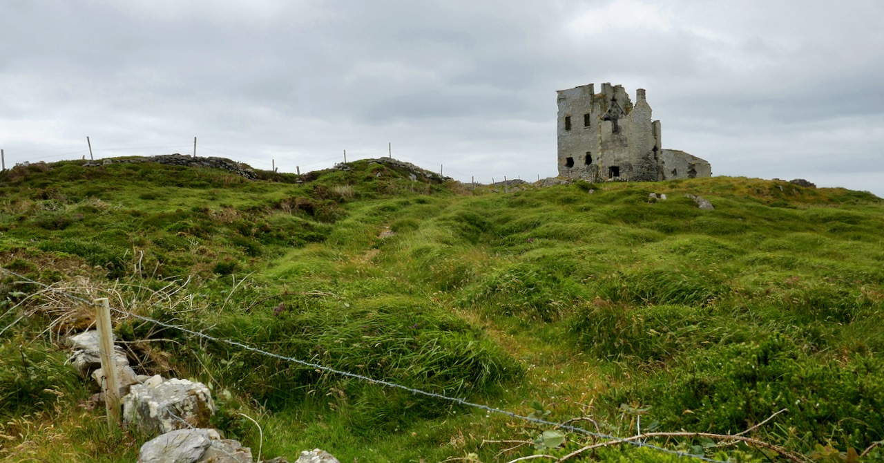
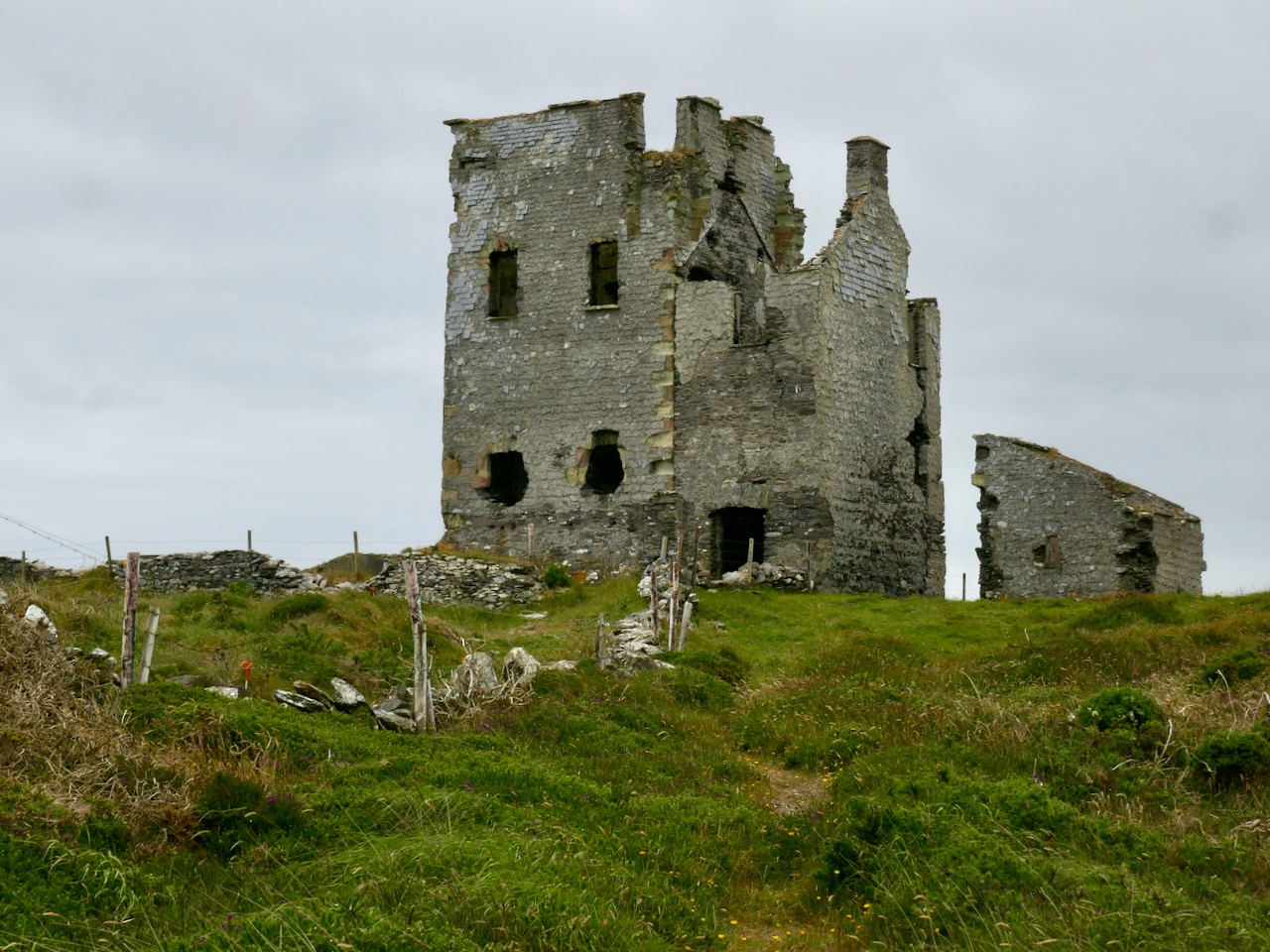
At first sight this gaunt ruin on the West Cork coastline could be taken for a medieval fortified house or castle, but we can date its construction very precisely – to 1805, and we also know its purpose: long-distance communication. It was only put to use for a few years, and has been derelict at least twenty times as long as it was ever in service. It’s a signal station, one of over eighty similar structures around the whole coastline of Ireland, an initiative which represented a major engineering feat of its time.

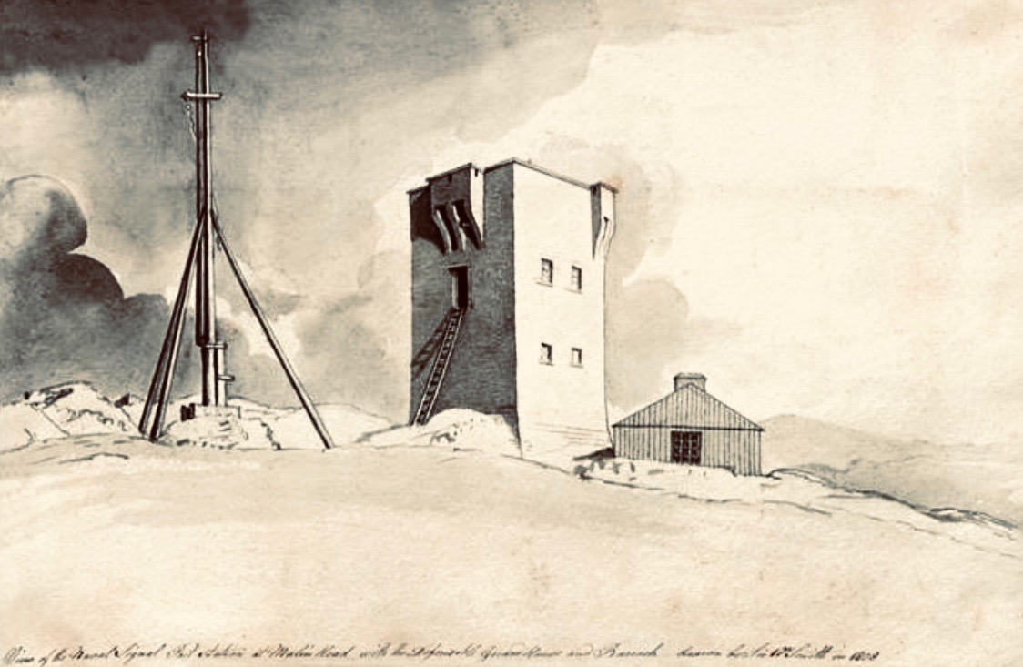
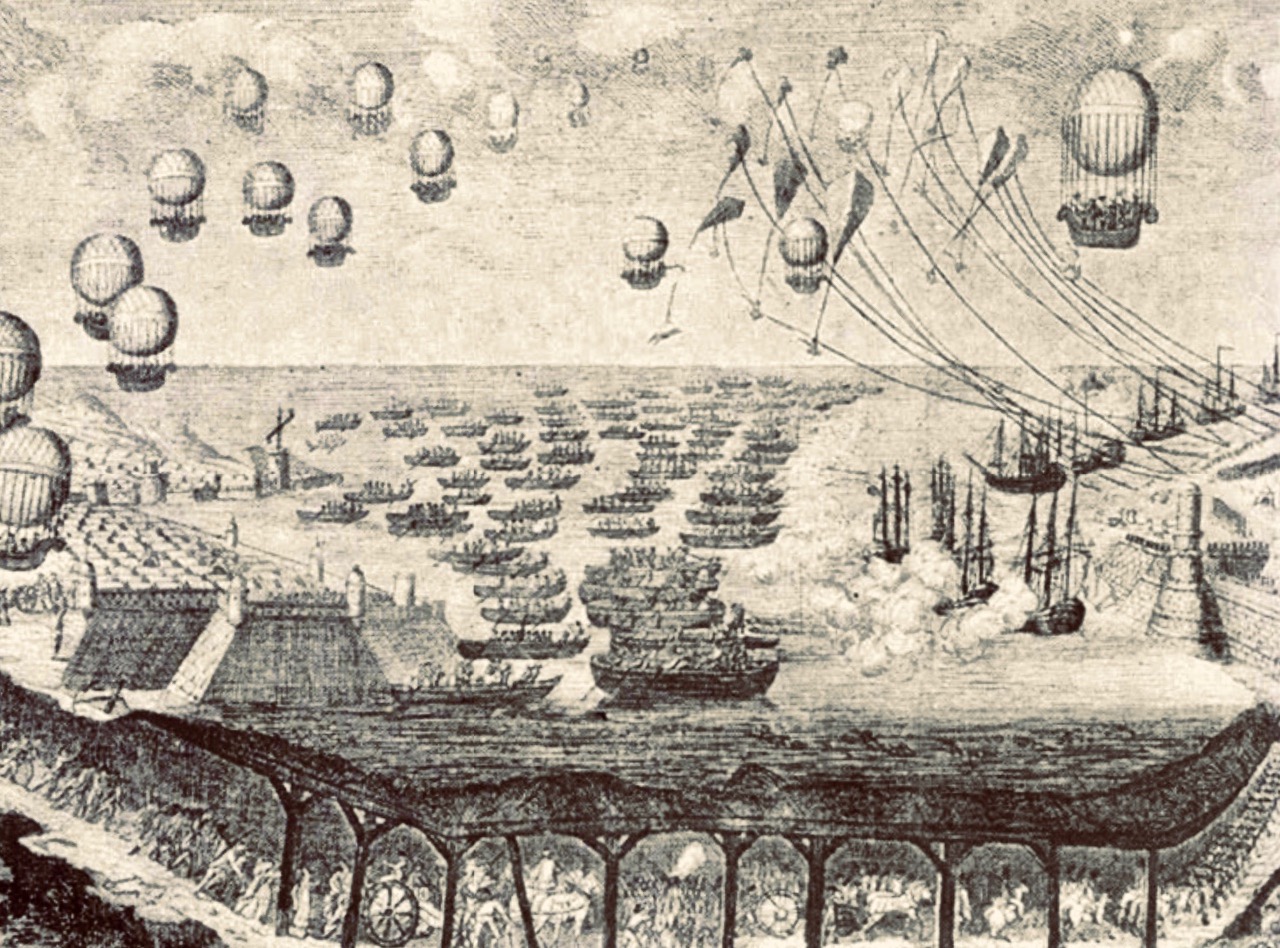
This watercolour sketch by surveyor Sir William Smith is invaluable: it dates from 1808 and shows a signal station in use in its heyday. This one is at Malin Head on the Donegal coast, Ulster, and shows the elements which would have been common to all of the stations: a signal mast, a defended tower and a ‘guard house and barrack’ – probably also an equipment store. The signal tower bears a striking resemblance to the Irish ‘tower house’ or castle dating from several hundred years earlier, with its bartizans, machicolation, base wall batter and raised entrance, All these features were practical as the towers were military installations built in the times of the Napoleonic Wars. The cartoon (below) dates from 1805 and encapsulates the fear of invasion that swept over Britain in the early 19th century. Balloons, kites, flotillas of troopships and a channel tunnel were all envisaged as ways in which the French might conquer these islands! Humorous though this may seem, France had already used military balloons in the 1790s, and Bonaparte appointed Madam Blanchard as his ‘air service chief’, though she told him an aerial invasion would probably fail because of adverse winds.

Since Theobald Wolfe Tone and the Society of United Irishmen attempted to rally France behind the Irish cause in the 1790s, Ireland was seen as a possible focus for the feared invasion, and led to the British Admiralty constructing the system of signal stations as observation posts, together with 50 Martello towers, each maintaining a garrison of troops, officers and heavy artillery. The principal purpose of the signal towers was to keep watch on the coasts and to rapidly send signals around the country if unrecognised shipping was seen. Each tower, therefore, had to be within sight of one or more of its neighbours in both directions. The average distance between towers was 13.5km, although here in West Cork the towers at Brow Head and Mizen Head are only 3.8km apart. Ireland’s coastline is about 1,400km long, depending how you measure it.

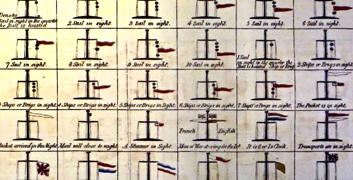
Various combinations of flags and canvas ‘balls’ could be quickly assembled on the signal masts and, with the use of a code book (above) fairly complex messages might be circulated. Another vital piece of equipment, of course, was a high quality telescope. As the Navy had such essential apparatus – and the experienced personnel to use it – the Irish signal towers were largely manned by active or retired sailors.

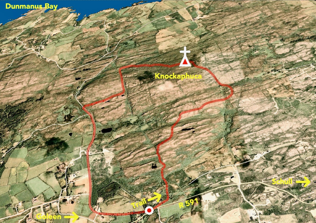
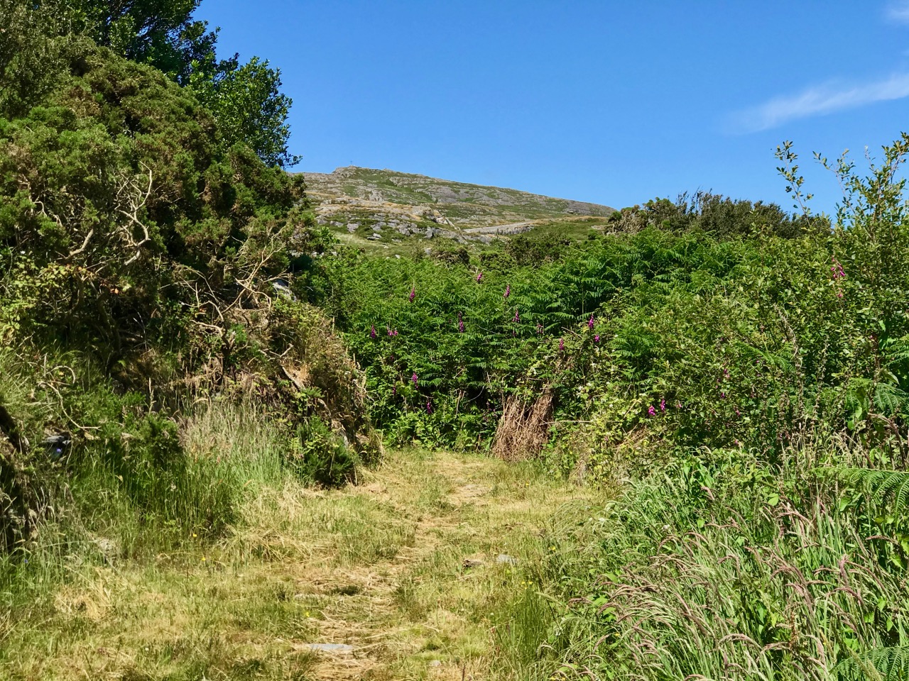
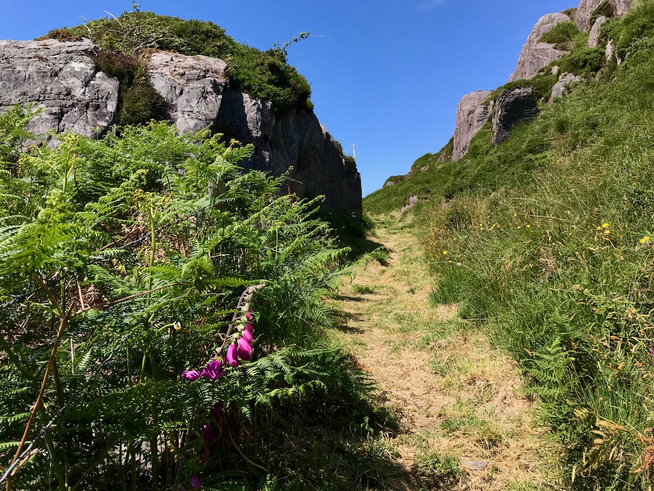
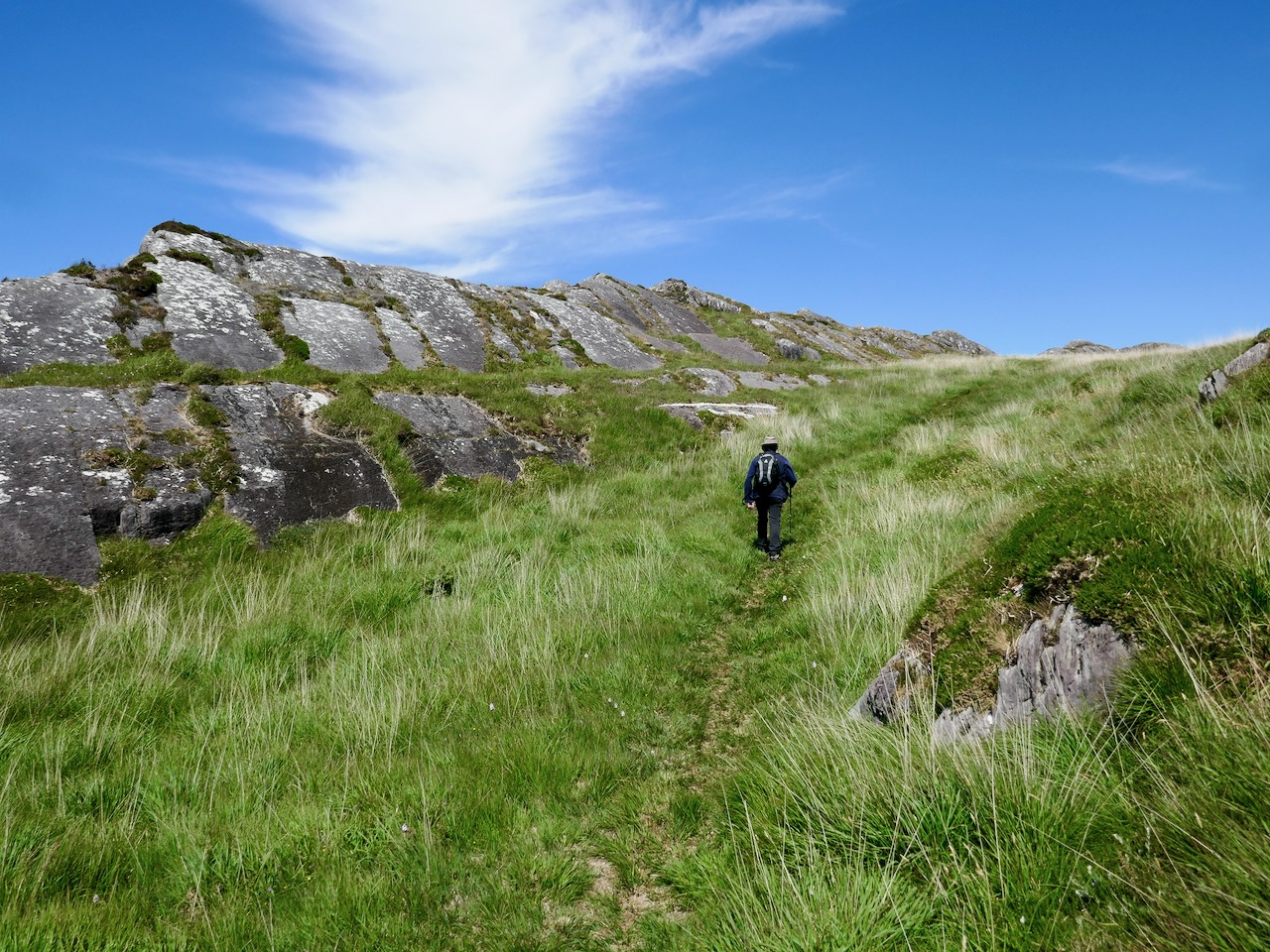
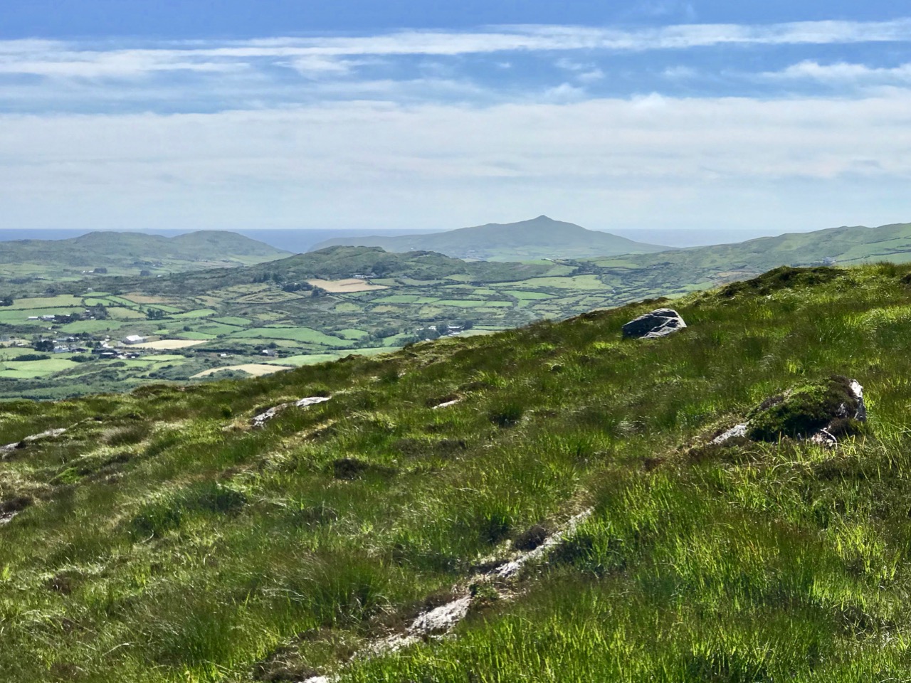
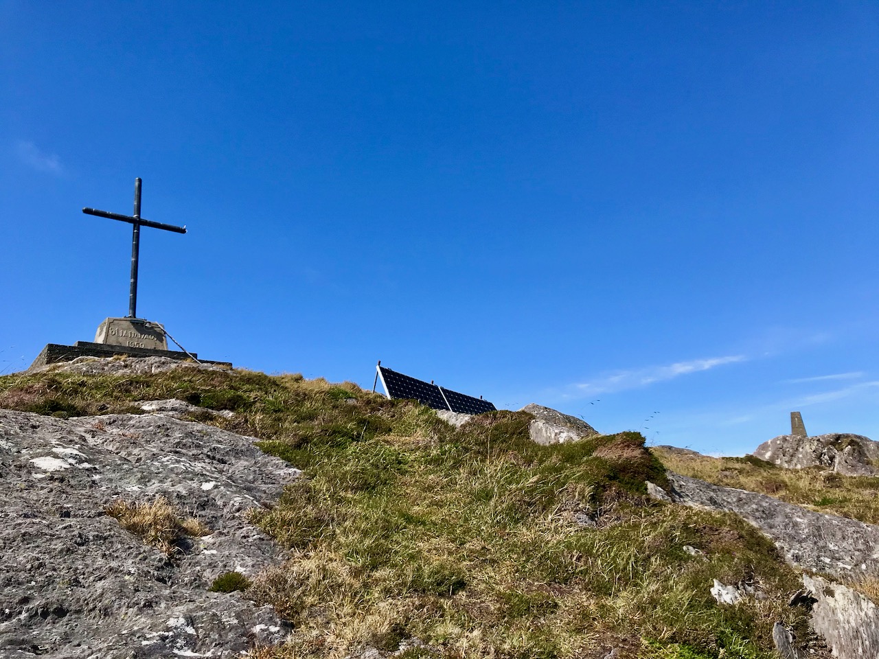
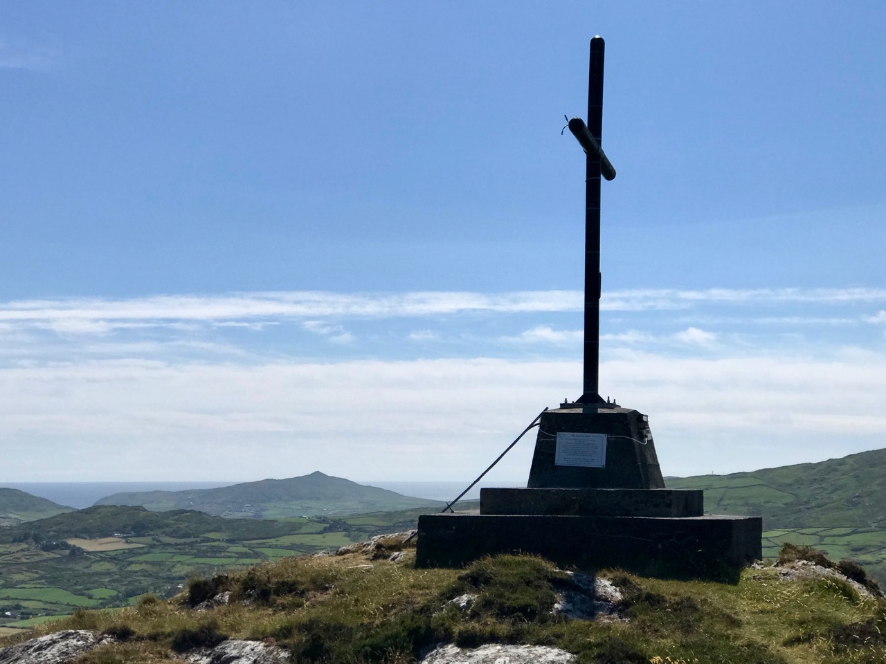
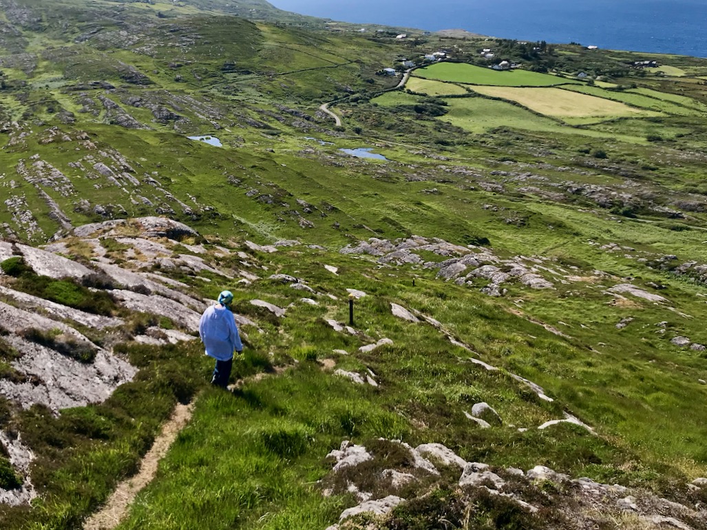
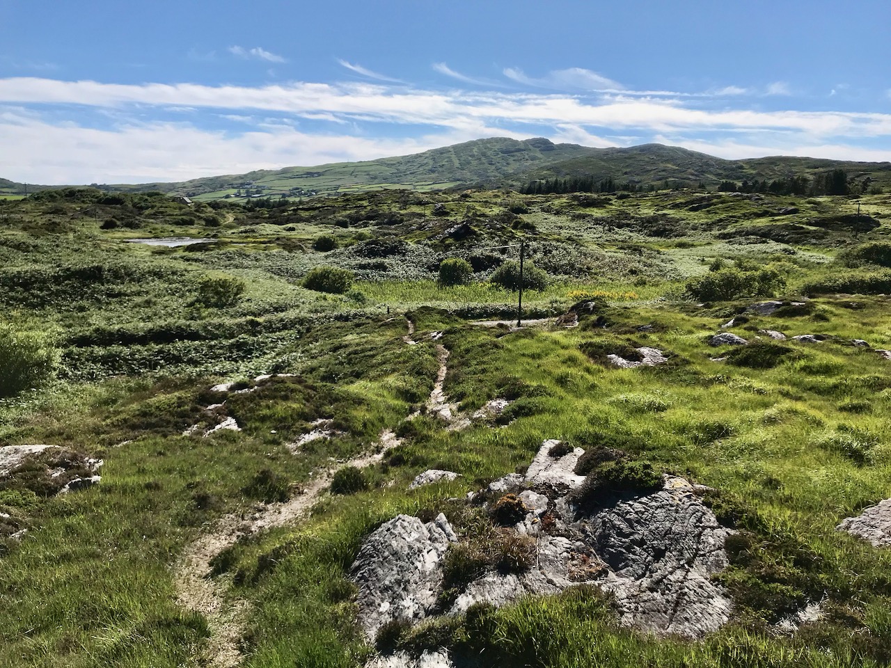
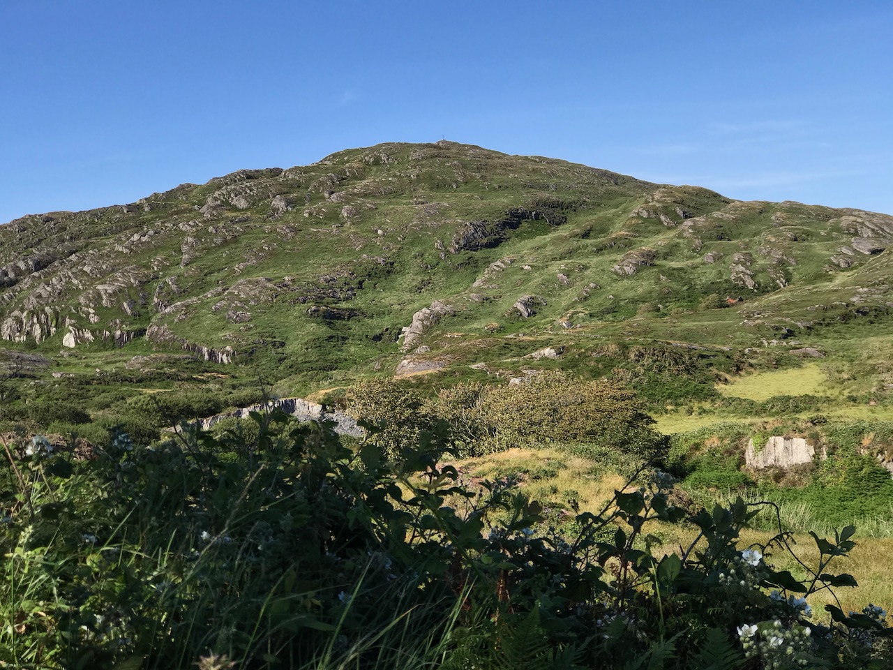
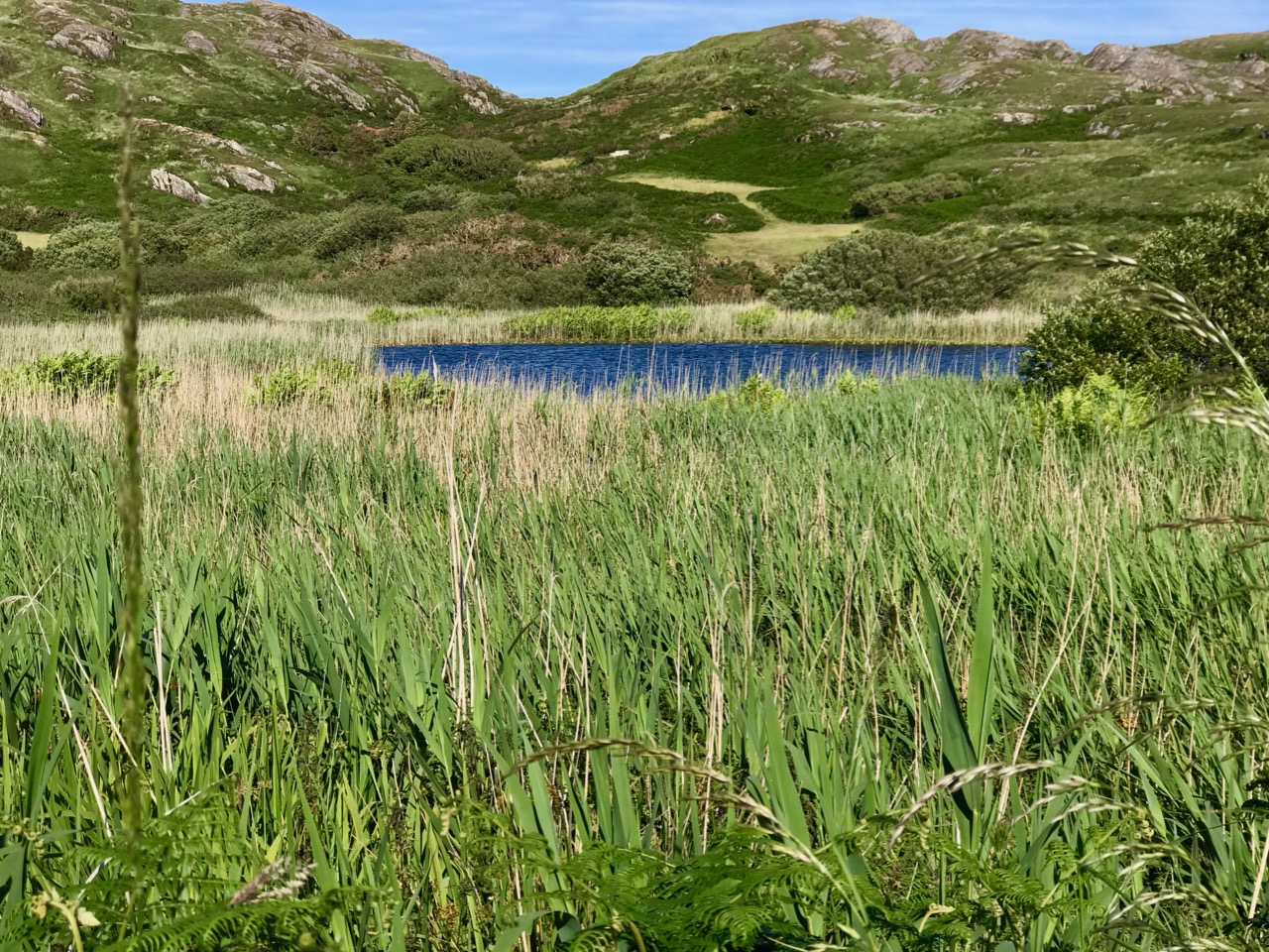
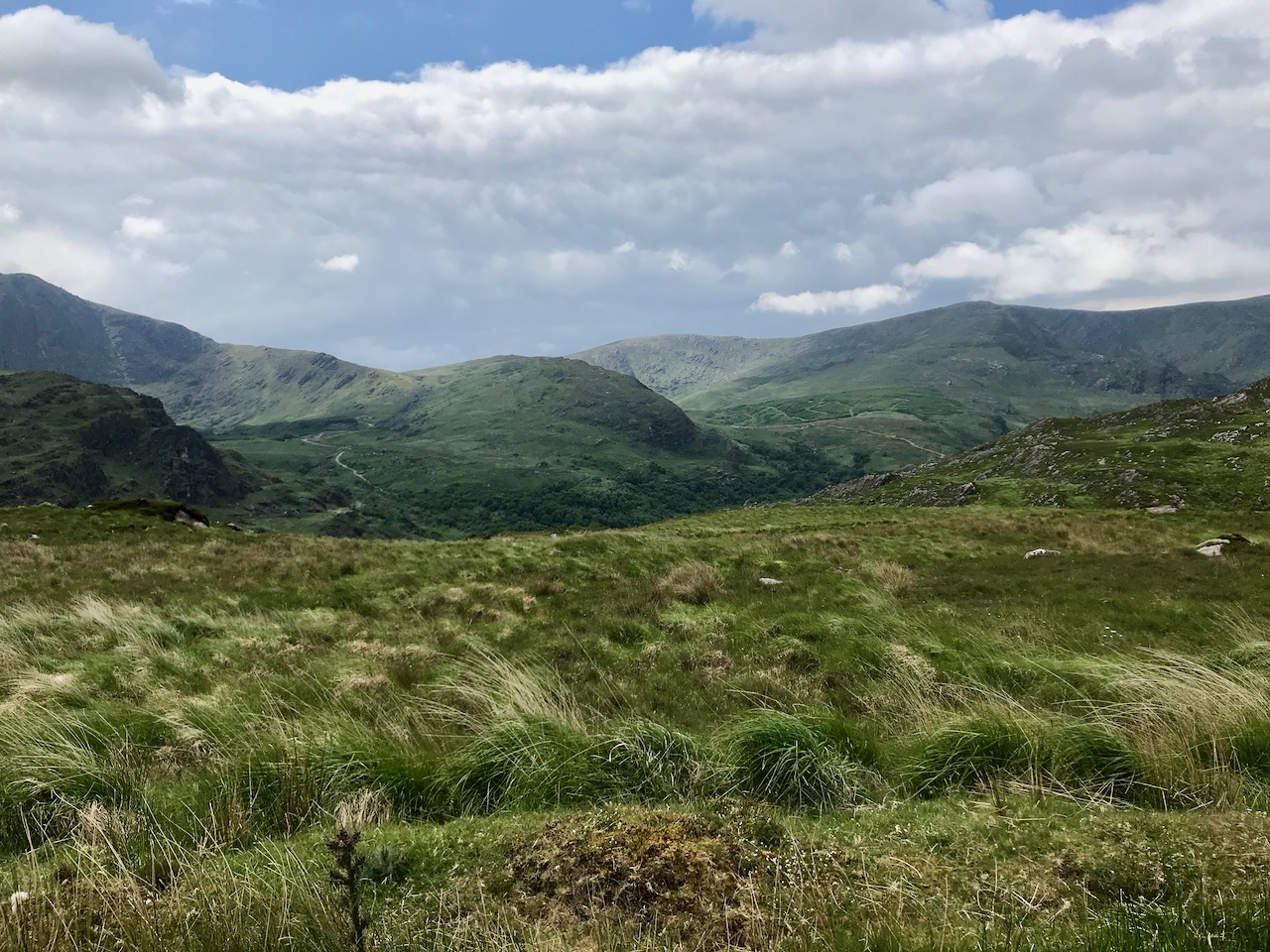
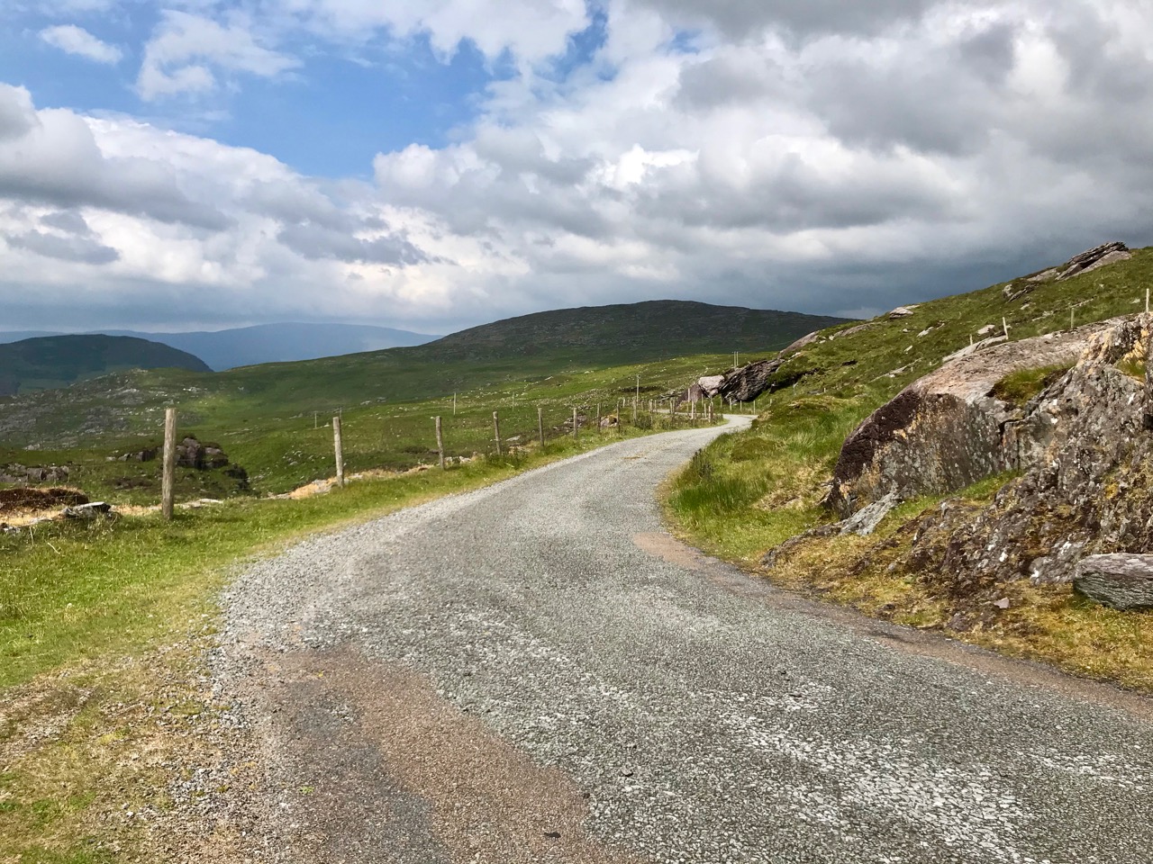
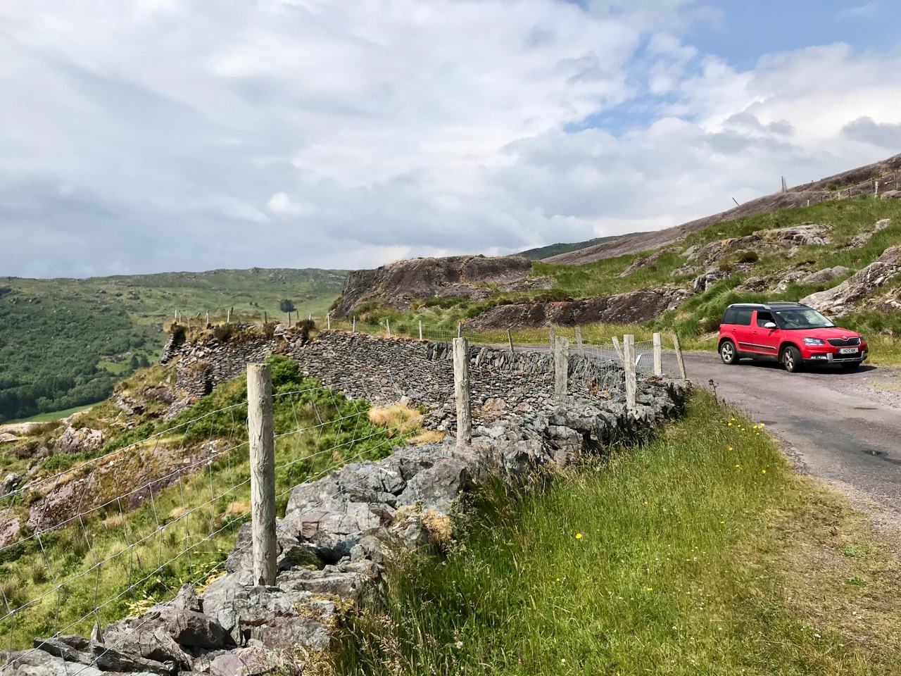
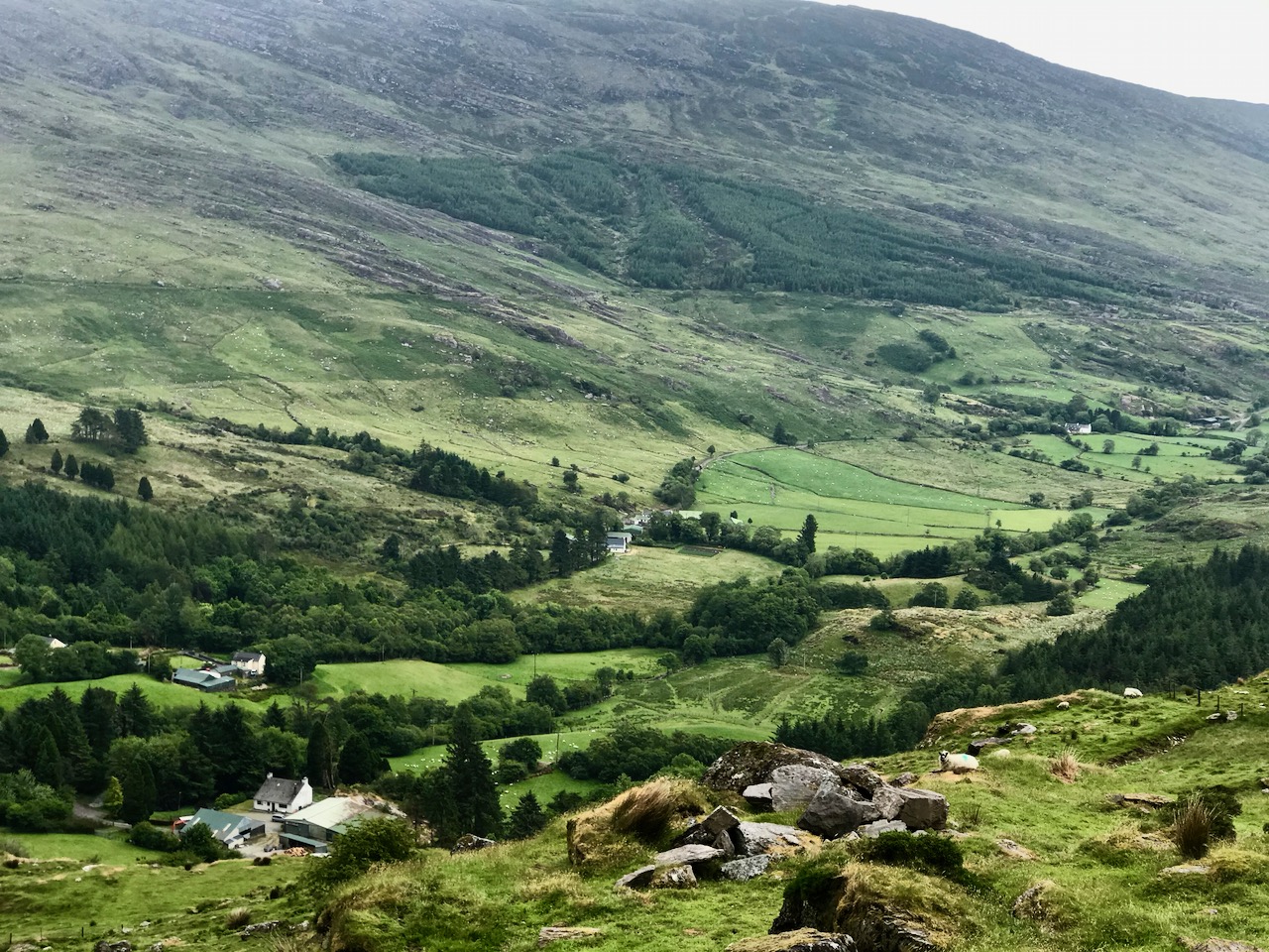
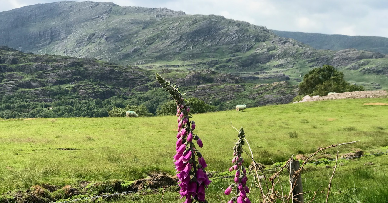
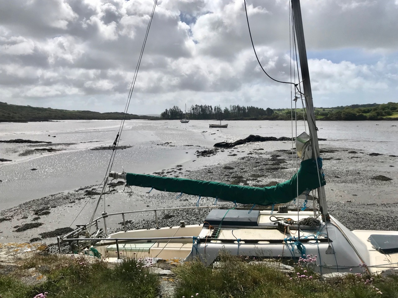
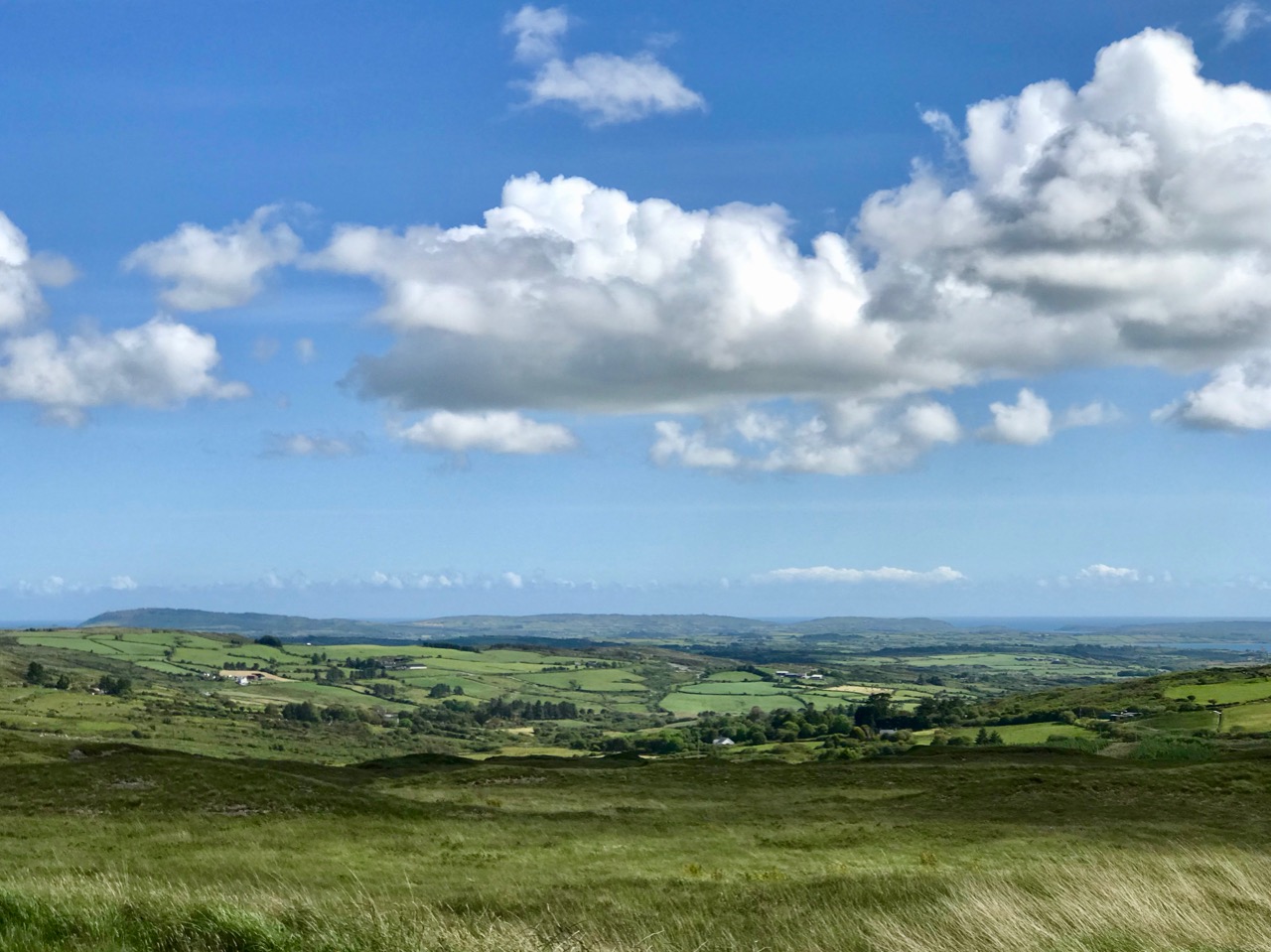
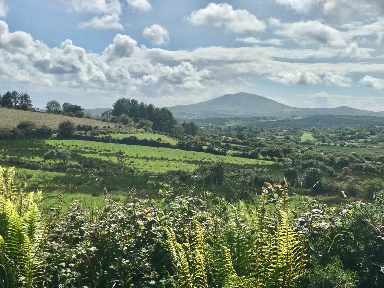
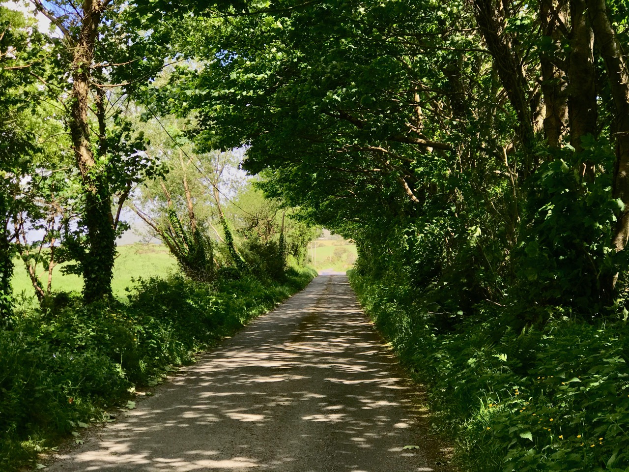
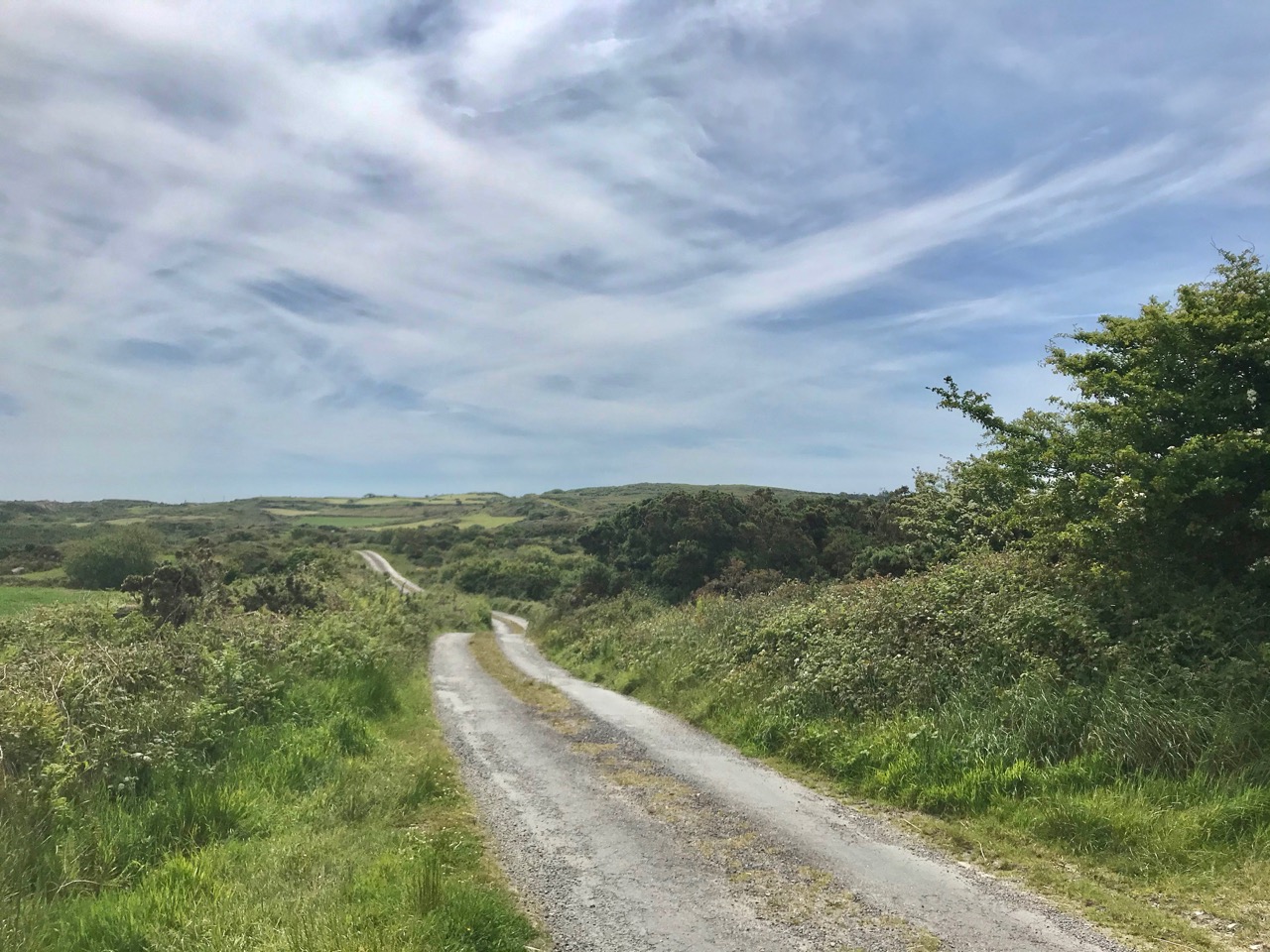
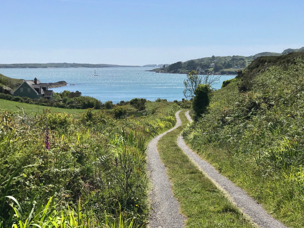
We set out to explore some of the signal stations close to us in West Cork. Once we feel free to travel further afield through Ireland I can see the signal towers becoming a long-term project! If those we have visited so far are good examples, they take us to some of the wildest high places with panoramic coastal views: many are utterly remote. And they are all imbued with a sense of history – of duties that demanded long hours of lonely vigilance in harsh conditions. Most are long abandoned and forlorn. But the marks of those who have been there remain inscribed on the decaying walls.

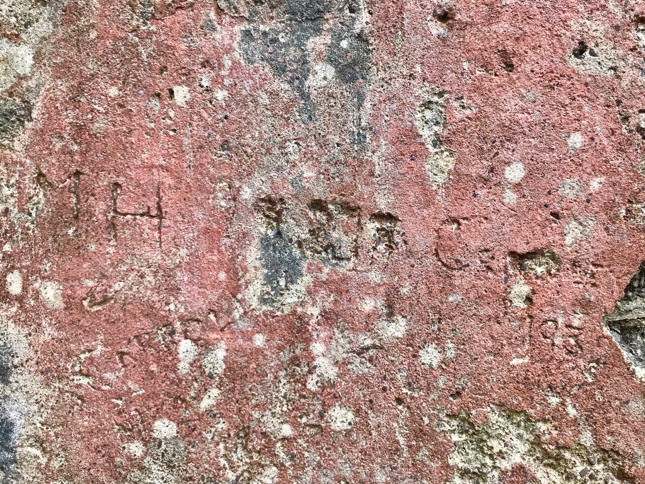
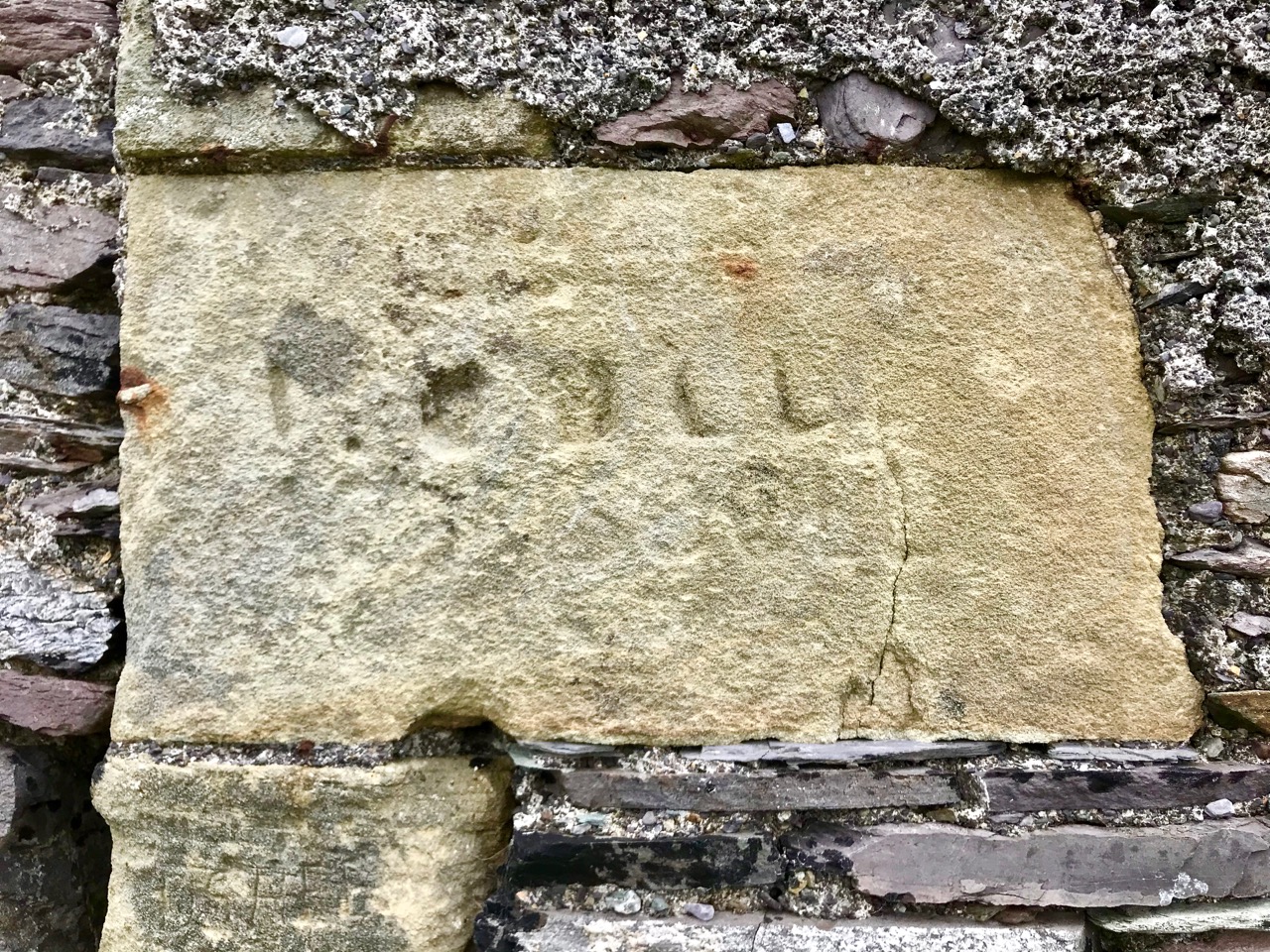
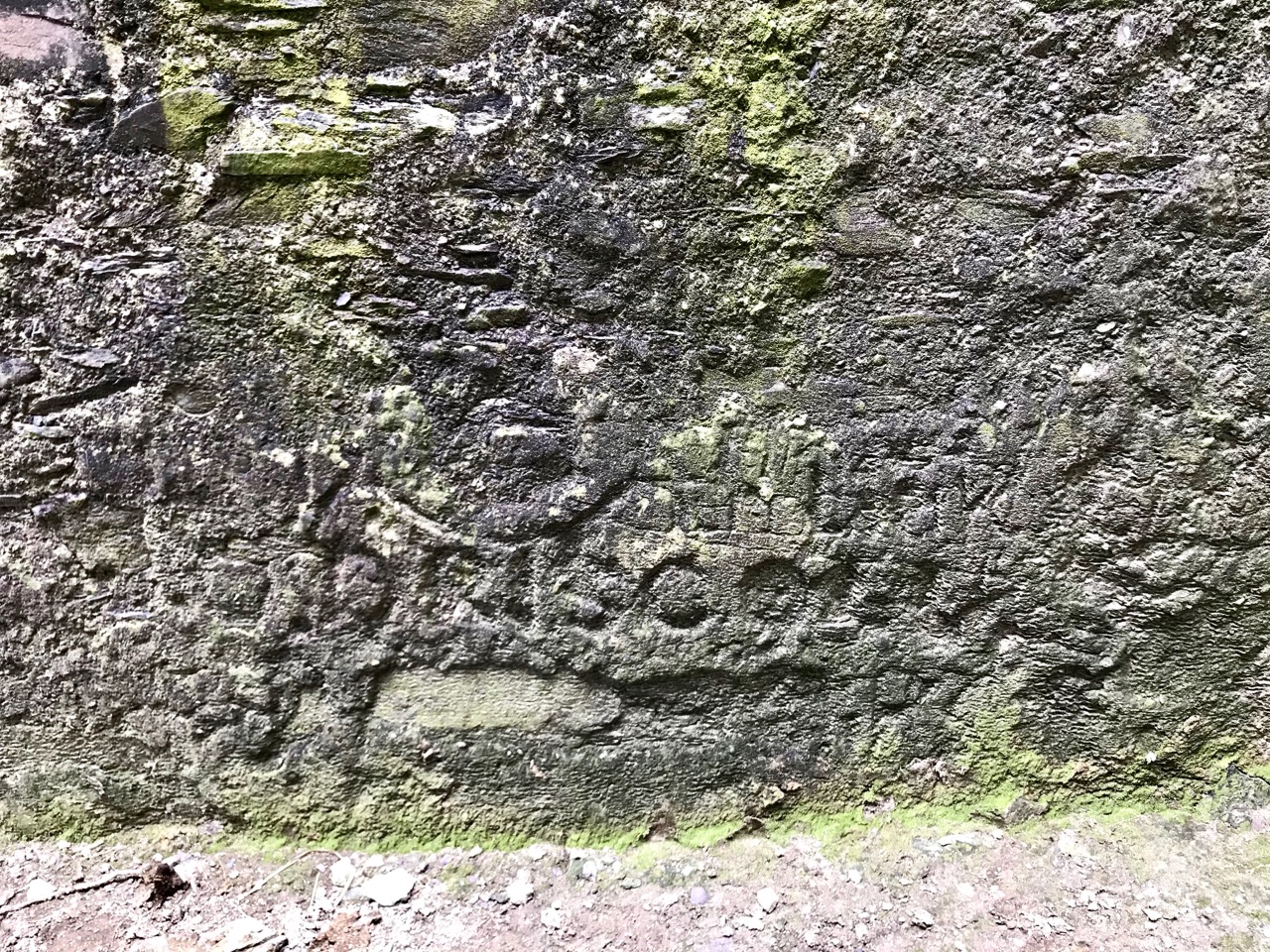
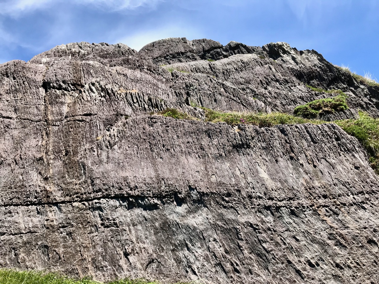
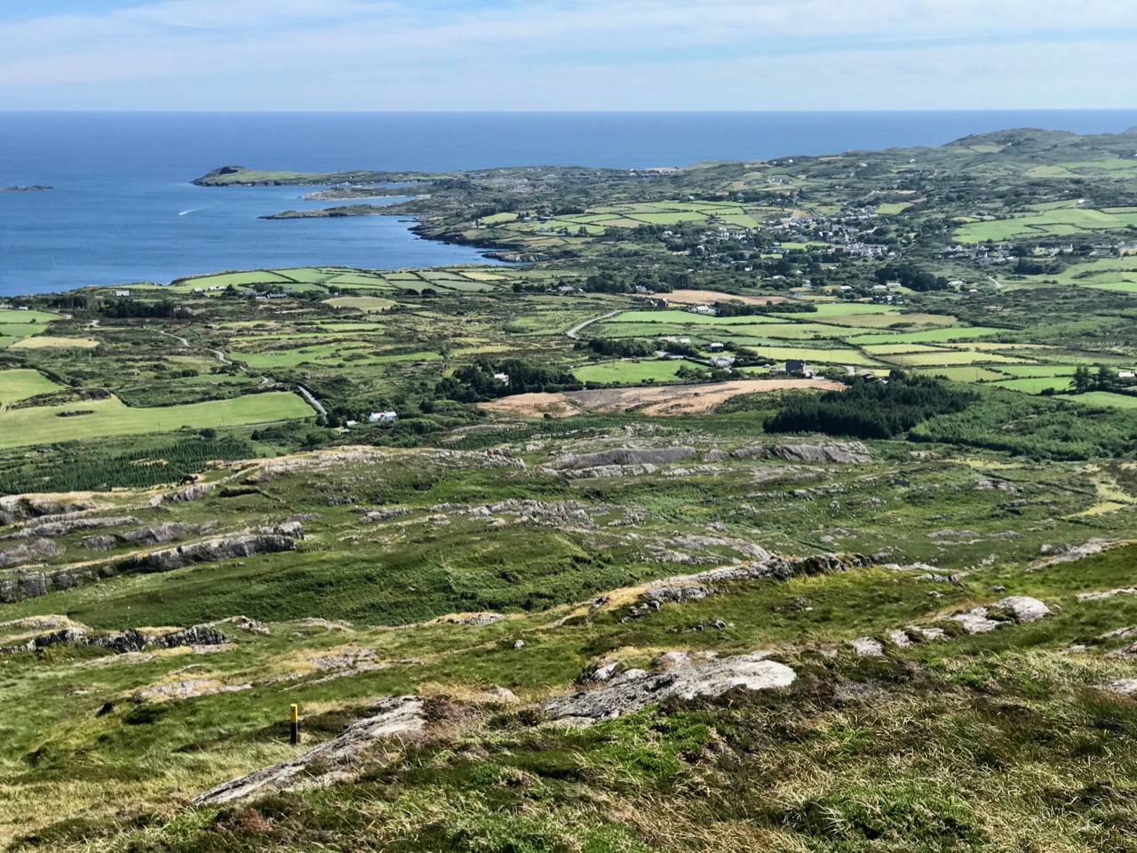
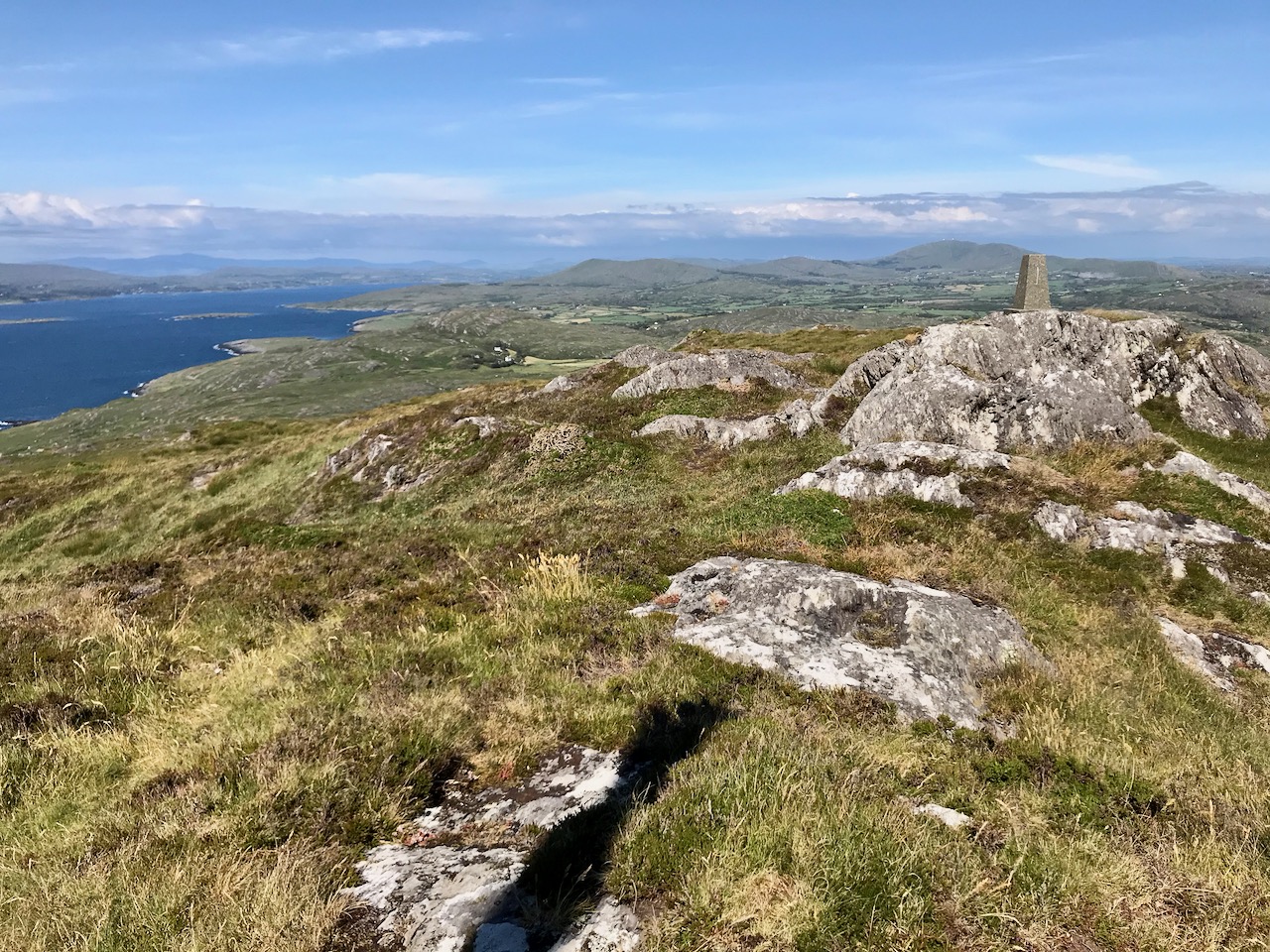
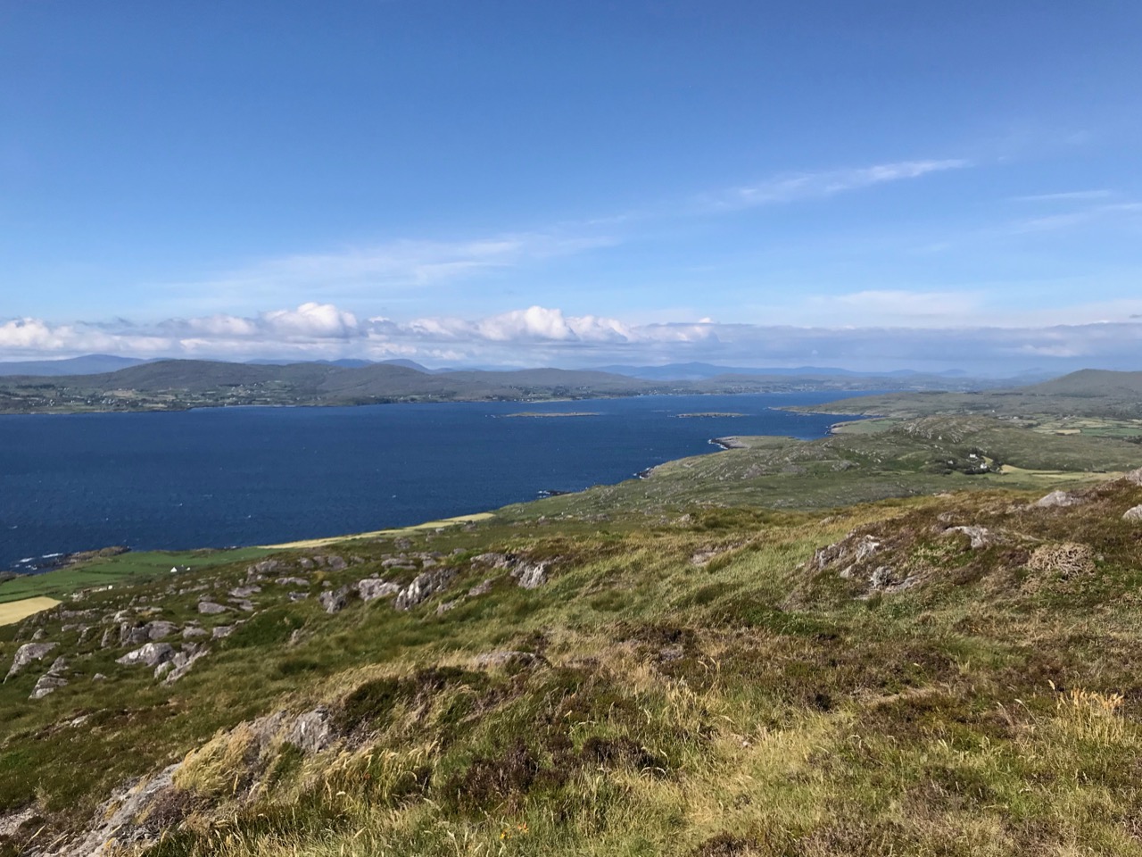
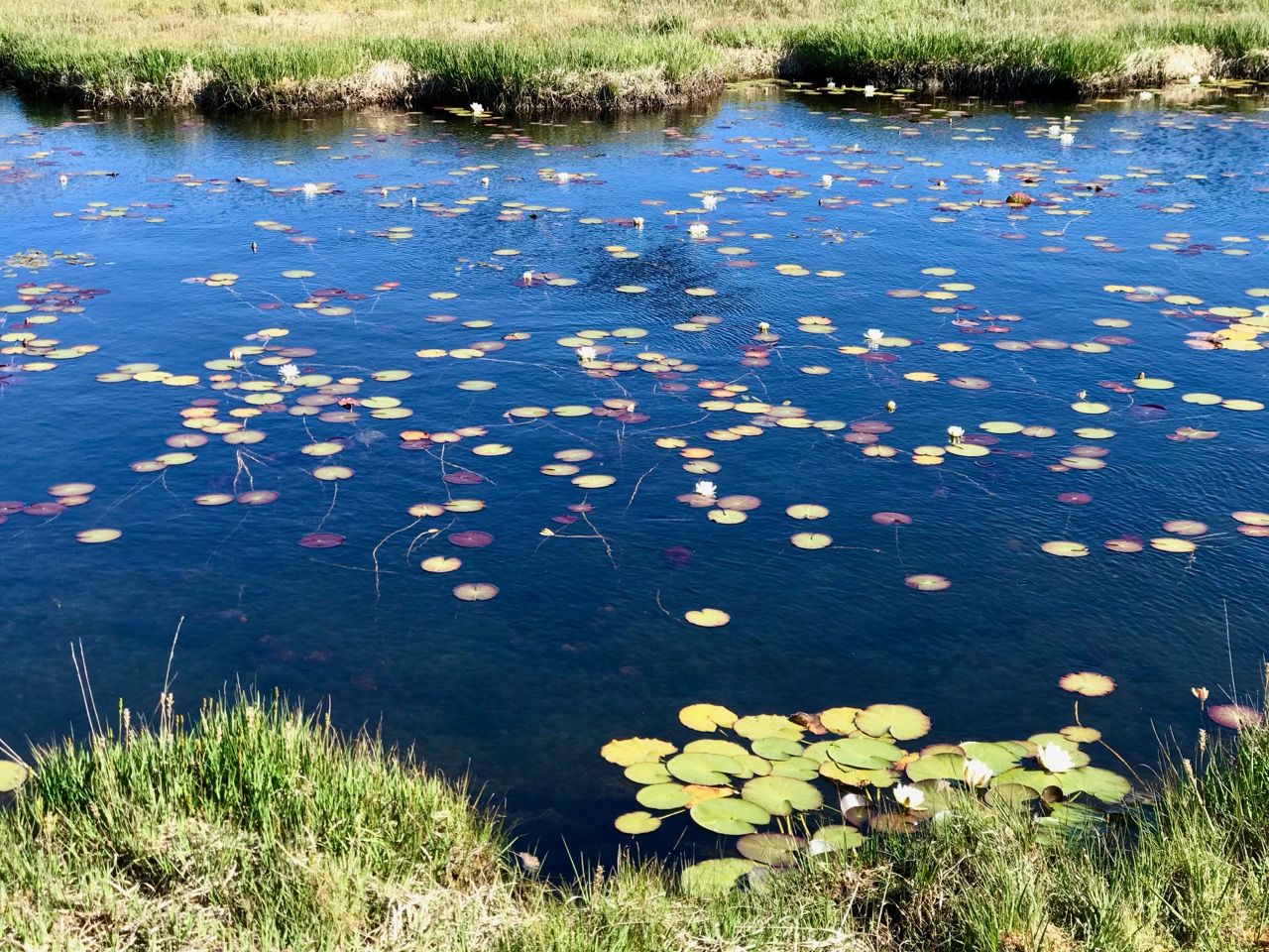
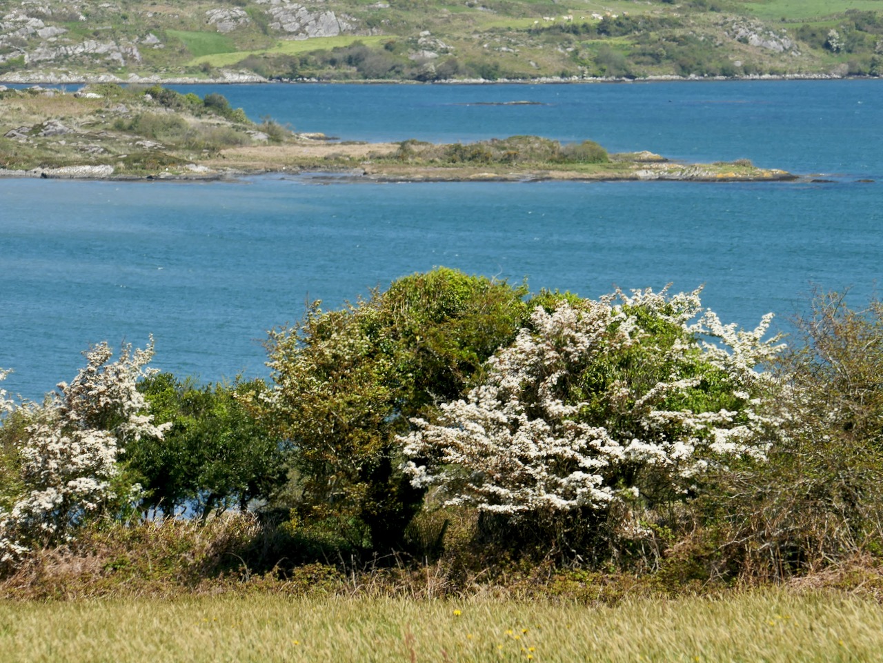
The header illustration and all the photographs above were taken on our recent visit to the signal station at Spain, to the east of Baltimore. There is rugged moorland there and dramatic cliffs overlooking Kedge Island. The site is known as Ballylinchy or Kedge Point. It’s a fair climb off-road but not difficult to reach. It’s always essential to seek permission locally before crossing farmland.

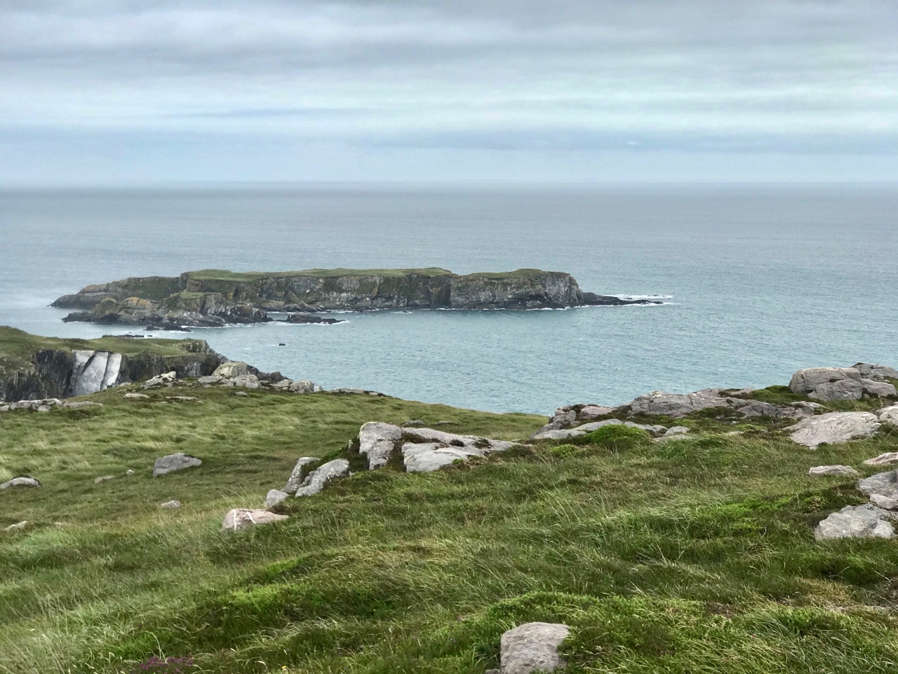
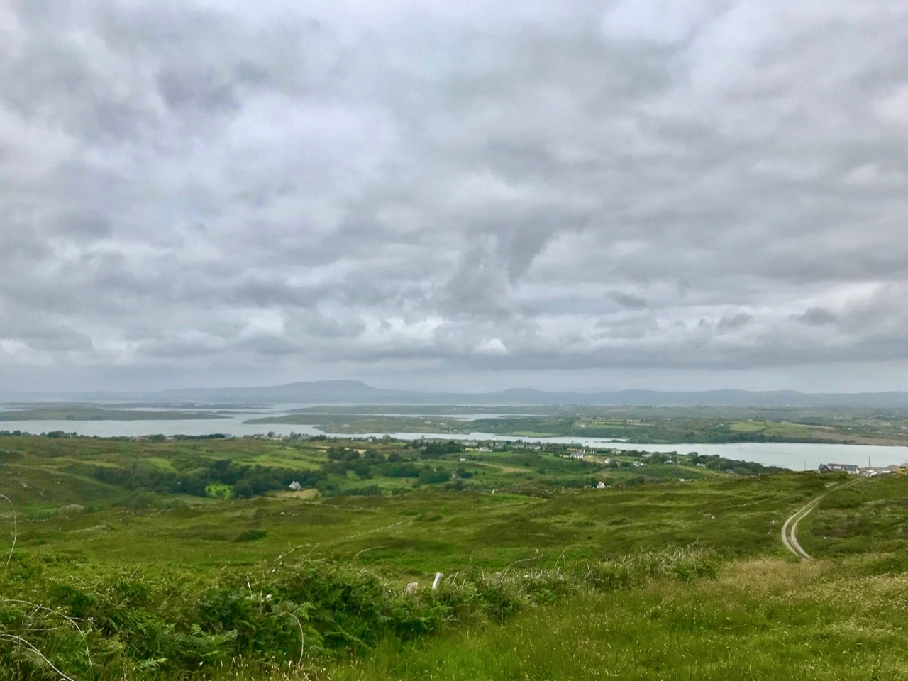
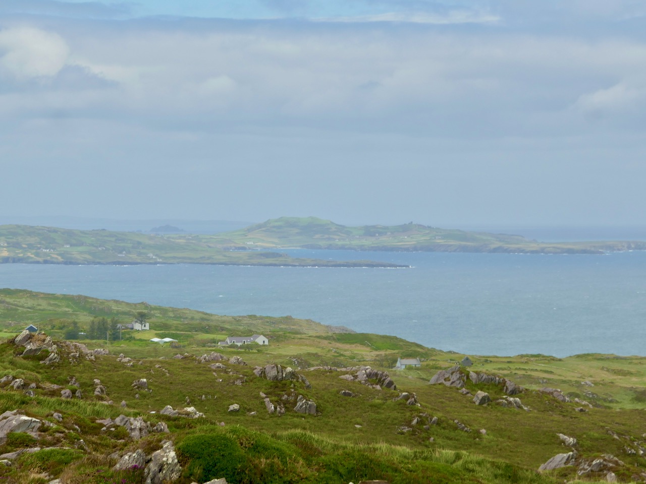
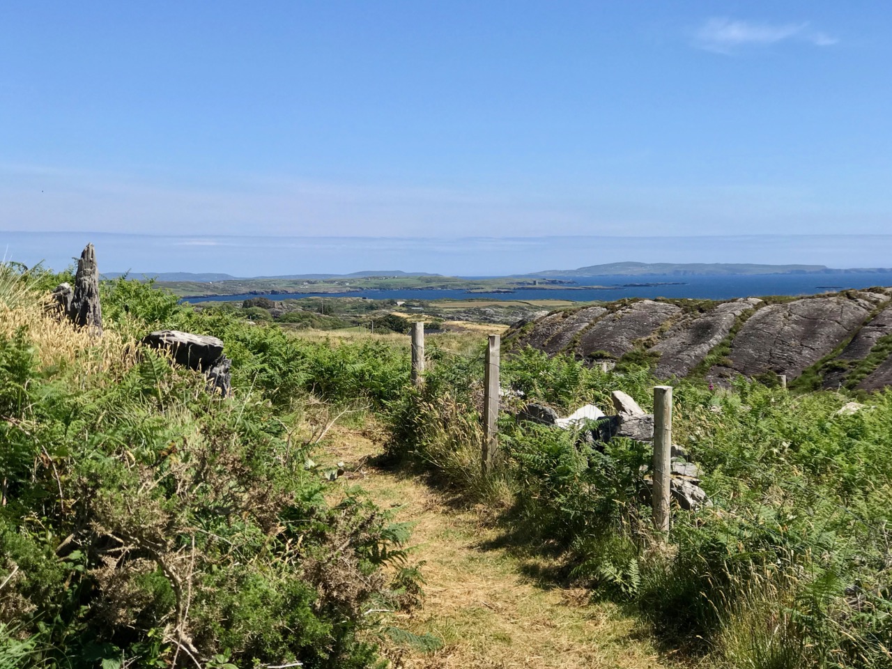
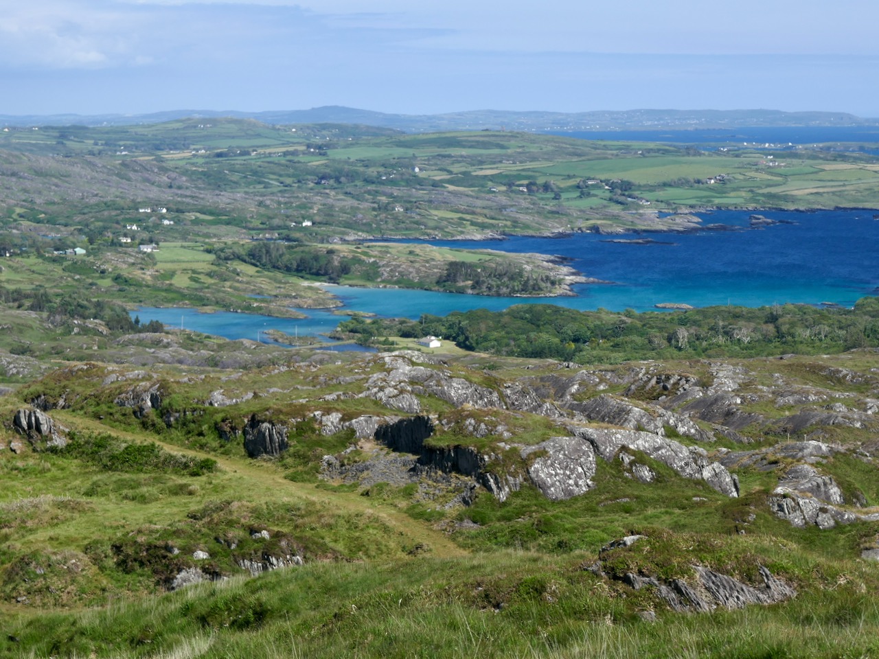
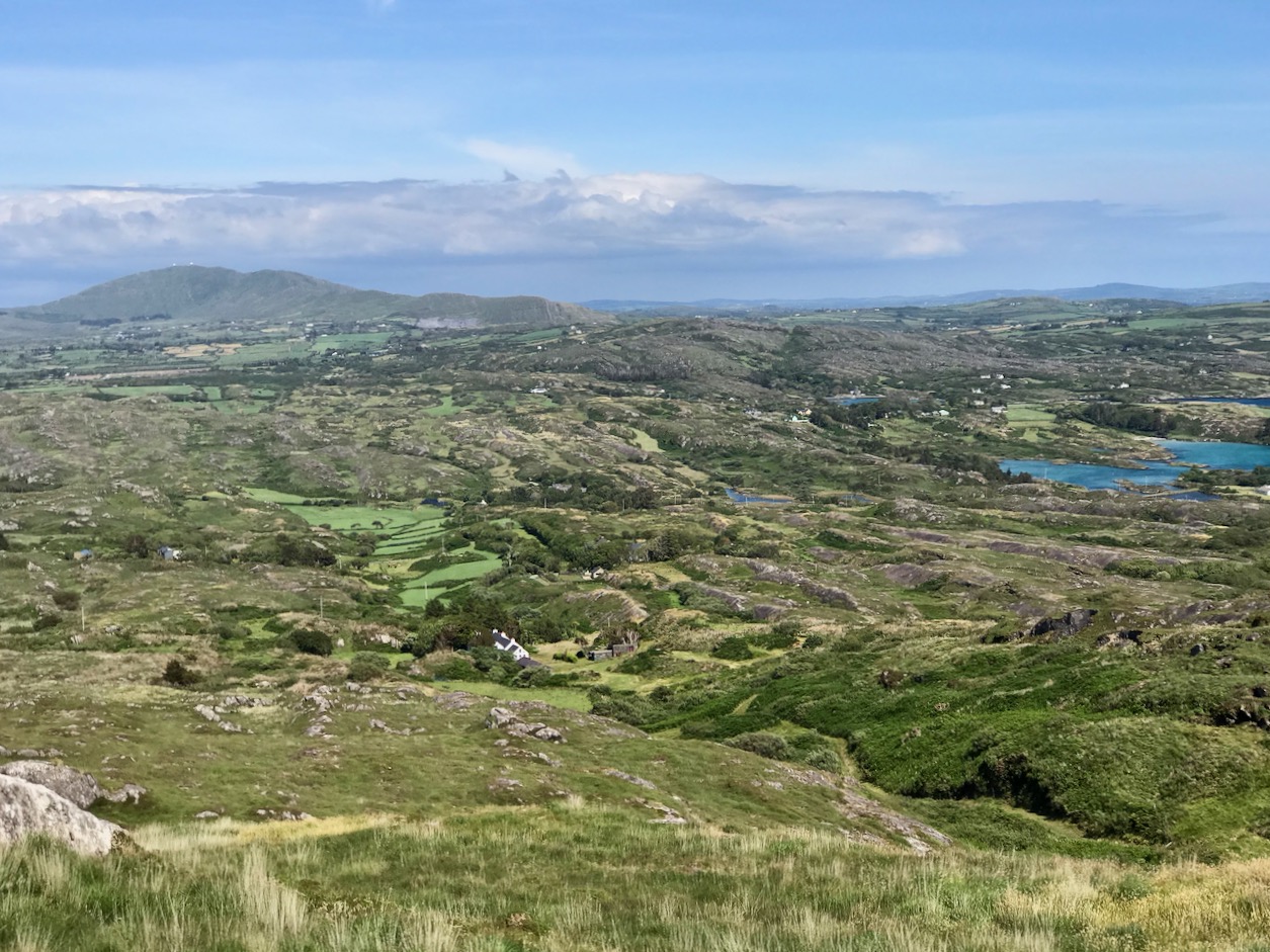
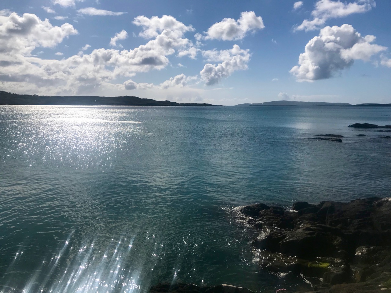
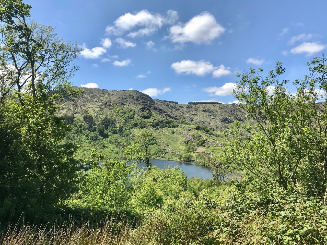
There are uninterrupted views from Ballylinchy towards Kedge Island (upper photo) and across the islands towards the Mizen (lower). Visibility was restricted on the day we visited – and this made us realise how important the weather would be for accurate observations. However, we could clearly see the signal tower on Cape Clear from this vantage point, shown below, with the Fastnet Rock and lighthouse beyond. You can understand from this view – with the camera zoomed in – how powerful the telescopes needed to be to clearly read the flag signals. Finola’s post here includes a section on the Cape Clear installations.

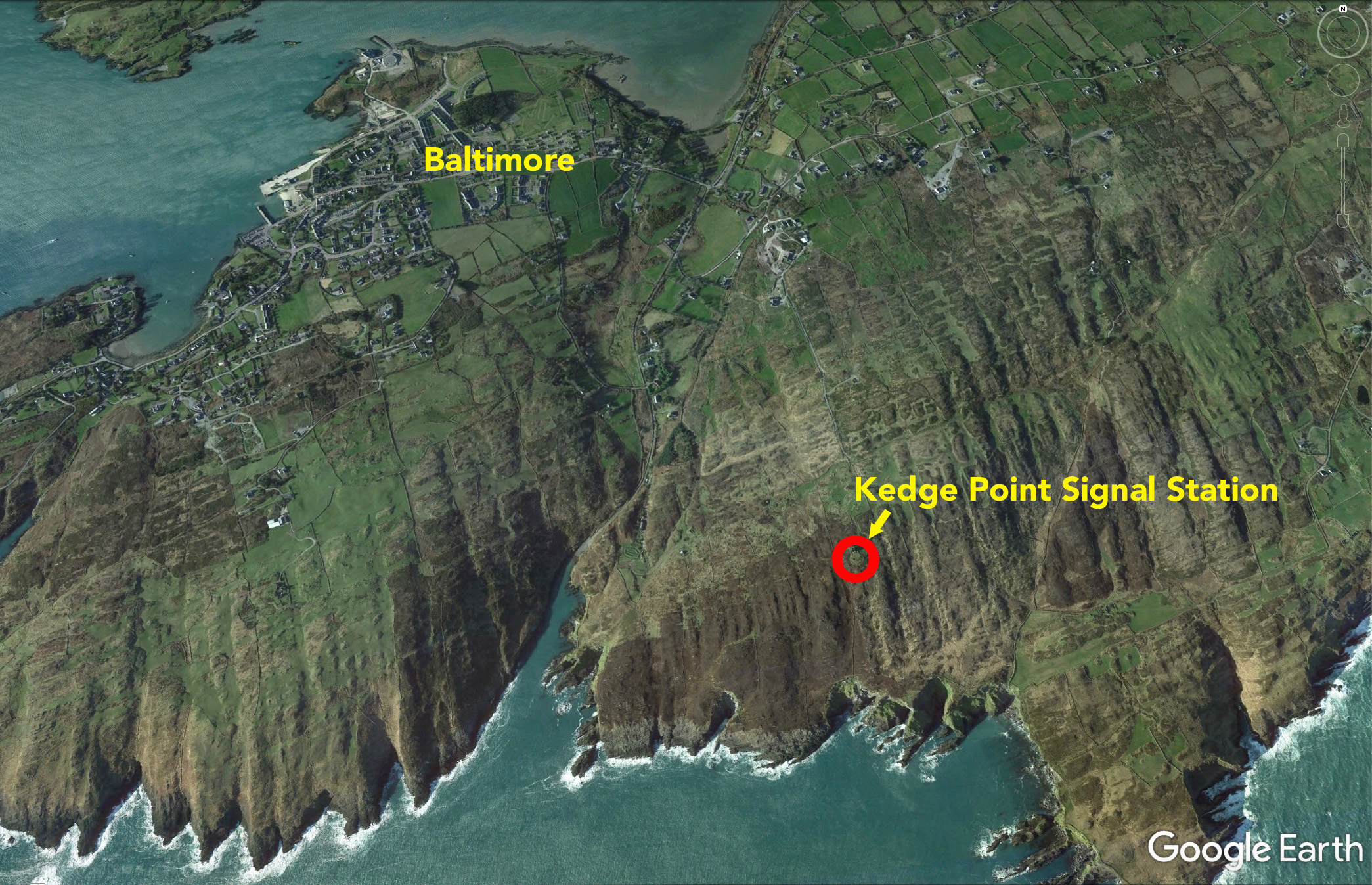
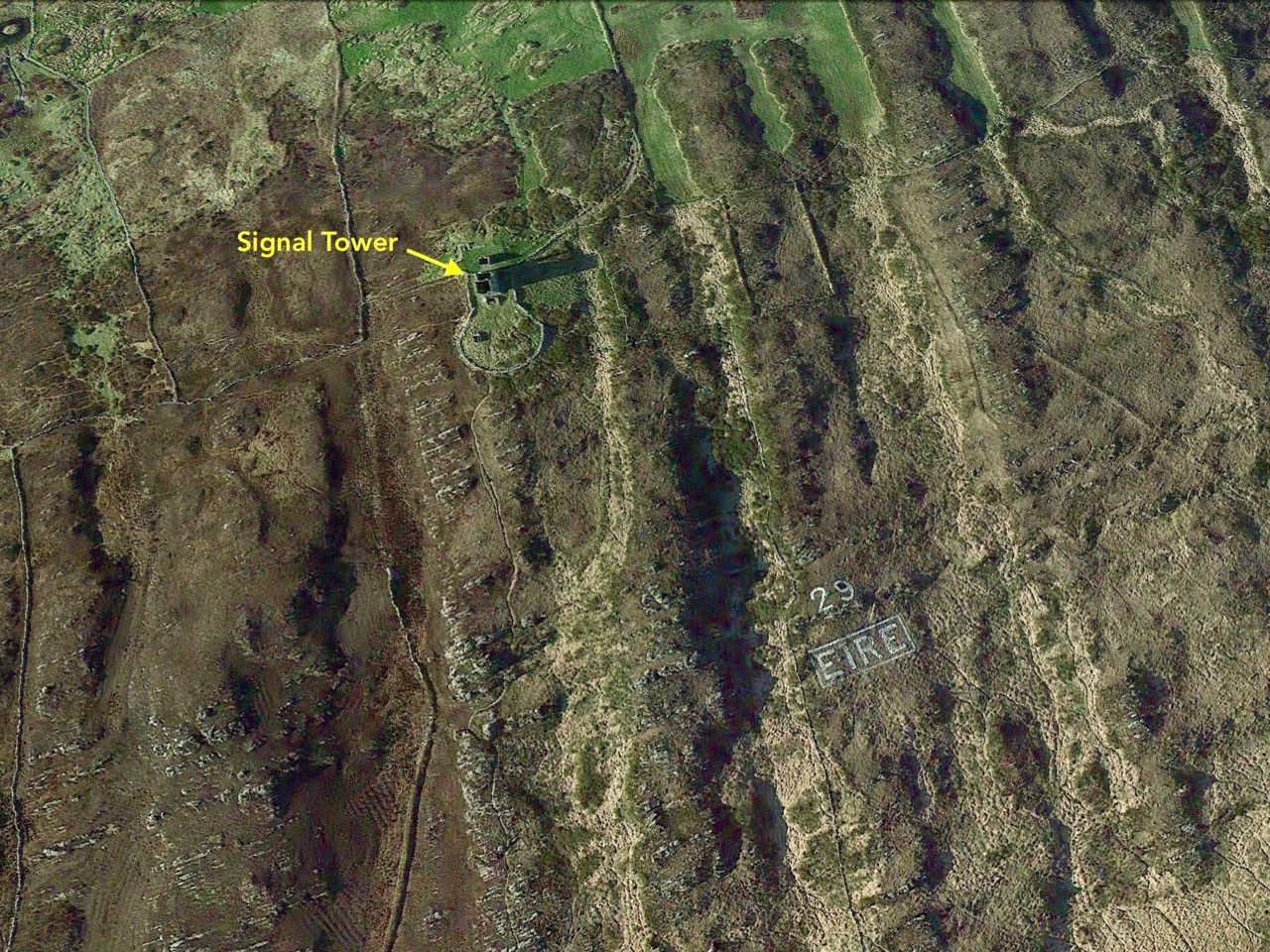
The Google Earth images above and below reveal the setting of this signal station on the highest point of land for miles around. History abounds on this site, with the remains of a World War 2 observation post in close proximity to the 1805 structure, and one of the many EIRE signs set into the cliff, also dating from World War 2 and set up around the coast, reportedly at the behest of the American authorities to help orientate pilots and alert them to Ireland’s neutrality.

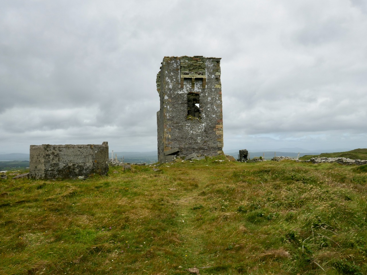
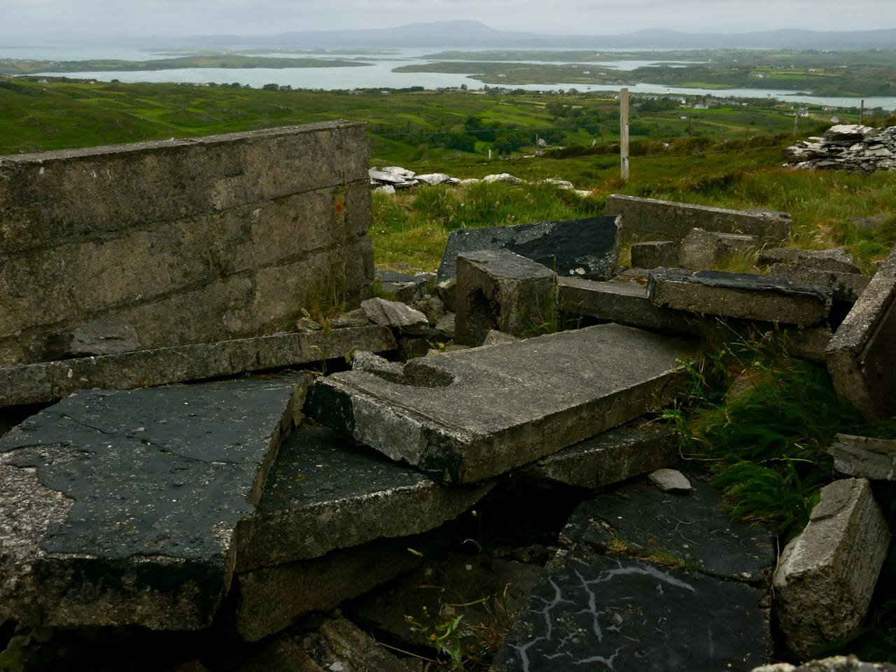
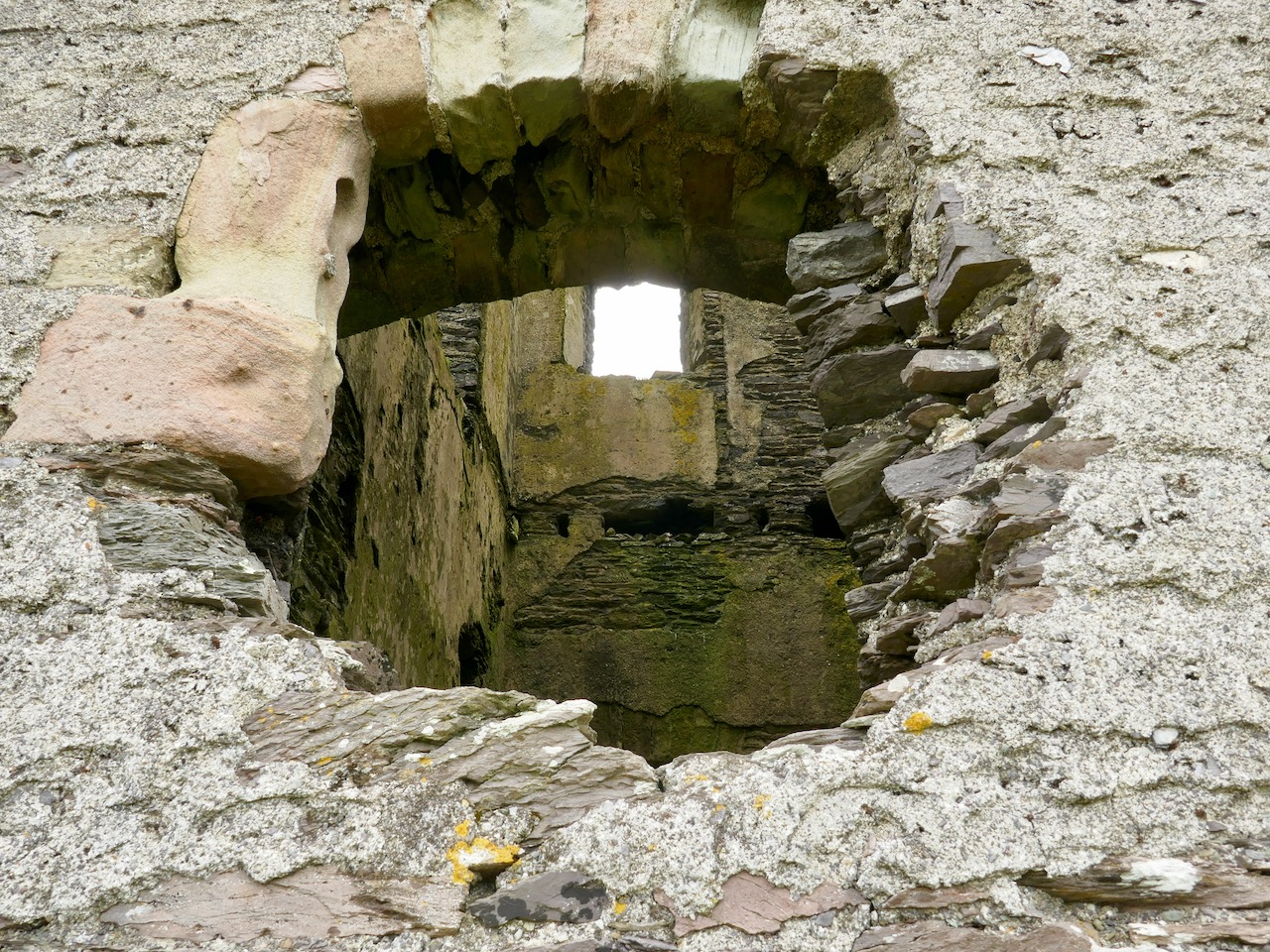
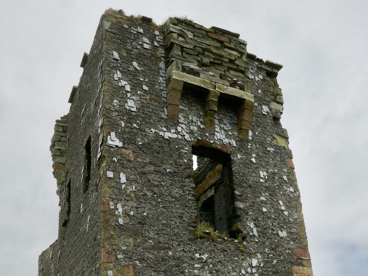
The south facing elevation of the Kedge Point signal tower clearly shows its defensive machicolation. On the left is the stump of the LOP (World War 2 lookout post). Below – the rubble of the destroyed LOP and some of the recognisable architectural features of this tower.

Next week I will report on a very different location, which we visited on a much better day – lots of sunlight, blue skies and West Cork magic to look forward to! This time our site will be at the westernmost tip of the Sheep’s Head Peninsula, and you will get a different sense of the relative orientation and intervisibility of these intriguing historic monuments.

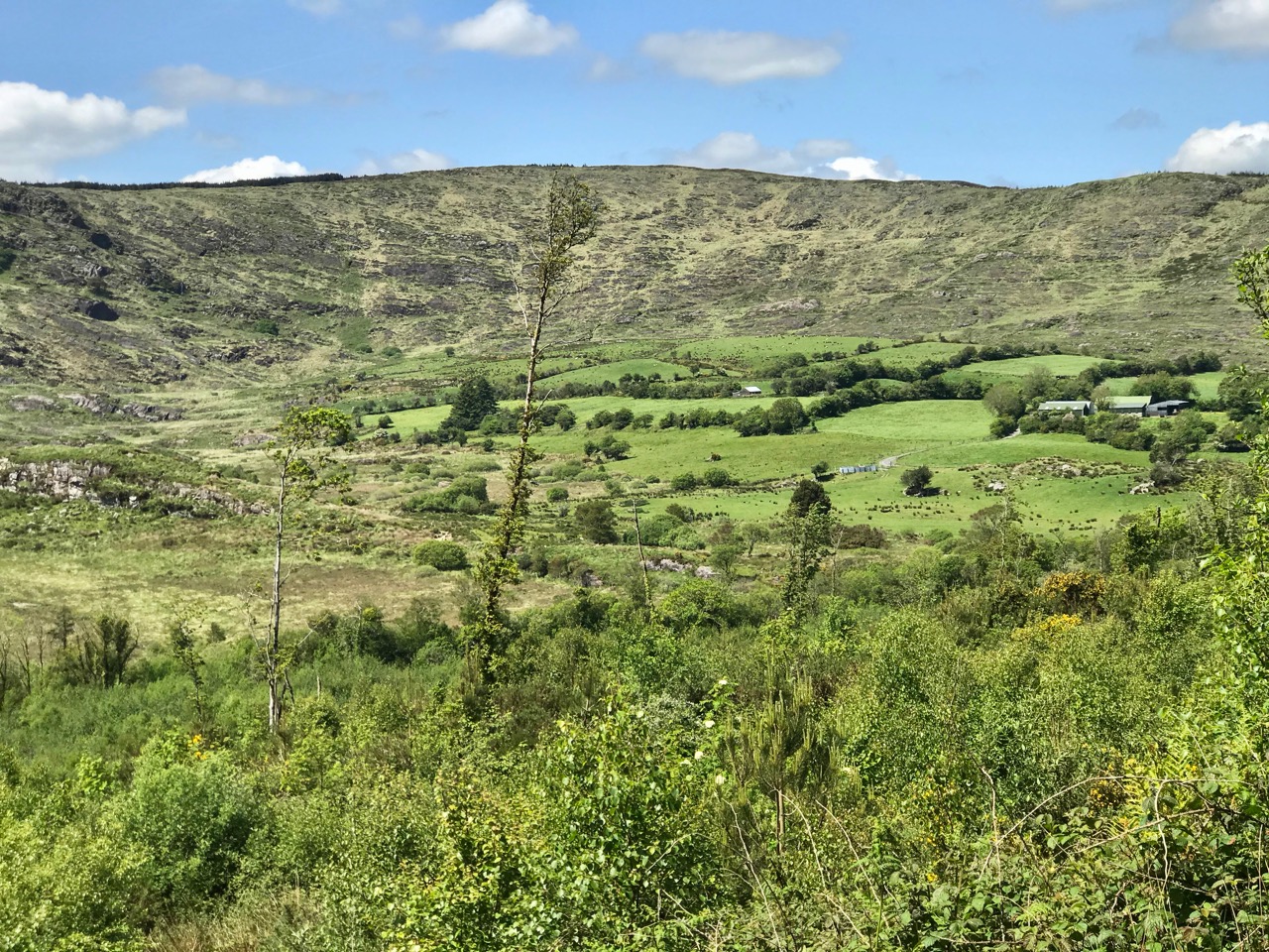
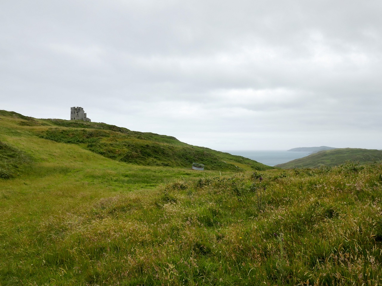
Below – the signal tower at Toe Head, about ten kilometres to the east, seen from Kedge Point

Mizen Mountains 5 – Knockaphuca

Perhaps one of the most satisfying mountains on the Mizen, the 237m high Knockaphuca provides a well maintained waymarked trail best tackled as it is laid out – in a counter clockwise direction. You will go up the east side and down the steep west face. If you are lucky with the weather, as we were just before the longest day, you will have an experience which is hard to rival in this corner of Ireland. The loop walk is one of the latest sections of the Fastnet Trails which have been established to the west of Schull during 2019. All credit is due to the team which has so successfully organised and laid out these trails: this has involved much behind-the-scenes hard work.

In fact the full Knockaphucka Loop trail starts in Goleen, and is 10km long. We joined it as it leaves the R591 road north of the village (upper picture – the route goes off to the left). The map above has the mountain section (which we followed) superimposed on the Google Earth contour information. The section we walked is 6.6km long, and climbs about 200 metres.

One of the first landmarks on the way is right at the point where the marked track to the mountain leaves the main road: Ballydevlin Old School House (above). There is another ‘Ballydevlin Old School’ nearer to Goleen; presumably one was the National School (established c1831) and the other may have been a denominational Church of Ireland school. This peculiar Irish duality still exists today in many places.

Once on the marked track you are in a paradise! An ancient green road takes you part-way up the mountain, passing through small gorges which must have been cut out long ago: even if you are not a geologist you can’t help being impressed by the rock formations – they could be works of art.

After a while the path turns to the east and follows narrow, grassy glens bordered by majestic, serpent-like outcrops. It’s here that the views begin to open out, particularly to the south. Always you think that there couldn’t be a finer prospect over the Mizen and across the islands of Roaringwater Bay, and always – as you climb higher – you are surprised by the next, which is even better.

Twists and turns take you more steeply across the contours and swing round towards the summit. Only then is the full picture revealed: the whole landscape set out below you – every rift, valley and glacial glen with the higher land beyond culminating in the crests of Gabriel, 407m high, to the east, and the ‘little’ Mizen Peak, 232m high, to the west.

You won’t get lost as you head for the summit: this mountain had a distinctive cross placed at its highest point in the Holy Year of 1950, which reportedly fell in 1968, leaving the inscribed concrete plinth intact. The photo below shows the plinth in 2006 – courtesy Richard Webb. A new cross was installed in 2011 by a community effort led by the local GAA: this is now visible from much of the trail. The plaque mentions ‘…these challenging times…’, referring to the financial crash that hit Ireland so badly around that time. Illumination of the cross today is provided by photo-voltaic cells.

When you get to the top – pause… Now is the opportunity to appreciate the spectacular views in every direction. On our outing the south wind had been building up all day and was at its strongest in the late afternoon, when we gained the summit. It was pretty hard to remain upright! In fact, I wondered if we were being given a message by the resident Púca whose domain this is, after all?

The path down descends quite steeply: make sure you are well shod and vigilant. But you are in for further treats: the marked way passes by some peaty mountain tarns which are exquisite in their pristine beauty. Finola was in her element finding undisturbed native species such as water-lilies and sundews.

The mountain trail section ends on the small boreen running to the west of Knockaphuca, but the waymarkers will lead you back to the starting point, and there are still views up to the summit to enjoy, along with some landscape features on the way to continue to stimulate the senses.

What more could anyone want from a day’s outing in West Cork? Well – a bit of local history, perhaps. I searched for stories about the hill, particularly about the Púca – but only turned up this one told by Jerry McCarthy and included in Northside of the Mizen, the invaluable collection of Tales, Customs and History produced by Patrick McCarthy and Richard Hawkes in 1999:

The Púca of Knocnaphuca


The old people would feed the Púca of Knocnaphuca on ‘Snap-apple Night’, or indeed, whenever one had call to travel up the hill. It was the wise person that fed the Púca the night before going up. Milk and cake would be put on a plate and left outside the house and by the next morning the food had always gone!


The Púca of Knocnaphuca was half horse and half human. One late Snap-apple Night there was a young lad out walking the road when he heard a strange, sweet music coming from the hill. He went up and saw the Púca playing on a whistle. As soon as the lad had put eyes on it, it stopped playing and caught him. Away the Púca went to the top of the hill, where a crack opened up in the rock. In they went. They were twisting and turning down through tunnels until they entered a chamber full of gold. “Now,” said the Púca, “you are mine!”…


The next morning the boy was found on the road by the Long Bog. His hair had turned white and he could not speak a word ever after.

Thank you to our artist friend Hammond Journeaux of Ballydehob for this wonderful drawing of ‘Pooka’, included in The Little People of Ireland by Aine Connor, illustrated by Hammond, The Somerville Press, 2008. Púca in Ireland has counterparts in Cornwall (Bucca), Wales (Pwca), The Channel Islands (Pouque) and Brittany (Pouquelée). A shape-shifter (Flan O’Brien’s character from At Swim-Two-Birds, the Pooka MacPhellimey, changes his appearance by smoking from a magic pipe), the Púca most often appears in Ireland as a fine black stallion with red eyes. If you meet him, you have to mount him and he will take you on a journey far across the sea. It will seem to you as though you had been away for only a few hours, but the world will have moved on several weeks, perhaps months, during your absence. We saw no trace of the creature in June but, perhaps, if we climbed this mountain in the November Dark, we would have more chance of an encounter.

Coomhola Country

As the Coomhola River tumbles from Borlin to the sea, gathering tributaries, it forms many pools amongst the riffles and glides. These pools, in summer, provide leafy shelters for salmon and trout. To anyone who has fished or walked the river, each pool has its own character, and each its own name . . .


[From Hidden Gold, History and Folklore of the Coomhola and Borlin Valleys Julia Kemp: Coomhola Borlin Community Development Association 1998]

On the header is the spectacular view from Borlin, looking down the great glen where the Coomhola River finds its way through a country formed by glaciers in the Midlandian period, about 10,000 years ago. The rugged Shehy mountain range (Cnoic na Seithe in Irish, meaning Hills of the Animal Hides) with its peaks of Knockboy, Caoinkeen and Kinkeen provides some of the most dramatic scenery in West Cork, its scarred outcrops clearly showing the downward progress of the ice sheets. The contrast between the barren high land and the lush pastoral meadows laid out below evoke a beauty which is hard to match – anywhere in the world!

The Kilgarvan (Co Kerry) to Ballylickey (Co Cork) road is one of the unsung feats of Irish engineering. Until the middle of the nineteenth century it was no more than a system of ‘nearways’, providing rough, narrow access tracks to remote mountain dwellings and hard-won field systems. A famine improvement project c1846, involving metalling, a tunnel, cuttings and stone retaining walls, transformed it to the ‘through road’ which exists today – although it may seem to us no more than a boreen. It’s there for all to travel on, and will provide a breathtaking experience – but be aware that it could also deliver some hair-raising reversing episodes on the rare occasions when a vehicle is encountered coming the other way. The upper photo shows the road ‘clinging on’ to the face of a mountain outcrop, while the map gives a good idea of the circuitous route that the way takes to keep as far as possible to a level contour on its journey.

This is the country of St Finnbar. If you follow the County border east from the top of the Borlin Glen (off-road) you will very soon come to the site of his sixth century monastic settlement at Gougane Barra. This whole area was loved by the Cork born writer and illustrator Robert Gibbings, whose book Sweet Cork of Thee tells of a seven month sojourn in this mountainous region in 1949, beautifully illustrated by his woodcuts.

Mountain Road by Robert Gibbings, woodcut from Sweet Cork of Thee, published 1951

As we drove along the road beside the Inchigeelagh lakes, we could see moorhens gathering material for their nests among the taselled reeds and swans on islets, piling up dead rushes in readiness for their eggs. A corncrake was calling from a meadow. Celandines and kingcups outshone the gorse.


Mick said to me: ‘My father’s sister lived a mile to the north of us here. She married a man by the name of Scanlan. His mother came from Gougane and ’twas one evening when she was travelling west by the lake – there was no road there then, only a little bit of a track – she looked in the lake and what did she see but fields of corn and sheep and every sort of land and crop and stock. She was an old woman at the time and she knew well enough ’twas a kind of enchantment must be on the lake, so she says to herself, if I can keep an eye on it all and throw a bit of iron at it the spell will be broken. So she kept her eyes fixed on the fields and the cattle and the pigs and the hens, and all the time she was thinking where would she get a bit of iron. And the only bit she could think of was in the heel of her shoe. ‘Twould be worth it to throw in the shoe, says she. But when she went to unrip the lace wasn’t it tangled in a knot, and for the glint of a second she took her eye off the land. When she looked again ’twas all disappeared and the lake was there the same as ever.’


Our road turned south, through a wilderness of rock and bog and lilied pools . . .


[Robert Gibbings Sweet Cork of Thee, J M Dent & Sons 1951]

From the highest rim of Borlin Glen (upper picture), the Comhoola River valley is laid out below. Home to sheep and ravens, the scattered farmsteads emerge from rock and forest and provide a living – as they have for countless generations – to a hardy people.

On the lush valley floor are signs of ancient activity and occupation. A stream flows through a meadow dotted with whitethorn trees (upper), while an old stone clapper bridge has been superseded by the modern boreen taking its way up to the Borlin Valley settlements (centre). Lower – a fascinating stone circle and mass rock site is interrupted by the field fence. Here, too, is a bullaun stone and cupmarked rock (below).

Let us give the last word to Johnny O’Driscoll from Snave, recorded by his grandson Sean O’Driscoll in the 1930s and featured in Julia Kemp’s Hidden Gold:

There is little gold in this area, but there is one place where it is said a crock of gold is buried. It is about a hundred yards from the Glaslough, between Coorycomade and Ardnatrush, about a mile and a half from Coomhola National School.


There is a bush growing at the exact location, and beneath the bush is a large stone which covers the hidden treasure. It belongs to a tiny dwarf, and anybody who visits the place at midnight can see this little creature on the bush above the gold.


People did go on one occasion in search of the gold, but they were unsuccessful. A little bright light is visible about midnight above the bush. I have seen it myself on several occasions . . .

Transcendent Prospects

One of the advantages of the limitations that are placed upon us at the moment is that we have to look more closely at everything. We are seeing – and enjoying – the familiar landscape around us, so I am looking out, now, for the transcendent qualities it has to offer. [Transcendent: adjective – beyond or above the range of normal or physical human experience; surpassing the ordinary; exceptional.]

Waterscapes at Ballydehob, Schull and Dereenatra. Header: cloudscape over Cape Clear, Horse Island in the foreground

So, over the last couple of days I have wended my way around the boreens of Cappaghglass, Stouke and Ballydehob – armed only with my iPhone camera – to see what I can record to intrigue and delight you. I have looked, particularly, for the quality of light that the currently ubiquitous sun is casting on to our green fields and hedgerows, our evanescent skyscapes, and the waters of the bays that surround us. In Cornwall – where I spent many years – it was the quality of light that was all important to the artists who came to the little fishing communities of Newlyn and St Ives from the late nineteenth century, and even into the present day. They were searching for something which was and is missing in towns and cities: clear, unpolluted air, constantly infused with tiny droplets of water arising from the sea which surround that western peninsula. We have the same quality on our own Mizen Peninsula: it’s that moisture laden air which captures and refracts the light, enhancing clarity and colour – and our own artists always did and always will respond to that.

We sometimes drive further afield in West Cork, so that we can take our exercise with a change of scene. But all of the photographs here are relatively close to home. The clarity of the light is apparent: the detail of the distant hillsides is picked out even by the phone camera. The colours – all those greens and the blues of skies and water are true to life.

Our favourite views are often dominated by the distinctive profile of Mount Gabriel in the distance. This is the highest point of land on the Mizen, and must have been an important waymark throughout history, central to the orientation of travellers through this area, and probably imbued with significance and ‘stories’. My favourite is the one that says the Archangel had heard of the inherent beauty in the Irish countryside (highly believable to me!) and ‘touched down’ on the top of the mountain, leaving his footprint on the rocks. Here’s a post I wrote about Mount Gabriel – and its associated stories – six years ago.

I don’t want to overdo the West Cork boreens (you can see lots more of them here), but I just can’t resist them! Perhaps it’s what they symbolise – our journey through life, pathways leading us on optimistically into our own futures? When we are exploring overgrown lanes, like the one in the middle picture above, there is a sense of excitement about what we might find through the trees or around the corner: in this case, we were led to an abandoned house. What mysteries are contained there: lives fully lived and now departed. The lower picture is the boreen that leads us home from Stouke to Nead an Iolair: always one of my favourites.

Upper – the colourful remains of an old tractor enhance (for me) the views from the Butter Road running out of Schull towards Ballydehob. Lower – this track is a highway leading down to the beach at Coosheen.

We look forward to the Covid19 restrictions being lifted, but it will be a while yet before travel constraints are removed. Even when they are, we will still appreciate what we have around us, and we won’t neglect the transcendent beauty of ‘our’ townlands and the sublime scenes that await us daily just a few steps from home.

Back home: (upper) reflections by the once busy quay at Ballydehob with (lower) the road leading into Ballydehob passing over the three-arched bridge, overlooked by higher land to the north

If you want to read more about the artists in Cornwall who were influenced and inspired by the landscapes of that Celtic kingdom, read more here and here.

And for more about the West Cork artists’ community – there’s a website (and a museum) dedicated to their history here.

Quest for the Lone Whitethorn

The crowning glory of our West Cork hedgerows, highways and boreens at this time of the year is the May bush – Sceach Gheal – Hawthorn or Whitethorn. The example above is on the way down to Ballydehob, just a few minutes’ walk from Nead an Iolair: we can’t resist stopping every time we pass to admire its brilliance – a shining presence among the abundant greenery of the early summer that’s all around us in these quiet days.

You have to get up close to fully appreciate the wonder of the tiny individual blooms that contribute to the billowing white cloud effects we see wherever there is a May bush in the hedges. We have one right outside of our bedroom window (see Rossbrin Castle in the distant view):

Such a visually striking tree has attracted many traditions and superstitions over the generations – and pisogues like these never really go away. A good account of many surviving beliefs in the British Isles is given in The Hazel Tree Blog.

Of course, the May Bush is a thorn – a spiky tree, seen here before the blossoms come out. Even if those pisogues about it being unlucky to bring it into the house didn’t protect it from being cut, then those thorns would certainly be a goodly deterrent. This great picture, with chaffinch, was taken by Finola, who also provided many of the other photos here. Thank you, Finola! We admire the work of Michael Fortune, who lives in Wexford where, with Aileen Lambert, they have succeeded in re-establishing a May Bush tradition.

It’s been a quest of ours, when on our ‘lockdown’ walks – limited to 5km – to find the iconic ‘lone thorn tree’, out in a field, moor or open country, as this is the one imbued with the legends. So far we have been unsuccessful – the whitethorns around us all seem to be part of a hedgerow. In my English west country days – when I lived in the Celtic regions of Cornwall and Devon – I was aware of many solitary thorn trees, particularly out on the moors. Being in exposed locations they were usually distinctively shaped, bending away from the prevailing winds.

I had to search my archives for this photo of a lone thorn tree ‘bent’ by the wind: it was taken on the Sheep’s Head in June 2015 – after the blooms have faded. Always be careful of the solitary thorn for it guards the entrance to the realm of the Other Crowd. If you fall asleep under that thorn tree you will find yourselves transported into the kingdom of the old ones. It will not be an unpleasant experience – they will offer to satisfy all your thirst and hunger… But, if you accept, you will remain in that kingdom and grow old. One day they will release you, and it will seem as if just a few moments had passed since you left, but your aged body will very soon crumble to dust. This belief was as prevalent in Devon and Cornwall as it still is today in Ireland. Beware!

Close to home again – whitethorns in Ballydehob Bay. Once the blooms have gone, of course, we look forward to the haws, which are said to be edible but bland. They are traditionally used to make jelly and wine.

We could not be without the hawthorn trees which are all around us: they are lighting up our days in these times of anxiety and restriction – and they are reminding us of the continuity of nature and the constant cycle of the seasons. Life will prevail.

Our own May Bush a few years ago – blackthorn and gorse. We keep up the ancient traditions out of respect for the lore of our ancestors. If we don’t, the sun may never rise again!

Biodiversity Ballydehob

In the same way that strangers are friends you haven’t met yet, weeds are wildflowers you haven’t yet come to know and love. So come with me to the Ballydehob estuary and meet the dazzling array of wildflowers that call it home. That’s me, by the way, with my trusty camera, at the always-scenic Twelve-Arch Bridge. All the photos in this post were taken within 100 metres of the bridge, on the west side of the estuary.

Thrift, or Sea-pinks, is the most visible flower at the moment, in pink drifts along the shore. There’s a lot more than Thrift in this photograph, but before we move on, let’s take a closer look at them.

In Irish Thrift is called Rabhán (pronounced ravawn) and this word means an outburst, as in rabhán gáire, a sudden fit of laughing. Pretty apt, isn’t it, for a flower that is suddenly everywhere at this time of year. By ‘everywhere’ I mean all along the coast, although in Great Britain it is also found in a few mountainy places too.

Ballydehob has some white Thrift too, fairly unusual. According to Niall MacCoitir in his wonderful Ireland’s Wild Plants, Thrift has many alternative folk-names, such as Lady’s Cushion, Sea Daisy, and Sea-July Flower.

As there is everywhere at this time of year, there’s lots of Ribwort Plantain (did you use it to play Soldiers as a kid?) but there’s also Buck’s-horn Plantain (above). The stalk and flower look very Plantain-like, but the leaves of the basal rosette are what give the plant its name – look at all those tines. In Irish the plantains are called Slánlús, which means health plant as they are used liberally in folk medicine. But be careful – in regards to Ribwort Plantain (below, with Oxeye Daisy and Cat’s-ear), Mac Coitir warns us, . . .while it could be used to cure many ailments, there was also a danger that if the wind changed wile you were collecting it, you would lose your mind.

Here’s Buck’s-horn Plantain again (above), along with three different pink flowers – can you make them all out? I’ll talk about each one and then you can go back and look at his photo again and see if you can see them this time.

Here’s the first one, Dove’s-foot Crane’s-bill. The dove’s-foot comes from the shape of the leaf, and the crane’s-bill from the shape of the seed-pod – you can see both in this picture.

The flower is tiny and very sweet, deep pink with purple anthers. It’s a member of the Geranium family, and that makes it first-cousin to the next little pink flower, Herb Robert, below.

It’s one of my favourites, not just for its attractive flower, but for the leaves that turn a deep red as the plant matures. Himself, of course, is very pleased to have a plant named after him, although a more boring explanation could be that the Robert comes from the latin ruber, meaning red. It’s got lots of alternate names but my favourite Irish one is Eireaball Rí, means the King’s Tail. It’s another powerful herb, used traditionally to stop bleeding.

The last of the pink flowers is Kidney Vetch, although it also comes in other colours. It’s actually more common in yellow around here, but I have read that it can be orange, purple, or even pure white. In the photograph above it’s mixed in with the Buck’s-horn Plantain, but here it is on its own, below.

Kidney Vetch is a member of the Pea family but the funny thing about it is that each little pink petal is embedded in a tuft of what looks like cotton wool. It’s a bit otherworldly, but it makes it easy to identify. It’s also known as Lady’s-finger (or in Irish as Méara Muire, which translates as The Virgin’s Finger) and as Stanch, which comes from its reputation as being able to staunch blood flow.

Another member of the Pea family is Red Clover, beloved for its nectar by bumble bees, which have longer tongues than honey bees and can get at the goodness.

This is one of those flowers that are so familiar we hardly notice them, but a really close look reveals a beautiful flower indeed. The leaves are the familiar shamrock shape, but much larger and often with pale patches, and another reason to look closely is to see if you can find a four-leaved clover, considered lucky all over the world. In Irish myth and legend the clover is a symbol of prosperity and the fertility of the land. Among Mac Coitir’s many examples is the story of St Brigid who decided to make her home in the Curragh of Kildare because when ‘she saw before her the delightful plain covered in clover blossom, she determined to offer it to the lord’.

Above is Trailing Tormentil. Although this is a widely-distributed plant in Ireland I haven’t seen a lot of it around here. In fact it’s much more common to see its first cousin, simply called Tormentil, especially on heath, among the heathers and gorse. Tormentil has only four petals on its yellow flowers, whereas Trailing Tormentil can have five, as in the patches I found along the estuary. The name seems to relate to its potency as a cure for stomach torments – the root was boiled in milk as a cure for colic. Add in a little wine and it was good for what ailed you. Add in some St John’s wort and it was a sleeping draught. This is reflected in the Irish name Néalfartach: néal has several meanings which can related to depression and to sleep.

A very exciting find for me now (above) as it’s the first time I have seen it. Look how tiny it is – it’s very possible I’ve walked over it many times without noticing, especially as the old eyes aren’t what they used to be. It’s one of the Sea-spurreys (the others are Rock Sea-spurrey, Greater Sea-spurrey and Sand Spurrey, all of which are found in West Cork) but this one is Lesser Sea-spurrey.

It’s very like Greater Sea-spurrey but several factors distinguish it – it’s tiny, the sepals are longer than the petals (see above) and it has far fewer stamens. The distribution of all the Sea-spurreys is coastal, as you would imagine, but strangely Lesser Sea-spurrey is also found all over Britain, inland as well as by the sea. In Ireland, it is only coastal. Is it weird to get this excited over a tiny plant? (Okay, don’t answer that.)

Moving right along, this is Cuckoo-flower – so called because it appears about the same time as the Cuckoo does. It’s also called Lady’s Smock and it can vary from pure white to a mauvey pink and if you look closely at the stems you might see tiny eggs – they are white when laid but turn orange with time. They are laid by the Orange-tip Butterfly and the larva feeds on the stem of the flower.

There’s a little patch of grass jutting out into the estuary and at first I thought it was just covered in daisies. Daisies are important little flowers for our pollinators too, but what caught my eye was smaller so I had to lie down to get close enough to see the little blue ones.

This is Thyme-leaved Speedwell, one of the many Speedwells you can find in West Cork, and one of the smallest ones. Right across the road is another one – much more visible. In fact, if your eye is caught by a flash of blue in the grass in West Cork, this is likely to be what’s causing it.

It’s Germander Speedwell – a closer look below. Speedwell looks a bit like a Forget-me-not but it doesn’t have the yellow centre and only has four petals to a Forget-me-not’s five.

It belongs to a different family too – the Veronica family, which includes the next flower, Ivy-leaved Toadflax, which I found growing all over the bridge pillar.

This is one opportunistic little plant – it will find a crack in a wall and dig right in. In fact, walls are its favourite habitat. Here’s what Zoë Devlin’s Wildflowers of Ireland (my go-to resource) has to say about this adaptable genius: The seed-planting mechanism of this plant is very clever indeed.  The flowers turn their heads to the sun until they have been fertilised at which stage they turn about towards the wall on which they are growing and in this way they plant or push the seeds into any little crevice possible on the wall. They also have very long roots which help them to hang on, like the Ivy for which they are named, and thereby ensure their survival.  This plant was introduced in the seventeenth century from the Mediterranean countries.

As Zoë says, it arrived here from the Mediterranean – but how? During the craze for importing marble from Italy, including marble statues, the plant hitched a ride, jumped ship once it got to Britain, and flourished from then on. Even though it’s not a native plant it’s adapted well to the Irish climate and has proven to be a good neighbour, unlike many other alien species.

Just glancing along the bank, it’s hard to take in how many plants are here, and what a variety there is. I will finish with a couple from across the road. First, the Hawthorn is now in full bloom.

It’s also known here as the Whitethorn and it comes into flower after its leaves have arrived and after the Blackthorn has faded. Beautiful – but considered to be very unlucky. Woe betide anyone cutting a Whitethorn or bringing its flowers or branches into the house – except in the month of May when it was customary on some counties to bring the flowers to the house, or even into it, to honour Mary (it’s the May Tree) or to ward off evil. That’s a bit confusing – it’s May now so should you gather some blossoms? Better to take no chances, I say, and leave it to bloom outside for all our enjoyment.

And what’s this I spy? It’s St Patrick’s Cabbage and you will only find this plant in southern or Western Ireland and in Spain and Portugal. Called the Lusitanian Flora, there is a group of plants who seem to have flown, as if by magic, across the Bay of Biscay, France and Britain, to land in West Cork, and this is one of them.

If you’re a gardener it might look familiar – the popular garden plant, London Pride, is a hybrid of this and another member of the Saxifrage family.

There’s more – lot’s more – but I’d better leave it at that (except I couldn’t resist that image of the Scarlet Pimpernel, above, with the Dove’s-foot Crane’s-bill). Here’s what I want you to take away from this post – with the exception of the Ivy-leaved Toadflax, which has been here for hundreds of years, every single one of the plants I have written about here is native. Every. Single. One. Why is that important? Because this is what a wildflower patch looks like and should look like. These are the flowers to which our native insects and pollinators have adapted over millennia and therefore these are the ones which are critical to our ecology here in Ireland.

We’ve been fed images of colourful meadows full of poppies and cornflowers and told that’s what a wildflower meadow looks like – it’s not. THIS is what our pollinators need – a wide variety of native plants left undisturbed. It’s wonderful to see this in Ballydehob, but every village and town in Ireland has areas like this. Let’s make sure they flourish!