Off the M8 – A High Cross and a Complex Saint

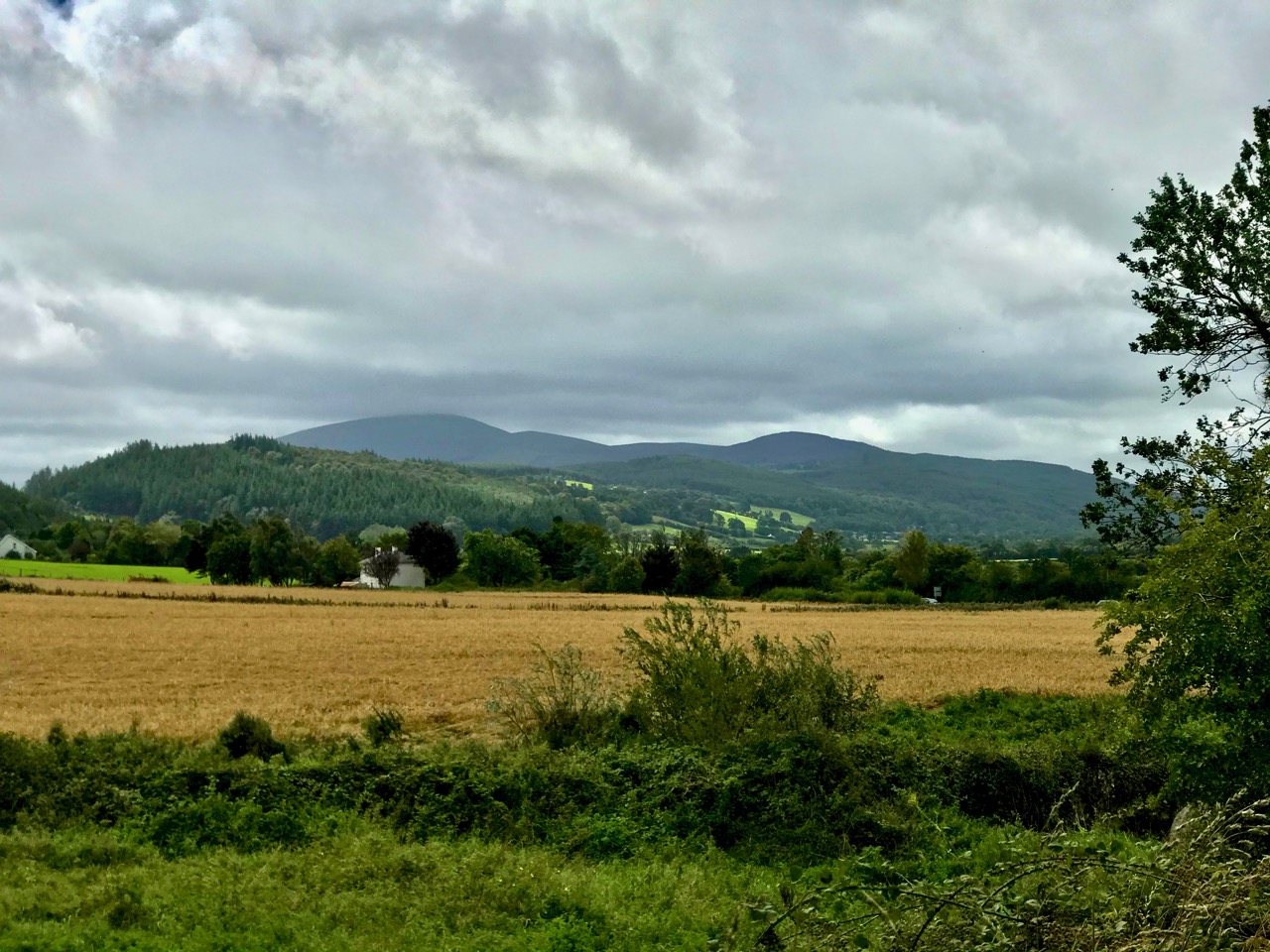
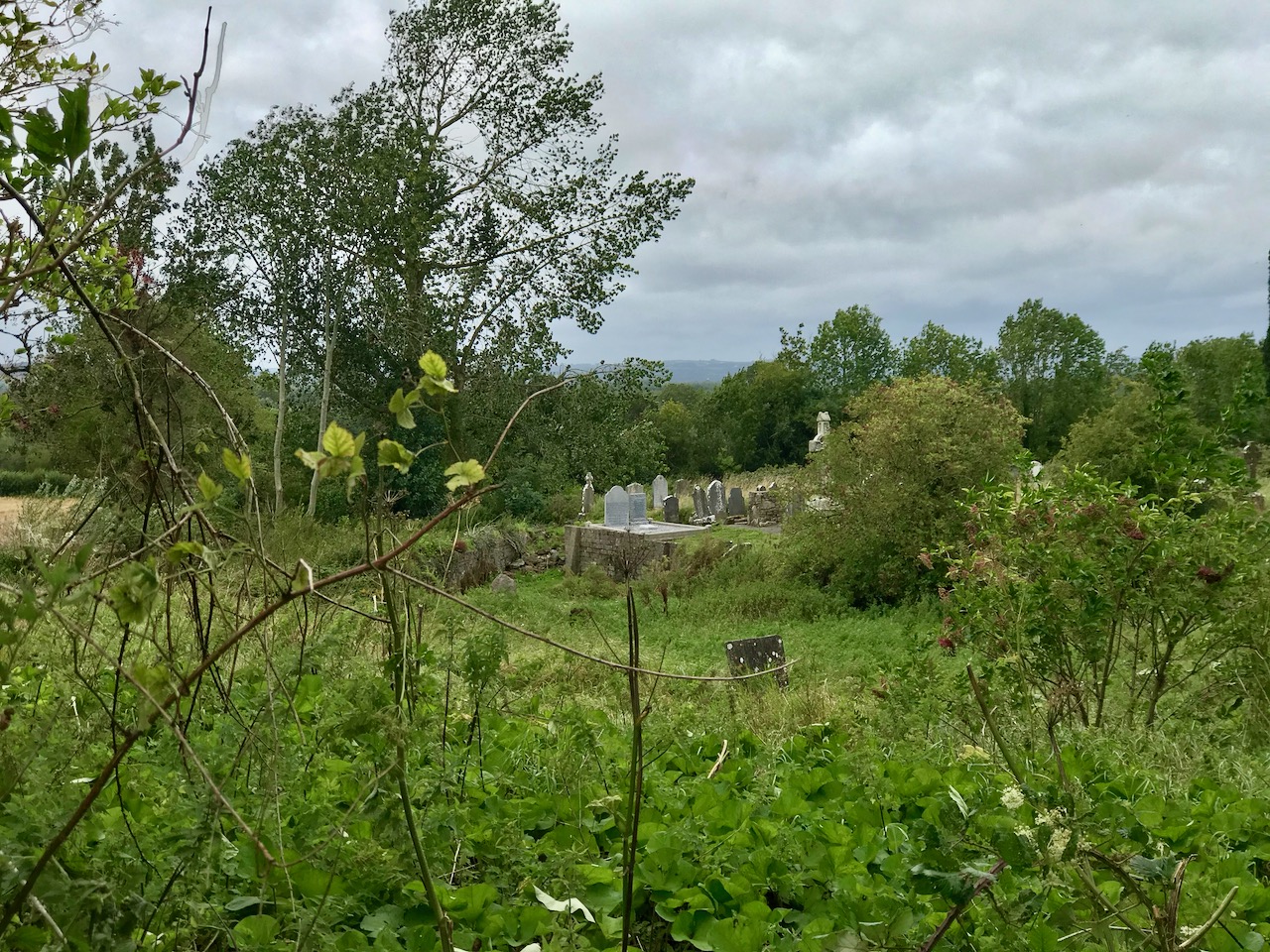
We haven’t had an ‘Off the M8’ for quite some time. You remember that, on our journeys from West Cork to Dublin, we would go (literally) off the beaten track to find new places of interest to visit – making a ‘grand day out’ of every trip. However, the unexpected arrival of the Covid19 pandemic severely curtailed our travelling – and everyone else’s – for many months. Covid is by no means over, even now, but we are slowly venturing further afield and, last week, made the trip up to the Dublin area, following all the guidelines. Nevertheless, we couldn’t resist trying out a fresh route which adds about 40 minutes to the overall journey but which takes in a new (for us) medieval stone cross and a historic site with thought-provoking associations. It is situated with fine views of the Slieveardagh Hills to the west.

We followed the normal route as far as Cahir, on the M8, then headed off east on the N24 and N76 towards Callan. Just after Ninemilehouse (Ireland has some wonderful place names!) you cross from County Tipperary into County Kilkenny and, within a few minutes (watch carefully), you’ll see a small signpost directing you off to the right down a tiny boreen to Killamery High Cross.

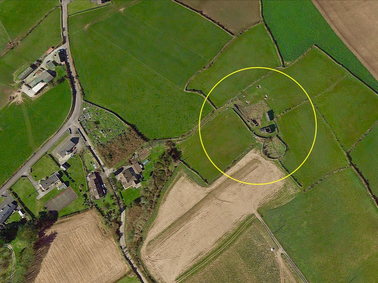
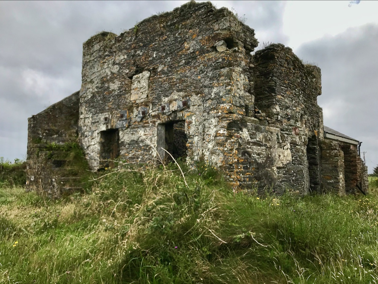
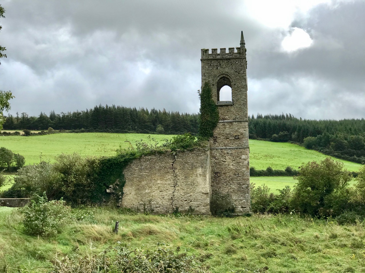
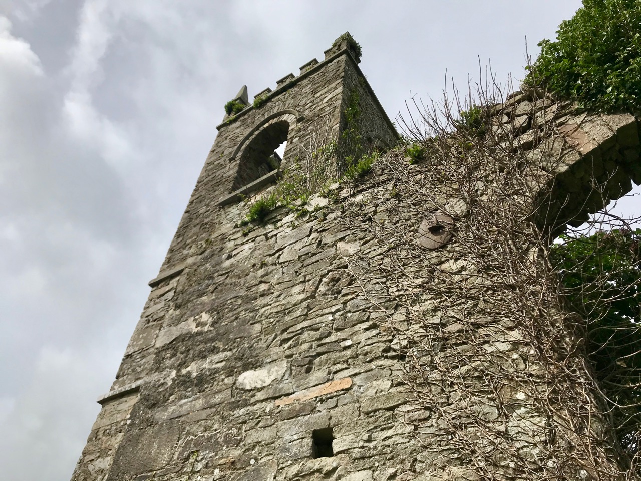
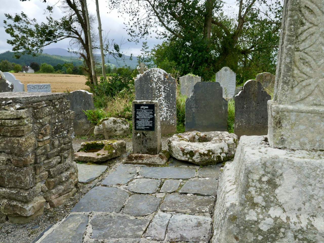
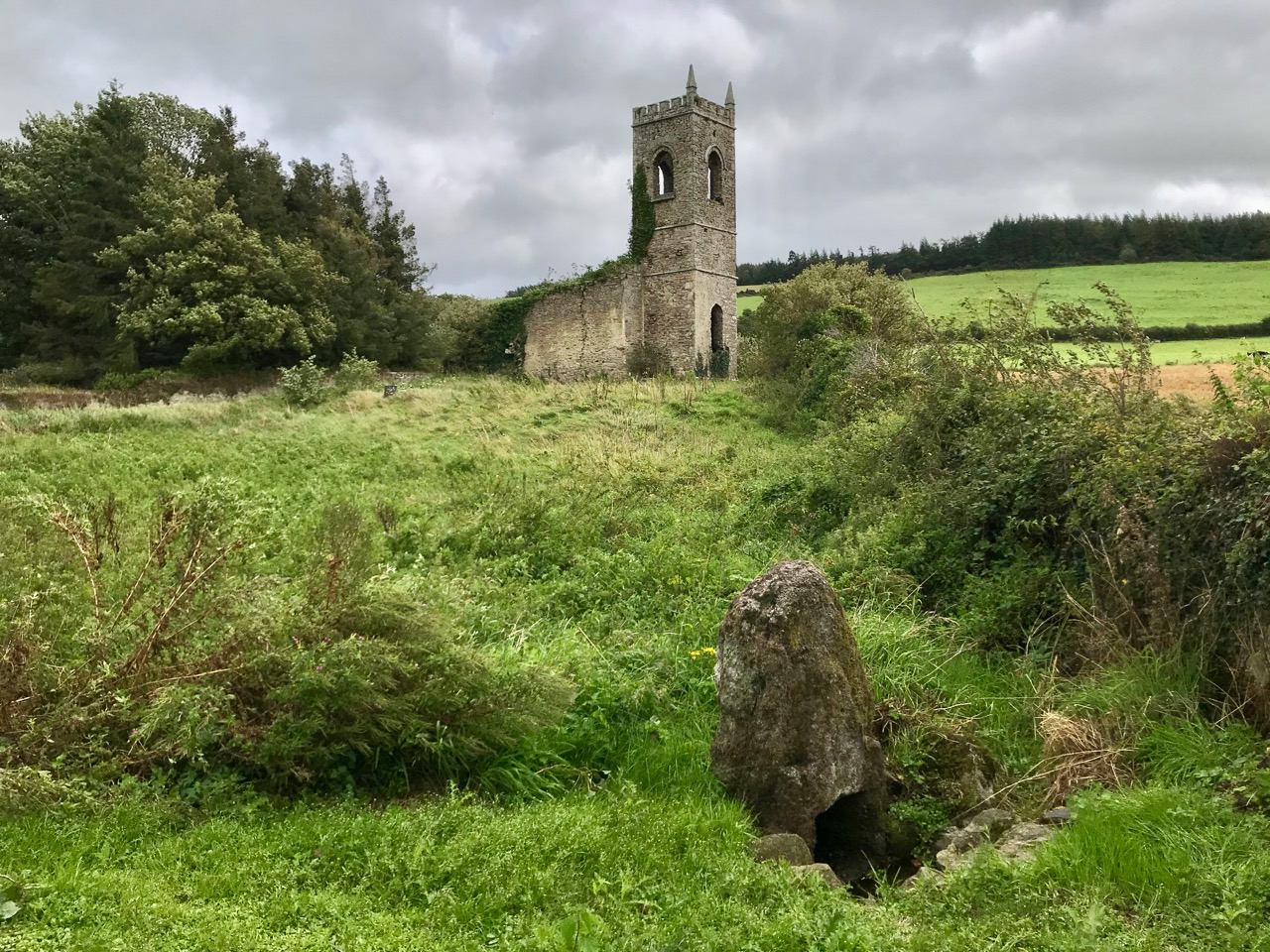
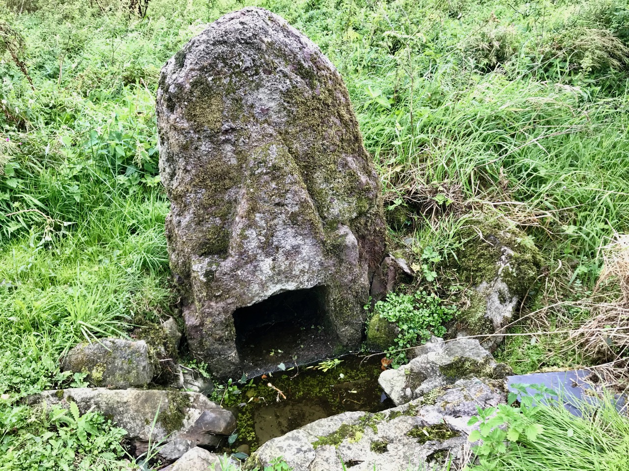
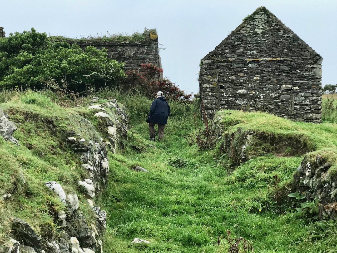
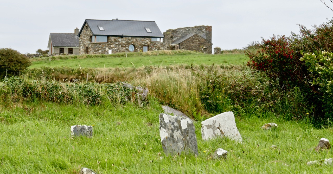
The first thing you’ll see, at the end of this lane, is the ruin of a significant church. Some distance beyond it you’ll make out the distinctive shape of the large, carved stone cross but also many other treasures including old grave slabs, bullaun stones and a very fine holy well dedicated to Saint Nicholas.

The site is associated with an Irish holy man, as you would expect: Saint Gobhan, Gobán Fionn, Gobban – or even Gobanus – who lived from c560 to c639AD. Foundations associated with this saint were many, including Portadown, Co Armagh, in the north; also as Abbot to the monastery of Old Leighlin, County Carlow, where in 633AD he presided over a great Synod held to debate the timing of Easter (we seem to remember only the later Synod of Whitby – 664AD – which also set out to regularise the date but which led to irreconcilable disagreement between the Irish and Roman factions). Latterly, Gobhan was linked to the Kingdom of Kerry – near Tralee, but we are interested today in the monastery he set up by a holy well in Killamery. He had a thousand monks with him and it is said that an army of angels helped build the walls.

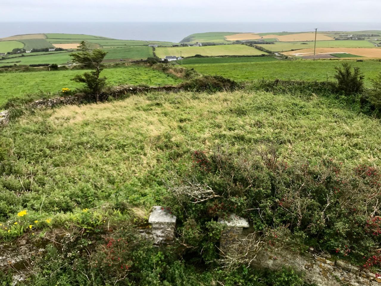
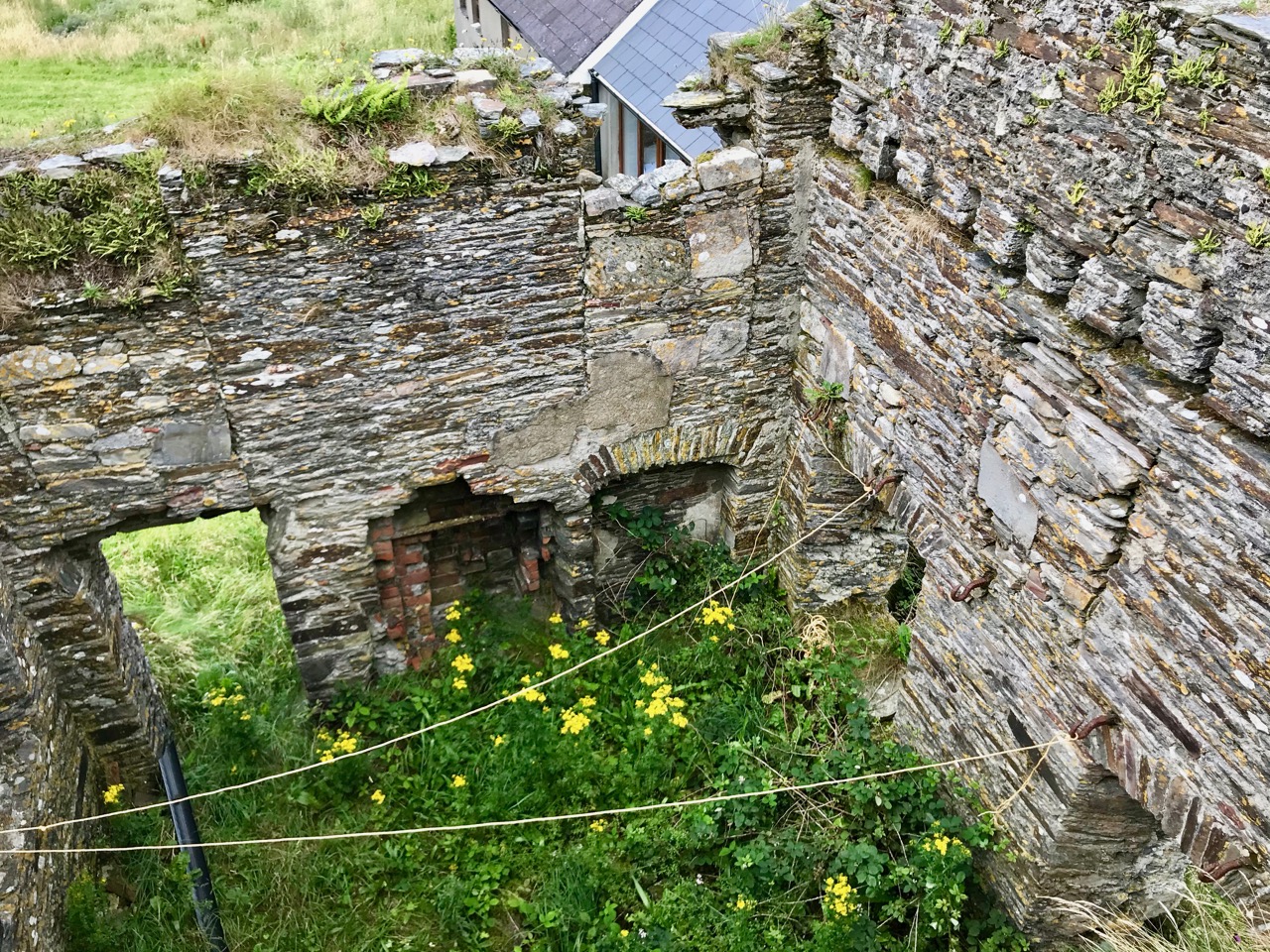
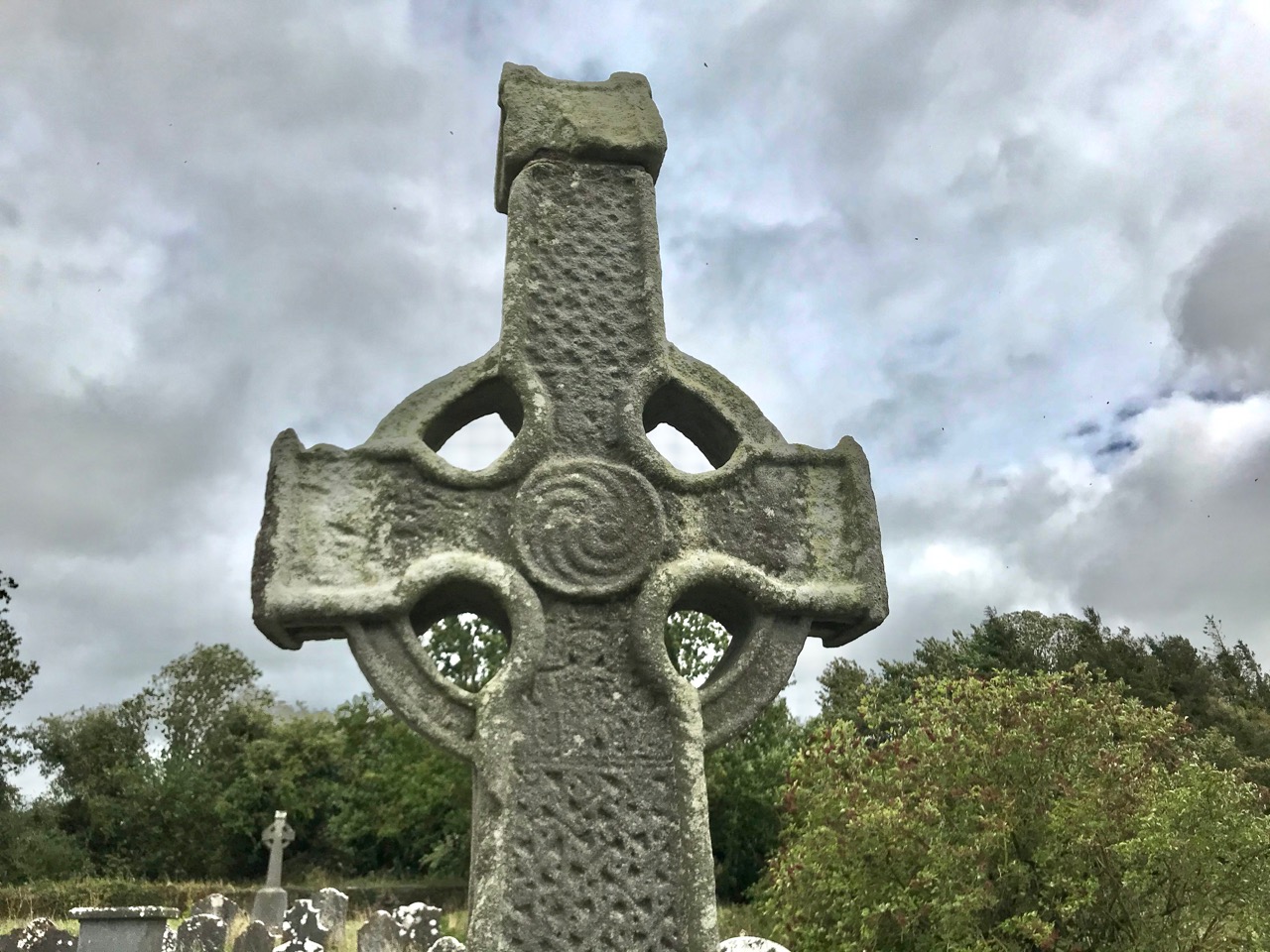
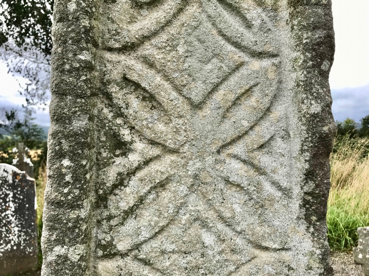
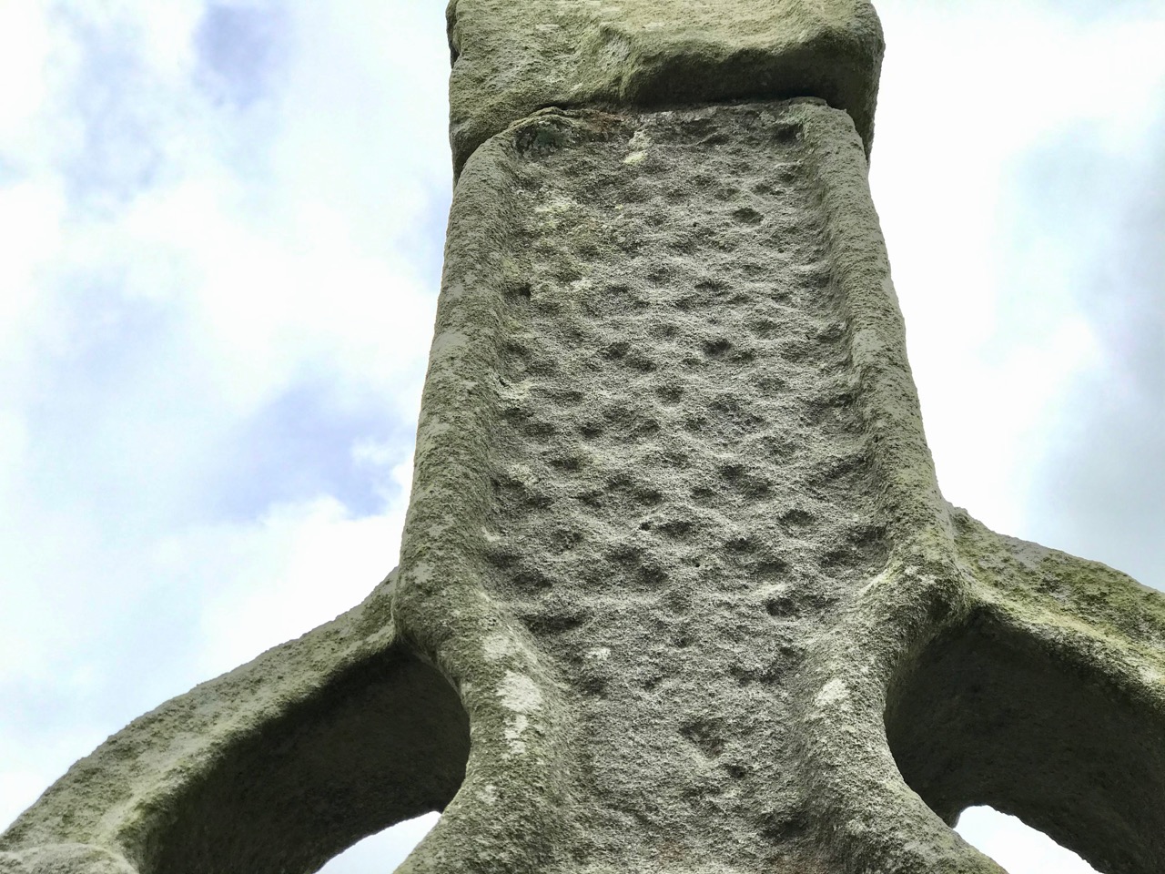
The angels must also have helped to eradicate that monastery as there is now no trace of Gobhan’s foundation in County Kilkenny, just a lonely 19th century church, the well (pictured above), a burial ground and this very fine High Cross. The cross is well worth a visit: some say it’s the oldest of the Western Ossory high crosses, which are themselves considered to be a distinct group. I have looked previously at the Kilkieran examples. Here at Killamery there is just the one cross and, perhaps for that reason, it stands out in the memory. Some scholars reckon it could be 8th century, but most attribute it to the 9th. It’s ancient by any standard, certainly, and it’s probably unavoidable that the carving is so weathered.

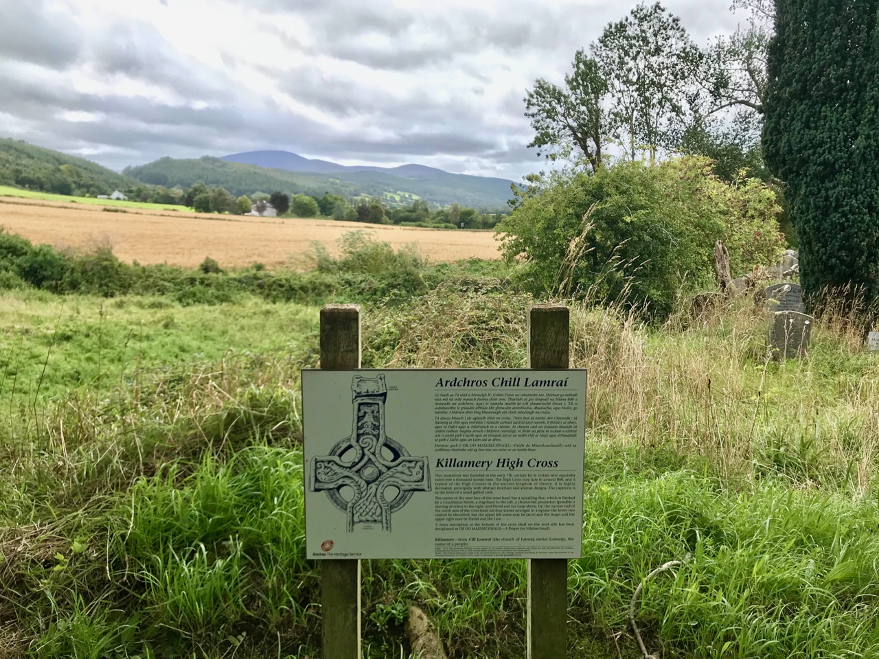
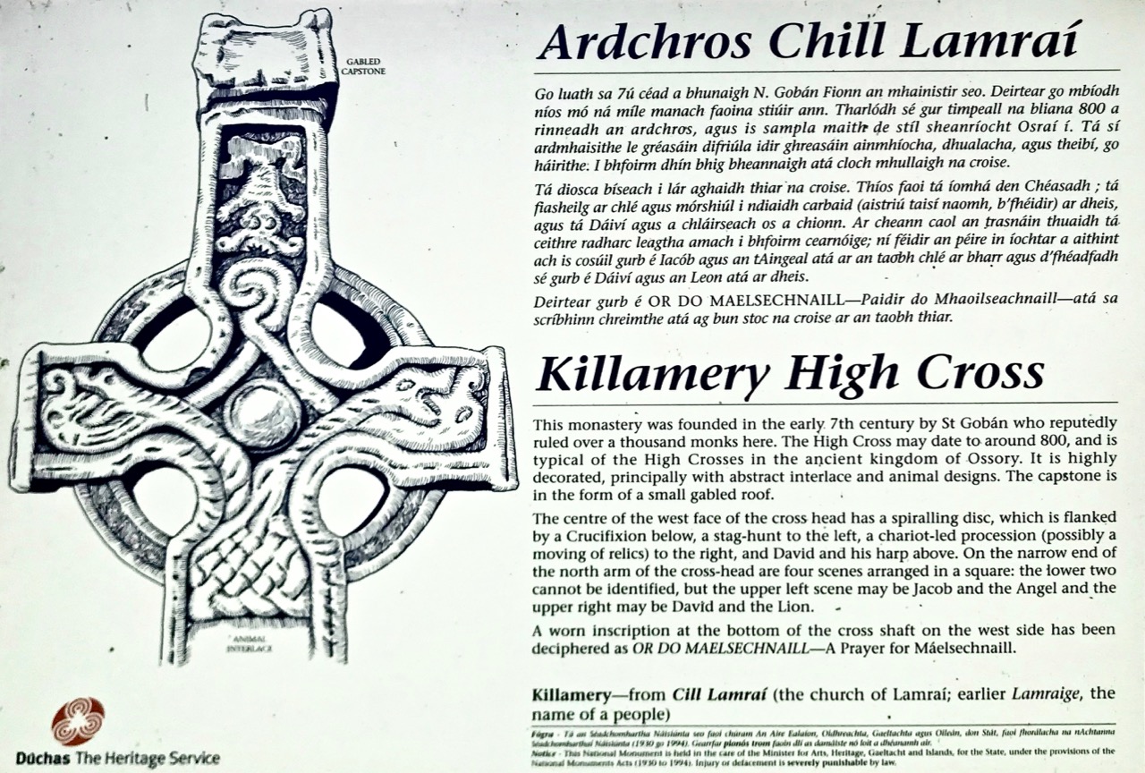
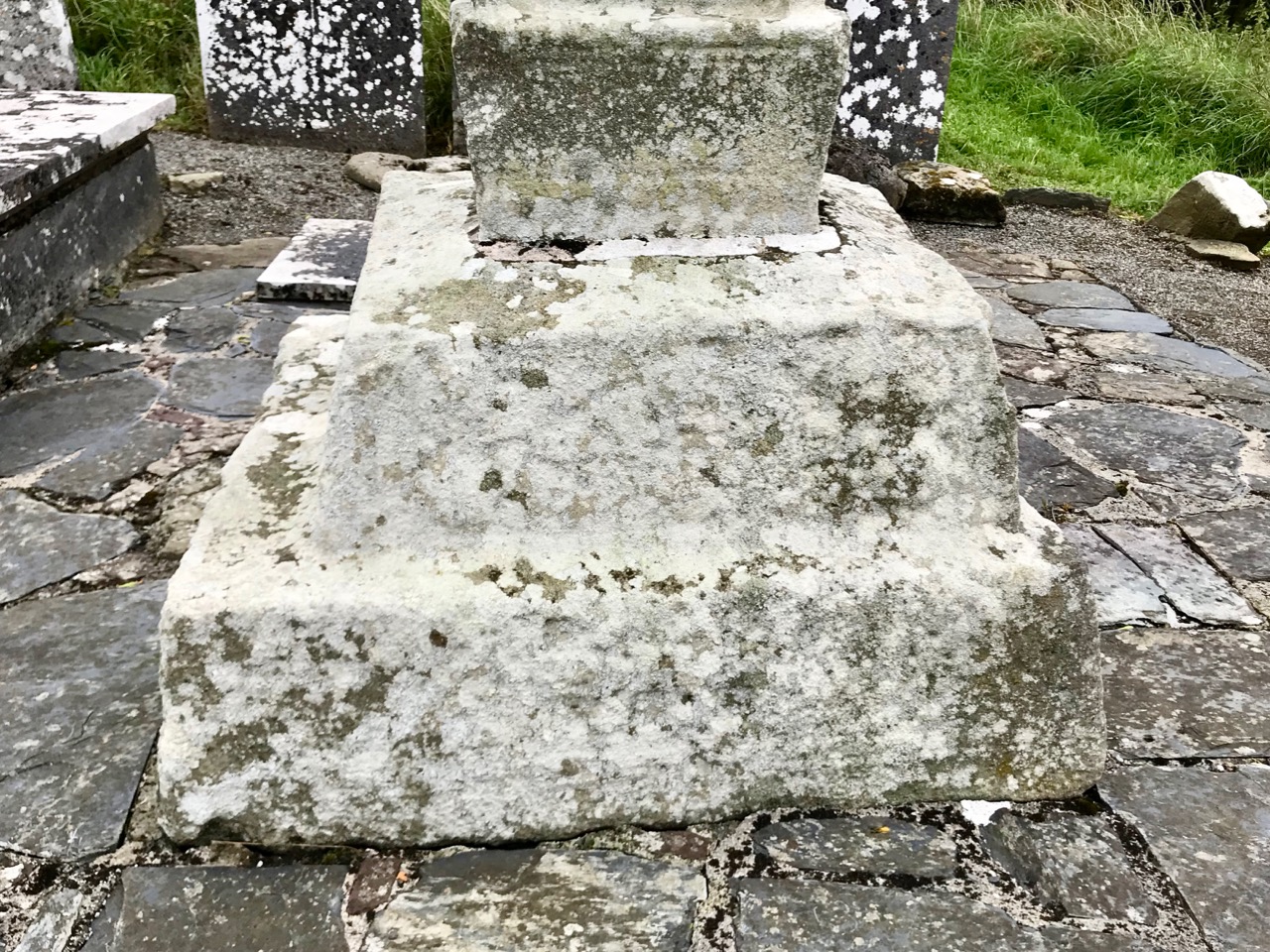
The Duchas signboard (above) describes the scenes depicted on the various elements of the cross,  but most of what we can decipher today is limited to geometrical patterns – very much in the ‘Celtic’ tradition. There may have once been other visible motifs: the large plinth stone is completely worn on all surfaces.

The cross certainly predates any of the other artefacts, bullauns and stone markers which surround it today, but it is likely that the adjacent holy well is even more ancient: it is dominated by an intriguing, large shaped monolith.

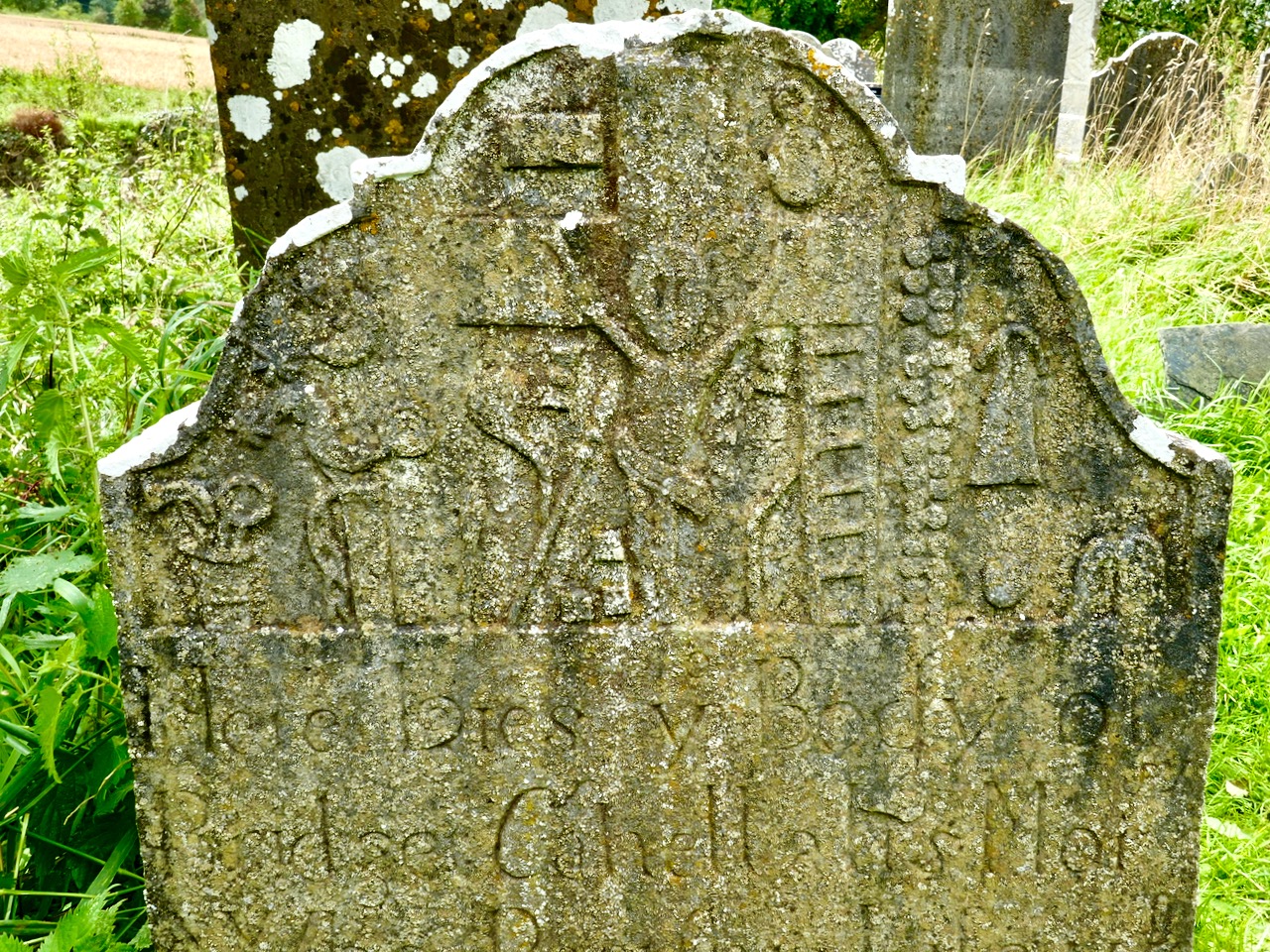
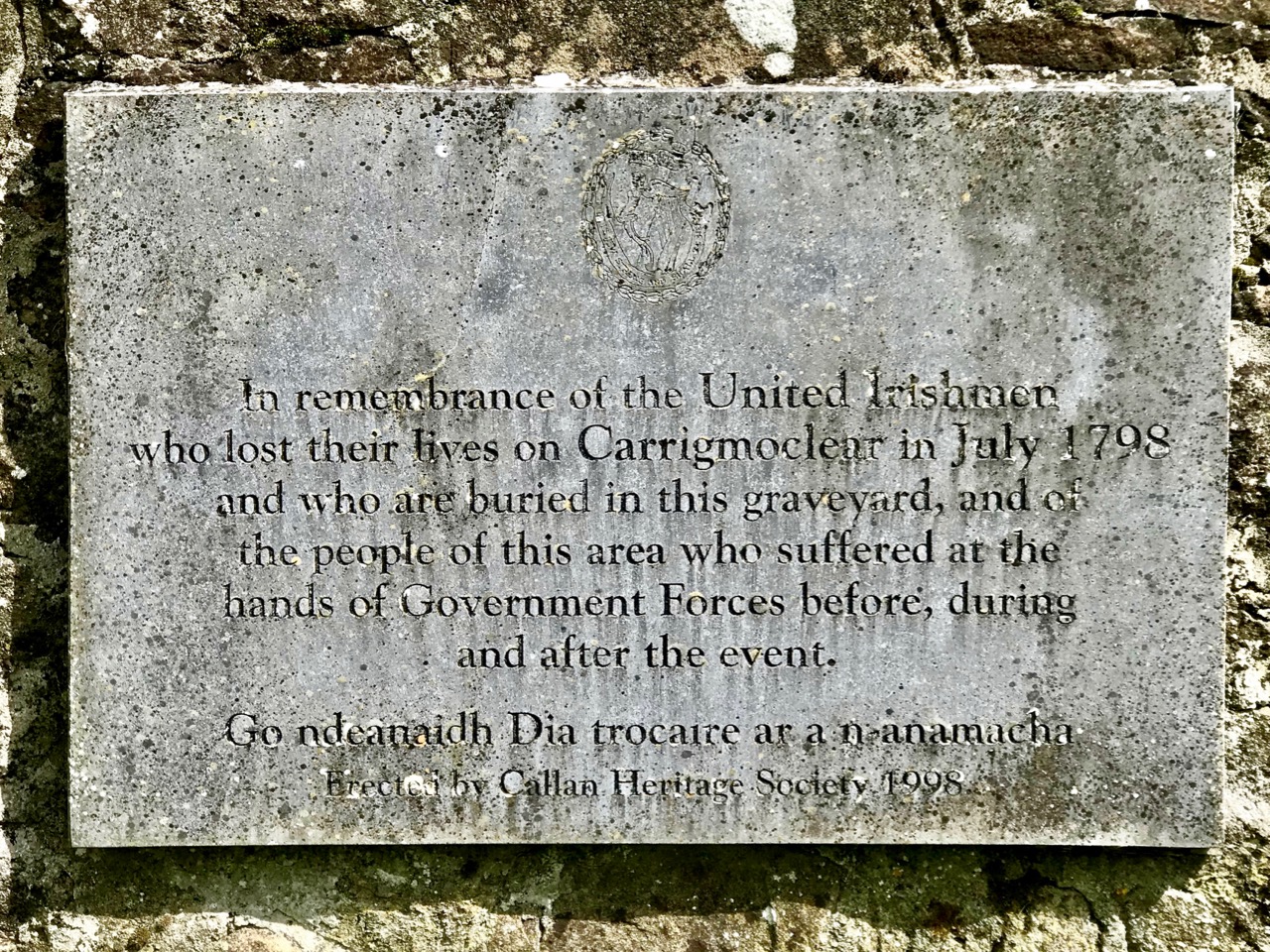
Among the artefacts which have arrived at this site is a fine 17th century (probably) cross slab and a memorial to the United Irishmen who lost their lives at nearby Carrigmoclear in 1798 – both shown below.

The origins of Gobhan himself merit some consideration. He has associations with metalworkers and, of course, we know that Saint Gobnait was their patron saint. Could there be some fusion of names in folk history and oral tradition? Like Gobhan, Gobnait is revered at many sites around Ireland and undertook diverse travels around the island in search of the nine white deer which set her destiny.

There’s nothing more Irish than the experience of finding references to hundreds of years of history hiding down a lonely boreen to nowhere in the rural heart of this land. More than anything, it makes us want to know more. What is real? What is myth – although made to seem logical and credible through stories which are still told? Of course, we can never know the reality, but we can share in the spirit of the stories, and wonder at a piece of stone beautifully carved, perhaps, thirteen hundred years ago . . .

Once you have visited this fascinating site, find your way across to the M9 (it’s straightforward enough) and you’ll be up to the big city in a jiffy!

Castle Island Explored – Part 1

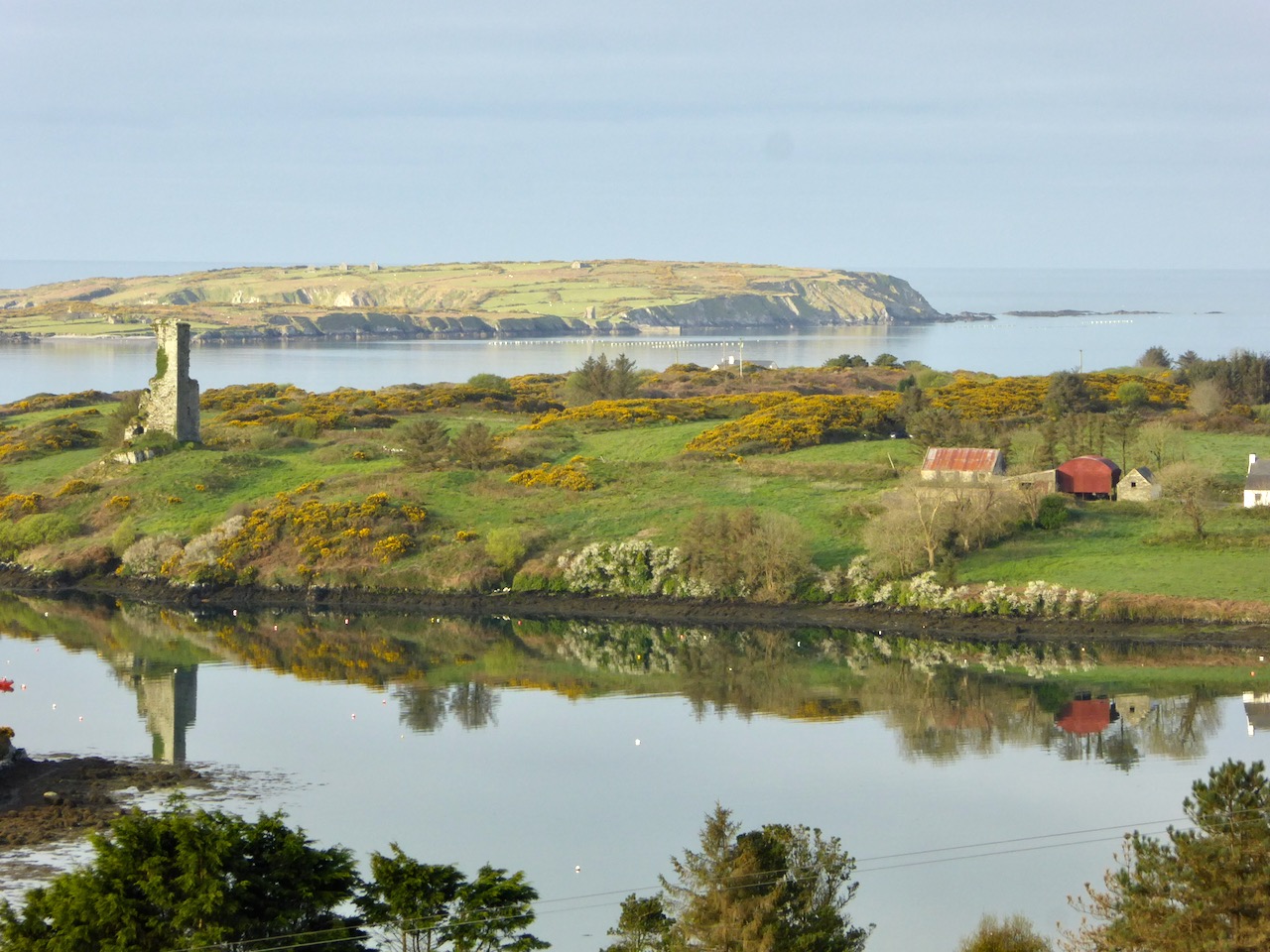
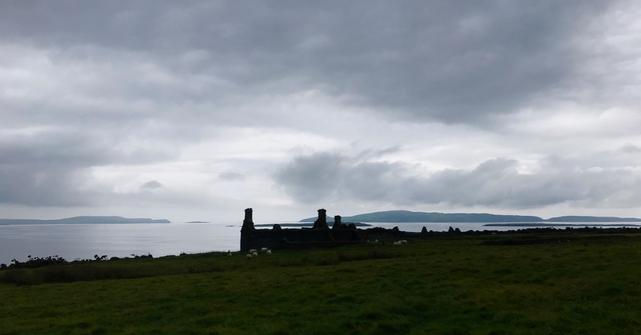
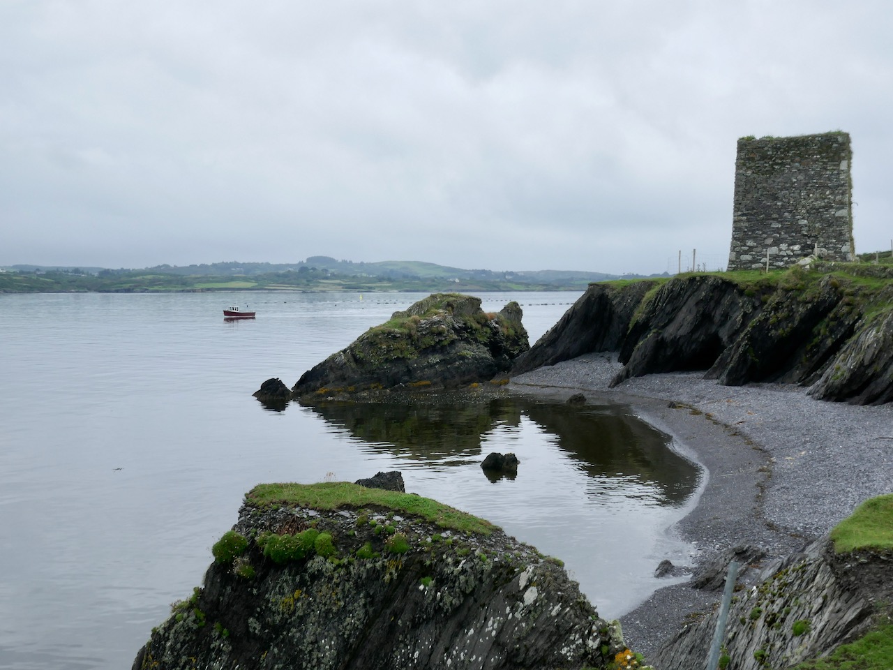
In this early spring photograph, taken from our Eyrie at Nead an Iolair, you can see Rossbrin Castle in the foreground. Beyond it lies Castle Island, uninhabited and slightly mysterious, but with clear traces of former occupation including a medieval tower house, a substantial quay and several abandoned dwellings. As we look over this island every day, we have long held an ambition to visit it, recently fulfilled when we were offered a lift out there on our good friend and neighbour’s fishing boat.

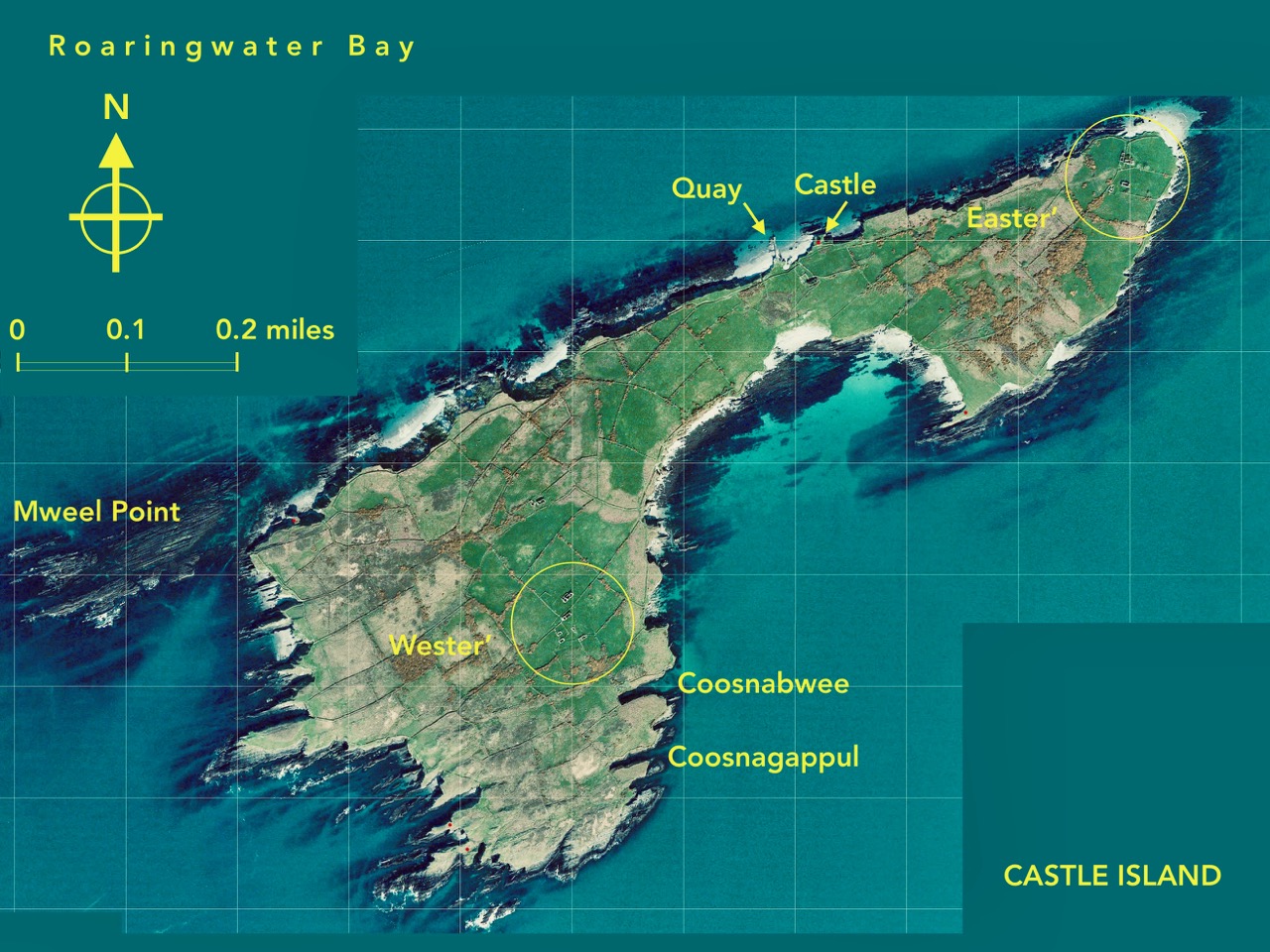
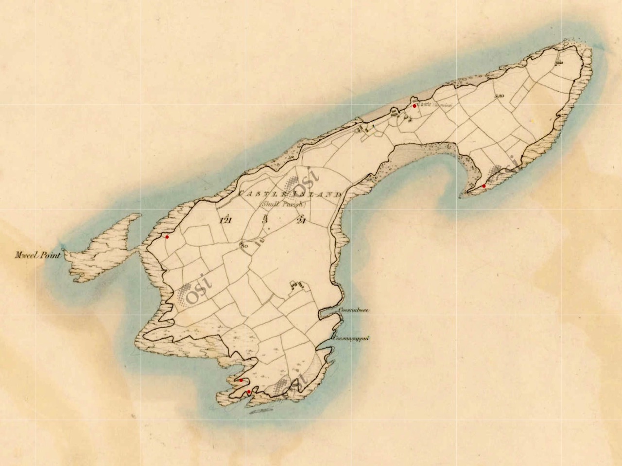
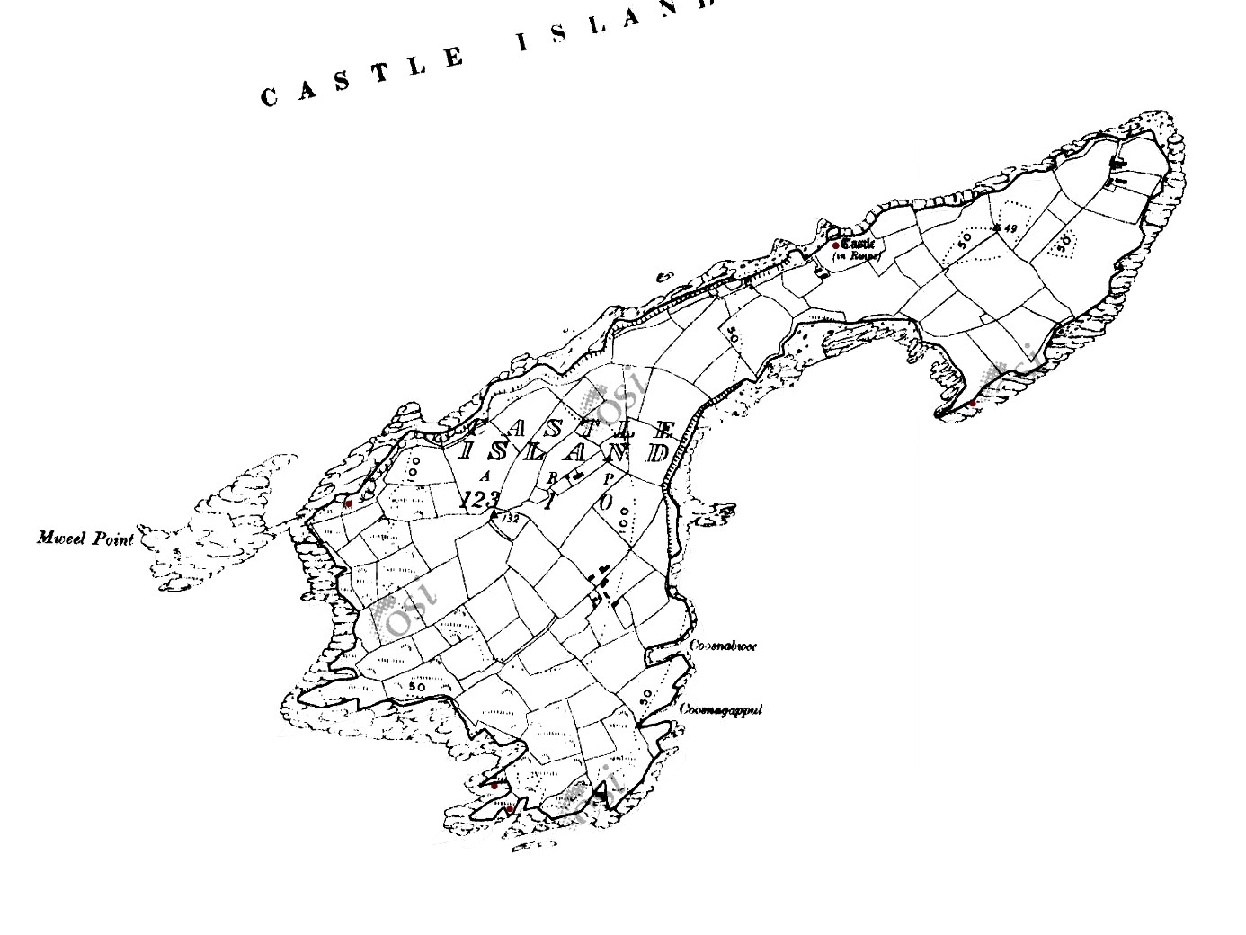
This map shows the scale of the island – just under a mile in length, and occupying 123 acres of mixed land. The main settlements – of Wester’ and Easter’ – are shown, as are the Quay and the Castle. It’s interesting to compare the two Ordnance Survey plans (below): the first 6″ edition was drawn up between 1829 and 1841, and the second one is the 25″ edition, drawn between 1888 and 1913. You can clearly see how the fields have changed, with new boundaries created in the later survey. Presumably this was due to an increase in population resulting in more clearances of rough land.

Both these maps show the Castle – said to date from the 15th century and one of the chain of O’Mahony fortresses that are strategically situated around this most south-westerly part of the Mizen. Of that clan we can find the following written by W O’Halloran in 1916:

Dr Smith says – these Mahowns derive their pedigree from Kean Mc Moyle More, who marrid Sarah, daughter to Brian Boru, by whom he had Mahown, the ancestor of all the sept. It is from this Kean the village of Iniskeen, in Carbery, has its name, and from this sept the Bandon is sometimes called Droghid Mahon. Mahon was the ancestor of the Mahonys, or O’Mahonys . . . The O’Mahonys, whose stronghlad was in the neighbourhood of Bandon (Drohid Mahon), were the first to encroach on the territory of the O’Driscolls. This occurred long before the Anglo-Norman invasion. They possessed themselves of the western portion of Corca Laidhe called Ivahah, which comprised the parishes of Kilmoe, Schull, Durrus, Kilcrohane, Kilmacougue, and Caheragh. They had fourteen strongly built castles . . .

Early Irish History and Antiquities and the History of West Cork, W O’Halloran

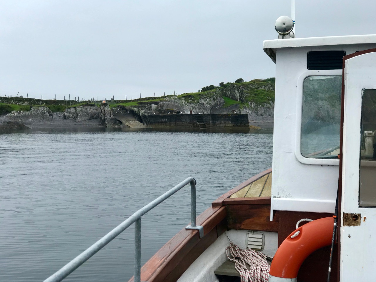
The M V Barracuda approaches Castle Island on an atmospherically damp day in late August. The quay itself seems to have been constructed  during the time of the Congested Districts Board from 1892 to 1922. It is a substantial structure and the investment in that time suggests that there was a significant community living and working on the island to justify it. However, a number of sources assert that Castle Island was “. . . home to a community of approximately 15 families who were last resident on the island up to the year 1870 . . .” Our own observations of the abandoned dwellings on the island led us to the conclusion that, although now significantly deteriorating, these habitations must have been in use more recently than this.

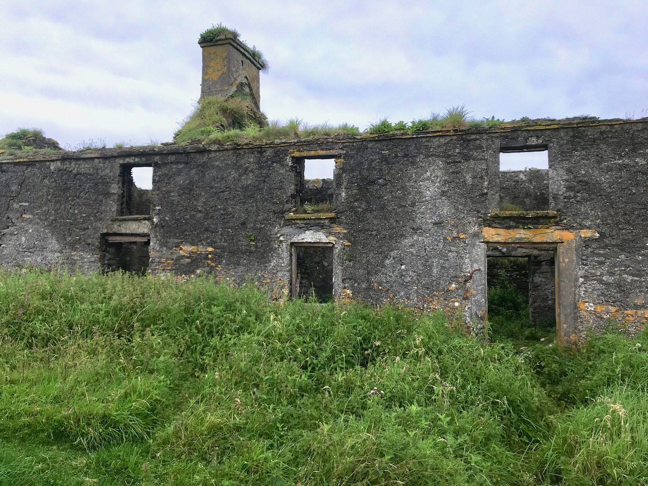
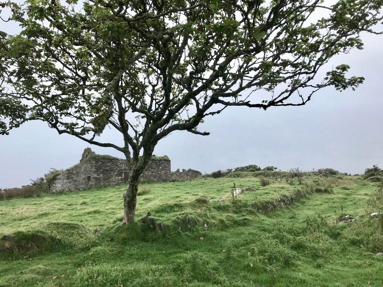
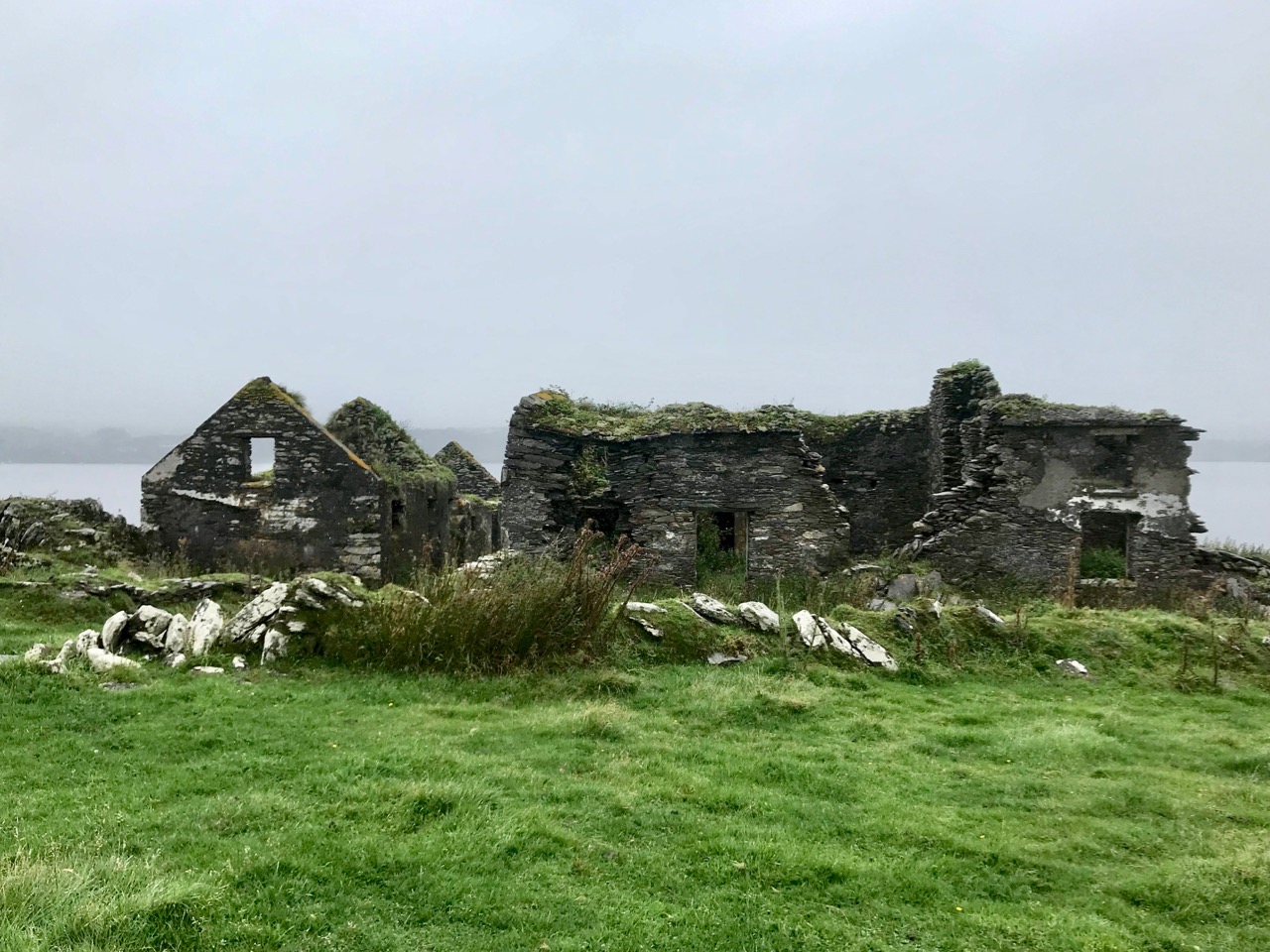
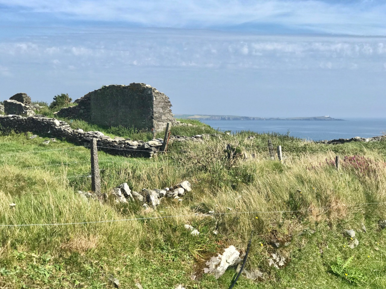
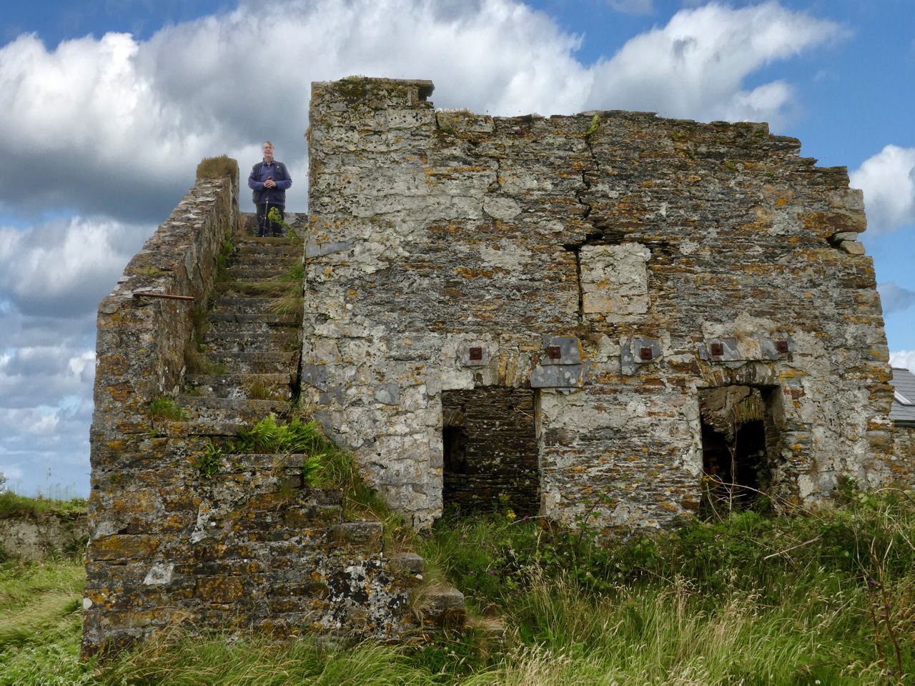
Examples of now-ruined houses, barns and boreens on Castle Island. These are not ‘cabins’ or even cottages, but significant homesteads. Some – including the large residence in the upper picture – have the vestigial remnants of timber door and window frames, unlikely to have survived in place in this harsh environment for 150 years.

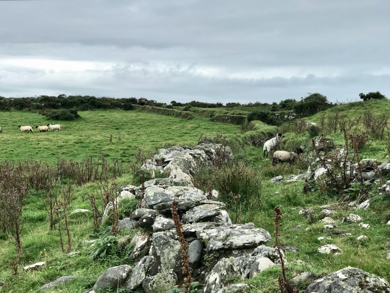
A community of sheep roams unhampered by fences or boundaries, and Finola absorbed how nature has taken over and populated the landscape in spite of wild winters and lack of shelter: we counted precisely two and a bit trees on the whole island!

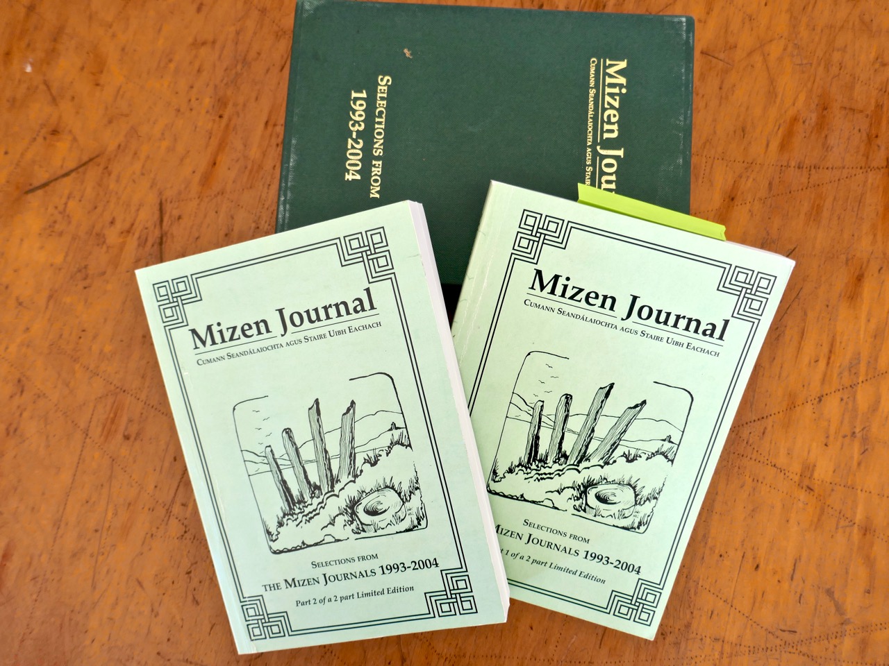
The story of this island is somewhat overlooked generally – one of the reasons we were so keen to visit. In our library, however, we are fortunate enough to have some copies of the Journals of the Mizen Archaelogical and Historical Society – now out of print. That Society was active for thirty years between 1979 and 2010, and produced a dozen journals gathering important historical research by mainly local people. Here’s a post we put together when our good friend Lee Snodgrass – a leading light in that organisation – passed away recently.

In that Journal we have found two articles about Castle Island. One – by Anthony Beese – explores the local placenames, and the other – by Liam O’Regan – speaks of The Castle Island Evictions 1889 – 90. This latter clearly shows that the island was inhabited in the late nineteenth century (apparently contrary to current popular thinking). Also, following those evictions, many of the tenants returned later and it seems very possible that some islanders remained in situ into the twentieth century. Both Journal articles have stories which need to be told, and I will attempt to do that in a later Roaringwater Journal post. For now, however, you will have to be content with . . . the story so far . . . which tells of our voyage of discovery to the island on an overcast day in the summer.

A Signal Success in Irish Engineering – Part 5: Downeen

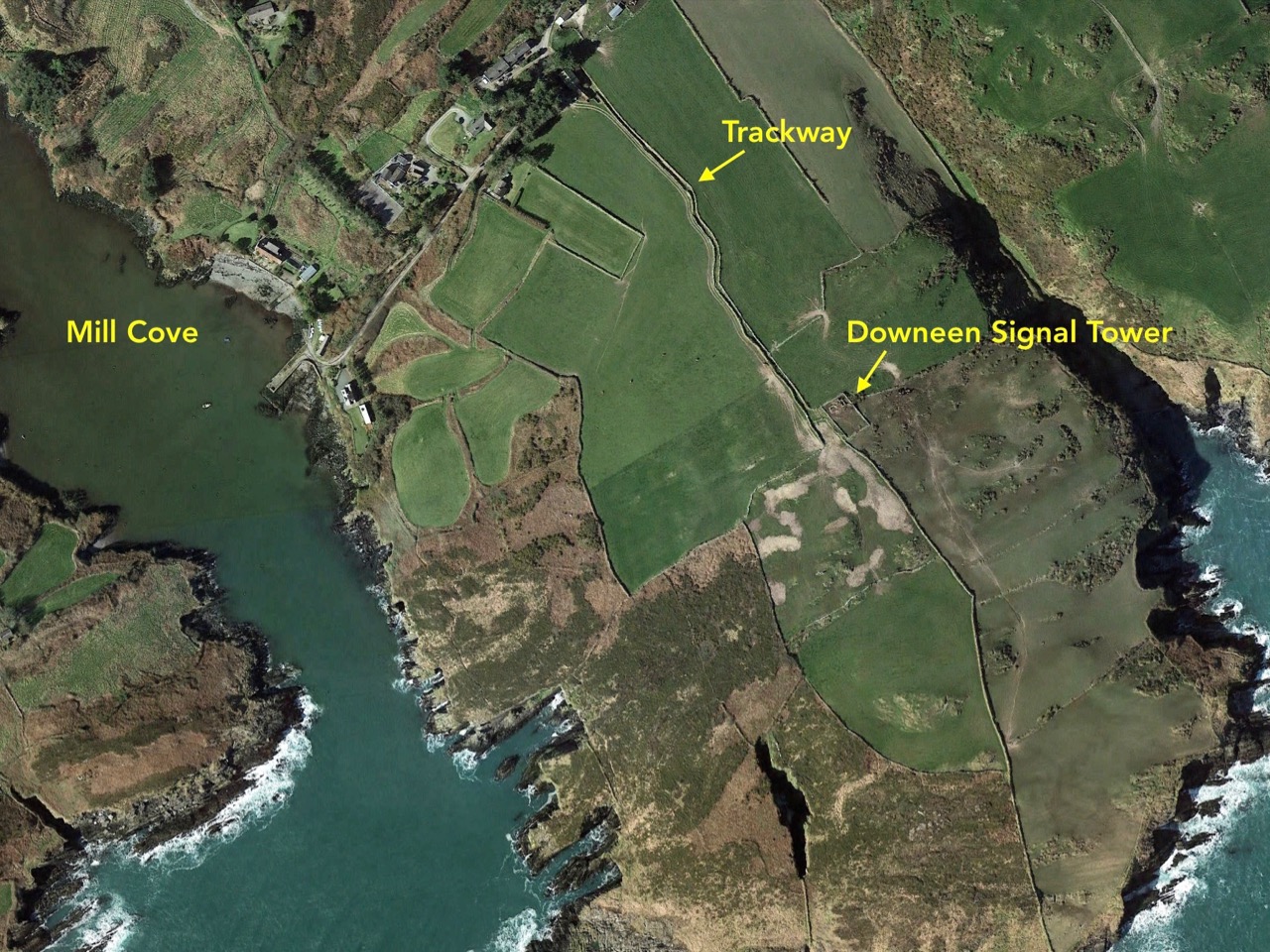
County Cork is well-endowed with the sites of Napoleonic-era signal towers. By my calculations there are 20 sites in this county, almost a quarter of the generally accepted number of sites around the whole island. For a map of the 81 locations identified by Bill Clements in 2013 have a look at part 2 of this series – Ballyroon Mountain. Today’s subject is Downeen Signal Tower, close to picturesque Mill Cove, a naturally sheltered quay around which a small settlement can be found, most active in the summer months.

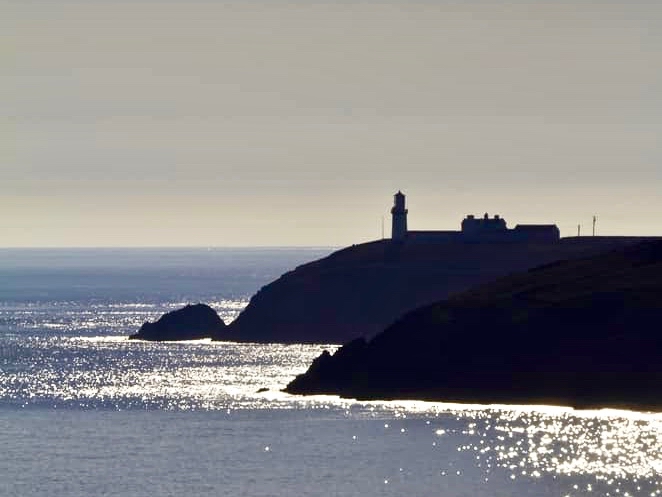
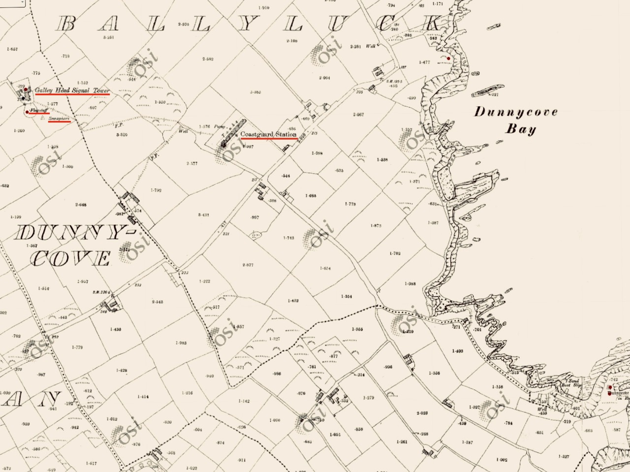
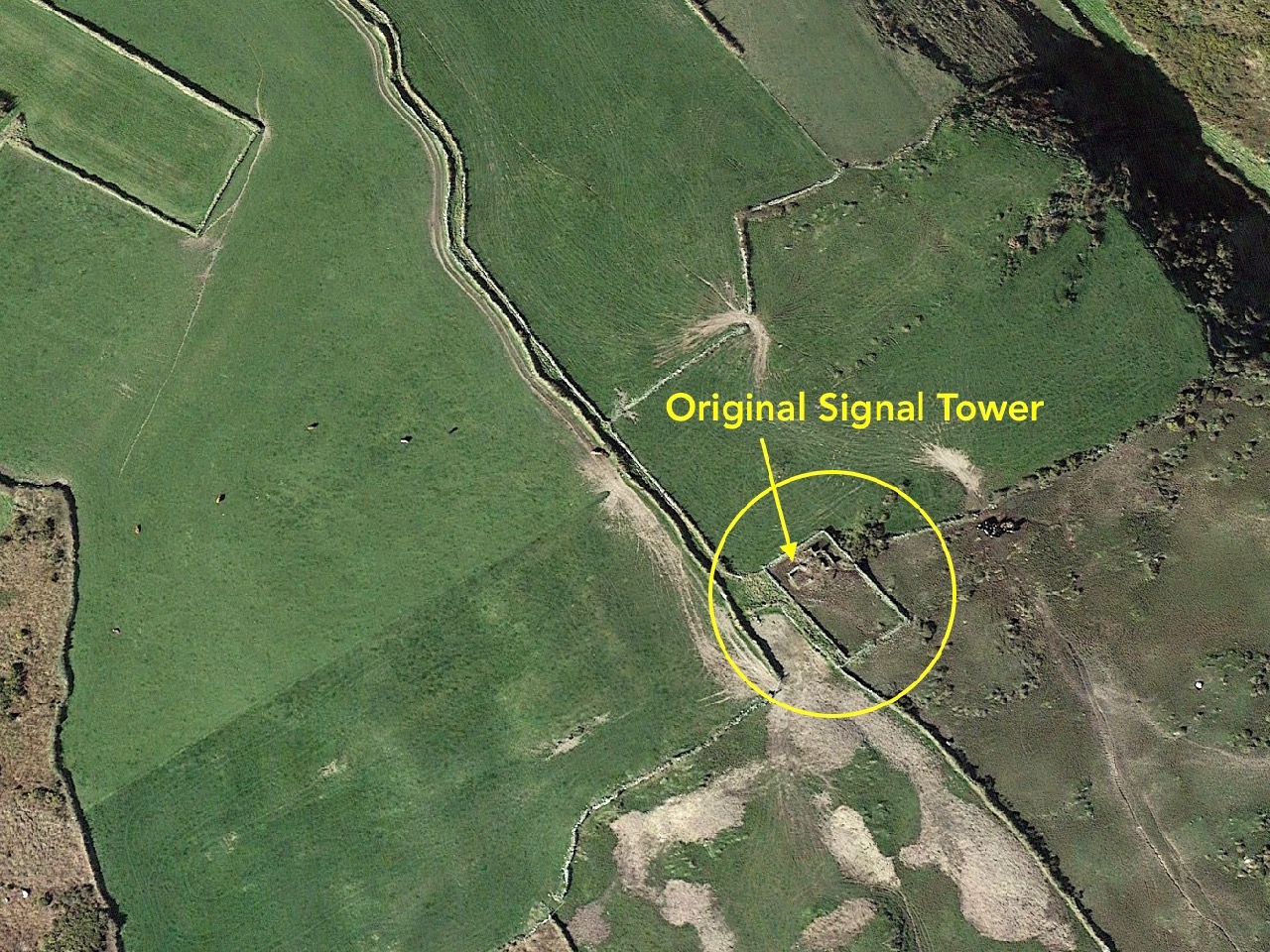
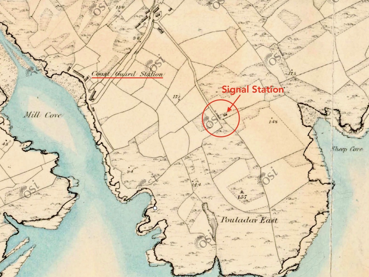
The header picture shows all that remains of the buildings of Downeen signal tower today. In the distance you can see Galley Head with its lighthouse. There was no signal station on Galley Head itself, the next in line to the east being at Dunnycove, in the townland of Ballyluck – this will be the subject of a future post. The aerial views above show the Downeen site: note the well-defined access trackway, a feature of all the locations we have visited to date. This signal tower has been changed and extended over the years, as can be seen by comparing the two OS maps below:

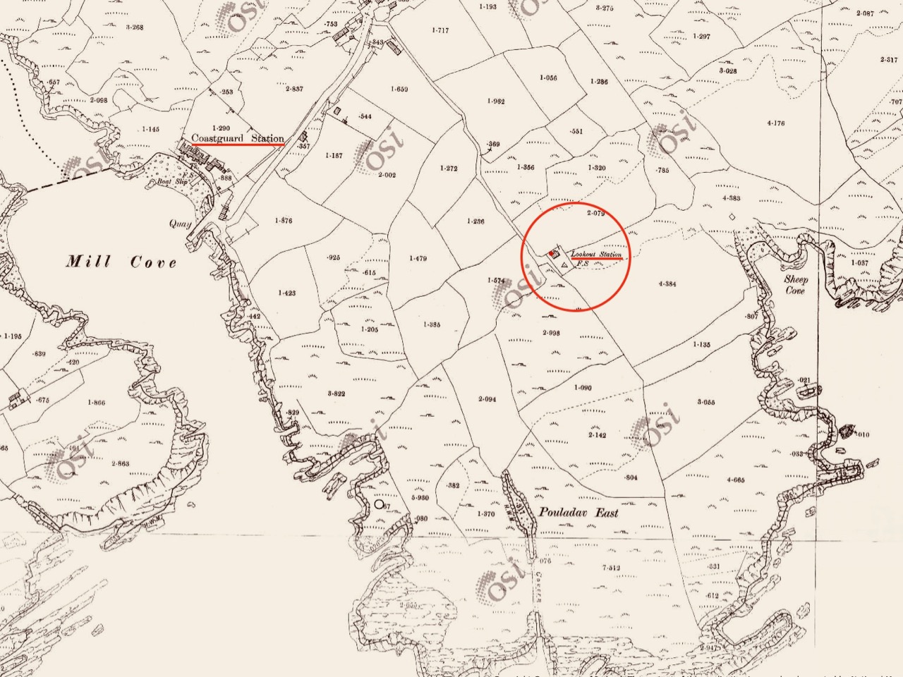
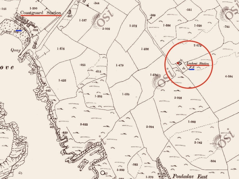
The upper map is based on the earliest 6″ survey which the Ordnace Survey carried out between 1829 and 1841. By that time, of course, the signal towers would have become redundant and this map shows a simple building and the trackway, with no label. The lower map is from the Historic 25″ survey, produced between 1888 and 1913. Here we see the site extended and the buildings altered, more in keeping with the present day aerial views. On this OS map the building is labelled as a ‘Lookout Station’ and there is also ‘F.S.’ shown, which I assume to indicate ‘Flag Staff’. This comparison exercise shows us how invaluable the Ordance Survey can be to historians in providing information often not documented elsewhere. Both maps show a ‘Coast Guard Station’ as the main feature of Mill Cove itself and this gives us the clue to the further incarnations of the original signal tower at Downeen. Here is an enlarged section from the 25″ map:

On this extract I have also underlined the two ‘F.S.’ indicators, which I take to mean flagstaffs – one at the Lookout Station, and the other at the ‘Coastguard Station’. Based on this I am putting forward the opinion that the original signal tower was taken over, extended or rebuilt for the use of the Coast Guards. I don’t have any other supporting evidence for this at Downeen, but at other stations I know this has definitely happened (either from written evidence or – more importantly – direct contact with local recollections). It certainly makes sense, as the towers were generally placed at the highest and best vantage points in the landscape – and had good access, verified by the surviving trackways.

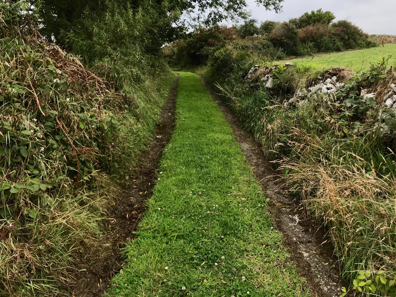
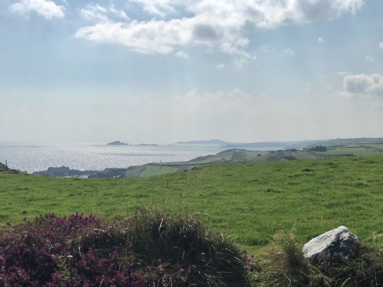
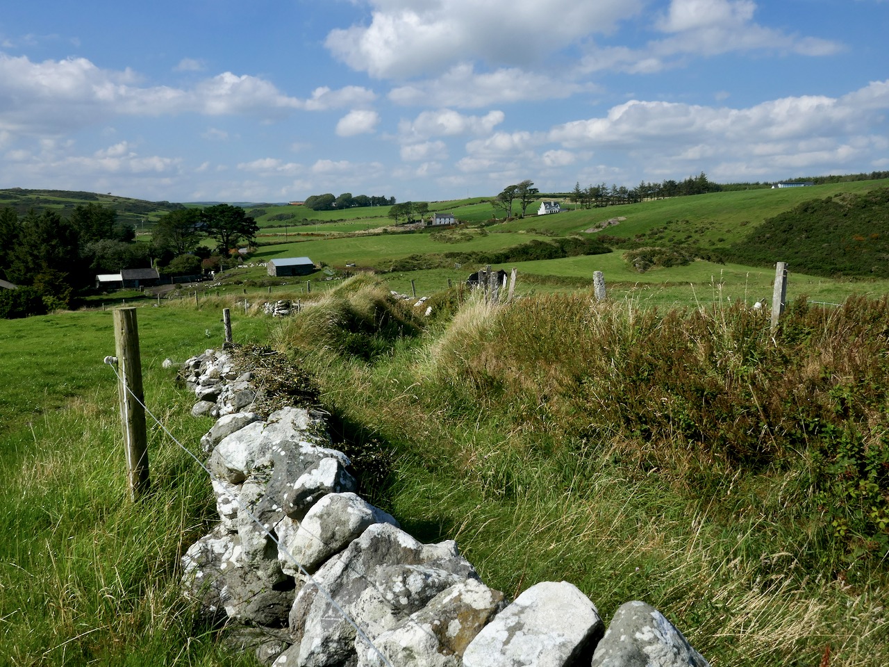
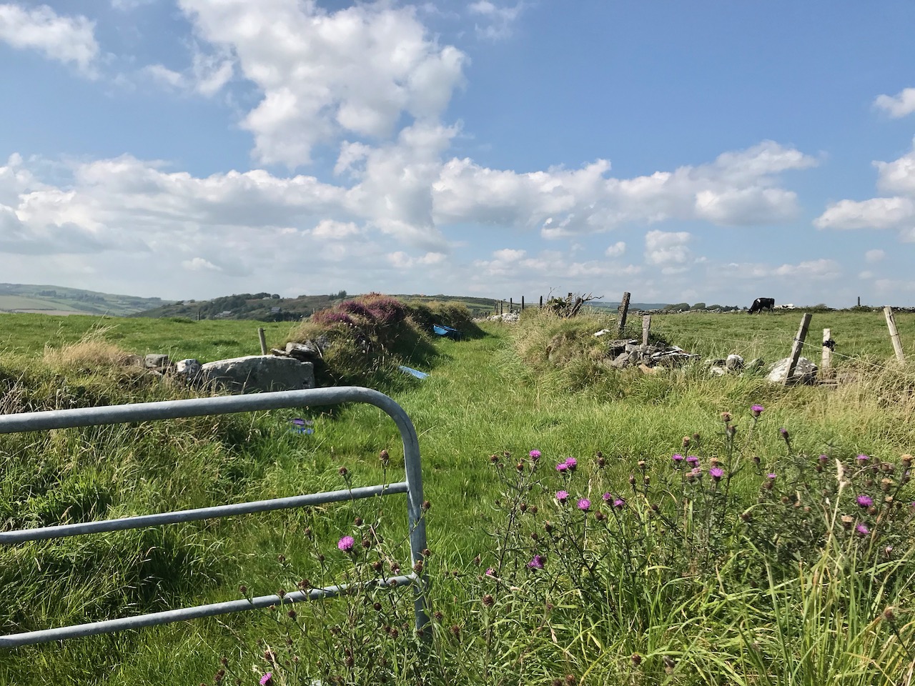
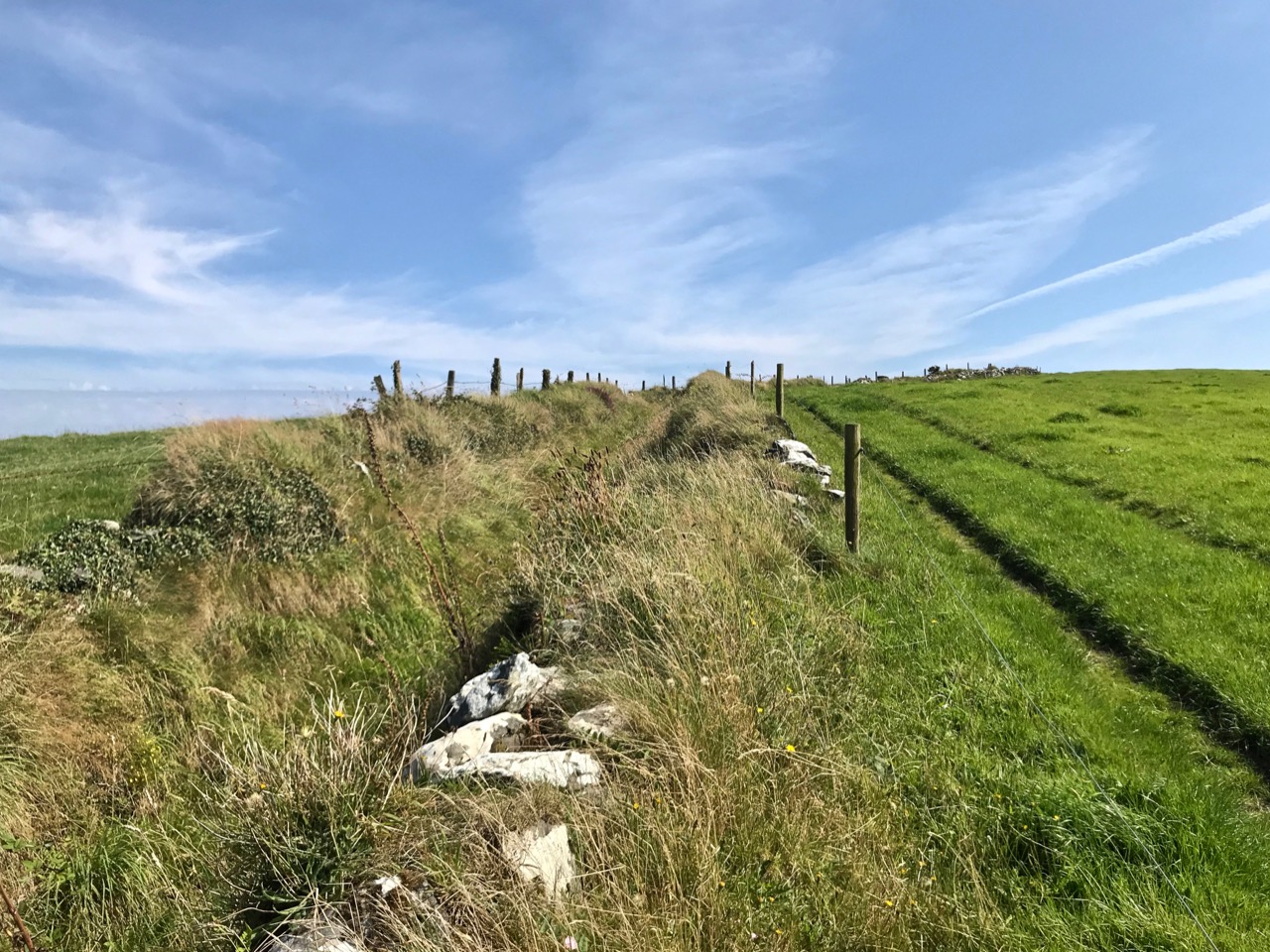
The upper picture is taken from the Downeen signal station looking west – the sweeping vista is commanding. Two views of the access trackway show that it remains well defined by continuous masonry walls, but overgrown. Our only companions on our exploration regarded us with benign curiosity! Attempts to uncover a comprehensive history of Coast Guards and Coastguard stations here have not been rewarded so far – except to establish that, in Ireland, we should correctly refer to them as Coast Guards – not Coastguards. This information is taken from the Irish Government website (gov.ie):

In 1809  the “Water Guard” was formed. Also known as the Preventative Boat Service. The Waterguard was the sea-based arm of revenue enforcement who patrolled the shore. The Waterguard was initially based in Watch Houses around the coast, and boat crews patrolled the coast each night. It was under Navy control from 1816 to 1822, when it and riding officers were amalgamated under the control of the Board of Customs . . . in 1856 control of the Coast Guard passed to the Admiralty . . . In 1921, after Independence, the Coast Life Saving Service was established in Ireland . . . The duties formerly performed by His Majesty’s Coastguard (HMCG) were taken over by Saorstát Eireann (Irish Free State) and the Coast Lifesaving Service (CLSS) was established . . . In 1925 the UK Coastguard Act passed, formally defining its powers and responsibilities. This inadvertently used the single word ‘Coastguard’ for the first time, and affected all crown dominions . . . In 2000 Ireland re-established the Coast Guard as the original two-word variant . . .

It’s fairly logical that the signal towers built between the 1790s and early 1800s to frustrate a French invasion of Ireland were still intact at the time of the Waterguard, and would have been ideal for the general purpose of watching the coast. (Above) – the ruins of the buildings at Downeen signal tower cum Coastguard lookout station as seen today. They enjoy the conceptual protection of being classified as a scheduled monument, but are unlikely ever to be more than crumbling vestigial stone walls. In their decay they command a poignant respect, and our imaginations can recreate the activities they may have witnessed. Here’s another quote, from the engrossing forum Coastguards of Yesteryear:

Nineteenth-century coastguards must have formed a close-knit group. Mostly ex-naval men, they presumably shared a sense of camaraderie . Often stationed as coastguards in remote spots, moved every few years to prevent them becoming too friendly with the locals, and often viewed with suspicion by those many locals with smuggling sympathies, coastguards were presumably drawn to marrying each others’ daughters. The more generous notion that “every nice girl loves a sailor” was only to develop later in the general population!

Notwithstanding the slight vestiges of its signal tower, Downeen has significantly more to offer in the way of history – worth a mention as it has led to some confusion in the story of this particular site.

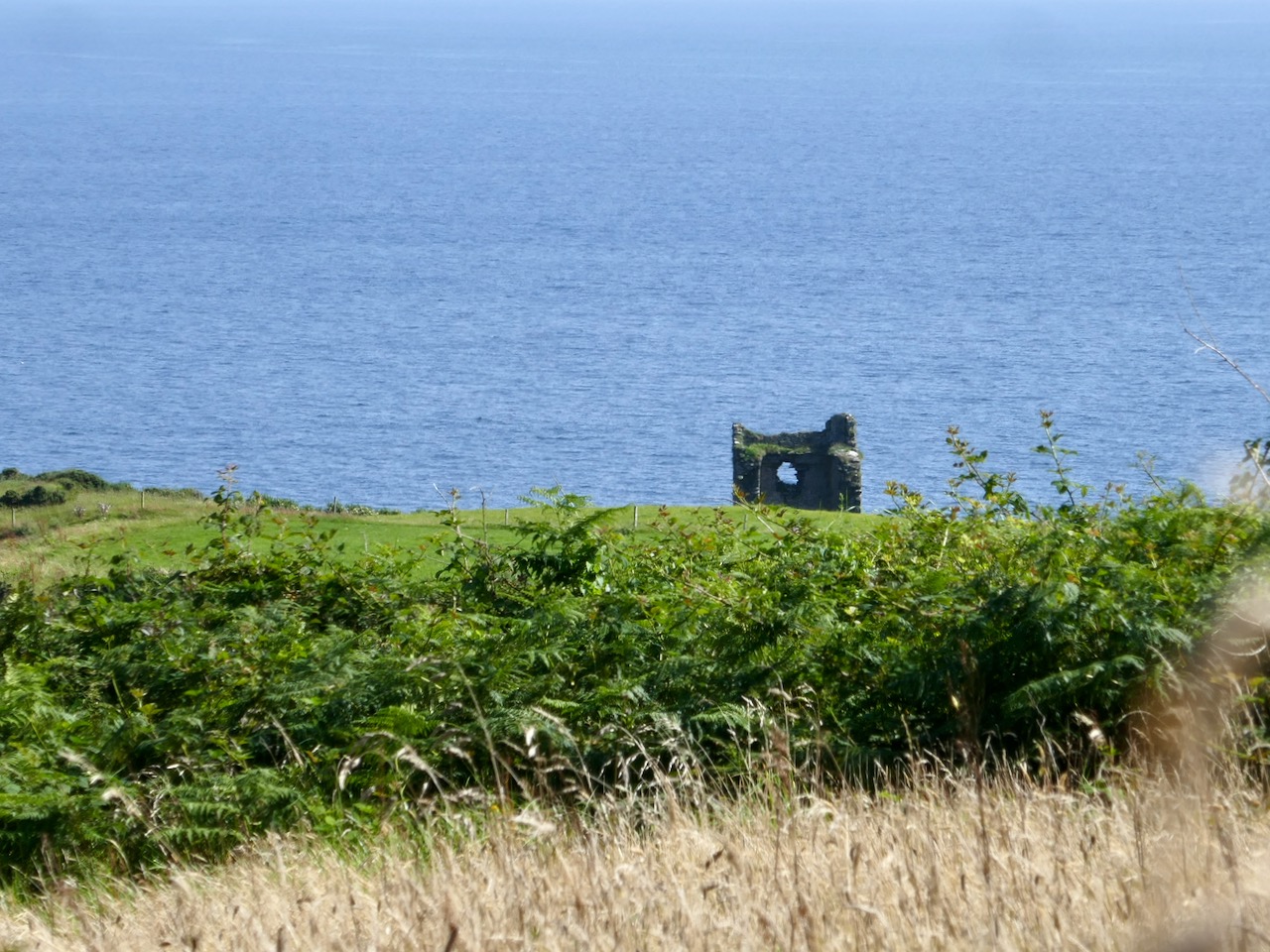
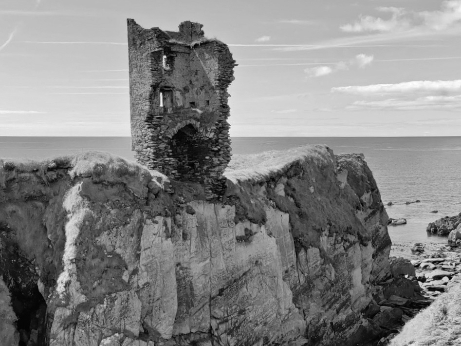
We came across these two further ‘towers’ not too far away from the signal station site – also in Downeen. The first (upper) is classified as designed landscape – a belvedere. The second is a most intriguing tower house, a seemingly impossibly surviving clifftop ruin. On the day we visited, we were unable to get really close to either of these structures, but I was able to find a bit more about them on the internet, including a reference to the belvedere on the National Inventory of Architectural Heritage, where it is described as a ‘Signal Tower’ dating from between 1780 and 1820! In fact, further research has shown that this is a mis-attribution. Both these structures are connected to Castle Downeen. The tower house is described as possibly an O’Cowhig castle taken by crown forces in 1602 and approached by “a little drawbridge of wood”.

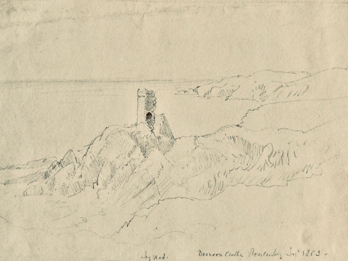
Here is the remarkably poised tower house at Downeen. The upper picture is courtesy of rowler21 via Google, 2020. I was delighted to find this small sketch (lower) by George du Noyer, titled Dooneen Castle, Rosscarbery, Sept 1853. Although almost 170 years have passed since du Noyer visited this part of West Cork – possibly in connection with his work for the Ordnance Survey – not much appears to have changed: perhaps the loss of part of the parapet. The ruin was apparently as precariously balanced then as it is now.

Downeen, with its lush valleys, old stone built settlement, former Coastguard station and this trackway serving a site formerly of great importance in the history of communications in Ireland is worth further exploration. As well as the 16th century tower house there are the abandoned and heavily overgrown remains of an 18th century ‘Country house’. This had a walled garden and the belvedere appears to be part of this. We are always surprised – and delighted – by the sheer volume of history that can be found in these out-of-the-way places, and remember – it is always worth talking to local people if you want to get under the skin of that history!

The previous posts in this series can be found through these links:

Part 1: Kedge Point, Co Cork

Part 2: Ballyroon Mountain, Co Cork

Part 3: Old Head of Kinsale, Co Cork

Part 4: Robert’s Head, Co Cork
Sanctifying the Landscape: Holy Year Crosses in Ireland

In 1950 Pope Pius XII declared a Holy Year – and galvanised Ireland. It was the height of a certain time of Catholicism in Ireland – fervent, highly-organised, state-sanctioned – and the Pope’s decree was embraced with enthusiasm.*

First of all, what is a Holy Year? It’s a year of special devotion and penance, and a year in which, through following certain prescriptions, you can gain a Plenary Indulgence. Sounds a bit medieval, doesn’t it? But the concept of a Plenary Indulgence isn’t quite the same as the Cash-For-Forgiveness schemes that brought about the Reformation – you earn it, rather than buy it, and it gives you a Time Off For Good Behaviour Card to shorten your sojourn in Purgatory. As you can imagine, this is an attractive proposition for an ardent believer, steeped in all the ritual and dogma of Catholicism – and that described almost all of us in 1950s Ireland.

A wonderful short film about the 1950 Holy Year in Rome

The Holy Year itself involved many rituals. The Pope declared it open by knocking on the first of four Holy Doors in Rome and finished it by sealing up the door again at the end. Pius XII encouraged those who could to make a pilgrimage to Rome.

In response, Ireland mounted a National Pilgrimage, led by the President, Seán T O’Ceallaigh. Take a look at how British Pathé covered this event. Aer Lingus laid on specific flights: A special return fare of £54 from Dublin or Shannon to Rome, valid for 30 days will apply during the Holy Year. Passengers may travel via London, Paris or Amsterdam and may break their journey at any scheduled stopping place en route provided that the stopover is specified at the time of booking.

The Post Office issued a special Holy Year set of Stamps (above). The national radio station started its tradition of playing the Angelus every day – still going strong despite frequent calls for a more inclusive time marker. Everything about the official Government position telegraphed the statement – We are a Catholic Country.

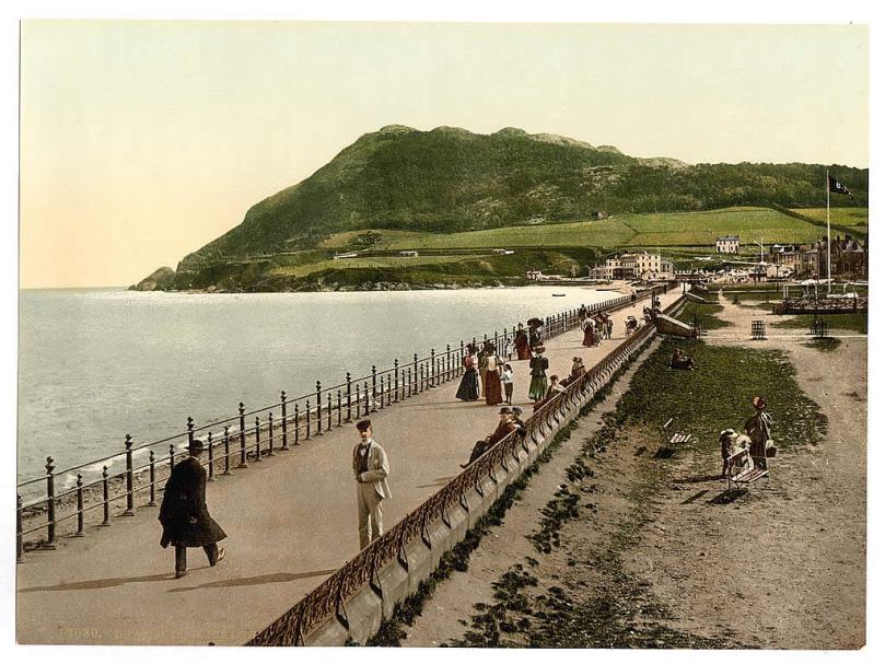
Edwardian Bray, Co Wicklow – the famous Promenade is there but no cross yet

But how did this ultra-Catholicism manifest itself in individual communities? Besides specially organised missions, sodalities, novenas and parades, many towns and villages decided to mark the year by erecting monuments. Somehow the notion of hilltop crosses became The Idea of the day – perhaps it was suggested by John Charles McQuaid as a suitable mark of respect. And all over Ireland plans got underway to erect tall crosses on top of the local prominent landmark.

The Bray of my childhood, with the cross now in place, as it is today (Thanks to Bray – Did You Know…? Facebook Page)

Many (most?) of these 1950 crosses have survived and have become imbedded in our consciousness as a ‘natural’ (in the sense of ‘expected’) feature of our Irish landscape. Few today remember the impetus which led to their erection. At the time, there were fund-raising drives and committees and huge ceremonials attached to the actual situating of the crosses.

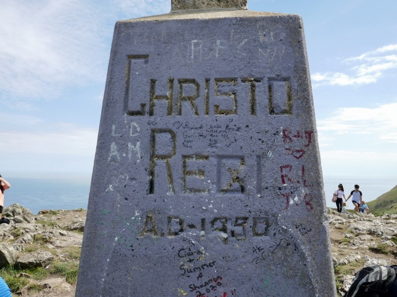
The Bray Head Cross: one of several routes up to it; the 1950 plinth; a popular spot

We have visited several of these crosses lately. I grew up in Bray and as anyone who has ever been there knows, the town is dominated by Bray Head, and Bray Head is dominated by its Holy Year Cross. It’s become the thing to do, to walk up to the cross – there are at least four ways up to it and they’re all spectacular. Sitting at the base of the cross enjoying a well-earned rest, we reminded ourselves that when it was erected over 5,000 people attended the blessing ceremony.

More recently, here in West Cork, we walked up to two crosses, the first at Knockaphuca on the Mizen (above and below). The Knockaphuca walk (it’s fantastic!) was the subject of Robert’s post a few weeks ago. The cross here is a replacement for the original wooden one that had rotted away, finally falling way back in 1968. The memory of the cross was still strong in the community, though, and the local GAA club conceived of a project to re-erect it in 2011 as a symbol of hope and re-assurance in these challenging times and a call to prayer in our hour of need. The challenging times was a reference to the global recession, which hit Ireland badly and ended the reign of the Celtic Tiger.

The volunteers took things a little further than they would have in 1950 and carried up with them an array of solar panels. Thus, this is a very modern re-incarnation of the traditional Holy Year Cross – a glow-in-the-dark model. They called it The Cross of Hope and as such it recalls the beacons that lighted many a weary sailor’s way into safe harbour.

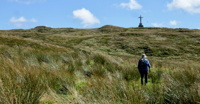
This week we walked up (above) to the cross on Dromore Hill. This one is clearly visible to anyone travelling between Drimoleague and Bantry, on a hill behind the village of Dromore. (Special thanks to Oliver Farrell and Bridget Threthewey for directions.)

The cross is visible from many spots, including from this five-stone circle at Trawlebawn

It’s a lovely walk and the cross looks like it may be original, although it may also have been replaced. It is still a focus – most years the local parish of Caheragh organises a mass at the cross in August and it’s always well attended. It’s another one where lights have been added, this time in the form of fluorescent strips. We couldn’t figure out the power source though – electrical lines disappear into the ground. Very mysterious.

The cross with its 1950 Holy Year Plaque and a space for an altar for the annual mass

St Lachtan’s Holy Well is situated south of Ballyvourney and in 1950 a group of volunteers from the Ré na nDoiri branch of Muintur na Tíre decided to erect a cross on the well to mark the occasion. This one is not on a hill top – in fact it is quite hard to find, but the plaque, in Irish, confirms it as a Holy Year project.

St Lachtan’s Holy Well (the two bullaun stones below the cross) and its Holy Year Cross

Our final local cross is one we haven’t been up to yet – a future project. It stands on a hill between between Skibbereen and Lough Hyne – I’m not sure what the townland name is, it looks like its on the boundaries of Gortshancrone, Booleybane and Curravalley.

If anyone local knows about it, or can tell us the best way up, we would love to hear it.

It wasn’t always a cross – the people of the beautiful Glen of Aherlow in Tipperary decided on a giant Christ the King statue (above). It’s visible for miles – the current one a 1975 replacement for the original and made by the same firm. According to the signage it depicts the hand of Christ the King, raised in blessing the Glen, its people, and all those who pass by.

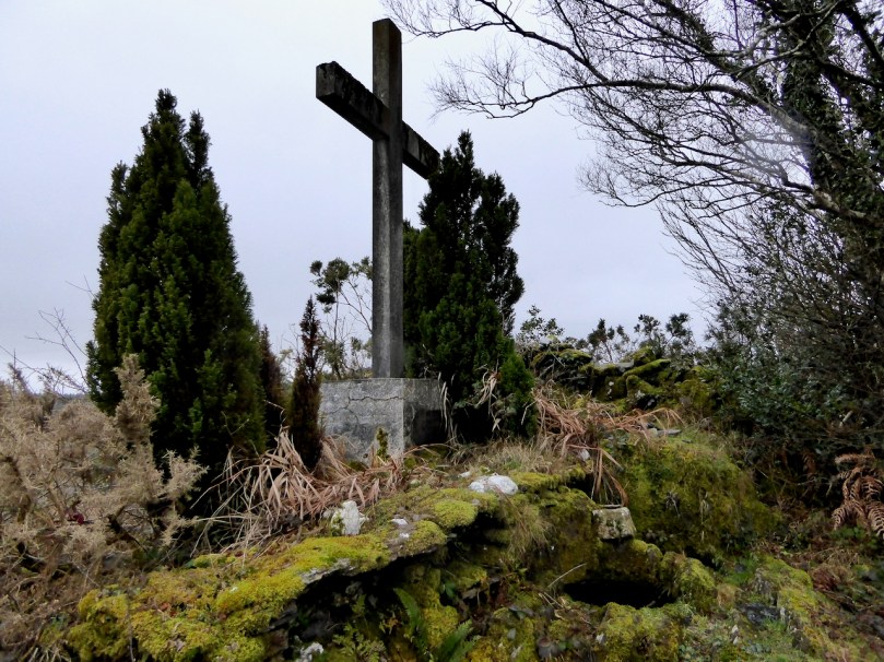
However, crosses (that’s the one close to Skibbereen above) seem to be the most frequent choice to commemorate and mark the 1950 Holy Year. Do you have one close to where you live?  Have you been to it? Is it still in some form of use (for annual masses, say)? Is it valued by the community?

*There have been other Holy Years (officially they occur every 25 or every 50 years) but the only other Papal-decreed year of devotion that made the same kind of impact in Ireland was the Marian Year in 1954 – see our post Mary Mary for a quick description of the Lourdes Grottos that proliferated that year.

Aiming High!

There seems to be a thread going through our recent posts: my Mizen Mountains and Signal Tower projects take us to high places, and today Finola reports on her exploration of hilltop crosses dating from the 1950 Holy Year. Our travels have brought us to many peaks and pinnacles in and beyond West Cork. I must say there’s nowhere I would rather be than far away from the crowds up on an Irish eminence which – without fail – provides us with the most spectacular views across the topography of this greenest of all lands.

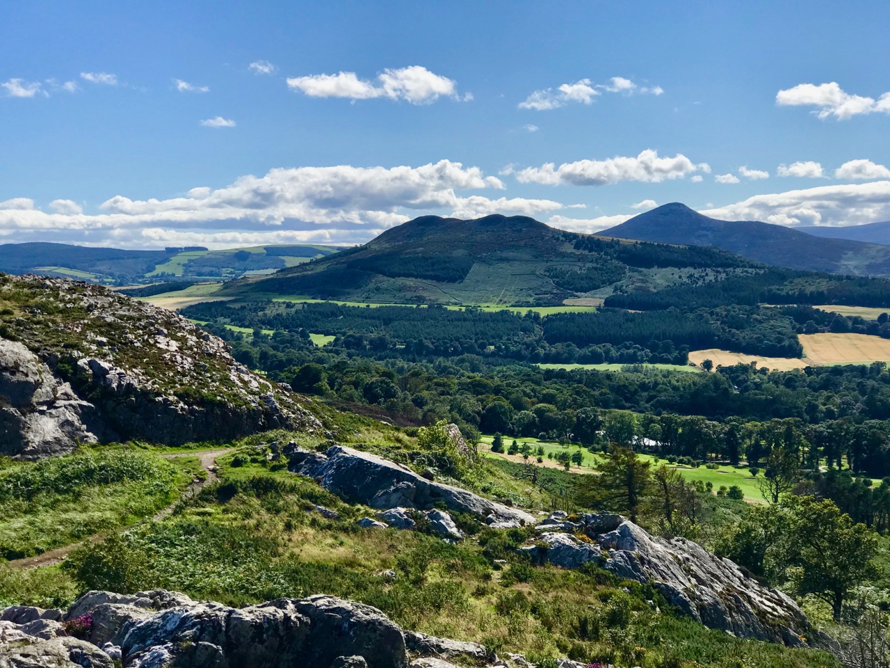
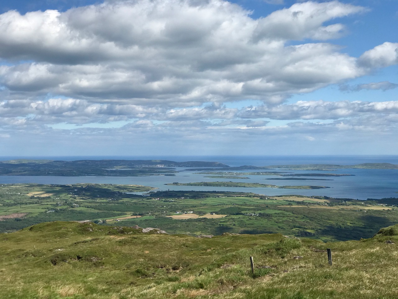
After lockdown restrictions were eased, we made a little trip up to County Wicklow to see family and friends, and took full advantage of the many trails that cross the granite outcrops between Bray and Greystones. The header picture looks south-west from Bray Head towards the Great Sugar Loaf, part of the Wicklow mountain range which, at 501 metres, is significantly higher than our own Mount Gabriel in West Cork at 404m, but which nevertheless provides this view (above) towards the coast of Roaringwater Bay, and looks out over Carbery’s 100 Isles.

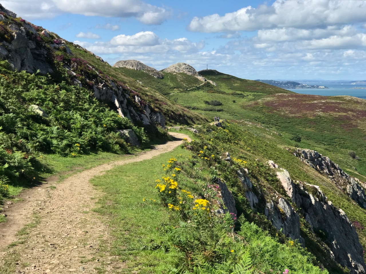
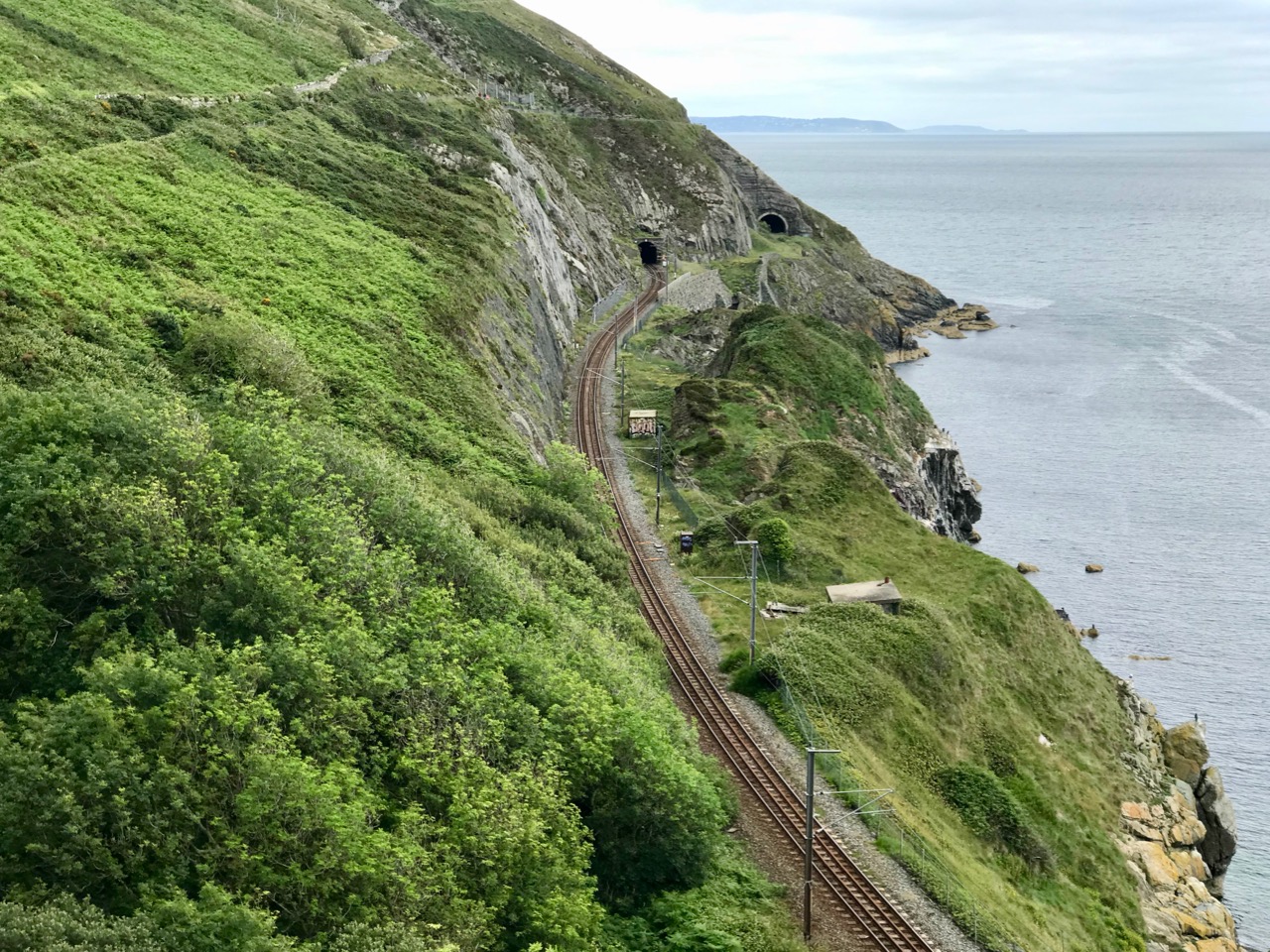
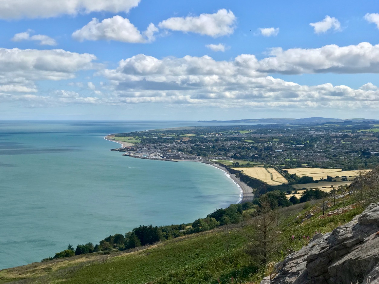
Travellers through Wicklow have, since ancient times, oriented themselves using the high peaks. Pilgrims going to the holy city of Glendalough and keeping to the coastline south out of Dublin might have followed the routes which, today, pass over Bray Head. A modern way of doing it, at least in part, is on the railway line that hugs the cliffs between Greystones and Bray – a feat of engineering laid out by Isambard Kingdom Brunel in the 1850s and surviving to this day, although it has had to be realigned six times because of erosion and rockfalls. It has even been described as one of the world’s most picturesque train journeys – something of an exaggeration, perhaps, but it’s well worth taking the trip if you are in the area. The photos above show (from upper) the public trail leading from Windgate up to the Bray Head Cross; the railway line seen from the cliff path that runs close to the route – note the abandoned tunnel on the far right; the view from Bray Head looking south to Greystones with Dunbur Head, south of Wicklow town, far beyond.

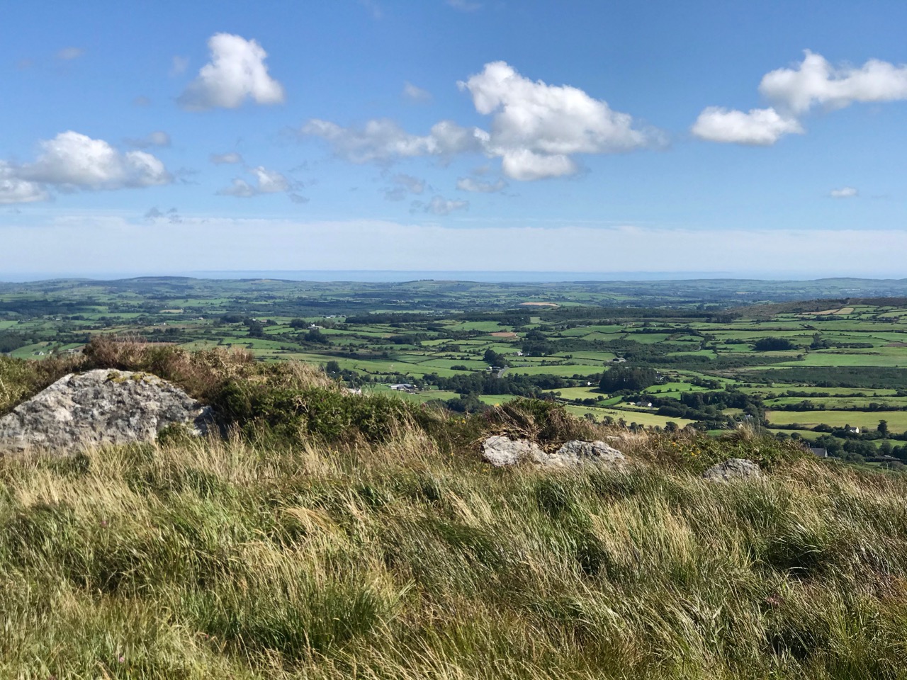
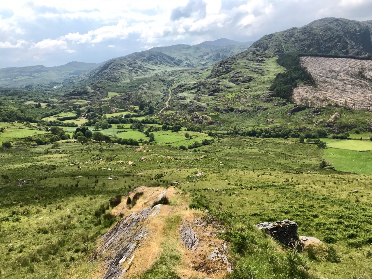
Back in West Cork we have no end of high places to choose from. Our latest escapade was a climb to the 1950 cross at Dromore, between Bantry and Drimoleague, which provides the two views above and this one, below, from which you can see the high peak of Gabriel in the distant west.

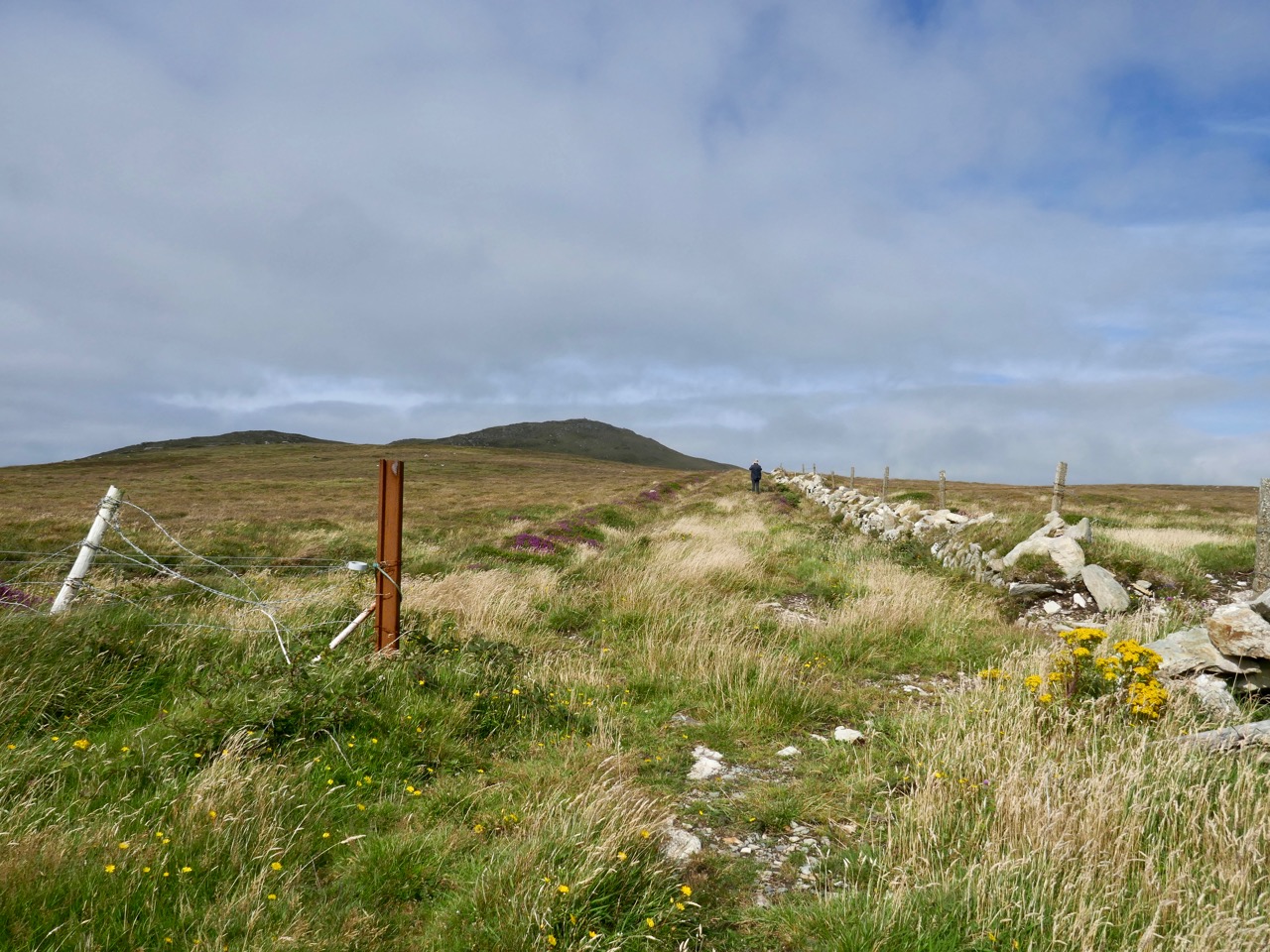
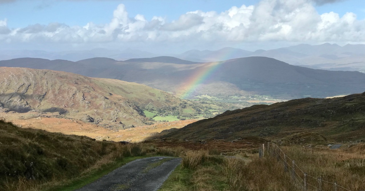
We have shared with you some of our favourite high journeys in our own part of the country, including the remarkable Borlin Valley road, which crosses the County border between Cork and Kerry:

Climbing to the summit of Knockaphuca gave us this striking view over the Mizen village of Goleen and out to the ‘Wild’ Atlantic beyond it:

Heights still to be scaled: in the picture above I’m walking on a very old roadway which leads out to a ruined Napoleonic signal station perched right above Mizen Head. To my left is the distinctive Mizen Peak. Both sites will feature in future posts, and both reveal dramatic views over this western edge of the land.

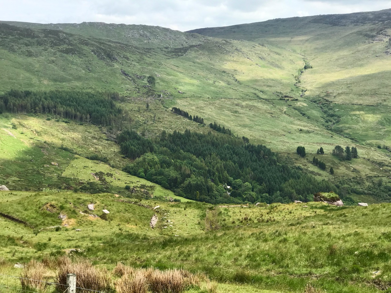
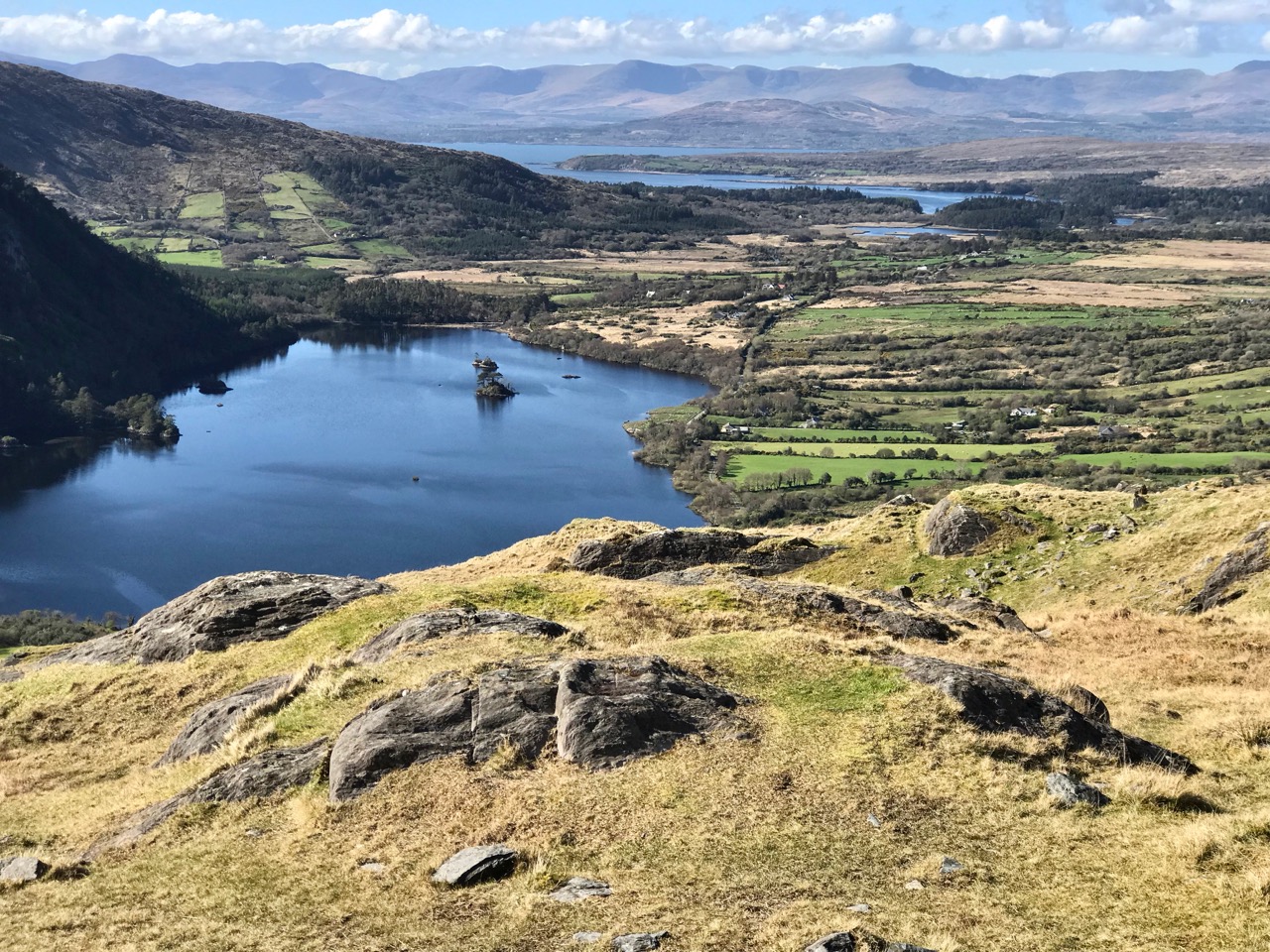
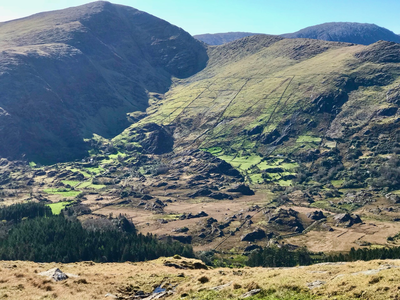
We couldn’t complete any account of high places in the west of Ireland without mention of one of our favourite destinations: the Beara Peninsula. Above is the view north from the top of the Healey Pass, looking into Kerry. Below is a dizzying view into the heart of the Beara: look at the farmsteads and cottages below the ancient field system, dwarfed by the power of the mountains.

We will continue to share with you our experiencing of the landscapes here, and not just the high places, of course. We have many years of exploring Ireland under our belts, and look forward to lots still to come.

A Signal Success in Irish Engineering – Part 4: Robert’s Head

I suppose this – our fourth venture into the world of Irish signal towers from the Napoleonic era – has a distinctive resonance with me! Of the 84 signalling sites around Ireland, only five bear a personal name: John’s Point, Co Donegal; Brandon Head (Brendan), Co Kerry, Sybil Head, Co Kerry; Barry’s Head, Co Cork; and this one – Robert’s Head, Co Cork.

As you can see on this aerial view, the headland on which the signal tower stands is named after Robert’s Cove – Cuainín Riobaird – close by. The Cove, a small village, is a popular weekend escape and holiday destination which has two pubs and a former coastguard station, possibly dating from 1863.

Highlights of Robert’s Cove: the old milepost on the top is non-committal about the apostrophe! The former Coastguard Station (now a private residence) is the building on the left in this picture, above

I wondered how this cove got its name, and was rewarded by a search in A Topographical Dictionary of Ireland by Samuel Lewis, 1837:

Ballyfoil, a parish, in the barony of Kinnalea, county of Cork, and province of Munster, 10 miles from Kinsale; containing 1291 inhabitants . . . comprises 1304 statute acres, as applotted under the tithe act. The soil is fertile, and about one-half of the land is under tillage; the remainder is in dairy farms. The system of agriculture is improved; the only manure is sea-sand, which is brought into Rocky Bay and Roberts’ Cove, two small coves in the parish, in large boats, of which several are employed in this trade. At Roberts’ Cove is a valuable slate quarry, belonging to Sir Thomas Roberts, Bart., but it is not worked to any considerable extent. Britfieldstown, the seat of Sir Thomas Roberts, Bart., is pleasantly situated in a secluded spot above Roberts’ Cove . . . The Cove affords a commodious shelter for vessels of 200 tons’ burden, which occasionally arrive laden with coal, and return with cargoes of slate. The coast-guard station here is the most westerly of the eight stations that constitute the district of Cove. A little to the west, on the summit of Roberts’ Head, is a ruined signal tower, from which is an interesting and extensive prospect. It is an impropriate curacy, in the diocese of Cork, and is part of the union of Tracton, where the Protestant inhabitants attend divine worship . . . The tithes amount to £109. 4. 6. . . The church has long been a ruin . . . there is also a hedge school in the parish . . .

In this 1842 Ordnance Survey map of the area, the site of the signal station is marked. Britfieldstown House, the seat of the Roberts family, was situated further to the north. In 1851 the estate was sold on behalf of Sir Thomas Howland Roberts, ‘…an insolvent debtor…’ It became derelict in the 1970s and the only survivals now are remnants of a walled garden and a derelict gate lodge. It’s interesting that the apostrophe has been changed – on this map – to indicate a singular ‘Robert’ rather than the ‘Roberts’ family, whereas the 1837 Topographical Dictionary entry clearly implies the naming as ‘Roberts’. 

A closer aerial view of the signal tower clearly shows the extent of the remaining buildings, although all ruinous

The visible buildings on the signal tower site are extensive, and imply that this station was in use beyond the time of the Napoleonic invasion threat: many of the other stations were stood down around 1810 and became derelict soon after, mainly due to their remote exposed locations and the ravages of the weather. Interestingly they do not generally appear to have suffered from stone ‘robbing’ in the same way that medieval tower houses did.

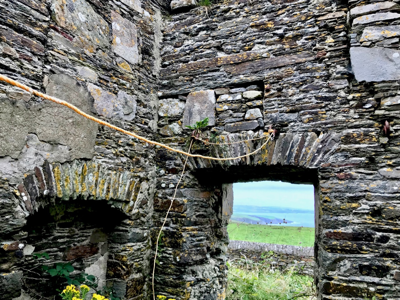
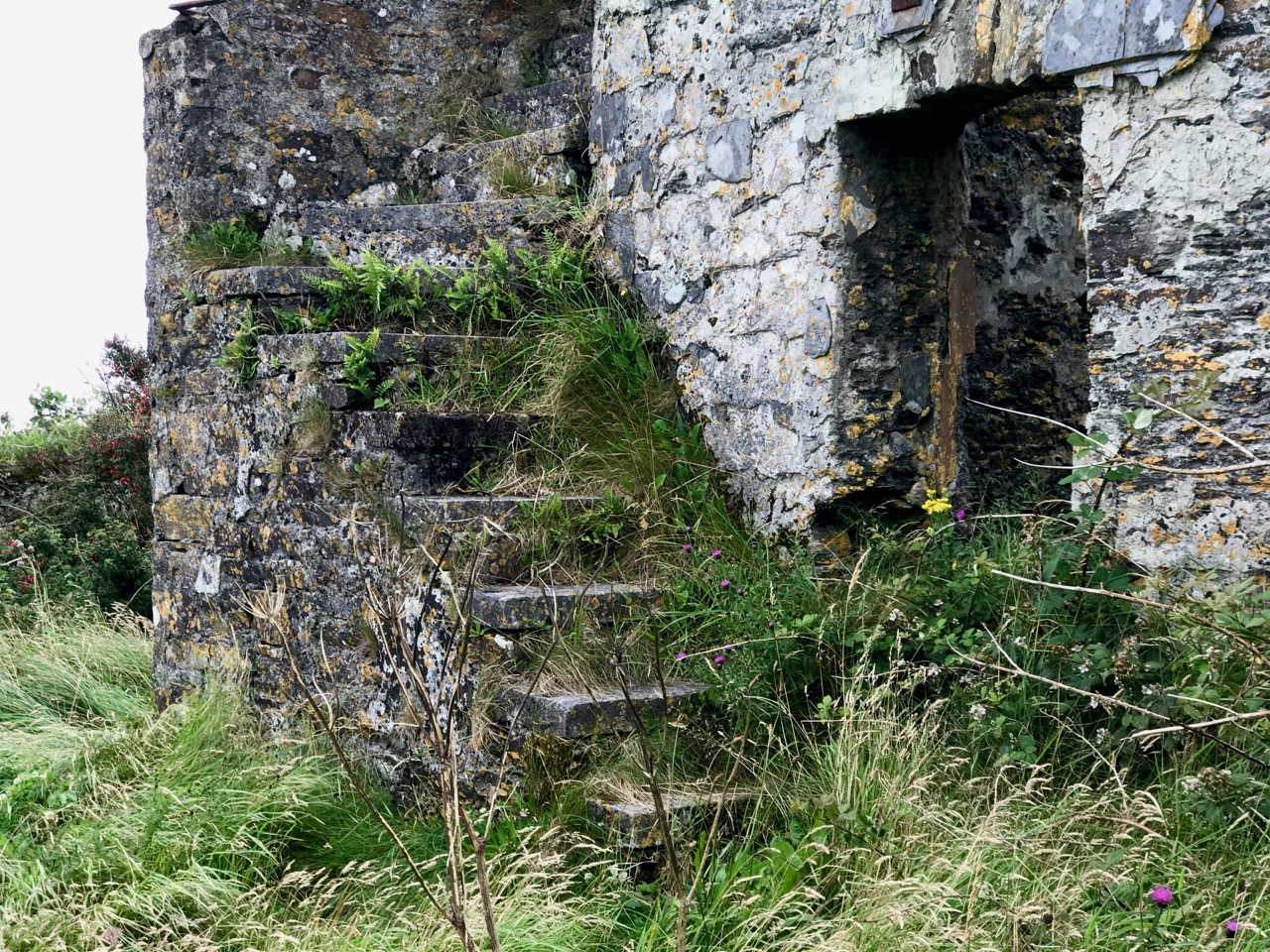
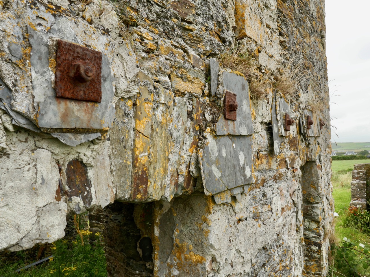
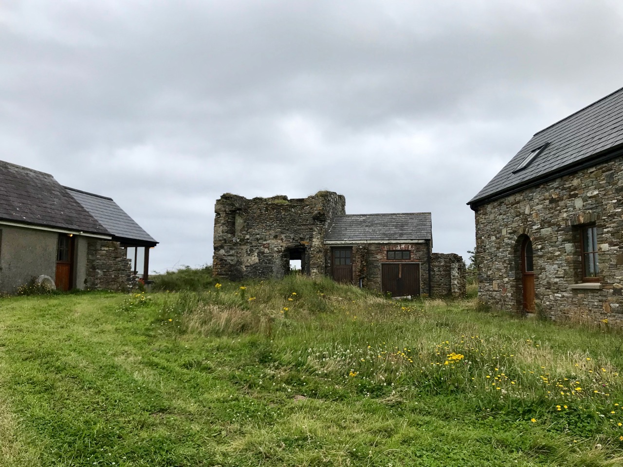
The complex of buildings on the Robert’s Head site showing (from upper picture) north-west, north-east, south-east and south-west elevations. I think it’s very likely that the highest part of the structure is based on the original signal tower, and contains much of that early structure: the raised entrance (north-east elevation) follows the general pattern, but there are no bartizans or machiolations. These could well have been replaced in later reconstructions, when a pitched roof was added. Clues that much of the original masonry has been retained lie in the back wall – thickened at the centre to incorporate a chimney flue – and remnants of external vertical slate-hanging, a method of weatherproofing evident in many other towers.

I can provide no answers as to why the extensions were added: it has been suggested that these are late 19th or early 20th century works. But the resulting building is substantial – now just a gaunt shell on a windy hill. It’s possible that the station was used as a lookout by the coast-guards based down in Robert’s Cove. Stuart Rathbone (Irish Signal Stations), writing about the Mizen Head station, observes:

The enclosed signal station at Mizen Head, County Cork, features a well preserved three storey building that is now believed to be a replacement for the original signal tower. The building is very similar to the example at Robert’s Head, County Cork. It has tall gabled walls and a large single storey building wrapping around the south east and north east sides . . .

In the early years of the 20th century a fog signal station had been established at Mizen Head, Co Cork, and was probably based on the original signal tower building there; the project also involved building accommodation for the additional crew members required at that time. It is possible that the enlargement of the earlier buildings at Robert’s Head happened in the same period, and for a similar purpose: establishing a signalling and communications base connected to the local coast-guard activities. Those works appear to have included accommodation, office and workshop space, with stores, a toilet and a large concrete water cistern adjacent to the south east wall.

Amenities established in the later reconstruction: a probable outside ‘privvy’ (upper) and ‘shovelling out hatch’ (middle), with large water cistern (lower)

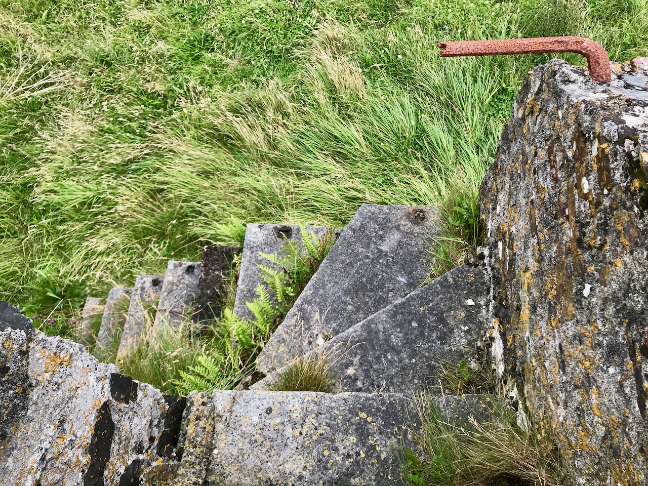
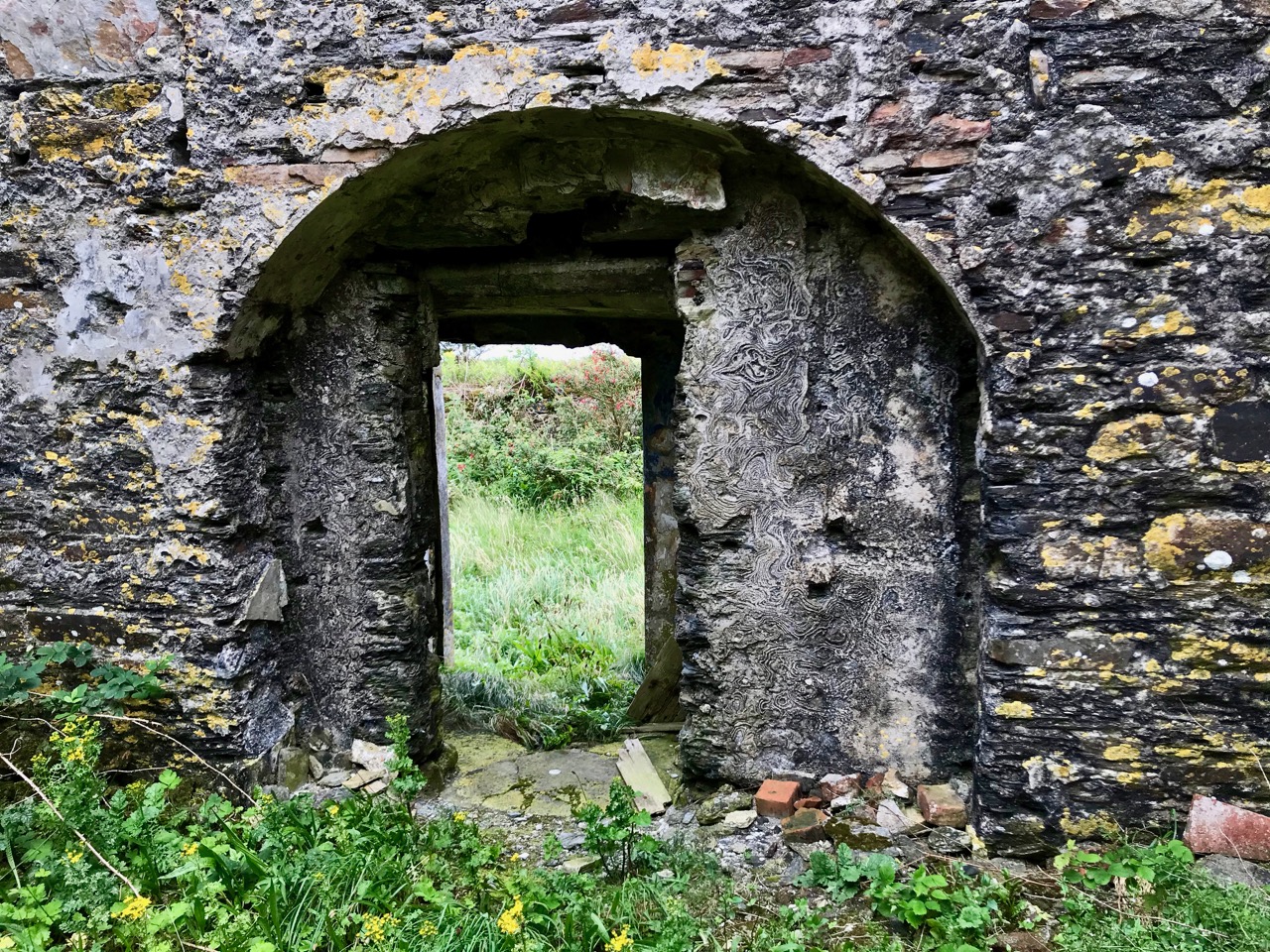
Internal features are difficult to describe definitively, but in likelihood include a hearth / cooking range, living and sleeping quarters with rendered walls providing a level of comfort above that found in the early signal towers. Now, after years of abandonment, the surfaces have been embellished with graffiti and lichen growth, all imparting a compelling visual patina: the place is alive with its own decay. Even the texture of the masonry itself is evolving in a compulsively fascinating way as centuries of abrasive winter gales take their toll.

Access to the site is along farm tracks – don’t forget to seek permission if you intend to visit. With all of the towers we have explored so far, the roadways leading to them have survived intact, and have been well made and metalled – in this case solidly crafted with slate probably quarried in Robert’s Cove.

I feel we have been privileged to explore an actively disintegrating artefact of Ireland’s engineering history. More than most, perhaps, this signal tower has absorbed the lives of those it sheltered, and we can meet them there, in our imaginations. It’s a raw place, and it won’t be there forever. In time it will be no more than the scattered piles of stone that we saw at Ballyroon. But in our brief lifetimes, through tempest and contagion, it will continue its slow decline into the dust of the earth largely unseen and unmourned.

The previous posts in this series can be found through these links:

Part 1: Kedge Point, Co Cork
Part 2: Ballyroon Mountain, Co Cork
Part 3: Old Head of Kinsale, Co Cork