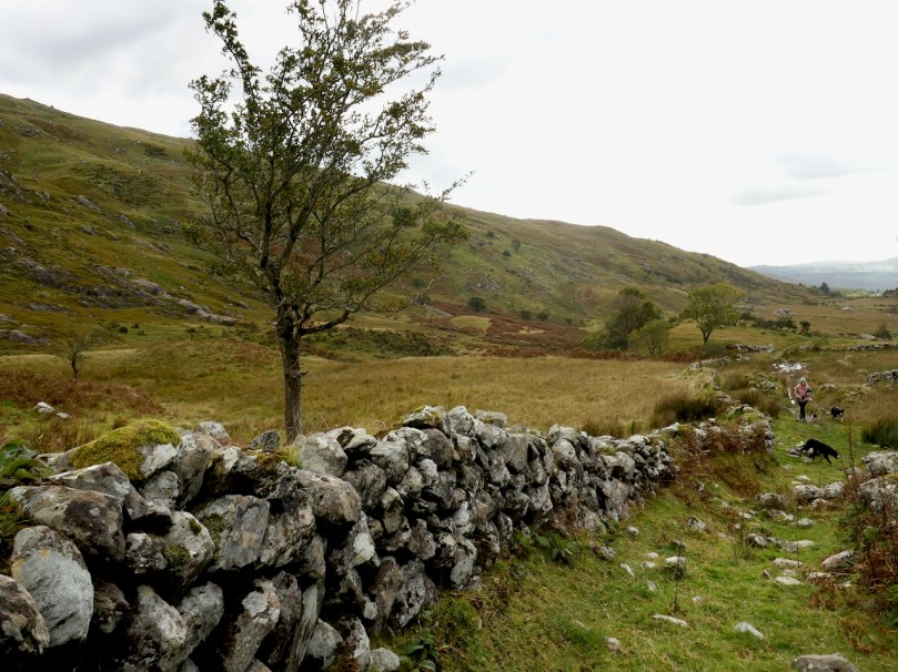
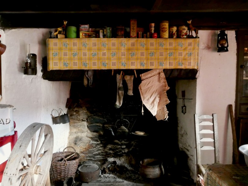
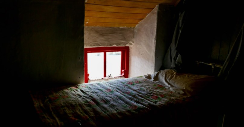
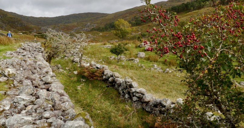
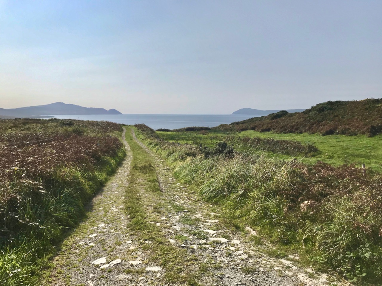
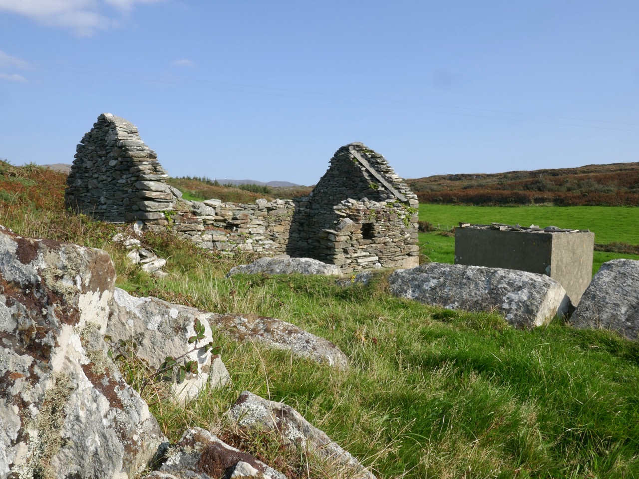
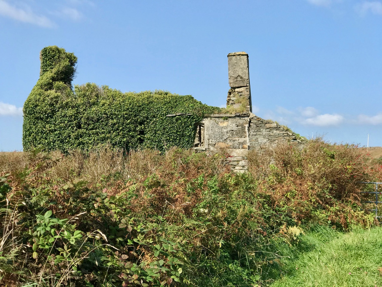
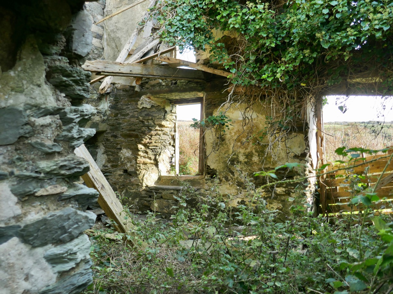
Northside of the Beara

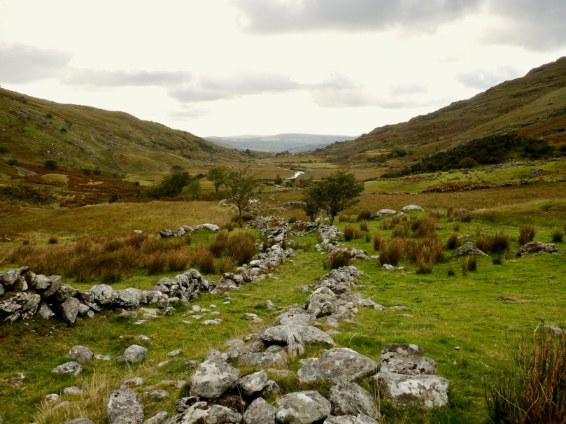
We have written previous posts in praise of the remarkable narrow, remote, and rarely explored byways or boreens that serve the north coasts of our own peninsula – the Mizen – and our neighbour – the Sheep’s Head. Driving them can be an exhilarating and, at times (particularly when you meet something coming the other way!), harrowing experience although always worthwhile because of the unparalleled land- and sea-scapes which are revealed at every turn.

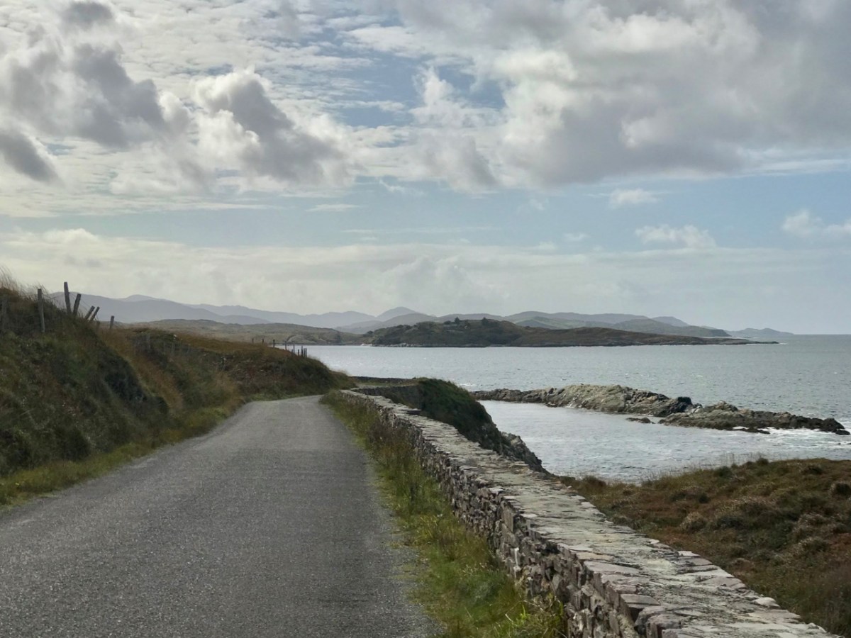
A view from the boreen that skirts the Northside of our own Mizen Peninsula

This week, however, we set out to explore a little corner of our land which we have, until now, neglected: the Northside of the Beara. Not too far away from us, the Beara Peninsula extends from West Cork into County Kerry and draws us like a magnet because of its dramatic scenery and inherent beauty in all weathers. Have a look at this post, for an overview of how sublime it is.

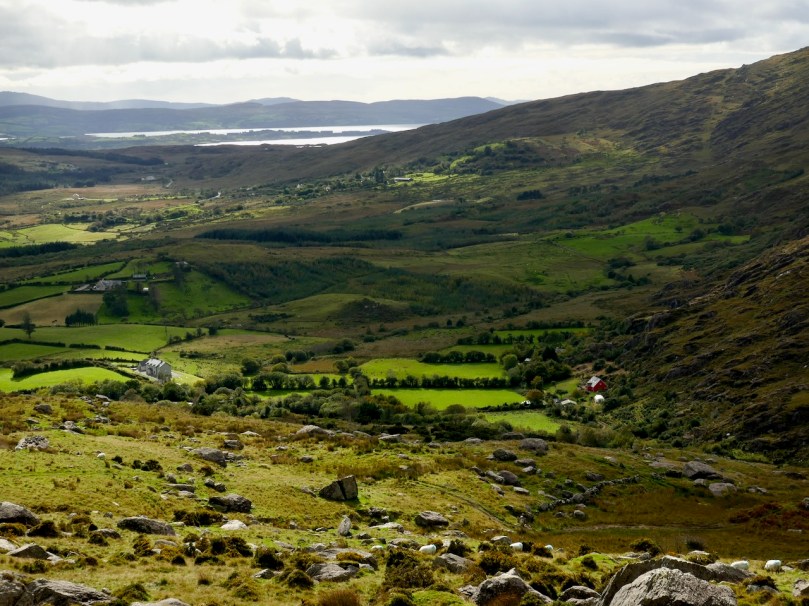
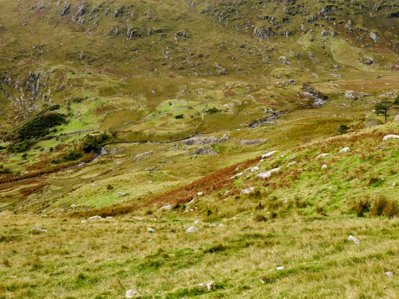
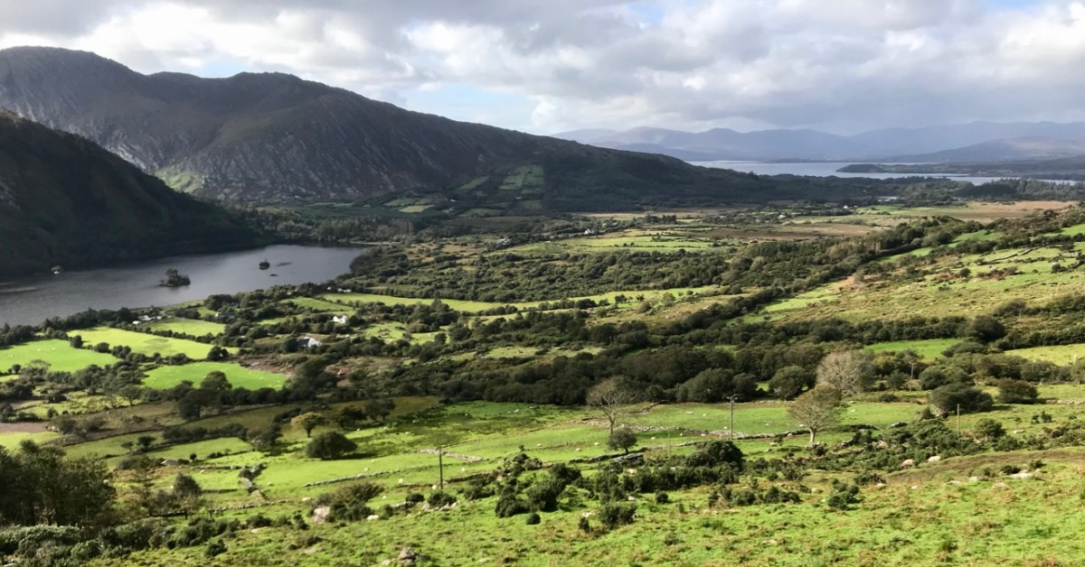
Looking towards the Northside: our route takes us through the Healy Pass and over the mountains

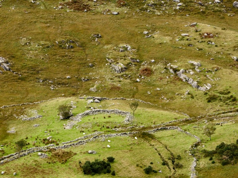
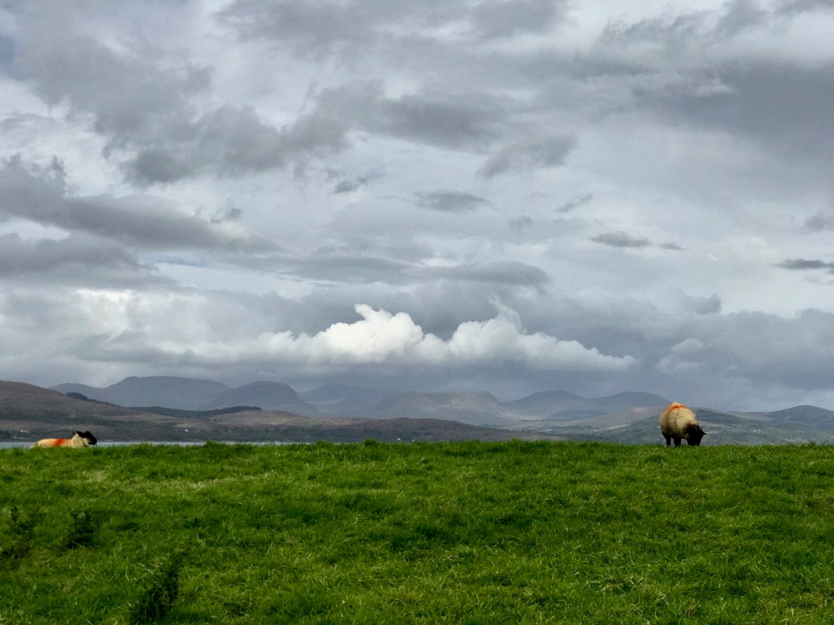
We headed out on the last day of September and were treated to a day of changing skies and theatrical light effects – the header picture, showing sheep on the Beara Northside, gives an example of the cloud atmospherics over the distant Ring of Kerry. We wanted to explore a corner which could easily be by-passed if you were travelling on the most direct routes through the peninsula.

Our first port of call took in the lakes at Cloonee. Finola was on the lookout for a very rare wildflower which has been seen around the shores but, after diligent searching, we concluded that we were too late in the season: we will have to return next year. That’s no hardship, of course.

Clonee Lakes – dramatic reflections and blue boats at rest

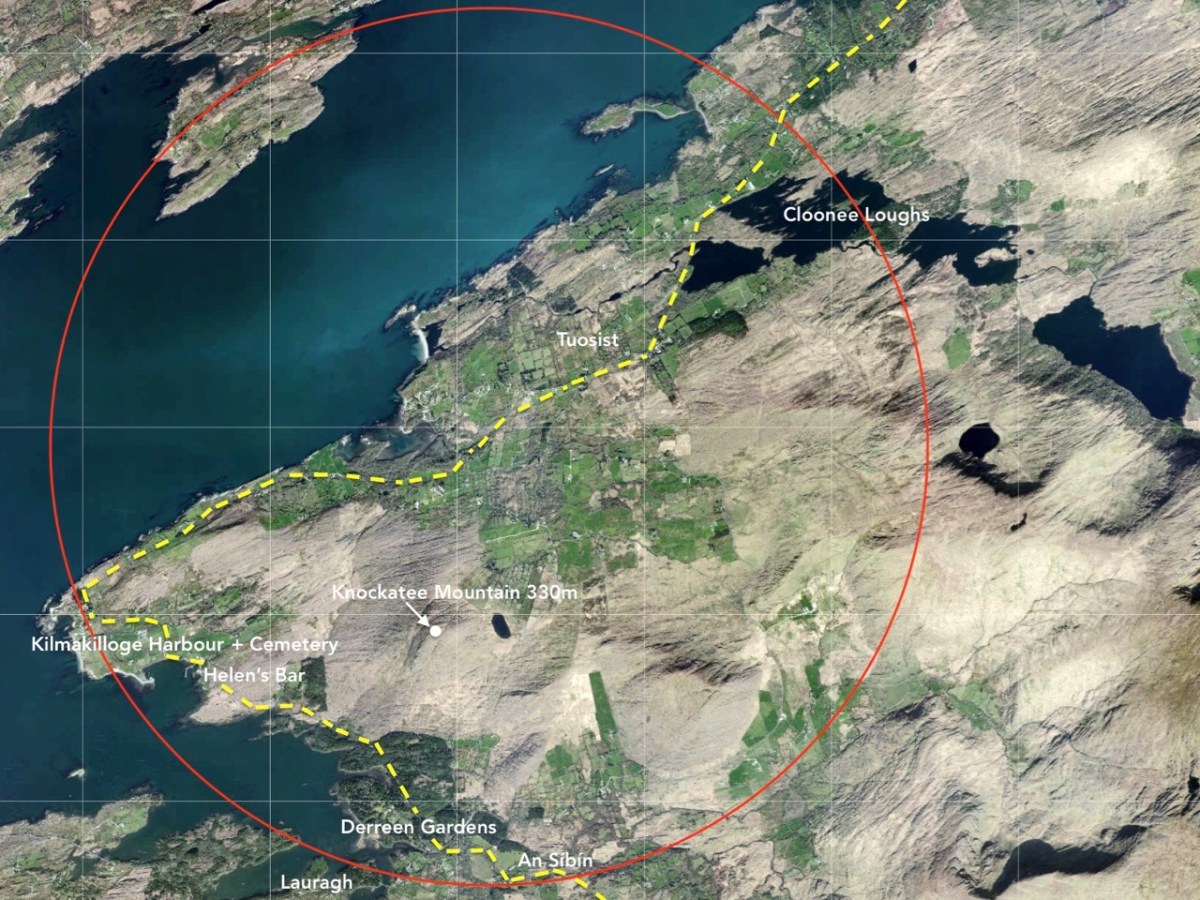
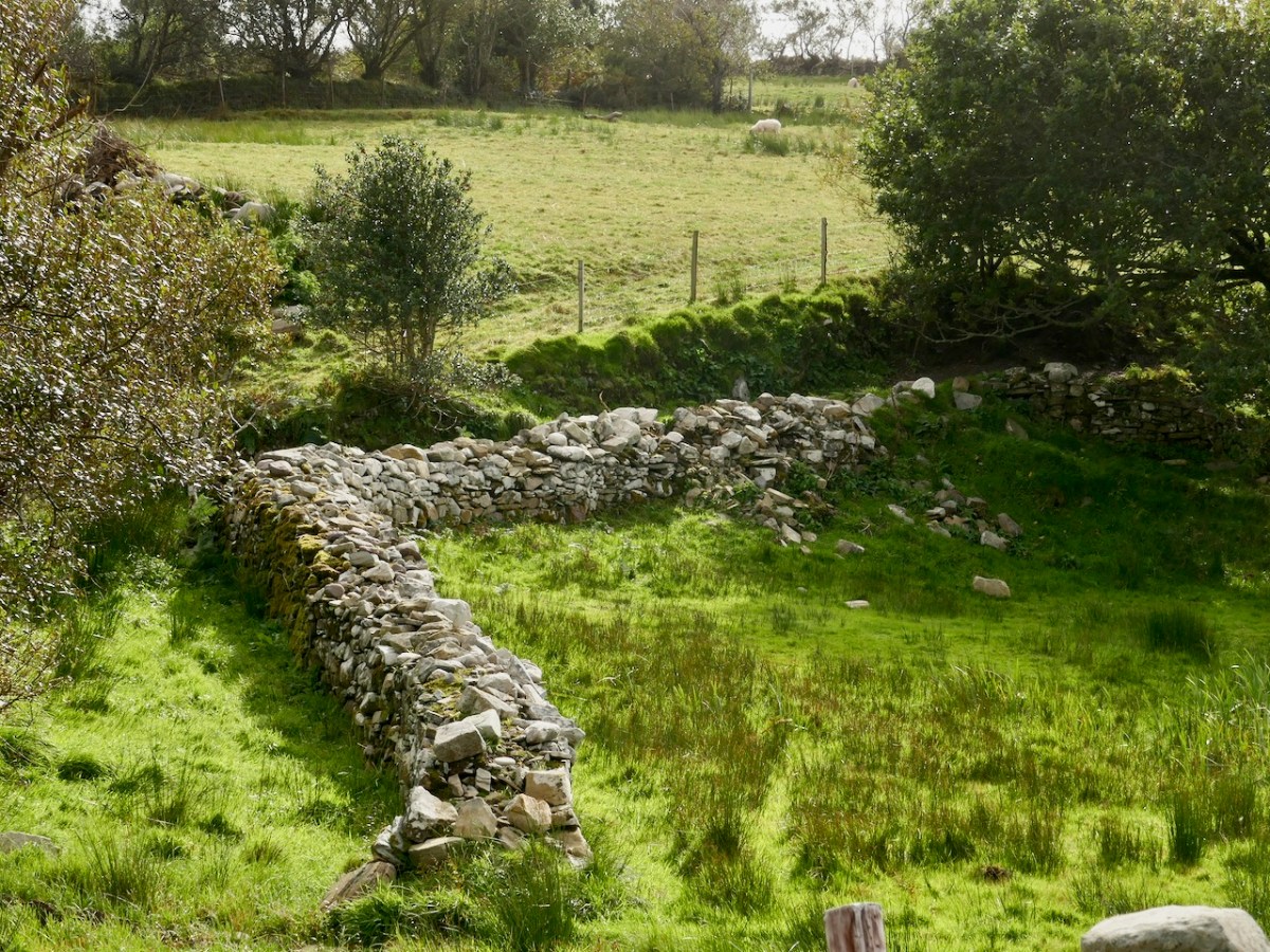
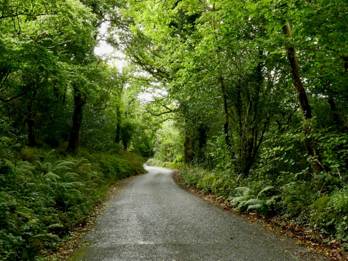
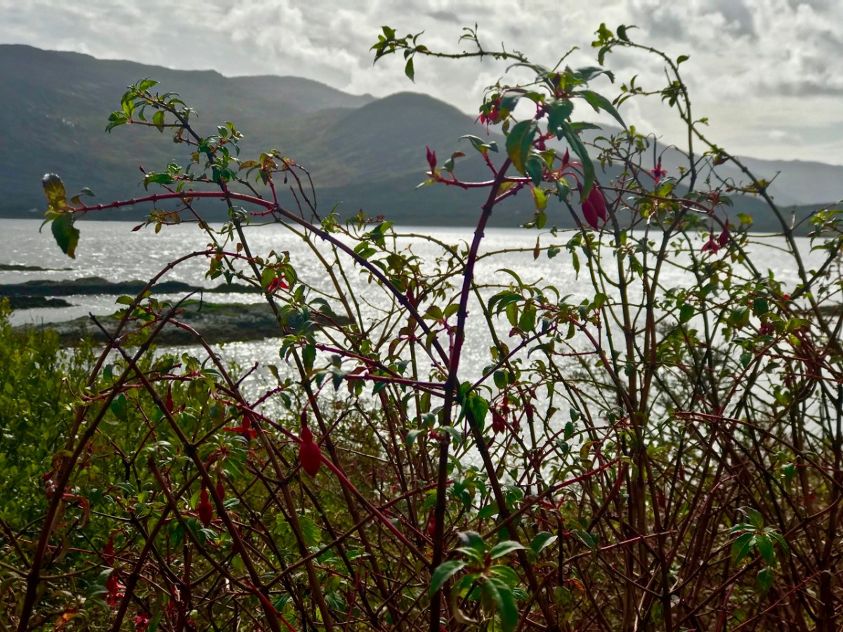
As you can see from the route map above, the terrain all around is wild and rugged. After the little settlement of Tousist the road runs mainly close to the coast and offers constant changes and contrasts. The wide panoramas across Kenmare Bay give way to small stony fields, some guarded from the prevailing weather by heavy-duty walls, then occasionally diving inland to briefly present an unexpected tree tunnel or tumbling stream. Always, the road is not far from an indented shoreline unpredictable in its many twists and turns.

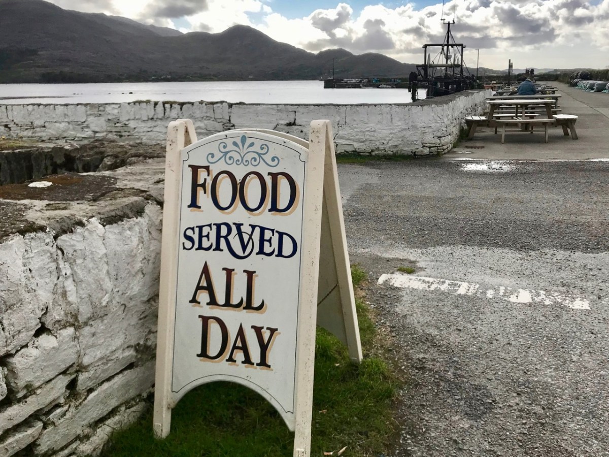
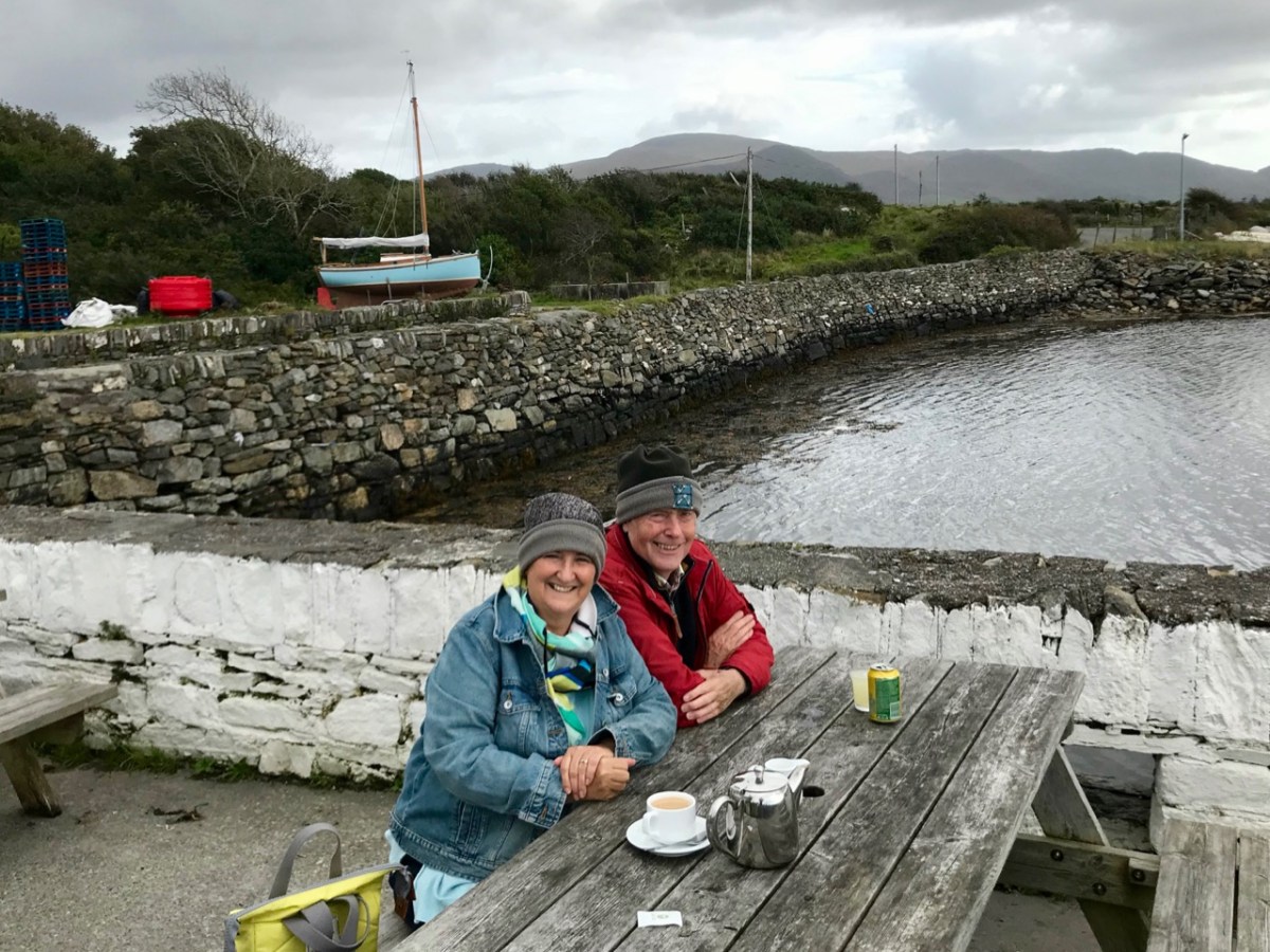
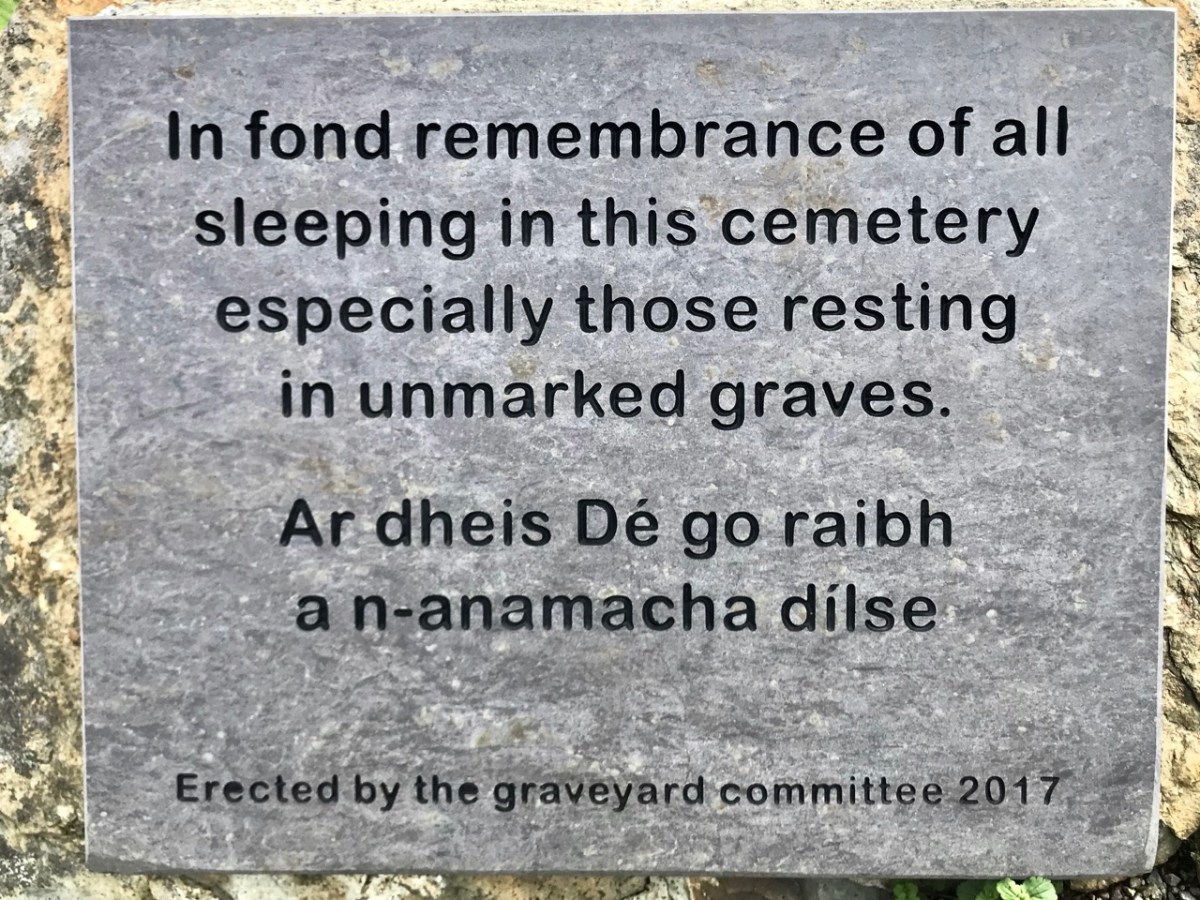
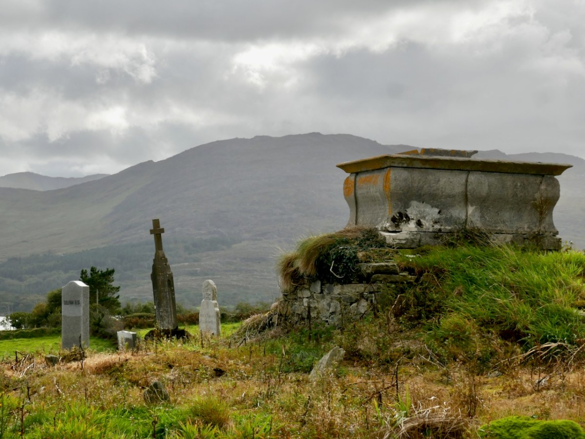
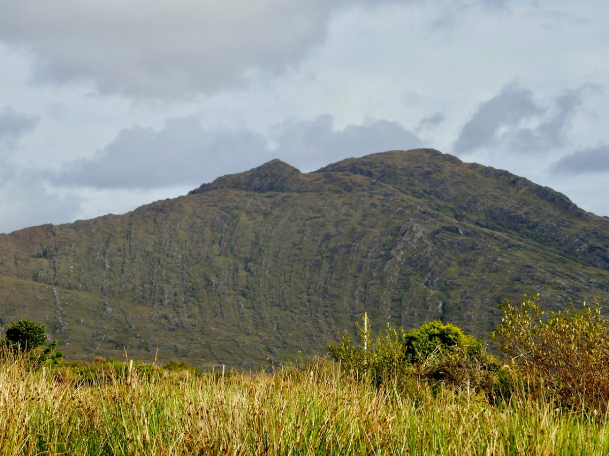
The edge of the land – in this part of the Beara at least – is more heavily populated than the Mizen or Sheep’s Head Northsides. The small townland of Kilmakilloge, in particular, offers a substantial harbour, a bar and cafe ‘serving food all day’ (Helen’s Bar), a large cemetery in which it is possible to glean the part played by this little settlement in the whole history of Ireland, and the slopes of a geological wonder – the 330 metre high Knockatee Mountain. Described as ‘…a small hill with a massive view…’, this green-grey sandstone and purple siltstone mass is a spectacular backdrop to the burial ground: we didn’t climb it on our day out but it is evidently well worth it for the vistas it provides! Another good reason for us to revisit the area.

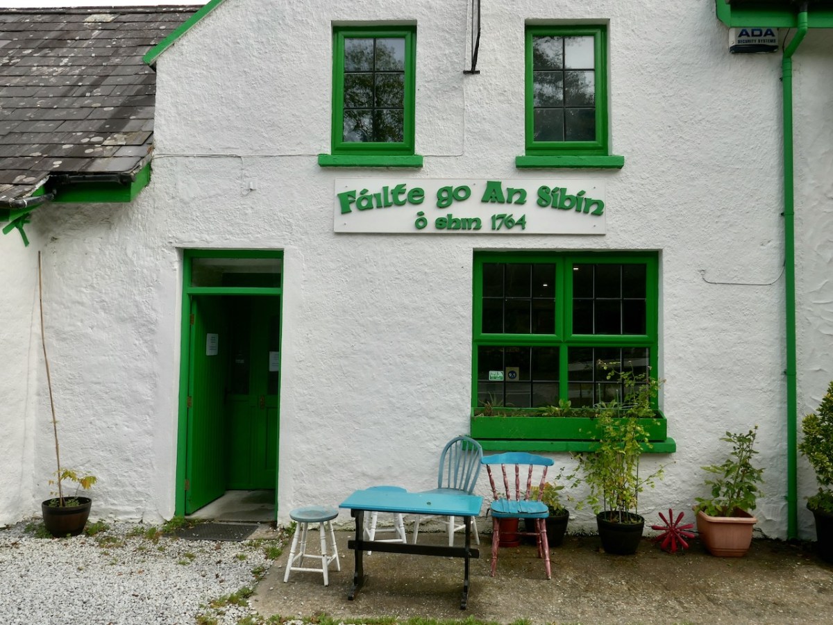
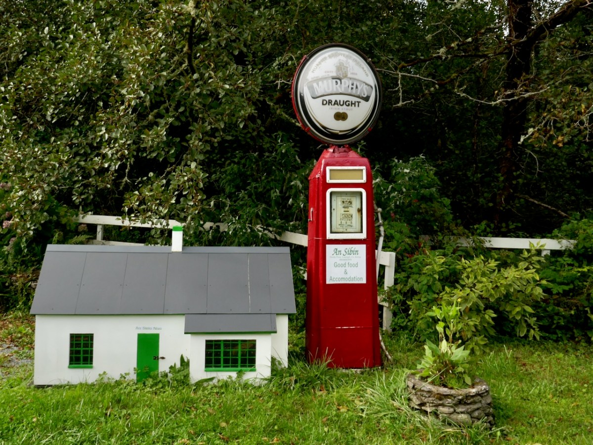
Approaching Derreen Gardens (you’ll find it described in this post), our excursion is close to the finishing line. The Beara is well supplied with hostelries, which seem to be surviving in spite of the Covid-19 difficulties, and one you shouldn’t miss is An Síbín, near Lauragh. I’m always amused by the old petrol pump there, which looks as though it should provide you with a fill-up of Murphy’s Draught! This is also the point where you have to decide which way to return home. In our case it was back over the beautiful Healy Pass: who wouldn’t want to look out again over those amazing views in all directions?

Friendly sheep have the right of way as we traverse the hairpins on the Healy Pass, heading back to the Mizen

It’s an easy day out for us – and we certainly can’t get enough of the Beara! If you have the chance, explore the Beara Northside yourselves!

A Signal Success in Irish Engineering – Part 7: Cloghane, Mizen Head

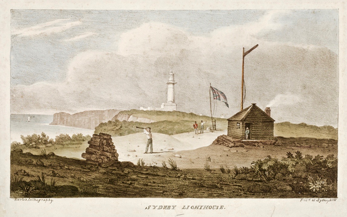
It’s a long way from West Cork, Ireland, to Sydney, Australia! And I’m not suggesting that signals could travel that far in the early 19th century . . . But I couldn’t resist putting up this engraving when I found it while researching signal towers generally as it is in fact an exemplary view with which to head up this – the seventh of our explorations into a fascinating subject. It has everything: the signal station itself, built on a prominent headland with a lighthouse nearby; a ‘telegraph’ mast and a flag mast for signalling; a man with a telescope looking out for a signal coming in – and a pile of logs with which to make a beacon fire to communicate urgently at night! The only difference, in fact, between the Irish stations and this ‘colonial’ one on the other side of the world is the building material. In Terra Australis (the name used for that continent until 1824, and meaning ‘southern land’) it was timber, whereas in Ireland the towers were of masonry and constructed with elements resembling medieval tower houses.

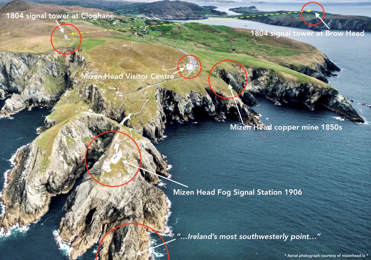
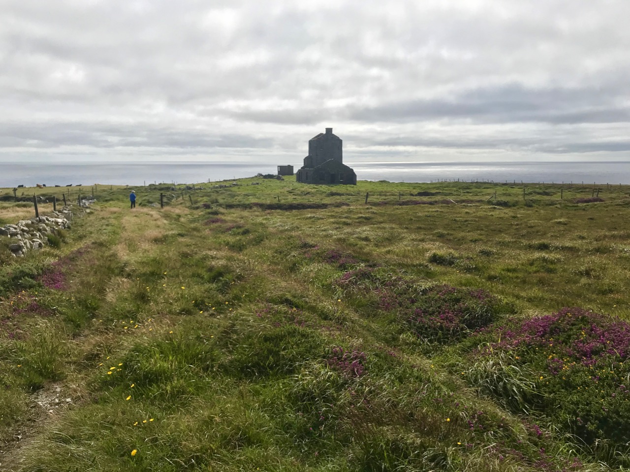
But it’s fair to say that today’s foray into the story of the Irish Napoleonic-era signal towers also has everything. Perched on Ireland’s most southwesterly point – Mizen Head in the townland of Cloghane – this site is one part of a craggy, indented promontory which is scattered with historical elements.

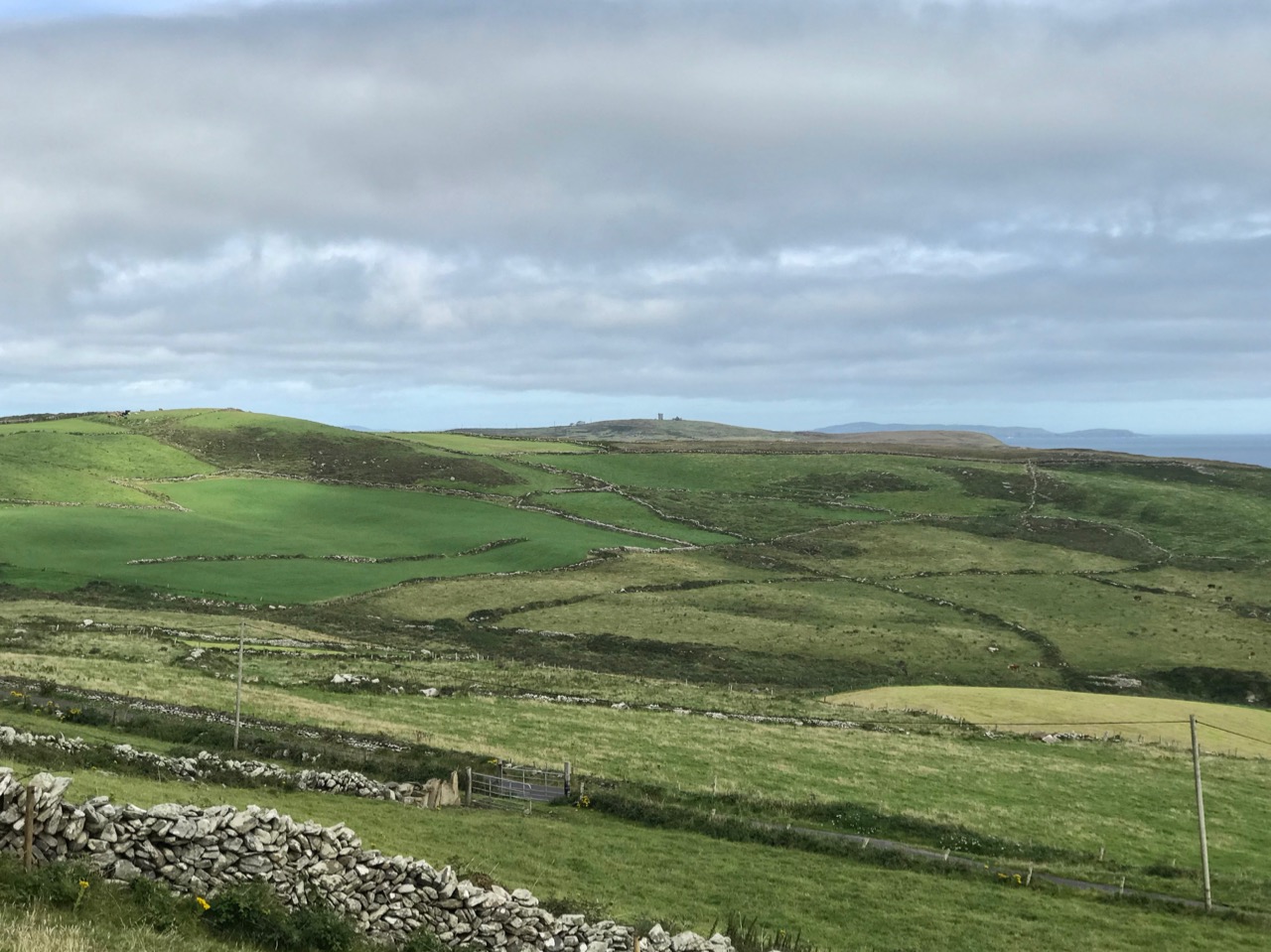
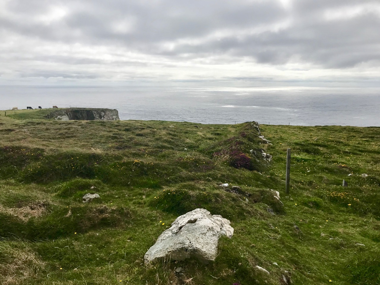
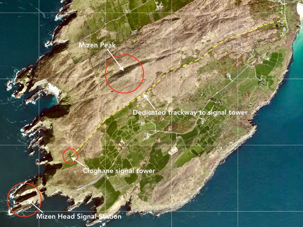
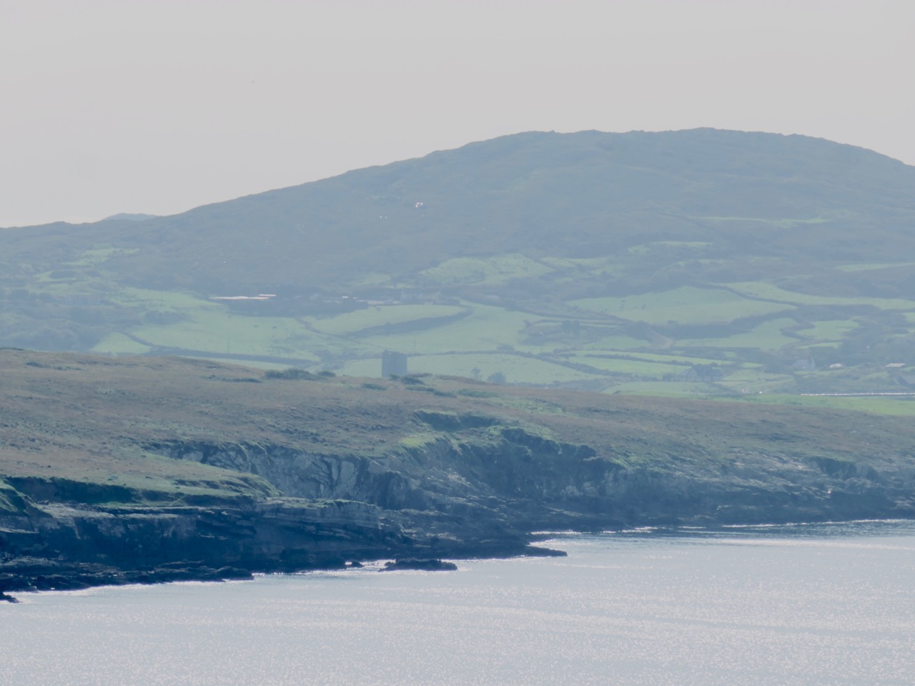
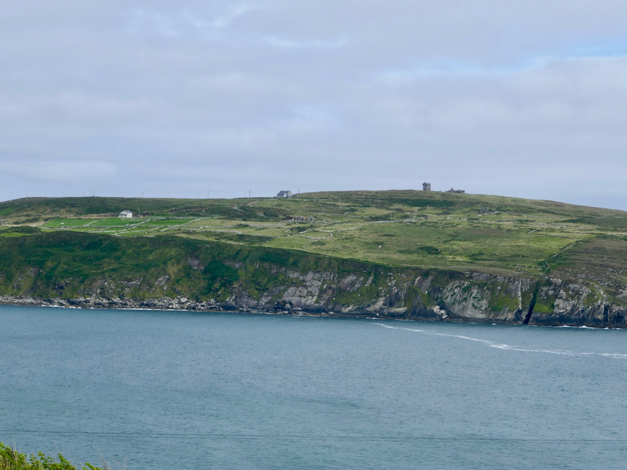
I have tried to illustrate a history time-line graphically by superimposing some of the significant sites on an aerial view (above – courtesy of mizenhead.ie), although even this does not tell the full story. Apart from an undated promontory fort in the north of the townland the signal towers are the earliest elements, specifically dating from 1804 and part of the network of 81 towers around the whole coast of Ireland which we have been charting in our posts. Interestingly, the two towers shown on the top of this view – at Cloghane and Brow Head – are the closest together of any around the coast, being only 3.8 km apart. The average distance between towers is 13.5 km, while the maximum distance is 36.9 km (between Ballydavid and Kerry Head in Co Kerry): we have not yet explored those sites. Here are two views from Cloghane across to the signal tower at Brow Head:

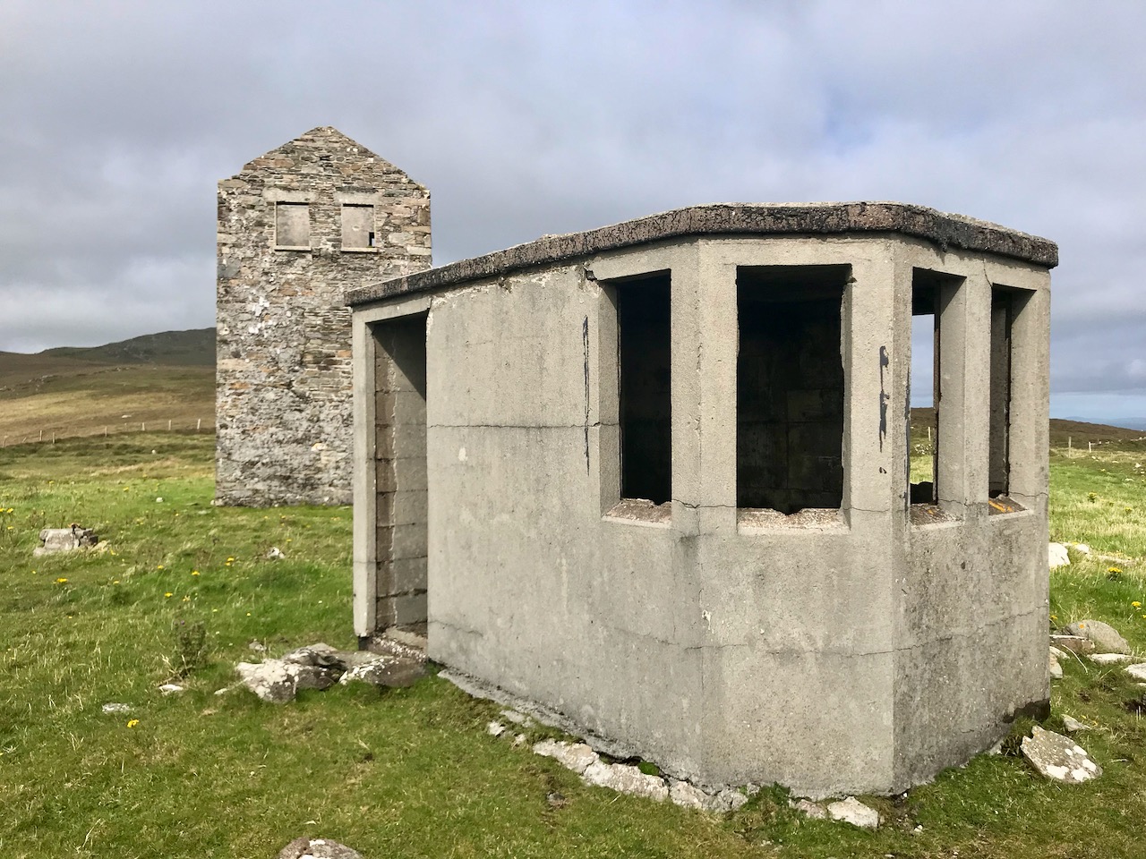
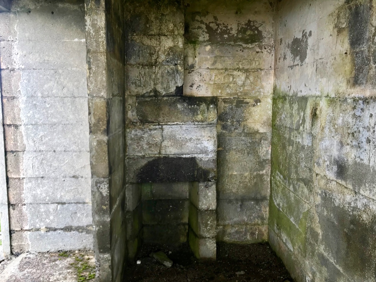
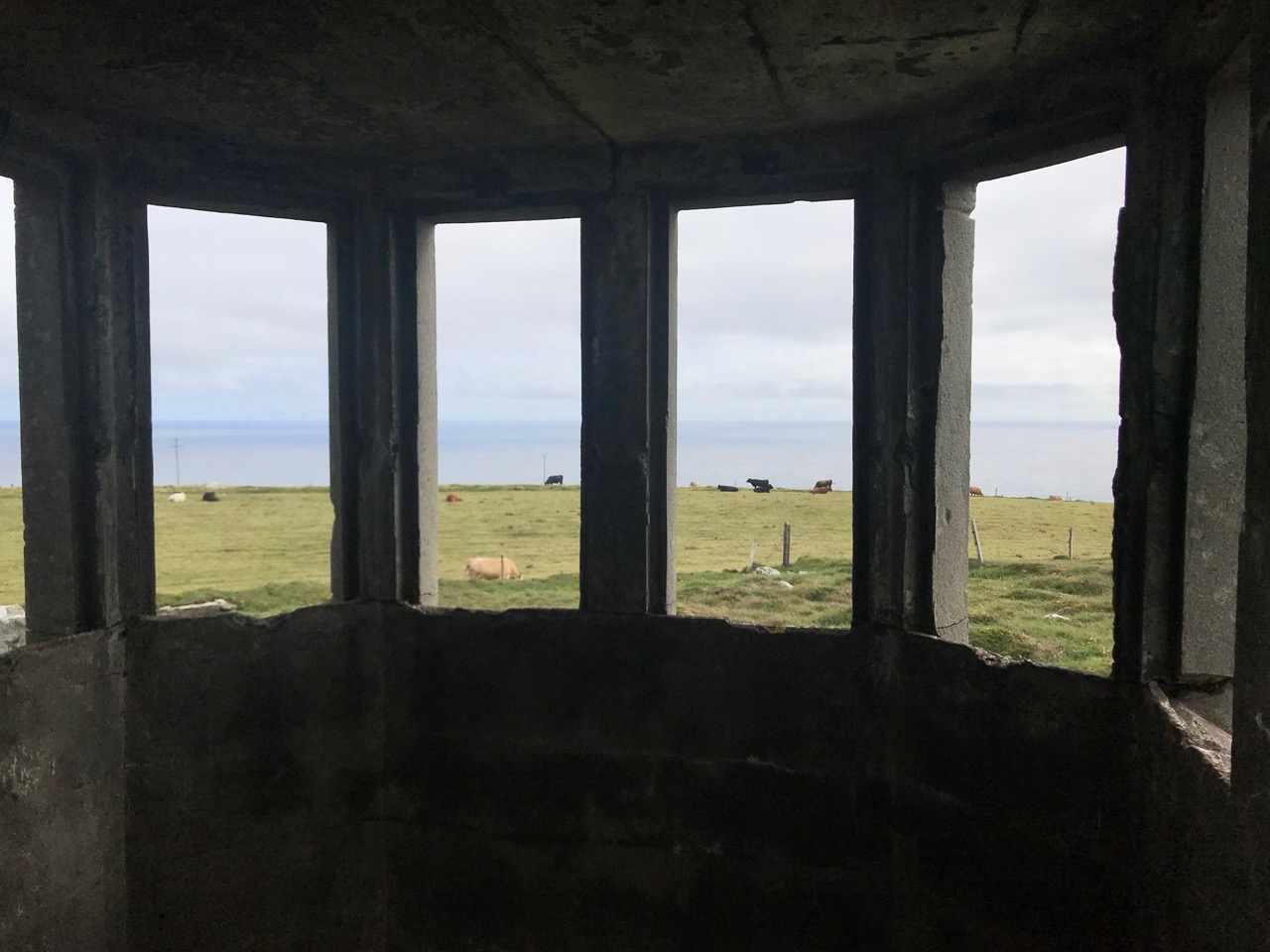
A feature at Cloghane which doesn’t show up on the aerial view is this Second World War lookout post, built close to the early signal tower around 1942. 83 of these structures were built by the Irish Defence Force to monitor activity at sea, many of them relating to Napoleonic-era sites for obvious reasons: these locations had already been selected for their inter-visibility and the panoramic views which they commanded. We have encountered these ‘Emergency-era’ posts previously at Kedge Point, Baltimore, and Ballyroon Mountain, Sheep’s Head (see the full list of links at the end of this post). We shouldn’t get diverted, but if you want to know more about these here is an excellent creative presentation on them carried out in 2014 by Tim Schmelzer of Vienna – particularly, I recommend that you view the first of the videos: it’s wonderful! The LOPs were designed by Howard Cooke RIBA of the Irish Office of Public Works in 1939 and I was fascinated to see that the design achieved recognition (‘posthumously’) from the National Inventory of Ireland Buildings Archive. The posts were cramped, damp and minimal, but apparently at least equipped with small fireplaces:

Mizen Head has drama: there is no land beyond this place until you reach America. And, if you are approaching Ireland from the south or west, Cloghane will be your first landfall. But it’s a dangerous coastline, particularly in stormy weather or at times of poor visibility. Hardly surprising, then, that a fog signal station was established on the furthest point in the early 20th century, under the jurisdiction of the Fastnet Rock Lighthouse. This was initially only a foghorn, powered by explosives: a light was not placed there until 1959.

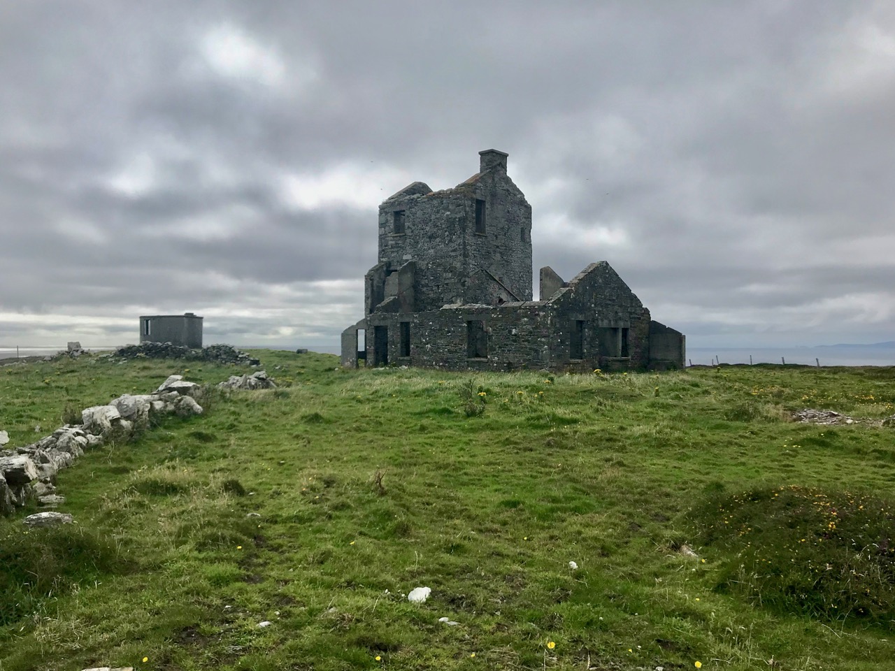
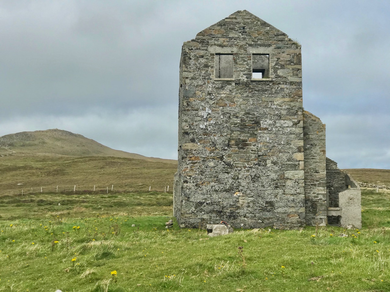
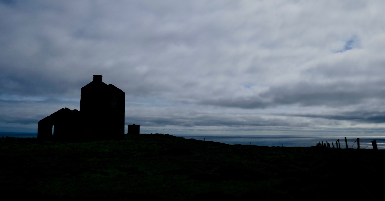
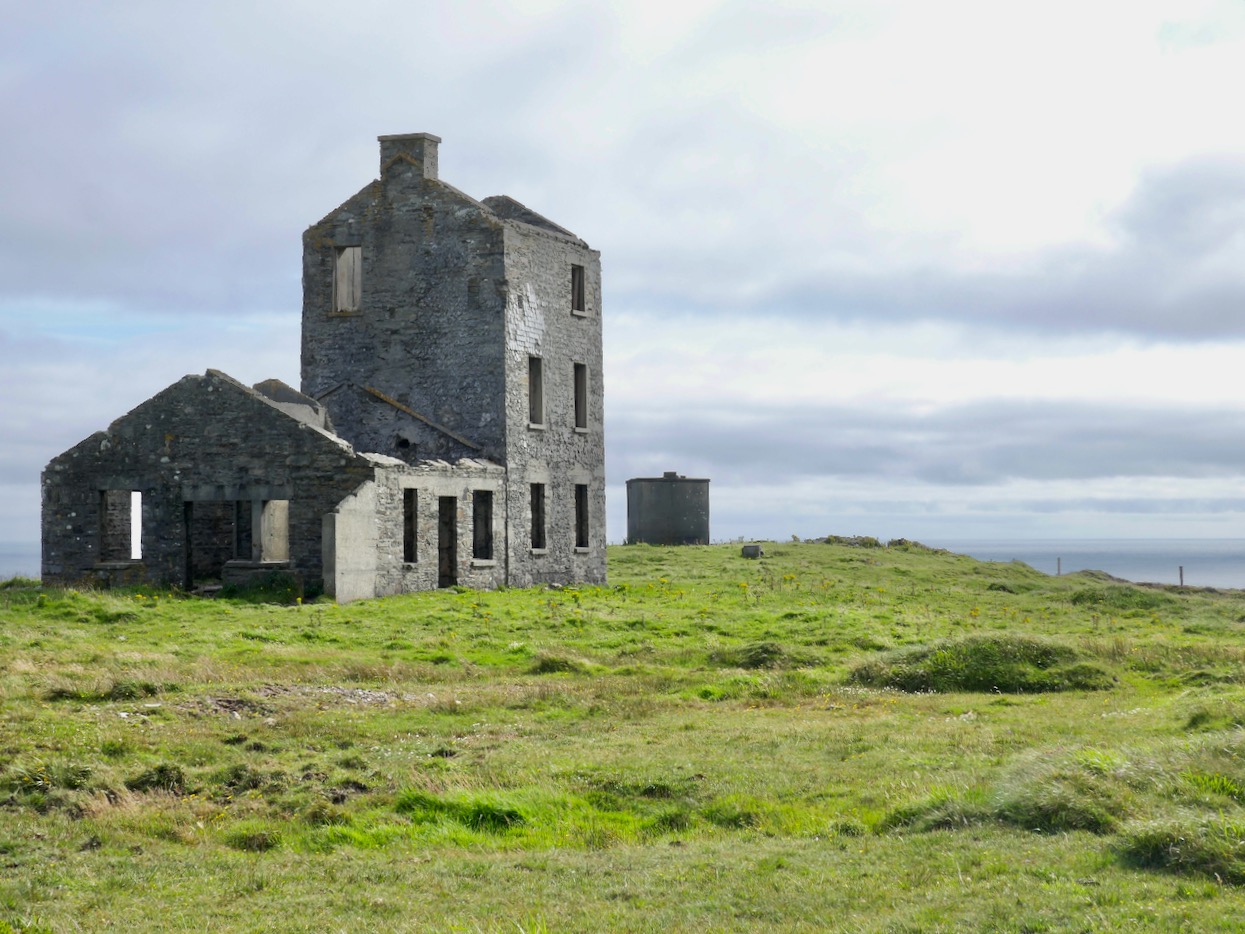
That this signal tower is the virtually identical ‘twin’ of the one we explored at Robert’s Head must be significant, as both are unlike the general pattern we have seen elsewhere: a simple ‘defensible’ structure some 6m square with flat roof, parapets, machicolations and bartizans. My conclusion at Robert’s Head was that the tower had been substantially rebuilt to incorporate upgraded accommodation, perhaps for use by the Coast Guard which was formally established in 1822. Comparing it now with the Cloghane structure it seems more likely that these might both have originated as larger, better appointed buildings. I wonder if this could be because of the relative remoteness of both sites, which would not be easy to populate and service from any nearby community. It was a long trek to Cloghane: the original dedicated trackway, some 2.7 km long is still defined on the landscape, and passes under the 232m high Mizen Peak.

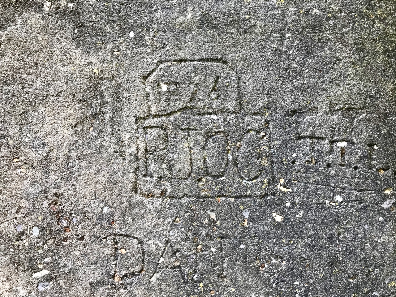
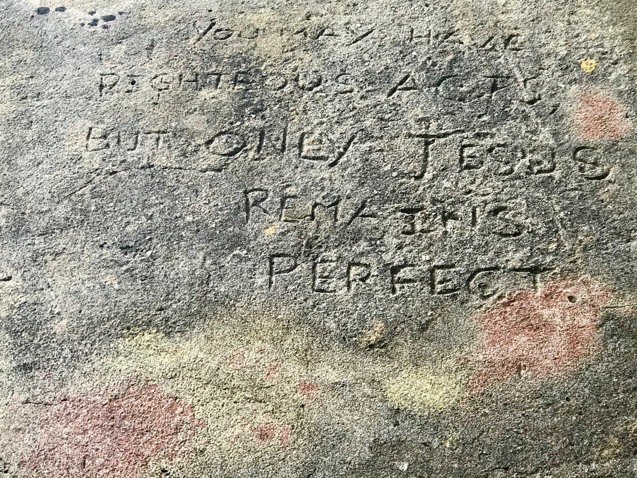
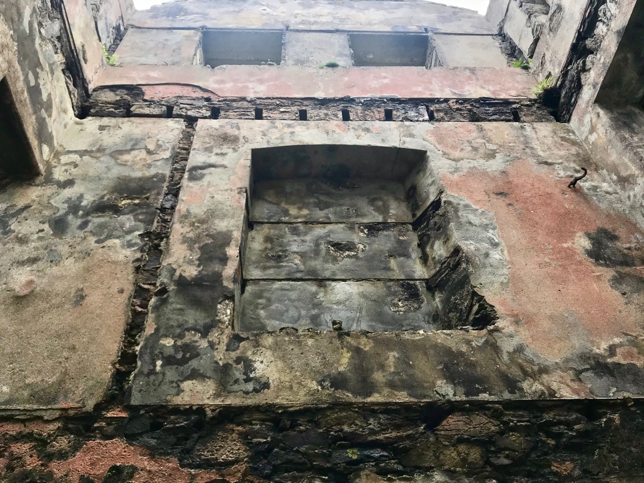
The signal tower at Cloghane is in reasonable condition considering its age and the long period of abandonment (many of the towers went out of use after 1812 although some – possibly including this one – were revived and adapted for use by the Coast Guard). Many visitors have left their marks over the years, and some of the graffiti is intriguing! There is also some vestige of the timber casement frame remaining in one of the window openings: surprising considering the level of exposure to severe storms at this remote site.


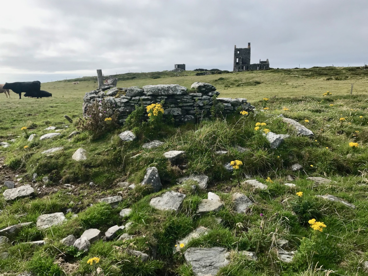
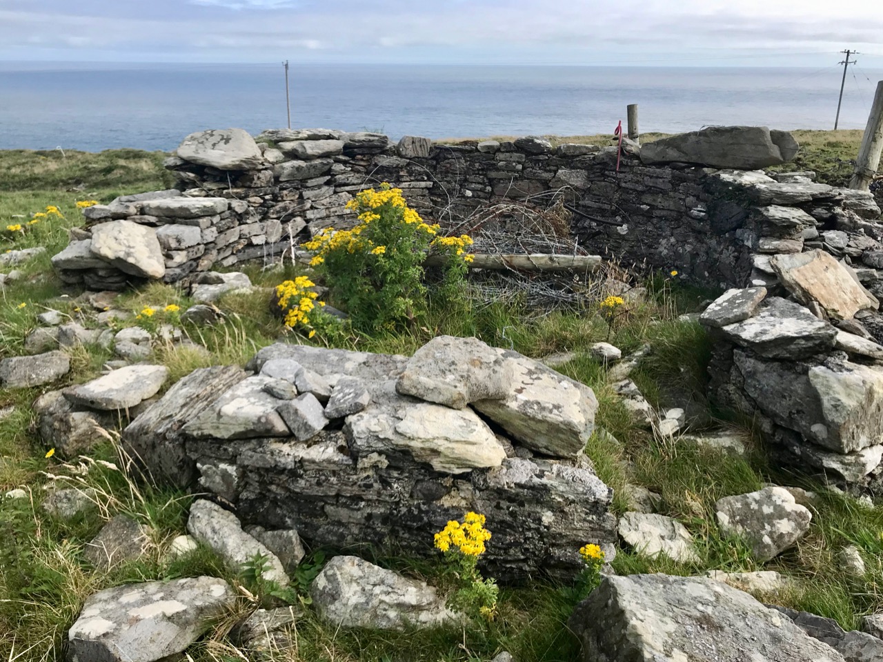
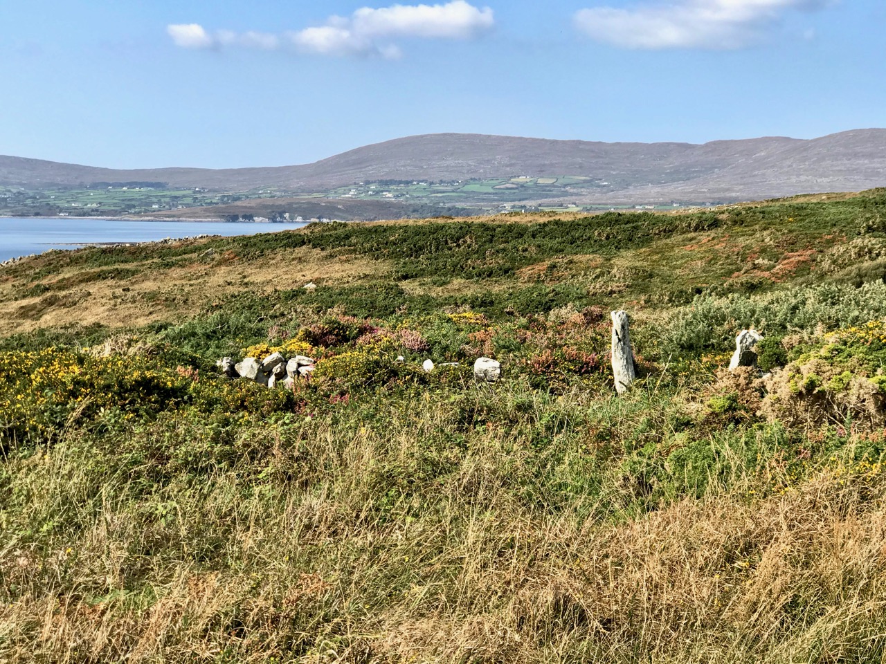
There’s a conundrum at this site that I want to share with you. A little distance to the south of the signal station building is a grouping of stones which are easy to miss at first glance, Have a closer look:

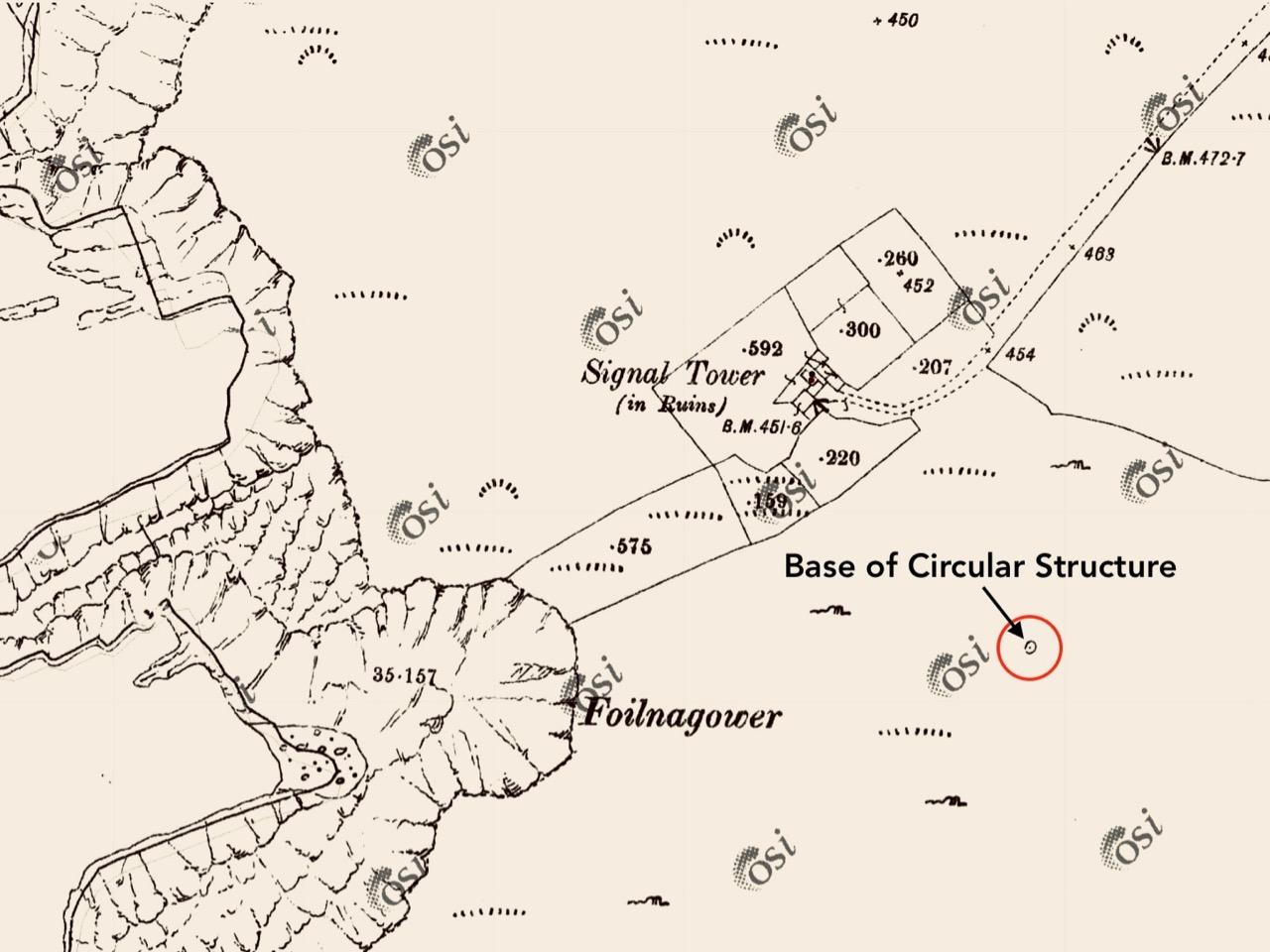
It’s the base of a circular building, or enclosure – a few metres in diameter. Archaeologists amongst you might think in terms of round towers but we can discount that in this desolate location. It does not seem to relate to the signal station buildings, either in terms of architecture (it gives the impression of being rougher and, perhaps, earlier) or usage. With regard to its age, it shows up as a feature on the early 6″ Ordnance Survey map:

What might it be? A mine chimney? But the Mizen Head Copper Mine was a long way from here (refer to the annotated aerial view). The size and shape resemble a gunpowder magazine which we came across at Dhurode Mine, on the north side of the peninsula. The only reason for having a gunpowder store at a signal station would be for a fog signal operated by explosives, as was the case at the Fog Signal Station lower down the Head, built in the early twentieth century. This is clearly much earlier. The dreamer in me pictures, rather, a hut lived in by a medieval hermit, supported by a local monastic settlement to keep beacons burning on Ireland’s headlands in perpetuity. Like the round towers, these were signals to travellers in ancient times that here might be found a haven. For seafarers, perhaps, this one signalled the gateway to a fertile land of enlightenment.
The previous posts in this series can be found through these links:

Part 1: Kedge Point, Co Cork

Part 2: Ballyroon Mountain, Co Cork

Part 3: Old Head of Kinsale, Co Cork

Part 4: Robert’s Head, Co Cork

Part 5: Downeen, Co Cork

Part 6: Dunnycove

Two Green Shoots

That’s what they call themselves but their real names are Kloë and Adam and they are the powerhouse team behind the Garden of Reimagination. You’ll find it just west of Glengarriff and not far from the Ewe Experience, the wonderful sculpture garden and all-round woodsy experience we’ve written about before. The Ewe is the work of Kloë’s parent, Sheena and Kurt. Put a note in your diary now for next year and make sure to plan a visit to both of these incredible gardens.

Kloë and Adam, both highly educated gardeners and conservationists, moved onto the property only three years ago and set about finding what was actually under several feet of moss, bracken and brambles. They had a strong suspicion they would find something special, because their neighbour, Jackie Cronin, now in his eighties, had told them stories about Mrs Hardstaff, who lived there in the 40s and who had been inspired by what she saw on nearby Garinish Island.

An Italianate terraced garden was what she had in mind, so Jackie and some friends were dispatched up the mountain to break out suitable rocks for the steps and paths, bringing them down on donkeys and levering them into place with iron bars. It took Adam two weeks of backbreaking digging and clearing to reveal all those stones steps. He also found little trickling ponds and lots of old plantings.

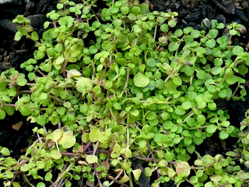
The Terrace, painstakingly constructed from stone slabs: many gardeners would declare war on the ‘weeds’ that pop up between the paving stones, but Kloë and Adam use these spaces to grow herbs. Here’s Kloë pointing to some special Alpine Mint that seems to have adapted well to this micro-environment

These Two Green Shoots, Kloë and Adam, have a philosophy rooted in a dedication to conservation and in their own passionate beliefs about gardening. Everything, they decided, should be edible, to the extent possible. So they have taken the underlying Italianate Terraces and added layers of edible plants. Some of these are familiar to us and some of them definitely aren’t!

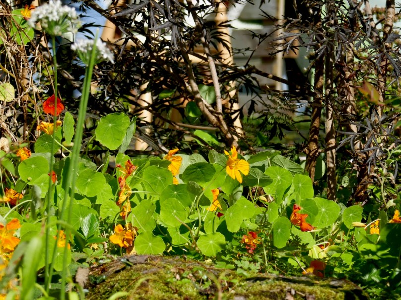
From the top: Nasturtiums and a miniature Fuchsia – very pretty but also edible

At the same time, they are conscious of their West Cork location and have tried to preserve as many of the native trees, shrubs and plants as possible, reflecting that sense of place that makes each garden a part of its particular environment. Everything grows so quickly here, says Adam, although getting enough light in can be a challenge.

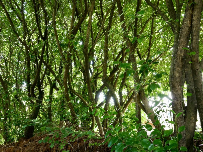
From the top: Natural tracery filters light through the trees; a trellis constructed from materials to hand in the garden; Adam’s perennial wildflower patches, newly mown and raked as per best practice as described in One Acre – Three Years On

We attended their Open Day yesterday, a fundraiser for the Save Bantry Bay Kelp Forest campaign. Adam led us on a tour of the garden and then Kloë fed and watered us with cakes and muffins featuring botanical ingredients. We wore masks and kept social distancing in mind and there was a limit on numbers, so it all felt quite personalised and there was lots of time to ask questions.

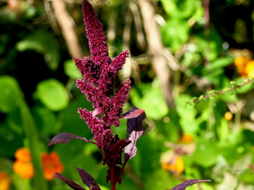
The sheer variety of edible plants is a revelation. Many of them of course, would have been familiar to our ancestors (anyone for nettle soup?) while others would have been used for ornamentation rather than grown for their nourishment value (nasturtiums, for example).

From the top: Comfrey is a familiar edible and medicinal plant, but the Prickly Ash was a surprise, especially when we learned the berries are what we know as Szechuan Peppers – a key ingredient of Chinese cooking

Adam talked us through many of the plants he grows, some for their leaves, some for their flowers and buds (day lilies – who knew!) and some for their berries or seeds. Some, indeed, for all three, like the Chilean Guava that grows in neat little shrubs and make a great topiary plant.

From the top: I’ve forgotten the name of this gorgeous plant but do remember it’s the seeds that are collected. Chilean Guava is one of the new favourites of top chefs – a delicious alternative to blueberries or cranberries

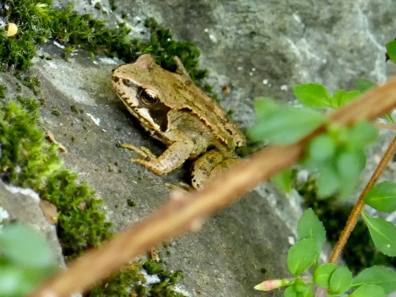
We are all conscious now of the need to feed and preserve our pollinators and Adam spoke frequently about plants in terms of their attractiveness to bees and butterflies. We certainly saw evidence of both – and another little critter as well (below).

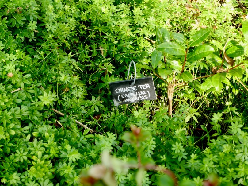
One of the surprises of the day was to find out how readily tea grows here – yes, tea, that most beloved of Irish beverages, and as Adam says, your good old Barry’s tea, nothing exotic. It’s a little tricky – apparently it hates being moved and will go off in a huff if you disturb it – but now they have the hang of it, it’s coming along nicely, although it probably won’t grow as tall as it does in Sri Lanka.

The tea is the tall plant with shiny leaves, and the prolific plant on the left is Woodruff 

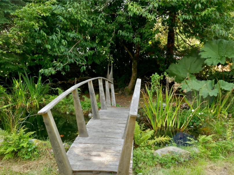
Kloë has her mother’s artistic flair and there are nature-sculptures and special spaces off to the side all over the place. They have developed a B and B business as well, with attractive rooms in the house and a Botanical Tent in the Garden for anyone with a yen for the glamping experience.

The Garden of Reimagination is a work in progress, still very much under development. I look forward to returning many times, since it’s clear there is a long-term vision at work here and all kind of plans for the future. If you get the chance yourself – jump at it!

And Kloë – thank you – that tea is delicious!

Mizen Magic 20: Ballyvonane Headland

Twenty Mizen Magic posts . . . The whole of the Mizen is magic and magnificent – at all times, in all seasons. It doesn’t matter where we go, we will find things to photograph and write about: landscape, history, the remnants of lives lived generation after generation, and new life – art, creativity. We have on our doorstep a cornucopia – an inexhaustible resource.

In late September, close to the autumn equinox, Nature has chosen to be compassionate to the human denizens of West Cork. In these benighted Covid times we are having exceptional long, warm and calm days, inviting us to take to the hills and headlands to shake off the wretchedness of bad news and the miasma of melancholy that it might bring. We in the far west remain free to roam unfettered, for now, and Roaringwater Journal is committed to bringing you the good news of fresh pathways to be trod and fine vistas to be unfolded.

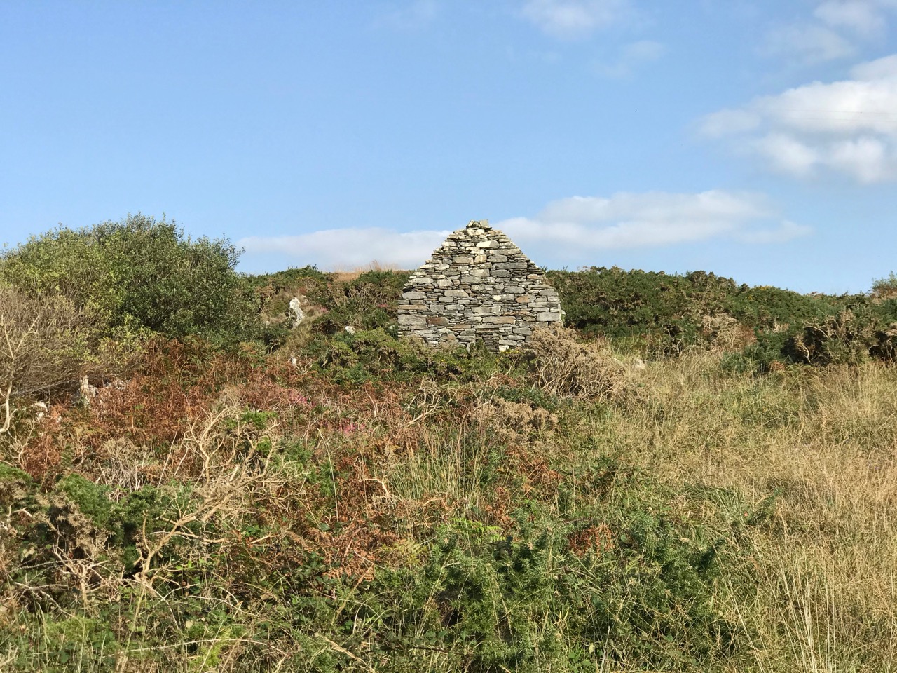
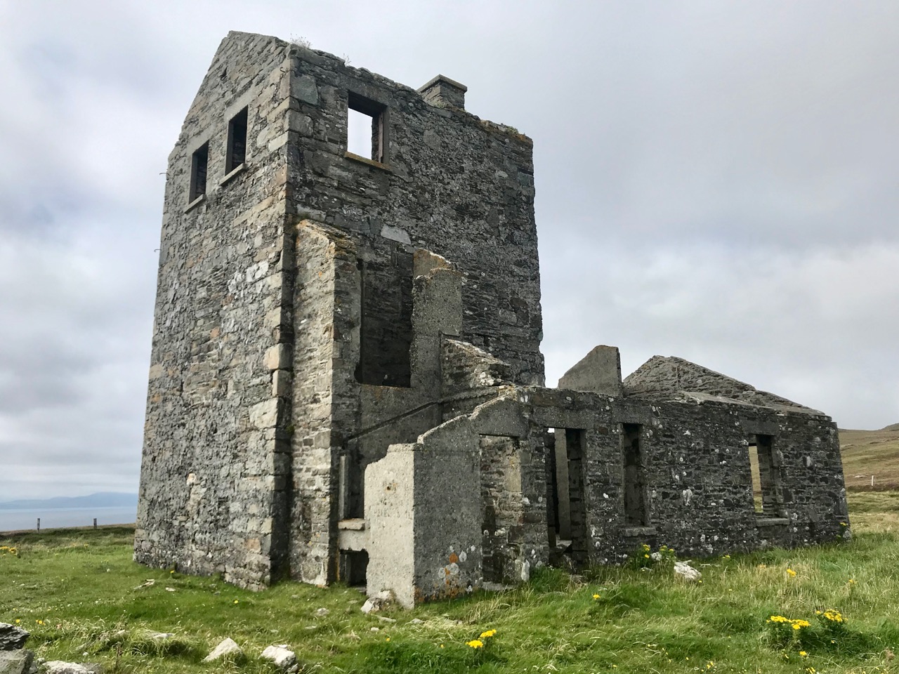
At the beginning of the track is this imposing ruin: we wondered when it had last been occupied

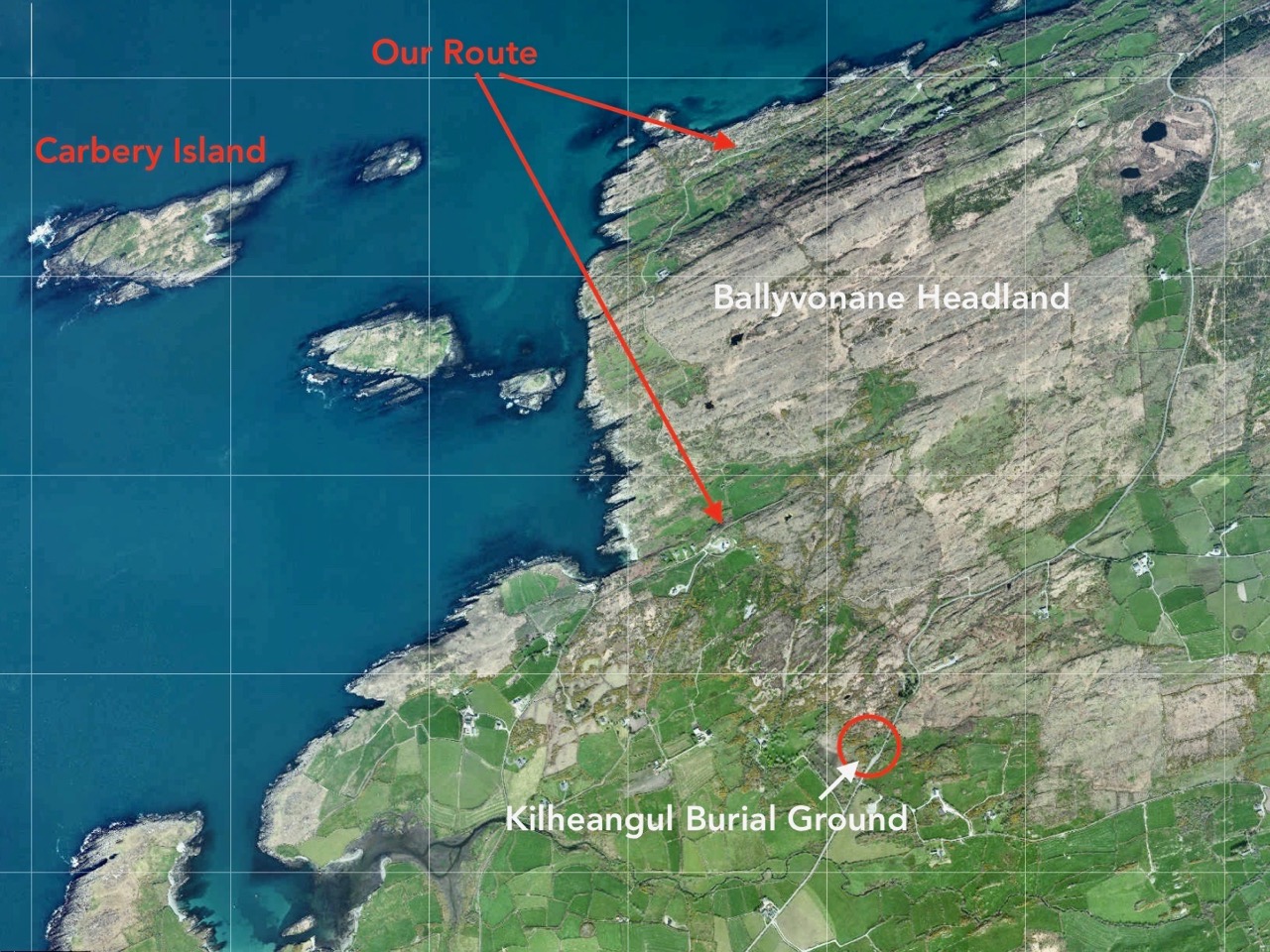
Today we thought we’d finish something we started back in February: Delights of Dunmanus described how we set out to walk a trackway marked on the map going over the headland in the townland of Ballyvonane. In fact we didn’t make it: winter storms had flooded our way near the start of the track and – after getting hopelessly lost trying to go around the flood we had to give up. Finola graphically set out our probable route on that day (in blue – we were aiming to take the red path!)

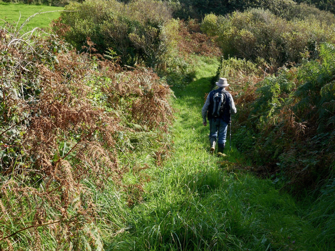
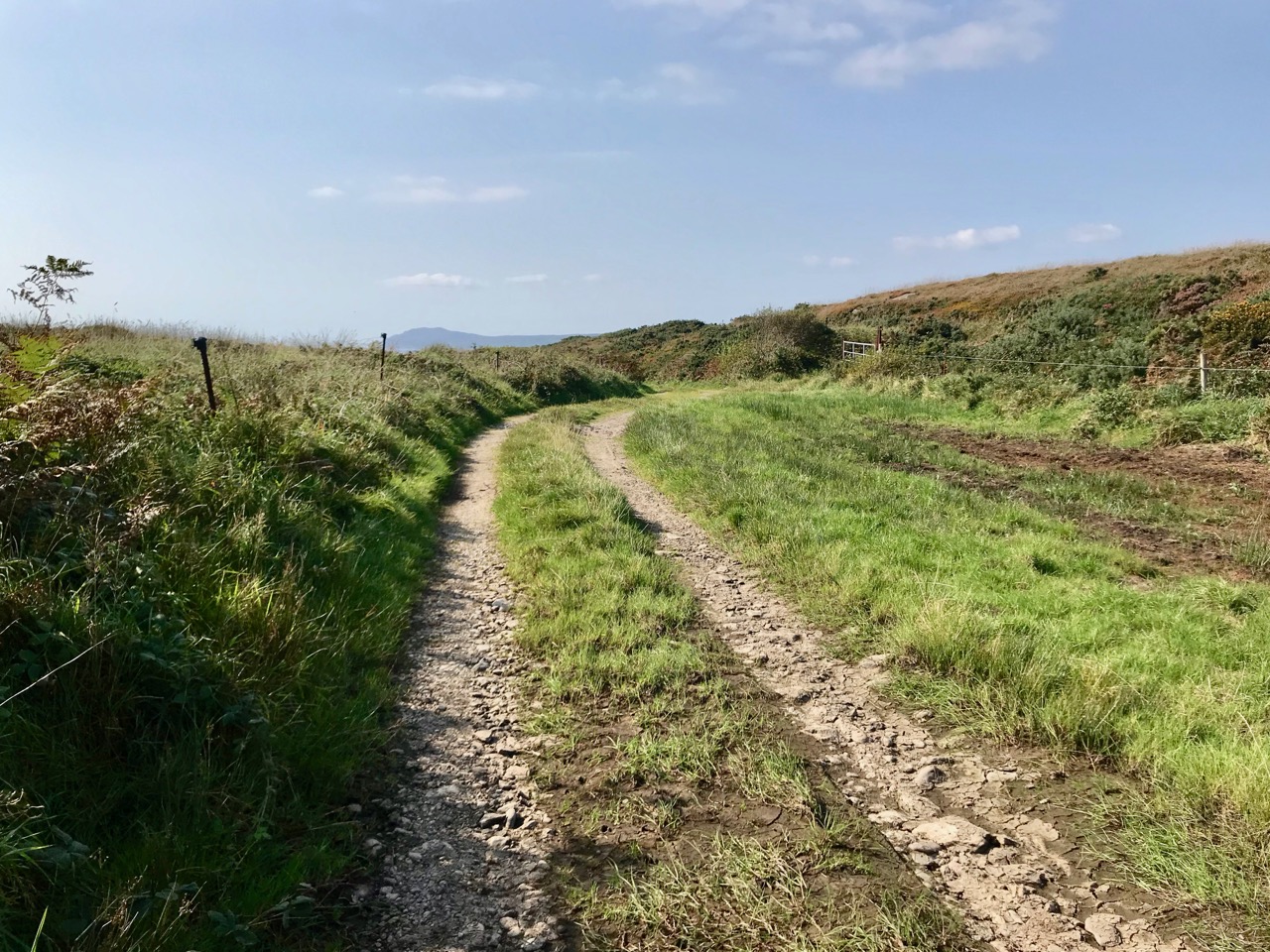
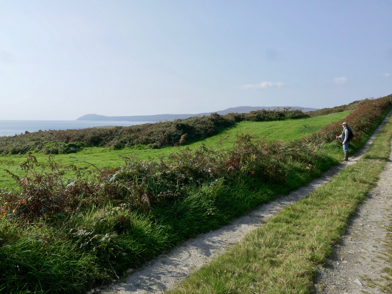
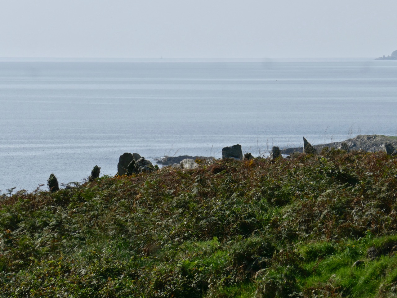
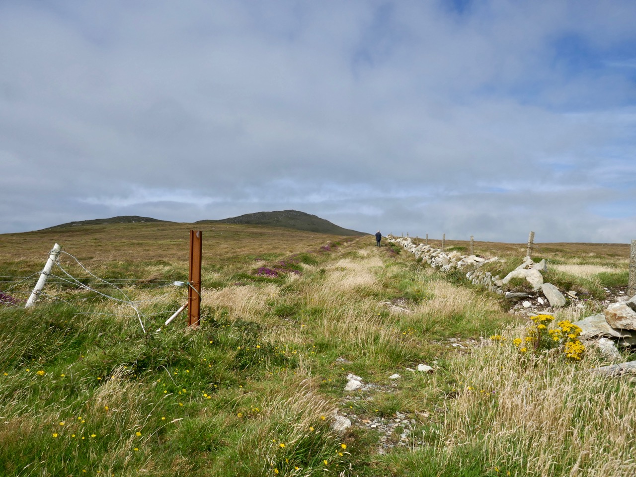
Today we were determined: we donned boots which would withstand a substantial flood. In the event they were quite unnecessary as the land was dry. We felt secure, though – but hot. After the first few hundred metres – which is the old way leading to a ruined house and now much overgrown – the path became well defined and easy to follow. We passed many signs of human intervention on the landscape: skeletal cottages and field boundaries which looked like rows of standing stones. The fields themselves were empty, however: we saw only one living creature the whole way. That was a wood pigeon that clattered noisily out of the bushes as we passed.

This section of the path was completely flooded when we attempted to follow it in February!

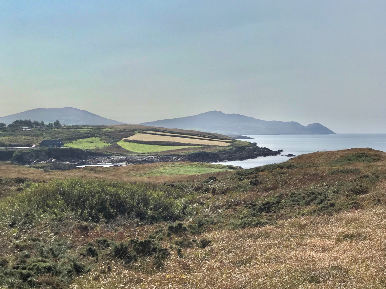
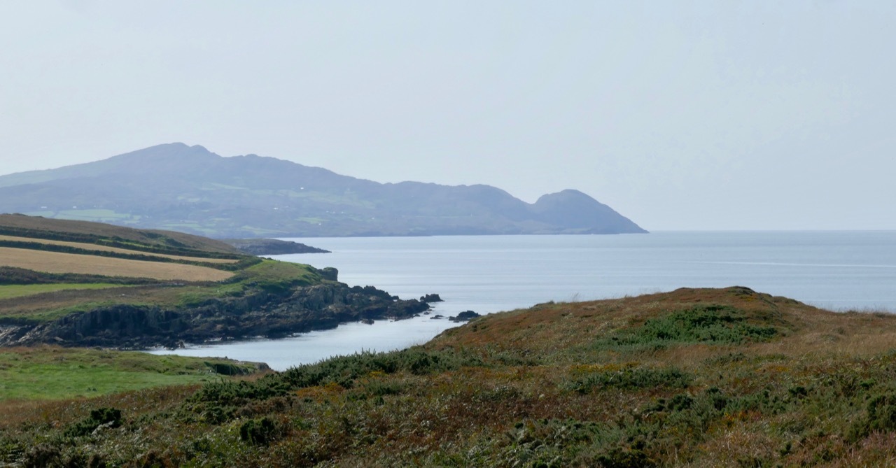
The journey was rewarding because of the wide views out across Dunmanus Bay with the Mizen and the Sheep’s Head flanking either side. There was quite a haze over both peninsulas arising, perhaps, from distant gorse fires.

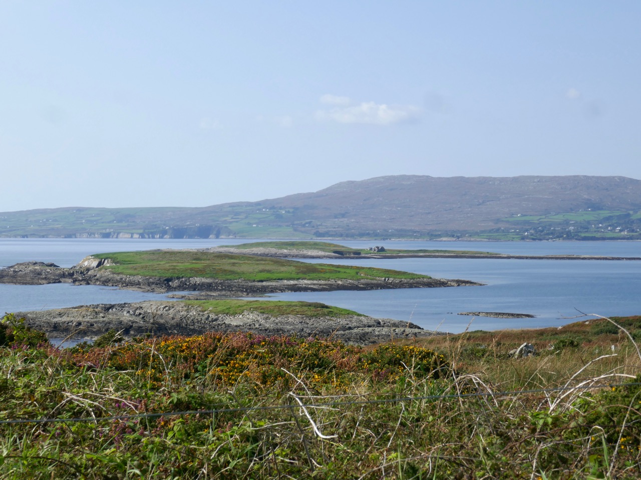
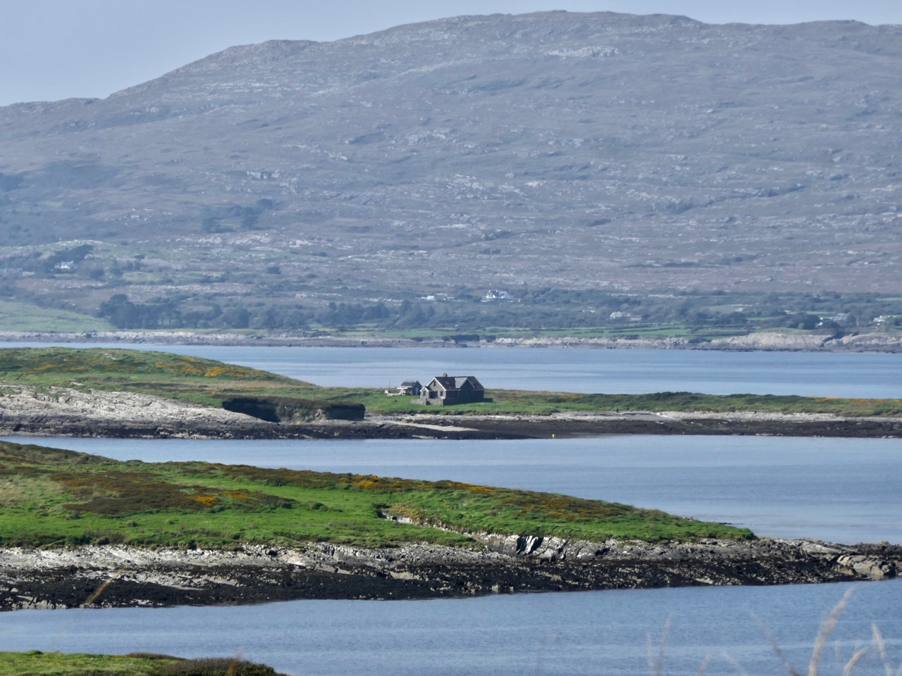
Passing abandoned cottages which had the aura of ancient temples we rose up to the higher ridge commanding the best views. We could clearly see Carbery Island to the west: this has a lonely modern residence on it. Close by are the other islands in this group: Cold Island, Furze Island and Horse Island. Lusk Island and Scurvygrass Island are some way off to the north.

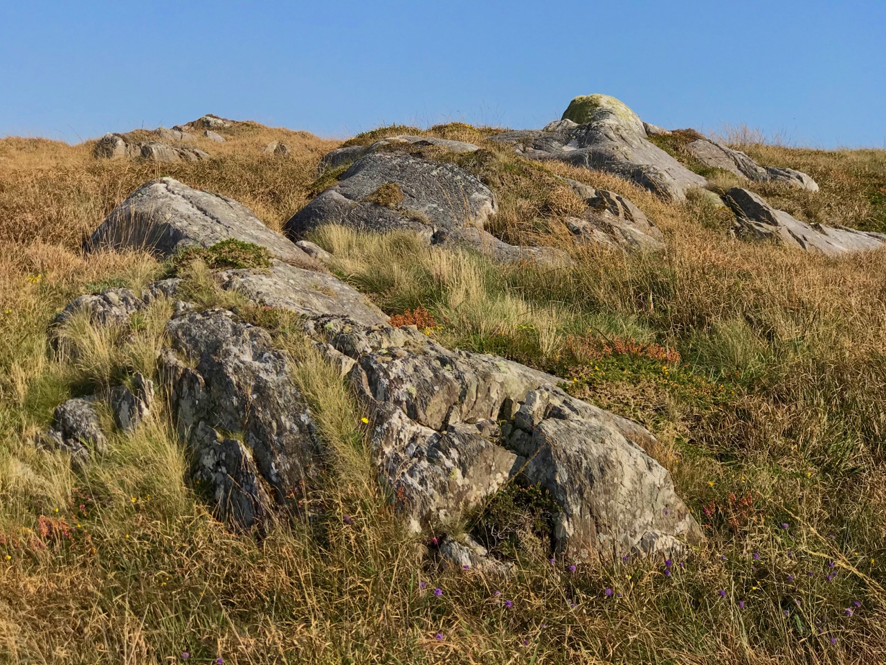
Each turn in the trackway opened up fresh views, and new dimensions, to the bay below us. Some may consider this landscape featureless, but a moorland scattered with large loose and earthfast rock formations – some resembling megaliths, but clearly natural – is my own favourite. Look at the map above to see how far the rock outcrop extends . . . In my mind’s eye it’s the work of giants.

Unlike many of our journeys into the West Cork landscape, this one had no clear end, there was no destination, no historic or archaeological feature that we had set out to find. There was just a turn in the trackway at the northernmost point of the headland and then the trackway continued on to became a boreen and, finally, a road leading back through Ballgibba North and the R591 (where Kilhangle is sited – see Finola’s post). We could have made a big loop of it, but there wasn’t enough time in the day that was in it. In any case, returning on the same path was no hardship and gave us more time to indulge in the tranquility of a way less trod, and in the sublime peace of an afternoon spent in remote places.

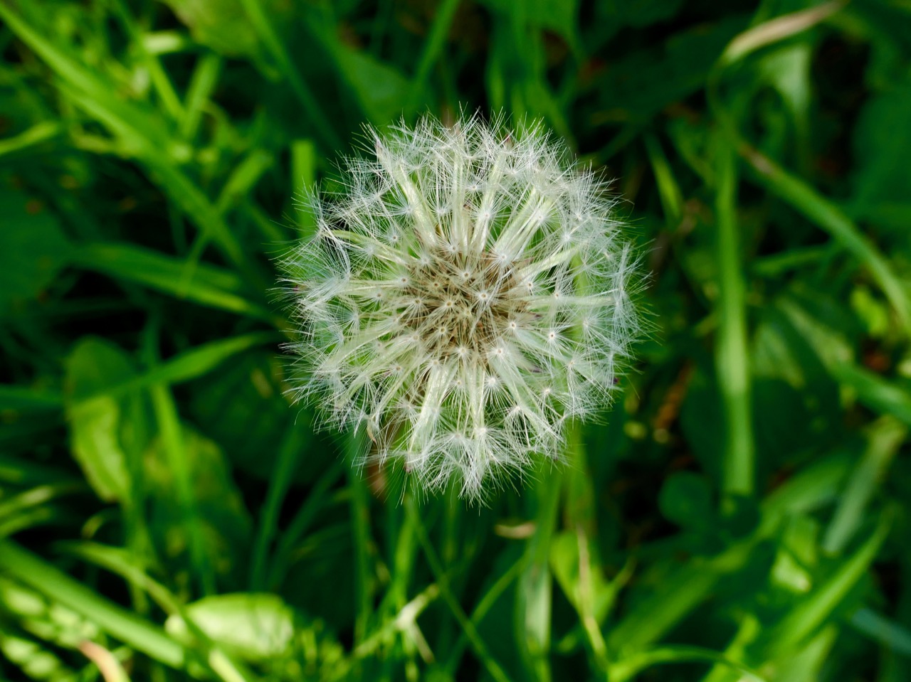
The autumn hasn’t quite come upon us yet, but some signs have started to appear. One is the ‘dandelion clock’ (did you call them that as children?). Finola challenged me to find the ‘perfect’ one, with the promise that, if I did, she would provide the ‘perfect’ photograph. I found perfect, and then perfecter, followed by perfectest. Here’s Finola’s promised rendering:

Off the M8 – Knockroe Passage Tomb or ‘Giant’s Grave’

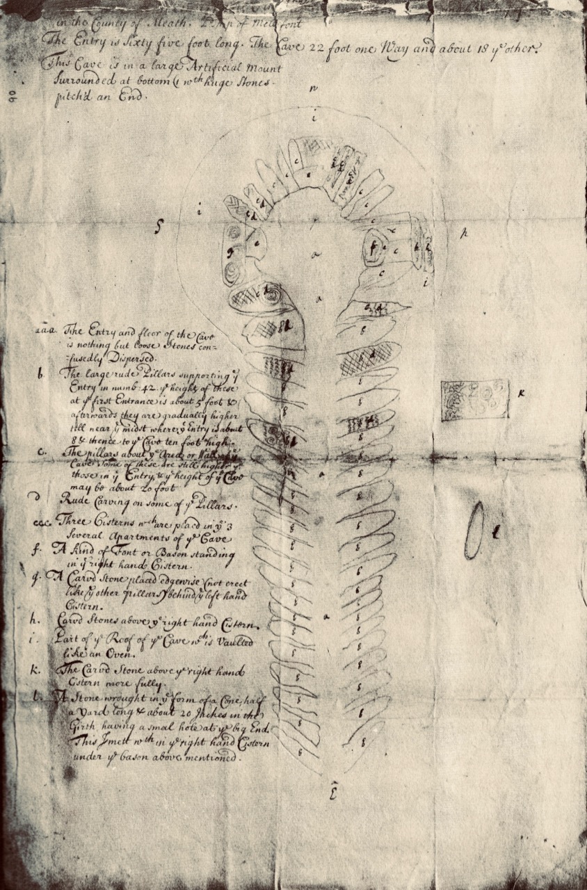
The great passage tombs of the Boyne Valley complex in Co Meath – Newgrange, Knowth and Dowth – have been known and celebrated (although not necessarily understood) by antiquarians over many centuries. Here’s an early survey plan of Newgrange drawn by Thomas Molyneux of Dublin in 1700:

The Boyne Valley monuments are famous for their megalithic art – inscribed stones which are integral to the structures, carved some 5,000 years ago. The drawing above shows the carved stones in the great passage which we now know is aligned to the sunrise at the winter solstice. Although quite crudely depicted, these are the earliest representational images we have of passage tomb art in Ireland. A century and a half later the surveyor and antiquarian George Victor du Noyer worked with the newly established Geological Survey of Ireland and became fascinated with the megalithic art of the Loughcrew Passage Tombs in Co Meath. His recording of this, using watercolour sketches, is remarkably accurate:

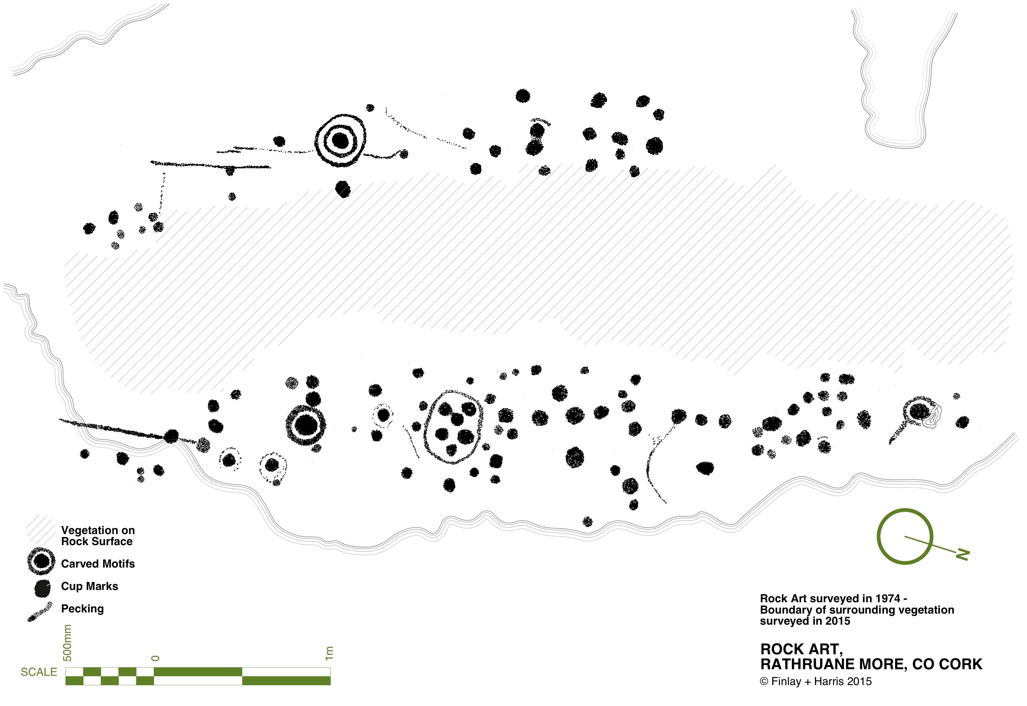
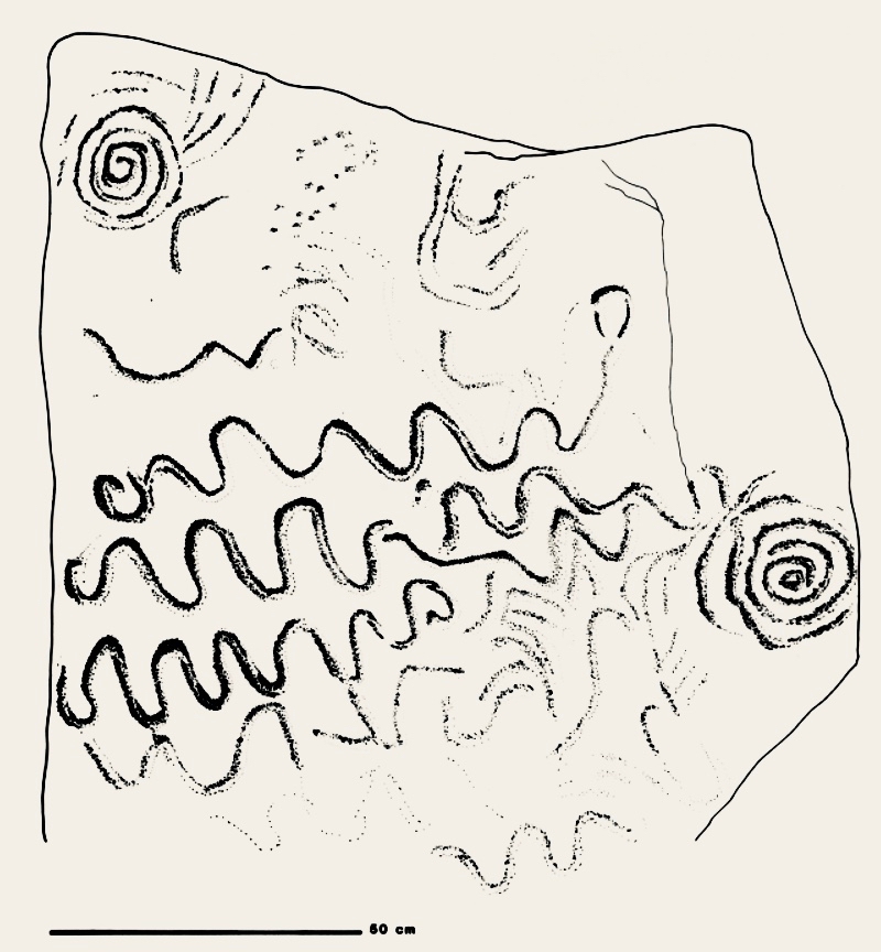
Another century on, and archaeology – and the recording of ‘ancient’ art – had increased in sophistication. Finola’s work in the 1970s used a combination of direct tracing and photography, and her opus is still one of the most comprehensive and striking collections of images of Prehistoric Rock Art. These differ from Passage Grave Art both in the motifs and the overall design of panels, but are thought to be of comparable age. Here is one of her images, of rock art at Rathruane More in West Cork:

Today’s post focusses on a site which was first noted in 1905 but not categorised or fully explored until the 1980s, when Professor Muiris O’Sullivan of UCD led a detailed excavation, over many years. The report in excavations.ie states:

. . . Knockroe is one of a small number of decorated sites outside of County Meath, and in the overall context of Irish passage tombs its megalithic art is very important. Only a few of the kerbstones are visible but they bear a profusion of kerb ornament which is matched only at the three great tumuli in the Boyne Valley. One of the decorated stones in the western chamber bears a remarkable likeness to the designs at Gavrinis in Brittany, France . . .

To find this gem (known locally as The Giant’s Grave – Finola’s post today describes another one!), you have to turn off the M8 at Cahir, and follow the N24 and N76 towards Ninemilehouse. If this sounds familiar, it’s because we also followed this route when we visited the Killamery High Cross, but this time turn before Ninemilehouse, at Garranbeg, and cross over the River Linguan, then follow the river to the County border (Tipperary / Kilkenny) where you will see signs to Knockroe Passage Tomb and Knockroe Slate Quarries. After your visit it’s easy to join the M9 at Knocktopher and carry on up to Dublin. It will add a little more than half an hour to the journey (plus the many hours you might want to spend exploring the fascinating passage tomb).

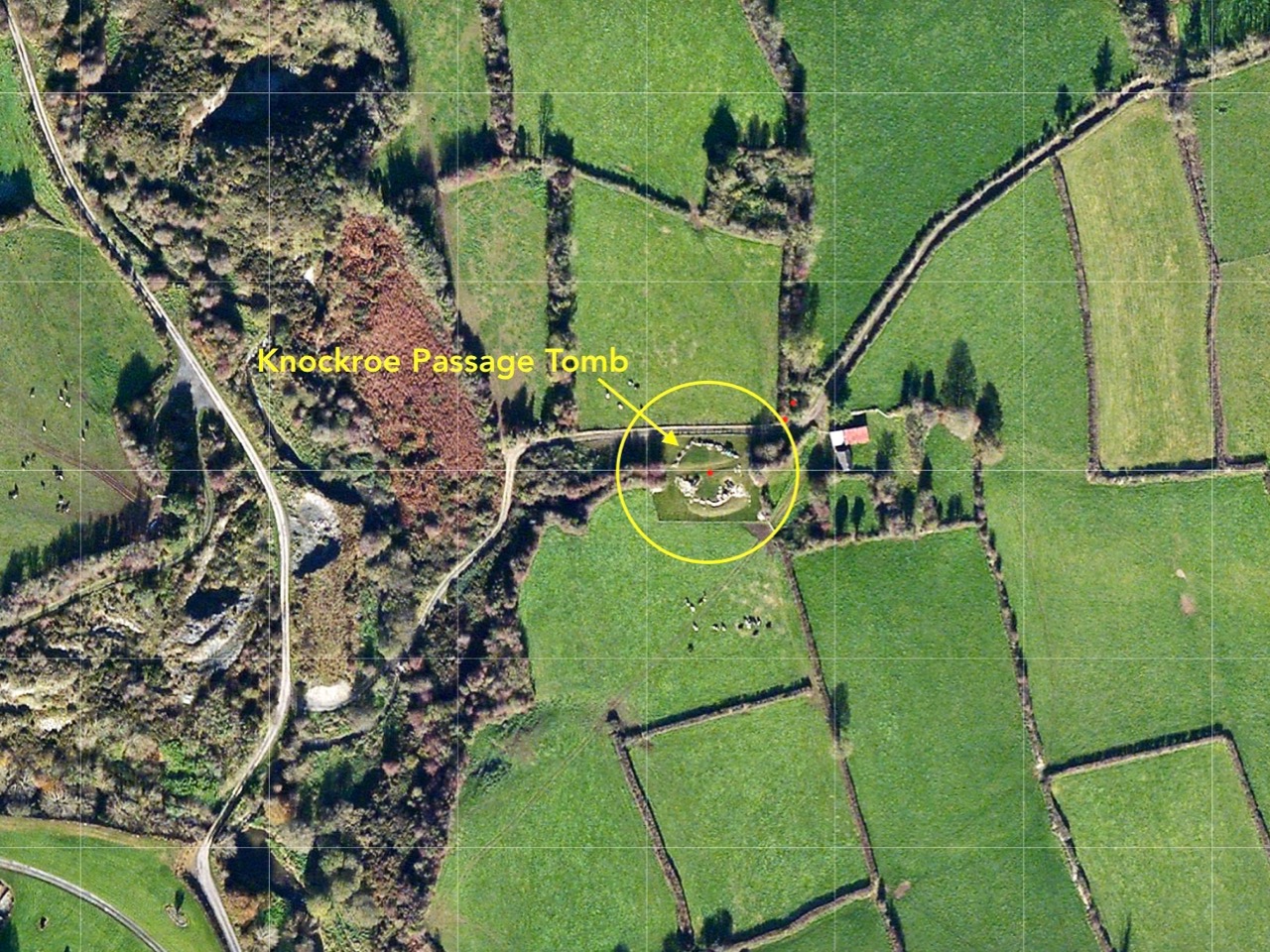
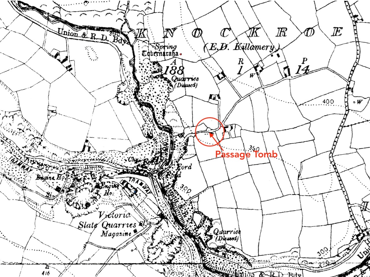
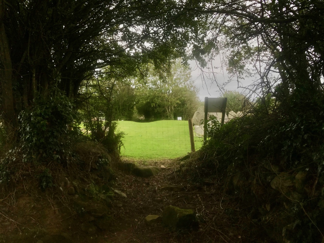
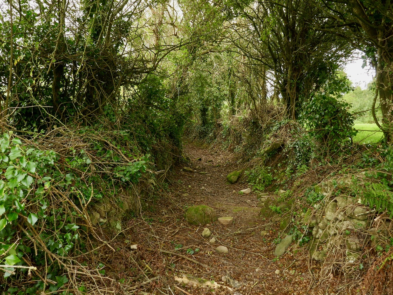
The aerial view might help to orientate you, while the 25″ OS map extract (above) dates from the late 1800s and shows the extent of the nearby Victoria Slate Quarry workings then. Slate was evidently taken from this site as early as the 14th century. In the aerial view it is possible to make out a distinct trackway which passes over the centre of the now identified passage tomb. This is clear to see on the site, and at either end the track continues, and is defined by ancient-seeming hedgebanks and established trees :

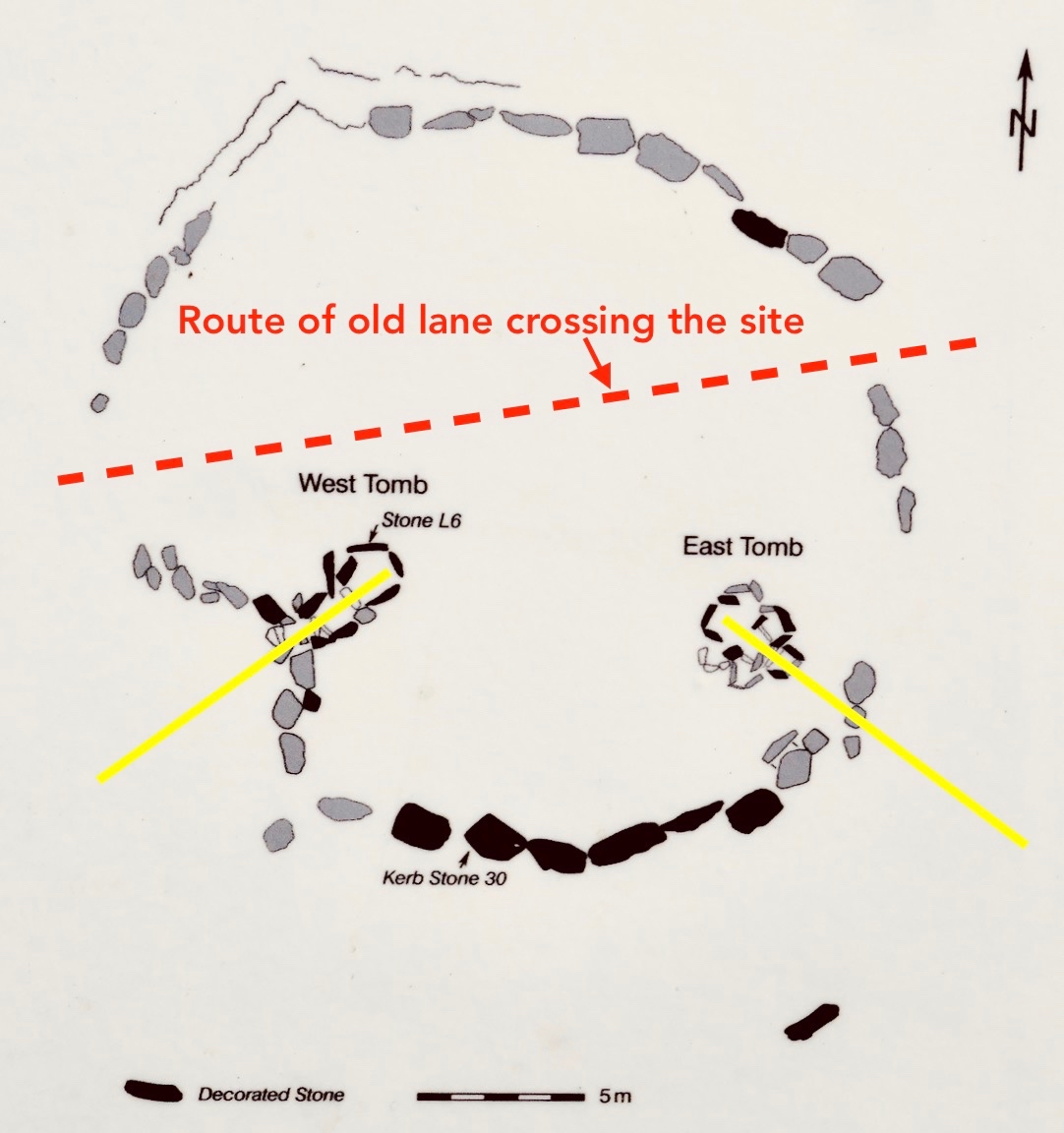
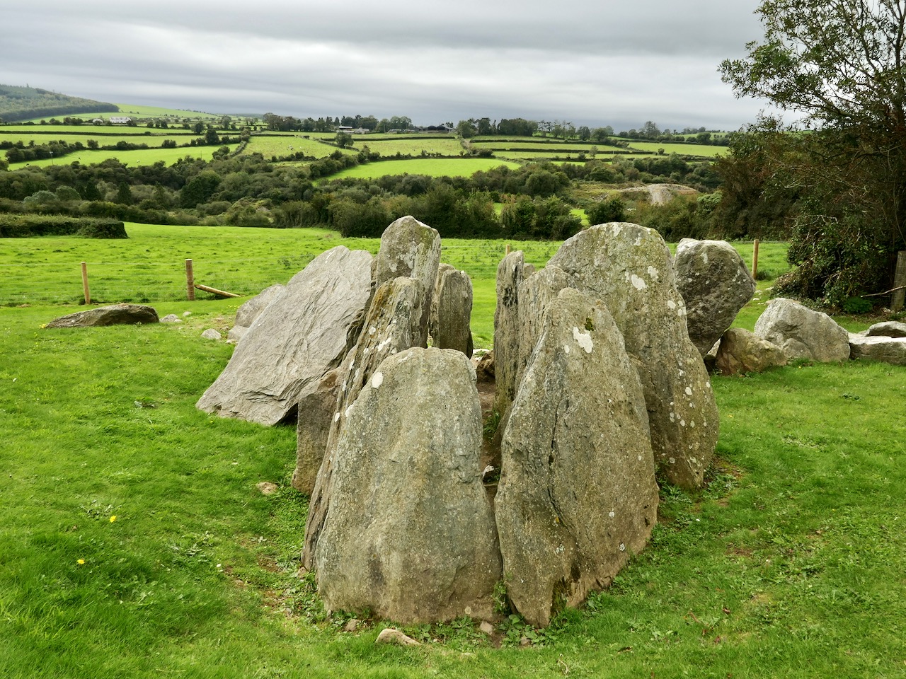
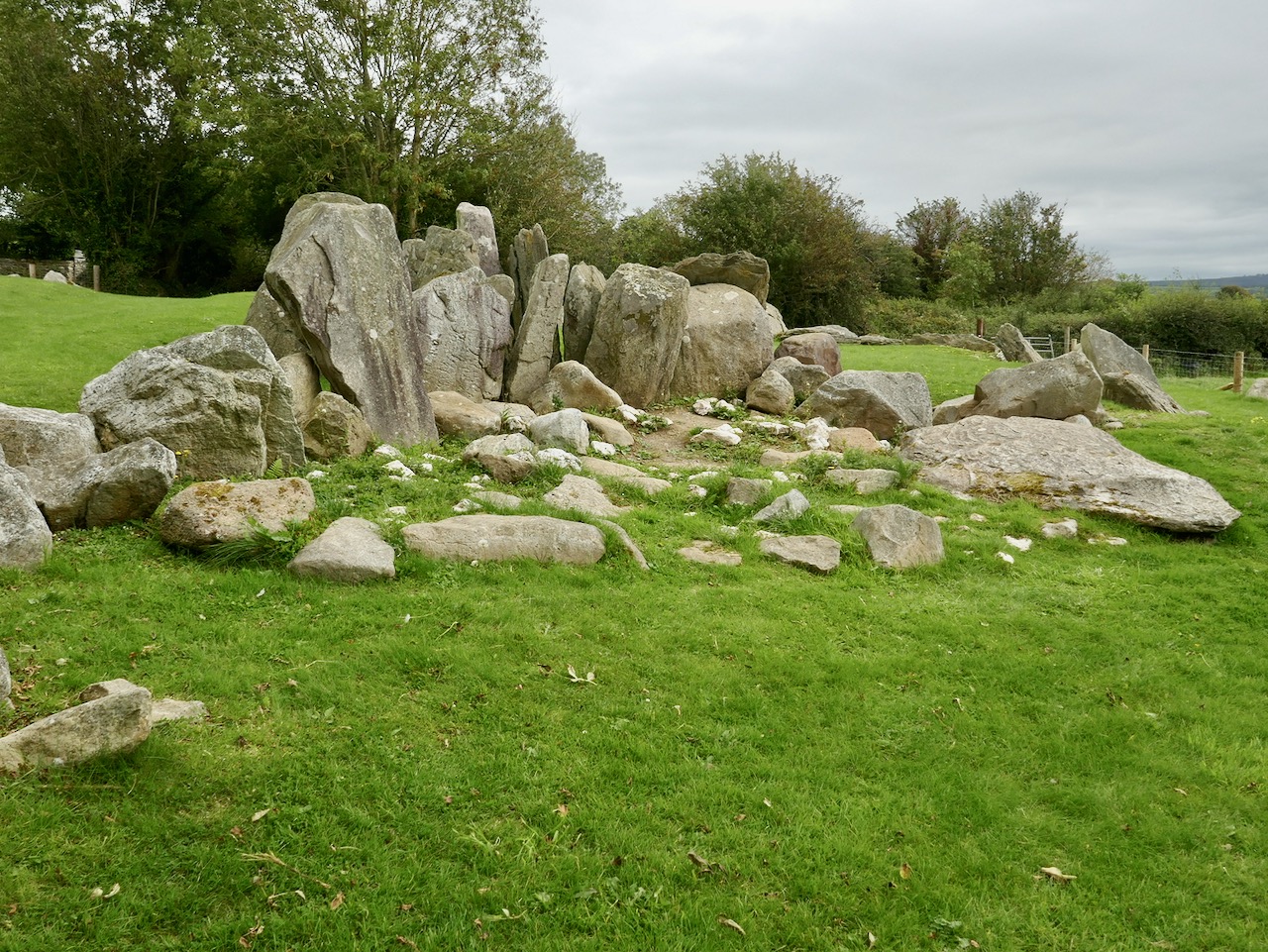
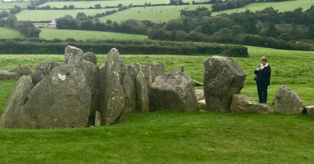
Tradition has it that the trackway was provided in the nineteenth century by the owners of the nearby Victoria Quarry to allow cattle to access the river when the quarry workings encroached on previous routes. A plan of the passage tomb is shown on the site notice board, and I have marked on it the laneway. This clearly shows the layout of the Neolithic monument, which would have been covered with an artificial mound, enclosing the two chambers. As with the larger monuments in the Boyne Valley – Newgrange, Knowth and Dowth – stones in the passage chambers and some of the kerbs are decorated, and the chambers themselves have solar alignments, reportedly with sunrise (east) and sunset (west) on the winter solstice.

As yet we have not been to Knockroe at the winter solstice – it’s something we would like to do. We have attended the solstice celebration at our own West Cork site, Drombeg Stone Circle, and that is a great community experience. But Pete Smith has provided this fascinating visual record of the Knockroe Solstice recorded in 2016. Thank you, Pete!

But let’s turn our attention to the art at Knockroe. It’s what makes it so special. It’s not as spectacular as the larger examples in the Boyne Valley or Loughcrew (you might think of Knockroe as a ‘country cousin’) – but it is their equal in its scope and variety. And – what we really liked – you can have the place all to yourself! There is no visitor centre, no queueing or paying – nothing to spoil the ambience. It is always freely accessible, and we didn’t see a soul while we were there. It is, of course, merely a skeleton of what it once was – five thousand years ago – but that doesn’t detract from its allure. It’s a place imbued with things we don’t understand, or can only guess at – left behind for us by our distant ancestors. And, hopefully, we will keep it safe for the future.

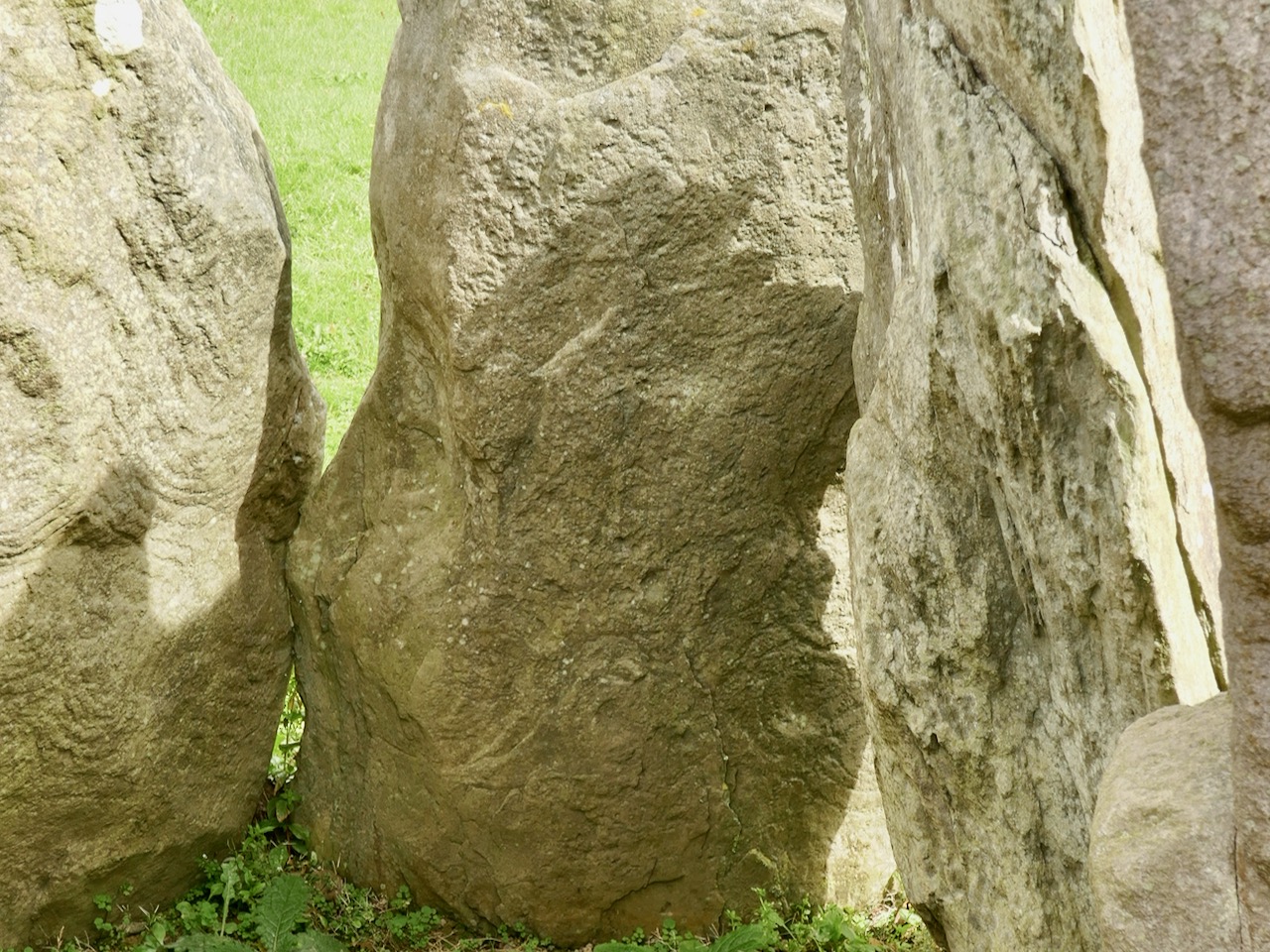
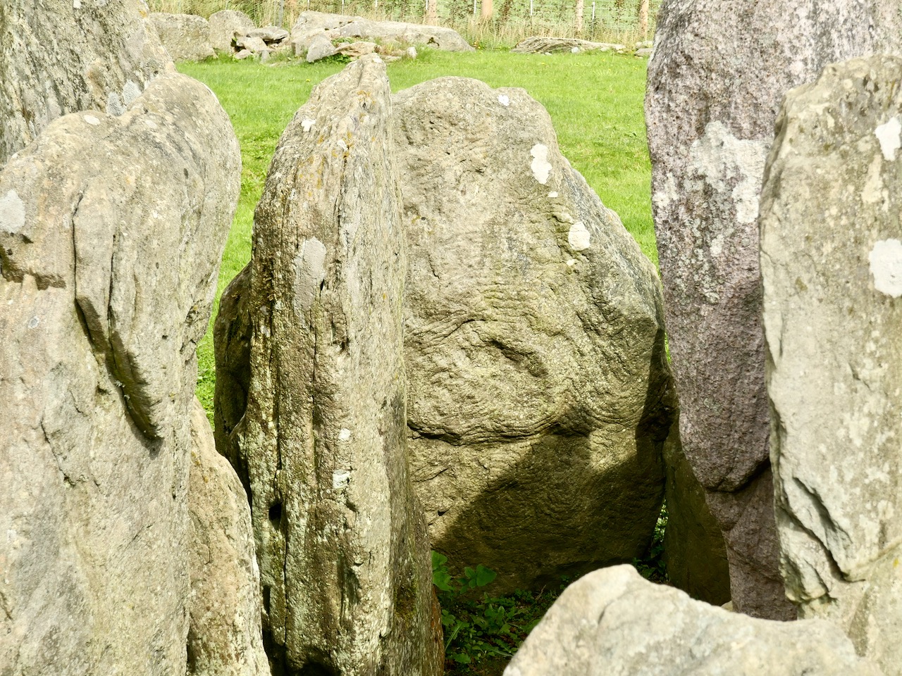
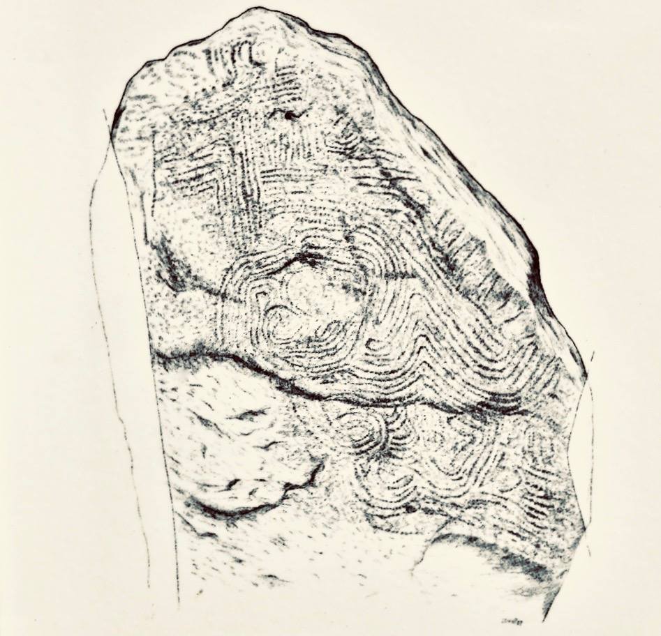
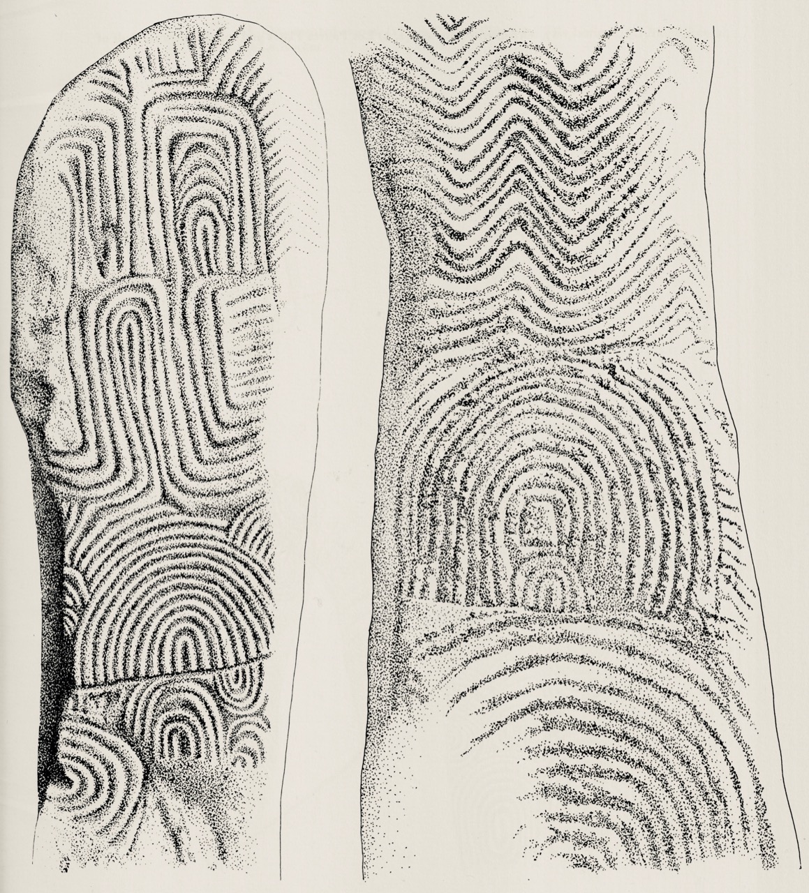
Muiris O’Sullivan penned a comprehensive article in The Journal of the Royal Society of Antiquaries of Ireland Vol 117, 1987 – The Art of the Passage Tomb at Knockroe, County Kilkenny. This is well illustrated with drawings by Ursula Mattenberger based on rubbings taken directly from the stones. Here is her impression of Stone 8 (numbering from the excavation report), which is directly facing us in the photograph above:

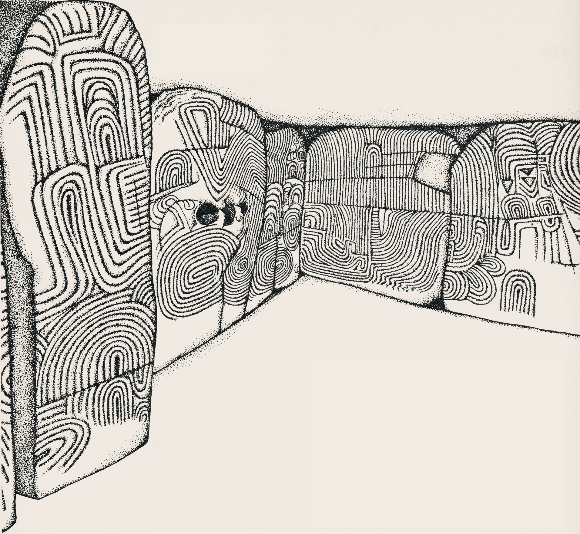
This example is very unusual in the corpus of passage grave art in Ireland. But it bears a resemblance to examples on the island of Gavrinis, in the Gulf of Morbihan, on the southern coast of Brittany, France. This has been noted by several commentators, including Muiris O’Sullivan, and the suggestion has been made that the tomb builders at Knockroe could have been directly influenced by the Gavrinis examples (which are generally thought to be earlier than the Irish parallels). It has even been suggested that passage tomb builders travelled from one site to another (like the medieval cathedral builders), and that this comparison demonstrates this. Have a look at these images from Gavrinis and see what you think (the first is courtesy of Martin Brennan, taken from his The Stars and The Stones, Ancient Art and Astronomy in Ireland, Thames and Hudson 1983):

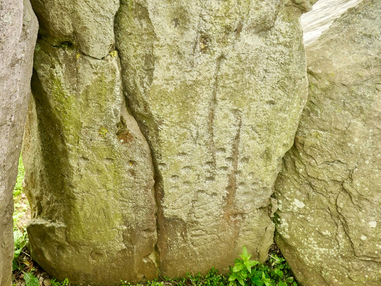
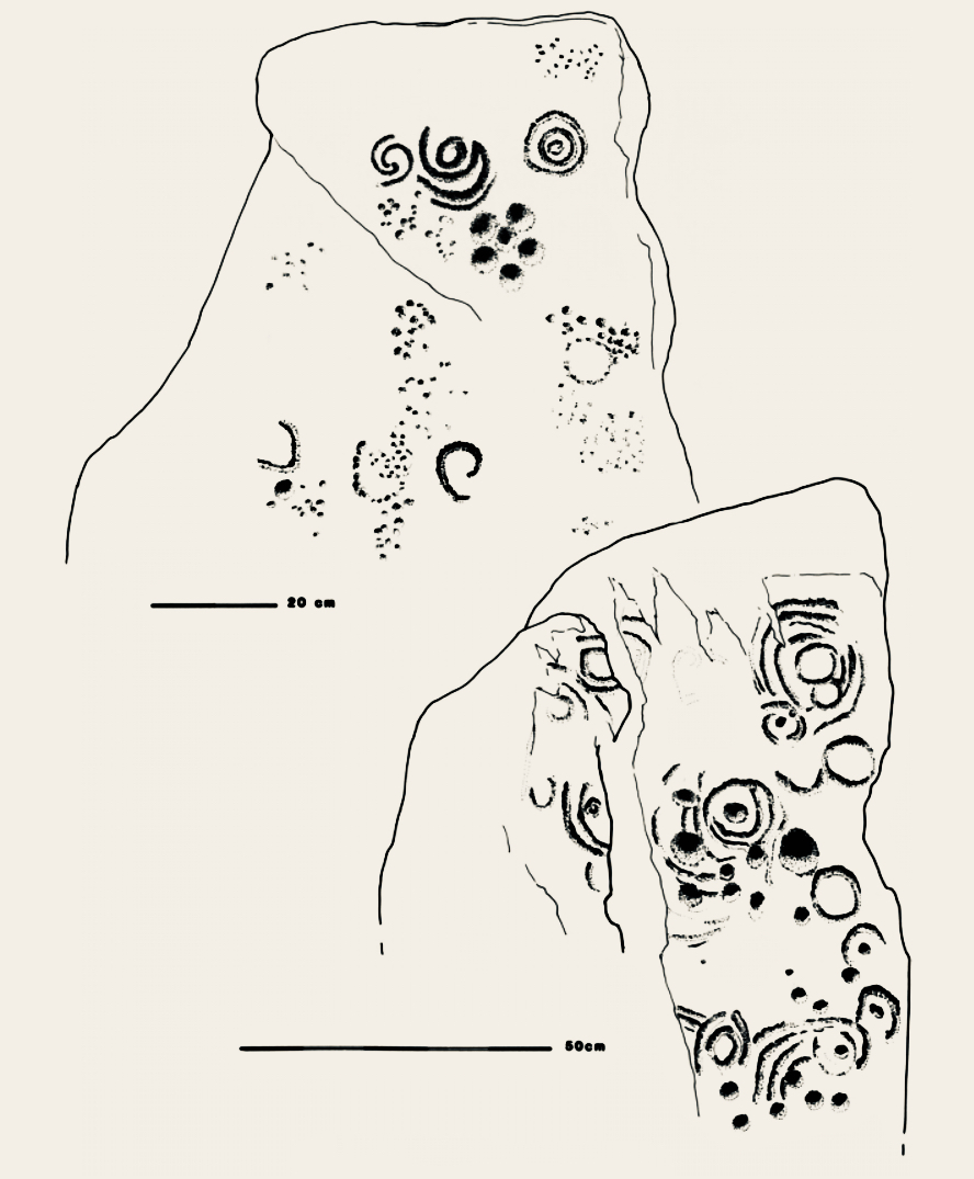
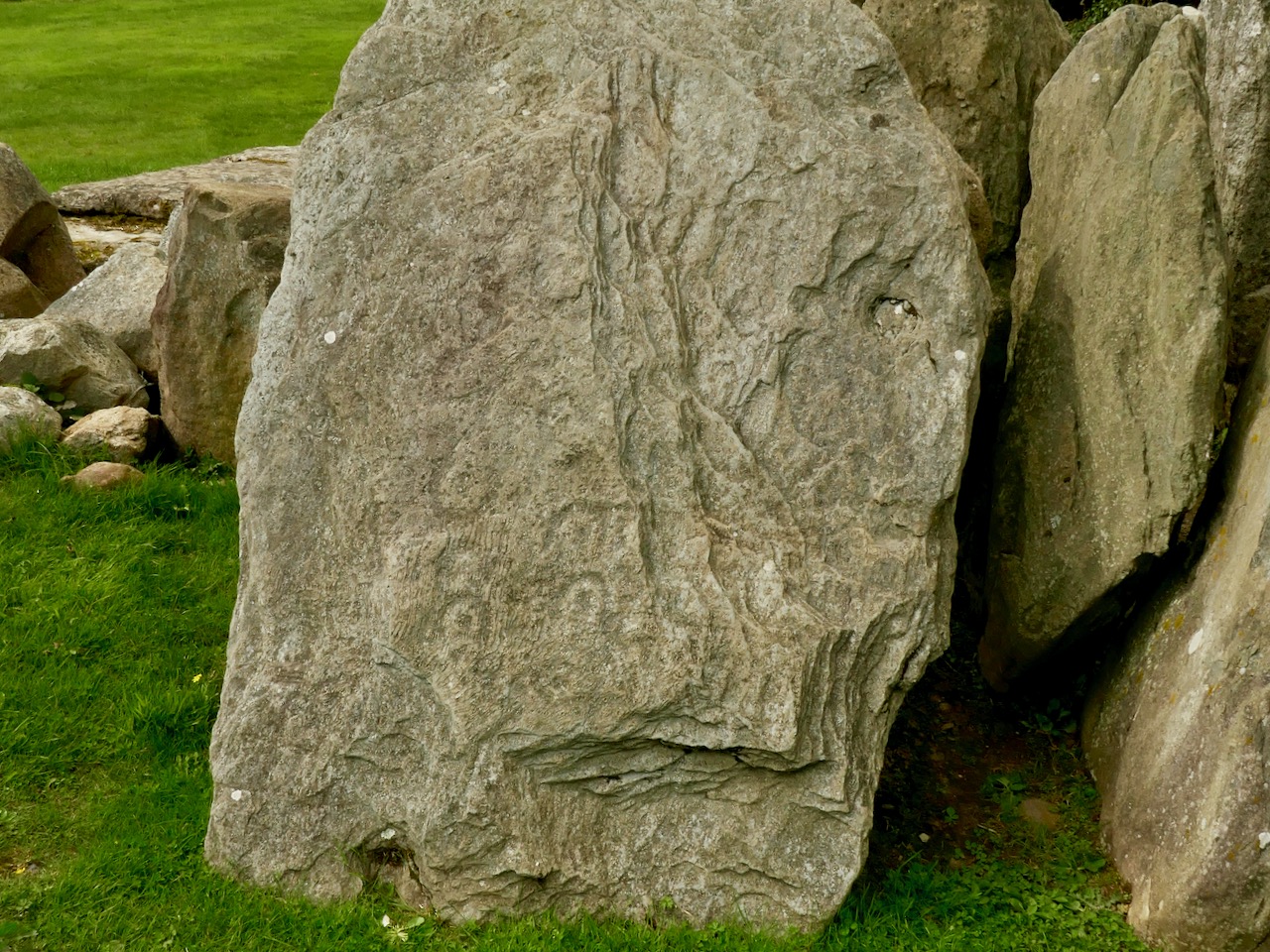
The excavation of Knockroe involved the removal of earth and debris from the collapsed mound which would have covered the tomb originally. This clearance revealed more of the art and here is an interesting comparison which shows the evolving history of the site. Firstly, our recent photograph of Stone 12, followed by the excavation record of this stone (lower right of the drawing) from the 1980s:

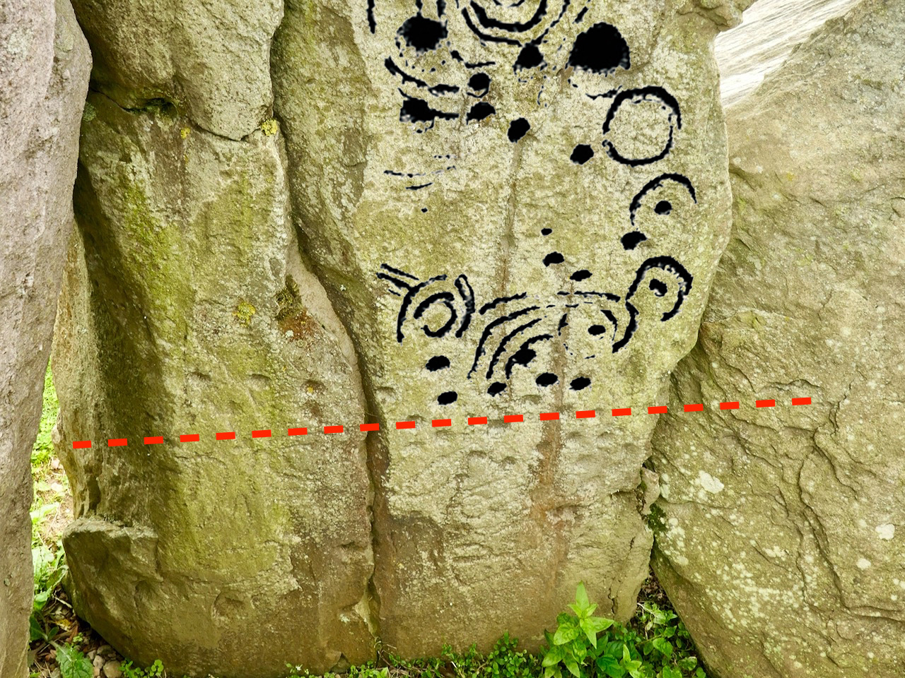
Here is our photograph again, with some of the art from the drawing above superimposed. It’s clear that the full extent of the artwork on Stone 12 was not visible below the red line when the drawing was made: Muiris O’Sullivan notes in his reports that he was aware that some of the art was hidden below what was then ground level.

Ursula Mattenberger’s drawing above also illustrates Rock 5 (upper left) and shows the very distinctive ‘rosette’ motif of six cup-marks. Examples of this motif have been found at rock art sites – including the one on Finola’s drawing of Rathruane More, nearer the top of this post. Here’s a photograph of the Knockroe example:

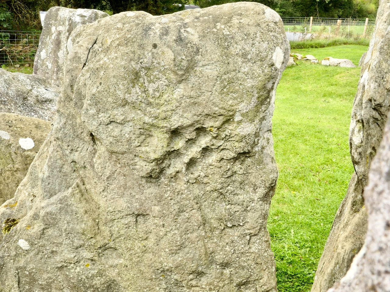
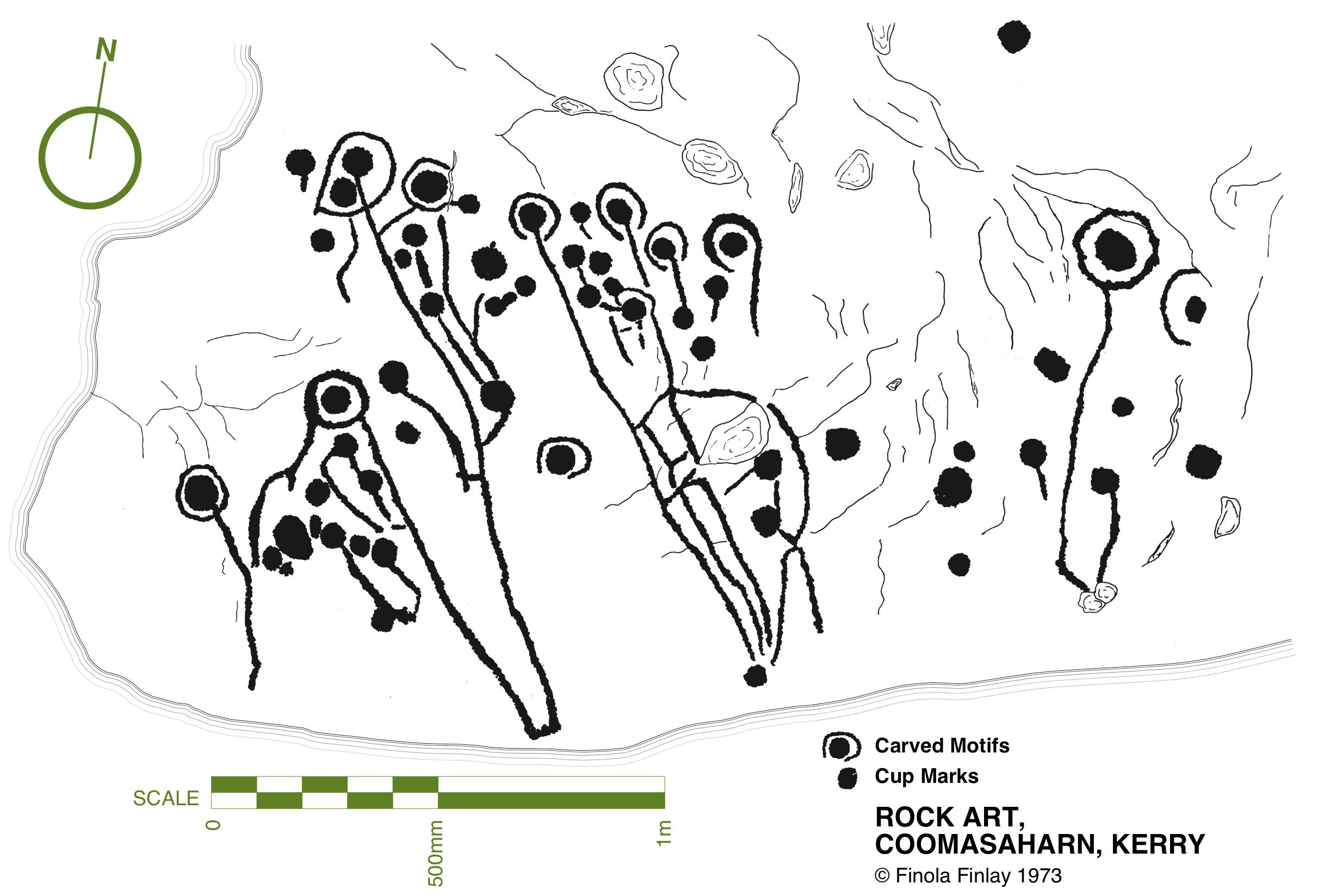
While making comparisons with rock art (and remembering that passage grave art and rock art are distinctive categories), here’s another decorated slab at Knockroe, not entirely legible in its weathered state. It seems to show a number of incomplete cup-and-ring motifs but in its own right this is known as a horseshoe motif. Below it is another of Finola’s drawings from 1973, perhaps showing something similar at Coomasaharn, Co Kerry:

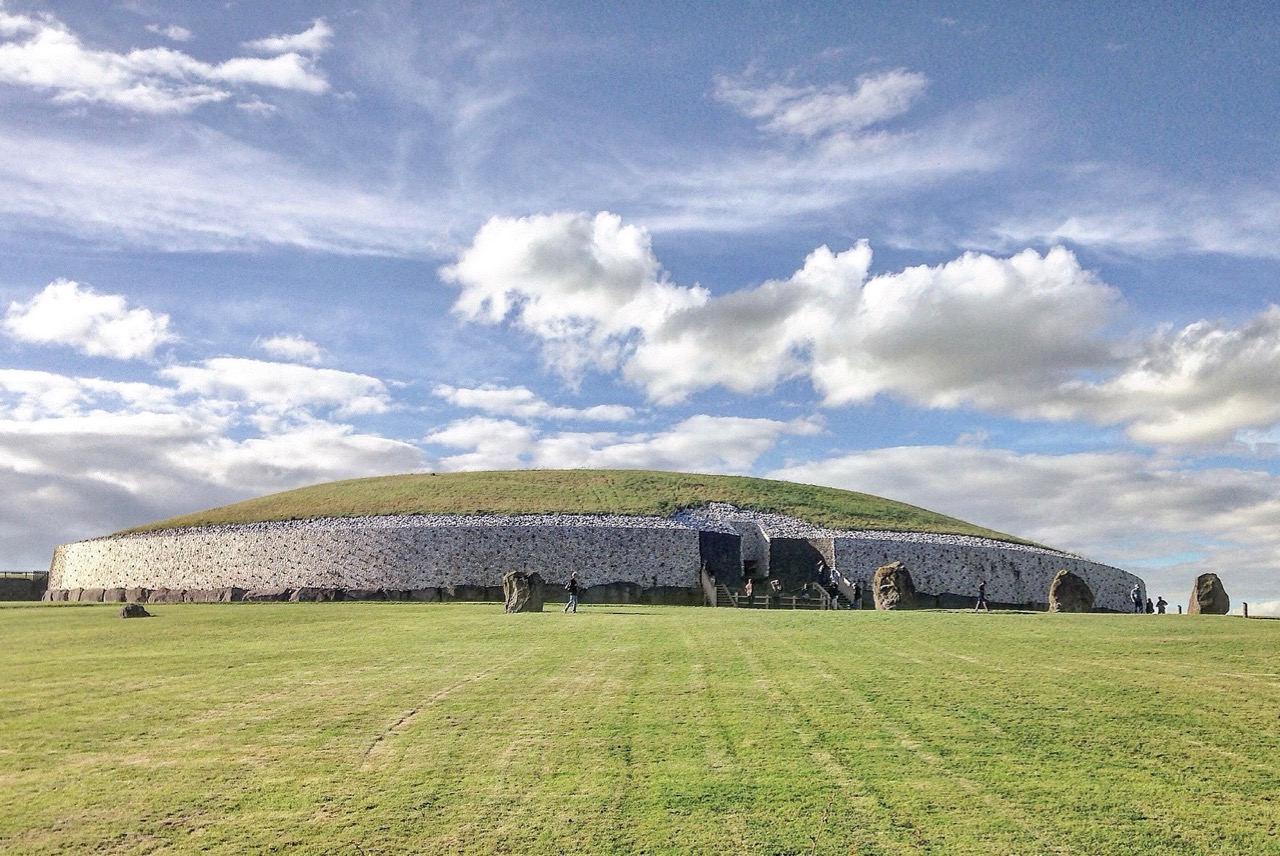
The Knockroe site is endlessly fascinating. O’Sullivan’s excavations revealed a quantity of smaller quartz boulders which appear to have collapsed from a possible quartz facing reminiscent of Professor O’Kelly’s reconstruction of the Newgrange mound (image below by Tjp Finn via Creative Commons):

Hopefully I have given you enough here to whet your appetite and lead you off the motorway to explore the exceptional remains at Knockroe, Co Kilkenny and, in particular, its remarkable examples of passage grave art.

A Signal Success in Irish Engineering – Part 6: Dunnycove

Galley Head, in West Cork, is one of those wild and exposed headlands where you get exceptional views in all directions. In our hunt for Napoleonic-era signal towers on the Irish coast you would fully expect to find one of the towers here – but no! A lighthouse and lightkeepers’ cottages – yes. These date from around 1875 but, in the early years of the nineteenth century, the strategically important signal tower was built inland, in the nearby townland of Dunnycove.

The header picture shows what remains of the tower itself today. This has in fact been adapted over the years, and the original building conformed to the square tower pattern that we have investigated elsewhere (a good example is at the old Head of Kinsale). The upper picture (above) shows the lighthouse at Galley Head seen from high ground to the east, while the lower picture is an aerial view of the Dunnycove signal tower site in its wider surroundings. Below is an 1806 map of the ‘. . . Ground occupied by the Signal Tower and Road leading to it at Galley Head . . .’ This tower is often referred to as the Galley Head Tower, even though it is some distance inland from the Head. But it is well placed to command views to the towers in the communication chain immediately to the west (Glandore) and east (Seven Heads).

The curious profile of the site as marked out on this early map shows a segmental shaped area to the south of the tower. It is likely that this was where the signal mast itself was situated. I am intrigued by the descriptions of the surrounding land: ‘good Meadow’, ‘Indifferent Pasture’, ‘Very Good Pasture Ground’ and ‘Arable good Ground’. Also, on the left of the survey drawing appears to be a table of land values, and the statement that ‘The Road is already made to this Tower and has very good ditches on each side of it, and is 312 perches long’. The road is in good condition today, as the site has been developed with a cottage and modern studio:
There’s nothing better than good local knowledge when you are trying to piece together a historic jigsaw puzzle. We were delighted to run into Billy Sheehan working in his neighbouring garden: it didn’t take long to establish that his own family had been involved in the signal tower site for generations, and had been connected to the local Coast Guard which had used the tower as a lookout point after the original building had fallen into disuse. Here’s Billy and myself, below. Under us is an extract from the 25″ Ordnance Survey map, drawn between 1888 and 1913. Note how on this map the signal tower site itself has changed since 1806, with many more buildings, a ‘flagstaff’ and a ‘semaphore’ indicated. These all undoubtedly date from the Coast Guard use of the site – you can also see the Coast Guard Station indicated below the tower: there are just a few masonry pillars left at that location today.

This is the ramp leading down to the water at Ballycusheen Strand, not far from Dunnycove. The pig is a well-known local landmark! I was interested to see the reference to ‘semaphore’ on the OS map, outside the original signal tower enclosure. This word recurs frequently in discussions about signal towers. Theoretically, any visual signalling system is an ‘optical semaphore’, but the term is likely to be more specific here and probably refers to an updated mechanical system rather than the ‘flag and ball’ method generally used in the early 19th century, when the signal stations were run by sailors or retired naval men who were well used to reading flag signals through high quality telescopes. There’s a volume to be written on how long-distance signalling evolved over many centuries – not just in Ireland but across Europe and beyond, beginning, perhaps, with The Scottish Parliament passing an Act in 1455 that said:

One bale, or faggot, shall be warning of the approach of the English. Two bales that they were actually coming and four bales, blazing side by side, shall note that the enemy is in great force.

There is a record of Robert Hooke, ‘curator of experiments’ at the Royal Society, proposing a system that combined a telescope and signalling in 1684. One of the important names that surfaces here in Ireland is Richard Lovell Edgeworth (1744 – 1817).  An inventor and writer, Edgeworth was the son of an Anglo-Irish landlord whose family gave their name to the town of Edgeworthstown, Co Longford; he studied at Trinity College, Dublin. In 1767 he placed a bet with his friend, the horse racing gambler Lord March, that he could transmit knowledge of the outcome of a race in just one hour. Using a network of signalling sections erected on high ground, the signal would be observed from one station to the next by means of a telescope. The signal itself consisted of a large pointer that could be placed into eight possible positions in 45 degree increments. A series of two such signals gave a total 64 code elements and a third signal took it up to 512.
Edgeworth (perhaps best known for fathering the writer Maria Edgeworth (1768 – 1849) – one of his 22 children) termed his device a ‘Tellograph’. In November 1794 the most impressive demonstration of his invention used 30-foot-high Tellographs to communicate between Donaghadee, Ireland and Port Patrick, Scotland (about 40 miles). In France at the same time the Chappe brothers succeeded in covering that country with a network of 556 stations stretching a total distance of 4,800 kilometres (3,000 miles). Le système Chappe was used for military and national communications until the 1850s.

Le système Chappe (above). French technology is demonstrated in the 1790s – the very time the First French Republic was threatening the least defensible part of the British Isles – Ireland – and emphasised by the attempts of Wolfe Tone to land a French fleet in Bantry Bay in December 1796. That landing was a failure – due to atrocious weather – but it did, perhaps, wake the British authorities to the wisdom of guarding the Irish coastline. The signal tower system was a hastily devised result of this.

There’s a lot going on at the Dunnycove Signal Station site: the setting remains clearly laid out based on the 1806 plan, and the dominating view is due south. Parts of the original building remain although much has been altered including an external staircase and the surrounding structures.

The upper picture shows a distant view towards the signal station complex: it is on the highest point in the immediate landscape. Next is the view from the present top of the old tower, looking across the segment-shaped land which once held the signal mast and – later – the ‘semaphore’, most likely used to communicate with the Coast Guards below: beyond is the ocean. In 1837 Lewis’s Topographical Dictionary of Ireland had this to say about the area:

. . . In the R C divisions this parish is the head of a union or district, comprising the parishes of Ardfield and Rathbarry, in each of which is a chapel; that of Ardfield is a low, plain, but commodious edifice, situated on the commons. There are schools in which 140 boys and 170 girls are taught, also a school at Dunny Cove, a Sunday school under the superintendence of the vicar, and one or two hedge schools. The ruins of the old church are situated on the highest point of land in the parish; and near them is a building which during the war was used as a signal tower, but is now the residence of Lieut. Speck, who commands the coast-guard at Dunny Cove. Close to the Cove are the ruins of a castle . . .

It seems to me that this site, in particular, has so many stories to tell us. Not just about the one period in history that caused the building of the original tower, but also about how a community has developed and adapted around that building. After the close of the Napoleonic era, when the threat of invasion receded, the tower retained its significance as a high place from which observations can be made. The Water Guard (which became the Coast Guard) took it over and it has remained a dwelling place for families ever since. Billy Sheehan is testament to this ‘living’ history, and the old stonework survives to tell where meals were cooked – where sleeping, waking and working became the rhythm of life for generations on this West Cork hilltop.

Please note that Dunnycove Signal Station is a private property and permission to access it must be sought from the owner

The previous posts in this series can be found through these links:

Part 1: Kedge Point, Co Cork

Part 2: Ballyroon Mountain, Co Cork

Part 3: Old Head of Kinsale, Co Cork

Part 4: Robert’s Head, Co Cork

Part 5: Downeen, Co Cork