Mizen Magic 21: Croagh Bay

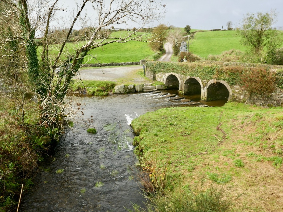
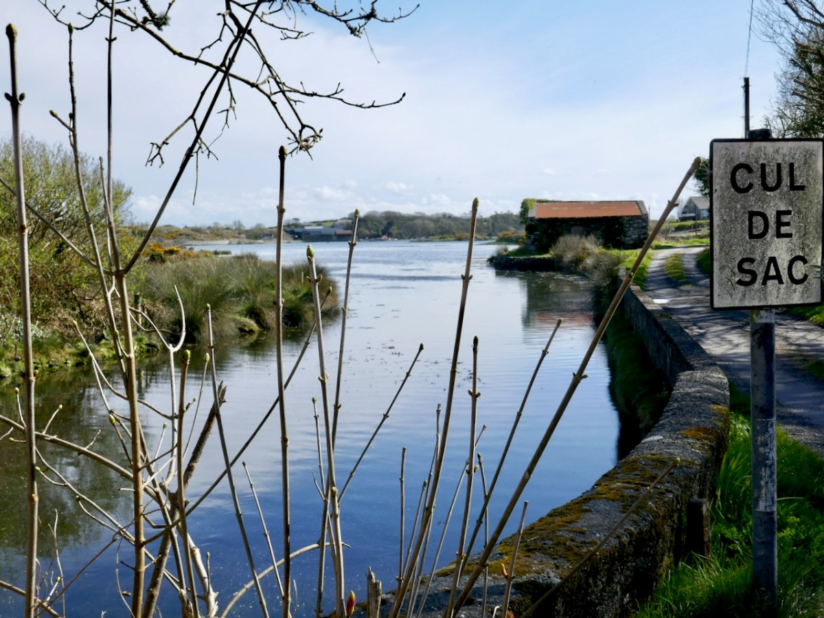
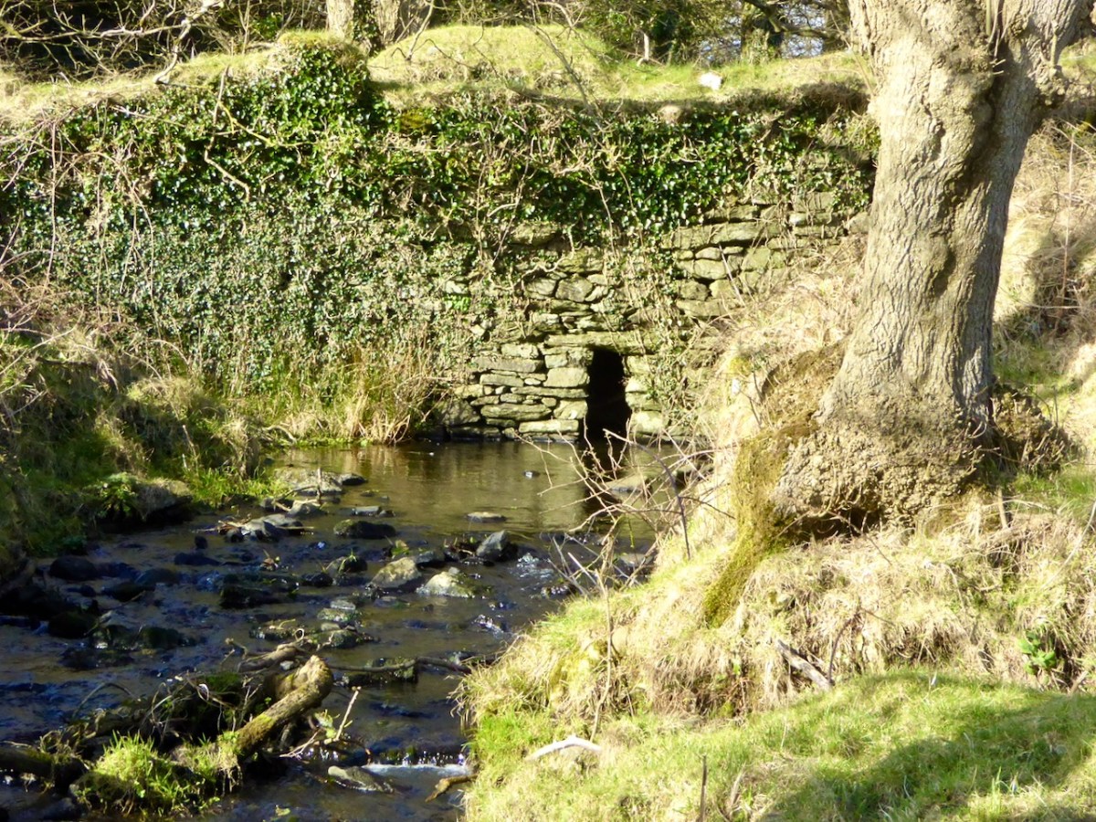
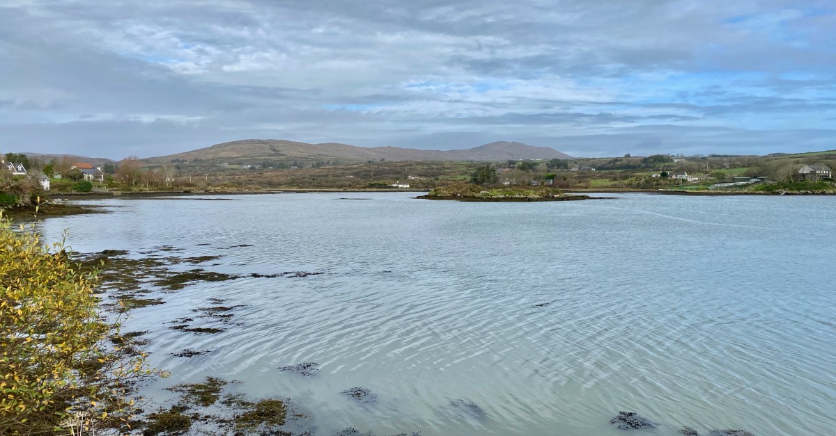
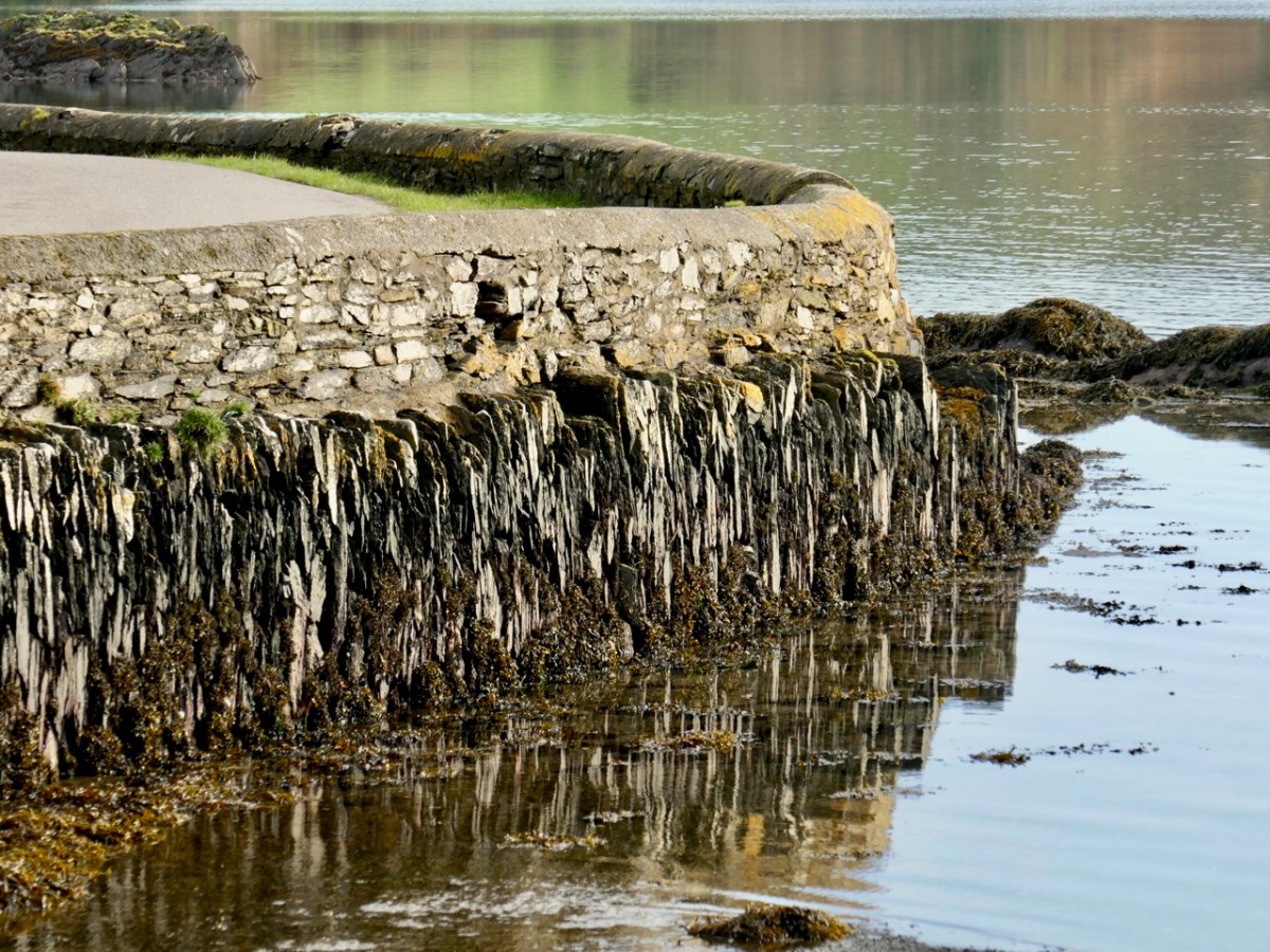
For our latest Mizen Magic post, we look in detail at an area we have skipped through previously: it deserves to be more thoroughly explored as it’s rich in history but is also, literally, a backwater which rests in a time-warp. Whenever we reconnoitre the shores of Croagh Bay, I’m always taken back to the sixteenth and seventeenth centuries and to the pirates, knights and Earls who made their own little empires in this now remote district. I should probably add that I can’t find an origin or meaning for the name Croagh. But I do know that it is pronounced locally as Crew. It’s even spelt Crewe on some maps (but – late edit – have a look at the enlightening comment by ‘Tash’ at the end of this post). The following image shows a clapper bridge – possibly quite ancient: a modern concrete parapet has been placed over the much earlier stonework:

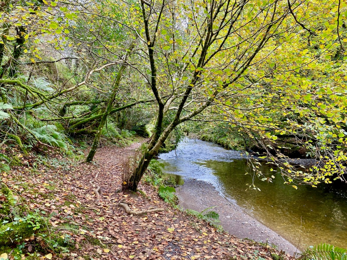
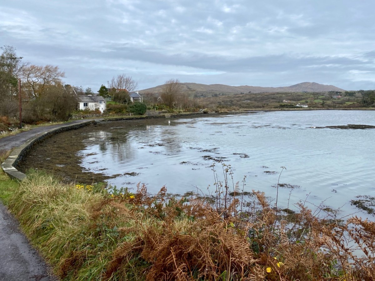
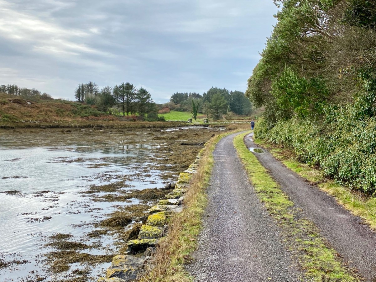
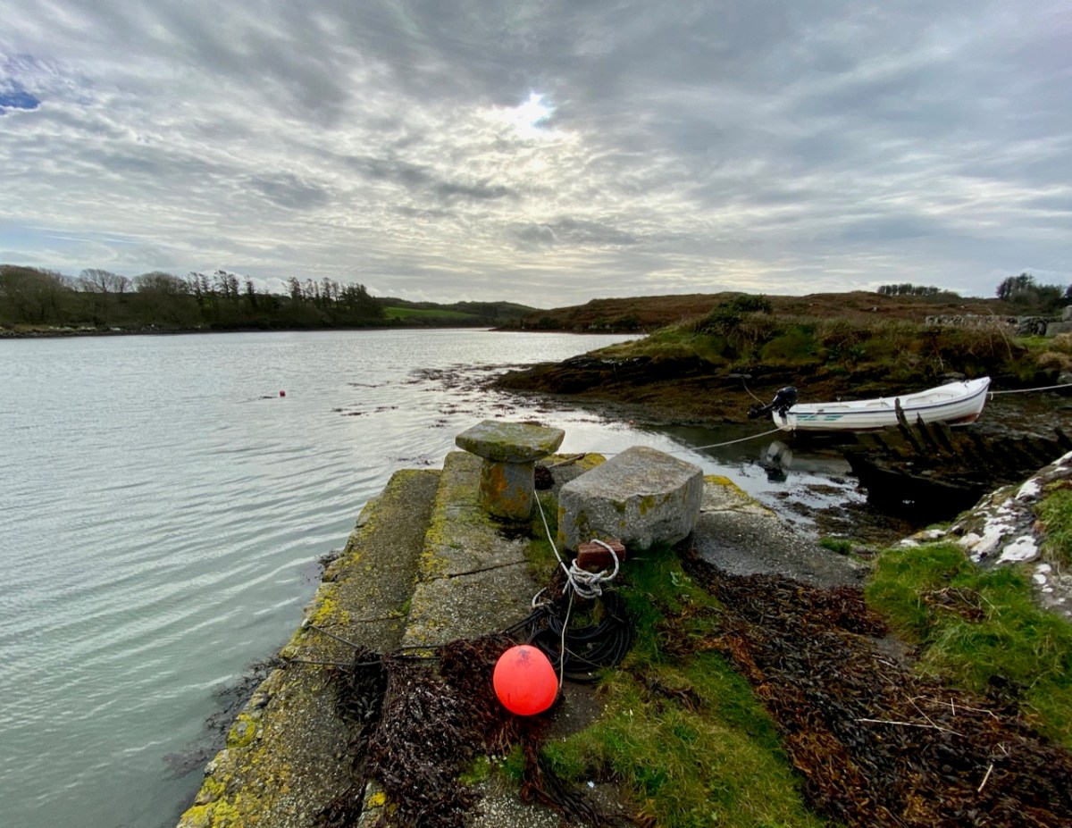
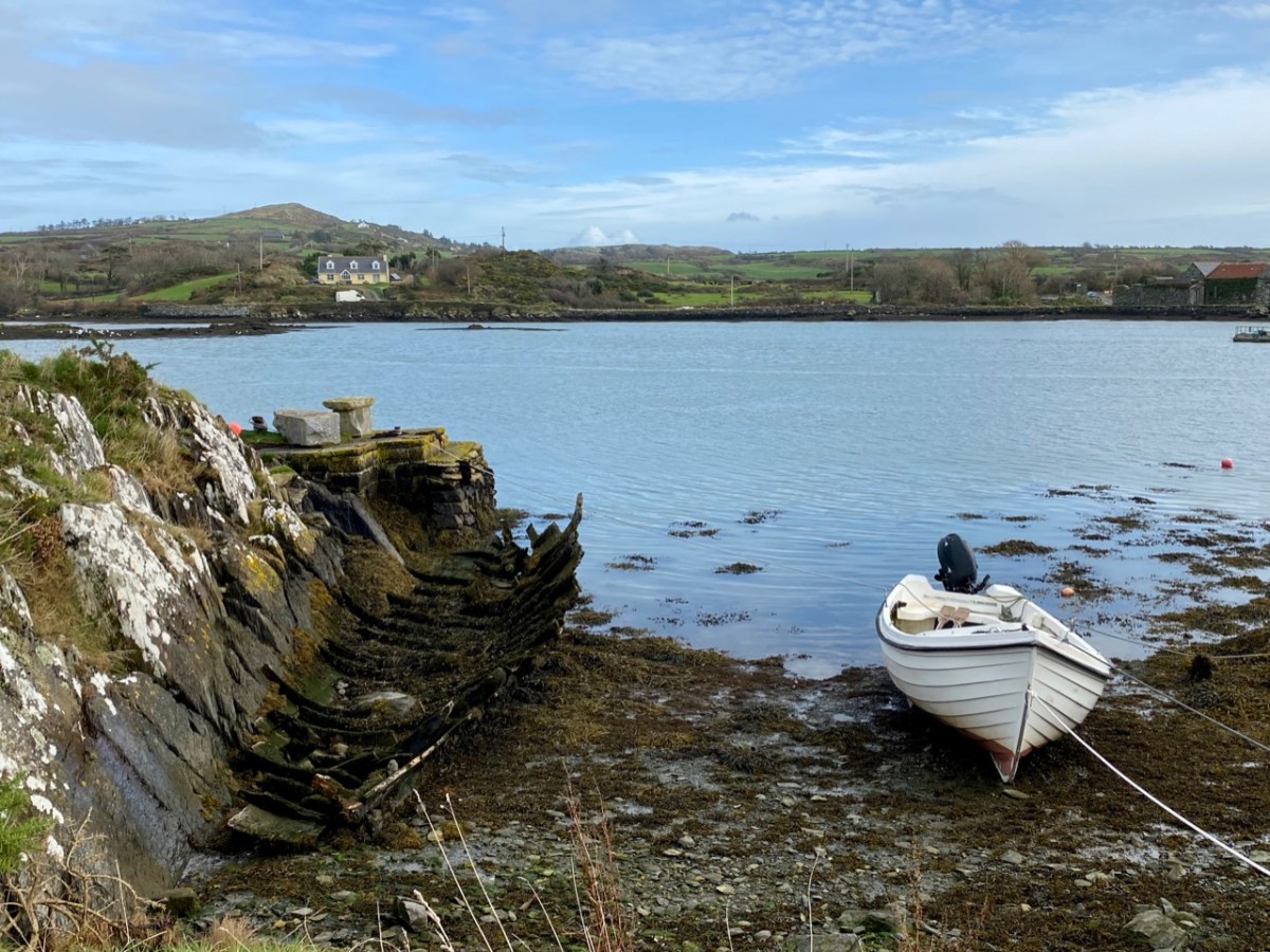
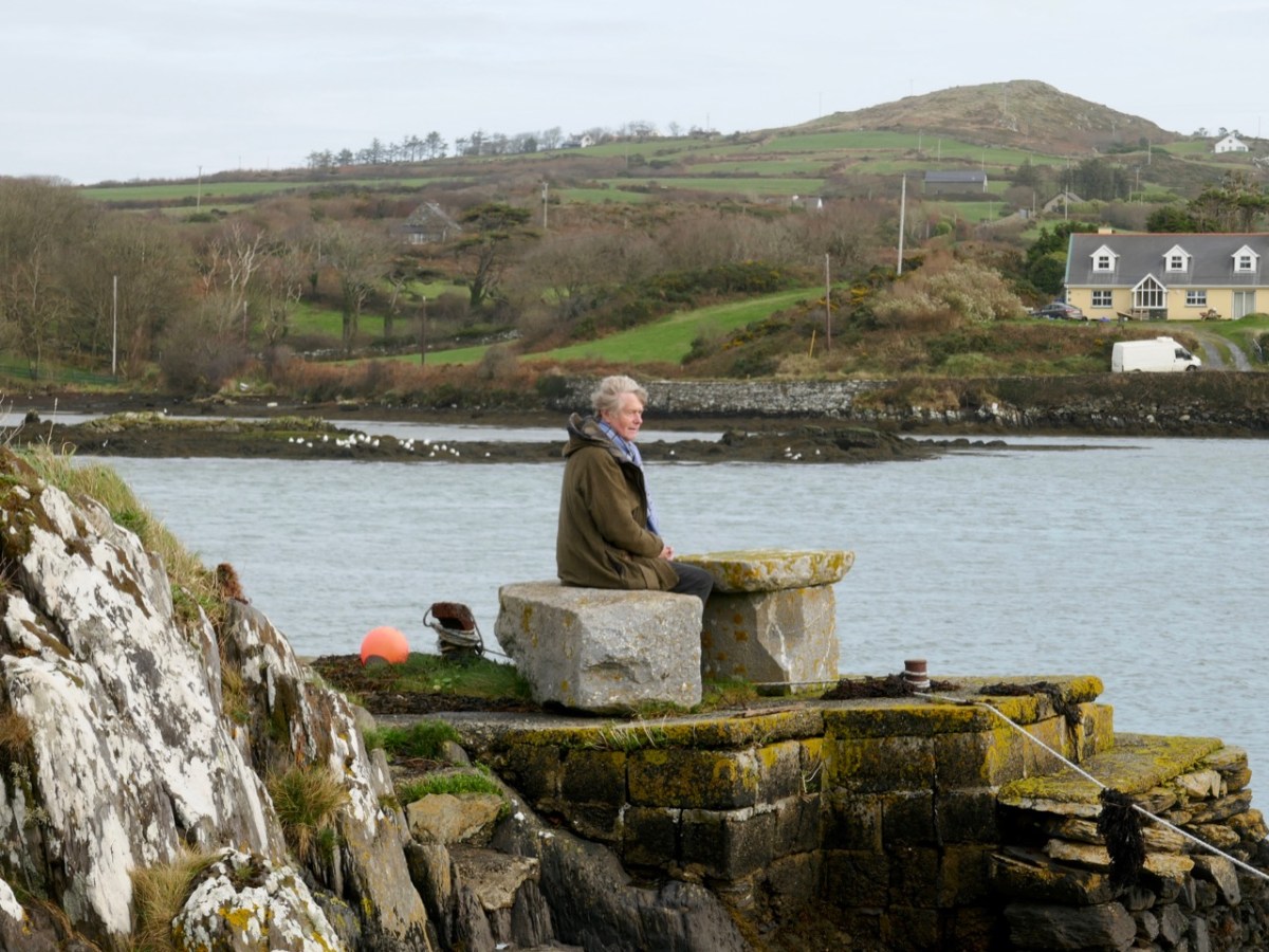
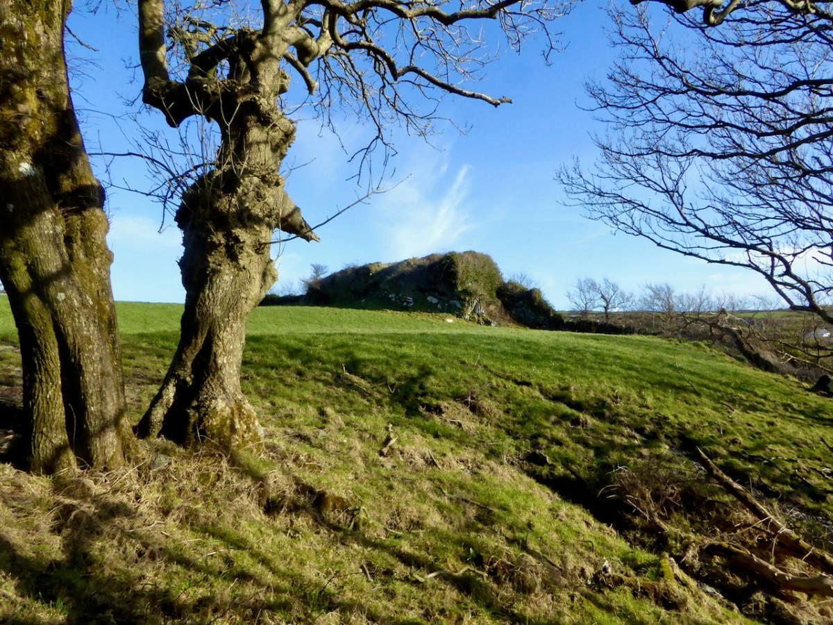
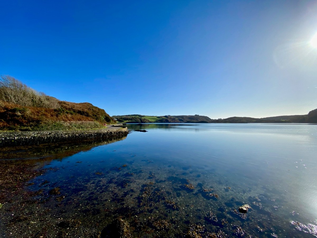
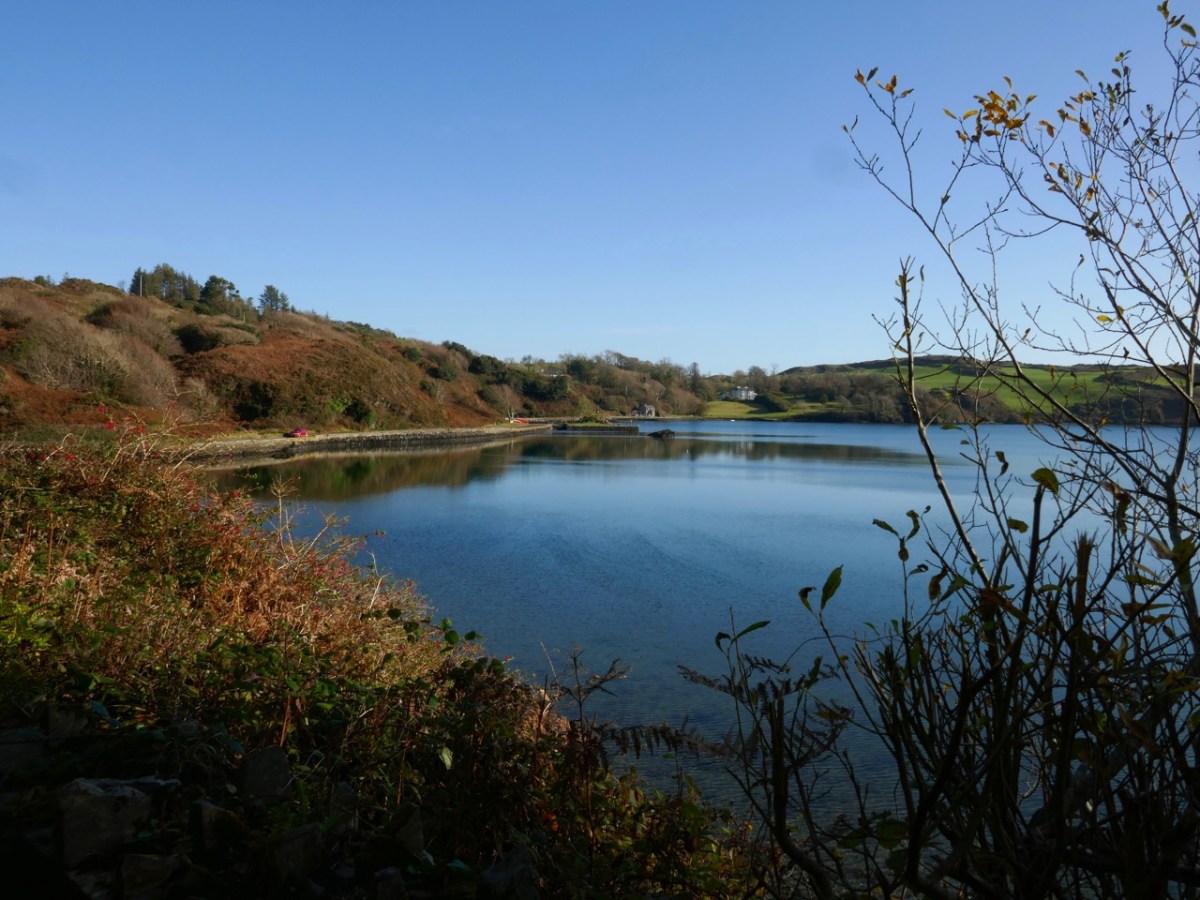
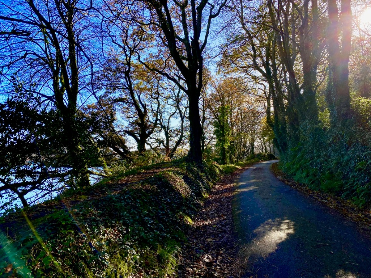
The header image and the one above are both taken at the same place – the head of the tidal section of the Croagh River, in the townland of Lowertown, not too far west of Schull. It’s rewarding to walk on the boreen that follows the north shore of the river. You will admire some very fine residences and come across tiny quays that have doubtless faithfully served many generations of West Cork families, and which are still in use. Behind you the rugged peak of Mount Gabriel will always be in sight – a familiar local landmark.

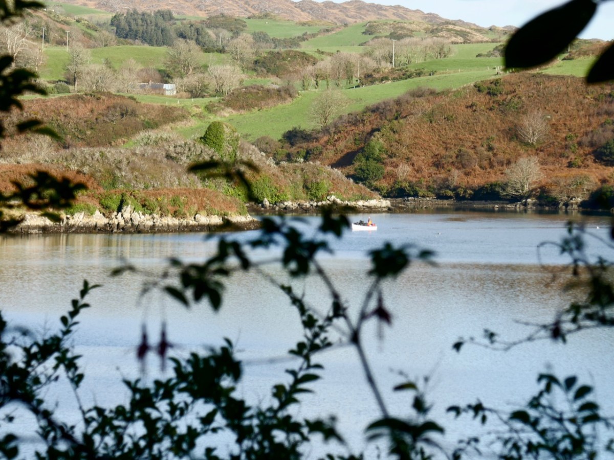
The Croagh River is only one of the waterways that you will explore today. The boreen comes to an end but the inlet itself continues out to Long Island Sound, Roaringwater Bay and the mighty Atlantic. Before that, however, there is another which demands attention: The Creek – which goes west towards the settlement of Leamcon.

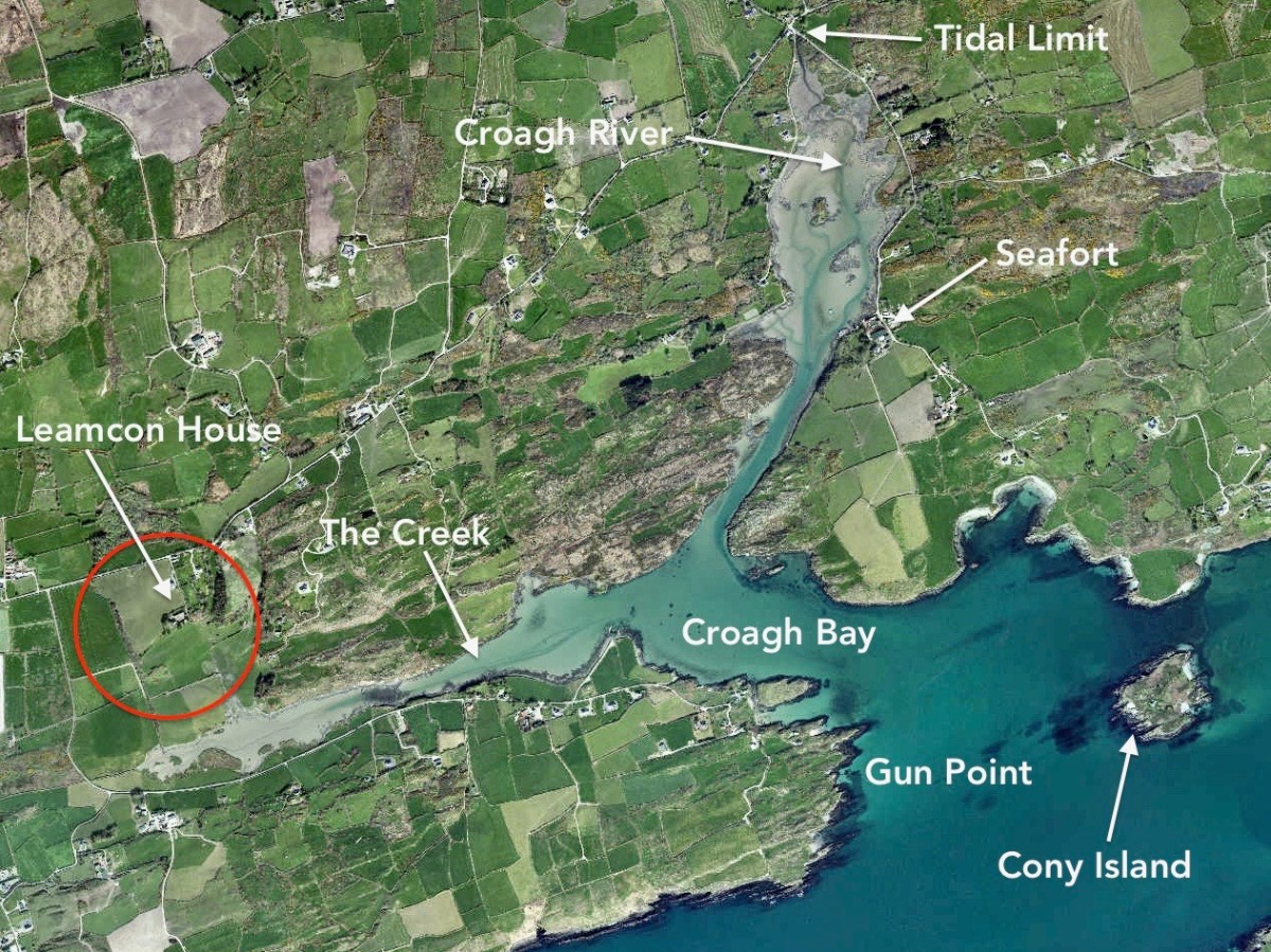
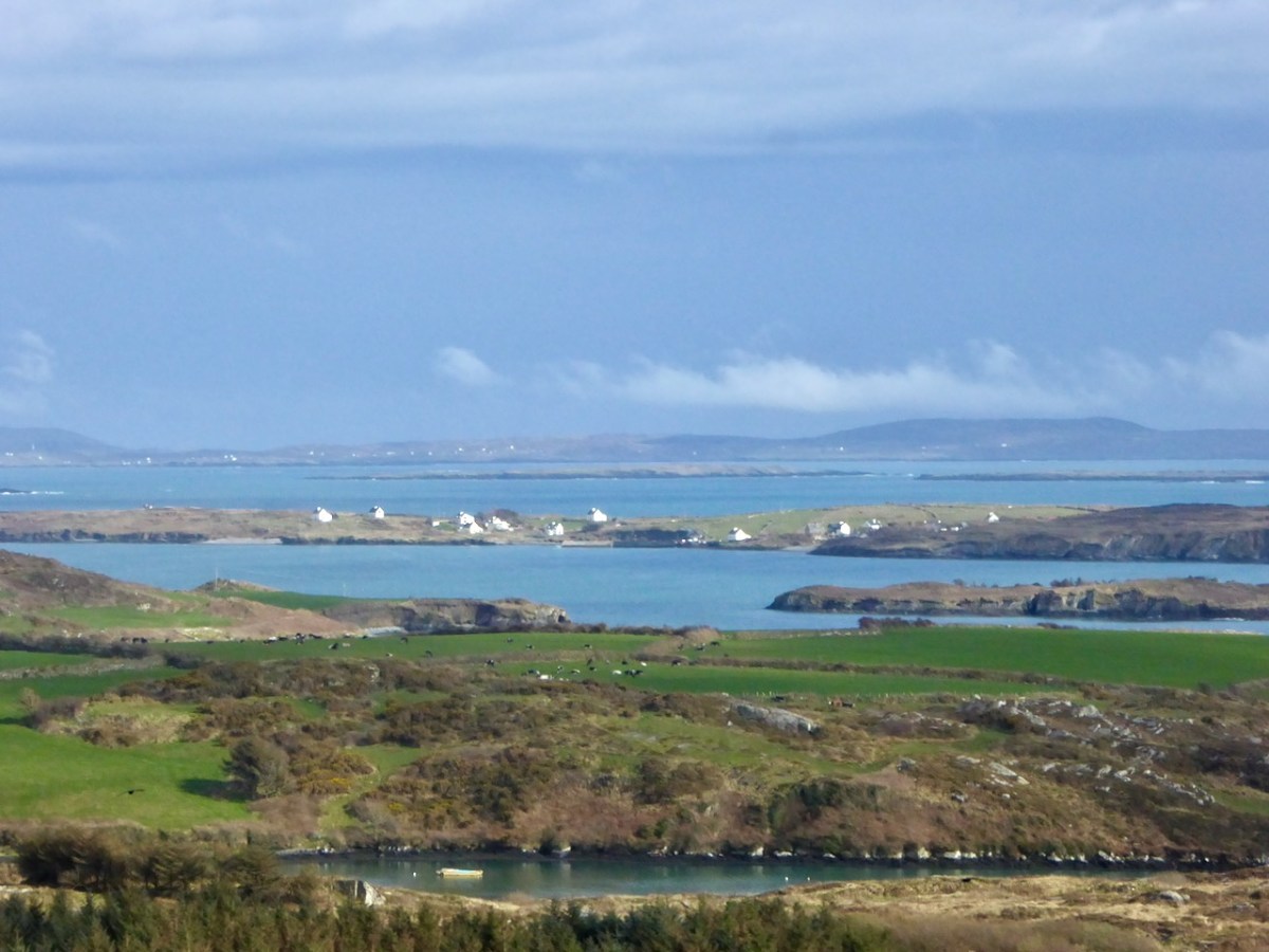
Upper – an overview of the area covered by this post; centre – looking out over the Croagh River towards Long Island with the high ground above Baltimore in the far distance; lower – Croagh Bay is in the centre with Long Island beyond and Cony Island to the left

The aerial view gives a very good idea of why this particular location was so strategically important: the river estuary and the creek are both hidden out of sight of the main seafaring routes of Long Island Sound and beyond. They are, therefore, perfect safe havens for pirates, smugglers, and those who want to profit from such activities. One well-known profiteer we have encountered before in this Journal is William Hull, described in the High Court of Admiralty papers as ‘a notorious harboro of pirates and receavor of theire goodes’ who nevertheless managed to retain an official post as Deputy Vice Admiral of Munster. In cahoots with Richard Boyle – First Earl of Cork – Hull developed links with privateers and pirates, and hosted a whole fleet of vessels within the hidden inlets of Croagh Bay and Leamcon: the shallow waters were ideal for careening vessels and Hull’s empire allegedly included victualling stations, fish palaces, ale houses and brothels. All this was focussed on the townland of Leamcon which Hull leased initially from the O’Mahony Gaelic overlords. Although Hull’s own castle is now long vanished, we can find traces of his endeavours marked on the early OS maps.

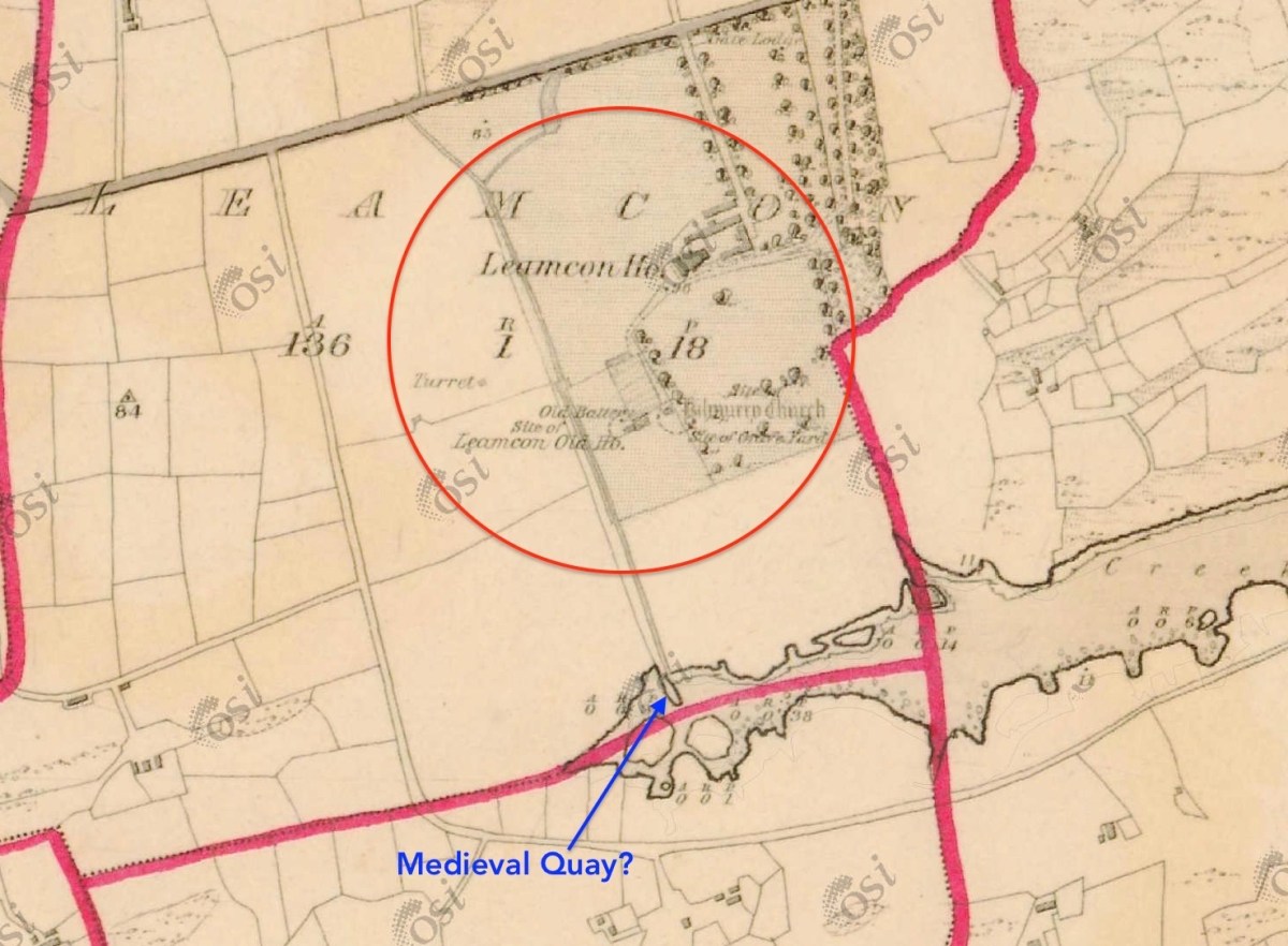
The early 6″ map locates ‘Turret’, ‘Old Battery’ and ‘Site of Leamcon Old House’ within the environs of the present Leamcon House, to the north of the furthest limit of The Creek. Interestingly, there is also what looks like a quay on the water directly below the estate: all these potential antiquities could reasonably date from Hull’s time.

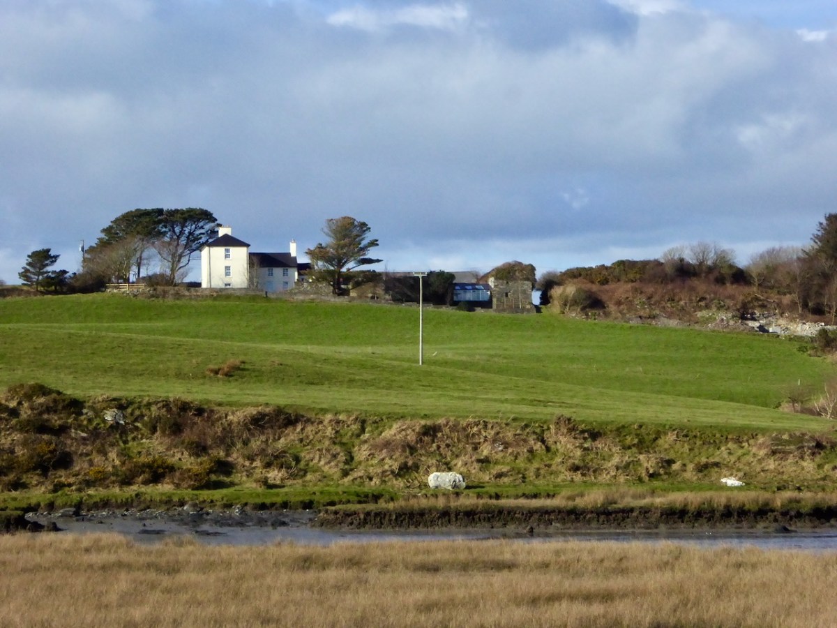
The ‘Battery’, the site of an old wharf and an ancient stone gulley may date from the time of William Hull’s occupation of the townland of Leamcon, which came to an end in 1641, when the O’Mahony’s moved to regain their former holdings. Below is Leamcon House today, looking down to the waters of The Creek. The extensive stone wall on the right hand side of the image is said to incorporate the remnants of a fish palace – another enterprise of William Hull and Richard Boyle:

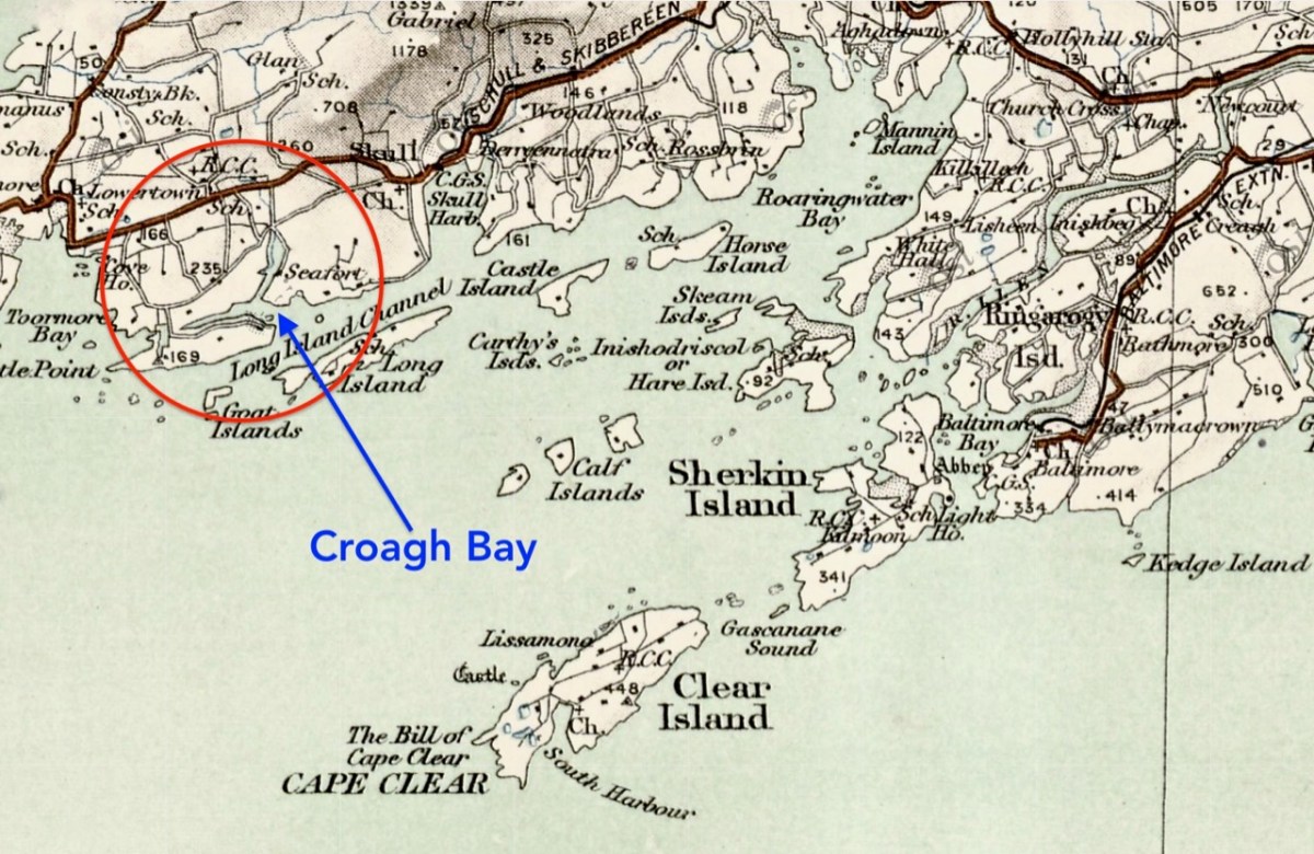
Centre – extract from the 1612 map (see more on this here), showing Leamcon and Croagh Bay; lower – locating the Bay in relation to the islands of West Cork, from a later 6″ OS map

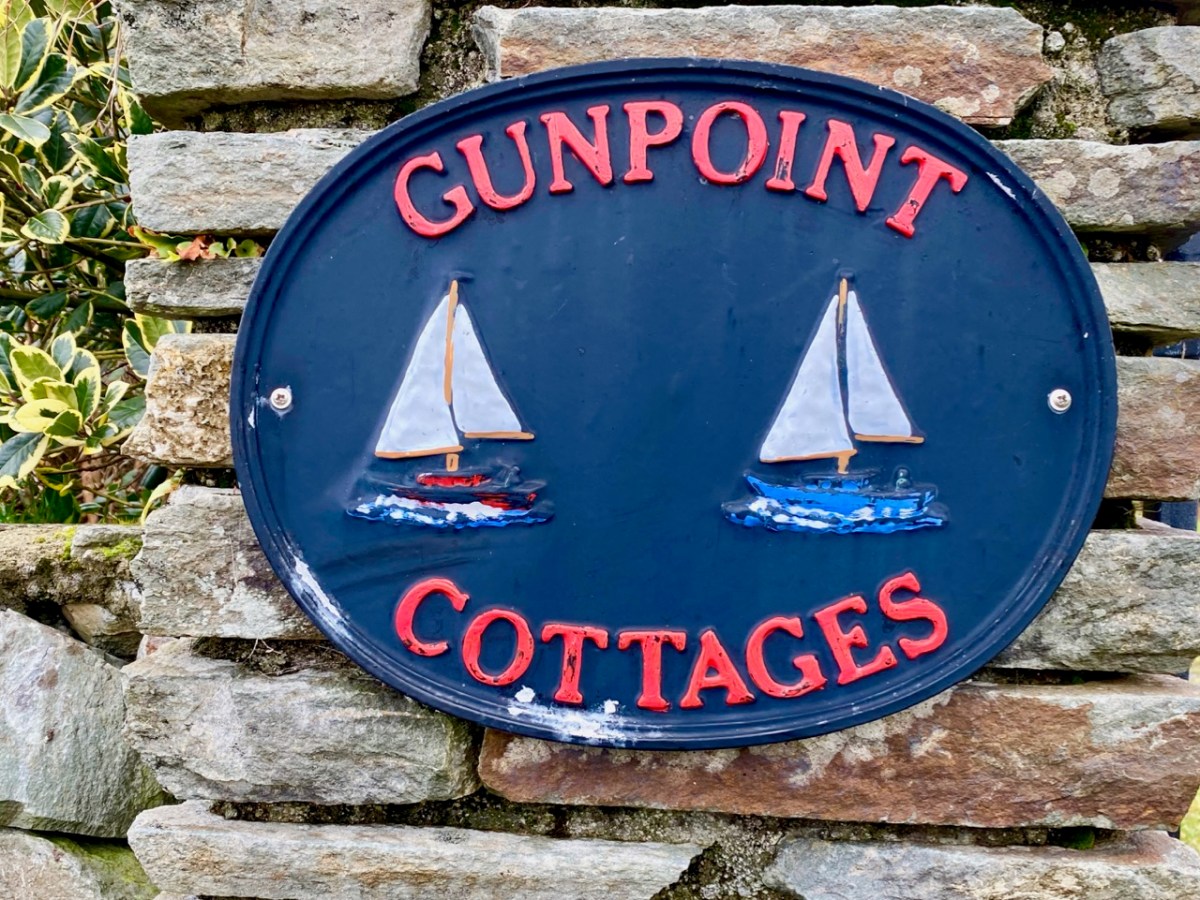
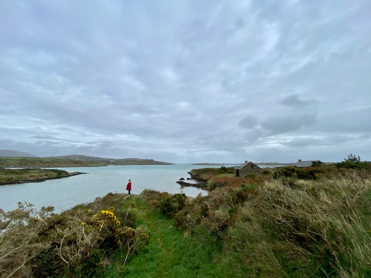
Before we complete our tour of Croagh Bay we have to travel east along the Croagh peninsula, where we find the intriguingly named Gun Point. There is no sign of a gun there today, nor any record of where the name might have originated. It could be, of course, that in Hull’s time the entrance to these important inlets was guarded.

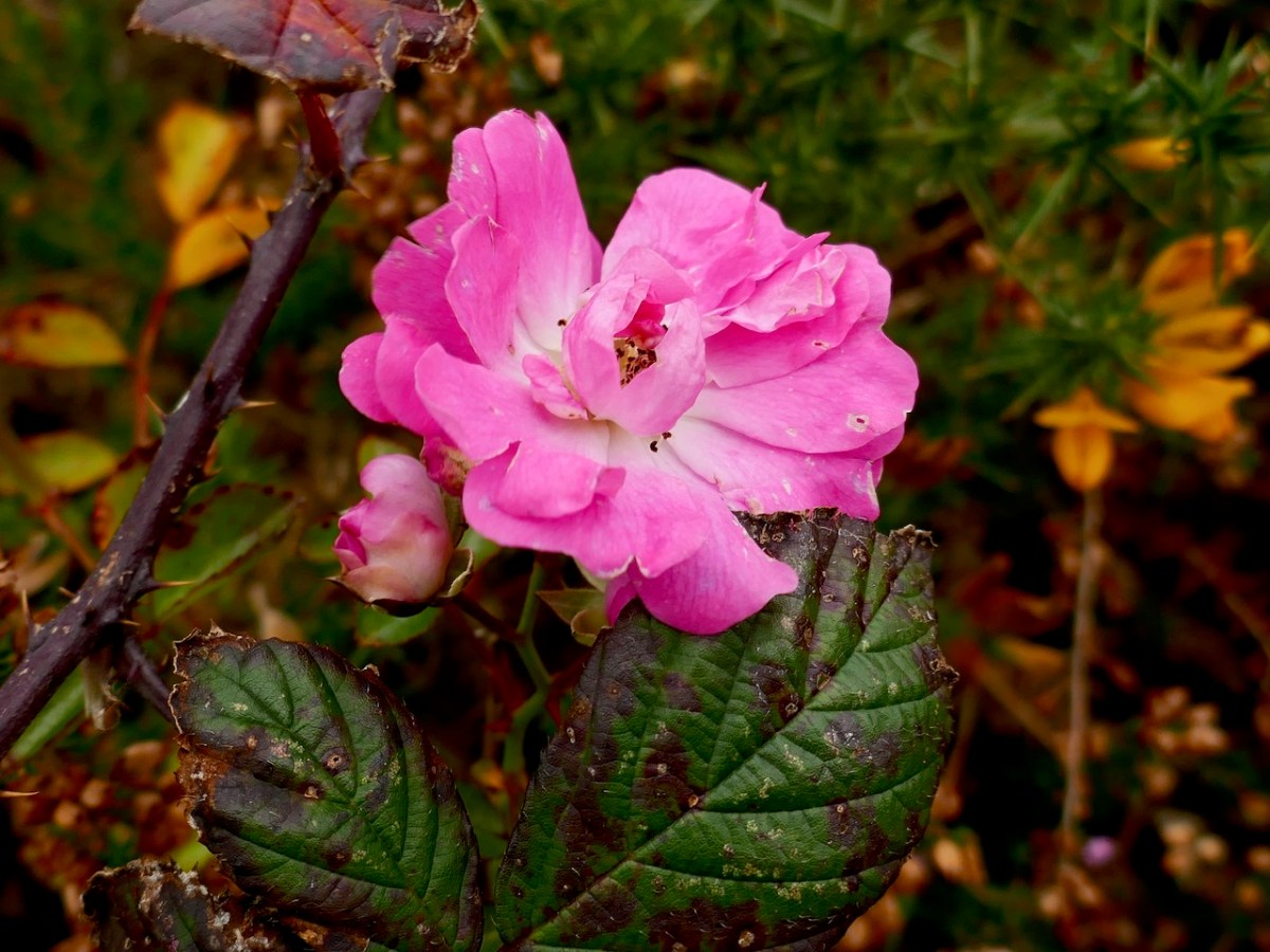
We were pleased to find a briar still in bloom, but were also intrigued by this gate, above, at the very tip of Gun Point. It was singing to us! The wind which, by late afternoon, had become a bit of a gale, was picked up by the hollow metal rails and created for us a Port na bPucai – ‘song of the spirits’. We recorded it as best we could and then handed it over to our musical friend Paul Hadland. He in turn passed it on to his brother Tony – an electronics wizard, who presented us with the following rendition of our Harmonic Gate. Many thanks, Hadlands!
For the technically minded amongst you, here is Tony’s account of how he processed our recording:

. . . I first of all manually edited out the worst of the very short but irritating wind noise elements. I then traced the frequency band where the music was and applied the Apple AU Bandpass filter, centred on 400 HZ. I trimmed off the ragged beginning, faded out the end, and normalised the volume to -10db. To get rid of more of the background noise I then applied the Acon DeNoise 2 adaptive filter, using its default broadband music setting. The result is the attached file Gate Harmonics . . .

Tony Hadland, November 2020

Beautiful West Cork in Picture and Song

Missing West Cork? Live here and love it? Always wanted to visit? Colum Cronin sent us this charming song some time ago and this is the perfect time to enjoy his wonderful voice with the images his song evokes. Wherever you are, stay safe and well, and sit back and enjoy.

Autumn at Lough Hyne

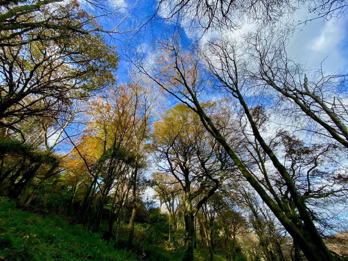
Wild West Cork: a rugged landscape of mountains, a myriad patchwork of pastures; inlets, coves, spruce plantations and an archipelago of mostly unwooded offshore islands. Where are the deciduous trees? This is what we ask ourselves when autumn comes and we want to see the changing colours; the wistful season of autumn at its best. The answer, for us, is Lough Hyne!

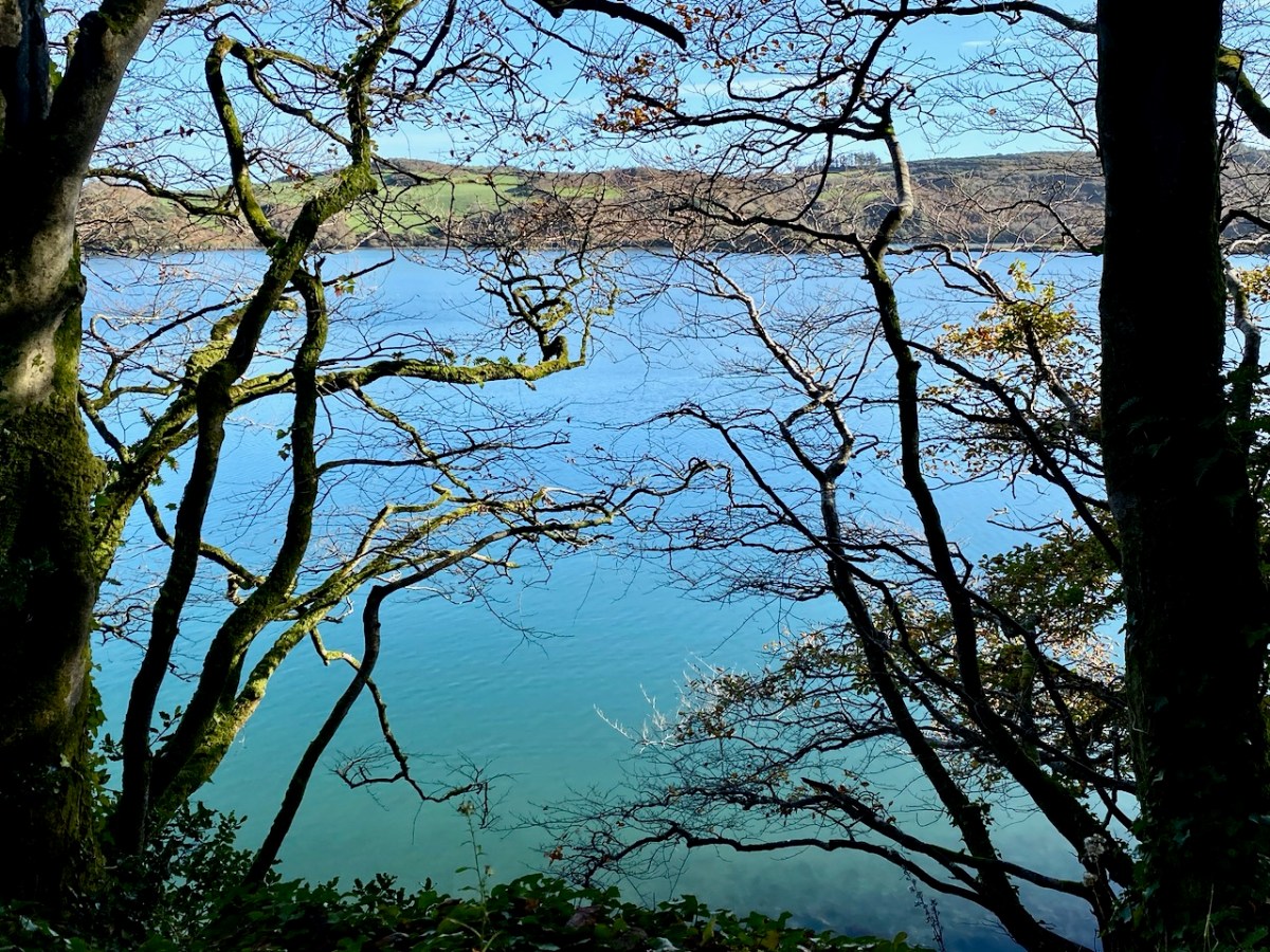
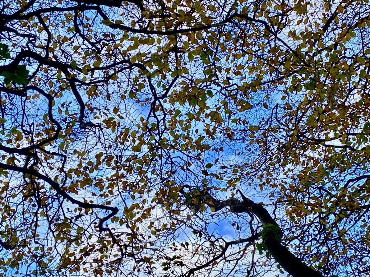
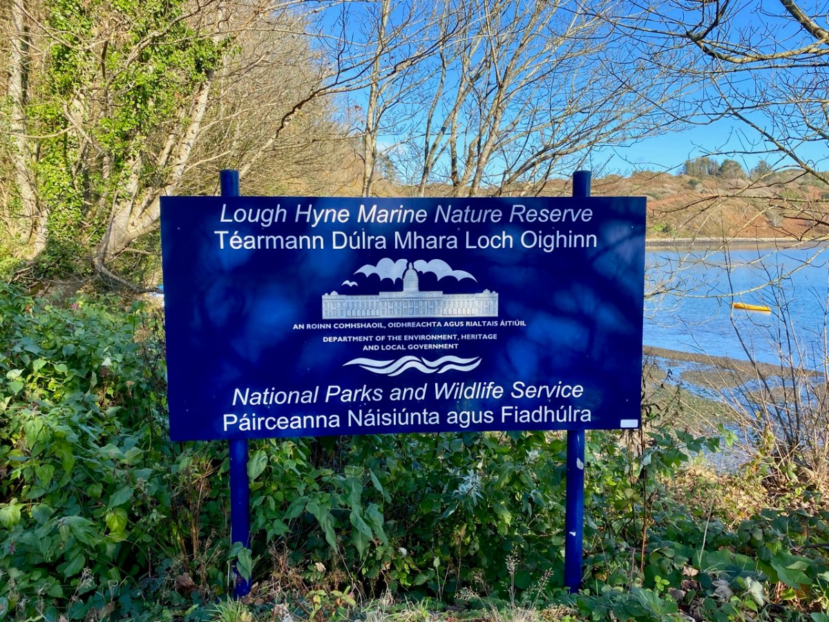
It’s just a skip and a jump to this tucked-away corner of our world. Once there, we are in a unique environment. It is Ireland’s first Marine Nature Reserve – international recognition for the ecology of this special place where not only the (salt) water is important both above and underneath the lake’s surface, but the immediate surroundings are hopefully sacrosanct for all time. These environs include woodlands which are just at this moment on the threshold of turning gold: we know gales are on the way which will tear and disperse them as winter sets in. Here’s a little tour of the paths on the edge of the water, featuring – above all – colour and texture: a feast for our eyes!

While the leaves are our main focus, everything else is worth a pause. The colour of the lake itself, certainly the wildlife it supports, but also the juxtaposition of boats, stone walls, shadows and sky are all brought to life by the early November sun.

I can’t resist quoting William Makepeace Thackeray’s description of his travels through ‘The City of Skibbereen’ to Lough Hyne, which we find in his Irish Sketch Book, published in 1843. Thackeray, the English writer best known for Vanity Fair and Barry Lyndon, spent four months travelling around much of the country and – although he appeared to enjoy himself – he didn’t have many good words to say about Ireland or the Irish . . .

THAT light four-inside, four-horse coach, the “Skibbereen Perseverance,” brought me fifty-two miles to-day, for the sum of three-and-sixpence, through a district which is, as usual, somewhat difficult to describe. A bright road winding up a hill; on it a country cart, with its load, stretching a huge shadow; emerald pastures and silver rivers in the foreground ; a noble sweep of hills rising up from them, and contrasting their magnificent purple with the green; in the extreme distance the clear cold outline of some far-off mountains, and the white clouds tumbled about in the blue sky overhead.

* * *

Of all the wonderful things to be seen in Skibbereen, Dan’s pantry is the most sublime: every article within is a makeshift, and has been ingeniously perverted from its original destination. Here lie bread, blacking, fresh butter, tallow-candles, dirty knives — all in the same cigar-box with snuff, milk, cold bacon, brown-sugar, broken teacups and bits of soap. No pen can describe that establishment, as no imagination could have conceived it. But – lo! – the sky has cleared after a furious fall of rain — and a car is waiting to carry us to Loughine . . .

Thackeray – Irish Sketch Book 1842

ALTHOUGH the description of Loughine can make but a poor figure in a book, the ride thither is well worth the traveller’s short labour. You pass by one of the cabin-streets out of the town into a country which for a mile is rich with grain, though bare of trees; then through a boggy bleak district, from which you enter into a sort of sea of rocks, with patches of herbage here and there. Before the traveller, almost all the way, is a huge pile of purple mountain, on which, as one comes nearer, one perceives numberless waves and breaks, as you see small waves on a billow in the sea; then clambering up a hill, we look down upon a bright green flat of land, with the lake beyond it, girt round by grey melancholy hills. 

* * *

The water may be a mile in extent; a cabin tops the mountain here and there; gentlemen have erected one or two anchorite pleasure-houses on the banks, as cheerful as a summer-house would be on a bleak plain. I felt not sorry to have seen this lonely lake, and still happier to leave it. There it lies with crags all round it, in the midst of desolate flatlands: it escapes somewhere to the sea; its waters are salt: half-a-dozen boats lie here and there upon its banks, and we saw a small crew of boys splashing about and swimming in it, laughing and yelling. It seemed a shame to disturb the silence so . . .

THACKERAY – IRISH SKETCH BOOK 1842

Thackeray’s Irish Sketch book is something we will return to in this journal, as it provides an unusual and, sometimes, surprising perspective on pre-Famine Ireland. But I can’t agree with him on Lough Hyne: grey melancholy hills . . . in the midst of desolate flatlands . . . Clearly, he cannot have visited on an autumnal day, and neither was he favoured by the sun. Perhaps there is a poetic justice there, somehow: we embrace everything that Ireland – and West Cork – has to offer; possibly his acute and carping scrutiny of the detail removes from him the more rewarding overview? For us, Lough Hyne was idyllic!

Our wonderful Skibbereen Heritage Centre has comprehensive information on Lough Hyne – and much more!

Going With The Wind

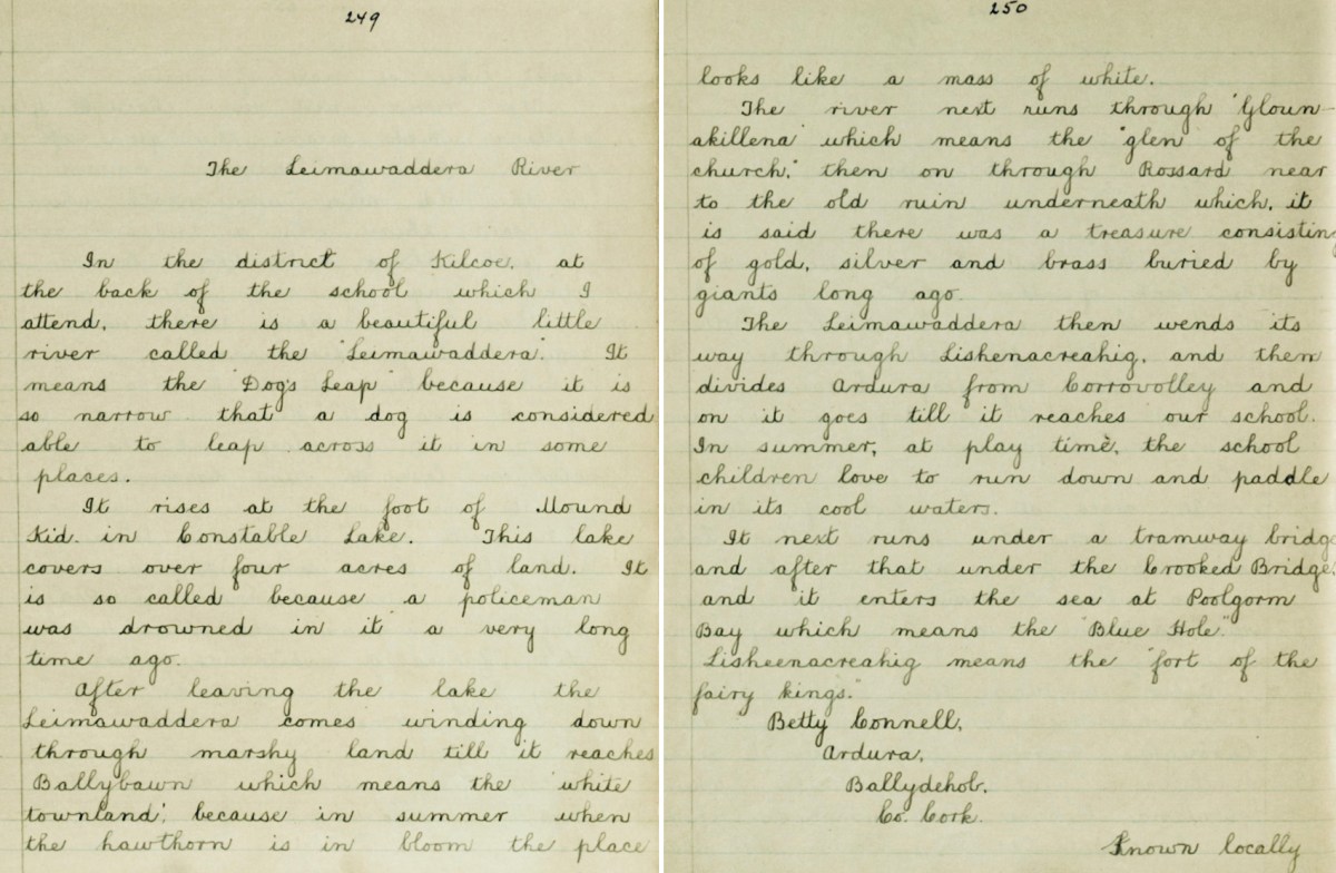
We set out to search for a lake in the hills above Ballybane West: it’s known as Constable Lake. There’s a story, of course – which I found in the Duchas Schools Folklore Collection, collected at Corravoley School in 1937. A whole gamut of stories, in fact, packed into two neatly handwritten pages. I don’t think I have ever found quite so much information on local lore in a single entry. Ammunition for a few more posts, perhaps!

In the district of Kilcoe, at the back of the school which I attend, there is a beautiful little river called the “Leimawaddera”. It means the “Dog’s Leap” because it is so narrow that a dog is considered able to leap across it in some places.

*

It rises at the foot of Mount Kid in Constable Lake. This lake covers over four acres of land. It is so called because a policeman was drowned in it a very long time ago.

*

After leaving the lake the Leimawaddera comes winding down through marshy land till it reaches Ballybawn which means the ‘white townland’, because in summer when the hawthorn is in bloom the place looks like a mass of white.

*

The river next runs through ‘Glounakillena’ which means the “glen of the church”, then on through Rossard near to the old ruin underneath which it is said there was a treasure consisting of gold, silver and brass buried by giants long ago.

*

The Leimawaddera then wends its way through Lishenacreahig, and then divides Ardura from Corravolley and on it goes till it reaches our school. In summer, at play time, the school children love to run down and paddle in its cool waters.

*

It next runs under a tramway bridge and after that under the Crooked Bridge and it enters the sea at Poolgorm Bay which means the “Blue Hole”.

*

Lisheenacreahig means the “fort of the fairy kings”.

BETTY CONNELL, ARDURA

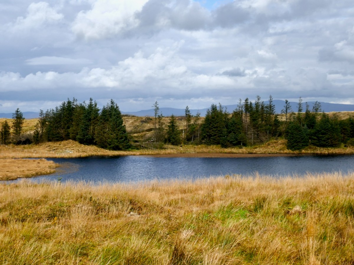
In How Well Do You Know West Cork? on the Roaringwater Journal Facebook page this week, Finola posted this photo of Constable Lake:

This view is cleverly framed to minimise the clues, but several readers gave the correct answer almost immediately. Here’s a more revealing picture:

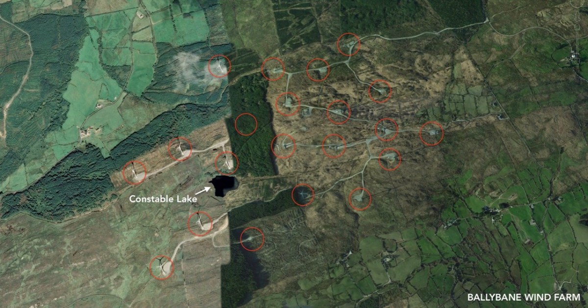
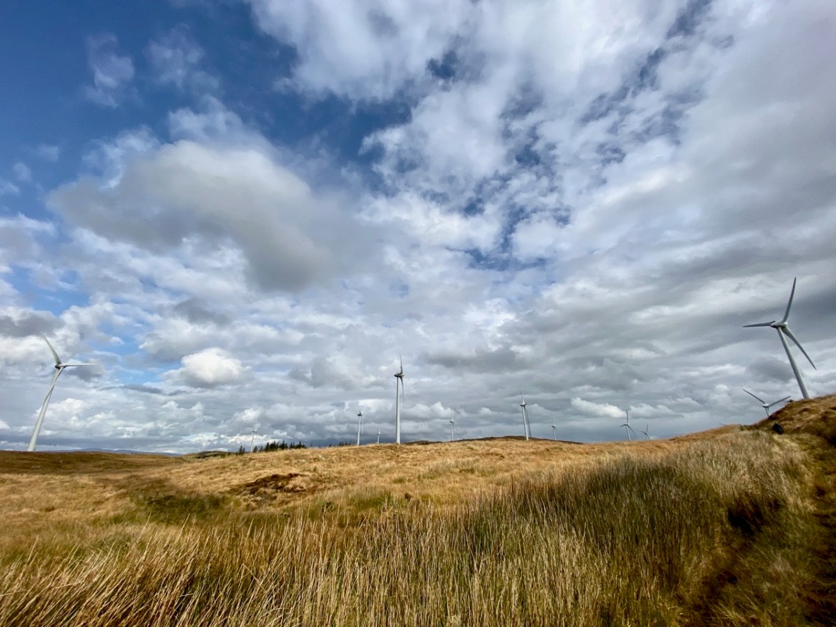
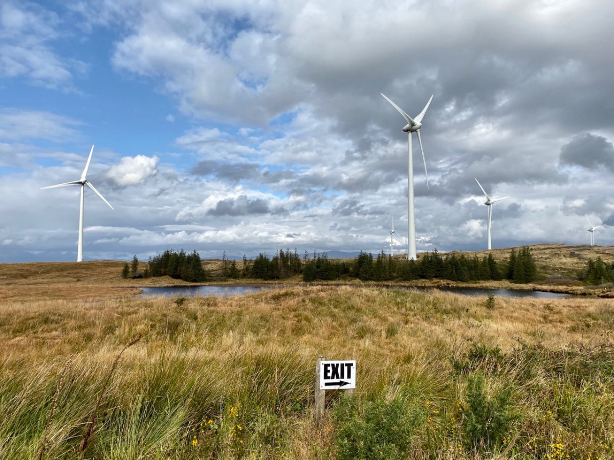
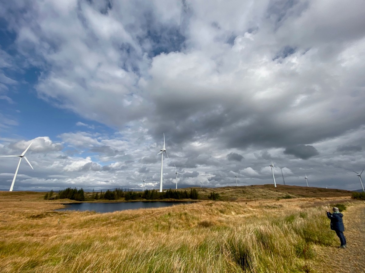
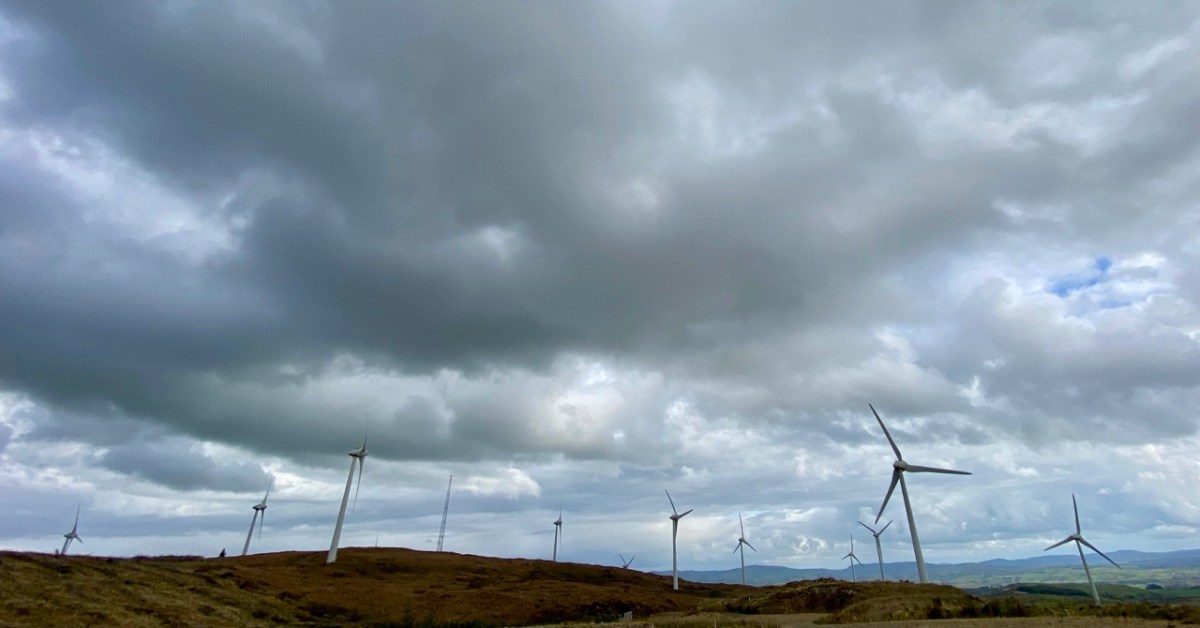
Constable Lake now lies within the boundaries of Ballybane Wind Farm and the 21 tall turbines can all be seen from its shores. It’s one of several farms in the West Cork area, strategically sited on the wild heathland ridges, working away at their mission of harvesting nature’s resources in order to provide us with electricity without burning fossil fuels.

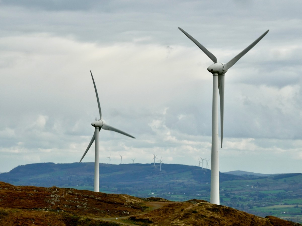
Upper – on the aerial view I have marked each of the 21 turbines. Lower – from the Ballybane site the turbines at Drinagh and Coomatallin are visible

I find the turbines dynamic and exhilarating. I know there are many readers who will disagree with my opinion, and social media abounds with polarised views about them from all perspectives. It’s hard to home in on hard and fast truths on anything these days but I have read extensively – and scientifically – on the subject and it seems to me that these wind-turned appliances have a life expectancy of around 25 years, and they pay for their installation in less than two years. Of course, carbon emissions are involved in the construction and manufacturing processes but this is heavily outweighed by the carbon savings from running these instead of burning fossil fuels to produce our electricity. Dismantling costs are built in to the permissions, and there is no doubt in my mind that in 25 years time – or less – technology will have advanced towards other solutions.

A simple chart from 2017 (via FactChecking.org) which graphical shows how well onshore wind farms perform against other fuel sources. Only nuclear power is marginally better

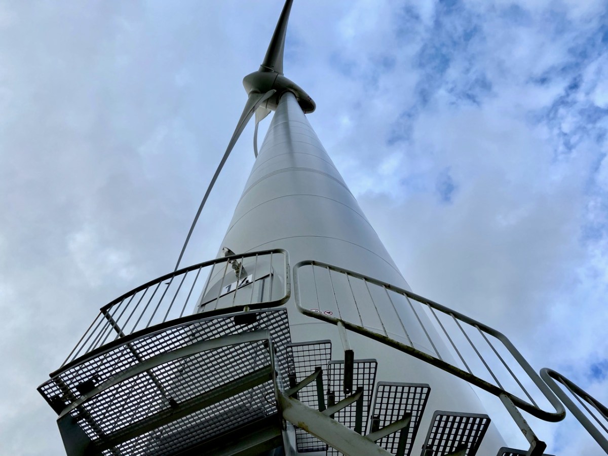
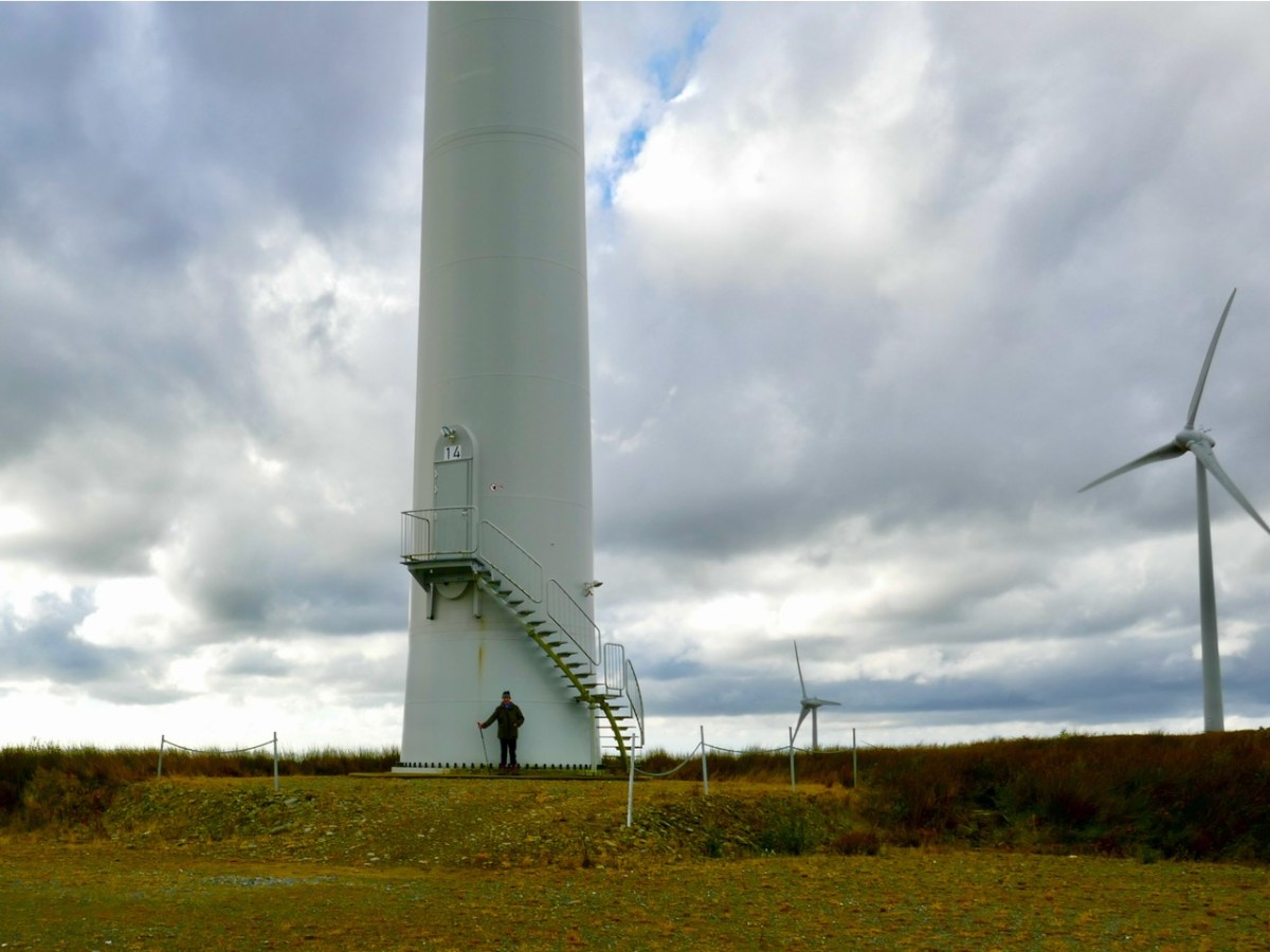
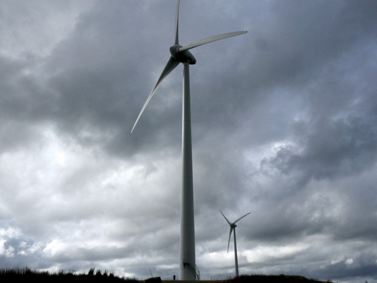
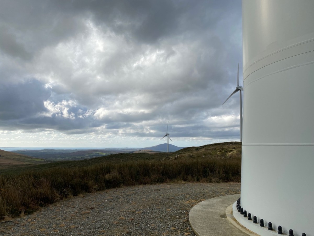
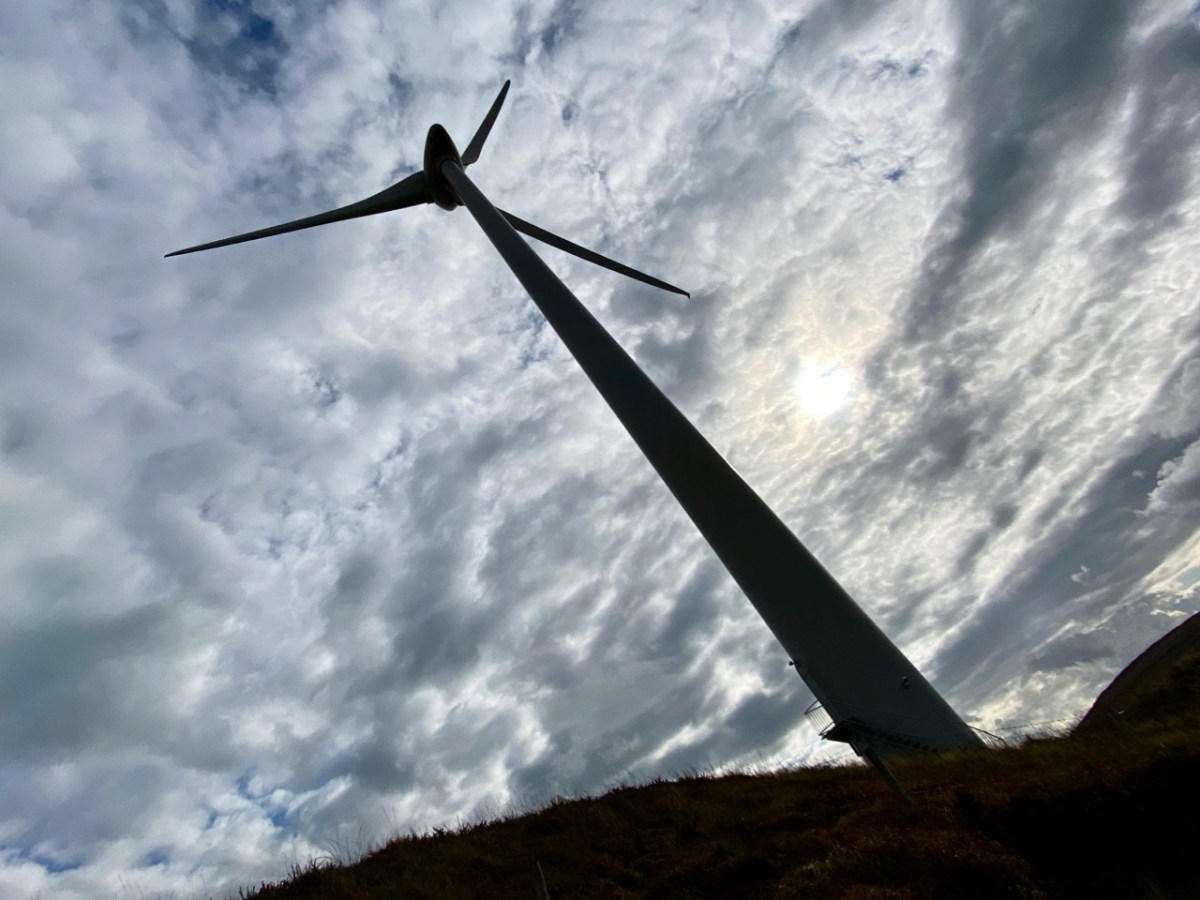
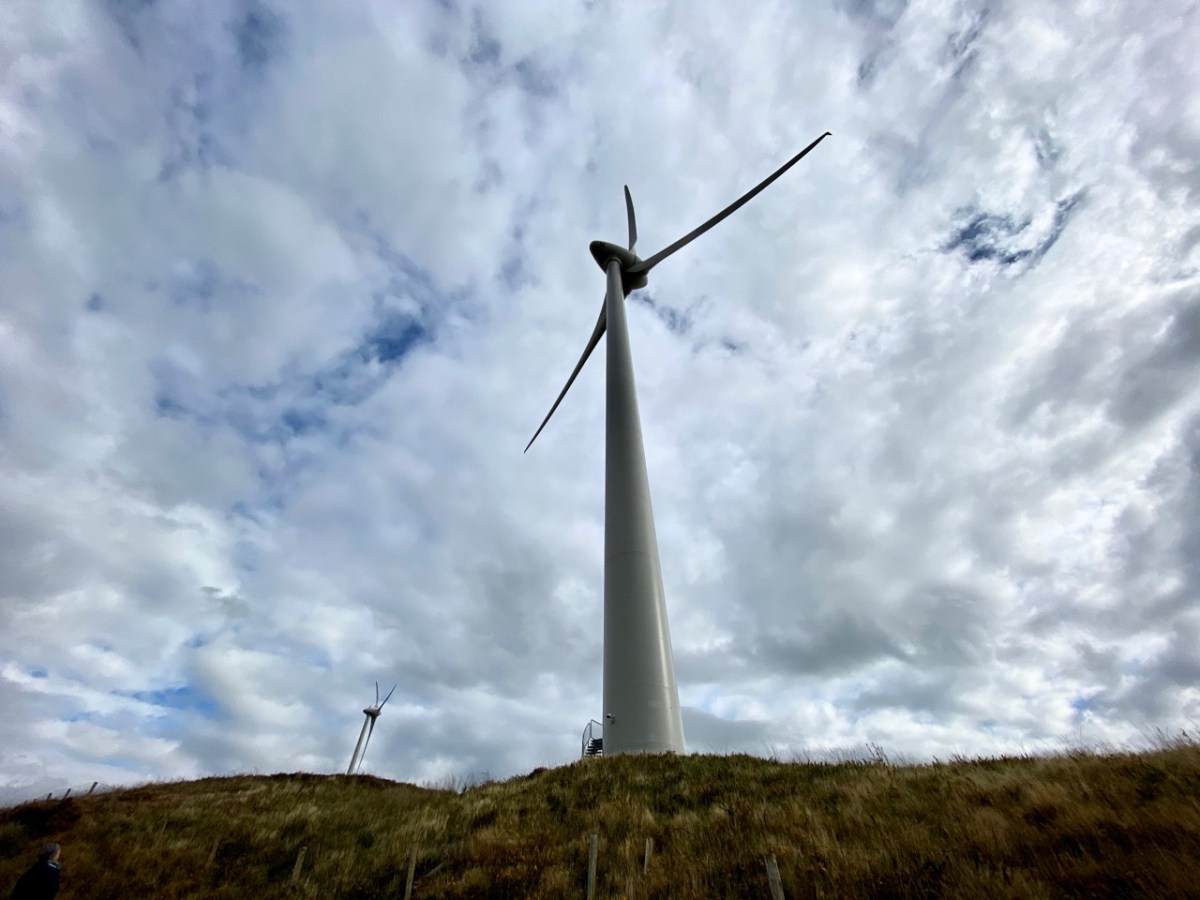
Wind turbines have a huge visual impact on the landscape, so their siting is important. In the case of Ballybane they have been constructed on heathland and in an area that was formerly commercial forestry. I personally prefer the elegance of the actively dynamic structures to a dark, impenetrable and seemingly sterile sitka spruce plantation. The scale is aweing: in the following photographs here’s me at the base of one of the 64m high towers (upper picture) and, below that, you can see me again – the very tiny figure to the left of the main turbine.

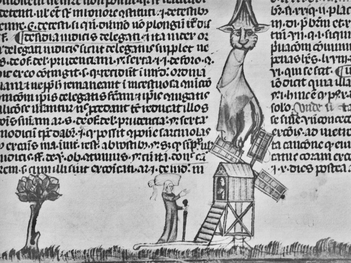
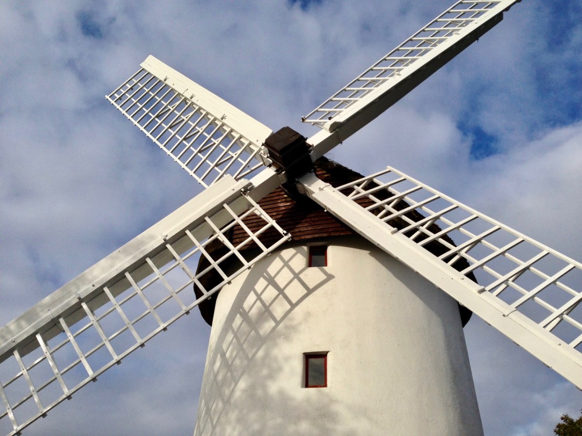
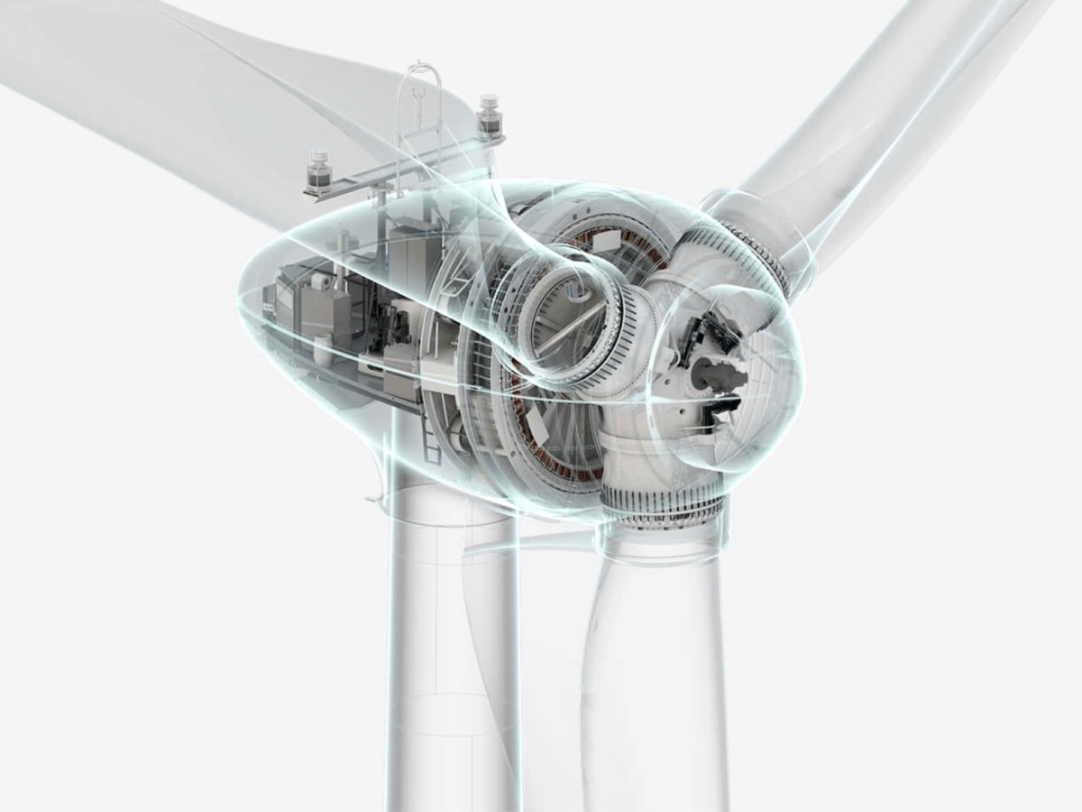
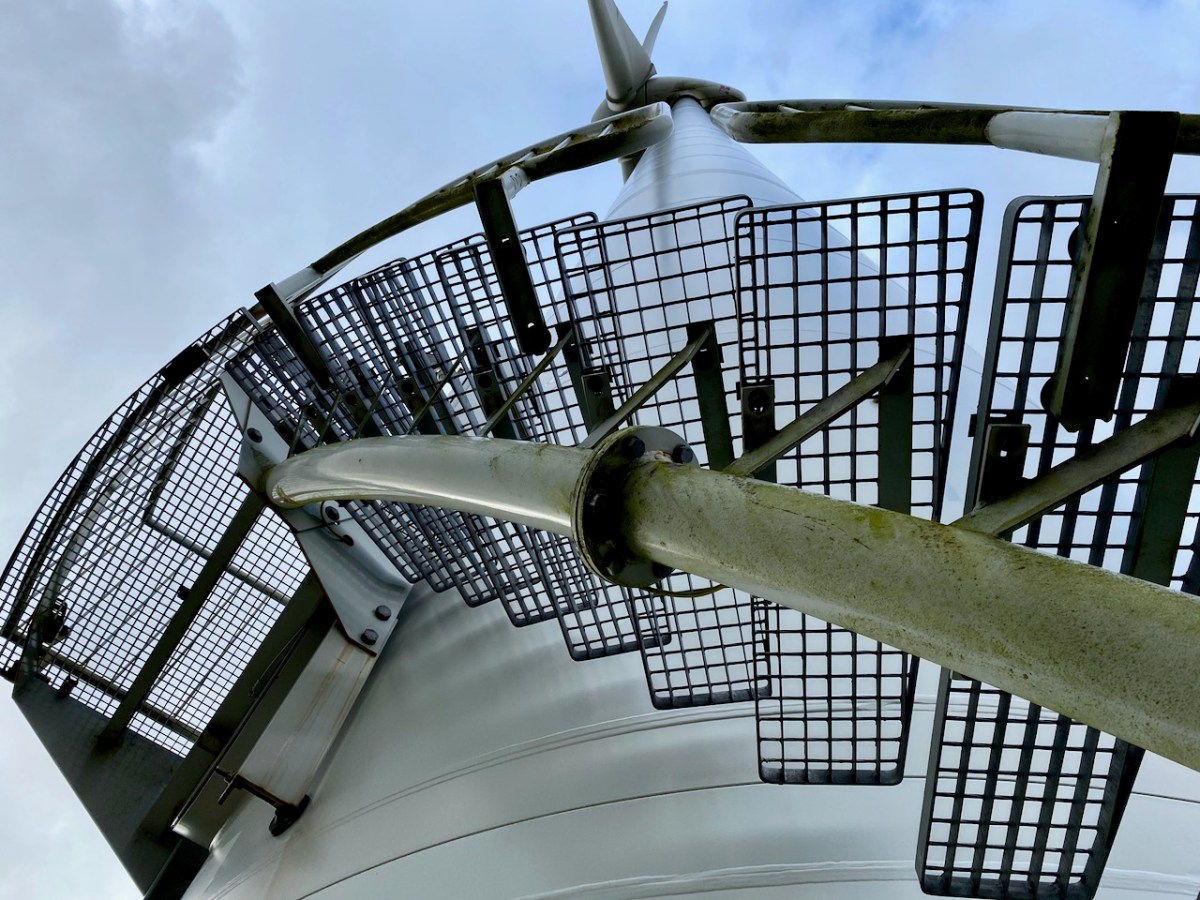
The machinery of industry has always fascinated me. Windmills go back a long way. The first image, below, is from the 14th century Decretals of Gregory manuscript in the British Museum. This is followed by our photograph of Elphin mill, County Roscommon, which dates from 1730 and is said to be the oldest in Ireland. Next, an exploded view of the nineteenth century flour mill at Chillenden, Kent, UK (courtesy of John Reynolds) and then a comparable view of the workings of the Enercon E-70 Wind Energy Converter, which is the unit in use at Ballybane and has a rotor diameter of 71 metres.

The Ballybane Farm will power about 40,000 homes a year on average. That’s modest compared to the newest developments. Currently the world’s largest installation – the offshore Hornsea One Farm, Yorkshire, UK – powers a million homes, while in the Netherlands a huge Haliade-X offshore turbine is being developed with a height of 260 metres and rotor blades of 220 metres in diameter: it’s said that each sweep of the blade will keep a house powered for a day. But that’s enough of the technical stuff. I enjoyed the experience of being close to these giants, and hearing the significant swish of those blades powering us into a safer, carbon reduced future.

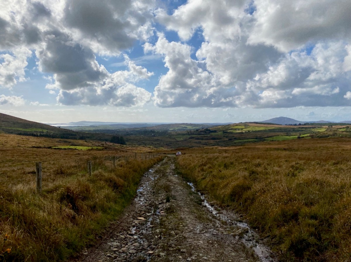
Above you can see the trackway leading us up to Constable Lake and the Ballybane Wind Farm. On the horizon is Roaringwater Bay and the distinct profile of Mount Gabriel. There’s an ancientness about this landscape that balances the surreal – somewhat ‘science-fiction’ – character of the turbines. For me, these elements complement each other, and the sheer scale of the contemporary engineering sets us apart from our slight, human selves – so vulnerable in these times.

Through The Big Gap

It’s October: autumn light is playing on the skies and seas as we set out to cross the Sheep’s Head peninsula on a path which is new to us. The path traverses the backbone of this peninsula – a ridge which is virtually continuous from east to west – and runs from Rooska, a settlement beside Bantry Bay on the Northside, heading south for Coomkeen and then Durrus. Before we take to the hills, however, we need to prepare ourselves with some sublime scenery en-route, a little excursion into vernacular architecture, and an encounter with local expertise.

From upper – a Sheep’s Head pastoral, the view over Glanlough towards distant Beara; a perfect composition in tin and stone; a niche for offerings? Looking to the ridge – and The Big Gap – in the distance; Joe O’Driscoll with his architectural egg-box. Unfortunately the hens are not laying at the moment!

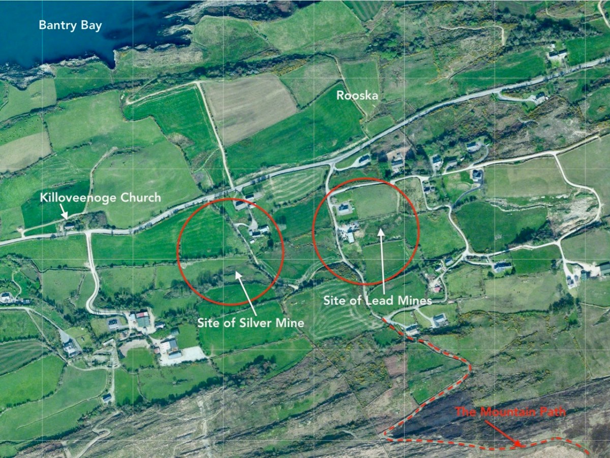
We are heading to the start of our climb and find a busy settlement, historically once a mining centre and now home to a major award winning seafood producer, bravely weathering the Covid storms. It’s worth a look at their colourful website! You might not expect to see such a venture on the wild and remote Sheep’s Head Northside, but it’s a great boost to a fragile local economy. We wish them well in surviving the Covid19 crisis. Parking up at Rooska, we get first sight of the zig-zagging route that will take us over towards Durrus, passing through The Big Gap at the summit of the hill.

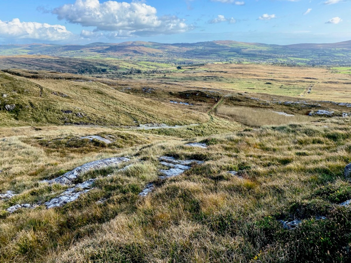
Upper – looking north across Bantry Bay from the path; middle – from the south, the path descends through The Big Gap; lower – the path can be seen on the right cutting through the hills: the highest point is 200m above sea level

I tried in vain to find a name for the way we followed. I would like to have called this post The Mass Path, which is given to it on a modern guide, and it does seem probable to us that one purpose of the trackway would have been to take Northside dwellers over to the old Catholic church at Chapel Rock in Durrus, a distance of 7 kilometres (or four and a half miles in older times). There and back would have been a taxing walk for a Sunday morning on an empty stomach (you have to fast from midnight before taking communion)! However, we were told locally that our intended way will lead us through The Big Gap, hence my title.

This view over the Northside area of Rooska, above, shows several features and the beginning of the path over the mountain heading south. Notable is Killoveenoge Church, known as a ‘Chapel of Ease’ and said to have been built in the 1860s specifically for the English and Cornish miners who were working in the nearby silver and lead mines at the time. There are scant remains of these mines now, and the Church of Ireland building was closed in 1988 and converted to a studio.

Looking down on Killoveenoge Church from The Big Gap path, with Bantry Bay beyond

The townland name Killoveenoge translates as Church of the Young Women and the only explanation of this I could find suggests that the site was anciently a priory, sacked by the Vikings in 890AD. It is also said that some ruins of this are visible, but we failed to find them – nor any factual historic records. The Schedule of Monuments notes a circular burial ground in the west of the townland with early grave markers, but nothing more. Clearly folk memory transcends recorded history, and that is one of the attractions of Ireland – to us, at least.

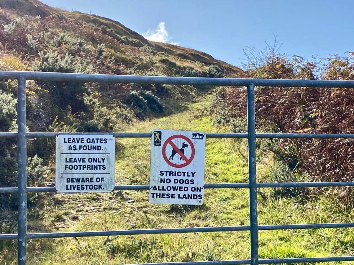
Upper – The Sheep’s Head Way trails have a strict code, which benefits all users; middle – the ruins of a cottage almost lost in the furze. The mining records mention a ‘miner’s cottage’ still being visible: could this be it? Lower – gaining height as the path gets steeper: that’s Whiddy Island in the distance

The wider aerial view shows the full length of the old trackway as it crosses the mountain through The Big Gap. Just past the summit when heading south is another landmark, also holding a folk memory. Lough Na Fuilla translates as ‘Lake of the Blood’:

A reed-filled lake suddenly appears; so many different greens, so far from anywhere and the gentle murmuring of the reeds all combine to make a rather unsettling atmosphere . . . Maybe it’s knowing the name of the lough, Loch Na Fuilla, lough of the blood, that plays tricks on the mind. There is a story attached, of course. One extremely hot summer the cattle came down from the mountain in search of water. The lough was empty. Maddened with disappointment and thirst the cattle went berserk and attacked each other and many were killed.

Walking the Sheep’s Head Way – Amanda and peter Clarke – Wildways Press 2015
Lough Na Fuilla, and a nearby tarn on the east side of the trackway. The autumn colours are sublime

Neither the Lake of the Blood nor the nearby tarn are shown on the early OS maps. The few remaining mining records, however, mention that there was some prospecting activity up on the ridge: could this have relevance? And is this another reason for the existence of this path? We are impressed with the views from The Big Gap both north and south. We temporarily divert on to a stony sheep path to get even higher, and to find the best panoramas. From the ridge we also record the contrasting light and shadow effects from a constantly changing sky.

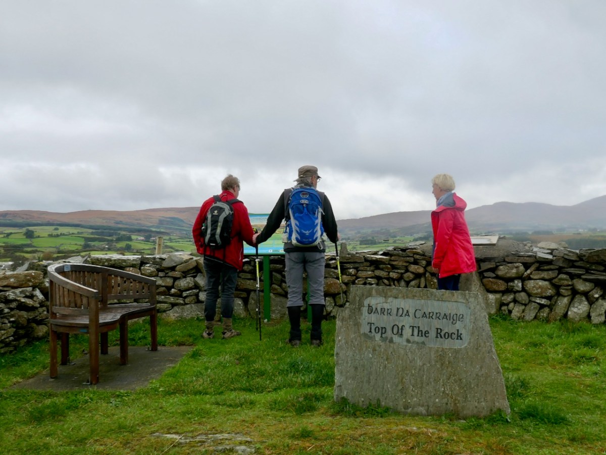
We pause to wonder whether a large rounded outcrop is the Eagle’s Rest which is mentioned by local historian Willie Dwyer, of Rooska:

The gap going through the mountain there, by Loch na Fuilla, the locals always called it, that’s the old people who are dead and gone now, used to call it “Barna Mhór” which means “The Big Gap”, and on the right-hand side (the north-west corner) before you come to the extreme top of the track, there’s a round bald rock which was known as “the Eagle’s Rest”. I don’t know how long the eagles have been gone out of this part of the country, but it must have been a long time ago. This is a tradition now, it has been passed down as tradition, how true or false it is, I can’t prove to you.

Willie Dwyer, Quoted by TOM WHITTY in ‘A guide to the Sheep’s Head way’ 2003

From The Big Gap it’s downhill all the way! As we walk south it’s the Mizen which is always on the horizon, across the waters of Dunmanus Bay.

As we approach the southern end of the trackway crossing the mountain, we look back up towards Barna Mhór – The Big Gap. It has been a most rewarding adventure for us, and one which we intend to repeat at other times of the year so that we can capture the effects of the changing seasons.

Back to The Bealick

Yesterday we went back to the Bealick – back to the valley of Cooleenlemane that so entranced Robert and me that both of us wrote about the experience last year. I concentrated on the Bealick (pronounced Bay-lick) – the ‘caves’ containing ancient rock scribings and my post was called Witches’ Marks and Lovelorn Shepherds: Inscribed Rock Art in a Remote Valley. Robert wrote about the valley itself, through geological and historical time in his post, Cooleenlemane – A Walk Into History. What more could we have to say about this impossibly beautiful place? Lots, it turns out.

The red house at the bottom right marks our starting off point. In the distance is Bantry Bay and Whiddy Island

We took the walk in the company of our favourite travelling companions, Peter (of the Hikelines Blog) and Amanda (Holy Wells of Cork and Kerry). We had been missing them badly as they had been in New Zealand when the pandemic struck, unable to get home for six months. It felt really good to be out and about with them again.

Amanda fords one of the many streams (it was a wet walk!) and Peter points out some of the scribings in the Bealick

Apart from the jaw-dropping scenery and the sheer pleasure of a hike into a relatively untouched valley, this time I found myself drawn to the evidence of occupation over time, starting in the Bronze Age. At the entrance to the valley and right beside a ford across the river stands what is described in the National Monuments inventory as a ‘Megalithic Structure. . .the exact nature of which is unknown.”

It’s in the middle of a small clearing, with a Hawthorn tree growing out of it – altogether a magical sight. It could be what remains of a wedge tomb – see my post Wedge Tombs: Last of the Megaliths to learn more about this type of monument. 

I wondered how ancient the ford might be. For most of the length of the Cooleenlemane River as it runs down the valley it is easy to cross with the help of a stone or two, but in this spot it widens. Although no longer in use now, this type of crossing place is often of considerable antiquity – indeed one of the most common place names in Ireland contain the word áth (pronounced awe) which means ‘ford.’

Leaving the megalith, we followed the course of the stream up the valley, mostly trying to select higher and slightly dryer ground, and trying not to get too distracted by the oh-so-photographical scenery all around us. Ruins of small stone cottages dotted the landscape, and a tiny cart track runs the length of the valley almost to the Bealick.

The National Monuments inventory also lists a cashel, two enclosures, and two hut sites in the valley. We passed the Cashel half way between Furze Hill and the Bealick, although we actually obtained the best views of it from the Priests Leap Road afterwards.

The upper photograph shows Furze Hill, the dark patch on the left, and the Bealick just above the bend in the river. The cashel is half way between them. The lower photograph is a closer look at the cashel

Cashels are ring forts made of stone rather than earthen banks. They are considered to be the farmhouse enclosures of high-status individuals (you can see an exceptionally good example at Knockdrum – see Robert’s post Knockdrum Stone Fort to understand how they functioned). This one is clear but very ruined, circular in plan, about 17m across.

It probably dates either to the late Iron Age or the Early Medieval Period – anywhere in the first millennium AD. Like other cashels, it has clear sight-lines down the valley and was built to be visible and a statement of status and power.

We didn’t hike up to the enclosures or hut sites further up the valley – a walk for another day. I think Peter (above) is already plotting his course up there. The most southerly of the enclosures sounds interesting, with an entrance marked by upright stones and a levelled interior. There is no way of knowing how old these are, of course, but taken with the megalithic structure and the cashel, they do indicate that this valley has been lived in and worked for thousands of years. 

And then there’s the Bealick itself – the three ‘caves’ formed by massive rocks leaning against each other, two of which contain the rock scribings. In the way of such unique places they become special features of the landscape and take on a mantle of history. In this case, the Bealick was a Mass Rock, a home, a sheep-shelter, and a mysterious repository of enigmatic markings. 

On our walk yesterday we became aware that we were not the only ones in the valley. Along came Mary, with four very well-behaved dogs, on the look-out, she told us, for her brother’s cattle.

From the top: a field enclosed with stone walls runs up the steep slope; lazy beds in an old field; a ruined cottage surrounded by tiny haggards (a haggard is a small enclosure beside a house)

She explained that the land was commonage and that it hadn’t been lived in, in living memory – probably abandoned not long after the Famine, she thought. She pointed out locations of what she called ‘cowlocks’ or small homestead here and there, with their associated potato patches recognisable by the lazy bed ridges still visible in the small fields. She told us the prominent knoll we had passed was called Furze Hill. 

She pointed to a cliff above the Bealick (both images above) and named it as `Carrignasprogue’. A direct transliteration from Irish, this is Carraig na Spioróg, or Rock of the Sparrowhawks. It’s a particularly dangerous place for sheep, she said, as they tend to get trapped at the bottom of the sheer part and have to be rescued. Every field, every bend on the river and every prominent rock would have had its own name, enabling those who lived in the valley to know exactly what part was being referred to. 

Nowadays, several families share the valley, grazing sheep and cattle in it and for the most part leaving them to their own devices. The grazing has kept the valley relatively clear – we saw little evidence of overgrowth of gorse or bracken and none of the rhododendron invasions that plague the Killarney National Park not so far away. One hesitates to use the word pristine nowadays, but the sense I have is of a remote place that hasn’t changed much in hundreds of years. Long may it remain so.

We drove home a circuitous route, up over the Priests Leap Road into Kerry and back over the Caha Pass into Cork. We were delighted to find Molly Gallivan’s open and serving tea and scones. There’s a tiny cottage attached, reconstructed in the style of the traditional Irish farmhouse and I was especially struck by this bedroom – it could have been in one of those tiny Cowlocks we passed by in the valley earlier.