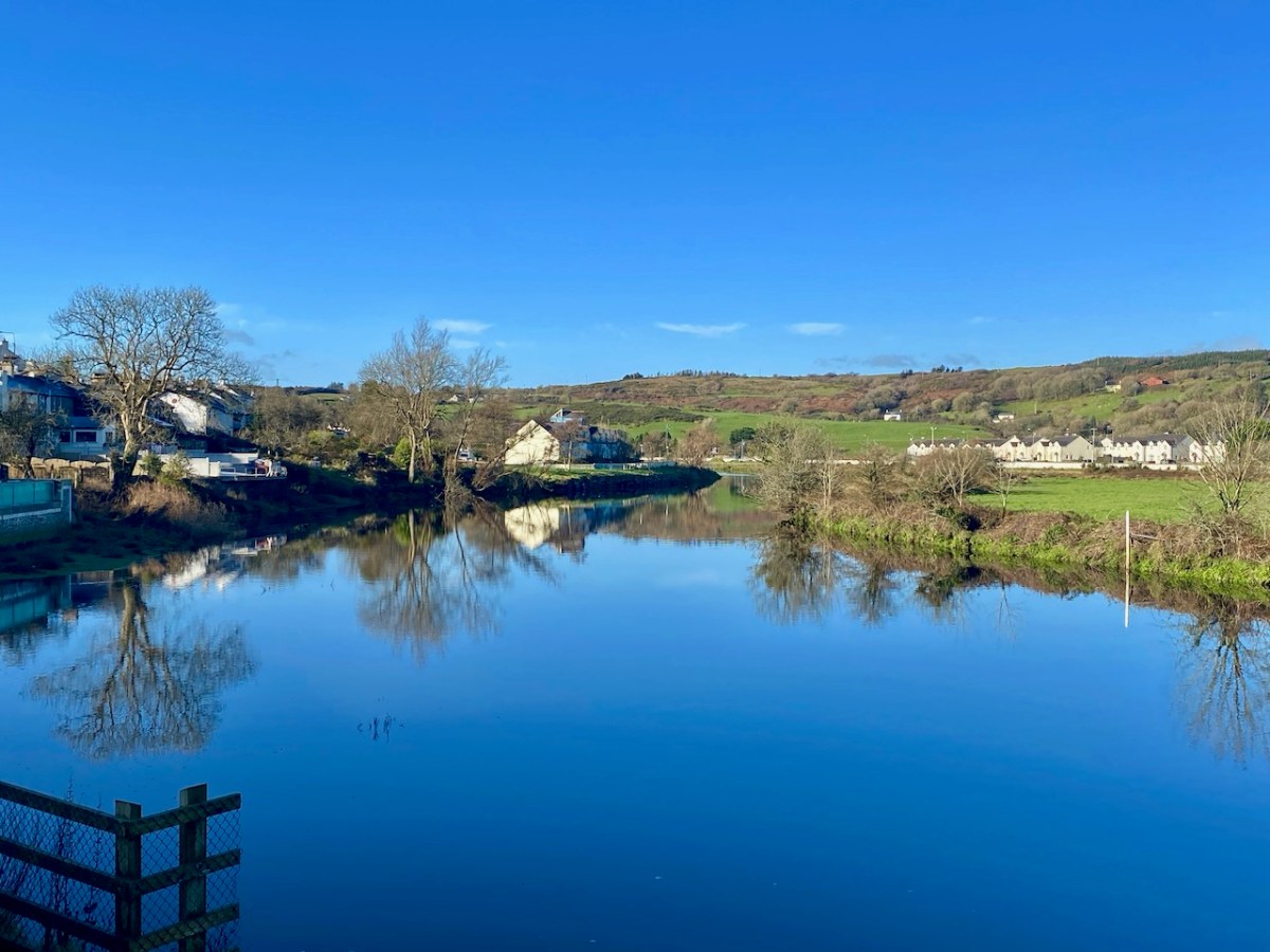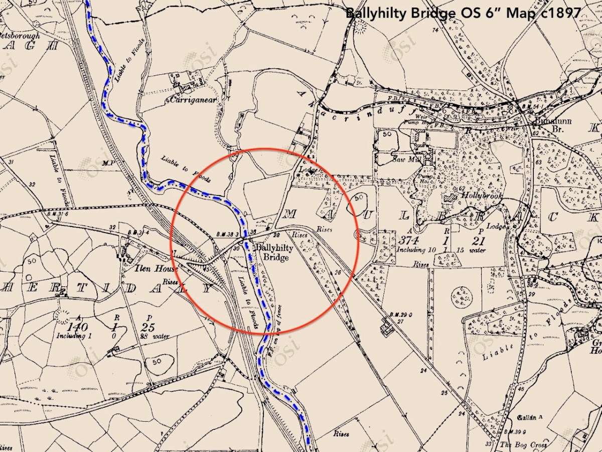
Last week our first exploration of Sweet Ilen – our West Cork river – began in Skibbereen town from whence we travelled north, as far as Ballyhilty Bridge. Today, we return to the town and unearth some further history on the way downstream.
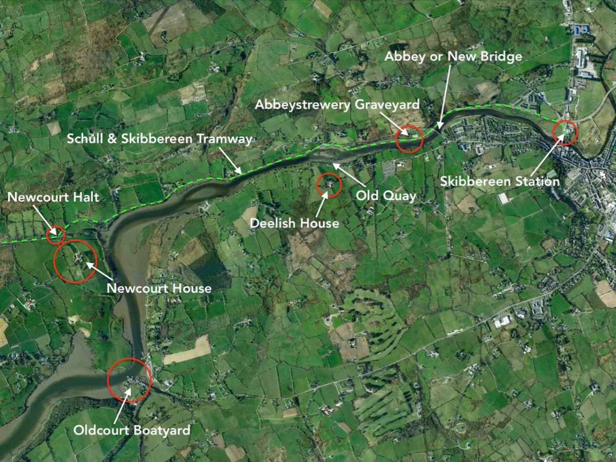
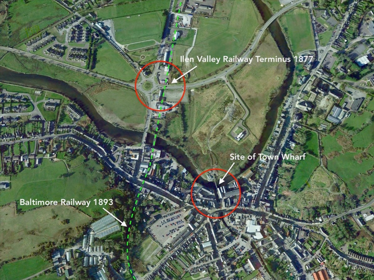
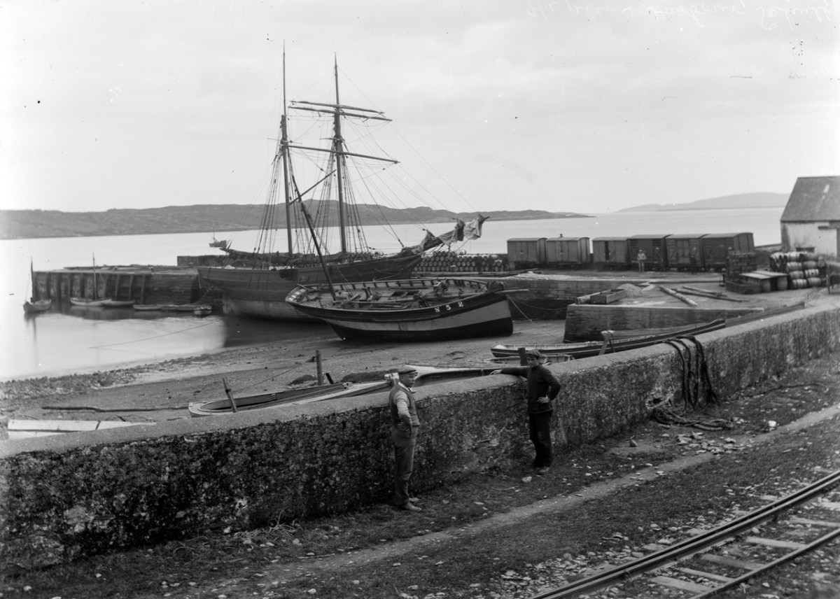
On the aerial view of the Ilen flowing south-west from Skibbereen (above) I have marked some significant locations. Abbey or ‘New’ Bridge is the first crossing point and the limit of navigation for large craft. The Old Quay shown to the north of Deelish House was the offloading point for ships arriving from the south; barges or lighters carried the goods further into the town. The narrow gauge Schull & Skibbereen Tramway (as it was originally named) left Skibbereen Station and followed the Ilen as far as Newcourt Halt, alongside the main road.
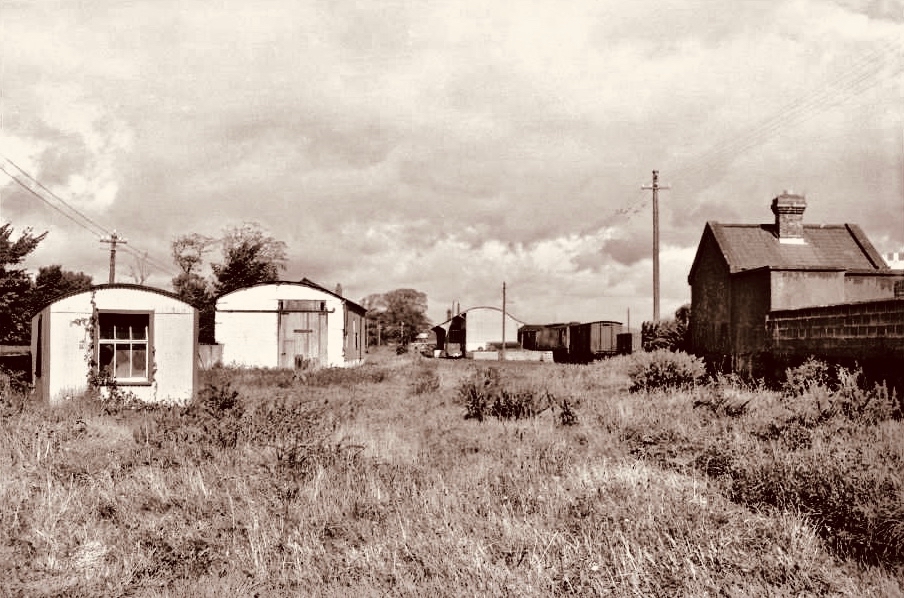
The Ilen Valley Railway, which brought the regular gauge railway into Skibbereen from Bandon and Cork, shared its station at Skibbereen from 1886 with the 3ft gauge line going to Schull. This picture (above) of Skibb Station in 1960 (courtesy Roger Joanes) shows the main line on the right and the remains of the narrow gauge terminus on the left.

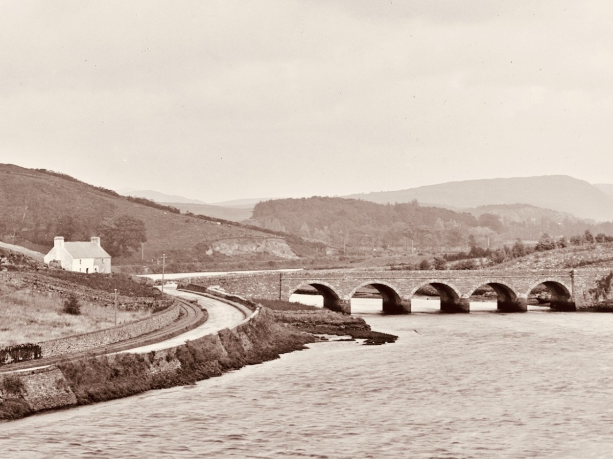
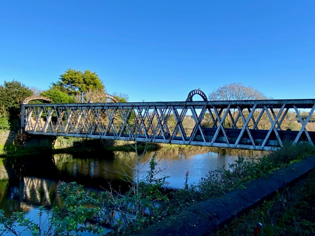
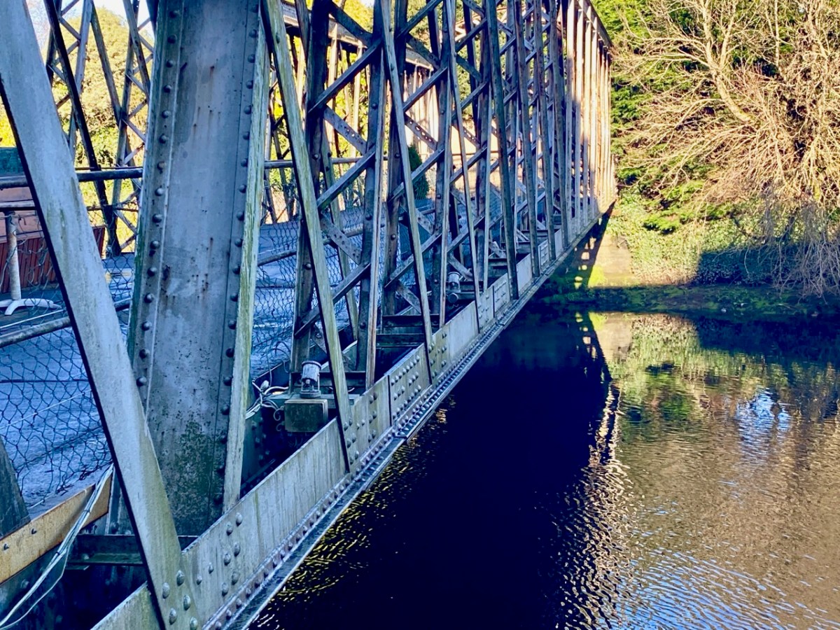
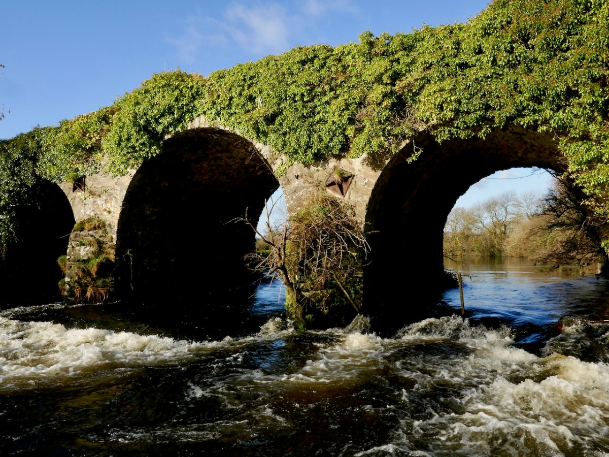
The header picture shows Abbey or ‘New’ Bridge as it is today. The upper picture above, with an enlarged section of it underneath is fascinating for our study: it was taken in around 1893 by Robert French for the Lawrence Collection and is reproduced here with the permission of the National Library of Ireland. It shows the bridge – which was built in 1822 – with the road to Skibbereen running to the left, as it does today. But it also shows the tracks of the tramway on the left hand side of the road. Also in the main picture is a white building below the Abbeystrewery Graveyard. That marks the point at which the entrance to the graveyard adjoins the road, and is in fact a level-crossing keeper’s cottage, now gone.

Marked on this extract from the OS 25″ survey (late nineteenth century) is New Bridge on the right, the Graveyard with its level-crossing and the quay above Deelish House
The first halt on the tramway travelling from Skibbereen was at Newcourt. Here is a ‘sylvan scene’ of a train at that halt in 1939 (courtesy of W A Camwell, taken from the invaluable volume The Schull & Skibbereen Railway by James I C Boyd, published in 1999 following over 40 years of research):
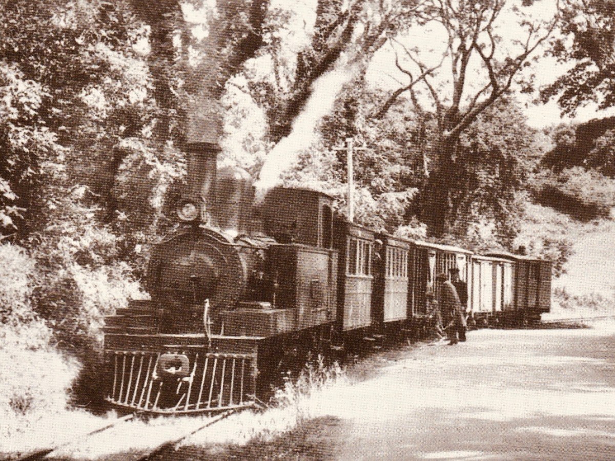
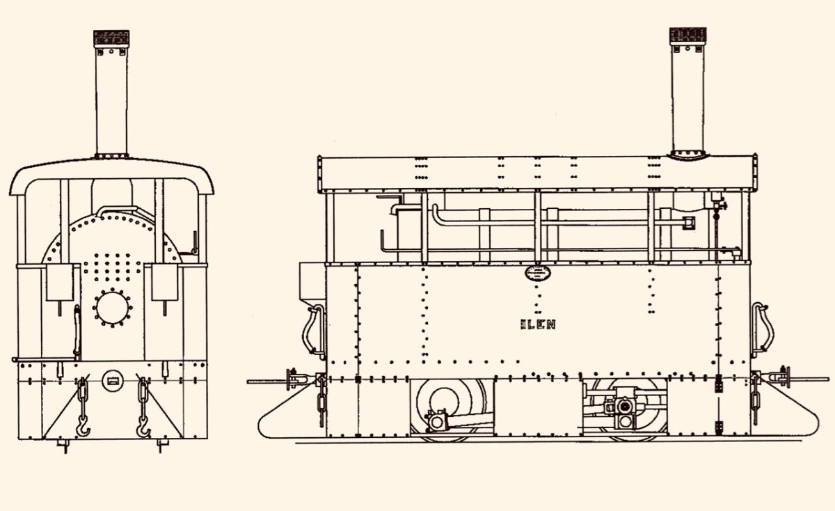
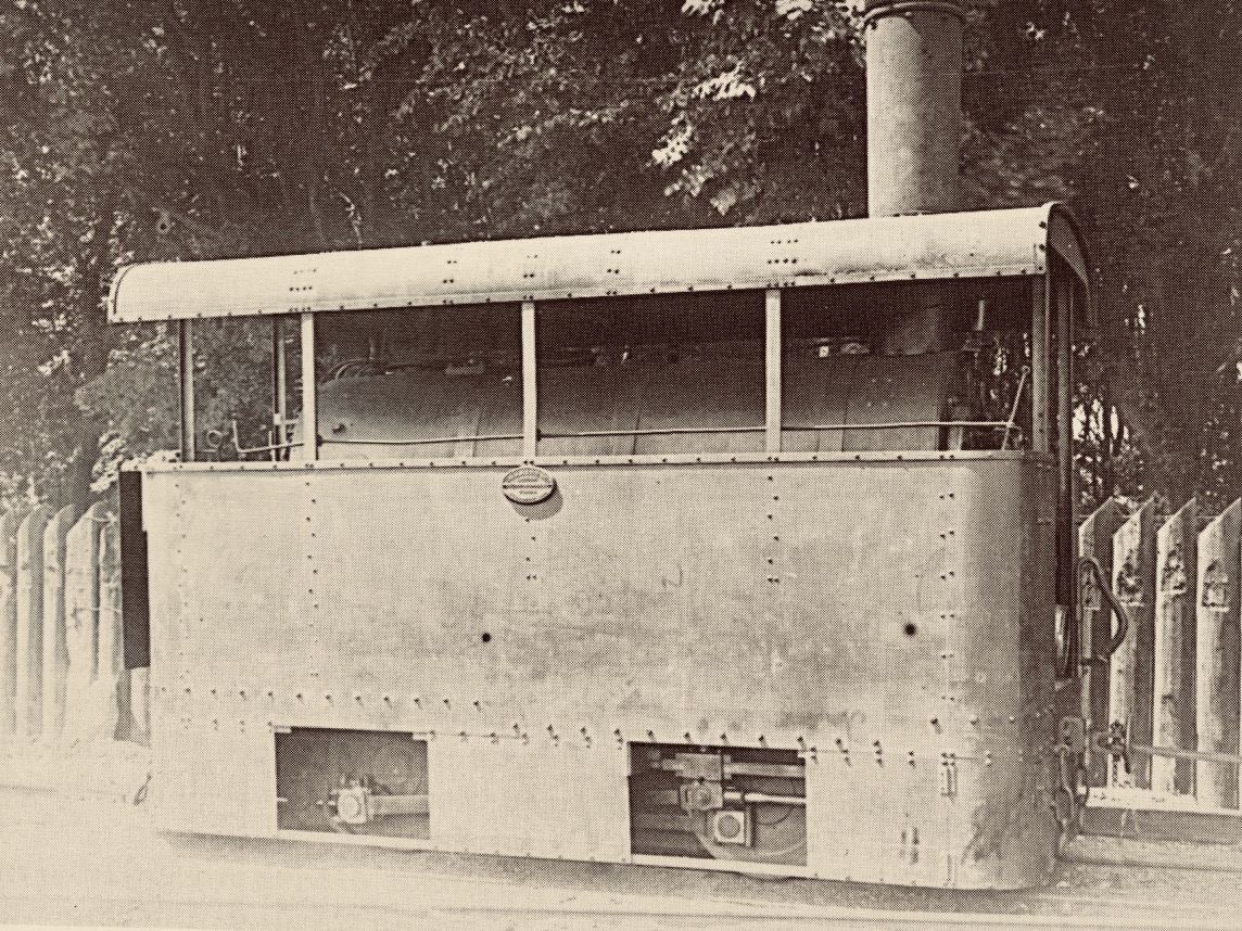
If that doesn’t bring a nostalgic tear to your eye – for those apparently idyllic days of leisurely rural life in Ireland – I don’t know what will. But the little railway had its ups and downs (before vanishing altogether in 1947). Its association with the Ilen River was there at the beginning: the very first locomotive was named ‘Ilen’ and here it is (below), having just pulled a passenger train into Schull Station, probably in the 1880s (photo from the collection of Mrs E McCarthy):
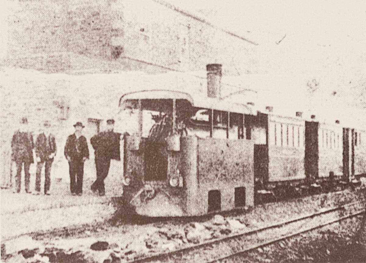
Why is it so strangely shaped? Because the line was conceived as a tramway or ‘light railway’ to comply with the conditions of The Tramways of Ireland Act 1862, which allowed tramways to be built along public roads, thereby reducing costs. Because of this, locomotives were treated in the same way as city trams – where very low slung bodywork supposedly prevented serious injury if they struck pedestrians or animals sharing the roads – something that could be echoed on West Cork’s boreens where donkeys and cows were quite likely to be encountered.
. . . To comply with regulations sheet-steel skirting was taken down to a level approximately 3 inches above the rails; the rolling and pitching of the engine probably produced shrieks of protest as it scraped the rails . . . An impressively tall chimney was surmounted by a ‘chip-pan’ spark-arrester . . .
James I C Boyd 1999
Tram Engine Ilen at Skibbereen in 1906 – photo by H Fayle
It’s a shame, but this unique piece of machinery failed because it lacked sufficient sustained power to climb the relatively steep inclines on the tramway, and its later replacements were more conventional engines (such as the one pictured at Newcourt) fitted with cow-catchers.
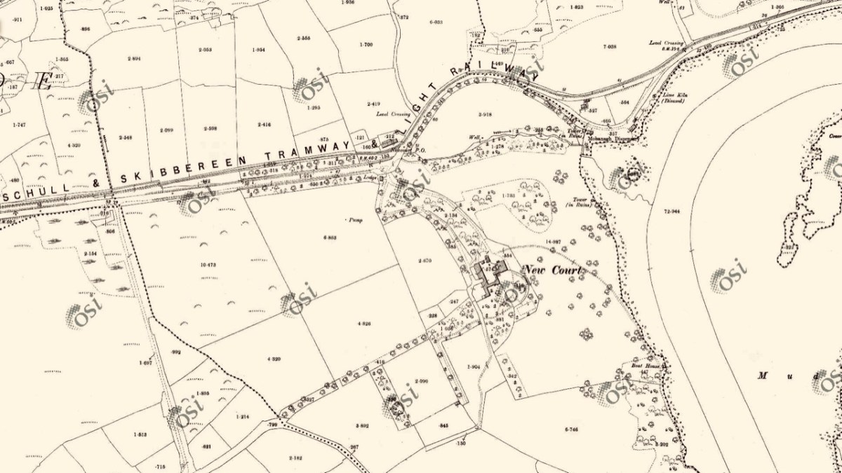
OS 25″ survey extract, late nineteenth century. It shows the tramway diverging from the road just north of the entrance gate to Newcourt: there was evidently an ornamental avenue along that stretch of road leading to the gate, with arches over. Also on this map is located Newcourt Post Office (by the tramway halt), Mohanagh Dispensary and various landscape features belonging to the demesne
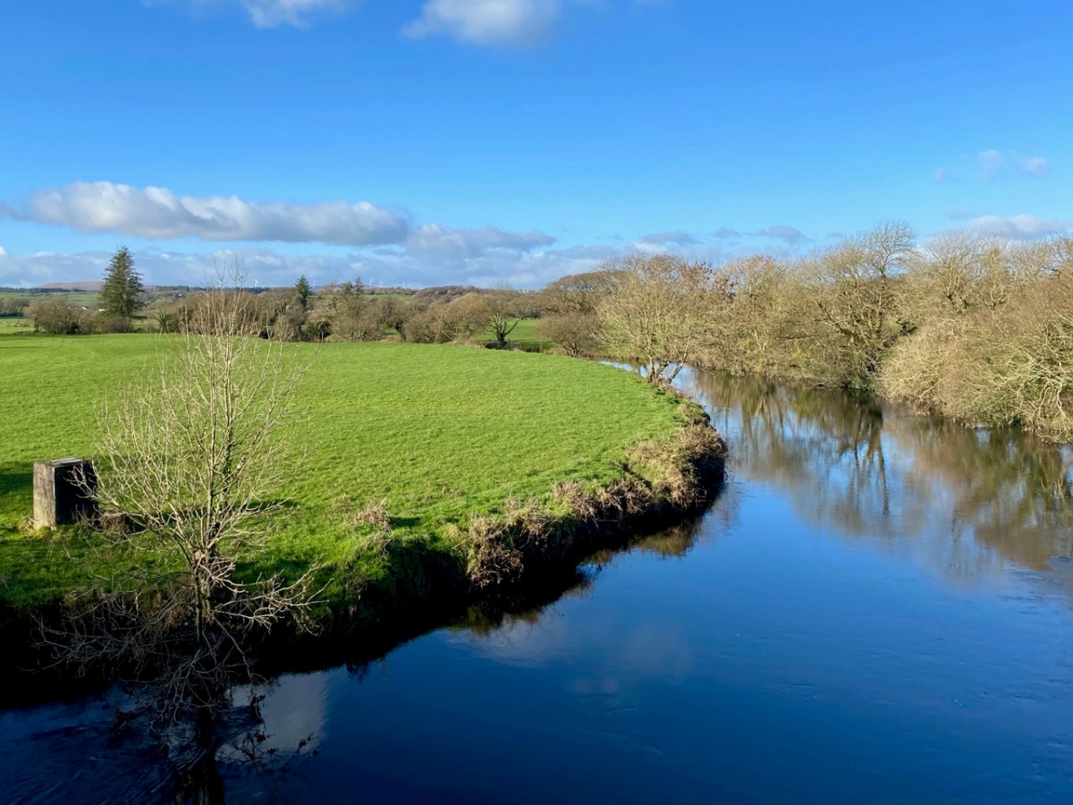
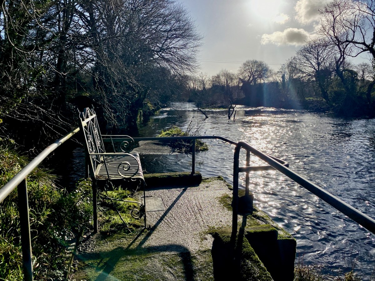
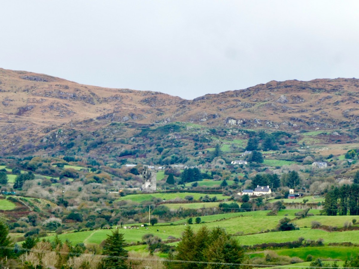
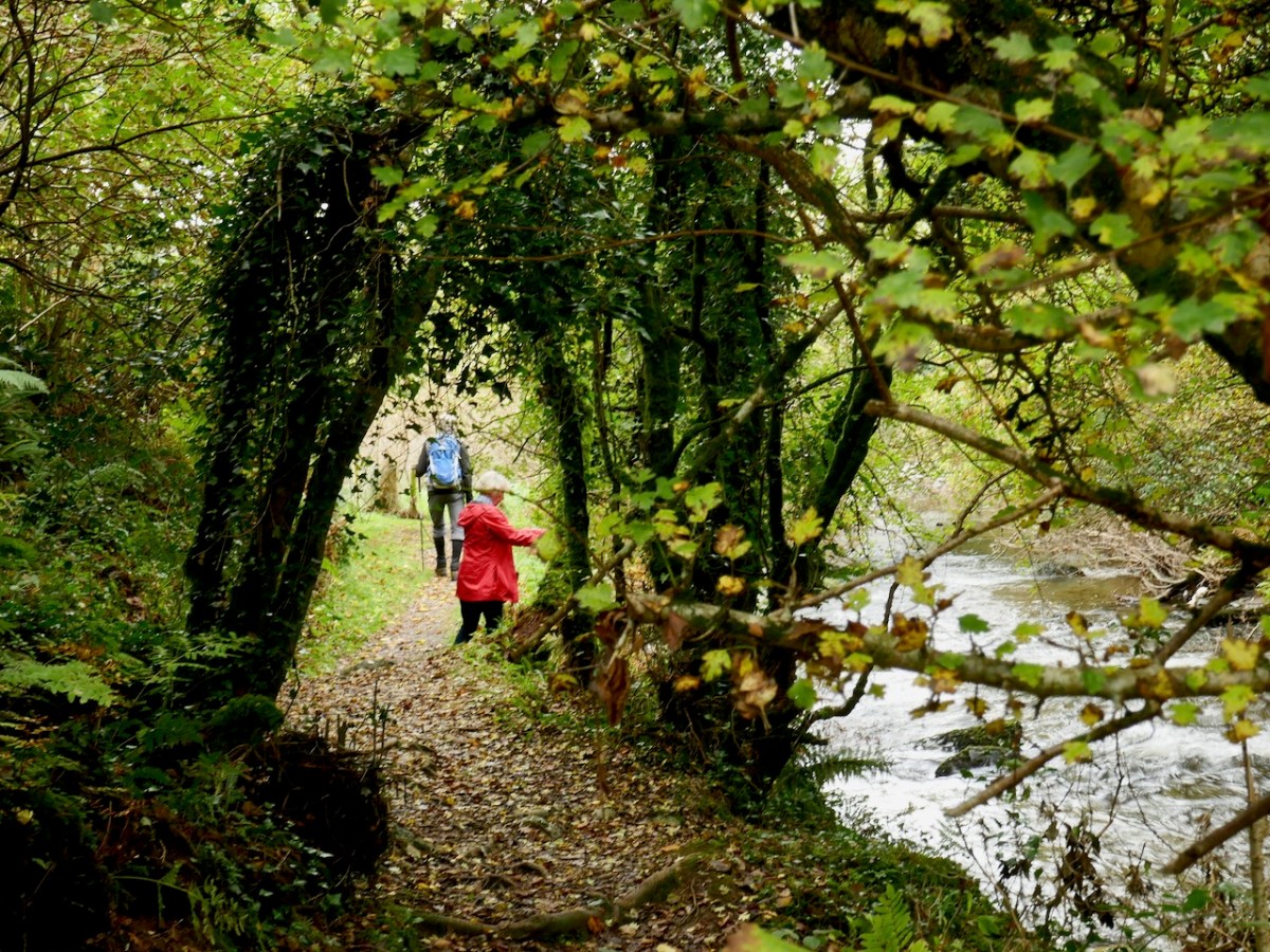
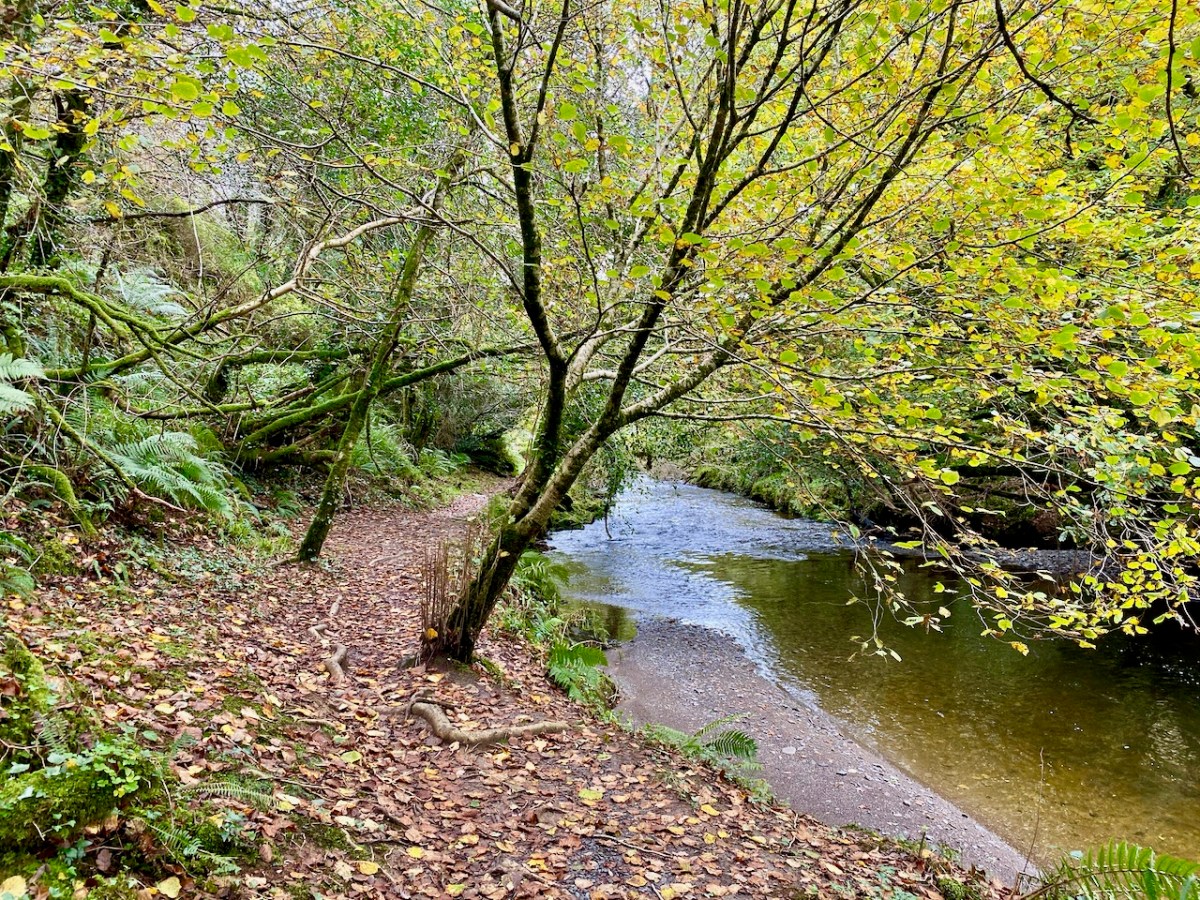
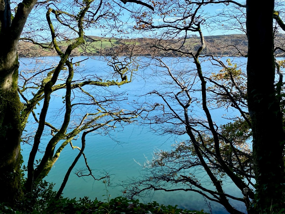
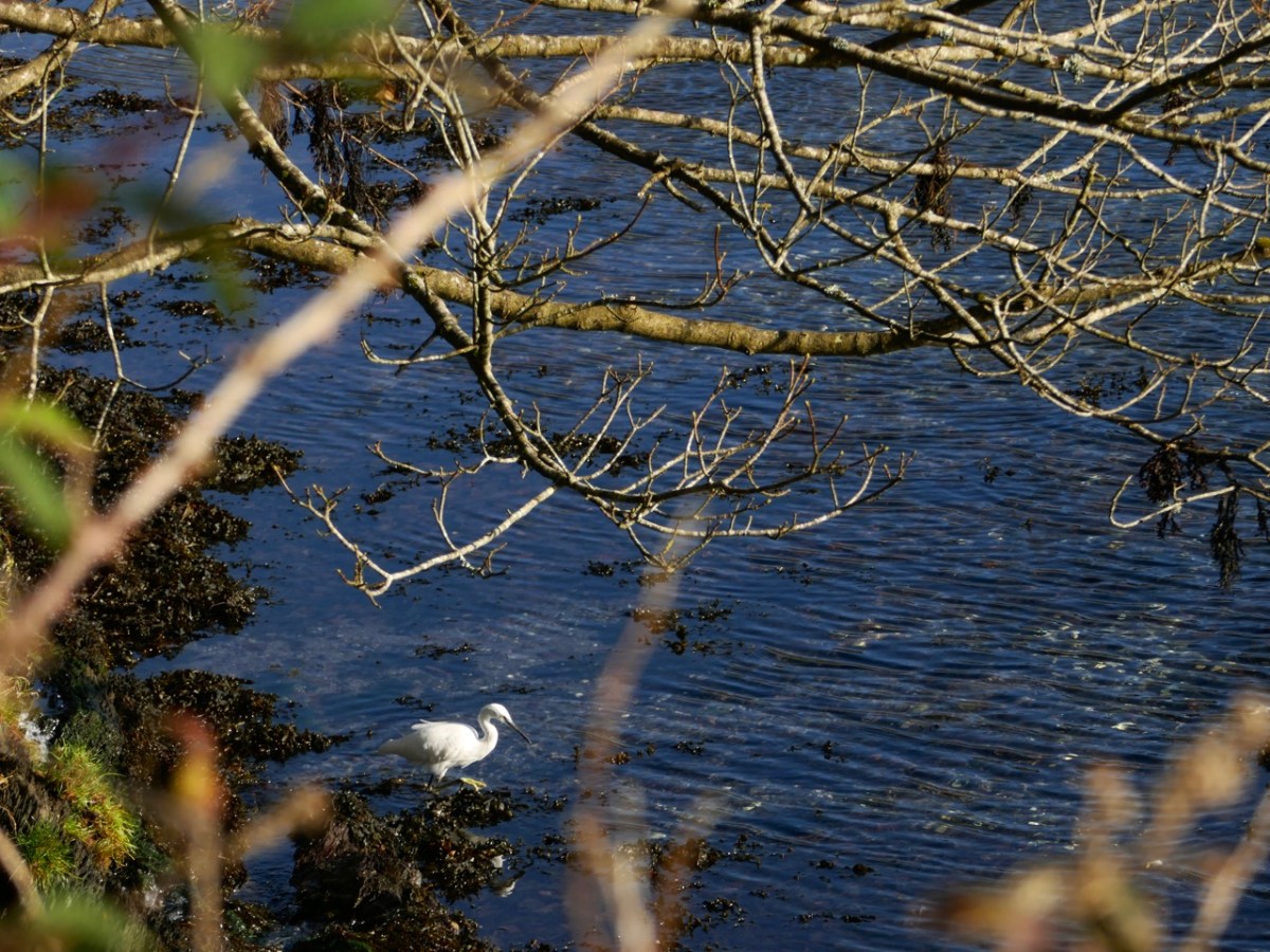
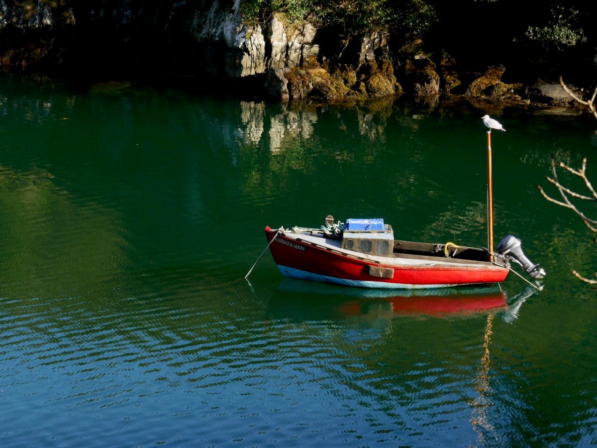
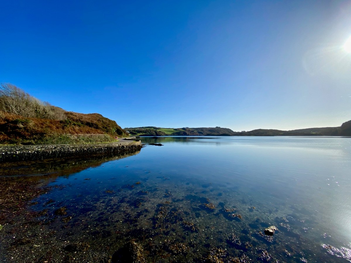
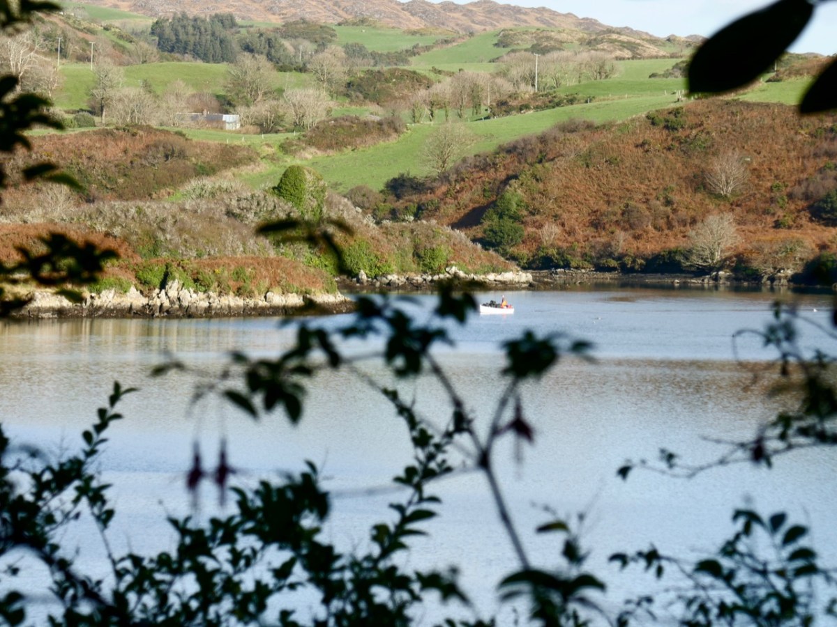
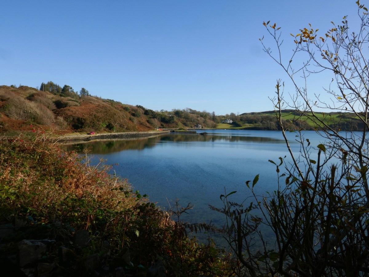
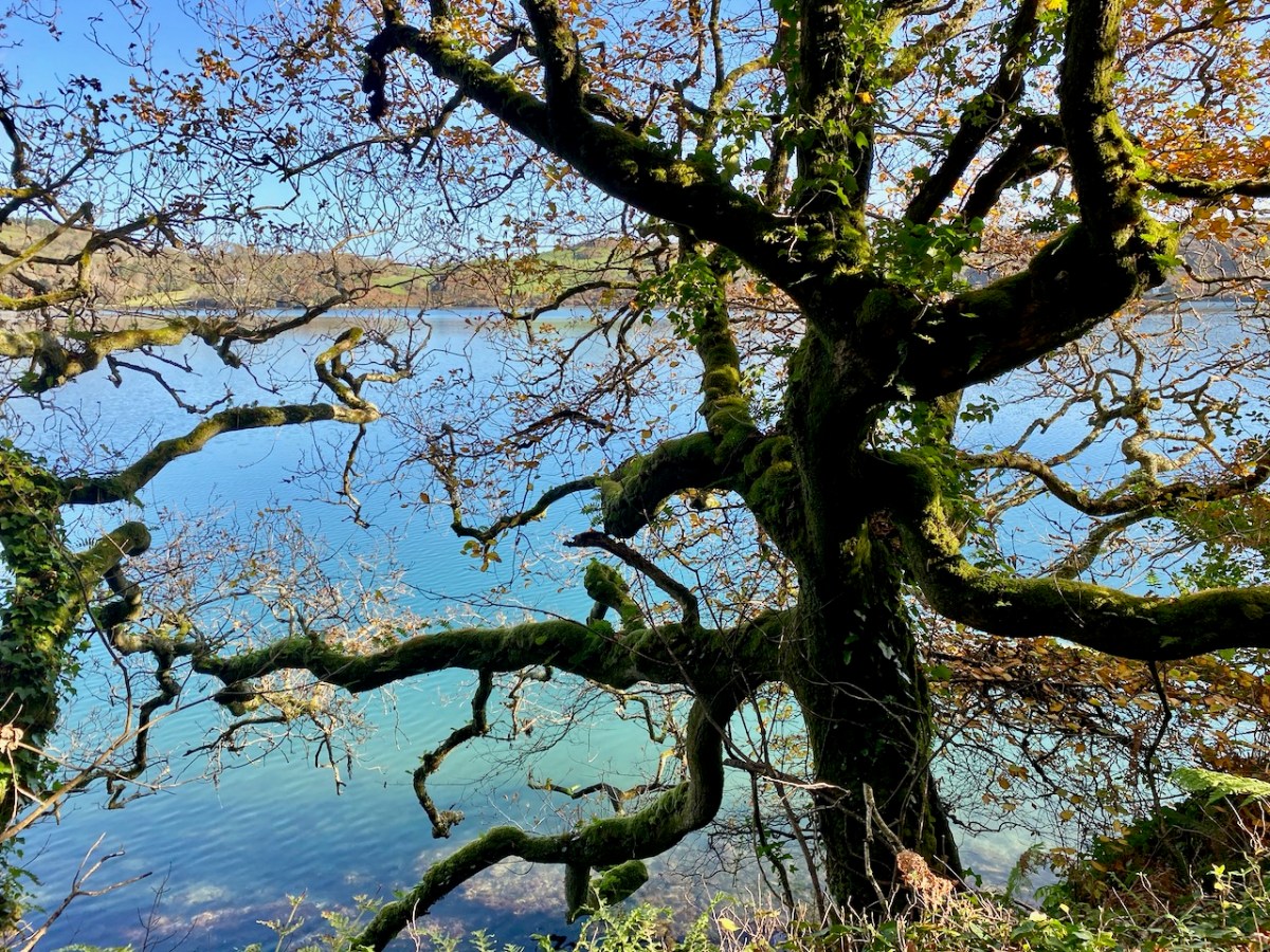
The Ilen River is broad and magnificent as it passes by Newcourt. You do see large boats on that stretch sometimes, but also many skiffs and small craft from the Skibbereen Rowing Club. The grand house – New Court – is gone now, but the ‘designed landscape’ can be traced through the survival of ruined towers, gazebos and water-gates.
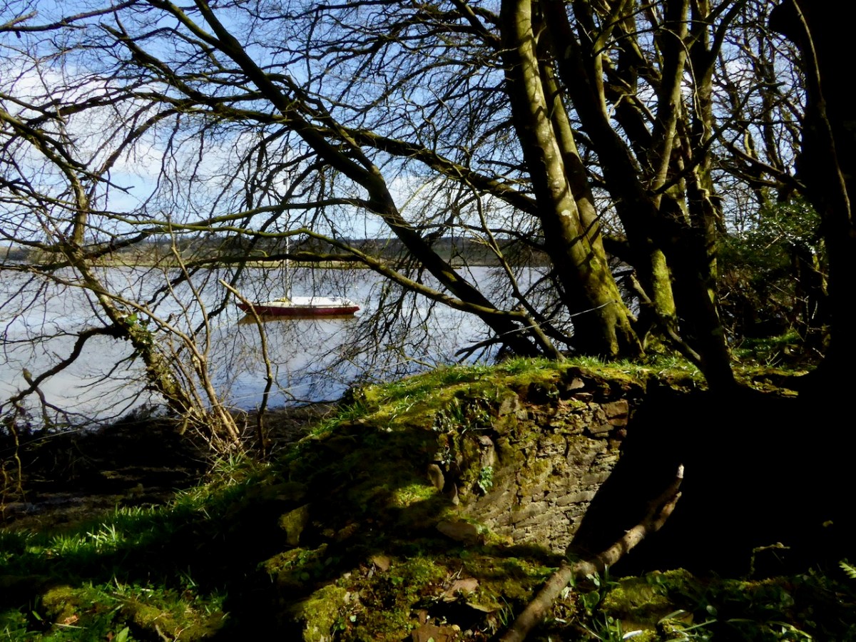
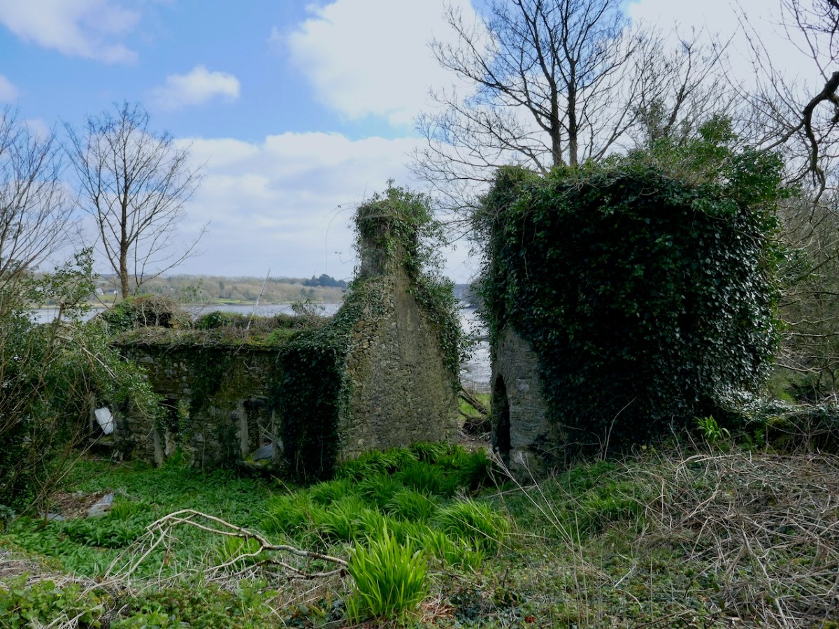

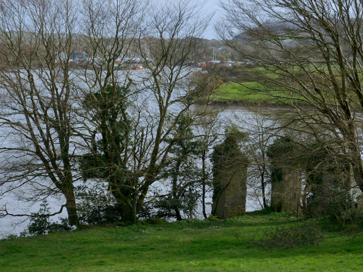
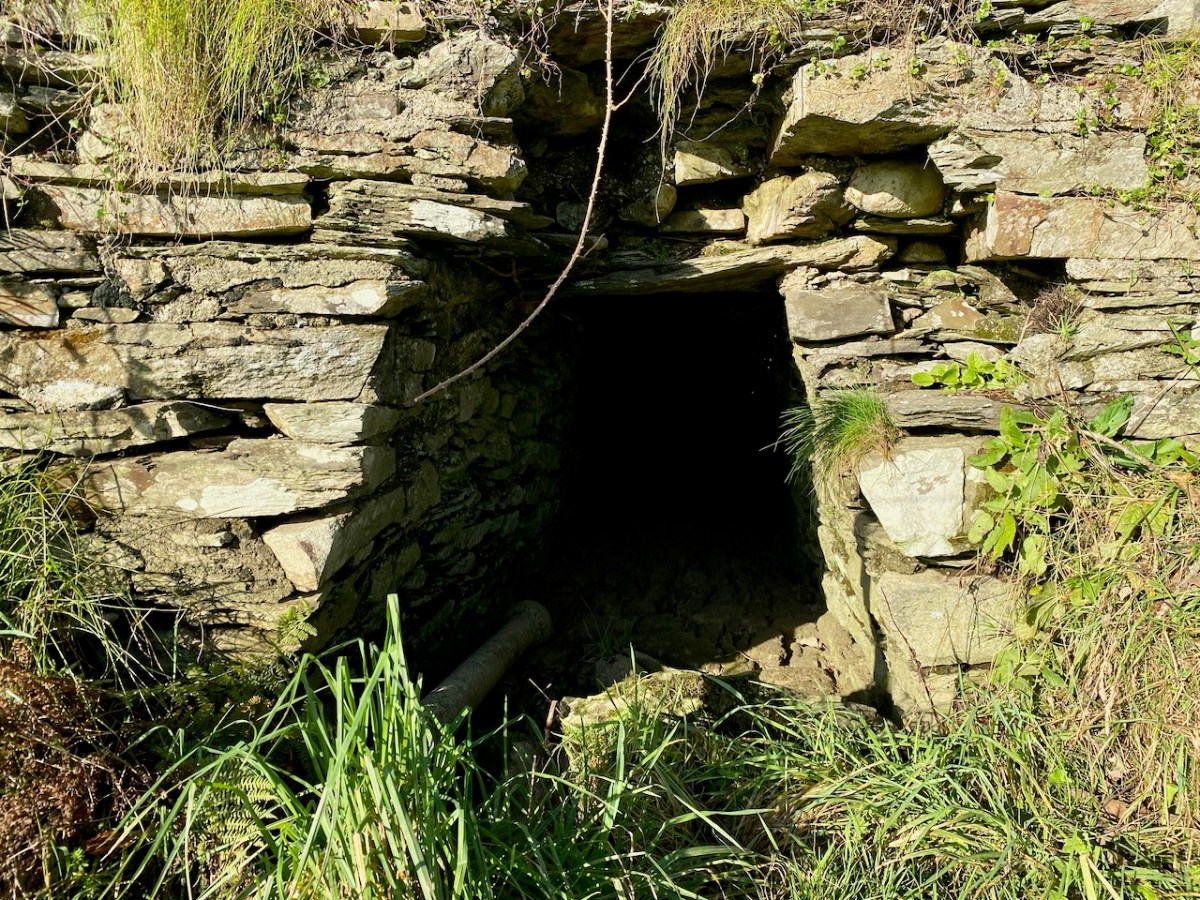
Ilen River frontage on the Newcourt Demense: from upper – the base of an ornamental tower fronts the constructed river wall; Mohanagh Dispensary ruin and another tower; prospect towards Skibbereen from the estate; substantial pillars which were part of a water gate on the south of the site – in the distance is the boatyard at Oldcourt
Finola has written previously about Newcourt, and there tells the story of another ‘water-gate’ which will be seen today by anyone travelling towards Skibbereen from the main road. We now return to Skibbereen ourselves to finish off this second episode of the series. This (below) was the bridge which took the road into the town over the Ilen prior to the present one: built in 1877, it was condemned as unsafe for heavy loads in 1953, but it took another ten years to replace it.

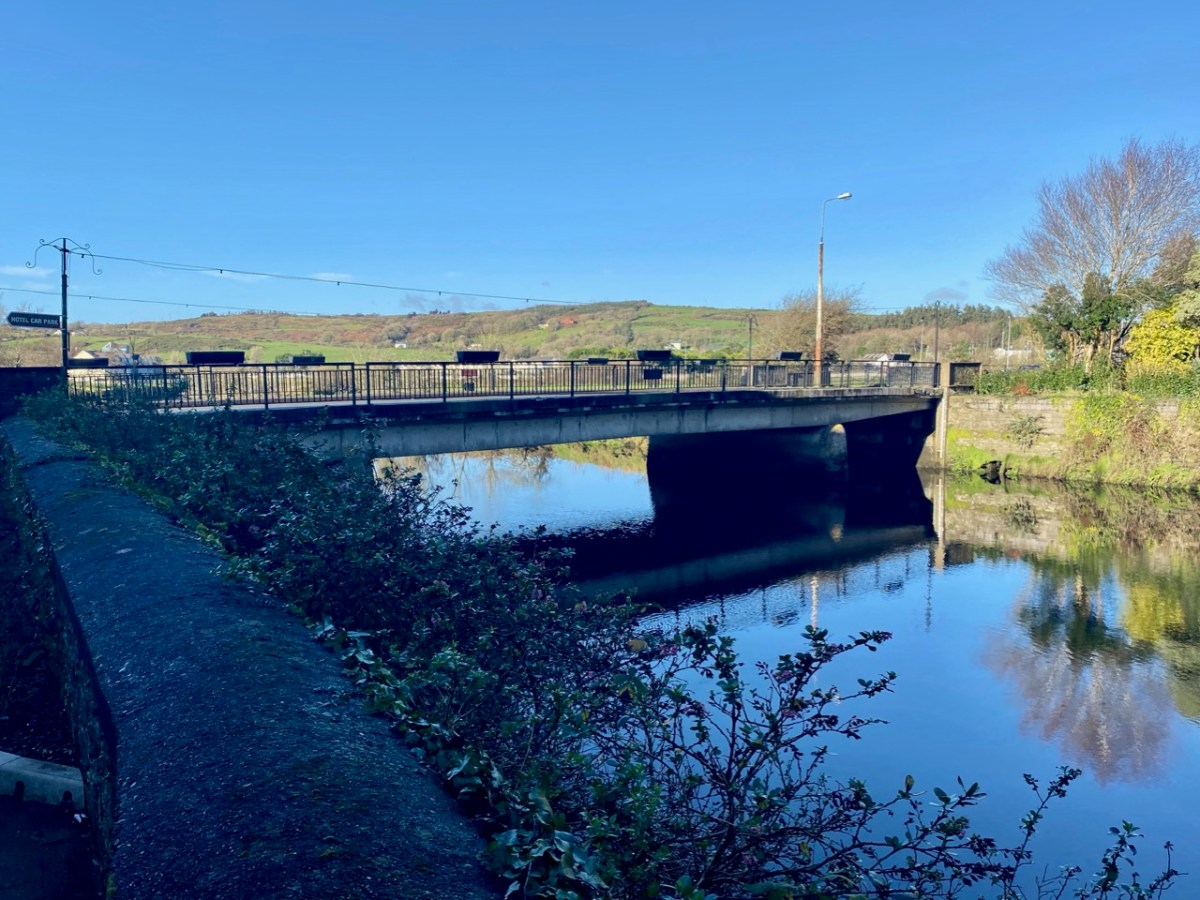
Above is Kennedy Bridge, Skibbereen, that was opened with due ceremony on Monday 15 June 1964 and named in honour of American President John F Kennedy. It has a centre span of 22 metres and two side spans each of 8 metres. First to cross the bridge on that day was Richard Burchill of Tragumna on a horse and cart! Information about these events – and much more – can be seen in the excellent displays in the Skibbereen Heritage Centre: formerly the town’s gasworks buildings and sited appropriately enough alongside the Ilen River!

Look out next time for more adventures exploring the further northern reaches of the Ilen!
Here is the first episode in this series: Sweet Ilen