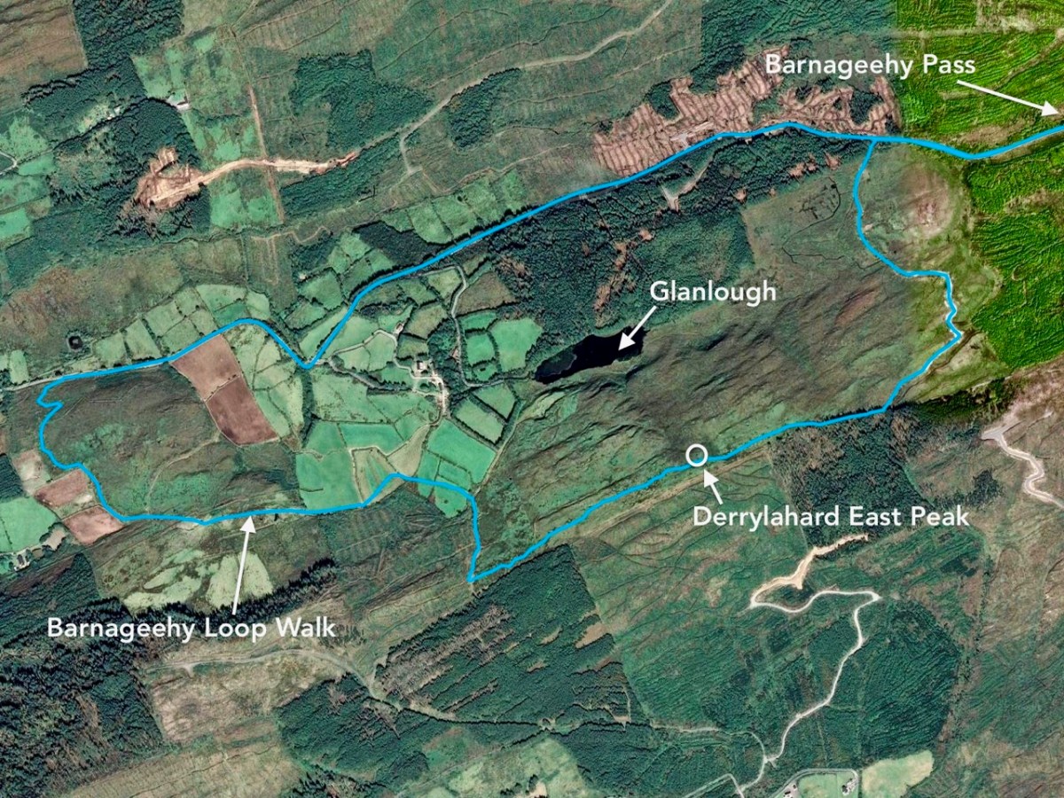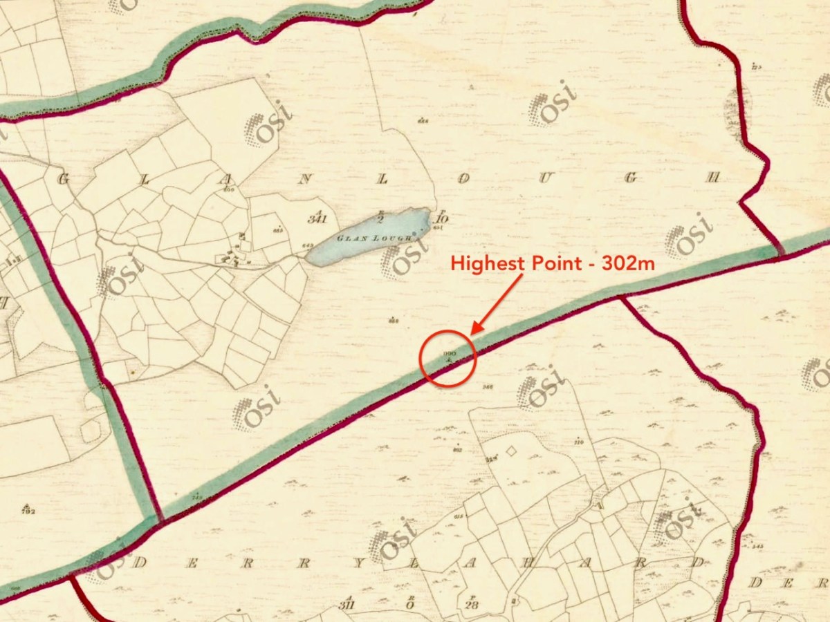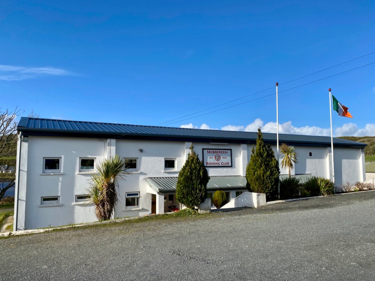
We’ve both been dipping in to Robert LLoyd Praeger recently – Robert for this week’s post on the Ilen Cascades and me for pleasure. Praeger’s classic book The Way That I Went, was published first in 1937 and has never been out of print (this is the edition we have). My browsing reminded me that I tried a Praeger approach to explaining our West Cork landscape a few years ago, in a post post titled Wild Atlantic Light – the West Cork Winter Edition. I am having another go at it now with edited text and new photographs, all taken in the winter months. Mostly what I was trying to do then and now is to explain the West Cork landscape – what gives it its form and shape and colour and startling beauty. Being in lockdown since Christmas has forced us (even more than usual) to engage with our territory on a deeper level, seeking to understand what makes it the way it is.
Of this area, Praeger says,
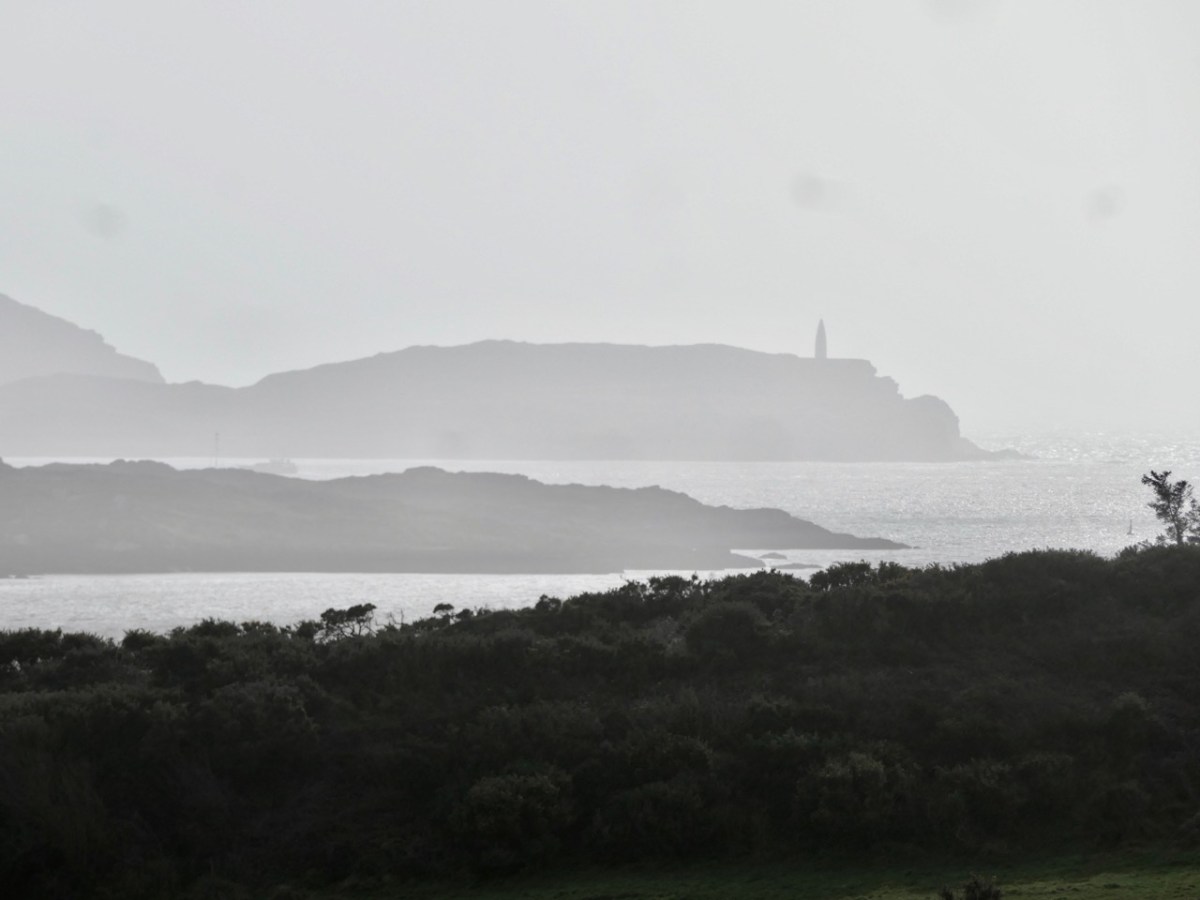
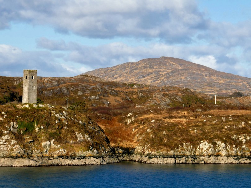
At the Southern end of this land of great mountain promontories, in West Cork, you find yourself in a little-known and tourist-free region of much charm. You stay on Sherkin Island . . . or Cape Clear island . . . , at Schull or far out at Crookhaven: and you walk and boat and fish and lounge and bathe, and enjoy the glorious air and sea; towns and trams and telephones seem like bad dreams, or like fugitive glimpses of an earlier and inferior existence. A meandering railway penetrates to Schull, and the roads are as good as you could expect them to be in so lonely a country. All is furzy heath and rocky knolls, little fields and white cottages and illimitable sea, foam-rimmed where it meets the land, its horizon broken only by the fantastic fragment of rock crowned by a tall lighthouse which is the famous Fastnet.
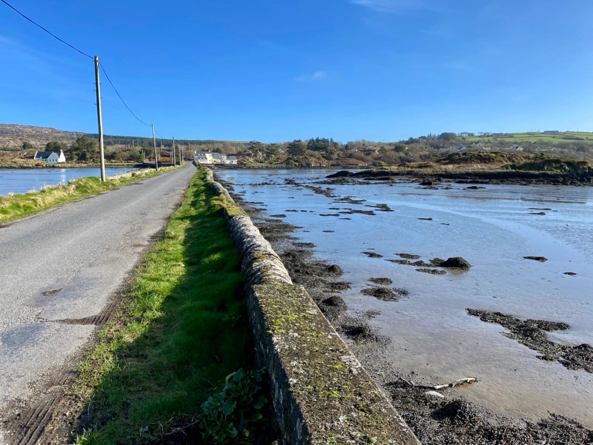
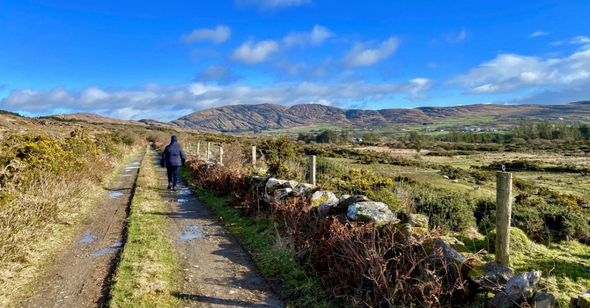
Things have changed quite a bit since the 1930s, of course – how we wish that little railway was still running or that the ‘our’ part of Ireland had remained ‘little-known.’ But while it may seem that Praeger is describing a whole other world, enjoyed in the summer, the fundamentals remain. For example, as Praeger pointed out, West Cork is a maritime area and that affects our weather. It means that clouds are plentiful at all times of the year and that the weather can be highly variable and unpredictable. But the ocean, and the Gulf Stream it carries all the way from the Gulf of Mexico, ensure that we have a slightly milder climate than the rest of Ireland. Beside the sea, the air is full of negative ions. That’s a good thing. Negative ions stimulate our senses and lead to a heightened sense of wellbeing.
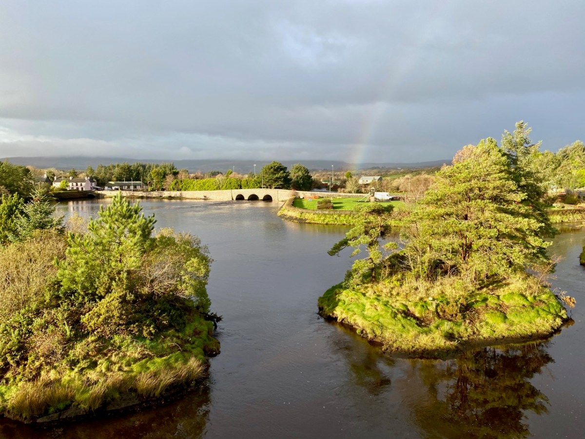
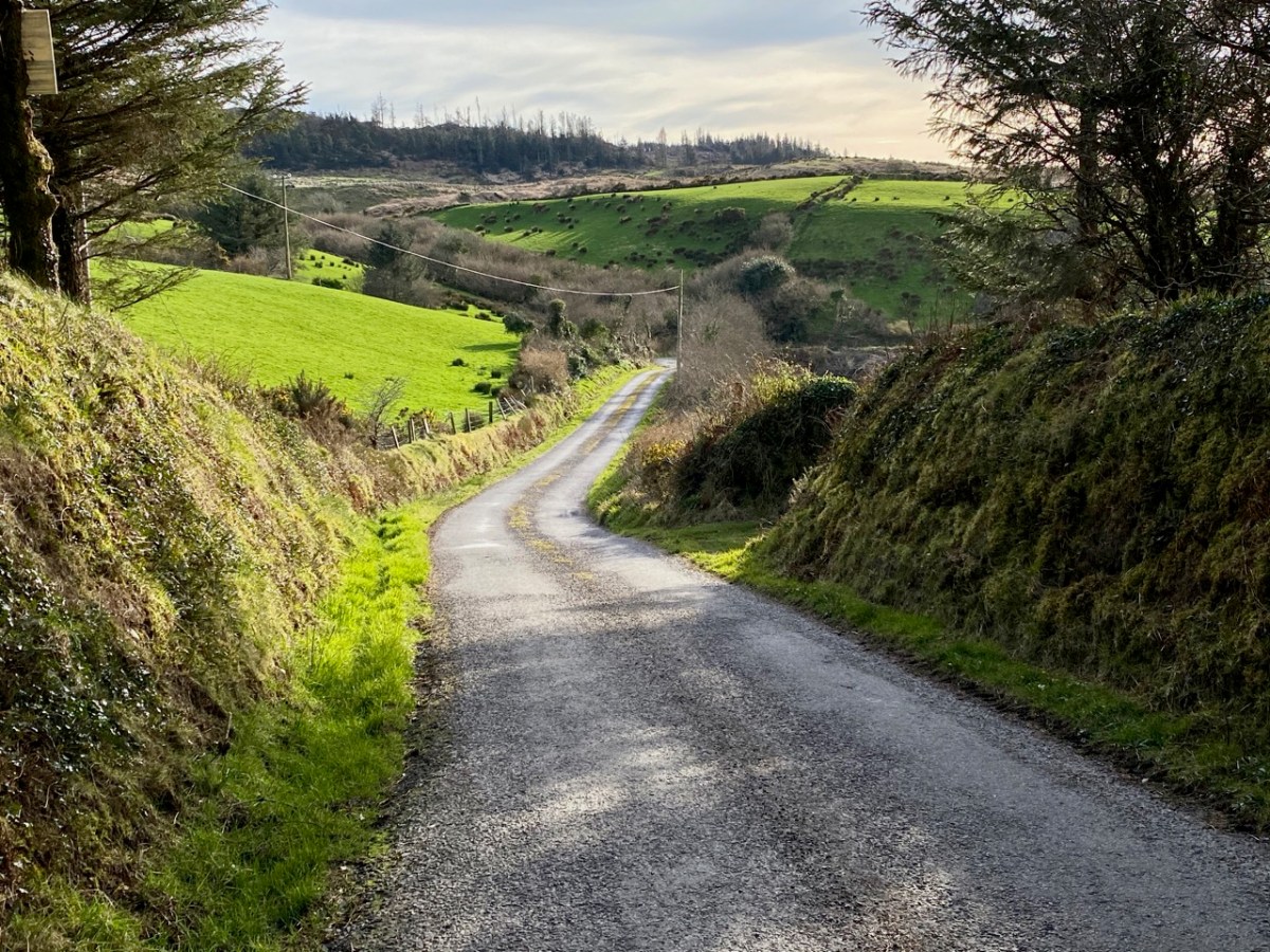
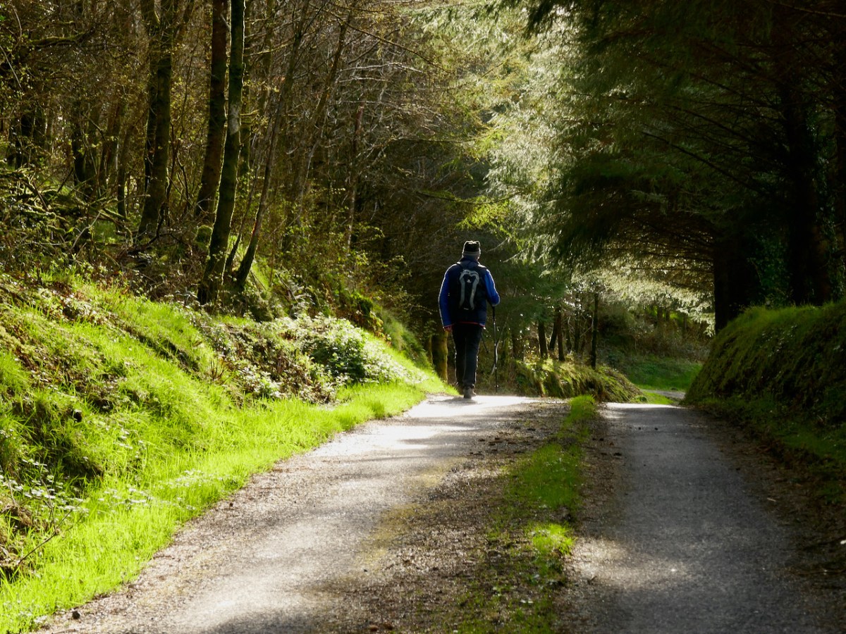
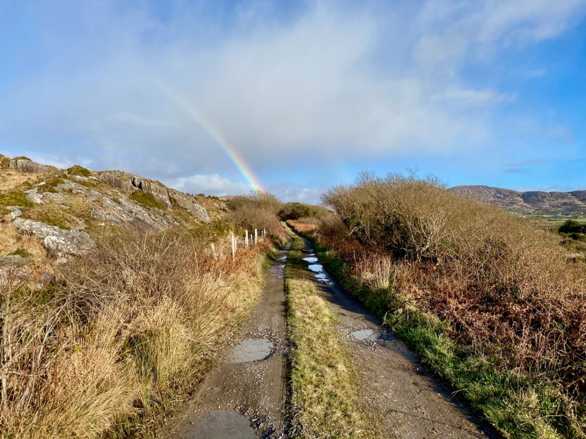
Sure, we can have rainy days and bitter winds in the winter, but there are lots of sunny days too. When the sun shines in the winter, it is filtered through those drifting clouds to produce those marvellous effects of light and shade that lend such drama to the landscape.
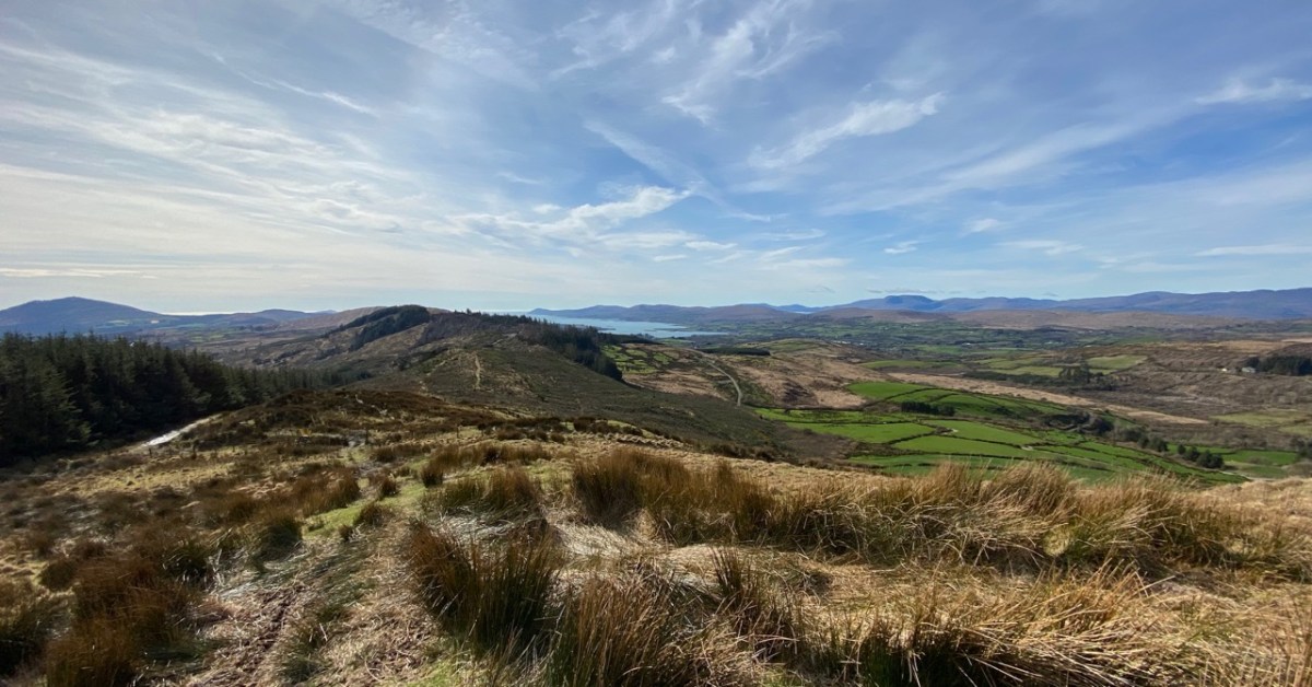
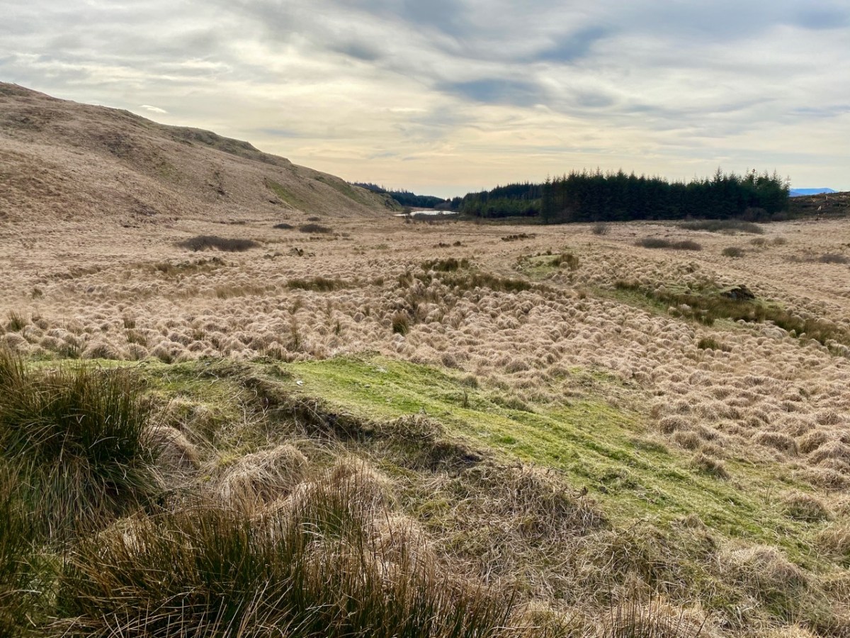
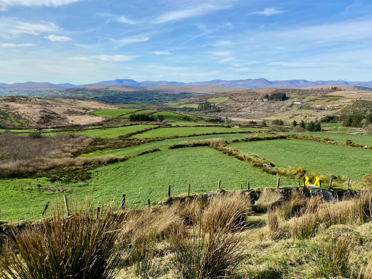
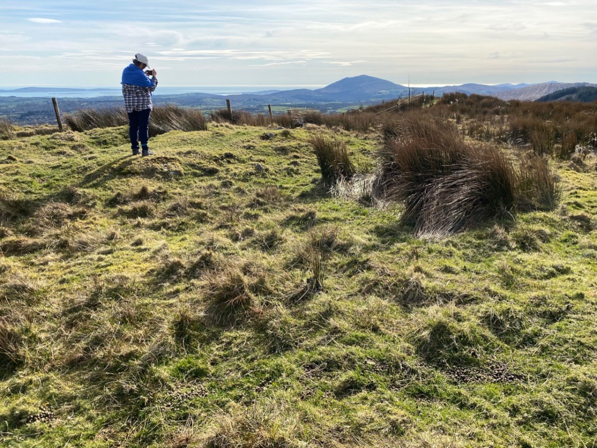
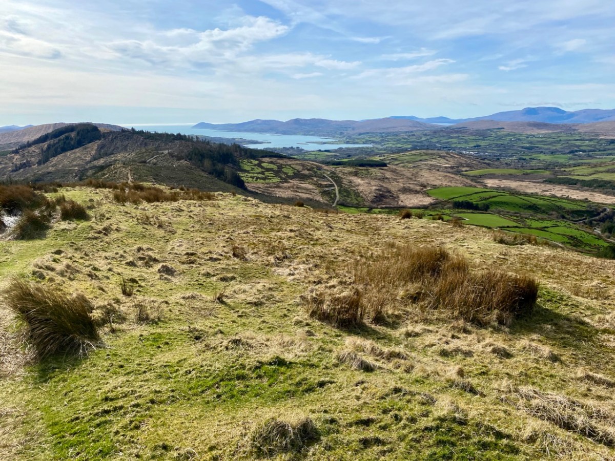
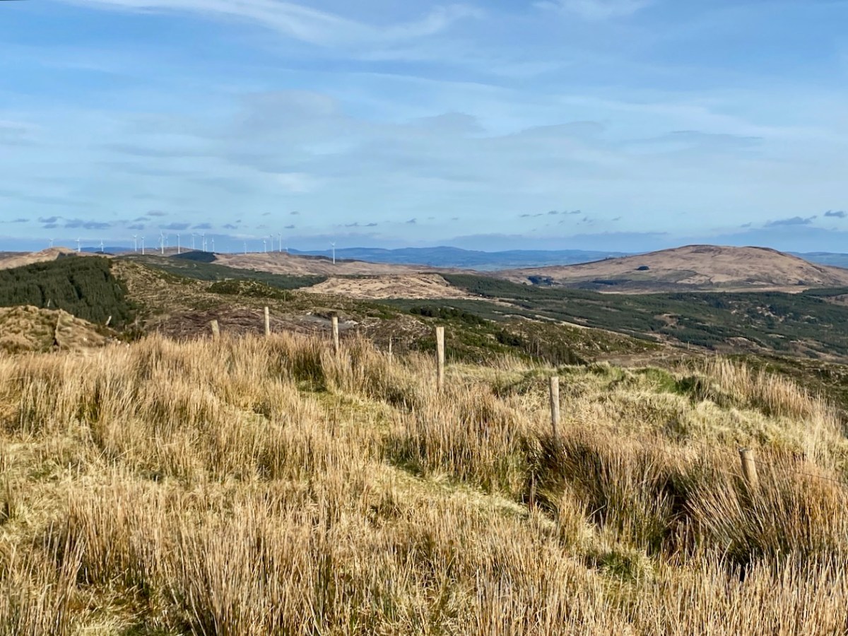
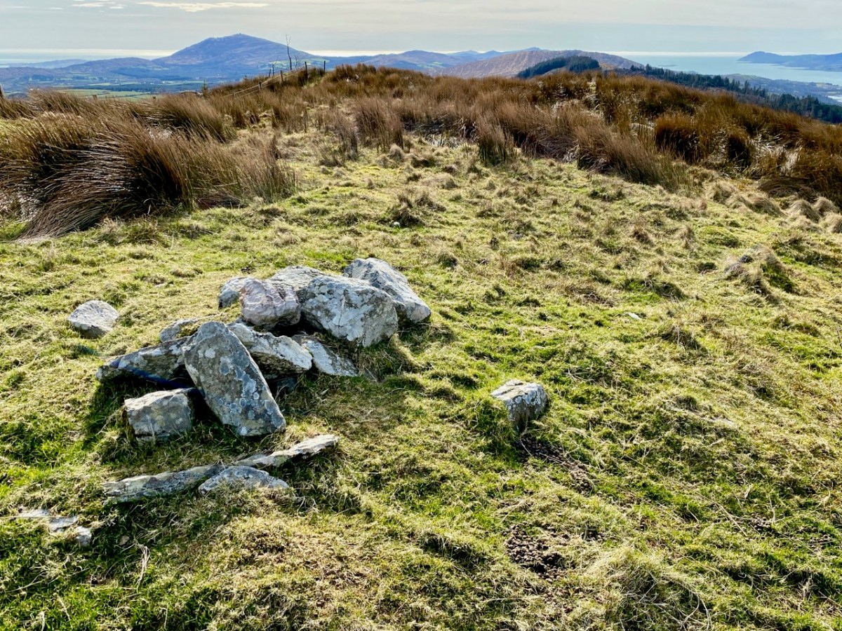
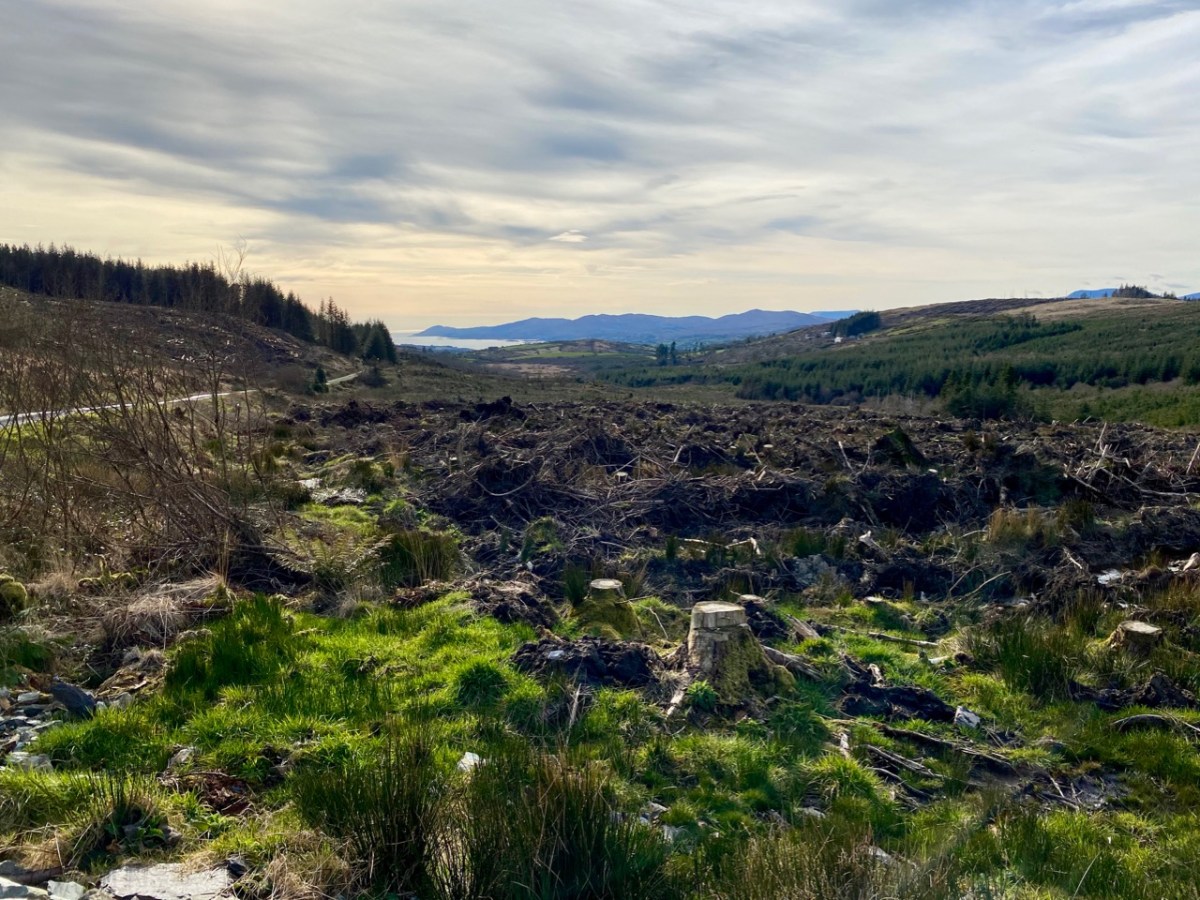
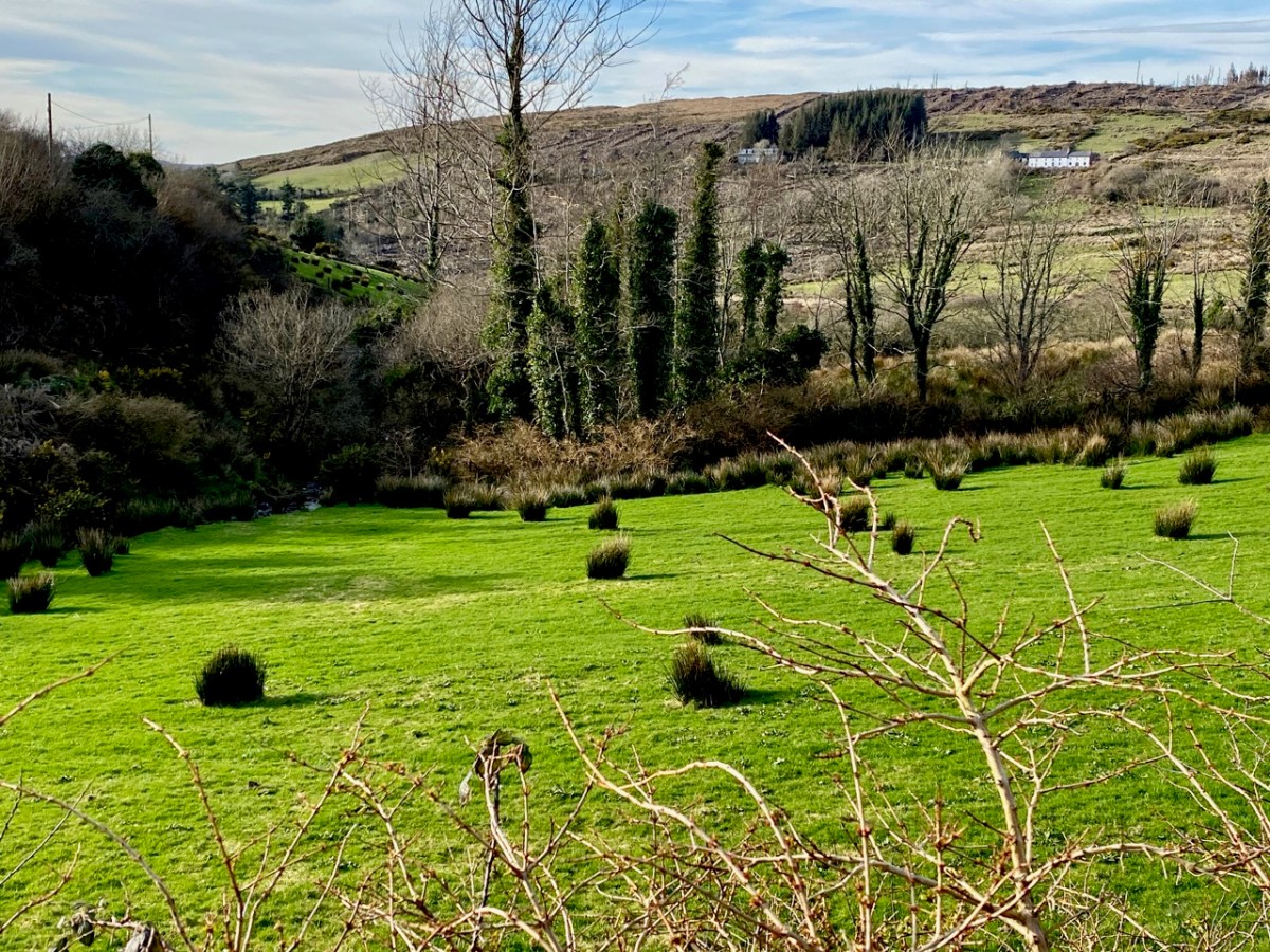
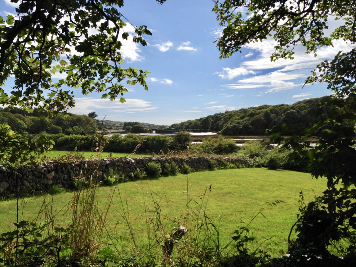
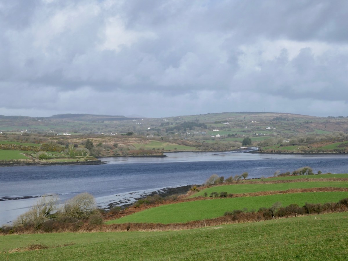
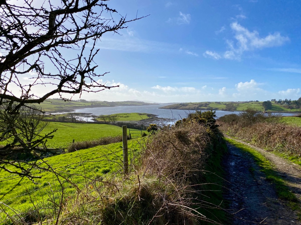
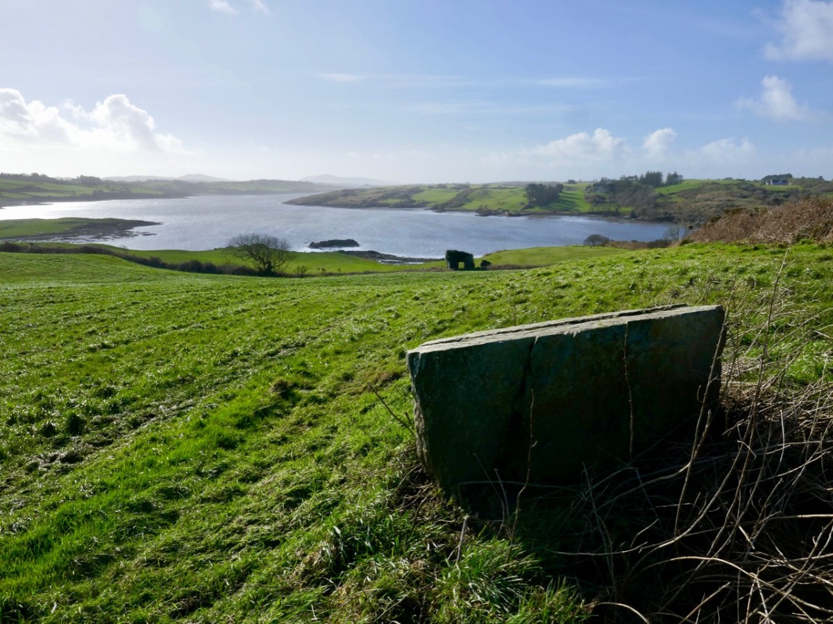
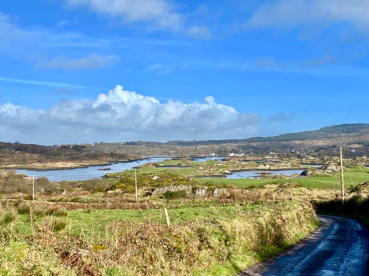
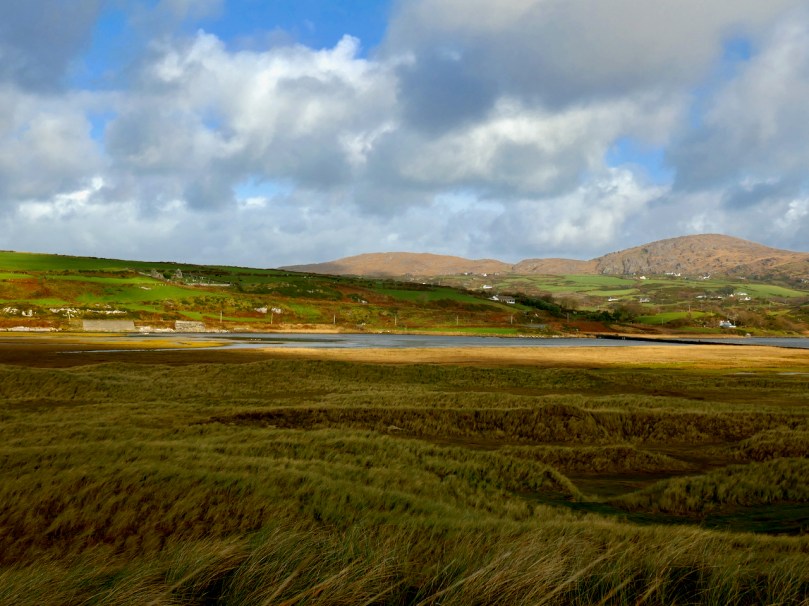
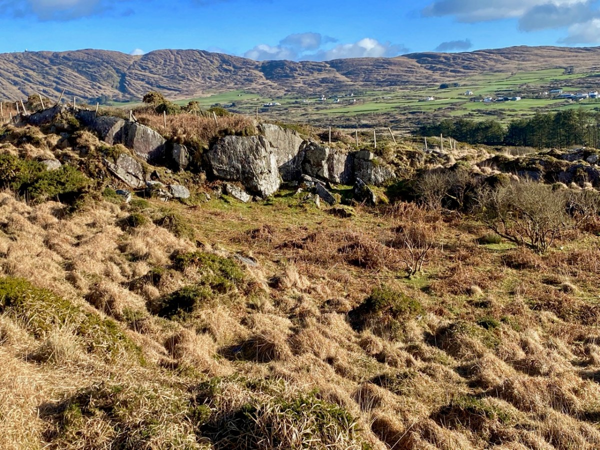
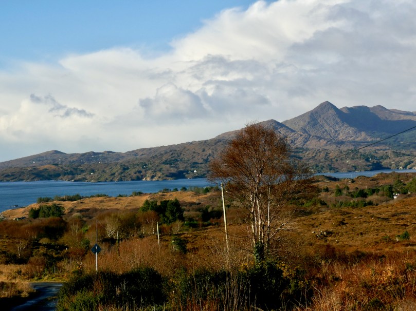
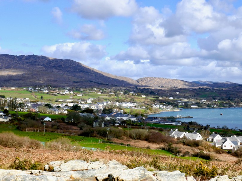
In winter too, the colours are highly contrasting – the green of the fields change abruptly to the blondes and golds of the higher mountains. The bracken turns the colour of amber and the fionán grasses provide an expansive sea of rippling heath on higher ground.
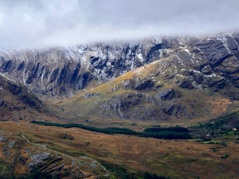
We don’t get snow very often, but it’s certainly visible on the high points, such as on the Caha Pass between Glengarriff and Kenmare. Praeger loved this dramatic geology with its crags and folds.
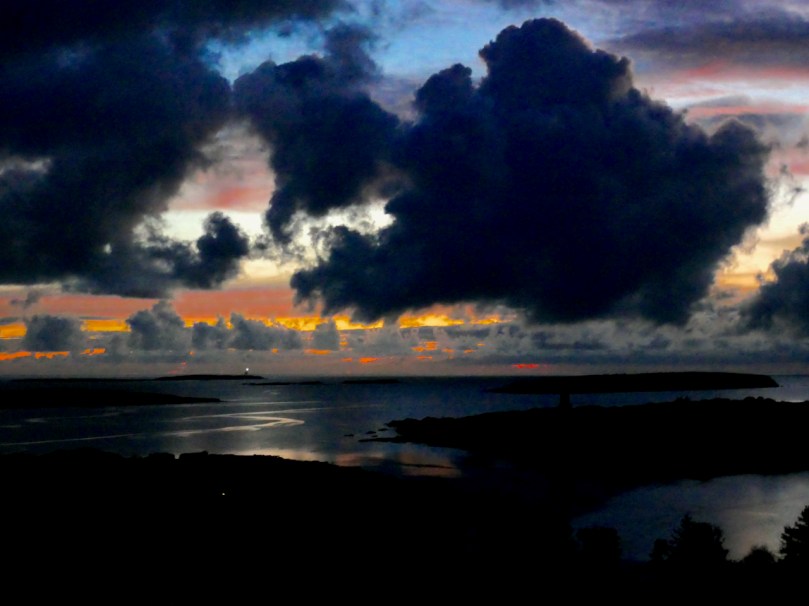
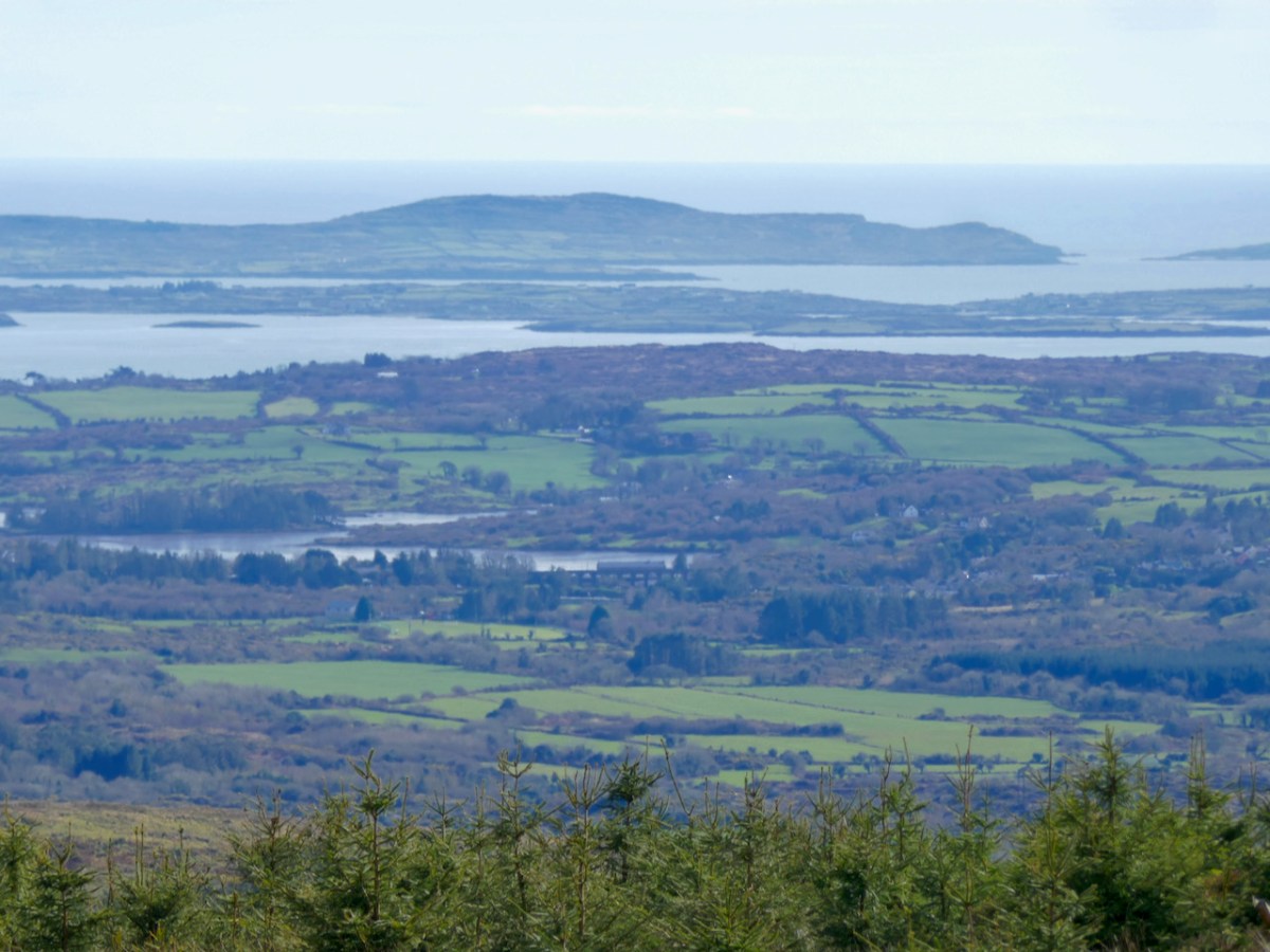
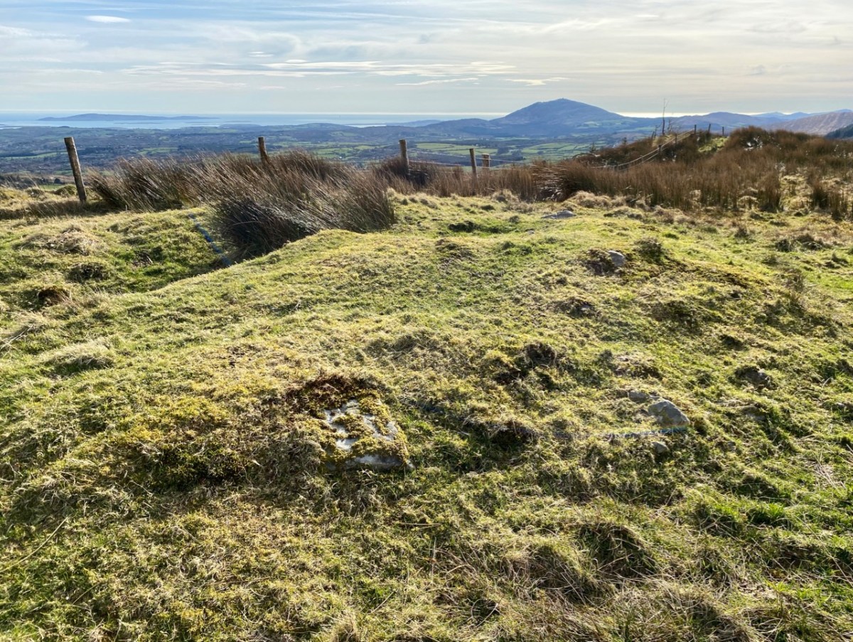
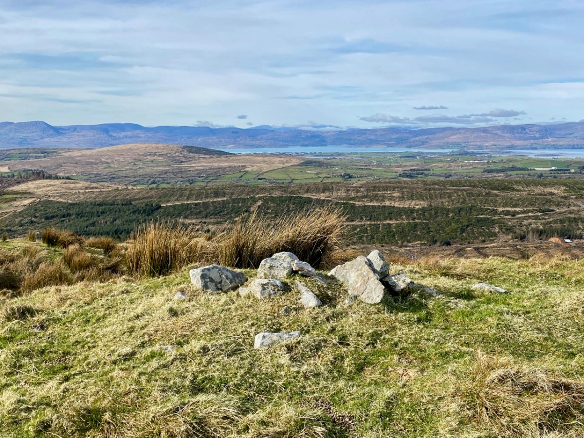
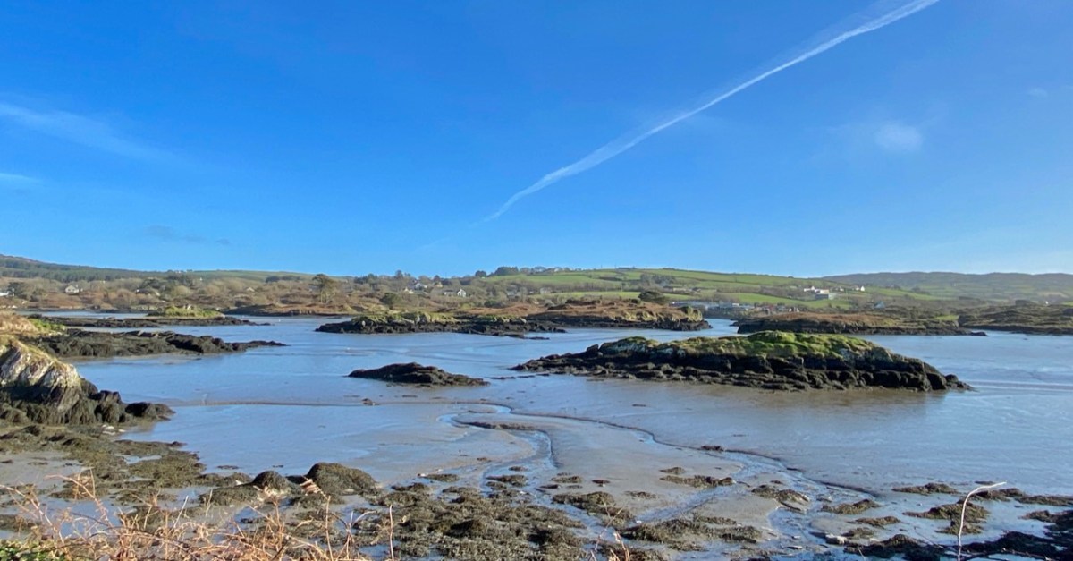
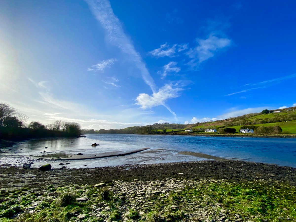
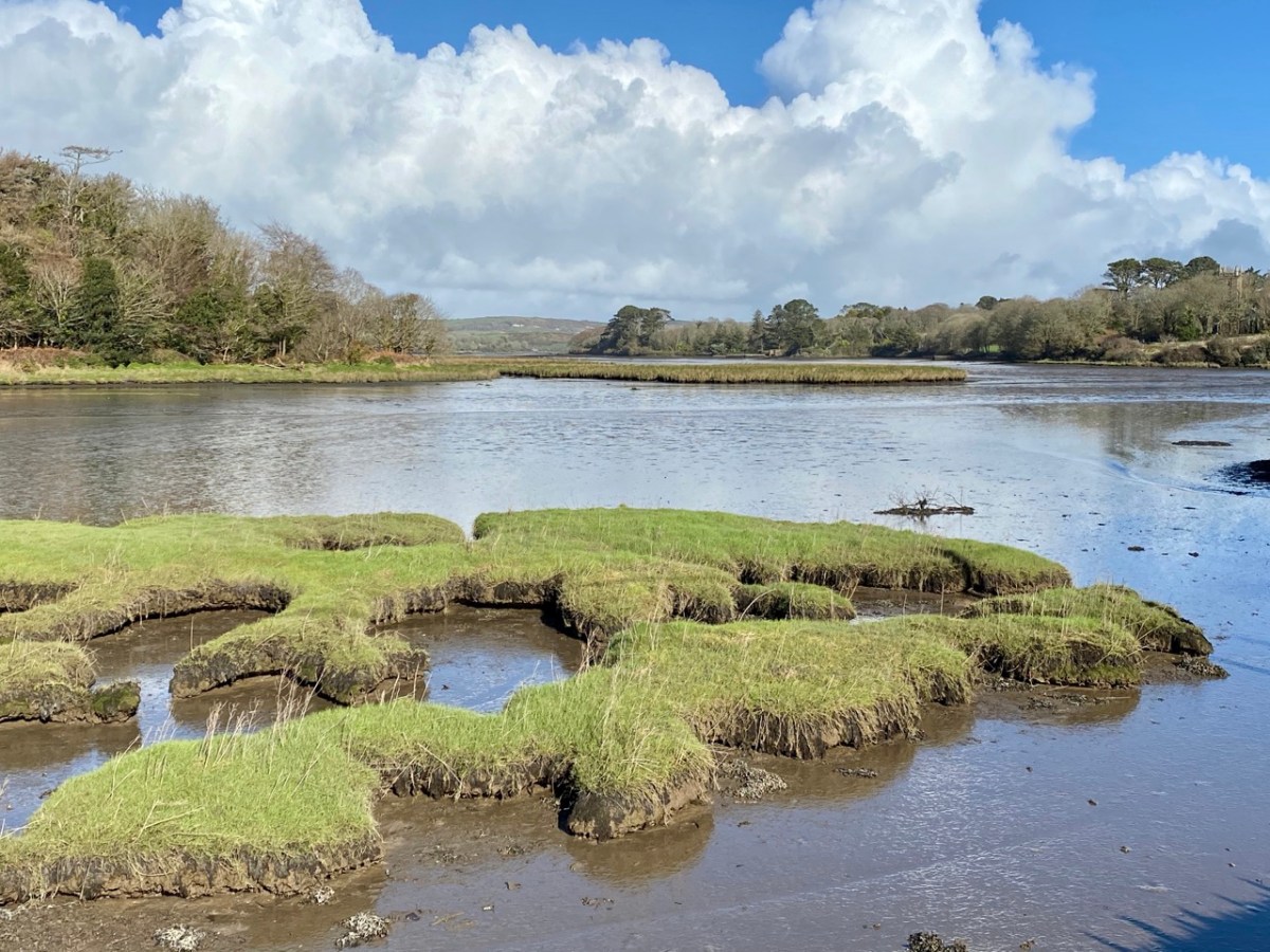
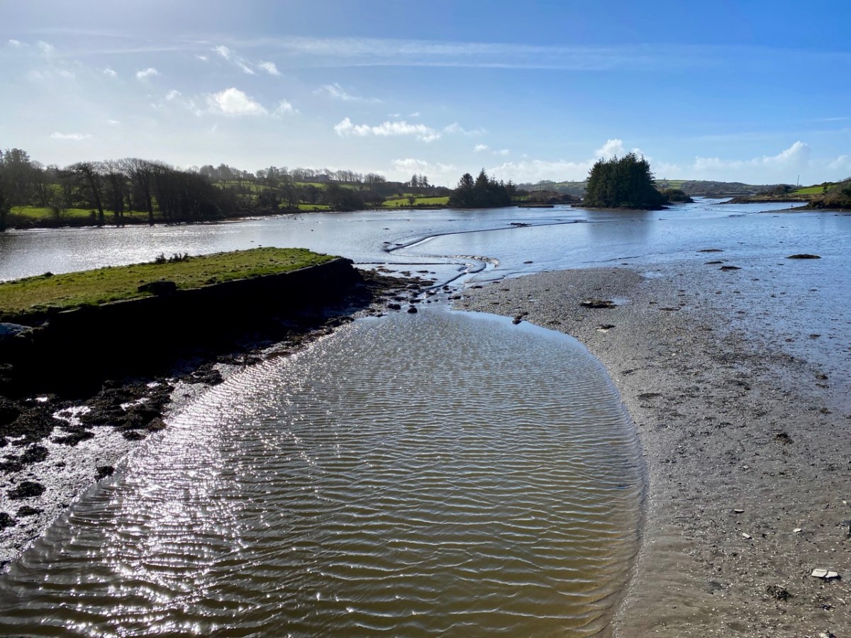
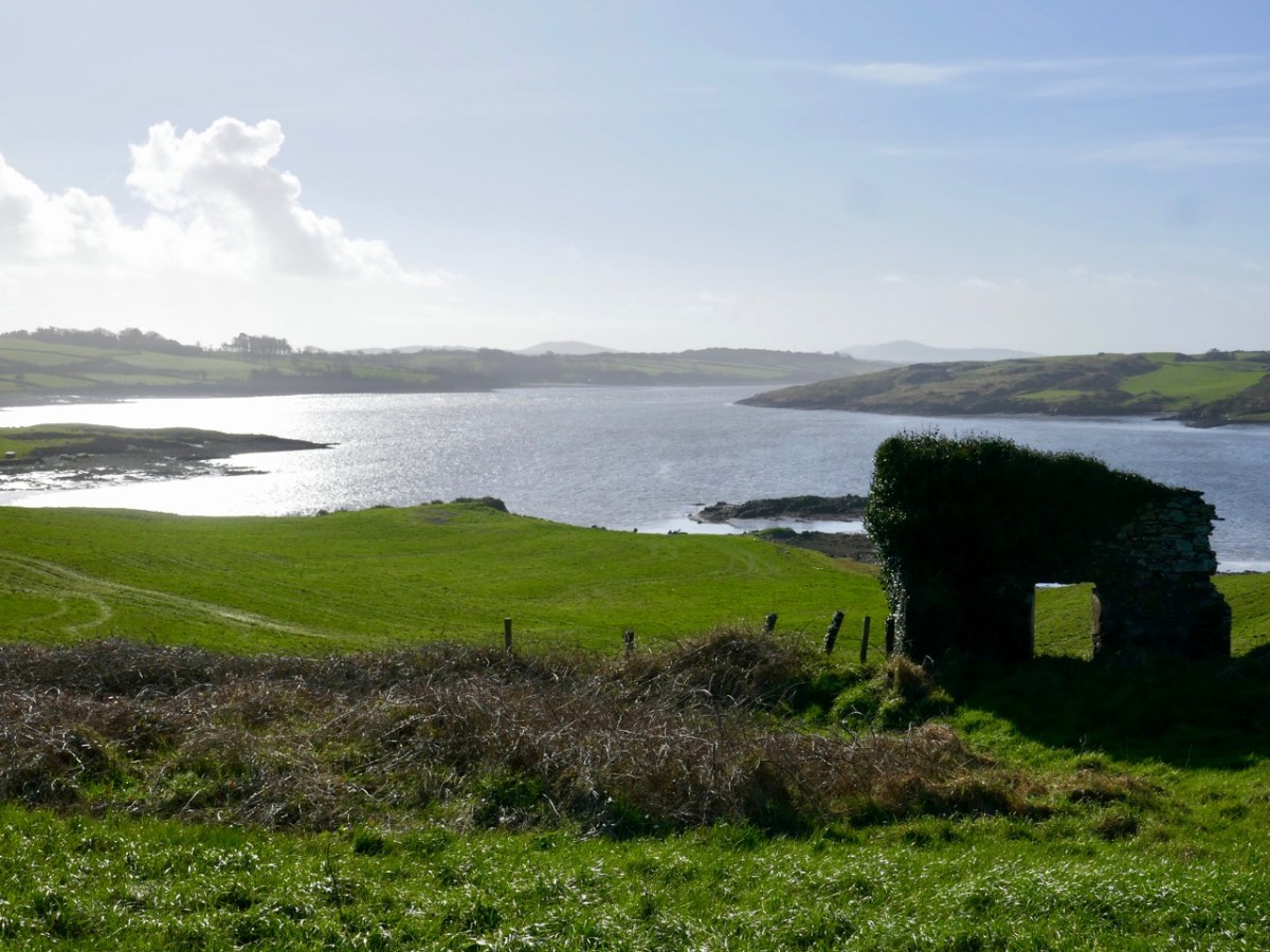
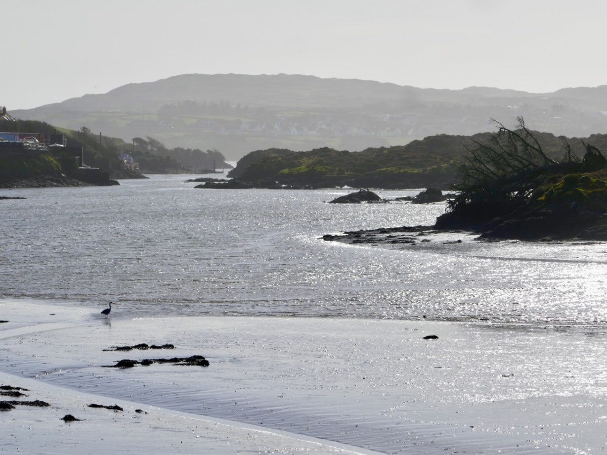
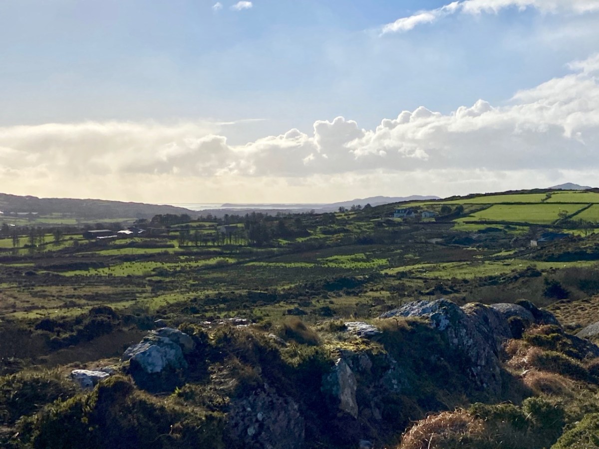
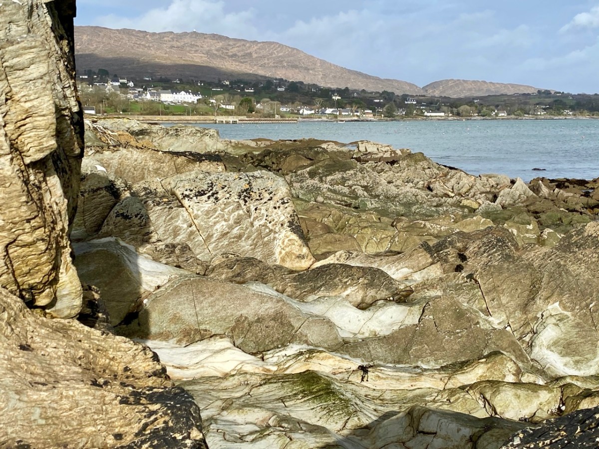
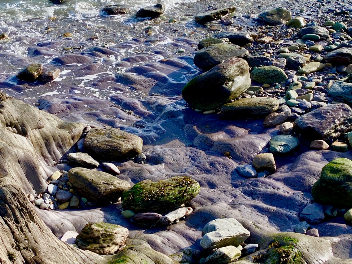
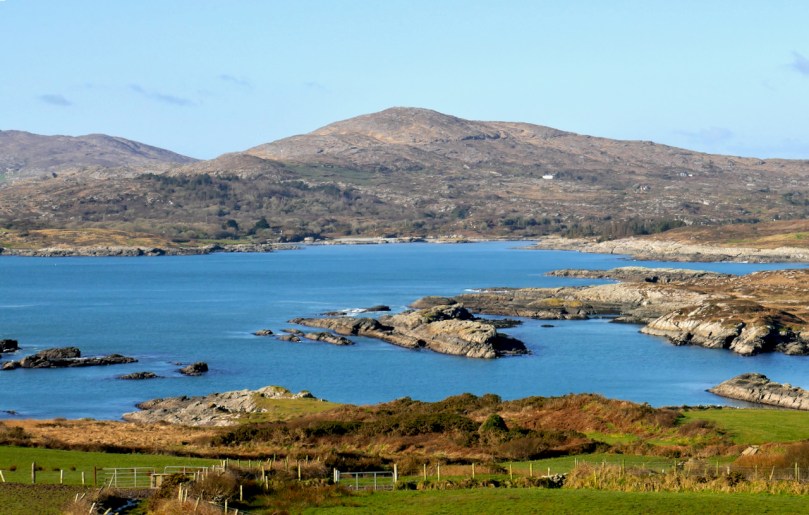
Under a blue sky the sea in West Cork turns the colour of the Mediterranean or the Caribbean. and this is particularly striking in the winter, perhaps because it’s so unexpected. They tell me it has to do with having a sandy bottom and I am sure there are other scientific explanations, but really, you have to see it yourself to believe it.
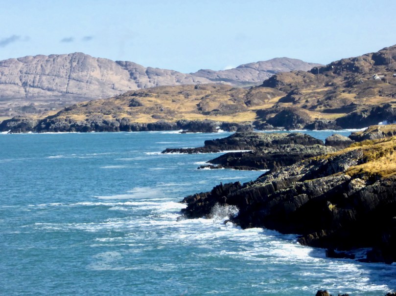
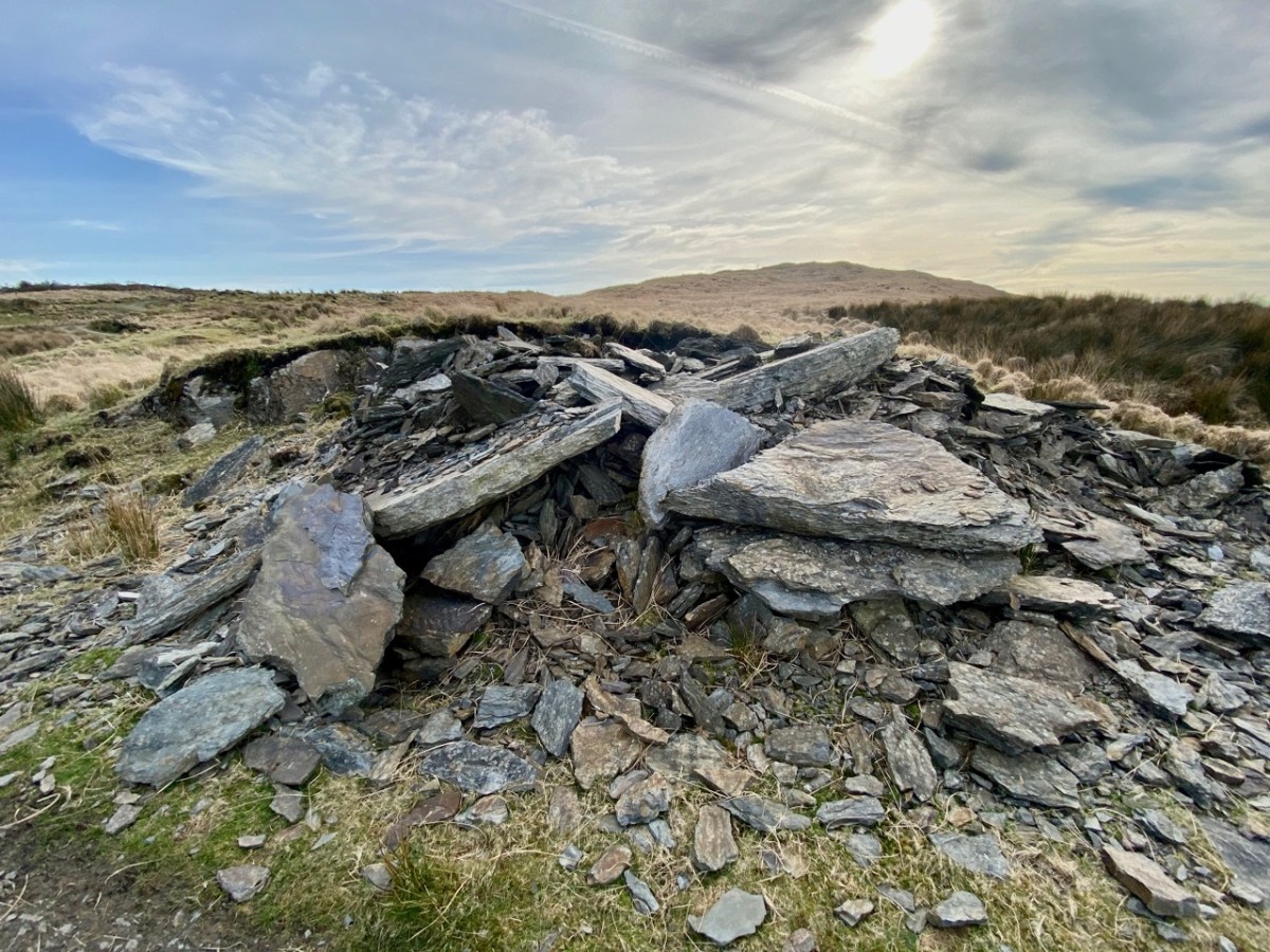
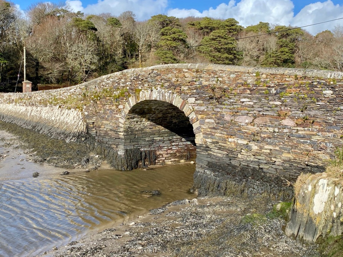
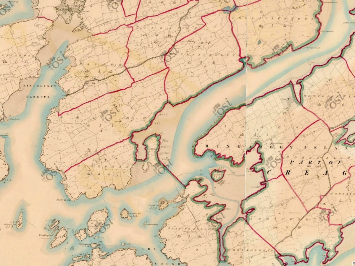
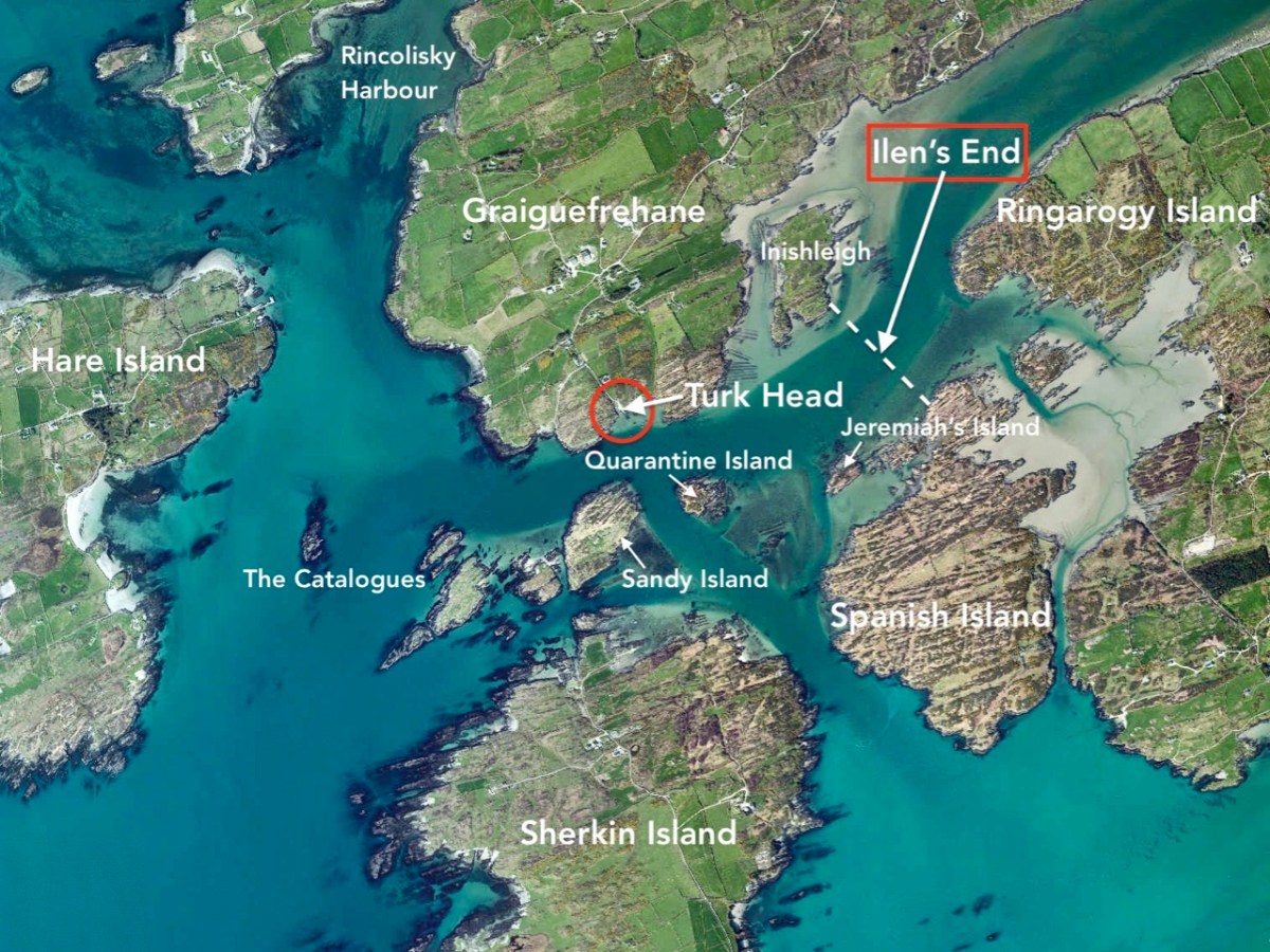
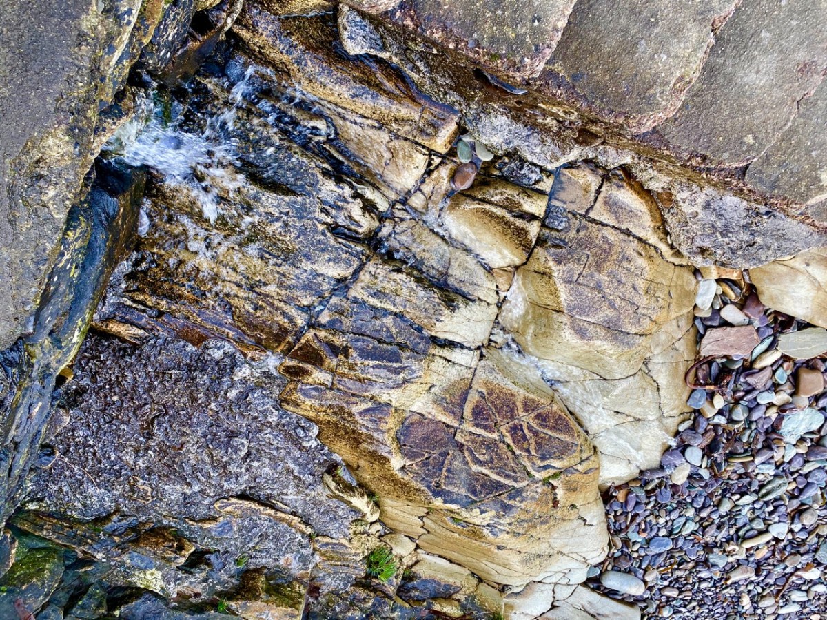
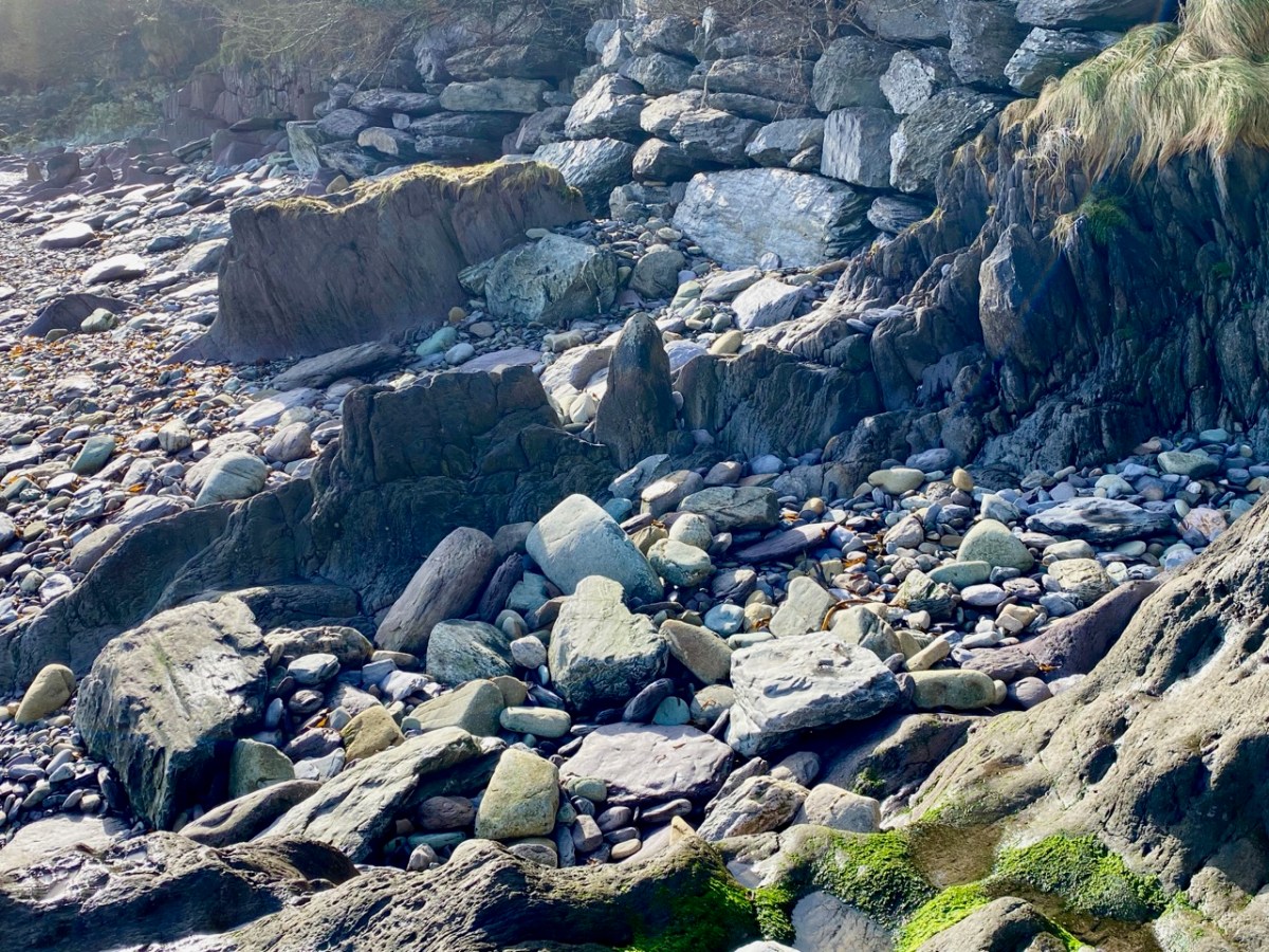
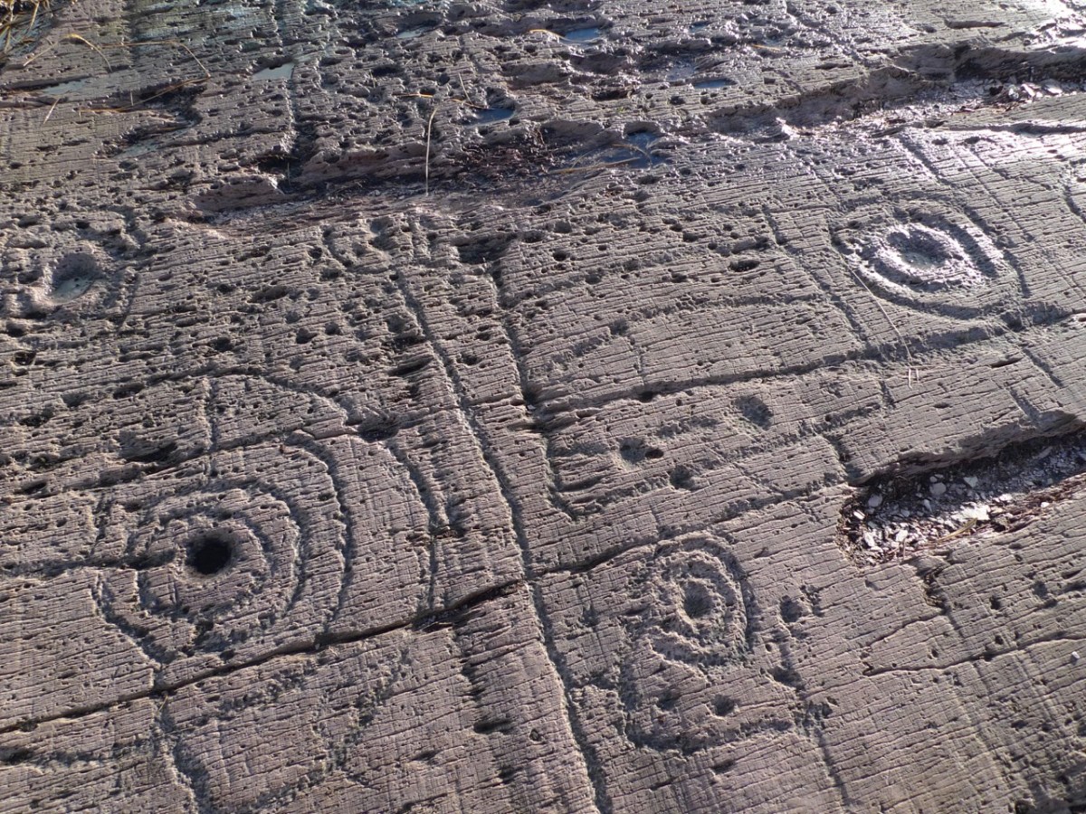
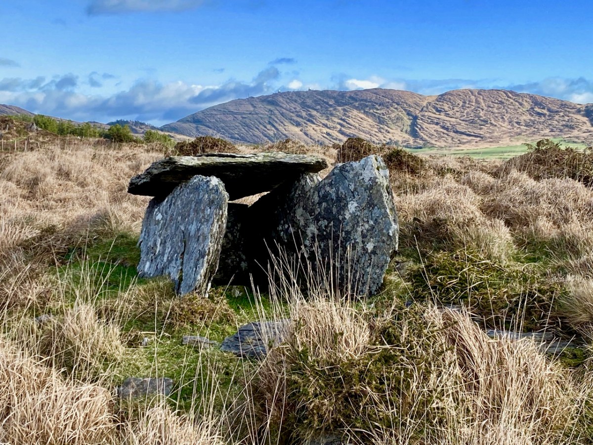
Our underlying geology (see Robert’s post again for Praeger’s explanation) provides the ruggedness, the exposed sandstone ridges, and the deep coastal indentations that characterise the landscape.
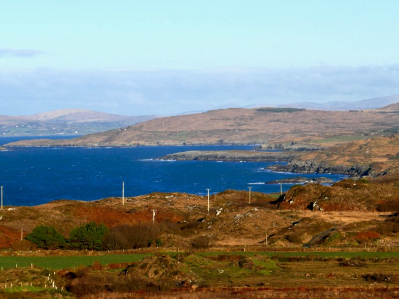
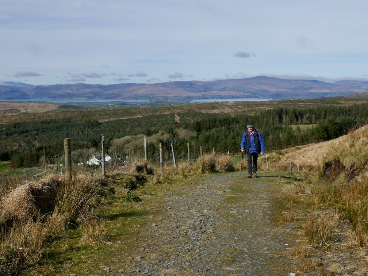
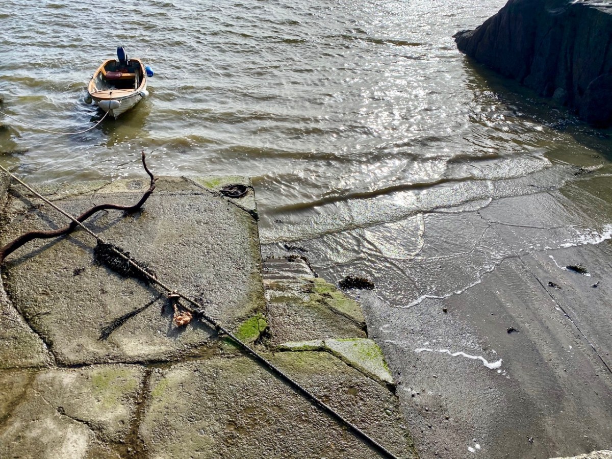
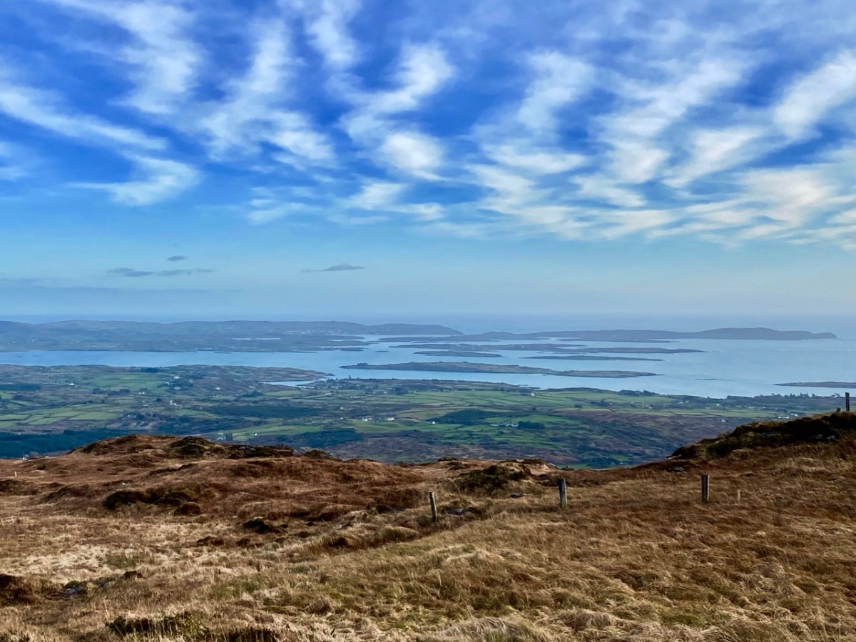
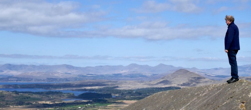
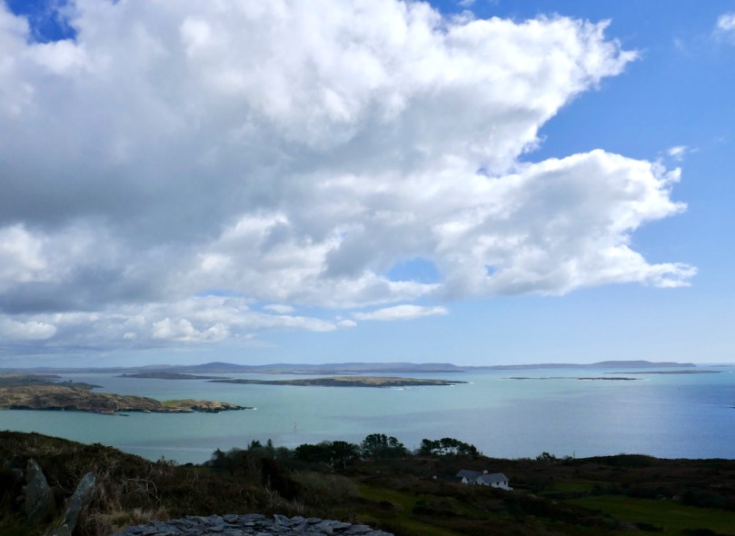
The end result of it all – the sunshine, the clouds, the mountains, the sea, the contours and colours of the land – is the kind of light that artists dream of. The sheer clarity of it is startling – you can see from one end of the peninsula to the other in a way that city dwellers have forgotten it’s possible to do. That clarity brings out every hue and allows all the colours to sparkle against each other.
The photographs in this post were all taken from the depths of winter to the first glimmerings of spring. Robert Lloyd Praeger found this area entrancing in the summer – he should have come in the winter! The last light of a winter evening would have set his heart aflutter.