Closer Encounters – Fastnet Trails

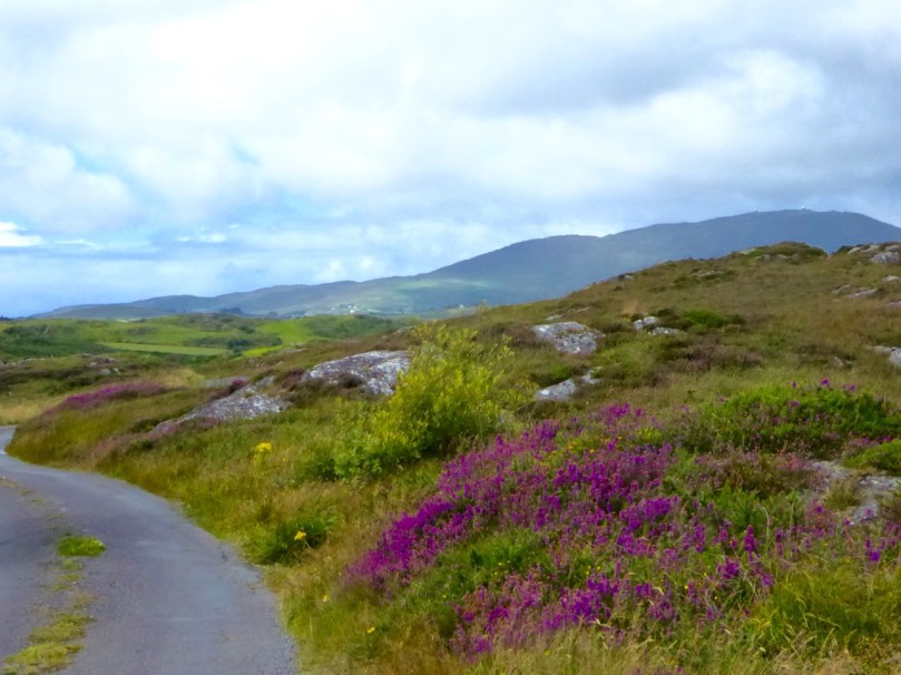
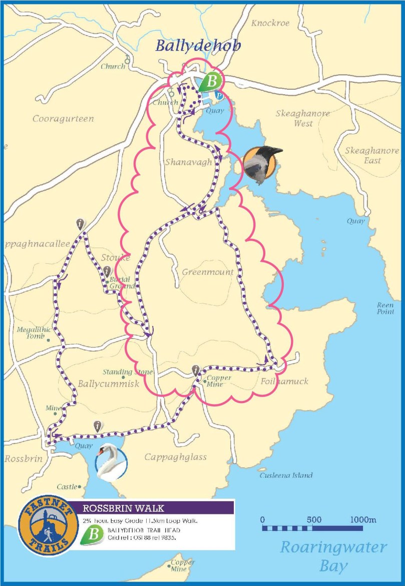
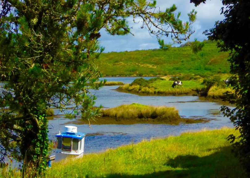
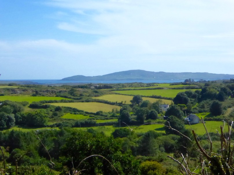
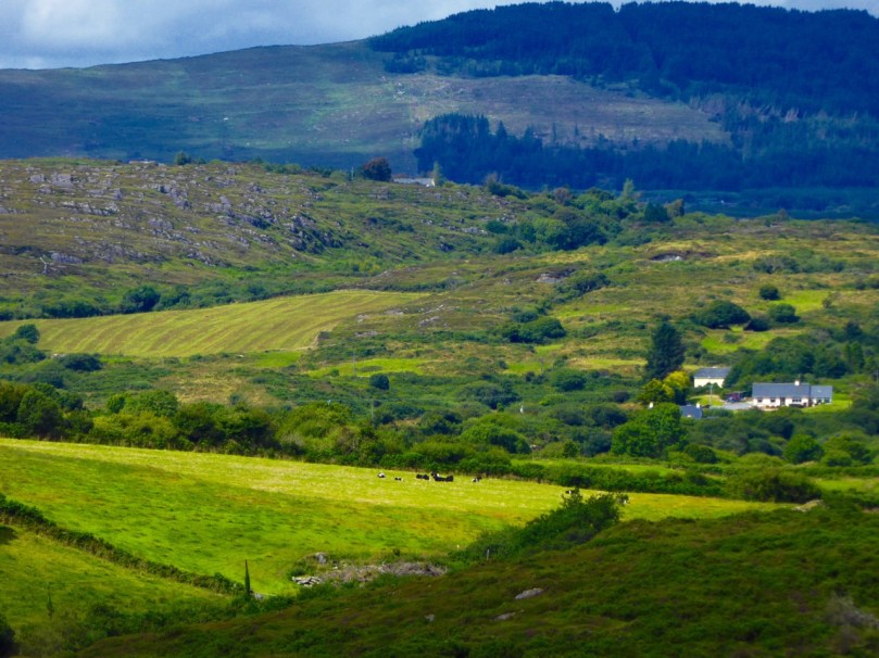
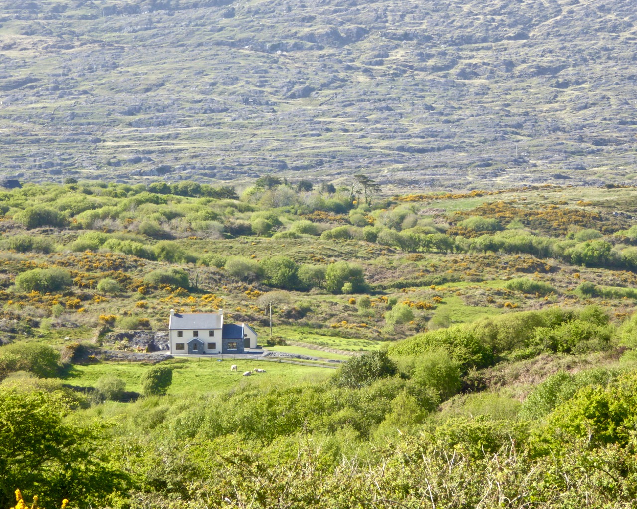
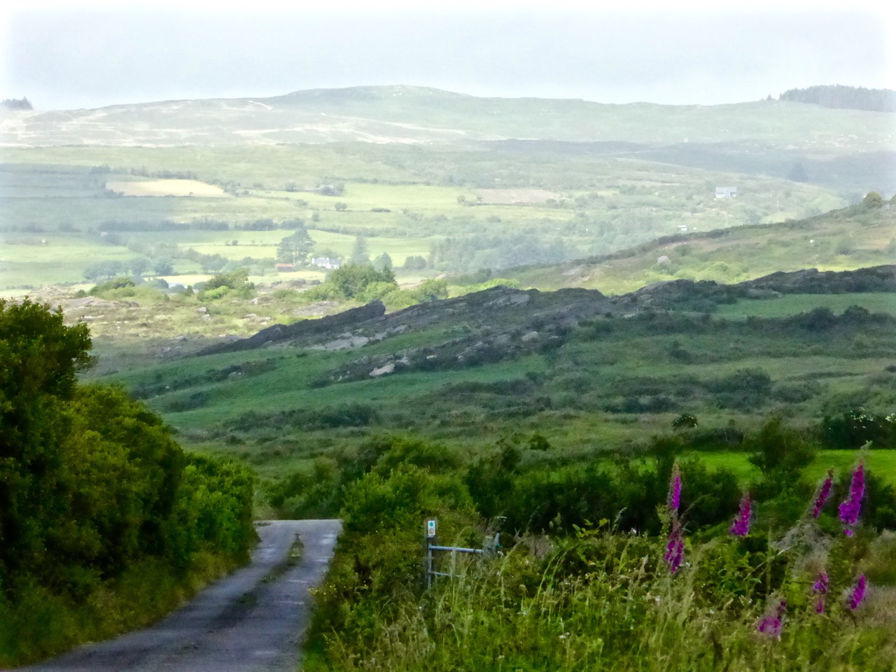
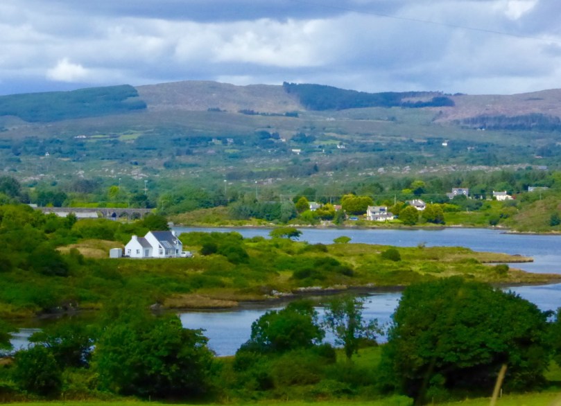
The view from Cappaghglass, on the Rossbrin Walk

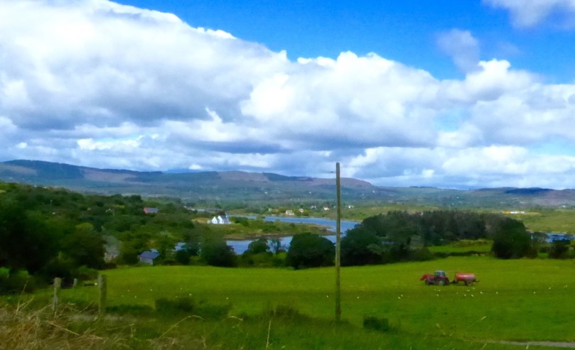
The view from Ballycummisk, on the Rossbrin Walk

Today (Sunday 28 June) a newly established system of walking trails was formally launched – by longstanding local TD (now retired) Jim O’Keefe – at Aughadown: we were part of the crowd

The Unveiling – from top left: mover and shaker Eugene McSweeney with Jim O’Keefe; Jim and the Fastnet Walk Trails Group Committee cutting the ribbon; on the inaugural walk – Fr Patrick Hickey giving us the low-down on smuggling at Roaringwater Pier; the wonderful Kilcoe National School Band
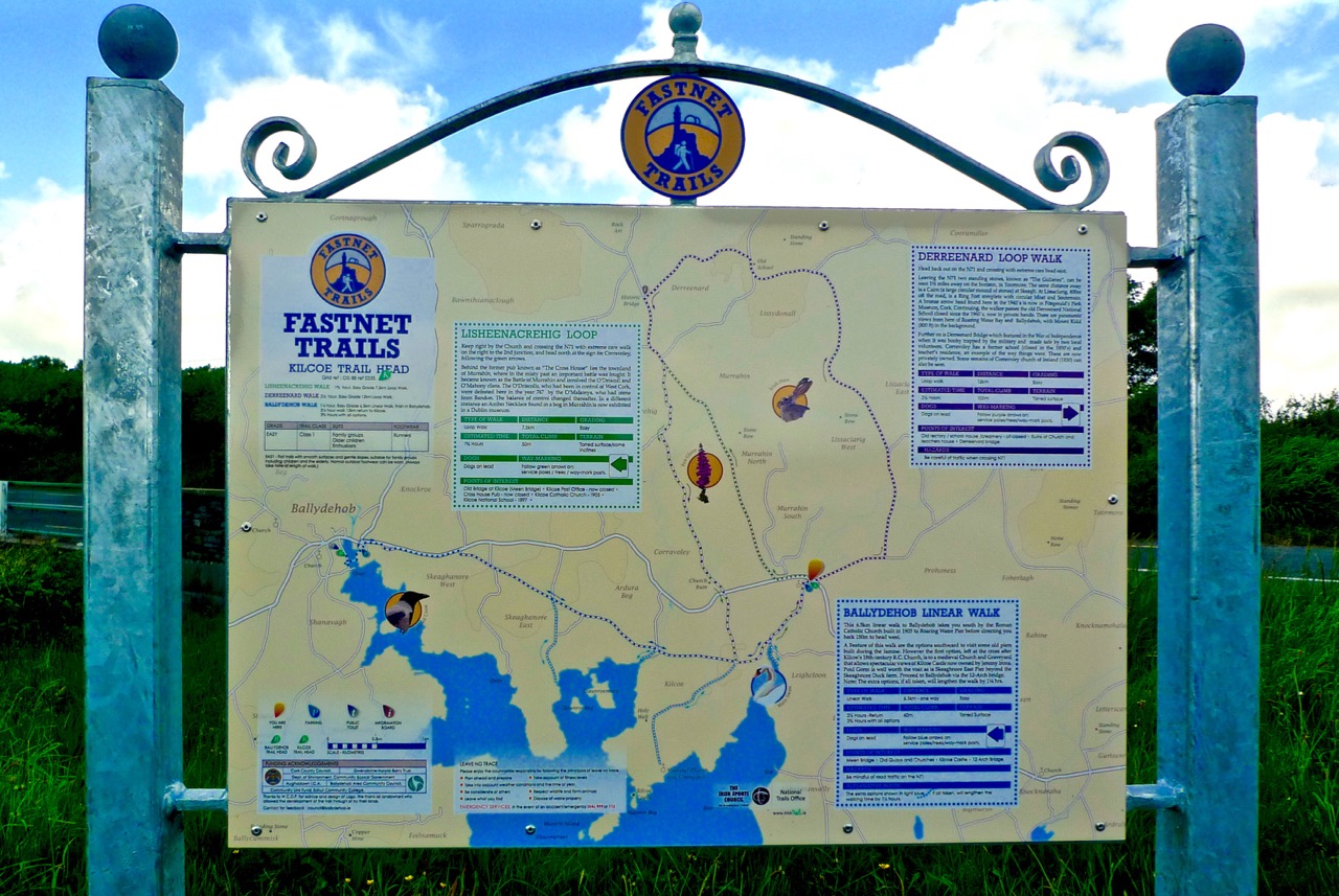
At Kilcoe Trailhead - the walks unveiled!

At Kilcoe Trailhead – the walks unveiled!

Rediscovering what we’ve only recently discovered… is that the best way of describing our experiences exploring the just launched Fastnet Trails? We have been traversing and driving around the boreens – local lanes and byways – that permeate this beautiful stretch of coastline and country on our own peninsula (Ballydehob is colloquially termed ‘the Gateway to the Mizen’) for the full two years that we have lived permanently here at Nead an Iolair. We have taken in the vistas – from the windows of our car – and appreciated the profuse combinations of sky, sea and mountain as we passed on our way; now, we are seeing everything anew, and in closer focus, because we have started to walk the trails.
Cornflowers

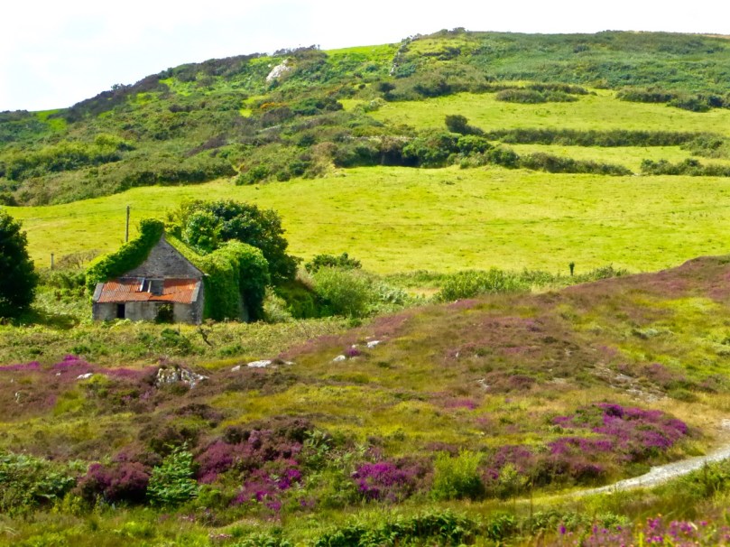
Old Copper Mine at Ballycummisk (Rossbrin Walk)

Old Copper Mine at Ballycummisk (Rossbrin Walk)

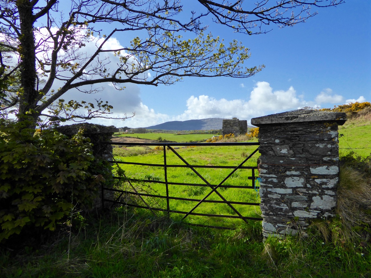
Towards Mount Gabriel - Butter Road Walk

Towards Mount Gabriel – Butter Road Walk

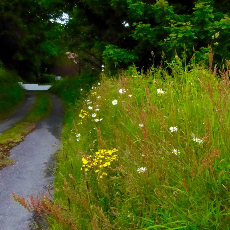
It may seem strange that many of these walks are along roads but don’t let that put you off! Remember that here in rural Ireland the old lanes were made to serve farmsteads and are little used today by anything more than very local traffic. I did the hike home from Ballydehob this morning (after my usual excellent coffee break in Budds) on the long route, passing by Ard Glas (Ballydehob Rossbrin Walk): I pootled along for well over an hour and didn’t see a single vehicle in the whole of that time! In fact, a passing car (or bicycle or tractor) is an event: invariably it involves a pause in walking while the time of day is passed in leisurely conversation during which acquaintances are made and news is passed on…

Have you time for a chat?

Have you time for a chat?

P1050062

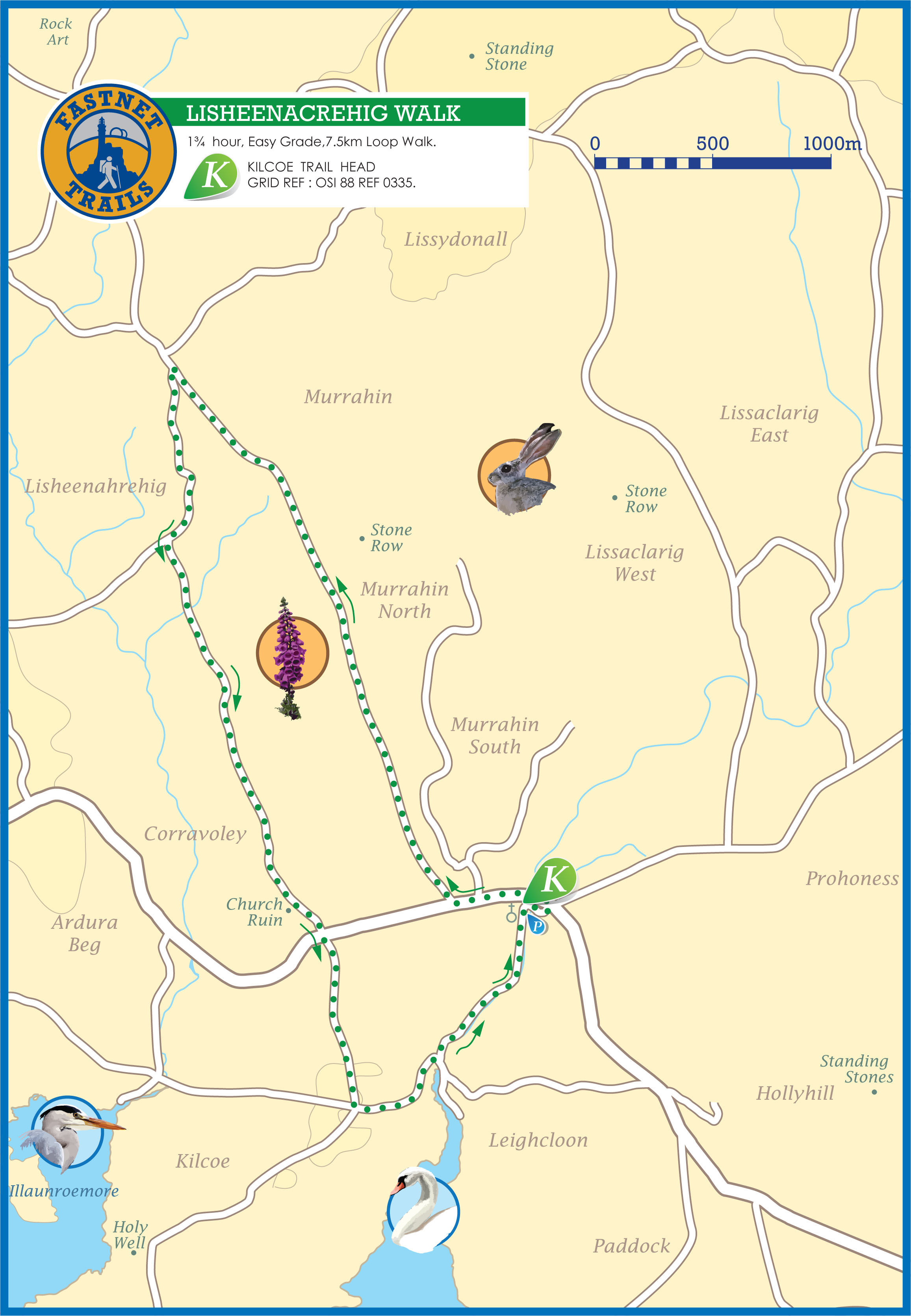
lisheenacrehig map

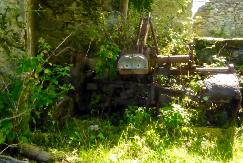
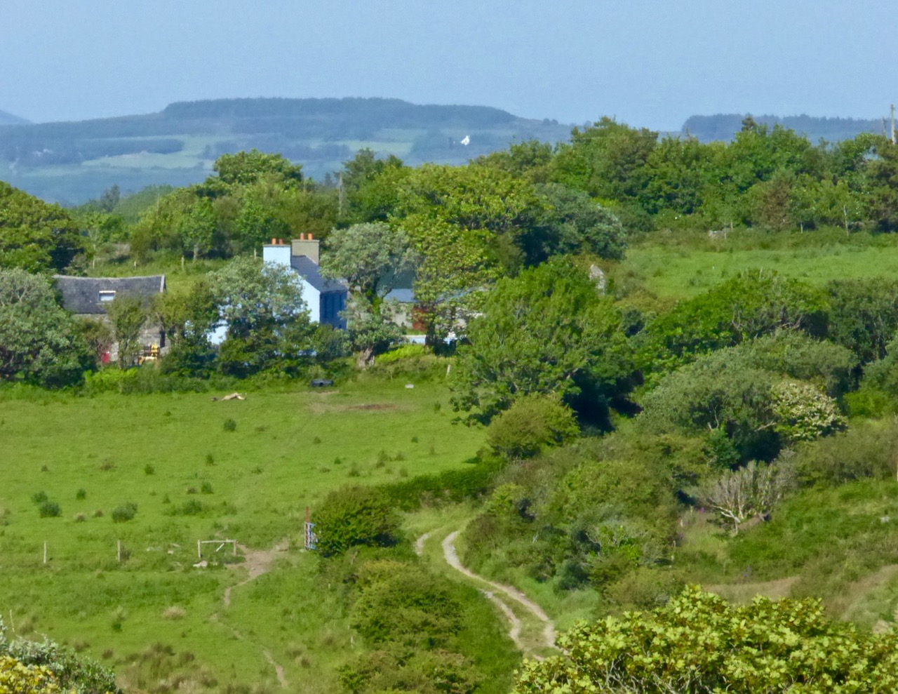
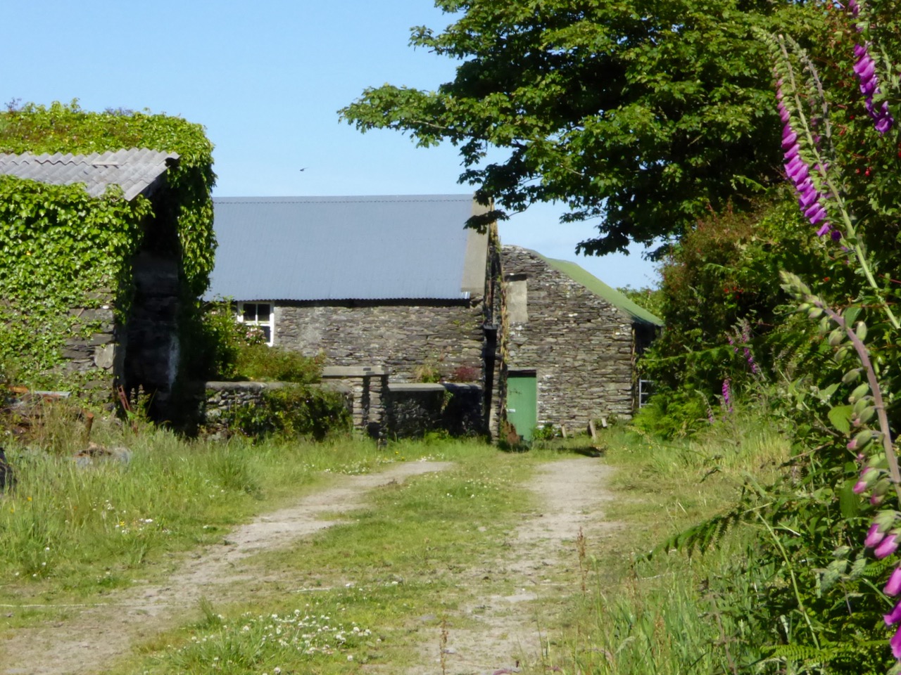
Before the official opening Finola and I undertook one of the walks (Lissheenacrehig Walk, starting at Kilcoe Trail Head): we deliberately chose the one that seemed perhaps the least interesting as it heads north inland and doesn’t pass directly by Roaringwater Bay. I’m not sure what we expected – after all, we had travelled all the little roads on this route by car previously – we are great explorers! In fact, our eyes were opened and we were surprised to be presented with wide views focussing on Mounts Gabriel, Kidd, Corrin and all the rugged uplands in between, and to be given the huge bonus of time to stop and scour inviting rock surfaces for new examples of Rock Art (we didn’t find any). But also it was the closer encounters which we really valued: a wealth (if that really is the right word?) of ruined sheds and cottages; wells, walls and wild flowers; an old burial ground with its memories of lives lived; the tumbling waters and green rocks of the Roaringwater River just before it empties itself into the Bay; archaeology (viewed from a distance on this occasion – the standing stones and ring forts are on private land and – as always – permission should be sought from the owners prior to visiting: that, of course, creating further opportunities for chat and dawdling).

View to Mount Kidd, Rossbrin Walk

View to Mount Kidd, Rossbrin Walk

Butter Road Walk

Butter Road Walk

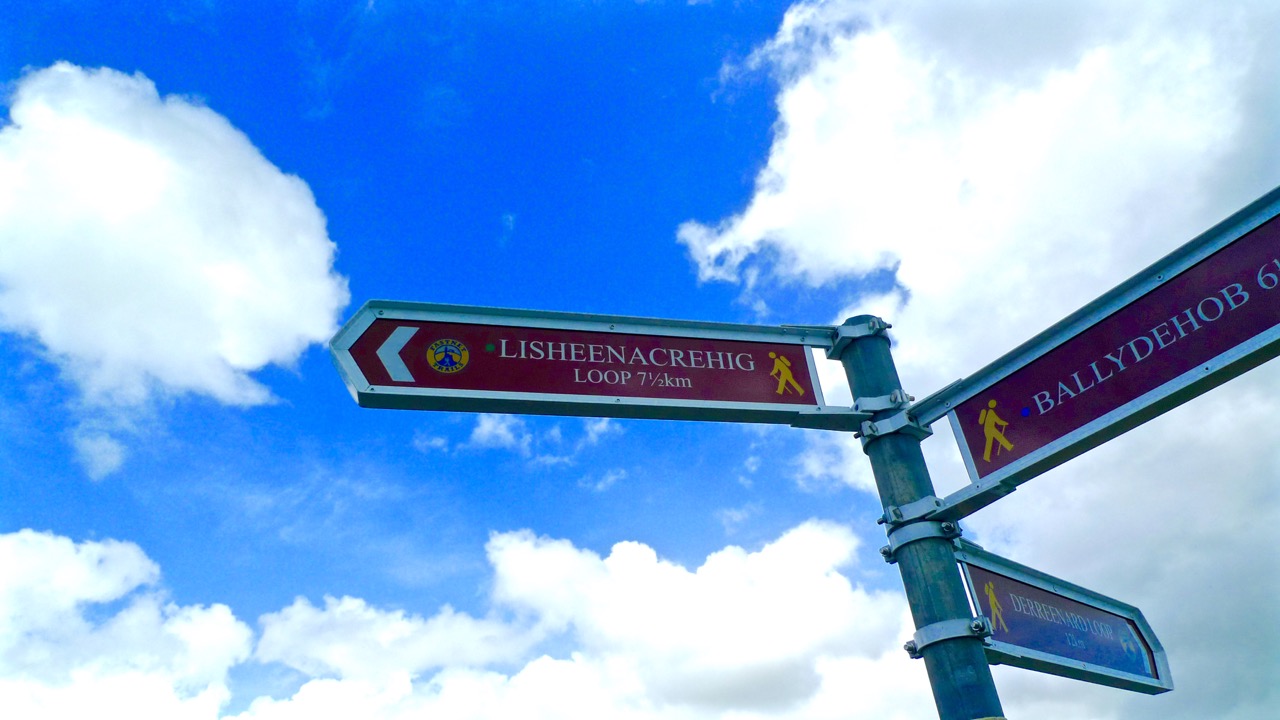
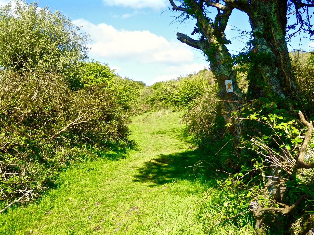
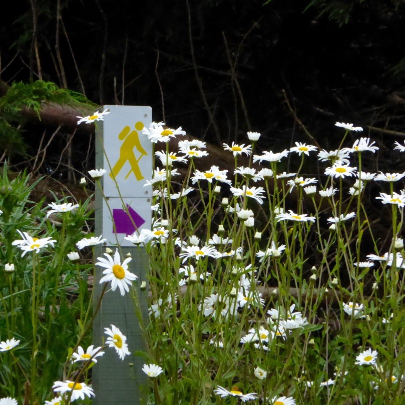
The signage on these walks is clear but discrete – you’d have to try very hard to lose your way. Very occasionally there are information boards: these have been well thought out and attractively drafted. At the end of our sample walk we realised we had taken three hours to do the 7.5 kilometres: the well produced trail information recommends allowing an hour and three quarters! I think that emphasises our predisposition to get diverted in every possible way…

pathsign

Discrete signage on the Butter Road

Signage on the Butter Road

Bucolic

Useful signs along the way…

In all there are 80km of walks set out, from Schull in the west to Lisheen in the east. They are easily accessible, and there is ample parking at all the Trailheads.

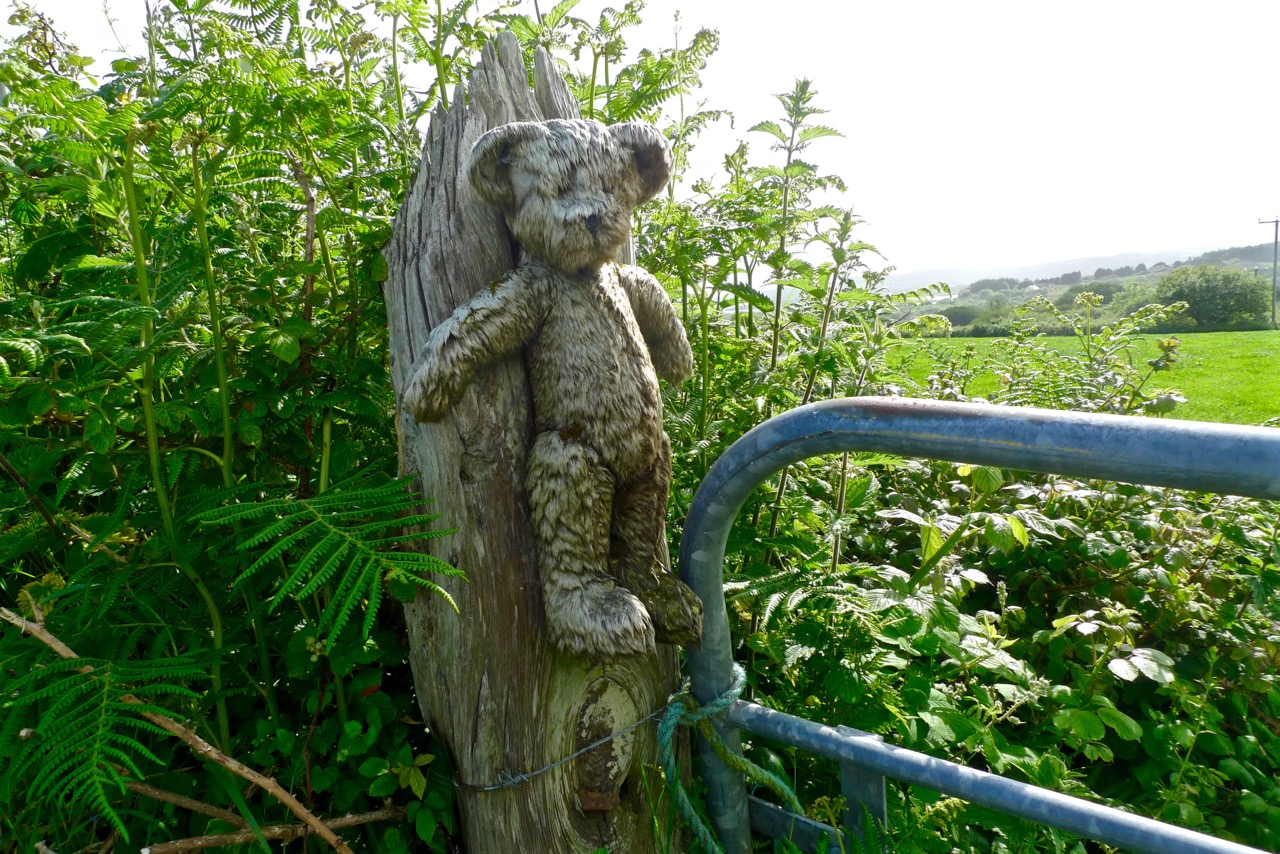
gatepost

The one trail which is largely away from surfaced roads is the Butter Walk, running between Ballydehob and Schull. This an ancient way – Finola has written about it and its fascinating history previously. It’s magical to get into the heart of rural Ireland and to immerse yourself in nature and a past writ so clearly on the landscape.

Along the Butter Road

Along the Butter Road

We really believe that West Cork is pulsating with an underlying energy! So much has happened (and is happening) during our time here. Much of it is, of course, down to people who have been working away for years – often behind the scenes and, therefore, unappreciated – but future generations will realise what a debt is owed to these innovators: West Cork has been steadily and deservedly building its reputation as good food capital of Ireland, for example – and the opening of Uillinn in Skibbereen will emphasise the equal importance and historical context of the arts in these remoter landscapes. For music, drama and literature, also, we are always spoilt for choice: the furthest we have to travel is half an hour to see and hear world class performers in all these genres.

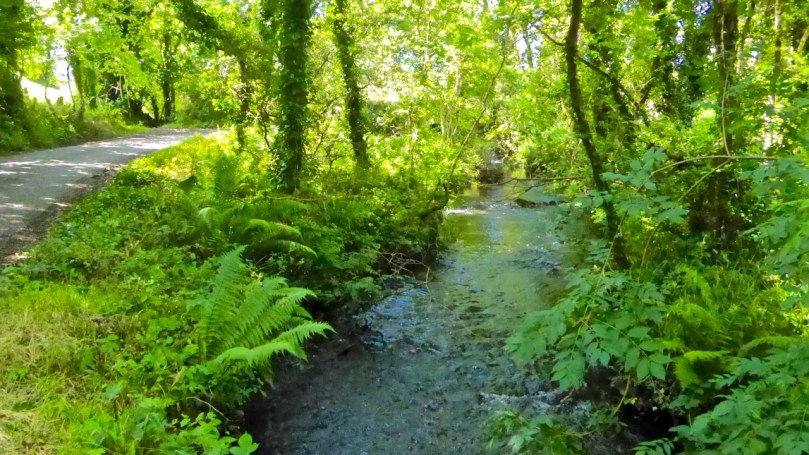
Roaringwater River, Lisheenacrahig Walk

Roaringwater River, Lisheenacrehig Walk

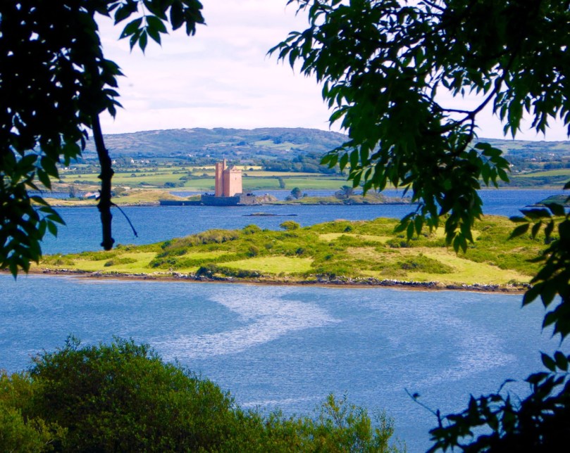
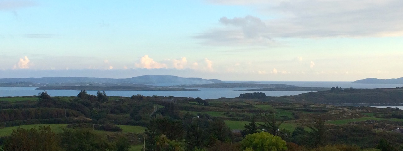
Roaringwater Bay Panorama

The latest asset to bring West Cork to the fore is this – literally – trailblazing one: the establishment of a network of walking routes along the coast, through the countryside and into the wild places. Fastnet Trails has been quietly gestating now for some time: the launch today shows how much work has been undertaken already – and what fruition has been attained. On behalf of everyone locally we thank the organisers for achieving the realisation of their dreams which benefit all of us and the generations to come. A grand start has been made: undoubtedly, more good works will follow.

Light and shade: Lisheenacrahig Walk

Light and shade: Lisheenacrehig Walk

Lisheenacrehig Loop

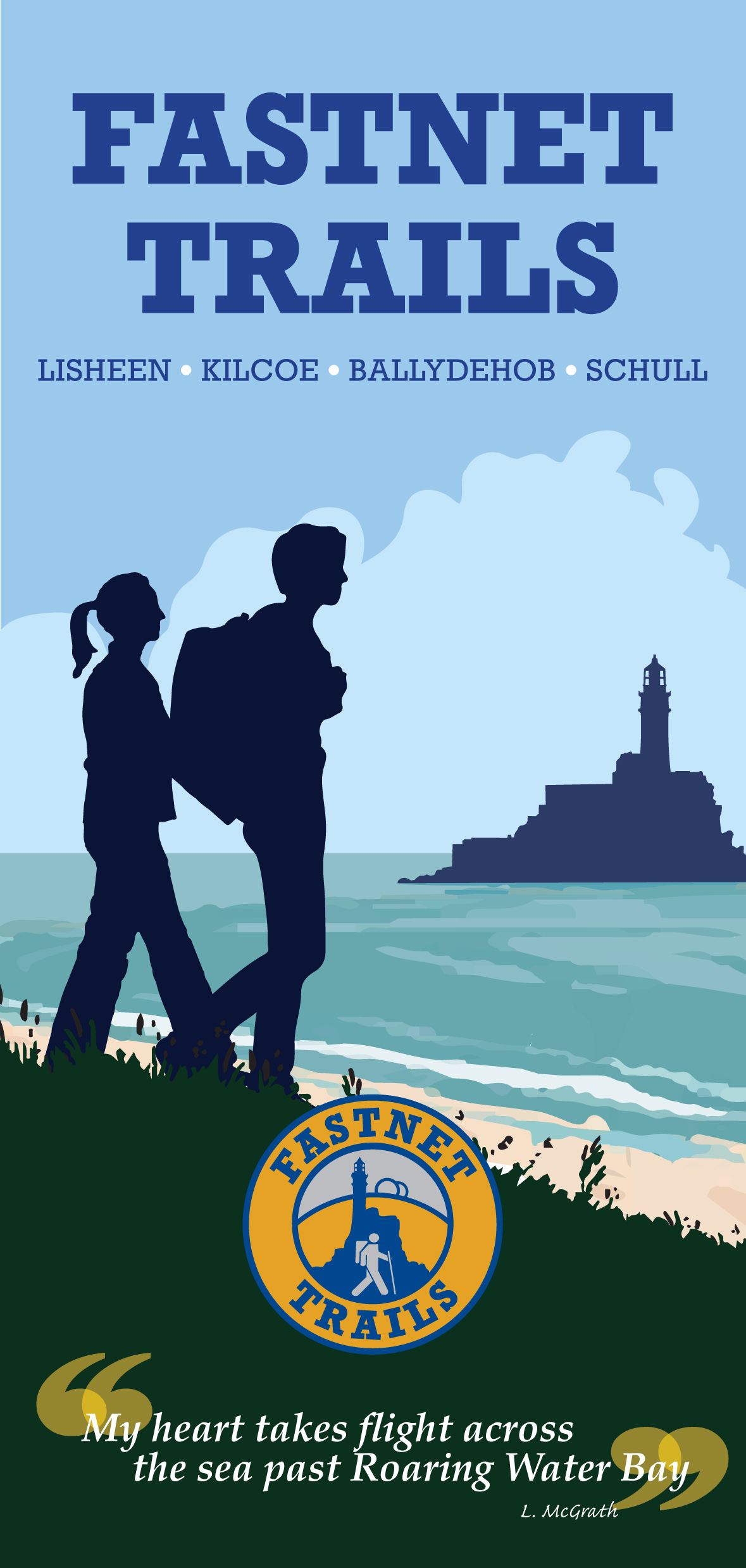
Fastnet Trails are recognised by the National Trails Office and the Wild Atlantic Way: the venture has been organised by The Fastnet Walks Trails Group with the help of the Community Councils of Aughadown, Ballydehob and Schull

fastnet_trails_a3.indd

Close Reading

P1080162

It’s mid June. The gorse and the whitethorn, once the dominant colours in our spring landscape, have come and gone. The last of the bluebells, primroses and the wild garlic are fading fast. By the end of the month, the boreens will be heady with fuchsia and bramble flowers, and soon after that they will be lined with ubiquitous montbretia.

So this is the early summer interregnum – we think of it as the time of the hedgerow flowers. Every day we discover new delights peeping out at us from among the ferns in the ditches and from the ivy-covered stone walls. Not all are wild, or native – it can be hard to distinguish when a planted hedge has gone wild, or a wild plant has turned into a hedge. Some of the flowers overwhelm – as with rapeseed that has colonised a lane or ox-eye daisies massed along a footpath.

But most hedgerows, like a good novel, call for close reading. It’s easy to be aware that they are alive with colours and shapes, but stopping to really look carries the most reward, even as it slows down the pace of our regular walk.

At first glance...

At first glance…

The photographs in this collection were all taken this week. I can’t name them all but I know they include herb robert, campion, foxglove, speedwell, honeysuckle, clover, thistle, marsh orchid, field roses, buttercup, ragwort, navelwort (penny pies). If you can identify others, dear reader, please do!

We weren’t the only ones interested in this bounty.

I kept the sweetest discovery until last. in this age of bred-to-last-and-look-right strawberries, what a thrill to come across a few precious wild ones and wander home with that real, glorious sweetness in my mouth.

Ewe-nique Experience

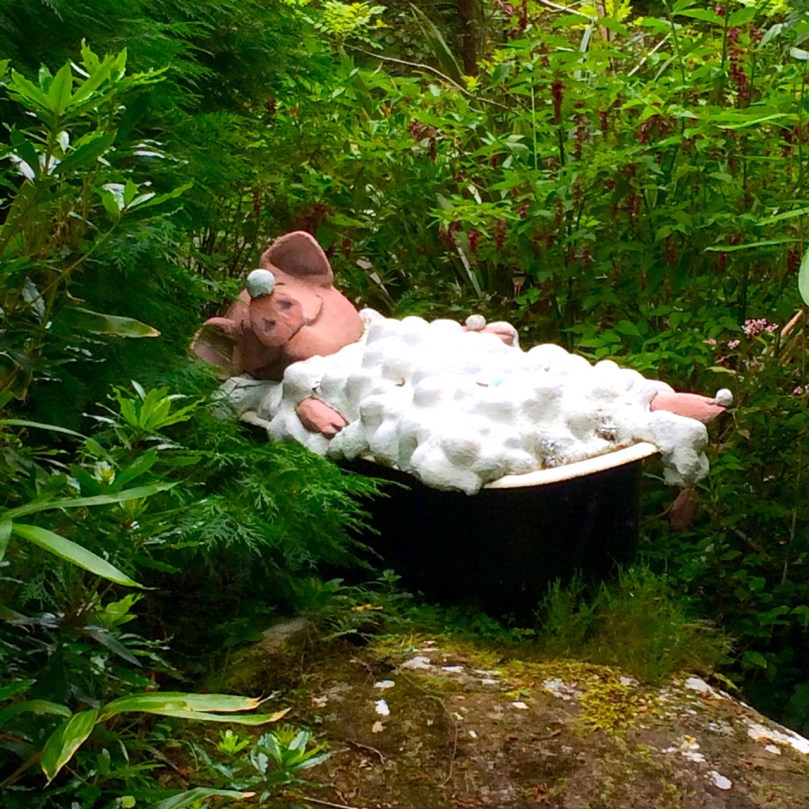
Pig in tub

Between Glengariff and Kenmare, amid old-growth forest and tumbling streams, lies an enchanted garden. Hewn from rock, trees, and sheer imagination  – this is The Ewe Experience.

Sheena Wood: artist and ecologist

Sheena Wood: artist and ecologist

Kurt Lyndorf, a former war correspondent, and Sheena Wood, an artist, started the project in Goleen and moved it to this challenging spot several years ago. Their aim was twofold – to beguile and to educate and they have accomplished both in the most delightful way.

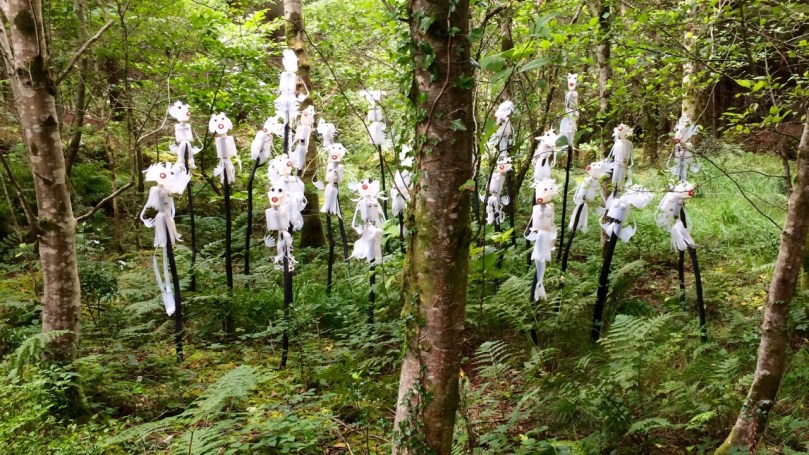
First and foremost this is a sculpture garden in which Sheena’s quirky sculptures of animals and spirits are discovered around every turn. Sometimes they are obvious, and sometimes only sharp eyes will pick out a hint of something hidden in the undergrowth. Made from discarded clothing, old tyres, fallen branches, even plastic bags, the figures are more than they seem at first glance – they carry the message of conservation and sustainability that is one of the themes of this garden.

Ghosts among the trees

Ghosts among the trees

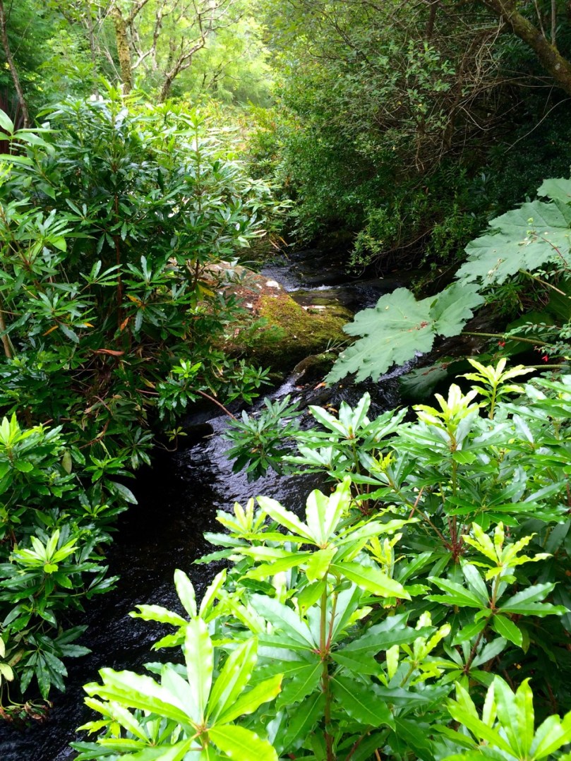
The pathways lead up and down and meander beside a sparkling stream.

Stream

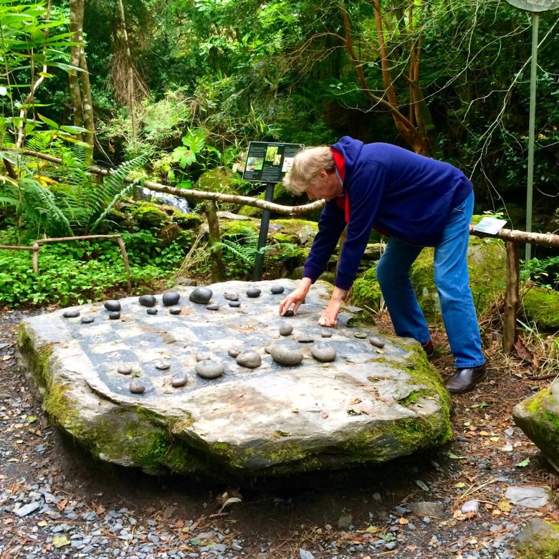
Along the way there are places to stop and play games (we spent a long time trying to beat each other at Stixs) or read snippets of verse. Information panels encourage us to think about how we interact with the natural world and how we understand it.

Your move!

Your move!

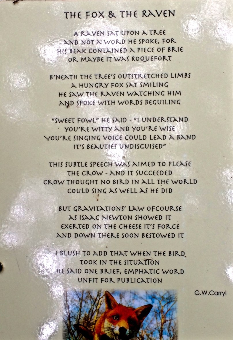
Fox and RavenChildren will love this place as much as adults. The photos you see here are but a tiny fraction of the ones I took on the day we visited last year, just at the end of their season. It’s open again now, and I know Sheena and Kurt spend the winter planning new installations, so you may or may not see exactly what we saw.

Prepare to be captivated!

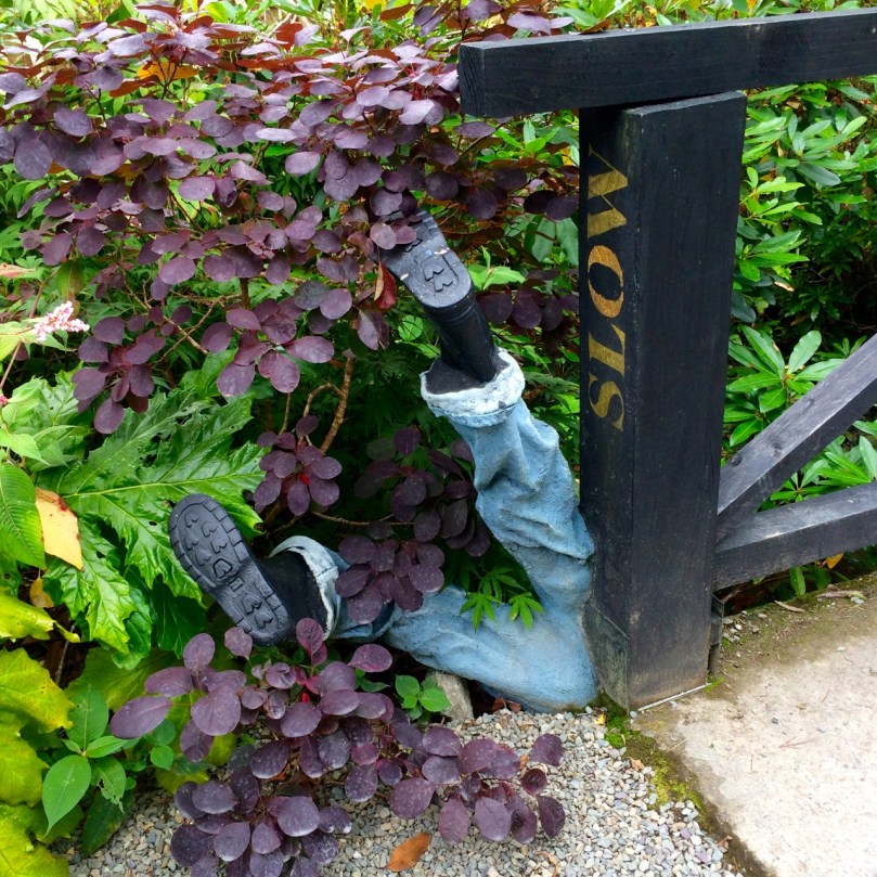
Careful on the way out!

Careful on the way out!

Impressions

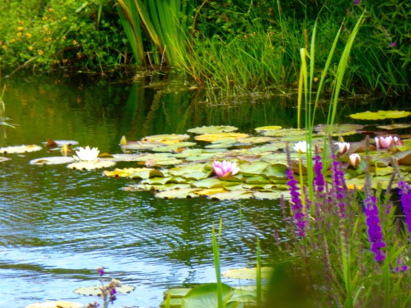
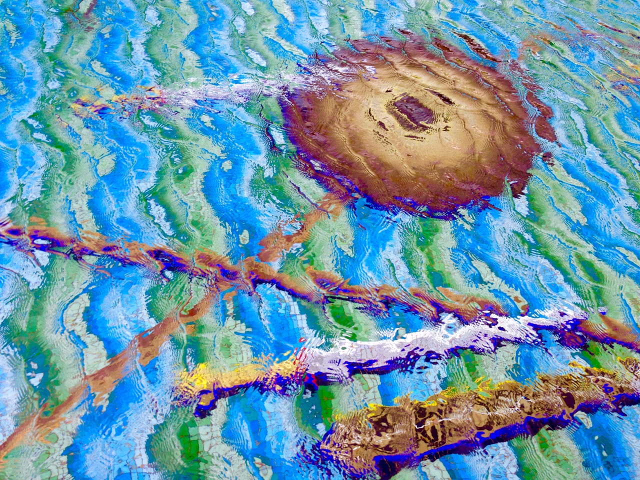
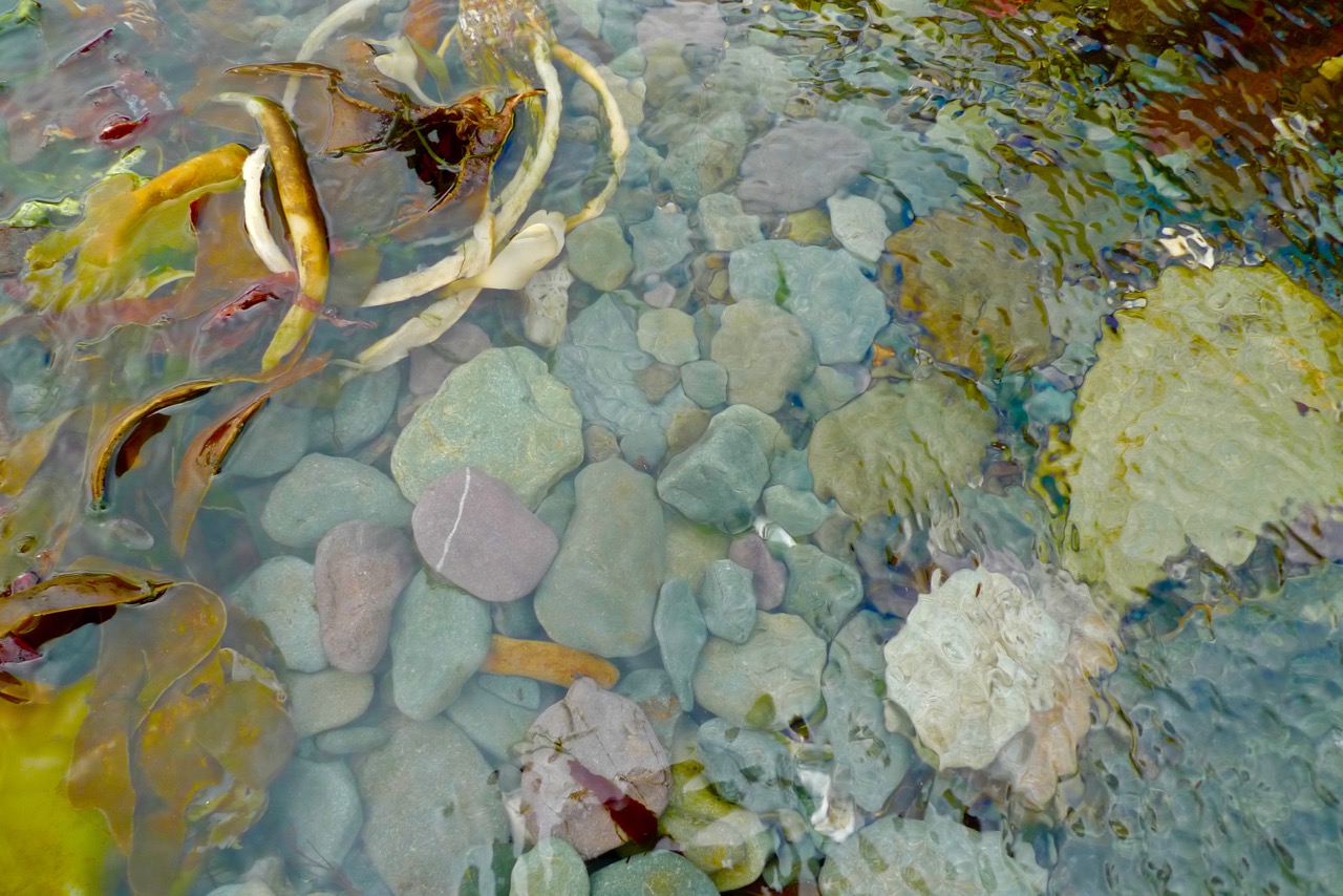
Water worlds - in a Dublin park, above and in the wilds of West Cork, below

Water worlds – in a Dublin park, above and in the wilds of West Cork, below

water 2

It’s over two years since I had a round up of the odd, quirky – or perhaps just very Irish – things that catch my eye during our travels. I called that post Juxtapositions. Here’s another collection of images that have fascinated me enough to record them with the camera. As in Juxtapositions, I have tried to show these pictures in context where it counts – or just let them speak for themselves. Sometimes I’ve added a little text, perhaps to amplify why I have been attracted by certain Impressions

lion

lions

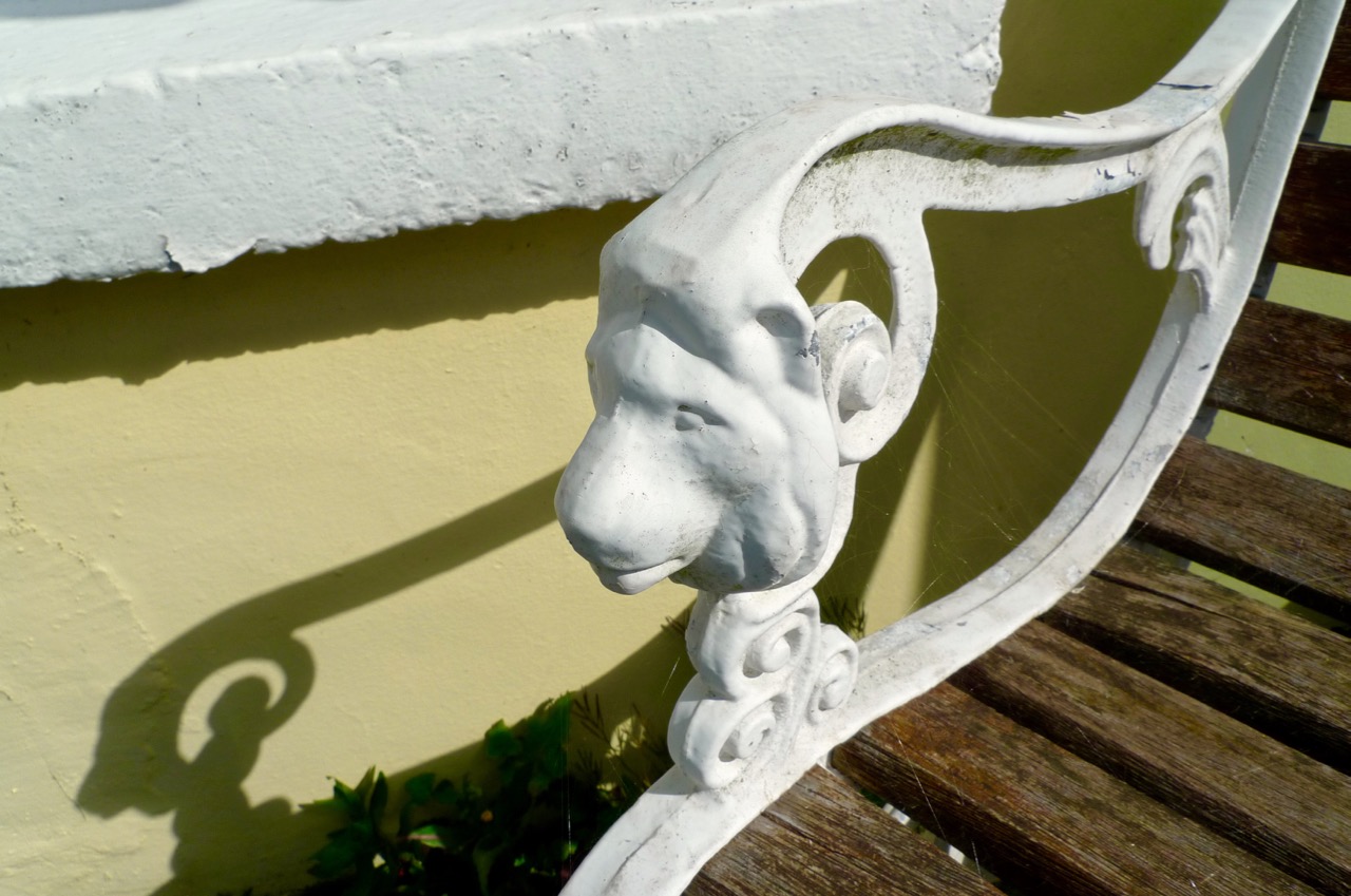
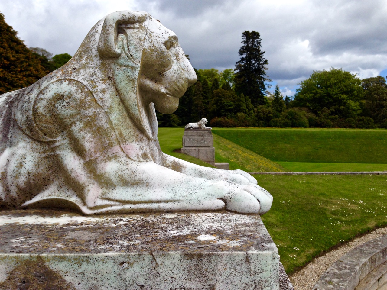
Gentrified Lions at Powerscourt, Co Wicklow, and a domesticated version, above

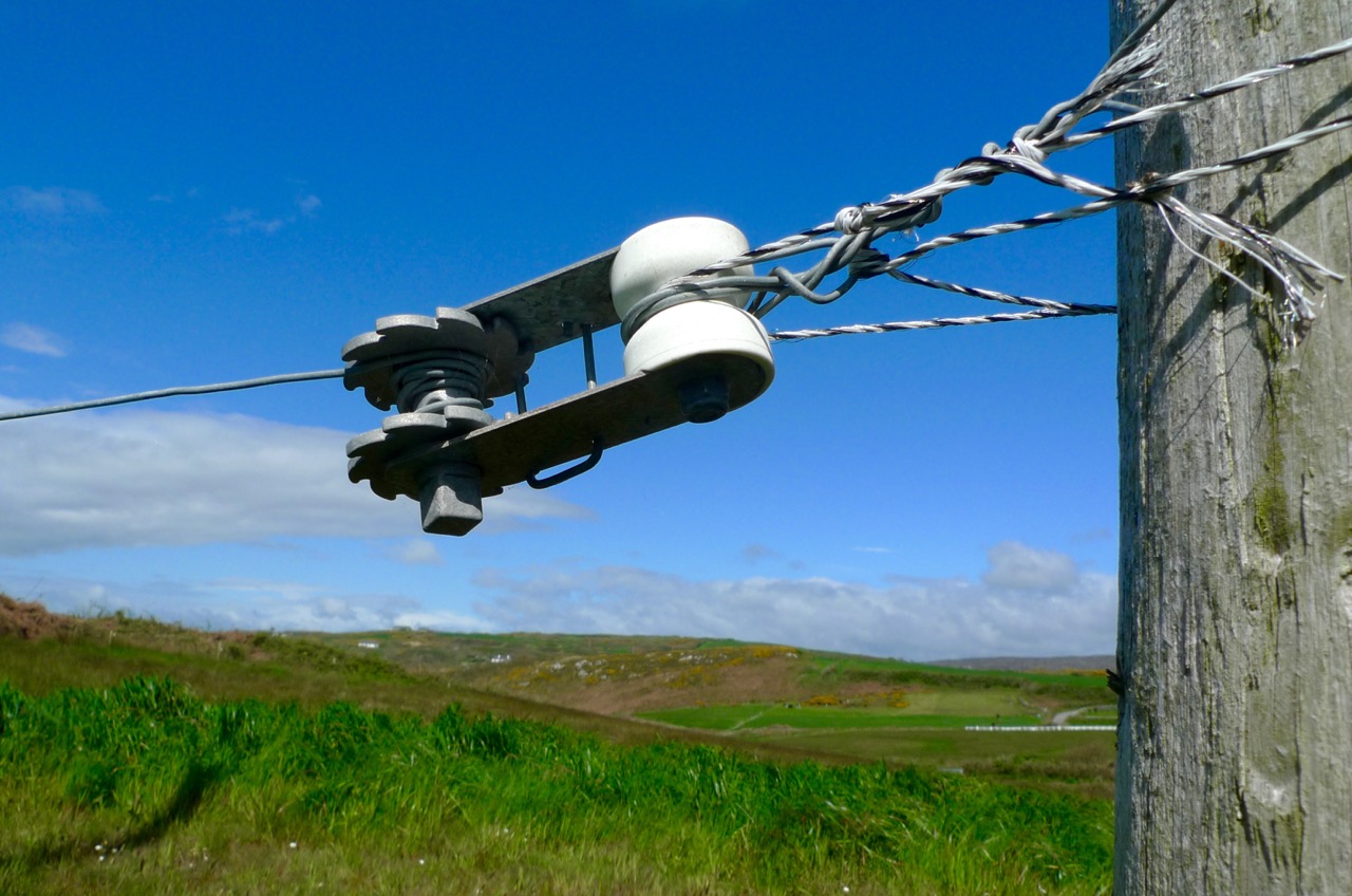
Some high things…

high

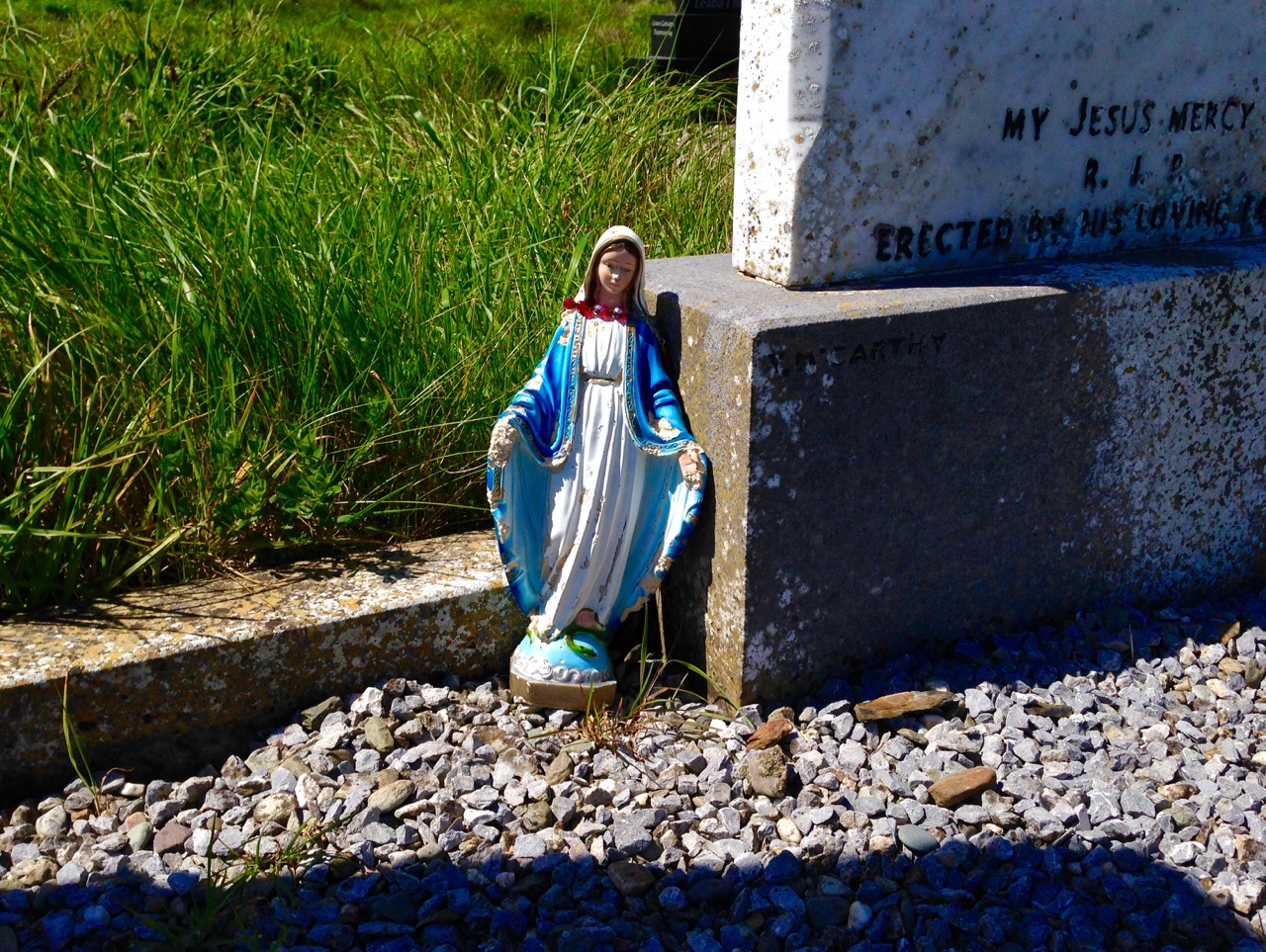
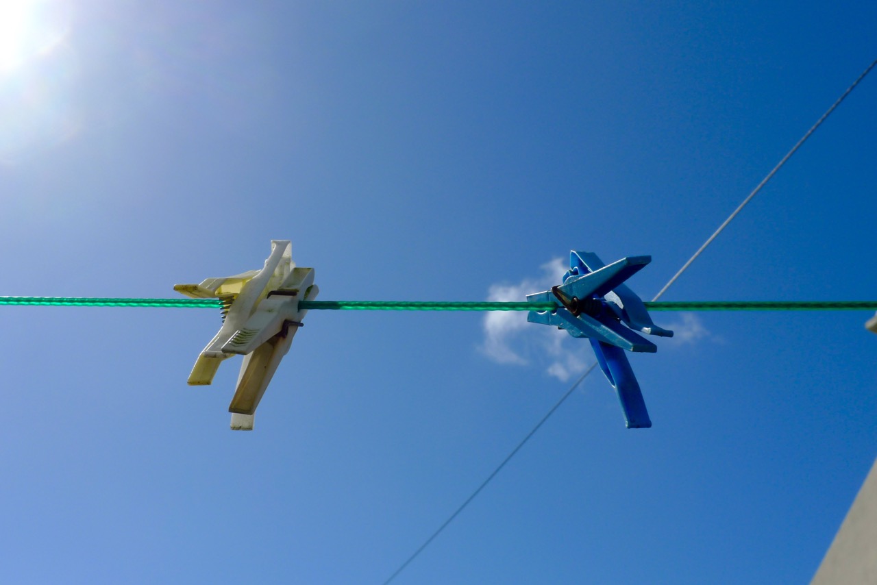
…and some little things…

little mary

pegs

fence

Startling Impressions…

Above left – an ancient stone cross in an urban setting, and – above right – the statue of Cúchulainn – a memorial to the 1916 uprising: an impossible-to-photograph icon in a poignant setting, the General Post Office building, Dublin. On the 24 of April (Easter Monday) 1916, about 2,000 Irish Volunteers and 200 from the Irish Citizen Army occupied the General Post Office as well as other important buildings in the city. They proclaimed the Irish Republic, read the Proclamation and raised the Irish flag for the first time. The British army shelled the GPO and other buildings. After a week’s fighting, the leaders of the rising surrendered: most suffered execution by firing squad. Many civilians died in the cross-fire. The guns and fires had destroyed much of the city and the GPO was in ruins. All this happened in Twentieth Century Great Britain…

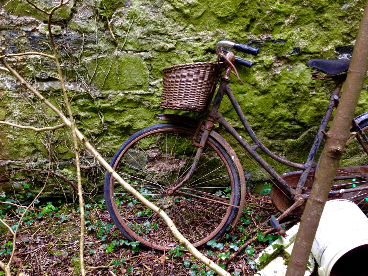
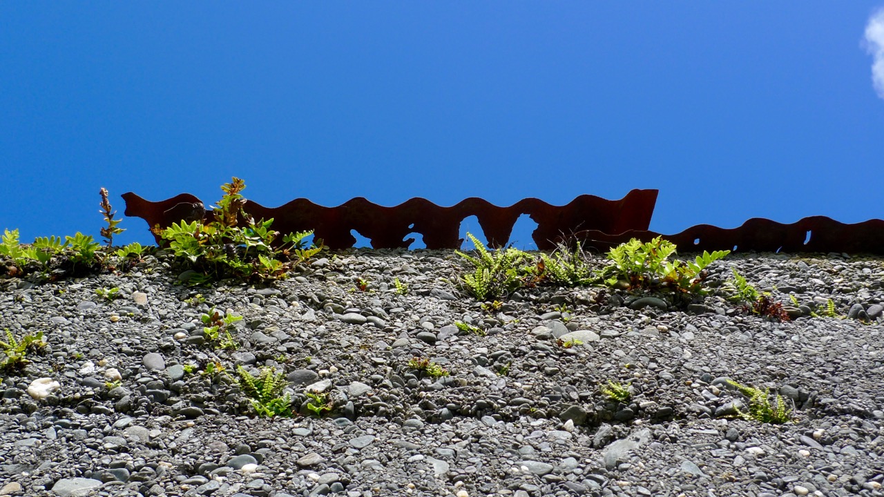
Rust and relics…

bike

corrugated

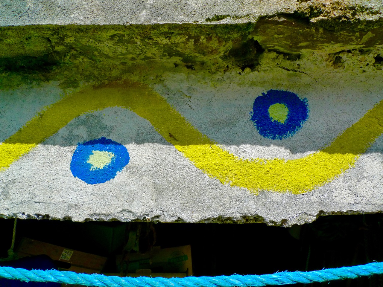
wavy line

Ancient and modern…

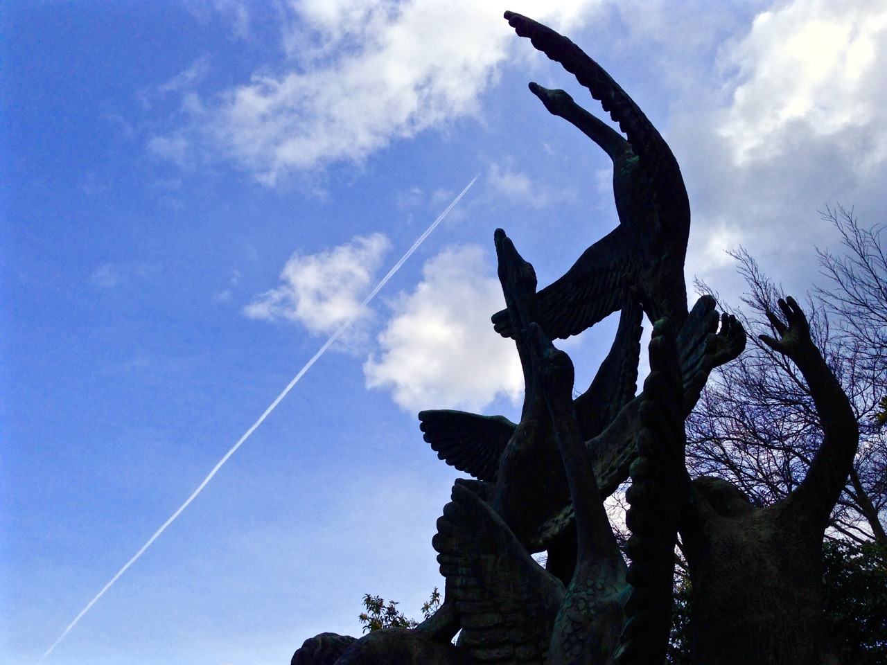
The Children of Lir - sculpture by Oisín Kelly in the Garden of Remembrance, Dubiln

The Children of Lir – sculpture by Oisín Kelly in the Garden of Remembrance, Dubiln

Emerald Isle greens…

Art and ‘Nature Art’…

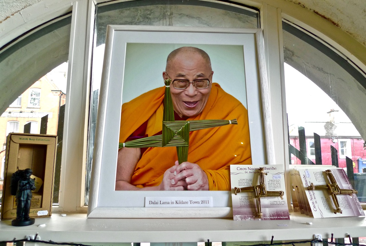
Seekers…

dali lama

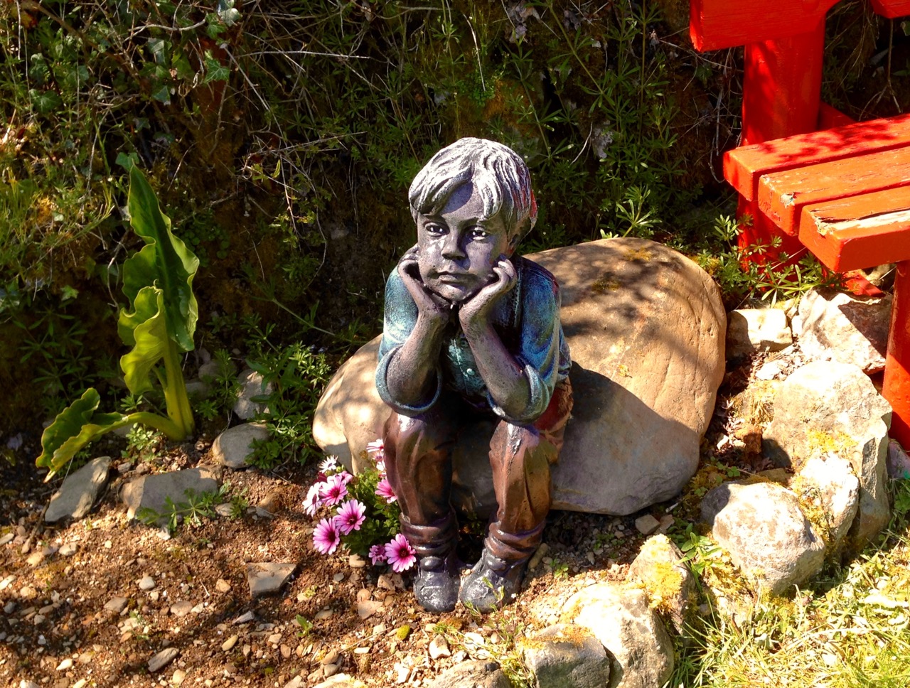
sitting

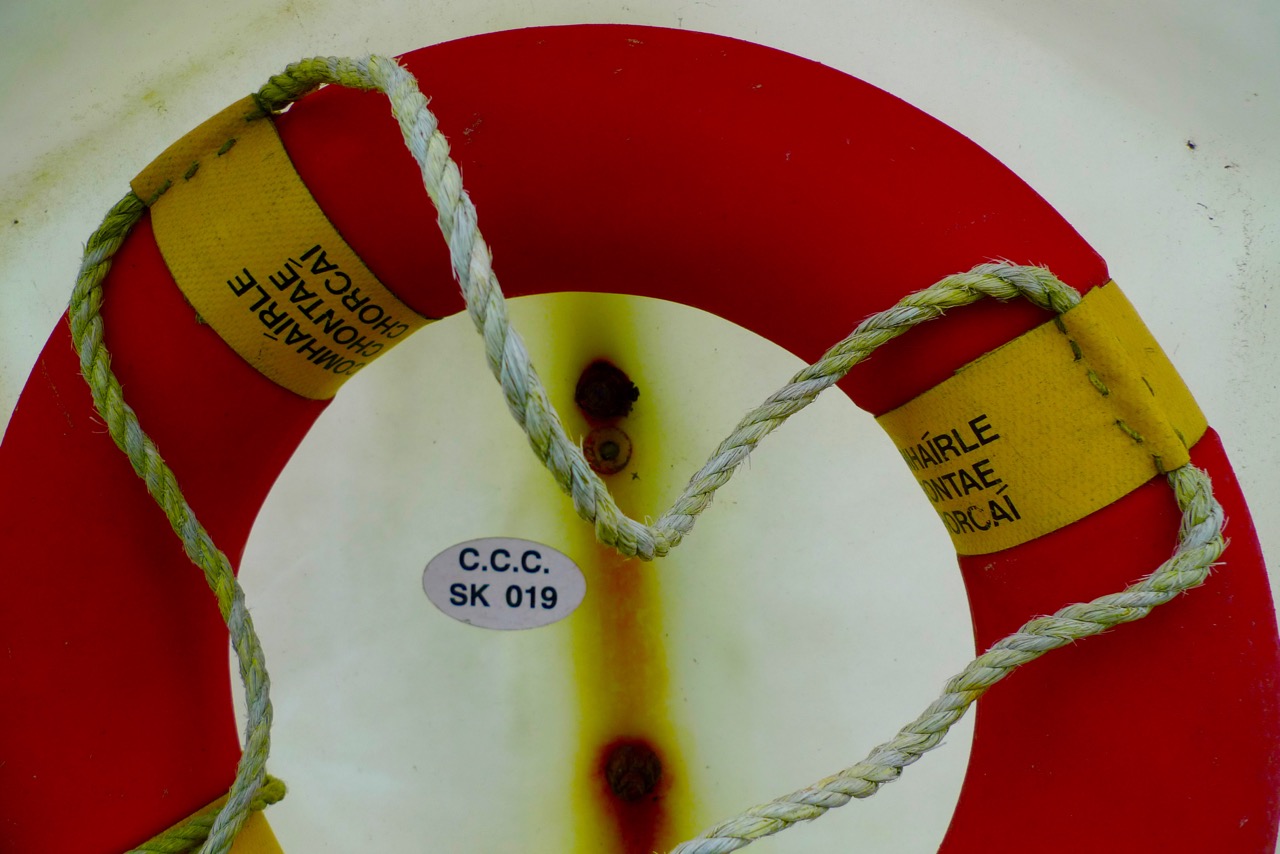
Lifeline…

ring

The last word…

little saint

The Village That Never Was

Colourful Courtmacsherry

Colourful Courtmacsherry

In the Days of Yore – when I first started to visit the west of Ireland – I travelled on the good old Swansea – Cork Ferry. It’s such a shame this route has now been scrapped (not once but twice): it was an overnight crossing, leaving the Welsh port at 9pm and arriving in the mouth of the Lee estuary at dawn. I felt there was nothing more beautiful than the slow cruise up through that great natural harbour in the early morning sunlight: passing lighthouses, lookout towers, mothballed ships, the Irish Navy and the coloured terraces of Cobh (pronounce it Cove), before disembarking at the exotically named Ringaskiddy Terminal.The Swansea-Cork ferry, the Celtic Pride1980s

image006

Swansea – Cork Ferry: above – Celtic Pride, 1980s, below – MV Julia, withdrawn in 2011

Part of the excitement of that journey was the anticipation of the drive down to Ballydehob and beyond. I always went on the R600 route, passing through Carrigaline and Kinsale – stopping, of course, at Ballinspittle to check that the BVM was safely in place at her grotto – before heading out along Courtmacsherry Bay. The journey alongside that ribbon of water – the road hugs it for some 10 kilometres – is recommended as an exemplary introduction to the landscape characteristics of rural Ireland.

This water was known as Timoleague Bay until it became silted up in the 18th century

This water was known as Timoleague Bay until it became silted up in the 18th century

What was formerly Timoleague Bay is now known as Courtmacsherry Bay. Timoleague was the head of the navigation and thrived from wharfs built in front of the medieval Priory there until a catastrophic earthquake occurred in Portugal in 1755 causing a tsunami which hit the coasts of Britain and Ireland and dramatically changed the topology. This bay is one example: the inlet was no longer navigable for sea-going vessels up to Timoleague, and new piers and quays were built further to the east, closer to the mouth of the estuary, on the north facing shoreline. The place we now call Courtmacsherry didn’t exist until after this maritime event (hence the title of this post).

The Lisbon Earthquake of 1755 changed the shoreline of Britain and Ireland

The Lisbon Earthquake of 1755 changed the shoreline of Britain and Ireland

So how did the name ‘Courtmacsherry’ come about? It’s an unusual one, and a bit of a mouthful – locals call it simply ‘Courtmac’. According to Sean de Barra of the Courtmacsherry Historical Society the area was settled by the Hodnett family from Shropshire, in England:

…In the course of time they became more Irish than the Irish themselves and took the Irish version Mac Seafraidh…

…Which sounds like Macsherry – the prefix Cuirt would have been ‘Manor House’ or ‘Mansion’.

The Hodnett name is still familiar in the area

The Hodnett name is still familiar in the area

Although I travelled so many times along the road up to Timoleague it is only very recently that I actually diverted to visit Courtmacsherry. I’m very pleased that I finally did: it’s an attractive settlement which displays many aspects of its 300 year history. I had heard of the place – it has a lifeboat which is twinned with the one in Bude, Cornwall (have a look at this post). I worked for very many years in Bude with Jonathan Ball, who was Coxswain with the Bude boat and he led (and still leads) a choir from the Bude crew who have an annual twinning visit with the Courtmacsherry crew.

The Courtmacsherry Lifeboat has recently been in the limelight as the Centenary of the sinking of the Cunard liner Lusitania by a German torpedo has just passed (here is a very detailed account of the tragedy). The RNLI lifeboat Kezia Gwilt was on call during that event (having to row the 11 miles out to the wreck because there was no wind to sail her with) and helped rescue survivors. Sadly, 1,198 of the 1,959 people on board lost their lives on 7 May 1915.

Notice Board

Model of Lusitania on display in Courtmacsherry, 2015

Model of Lusitania on display in Courtmacsherry, 2015

*

The village is unusual in that it has virtually only a single street facade, which follows the line of the water. Finola liked the colourful house fronts! Fishing is still a living here, just about. Tourism is important nowadays: we certainly appreciated the hostelries, including the Golden Pheasant Cafe. There really are Golden Pheasants in the cafe garden and – to my delight – Robins and Chaffinches who will eat from your hand. Also, in the aviary, a magnificent Eagle Owl. Apart from all this the food is excellent!

Golden Pheasant

Single sided street...

Single sided street…

As with our own village of Ballydehob, Courtmac was served by a branch of the West Cork Railways. Although planned as a three foot gauge ‘roadside railway’ (just like our Skibbereen to Schull line), the Timoleague and Courtmacsherry Extension Light Railway was actually built to full gauge, and lasted a little longer: our line closed in 1947, this one in 1960. The track bed from Timoleague has been made into a scenic waterside footpath covering several kilometres.

Railway Line Walk

Timoleague Station around 1910, top left – seaside Courtmacsherry 1950s, top right – the waterside walk along the old railway line, above

Our visit to Courtmacsherry was too short: we will be back soon, to take in the Castle and the Abbey – and to try and find out why it has an area called Siberia! My researches showed that there is another Siberia in Ireland: it’s in County Sligo and is also known there as Slieveroe. In that case the name is said to have come from  An Sliabh Rua, which means ‘Red Mountain’ – but there are no such topographical features in this part of West Cork.

I didn’t quite draw a blank with ‘Siberia’. Here’s an extract from Eating Scenery – West Cork, the People and the Place by Alannah Hopkin, The Collins Press 2008:

…In July and August, like most coastal villages in west Cork, Courtmacsherry can be too busy; it is heavenly in May and June, September and October. But in winter Courtmacsherry is deadly quiet, prone to dull, dark days of low sky and mist, when you are acutely aware of its north-facing character.The only compensation in this season is the presence of thousands of migrant birds, great clouds of golden plover, lapwing, blacktailed godwits, and Arctic shags, fleeing the cold of Scandinavia and Siberia to roost on the mudflats of Courtmacsherry Bay…

Houseen

Magic Forest

Thomas

Thomas

A byway taking off to the north just after the Cross House on the Skibbereen to Ballydehob road – signposted to Corravoley – will bring you to the townlands of Ballybane West and Ballybane East. That little boreen will take you past some Rock Art, and then on to the Magic Forest. If you find your way in, keep a lookout for the Other Crowd!

Look out for the Other Crowd!

Look out for the Other Crowd!

We accepted an invitation from the creator of the Magic Forest – Thomas Wiegandt – to come and visit while the bluebells were out – and we were enchanted by the woodland walks and all the experiences which excited our senses once we were there.

art gallery

buoy tree

plain to see

It’s hard to describe Thomas – he’s a musician, an artist, a poet and – above all – he has a quirky and witty way of looking at the world… I like that way of seeing things.  He has lived for years at Ballybane and pursued his creative career as well as working on and caring for his few acres of West Cork wildness, which is based around an old sally grove – a place which hadn’t been used for around 100 years and which had been sold as ‘waste land’. As you make your way through the Magic Forest (and take care – there are some rough paths and a few stony steps to be negotiated) you will be taken through his thoughts and into his imagination.

spidey

spring

lizard

Thomas believes we are all musicians at heart (I agree) – and invites us to have a go at the Ballydehob Gamelan – a wonderful collection of ‘rescued’ objects with which we can create rhythms and explore a whole world of sounds: you can play an array of drums, cans, goblets, makeshift xylophones, even stones… Finola had a whale of a time!

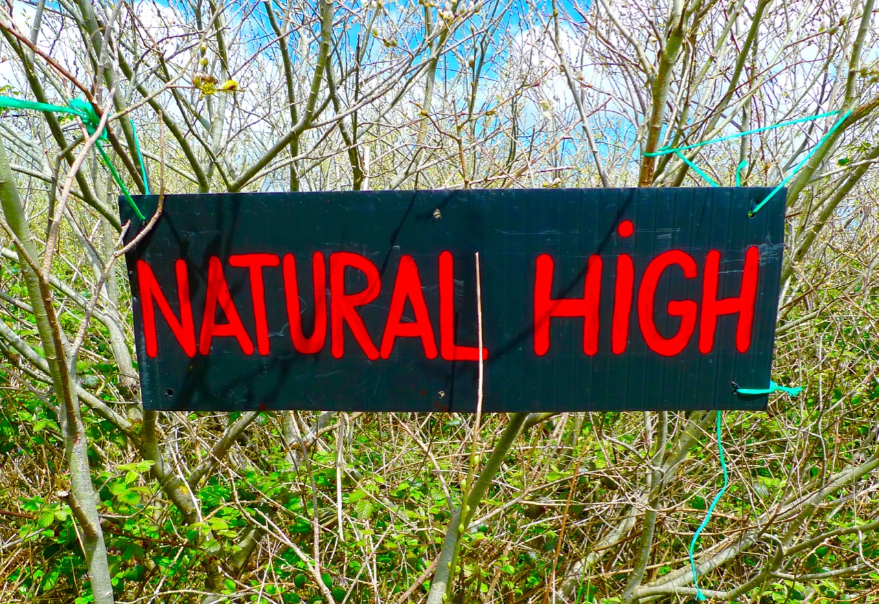
There is art and poetry set amongst the willows, often with the most unexpected juxtapositions. One of my favourite discoveries in the Magic Forest was Natural High – a little knoll looking out to Mount Kidd: there are two garden seats there where you can sit at ease and frame the view of the mountain, with two dogs as companions: one of them is real!

There were some messages here – about how we treat our world (or mistreat it), but they weren’t intrusive to the enjoyment of the whole adventure. If anything they were thought-provoking and – overall – a very good lesson in how we can all positively re-use things that seem to have transcended their original purpose.

ball

cone

for the record

In another life, Thomas might have been a shaman or medicine man: walking through the forest can be seen as therapeutic and refreshing in the context of our modern busy world – and it will certainly make you laugh at times. I really liked the idea of picking up a phone and talking to our ancestors!

You can discover more about the Magic Forest – and about Thomas Wiegandt – on his website: Cosmic Radio. You will find his poetry and his music there, and you can download many of his compositions for free. But do go and visit this unique piece of West Cork for yourselves: I hope you will be as delighted by the experience as we were.

poetree

signage