Ellen Hutchins: The Short and Remarkable Life of Ireland’s First Female Botanist

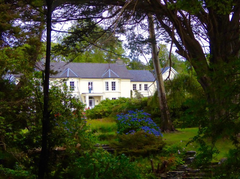
Ballylickey House, Home of Ellen Hutchins. Although the burned down, it was rebuilt exactly as the original.

Ballylickey House, Home of Ellen Hutchins. Although the house burned down, it was rebuilt exactly as the original

In West Cork, we have been celebrating the short but extraordinary life of Ellen Hutchins who died 200 years ago this year. Acknowledged in her lifetime as one of the most knowledgeable and accomplished botanists in the British Isles, she contributed specimens and drawings to the great collections in Glasnevin and Kew and kept up a lively and learned correspondence with some of the leading botanical scientists of the day. When she died, aged only 29, her name had already been memorialised: several plant specimens bore the title hutchinsia.

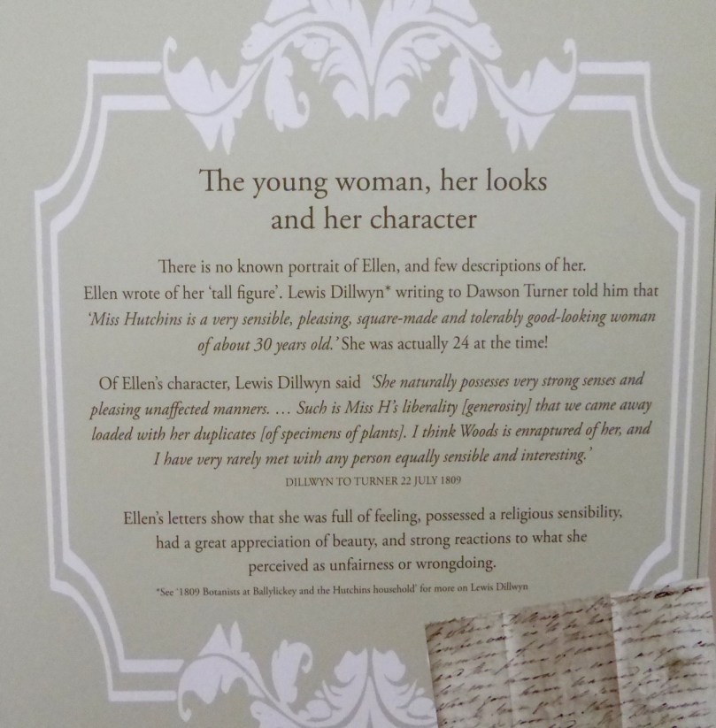
Looks and character

It’s been a fantastic week of lectures, guided walks, exhibitions and demonstrations. Jointly organised by the Bantry Historical Society, the National Parks and Wildlife Service and the Hutchins family, the week has been a marvellous success, with all the events well attended and everyone eager to learn more about Ellen. For a program of what was available, take a look at the excellent Ellen Hutchins website and the Facebook page.

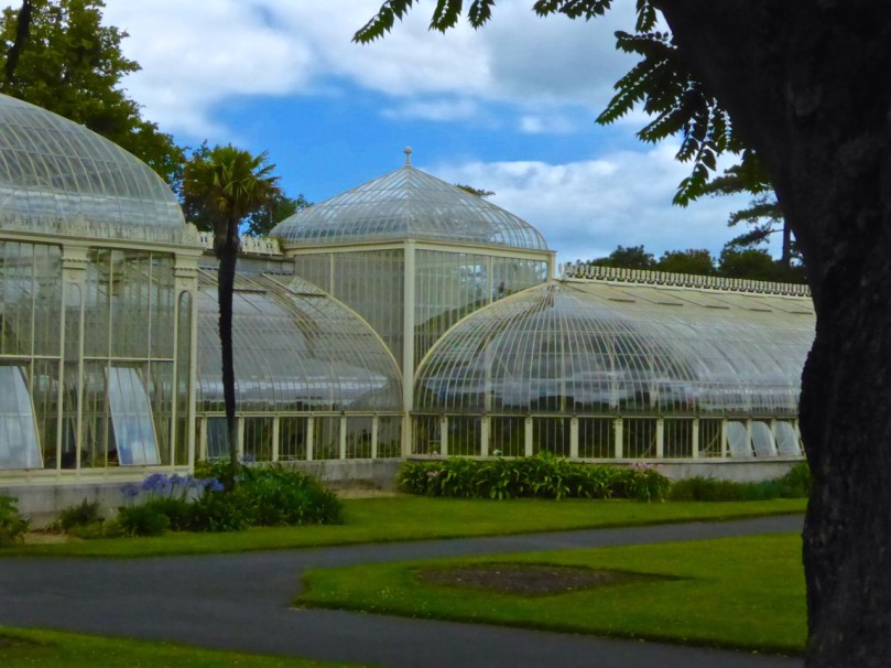
Dublin Botanic Gardens

While many of Ellen’s specimens ended up in Kew Gardens, some went to what has become the Dublin Botanical Gardens

The website contains biographical data about Ellen, her accomplishments, her family and her place in the scientific community, and a links and resources section leading to much more information. Ellen Hutchins was born in Ballylickey, near Bantry, in 1785 and spent most of her life there. During schooldays in Dublin she lived with family friend Dr Whitley Stokes who introduced her to the discipline of botanizing. She became an avid and scholarly collector of plants and seaweed, annotating, sorting and cataloguing as she went, and an expert illustrator of marine and terrestrial specimens.

Ellen identified new species of seaweeds on the shores around Bantry Bay

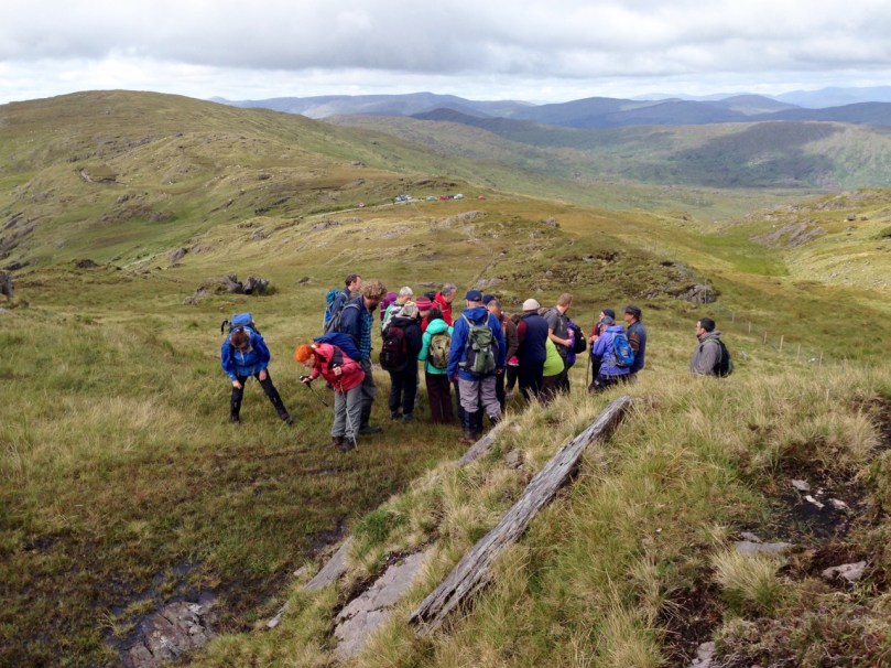
She roamed freely around the shores of Bantry Bay and took her family’s boat out to Whiddy Island. She also climbed (we’re not sure how) to the top of Knockboy, the highest mountain in Cork at 700m, identifying new species of plants right at the top. We followed her footsteps last weekend, led by Wildlife Officer Clare Heardman of Glengarriff Nature Reserve, botanist Rory Hodd, writer Kevin Corcoran, and Madeline Hutchins, great great grandniece of Ellen, who has been uncovering all kinds of new material on her ancestor.

group botany

What a day we had! It was warm and dry until we got to the top, where we were subjected to a hailstorm for form’s sake before the sun re-emerged. It was an insight into what gets botanists excited – tiny plants, apparently, with subtle variations from other tiny plants.

We were in awe of the knowledge on display, and the boundless enthusiasm of all the plant experts in the group. The highlights for them were finding some of the species that bore Ellen’s name, although Rory and Clare were particularly pleased to find a dwarf willow at the summit that had originally been identified by Ellen over 200 years ago. Along the way, we also learned a lot about the characteristics of that kind of high mountain environment, with its burden of boggy moss and highly acidic environment.

Kevin Corcoran demonstrated the properties of sphagnum moss, and showed us how soft the bog underneath us was, by probing with his staff

Knockboy descent

We felt on top of the world on Knockboy. We drove up to Priest’s Leap and only climbed the final 300m.  But how did Ellen get up there, with her long skirts and her intermittent poor health?

In Bantry House we viewed Ellen’s drawings, beautifully framed and presented and on loan from their permanent homes in Kew Gardens, Trinity College, Dublin and elsewhere. Her drawings were used by other botanists to illustrate books and were considered to be superior in their exactitude.

The Bantry Library hosted an exhibition about her life. This was curated by Madeline Hutchins and here we came closer to appreciating the woman herself, of whom no portrait exists. We learned, through her letters, of the struggles of a home life dominated by an ailing mother, a disabled younger brother and two bitterly feuding older brothers. She suffered from intermittent ill health, which often prevented her from collecting, but when she was strong her delight in her outdoors pursuits was palpable. One of her greatest pleasures was her correspondence with fellow botanists, among whom she earned true respect, especially Dawson Turner.

Dawson Turner

Dawson Turner: Although they never met, he thought of Ellen as a beloved sister and was devastated when she died

Although we were not able to join the group tour of the Ardnagashel Arboretum, we ventured down there on our own and were shown around the east section by the gracious Arethusa Greacen, herself a Hutchins on her mother’s side. The arboretum was started by Ellen’s brother and was maintained and added to by succeeding generations of Hutchins – the botany gene was obviously strongly embedded in the family!

Myrtle Woods Path

Ardnagashel colourMyrtle groves and colour at Ardnagashel

The enormous contribution made by Ellen Hutchins to science has languished in obscurity for two centuries, known only to a few experts in the field (a bit like that other West Cork woman of science, Agnes Clerke of Skibbereen). All that changed last week. West Cork, and Bantry/Ballylickey in particular, has celebrated and honoured Ellen Hutchins in style. There is talk of future events, perhaps even a summer school.

Ellen Plaque

A new plaque has been erected on the wall of the old ruined church in Garryvurcha graveyard, final resting place of Ellen Hutchins

Well done to the hardworking organisers of this exceptional festival! Thank you to them for illuminating the life of this remarkable woman and to helping us appreciate, in the most hands-on and interesting way, her enormous contributions to science.

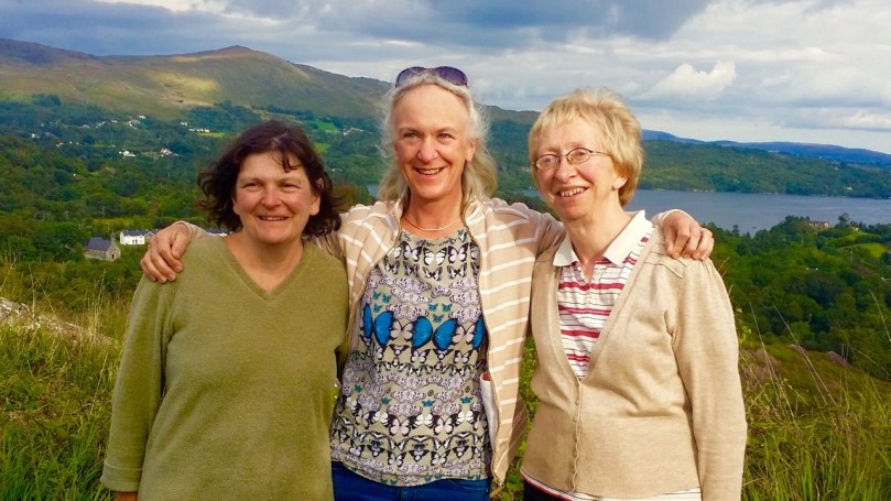
Madeline Clare Angela

The team behind the Ellen Hutchins Two Hundred Year Celebration: Madeline Hutchins, great great grandniece and biographer of Ellen; Clare Heardman of the National Parks and Wildlife Service; Angela O’Donovan of the Bantry Historical Society. This photo was taken from the Ellen Hutchins 200 Years Facebook Page, with appreciation

Don’t forget to check out the website Ellen Hutchins: Ireland’s First Female Botanist for so much more detail than I could give you in a blog post.

Fastnet Trails: Rossbrin Loop, Part 2

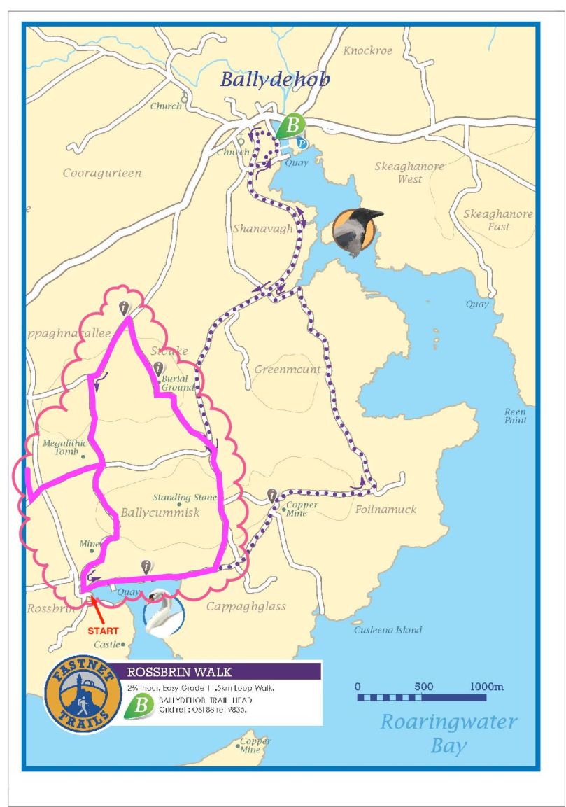
Start this walk at the Rossbrin boat slip

Start this walk at the Rossbrin boat slip

A joint post by Finola and Robert

In Part 1 of this trail post, we took you around the first leg of the Rossbrin Loop trail, which we have broken into two shorter rambles.

This one is steeper and climbs higher, but it’s full of interest and you can take it as easy as you like. For this walk, you park at the Rossbrin boat slip, at the eastern end of Rossbrin Cove.

Rossbrin trails route revised Export

You won’t need off-road boots and you can take the dog. Give yourself two to three hours, depending on whether you decide to do the detour to see the wedge tomb. This is a nice, rambling pace, with lots of time to stop and chat to anybody you meet, admire the wonderful views, take lots of photographs, and maybe indulge in a picnic along the way. 

The first hill affords lovely views back to Rossbrin Castle

The first hill affords lovely views back to Rossbrin Castle

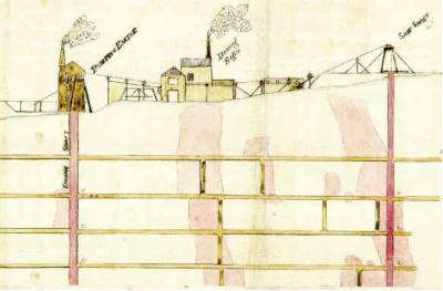
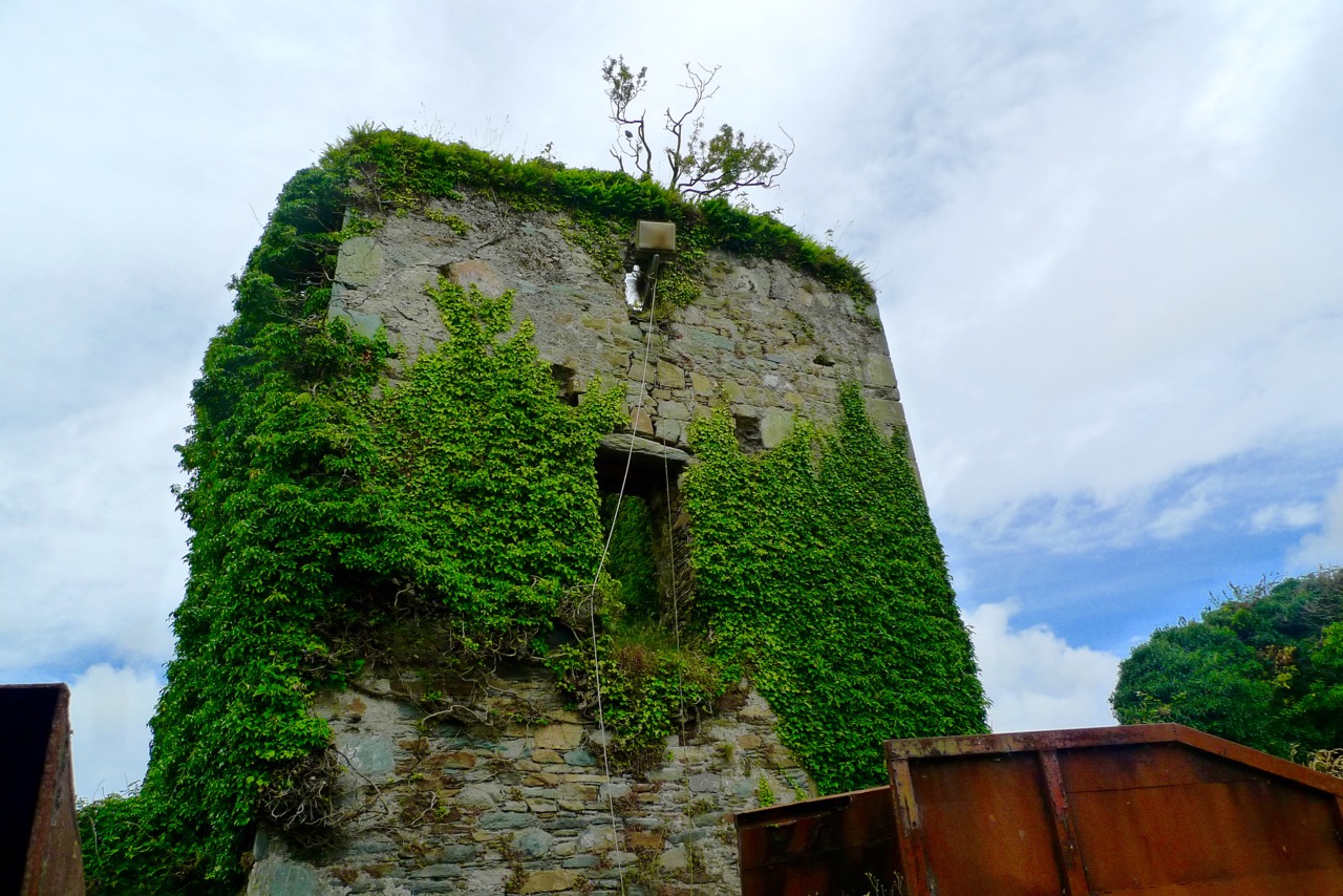
Set off north and turn right after the boat yard and then left up the hill. As you ascend you will see the remains of old mine workings to your left. The earliest records of mining at Ballycummisk refer to 16 tons of ore raised in 1814 and 42 tons in 1815. In 1838 a shaft was sunk 20 fathoms, mainly through barytes and shale. In 1857, 174 tons of ore were sold, mainly copper. By 1861 the mine was recorded as being ‘one of the best developed and very satisfactorily worked.’ The ‘Lady’s Vein shafts’ are marked on the OS 6” map. The Ballycummisk Mining Company worked the mine from 1872. In 1878 a section down to 228 fathoms was noted, but in the same year the mine was recorded as ‘abandoned’. Nowadays some concrete pillars and the slag heap are the most visible remains of the once thriving mine-site.

Old Mine site

There are extensive views over the countryside beyond the old mines

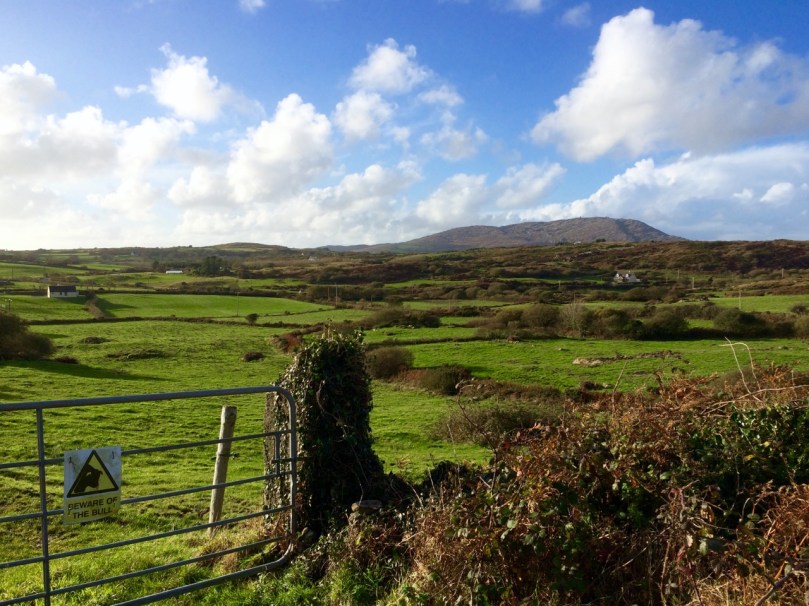
At the top of the hill, where you will find a sign to the riding stables, turn left and head through the townland of Ballycummisk with pleasant country views to the west. Once you get to the crossroads you may see a little wayside stall selling vegetables on the honour system. If you’ve brought a backpack, this would be a good place to stock up on carrots, potatoes, or yellow tomatoes.

Beware of the bull

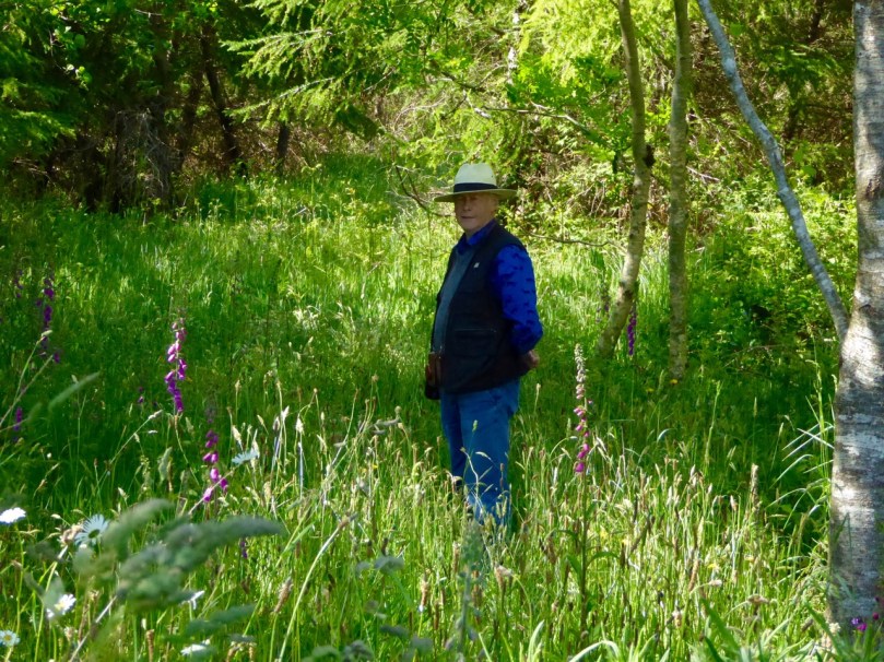
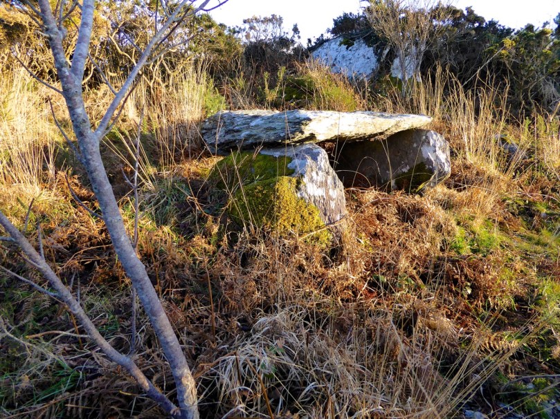
Wayside StallAt this point, we recommend a detour to see the Kilbronogue wedge tomb. Turn left and walk until you reach the next crossroads. Go straight through the crossroads and a short distance on you will see a lay-by on the right side of the road. Step over the wire and find your way up the path that has been generously maintained by the landowner. In early summer this path is awash with ox-eye daisies. It meanders up through a birch plantation until you emerge in a small clearing to find the wedge tomb.

Path to wedge tomb, Kilbronogue

Like most wedge tombs, this one is orientated to the west – take a look at our post Wedge Tombs: Last of the Megaliths for lots of information on this class of Bronze Age monuments. This is a lovely example, and we are grateful to Stephen Lynch for ensuring its wellbeing and providing access to it.

Kilbronogue Wedge tomb

Retrace your steps to the second cross roads and turn left up the hill, turning right when your reach a T junction, and then take the left fork at the Y. This is a pleasant country road – farmland stretches on either side, with ruined or abandoned houses dotted here and there among the neat modern farmhouses with their colourful paint and bowery entrances.

In spring and summer the hedgerows are heady with wild flowers of every variety.

Turn right again at the next junction and you will come shortly to the beautiful and atmospheric Stouke burial ground. Although we have read that there are the ruins of an old church in this graveyard, we have never found it. But there are other items of great interest here, the traditional burial place of many island dwellers. In the centre you will find the grave of two priests, Fathers James and John Barry, who were parish priests here during the time of the famine. According to the Historic Graves listing for Stouke  “Sarah Roberts who is buried here in this tomb, died at an early age… worked as a housekeeper for the parish priest… When his sister died and was also buried here, Sarah’s coffin was in perfect condition. She was reburied with the parish priest even though she was not a Catholic. People of the parish come to pray at this tomb on the 24th June at John’s Feast Day.”

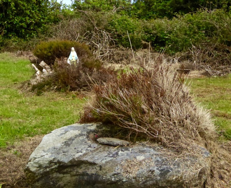
A little way to the right of this grave is a rock, partially covered by heather, that contains a bullaun stone, known locally as the Bishop’s Head. Once again, according to the Historic Graves entry, “The bishop was confirming children in a nearby church. Red coats came in and beheaded the bishop.”

Amanda photographs the bullaun stone

Amanda photographs the bullaun stone

There are offerings of coins in jars at the bullaun stones, and at the priests’ grave. Leave one too, along with a prayer or wish for a loved one.

Bishops Head bullaun stone, Stouke Graveyard

Bishop’s Head bullaun stone, Stouke Graveyard

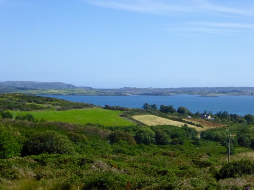
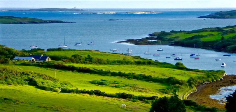
From Stouke the road drops down to a cross roads. Go straight through and start to climb again up to Cappaghglass. Ignore the left turn and carry on until you reach a Y junction. Take the right fork, pass all the ripe blackberries (if you’re able) and as you crest the hill the whole of Roaringwater Bay is laid out before you. Few views in the country can equal this one for sheer scope: all the islands in Carbery’s Hundred Isles come into view, The Baltimore Beacon gleams on its rocky outcrop to the east, while the Fastnet Rock sits sturdily on the horizon, and the Mizen Peninsula stretches away to the west.

Roaringwater Bay from Cappaghglass

Descend the steep hill, turning right at the T junction, and meander down to Rossbrin Cove.

Shaft of Sun

Now a peaceful boat harbour, Rossbrin in the 15th Century was the domain of Finghín O’Mahony, the Scholar Prince of Rossbrin, a man who used the riches extracted from taxes paid by Spanish and French fishermen to fund a centre of learning here in Rossbrin where scribes and learned men wrote and translated books which still exist today. The ruined section of the castle still standing gives little evidence of the erudite court that was once respected throughout Europe. A fish ‘palace’ for processing pilchards once provided employment to the people of Rossbrin, but little trace remains of it, or the holy well at the shore that once attracted those seeking cures for their ailments.

Kayaks at Rossbrin Cove

If the weather’s warm and the tide’s in, this is a good spot for a dip. No? Well, a photograph, then. 

We hope you’ve enjoyed the two Rossbrin Loop walks – do let us know how you got on.

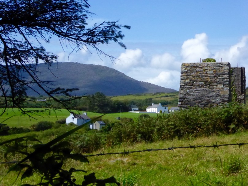
Ballycummisk Mine

Ballycummisk Mine

Oldcourt

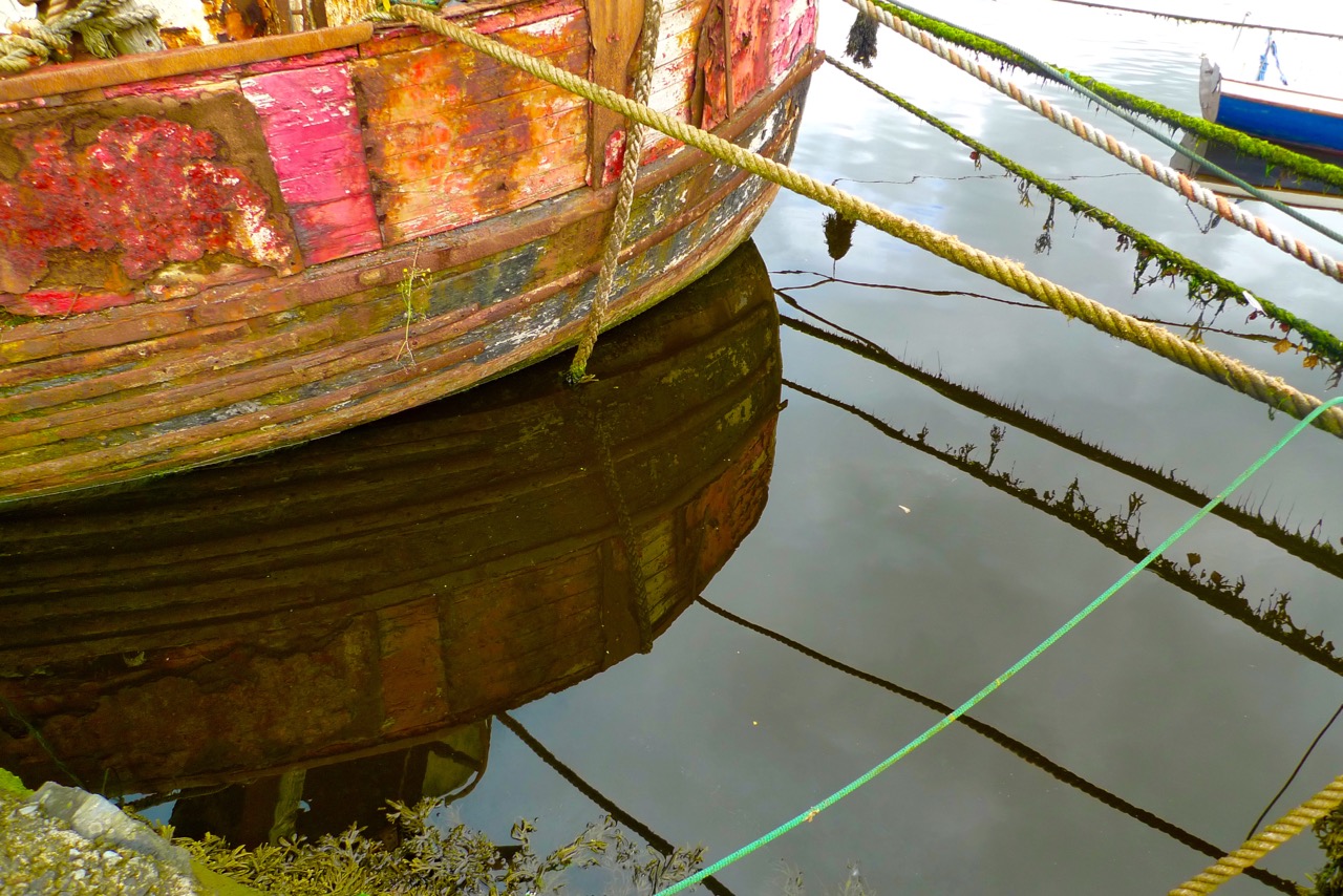
red hull

…At Oldcourt a boat-building yard flourished within the walls of an old O’Driscoll castle overlooking the pier and river. Schooners and steamships used to anchor at this spot, the highest point they could travel up the river. Here their cargoes of coal and other supplies were unloaded and placed on specially built lighters with a small draught that would be poled along a further sluggish turn or two upstream to the pier at Skibbereen. In this way cargoes of cattle were brought up by islanders to be sold at the market… (description of the townland of Oldcourt from The Coast of West Cork by Peter Somerville-Large 1974)

gentle Ilen

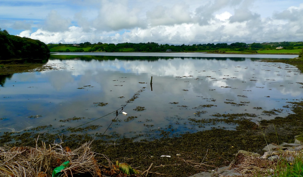
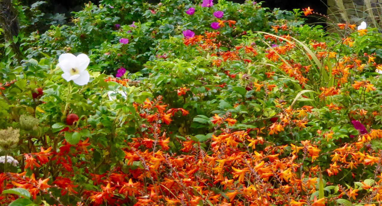
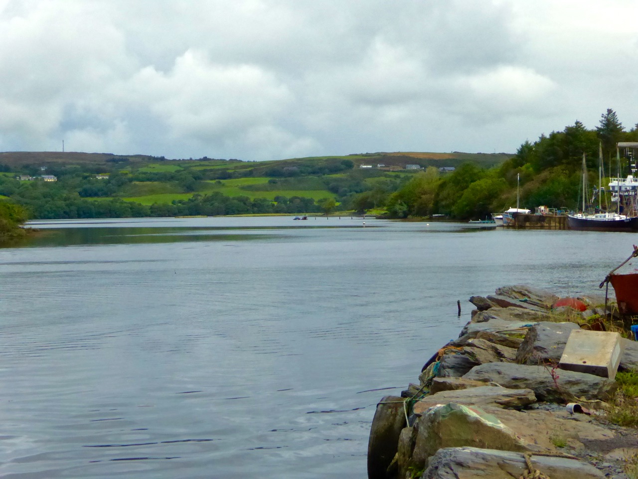
The tidal River Ilen making its lazy way out to Roaringwater Bay on a late summer evening has a melancholy beauty: it is wide and slow and – mid tide – is a perfect mirror to the sky. The sounds of Oystercatchers and Curlews coming over the water always bring thoughts of autumn: the harvest is ready to cut, the verges are brilliantly orange with the montbretia and the hedges purple-red and weighed down with fuscia.

Montbretia

wide river

We went down to Oldcourt to seek out history and atmosphere. We knew that it had once been a transport hub for the transhipments of goods and we wanted to see what might be visible from those earlier times. It was the river Ilen (pronounced eye-len) that gave birth to Skibbereen following a pirate raid on Baltimore in 1631. According to Skibbereen historian Gerald O’Brien …in the wake of the shock of that – the most daring pirate raid mounted against Britain or Ireland – a small number of survivors rowed upstream to resettle in the safety of the Ilen Valley. The role of this river-borne migration from Baltimore [was] a factor in the foundation of Skibbereen… (Journal of the Skibbereen and District Historical Society, Vol 7, p 91).

reflections

beyond the bridge

rust

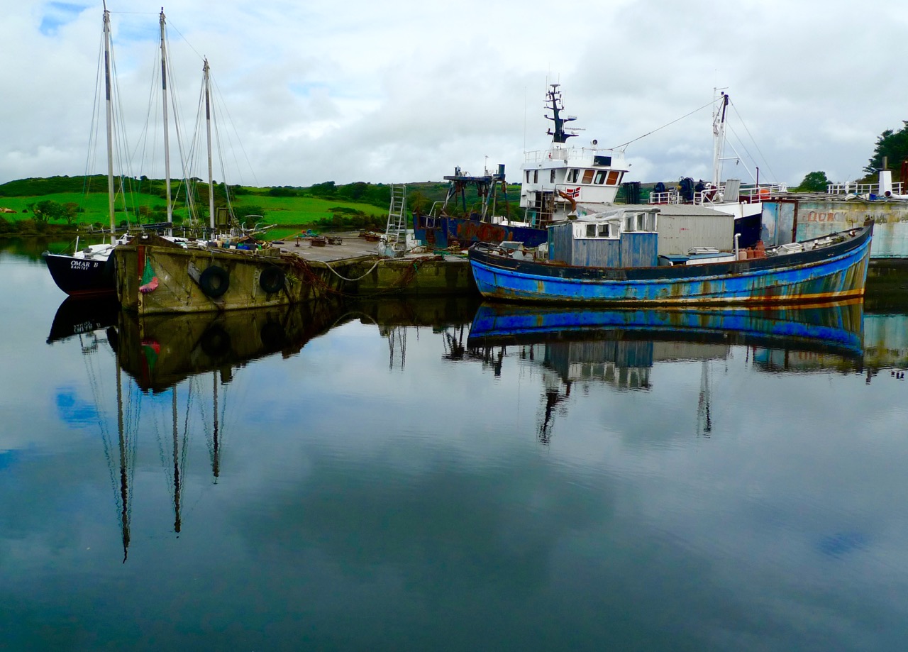
We found atmosphere a-plenty. On the upstream side of the wide inlet where the transhipment quays were sited is a streamlined modern boatyard where sleek yachts are wintered and serviced while, opposite and downstream, is a far more eclectic establishment surrounding and embracing the remains of the medieval castle and bawn: this is Hegarty’s‘…one of Ireland’s last surviving traditional boatyards…’

birdie in circle

Our aim was to search for the old quay and the medieval buildings which had been part of the castle demesne, but we were fascinated to pick our way through boats of all kinds – classic, sailing, fishing, ferrying – and boat paraphernalia: here an old decapitated wheelhouse, there a collection of masts, everywhere ropes and tackle…

green ropes

Oldcourt Castle is a tower house standing four storeys high but originally at least one storey higher, once surrounded by a bawn, some ruins of which remain. It was an O’Driscoll clan castle, probably dating from the 15th century, and was captured by English forces after the Battle of Kinsale in 1601.

Old Court Castle

Ilen and Castle

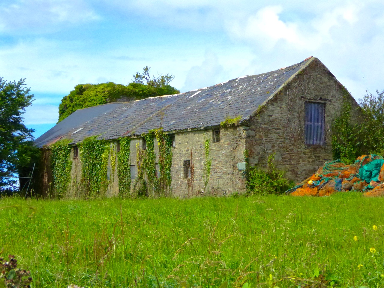
Part of the castle bawn was used as a grain store up to comparatively modern times: now it houses a fascinating boat restoration. The story begins with Connor O’Brien (1880-1952) whose ketch, the Saoirse, took him on a circumnavigation of the world between 1923 and 1925. On this journey he stopped off at Port Stanley in the Falkland Islands. The islanders were so impressed at the way the Saoirse rode the waves that they asked O’Brien to arrange the building of a similar boat. This was the Ilen, named after the river and estuary and registered at the port of Skibbereen in February 1926. She was 56 feet in length overall with a beam of 14 feet and a displacement of 45 tonnes. Connor set sail in August 1926 from Cape Clear, arriving at Port Stanley in January 1927 where he handed it over to the new owners, The Falkland Islands Company, in exchange for £1,500. There she remained until the early 1990s, carrying cargoes of stores, mail, passengers and sheep. Limerick man Gary McMahon found it abandoned on one of the islands and determined that it should return to its homeland for restoration. There was great excitement when he sailed the ketch back into Baltimore in 1998.  The refitting of this eighty-two year old vessel in the old bawn at Hegarty’s, Oldcourt, is now the centre of an educational project allowing people to experience first-hand the ancient skills of wooden boat building.grain store

ilenframesThe old grain store – formerly part of the Castle bawn – now houses the restoration project of the AK Ilen (above – courtesy of Roeboats)

Such a hive of activity at OIdcourt today… Echoes of busy days gone by when the schooners were arriving with their cargoes bound for the growing town of Skibbereen.
Ilen postage stamp

Irish Roads

Heading towards the light

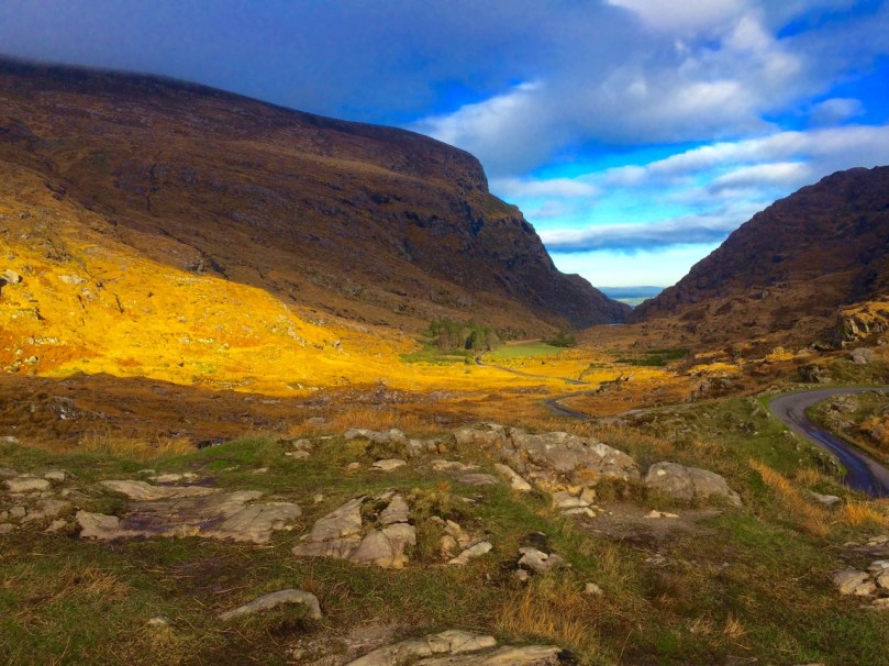
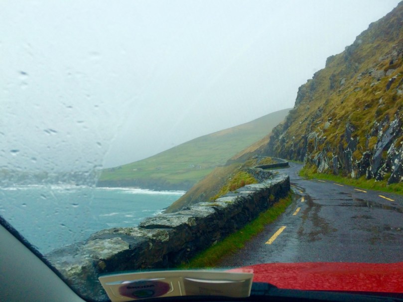
Driving the Gap of Dunloe in Kerry – it can only be done in winter.

To give you a flavour of what it’s like to drive in Ireland, I’ve put together a few of my favourite photographs of the roads we’ve travelled. Sometimes I wonder if we will get to the point where we take for granted the spectacular scenery which is such an everyday occurrence for us, but then we find ourselves pulling over once again to wonder at the wild landscape, the grandeur of the mountains, the way the sea cuts deeply into the sandstone cliffs, the old castles and ruins that dot the fields – and we know that we will never tire of Irish roads.

This slideshow requires JavaScript.

I’ve chosen only photographs that have roads in them, so you can get the feel of travelling in Ireland. And yes, it does rain in Ireland and the clouds come down and cover everything and then driving isn’t as much fun. Find a pub to hole up in, wait a while, and try a prayer to St Medard

Dingle

Of course some  of you, dear readers, do this every day, like we do, so tell us your own favourite Irish roads – or share a photograph on our Roaringwater Journal Facebook page if you like.

This slideshow requires JavaScript.

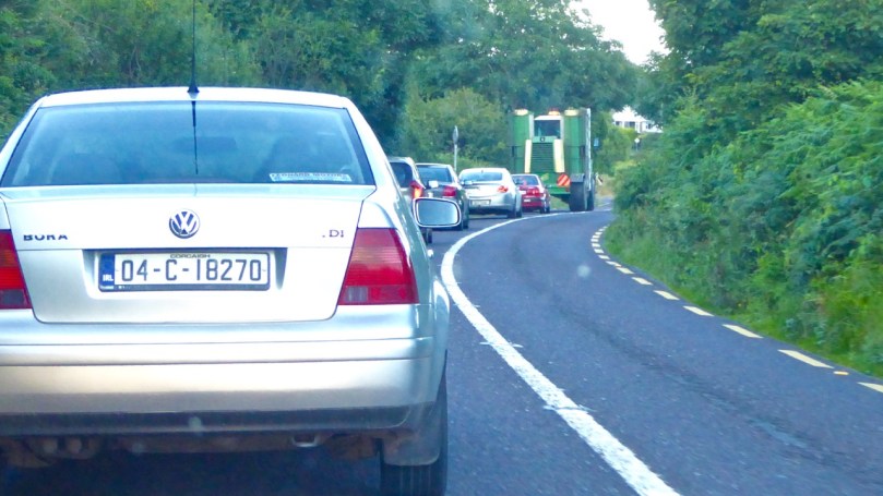
Obstacles are common – so don’t drive too fast along the rural roads as you never know what might be around the bend.

Tractor pace

And there’s no point in being in a big hurry…
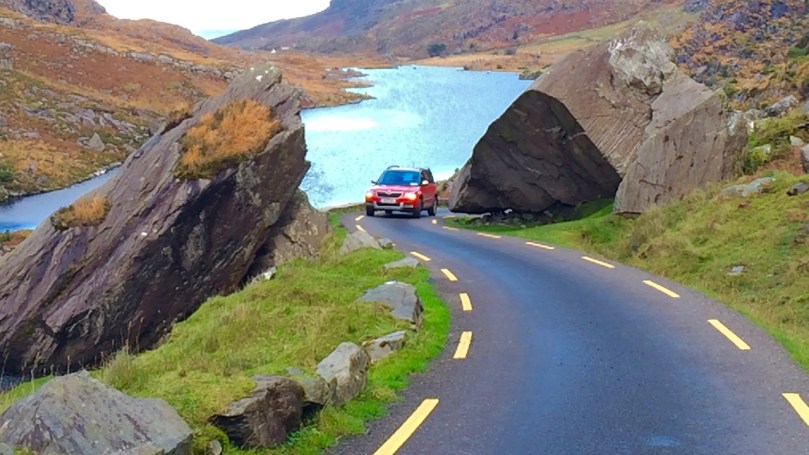
Only room for one at a timeThere’s only room for one at a time

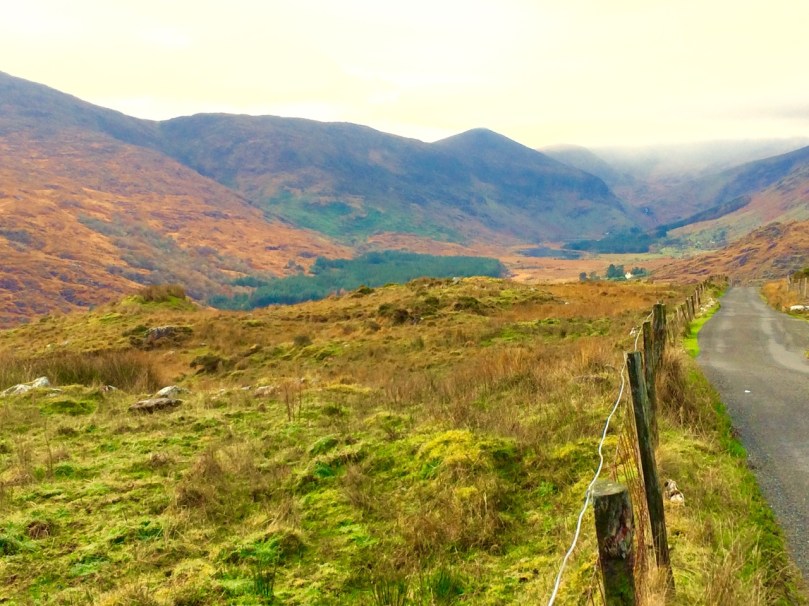
We do have freeways/motorways in Ireland, and tolled highways, and congested city streets with honking traffic. Our advice is to get off the highways and out of the cities as soon as possible. Get on this road, for example, that runs through the Black Valley in Kerry, and see where it takes you.

Black Valley, Kerry

Happy driving in Ireland!

By the lighthouse

Fastnet Trails: Rossbrin Loop, Part 1

A joint post by Robert and Finola

In Robert’s post about the Fastnet Trails, we introduced you to this new trail system, and in particular to one of the delightful walks – the Lisheenacrehig Loop. Today’s post is about another of the walks – the Rossbrin Loop. This walk is all on country boreens, so you can wear your ordinary walking shoes and take the dog if you like but keep him on a leash and stick to the road. You will pass other dogs on the way, as well as fields of livestock.

The high road

You can do this whole walk as laid out in the brochure. It’s just under 12km and will take you at least three hours, but probably more if you like to stop to explore, take pictures, have a chat along the way. Oh, and see where it says ‘easy grade’? Take that with a pinch of salt – this walk will give you a good work out as it takes you from sea level to 70m (230ft) and back again.

Rossbrin Trail 1

But we know that many of you like to take an easier pace and, like us, might find a 12km loop a bit intimidating, so we’ve decided to give you another option. We will lay out a 2-walk option for you, beginning with Walk 1 now, and we will do Walk 2 in a future post. We provide our time estimate for a meander rather than a march. And – a disclaimer: our suggestions depart slightly from the official Fastnet Trail and have not been sanctioned by that group. Where you depart from the marked trail, you walk at your own risk.

Walk 1: Ballydehob, Greenmount, Foilnamuck, Cappaghglass, Ballydehob

Time: 2 to 2.5 hours (with diversion)

Level: Easy but some steep stretches

Take: Binoculars and camera

Twelve Arch Bridge

Park in the Ballydehob car park just east of the river estuary and start by taking the lovely nature walk that takes you over the 12 Arch Bridge. This beautiful structure was once part of the West Carbery Tramway and Light Railway. A train ran across this bridge from 1886 to 1947 – Robert has written about The Flying Snail that traversed West Cork, but for a real flavour of what it was like read Poisson d’Avril in Somerville and Ross’s The Irish R.M. Here’s the first paragraph:

The Irish R.M.The atmosphere of the waiting-room set at naught at a single glance the theory that there can be no smoke without fire. The stationmaster, when remonstrated with, stated, as an incontrovertible fact, that any chimney in the world would smoke in a south-easterly wind, and further, said there wasn’t a poker, and that if you poked the fire the grate would fall out. He was, however, sympathetic, and went on his knees before the smouldering mound of slack, endeavouring to charm it to a smile by subtle prodding with the handle of the ticket-punch. Finally, he took me to his own kitchen fire and talked politics and salmon-fishing, the former with judicial attention to my presumed point of view, and careful suppression of his own, the latter with no less tactful regard for my admission that for three days I had not caught a fish, while the steam rose from my wet boots, in witness of the ten miles of rain through which an outside car had carried me.

Ballydehob Quay saw brisk trade in the days before the Bay silted up. The lovely old Pier House once functioned as a coal warehouse. 

Greenmount Stream

Following the walkway, you emerge by the school and turn left on to the Greenmount Road. This can be a busy stretch, so be careful along here. Once you get to the turquoise shed, turn left. Here you find yourself beside a burbling stream that empties into Ballydehob Bay at a small and picturesque pier. This and others like it were busy piers in the old days, serving the fishing boats as well as the sand boats that worked these waters, dredging sand to be used as fertiliser and building material. Nowadays this little inlet seems hardly navigable and the same blue and white boat has been moored here for a long time.

Greenmount Quay

The road climbs steadily up now past working farms. Looking back towards Ballydehob you can see the Bay and even the 12 Arch Bridge in the distance.

Pastoral

As you round a corner your view changes  and Kilcoe Castle comes into view. Now home to Jeremy Irons, who has restored it beautifully from a complete ruin, it was a classic 15th century tower house owned by the McCarthy Clan. So well was it situated and defended that the inhabitants were able to hold out for two years in the aftermath of the Battle of Kinsale (1601). Situated on a tiny island and glowing a soft amber colour, it is a beloved landmark in these parts.

Kilcoe Castle from Greenmount

Below you is a shallow bay that is a haven for shorebirds and seals. If the tide is out linger a while and use your binoculars to see what you can pick out along the tidal flats below you. If you’re lucky the seals might be out along the rocks, sunning themselves. Once underway again, you’ll pass an old cottage on the left. A recently-dug pond in its garden is already full of water lillies.

Water lillies

Continue now along the narrow boreen and brace yourself for the climb to the highest point  of the walk. No longer on leafy lanes, you are now walking on a bare plateau with panoramic views in all directions. The whole of Roaringwater Bay gleams before you. To the east, towards Kilcoe, lie the mussel beds that now dot this part of the Bay. Sherkin Island and Cape Clear are on the horizon, as is the Fastnet Rock. Ahead of you is the looming shape of Mount Gabriel, dominating the skyline as it does in so many parts of West Cork.

Fields of Cappaghglass

If you look carefully here you will see that the gorse and bracken barely conceals the outline of tiny field walls. There was a large population around here once and a thriving industry. Read Robert’s piece, Copper Country, for more about the mining activities of Cappaghglass. There are a few clues left – the stump of a large chimney that once provided a prominent landmark but that was felled by lightning can still be seen.

Rust and heather

Don’t turn left here (as the trail map wants you to) but instead continue straight on and turn right at the T junction and descend to the crossroads. From the crossroads you can go right and follow the road back to Ballydehob. But if you still have the energy and want to prolong the walk a little, there a diversion here that is worth considering. Turn left and climb the hill until the road flattens out. About 500m from the crossroads look up and to your left and you will see the silhouette of a large ring fort. A tiny green lane leads up to it between some houses but it is on private land.  

Ballycummisk Ring Fort

Irish ring forts generally date to the Early Medieval period – this one may be between 1500 and 1000 years old and would have been the enclosure of a farm house. A wooden fence on top of the earthworks would have kept wolves out and animals in. But the prominent position of this one also meant that it would have been a high-status dwelling. There are hints of a fosse (an outer ditch), which was a defensive feature, and reports of a souterrain, or underground passage, situated in the middle. The ridges of lazy beds – the traditional potato-growing grooves – cross the interior of the fort, indicating that this ground was used to feed a family until the area was de-populated in the aftermath of the famine. There is a large standing stone, known locally as Bishop’s Luck, above the ring fort. This could be Bronze Age or even older.

Textures

It’s an easy walk, downhill all the way, back to Ballydehob. You’ll be more than ready for a coffee and cake in Budds or a lovely bowl of soup in the Porcelain Room by the time you get there. Tell them the Roaringwater Journal sent you.

Wall E lurking

See you next time for Walk 2.

Hares in Abundance

exhibition poster

“And now, Sir Hare, good-day to you. God guide you to a how-d’ye-do with me…” (from the Middle English poem – Names of the Hare – translation by Seamus Heaney)

You may know that I am a Hare fanatic. Every day as I travel along through West Cork – driving, cycling or walking – I am scouring the fields and hedgerows in the hope of seeing one of these shy and elusive animals: very occasionally my watchfulness is rewarded. Last year I kept a Hare Diary… on the last day of December I counted up: I had seen only six, and two of these were in other parts of Ireland. Yet, when I first visited Ballybane West – just over the hill from here – back in the early 1990s I saw them on most days; one early morning then I looked out of the window and there was a whole luck of Hares running around the field beyond the house – at least ten of them.

felt hares

A luck of Hares by Christina Jasmin Roser, feltmaker

Where have all the Hares gone? I can’t answer that, but I can tell you that there are a whole lot of Hares in the Heron Gallery, Ahakista at the moment: Annabel Langrish and her husband, Klaus have mounted an excellent exhibition of art and craft works based around images of the Hare.

The exhibition brings together the work of several artists from the West of Ireland: paintings, drawings, feltwork, fabrics, papier mache, jewellery and ceramics. The whole makes a really attractive assemblage, but any one of the works on display – all of which are for sale – would be an elegant addition to your own art collection! I would readily bring them all here to Nead an Iolair but – as we already have numerous images of Hares around the house – Finola has put an embargo on further Hare imports (just for the moment).

Robert talking

Yours Truly was asked to say a few words about Hares at the exhibition opening: a wonderful portait of William the Hare by Sylvia Parkinson looks on

All the works in the Heron Gallery show bring out the magical qualities of this special animal. Mostly it is Lepus Timidus Hibernicus which is depicted: the Irish Hare. This belongs to the Mountain Hare species, related to Arctic Hares. Irish Hares don’t turn white in the winter but they do moult to a paler colour, and sometimes they have white patches then. There are also Brown Hares in Ireland: these were imported from Britain to add to the game stock on landlord estates from medieval times onwards.

Three ceramic Hares by Annabel Langrish, from the exhibition

Although the Irish Hare has been ‘legally protected’ since 1930 – and is listed as a protected species under EU legislation – it can be hunted under license, and Hare coursing is still permitted. This seems anomalous to me: those who support Hare coursing claim that the animals do not suffer. They are captured from the wild, caged (usually for several weeks), and released onto a course where they are chased by muzzled Greyhounds. After this they are put back into the wild. As their name would suggest (Lepidus Timidus), Hares are nervous animals and there can be little doubt that they do suffer stress through the ordeal. Many die before being released. Coursing has been banned in the UK since 2005. There have been moves to have Hares fully protected in Ireland.

The Hare’s Revenge: Dean Wolstenholme’s painting of Greyhounds coursing a Hare (right), while in the medieval woodcut (left) a Hare plays a tabor. The tabor is the forerunner of the Irish bodhran: I am reliably informed that the best skin to use for a bodhran is that of the Greyhound!

bugs_bunny_by_nightwing1975The Hare is a most ancient animal. Fossils have been found dating from Pleistocene times showing that the Hare has not changed or developed in three million years: presumably it is just so perfectly integrated to its environment. It also occupies a prime place in our own mythology. Hare is the archetypal Trickster figure in many cultures – helping to create the world, to bring fire to humans, generally being mischevious and getting into hopeless scrapes, but always coming out on top: just like Warner Brothers’ Bugs Bunny in fact – who is, of course, a Hare! Bugs (my favourite cartoon character) is loosely based on the Br’er Rabbit stories by ‘Uncle Remus’ – collected in the 1870s by Joel Chandler Harris from the oral tradition of the plantation slaves in the Southern United States. Br’er Rabbit (in America Hares are known as Jackrabbits) has his origin as a Trickster figure in African folk tradition.

I have gleaned most of my Hare lore from this much thumbed edition of The Leaping Hare by George Ewart Evans and David Thomson – published by Faber – which I acquired when it first came out in 1972. If you have an evening or three to spare I will happily regale you with tales of Hares gathered from far and wide and recorded in these pages.

pendants

Jewellery by Alison Ibbs

When I lived in Devon, on Dartmoor, I was fortunate to have around me many examples of a symbol known as The Tinners’ Rabbits. Chagford was a Stannary Town – a place where refined tin was assessed, coined, and sold and there was a story that the symbol was a badge of the tin miners. It depicts three Hares (not Rabbits) in a circle: each Hare has two ears, yet there are only three ears in total. A bit of a riddle, perhaps – but one which has been found all over the world, as a project carried out by Chris Chapman reveals. In Chagford’s medieval church (and in several others in Devon and elsewhere) there is a roof boss carved with the image.

There doesn’t seem to be any real evidence to connect the Tinners’ Rabbits symbol to the tin miners – however, there is a surviving superstition in Cornwall and in Ireland that if you meet a Hare while on your way to the mine (or, in some places, when you are going fishing) you turn around and go home!

Some of Annabel’s Hares in the exhibition (left) and (right) our own view of the Hare in the Moon seen from Nead an Iolair last week

Part of the universal folklore of Hares reminds us that it’s the Hare in the Moon we are seeing above us, not the Man in the Moon. And… I know you thought it was an Easter Bunny that brings the chocolate eggs – in fact it’s the Easter Hare! The Saxon spring festival of Ēostre celebrated a hero-Goddess who had a Hare as a companion… Well, that’s one of the many interpretations you will find of this moon-based festival.
Hare eggs and Hare ceramic by Etain Hickey

It’s not Easter now – it’s July – but you can go and see this exhibition on the Sheep’s Head for the rest of this month, and enjoy the beautiful gardens there as well. If, like me, you are a Hare fan, then don’t miss it!

Looking on