Antiquities of the Mealagh Valley

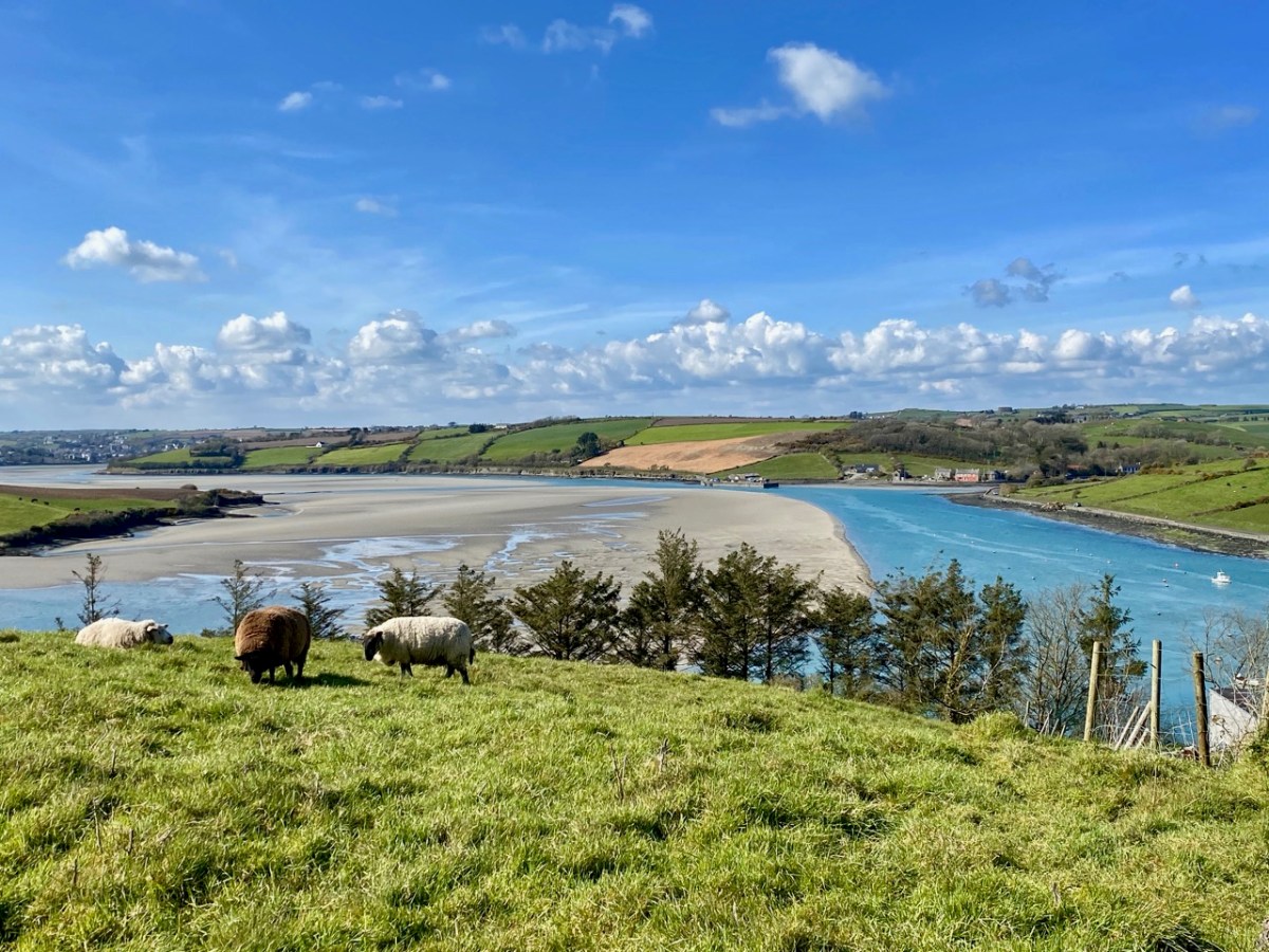
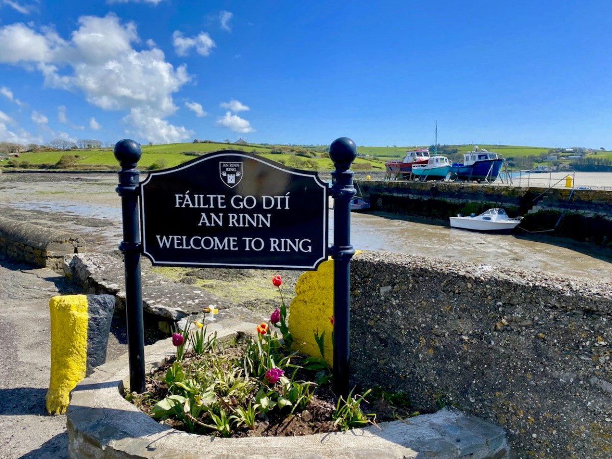
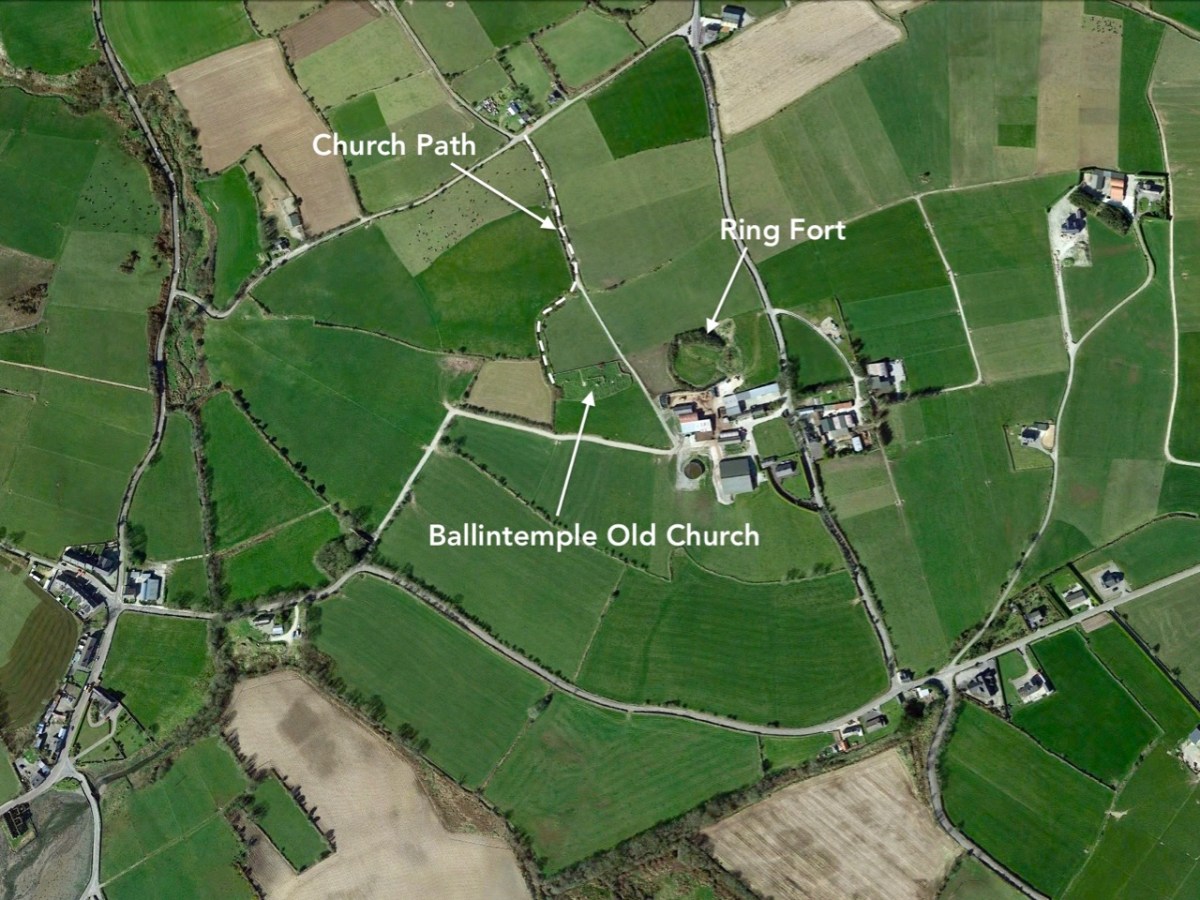
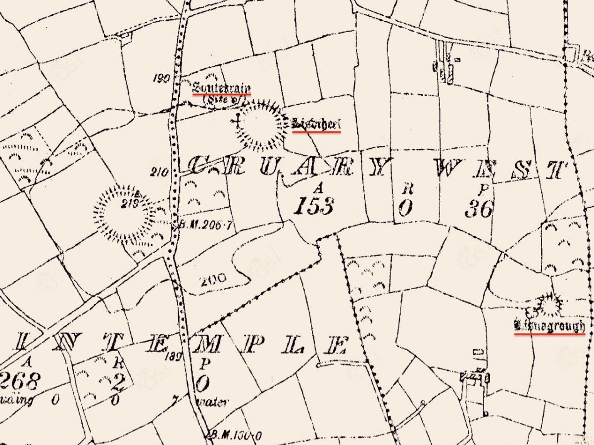
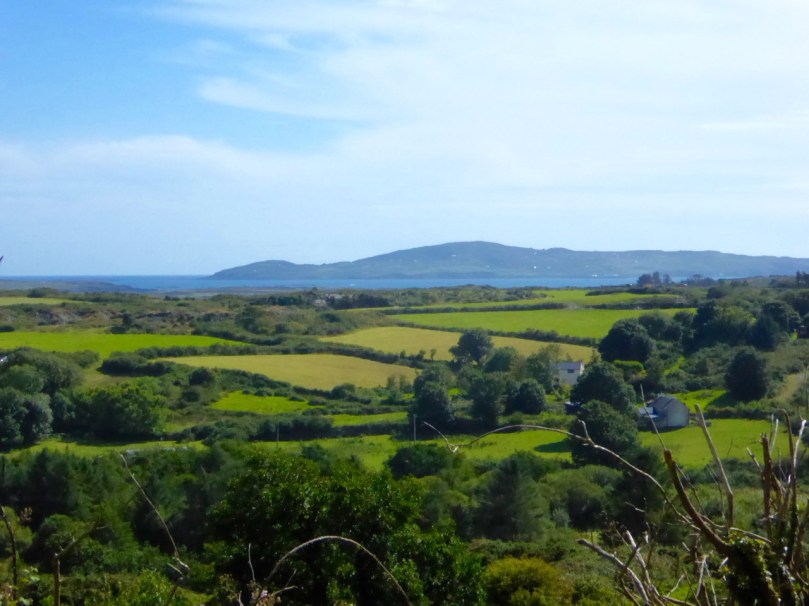
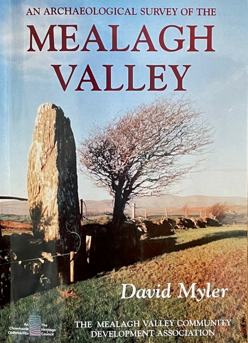
The Mealagh Valley (locals pronounce it Maylock) runs from Bantry Bay to the Maughanaclea (Maw-na-clay) hills and through this valley the Mealagh River flows from north east to south west. Along the valley are found numerous ancient monuments, evidence of occupation from the earliest times. David Myler, some years ago, with support from other local people, undertook to survey all the archaeological sites in the area and the result was this book. Sorry – it’s out of print and we are glad we managed to pick up a copy several years ago.

David and I have been in virtual touch for quite a while through social media, promising to meet up and explore when we got a chance – and that finally happened on Friday! Along the way we discovered family connections, so it was no wonder I felt an instant kinship when we met – we bonded over archaeology and shared family stories. David, a Dubliner originally, has been living here for decades and in that time has taken courses in archaeology and developed a passion for the heritage of this – his territory.

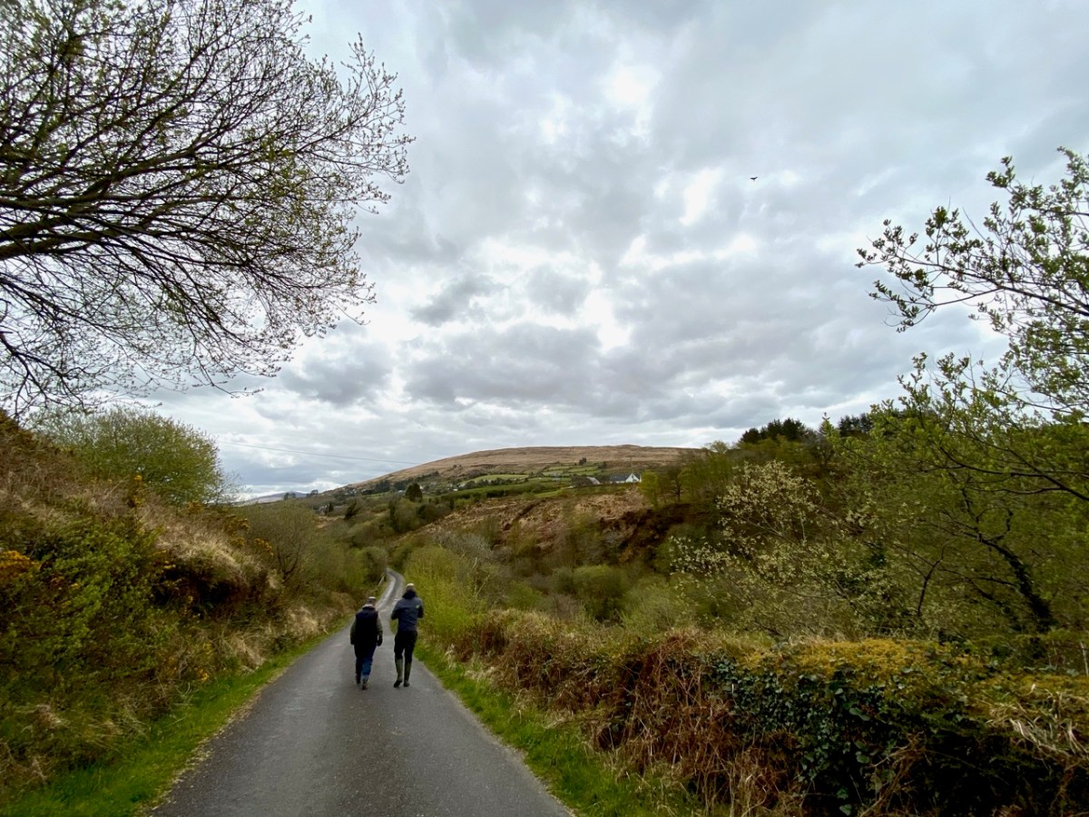
It was a joy to be taken on a field trip by the man who has, literally, written the book about the archaeology of the Mealagh Valley. It’s only the first of many, I hope, since we really only got to sample a few of the sites this time – although, as you will see, the places he took us were pretty spectacular!

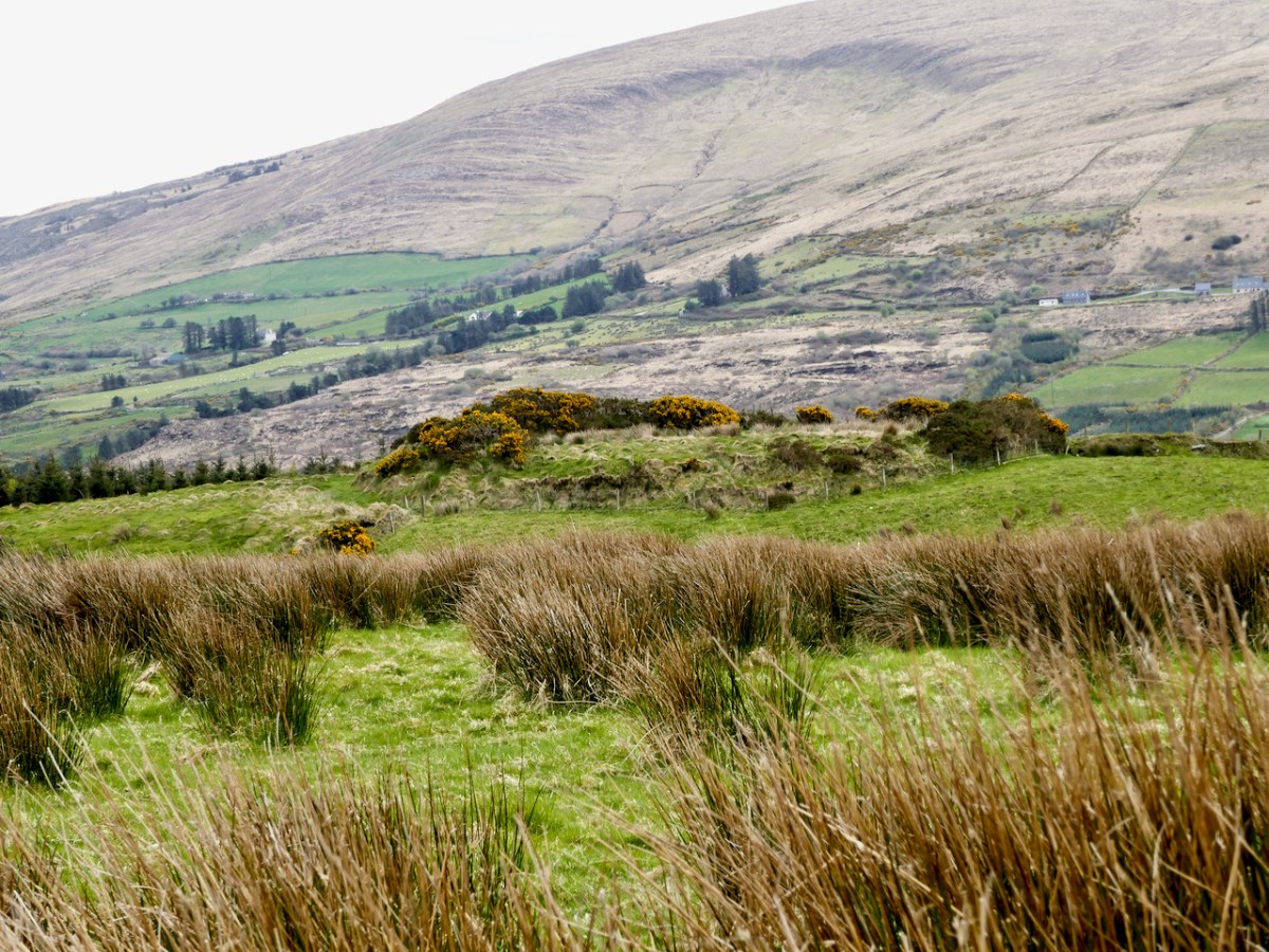
David had secured all the permissions we needed to visit the sites on private land. We started out in the townland of Ardrah (Árd Rath – high fort) with a ring fort (above) commanding panoramic views of the surrounding countryside. A ring fort (also called a rath, lios, dún, or cashel if made of stone) was the dwelling of a high-status individual in early medieval Ireland and examples like this probably date to 500 AD to 1,000 AD. The banks had traces of stone here and there so may well have been faced with stone, and the interior had been levelled.

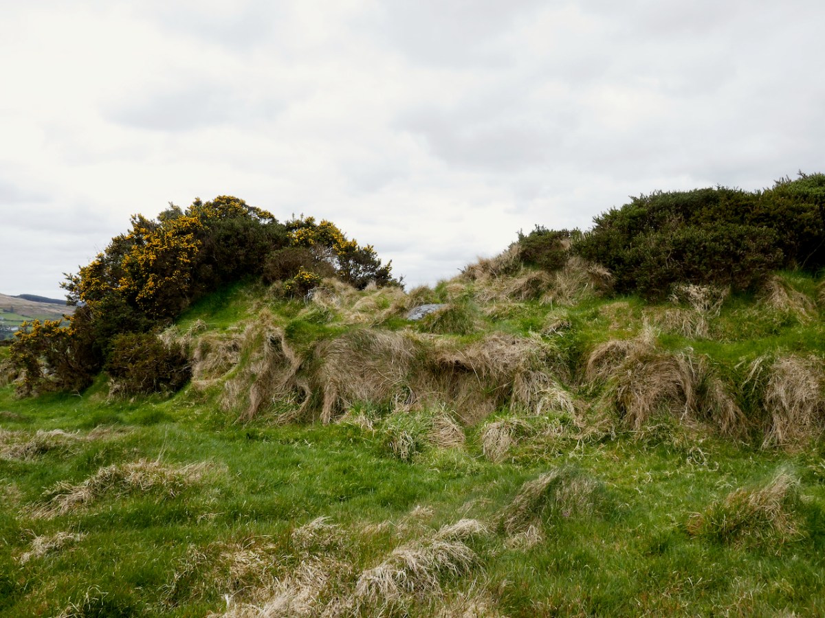
There would have been a house and perhaps other buildings inside, and a wooden pallisade fence on top of the surrounding bank. There’s a good summary of what we know about ring forts in this engaging website about Irish mythology – I especially enjoy the writer’s comments on the use of ‘fairy fort’ to describe these structures. 

From there we climbed a couple of fences – the first of several fence-climbing incidents during the day and thanks to David for sacrificing his jacket to save us from the barbed wire – and trekked uphill. The monument started to reveal itself as we got higher – at first I thought it was a standing stone.
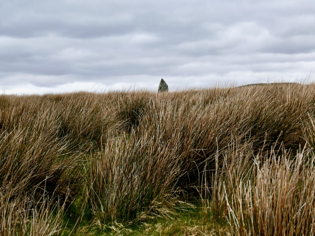
No – a stone pair?

What, there’s more?

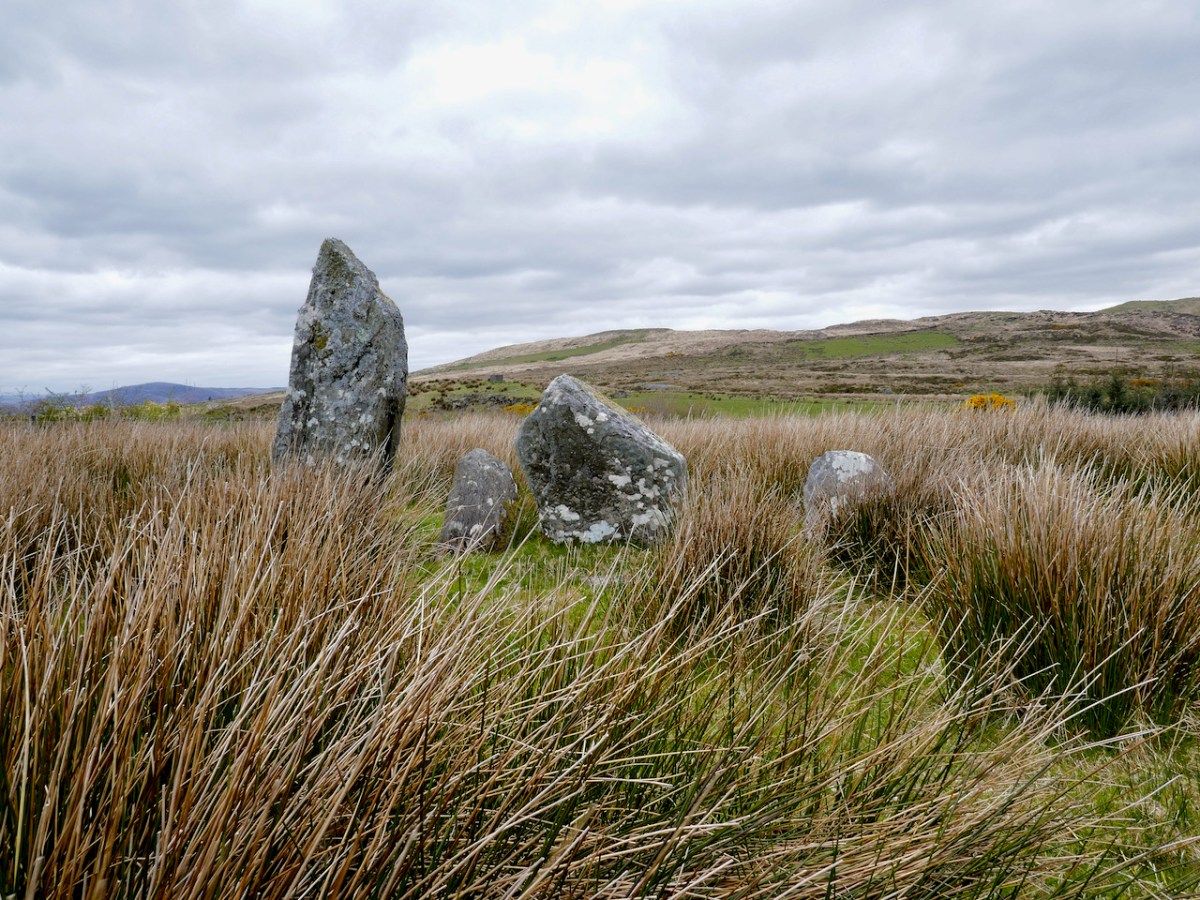
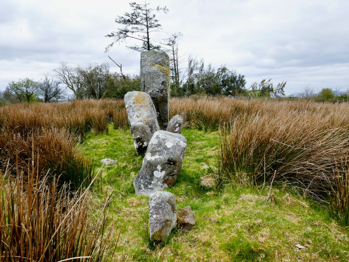
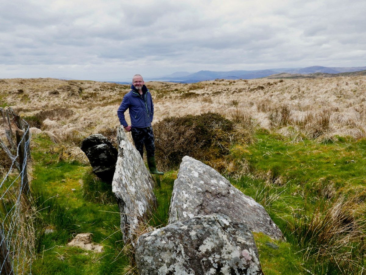
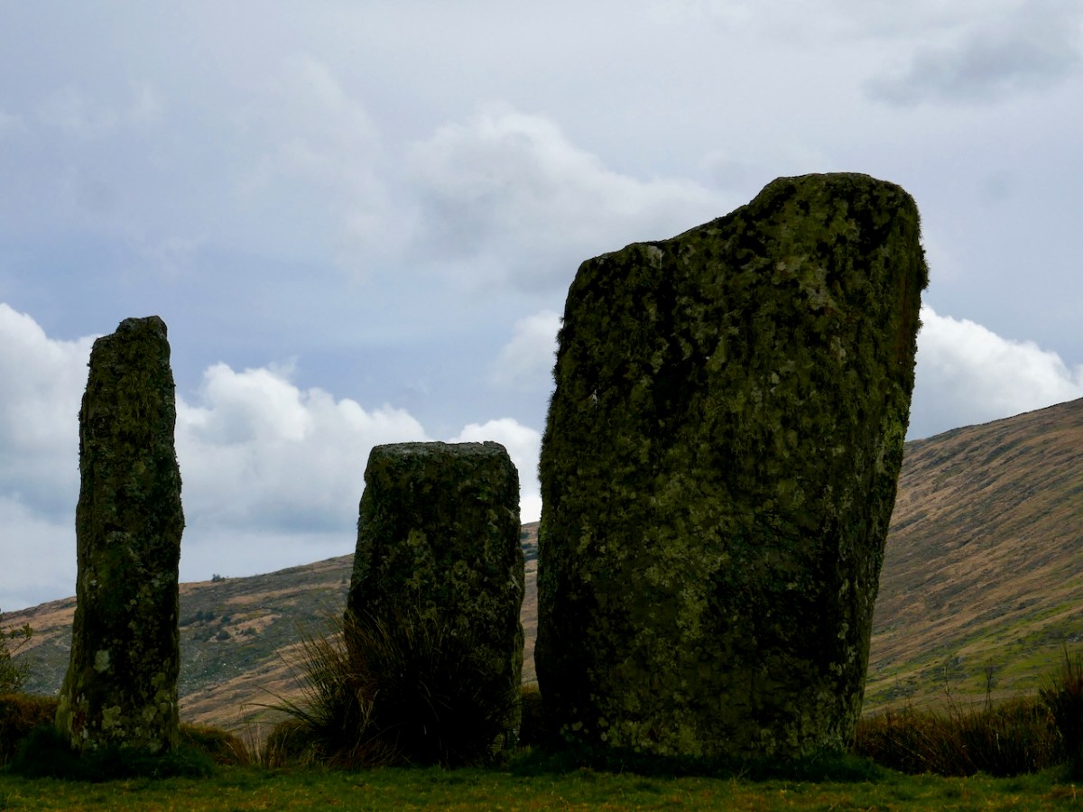
This is the Ardrah stone row, consisting of fours stones aligned ENE/WSW, a common alignment for stone pairs and rows. Take a quick trip over to Standing Stone Pairs: A Visit to Foherlagh for more about this kind of monument. You will see that this one is pretty typical – it has an orientation to the south west, consists of stones that could be interpreted as ‘male’ and ‘female’ and the stones rise in height towards the SW. The southernmost stone is enormous – Robert is providing the scale.

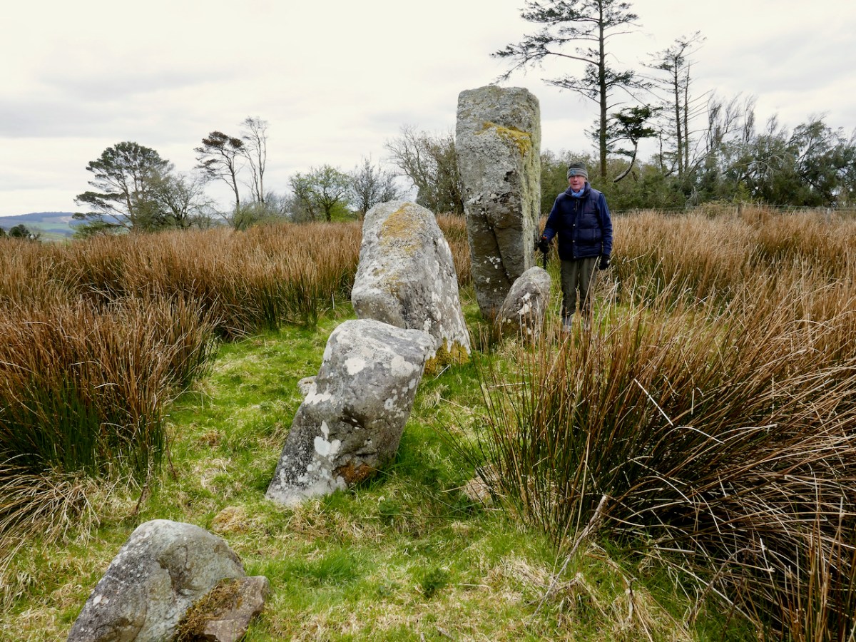
But wait, I hear you say – I see five stones, not four! And you are right. there are five stones, whereas originally there had been only four, and all the records state that this row consists of four stones. The photograph in David’s book, which dates to 1998, clearly shows four.

So – where did the fifth, and smallest, stone come from? It’s a head-scratcher and all we can do is point to the presence of the nearby fairy fort and speculate that the Other Crowd are messing with us.

And then it was on to the piece of prehistory that David discovered in the course of his survey. I should explain here that much of what the Mealagh Valley group was documenting was already known, since the whole county had been surveyed in the 1980s. But what the County Survey lists and what a local group like this looks at, will differ – for example, this group was interested in folklore and local stories about the monuments they visited and about items of interest beyond the remit of the county survey. Moreover, because they are local themselves, they are likely to be contacted if anyone spots an unusual rock or such like, and can be on the spot to examine new ‘finds’. Finally, a project like this generates appreciation and pride in, and a sense of ownership of, one’s heritage, and thus, hopefully, less likelihood of monuments being damaged.

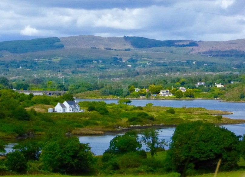
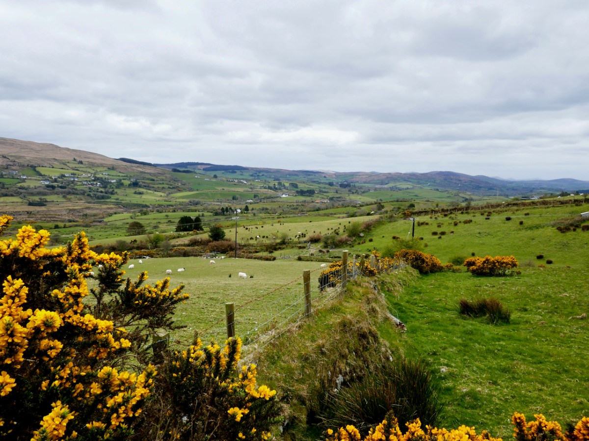
David had been alerted by a farmer to a ‘funny pile of stones’ on the boundaries of the townlands of Ardrah and Gortnacowly (Gort na Camhlaigh – field of the ruins), an area that had been impacted by forestry activity. It’s quite high up and the views are immense. As we walked up, it sent shivers down our spines as David related how he hunted around for what had been described to him, almost giving up, and finally stumbling upon the mangled remains of what he instantly recognised as a Bronze Age wedge tomb.

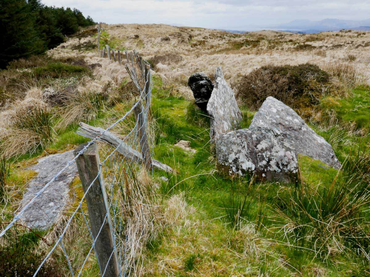
A digger clearing out a drainage ditch had inflicted damage but most of the stones were still lying around. One side of the tomb, and the back stone, were in situ. That’s probably the capstone, or one of them, on the other side of the fence.

As an archaeologist, it’s actually quite rare in Ireland to discover a previously unrecorded monument – having done so once or twice I know what a thrill it is. David’s wedge tomb is a classic of its type – see my post Wedge Tombs: Last of the Megaliths for more about them. That’s David above, showing us how to make sense of the stones, both those in situ and those which have been disturbed. He was able to ascertain that the workings in the area had turned up quartz pebbles – a feature of several West Cork wedge tombs.

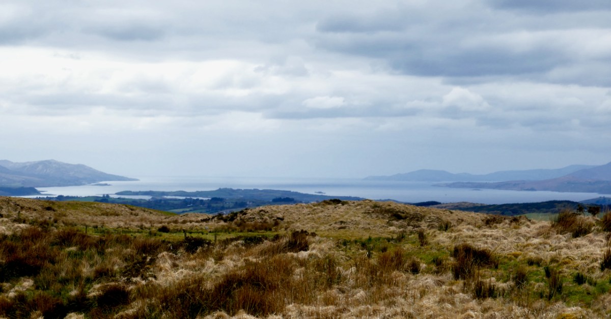
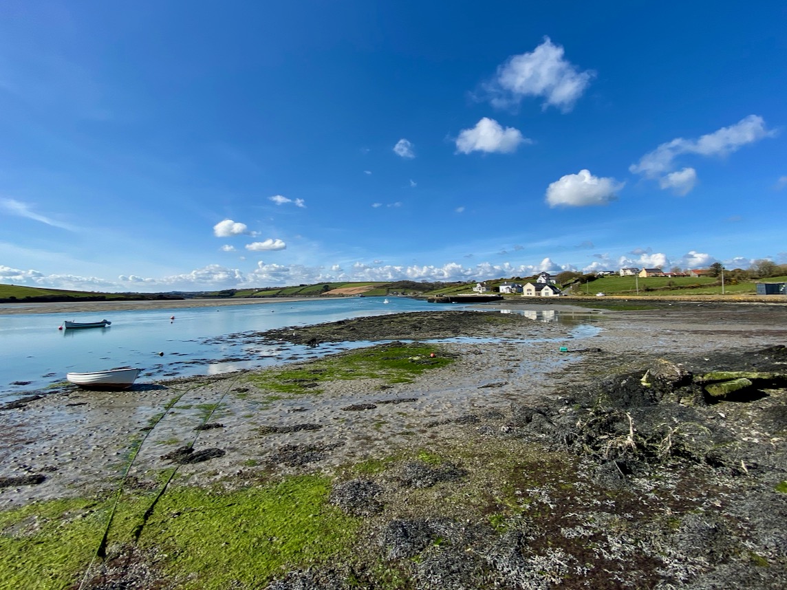
This one was, as expected, oriented towards the setting sun – but that doesn’t begin to describe the incredible sweep of the view from this point – the whole of Bantry Bay lay before us, with the Beara on one side and Sheep’s Head on the other.

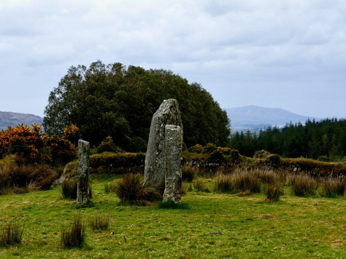
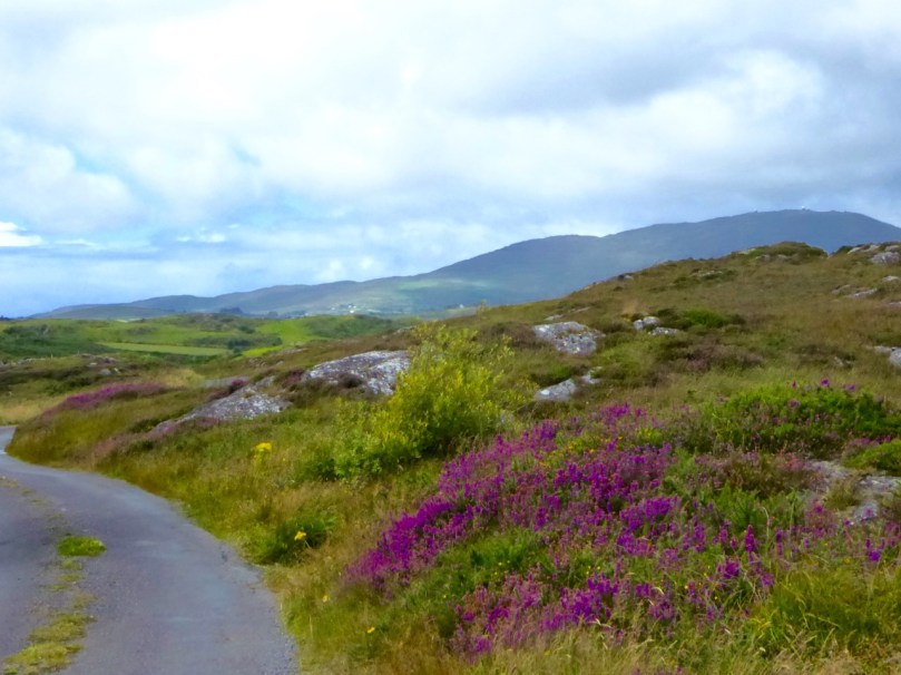
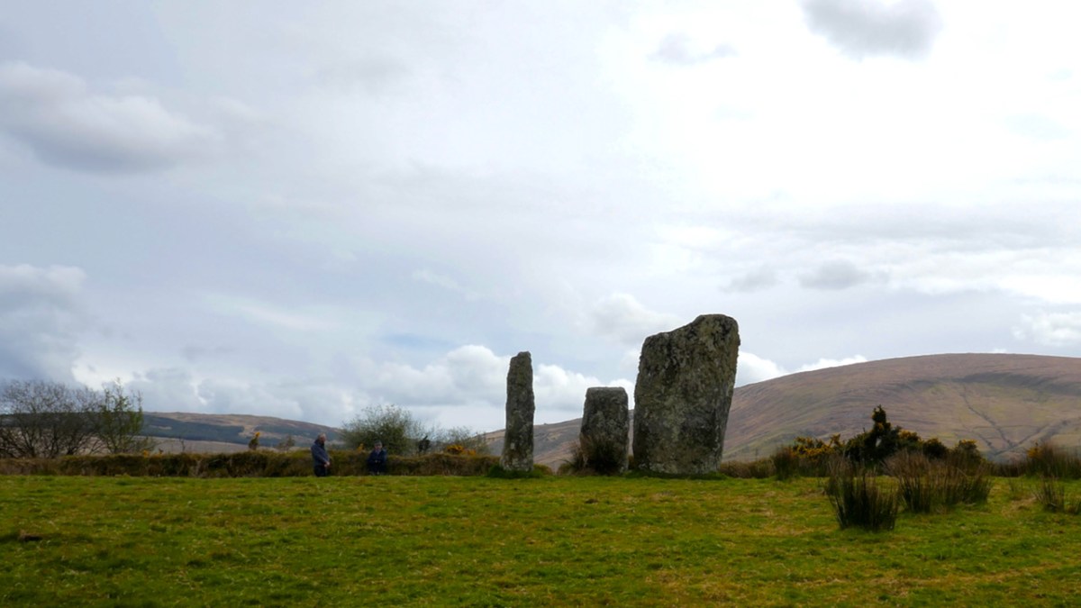
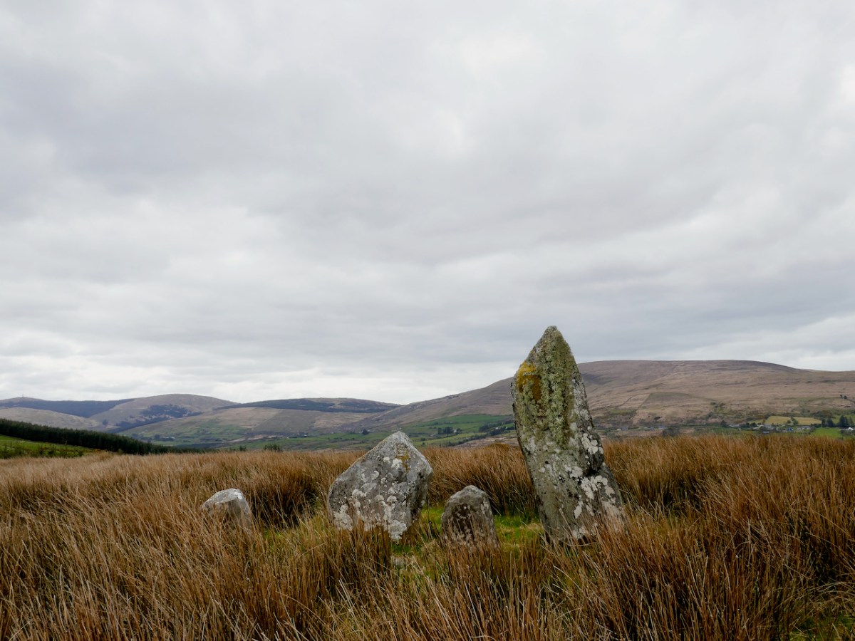
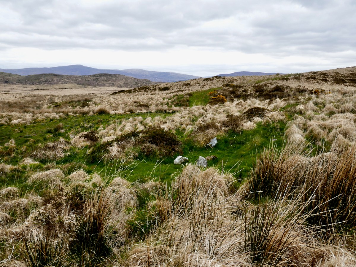
Our final visit of the day was to a type of monument I had never seen before – a ‘Four Poster’. That’s it, above, and note that there is a distant view of the sea, ten kilometres away, from it.

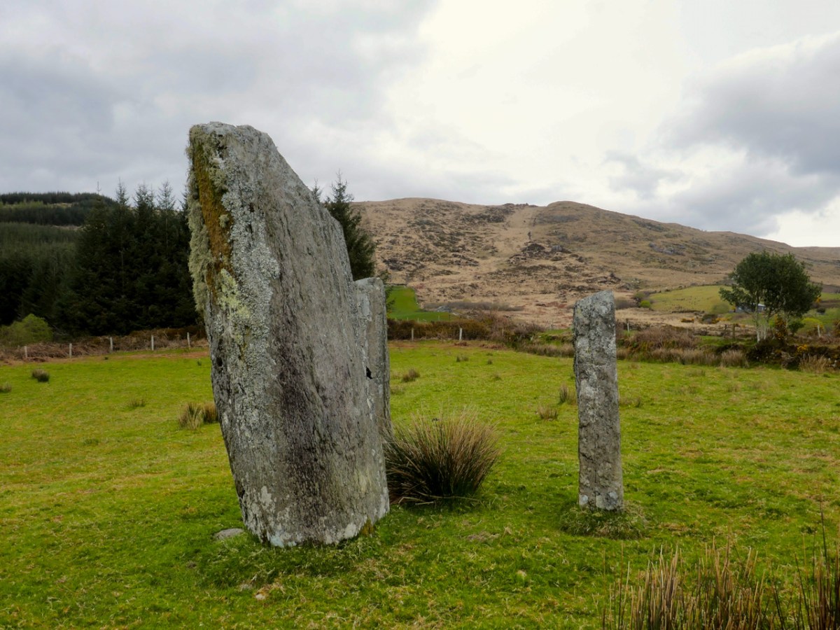
Only five four posters have been recorded in Ireland, one in Wexford, one in Kerry and the other four in West Cork. Here’s what the National Monuments site has to say about them: An arrangement of four upright stones standing at the corners of an irregular quadrilateral. The stones are usually graded in height with the tallest stone at either the south-west or north-east corner. Their closest counterparts are to be found in northern England and Scotland. These monuments are closely related to stone circles in date and function though they are much less numerous. These are dated to the Bronze Age (c. 2400-500 BC).

There are, in fact, only three stones remaining here. The largest stone is massive and of course there are all kind of alignment possibilities with arrangements like this. The closest counterpart to these four posters are to be found in Northern England and Scotland. There have been no excavations at four posters in Ireland but those few which have been dug in Britain yielded a Bronze Age range of dates.

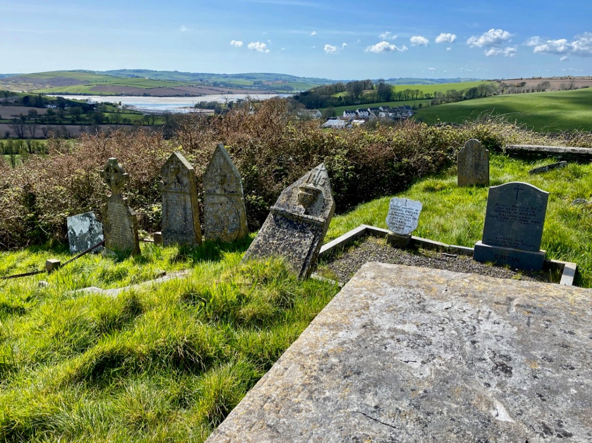
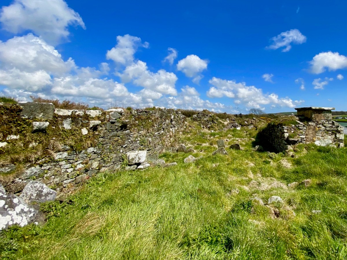
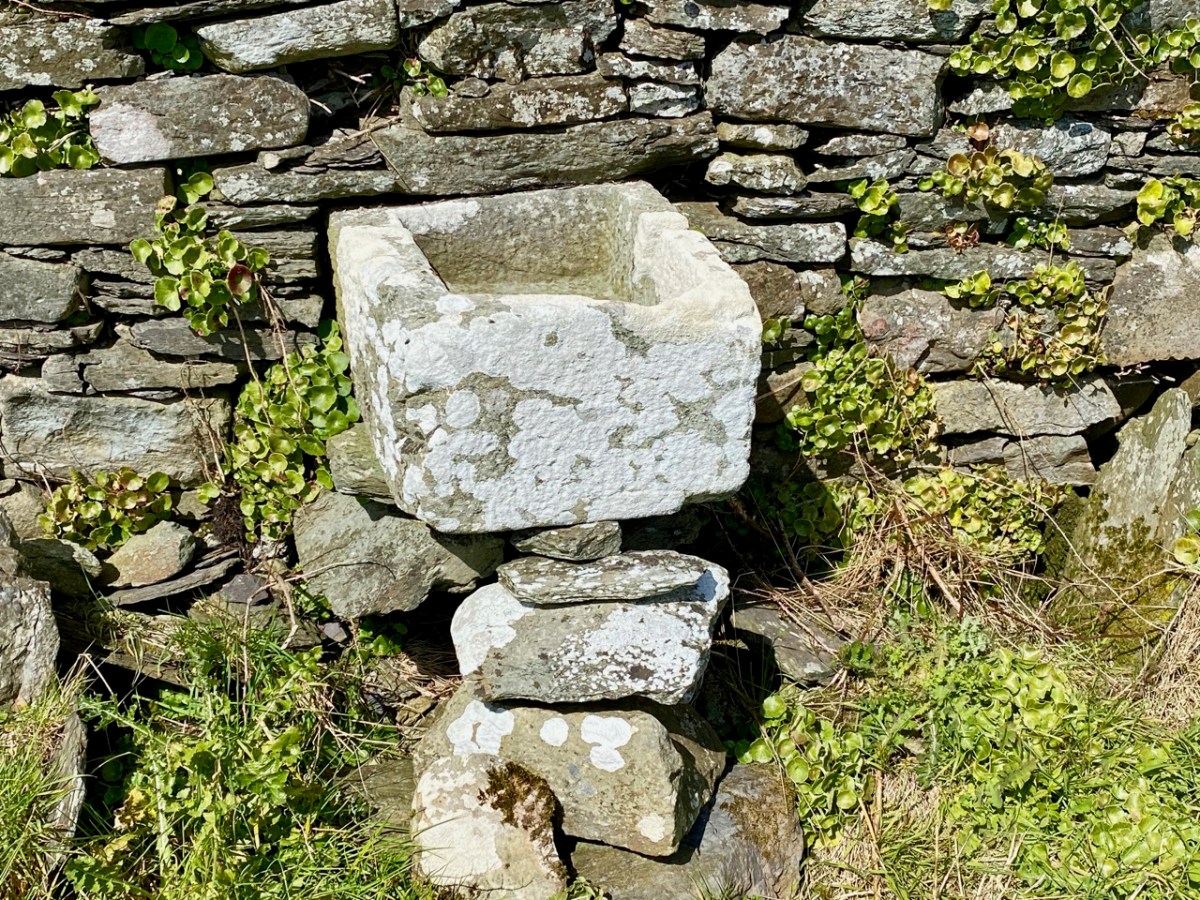
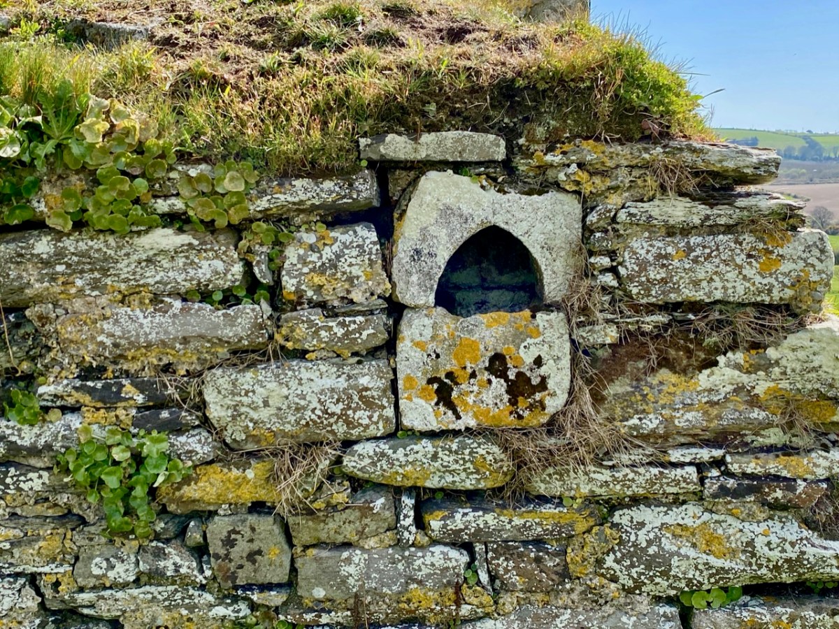
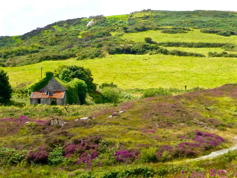
We saw some other things along the way – a booley (above), a hedge school, a mass rock – and Robert wants to write in the future about one particular site, so I won’t deal with it here. The day was cold and crisp – but you hardly notice little things like freezing hands with a landscape like this to wander around in.

What a great day! Thank you, David, for being our tour guide and friend and we look forward to returning the favour soon.

Round Ring

It’s an area to the south-east of Clonakilty town in West Cork – Ring. A mix of ‘big sky’ landscapes, with a fresh view of the sea at every turn; quays, harbours, old industry, archaeology – some fabulous hidden coves and small beaches. With our new-found freedom of being able to travel anywhere in our own county (Cork is the largest of Ireland’s counties: 180km from one end to the other), we set out to more closely explore a region which we have somehow always passed by hitherto.

For us, the journey to Ring involves turning off the main N71 in the centre of Clonakilty (above) and following the road that runs beside the water (or sandbanks and mud flats, depending on the state of the tide). As you can see from the aerial view, it’s a pastoral landscape, a big centre for dairy farming; no mountain surprises, but undulating enough to ensure twists and turns through old lanes and new boreens.

Just a few minutes after leaving Clonakilty we come into North Ring, and the first highlight, which is Curraghgrane More Pier. The view over the estuary from here is far-reaching and dramatic: on the western side is Inchydoney Island (not, in fact, an island), while south – and further along our route – is Ring Harbour. The little settlement of North Ring, just inland here, is worth a pause (and features on the header picture).

The way into North Ring passes by an ancient building, which has been conserved as a focal point by the community. It is a stone-built grain store and drying kiln, probably first in use 500 years ago.

The little settlement has been known for its hostelries, and would have been an excellent lunch stop in pre-Covid times: hopefully their fortunes will revive. They certainly provide a most colourful streetscape, and add to an exceptionally attractive hamlet. Even an abandoned house has been given a creative treatment.

We can’t pass on from this vibrant enclave without mentioning the Arundel family who left their mark on the locality and set up the milling industry which brought wealth to the area:

. . . Near the road from Clonakilty to Ring, stands the scanty remnant of a castle (at one time mistaken for a ruined parish church). It was the stronghold of the Anglo-Norman Arundel, called Lord Arundel of the Strand . . . Arundel was anciently a great lord and had an estate of £3,500 a year in the reign of Queen Elizabeth . . . Sir Henry Sidney, in his well-known account of a famous Vice-regal visit to Cork in 1575 notes “There came here the ruined reliques of the ancient English inhabitants of the province” – The Arundels, Rochforts, Barretts, Flemings, Lombards, Terries, etc . . . Henry Smith in his “Report of the State of Munster,” after the breaking out of the Desmond Rising in 1589 remarks inter alia, “Arundel Castle was forsaken by Walter Grant-William Lyon” and the Arundels, who remained loyal to the old faith, were very prominent in the Rising of 1641-1653 . . .

Tim Cowhig, Duchas Folklore Collection, Ballintemple 1938

Before returning to the coast road we head inland to find a historic site with an ancient church ruin, a significant graveyard, and several raths or ring forts which take us back in time well over a millennium. The 6″ Historic OS map extract, above, shows the remarkable distribution of notable sites within the arable landscape just to the north-east of the Arundel settlement. The aerial view, below, focusses on the rectangle marked on the 6″ map, and indicates our way to the Ballintemple site, following a time-worn trackway.

These pictures show the path which leads to the burial ground – which is still in use today. A notable occupant of the graveyard is Tadhg Ó Donnabhain Asna, a hero of the 1798 uprising. A local man, Tadhg led a force of United Irishmen against a British column at The Battle of the Big Cross which occurred on the morning of 19th June 1798, about 4 miles east of Clonakilty. It was the only battle fought in the rebellion in the whole of Munster and over 100 Irish men lost their lives, including Tadhg himself. There is a memorial to him in the centre of Clonakilty town, and the plaque, above, at the entrance to Ballintemple graveyard, marked the bicentenary of the encounter.

The old church within this graveyard is still clear to see, although ruined: note the rectangular ‘font’ or basin, and the holy water stoup. This has been a place of worship since 1169. It is said that a disastrous fire took hold of the church in the mid 17th century, and it has not been used since. In the furthest corner of the burial ground is a poignant little memorial recalling more recent times.

We have mentioned Industrial Schools before in Roaringwater Journal. They are an unhappy chapter of Ireland’s history. I have not delved deeply into the history of St Aloysius Industrial School for Roman Catholic Girls, Clonakilty, and would not like to think of what stories the tucked-away grave at Ballintemple represents. This online article tells us it was opened in 1869 and closed in 1965.

Seen to the east of the burial ground is this ring fort – beyond the dairy herd. The forts in this area are of significant size, and many are the subject of legend. It was once a common belief that underground passages connected many neighbouring forts, and this could be a folk memory relating to ‘souterrains’, often found at these sites.

. . . In olden times some men went to a fort in search of a crock of gold. This fort was in Castle View and about three miles from the town of Clonakilty. To get to this fort you should go to the castle which was about a quarter of a mile from the fort and then go underground and through a long shore. The men took with them a sheave of wheaten straw, a march cock and a blessed candle. Before they started their journey through the shore they lit the candle and all went very well until they nearly came to the end. When they were coming to the end of the shore they saw the crock of gold and with that there came a gust of wind and a terrible noise. There came horses jumping and dogs barking and the men got such a fright that they took their eye off the crock of gold and when they looked again they found to their surprise that the crock of gold was after disappearing. Several other men tried it but this very same thing used to happen at the end of the shore and so the crock of gold remained where it was . . .

James J Lombard, Duchas Folklore Collection, Garryndruig, Co Cork 1936

Compare today’s aerial view of ring forts close to Ballintemple with the 6″ Cassini OS map below it. The map indicates a souterrain in the rampart of the upper fort. Another account from Duchas:

. . . There are four forts, or as they known locally “Liosanna”, in this district. There is one in Kilkerran in the lands of Michael Flavin. It is circular in shape and so are all the rest. The other ones are on the lands of Jermiah O Donovan Carrigroe, John Barry, Newmill and in Castle-Freke Demesne in the Big Island field. These forts are supposed to be Danish fortresses and are built up in very high ground so that you could see one from the other. The fort in Kilkerran is the biggest to be seen around and “lepreacáns” are supposed to live in it. One night a man by the name of Factna O Hea caught a lepreacán near this fort and he asked the lepreacán to grant him a wish. The lepreacán then asked him what wish he wanted and the request the man asked was that he would win every game he played from that day on. The lepreacán granted him his request and he won every game he played from that day on. On the eastern side of this fort is a big stone which is supposed to be an entrance to some underground place. There is a great bank of earth all around the fort. Forts are never ploughed up as it is believed to be unlucky to interfere with them . . .

James Spillane, Duchas Folklore Collection, Kilkerran, Clonakilty 1938

Well, our little tour around Ring seems only just to have begun, but I am going to take a break now and resume this topic in the near future. I will leave you with a few more pictures, including a taster of what is still in store . . .

Fastnet Trails: Rossbrin Loop, Part 1

A joint post by Robert and Finola

In Robert’s post about the Fastnet Trails, we introduced you to this new trail system, and in particular to one of the delightful walks – the Lisheenacrehig Loop. Today’s post is about another of the walks – the Rossbrin Loop. This walk is all on country boreens, so you can wear your ordinary walking shoes and take the dog if you like but keep him on a leash and stick to the road. You will pass other dogs on the way, as well as fields of livestock.

The high road

You can do this whole walk as laid out in the brochure. It’s just under 12km and will take you at least three hours, but probably more if you like to stop to explore, take pictures, have a chat along the way. Oh, and see where it says ‘easy grade’? Take that with a pinch of salt – this walk will give you a good work out as it takes you from sea level to 70m (230ft) and back again.

Rossbrin Trail 1

But we know that many of you like to take an easier pace and, like us, might find a 12km loop a bit intimidating, so we’ve decided to give you another option. We will lay out a 2-walk option for you, beginning with Walk 1 now, and we will do Walk 2 in a future post. We provide our time estimate for a meander rather than a march. And – a disclaimer: our suggestions depart slightly from the official Fastnet Trail and have not been sanctioned by that group. Where you depart from the marked trail, you walk at your own risk.

Walk 1: Ballydehob, Greenmount, Foilnamuck, Cappaghglass, Ballydehob

Time: 2 to 2.5 hours (with diversion)

Level: Easy but some steep stretches

Take: Binoculars and camera

Twelve Arch Bridge

Park in the Ballydehob car park just east of the river estuary and start by taking the lovely nature walk that takes you over the 12 Arch Bridge. This beautiful structure was once part of the West Carbery Tramway and Light Railway. A train ran across this bridge from 1886 to 1947 – Robert has written about The Flying Snail that traversed West Cork, but for a real flavour of what it was like read Poisson d’Avril in Somerville and Ross’s The Irish R.M. Here’s the first paragraph:

The Irish R.M.The atmosphere of the waiting-room set at naught at a single glance the theory that there can be no smoke without fire. The stationmaster, when remonstrated with, stated, as an incontrovertible fact, that any chimney in the world would smoke in a south-easterly wind, and further, said there wasn’t a poker, and that if you poked the fire the grate would fall out. He was, however, sympathetic, and went on his knees before the smouldering mound of slack, endeavouring to charm it to a smile by subtle prodding with the handle of the ticket-punch. Finally, he took me to his own kitchen fire and talked politics and salmon-fishing, the former with judicial attention to my presumed point of view, and careful suppression of his own, the latter with no less tactful regard for my admission that for three days I had not caught a fish, while the steam rose from my wet boots, in witness of the ten miles of rain through which an outside car had carried me.

Ballydehob Quay saw brisk trade in the days before the Bay silted up. The lovely old Pier House once functioned as a coal warehouse. 

Greenmount Stream

Following the walkway, you emerge by the school and turn left on to the Greenmount Road. This can be a busy stretch, so be careful along here. Once you get to the turquoise shed, turn left. Here you find yourself beside a burbling stream that empties into Ballydehob Bay at a small and picturesque pier. This and others like it were busy piers in the old days, serving the fishing boats as well as the sand boats that worked these waters, dredging sand to be used as fertiliser and building material. Nowadays this little inlet seems hardly navigable and the same blue and white boat has been moored here for a long time.

Greenmount Quay

The road climbs steadily up now past working farms. Looking back towards Ballydehob you can see the Bay and even the 12 Arch Bridge in the distance.

Pastoral

As you round a corner your view changes  and Kilcoe Castle comes into view. Now home to Jeremy Irons, who has restored it beautifully from a complete ruin, it was a classic 15th century tower house owned by the McCarthy Clan. So well was it situated and defended that the inhabitants were able to hold out for two years in the aftermath of the Battle of Kinsale (1601). Situated on a tiny island and glowing a soft amber colour, it is a beloved landmark in these parts.

Kilcoe Castle from Greenmount

Below you is a shallow bay that is a haven for shorebirds and seals. If the tide is out linger a while and use your binoculars to see what you can pick out along the tidal flats below you. If you’re lucky the seals might be out along the rocks, sunning themselves. Once underway again, you’ll pass an old cottage on the left. A recently-dug pond in its garden is already full of water lillies.

Water lillies

Continue now along the narrow boreen and brace yourself for the climb to the highest point  of the walk. No longer on leafy lanes, you are now walking on a bare plateau with panoramic views in all directions. The whole of Roaringwater Bay gleams before you. To the east, towards Kilcoe, lie the mussel beds that now dot this part of the Bay. Sherkin Island and Cape Clear are on the horizon, as is the Fastnet Rock. Ahead of you is the looming shape of Mount Gabriel, dominating the skyline as it does in so many parts of West Cork.

Fields of Cappaghglass

If you look carefully here you will see that the gorse and bracken barely conceals the outline of tiny field walls. There was a large population around here once and a thriving industry. Read Robert’s piece, Copper Country, for more about the mining activities of Cappaghglass. There are a few clues left – the stump of a large chimney that once provided a prominent landmark but that was felled by lightning can still be seen.

Rust and heather

Don’t turn left here (as the trail map wants you to) but instead continue straight on and turn right at the T junction and descend to the crossroads. From the crossroads you can go right and follow the road back to Ballydehob. But if you still have the energy and want to prolong the walk a little, there a diversion here that is worth considering. Turn left and climb the hill until the road flattens out. About 500m from the crossroads look up and to your left and you will see the silhouette of a large ring fort. A tiny green lane leads up to it between some houses but it is on private land.  

Ballycummisk Ring Fort

Irish ring forts generally date to the Early Medieval period – this one may be between 1500 and 1000 years old and would have been the enclosure of a farm house. A wooden fence on top of the earthworks would have kept wolves out and animals in. But the prominent position of this one also meant that it would have been a high-status dwelling. There are hints of a fosse (an outer ditch), which was a defensive feature, and reports of a souterrain, or underground passage, situated in the middle. The ridges of lazy beds – the traditional potato-growing grooves – cross the interior of the fort, indicating that this ground was used to feed a family until the area was de-populated in the aftermath of the famine. There is a large standing stone, known locally as Bishop’s Luck, above the ring fort. This could be Bronze Age or even older.

Textures

It’s an easy walk, downhill all the way, back to Ballydehob. You’ll be more than ready for a coffee and cake in Budds or a lovely bowl of soup in the Porcelain Room by the time you get there. Tell them the Roaringwater Journal sent you.

Wall E lurking

See you next time for Walk 2.