Mythical Isles of the West

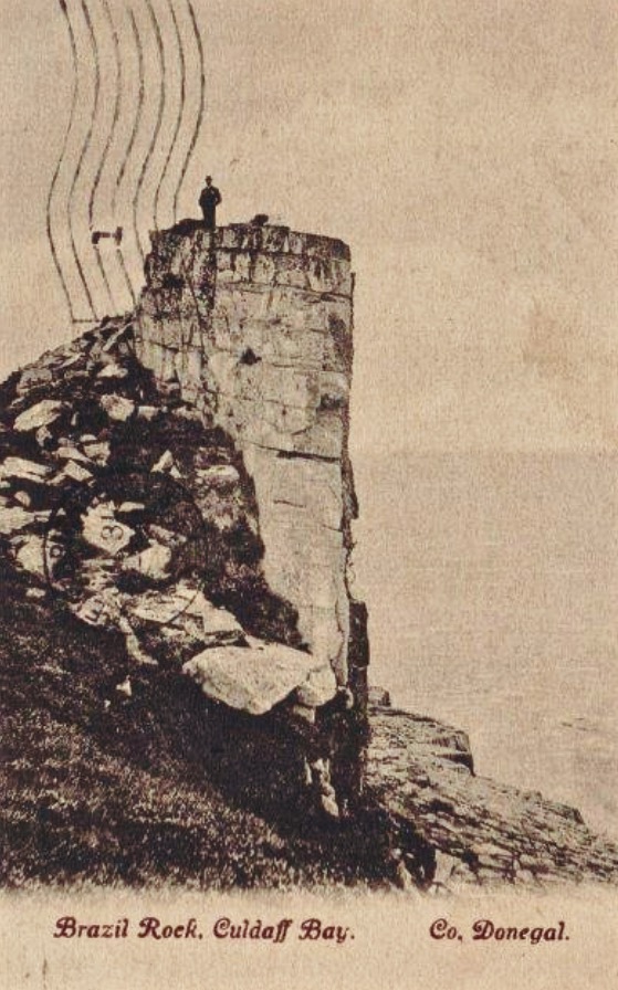
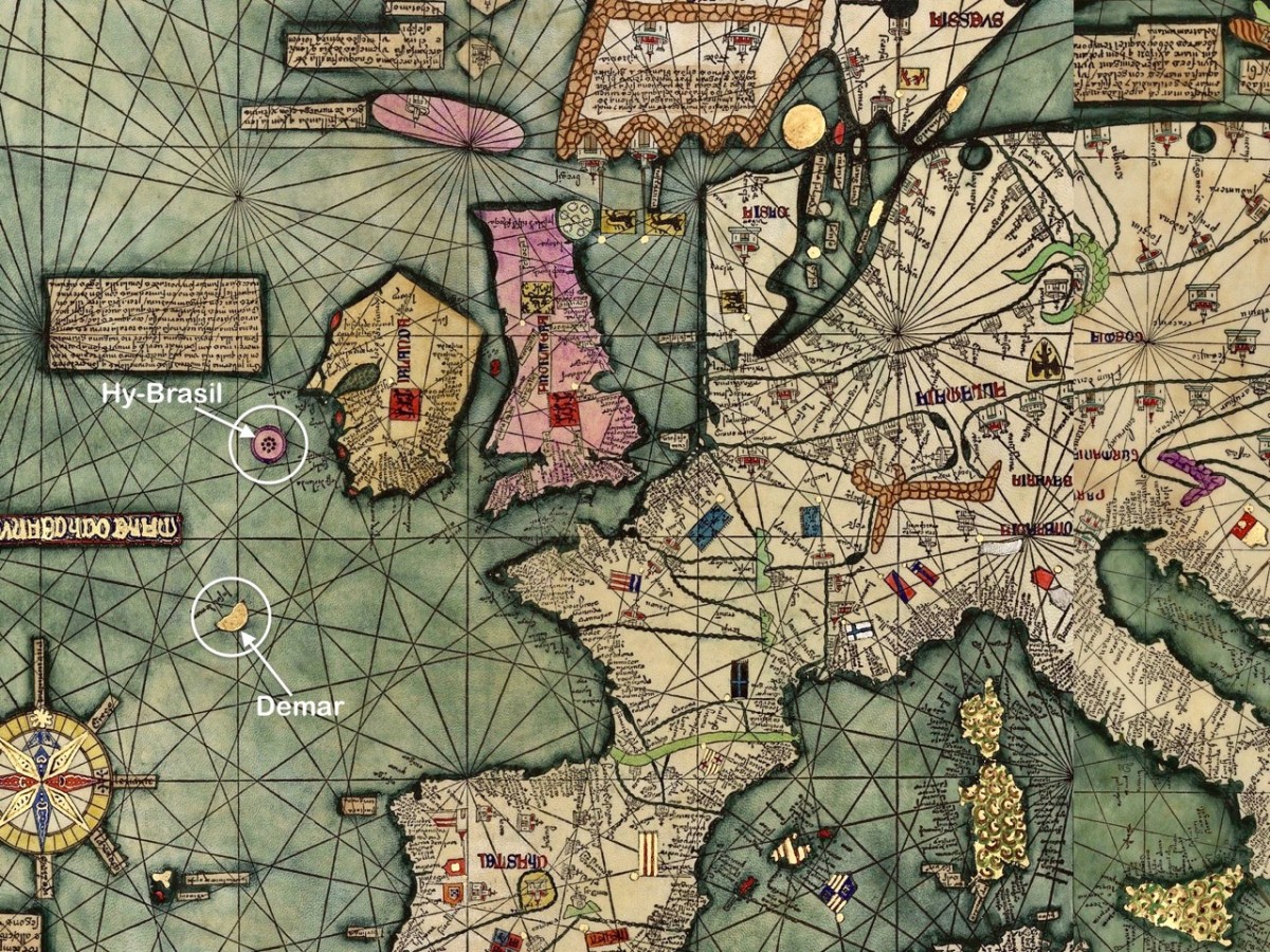
The fine map, above, was drawn in 1375 and is attributed to Abraham Cresques (courtesy  Library of Congress, Geography and Map Division). it is known generally as the Atlas Catalan. What interests us is that it depicts two islands off the west and south-west coasts of Ireland (see detail below): Hy-Brasil and Demar. These landfalls are shown on maps since then through the centuries, the last depiction being in 1865.

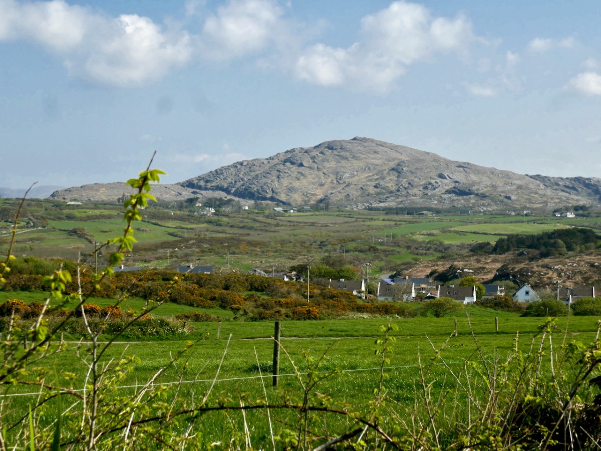
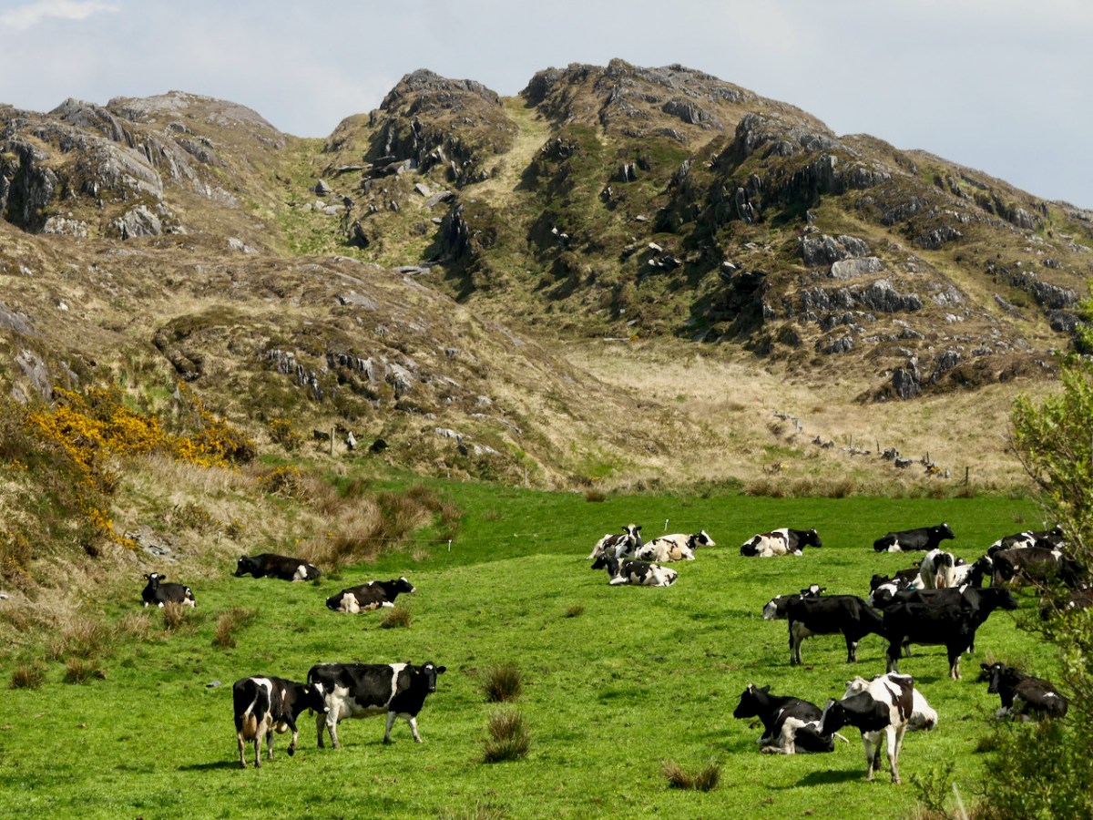
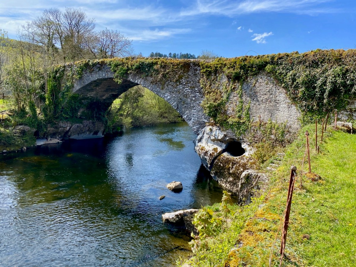
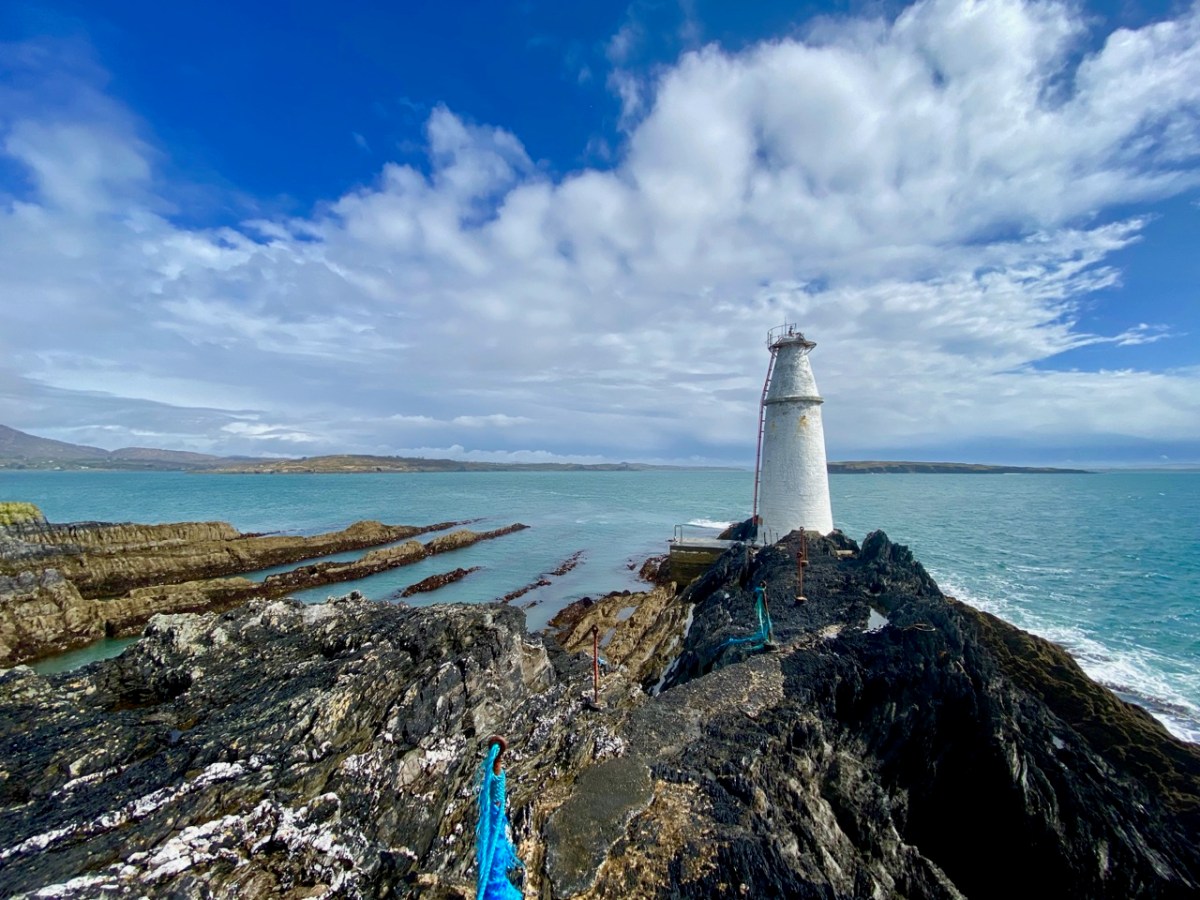
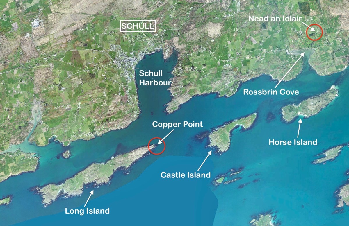
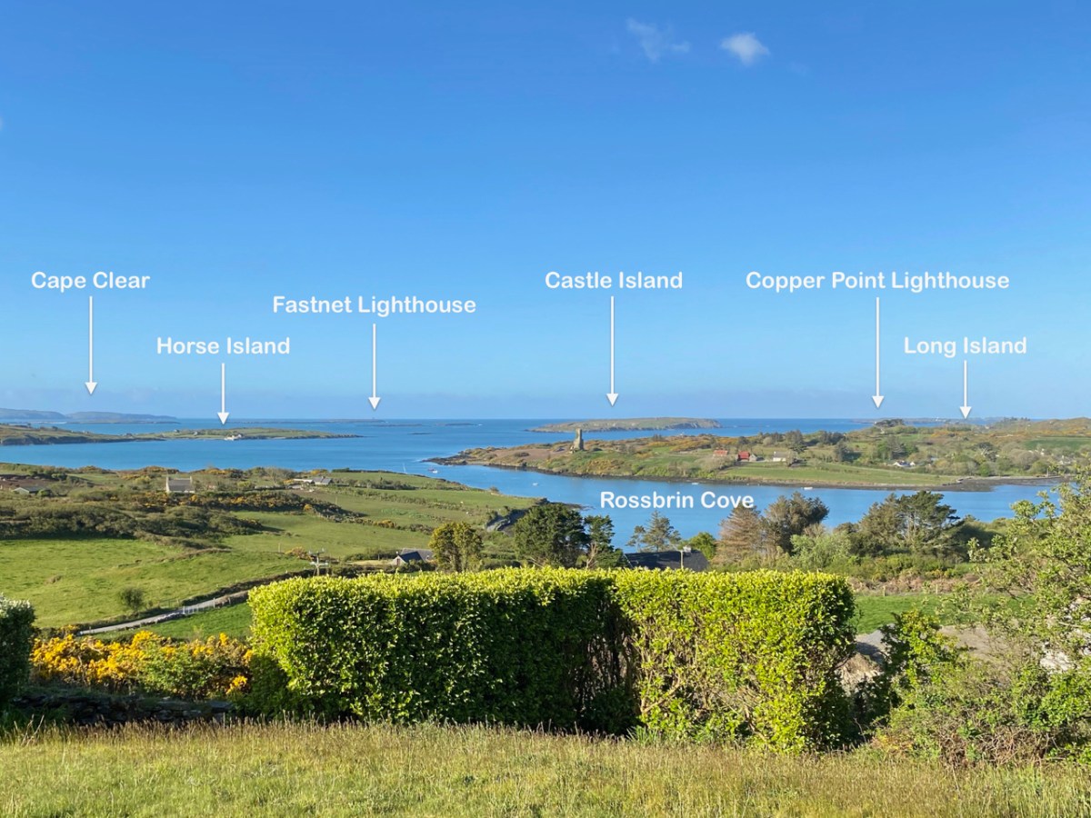
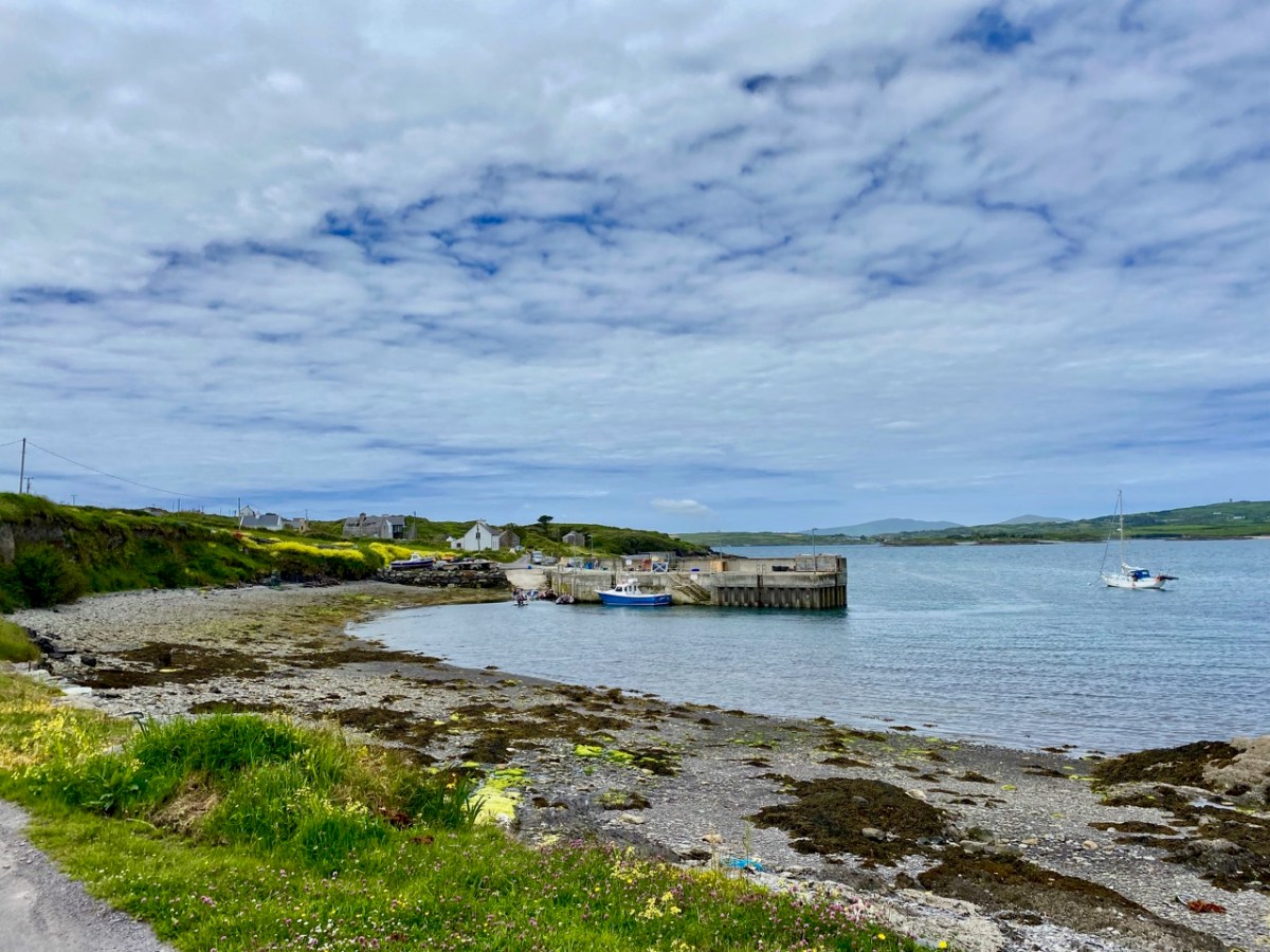
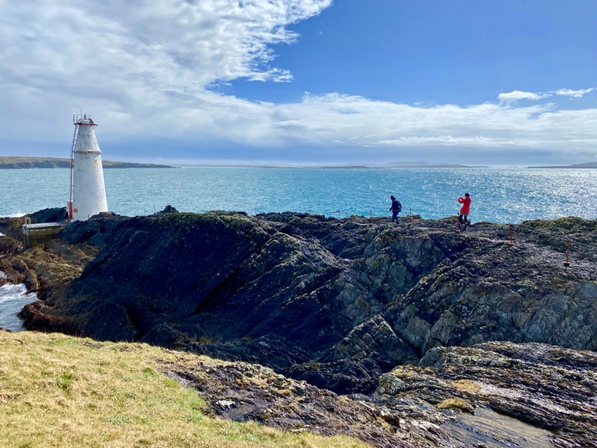
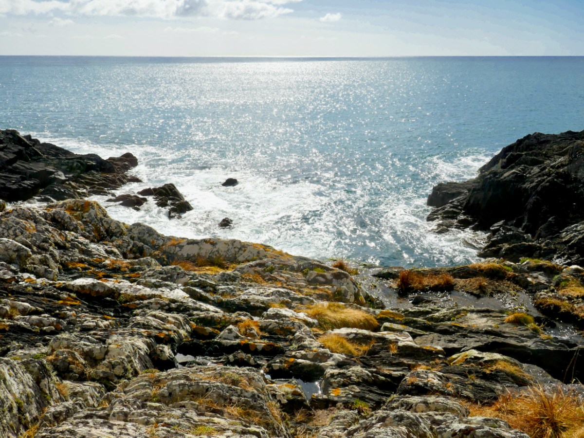
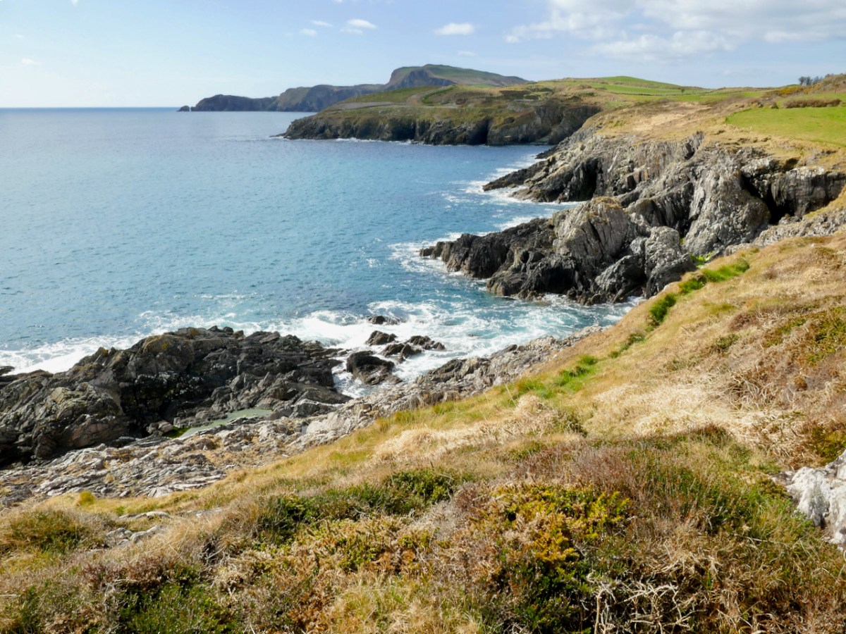
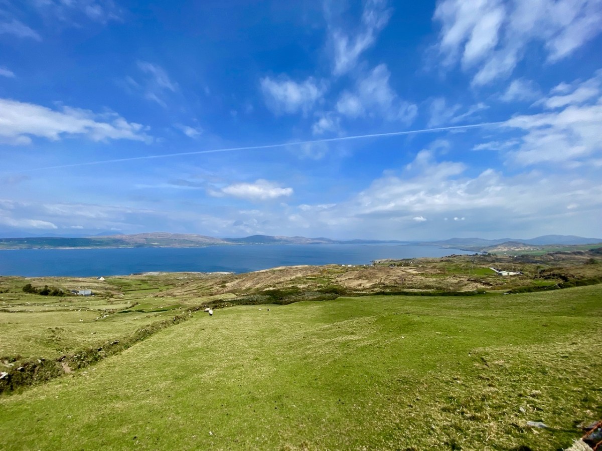
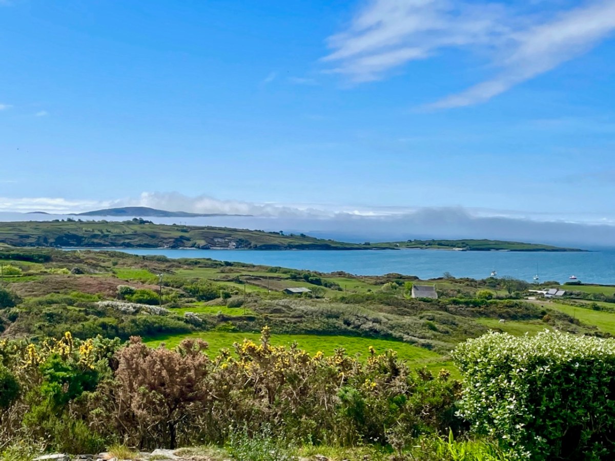
We look out to the hundred Carbery Islands in Roaringwater bay. The view (above) is always changing as sun, rain and wind stir up the surface of the sea and the sky and clouds create wonderful panoramas. But, generally, the view is predictable: we know that Horse island will be across from us, and Cape Clear will always be on the distant horizon, while the smaller islets break up the surface of the ocean in-between, and help calm down its wildness when the storms come.

But, suppose it wasn’t always predictable? What if those islands changed, moved around or appeared and disappeared? It seems that such things do happen, here in Ireland. At least, they do according to some of the recorded evidence. ‘Mythical Islands’ have been mentioned by mariners and storytellers through the centuries.

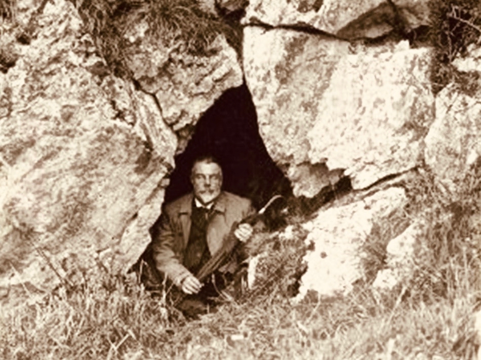
Our best source of information for Ireland’s ‘transcendent’ islands is our old friend Thomas Westropp (above, kitted out for an expedition) who was an archaeologist and folklorist living between 1860 and 1922. He was active in Counties Clare and Limerick and wrote a paper for The Royal Academy in 1912 – Brasil and the Legendary Islands of the North Atlantic: Their History and Fable. This comprehensive paper includes a list of evanescent islands, a new map drawn by Westropp, and a summary of historic maps which have located them:

Westropp’s exploration of the subject is remarkably comprehensive. Here are some extracts:

. . . Bran son of Febal, sleeping near his fort, hears sweet music, and awakes to seize a magic apple branch. An unknown woman sings of “a glorious island round which sea-horses glisten – a fair course against the white swelling surge.” In it dwells no wailing, treachery, death, or sickness; it glows many-coloured in incomparable haze, with snowy cliff’s and strands of dragon-stones and crystals. She vanishes, and Bran, with twenty-seven followers, embarks. They meet the sea-god Mananann mac Lir in his chariot, visit Magh Mell, the Isle of Laughter, and the Isle of Women, whose queen draws Bran to it by a magic clue. Entranced by love, the visitors do not note the flight of time; in apparently undiminished youth and strength they return to Ireland; it is only when the first to step ashore falls to ashes, as if centuries dead, that they know the truth. The survivors tell their tale without landing, and sail out into the deep, never to be seen again . . .

Thomas WESTROPP – Brasil and the Legendary Islands of the North Atlantic, 1912

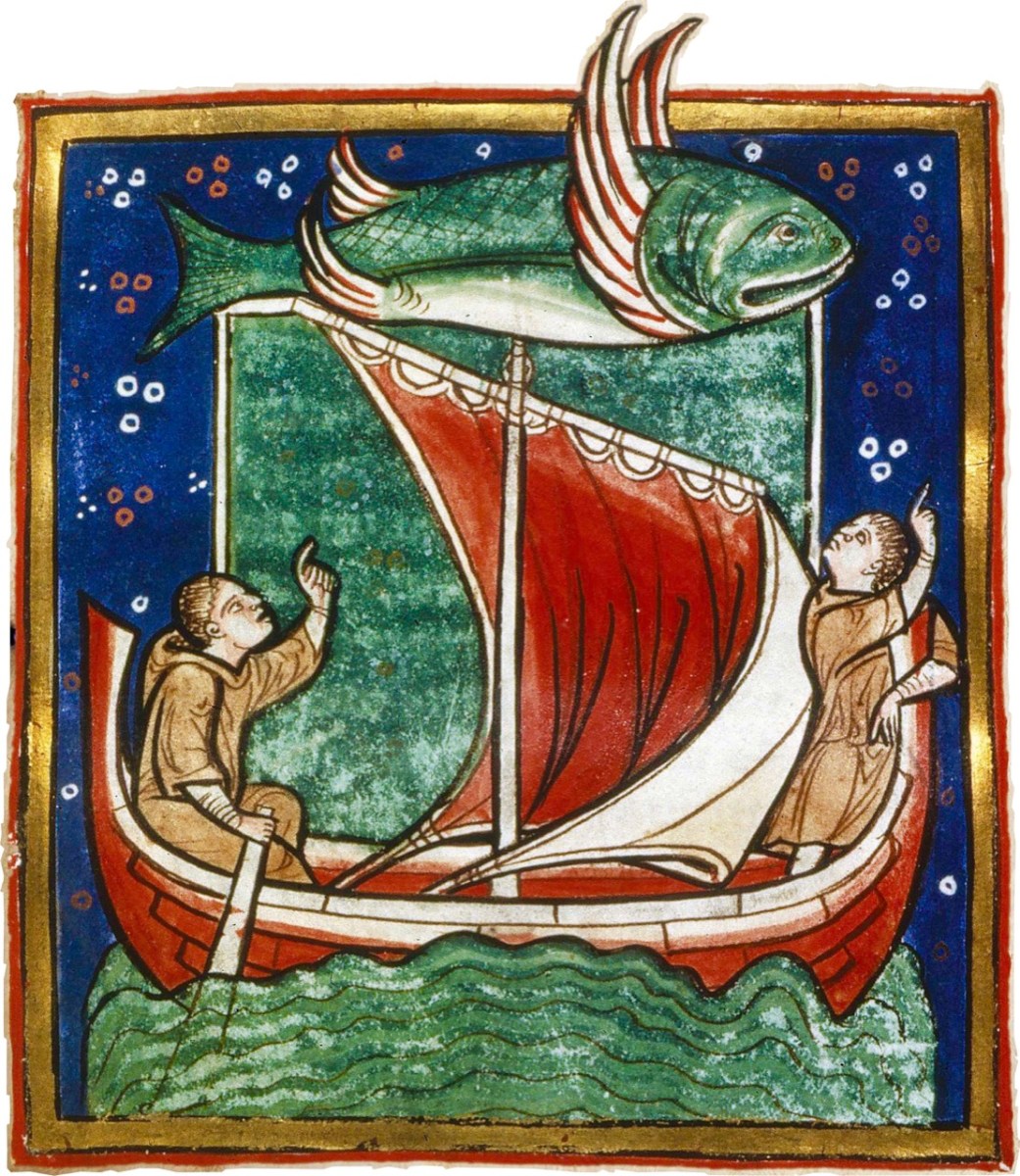
Image above courtesy of the Worksop Bestiary.

. . . The Sunken Land. I found no name for this in north Mayo save when it was confused with Manister Ladra. Belief in it prevailed in north Erris and Tirawley from Dunminulla to Downpatrick. In 1839 it was said to extend from near Teelin to the Stags of Broadhaven and thence half way to America. A boatman knew a woman named Lavelle who saw from the shore (when gathering Carrigeen moss) a delightful country of hills and valleys, with sheep browsing on the slopes, cattle in green pastures, and clothes drying on the hedges. A Ballycastle boatman, a native of Co. Sligo, corroborated this, adding that he had seen it twice at intervals of seven years, and if he lived to see it a third time he would be able to disenchant it. He could talk of nothing else, became idle and useless, and died, worn out and miserable, on the very eve of the expected third appearance . . .

Thomas WESTROPP – Brasil and the Legendary Islands of the North Atlantic, 1912

. . . Owen Gallagher, Lieutenant Henri’s servant, heard of one Biddy Took, who, when gathering dillish (seaweed), asked some passing boatmen to put her out to an islet and fetch her back on their return : amused by her talk they brought her fishing, and soon got a ” tremendous bite.” They landed a green, fishy-looking child, quite human in shape, and in their fright let him escape and dive. The man who hooked him died suddenly within a year. Gallagher also said that he had fired at and wounded a seal; soon after, when far out to sea in his currach, he got lost in a fog-bank and reached an unknown island. An old man, moaning, with one eye blinded, stood on the shore and proved to be the seal. With more than human forgiveness, he warned his enemy to fly from the land of the seal men, lest his (the seal’s) sons and friends should avenge the cruelty . . .

Thomas WESTROPP – Brasil and the Legendary Islands of the North Atlantic, 1912

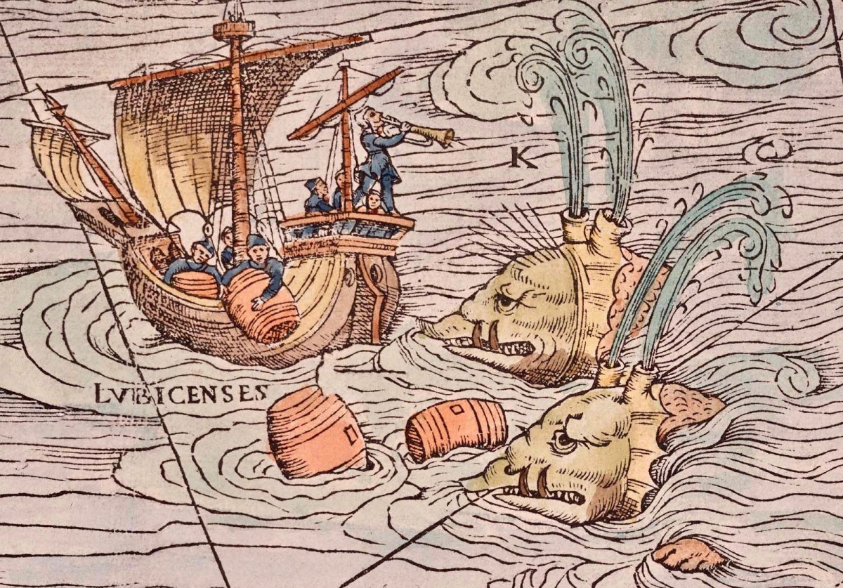
Image Carta Marina (1539) courtesy Bone + Sickle

. . . The Aran people now believe that Brasil is seen only once in seven years. They call it the Great Land. In Clare, I have heard from several fishermen at Kilkee and elsewhere that they had seen it ; they also told legends of people lost when trying to reach it. I myself have seen the illusion some three times in my boyhood, and even made a rough coloured sketch after the last event, in the summer of 1872. It was a clear evening, with a fine golden sunset, when, just as the sun went down, a dark island suddenly appeared far out to sea, but not on the horizon. It had two hills, one wooded ; between these, from a low plain, rose towers and curls of smoke. My mother, brother, Ralph Hugh Westropp, and several friends saw it at the same time; one person cried that he could “see New York ” ! With such realistic appearance (and I have since seen apparent islands in 1887 in Clare, and in 1910 in Mayo), it is not wonderful that the belief should have been so strong, probably from the time when Neolithic man first looked across the Atlantic from our western coast. It coloured Irish thought ; stood for the pagan Elysium and the Christian Paradise of the Saints ; affected the early map-makers ; and sent Columbus over the trackless deep to see wonders greater than Maelduin and Brendan were fabled to have seen, till Antilha, Verde, and Brazil became replaced by real islands and countries ; and the birds, flowers, and fruit of the Imrama by those of the gorgeous forests of the Amazon in the real Brazil. ” Admiration is the first step leading up to knowledge, for he that wondereth shall reign.” . . .

Thomas WESTROPP – Brasil and the Legendary Islands of the North Atlantic, 1912

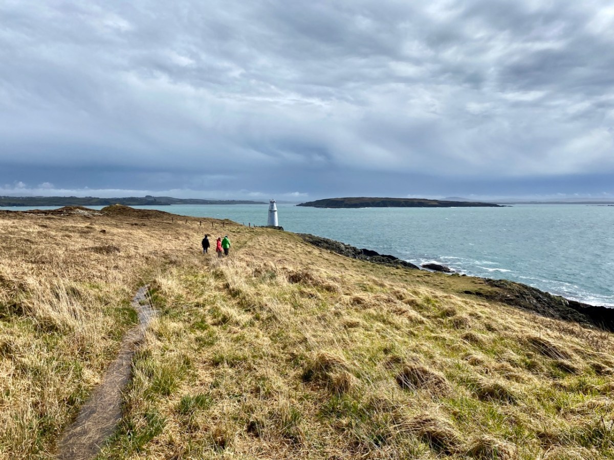
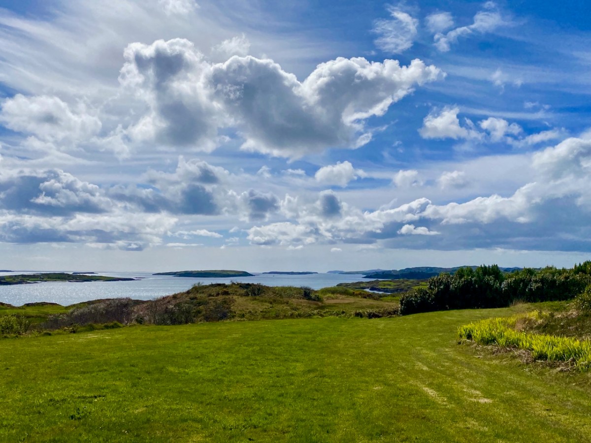
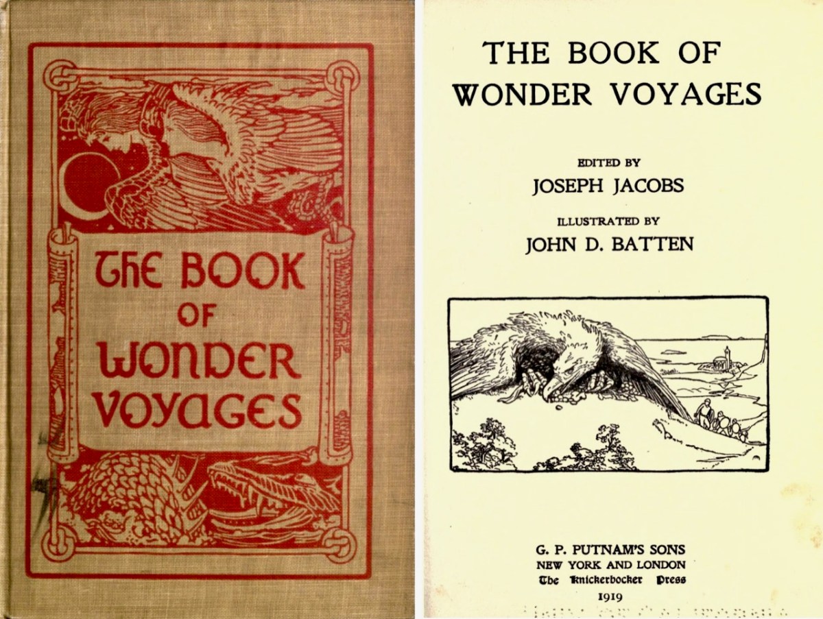
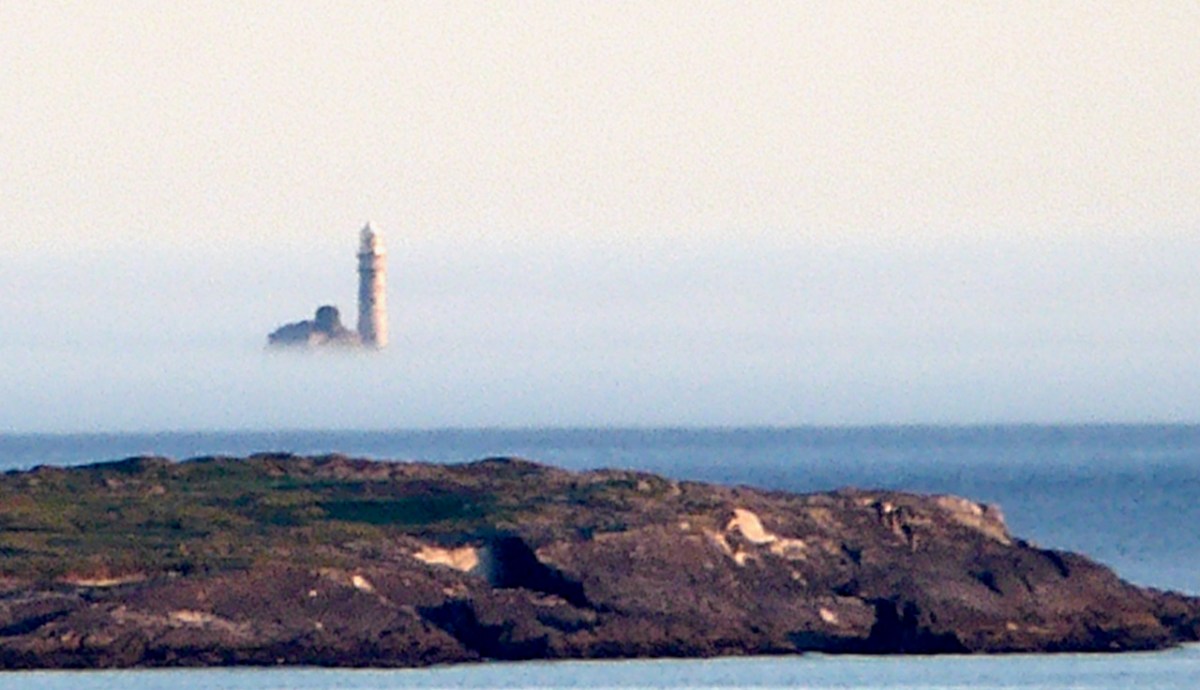
Above is the view from our house – Nead an Iolair – a day or two ago, when a strong sea mist was coming across from the south-west, enveloping Cape Clear and making it float ethereally like one of the mythical islands. Other writers have tackled the subject of the vanishing lands, including Joseph Jacobs, who put together a collection of stories in 1919. The subject is ‘Wonder Voyages’, and the book (available online here) covers some of Ireland’s adventurers, including Máel Dúin – a predecessor of Brendan the Voyager.

Máel Dúin sets out ‘into the limitless ocean’, suggesting that ‘God will bring the boat where it needs to go’. He and his crew encounter a large number of strange islands, including:

The island of ants, from which the men flee because the ants’ intention is to eat their boat

The island of tame birds

The island of the horse-like beast who pelts the crew with the beach

The island of horses and demons

The island of salmon, where they find an empty house filled with a feast and they all eat, drink, and give thanks to Almighty God.

The island with the branch of an apple tree, where they are fed with apples for 40 nights

The island of the “Revolving Beast”, a creature that would shift its form by manipulating its bones, muscles, and loose skin; it casts stones at the escaping crew and one pierces the keel of the boat

The island where animals bite each other and blood is everywhere

The island of apples, pigs, and birds

The island with the great fort/pillars/cats where one of the foster brothers steals a necklet and is burned to ashes by the cat

The island of black and white sheep, where sheep change colours as they cross the fence; the crewmen do not go aboard this island for fear of changing colour

The island of the swineherd, which contained an acidic river and hornless oxen

The island of the ugly mill and miller, who was “wrinkled, rude, and bareheaded”

The island of lamenting men and wailing sorrows, where they had to retrieve a crewman who entered the island and became one of the lamenting men; they saved him by grabbing him while holding their breath

The island with maidens and intoxicating drink

The island with forts and the crystal bridge, where there is a maiden who is propositioned to sleep with Máel Dúin

The island of colourful birds singing like psalms

The island with the psalm-singing old man with noble monastic words

The island with the golden wall around it

The island of angry smiths

The crew voyaged on and came across a sea like a green crystal. Here, there were no monsters but only rocks. They continued on and came to a sea of clouds with underwater fortresses and monsters.

The island with a woman pelting them with nuts

The island with a river sky that was raining salmon

The island on a pedestal

The island with eternal youth/women (17 maidens)

The island with red fruits that were made as a sleeping elixir

The island with monks of Brendan Birr, where they were blessed

The island with eternal laughter, where they lost a crewman

The island of the fire people

The island of cattle, oxen, and sheep

The most well-known voyager of all – in Irish tradition – is Saint Brendan. The image above is from the Finola Window, which was crafted by George Walsh. We all know that Brendan was a real character, who discovered America back in the sixth century. On the way he also encountered many islands – which we cannot locate today (that doesn’t mean they are not there) – and had hair-raising adventures on them. This post will take you through some of his journeyings.

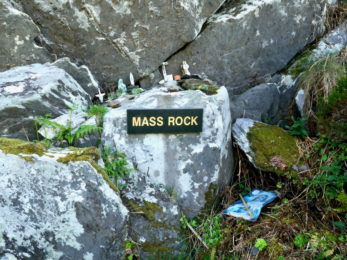
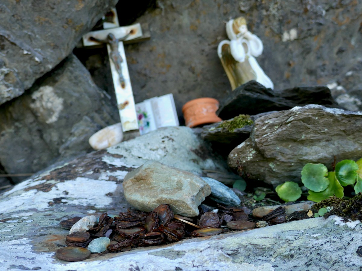
It’s clear that, in the shared Irish psyche, we are aware of places that we can’t always see, or visit. it’s all part of a folk knowledge that’s largely hidden away, except in the memories of older generations, that relates to the sea, and the idea that there are races of people who live on ‘lost’ islands – or even in the sea. In some of the stories about the islands it is suggested that, when they vanish, it’s because they have submerged under the ocean – perhaps temporarily.

There’s a great collection of stories readily available in a series of podcasts known as Blúiríní Béaloidis / Folklore Fragments. Look out for the one titled Blúiríní Béaloidis 16 – Otherworld Islands In Folk Tradition. I have transcribed one of my favourite pieces from this podcast, and will finish this post with it. It summarises, very neatly, the tradition that other worlds are out there, and – at times – our world and theirs meet, providing solid evidence for there being human life under the sea! The tale was collected by Dr McCarthy of Kerry.

. . . People from Dingle Harbour used to sail to Kilrush in Limerick long ago. There was a boat leaving the harbour to Limerick one day with a load of salt. There were 8 men in the boat. They had prepared the boat. There was no quay in Dingle in those days, just a slipway. A fine, strapping young man approached them carrying a pot and a pot-hook, The pot-hook looked as if it had come straight from the forge. He addressed the boat’s captain. Are you going to Limerick, my good man? I am, said the captain, we are just about to leave. Would you mind terribly, said the young man, taking me some of the way? I don’t mind, said the captain, if you wish to come all of the way. He placed his pot and pot-hook in the boat, and got in himself. They rowed away and raised the sail at the mouth of the harbour. They were halfway when the man with the pot and pot-hook roused himself. I’ll be leaving you now, he said to the captain, and I’m very grateful to you. He took hold of his pot and his pot-hook and he leapt into the sea. They never saw him again . . .


Blúiríní Béaloidis

There’s a rather nice postscript to this story:

. . . Some time later, a man with a line and hook was fishing in the sea in the same place, and a boiled potato came up on his hook . . .

Blúiríní Béaloidis

Stained Glass Workshop

I write about stained glass all the time, but I have never tried my hand at classic leaded glass. Having enormously enjoyed my sortie into fused glass with the wonderful Angela Brady, I’ve been looking for an opportunity to have a similar experience with leaded glass. Luckily, we have in West Cork the equally wonderful Deirdre Buckley Cairns, an award-winning multi-talented artist who lives in Schull and who teaches stained glass. I signed up for a full day workshop.

Deirdre is an experienced and excellent teacher. I’m in a good position to judge this as I ran a teacher education program for several years, so I know good technique when I see it. Deirdre was ultra-prepared, guided us through the day in well-calibrated steps, and was unfailingly positive and encouraging. We got there at 9 – Adrienne, Sarah, Susan, Louise and I – and she had everything laid out on each bench – all the tools and supplies we needed – and her own demo bench all set up. 

We each chose one of Deirdre’s designs that she has carefully worked out to be doable in a day and I must admit I went straight for the ten-piece design, which looked the least intimidating. Our class started with how to lay the glass properly over the design and how to cut the shapes. 

This is where I ran into the first of many humbling fumblings – that nifty little glass cutter thingy is a lot harder to control than it seemed when Deirdre expertly guided it exactly over the felt marker line under the glass. It stops unexpectedly, it shoots off in the wrong direction, it leaves gaps – it’s a fiendish little instrument of the devil. It was the first of my many realisations throughout the day of how much time and practice it takes to develop into a skilful glass cutter. 

By lunchtime – that’s three hours for ten pieces – I had my glass cut out. They looked a little rough around the edges, but at that point I hadn’t realised how much that lack of finesse would come back to bite me, so I was basking in a warm glow of accomplishment and ready to enjoy a break.

Susan seemed to have grasped the concept better – her pieces looked remarkably accomplished!

After lunch we had the demo on how to lead the glass together. Starting with two outside leads, Deirdre showed us how to measure, cut and shape the soft lead cames so that all the pieces of glass come together within the lead borders. Seemed straightforward enough – hah!

The first few pieces went fairly well, but then the lack of precision in my glass cutting started to become a problem, as I tried to jimmy and tuck pieces together. Deirdre showed me how to use the grozers (a kind of pliers) to nibble away incorrect edges. Well, nibble is the ideal – in my awkward hands the ‘nibbling’ seemed to create ever more jagged edges. Sometimes we had to use the grinder to try to sort out the final shape – as you can see below, my final piece was far too big for the space it had to fit.

Even though I got the glass more or less leaded in the end, nobody could pretend that it looks anything other than a very amateurish piece of work, with holes where there shouldn’t be holes and a crooked frame. Nevertheless, I was ecstatic to have managed to push and shove it, with lots of help from Deirdre, into a final square shape. 

The next step was to secure all the joins with solder and I hate to say it but this was the most fun part. Or maybe I mean the least stressful. There’s something deeply satisfying about melting metal and watching it magically knit two pieces of lead together. 

The final process was to cement the glass so that it was properly bedded to the lead cames, and not just rattling around inside them. This was a sloppy business, bringing out those inner children who love to play with mud. 

Then came a dusting of plaster to dry the mud and a pushing of the mud/plaster mix into the corners and well under the cames. A final polish with stove blacking and we were done!

And I was wrecked! My back hurt and my wrists and shoulders ached. I had a little sun window to take home with me (don’t look closely!) – and I had learned SO much.

Mostly, that learning had to do with a whole new appreciation for the skill of making stained glass – how physical it was, how exacting, how long it must take to get truly proficient at it, how many steps were involved. 

And of course, this is only the most basic part of making a stained glass window – we did no painting, etching, decorating of any kind. As I type this I have my Finola window to my right – each pane (and there are over a hundred in the window) is worked – painted, scratched, cut away. Some of the glass is flashed with the design cut or etched into it to reveal the colour underneath the coloured flash (thin top layer). Some is covered with thick black paint, through which the design has been etched. Glass has been carefully chosen for different properties – streakiness or bubbles or colour variation. 

At the end of the day, I had accomplished my goal, which was just to gain a tiny insight into the most basic of the processes involved in the making of a stained glass window. The workshop was great fun – not least was finding all of us, a wonderfully compatible group, shouting along to some of Deirdre’s musical accompaniments.

It takes years, and true talent, to become a stained glass artist. I remain in awe of those who have mastered this difficult and remarkably beautiful art.

If you would like to give it a go yourself, keep an eye on Deirdre’s Instagram page, or contact her directly through her website.

Mizen Magic 24: Lissagriffin Loop (Fastnet Trails)

The energetic Fastnet Trails team is marching westward along the Mizen, developing new trails. They do this on a purely volunteer basis and we are all the beneficiaries – so a huge thank you to them! Work on their website is ongoing, and it should be up and running soon. This week we explored one of their recent additions – the Lissagriffin Loop. I have written a previous LIssagriffin post in the Mizen Magic series (number 14), but that one was mainly about the medieval church and the graveyard around it, as well as the history and archaeology in its vicinity. 

This walk starts and ends in Goleen and is a 10k walk with lots of ups and downs. You’re climbing100m (about 320’) on the first half of the loop and 120m (about 400’) on the second half, so this is a good workout. As with any of these walks, it’s possible to do stretches of them by leaving a car at one point and walking back and forth, or go with friends and leave a car at either end. Wear good shoes and bring water and snacks. It’s all on quiet back roads, so the dog is welcome too, but use the lead if you encounter cattle or sheep (we met both). And there are a couple of surprises along the way.

I’ve included a map (above) to show you where you are on the Mizen Peninsula, and a close-up (below) to show the route you’re following. The pink blob within the green circle at the lower left is Lissagriffin Medieval Church in case you have the inclination for a little side trip.

Walk up to Goleen Catholic Church, take a sharp right and you’re on your way. This first part will involve some huffing and puffing, but you’re on a country boreen fringed with wildflowers (wild garlic at this time of year) and with expansive views back to the sea and across a valley to Knockaphuca Mountain (another brilliant trail!) and to Mount Gabriel beyond.

If you don’t have the time or inclination for a long walk, look out for a sign to the shortcut. It’s the curved green line on the lower of the two maps above. It will bring you back to the village, initially via a well-maintained gravel path (below), and then by road, for a 2km walk in all. 

If you decide to carry on, it’s uphill now for quite a stretch, but the views across to Knocknamadree and to Knockaphuca are worth the effort. Later in the year, the route will be dripping with Fuchsia and Montbretia, but right now the Navelwort is starting to sprout and stitchwort is rampant. 

Once you’re up the hill the road levels out, the going is easy, and the views are now to the sea on your left and towards the distant Mizen Peak. And here’s the first surprise for you – a mass rock. Mass rocks, of course, were used in Penal times, when the saying of mass was outlawed and people met with their priest in faraway locations.

This one still lives in folk memory, and is still visited, by the evidence of various offerings left on the ledge. Some of the coins are so old they are peeling apart, while others look of more recent vintage.

St Patrick’s Cabbage Is just starting to bloom. This is a native plant and part of a curious set known as the Lusitanian Flora which only occur in southwestern and western Ireland and in the Iberian Peninsula.

This one rewards a close look – the flowers are white but the petals have pink and yellow dots and the anthers are a startling deep rose colour. A domestic hybrid known as London Pride is grown in many gardens.

The second surprise is a holy well, just a little further along. It’s not a very impressive sight – looks like a ditch, in fact, although there’s a bit more going on under all that grass and brambles. The location is marked but there are no indications that anyone has visited in many years. No offerings here, no cups or rag trees, no statues or prayer cards. But nothing deters Amanda, and she has written about the well here, including the fact that its name is Tobairin a ‘Bhothair – small well of the road – and that it was once revered.

From the holy well keep going westwards and the reward is an immense view to the end of the Peninsula and the Mizen Peak (below). It’s a gentle downhill all the way until you get close to the main Goleen – Crookhaven road.

At this point, nobody could blame you for retreating to the snug at O’Sullivan’s Bar in Crookhaven for a pint coffee and a crab sandwich, but of course you are only half way through the walk if you want to do the full loop. So turn right and then right again, and start climbing as the road heads back to Goleen over the hills and away from Barley Cove (below)

The views don’t really start until you’re quite high up, but the road is peaceful and rural – a good time for contemplation, perhaps.

Once you’re on the downhill stretch you are facing east and once again have those glorious views across to Knockaphuca, with Mount Gabriel behind.

And when you hit Goleen – go on, you deserve it, have some ice cream!

Ardtully and the Orpens

We took a few steps over the border – from Cork County to Kerry Kingdom – to search out some vestiges of architecture which relate to the Orpen family, which claimed it could trace its history back to the sixth century. Probably the best-known member of that clan – certainly in Ireland – was William Orpen (1878 – 1931). Orpen was a ‘naturally talented painter’ who spent much of the First World War as an officially commissioned artist, producing strikingly graphic images of that depraved conflict, including the Battle of the Somme, from direct experience in the trenches.

Upper – Zonnebeke 1918, and lower – Self portrait 1917 by Orpen. William Orpen’s grandfather was Sir Richard Theodore Orpen (1788-1876), Born and brought up in Dublin, this Orpen married Elizabeth Stack in 1819 and they built a large mansion on the site of an earlier castle and medieval monastery beside the meeting of the rivers Obeg and Roughty, in the townland of Ardtully, Co Kerry. In Irish, the name is Ard Tuilithe, meaning ‘high flood’.

The Orpen’s Grand Design project consisted of a 27-roomed two-storey dwelling with a tower, in what can be loosely described as the ‘Baronial’ style. The house was the family’s residence throughout the rest of Sir Richard’s life, and was inherited by one of his sons, Right Reverend Dr Raymond D’Audemar Stack Orpen, who was the last to live there.

It’s useful to compare the first OS 6″ map (top) – which dates from around 1840, prior to the construction of the new house, which was completed in 1847 – with (lower) the OS 25″ version, dating to the late 1800s. the house is clear there, as is the bridge over the rivers, built by an earlier Orpen generation: it bears the date 1786.

That’s the 1847 Ardtully House, above, in its heyday. The illustration is from The  County Seats of The Noblemen and Gentlemen of Great Britain and Ireland (published 1870). Here (below) is an aerial view of the dwelling within its immediate context. Below that is today’s view from the ‘Ardtully Old Bridge’.

The fine bridge once led to the Demesne; now it ignominiously ends in a field gate. The construction of it is worth a close look – there are some fascinating rocks and outcrops used in its foundation.

The house met its end in 1921 – a victim of IRA burnings. It stands, gaunt and crumbling: a symbol of a period in Irish history. It’s fully accessible, and the Kerry landscape is stunning on a wonderful sunny spring day. Well worth a visit.

The ‘Baronial’ style of architecture – sometimes called ‘Scottish Baronial’ is given short shrift by ‘The Irish Aesthete‘:

. . . Its architect unknown, the house is customarily summarised as being in the Scottish Baronial style but this seems more a flag of convenience than an accurate description. In truth Ardtully looks to have been a typically Victorian grab-bag of architectural elements, its most prominent feature being a castellated round tower and turret on the south-east corner. Looking towards the river Roughty, the entrance front features a porch topped by the Orpen coat of arms (now damaged), another attempt by Sir Richard to demonstrate his lineage. Inside the house looks to have contained the usual collection of reception and bedrooms ranged over two storeys, the roofline marked by a succession of stepped gables and dormers . . .

https://theirishaesthete.com/2017/08/07/ardtully/

Certainly, the house in its present state doesn’t present much grace. The architectural style was fairly short-lived, and was said to have its origins in France, with references to the Gothic Revival and romanticism. There are further examples extant in Ireland: the nearest (probably) is Blarney House, Co Cork, altogether a more elaborate project, designed and built by Sir Thomas Lanyon of Belfast for the Colthurst family of Ardrum. Surviving today – close to the well-known Blarney Castle, it was also completed in the 1840s.

I will finish this post with the only photograph I could find of Ardtully intact (courtesy http://www.sirwilliamorpen.com). Also have a look at this site.

“Easter” Island!

What better place to spend Easter Day than at the ‘Easter end’ of Long Island? We can see the island – out there in Roaringwater Bay – from our home here at Nead an Iolair. The lighthouse on the end of the island faces us – and winks through the night with the character of 3 quick flashes every 10 seconds. The narrow headland on which it stands bears the name ‘Copper Point’ – and so does the lighthouse.

This aerial view shows Long Island in its context – a part of Roaringwater Bay and its ‘Carbery’s Hundred Islands’. Its neighbours to the east are Castle Island and Horse Island – all in our view – (that’s our view, below).

A closer aerial view of the island, above. It’s accessed by a regular ferry which leaves Colla Pier, a short distance from Schull town. The ferry arrives at Long Island Pier: there it is, on the pier (below).

Our destination on this Easter Sunday was Castaway East – the furthest house on the ‘Easter’ end of the island. We have taken you there before, when we organised a Mad Hatter’s Tea Party in July of last year. The hosts there are Tracy and Peter, who served us brilliantly for that occasion, and also for the Wildflower Walks which Finola led last June: the Castaway crew provided a superb picnic for everyone, delivered to us at the island’s western end. This time we decided that we would test Tracy and Peter’s skills by ordering up an Easter Sunday lunch to celebrate a ‘special’ birthday for our good friend, Peter Clarke.

Amanda Clarke, Finola and birthday boy Peter, looking forward to a morning coffee (with delicious Easter treats) after arriving at Castaway East. We had an upstairs room in the Castaway house, with a good view over the island. Before lunch we had an opportunity to explore part of the island we had never been to before, heading down to Copper Point.

Why is it called ‘Copper Point’? Because there was a copper mine close by, one of many such enterprises that were seen in West Cork in the nineteenth century. Explorations on the island were started in the 1840s by the Cornish mining engineer Captain William Thomas: he wrote a Roaringwater Journal post for us a couple of years ago! William sank a trial shaft for 10 fathoms (60 feet) and extended a level south from this shaft for 3 fathoms. No metal bearing lode was found, and the mine was abandoned. Traces of these workings can still be seen not far from the lighthouse. It’s slightly ironic, perhaps, that the name ‘Copper Point’ arrived from somewhere and stuck.

It’s a wild landscape – but very beautiful and imbued with atmosphere. We certainly worked up a good appetite while on our morning walk, and returned to the house with great expectations.

All those expectations were far exceeded when we sat down to our meal. We had a room to ourselves, attractively furnished and comfortable, with a welcome wood-burning stove on the go in one corner. Tracy and Peter have spent considerable time and energy upgrading what was a very run-down cottage, and have used locally available materials with impressive imagination.

Tracy – in charge of the culinary delights – had worked out a menu which was entirely tailored to our various tastes (and dislikes) – and it was brilliant! All the courses were exemplary.

The main was a Sunday roast to make your mouths water… Fillets of pork for the three of us who are not vegetarian, and a miraculous stuffed filo pastry pie for Amanda. The accompanying vegetables were prepared without any meaty elements – so we could all savour them in equal measure.

Peter was delighted with every aspect of his celebratory meal – we all were! The choux bun dessert was unbelievable; not a morsel was left behind. The riches never stopped: for our after-dinner coffee we went outside to the terrace-with-a-view and enjoyed home-made fondants and biscuits.

I think you’ve got the message… Sunday lunch at Castaway East is a very special experience indeed. Combine it with a good walk on a beautiful and atmospheric West Cork island and you will have a day you will always remember. If you want the experience for yourselves give Tracy and Peter a shout: they will be delighted to organise it for you.

Contact Tracy & Peter Collins on +353 872966489 or email simplytracy@icloud.com – They also have a campsite!

Castlehaven and Myross Placenames Project

The preservation of placenames has become urgent in Ireland, as the keepers of the memory are getting older, and taking all their knowledge with them to the grave.

One group in Castlehaven and Myross has embarked on a fascinating project to try to rescue their local placenames before it’s too late, and are succeeding magnificently. In their undertaking, they are providing a model to any other community that wants to follow their lead. We met with Conor Buckley and Annette Glanton (above) as well as Vincent O’Neill recently to learn what this project is all about.

Annette showed us her work, which centres on Carrigillihy, near Union Hall. Her main informant was her father, who has an intimate knowledge of every inch of the area. Working with him, she has labelled fields, inlets, islands, cliffs and streams. The result is a detailed map of names – some in English, such as Badger’s Hole, but most in Irish, such as Faill na Cág (pronounced file na cawg – I will give approximate pronunciations in brackets after Irish words from here on), the Cliff of the Jackdaws. I am showing just a small portion of her maps, above. 

Conor then took us on a walk across the heath, to a vantage point where he could point out many of the surrounding features and name them. We crossed two streams on the way, and he told us each one was a townland boundary. We started in Castlehaven townland, crossed a stream into Glasheenaulin, and from there walked to Ballycahane, crossing the Glasheenaulin stream as we did so. Since a ‘glas’ is a rivulet, a glasheen is a small rivulet or stream, and aulin is an anglicised version of álainn, which means beautiful – so, we crossed the beautiful little stream, and indeed it was.

The historic map of the area, above, shows the townland boundaries in red. The middle boundary is marked by the Glasheenaulin, below, being crossed by Vincent and Annette.

From our vantage point Conor pointed down to where the sea came boiling in over the rocks – perhaps because of this effect, this small inlet was called Poll a’ Choire (powl (rhymes with the bird, owl) a Quirrah), or the hole of the cauldron. However, he showed us that within all the roiling water and rocks was another, smaller hole, which filled and emptied with water, and told us that there was a possibility that the name might be Poll na Caora (powl na kay-ra) or Sheep’s Hole, since it may have functioned as a sheep-washing station! Welcome to the intricacies of figuring out Irish placenames!

From the same spot we had a good view of the coast west and east. To the west is the unmistakeable mass of Toe Head – a promontory that has a distinctive rise (see the first and last photos in this post). On the near side is a hill which locals traditionally call Beann tSidháin (which they pronounce Been te Sheedawn), or peak of the fairy mound. A place with a name that included references to the Sí was a place to be treated with respect and caution – the Other Crowd was not always benevolent.

When I asked if it was possible that this might have been séideán (shay-dawn), meaning place of gusty winds, Conor gave me an insight into the depth of research that he and his advisory group undertake. He responded with several references to dictionaries, placename tomes – and a manuscript from the 1660s! I can just imagine the meetings of this group as they ponder of the possible variations and come to a conclusion – as Conor said to me, ‘it’s as much an art as a science.’

A lot of Toe Head itself has had names assigned, and I was intrigued by the name given to the piece of rock that has in the distant past, sliced off from the mainland (above). Locals call it the Sciollán (skull-awn), which means a seed potato – or maybe the piece of a potato that you can plant as long as it has an eye in it. Once you know that, you can’t unsee the nobbly bit of potato.

We will head east now, to the series of tiny inlets that indent the eastern side of Sandy Cove. Each one has a name, beginning with cuas – a cuas (koo-us) is a small inlet or cove although it seems to be used particularly in Cork and Kerry. To name each one makes total sense of course – if you were telling a neighbour which cuas you left pots in, or where you were going to dig sand, you all had a shared knowledge of the store of names.

Going from left to right along the bank you have:

Cuas a Chúir – this might be Inlet of the sea foam (cúr) or inlet of the tower (thúir). There is no tower here now, but Sandycove was once called Torbay, so maybe…

Cuas na Leac – a leac (lack) is a flat stone or flagstone. This cuas has an alternative English name – Nun’s Cove. Apparently it was the one used by nuns from the Skibbereen convent to swim in.

Cuas na gCloch – cloch (cluck) is a rock – hence, rocky inlet.

Sandy Cove – this is a preferred swimming spot for locals and visitors

Cuas na nGabhar. Lots of scope here! A gabhar (gower) is a goat, but apparently it’s also the name for a certain type of pollock, known as a scad. [Just to complicate things, it can also be a little white horse, and therefore white-crested waves. Gabhra Lír, for example, means the little white horses of Lír, who was the king of the world under the sea in Irish mythology. Whew! – But that’s just my own musings]

Cuas an Tairbh – tairbh (tarriv) is the irish word for bull, and the rock just off this point is the Bull Rock. It probably has the shape of a bull from some angles.

Cuas Móire – móire (moy-ra) is an adjective usually applied to a place that experiences great gusts of wind or rolling seas. Apt! But this could also simply be Cuas Mór (more), meaning Big Cuas, since it is the biggest one.

Just before the Cuas Móire theres a significant cliff labeled The Pulley (about where the cattle is in the photo below) and here’s the story about that name. On top of the cliff was a pole with a bar attached – the bar, with a pulley at the end of it, could swing out over the cliff. A long rope threaded through the pulley was controlled by a patient horse which was lead away from and toward the cliff, thus raising and lowering the rope. At the end of the rope was a large basket. A man climbed into the basket and was lowered to the bottom of the cliff at low tide. There he set about harvesting kelp with a tool that cut it off above the roots. As he gathered armfuls, he filled up the basket which was raised up to the field and piled onto a cart. He continued to do this until the tide came up to his neck, whereupon he jumped into the basket and was the last load to be pulled up.

Almost unbelievable, isn’t it? The hardship and courage of that – it was done all year round! Yet, as Vincent and Conor explained to us, sand and seaweed were the only fertilisers available to people and gathering both was an important part of the yearly round of labour needed to grow food. Both were also taxed by local landlords, so they were a commodity over which landowners exercised control. The National Museum has a good piece on seaweed harvesting, with photographs showing how it was done – no cliffs, alas. Another piece on RTE from 1962 shows hand harvesting in Clare.

You will have noted that all of these placenames are now on maps, which I have used in my illustrations. The site is https://www.openstreetmap.org/ and Conor, Vincent and their team are using it to record these names for posterity. Anyone can do this, but, as they pointed out to us, it’s best done in an informed way, since labelling a place with a modern name (e.g. Danny’s fishing cove) can perpetuate new, personal or inaccurate names. The team has annotated many of the placenames with additional information – such as about the possible names for Cuas a’ Chúir, above, and Cuas na Leac, below.

I have only given you a tiny look at what the Castlehaven and Myross Placenames team is doing – their work is extensive and ongoing. And it’s important – these are among the oldest ‘transparent’ placenames in Europe. As Conor explained to me placenames start out as transparent – people name what they see in front of them. But over time, the names become opaque, mostly due to a change in the dominant culture – a new language wreaks havoc with pronunciation of ‘foreign-sounding’ words. However, the names around West Cork, as long as there is someone who still remembers them, are as ancient as it gets. Hydronyms (place names associated with water) survive better than toponyms (land-based) possibly because they were a shared resource.

The team are happy to share their expertise and would love to encourage other groups to undertake similar projects in their own locality. You can get in touch with them by emailing castlehavenhistory@gmail.com or through their Facebook page https://www.facebook.com/castlehavenhistory/