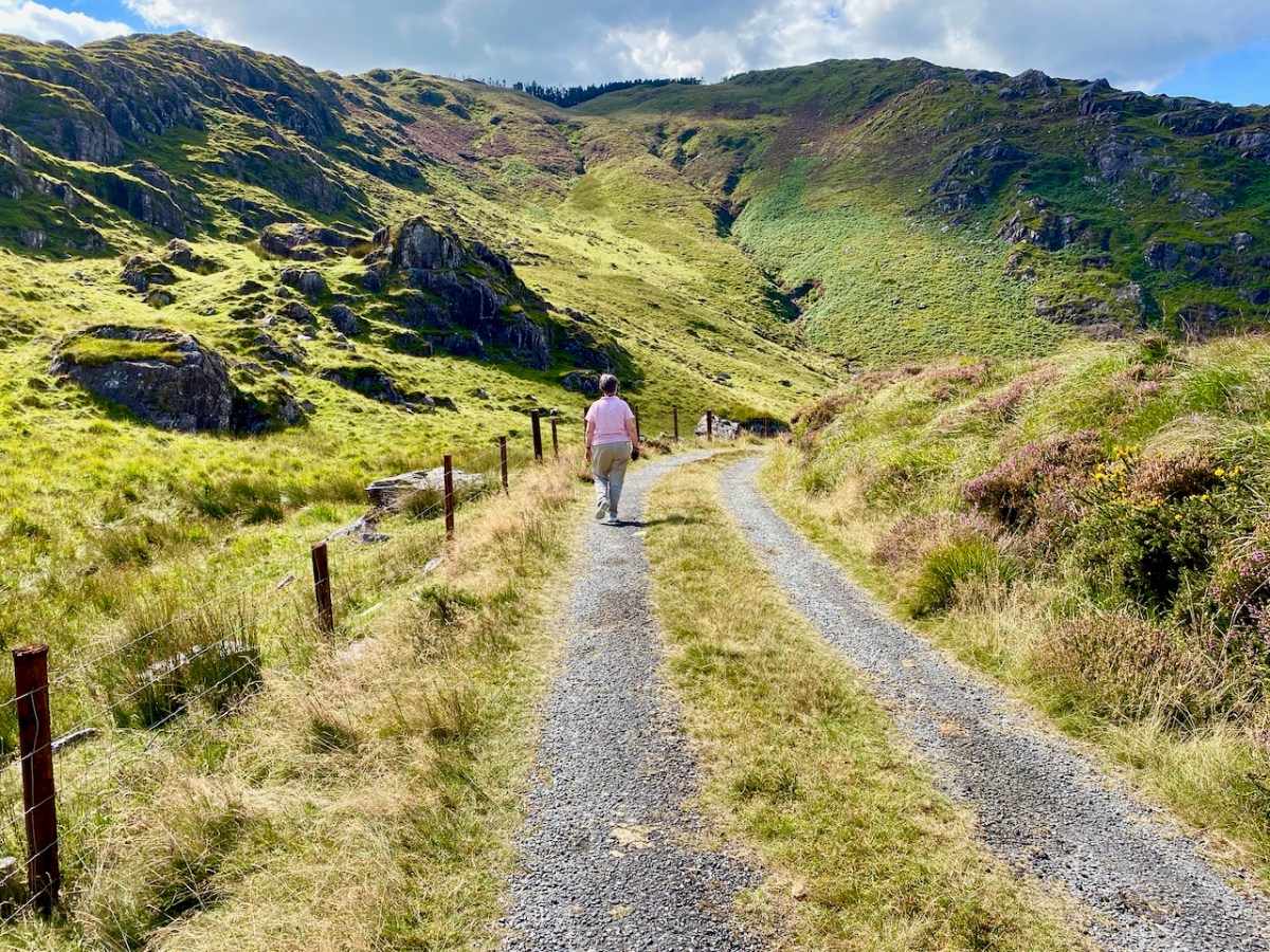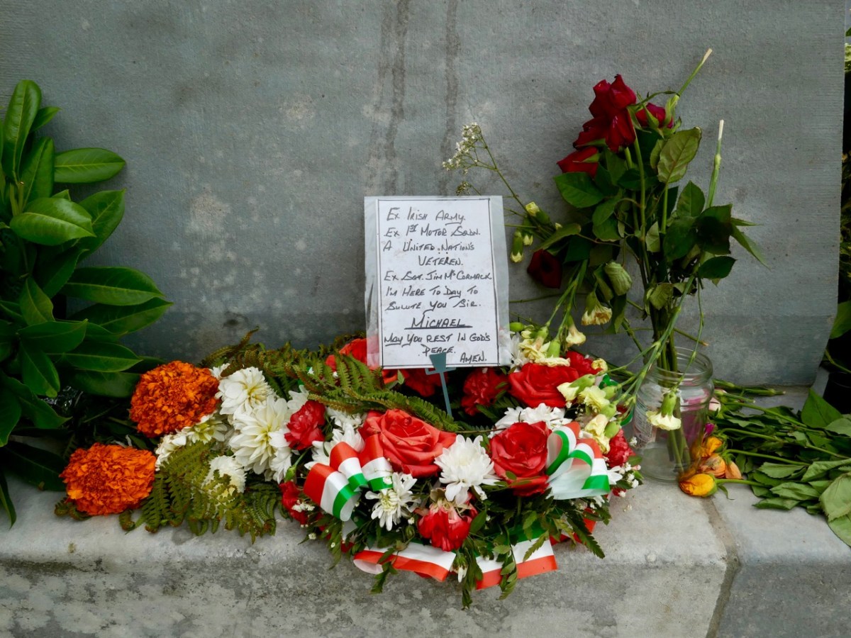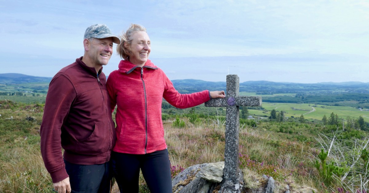
Would we like to see a Mass Rock? The question came from Oliver, and the answer was an enthusiastic YES! (The phrase Is the Pope Catholic may have been employed.) This particular mass rock has been re-discovered in recent times, but its origins are a bit of a mystery. It’s not listed on the National Monuments Record of Sites, and some elements are clearly dated to the early 1950s. There is no defined trail and it would be very easy to get lost, so we were very grateful indeed to our guides, Oliver Farrell and Tracey Daly (above), who live close by and use the trails frequently with their sons. Rio the Wonder Dog accompanied us.

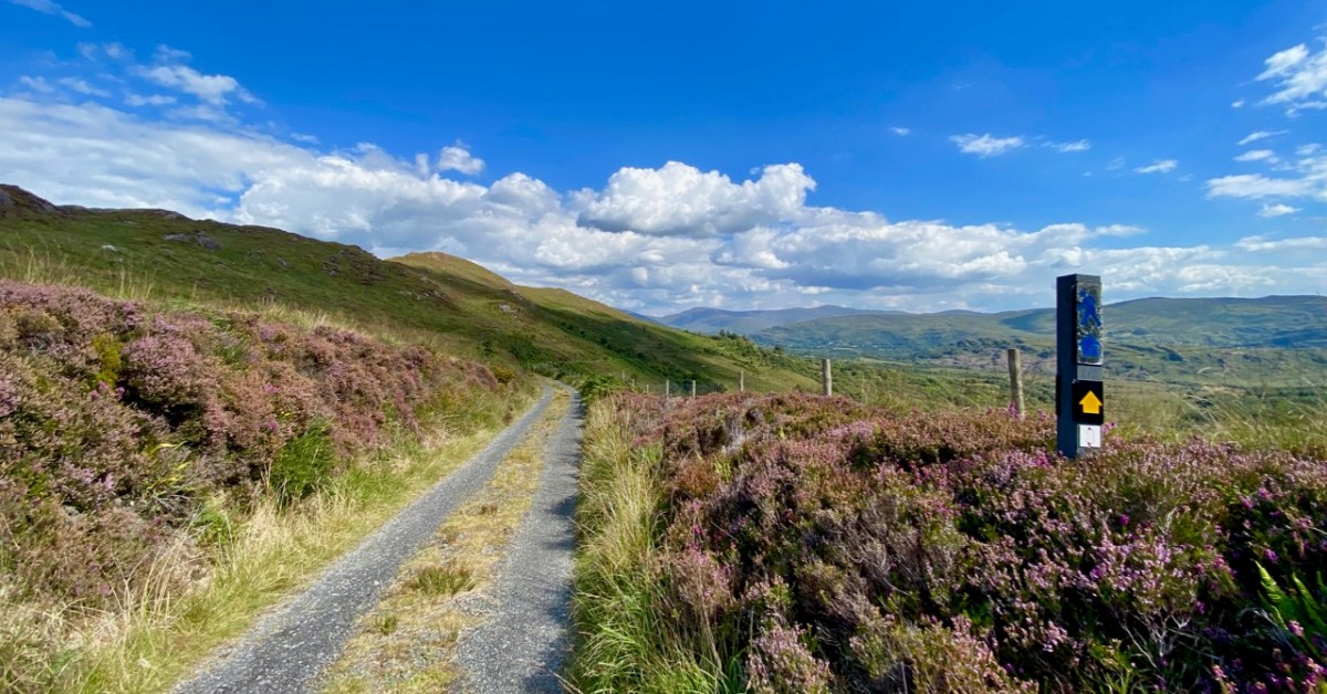
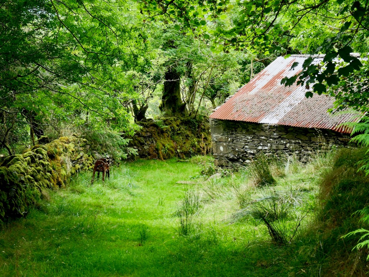
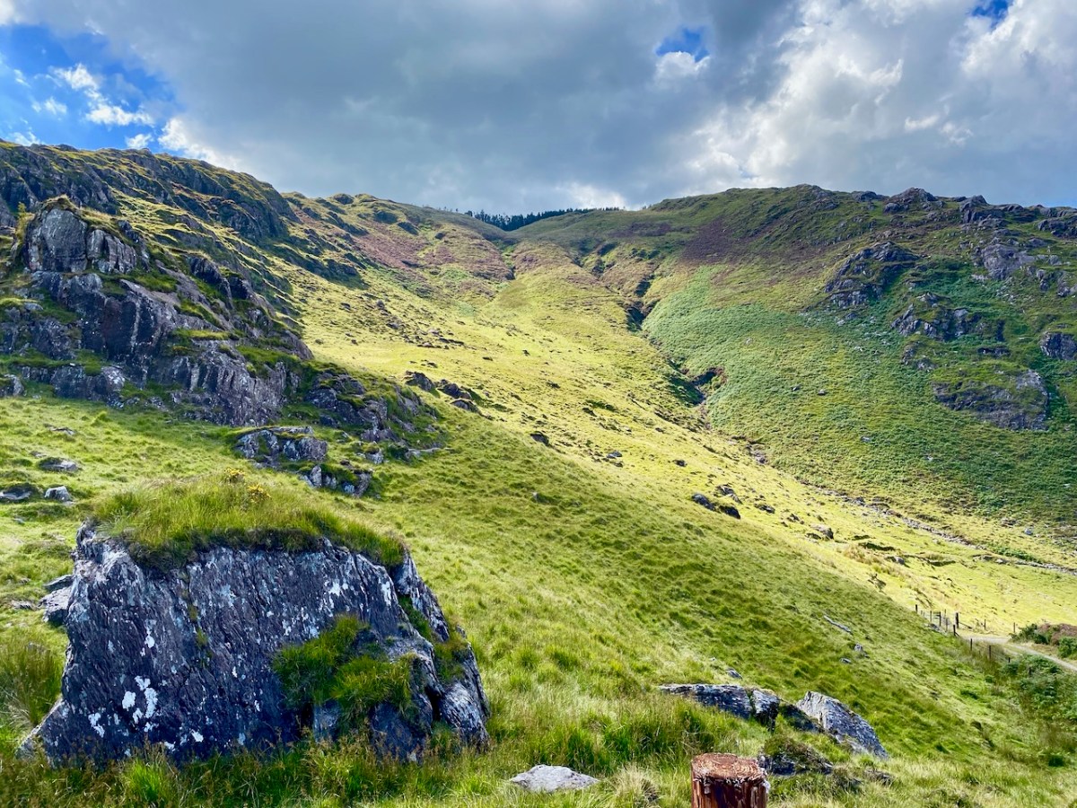
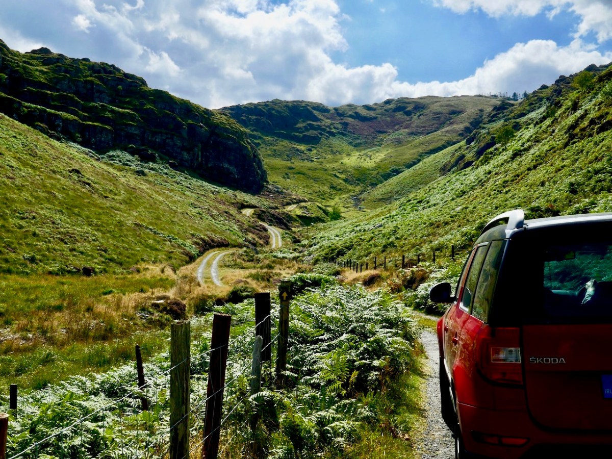
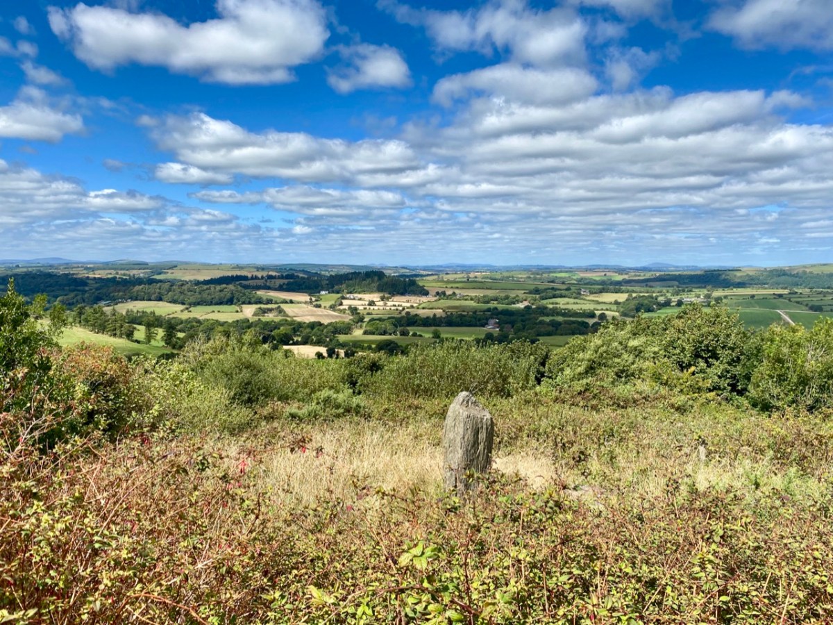
Garrane (it’s Garrane on the OS maps, but often spelled Gurrane, especially locally, and it means ‘grove’) is a townland in the area between Ballydehob and Caheragh. The area is managed by Coillte, and starts among tall trees. As you ascend, though, you emerge into rocky scrub territory that was cleared in more recent times, leaving interesting stumps here and there, like stubby totems.
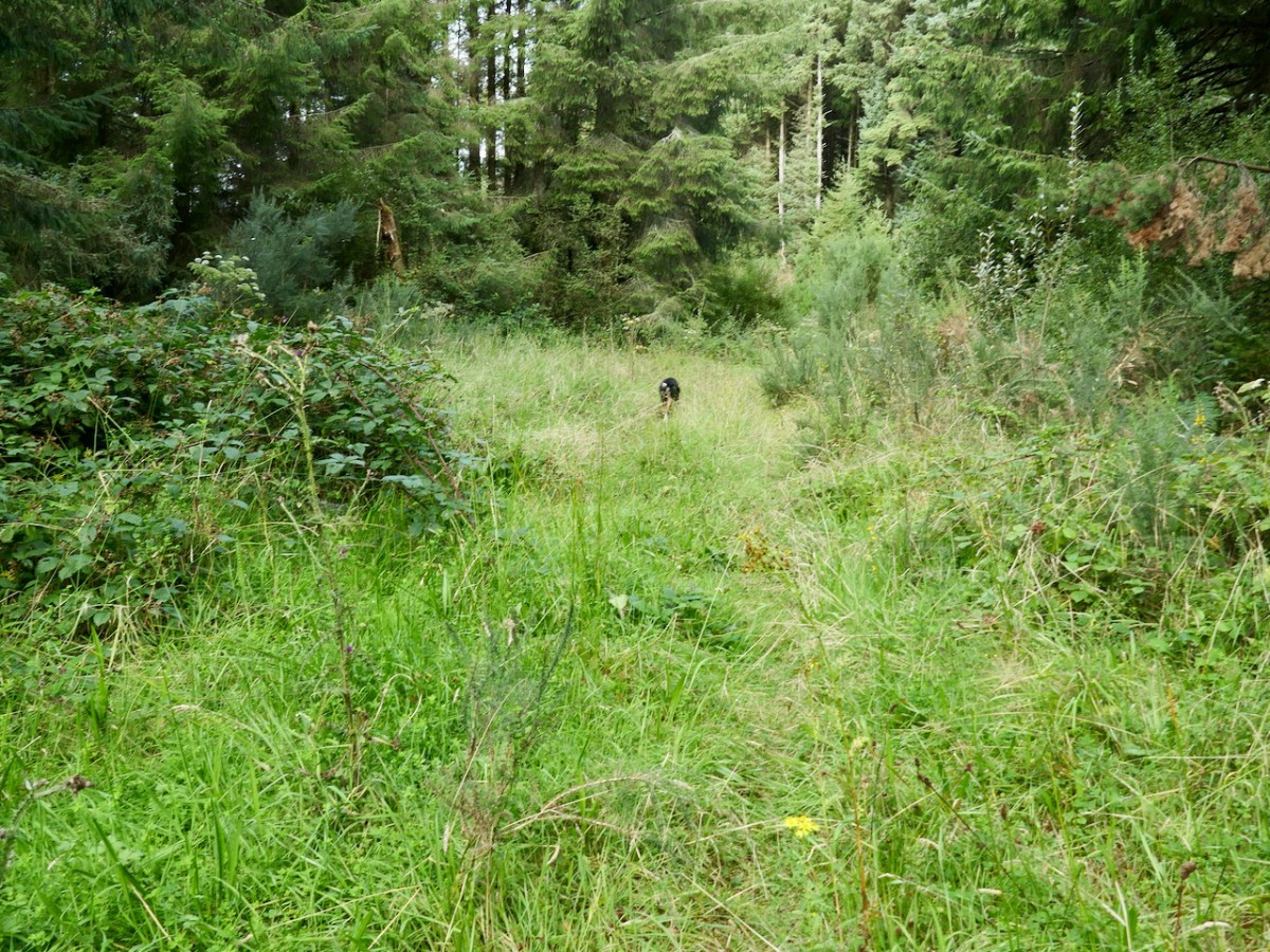
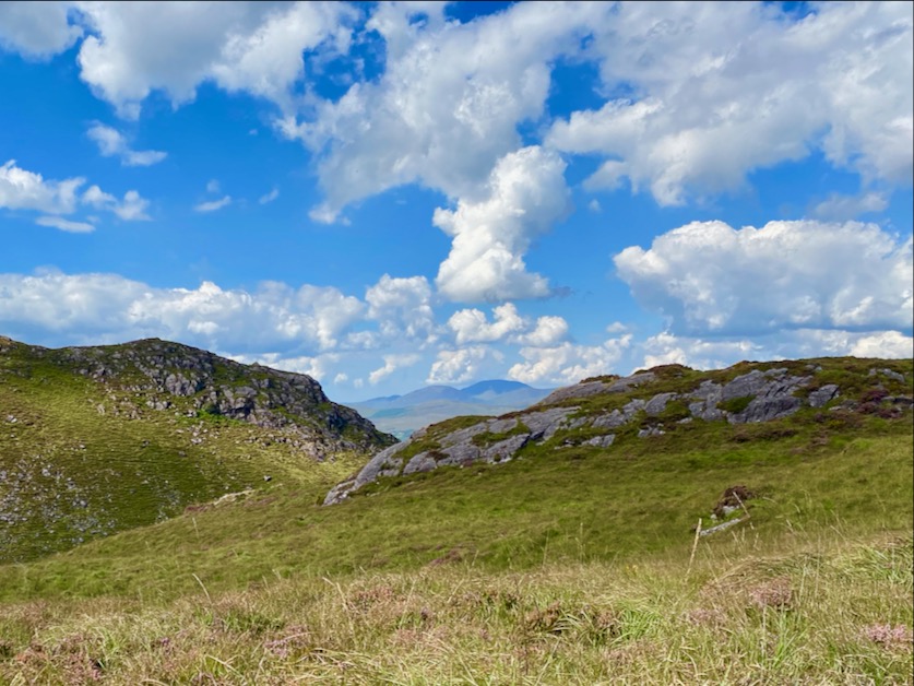
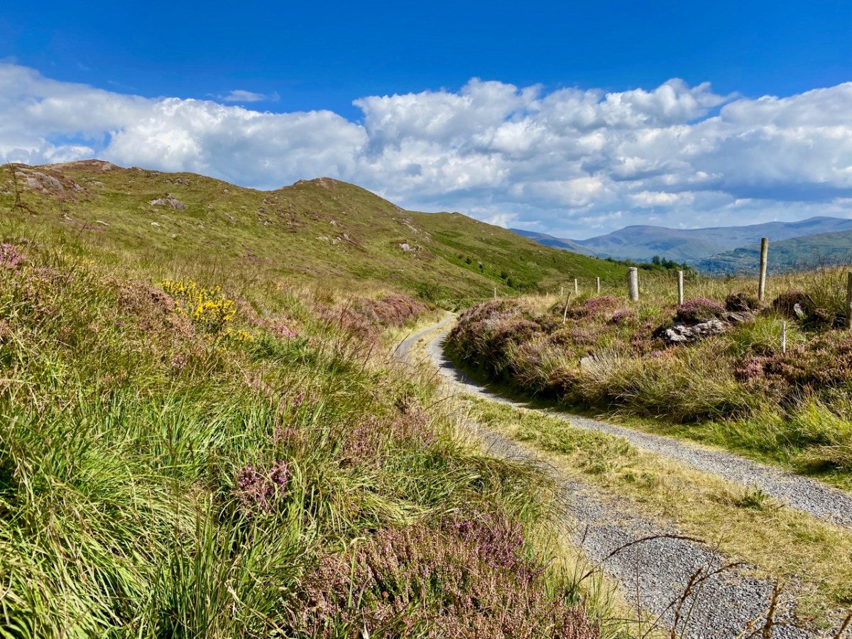
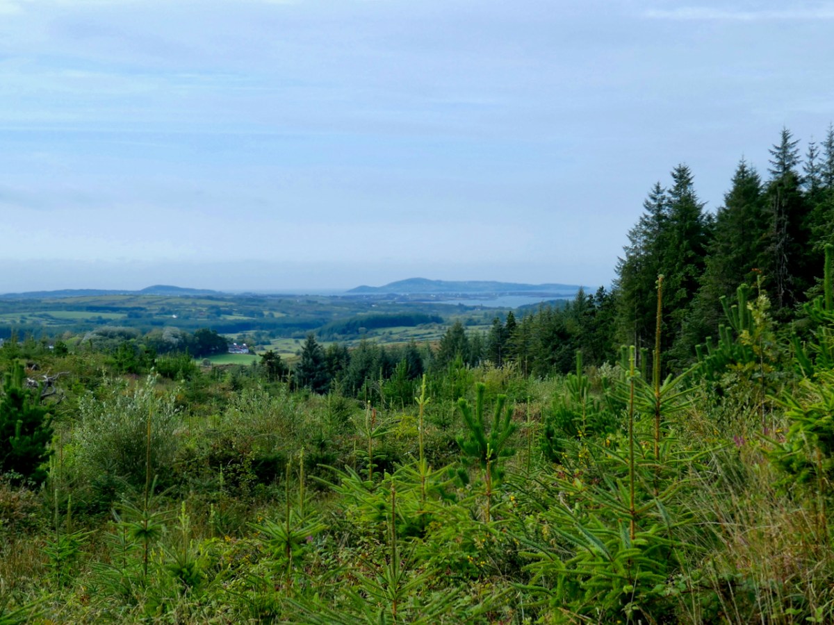
It’s a lovely hike up (although I’m not sure I could find it by myself again) and soon we were enjoying panoramic vistas across the countryside and over to Roaringwater Bay and Cape Clear beyond. Rio led the way, occasionally disappearing into the bushes but always coming back to his humans to make sure we were keeping up.
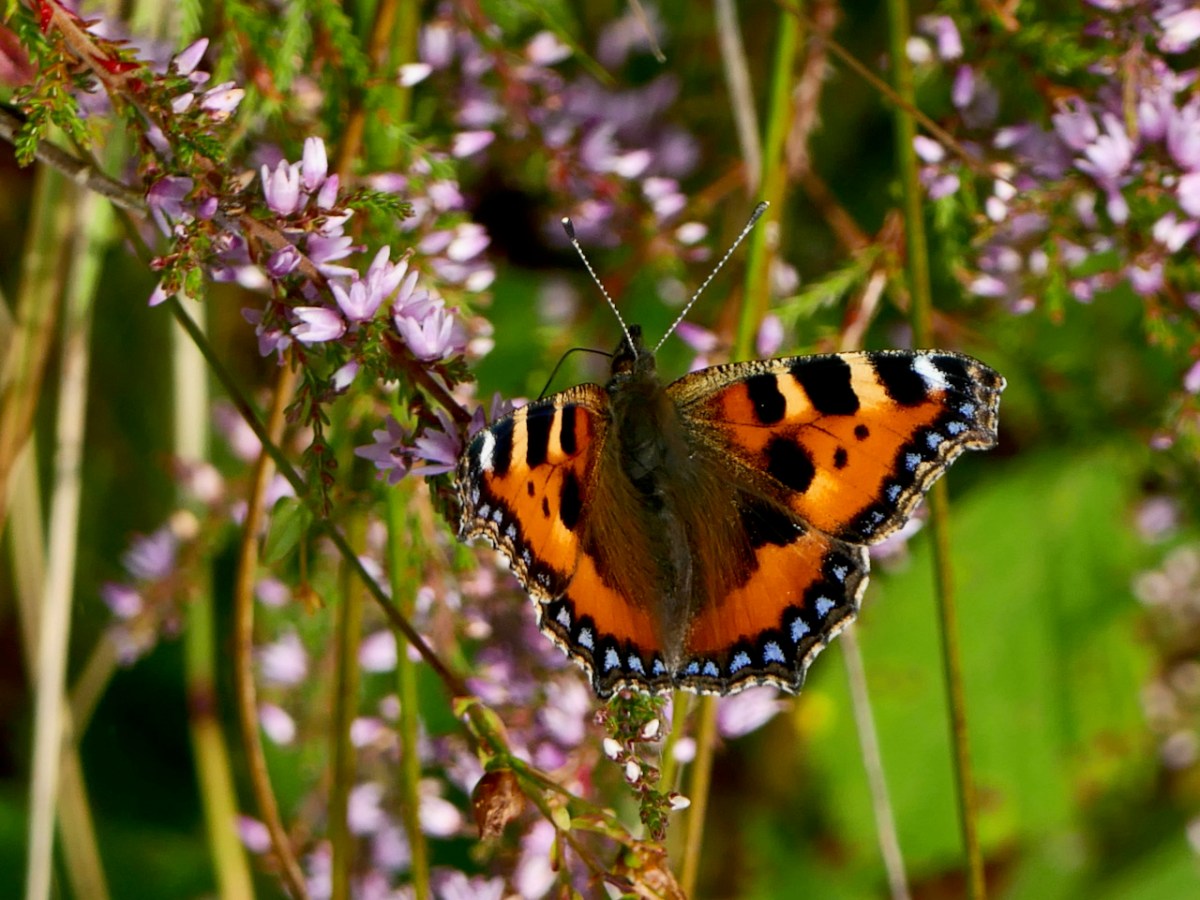
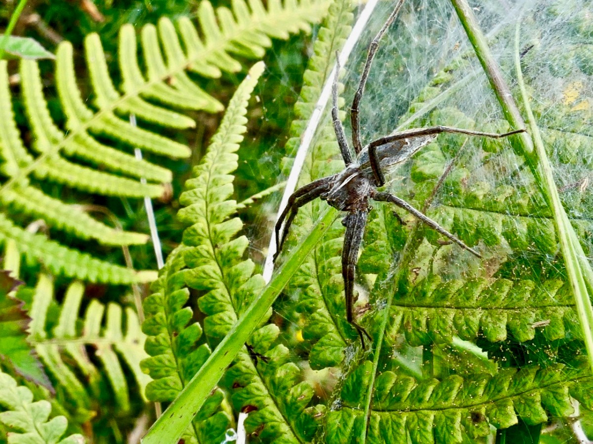
At this time the hills are covered in Western Gorse and heathers and butterflies were flitting through the shrubs as we ascended, attracted by the blooming Ling.
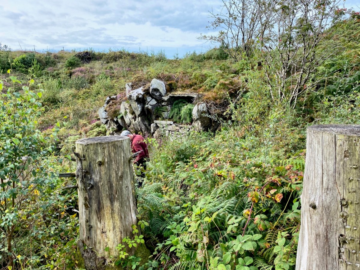
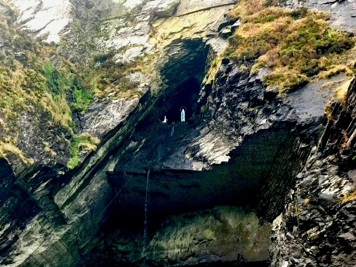
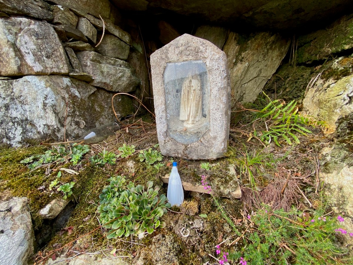
When Oliver said we’d arrived, I didn’t see anything except what looked like a pile of stones.. The bracken was everywhere, including within the mass rock itself. Oliver set to work and soon it was revealed – a flat, altar-like surface, with a niche in which a small shrine had been placed.
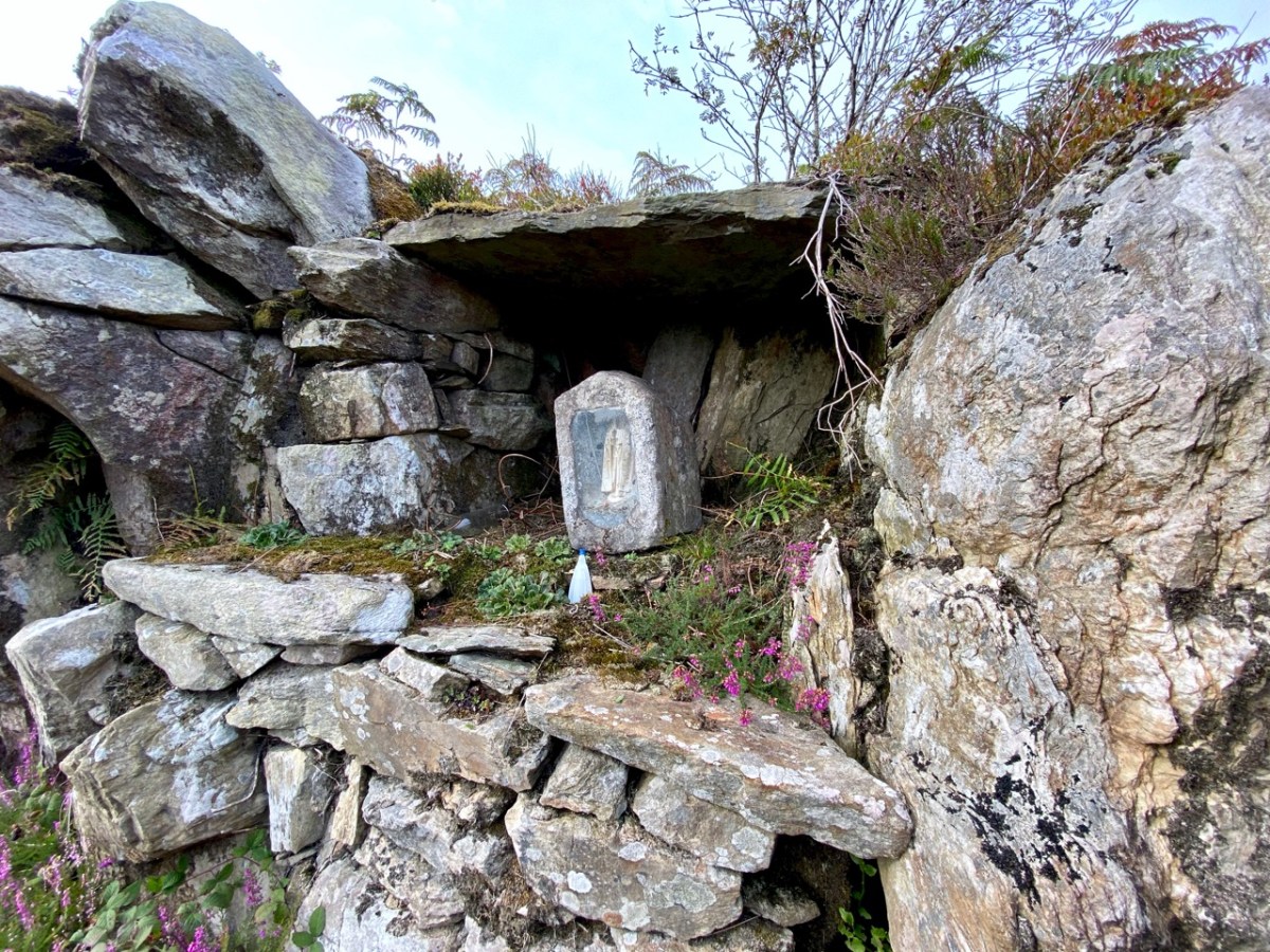
The shrine – a concrete box containing a statue of the Blessed Virgin Mary, was dated 1954. This marks it as having been inserted into the niche during the Marian Year. Most of the grottoes we see in every village and town across Ireland date to 1954 – for more on this see my post Mary Mary. It’s possible, perhaps, that the mass rock itself was refurbished during this time, to make it suitable to contain the shrine.
What exactly is a mass rock, I hear my non-Irish readers ask. Take a look at my post Were you at the Rock, or go to the wonderful Find a Mass Rock, an excellent site maintained by Dr Hilary Bishop of Liverpool University.
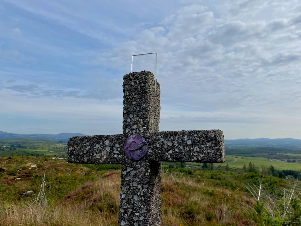
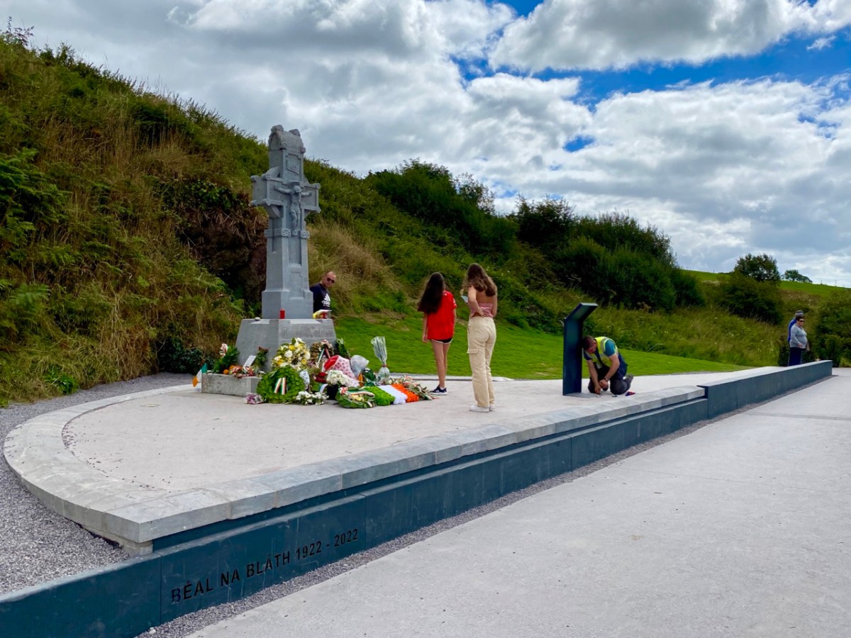
So we had found the mass rock, but there was more. Tracey and Oliver led us higher still to a spot overlooking the mass rock to a concrete cross. Although much battered, it retained much of the original decoration – glass, clear and coloured, and a small crucifix. Exploring this area, their sons had discovered the mass rock a few years earlier – it had likely been hidden for 50 years by forestry.
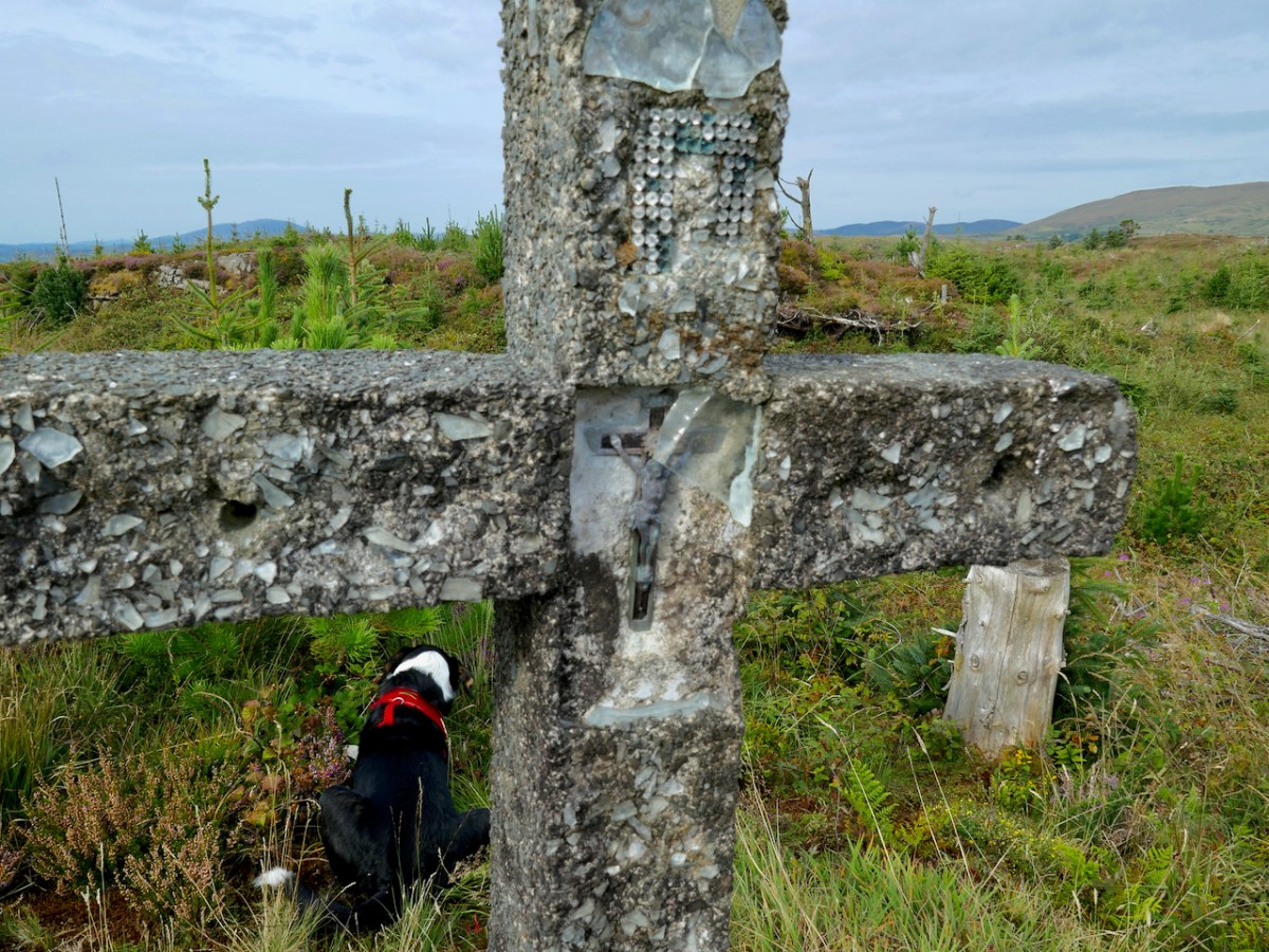
We wondered if this was erected at the same time as the shrine had been inserted in the mass rock, in 1954, or whether perhaps it had been erected in 1950, the Holy Year. And all around Ireland in 1950 villages and towns erected hilltop crosses – see my post Sanctifying the Landscape for more about the Holy Year and the Vatican directive that sent Irish communities up their local mountains to set up huge (and in this case not so huge) concrete crosses.
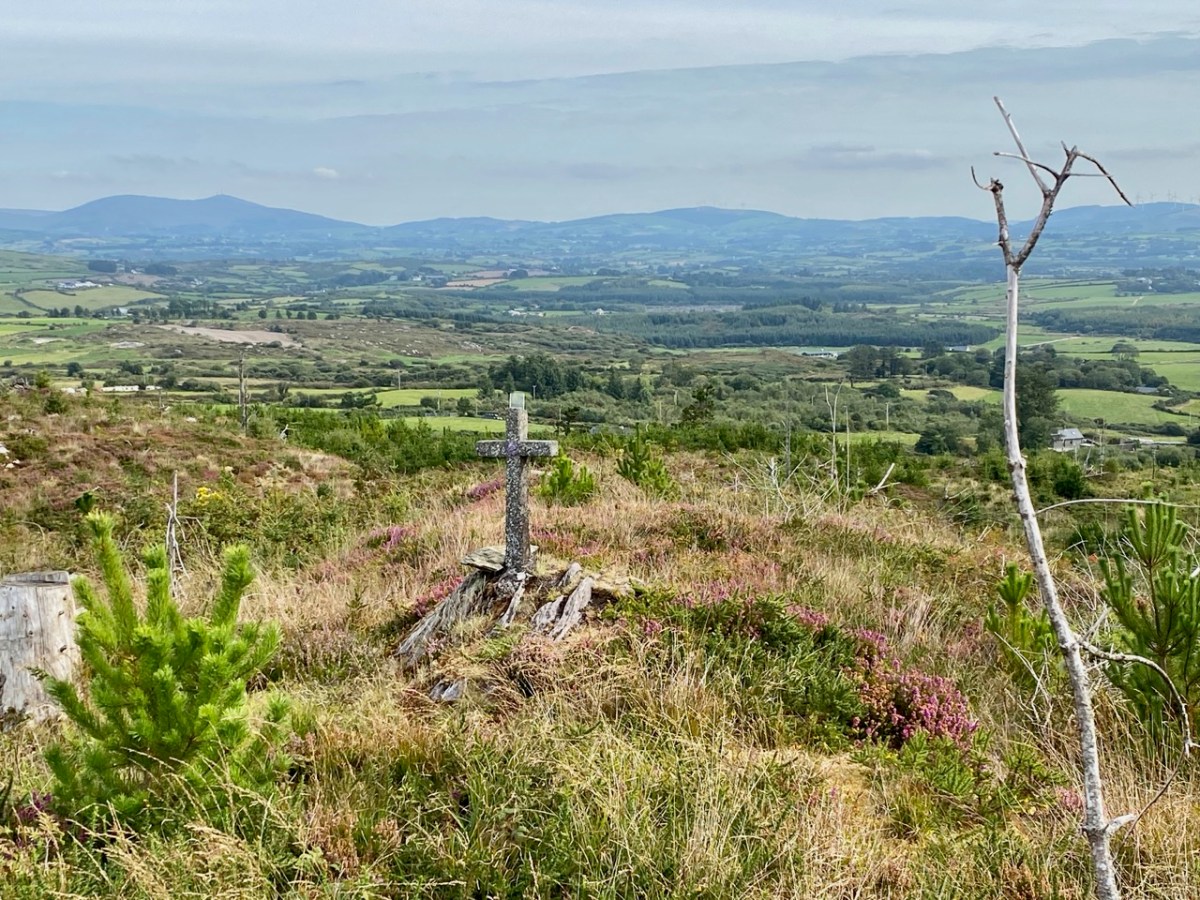
So – this spot was obviously the focus of devotional activity on the early 50s, most likely chosen because of the already existing mass rock. The memory of the mass rock was still held in the community, making it the perfect location for the Holy Year and Marian Year memorials. As we often do, we turned to the Schools Folklore Collection to see if we could find references to a mass rock in the record for the old primary school, now long closed, at Garrane. Here’s what we found:
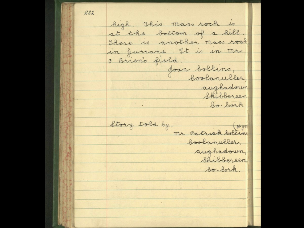
That’s all, and frustratingly opaque, referring to the mass rock being in a ‘field.’ I would be interested in hearing from local people who might know more about the history of this particular mass rock, so that we can get it listed as a National Monument. If you know anything, please comment below, or get in touch via our contact page.
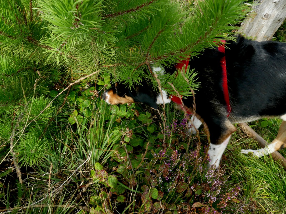
Rio led us back down the mountain, pausing occasionally to do something I had never see a dog do before – eat blackberries right off the brambles. He beat us to some of the best ones too as we headed down to the tall trees.

The Gurrane and Ballybane Trails Development Group is working on a plan for trails in the area, including this one – good news!