Every year we look back on our posts and choose your favourites and ours to highlight. We select yours based on our readership stats, and our own based on some magical chemistry known only to ourselves. The two often, but not always, coincide. Robert’s selection is here.

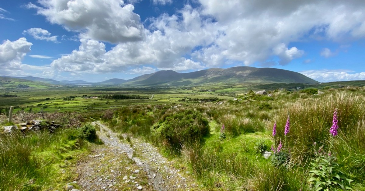
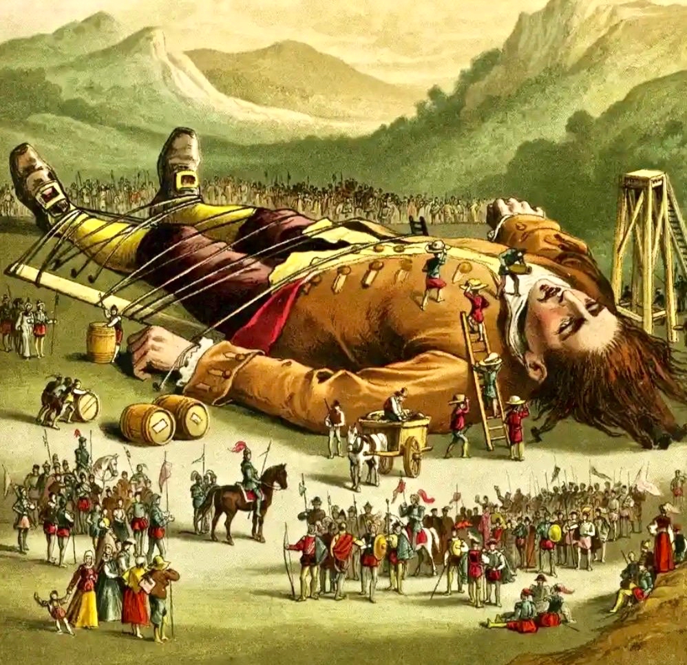
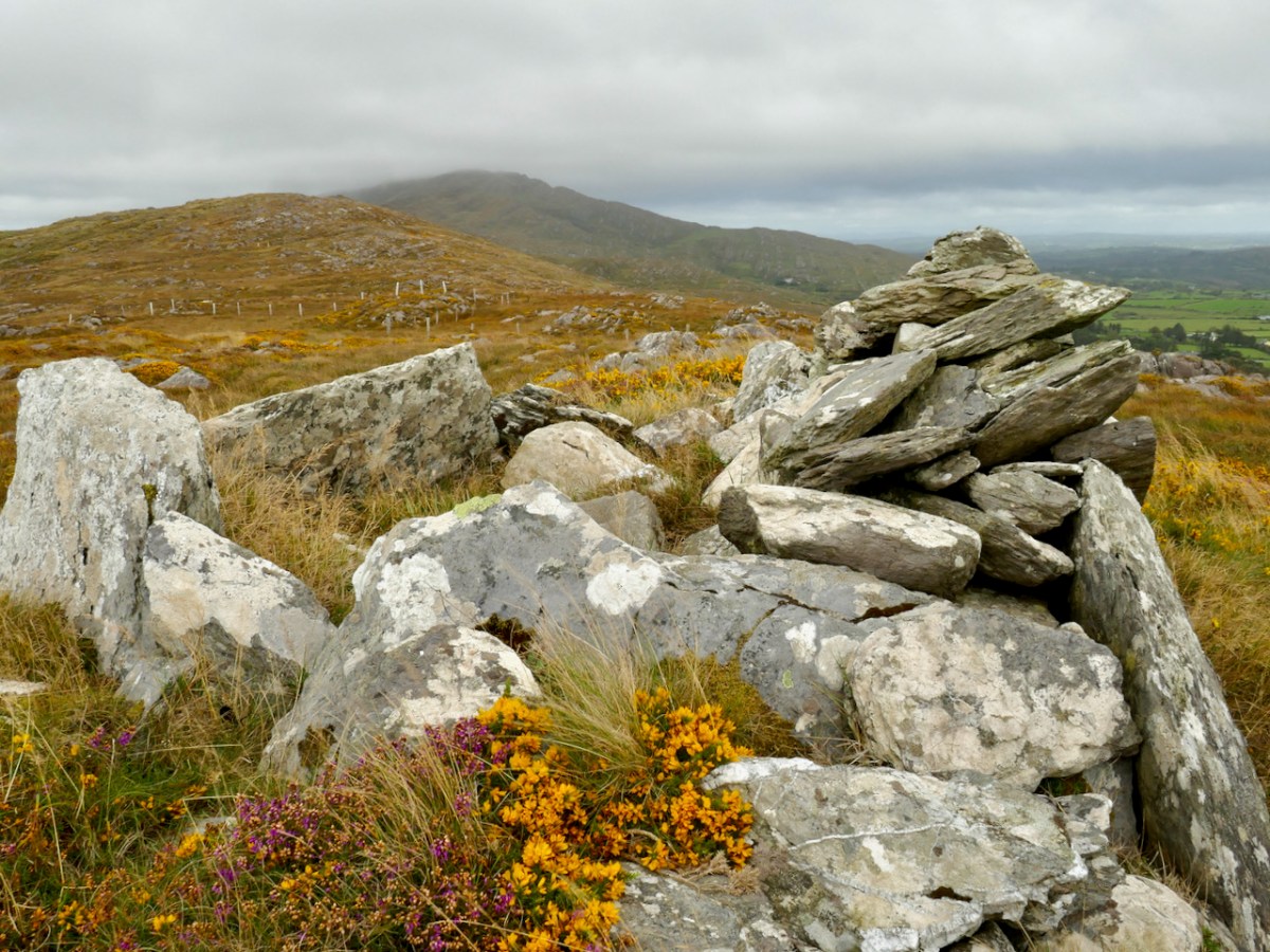
I started off the year with a series of three popular posts all called Legends of Mount Gabriel – the first was about poul an oidhean, The Bottomless Lake, while the next two (Fionn, Furrows and Fastnet, and Wrought by Giants centred on the work of Fionn MacCumhaill and other giants in shaping the landscape around the mountain. These were great fun to write – the first one involved some precarious scrambling on cliff faces as we found our way to the lake, making me wonder if the Search and Rescue Team might have to be deployed to get a couple of crazy septuagenarians off the mountain.
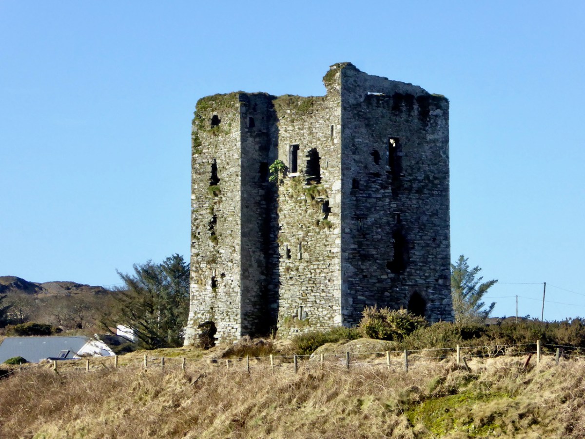
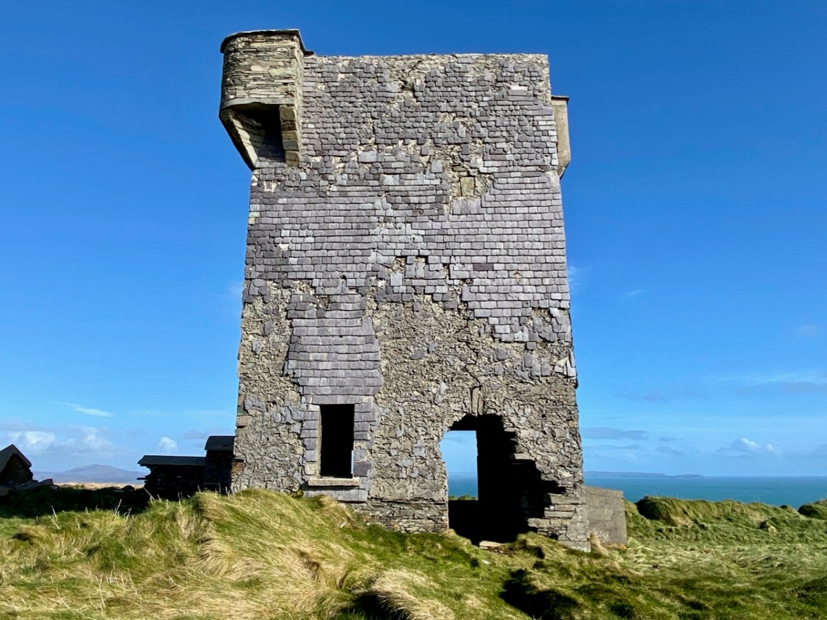
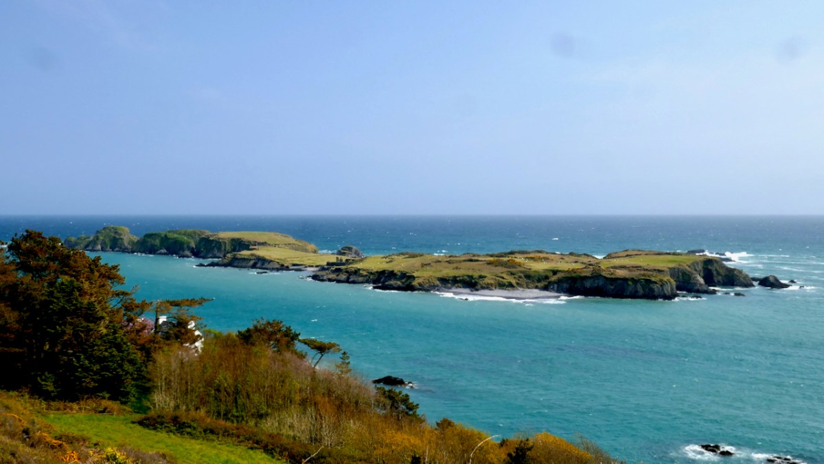
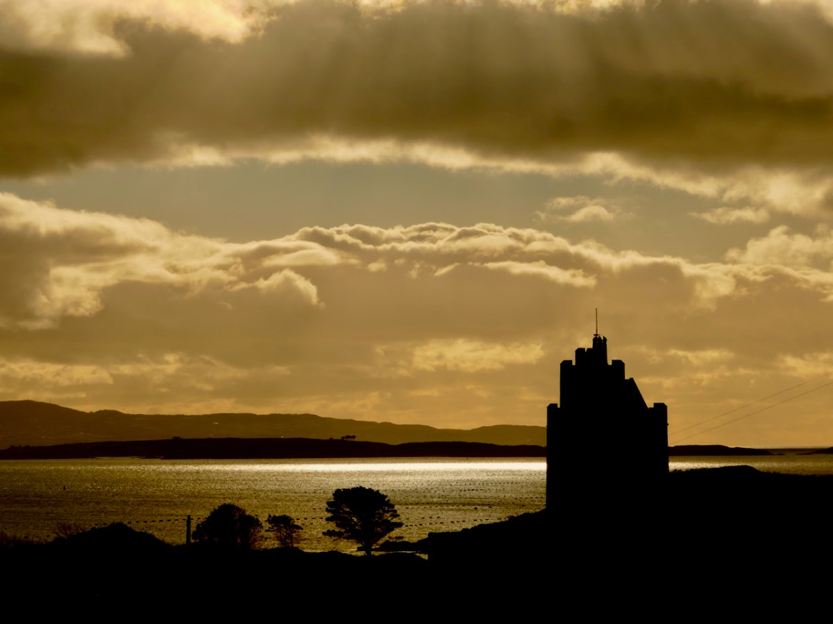
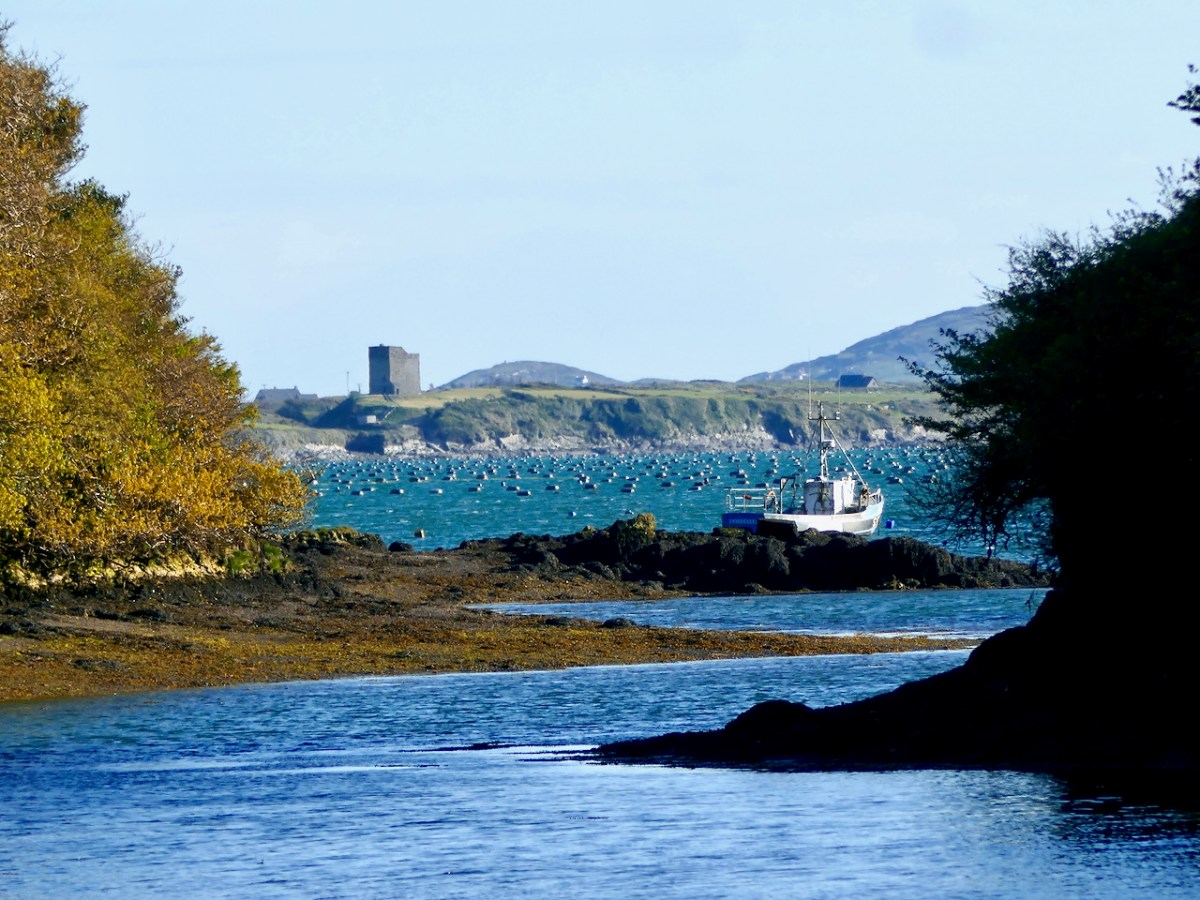
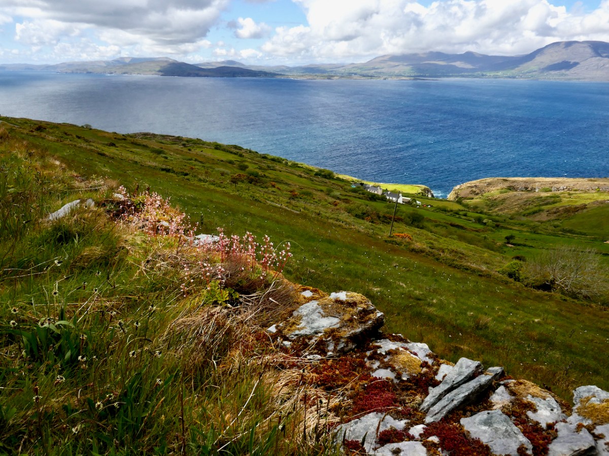
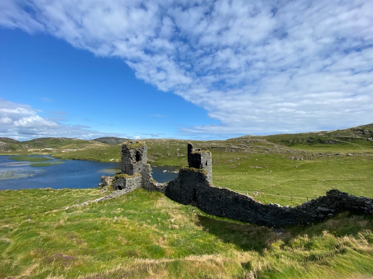
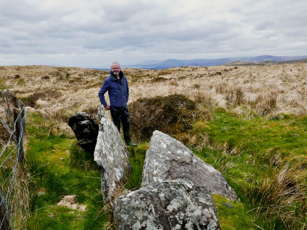
West Cork is our beat and I honed in on the Mizen Peninsula – or Ivaha as it was known historically for a series on castles and another on ancient maps. The Castles of Ivaha series has so far covered the background to the castles, and individual posts on Dunmanus, (above) Dunlough (Three Castle Head) (below) and Ardintenant. I plan more posts, although there are only vestiges left of most of the castles of Ivaha.
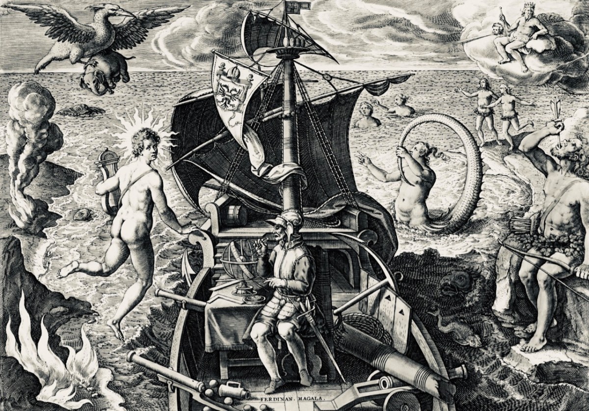
I love old maps and this year I found two particularly intriguing examples. We don’t know who put together the first one but in the first of two posts (Elizabethan Map of a Turbulent West Cork) I looked in detail at the map itself (below) and in the second (The Story) I tried to figure out what was going on. I’m still trying to figure it out.
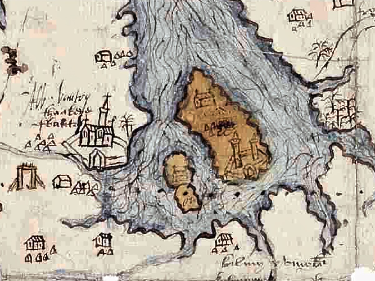
We know who did the second map – the Elizabethan Cartographer Jobson – and why: it was to provide the British crown with the information needed for the plantation of Munster in the wake of the Desmond rebellions. In Planning a Plantation: Jobson’s 1859 Map of Munster, Part 1 and Part 2, I set out to see what we could still recognise of what he mapped over 400 years ago. Turns out (below) – it’s a surprising amount!

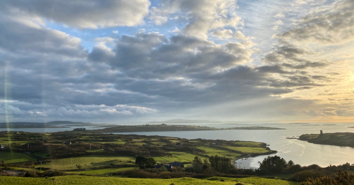
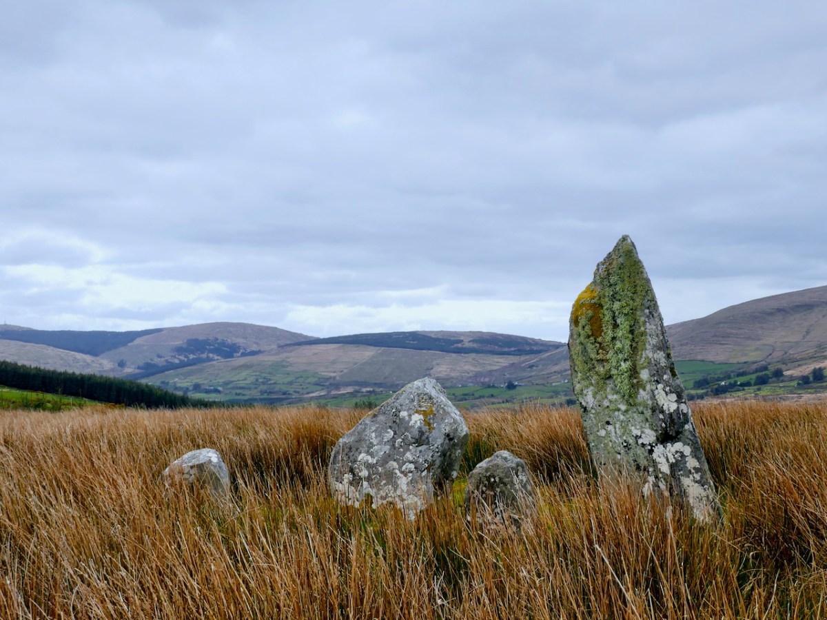
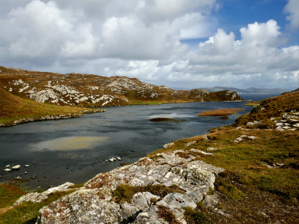
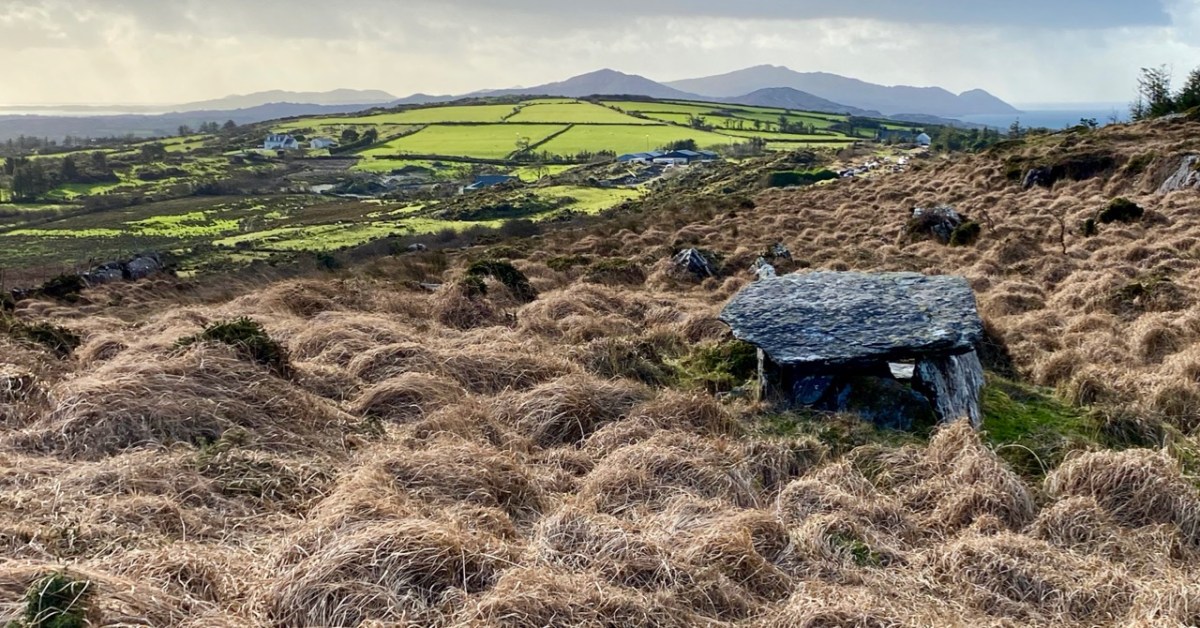
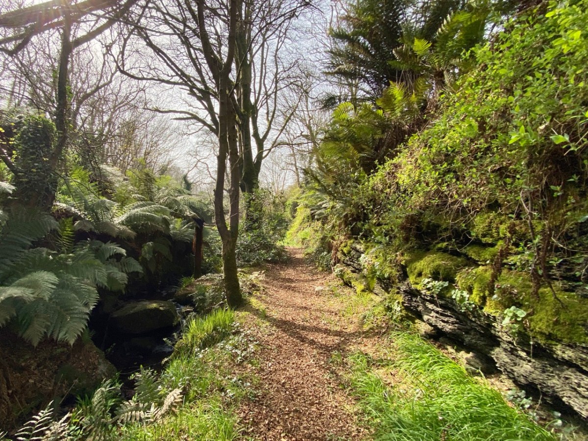
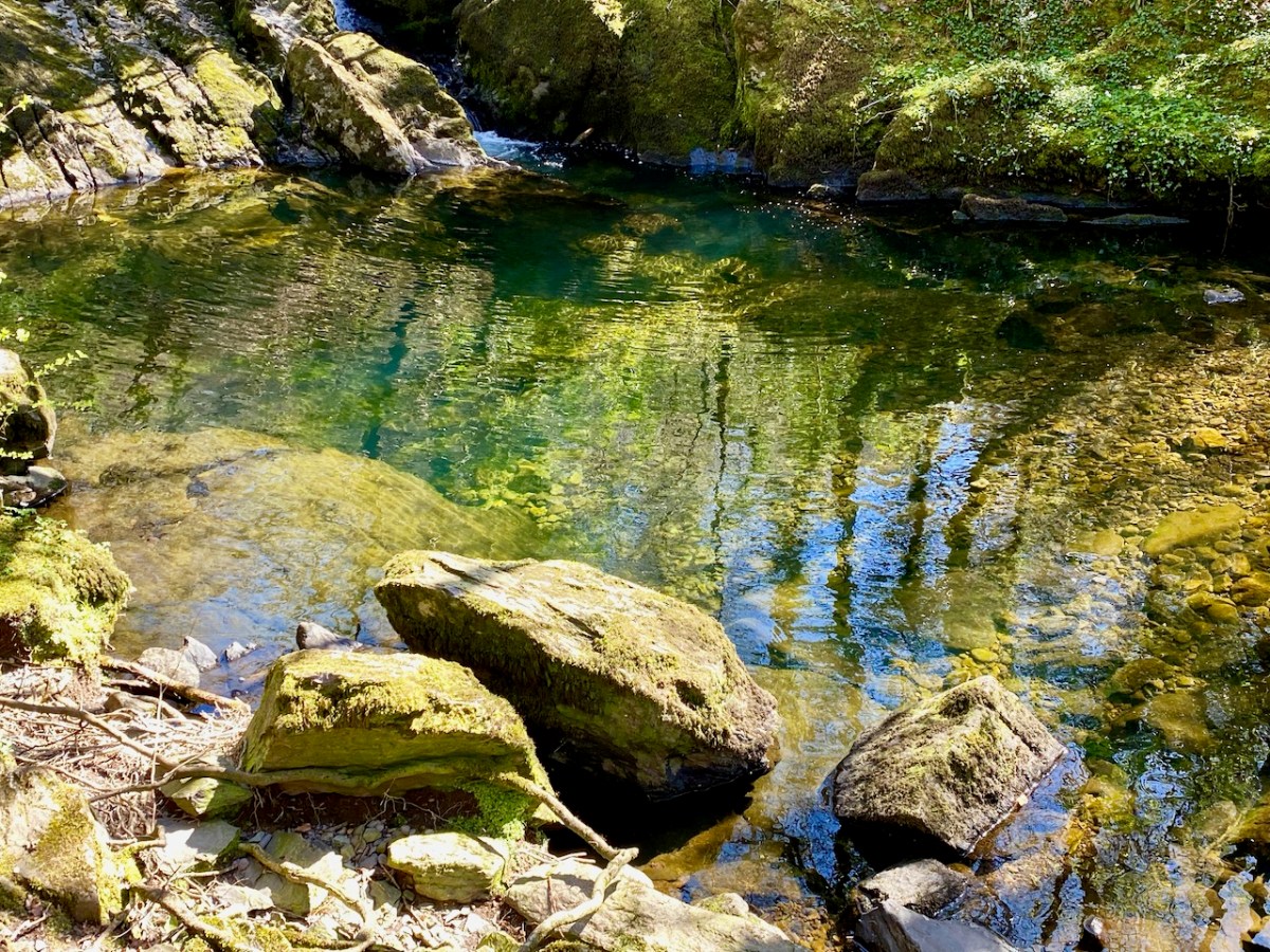
Just when we think we know every inch of West Cork, we find new places to explore – a necessity for those times we were confined to our own area due to the pandemic. I loved getting to know the Mealagh Valley in the company of David Myler, who (literally) wrote the book about it.
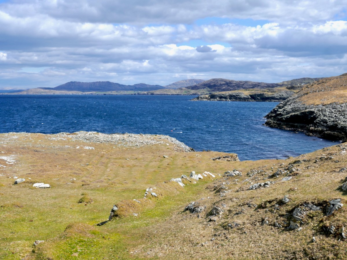
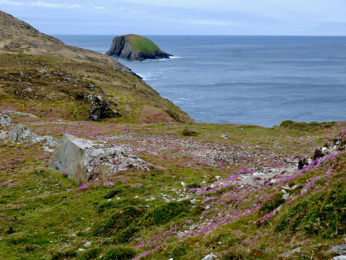
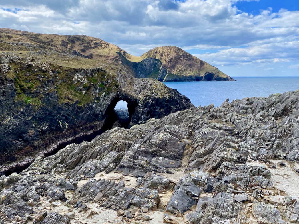
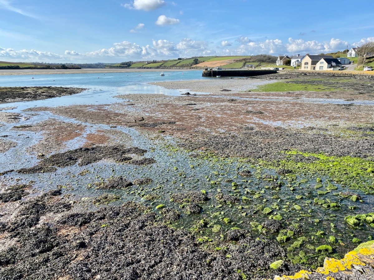
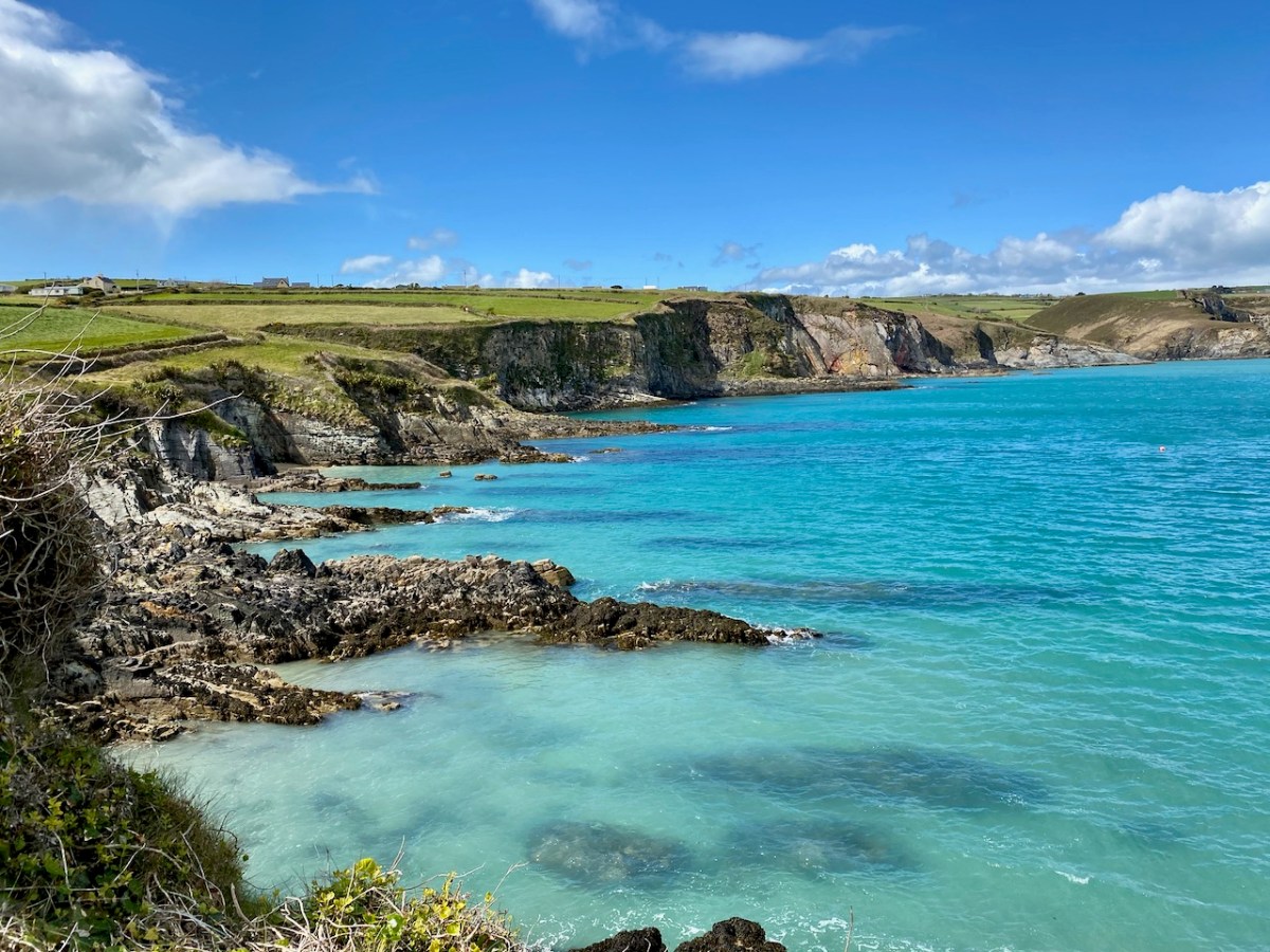
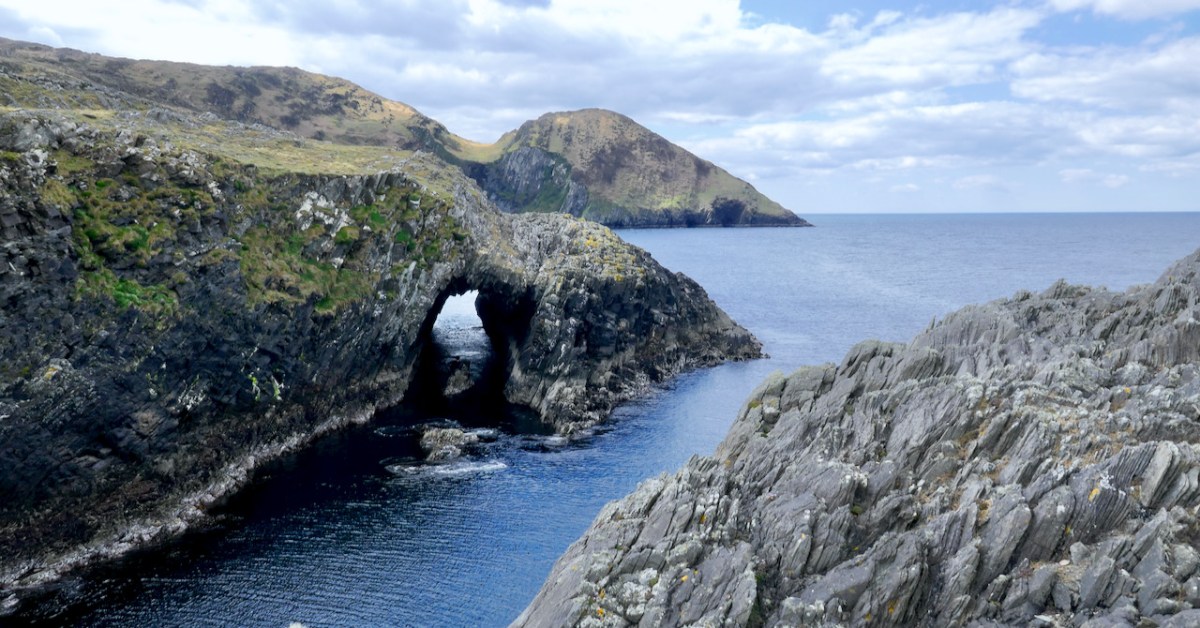
Lackavaun is a wild promontory on the Mizen (below) that contains sea-caves, whereas Roaringwater Pier still carries the shades of James O’Sullivan who developed it as a once-vibrant community and commercial hub.
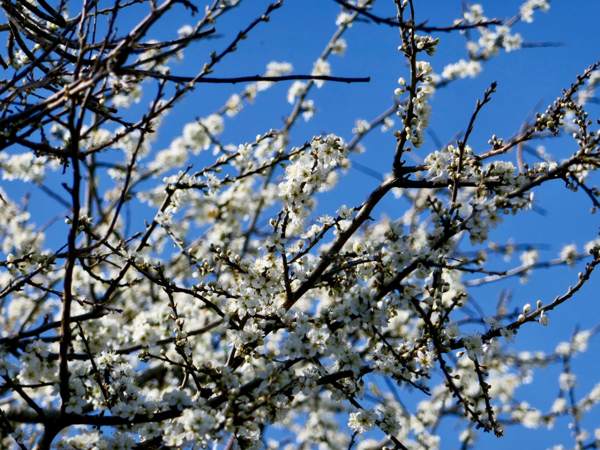
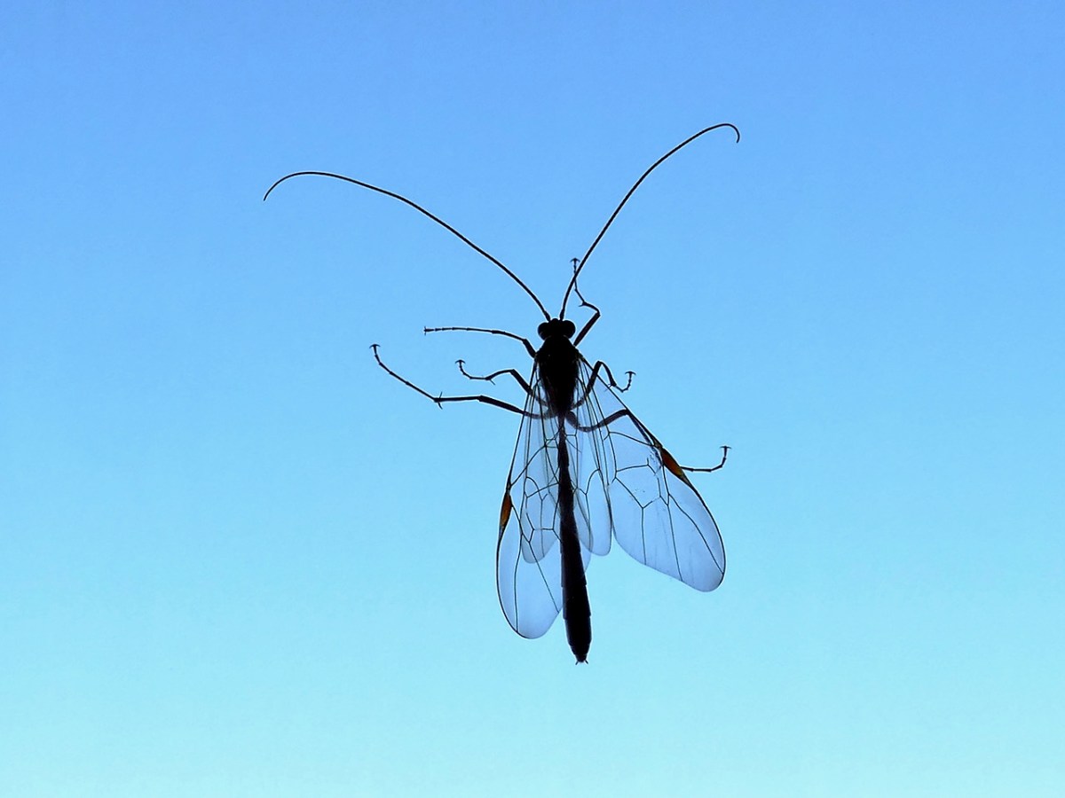
The wildflowers of this area are one of my passions and this year I indulged my penchant for slide-shows set to music, one illustrating what I saw as I was Wandering the Boreens, and the other as I was Lying in the Grass. The music is the same in both – Turas go Tír na nÓg by the incomparable late Michaeál O’Suilleabháin from his album, Templum, available here.

Besides these two offerings, I continue to chart the progress of my own One Acre (now four years on) and to wonder at the incredible wildflower abundance on Long Island.

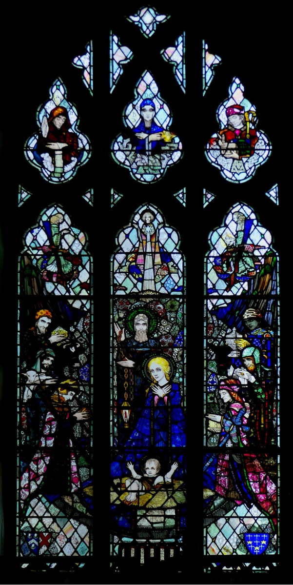
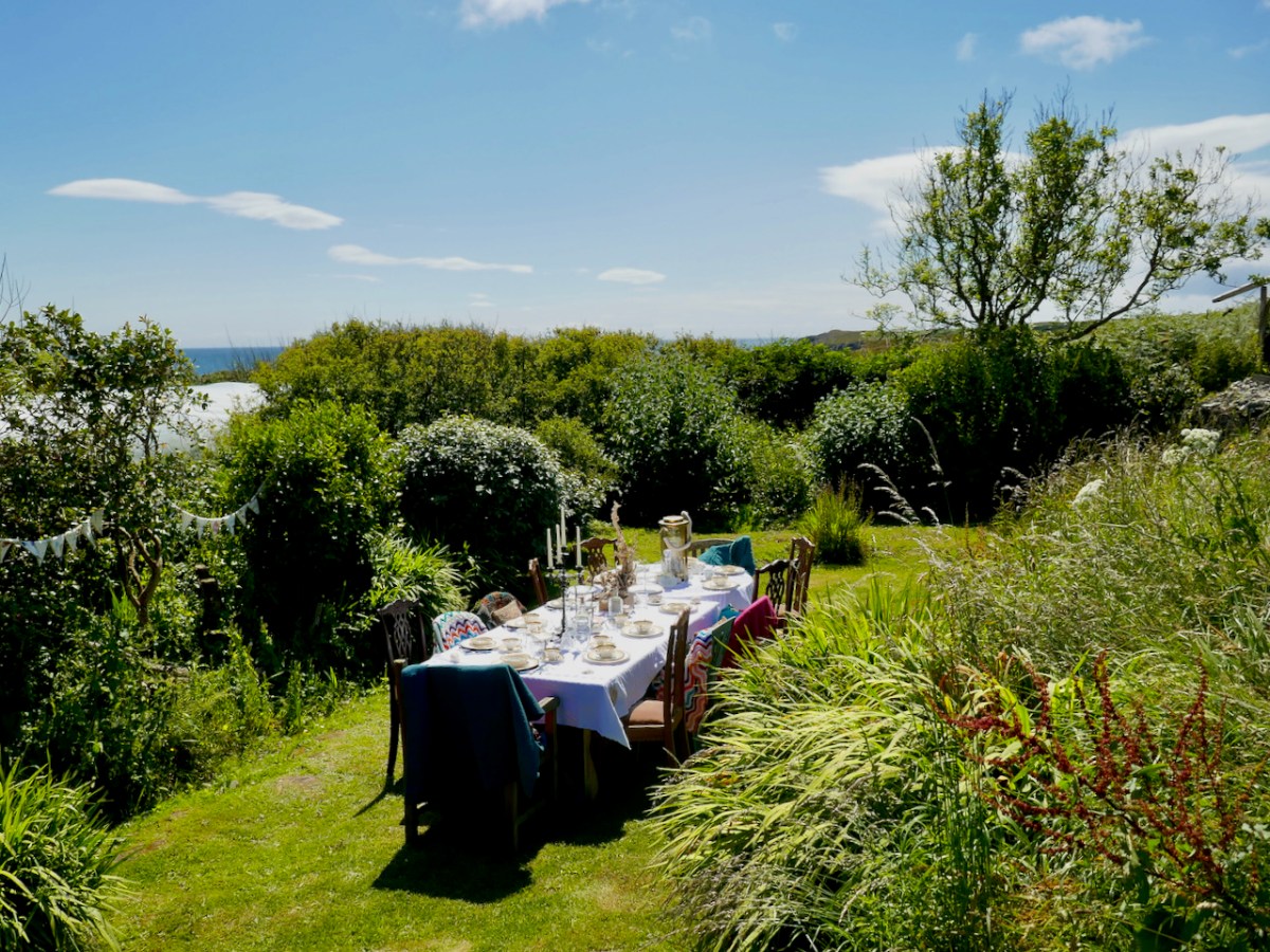
Regular readers know all about my obsession with stained glass and this year the biggest thrill of the year was the publication of The Gazetteer of Irish Stained Glass, to which I was one of the contributors under the inspired leadership and editorship of David Caron. I concentrated on the work of George Walsh – that’s one of his gorgeous pieces above. We celebrated with a Mad Hatter’s Tea Party on Long Island.
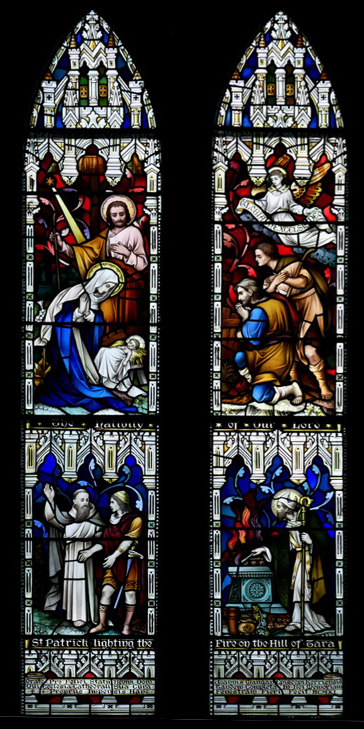
I continue the uphill battle to convince Irish people that there is more to stained glass than Harry Clarke and to do my bit to draw the distinction between Harry Clarke and the studio that continued to use his name after his death. I wrote about one of his undesputed masterpieces – a two light window in Terenure, (detail, below) and then about windows done in his style, in his studios, but far below his standard, in Clarke-style Windows (another musical slide show).

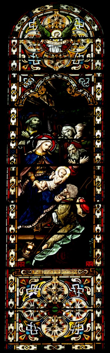
Besides Harry, it was fun to explore the world of Mayer of Munich and the windows that are seen everywhere in nineteen and early twentieth century Irish churches, and to take a quick tour of 20th century made-in-Ireland Nativity images in stained glass (like the Mayfield Murphy-Devitt below). Most of all, it was lovely to be part of the discovery of a hitherto-unknown example of the work of artist Richard King – hiding in plain sight in Macroom.

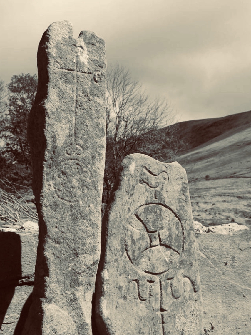
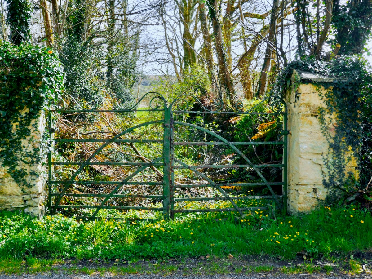
Finally, a shout out to wrought iron! This year I went back to my study of old hand-forged wrought iron gates (here and here) and once my eye was attuned to the material, I began to appreciate its use as grave markers and found lots of excellent example of the blacksmith’s craft in West Cork.

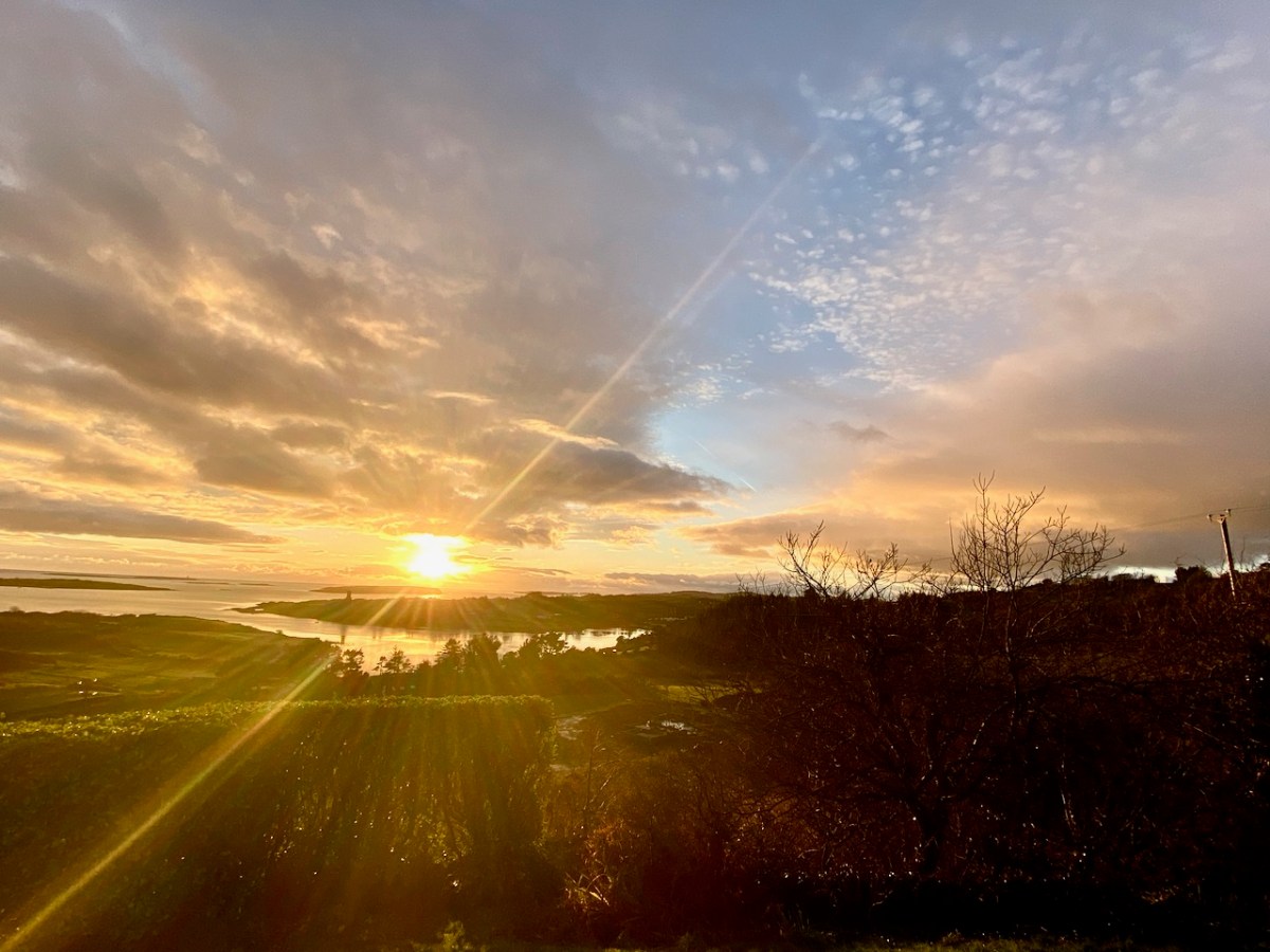
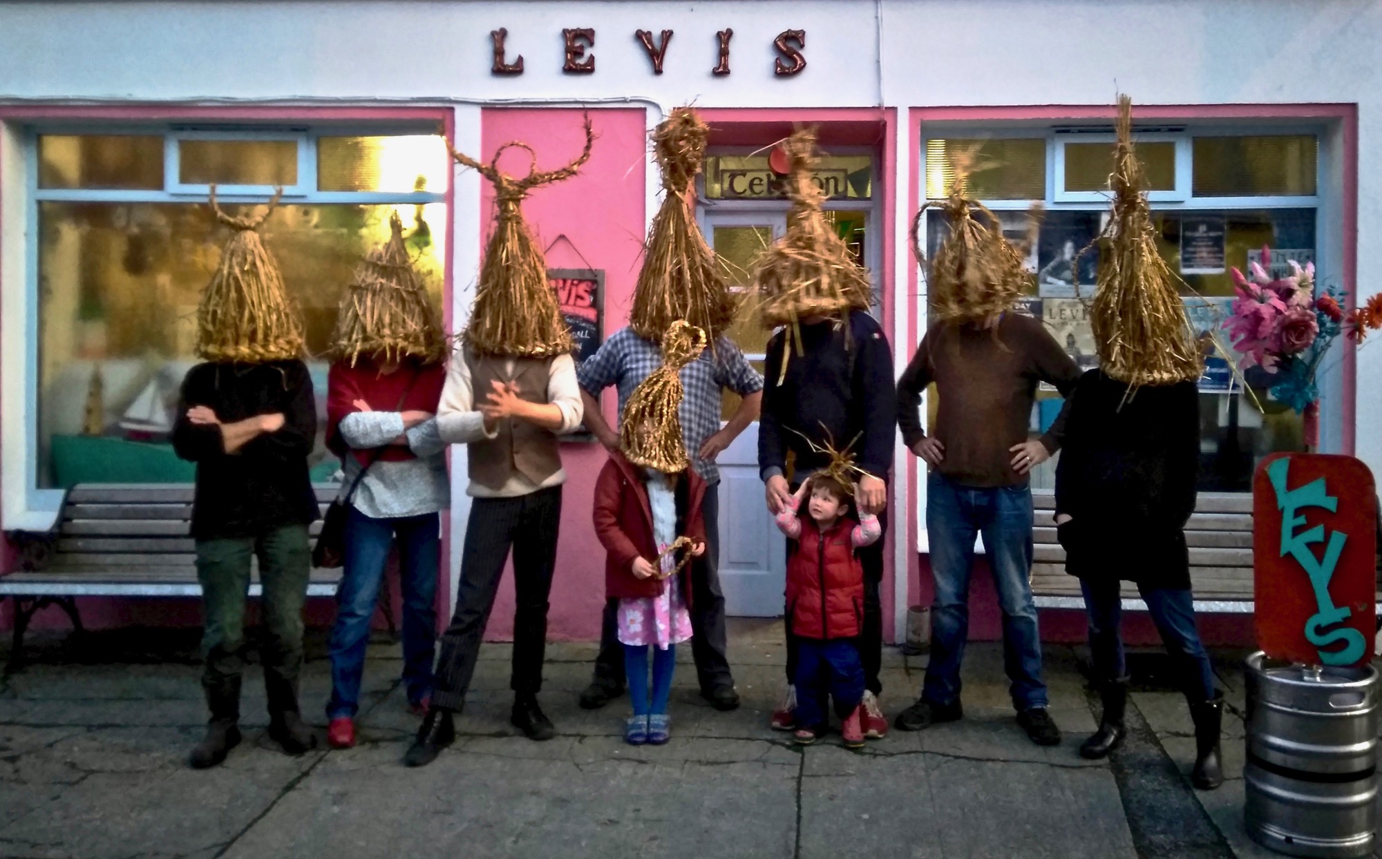
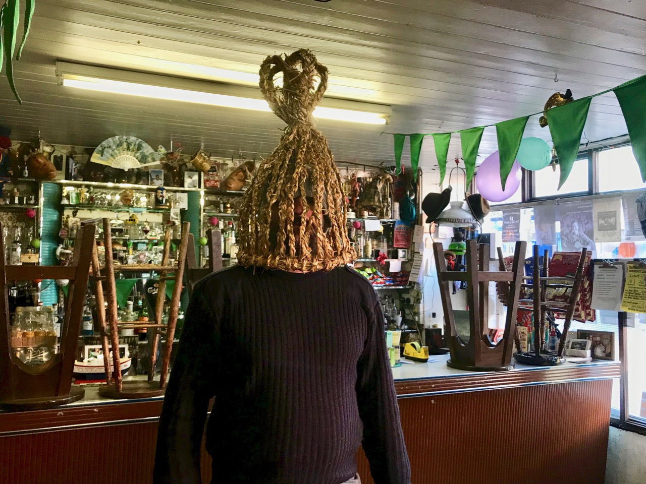
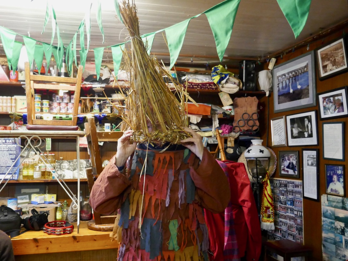
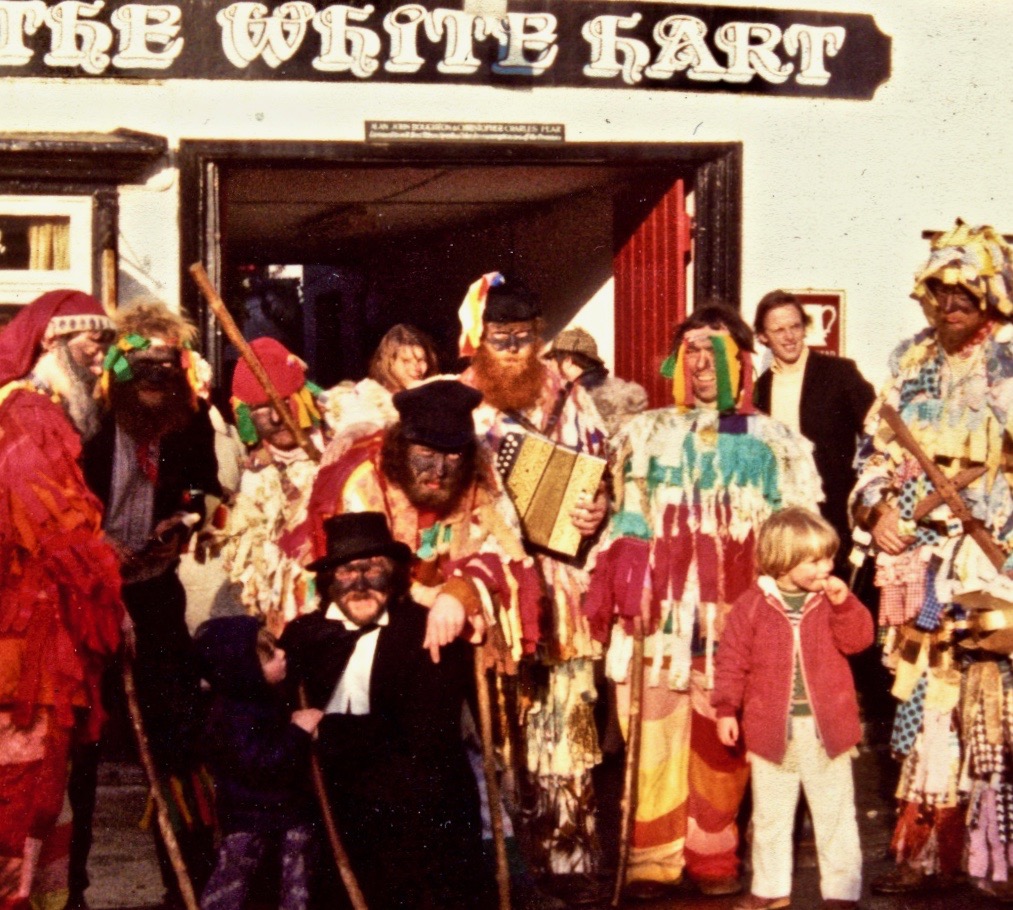
Whew! There was more, lots more, but I am pleased with this selection as a great way to mark a banner year for Roaringwater Journal. The blog had over 300,000 views this year and we know from comments that it offered many of you an interesting browse when there was precious little to do in the dark months of lockdown. And – guess what?

We get to mark Roaringwater Journal’s tenth anniversary this year! We look forward to your continued interest, our dear readers – here’s to a brighter 2022!