Not long ago I reported on some ‘small road’ works close by our home in West Cork. Whenever we travel here in Ireland, we are on the lookout for ‘byways’ … very narrow routes, seldom used, but which often traverse the most scenic landscapes. For some – such as today’s example – you have to be fairly brave, and prepared to travel a long way in reverse if necessary!
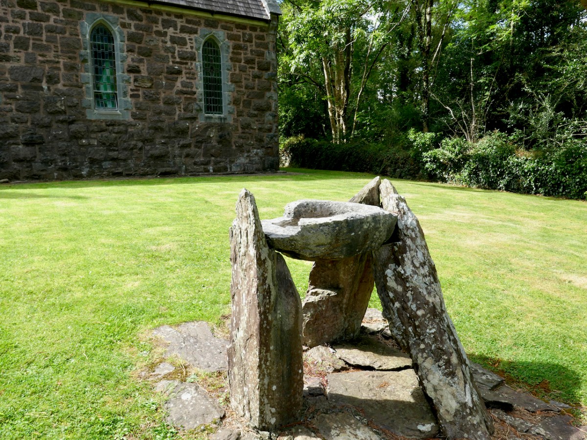
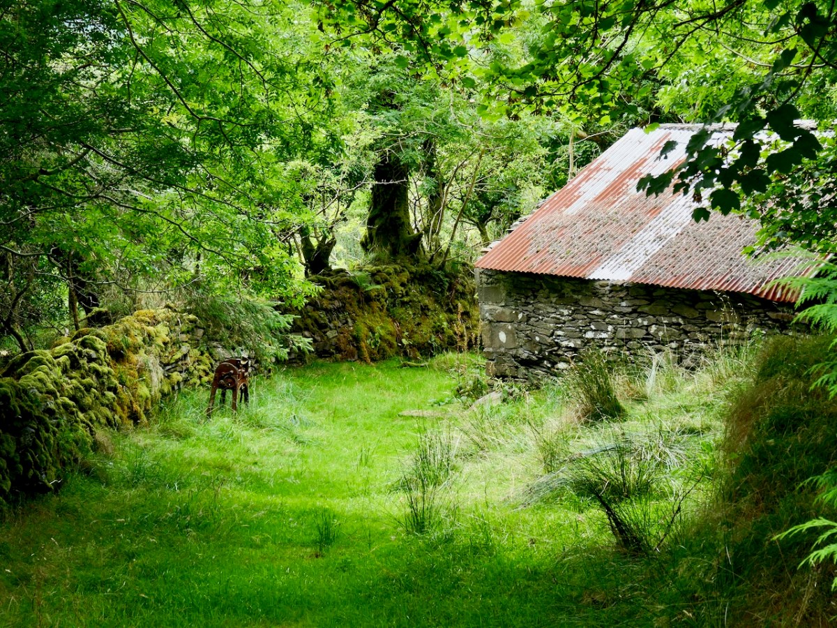
We were coming back from a day out in Kenmare, aiming for our West Cork home. There’s a corner of the Beara Peninsula – within Kerry – that we had never explored before so we headed out to revisit the little church at Dawros, Tuosist parish. We have always been fascinated by the stone basin that is in the church grounds, mounted on crude pillars – I have seen it described as a ‘baptismal font’:
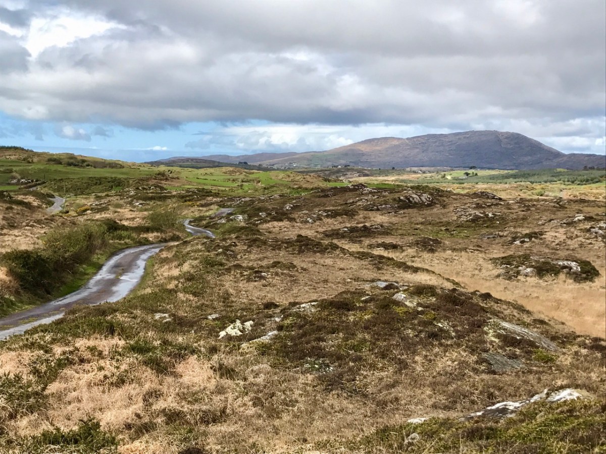
From the church we went north, over a mountain road which eventually connected to the main N71 towards West Cork, Glengariff, and home.
It looks straightforward enough on the Google map – and there are no turnings, so you can’t get lost! The winding route from Dawros to the N71 is about 10 kilometres. If you could go in a straight line it would be about half that distance! During our whole journey on that mountain road we didn’t see a single vehicle (but we can’t guarantee that would always be the case).
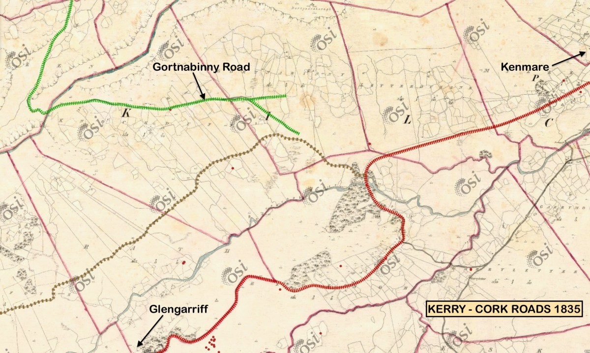
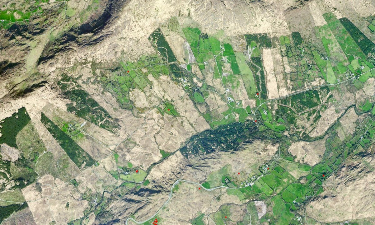
The early OS map (upper) and aerial view (lower) give an impression of the topography over part of the route. The field boundaries are fascinating – and obviously ancient: sweeping linear enclosures cascading down the slopes. From the early map we can see that the road we travelled (known in part as Gortnabinny Road – marked in green) did not actually reach the main Kenmare to Glengarriff road in those times. It presumably just served remote settlements and lonely holdings.
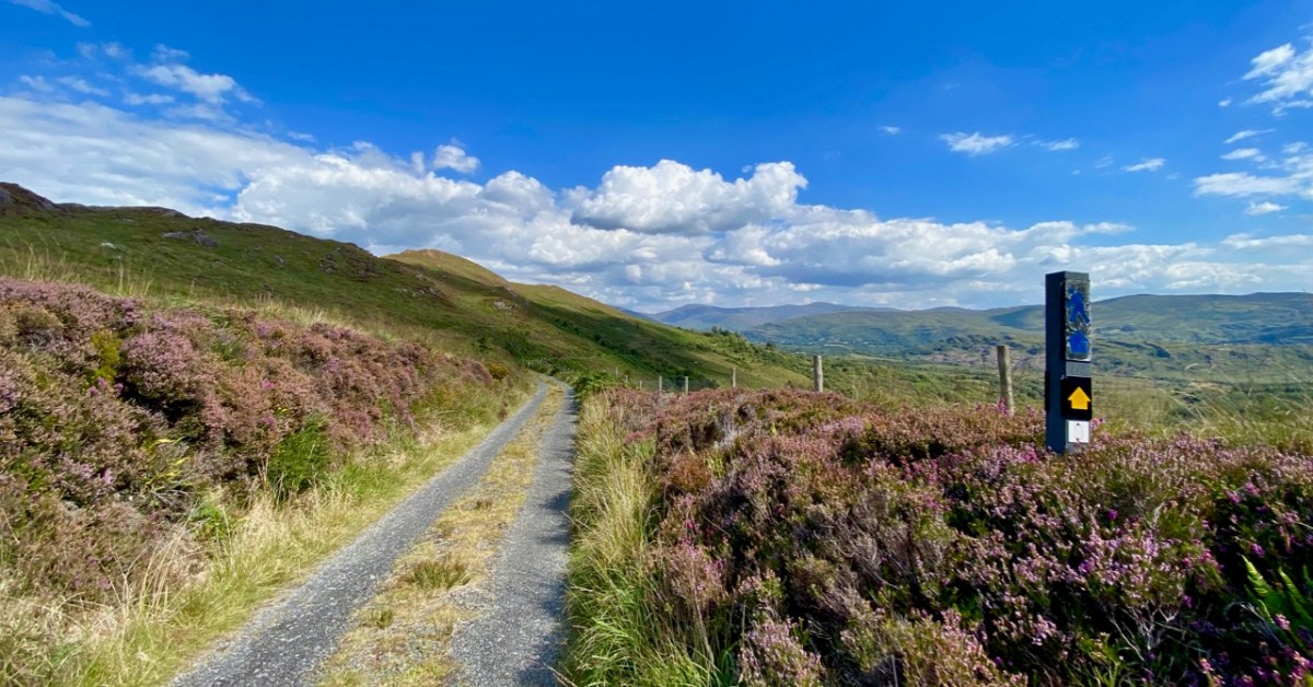
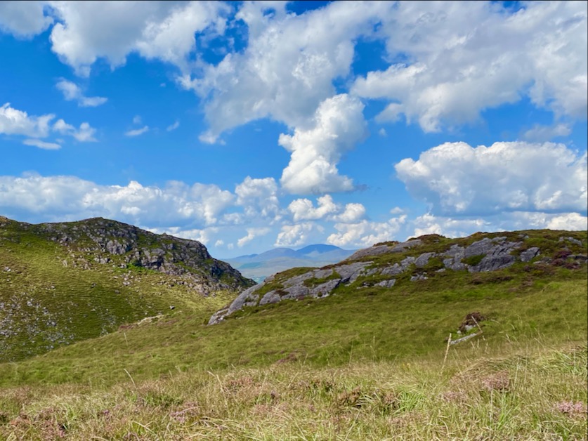
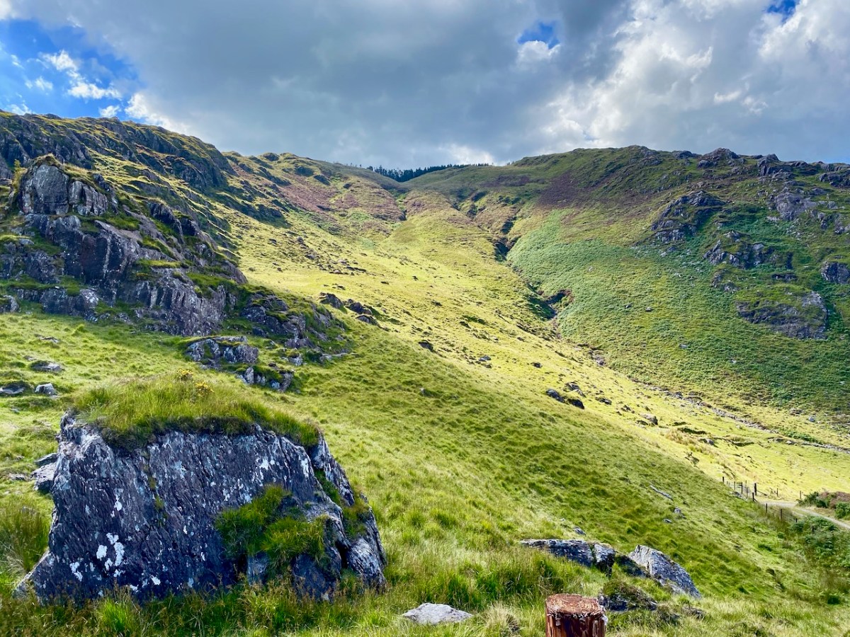
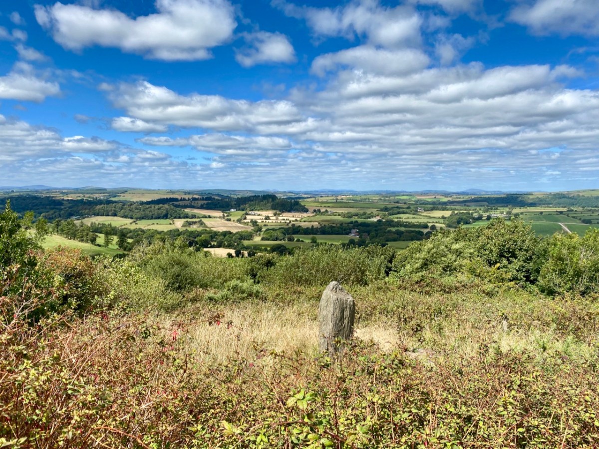
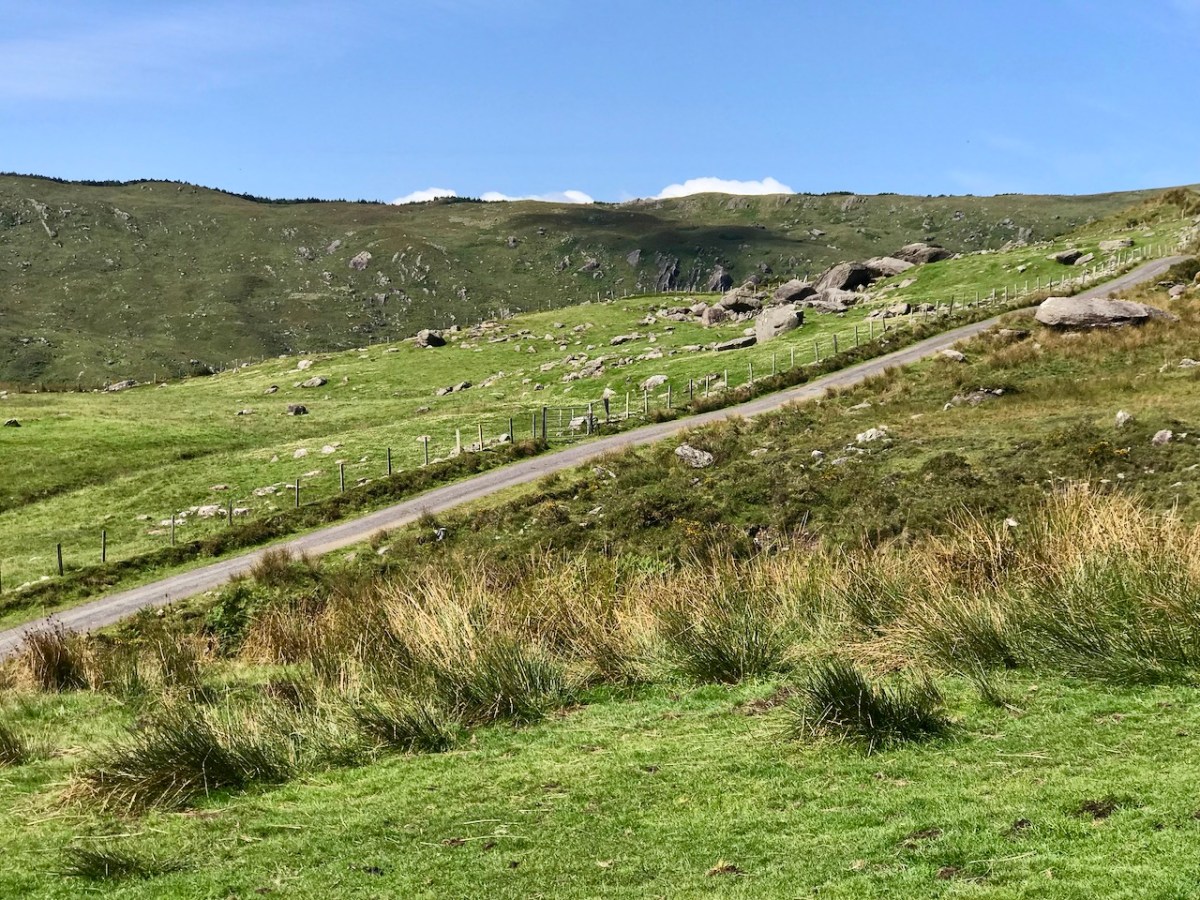
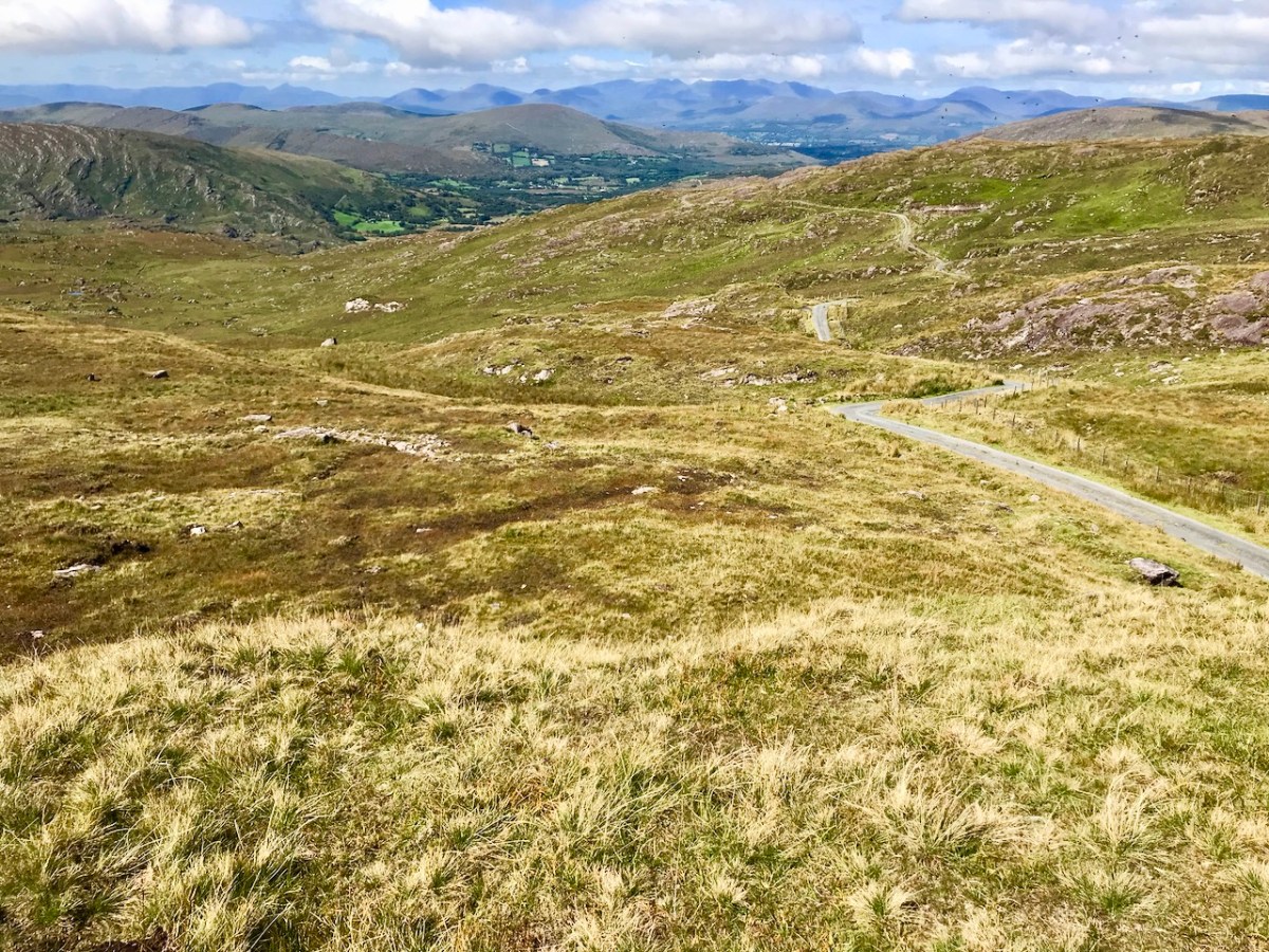
It couldn’t have been a better day for the drama of sunshine and clouds that outlined the valleys and hills. There is little sign, here, of a drought that is causing problems on farms and in town gardens. When distant views opened up, we were treated to some of the finest vistas in our counties.
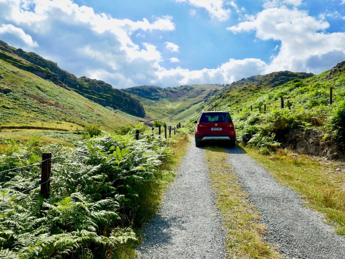
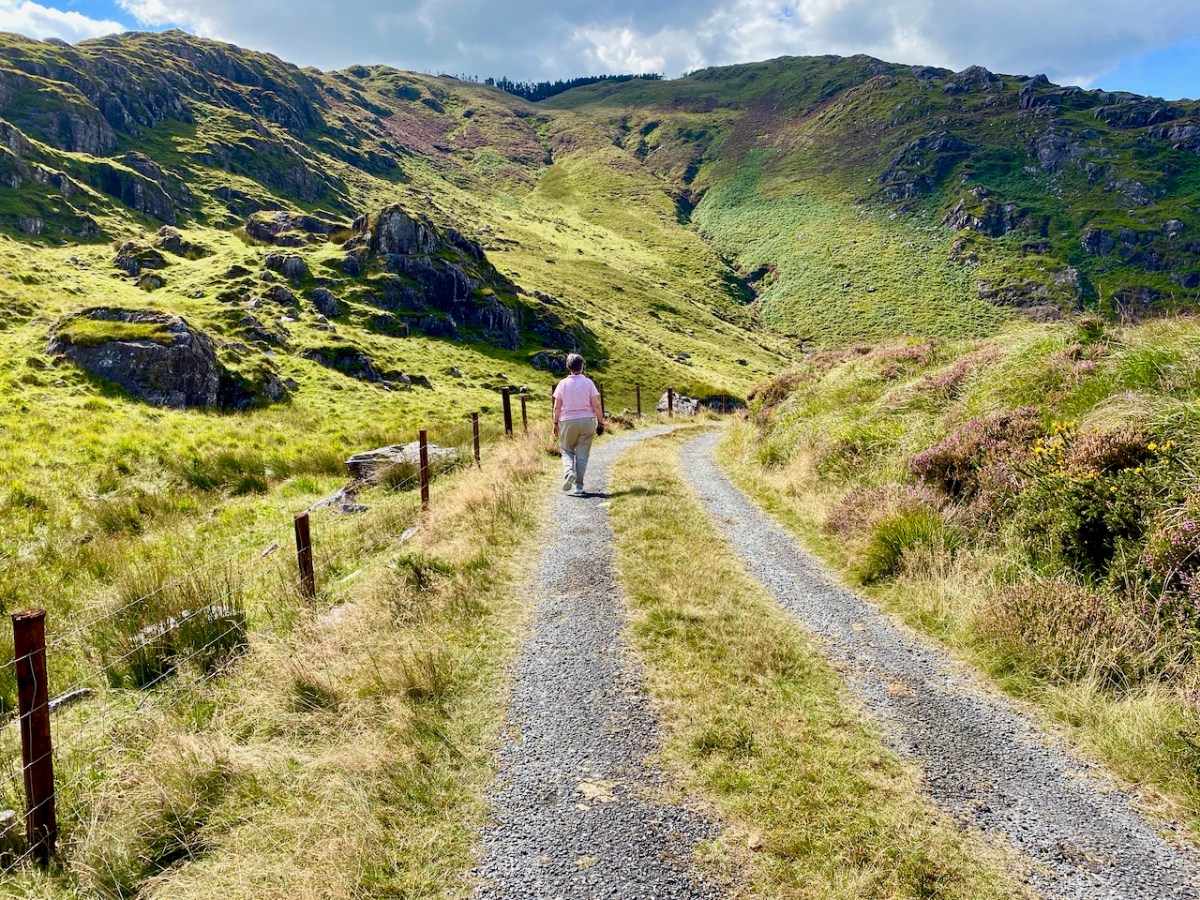
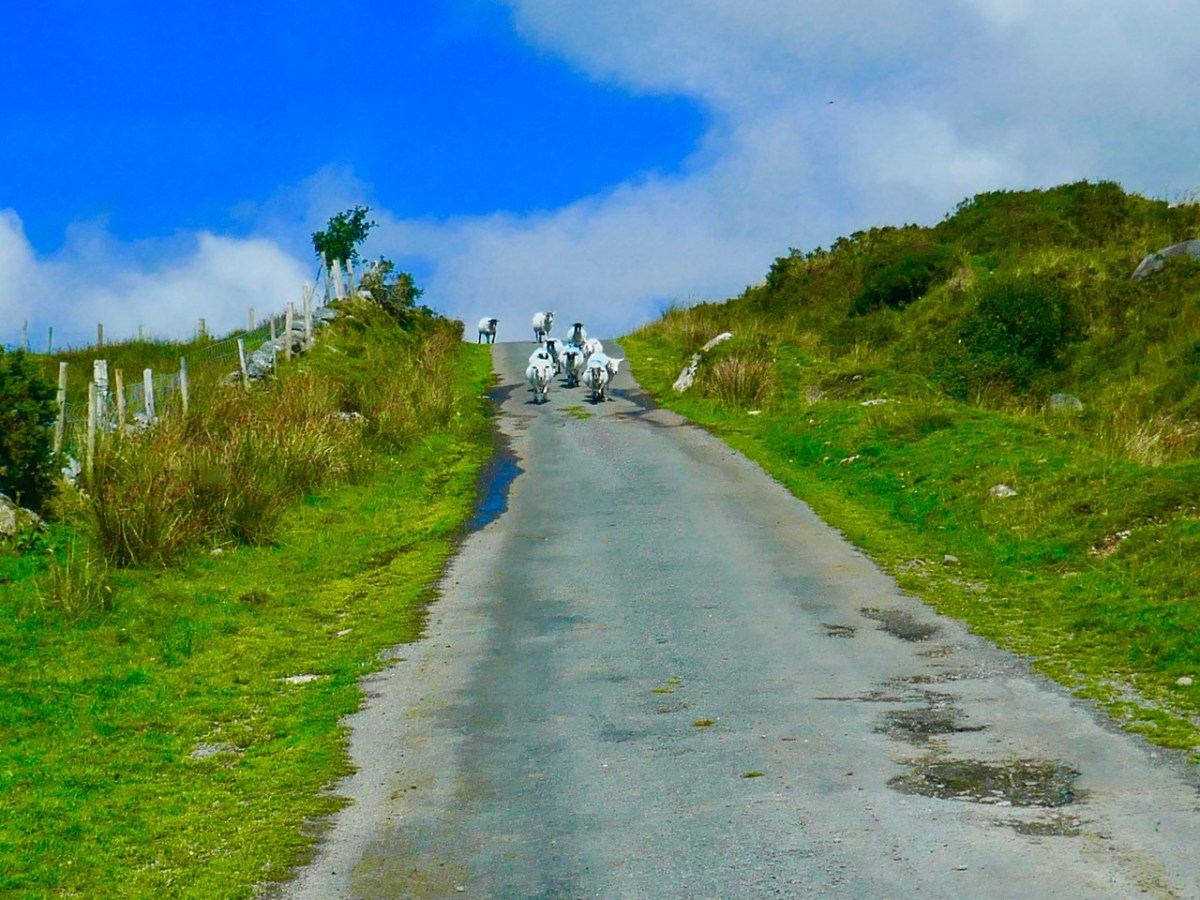
Against the drama of the surrounding peaks we felt secure in our little vehicle which progressed steadily along the narrowest of boreens. Our only living companions in this place were sheep, easy to discern because of their brightly dyed coats.
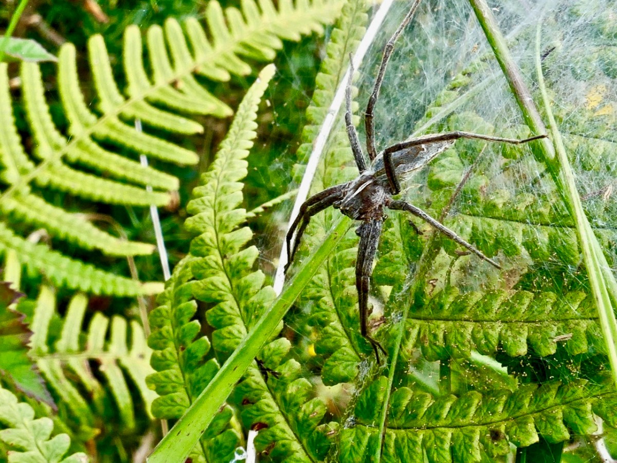
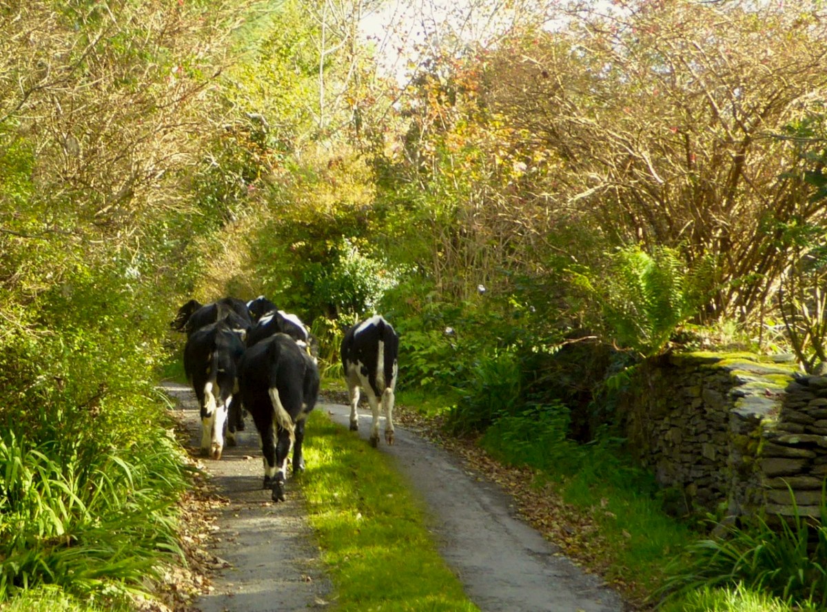
While driving on roads such as this is a richly rewarding experience, you also need to get out and encounter the wildlife close-up.
We are always on the lookout for adventures, and we don’t have to be travelling far away from home in order to find them. In our experience, the ‘small roads of Ireland’ – wherever they are – can take us to unexplored territory.
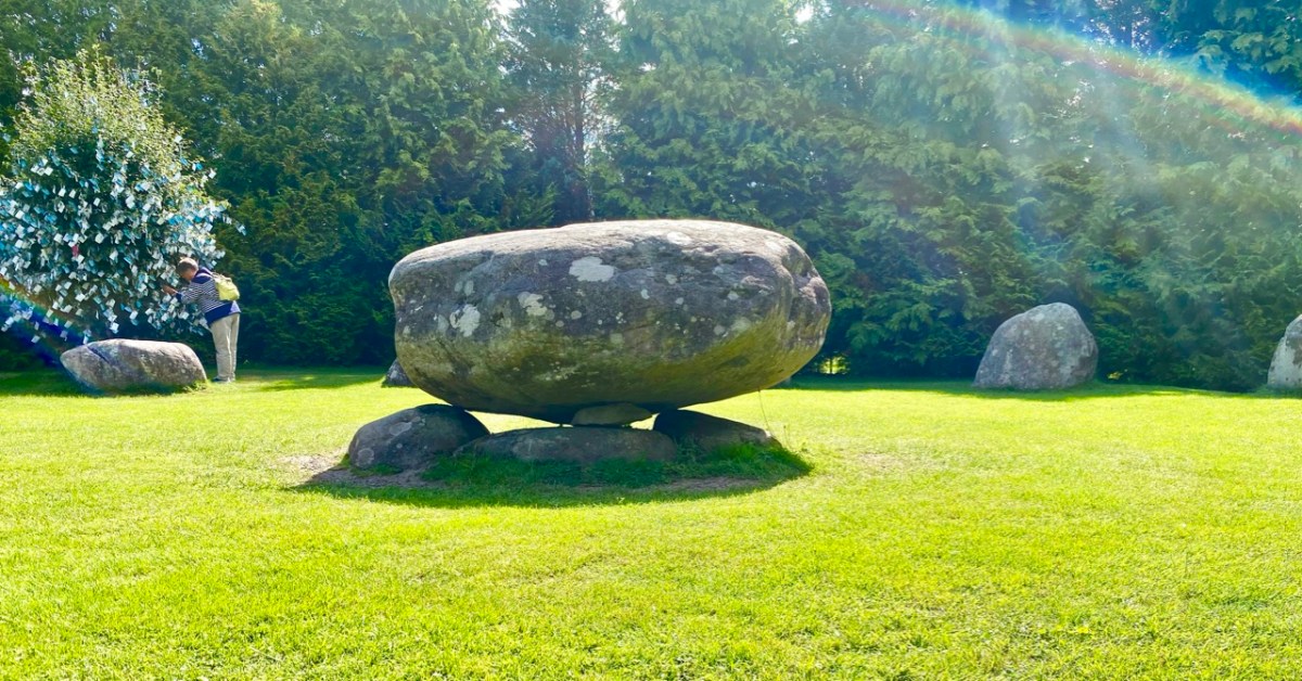
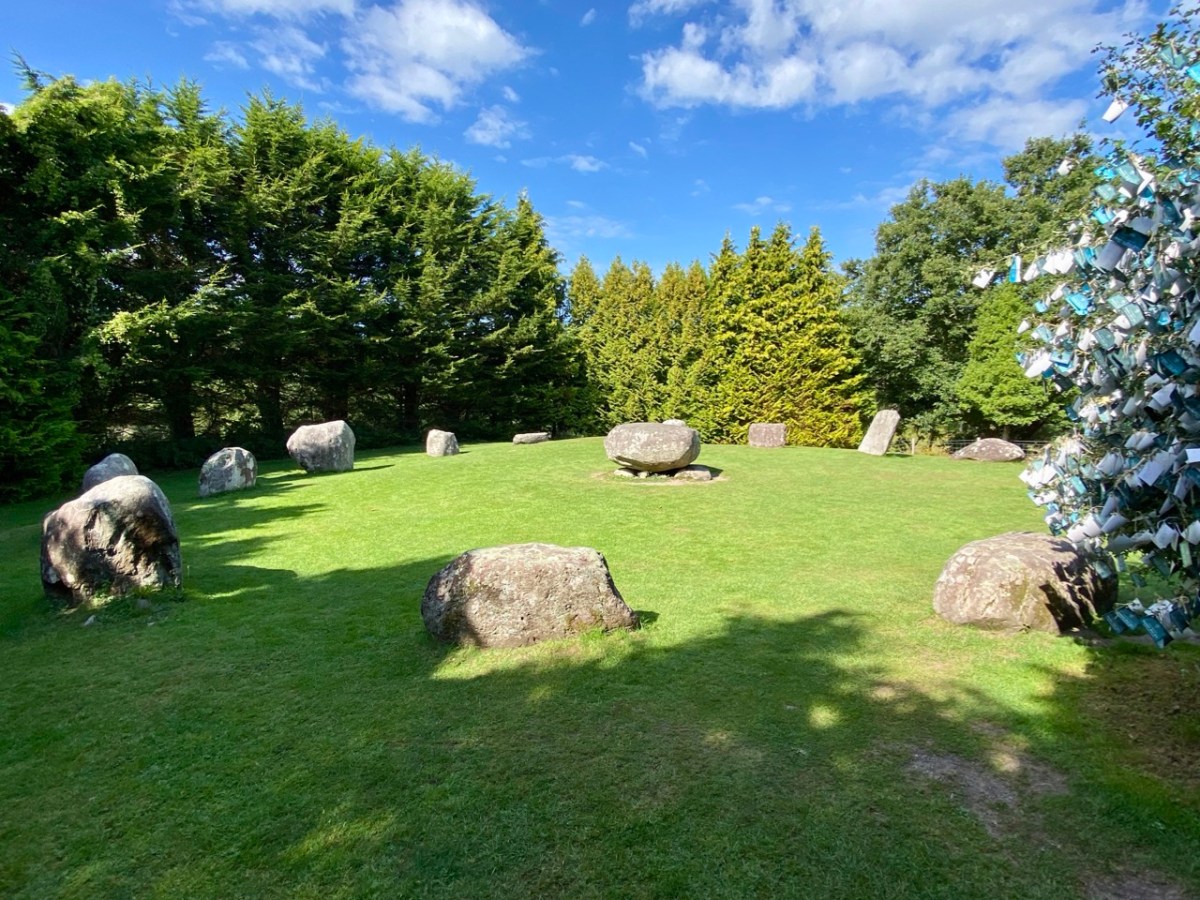
The significant stone circle at Kenmare is an unusual monument in several respects. It is said to be the largest stone circle in the south west of Ireland, oval in shape and measuring 17.4 x 15.8m. It seems intact: I found no record of any intervention or ‘improvement’ to the circle, which consists of an oval ring of 15 stones with a central ‘boulder burial’. Although situated very close to the main streets of this Kerry town, it has often been described as ‘hard to find’. I can remedy that – here’s a present-day location map:
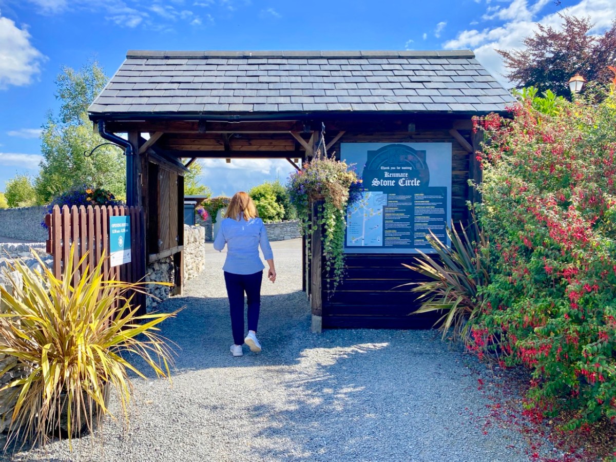
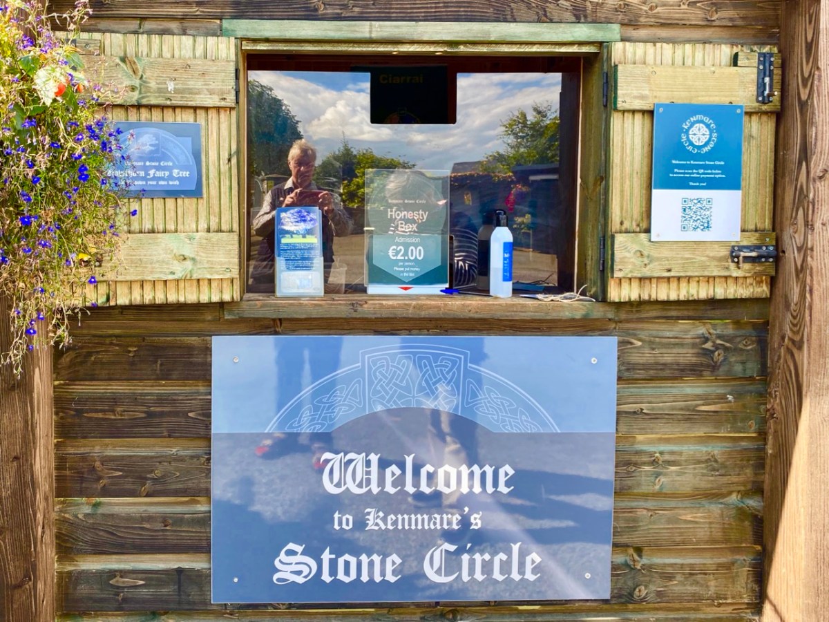
The site is just a few minutes’ walk from the centre of Kenmare and now has its own dedicated car park beside it. The circle is very ‘tidy’ and well looked after. A nominal entrance fee is requested, the funds being put towards the maintenance of the area.
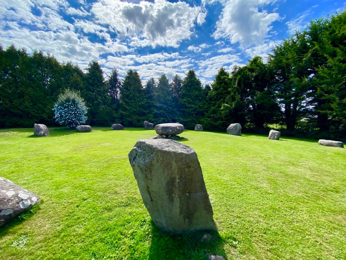
While the circle is fairly well enclosed nowadays by a ring of tall trees, the vista would previously have been more open with extensive views. Quarrying has taken place in the vicinity in past years. Here is the historic 6″ OS map showing the site as it was around the late nineteenth century.
The archaeology.ie Historic Environment Viewer gives a brief, sober description of the site:
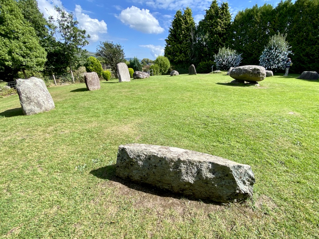
. . . In level pasture, on the SW outskirts of Kenmare town. A subcircular area (17m E-W; 15m N-S) is enclosed by fifteen stones (L 0.8-1.6m; T 0.2-0.7m; H 0.3-1.2m), two of which are prostrate. The axial stone is the lowest and is a regular flat-topped slab contrasting with most of the other stones, which with one or two exceptions, are of boulder type. A boulder-burial (KE093-032002-) occupies the centre of the stone circle. (Ó Nualláin 1984a, 26, no. 41) . . .
Archaeology.ie KE093-032001
I was disappointed in my search for an antiquarian’s account of this circle: Ó Nualláin (quoted above) and others have included it in general lists of such monuments. I was hoping for some speculation on its significant size, and on the large central boulder, itself a slightly unusual feature within a stone circle.
. . . Boulder Burial – A large boulder or capstone of megalithic proportions, resting on a number of supporting stones, usually three or four in number, which, in most cases, do not form a recognisable chamber structure. Excavations suggest a Bronze Age date for this burial monument (c. 2400-500 BC) . . .
Archaeology.IE Monument Classification
Finola has pointed out, however, that there is no conclusive evidence for assuming that these ‘boulder burials’ are – well – principally burials.
. . . William O’Brien [Professor of Archaeology UCC] excavated three boulder burials in the late 1980s and found no evidence of burials. In his book, Iverni, he comments in an understated way, “The absence of human remains at Cooradarrigan and Ballycommane does pose some questions as to their use.” His findings dated the sites to the Middle Bronze Age, between 3000 and 3,500 years ago . . .
Finola Finlay, Roaringwater Journal
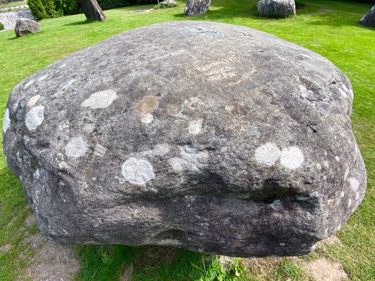
So, should we perhaps call them ‘elevated stones’? Visually, they are certainly always striking. This one at Kenmare is said to weigh around 7 tons. Bearing in mind the stones in this circle are likely to originate some few miles distant, we can imagine the efforts required to assemble them. O’Brien dates the boulder burials he studied to 1000 or 1500 BC. This would tie in with the general thinking that stone circles were Bronze Age also.
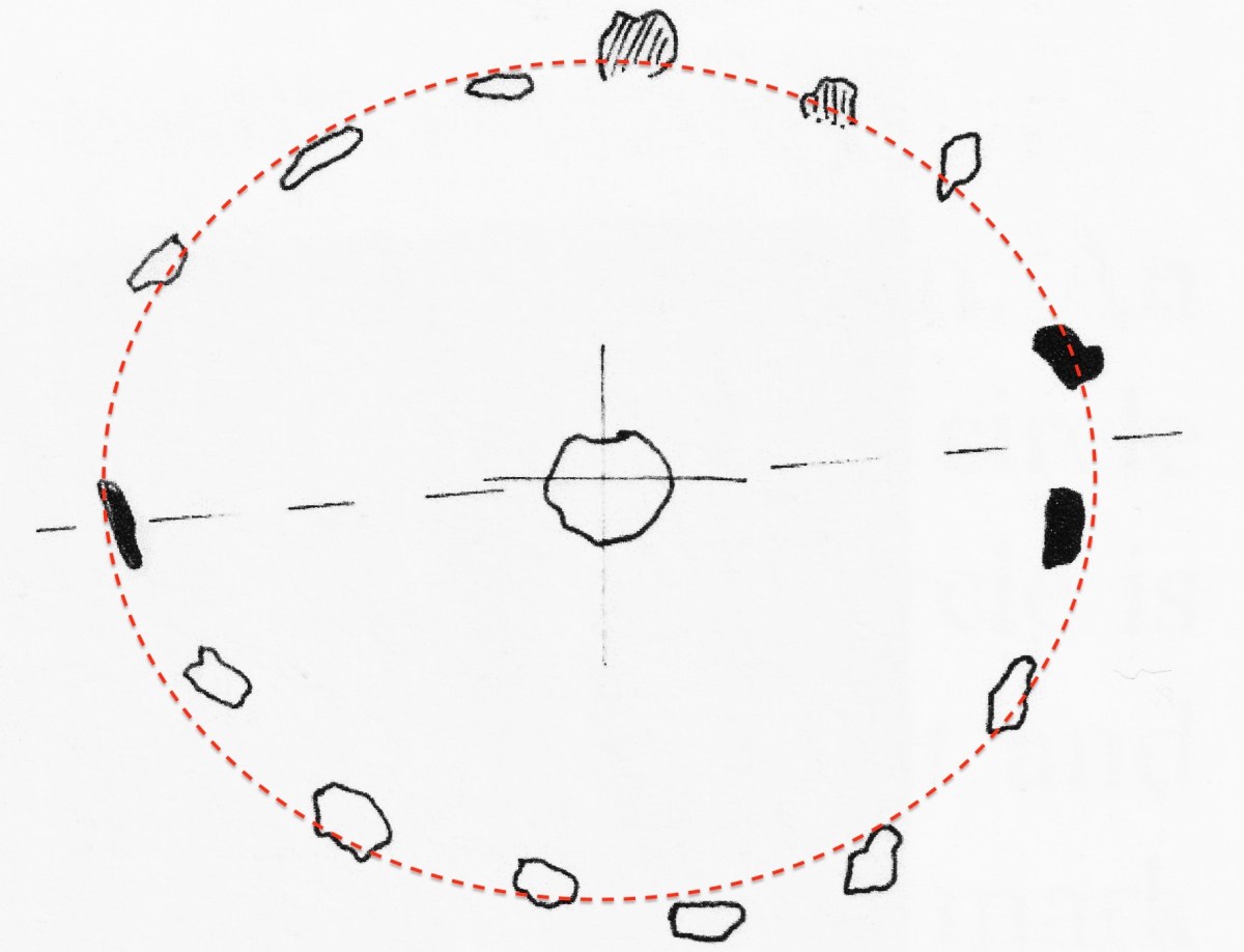
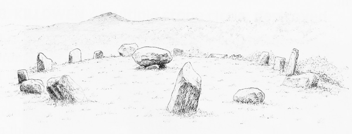
The two drawings above are from Jack Roberts. On his survey (top) I have superimposed an oval template which confirms the suggestion that the Kenmare ‘circle’ is egg-shaped. In the lower sketch view – probably dating from the 1980s – the stones appear to be out in the open, free from the present-day tree shielding.
While it is generally implied that all the stones in this monument were placed at the same time, there is always the possibility that there might have been an evolution in its construction. By that I mean that we could speculate that the ‘boulder burial’ stone was placed first and the circle came afterwards – perhaps to enhance its setting. Or vice versa.
This photograph clearly shows the recumbent stone. Many of the circles in south west Ireland are known as axial circles, where a ‘recumbent’ stone (seemingly placed on its long edge) may provide a horizon viewing point when observed from a ‘portal’ of two stones at the opposite side. The orientation axis created by this observation is usually from north east towards south west (as is the case here). Where a stone circle has a clear horizon (such as Drombeg, in West Cork) it has been noted that this alignment faces the setting sun at midsummer solstice.
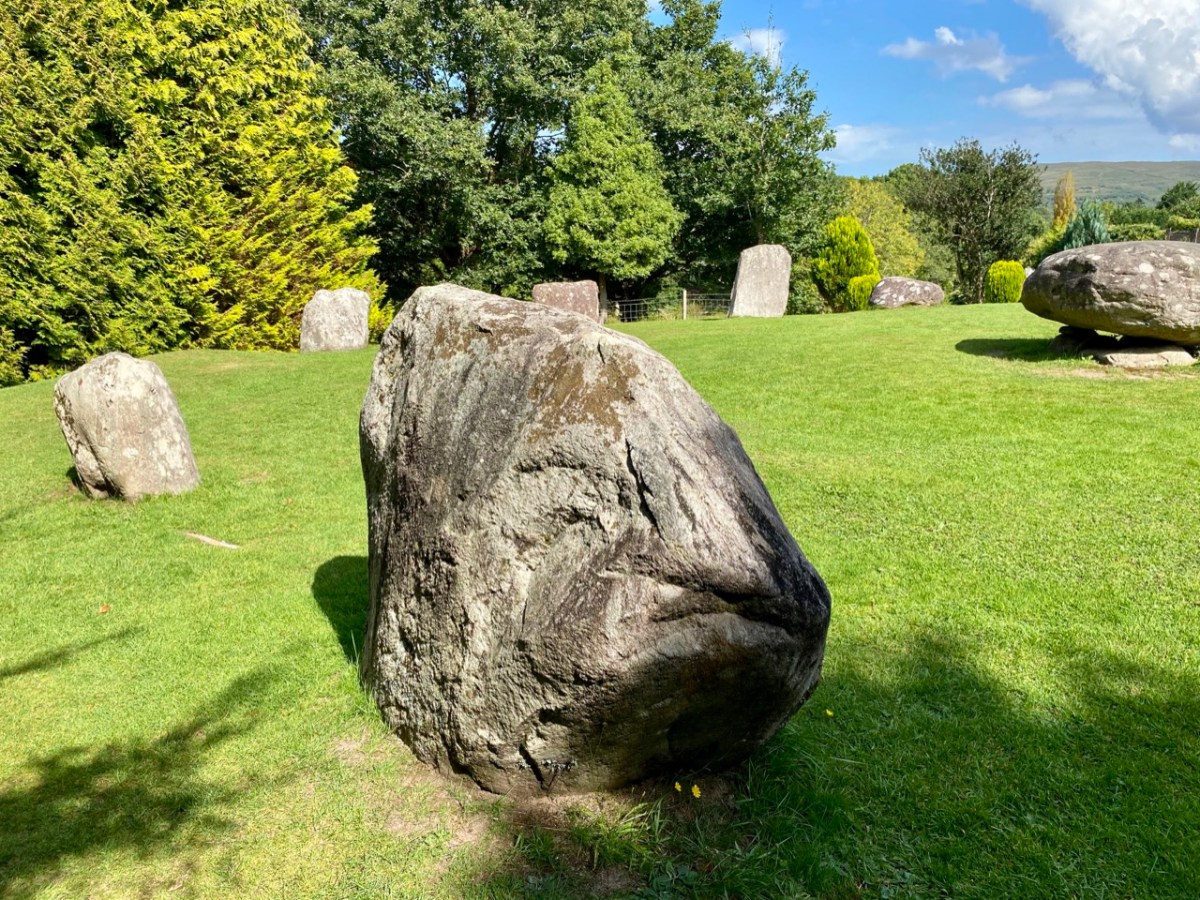
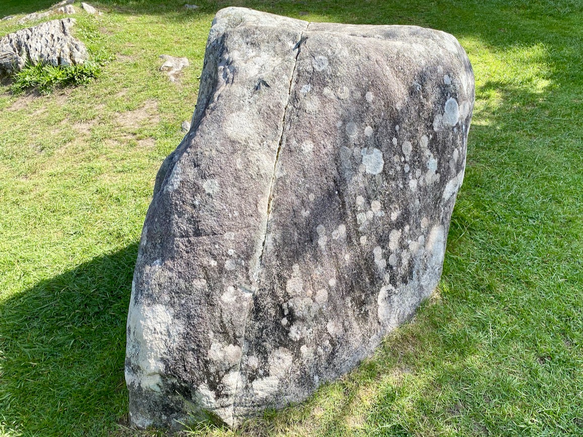
As you can see from these close studies of some of the individual stones (above) there are quite significant differences in their shape and character within the circle. It has been suggested (elsewhere) that the shapes and the relative placing of the stones is significant. ‘Male’ and ‘female’ stones have been suggested – but this is yet more speculation.
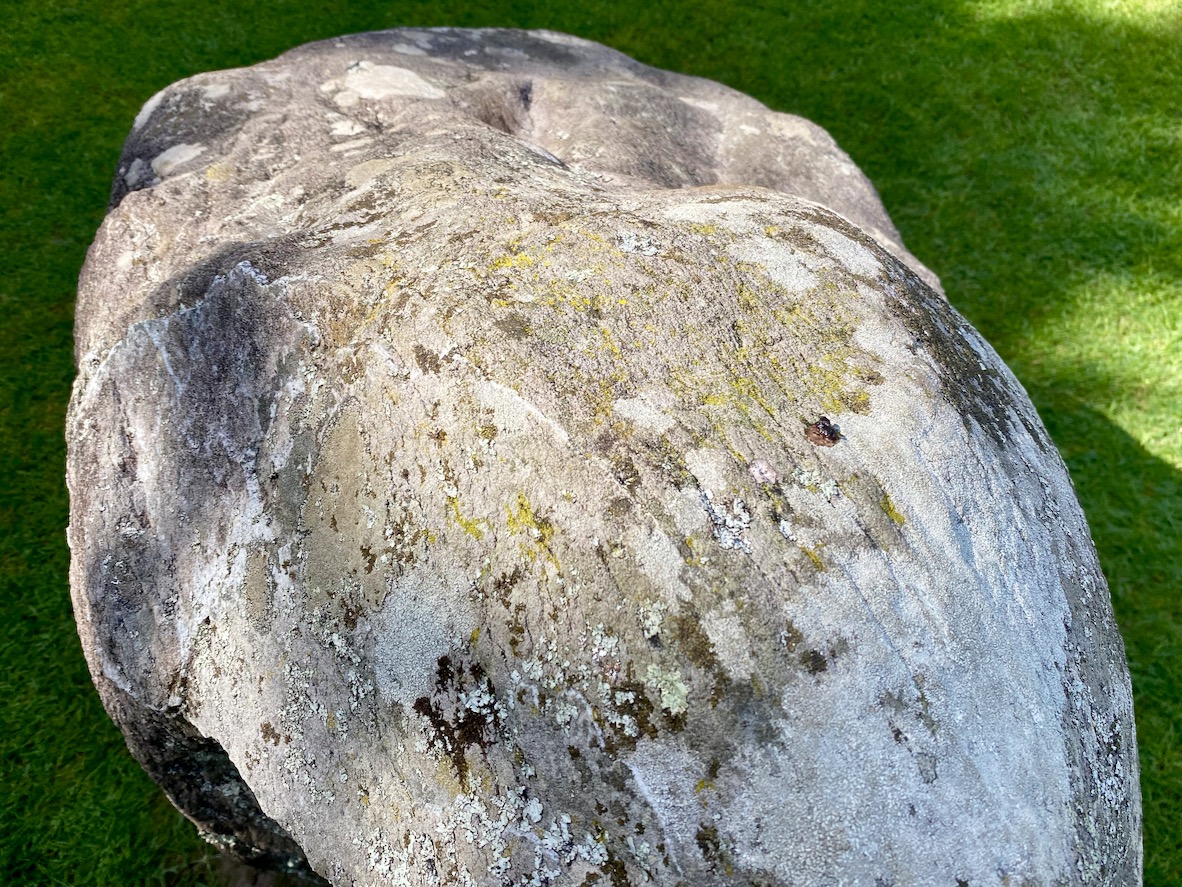
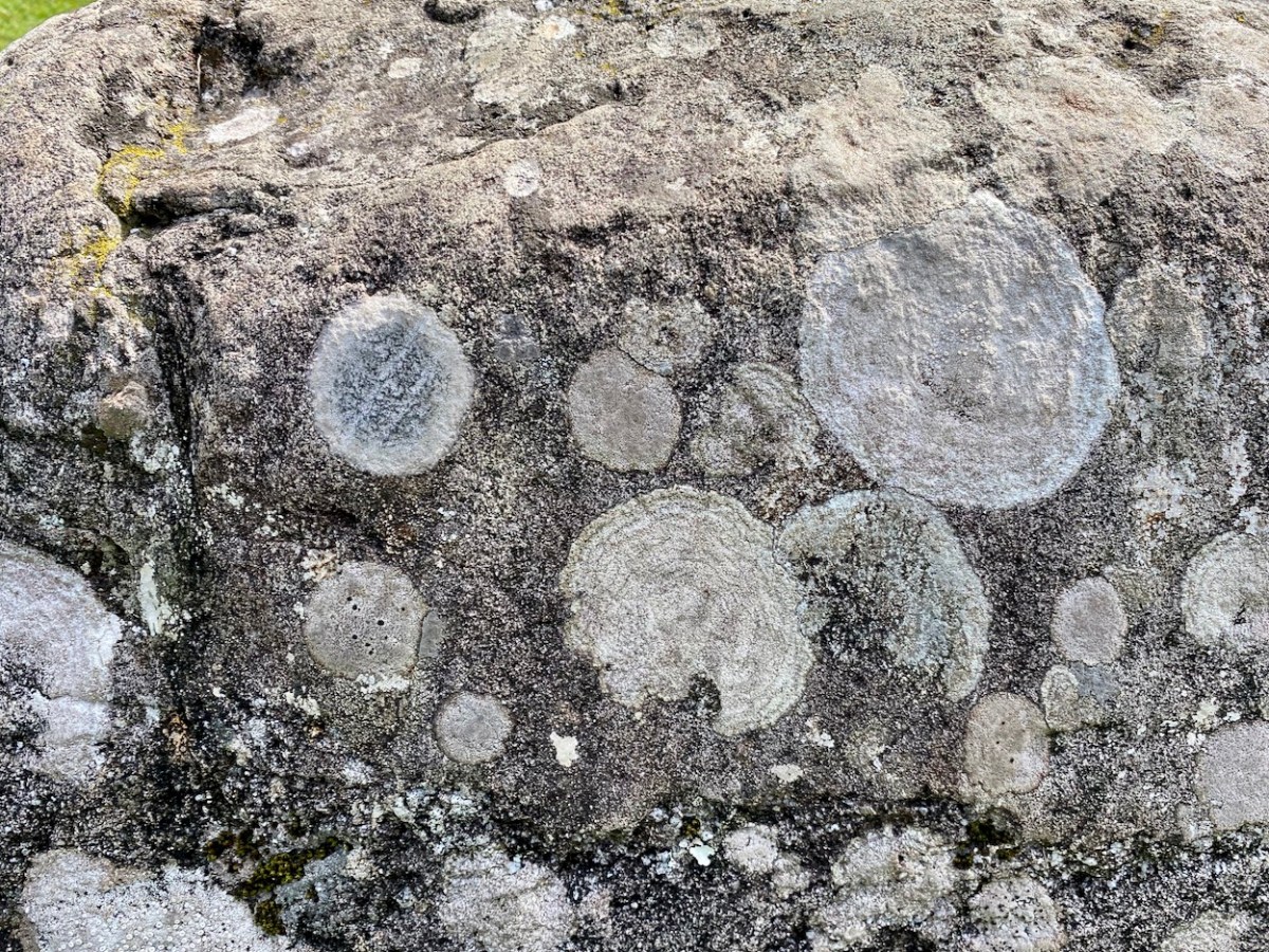
As far as we can see there are no ancient markings on the stones at Kenmare (except for a possible single cup-mark on the upper surface of the boulder burial), but I am fascinated by the lichen shapes and textures on one particular stone (above). This is ‘nature’s art’, of course.
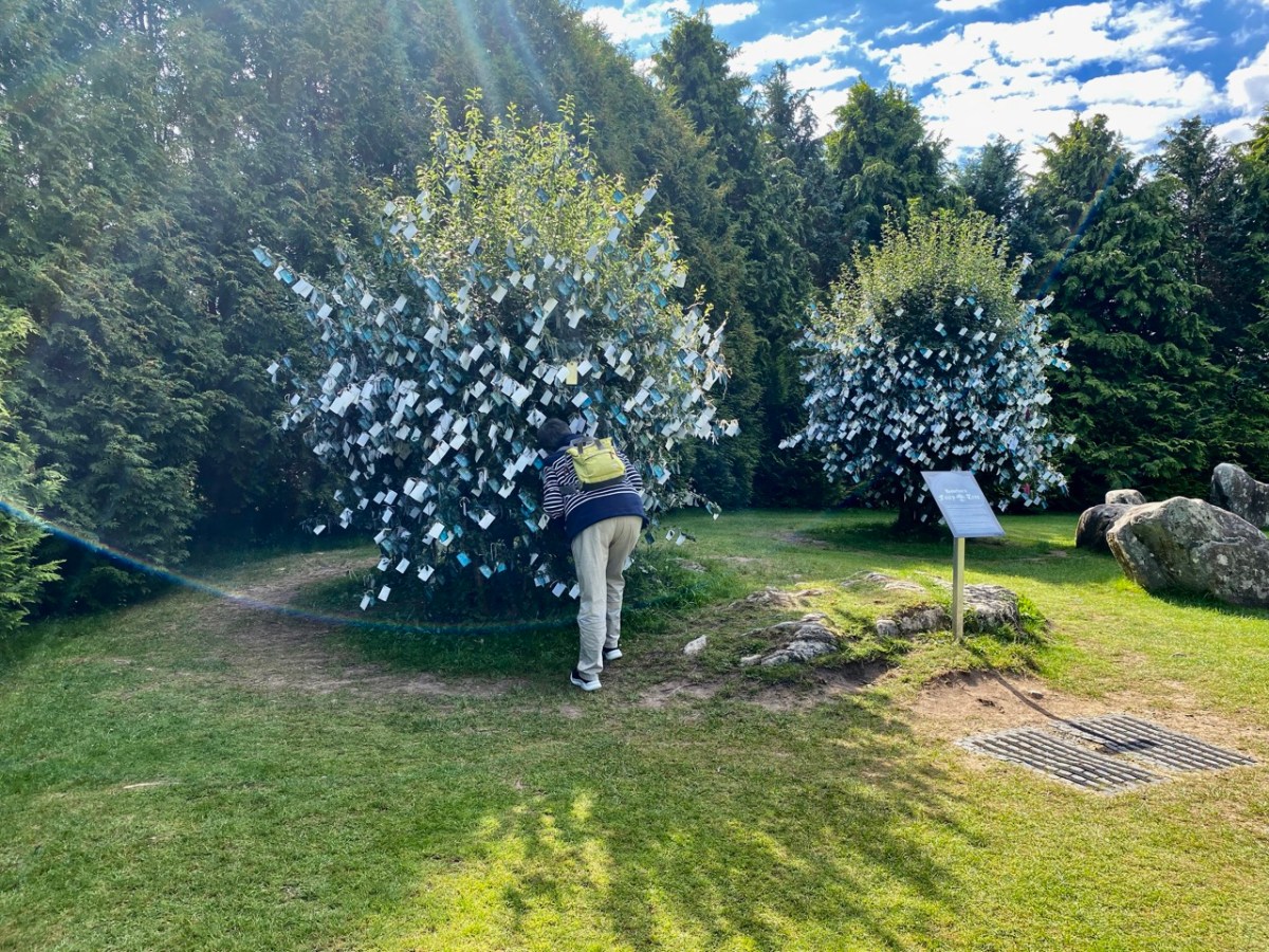
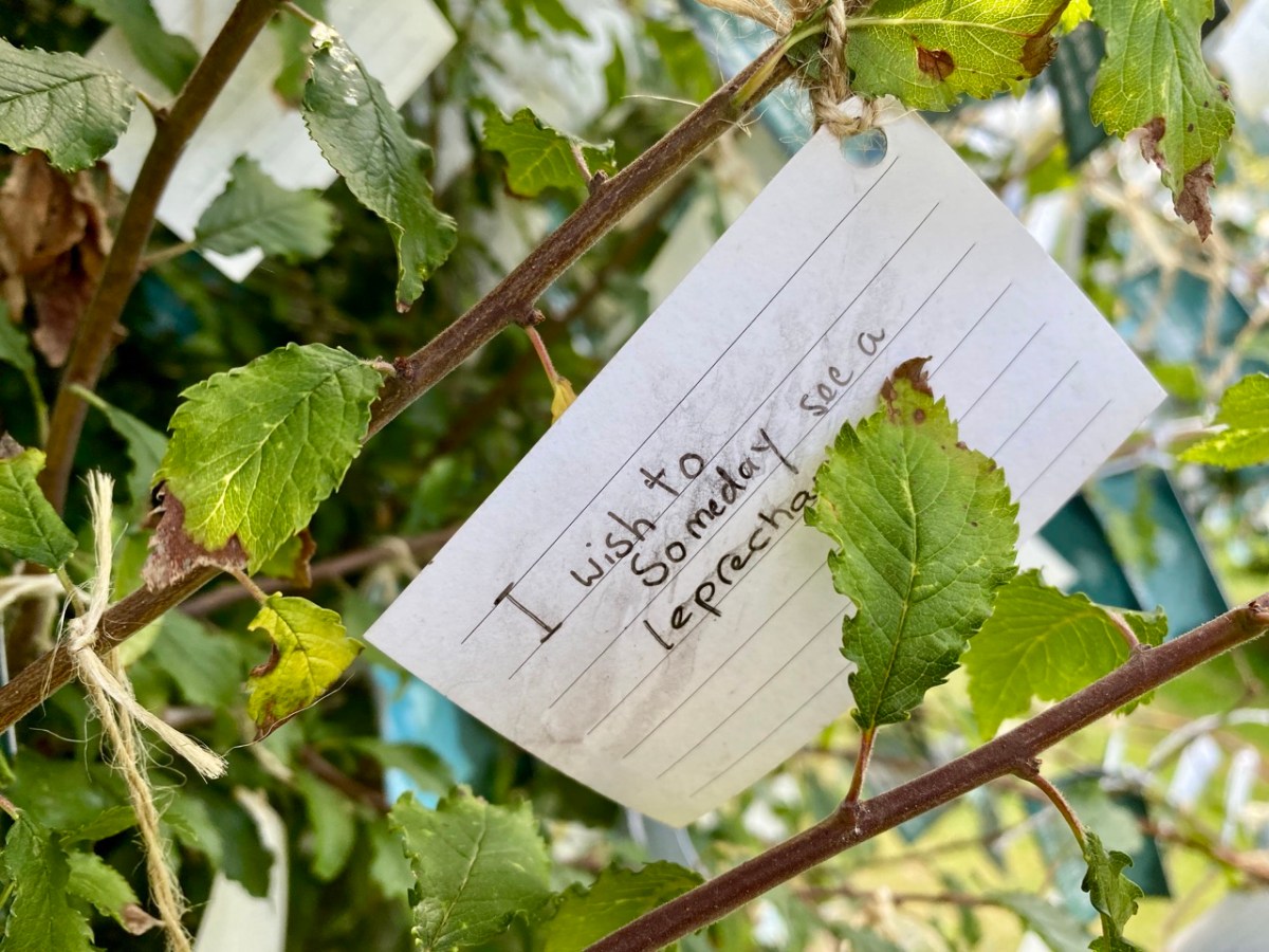
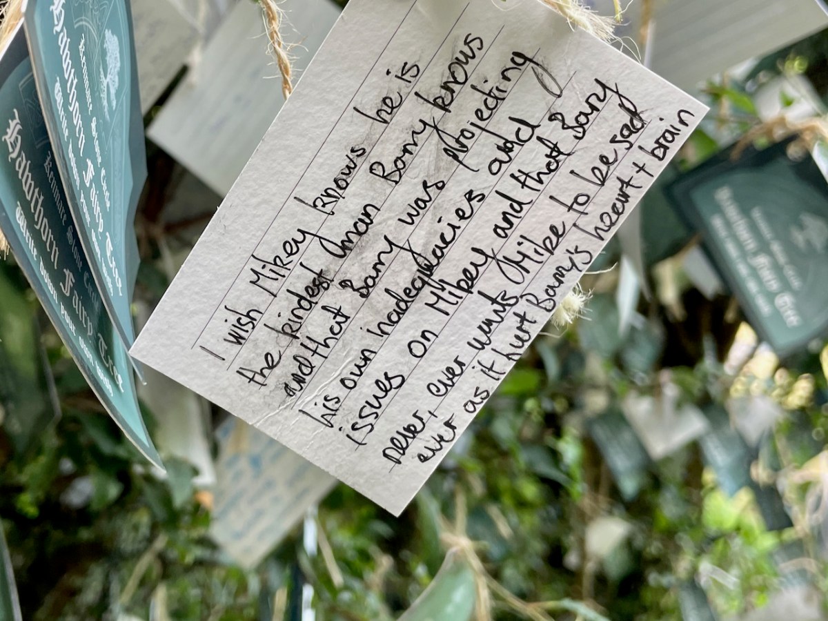
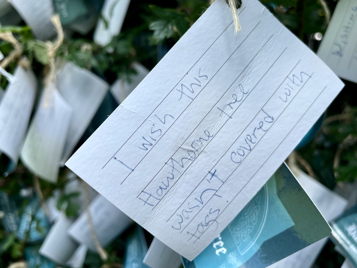
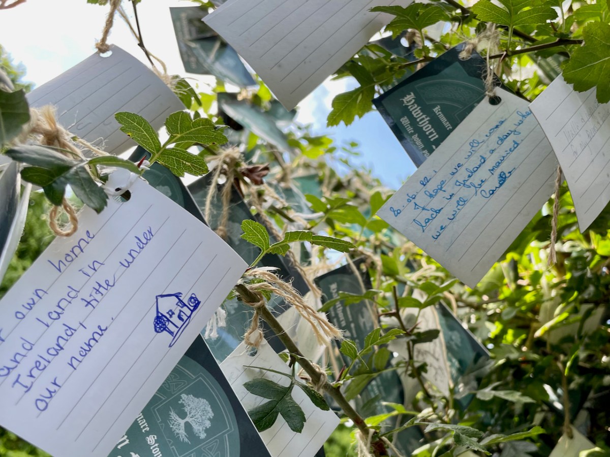
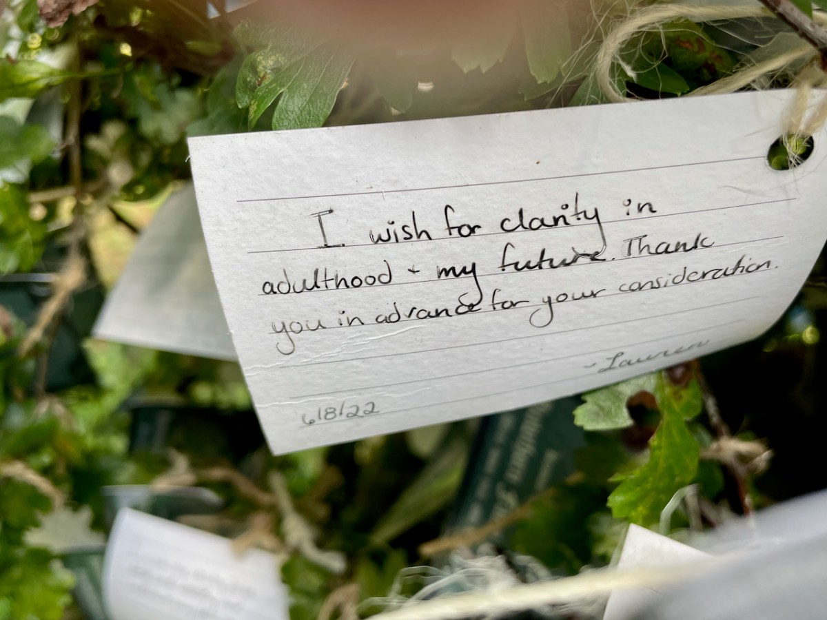
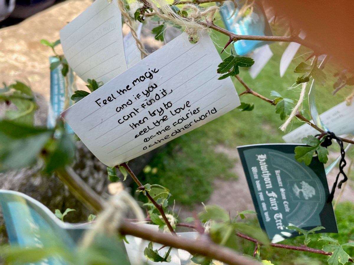
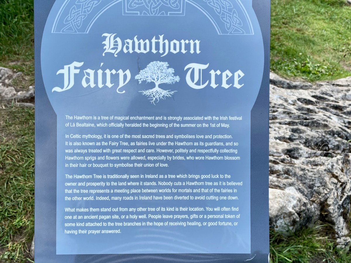
It’s impossible to ignore the two ‘fairy’ hawthorn trees that have been established within the vicinity of the stones. In my opinion it was an inspiration to exploit the idea of visitors purchasing ‘message cards’ from the site kiosk and writing down their own thoughts and personal wishes, which are then tied on to the branches. That’s Finola, above, being affected by the rainbow fairy vibes. She has written her own post today specifically on this aspect of the place. My favourite message is this one, below:
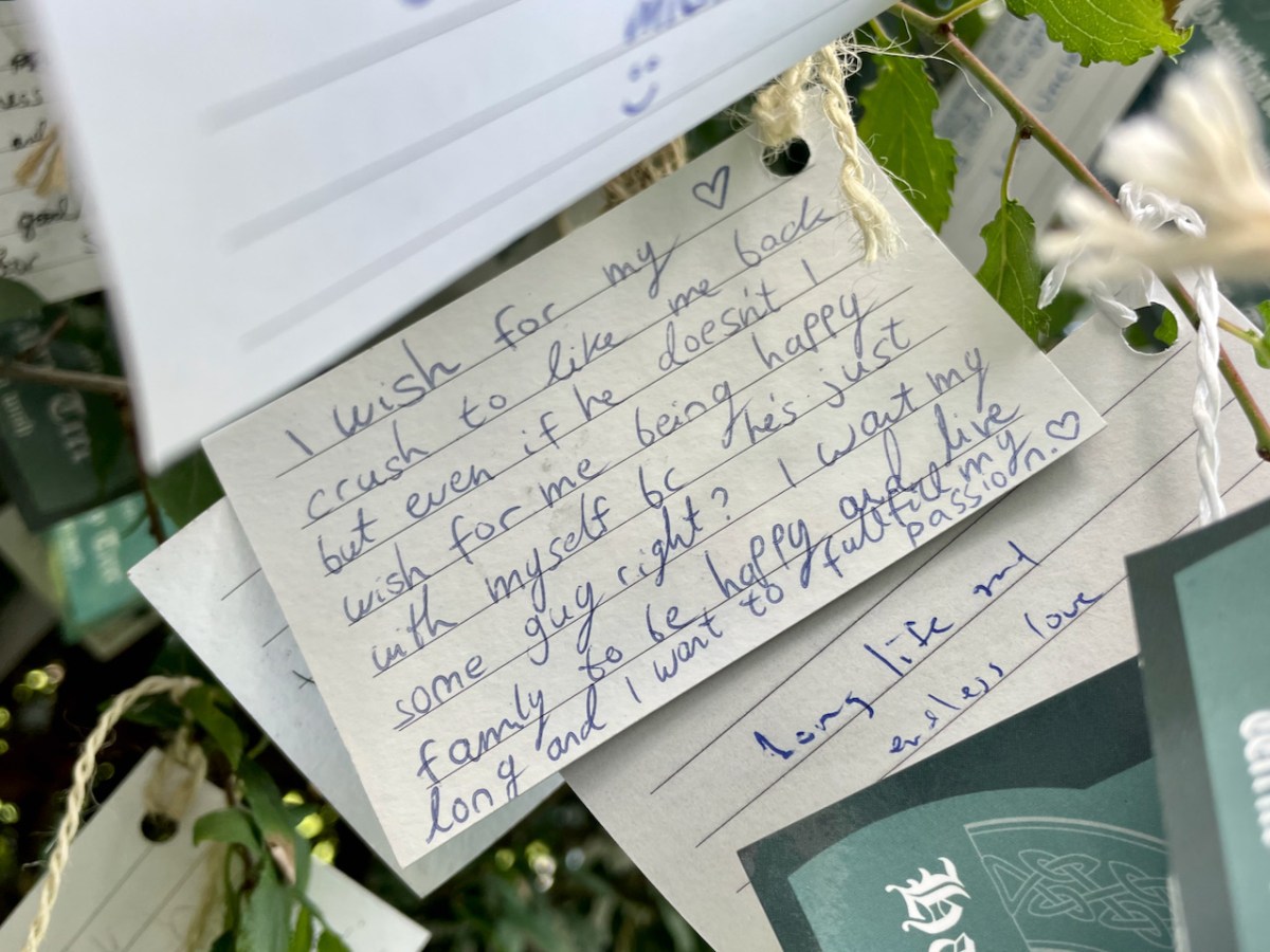
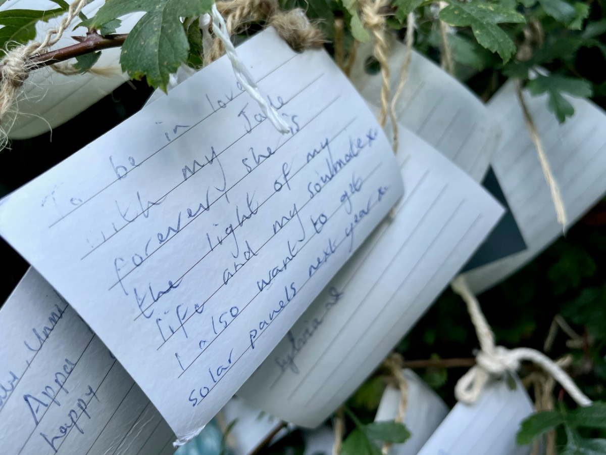
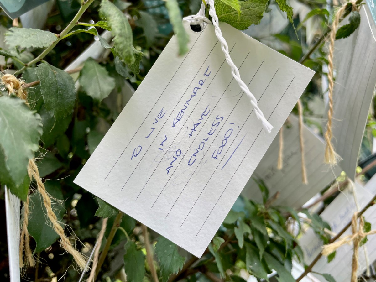
Predictably perhaps, the most common wish is for good health, although love comes a close second – and if both of those are in place, happiness can’t be far off.
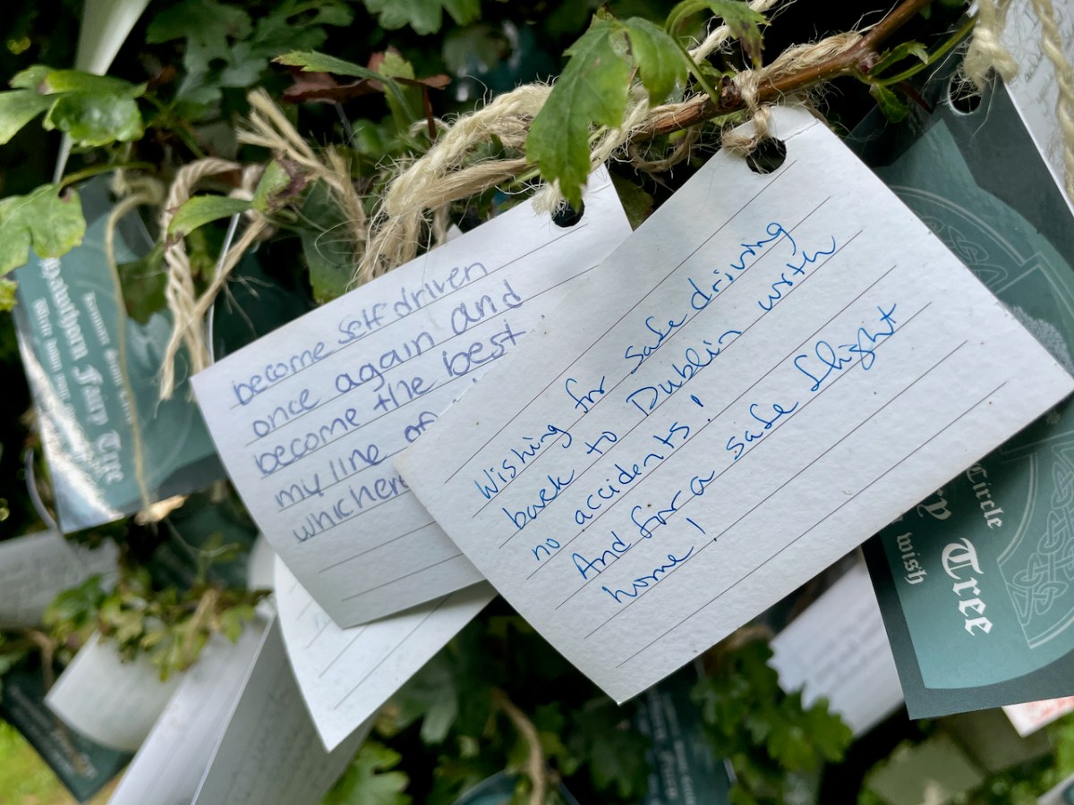
Love is all very well, but it’s important to be practical too.
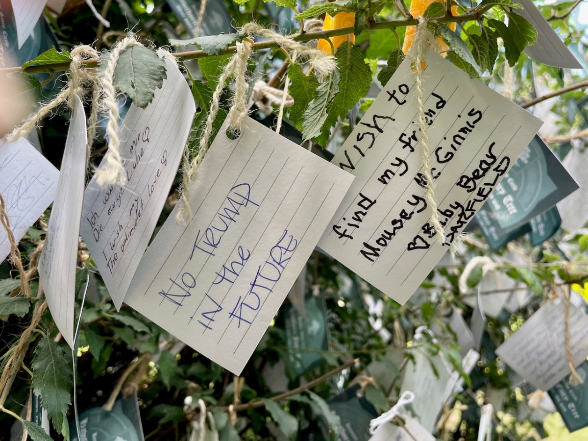
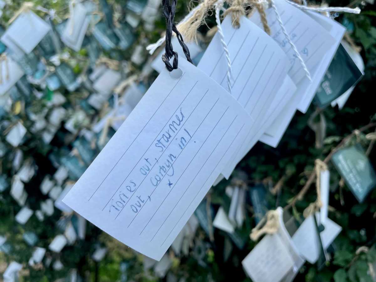
We can’t seem to avoid politics, although the second one seems like very, er, wishful thinking.
Me too!
Each to his fancy and me to my Nancy, as the old lady said as she kissed the cow.
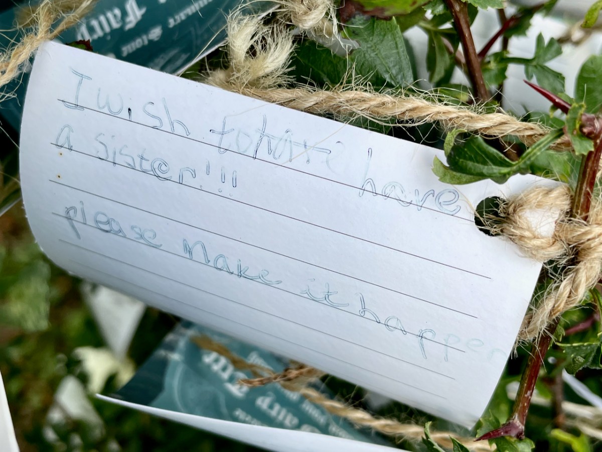
Family is always top of the list.
Saol fada agus bás in Eirinn (may you have a long life and die in Ireland).
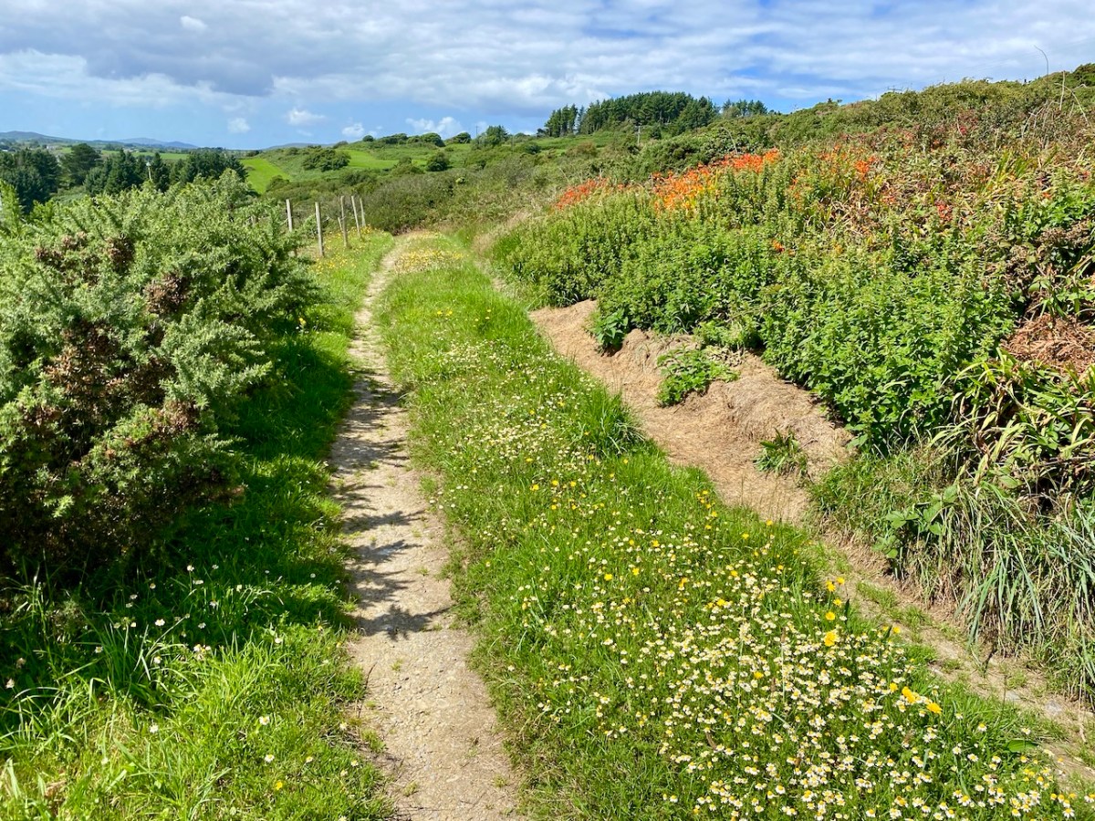
Tucked away in the north west corner of the Mizen, with access from one meandering boreen, is the townland of Toor. It’s one of our favourite places and we wanted to share it with you, as it was on a visit earlier this week.
Of course, I can’t resist including some wildflowers, all typical of late August in West Cork. In order, they are Goldenrod and Heather, Montbretia (non-native), Rock Sea-Spurrey, Thrift (no longer blooming), Davil’s-bit Scabious and Knapweed.
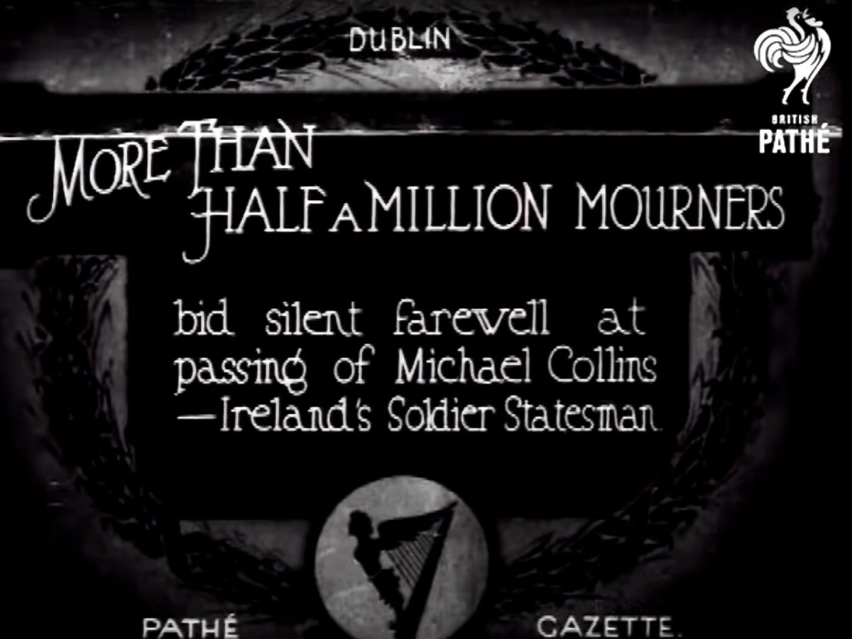
It would have been hard to miss the centenary of the death of Michael Collins over this past week. He was killed at Béal na Bláth, West Cork on 22 August 1922, during the Irish Civil War. His passing – and his life – has been the stuff of legend ever since. He’s buried in Glasnevin Cemetery, Dublin, but the events this week were focussed on the place where his life ended – not far from where we live.
Micheál Martin – Taoiseach and Head of Government in Ireland – (on the left, above) and Leo Varadkar – Tánaiste and Deputy Head of Government – (on the right) presided over the ceremony at Béal na Bláth this week (picture courtesy of The Independent). This was an historic get-together as both men lead different parties – Fianna Fáil and Fine Gael respectively: these are in coalition at the moment, together with the Green Party. The Taoiseach said in his speech that the willingness of those of differing political views to try to find common ground was one of the great strengths of modern Ireland. In Collin’s time, a century ago, such coming together would have seemed extremely implausible.
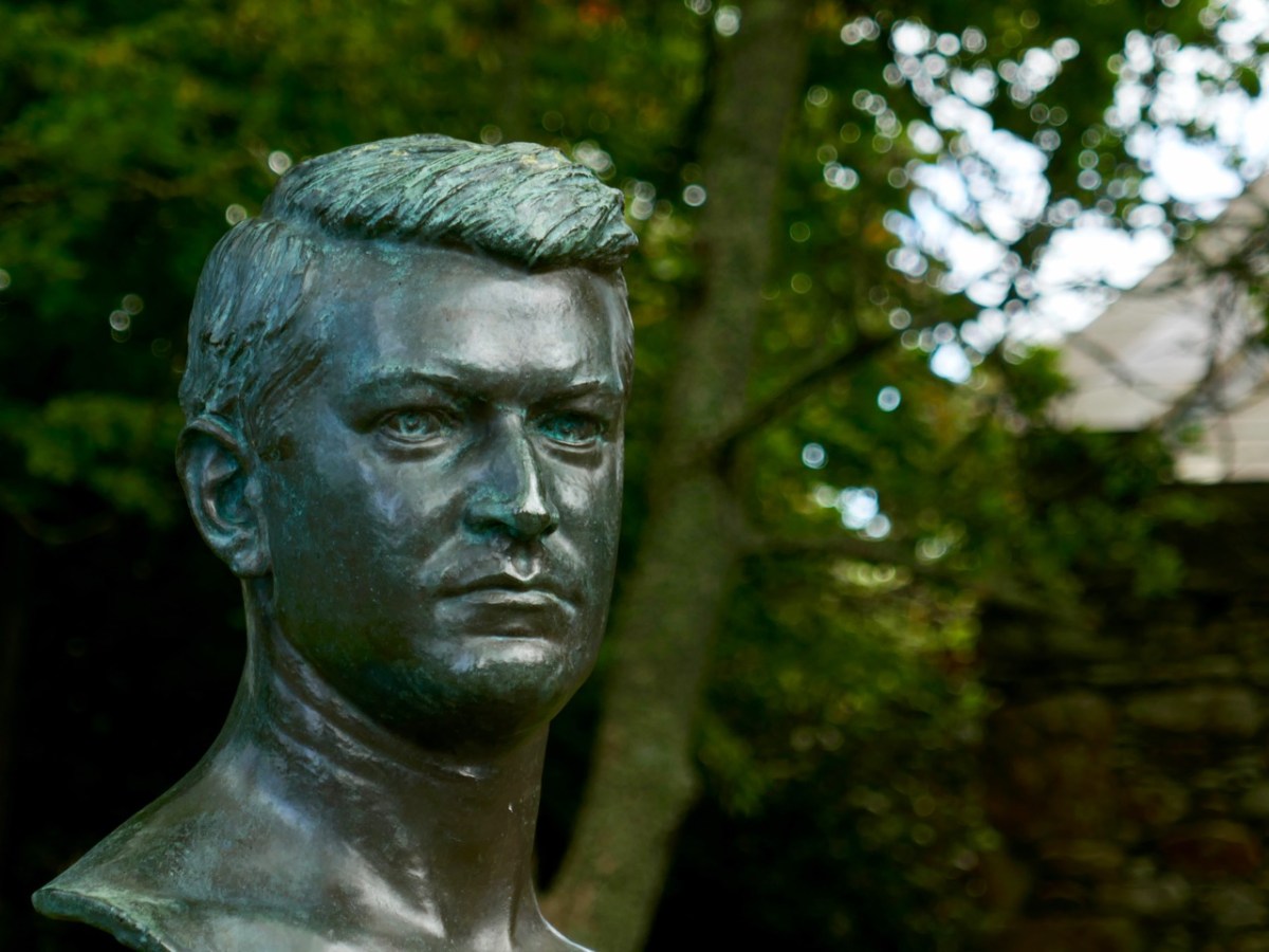
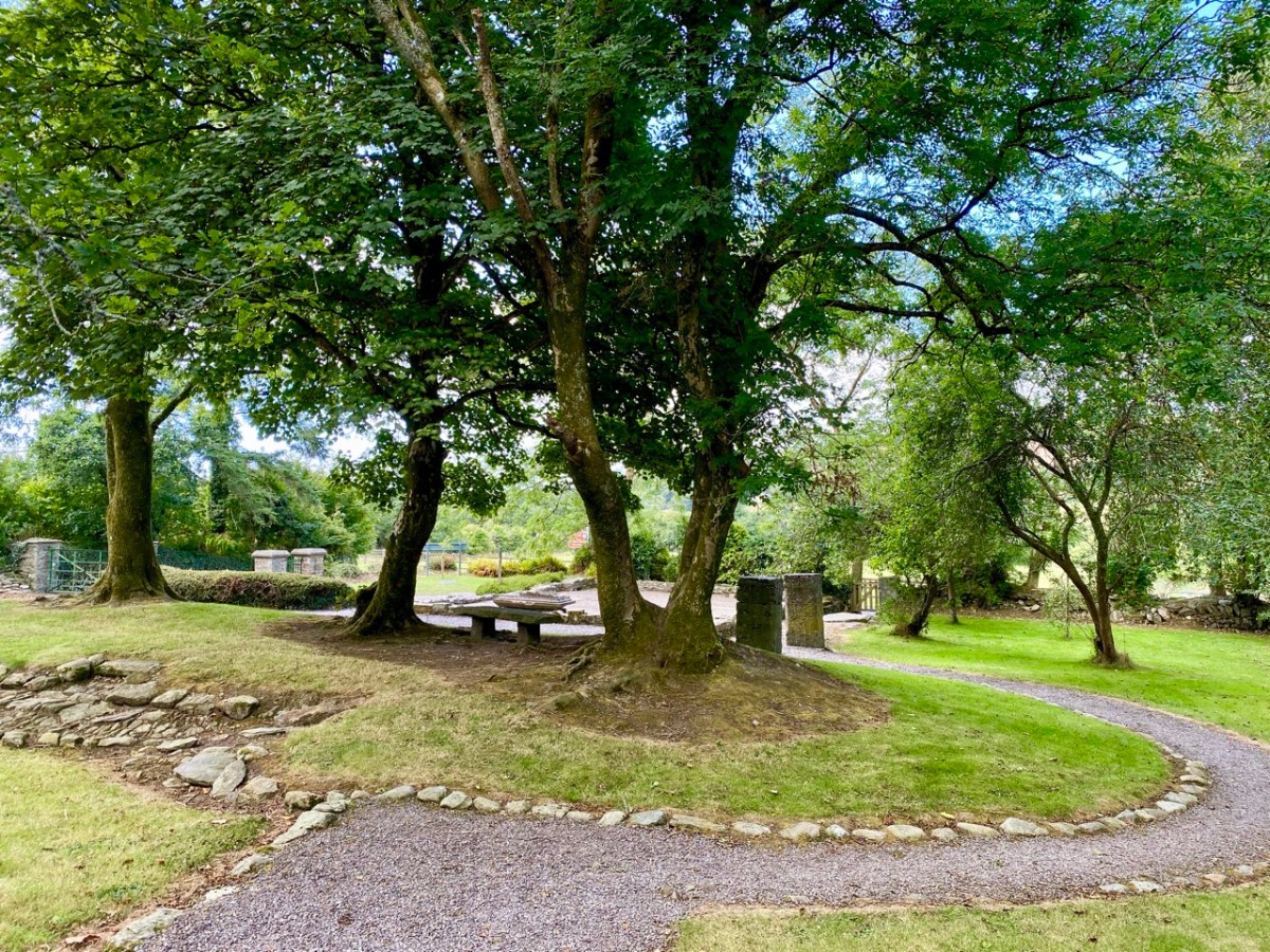
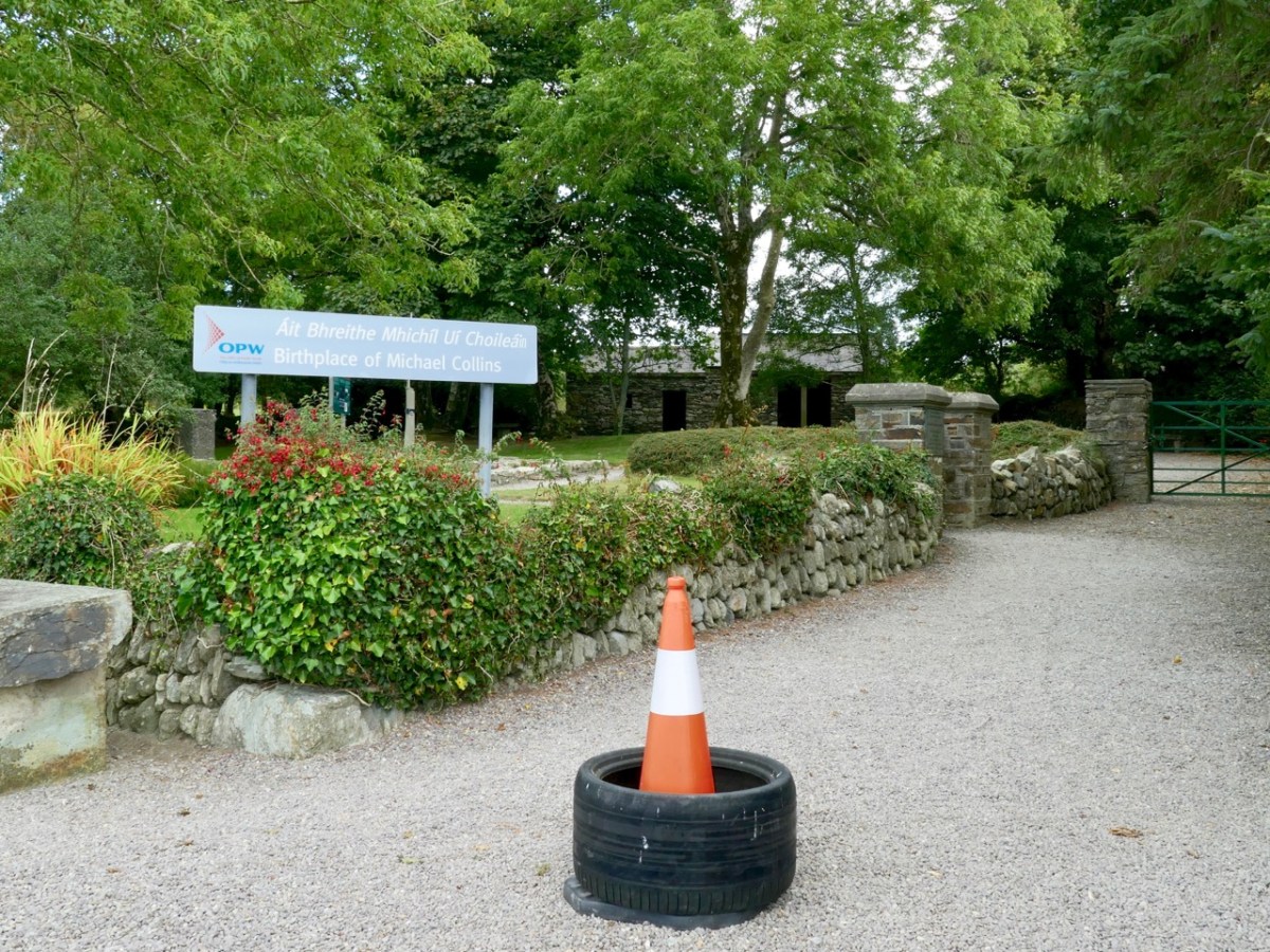
This bust of Michael Collins is sited at his home place, Woodfield, Sam’s Cross in West Cork. There’s nothing left of the main house now (below): it was burned down during the Irish Civil War. But the original cottage still stands as a shell (it’s behind the trees in the background of the lower photo, to the right of the Public Works signpost). It was there that Collins was born.
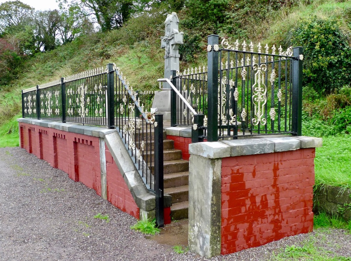
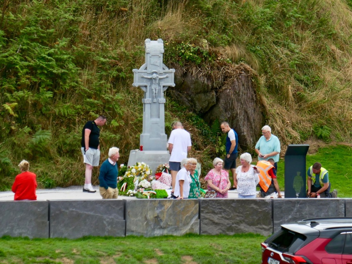
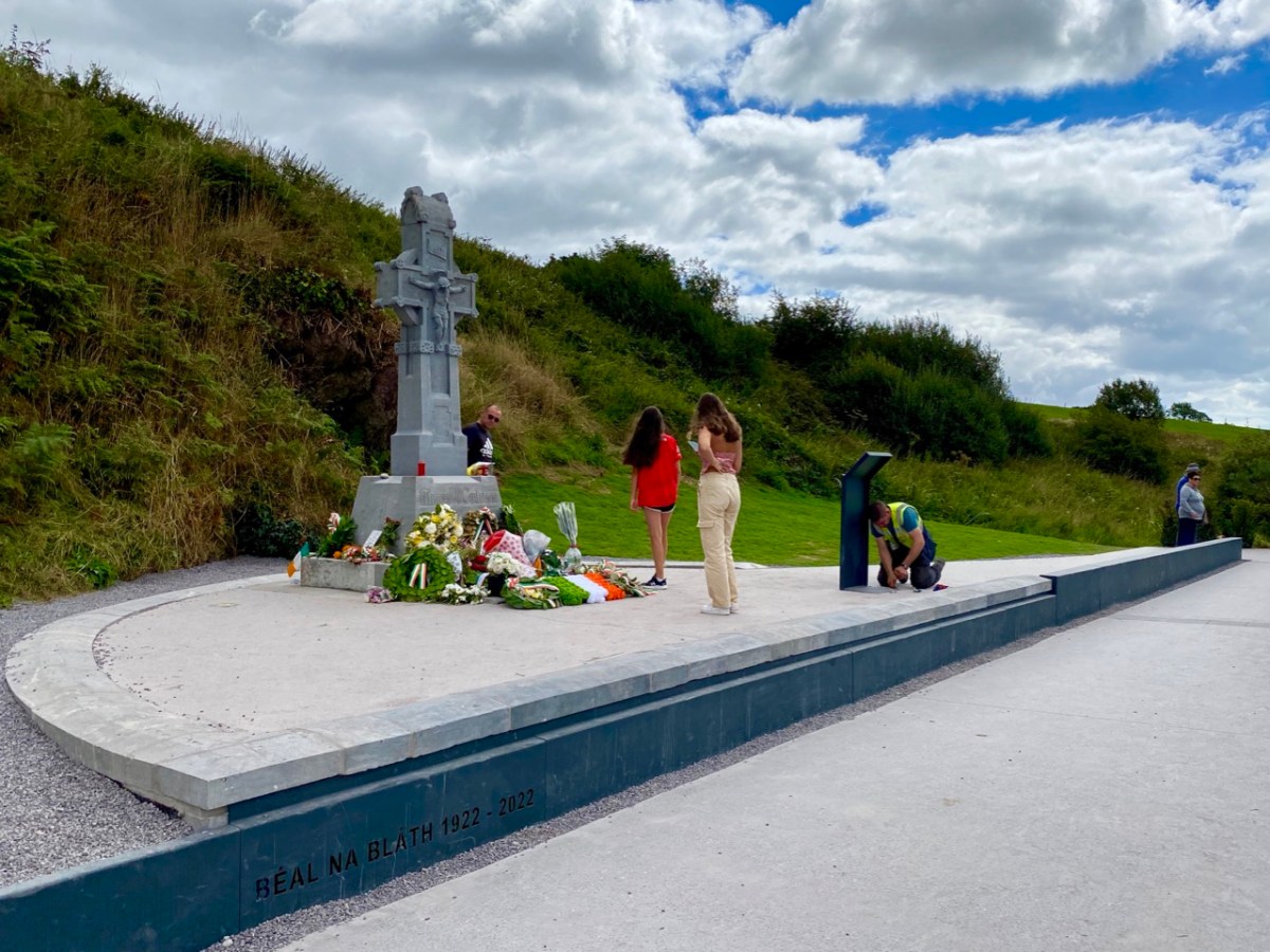
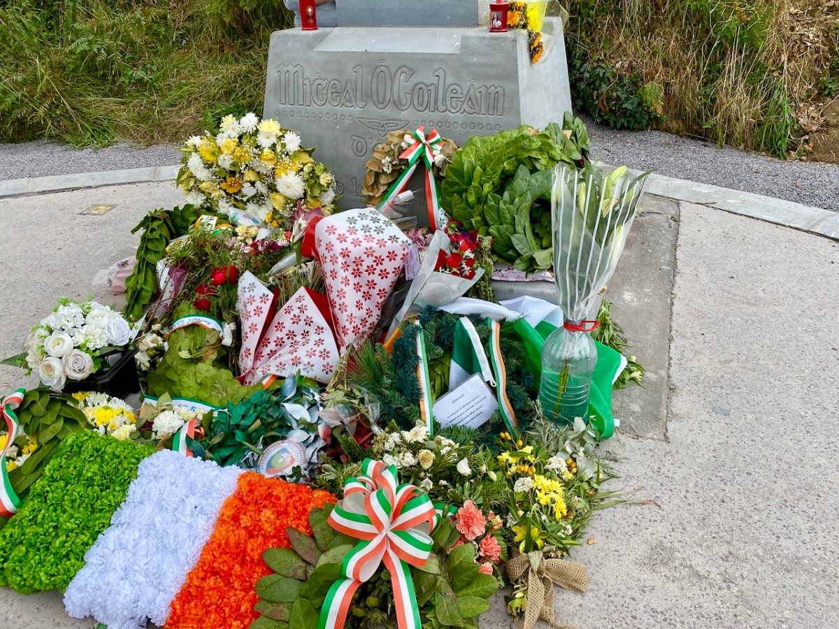
We didn’t go to the official ceremony at Béal na Bláth on the 21st: many thousands of people attended. We were interested to visit a bit later in the week, to see how the site has been upgraded to mark the centenary. Previously, the memorial itself was gaunt and severe: here’s a pic from our visit in 2013:
It’s significantly different now: car parking has been rationalised and the commemorative cross is the main focus, with some significant hard landscaping. In our opinion, the works (by Cork County Council) have succeeded in focussing the main elements, and the scale is more human.
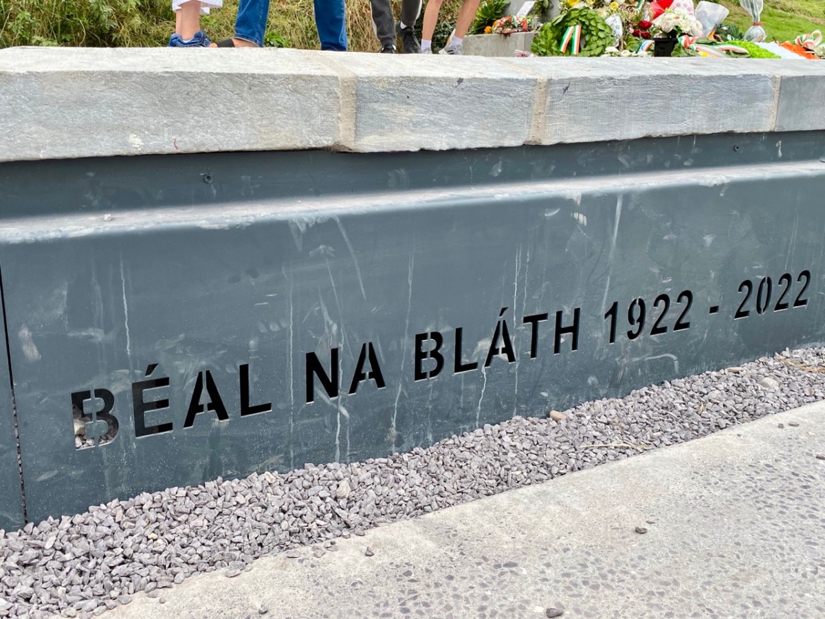
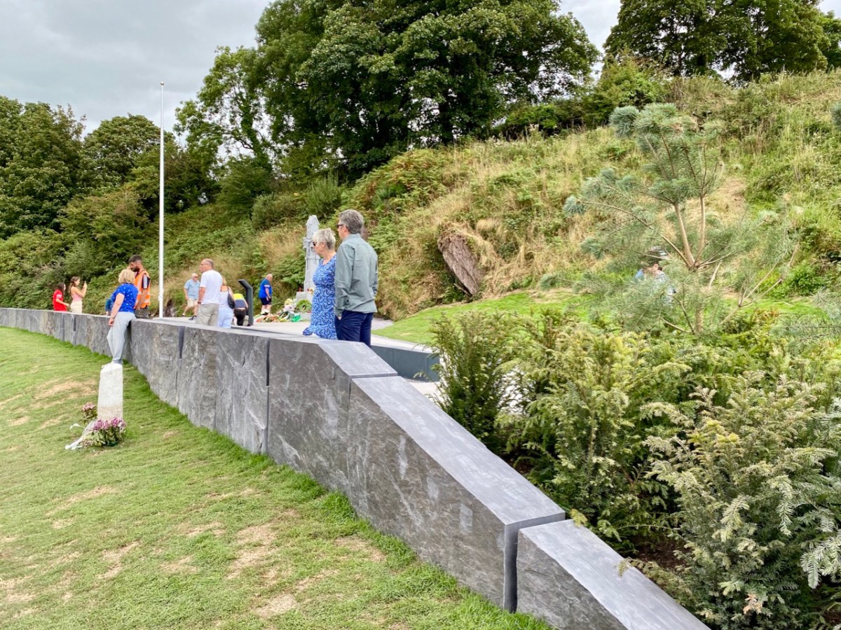
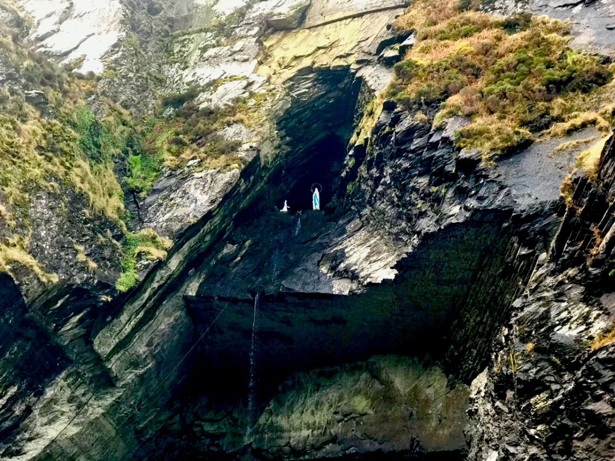
The new walling defining the edge of the memorial site is built from huge blocks of slate from Valentia Island Quarry, Co Kerry: “. . . the most westerly quarry in Europe . . .” The material is fittingly monumental. When we visited Valentia back in January 2019, we recorded the fact that this quarry has its very own Marian grotto:
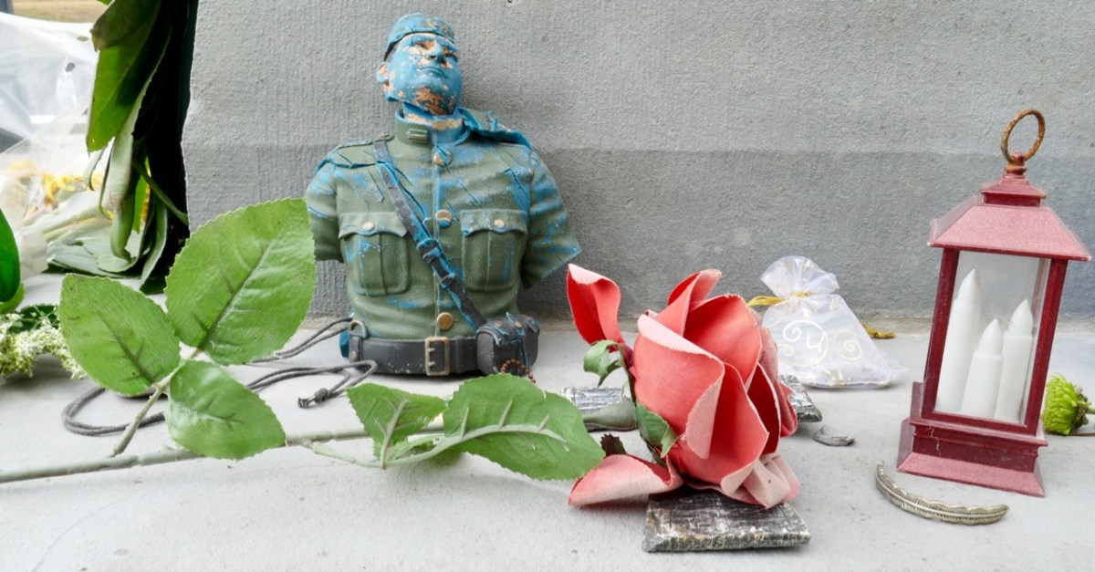
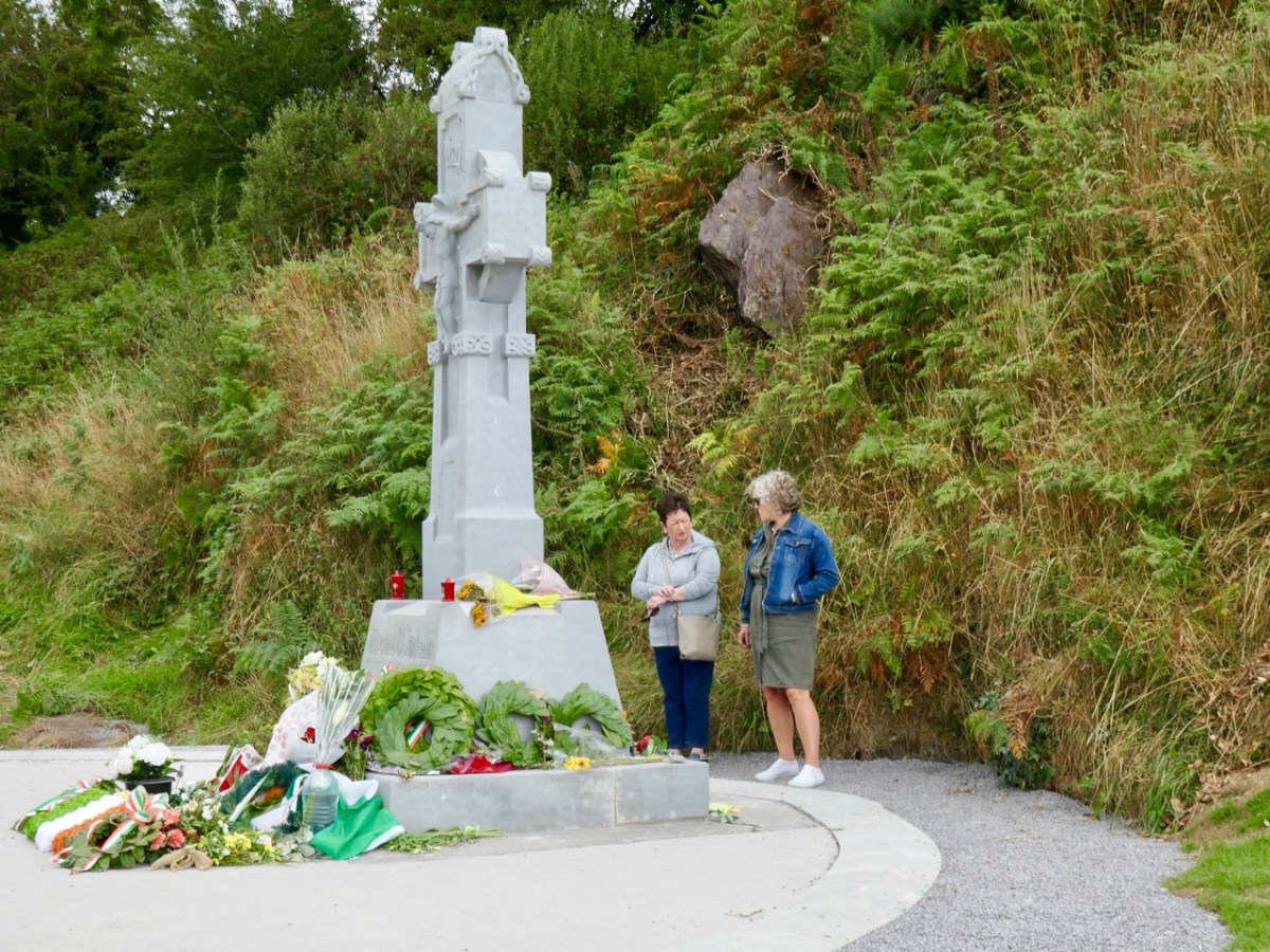
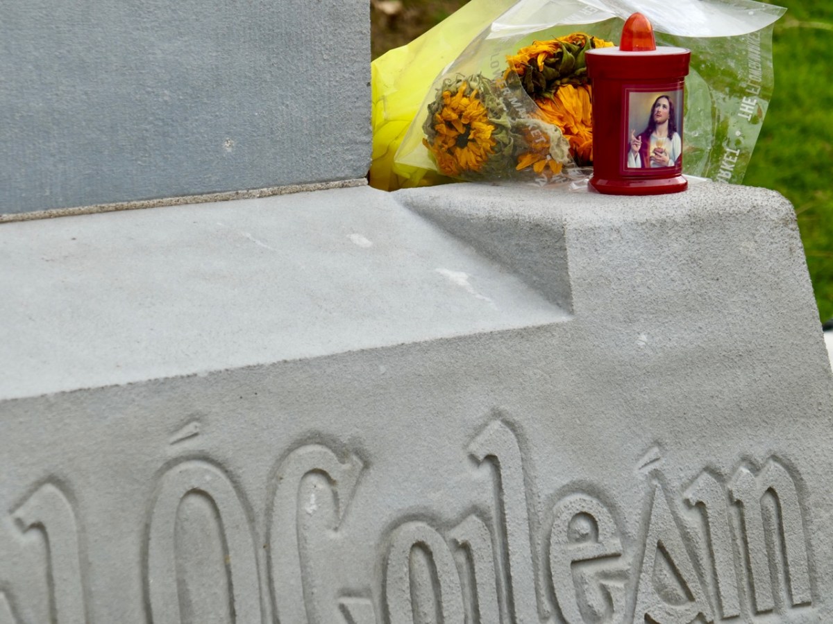
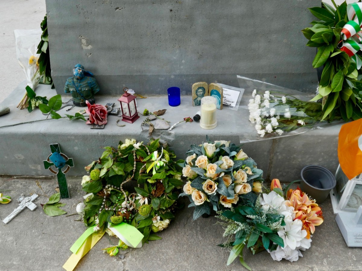
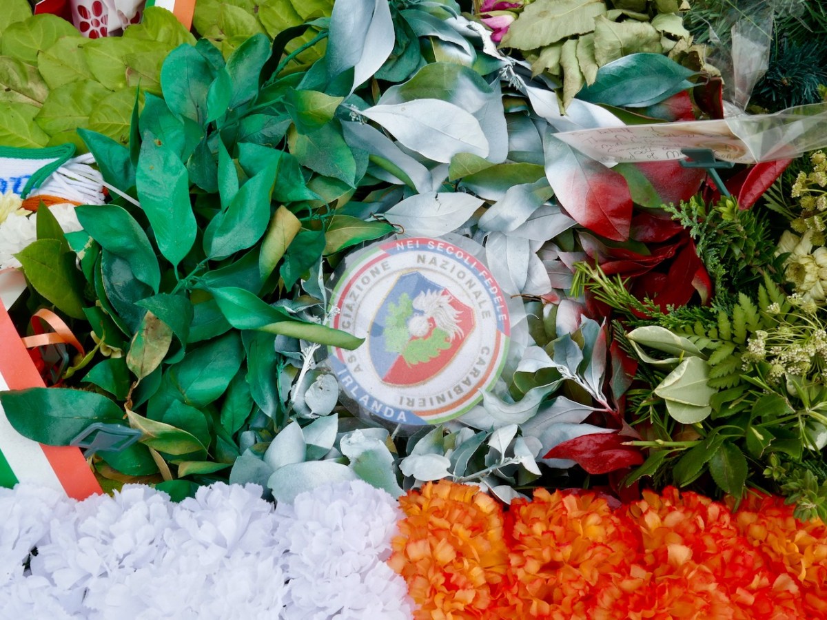
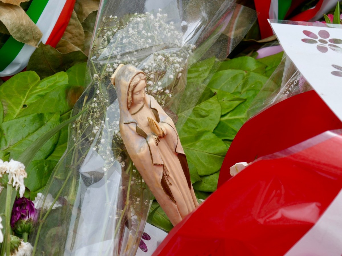
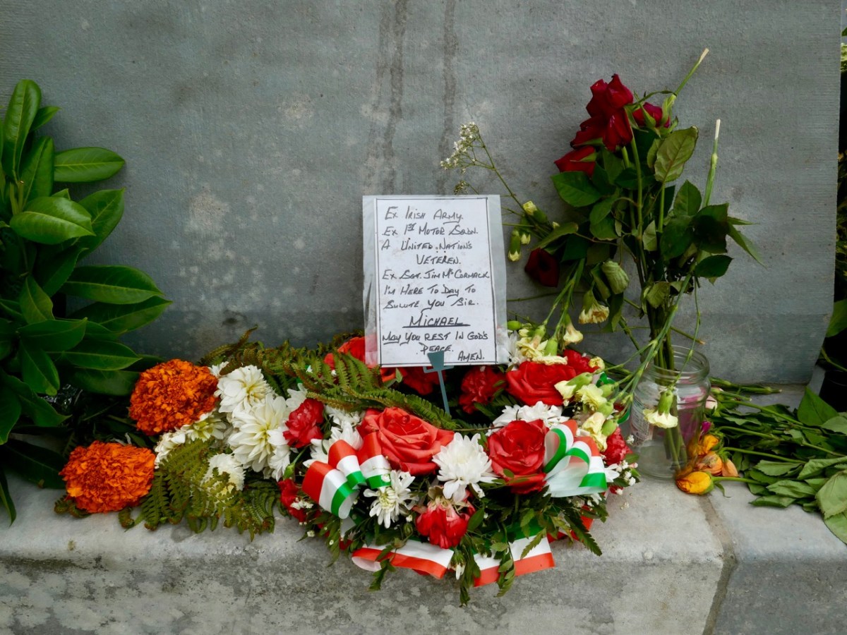
We were interested – and pleased – to see that the upgraded memorial still gives space to ‘popular’ offerings. We maintain that Michael Collins is on his way to beatification, and he is already being treated as more than a fallen warrior (although that status is, in itself, heroic). Amongst the floral tributes are religious symbols, messages, and ‘relics’.
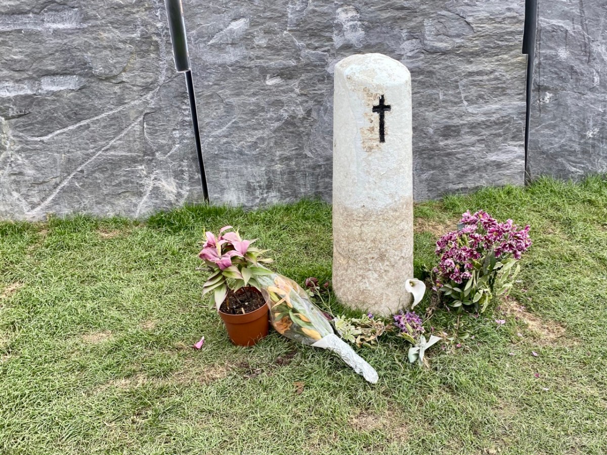
And – of course – the fateful spot (above) where Collins fell is still marked by the simple white stone which has been at this site for generations.
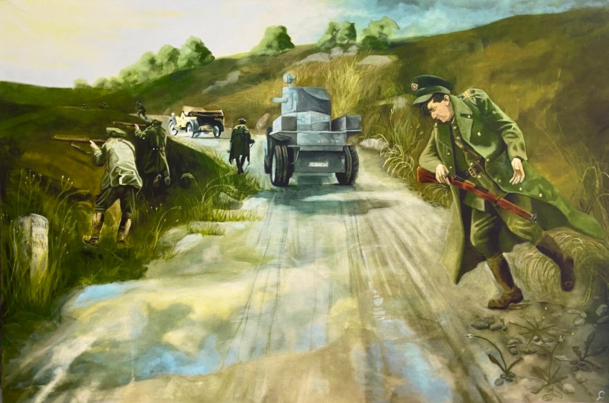
‘The Moment’ at which Collins was shot by an enemy bullet, captured in a dramatic painting (above), now on display in the Michael Collins Centre at Castleview, Clonakilty. No one has ever been held to account for the shooting, which was the only fatality on that day, and some have suggested that Collins was not intentionally targeted, and may have been the victim of an accidental ricochet. It’s most likely that we will never know the true story, but there’s no doubt that popular folklore has stepped in to fill the gaps.
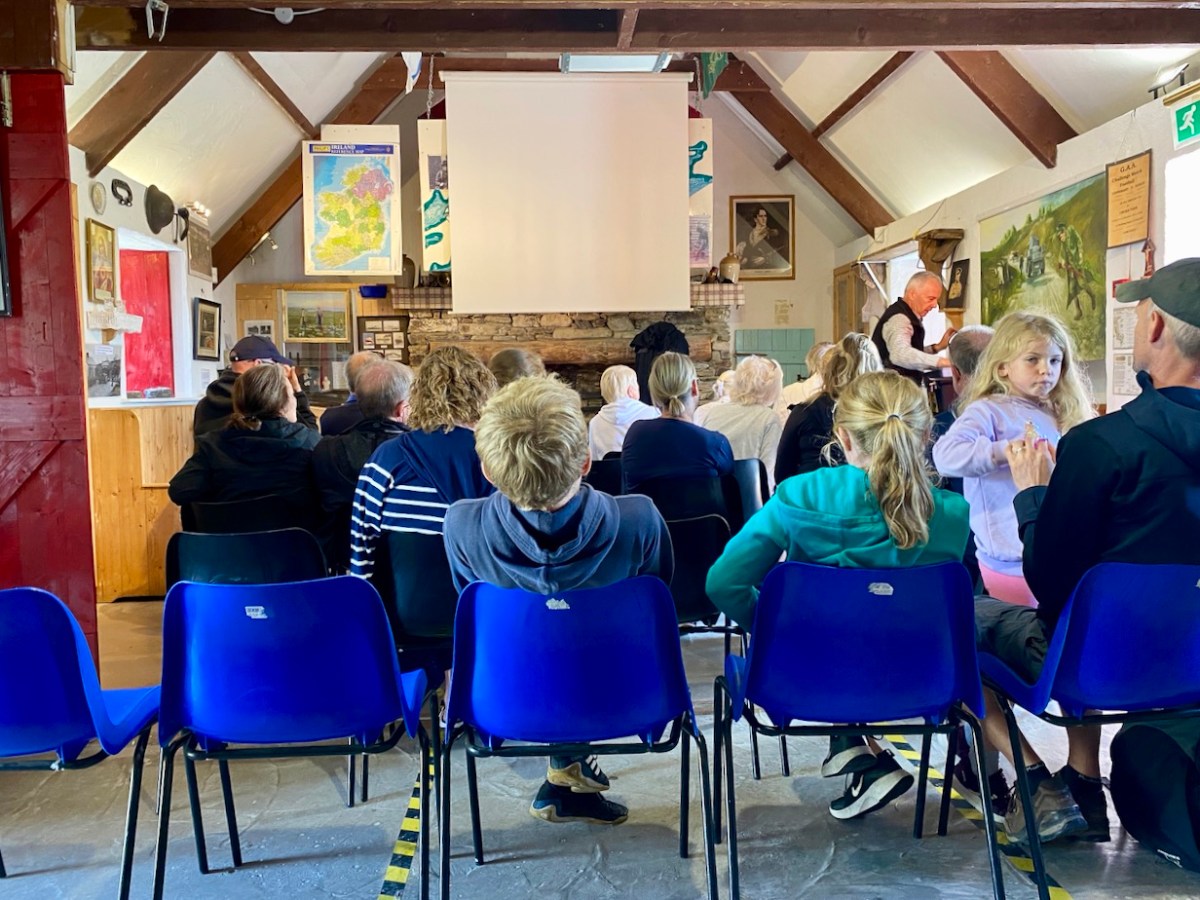
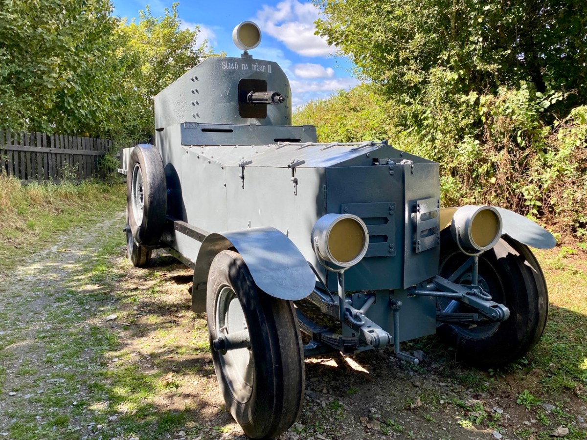
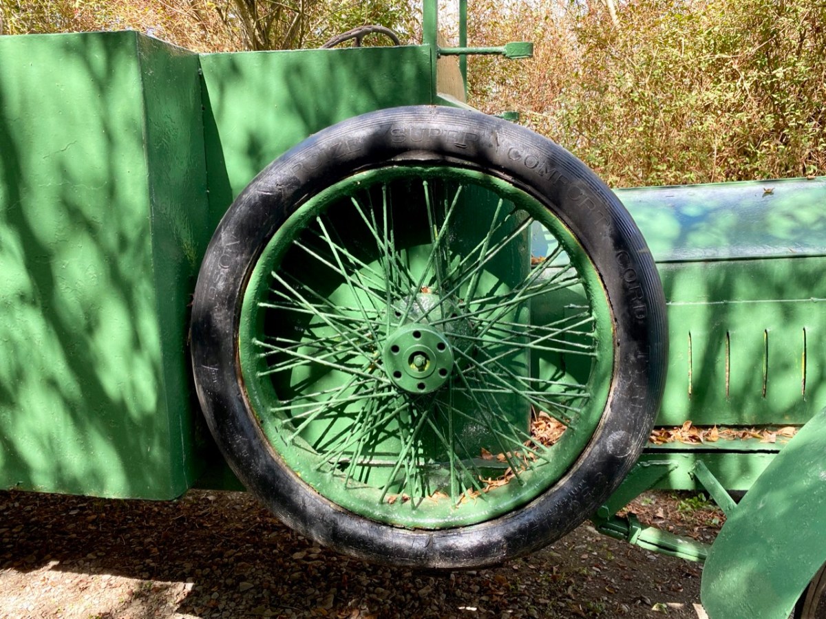
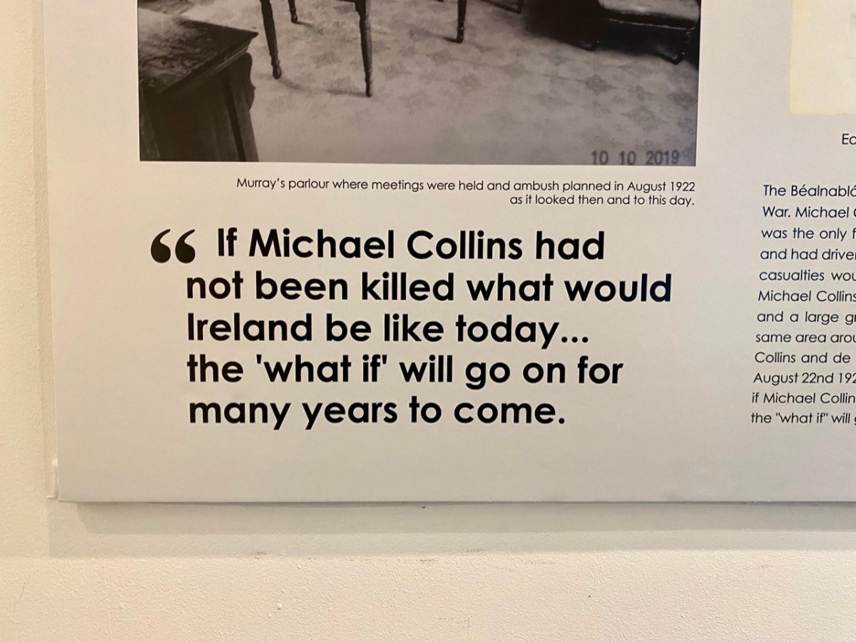
The Michael Collins Centre (above) has been run for over 23 years by members of the Crowley family who are directly related to Collins. Visitors are given a comprehensive presentation on his life and times – and his death. There are many artefacts and memorabilia, including replicas of the vehicles which were in the convoy at Béal na Bláth. It’s also well worth looking out from the Museum grounds to the spectacular view across the Argideen River valley (below). Argidín means Little Silver River, and it flows from Reenascreena to Courtmacsherry.
We are keenly watching the progression of Michael Collin’s journey towards sainthood – or further. During the narrations we attended, we noted the descriptions of some of his followers as ‘apostles’. Also, we can’t ignore the fact that he foretold his own death (after he was sent to England to negotiate and sign the Anglo-Irish Treaty). His sister Mary Collins was nine years old when Michael was born in what she said were ” … miracle conditions, as there was no doctor and no trained nurse … mother and baby were well and comfortable … ” Michael was adored by the family, with his old Uncle Paddy predicting the future upon his birth, saying: “Be careful of this child, for he will be a great and mighty man when we are all forgotten” …
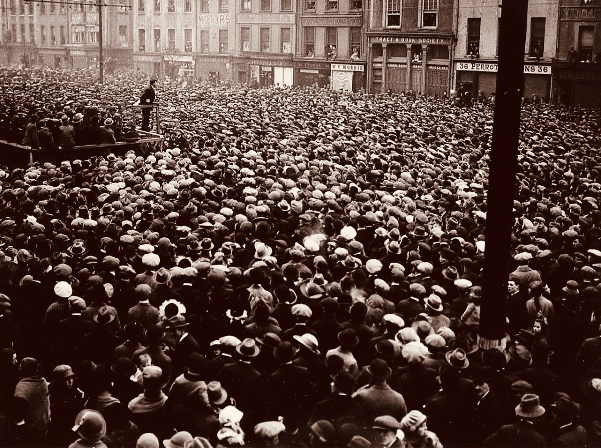
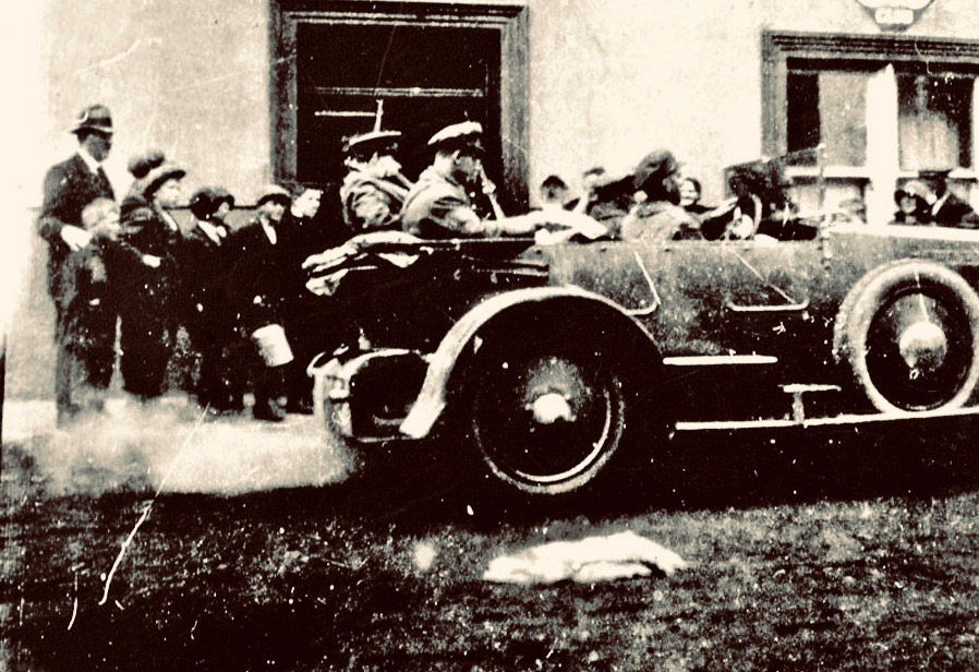
(Above) – a reminder of the ‘glory days’ – Michael Collins addressing huge crowds at a Free State demonstration in Cork City, 13 March 1922 (Wikimedia Commons). (Below) – Collins (behind the driver) leaving the Eldon Hotel, Skibbereen, 22 August 1922: the last known photograph of the hero (Cork Public Museum).
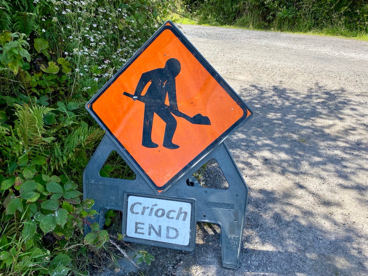
Road repairs in rural Ireland peak in the summer months. Favourable weather is responsible. Always be ready for holdups and diversions. ‘Boreens’ – narrow roads in country areas – are often unable to take the machines required to cut edges, fill potholes and restore surfaces while letting traffic through at the same time. In the worst cases, alternative routes can add many kilometres to a journey. So, when setting out, always leave yourselves plenty of time.
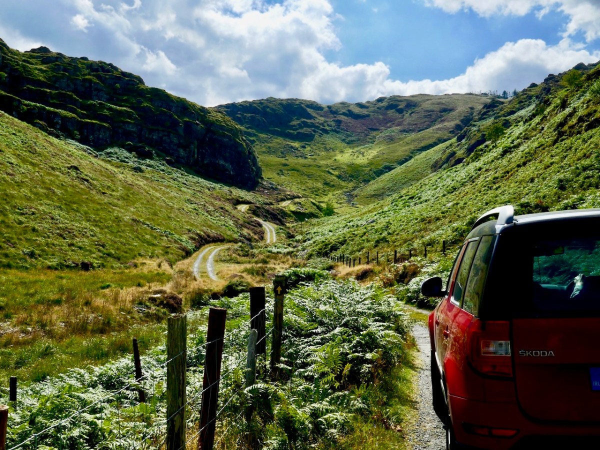
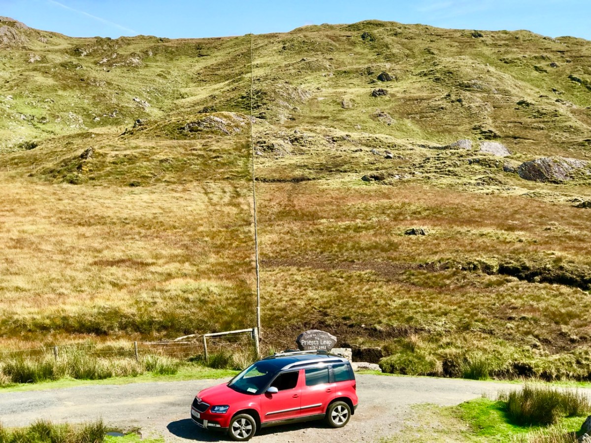
Here’s our Yeti straddling the border between Cork and Kerry on the Priest’s Leap road. That’s one of our favourites: the scenery is outstanding, but there can be problems if you meet someone coming the other way. In fact, that difficulty is present on very many of our local byways: hone your reversing skills!
It’s not always other vehicles you have to watch out for . . .
A rural road can be a challenge: never be in a hurry. You just have to go with the flow, even if that means reversing for half a mile. In that situation, of course, the main difficulty is making the decision as to who will have to reverse: you, or the vehicle coming the other way. If that oncoming vehicle is a large tractor and trailer, you may not have much choice.
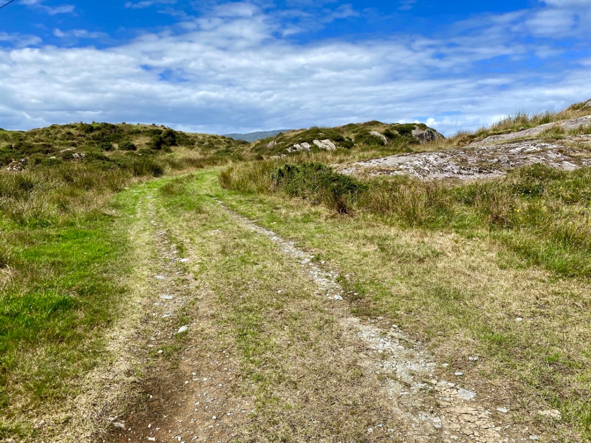
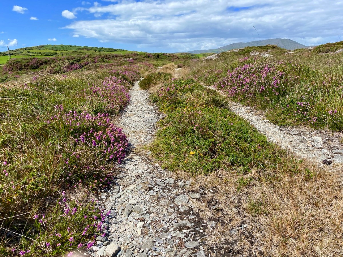
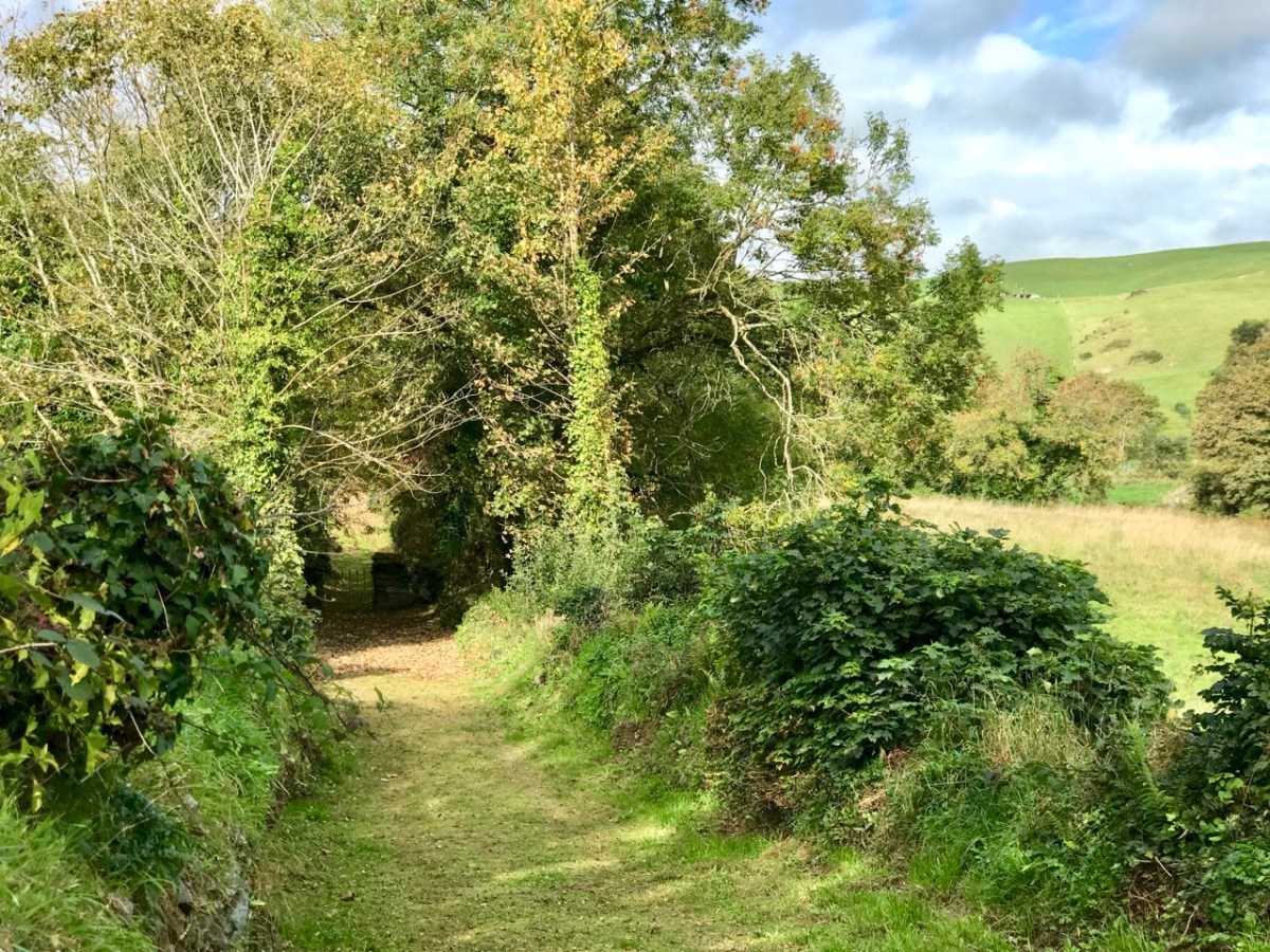
Yes, there are still a few roads around in very out-of-the-way places which are not surfaced as you might expect. They fit well into their rural surroundings!
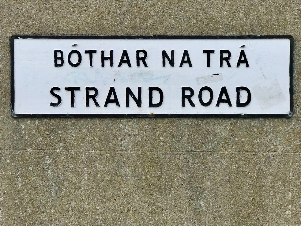
Take care not to get lost . . . Some of these boreens are not even marked on the map!
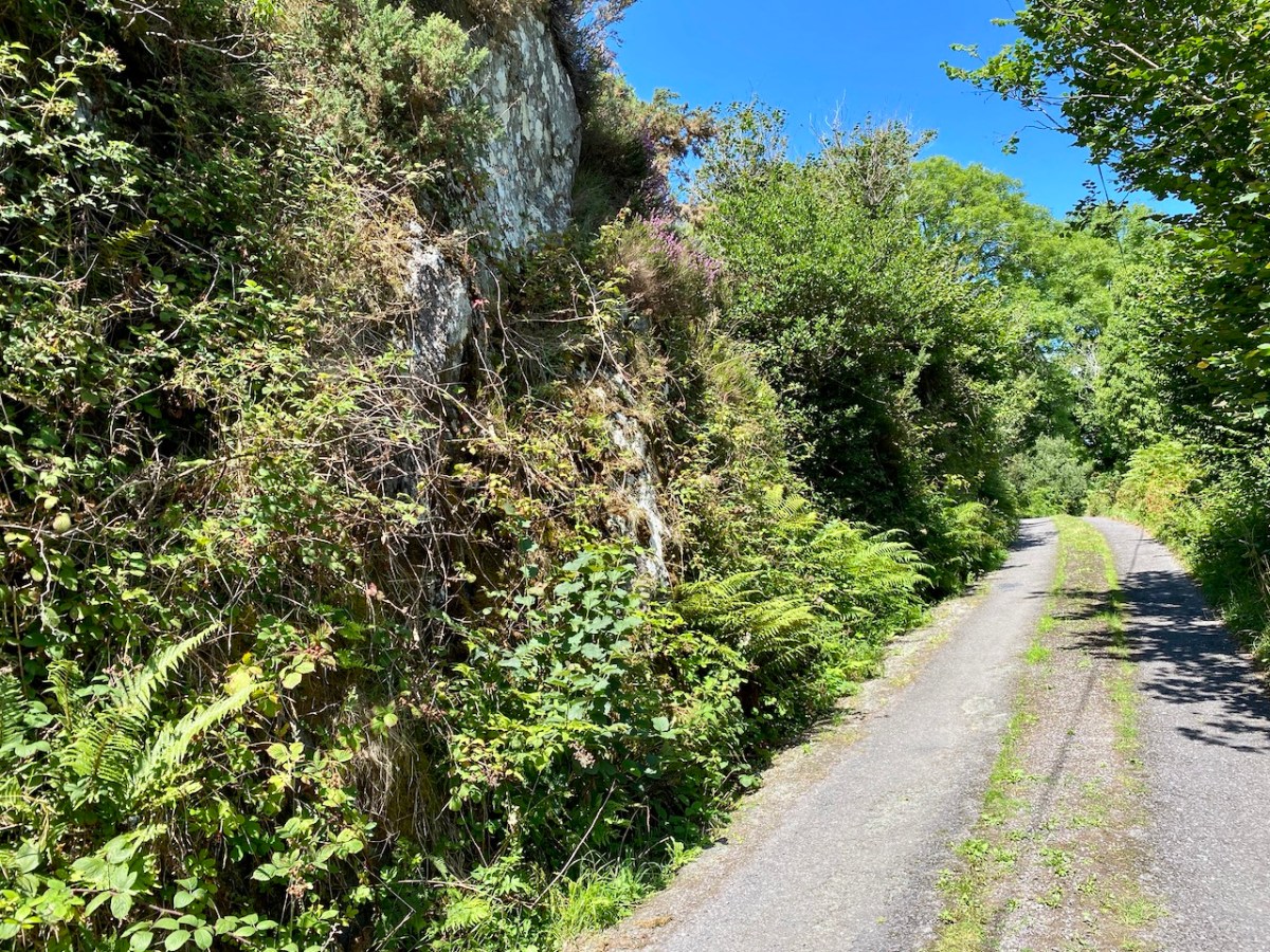
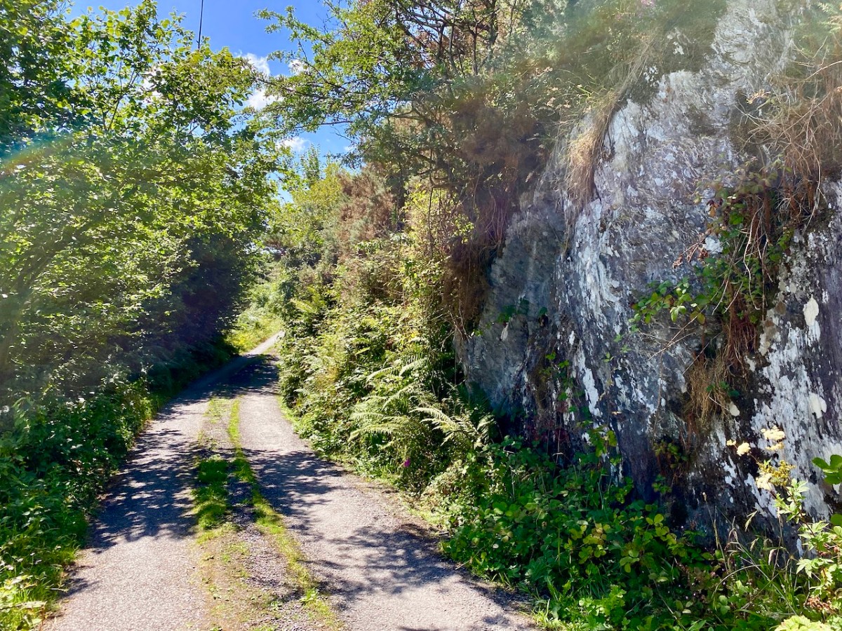
Give a thought to those who built these byways: quite a lot of engineering has been involved in carving through rocks to create a more or less level route.
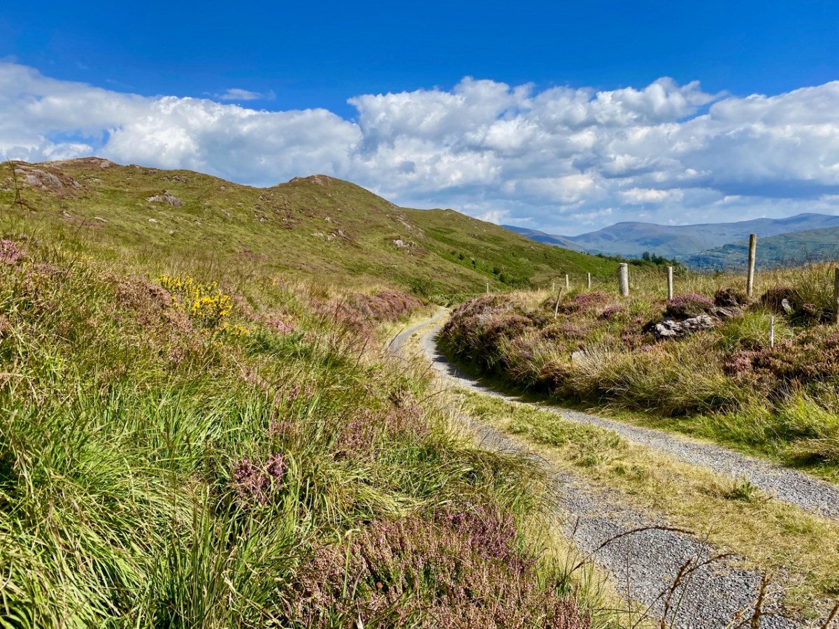
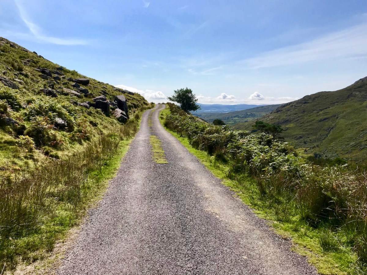
Some roads lead to a dead end. I prefer those that fly high – over the mountain passes; the scenery never disappoints.
. . . The Road goes ever on and on Down from the door where it began. Now far ahead the Road has gone, And I must follow, if I can, Pursuing it with eager feet, Until it joins some larger way Where many paths and errands meet. And whither then? I cannot say . . .
from ‘the old Walking Song’ by J R R Tolkein
There’s always a reward to be had for travelling uphill: it’s the view from the top!
Welcome to the UCD Library Cultural Heritage Collections blog. Discover and explore the historical treasures housed within our Archives, Special Collections, National Folklore Collection and Digital Library