Wicklow by the Sea

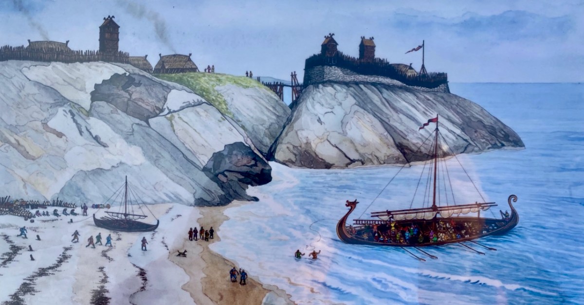
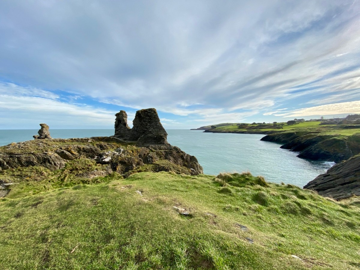
If you can’t be in West Cork – what’s the next best place? Why – County Wicklow of course! It’s also full of wonderful scenery and imbued with Irish history. That’s Wicklow Town, above, in Viking times: there had already been a Bronze Age settlement on this site. In the twelfth century the Normans arrived, led by Strongbow, who we have encountered before, and Black Castle was built (below). They were wild times, and the castle was attacked and destroyed completely in 1301 by local chieftains, notably O’Byrnes and O’Tooles. There were several subsequent revivals, and the gaunt remains we see today probably date from the 17th century.
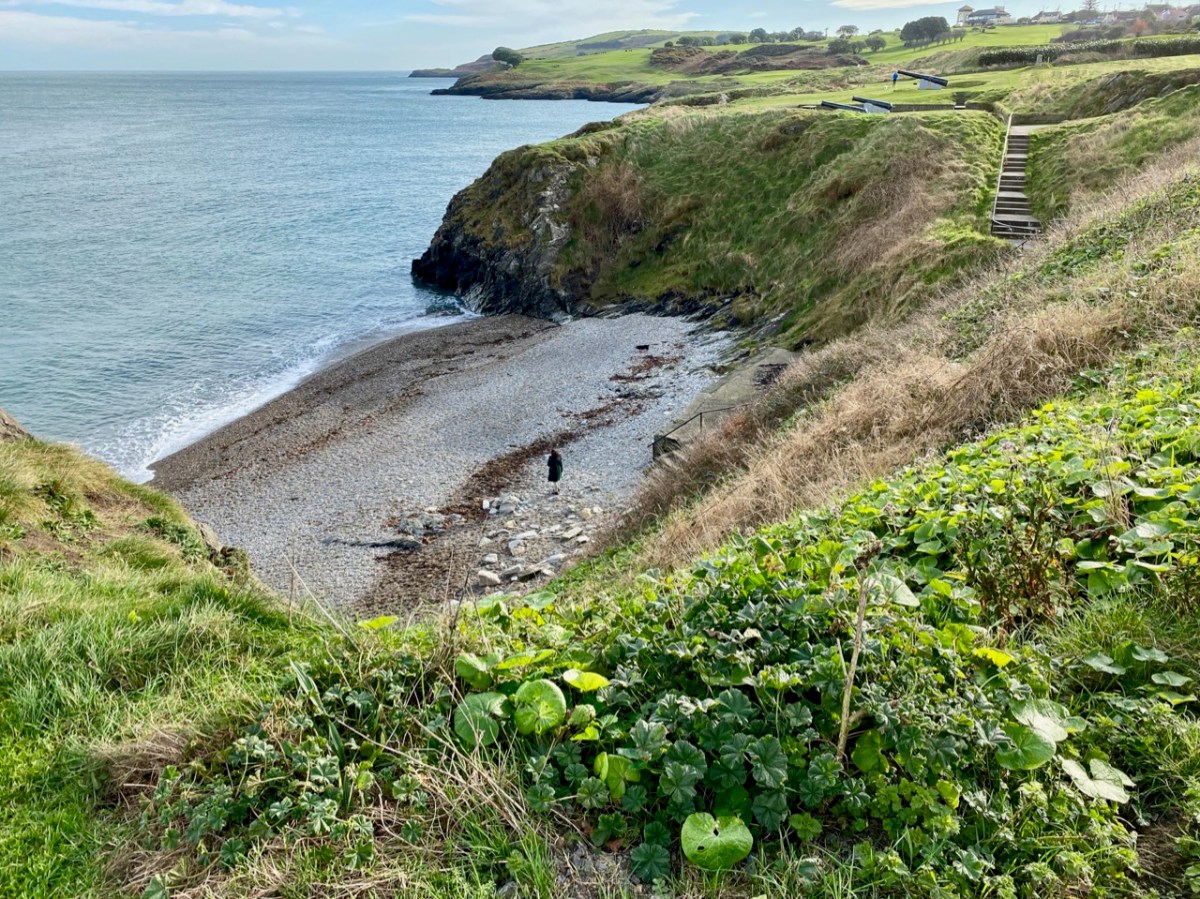
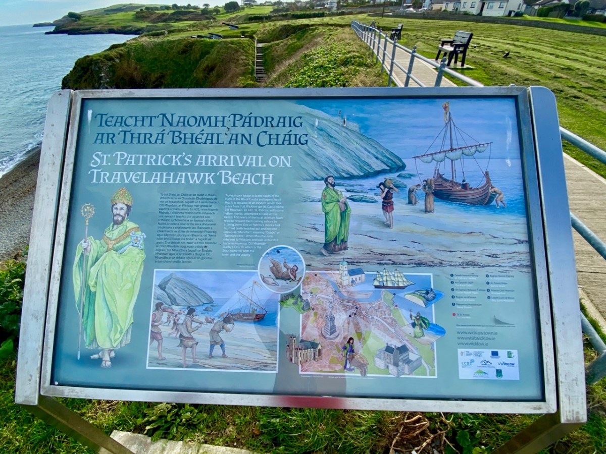
While at this site, have a look down at the inlet on the coast to the south: that’s Travelahawk Beach, the scene of a bit of Wicklow history that’s sure to stick in the mind. It was there that St Patrick first landed in Ireland!

I have to admit that the beach is only one of several sites on the east coast that lays claim to this historic occasion, but I like the associated story of Travelahawk which tells how the local people, suspicious of this stranger, threw rocks at St Patrick and his crew. One of them hit the saint’s companion, and he lost his front teeth. He was known ever after as ‘Gubby’ or ‘Gap-toothed’ which is translated in Irish Mhantáin. Hence the old name for Wicklow is ‘Chill Mhantáin’ – the Church of Gubby. Today’s name for the town, Wicklow, is of Viking origin, and means ‘Bay of the Meadows’.

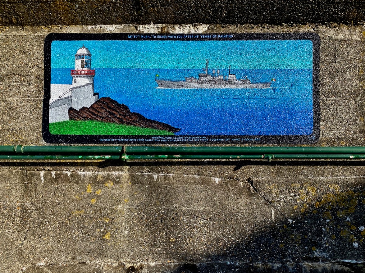
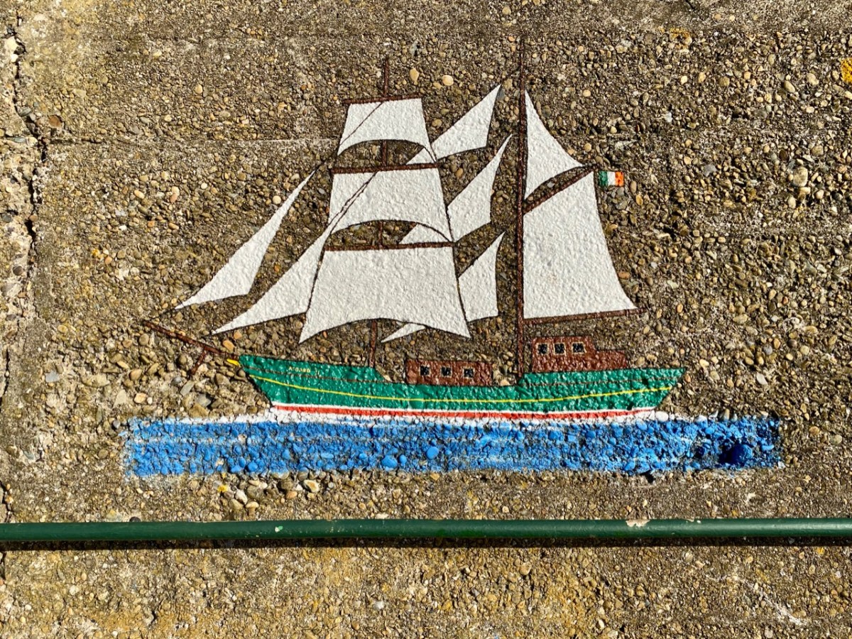
We popped over to Wicklow on a mild February day for a change of scene – and to absent ourselves from Nead an Iolair while some upgrading works were taking place. I was impressed: I had never explored the town before. Finola, however, was brought up in County Wicklow, and her impressions of the county town today were embellished with memories of times past. There’s much about the place that’s picturesque: I was taken with the number of painted murals about the place. The pier has, appropriately, a whole series of ships on the breakwater wall. There is an example, above . . .

. . . And here’s another. In fact, this one is the 50th mural to be painted by Pat Davis, who is the local postman. Each one depicts a vessel which has visited the harbour. It’s a wonderful and colourful record of one aspect of the maritime town’s history.

Here’s Pat at work. The image is courtesy of Ceaneacht O Hoctun, and appeared in the Wicklow People newspaper in 2020. Pat started painting the ships in the 1970s.

This one will be familiar to West Cork folk. It’s the Saoirse, a 42ft ketch built in Baltimore in 1922 for her designer, Conor O’Brien.

. . . This unique sailing ship was also a maritime inspiration for the new Ireland, uncertain of itself in an uncertain world. For this was Conor O’Brien’s characterful 42ft ketch Saoirse, which he designed himself, and with which – between 1923 and 1925 – he pioneered the round the world route south of the Great Capes, an ocean voyaging “first” which was forever written into world sailing history. . .

Afloat.ie

When O’Brien returned from his record-breaking voyage in 1925 he made his first landfall in Ireland in Wicklow Harbour. O’Brien designed a larger version of Saoirse to be the inter-islands communications vessel for the Falkland Islands: this – the Ilen – was also built in Baltimore. Back in 2015 we visited Oldcourt boatyard on the Ilen River to see the restoration of the larger ketch, which was then underway. That work was completed in 2018, and the same team embarked on a complete rebuilding of Saoirse, which had been wrecked in Jamaica in 1979. Our own West Cork photographer, Kevin O’Farrell has beautifully documented these projects at Oldcourt in his book, published in 2020.

The Asgard, above, was famous for gun-running at Howth by Irish Volunteers in 1914. Below is an Irish Navy vessel, LÉ Gráinne – a mine sweeper. Gráinne was a legendary princess who was promised to Fionn Mac Cumhail but ran away with his young follower Diarmuid. The ship was decommissioned in 1987.

We found that the town of Wicklow has so many maritime associations – everywhere you look there are reminders. But also it’s a thriving commercial centre and we were impressed by what is on offer there: great eateries, and a most wonderful bookshop. I think there might be another post in the making . . .

Black Castle, or Leamcon

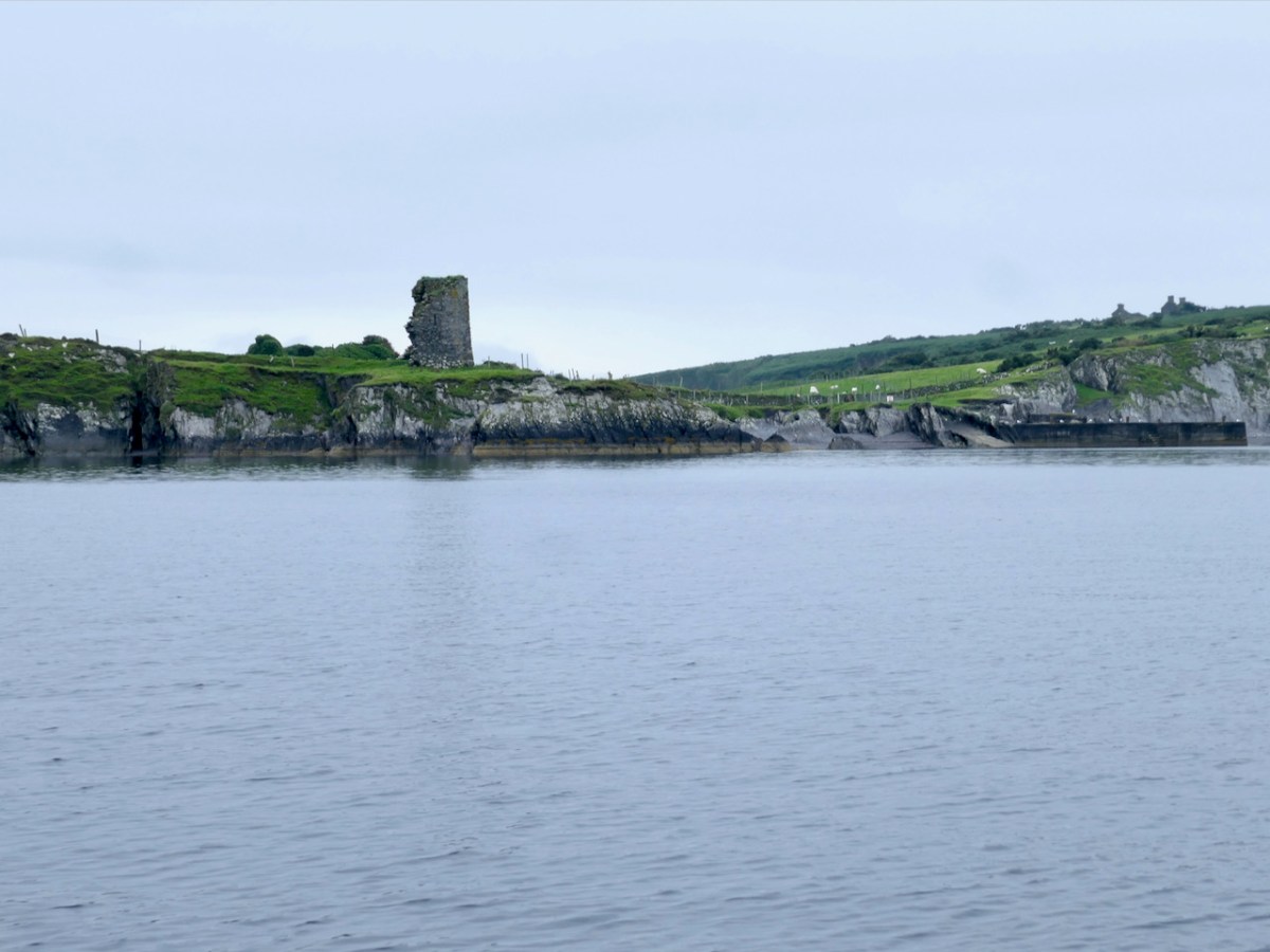
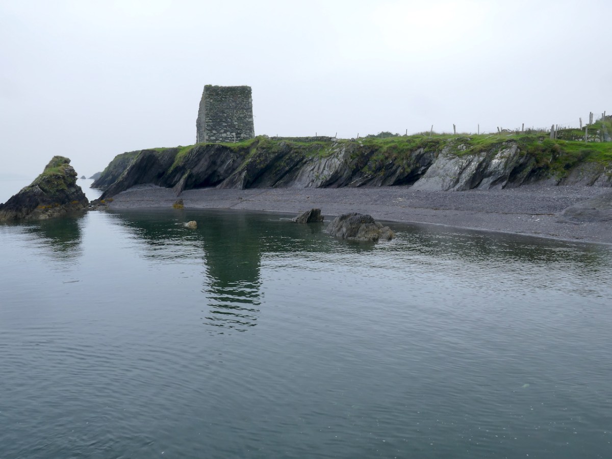
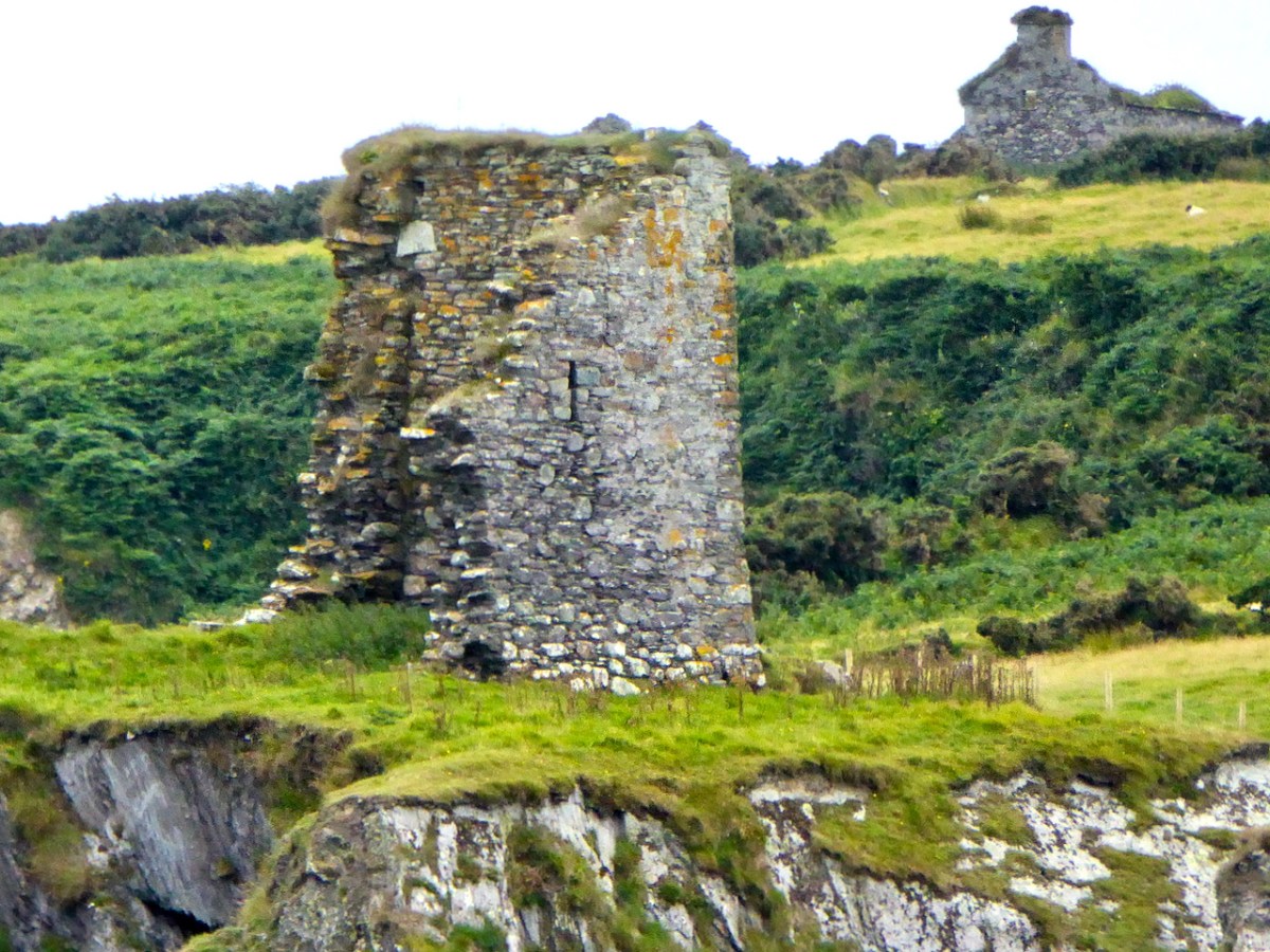
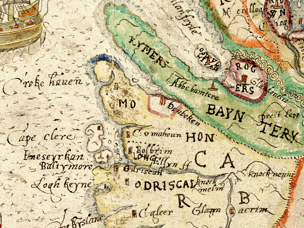
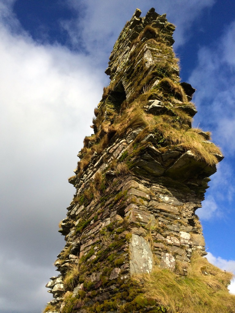
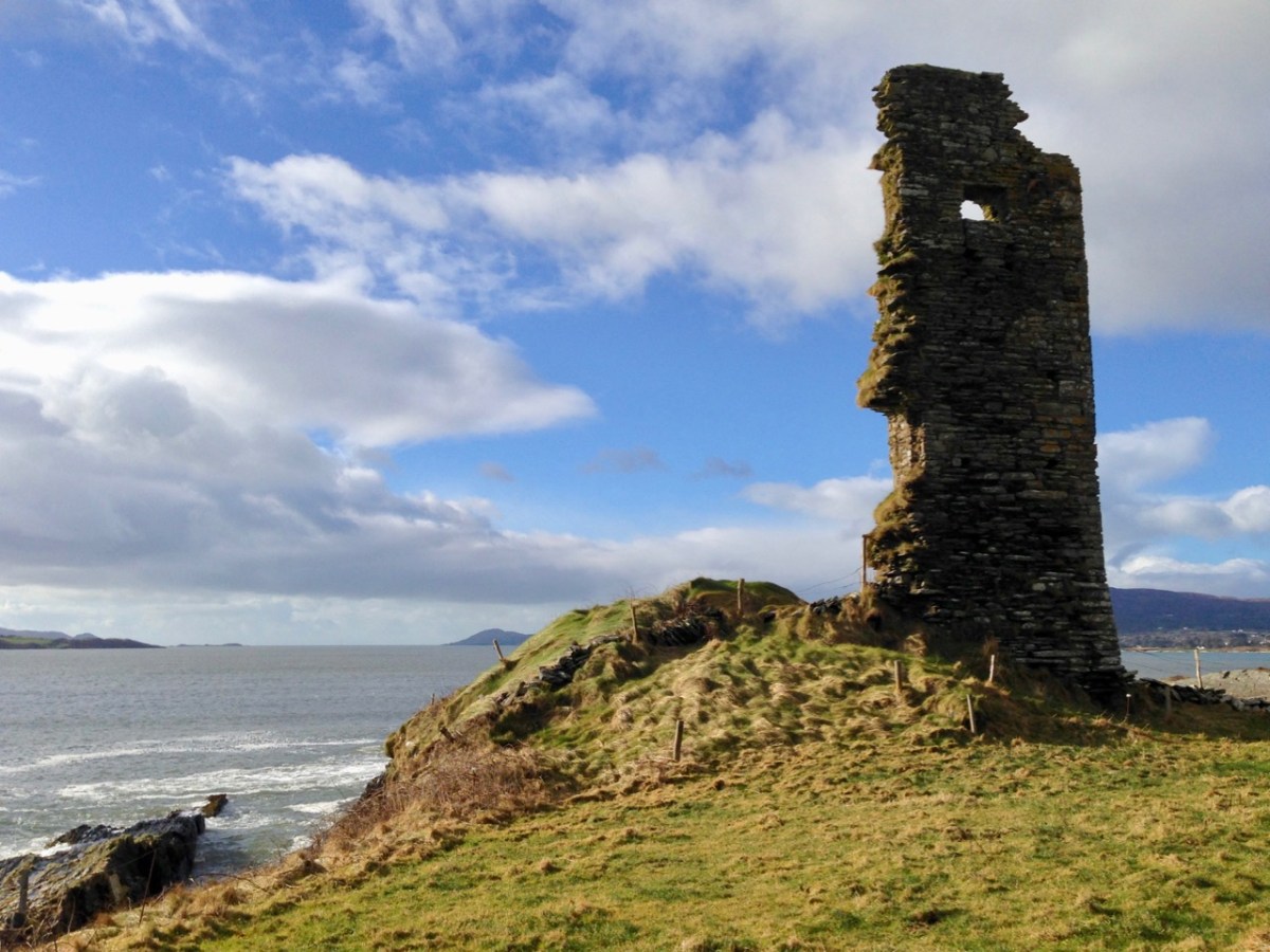
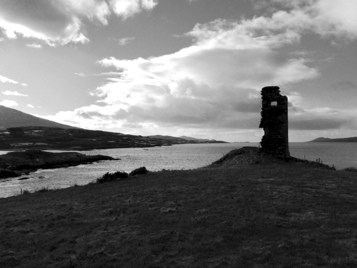
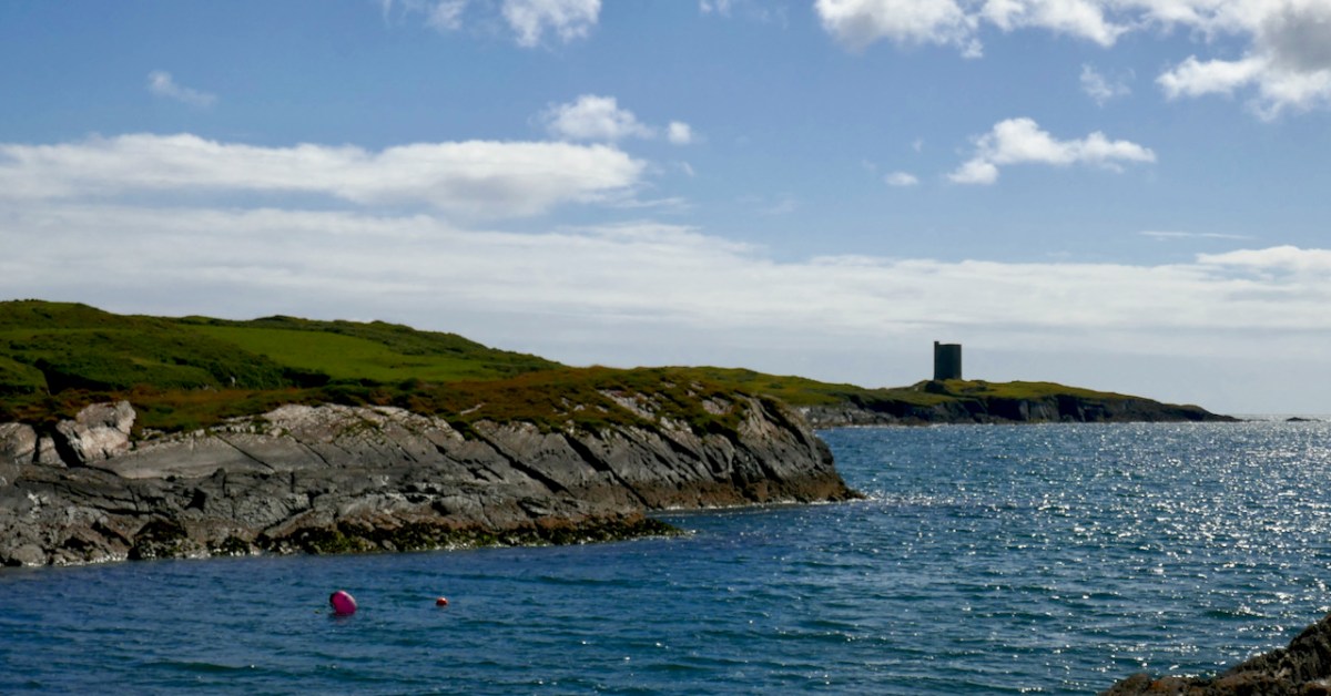
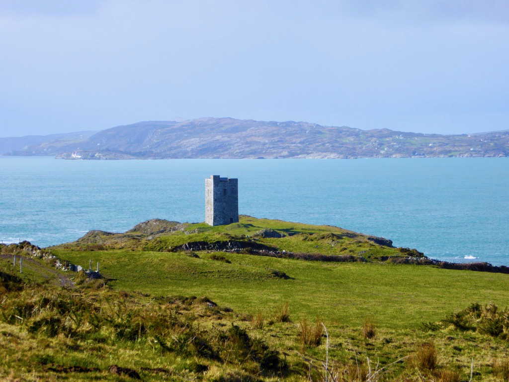
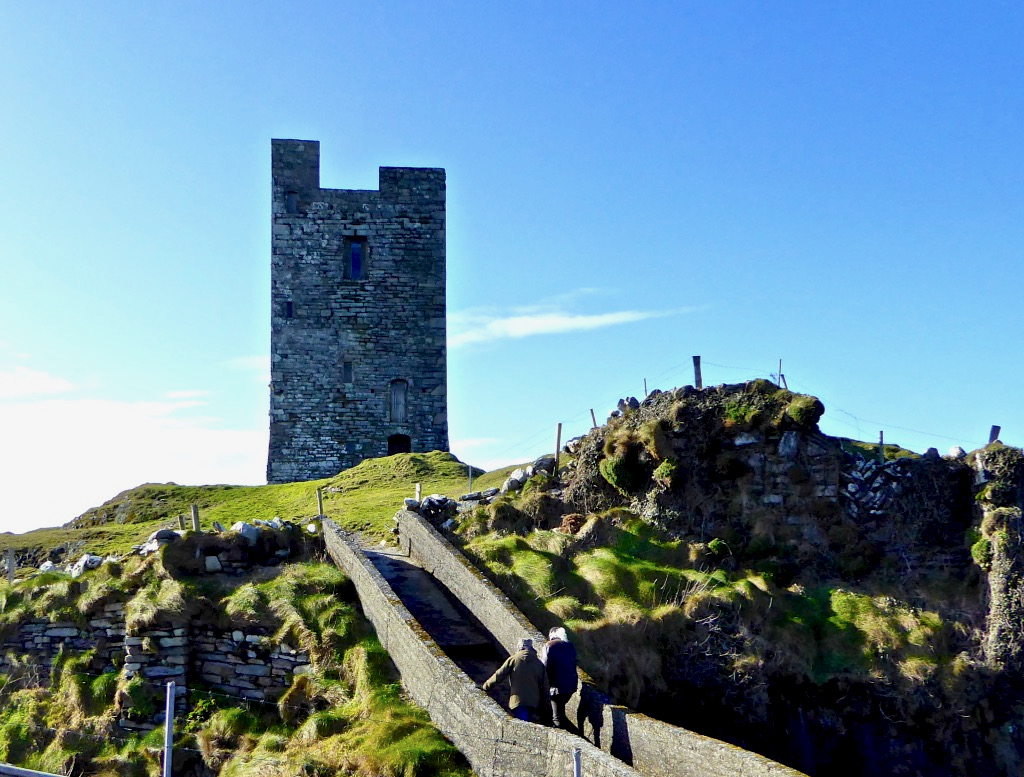
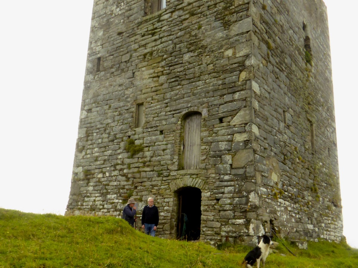
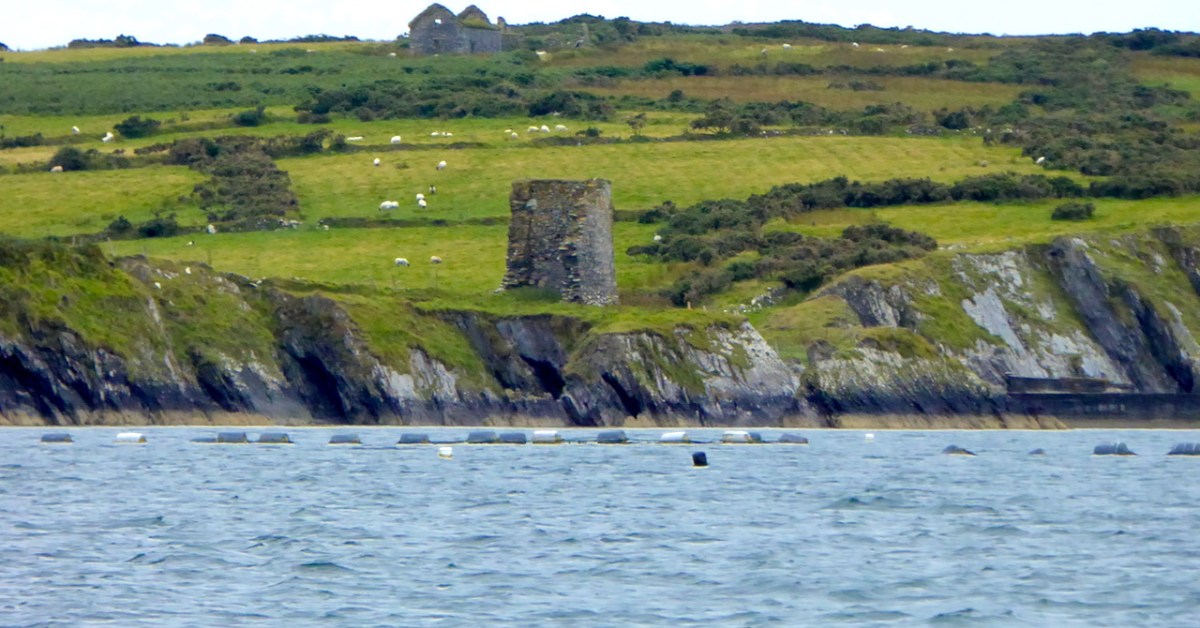
This is the fourth castle in my series The Castles of Ivaha, and the final one which is intact enough to be able to describe in detail (although I may have more to say about those which are more vestigial). Not just intact, though – Black Castle has been superbly stabilised and saved for future generations by its owner, Niall Hyde. 

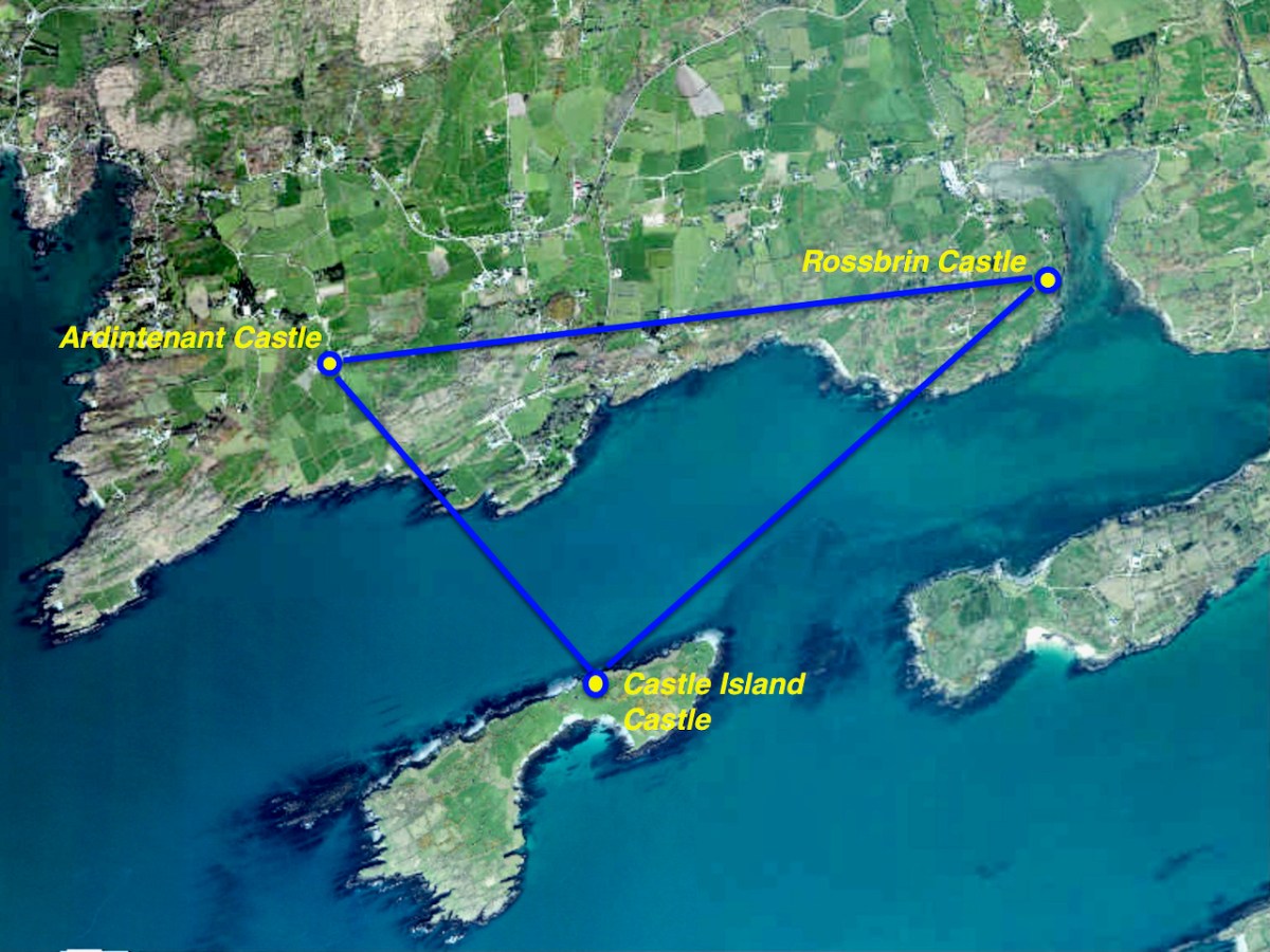
Niall, by the way, thinks the the term Black Castle is more historically accurate. He points out that there is, in fact, in the townland of Leamcon, about 2km to the northeast, another ‘turret’ marked on the old OS maps, which is the remains of a castle built by the notorious Sir William Hull. Black Castle is in the townland of Castlepoint, and its name neatly distinguishes it from White Castle, AKA Ardintenant. Both were built by the O’Mahonys.

James Healy’s drawing of Black Castle from his wonderful book The Castles of County Cork, Mercier Press, 1988

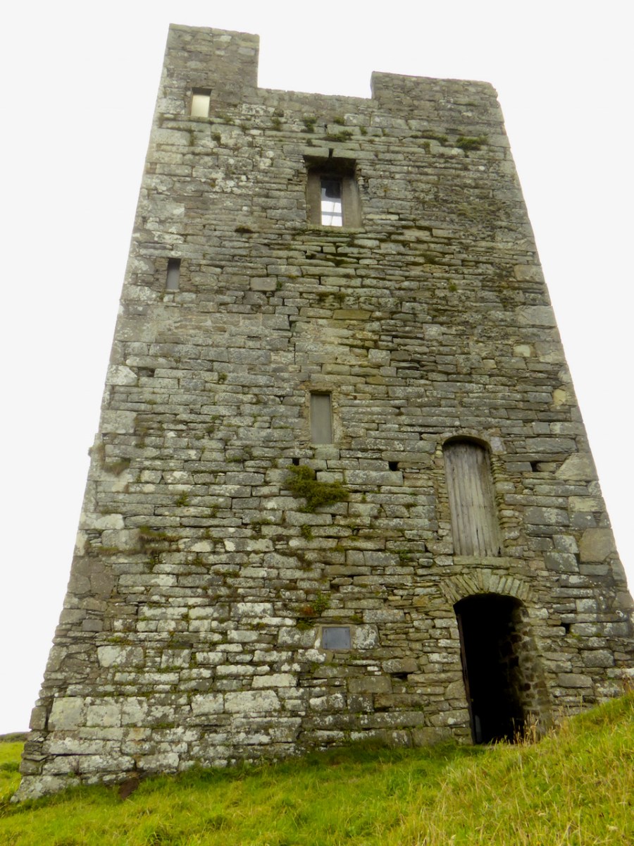
As I said in my post on Ardintenant Conor Cabaicc succeeded his father in 1427 and remained Taoiseach for 46 years, embarking on an ambitious program of construction to provide castles for his sons and brothers. This included Black Castle, which he built for his second son, Finín Caol (pronounced Fineen Kale), or Finín the Slender. This means that Black Castle was built in the period before Conor Cabaicc (Conor the Talkative) died, in 1473. This accords well with its architectural details, which place it among the fifteenth century ‘raised entry’ castles, similar to Ardintenant, Dunmanus and Dunlough

The best source material for all the castles of Ivaha is the thesis The Tower Houses of West Cork by Mark Samuel. Here’s what Samuel says about the location of Black Castle, which he refers to throughout as Leamcon. Leamcon, by the way, means Hound’s Leap, which Samuel suggests may refer to a legend about the gully across which you must pass to get to the castle.

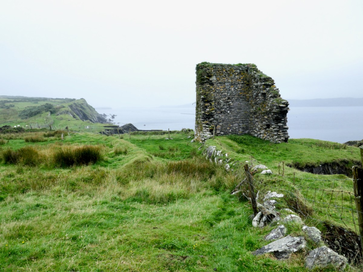
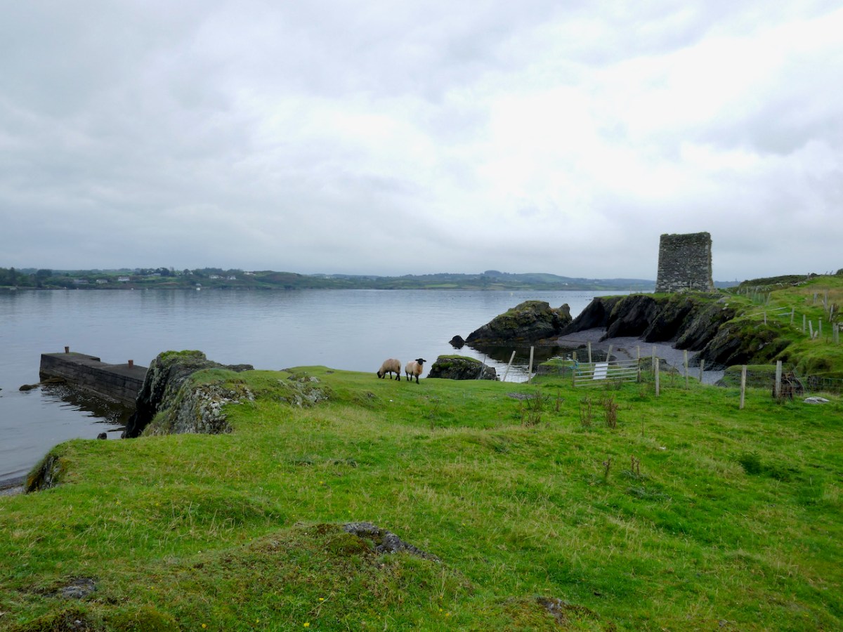
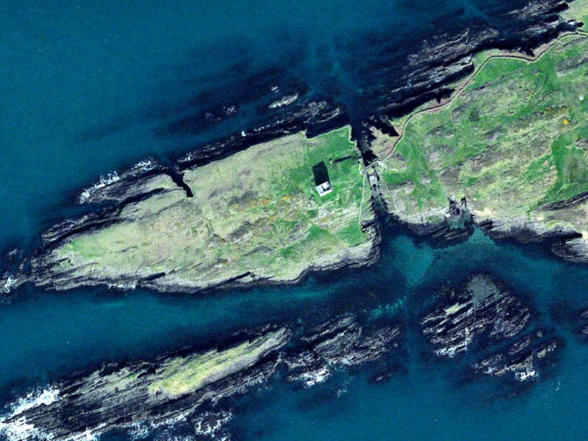
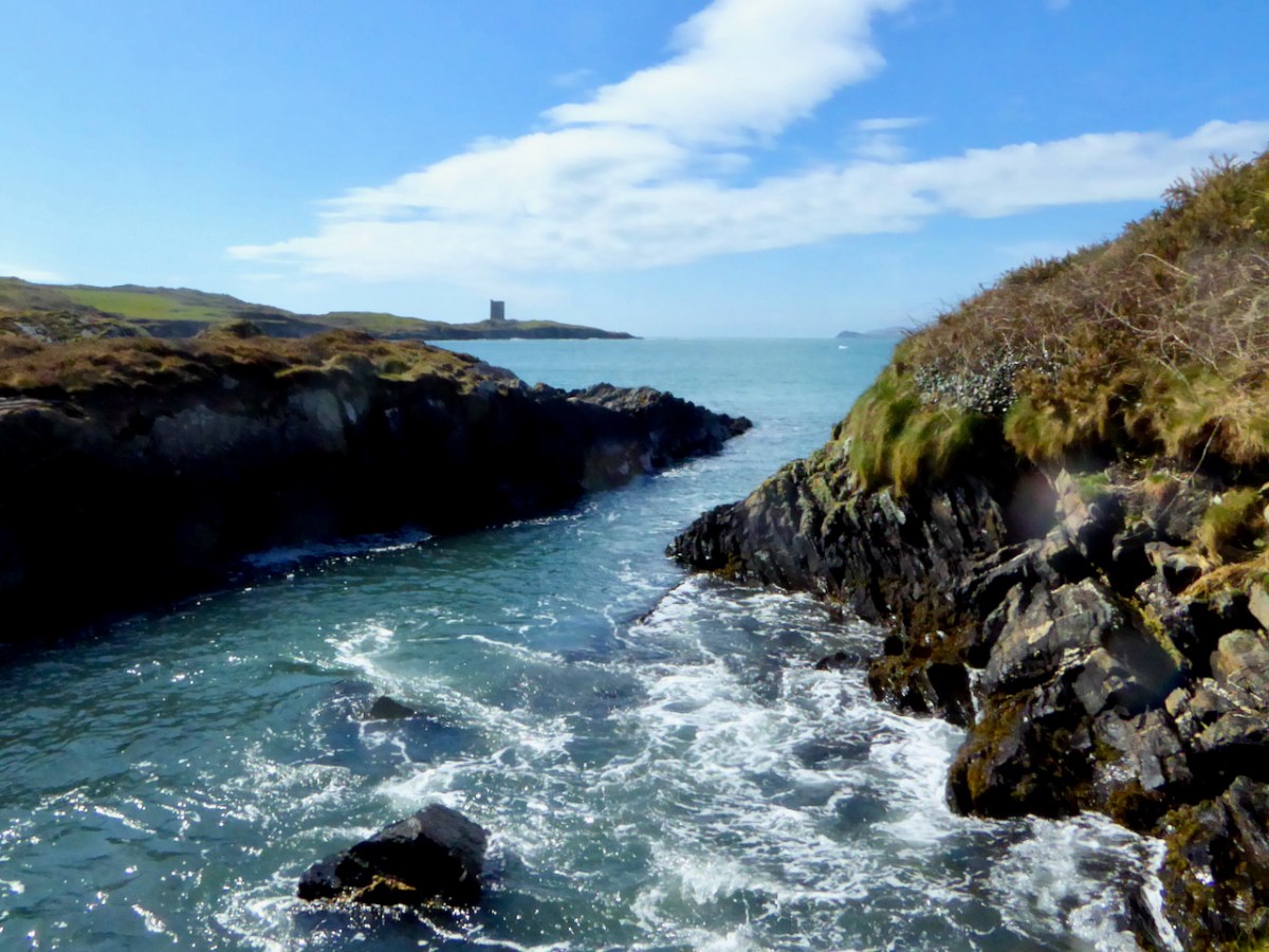
The western part of the Ivagha peninsula, the territory of O’Mahony Fionn, is now sparsely populated. Away from the formidable Mizen Head, the ice-sculpted land meets the sea with low, rocky cliffs. In this part of the Survey region, the strike of the rock is almost south-west/northeast, the layers being tipped close to the vertical, the shore tends to be sculpted into long peninsulas and islands running along the strike. Exposed to the Atlantic, it is a wild treeless shore. The fields once densely fanned prior to the famine, are now mostly given over to pasture. The tower house stands far from any road at the west end of a long narrow peninsula. Erosion has nearly severed the tip of the peninsula; only a precarious natural bridge, now reinforced with concrete, joins it to the mainland. The island is large, the ruins cover only a small fraction of its area. The tower house stands towards the island’s east end at its highest point. The promontory is for the most part gentle in relief, being covered by grass-grown ‘drift’ deposits.

THE TOWER HOUSES OF WEST CORK
MARK WYCLIFFE SAMUEL, 1998

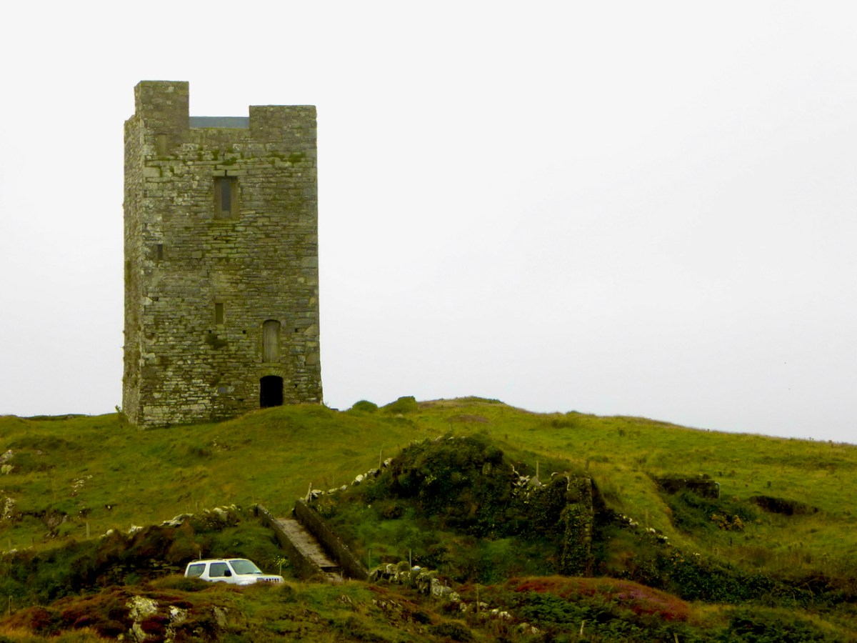
When Niall bought the property the bridge consisted of a few planks. It must have been a hairy business getting across to it until he built the concrete walkway you see today. Niall and his family spent their summers at the castle – can you imagine, as a child, what it must have been like to have your own castle to play and live in? Magical! Although I do think about what it must have been like for Dorothy, who spent the weeks there with the children while Niall worked in Dublin. How did she manage to feed them and keep them safe? A heroine, indeed.

Like the others I have described in detail, Leamcon is a raised entry castle. To recap – the ground floor entry gave access to the ground floor, and possibly by means of a ladder to the second floor and mezzanine. The raised entry gave access to the second floor, and then, by means of a strait mural staircase, the the floors above the vault. Take a look at the cut-away diagram in Illustrating the Tower House: A Guest Blog to see what I am talking about here. Thus, the upper floors could only be accessed by one staircase, a defence feature, and being above the vault provided security from fire in the lower floors. Given that there were no fireplaces, and that braziers were lit in the middle of the floor, with smoke escaping however it could, this was probably a good idea.

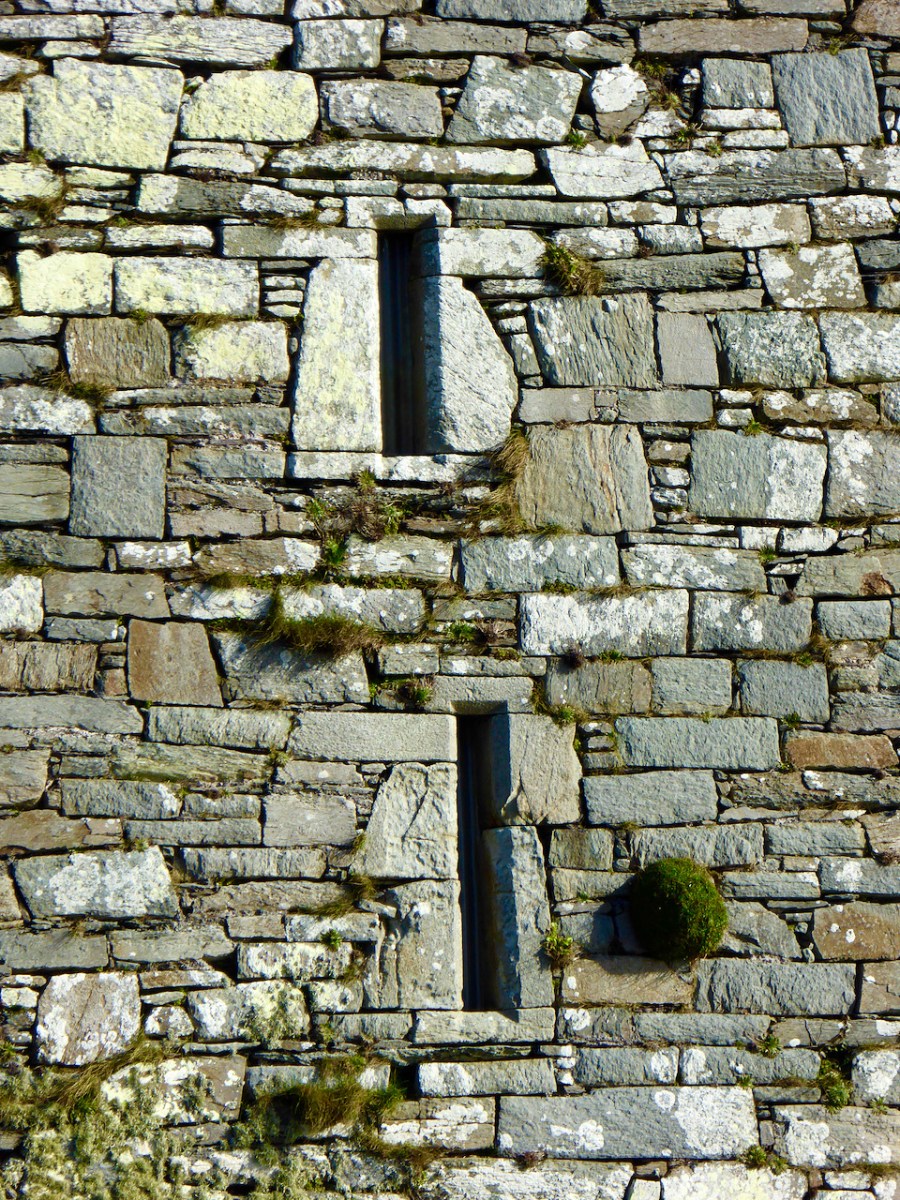
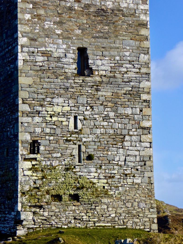
Another defensive feature was the small opes, or windows, through which no attacker could climb and little light could penetrate

As regards defence, the castle was attacked by Carew’s forces after the Siege of Dunboy in 1602. According to Samuel:

Sir George Carew reported, on 13th July 1602, that his lieutenant, Captain Roger Harvy, had taken several castles strongly seated on rocks and necks of land. All were so ‘neere unto the sea where ships may safely ride, and fit places for an enemy to hold as, namely Leamcon, Donnegall’ and others. The decision was taken to burn these tower houses. Conor, the head of the sept, received quarter with his men and migrated to Spain immediately afterwards. He was subsequently pardoned but seems never to have returned.

THE TOWER HOUSES OF WEST CORK
MARK WYCLIFFE SAMUEL, 1998

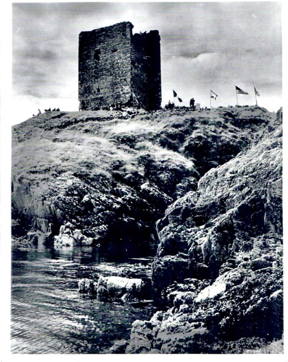
Black Castle wasn’t burned and it subsequently was reclaimed for a time by the O’Mahonys, although the clan forfeited all or most of their lands after the rebellions of the 1640s, and the castle was abandoned from at least the 1690s. Such was the state of it when the O’Mahony Reunion took place here in 65 or 66.

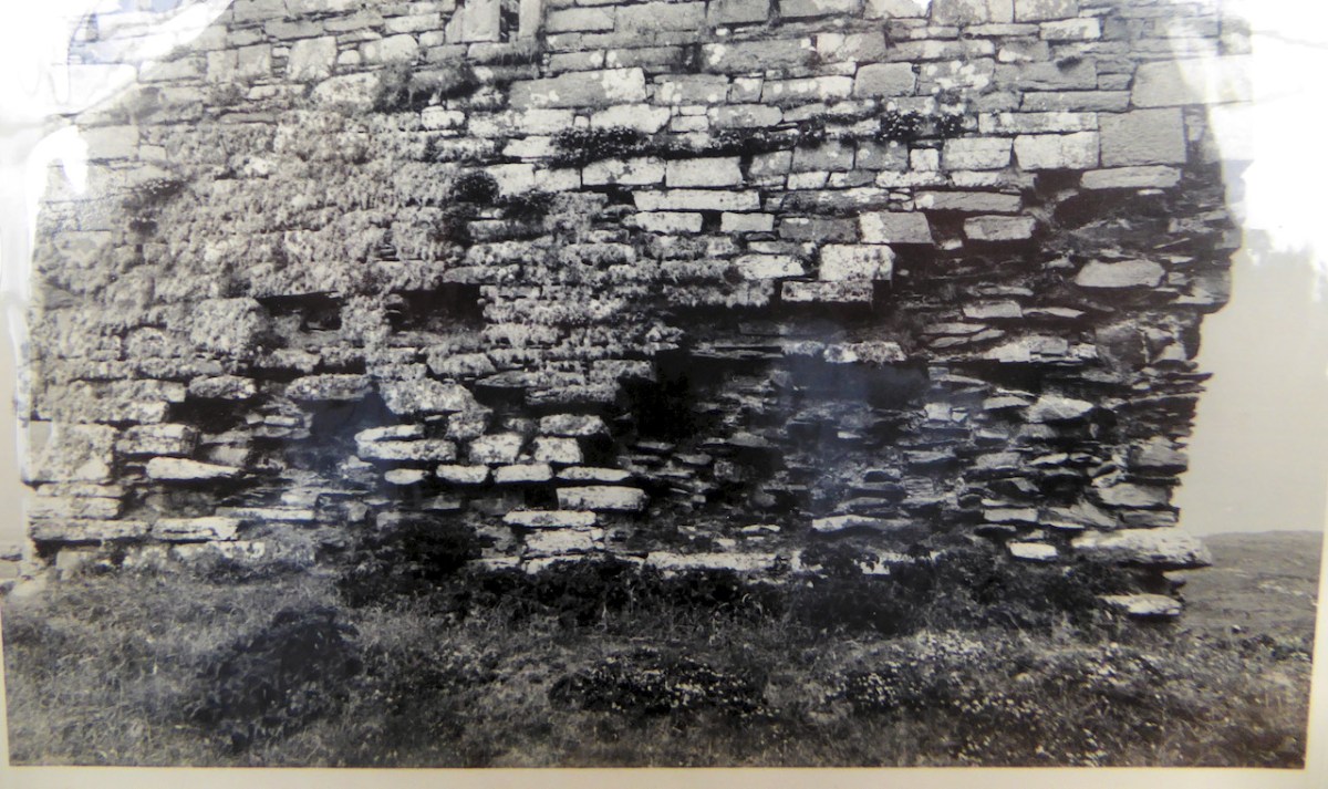
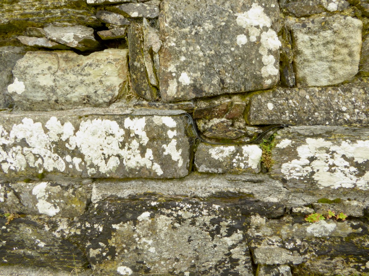
All those years of neglect had resulted in a castle in a perilous state of dereliction and Niall and his builders set about stabilising it before they could make it habitable. The base batter – the broad foundation that give the walls a strong base – had first to be repaired. This called for great skill and the results are impressive. Niall has left a band of membrane to indicate where the old and new stone work meets.

The castle was built to align with the strike of the rock, a feature of most of the Ivaha tower houses. The strike is the compass direction in which the rock bed is running and for West Cork that is mainly in a northeast to south west direction. The builders chose a prominent and solid rocky platform, still easily discernible, and probably prepared it by digging away any soil and loose rock and may have laid down a layer of mortar to help bind the lowest slabs to the rock surface. 

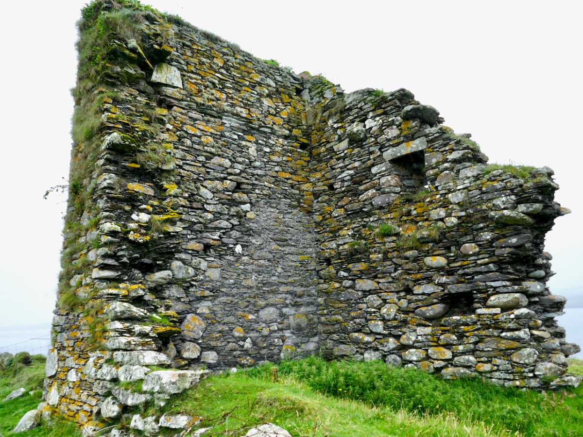
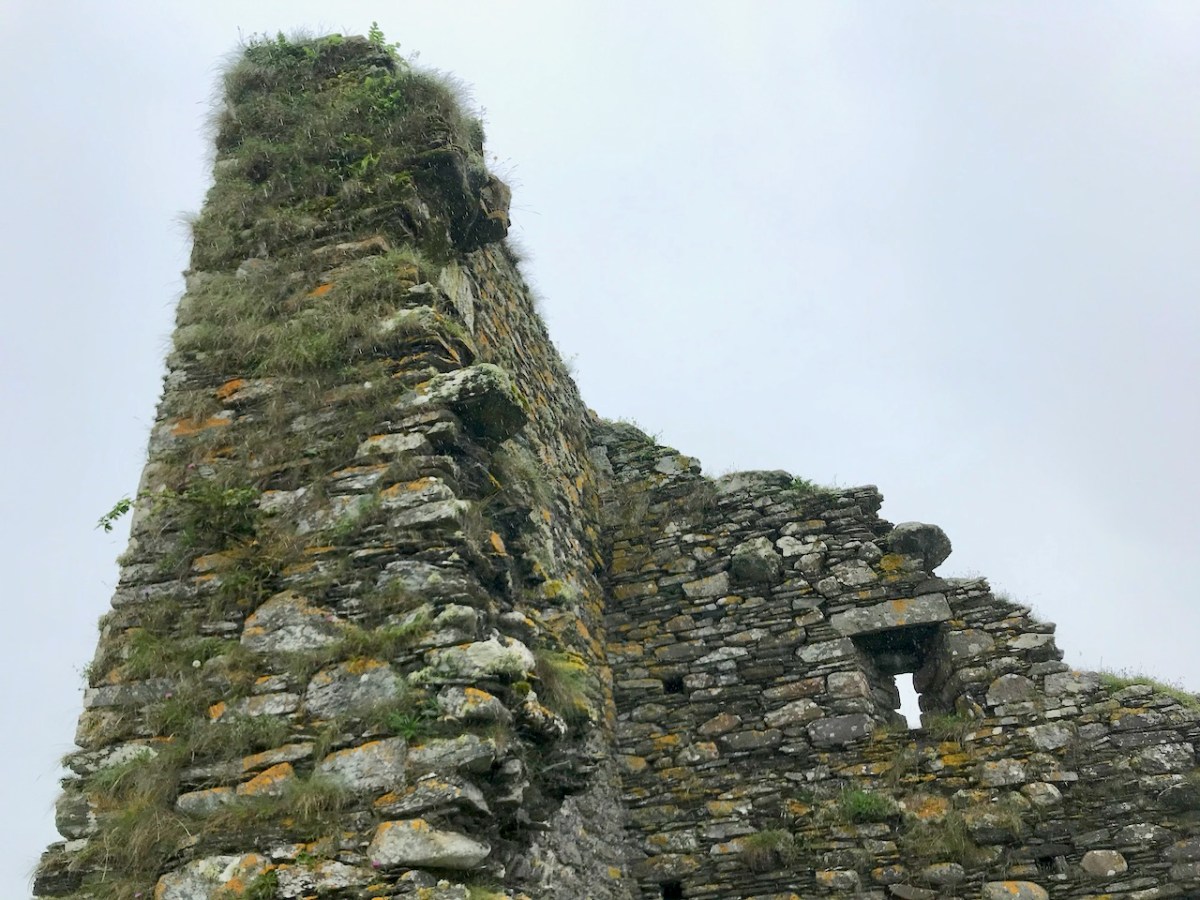
At Black Castle, the quality of the masonry varies, leading me to think that not all stone masons were as skilled, or perhaps as careful, as others. See the variation in the image below. The quoins (corner stones) were made of fine-grained sandstone that can be freely dressed in any direction (called Freestone), while the stones used to dress the outer layer were carefully chosen (or deliberately shaped) to be smooth and even, lending a pleasingly sheer surface to the castle exterior, sometimes called  an “ashlar finish.”

The raised entry, in the case of Black Castle, is directly about the ground-level entry, similar to Ardintenant, but unlike Dunmanus where the entries are staggered. The entrance to the upper door would have been by means of a wooden staircase, possible from the small rocky knoll across from the entrance.

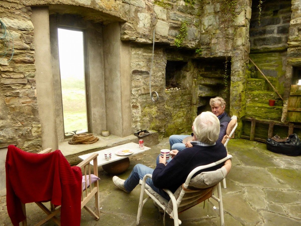
In his conversion of the castle to provide habitable space, Niall concentrated on the upper floors. There is a living room, kitchen dining area and bedrooms, along with a toilet and shower which are situated in the original garderobe space. 

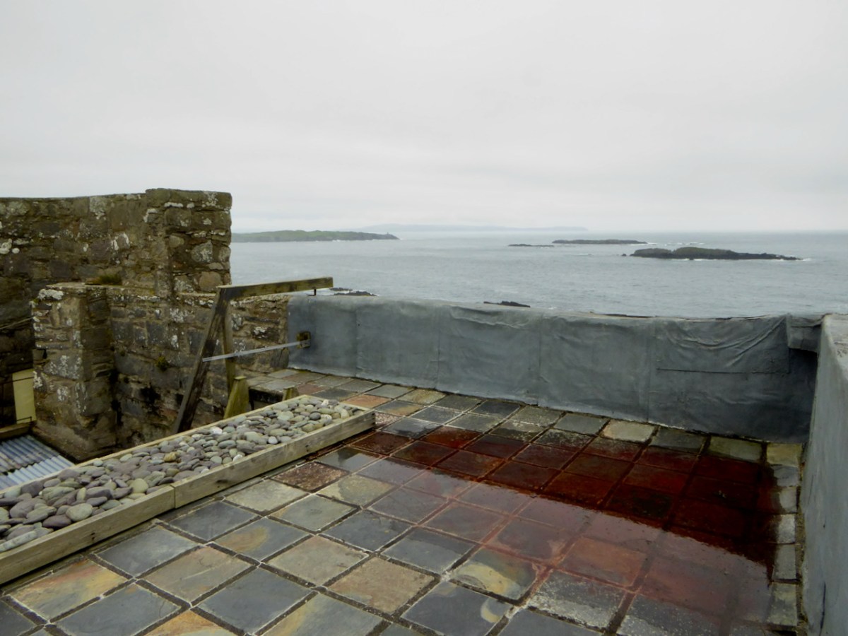
By roofing and waterproofing the building, Niall has kept further deterioration at bay. It is a joyous thing to sit and look over the countryside with a cup of tea on hand, or to climb up to the wall walk and gaze over the wild and rugged peninsula, imagining Carew’s forces advancing across the sea.

Niall Hyde has managed, on a limited budget, to salvage Black Castle and indeed turn it into a space that his family enjoyed. We should all be grateful to him, and to others who have taken on such tasks with vision and courage. Without the Niall Hydes of this world, we would all be the poorer.

Evolving Cork – The Great Exhibitions

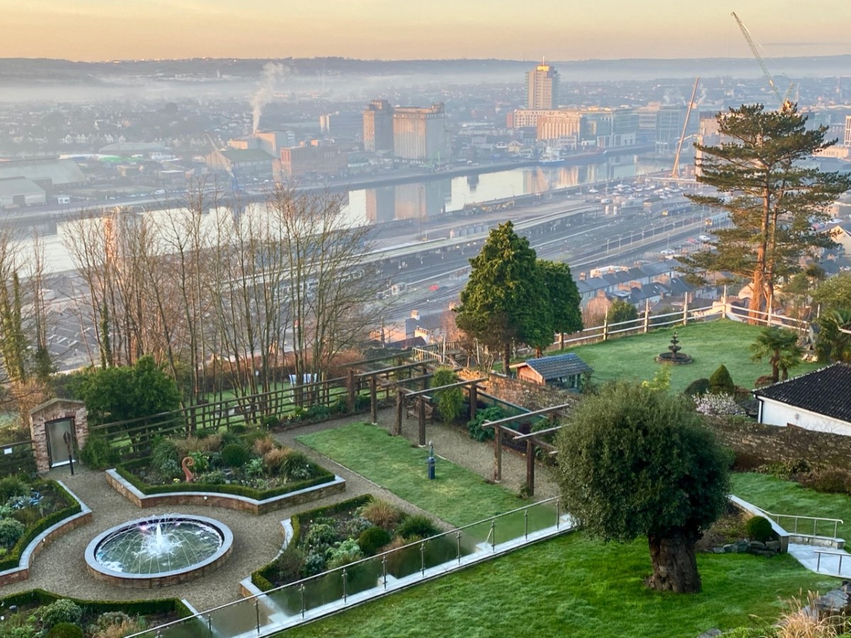
Here’s a fine view over the city of Cork, taken early one morning from the grounds of the Montenotte Hotel, on Middle Glanmire Rd. It reminded me that way back in 2016 I mentioned in Roaringwater Journal the fact that Cork City has over the years hosted a number of world-class fairs. The first was in the mid nineteenth century:

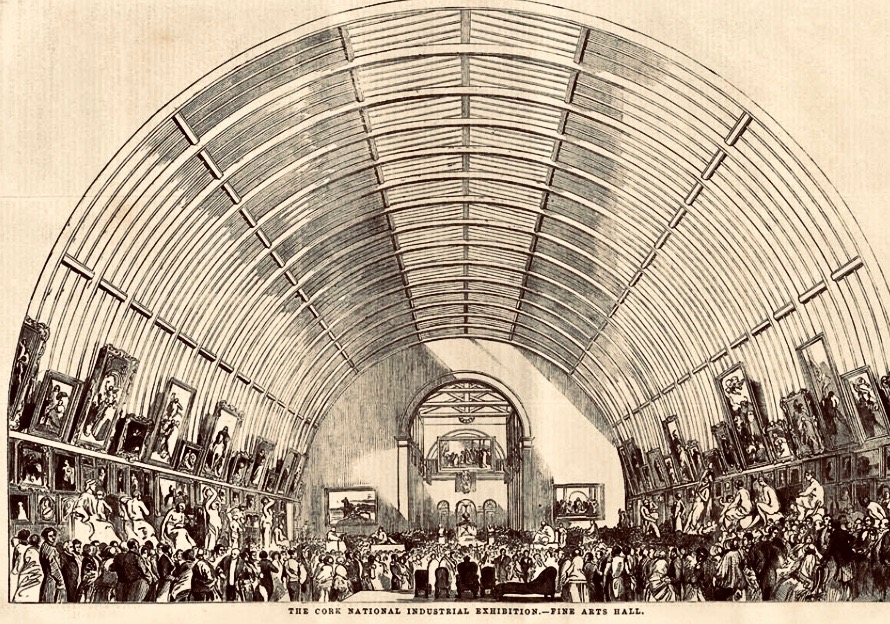
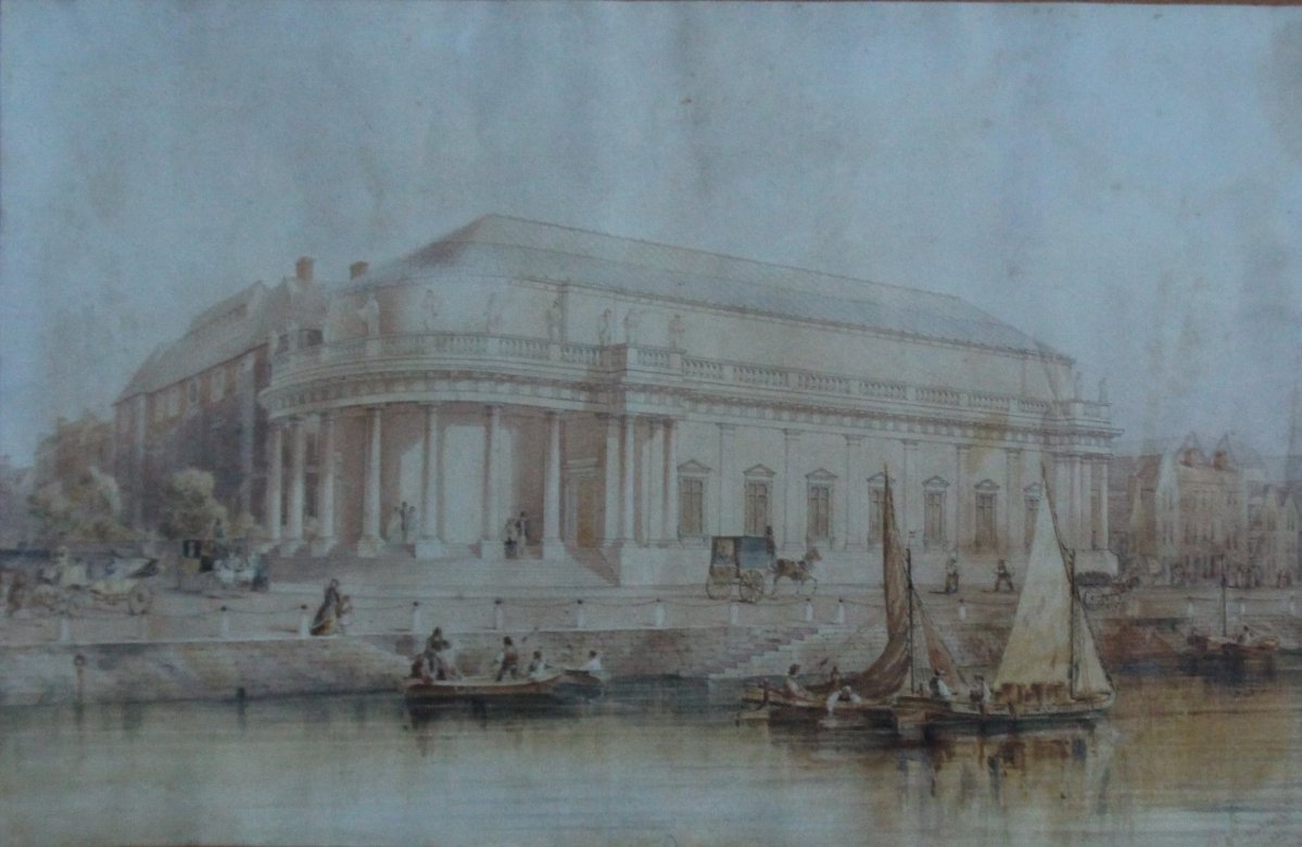
This engraving from the Illustrated London News shows the ‘Fine Arts Hall’ which was part of the Cork National Industrial Exhibition held in 1852:

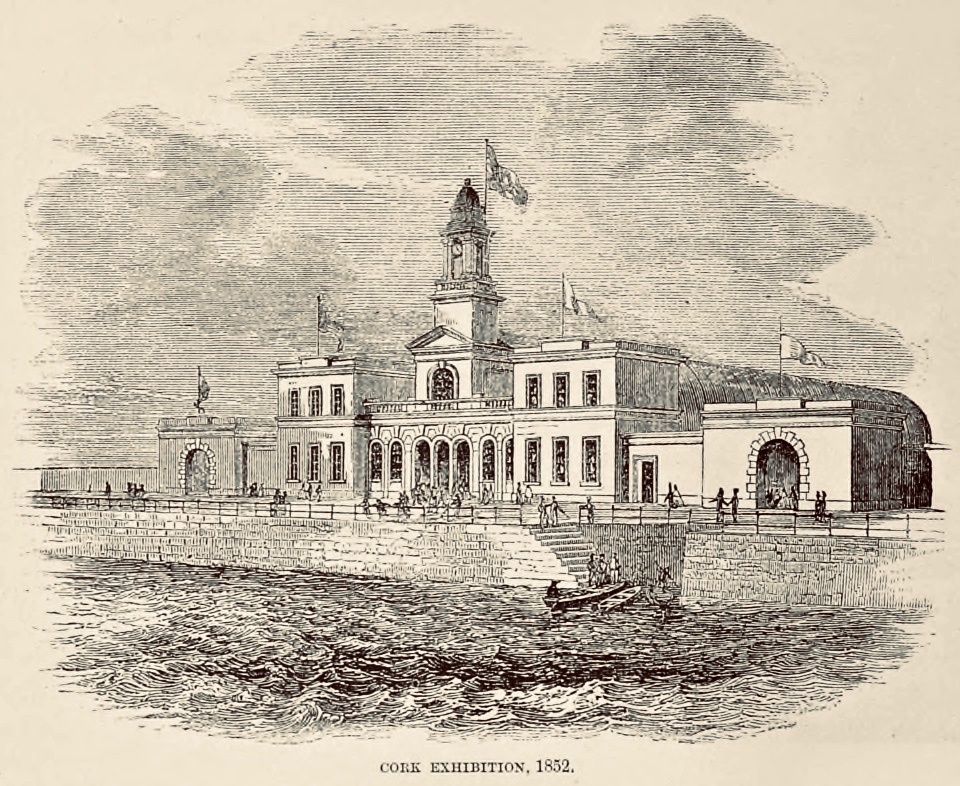
. . . The site of the Cork Exhibition was the Corn Market, where ships carrying visitors and goods could dock and unload at the entrance gates. The old Corn Exchange building, lent for the occasion, formed one end of the structure, while a new mart served as a principal show room. This ran across the southern part of the old building, parallel to the quay, for 300 feet in length and 30 feet in breadth, giving the impression of a contemporary railway station, even to the strip of glass along the roof to admit daylight. By the opening day ad hoc extensions had been added which converted the original elongated T – shape into a cross, with covered galleries and passageways running from the central structure to an adjacent building used as a hall for banquets, balls and public lectures . . .

A C Davies – Irish Economic and Social History, Vol 2, 1975

. . . The exhibition remained open for three months, until 10 September. The opening ceremony had been performed by the Lord Lieutenant after a procession watched by the townspeople, ‘in all the pomp and circumstance of majesty, with waving banners, prancing horses, peals of artillery, and multitudinous shouts’. At first attendance was sparse. It rained steadily for the whole of the first week, but then the weather improved and the number of visitors increased. It amounted to about 140,000. Ten thousand free admissions were granted to children from over seventy schools in the area . . .

A C Davies – Irish Economic and Social History, Vol 2, 1975

When the 1852 exhibition closed, the people of Cork decided their city should have a venue suitable for the holding of public lectures, meetings and concerts. Within a few years the building above was constructed. Known as the The Athenaeum, it was designed by Sir john Benson, who had been responsible for the Great Hall of the Cork Exhibition. It is said that many of the materials which had been used in Benson’s exhibition hall were salvaged and re-used in The Athenaeum. The new building was renamed The Munster Hall in 1875 and then became the Cork Opera House in 1877. It survived until 1955, when it was destroyed by fire. The present Opera House, on the same site, was opened by President Eamon de Valera in 1965. It was extensively remodelled, with the glazed facade added, in 2000.

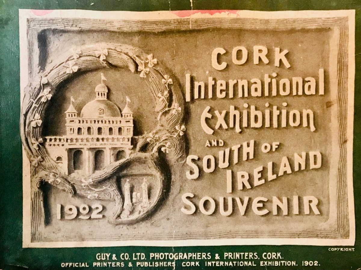
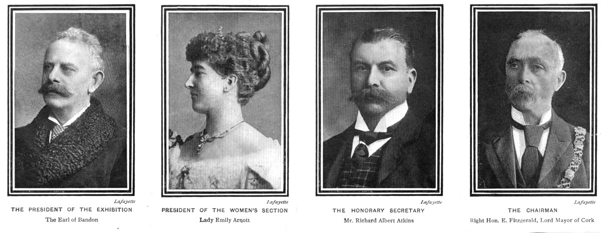
Half a century later Cork city embarked on another major ‘world fair’ class event. In 1902 the Lord Mayor of Cork, Edward Fitzgerald, presided over creating Cork International Exhibition, which ran from May to October. Reclaimed marshland beside the river at Mardyke was used for the site, which occupied an area of about 44 acres. Here are the ‘leading lights’ of the exhibition organisers, with Fitzgerald on the right:

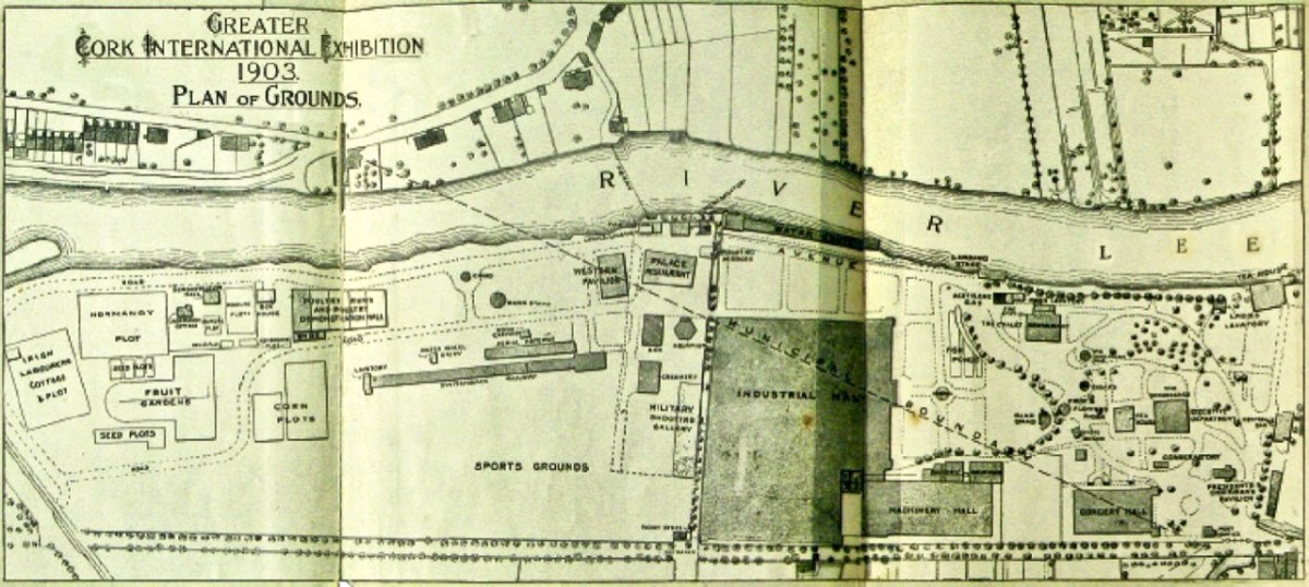
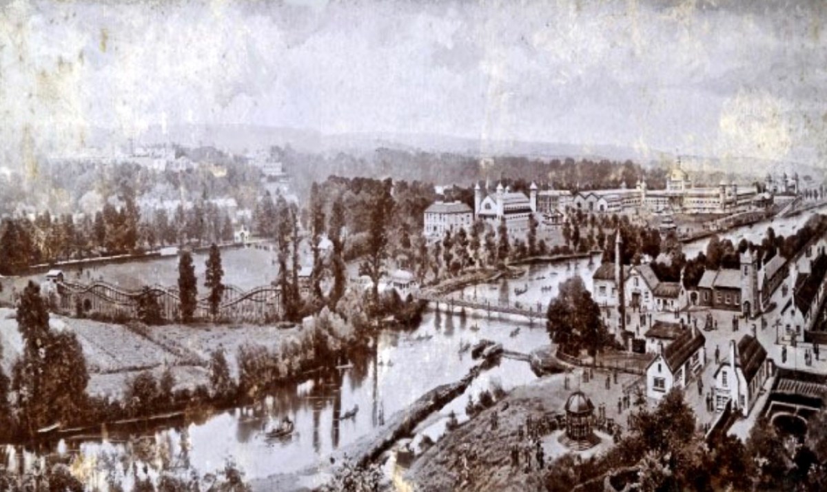
This exhibition was considered such a success that it was repeated the following year – 1903 – and the site plan above bears this date. The artist’s aerial view of the site, below, gives a good impression of the extent of the grounds. Note the ‘switchback railway’ to the left: this was a precursor to roller-coaster fairground rides and was immensely popular…

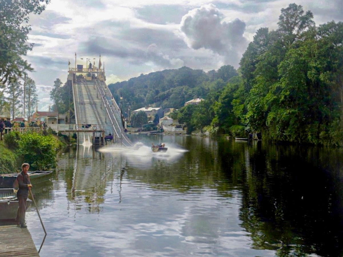
…As was the ‘Water Chute’ from which it was unlikely that you would emerge dry!

Such attractions were very popular with the general public, but the exhibition had a more serious commercial side:

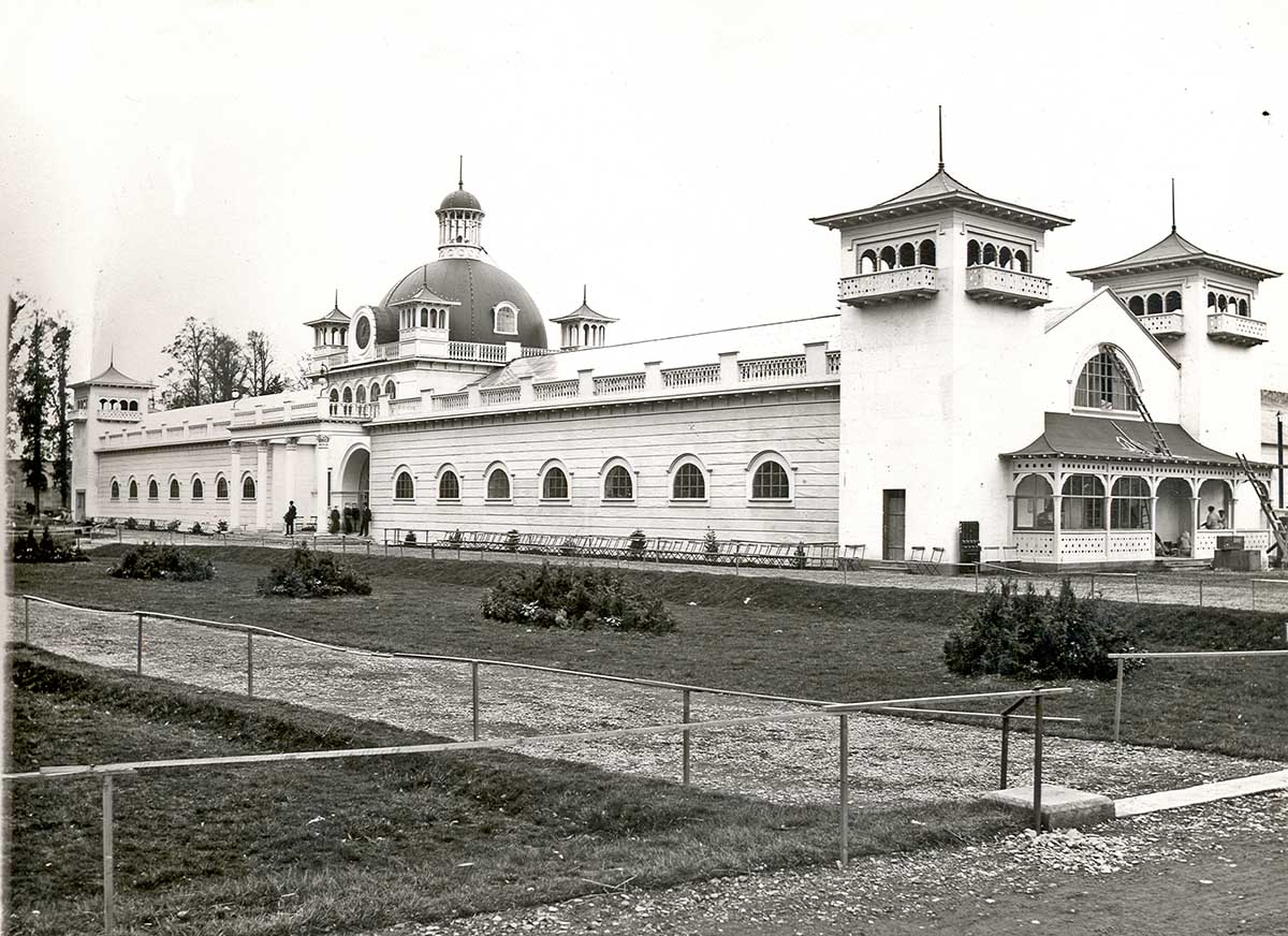
Several large exhibition halls and pavilions housed a range of industrial and agricultural exhibits from many countries including Canada, Turkey and China. There were displays of industrial and agricultural machinery as well as horticulture, fisheries, art, craft and ceramics . . . The Irish Department of Agricultural and Technical Instruction had a strong presence at The Exhibition with exhibits on dairying, cheese-making, cottage gardening, forestry, bee-keeping, poultry, fruit and vegetable drying and preserving . . .

National Museum of Ireland Collections & Research

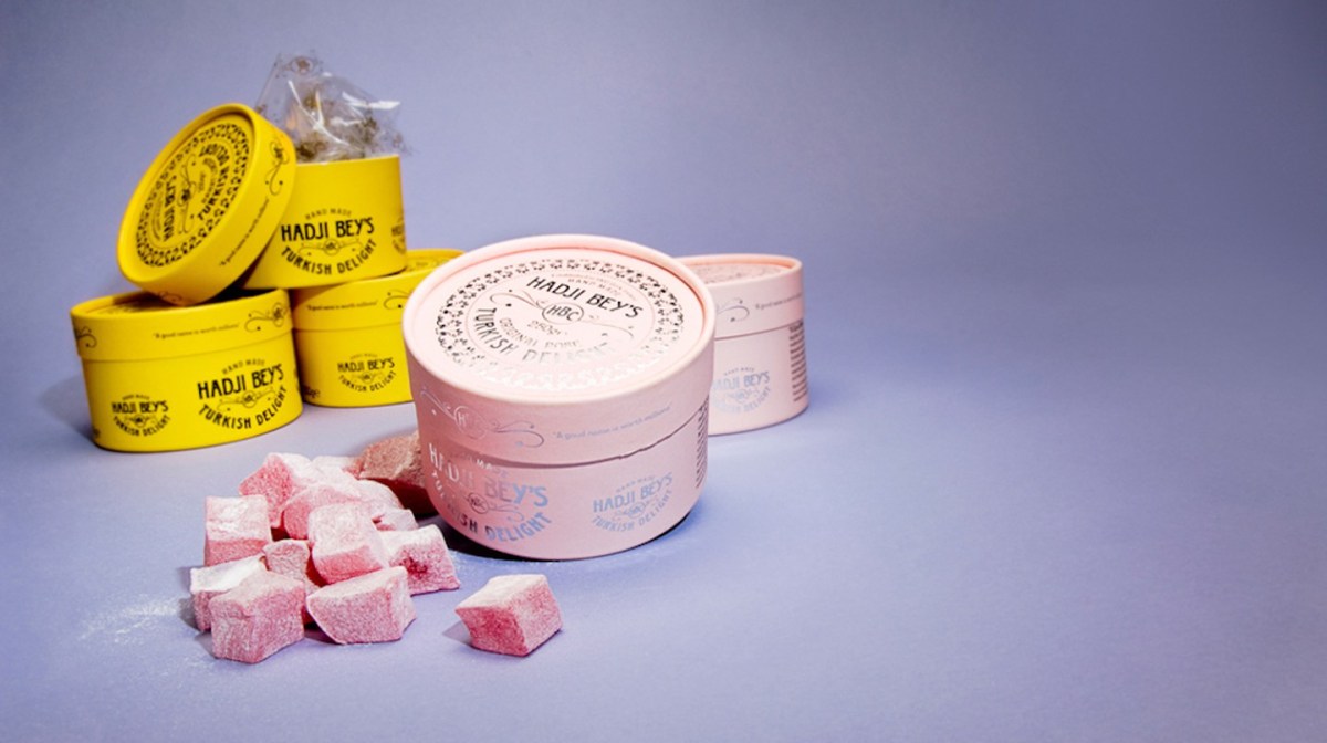
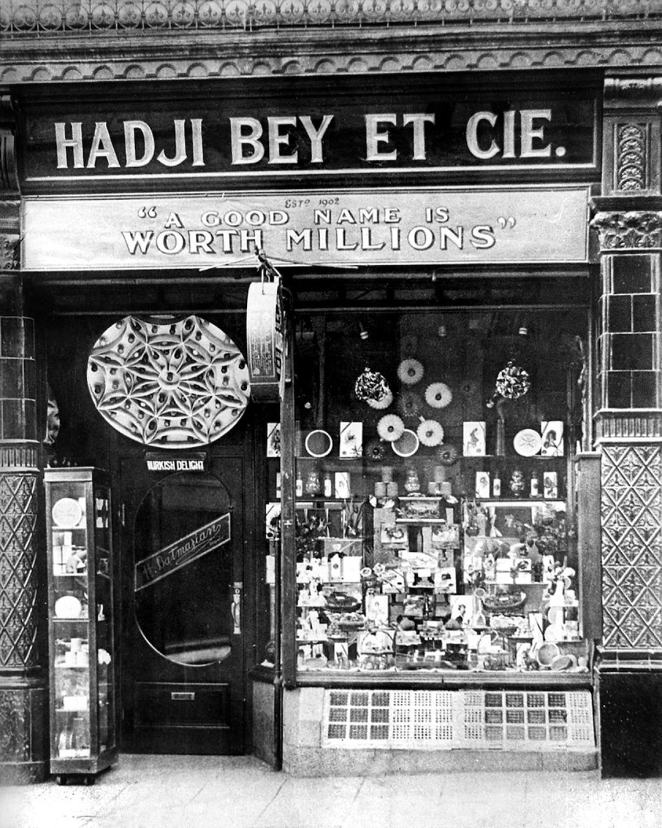
Hadji Bey is a name that will be familiar to any Cork person with a sweet tooth! The true story goes that Armenian immigrants Harutun Batmazian and his wife Esther chose Cork as their new home during the early years of the 20th century, after escaping the persecution and violence against Armenian Christians taking place in the Ottoman Empire at the time. In 1902, the Batmazians participated in the Cork International Exhibition and introduced their Turkish Delight – a skill Harutun learned while studying in Istanbul – to the market. Although they spoke no English at the time, the city was to became their home and the popularity of their sweets – still made in Ireland today – is legendary. After their success at the Exhibition they opened a shop on MacCurtain Street: this survived for many decades.

Turkish Delight is just one success story from Cork’s International Exhibitions. The 1902 event attracted nearly two million visitors. Surely, it’s time for another one?

After all the clamour and excitement had died down the Exhibition buildings (below) were dismantled and auctioned off. In 1906 the park and Shrubberies House were taken over by Cork Corporation with the proviso that the Corporation would levy a rate of half penny in the pound for annual upkeep and maintenance.  A further proviso stipulated that the Shrubberies House would be used by the Corporation as a municipal museum. Today we can all enjoy enjoy Fitzgerald’s Park and the Cork Public Museum, where Finola and I put on an exhibition about Rock Art back in 2015.

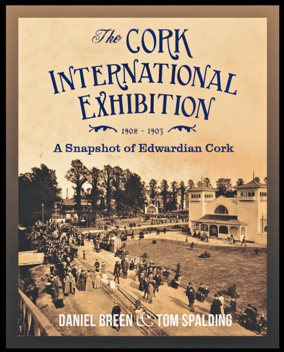
If you want to know more, I thoroughly recommend this book, written by Daniel Breen (now Curator of the Cork Public Museum) and Tom Spalding, published by the Irish Academic Press.

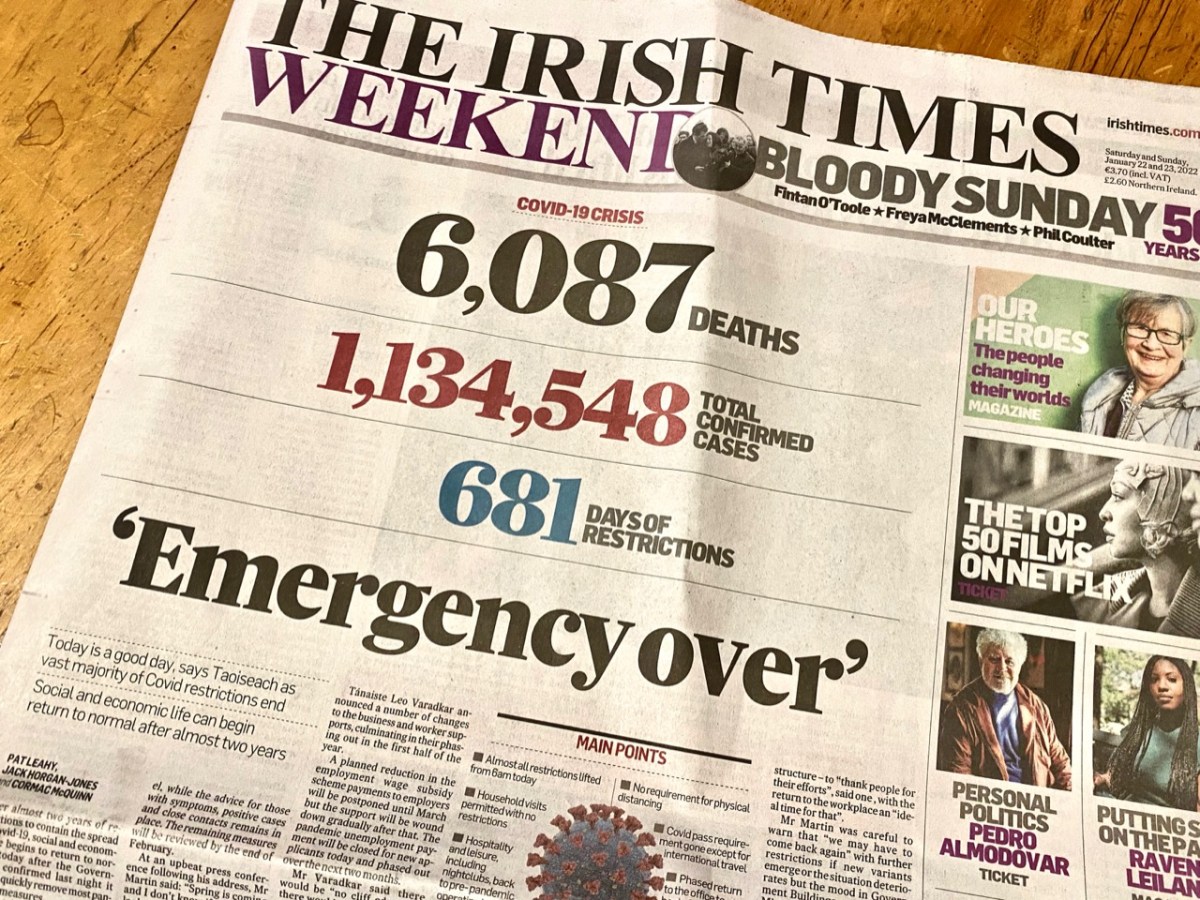
681 Days!

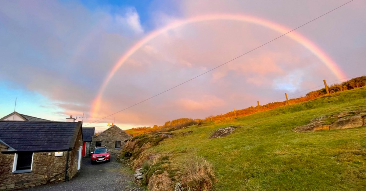
Yes – it has been 681 says since Covid-19 hit us and our world changed. From today, 22 January 2022, most restrictions in the state are gone, apart from the continuing need to wear masks in certain public places. Hopefully that West Cork sky over our house this morning, above, is a good omen for us. Today’s paper shows the stark tally:

The population of the Republic of Ireland as I write this is 5,023,337 (no doubt that is changing by the minute). That tells the story: 22.6% of the people here have had the virus. And of course it hasn’t gone away yet… But at least “social and economic life can begin to return to normal” says the Taoiseach. In order to mark the significance of the moment, my post looks back to our experiences over the last 681 days: in particular, how our lives changed at the beginning of the outbreak.

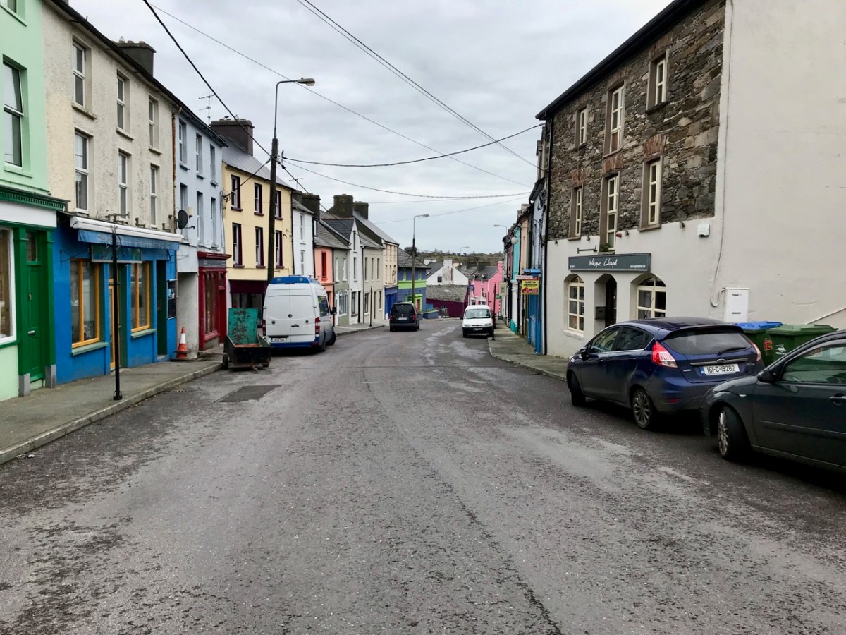
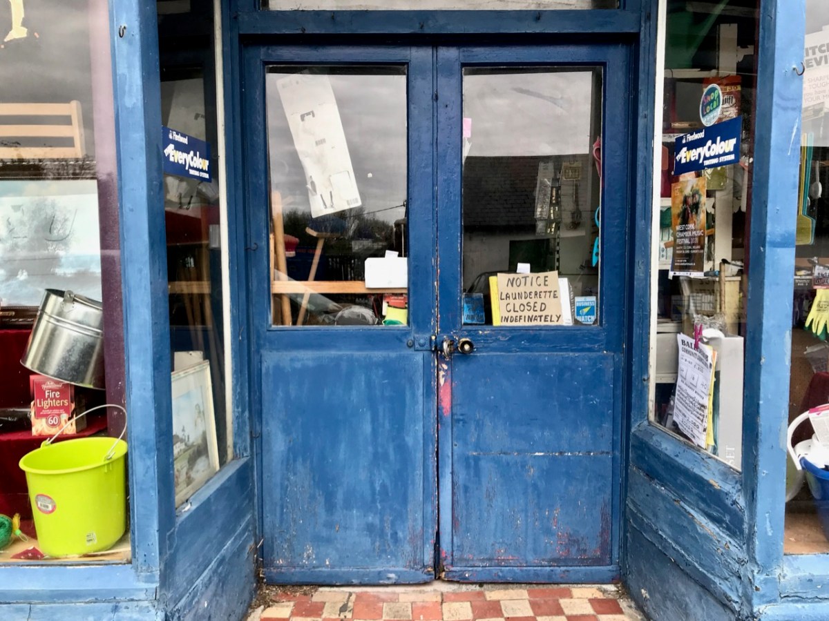
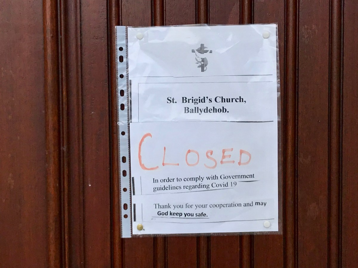
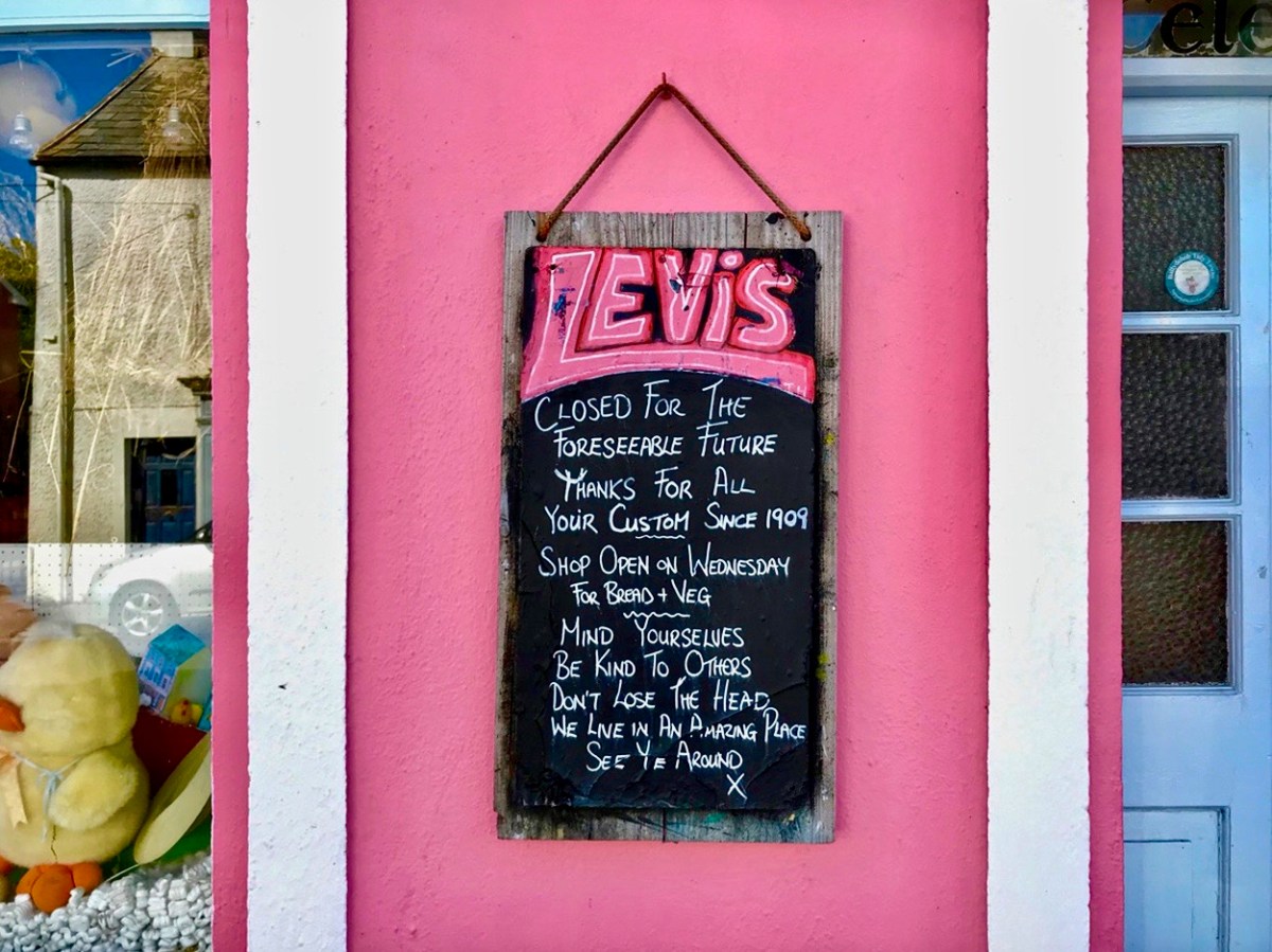
These two images of Ballydehob, taken at the beginning of April, 2020, sum up the shock of empty streets, closed businesses and everyone being advised to isolate. It all seemed very bleak: our movements were initially restricted to 2km from home, then that increased to a radius of 5km. If you lived in rural areas – as we do – you were permitted to travel beyond those distances if you needed to in order to shop or use essential services. We breached those rules on occasion – sometimes to get exercise in the deserted countryside all around us.

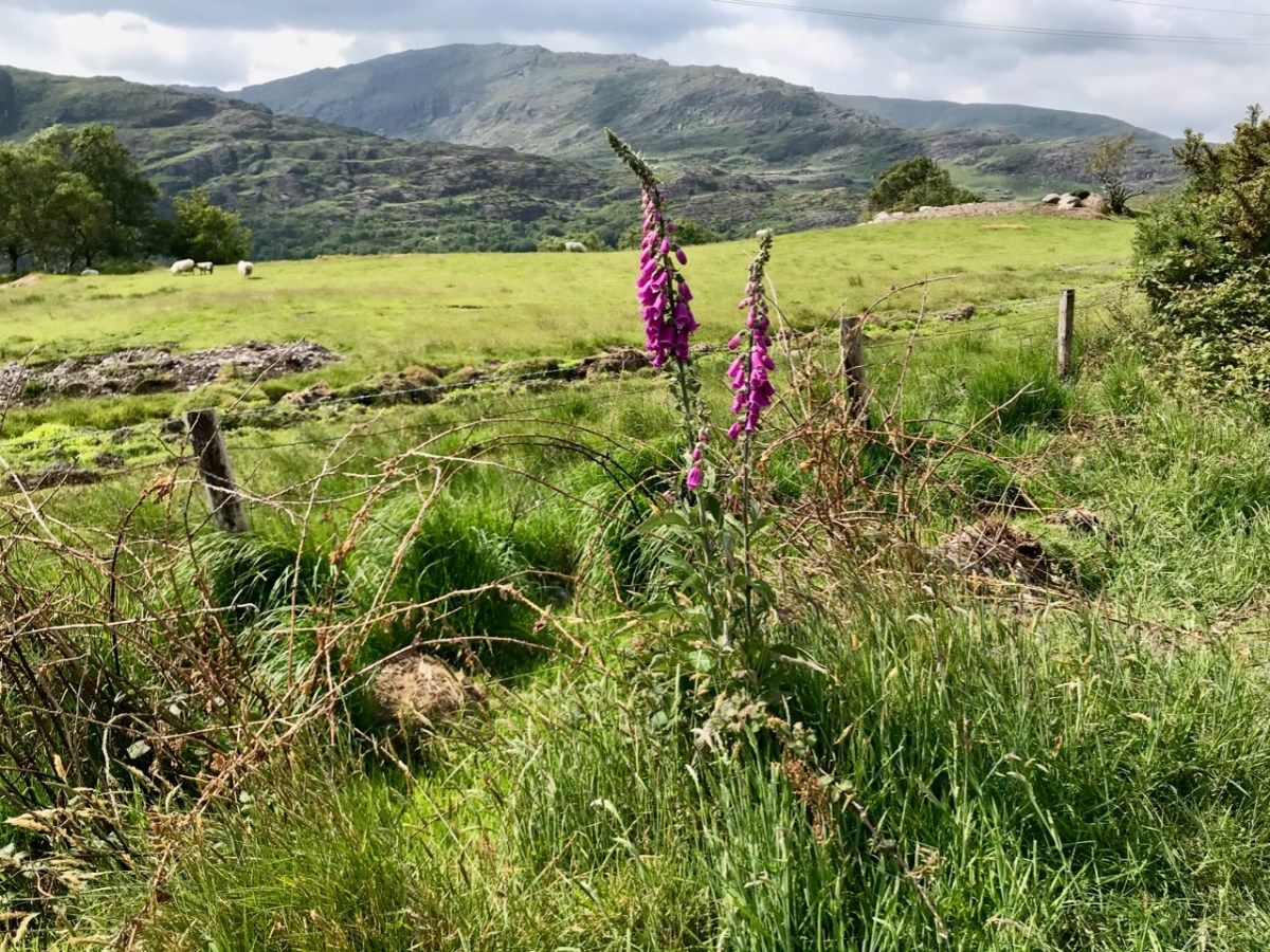
As the days went by, an amazing spring emerged, with day after day of beautiful weather. Human activity was curtailed, but the natural world continued along its course as though nothing was awry!

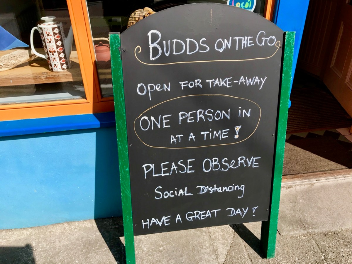
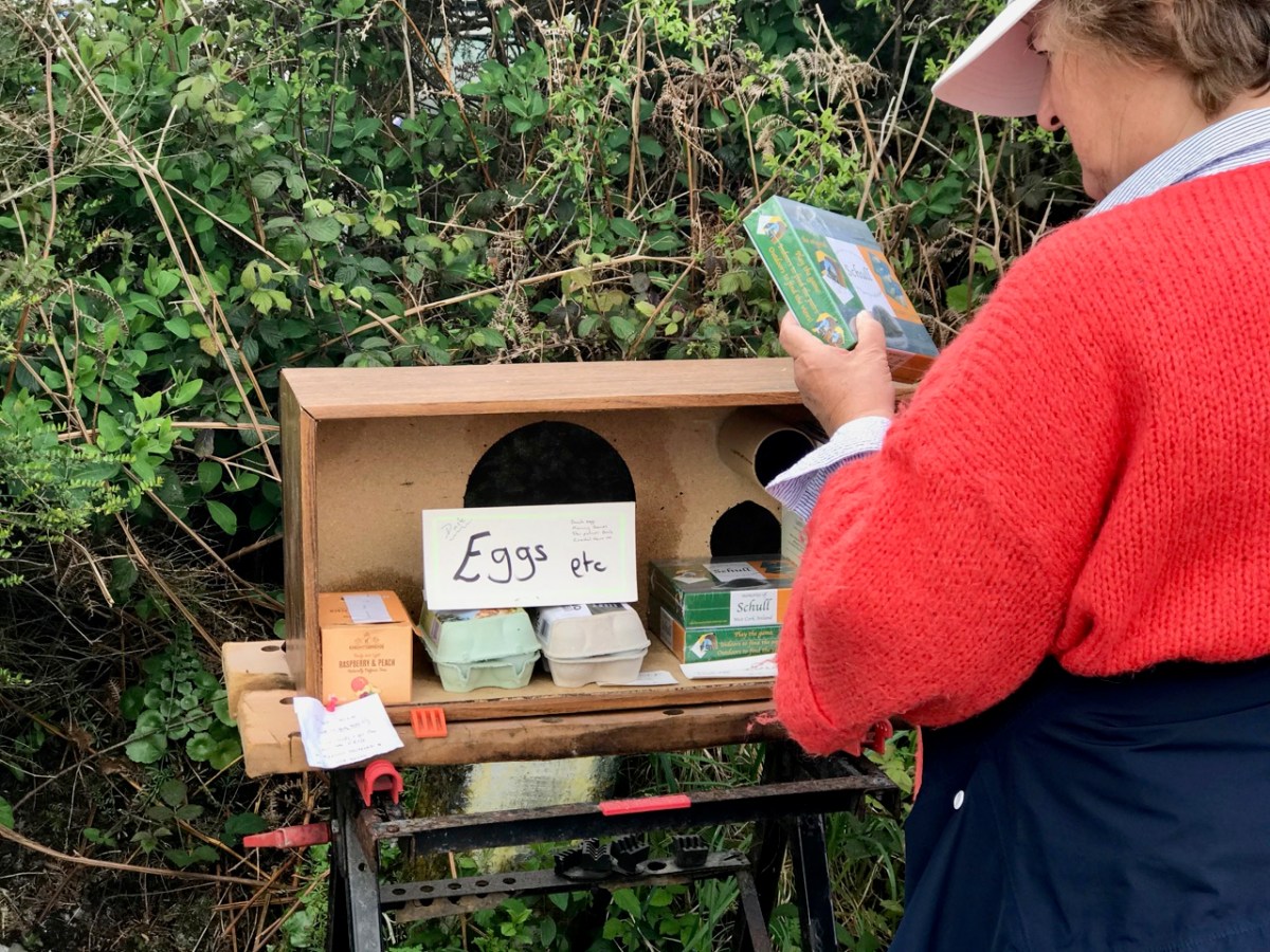
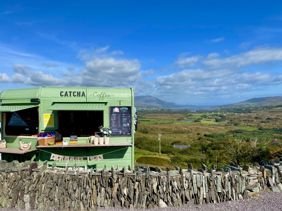
We humans are pretty adaptable. It was amazing to see the ingenuity of folks creating outlets for their energies without having to mix. Food-on-the-go blossomed as a craft industry: here are some examples.

We were very impressed with many of the examples we encountered – and which have survived over the months. Hopefully they will carry on, as casual coffee stalls in the middle of nowhere are welcome to us in our travelling. Pre-pandemic they were probably frowned upon by ‘the authorities’ – and they are certainly regulated – but ‘authority’ would have had to be very hard-hearted to close down these little lifelines. In our experience, every one we encountered was well-run, and spotless. It was an incidental opportunity to have a distanced ‘chat’: always a source of good local information on how others were coping.

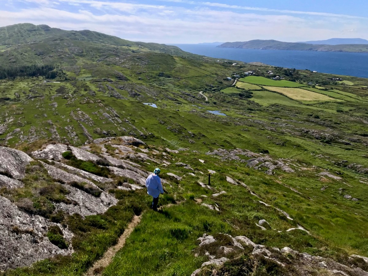
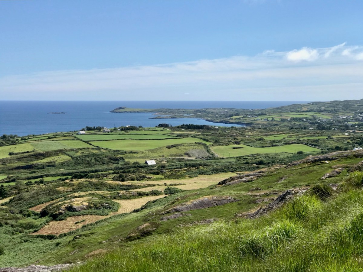
We took the opportunity to climb – and descend – Knockaphuka during the pandemic. It’s a mountain a short distance from Nead an Iolair, but a little outside the limit. No-one was watching! I suppose being restricted to our immediate environment for so long – day after day – made us re-assess it, and our lives. Certainly we have got to know the fine detail of the beautiful place we call home.

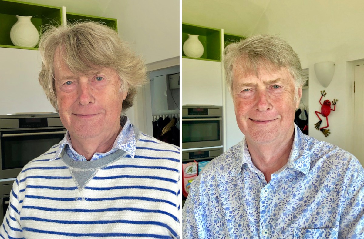
Here’s a social issue: we couldn’t get a haircut for months! Finola kept me in trim, but it was a relief when salons were once again allowed to operate, albeit with some restrictions.

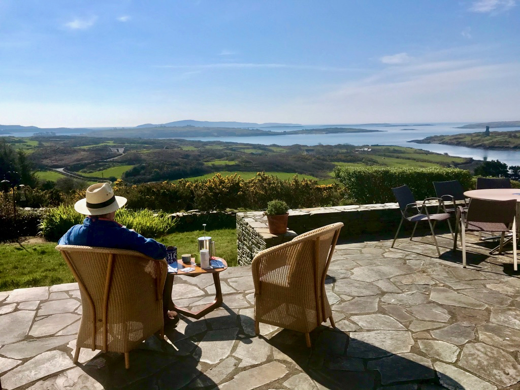
This is us having coffee on our own terrace, looking out over Roaringwater Bay in the wonderful spring of that first pandemic year. In fact, each of the two last years has been benign – with a few exceptional winter storms. We would have felt less relaxed if we had had persistent rain (which sometimes happens).

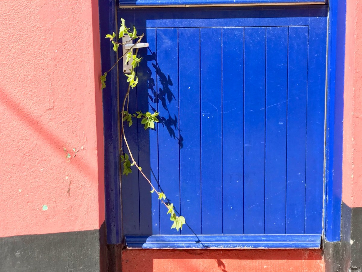
A sprig of green appears on a doorstep on May Day, 2020: a sign that we all still want to continue the old (perhaps ancient) traditions… There were ups and downs: things eased as the year went by and then the new variations came in. Numbers went down and we breathed out. Then they soared – especially with the Omicron variant, and everything went haywire again. Let’s hope that the present easing is here to stay. But the future can never be told…

Chasing Steeples!

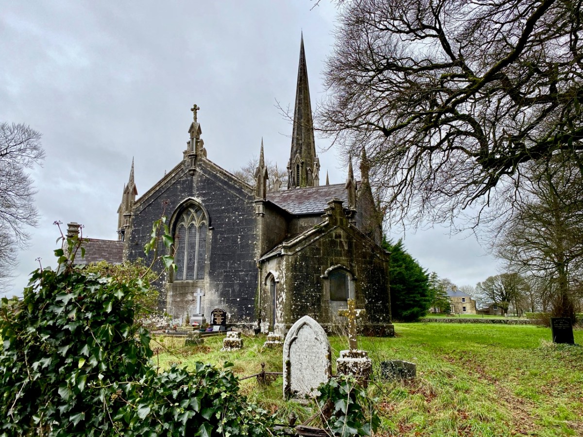
I can’t resist a good Irish story . . . I look out for them wherever we go. Our latest adventure was over in the northern part of County Cork, searching out a number of holy wells and anything related to them: we were led by Amanda Clarke: look at her website here. Regular readers will know that we often get together with Amanda and Peter to share our mutual interests in the Irish landscape. On this most recent expedition our path took us through Buttevant, and specifically to St John’s C of I church there, where Finola was keen to inspect the stained glass windows. The present church was built in 1826, and replaced an older one, established in the late 1600s.

As you can see, it has a tower with a fine, elegant spire. I was fascinated to read that the predecassor of this church is credited with the historical significance of having ‘given birth’ to the Steeplechase horse race.

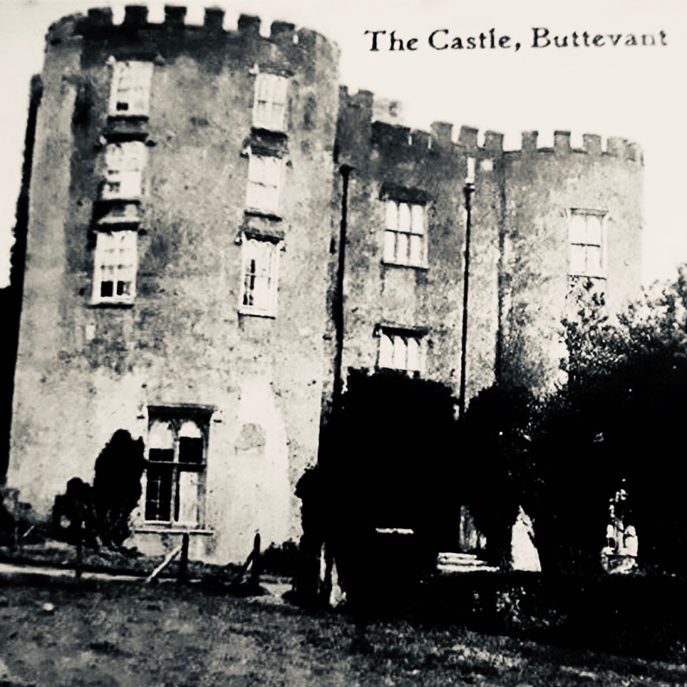
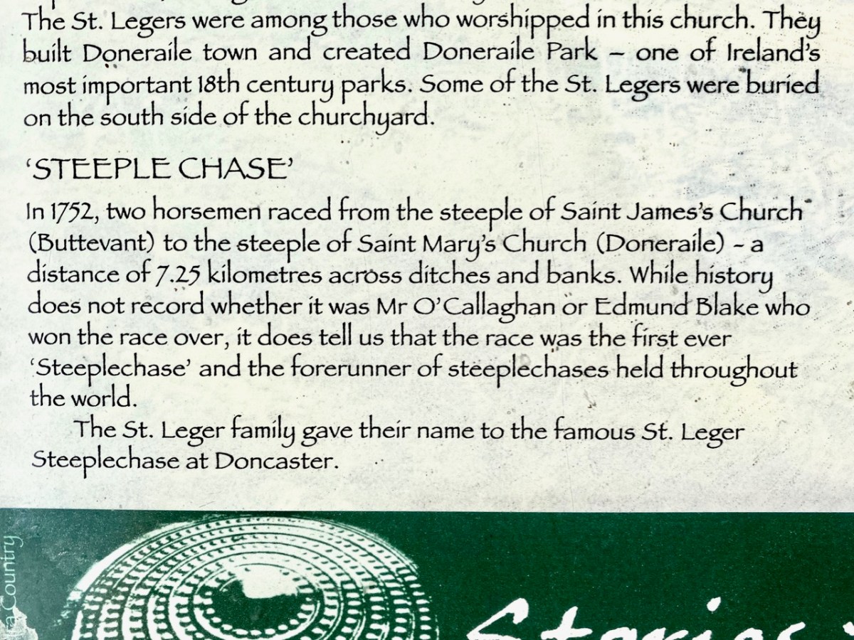
. . . The term ‘steeplechase’ actually originated in a horse race first held in Ireland in the 18th century. As the name might suggest, that very first race took place in 1752 between two steeples in rural county Cork in the south of Ireland. At that time, church steeples were among the tallest buildings in the landscape. On that night, Cornelius O’Callaghan and Edmund Blake were at dinner at Buttevant Castle, having a good time. They made a bet between themselves to race from the steeple of Saint John’s Church in Buttevant to that of Saint Mary’s Church in the town of Doneraile . . .

.europeana.eu

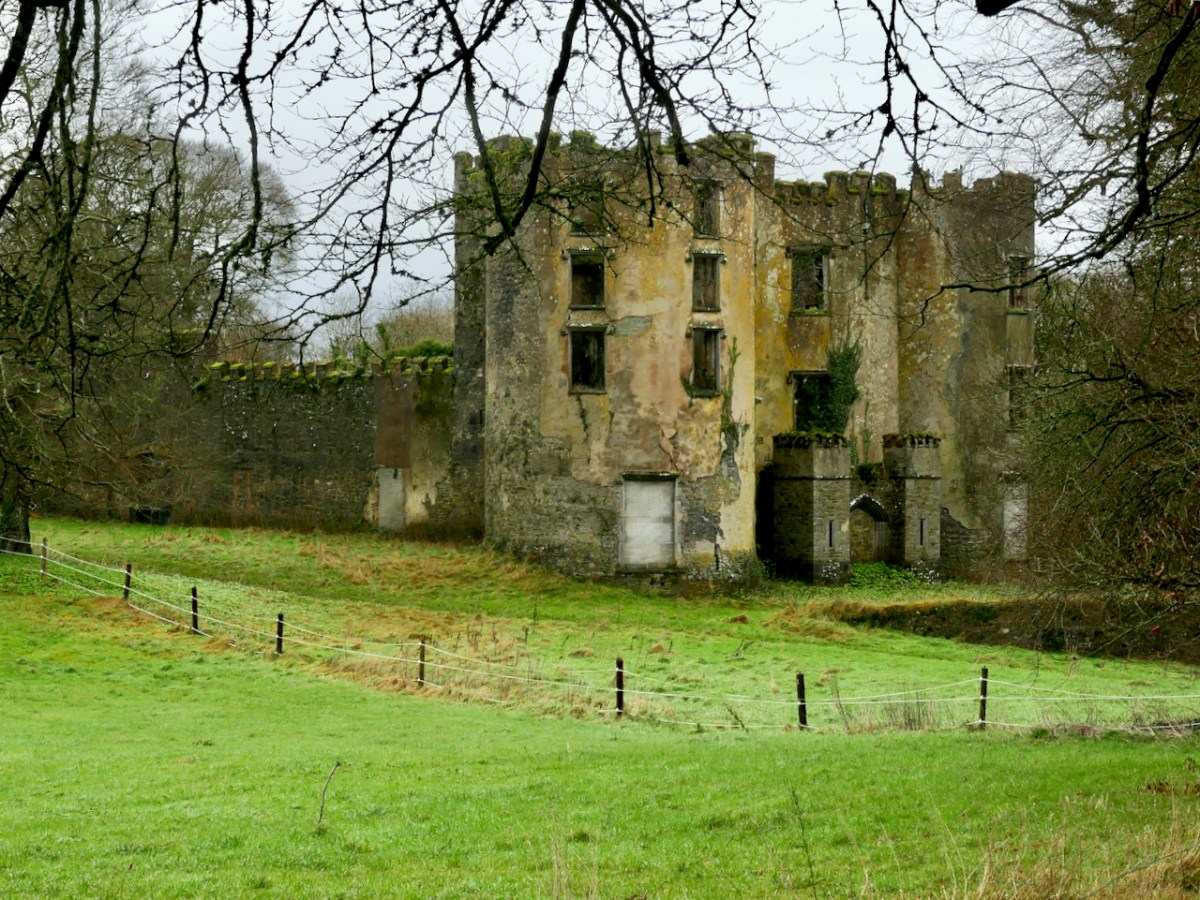
Sadly, the Castle at Buttevant is no longer habitable. It was built around 1200 by Philip and William de Barry, on land seized from the Gaelic O’Donegan’s. The poet Edmund Spenser (1553 – 1599) lived in the nearby castle of Kilcolman for many years, and wrote his poem The Faerie Queene there. He also mentions Buttevant Castle in his writings:

“Old father Mole, (Mole hight that mountain grey
That walls the Northside of Armulla dale)
He had a daughter fresh as floure of May,

VVhich gaue that name vnto that pleasant vale;
Mulla the daughter of old Mole, so hight
The Nimph, which of that water course has charge,
That springing out of Mole, doth run downe right
to Butteuant where spreading forth at large,
It giueth name vnto that auncient Cittie,
VVhich Kilnemullah cleped is of old:
VVhose ragged ruines breed great ruth and pittie,
To travallers, which it from far behold”

Spenser is supposed to have derived the names ‘Mole’ and ‘Armulla’ from Kilnemulla or, more correctly Cell na mullach, an early name for Buttevant. It is possible that the castle here fell victim to the 20th century Irish Civil War, although I cannot find any detailed information on this. Accounts generally suggest that the building was in use until the 1920s and another reference states that there was a significant fire which destroyed the interior in 1936. Today, it is a windowless ruin which is not accessible to the public.

I’m sure you are all anxious to get back to the story of that first Steeplechase – and you want to know who won? When taking in any Irish tale you have to be patient . . . We simple don’t know who won! It’s not recorded anywhere . . . The account continues:

. . .The distance was around 4 miles, crossing countryside and rivers. The winner would be the first to touch the base of the steeple in Doneraile. The prize? More than 600 gallons of port. Sadly, history has not recorded who actually won the race. But that race has gone down in history, with steeplechase races becoming a tradition . . .

.europeana.eu

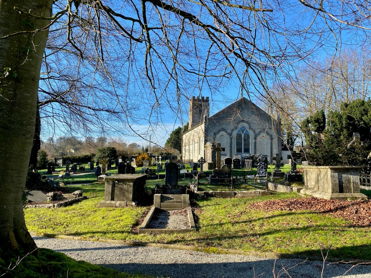
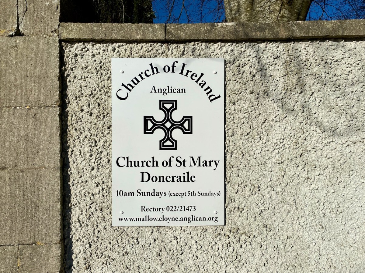
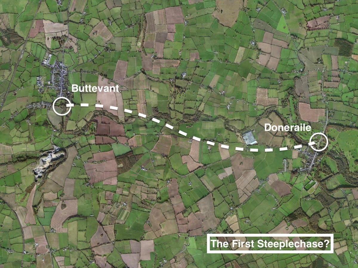
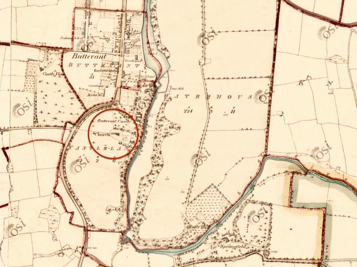
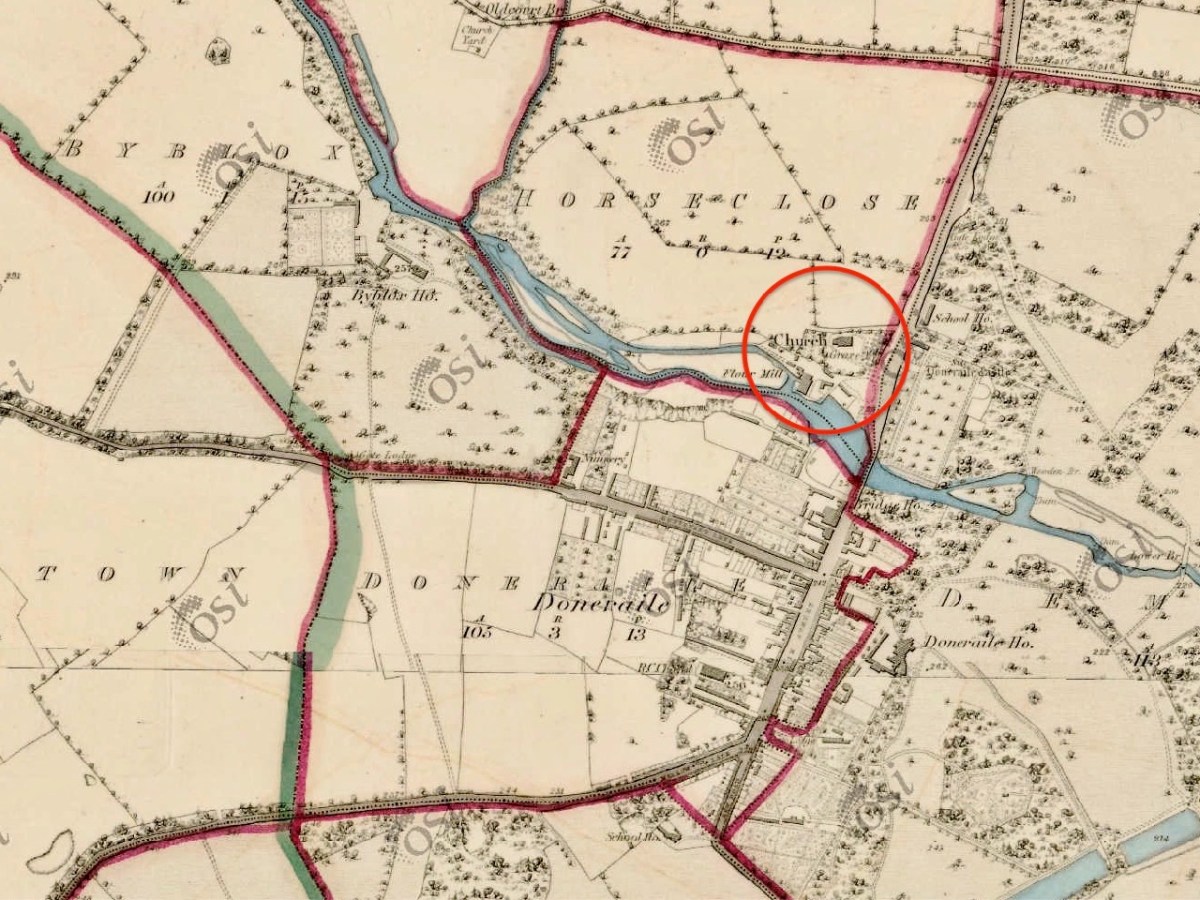
Obviously, we had to continue our expedition with a visit to Doneraile, to view the finishing post. That’s St Mary’s Church, above. The present building does not have a spire: I would have thought that such a feature would be essential if you were looking out for it from a distance of four miles, even with fairly flat countryside in between. However, I have now learned that the term ‘steeple’ correctly refers either to a simple church tower, or a church tower with a spire on it. Have a look at the terrain from a birds’ eye view:

Here I have copied extracts from the first edition 6″ Ordnance Survey map, showing the terrain in more detail around the start and finish points as it was noted in the early nineteenth century:

On this occasion we didn’t have time to explore the route itself: I wonder if anyone else has? Is it significant that the townland which surrounds Doneraile Church is known as Horseclose?

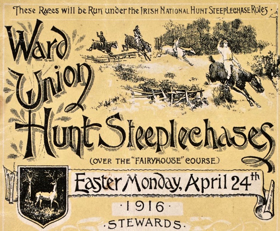
In the present day, of course, Steeplechasing has an equine life of its own. Supposedly, the very first recognised English National Steeplechase took place in March 1830. In 1839, the British Grand National Race at Aintree was established, a race that is still run today over roughly the same distance of around 4 miles. Here’s a poster for the Irish equivalent – at Fairyhouse – on Easter Monday 1916, a very significant date in the Irish calendar . . .

While on the subject of the Aintree event, we must mention the most famous racehorse of all time (probably) who holds the record for winning the Grand National Steeplechase thrice – in 1973, 1974, and 1977 and coming second in 1975 and 1976: Red Rum.

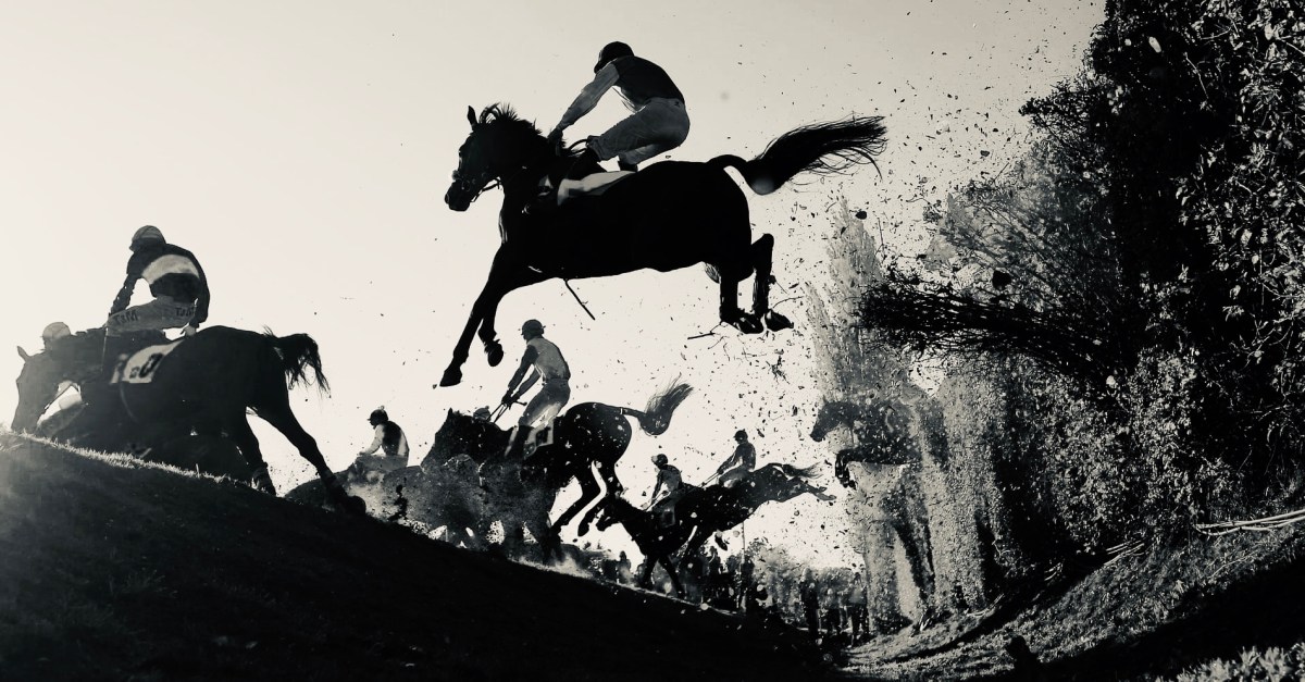
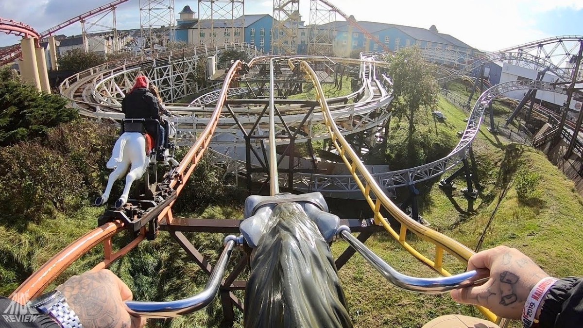
. . . Red Rum was bred at Rossenarra stud in Kells, County Kilkenny, Ireland, by Martyn McEnery. Following a canter at Aintree Racecourse the day before the 1978 Grand National he was retired. The news of Red Rum’s retirement was the lead story on that night’s 9 O’Clock News on the BBC and was also front page news of the following morning’s newspapers. Red Rum had become a national celebrity, opening supermarkets and annually leading the Grand National parade for many further years. His likeness graced playing cards, mugs, posters, models, paintings, plates and jigsaw puzzles. Several books have been written about Red Rum, The horse helped launch the Steeplechase rollercoaster at Blackpool Pleasure Beach in 1977 . . .

Wikipedia

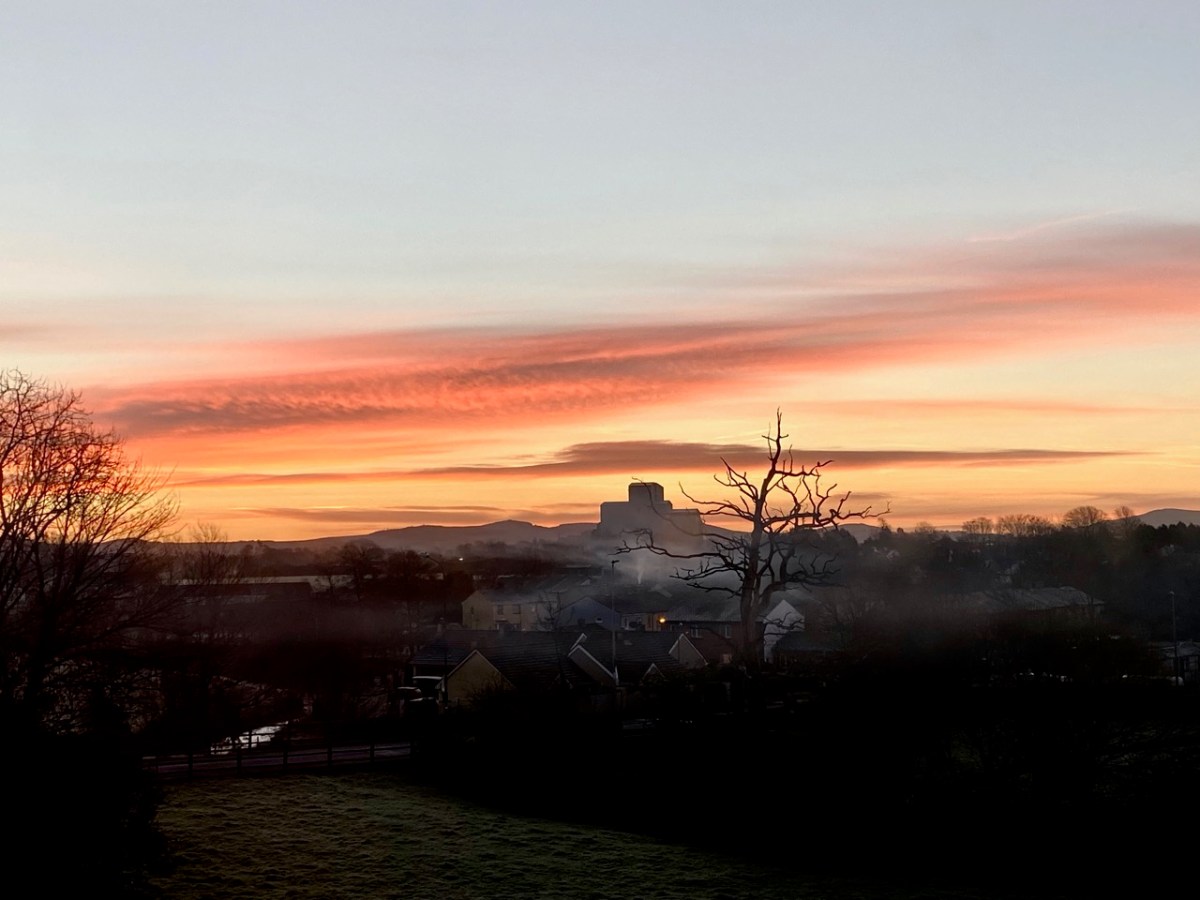
Yes, this is it: the Steeplechase Rollercoaster! You can join in the full experience here. Hopefully my account has enlivened your day: I’m sure there are many of you out there who are familiar with this tale and can, perhaps, add to it? I’ll finish with a view over Buttevant taken on our journey – an atmospheric winter morning.

With thanks to The Guardian for the header pic of the Aintree Grand National

The Wran, The Wran . . .

. . . New Year’s Day saw the Wran coming out in our village of Ballydehob, County Cork. It’s an old tradition here. That time “the fool” accompanied the wren boys. He was mounted on a donkey and carried a bladder tied to a stick. I got the song from John Levis, Ballydehob, (34 years of age) who procured it from Jeremiah Driscoll, Ballydehob (age 64yrs) who was an old wren boy. “Wren” is pronounced wran locally in Ballydehob and surrounding districts . . .

Duchas Schools Folklore Collection : Collector J Barry

This account dates from around 1936. It’s referring, therefore, to something happening regularly in the late 1800s and, probably long before that. ‘The Wran’ is still active in Ballydehob, well over a century later. I have written about our own Wran Day preparations not so long ago – and included the song – and I’m pleased to report that the day went well. That’s me, above and below, playing the melodeon (although perhaps I shouldn’t be giving away the disguise)! I’m actually wearing ‘tatters’, which was my costume when I took part in Mummers’ plays in England from relatively early in my life: I was brought up on the Surrey / Hampshire borders, prime country for this English tradition. Mumming also takes place in parts of Ireland, have a look here.

New Years’ Day was quiet day in the village – until we took to the streets! If you want to know the purpose of it all, I can’t really tell you. These are activities that happen around the natural turning point of the year – the change from the sun getting progressively lower in the sky, and weaker, to its returning strength: already we can sense the lengthening of each day. In the mumming on these islands you got a sense of it from a symbolic play where combatants fought and died, then were brought back to life by The Doctor who can apparently cure all illnesses. And, of course, we are always anxious to see the solstice in action!

In Ireland, the Wran Day tradition is accompanied by a play in some places, but more usually it’s a procession through a community, involving interaction by going into houses and shops, making a lot of noise and generally stirring up the spirits with a bit of mischief-making. We were fairly passive this year because of Covid restrictions, but it felt good to be out and about. Let’s hope that this anomaly in the regularity of daily life can become more marked as things gets back to near normal in future years!

Thanks are due to Sonia Caldwell – who instigated proceedings, keeping us all focussed – and Joe and Caroline of Levis’s Bar who provided the venue for making the masks – and gave great moral support! Traditionally, the masks are ritually burned on the following St Patrick’s day. Finola kindly provided the pics.