Clonfert, St Brendan – and the Ghost of British Fascism

yew walk 2016

Clonfert, Yew Walk

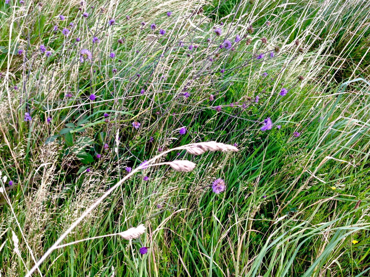
The yew walk at Clonfert  – ‘a great cathedral of natural growth’ – which Tom and Angela Rolt found so impressive on their visit to Clonfert, Co Galway, in 1946, during their travels around the waterways of Ireland. Their photograph is above; 70 years later we followed in their footsteps and took the picture at the top of the page

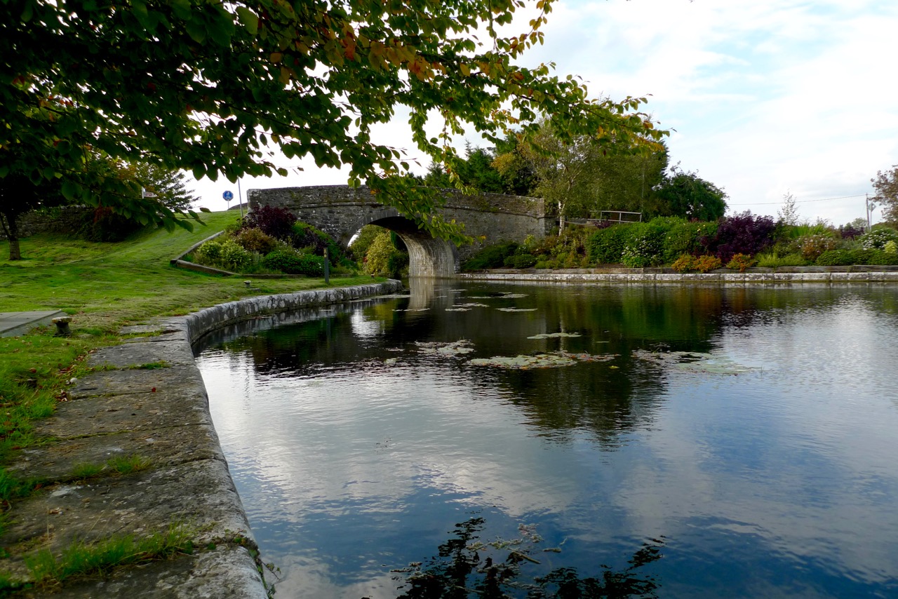
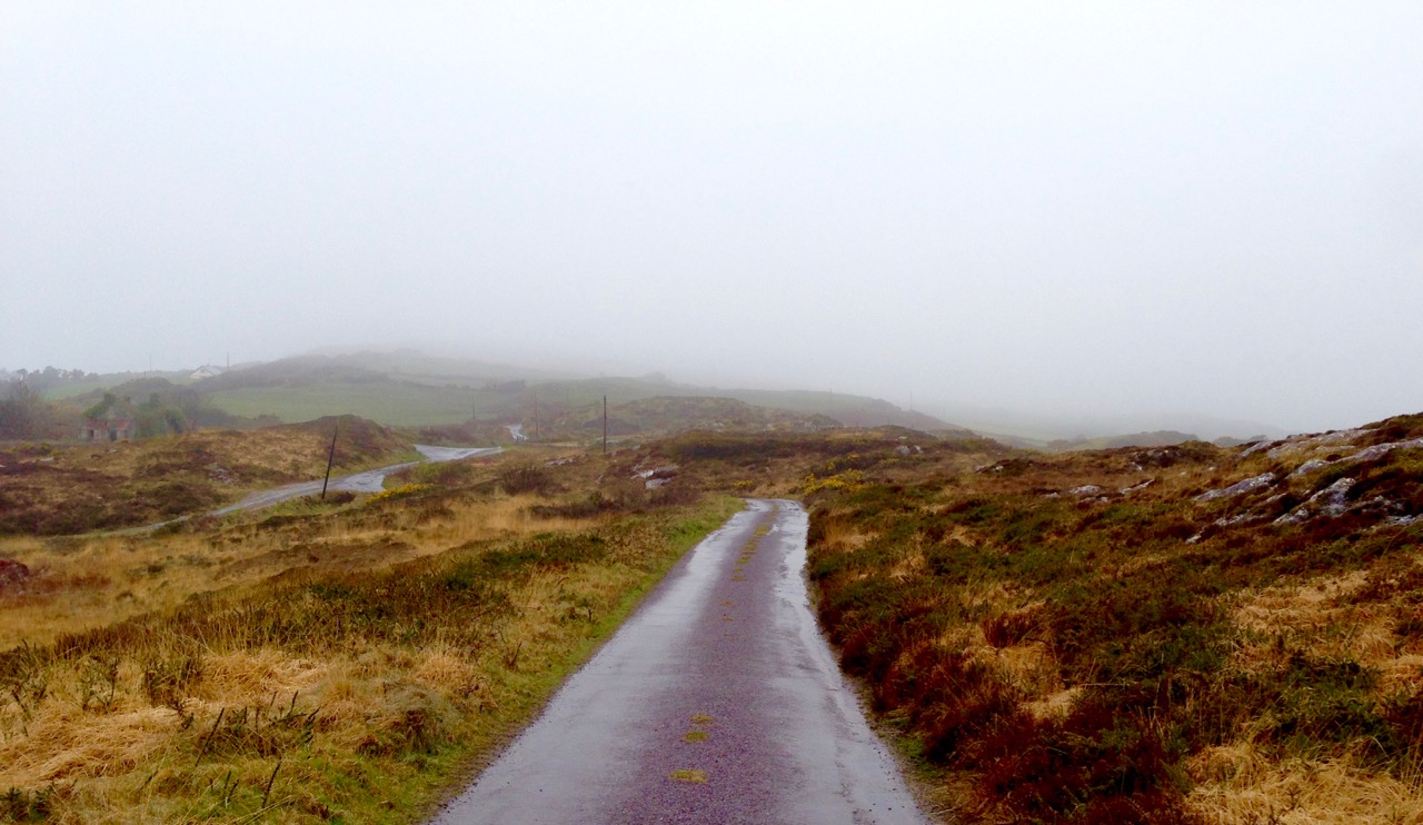
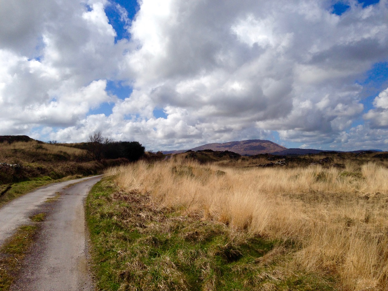
We were following the Rolt’s journey described in the book Green & Silver – this post is the sixth instalment of the Travel by Water series. We would certainly have included Clonfert in our own itinerary, as we could not have missed the incredible 12th century doorway of Clonfert Cathedral, a high point of Hiberno Romanesque architecture – that deserves a future post of its own. The Rolts walked to Clonfert from their mooring on the Grand Canal at Shannon Harbour, a round journey of over a dozen miles; we drove to Clonfert and managed to get thoroughly lost in the maze of tiny roads in that part of rural County Galway.

st brendan's grave inscription

The twelfth century doorway to Clonfert Cathedral – a medieval architectural masterpiece – and the grave of St Brendan which it faces

…Close behind the cathedral and sheltering with it among the fine trees which make Clonfert an oasis in the bogland, stands the Bishops Palace, now a lay residence. Having been courteously granted permission to explore the grounds, we found Clonfert’s celebrated yew walk which is reputed to date back to early medieval times. The yews have attained unusual stature, and their interlacing branches curve outward and then upward towards the light to form a series of those ogee curved arches beloved of the Gothic revivalists of the Strawberry Hill period. As the main walk runs from east to west with two short transepts radiating from a central crossing, the effect is truly remarkable and represents nothing so much as a great cathedral of natural growth. Moreover, the light within was appropriately dim and religious, the dark foliage excluding most of the light from the overcast sky. We found the silent twilight of this great nave of ancient trees strangely impressive, more so, in fact than the man-made cathedral close by. In spite of the difficulty involved we decide to make this the subject of our pictorial record of Clonfert rather than the often-photographed west doorway… (LTC Rolt, Green & Silver, George Allen and Unwin 1949).

nuns walk sign

Tom Rolt, the navigator of canals, devotes several passages in his book to Saint Brendan ‘the navigator’ and his many voyages all over the world until …having completed ninety three years… Brendan set out fearfully and alone upon his last voyage while his body was brought home to Clonfert for burial… (Green & Silver): …There is much evidence to support the belief that Brendan reached America nearly a thousand years before Columbus, that Newfoundland was his first landfall, and that he sailed from thence down the coast to the Bahamas and the everglades of Florida… Rolt goes on to admire the conjectured boat which Brendan and his small party of monks would have used: …The hull of this vessel of AD 551 bears a remarkable resemblance to that of an ice-breaker boat which I saw re-timbered at the yard of an English canal company in AD 1943. She was massively built of oak, iron fastened to the ribs, with a high prow and a whaleboat stern equipped with a steering paddle (the rudder had not then been invented). She was decked fore and aft, while the mast stepped in the well amidships bore a single lug sail. Her timbers were possibly skin-covered as the wooden curraghs of Inishbofin are today covered with canvas. She had considerable freeboard, and she shipped no oars but depended on sail alone. In this small but stoutly built craft, of which the Galway Pookawn of to-day is probably the direct lineal descendant, Brendan set forth to sail into the sunset…

Fascinating and curious juxtapositions in the offerings left at St Brendan’s Tree in Clonfert

The Rolts did not mention St Brendan’s Tree, which we encountered on our way to the yew walk. We don’t know how ancient or how recent this manifestation might be. It’s a horse chestnut and it is festooned with all the offerings one would find at a holy well – and more! In addition to statues, rosaries, cards, coins and ribbons there were toys, musical intruments, shoes – and underwear. We were guided to the yew walk by a forester working nearby: we expressed curiosity at the tree, wanting to know its history and efficacy but his response was pragmatic: “I’m Church of Ireland myself and wouldn’t be knowing anything about this sort of goings-on”.

Brendan made several voyages. Rolt continues the story: …It was upon Brendan’s return from his second voyage that he founded his monastery and college at Clonfert – Cluain Fearta Breannain or the meadow of Brendan’s Virtus. This was destined to become a great European University of three thousand students rivalled only by the similar institutions of Clonard and Bangor. Clear thinking was the liberal aim of education at this period… Fifteen years elapsed before Brendan once more set sail to Scotland, and Wales, visiting the great Welsh scholars Gildas the Wise and Cadoc of Llancarvan, and from thence to Brittany and the Cornwall of King Arthur… Where Brendan voyaged after this is uncertain, but rumour and legend associate the name of this indefatigable traveller with the Canary Islands, Teneriffe, Egypt, Palestine and the Isles of Greece. Yet the patron saint of seafarers returned to Ireland to die in the convent of his sister Brigh at Annaghduin…

Bishops Palace

Palace Interior

We found the Bishop’s Palace, which Rolt mentioned as being a ‘lay residence’ – presumably in good order – in 1946. 70 years later it is ruinous. We were intrigued and I determined to seek out its recent history. In doing so I chanced upon a whole section of Irish and British relationships which startled me, and seemed somehow to make entirely poignant the time span of 70 years which I have been observing in this series.

Discarded robin

A poignant moment – discarded robin and broken statue in Clonfert graveyard

I quote from an article in The Dublin Review, issue No 26, Spring 2007. This is an excellently written and comprehensive account of matters well beyond the remit of this little post, but I commend anyone who is interested in history – and the state of the world today – to read it. This extract continues the story of the Palace at Clonfert:

…In 1951, John Arthur Burdett Trench – obsessive huntsman since the age of eight, polo player and, in his mid sixties, possessor of a memory of having ridden home the winner of the Grand National at Fairyhouse at a time when English officers could still relax in the grandstand – sold Clonfert Palace near Eyrecourt in Co. Galway to an English family not long arrived in Ireland. The house had belonged to the Trenches for generations and had once been the residence of Church of Ireland bishops. It stood on the flood plain of the Shannon, a short walk from Clonfert Cathedral, hidden away behind its famous avenue of yew trees, an inconspicuous island of Ascendancy civility on the frontier of the vast bog. Like many other ancient mansions, its comforts and refinements had not survived the privations of the twentieth century and it was badly in need of restoration. Every day for months the new lady of the house would drive across the bogland roads from her temporary accommodation in Tipperary to supervise the installation of bathrooms, electricity and central heating, an Aga in the kitchen. Word spread that Clonfert Palace was being returned to its former glory and that there was work to be had from the new owners. They turned the ballroom into a drawing room and brought a carpenter from Banagher to build bookshelves that covered an entire wall. They filled the once-dilapidated rooms with fine furniture, replaced the broken sash cords on the windows, draped curtains made to measure in Dublin and hung paintings of their ancestors on the wall. They recruited a gardener, a housekeeper and a cook. Occasionally the lady’s husband would arrive in a large, exotic Buick driven by a French chauffeur.

Soon, it became known that the family bringing Clonfert Palace back to life was Sir Oswald and Lady Diana Mosley and their two sons. On the fifteenth of February 1952, the Westmeath Independent carried a short item entitled ‘Distinguished Residents’, disclosing that the previous Friday the Mosley family had ‘moved into occupation’ of the palace. ‘Sir Oswald and Lady Mosley, who have a large staff, are charmed with Ireland, its people, the tempo of its life and its scenery,’ the paper related, dutifully informing readers in a final sentence that ‘Sir Oswald was the former leader of a political movement in England’…

Frightening reminders of a world in chaos – less than a lifetime ago. Left – a poster from 1939 (Oswald Mosley led the British Union of Fascists) and – right – Mussolini and Mosley meet in Italy in 1936 (image from http://www.panorama.it/)

After the war, the Mosleys were virtually outcasts from Britain. Neutral Ireland seemed to offer them a retreat and a measure of civility. The Dublin Review continues:

…Sir Oswald would take his breakfast in bed. The Irish Times and Financial Times would be delivered from Eyrecourt. Lady Mosley would give her orders for the day to Mrs Swan, the cook. When Sir Oswald surfaced he might go for a long walk along the Shannon, passing the barges hauling cargoes of porter, coal or flour. On return he would set to work in his study. Nicholas Mosley has written about his father’s attachment to ‘the hierarchical … classless patterns of life … in the semi-feudal grandeur’ of the estate where he grew up in Staffordshire; in Clonfert Mosley seems to have replicated this idyll. Just as his grandfather had produced wholemeal bread, Sir Oswald supervised the growing of vegetables and ploughed the paddock to plant lucerne, a clover-like plant used for fodder…

bishops palace from neswpaper

This newspaper photograph of the Bishop’s Palace at Clonfert could have been taken around the time of the Rolt’s visit (1946) or after restoration by the Mosleys

The ‘idyll’ did not last too long. The Dublin Review again:

…One foggy night a few weeks before Christmas 1954, while Diana was visiting London, the Mosleys’ neighbours the Blake-Kellys were woken just before two o’clock by the whinnying of a pony in their stables. From their window they could see flames and smoke billowing from the Palace next door. Mrs Blake-Kelly sent her son to bang on the Mosleys’ front door and within minutes Sir Oswald, Alexander and their servants were standing on the lawn watching the flames consume their house. A French maid, Mademoiselle Cerrecoundo, rushed back into the house to fetch some clothes and was trapped at an upstairs window. Sir Oswald, Alexander and the chauffeur, Monsieur Thevenon, held a blanket under the window and she leaped to safety, hurting her back and her hand. Monsieur Thevenon drove to the Garda station in Eyrecourt and from there fire brigades were summoned from Ballinasloe and Birr. It took an hour and a half for the engines to arrive and by then more than half the house was lost to the blaze. The firemen cut through the roof with their axes to create a barrier to the advancing flames…

The story does not quite end there: as if some sort of retribution of biblical proportions were needed, even the land was punished. The Dublin Review concludes:

…By morning, when the firemen had finished their work and stood gazing at the hole rent through the roof of the house, cold westerly winds were gathering strength. It was the beginning of the worst storm in the midlands for a hundred years. Rain, sleet and snow poured down on the smouldering ruins of Clonfert and the winds reached hurricane force, knocking trees across the roads and felling the electricity wires that had been strung only in the last few years. Within a few days thousands of acres of land by the Shannon were flooded. The army came to evacuate farmhouses which were under three or four feet of water and drive cattle to high ground. Stone outhouses were washed away, corn stooks submerged and the swollen bodies of cows and pigs that could not be saved were left bobbing in the water…

protect

I was born in 1946, just when Tom and Angela Rolt were planning their exploration of Ireland’s waterways, but also directly after the turbulence of an awful global war which caused the deaths of over seventy million people. One of the elements which led to that war was the rise of fascism in Europe. In my lifetime to date I have seen fascism largely invalidated and the creation of a European Union whose members have worked towards common and positive aims. For seventy years there has been ‘peace in Europe’. Now – in 2016 – I have reason to worry about our children’s future; some things which should have been buried forever in the pages of history seem to be stirring. I desperately hope my foreboding is misplaced.

brendan stamp

Travel by Water

Ballynacarrigy Bridge

We have been on a voyage of discovery – or, perhaps, rediscovery. You remember that recently I reviewed a book which I received as a school prize in 1963: Green & Silver by L T C Rolt? That was a book about travelling by water through some of the canals and rivers of Ireland. The book was published in 1949 but I found out that the journey was undertaken in 1946 – exactly 70 years ago and, also, the year in which I was born. Tom Rolt was a good travel writer and a good observer, and the book is full of descriptions of the places and people that he and his wife Angela came across: it’s a valuable social document and it is rather significant that three score years and ten have passed since they completed their explorations.

Tom Rolt (left) and Angela and Tom Rolt (right) aboard Le Coq, the boat with which they set sail from Athlone to circumnavigate the inland waterways of Ireland between June and September 1946. The photos are taken on the Grand Canal

Back in my more youthful days I also travelled by water, but around the English canal system, a journey of nearly 2,000 miles, taking several months. I also wrote a book after the journey: Canals and their Architecture. Tom Rolt was to have written the introduction to that book but he was unable to, because of illness. As a tribute to him, and to mark his journey through Ireland, Finola and I have been retracing his steps. We should have travelled by water, too, but that would have impinged overmuch on our busy lives here in West Cork. Instead, we covered in a couple of weeks by car what Tom and Angela had taken three months to achieve. Their’s were difficult times, too, immediately after The Emergency when fuel was virtually unobtainable.

navigable waterways

Map of the journey taken from Green & Silver. We have marked on it the sites which we wanted to visit, either because Angela had photographed them or because there was a ‘story’ about the place in the book

Angela Rolt recorded the journey in her own way – through the lens of her camera. Her wonderfully evocative monochrome photographs illustrate Green and Silver, and provided a goal for each leg of our own travels. Armed with the book and digital scans of all her pictures we set out to retrace the watery steps of Le Coq – the little boat which the Rolts borrowed – and take a new photograph at every place they visited. The aim was to set up each photograph of 2016 to exactly match those of 1946 and, through the lens, to record the differences that have taken place in Ireland during all those years. Of course, there is much more to this exercise than the photos: Rolt’s book contains many stories, of people and places not necessarily illustrated but well described, so we also looked out for those: would anyone today have any memories of the people talked about in the book? And would the descriptions of the places that the waterways served in those days ring true in the present?

harbour town

Tullamore 2016

Just one example of our efforts to retrace the steps of the Rolts and record a changing Ireland. Upper photograph – taken by Angela Rolt in 1946 at Tullamore Harbour, Grand Canal. Lower photograph – taken by Robert at the same site. Although the canal harbour itself is intact today – it is an administrative centre for Waterways Ireland – there have been some significant changes. The fine three storeyed warehouses which faced on to the canal 70 years ago have gone, demolished in the 1960s. The Church of the Assumption beyond the harbour was destroyed by fire in 1983 and has since been rebuilt to a modern design except for the tower, which survived the fire

This project will take a little time to fully document. It might occupy a few blog posts! This one is by way of introduction. One thing that struck me most forcefully is the change which the waterways of Ireland have undergone in seventy years. Now all the navigable waterways of Ireland are administered by a single cross-border authority – Uiscebhealaí Éireann (Waterways Ireland); some of the canals which were derelict or near-derelict in 1946 have been fully restored, and many are equipped with modern electric lock gear – something which the Rolts could never have envisaged in their time. However, the volatile economic situations which Ireland has been subjected to in the late twentieth century, and into the twenty-first, have also had their effects, and we found this reflected in some of the stories which we followed during our travels.

Shannon Erne Waterway

The restored Shannon-Erne navigation links waterways between the Republic of Ireland and Northern Ireland. The 63km canal was constructed originally in the mid nineteenth century but became moribund by 1865. The navigation was reopened in 1994. All sixteen new modern locks are operated electronically by hydraulics: boaters are issued with a key which activates the control panels (above)

Another surprise for me was the quality of the engineering and the scale of the undertakings which Ireland displays on its system of navigations. These were massive construction projects in their day, but they nonetheless manage still to convey a sense of respect for their settings, an appropriateness of all materials used, and a constant appreciation of human scale. The architecture of Ireland’s canals is truly vernacular, something I hope to demonstrate during these explorations.

Mullawornia Lock

Mullawornia Lock, Lock 40, Royal Canal, County Longford. The lock-keeper’s house is an unspoilt example of a vernacular architecture which can be seen across Ireland’s canals

To be continued…

Into the Heartland

Elphin Windmill

Because we live on it, sometimes we get carried away by the notion that The Wild Atlantic Way represents the best that Ireland has to offer. A recent trip to the midlands – the Heartland of Ireland – convinced us (if we needed it) that there is no part of Ireland that isn’t beautiful and full of fascinating things to do and see. (Like the Elphin Windmill, Co Roscommon, above.)

Parked at Coolnahay

We spent a lot of time along rivers and canals! 

Robert explains the background and purpose of our trip in his post, Travel by Water. I knew very little about canals before I met Robert and it’s been eye-opening to learn about the history and the sheer extent of Ireland’s inland waterways. We spent a lot of time exploring the canals – walking and driving – and enjoyed it all tremendously.

Boa Island figures

Boa Island on Lough Erne, Co Fermanagh, is home to these mysterious carved figures. Lower left: heads on a medieval church in Kilmallock, Co Limerick. Lower right: a contemporary sculpture celebrates the mythical Finn McCool, in Keshcarrigan, Co Leitrim

But wherever we went there were always other places luring me away – tower houses and fortified houses, churches and graveyards, friendly villages and colourful houses, stained glass windows and prehistoric sites. We drove along roads where we counted ring forts in every field. We explored ancient graveyards and we found a Holy Tree. We visited two sites we posted about last week, the Corlea Iron Age Trackway, and the Hill of Uisneach.

Holy Chestnut

The Holy Tree. A local man we met called it a ‘holy show’ and it certainly had some very questionable items mixed in with the statues and offerings

It’s autumn now, and, while we do experience a change of colour here in West Cork, it’s really in the midlands that the colours of the deciduous trees can overwhelm the senses. They were just starting to turn. I’m strongly tempted to head back in another couple of weeks for the full experience.

Birr Castle Gardens 2

These photographs were all taken at Birr Castle Gardens. Birr Castle (Co Offaly) was one of the most interesting and beautiful places we visited, home of the famous telescope and beautifully maintained

We visited thirteen of Ireland’s 32 counties on this trip – and never came close to the sea or the Wild Atlantic Way. Instead, everywhere we went we saw notices for the latest iteration of the Tourist Board’s marketing scheme. This one is called Ireland’s Ancient East, and appears to take in every county that isn’t on the Atlantic seaboard. A good resource, if you’re considering a trip like this, is Neil Jackman’s guidebook, Ireland’s Ancient East – we kept it by us and found it invaluable.

Grange Stone Circle, Lough Gur

Grange Stone Circle, the largest in Ireland, is one of a complex of monuments at Lough Gur, Co Limerick

Our headquarters for the biggest chunk of our time away was the incomparable Mearescourt House near Mullingar, Co Westmeath. George and his team made us welcome and comfortable, there were glorious grounds to wander around and animals to meet, and delicious breakfasts that left us feeling full for the rest of the day.

Mearescourt House

Mearescourt House – highly recommended!

When tourists are interviewed about their holidays in Ireland they praise the scenery, the food, the music – but most of all, they say, it’s the people who make it so enjoyable. We agree! Everywhere we went we ended up in conversation, as you do here, with local people delighted to help out with information, share old stories, invite us to the sessions, tell us where to go for a nice dinner, or point out places off the beaten track (and then rescue us later when we got lost).

Claire and Paddy Crinnegan, Coolnahay

Paddy and Claire Crinnegan maintain the canal lock at Coolnahay on the Royal Canal. in Co Westmeath They made us tea, fed us Claire’s delicious currenty bread, told us about the trad concert that evening, loaned us a book, and related stories of growing up at the lock, where Claire’s father was the lock keeper.

Future posts will go into more depth on some of what we saw and experienced on this trip. This one is just an introduction, to share some of our impressions and drop some hints about what might be upcoming.

Clonfert Doorway

Clonfert Cathedrall (Co Galway) has the most beautiful Romanesque doorway I have ever seen
Along the canals and rivers, flora and fauna
Top left: in case you might get too happy with yourself; top right: the imposing gates to Portumna Castle, Co Galway, a 17th century house now owned and managed by the Office of Public Works; Bottom left: I peeped inside the priest’s section of a confession box and observed how he maintains an efficient count of time spent on each confession; bottom right; we disturb the rooks at Ballycowan Castle, Co Offaly

HC Studio, Athlone

Athlone Cathedral (Co Westmeath) has a gorgeous set of enormous windows from the Harry Clarke Studios – this is a detail from just one of them.

Can you detect a future post or two?

The Navel of Ireland

eyes of the goddess

Today we happened upon the Navel of Ireland. That’s the name given to the Hill of Uisneach in the townland of Loughanavally, in the barony of Rathconrath, in the county of Westmeath. It’s an archaeological centre of powerful cultural significance, one of (possibly) six ‘royal’ sites in the island of Ireland.

palace rendering

Seen in the developing visitor centre below the Hill – an artist’s reconstruction of the ‘Royal Palace’ on the Hill of Uisneach, County Westmeath

Today, Ireland is divided into four provinces: Leinster, Ulster, Munster and Connacht. The Irish word for this division is cúige, which literally means ‘fifth part’. That’s confusing, until you learn that there was, before the Norman invasion, a fifth province, known as Mide. The Irish word Midhe means ‘middle’. Mide has survived as a county – Meath; but this large county was divided in two during the time of Henry VIII, and we now have both Meath and Westmeath.

Justin the guide 2

catstone in context 2
Upper picture – Justin, our tour guide, explains the significance of the earthwork known as the ‘Royal Palace’. Lower picture – approaching the Navel of Ireland, the focal point of the Hill of Uisneach

Uisneach was probably the ancient headquarters of the fifth province, but was also particularly important because it was the place where all the provinces came together. The provinces were formerly administered by the dynasties, or ruling families of the day, and it is likely that they met up here to ensure that laws were fair and consistent through the whole of the land, and also to exchange news and stories, to feast, and to hold contests. In that latter context the tradition survives – rugby and hurling contests between the provinces in Ireland are madly important events – and their followers positively tribal!

ancient trackway 2

distant fort 2

Upper picture – an ancient trackway appears to lead to another circular enclosure on a distant hilltop (shown in the lower picture)

Uisneach is privately owned – and a working farm – but we are fortunate that the owner fully appreciates the significance of the place and allows access – by permission – through the services of a number of guides who are well versed in its known history and traditions. Our tour guide today was Justin – a complete Uisneach enthusiast. We followed him for two hours and were shown many of the currently accessible sites. There are very many more: access to others is being worked on, as is a small visitor centre, so a visit to Uisneach is an evolving experience. Some of the hill was excavated, intermittently, over a period of years during the 1920s by R A S Macalister and R L Praeger. In 2001 a long term project was started by Dr Roseanne Schot  of NUI Galway: this is continuing. Future plans for the archaeological investigations include aerial Lidar surveys which could uncover hidden features and artefacts without excavation.

Justin talks about the first archaeological excavators of the Hill (left) and (right) describes the ‘wood henge’ which has been found by laser scanning on the Hill’s summit

While the science of archaeology is being focussed on Uisneach, the equally important investigations of folkore and mythology (the stories of the hill) are also in full swing. Naturally, St Patrick made an appearance on the hill back in the day (we were shown his stone ‘bed’) and I was fascinated to read, later, that Geoffrey of Monmouth in his 11th century History of the Kings of Britain tells how stones from Uisneach were magically transported to Stonehenge. From the top of the hill it is said that you can see twenty counties – and all four (five?) provinces. The day of our visit was not quite clear enough for this, but we did ascend to the summit, where we could see the remains of a passage tomb – perhaps five thousand years old – although these had been disturbed and disbursed by the Ordnance Survey, who placed a trig point there back in the 1800s.

walking to the catstone

Our visit to The Catstone, an enormous glacial erratic which became the meeting place of the chieftains of all the provinces of Ireland

The goal of our little expedition was the Navel of Ireland – by tradition the centre of the whole land, and the place where the meetings of dynasties took place. It’s a little way on from the summit of the hill and only enjoys some of the views, but it is marked by an enormous natural boulder set into a circular earthwork of human construction: Justin painted a word picture for us of each of the chieftains sitting at the head of his own province on the banks of the earthwork and facing the stone while all the important affairs of state were discussed. Culturally this was where the provinces met. In relatively modern times the boulder has been called The Catstone: some say this is because it resembles a cat, others would have it that a cat is a traditional symbol for a place where our world meets the ‘otherworld’.

decorating the goddess

Upper left – the entrance to Uisneach symbolises the Bealtainne Fires which have been celebrated on the hilltop. Upper right – an image of Lugh on the shores of the lake (middle pictures) where he is said to have met his end. Lower picture – Eriu being adorned with autumnal hues

On our way down from the hill we met with a large crowd coming up. They were off to the Catstone for a ceremony of their own which involved drumming and singing – and, possibly, making contact with the ‘otherworld’ themselves. I think there’s a continuity here: a gathering place imbued with some deep significance and referenced to Irish mythology through Eriu, a goddess who gave her name to Ireland, and Lugh – a god or ancient hero who, according to the stories, met his death in a lake near the summit of the hill. Whatever your beliefs, there’s no denying that the Hill of Uisneach has been an empowering place in ancient times, and remains so today.

With thanks to Justin for such an erudite and enthusiastic tour of the Hill, and great appreciation of the interest and generosity of the Clarke family in allowing the Hill to be researched and visited

Below – off to the ceremony on Uisneach Hill

ready for the ceremony

‘Auf der Walz’ – The Journeymen

on the summit

I am always happy to find longstanding customs and traditions still going strong, especially when they are as relevant today as they have been over countless generations. This summer we chanced upon two strangers from Germany who passed through Ballydehob. They were journeymen blacksmiths: lads who had completed their apprenticeships at home and were now ‘Auf der Walz’ (on the road) – gaining experience in the wider world.

inese-journeymen

Here are the two Journeymen who travelled the west of Ireland’captured’ by photographer Inese MJ – she came across them in her local supermarket! I am very grateful to Inese for allowing me to use her excellent photograph which comes from her own blog, here.

The tradition of the Journeyman Brotherhood is centuries old, originating in the Craftsmen Guilds of Europe during the Middle Ages and it is still practiced. In the past every young craftsperson who aspired to be a Master was, following his apprenticeship, required to leave home and not return for three years and a day. They had to stay at least 50 km away, but the journeys of the more adventurous candidates involved crossing oceans and continents. Simon and Benjamin – seen in the top picture after an exploratory climb to the summit of Hungry Hill on the Beara Peninsula – are from Munich and Frankfurt. They are wearing the uniform of their trade, known as the Kluft: this is how they are required to dress during their travels. The number of buttons on their waistcoats show the number of hours in a day they expect to work – in this case eight. When they leave home they have only a token sum of money each, and they must return with the same sum, no more. The purpose of the journey is not to seek their fortune, but to improve their knowledge and skills and give them a rich life experience, preparing them for becoming masters of their craft. It is a prerequisite that Journeymen cannot set out unless they are unmarried, childless and debt-free.

Left – a typical Charlottenburger used to carry the Journeyman’s possessions. Right – group of three in Germany looking for their preferred mode of transport

Other traditions which have to be observed by the true Journeymen include carrying only the most basic possessions with them: clothes to work in and the tools of their trade. These are wrapped in a small blanket, 80 cm square, known as a Charlottenburger. They also often carry a crooked walking stick, called a Stenz, which they have made themselves. Mobile phones are not allowed! Notably, Journeymen usually have gold bracelets and earrings: these may be pawned or sold, but only in cases of dire emergency… I learned that the earring tradition refers back to a time when each apprentice had a nail hammered through his earlobe to mark that he had reached the stage of his apprenticeship which allowed him to go out into the world and remain a stranger until he had completed his journey. Some sources suggest that the term Journeyman comes from the French Journée, meaning ‘journey’ – but this is not correct. Journée means ‘day’ in modern French, but its medieval root is the latin diurnata, which in fact means ‘a day’s work’ or ‘a day’s travel’.

Journeymen surrounded by the tools of their trade in the forge at Lowertown

Simon and Benjamin were fortunate that in Ballydehob they bumped into our neighbour Dietrich: although he and Hildegard have lived here for much of their working lives they were brought up in Germany and were aware of the Journeyman tradition. They immediately found a project for the two young blacksmiths: constructing a new gate for their entrance. John Joe Bowen of the local forge at Lowertown was very helpful in allowing a space in his workshops for the boys to set to work.

blank canvas

The process. Top – blank canvas: laying the full-size design out on the workshop floor. Above – learning from real life: how to fabricate a metal foxglove

We followed reports of the gate-making process with great interest, but were not allowed to see the completed design until the ‘official unveiling’. Dietrich and Hildegard recorded the various stages and have most kindly allowed me to use their photographs of the construction process (and the hike up Hungry Hill) reproduced here.

hammering

making the heron

From design to reality. Top left – Hildegard supervising the assembly and – top right – her design concept drawings. Above – a metal heron takes shape

The gate is a masterpiece. Made in West Cork, it reflects the environment of the place. It’s elegant, and unique. Although it appears complex, it is very understated: I think Dietrich and Hildegard have perfectly summed up the zeitgeist of our own time here in our small townland. Its inspiration is in nature, yet it is a technologically up-to-date piece of fine engineering.

piecing it together

on the floor

sanding the gate

dietrich, journeymen and gate

The construction process, and Dietrich and ‘The Boys’

We were privileged to be at the ‘launch party’. I have never been to a formal gate opening before! Dietrich cut the ribbon and then revealed the finished product to our eager eyes. This work must surely have been the highlight of the travels of these Journeyman from afar: they learned so much about observation and the translation of ideas into practical form.

the gate

Benjamin and Simon were not at the ‘launch’; they were already far away, continuing with their travels and their education. But they must carry with them good memories of the West of Ireland. Good luck to them both!

on hungry hill

Experiencing beautiful West Cork – the Beara Peninsula, summer 2016

The Old Mine Road

to the castle

Exactly two years ago I wrote a piece for this Journal – A Moment in Time – remarking on the very specific changes that we become aware of at the end of the summer: the holiday homes being closed up and shuttered; the boats being taken off their moorings and stored away in the boatyard; the shorebirds returning to their winter quarters. I finished up by pointing out that our own summers never end: we enjoy living in Cappaghglass just as much in the darker, colder days at the turning of the year as we do when the sun is high in the heavens.

cove gray day

high road gray day

Top – starting point: Rossbrin Cove on a gray day. Bottom – The Old Mine Road wearing its raincoat

It is an idyllic life and we are privileged to have the quiet boreens to ourselves in all weathers. We have talked about Rossbrin Cove so often, in its many seasonal variations: for today’s post I’m taking the upward road through the townland, the route that I call The Old Mine Road. This road – or more accurately this series of lanes and byways – will take the traveller from the Cove into the little town of Ballydehob, and will pass through an old copper mining district which, two hundred years ago, saw heavy industry, intermittent employment, smoke, noise, pollution and desperate human working conditions where now ‘peace comes dropping slow’ with only the crying of the Choughs over an undisturbed backdrop of rock, heather and coarse grasses – and the occasional jumble of stones showing where there were once buildings, shafts and crumbling walls marking the old mine complex.

cappaghglass

captain's house sun

Top – the landscape of The Old Mine Road: Mount Gabriel dominates the horizon to the west. Bottom – looking from the road towards Roaringwater Bay: in the foreground is the site of old mine workings, now reclaimed by nature, with one of the two Mine Captain’s Houses in the centre and the stump of an old mine chimney on the right

A walk along The Old Mine Road on a benign late September day will be rewarding because of the good air, the distant views to the Mounts Gabriel and Kidd, and with the bays of Roaringwater and Ballydehob below. You will find medieval history in the form of towerhouse castles, modern economy delineated by distinctive lines of mussel ropes spilling over the water and always alongside you the immediate wildness of a natural, undisturbed landscape. Views change as the way winds and dips – always interesting, always different, however many times you follow these routes.

mussel ropes

waving grass

mine buildings

Top – mussel ropes abundant in the Bay. Middle -waves of grass in the wild landscape to the north of the road. Bottom – ruins of old mine buildings can still be seen from the road

Autumn brings with it a certain melancholy. Time passes, our lives move relentlessly forward. We enjoy the changing of the seasons but we want to know that there will be so many more seasons to see. Each one will bring us unique experiences.

blue in the grass

from the road

Top – wildflowers in abundance on the boreens of Cappaghglass. Bottom – signs of old workings in the fields below the road

As I walk the old road, I can’t help trying to picture the scenes there from other times. I wonder what feelings the hard working miners had – did they take in the changing light and the views? Did they see the way the grasses moved with the wind, creating waves on the landscape? Did they have any time to notice nature’s fine details – the incredible variety, colours and designs of the wild flowers? Or was theirs just a drudging commute from cottage to workplace at dawn and dusk?

ballydehob wharf

The end of the road: Ballydehob Wharf, which would have seen great activity (intermittedly) when the mines were in full swing. Cappagh Mine was operating between 1816 and 1873, with its maximum output of about 400 tons of ore being produced in 1827

The poet Seamus Heaney has much to say about the hardship – and order – of a physical working life; his own father had worked the land and the poet was infected with memories of his younger days. This poem – Postscript – has a different emphasis but strikes me as a similar commentary on encounters with the landscape, although it’s concerned with another geography:

…And some time make the time to drive out west
Into County Clare, along the Flaggy Shore,
In September or October, when the wind
And the light are working off each other
So that the ocean on one side is wild
With foam and glitter, and inland among stones
The surface of a slate-grey lake is lit
By the earthed lightning of a flock of swans,
Their feathers roughed and ruffling, white on white,
Their fully-grown headstrong-looking heads
Tucked or cresting or busy underwater.
Useless to think you’ll park or capture it
More thoroughly. You are neither here nor there,
A hurry through which known and strange things pass
As big soft buffetings come at the car sideways
And catch the heart off guard and blow it open…
wall and heather