Schull Sculpture – Anchor, Mermaid and Lunachán

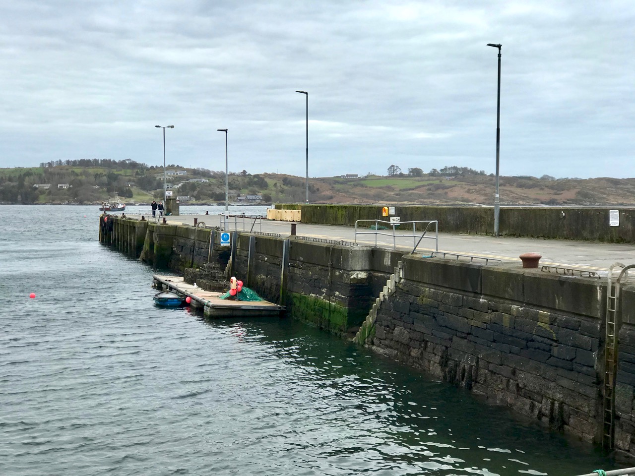
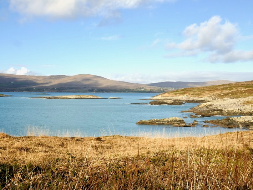
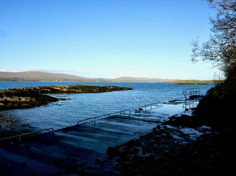
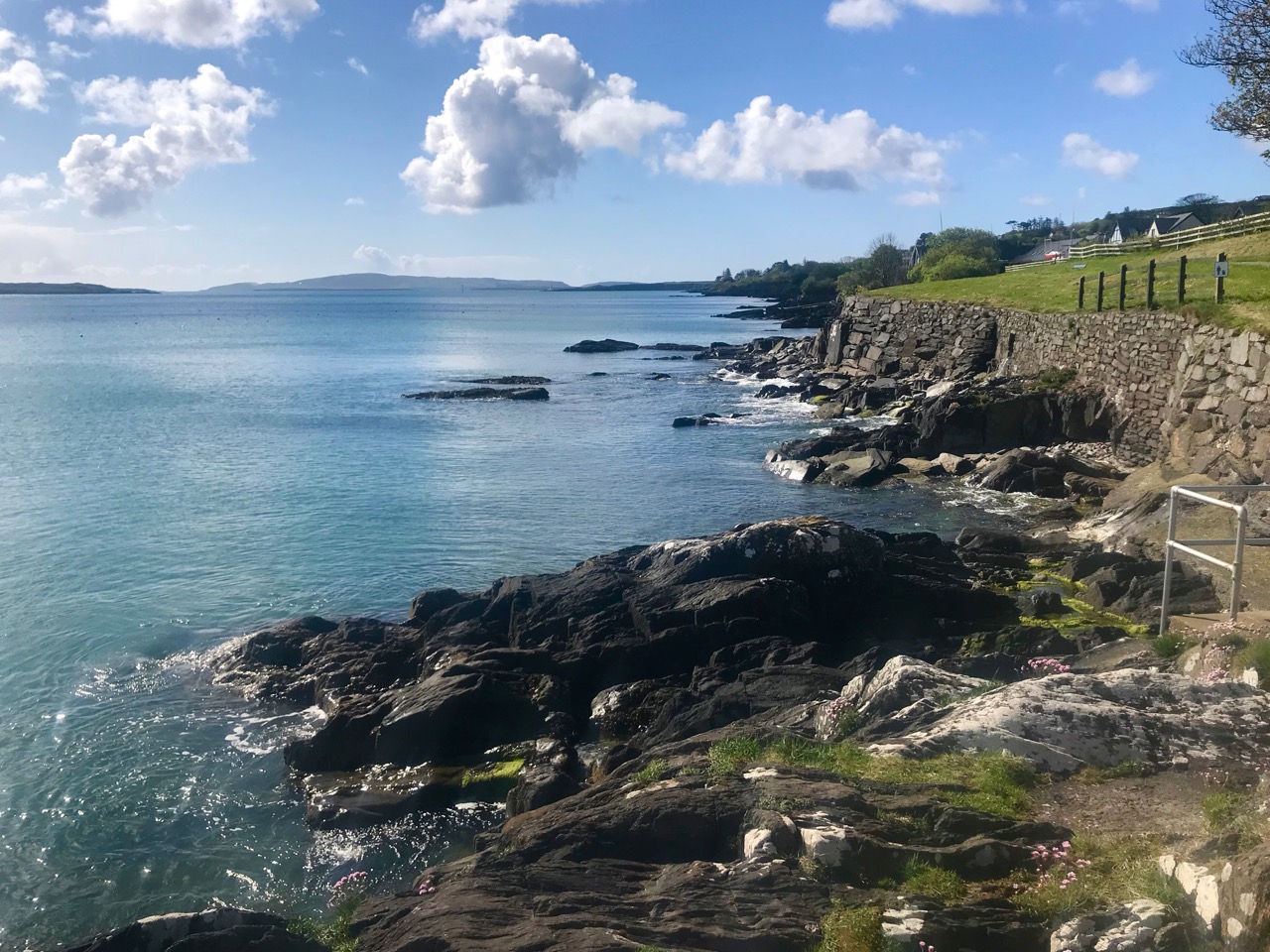
The harbour town of Schull, in West Cork, is wonderfully located on a naturally sheltered inlet looking out to Long Island Bay and ‘Carbery’s Hundred Isles’. From the pier you can take the Foreshore Walk (above) – a significant community asset – and follow a route which encircles the settlement, passing, on the way, another surviving piece of sculpture from the West Cork Arts Centre Living Landscape exhibitions, dating from the 1980s to the 1990s and masterminded by Cóilín Murray. We are indebted to Cóilín for providing an archive of photographs to the Ballydehob Arts Museum, and for being willing to contribute his own memories of the installation of the West Cork Sculpture Trail, which has greatly helped in putting together the story of this venture, over a quarter of a century later.
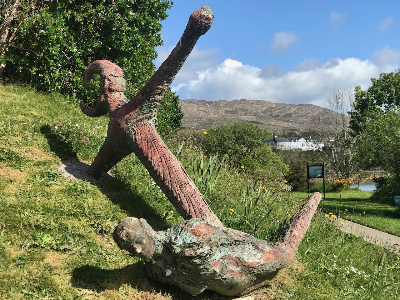
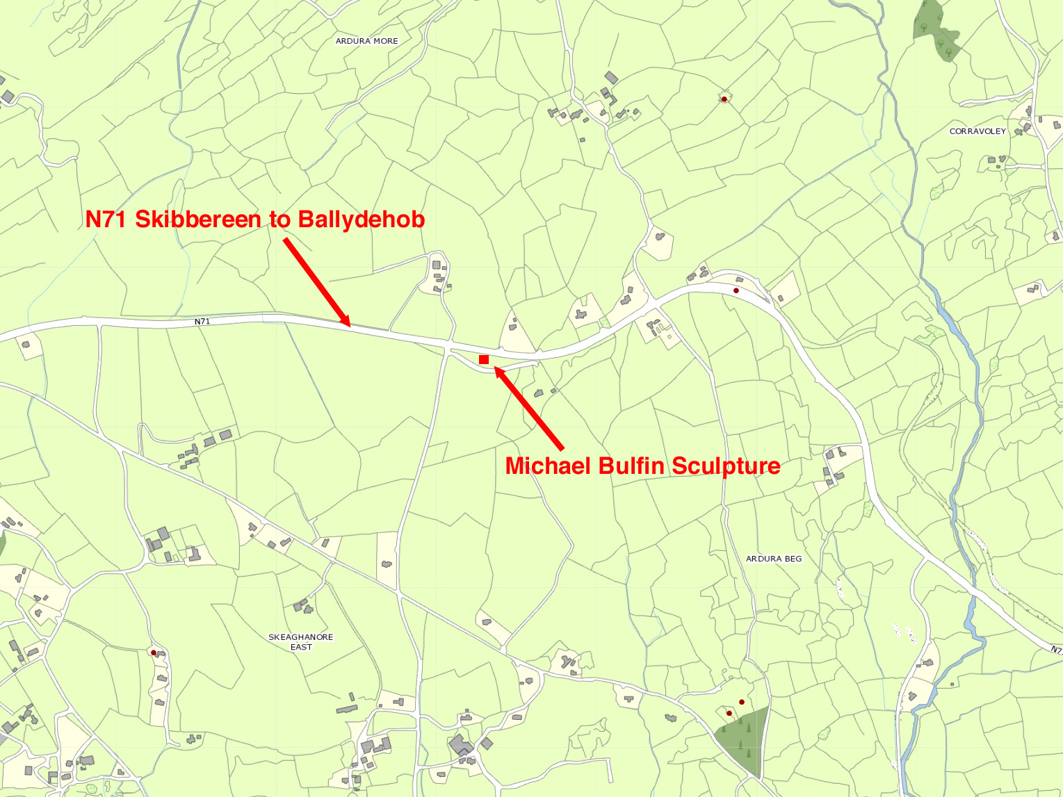
This is the second in a series of posts being published simultaneously by Roaringwater Journal and the Ballydehob Arts Museum, celebrating an important aspect of art history in West Cork. The first article – Behold, Their Bright Shining Future Rising Before Them – discussed Michael Bulfin’s ‘Pyramid’ sculpture beside the N71 road at Skeaghanore East between Skibbereen and Ballydehob. That work can still be seen, but is in a very overgrown state. The subject today is a piece by Mick O’Sullivan, titled Anchor, Mermaid and Lunachán. This is at present a well preserved surviving work from the Sculpture Trail although, like many others, it has suffered in the past from vandalism.
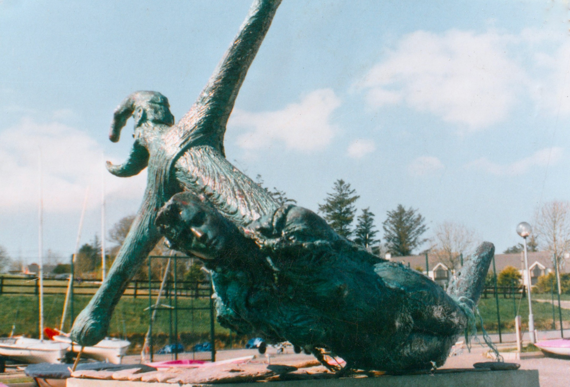
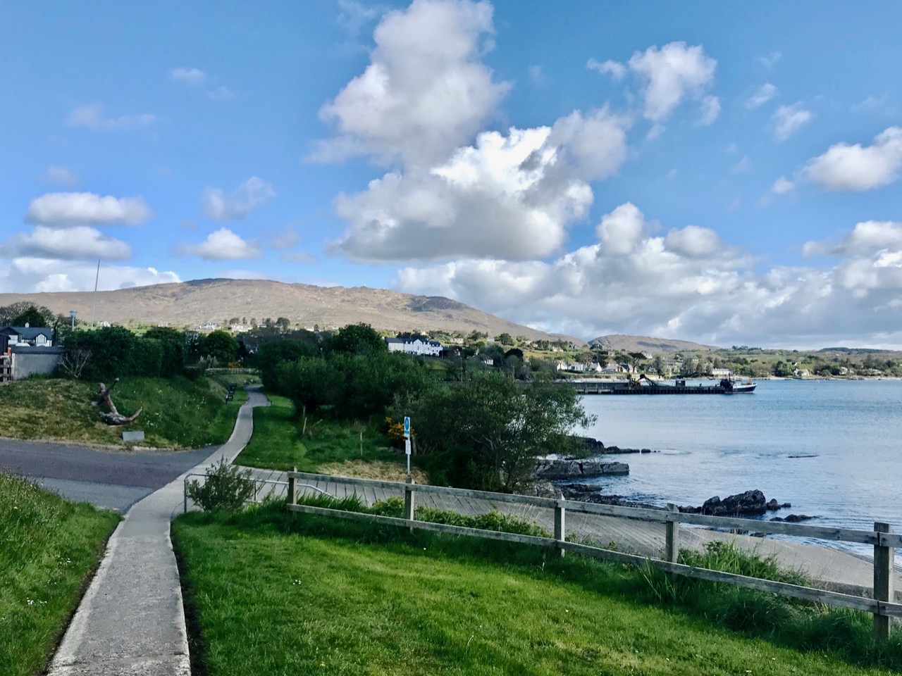
Upper – this photograph dates from the time of installation of the Anchor sculpture in Schull: it was originally situated close to the water below the Sailing School. Lower – the restored Anchor sculpture (far left of picture) is now sited above the Foreshore Walk, by the top of the slipway

The Anchor has the remarkably realistic texture of a corroded and barnacle-encrusted ancient piece of ironwork which might have rested on the ocean bed for countless years… In reality, it is fabricated from glass-fibre resin and – if dropped into the sea – it would float!
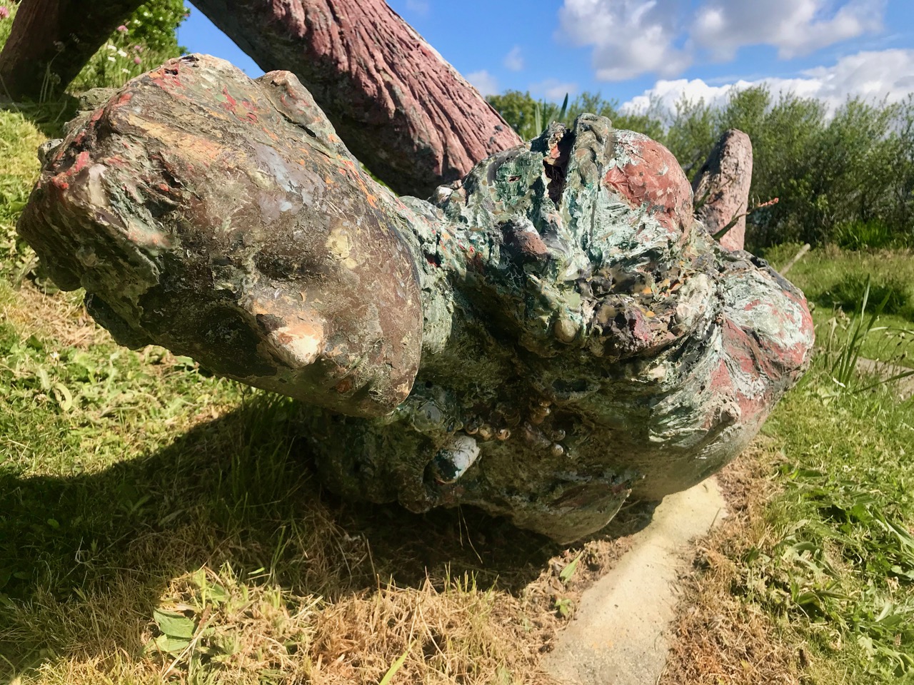
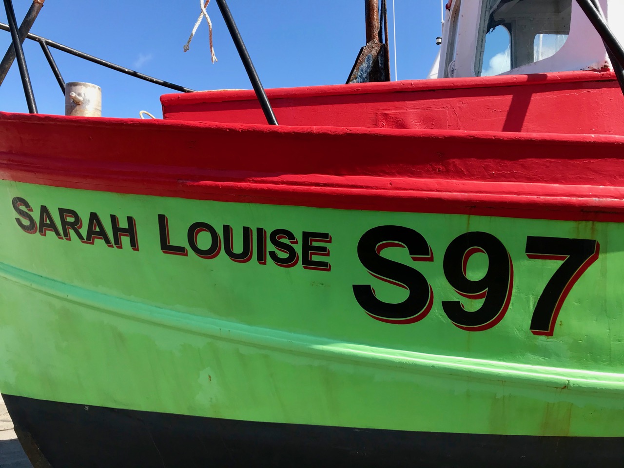
It was, in fact, sent out to sea… Deliberately damaged in the late 1990s, it was broken into two parts and thrown in the water. The two sections ‘sailed’ side by side towards Long Island until they were rescued by one of the Schull fishing boats. Eventually the remains of the artwork arrived in Cóilín’s garden in Skeaghanore, awaiting a saviour.
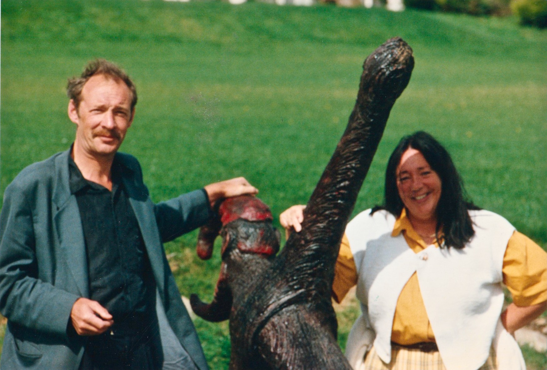
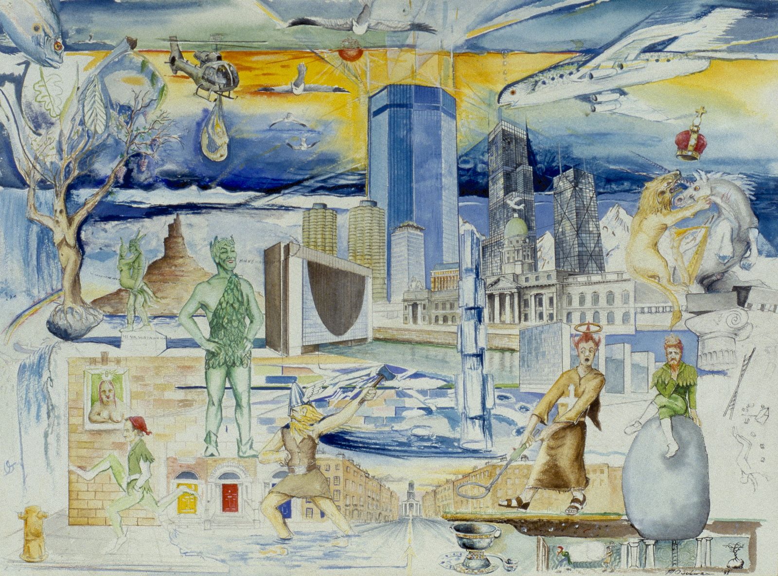
Upper – Michael O’Sullivan at the launch of his ‘Anchor’ sculpture, together with Christine Choice, board member of WCAC. Lower – a 1982 watercolour by Michael O’Sullivan: St Brendan Discovers the Crystal Pool (IMMA Permanent Collection)

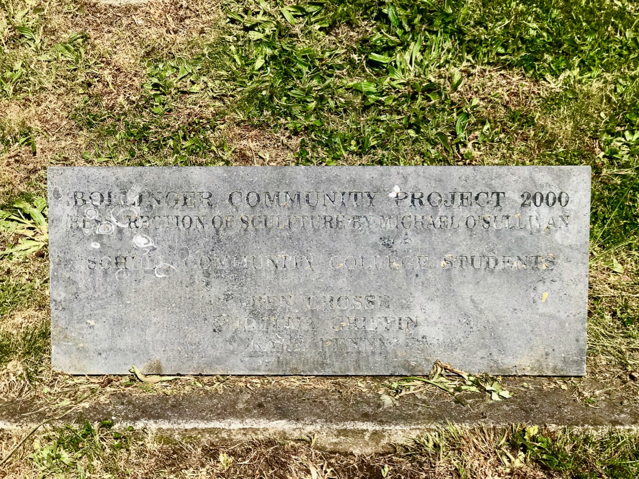
Michael O’Sullivan was born in Dublin in 1945. He gained a Diploma in Sculpture from the National College of Art and Design (NCAD), and was a lecturer there until his retirement. He has been greatly influenced in his life and art by the works of James Joyce, and is a noted scholar and lecturer on Joyce. Cóilín Murray and Michael O’Sullivan remain good friends and when the pieces of the anchor were recovered Michael came back to Schull to help in a restoration project on the sculpture instigated by a staff member at Schull College. The Anchor was reassembled and placed in its present position, where it is hopefully less vulnerable. A plaque there commemorates the 2000 ‘resurrection’ project and gives the names of the students who were closely involved in the reconstruction work.
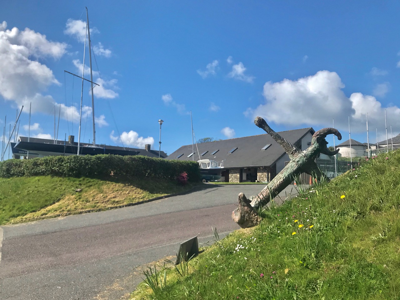
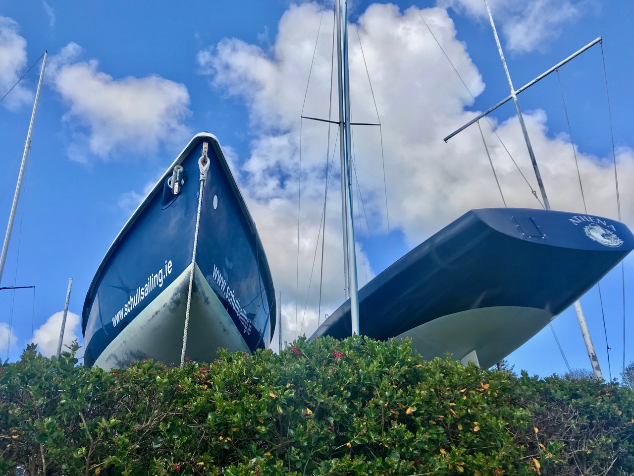
The restored Anchor is appropriately located in the context of the Schull Sailing Centre

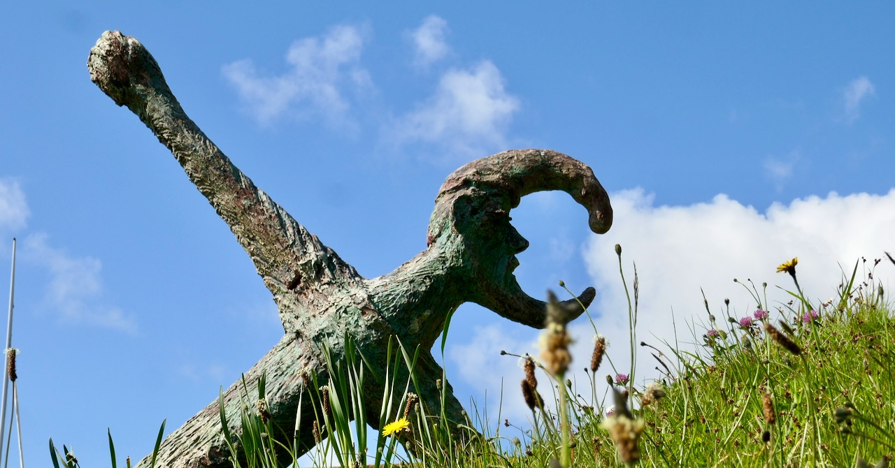
The word Lunachán – referring to the topmost part of the Anchor sculpture – is made up (by Michael)! I asked Cóilín for clarification and here is his response:

The word is an invention of his …Witty? ….
Amadán …in Irish …a bit of a fool …
Luna …the moon …
Lunachán …the reference to the moon and the howling at the full moon etc … Most of Mick’s work has layers and riddles…
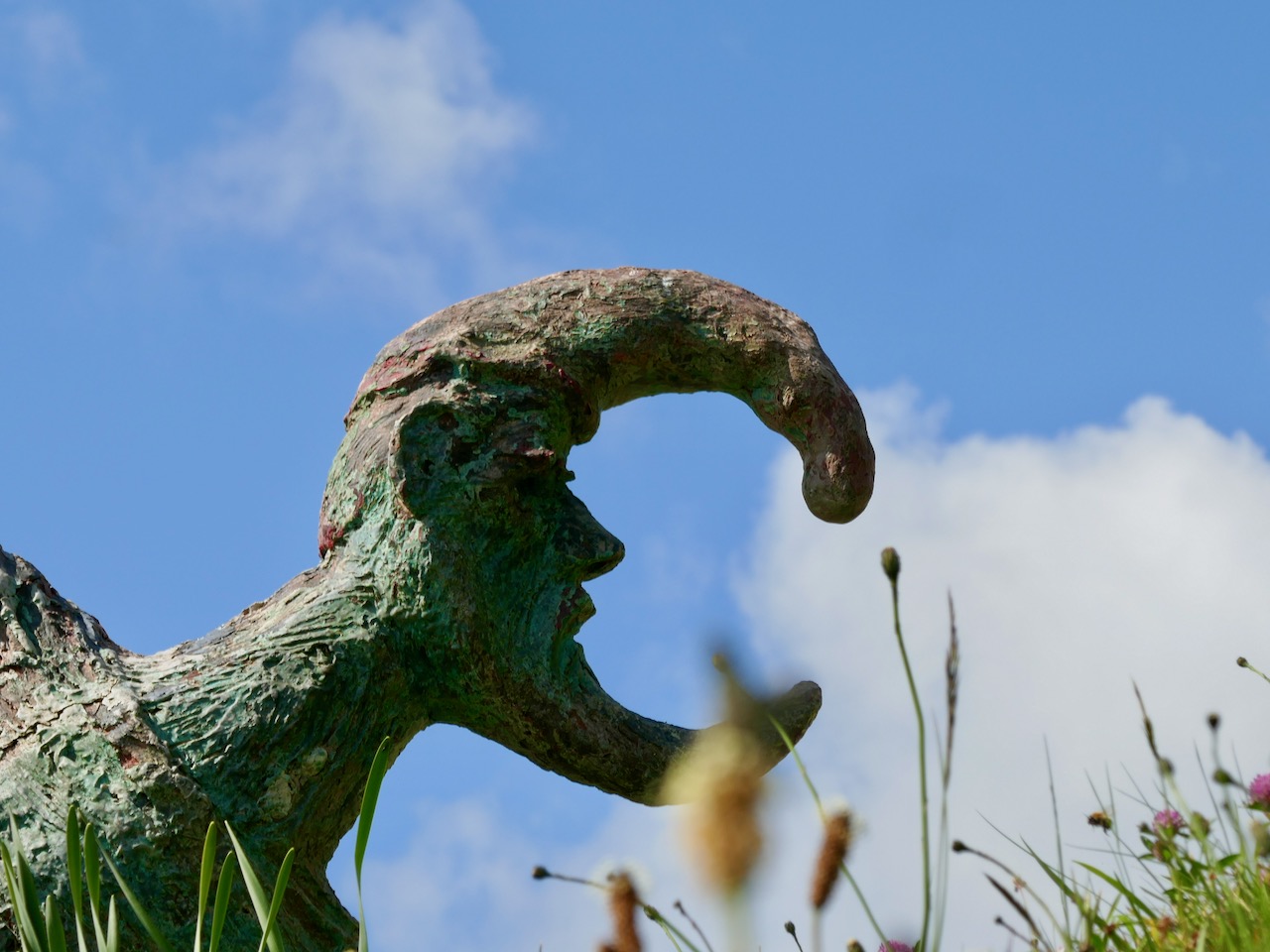
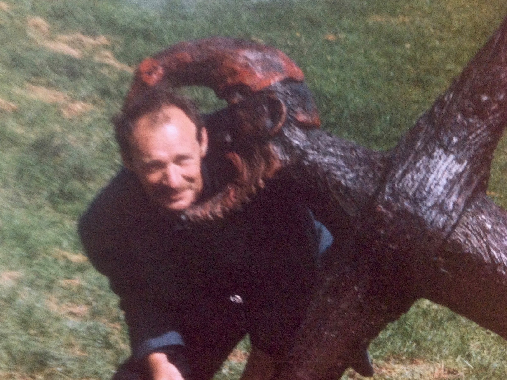
Upper – the Lunachán today. Lower – Michael O’Sullivan and Lunachán – shortly after the sculpture was first installed in Schull

It’s good that the community in Schull was sufficiently enthusiastic about the restoration of this sculpture to support its reinstatement in the Millennium year. Twenty years later, perhaps we should consider a revival of the West Cork Sculpture Trail with new artwork to link in to the few surviving pieces? The overall Living Landscapes project – of which this was just one part – helped to give the West Cork Arts Centre its still vigorous identity and national reputation. Surely – when tourists return to the Wild Atlantic Way post-Covid – such a venture could provide a stimulating cooperation between art and landscape?
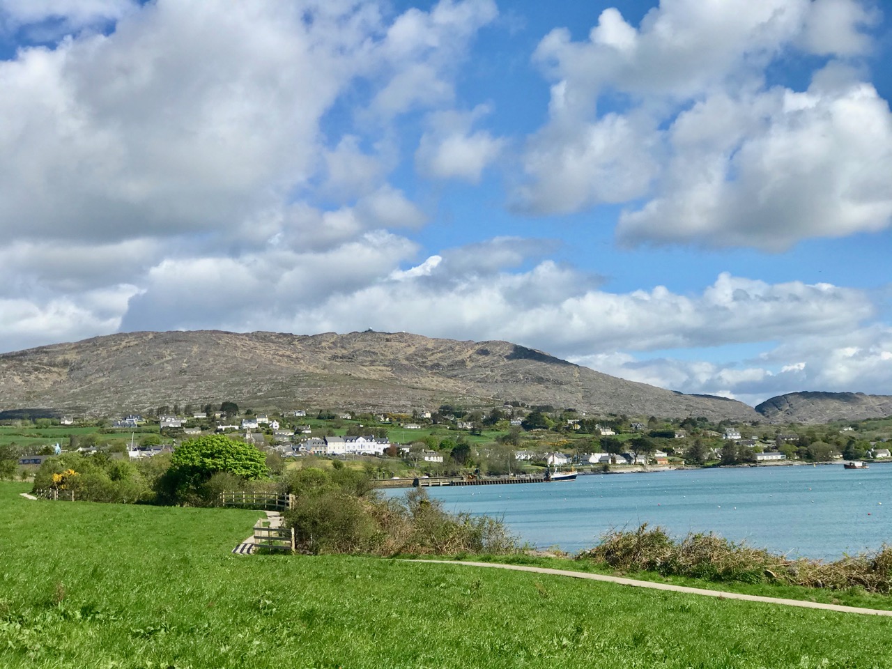
Schull-Under-The-Mountain, spring 2020
Behold, Their Bright Shining Future Rising Before Them

This is the first in a series of posts being published simultaneously by Roaringwater Journal and the Ballydehob Arts Museum, celebrating 33 years of an aspect of art history in West Cork. The Living Landscape series of art exhibitions ran from 1987 to 1996, masterminded and driven by the energies of Cóilín Murray. Cóilín has recently donated an invaluable file of photographs to the Museum, connected to a sculpture trail which was set up between Skibbereen and Schull in the early 1990s as part of this project. We are indebted to Cóilín for these items, and I will be using many of them in these posts.

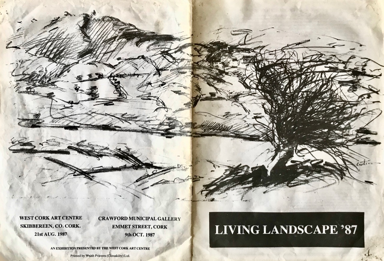
Catalogue from the first Living Landscape exhibition, launched by the West Cork Arts centre and the Crawford Gallery, Cork, in 1987. The cover illustration is by Cóilín Murray

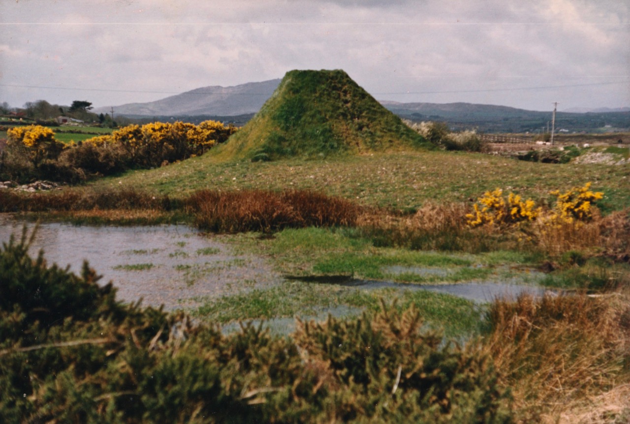
It’s fascinating to trace the sculptures which were set up more than 25 years ago along the N71 and R592 roads connecting Skibbereen with Schull. Most have vanished – some back to nature, some through destruction. But those which remain are now ‘enigmatic’ and must often excite comment and questions. This is particularly the case with the one in our header picture (taken recently), which is the central subject of today’s post. It’s a work by Michael Bulfin, born in 1939, one of Ireland’s most respected artists and a member of Aosdána (an association of artists whose work is deemed to have made an outstanding contribution to the creative arts in Ireland). The title of the sculpture is the title of this piece: Behold, Their Bright Shining Future Rising Before Them

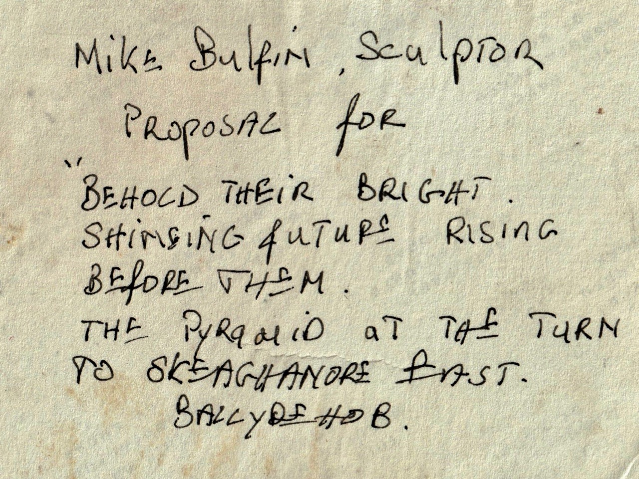
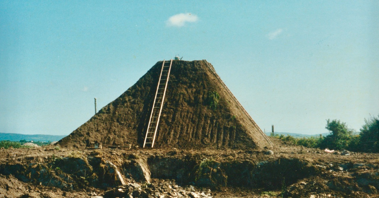
Michael Bulfin’s exhibition proposal was a piece of land art: a giant grass-covered earth pyramid crowned by a stainless steel pinnacle, with a cascade of boulders flowing down the surface – facing on to the main road running through the townland of Skeaghanore East. Upper, the design for the piece was submitted as a model. Lower – the inscription from the back of the original photograph.

The task of physically realising this monumental piece was the product of many hands, including a number of volunteers from West Cork’s artistic community. The following ‘work in progress’ shots document some captured moments in time.

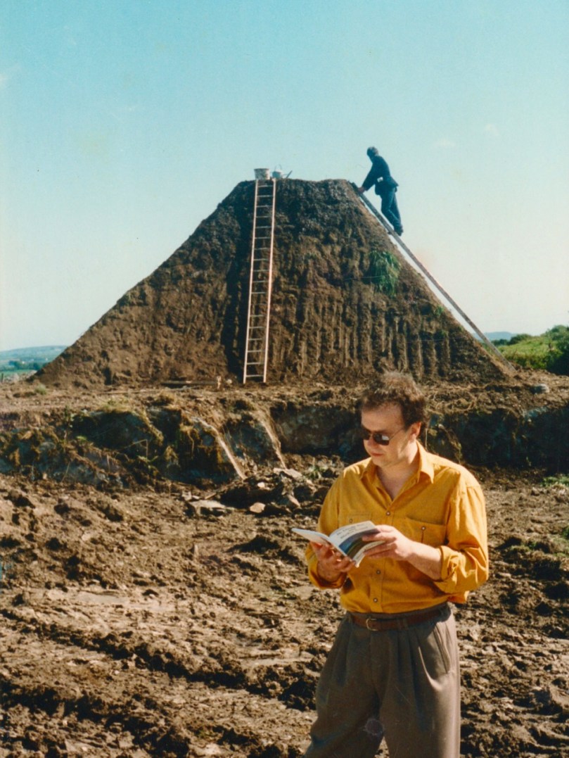
In this shot, Michael Bulfin is on the ladder, and painter Maurice Desmond watches the process

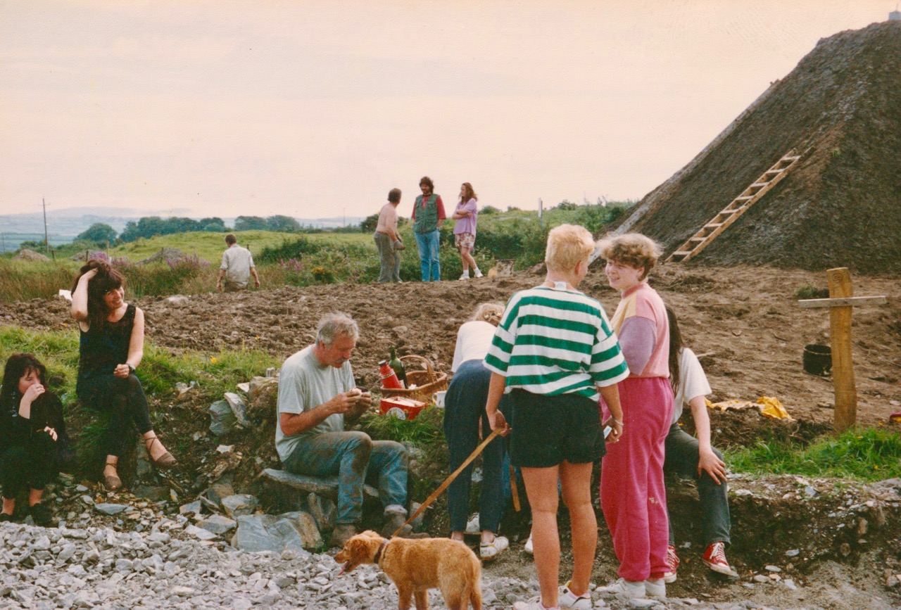
‘Lunch break on the day the mound was seeded’ – identified in this picture are (foreground left to right): Aoife Desmond, Deirdre Heaney, Mike Bulfin, Rosemary Murray (serving lunch), Ailne Murray and Niamh Murray. (Background): Simon Holler, Cóilín Murray, Gerry Walker and daughter

The project was well publicised; here Mike Bulfin is being interviewed by Anita Whooley for RTE, with Cóilín Murray looking on

The mound ‘greening up’: the stainless steel pinnacle was added at a later date. The ‘cascade of boulders’ is not evident today: I am assured it is still there, shrouded by gorse and brambles

At the official opening of the Living Landscape Sculpture Trail the poet Steve McDonagh, founder of Brandon Books based in Dingle, Co Kerry, read from his work at each location. Steve McDonagh died in November 2010. As can be seen, the pyramid was unfinished on opening day!

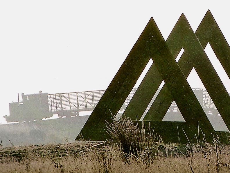
Michael Bulfin remains active in Ireland to this day. He lives in Co Offaly, and there is impressive work from him at the Lough Boora Parklands, including the eye-catching ‘Skytrain’ sculpture:

Something that could be considered in the future is a creative project based on the West Cork Sculpture Trail. This might restore or resurrect some of the pieces from the 1990s, and provide an opportunity for new work to take the place of those sculptures which are now lost.

Living in Lockdown!

Main Street, Ballydehob: 4 April 2020. You’ve never seen it like this before on a Saturday morning. We are only out because we have urgent shopping to do. We are permitted to go to the shops, the dispensary and the dump (we live too far out of town to have any waste collections). Oh, and we can exercise within a two kilometre radius of home (here’s Finola’s account of that). It’s a strange life – but we are gratefully alive…

We completed our last ‘long’ walk on Friday 27 March – to the summit of Mount Corrin, for my Mizen Mountains post. On that evening the government announced the ‘lockdown’ and we are now isolated in Cappaghglass for the foreseeable future, although the 2km restriction will allow us to trespass into our adjacent townlands of Stouke, Cappanacallee, Foilnamuck, Rossbrin, Ballycummisk and Kilbronogue, provided we keep our distance from other walkers. We see very few.

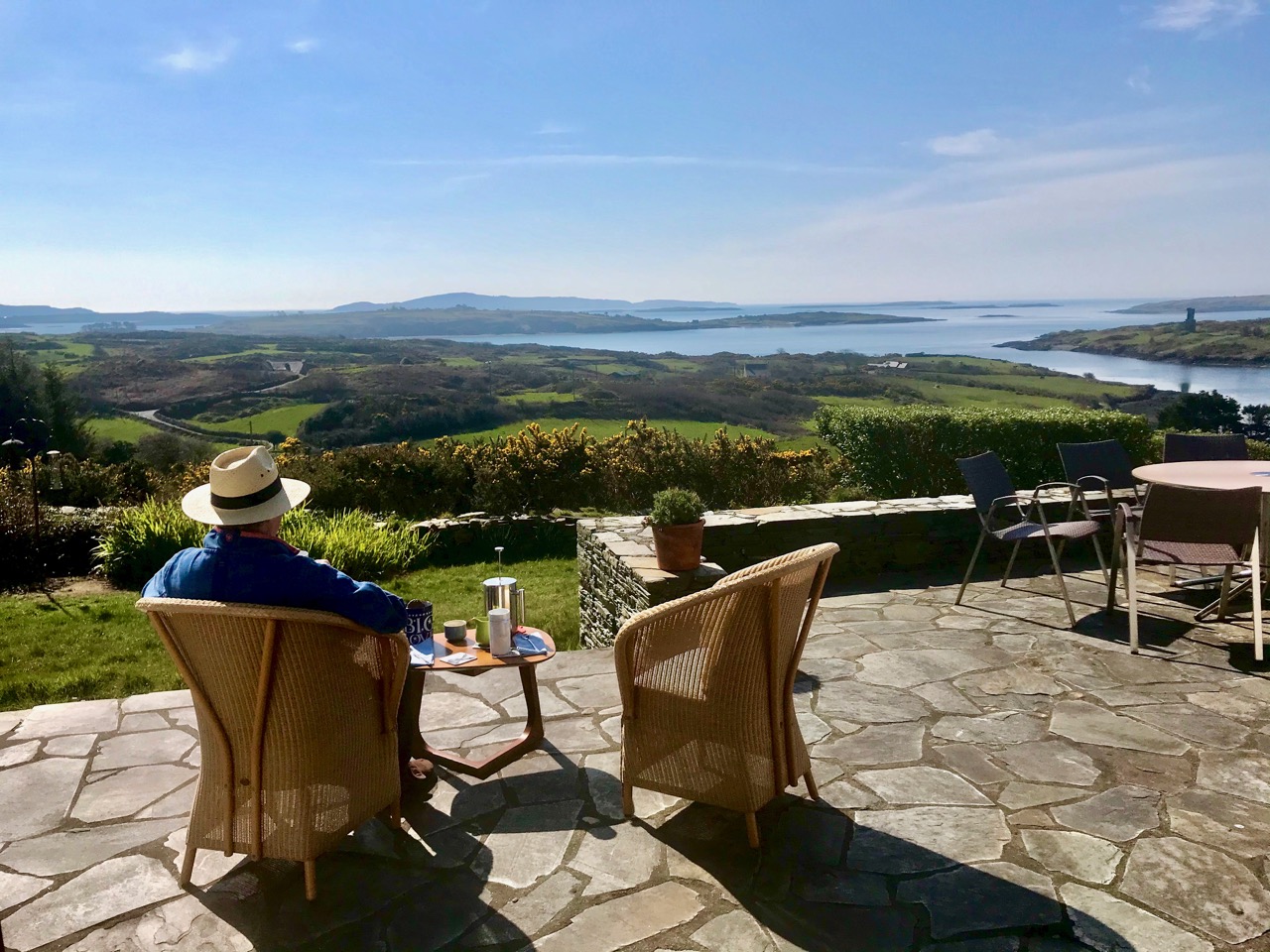
When the sun is shining, there’s no better place to be than home – looking out over Roaringwater Bay! We have plenty to occupy us. Not least, keeping up with this journal and my new venture Swantonstown Sessions – compensation for the enforced adjournment of the weekly traditional music meetings in Ballydehob. It’s an online forum for sharing tunes, songs and related ‘chat’. Please join in!

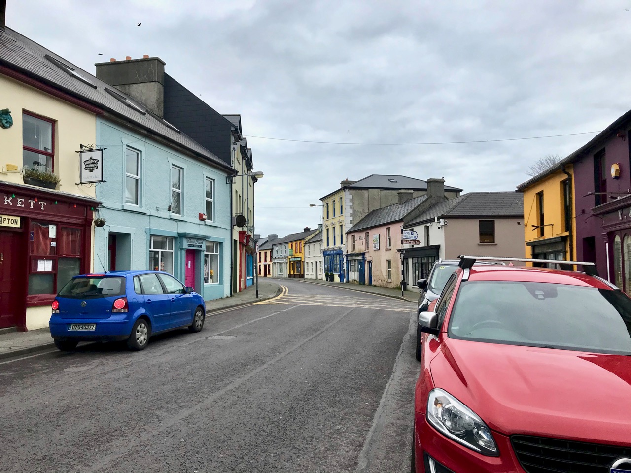
There’s not much activity in Schull, our other centre for essential supplies, either. The main street (upper) and pier (above) are deserted on Saturday morning, when it’s normally buzzing. All the businesses in our villages and towns rely on customers: we hope for their sakes (and ours) that the situation doesn’t last too long, although we do all understand how necessary the restrictions are.

Join us for one of our walks – along to Rossbrin – to look at the water and the always changing scenery as spring gets under way. That’s the boreen leading down to it, above.

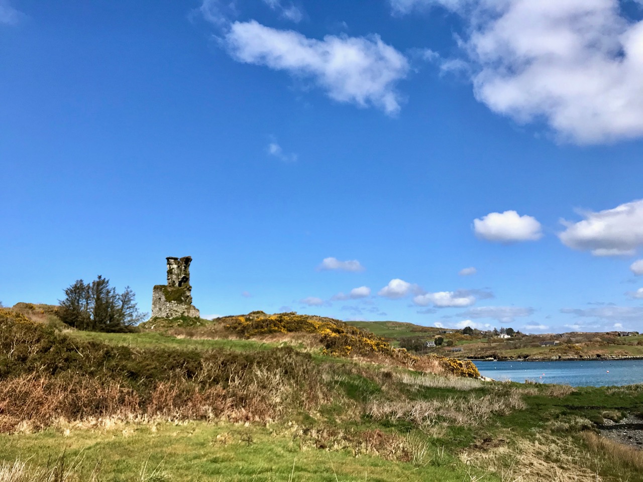
Rossbrin Castle, the home of the ‘Scholar Prince’ Finghinn O’Mahony in medieval times, is the local landmark which always draws us towards the Cove. It has stood for centuries, although very gradually returning to nature: parts of it will remain for generations to come, and will intrigue those who chance upon it, as I first did some thirty years ago. It is on private land, remember, but it can be seen from many accessible vantage points.

It’s no hardship to be ‘marooned’ out here in rural Ireland. The one thing we miss above all else is meeting and chatting with friends and neighbours: that’s unnatural. But we will survive it. After our walks there’s always the road home to look forward to (do you see the celandines lining the way?):

Roaringwater Journal wishes to heartily thank all those in our communities who are supporting the rural population through these abnormal times: medical teams, pharmacies, shopkeepers, producers and suppliers . . . All who keep our facilities and utilities going . . . They are helping us to stay healthy and upbeat in times of disquiet. We appreciate all of you.

Mizen Mountains 4 – Corrin

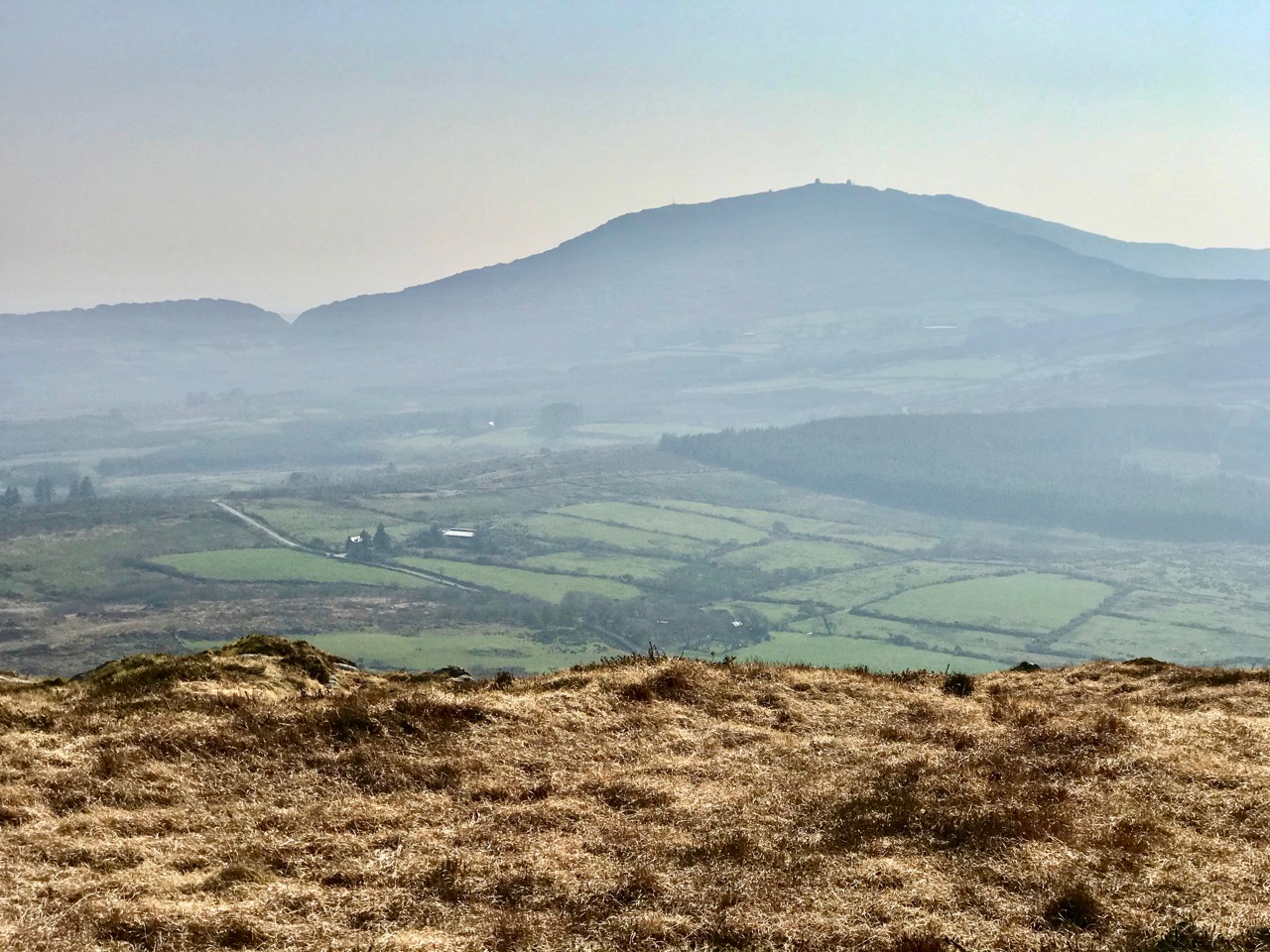
The world is in trouble – but in our tiny corner of it we find ourselves taking the time to get out into the open air, lapping up any chance of sunlight, and bracing ourselves against the bitter east winds that seem to prevail at the moment. Following last week’s escapades, when we discovered new territory just beyond the boundaries of the Mizen, we decided to take up the challenge of one of the most significant Mizen peaks – Mount Corrin.

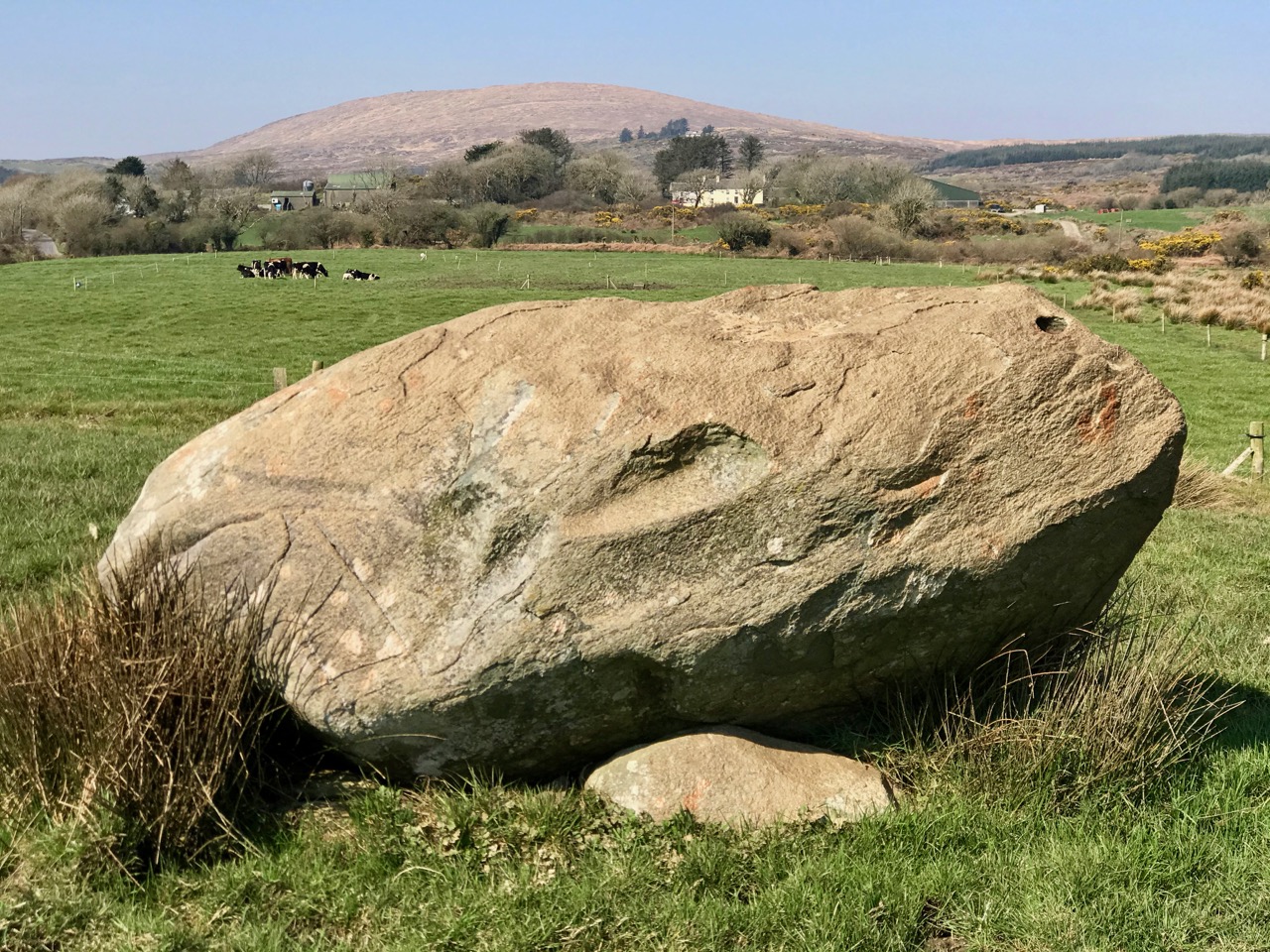
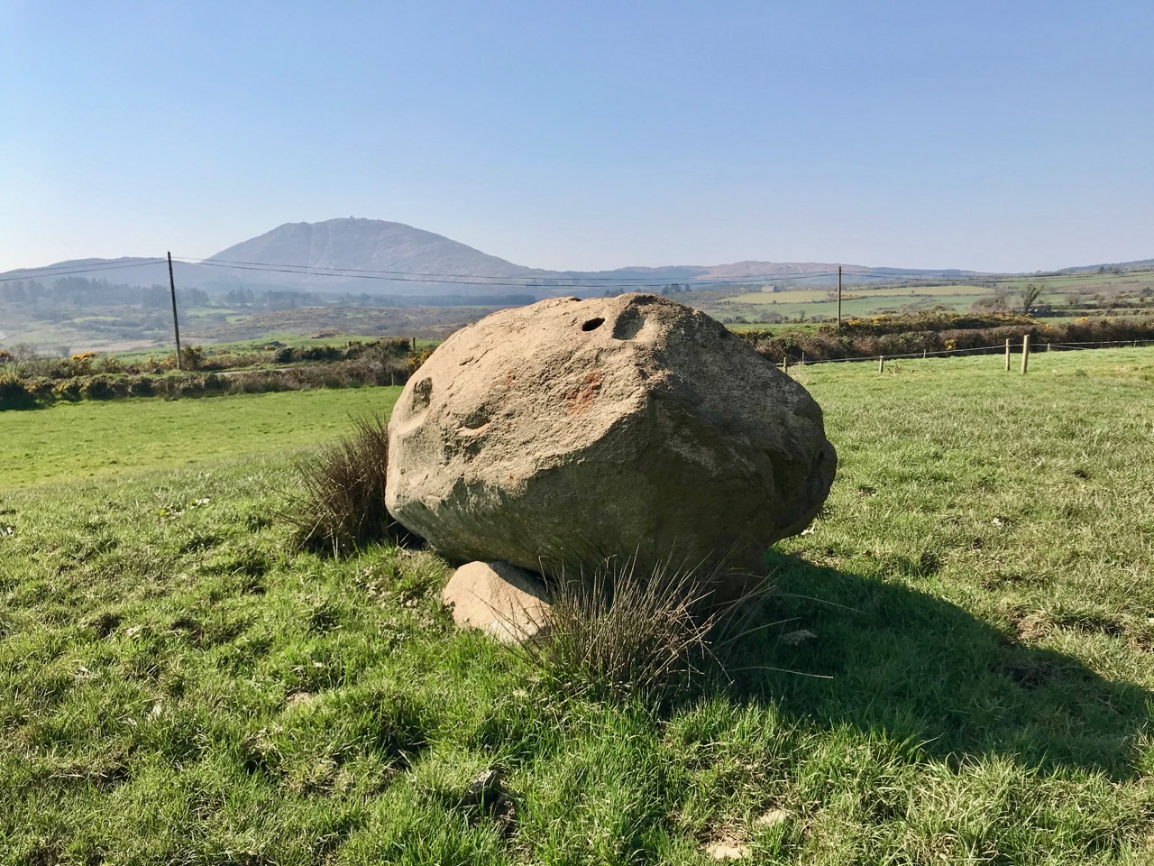
Upper – the elevated boulder burial at Rathruane – probably Bronze Age – seems to echo the profile of Mount Corrin – a perfect peak – away to the west, while – lower – the same monument also stands in context with Mizen’s highest mountain – Gabriel – to the south

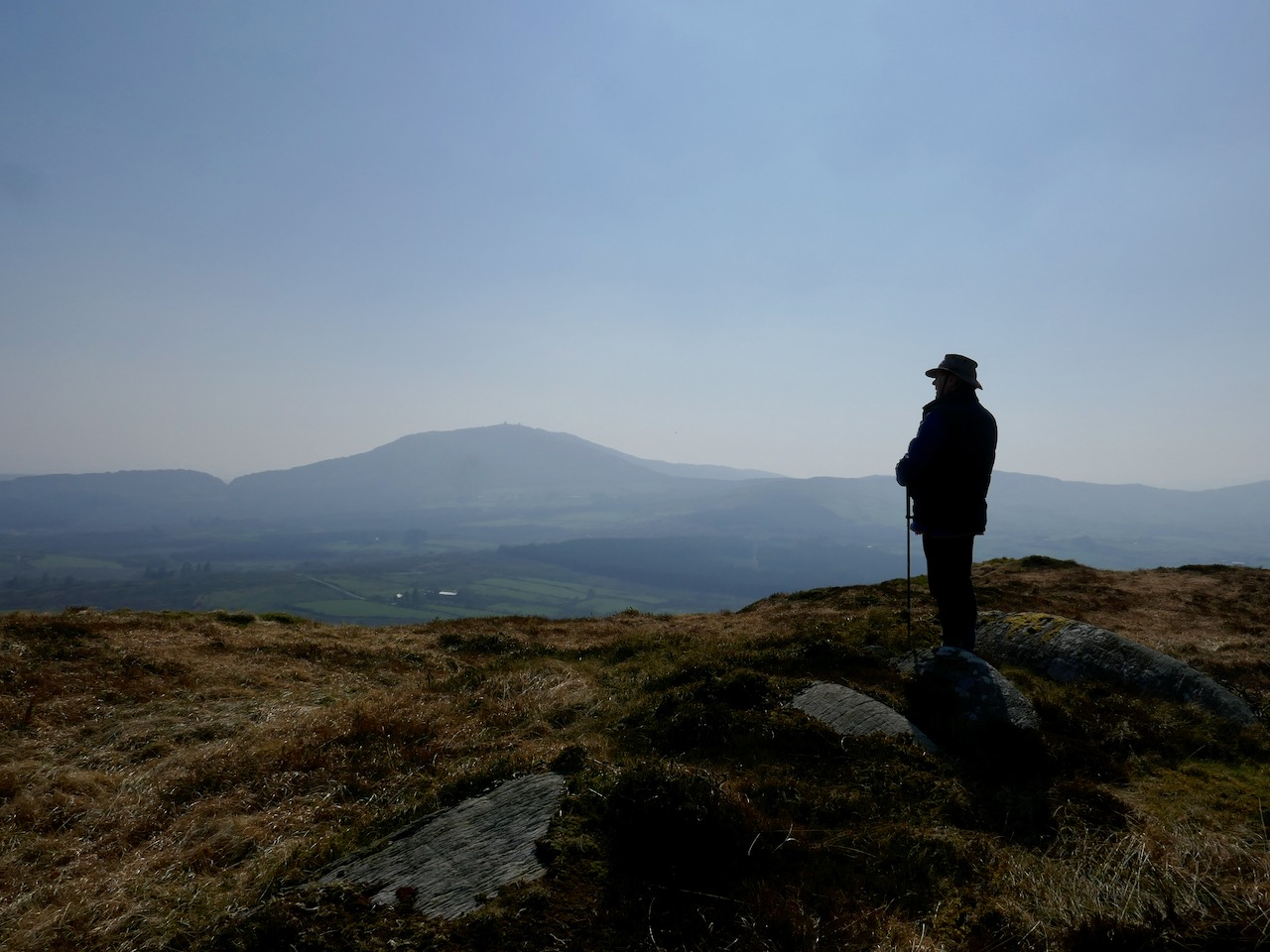
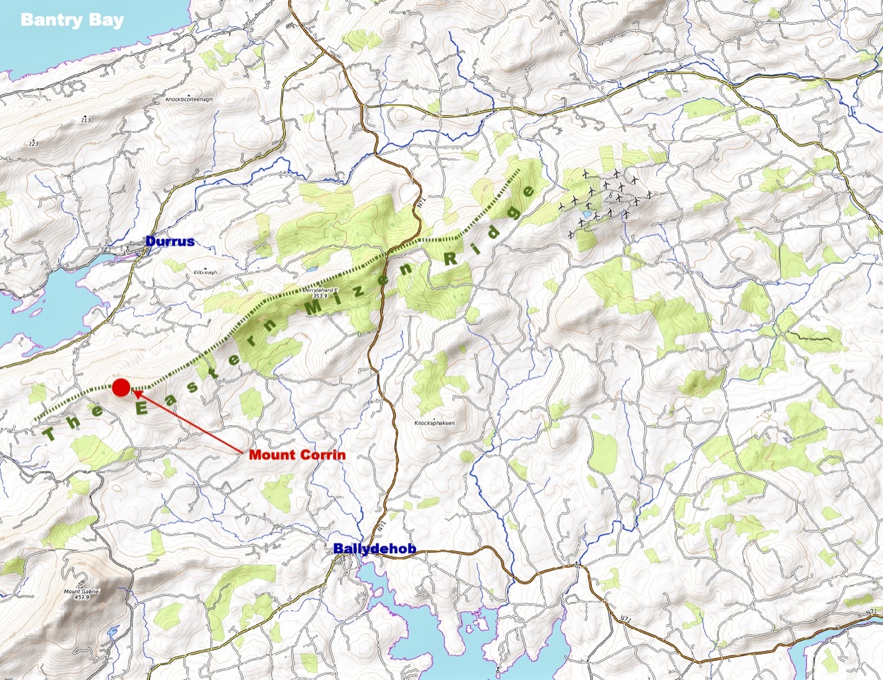
We have passed the spring equinox, and days are now longer than nights. It’s a good time to consider seriously exploring the high ridges again. Corrin – 284 metres – is not the highest summit on the Mizen, but its profile is one of the most distinctive as it rises from lower ground on all sides – a ‘proper’ mountain! in this respect it is  surpassed only by the Mizen giant – Mount Gabriel. We’ll tackle that one later on. We notice that Gabriel is always visible to us, from whatever elevated ground we traverse.

Last time we tackled Letterlicky, which is at the furthest edge of the eastern Mizen Ridge: today’s summit is on the west side of the same ridge  We have, of course, been to the top of Corrin before: Finola’s post of October 2015 describes previous expeditions. Then, the light was magnificent and the skies were clear blue – such a contrast to the beginning of this week, when the landscape has been pallid – all washed-out browns and yellows: spring  still hiding its face in West Cork.

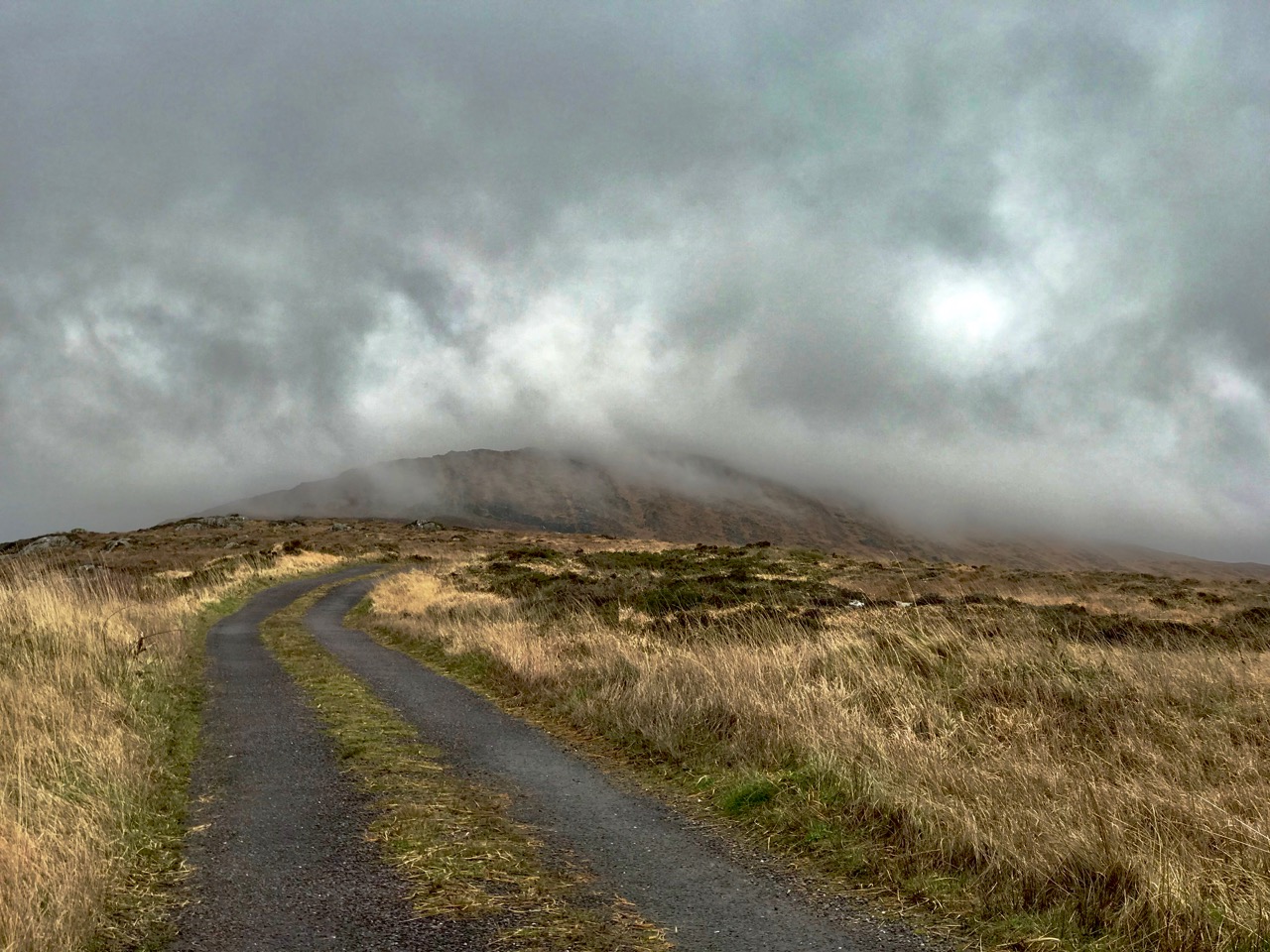
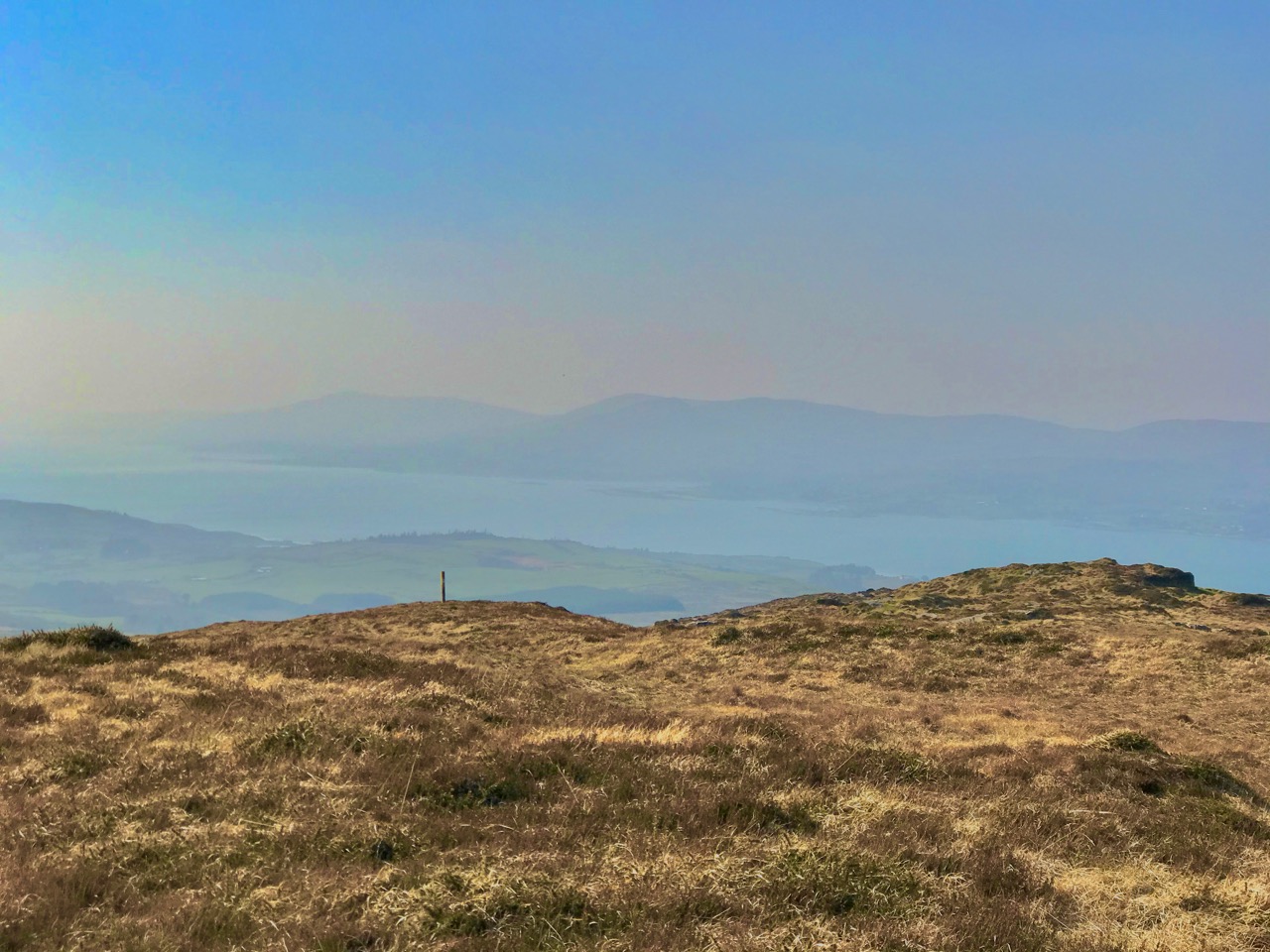
Upper – approaching Corrin on a challenging day. Lower – on the ascent, good distant views can be got to Ballydehob Bay, in spite of poor weather

We were the only souls on the mountain: it’s a good way of being self-isolated. But any walk in a natural environment in these strange times is exhilarating. In fact, we made two journeys to Corrin in the week: the first had to be abandoned in haste when halfway up due to waterlogged footwear and a biting cold easterly.

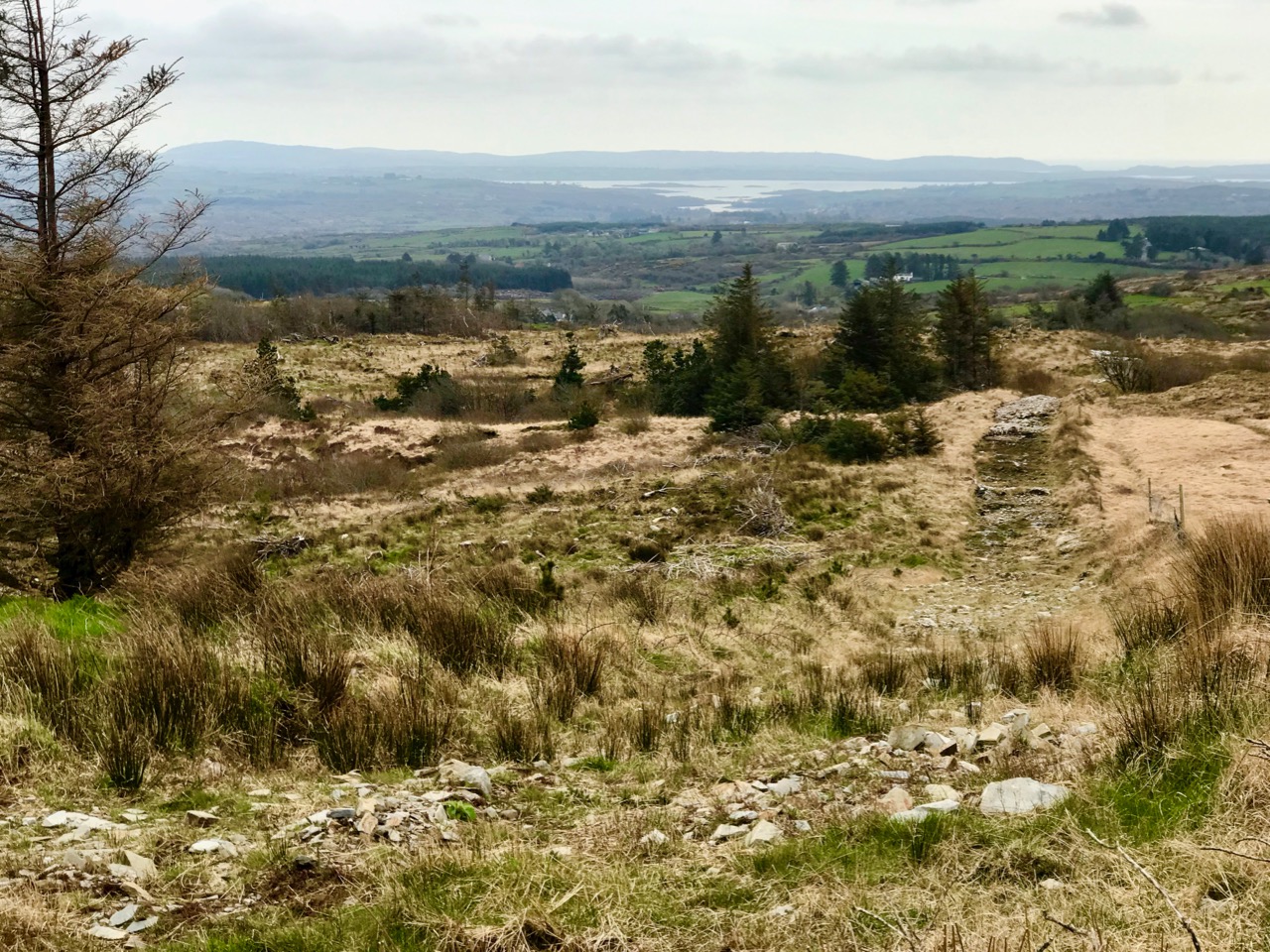
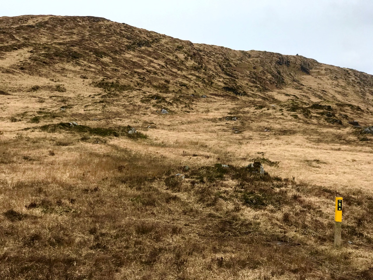
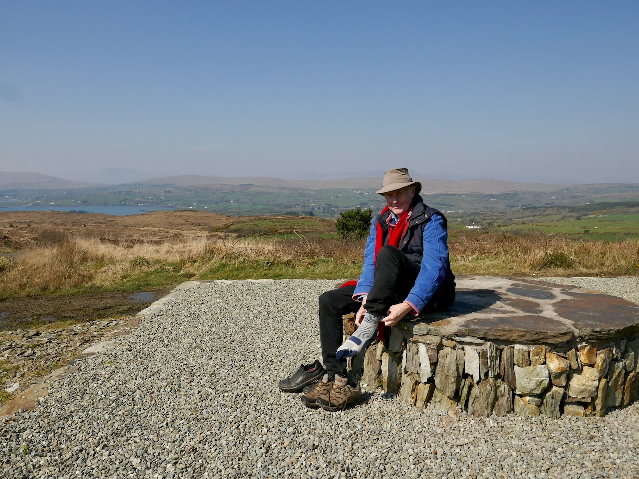
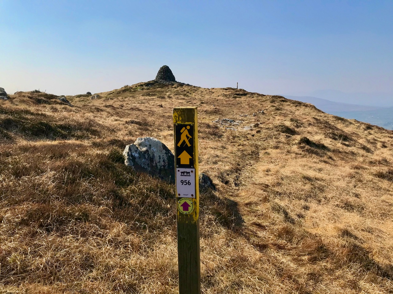
Upper – on our first attempt on Corrin we got as far as this wilderness before turning back. Centre – park here for the Corrin trail! It’s well marked and accessible from the east side. Lower – a convenient seat for donning the right footwear! This is on our second attempt, in much improved conditions

Suddenly – on Friday – everything changed. Out of nowhere came a bright, clear and windless day. We hurried out to complete our journey to the summit, revelling in the light. It was as though, for the first time in the year, there was a sense of expectant renewal. When we arrived home, it was to discover that Ireland had been plunged into lockdown: we (the ‘elderly and vulnerable’) have to stay in our homes unless needs are urgent (food and medicine) although we are permitted to exercise close to home, always keeping a safe distance from others.

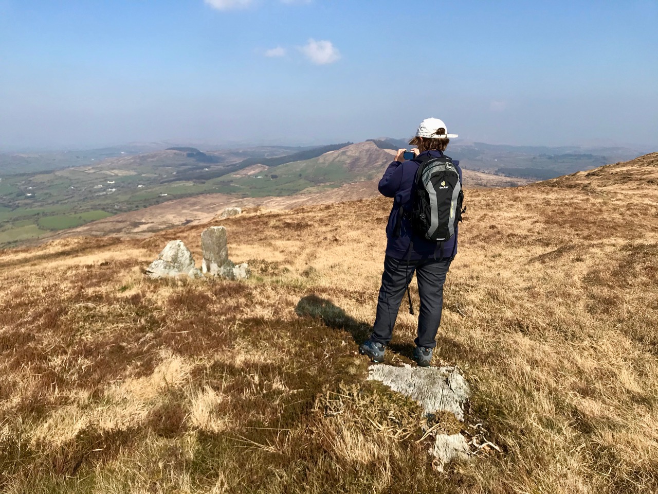
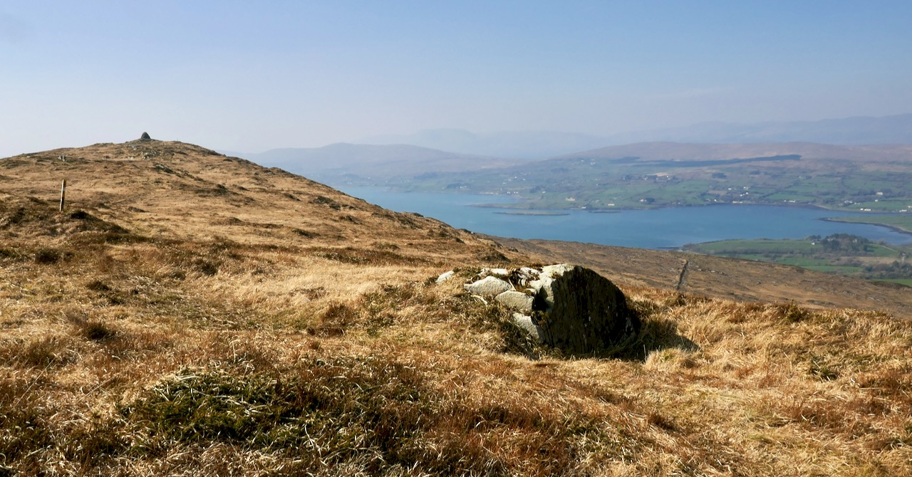
Upper – Finola looks back along the ridge towards our previous goals (Lisheennacreagh and Letterlicky). Centre – spectacular views of Gabriel and the Barnaclleeve Gap are had from Corrin. Lower – the track is well marked: we are approaching the summit cairn

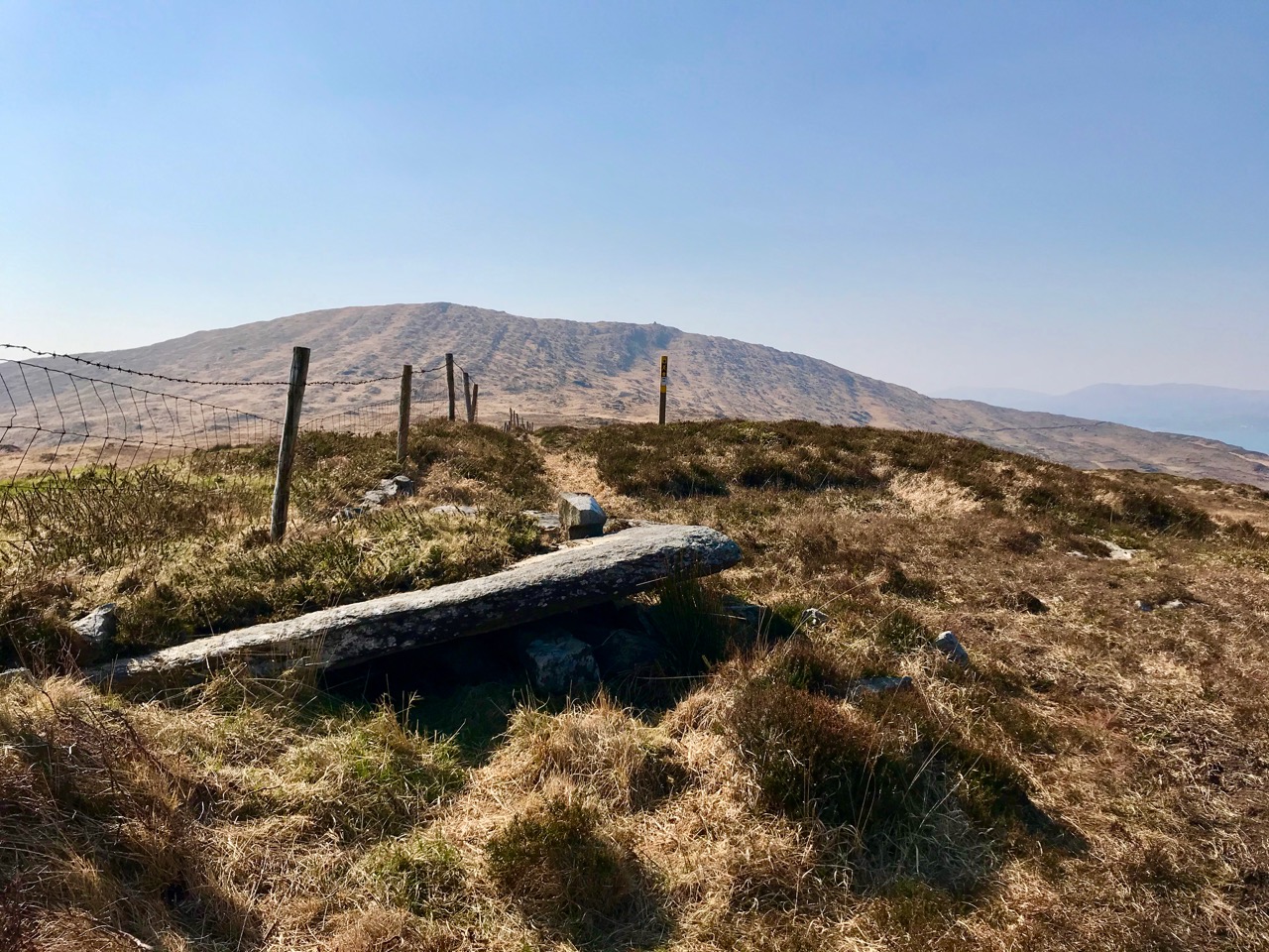
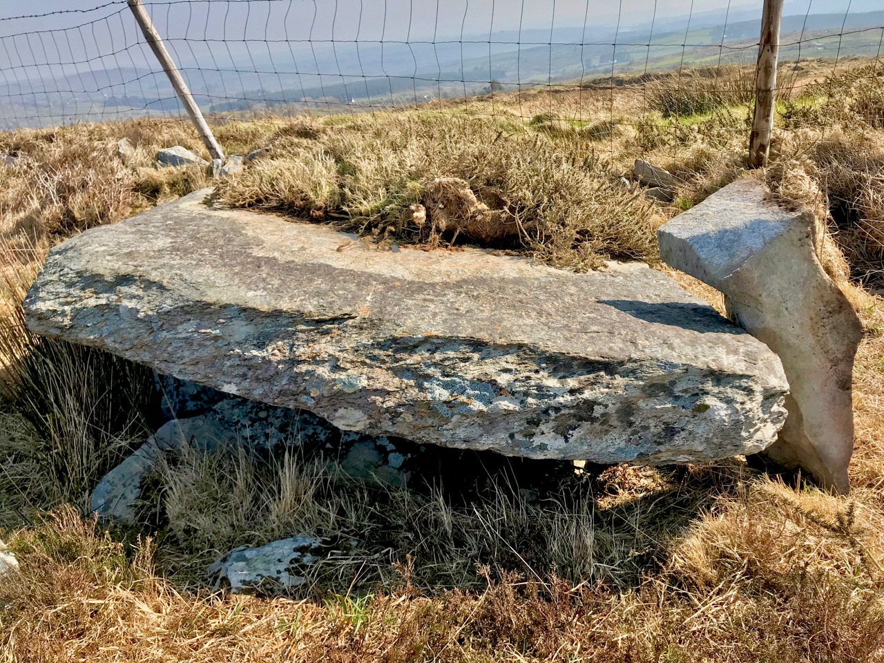
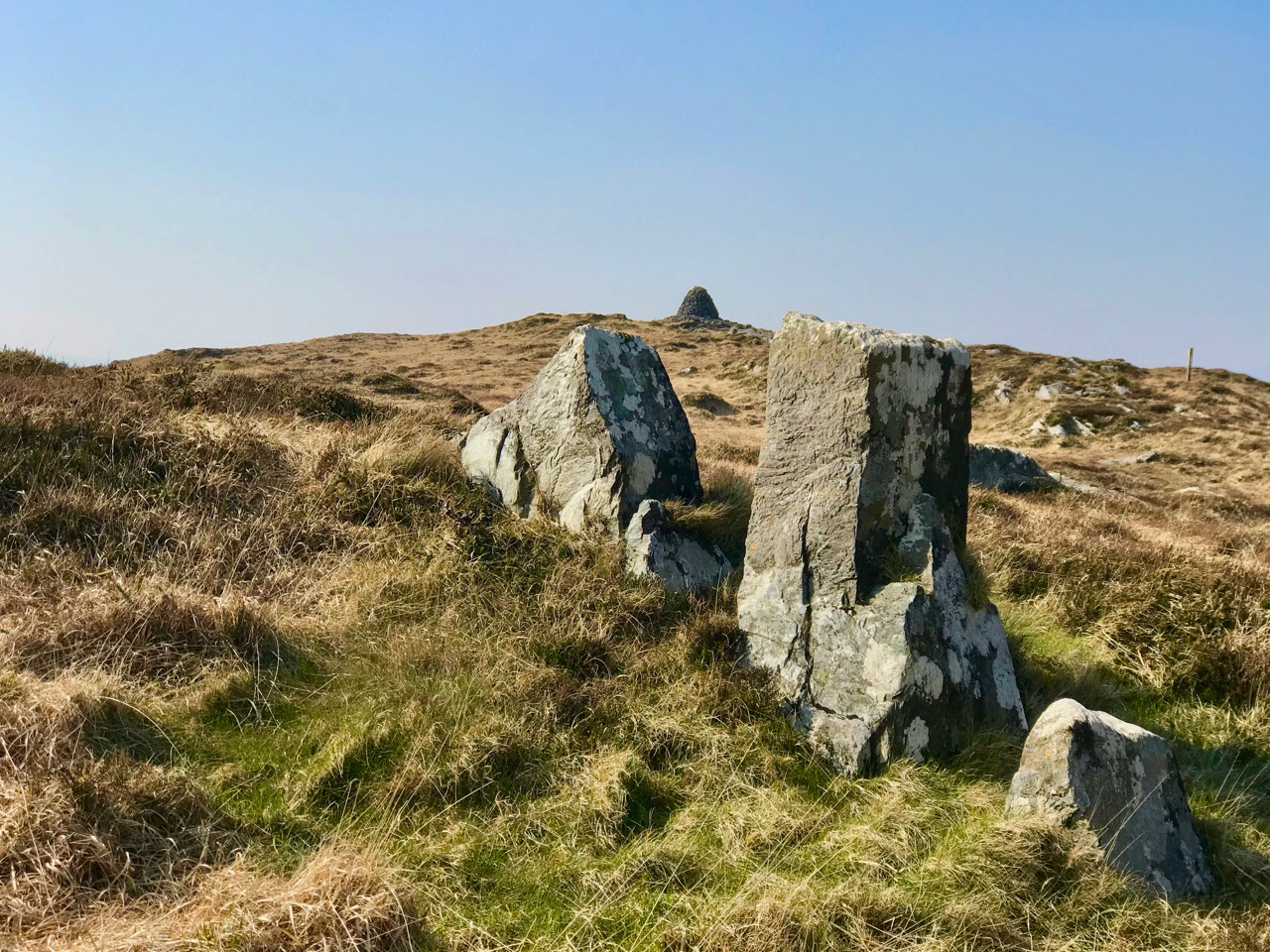
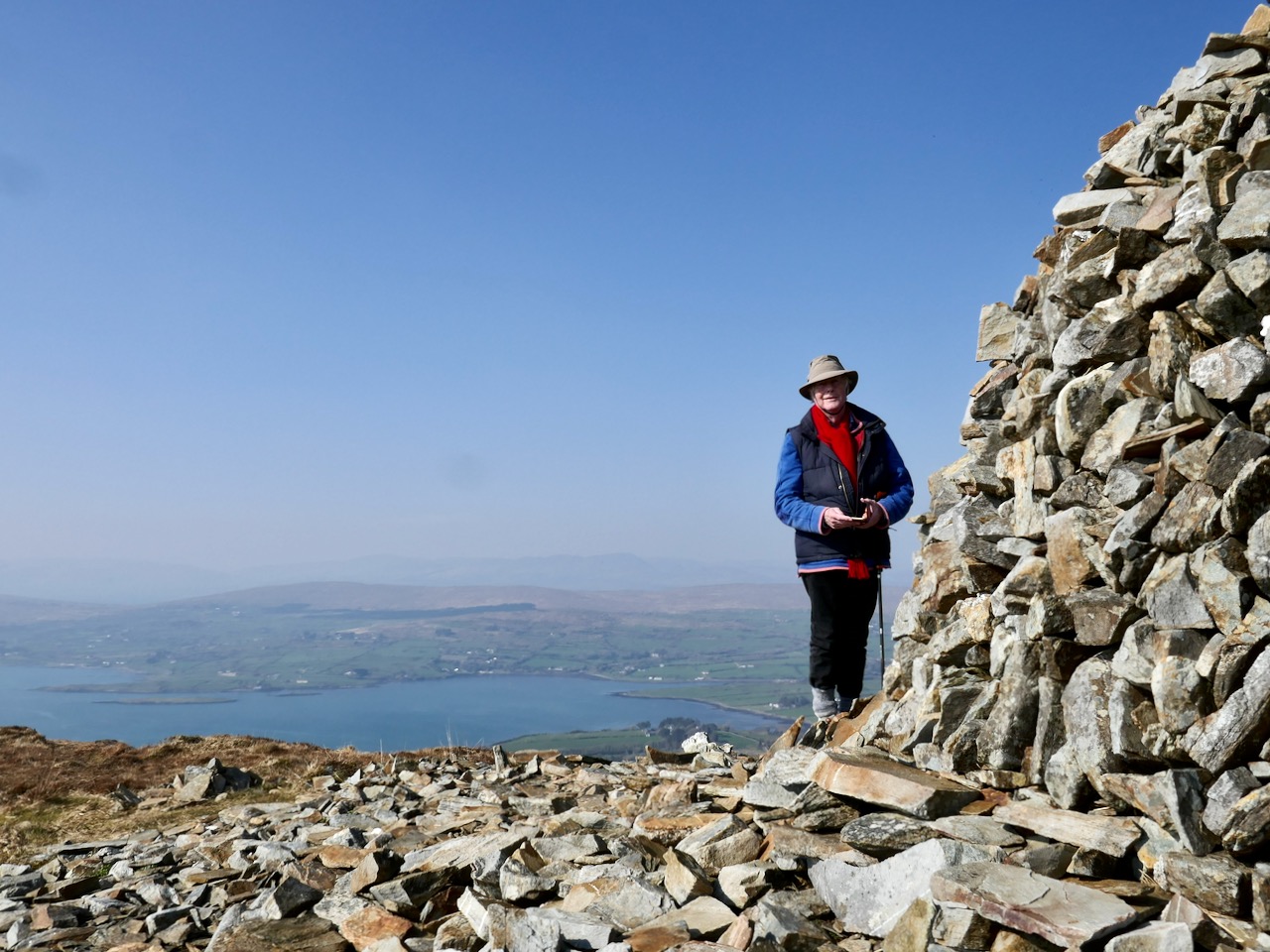
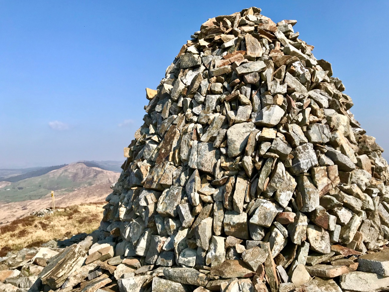
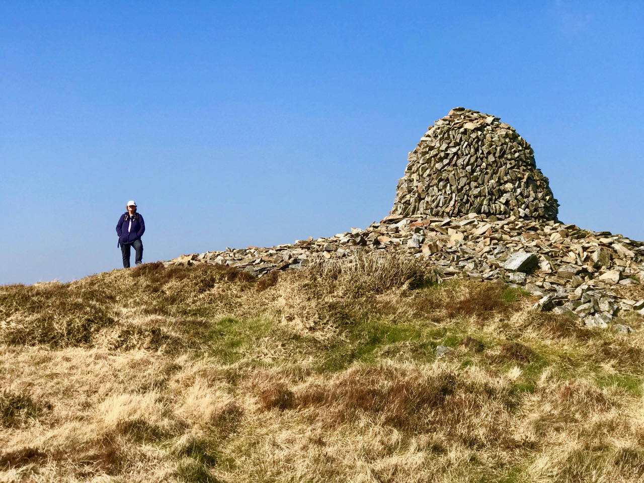
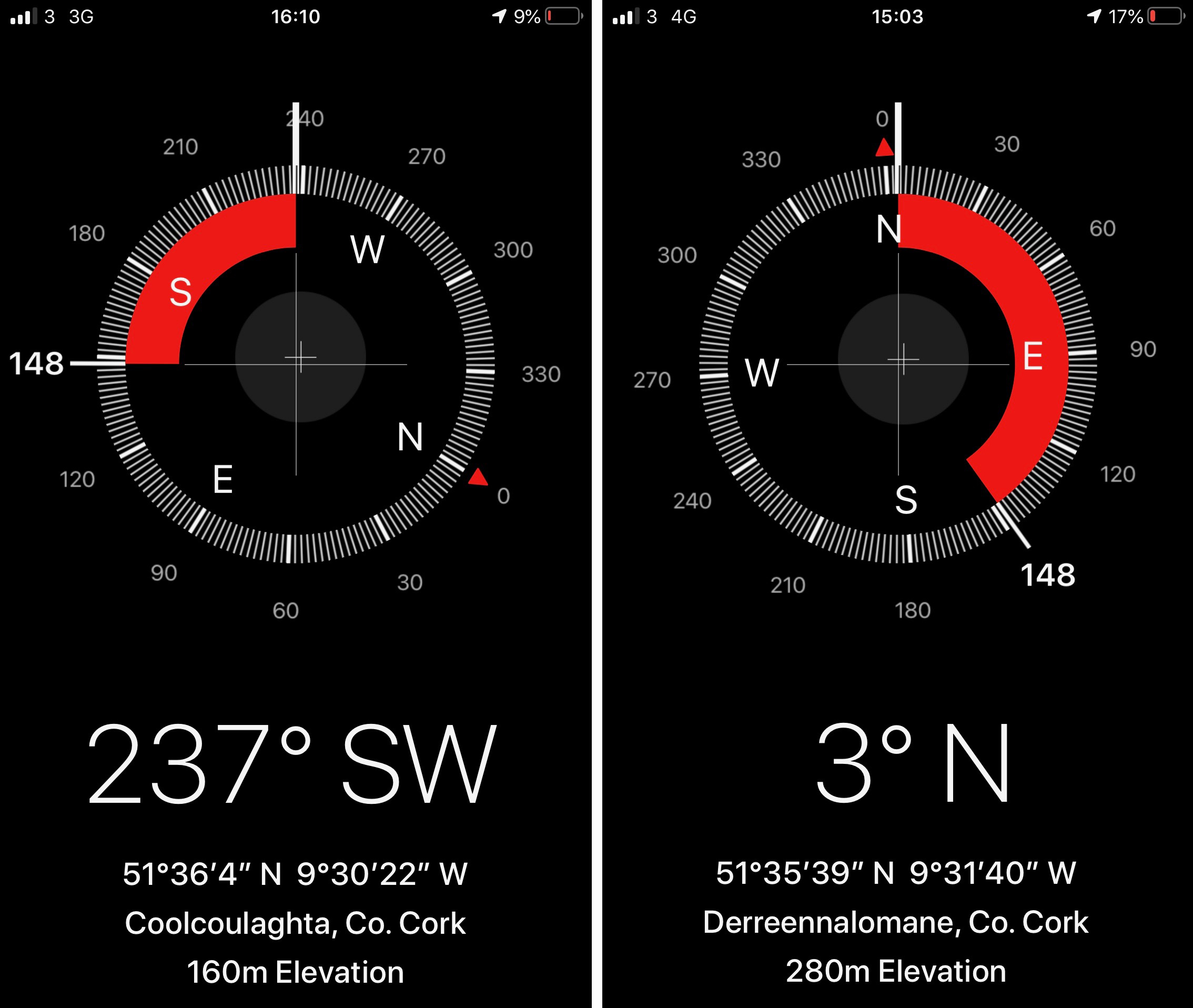
There is history on this mountain. The summit is crowned by a significant cairn. If the peak is named from the cairn – which seems likely (West Cork folk would pronounce ‘cairn’ corrin), it must have had ancient roots going back through many generations. The National Monuments Record makes brief mention of it: Class: Cairn – unclassified – Townland: Coolcoulaghta, Derreennalomane – On top of  Mount Corrin, commanding view. Sub-circular cairn (H 0.7m; 13.6m E-W; 15m N-S); modern cairn built in centre (H 2.7m; circ. 10.9m). On the way up from the east side, the path passes directly over some large prostrate slabs which look very much like a broken wedge tomb. The NMR says only this: Megalithic structure. There are also, near the summit, three substantial stones in an alignment. The NMR is silent on these.

Upper and centre – a possible broken wedge tomb on the slopes of the mountain. Lower – a convincing three-stone alignment which doesn’t get a mention in the Scheduled Monuments Record

Duchas has a far more exciting mention of Mount Corrin, with this ‘True Old Story’ recorded in 1936 from Dreenlomane School:

A True Old Story

. . . About eighty years ago where there was no talk of anyone being able to fly there lived in Screathan Uí Laoghaire [Scrathanleary] a very clever man named Julian Camier. He had a house built, and quarried slate on the other side of Cnoc an Chairn at a place called Leaca Dhubh, and then he made a pair of wings. He told all the people that he would fly if each one of them brought a couple of slates home for him. When the day came crowds of people ascended on Mount Corrin to see him fly. He went on top of a high cliff and put on his wings but they failed to work when he spread them out and he jumped into the air and he fell off the cliff and hurt his leg. All the people took pity on him and each one brought a couple of slates down to his house so he got the slate brought home easy, and after that he was known as “Fly away Julian” . . . 


Patrick Donovan, Dreenlomane, Ballydehob, Skibbereen

Obtained from my father, Patrick Donovan 52 yrs

The Duchas Schools Folklore Collection also mentions folktales told about the mountain:

It is said that there is a chieftain buried under a heap of stones in Mount Corrin and there are other chieftains buried in Coolcoulachta . . .  There is a cairn on the top of ‘Corrin’ hill and it is said that a giant Mc Gun and his horse were buried there . . .

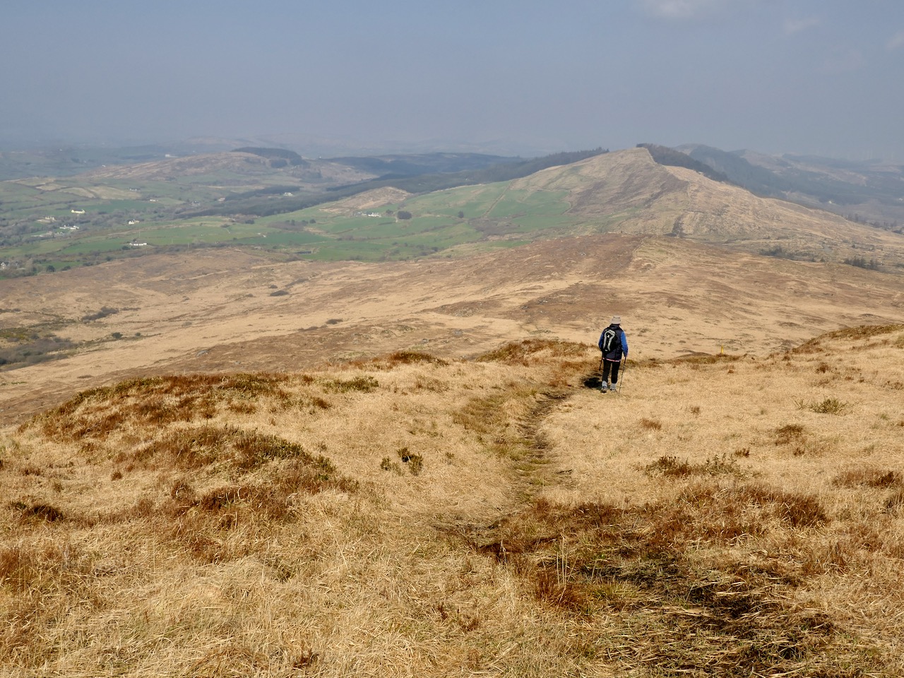
Upper – view from Corrin’s summit across the Sheeps Head Peninsula. Lower – descending from the peak

It would be wonderful to think that folk tales about ancient burials on the mountain top is a memory carried down through countless generations. Clearly this Mizen summit holds histories and mysteries. but, regardless of any lore that we might find in our researches, it’s one of the finest walks that you can take in this part of West Cork, with rewarding views over the whole peninsula.

From start to finish the round walk from the eastern access point to Mount Corrin summit and back involves an ascent of 120 metres and a distance of around 6km
The Day the Sun Came Out – in Ballydehob!

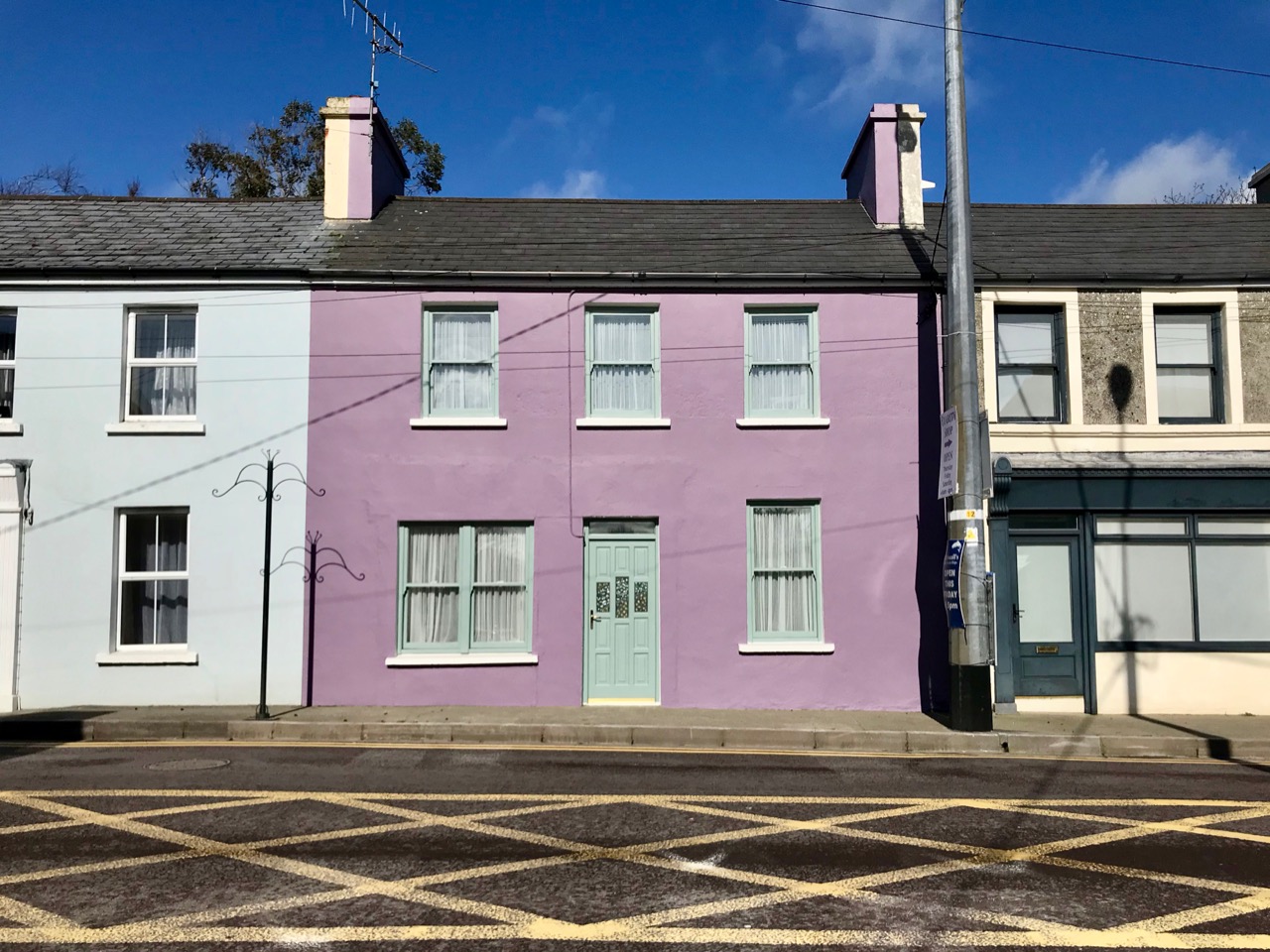
It always happens: you go through a ferocious winter of gales, floods and bitingly cold winds and then one day – probably not too long after St Brigid’s – you realise that spring is arriving! It happened this week, here in Ballydehob. Suddenly, the sun came out; the sky was deep blue and all the coloured houses, bars and shops lit up and made us remember what a wonderful place we live in.

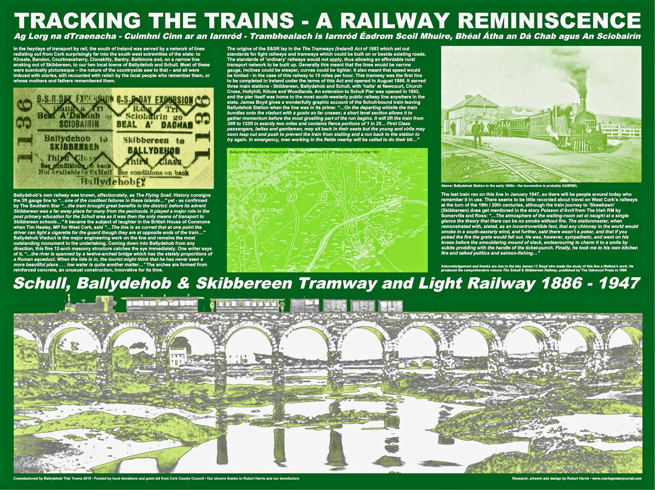
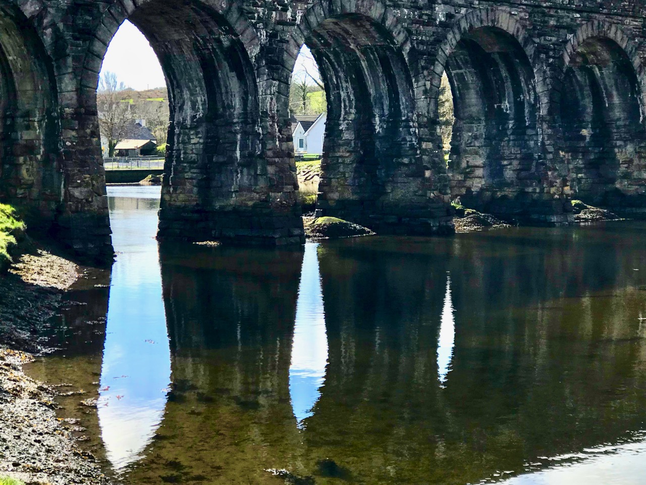
Ballydehob – that’s the name in Irish, above, on the gable of the community’s Bank House. A literal translation would be Town of the ford at the estuary of two rivers and, indeed, the Bawnakeane and Rathravane streams converge here before flowing out into Ballydehob Bay, once a hive of water-borne commerce with coasters, schooners, sand-boats, and punts and skiffs from the inhabited offshore islands arriving and leaving, while the tiny train puffed and rumbled across the viaduct on its way from Skibbereen to the Schull terminus.

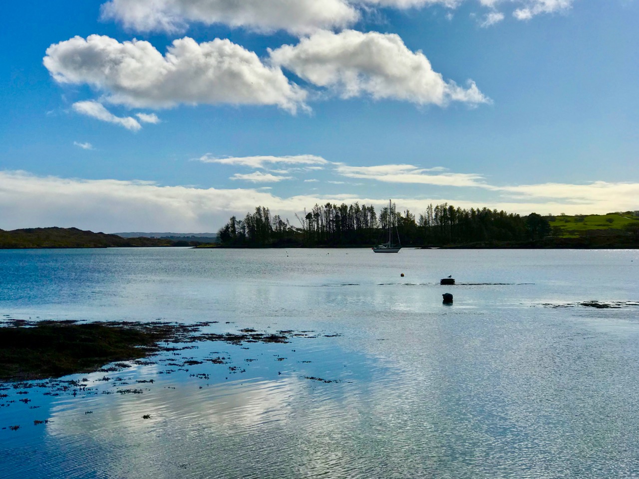
When you feel the spring in the air for the first time, you begin to look anew at your surroundings. Shapes, reflections, the play of images on water: there’s such a difference as the ‘ordinary’ is changed through the quality of the light. That’s the freshness of annual renewal.

There are so many little details in the townscape that we can overlook, or just take for granted. Ballydehob has a long history of creativity, which is reflected in shop signs, decoration, window dressings. Take a stroll in the sunshine and see if you can find anything new!

You don’t have to wander far from home to welcome and experience the joys of a new spring. You will also find yourself looking forward to the seasons still to come, which will bring Ballydehob to life with its visitors, galleries, festivals and gatherings. Not to mention the hostelries which feed the body as well as the soul.

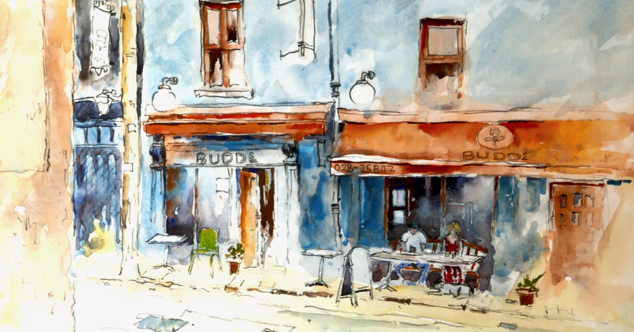
We are looking forward to many sunny days to come as the year warms up. Meanwhile, we can always revisit happy memories of our village life through our photographic archives. Thanks to Judi Whitton for the endpiece watercolour featuring our wonderful Budds, just turned five years old this weekend: congratulations to Jamie and his dedicated team!

Mizen Magic 17: Delights of Dunmanus

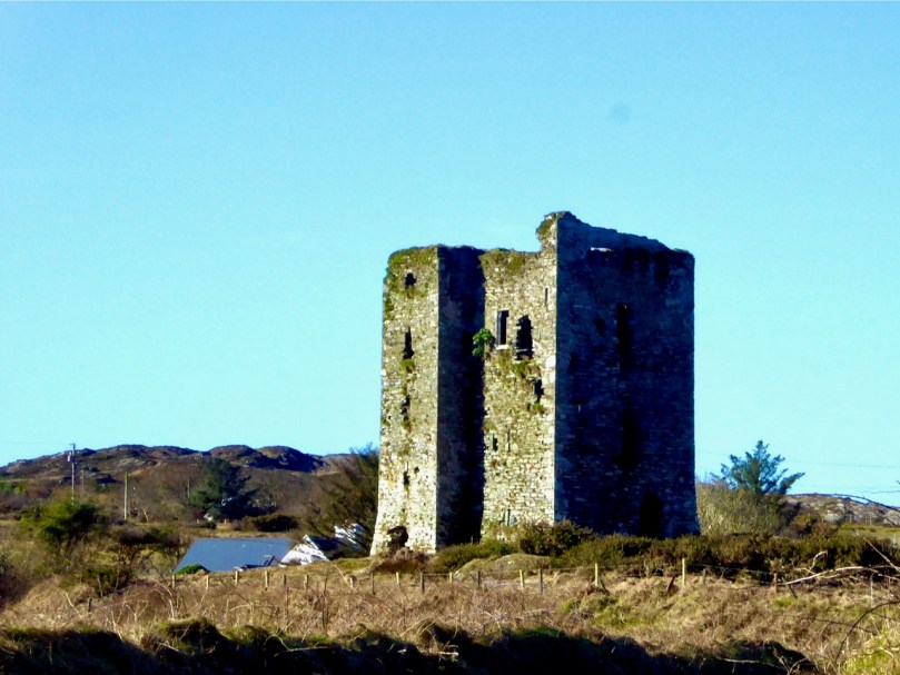
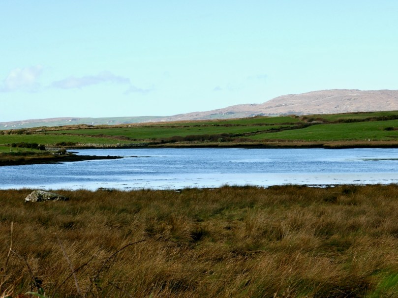
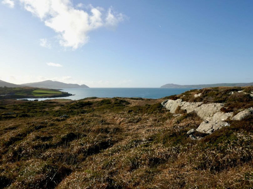
As we often do, we set out on a sparkling day last month to explore a part of the Mizen we aren’t familiar enough with yet. Our plan consisted of pouring over the OS Number 88 map and having an AHA! moment of realising that we haven’t been to a particular spot. This time, the dart landed on an area just northeast of Dunmanus Castle (seen above from Mount Gabriel), where it looked like there was a trail running along the water that would afford magnificent views of Dunmanus Bay and the Sheep’s Head. Things didn’t go quite as planned. . .

Red line: the trail we wanted to walk. Blue line, the trail we actually walked.
Arrows – yellow, Dunmanus Castle; pink, boulder burial; blue, Killhangel Church

We’ve written about this area before – specifically, in Mizen Magic 13 Robert described the promontory immediately to the northwest of the castle, with its ancient stone walls and its spectacular sea arches. This area has recently been re-fenced and isn’t as easy to access as it was.

The Castle and bridge from the promontory

The Castle, of course, is the most prominent landmark in this area. Built by the O’Mahony’s in the 15th century, it is a classic early ‘raised entry’ type of tower house, with complicated internal architecture that allows restricted access to different parts of the building at different levels – including to an oubliette. My post When is a Castle..? has a good description of these kinds of castles, typical of West Cork.

But today we were heading away from the Castle, towards the townland of Knockeens, where, on the map, we could see this promising trail. But you can’t just go right there – a little meandering is always in order when you’re in countryside this beautiful and this interesting.

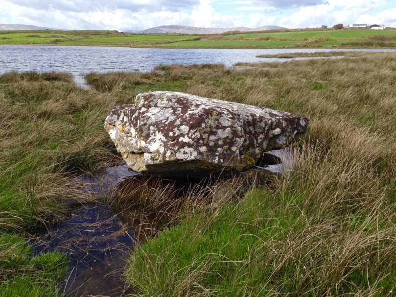
So we stopped to admire the Dunmanus boulder burial (it’s the rock in the lower left of the photograph above). Boulder burials are Bronze Age monuments, although they may have been used for purposes other than to mark burials. See my post Boulder Burials: a Misnamed Monument? for more about this intriguing group of archaeological sites, more widespread in West Cork than other parts of the country, and often associated with stone circles or standing stones. This one is unusual in that it is low-lying (most are in more commanding positions) and the base gets covered at high tides.

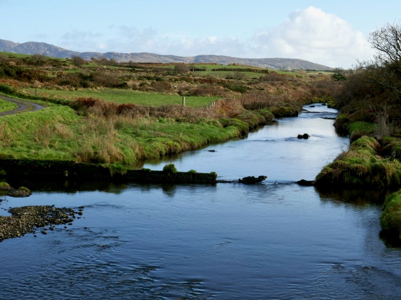
Crossing over an unnamed stream that rises on Mount Gabriel and empties into the sea here, we arrive at the point where we can leave the car and proceed on foot.

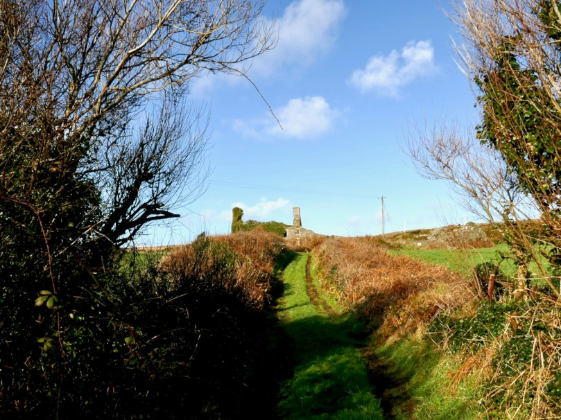
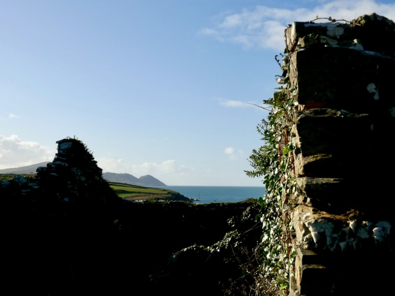
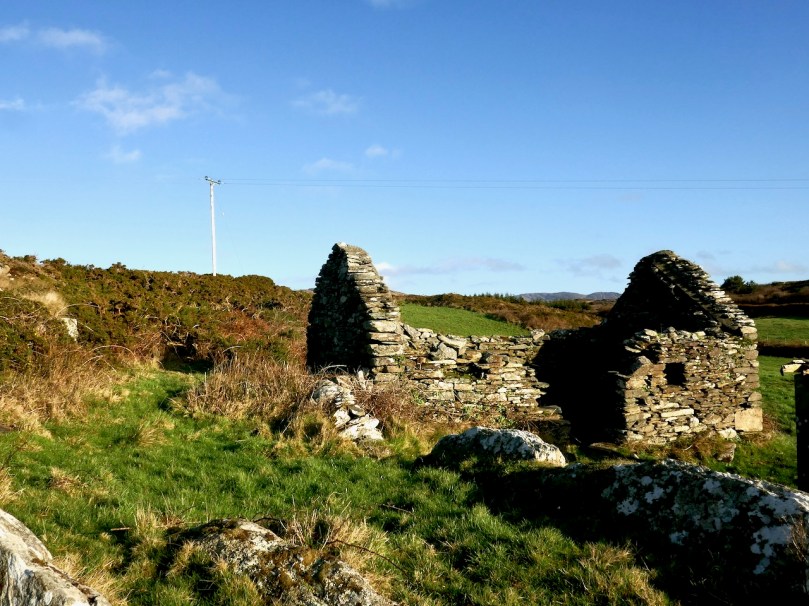
A short walk up an old boreen leads us to a clachán – a tiny settlement of houses, now all in ruins. The residents had magnificent views back down to the bay in their day, but as people say around here, you can’t eat scenery and the families who lived here are long gone to a better life elsewhere.

Just beyond the clachán we ran into our roadblock – an enormous puddle extended over the path. It was too deep to walk through and the boreen was fringed with thick gorse bushes we couldn’t push past. Stymied, we decided to climb up above the path and look for a way around. Easier said than done – between stands of gorse, boggy patches to go around (or sink into), sheep paths that went nowhere, we spent an hour or so wandering around the hillside and finally admitted defeat.

It wasn’t wasted time though – it was wonderful to be out in the crisp air, surrounded by all the magnificence of the Mizen, thinking about the generations who had wrested a subsistence out of that unpromising land. When we finally got back to the car we decided to see if we could approach the trail from the other side, and set off in that direction.

Looking across to the Sheep’s Head

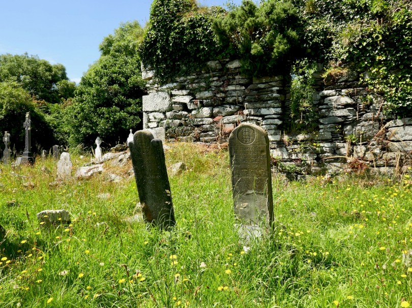
Along the way we had a quick stop at the ruined late-medieval Kilheangul Church (Church of the Angels). It’s a special little spot that deserves a post of its own someday, so I won’t say much about it now. This photograph of it was taken in the summer.

By the time we arrived at the other end of the trail, beside a small pier, it was starting to get dark, as befits a January afternoon, so discretion dictated that we leave the rest of the adventure to another day. 

The day started out to be about walking the trail – it ended up being about everything around it. That’s the thing about the Mizen – the journey is the destination.