Stormy Weather

neadwinter

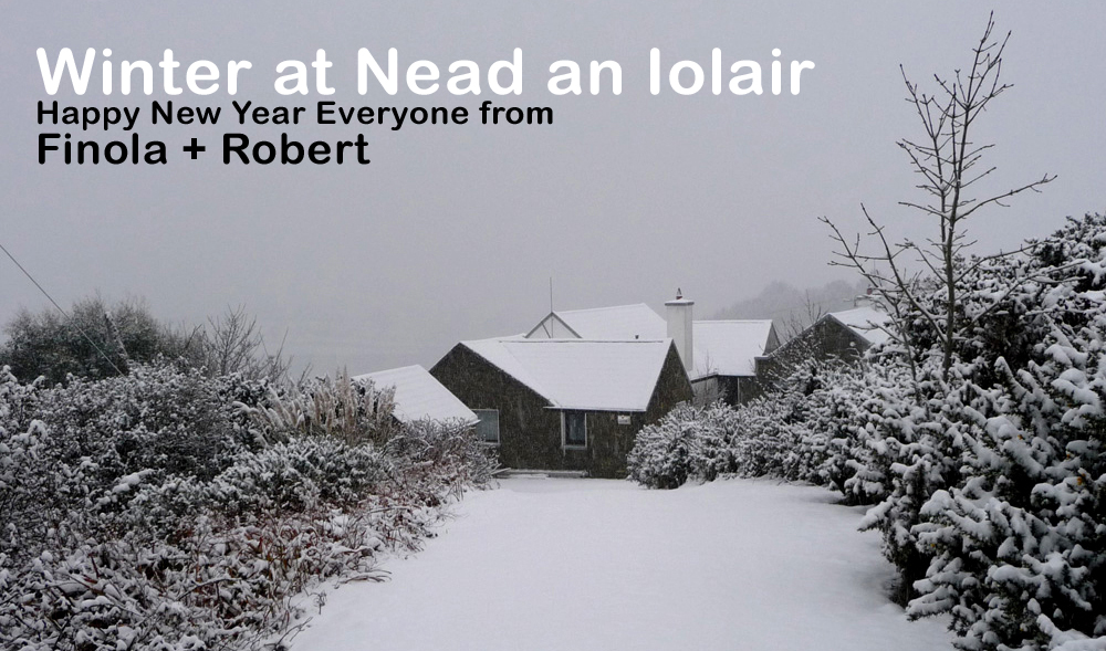
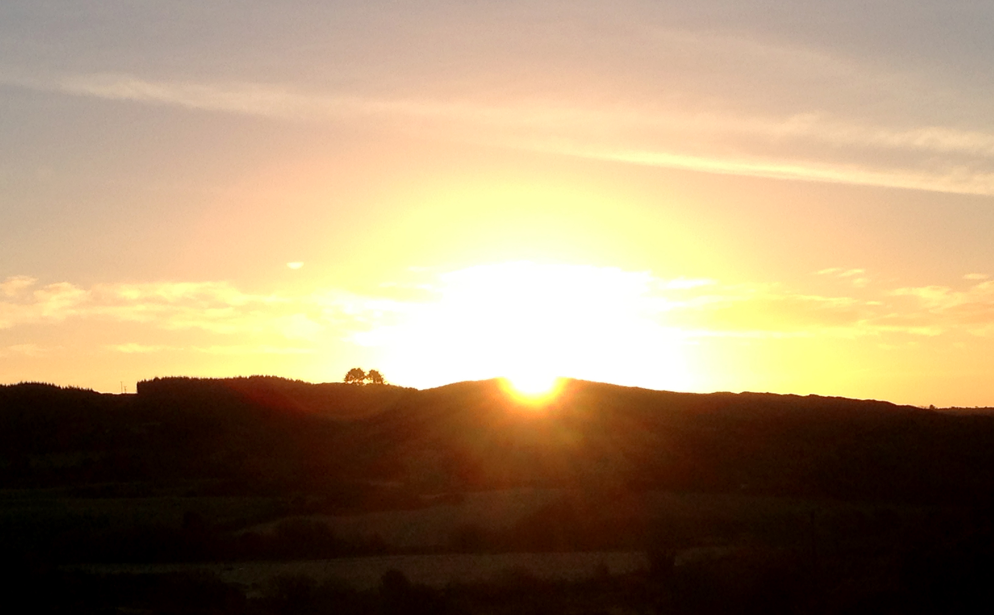
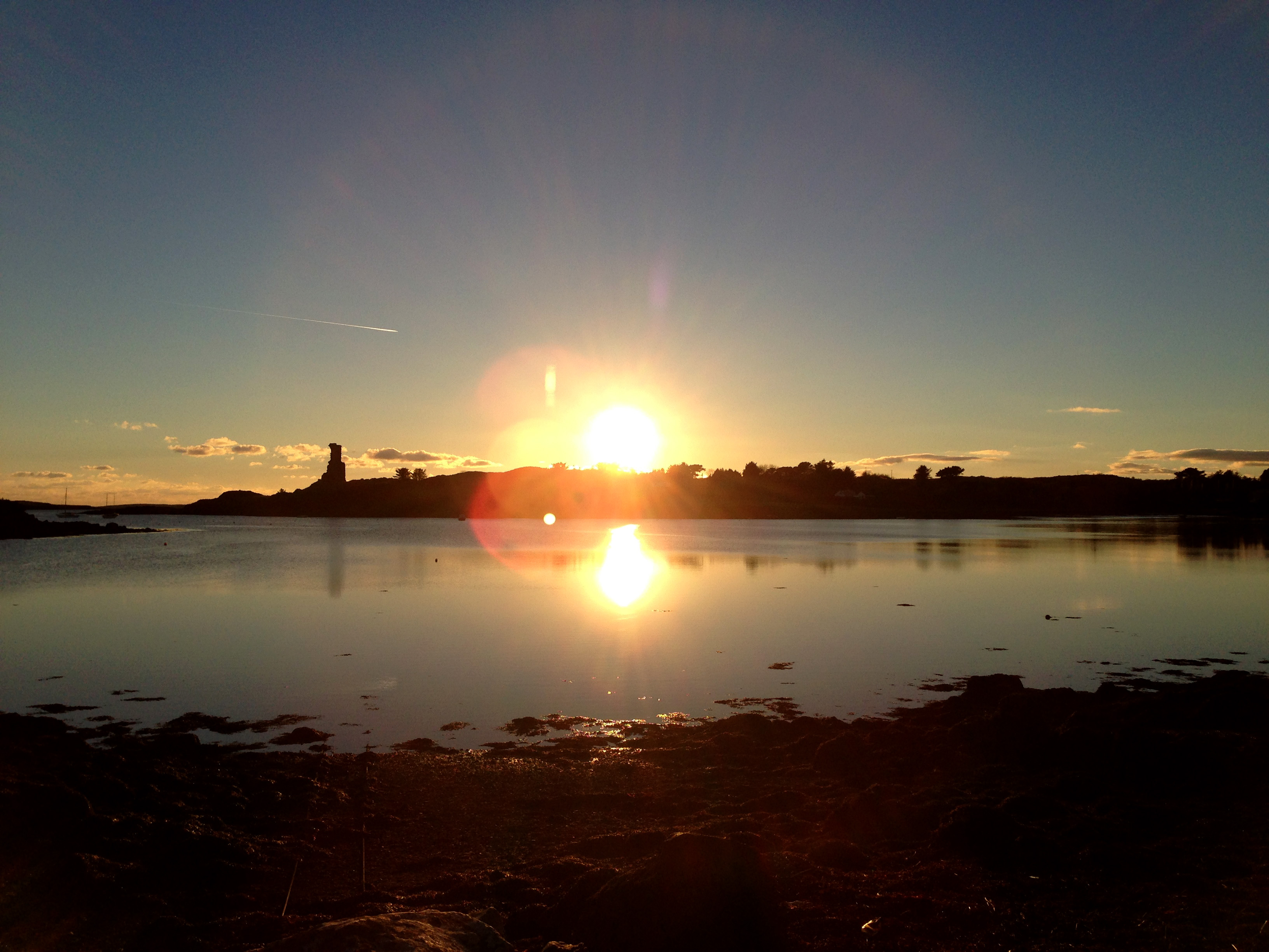
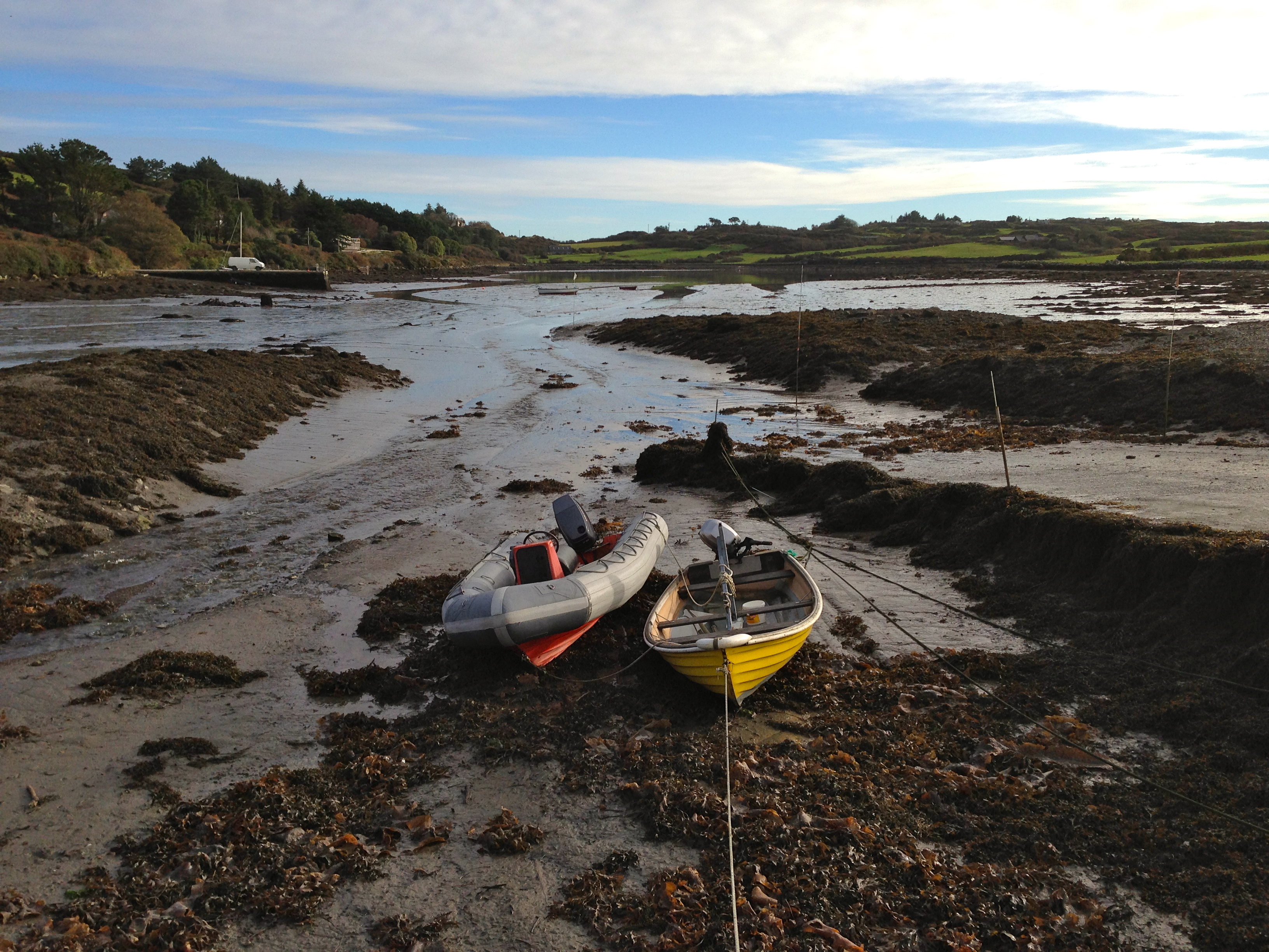
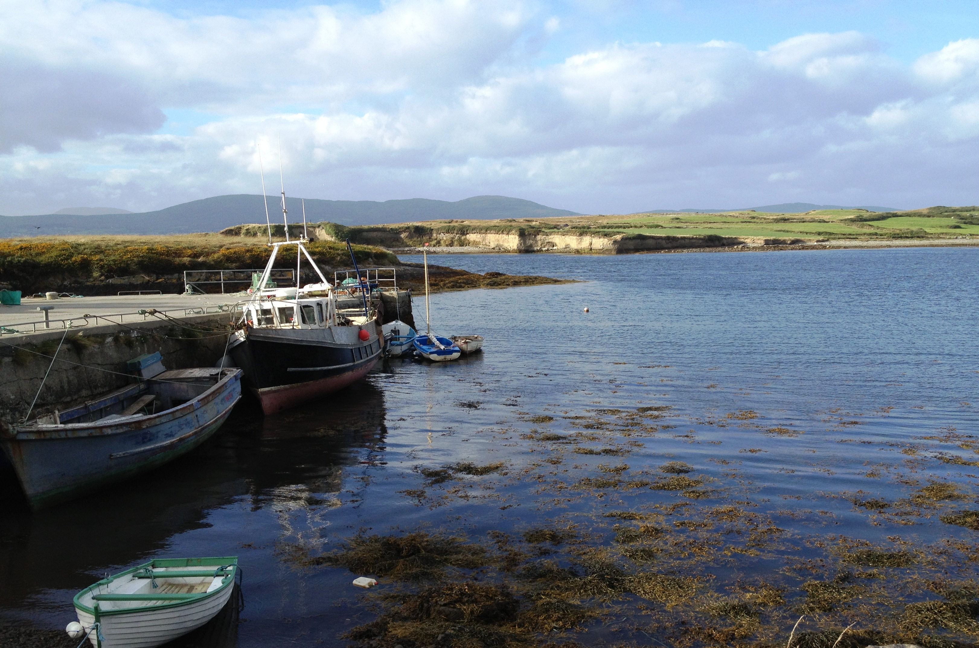
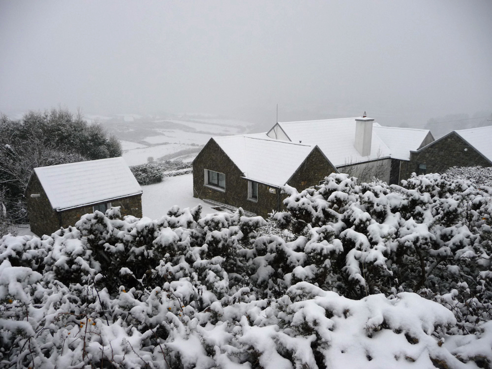
This picture of Nead an Iolair is here to create a seasonal feel: it was taken by our neighbour Dietrich in the Great Winter of 2010 – 2011 when the extremes were all about deep snow, frozen roads and frozen pipes, unusual for this little corner of the island normally kept mild by the Gulf Stream. This winter we have a different extreme – hurricane force winds!

spiked

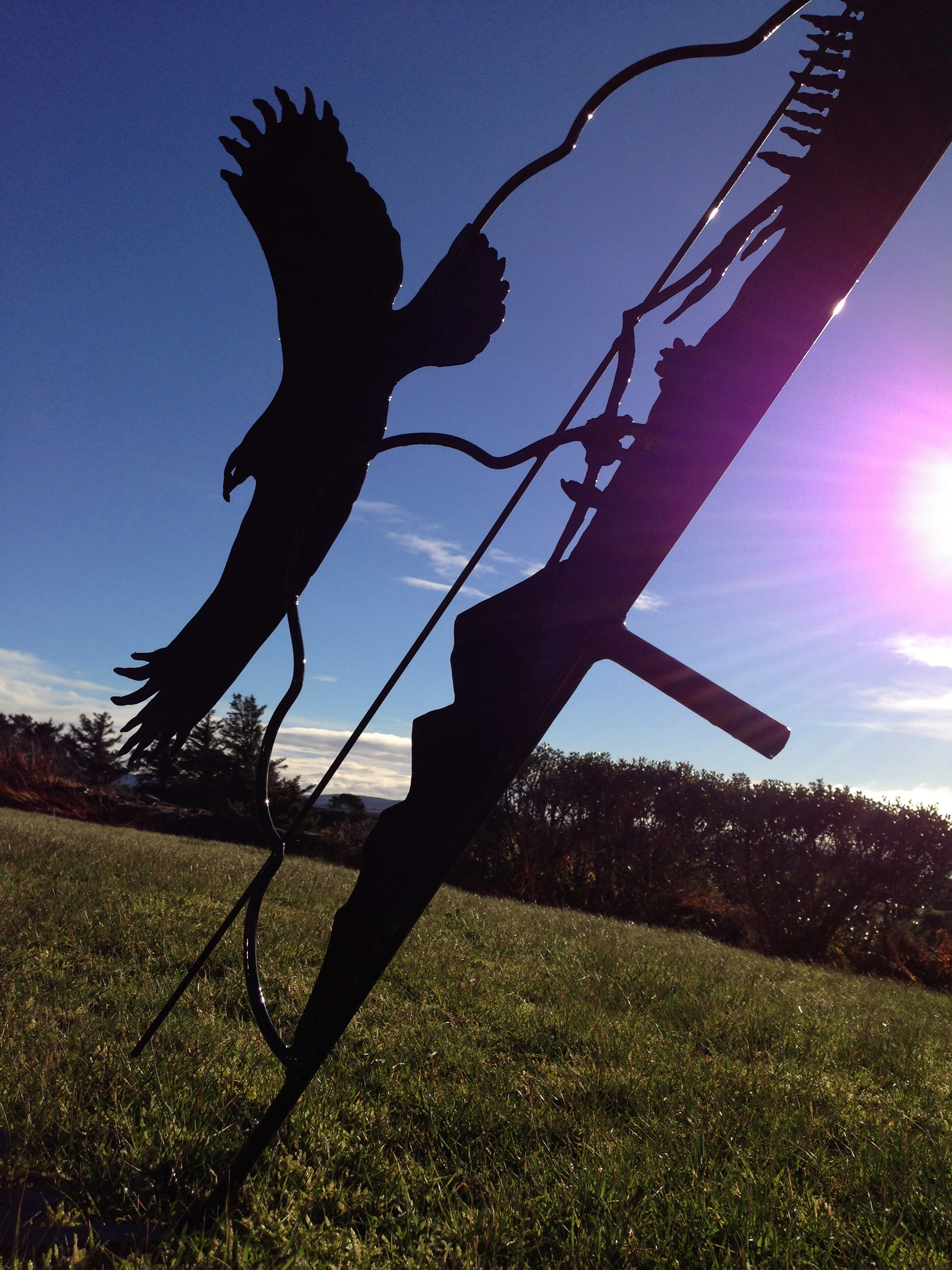
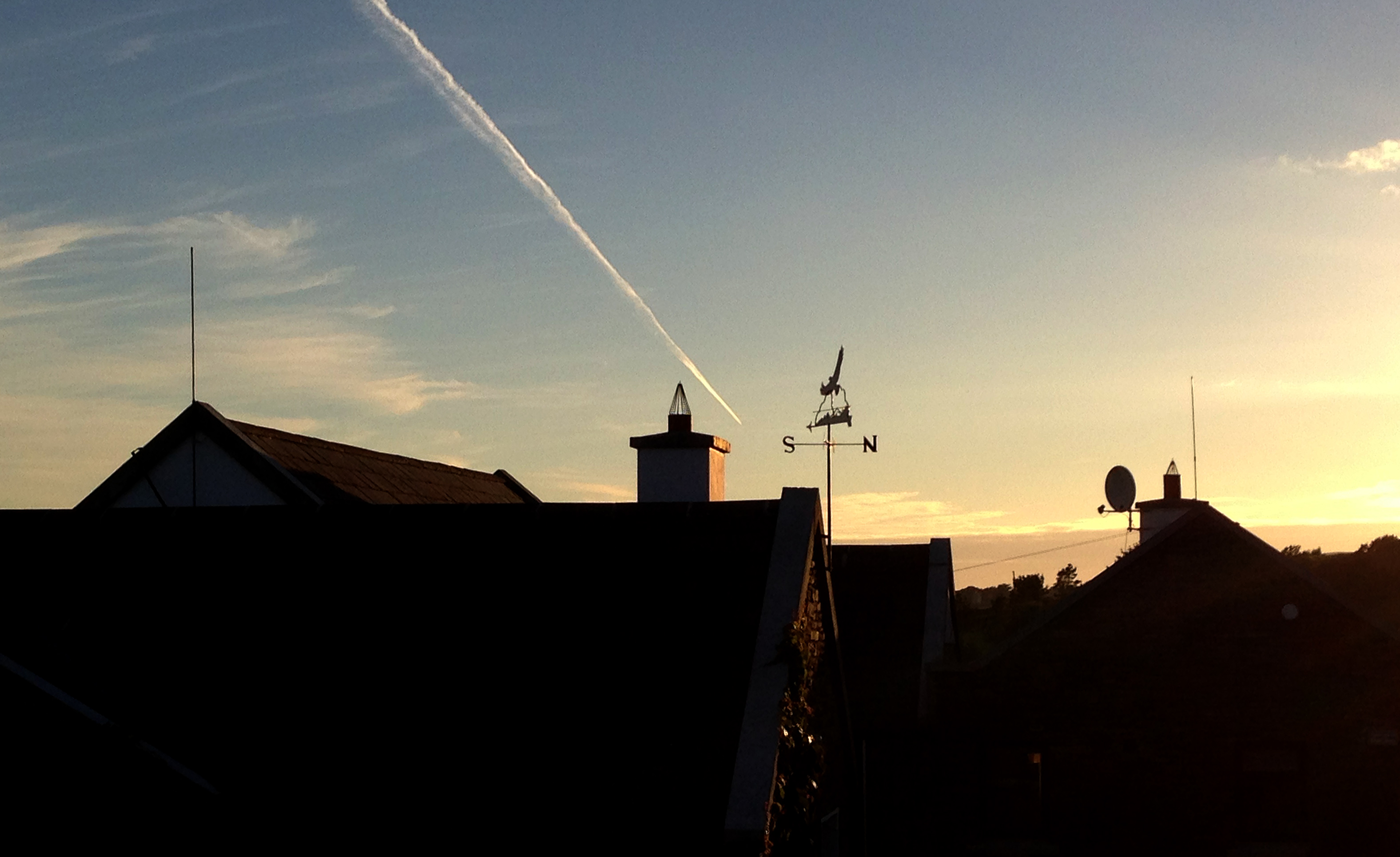
‘Hurricane’ on the Beaufort scale means wind speeds of 118 km/hour or more. We went to bed on St Stephen’s Day evening, having measured the wind speed outside as 87 km/h. That seemed wild to us: the trees were bent over and the salt laden rain and sleet were coming in horizontally and lashing our south west facing windows. It was hard to sleep: the slates were rattling loudly above us and the aerials and lightning conductors on our roof were shrieking and bending. The noises got louder and more terrifying as the night went on. I wanted to venture outside with my little hand-held anemometer but I couldn’t face it. The violent storm began to abate only in the early hours of the morning and, when we did creep out, it was to find some damage: two trees down in the haggart, sadly, and our beautiful weather vane collapsed. It was as well that we weren’t underneath when the flying Eagle and its sharply pointed arrow came crashing on to the lawn, just missing our door.

levissession

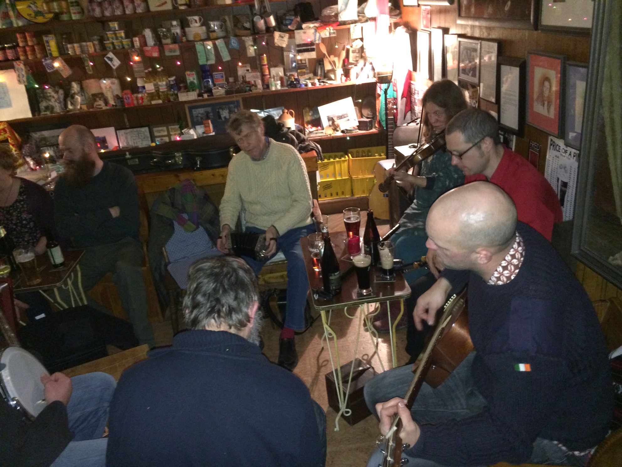
St Stephen’s Day Session, Ballydehob


Earlier in the day we had enjoyed an unexpected visit by the Wren Boys to Levis’s pub, where we were involved in an improvised session. Two groups of Wren Boys in fact: the first an adult company with musicians, colourful costumes and bizarre masks, and the second a group of boys dressed in old coats turned inside out, pyjamas and sailor caps, carrying large collecting tins. All were welcomed and the festivities grew merrier as the wind strengthened.

wrenners

wrenboys

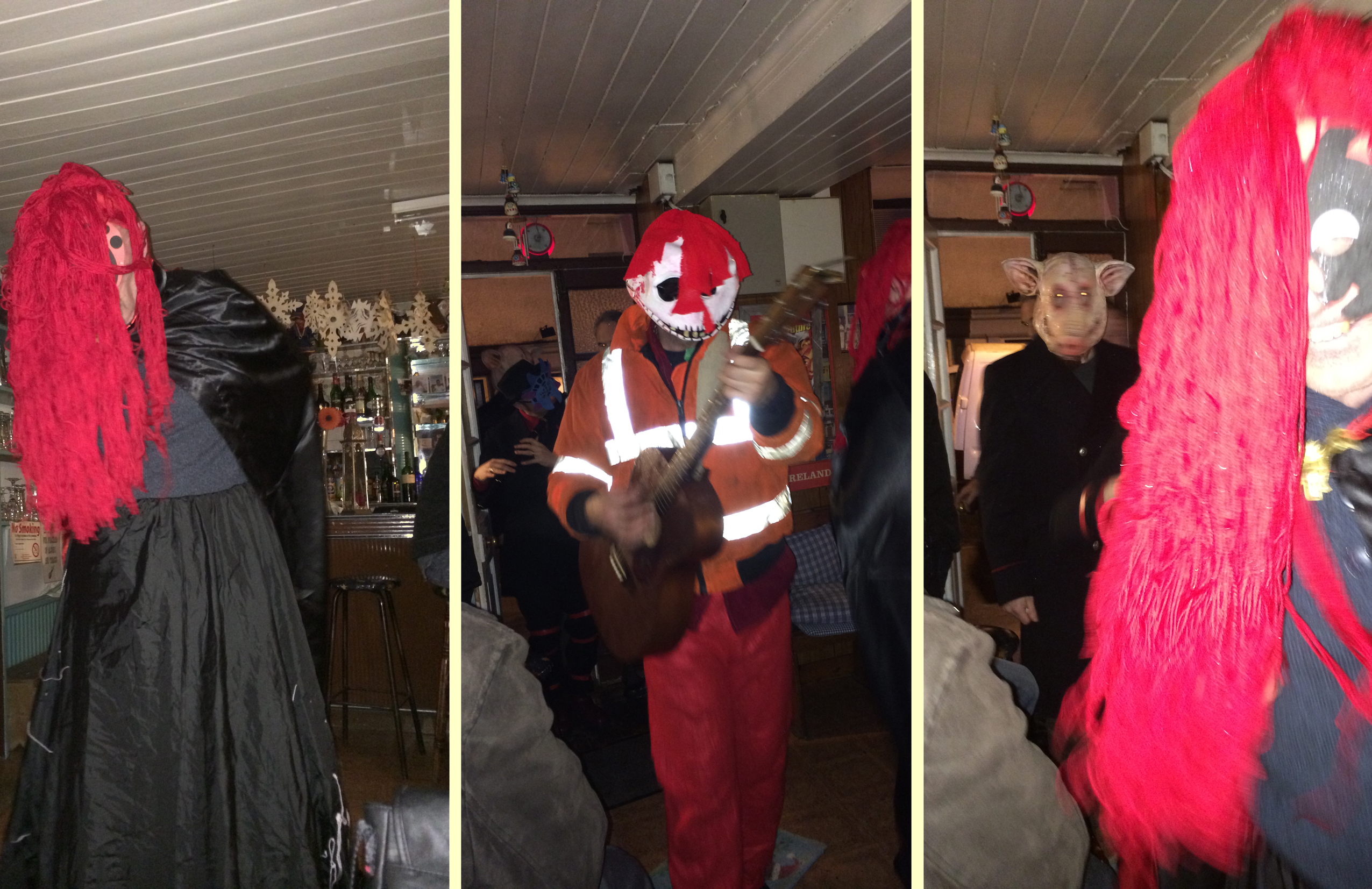
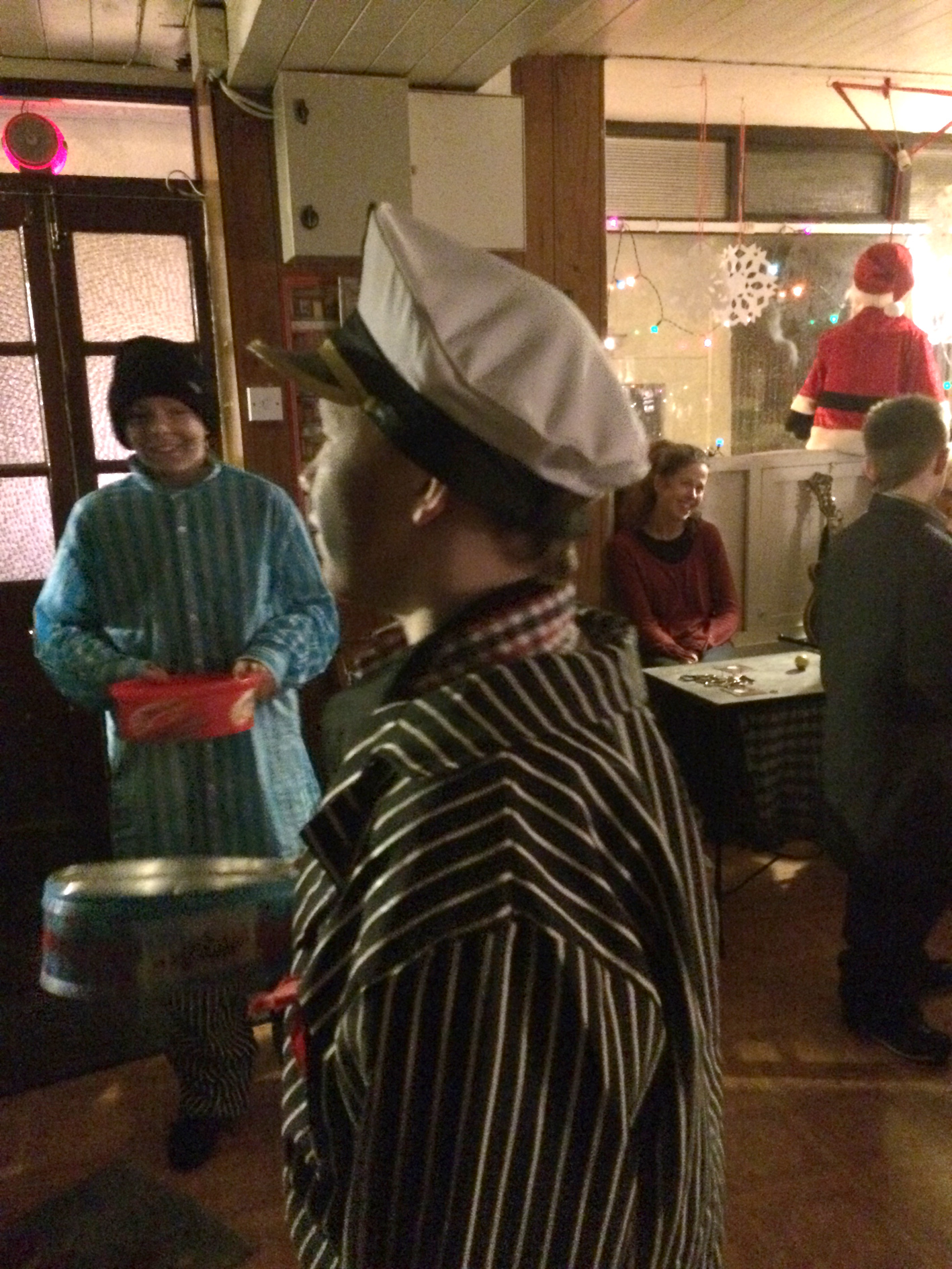
Keeping traditions going: outlandish Wrenners visiting Ballydehob – top – and local lads collecting in Levis’s Bar – below

As I lay in bed at the height of the storm I found myself worrying about our birds: how on earth could the Goldfinches, Chaffinches, Robins and Wrens (any Wrens who had escaped the St Stephen’s Day hunt that is) have survived that terrible gale – which stripped the bird feeders of everything moveable and the bushes and shrubs of their sheltering leaves? In the morning, there they were back again, and noisily demanding a refill which, naturally, I was delighted to provide.

message

Theme and Variations

November sky at Nead an Iolair

Prelude: November sky over Nead an Iolair

Up on our hill above the Cove we are constantly treated to painterly skies. We could fill a whole blog with these changing skyscapes, and now – in late November – we have an extended period of clear cold weather which offers us spectacular sunsets: each day seems to outdo the previous one. On our walks we can’t resist using our cameras to record the wide West Cork skies, although these pictures are barely adequate to recreate the full celestial symphony. We have tried to come up with words to express to ourselves how magnificent these are: somehow the words seem trivial…. Stunning crops up frequently, as do mesmerising, awe-inspiring, exquisite, sublime, unsurpassed. Perhaps it’s best just to let the images speak for themselves: we feel privileged to be living in this incomparable land.

Bay rainbow

Overture: Bay rainbow

Sheep's Head sky

Arietta: Sheep’s Head horizon

Bow over Bishops Luck

Intermezzo: Bow over Bishops Luck

Ballybane sunrise

Crescendo: Ballybane sunrise

Silver sky

A bocca chiusa: silver Mizen sky

Sky trail

Segue: Meteoric dawn

Rossbrin, dusk

Tranquillo: dusk at Rossbrin

Two suns

Caballeta: two suns

Wide sky

Con fuoco: Roaring Water resplendent

Peninsula

Cadenza: transcendental times

Finale

Finale and Coda

Bay of Rainbows

rbphoto

It’s a five minute walk down the hill from Nead an Iolair to the water at Rossbrin Cove (and a ten minute walk back up!). I do that walk as often as possible, and I grow ever fonder of this secluded place. I’m always on the lookout for birds: when the tide is low the natural inlet is a large mudflat – ideal territory for waders (Curlews, Oystercatchers), Gulls, Ducks and – occasionally – Divers. I often see the mussel boat working just outside the Cove: there is a network of mussel beds in Roaringwater Bay. The mussels Mytilus Edulis are grown in polyester ‘socks’ hanging from ropes attached to buoys, long lines of which can be seen on the surface of the water between the Cove and the islands. The mussel boat is a strangely complicated piece of floating machinery, having on board heavy winches and drums for winding in the ropes. Altogether smaller are the lobster and shrimping boats – one-man operations which also set out buoys to identify where their pots are put down. I know when the lobster boat is out: there is a white van down on the pier, usually with an elderly Collie asleep underneath it.

low tide

Low tide

From our perch up here we can see six castles, the most prominent being Finghinn O’Mahony’s which once guarded the entrance to the Cove. It’s in a poor state now – quite a lot of the stonework has fallen in the last ten years. The castle and its acreage were recently sold and there is talk of some strengthening of the ruin being put in hand to prevent its complete loss. It’s a great piece of history, well worth preserving. In medieval times Finghinn – the Scholar Prince – presided, here, over one of the great centres of learning in Europe, and in the British Museum there is a leather bound volume scribed at the castle during his time which has never been translated from the Irish. It’s strange to walk along the shoreline, to experience the peace and remoteness, and to remember that this was once a hotbed of knowledge and also a hub for large French and Spanish fishing fleets in the fifteenth and sixteenth centuries, all paying their dues to the O’Mahony septs (Irish clans) for rights and protection. These rights were worth thousands: West Cork was a wealthy place then – far away from the tax collector!

Rossbrin Castle - at the centre of the Medieval world

Rossbrin Castle – at the centre of the Medieval world

Today we walked out to the edge of the Cove, searching for an ancient cillín (look out Finola’s post for a definition). We are not sure whether we found that, but we did see some very strange field boundaries and a possible unrecorded cup-marked stone. We started out in sunshine but – as often happens here – we were caught out by a sudden storm squall blowing across from the Atlantic: we were soaked. But the reward was a superb rainbow spanning from south to north horizons. Central to it was a shaft of sunlight lighting up Jeremy Irons’ castle at Kilcoe.

Holy well

Holy well (well, possibly the site of one…)

The Cove abounds in history: there is a holy well marked on the old maps, right on the north shore. All that can be seen there now is a spring – presumably of fresh water – which is immersed at high tide. It’s fascinating to think what meaning this once had for those who dwelled here – and long before the time of the Scholar Prince. There is at least one Fairy Fort close to the water, while high above and overlooking the Cove is the enigmatic Bishops Luck standing stone. In more modern times there was extensive copper mining – our Calor gas tank at Nead an Iolair is supposed to be situated over an infilled shaft!

cove

Mines; standing stones; Fairy Forts; medieval castles and manuscripts; holy wells; mussel farming; lobsters, shrimps et al… We are surrounded by evidence of human endeavour going back thousands of years. Through it all the natural world continues regardless: the sun rises, the moon wanes, storms blow in, seasons turn; the tides bring daily changes to the shoreline – and the rainbows are our evanescent doorstep miracles…

cove1

moon2

Mizen Magic

We’ve done several posts on the Sheep’s Head and the marked hiking trails that crisscross that peninsula. But we actually live on a different peninsula, The Mizen, and it is just as glorious and wild and beautiful.

Map of Mizen and Goleen

The road to the Mizen Head starts at Ballydehob, runs along the southern side of the peninsula through Schull and Toormore and on to Goleen and Crookhaven. At the far or western end are the beaches of Barley Cove and the Mizen Head Lighthouse and Visitor Centre. There are no villages on the northern side of the peninsula until you reach Durrus, which also marks the start of the Sheep’s Head Peninsula. It is bounded on the south by the waters and islands of Roaringwater Bay and on the north by Dunmanus Bay. The whole peninsula is rich in history and archaeology and we plan future posts about many aspects of life here.

For the moment, a flavour in photographs of what The Mizen landscape has in store for visitors.

Dunbeacon Stone Circle

Dunbeacon Stone Circle

Ballyrisode Beach

Ballyrisode Beach

Dunmanus Bay

Dunmanus Bay

Mizen Head

Mizen Head

Dunmanus Harbour

Dunmanus Harbour

Three Castle Head

Three Castle Head