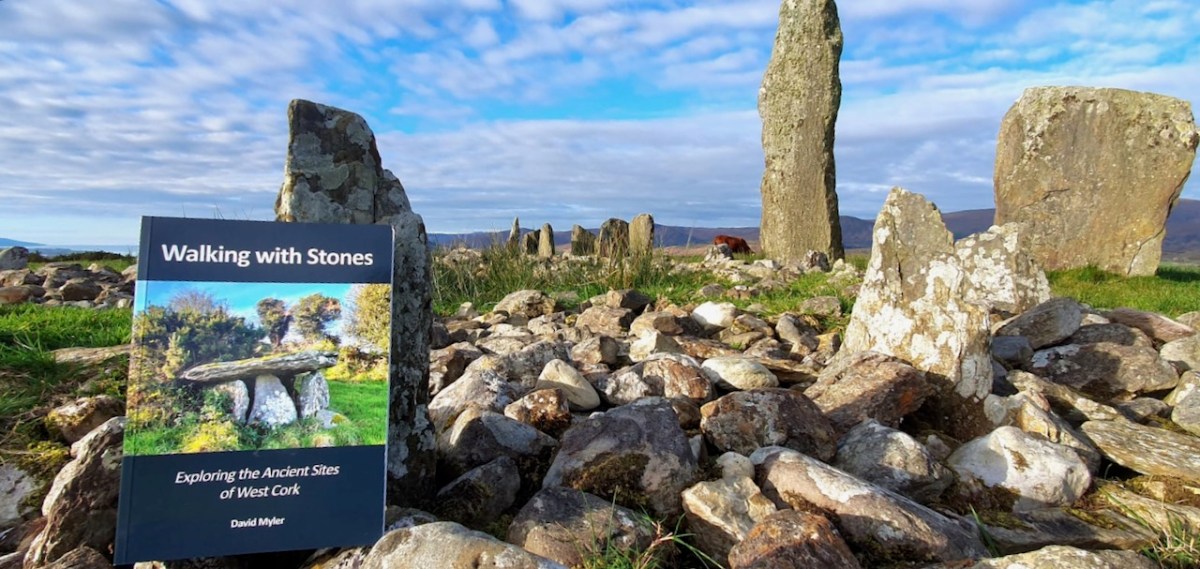
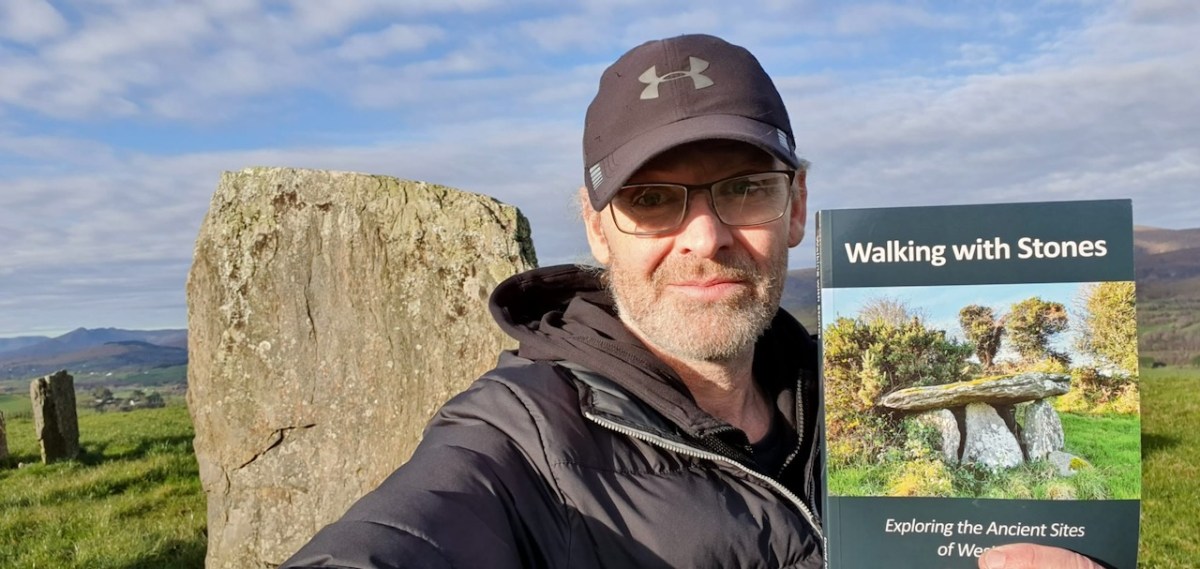
If you live in West Cork, or if you love to visit it, your Christmas present dilemma is solved! Here comes Walking With Stones, the new book on West Cork archaeological sites written by David Myler.
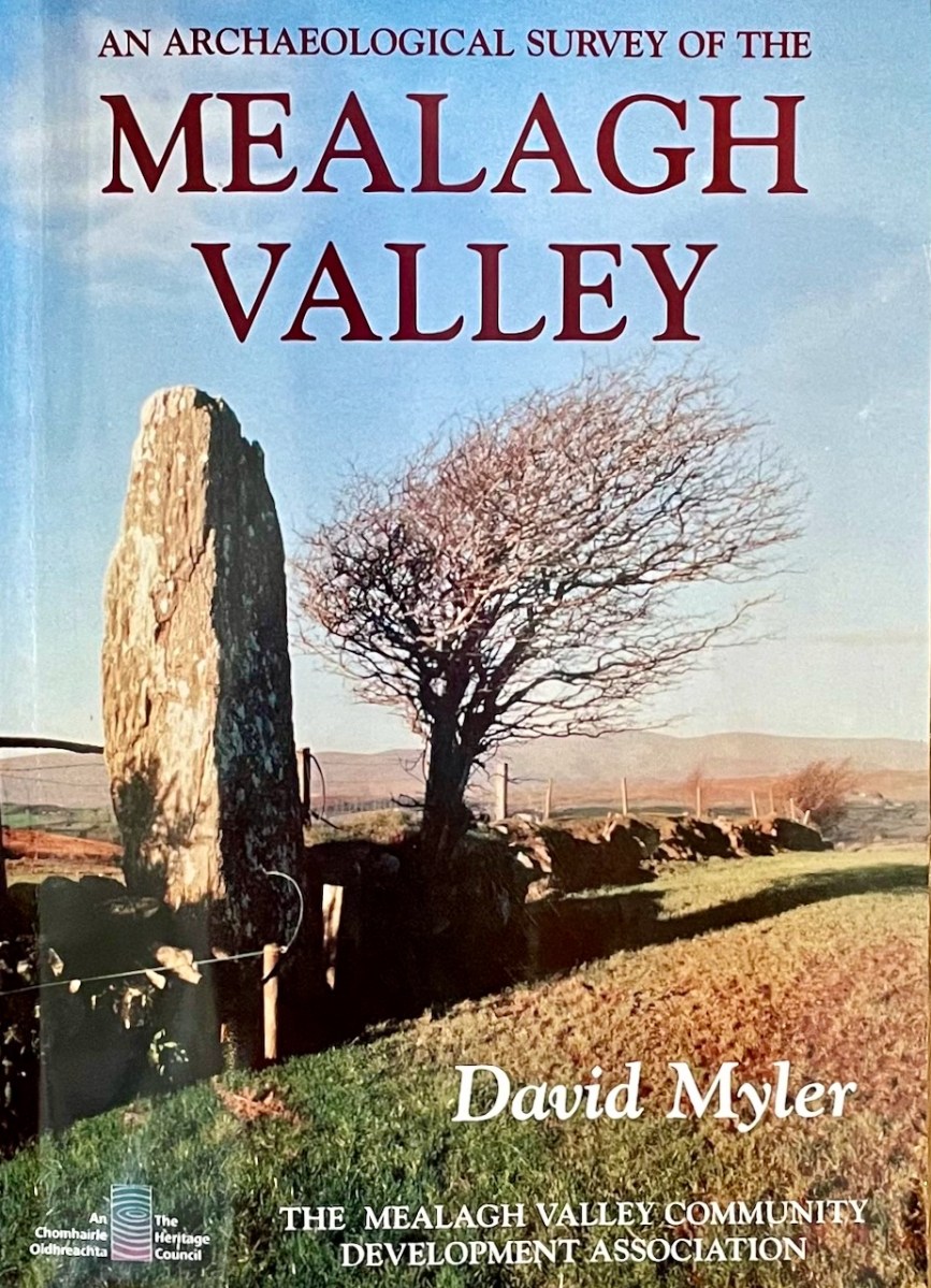
David has been sharing his passion for West Cork antiquities in an online Facebook Page/blog which he called Walking with Stones. But even before that, he wrote An Archaeological Survey of the Mealagh Valley – a book we have had on our bookshelves for years and turned to often.
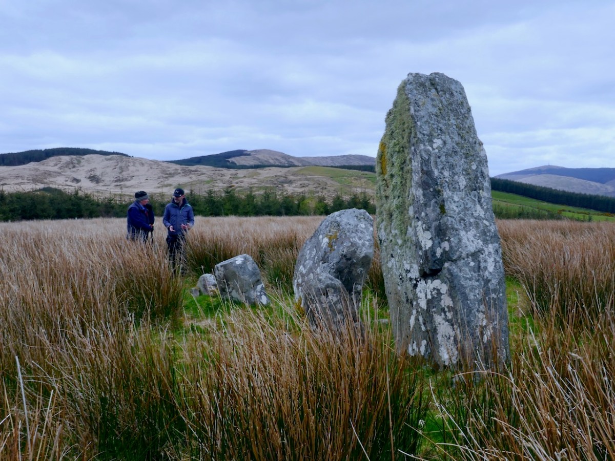
Once we saw Walking With Stones pop up on our Facebook feed, we knew we had found a fellow traveller. We had to meet – and meet we did, along the way discovering many shared interests and even a relative in common. Our first meeting was a field trip where David showed us this stunning stone row in the Mealagh Valley.
On that same trip we saw my first ever Four-Poster Monument – they are very rare, with only four in West Cork – as well as a spectacularly-sited wedge tomb that David had discovered.
David’s book is a very welcome addition to our bookshelf. Perhaps I should declare right away that he asked me to write the Introduction and I was delighted to do so. Now that I finally have my own copy, I am thrilled to be associated with it, in this small way.
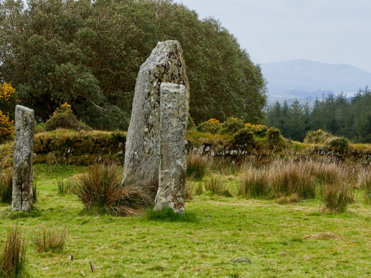
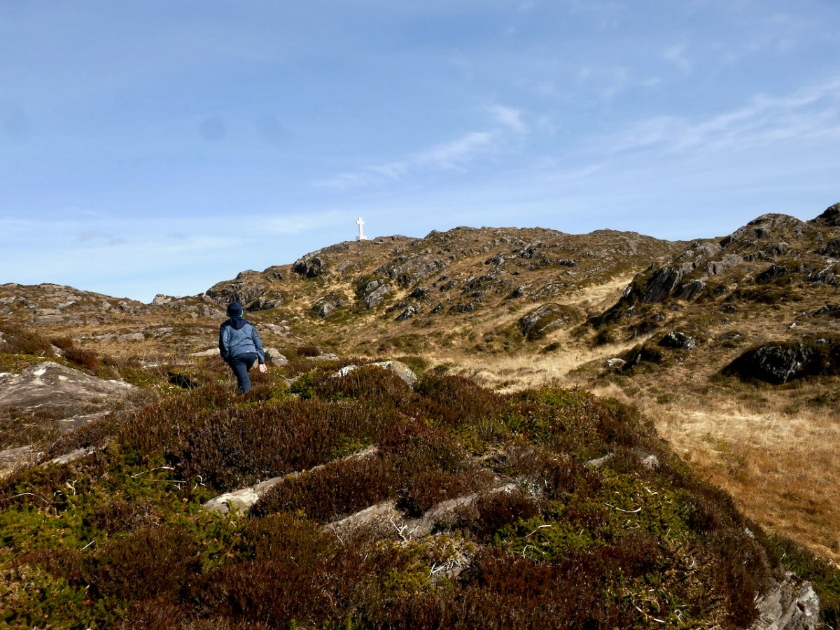
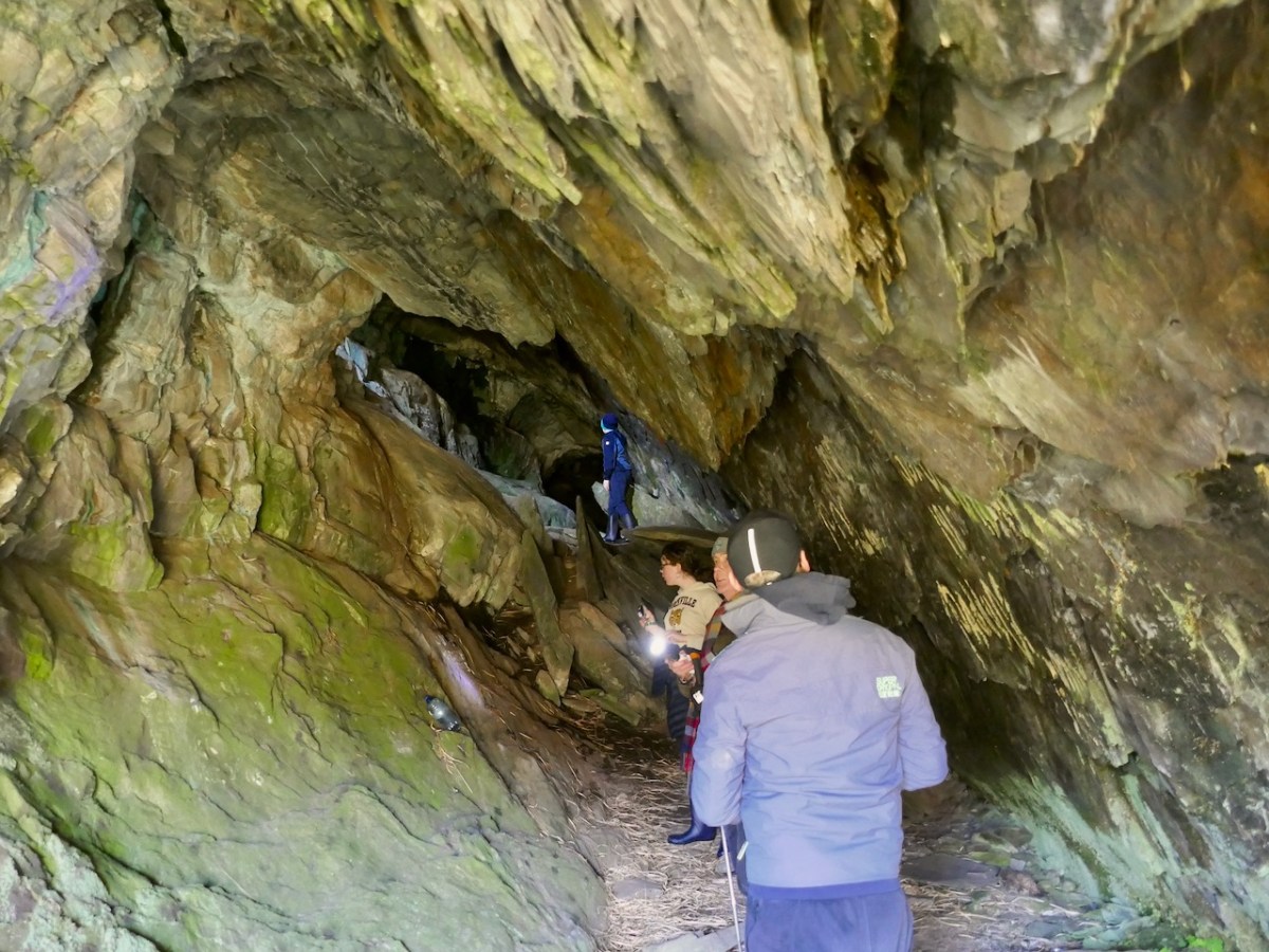
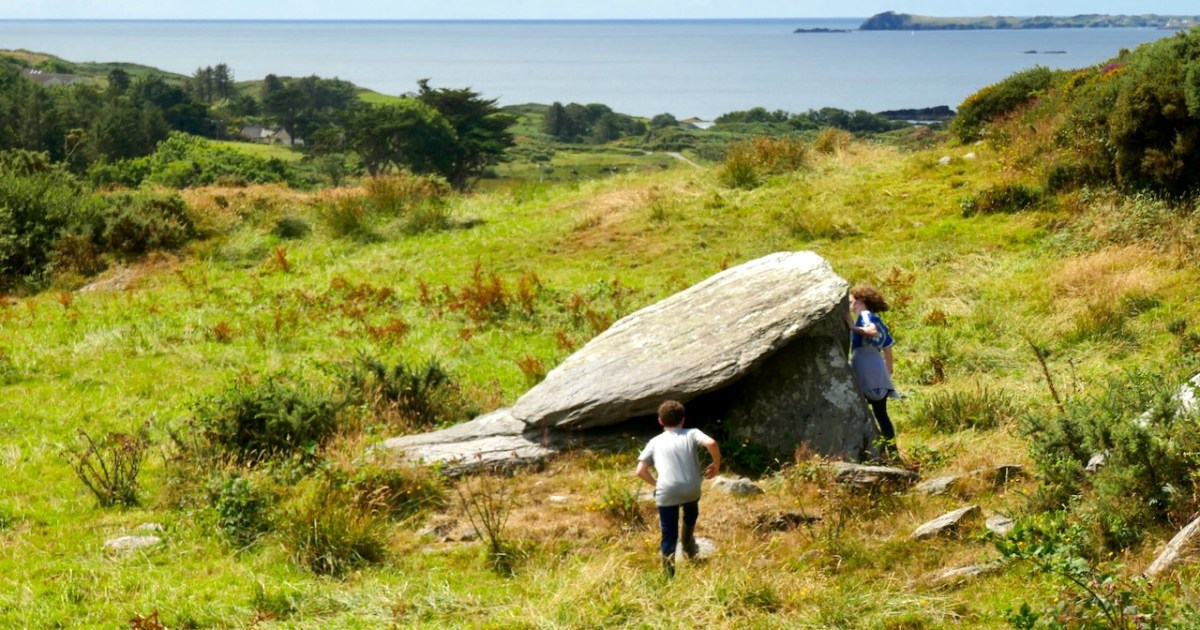
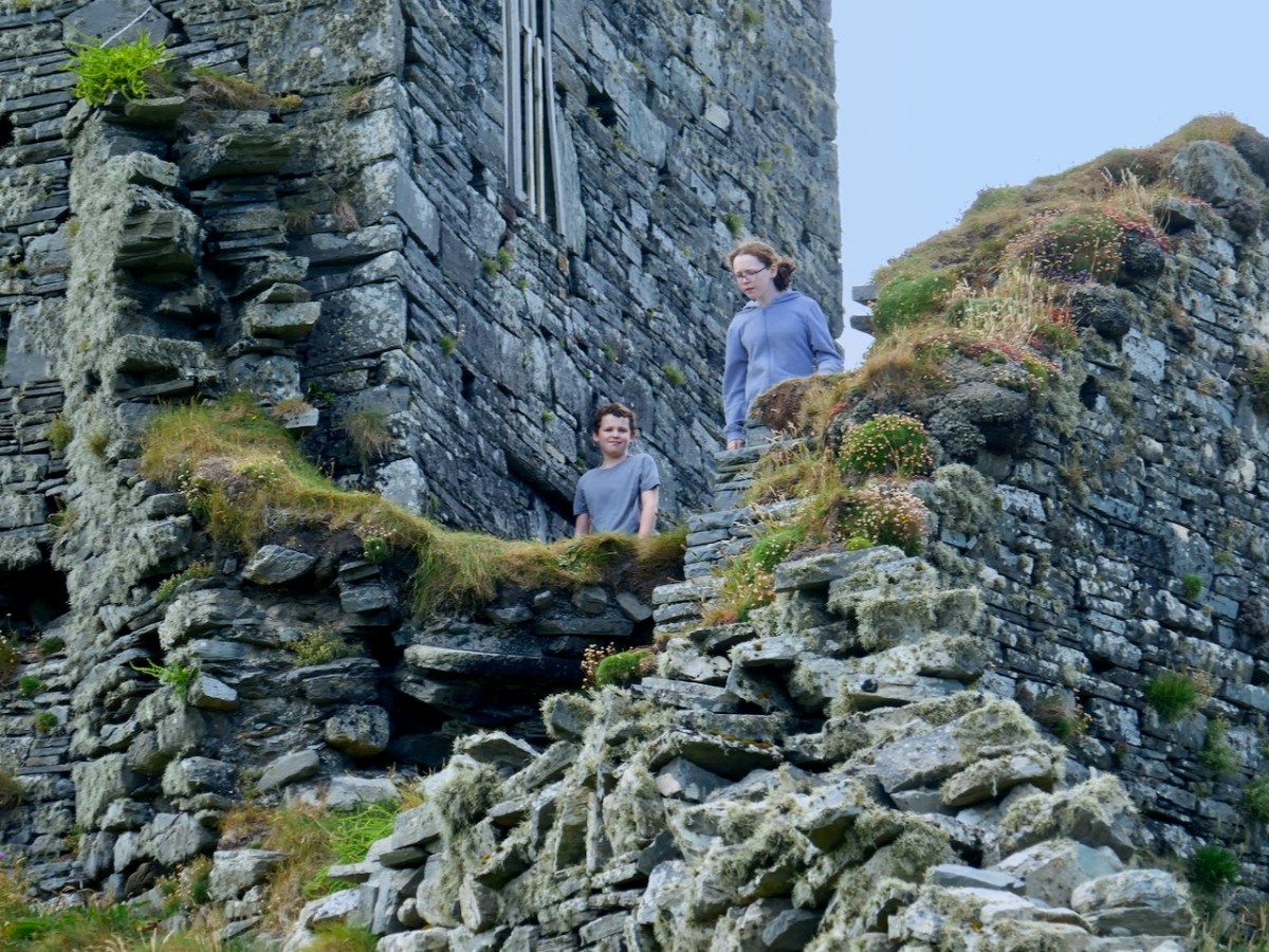
David’s favourite companions on his walks are his kids and one of the real strengths of this book is the sense that all these places can be enjoyed with family. Having young people along, with their curiosity, their need to really explore, and their chatter, brightens any walk. Just make sure you go equipped with food and bandaids. What follows are a few photos of joint field trips we have taken with them.
The only comparable book we can think of is Jack Roberts’ Exploring West Cork, first published in the 1980s and updated and re-published a couple of times. We treasure all of Jack’s books, especially for their marvellous black-and-white drawings, as accurate as they are charming.
While Jack tried to be fairly comprehensive in his coverage, David’s selection is personal – this does not pretend to be a gazetteer, but a guide and companion. Many of the sites have been chosen because they are accessible and can be enjoyed as part of a good walk through the countryside. Restricting the number of sites also allows David to write more about each one and use his own photographs to illustrate important features.
The best place to have David’s book is in your car, your bicycle carrier, or your backpack. You can buy it online here or here. Look out for it in local bookstores, if you live in West Cork – David is doing the legwork now of getting copies to them.
Congratulations, David! Given that you work full time and have a family to look after, this is an amazing accomplishment and one we are all grateful for.
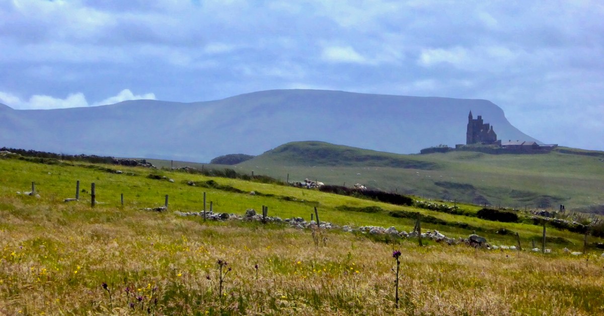
Yeats country – Benbulben and Classiebawn Castle (above). Finola took this fine view seven years ago, when we set out to visit the haunts of William Butler Yeats. We have to turn to Yeats now, as it’s exactly one hundred years since he was awarded the Nobel Prize for Literature – in December, 1923. I have carried a place in my heart for Yeats, ever since I was at Primary School on the Hampshire/Surrey borders, not far from Thomas Hardy’s Wessex. Yeats and Hardy were rivals for the coveted award – the final vote in 1923 was between the two of them: in the end, only two Nobel committee members voted for Hardy, and Yeats achieved the prize. The Guardian newspaper said that “…Mr Yeats is to be congratulated, almost without reserve, on lifting this substantial stake. He is a poet of real greatness; prose, too, he can write like an angel…”, however then arguing that Thomas Hardy would have been a worthier recipient of the award!
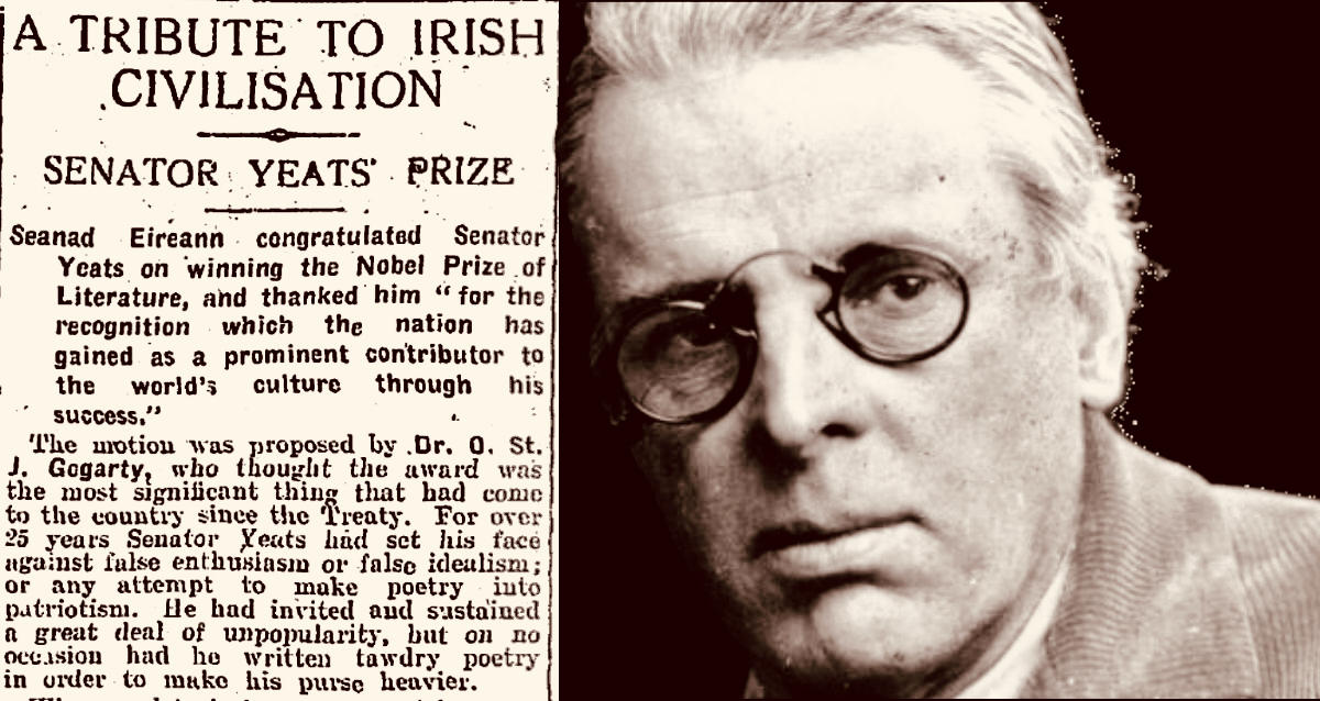
The Irish press congratulates Yeats on his achievement (above – Irish Independent 29.11.1923). My schoolboy encounter with the poet must have been when I was around ten years old and we were tasked to learn The Lake Isle of Inisfree. I can still recite it, word for word, to this day, sixty seven years later. But it was far more than mere words for me, then. Our teacher – Mr Sharpe – was careful to explain that this man was cooped up in the city of London – on its “pavements grey” and was yearning for the countryside he loved:
I will arise and go now, and go to Innisfree, And a small cabin build there, of clay and wattles made; Nine bean-rows will I have there, a hive for the honey-bee, And live alone in the bee-loud glade.
And I shall have some peace there, for peace comes dropping slow, Dropping from the veils of the morning to where the cricket sings; There midnight’s all a glimmer, and noon a purple glow, And evening full of the linnet’s wings.
I will arise and go now, for always night and day I hear lake water lapping with low sounds by the shore; While I stand on the roadway, or on the pavements grey, I hear it in the deep heart’s core.
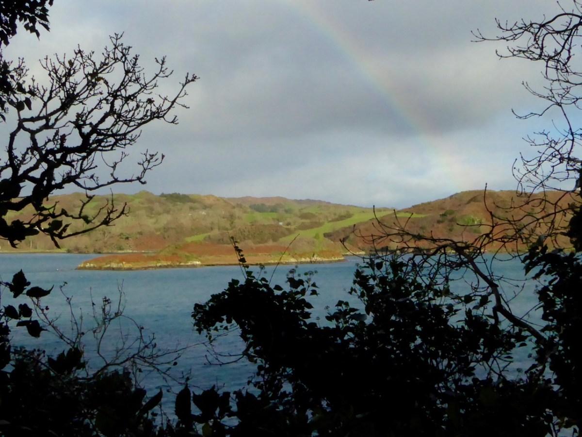
Inisfree serves the poet’s romantic dreams of a remote idyllic landscape far away from the noisy metropolis. It does exist as a place – on Lough Gill in Co Sligo: Yeats spent childhood summers nearby. Interestingly, I searched the internet for pics of the island, and the above came up. It’s from a Roaringwater Journal Post which I wrote in 2016. And it’s not Inisfree, but another ‘lake island’ – just outside Skibbereen, in West Cork – Cloghan Castle Island on Lough Hyne: there’s a holy well nearby, and an 8th century church dedicated to St Brigid – but all that is another story. The diversion just serves to warn against trusting what you find online!
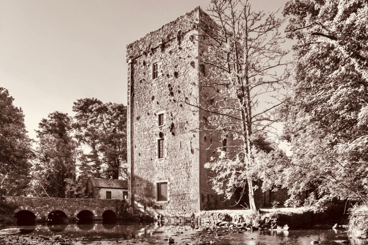
Thoor Ballylee Tower, Co Galway (above) – this 14th century tower house was described by Seamus Heaney, another Irish Nobel Literature prize winner, as The most important building in Ireland, because of its associations with Yeats, who spent many summers there with his family.
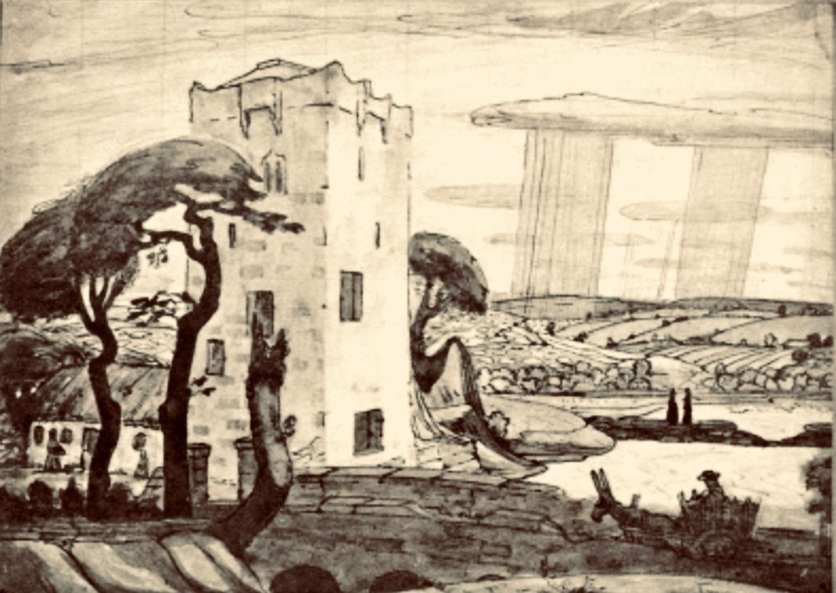
Here is the finely crafted cover of The Tower: a book of poems by W B Yeats, published in 1928 (courtesy Yeats Thoor Ballylee Society). The Tower was Yeats’s first major collection as Nobel Laureate after receiving the Nobel Prize in 1923. It is considered to be one of the poet’s most influential volumes and was well received by the public. (Below) a 1917 drawing by Robert Gregory – son of Isabella Augusta (Lady) Gregory and Sir William Gregory of Coole Park, Co Galway – of The Tower (courtesy Yeats Thoor Ballylee Society).
Going back to my early school years: I was an incurable romantic, and a daydreamer. I paid enough attention to lessons to get by, but my heart lay outside the school gates. Just minutes away were hop-fields and, beyond those, pastures, woodlands, streams – idyllic places where I loved to wander. I could completely relate to Yeat’s desire to be far away from the city, and that’s why his poem appealed to me. I knew very little about Ireland, and had no idea that was where I would one day make my home. I am here now, sitting at my desk, with the hills and oceans of Yeats’ own country beyond.
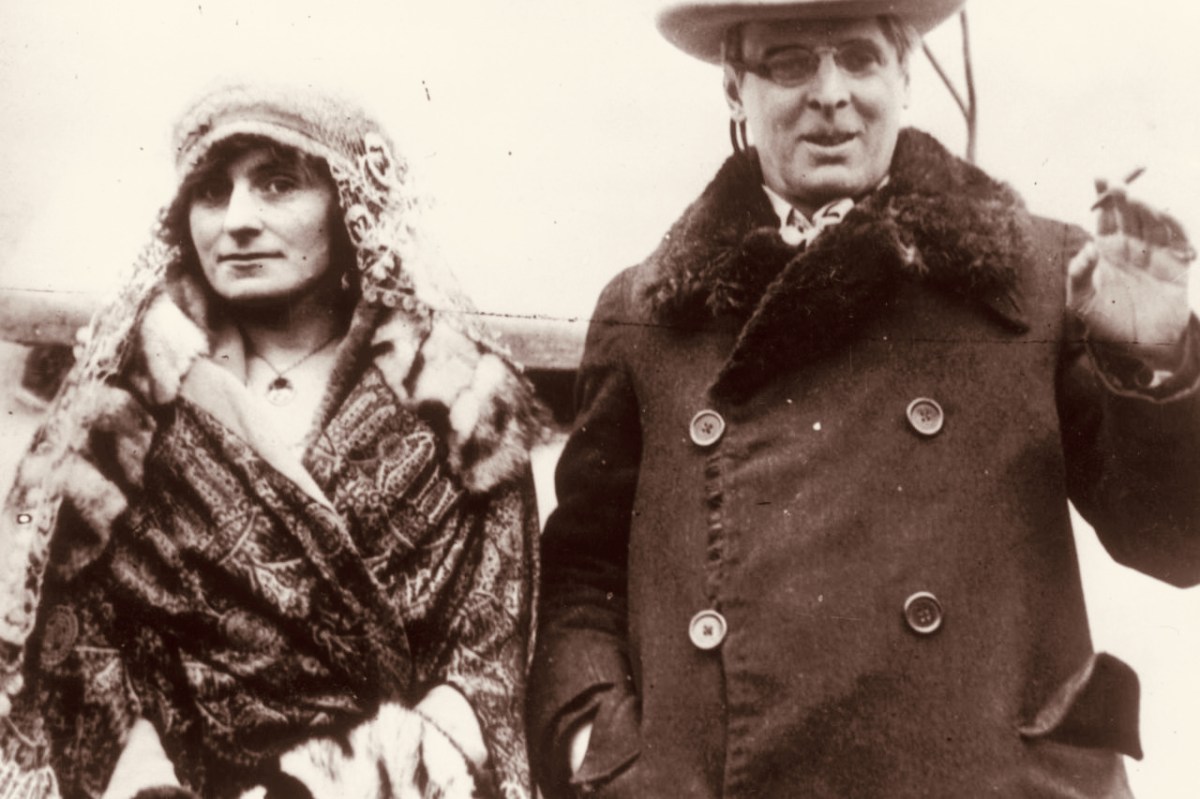
W B Yeats and his wife George Hyde-Lees heard the news that the Nobel Prize had been awarded to him on 14 November, 1923. The photograph above (courtesy Irish Independent) is said to be taken on that day. It’s also said that they celebrated by cooking sausages! The Irish Independent records: “Irish poet and senator, William Butler Yeats created history when he was awarded the Nobel Prize in Literature, the first Irish citizen to achieve such an accolade. The prize was awarded to Yeats ‘for his always inspired poetry, which in a highly artistic form gives expression to the spirit of a whole nation’.”
Somewhat surprised by the award, Yeats would later write in his (unpublished) autobiography: “Early in November (1923) a journalist called to show me a printed paragraph saying that the Nobel Prize would probably be conferred upon Herr Mann, the distinguished novelist, or upon myself, I did not know that the Swedish Academy had ever heard my name.” The news of the award was widely praised in Ireland with members of Dáil Éireann proudly announcing that it had placed Ireland on the international stage. It was a sentiment reiterated by the laureate himself, who at the awards ceremony claimed that the Nobel Prize was less for himself than for his country and called it Europe’s welcome to the Free State. In his presentation speech, Per Hallstrom, then chairman of the academy’s Nobel Committee, praised the poet’s ability to ‘follow the spirit that early appointed him the interpreter of his country, a country that had long waited for someone to bestow on it a voice’.
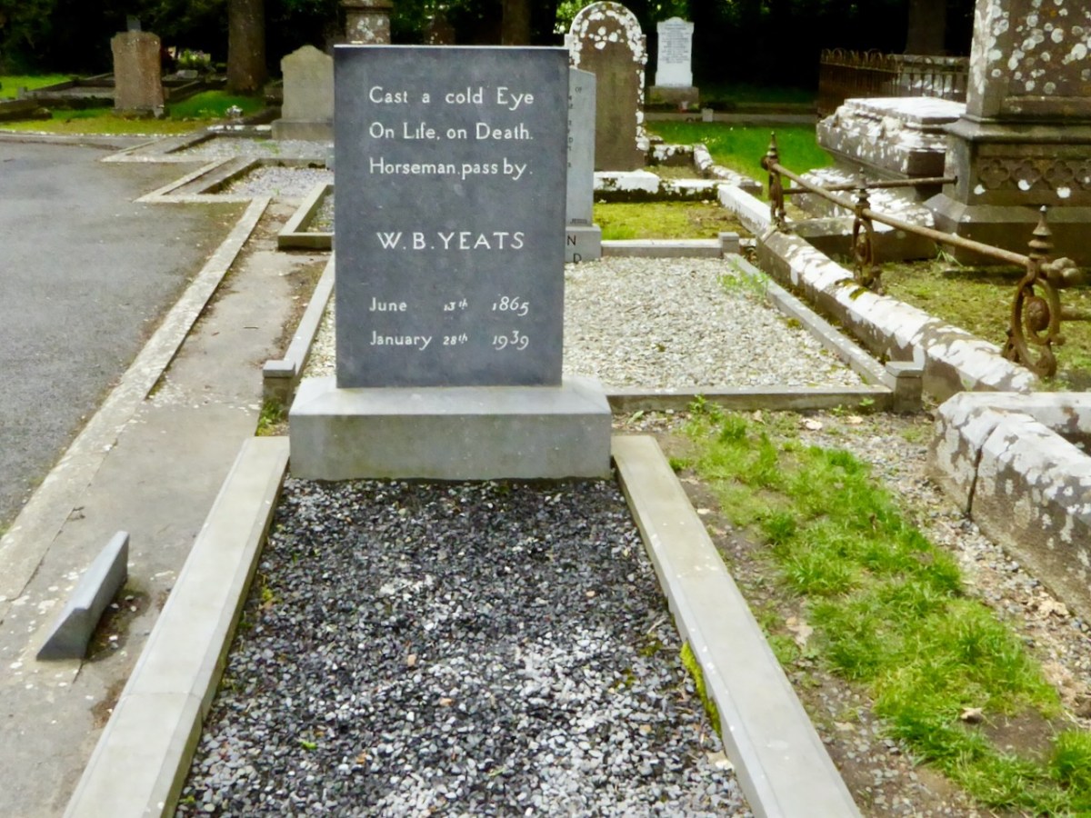
A portrait of Yeats painted by Augustus John OM RA in 1930 (courtesy Sothebys – private collection). Before Yeats passed away he requested that his final resting place be in Sligo. He died in Menton, France in 1939 aged 73 and was buried there. His wish was fulfilled in 1948 when his body was exhumed and buried in St Columba’s Church, Drumcliff. His headstone reads:
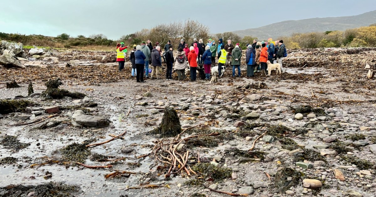
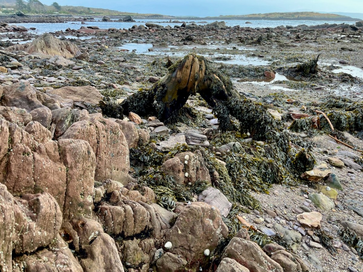
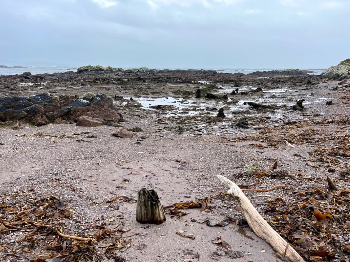
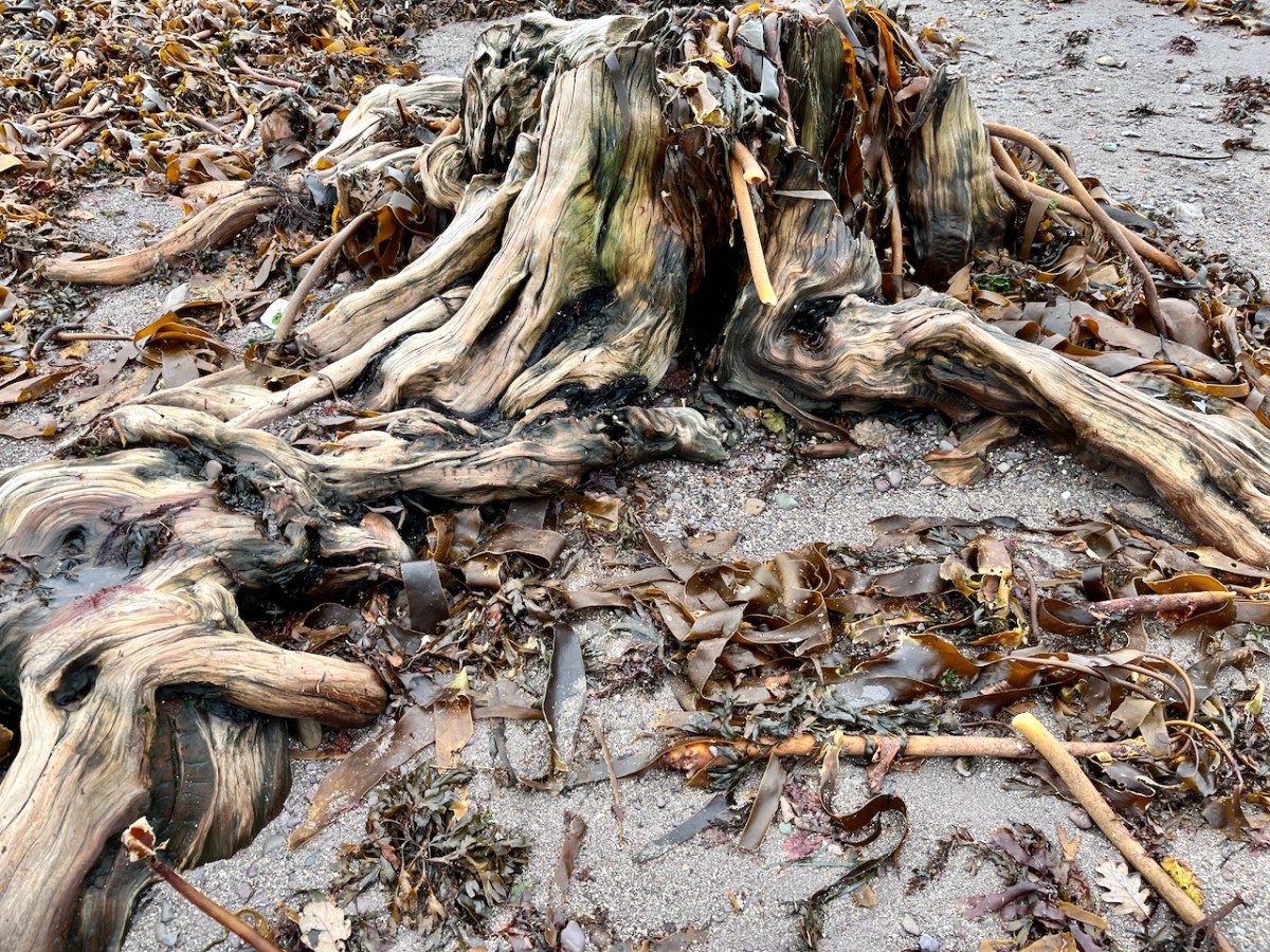
‘Drowned Landscapes’ – that’s an adequate enough description for us to look again at a subject which RWJ covered five years ago in this post: Tralong Bay, Co Cork – give it a read. I was reminded of the subject when we took part in an Archaeology Festival based in West Kerry just a week ago: Amanda’s current holy well blog describes the expeditions. One of the sites visited was Bunaneer Drowned Forest, where we saw stumps of trees on the beach there which were alive thousands of years ago. At low tide many tree remains become visible at Bunaneer, near Castlecove village on the south coast of Kerry’s Iveragh Peninsula. Our guides for this expedition were plant biologist Calum Sweeney and archaeologist Aoibheann Lambe.
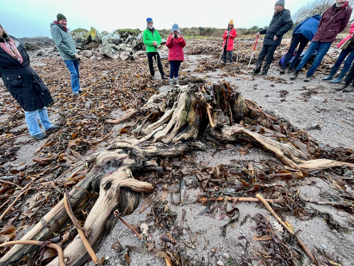
This large jumble of roots (above) is known as Goliath. All the remains here can be seen at regular low tides: at other similar sites elsewhere in Ireland, remains of ancient tree boles and roots are only revealed when tides are exceptionally low. I find it remarkable to be able to see and readily touch these archaic pieces of timber: we are communing with distant history!
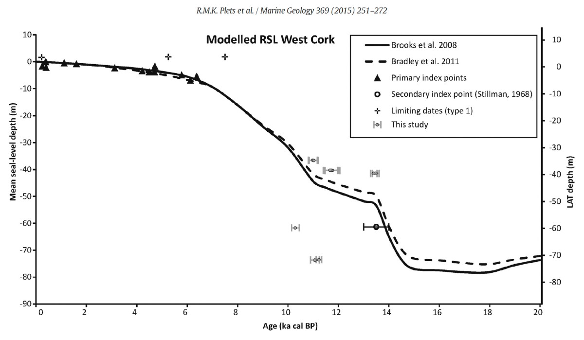
Carbon dating has shown that these remains were alive between three and a half and five millennia ago. This is evidence that sea levels were significantly lower then, and that the shore line was further out – perhaps 50 metres from where we see it today. We are constantly – and quite rightly – being warned about rising sea levels resulting from our changing climate in the long term: here we see clear verification that it’s a continuing – and now apparently accelerating – process.
Our friends Robin and Sue Lewando were also on this expedition. Robin has a particular interest in sea-level changes in the Late Quaternary and subsequent eras, and he pointed me to a 2015 paper which explores the subject specifically in the Bantry Bay area of West Cork. That’s a good place to be looking at ancient history: remember the story of Cessair – Noah’s daughter-in-law – who came ashore at Donemark? You first read about it here! So this is a scientific diagram which sets out how sea-levels have been changing over time in our locality:
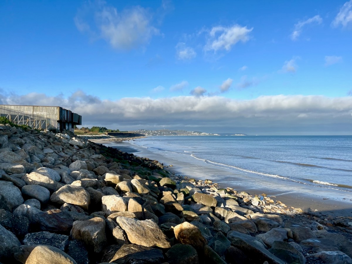
It’s an interesting comparison to take our horizons wider in our study of changing sea levels across the islands of Ireland. Over on the east coast – north of Bray, Co Wicklow – there is another substantial area where tree remains have been revealed at certain tidal conditions.
Above are the areas of beach between Bray and Killiney where ‘drowned forest’ remains have been observed. While at Youghal, Co Cork, further finds have occured:
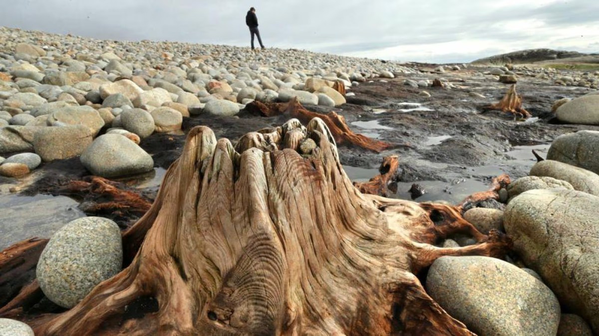
This example catches our interest because the name of the settlement – Youghal – is derived from the Irish word ‘Eochaill’ meaning ‘Yew Woods’: they were evidently once common in the area, leading us to wonder whether the tree remains in this instance are of yew. In 2014 the following account of another ‘ancient drowned forest’ discovery appeared in the Irish Times (photograph courtesy of Joe O’Shaughnessy):
. . . Walking out on to the shoreline at low tide, geologist Prof Mike Williams points to the oak, pine and birch stumps and extensive root systems which were once part of woodlands populated by people, wolves and bears. These woodlands extended out into lagoons and marshlands that pre-dated the formation of Galway bay, Prof Williams says.
An extensive layer of peat also exposed at low tide in the same location in Spiddal was formed by organic debris which once carpeted the forest floor. The stumps at Spiddal are surrounded by root systems which are largely undisturbed. The carpet of peat is covered in strands of a reed called phragmites, which can tolerate semi- saline or brackish conditions.
“These trees are in their original growth position and hadn’t keeled over, which would suggest that they died quite quickly, perhaps in a quite rapid sea level rise,” Prof Williams adds. Up until 5,000 years ago Ireland experienced a series of rapid sea level rises, he says. During the mid-Holocene period, oak and pine forests were flooded along the western seaboard and recycled into peat deposits of up to two metres thick, which were then covered by sand.
Prof Williams estimates that sea level would have been at least five metres lower than present when the forests thrived, and traces of marine shell 50cm below the peat surface suggest the forest floor was affected by very occasional extreme wave events such as storm surges or tsunamis. He says most west coast sand-dune systems date to a “levelling” off period in sea level change about 5,000 years ago. Dunes in Doolin, Co Clare, are older still, having first formed around 6,500 years ago.
Prof Williams has located tree stumps in south Mayo and Clare, along with Galway, which have been carbon dated to between 5,200 and 7,400 years ago at the chrono centre at Queen’s University, Belfast. Some of the trees were nearly 100 years old when they perished . . .
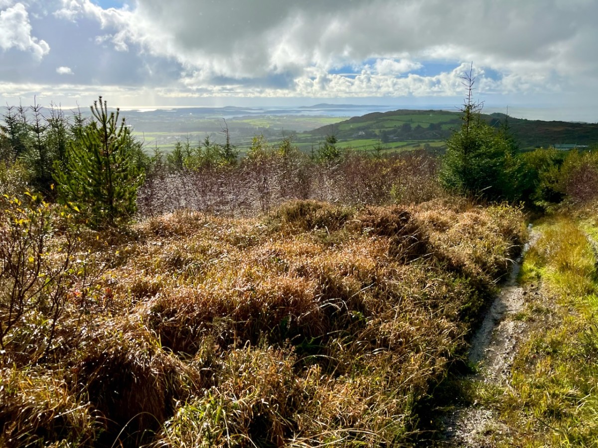
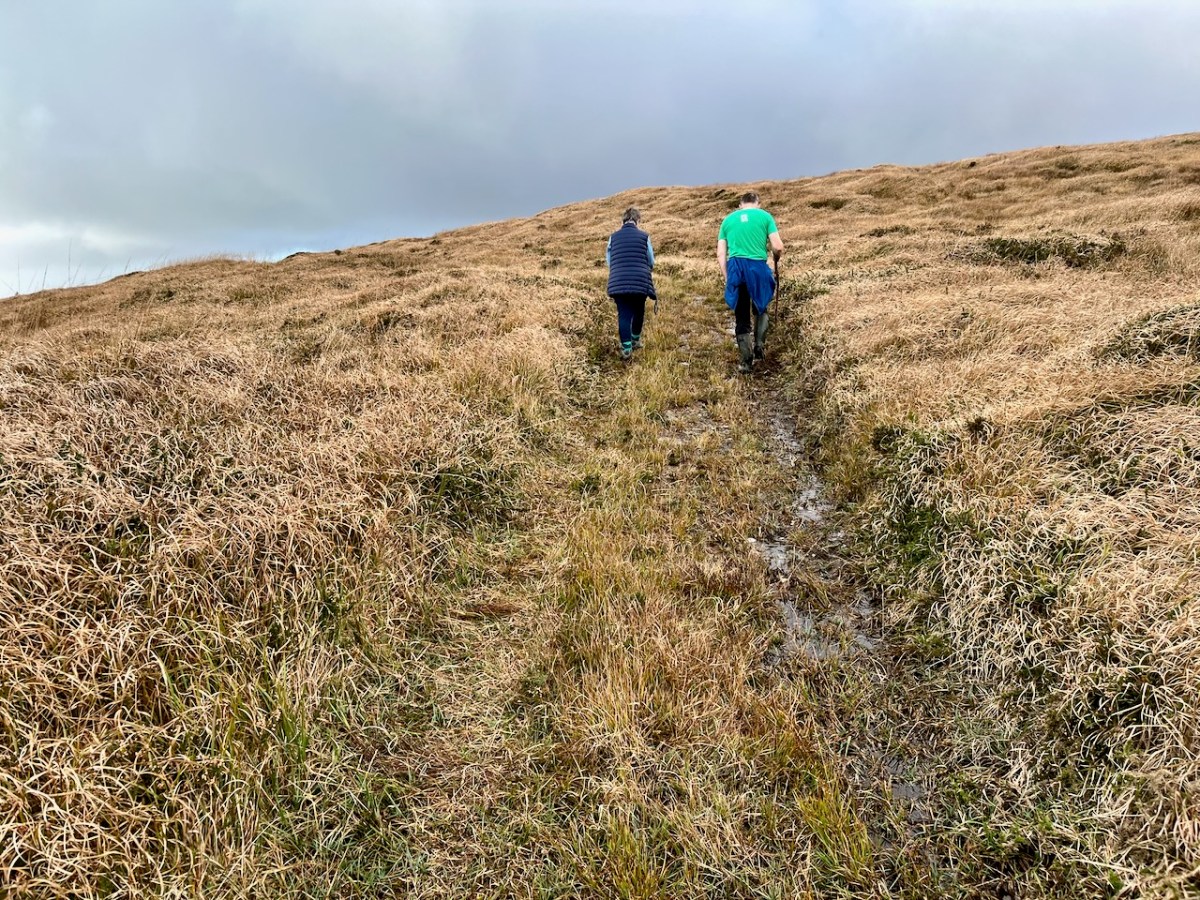
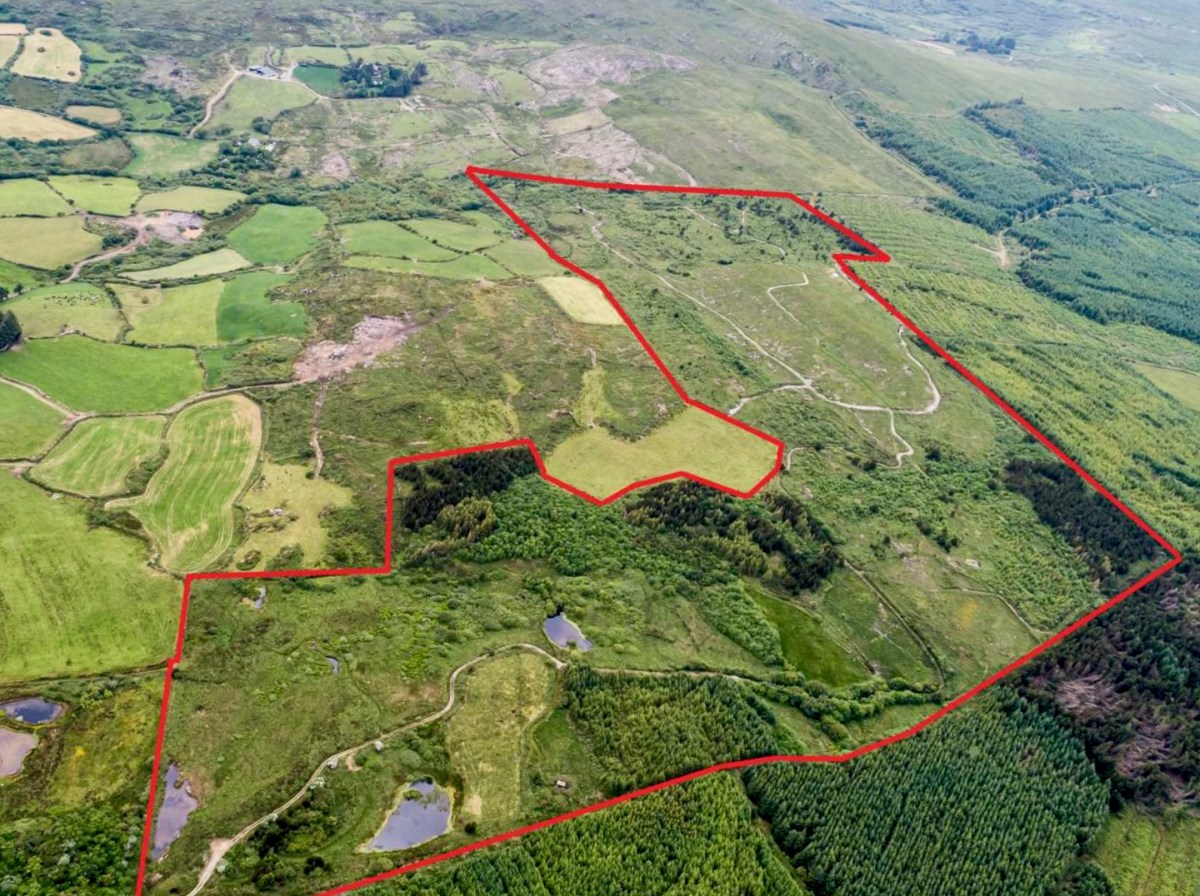
We spent a day on ‘The Mountain’. It’s a West Cork location, not too far away from us. The land has a history that touches on many of our interests covered here in Roaringwater Journal – and some of the West Cork people we have written about over the years – so it’s pretty special. We were delighted to be welcomed to it by its present owner, Oliver Farrell: that’s himself, in the pic below. You have met him before, here. Thank you, Oliver, for allowing us to experience this special site, and for letting us put out this post about it.
Previously, the 70 acre ‘Mountain’ site was owned by the Wrights – Lynne and Ian (above): you saw them in the 2022 Ballydehob Arts Museum exhibition, here. When they purchased it – in 1997 – it was rough pasture and bog. They aimed to develop an environmentally and economically sustainable forest using existing grants, and successfully challenged the decision of the Forest Service (through the EU) to only grant aid the planting of alien conifers. They set about transforming it: they had a vision of a ‘pure’ West Cork landscape supporting an ecosystem of native species. Now – many years later – it’s possible to see that the Wrights’ vision was fully justified – and realised. Today Oliver is undertaking essential maintenance work, and is committed to expanding on the inherent sustainable qualities that the site embodies. In fact, ‘The Mountain’ is largely in excellent environmental order.
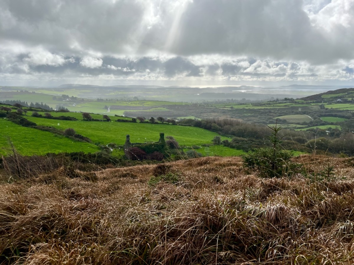
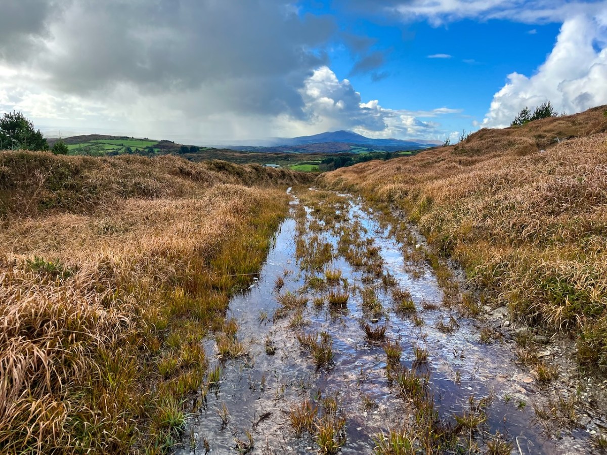
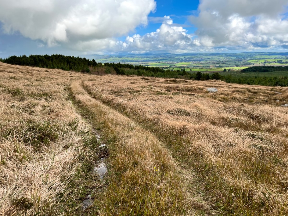
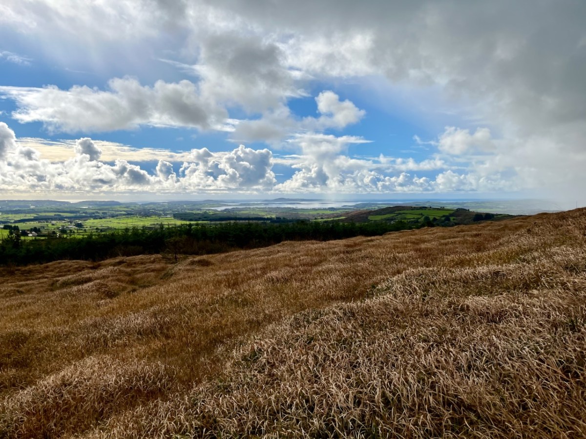
Interestingly, Ian told us that when they made the decision to buy the site they had only seen it under cloud: the spectacular view wasn’t revealed until later on. We were fortunate on the day of our visit to see the full panorama of Roaringwater Bay stretched out before us.
This dramatic view towards Mount Gabriel is a reward for climbing ‘The Mountain’. The ground was waterlogged on the day of our visit as this autumn has been a time of relentless rainfall, but always interspersed with brief dry patches: it’s great to be out to catch these. Springs rise on the high ground here, and I’m working out that they either feed the Roaringwater River – the water that gives its name to the whole Bay and islands that are central to our view from up here in Nead an Iolair, or another of the many streams that drain the West Cork hills below us.
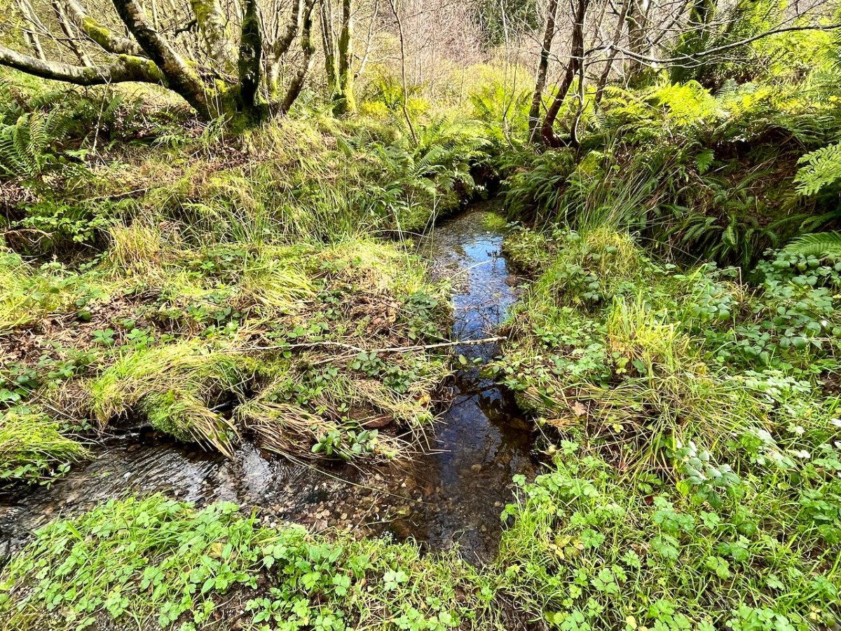
Oliver stands above one of the spring outlets that form the infant waterway (top), while the stream matures as it flows on down through his land (lower). Below – Oliver and Finola inspect one of the lakes which has been created within the site.
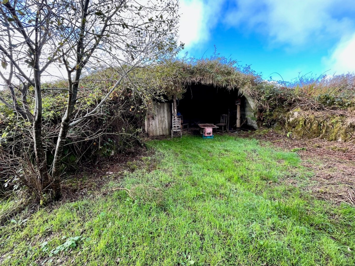
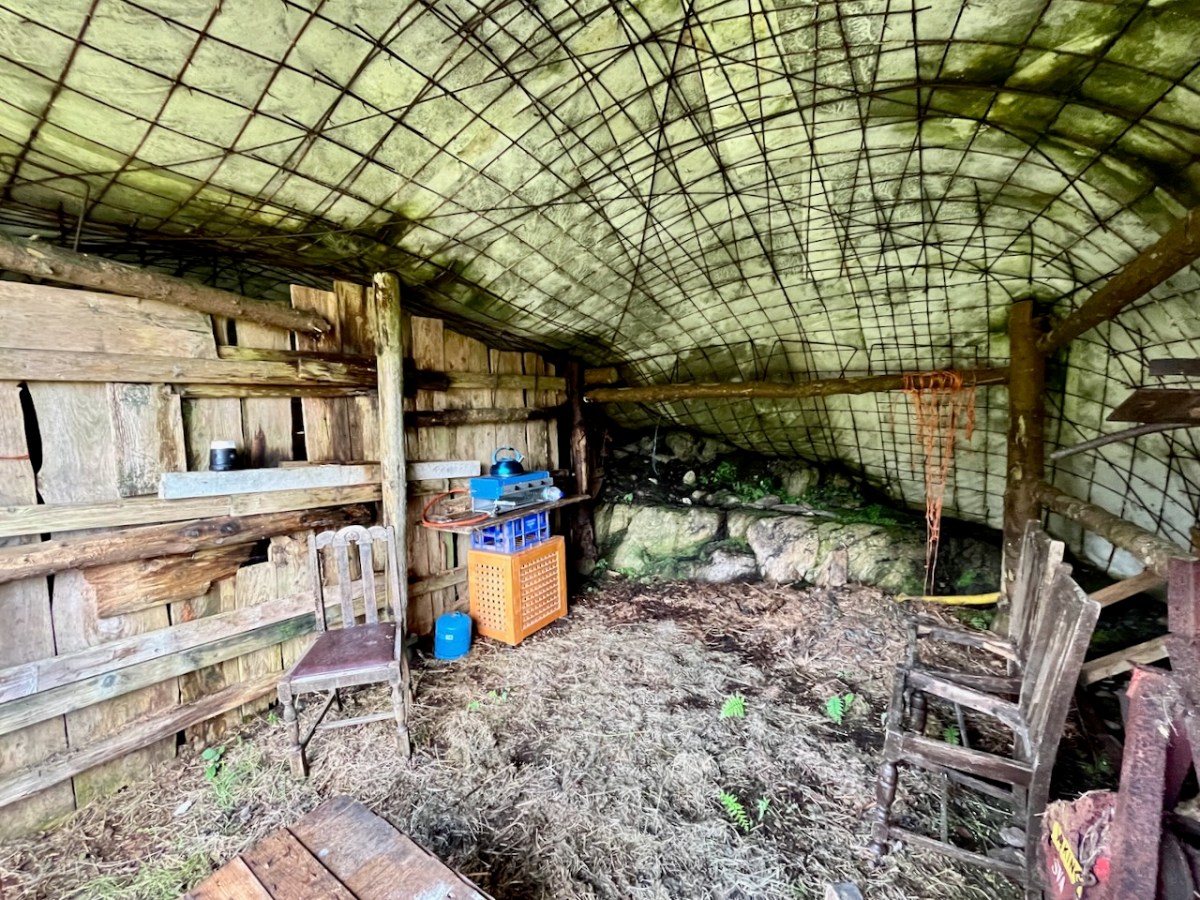
At one stage in his life Ian researched, developed and introduced the building of low–tech ferro–cement boats as a cottage industry on Lake Malawi to help address the problem of unsustainable fishing practices there. At the ‘Mountain’ site he experimented with ferro-cement as a material for establishing a well blended-in shelter and store.
Straddling two townlands, ‘The Mountain’ is an impressive example of how an area of West Cork wilderness has been perfectly moulded into its natural setting. It is an out of the ordinary place which demands exploration.
I’ll be visiting the site, and writing about it more in the future. Oliver will be keen to allow access: keep watching this space.
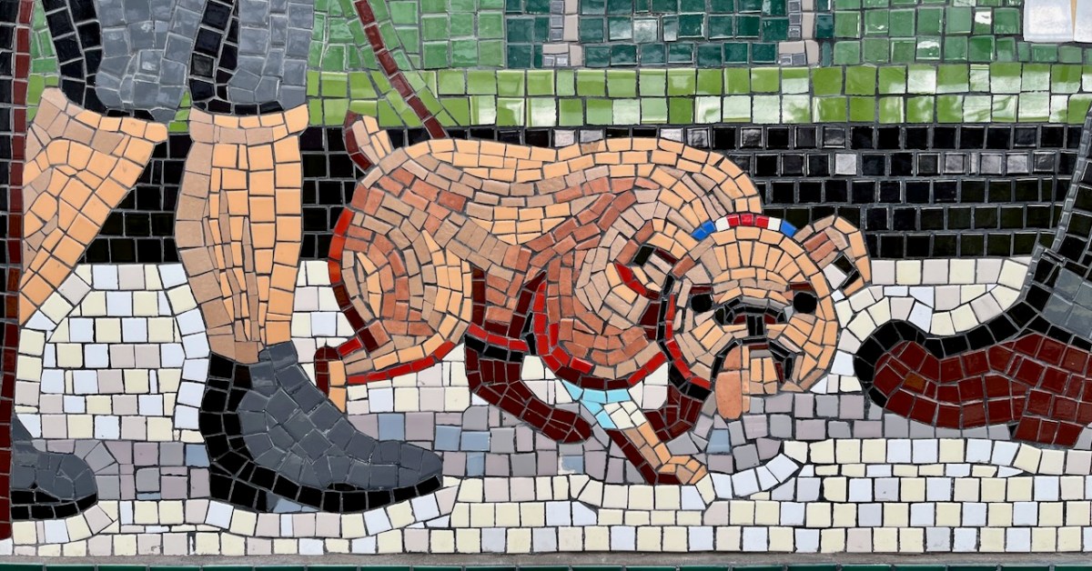
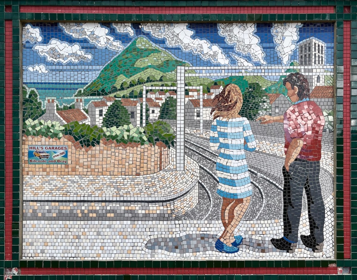
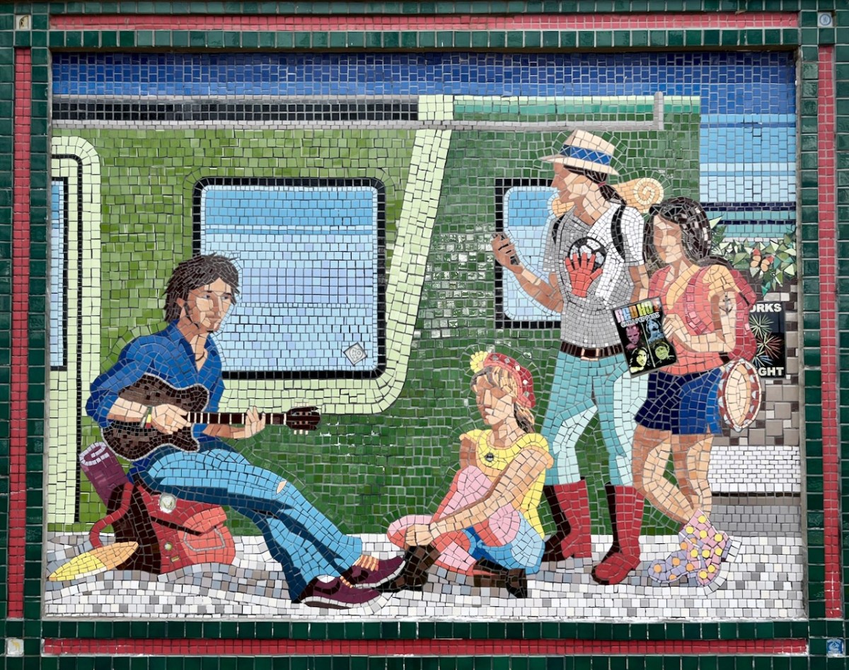
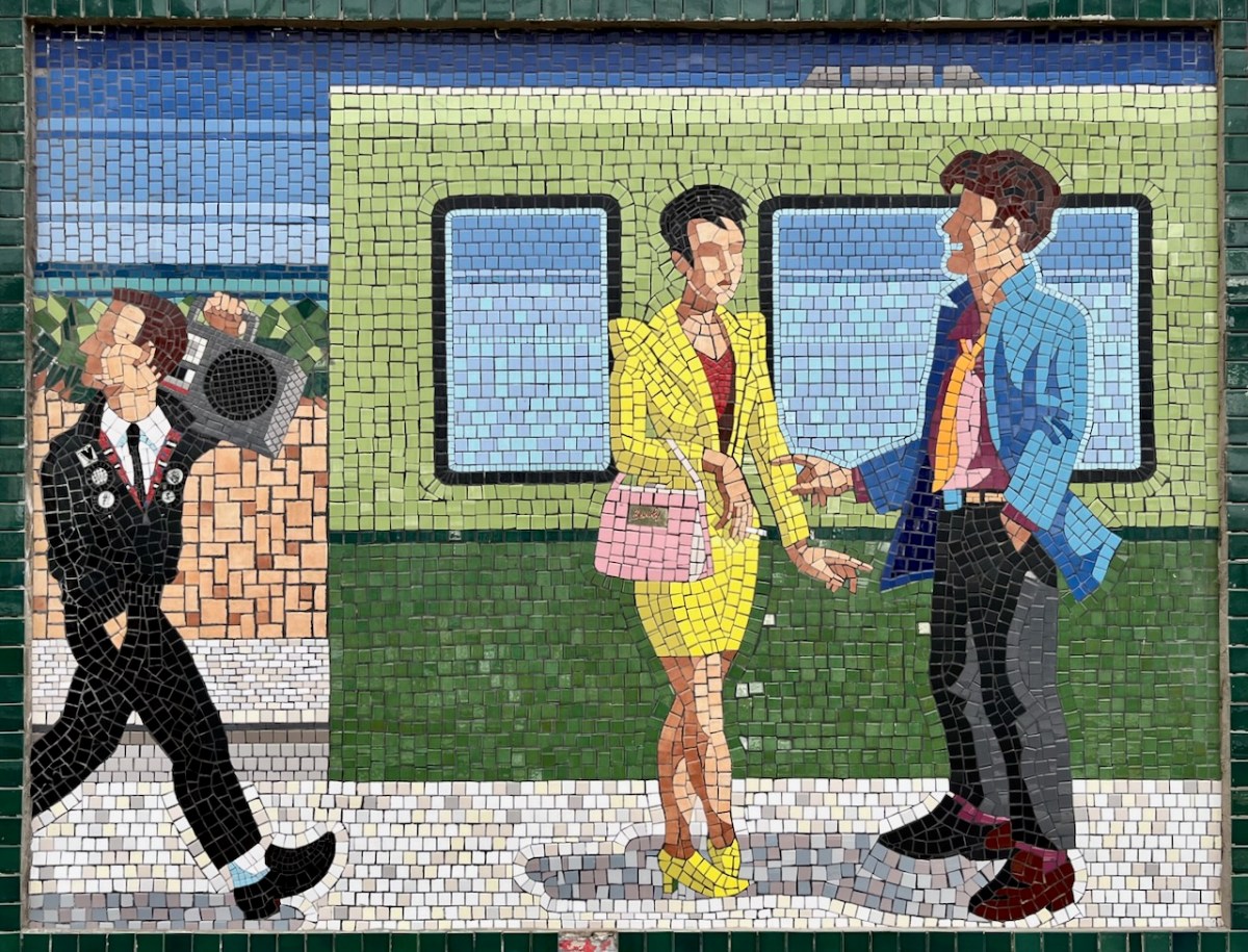
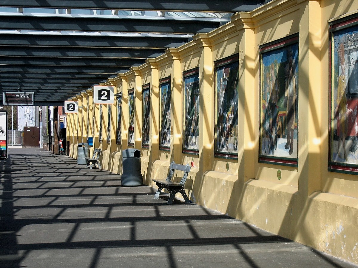
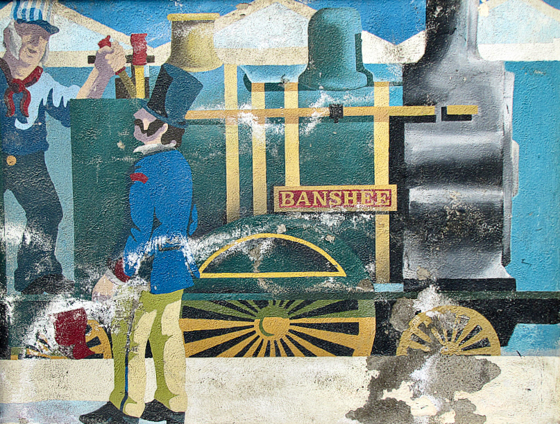
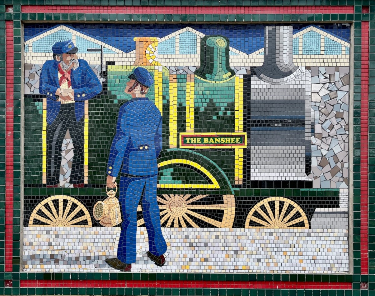
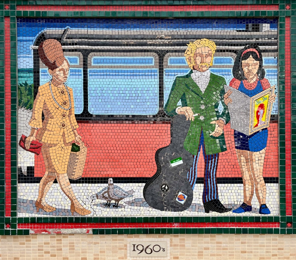
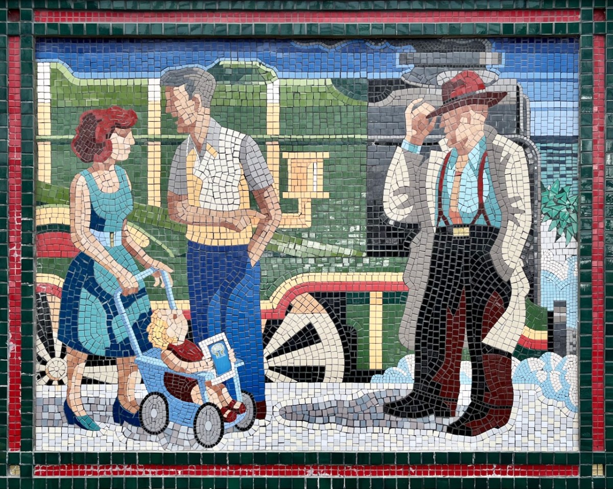
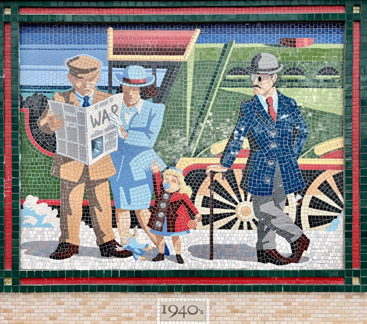
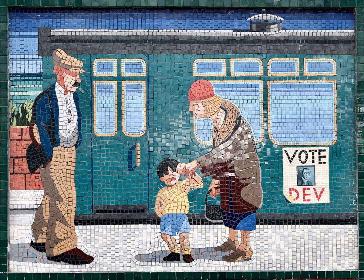
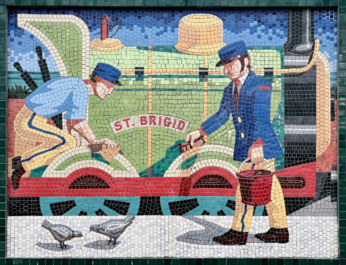
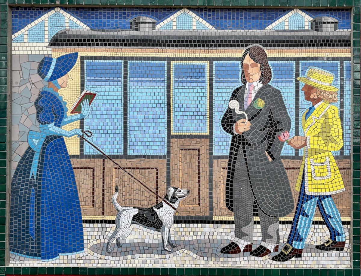
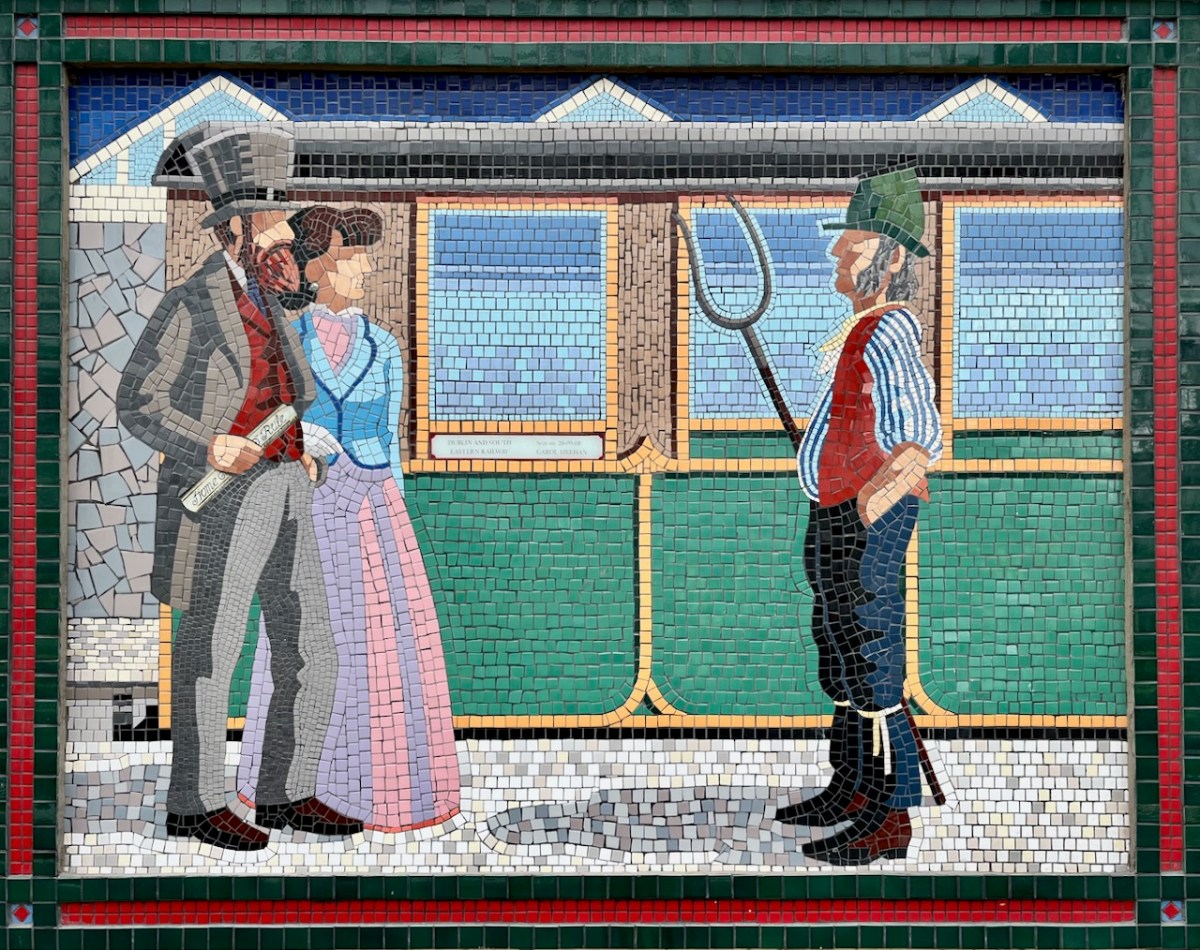
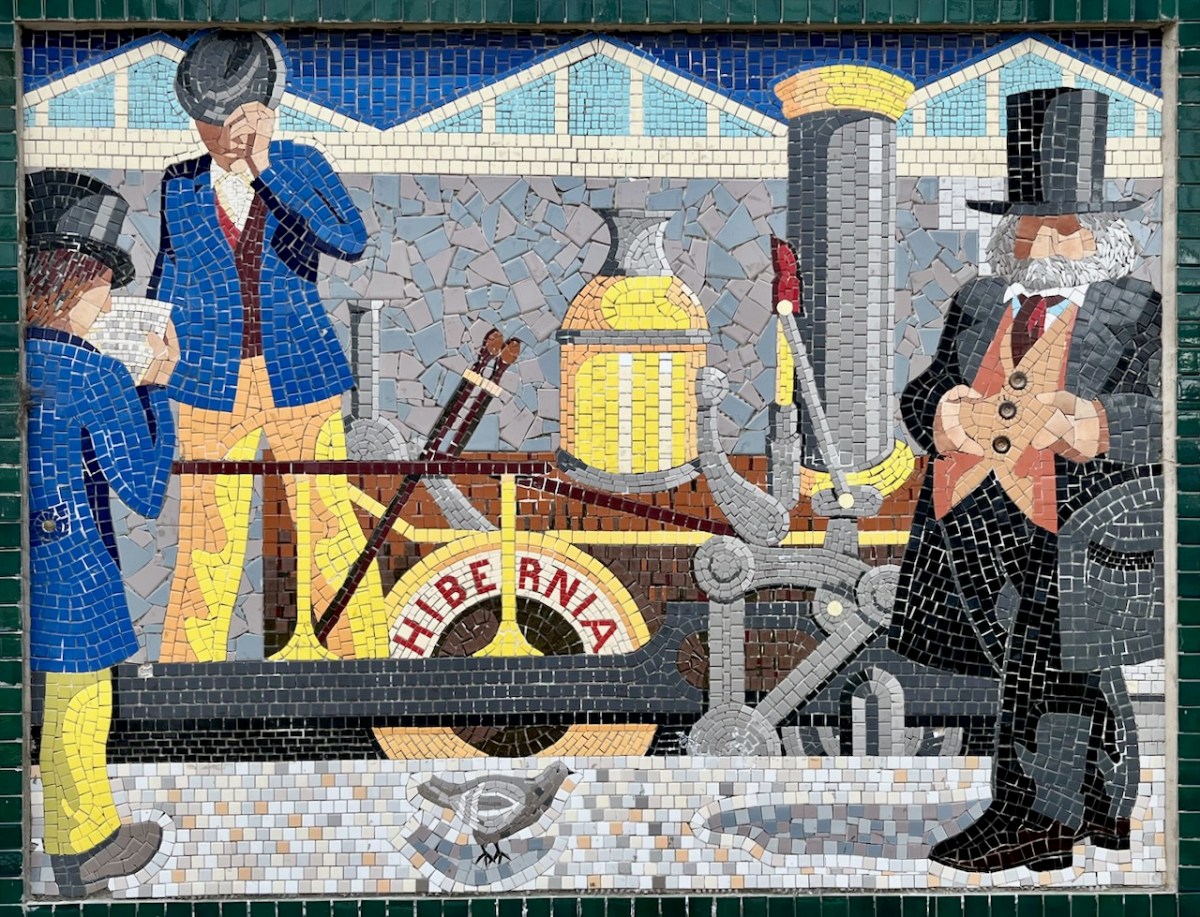
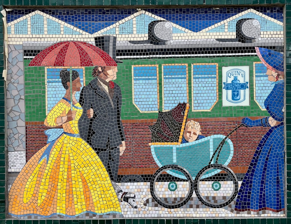
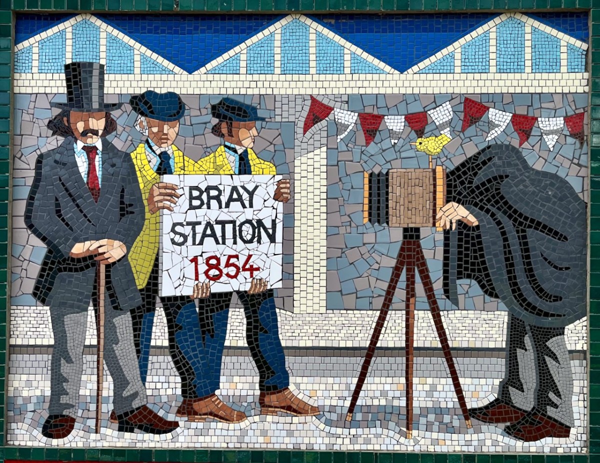
In a recent post I gave some examples of public art which can be seen on the railway station at Bray, Co Wicklow. I think this subject deserves a more comprehensive airing, so here we go! Just to recap, murals were originally painted here by Jay Roche and John Carter, who won a competition in 1987. Over the years the paintings deteriorated, and were replaced by the same team – assisted by Anthony Kelly and Eileen Maguire – with a very fine set of tiled murals. I’m recording the rest of these in this post, as I am so impressed by the overall work.
Each panel represents a decade in the line’s history. You’ll have to decide for yourselves which decade is which . . .
If only that newspaper headline was really true!
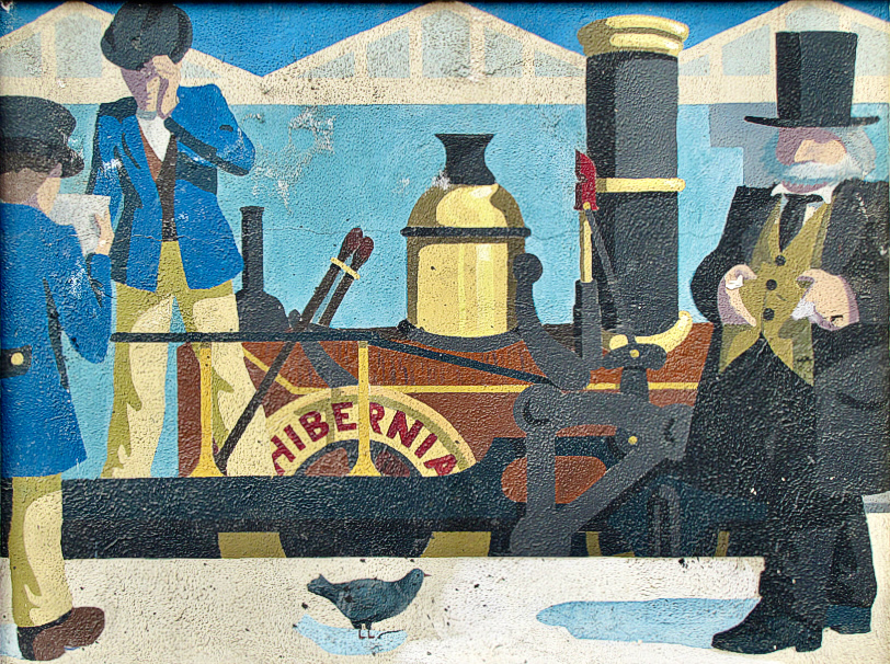
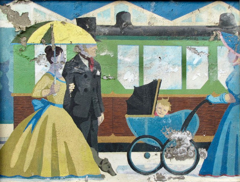
From Wiki Commons 2007: A Panel for Every Decade since 1850s in Bray Railway Station. These are the painted murals.
(Above) some of the painted murals in a fairly advanced state of decay: probably early 2000s. The tiled murals are loosely based on the subjects of the originals, but the artists have respected the variations that the change of medium calls out for:
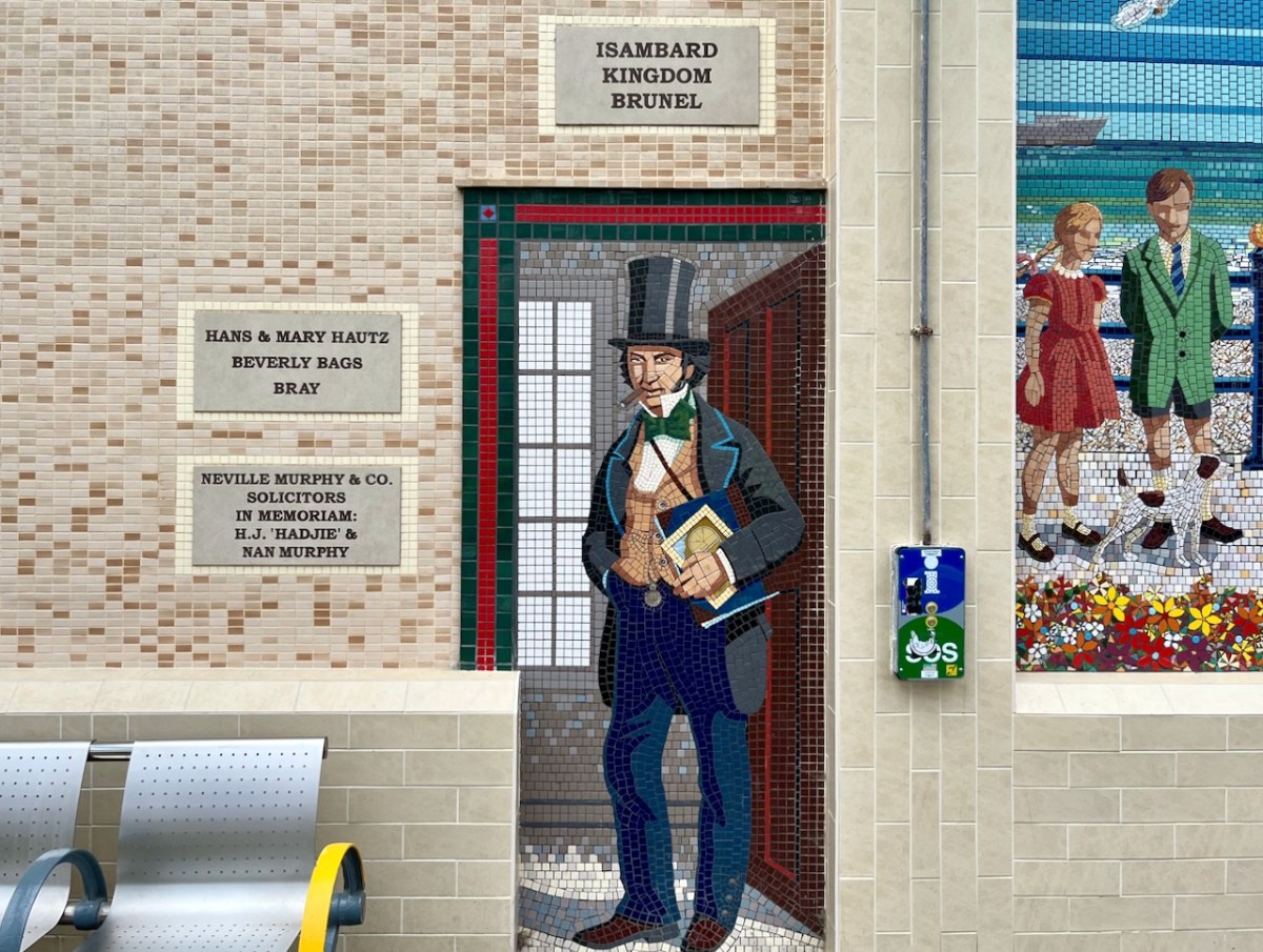
I mentioned – in Taking Notes – that Brunel was responsible for the line that runs through Bray. Here he is, standing on Bray Station:
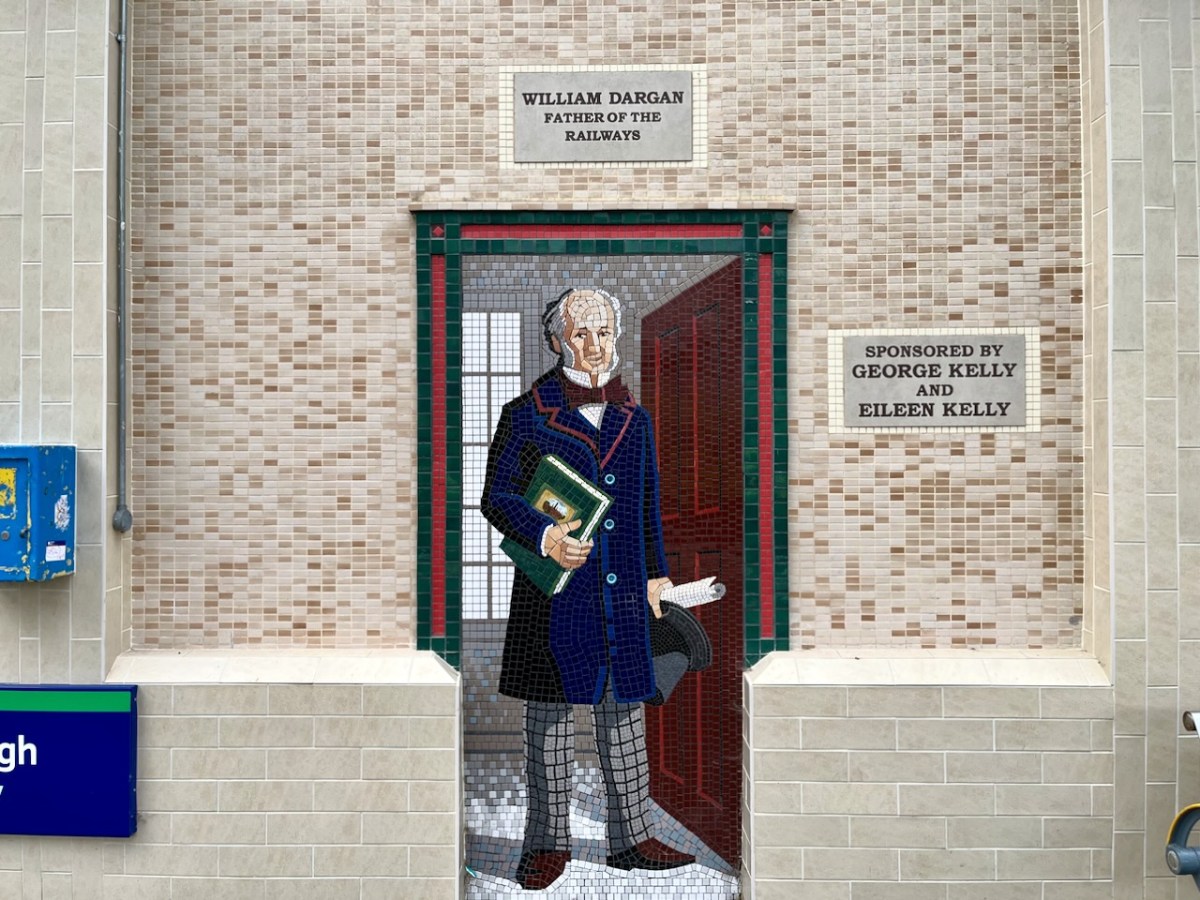
And here (above) – also one of the tiled murals on Bray Station – is a portrait of William Dargan. As you can see – considered ‘Father of the Irish Railways’ – Dargan lived from 1799 to 1867. He engineered over 1300 km of railways in Ireland. Working firstly in the UK he was an assistant to Thomas Telford, and oversaw the construction of roads and canals in the Midlands. He returned to Ireland in the 1820s and took an interest in promoting railways here. The first public commuter railway system in Ireland was designed and built by Dargan: it opened in 1834 and ran between Dublin and Kingstown, now Dún Laoghaire. The line as built was ‘standard gauge’ (ie 1,453mm between rails). This was converted to the ‘Irish standard’ of 1,600mm in 1857. The line extended south to Bray in 1854, and to Greystones the following year.
Isambard Kingdom Brunel, an engineer of Britain’s Great Western Railway, informed the Dublin and Kingstown Railway board that he was planning to build a line into South Wales and start a new sea route from Fishguard to Rosslare. He suggested a joint venture for a line from Wexford to Dublin. A coastal route from Bray (rather than inland) was chosen specifically because it would be scenically attractive for travellers. This led to engineering difficulties including tunnels and retaining structures which are still evolving to this day.
Brunel’s vision of a line going from the capital to Wexford and linking with a service of Irish Sea ferries has been fully realised, and is taken for granted. Let’s hope that this line is maintained and continues on far into the future.
I hope you have noticed how the design of the rolling stock has been changing as we go back through the decades. The representation on these murals is accurate, as far as I can see.
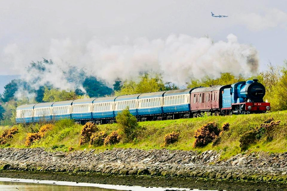
I was sorry to miss the sight of restored steam locomotives and carriages coming through Bray and Greystones on Sunday 24 September this year. Here’s a previous Steam Express visit to Wicklow in 2022 (courtesy Irish Independent):
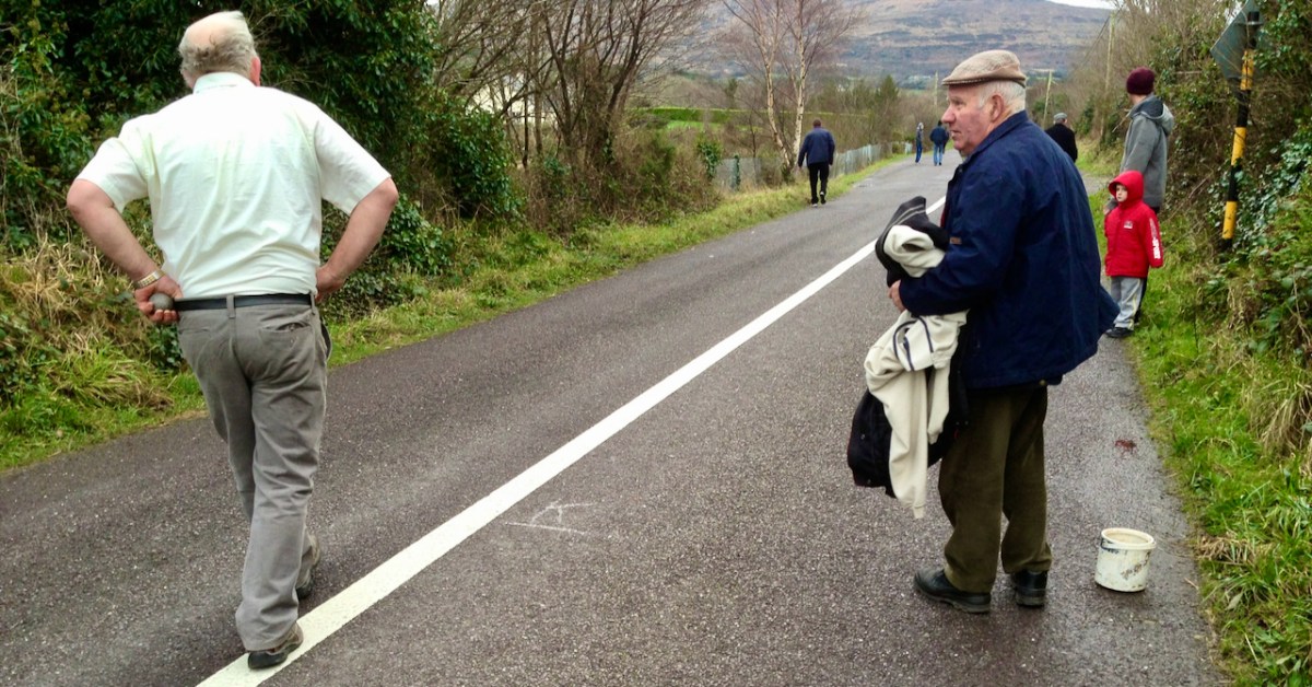
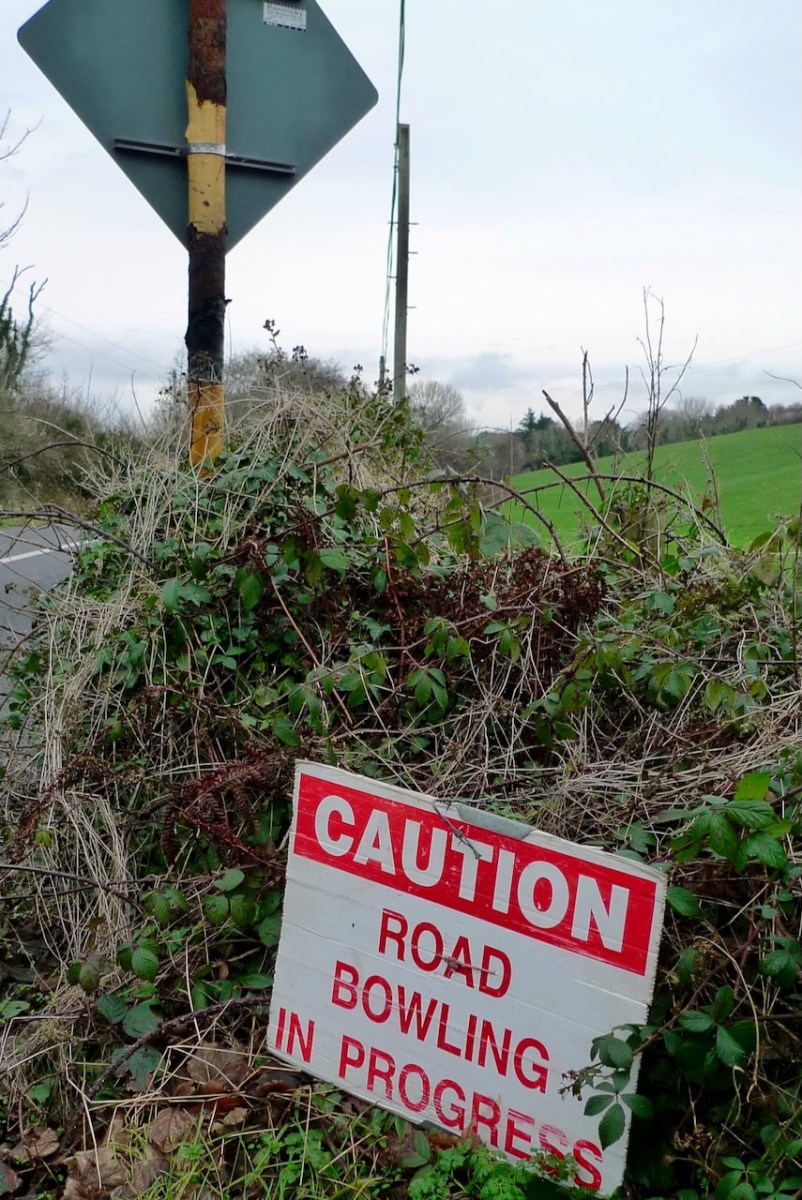
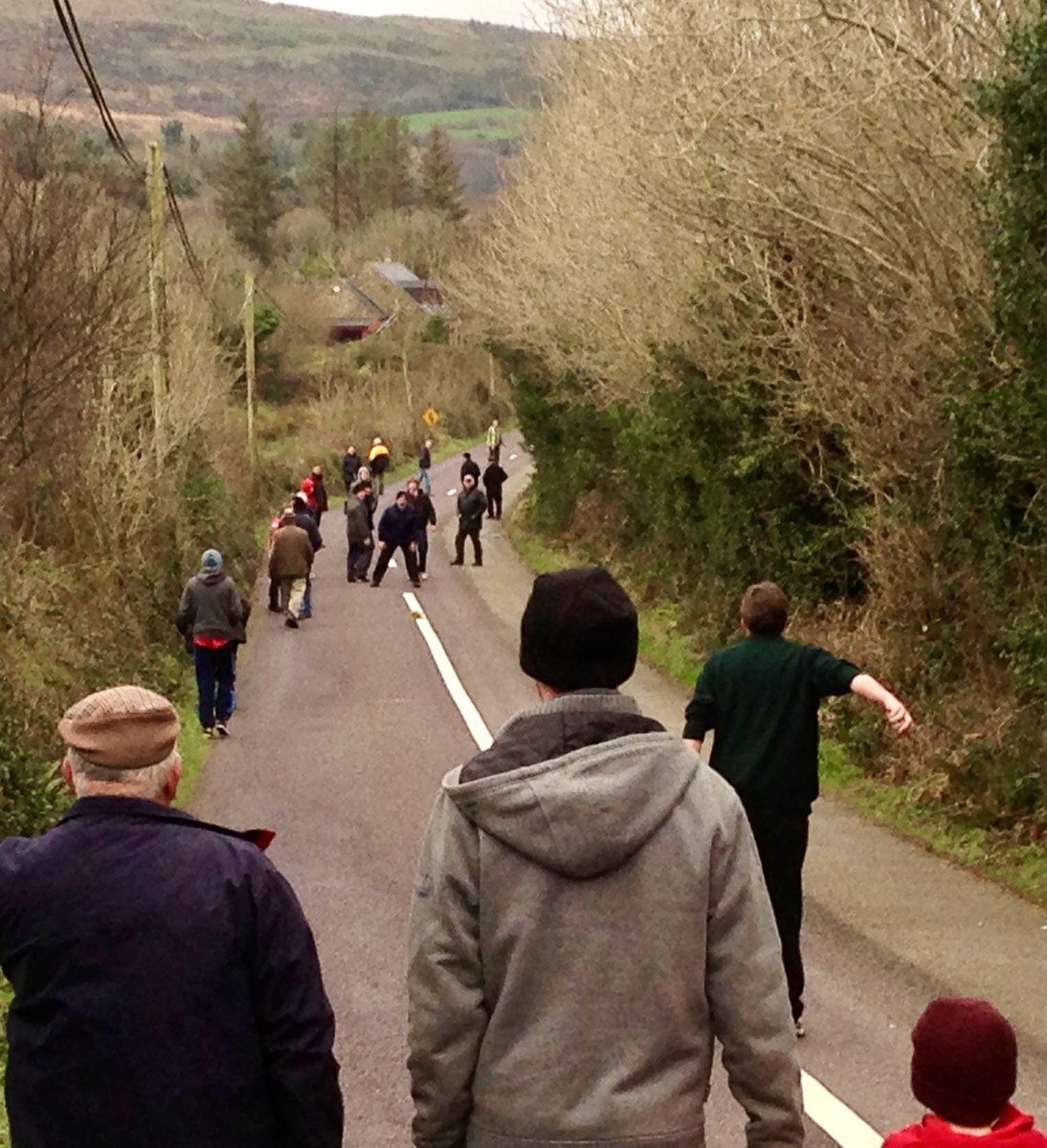
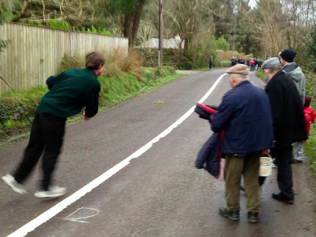
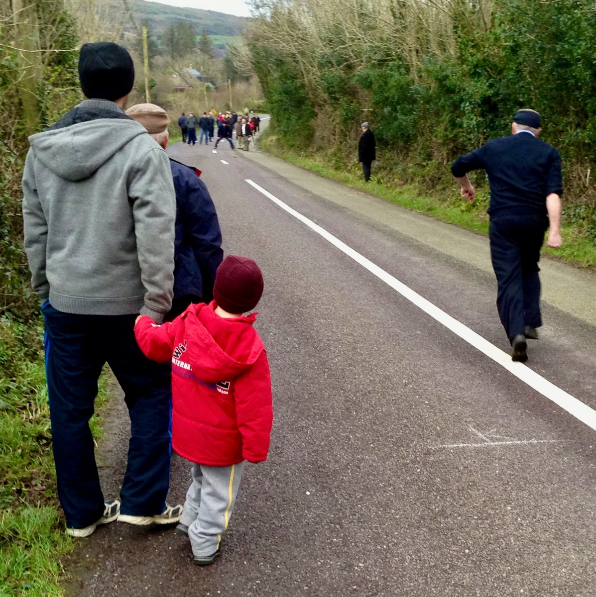
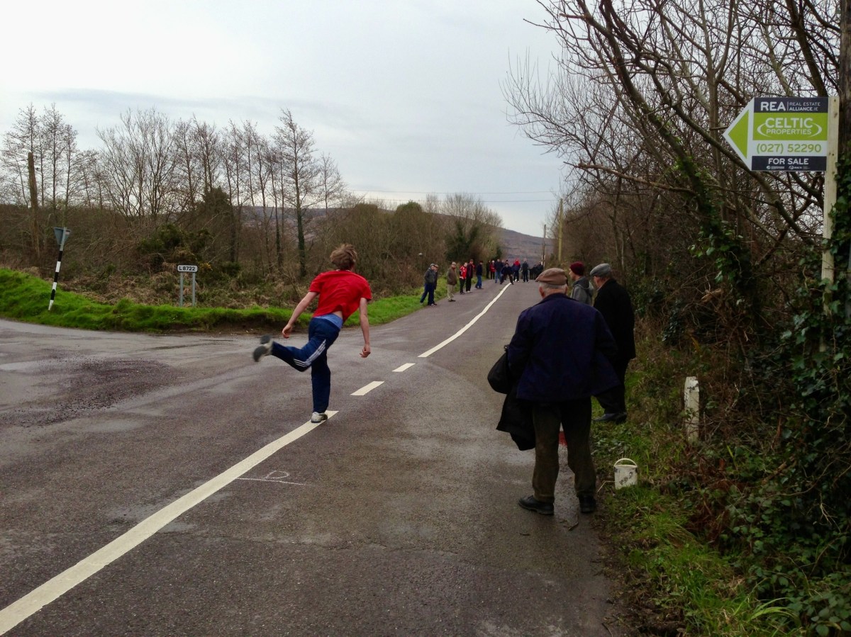
There’s a man about to ‘loft’ a bowling ball. Pronounce it Bowling, to rhyme with ‘growling’: in the Irish language it’s Ból an bhóthair – I’ve also seen the term Long Bullets used. This is a match we watched close to home – here in West Cork – all of ten years ago. It’s amazing we haven’t visited the subject again until now. In fact, it’s quite a secretive sport: if you put yourself ‘in the know’ you will be aware when it’s happening. Otherwise it’s something which you may pass by chance on any of the myriad by-roads of our county – and others.
The sport is played mainly in the Counties of Cork and Armagh, although it may be encountered elsewhere in Ireland – in England, The Netherlands, Germany and – nowadays – in many of the United States. But you won’t find it on any Olympic Games timetable, and I’m not sure that it is ever televised: that would be a strange programme, as it’s challenging to follow and involves walks of many kilometres through tangled lanes and byways. Also, I don’t know whether any traffic laws are bent or broken in its pursuit.
Certainly, it has produced its champions.
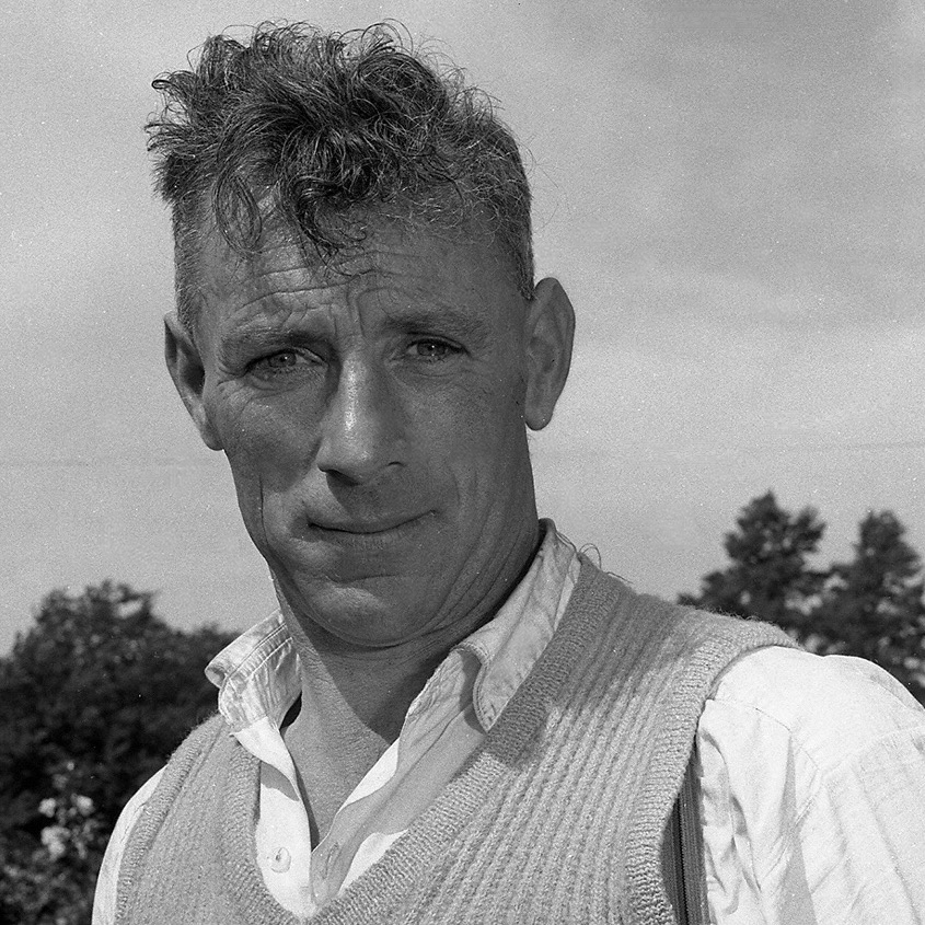
Here’s one: Mick Barry. The photo is likely to date from around 1955. Mick was All-Ireland Champion on eight occasions between 1965 and 1975. He lived a long life – 1919 to 2014. But he is best-known for having established a record – on St Patrick’s Day 1955 – for lofting a bowl onto the 100 ft high parapet of the Chetwynd Railway Viaduct just outside Cork.
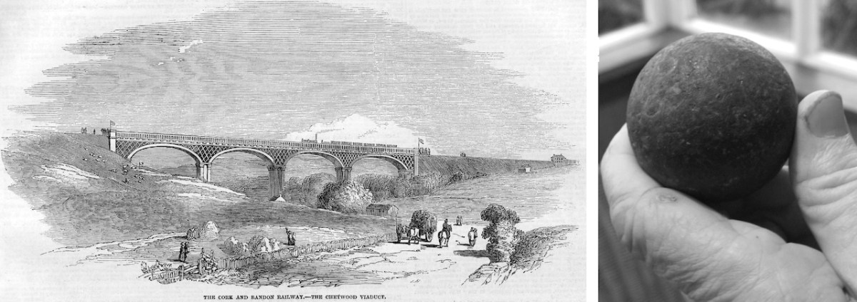
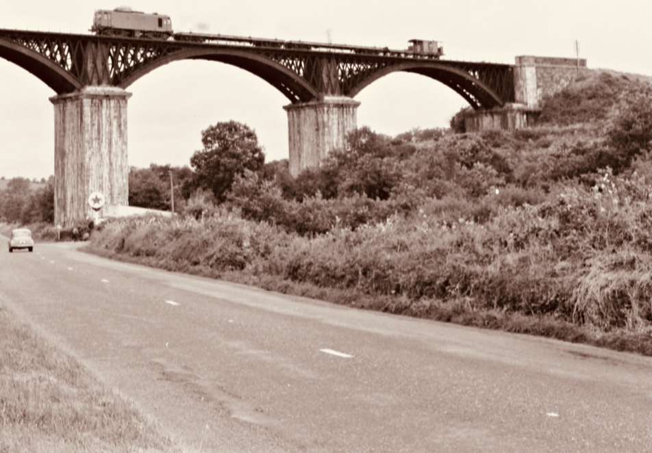
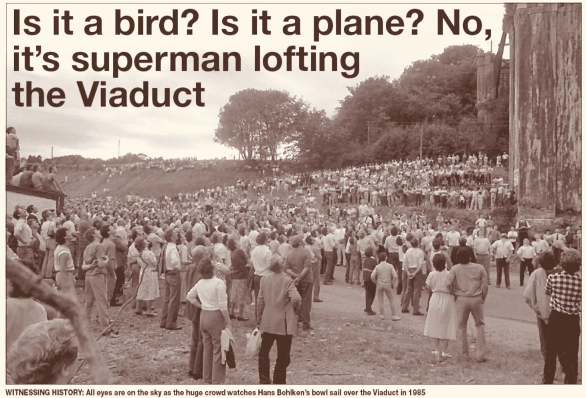
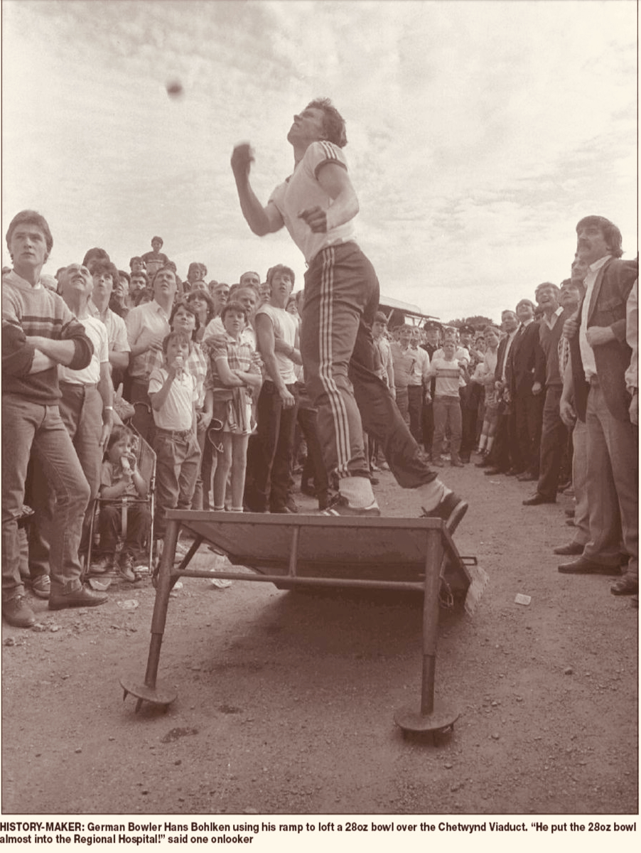
Above – the Chetwynd Viaduct in the 1960s, – after the line was closed, carrying a maintenance train, and – above that – a somewhat fanciful print of the same structure dating from a century before, together with the lead ball used by Barry. The same venue was the scene of another bowling spectacle thirty years later. In 1985 10,000 people showed up to watch a young German named Hans Bohlken loft a 28oz Road Bowl over the viaduct, using a portable ramp to improve his throw (images courtesy Cork Echo):
. . . In Irish road bowling the small iron and steel cannonball called a bowl is hurled down a 1 to 2-mile country lane. Throws can roll 250 or even 300 yards. Similar to golf, the player with the fewest throws to the finish line wins. Excitement builds as two evenly skilled players match each other shot for shot for more than a mile. Often, these memorable matches, called scores, are decided by only a few feet or inches’ distance past the finish line, both players with the same number of throws. The twists and turns of a narrow country lane, as well as the tilt of the road surface (the pitch and camber), provide a rich playing field for strategy and can spark spirited debate among the thrower, his coach and full-throated spectators . . .
WVROADBOWLING.COM
Finola drew my attention to a poem written by folk-poet Liam McGrath, who grew up in Skeaghanore, not far from us here in Nead an Iolair – and therefore as local a ‘folk’ as you could ever find. His work has been collected, but never widely published. Here is his commentary on the ancient pastime of Road Bowling:
Please dear Lord, forgive us all, for that boyish little sin, When we dashed out from the Rosary, before that last Amen. Could we only turn back the clock, to re-live those days of Yore, In the Summer twilight of a Sunday ‘eve, to throw just one more score.
*
So clearly now each face I see, as we pass Jer Coughlan’s gate, As the ladies from Ballydehob walked by, looking charming and sedate. The finishing line was at Stouke cross, then a score the other way. To stroll the streets of Ballydehob, our young hearts bright and gay.
*
When’re the twilight lingered on, we had many a thrilling score ’Til the last throw was decided, near Will Regan’s of Clashmore, Sometimes we changed the venue, our choice, the old Church road. But the skill and thrill remained unchanged, it was the bowler’s code.
*
A penny, tossed high in the air, a bowler called the toss. The first bowl flew from the bowler’s hand, in a score to Raheen Cross. From Bantry Cross to Skehanore, was also a favourite distance. Such happy lads in the good old days, when nothing seemed a nuisance.
*
St Peter and St Patrick, went out for a little walk. “What’s that iron ball, asked Peter, and who is that happy mob?” “They are throwing a score, said Patrick, and they’re all from Ballydehob.”
*
I must conclude this little poem, ‘cause I know it’s getting late, Only time for a score up Bantry Road, to Charlie Daly’s gate. Just lofted that turn, near Berry’s house, and my wrist is feeling sore, So I’ll down this pen, may we meet again, to throw just one more score . . .
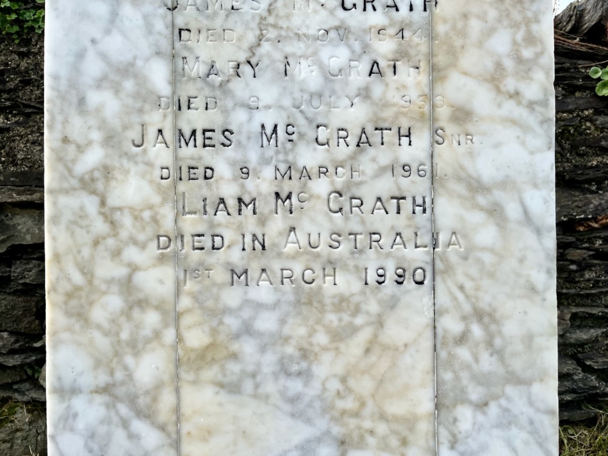
LIAM MCGRATH – Died in Australia – 1990
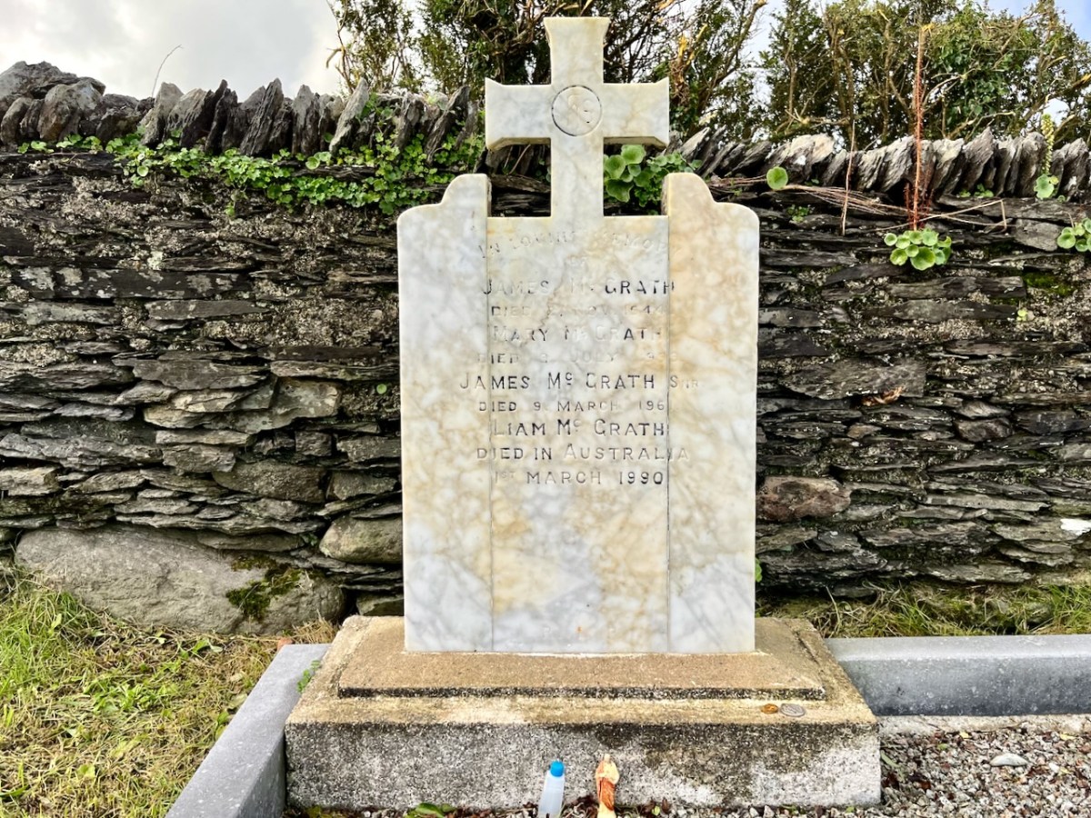
(Above) The McGrath grave in Stouke graveyard, in the next townland above our home. Liam died in Australia and his ashes are interred here.
Welcome to the UCD Library Cultural Heritage Collections blog. Discover and explore the historical treasures housed within our Archives, Special Collections, National Folklore Collection and Digital Library