Standing Stone Pairs: A Visit to Foherlagh

An unexpected delight – a trip on a Sunny October afternoon to visit a very fine standing stone pair in Foherlagh, just north of Kilcoe Church and School on the N71, between Skibbereen and Ballydehob.

The trip was suggested by Amanda who was, of course, looking for a holy well, said to be associated with a mass rock. All of these – the standing stone pair, the holy well and the mass rock – were grouped in one place so we had to undertake this expedition! Thus we found ourselves knocking on the door of the genial farmer, Dennis Minihane, who donned wellies right away and took us up the hill behind his house.

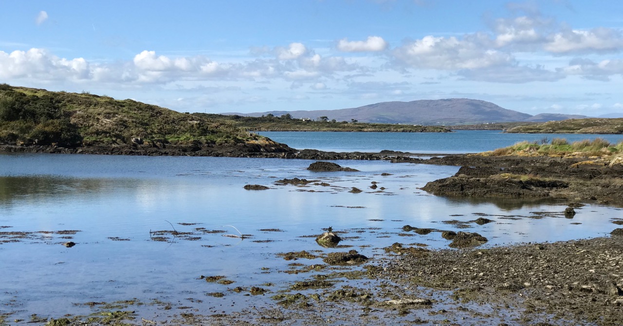
The view from the top of the hill

We had no idea what would greet us, but as we ascended it dawned on us that the views were pretty spectacular. The standing stone pair came into view, and it was obvious they were enormous. When we reached the top we were greeting by a complete 360 degree panorama – south to the islands of Roaringwater Bay, west to Mount Gabriel, east to Baltimore and north to the hinterland. Kilcoe Castle glowed gently in the foreground, while far away we recognised the distinctive pyramid shape of the Mizen peak at the end of the Peninsula.

Looking toward the end of the Mizen Peninsula

Standing stone rows and pairs are a phenomenon of south west Ireland, and this part of West Cork has many examples. While there are about seventy rows of three to five stones (such as the Fingers at Garranes near Castletownsend, or the Maughnasilly row), there are over a hundred stone pairs, of which Foherlagh is a particularly fine example. Invariably their long axis (that is, standing at one end  and looking along the row or pair) is oriented northeast/southwest. Typically the stones are graded in height, with the taller stone (or tallest, in the case of a stone row) at the southwest end.

Garranes stone row, known as The Fingers, near Castletownshend

Sometimes stone pairs are associated with other monuments. We’ve visited, for example, the Kealkill complex, where a stone pair is associated with a five-stone circle and a radial cairn. There’s also the Coolcoulaghta pair, from which the Dunbeacon stone circle is clearly visible.

Upper: The Kealkill complex of monuments; Lower: the Coolcoulaghta standing stone pair (and the most unsympathetically situated electricity pole in Ireland) from which the Dunbeacon stone circle (now sadly coralled by a wooden fence) can be seen

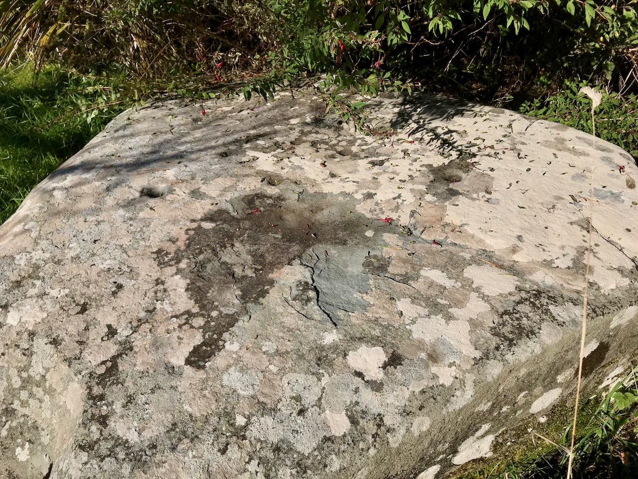
In Foherlagh, however, there are no other prehistoric monuments apart from a single standing stone a few fields away. What there is, is a pointed outcrop which local tradition has identified as a mass rock – see our post Were You at the Rock? for more on this type of monument. The mass rock had a scoop-out in it that may have functioned as a wart well. Amanda was pleased to find this and no doubt will do her usual thorough write-up on Holy Wells of Cork.

The standing stone pair is clearly oriented northeast/southwest. Depending on where you stand, the axis may point to the Mizen Peak (as does the Altar Wedge Tomb further down the Peninsula) or to Mount Gabriel (as do most of the examples of rock art we have examined in this region). Wherever the line points, it is clear that the expansive views are to the south west.

In his examination of stone rows and pairs*, Seán Ó’Nualláin says “The stone rows and pairs then, like the stone circles, are built so that their long axes indicate a general alignment on the sector of the heavens in which the sun roses and sets, and both series tend to group in a position indicating a winter rather than a summer position for the sun.” He might have added that this is also true for the sector in which the moon rises and sets – Maughnasilly row, for example is associated with lunar, rather than solar, orientations.

Maughnasilly stone row on a dramatic day

Ó’Nualláin, based on excavated examples and clear associations, gives a likely Late Neolithic to Early Bronze Age date for stone pairs and rows. That would mean they were erected 3,000 to 5,000 years ago.

Jack Robert’s‘ drawing of the Foherlagh pair, from Exploring West Cork

But what was their function? Perhaps they were yet another element of the calendrical systems that seem to have been a vital part of this early agricultural society. They may also have been used as territory or routeway markers, or as memorial stones for individuals. Some archaeologists have suggested an anthropomorphic element, in that some pairs may represent male and female figures. The pair at Foherlagh were certainly chosen to be very different in shape, although I am left wondering which –  the tall more rounded one or the shorter very square one – might be the more female or masculine figure.

Thank you to Amanda and Peter for suggesting the expedition, Carol for providing the oohs and aahs of a first-time visitor to Ireland, and Dennis for so generously sharing his land and his stories with us.

Amanda and Carol provide scale

Seán Ó’Nualláin, Stone Rows of the South of Ireland, in Proceedings of the Royal Irish AcademyVol. 88C (1988), pp. 179-256. Available on jstor.org

A Walk on Sherkin Island

You can’t live in West Cork without constantly being aware of the sea – it’s all around us. And the offshore islands are always in our view as we look across Roaringwater Bay. It’s easy to get to the inhabited ones: there are good ferry services that run year round, although they can be hampered by winter storms. In this picture – above – the Cape Clear Ferry is leaving Baltimore, while the Sherkin Ferry is arriving to collect passengers for that island, including us: on a whim we went across on a wonderful warm September afternoon.

It’s a short sea voyage to Sherkin – all of 15 minutes! But it’s always exciting to be on the water. That’s the lighthouse on Sherkin in the picture above: it was built in 1885 of cast-iron construction and is now fully automated, as are all of Ireland’s lighthouses today.

We did have an aim – to find a piece of Rock Art that may be the earliest physical evidence of human occupation on the island. It’s a cupmarked stone in the townland of Kilmoon, overlooking Kinish Harbour. It was a fair walk to the west, over deserted roads and through fields. After a bit of backtracking we managed to find the stone, well weathered but with its markings still visible. It is situated with panoramic views all the way round, taking in the peaks of Mount Gabriel, Mount Corrin and Mount Kidd on the mainland: surely it must have been placed with those views in mind?

This picture shows the cupmarked stone in its present setting, just inside a private garden (if you go, please make sure you seek permission from the owners of the house!), while the one above shows the panoramic distant view which the stone commands.

Here is the surface of the stone which is heavily blotched with lichen, but it is possible to make out the well defined cupmarks: there are 14 in all. If you want to find out more about cupmarked stones and how they compare with Rock Art in general, we wrote this post a while ago. It sparked off a whole lot of debate (have a look at the comments at the end of that post) – and there is still much to be discovered in a history that may go back 5,000 years.

Our main mission was accomplished, but we couldn’t resist taking in some other historical sites while on the island. Firstly, we had a good look at the Franciscan friary – situated in the townland of Farranacoush – which has a colourful history. Here is a description from the current Irish Franciscans site:

. . . Permission for this foundation was given by Rome to Finighin O’Driscoll in 1449, but it was not until just after 1462 that the Observant friars actually arrived. The friary became the traditional burial place of the O’Driscoll’s. In 1537 the citizens of Waterford burned the building in retaliation for acts of piracy by the O’Driscolls. The great bell of the friary was on display in Waterford as late as 1615. There is no evidence to suggest that the friars were disturbed by the events of the Reformation until the island was garrisoned by the English following the Battle of Kinsale. The friars soon returned and, except at the height of the Cromwellian persecu­tion, were active all during the seventeenth and well into the eighteenth centuries. The last friar, Fr Patrick Hayes, died soon after 1766 . . .

In the picture above – taken from the OPW information board – you can see the attacks of 1537 by ‘the citizens of Waterford’ on both the Friary (in the foreground) and the O’Driscoll stronghold of Dún na Long (beyond). The castle was subsequently partially rebuilt and was garrisoned by a Spanish force in 1601. It was then acquired and restored by the Becher family in 1655 and remained in their ownership until the late nineteenth century. We went to see what remains of the castle today.

Our visit to Sherkin only took an afternoon – albeit a golden one. There’s plenty more to see there – and other islands to be investigated. And an endless exploration of history to be had in the landscapes of West Cork.

Bumper Crop!

It’s the end of the summer – and harvest time. Over the months I have been gathering in yet more signs and curiosities from our journeys around Ireland. It’s now time to show off a few of them . . .

Some are obvious – and intentionally humorous; many are simply puzzling or inexplicable. Hopefully, most are at the very least entertaining. They don’t require a great deal of comment. But it’s certainly fertile ground for gleaning. Wherever you find yourself, take a good look around you: there’s a bumper crop out there.

When you start ‘collecting’ signs, themes seem to emerge. Just over the last few days the animal kingdom has come to the fore:

Well, that’s enough of that theme for now – although there are more ‘pets’. To finish off, another miscellany – and I’m keeping some good ones back for another day.

Tralong Bay, Co Cork – A Prehistoric Drowned Landscape

In West Cork it is possible to examine the remains of trees which were growing several thousand years ago – perhaps in the time of our earliest ancestors. Around the coasts of Ireland and Britain are sites of post-glacial forests which flourished close to an ancient shoreline until inundated by rising sea levels in the Neolithic period. Cycles of change in weather, tides and geology over millennia saw these remains flooded by encroaching seas, then resurfacing, only to be buried under sediment and sand as tides abated. We are living in an age of extremes and recent abnormal climate activity has in places exposed some of these remains which are as old as human activity in Ireland: this is Organic Archaeology!

Header – Tralong Beach, between Glandore and Rosscarbery, where the remains of very ancient woodland can be seen. Upper map – the c1850 6″ OS map showing the shape of the coastline at Tralong Bay, and Lower map – a closer aerial view of the beach in modern times: the darker mass shows the partly submerged peat beds

Little has been written about the Tralong site, but another comparable drowned landscape has been revealed in Northumberland UK where archaeologist Clive Waddington, of the company Archaeology Research Services, has found the remains of an ancient forest on the coast of Low Hauxley. He reports:

. . . In 5,000 BC, the sea level rose rapidly and swallowed the earth. The sand dunes were pushed inland, burying the forest, and then the sea receded somewhat. Now, the sea level increases again: it cuts out the sand dunes and exposes the forest . . . During the course of the investigation, the archaeologists found evidence of human presence in the area: traces of adults and children , the analysis of which revealed that they were wearing leather footwear. With human footprints the scientists also found footprints of wild boar and brown bears . . .

Part of the beach at Tralong Bay, Co Cork: the surface of the peat mass, which could be up to 4 metres thick, is interspersed with numerous tree boles, roots and scattered branch and twig debris. At one place I found a perfect complete pine cone, which could have been part of that debris.

The surface of the beach is dotted with these remnants of ancient forest, over a wide area. It seems remarkable that there are also extensive blankets of loose material retained in the bay which must also originate from the forest.

Upper picture – one of the huge blankets of organic material – mainly wood based – which has been washed up to the north end of the bay at Tralong since the extreme storms of 2014. Lower pictures – closer views of the debris showing recognisable material including twigs and branches.

In November 2015 Michael Viney wrote a piece in the Irish Times on drowned forests in Galway Bay:

. . . All summer the quiet tides returned the sand that last winter’s storms had dragged offshore, heaping it even deeper over the old oaken wreck on the strand . . . Perhaps, though I hope not, this winter’s great mill wheels of waves will grind that deeply again. Storms two years ago tore away whole layers of sand and stone west of Spiddal in Galway Bay, uncovering stumps of ancient oak, pine and birch from a 7,000-year-old forest drowned as the sea rose after the end of the Ice Age. The same exceptional seas, on the north coast of Connemara, exposed remnants of human occupation a metre thick in the sand-cliff shore of Omey Island. There were medieval burials among them, and bog at least 6,000 years old . . . Elsewhere along the west coast yet more of the kitchen shell middens of early settlers, back to the late Mesolithic, were stripped away. So the sea reveals the past and then takes it away . . . Glimpses of Ireland’s lost shores and drowned forests are not new. Pinewoods submerged off the Bray coast were described by Robert Lloyd Praeger at the end of the 19th century when construction of Bray harbour changed sediment flows and piles of collapsed trees appeared above the sand . . .

Ancient forests reappeared again in Bray, Co Wicklow, in 2001, and more were revealed recently – in 2017. The Irish Times reported earlier this year on a project to discover “the lost landscapes” of the Irish Sea

Tralong Beach will change again, as the weather patterns vary, and it may not always be possible to experience the drowned landscape here. It’s an unmissable journey into deep history.

With many thanks to Robin Lewando for introducing us to this site, and to Anthony Beese for providing additional material

Ballyrisode – Pirate Connections

Last week, Finola wrote about the discovery of what is probably an intertidal fulacht fia on the beach at Ballyrisode, not too far west of us down the Mizen Peninsula. Following the publication of her post, we received a host of comments and messages, including from our friend Dr Connie Kelleher – an underwater archaeologist and well-known specialist on the history of piracy in West Cork. Connie told us that she and a colleague – Áine Brosnan – had examined the site back in 2012 because they were looking for links to pirate connections!

Header – this really is the colour of the remarkably clear water in Canty’s Cove seen on a recent visit: this is probably due to veins of copper ore. Above – Ballyrisode Strand is notable for its secluded location and its impressive white sand

The mention of pirates took me back to my 2016 post – Cantyclick here now and have a read, then return to this page for more insights. One of my resources when researching for Canty was an article by John Hawke in Volume 5 of the Mizen Journal, published in 1997: Canty’s Cove – Legend and History. I only used snippets in my post then, as I concentrated on Canty’s lair on the Northside. Today I’ll expand on Canty’s exploits to the south and west, including his connections with Ballyrisode. Connie made a very valuable point in her comments to us that Canty was a Gaelic-Irish pirate on the opposite side of the peninsula to William Hull and active at a time when the English pirates were headquartered in Leamcon, Baltimore and Crookhaven; he appears to have remained in control within his own domain to at least 1629 but most probably into the 1640s.

Upper – a photo from ‘Northside of the Mizen’ clearly showing the protected promontory known as ‘Canty’s Garden’ in the twentieth century. It is likely that this is the site of Dunkelly Castle, and was the scene of Canty’s grisly treatment of his visitors. Lower – looking across Canty’s Garden today

The following stories were told to John Hawke in 1995 by James Camier, and were handed down from his father, William Camier of Enaghoughter Townland: they therefore go back a good few generations:

. . . Boats from America and elsewhere came into Dunmanus Bay, the captains were invited into his house by Canty, were dazzled by a special grog, robbed and pushed through the north door over the cliff into the cove to the north. On one occasion Canty wanted to stop an invasion by some outsiders at Ballyrisode. He had a daughter, who did not want him to go and tried to stop him, so he shot her. He then crossed by land to Ballyrisode and by moonlight fought a battle on the first strand, which he won. Gravestones to the dead stood on the shore. One day, the son of a captain previously murdered by Canty, who was also a captain, on returning from America was invited in by Canty. But, knowing more than his father, when Canty asked him to step outside he pushed Canty over the cliff . . . James himself remembers some gravestones, but these have been covered by encroaching sand over recent years . . . Graves existing on the second strand are of drowned sailors . . .

Sailor’s graves – or the site of a pirate battle? The fulacht fia is upper right in this picture

This very categoric piece of information suggests that James Camier (or perhaps his father) attribute the stones on the ‘second strand’ to sailors’ graves. These stones are probably the small upright stones which lie close to the fulacht fia today: they certainly resemble grave markers in size and shape. In the context of a Bronze Age fulacht fia such stones were probably part of a hearth or roasting-pit.

It is illegal to disturb any archaeological site (please note!). Our activities at Ballysrisode were confined to measuring and photography. However, we made a series of probes across the beach to test the depth of the sand (and imagine how many excavations have been made on that beach over the years by eager sandcastle engineers!). Our results show that there seems to be a consistent depth of only 50mm to 200mm over the main beach. Hmmmm… not enough to bury any pirate bones methinks. Also, it’s rather unlikely that any pirates would stay around to firmly fix substantial stone markers over the graves of their dead comrades (or enemies). But I would never want to stand in the way of a good tale.

I know this is slightly ‘off subject’ but it’s worth adding to the whole picture of Canty and pirates another tale from the Camiers:

. . . Canty’s Cove was always seen in the locality as a lonesome place at night and there are various stories of unexplained sightings – old longboats coming in and out, a man walking along the ledge on the far side of the Cove from the pier and suddenly disappearing, and of “white” hands helping the captain to tie up his seine boat . . .

I’m not sure that I’d be up for a visit to Canty’s Cove after sunset (above), but the beautiful white strands at Ballyrisode would be most attractive in the moonlight, and – who knows – it might be a good time to see if there is any ghostly pirate activity in this historically significant place.

In the picture below Rosie the Dog investigates the apparently haunted piers at Canty’s Cove: they were extensively upgraded in the 1940s

Your Favourite Place for Breakfast in West Cork?

We want to hear from you! A while ago we asked you who makes the best coffee in West Cork – we were astonished at the breadth of choice and the votes that came pouring in. So now we want to know – where can you go in West Cork for a really great breakfast, however you define that?

Robert’s favourite

The wonderful A Taste Of West Cork Festival is on at the moment so we are naturally thinking a lot about food and we wondered about our readers  – are you breakfast people? Is it the Full Irish for you or a modest bowl of cereal? Are you a traditionalist (bacon or nothing!) or quite taken with mashed avocado on sourdough with micro-greens?

I love a good bowl of well-made porridge. 

They say it’s the most important meal of the day and we’re not supposed to skip it.  We agree! In fact, one of our favourite things to do in West Cork is to go out for breakfast. And this being West Cork, we have found lots of places to have delicious choices.

Happy with scones and tea? Upper photo, my own version of pear and almond scones

Brunch is great too – now widely available on weekends all over West Cork. Do you like it more breakfasty or more lunchy? Eggs or soup? How about gathering up the superb ingredients available in our wonderful markets and browsing all afternoon at home?

Upper – a brunch sourced from the markets of West Cork. Lower – we know this place that has the yummiest black pudding potato cakes

Or are you a vegetarian or vegan? Gluten free? If so – what’s your go-to breakfast? Can you find good alternatives when you eat out in West Cork, like that luscious parfait in our lead photograph?

Eggs with lentils – whatever floats your boat!

Coffee or Tea? For us, it has to be a latte or a really good pot of tea, preferably made with leaves (I do hate fishing teabags out of a teapot, especially when there’s never anywhere to put them).

We know there are some grim places too – Lord save me from the breakfast buffet with the emulsified scramblers and the sliced white pan toast. Or the pub that ‘does’ a breakfast where everything comes on a plate swimming in grease. Don’t tell us about those – we know they are out there but we want to hear about your excellent experiences.

Topic: Best Places for Breakfast in West Cork. Discuss!