The Red Line – Bere Island

As part of the excellent Taste of West Cork food festival, we signed up for the Bere Island Cultural Taste Tour, and on a grey Saturday morning we drove off along the south side of the Beara Peninsula to Castletownbere. The Islands of West Cork are all fascinating to explore, in our experience, and each one is very different. This was my first visit to Bere Island, and I immediately want to go back there: this was, of necessity, a ‘whistlestop tour’, ably led by Ted O’Sullivan, probably a direct descendant of the famed O’Sullivan Bere (who deserves – and will get – a post of his own!) You may remember that the island – and the peninsula – has taken its name from the Spanish wife of Owen Mór, King of Ireland around 120AD.

Bere Island lies off the coast of the Beara Peninsula, which was in constant view as our bus took us to the eastern end on the narrow island roads – towards the ‘Red Line’

While the history of the island takes us back to the Bronze Age and beyond, more recent events have been left behind on the landscape – and in the memories of the islanders.

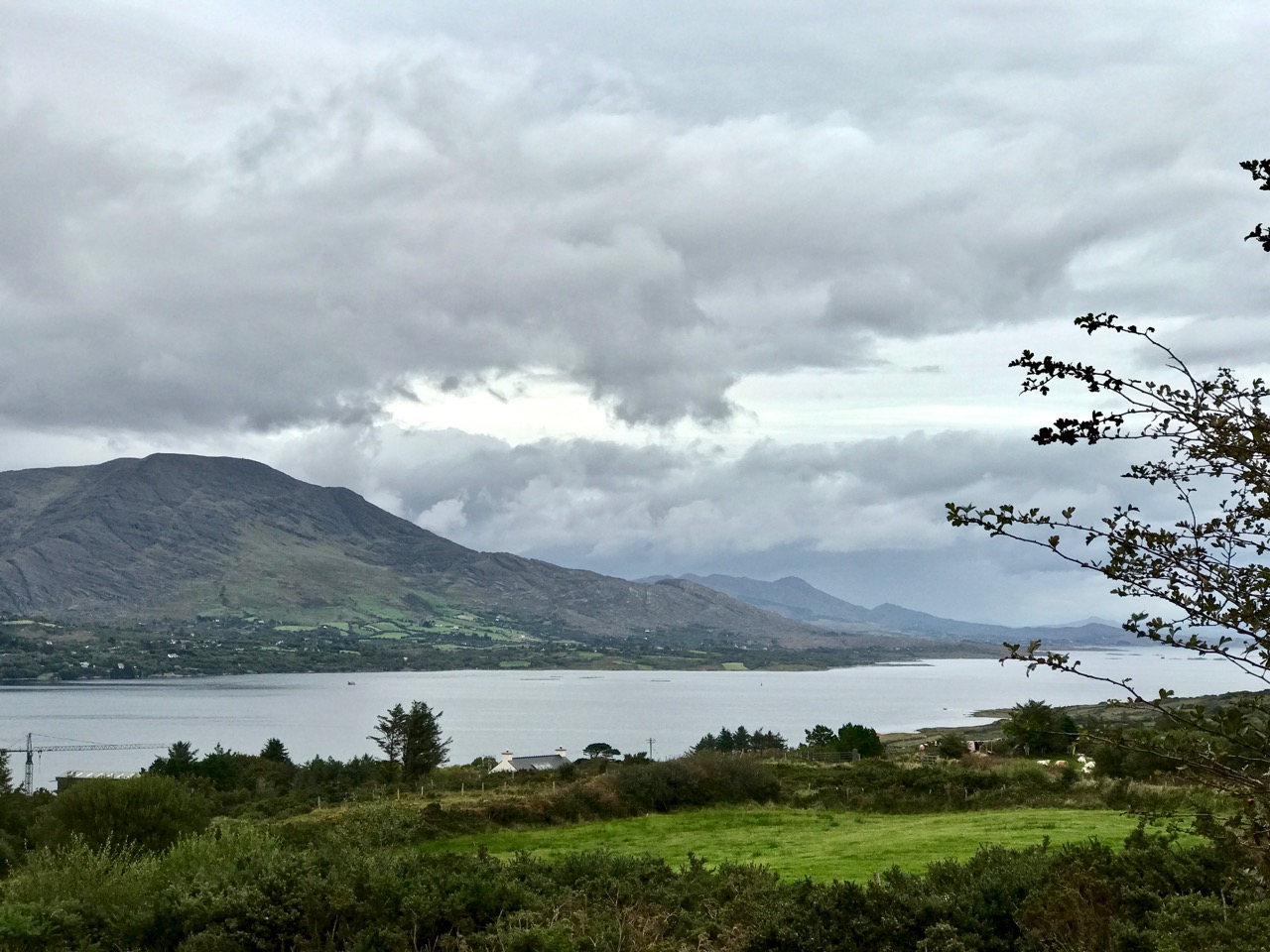
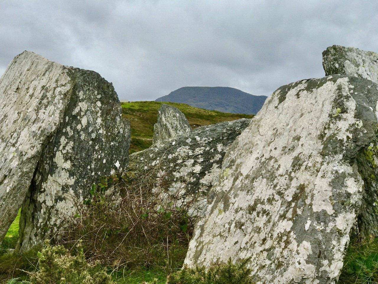
Upper – ancient history: Ardaragh Bronze Age wedge tomb beside the road to the east of the island with Hungry Hill beyond. In 1926 the tomb collapsed, and this was seen by some islanders as a ‘sign’ that the British might leave the occupied part of the island. Lower – modern history: looking from the island towards the Beara – British warships stationed in the bay circa 1914

Did you know that part of Bere Island remained in British hands well beyond the establishment of the Irish Free State in 1921? This was one of the three Treaty Ports that were retained by the United Kingdom following the First World War, when there were fears that there might be a recurring naval threat to the islands of Britain and Ireland. The other two ports were Spike Island, in Cork Harbour, and Lough Swilly in the far north of the Irish state. Relationships between Ireland and Britain remained uneasy for many years but finally, in 1938, it was agreed that these deepwater ports should be handed over to the Irish Republic. Winston Churchill was appalled by the decision, and in an address to Parliament in that year he called it a ‘folly’:

…When the Irish Treaty was being shaped in 1922 I was instructed by the Cabinet to prepare that part of the Agreement which dealt with strategic reservations. I negotiated with Mr Michael Collins, and I was advised by Admiral Beatty who assured me that without the use of these ports it would be very difficult, perhaps almost impossible, to feed this Island in time of war. Queenstown and Berehaven shelter the flotillas which keep clear the approaches to the Bristol and English Channels, and Lough Swilly is the base from which the access to the Mersey and the Clyde is covered… These ports are, in fact, the sentinel towers of the western approaches, by which the 45,000,000 people in this Island so enormously depend on foreign food for their daily bread, and by which they can carry on their trade, which is equally important to their existence…

Until the handover in 1938 the eastern end of the island lay beyond ‘The Red Line’. The position of this line was pointed out to us on the tour, although we couldn’t see a ‘line’. In fact, no physical line did ever exist but there was a point beyond which Irish people could not proceed, and British forces stationed over the ‘line’ could not cross. Ted, our tour guide, recounted some amusing stories of those strange times. With typical Irish inventiveness, there were many instances of how the difficulties created by the ‘line’ were overcome. For a short while there was a prison on the British sector, right beside the ‘line’. It was used to incarcerate mainly political prisoners. Every weekend there would be a party held on the Irish side of the line which always included singing, dancing and drinking, and the prisoners joined in! Many politically important prisoners managed to escape, and the prison was known as a ‘leaky bucket’ because of this. A number of the British governors of the prison were removed during its short life because of their inability to contain their charges.

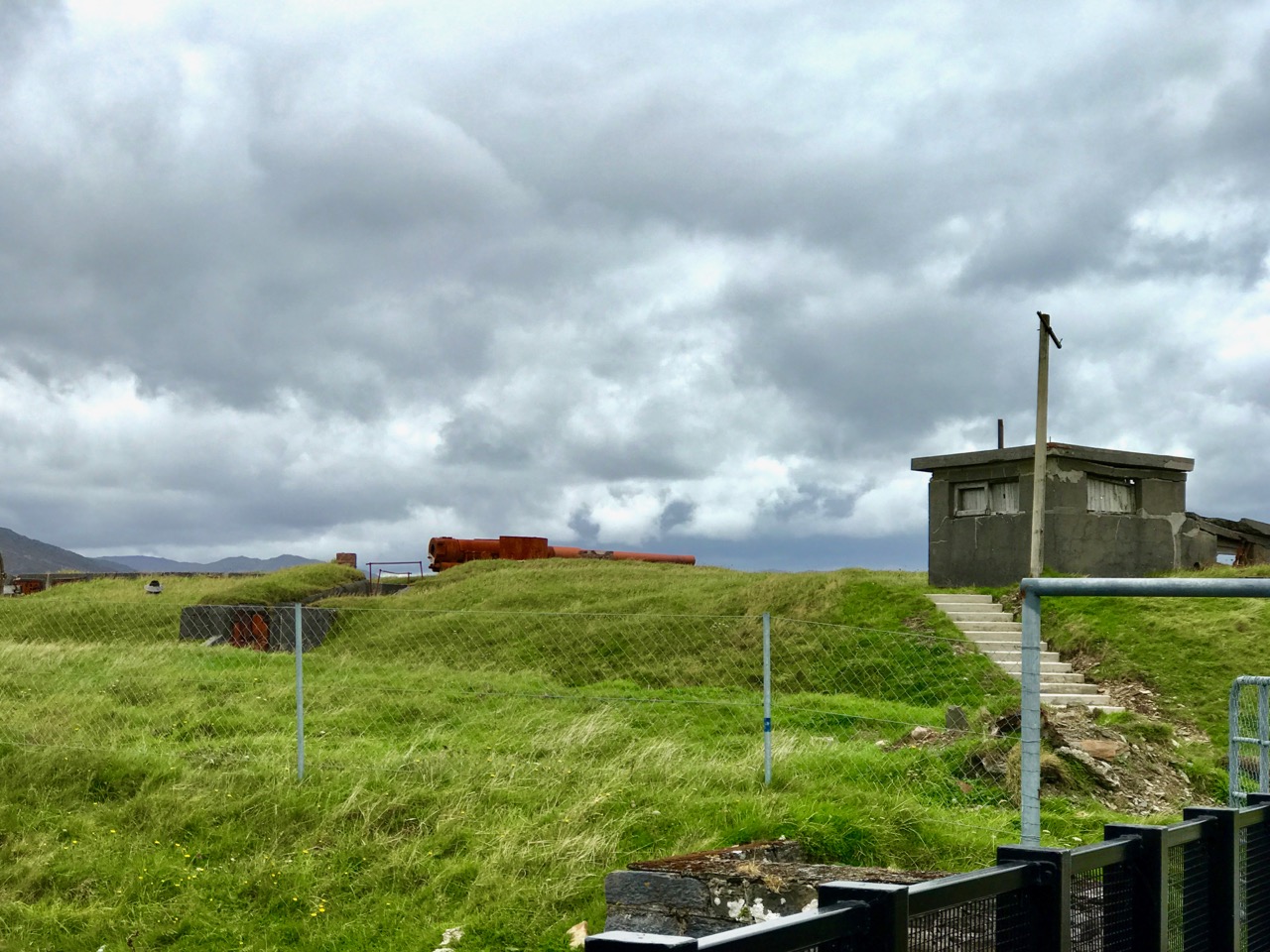
Lonehort Battery – built in 1899 by the Royal Engineers of the English army – housed two enormous 6-inch guns (still in place but very rusty) and is surrounded by a deep moat. There are plans to re-open the site as a historic monument

Lonehort is a natural harbour, believed to have been used by the Vikings. Archaeological excavations were carried out there in 1995 and confirmed the artificial breakwater as being Norse: there were also signs of a Viking shipyard here.

Lonehort – a Viking harbour and shipyard. The word means ‘Long Phort’, and is used to indicate Norse associations

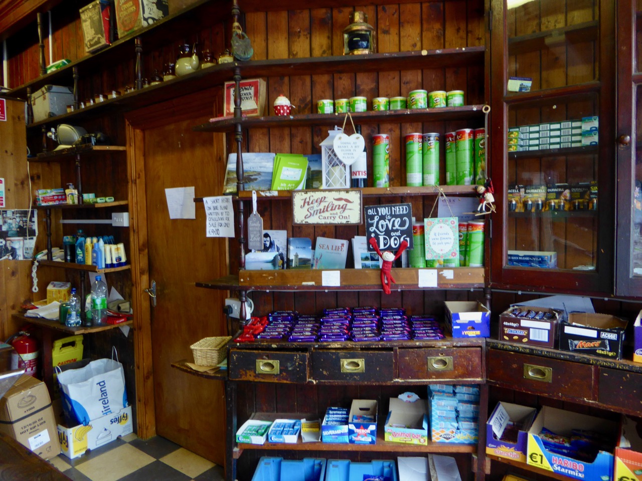
One of the purposes of our tour was to introduce us to food produced on the island, and we ate in three establishments: The Shop and Cafe in Rerrin for soup, The Hotel for a fishcake lunch, and the Heritage Centre for a dessert and coffee. All provided good, delicious fare.

Our three food destinations. Top – the wonderful Shop at Rerrin; centre – The Hotel, open all year round (it looks as though it has interesting fare!) and lower – the modern Heritage Centre which has a gallery displaying the island’s history and culture as well as a good eatery

All too soon our short tour came to an end: we had to get back to catch the ferry. We missed several things: St Michael’s Holy Well and Church; views from Knockanallig (the highest point) and several standing stones including Gallán, which is exactly in the centre of the island. And it’s a great place for walking! We will return, perhaps for a few days in the winter, and complete our explorations. But many thanks to Ted and the Bere Island Projects Group for giving us such a comprehensive introduction to an intriguing community and its history.

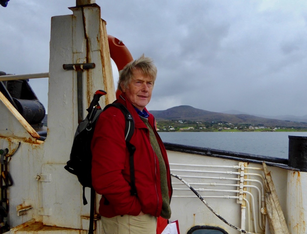
Robert heading home after a grand day out!
Hikelines – a Blog for the Soul

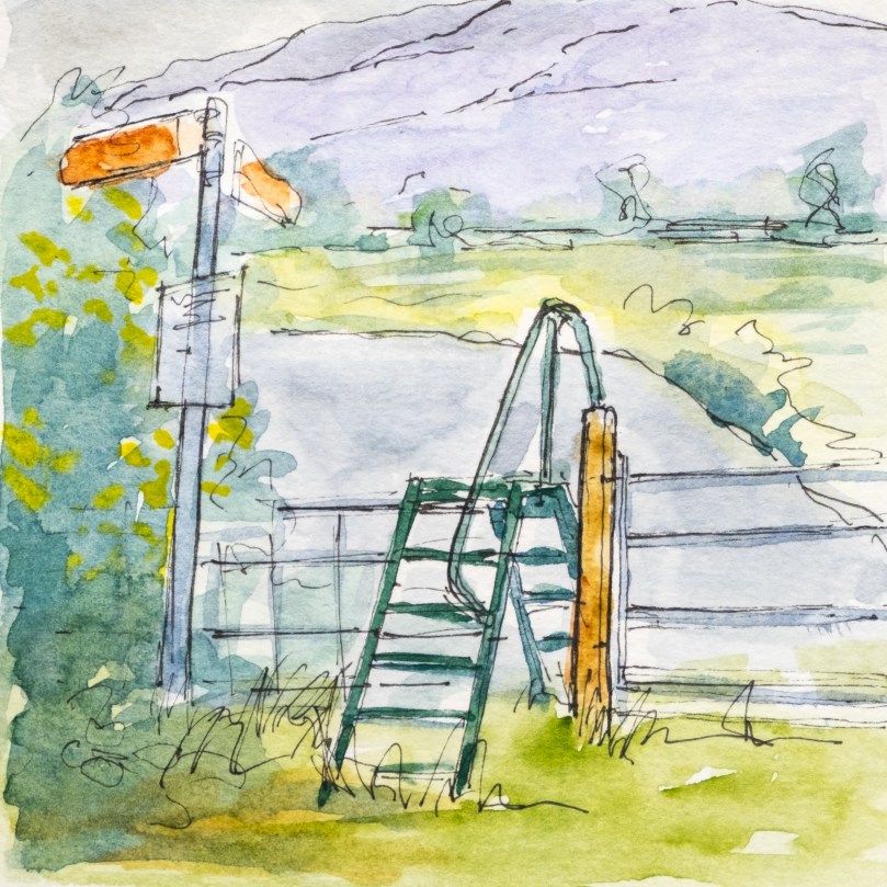
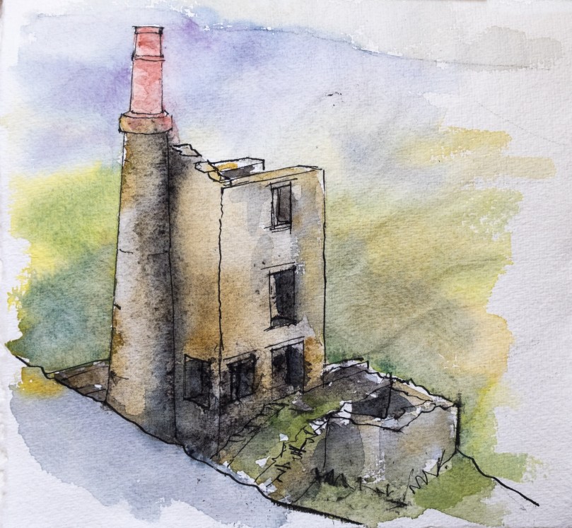
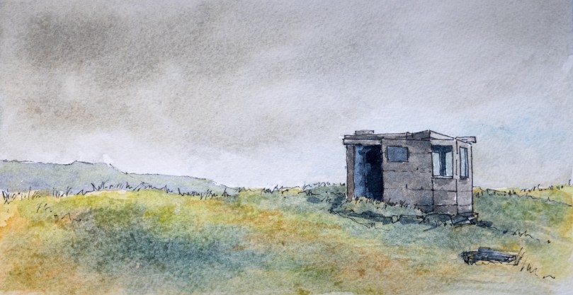
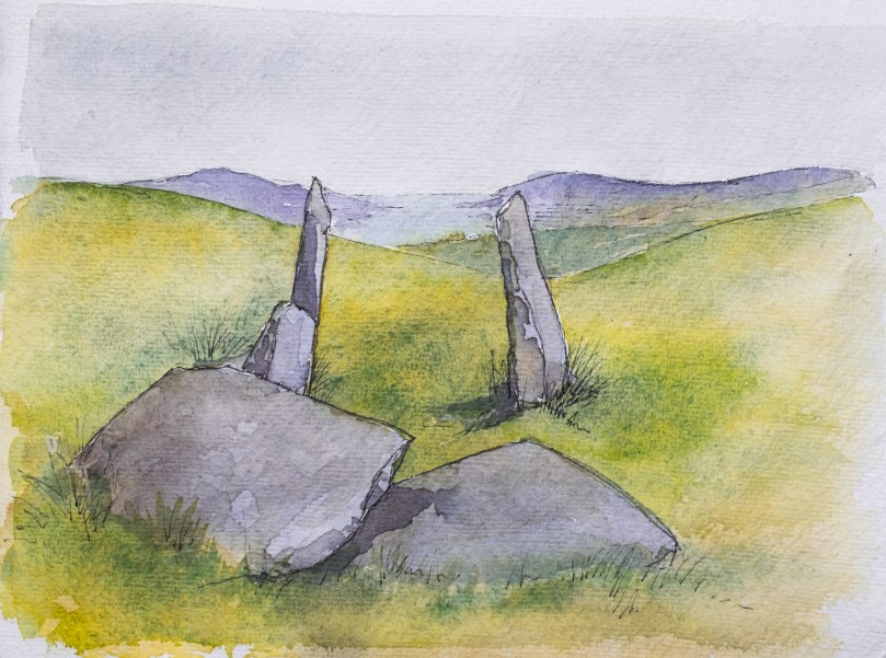
Our talented friend, Peter Clarke, has a marvellous new blog and you HAVE to see this one. It’s called Hikelines and the subheading tells the story – I hike and I sketch.

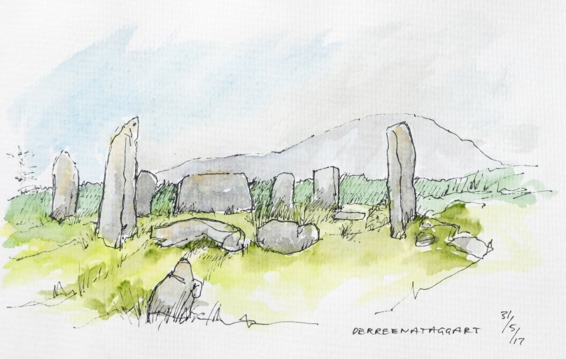
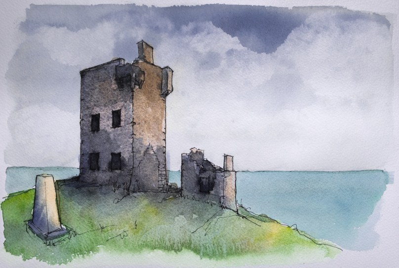
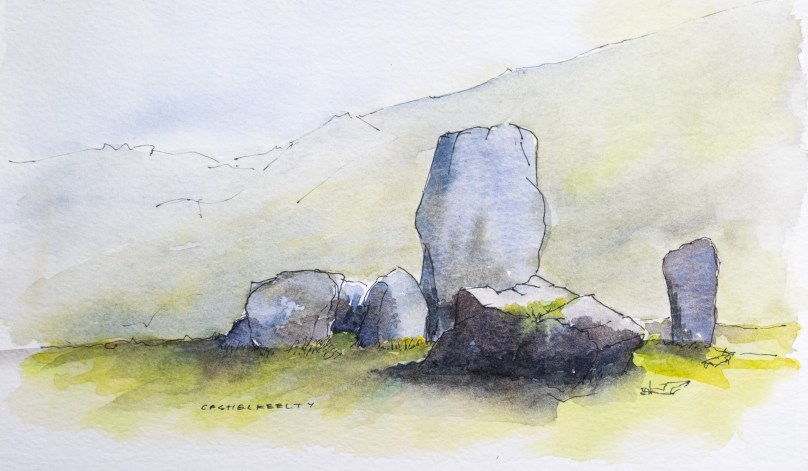
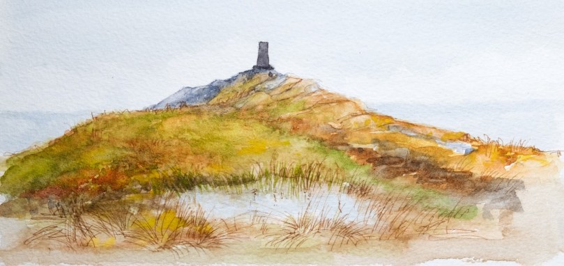
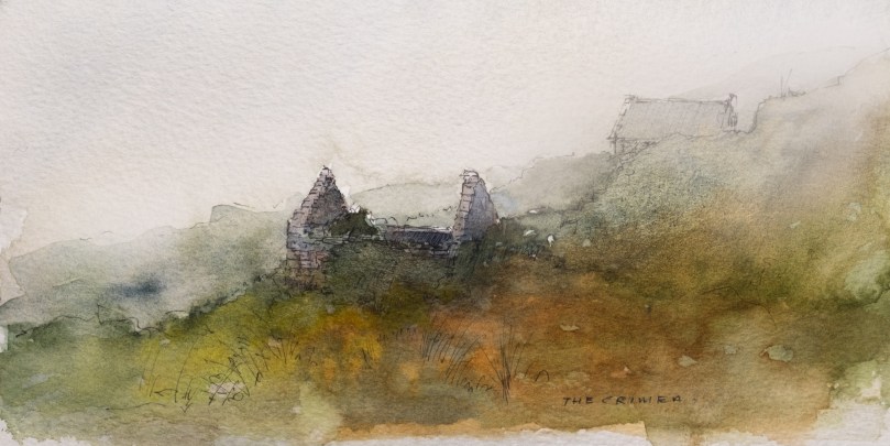
Peter has done two long walks in England, sketching as he went along – the Cleveland Way and the Tabular Hills Way. People who know those routes will appreciate how he has captured landscape, villages and landmarks in his signature style. But I want to concentrate on his two West Cork routes – The Beara Way and The Sheep’s Head Way.

Several things mark these routes as different from the English ones: they seem wilder, more remote; archaeology is all over the place; the place names are unpronounceable; they’re not as organised (especially the Beara Way) for the walker so there are directional and accommodation challenges. However, they are as rugged and spectacular as any hiker could wish for.

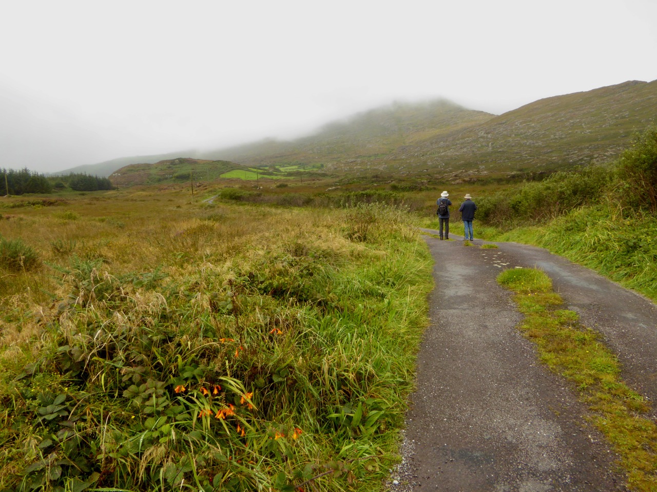
The Beara is the largest of the West Cork Peninsulas and the farthest from population centres. Peter accomplished it in nine stages, spaced out between the end of May and the beginning of August, starting and ending in Glengarriff and travelling clockwise.

Some parts were very rough going and signage was not always reliable, but Peter takes it all in his, er, stride. He writes beautifully in a clear accessible style – here’s a sample from his first day:

I reach the ladder-stile that marks the start of a hard, steep climb up to 550 metres. The red line of the route looks impossibly steep on the map but on the ground I find a stony track that dog-legs its way up the contours to make the going a little gentler: nevertheless, my lungs and legs are soon in the red zone. I take shorter strides on the rough stony surface, the plodding drumbeat of my boots accompanied by the tip-tap rhythm of my walking poles. At each turn where I stop to look back, the small houses in the valley are even smaller, the distant hills begin to show on the horizon, catching patches of sunlight, and soon I can see above the nearby hills across to Bantry Bay, glassy calm with Whiddy Island casting long reflections in the waters.

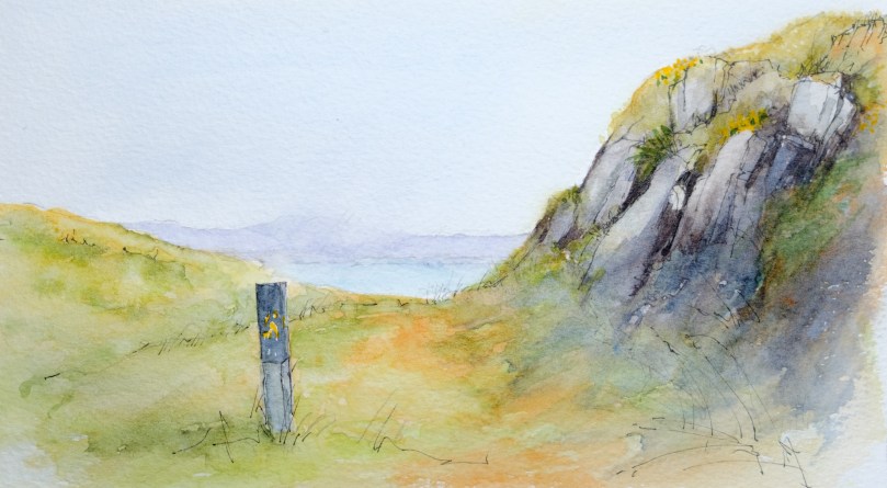
He stops to sketch what catches his eye – occasionally doing a whole sketch, sometimes colouring it later, sometimes taking a photograph to sketch from when the hike is over. He includes technical details for those who like to know.

He detours to visit prehistoric and historic sites and often includes these in his sketches. Amanda makes an appearance now and then – she’s on pick-up or drop-off duty and is usually combining this with adventures chronicled in her own blog Holy Wells of Cork. (When I told you about the start of Holy Wells of Cork it was only a year and a half ago – she has now recorded over 200 wells!) She is along as they ride the cable car to Dursey Island but Peter strikes out on his own along the trail.

As I set out alone along the only road, I think about how the past seems somehow embedded in the landscape of places like this. Some might say there are ghosts here and I can understand why. A short detour brings me down to the ruined monastery and burial ground sitting just above the shore. It feels lost and forgotten, even in the sunshine.

I climb back up over soft springy grass onto the road which rises and falls around the smoothly rounded hills that make up the island. Purple foxgloves hang on the cliff edges; the peaks of roofless gable-ends rise from the patchwork of fields running down the lower slopes; sheep and cattle graze below and a kestrel hovers overhead. This road must have seen plenty of traffic at one time and there is even an old bus stop: whether real or not I don’t know.

The weather deteriorates as he traverses Beara – you can feel the discomfort of the sodden gear and the squelching mud and it’s a gut feeling of relief when he reaches colourful Eyeries and can dry out. But it finally improves and the next two days brings the compensations of stunning views and stone circles. The final leg back to Glengariff from Kenmare is largely along a busy road – less enjoyable and more arduous.

The Sheep’s Head Way is familar ground – for Peter and for me as a reader. Peter and Amanda (regular readers will remember) are the couple behind the guidebook Walking the Sheep’s Head Way – we highly recommend it for anyone contemplating walking on the Sheep’s Head. For Peter, then, this is a continuing of his long love affair with this wild and magnificent landscape. He knows it intimately, he’s walked every inch of it before, and he brings all that love of place to his sketches.


He’s adding more information now too – distances and links to further information as well as links to detailed route directions. Now is the time to sign up for the blog – it’s easy, just insert your email address in the box in the right margin – and follow along. He’s only done four stages, and there are many more to come.

His last post, at time of writing, was one of my favourite walks, encompassing the route I described in Sheep’s Head: Searching for Cornish Miners. Here’s the start of his walk:

I take the ‘Horseshoe Road’ which is more of a track than a road, and descend into the mist which is thick but too bright to be ‘fog’ perhaps. The filtered light brightens nearby colours and softens shadows and I think how it creates a type of liminality with a veil through which things can only be partially glimpsed.

This is one of those treats you can feel really good about. When the email comes in, telling you there’s a new post, just settle down with a cup of tea and immerse yourself in Hikelines. I have deliberately not captioned the images because I want you to see them for yourself! Now so, enough talk – head on over to Hikelines.
 

“The Wildest and Richest Gardens” – West Cork Bog Soaks

Henry David Thoreau, philosopher and naturalist, might be called the patron saint of swamps. He was in love with them. I know how he feels. Hope and the future for me he said, are not in lawns and cultivated fields, not in towns and cities, but in the impervious and quaking swampsthe wildest and richest gardens that we have.

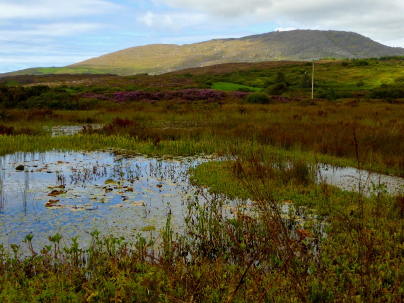
Top photo and above: Derreennatra Natural Heritage Area

Thoreau was talking about American swamps, but he could just as easily have been talking about an Irish bog, marsh, or wetland. I have two within easy walking distance of my home in West Cork and I am drawn to them like a magnet. One is tiny – a pond in the middle of a boggy area at the highest point in Foilnamuck townland. The other is more extensive – Derreennatra Bog, between Ballydehob and Schull.

Foilnamuck Bog Soak

A bog is a highly acid environment, and some plants, such as heathers, are specially adapted to deal with this habitat. The mineral-rich pools that form in the bog – technically known as bog soaks – are fed by groundwater and rain. Nutrients are more available in these patches of open water, they provide a less acidic environment and support a variety of plant life different from that of the surrounding bog.

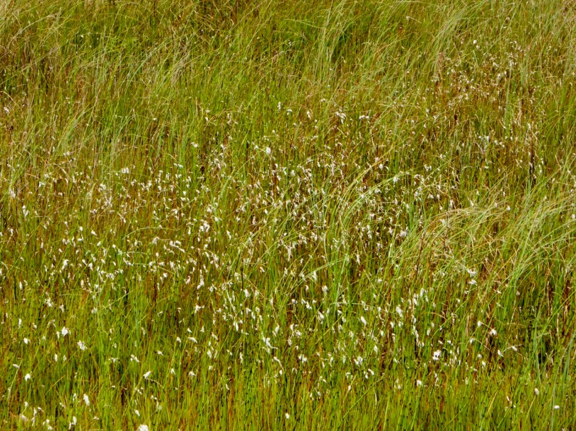
Rare Slender Cottongrass on Derreennatra Bog – one of the reasons for its designation and protected status

Derreennatra Bog has been recognised as a very special habitat of the lowland bog type. It has been designated as a Natural Heritage Area and is under the protection of the National Parks and Wildlife Service. While there are several reasons for its special status, the main one is that it is home to Slender Cottongrass, an extremely rare form of Bog Cotton that only grows in a few places in Ireland and Britain.

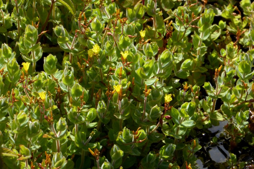
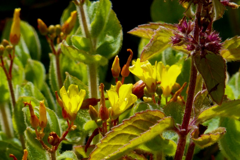
Marsh St John’s-wort, above and below, in its watery habitat

Derreennatra Bog has other uncommon species, but they are hard to photograph without a really good long lens. The one I did manage to get close to was Marsh St John’s-wort. I had to go back several times and wait until the flower opened before I could figure out what it was. It was worth the wait – a very beautiful native wildflower.

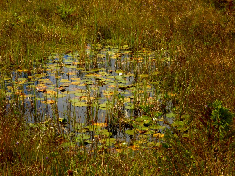
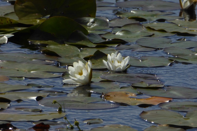
Another reason to hang out at Derreennatra Bog is that the lovely, native, White Water-lily flourishes here. It’s an exotic beauty that been here, apparently, since soon after the last ice-age.

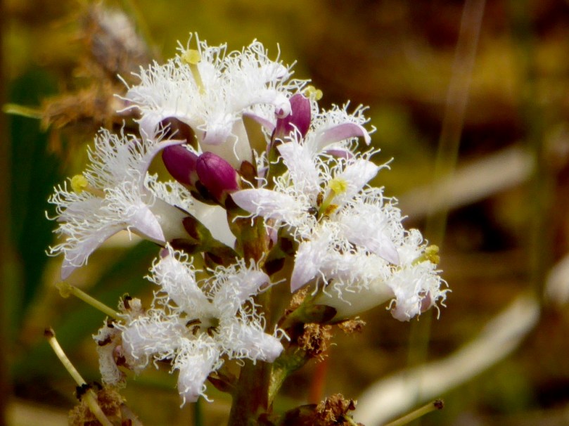
The soak in the bog at Foilnamuck is far less extensive – just a tiny wet patch – but it’s reliably present all the time, probably because it’s bounded by a natural amphitheatre of slightly elevated rocky ground. Here is where I was able to photograph Bog Bean for the first time, although not without getting my feet wet. It’s a fascinating plant – it sits in the water and holds the flower head well above the surface. The flower heads are pink before they open but inside the petals are pure white and fringed with long hairs.

The “regular” Bog Cotton, more correctly called Common Cottongrass surrounds the little soak and mingles with the Bog Bean.

The other plant that loves the environment of this little soak is the Round-leaved Sundew. Sundews are carnivorous – the sticky liquid on its hairy round leaves trap unwary insects, which are then digested by the plant. It’s a marvellous adaptation to the lack of soil nutrients in its habitat.

The spikes carry the flowers, not yet open in this shot, but it’s the leaves that do all the work in this plant

The other flowers of the bog – the heathers and asphodels, the mosses and mints – are equally beautiful and interesting, but I will leave them for another day.

Trish Punch – remember the workshop day I spent with her? She’s gone from teacher to friend and she’s into the wildflowers, just like I am! 

Now so, why don’t you wander on over to your local bog/swamp/fen/marsh soak and see what you can see! Just don’t fall in!


The Mountain Road

Over three years ago I wrote a piece about the mountain that’s on our doorstep – Mount Gabriel. This rocky high terrain is always in our view as we travel around West Cork, and we feel it must have had special significance in prehistoric times: it overlooks a majority of the archaeological sites that we have explored locally – perhaps they were placed because of that. Also, there are many stories attached to Mount Gabriel (find them in my previous post), including the fact that the Archangel himself touched down on its summit and left behind a footprint in the stone! Evidently, he was intrigued to hear about Ireland’s verdant beauty and knew that …in time to come, this honest island would never part with the worship and duty it owes to the Mother of God… and so was determined to get a look at the holy place.

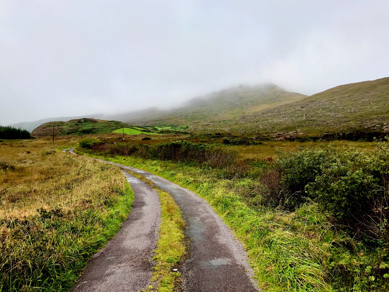
Derryconnell Loop Walk on the Fastnet Trails takes in the foothills of Mount Gabriel – seen here in contrasting weather conditions, but only a day apart!

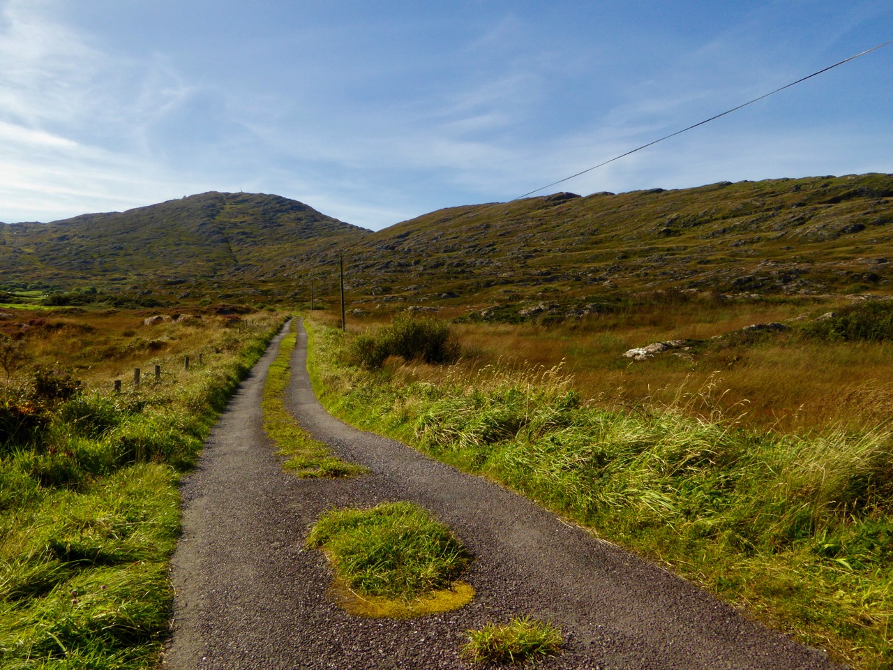
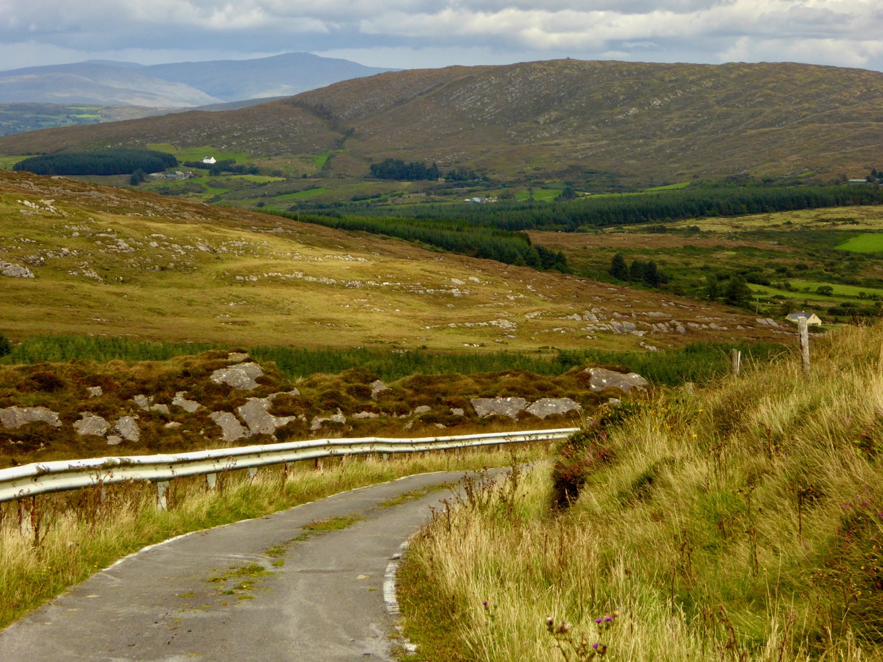
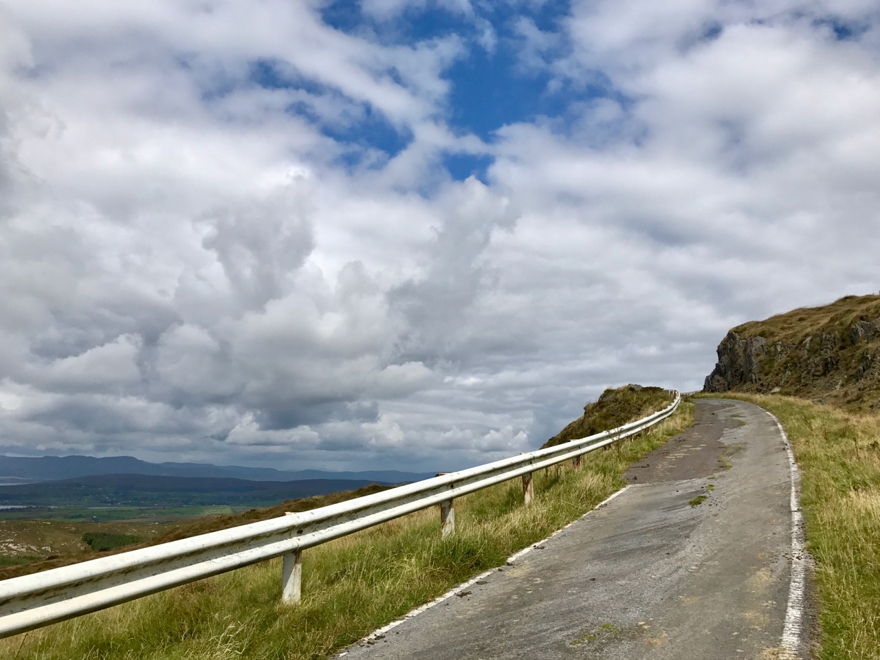
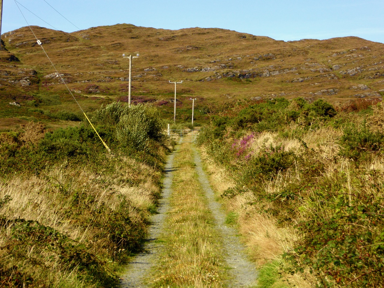
There is a little-known road which runs along the foothills of the mountain which, on a good day, is as beautiful a road as you will find anywhere in Ireland. It begins at the bog of Derreennatra (more of which can be found in Finola’s post today) and you can follow it up and through the Barnacleeve Gap. If you wish, from there you can go all the way up to the summit and get some of the most stunning views all the way over the Mizen, across the Sheep’s Head and even into Kerry.

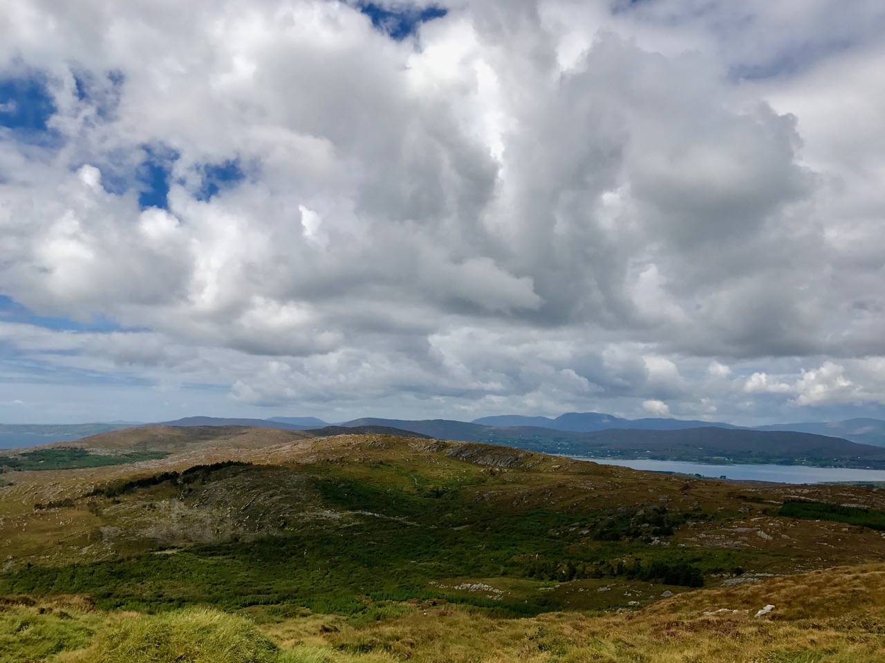
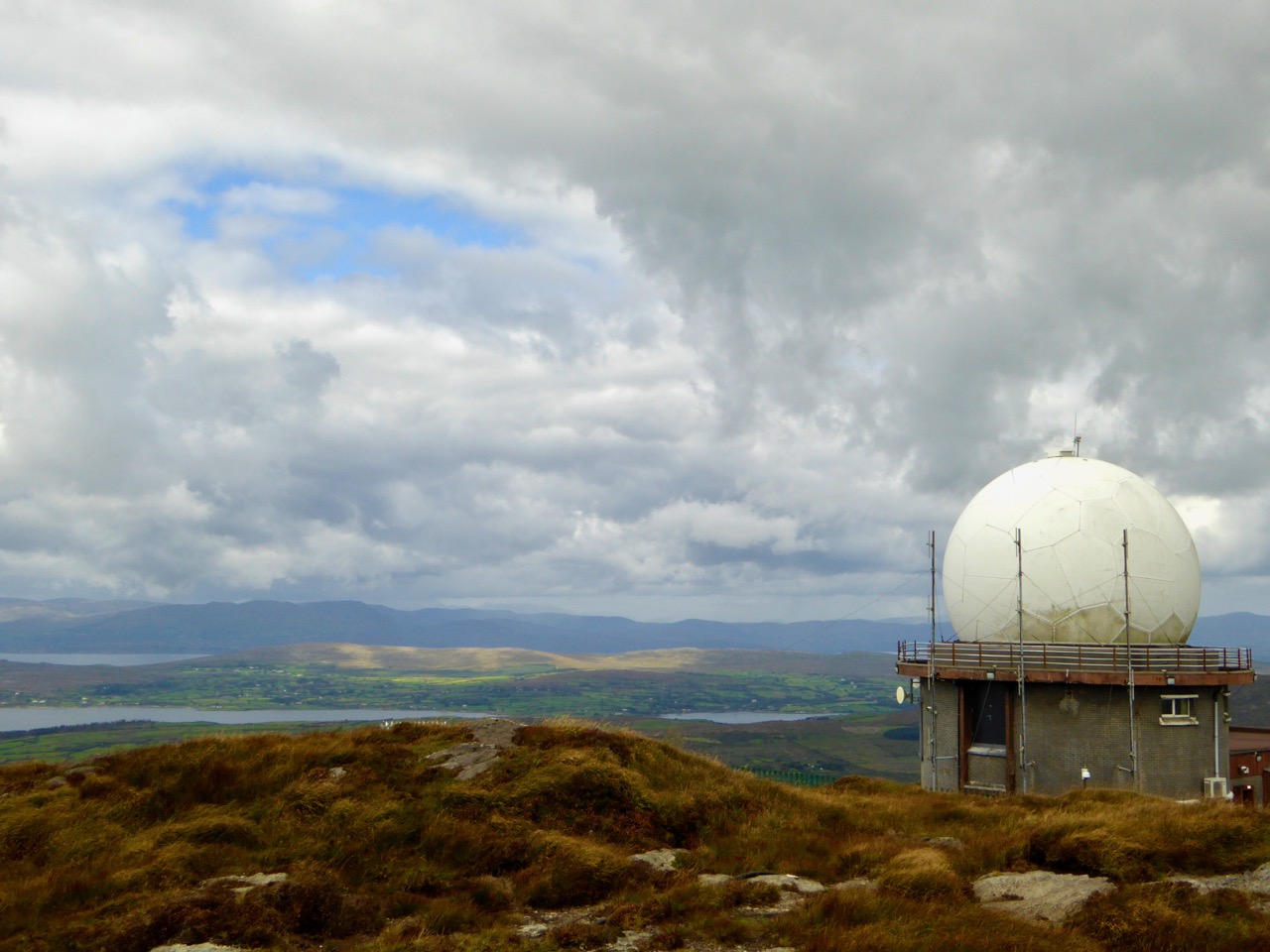
The climb to the summit of Mount Gabriel is always rewarding, with panoramic views to all points of the compass. Lower Picture: the Air Traffic Control Authority’s installations atop the mountain add an odd drama to the landscape

Part of our Mountain Road has been incorporated in the Derryconnell Loop Walk, one of the new group of the Fastnet Trails based around Schull. The whole of this loop walk is varied and picturesque, but the section from the bog is outstanding as it skirts the mountain – which always dominates the vista – and brings you to the junction with the Barnacleeve road. Keep on going, and take in the mountain itself, or follow the trail down to the old Schull Workhouse. Whichever way you go, you will be struck by the seeming remoteness of the boreens, and you will seldom encounter a vehicle.

In all weathers the Mountain is engaging: you can start out in the mist and finish up in sunshine!

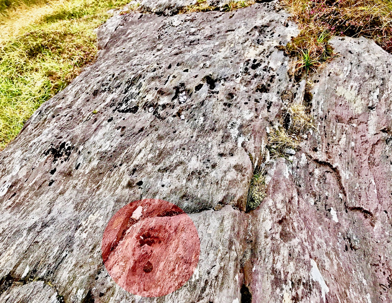
In the latter part of this summer we have explored the road in all weathers, and recorded the many moods of the mountain. Reaching the summit last week, we had a search for the Archangel’s footprint. I’m convinced we found it, but we couldn’t see the lake with its magical islands which – according to the legends ‘…float about up and down, east and north and south; but every Lady-day they come floating to the western point, and there they lie fixed under the crag that holds the track of the Angel’s foot…’ (John Abraham Jagoe, Vicar of Cape Clear – Church of Ireland Magazine 1826)

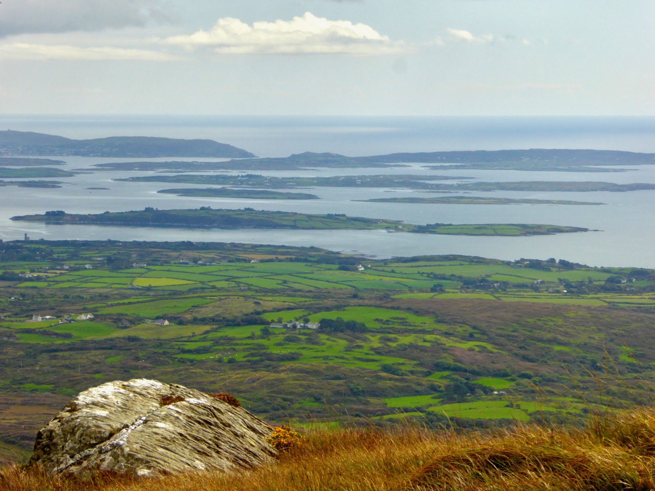
The peak of Mount Gabriel is strewn with rocks, any of which might contain the Archangel’s footprint. Upper – the view to the islands of Roaringwater Bay. Lower – could this be where he touched down? A definitely footprint shaped impression on this rock – highlighted on the photo in red

In my younger days I was fortunate to hear traditional Irish musicians Margaret Barry and Michael Gorman performing on the streets of Camden Town, London, when I worked in that city. Those streets were a far cry from the home I now have in West Cork, but I recall the duo’s rendering of the tune The Mountain Road: Margaret came from Cork herself, so perhaps our own mountain (or maybe it was Gabriel?) was an inspiration to her.

Descending from the summit, we finished our walk on the Mountain Road at the gauntly atmospheric ruins of Schull Workhouse

Anam Cheoil – The Music’s Soul

The Friday evening concert at this year’s Masters of Tradition Festival in Bantry House was a tour de force: in all, probably the best concert I have heard at this festival in recent times. We went because on the programme were two of our favourite musicians who have come from the Irish tradition: Iarla Ó Lionáird and Mícheál Ó Súilleabháin. They were both on top form last night, and certainly didn’t disappoint.

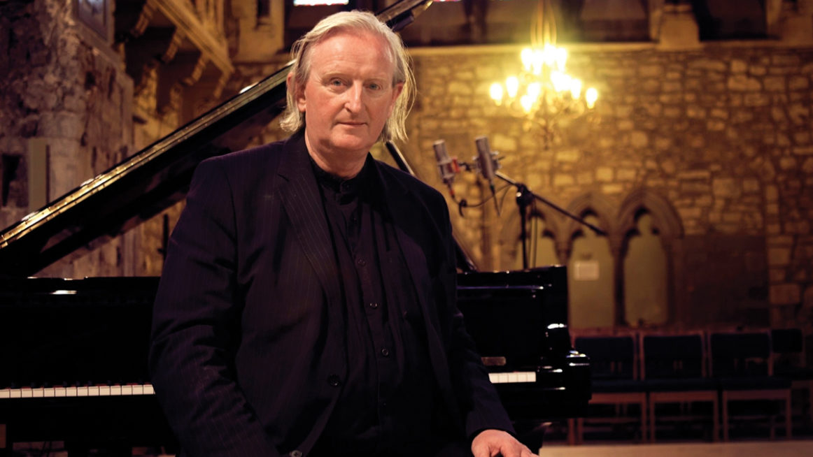
Header: ‘Odyssey’ by Barry Linnane  frames beautiful Bantry Bay – host to the Masters of Tradition Festival. Upper – Mícheál Ó Súilleabháin (RTE Orchestras) and Lower – Iarla Ó Lionáird (Fractured Air)

Using poetry, music and song, the two performers transfixed us. Both are imbued in the musical and poetic tradition of their country, which comes from deep, deep down. In my explorations of Ireland I am finding how much history is alive and embraced: this applies as much to the history of the culture here as it does to the physical relics of the ancestors in the landscape, whether it’s prehistoric rock art or medieval architecture.

The rushy glens of the Sliabh Luachra country in the Muscraí Gaeltacht, where the Irish language is still very much alive

Iarla Ó Lionáird was born and raised in the Muscraí Gaeltacht, and imbued in the Irish language from birth. A near neighbour in his younger years was Seán Ó Riada, who lived in Ballvourney, and had established Cór Chúil Aodha, a male voice choir singing mainly in Irish, and which exists today under the leadership of Seán’s son Peadar. Iarla joined the choir as a child and sang with it until his early twenties. He now makes his living through his voice and is still very much involved in the Irish tradition while also exploring new grounds. Listen to this very beautiful rendition by Iarla of Caoineadh na dTrí Muire (the keening of the Three Marys):

Mícheál Ó Súilleabháin is best known for his unique expression of traditional Irish music on the piano. He claims that he was an introverted child, and that music was his saving grace. He went to UCC where he was also influenced – and taught – by Seán Ó Riada. Eventually he took over Seán’s job at Cork before founding and heading the Irish World Academy of Music and Dance at Limerick University. He wasn’t born into the Irish speaking tradition but came to it later in life. In a recent newspaper interview he gave this memorable quote: ‘…I wouldn’t like to be reborn as someone else, not even for a day, I’m so worn out trying to be myself…’ Here’s an example of Mícheál’s playing:

In the course of the Bantry concert the two musicians spoke of a little-known collector of Irish folk-songs – someone of whom I had not heard. Alexander Martin Freeman was …a retiring English scholar of private means… who travelled in the Muscraí Gaeltacht in 1913 and 1914. He wrote down no less than 84 Irish language songs, and his work has been described as ‘…incomparably the finest collection published in our time of Irish songs noted from oral tradition…’ This is all the more remarkable as Freeman spoke no Irish. He painstakingly wrote the words, exactly as he heard them, in phonetic spelling, based on his own native English. For this reason, the texts were apparently ignored initially by Irish folklorists. But now they are viewed with interest by scholars as they give a great insight into the word-sounds of Irish speakers from those years – apparently the West Cork dialect has been changing with time! Over the years both Seán Ó Riada and Iarla Ó Lionáird have brought the songs back into circulation, and we were treated to some examples. Freeman’s field notebooks from Ballyvourney are held in the National Folklore Collection, University College Dublin.

Winter scene in the Muscraí Gaeltacht

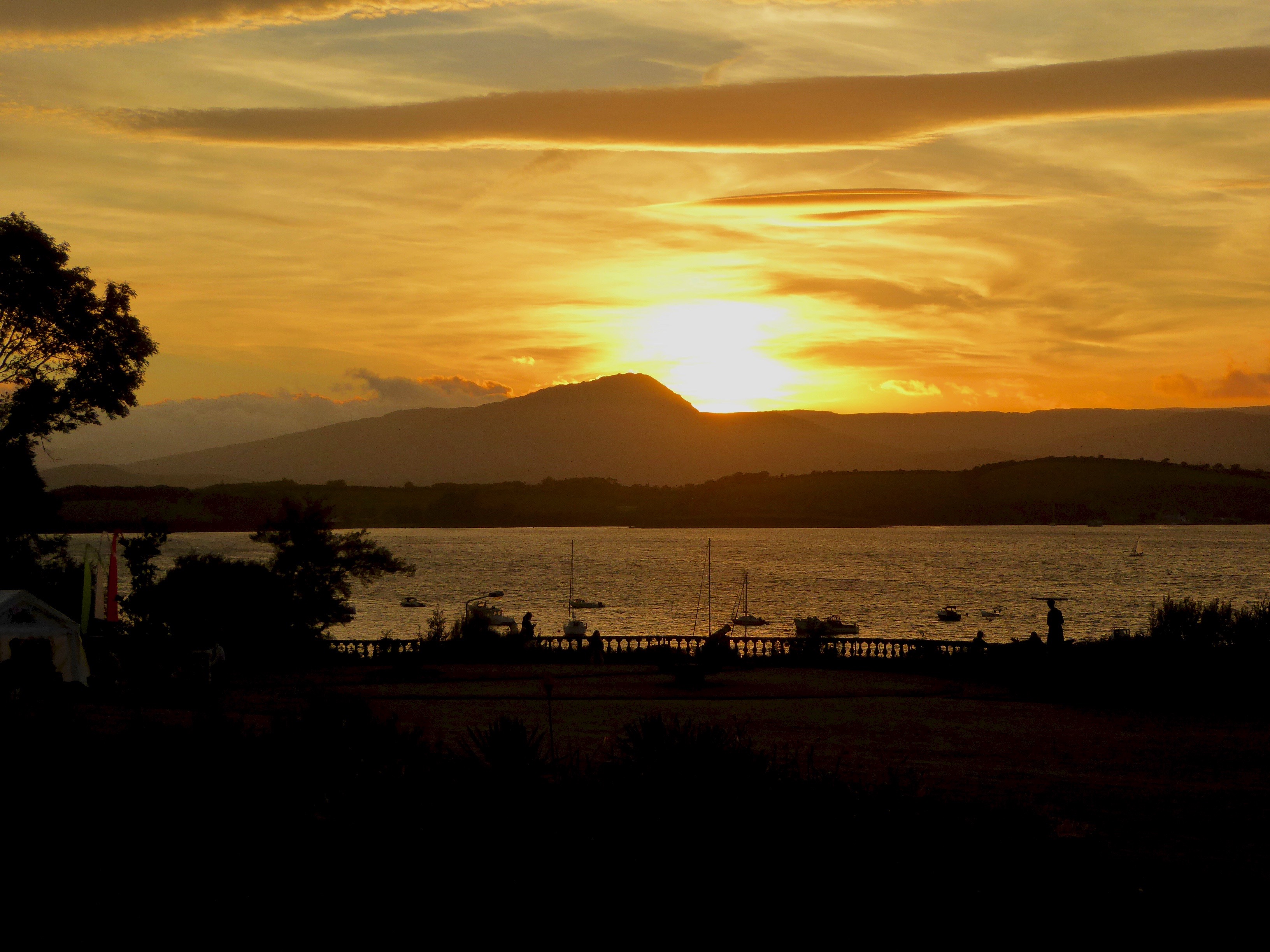
In the Library of Bantry House these two performers gave us a very special experience through music, song and poetry. Although I don’t speak or understand Irish, I appreciated the beauty of the sounds of the words – a music itself. We and the audience were transfixed by the whole experience. Walking out on the terrace of Bantry House afterwards, I looked to the west where the sun was dropping behind the mountains over the calm waters of the bay. I felt that we had, through the music, been given a privileged glimpse into the soul of Ireland.

Cruinniú na mBád – the Boat Gathering

It only happens once a year! During Ballydehob’s Summer Festival traditional sailing boats gather in Roaringwater Bay and when the tide is right they sail up the shallow waters of Ballydehob Bay to the quay.*

This is a tidal estuary and normally not deep enough to be a reliable port of call for boats, especially those with keels. But during the high summer tides the waters become navigable, provided you time it right, and Ballydehob breaks out the band, fires up the barbecue and invites all sailors to the quay for a gathering like no other.

The Cruinniú na mBád (pronounced krinoo nuh mawd) is part of the village Summer Festival so from year to year it’s a real community affair. The vintage cars and tractors (my goodness there’s a lot of them in West Cork) parade behind a marching band to kick off the week of festivities. The week is filled with music in the pubs, guided walks around the village, charade competitions, and an evening of street sports where we cheer on the youngsters in the madcap turnip race and a completely socially irresponsible event involving chugging beer and pushing a wheelbarrow with an occupant (only in Ireland!).

Turnip races down the main street and crab fishing at the quay

On the weekend the whole village takes to the Pier. The kids compete for medals in crab fishing, there’s a “world famous duck race” (I have no photographs as it’s been cancelled due to bad weather so often), there are fireworks (when it’s dry enough) from the Twelve Arch Bridge, and we await the arrival of the Old Boats.

This year’s entertainment was the fabulous East coast Jazz Band. We catch up on the chat, and look out for one of our popular locals sailing in

It’s an oddly emotional experience to see the boats appear, one by one, and round the bend into the last stretch to the quay. Emotional because this is essentially a re-enactment of what was commonplace in former days, when the quay at Ballydehob was a bustling hive of commerce. Bigger boats would anchor at the entrance to the Bay and lighters would haul the cargo to the quay.

Not all the boats are old – some have come just to be part of this unique gathering – but most are traditional and many of them have been lovingly restored. Some, like the Ette, have been rescued from extinction and reconstructed from crumbling derelicts by master boatbuilders Anke Eckardt and Rui Ferreira – check out their site for an illustrated guide to the slow and skilful processes involved.

Anke and Rui arrive in their Ette-class boat

At this year’s gathering Anke’s parent, Dietrich and Hildegard, our neighbours and friends, were there with their classic fishing boat, the Barracuda.

The whole Levis family sailed in on their beautiful Saoirse Muireann (seer-shuh mirren, Freedom of the Seas), a traditional Heir Island Lobster Boat. Cormac has written the book, literally, on these boats: Towelsail Yawls: The Lobsterboats of Heir Island and Roaringwater Bay. He started this gathering way back in 2004 and it’s been going strong ever since.

Saoirse Muireann coming in to dock. The term towel sail comes from the Irish word teabhal (pronounced towel) meaning shelter, as the sail could double as a kind of tent in wet weather.

Another traditional boat was An tIascaire (on tee-skirruh, The Fisherman), a traditional mackerel yawl. Like many boats in these parts, this one has benefitted from the extraordinary knowledge of the boatbuilders at Hegarty’s Boatyard at Oldcourt – regular readers will remember Robert’s post about this wonderful place.

It’s also lovely to see a Galway Hooker, An Faoileán (on fwale-awn, the Seagull), participating – their black hulls and red sails are instantly recognisable. This one has quite a history – and reading it educated me as to the difference between sails that are gaffe-rigged, versus a traditional Irish rigging known as pucán-rigged (puck-awn). Of course all you sailors know this already, right?

Our friend Jack O’Keefe organises a rally every couple of years for Drascombe Luggers and they joined the gathering en masse in 2014. Unlike 2013 it wasn’t the best of weather, but that did nothing to dampen the spirits of the sailors. It was lovely to be there on the dock to cheer them in.

The Drascombes raft up alongside. Jack O’Keefe and  keen sailor Sheena Jolley

It takes lots of sailing know-how to get up the Bay, but even more to manoeuvre into the tight spaces along the quay, or raft up alongside. By the time everyone’s there, they are rafted up four and five boats deep. 

Then it’s up on shore to partake of the music, the food and the friendly camaraderie that is so typical of both the boating community and the village of Ballydehob, until finally the word goes around that the ebb tide has started and it’s time to carefully push out and take to the seas again – until next year.

 I’ll finish with a video. Sit back and enjoy it, and think about the hundreds, no thousands, of years of history that is evoked by the sight of boats sailing up Ballydehob Bay.

*The photographs in this post are not all mine. Barney Whelan (friend and follower of Roaringwater Journal) was in one of the boats and sent me some taken on the water. Thank you, Barney! Some were shamelessly stolen from the Fastnet Trails Facebook Page, and are the work of the indefatigable Margaret McSweeney (great people shots – thank you, Margaret!). The video is by Tom Vaughan of Oakwood Aerial Photography – he makes West Cork look even more beautiful than it is (and that’s saying something) in his amazing drone footage. The rest of the photos are mine and were taken in 2013, ’14, ’16 and this year.