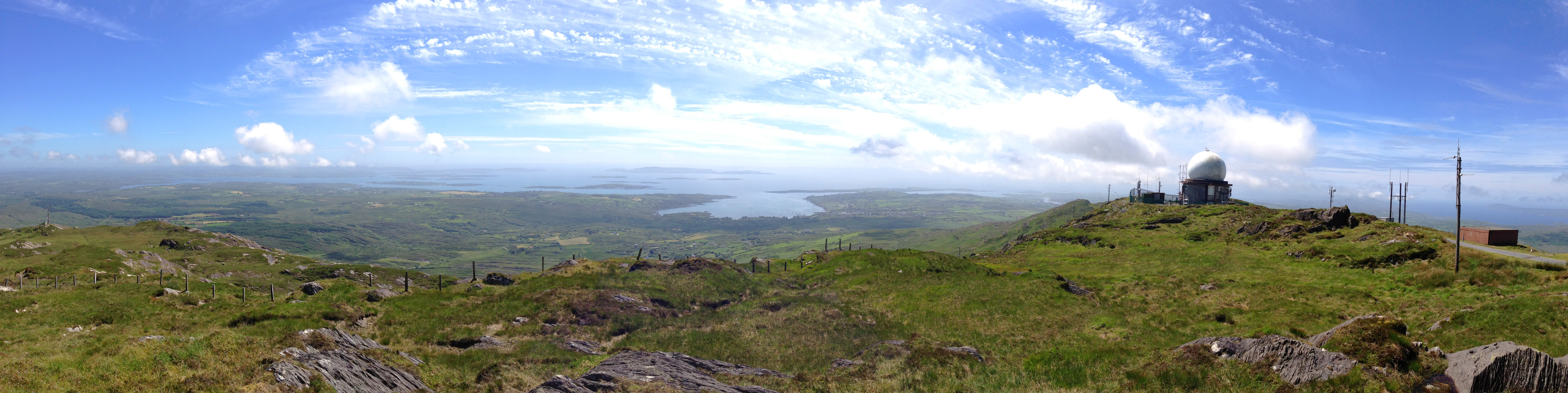
Trails over Mount Gabriel
Only a few kilometres from Nead an Iolair – as the Crow flies – sits Mount Gabriel: at 407m elevation it’s the highest piece of land in West Cork. Cork mountains are dwarfed by those from Kerry: McGillycuddy’s Reeks has the highest peaks in Ireland, at over 1,000 metres. However, our own local mountain is nevertheless impressive and on a good, clear day provides a view not to be missed – to all points of the compass.

Looking west to the Mizen
I spent a while researching why a mountain in the west of Ireland should be called Gabriel. There is no received opinion about this. I suppose there’s no reason why it shouldn’t be named after the Archangel himself: after all, we have Croagh Patrick (after St P) and Mount Brandon (after St Brendan) and many others: Ireland’s landscape is alive with place-names having religious connections, although such associations are likely to be fairly young. In Irish the mountain is Cnoc Osta – possibly ‘hill of the encampment’ – so there’s no clue there.

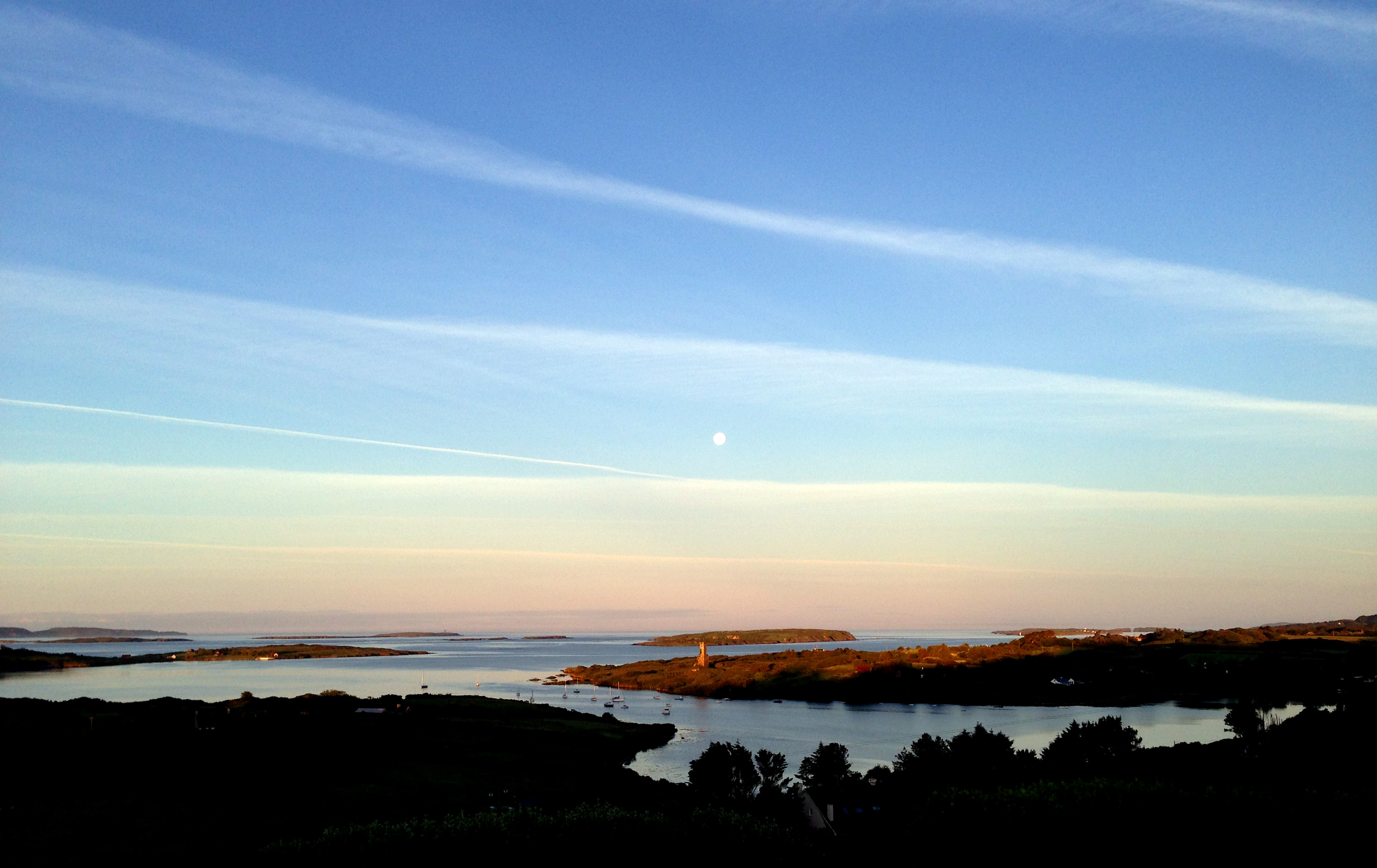
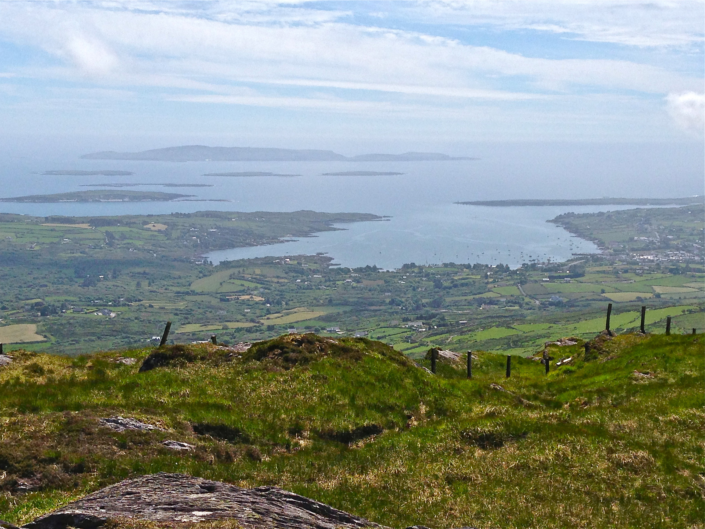
Roaringwater Bay
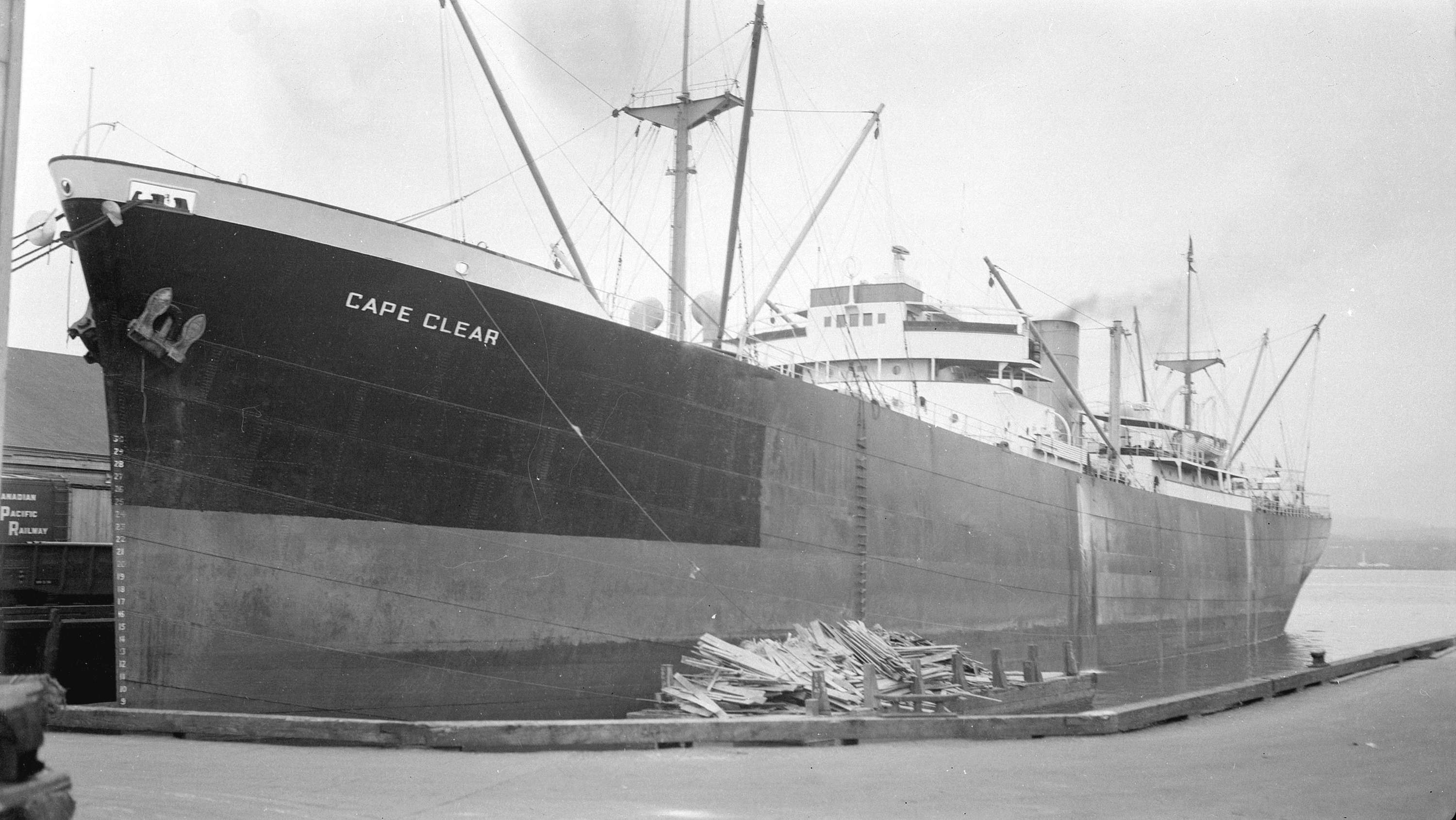
I did find this fascinating piece from the Church of Ireland Magazine, dated 1826 – written by John Abraham Jagoe, Vicar of Cape Clear …where I have no protestant parishioners… and Curate of Schull …where interspersed amongst moor and mountain, I have fifteen hundred Protestants, to visit and oversee… It’s well worth a verbatim extract:
‘…amidst these everlasting hills arose, in peculiar prominence, Mount Gabriel. Why, my lads, said I, is yonder mountain called such an outlandish name; one would think it was brought here by Oliver Cromwell, it has such an un-Irish – such a saxon name. O! says Pat, it is a pity that the blockhead is not here to tell the gentleman the story about this, for sure and certain such poor garcoons as the likes of us know little, and care not the tail of a herring for such old stories. And who, said I, is the blockhead? O, says my friend, the blockhead is an old man living up on the mountain, who, from his great memory, his knowledge of cures for cattle, charms against fairy-struck people, experience in bleeding, acquaintance with legends about the good people, the Milesians, and Fin McCoul, is called far and near, the blockhead.
My dear fellow, will you tomorrow bring me to that man; I would pilgrimage over all the hills in Cork and Kerry to get into chat with him: says I to myself, this is just the man that I want. Ah my good friend, do bring me to the blockhead to-morrow. Why yes to be sure, – but stay, can you speak Irish? Not a word, to my sorrow be it spoken. Well then go home first and learn Irish, for Thady Mahony can speak no other language. – Well boys, can none of you (as I cannot get it out of the blockhead) tell me about Mount Gabriel; O! yes, Sir, says Pat Hayes, my Godmother used to tell me it was called after the Angel Gabriel, who came, you know, from Heaven to deliver the happy message of mercy to the Virgin – ever blessed be her name. And so on his return, as he was flying back, he looked down upon Ireland, and as he knew that in time to come, this honest island would never part with the worship and duty it owes to the Mother of God, he resolved to take a peep at the happy land, that St Patrick was to bestow for ever on the Virgin. So down he came, and perched on the western peak of that mountain; the mark, they say, of his standing is there to this day, and his five toes are branded on the rock, as plain as if I clasped my four fingers and thumb upon a sod of drying turf; and just under the blessed mark, is a jewel of a lake, round as a turner’s bowl, alive with trout; and there are islands on it that float about up and down, east and north and south; but every Lady-day they come floating to the western point, and there they lie fixed under the crag that holds the track of the Angel’s foot…’

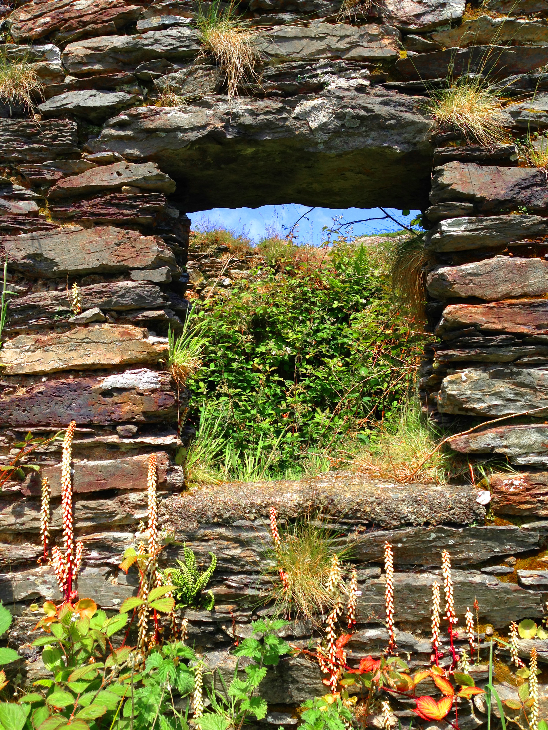
Hidden Glen

Thady’s Cottage?

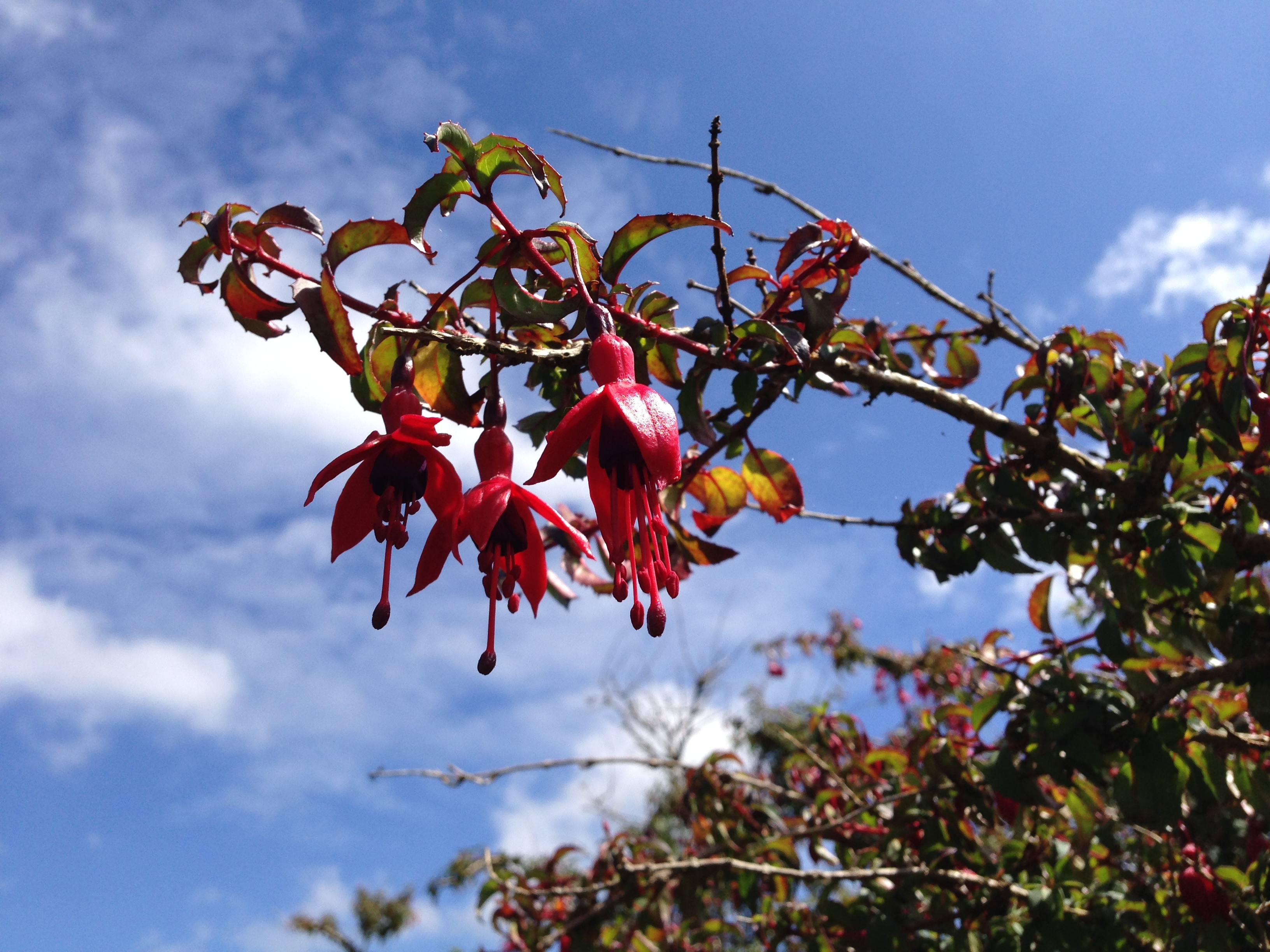
Hidden Glen Fuschia
Well, there’s enough in those few lines to keep us going on field trips for some time to come! We did find, on the western slopes, a beautiful hidden valley holding the ruins of a one roomed cottage. I have convinced myself that this must have been the dwelling place of the blockhead Thady Mahony, who may once have been the keeper of all the secrets of the mountain. But we have yet to find the jewel of the lake with its trout and its miraculous floating islands, notwithstanding the Archangel’s footprint…

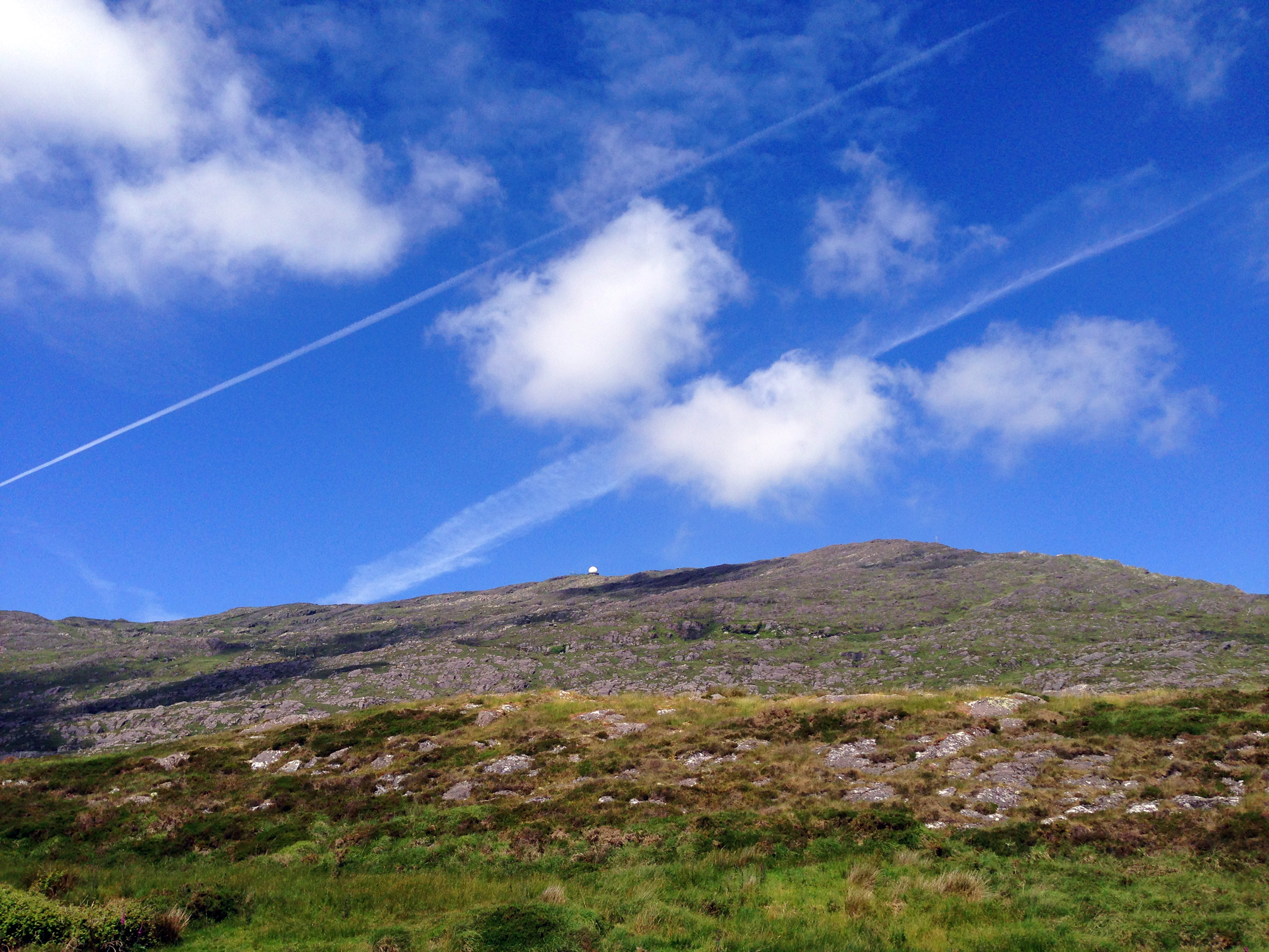
View from the summit
One other possibility for the name is a corruption of the Old Irish Gobhann – which means smith, as in a metal smith. Remember Saint Gobnaitt? She was the patron saint of ironworkers (blacksmiths) and her name is supposed to be rooted in Gobhann. There is also a Goibhniu in Irish mythology: he was the smith of the Tuatha De Danaan and forged their weapons for battle with the Formorians. So – Gobhann, Goibhniu, Gabriel…? Too much of a leap of faith? But it is known that Mount Gabriel was the site of extensive copper mining a few thousand years ago – remains of pits, shafts and spoil heaps can be seen: so perhaps there just could be something more ancient inherent in the name.

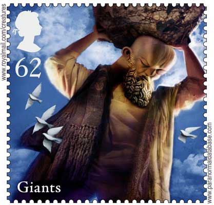
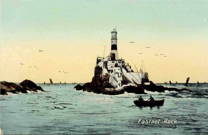
There is mythology attached to the Mountain: the Fastnet Rock was torn from the slopes and thrown into the sea by a giant; once we were searching for a piece of Rock Art within sight of the mountain and the landowner assured us that the carved stone had been thrown there by Finn MacCool (we didn’t find it).

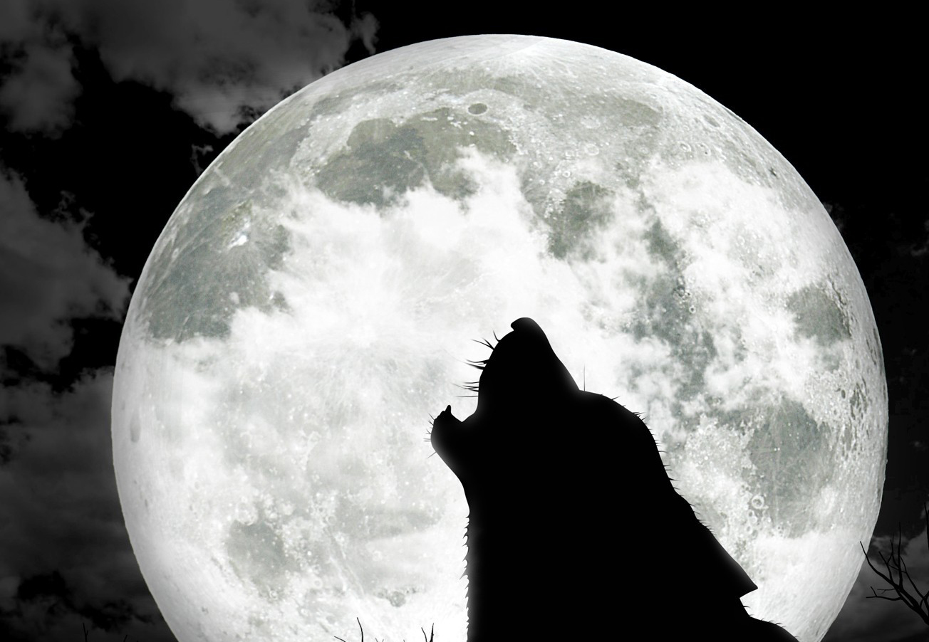
The story about Mount Gabriel that most captures my imagination is the suggestion that the last Wolves in Ireland inhabited the rocky landscape there back in the eighteenth century (although it’s true that several other places make the same claim). Until that time Wolves were commonly seen in the wilder parts of the land and feature in local stories and folklore. Interestingly they were often portrayed in a positive way and were sometimes companions of the saints. There are very few records of Wolves having maimed or killed humans, yet in 1653 the Cromwellian government placed a bounty on them – 5 pounds for a male Wolf, and 6 pounds for a female: worthwhile prize money in those days. This encouraged professional hunters and, coupled with the dwindling forest habitats, the fate of the animal was sealed.

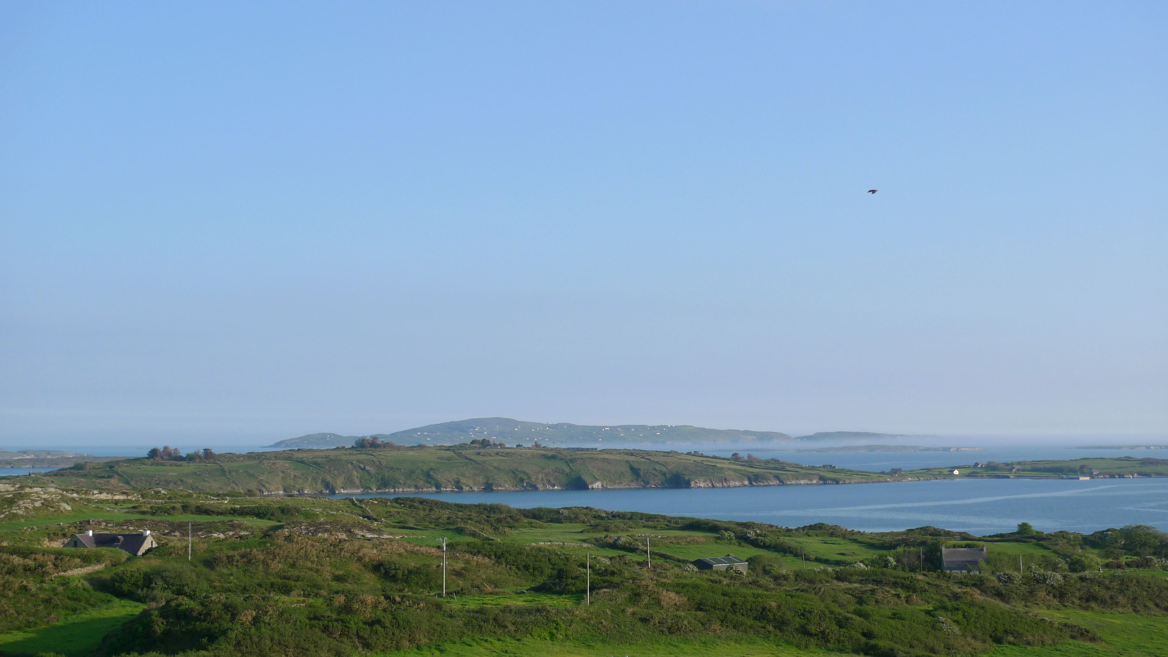
Mount Gabriel today is relatively benign, although it still has its remoter parts. The Irish Aviation Authority has kindly provided a road up to the summit, where sit the distinctive ‘golf ball’ radar domes and aerials of an Air Traffic Control installation. From these heights we can see Rossbrin Cove, Ballydehob, Schull and all the islands of Roaringwater Bay set out in a magnificent panorama – on a clear day.


Aerials and view to the north
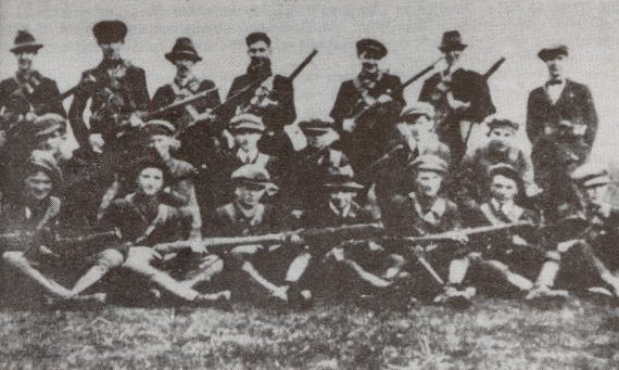
Modern events have affected the mountain: a German plane crashed here in 1942, and in 1982 the Irish National Liberation Army bombed the radar station, believing that it was providing assistance to the North Atlantic Treaty Organisation, allegedly in violation of Irish neutrality.

For us the mountain is a landmark and, like most of our view, its profile changes with the weather on a daily – perhaps hourly basis. As a repository of archaeology, human history, lore and nature Gabriel provides a rich resource.

Gabriel
Email link is under 'more' button.