Finola and I went to a workshop on creative fused-and-painted glass. It was wonderful! We were guinea-pigs in that the glass artist – Angela Brady – was keen to try running an event and we were privileged to be invited, joining our friends Brian and Clair Lalor.


Top: that’s Angela introducing us to the medium of glass and showing us some of her own work. Centre: she’s encouraging Brian to turn his artist’s mind to the possibilities of the material. Above: Angela Brady and Robin Mallalieu (who are also architects) have taken over the former Brush Fire Pottery, just outside Ballydehob. This was the home and workplace of dynamic artists John and Noelle Verling, who bought the Gurteenakilla premises in 1973 and lived and worked there for very many years. John died in 2009 and Noelle now lives not too far away. To spend the workshop day in such hallowed surroundings added to the ambience, and could only have inspired us in our artistic endeavours!


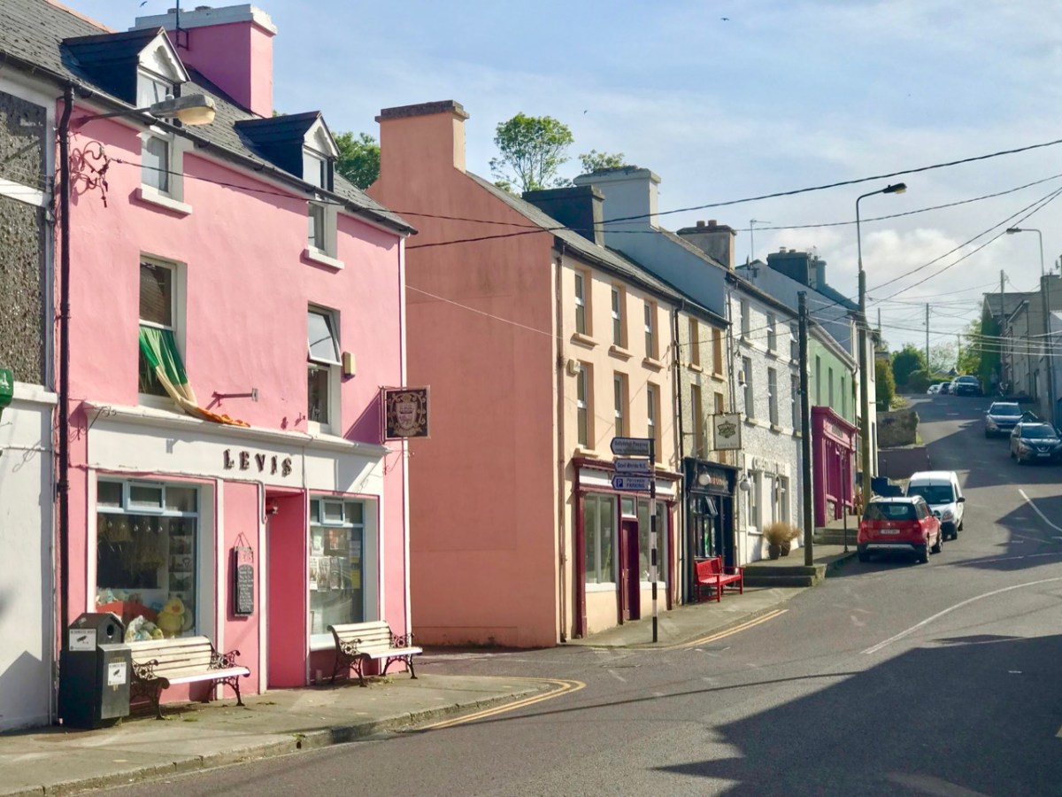
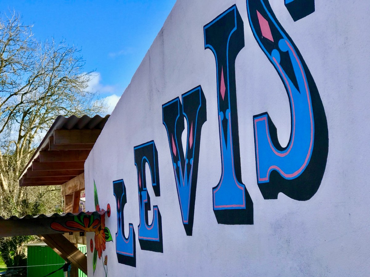
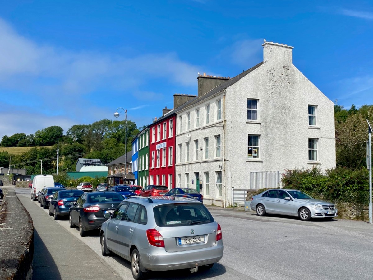
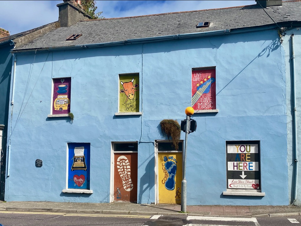
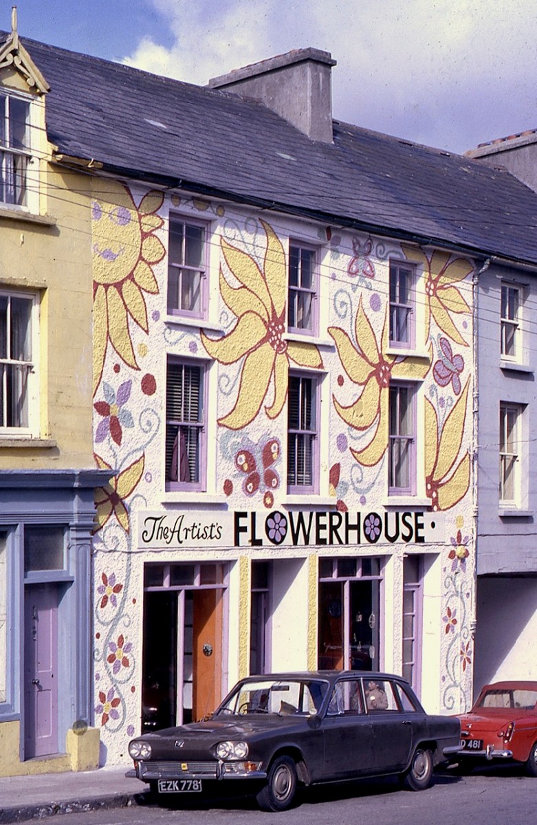
Back in the 1960s – the heyday of the Ballydehob Artists’ community – the pottery at Gurteenakilla was established by Christa Reichel who – together with her partner Nora Golden – went on to set up the Flower House on the main street in the village as a gallery and meeting place for the artists. They painted the vivid facade of the Flower House (the photo below dates from 1963, and is reproduced with the permission of Andrew Street): similar decorations were applied to the Brush Fire studio, where they survived and are now being restored by Angela and Robin.


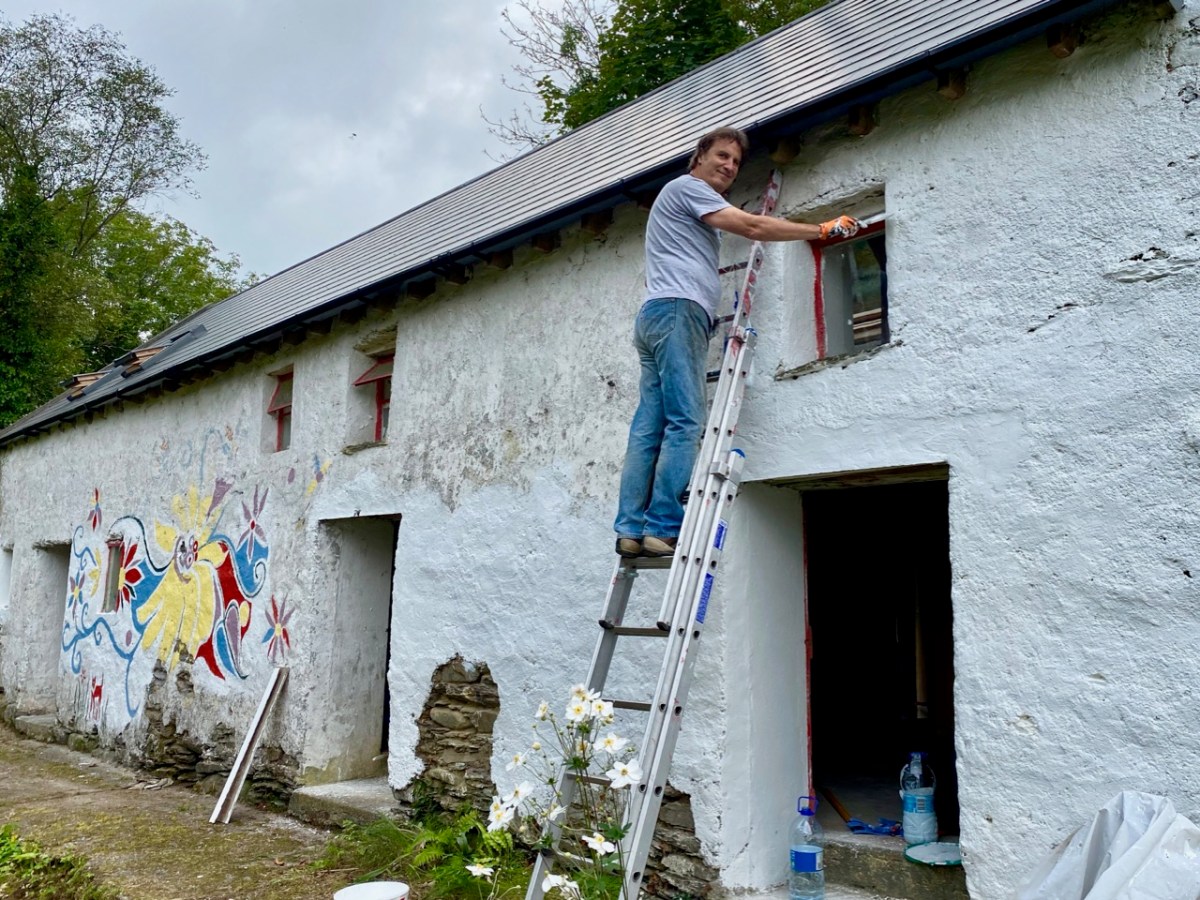

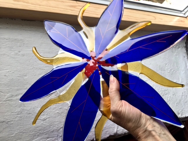
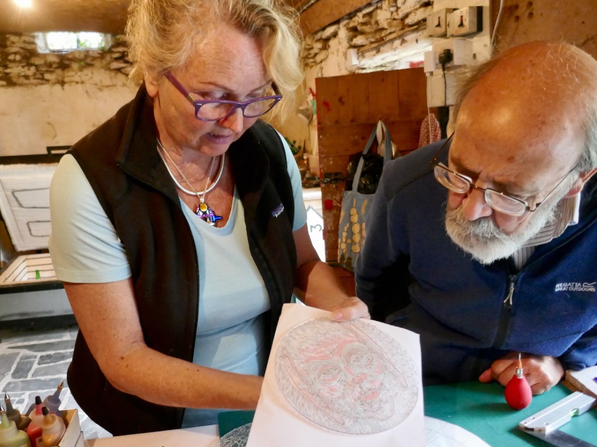
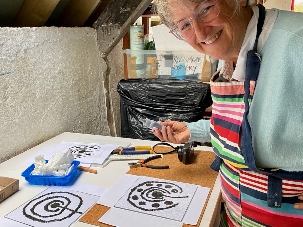
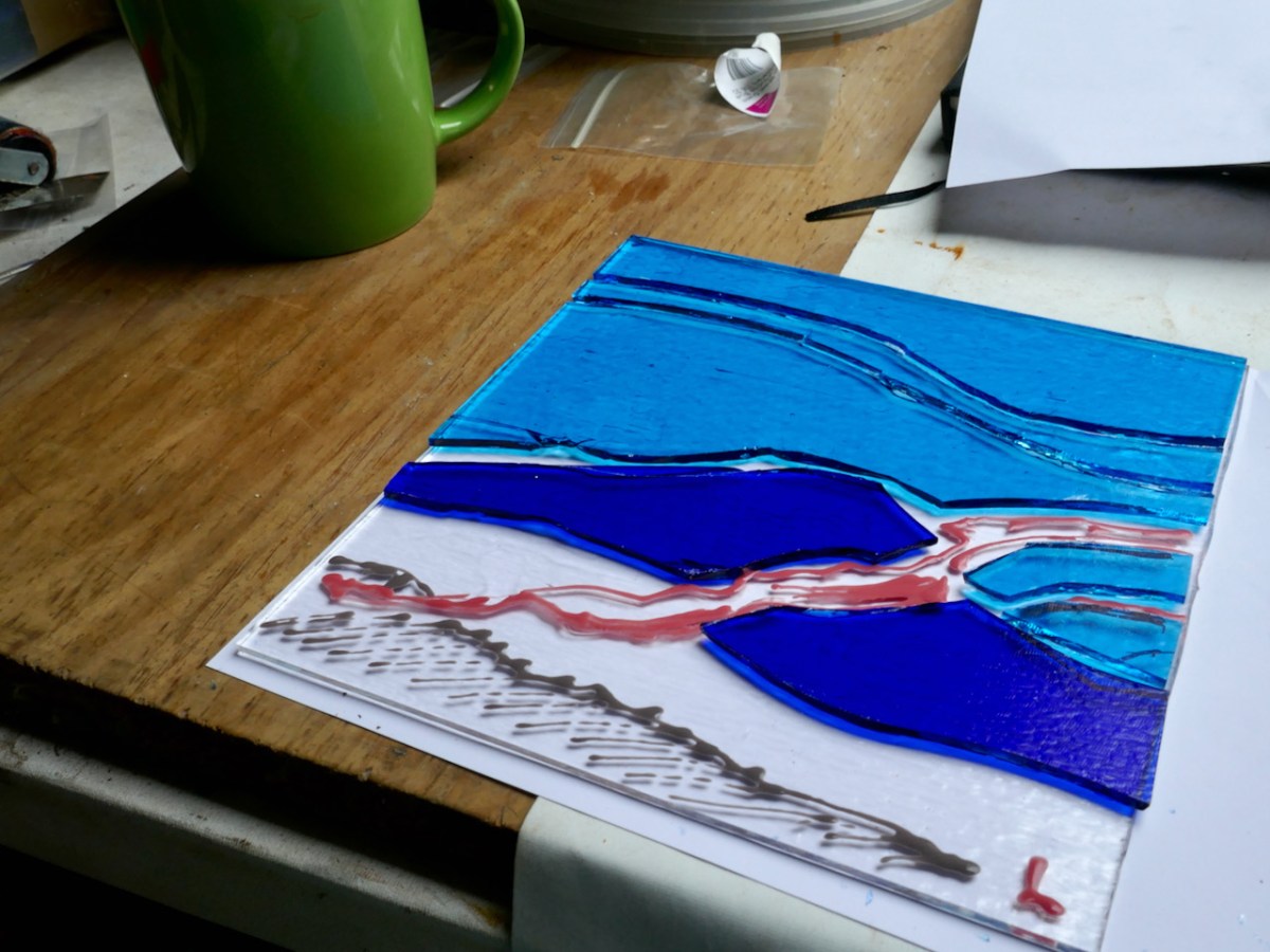
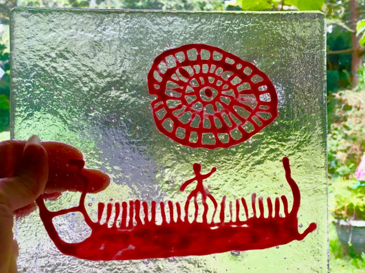
Below the Flower House picture is Nora Golden outside the studio at Gurteenakilla; and here are pics of Robin painting the studio building, and Angela’s restoration of the Reichel / Golden decorations. But back to the job in hand: in these venerable surroundings we learned how to cut glass, paint on it and prepare pieces for the kiln. We all had our own ideas: Finola and I decided to paint glass tiles with ancient motifs: Rock Art from Ireland and Scandinavia, some thousands of years old. Brian chose to use cut glass to enhance one of his exquisite sketches, while Clair was perhaps the most ambitious, planning a flower from cut pieces of glass which would require two sessions in the kiln to allow it to be ‘slumped’ to a three-dimensional shape. My view is that all the pieces were equally successful in their execution (but I am prejudiced!)
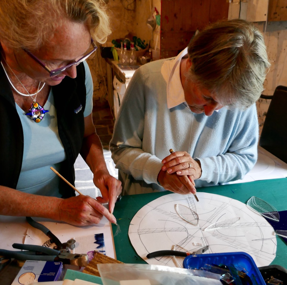
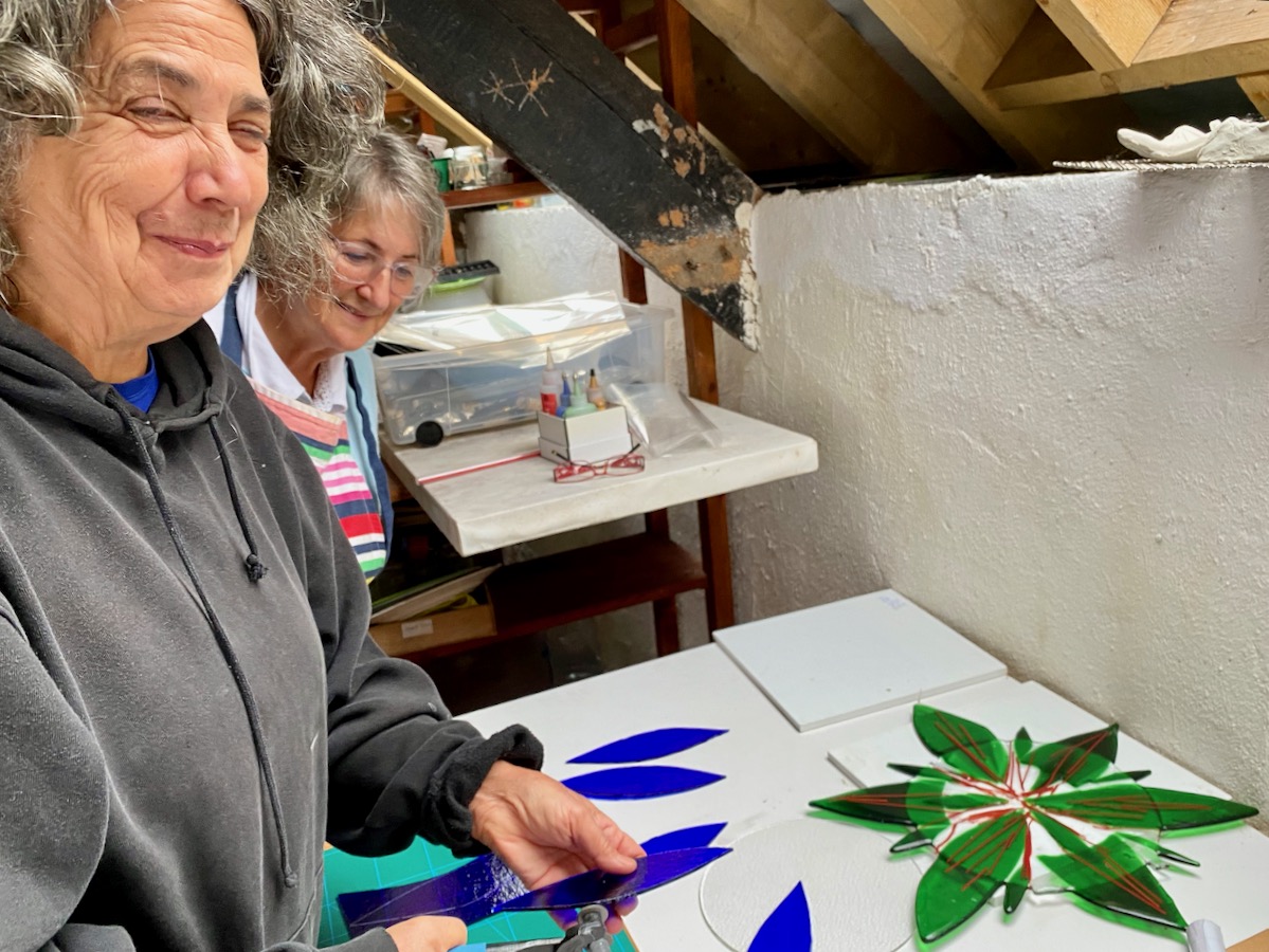
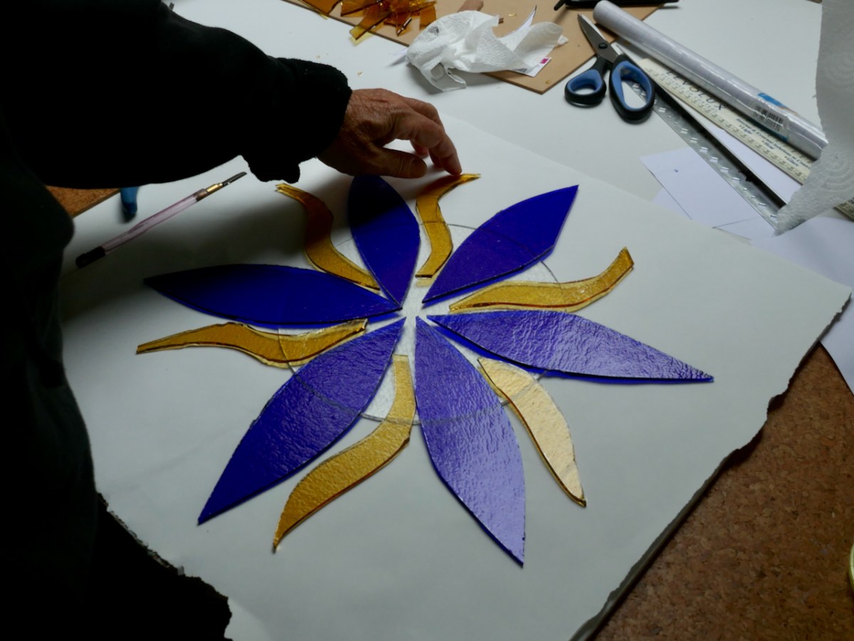
Top: Angela instructs Finola in the technique of cutting glass shapes, although Finola chose to use glass paint to reproduce some of her own Rock Art images traced during her studies in the 1970s. Above: Clair cuts and assembles a flower shape.
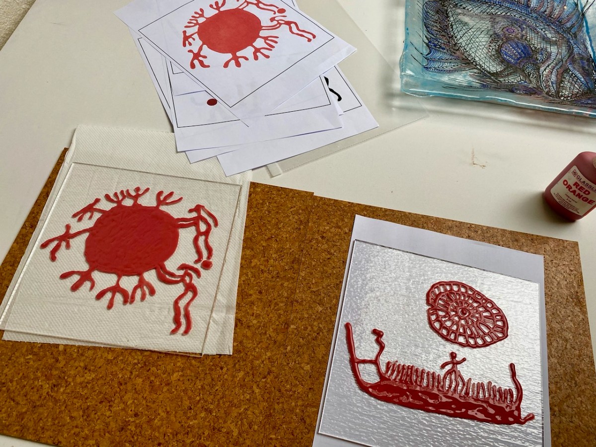

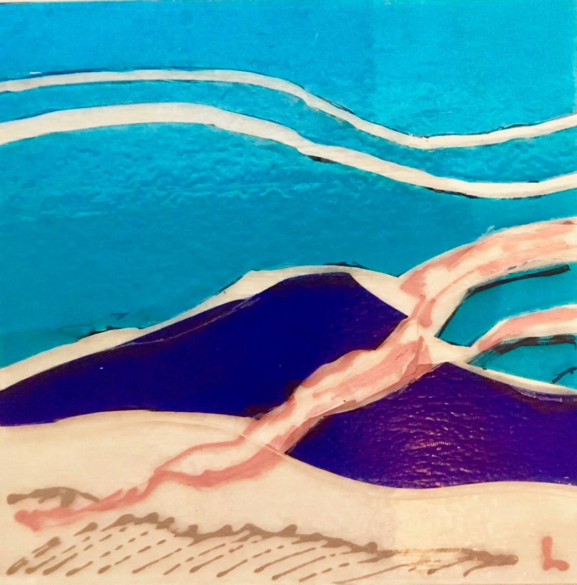
Top: my own pieces: on the left are attendants pushing the sun across the sky, while on the right is a ship carrying souls to the land of the Gods under a potent sun. All these Bronze Age images are found in Norway. Above, Brian working on his cut-glass sketch.


Artists at work in the studio – and the kiln room at Brush Fire. Before going in the kiln, we laminated our pieces with additional glass, to provide a stable background and – in some instances – colour. The firing is carried out overnight at a temperature of at least 760 degrees C. During that time the glass fuses and – hopefully – does not crack.. Angela was firing some of her own pieces at the same time: if you went to the West Cork Creates exhibition in Skibbereen during August of this year you would have seen many examples of Angela’s brilliant work, together with the work of other artists using glass as a medium.

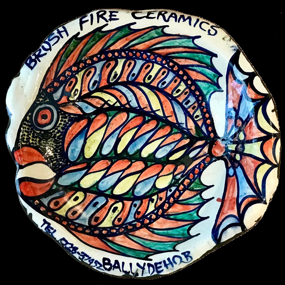
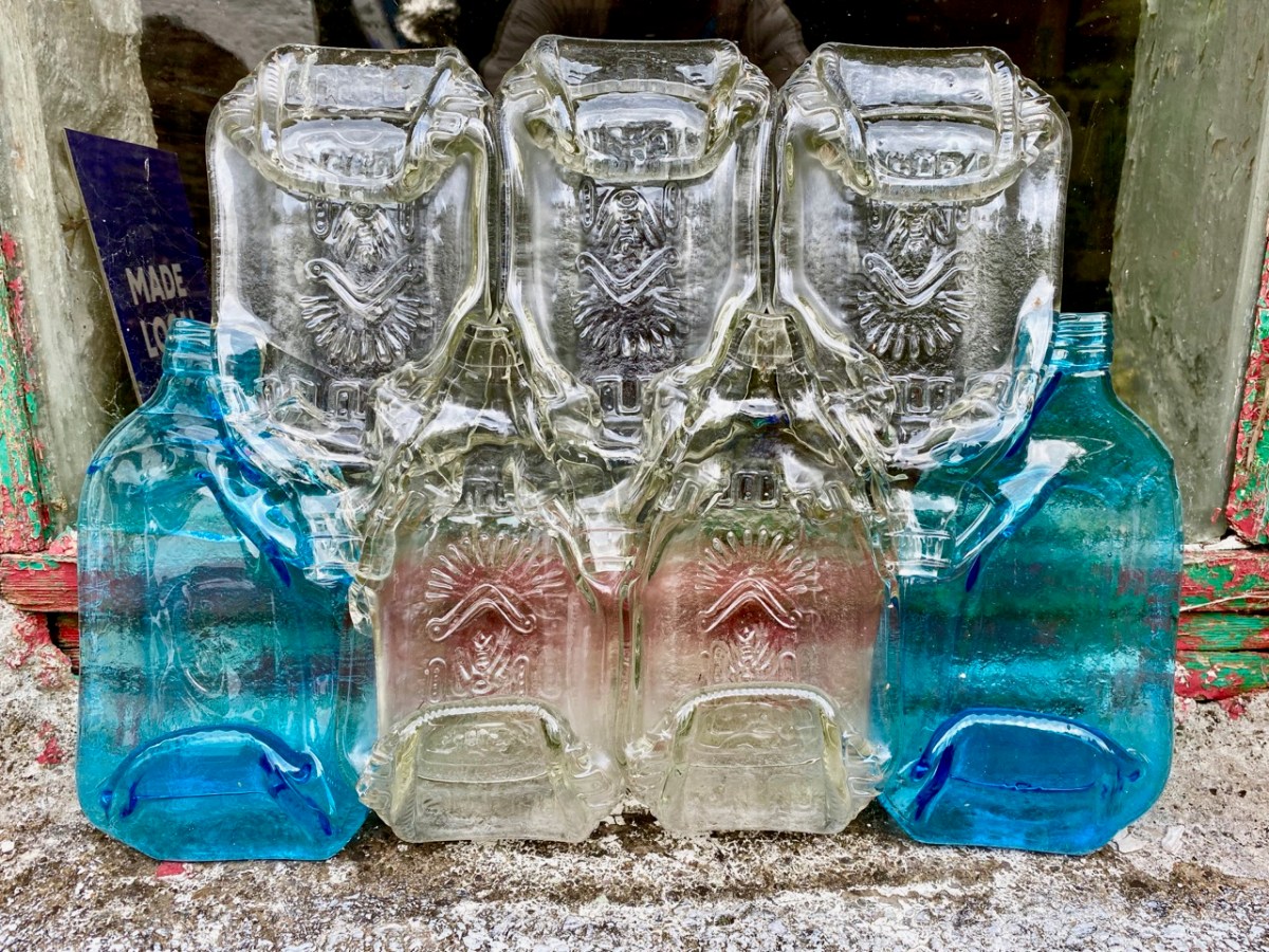
In Angela’s studio are many reminders of past times. John and Noelle Verling specialised in fish imagery – here’s the Brush Fire Ceramics sign that they made back in the day (above – since presented by Noelle to the Ballydehob Arts Museum), while above that is one of Angela’s glass pieces which pays due respect to her predecessors at Brush Fire. Below is a quirky example of Angela’s experimentation: she collected some interestingly shaped bottles from the recycling centre, and fused them together in the kiln:
The following day, Angela took our pieces out of the kiln once it had cooled, and washed them (above). Then we assembled at Nead an Iolair for the reveal. Thank you to Robin for the photos. Clair’s work had to be refired to allow it to ‘slump’, so that was unveiled later on.


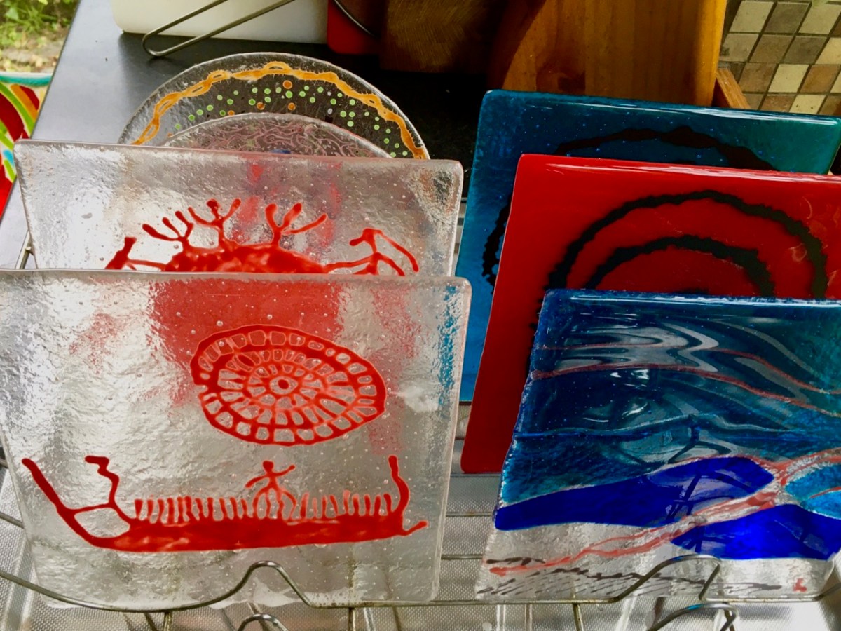
Pieces (top to bottom) by Brian, Finola and myself. And – to finish as we started – Clair’s magnificent flower – before and after the second firing! Thank you to Angela for enabling each one of us to experience this most satisfying process. We would all like to take part again another day – and expand our new-found skills!