Mizen Megaliths 4: Ballyvogebeg Wedge Tomb

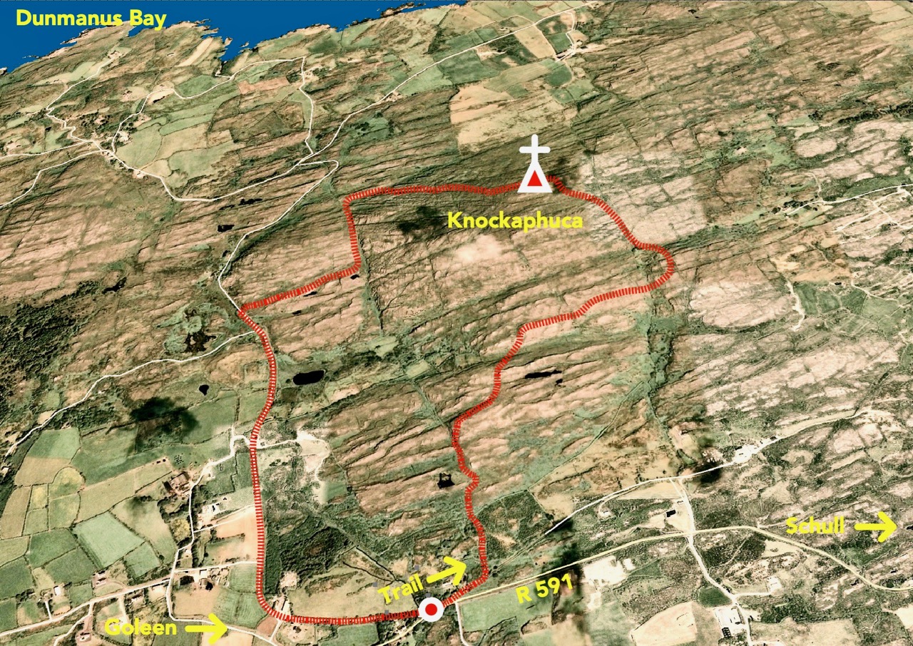
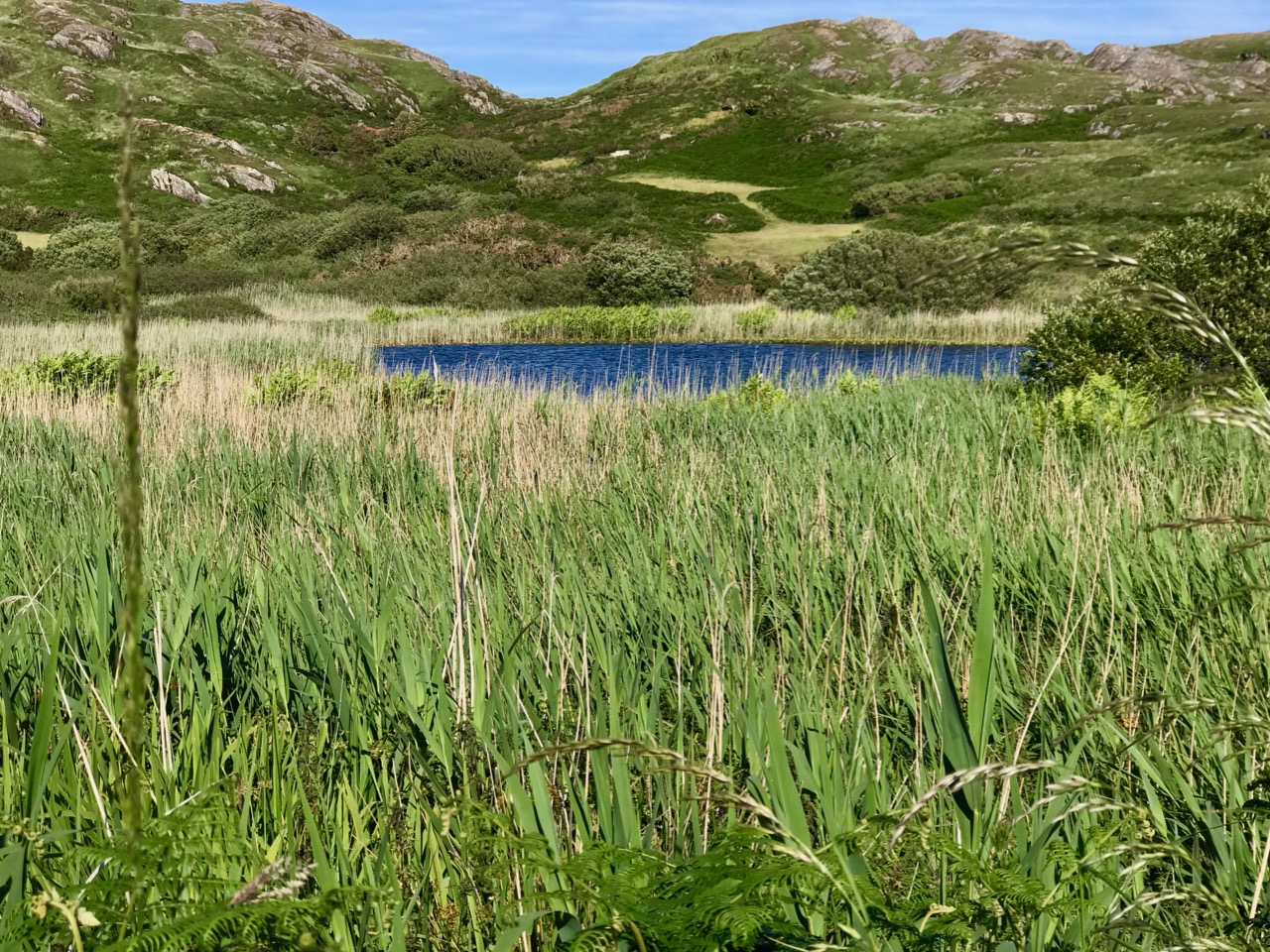
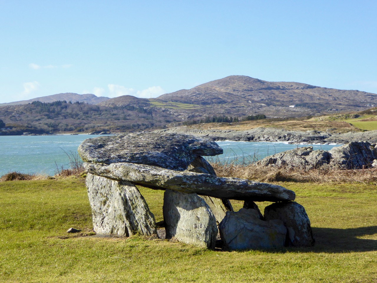
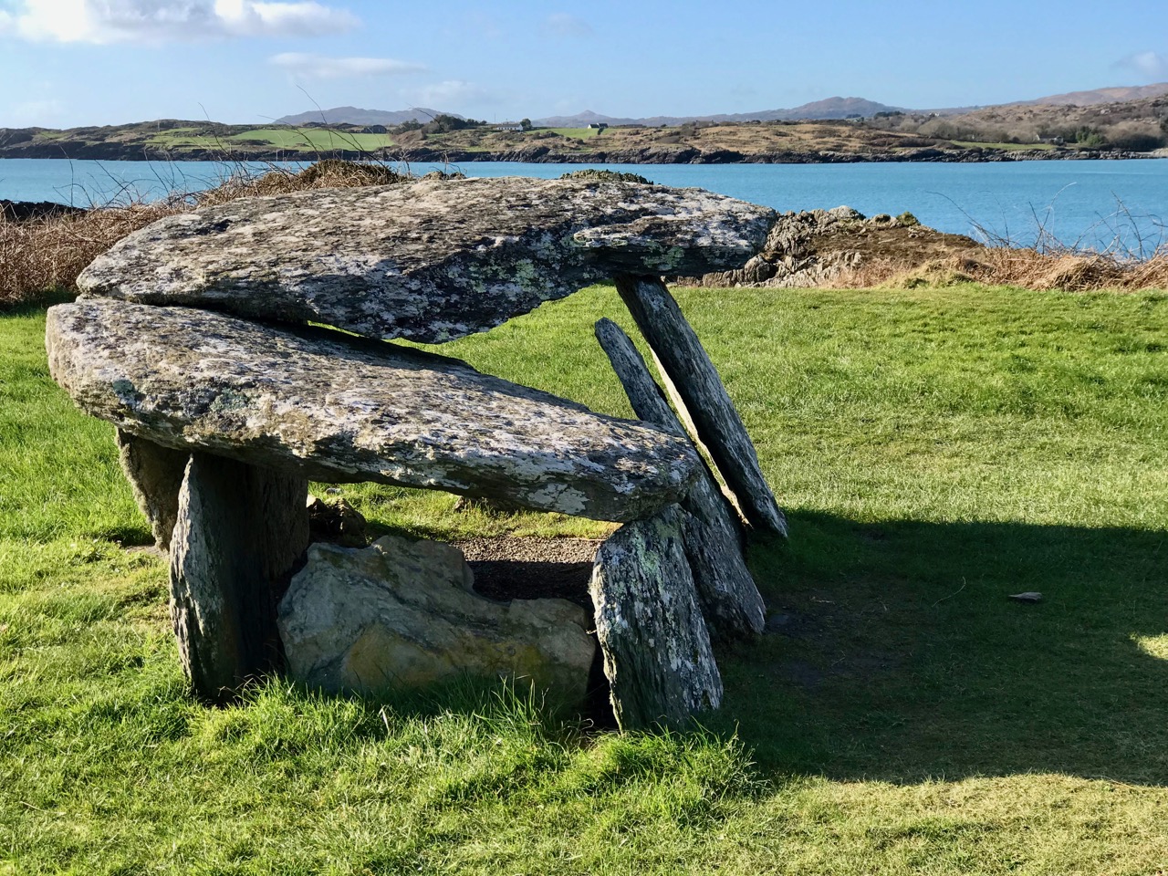
We had, unknowingly, driven past this wedge tomb many times. It’s located on rising ground overlooking the Barley Cove wetlands, in the townland of Ballyvogebeg. The townland name (according to logainm.ie) translates as the Little Place of the O’Buadhaighs, a very scattered clan sometimes translated as Bogue, or Bowe. 

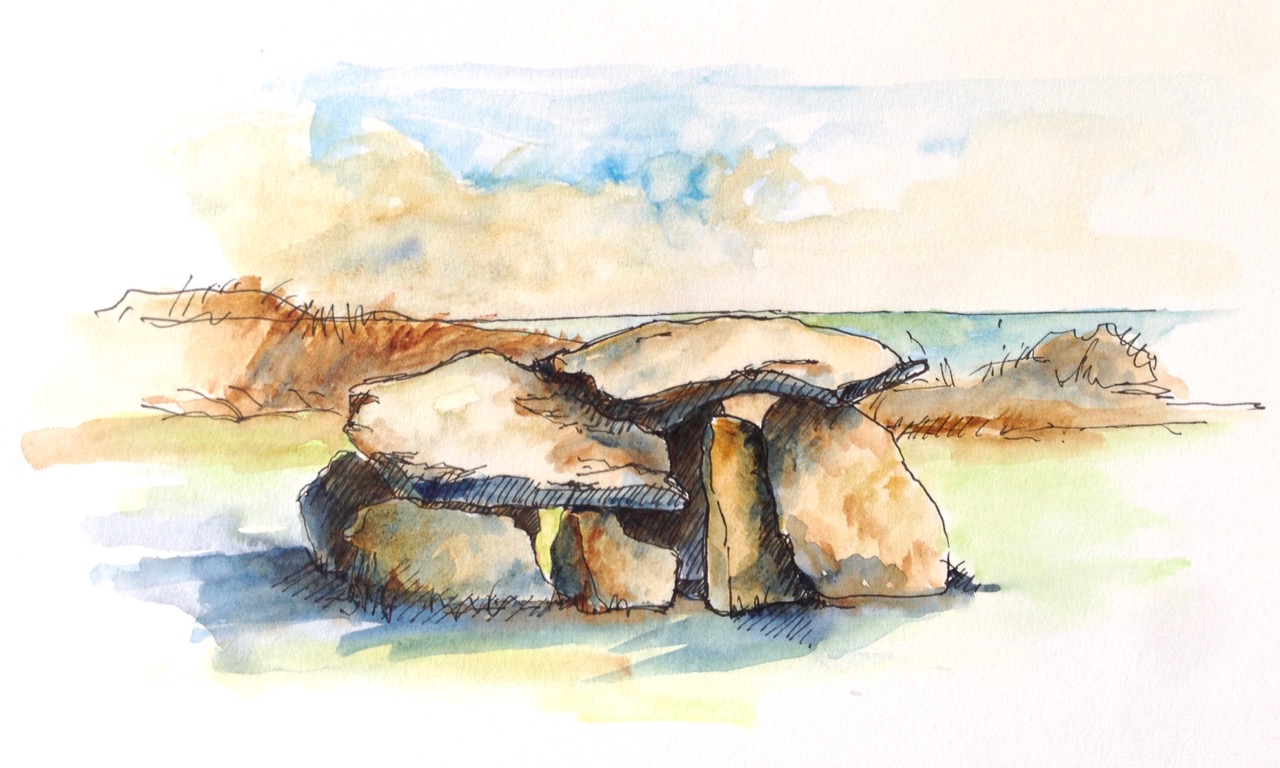
The wedge tomb here was formally recorded by archaeologists de Valera and Ó Nualláin in their Survey of the Megalithic Tombs of Ireland in the early 1980s. They provided the scale drawing, below.

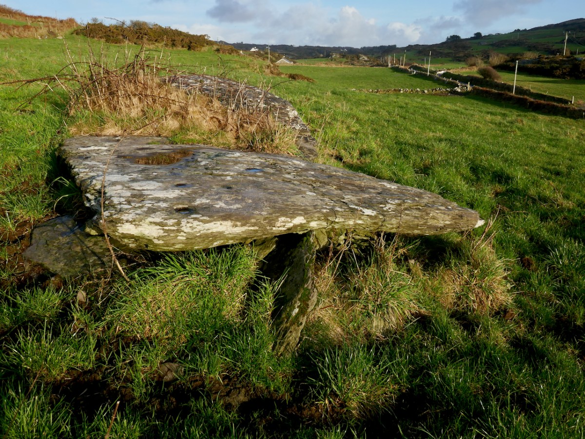
It was next surveyed by the Cork Archaeological Survey Team in the early 90s. Oddly, neither of these reports contain any reference to one of the most striking aspect of this megalithic tomb – the cupmarks on the capstones.

The next person to record it was Jack Roberts for his Antiquities of West Cork series, and his drawing clearly shows the cupmarks. 

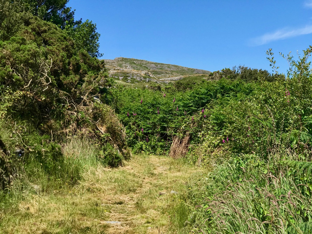
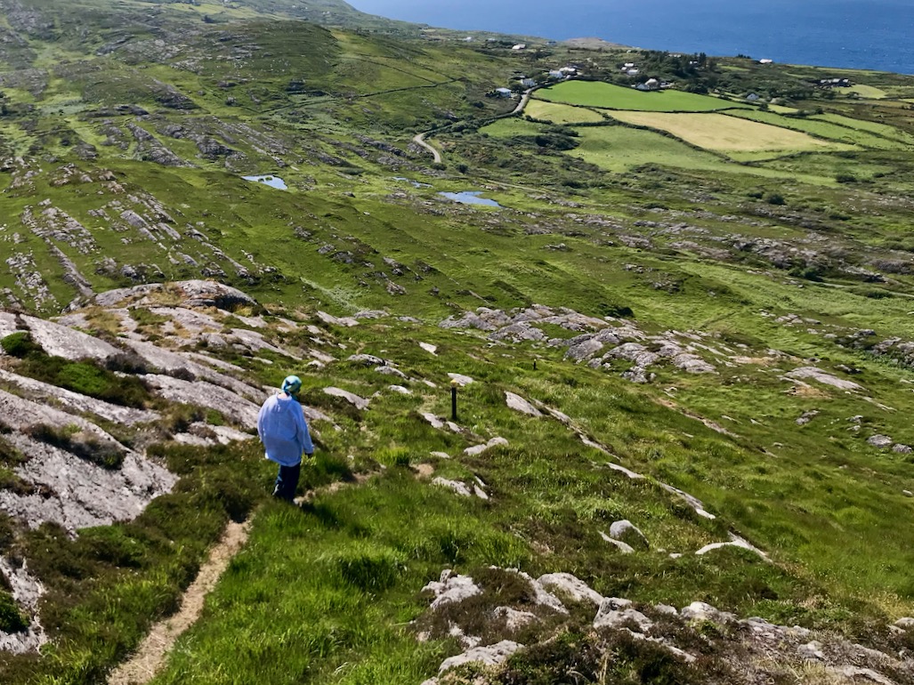
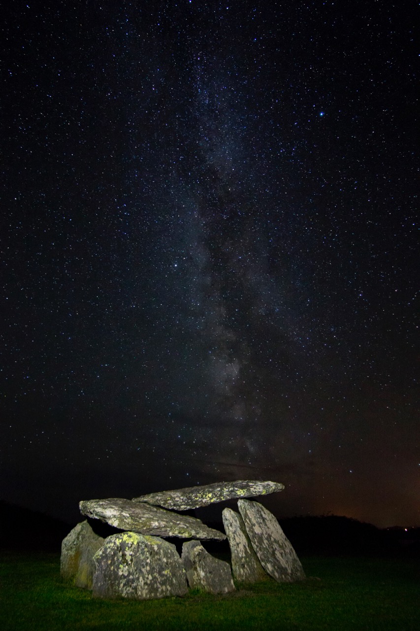
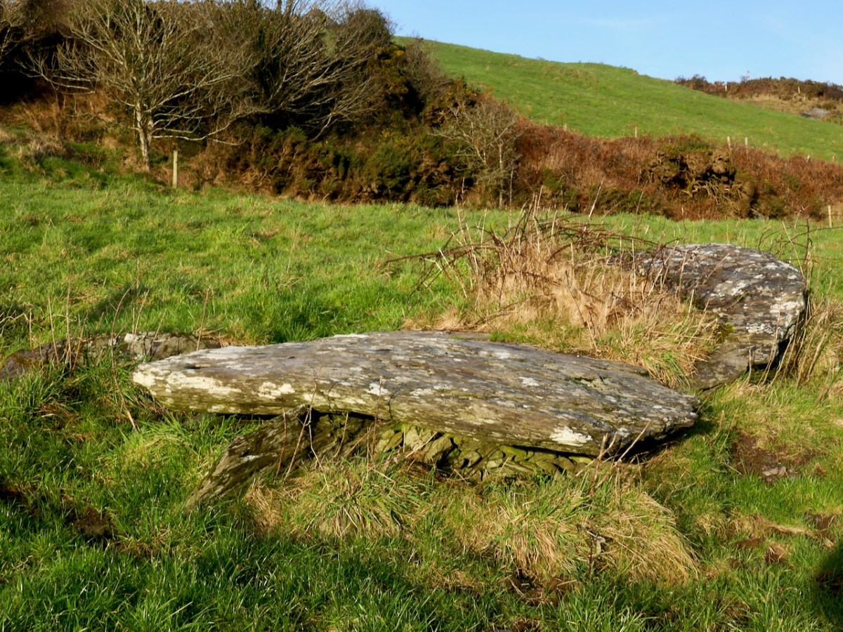
If you are new to this series on Mizen Megaliths, or to megaliths in general, you can catch up with a quick read of my post Wedge Tombs: Last of the Megaliths. This wedge tomb, Ballyvogebeg, fits the pattern, although its ruinous state doesn’t allow us to observe much detail. The side stones have collapsed under the weight of the two large capstones, although you can still see them underneath, leaning at a perilous angle.

De Valera and Ó Nualláin noted that there was no indication of a surrounding mound, which seems to be typical of West Cork wedge tombs. It likely dates to the Copper or Bronze Age, making it around 4,000 years old.

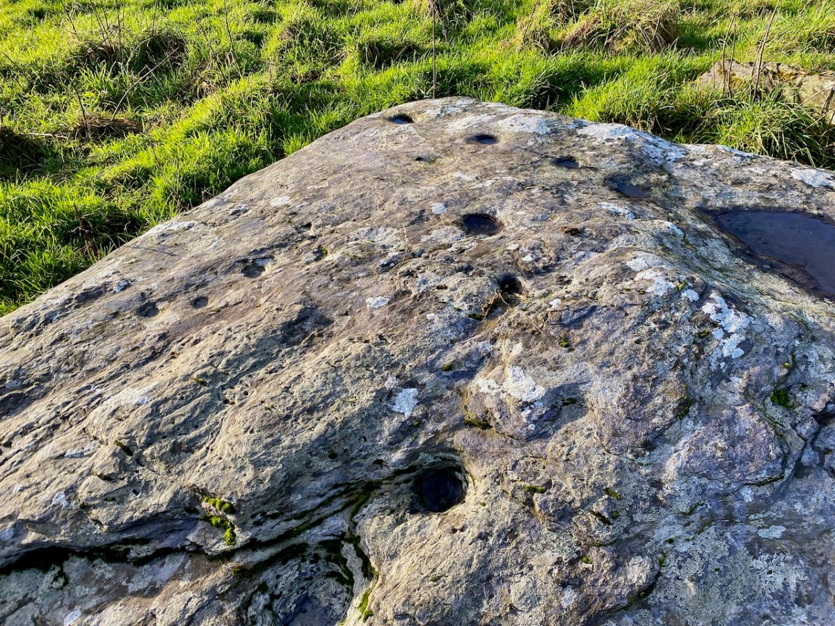
Cupmarks are normally found on open air rocks and boulders, not associated with any monuments and are the most frequent element or motif in Rock Art. However, they are found occasionally on Wedge Tombs and Boulder Burials, so while their occurrence on the Ballyvogebeg wedge tombs is uncommon, it is by no means unique. Intriguing, though! If the tomb had been covered by a mound, they would not have been visible, leading to the conclusion that it was the act of carving them that was important.

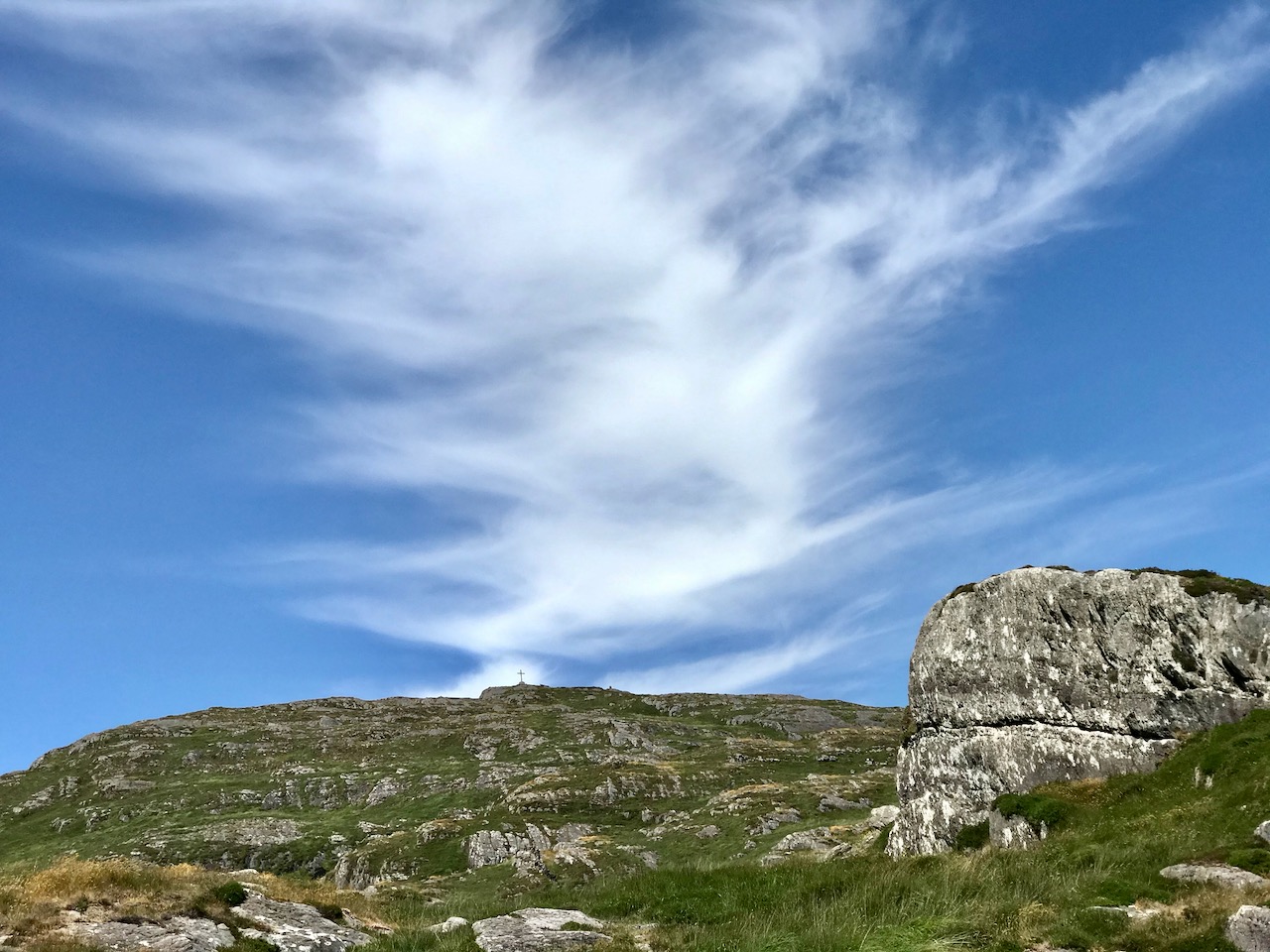
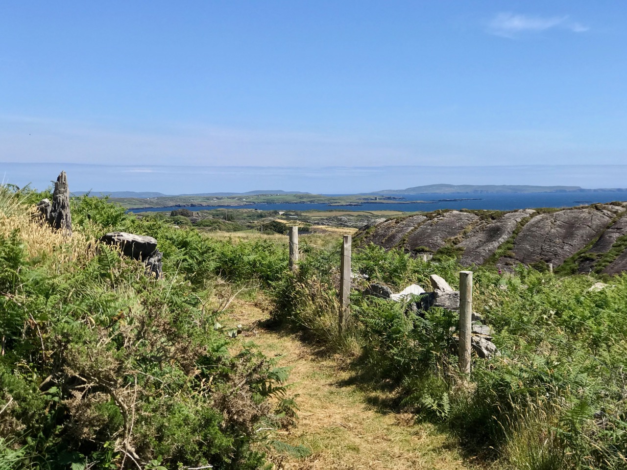
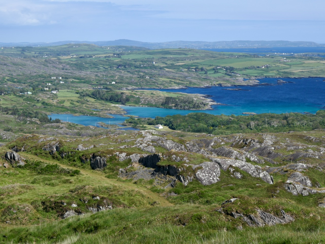
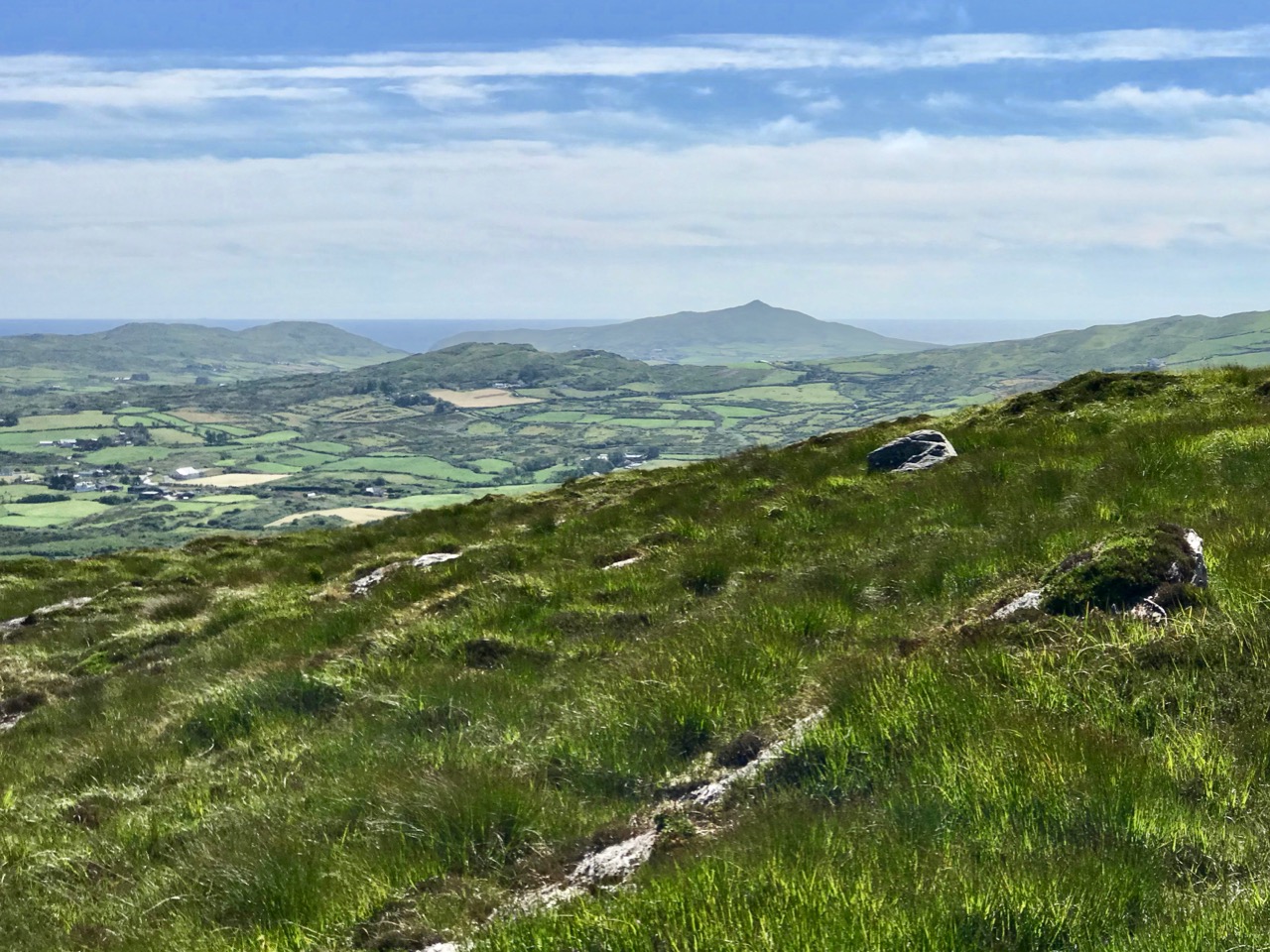
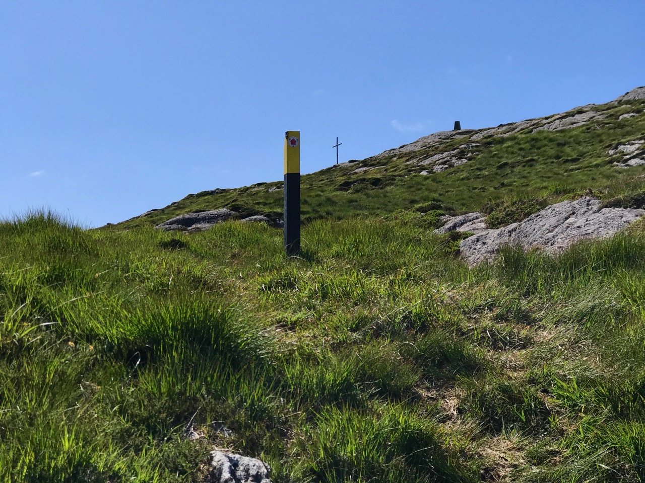
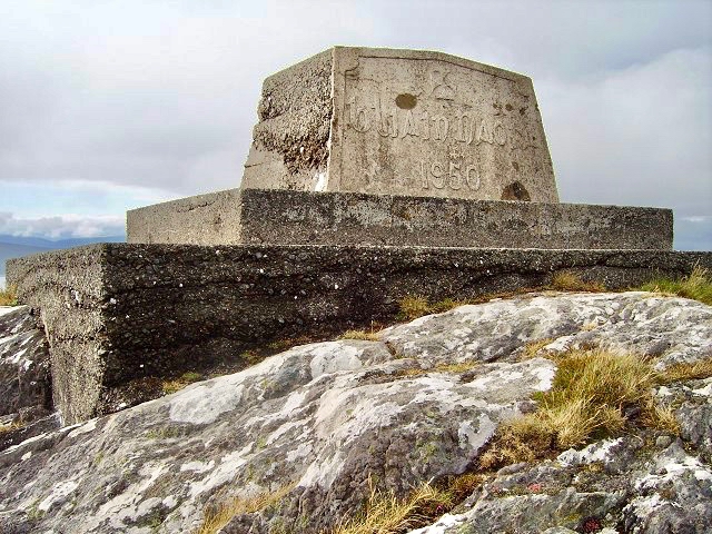
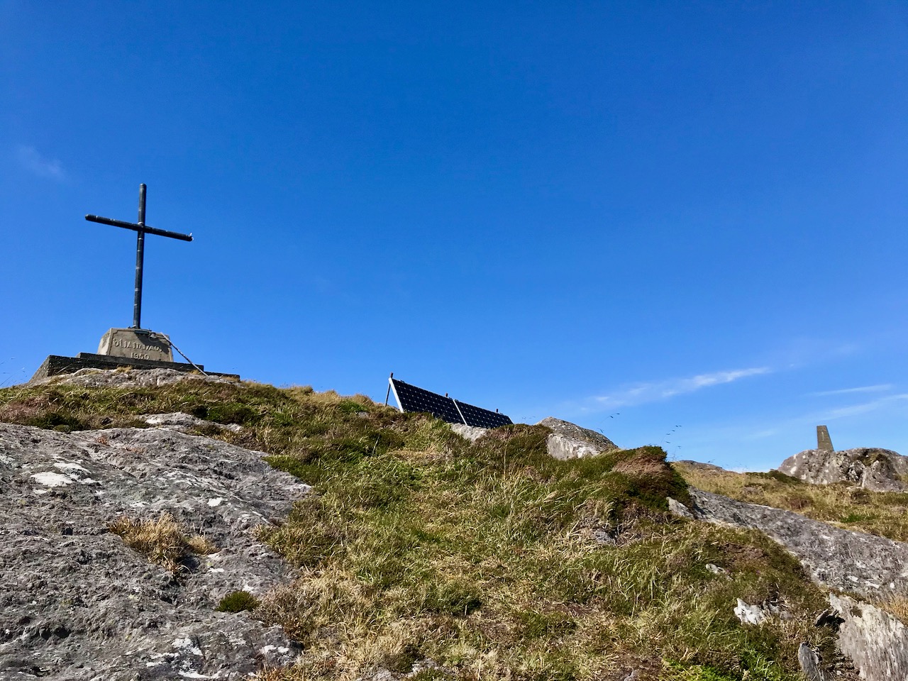
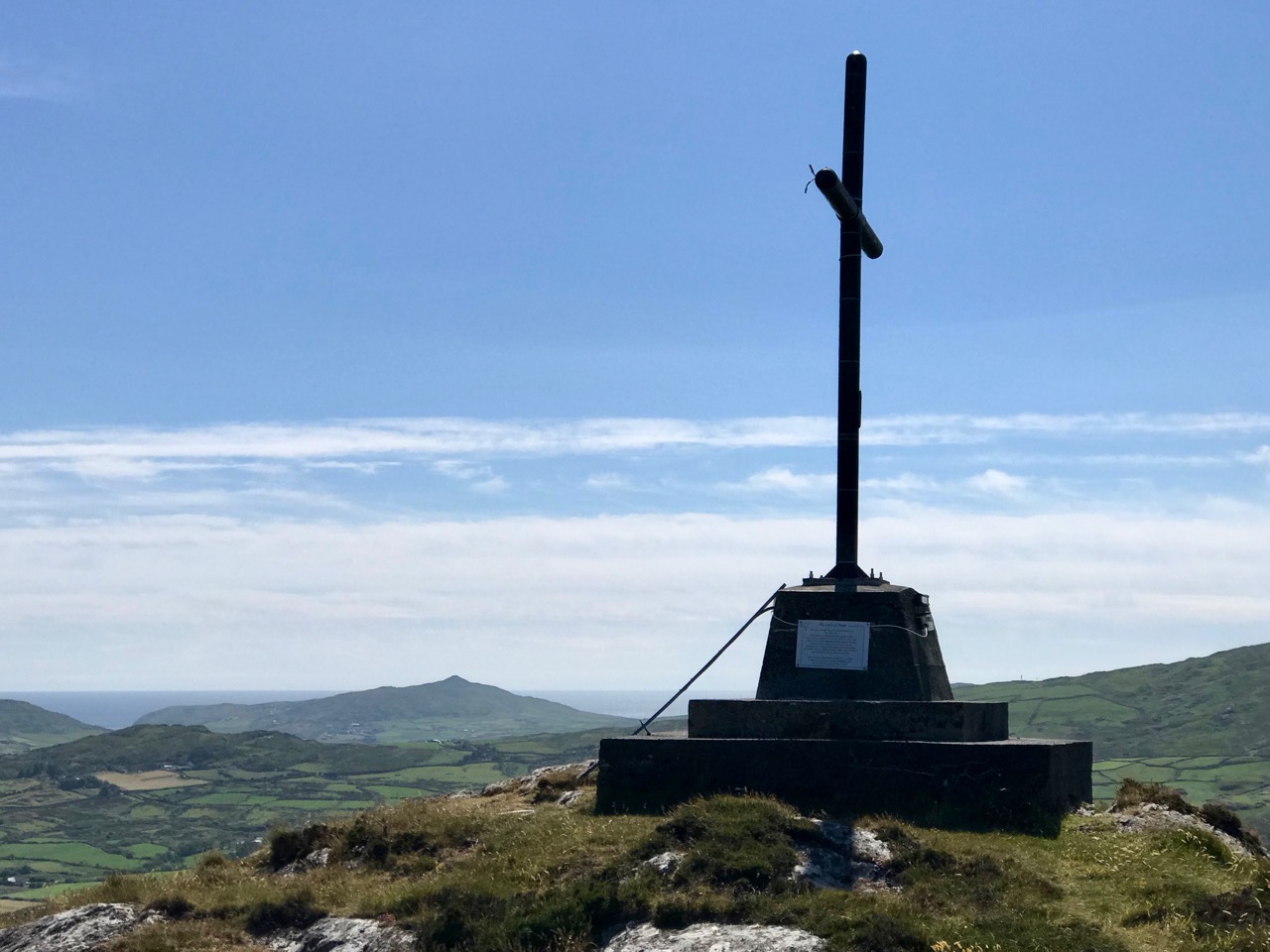
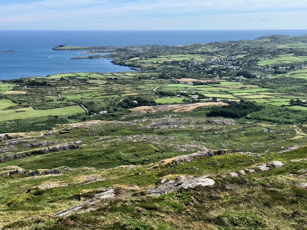
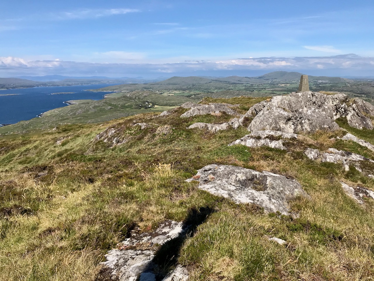
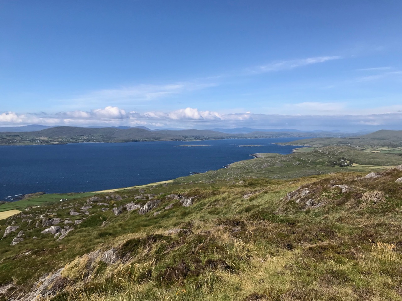
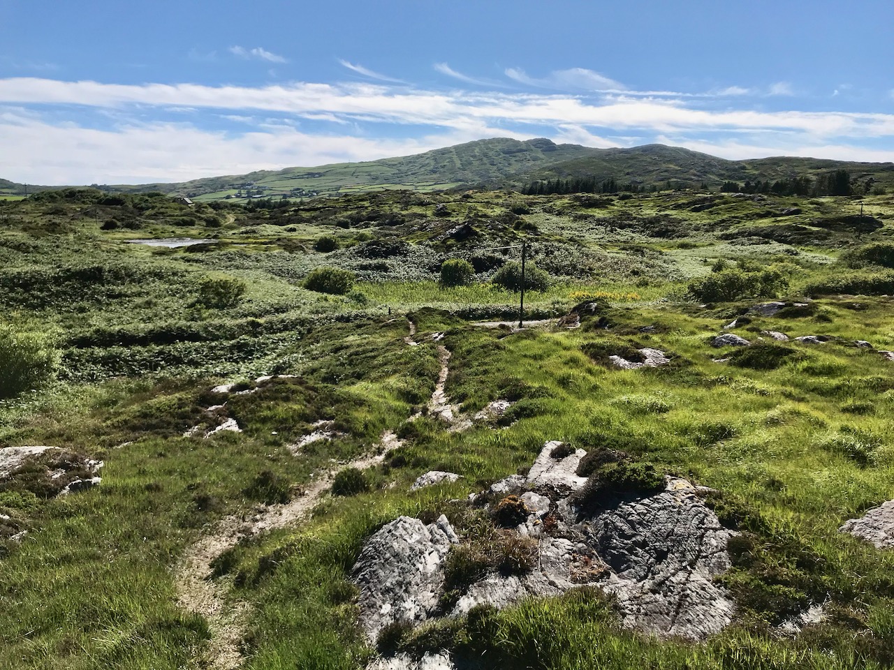
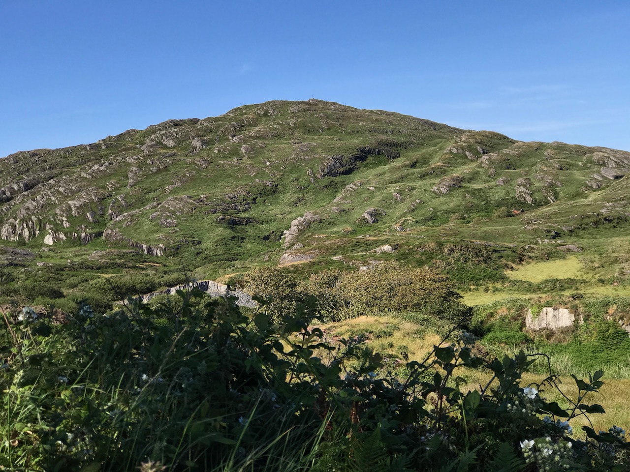
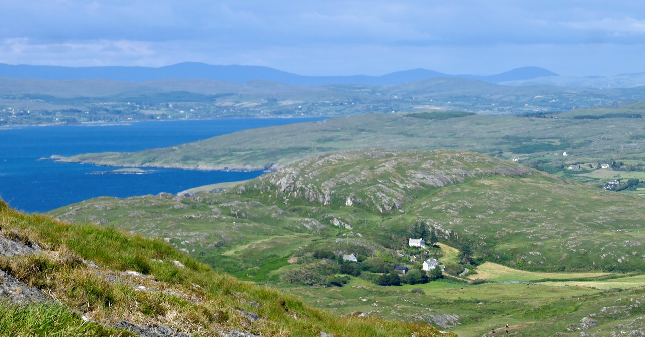
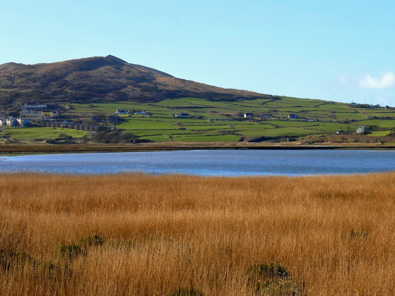
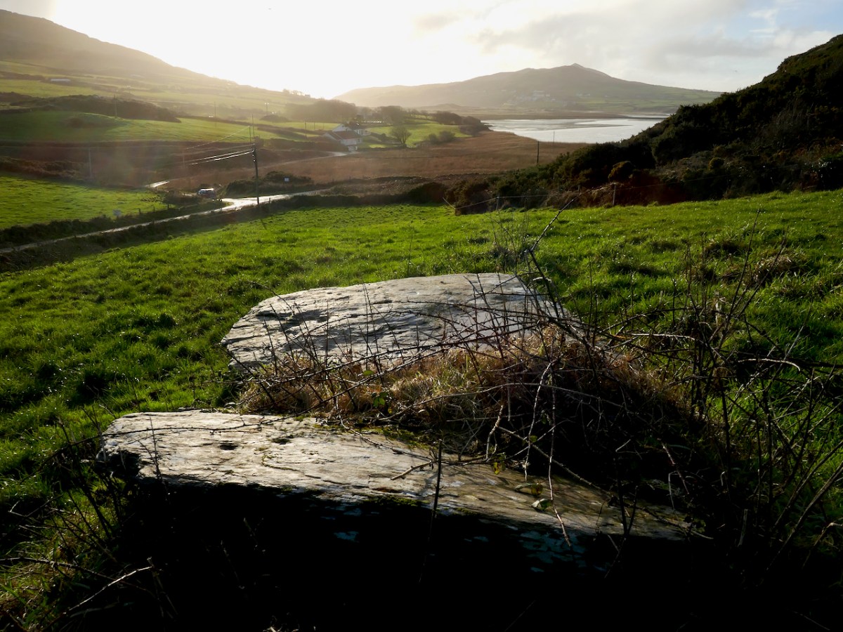
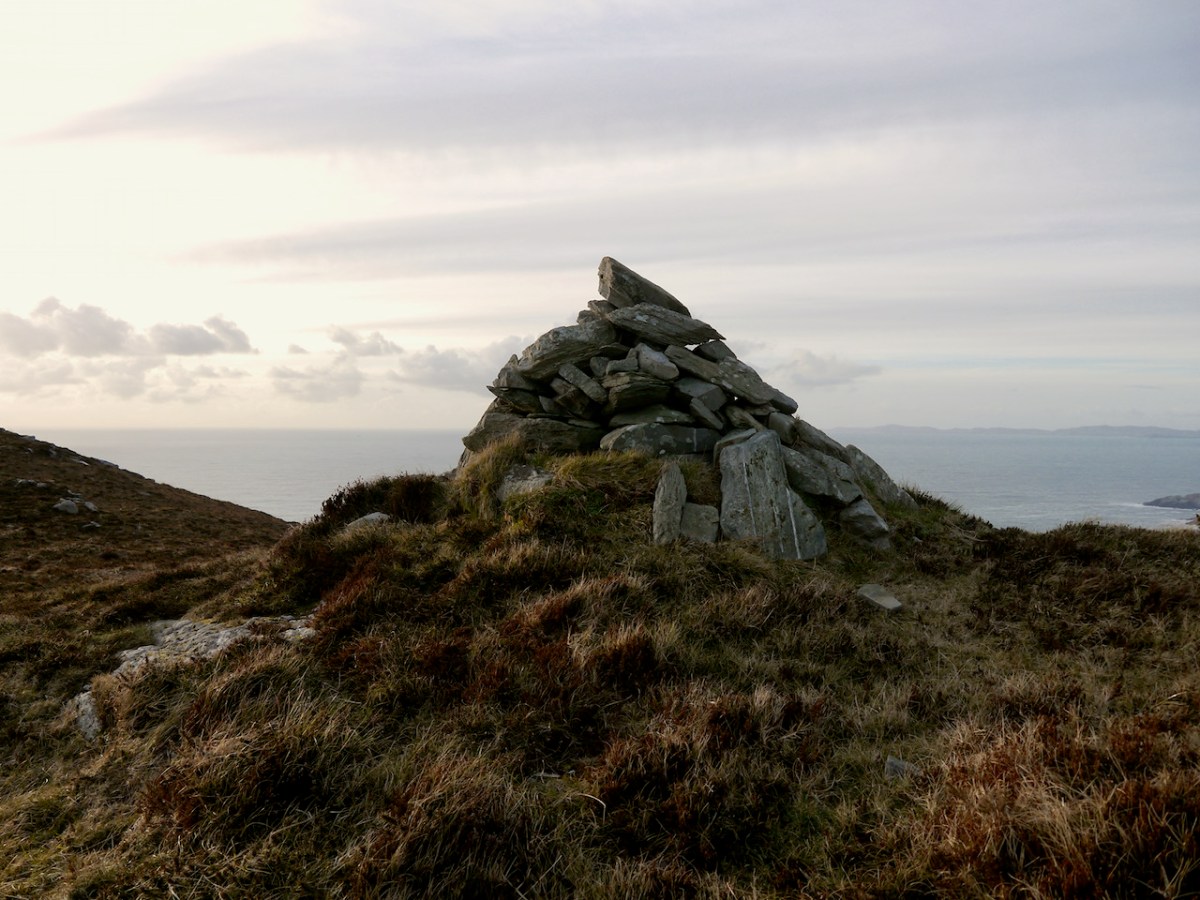
Like all of our West Cork wedges, it is oriented towards the west and the setting sun – that is the ‘entrance’ or tallest and widest end, faces the west. The most striking feature of the view is the pyramid-shaped Mizen Peak. What gives the Mizen Peak its distinctive point is a small cairn on its summit.

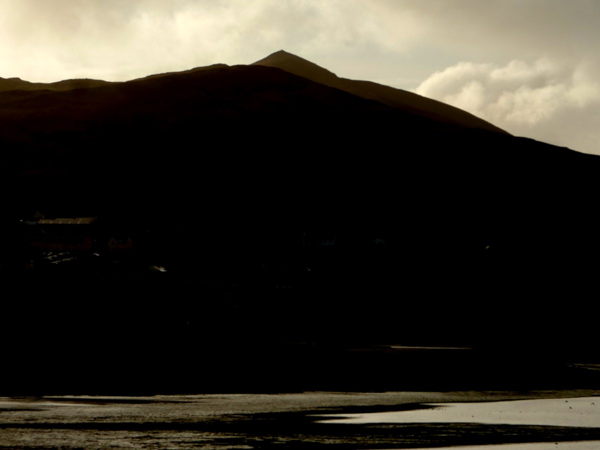
I haven’t yet been up to this cairn, although I am hoping to get there one of these days. So I am relying on the generosity of our friend Michael Mitchell, of the Walking to the Stones Facebook Page, for the photograph below. Like us, he has been struck by the fact that Mizen Peak seems to be visible from many sites, saying, It’s obviously a very important hill. It seems to be a focus for various megaliths, even some that are not on the Mizen peninsula itself. Michael points out that the cairn does not have the appearance of being ancient but more like a marker cairn

Curiouser and curiouser, because there is very ancient folklore indeed about this cairn, which, in fact, gives its Irish name to Mizen Head – Carn Uí Néid, or the The Cairn of the Grandson of Néid. Which grandson are we talking about here? Néid had a son, Elathen, who in turn had five sons – the Daghda, Oghma, Bres, Alloth and Delbaeth – all of them figure prominently in Irish Mythology as members of the Thuatha Dé Danann

Bres is the grandson in question, but Bres was his nickname. He was really Eochaid bres – that is Eochaid the Handsome, because everything comely and handsome that is seen in Ireland, ’tis to Bres it is likened. I am getting my information here from a piece written by J. F. L. in the Journal of the Cork Historical and Archaeological Society of 1912 (available online).

The Dinnshenchas of Carn Uí Néid has been translated by Dr Whitley Stokes 

Bres, son of Elathan, died there; ’tis he that in the reign of Nechtan Fairhand. . .King of Munster, demanded from every rooftree in Ireland a hundred men’s drink of a hornless dun cow, or of the milk of a cow of some other single colour. So Munster kine were singed by Nechtan with a fire of fern, and then they were smeared with a porridge of the ashes of flaxseed, so that they became dark brown. . . And they also formed three hundred cows of wood, with dark brown pails on their forks in lieu of the udders. These pails were dipped in bog stuff. Then Bres came to inspect the manner of these cattle, and so that they might be milked in his presence . . . All the bog stuff they had was squeezed out as if it was milk. The Irish were under a geis to come thither at the same time, and Bres was under a geis to drink what should be milked there. So three hundred bucketsful of red bog stuff are milked for him and he drinks it all.


JCHAS Notes and Queries Carn Uí Néid, by J. F. L.
1912, Vol 18, 96, Ps 211-213

Of course it’s a huge and unreliable leap from mythology to a wedge tomb, but I can’t help thinking how great it would be if the Ballyvoguebeg wedge tomb was indeed the tomb of Bres, brother of the Daghda, handsome King of Munster, dead from a surfeit of bog stuff. 

Mizen Mountains 5 – Knockaphuca

Perhaps one of the most satisfying mountains on the Mizen, the 237m high Knockaphuca provides a well maintained waymarked trail best tackled as it is laid out – in a counter clockwise direction. You will go up the east side and down the steep west face. If you are lucky with the weather, as we were just before the longest day, you will have an experience which is hard to rival in this corner of Ireland. The loop walk is one of the latest sections of the Fastnet Trails which have been established to the west of Schull during 2019. All credit is due to the team which has so successfully organised and laid out these trails: this has involved much behind-the-scenes hard work.

In fact the full Knockaphucka Loop trail starts in Goleen, and is 10km long. We joined it as it leaves the R591 road north of the village (upper picture – the route goes off to the left). The map above has the mountain section (which we followed) superimposed on the Google Earth contour information. The section we walked is 6.6km long, and climbs about 200 metres.

One of the first landmarks on the way is right at the point where the marked track to the mountain leaves the main road: Ballydevlin Old School House (above). There is another ‘Ballydevlin Old School’ nearer to Goleen; presumably one was the National School (established c1831) and the other may have been a denominational Church of Ireland school. This peculiar Irish duality still exists today in many places.

Once on the marked track you are in a paradise! An ancient green road takes you part-way up the mountain, passing through small gorges which must have been cut out long ago: even if you are not a geologist you can’t help being impressed by the rock formations – they could be works of art.

After a while the path turns to the east and follows narrow, grassy glens bordered by majestic, serpent-like outcrops. It’s here that the views begin to open out, particularly to the south. Always you think that there couldn’t be a finer prospect over the Mizen and across the islands of Roaringwater Bay, and always – as you climb higher – you are surprised by the next, which is even better.

Twists and turns take you more steeply across the contours and swing round towards the summit. Only then is the full picture revealed: the whole landscape set out below you – every rift, valley and glacial glen with the higher land beyond culminating in the crests of Gabriel, 407m high, to the east, and the ‘little’ Mizen Peak, 232m high, to the west.

You won’t get lost as you head for the summit: this mountain had a distinctive cross placed at its highest point in the Holy Year of 1950, which reportedly fell in 1968, leaving the inscribed concrete plinth intact. The photo below shows the plinth in 2006 – courtesy Richard Webb. A new cross was installed in 2011 by a community effort led by the local GAA: this is now visible from much of the trail. The plaque mentions ‘…these challenging times…’, referring to the financial crash that hit Ireland so badly around that time. Illumination of the cross today is provided by photo-voltaic cells.

When you get to the top – pause… Now is the opportunity to appreciate the spectacular views in every direction. On our outing the south wind had been building up all day and was at its strongest in the late afternoon, when we gained the summit. It was pretty hard to remain upright! In fact, I wondered if we were being given a message by the resident Púca whose domain this is, after all?

The path down descends quite steeply: make sure you are well shod and vigilant. But you are in for further treats: the marked way passes by some peaty mountain tarns which are exquisite in their pristine beauty. Finola was in her element finding undisturbed native species such as water-lilies and sundews.

The mountain trail section ends on the small boreen running to the west of Knockaphuca, but the waymarkers will lead you back to the starting point, and there are still views up to the summit to enjoy, along with some landscape features on the way to continue to stimulate the senses.

What more could anyone want from a day’s outing in West Cork? Well – a bit of local history, perhaps. I searched for stories about the hill, particularly about the Púca – but only turned up this one told by Jerry McCarthy and included in Northside of the Mizen, the invaluable collection of Tales, Customs and History produced by Patrick McCarthy and Richard Hawkes in 1999:

The Púca of Knocnaphuca


The old people would feed the Púca of Knocnaphuca on ‘Snap-apple Night’, or indeed, whenever one had call to travel up the hill. It was the wise person that fed the Púca the night before going up. Milk and cake would be put on a plate and left outside the house and by the next morning the food had always gone!


The Púca of Knocnaphuca was half horse and half human. One late Snap-apple Night there was a young lad out walking the road when he heard a strange, sweet music coming from the hill. He went up and saw the Púca playing on a whistle. As soon as the lad had put eyes on it, it stopped playing and caught him. Away the Púca went to the top of the hill, where a crack opened up in the rock. In they went. They were twisting and turning down through tunnels until they entered a chamber full of gold. “Now,” said the Púca, “you are mine!”…


The next morning the boy was found on the road by the Long Bog. His hair had turned white and he could not speak a word ever after.

Thank you to our artist friend Hammond Journeaux of Ballydehob for this wonderful drawing of ‘Pooka’, included in The Little People of Ireland by Aine Connor, illustrated by Hammond, The Somerville Press, 2008. Púca in Ireland has counterparts in Cornwall (Bucca), Wales (Pwca), The Channel Islands (Pouque) and Brittany (Pouquelée). A shape-shifter (Flan O’Brien’s character from At Swim-Two-Birds, the Pooka MacPhellimey, changes his appearance by smoking from a magic pipe), the Púca most often appears in Ireland as a fine black stallion with red eyes. If you meet him, you have to mount him and he will take you on a journey far across the sea. It will seem to you as though you had been away for only a few hours, but the world will have moved on several weeks, perhaps months, during your absence. We saw no trace of the creature in June but, perhaps, if we climbed this mountain in the November Dark, we would have more chance of an encounter.

Mizen Magic 8: The Altar

Here’s the Mizen Peninsula shown on a map drawn by Robert for the Bank House tourism centre in Ballydehob and embellished with Peter Clarke‘s exquisite watercolour sketches of just some of the places that should not be missed by visitors to West Cork . . .

. . . And here is another rendering from Peter of one of the ancient sites that everyone goes past when travelling to the far west: possibly one of the most accessible pieces of archaeology on this section of the Wild Atlantic Way. It’s the Altar Wedge Tomb at Toormore Bay.

It’s early February, and Imbolc has passed. That means that Springtime has officially started here in Ireland. Sure enough, we looked out over a sunlit Roaringwater Bay this morning: soon we were heading out towards Goleen, Barley Cove and all points west. We stopped at The Altar and had it all to ourselves. You can see here that it’s orientated towards the Mizen Peak – that sharp little pyramid which is right on the centre of the picture – and lies to the west. For me, there’s a perfectly natural symbolism about placing the dead in a tomb that is aligned on the rising and the setting of the sun: that’s something we still do, several thousand years on!

The upper picture, taken on the Winter Solstice, shows the Mizen stretching away from the heights of Mount Gabriel: the Mizen Peak is the little pointed blip just left of centre. The lower picture looks across the wetlands behind the sand dunes at Barley Cove, and was taken today in the Spring sunlight: the Peak is clearly visible as the highest point. I believe that our forebears attached great importance to high places, as many stone monuments and Rock Art often seem to be placed in the landscape with commanding views towards hilltops. Mike Wilson’s site Mega-What sets out his detailed studies of the orientation of ancient sites within the natural landscape. Here is his analysis of the setting of the Altar Wedge Tomb.

I am always alert for the ways in which our special sites are interpreted for us. I created a bit of a storm a while back when I commended the signage which has been put in place along the Wild Atlantic Way using visually strong corten steel elements (above left) supplemented more recently by (in my opinion) very well designed information boards. The image on the right above is from an earlier OPW board which explains the possible early use of the wedge tomb, while the images below show the new signage, which features the later use of the tomb as a Christian altar during the Penal times (hence the name: The Altar), with a drawing by Sam Hunter. I am struck by the way this monument has been a focal point for differing rituals spanning countless generations.

When writing about archaeological subjects I am always on the lookout for the way that antiquarians saw the sites which we are familiar with today. I had hoped that George Victor du Noyer – the subject of an excellent recent exhibition in Cork’s Crawford Gallery – might have drawn this wedge tomb when he travelled the country for the Ordnance Survey during the early nineteenth century: he may well have done, but the annotation and cataloguing of his vast legacy of work has yet to be completed and I have not found such a record. His drawings below are not of The Altar, but a portal tomb, Ballybrittas in County Wexford. Portal tombs (sometimes known as dolmens) share similarities with wedge tombs, but are earlier, dating from between 3000 BC to 2000 BC, while wedge tombs tend to be associated with the Bronze Age, which followed this period.

Cremated remains were found in Altar Wedge Tomb when it was excavated in 1989 by Dr William O’Brien, now Professor of Archaeology at UCC. We can never know exactly what the significance of these impressive structures was to those who built them. For me, I’m pretty sure that it was connected with their relationships to, and respect of, the landscapes which they inhabited, and which they invested with meaning. They must certainly have paid heed to the passing of the seasons and the continual cycles of nature, and their closeness to all of this must have given them an inherent knowledge of the paths of the sun, moon and stars. Above all, our ancestors had to understand and appreciate the environment around them, and make it work for them. In a practical sense, certainly, but also in terms of the stories they might pass on about the meaning of places.

Above – the magical landscape of the Mizen: we will never tire of it

The tailpiece picture, which is from Wikimedia Commons, attributed to Lukeoc88, is a remarkable timeless view of a human construction in the setting of our Universe: Altar Wedge Tomb under the Milky Way.