Castleruddery Stone Circle

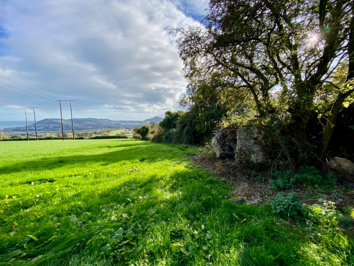
Our travels are always attuned towards our particular interests, be they history, stained glass, art or – as in this case – archaeology. We go out of our way to take in sites we have never seen before – and there are so many. When we were ‘holidaying’ in Wicklow last week we searched out this stone circle in the townland of Castleruddery Lower. It was well worth the journey.

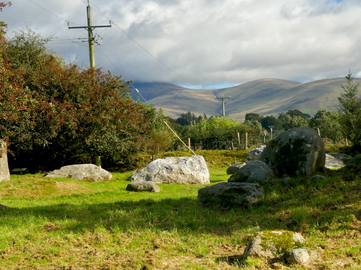
. . . Neglected, knee-high in grass and surrounded by round-crowned hawthorns whose May blossom speckles the bank, it is difficult to appreciate how important Castleruddery must have been early in the Bronze Age when Beaker copper prospectors and the Wicklow mountain goldminers passed by its brilliant entrance. It is not properly a stone circle but a henge, with a stone-lined interior. It was constructed on the summit of a hill just east of the valley into which the Little Slaney flows. Six miles north is the lovely Athgreany stone circle and only two miles to the south is the Boleycarrigeen ring, its stones embedded in a low earthen bank . . .

Aubrey Burl, Rings of Stone, France Lincoln Publishers, 1979

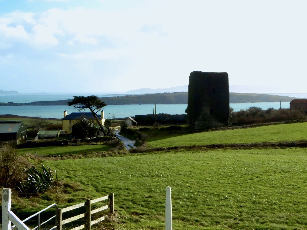
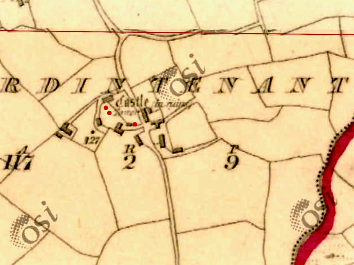
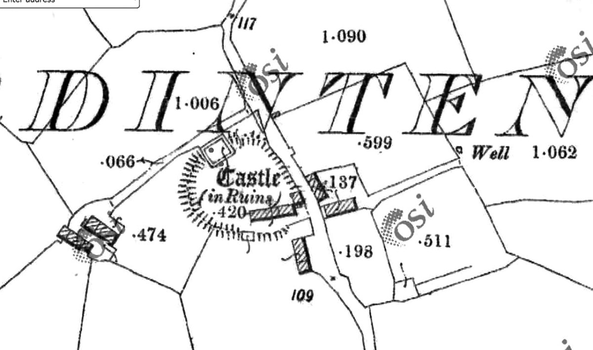
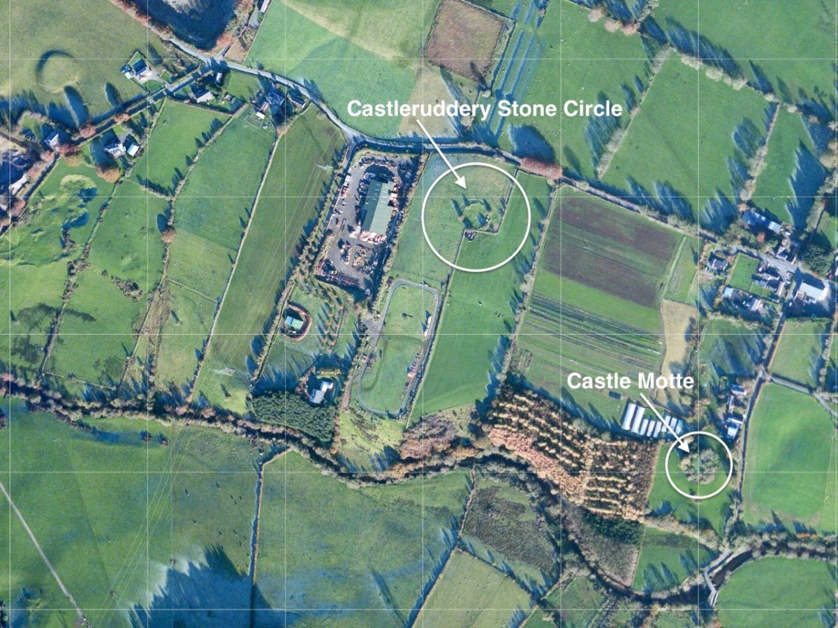
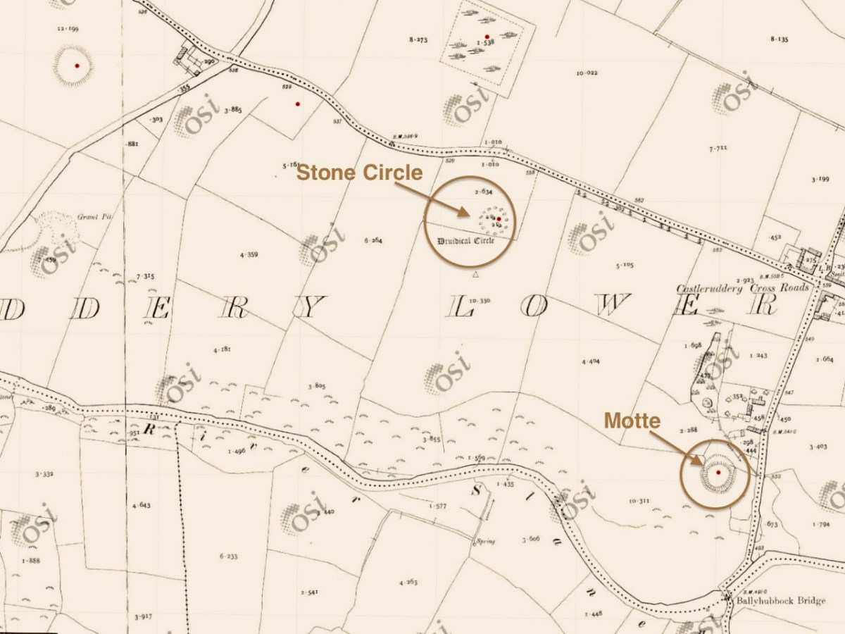
The aerial view, and the extract from the 25″ Ordnance Survey map (above) show the monument in the context of the surrounding landscape. Nearby is a medieval ‘Motte’, very much younger than the ‘Druidical Circle’ – thus named on many early maps. The local Irish name – Chaisleán an Ridire – translates as Knight’s Castle, which might make you think that there is some medieval connection between the circle and the Motte, but in fact Castleruddery stone circle is likely to date from the late Neolithic, around 2,500 BC, marking it as one of the earliest of this monument type in Ireland.

We noted this little figurine by the entrance gate to the circle: it made me wonder what folklore or traditions might be associated with the site today. I could find only one reference to Castleruddery in the Duchas Schools Folklore collection, dating from 1936:

The informer here was Michael Murphy, aged 68 – a ‘labourer’ from Colliga, Co Wicklow. The School collector was from Baile Dháithí, Dunlavin, Davidstown, Co Wicklow. There was no doubt in Mr Murphy’s mind that the stones could only have been placed there by supernatural powers!

The two quartz portal stones at the east side of the circle are remarkable: deliberately chosen, no doubt, to emphasise the importance of the orientation. The circle has 29 significant stones still standing today, but there were probably more. There is evidence of attempts to break up and remove some of the stones, which would have made good building or fencing material for someone who did not share respect for the integrity of the circle.

The two views above show iron ‘drill’ markings: these were made to try and separate sections of stone to be taken away for re-use. In the upper picture one section has been removed, but the operation was unsuccessful for the remainder of the boulder. One has to wonder whether otherworldy forces intervened – and meted out some form of ‘bad luck’ to the perpetrators.

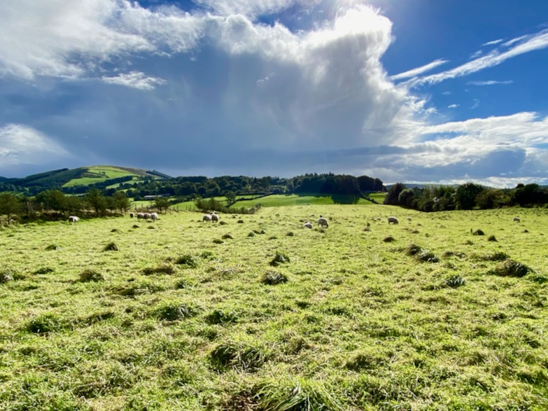
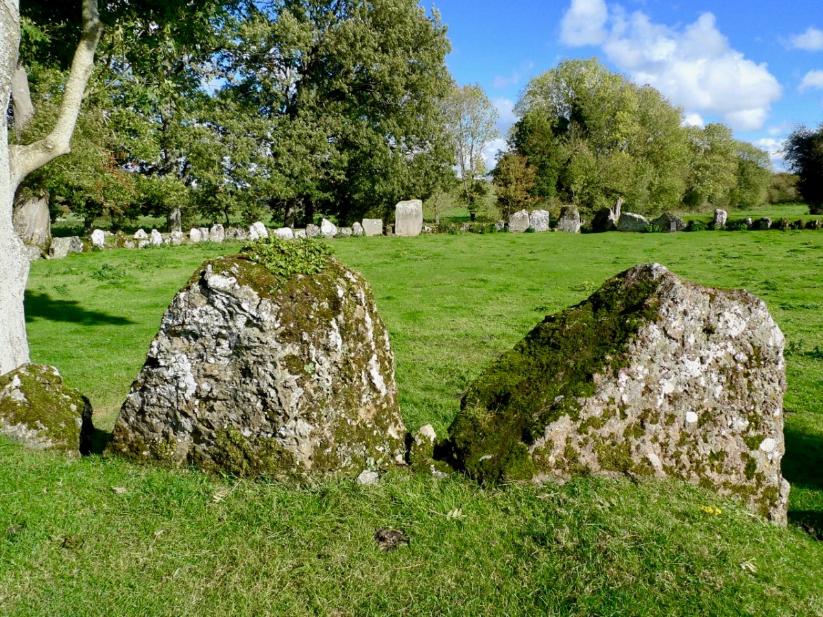
In the present day it’s territory for sheep, and they seem to be unconcerned about any ancient associations or supernatural influences interrupting their tranquil grazing. The archaeologists tell us that this is more of a ‘henge’ monument than the type of stone circle we are familiar with in West Cork. It’s certainly larger, and crop marks have shown that the 29 stones surmount an earthen ring, approximately 30 metres in diameter, and there is a further ring which was once supported or reinforced by timber. Comparisons are made with a henge circle at Grange, close to Lough Gur, Co Limerick, which we visited in 2016. There the ring of at least 113 stones has an internal diameter of 46 metres. We took the two photos below at Grange.

The Grange circle was excavated in 1939 by professor S P Ó Riordáin, and the Duchas board at the site states:

. . . The excavation indicated that the enclosure was constructed purely for sacred or ritual purposes. The bank may have provided a stand where an audience could observe ceremonies within the enclosure . . . One of the stones is known as Rannach Cruim Duibh. This suggests that the circle became associated with the festival of Lughnasa, traditionally the first Sunday in August, and a celebration of the harvest. Crom Dubh, meaning the Dark Bent One, was credited with bringing the first sheaf of corn to Ireland . . .

Duchas, Grange Circle

There must surely be connections, and common purposes, between the many similar circle monuments all over Ireland. We always want to know What was it for…? probably, we never will, but it’s part of the whole romance of archaeology to wonder about such places. We must be grateful that so much remains for us to explore.

East Coast Archaeology

We often find time to visit the east side of the country – where we see everything from a different perspective! But we are just as interested in history and archaeology over there as we are here in our own West Cork. Today I am bringing together three sites from three different eras – all equally fascinating, and all within a stone’s throw of each other, hovering on the borders of South County Dublin and County Wicklow.

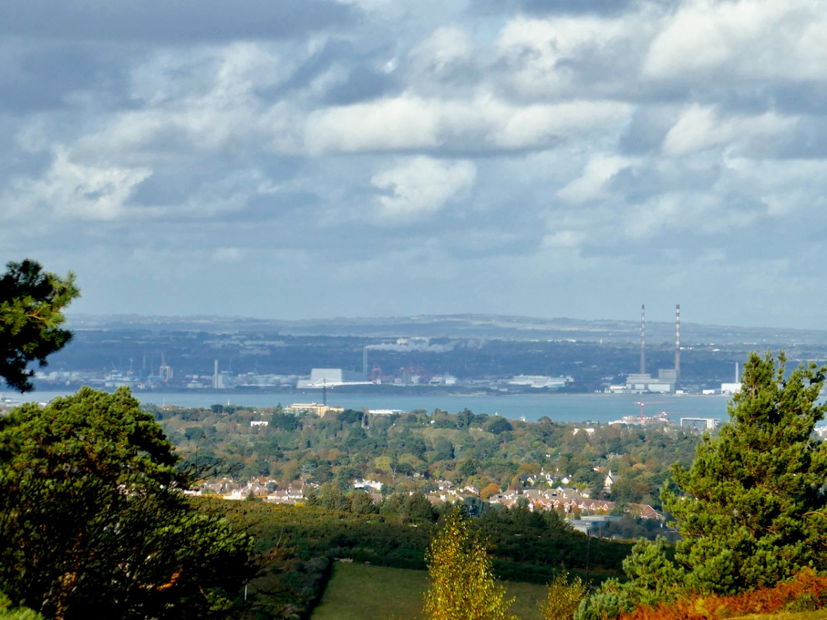
From the high ground in these two counties you find stunning views to the north out across Dublin Bay, with Howth in the distance. The twin striped chimneys on the right of this picture are protected historic structures: they date from 1971 and were built to serve the Poolbeg electricity generating station. At 270m they are amongst the tallest artificial structures in Ireland and are a visible feature on the skyline from many parts of the city. The power station closed in 2010.

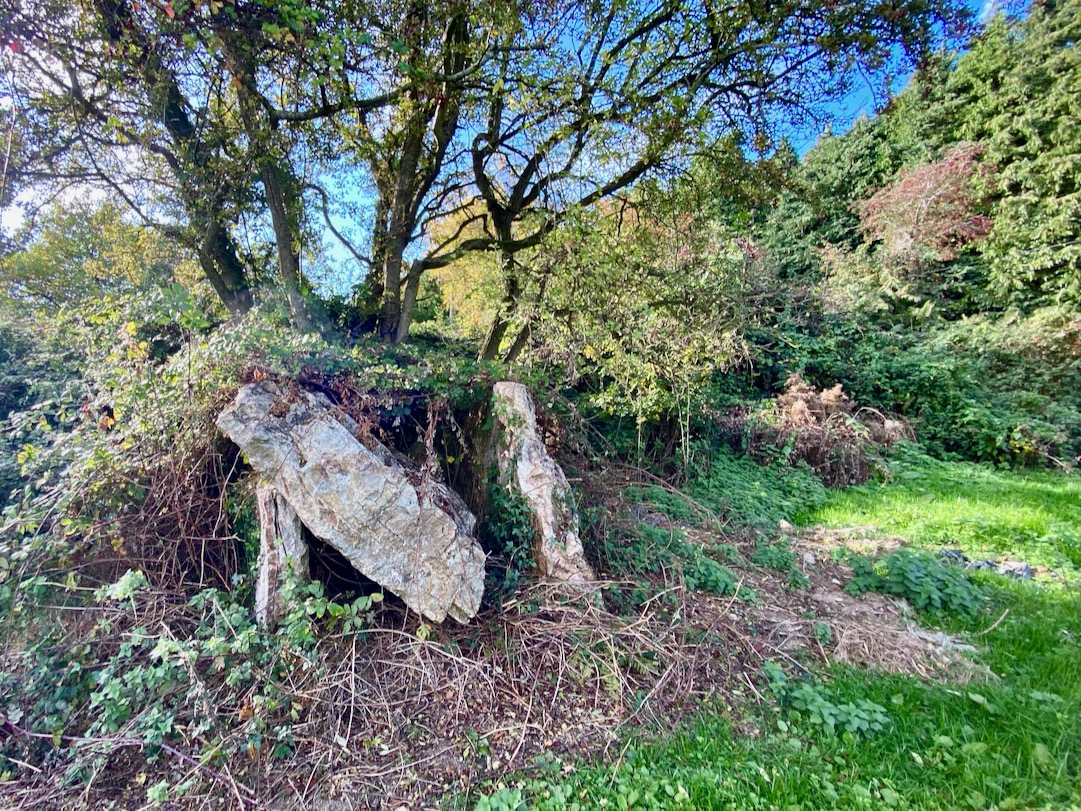
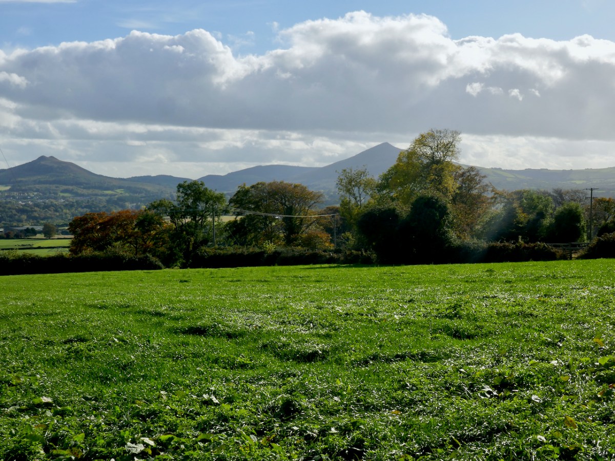
The first site we are visiting in this little tour is the wedge tomb in Shankill townland, County Dublin. It lies below Carrickgollogan hill, and commands distant views to the two distinctive Sugar Loaf peaks, which are situated in County wicklow. Or – let’s say – it should command those views, but it now reposes in a rather neglected state, engulfed by a modern hedge boundary, which you can see below.

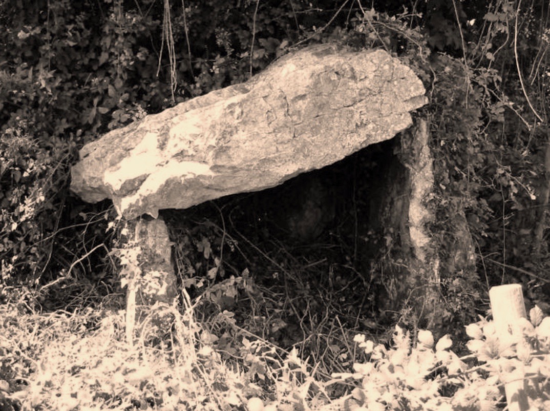
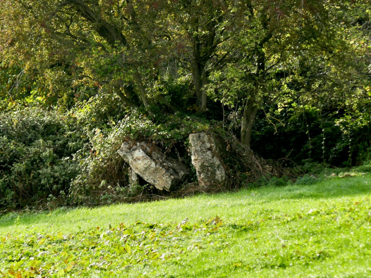
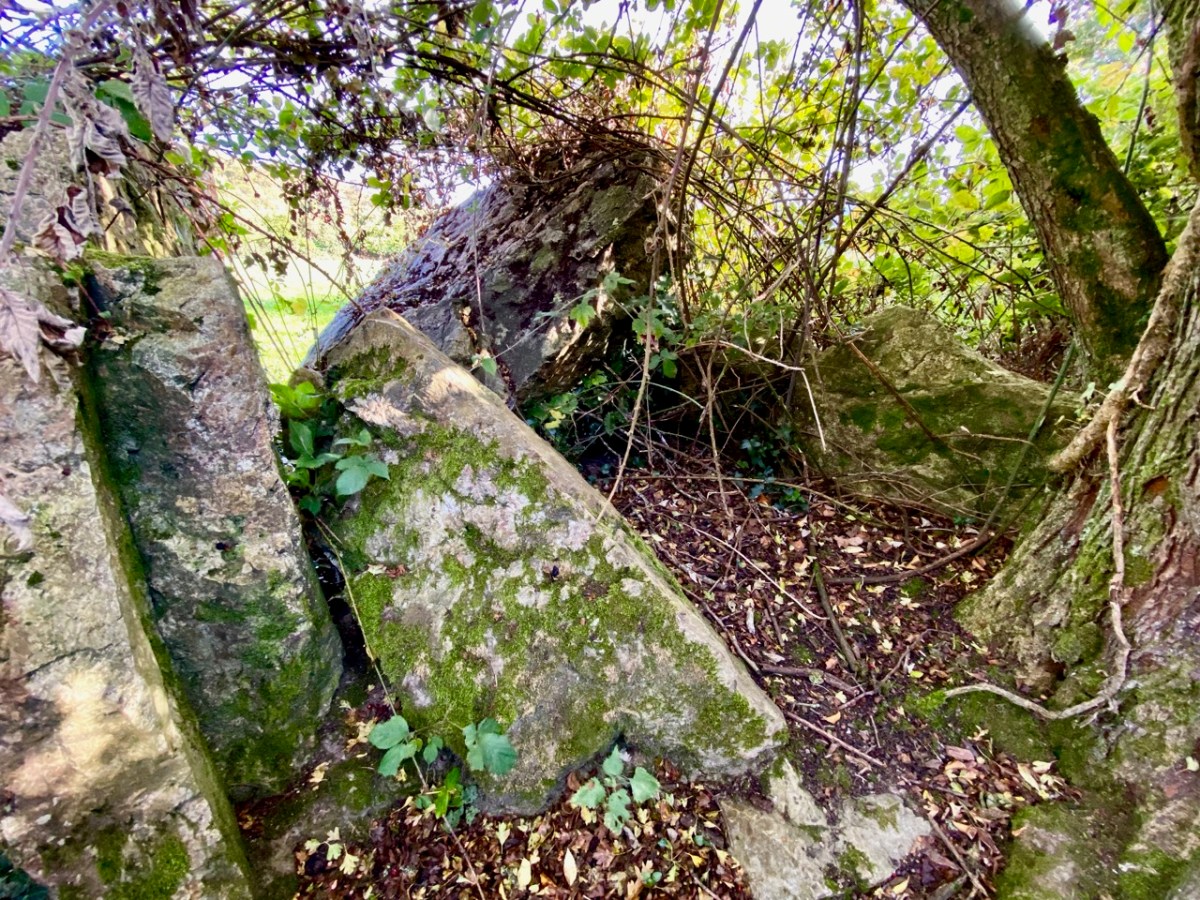
The picture above is taken a little to the west, to show the full skyline profile. The monument is not in good shape: the photo below (courtesy Ryaner via The Modern Antiquarian) shows the tomb in 2006, when the capstone remained intact on its supports. In less than two decades the capstone has fallen, as you can see from our photos taken a few days ago.

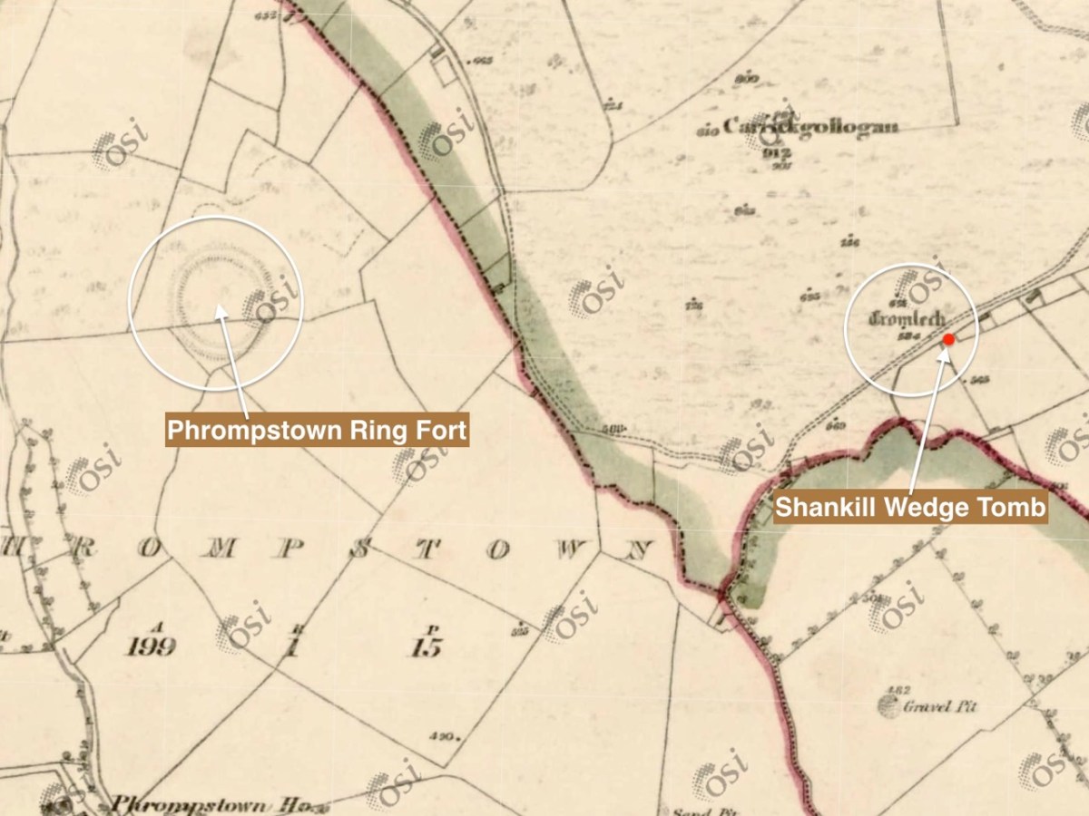
It is quite difficult to penetrate the undergrowth to see what remains of this structure, which probably dates from between 4,000 to 5,000 years ago. It seems a shame that such an ancient survival is not cared for in any significant way by our State. The tomb was recorded (as a ‘dolmen’) by the archaeologist William Borlas in 1897. Just over a century later, it has significantly deteriorated. The extract (below( from the first edition 6″ OS map gives it the title ‘Cromlech’ – and also shows nearby a substantial ring-fort: there is no trace of that remaining today.

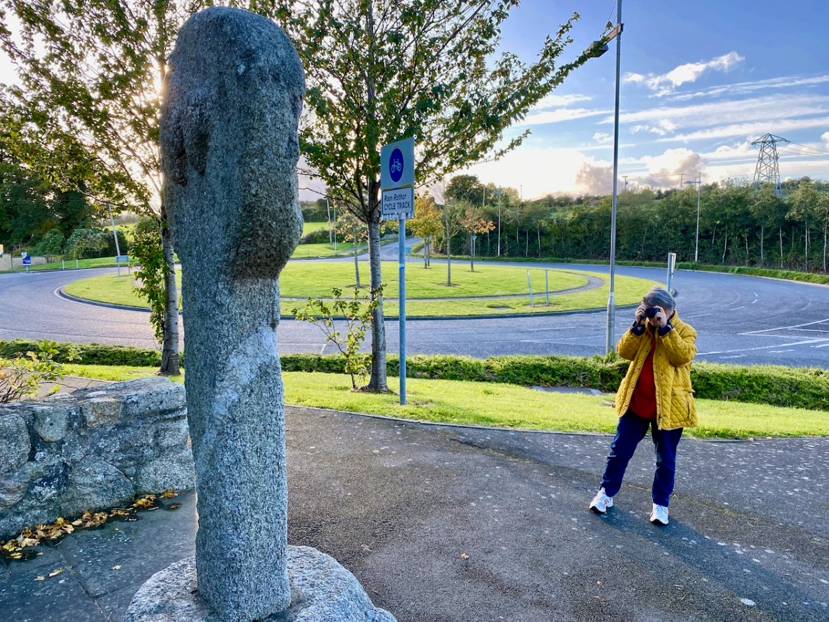
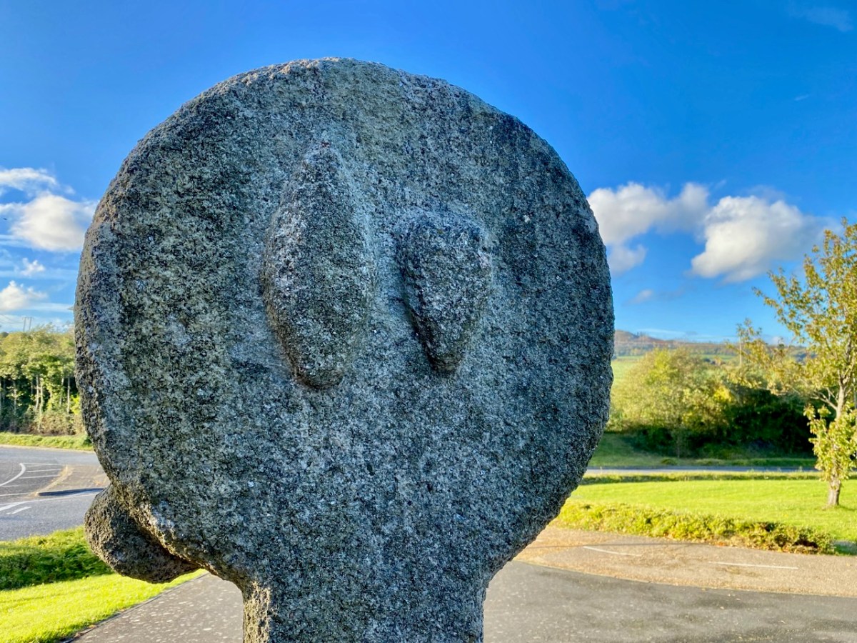
We leap forward about three thousand years for our next archaeological site, but we are only a short distance away as the crow flies – in Fassaroe, Co Wicklow, less than half a kilometre. This was a great discovery for me: a very fine carved cross, likely to date from the 12th century. Although it has been moved from its original site, it is cared for, and easily found right beside a strangely deserted modern traffic roundabout with little sign of habitation nearby.

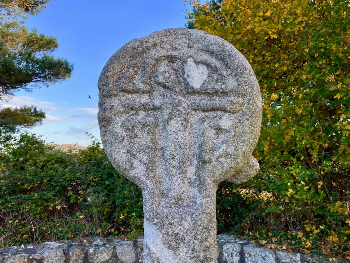
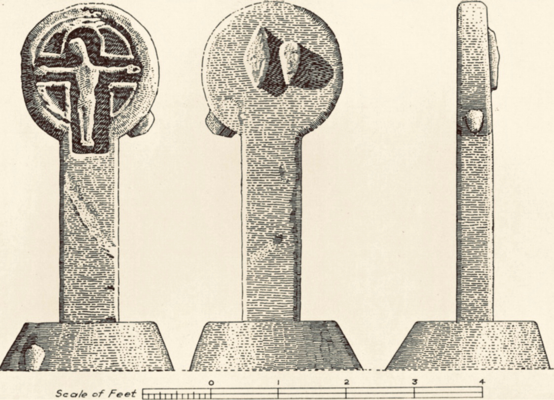
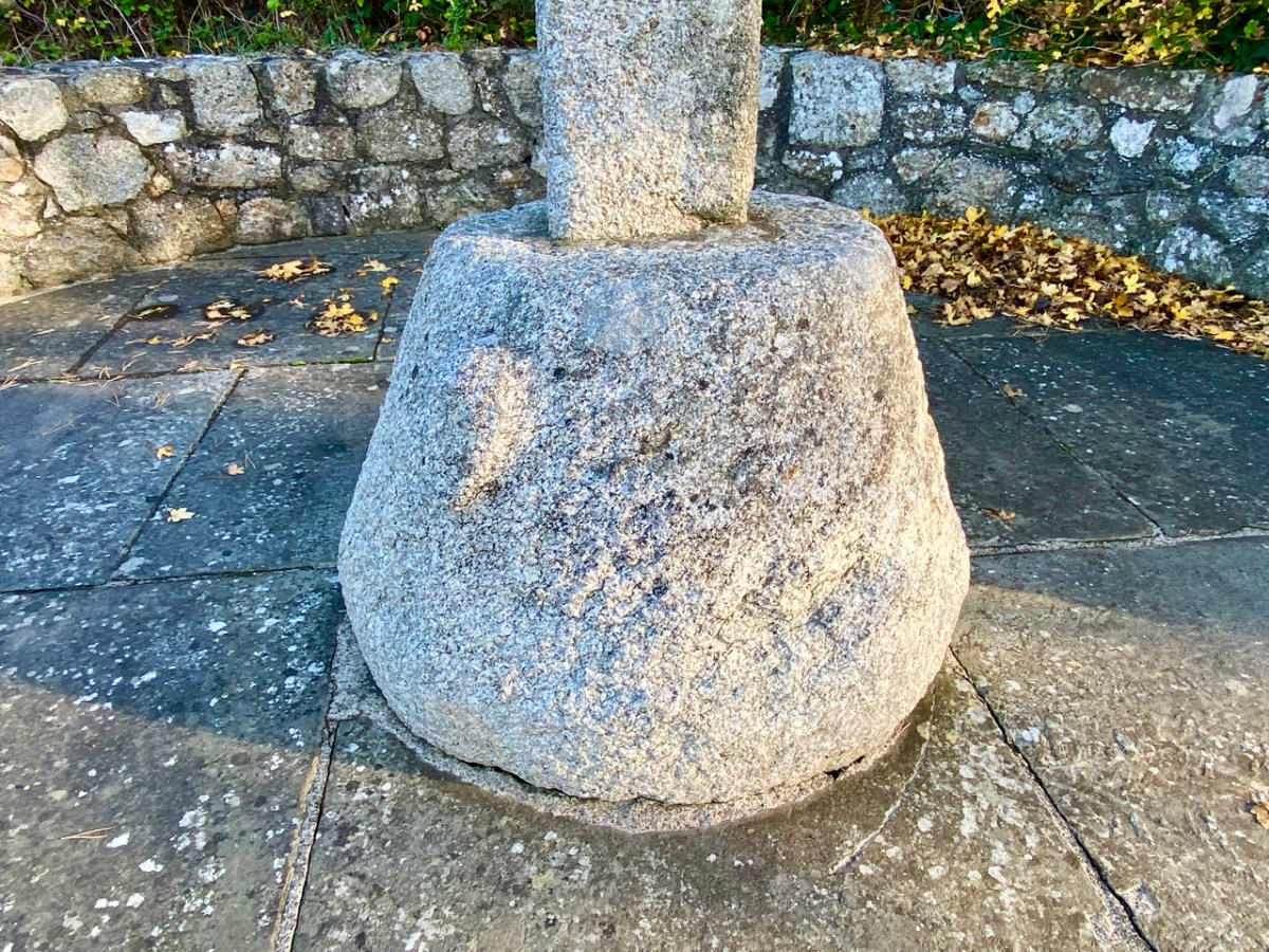
The granite cross face is carved with a crucifixion, but there are also ‘bosses’ on the back, sides and base stone. These are believed to be heads, well worn now but in good light some features can be seen: a pointed ‘ceremonial’ head-dress, and beards.

The clearest view of the carvings (above) is illustrated in The Journal of the Royal Society of Antiquaries of Ireland, Volume 88, 1958. An article by P Ó hÉailidhe discusses this cross and others nearby. The carving is popularly known as St Valery’s Cross as it purportedly came from the nearby demesne of that name. Some archaeologists theorize that it was originally brought to that estate from elsewhere.

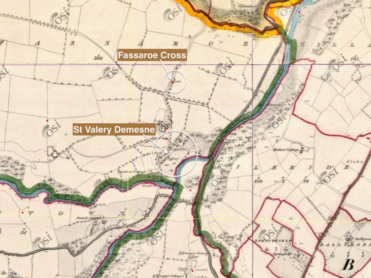
This extract from the first edition of the 6″ Ordnance Survey map (c1840) shows the location of the cross, not far from St Valery.

It’s about 7km from the Fassaroe Cross to the last stop on our journey. We have to head north on a road that takes us through The Scalp.

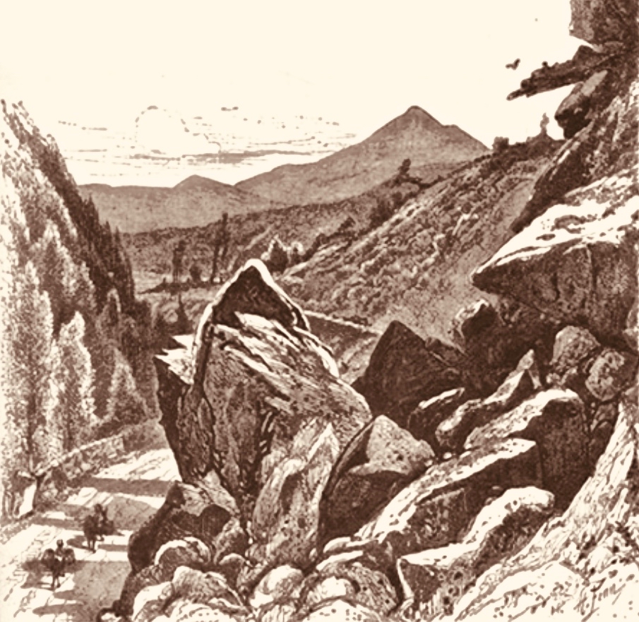
. . . Within an easy drive of Bray is a wild ravine known as the Scalp. The road runs over a shoulder of Shankhill Mountain and through this ravine; it presents a very wild appearance, enormous masses of granite being heaped up in grand and picturesque confusion on either side. It looks as if nature, in order to spare man the trouble of blasting a road, had by some mighty convulsion torn a rent through the mountain just wide enough for a high road . . .

Irish Pictures Drawn with Pen and Pencil, Richard Lovett, 1888

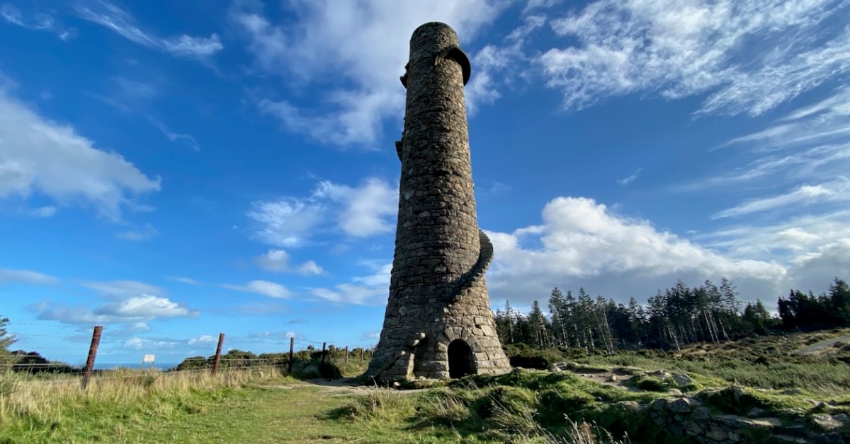
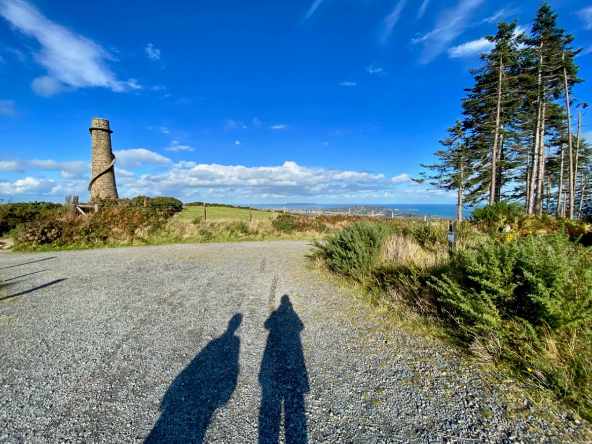
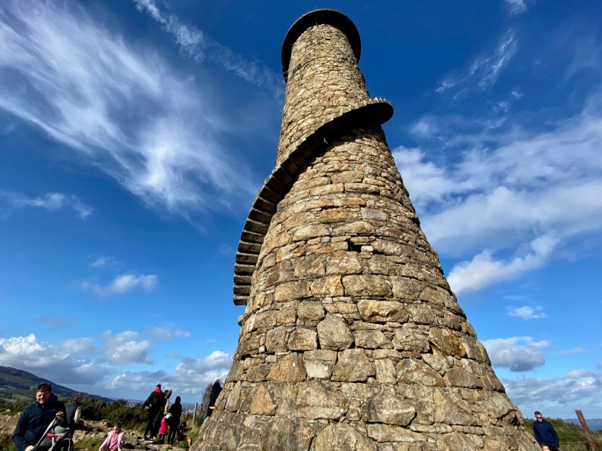
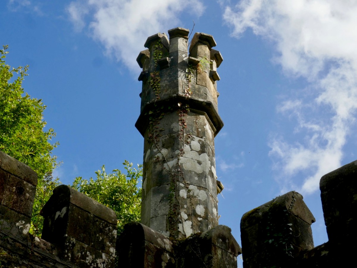
The view above accompanies Richard Lovett’s 1888 account. In spite of the topological interest of the Scalp road, our journey took us on and forward a few hundred years to our last stop – the lead workings on Carrickgollogan hill, Ballycorus townland. The hilltop mine chimney which forms our header picture is a well-known landmark in this part of the country.

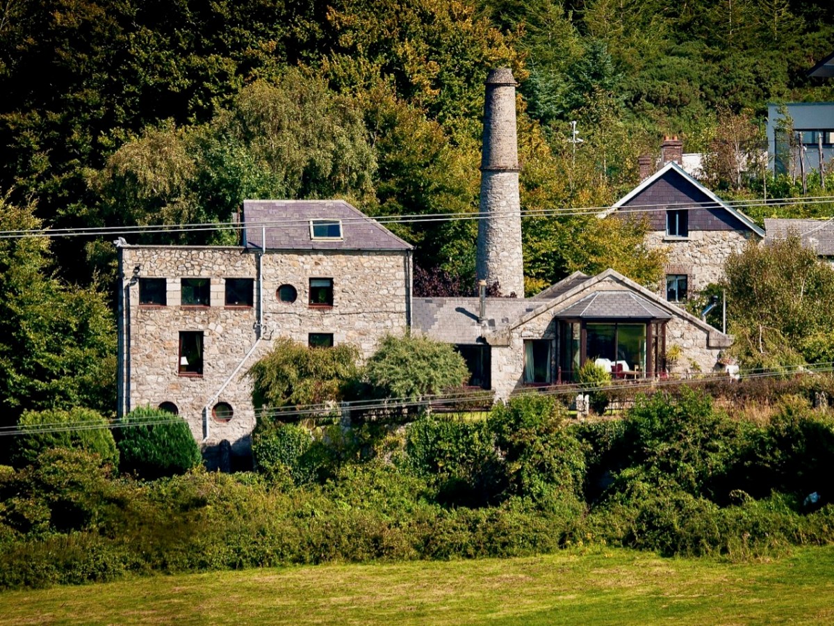
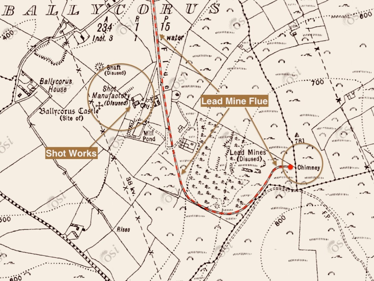
The mine was established in the early nineteenth century. Many of the lead works buildings remain today in the valley below the landmark chimney, mainly converted to modern dwellings: the photo above (courtesy Joe King via Wiki Commons) shows a distant view of the converted buildings and ‘shot tower’. The ‘Shot Works’ can be seen on the 25″ OS extract, above. This also show the location of the Lead Mine flue and chimney, which was the destination of our archaeological journey. That’s us (below) climbing the hill towards the chimney that’s on the 220m contour line, and offers views towards Dublin Bay.

Open-cast mining commenced in 1807. The Mining Company of Ireland took over the site in 1826 and began to carry out underground extraction. A 2 km long flue (shown in red on the map above) was laid out from the smelting facilities to the great chimney at the summit of the hill. You might think this was an acknowledgment of the poisonous fumes which lead working released, and an attempt to divert those fumes from the main site – but no!

. . . A process had been discovered in the 1770s whereby additional quantities of lead could be extracted from the fumes emitted by reverberatory furnaces if the vapours could be trapped long enough to precipitate the lead. To this end a flue 2 kilometres long running from the lead works and terminating at a chimney near the summit of Carrickgollogan was constructed in 1836. The precipitated lead deposits were scraped out of the flue by hand and many of the workers subsequently died of lead poisoning, giving the surrounding area the nickname “Death Valley”. . .

Wikipedia

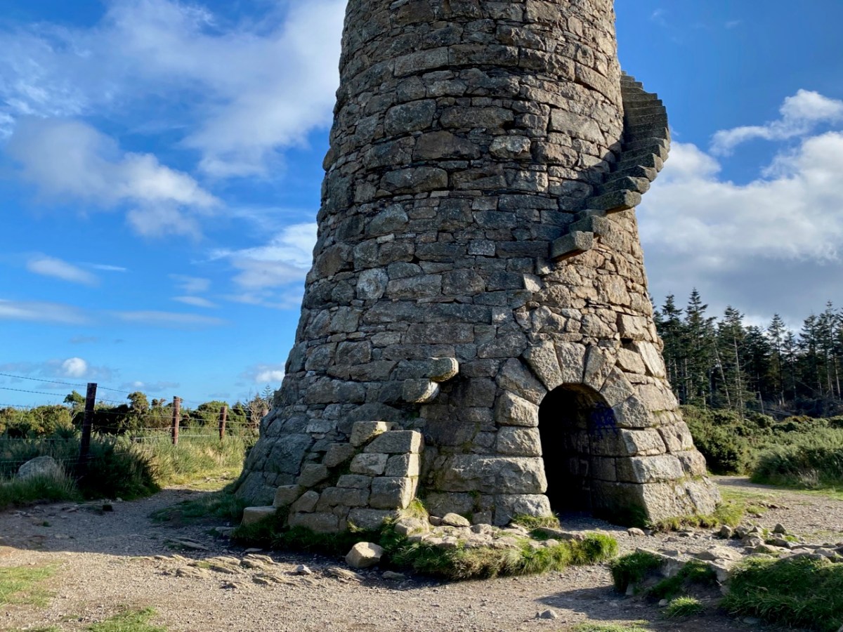
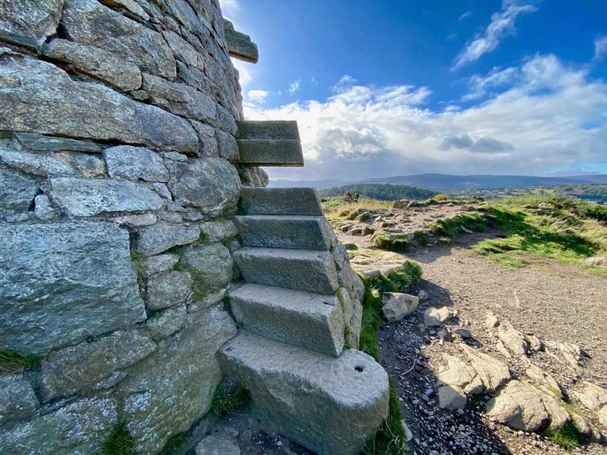
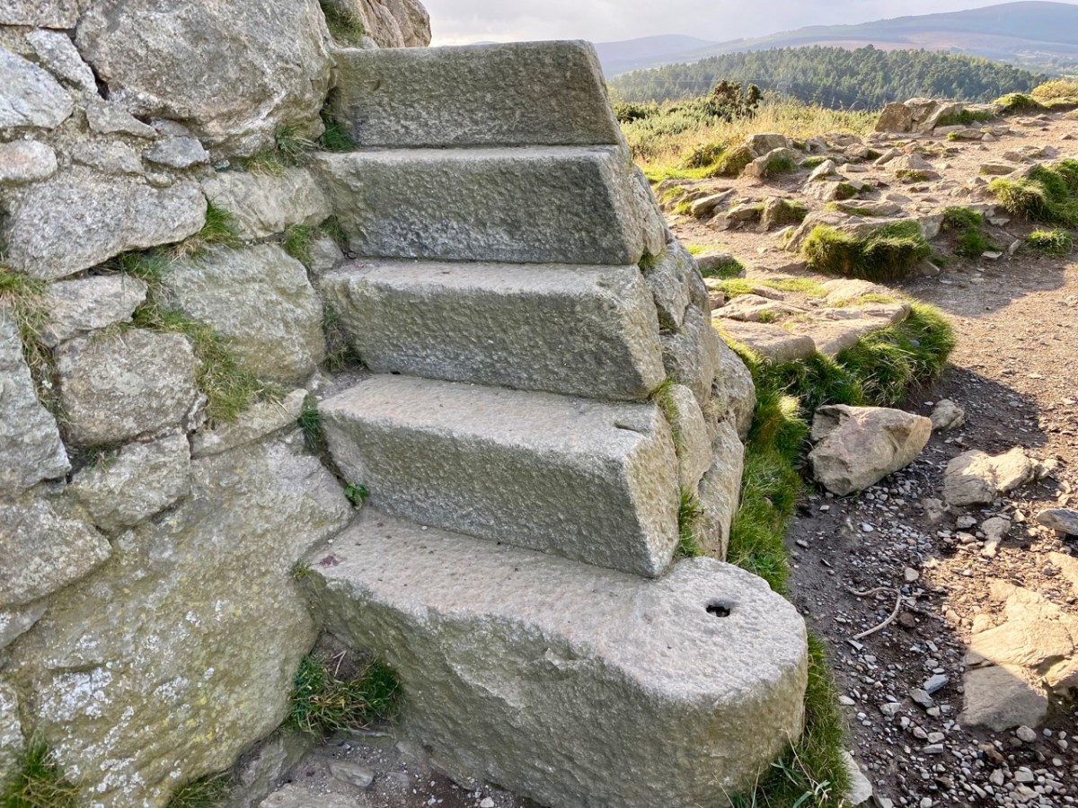
The lead mine chimney remains – although a brick upper section was removed in the twentieth century for safety reasons (see lower picture) – and so does much of the enclosed flue. A public trail follows its course to the top of the hill. The remaining chimney is a fine granite structure, in reasonably good condition. It’s certainly much visited: Finola – who grew up in Bray – has fond memories of cycling out there with her two brothers, and finding ways to climb part way up the spiral staircase which accessed a viewing platform, in spite of key parts of the stair structure being missing!

All three examples of archaeology we have studied today have one thing in common: they are constructed of local granite. Thousands of years separate the oldest and the most recent, but the inherent strength of the material has ensured survival, at least in part. As with West Cork and all other parts of Ireland, the temporal history is rich, and much of it is largely intact. We have so much more to explore!

Portobello

We have been spending a little time over on the east side of the country, not too far from Dublin. We like exploring, and the built-up areas have much to offer in terms of history so I’m returning – for a brief moment – to one of my favourite subjects: the canals of Ireland. You may remember my forays back in 2016 to seek out the journeys taken by L T C Rolt seventy years before that, and recorded in his classic book Green & Silver. You can find all those posts here. Earlier this year I added a further post to the series, examining in greater detail the meeting of the waters of Grand and Royal Canals, within Dublin. Today I’m simply concentrating mainly on one place, to the south of the city: Portobello.

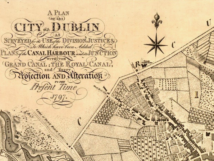
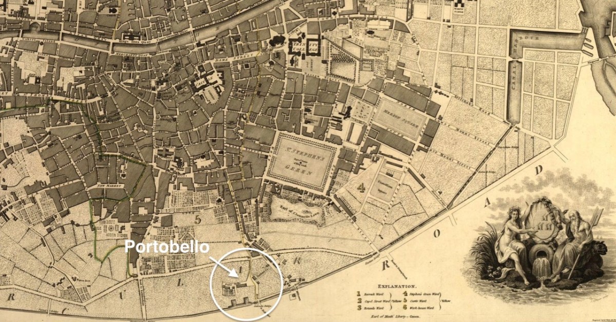
This wonderfully drawn map (the two extracts above) dates from 1797, and was complied by William Faden (1749-1836) and Samuel John Neele (1758-1824): it was published in London and Dublin. You can see from it that the Grand Canal at that time virtually created the southern boundary of the city, with the canal basin at Portobello being a significant location to serve the growing conurbation south of the River Liffey.

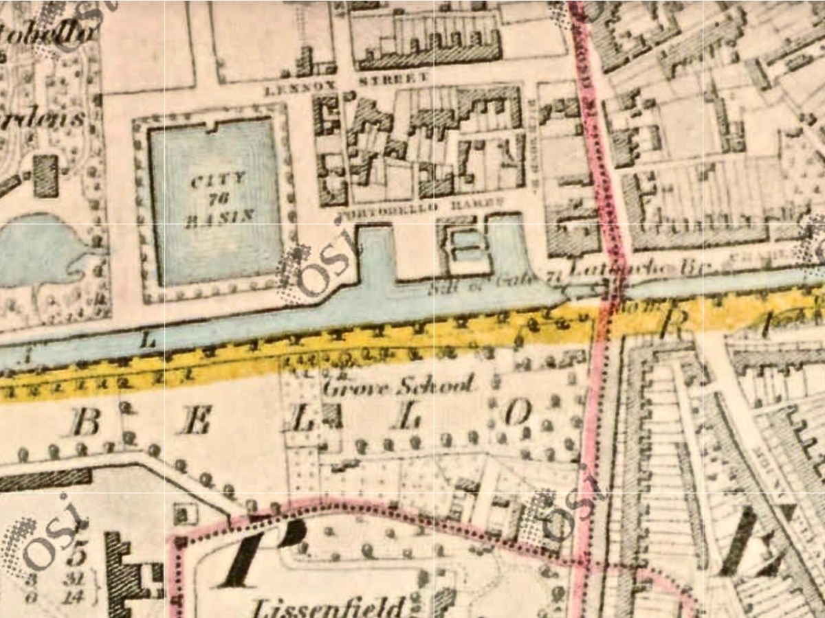
This extract from the 6″ first edition of the Ordnance Survey shows Portobello Harbour with its significant warehouses, the ‘City Basin’ and a lock and bridge – known as La Touche Bridge. We have encountered the La Touche family in an earlier post – Glen of the Downs – and learned there that the family had built a big house – ‘Bellevue’ – on their estates near Greystones and Delgany.

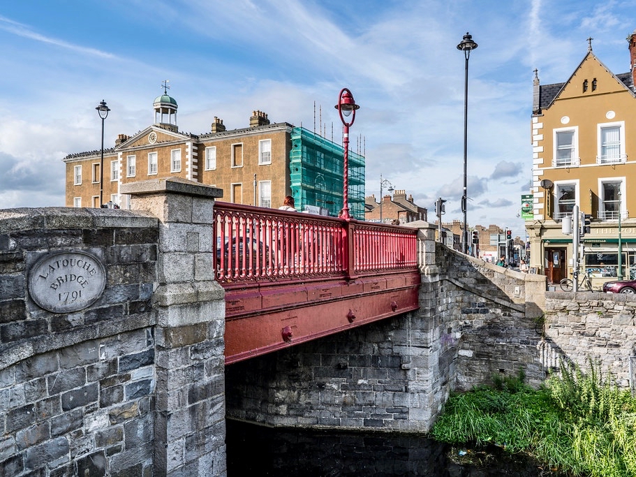
The bridge (photo courtesy of excellentstreetimages.com) was named after William Digges La Touche (1747–1803), a director of the Grand Canal Company. The waterway was, of course, an important business venture in its heyday, contributing to the prosperity of the city merchants. Prior to its construction the area was farmland, and the name Portobello is said (curiously) to have come from the Irish Cuan Aoibhinn, meaning ‘beautiful harbour’. Note the ‘City Basin’ marked on the OS map: this was used from 1812 to provide a drinking water reservoir for the south side of the city. In the 1860s the water was found to contain a high concentration of sulphuric acid, and this source was eventually superseded by the new reservoir at Dartry, in Co Wicklow.

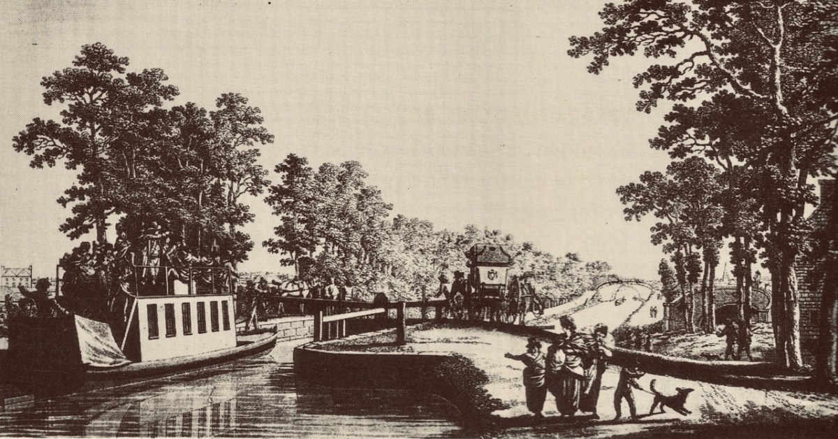
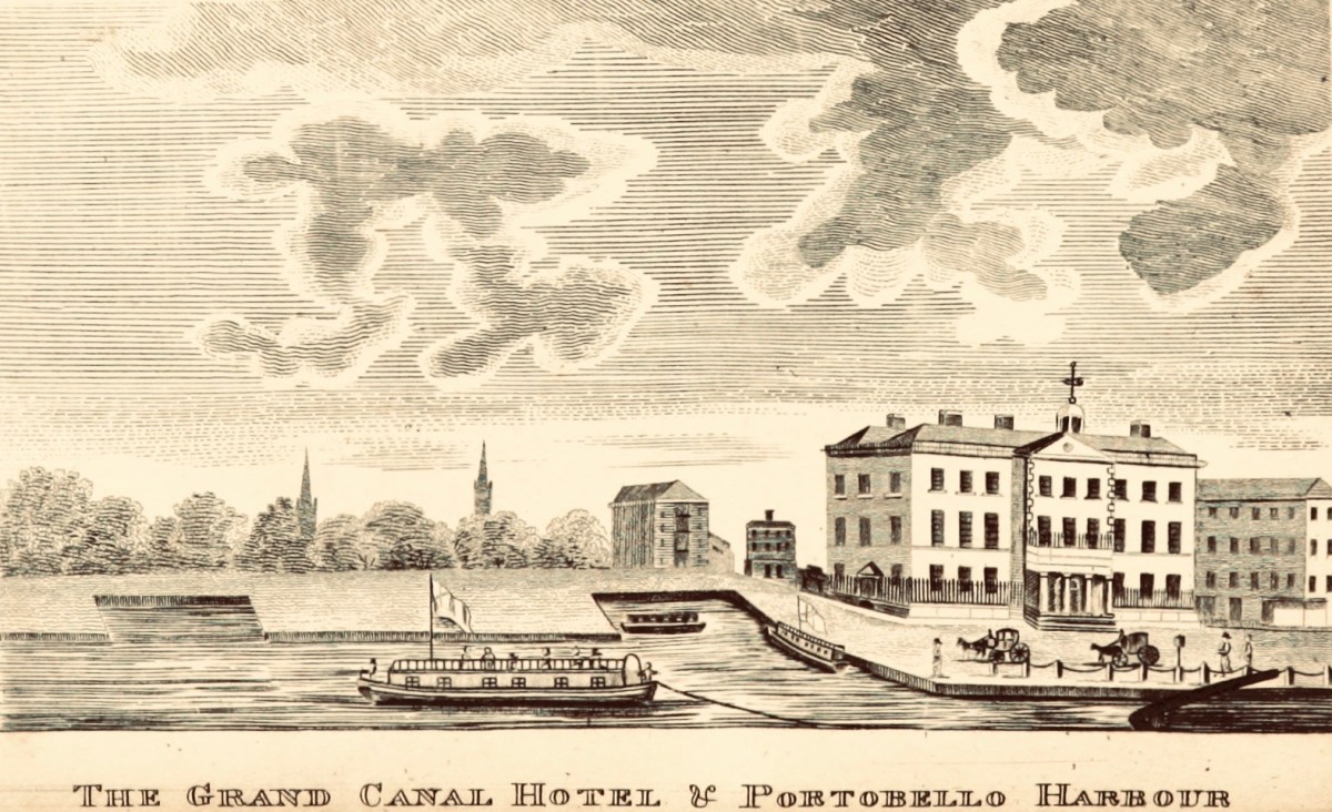
This is a fine early print of the Harbour, showing the Grand Canal Hotel designed by James Colbourne and opened in 1797. In the foreground is a passenger or ‘packet’ boat. We might forget how important the transport of people was in the early days of canal transport, before the advent of railways (see Trollope’s account in my post here): roads were often in a poor state and the boats provided a smooth – if not exactly speedy – way of getting about.

…the company’s hotels were simply the posting houses of this water-road …There was considerable interchange of passenger as well as goods traffic at Shannon Harbour. Travellers changed here from the Dublin passage boats into Bianconi’s ‘long cars’ which operated between Birr, Shannon Harbour and Athlone in connection with the boats. Alternatively they might board the paddle steamers The Lady Lansdowne or The Lady Burgoyne which plied between Killaloe pier head and Athlone, calling at a jetty on the river near the mouth of the canal. Smaller craft sailed from Killaloe pier head to the transatlantic port of Limerick, and so the Grand Canal became a link in the route between Dublin and America…

L T C ROLT, Green & Silver, 1949

The hotel at Portobello was one of five constructed along the length of the Grand Canal: all were fine buildings – probably state-of-the-art in terms of accommodation for travellers by water. You will find a post which I wrote about them here. On the header picture is a view of a packet boat at Harcourt Lock, and you can see a stage-coach there waiting to transfer passengers. The Portobello hotel closed in 1835 but the building has survived to the present day through many incarnations.

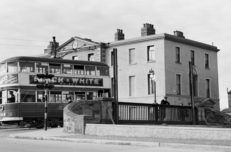
This is a great photo if you are a transport history enthusiast! It must date from the 1940s, as the Dublin tram system declined at that time, the last one in the city being phased out on 9 July 1949. The bridge and former canal hotel are clearly seen.

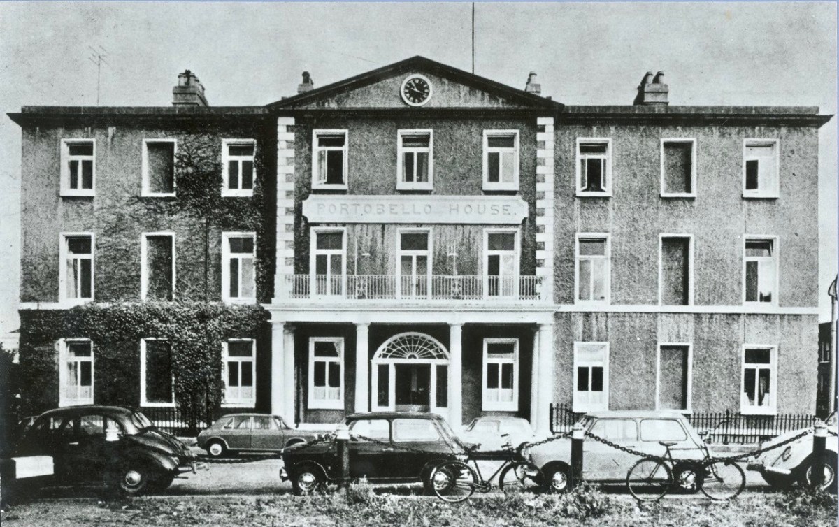
Portobello House – the canal hotel in the 1960s. Some fine classic cars in this picture! At this time it was a nursing home: one of its elderly residents was Jack B Yeats, the celebrated Irish painter who currently has a major exhibition in the National Gallery.

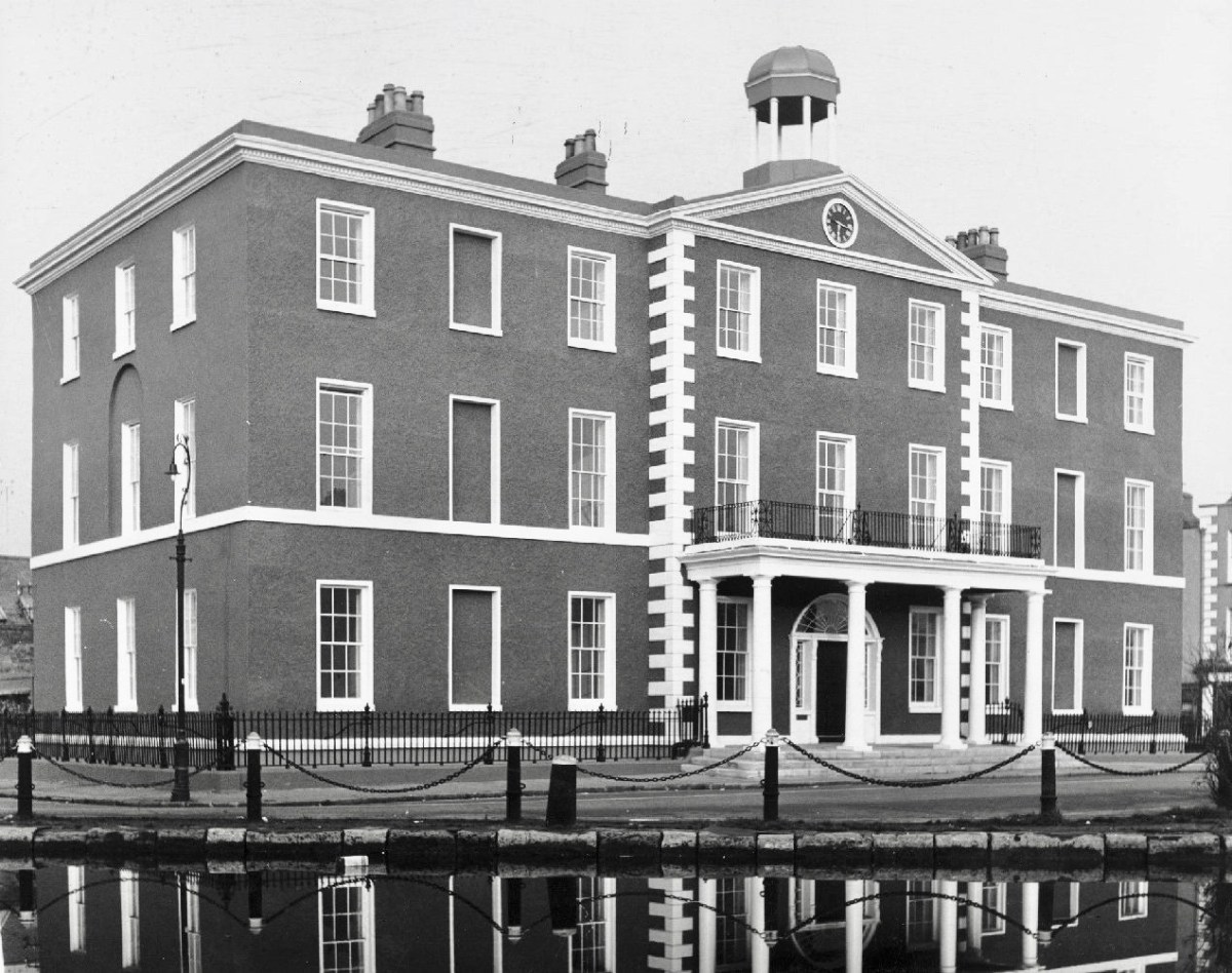
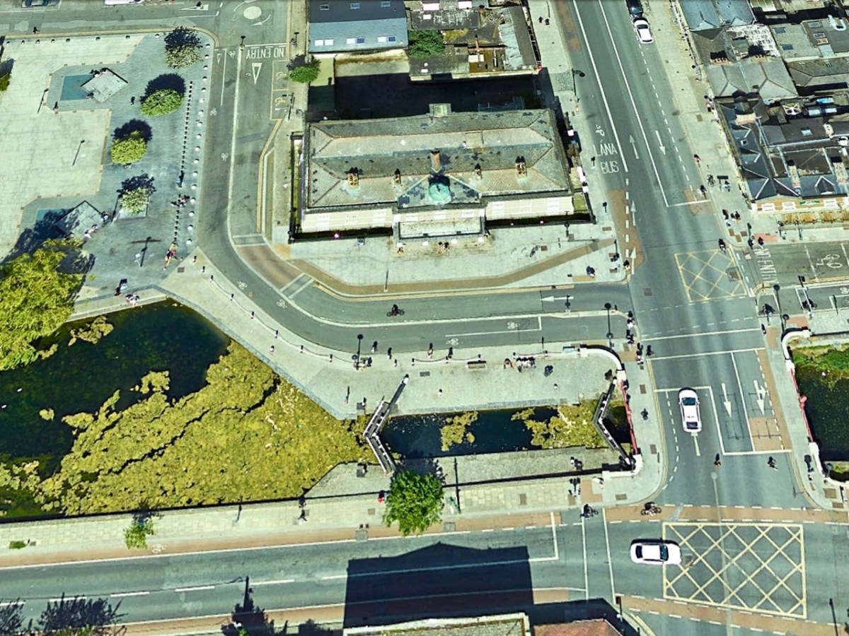
The former canal hotel was completely refurbished in 1972 (the photograph above dates from that year) and survives today – in good order – as a private educational establishment. Here it is again (below), as you’ve never seen it before – through the eagle-eye of Google Earth!

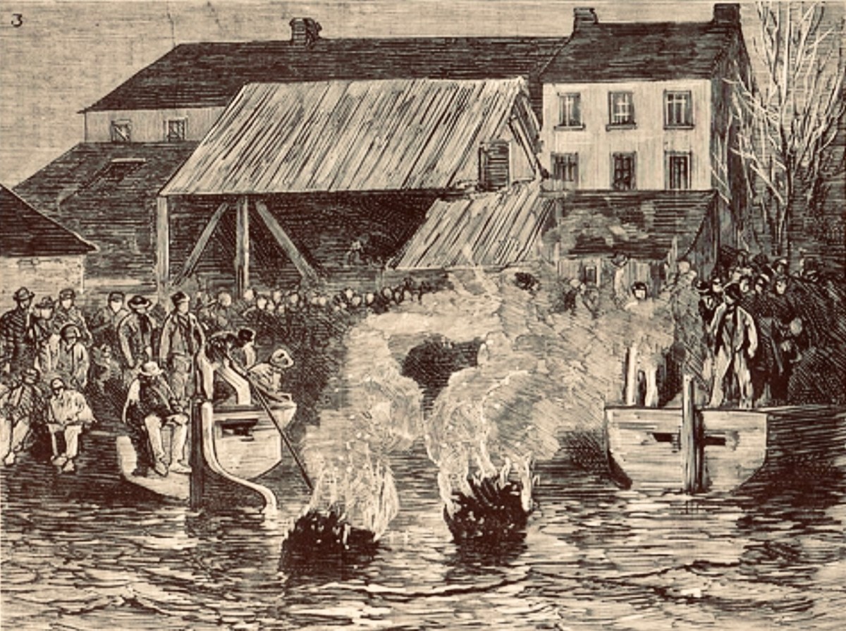
I can’t resist finishing with this plate from from The Graphic, a British weekly newspaper set up to rival the popular Illustrated London News. Published on May 13, 1882, this shows “. . . the lighting of tar-barrels in Portobello Harbour, on the Grand Canal in Dublin, to celebrate the release from prison of Charles Stewart Parnell and two colleagues . . .”

West Cork Villages and Towns – Skibbereen

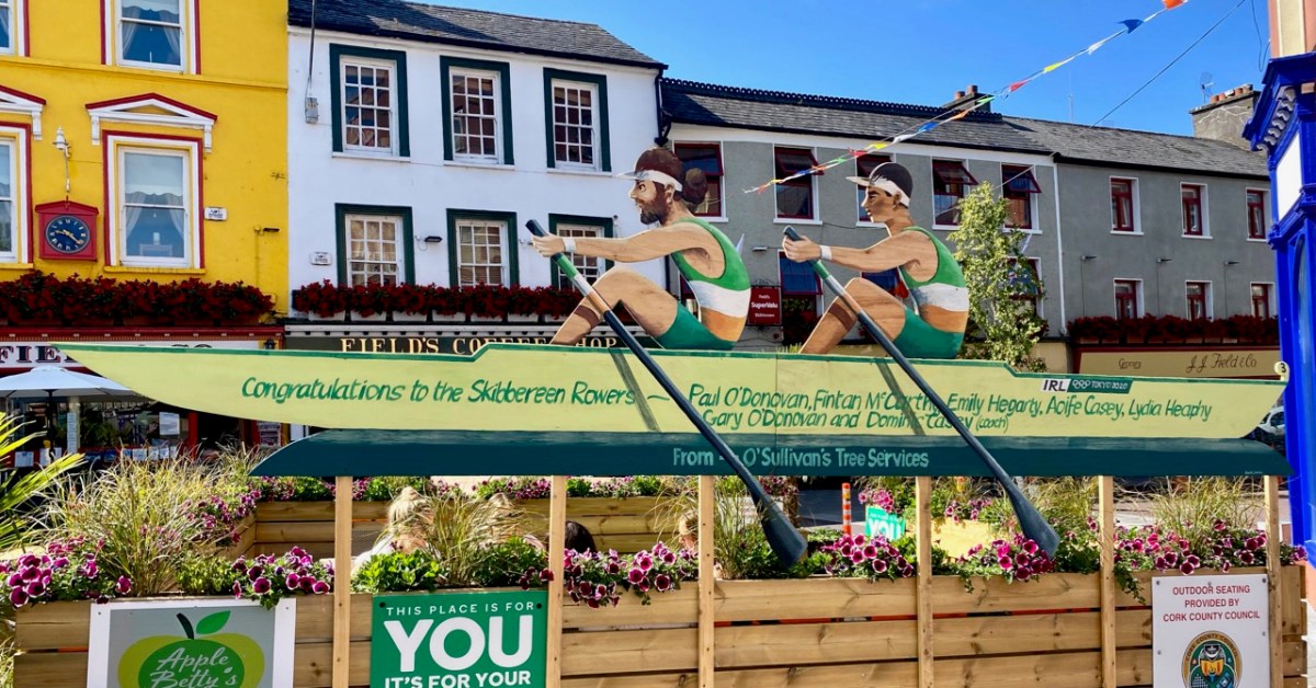
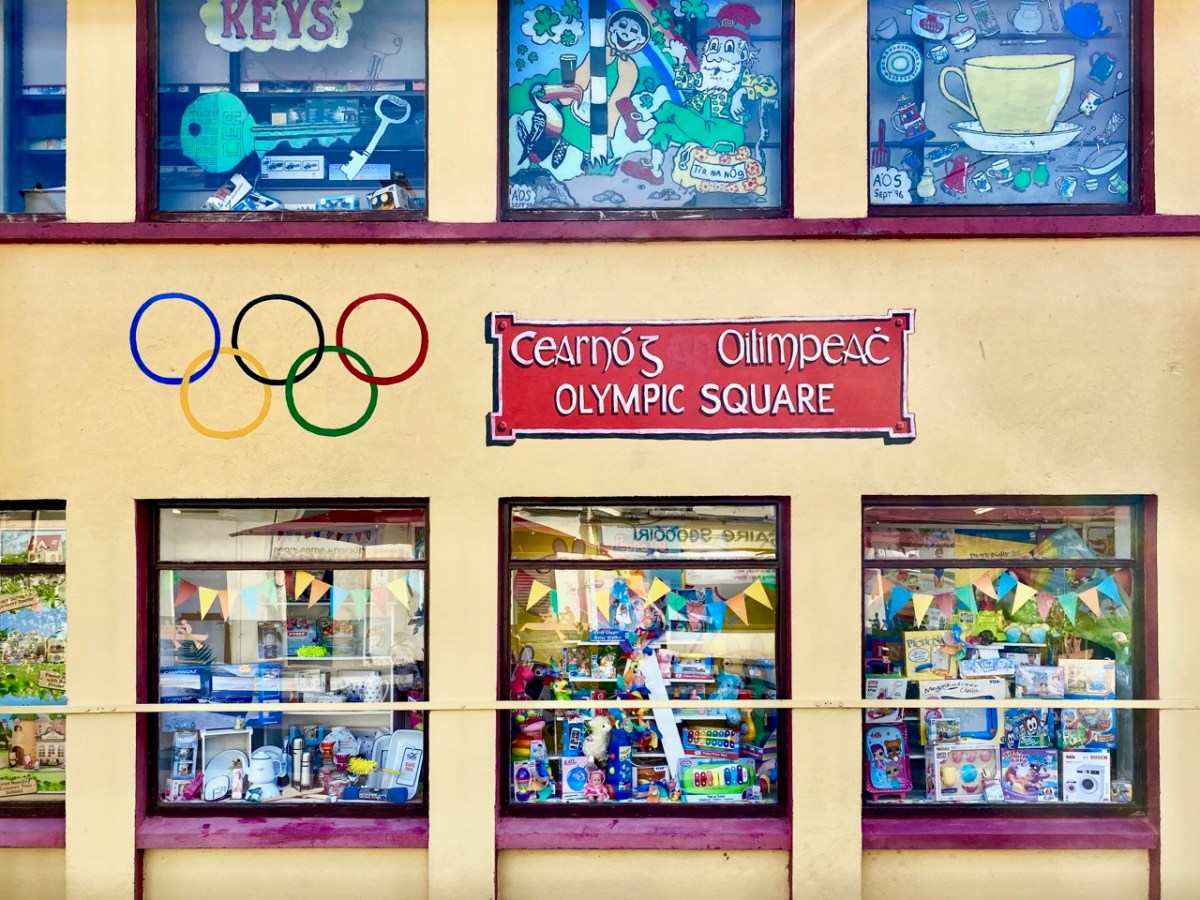
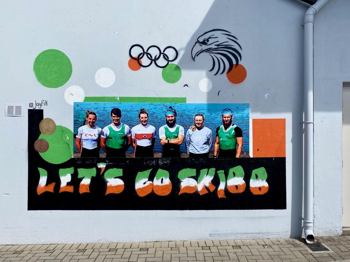
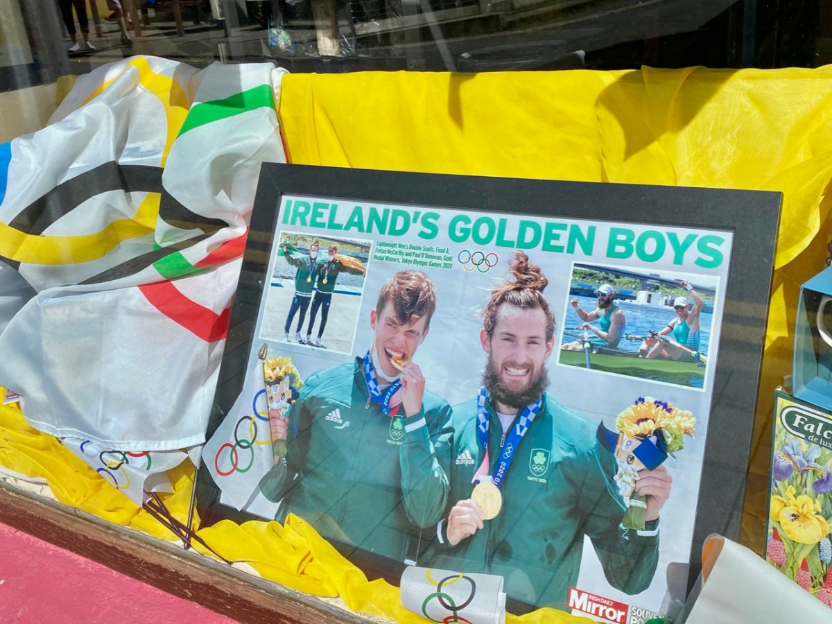
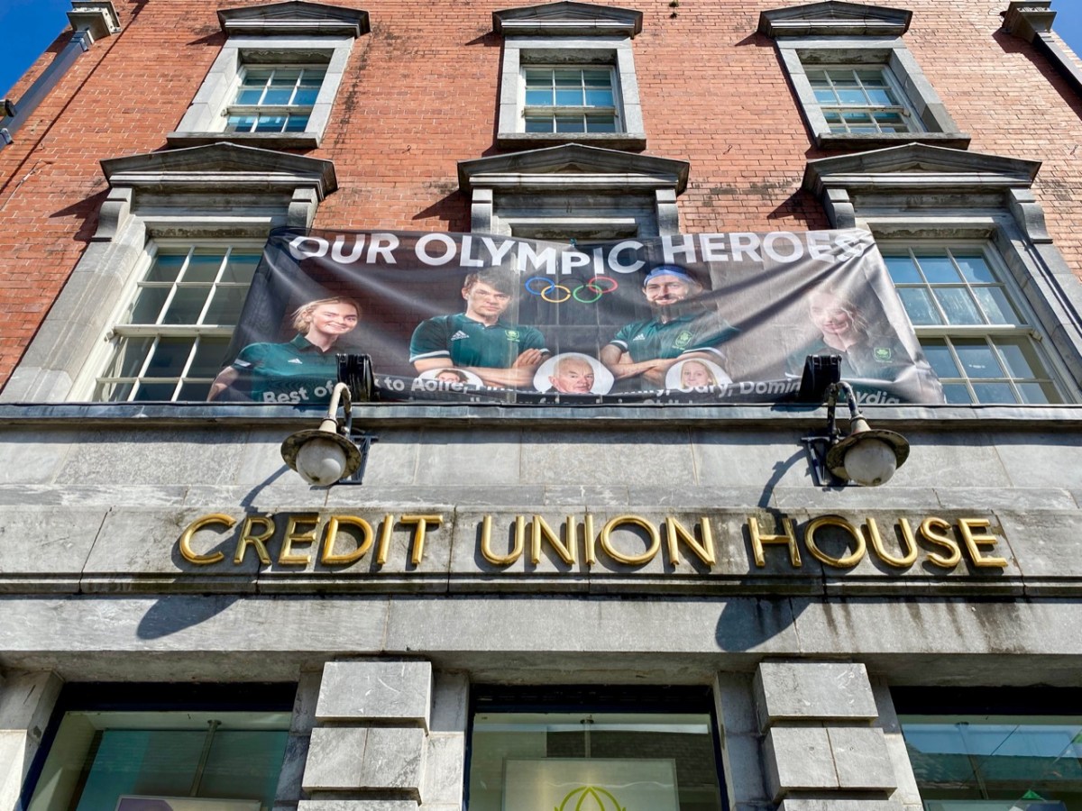
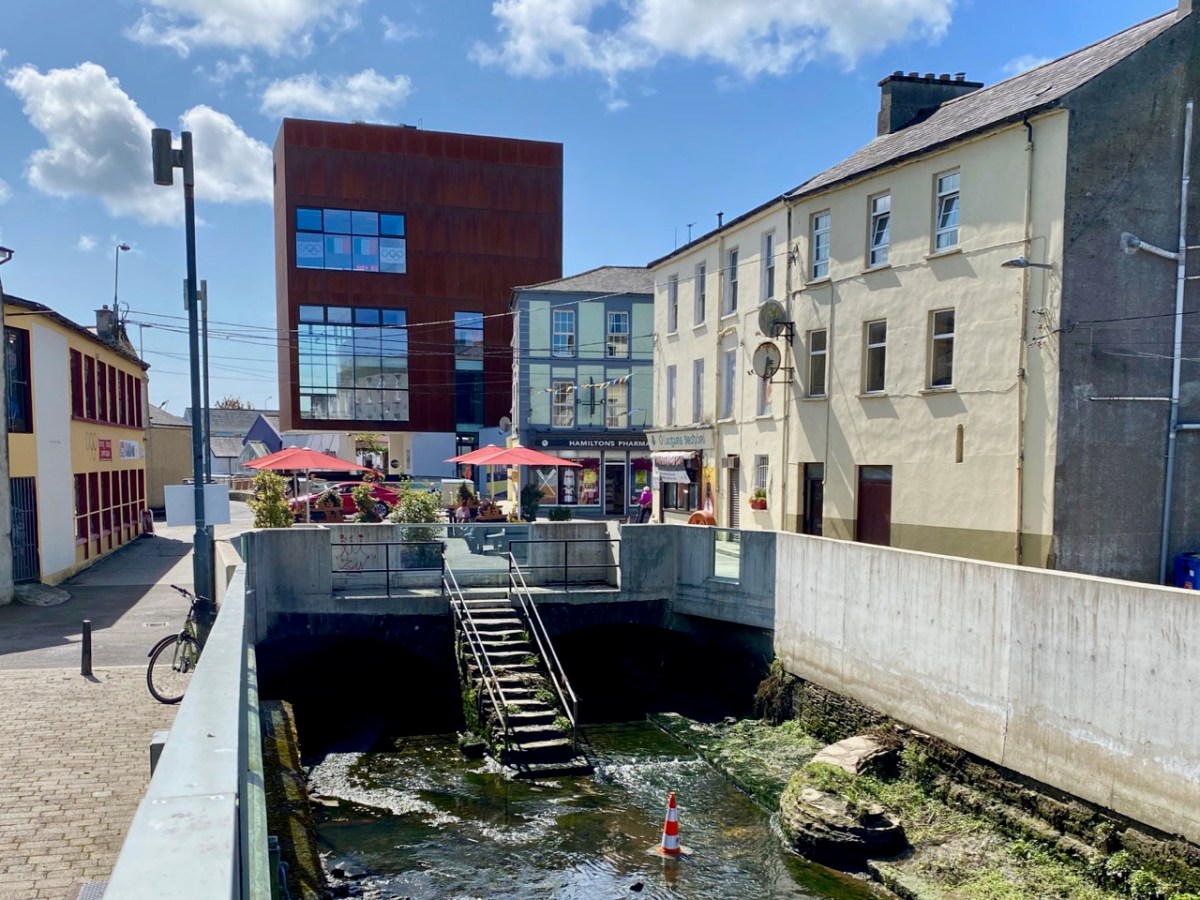
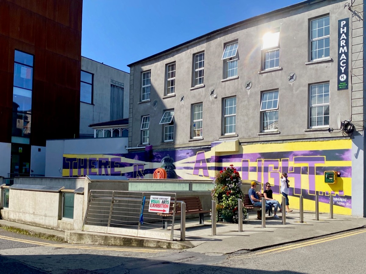
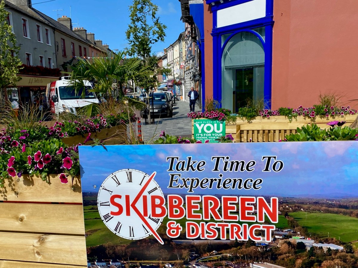
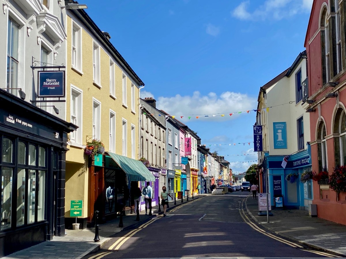
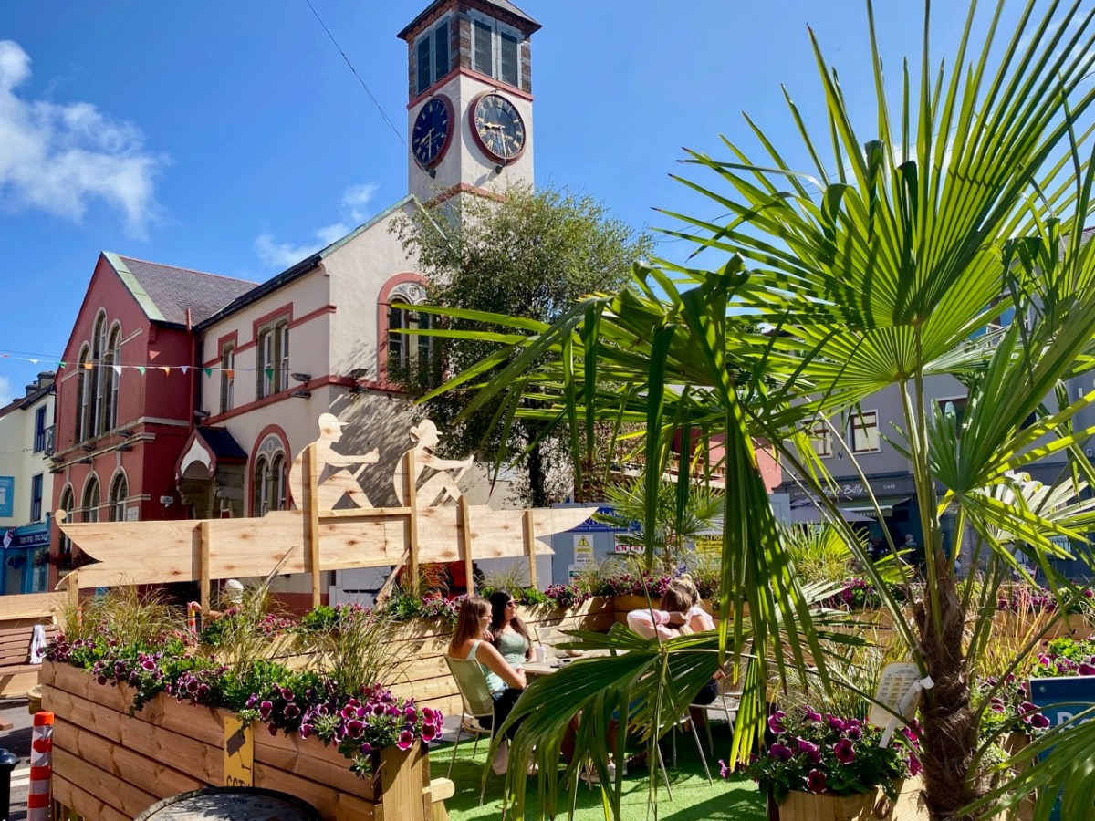
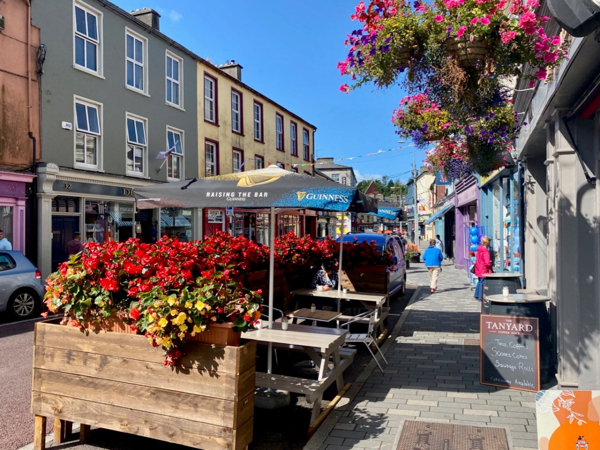
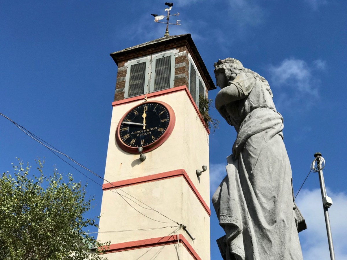
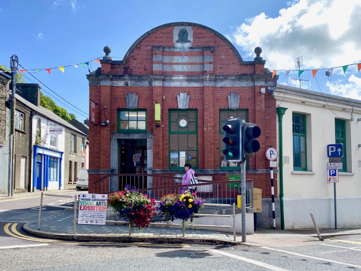
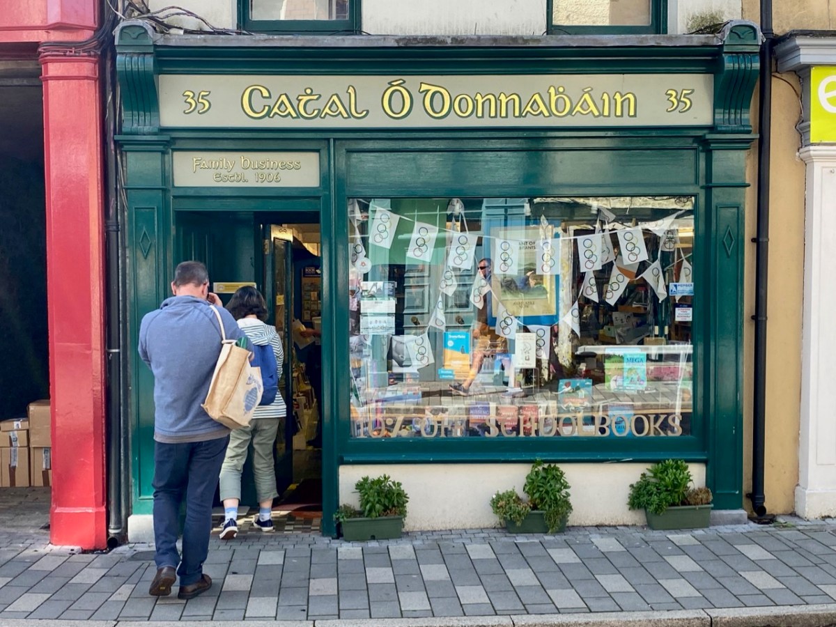
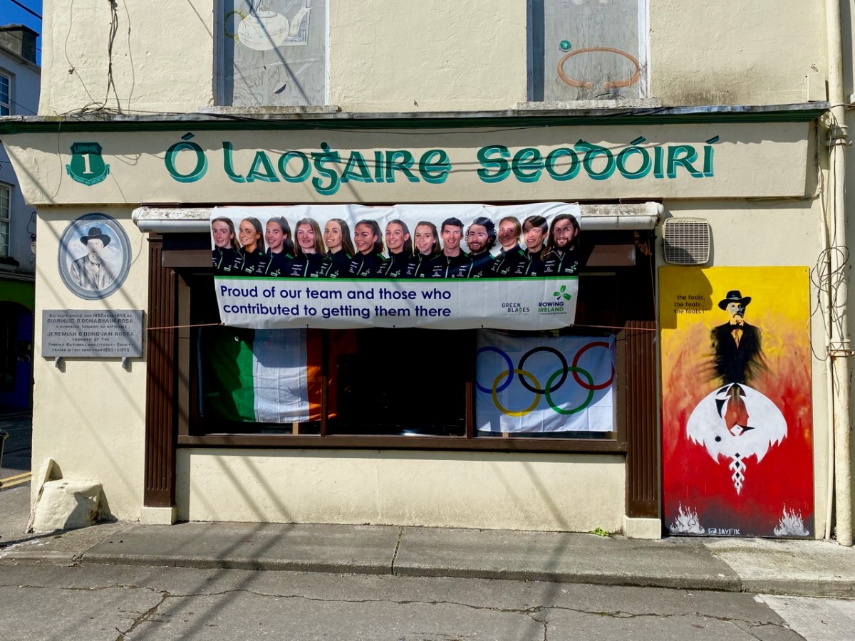
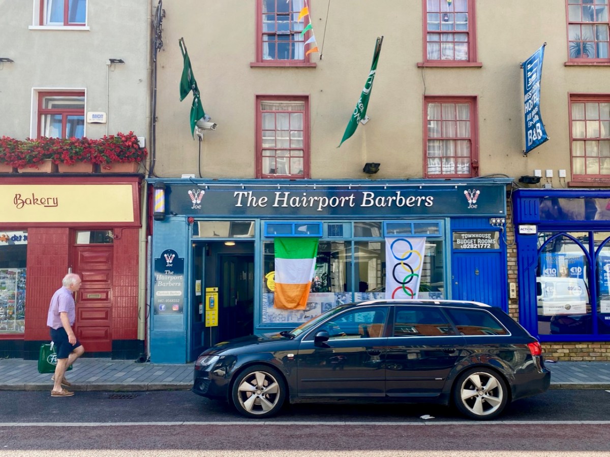
It was an ‘odd’ Olympic year – 2021. Firmly etched in my mind is the knowledge that years in which Olympic Games are held – like leap years – are divisible by 4! This one was different, because of Covid. But that didn’t prevent Ireland producing its heroes: gold for rowing and boxing, and bronze, also for rowing and boxing: a total of 8 sports heroes bringing medals home. If you will forgive the pun, the small country of Ireland punched well above its weight! All the rowers trained at the Skibbereen Rowing Club in West Cork, under the expert eye of their coach Dominic Casey. No surprise, then, that the town was in celebratory mood for weeks after the event, as you can see from many of my photographs, taken around the town at the end of August.
The town, from its situation in a wild, unenclosed part of the country, has frequently been the rendezvous of disaffected parties, but it has been much improved of late years, and is now a very flourishing place. It is situated on the southern bank of the river Ilen, and comprises seven streets; that part which extends into the parish of Abbeystrowry is called Bridgetown, and consists of three streets, one of which has been recently formed. The number of houses in the whole town is 1014, many of which, in the eastern part and in the parish of Creagh, are large and well built: the approaches have been much improved by the formation of new lines of road at each extremity . . .
LEWIS TOPOGRAPHICAL DICTIONARY OF IRELAND 1837

It’s interesting that Lewis – in 1837 – describes the number of houses as just over a thousand. He also states elsewhere that there were 4,429 inhabitants in 1691: in the 2011 census the town recorded a population of 2,568.

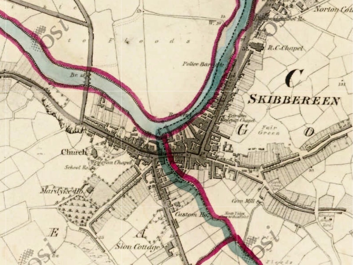
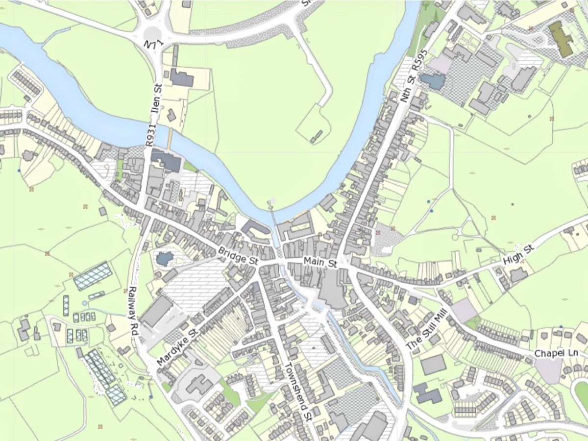
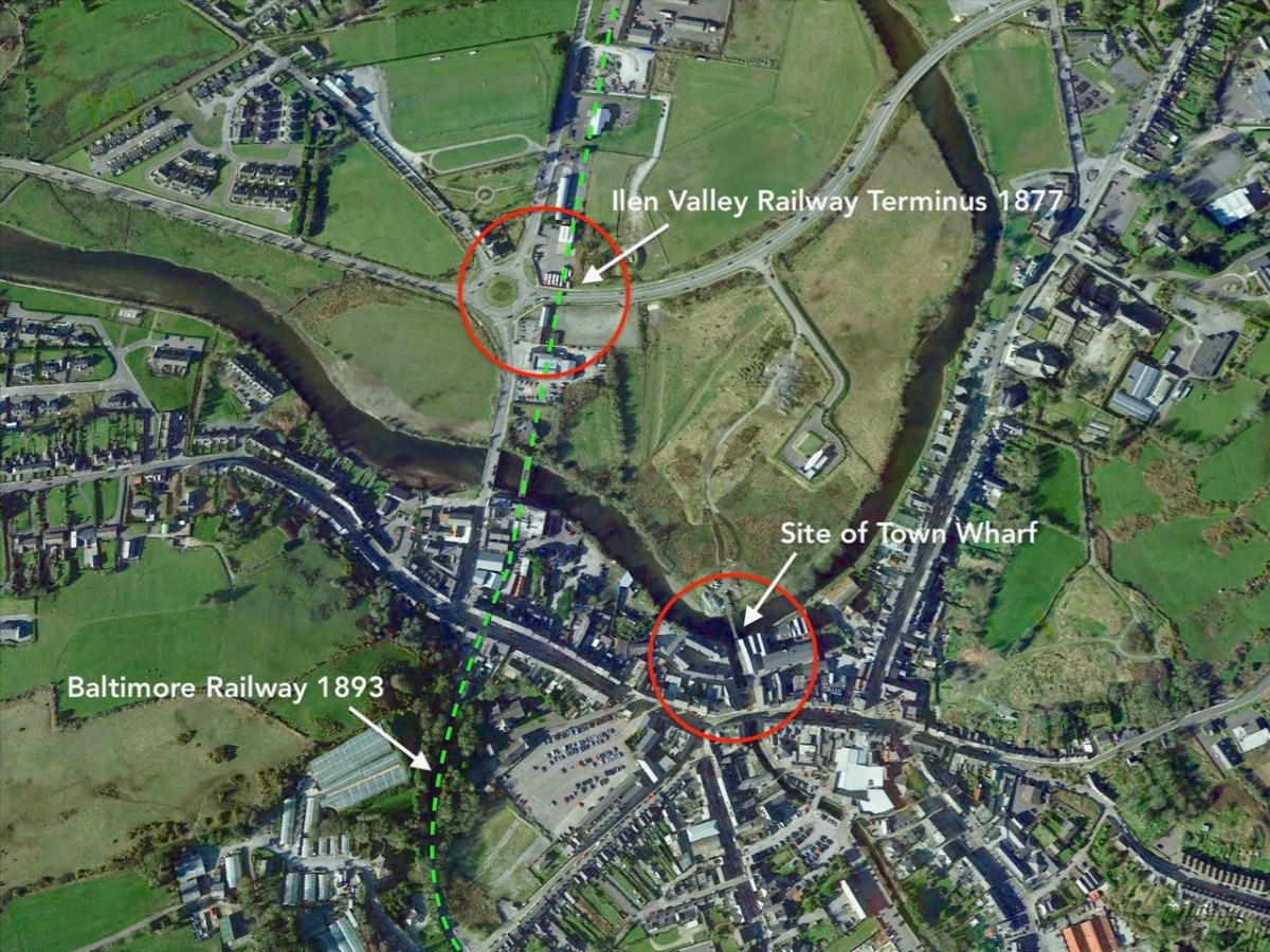
The first edition of the Ordnance Survey 6″ map was produced around 1840, just after the Lewis Topographical Dictionary was published. From the extract above, the layout of the town we know today had been broadly established by then. Compare this to today’s OS map (below) and the annotated aerial view.

There are a few theories as to the earliest origins of the town. Oft quoted is the story of the survivors from the sacking of Baltimore by Barbary Pirates in 1631 having moved upriver to found, or expand, the settlement that is now Skibbereen. It is likely that there was already a community on this part of the river, which was tidal and probably easily navigable up to its sheltered reaches at this point: at one time there were no less than five quays, warehouses and a Customs House within the town – this post will tell you more.
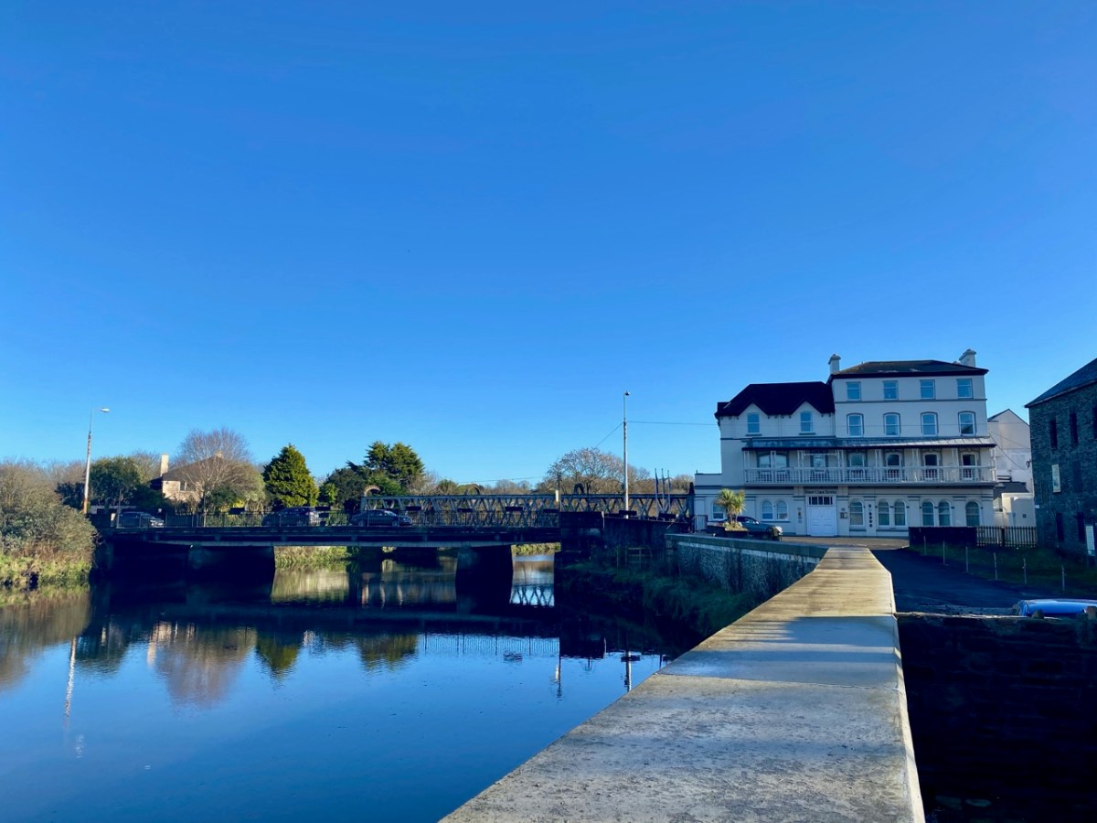
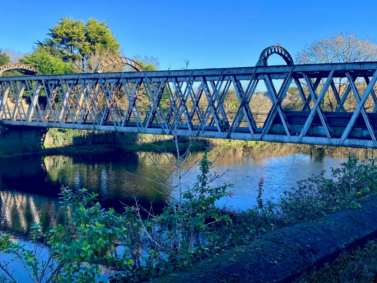
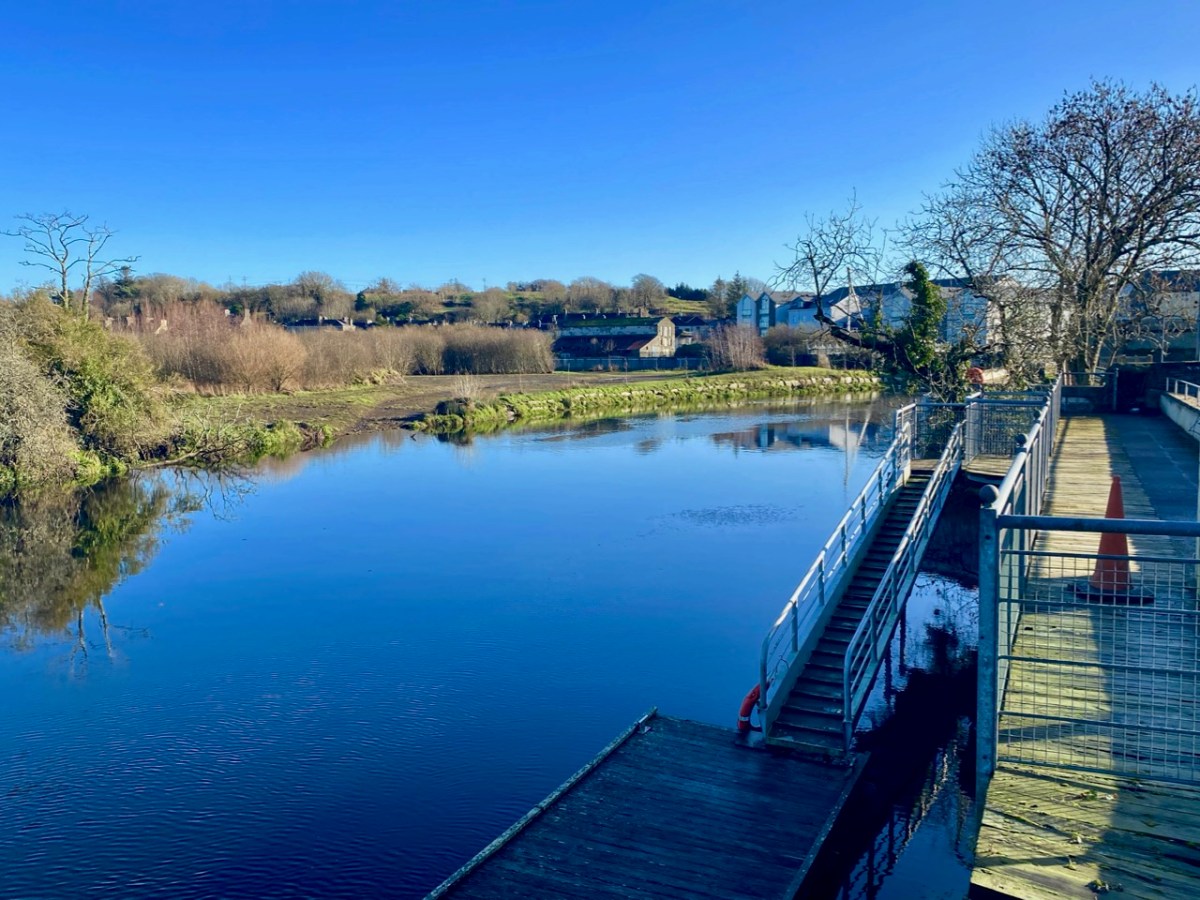
Skibbereen today is defined by its river – as it always has been. The waterside deserves a bit more attention – and is being opened up a little in some of the new civic improvement schemes that have been enabled by major flood relief works in the town. There are many opportunities yet to be explored.
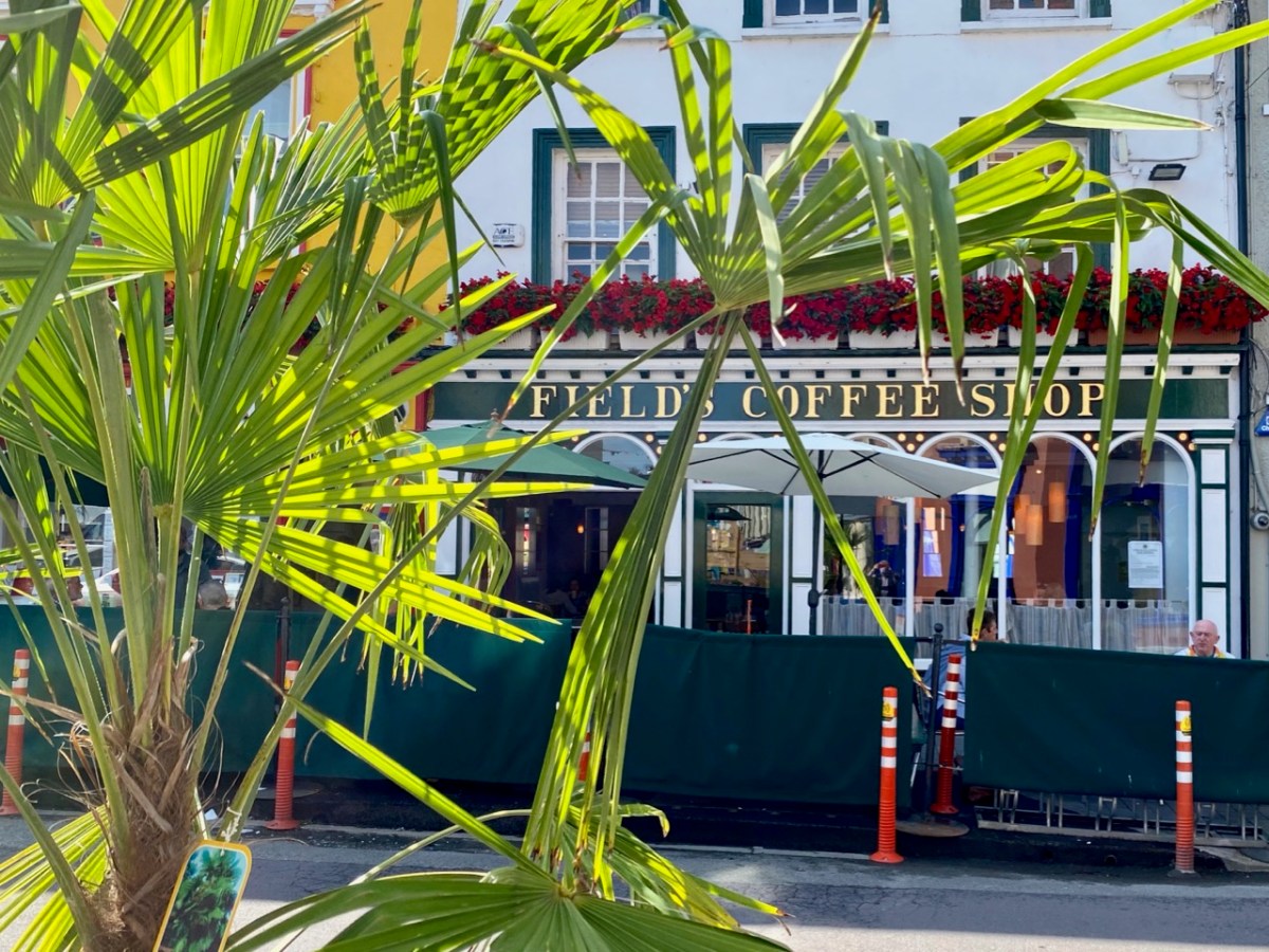
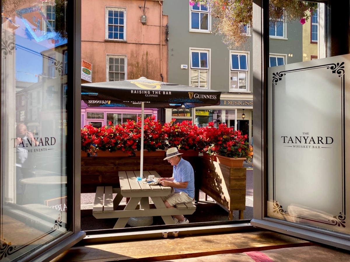
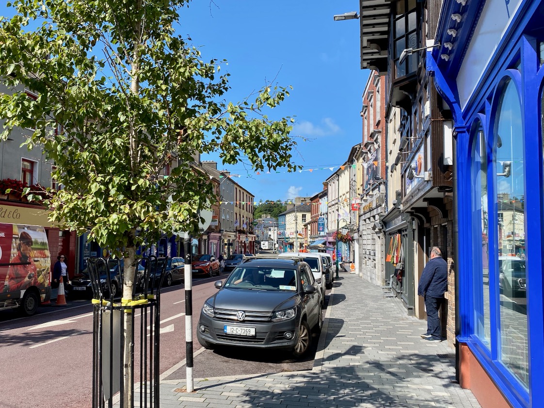
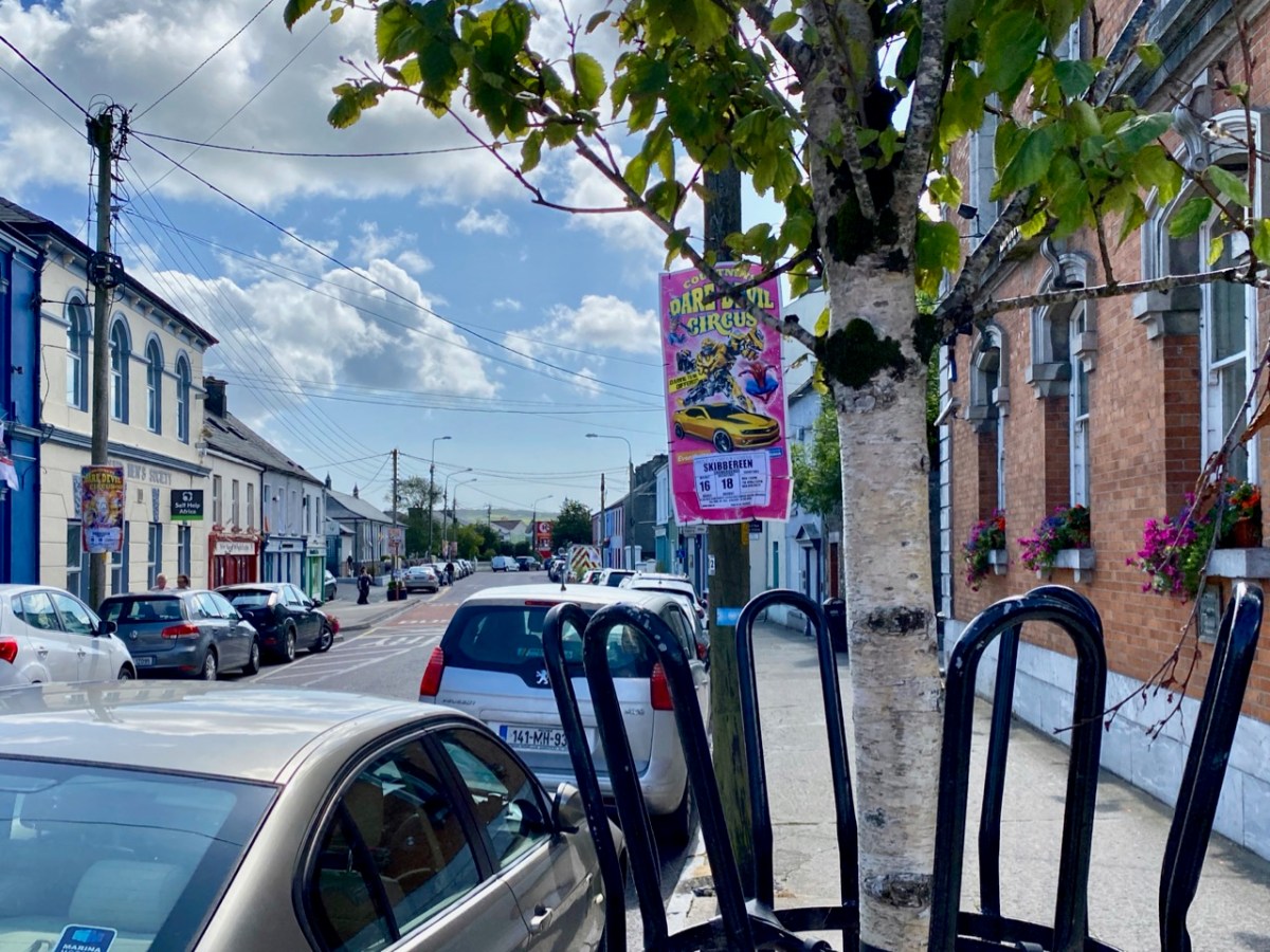
All towns evolve and, hopefully, move into the future: Skibbereen – we’ll be keeping an eye on you! But it’s a great town already: it has the busiest market in West Cork on a Saturday; lively shopping streets; easy (and free) parking – and a very healthy ‘pavement cafe’ culture that has grown up during the pandemic, and is likely to continue to flourish. Let’s walk the streets and see the town as its best in the late summer sunshine . . .

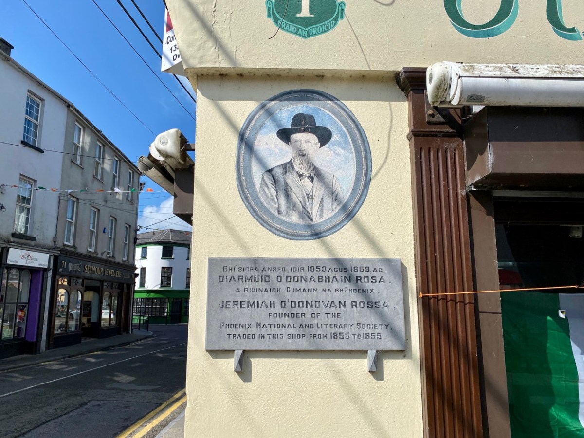
Here at Roaringwater Journal we will always sing the praises of this town, and it has been the subject of a good deal of our historical research and writing. Have a look at our posts on Agnes Clerke, Ireland’s first and foremost female astronomer;  Jeremiah O’Donovan Rossa, the famed nationalist and Fenian: Uillinn – one of Ireland’s most innovative art galleries – here, here and here. We also must not forget that Skibbereen was at one time an important part of Ireland’s railway network: you could travel to and from Cork and Baltimore, and it was a terminus for the narrow gauge railway that trundled off to Schull, and whose loss is now much mourned.

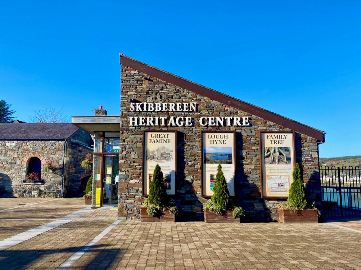
I hope my post inspires you to explore this prominent West Cork town, if you haven’t already done so. It has historic foundations – too numerous to list in this one, short article. Choose a sunny afternoon – or go there to shelter from the infrequent showers. Whatever the day, make the Skibbereen Heritage Centre your starting point: you will find a wealth of information which will help to guide you on your way. The building itself is a piece of history: it used to be Skibbereen’s gas works!

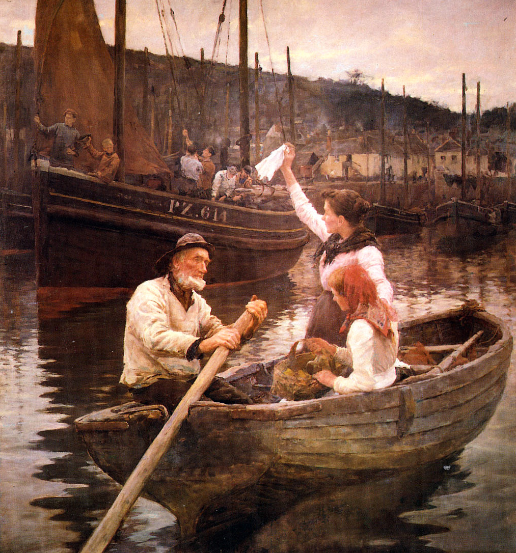
The town name was familiar to me long before I settled in Ireland a decade ago. I lived in the fishing village of Newlyn, Cornwall, for many years and got to know the history of the artists’ colony in West Penwith, centred on that town and St Ives. One artist – Stanhope Alexander Forbes – was known as ‘The Father of the Newlyn School of Artists’ – he was Irish born, and lived from 1857 to 1947. I vividly remember one of his works, displayed in the Penlee Gallery in Penzance. It shows fishermen leaving Newlyn to follow the shoals of herring and pilchards to the waters of Roaringwater Bay. The title of that picture? Goodbye – Off To Skibbereen!

Previous posts in this series:

Bantry

Schull

Off the M8 – Ballysaggartmore

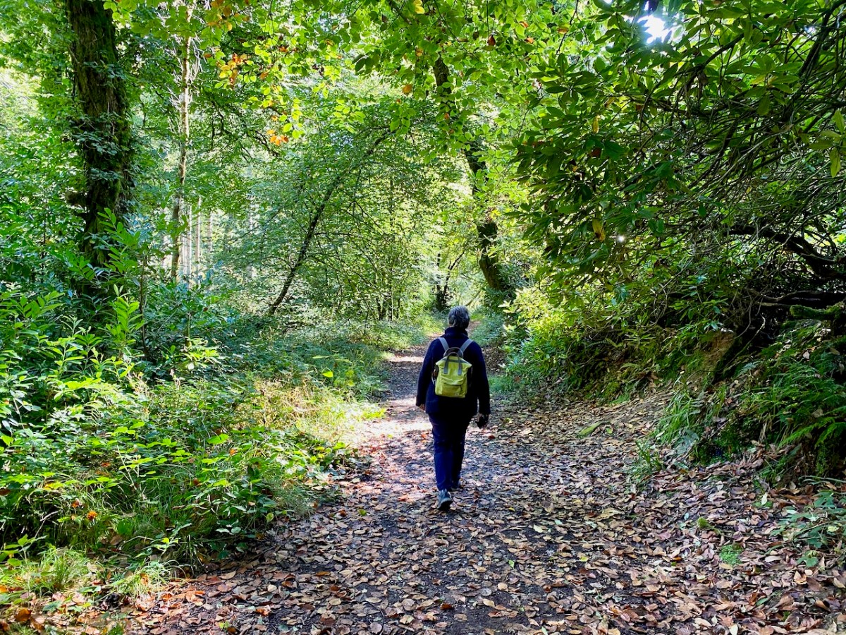
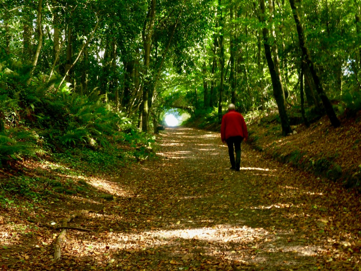
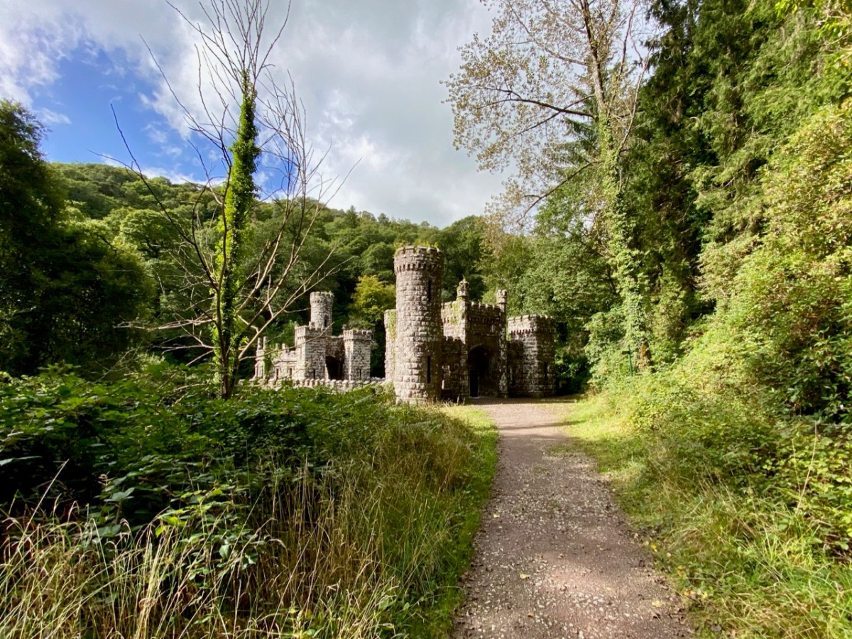
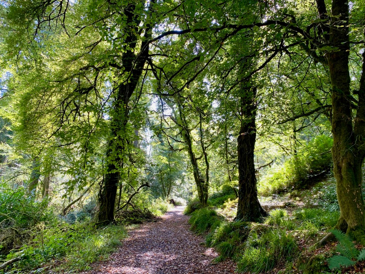
This post might also have been called A Monument to Imprudence because of the story which it encompasses. But, first and foremost, it is a bit of an architectural wonder, and certainly worth the deviation from the motorway if you are travelling between Cork County and Dublin. It will add only 20 minutes to your journey – plus however long you decide to spend walking the publicly accessible woodland to discover the nineteenth-century extravagances of Arthur Kiely, Esq. Leaving the M8 motorway at Fermoy, head east towards Lismore on the R666: you will reach a car park and trailhead for Ballysaggartmore on the left within half an hour. After your visit, find the R668 heading north and rejoin the M8 at Cahir.

We felt we were capturing the last of the summer as we embarked on the beautiful sunlit trails on the first day of October in this Covid laden year. We were convinced that a week or so later we would be feeling the first cool winds of autumn and undoubtedly be noticing the changing hues in the ash, beech and oak tracts of the Ballysaggartmore Demense. The name in Irish – Baile na Sagart – means ‘Priests’ Town’. I cannot find out which priest is being remembered here, but – as you will see – there is some local lore which mentions a priest – and also Kiely, the unpopular local landlord.

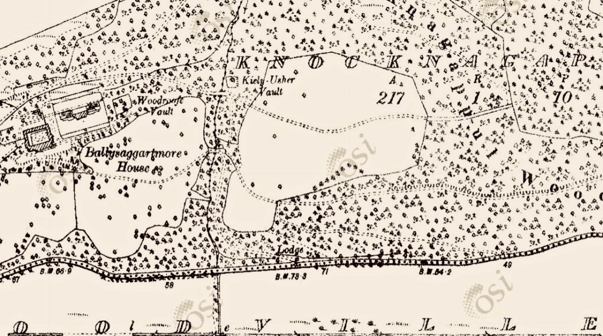
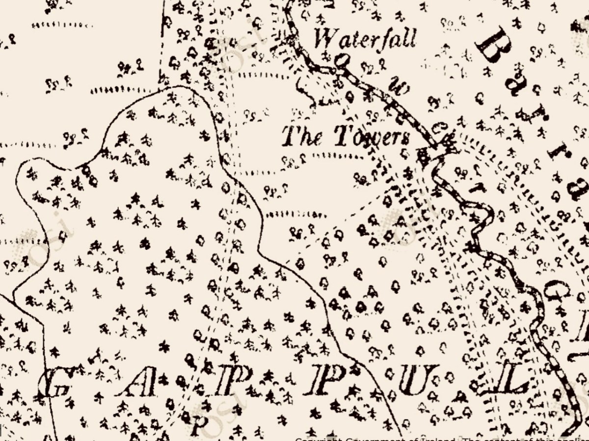
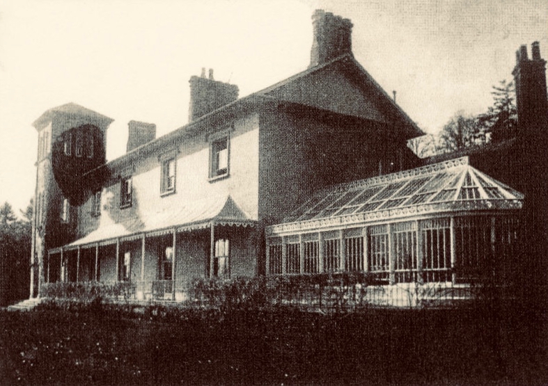
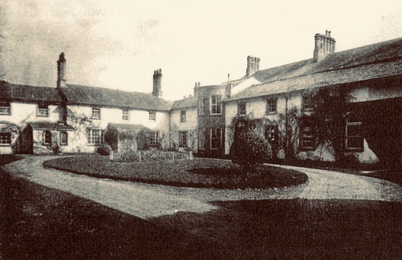
These extracts from the c1840 first edition 6″ Ordnance Survey maps show parts of the Ballysaggartmore Demense. In the upper plan, a house can be seen, probably newly built at the time of the survey. Nothing remains of it now, but some photographs exist, dating from 1904.

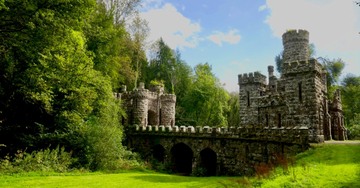
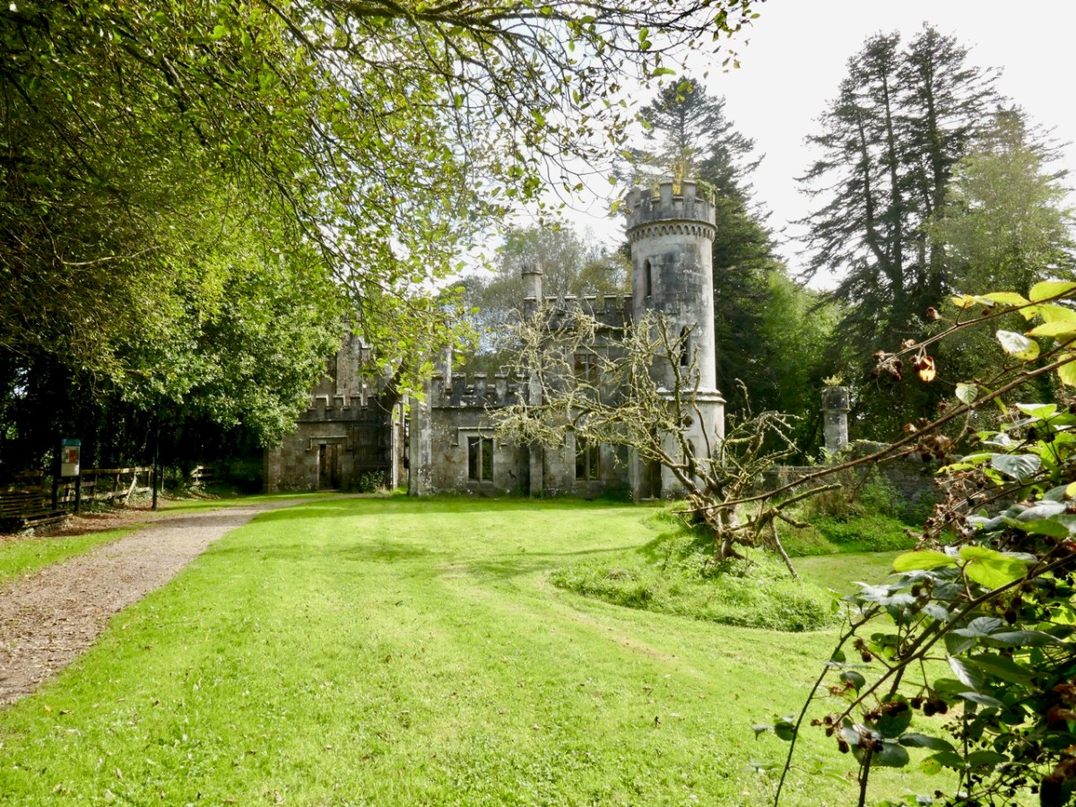
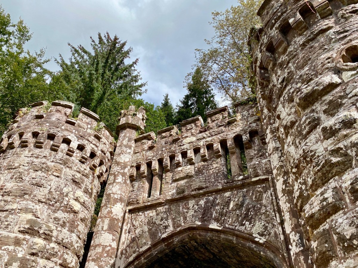
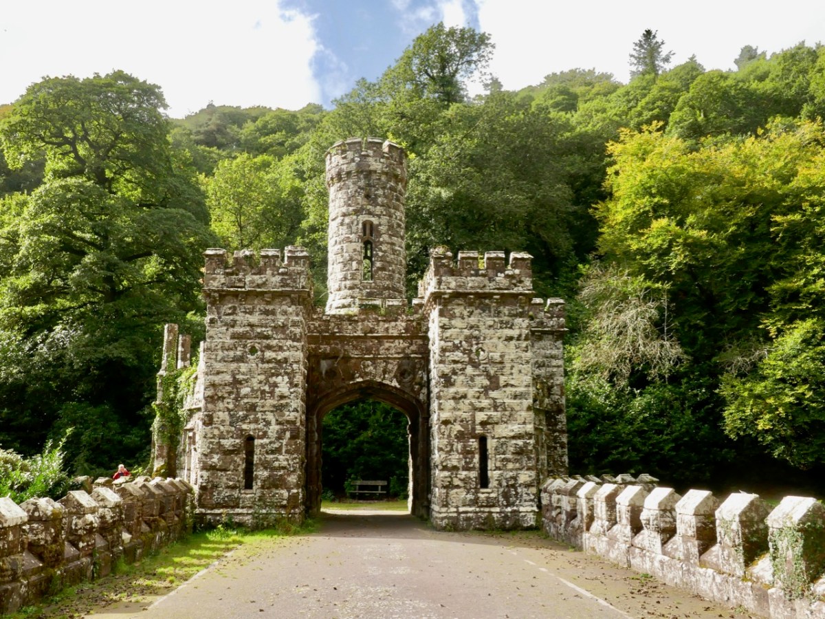
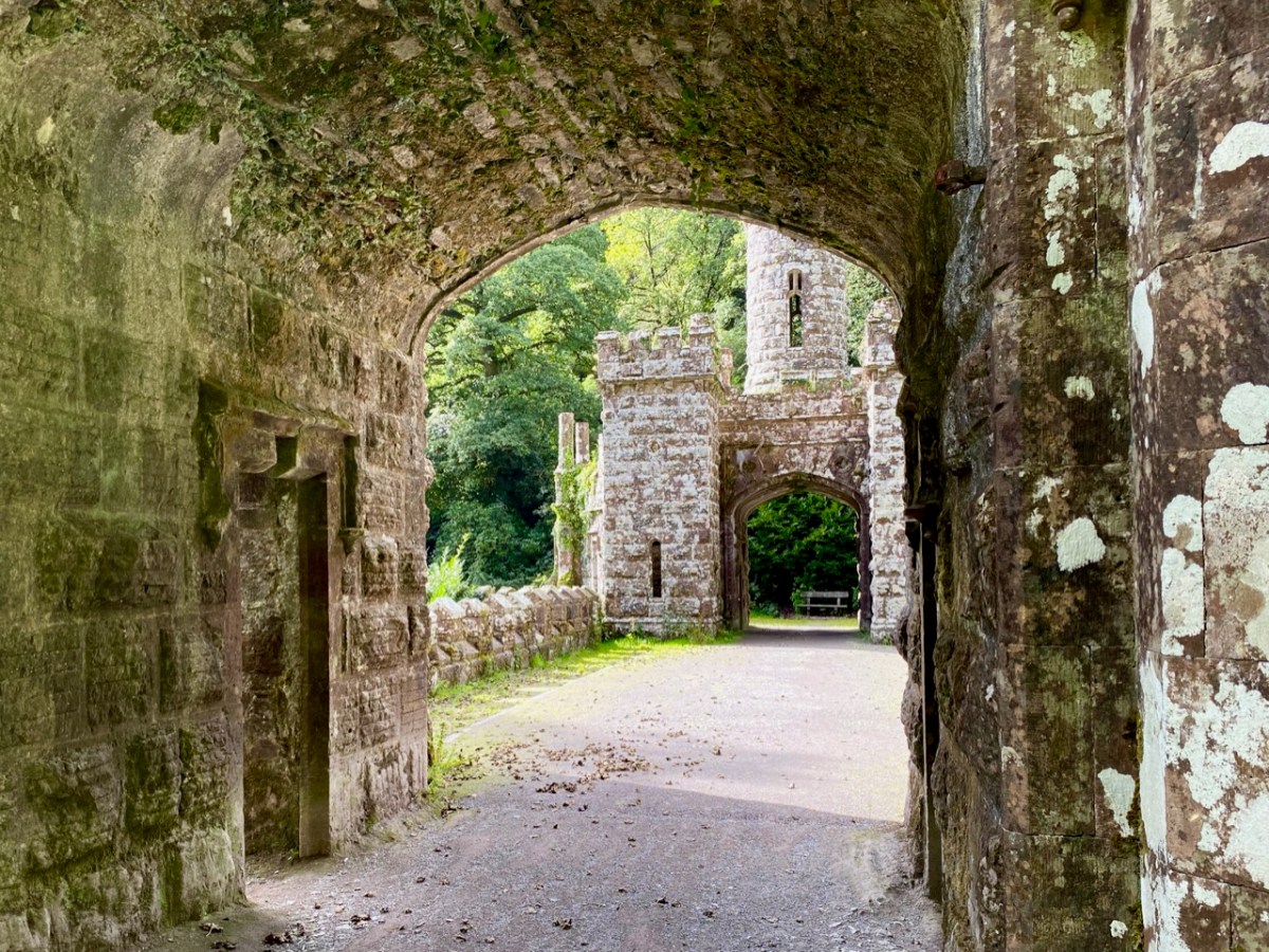
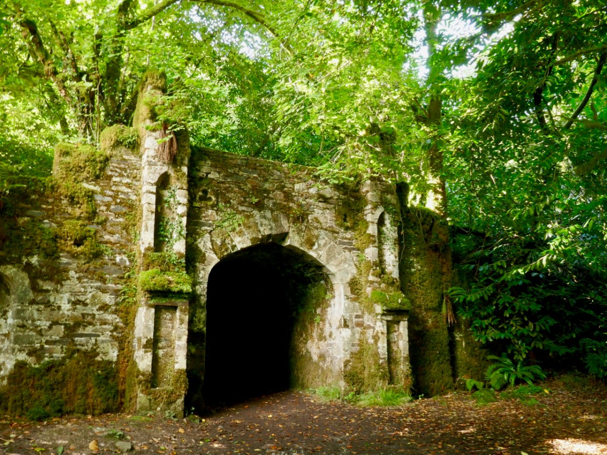
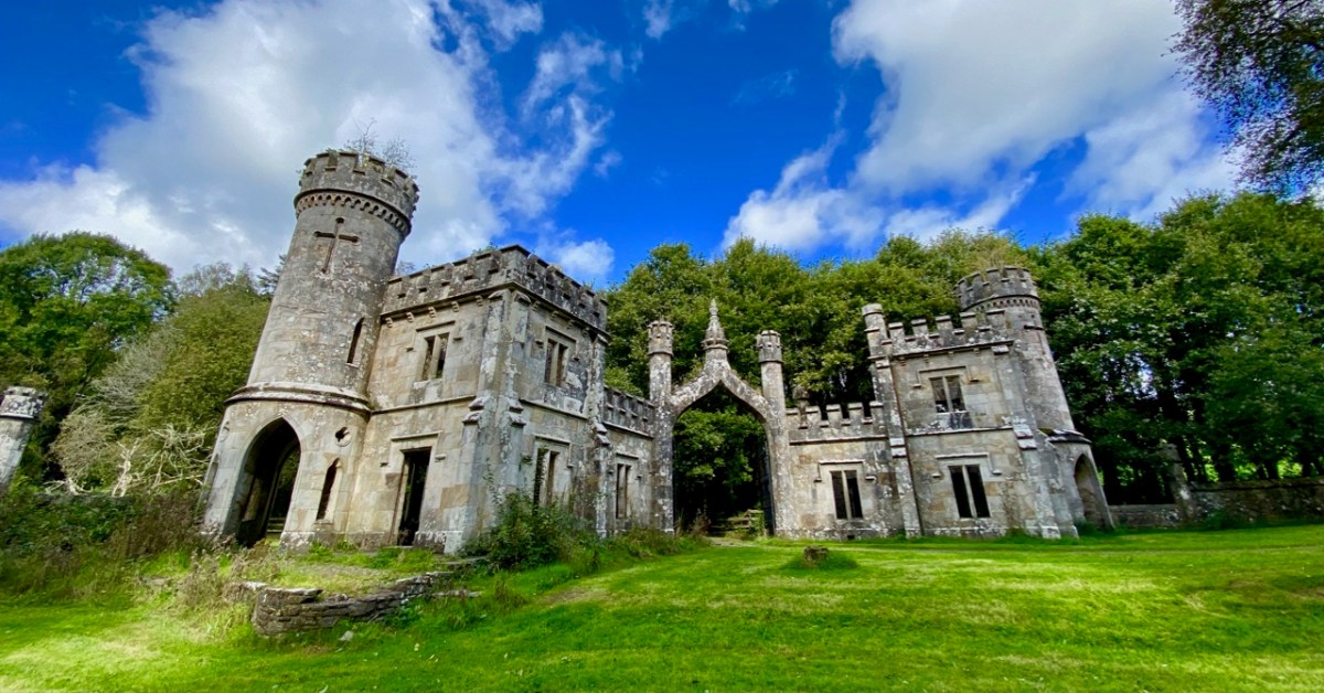
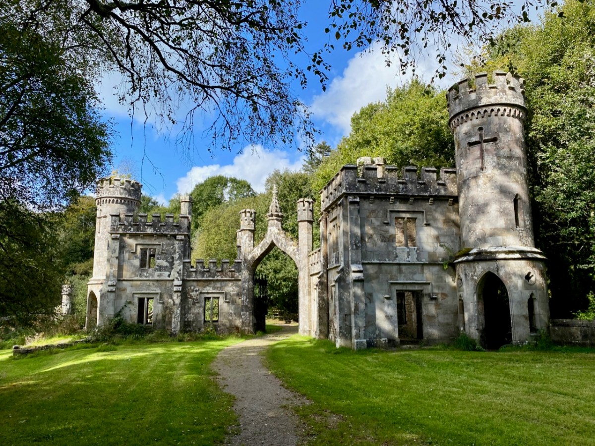
It’s time to piece together what can be found on the history of the place and its people. The first Kiely – John – purchased some 8,500 acres of land here in the late 1700s. He had two sons. On the senior John’s death in 1808 the elder brother – also John – inherited good lands at Strancally, on the Blackwater River, and proceeded to build an imposing castle there. The younger son – Arthur – had to make do with the less propitious lands around Ballysaggartmore, and built the modest house pictured above, but apparently harboured notions to match John Junior’s aspirations, embarking on a grand design to upgrade the property, starting with a splendid carriage drive and gatehouse which survives today near the beginning of our walk in the woods.

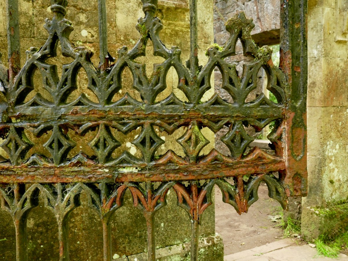
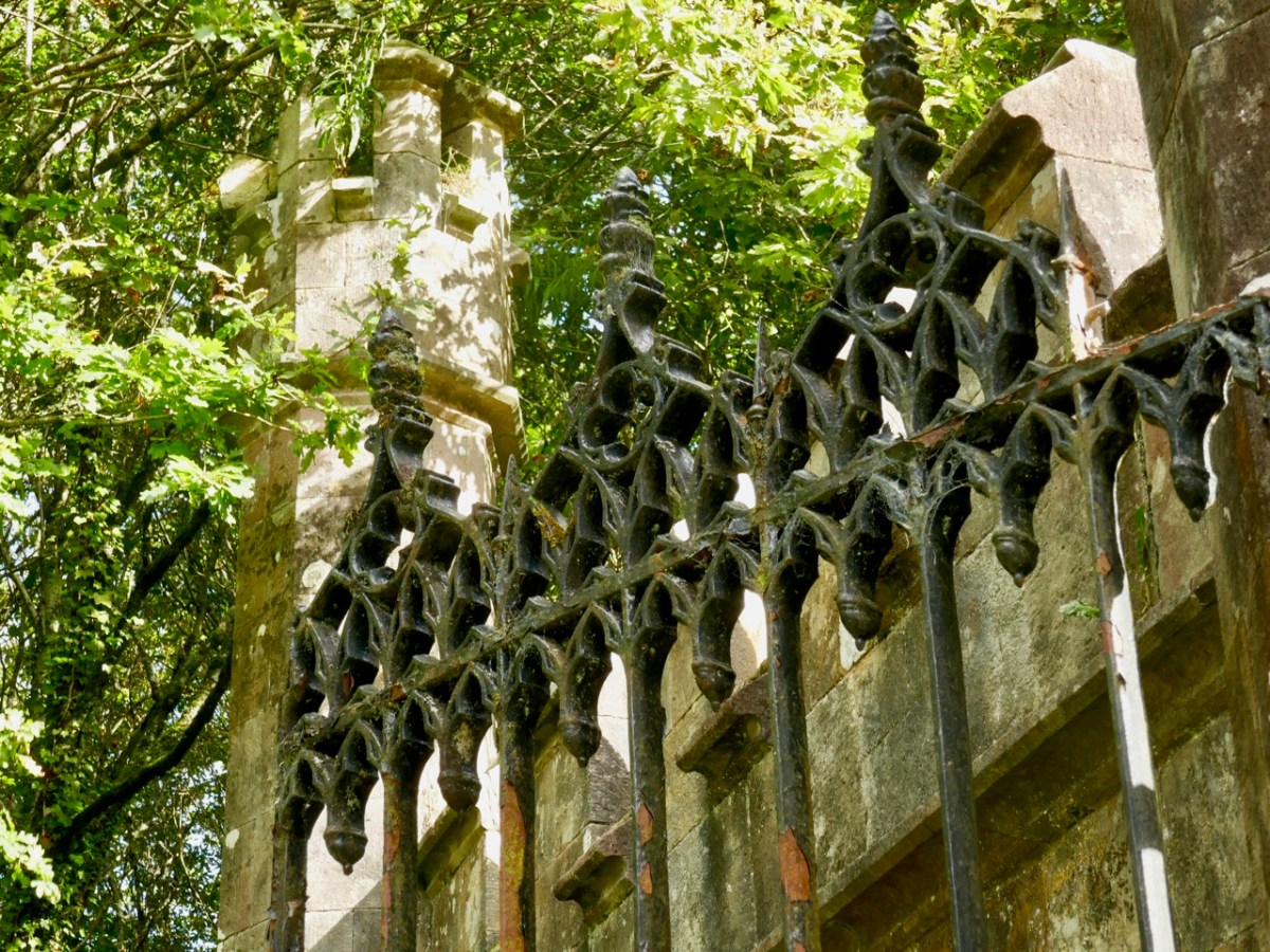
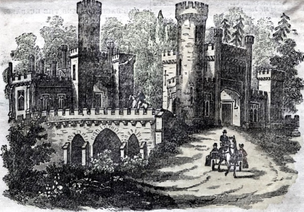
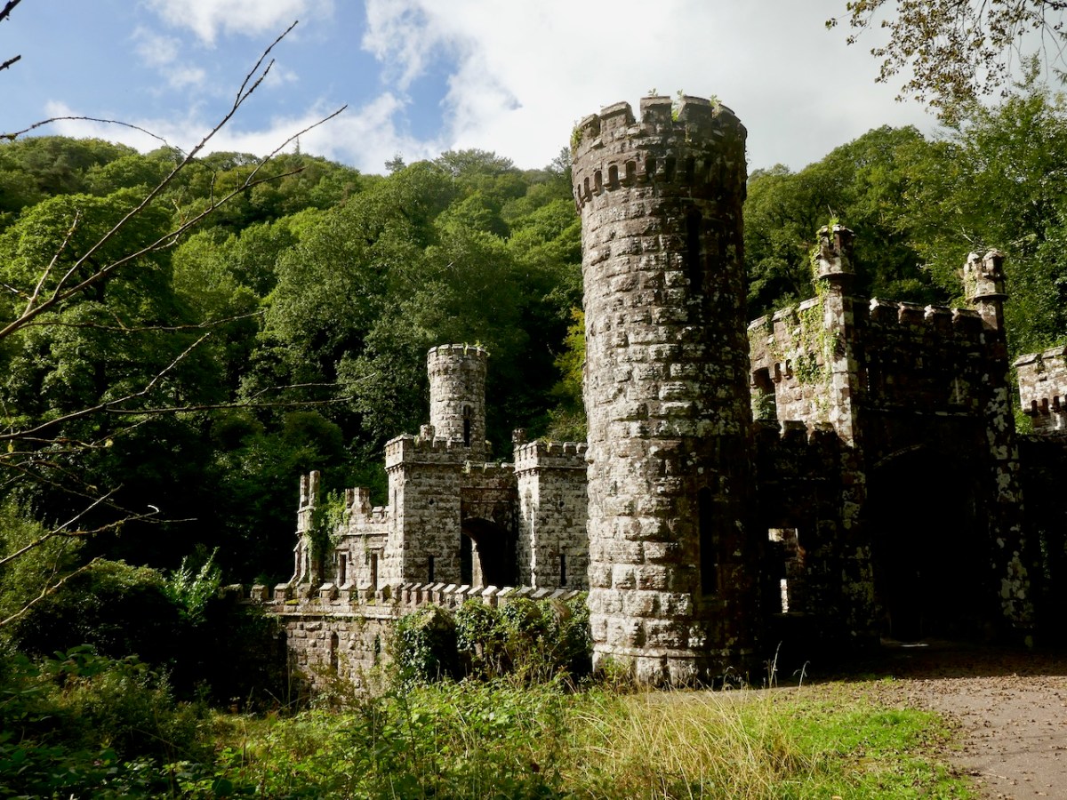
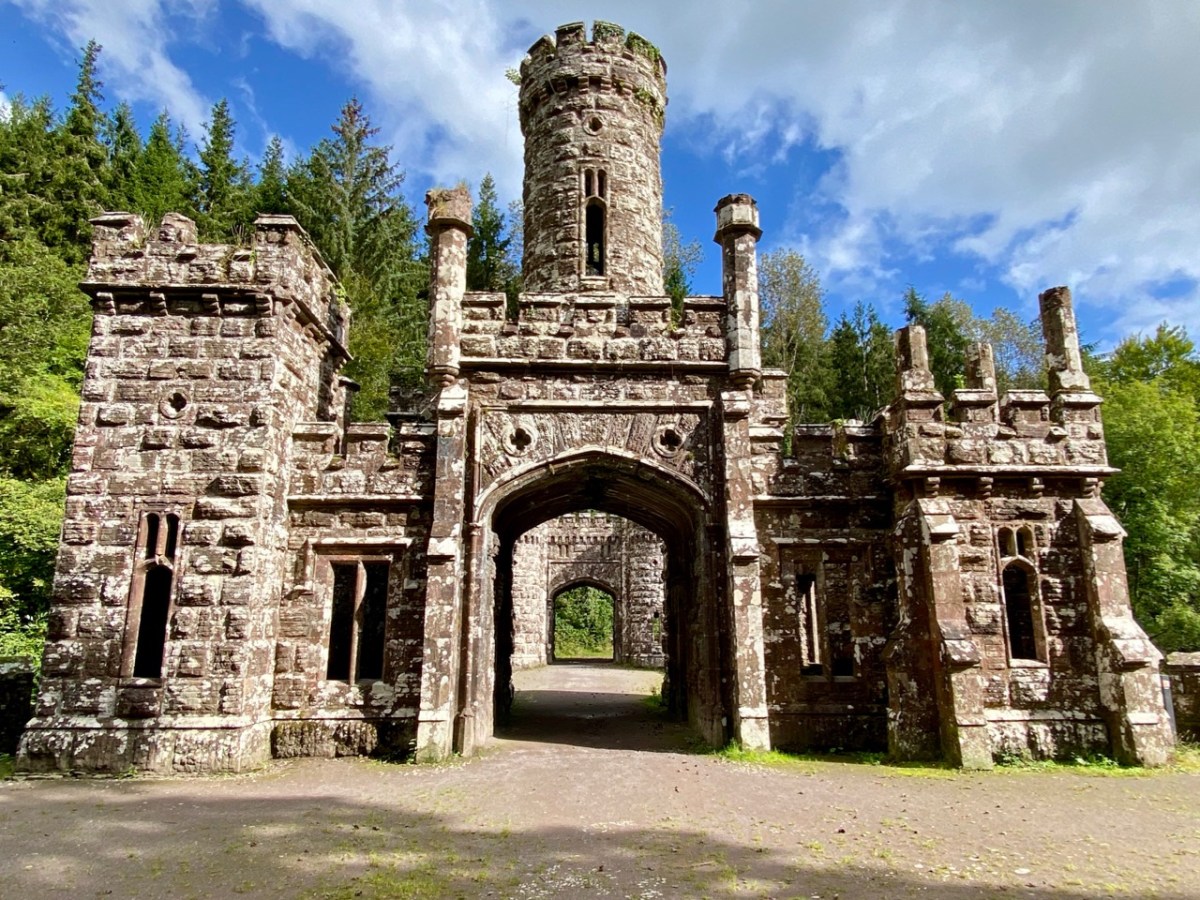
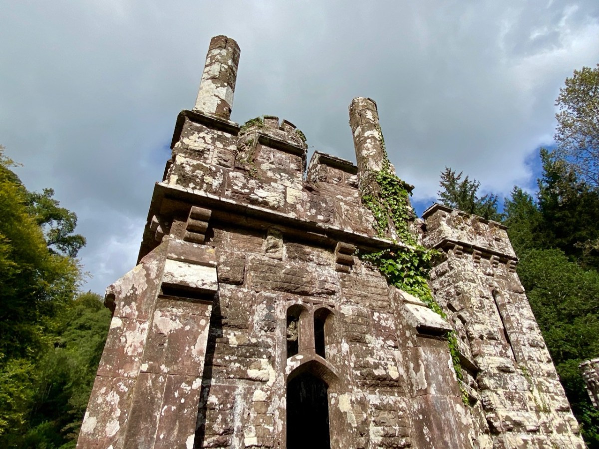
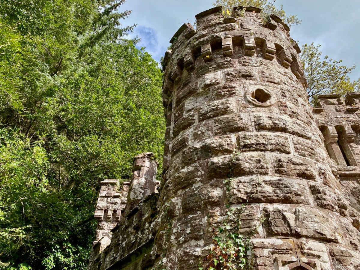
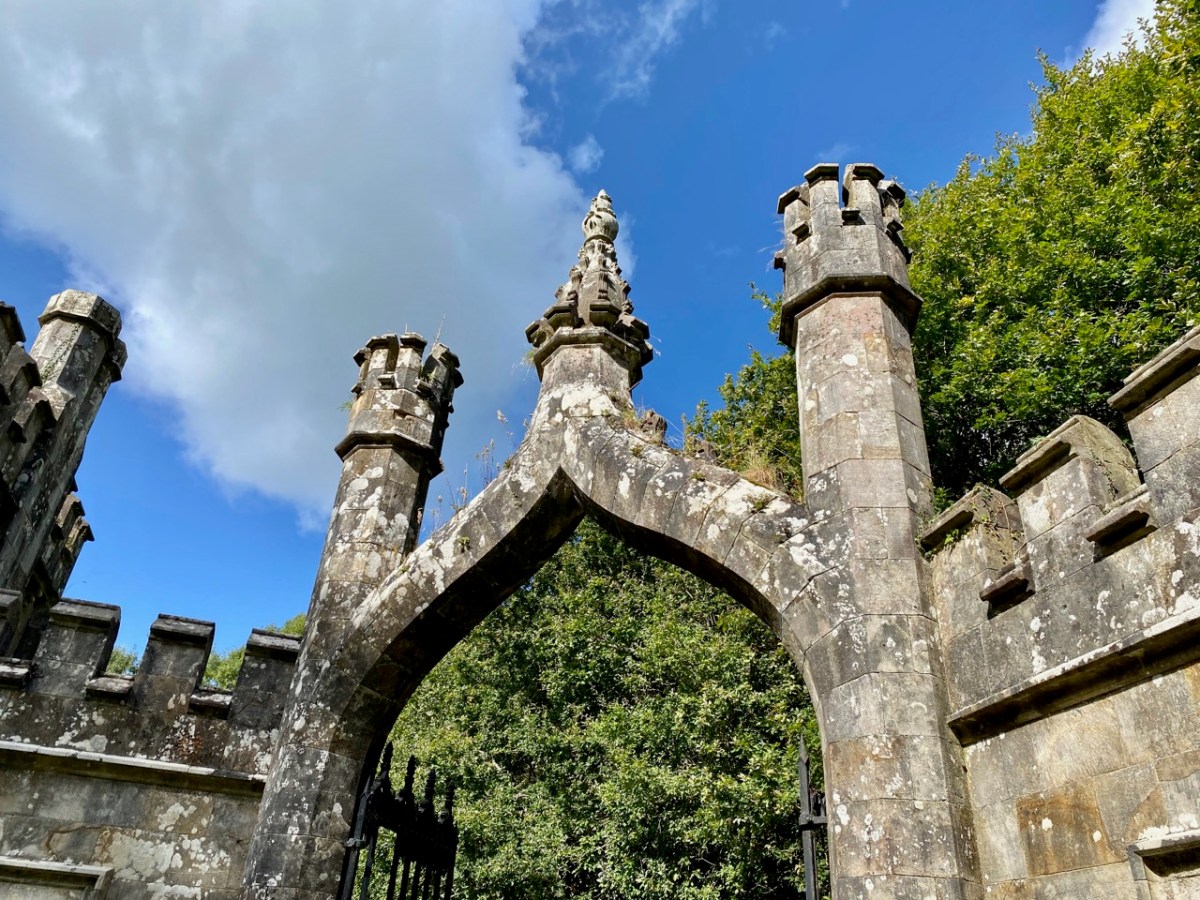
. . . Sir, Permit me through the medium of the Dublin Penny Journal an opportunity of giving the public a brief description of the situation and scenery of Ballysaggartmore, the much improved residence of Arthur Keiley, Esq, situate one mile west of Lismore, on the north side of the river Blackwater. The porter’s lodge at the entrance to the avenue is composed of cut mountain granite or free stone, of a whitish colour, variegated with a brownish strata, which gives the whole a rich and pleasing appearance; it consists of a double rectangular building, in the castellated style, flanked by a round tower at either end, through which is a passage and carriage-way of twelve feet in the centre, over which is a perpendicular pointed arch, enriched with crockets and terminated with a finial; the buildings at either side of the gateway, although similar, form a variety in themselves; and the situation is so disposed as not to be seen until very near the approach; the gate is composed of wrought and cast iron; and is, I will venture to assert, the most perfect gothic structure formed principally of wrought iron, in the kingdom. It was executed by a native mechanic, and cost about one hundred and fifty pounds . . .

Dublin Penny Journal, December 1834

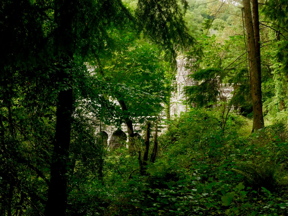
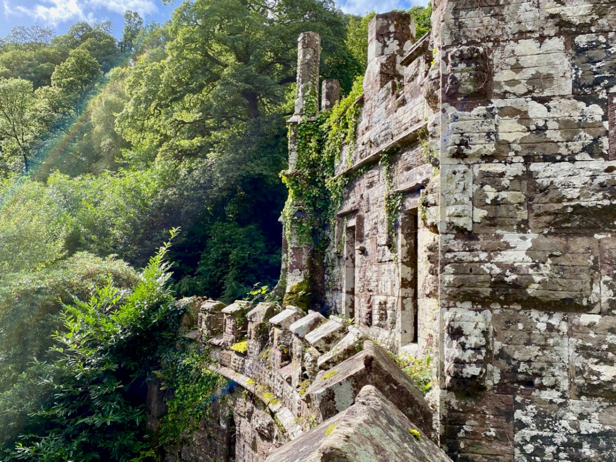
The ambitions of Arthur Kiely knew no bounds. Egged on by his wife, jealous of her in-law’s estate at Strancally, he continued the carriage drive (today a further part of the picturesque walking trail) towards a humble stream which had to be crossed in order to reach the vicinity of the house which was to be upgraded to – or replaced by – something of suitable substance. The stream could easily have been culverted but no! Only an ornate neo-Gothic three-arched bridge with gate-houses at either end and surmounted by towers and pinnacles would do: a prelude, presumably, to the architectural magnificence that was being planned beyond.

At the same time as directing the building project, Arthur decided that a change of name would be advantageous. Something double-barrelled was called for, and he chose to add Ussher, a family name derived from ancestors on his mother’s side. Arthur Kiely-Ussher certainly has a ring to it. Arthur’s ambitious wife was born Elizabeth Martin of Ross House, Co Galway. Always on the look-out for a West Cork connection, I can tell you that the author Violet Martin was a great-niece of Elizabeth. Violet lived in Castletownshend and famously collaborated with Edith Somerville.

The gate-lodge and ‘Towers’ of Ballysaggartmore are remarkable survivors, and represent the sum total of Arthur’s striving to equal his brother’s show of opulence. After the extraordinary towered bridge the carriage drive peters out, and one assumes the money also dissipated. Kiely-Ussher attempted to revive the fortunes of his estate but this centred on evicting tenants in time of scarcity, which only resulted in the lands becoming less productive. The family lived through the famine but were considered notoriously bad landlords. In the 1850s Ballysaggartmore Demense was virtually bankrupt: the house was sold in 1861 and Arthur himself died shortly afterwards.

Like many another bad landlord, Arthur Kiely-Ussher has entered into folklore. It’s worth reading this lengthy entry from the Duchas Schools Folklore Collection – a superb tale of just retribution being visited on the memory of – not one – but three ghastly incarnations of a man who probably wished to be well remembered, but failed catastrophically.

. , . In Ballysagart there lived three landlords named Ussher Kiely. The three of them were brothers and they were all called Ussher. They were terrible tyrants and they evicted people every time they got the chance, and allowed no one near their land. Of the many stories told about their cruelty here is one: On Ussher’s land there is a Spring well. A very old, goodliving woman lived near the place. One day she had no water. The nearest place she could get water was the well, which was in a field behind her house, but Ussher allowed no one near the land. The neighbours always brought her a churn of water from the Blackwater, but this day she had no one to get it for her. As the Blackwater (which was two miles away) was too far for her to walk, she thought there would be no harm in going to the well for once. When she was bending down to fill her gallon in the well she heard a shout behind her; “Get away from that well and get off my land you cursed wretch. How dare a dying old hag like you interfere with my water or dirty my land with those rotten feet of yours”. It was the eldest Ussher and he made her throw back the water and he threatened to beat her if she did not get off his land immediately. She obeyed and when she was out of his sight she knelt down and cursed him saying “O God, may the brothers of this man, Ussher, who hunted me away without a drop of water, be at his funeral before the year is out, and may he grow silly and his tongue hang out of his head so that he cannot offend you again”. Another woman cursed him saying “May you die in agony, you tyrant”. Before the year was out he grew silly, and he had to be sent to a home where he died in terrible agony. His body is still to be seen in Ballysaggart where his body is embalmed in glass. His mouth is to be seen wide open and his tongue is hanging out and is as black as soot. Another of the Ussher Kielys saw a man crossing his land. He brought out his gun and threatened to blow the man’s legs from under him. The man who was only going home said “Ussher Kiely, I was walking on this land before you and I’ll be walking on it after you, so why don’t you shoot me”. Ussher put away the gun and never used it again. A few days later he complained of pains and only lived two hours. He was embalmed in glass and laid by his elder brothers side. The third Ussher Kiely was worse than the others. Every night a man used to bring cattle on Ussher’s land to graze. Ussher heard of this and one night he lay in wait and without warning shot the man. When the people heard of the shooting they piled curses on Ussher. A few days passed since the shooting when a priest was walking on Usshers land. He was reading his ‘Office’ when he met Ussher. Ussher cursed him and called him every name he could think of as well as ordering him off the land. “All right”, said the priest, “I’ll go off the land, but mark my words, tyrants like you never live a long life”. Two hours later the last of the Kielys dropped dead. The three brothers are to be seen, embalmed in glass lying side by side in a small graveyard in Ballysagart . . . Mr Tom O’Donnel told me these stories – Tom Conway


Duchas Schools Folklore Collection, Volume 0637

If you would like to read in greater detail the fortunes and fall of Arthur Kiely-Ussher I commend you to the excellent account by The Irish Aesthete. The ‘modest’ house at Ballysaggartmore was burned down during the Irish Civil War, obliterating its physical history and committing its memories to fascinating folk recollection. We are fortunate, nevertheless, that we may freely wander a trail and reminisce on misfortune. And justice.

Working With Glass

Finola and I went to a workshop on creative fused-and-painted glass. It was wonderful! We were guinea-pigs in that the glass artist – Angela Brady – was keen to try running an event and we were privileged to be invited, joining our friends Brian and Clair Lalor.

Top: that’s Angela introducing us to the medium of glass and showing us some of her own work. Centre: she’s encouraging Brian to turn his artist’s mind to the possibilities of the material. Above: Angela Brady and Robin Mallalieu (who are also architects) have taken over the former Brush Fire Pottery, just outside Ballydehob. This was the home and workplace of dynamic artists John and Noelle Verling, who bought the Gurteenakilla premises in 1973 and lived and worked there for very many years. John died in 2009 and Noelle now lives not too far away. To spend the workshop day in such hallowed surroundings added to the ambience, and could only have inspired us in our artistic endeavours!

Back in the 1960s – the heyday of the Ballydehob Artists’ community – the pottery at Gurteenakilla was established by Christa Reichel who – together with her partner Nora Golden – went on to set up the Flower House on the main street in the village as a gallery and meeting place for the artists. They painted the vivid facade of the Flower House (the photo below dates from 1963, and is reproduced with the permission of Andrew Street): similar decorations were applied to the Brush Fire studio, where they survived and are now being restored by Angela and Robin.

Below the Flower House picture is Nora Golden outside the studio at Gurteenakilla; and here are pics of Robin painting the studio building, and Angela’s restoration of the Reichel / Golden decorations. But back to the job in hand: in these venerable surroundings we learned how to cut glass, paint on it and prepare pieces for the kiln. We all had our own ideas: Finola and I decided to paint glass tiles with ancient motifs: Rock Art from Ireland and Scandinavia, some thousands of years old. Brian chose to use cut glass to enhance one of his exquisite sketches, while Clair was perhaps the most ambitious, planning a flower from cut pieces of glass which would require two sessions in the kiln to allow it to be ‘slumped’ to a three-dimensional shape. My view is that all the pieces were equally successful in their execution (but I am prejudiced!)

Top: Angela instructs Finola in the technique of cutting glass shapes, although Finola chose to use glass paint to reproduce some of her own Rock Art images traced during her studies in the 1970s. Above: Clair cuts and assembles a flower shape.

Top: my own pieces: on the left are attendants pushing the sun across the sky, while on the right is a ship carrying souls to the land of the Gods under a potent sun. All these Bronze Age images are found in Norway. Above, Brian working on his cut-glass sketch.

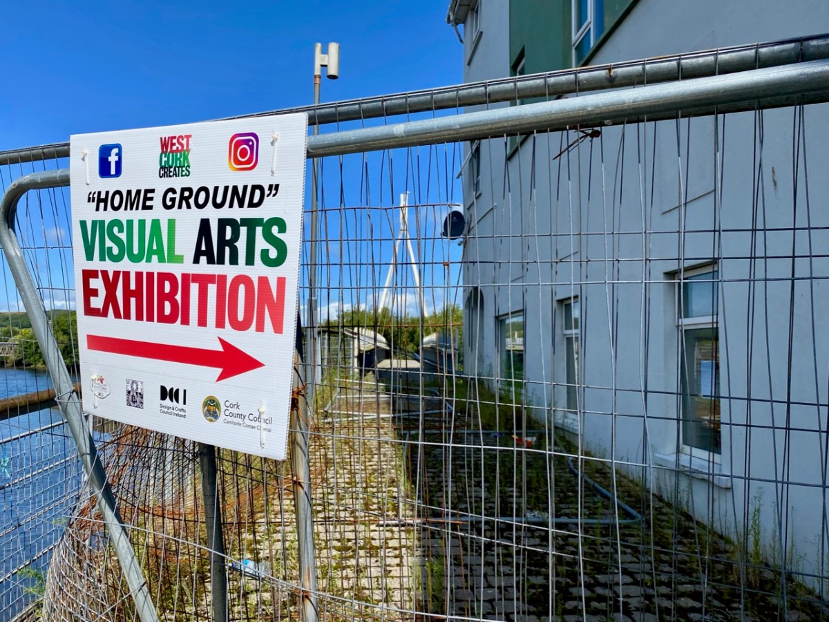
Artists at work in the studio – and the kiln room at Brush Fire. Before going in the kiln, we laminated our pieces with additional glass, to provide a stable background and – in some instances – colour. The firing is carried out overnight at a temperature of at least 760 degrees C. During that time the glass fuses and – hopefully – does not crack.. Angela was firing some of her own pieces at the same time: if you went to the West Cork Creates exhibition in Skibbereen during August of this year you would have seen many examples of Angela’s brilliant work, together with the work of other artists using glass as a medium.

In Angela’s studio are many reminders of past times. John and Noelle Verling specialised in fish imagery – here’s the Brush Fire Ceramics sign that they made back in the day (above – since presented by Noelle to the Ballydehob Arts Museum), while above that is one of Angela’s glass pieces which pays due respect to her predecessors at Brush Fire. Below is a quirky example of Angela’s experimentation: she collected some interestingly shaped bottles from the recycling centre, and fused them together in the kiln:

The following day, Angela took our pieces out of the kiln once it had cooled, and washed them (above). Then we assembled at Nead an Iolair for the reveal. Thank you to Robin for the photos. Clair’s work had to be refired to allow it to ‘slump’, so that was unveiled later on.

Pieces (top to bottom) by Brian, Finola and myself. And – to finish as we started – Clair’s magnificent flower – before and after the second firing! Thank you to Angela for enabling each one of us to experience this most satisfying process. We would all like to take part again another day – and expand our new-found skills!