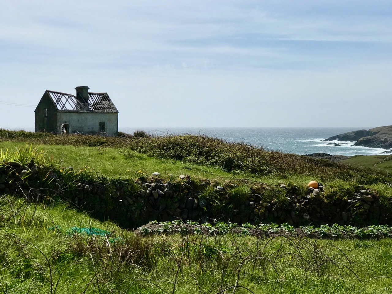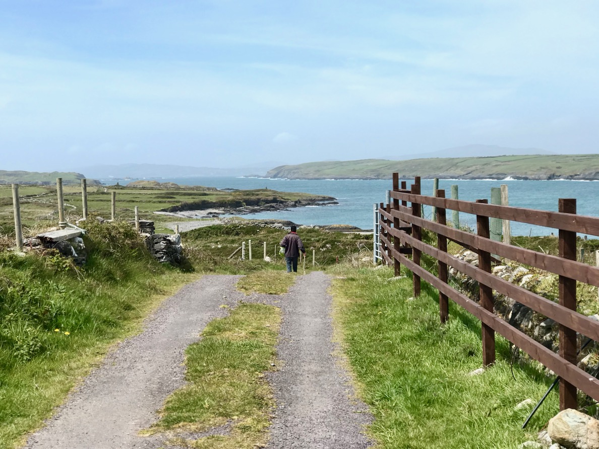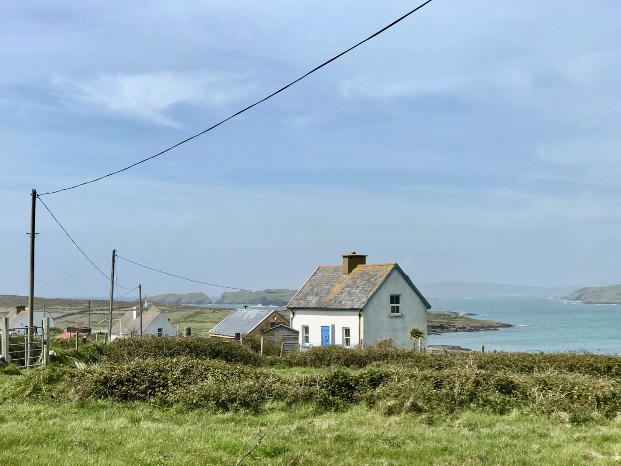
Cooleenlemane – A Walk into History

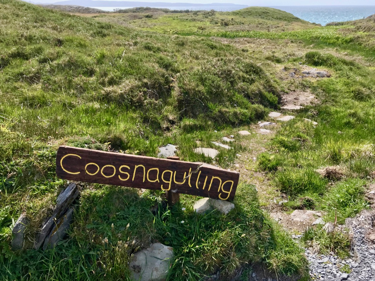
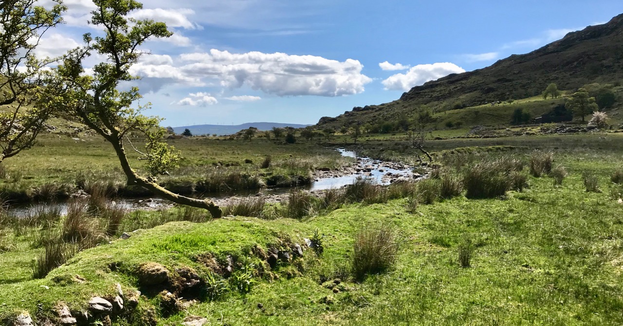
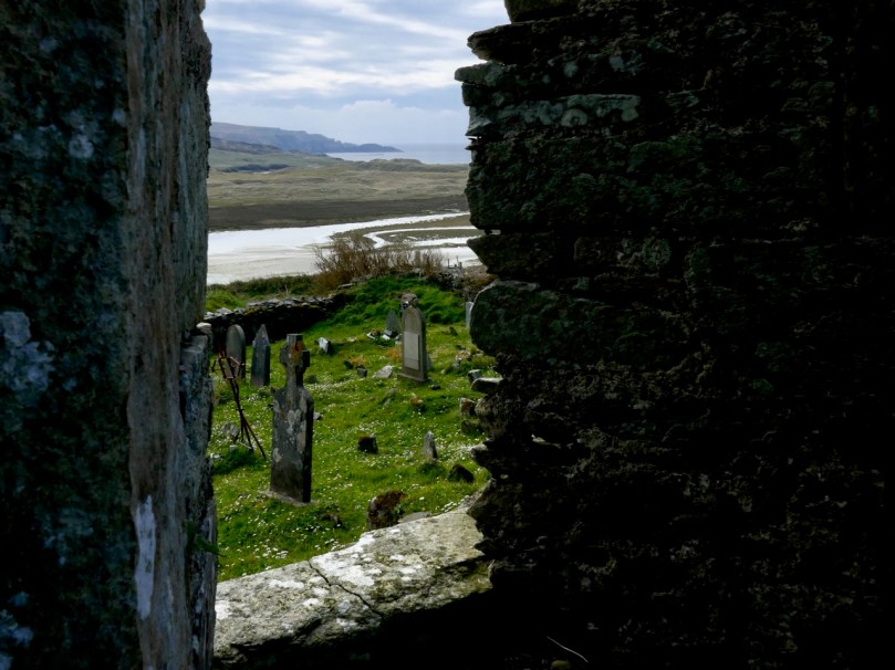
Finola has written about the destination of our adventures yesterday – the inscribed ‘caves’ at Cooleenlemane. Above is a photo of the view from the ‘cave’ entrance, looking back at the glen which we journeyed across. My post today is about that journey on foot through decades of human history and thousands of years of topographical transformation.

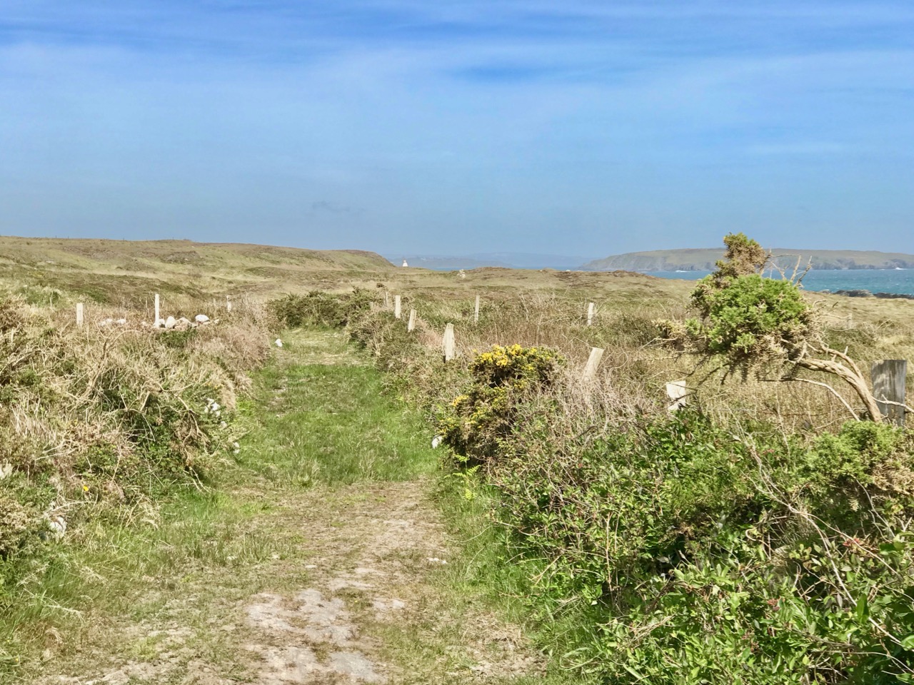
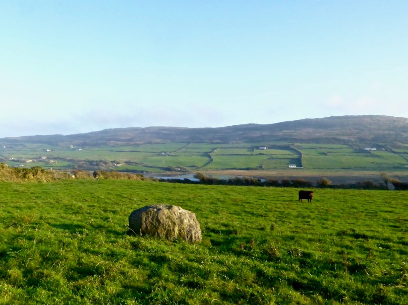
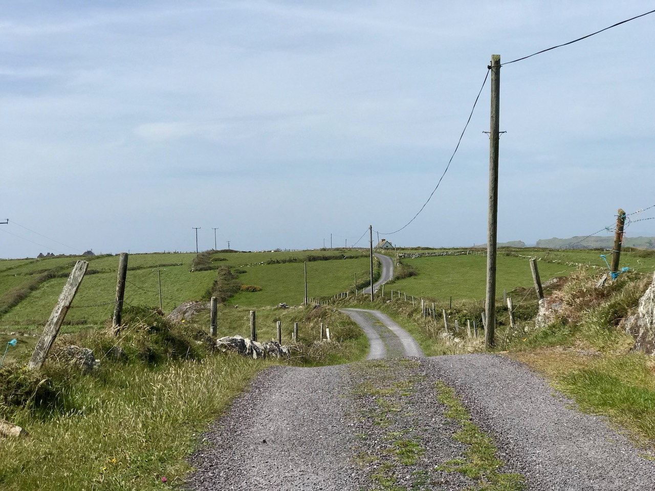
Upper – looking back and leaving the world behind: a rough track climbs up from the entrance to the Cooleenlemane valley and very soon we were absorbed into the wild emptiness of the mountainsides (lower)

When I looked into the furthest reaches of the glen as we made our way over the rocky track I saw first, in my mind’s eye, the movement of the glacier which shaped it – the splintering, shuddering path it took and the debris it left in its wake: strangely distorted outcrops and huge erratic boulders feigning dice unrestrainedly scattered by a random hand.

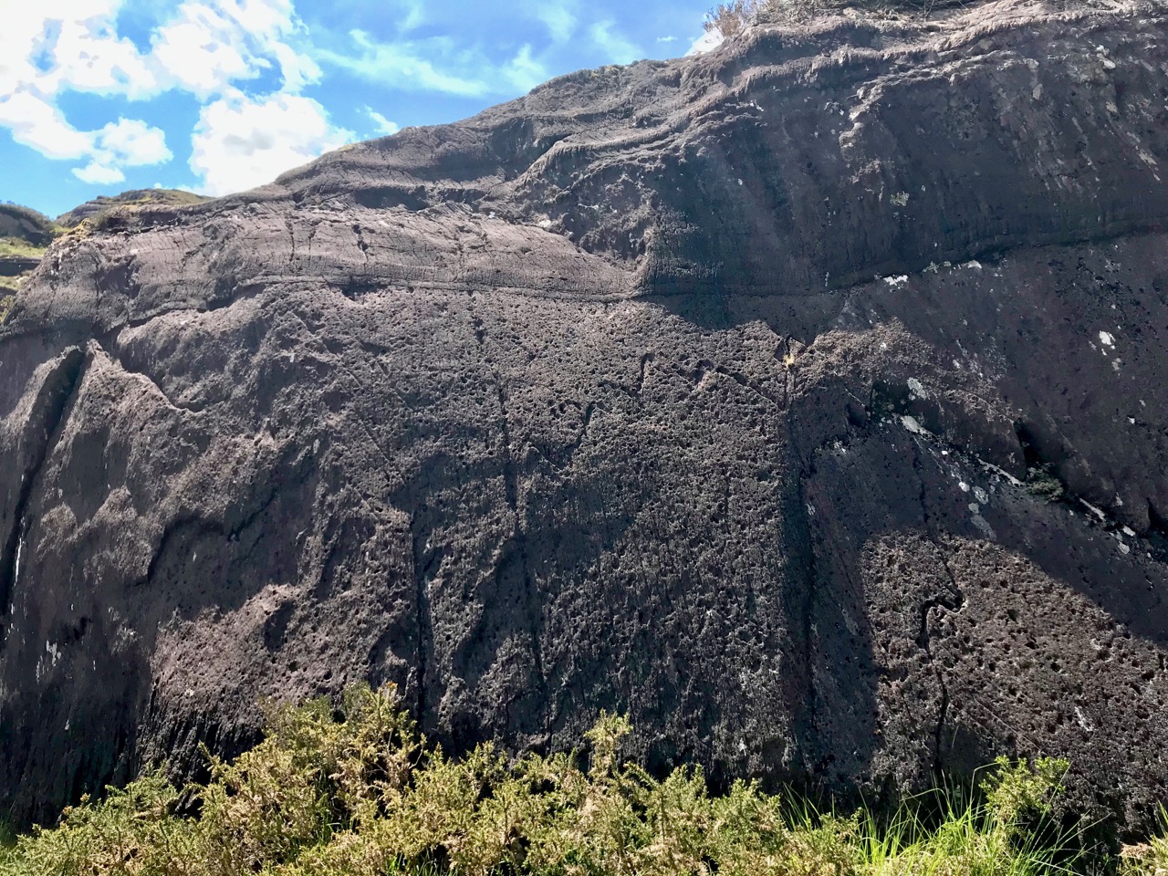
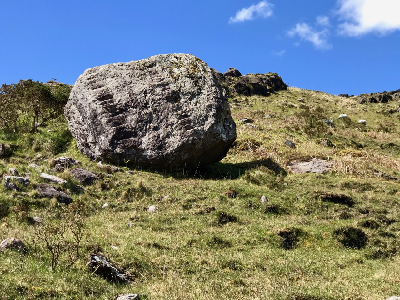
Scribings on the rocks in the glen of Cooleenlemane: these are made by nature (and the movement of glaciers) long before humans appeared in Ireland. I often wonder whether observation of these marks could have inspired our earliest artists?

Then I couldn’t help the vision that came into my mind of herds of the huge Irish Elk – Megaloceros giganteus – that ruled places such as this in Ireland after the ice receded 10,000 years ago. It was around that time that human habitation came back to these revitalised lands: some say that it was human hunters who wiped out the elk – and the bear – in Ireland using spears, bows and rocks. When you are immersed in these wild places, with no signs of the 21st century around you, it is easy to imagine such scenes from the distant past.

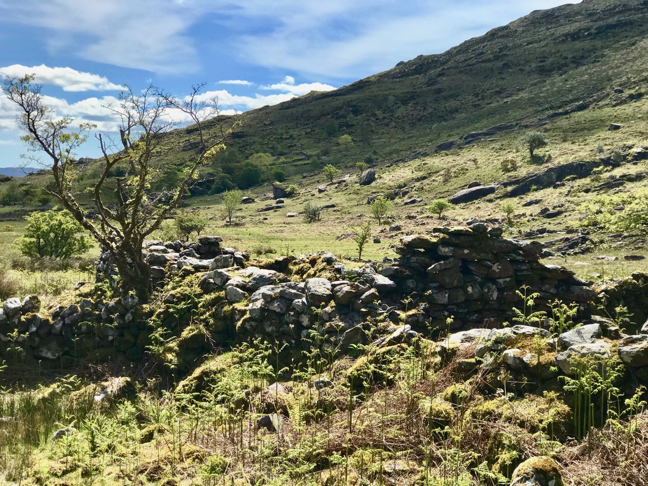
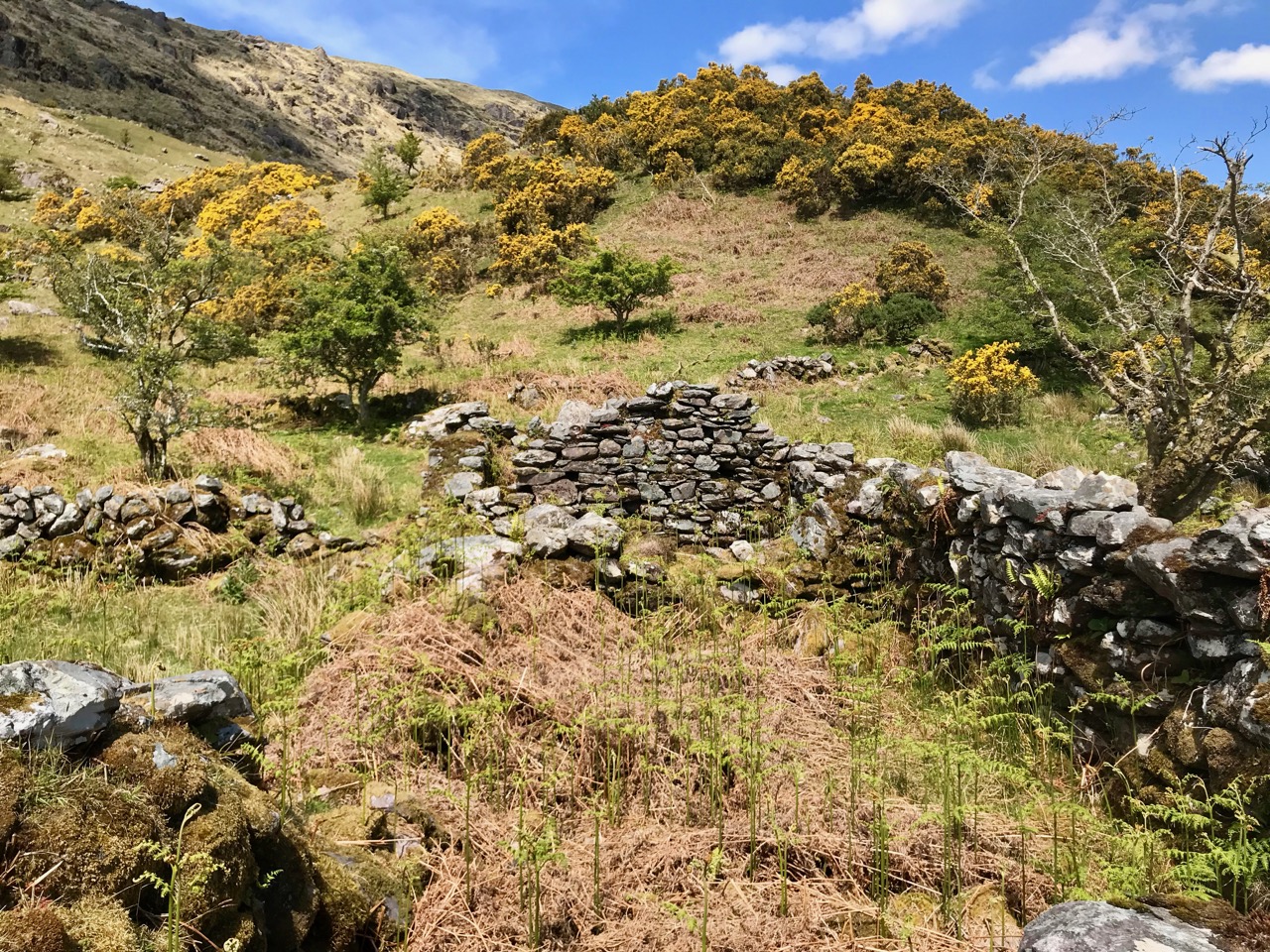
But – lonely and remote as this valley seems today – there is significant evidence of enduring human occupation here. As we journeyed up to the ‘caves’ we were tracing ancient tracks and paths and saw the remains of several settlements: stone walls, enclosures including a cashel, and many haphazard piles of rock that presumably came from rudimentary field clearances. We had the good fortune to meet and talk to Pat Joe O’Leary, who resides in the last house before you enter the glen, and he told us that sixteen families had lived out here.

Some of the many traces that remain of the dwellings which were once occupied by  families eking out their lives in the remoteness of Cooleenlemane and (lower image) piles of stones cleared from the lands to provide pastures and potato beds

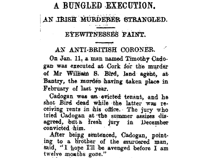
It’s right to describe the stories that Pat Joe told us as living memories, because he carries them. His own family has lived in the valley for generations so – like the bards of old – he is the keeper of the traditions and lore of the area. One of his tales was about a man from the glen who was the last to be hanged in Cork gaol. His name was Timothy Cadogan, and he was accused of the murder of William Bird, a land agent, at Bantry in 1900. Tim Cadogan was from one of the families who lived in Cooleenlemane – who had been evicted by Bird – and Pat Joe assured us that the name T Cadogan is inscribed on a stone beside one of the old buildings in the valley. Unfortunately, we did not hear this until we were returning from our expedition, so missed seeing the stone. Interestingly there is a record in the Schools Folklore Collection – in Irish – describing the same event, more or less in the same words that Pat Joe used. The event occurred in 1900, became recorded as folklore in 1936, and was told to us as oral tradition in 2019!

Contemporary newspaper account of the hanging of Timothy Cadogan – formerly from Cooleenamane – on 11 January 1901. Cadogan was tried twice before being sentenced to hang. The ‘Bungled Execution’ is reported as a failure on the part of the executioner, causing the condemned man to suffer a long, slow death by strangulation

Ignorant of such thoughts of the harsh realities of the world – even this far-away corner of it – we reached our destination: the ‘caves’. This is an unusual rock formation where a large outcrop has been split into enormous slabs, probably through glacial action. The rocks lean against each other and form crude shelters, within which are the inscribed surfaces. Finola’s post describes these in detail.

The rocks which form the ‘caves’ have a brooding presence on the landscape. It’s not surprising that they harbour enigmatic symbols with some possible other-worldly connotations

In addition to the sites of old farms and cottages that we passed by and explored on our trail, we clearly saw the imprint of ‘lazy-beds’ – ridge and furrow arable cultivation methods traditionally used in Ireland for planting the potato. These took our minds back to famine times and the harsh reality of having to forge an existence out of minimal resources. Also, we could only wonder at how clearly life – and history – have been etched into these aged and incredibly beautiful landscapes.

The very clear impressions of the potato beds which tell of the subsistence farming practiced for generations in Cooleenlemane accompanied our hike

Looking back on our day in the wildness of West Cork, my abiding memories are beauty and poignancy. I have used this term before – achingly beautiful – and I often have to return to it in order to try to sum up my own emotional reaction to such unique places in Ireland. You won’t find these places in tourist guides – getting here is hard work! Nor will you find very much recorded in the archaeological records about Cooleenlemane. But everything you see here is Ireland’s real history – deep, deep history; we are fortunate in every step we take into it.

Aspects of Baltimore

“…The fish are knocking at our doors but we haven’t a bucket to take them from the water…” – This was Father Charles Davis, Parish Priest of Rath and The Islands, appealing to Queen Victoria shortly after his appointment to the area in the 1860s. He and three Cape Clear fishermen had been granted an audience to explain the near famine conditions that still prevailed in West Cork, and the priest’s proposal to build a fisheries school and establish a new fleet of boats in the town of Baltimore.

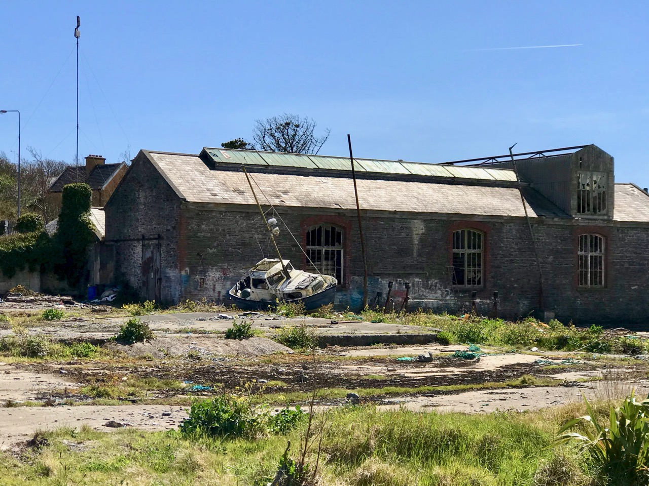
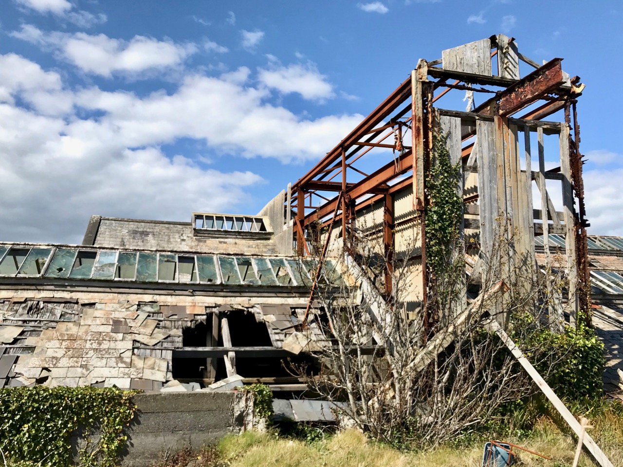
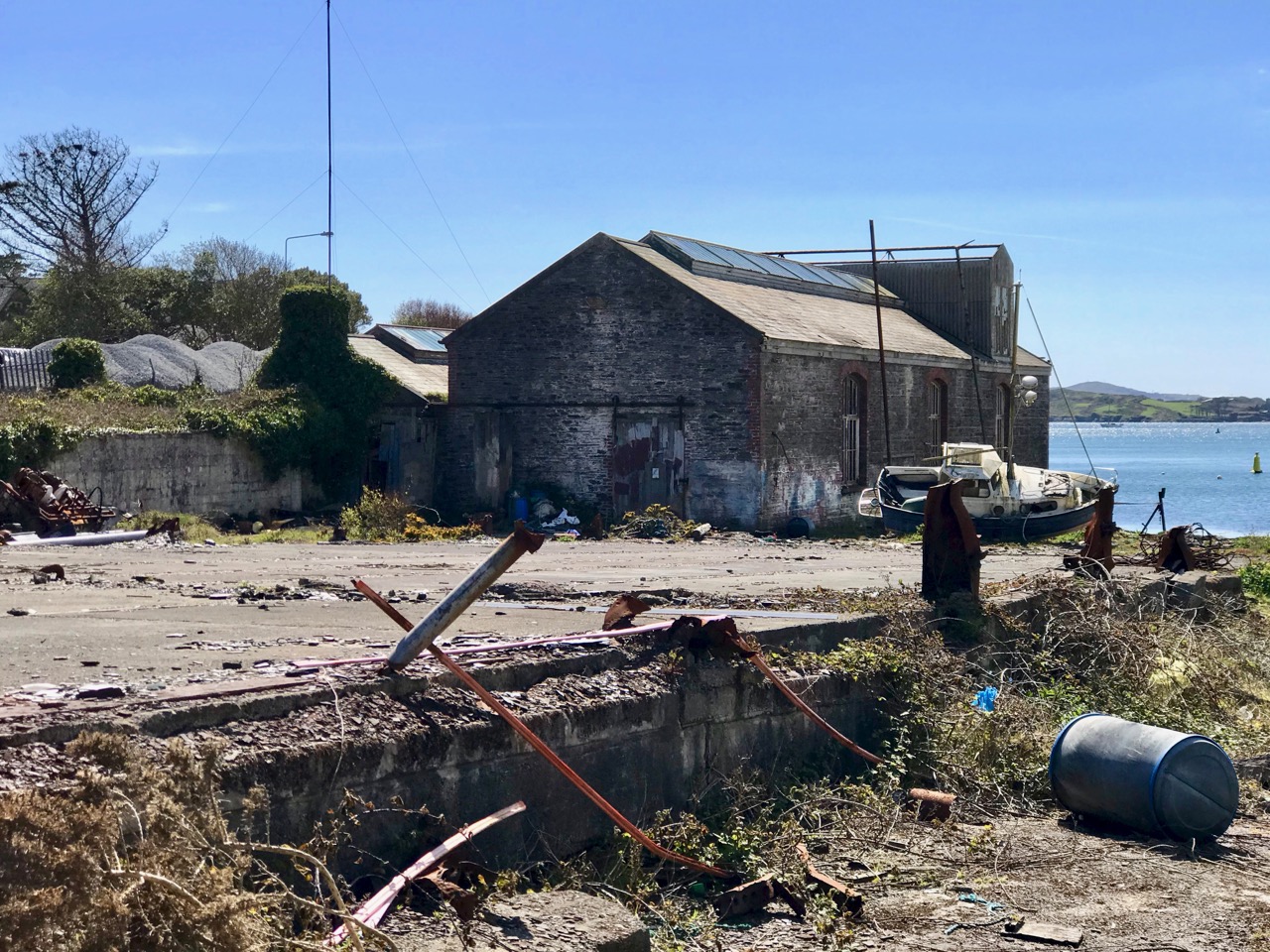
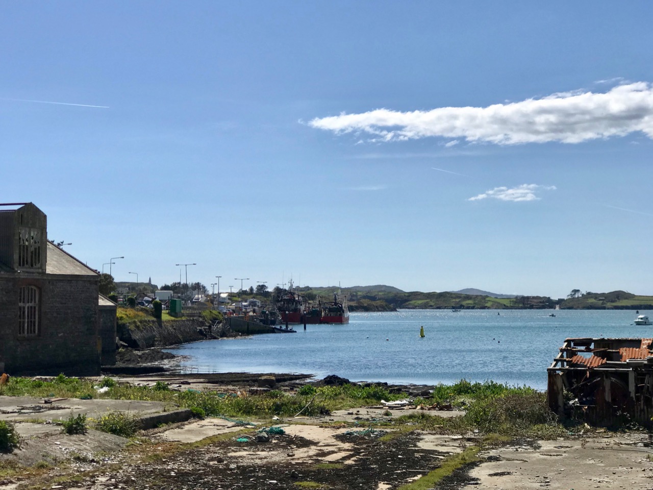
Header and above: the huge goods shed and boatbuilding slip that were established in Baltimore following Father Davis’s successful appeal to the Queen

Help came when the Queen directed the appellants to Baroness Burdett-Coutts – the richest woman in Britain: we met her in Flying Foam, my quest to find out as much as I could about the remains of an old fishing boat that lie submerged by the tide in Rossbrin Cove. That quest is ongoing – and has grown in complexity – but today’s little journey takes us to Baltimore, not too far from Rossbrin, especially as the foam flies. We have been to that lively little town many times (not least to enjoy the annual Fiddle Fair – this year’s is coming up at the weekend!), but never before have we taken a close look at the stories surrounding the fishing industry – and the extensive evidence of it which still exists.

I have always been fascinated by Industrial Archaeology, and I’ll search out any remnants of old workings, canals, railways and engineering structures that can be traced in the field, wherever I happen to wander. Baltimore offers a wealth of finds, and most of them can be traced back to Father Davis’s positive influence on the fortunes of the town in the late nineteenth century.

The big slip – where Baltimore’s own fishing fleet was launched and prospered, with the town’s working harbour in the distance: from there boats ply every day to Sherkin and Cape Clear

Prior to the work of Father Charles, Baltimore was a resting place and servicing centre for the large Manx fleet and boats from England and Scotland, all reaping the harvest of the sea on the fringes of the Atlantic. As the century progressed, the priest saw his vision realised: between 1880 and 1926 Baltimore was the largest fishing port in the country and 78 fishing vessels were registered locally. The local economy was also boosted by boatbuilding and net making, as well as providing a hub for the transporting of goods to and from all the inhabited islands of Roaringwater Bay.

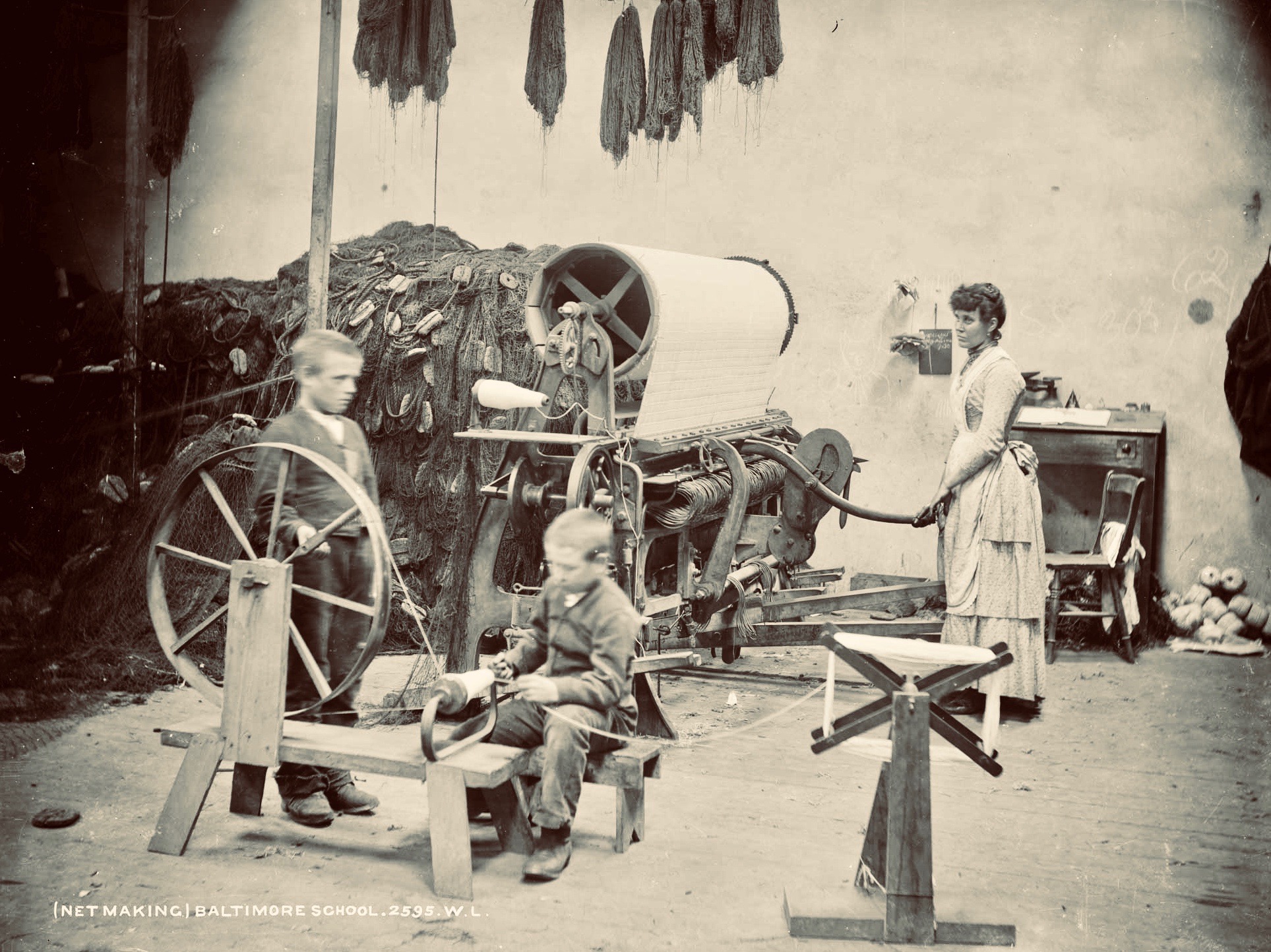
Harsh, unpaid work – net making by the boys at the Baltimore Fishery School – later the National School

Father Davis pursued a previously conceived project of establishing a fishing school in Baltimore. A grant of £1,000 was made to this by the  Grand Jury of County Cork, and the Treasury, at the instance of Arthur Balfour, Chief Secretary for Ireland (and later Prime Minister of Britain) granted £5,500 towards the completion and fitting-up of the school. In 1886 the Fishery School was formally opened by Baroness Burdett-Coutts.

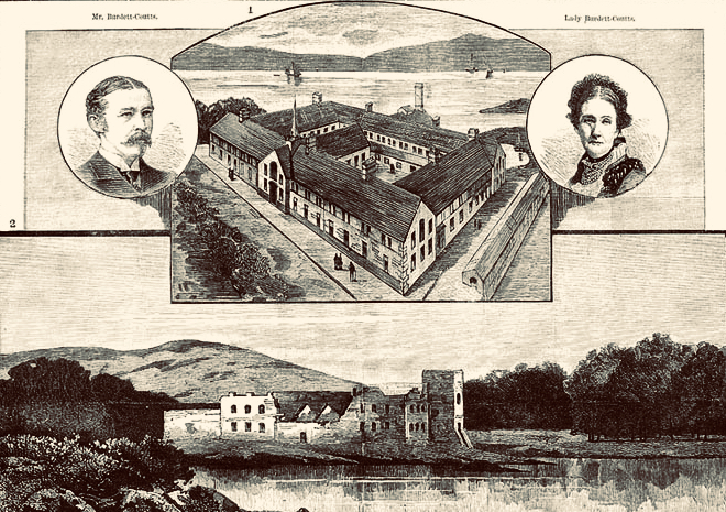
From an encyclopedia illustration: the Burdett-Coutts portrayed with the new Baltimore Fishery School in the 1880s. The picture below is of the medieval castle at Oldcourt, further up the Ilen River

Fr Davis was not yet at the end of his labours in connection with the fishing in Baltimore. He was aware that one of the great disadvantages under which the fishermen of the region laboured was the difficulty of transporting the fish to the English markets. This was ordinarily accomplished by steamers from Baltimore to Milford Haven, Wales. However, there were times when these steamers were not available, and it was necessary to send the fish via Dublin and Holyhead. In these cases the fish had to be carted from Baltimore to Skibbereen, with the result that the fish greatly deteriorated in transit. To remedy this problem, Fr Davis set about getting a railway link between Skibbereen and Baltimore. This project, when first started, seemed to have little promise of success, but Fr Davis was not discouraged. He enlisted on his side the sympathies of a great number of Nationalist members of Parliament and of many who were not of Nationalist politics. He also enlisted the powerful aid of Baroness Burdett-Coutts. In the end his efforts were crowned with success when a bill for the Baltimore railway was passed by Parliament. However, he never lived to see the railway line open on the 2nd May 1893.

(Notes from the Diocese of Cork and Ross)

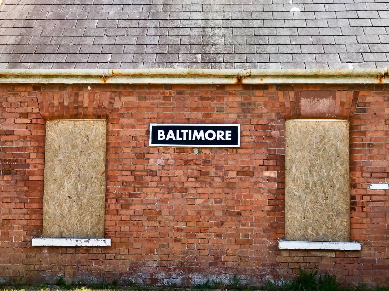
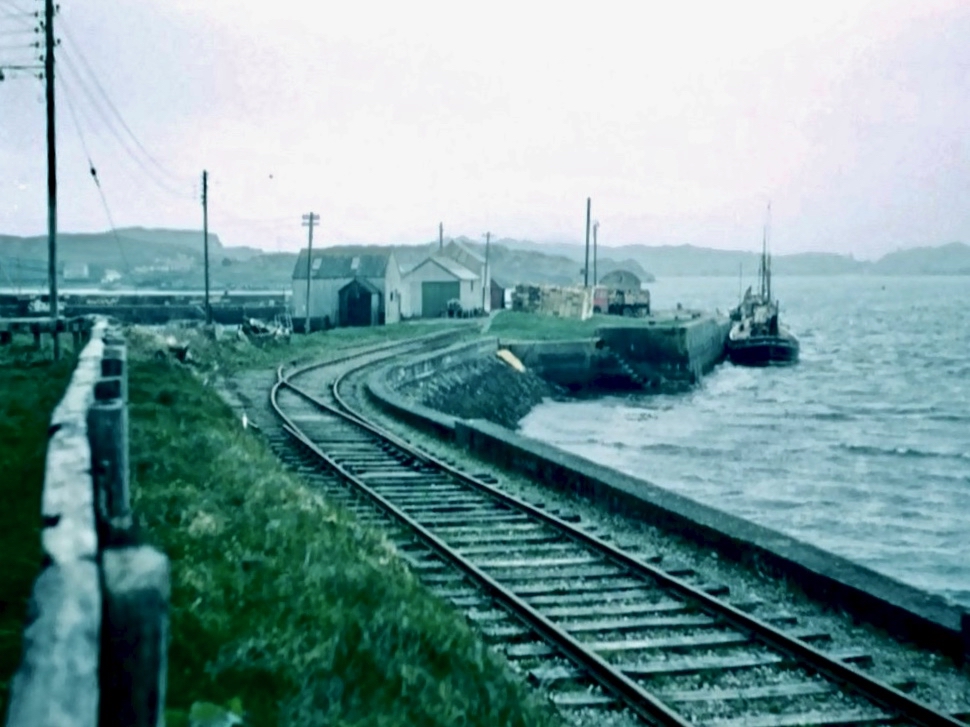
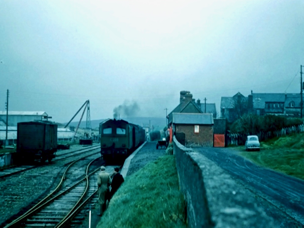
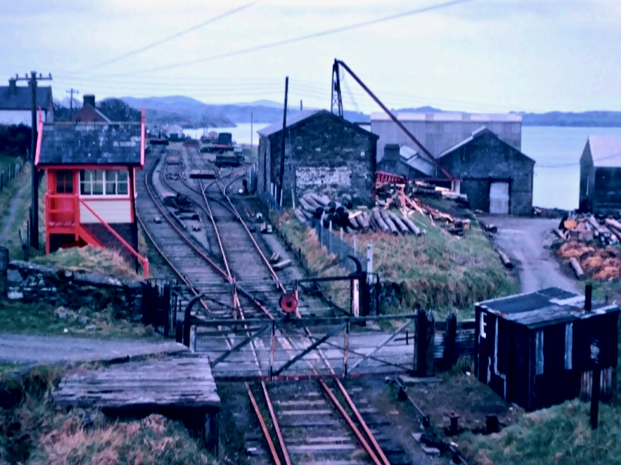
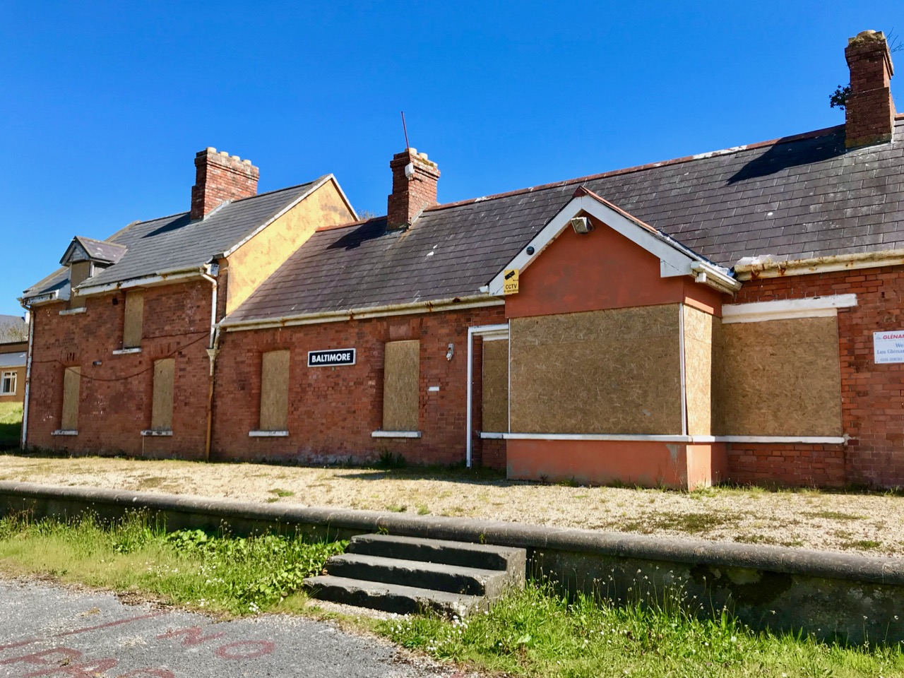
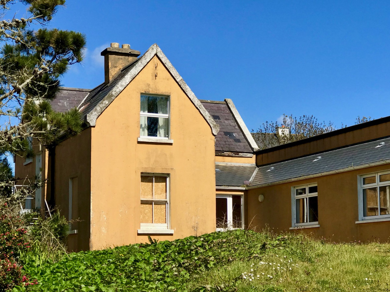
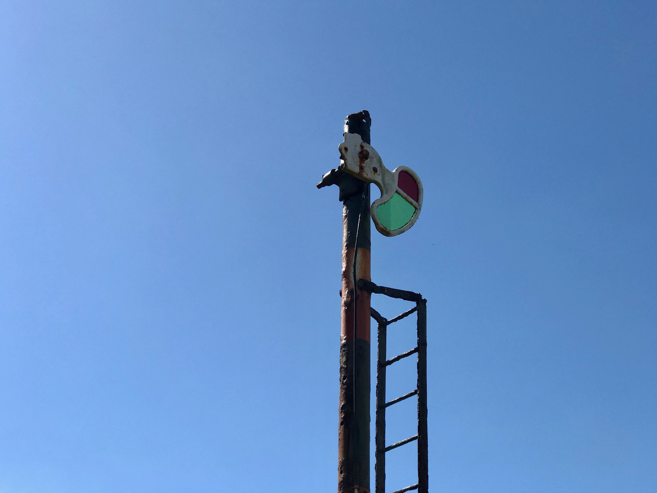
Baltimore Station – the most southerly railway terminus in Ireland – is still intact today, although now deserted and derelict following a previous incarnation as a sailing school. Good Friday, March 31st, 1961, is a date which will be remembered by many in West Cork as the loss of a lifeline to the outside world. Despite ‘the greatest civil protest since the foundation of the State’, the West Cork railways closed down.

The three photographs above are borrowed from the blog Beneath the Summer Growth – an excellent site which has covered many aspects of Irish industrial archaeology. I could not find a direct acknowledgement for these pictures, which are the best I have found on the Baltimore line. Upper – the railway line at its furthest point, on Baltimore Pier (1961); centre – Baltimore Station when it was still working (1961) – on the left is the large goods shed; bottom – Baltimore Station in 1962, when the trackbed was being taken up

In spite of the loss of its railway, and the decimation of its fishing fleet, Baltimore thrives today as a working town – with its ferry terminals serving the Islands – and a popular West Cork tourist destination.

Baltimore Station and its accoutrements still very much in existence today, although now disused and with no plans for the future

At one stage there were seven trains every day out of Baltimore, all carrying fish for the American market. But the good times didn’t last and in the early 1950s the National School (formerly the Fishery School) closed. You may not want to know the full story of this institution: it has been told – starkly – by Alfred O’Mahony – who was a resident there between 1941 and 1947. The story entails abuses of many kinds: beatings, hunger, harsh conditions – the building was unheated and the boys had to endure the winter of 1947, the coldest on record in Ireland. I will quote a single example – the state of the sanitary facilities:

The outdoor lavatories were wedged between the play hall and the laundry. The ten cubicles there had splintered and rotted half-doors hanging from large rusted hinges. The large roundels in the cubicles had once supported the original giant chamber pots which, on becoming rusted and holed, were sometime in the forgotten past discarded and never replaced. Despite our ignorance about these matters, our outside lavatories were called “The Pots”. At a call of nature we mounted the wooden pot supports to bare our bottoms and let go through the roundels, but when the icy blasts of winter blowing through the roundels caused goose pimples and chattering teeth we used the floor until the underfoot conditions forced us to use the open-air compound behind the cubicles. There was no water supply there from any pipe or stream, and no wipes of any kind were available to us; only the falling rains washed the place. When we left the play hall for a call of nature on a rainy wintry night we had to negotiate through the slurry in the unlit lavatory compound; when we returned with soiled clogs we exuded a mighty stench. Once every fortnight Jer the farm labourer shovelled the human waste into a cart, and as the load was pulled by Ned, the institution’s donkey, through the precincts, the pong forced us all to turn away in disgust. Father McCarthy deemed in 1945 that the appearance of our outside lavatories was an eyesore to visitors and ordered the building of a six-foot-high concrete wall, and in doing so he concealed the perfect conditions for a cholera epidemic that could have wiped us off the face of the earth.

(Alfred O’Mahony, The Way We Were Inspire Books, Skibbereen 2011)

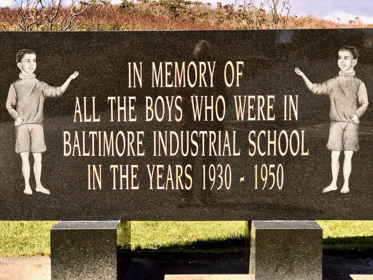
It’s probably a good thing that no part of the former Fishery School and National School remains today: the site has been completely redeveloped (above). There is a memorial, a simple carved granite stone which leaves a whole lot unsaid. What makes me shiver is the fact that this maltreatment happened not in the Victorian era of child labour – grotesque and inhumane conditions such as those which Charles Dickens vehemently campaigned to highlight and eradicate in the middle of the nineteenth century – but in my own lifetime.

The Monster of Red Strand!

Last week we investigated Castlefreke, the tallest High Cross in Ireland,  and the Long Strand. Not far away – and ripe for another day of exploration – is the intriguingly named Red Strand.

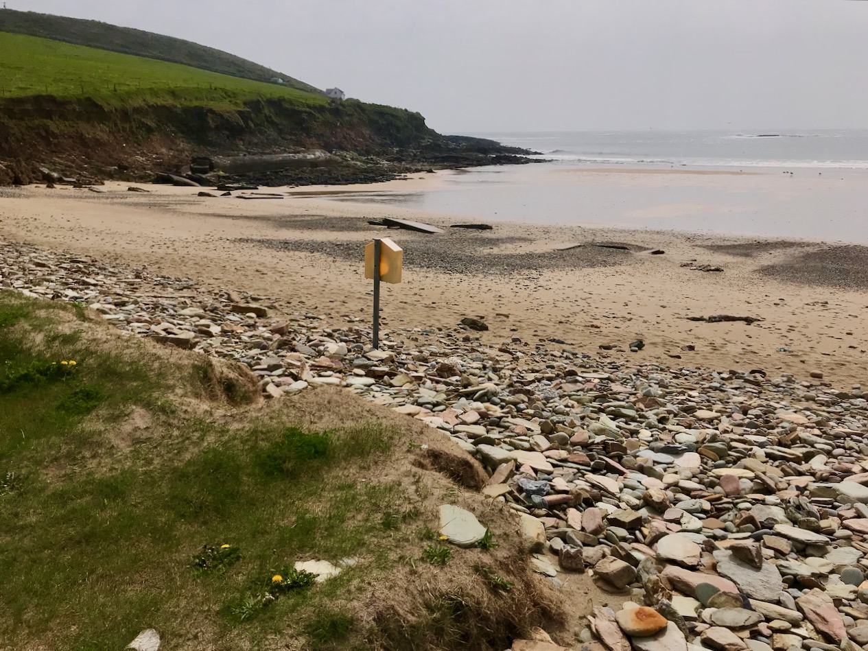
Header picture – looking across Red Strand towards Galley Head. Upper – Red Strand beach; lower – red stones are prolific on the beach at Red Strand: it is said the beach ran with blood after the battle between the Barryroe army and John Barry’s army

Tales abound as to how or why that West Cork beach got the name. A good source of such stories is the Schools Folklore Collection – an invaluable resource of memories recorded by local people about their own townlands. Although the collecting project took place in the mid 1930s, the schoolchildren were interviewing members of their own families who might have lived in the same location through several generations, and were probably retelling stories that had in some cases been passed across hundreds of years.

. . . There is an old ruin of a castle in Dundeady which is about eight miles s.w. of Clonakilty. It is about 20 ft high. During the last storm a part of the top was blown off. There are holes in the walls where the guns were kept to shoot from. It was built by an anglo Norman named John Barry. One night they went east to Barryroe and stole cattle from another Norman named “Barry Bán”.

John Barry had a white horse which would not drink water of any well only the well in “Cráig Gaimhne”. Next day he went to the well with his horse and left him grazing in a field near by called “Pairchín Caol” whilst himself fell asleep near the fence.

It was not long until “Barry Bán” and a great army came attacking his castle. The horse ran to the fence where John was sleeping and started to screech into his ear and woke him.

When he saw the Barryroe army attacking his castle he jumped on his horse and off with him over the fields and fences as fast as he could. When he was crossing the “Góilín” he struck the horse with a magic wand. The horse jumped the “Góilín” which is about 15 yds. He struck the horse a second time and the horse fell dead.

The signs of the horses feet are plainly visible on the rock. That day there was a terrible battle fought between the Barryroe army and John Barry’s army and this battle is called the “Battle of the Red Strand”. They fought all the way across the “Red Strand”. They fought and fought across the “Red Strand” and up “Ballira Hill” as far as “Ballira House”. John Barry and his army slew and killed all of Barry Bán’s army nearby. John Barry and his army won the battle that day.

For months after there were bones and pieces of bones throughout the place where the battle was fought . .

Collected from Master Pat Hayes, Donour, by Duchas Schools Folklore Project 1937

Another collected tale also centres around the Lady Well at Dunowen (lower right on the aerial view, above):

. . .There is a well situated in a field belonging  to Michael Feen in the townland of Dunowen not far from the sea coast. It is said that the Blessed Virgin appeared there long ago and was seen by some fishermen when fishing near the coast. She appeared as a big swan and pitched on the edge of the boat. Then she flew eastwards and flew in a circle over the well. Then she knelt down and left the prints of her fingers and knees on the flag, But some 20 years ago  a young boy about 12 years who was blind from birth went to the well with his father, after being taken to the well he left a scream at his father to look at the frog. Then they both thanked god and went home cured . . .

Amanda fully describes and illustrates this well in Holy Wells of Cork and Kerry after her own visit to the area three years ago.

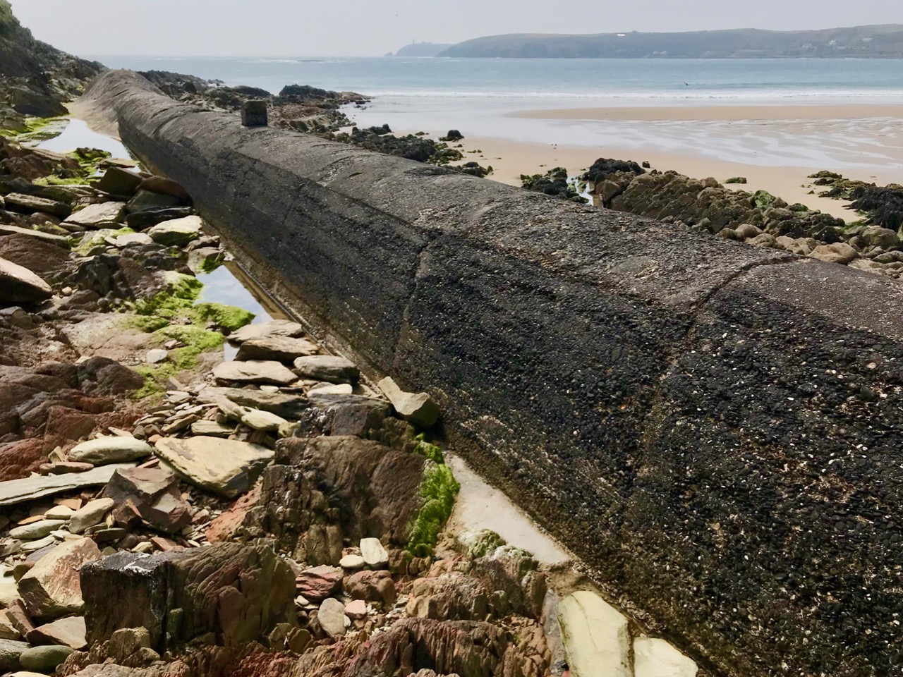
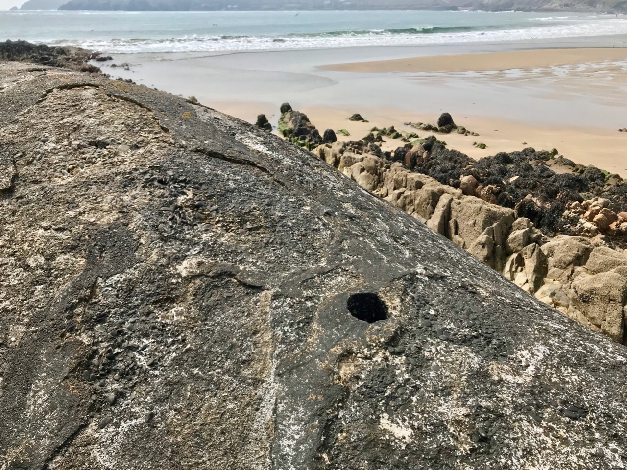
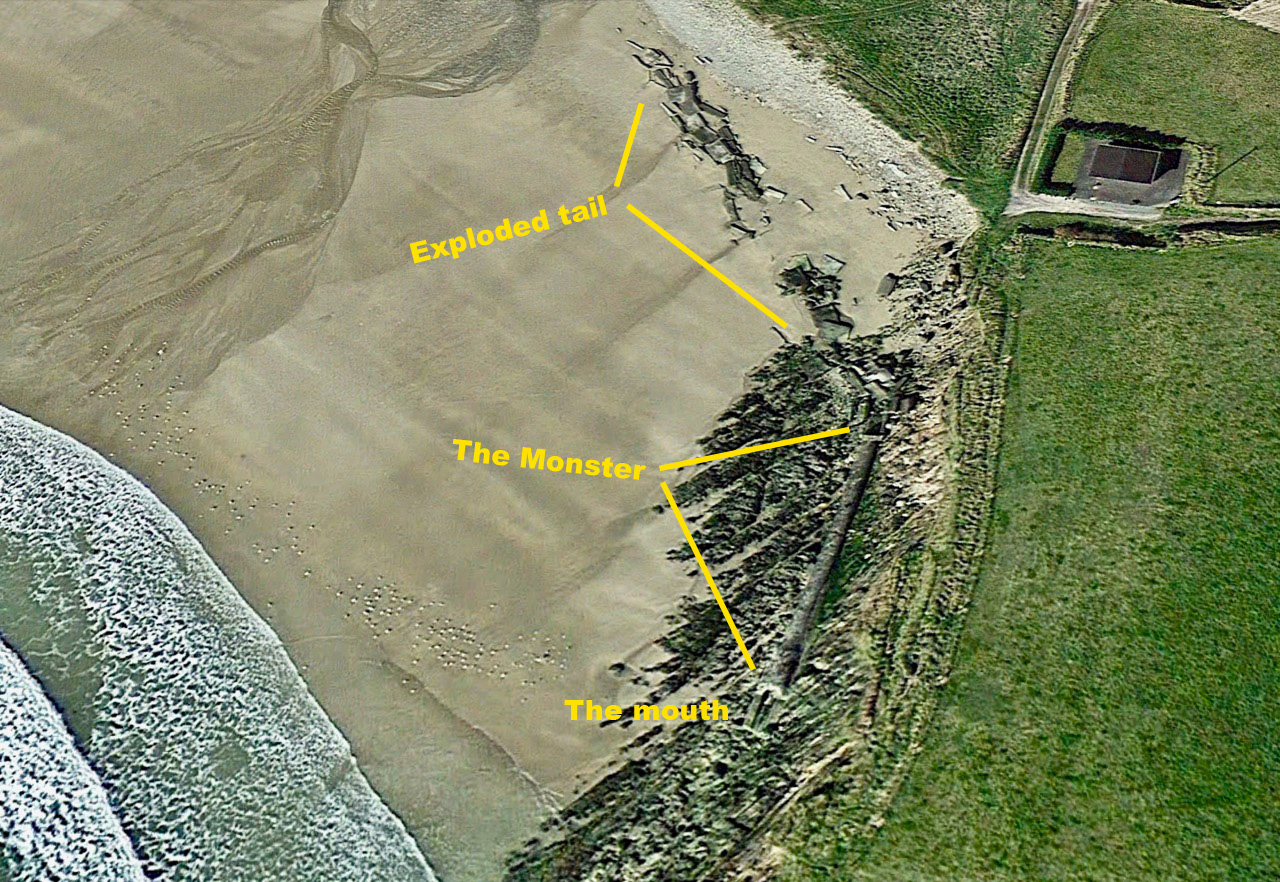
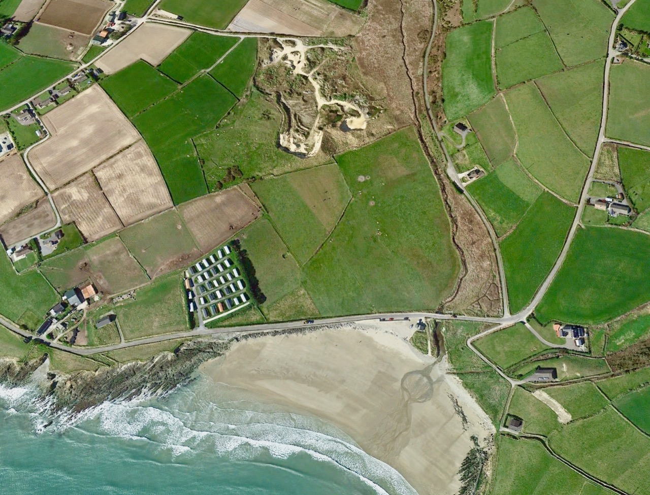
But – what’s this? Marooned on the beach is a strange, dismembered creature… Or, at least, the remains of a creature. I’ve labelled it monster on the aerial view, because I can’t think of a better way to describe it: alien, amorphous, slightly sinuous. It has a mouth, too.

Is it spewing out or sucking in? Will it swallow you or I if we are not careful with the tides? Why is it here, and who made it? Be careful, Robert . . .

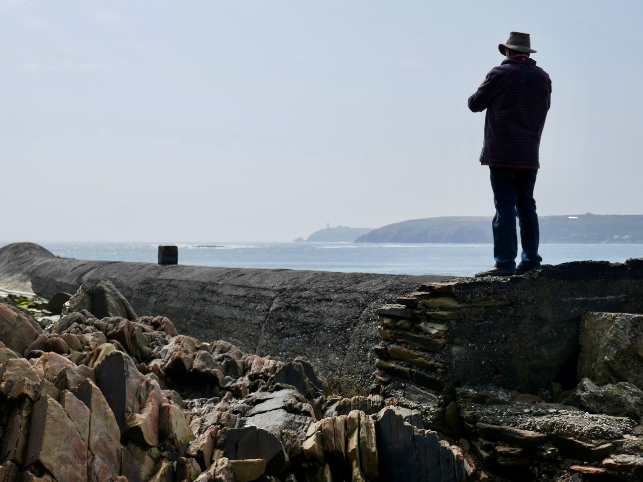
It’s enormous! It runs the length of the west end of the beach: you can just make it out in the second picture from the top, lying along the bottom of the cliff face. It’s like a great, marine creature with a fin and blowholes.

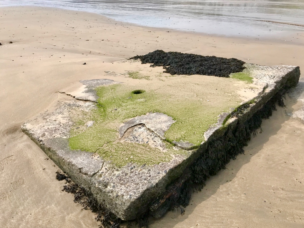
But, if that is its mouth facing out to sea, then its tail seems to have exploded. Look at this more detailed aerial view:

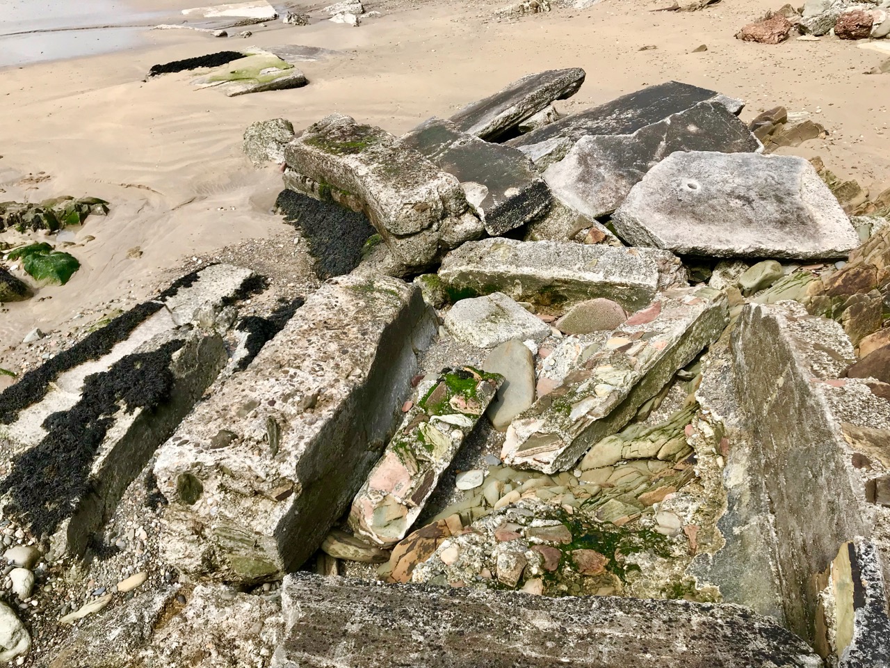
This Google Earth image dates from 2009. Ten years later, much of the debris from the exploded part of the monster is disappearing under the shifting sands.

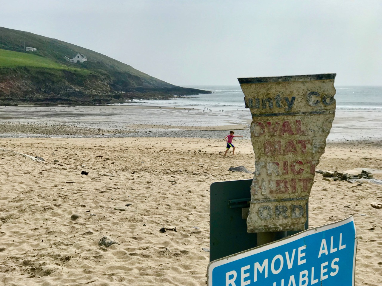
Those huge slabs now scattered over the west end of Red Strand are reinforced with steel girders: whatever has been here in the past was a massive and heavy structure. Is there any record of it? I found only one slightly oblique mention, after searching high and low, written by Noel Baker in the Irish Examiner in February 2014 – following one of the most severe storms ever recorded on the coast of West Cork:

. . . So much of what happens is hidden from plain sight. Take the beautiful beach area of Red Strand near Clonakilty. The recent storms have caused serious damage to counties from Mayo to Wexford and beyond. Sometimes the extent of the damage is obvious, other times not so much. Red Strand, not far from the villages of Rathbarry and Ardfield, has clear evidence of damage. One of the walls alongside the road has been knocked, the sands have been shifted, along with rocks and stones, and the pillar displaying the Red Strand plaque lies knocked on the sand. Local man Cornelius ‘Con’ Scully is a veritable historian of Red Strand. He has photos of the area dating back to the 19th century and knows every nook and cranny.

“The face of the strand has totally changed in a very short time,” he says from his conservatory overlooking the sea.

He remembers back to the 30s when a tunnel, a section of which is still visible to the left of the strand as you look from the road, was laid. “When that was built the high water [mark] was 20 ft further out to sea,” he says. “It’s coming in the whole time” . . .

So there we have it – a tunnel, ‘laid’ in the 1930s.

But we still have an enigma. Why was the tunnel built then? And while the term ‘tunnel’ would adequately describe the remaining long section of the monster, it gives no clue as to its purpose. The ‘exploded’ bit intrigues me the most. From what you can see of the debris today, there must have been some sort of box-sectioned structure running along the higher part of the beach. A number of possibilities spring to mind: a sea-bathing pool, fed from the high tide through the ‘tunnel’? Fish tanks? A sewage system? Settling beds (but for settling what)?

Let’s do a little more detective work by looking back at another aerial photograph from Google Earth. You can see that I have placed the beach – and the monster – in a broader context:

You can trace the snaking line of the monster, starting in the bottom right (ish) and heading up the beach: follow the disintegrated section, which heads for the outlet on to the beach of a stream, which passes under a road bridge. It might be reasonable to assume that whatever passed through the monster’s stomach (the ‘tunnel’) came from that stream.

This picture is looking over the wetlands that are beyond the road running along the top of Red Strand. In the middle distance are ‘old workings’, seen more closely below: these appear to be in the townland of Ganniv Beg.

Whatever those workings might be – or might have been (extraction of sand, minerals?) – any run-off could have been carried into the stream on the right and then spilled out over the beach. This could have been detrimental to the amenity of the beach, and the ‘monster’ might have been constructed to contain and carry the outfall away at high tide. Pure speculation on my part: I’m happy enough to be proved either right or wrong. I would just like my curiosity to be satisfied. So – who has the story? It’s a recent enough construction to be within living memory . . . Hopefully, this post will stir someone to comment: if they do, I will report back.

Lady Carbery’s High Cross

Wherever we travel in Ireland, I search out medieval high crosses. They are the epitome of ancient Irish art: this link will take you to a number of earlier posts which explore the subject.

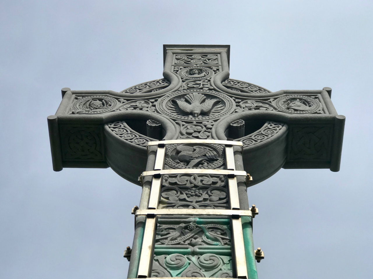
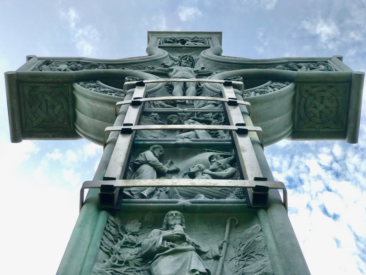
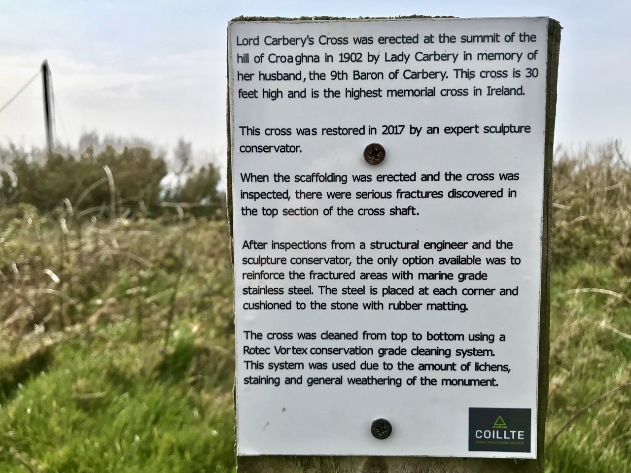
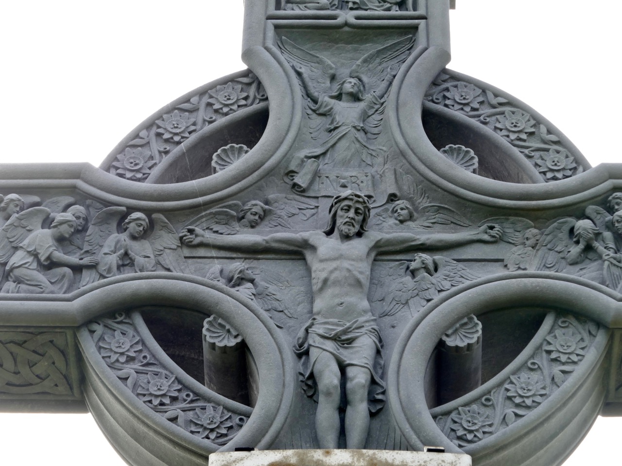
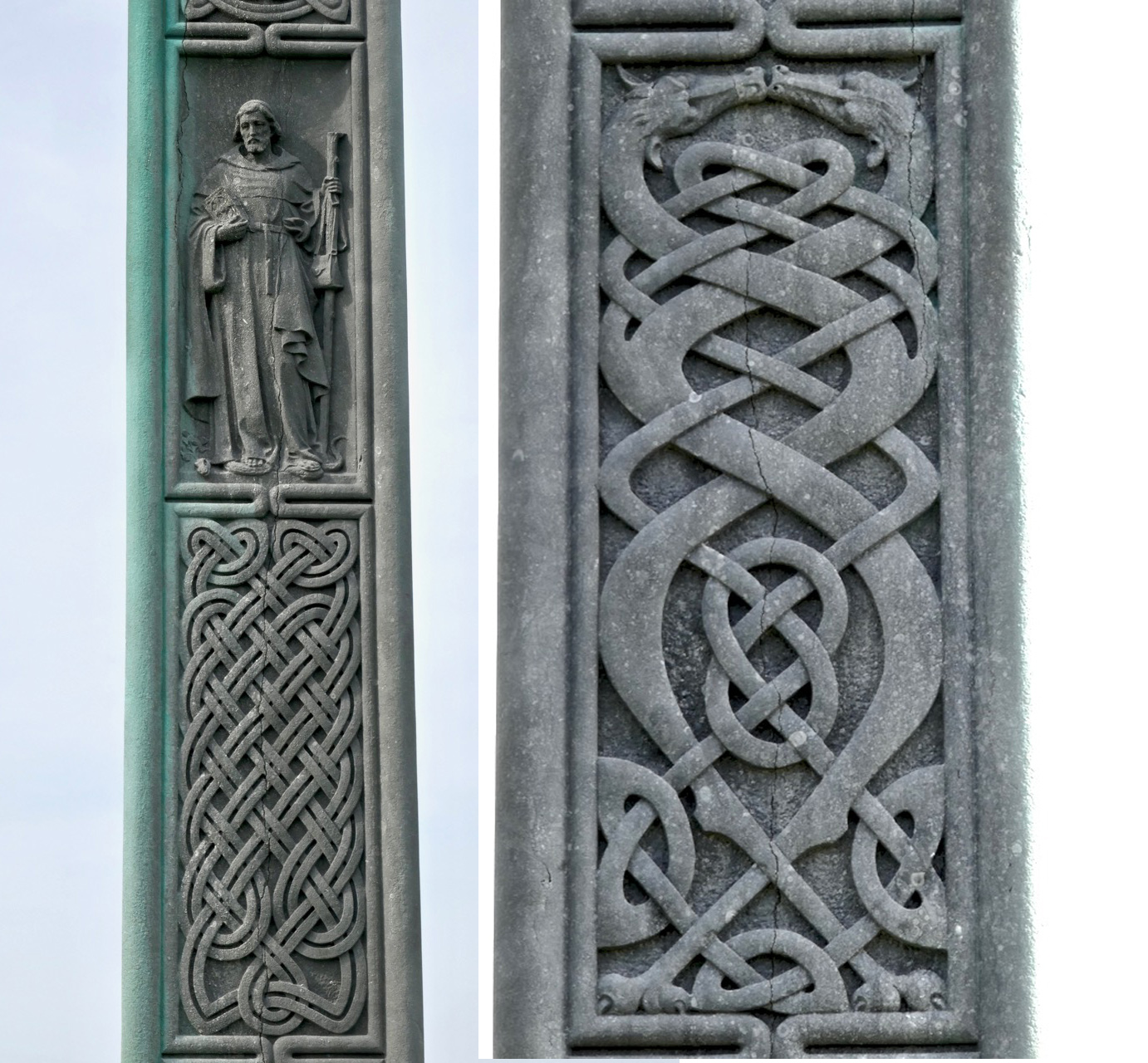
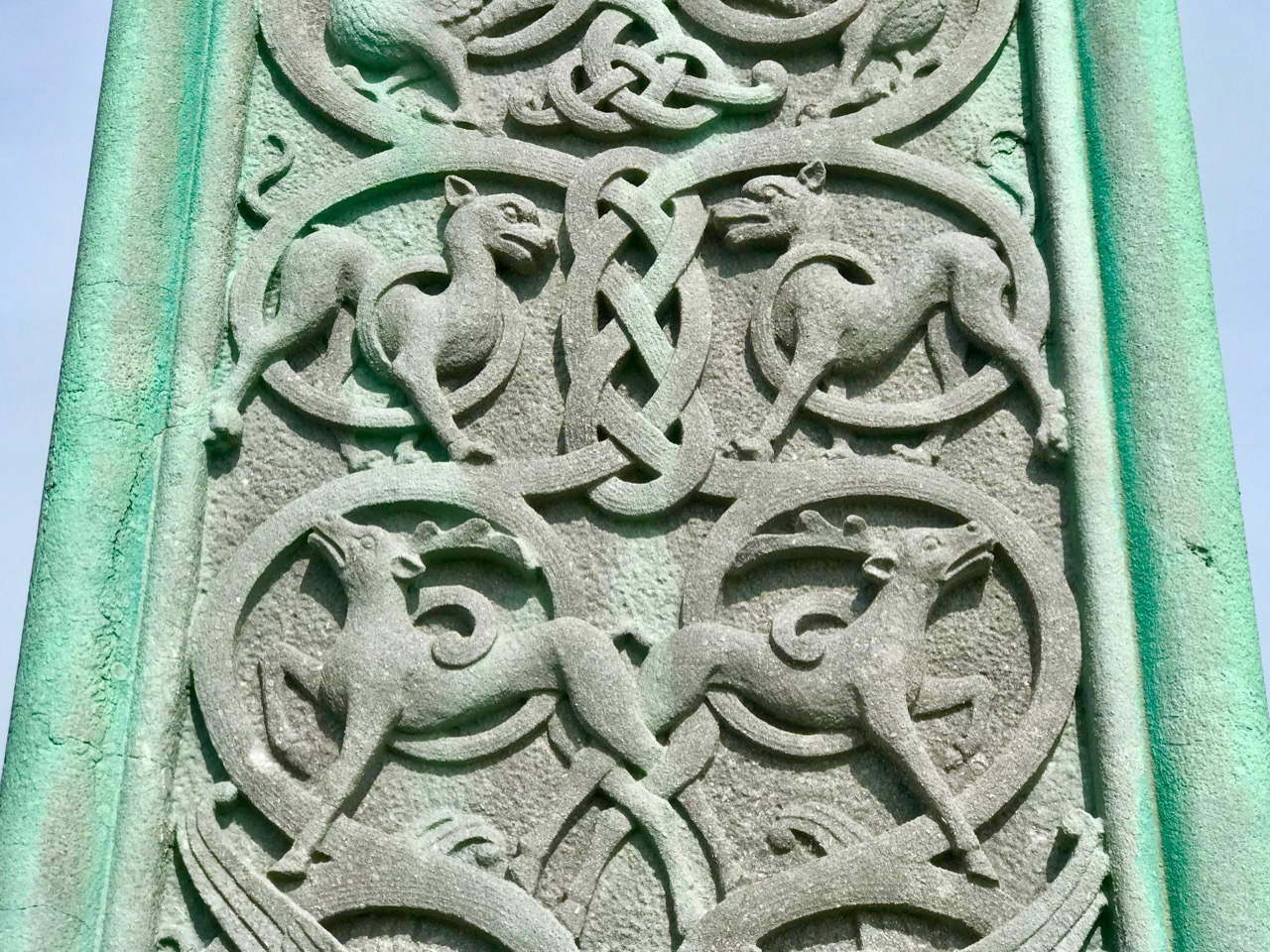
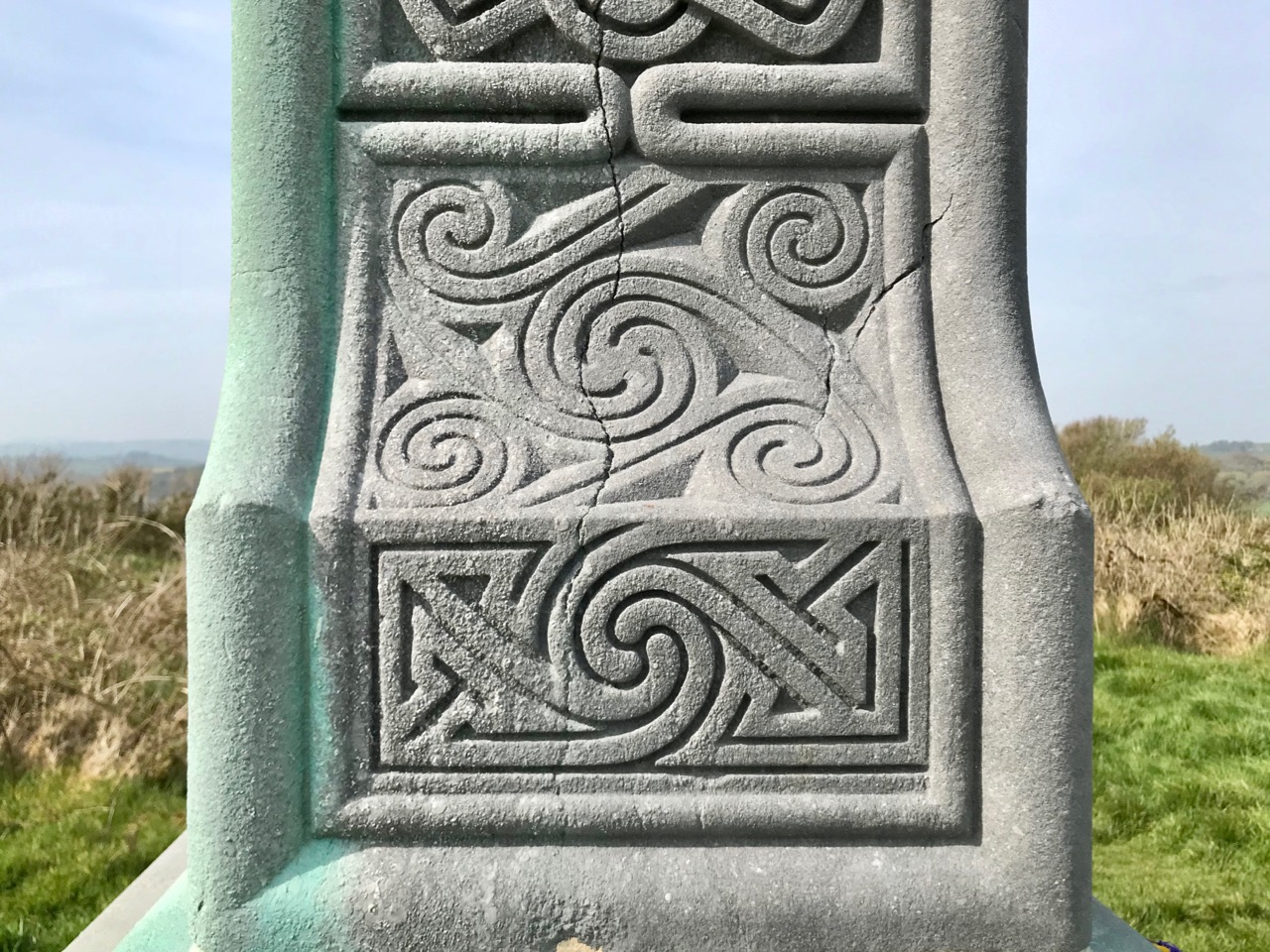
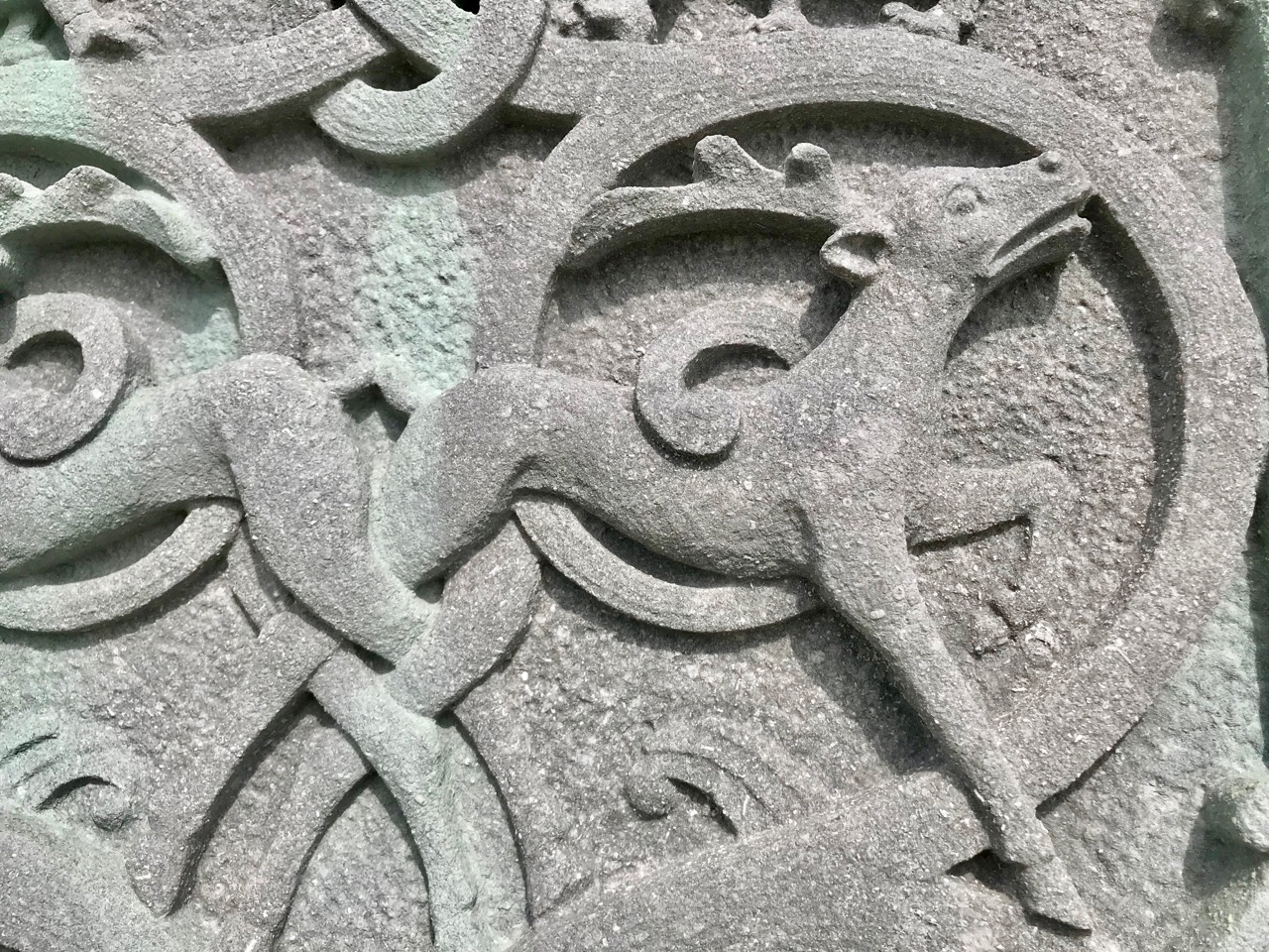
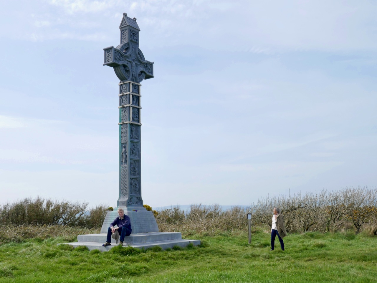
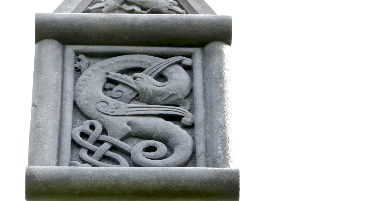
It’s ironic, perhaps, that I haven’t yet discussed Ireland’s tallest high cross, which is in West Cork, not far from where we live. At 9.2 metres tall, it outshines the West Cross at Monasterboice, which is just 7 metres. However, Lady Carbery’s High Cross is not medieval – it was built on a hilltop with sweeping views over Long Strand, distant Galley Head and as far west as the Fastnet in 1902, in memory of her husband.

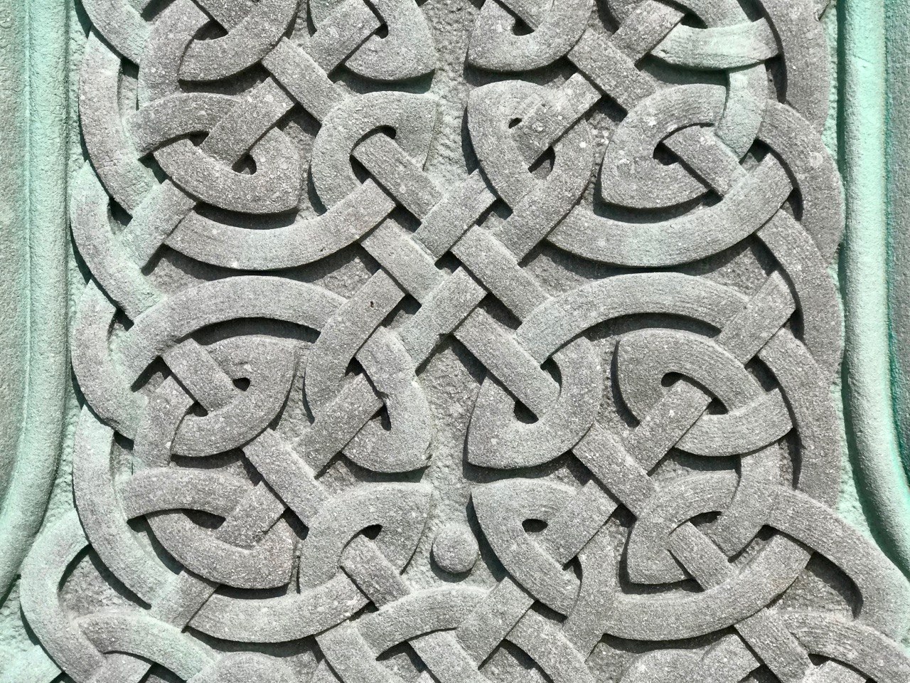
. . . Windswept Croachna Hill, just over the rise from Castle Freke, faces out towards the Atlantic and the sunset, as well as the mystic isle of Moy Mell, and a dangerous submerged rock of the same name. Here, in 1901, in view of the countless sailors who would pass and re-pass through the years, Grandmother had caused to be erected a huge cross as a monument to her first husband Algy, the last Carbery to spend his life in these parts and to make his home in County Cork. Fourteen tons of white limestone rise thirty feet into the sky. There are seven panels, each with sculptured designs from the Bible. The inscription on the east face reads: “To the greater glory of God, and in loving memory of Algernon William George, 9th Baron Carbery, who was born 9th September 1868 and who died 12th June 1898. This Cross has been erected by Mary, his wife, 1901. The souls of the righteous are in the hand of God, they are in peace” . . .

Lady Mary Carbery wrote a journal following her husband’s death. It remained private until a century later, when her grandson Jeremy Sandford published much of it, together with his own commentary – the paragraph above is his. Recently widowed and sole mistress of the vast neo-medieval Castle Freke overlooking a remote headland in West Cork, Mary raised her young family in the company of servants, dependants and occasional visitors. Reflective and sensitive, Mary Carbery was deeply attuned to the spirit of place and to the people she lived amongst in Rosscarbery, studying Irish and taking note of local speech, folklife and customs. It’s no wonder that the memorial cross she commissioned from white limestone should have been such a tribute to the flowering of Irish art in the medieval period.


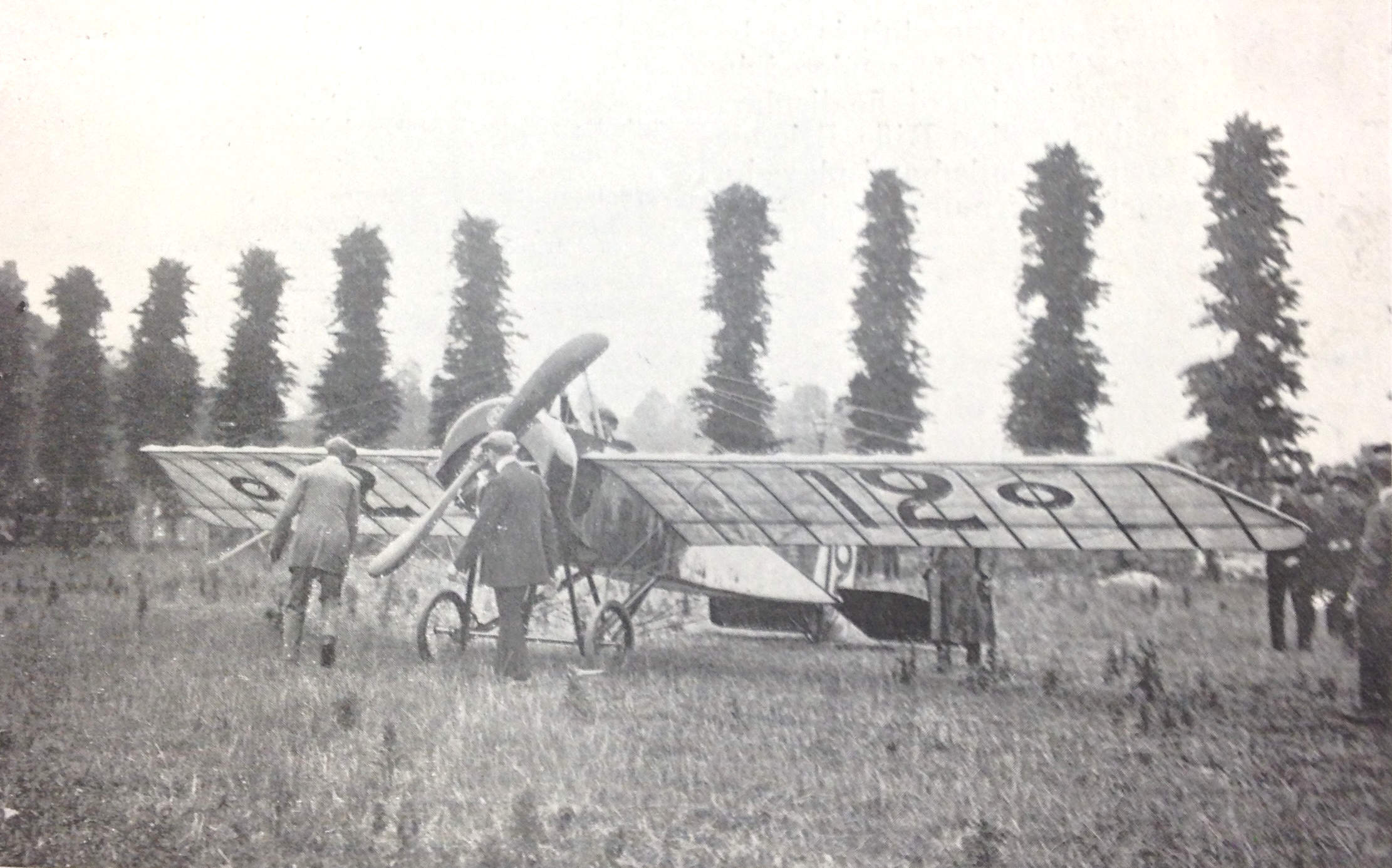
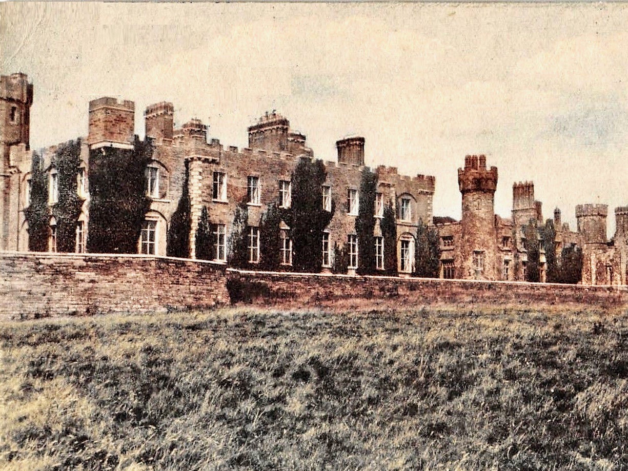
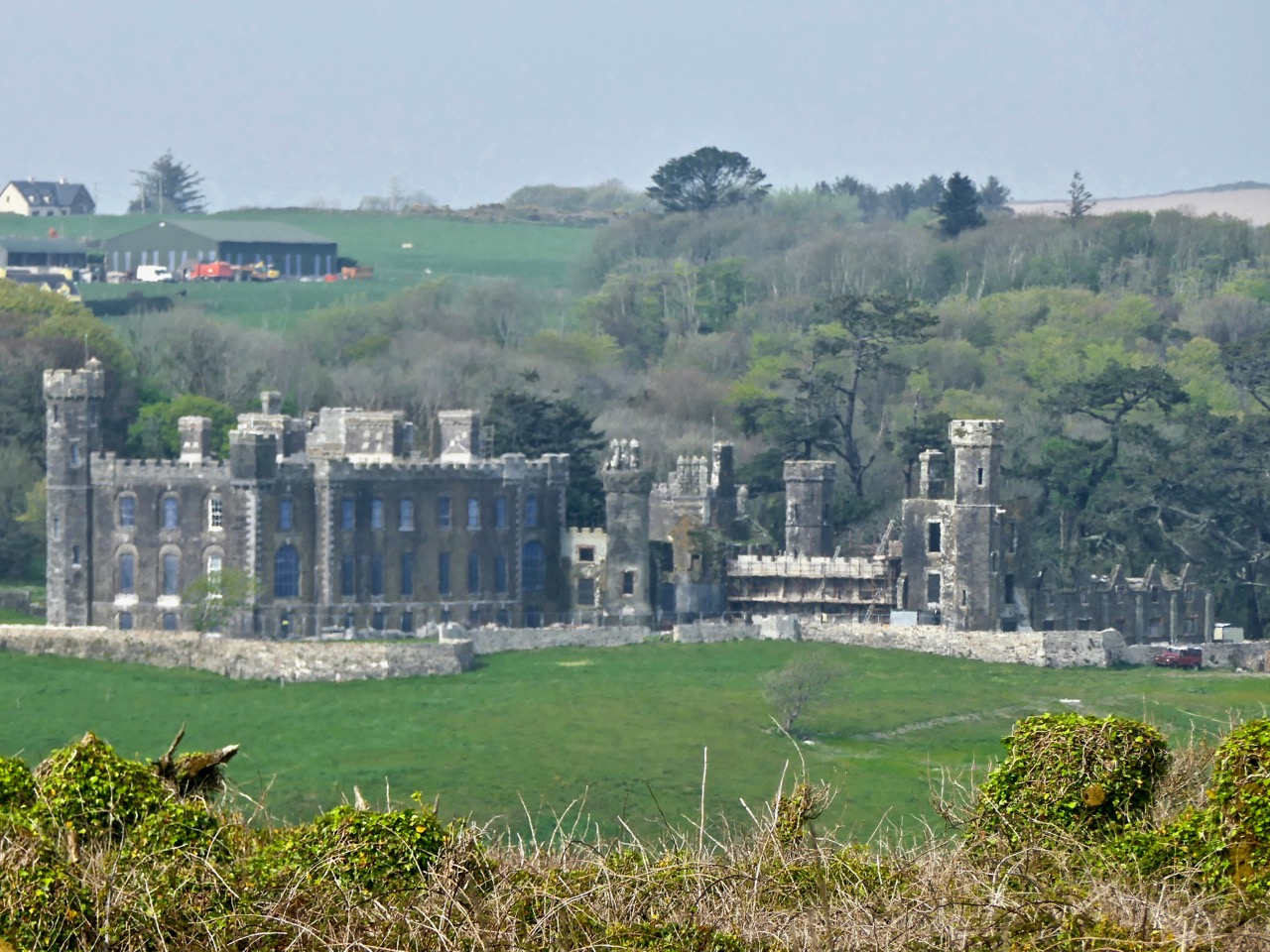
Algernon was the 9th Baron of Carbery. After his death, Mary stayed at Castle Freke long enough to see through a significant restoration following a fire in 1910, then met and married Professor Arthur Wellesley Sandford of Frankfield House, County Cork. She was evidently quite a character, a prolific writer and traveller: she spent some years travelling across Europe in Creeping Jenny, a caravan drawn by white oxen, and is credited with being the first person to install a bath in a mobile home. Meanwhile, the castle was taken over by her son John – the 10th Baron, an early aviator, who sold it in 1919 and took off for Kenya, where he joined the hedonistic Happy Valley community, infamous during the 20s and 30s for its decadent lifestyles, drug use and sexual promiscuity. During the latter part of the 20th century the castle fell into disrepair.

Changing fortunes: Lord Carbery’s monoplane in 1914; Castle Freke in reasonable condition, pre 1950, and the Castle in the present day undergoing renovation by Stephen Evans-Freke, son of the 11th Baron Carbery

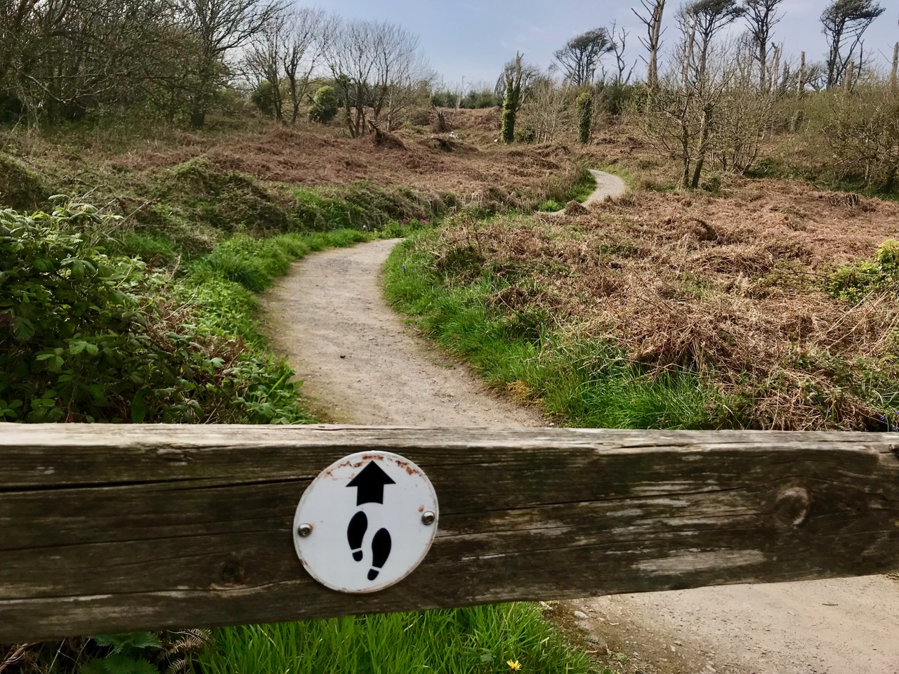
We are fortunate that some parts of the former estate at Castle Freke are maintained by Coillte, the State-owned forestry business, and are publicly accessible. This includes the high cross, accessed by a footpath from the Long Strand.

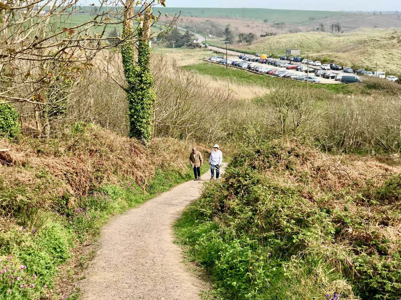
The Coillte path up to the cross, leading from the car park at Long Strand. In the lower picture Gill and I give an idea of the scale of the monument

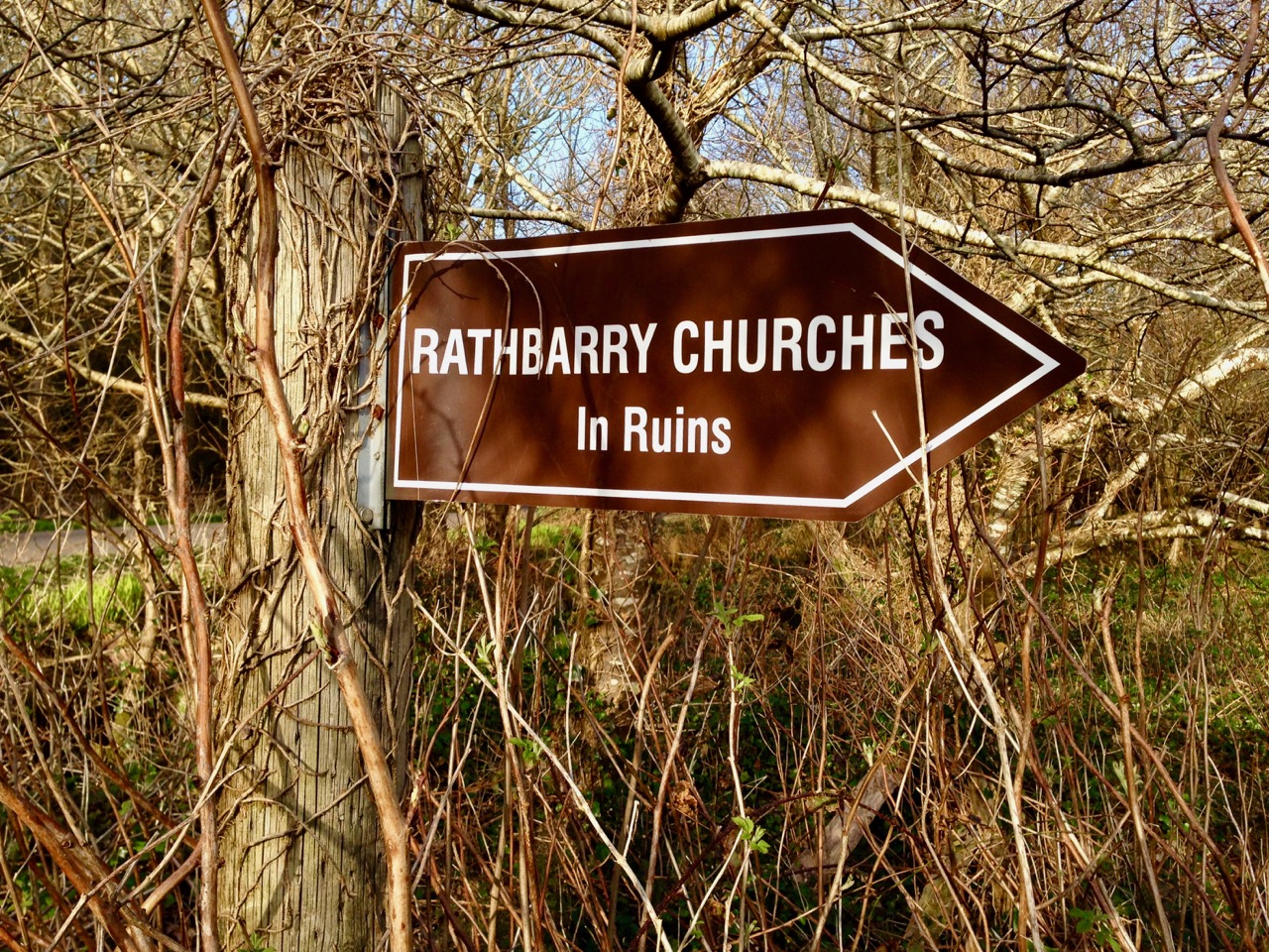
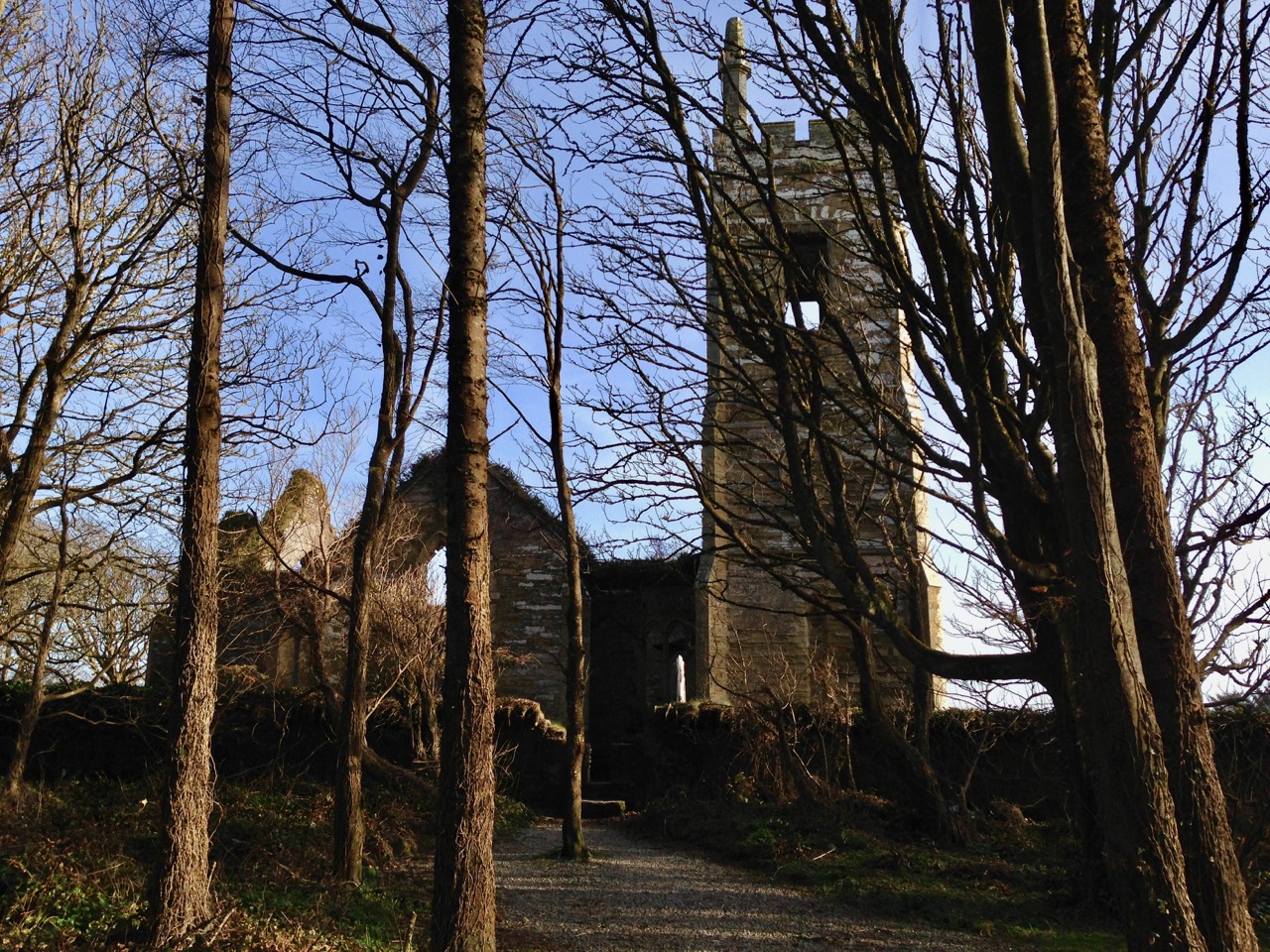
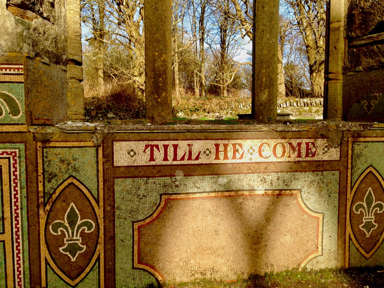
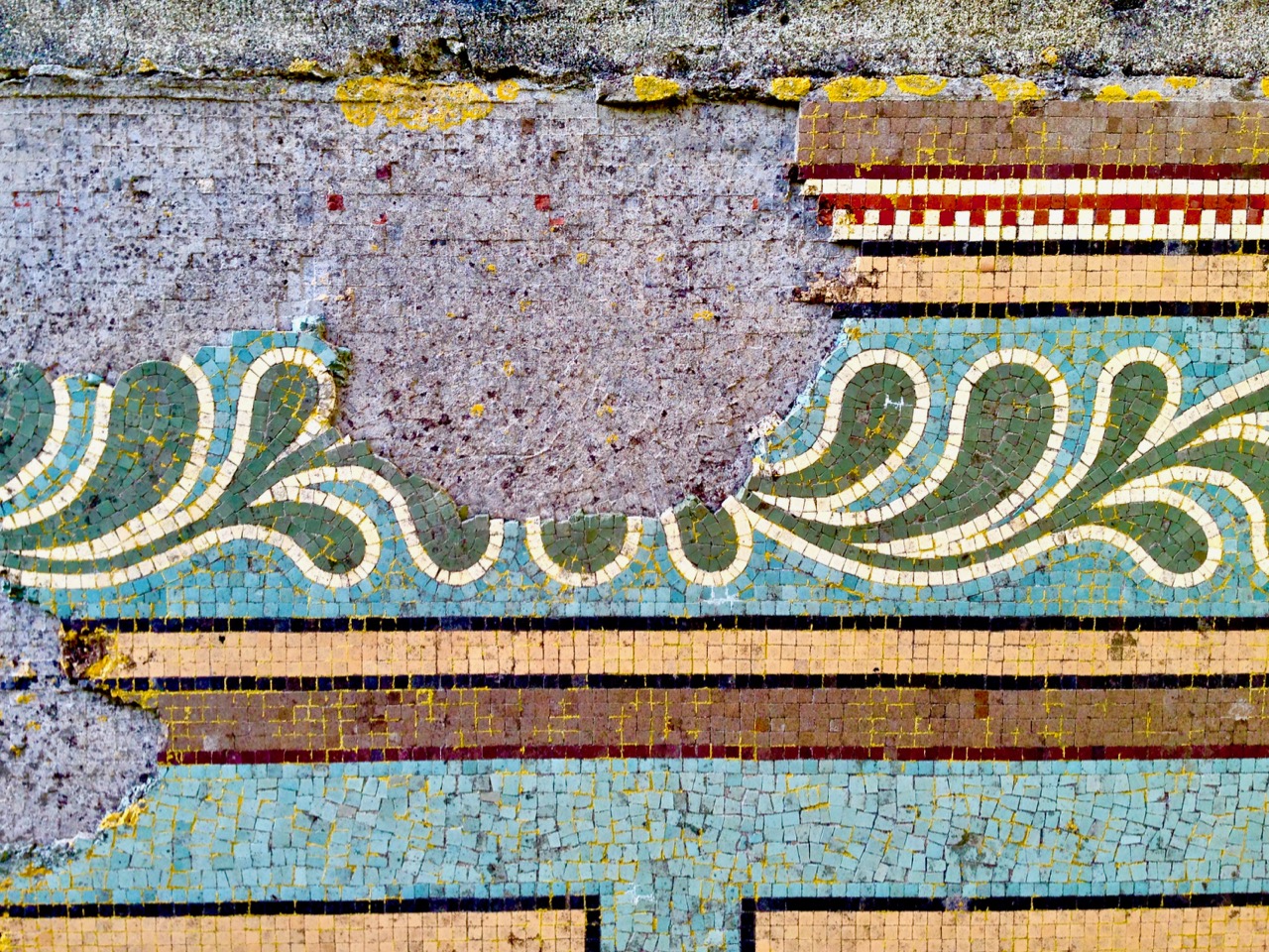
Take the opportunity to have a look at the old parish church of Rathbarry, also in the Castle Freke demense. Built in 1825, it closed in 1927, and is now an atmospheric ruin. Algernon, the 9th Baron, and Lady Mary commissioned some of the striking mosaic work which can still be seen.

I found a number of entries in the Duchas Folklore Collection centred on the  Long Strand, Red Strand and Castlefreke areas. They could make a good future post, but to finish off for now, here is just one: recounted by Denis Collins, aged 60, from Castlefreke, Duchas Collection, 1937 – “The Hidden Treasure of Castlefreke”:

. . . Two children from Rosscarbery wandered away from their home one day. They did not return to dinner nor to tea so their mother got very anxious about them because it was the time that the fairies were supposed to be about. She searched everywhere but in vain and it was said that they were spirited by the fairies. Many years afterwards a young man and woman came into the town of Ross. When the people of the town saw them they were afraid of them, but found to their surprise that they were the two children. When asked where they were all that time they said that they were taken away by fairies to a certain fort in Castlefreke where there was a treasure hidden. No one ever looked for the treasure as it is said to be guarded by a fairy . . .

Mizen Magic 14: Lissagriffin

Lissagriffin (the fort of Griffin) lies on the south-facing slope on the northern side of the salt marshes behind Barley Cove. It is a sunny spot with panoramic views back to the hills beyond Goleen and across the salt marshes below to the dunes of Barley Cove and the sea beyond.

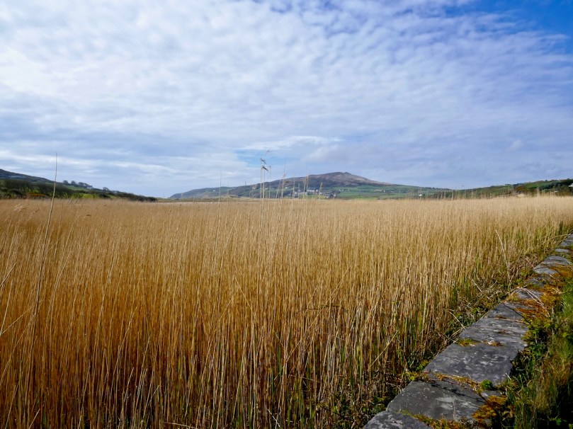
The Barley Cove salt marshes – sit on the wall and just listen to the breeze in the reeds

Nowadays, it’s a peaceful place of farms and pasture land, but there are clues in the landscape and the old maps and records that there was much more going on here in times past.

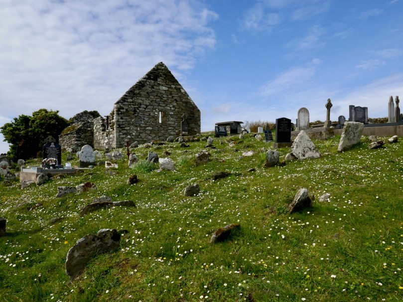
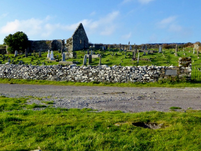
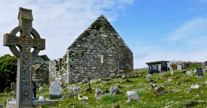
The most visible reminder is the ruined church, surrounded by a graveyard. Once, these lands were in the possession of the Rev Fisher  – remember him from my Saints and Soupers saga? They were associated with the Glebe Lands accruing to the Church of Ireland, which means that the rector was also the administrator of the graveyard, to whom you had to apply for permission for burial. The church and graveyard is known as Kilmoe (pronounced kill moo, meaning the the church of Muadh, although I haven’t been able to identify this saint), like the parish of the same name which occupies most of the Mizen west of Schull.

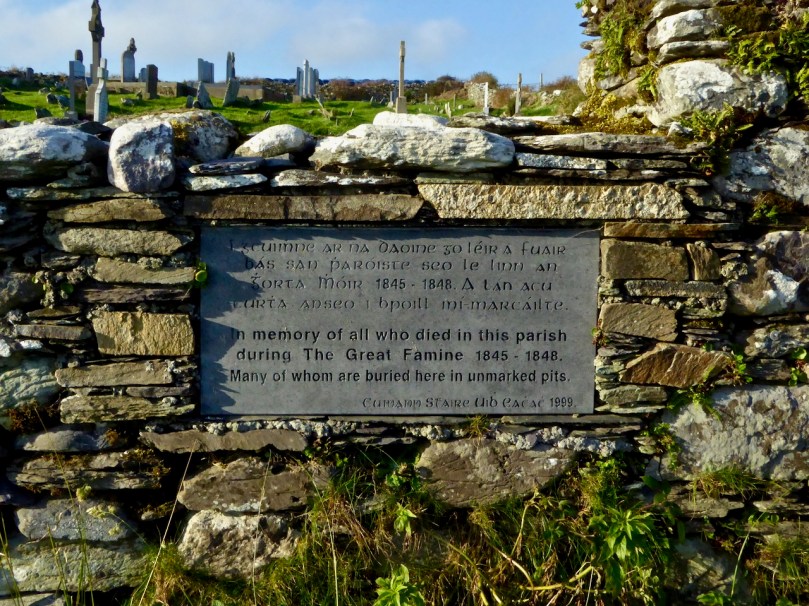
The graveyard has headstones going back to the 1700s, although I couldn’t find any from that era on my searches. All the local names are represented here, including the Burchills and the Wilkinsons of my Cousins Find Each Other post. It was in use as a burial plot during the Famine – a memorial plaque on the wall attests to this.

A feature of graveyards from this time was a watch-house, a reminder that bodysnatching was a lucrative trade. During the famine watch-houses also enabled people to be on the look out for dogs – there are accounts of dogs attempting to get at bodies barely covered by soil during this terrible time. There’s a ruined structure just inside the gate at Kilmoe (below), probably a watch-house from this time.

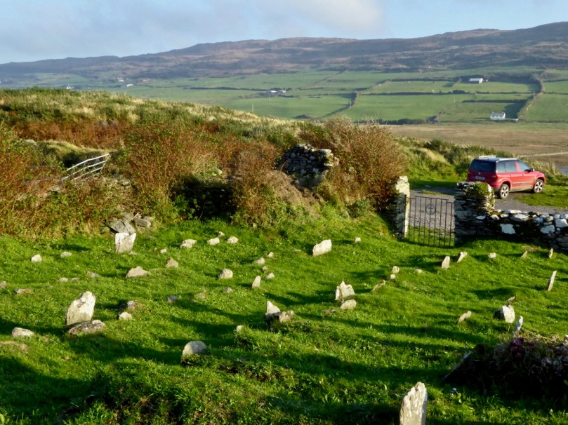
Like all historic graveyards around here there are many plots marked by simple stones, headstones and foot-stones, where people could not afford the services of an engraver. Remarkably, the knowledge of who is buried in some of those unmarked graves still resides somewhere, whether in church records or in the folk memory of local people. You can browse the listings of the graves here.

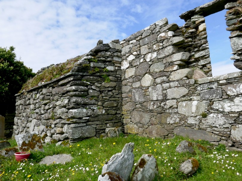
At the centre of the graveyard is a ruined church. It’s a very interesting structure to me, because I believe it is actually older than its normally-ascribed date. It was occupied, according to Brady’s Clerical and Parochial Records in 1581, when Dermot McCormack McCarthy was the rector and the church belonged to the College at Youghal and was dedicated to St Brendan. The Down Survey described it thus in 1700: Kilmoe : the church is ruinous, the walls that are standing are bad, built with stone and clay. The church stands about a mile from Crookhaven, to the westward near the head of Barlycove bay. 8A. of glebe on the north of the church; good land, set for £20 per an. There are the ruins of a vicaridge house joining to ye church-yard.

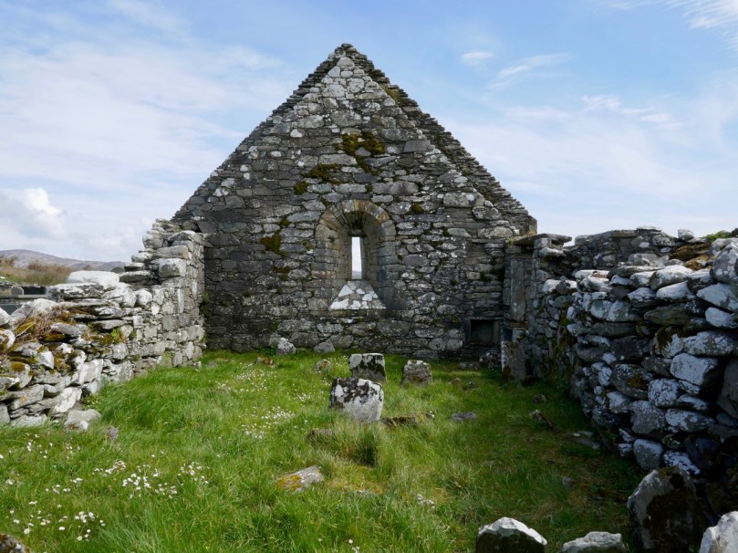
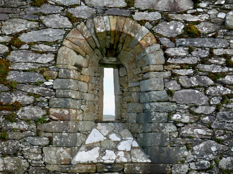
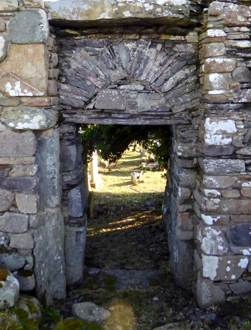
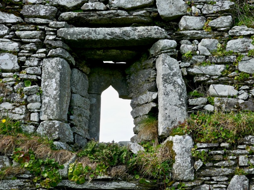
There are hints in the structure of the Romanesque style, which would place it in the 12th century. The east window is clearly Romanesque in construction, while the door, with its plain lintel and ‘relieving arch’ also appears so.

I am seeking some confirmation of this and will update this post if or when I get a response. The west end appears to have been two storey – the joist supports are still projecting from the wall, which means that the old ground level was lower than it is today and that the window was in the second storey. That window (below) is ogee-headed – a clearly gothic element, which means (if I am right about the west end) that it was inserted later. The whole church may have been modified many times over the years it was in use.

There is a record of a cross-inscribed stone inside the church – we have looked for this but cannot find it. It may be gone, or it may be partially buried in the long grass. There’s no sign of the vicaridge house joining to ye church-yard.

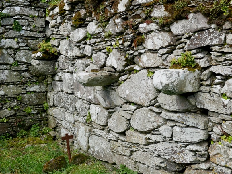
The unusual ‘buttress’ feature on the north wall

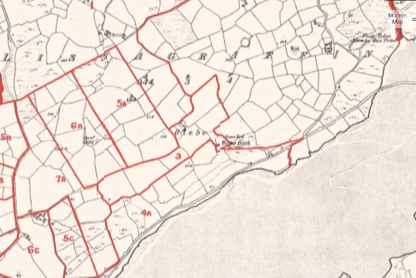
But the landscape around has other elements too – or rather had other elements. There used to be an O’Mahony Castle just to the east of the church, of which no trace remains today. We know of it from Griffiths map of the 1840’s, (below: apologies for the blurriness, it seems to be the best resolution one can get) where it is clearly marked as a ruin. While many of the O’Mahony castles were closer to the shore, this one would have benefited from all-encompassing views of both land and sea, and from proximity to the church, for worship. According to James Healy’s The Castles of County Cork, it was probably tenanted by the O’Meighans, a bardic family associated with the O’Mahony clan. Although there is nothing left, local people told Healy in the 1980s that the site was cursed and that bad luck attached to it.

The view out to sea from the church

Even older still are the numerous standing stones that dot the hillside to the east and north. The photograph below shows one – a rather stumpy example. And probably even older than those are the cupmarks reported on the rock face just to the east of the graveyard. We have searched for these too, but were defeated by the gorse and brambles.

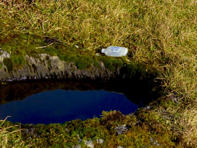
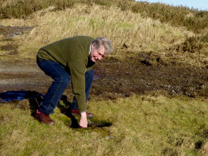
Of unknown vintage is the bullaun across from the graveyard gate. Although bullauns are often carved in free-standing boulders, this one was scooped out of the bedrock: it is known locally as a wart well. Dip your finger in, say the requisite prayers, and your wart will disappear. We even found a small bottle for Lourdes holy water left by it on one of our visits, showing that it is believed to still possess curative powers. Robert agrees! Amanda has included it in her Holy Wells blog.

Next time you’re headed out to Barley Cove on a fine day, take a little detour up to Lissagriffin church. The views alone are worth it, although a little wander around the graveyard will do a lot to soothe your soul. 


Cousins Find Each Other – Through Roaringwater Journal!

I don’t know how to put it in words, but it it means so much to have this connection to our past and our common ancestors.

These are the words of Barbara Baxter, who found her cousin, Sylvia Whitmore-Jones, when they both responded to my post on Rock Island. Their common ancestors were the Burchills of Crookhaven. Here’s the story, as they have each sent it to me, and as I have put it together. It is deeply embedded in the history of this part of West Cork and directly related to the building of that iconic lighthouse, the Fastnet Rock.

Two brothers, Charles and Arthur Nicholls, experienced stonemasons, came from Penzance in Cornwall to help build the Fastnet Lighthouse. According to Aidan Power’s book on Rock Island (Available from the author, we can put you in touch), they were employed by  John Albert Freeman who supplied all the granite for the Fastnet Lighthouse from his quarry at Penryn, Cornwall. Nicholls’ job was to assist in the erection of the tower.

The building of the Fastnet. I’d like to think that the Nicholls brothers are in this picture (Photo courtesy of Irish Lights)

It took five years to build the Lighthouse (read more about the Fastnet here) and during that time all the men were housed locally and it seems integrated well into the local community. So well, in fact, that the Nicholls brothers married two sisters: Charles married Elizabeth Burchill and Arthur married Sarah Burchill. The Burchill sisters’ parents, Michael and Sarah (Hegarty) were Church of Ireland, and lived in Crookhaven.

A third sister, Anne, married William Wilkinson (more on her below). If I am understanding the history correctly, her aunt, Michael’s sister, also called Anne, had herself married a George Wilkinson. That Wilkinson family had a farm at Gortnacarriga, just outside Goleen. The photo below is of Barbara Baxter on a visit to that Wilkinson farm a couple of years ago. 

Let’s start with Charles and Elizabeth – they are the couple in the photograph at the beginning of the post. The 1901 census has them in House number 8 on Rock Island, with a baby daughter, Annie, who is just one. When the Fastnet project was finally over, in 1904, Charles and Elizabeth went to live in Wales where they had at least one more child, a son, in 1911. Sadly, Charles, who had served in the First World War, died in the Spanish Flu epidemic in 1919 (echoes of my own family history here – same thing happened to my grandfather).
The Rock Island lighthouse and housing, seen from Crookhaven. Charles and Elizabeth lived in one of these houses

Charles and Elizabeth’s son eventually moved to Southhampton, and worked as a draughtsman in Thornycroft’s shipbuilding firm, married and had four children. The eldest of these was Sylvia Whitmore-Jones, an active and youthful 78 year-old. Here she is.

But let’s go back to Charles and Elizabeth, living in the Fastnet housing on Rock Island in 1901. Did you notice they had a daughter named Annie? I think she was so named after yet another of Elizabeth’s sisters – Anne Burchill. Anne married William Wilkinson (I think they were cousins – not uncommon in those days), an officer in the Royal Irish Constabulary.

They had a daughter, Sarah Anne. They were great at keeping names in the family – no doubt Sarah Anne was called after her aunt, the Sarah Burchill who married Charles’ brother, Arthur, as well as the numerous Annes in the family. Sarah Anne Wilkinson must have been close to her Aunt Elizabeth Nichols because eventually, as a young married woman, she and her husband, John Miller, from Bantry, moved to Wales.

Sarah Anne Miller, nee Wilkinson, with her children

This photo (above) must have been taken then, when Sarah Anne and John had two children. Sarah Anne is Barbara Baxter’s great-grandmother and her grandmother is the little girl in the photo. Perhaps this was during the time when John was away in the war – he was apparently decorated three times for his service as a bombardier.

Eventually the family emigrated to America, finally settling in Connecticut, which is where Barbara Baxter grew up. Barbara is now 57 and lives in Virginia. She has led an active life filled with animals, especially horses. She wonders if her love of horses might be connected to John Miller – apparently before he left for Wales with Sarah Anne he worked with horses at Drombrow House, near Bantry. Drombrow, not surprisingly, was owned by the Wilkinson family.

Graveyard attached to the Church of Ireland (no longer in use as a church) in Goleen – Babara said in one of her emails: ‘I am related to all of the Wilkinsons and Burchills buried at the Goleen Church’ 

Sylvia and Barbara had been independently interested in their family history but had never known of each other or met (at least virtually) until both of them contacted us at Roaringwater Journal when they each saw our Rock Island post.
On her trip to West Cork in 2017, Barbara visited Three Castle Head. The Wilkinson farm is close by

I am beyond pleased that Roaringwater Journal has been the cause of bringing these two cousins together, but there’s another reason for my interest. My own dear cousin, Shauna, is also a Burchill! Although she has lived in the United States most of her adult life she is Irish and her father grew up in Bandon as a Prebyterian. She is likely to be connected to Sylvia and Barbara at some point way back in the family tree – the Burchills first came to West Cork in the 1620s as part of the Plantation of Munster. It’s a tenuous connection, but it adds an additional frisson for me – we are all connected somehow.
Shauna (right) and I, on one of her visits to Ireland

Thank you to Sylvia and Barbara for generously sharing their family stories, and to Aidan Power, whose book on Rock Island was the ultimate catalyst for all of this. It’s been a privilege to be a tiny part of it. If I have made mistakes in my relating of their stories, I hope they will weigh in with the corrected version. 
Now all we need is for the descendants of Arthur Nicholls and Sarah Burchill to join the party. C’mon – we know you’re out there.