Mizen Mountains 1 – the Hill of the Foxes

The first day of October seemed ripe for starting a new project. It was also a beautiful, rich, blustery autumnal day – ideal for heading to the remotest uplands. I have always been drawn to high places: there’s something romantic about seeing the coastal landscape laid out below your eyes, especially in these western wildernesses where bare rock, gorse and heather intertwine with history: ancient farmsteads, ruined cottages and impossibly isolated forgotten quays, seemingly abandoned along our most rugged shores.

Header – Toor Island just off the mainland close to the west end of the Mizen Peninsula: the high ground beyond is the peak of Knockatassonig. Above – it’s a most remote and wild place for a pier, but Toor Quay is still accessible from a winding, overgrown footpath and 107 concrete steps: today it’s only the occasional haunt of anglers

This project – Mizen Mountains – sets out to explore all the peaks on our westernmost peninsula. Are they mountains? It all depends on the context, and your perspective. Mizen’s loftiest outcrop – Gabriel – is 400 metres above sea level. Quite modest (Kerry’s MacGillycuddy’s Reeks claim the country’s highest summit, Carrauntoohil, at 1,038 metres), yet when you do look down on the spine of our peninsula from above, it’s all rocky crags and ridges pushing upwards towards the heavens, while at the edges the mountains fall precipitously towards the sea. It’s great, dramatic country, calling out for exploration – and there’s nothing we like better than finding new ways to discover this land and all its stories.

The view to the western end of the Mizen Peninsula, seen from the slopes of Mount Gabriel. The Sheep’s Head is across to the right

50 years ago the writer, Peter Somerville Large, set out to travel the western peninsulas of Ireland on a rusty bicycle purchased for the purpose in Skibbereen. I like the introduction he gives to his book The Coast of West Cork, first published in 1972, and still in print – it serves my own project well:

. . . I set out into the country. The sun had filtered through after rain, making the tarmac steam with moisture and sending up towering clouds off the mountains into the sky. Cattle stood motionless in the boggy fields and water dripped from the leafless sycamores . . . I travelled along the coast of West Cork, through Carbery, from Clonakilty to Roaringwater Bay with its fringe of islands and castles, and north to Bantry and the Beare peninsula. Much of the land near the coast consists of bog and mountain with headlands like lines of slanting spears thrust into the Atlantic. But there are parts that are sheltered, with a tropical lushness that is partly ascribed to the benign influence of the Gulf Stream. Ruins are soon covered with thick ivy and it takes only a few trees or slips of fuchsia to make a protective wall. Some valleys and hillsides have pockets of moss-covered oak-trees which are survivors of the ancient forest that covered the country three hundred years ago . . . From Goleen the old road wound high over a ridge before dropping down to Crookhaven. Almost all the land was rocky around Knocknamadree; The quilted shadows of clouds passed along the high ground over to the sea . . .

Satellite view of the rocky landscape towards the western edge of the Mizen: Knockatasonnig is a barren peak

I have set the bar at the 200 metre contour line – anything above that is, for me, a mountain! So I will be traversing the terrain in search of all the eminences above this elevation on the Mizen, looking specifically at topography and any traceable history and folklore specific to these ‘mountains’. But I will also be talking about our journeys to these destinations: you know how fond we are of getting ‘off the beaten track’. Every new exploration is invariably a revelation! This time around, we are going west – almost as far as is possible on this peninsula – to the townland of Knockatassonig, which peaks at 204 metres.

Top – the 25″ Ordnance Survey map, locating Toor Quay and Knockatassonig. Lower – the earlier 6″ map outlining the townlands

Knockatassonig is a curiosity. It’s a townland which doesn’t seem to have any habitation – and possibly never did. The 6″ map, above, was originally surveyed in 1846 and is valuable in outlining the townland boundaries at that time. It may be that in pre-famine times there were dwellings in the area: Ireland was much more heavily populated in those days, even in places like this which seem so remote today. But sometimes the townland names are particularly useful to us because they can tell us something of the history, which would have been passed on aurally through the generations until the maps were made.

Upper – detail from the 25″ map, showing the ‘Boat Slip’ at Toor. The map was presumably surveyed before the present pier was made; the slip has been cut into the solid rock and launching boats there must have been a treacherous business. Lower – today, a steep, narrow boreen can be negotiated as far as the Stop sign! An overgrown footpath goes on down to the sea and quay. The mountains seen over the water are on the Sheep’s Head

So far we haven’t talked much about the ‘Mountain’ of Knockatassonig. This summit is very visible, but virtually inaccessible at this time of the year due to bracken and spiky fences. It can just be seen on the left in the header picture: that’s taken from the footpath which goes down to Toor Quay. Like most of the Mizen peaks, Knockatassonig commands good distant views. It should be more approachable in the winter months. Although it’s hard to get to, it can be seen from several places on the Mizen, including Dunlough. The photo below shows the peak on the horizon beyond the ruins of Three Castle Head:

Here’s a view of Knockatassonig summit seen from the south-west side, taken from the small road that goes down towards Toor.  The view below shows the complex profile of the summit seen from the north

In looking at the peaks of the Mizen I intend to explore and uncover – where possible – any extant memories of stories or local lore relating to them. As far as Knockatassonig goes, I have found nothing recorded, other than the name, which is shared with the townland. So what does it mean? Well, it’s not clear, but the logainm website suggests ‘The hill of the Englishman’, and compares this name to the entry for Corr na Seirseanach in Co Monaghan ‘The round hill of the Englishmen’ or ‘The round hill of the mercenaries or hired soldiers’. Well – that’s a surprise . . . and a bit hard to reconcile with the unpopulated landscape we see today in this part of West Cork. The Monaghan version of the name can be supported by political events dating from the early 1300s: it’s hard to relate these to any activities we are aware of on the Mizen, but Irish history is a complex thing – as are place-names. When Finola heard the name she thought it meant ‘The hill of the foxes’: a direct translation into the Irish of that would be Knock an tSionnaigh. Townland names were often written down in Anglicised form by surveyors whose ears may not have been attuned to the Irish nuances. I’m voting with Finola on this one: there’s sure to be a good few foxes in that landscape!

Here’s an earlier source of information on Irish names: the Down Survey. Undertaken between the years 1656 and1658, the Down Survey of Ireland is the first ever detailed land survey on a national scale anywhere in the world. It sought to measure all the land to be forfeited by the Catholic Irish in order to facilitate its redistribution to merchant adventurers and English soldiers. The extract above details the Parish of Kilmoe at the end of the Peninsula: note Three Castle Head depicted at the far left. The survey does not give modern townland names but we can work out where the Knockatassonig peak would be – in the section labelled Unforfeited Lands belonging to the Earle of Corke and Coghlane protestants  In which case, of course, not only the present day townland of Knockatassonig but all those around it could reasonably be termed ‘ . . . of the Englishman . . .’ Food for thought?

Below – peaks of the Mizen: many will be the subjects of future posts

Mizen Magic 15: Long Island

The summer sun is falling soft on Carbery’s hundred isles— 
The summer sun is gleaming still through Gabriel’s rough defiles—

(from Thomas Osborne Davis The Sack of Baltimore 1844)

Up here in Nead an Iolair (Eagle’s Nest) we look out over the Carbery Islands. There are supposed to be a hundred of them, although some are just little rocky outcrops: the tips of underwater mountains at the margins – and the mercy – of the Atlantic.

Horse Island, Castle Island and Long Island lie along the length of the coast below us. Peter Somerville-Large (The Coast of West Cork 1972) quotes a tradition that they all used to be one island:

In the latter end of March, AD 830, Hugh Domdighe being monarch of Ireland, there happened terrible shocks of thunder and lightning . . . At the same time the sea broke through the banks in a most violent manner, The Island, then called Innisfadda, on the west coast of this country was forced asunder and divided into three parts.

Long Island is still known as Inis Fada in the Irish language: the Anglicised name is a direct translation; header – the long road that winds from East to West on Long Island; second picture – the Wester village seen above the Atlantic breakers on the wild and battered far shore

We had a day’s adventure on the island, walking almost the full length of it; Finola was madly busy identifying all the wildflowers. It’s part of the magic of Long Island that we covered a distance of over 10 kilometres in the day, although the length of the island tip to tip is just over 4k. There is a regular ferry to the island from Colla Pier (not every day of the week), but we chose to travel from Schull pier with Helen of Schull Sea Safari (a whale watching trip with Helen will be a future outing for us). Our mode of transport was Helen’s very fine large RIB, the Kealtra – superbly equipped. With a hard south-easterly wind the waters were very choppy and we had to be fully kitted out for the crossing!

Upper – intrepid travellers kitted out for a choppy crossing on the Kealtra! Lower – skipper Donie taking the RIB out of Schull Harbour

After the heady excitement of a blustery crossing, stepping on to the tranquil world of Long Island is a magical experience. You are immediately aware that the place holds memories – and ghosts – but is still a community in the modern world thriving against the odds.

Everywhere there are signs of the past: abandonment, fading history, but also livings still being forged from the environment. The sadness is the obvious population decline. Looking through the available census records, a melancholic picture emerges: 1841 – population 305; 1911 – population 143; 1951 – population 74; 1991 – population 11; today – population 7 (and that’s an increase of 1 from 2 years ago). There was once a school: the decaying building is now a lonely waymark at the centre of the island’s single boreen.

The Island School – long deserted and gently decomposing

Peter Somerville-Large in conversation with the local residents during his visit half a  century ago:

I talked to Mr McCarthy, who had lived here all his life and could remember when the place had been full of fishermen all speaking a mixture of Irish and English. One by one he had watched them leave. A dozen families still remained, comprising perhaps forty people altogether. The school had shrunk year by year, to four pupils, then two – it closed after that. There was neither electricity, nor any shop – nothing to keep the young from making the short crossing over to the mainland. It would take them fifteen minutes, according to wind and weather. There they disappeared for ever. When the old ones like himself died out the place would become empty.

Contrasts at the west end of Long Island

Although there are many houses that are intact and well looked-after (a number are holiday homes), you would think that the odds were ultimately stacked against the survival of this island. Yet those who do live here full-time have tenacity – and there is fresh energy. Helen and Maurice have built their own new house and run businesses which allow them to be island based, while Castaway East is a ‘Place of New Beginnings’, a venture offering B & B or full board and – if you want – retreat packages to recharge your batteries. Peter and Tracy are also experts in garden landscaping as can be seen from the works they have carried out for themselves.

The East end of the Island: you can walk past Peter and Tracy’s ‘Island Retreat’ to the old copper mine and navigation beacon

We were pleased to find that the island’s well has been maintained and presented in excellent order – mainly by Joe, one of the Islanders. It’s a little haven, not to be missed. The day’s adventure gave us so much photogenic material – I will be returning to this magical place in a future post.

Capturing the View: Belvederes in West Cork

Swift's Tower

The 18th century was a time of profound change in garden design in Britain, and by extension in Ireland. In the opening decades of the 1700s great and small estates included formal gardens laid out in the French and Dutch styles that emphasised symmetry and geometry, parterres and avenues of trees. The gardens at Bantry House are a good example of this garden style. Although developed in the first half of the 19th century, they were perhaps influenced heavily by the gardens at Versailles and great European houses visited by the Earl of Bantry on his Grand Tour.

Bantry House 1

Thanks to Dennis Horgan, aerial photographer extraordinaire, for allowing me to use his shot of Bantry House. Note the formal and geometric layout of the gardens and the parterres immediately behind and to the right of the house

However, for the previous century a different style of landscaping had dominated garden design in Britain, pioneered by William Kent and Charles Bridgeman and reaching its peak in the work of Lancelot ‘Capability’ Brown. The effect they strove for was naturalistic (as opposed to natural) – a planned layout that mirrored but enhanced their idea of a ‘wild’ and romantic landscape. Large expanses of grass, strategically placed lakes and ponds, plantings of carefully chosen tree and shrub species, and clever little structures such as temples, summer houses and belvederes all combined to delight the eye, create a romantic mood and, of course, attest to the taste and wealth of the owner.

base of ruined tower belvedere New Court

Nothing remains but the stub of what was once a belvedere in the shape of a round tower on the edge of the River Ilen, on the old New Court demesne.

Echoes of these designed landscapes can be found here and there in West Cork, even where the big houses themselves have disappeared. Lately I have been on the hunt for belvederes and have found several intriguing examples. A belvedere (bel-beautiful, vedere-to see) was an edifice from which to enjoy a view. It could be as simple as a platform at a high point, or as complex as a multi-storey tower, but its most important attribute was its positioning to command a breathtaking vista.

Killiney Hill belvedere

Killiney Hill, just south of Dublin

Perhaps the best known belvedere in Ireland is the one on top of Killiney Hill in Dublin. It was built in 1742 by the then-owner of the hill, John Mapas, to provide an opportunity to admire one of Ireland’s most iconic prospects. The room on the second floor had a little fireplace, windows, and a door to the exterior viewing deck, which was surrounded by wrought-iron railing. It’s no longer in use as a belvedere and many people think of it as some kind of memorial or folly.

View from Killiney Hill

The view from Killiney Hill

In West Cork, the belvedere at Aughadown (known locally as the gazebo) is of the most simple kind, a viewing platform. It was associated with Aughadown House, a fortified mansion built by the Bechers that I wrote about in Trading Up In Tudor Times: Fortified Houses in West Cork.  

Belvedere, Aughadown

Peter Somerville-Large, in The Coast of West Cork, quoting Daniel Donovan*, says: Donovan described it as “a strong castellated mansion, entered by a drawbridge, surrounded by beautiful grounds and having a gazebo on one of the heights behind”. He continues: This gazebo was approached by a ramp along which the quality used to drive their carriages in order to enjoy the magnificent view out over Roaring Water Bay to the islands and the Fastnet in the distance. I found the ramp running above a field of winter wheat.

Aghadown Belvedere and tower house siting

The view from Becher’s ‘gazebo’ across to Roaringwater Bay

On each side of the Ilen River lie belvederes, in the form of towers. Imagine the ladies of the house and their guests, walking or being driven down to the water’s edge. Servants would have arrived earlier and the tea would be ready and a little fire laid against the breezes. They ascend the internal staircase to the second floor or perhaps to the roof and admire the views of the lazy Ilen River as it wends its way to the sea at Roaringwater Bay.

Creagh House Belvedere

The Creagh House belvedere

The belvedere at Creagh House exists now as a picturesque ruin. Octagonal in design, with pointed gothic windows and a small fireplace inside, it rises to three stories. Some sources describe it as the remains of a mill, and the artificial pond beside it as a mill pond, but it has all the hallmarks of a romantic garden structure.

Across the river at New Court there were once three such ornamental towers. One is gone, the second is a mere stump, but the third still stands to its original height and offers lovely views of the river both to the east and the south.

Belvedere, New Court

One of the three original belvederes that once dotted the New Court Estate

At Castletownshend the local gentry were enthusiastic builders of ‘pleasure architecture’. Castletownsend Castle boast two structures of interest. The first is in the walls, an octagonal tower that is made to look like a defensive feature but in fact is purely decorative. Since there is apparently no entrance, this one may have to count as a folly rather than a belvedere.

Castle Townsend Belvedere turret

Behind the castle is the structure known as Swift’s Tower (see the very first photograph for an idea of its placement). Following the death of his beloved Vanessa in 1723, Dean Swift embarked on a long summer trip to the south west. it was in this tower, tradition has it, that he wrote the Latin poem Carberiae Rupes, which translates as The Crags of Carbery.

Swift's Tower 3

Once again we are indebted to Daniel Donovan’s Sketches in Carbery for an account of the poem and even a translation. Donovan did not have a high opinion of the poem (although he says that Dean Swift himself preferred it above other, better poems) and another critic referred to it as “a set of indifferent verses” describing a “bleak and deadly landscape”.

Carberiae Rupes

What do you think – his finest work?

Perhaps the Dean’s depressed state was to blame, or maybe he should have just stuck to prose. Or perhaps the servants hadn’t lit the fire and provided the tea – the tower certainly looks bleak enough now to bring on a fit of the dismals, in spite of the magnificent view.

Swift's Tower, Belvedere

On Horse Island, just outside of Castlehaven Inlet, there is the base of a round tower that may also have been a belvedere. A visit there would have made a wonderful pleasure outing on a fine day, and the views would be stupendous.

Horse Island, Castlehaven, belvedere

You can just make out the remains of a round wall at the top left of Horse Island

There is a whole set of monuments in West Cork that are labelled as Belvederes in the National Monuments Service Inventory, but as Signal Towers in the records maintained by the National Inventory of Architectural Heritage.  These contradictory interpretations are fascinating and these towers are worth a post on their own. I will save that for another day, but to show you what I mean, take a look at the two towers on Rock Island, near Crookhaven. Belvederes or Signal Towers – what do you think? (If you’re not sure what signal towers are, take a look at this post from Amanda Clarke of Sheep’s Head Places.)

Crookhaven belvederes

Looking across to Rock Island from Crookhaven. Experts differ about the functions of the two towers

But what about nowadays? Do we still worship the view in West Cork? And do we still build belvederes from which to admire that view? The answer to both those questions can be found at Sailor’s Hill, just west of Schull!

Sailor's Hill 1

Sailor’s Hill Belvedere

Sailor’s Hill is a labour of love by Connie Griffin who has worked on the sea and lived in this area all his life. It’s partly a memorial to those lost at sea and partly a place of contemplation to simply sit and soak up the panoramic views that stretch gloriously before you in ever direction.

Sailor's Hill Memorial 2

Schull Harbour in the background

Sadly now a little overgrown and vandalised, it is still an incredible experience to arrive at Connie’s little round tower and see vast stretches of the Cork coast to the south, while the mountains of the Beara and Kerry rise behind you.

Sailor's Hill Views

It’s a testament to the power that landscape and seascape has over us: the power to move us and uplift us; the power to inspire us to try to capture it in paint and in words. We can’t really, but, like Connie, we keep trying.

Connie Griffin and Robert

Connie Griffin and Robert

*Somerville-Large attributes this information to Sketches in Carbery by Daniel Donovan. However, I have not been able to find the quote and wonder if it’s from another book.

Words on Roaring Water

from Brow Head

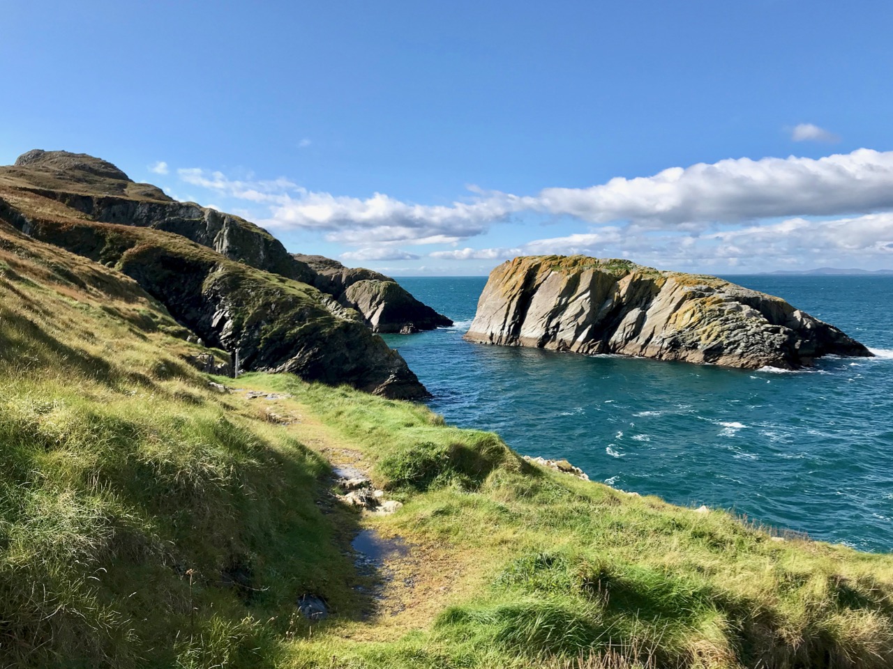
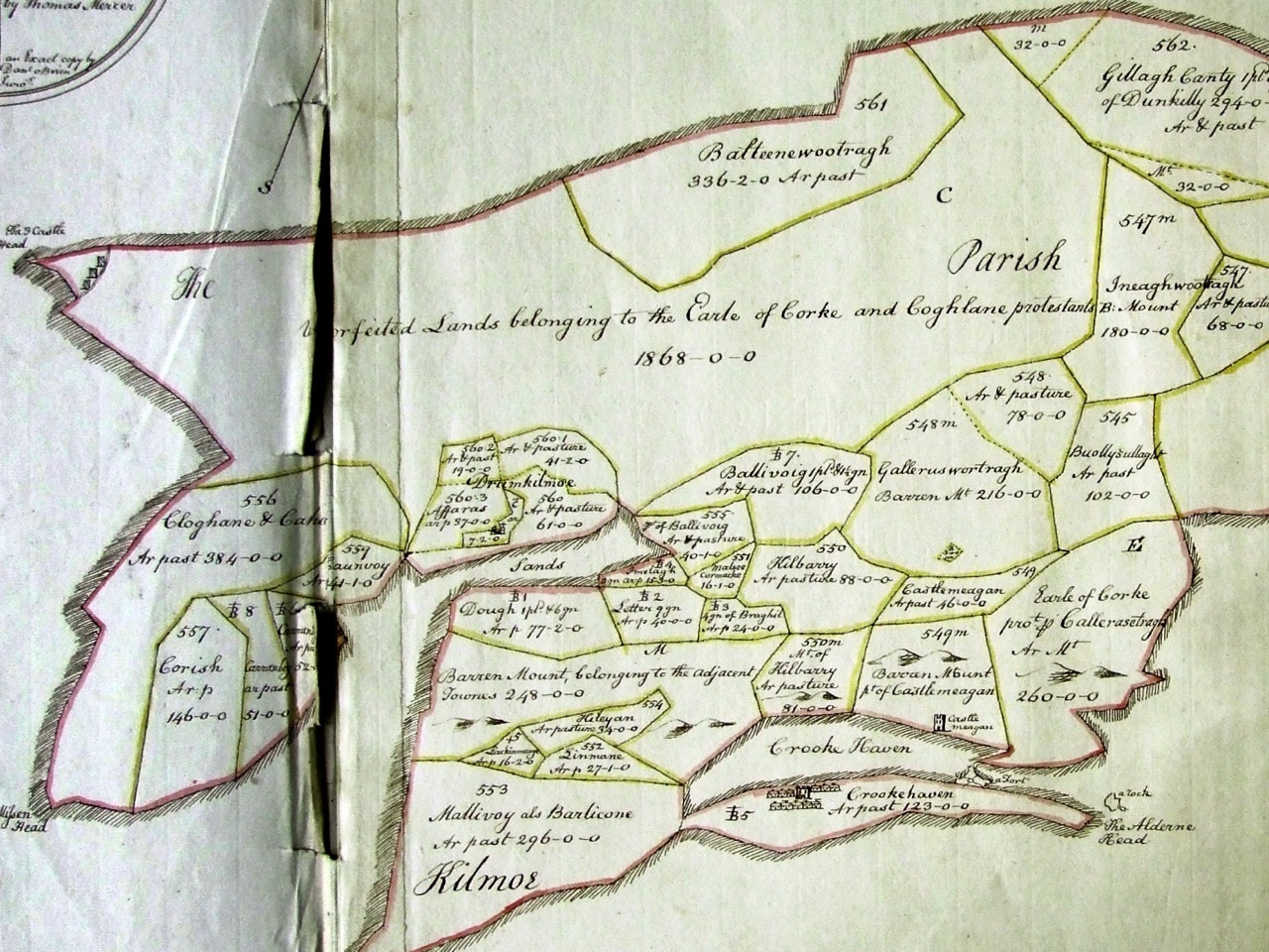
…Anyone who has glanced even cursorily at the map of Ireland, will have noticed how the south-west corner of it has suffered from being the furthest outpost of European resistance to the Atlantic. Winter after winter the fight between sea and rock has raged on, and now, after all these centuries of warfare, the ragged fringe of points and headlands, with long, winding inlets between them, look as though some hungry monster’s sharp teeth had torn the soft, green land away, gnawing it out from between the uncompromising lines of rock that stand firm, indigestible and undefeated…

Naboth’s Vineyard, Somerville and Ross, Spencer Blackett, 1891

hedge and wall

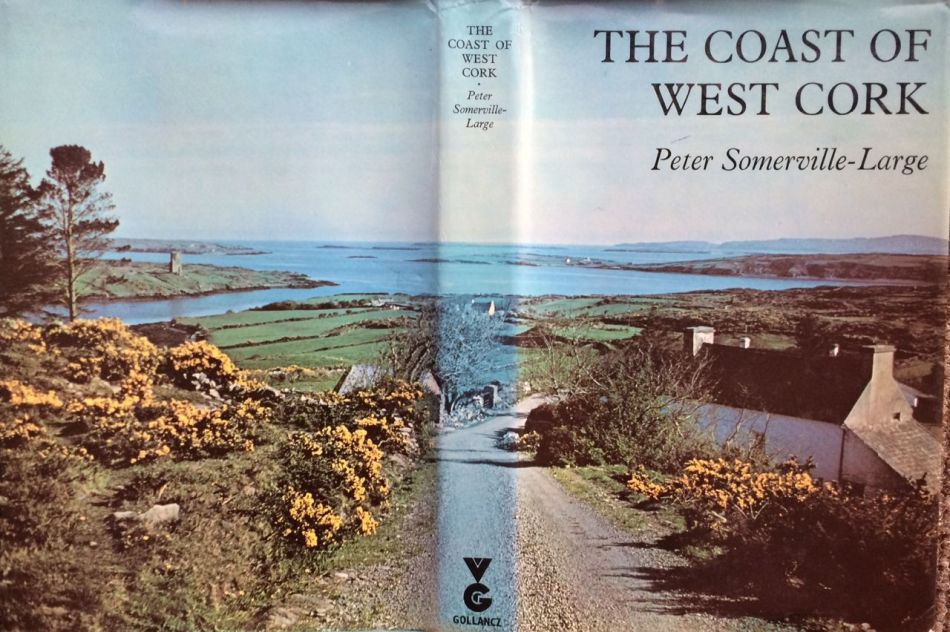
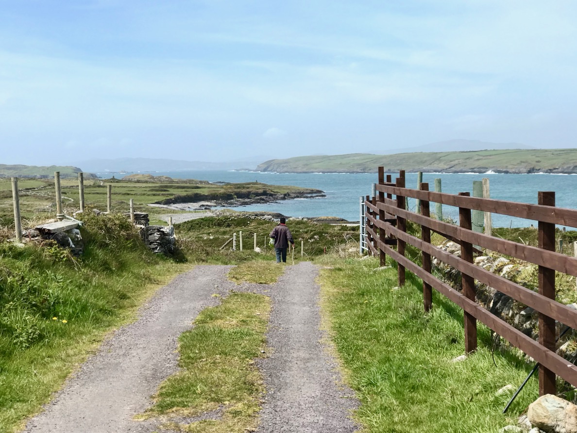
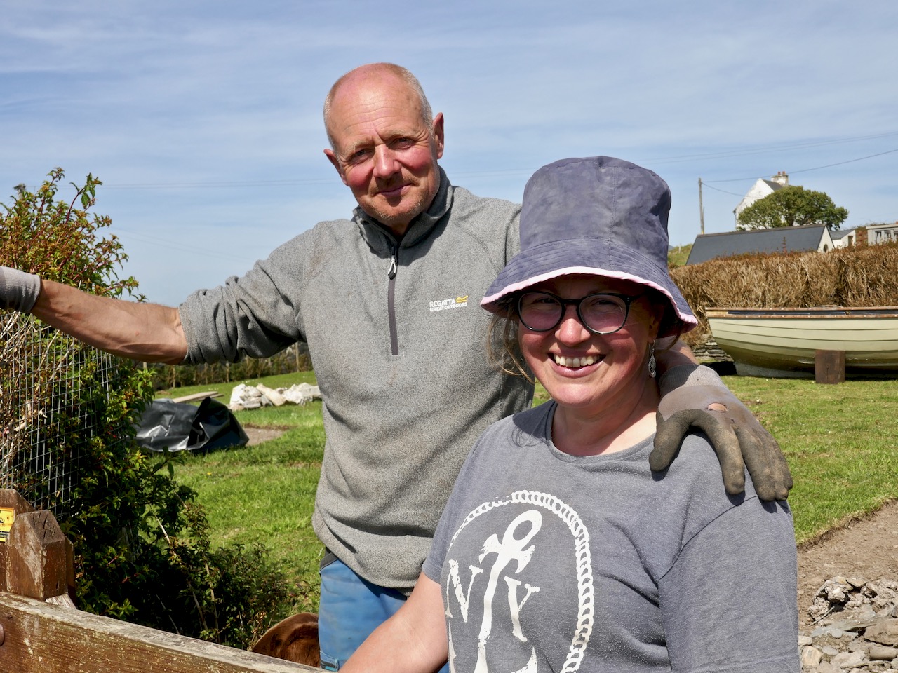
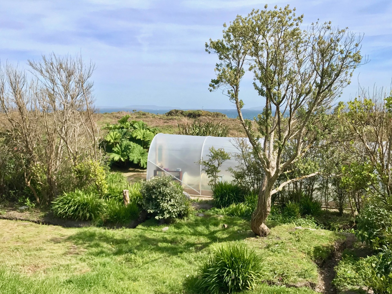
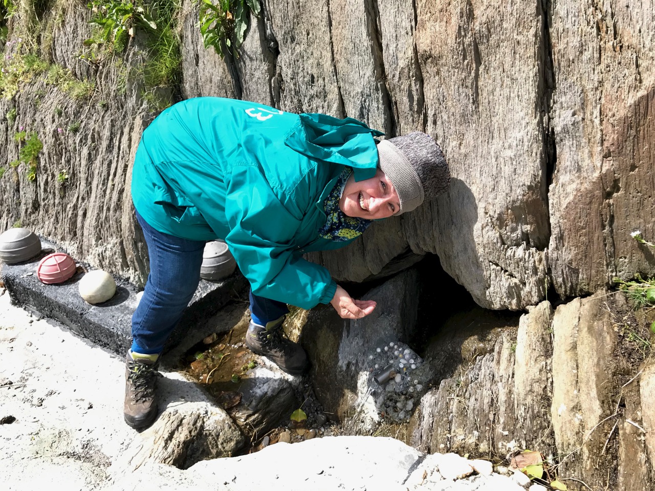
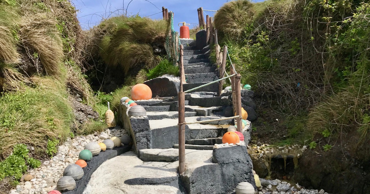
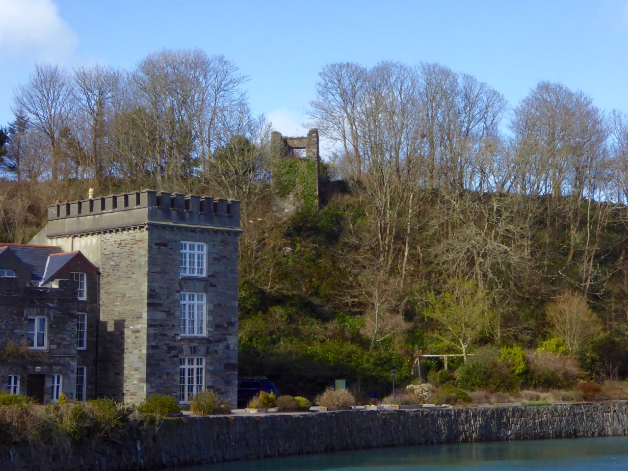
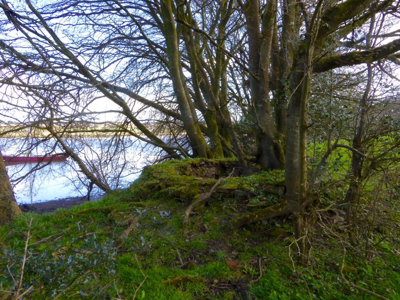
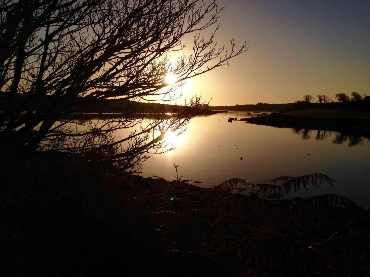
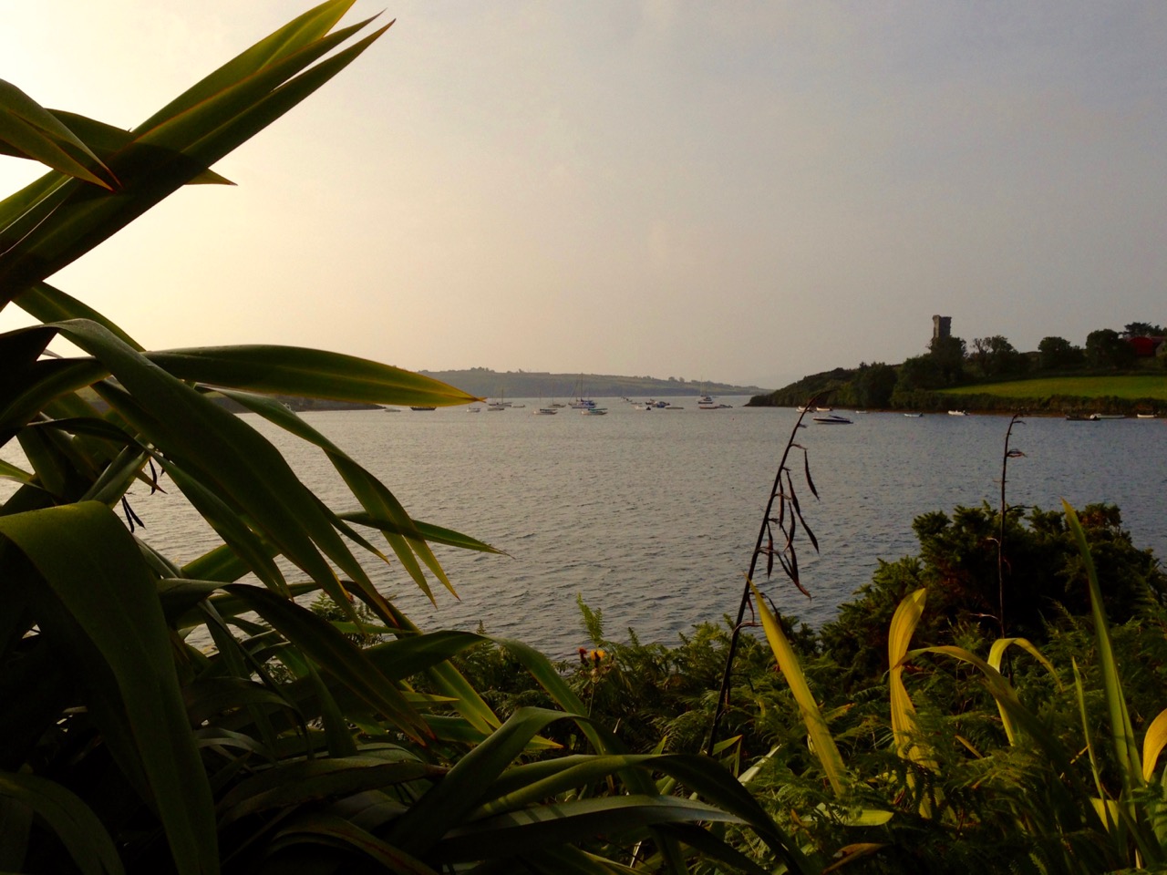
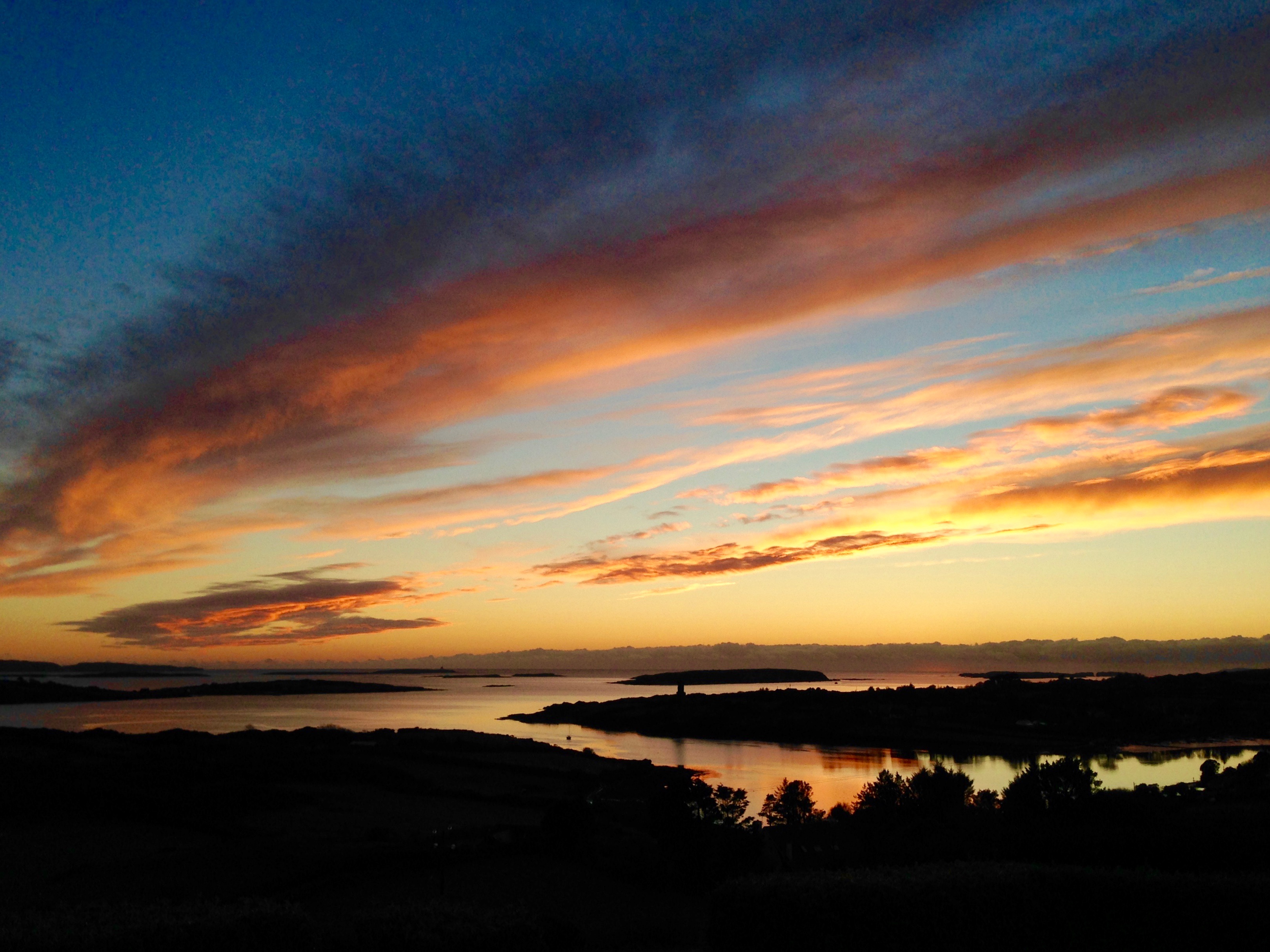
So constantly entranced am I by the character of this remote corner in which we have chosen to settle (in my own experience – admittedly somewhat geographically limited – it is the most beautiful landscape in the world) that I am always excited when I discover that others have shared the same feelings. Consequently I am forever looking out for references to the coastline and country around Roaringwater Bay – particularly descriptive writing – in the wealth of books on West Cork that are harboured by local bookshops, libraries, and our own shelves here at Nead an Iolair: we are most fortunate that some of these books, especially the now out-of-print ones, came with the house! I have sifted through a few of the words: essays, extracts from novels, historical treatise and guidebooks that support my own feelings about the place. All are taken from writers I admire and thoroughly recommend. I present them here for you to take in, together with some hopefully seductive illustrations from the locality, in support of my thesis that there is no better place to be alive.

rosbrin cove days

…I believe that in West Cork water runs uphill. There is a small lake on the very summit of Mount Gabriel, nearly fourteen hundred steep feet above the Atlantic level. Small it is, but so deep that when, once upon a time, a heifer was lost in it, she came out in Schull harbour, on her way to America! (Or that is what the people tell you.)…

 ‘Happy Days!’ – Essays of Sorts, Somerville and Ross, Longmans, green and Co, 1946

stone beach

…There was a line of tables up the middle of the pier, each with its paraffin lamp smoking and flaring in the partial shelter of a fish-box, and each with its wild, Rembrandtish group of women splitting the innumerable mackerel, and rubbing lavish fistfuls of coarse gray salt into each, before it was flung to the men to be packed into barrels. The lamps shone fantastically on the double row of intent faces, on the quickly moving arms of the women, crimsoned to the elbows, on the tables, varnished with the same colour, and on the cold silvery heaps of fish…

Naboth’s Vineyard, Somerville and Ross, Spencer Blackett, 1891

cappacolour

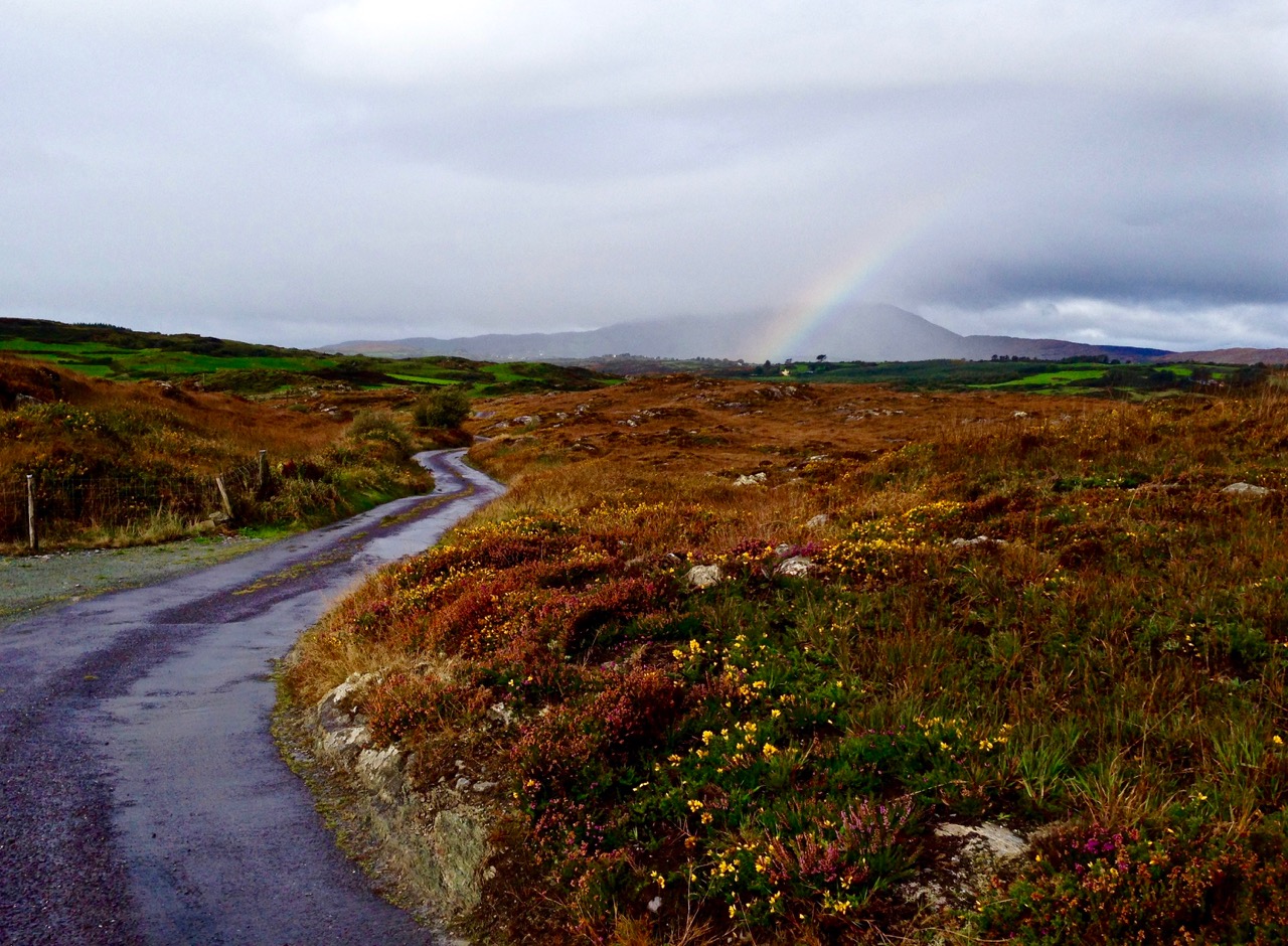
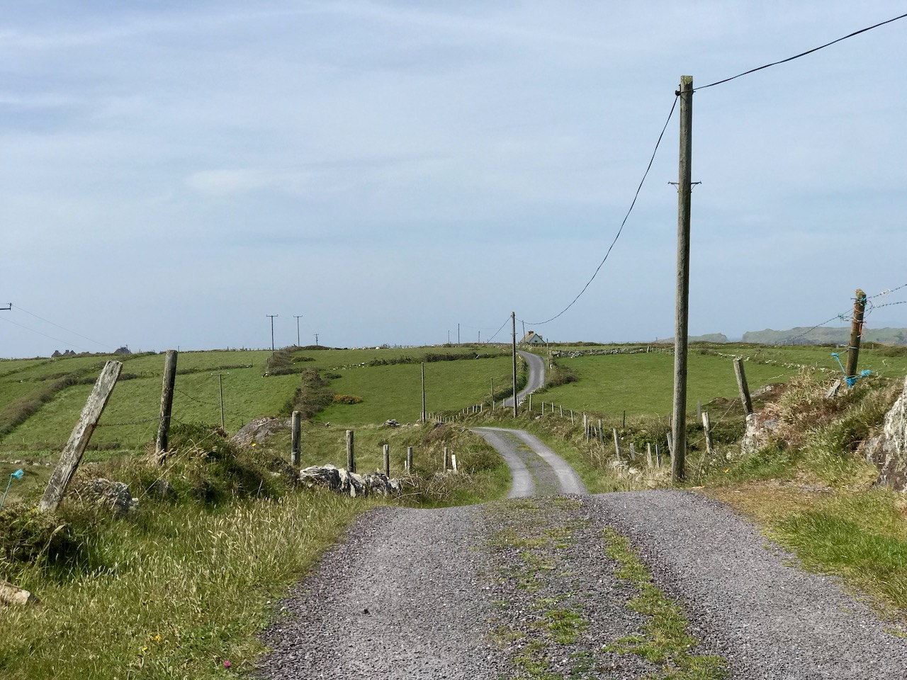
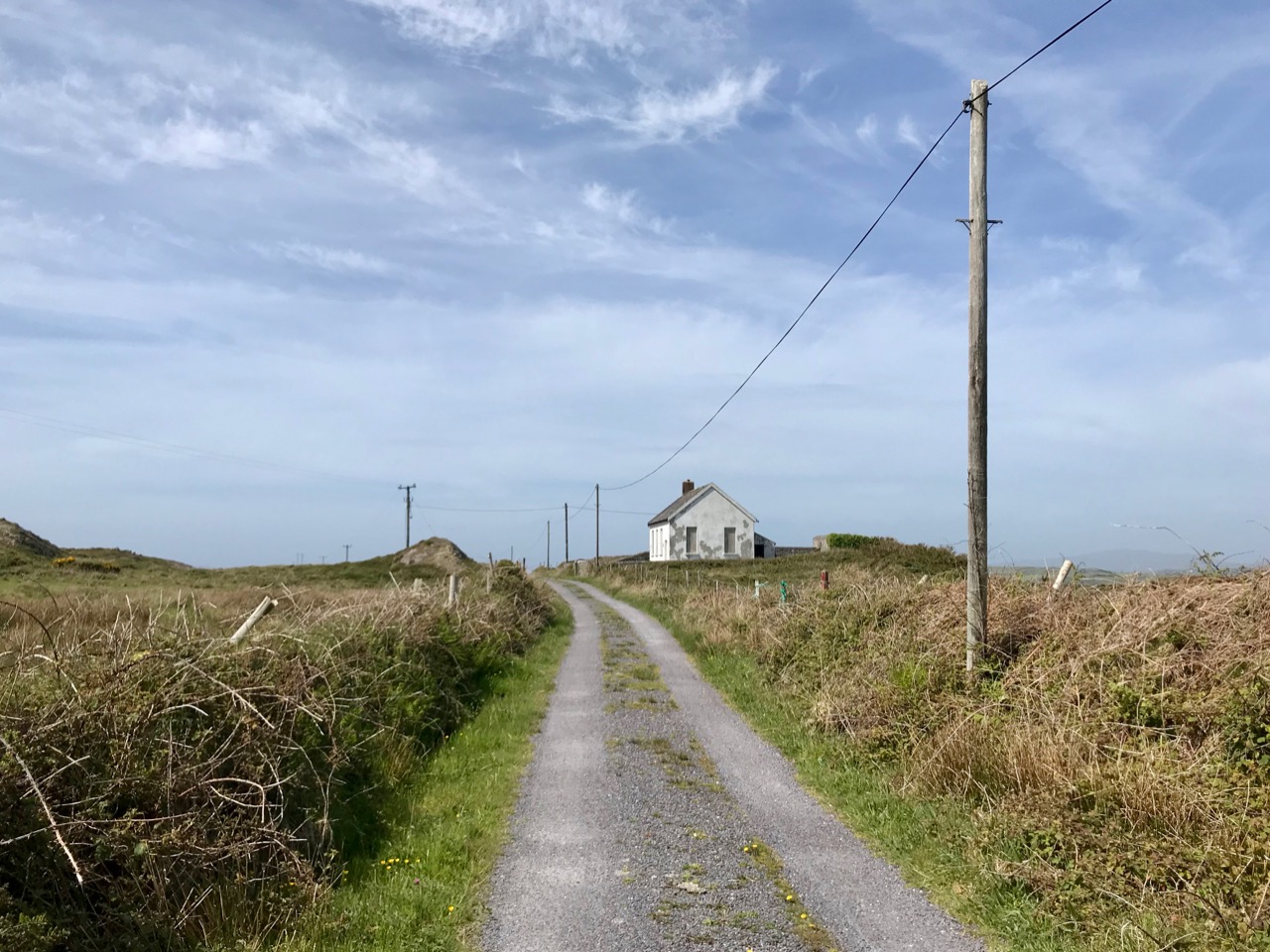
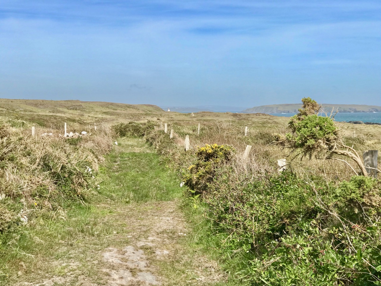
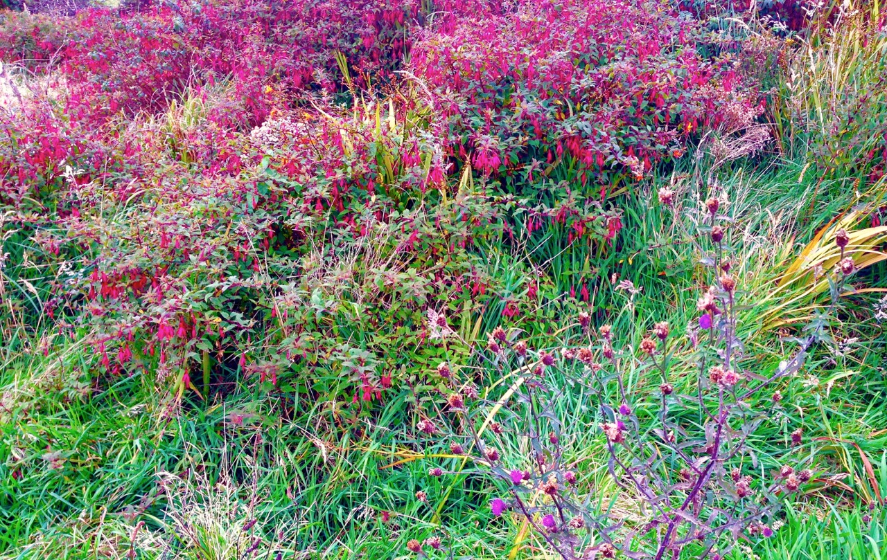
…Think of a wandering road in – let me say West Cork… The way is rough and stony, and (most probably) muddy, but it can claim compensating charms, even though it can hardly fulfil any of the functions proper to respectable roads. And in its favour I would claim the broken varying lines of the hills against the sky. The untidy fences, with their flaming furze bushes, or crimson fuchsia hedges; their throngs of vagabond wild flowers, that can challenge the smug respectability of a well-kept garden. And the inevitable creatures, the donkeys, the pigs, the coupled goats, the geese, that regard the highroad as their lounge and playground. No doubt they exasperate the motorist in a hurry (as are all motorists) but for more tranquil wayfarers they can offer entertainment, almost charm…

‘Happy Days!’ – Essays of Sorts, Somerville and Ross, Longmans, green and Co, 1946

fuschia colour 2(Ireland) …is a land of surprises. She has the gift of unexpectedness, of uncertainty: her people, like her looks, and her weather, can be sometimes charming, often exasperating, but seldom commonplace. Is there another country, reasonably civilised, in which, in the course of a casual idle stroll, records of pre-history can be met with in any field, unconsidered, or found (as I have known) an immense cup-marked stone, built into the wall of a cow-house, ignored by the descendants of those who were once its worshippers? And yet, in characteristic contrariety – as is our way in Eire – in the field next to that cow-house, you can see that the plough has turned aside from its rightful course in respect for a little old deformity of a thorn-tree, which has asserted, for possibly a thousand years, its right to be reverenced and feared…

‘Happy Days!’ – Essays of Sorts, Somerville and Ross, Longmans, green and Co, 1946

sun rays

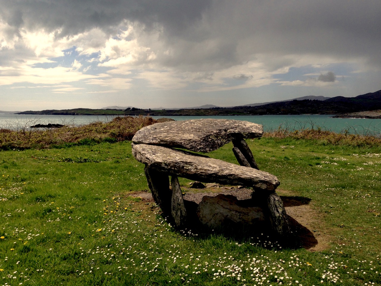
…In the mirror that memory will sometimes hold for us, I can see Rahyne Glen at four o’clock on a silver autumn morning before the sun has reached it. Opposite, just below the rim of the steep western side of the glen, there is one of the memorials of an older race and its religion. This is a broad slab of pale stone, leaning sideways against the hill, having, somehow slipped off the stones on which it had been supported. The sunlight falls full on it; it catches the eye and holds it. It is a dolmen, and the pale slab was its cap-stone. It marks the grave of a chief. He might have been content with his resting-place, had beauty of scene appealed to him (which seems improbable). Whether contented or no, he has lain there (if the archaeologists may be believed) undisturbed, through all the long centuries. If he were to look out now on those familiar hills he would see no change. His hills have defied civilization. All would look as it might have looked on any fair September morning during past thousands of years. And, I suppose, the pink ling, and the purple heather and the gold of the low-growing autumn furze, would then have spread the same carpet of colour over the hills… The wild stream comes storming through the thorn-bushes of the glen as fiercely as ever it did when the Chieftain and his warriors washed their spears in it… Beyond the glen the country rises, in long swathes of dim green, and purple, and misty blue, to a curving line of hills, and farther and higher still – for the viewpoint is a high one – a narrow flashing line tells of the silver plain below, which is the Western Ocean…

‘Happy Days!’ – Essays of Sorts, Somerville and Ross, Longmans, green and Co, 1946

roaring water

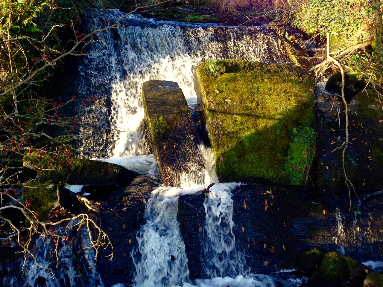
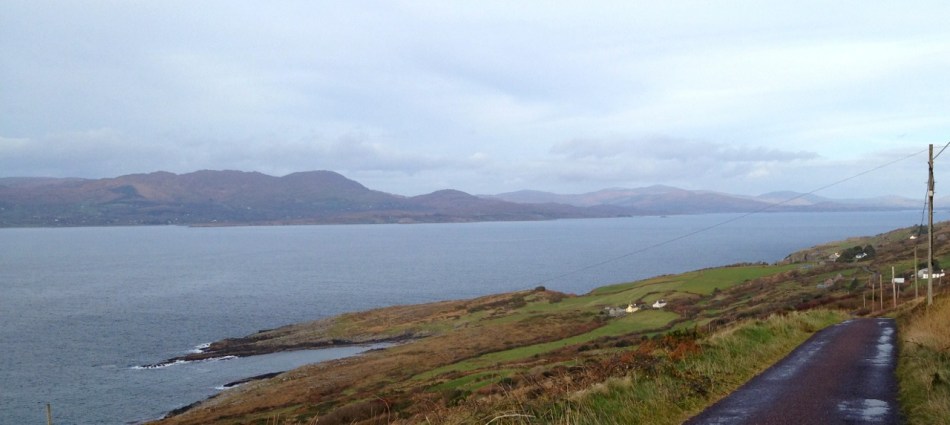
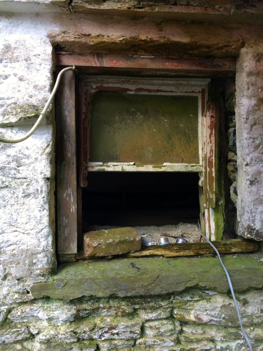
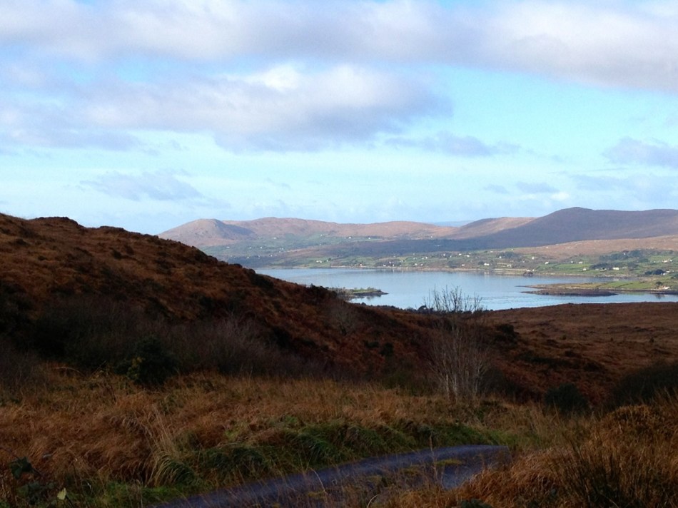
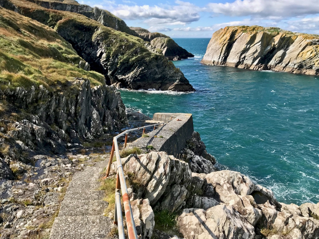
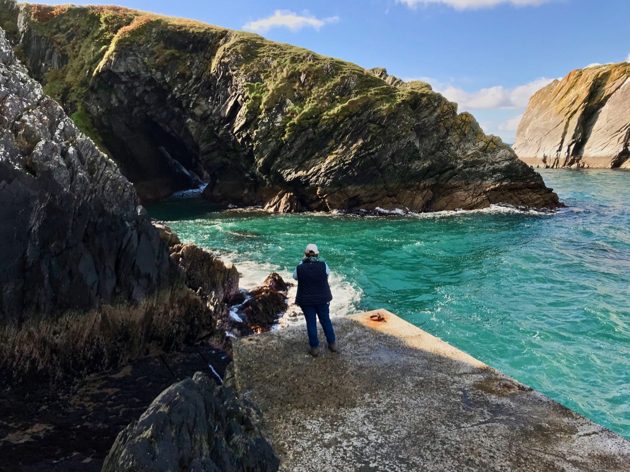
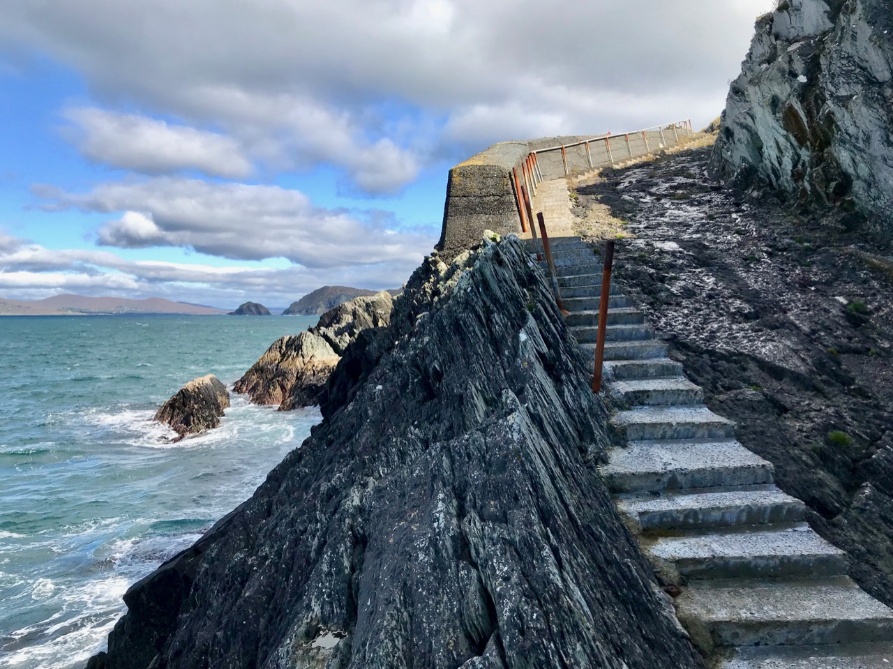
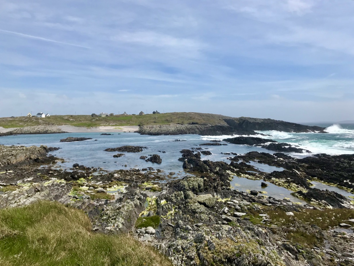
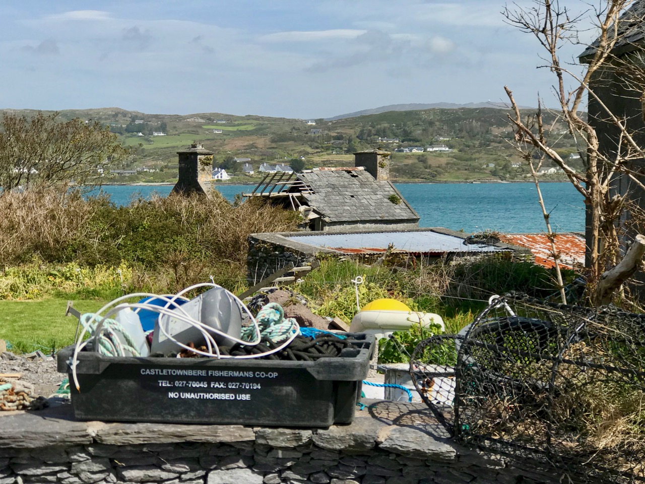
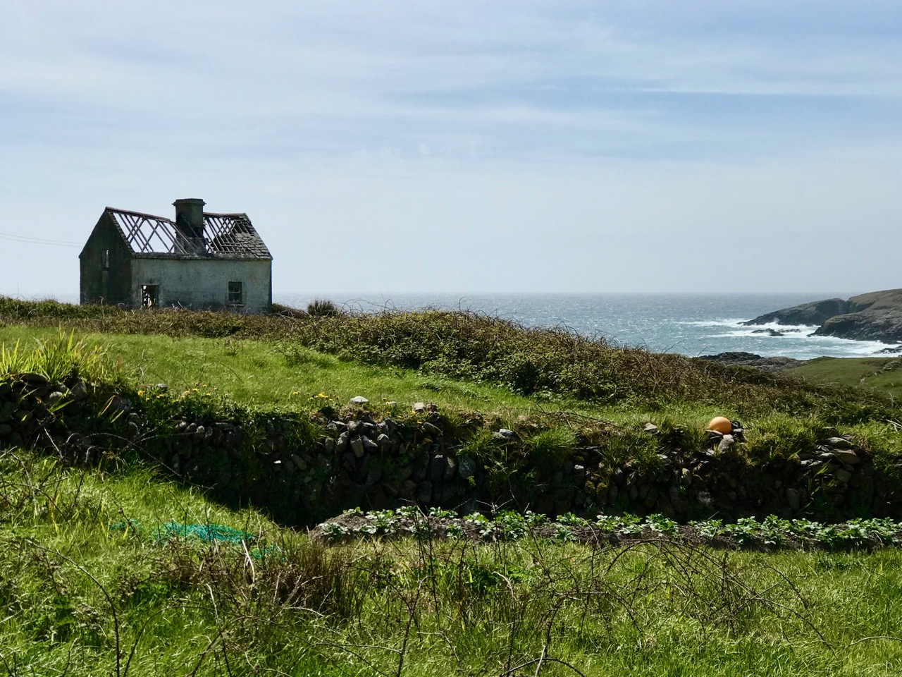
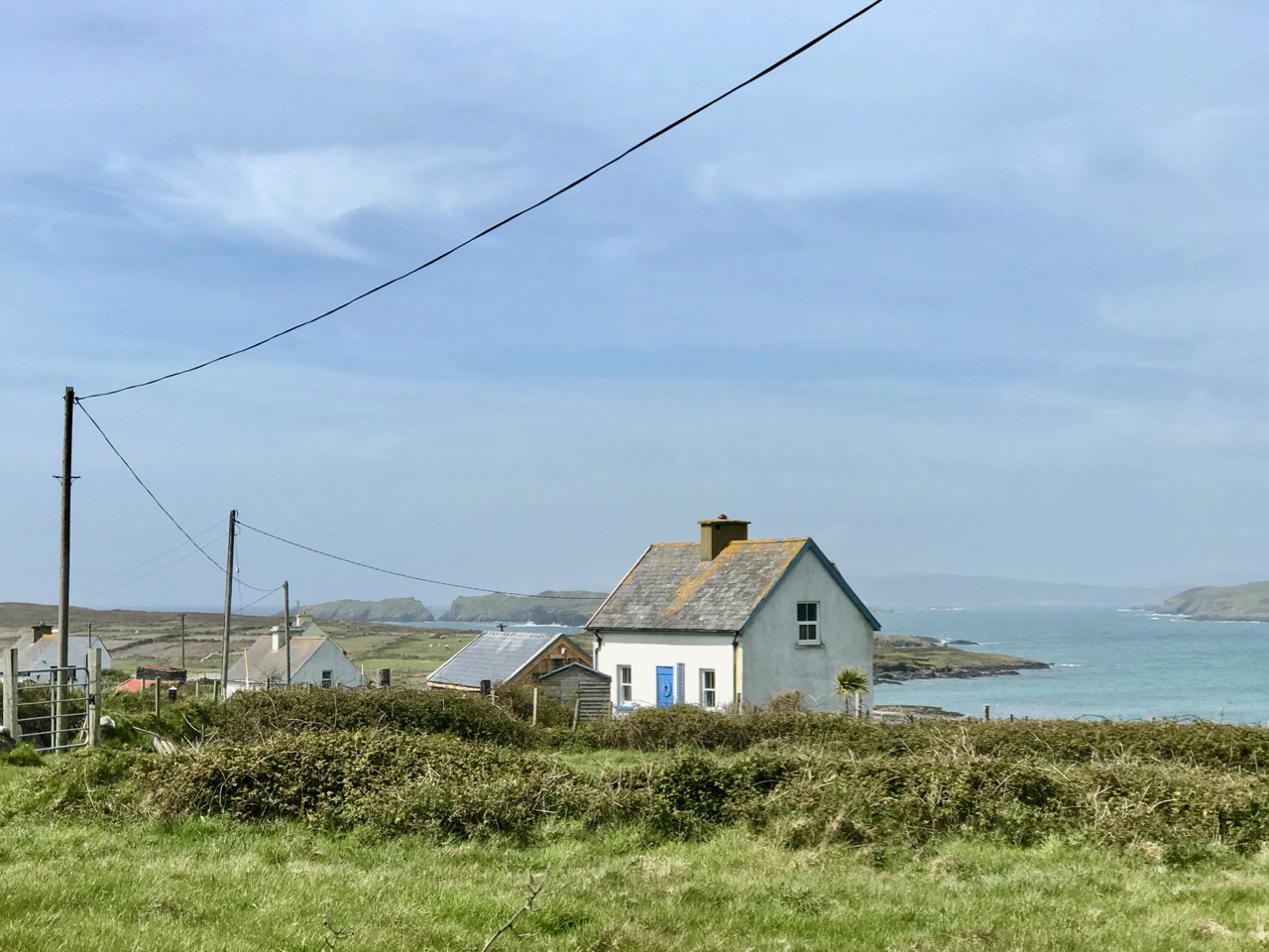
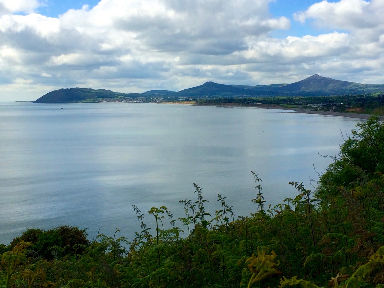
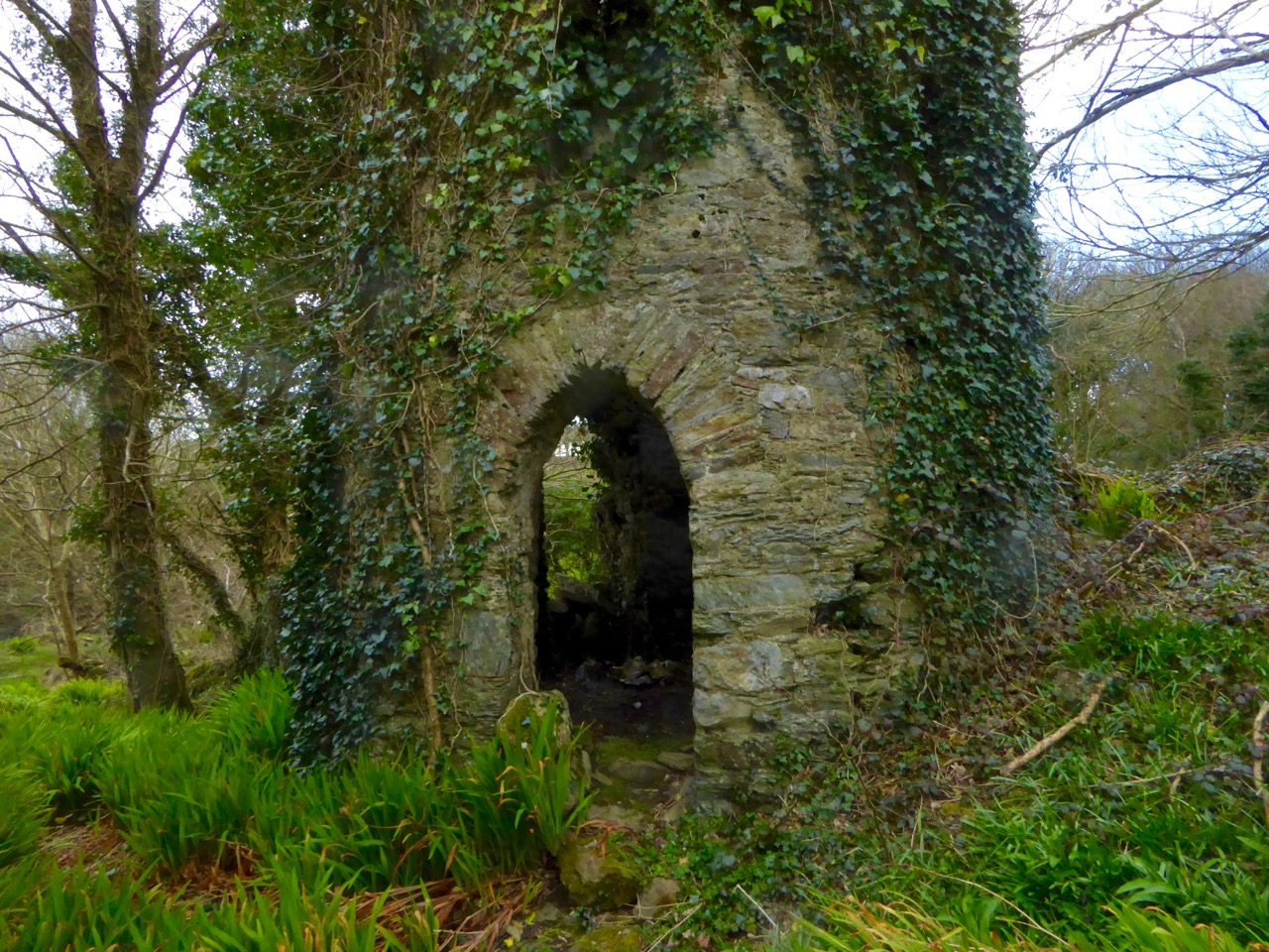
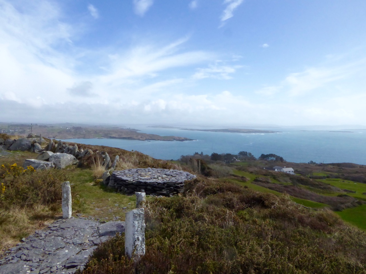
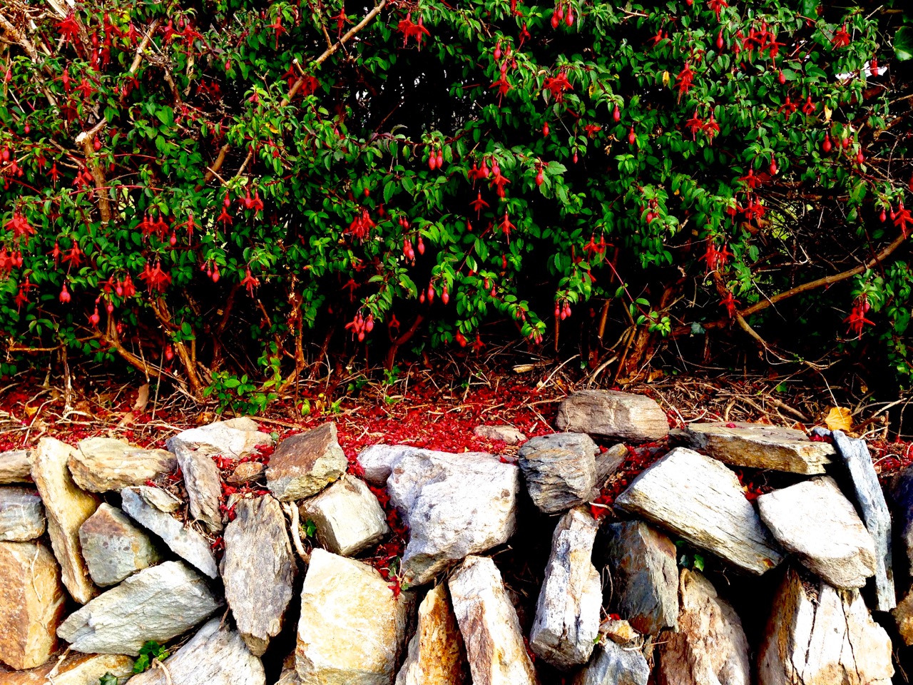
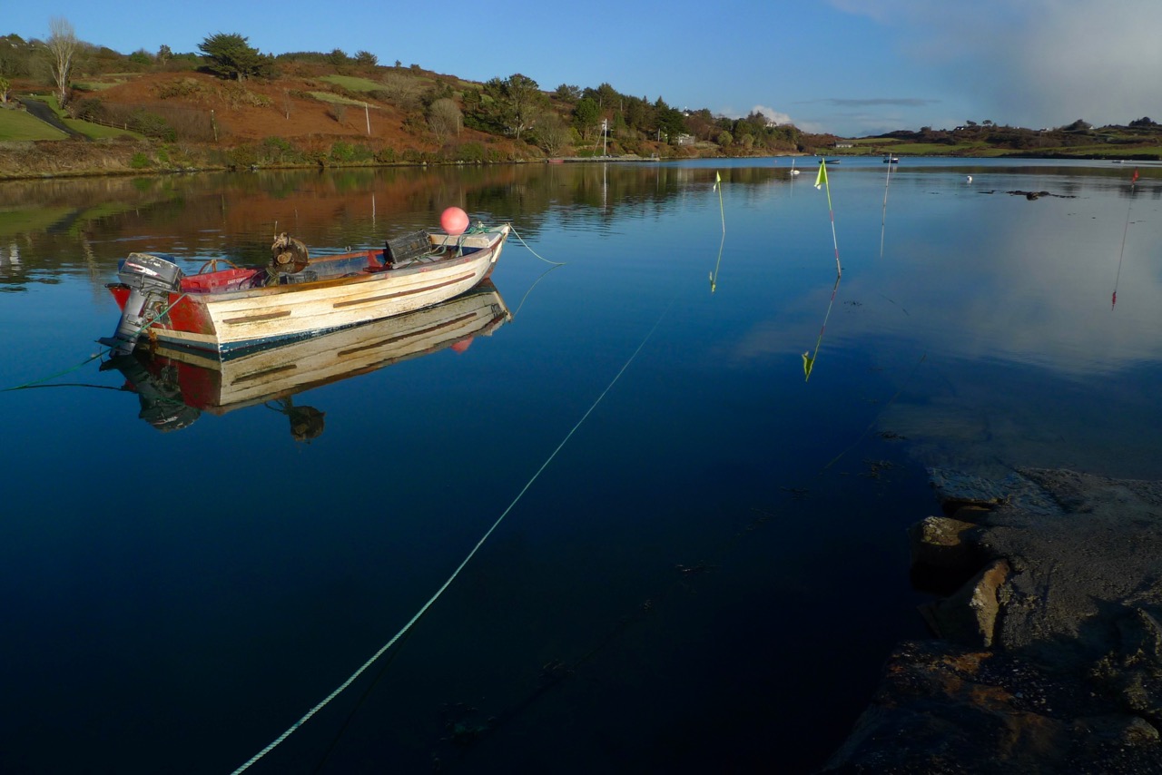
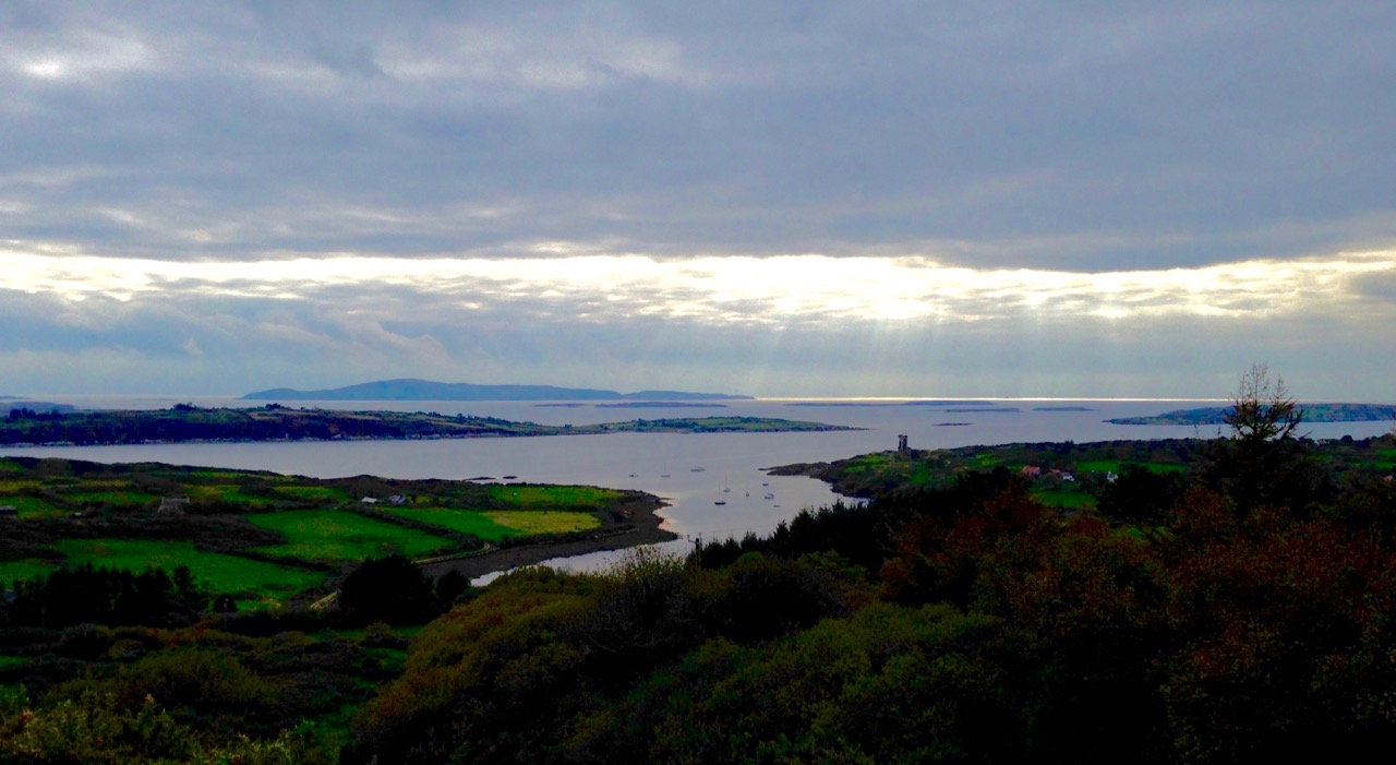
…The indented contours of Raring Water Bay enclose a maze of minute inlets and islands. The name derives from a stream which flows down the side of Mount Kidd amidst a landscape of bracken and boulders. The torrent roars in the narrow gaps and gullies as it rushes towards the sea. The little inlets penetrate the land like miniature fjords and create a sense of safe haven from dangerous seas. Their piers, long abandoned except for the occasional fisherman’s or tourist’s boat, are overgrown and tumbled-down romantic ruins, quiet spots for sighting a lone heron at low tide, grey against grey water. In the narrow defile where the roaring water debouches into the bay nature has done much to reclaim the territory usurped by human purpose. Perhaps, like the closing of a wound, this former embarcation point, which saw many thousands flee a country unable to support them, is being bound in ivy and decorated with wild fuchsia to heal the scar…

West of West – An Artist’s Encounter with West Cork – Brian Lalor, Brandon Book Publishers, 1990

gabriel side

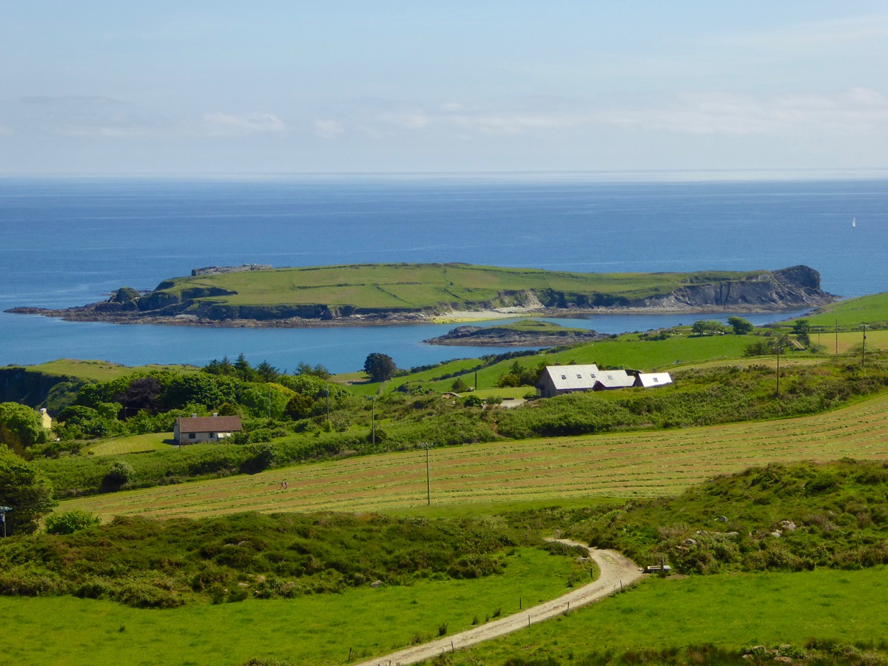
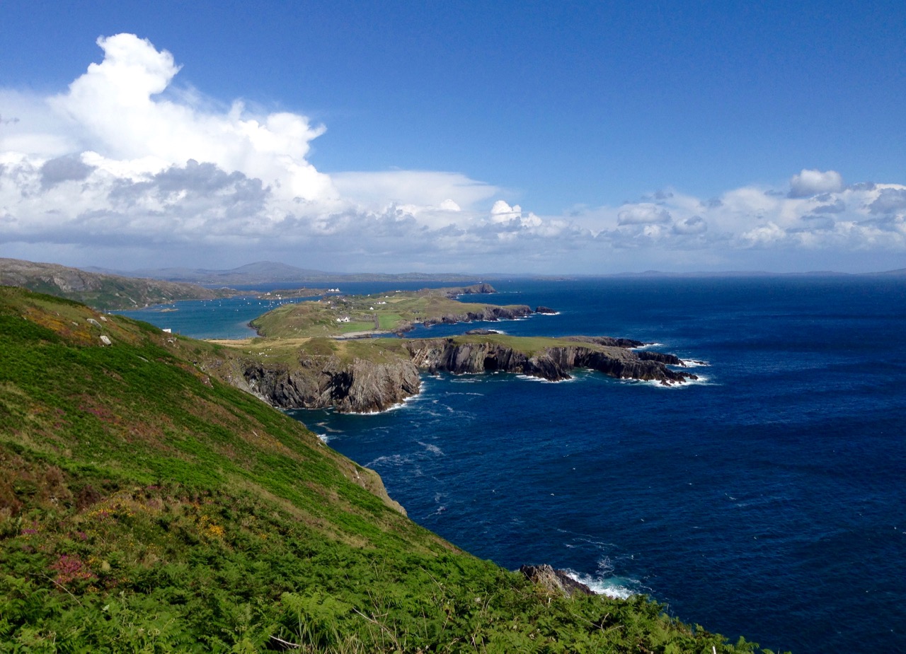
…The islands of the West Cork coast are rather grandly referred to as Carbery’s Hundred Islands, but only Clear Island and Sherkin now sustain a viable population – though, like the other islands off the west coast, there is a steady draining of young people to the cities on the mainland for education and employment. Horse Island off Schull is evocative of the vanished communities of these islands. Silhouetted against the skyline, this piece of low-lying land appears like an old-fashioned, gap-toothed saw; a dark bulk of rock with triangular projections – the gable ends of a row of roofless cottages – biting into the clouds…

West of West – An Artist’s Encounter with West Cork – Brian Lalor, Brandon Book Publishers, 1990

kilcoe days

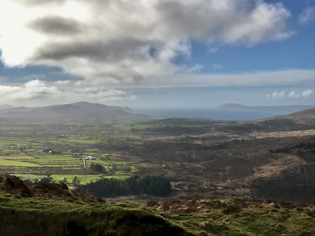
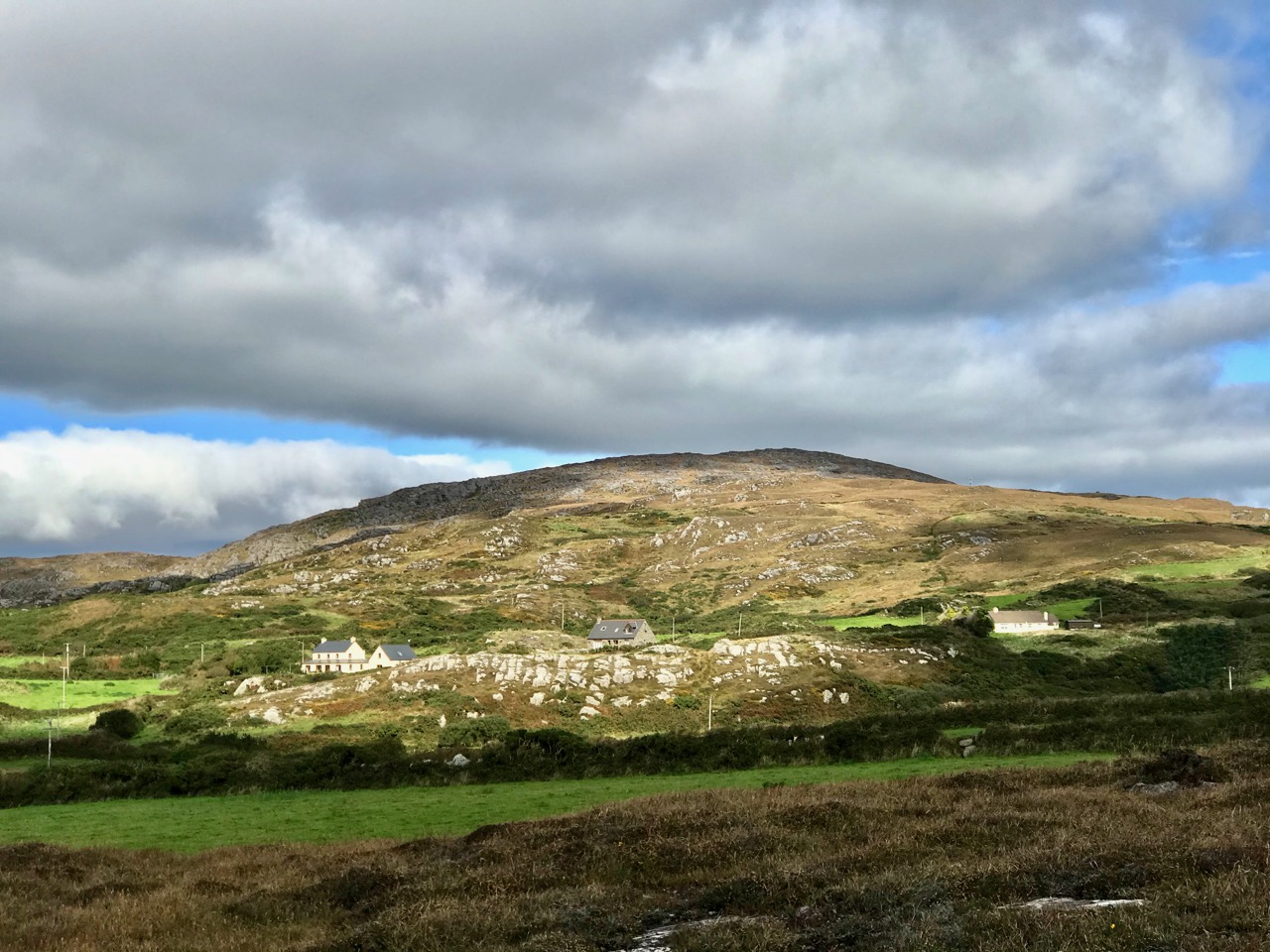
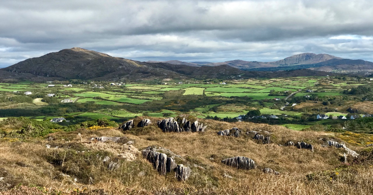
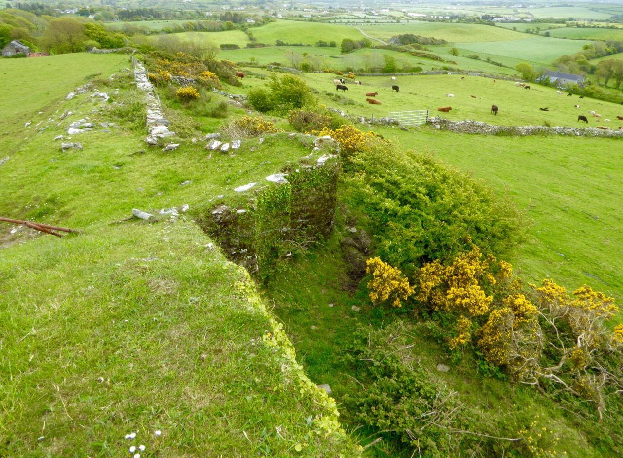
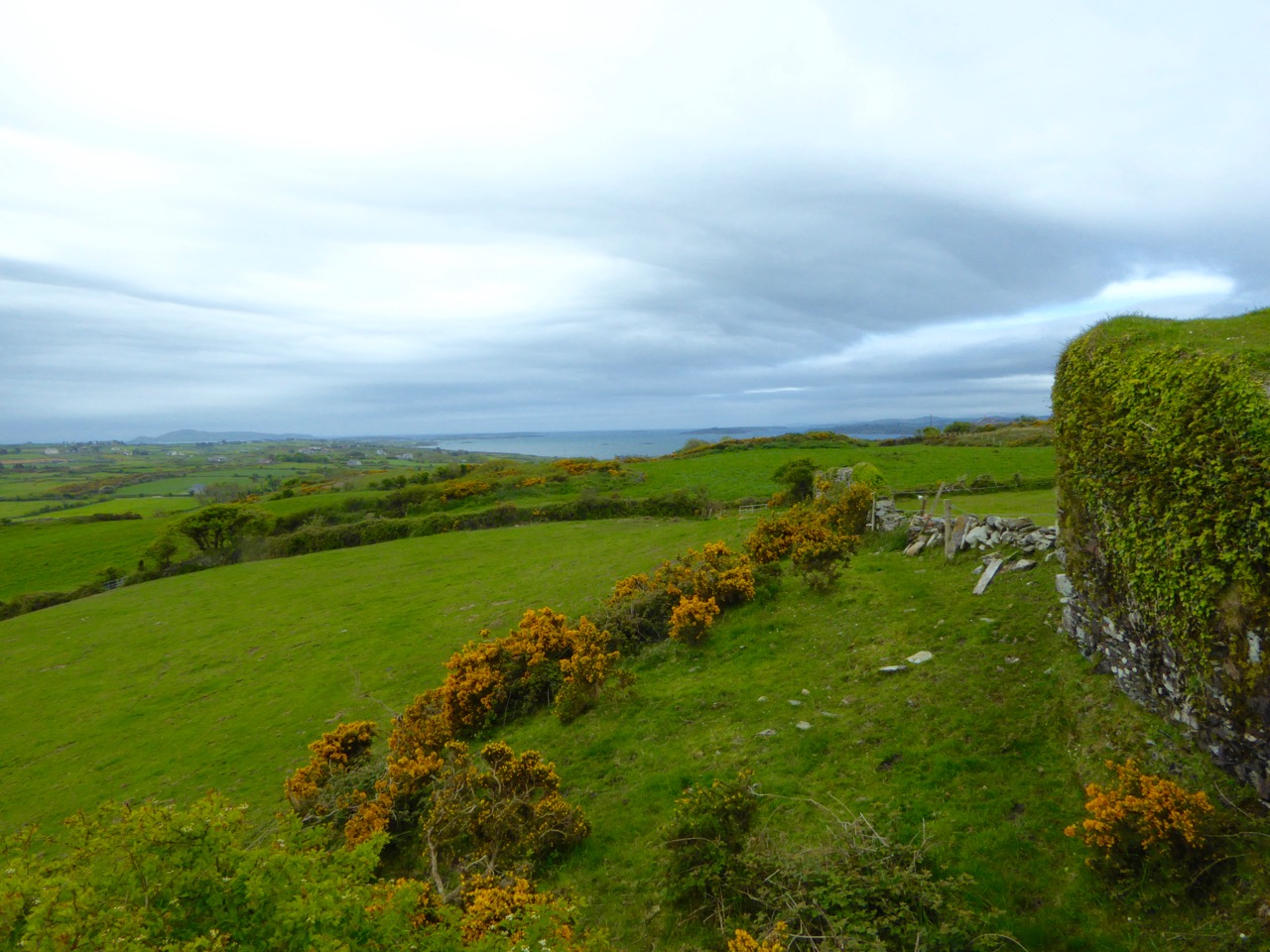
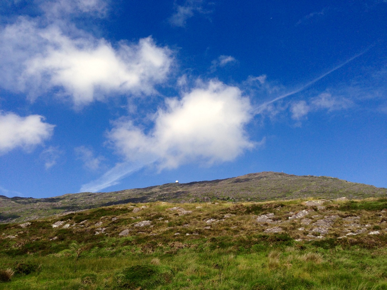
…Three or more centuries ago, before the landscape of West Cork became bound by a web of roads and fences, its contours would have been best understood when seen from above, from the heights of Mount Kidd or Mount Gabriel. Parallel ribs of rocks and hills, dividing up the pasture land, extended from the base of the mountains to the coast, where long fingers of rocky promontories projected out into the sea. There was a natural order to everything…

West of West – An Artist’s Encounter with West Cork – Brian Lalor, Brandon Book Publishers, 1990

rosbrin shadows

… Beyond Whitehall I rode out to the point at Cunamore where the road ended at a small pier which was the nearest point to Hare Island, also known as Inishdricoll. There was no regular ferry across, but the post boat went over several days a week, and the schoolmistress crossed daily to teach the dozen remaining children. It is a much less dramatic island than Cape or Sherkin, a low-lying slab of land with golden beaches. One road leads to a little village nicknamed Paris – probably a derivation of ‘pallace’ – once the centre of a fleet of lobster boats. Now I listened to an old man lamenting the terrible decline.

   “John has gone and Dennis has died, and we’ll die too, and then the foreigners can have it all.” Already half a dozen of the houses had been bought up by strangers.

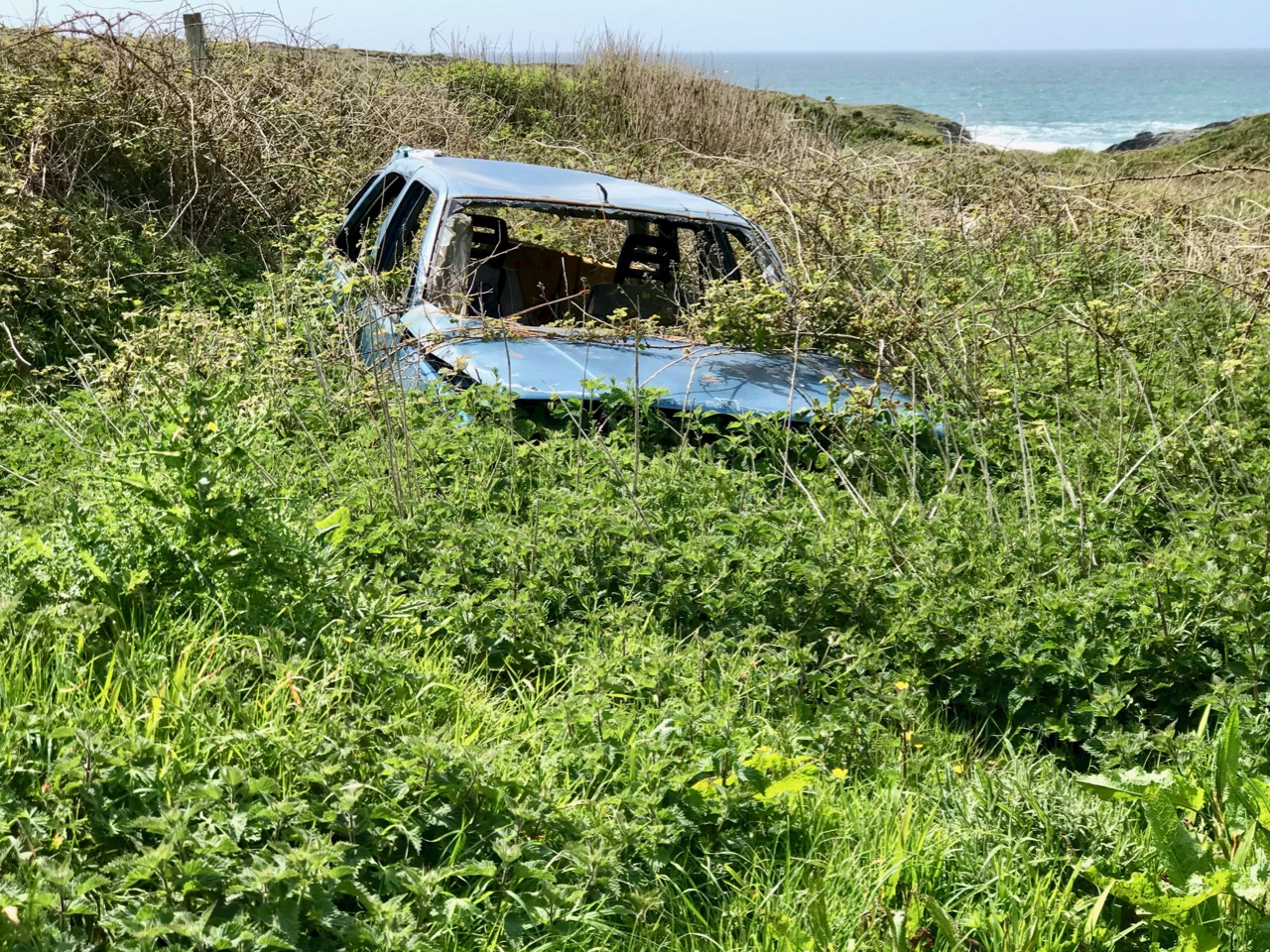
   One by one the smaller islands became deserted. It is a long time since they were densely populated, but until quite recently they supported a certain number of families. Only a few years ago I visited Horse Island, just opposite Ballydehob. The last people there, an elderly couple, were living all alone. It was summer, and the old man was sitting in a chair outside his house, his feet in a basin of water. His wife, behind him, fed hens. Next year they were gone. The house, still intact and comfortable, stood empty, the linoleum in place, last year’s calendar on the wall. Down by the pier a plough had been thrown into the water where it looked like a gesture of despair…

The Coast of West Cork – Peter Somerville-Large, Victor Gollancz Ltd, 1974

rosbrin cool

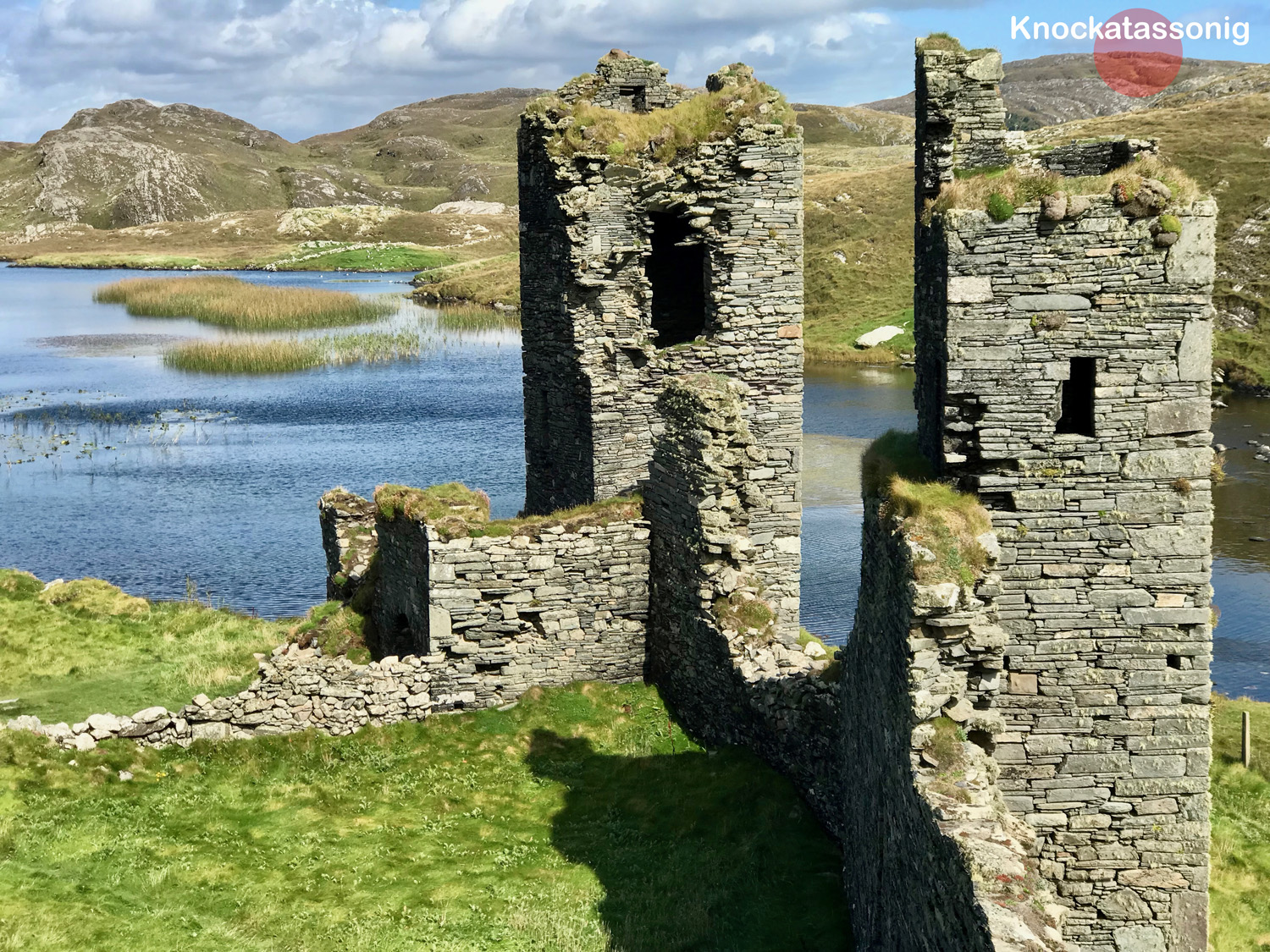
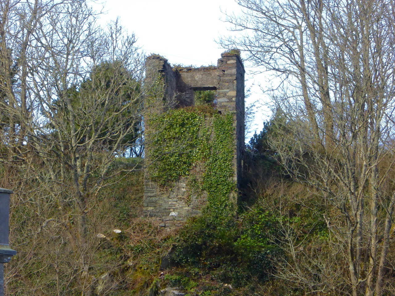
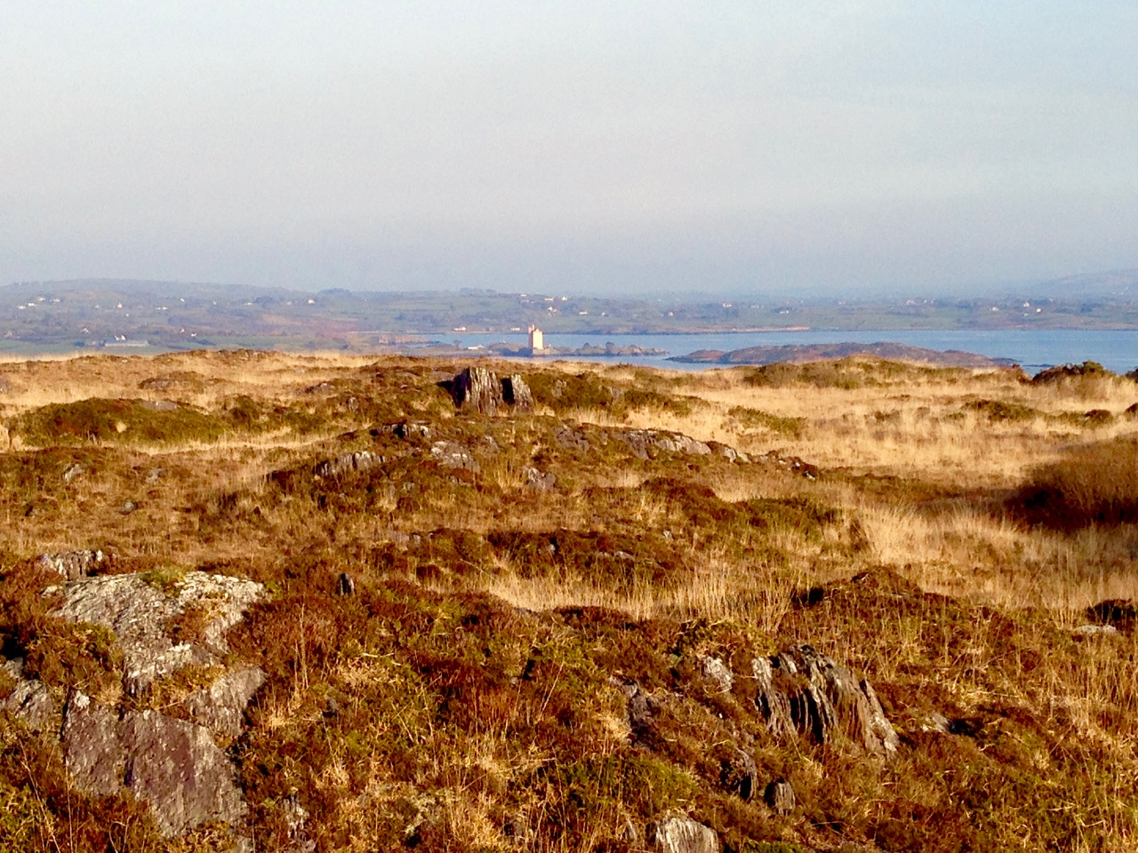
…West of Ballydehob the laneways ran into each other like the veins of a leaf. Many of them were untapped; they seemed empty, with little life except for cattle or a white horse browsing in watery fields beside them. Most seemed to end up at the sea, and each little turn had its own alignment to the bay. One looked across the islands with Kilcoe standing squat and menacing on its headland; the next inlet had a view across to Horse Island; another lane climbed to a hill to where one could see the sweep from Baltimore Beacon and the Gascanane to the shattered tower of Rosbrin castle…

The Coast of West Cork – Peter Somerville-Large, Victor Gollancz Ltd, 1974

Afternoon in Ballydehob 04.2014

…May Day in Schull was the day for ‘bringing in the green’. But the ancient custom is dying out. Only a few branches of green leaves were tied on doors, and a twig of fuchsia dangled from the handle of a bike. “Old pishoges,” an old man muttered as he carefully arranged sycamore round a drainpipe…

The Coast of West Cork – Peter Somerville-Large, Victor Gollancz Ltd, 1974

altar

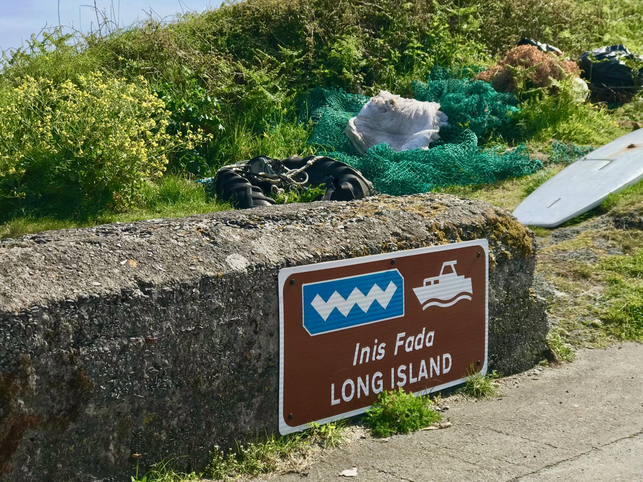
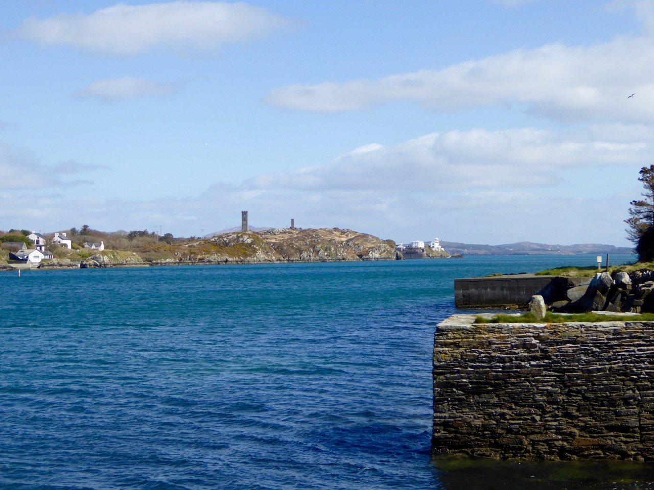
…Colla harbour and pier is the nearest point to embark for Long Island. Horse Island, Castle Island and Long Island lie in a line just outside Schull harbour. A tradition, quoted by Smith, claims that they were once all one island. “In the latter end of March, AD 830, Hugh Domdighe being monarch of Ireland, there happened . . . terrible shocks of thunder and lightning . . . at the same time the sea broke through the banks in a most violent manner. The island, then called Innisfadda, on the west coast of this country was forced asunder and divided into three parts”…

The Coast of West Cork – Peter Somerville-Large, Victor Gollancz Ltd, 1974

december sun over rossbrin

…From the vicinity off Dunanore, we obtain a view of the coast and the surrounding open, which is one of surpassing beauty, when the summer sun is setting in the far west. Towards the south, as far as the eye can reach, the broad expanse of the Atlantic is stretched before our gaze, the distant horizon dotted here and there by some white sail, or the dark hull of one of those leviathan steamers which ply their busy trades between the Old World and the New. Cape Clear is the first land which greets the American tourist or the returning emigrant on his approach to the old country, and the last cherished spot of his ‘own dear isle’ which bids adieu to the Irish peasant, when he parts, perhaps for ever, from his native country…

Sketches in Carbery, County Cork: its antiquities, history, legends, and topography – Daniel Donovan, McGlashan & Gill, 1876

down below

The Coast of West Cork

Coast of West Cork cover

Every personal library in West Cork, maybe in Ireland, has a copy of the book The Coast of West Cork by Peter Somerville-Large. First published in 1972, it is a classic of travel writing – amusing, learned, thoughtful – that still holds up as a fascinating portrayal of this part of the world. The photograph above is of the front cover of the book, signed by the author, that I brought with me to Canada when I emigrated in 1974. Forty years later, I am living on the very spot where this photograph was taken! It took me a while to figure this out, as the picture is actually reversed.

Peter Somerville-Large, now in his 80s, is still writing. He is connected to the old Castletownshend families (Edith Somerville was a relation and he mentions Townsend aunts) and was already very familiar with West Cork when he set out to tour it by bicycle in the spring of 1970. He takes every road, every byway and boreen, and describes in detail the scenery, the characters and the conditions along the way.

Grand road for cycling!

Grand road for cycling!

Far more than a travel diary, this is a comprehensive account of West Cork. Somerville-Large’s erudition is impressive. Either before or after his journey he spent many hours in the National Library, researching the history, folklore, archaeology and literature of the area and he weaves this knowledge seamlessly into his narrative. Because of his own personal background, he is able to include stories and anecdotes from the Big Houses of the gentry. A great aunt

“…remembered going down to a cellar which was filled with swords used to arm the tenants during the time of the Whiteboys and also with empty stone wine jars which had carried wine smuggled in from France. From this cellar there was believed to be a passage underground to the O’Driscoll Castle of Rincolisky, whose truncated remains are to be found in a neighbouring field…An earlier Townsend sent his…page down the passage to see if it was clear. The boy was never seen again.”

Castletownsend Castle

Castletownshend Castle

His affection for the place leads him to mourn the loss of population from the Islands of Roaringwater Bay.

“One by one the small islands became deserted…Only a few years ago I visited Horse Island, just opposite Ballydehob. The last people there, an elderly couple, were living all alone. It was summer, and the old man was sitting in a chair outside his house, his feet in a basin of water. His wife, behind him, fed hens. Next year, they were gone. The house, still intact and comfortable, stood empty, the linoleum in place, last year’s calendar on the wall. Down by the pier a plough had been thrown into the water where it looked like a gesture of despair.”

Looking across to Horse Island

Looking across to Horse Island

He documents the importance of the creamery in the social life of the townlands, the old occupations of fishing and mining and the loss of such sources of income, the string of castles that dot the coast and the great irish families that built them, the “brash new bungalows” springing up around the scenic areas, the awful legacy of the famine, and the sheer beauty of the scenery. He is conscious of a way of life passing. Going out of his way to visit a sweathouse (a feature of the Irish countryside in times past) he ends up in the O’Sullivan’s kitchen, drinking whiskey and eating biscuits.

“Mrs. Sullivan told me that the valley was once thickly populated, and when she was a girl there had been sixty children at the school that closed last year. The way of life had gone with it…Once it had been a great place to live in, her husband said. There were monthly fairs at Ballydehob and Schull, and he had walked all the way to Bantry with the cattle and all the way back again.”

Deserted cottage

Deserted cottage

The parts I have quoted deal with the area around where we live, but the bicycle trip stretches from Clonakilty to the Beara Peninsula. Describing West Cork as it was in 1970, it is now an important historical document in its own right, alongside such accounts as Thackery’s Irish Sketchbook of 1879, or the Pacata Hibernia of 1633. Mostly, however, it is a charming, engaging and fascinating depiction of a special place.

Over the hill to Durrus

Over the hill to Durrus