The Turning Year in Rossbrin

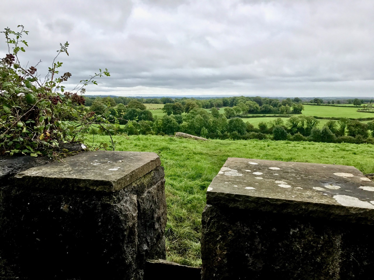
We are fortunate to live in a rural idyll: our immediate environment is immersed in the natural world. In fact, I suppose it is ‘Nature tamed’ – as we have pasture all around us as well as banks of gorse and rock: even a few trees which manage to cling on to the shallow soil all through the winter gales and (occasional) summer droughts. As the years go by we feel we become more closely entwined with the cycle of everything around us – we get to know personally the fox, pheasants and rabbits that pass by our window, and the myriad of birds that feed here, forage in the Cove or just show themselves to us on memorable occasions – Spioróg the Sparrowhawk is so handsome when she is resting on our terrace wall while on her deadly missions, and our choughs frequently perform wild dances in the air to entertain us. This year was special for me because, for the first time, I saw a hare amble around the house, alert with erect ears, before loping off into the next door field.

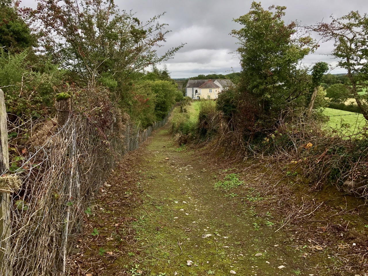
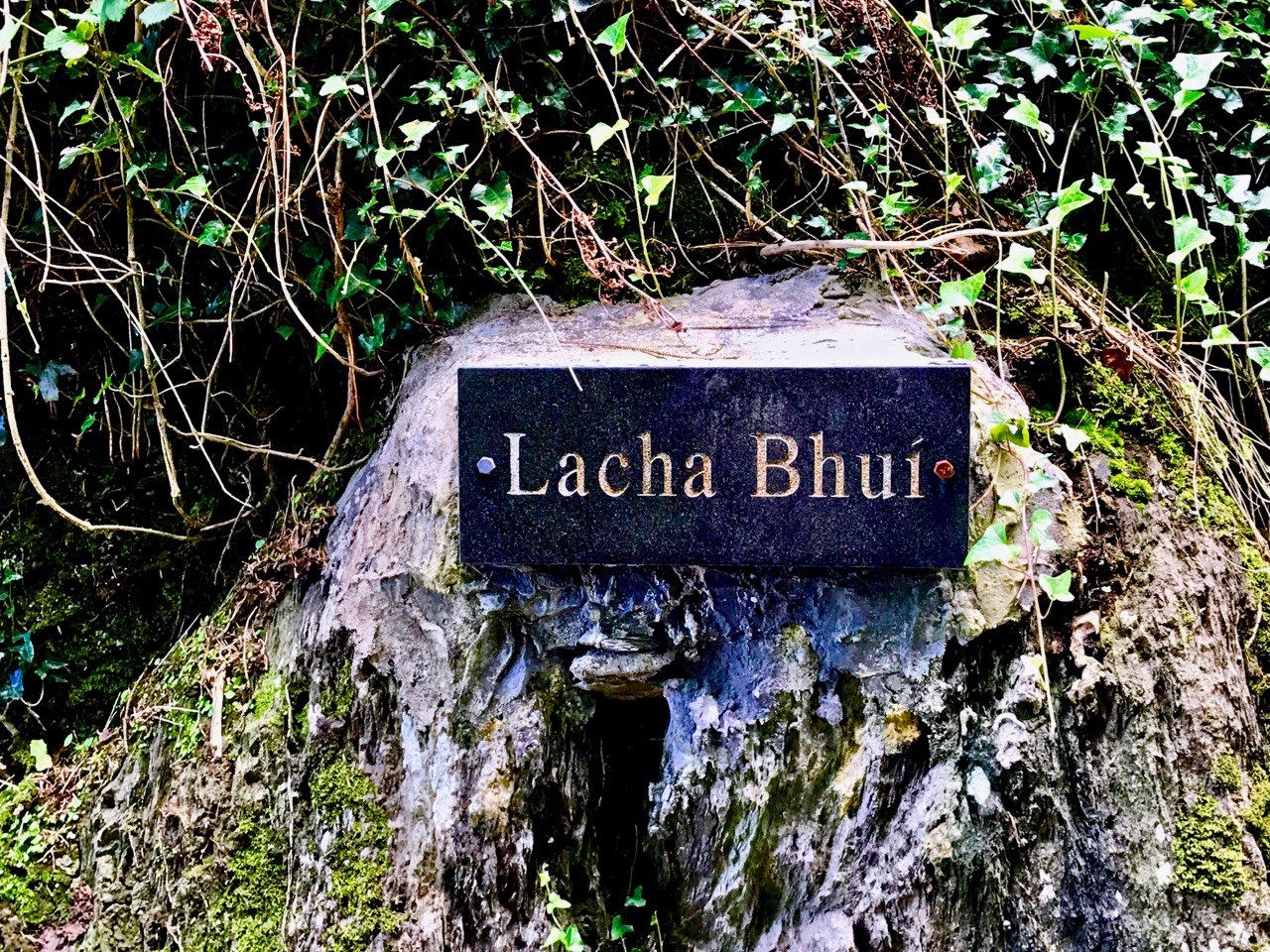
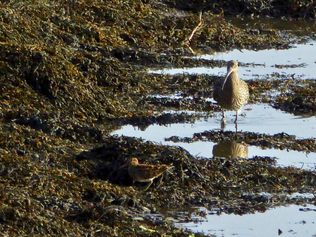
I have written about Rossbrin Cove many times before: look at A Moment in Time, Tide’s Out and Words on Roaring Water, for example. That sheltered natural harbour and the old mine road up on the hill above probably give us the most pleasure because we visibly see the year change and turn every time we walk there. Just now the days are rapidly shortening, and the autumnal influx of wading birds is returning. One we keep a particular eye out for is the curlew – a threatened breeding species here in Ireland. We see many on and close to the water, particularly at low tide, but these are probably migrants rather than resident breeders.

The year is turning – from late summer into early autumn, and the colours are changing from rich reds and purples – fuschia and heathers – to the more sombre yet equally attractive yellows and browns of furze and fern. Finola has closely followed the wildflowers right through from the spring – she is still finding and identifying every imaginable species – it’s a complete world of its own!

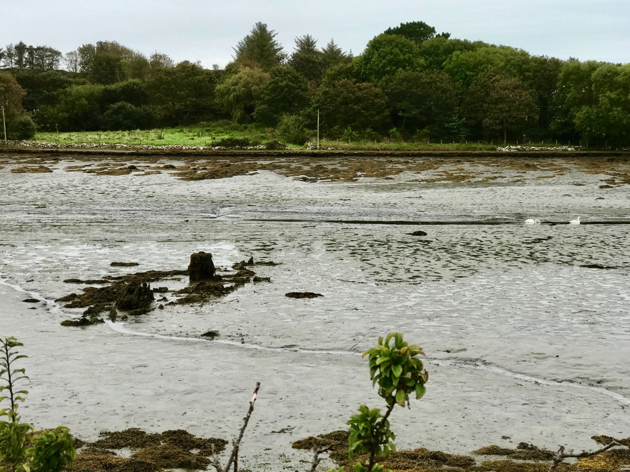
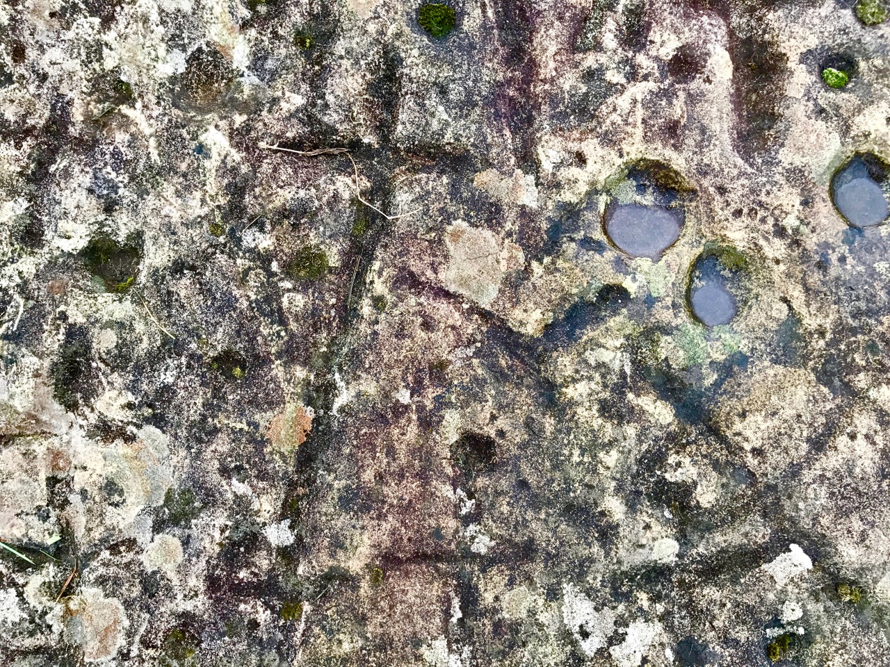
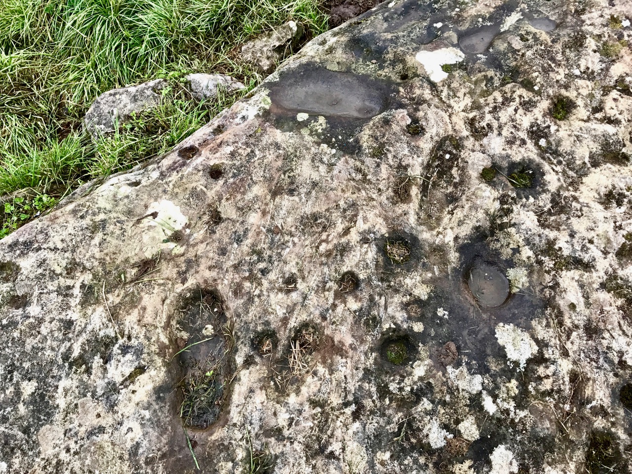
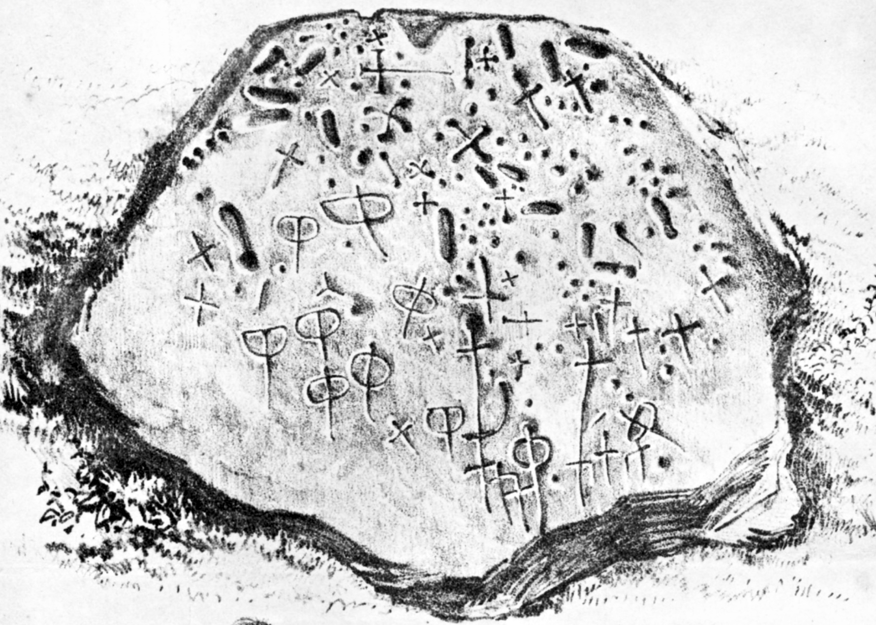
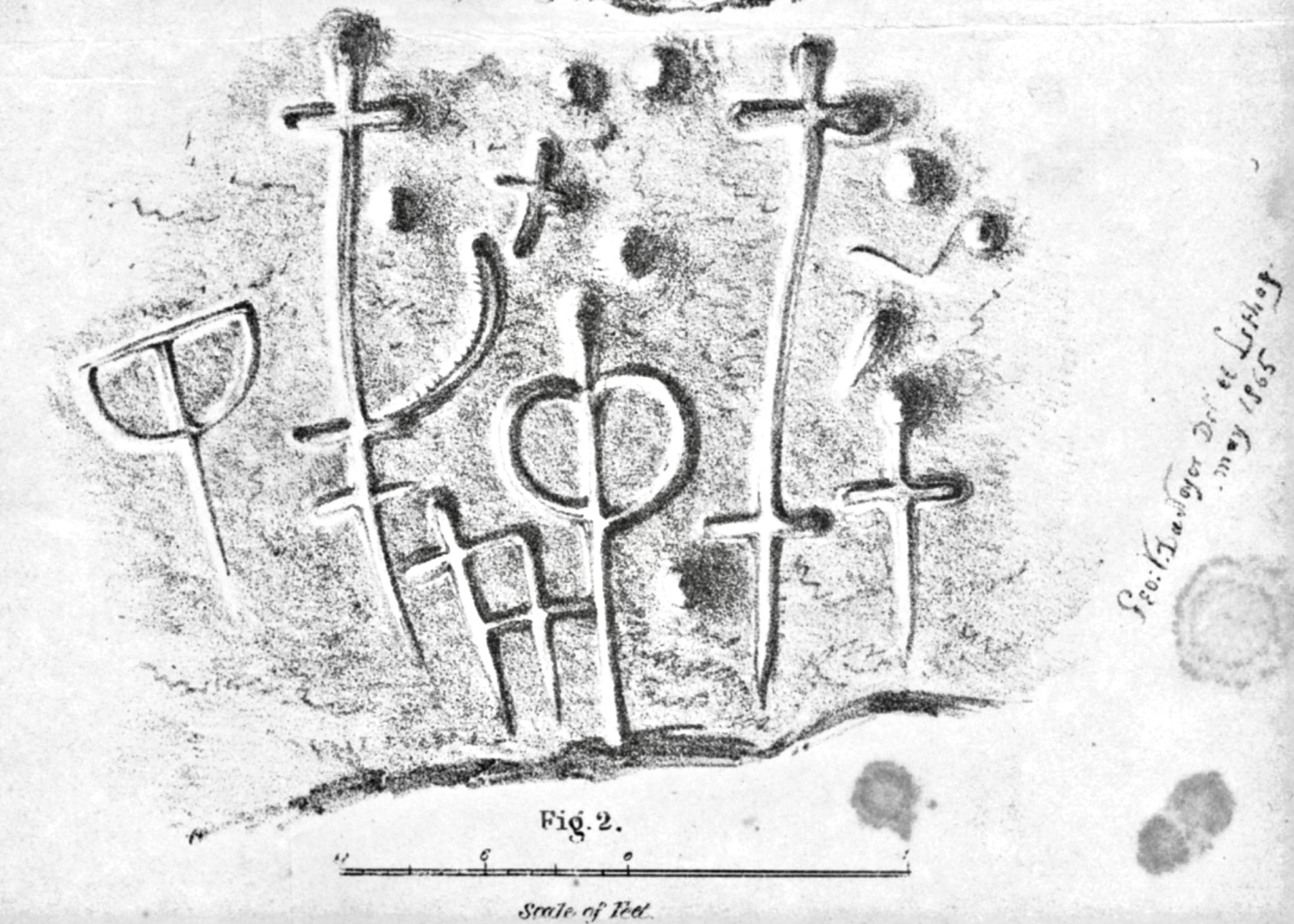
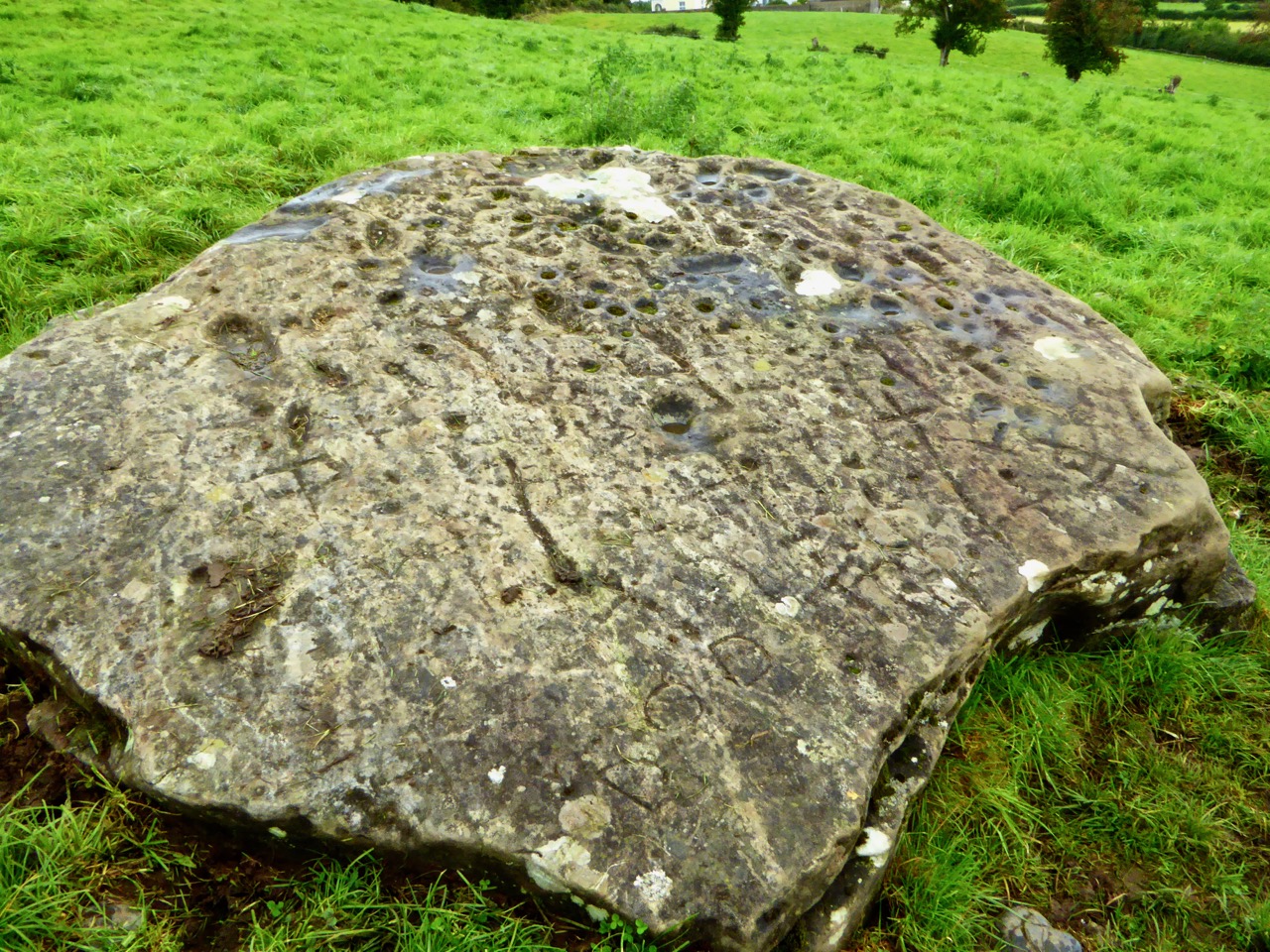
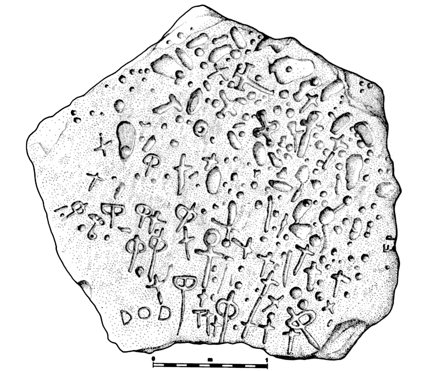
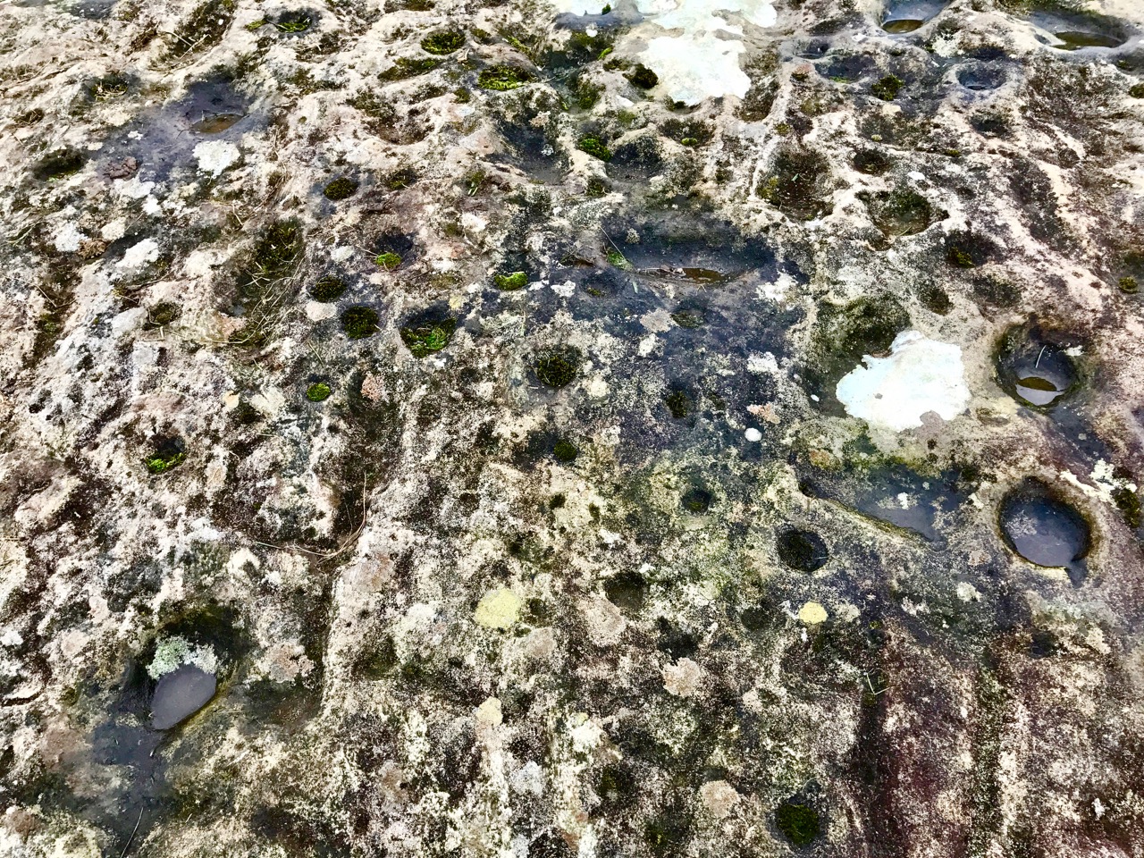
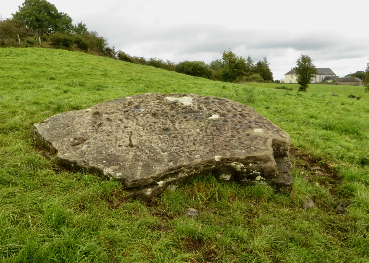
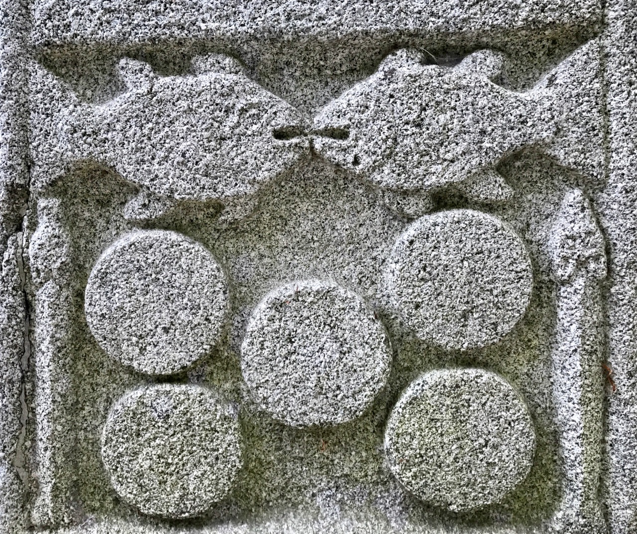
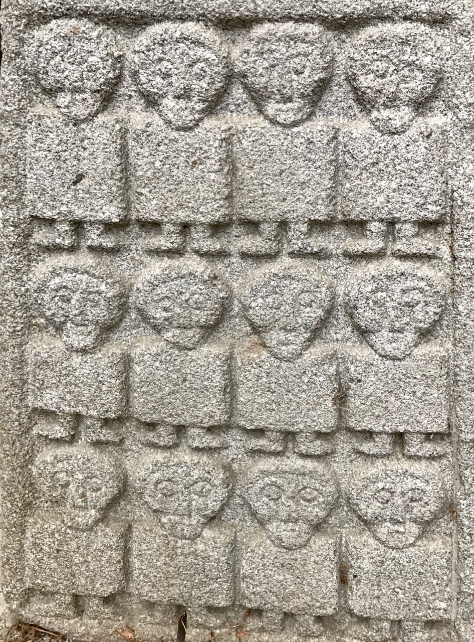
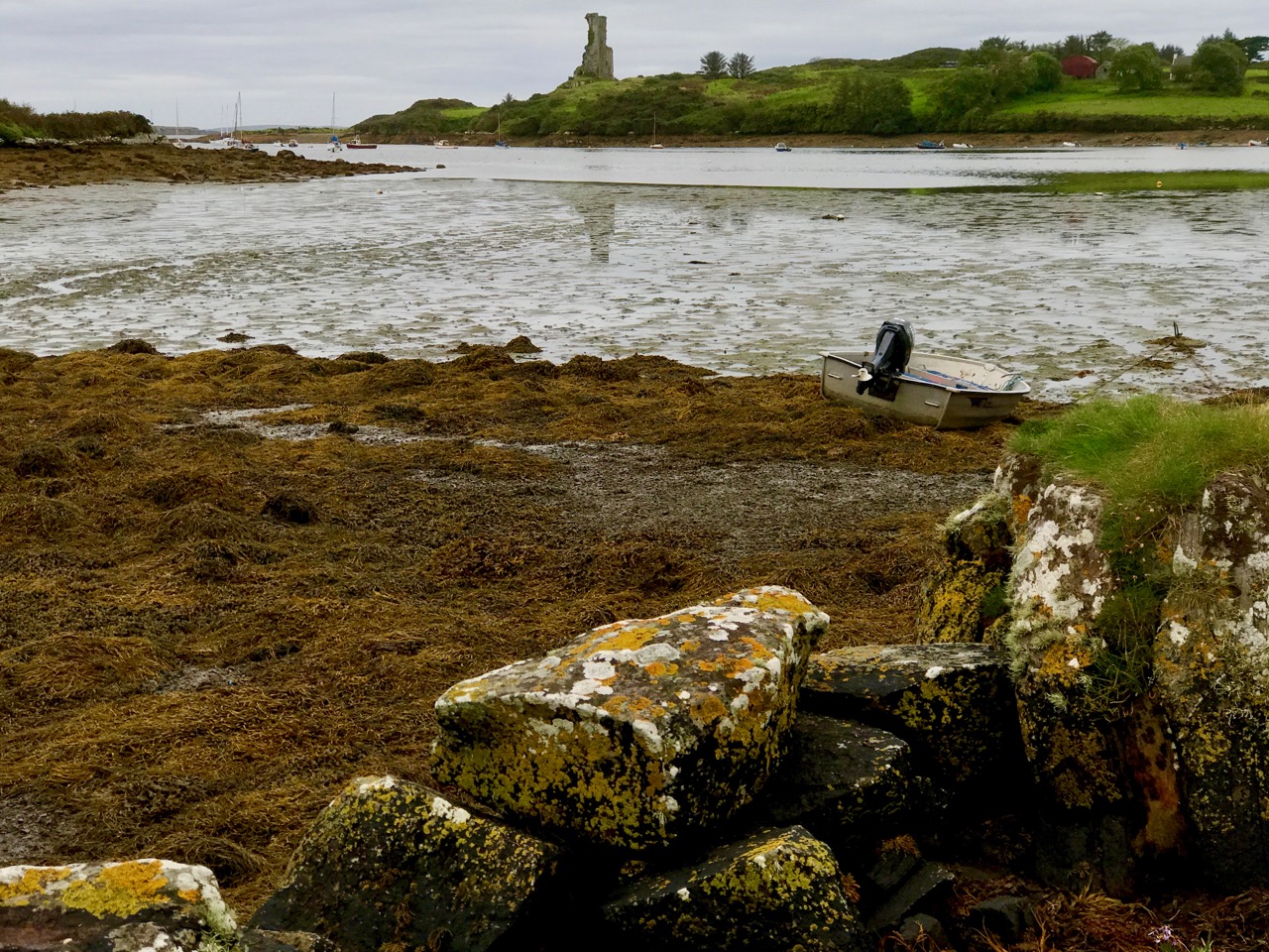
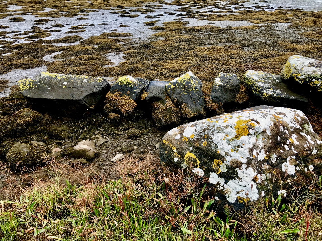
We have been seeing some exceptionally high and low tides here in Rossbrin. I’m always fascinated to see the mud-flats revealing bits of discarded history, while I am convinced that the huge remnants of dressed stonework on the north-east shore are the vestiges of once-busy quays, dating either from the medieval period, when Sir William Hull and the Great Earl of Cork owned the lands around here and set up thriving fish-processing ‘palaces’, or – at the latest – when the copper mines were active up on our hills and on Horse Island in the nineteenth century.

The real turning point comes at the end of October – Samhain – when the old calendar enters the ‘dark year’ (the ‘light year’ begins on May 1st –  Bealtaine). We know we have long, dark nights to come – time to huddle down by the stove – but there will be bright days as good as any in the year for walking, exploring and breathing in the Atlantic breezes. And the Rossbrin sunsets will be magnificent!

The Significant Rock Art of Clonfinlough

Whenever we stray from our home territory of West Cork, we are always on the lookout for archaeological wonders. When we set our course for Clonmacnoise, in County Offaly, last week (I like the possible translation of the Irish Cluain Muccu Nóis: Meadow of the Pigs of Nós, but there is an alternative Cluain Mhic Nóis: Meadow of the Sons of Nós), we were looking for Ireland’s most important medieval monastic site, but we were diverted only a stone’s throw from our destination by a sign that we couldn’t ignore…

Tucked away to the south east of Clonmacnoise, on a by-road, sits an isolated church in front of which is a well defined and fenced pathway leading past the Priest’s house, through fields, over a stile and into a pasture where cows grazed and barely gave us a glance. There – open to the ravages of weather and cattle – is a large, earthfast slab of limestone bearing a remarkable array of markings.

Header – a detail from the stone’s crowded surface. Upper – the well-defined path leading from St Kieran’s Church to the stone (don’t confuse this St Kieran with the one from Cape Clear). Lower – the limestone slab situated beyond the stile

For Rock Art enthusiasts like us the stone was a wonderful find. The surface is teeming with rings, lines, shapes – and even lettering. In spite of the weathering, everything was deeply defined and easy to see. And the more we looked, the more we did see, and the more perplexed we became. I even noted footprints! Remember my search last week for the footprint left by Archangel Gabriel on his visit to his eponymous mountain in West Cork? Here I counted six, and my size nine feet fitted perfectly in them all.

Upper – two of the ‘footprints’ scattered on the stone’s marked surface. Lower – the stone in its landscape context: ‘footprints’ are also visible

When we returned from our visit to Offaly I was able to research the available information on the Clonfinlough Stone and was delighted to find a very comprehensive study of it written by Finola’s old friend and Rock Art expert from UCC, Elizabeth Shee Twohig. The piece – Context and Chronology of the Carved Stone at Clonfinlough, County Offaly – was published in 2002 in The Journal of The Royal Society of Antiquaries of Ireland, Volume 132 pp 99-113. It makes the most enlightening read, outlining the ways in which the stone was regarded and drawn by early antiquarians and then opening up discussion on how much of the stone’s markings might in fact be natural formations, or natural forms which have influenced and been enhanced by ‘artists’ working with motifs which have become familiar to Rock Art researchers today, including cupmarks.

Engravings by George Victor du Noyer illustrating a paper published by James Grave in 1865. Note the emphasis that du Noyer has placed on recognisable ‘Greek’ style lettering (termed phi by Shee Twohig)

Elizabeth Shee Twohig quotes theories by RAS Macalister which evolved between 1921 and 1949, and which include the idea that the phi markings represent ‘…a possible depiction of a battle between the ‘loop men’ and the ‘cross men’ and suggested that the cupmarks …may even indicate the number of severed heads!…’ In his 1928 book The Archaeology of Ireland Macalister (quoted by Shee Twohig) suggests ‘…the carvings as showing a battle or pre-battle scene, the medicine men having prepared for their occult purposes a picture of the consummation desired…’ while in 1949 he saw it as a sign-manual of a hostile expedition from Spain which sailed up the Shannon: ‘…the battlefield, printed with the footmarks of the flying foe, strewn with weapons cast away in their flight and with missile stones…’

These are but brief extracts from the Shee Twohig account and discussions, which are essential reading – not just for possible enlightenment on the markings on this stone, but also for a well defined background on how ideas about Rock Art generally have developed since the time of the earliest antiquarians.

Elizabeth Shee Twohig has amplified her study of the Clonfinlough Stone with the first truly accurate drawing of the markings on it (above). It is certainly interesting to compare this with the 1865 engravings by du Noyer

Elizabeth Shee Twohig brings in to her study the possible significance of the stone’s positioning close to the great monastic centre of Clonmacnoise, which in medieval times was the prime pilgrimage destination in Ireland. There is evidence that one of the paved pilgrim routes passed close by the Clonfinlough Stone. It is plausible, therefore, that at least some of the markings on this limestone slab could have dated from those times: Clonmacnoise was active between the 6th and 12th centuries.

Upper – the many enigmatic markings on the stone: natural limestone solution pits, Bronze Age Rock Art, crosses carved by or for medieval pilgrims? Lower – the stone is within sight of the present day church

A trawl through the folklore records proves fertile. One legend says that at certain times of the year a horseman manifests and gallops around the stone. Another has it that a local boy named Michael used to play at the rock and there met another boy who gave him a silver knife. His mother made him take the knife back and leave it on the stone, for she said the boy was a fairy trying to entice him away. It is also said that another Michael will find the knife, and when he does he will find two big pots of gold under the rocks. Whatever the truth is about the rock and its meaning, I am struck by the path we found coming from the little church which is in sight of the Clonfinlough Stone: could there be something pagan in that stone which required the church to be built there – or is it a mutual guardianship?

In the church at Clonfinlough is a curious series of Stations: this one showing the ’empty tomb’ can be seen as a rock supplanted by a cross…

Irish Romanesque 2 – Doorways

In April I introduced you to the form of architecture known as Irish Romanesque – the dominant form of church architecture in Ireland in the 12th century. If you haven’t read that post already a quick glance over it will get you ready for this one. To continue the series, I’m going to look at one of the glories of the form – the elaborate doorways, often highly decorated, such as the one at Clonfert, above.

Our friends Brendan and Kathie are visiting at the moment and I pressed Brendan, an artist, into service, drawing the Killeshin doorway for me, so I could use his drawing to illustrate the main features of these doorways, and cover some basic vocabulary. (Thank you, Brendan!) Take a look at our joint effort – it will help as I talk about the doorways.*

This simple door is at Ardfert in Co Kerry. It only has one order and no decoration apart from a string of bosses above the arch. The romanesque elements at Ardfert are mixed with later gothic elements – fragments only of the 12th century buildings that once occupied the site. The doorway below is yet another example, built into the wall of the later cathedral building. The stone is soft and much weathered but the columns were once carved, and the door is flanked by blind arcading.

This doorway (below) at Ardmore in Waterford is no longer complete – while the jambs are there, the columns have disappeared, leaving only their capitals behind.

Killeshin in Co Laois, our model for the drawing, is a beautiful site. The early church retains antae on one side, and there are windows and vestiges of a stone roof reminiscent of the early medieval site we described at Kilmalkedar in Kerry.

The doorways has three orders and a pediment above. Many of the voussoirs are carved with intricate designs and the keystone features a carved head.

Not only do the Killeshin carvings include intricate geometric patterns and heads on the capitals, but there is writing memorialising the builder and the donor.

Not far from Killeshin is Freshford (Co Kilkenny) where a church still in use has incorporated a romanesque doorway from a 12th century church into a later building. Much modification has taken place – the round widow in the neo-romanesque style is an 18th century addition and the cross at the top of the pediment is also recent.

Note the inclined jambs – meaning the doorway tapers towards the top. The stone is soft and badly weathered, but some carvings are still discernible on the capitals. Interestingly, the jambs originally had niches for statuary, one example of which, two figures, remains,

Two of my personal favourites come now. The first in in Clare, at Dysert O’Dea, a fascinating multi-period site. The romanesque doorway is distinguished by its multiple carved heads on the voussoirs of the outermost archivolt of the arch.

The columns, capitals and inner archivolts are also highly decorated, but it’s those carved heads that never fail to capture the imagination. Not all are human, but of the ones that are I can’t help wondering who the models were – bishops? warriors? saints? kings? Or perhaps the carvers themselves?

Finally, the greatest doorway of all, widely considerered to be the masterpiece of romanesque architecture on Ireland – the great door of Clonfert cathedral in Co Galway. It’s the photograph I led off with, showing the whole doorway. Let’s take a look at some of the details.

The pediment is unusual in that it is filled with triangular reliefs, each having a carved head. Below that are blind arcades with yet more heads. Although weathered, each head has its own distinct character.

All seven orders of columns and capitals are decorated, as are the archivolts. In fact, it’s hard to find an inch on this doorway that isn’t intricately carved. There are fantastical creatures, animals, geometric and interlaced designs, and on the innermost jamb, two carved figures that are mostly likely 15th century additions, but no less compelling for that.

Romanesque carvings deserve a post to themselves one of these days, as does the iconic building of the period – and this time not just doorways but a complete building – Cormac’s Chapel at the Rock of Cashel. Look out for those posts in the future. Meanwhile, one last glimpse of some of columns and capitals from Clonfert…

*For a truly erudite treatment of Irish Romanesque, see the Corpus of Romanesque Sculpture in Britain and Ireland – its the Romanesque Encyclopaedia!

The Treasures of Castledermot

Last week we explored the medieval wonders at Moone, in County Kildare. We couldn’t leave the area without going on to Castledermot to visit the monastic site of Díseart Diarmada, (the hermitage of Dermot) – a few minutes’ drive down the road. Stone carving artists were active here, too, as we can see from the many artefacts mainly centred today around St James’ Church, built on the site of the former monastery. These include a decorated Romanesque doorway: Finola is writing about Romanesque architecture today.

Díseart Diarmada as it might have appeared in the 800s. This reconstructed view is taken from the excellent Dúchas interpretation panels on the site, and shows the earliest church, the 20m high round tower (which still stands today) and the two ornate high crosses, which also remain intact

The settlement itself was highly important. There were Viking raids during the 9th century, probably indicating that there was wealth to be plundered there. A royal grant was given for a fair in 1199, and the very first Irish parliament was convened in the town on 18th June 1264. In 1393 Castledermot was granted permission to mint its own coins.

The two high crosses at Castledermot: south cross (left) and north cross (right – round tower beyond). The header picture shows the geometric work on the east face of the south cross

There are certainly figurative carvings on the two crosses to almost rival those found at Moone. I was particularly interested to see other versions of the stories of the loaves and fishes and Daniel in the lions’ den. But the real glory of Castledermot lies in the panels of knotwork. If these were coloured (as suggested at Moone) they must have been spectacular.

Note the loaves and fishes, bottom left

It’s interesting to speculate who might have been responsible for this ancient carving. Could it have been the monks themselves, who considered that part of their dedicated life was to build and decorate the great monastic buildings? Or were they constructed by travelling masons, much as the later cathedrals were? And who directed and designed the work? These are such important monuments – a legacy which we must be sure to look after: they have been here for more than a thousand years and – in spite of being in the open and subject to constant weathering – are still clear to see. At Moone the great cross there has been placed under a modern protective canopy, which is not intrusive. Perhaps such actions should be considered for all these Irish medieval works of art.

The site at Castledermot reveals many other remains which appear to be weathering quite badly. These include the Hogback Stone, which has been linked to Viking activity in the area: it was discovered just below the ground in its present location in 1967. It is said to represent a House for the Dead, and other examples have been found in Scotland and England: this is the only one found so far in Ireland.

The Hogback Stone (top – Dúchas – and bottom left) and an unusual type of cross-slab close by (right). This is known as the Swearing Stone, and it is said that it may have been used during wedding ceremonies or for swearing oaths or allegiances in early times

Although residents in Castledermot are keen that their historic artefacts are well looked after and are seen by an interested public, the site remains rather obscure and perhaps deserves to be better known. There is a wealth of heritage in Ireland – do we take it too much for granted? The Office of Public Works (formally Dúchas) do their best to maintain and advertise the monuments under their care but it’s an uphill job with a budget which is far too small.

We have by no means exhausted the treasures of this remarkable Irish town. There are other intriguing carved stones and crosses on the monastic site, and, at the southern end of the town are impressive remains of a Franciscan Friary, founded around 1247. This site has a guardian and a key holder, but we didn’t have time to visit. Inside it is a rare cadaver grave stone dating to about 1520. In 1275, the town was given a royal murage grant. This allowed the collection of tolls from people entering Castledermot to pay for the construction and maintenance of town walls. The wall, with three gates, was completed around 1300.

Ancient Irish Art – Moone High Cross

Wherever we travel in Ireland, we look for the routes which will take us past sites rich in history and archaeology. Finola wrote a while ago about places to visit close to the M8, which links Cork to Dublin. Last week we discovered a real gem, in County Kildare, about 40 kilometres east of the motorway – well worth the diversion.

Just outside the village of Moone is the finest medieval high cross that we have seen in Ireland. It is on the site of Moone Abbey (above right – a sketch from 1784 by antiquarian Austin Cooper), where a church is believed to have been founded by St Palladius, who came to Ireland in 431. It was later dedicated to St Columcille. The abbey ruins date from the 13th century, but the site must have been an important religious foundation long before this as the high crosses (there were once four here) are very much older. Historical sources differ on their age – I have found them variously attributed to the 7th, 8th, 9th and 10th centuries! It’s safe to say they are at least 1100 years old.

Early views of the High Cross at Moone: left – an engraving from 1857 and right – a photograph from the Lawrence Collection dating from the 1890s. Both images show the earlier reconstruction, before the centre pillar was discovered and added

The Abbey was ransacked and burned along with the nearby Castle by Cromwellian forces in the 17th century and the high crosses were probably buried at that time. Two sections of the one we can see today were rediscovered in the Abbey grounds in 1835 and re-erected in the Abbey by the Duke Of Leinster. In 1893 a further section was uncovered and added to bring the full height of this cross to 5.3 metres. This is not quite the highest high cross in Ireland – Muiredach’s Cross at Monasterboice is 5.5 metres – but Moone is visually more impressive because it is so slender, and beautifully decorated.

The west face of the Moone High Cross seen in its present context in the ruined Abbey. The site has been well laid out and presented with the fragments of other carved stones discovered during excavations. A protective roof has also been constructed in a non-intrusive simple style

The carvings on the granite Moone cross are in relatively good condition and all the panels can be clearly seen. They are fine examples of medieval Irish art: stories from the Bible  are mingled with Celtic knotwork and some enigmatic bestiary. The figurative work is simple and stylised – yet somehow very modern in its execution.

Stories told in stone: Adam and Eve, Daniel in the Lion’s Den and the Flight into Egypt. The header image is a wonderful representation of the Loaves and Fishes
The Crucifixion, SS Paul and Anthony breaking bread in the desert and The Fiery Furnace
Abraham about to sacrifice Isaac and the Temptation of St Anthony the Hermit

A six-headed monster? Probably not a Bible story…

The site is very well interpreted by the Heritage Service: there are comprehensive information boards describing every carved panel.

Interpretation boards include full annotation for the panels on the High Cross, together with projected reconstructions of the other findings on the site

Top picture – looking towards the east face of the High Cross; below – the east and west faces of the cross wheel
Left – an interesting conjecture showing that the panels may have been coloured in; right – the friendly Keeper of the Cross!

Be sure to visit this site – and don’t forget to purchase your guide book at Wall’s Mini Mart in the village!

Stab All!

With the West Cork History Festival just around the corner (this coming weekend – July 28 to 30: hurry! – there are still some tickets left for a whole host of compelling events), I thought I would concentrate today on a little piece of very local history which has fascinated me for some time.

Header picture: looking down Staball Hill to the colourful and thriving community of Ballydehob in West Cork; above – Chapel Lane, just on the edge of town: a haven for wildflowers with – lower picture – the intriguing sign Lacha Bhuí

Mounted beside the road on Chapel Hill in Ballydehob is a slate plaque, which is inscribed Lacha Bhuí. I asked Finola to translate the Irish for me: it says Yellow Duck! Intrigued, I asked around to see if anyone knew why there should be such a sign in this place; eventually, I was transported back to 1642…

Reenactment of the 1642 Battle of Stratton, in Cornwall: it’s not Ballydehob, but perhaps it portrays something of the atmosphere of the skirmish that took place here in the same year

My principle informant is Noel Coakley – a local historian and a mine of information. He it was who told me the story of a battle that took place in Ballydehob, on Staball Hill in 1642. He couldn’t remember where he had the information from but this is the account he gave me:

In the days of the old Clan system, the McCarthys and the O’Mahonys held sway in this area and a string of castles bears testimony to their strength and dominance. In 1602, an army, led by Sir George Carew, the English President of Munster, descended on the area and were successful in breaking the power of the gaelic Chieftains.

The arrival of the sixteen hundreds saw an influx of settlers, mainly from England, but a significant number were protestants fleeing persecution from Catholic France.

A powerful family named Swanton, from Norfolk in England, came and succeeded in subjecting much of the area to themselves and even changed the name of the village to “Swantons town”. The last use of this name was in the census of 1821.

As always the natives resisted the dominance of foreigners. In those days before police forces, a garrison of twelve British soldiers attempted to uphold and enforce the law and order in Ballydehob. Robert Swanton the leader of the Swanton group, who had quite a few questionable projects to his name, and had earned for himself the nickname ‘Black-hearted Bob’, enlisted the help of the garrison to take over Ballydehob for himself. A group of six local men, who were trained to arms, issued a challenge to the garrison and Black-hearted Bob and a pitched battle was fought at Staball Hill. The year was 1642…

Top – looking towards Staball Hill, Ballydehob, on a peaceful summer Sunday afternoon; centre – Danno – wrestling Champion of the World (and son of Ballydehob) stands guard at the battle site; lower – Cnoc Staball – Staball Hill

There’s more from Noel:

In 1628, the first Huguenots appeared on the southwest coast, mainly in small boats, to escape detection from the French. They brought with them jewellery and other valuables which they traded with the Irish for plots of land. They were entrepreneurs and set up small industries.

One of their number Pierre Camier noticed the exploitation of the natives and took sides with the Irish defenders in the battle of Staball Hill. Black-hearted Bob took flight from the fray and Pierre Camier pursued him and caught up with him between the present St Bridget’s Church and the Garda station and there he attacked him and killed him. He came back to the fray and shouted “I’ve killed the yellow duck”.

Meanwhile the battle was going well for the Irish band. They killed all the garrison losing just one man of their own. The leader of the Irish band shouted “stab ‘em all” and it is alleged that this was how Staball Hill got its name. The term yellow duck is often applied to a coward in France and to this day the spot where ‘Black-hearted Bob’ was killed is known as ‘Lacha bhuí’ which is the gaelic for ‘yellow duck’…

You’d never know it, but this little patch of West Cork tranquility was the very spot where Black-hearted Bob Swanton met his bloody end, at the hands of Pierre Camier

After some searching I found another account of the battle, in From West Cork Through Time by Kieran McCarthy and Daniel Breen – Amberly Publishing, UK 2013:

…The seventeenth century saw the arrival of a number of settlers, mainly from England, but many were also Protestants (Huguenots) fleeing persecution in Catholic France. The Swantons from Norfolk emerged as the most prominent family in the area and, by the late eighteenth century, they had even changed the name of Ballydehob to Swanton’s Town. A garrison of twelve British soldiers attempted to uphold the law. Robert Swanton, the leader of the group, enlisted the help of the garrison to take over Ballydehob. A group of six local men, who were trained in arms, issued a challenge to the garrison and ‘Black-hearted Bob’, and a pitched battle was fought on Staball Hill. The year was 1642…

In rural Ireland history is never far below the surface. Here in Ballydehob there are still reminders of the Huguenot and English proponents in the ‘Yellow Duck’ affair

As a little addendum I can’t resist pointing out that there is a Staball Hill in Castlebar, County Mayo. It has a story, too:

According to folklore, Staball Hill got its name from the ‘Races of Castlebar’ during the Rebellion of 1798. General Humbert, with an army of 1000 French soldiers, landed at Killala and fought his way to Castlebar with the help of some Irish recruits where an army of British soldiers were waiting for him.  After the battle, the British contingent fled so fast that the episode became known as the ‘Races of Castlebar’ and is often described as one of the most ignominious defeats in British military history. During the battle a blockade was erected by the British in one last stand at Bridge Street.  As the Irish soldiers, armed only with pikes, charged the British the residents of the street are said to have shouted ‘Stab them all’. This was shortened to ‘Staball’.  On the Ordnance Survey Map c1900 the hill is called ‘Stab all’ – the words separated…

Staball Hill, Castlebar, County Mayo: