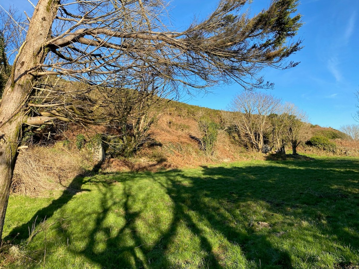
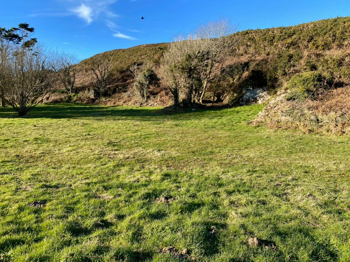
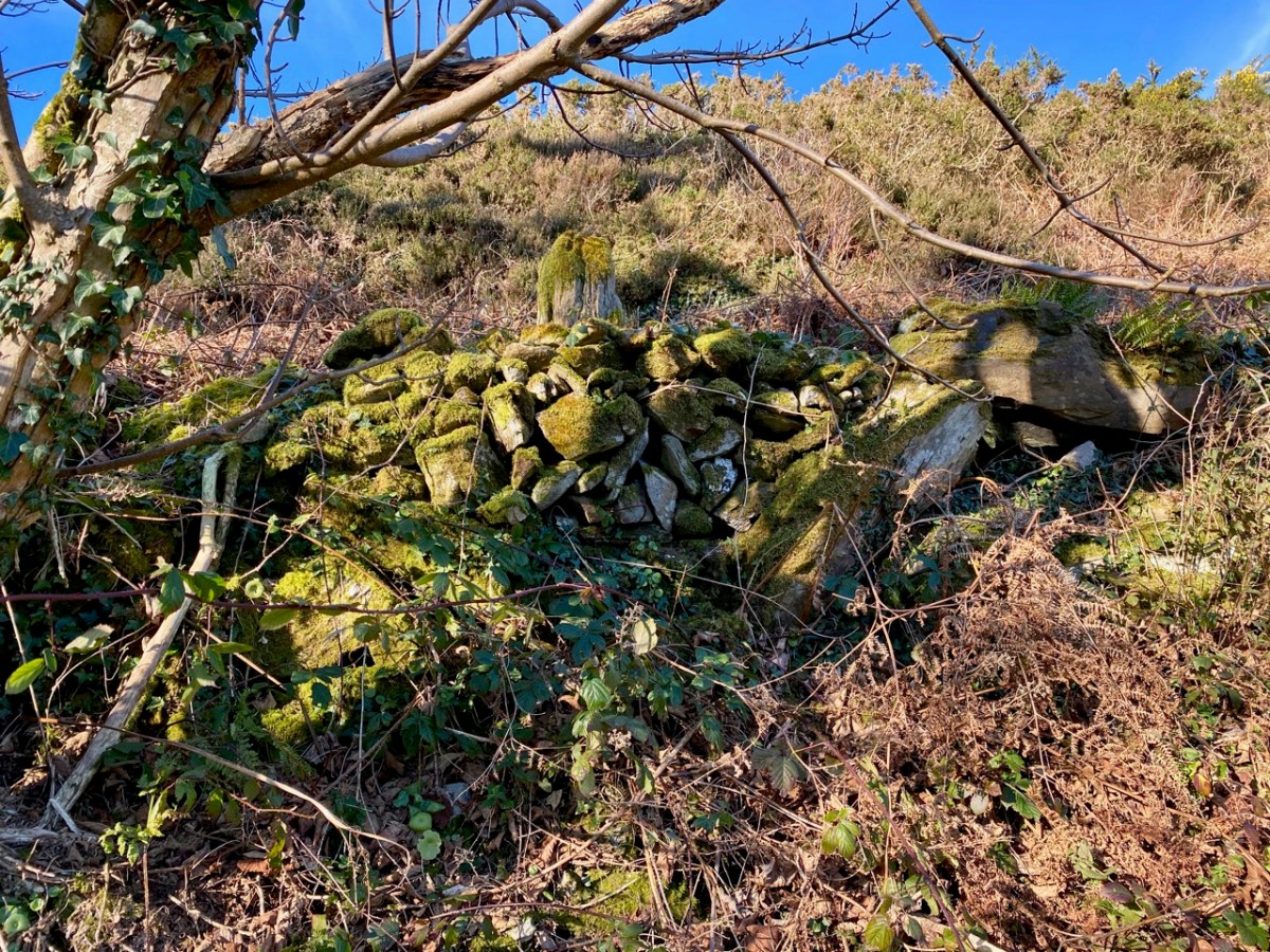
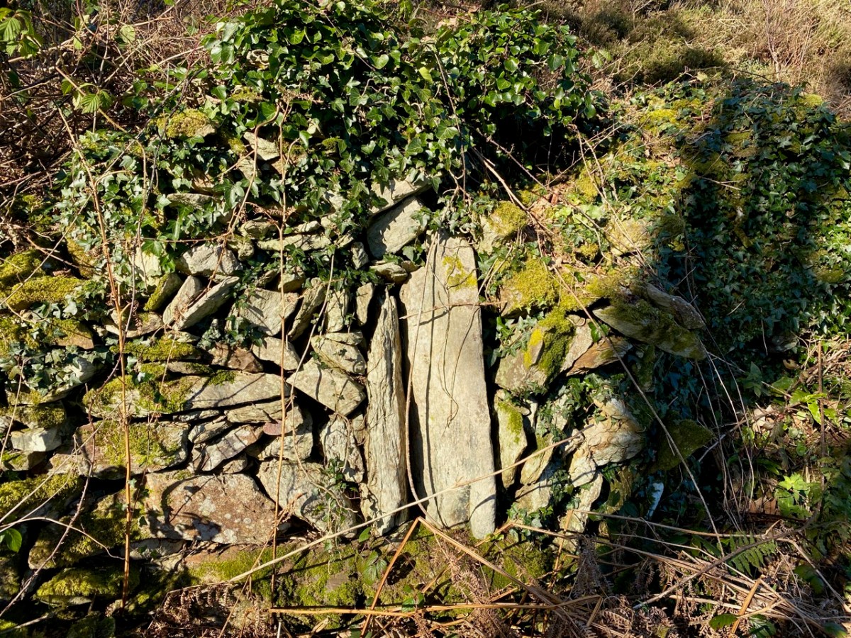
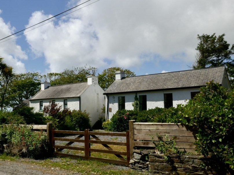
Castle Island – Facts and Fictions

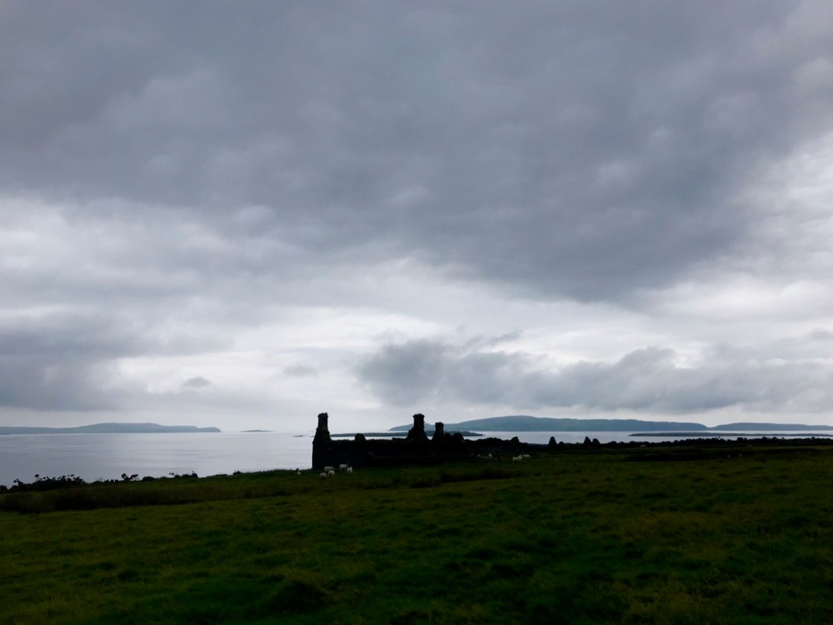
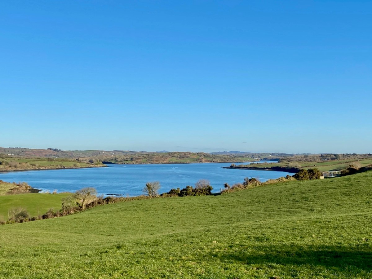
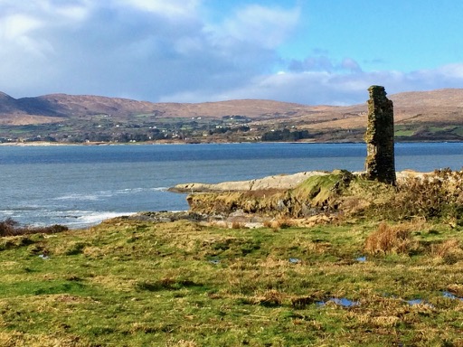
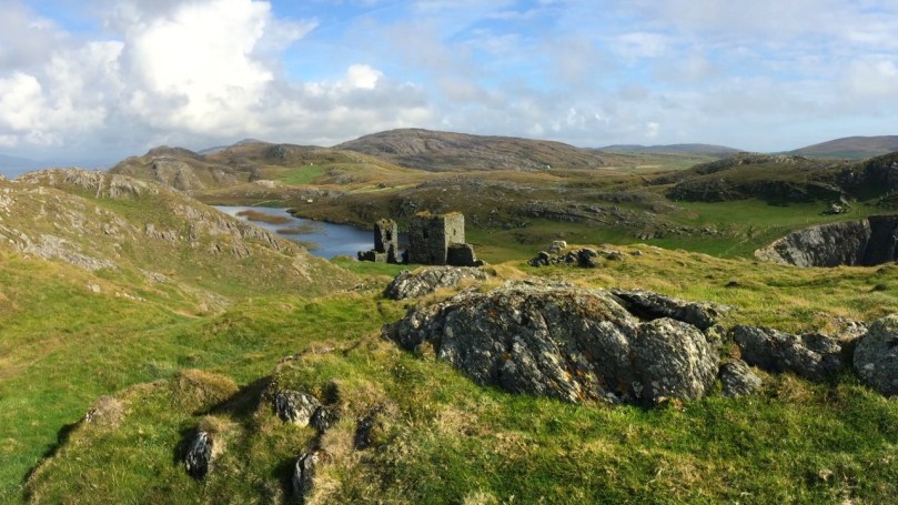
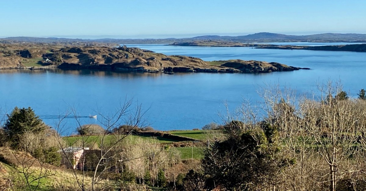
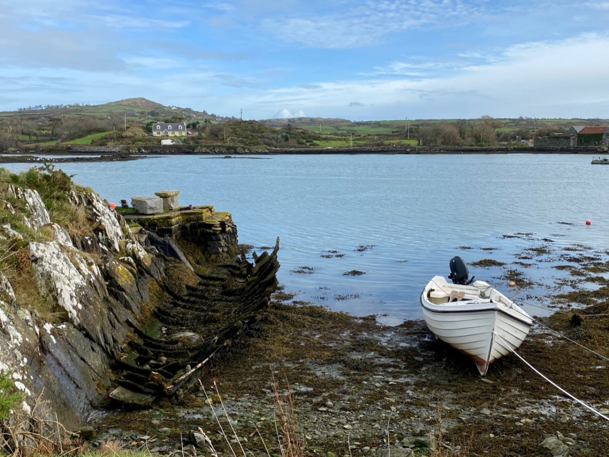
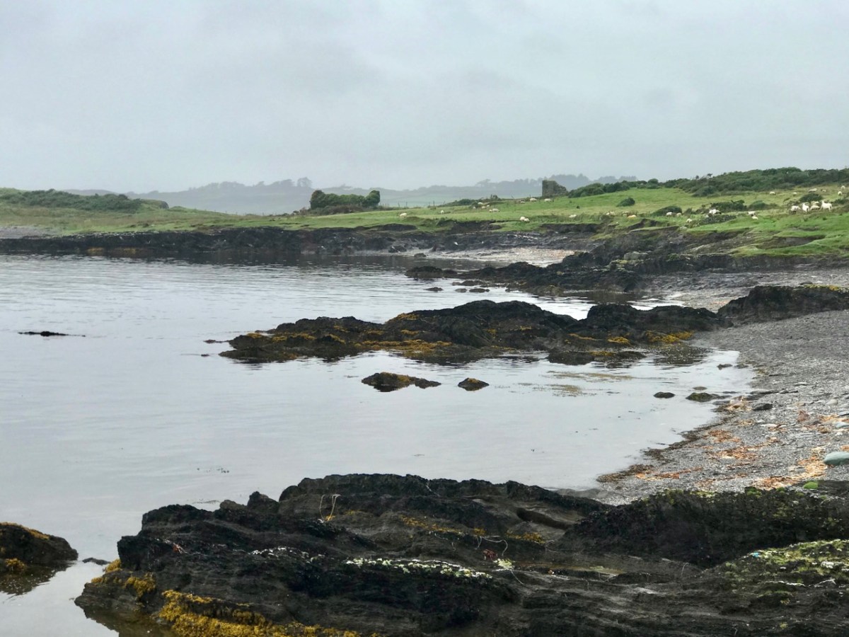
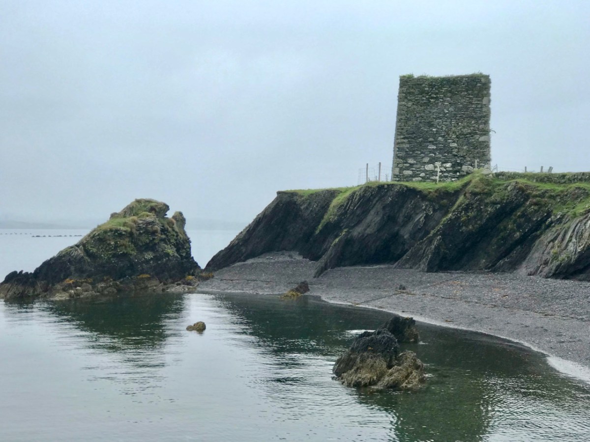
That’s Castle Island, above, beyond Gaelic Lord Finnin O’Mahony’s dilapidated realm at the entrance to Rossbrin Cove, in Roaringwater Bay. In the fifteenth century there would have been a hive of activity at Rossbrin: quays alive with fishing activity, boats being repaired and prepared, houses, stores and cellars – all full. Castle Island itself would also have been inhabited in those days, as were many of Carbery’s Hundred Isles. Skeam West – to the east of Castle, and roughly in the centre of all the islands of Roaringwater Bay, has the remnants of a church said to date from the ninth century (Fahy – Journal of the Cork Historical and Archaeological Society, Volume 67, 1962).

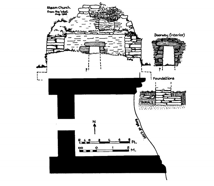
Upper – Castle island with its close neighbours in Roaringwater Bay; lower – the ancient church on nearby Skeam West, drawn by Fahy in 1962 (courtesy Cork Historical and Archaeological Society). Fahy suggested a ninth century date for this structure, although other commentators have suggested an earlier origin, possibly even before St Patrick’s time

We set foot on Castle Island for the first time in August of last year – during a reprieve in the Covid lockdown measures. Those days seem halcyon now, compared to our current scourge and severe restrictions. We have not been able to return, but I am setting out to bring my reporting a bit more up to date, as I have been provided with further information from a range of sources.

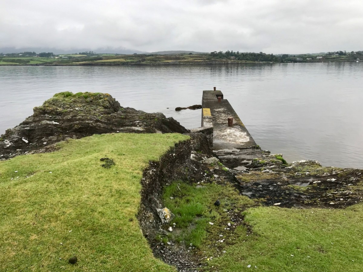
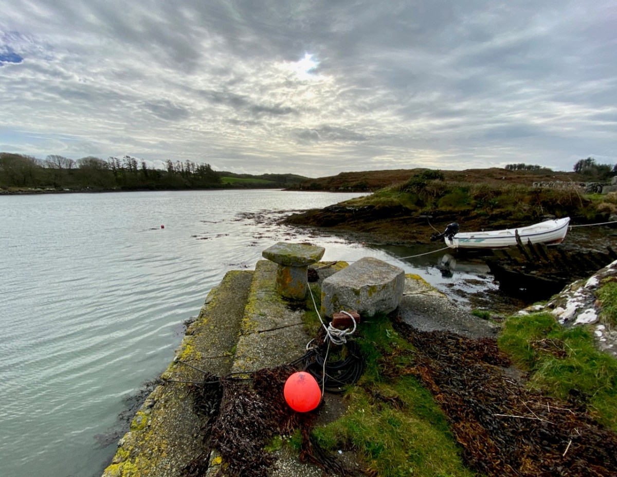
Approaching Castle Island in 2020: upper – view of the island from the shore in Rossbrin townland; centre – proceeding to the island from Rossbrin Cove; lower – the quay on Castle Island, reportedly built in the early 20th century by the Congested Districts Board: “…the beach that it is laid upon was the best natural landing point on the island, well sheltered from the Atlantic swell …” (Mark Wycliff Samuel – The Tower House of West Cork, UCL 1998)

The history of the population of Castle Island is enigmatic and somewhat contradictory. Here is a quotation copied from the Ireland Byways site but uncredited and undated; I can find no other link containing the same information, but it must originally have been written when the island was still inhabited:

. . . Castle Island (Meadhon Inis – “middle island”) lies about 2km offshore, east of the mouth of Schull Harbour on the Mizen Peninsula. The island derives its English name from a ruined C14th Tower House, one of 12 built by the powerful O’Mahony clan in the area. The 1837 census recorded 89 people living on the island. At present there are fewer than 30 permanent residents, who make their living from farming . . .

quoted by ireland byways.co.uk

You will find some accounts which suggest that Castle Island was inhabited only up to the 1870s. These are incorrect: there is no doubt that the island was the home to a number of families in the 1890s as they suffered evictions then. It also seems questionable that the expense of constructing a substantial pier could have been justified only for the benefit of those who might run their cattle and sheep on a deserted island (as happens today). It is possible, therefore, that regular population of the island continued into the early years of the 20th century.
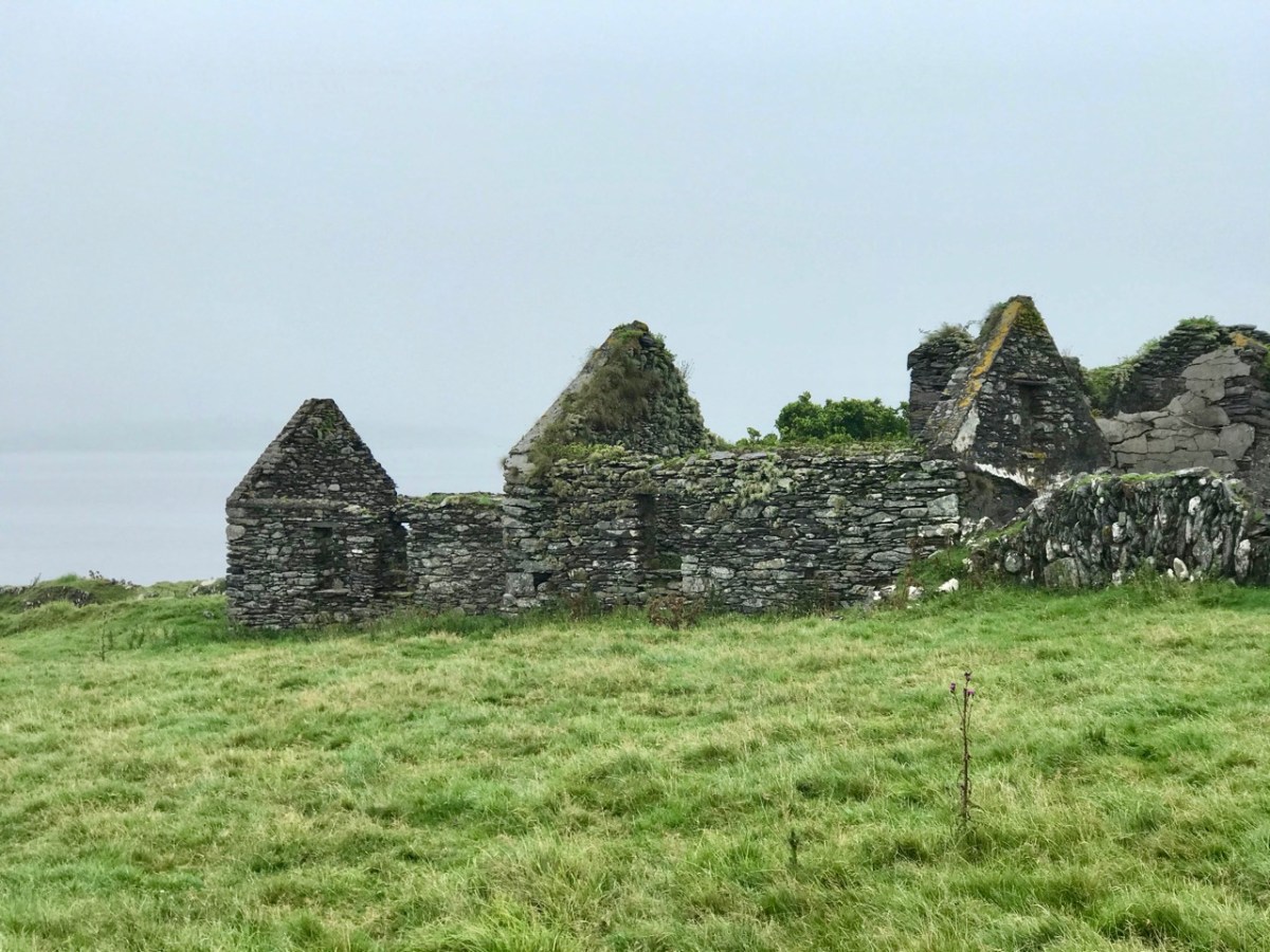
The remains of substantial houses exist on Castle island today: some do not seem to be as ruinous as would be expected if they had been unoccupied for well over 100 years

Recently, my attention was drawn to a Land Register folio recording the title for one of the parcels of land comprising Castle Island: ” . . . a burden, dated April 14, 1904, indicates that the property was transferred at that time subject to the right of . . . Jeremiah Regan to be supported clothed and maintained in the dwellinghouse on the said lands . . . ” That would imply, for sure, that there was at least one person who had the right to live on the island in the twentieth century.
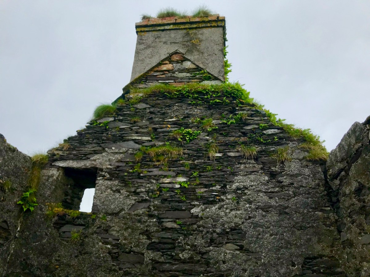
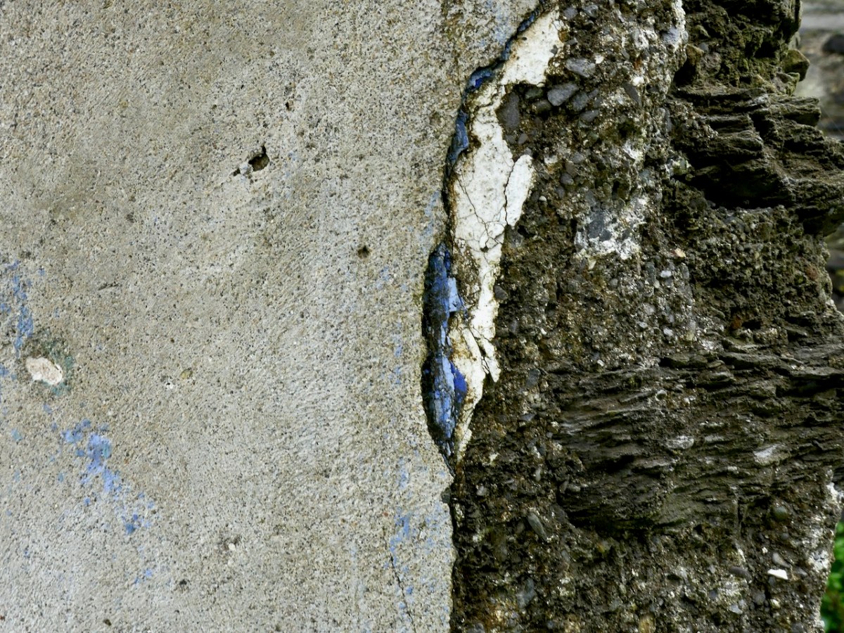
Details from the ruined houses at the settlement of Wester, Castle Island: upper – brick and render chimney stack in reasonable condition; centre – elements from timber window frames still in existence; lower – traces of paint on an internal rendered wall

Accounts of the evictions which occurred on Castle Island have been well summarised in a Mizen Journal article by Liam O’Regan in Volume 6, 1998. The article is much too long to be included here, but it’s worth anyone’s while ferreting it out to get a vividly descriptive picture of the island in the 1890s.

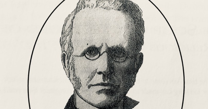
Here’s a brief summary of the eviction story: the villain is on the left, above – he is Thomas Henry Marmion JP, principle landlord of Castle Island. He lived from 1839 to 1921 and – incidentally – his father (who had the same name) was said to have been responsible for providing the ‘soup kitchen’ at the Steam Mill, Skibbereen during the Great Famine of the 1840s. Notwithstanding this, recorded history does not have much that’s good to say about the Marmions, who in the eighteenth century had been land agents for the Bechers and Townsends. At the beginning of March 1890 (as reported, somewhat floridly, in the Cork County Eagle):

. . . A few days ago, the sheriff’s officer from Skibbereen made his appearance in Schull, surrounded by a force of police, on an evicting expedition. After a short delay, they proceeded to the water’s edge where their galleys were found to await them and the sheriff’s representative having secured himself in one of the crafts, the whole party proceeded to sea for a distance of some three miles when they landed on Castle island. This wild and sea-washed home of a few small farmers and fishermen is the property of Mr Thomas Henry Marmion . . . whose interest in recent years appears more of an incumberance or embarrassment than any advantage as the poor creatures who live in it (misnamed farmers) and on the many islands surrounding it, have to live chiefly on the profits of the sea. The fortification of Jerry Nugent was the first laid siege by the invading army, Jerry’s offence being that he owed a few years’ rent which he found impossible to pay and he was, therefore, sent adrift on the sea-washed rocks where he had a full view of the passing emigrant ships which will probably bear him away to seek out a livelihood in the land of the stranger . . .

Cork County Eagle, march 7th, 1890
There’s much more – and it’s a harrowing story – not untypical, of course, of what was happening all over Ireland during the nineteenth century. In the portrait gallery, above, the figure in the middle is a ‘hero’: he is William O’Brien MP, a founder of the National League who, in September 1890 visited West Cork and held a meeting on Middle Calf island to support the case of tenants evicted from Castle Island and the Calves. On the right is James Gilhooly, MP, Bantry, who was chairman of the ‘All for Ireland League’ and who strongly supported the Castle Island tenants and attended many official meetings on their behalf. Matters rumbled on laboriously into the mid 1890s: eventually, it seems that the introduction of new land purchase acts (benefitting tenants), enabled six tenants to return to, and continue to occupy, Castle Island. As yet I have found no further records to help us establish how long occupation of this sparse rocky outcrop in Roaringwater Bay continued into the twentieth century.
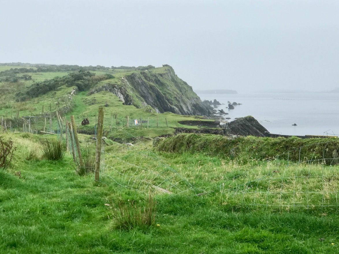
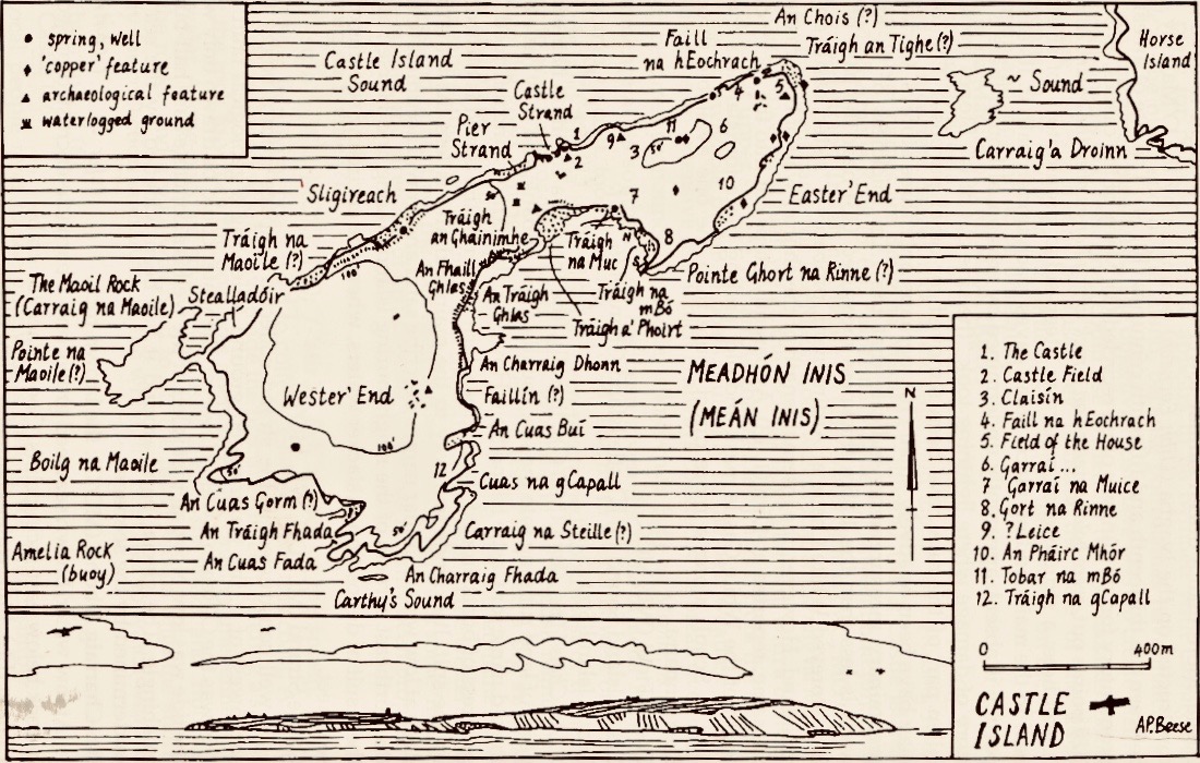
The Mizen Journal, Volume 5 1997, has published a study by Anthony Beese of the place-names on Castle Island. I have been unable to locate this article online, but here is Anthony’s excellent map, above.

When we visited the island on a brooding August day we sensed its many ghosts, perhaps including those who returned over a hundred years ago and, possibly, lived out their working lives there. I have called this post ‘Facts and Fictions’ . . . You have had the facts. After I wrote my first post, last year, I received a communication from a writer: William Wall. I was delighted to learn that he had written a book – Grace’s Day – published in 2018, part of which is set on Castle Island. I obtained the book and read it avidly: it has opened up for me a new dimension in the story of the island – and it’s thoroughly believable.
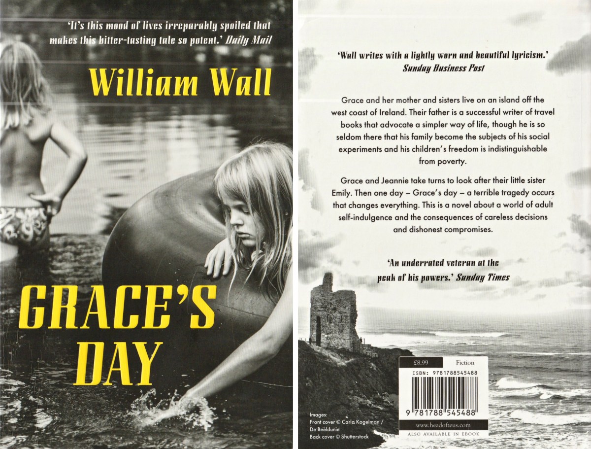
. . . A long time ago I had two sisters and we lived on an island. There was me and Jeannie and Em. They called me Grace, but I have never had much of that. I was an awkward child. I still am all these years later. Our house had two doors, one to the south, one to the north. Its garden looked towards the setting sun. It was a garden of apple trees and fuchsia and everything in it leaned away from the wind. Dry stone walls encircled it and sheep and children broke them down. My mother lived there with us. Boats came and went bringing food and sometimes sheep, and there were times when we lived by catching fish and rabbits, though we were not so good at either . . .

Grace’s Day – a novel by William Wall, published by new island books 2018

William Wall is familiar with West Cork: he has stayed here many times, and has visited Castle Island. It’s not just the island, but the whole story of 1960s West Cork that has been his inspiration. Readers of this Journal will be aware of my own interest in the days when Ballydehob became the hub of an artists’ community: I have helped to set up the Ballydehob Arts Museum, which has celebrated this era and is now in ‘suspended animation’ due to the Covid outbreak. I also look after a website for the Museum. Grace’s Day is set in this era, and follows the unconventional lives of a family who is ‘getting away from it all’ and trying to survive following the then prevalent bible of self-sufficiency. It’s perfectly feasible that an abandoned island in Roaringwater Bay could be the setting for such a romantic pursuit of ideals. I won’t give away any spoilers, but one more extract could help to persuade you that this book is for you. You should find it in all good bookshops: please support them in these tricky times.

. . . One day on our island my sister Jeannie ran in to say that she had seen a whale in the sound and I ran out after her, my mother calling me: Grace, it’s your day, take Em. But I was too excited. And there were three fin whales making their way into the rising tide. We heard their breathing. It carried perfectly in the still grey air, reflected back at us now by the low cloud. The sea was still and burnished. We ran along the rocks watching for their breaching. We decided it was a mother, a father and a calf. They were in no hurry. When we reached the beacon, a small unlit concrete marker indicating the western edge of the island, we watched them breaching and diving into the distance until we could see them no more. But they left behind their calmness and the unhurried but forceful sound of their blows . . .

GRACE’S DAY – A NOVEL BY WILLIAM WALL, PUBLISHED BY NEW ISLAND BOOKS 2018
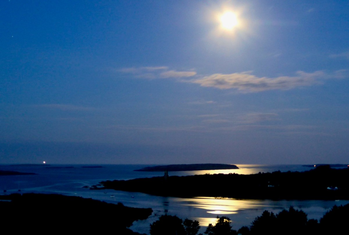
Our own view of Castle Island in the distance, surreally shadowed by the full moon’s glimmer, while the Fastnet Lighthouse winks away on the horizon

Sweet Ilen – Part 4

. . . A trip down the river Ilen, as it pursues its winding and picturesque course from Mount Owen (the hill of streams) to the harbour of Baltimore, a distance of about fifteen miles, is the most pleasant and interesting excursion during the summer months. Starting from Skibbereen, we can either steam or row, according to our pleasure, or rather as the tide suits, to Baltimore and Sherkin, a distance of eight or nine miles, and then out the harbour’s mouth, and cruise about the islands of Carbery . . .

Sketches in Carbery – Daniel Donovan 1876

The idea of boarding a ‘steamer’ in Skibbereen and voyaging down the Ilen River to its mouth is an attractive one – but not an option for us as we continue our exploration of this waterway in 2021, a year which has started with a frightening escalation of the Covid pandemic which is forcing us to stay ever closer to home. Fortunately, we are not too far from the broad stretches of the tidal Ilen as it nears its destination and meanders through peaceful, sylvan meadows passing by deserted quays, once active with commerce and vitality, now at rest apart from the occasional fisherman or boat mender.

We are fortunate to have a large archive of our photographs taken in West Cork over many years. I am revisiting (below) my pictures of the river at Creagh taken in 2014. This is on the south side of the Ilen, and certainly out of bounds for us at the moment because of distance. Situated at Creagh is a secluded burial ground, the resting place of Canon James Goodman who was Rector of Abbeystrewry Church, Skibbereen, during the nineteenth century. The three photographs below were taken there. My principal interest in him is the name he made as a collector of traditional music and a player of the uilleann pipes – that most singular of Irish instruments that we have also celebrated elsewhere. When the Canon died in 1896 he asked that his pipes were buried with him at Creagh – and they were. But, not long afterwards, they were dug up again. If you want to know what happened to the pipes and where they are now, read my earlier post about the Canon here.

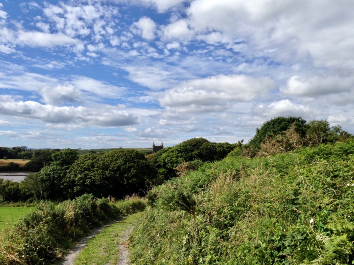
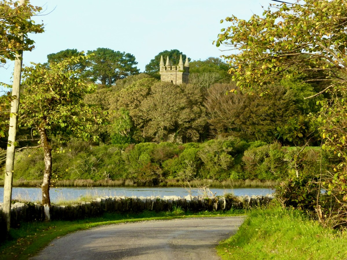
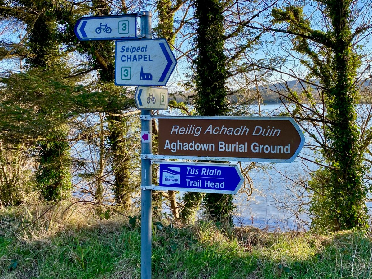
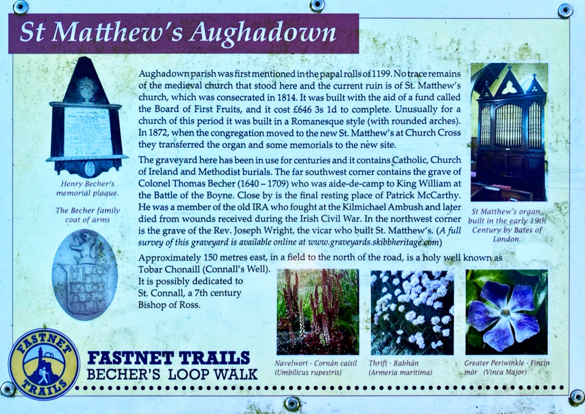
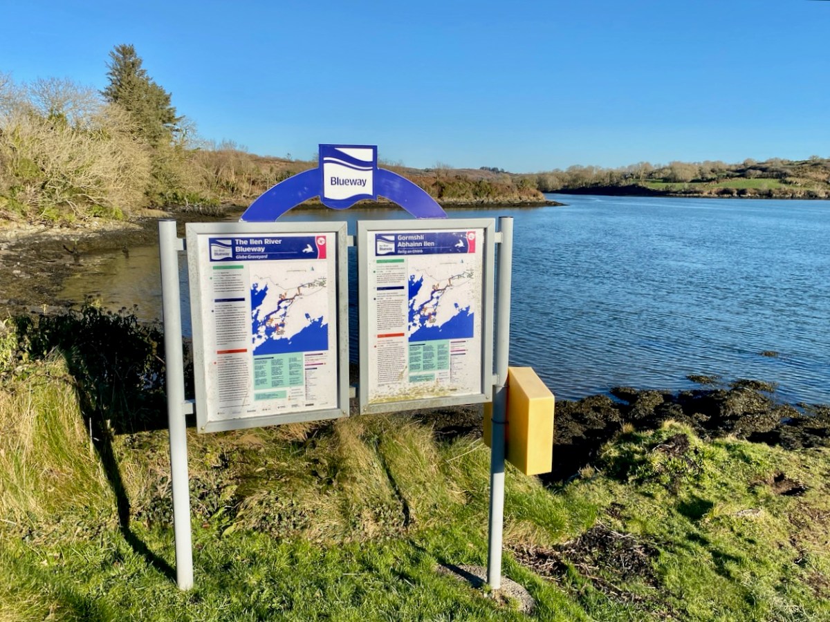
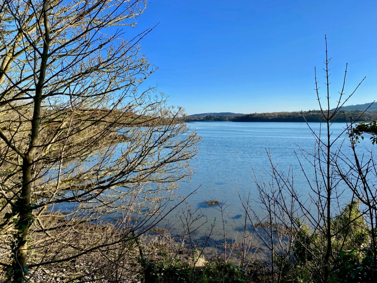
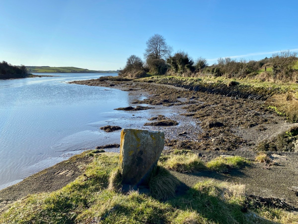
We can travel to Skibbereen for essential supplies, and the road to that town runs close to the river. Just off the road, down a winding boreen, is another burial ground, Aghadown, beautifully situated beside the water – Finola has written about it here. Here are some views we took a few days ago during a prolonged spell of clear winter sunshine.

. . . The view down the river from near Creagh, on a fine day, is attractive. The Ilen, winding in a serpentine course towards Baltimore harbour, shining and sparkling in the sunlight like a silver thread, and dotted over with a multitude of rocky islets, whose recesses form a safe retreat and favourite feeding ground for flocks of sea fowl during the winter months. Looking backwards, we are chiefly struck by the almost complete absence of wood, and the patchwork of irregular fields, enclosed by earthen banks, and the prominences so much admired by tourists and strangers, most probably on account of the novelty and singularity of the scene . . .

SKETCHES IN CARBERY – DANIEL DONOVAN 1876

The Ilen is a ‘Blueway’ – designated as a recreational activity trail for use by activity enthusiasts – anyone, in fact, who wants to get out and experience some of the best scenery in Ireland on the water itself or, like us, on foot. This would be in normal times, of course. Undoubtedly there are better days ahead. We look forward to an untrammelled future so that we can continue this exploration of a waterway to its source in the mountains ‘. . . where rain clouds perpetually hover about . . .’ and to its outfall towards Carbery’s ‘Hundred islands’. When we can make those expeditions, we will bring you there through the pages of our Journal.

Here’s a bonus today: you can hear an aspect of our recent walk! Donovan mentioned in 1876 that the river was a favourite feeding ground for flocks of sea fowl during the winter months. We can vouch for that, having heard these sounds close to the Glebe burial ground. The loudest voices are – I think – from redshanks:

Previous episodes in this series: Sweet Ilen : Sweet Ilen – Part 2 : Sweet Ilen – Part 3

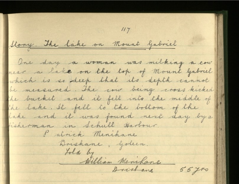
Legends of Mount Gabriel: The Bottomless Lake

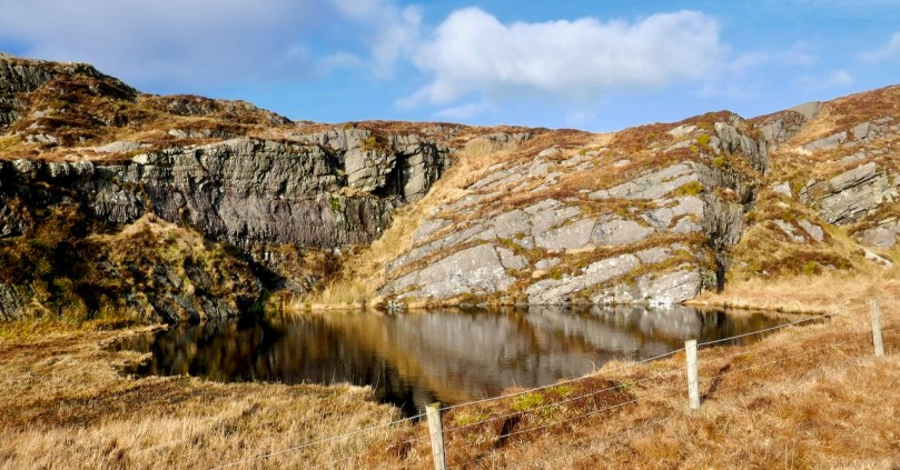
It’s the most visible and significant feature on the West Cork landscape, so of course there are lots of legends about Mount Gabriel. A surprising number of stories revolve around a tiny pool near the top of the mountain, labelled on the historic OS maps as Poulanenine. The most likely etymology for this is Poul an Oigheann – the Pool of the Cauldron (oigheann also means oven, but cauldron seems a more likely translation).

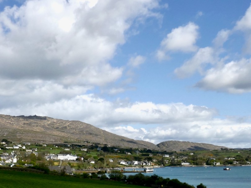
Reading these stories in Dúchas* and finding the pool on the maps, I knew that we had to see it for ourselves. Fortunately, Mount Gabriel (looming over Schull, above) is within our 5k limit and luckily necessitates no human interaction (as a people person, that’s a phrase I never thought I would write) so we set off yesterday to find it. Yes, your intrepid bloggers stop at nothing to bring you the best of West Cork arts and culture! 

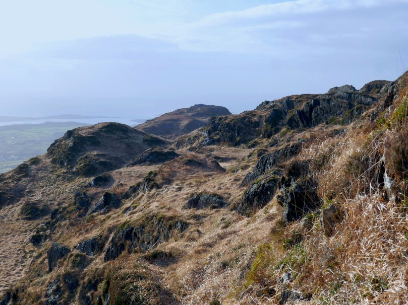
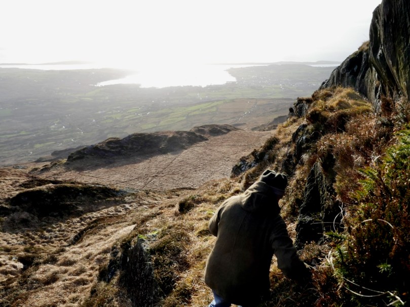
Having made a couple of wrong decisions as to the best way to get there, at one point we found ourselves edging backwards over a slippery cliff, clinging to bits of heather and wondering just how foolish we would look when the Search and Rescue Team had to be called out to save a couple of septuagenarians who claimed to be looking for a fairy tale location.

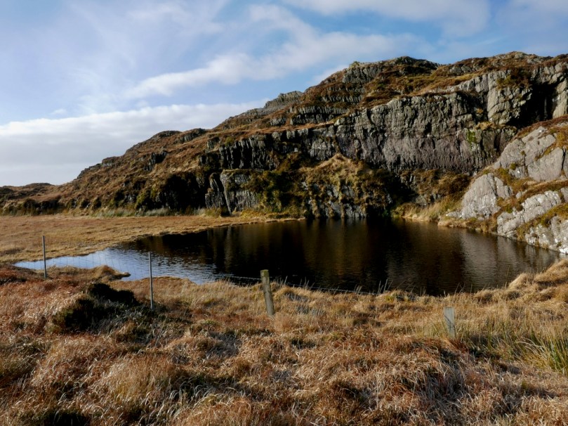
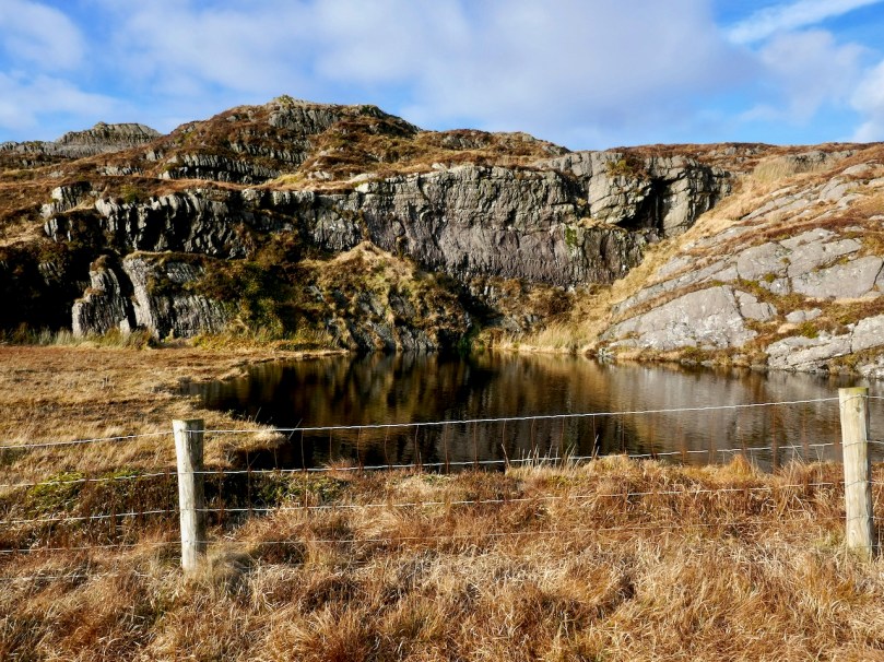
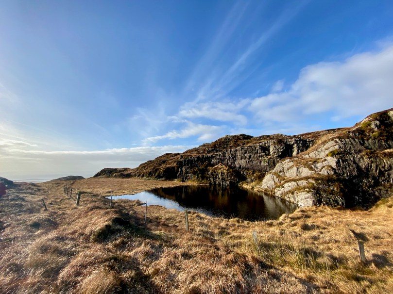
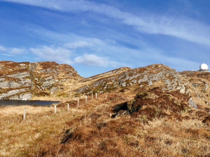
But we made it – and there it was, a tiny remnant of the Ice Age, the Cauldron Pool! It’s referred to as a lake in the stories and there are several versions of how it was made. Here’s an admirably succinct one: 

There is a little lake on the top of Mount Gabriel called Poll an Oighin. There is a saying that Fionn Mac Cumhail took a handful of rock and threw it out into the Atlantic Ocean where it is now as the Fastnet Rock or Carraig Aonair – leaving the hole of Poll an Oighin. Another saying is that if a stick was thrown into Poll an Oighin it would come out in Schull harbour.

The fact that there is an underground route from the lake to Schull Harbour is born out by this story too:

But not all versions assign the origin of the lake to Finn McCool. 

Long ago the devil was flying over Mount Gabriel and he was flying so low that he hit his wing against a rock. He got so cross that he took a bite out of the rock. When he had gone eight or nine miles from Mount Gabriel, he left the rock fall into the sea. The rock was so large that a part of it remained over the water and it is on that rock the lighthouse is built on now and it is known as the Fastnet Rock. There is a large lake where he took the bite and the water in that lake is of a black colour.

The black water

However, the most charming, and longest story belongs to an entry from Macroom, far away from Mount Gabriel. The school girl, Julia Creedon, got it from Dan O’Sullivan, also of Macroom, although undoubtedly Dan knew the story from his youth so must have been from the area around Schull. I am reproducing it in full, and readers will recognise many elements familiar to such legends everywhere. One of the most striking aspects of this story is its use of familiar names and places to fix the story in this exact locality.

Near the village of Schull, is Mount Gabriel whose peak rises 1,000 feet above sea level. The unspoiled charm of the magnificent view from its summit is unsurpassable.

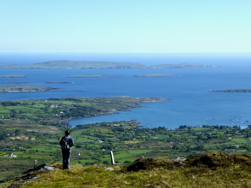
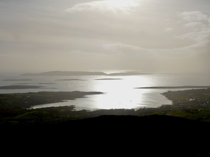
The Meenvane road leads you out of the village and on to the gap road; which runs between two high cliffs on the east side of the mountain known as “The Gap of Mount Gabriel”, From here you have a view of nature’s splendour: a number of Carberys Hundred Isles scattered over the great expanse of the Atlantic which amply repays you for the stiff climb. It has been compared to a post card album, you study, as it were, one lovely post card, on turning a leaf you get an entirely different, yet, equally beautiful view to gaze upon, but here you simply turn your head.

Facing south you see on the Coosheen hill the ruins of the old white castle once the seat of the O’Mahoneys. Turning north the Hungry Hill can be seen in the distance. The beautiful country of the valley reflecting every mood of nature runs down to Dunbeacon Castle, once the home of Chieftain O’Sullivan, whose ruins now stands at the edge of Dunmanus Bay, beneath the shadow of Mount Gabriel. Sir H. De La Béche** says in his History of Cork “It was as striking of its kind as any he had seen in Switzerland.”

Chieftain’s Daughter

Following the road and keeping to the left, you find a patch on the north side of the mountain which leads you to the bottomless lake, situated almost on the top of the mountain. There are many beautiful traditions of this picturesque locality, still amongst the older peasants of the district, one of which is: –

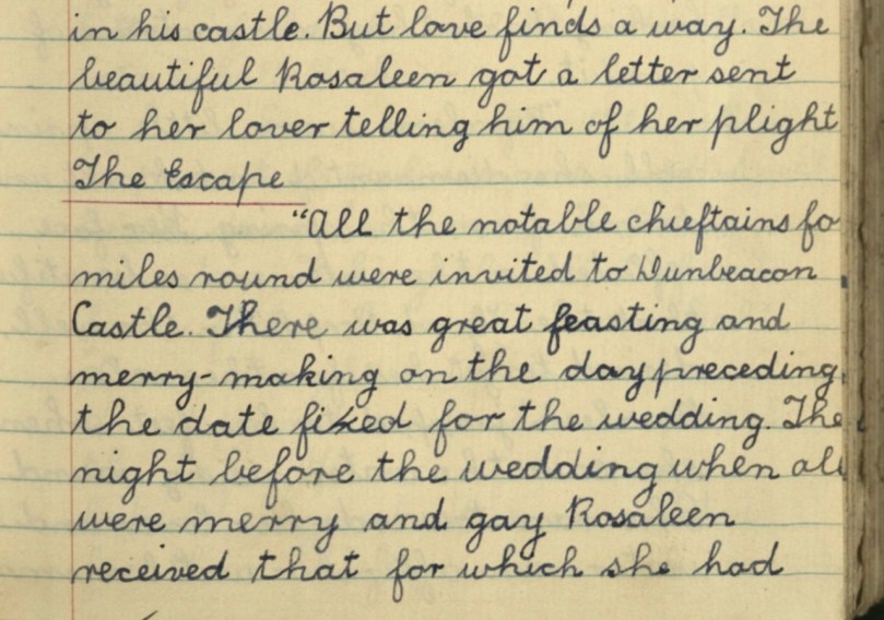
“The Legend of the Bottomless Lake” is as follows: Chieftain O’ Sullivan, of Dunbeacon Castle, had one child, a daughter, Rosaleen. So beautiful and fair was she that the poets described her as “The Rose of the Valley”. She had a lover, one, Owen O’Mahoney, of the White Castle. When O’Sullivan heard of his daughter’s friendship with O’Mahoney he was very angry as Owen could never hope for more than a younger son’s share. Notwithstanding this, the young lovers were ideally happy.

What’s left of Dunbeacon Castle

One evening as Rosaleen returned home after a walk with her lover, she was brought into the presence of her father’s guest, Chieftain O’Driscoll of the Three Head Castle. He was known to Rosaleen, who thoroughly disliked him, as an elderly bachelor, who drank a lot of rich wines, boasted a lot of his castles, of the men he had killed, and the women who loved him. When Rosaleen heard he had come that day, to ask her in marriage, and that her father gave his consent, she was horrified. Outwardly calm, she explained to her father and O’Driscoll that she loved Owen O’Mahoney, and would marry no other. Her love for Owen was far dearer to her than her life. Her father listened not to her pleading; he settled the day for her wedding to O’Driscoll giving “The Rose of the Valley” just one week to get used to the idea and to forget Owen O’Mahoney.

During that week her father saw to it that she was kept a prisoner in his castle. But love finds a way. The beautiful Rosaleen got a letter sent to her lover telling him of her plight.

Three Castle Head

The Escape

All the notable chieftains for miles round were invited to Dunbeacon Castle. There was great feasting and merry-making on the day preceding the date fixed for the wedding.

The night before the wedding when all were merry and gay Rosaleen received that for which she had being praying, a letter from Owen. Following his instructions she made her escape from the castle, and was met by her lover. Helping her on to his horse, he sprang up behind her, and faced for his father’s castle in Coosheen.

Fearing Rosaleen’s escape would be discovered, they left the road and took the path over the mountains. It was a bright moonlight night. Looking back they saw no trace of pursuit.

Rosaleen saw a little spring well, she dismounted and knelt and drank from the spring. Her face reflected in the water, was so beautiful that the “Good People” in the well, desired to get her for themselves. Rosaleen jumped to her feet when she saw the water, rising round her. She ran towards her lover the water ran after her until a small lake was formed.

Owen seeing her plight, lifted her on to his horse and springing behind her, once more he made his way down the other side of the mountain. The “Good People” seeing they were beaten in their attempt to capture the beautiful “Rose of the Valley” got very angry, and reversed the flow of the spring. Down, down, down went the bottom of the lake until its waters flowed into Schull Harbour.

Some hours after O’Driscoll went in pursuit of his bride and muddled with drink, drove his horse over the mountain. Taking the sheet of water for a flat rock in the moonlight, he drove straight into it and disappeared under the surface of the lake. His men following behind reigned up and waited for their chieftain to re-appear Seeing no trace of him, they rode back with all haste to acquaint O’Sullivan with news of the disaster that had overtaken O’Driscoll. Chieftain O’Sullivan, believing that his daughter had met with the same fate as O’Driscoll, was filled with remorse. He tore his hair in grief for his beautiful lost daughter.

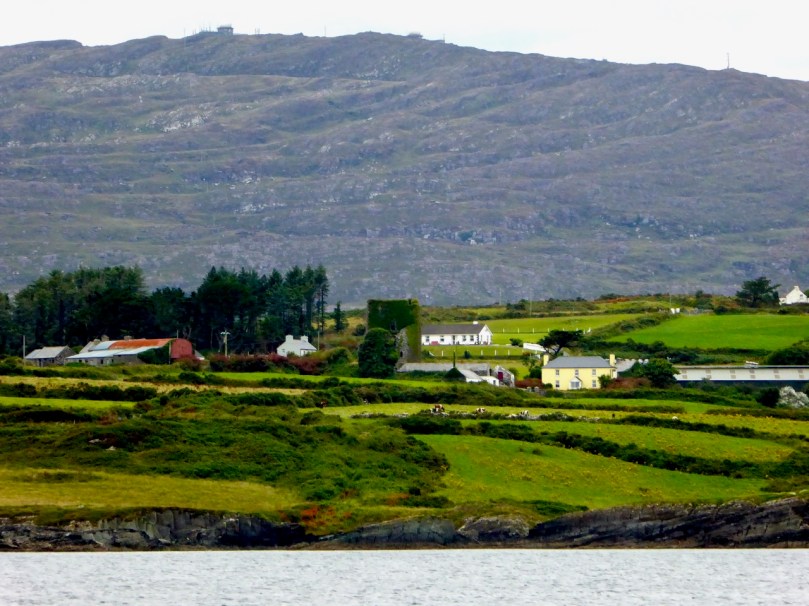
White Castle (Ardintenant Castle) from the sea, Mount Gabriel behind

Reconciliation

Great was his joy when he heard that she was safe and well married to Owen O’Mahoney and dwelling at the White Castle.

He rode immediately to Coosheen and asked Owen’s forgiveness. He promised him Dunbeacon Castle and all his estate if only he would bring her back “The Rose of the Valley”.

I can’t help wondering about Julia Creedon. Although she may have faithfully reproduced the essence of the story she heard from Dan O’Sullivan, her own abilities are very evident in this story, as is her immersion in reading other stories in this genre. Did she become a seanachaí (a story teller), or a teacher or a writer? She has two other stories in the Schools Collection as well, including a long one about the River Lee, just as precociously written in the same lovely cursive, with headings underlined in red ink. If she were still alive, she would be in her late 90s now.

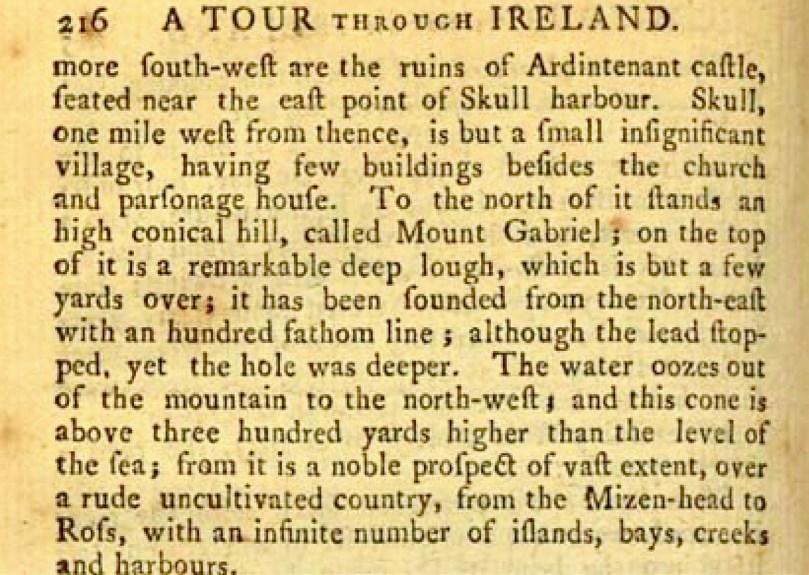
The story of this bottomless pool has an even older history than the 1930s. In 1780 Philip Luckombe published his A Tour Through Ireland and tells of the same lake when describing a journey from Bantry. Luckombe was one of our earliest plagiarists – he took his accounts almost verbatim from even earlier books and there is no evidence that he was ever even in Ireland. From our point of view this means that the story predates 1780 so it has an impressive pedigree indeed. 

Next time, more about some of the other legends that have accrued to Mount Gabriel.

It’s further than it looks

* Dúchas is the National Folklore Archive and within this is The Schools Collection: “For the duration of the project, [1937-39] more than 50,000 schoolchildren from 5,000 schools in the 26 counties of the Irish Free State were enlisted to collect folklore in their home districts. This included oral history, topographical information, folktales and legends, riddles and proverbs, games and pastimes, trades and crafts. The children recorded this material from their parents, grandparents, and neighbours.” The Collection is online and is searchable at https://www.duchas.ie/en/cbes. I have done a little minor editing to the entries above for consistency in punctuation and spelling.

**This is a reference to Sir Henry De la Beche, founder of the Geological Survey of Great Britain and Ireland.

Schull – Delving into History

Last week my post explored a part of the Colla Loop on the Fastnet Trails. That walk passed by a site described on Archaeology Ireland as a possible early Christian settlement: . . . the ancient school of Sancta Maria de Scholia, ‘a place known in early times as a centre of learning’ . . . That information was ascribed to ‘Burke 1914’ but I can find no links to that source anywhere. If anyone can enlighten me, that would be great.

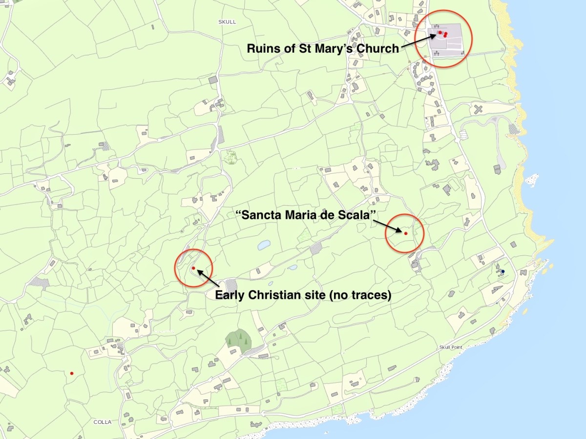
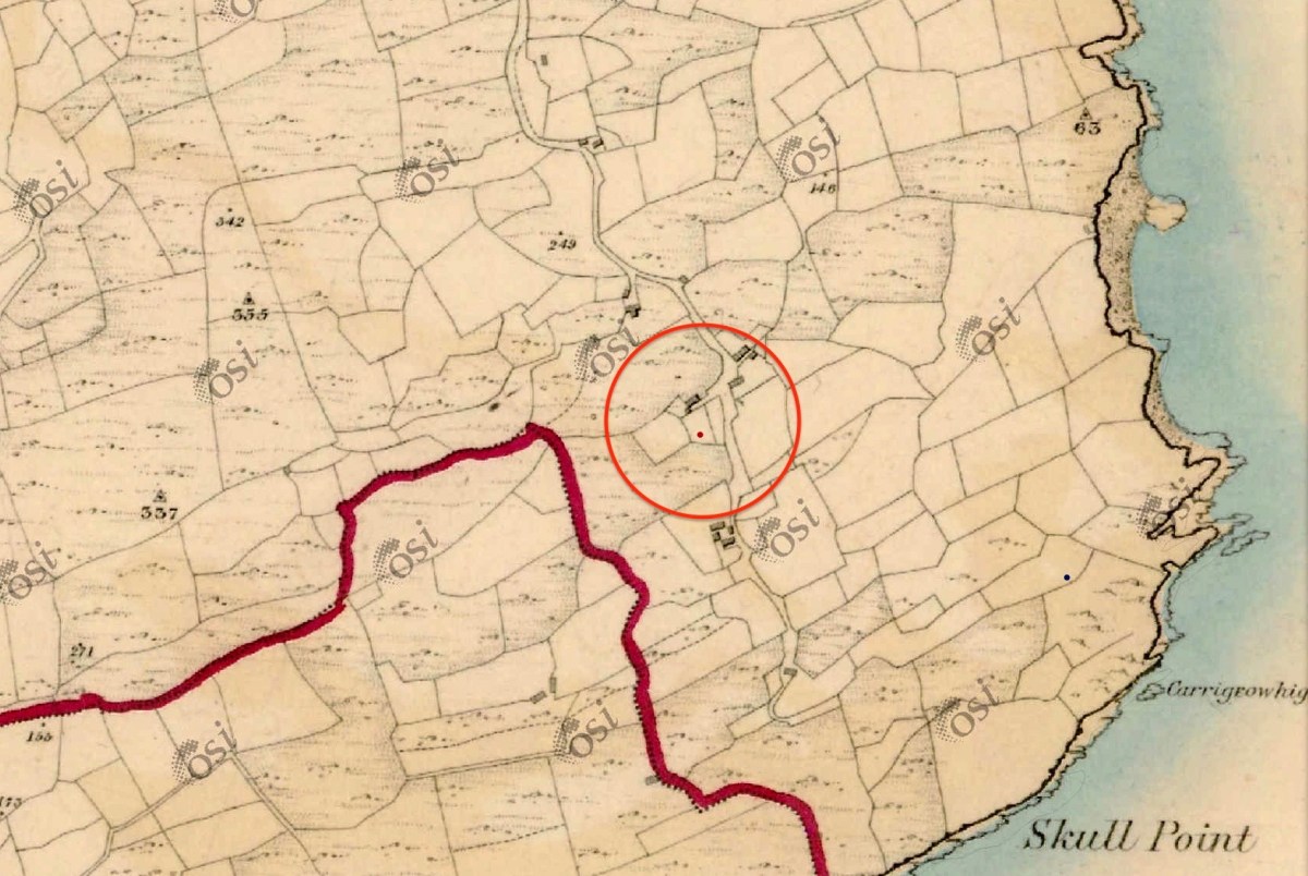
The location of this possible site is in the gorse covered area on the right hand side of the picture above. There is nothing to be seen there today, although such dense scrub could be hiding a lot. That record on the archaeological site is now described as ‘redundant’ – because there is no trace – but is maintained as it does indicate that there has been a tradition of the associations of the place historically. Certainly, if you were a group of wandering monks in medieval times looking for a new home it would have much to commend it – a south facing slope, sweeping views to the ocean below and defensible high ground behind. Not much shelter from the weather, though. The map below shows the possible site on the lower left, but note there are two further candidates, which we will discuss.

I found the historical reference to this possible site intriguing, especially in view of the suggestion that it could have been the original ‘school’ (centre of learning) that supposedly gave the settlement of Schull its name. If you want to delve further into the origins of the name ‘Schull’ – which the Ordnance Survey, interestingly, insisted should be spelled Skull right up to modern times: you can see it on the the Archaeology Ireland record extract above – I commend you to John D’Alton’s fascinating and comprehensive article here. John himself is a well-known long term resident of the village; I would love to have a discussion with John (and likely will when times permit) on some of his conclusions, but he certainly lays the foundations for questioning long-held assumptions. He does, however, posit that the name of the place has sounded the same for over a thousand years. For me, it is reasonable to conclude that ‘Schull’ is most likely to derive from the Irish word scoil – school – and that a ‘centre of learning’ did, indeed, exist in the area anciently. There are precedents enough for sites like this in West Cork. Our own Rossbrin Castle was the home of Finnin O’Mahony – Taoiseach of the clan – in the late fifteenth century and he was known to have established what has been described as ‘the greatest centre of learning in Europe’ on these now remote and deserted shores, while the Sheep’s Head peninsula boasts the remains of a great medieval ‘Bardic School’ close to Kilcrohane. My post of (yes!) eight years ago gives a brief outline. But let’s now turn to those other sites shown above.

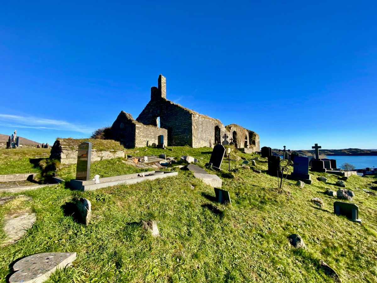
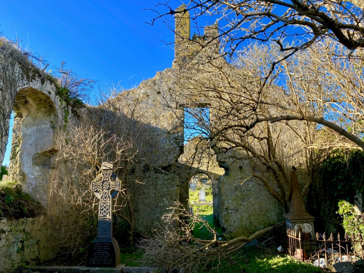
Here’s St Mary’s Church, the ruin which sits above – and dominates – the large burial ground to the south of Schull today. Tradition has it that it was built in 1720, but there is a fair bit of evidence to suggest that this ecclesiastical site goes back much further than that. I am indebted to Mary Mackey for her article in Mizen Journal – Volume 8, 2000: A Short History of the Ruins of St Mary’s Church, Colla Road, Schull.

The parish church is first recorded in a decretal letter issued in 1199 from Pope Innocent III to the Bishop of Cork listing the parishes in the diocese. The entry reads “scol cum suis pertinentiis” – Schull with its appurtenances. It is this early spelling of ‘scol’ meaning school which goes some way to authenticating the ancient tradition . . . During the reformation (16th century) when all church and monastic benefices and land were confiscated, the detailed rent roll for the Diocese of Cork records Schull with nine ploughlands, and in 1581 in a list of parishes in the diocese, Schull church is called “Saint Maria de Scoll”. This seems to be the first written record of the name of the church and it adds weight to the theory of the ancient monastic school, and to the origin of ‘Scoil Mhuire’ . . .

Mary Mackey – MiZEN Journal Volume 8
The same article notes that in 1653 the church commissioners stated “Upon 9 plowlands of Schull are the walls of a church” and in May 1700 Bishop Dive Downes, visiting the western part of his diocese records: “The church walls are standing and good, made of stone and lime 84′ long and 24′ broad”. Mackey comments that this was a large parish church compared with others in the Mizen area.

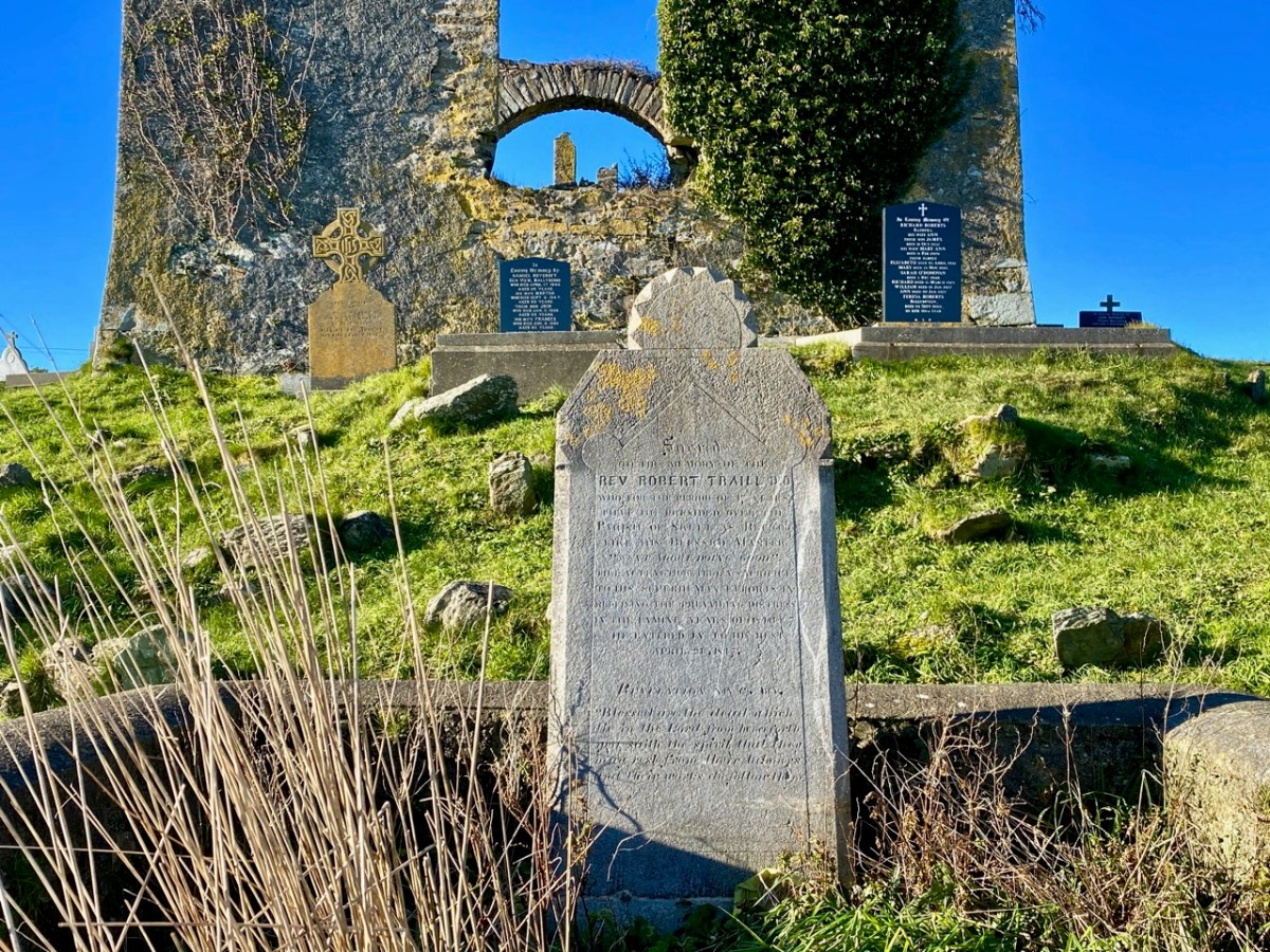
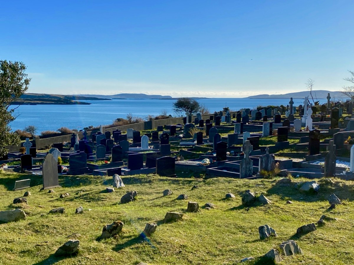
The local population will be very familiar with this ruin, and the graveyard which it overlooks. The grave marker (above) is dedicated to the Reverend Robert Traill – Finola has included him in her Saints and Soupers series. Schull graveyard must have one of the finest prospects of any burial place in the west, with its views out towards Long Island Sound and Roaringwater Bay:

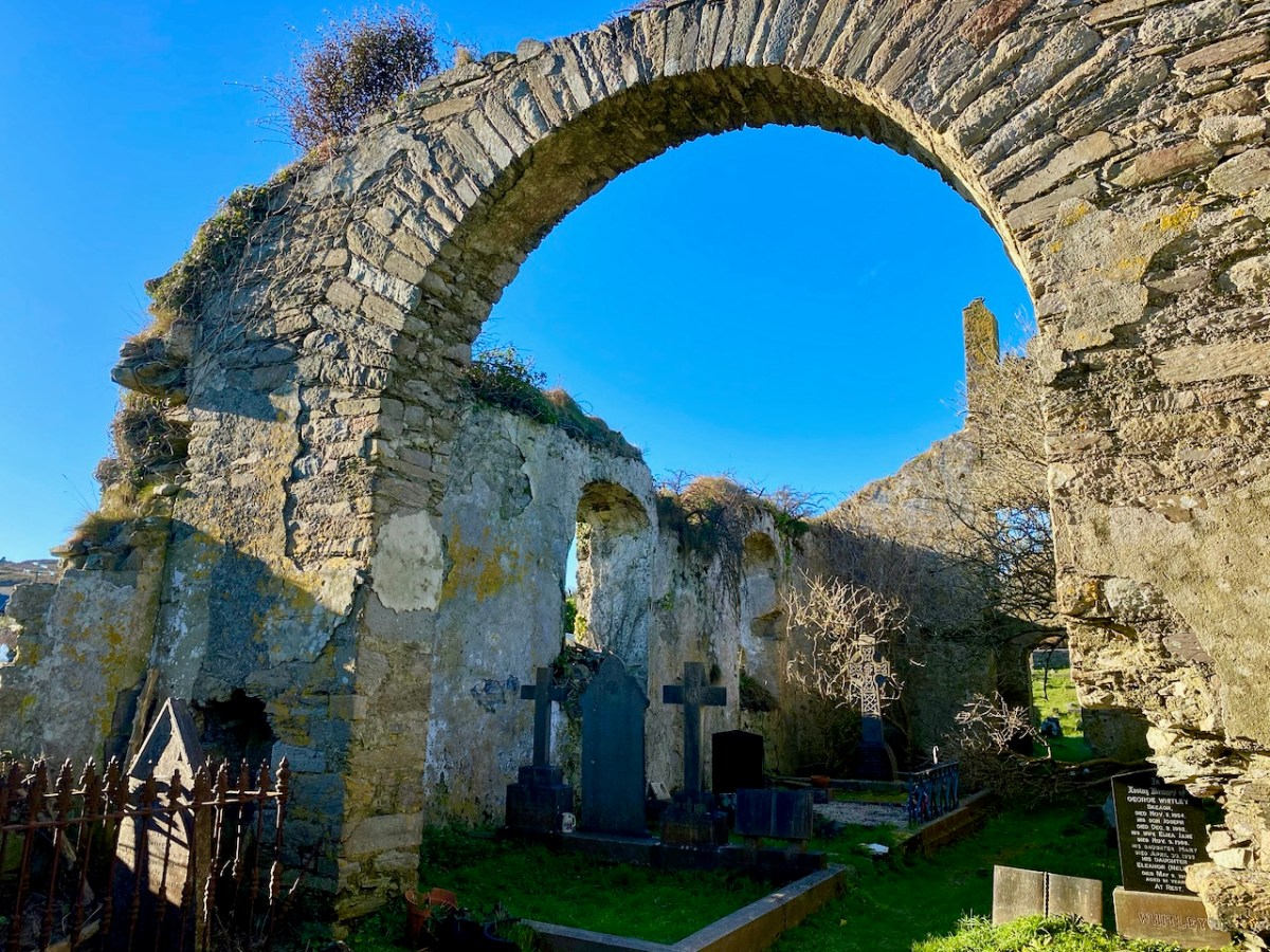
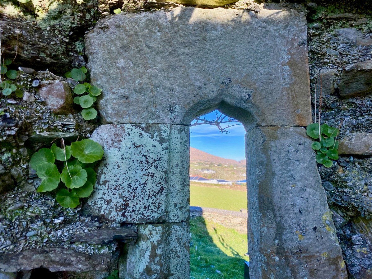
In 1936 we find Con O’Leary writing in A Wayfarer in Ireland (published by R M McBride): . . . Schull, named from Scoil Mhuire, the School of Mary, in the sixth century, is picturesquely situated , with Long Island thrown across the mouth of the bay . . . Well, that’s stretching us back a fair bit – but there’s nothing to confirm it. In the ruins of the church, however, there is one element which leads us to think that the architecture is quite ancient – this cut-stone ogival window in the northeast wall (possibly fifteenth century):

Now let’s turn to the third candidate in our search for Schull’s origins as a ‘great centre of learning’ – shown on the map towards the top of this post to the south of St Mary’s Church. Here is the Archaeology Ireland listing and the record note:

Description: In rough grazing, on a S-facing slope overlooking Long Island to the S and Skull Harbour to the E. Recent reclamation work exposed a level earthen platform-like area (c. 35m E-W; c. 17m N-S) faced externally on its curving S side by a roughly constructed drystone revetment (H 0.2m at W to 1.6m at E). According to local information, this is the location of Scoil Mhuire or Sancta Maria de Scala, a medieval church and school that gave its name to this townland and to Skull village . . .


The Archaeological Inventory of County Cork. Volume 5 (Dublin: Stationery Office, 2009)

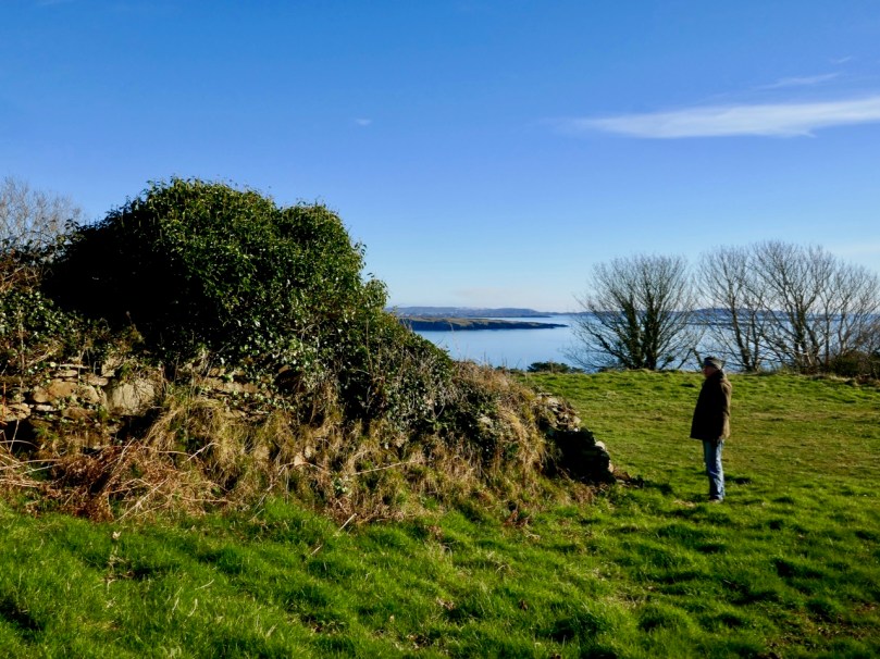
The prospect of unearthing ancient history sent us out into the field on an idyllic January day, under an almost surreal clear blue sky. We don’t exactly know what we found, but the expedition was rewarding, if only for the joy of walking through a beautiful country and knowing that other generations had walked here before us.

Always we were in sight of water, and the islands of the Bay beyond. We left the metalled boreen and found a narrow green path lined with old walls.

The path led to a sheltered paddock. We could clearly see the ‘level earthen platform-like area’ and the curved retaining wall supporting it: also, in several areas, there were the vestiges of old walls and probable structures. We immediately sensed the zeitgeist of a place which had tales to tell. Could it really be an early Christian settlement? Did the old stone walls echo the chanting of monks from long ago? Could we look through their eyes and see the grove of trees and the spectacular azure cast of the sea receding to the horizon across all the islands as they had?

The Historic 6″ Ordnance Survey map is the earliest record we have of what existed on the site: it dates, at the latest, from around 1840. There are buildings clearly shown. Could they have been simple farm cottages and barns? Might those buildings perhaps have incorporated much earlier structures?

There you have it: a creation tale (myth, perhaps) for Schull. I will give the last word to a pupil from ‘Skull School’, recorded in the 1930s:

The O’Mahony’s had a stronghold in Castle Island, which is known as the Middle Island. It is situated about three miles from the beautiful village of Schull, which lies by the harbour of the same name. Situated amid picturesque and varied scenery, nestling at the foot of Gabriel’s rough defiles, and fronting the wild Atlantic, it is a charming spot. It was anciently called Scoll Muire (B.V. Mary’s School) and in mediaeval documents it is designated “Sancta Maria de Scholia.” This school is said to have been founded by the “Universitie of Rosse, St.Fachtna’s Carbery”. However this may be – I doubt it – the parish is mentioned as Scol in the Papal Letters of Pope Innocent III. (1199 A.D.). Canon O’Mahony says its site has been identified in south Schull. At all events, Ardmanagh (Monks Hill), on which part of Schull is built, attests the presence of cenobites in the district . . .

Brighid Ní Choithir – Skull School – Dúchas Schools Folkore Collection 1937

Please note that the ‘Sancta Maria Scala’ site is on private land, and permission to visit should be sought.

Mizen Magic 21: Croagh Bay

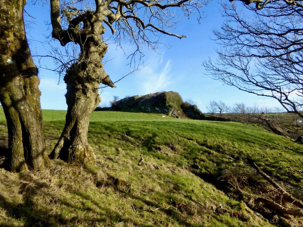
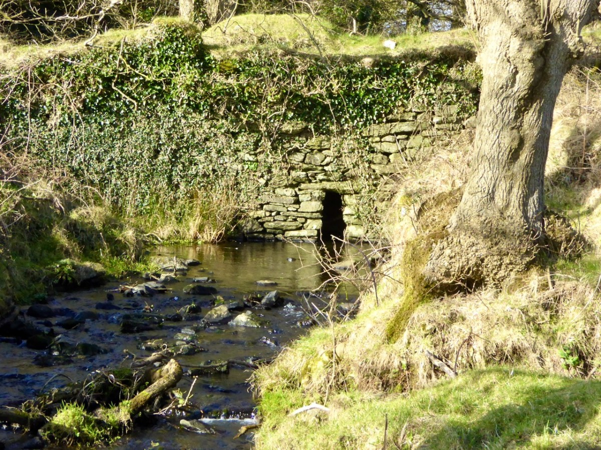
For our latest Mizen Magic post, we look in detail at an area we have skipped through previously: it deserves to be more thoroughly explored as it’s rich in history but is also, literally, a backwater which rests in a time-warp. Whenever we reconnoitre the shores of Croagh Bay, I’m always taken back to the sixteenth and seventeenth centuries and to the pirates, knights and Earls who made their own little empires in this now remote district. I should probably add that I can’t find an origin or meaning for the name Croagh. But I do know that it is pronounced locally as Crew. It’s even spelt Crewe on some maps (but – late edit – have a look at the enlightening comment by ‘Tash’ at the end of this post). The following image shows a clapper bridge – possibly quite ancient: a modern concrete parapet has been placed over the much earlier stonework:

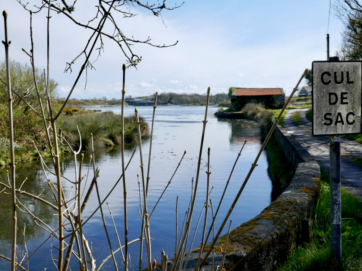
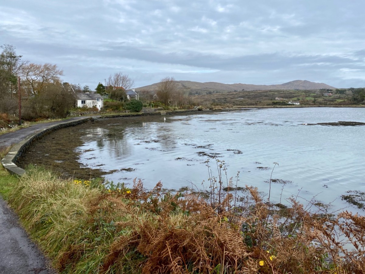
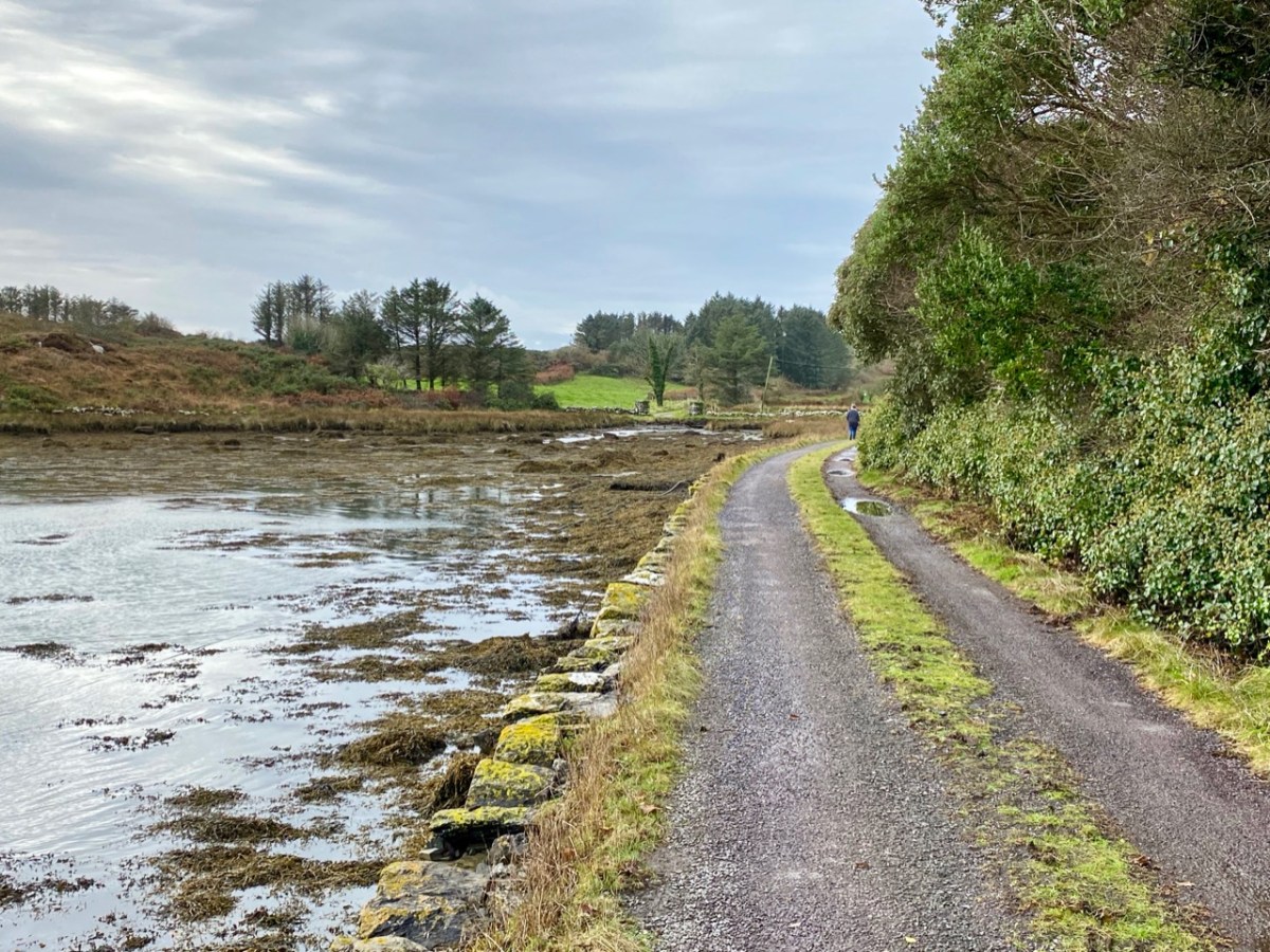
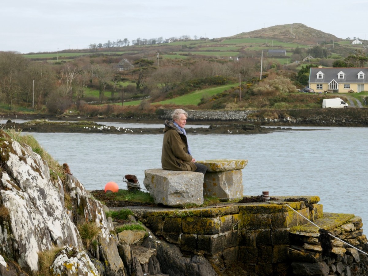
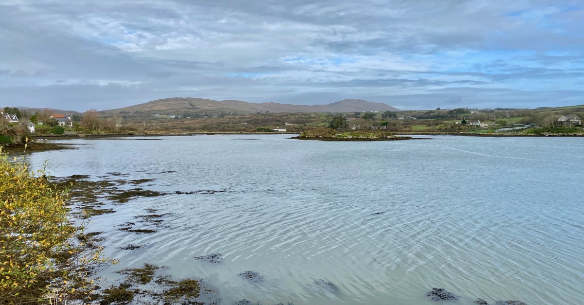
The header image and the one above are both taken at the same place – the head of the tidal section of the Croagh River, in the townland of Lowertown, not too far west of Schull. It’s rewarding to walk on the boreen that follows the north shore of the river. You will admire some very fine residences and come across tiny quays that have doubtless faithfully served many generations of West Cork families, and which are still in use. Behind you the rugged peak of Mount Gabriel will always be in sight – a familiar local landmark.

The Croagh River is only one of the waterways that you will explore today. The boreen comes to an end but the inlet itself continues out to Long Island Sound, Roaringwater Bay and the mighty Atlantic. Before that, however, there is another which demands attention: The Creek – which goes west towards the settlement of Leamcon.

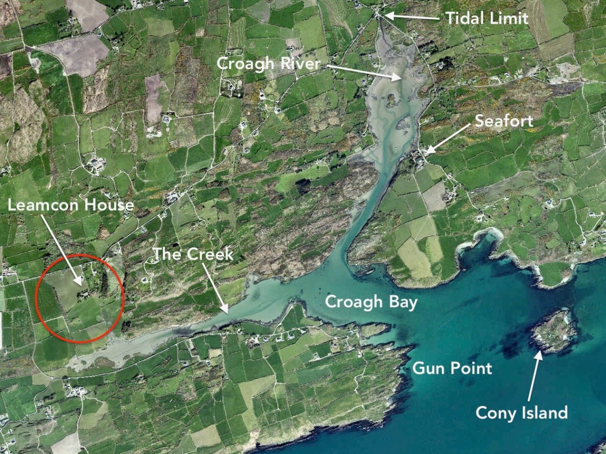
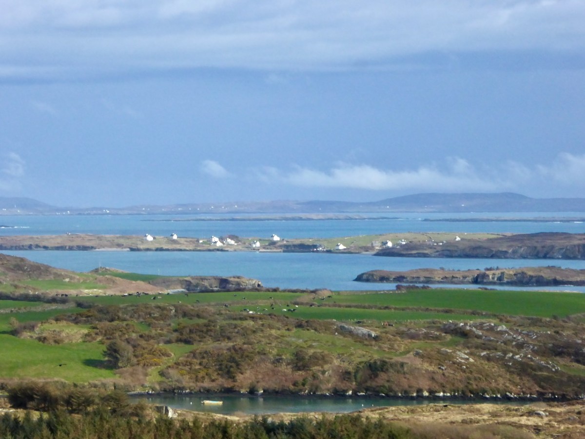
Upper – an overview of the area covered by this post; centre – looking out over the Croagh River towards Long Island with the high ground above Baltimore in the far distance; lower – Croagh Bay is in the centre with Long Island beyond and Cony Island to the left

The aerial view gives a very good idea of why this particular location was so strategically important: the river estuary and the creek are both hidden out of sight of the main seafaring routes of Long Island Sound and beyond. They are, therefore, perfect safe havens for pirates, smugglers, and those who want to profit from such activities. One well-known profiteer we have encountered before in this Journal is William Hull, described in the High Court of Admiralty papers as ‘a notorious harboro of pirates and receavor of theire goodes’ who nevertheless managed to retain an official post as Deputy Vice Admiral of Munster. In cahoots with Richard Boyle – First Earl of Cork – Hull developed links with privateers and pirates, and hosted a whole fleet of vessels within the hidden inlets of Croagh Bay and Leamcon: the shallow waters were ideal for careening vessels and Hull’s empire allegedly included victualling stations, fish palaces, ale houses and brothels. All this was focussed on the townland of Leamcon which Hull leased initially from the O’Mahony Gaelic overlords. Although Hull’s own castle is now long vanished, we can find traces of his endeavours marked on the early OS maps.

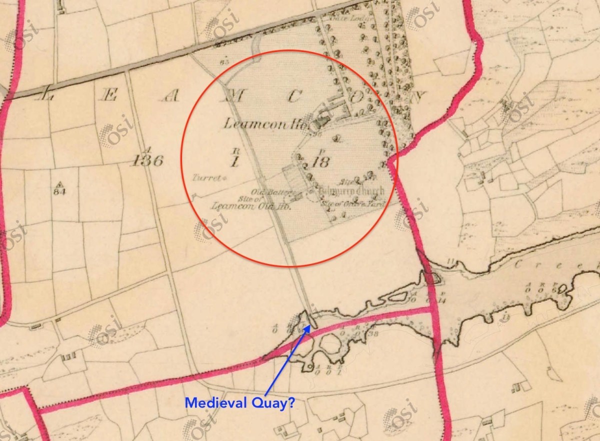
The early 6″ map locates ‘Turret’, ‘Old Battery’ and ‘Site of Leamcon Old House’ within the environs of the present Leamcon House, to the north of the furthest limit of The Creek. Interestingly, there is also what looks like a quay on the water directly below the estate: all these potential antiquities could reasonably date from Hull’s time.

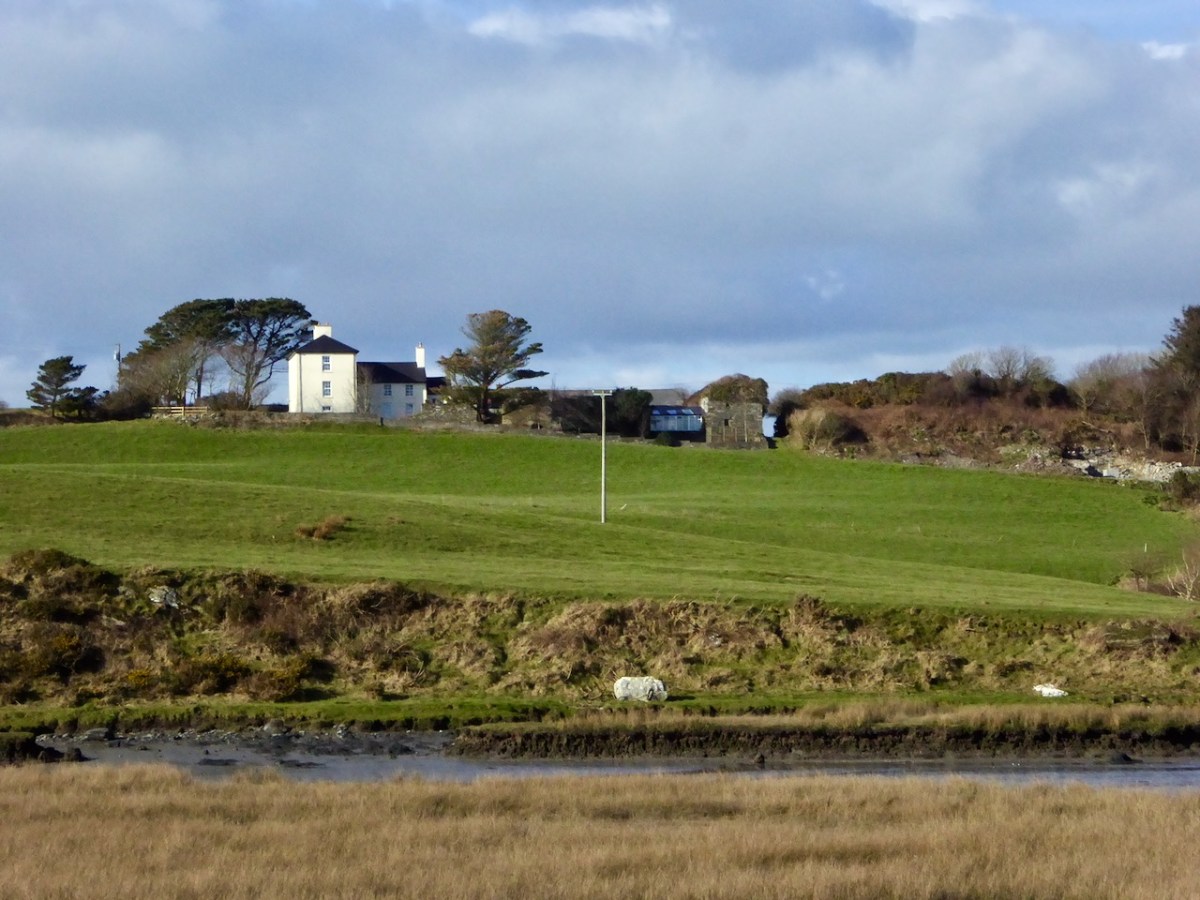
The ‘Battery’, the site of an old wharf and an ancient stone gulley may date from the time of William Hull’s occupation of the townland of Leamcon, which came to an end in 1641, when the O’Mahony’s moved to regain their former holdings. Below is Leamcon House today, looking down to the waters of The Creek. The extensive stone wall on the right hand side of the image is said to incorporate the remnants of a fish palace – another enterprise of William Hull and Richard Boyle:

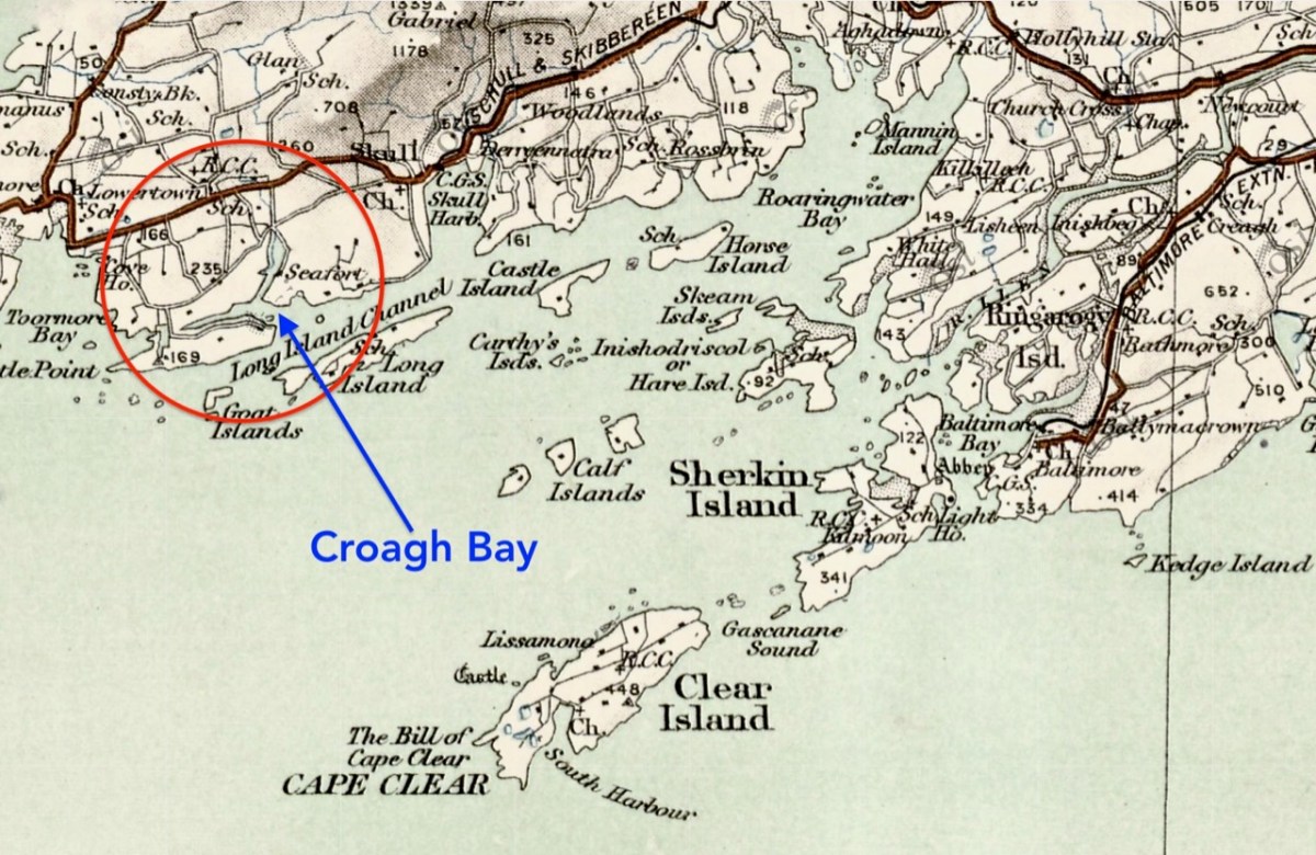
Centre – extract from the 1612 map (see more on this here), showing Leamcon and Croagh Bay; lower – locating the Bay in relation to the islands of West Cork, from a later 6″ OS map

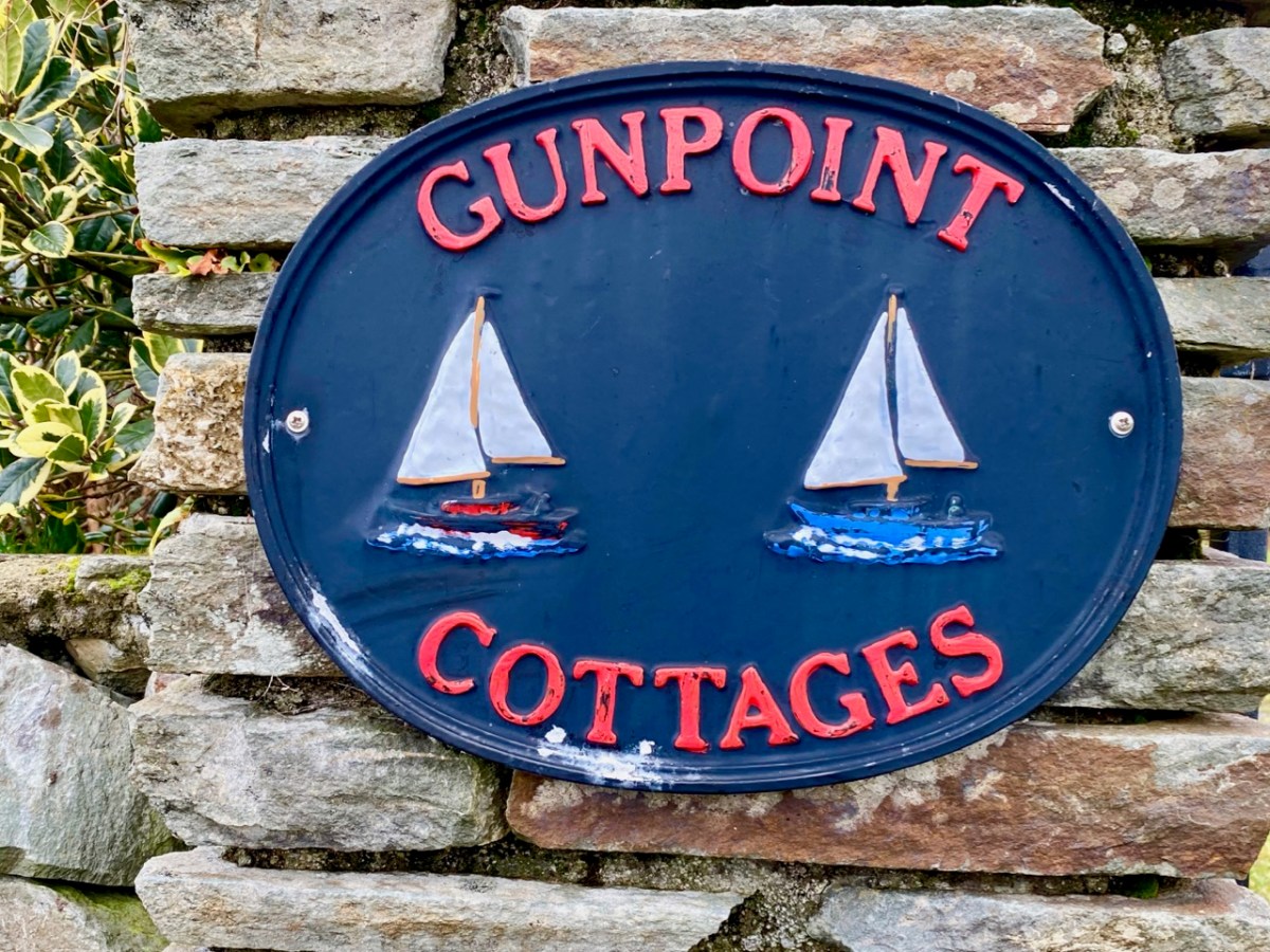
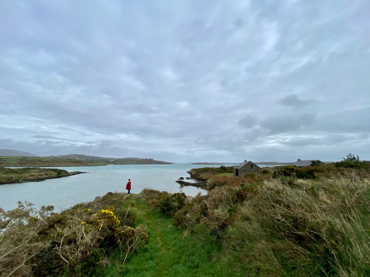
Before we complete our tour of Croagh Bay we have to travel east along the Croagh peninsula, where we find the intriguingly named Gun Point. There is no sign of a gun there today, nor any record of where the name might have originated. It could be, of course, that in Hull’s time the entrance to these important inlets was guarded.

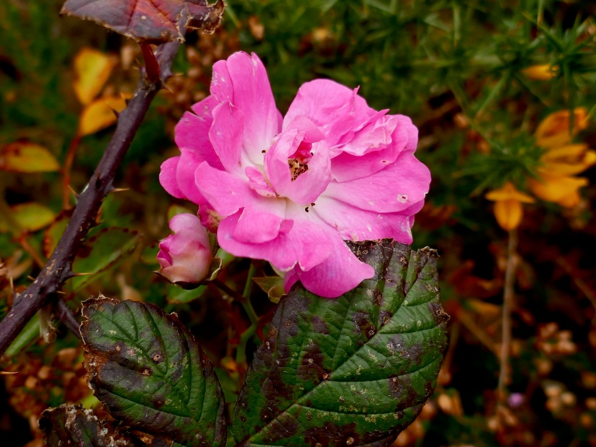
We were pleased to find a briar still in bloom, but were also intrigued by this gate, above, at the very tip of Gun Point. It was singing to us! The wind which, by late afternoon, had become a bit of a gale, was picked up by the hollow metal rails and created for us a Port na bPucai – ‘song of the spirits’. We recorded it as best we could and then handed it over to our musical friend Paul Hadland. He in turn passed it on to his brother Tony – an electronics wizard, who presented us with the following rendition of our Harmonic Gate. Many thanks, Hadlands!

For the technically minded amongst you, here is Tony’s account of how he processed our recording:

. . . I first of all manually edited out the worst of the very short but irritating wind noise elements. I then traced the frequency band where the music was and applied the Apple AU Bandpass filter, centred on 400 HZ. I trimmed off the ragged beginning, faded out the end, and normalised the volume to -10db. To get rid of more of the background noise I then applied the Acon DeNoise 2 adaptive filter, using its default broadband music setting. The result is the attached file Gate Harmonics . . .

Tony Hadland, November 2020

Fisher’s Folklore (Saints and Soupers Part 8)

Over the course of a marathon seven posts, I wrote about the Rev William Allen Fisher, revered by his kin and congregation as the energetic and saintly saviour of hundreds of famished souls during the Great Hunger, and reviled by his Catholic clerical counterparts as one of the worst examples of a Protestant Clergyman who bought conversions with food and employment. Balanced precariously on the fence of fairness, I concluded that he was both a Saint and a Souper, conflating, as he did, the imperative to feed the body with his mission to save souls.

Paul Farmiloe’s lovely sketch of Fisher’s church, Teampall na mBocht in Toormore

It is difficult to overstate, from this remove, how normal his kind of evangelical Protestantism was for the time in which he lived and worked. Ultimately, though, he was on the losing end of history. Not only did the Protestant Crusade, of which he was an enthusiastic proponent, fail to convert broad masses of ‘Papists’ but the burgeoning social and economic power of the Catholic Church ensured that those individuals who had converted to the Church of Ireland felt the full might of episcopal condemnation. Indeed, to be accused of being a Souper remains to this day one of the worst insults that can be said to an Irish person. 

In this church-dominated narrative, which all of us were fed in school in the 50s and 60s (betraying my age there – and I am in that blurry photo above), there was no room for allowing that a conversion to the Church of Ireland could possibly be through genuine conviction or a change of heart. No, such conversions – or perversions as they were labelled at the time – came as a result of taking advantage of people driven mad with hunger. Knowing as we did that Catholicism was the one true faith, how could we accept that anyone in their right mind could abandon it? It’s always been interesting to me, by the way, that at the same time as we were taught to excoriate those who converted away from their own faith, we were happily offering up our pennies to fill the collection boxes that every school had for Ireland’s extensive Missions Programs, in which Irish priests and nuns (including members of my own family) spread out across the world with the intent of wresting souls away from other religions. 

In the second half of the 1930s the Folklore Commission collected stories and local traditions from over 50,000 schoolchildren in Ireland (like the boys in the 1930s classroom above) – now all available online. I was curious whether stories of the Rev Fisher had persisted in local memory and I turned to this collection to look, specifically to the schools in the vicinity of Toormore. And yes – here it all was, occasionally in remarkable specificity, still very much alive ninety years after the events had taken place. 

Mary O’Sullivan from Toormore National School contributed this detailed piece:

The only landlord that any of the old people around here heard tell of were Mr Baylie and Mr Fisher. Although a Protestant, he was a very good man, and all his tenants were catholics, in fact the Catholic curate of the parish was living in a cottage on his lands – where Mr Hogan now resides. All his tenants were living in peace and comfort until he was forced to sell all his property to the church body, one of whose agents was a minister named Mr Fisher.

The first act that he did was to issue notices that any catholic that did not pay the running half gale within a month would be evicted. All the catholics paid, and the next notice issued intimated that any catholic that did not go to church on the following Sunday would be evicted.

Some of the catholics remained steadfast, but as Fisher had the law in his own hands he had no trouble in evicting all those who he knew had the best of the lands. Those farms he divided into smaller lots, and gave to those whom he got to go to church.

There were two catholic schools in Toormore at that time, one for boys and the other for girls. These were closed so that the children should go to the Altar Protestant school. As the time went on the people got poorer as a result of evictions, and Mr Fisher keeping constantly going amongst the poor people with his charity and prayers he got some of them to go to church to save themselves from starvation. But others endured the greatest privation and kept the faith. Some of these that were evicted were given houses by their old landlord Mr Baylie.

Mr Fisher was supposed to have contracted what was called a slow fever, he was taken from the Altar to Dublin where he died.

I found that last paragraph interesting as I know that Fisher is on the same headstone (below) as his brother in Mount Jerome Cemetery in Dublin but had been unable to find any account until now as to why he would not have been buried in his own churchyard in Goleen. I also need to point out that there is no evidence, or accusations in contemporary accounts, that Fisher evicted tenants or used eviction or a threat of eviction to force conversions. Finally, if anyone knows what a ‘running half gale’ refers to, do let us know as I have been unable to track down the term.

Eileen O’Driscoll, also of Toormore, had this version

The famine years lasted from 1845 to 1847. In this district the people had plenty of corn but they had to export it to England to pay the rent and the potato crop failed. The potato was their principal food for breakfast dinner and supper. Lots of them died of hunger and the fever came all over the county and swept them in hundreds. There were men hired for carrying them to the nearest burial ground which was Kilhangil. They had a special car for that purpose. They called it a bogey car. This man carried nine or ten at the time and dug a big hole and covered them over without any coffin. There was then a relief sent from England to all Parish priests and ministers. In this parish the the minister took hold of the clothes that were sent and some of the poor Catholics died of hunger before they would take anything from the Protestants and others took the clothes and turned Protestant. Mr Fisher was the minister of this parish and also the landlord of Toormore and Gorttyowen. He got the clothes and distributed them to anyone that went to the Protestant church on Sunday. Many Catholics availed of this offer and they were called “soupers or turncoats” The Bishop became angry and he sent a very strict priest to the parish. His name was Fr. Holland. He gave very harsh sermons to the people and we are told that when Mr Fisher got up on Monday mornings he found lots of clothes outside his door. A lot of the people still kept on getting the clothes. Fr. Holland said that he would curse the people that went to the protestant church. He got permission from the bishop to do so. One Sunday as he was speaking in Ballinaskeagh Church a man stood up and said he would go in spite of any Bishop to what churches he like himself. The man died before the end of that day, and his son was killed by his own horse within a week. This frightened the people and it forbade a great number from attending the Protestant Church any more There was one man in Toormore that went to the Protestant Church but he also went to Mass before going there. Mr. Fisher found this out. He met him one day and asked him why he was going to Mass and also going to Church He said he was going to Mass to save his soul and that he was going the Church for to save his body Mr. Fisher bought Mr. Bailey’s property which was Toormore, Gorttyowen, and the Altar. He evicted all the Catholic out of Gorttyowen Toormore but left those that remained souper in their holdings and they are known as Toormore soupers.

There is so much to unpack here. In this version of the story the main inducement to convert is the provision of clothing, rather than food. In Saints and Soupers Part 6 I related that Bishop Delany of Cork had sent the firebrand Fr John James Murphy (AKA The Black Eagle of the North) to sort out the situation and he had succeeded in winning back (or browbeating) many of the converts. There was indeed a Father Timothy Holland in Goleen, but it was several years after the Famine, from 1863 to 1867, and his fierceness and effectiveness has obviously lived on in folk memory and become intertwined with that of Fr Murphy. (Perhaps it was Fr Holland who lined up all the newly married parishioners and married them again in case they hadn’t been ‘properly’ married the first time – see the comments at the end of Part 7.)

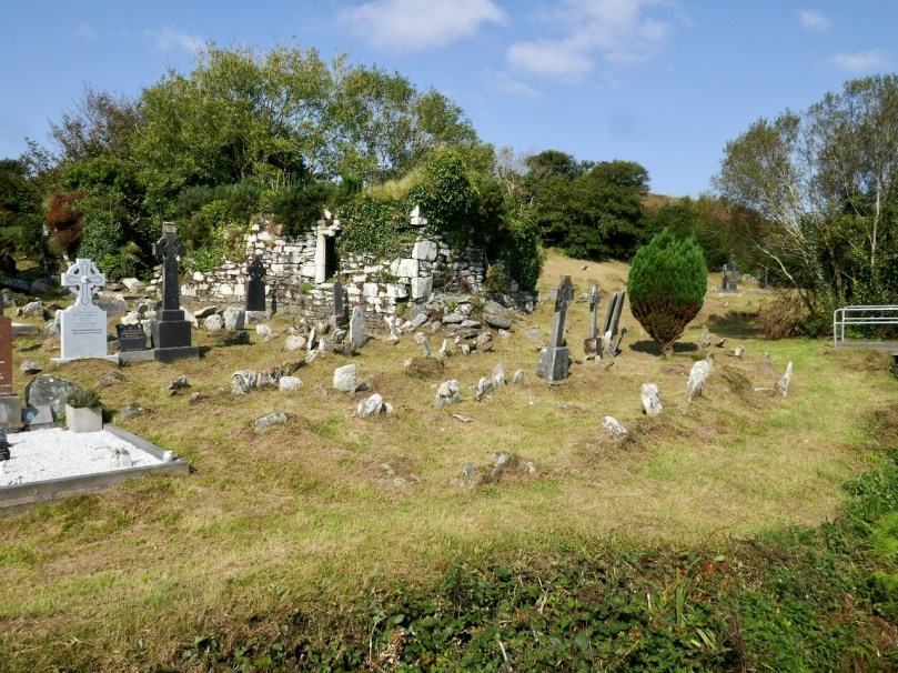
The story of the man who asserted his independence of choice only to be struck down, along with his son, is a trope of many Irish stories, often revolving around the wilful destruction of a fairy fort or a holy well. Finally, Kilhangil, nowadays a particularly beautiful and peaceful spot (below), may be familiar to you from the post Mizen Magic 19: Church of the Angels

A pithy entry from Mary Lucey of Ballyrizard relates information from her father, Tim.

Mr Fisher was landlord of Toormore. He was a very bad man and he hated the Catholic Religion. All Catholics who would not become Protestants were evicted. Most of them kept the faith but some turned Protestants for the sake of keeping their land. 

Once again, eviction takes centre stage, this time as the outcome of refusing to turn Protestant. Hating the Catholic Religion is equated with being a very bad man.

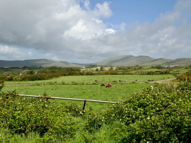
Kathleen McCarthy from Lowertown School (that’s Lowertown townland, above) wrote about many aspects of the Famine, including this section on Fisher.

The famine times were from the beginning of eighteen forty seven to the end of eighteen forty eight. The conditions of the Catholics was terrible at that time. Their potatoes were destroyed with the blight, and they had to sell their wheat to pay the rent. In this district three quarters of the people died with hunger.

The English sent yellow meal to the Protestant minister in Toormore to distribute among the people but it was the Protestants who got the most of it. Any Catholic who would turn a Protestant would go to the minister’s house every day and they would get a bowl of soup to drink and meal to take home. Nearly every Catholic in Toormore turned Protestant in that time and their descendants are there today, Protestants and bearing Catholic names. Toormore is known as “the land of soupers” on account of the number of people that turned Protestant for a bowl of soup. There lived one man in Toormore called John Barry and he had seven children. Six of the children died with starvation and he would not go to Fisher for anything for them.

This is the first account we have of Taking the Soup, and the labelling of Toormore as ‘the Land of the Soupers’. The story of the man who would rather let his children starve to death than take the soup is a familiar one. While these John Barrys were held up, in our history lessons, as a model of steadfastness and an exemplar of Catholicism, I remember being horrified that any father would act in this way. Perhaps it’s one of the thousand little cuts that eventually ushered me out of the church.

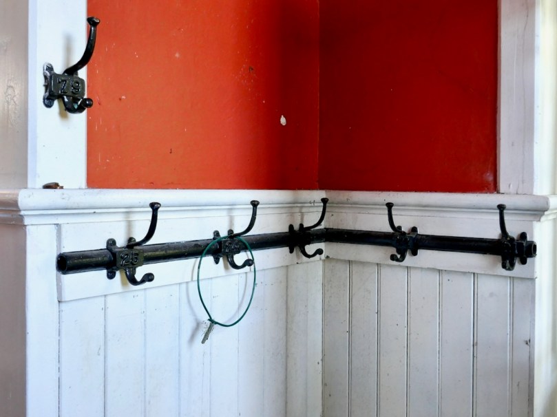
A cloakroom in a traditional schoolhouse

Annie Donovan collected information from Jeremiah Donovan of Gunpoint who was 97 when he was interviewed. There is a long and detailed description of the conditions and burial practices during the Famine, and it includes this short piece: 

The Catholics were starving with the hunger and Fisher who lived in Toormore at that time gave meal and soup to any Catholics that would go to him. Nearly every person in Toormore went to him for the soup and yellow meal, and they turned Protestants also. They were called “Soupers” and the village of Toormore was called “The village of the Soupers” since and their descendants are still living in Toormoor with Catholic names.

This is a particularly interesting account, since Jeremiah would have lived through some of the events he relates, as a young boy. There is also the same reference as in Kathleen McCarthy’s essay to ‘Protestants with Catholic names’ – a poignant reminder that in Ireland one’s last name is often a pointer to one’s religious affiliation. 

Peter Clarke’s beautiful sketch of the church that Fisher built at Toormore, also called the Altar Church and Teampall na mBocht (Church of the Poor)

A long but anonymous entry from Gloun School (on the slopes of Mount Gabriel – the old school house at the end of this post is associated) goes into great detail about various aspects of the Famine, mainly centring on evil landlords, and contains this:

At the time of the famine, some Catholics turned Protestants. They became perverts to get soup which the Protestants minister gave out. The name of the minister of Toormore was Mr. Fisher.

Some of the “soupers” were William O Donovan and John O Donovan both natives of Toormore. William O Donovan’s daughter, Mrs Coughlan, still lives in Corthna. John Donovan’s grandson is a shop-keeper in Schull, whose name is Joseph Woods. Another man who was a “souper” was Joseph Daly, a native of Toormore. He afterwards became a minister. Before he became a “souper” he was so holy it was said that he could walk upon the waters. He tried to do it once, before a crowd but he sank. He also answered Mass in Ballinashker Chapel barefoot once. His son lives in Schull. Ever since Toormore is sometimes called “the land of the soupers” and the Protestant Church is called ” Teampall na mboct” which means”the Church of the poor”.

I think this piece, more than any other, is illustrative both of the long memory of these events and of the classroom ethos of devout Catholicism in which this child writes – an atmosphere in which it has been normalised to name and shame the ‘Soupers’ and their descendants several generations on. This is divisive sectarianism at its most abhorrent, and it’s just as important to understand this, as it is to chuckle at the funny verses and old folktales that the children also write about.

The old school house at Lissacaha near Gloun

There’s more, but I think this gives you a flavour. Rev William Fisher has left a complex legacy. Some of it springs from his own actions – we haven’t exonerated him from bigotry and over-enthusiastic proselytising (another possible future post, in the light of new information). But it’s also based in the narrow, blinkered, self-righteous Catholicism that encouraged the condemnation of neighbour by neighbour, in the name of religion. It would be good to think we’ve moved beyond that now, in Ireland.

This link will take you to the complete series, Part 1 to Part 7