Mizen Mountains 6 – Derrylahard East

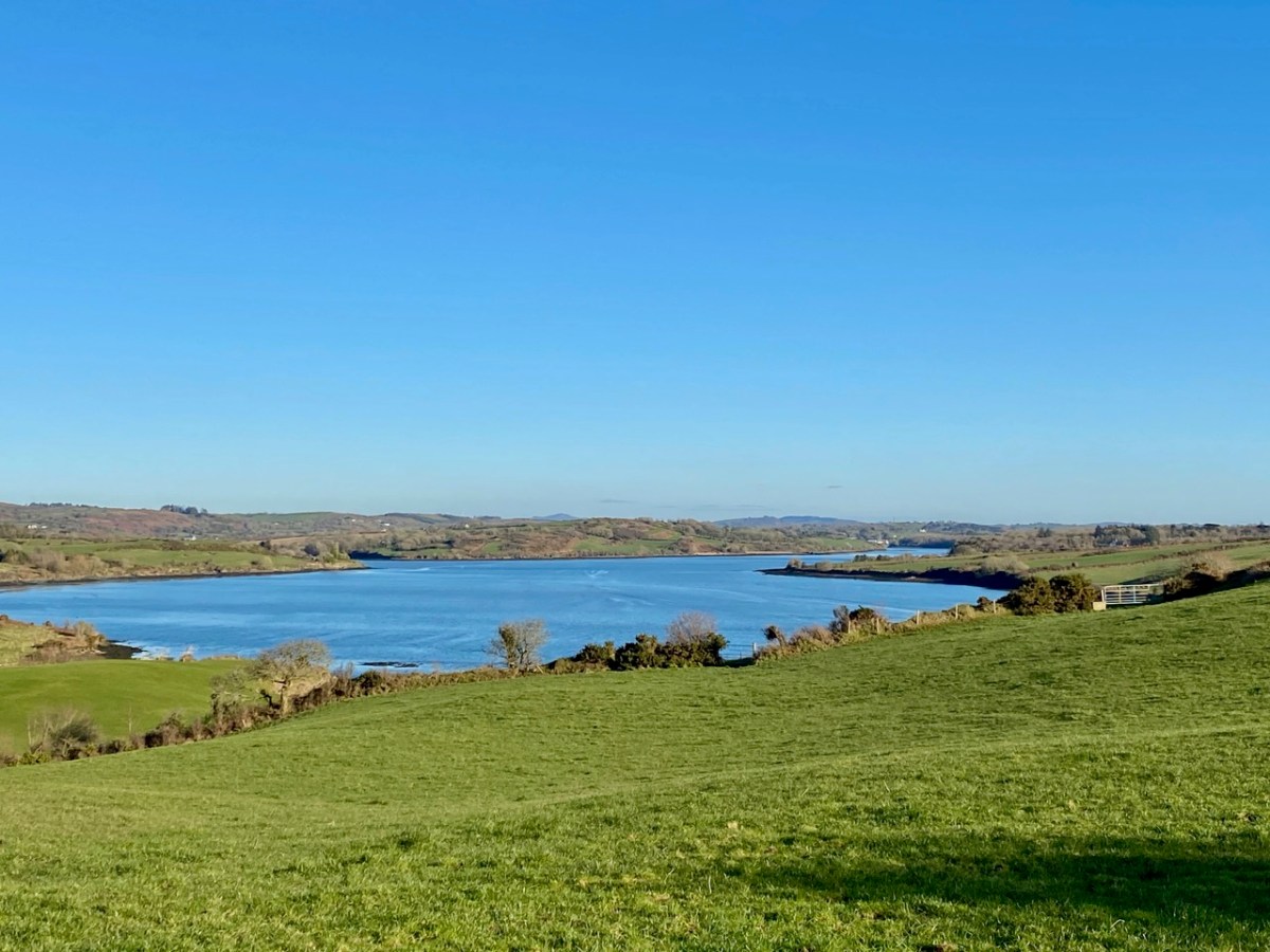
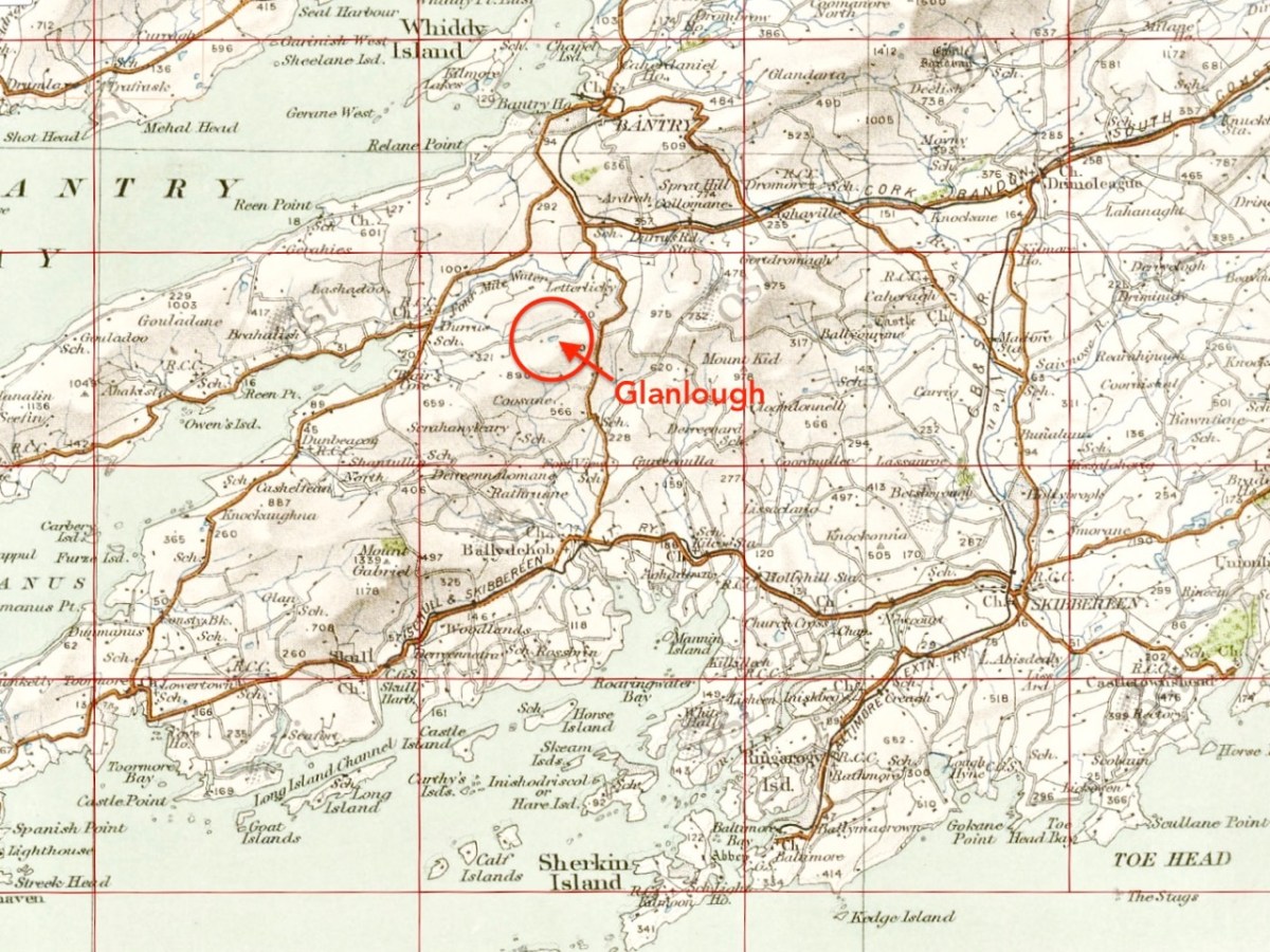
The peak of Derrylahard East is perplexing. It’s on a continuation of the Eastern Mizen Ridge that runs from just west of Mount Corrin (which we visited exactly a year ago), takes in Letterlickey Cairn (ditto) and peters out close to the wind farm at Ballybane West (which we explored last October). At its highest point it overlooks Glanlough (from the Irish Gleann Locha – ‘Glen’ or ‘Meadow’ of the lake). We must not be confused or misled by another Glanlough nearby – on the Sheep’s Head peninsula, nor yet another in Co Kerry.

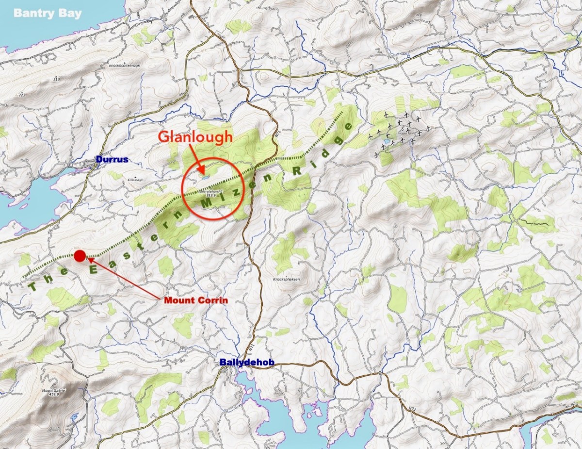
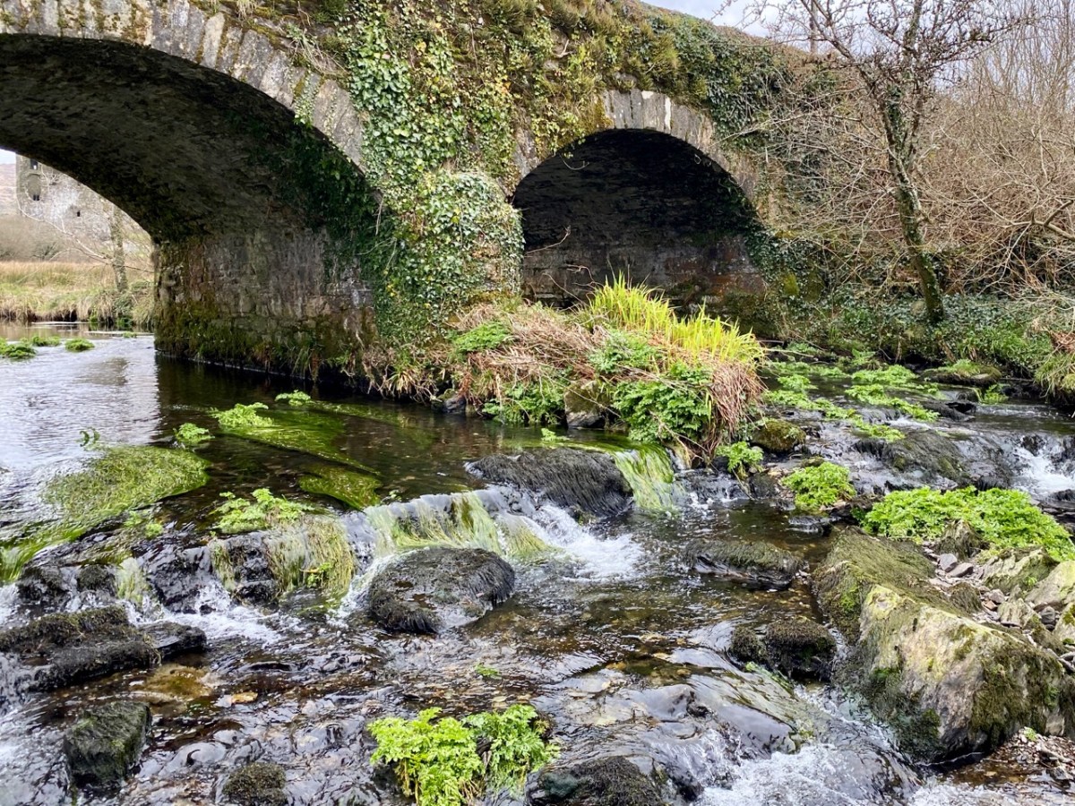
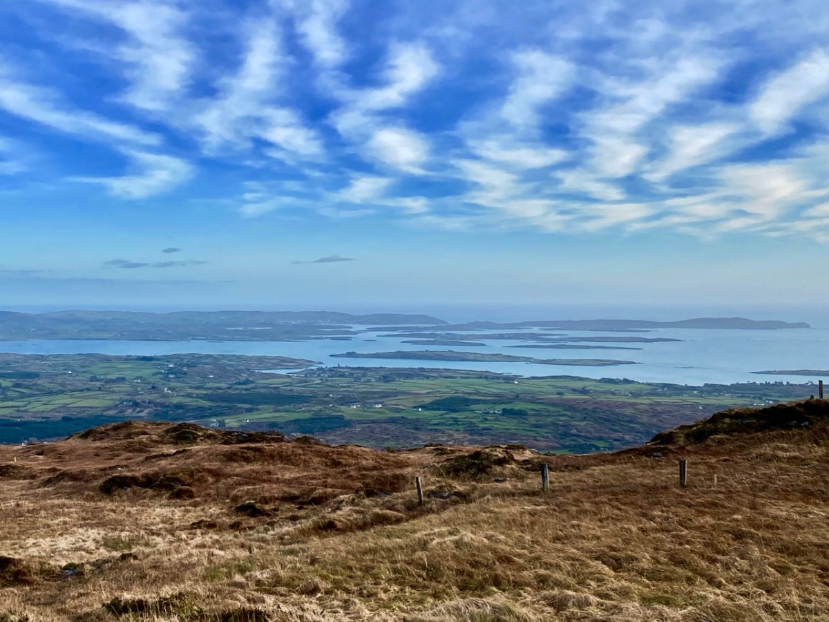
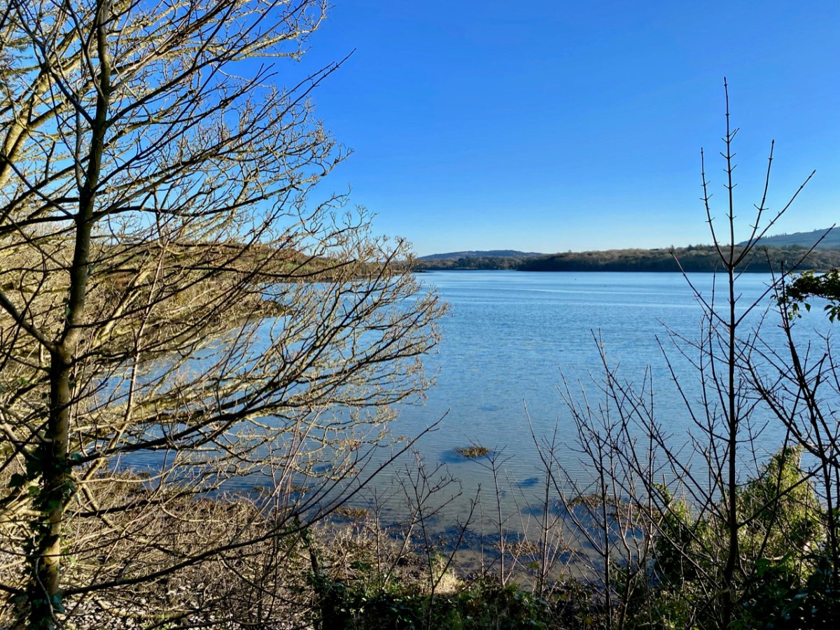
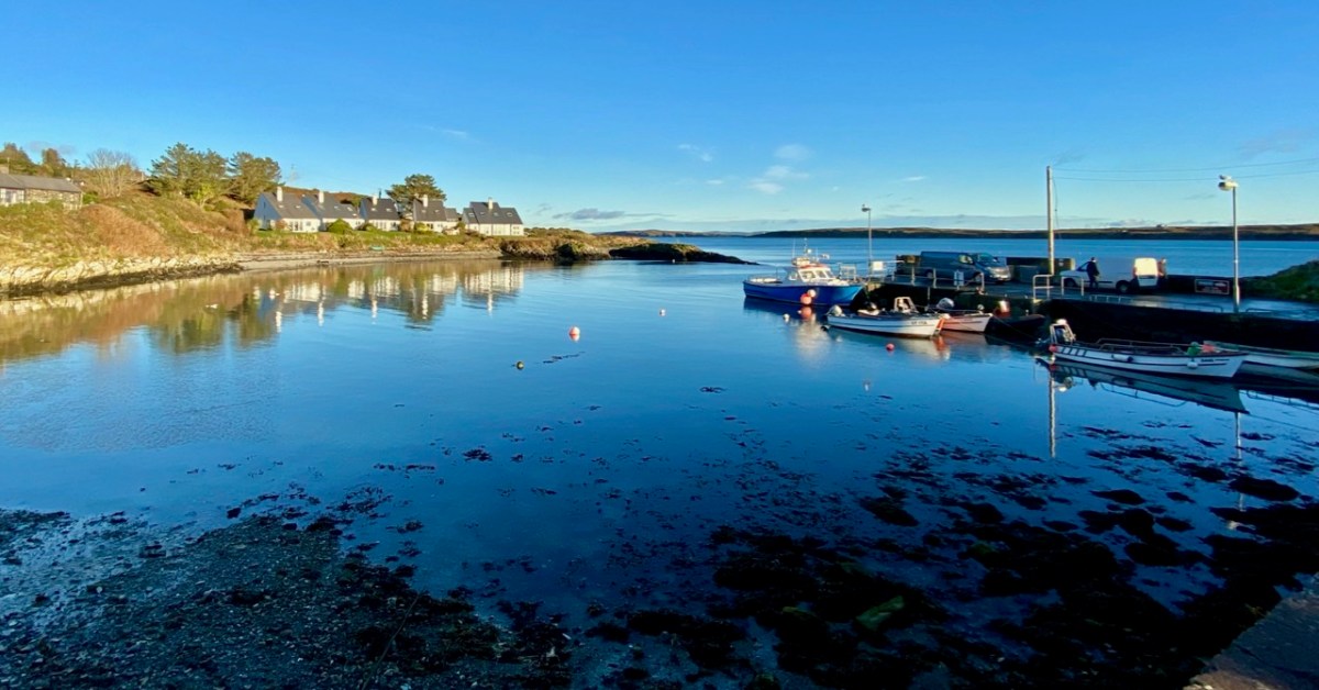
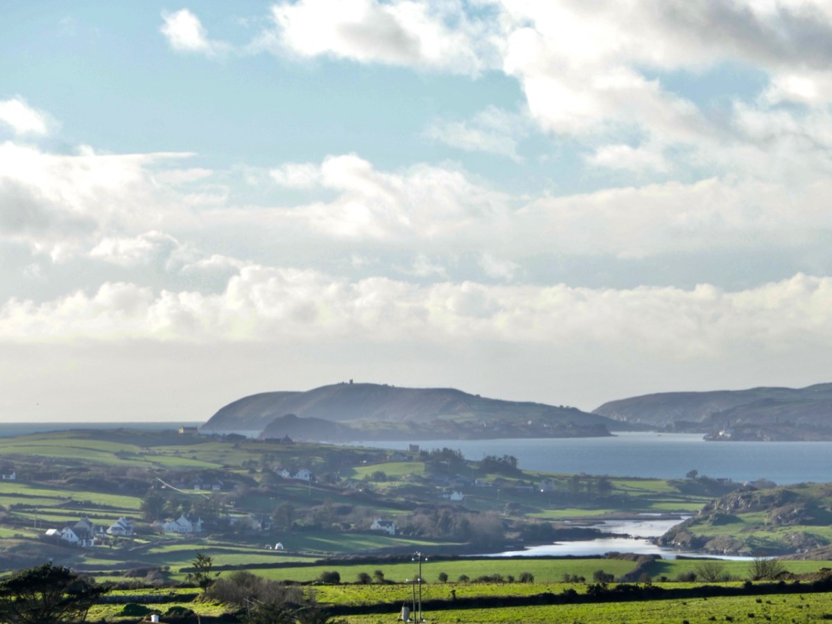
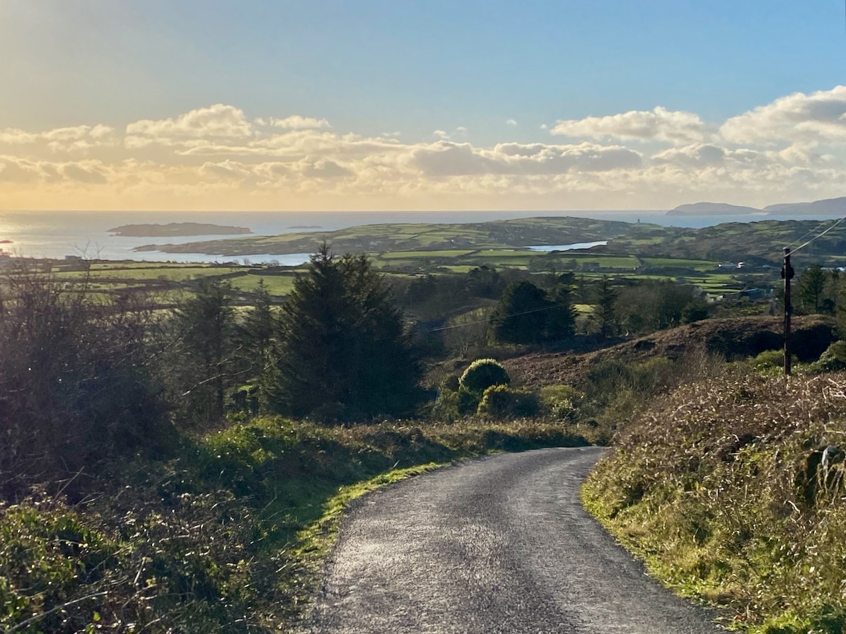
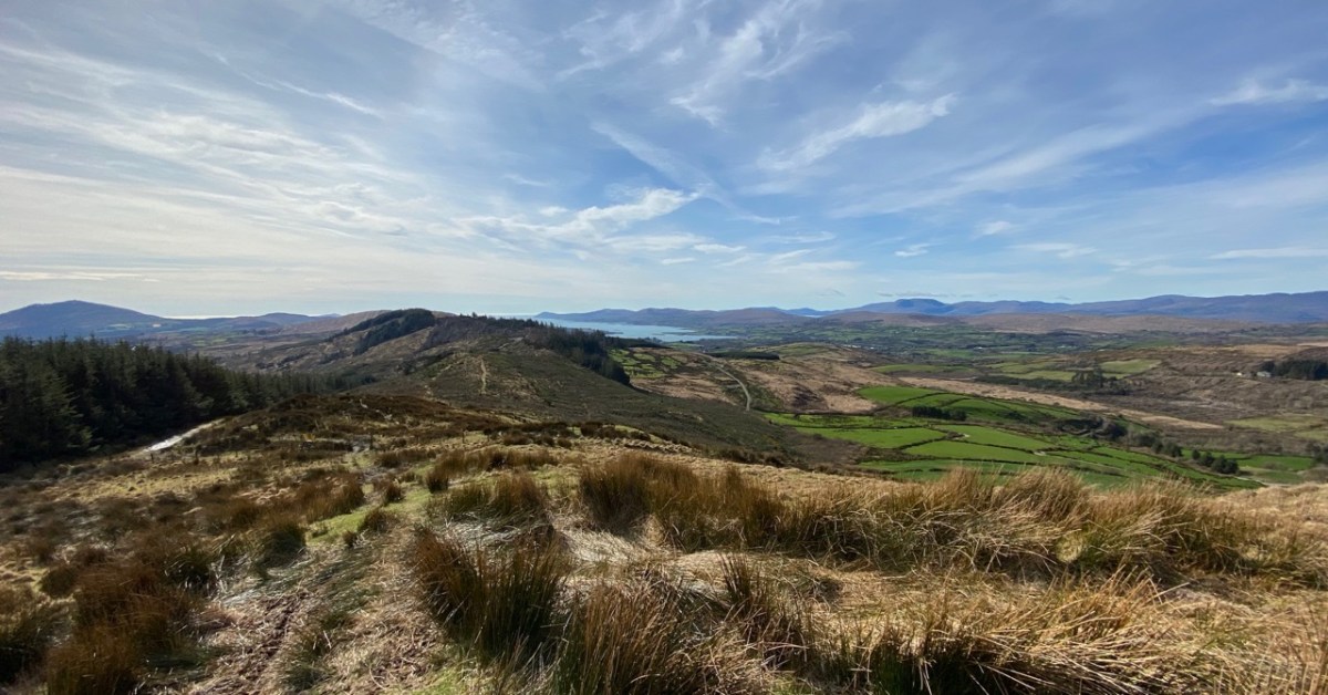
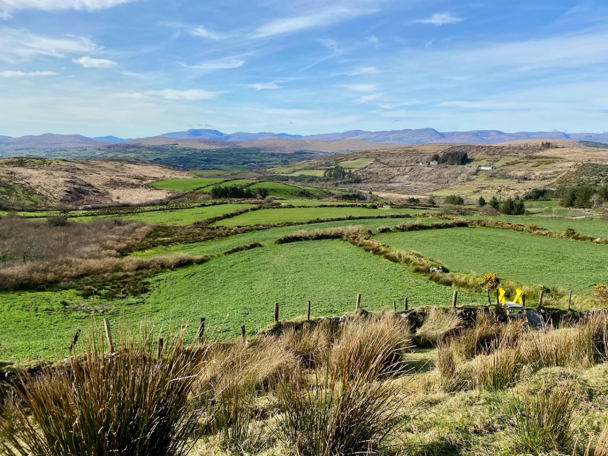
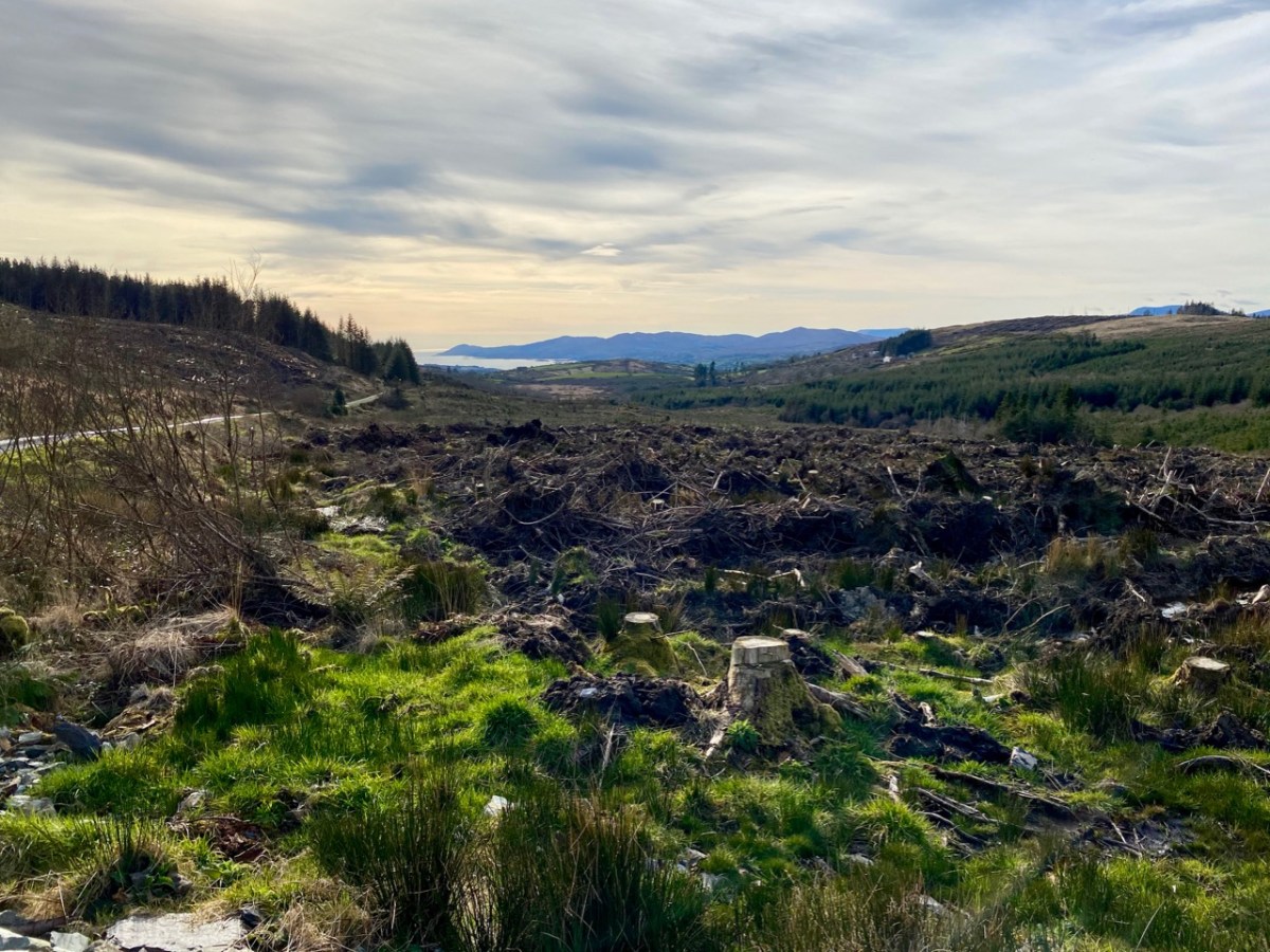
On the map above I have indicated Glanlough, which is central to our most recent peregrination. It is a mountain lake which has been virtually hidden over the last decades by thick commercial pine forests. Very recently, much of the forest has been felled, and views from the top of the ridge are now revealed: they are magnificent and far-reaching. In fact, from the high point we found we could see the 12 arched bridge at Ballydehob – which means. of course, that we can also see Derrylahard East from our own village.

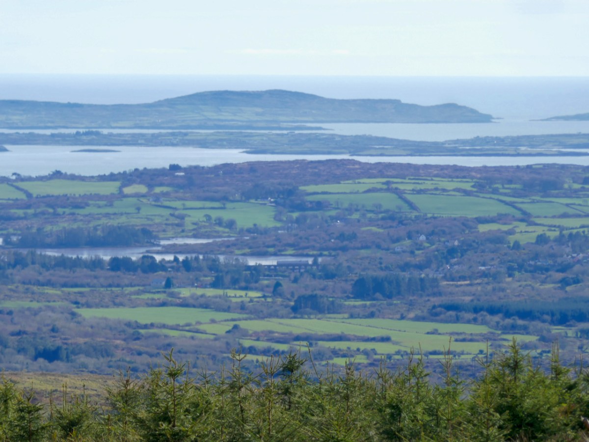
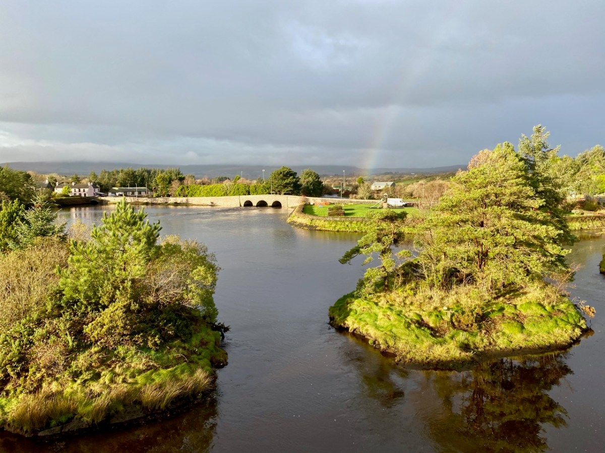
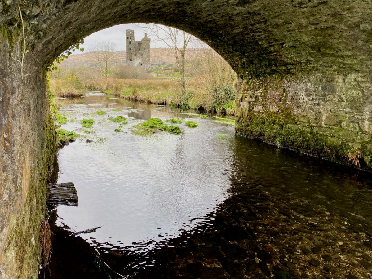
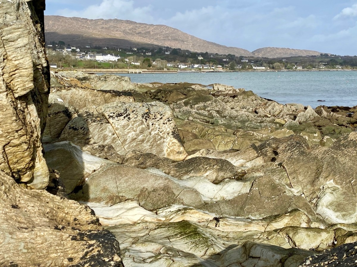
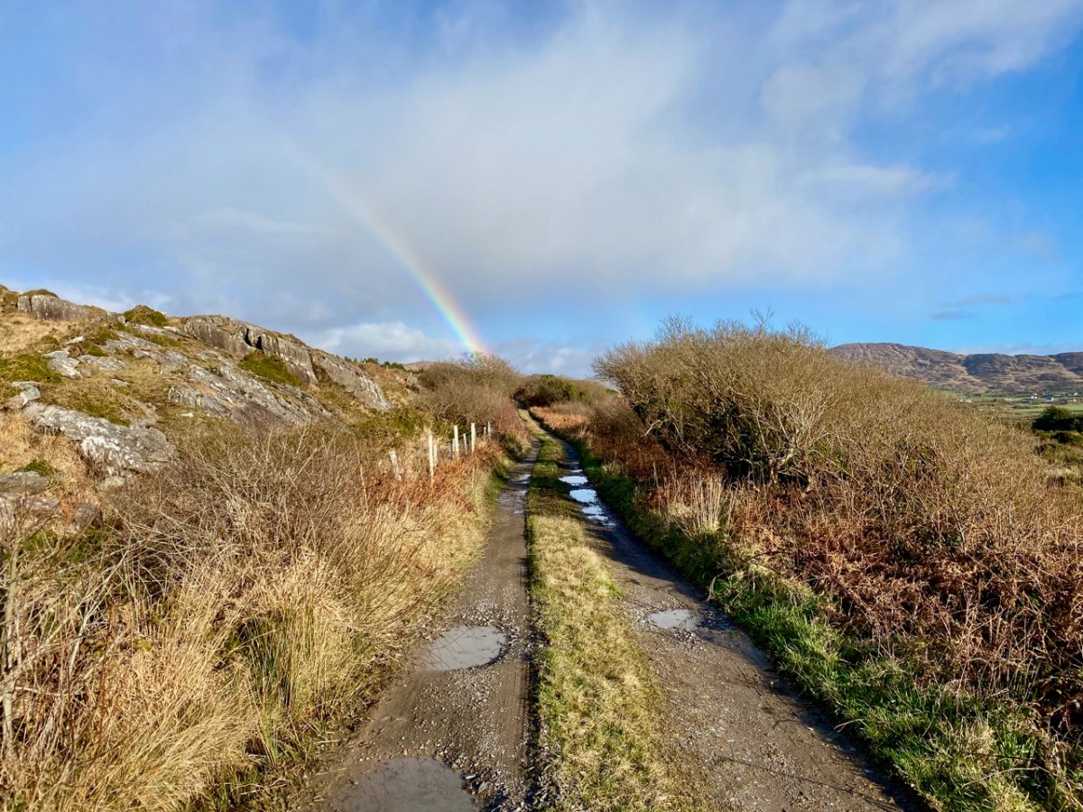
The upper picture was taken from the Derrylahard East Peak with a lens stretched well beyond its limit, but you can see the 12 arched bridge and the sandboat quay house just below the centre of the view: Cape Clear is on the horizon. The lower picture was taken a while ago from the 12 arched bridge in Ballydehob, looking north towards the Derrylahard East Peak, which is swathed in cloud to the left of the rainbow.

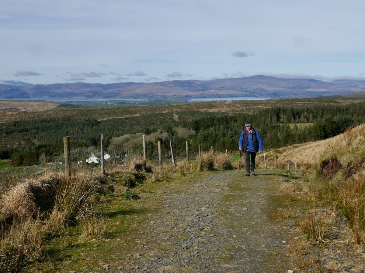
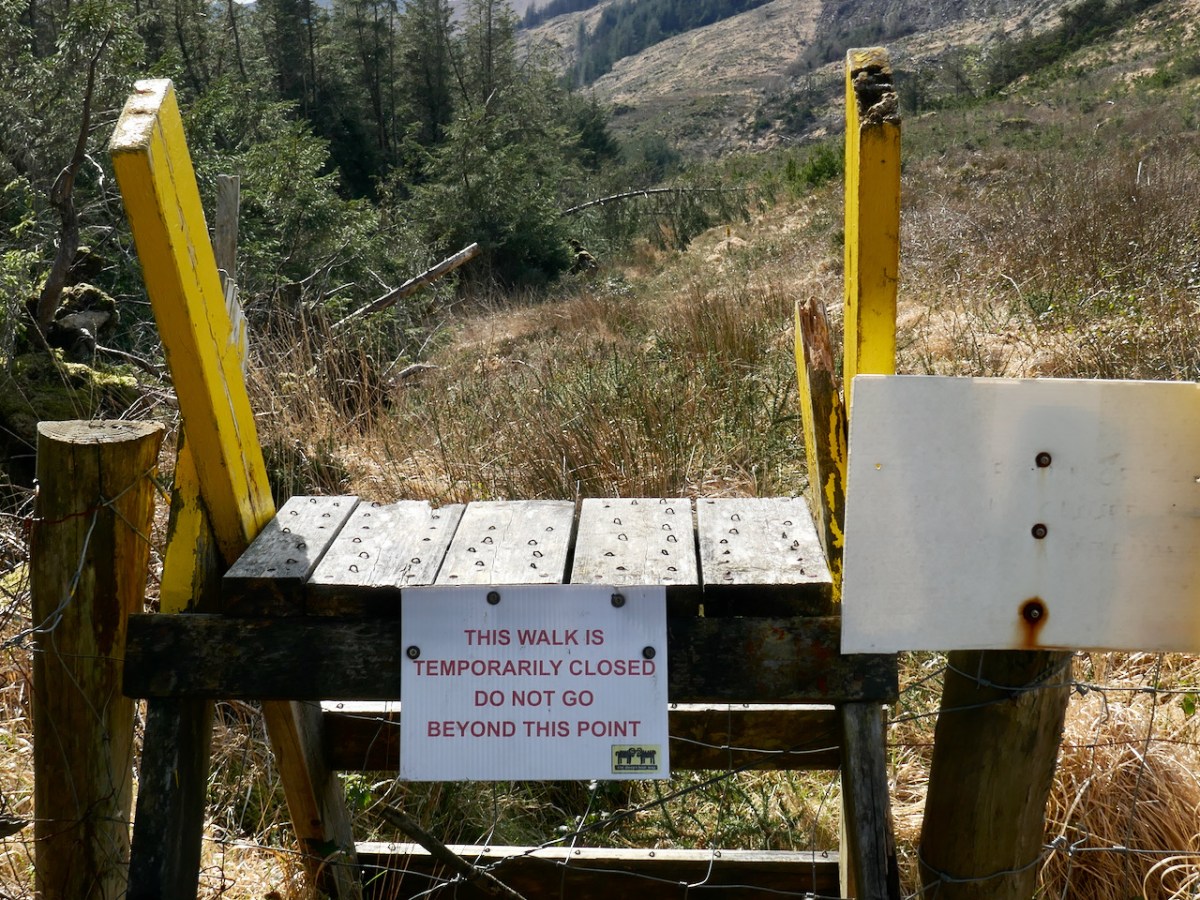
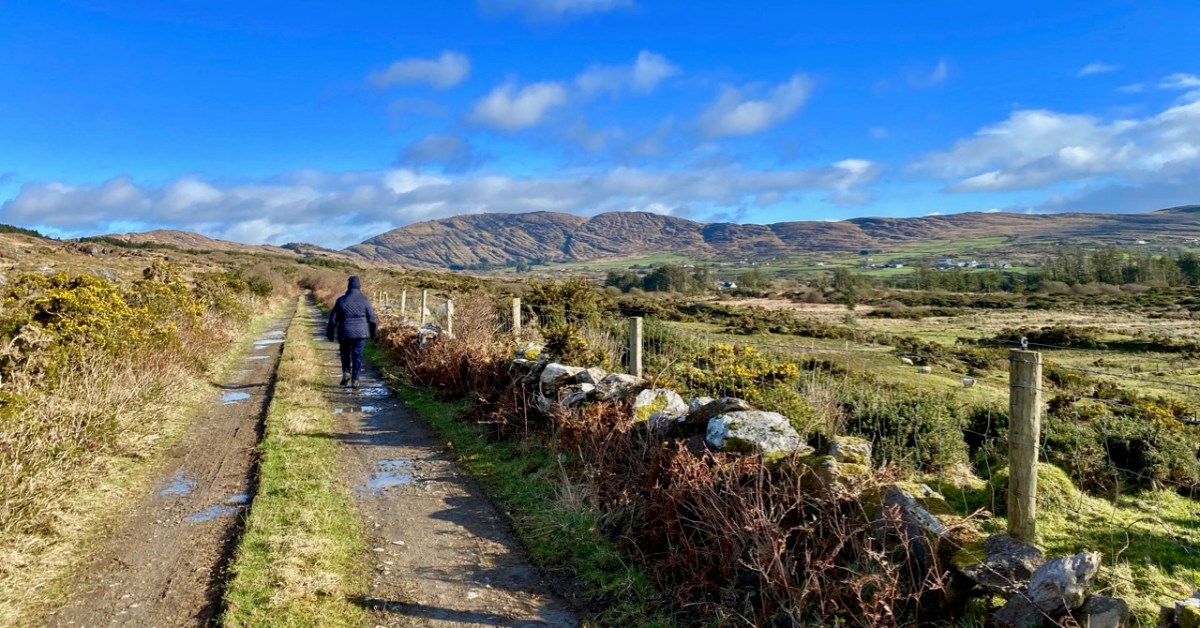
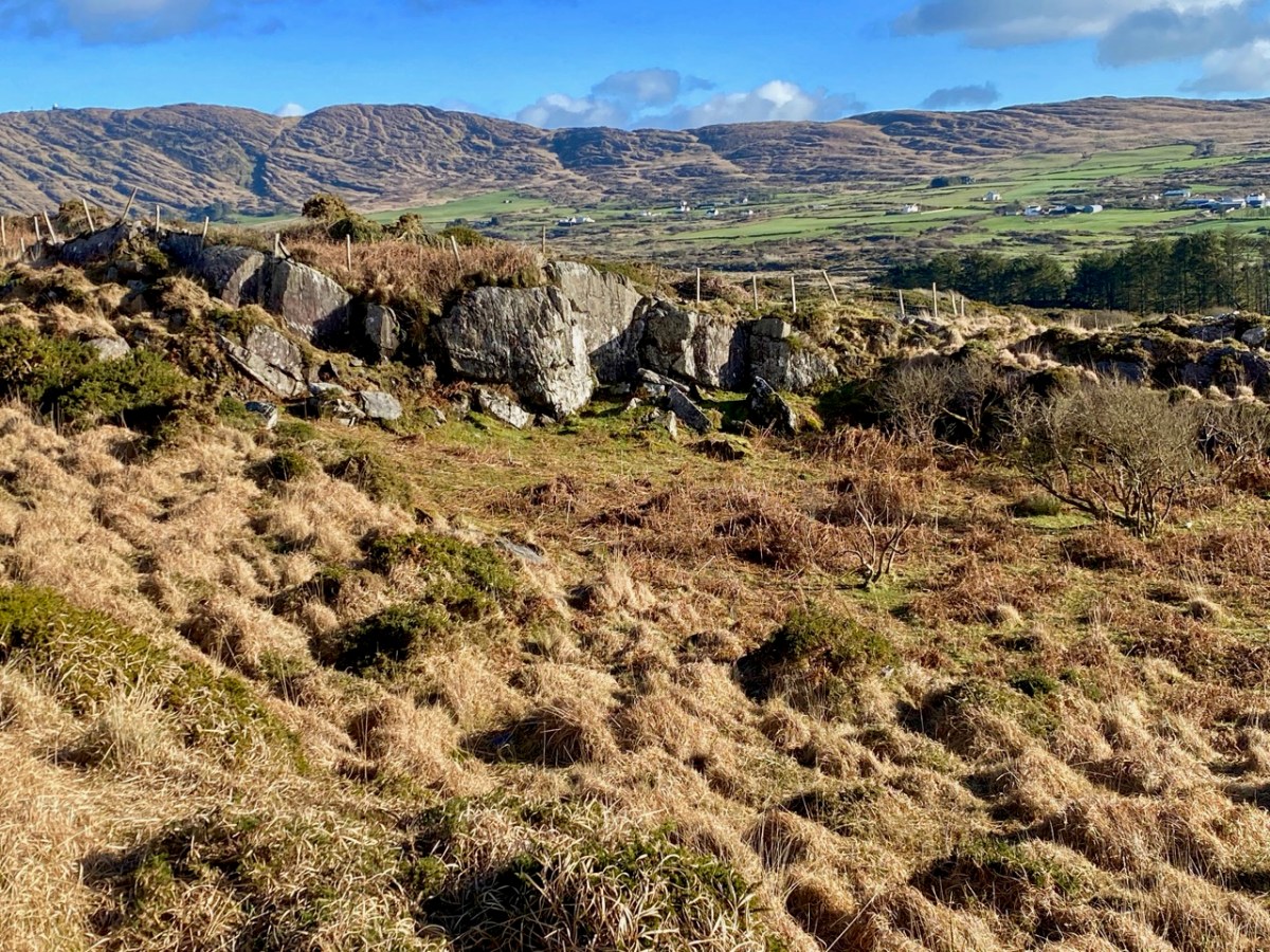
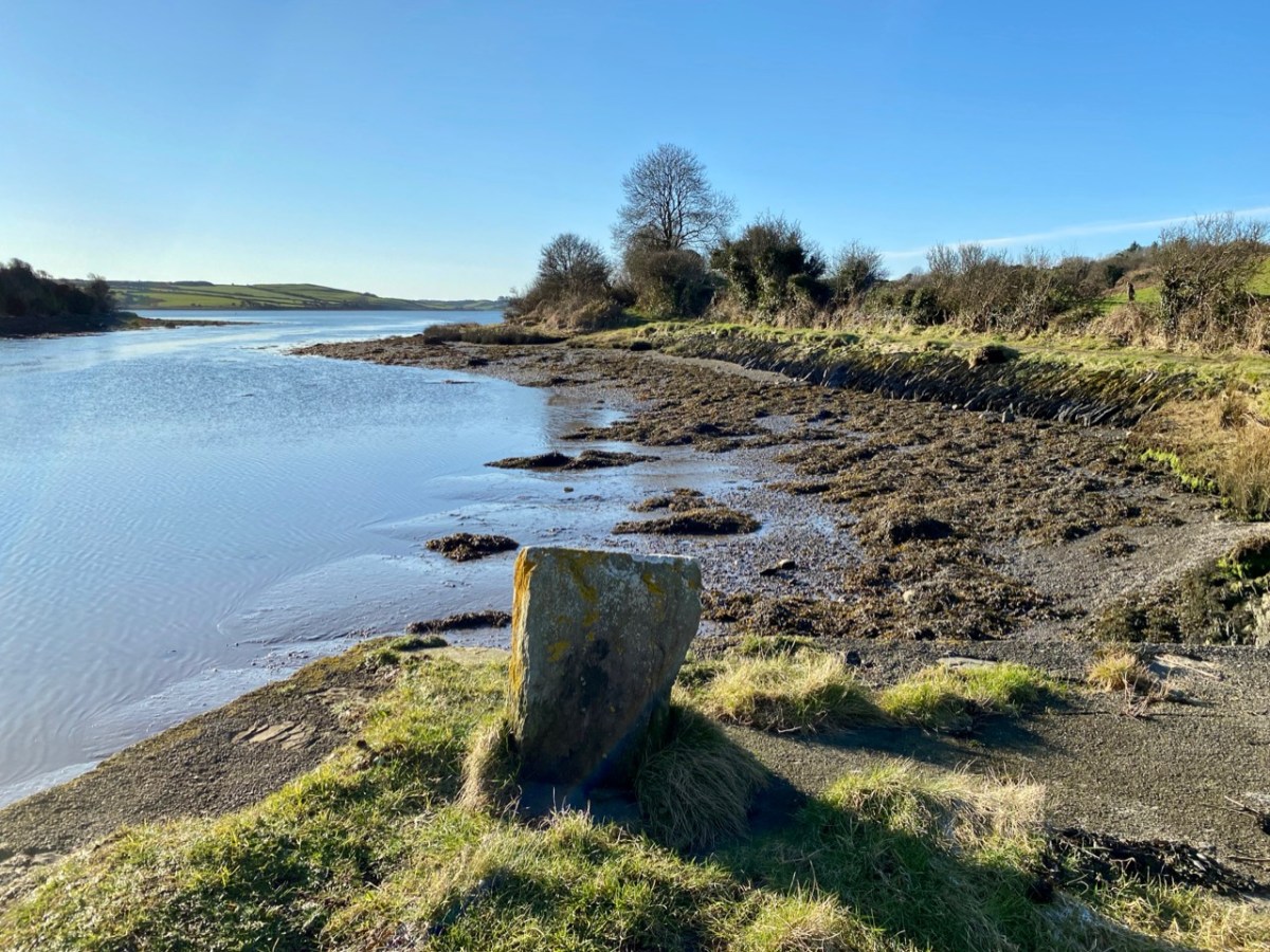
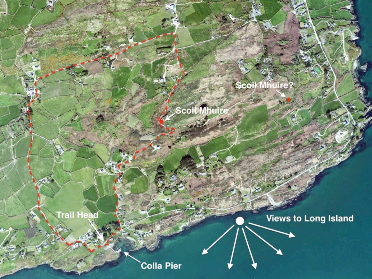
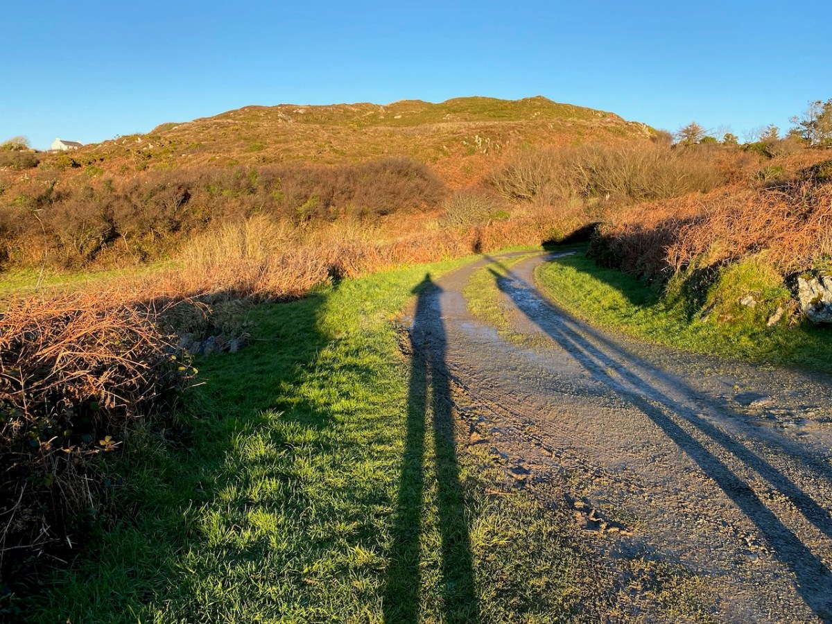
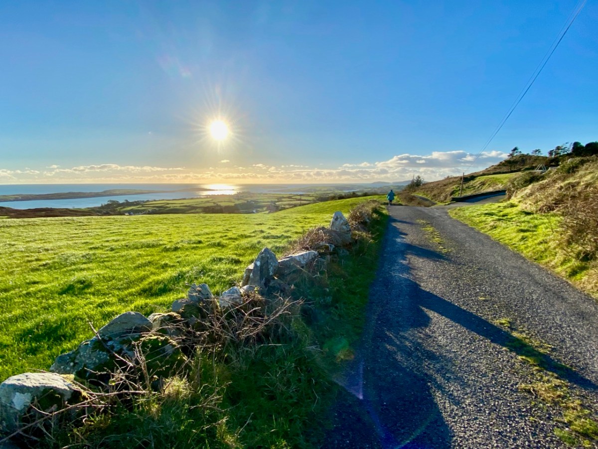
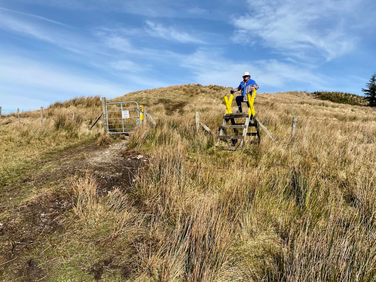
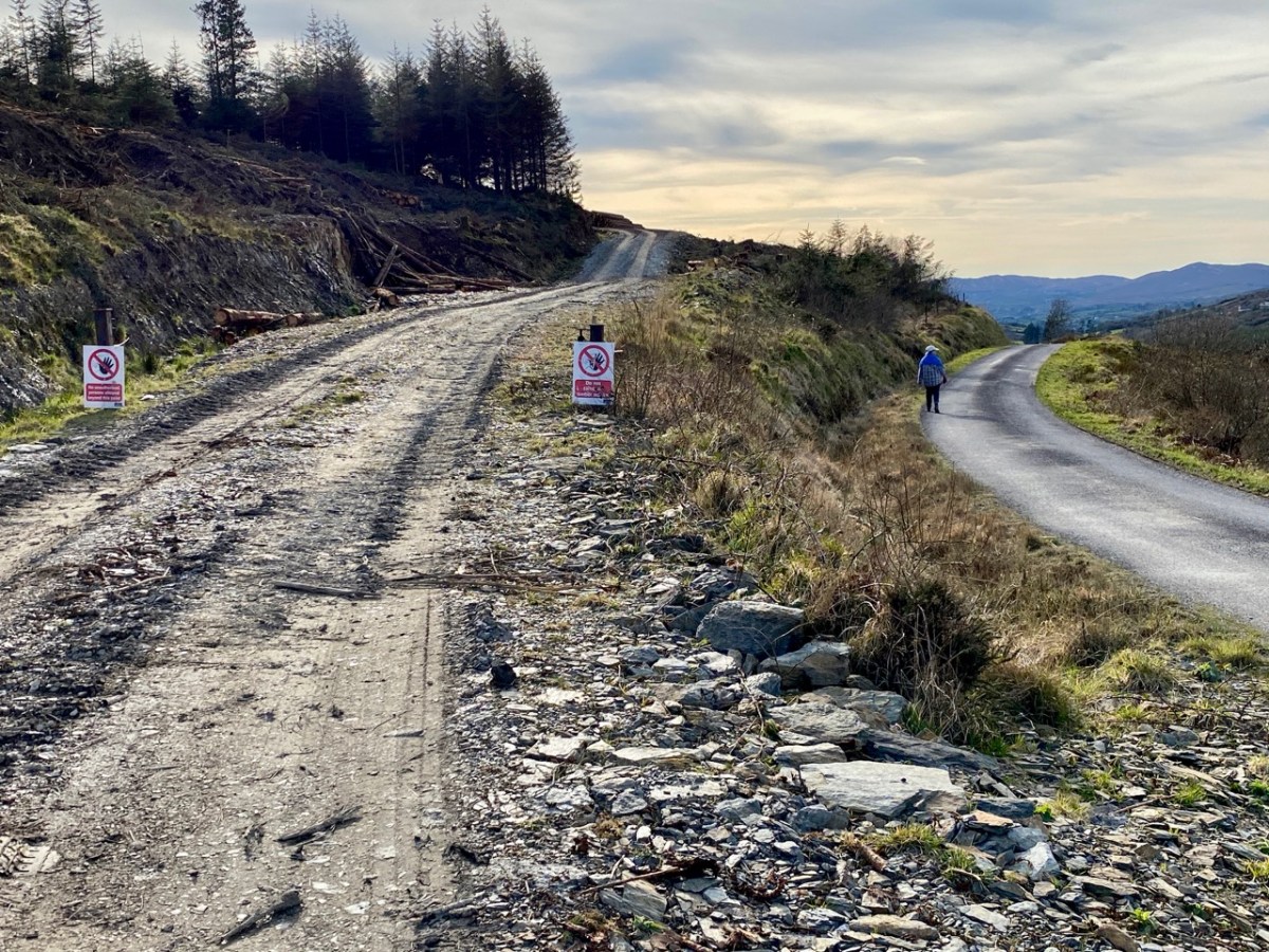
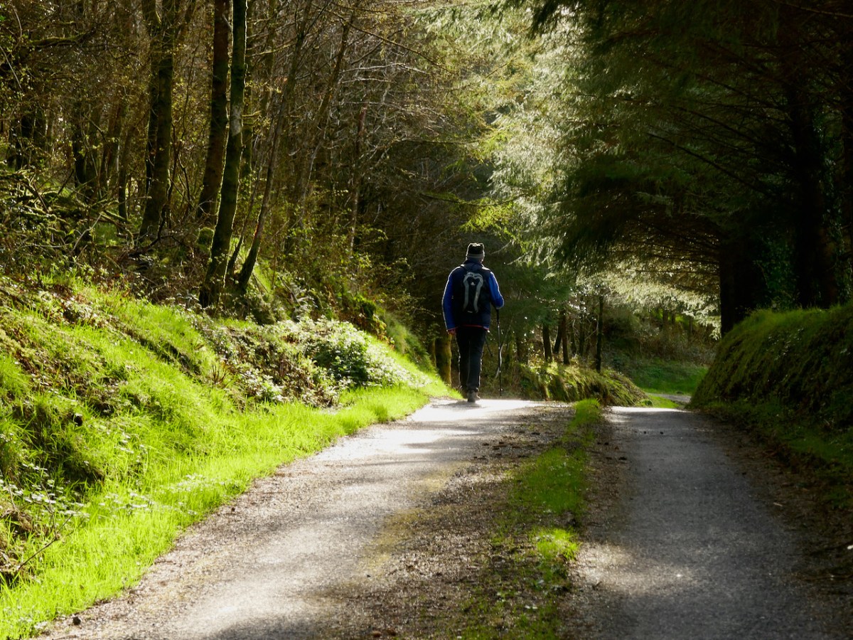
We started the walk at the western end of the loop: we accessed it from a road that runs through the forestry from Barnageehy down to Durrus. As we gained the higher ground we could see the ridge path that would lead west through to Mount Corrin – currently closed due to storm damage. We turned uphill and kept close to the townland boundary. Below – Finola is correctly negotiating the stile by going backwards down the steps!

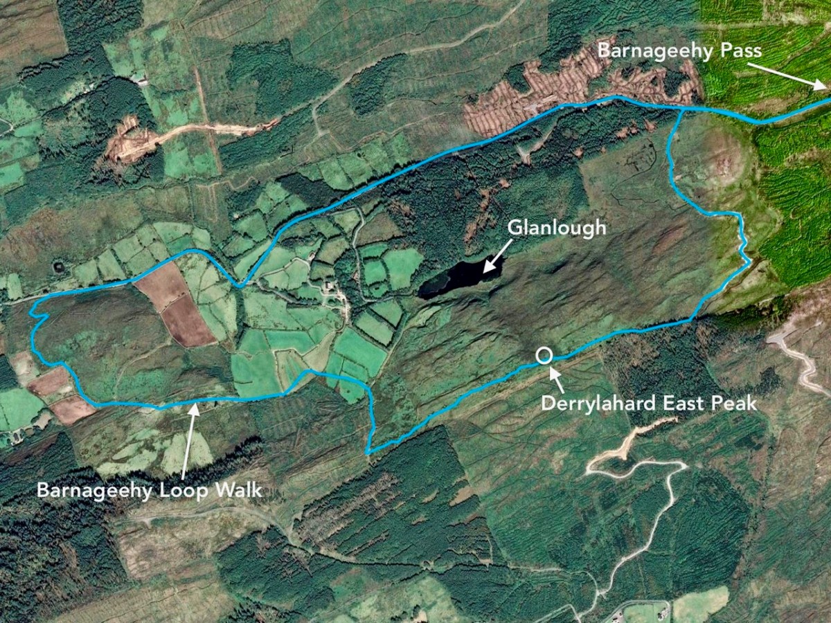
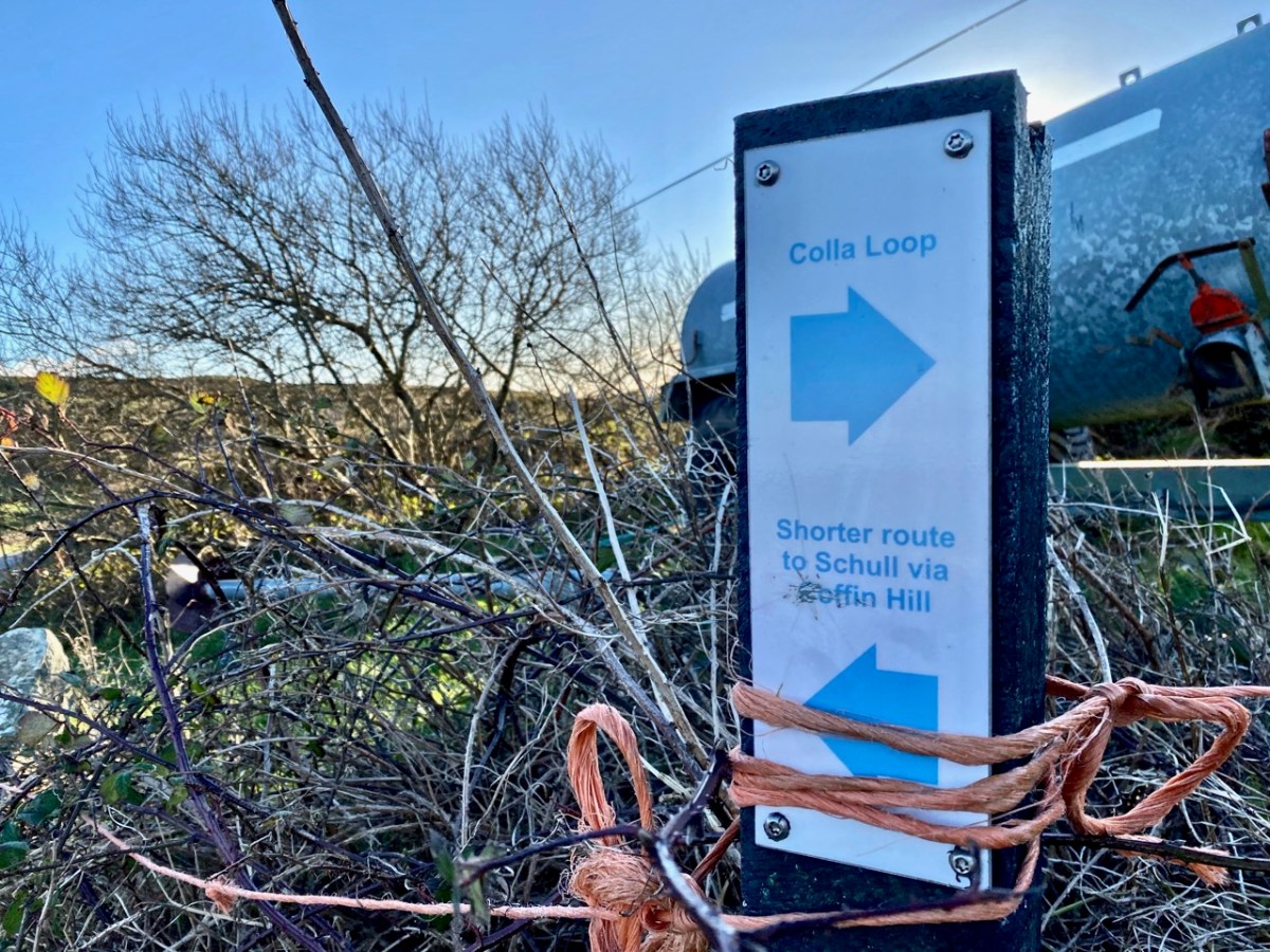
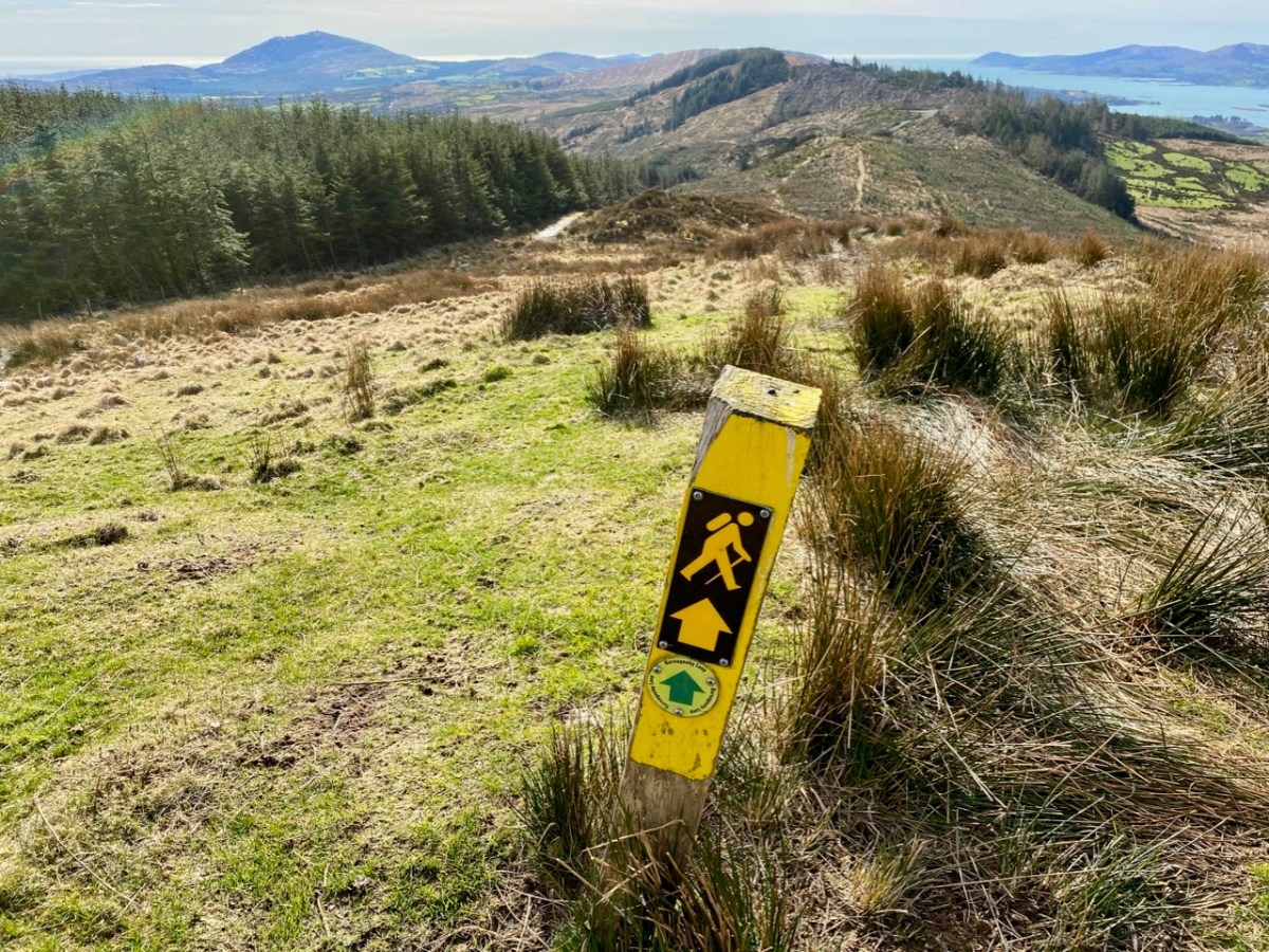
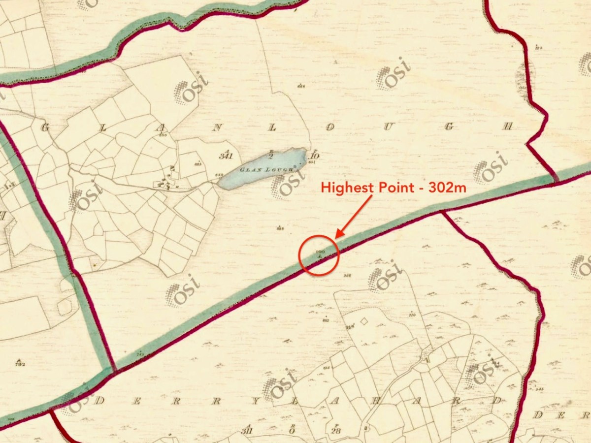
We followed the Sheep’s Head Barnageehy Loop Walk in an anti clockwise direction, circling the lake of Glanlough and looking out for the summit, which is known as Derrylahard East Peak, even though it appears to be within the townland of Glanlough. According to the 6″ OS map, which dates from the 1840s, there was once a trig point at this summit: a height of 990ft – 302 metres.

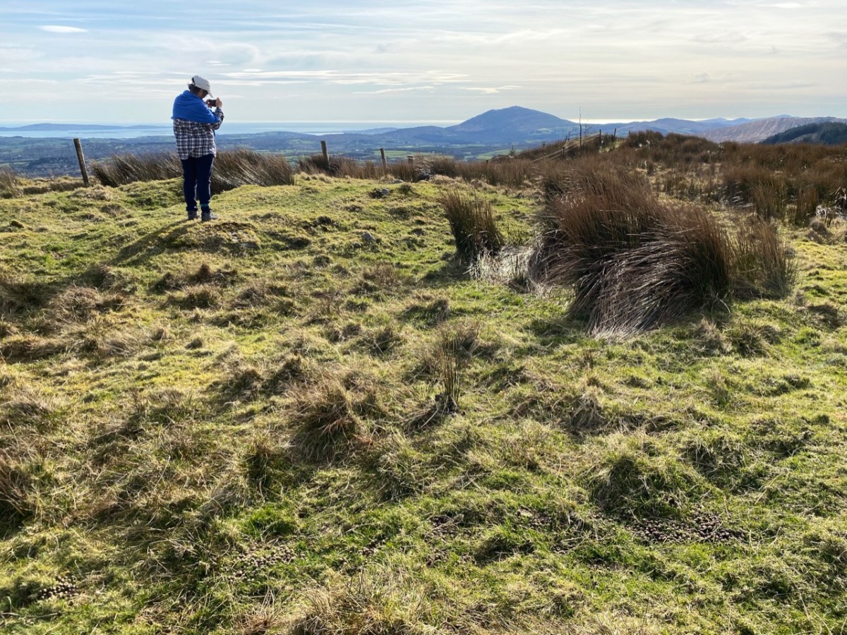
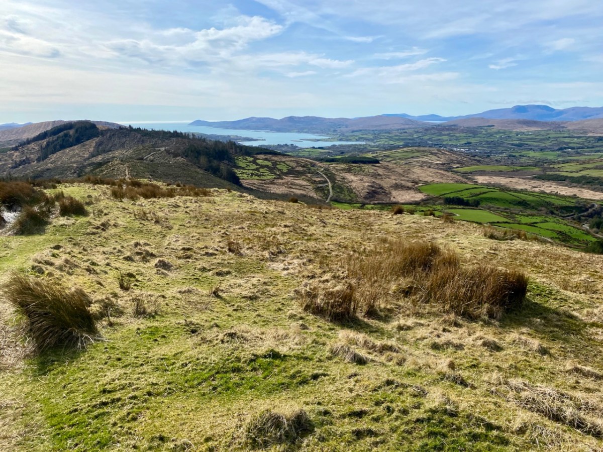
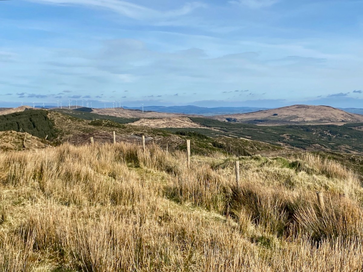
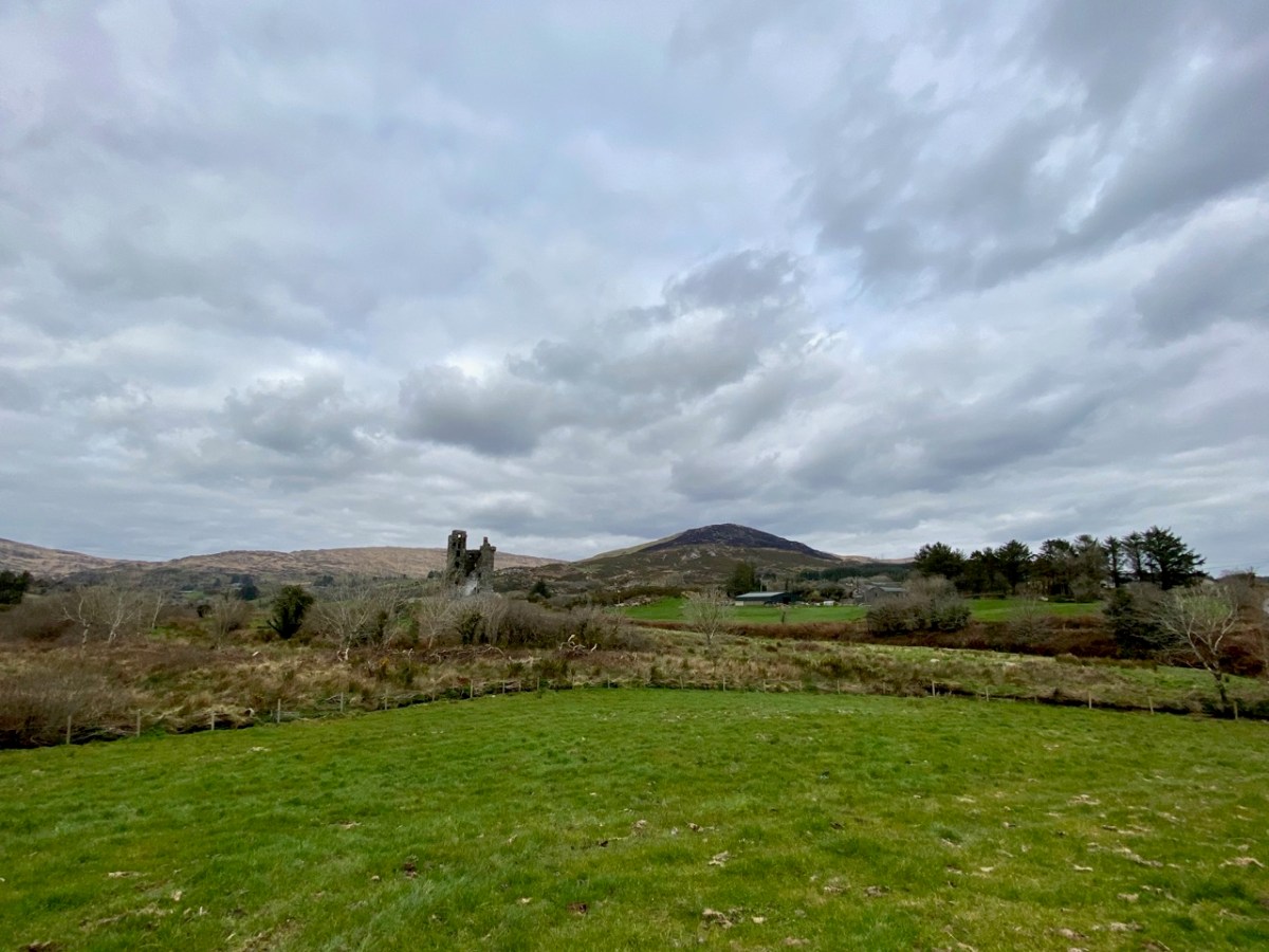
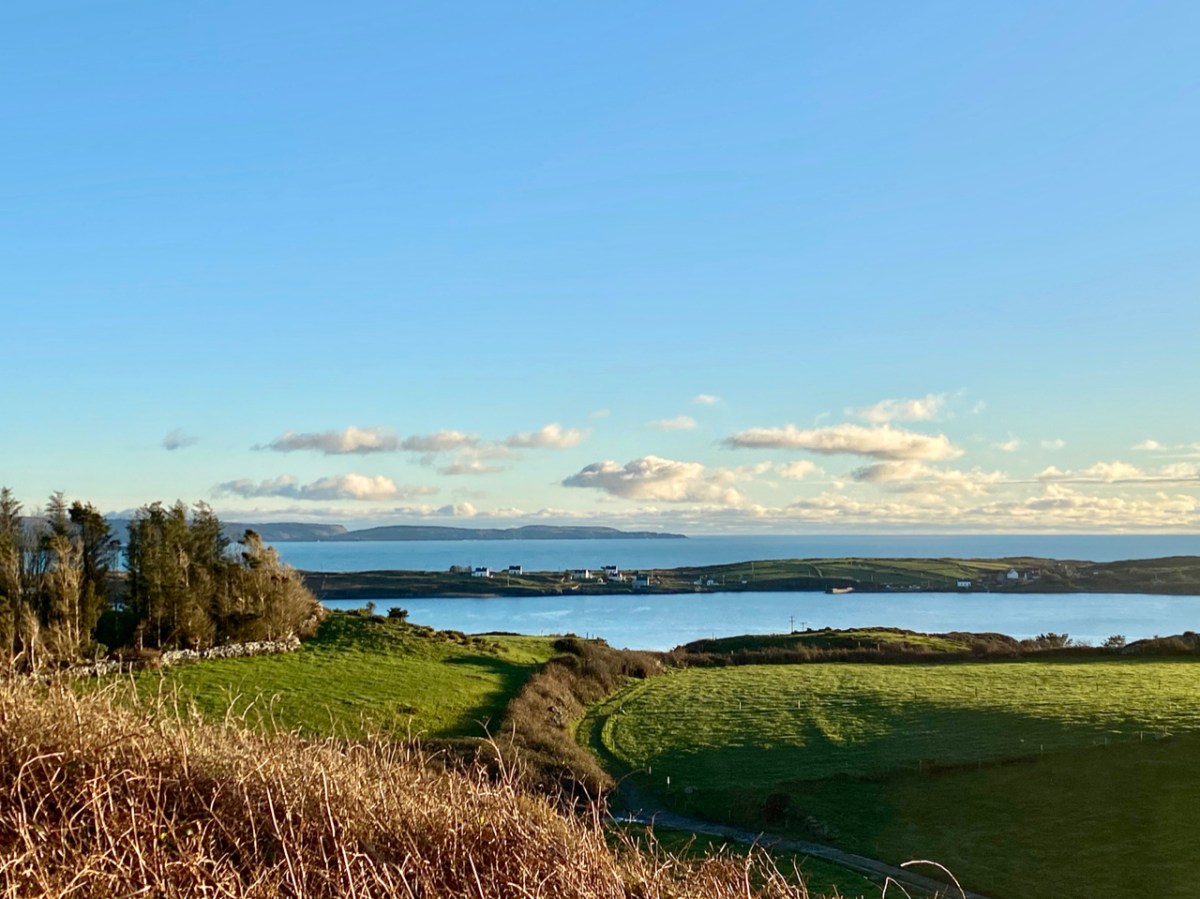
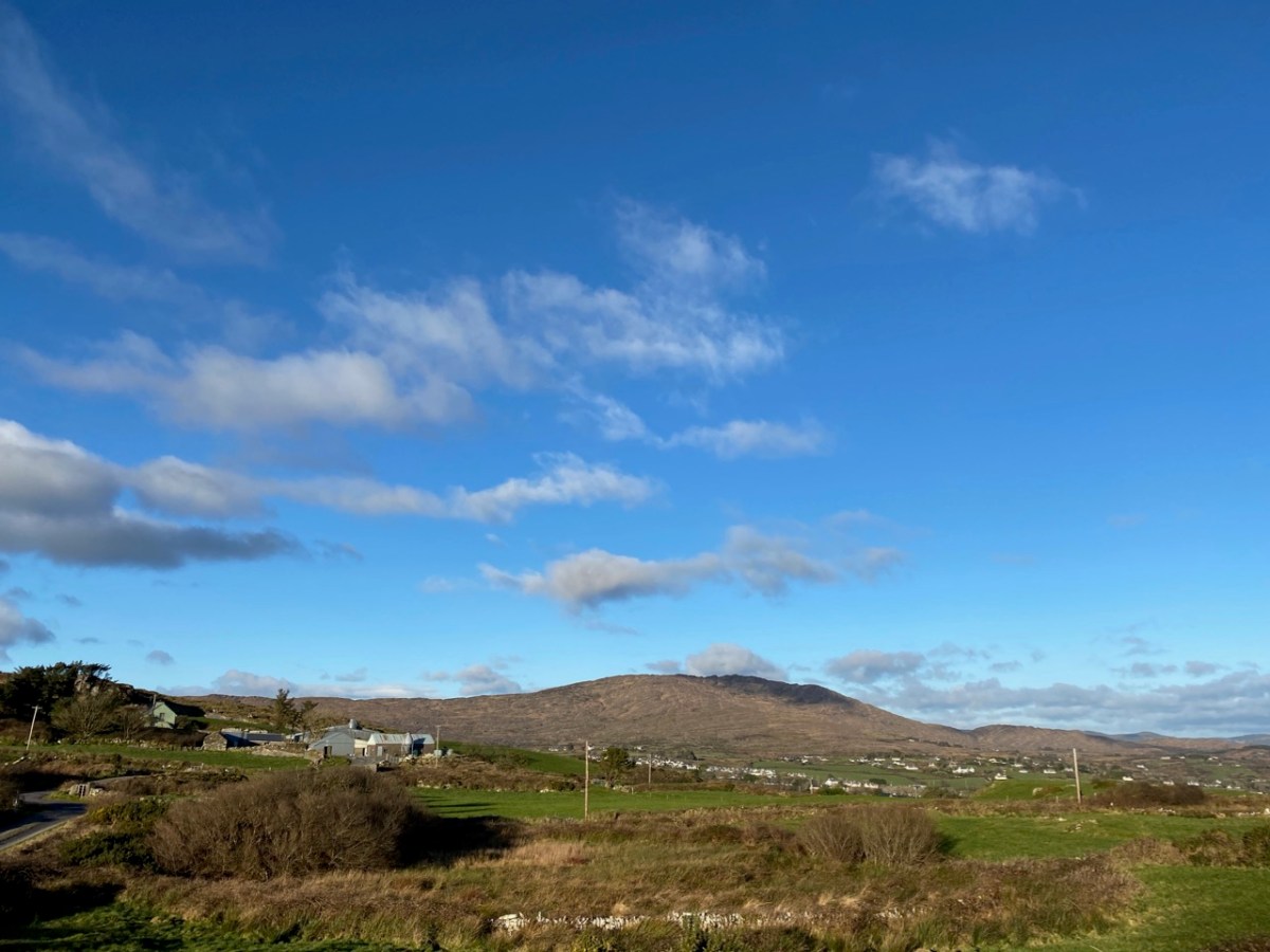
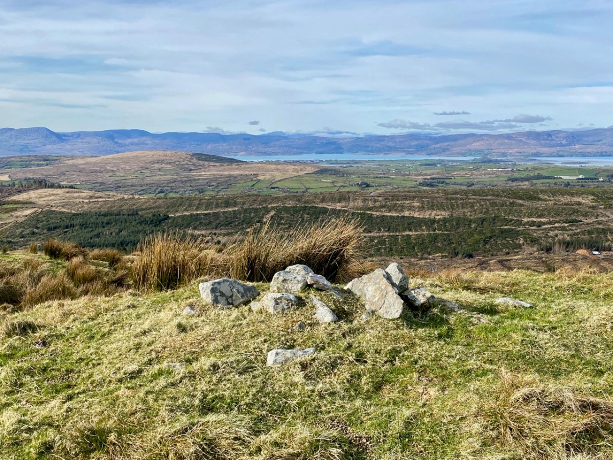
At the peak: Finola looking back towards Gabriel – always dominating the landscapes in West Cork – with the islands and ocean in the distance; Dunmanus Bay and the Sheep’s Head to the west, with the Beara Peninsula visible beyond; the view east encompassing the Ballybane West turbines and Mount Kidd.

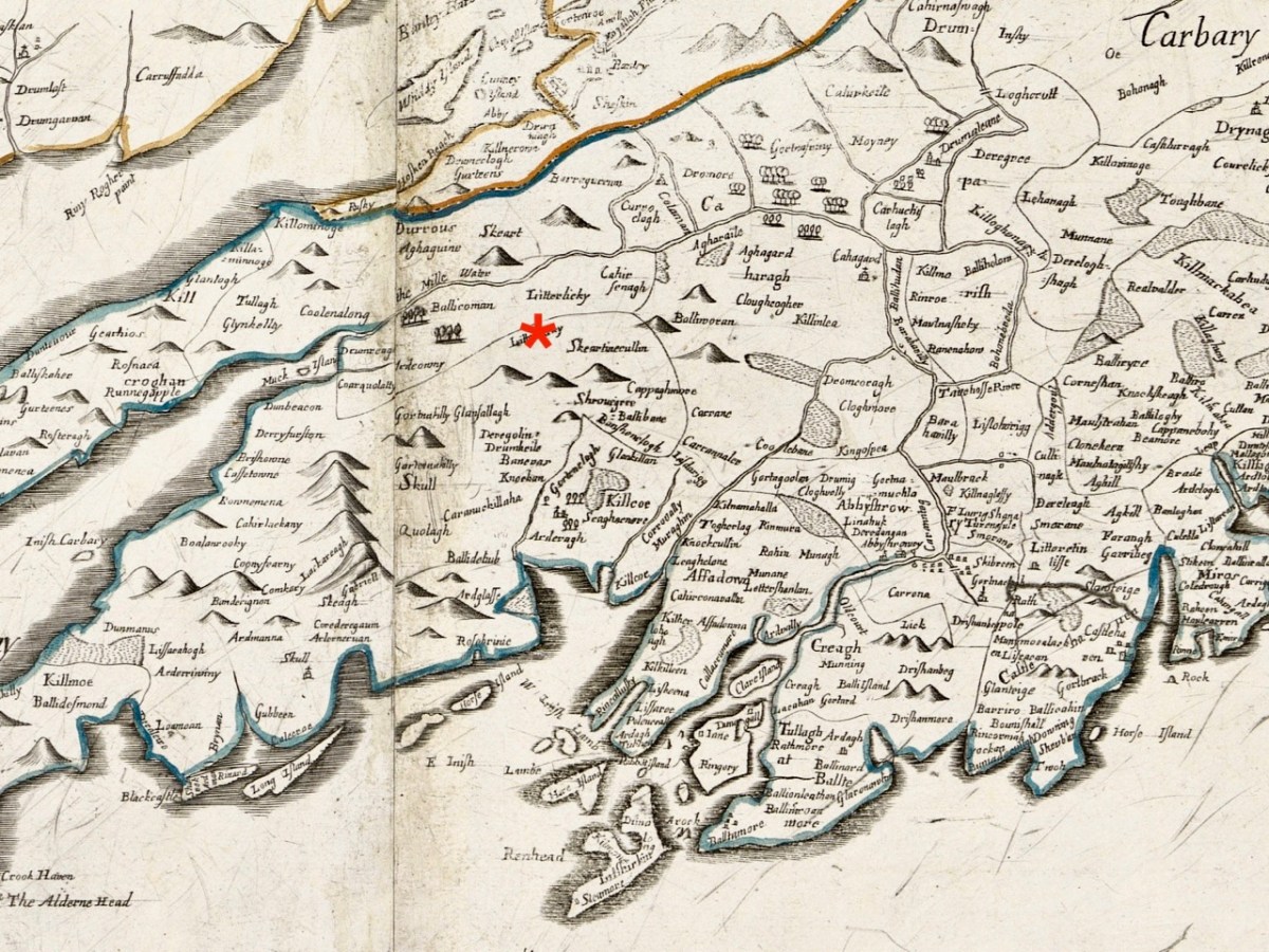
Upper map: the 1904 OS showing Glanlough lake in context with the wider topography of West Cork. Above – the Down Survey, made between 1656 and 1658: this section covers the area shown in the OS above it, and is at a comparable scale. The red asterisk shows the position of the lake at Glanlough: I had hoped there might be some notation on the Down Survey that would give some insight into the name of Glanlough, but the old map is fascinating for the fact that very few of the names are familiar to us and barely a scattering of them can be easily equated with place names today.

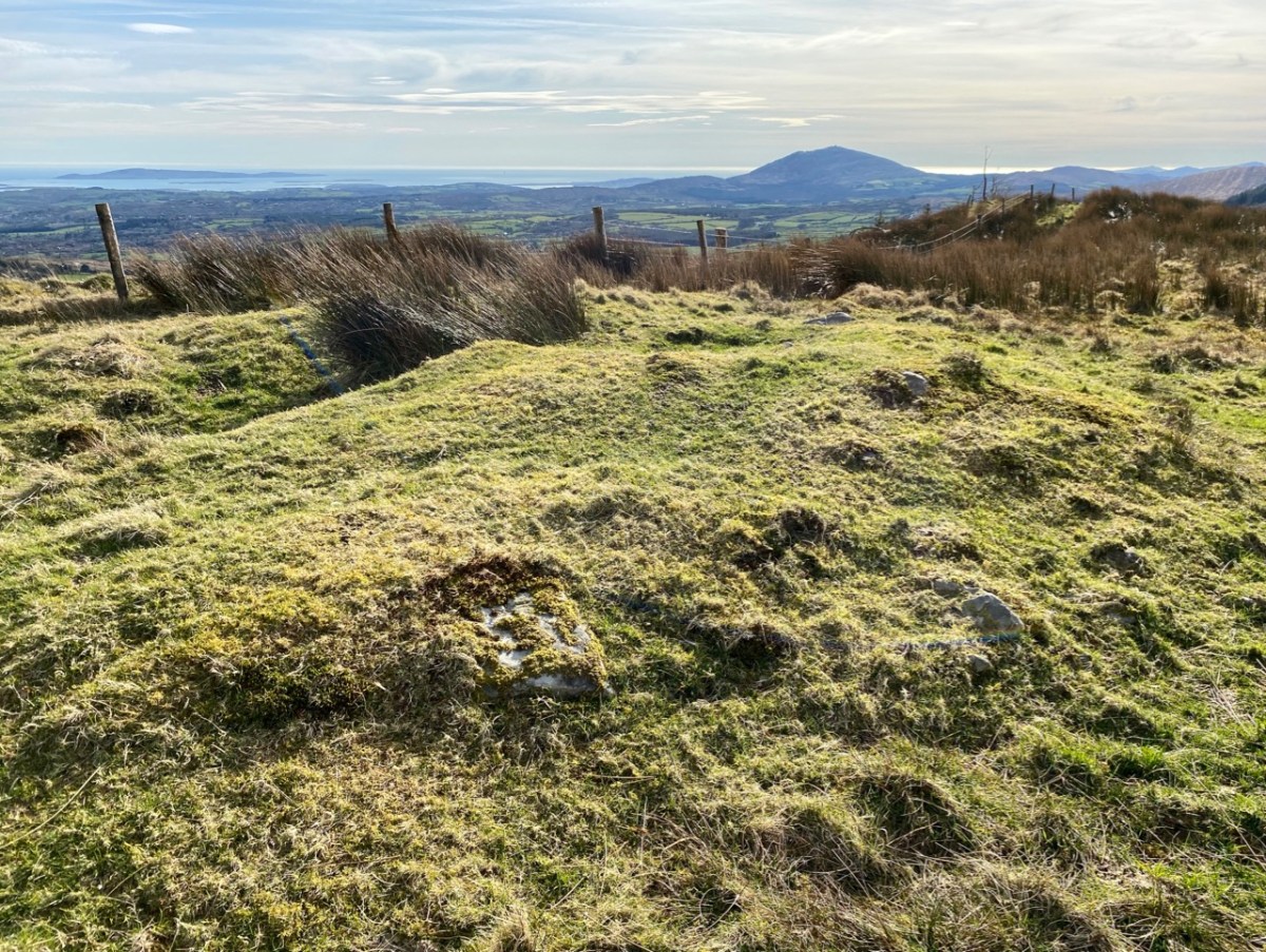
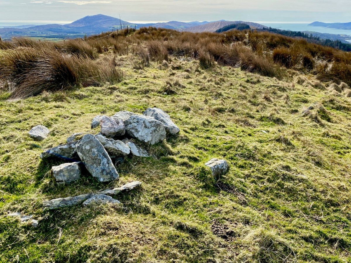
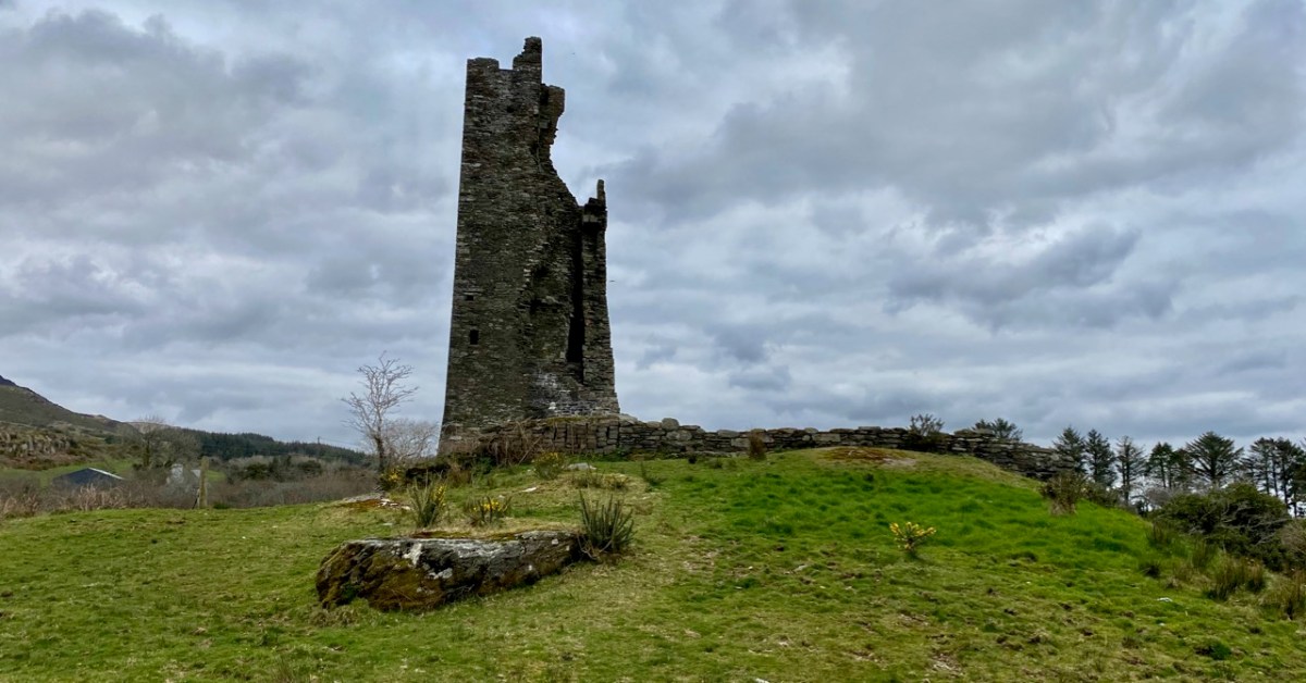
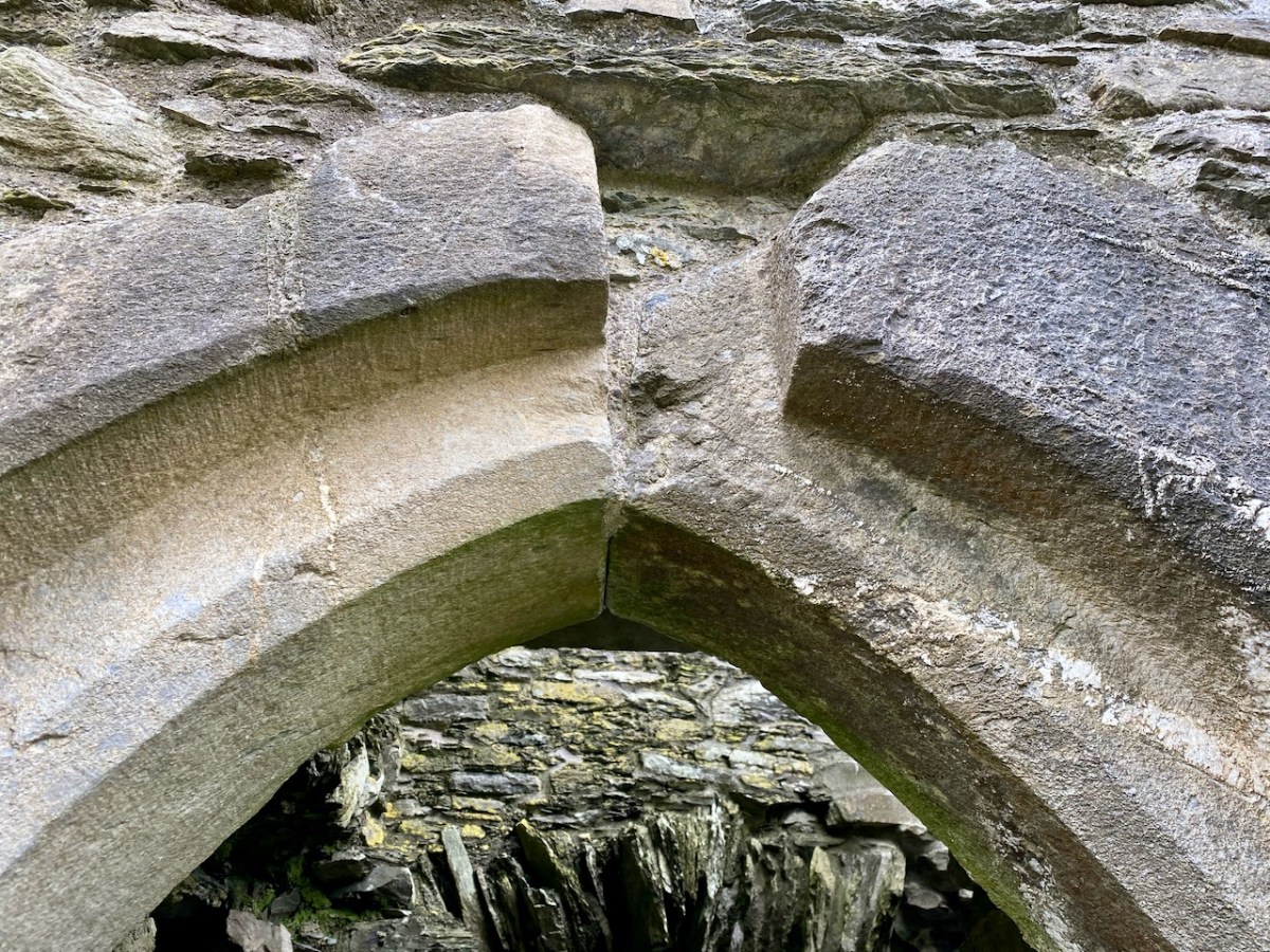
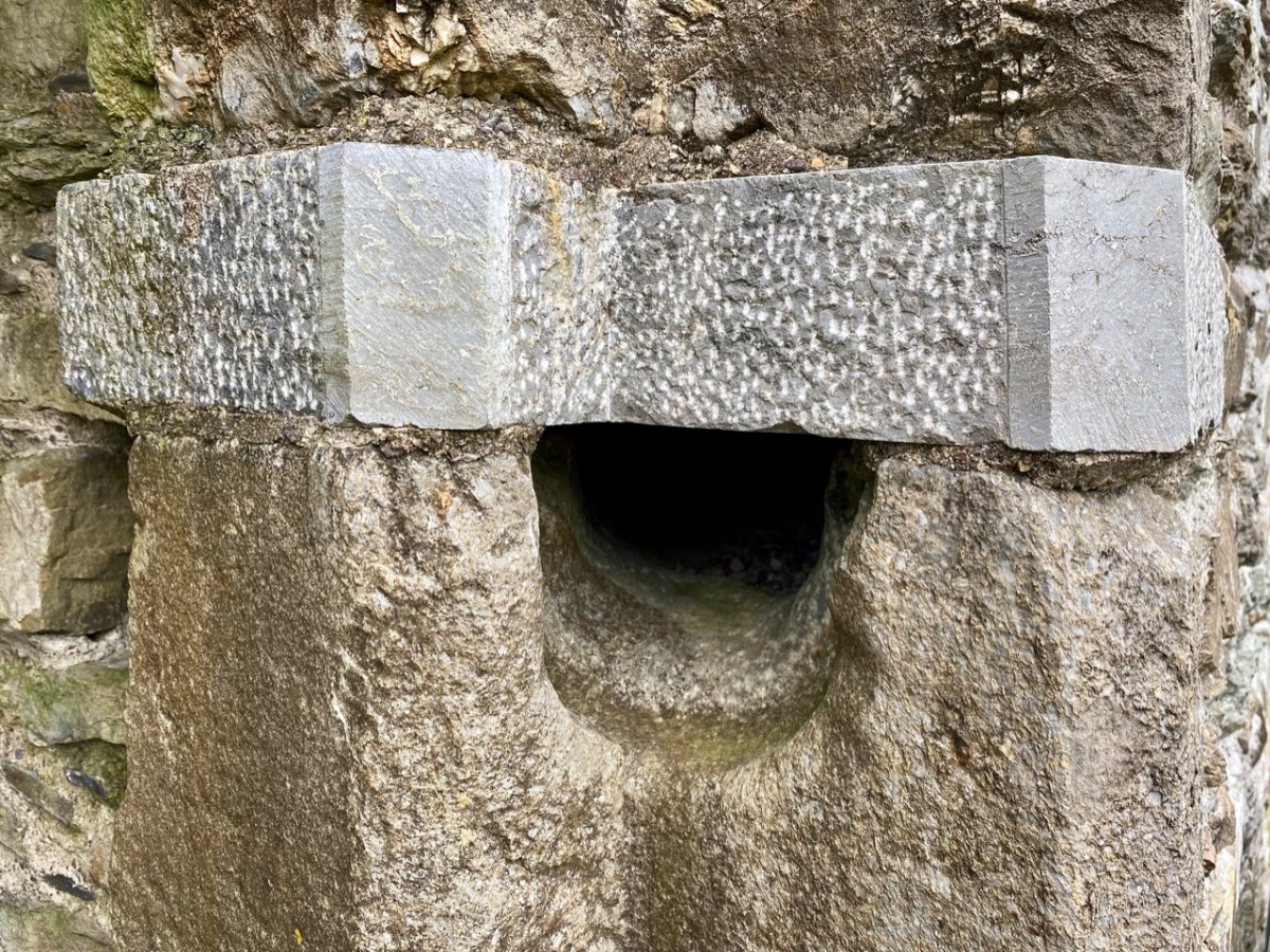
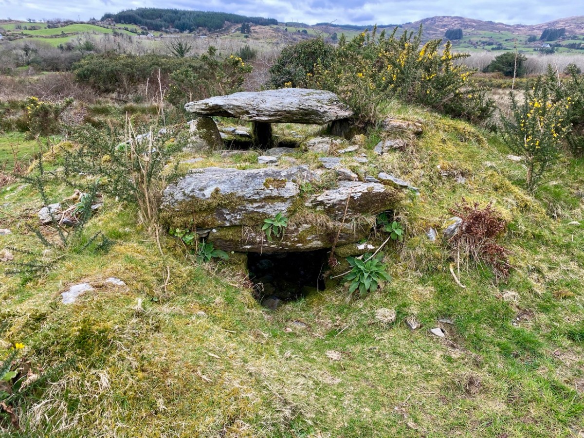
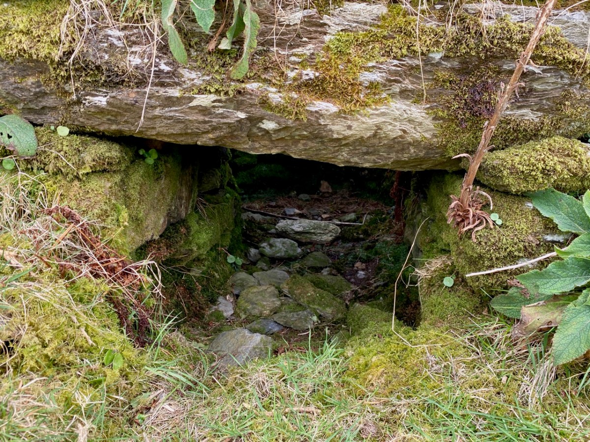
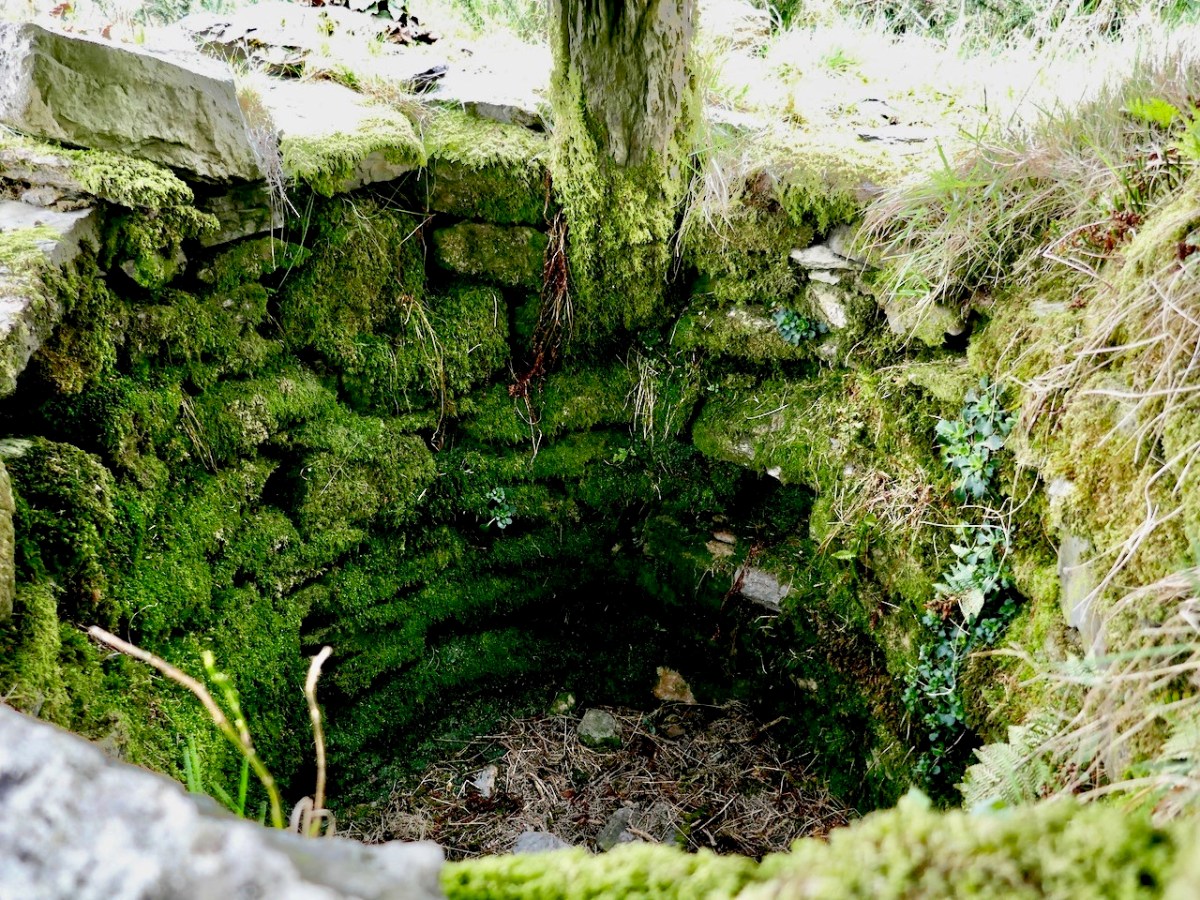
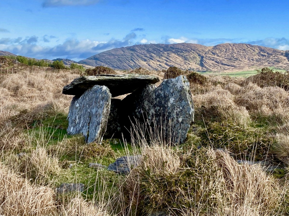
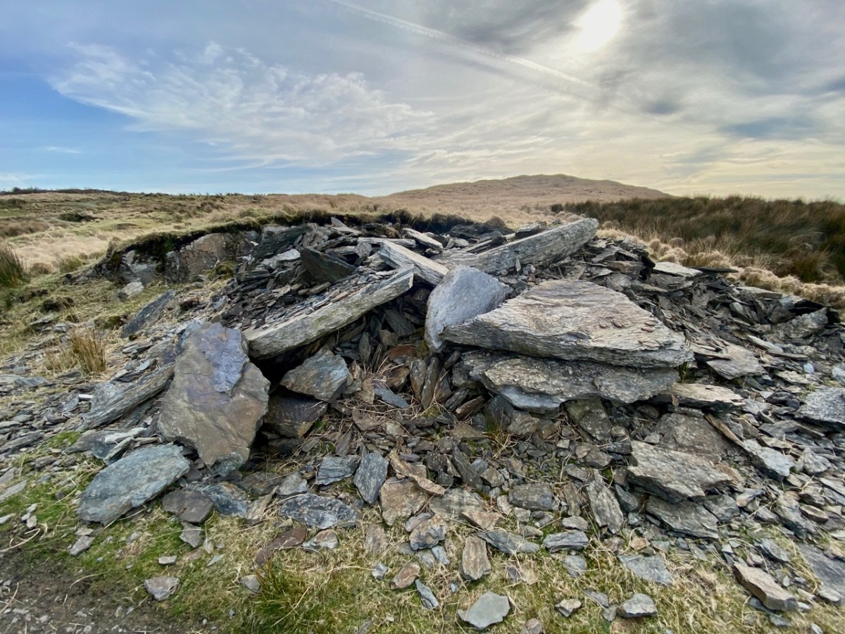
I said at the outset that the peak of Derrylahard East is perplexing. For one thing, it is clearly in the townland of Glanlough, yet bears the name of the neighbouring townland. Then there is the altitude of the summit: mountainviews.ie shows two figures for the height above sea level: 301m (which I would – almost – agree with), but also the figure of 353.9m, which must be a mistake. Unless, of course, there is something preternatural in this small patch of West Cork territory: I’m thinking of the legend of the ‘floating’ islands in the lake on Mount Gabriel. According to John Abraham Jagoe, Vicar of Cape Clear – from the Church of Ireland Magazine 1826 – they float about up and down, east and north and south; but every Lady-day they come floating to the western point, and there they lie fixed under the crag that holds the track of the Angel’s foot…’ Perhaps our peak fluctuates at will to confuse us? The shape of the summit is also intriguing: we sensed there are traces of a circular platform and a number of loosely scattered stones – could there have been a megalithic structure here?

The views from this peak would justify it being marked out as a special site, and we could expect to find some stories recorded in the folklore archives, but no: the Duchas Schools Collections reveals nothing of the peak, the lake, nor the townland.

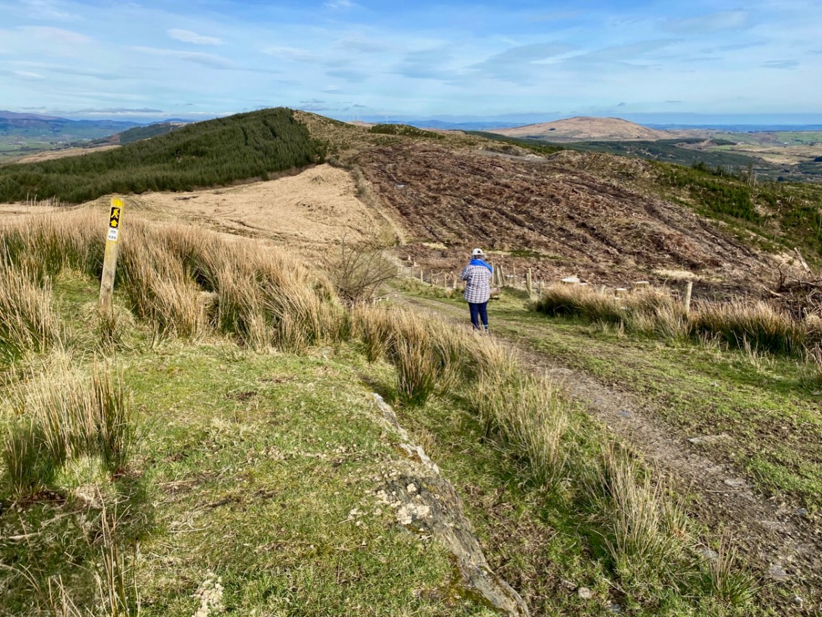
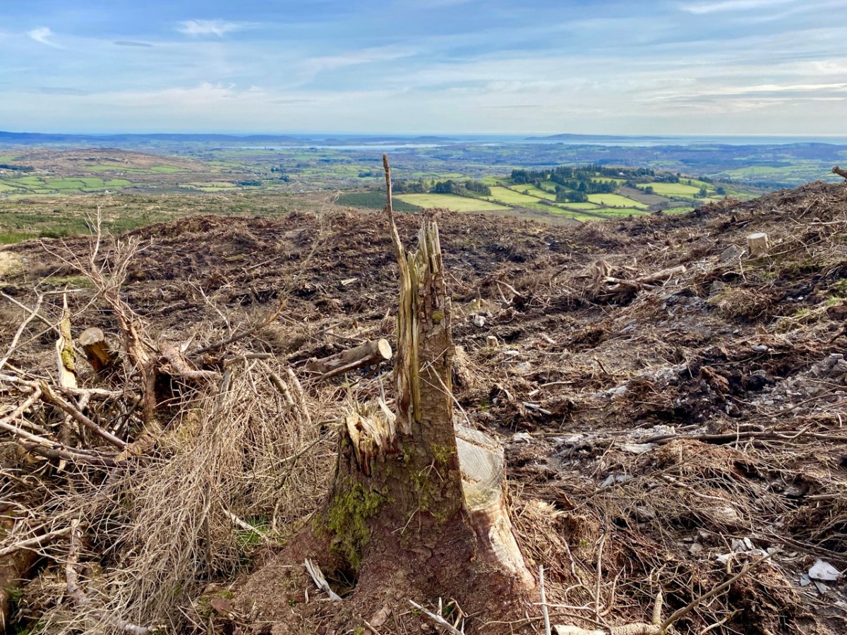
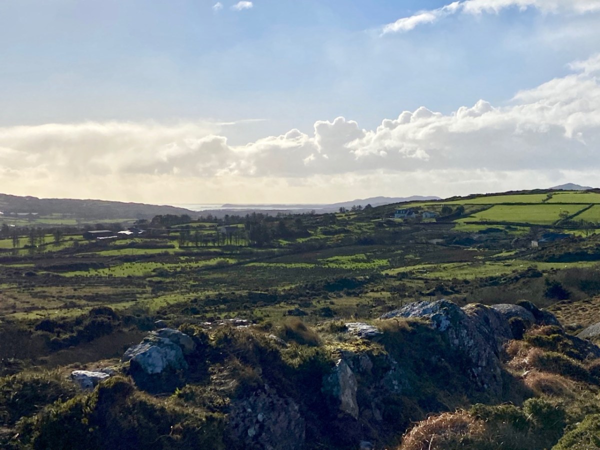
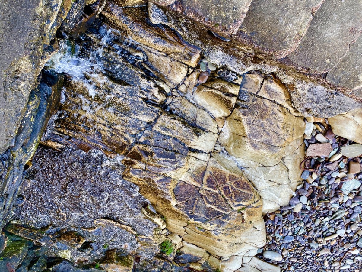
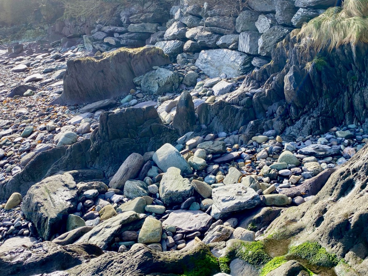
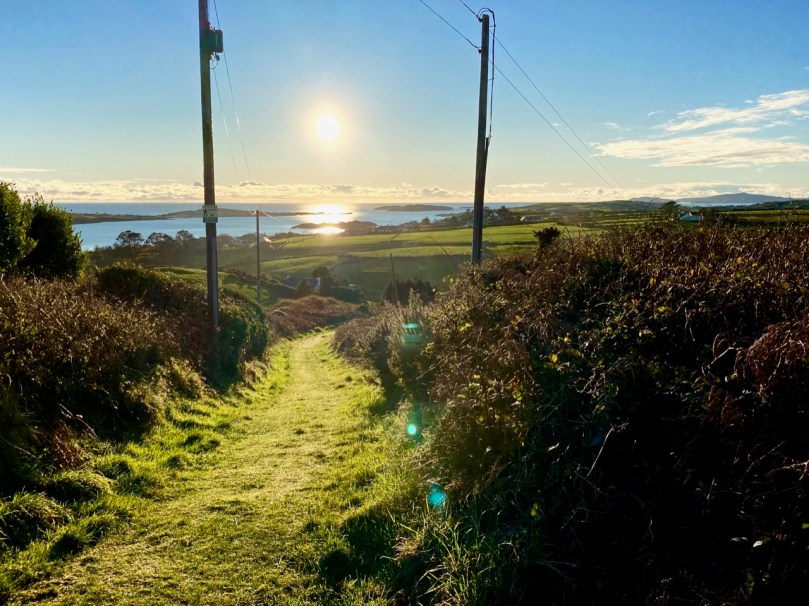
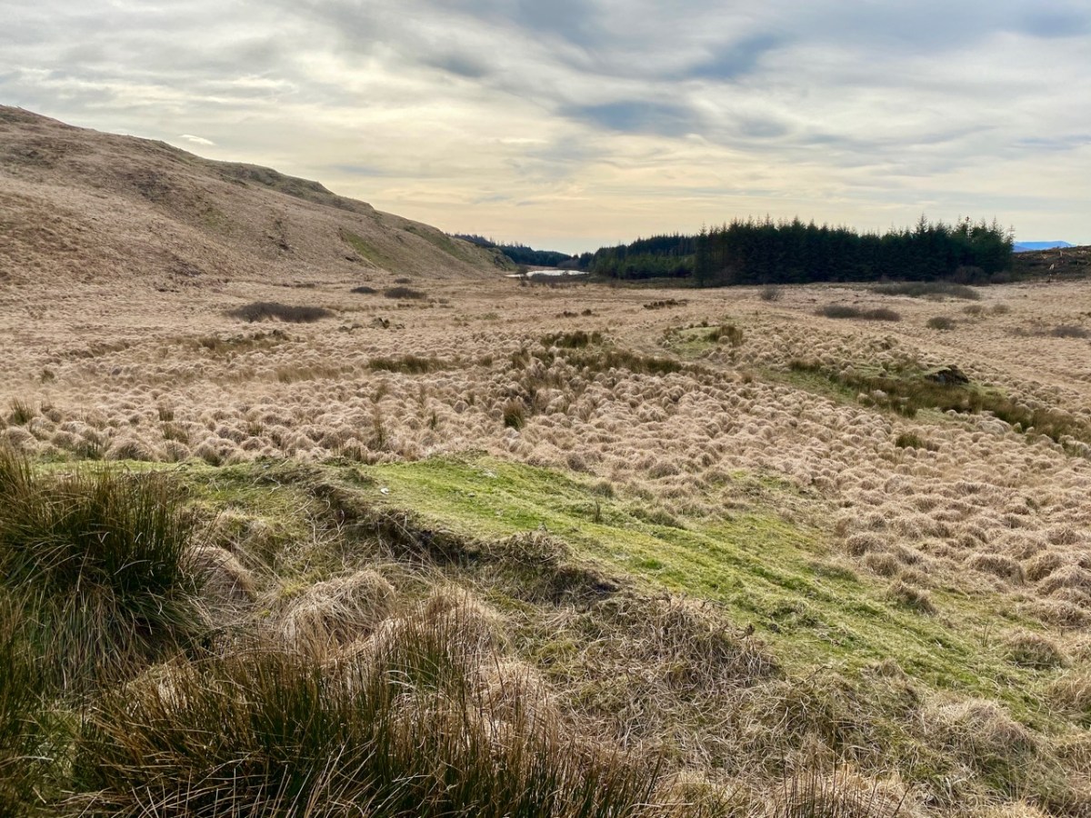
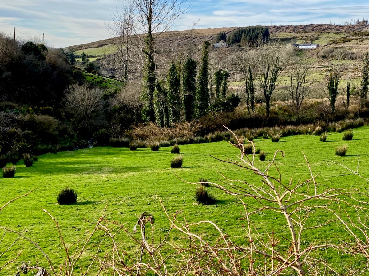
As we descended the track we were grateful that the recent forestry removal has opened up the extensive views to the south, over Roaringwater Bay, but we are also reminded of the devastation that this type of monoculture creates. The scarring of the landscape will last for years, until eventually covered by further spruce planting: then the views will vanish again.

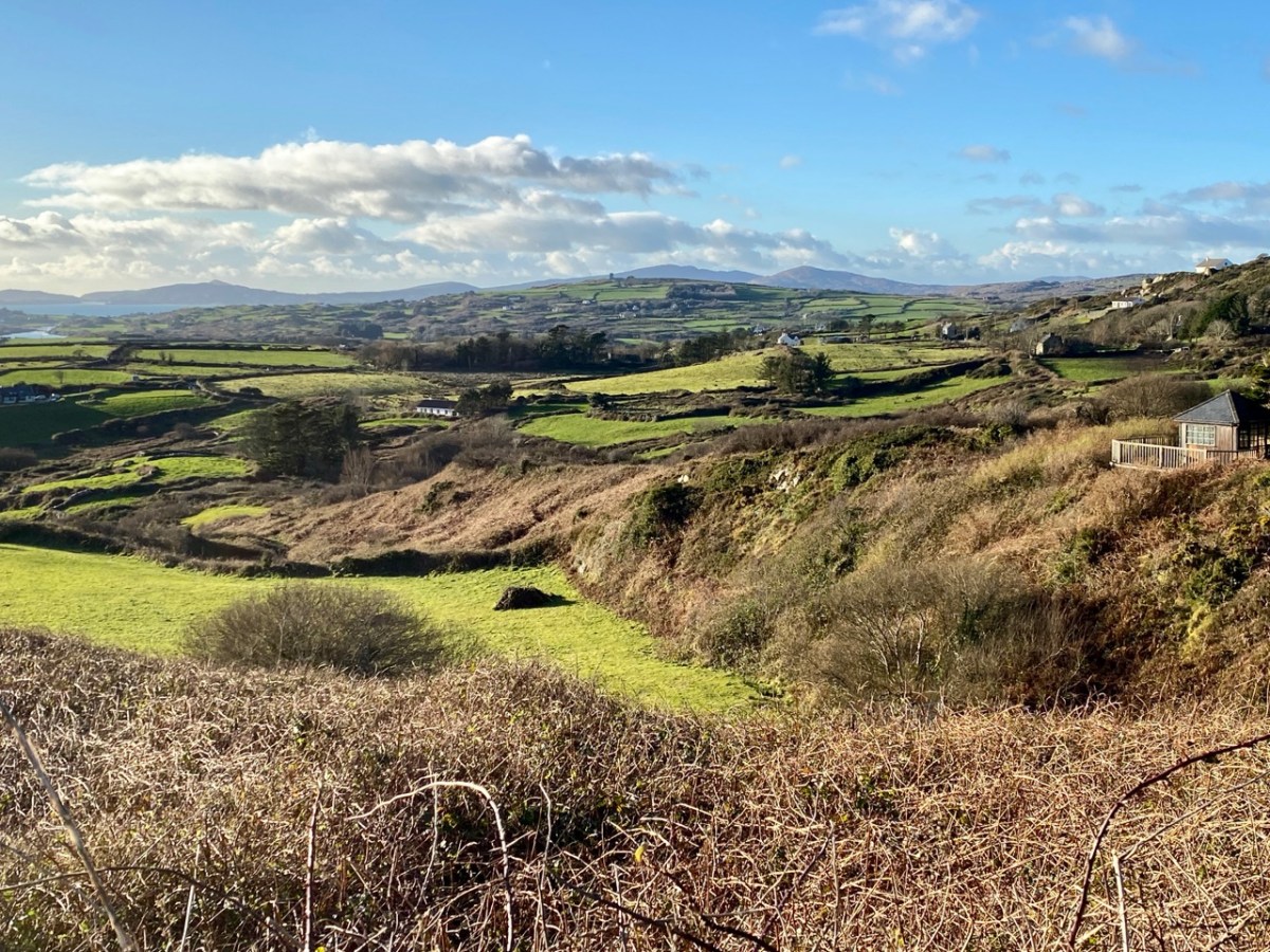
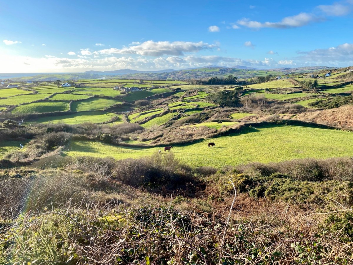
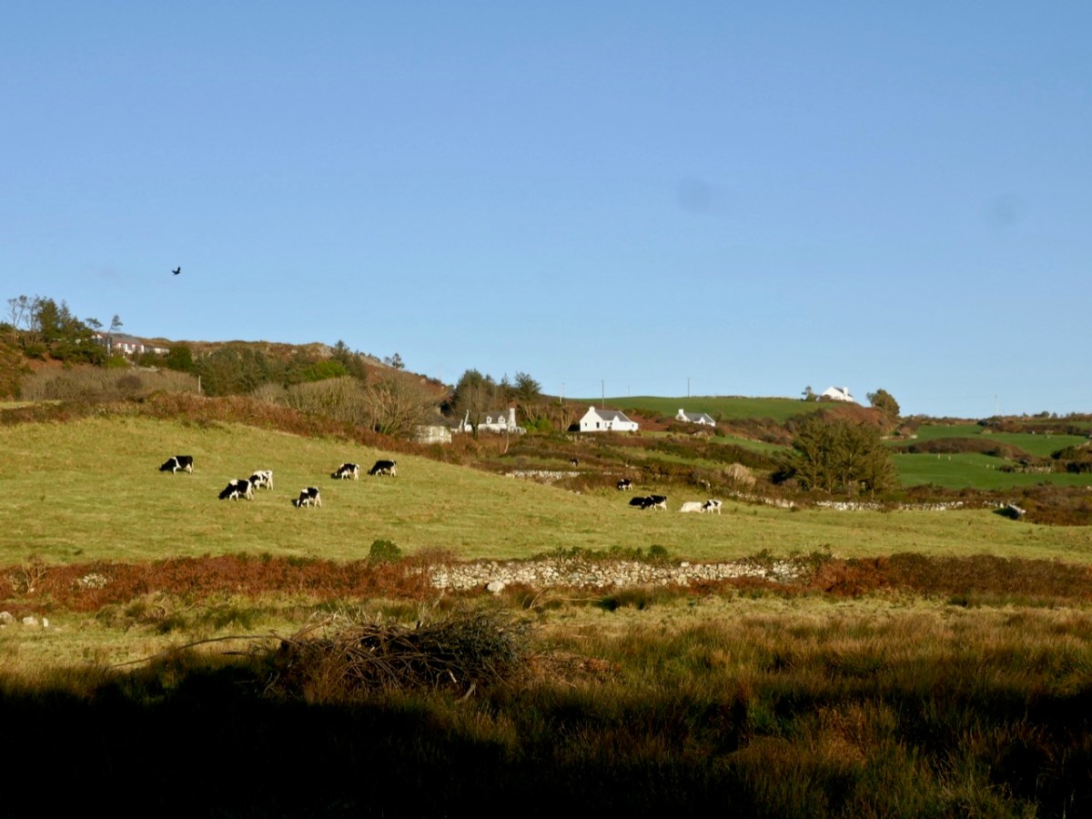
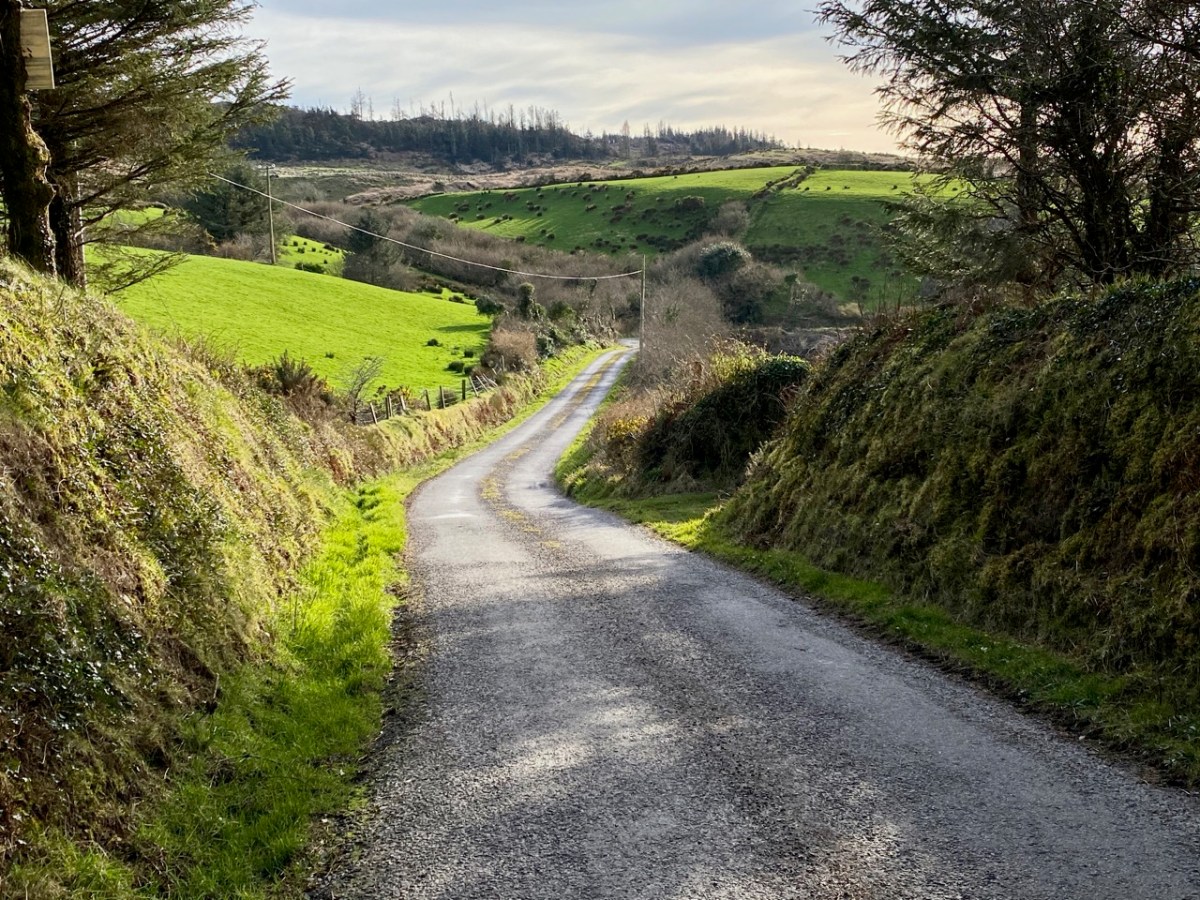
As we left behind the havoc of the ravaged hillsides it was good to find some pastoral prospects, reminding us that West Cork always has unfolding delights and juxtapositions, wherever we wander.

Previous posts in this series:

Knockaphuca, Corrin, Letterlicky Cairn, Lisheennacreagh, Knockatassonig

O’Donovan Country (Sweet Ilen – Part 6)

Here’s a forerunner to Roaringwater Journal (above)! Philip Dixon Hardy lived from 1794 to 1875 and described himself as a poet, bookseller, printer, and publisher. He was the first to use a steam-powered printing press in Ireland and was the editor of The Dublin Penny Journal which was published every Saturday between 1832 and 1836. If you scroll through the contents you will see articles on all aspects of Irish life and accounts of many of his travels through the Irish countryside, including a series of ‘Rides through County Cork’. He was undoubtedly a man after our own hearts!

Continuing our own series of travels, exploring the Ilen River, we can’t help comparing our impressions of Castle Donovan (above) – which overlooks the Ilen after it has cascaded down from the summit of Mullaghmesha and broadened out to cross the plains of Cork County – with those that are recorded by Philip Dixon Hardy as he journeyed over the same terrain in 1828, almost two centuries ago.

The upper picture is taken from the Ilen plain looking north, with the castle tower set against the high mountains beyond. Above is our earliest known photograph of the castle: it comes from the Lawrence Collection, National Library of Ireland, and could date from the 1880s. Juxtapose this with the Dublin Penny Journal view, 50 years before that, shown under our header at the top of the page. Bear in mind that Hardy carried out most of his travels on foot:

. . . We will now suppose the the tourist who rejoiceth in the splendour of a wheel carriage has proceeded without any interruption to Bantry. We will act in the charitable capacity of guides to the humbler pedestrian. Him we would advise to select the old, or northern road, leaving Dunmanway to the west. Thence it proceeds to the lofty hill of Mielane, and surmounting a rising ground beyond this eminence, the vale of Castle Donovan (which forms the subject of our sketch) opens on the sight. It is hard to conceive of any thing more wild, more desolate, more lonely, than this savage vale. … I reached the eminence which commands it from the east, about two in the afternoon of a warm sunny day. Trees there are none in this district, and the heathy covering of the hills was incapable of showing any marks of the advancing season. In the centre of the vale beneath me, was the tall, castellated tower; an extensive marshy meadow lay beyond it, bounded by the steep rocky hills of Mullaugh-Nesha, and its peaked brethren. . .

Philip Dixon Hardy, 1828, from The Dublin Penny Journal

The Castle itself has a fairly well recorded history, although its origins are unclear. James N Healy – The Castles of County Cork, The Mercier Press 1988 – suggests that the first fortification on this site dates from the early 13th century, but the present building is more likely to be 16th century. There is a carved stone in a window embrasure on an upper floor which bears the date 1626, but Healy suggests that this marks a later restoration of the castle, and gives a probable date of construction between 1560 and 1584.

The castle was traditionally the seat of the Clann Cathail sept of the O’Donovans, and was first named ‘Sowagh’. I can’t find any origin for this name. Healy gives an intriguing story:

. . . A local story is told of how O’Donovan and his ally MacCarthy Duna hanged a protestant woman at the castle in 1641, as a result of which the curse of a corroding drip from the main arch was placed on the building. This would not cease until the demise of the last of the family: the castle does not appear to have been lived in again.

James N Healey – 1988 The Castles of County Cork

It is recorded that Cromwell’s officers attacked the castle and it was left in ruins. Returning to The Dublin Penny Journal, Philip Dixon Hardy describes his exploration of the remains:

. . . I diverged from the road to examine the old castle; it is founded on a rough rock whose surface, forming the floor of the vaulted hall of the castle, retains all its original inequalities. Strange notions of comfort must our ancestors have had! Here were men, possessed of a large tract of country, sufficiently wealthy to build several castles; and in this one, the constant residence for many years of a principal branch of the family, the floor of the hall is bare rock, which never has been levelled, and which is intersected with two or three ridgy indentations, nearly two feet in depth, and extending almost the whole length of the apartment!

PHILIP DIXON HARDY, 1828, FROM THE DUBLIN PENNY JOURNAL

This is what Hardy is referring to – in fact it’s not ‘the vaulted hall of the castle’! It’s the lowest floor – at ground level – and was in all likelihood a store or cattle shed. It might even have been a dungeon. The main ‘hall’ of the castle is on an upper level.

The castle structure was stabilised by the OPW and public access to the grounds was granted in 2013. Restoration works included the replacement of key elements of the masonry to prevent further decay. The ‘peep-hole’ above allows a view by a sentry located just inside the entry door of who might be standing outside: perhaps an undesirable character (below). Actually, rather than a peep-hole, this little tunnel through the wall was for a chain that secured an outer iron gate called a yett.

When you visit Castle Donovan, look over the low wall to the west of the tower itself. You will see an archaeological feature which is quite rare today, but was once common all over Ireland from early times: a cereal-drying kiln (also called a corn-drying or grain drying kiln).

What is a cereal-drying kiln? Here is a good summary, from Irish Archaeology. It looks almost megalithic – and the earliest one dated so far goes back to the Bronze Age, but there are many that are medieval, and this one at Castle Donovan is likely to be contemporary with the castle itself. The structure has a fire-pit (below) and trays of cereal were placed above the fire, and in this case under a capstone, presumably protecting the corn from wind and rain.

This extract from the 25″ Ordnance Survey map (late 19th century) shows the castle overlooking the Ilen River and, to the south, the bridge and the old school. To finish off this episode in the Ilen series, we will pause at this bridge. There’s plenty to see – good views back to the castle from the arches of the stone bridge; the site of the old National School. There is no sign of the building today, but there is a memorial stone:

This is from the Duchas Schools Folklore Collection, dating from 1937:

. . . Walkers: it was no uncommon thing for people to walk to and from Cork in olden times – often carrying baskets. Tradition has it that a woman Magg Hourihan of Deelis did the double journey on foot in one day (approximately 90 miles). Biddy Regan of Castledonovan is credited with the same feat – The occasion in both cases being the payment of Rent (which at that time was often paid through Cork butter factors). Herewith is a direction given to people who were unacquainted with the road – Bí ag dul soir, soir, soir – go bfeidir séipéal ar thaobh do láimhe deise ni fada uait Corcaig annsan.


Seán Ó Súilleabháin, múinteoir Deelish Co Cork

Previous episodes in this series: Sweet Ilen : Sweet Ilen – Part 2 : Sweet Ilen – Part 3 : Sweet Ilen – Part 4 : Sweet Ilen – Part 5

West Cork Rocks

It certainly does! But this post is – literally – about rock: the hard, knobbly kind that is underneath us, surrounds us, and which has historically built our environment. In the picture above, taken on a clear February day during the most severe Covid lockdown, Finola is walking through beautiful West Cork. Beyond her is the great, gaunt outcrop of Mount Gabriel. Beside her is a traditional stone wall: its design unchanged over centuries. In the landscape all around her are rocks – large and small – scattered in the rough pasture.

In the distance, of course, is the coast: there are very few places in West Cork where you cannot, at least, catch a glimpse of the sea – and so many where you can immerse yourself in it, or stand on its shore and admire the infinite textures which those same rocks display. It’s mostly Old Red Sandstone: that’s the correct geological term. It was laid down in the Devonian period – a while ago now: between 400 and 300 million years, in fact. This followed an era during which our mountains were built, known as the Silurian times. Continents were shifting and separating, and what was to become Ireland was a great arid desert – deserted: there was no-one around to see it!

Old Red Sandstone: in fact it varies in colour depending on its local history. Broadly, some of the mountain rocks are purple-grey, while those closer to the sea could be greeny-red, but that is probably far too wide a generalisation. The sheer beauty is in the infinite shapes and colours. What artist needs any finer palette?

In those deserted times, an ‘Old Red Sandstone Continent’ extended over what is now northwest Europe, but it is worth noting that in ‘our’ part of it – the Munster Basin, covering today’s Kerry and Cork – we have one of the densest masses of this rock in the world: at least 6 kilometres thick. And we have to appreciate what it has given to us – high mountain spines sweeping steeply down to an indented shoreline of coves, creeks and inlets, with the myriad mottled islands that we oversee. An unparalleled, unfolded world.

After the ‘desert’ period, but much later – only about a million and a half years ago – came the Pleistocene Epoch. the word is from the Greek polys and cene – meaning ‘most recent’ – and that brings us almost up to date. That was a time of great climate events: deserts were inundated and then covered in ice sheets 3 kilometres thick, while moving glaciers tore up the rock surfaces, advancing and retreating several times. Eventually, what had been desert became arctic tundra. It is supposed that the ancestors of our present day life forms happened along during this epoch, and managed to survive. But we don’t find any traces of them until after the last ice sheet retreated in our part of the world – only about 12,000 years ago. The landscape that was left behind was inundated by rising sea levels, and the very last land bridge (between Cornwall and the eastern tip of Wexford) was washed away after that, but not before the Giant Elk and its mammal relations had got a foothold on the western side. The snakes, however, didn’t make it. And what of the humans?

Well, the humans embraced the rocky landscape. They made their marks on the outcrops; then they moved the rocks about, and made architecture from them. We can still see their efforts, some 5,000 years later.

These Neolithic carved motifs could be the earliest human interventions on the natural Irish landscape: they might date from 3,000 BC. These examples are from West Cork, and were only discovered a few years ago. Finola wrote the definitive thesis on Rock Art when she studied at UCC in the 1970s, and we have staged exhibitions and given talks on the topic.

A couple of thousand years later, Irish people started to build things with the stones they found around them. This wedge tomb under the backdrop textures of Mount Gabriel at Ratooragh has rested here since the Bronze Age. Finola’s post today uncovers the fascinating folklore stories that generations have told about such artefacts. But restlessly working the fabric of the landscape – Old Red Sandstone – into walls, shelters, tower houses, temples and towns has never ceased.

Sweet Ilen – Part 4

. . . A trip down the river Ilen, as it pursues its winding and picturesque course from Mount Owen (the hill of streams) to the harbour of Baltimore, a distance of about fifteen miles, is the most pleasant and interesting excursion during the summer months. Starting from Skibbereen, we can either steam or row, according to our pleasure, or rather as the tide suits, to Baltimore and Sherkin, a distance of eight or nine miles, and then out the harbour’s mouth, and cruise about the islands of Carbery . . .

Sketches in Carbery – Daniel Donovan 1876

The idea of boarding a ‘steamer’ in Skibbereen and voyaging down the Ilen River to its mouth is an attractive one – but not an option for us as we continue our exploration of this waterway in 2021, a year which has started with a frightening escalation of the Covid pandemic which is forcing us to stay ever closer to home. Fortunately, we are not too far from the broad stretches of the tidal Ilen as it nears its destination and meanders through peaceful, sylvan meadows passing by deserted quays, once active with commerce and vitality, now at rest apart from the occasional fisherman or boat mender.

We are fortunate to have a large archive of our photographs taken in West Cork over many years. I am revisiting (below) my pictures of the river at Creagh taken in 2014. This is on the south side of the Ilen, and certainly out of bounds for us at the moment because of distance. Situated at Creagh is a secluded burial ground, the resting place of Canon James Goodman who was Rector of Abbeystrewry Church, Skibbereen, during the nineteenth century. The three photographs below were taken there. My principal interest in him is the name he made as a collector of traditional music and a player of the uilleann pipes – that most singular of Irish instruments that we have also celebrated elsewhere. When the Canon died in 1896 he asked that his pipes were buried with him at Creagh – and they were. But, not long afterwards, they were dug up again. If you want to know what happened to the pipes and where they are now, read my earlier post about the Canon here.

We can travel to Skibbereen for essential supplies, and the road to that town runs close to the river. Just off the road, down a winding boreen, is another burial ground, Aghadown, beautifully situated beside the water – Finola has written about it here. Here are some views we took a few days ago during a prolonged spell of clear winter sunshine.

. . . The view down the river from near Creagh, on a fine day, is attractive. The Ilen, winding in a serpentine course towards Baltimore harbour, shining and sparkling in the sunlight like a silver thread, and dotted over with a multitude of rocky islets, whose recesses form a safe retreat and favourite feeding ground for flocks of sea fowl during the winter months. Looking backwards, we are chiefly struck by the almost complete absence of wood, and the patchwork of irregular fields, enclosed by earthen banks, and the prominences so much admired by tourists and strangers, most probably on account of the novelty and singularity of the scene . . .

SKETCHES IN CARBERY – DANIEL DONOVAN 1876

The Ilen is a ‘Blueway’ – designated as a recreational activity trail for use by activity enthusiasts – anyone, in fact, who wants to get out and experience some of the best scenery in Ireland on the water itself or, like us, on foot. This would be in normal times, of course. Undoubtedly there are better days ahead. We look forward to an untrammelled future so that we can continue this exploration of a waterway to its source in the mountains ‘. . . where rain clouds perpetually hover about . . .’ and to its outfall towards Carbery’s ‘Hundred islands’. When we can make those expeditions, we will bring you there through the pages of our Journal.

Here’s a bonus today: you can hear an aspect of our recent walk! Donovan mentioned in 1876 that the river was a favourite feeding ground for flocks of sea fowl during the winter months. We can vouch for that, having heard these sounds close to the Glebe burial ground. The loudest voices are – I think – from redshanks:

Previous episodes in this series: Sweet Ilen : Sweet Ilen – Part 2 : Sweet Ilen – Part 3

Walking West Cork – Half the Colla Loop!

The first post of 2021…

I never expected to live in plague-ridden times, but that’s where we find ourselves – at the start of a new year. And – because of the plague – our travels are restricted once again. On the very last day of 2020, keeping things as local as possible, we hastened to Schull and explored half of the Colla Loop on the Fastnet Trails.

We started at the Trailhead by the pier at Colla (header picture). I have drawn our route as a dotted red line on the aerial view, above: we walked ‘widdershins’ – anti-clockwise. You will find the whole of the Colla Loop on the leaflet here. The full trail from Schull and back is 9km: by my calculation our own version carried us a mere 4km: there was a lot of uphill, though, and it was very satisfying with great views to the south, over Long Island Sound, and then to the west: it’s always good to be following the setting sun.

Colla had been taken over by a swan family, who wished us well on our journey. Their sentiment was echoed by some four-legged friends on the steep way up the hill:

As we left the small boreen, following a green path through a signed gate, we began a climb which opened up a panorama behind us, encompassing Long Island and Cape Clear. The day was perfect, a few scudding clouds giving perspective to a a vivid blue sky which seemed to have been borrowed from the summer:

In fact, the views in every direction get even more rewarding as this walk progresses: we were surprised that we had never ‘discovered’ this little corner of West Cork before! Every rise, and each bend in the track, opens up a new prospect.

A ‘telephoto’ view towards the end of the Mizen (above) reveals the inlet of Croagh Bay in the foreground, with Crookhaven beyond. You can just make out the top of ‘Black Castle’ at Castlepoint in the centre of the picture and a Napoleonic-era signal tower at the summit of the highest ground at Brow Head.

At the highest point of the walk we are back on a partly metalled boreen. I was particularly keen to find the site of . . . the ancient school of Sancta Maria de Scholia, ‘a place known in early times as a centre of learning’. . . which is indicated on the Archaeological Monuments Survey just to the right of the bend in the trackway, above. However, this record has been superseded by another site further to the west (indicated with a question mark on my aerial view) where it is noted:

. . . In rough grazing, on a S-facing slope overlooking Long Island to the S and Skull Harbour to the E. Recent reclamation work exposed a level earthen platform-like area faced externally on its curving S side by a roughly constructed drystone revetment. According to local information, this is the site of Scoil Mhuire or Sancta Maria de Scala, a medieval church and school that gave its name to this townland and to Skull village . . .

National Monuments Record 2009 – CO148-040

I suppose we can make up our own minds as to which of these two sites claiming to have given Schull its name is the most likely candidate. If it’s about having a good view, for me it has to be the first.

As shadows lengthen, a trail marker (above) tells us we have been walking on Coffin Hill. I can find no specific reference to this name and can only assume it was the route used to reach the burial ground just outside Schull village when coming from settlements to the north.

From the high ground we had clear views of Schull set below Mount Gabriel (upper picture); our route turned west along the ridge and followed the sun. We wanted the idyll to go on forever . . .

The road began to descend, and we found ourselves approaching a neighbourhood of scattered houses that heralded the way back to Colla. On our half-a-trail we passed half an abandoned house: the other half still shows signs of occupation:

We could not have celebrated the close of such a momentous year in a better way! We are determined to rise to the challenge of the restrictions we are currently faced with and discover all of our beautiful byways. We are so fortunate to live in this wonderful land, and we look forward to heading out with you on many more voyages during 2021!