Signs of Spring

A curious advertising sign from a disused bicycle shop. Perhaps the ‘springing’ lion is sufficient to justify the title of today’s post . . . It’s been a good few months since I last sampled my ever-growing collection of Irish signs and curiosities. I cannot say why, but these latest examples – and all the previous ones – amused me or attracted me when I saw them, sufficiently enough to put them on record. The humour of some of them is profoundly Irish – but also universal – whereas the ‘curiosities’ are examples of the love of colour, or just eccentricity. Anyway, that’s quite enough commentary from me: the images will, hopefully, speak for themselves.


I think the ‘Floating walkway’ must be a unique sign – purpose-made just for that one location, on the dunes at Barley Cove, here in West Cork. When the tide is in, walking across can be a seasickness-inducing business: you have been warned!

Michael ‘Tea’ Higgins here – Ireland’s President. Honoured, I’m sure, to be thus celebrated as a part of his nation’s tea-drinking ceremonies.

Partly obliterated signs can be intriguing. With some, the intention is easy to guess – with others, one can only contemplate . . .

I couldn’t resist these pics showing Ireland in its best colours. However, if you want to see a lot more of that, have a look at Finola’s posts here.

I could go on . . . but I don’t want to send you to sleep! That’s quite enough for now – look out for more in the future.

Mizen Magic 13: Dunmanus Promontory

It’s geologically and archaeologically fascinating – a substantial natural promontory just to the north of Dunmanus Castle: well worth an exploration. But, do be warned – there are cliff edges, exposed fissures, ankle-wrenching undulations and bogs to overcome. Also – it’s private, so please seek permission before crossing the land.

The west side of this shark’s fin-shaped promontory is wildly exposed to the ocean and its gales. You can see from the aerial views, above, how the rock bed is bare and visible, and the vestigial fields which occupy – or once occupied – the east side peter out, and the walls and banks which once formed them fade away altogether over on the left. In fact, these Google Earth images give a better impression of the oddly shaped enclosures than can be seen on the ground.

Three examples of many varied boundary features on the promontory are shown above. Each is differently constructed and they range from a series of vertically-set slabs to rocks-and-rubble and a raised bank reinforced with stones. In the picture below, follow with your eye the boundary as it traverses the scrub and makes a large S-bend on to the ridge facing the distant horizon.

Ireland – especially the west of it – is a huge stone landscape. Wherever people have settled, they have moved the stone and used it. To make fields, or any enclosures, they have had to clear the land. The stone taken from the land is used – sometimes to build shelter, often to build myriad walls to define the holdings. Here’s a striking example from the Aran Islands:

Nothing is recorded on the National Monuments Survey about these land boundaries at Dunmanus – or the significance of the promontory as a whole. Was it once a promontory fort? There are others on this coast. It could easily have been defended along the line of the present road running across the south. However, the land is flat and low, and there is no shelter.

Flat stone surfaces – of old red sandstone – remind us of the Burren landscape in Clare, and we can suppose that the present windswept bog and scrub could once have supported agriculture. But when? In medieval times, perhaps, when the nearby Dunmanus tower house was a thriving centre of occupation and, probably, commerce. In the shelter of the bay the little quay at Dunmanus survives and is still used by small boats searching out shellfish and scallops.

In some places the old walls seem to have a prehistoric feel: the use of slabs embedded vertically like standing stones is quite unusual in West Cork. The presence of large quartz rocks, too, is reminiscent of ancient sites, although they are natural geological occurrences here.

Other natural features on the peninsula include two ‘sea arches’ – bridges formed through erosion of the rocks and chasms by the ocean.

It’s a landscape of vestigial fields, sea – and stones. Nothing more. But I find it a mesmeric place; partly because we can see that it bears the marks of human toil, and we want to know more about who was there and how they lived. It’s a remote piece of Ireland to call ‘home’. Those marks remain after how many years – hundreds, thousands? They intrigue us, and compel us to explore.

Cousins Find Each Other – Through Roaringwater Journal!

I don’t know how to put it in words, but it it means so much to have this connection to our past and our common ancestors.

These are the words of Barbara Baxter, who found her cousin, Sylvia Whitmore-Jones, when they both responded to my post on Rock Island. Their common ancestors were the Burchills of Crookhaven. Here’s the story, as they have each sent it to me, and as I have put it together. It is deeply embedded in the history of this part of West Cork and directly related to the building of that iconic lighthouse, the Fastnet Rock.

Two brothers, Charles and Arthur Nicholls, experienced stonemasons, came from Penzance in Cornwall to help build the Fastnet Lighthouse. According to Aidan Power’s book on Rock Island (Available from the author, we can put you in touch), they were employed by  John Albert Freeman who supplied all the granite for the Fastnet Lighthouse from his quarry at Penryn, Cornwall. Nicholls’ job was to assist in the erection of the tower.

The building of the Fastnet. I’d like to think that the Nicholls brothers are in this picture (Photo courtesy of Irish Lights)

It took five years to build the Lighthouse (read more about the Fastnet here) and during that time all the men were housed locally and it seems integrated well into the local community. So well, in fact, that the Nicholls brothers married two sisters: Charles married Elizabeth Burchill and Arthur married Sarah Burchill. The Burchill sisters’ parents, Michael and Sarah (Hegarty) were Church of Ireland, and lived in Crookhaven.

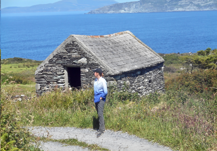
A third sister, Anne, married William Wilkinson (more on her below). If I am understanding the history correctly, her aunt, Michael’s sister, also called Anne, had herself married a George Wilkinson. That Wilkinson family had a farm at Gortnacarriga, just outside Goleen. The photo below is of Barbara Baxter on a visit to that Wilkinson farm a couple of years ago. 

Let’s start with Charles and Elizabeth – they are the couple in the photograph at the beginning of the post. The 1901 census has them in House number 8 on Rock Island, with a baby daughter, Annie, who is just one. When the Fastnet project was finally over, in 1904, Charles and Elizabeth went to live in Wales where they had at least one more child, a son, in 1911. Sadly, Charles, who had served in the First World War, died in the Spanish Flu epidemic in 1919 (echoes of my own family history here – same thing happened to my grandfather).

The Rock Island lighthouse and housing, seen from Crookhaven. Charles and Elizabeth lived in one of these houses

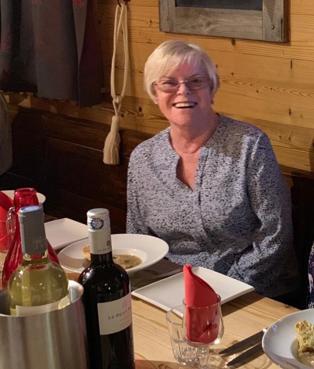
Charles and Elizabeth’s son eventually moved to Southhampton, and worked as a draughtsman in Thornycroft’s shipbuilding firm, married and had four children. The eldest of these was Sylvia Whitmore-Jones, an active and youthful 78 year-old. Here she is.

But let’s go back to Charles and Elizabeth, living in the Fastnet housing on Rock Island in 1901. Did you notice they had a daughter named Annie? I think she was so named after yet another of Elizabeth’s sisters – Anne Burchill. Anne married William Wilkinson (I think they were cousins – not uncommon in those days), an officer in the Royal Irish Constabulary.

They had a daughter, Sarah Anne. They were great at keeping names in the family – no doubt Sarah Anne was called after her aunt, the Sarah Burchill who married Charles’ brother, Arthur, as well as the numerous Annes in the family. Sarah Anne Wilkinson must have been close to her Aunt Elizabeth Nichols because eventually, as a young married woman, she and her husband, John Miller, from Bantry, moved to Wales.

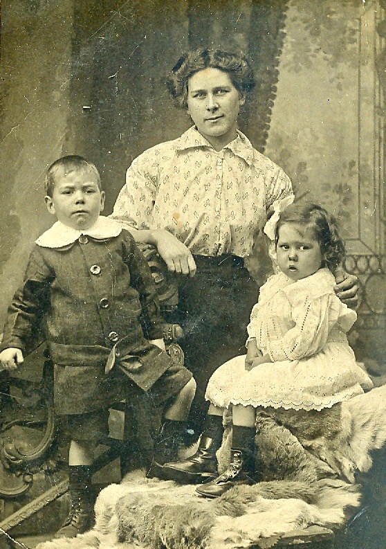
Sarah Anne Miller, nee Wilkinson, with her children

This photo (above) must have been taken then, when Sarah Anne and John had two children. Sarah Anne is Barbara Baxter’s great-grandmother and her grandmother is the little girl in the photo. Perhaps this was during the time when John was away in the war – he was apparently decorated three times for his service as a bombardier.

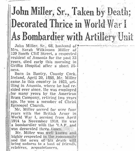
Eventually the family emigrated to America, finally settling in Connecticut, which is where Barbara Baxter grew up. Barbara is now 57 and lives in Virginia. She has led an active life filled with animals, especially horses. She wonders if her love of horses might be connected to John Miller – apparently before he left for Wales with Sarah Anne he worked with horses at Drombrow House, near Bantry. Drombrow, not surprisingly, was owned by the Wilkinson family.

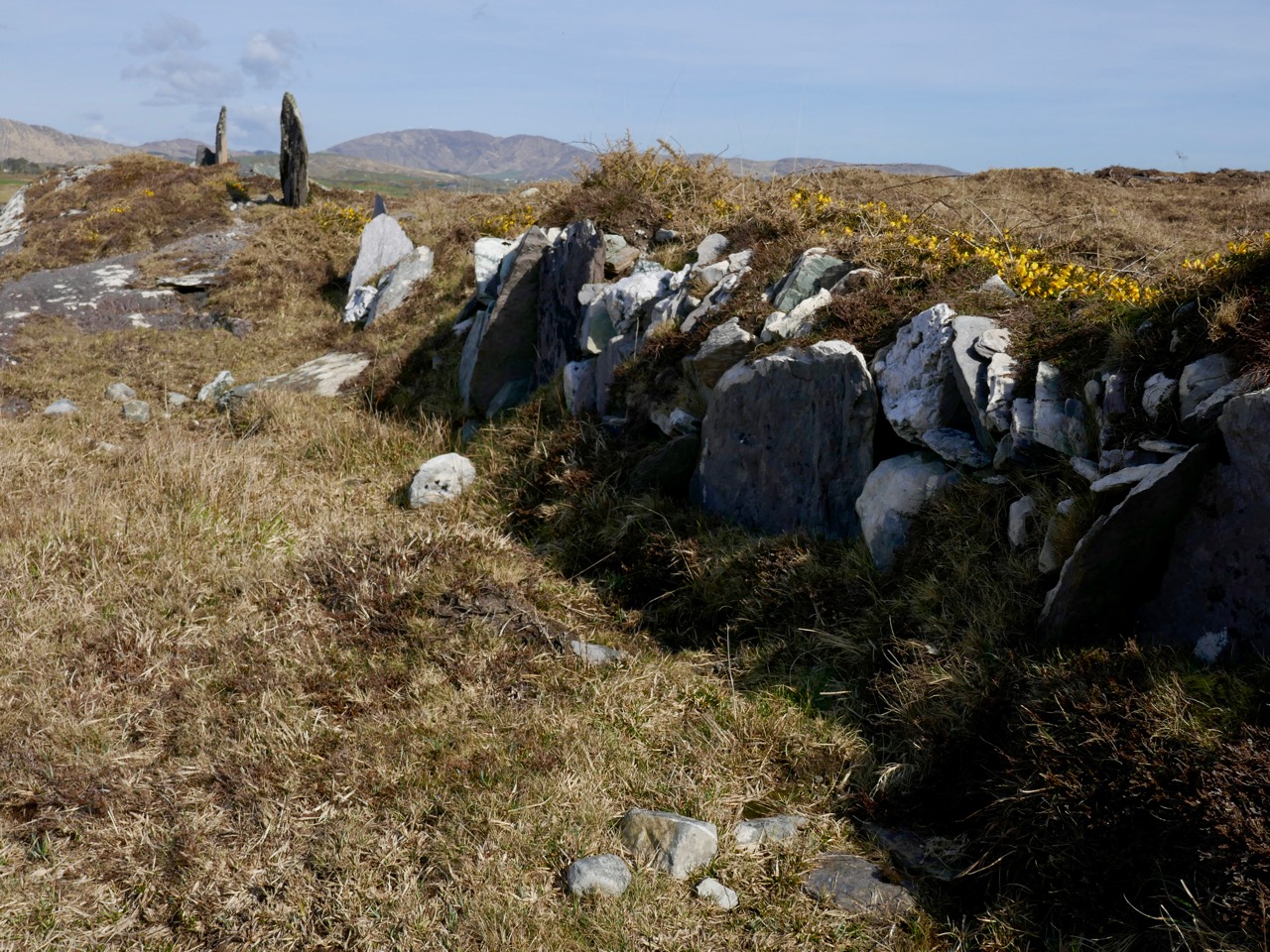
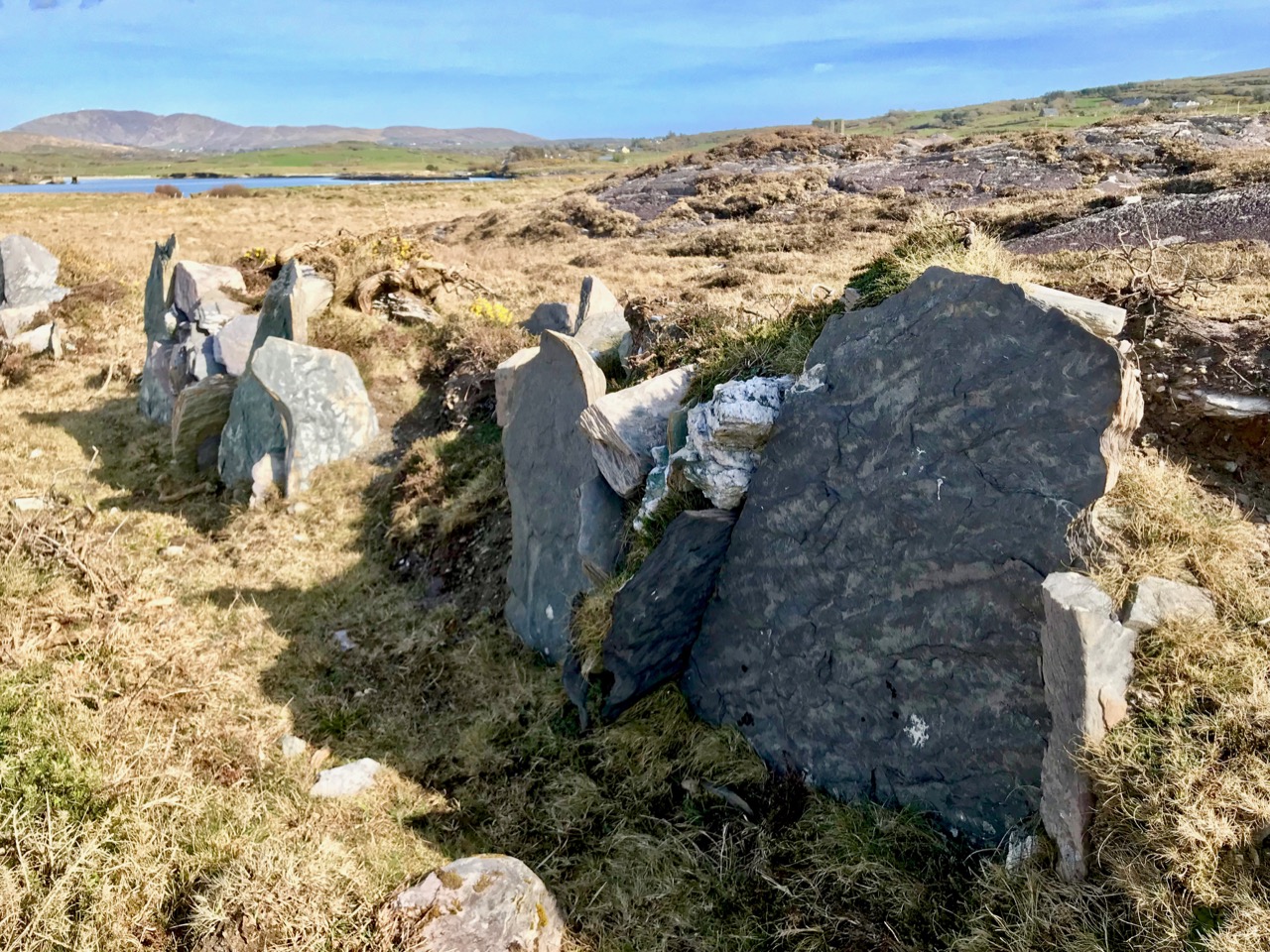
Graveyard attached to the Church of Ireland (no longer in use as a church) in Goleen – Babara said in one of her emails: ‘I am related to all of the Wilkinsons and Burchills buried at the Goleen Church’ 

Sylvia and Barbara had been independently interested in their family history but had never known of each other or met (at least virtually) until both of them contacted us at Roaringwater Journal when they each saw our Rock Island post.

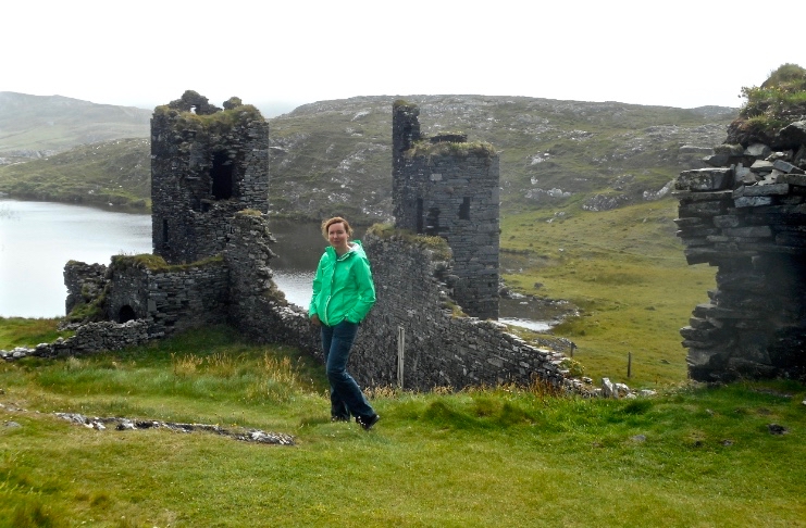
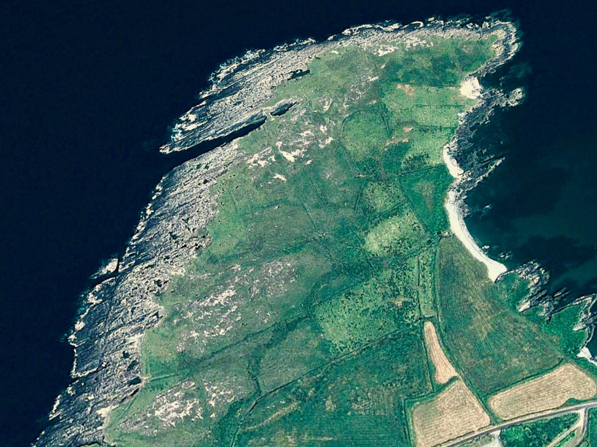
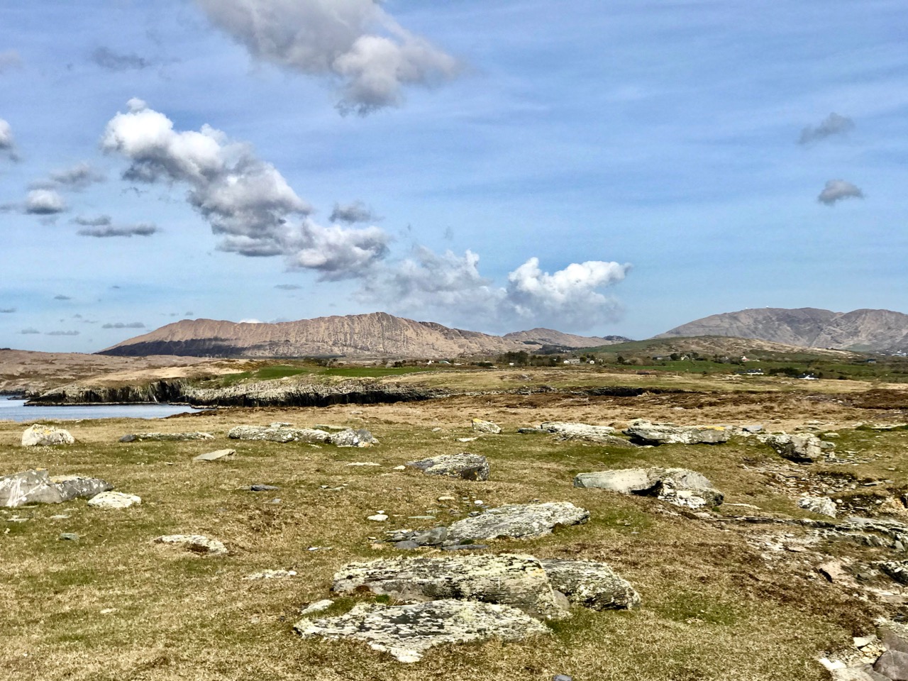
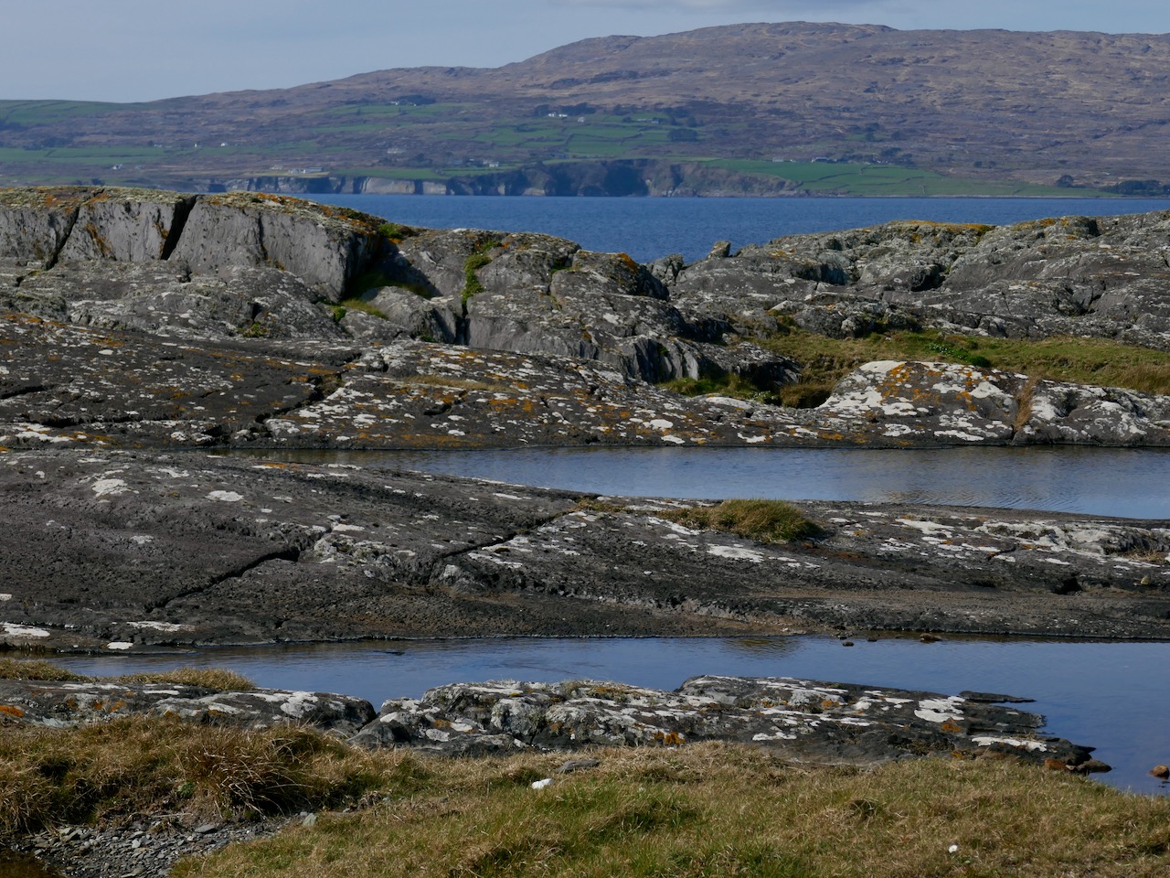
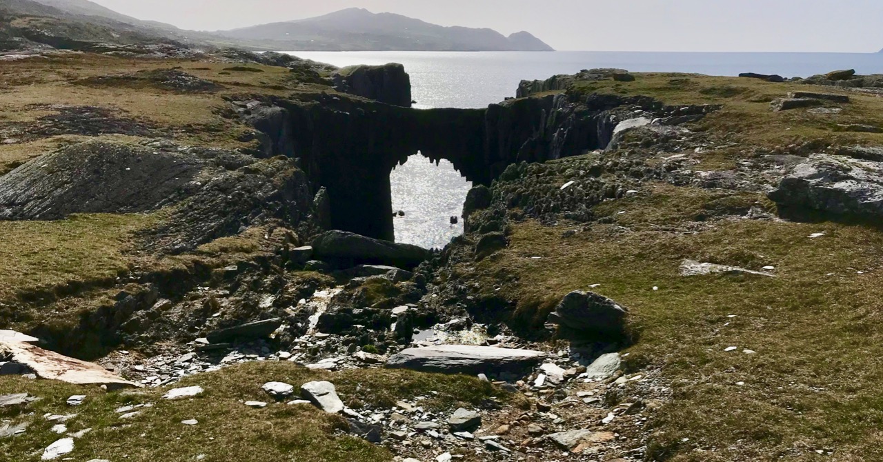
On her trip to West Cork in 2017, Barbara visited Three Castle Head. The Wilkinson farm is close by

I am beyond pleased that Roaringwater Journal has been the cause of bringing these two cousins together, but there’s another reason for my interest. My own dear cousin, Shauna, is also a Burchill! Although she has lived in the United States most of her adult life she is Irish and her father grew up in Bandon as a Prebyterian. She is likely to be connected to Sylvia and Barbara at some point way back in the family tree – the Burchills first came to West Cork in the 1620s as part of the Plantation of Munster. It’s a tenuous connection, but it adds an additional frisson for me – we are all connected somehow.

Shauna (right) and I, on one of her visits to Ireland

Thank you to Sylvia and Barbara for generously sharing their family stories, and to Aidan Power, whose book on Rock Island was the ultimate catalyst for all of this. It’s been a privilege to be a tiny part of it. If I have made mistakes in my relating of their stories, I hope they will weigh in with the corrected version. 

Now all we need is for the descendants of Arthur Nicholls and Sarah Burchill to join the party. C’mon – we know you’re out there.

Drawn to the Beara

The spectacular landscapes of the Beara Peninsula draw us again and again: have a look at some of our past explorations here and here. There’s no doubt that for fine, distant views, tranquil coastlines and variety in geology, history and archaeology this part of Ireland takes some beating. And, for us, it’s ideal: near enough that we can have a full day out absorbing all these things, yet still being home in time for tea!

This is the weekend when clocks ‘spring forward’ – giving us longer evenings. But also the sun is getting noticeably stronger, colours are getting more intense, and the shadows are hardening. It’s a great time to be out on our travels.

That’s Hungry Hill above – highest peak in the Caha Mountain range, Co Cork – and the background setting for Daphne du Maurier’s 1943 novel of that name. The story is based on the real-life Puxley family who set up and ran Allihies copper mines in the first half of the nineteenth century. Du Maurier weaves the tale to give the name of the hill a symbolic meaning – the mines ‘swallow up’ the lives of those who work them and the plot is charged with tragedy and unhappiness.

We crossed the peninsula on the Healy Pass, one of Ireland’s great road journeys, with breathtaking views towards Bantry Bay in the south and the Kenmare River to the north as you traverse the 334 metre summit. The road, known in Irish as Bealach Scairte, was originally cut as a nineteenth century famine relief project, and improved in the 1930s, when it was named in honour of Tim Michael Healy, a Cork man who served as the first governor general of the Irish Free State.

We had a mission: to visit Dereen Garden, which is open all year round. We were there before the tourist season got going, and we mainly had the beautiful walks and vistas to ourselves. The woodland garden was laid out 150 years ago with sub-tropical plants from around the world and has been improved and added to since then; it is famous for its huge Arboreum rhododendrons. Evidently there is a variety of wildlife to be seen, including red squirrels, sitka deer and hares, but they were all keeping out of the way when we visited.

We were hoping to sample some of the fine eateries which have been set up on the Beara but, again, we were a little too early in the year: an excuse for another trip when they open up. So we reluctantly turned our way back towards the Healy Pass – to get the views from the other direction – and were stopped in our tracks by a sign pointing to ‘stone circles’. This is in a townland named Cashelkeelty and is near Lauragh, Co Kerry. Finola had a look at her archaeological records on the phone and found it was somewhere we had to go! It involved a long, uphill walk through a forest, but was very well worth it. Read Finola’s post to find all the details.

I will show only one picture as a taster (above) – but also to point out the proximity of the high grade overhead powerline which runs right by the ancient stones. Does it add or detract from the monument itself?

There were many more vistas to be taken in on our few hours spent on this dramatic peninsula, where mountains so spectacularly meet the sea. We can never tire of this, our own little part of the world.

Cashelkeelty – More Than Meets The Eye

It’s on the wild and remote Beara Peninsula and it’s a bit of a trek to get up to it – but so worth it. We are fortunate that we know quite a lot about Cashelkeelty, which is in the Kerry section of the Beara, not far from Lauragh. There were excavations here in the 70s and 80s led by old friends, John Barber and Anne Lynch. Pollen analysis in the region has added to our understanding of the environment during the Bronze Age.

You can see both the multiple stone circle (the closer set of stones) and the 5-stone circle and stone row from the knoll near the site

But none of this is obvious on the ground and there are no explanatory signs, so I’m going to lay out what we know about this marvellous complex of monuments, so that when you go (Yes, do go!) you’ll know a bit more about what you are looking at. Make it part of a day trip, like the one that Robert is describing this week.

Park in the little car park about 2 km west of the turn off for Derreen Garden. Someone has handily marked it on Google Maps as ‘Parking Place Stone Circle’ and take the path that runs upwards through the woods, turning left (and ever upwards) when you come to another path. It’s a Robert Frost experience – the woods are not only lovely, dark and deep but also mossy and mysterious, with hints of old walls here and there.

When you emerge into open country, you are actually on the Beara Way and this stretch was beautifully described by Peter Clarke in his Hikelines blog.

Peter Clarke’s sketch of the 5-stone circle and stone row ©Peter Clarke/Hikelines

In fact, you are walking now along or beside a medieval road that once ran from Kenmare to Castletownbere. Once you know this, you can pick it out and imagine walking or riding along it in rough woollen garments, or perhaps the  flowing robes of a monk, or the full armour of a knight. But this road is actually one of the newer items in this landscape.

The landscape itself is Bronze Age. People made their living here by growing some cereals (probably barley and emmer wheat) and by herding cattle and sheep. Pollen analysis tells us that forest cover declined – that is, it was cleared by the early agriculturalists – beginning about 1500BC and intensifying around 1100BC. Pre-bog field systems are everywhere here – look for the lines of upright boulders defining walls and small fields as you walk.

According to Billy O’Brien in his Iverni (got your copy yet?) deterioration in the climate and higher rainfall about 1000BC led to increased acidification and the spread of bogs in many areas. So what we are looking at here, in the Mid to Late Bronze Age, is an open pastoral landscape. This is important because the views from here are panoramic and significant, and they would not have been obscured by trees.

Ancient fields

And in this open landscape these early farmers lived in houses of which no traces remain, probably of wood and thatch. What does remain are the monuments they built of stone – they meant them to endure and endure they do. There’s a five-stone circle, and a stone row right beside it, and about 30 metres to the west another set of upright stones.

The stone row was built before the 5-stone circle, possible hundreds of years before. There are three stones now, but the Lynch excavation established that there had been a fourth. Like most of  the stone rows on this part of the world it is oriented ENE/WSW, or towards the morning and evening horizons in summer. As regular readers know, I am always intrigued by the way the shapes of the stones seem to mirror the landscape behind it and this is no exception.

The 5-stone circle now only has three stones, but the sockets for the remaining two were found in the course of the excavations. In the centre, covered by a stone slab, was the cremated remains of a person in his or her 20s. Radio carbon dates (later re-calibrated) established the construction to about 1300 to 700BC, placing it in the Late Bronze Age. Mike Wilson of the Mega-WHAT site has analysed the orientations of both the stone row and the 5-stone circle – you can see the results of that here.

Visitors love to leave little offerings at sites like this. You are looking into the 5-stone circle, towards the recumbent. The slab is more or less where the cremated remains were discovered in the excavation

From here you can clearly see another set of stones to the west. What looks like another stone row is actually the remaining uprights of a multiple stone circle, as Anne Lynch documented in her account of the excavation. There were either 11 or 13 stones originally. The tallest stone now standing must have been one of the portals. The middle stone was originally lying down but was re-erected in the course of the excavation.

Once again, I am struck by how these three stones appear to mirror the horizon behind them. Can this really be a coincidence? If so, it’s a an eerie one. To understand how and why multiple stone circles were built, start by reading The Stone Circles of West Cork: Discussion. That post will point you to others as well.

To round out the Bronze Age monuments, there’s a Fulacht Fia just south of the 5-stone circle – you can read more about these ancient cooking places in my post Ballyrisode Fulacht Fia.

This little road leads to a stone building, perhaps originally a cottage. It’s the green roof you can see in the second photograph

Cashelkeelty is an amazing site – so many monuments, such evidence of Bronze Age activity from daily living and farming to monument-building. We still have their stone edifices to remind us that these people were sophisticated builders who wanted certain of their practices and rituals to endure for centuries. What we no longer see easy signs of, we can imagine – the forest clearing, the planting and herding, the communal feasting. Take a little while at this site and ask whether our own efforts will endure for thousands of years.

Local Heroes: Ballycommane Gardens – and Bronze Age Site!

This week we were privileged to meet with Andy Stieglitz and Ingolf Jungmann at their home, Ballycommane House, between Durrus and Bantry. We’d been once before, several years ago, when we had met Andy, then busily engaged in renovating one of the sheds. Now the house has been extended and modernised, along with various outbuildings. Andy and Ingolf, both retired and living here full time, are running the house as a bed and breakfast, with an adjacent self-catering cottage, and have opened their garden to the public.

I don’t know the names of most of these flowers, although the one above is from one of their heritage-variety fruit trees

They have taken a few acres of scrubland and pasture – and turned it into a little piece of paradise! Both keen gardeners, they have been working now for fifteen years to develop their arboretum and lay out different areas of the garden connected by meandering paths. Here and there open spaces invite you to lounge and simply take in the sights and the scents.

This Gunnera is, thankfully, the non-invasive variety

Or you can keep strolling and discovering. They specialise in plants from the Azores, where they like to winter, and have discovered that many Azorean species flourish in this mild climate. Of course they have had to learn to deal with the wind, as parts of the site are quite exposed, and with the unpredictable Irish climate.

But Andy and Ingolf value all plants and also celebrate the humble wildflowers that are my special interest. Ingolf has learned to propagate the wild primroses and the colourful borders he has created are a joy.

Wild Primroses are generally pale yellow, but pink varieties also occur. Ingolf tells me the pink ones are a little harder to propagate 

Wild spurges mix with the Azorean ones – the Euphorbia genus is one of the largest and most variable on earth, and while we know it mainly from our wild Spurge varieties they can range from tiny to huge and from colourful (Poinsettias!) to shades of green.

A native Euphorbia (top) is flourishing while below an Azorean import looks very comfortable also. Note the tiny native spurge that has sprung up underneath it – a study in contrasts

Now in March, the garden hasn’t quite come into its own yet. Nevertheless, there is plenty to see and surprising hits of colour here and there. Wherever you look, the eye is caught.

Above: We decided it was an Azorean daisy. Below: I think it’s Green Alkanet, a garden escape that has naturalised widely in Ireland

Ballycommane House is part of the marvellous West Cork Garden Trail and is open from March to October. Andy and Ingolf love to welcome visitors so plan a trip to see this treasure. And when you do, there’s a surprise in store – Ballycommane is also home to a Bronze Age Boulder Burial and Standing Stone Pair!

Andy (left), Ingolf and I contemplate the boulder burial

Regular readers of this blog will know that Robert and I worry about loss of and damage to our ancient monuments due to neglect, lack of knowledge, and occasional wilfulness. That’s why I am calling this post Local Heroes because Andy and Ingolf, quite apart from the enormous work involved in developing their house and garden, have embraced the challenge of celebrating and safeguarding these monuments for all of us.

The Boulder Burial is a large erratic of quartz. Quartz was highly prized in prehistory and was used in various ways. Not surprising, given how it gleams and sparkles in the sun. This one is visible from across the valley

Today was the official unveiling of their Visitor Centre – a converted piggery now in use to display a set of explanatory posters developed by Prof Billy O’Brien and Nick Hogan of UCC. Billy has excavated this site and two other Boulder Burial sites and is more responsible than any other researcher for what we know about the age and possible functions of Boulder Burials. You can read my posts, Boulder Burials: a Misnamed Monument? and Standing Stone Pairs: A Visit to Foherlagh for more about these kinds of monuments.

The standing stone pair is of the local slatey sandstone, chosen to be flat on top – no doubt this served some kind of purpose

Billy was there to do the honours and to give us a talk on the site. When he excavated here in 1989 it rained, he told us, every day of the dig. Although no carbon-datable material turned up he was confident in assigning a mid-to-late Bronze Age date – it’s about 3,000 years old.

Cutting the ribbon to officially open the Visitor Centre

He asked us (there was quite a crowd!) to consider the setting of the boulder burial and standing stone pair in the landscape, and spoke about their use to memorialise high-status individuals and to mark locations from which sunrises and sunsets might be observed at solstices and equinoxes.

Unfortunately tree plantings have obscured the view from the boulder burial, but this is what it looks like. You can see all the way down the Sheep’s Head to Seefin Mountain

Ballycommane is a very special place indeed and we are very fortunate that Andy and Ingolf are committed to being good stewards of the prehistory they have inherited. Thank you, Andy and Ingolf – and for that yummy cake too!