Rules of the Irish Road (Revisited)

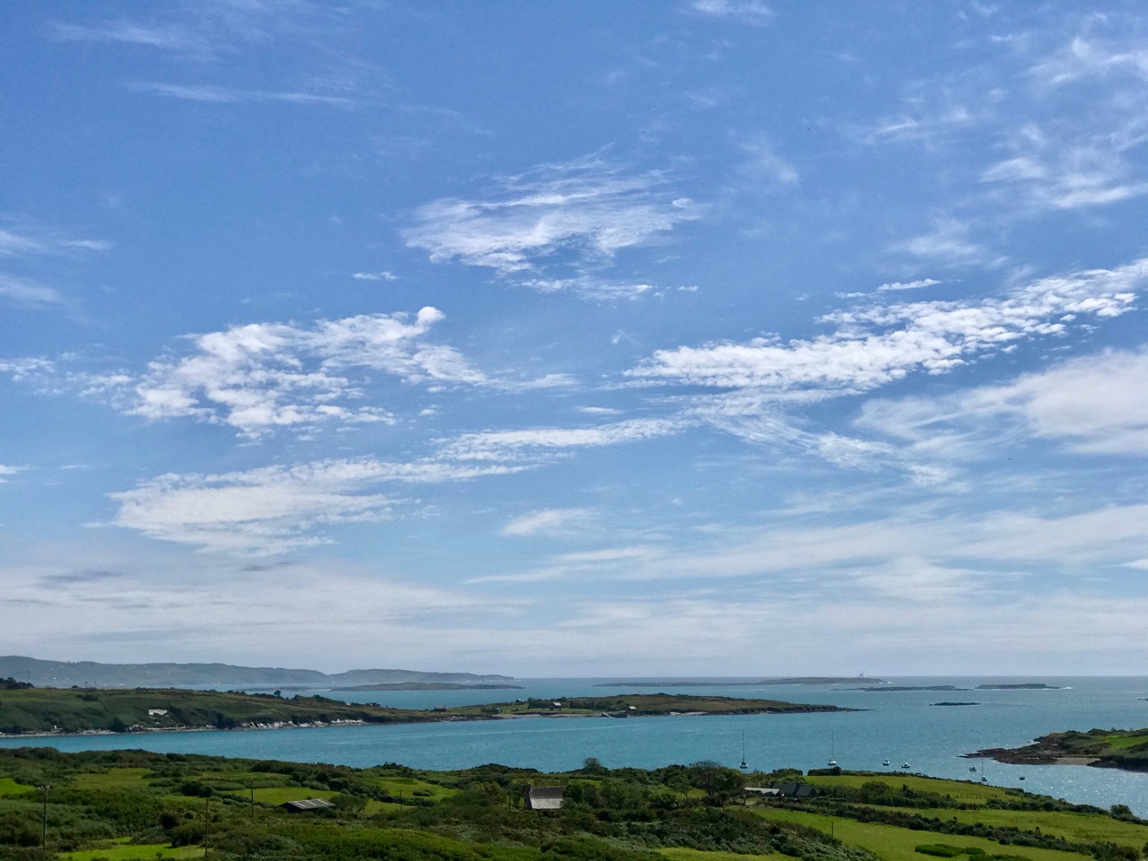
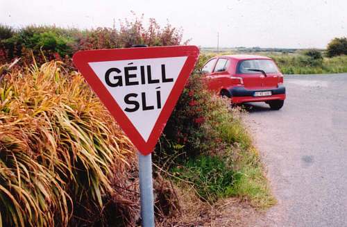
Directional signs in Irish and English, cars parked every which way, street names in small print on the wall. Welcome to driving in Ireland!

This post was first published way back in 2013. Recently, it came to light that a Government Minister was stopped for drink driving in 2016 and was found to be driving on a Learner Permit. He was 48 and had been driving for many years on that permit. Many years before, it had been (inexplicably) permitted to drive in Ireland on what was then called a Provisional License and people just kept renewing them, year after year. Sometimes they had failed a driving test and often they had never taken one. The law became more stringent in 2013, provisional licenses were discontinued, but multiple crackdowns have failed to convince Irish people, especially those from rural areas, to adjust their thinking. What makes my blood boil about this case is that I, who had been driving legally and safely for 40 years, was put through a rigorous, expensive and wholly unnecessary process in order to earn an Irish driver’s license, while so many people here simply ignore the law.

Update: As I was hitting the publish button, the Minister was being sacked.

The following was written and published in 2013. Since then, progress has been made and some Canadian licenses are now recognised in Ireland, with provisos.

In my Driven to Distraction post I alluded to having to get an Irish driver’s licence. I can drive legally for a year on my Canadian licence, but if I intend to stay longer, and if I want to get insurance at reasonable rates, I have to get an Irish one.

No Overtaking (Rules of the Road/RR Page 79)

I have driven for almost 40 years without incident, in all kinds of conditions (Northern Canadian winters!) and vehicles, standard and automatic. I have rented a car every summer in Ireland year after year. I was prepared for some kind of process whereby I would be asked to demonstrate my competence and my knowledge of the Irish road rules – a process which I assumed would also acknowledge my experience and skills. The first part of that last sentence was a realistic assessment; the second part was a hopeless dream. It turns out that I must start from scratch, as if I was 17, as if I had never driven before.

Double yellow lines: no parking at any time. RR p115

Perhaps, you surmise, this is because we drive on the right in Canada and in Ireland we drive on the left. But anybody with a European driving licence can simply swap it for an Irish one, no matter what side of the road they drive on. This also applies to those in possession of licences from Taiwan, New Zealand, Japan and South Korea. Within Europe, all countries have agreed to the principle of mutual recognition for all sorts of qualifications and Ireland happens to have concluded agreements with several other countries for mutual recognition of driving licences. But with the US and Canada, it has not yet happened. There are “talks” apparently, but no real progress. This also means that Irish drivers who emigrate to Canada must go through a staged testing process.

You MUST not park on a footpath. RR p116

Right – fair enough – I must prove my knowledge of the road and my driving competence. OK, theory test now passed, when can I take the road test? Wait, not so fast! First I must take, and pay for, a series of 12 driving lessons from an approved instructor. The lessons must be documented and they should occur two weeks apart: that will take six months. In the meantime, I must have L plates on the car and I cannot drive alone or on Motorways. Did you get that? I CANNOT DRIVE ALONE. I have, in effect, lost my independence. I must rely on Robert to drive me everywhere (we live three miles from the nearest village) or to sit beside me while I drive.

Unprotected quay ahead. RR p183

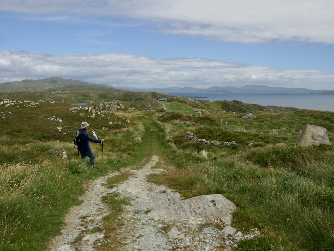
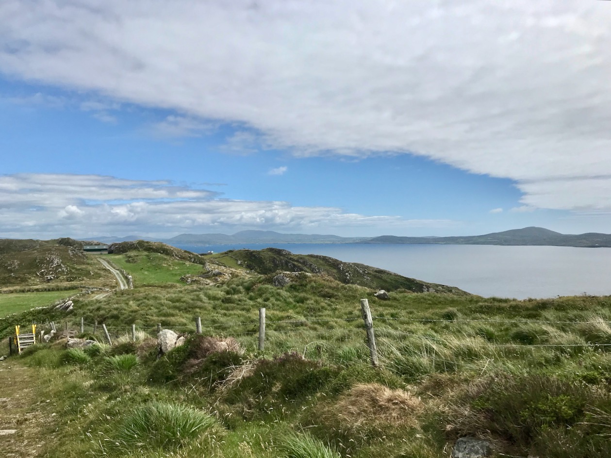
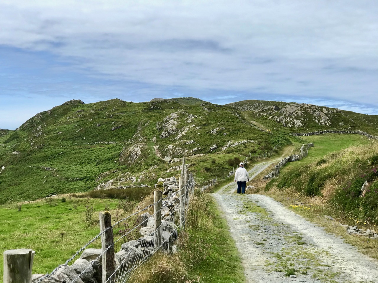
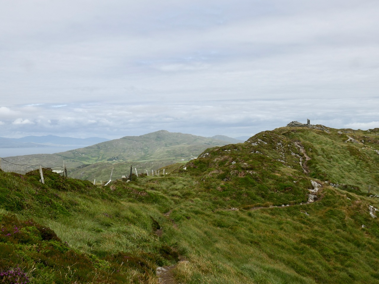
In a future post I will describe the lessons – a whole experience in themselves! Meanwhile, I must admit that studying the Irish Rules of the Road has been a salutary experience. I leave you with some photographs to illustrate the Irish approach to road signage and to the observation of the Rules.

Drive at a safe speed. RRp88 (photo by Amanda Clarke)

Cork, Part 1: Brian Lalor

In 1973 and 1974 the artist and writer, Brian Lalor, made a series of drawings of Cork, his native city. These drawings were published by the Gallery Press in 1977, along with poems by the Cork poet Eiléan Ní Chuilleanáin, in a book simply titled Cork. Both poet and artist/writer were already established and both have gone on to forge distinguished careers in Irish art and literature.

Grand Parade

I have owned a copy of this book since 1978 – a birthday gift from my mother. Knowing of my love for the city of Cork, my home for seven years, she mailed it to me in Canada. I have cherished it ever since. The copy she posted to me was signed by Eiléan Ní Chuilleanáin. This year, seated in our living room overlooking Rossbrin Cove, Brian Lalor signed it for me too.

Brian’s drawings of his (and my) beloved Cork capture a city on the edge of modernising. He has graciously given me permission to reproduce some of his drawings in these posts and I will use his own words (from A Note on the Drawings at the end of the book) since they capture so much better than I ever could his fascination with the city and his intentions in recording its idiosyncratic character.

The South Gate Bridge. That couple looks familiar

This collection of drawings developed as a result of a habit of many years, begun in Cork and fostered in Europe and the countries of the Eastern Mediterranean, a habit of of never passing a laneway, flight of stairs, courtyard or public building without investigating what secrets it might conceal, what historical or human curiosity might be within. Coming then to Cork in the early seventies and finding it a city reeling from the cataclysm of “urban renewal,” it seemed an appropriate time to attempt a record of the inconsequential details which made up the character of the place, while the opportunity still existed.

Upper: Paradise Place. Lower: Curry’s Rock. Older women still wore the traditional shawl in the early 70s and were known as Shawlies

This is not Cork seen from its public face but from above and behind, not just observed in its principal role as the second city of the Republic but sought out in all its idiosyncrasies and individuality. The monuments of Architecture, memorials to wealth and power, religious fervour and civic pride will not be found here, except when they creep in by accident for, avoiding the European grand manner, they block no vista nor crown a Summit. Rather, they lurk in unexpected places and just spring upon one, owing their location principally to occupying the sites of earlier ecclesiastical foundations. This latter fact is the clue to understanding the city of Cork, the link with the past. For it was in the periods of its earliest habitation that the considerations of commerce, security and the political existences of the time gave rise to what held as the nucleus of the city up to the present day.


Cornmarket Street

Cork was never a planned city; it grew organically from the meanderings of the River Lee through the marshlands of the depression between the surrounding hills. Its streets and by-ways follow today those of the middle ages, and the water channels which gave access from the early town to the outer expenses of the river basin. The line which runs from the Episcopal seat of Shandon to that of Saint Finbarr’s was the principal artery of the ancient city of Cork, as it is today nine centuries later. It is around this thread that the drawings are gathered. This line held the centre of all life within the city from its foundation in the tenth century, to the late nineteenth, and even today what is outside this line is peripheral to the soul of the city.

St Patrick’s Quay

Next week, the poetry. . .

A Signal Success in Irish Engineering – Part 2: Ballyroon Mountain

Following on from last week’s account of Kedge Point signal tower, our second foray in search of Ireland’s coastal communication stations dating from the early years of the nineteenth century takes us to the Sheep’s Head Peninsula in West Cork. The waymarked trail that passes the now ruined Ballyroon Mountain signal tower is on the Sheep’s Head Way and is fully accessible from the parking area at Fáilte Faill Bheag (if walking from east to west), or from the Cupán Tae tea-room parking area at the very end of the road (if walking from west to east). Although there is very little of this signal tower left standing – it was largely destroyed by a storm in 1990 – the walk itself is a visually stimulating experience, not to be missed! As with the majority of the remaining signal station sites, the location here is on high ground with prominent panoramic views in all directions.

When walking the off-road Sheep’s Head Way trails, please remember that dogs are not allowed: this is one of the conditions that have been agreed with landowners when the trail routes were negotiated, so it must be respected by all users.

These two aerial images show the remote setting of this signal station. The site was developed a little over two hundred years ago, and one of the necessities was providing a firm trackway along which to bring building materials, and also to provide efficient access to and from the signal tower when in use. In the top image, also, you can make out a substantial walled field to the south of the tower: this would have been used to pen ponies or donkeys and – possibly – a goat for milk.

The track that served the signal station in its heyday has become the ‘green road’ that takes you there today. In bad weather it’s a bit wet underfoot in places, but otherwise it is a joy to walk and, on a good clear day, provides spectacular views in all directions. Look out for the other signal towers that can be seen from this site: Cloghane on Mizen Head, Mallavoge on Brow Head, Derrycreeveen on the Beara Peninsula, and Knock, which is an inland site near Lowertown, Schull.

In the upper picture here you are looking back towards the vestigial Ballyroon signal tower from the higher ground on the footpath from the Cupán Tae tea-room, while the lower picture shows the ‘pimple’ on the horizon which is the Cloghane signal tower at Mizen Head seen from Ballyroon.

The upper picture shows the Mallavoge signal tower at Brow Head (more about that site here), while the Knock signal tower is seen in the middle picture, which was taken close to the start of the Ballyroon Mountain trail. Both these photographs have the benefit of a modern zoom camera lens, but imagine how good the optics of the telescopes needed to be for those who manned the towers in the early 1800s. Not only did these silhouettes have to be clearly defined, but the flag and ball signals that were put up on the associated masts had to be readable. The lower picture looks north across Doo Lough towards Bere Island, where there were extensive fortifications in Napoleonic times, including a signal tower. Below is a photo of the Malin Head signal station, Co Donegal, dating from 1902 (National Library of Ireland Collection). There the station was kept in use for strategic purposes long after the Napoleonic era and became the site for one of Marconi’s telegraph stations. While the flags in this picture are not from the earlier times, it gives you some idea of what had to be picked out from a great distance. By eye, put the scale of the tower in this photo to the scale of the distant towers in the images  above: it’s hard to fathom how accuracy was possible yet messages were dispatched and received successfully. It evidently took about four minutes to put up a message on the mast: allowing for reading and deciphering, I would expect a message to be sent from Sheep’s Head to Cork via 11 towers in about an hour, or all the way to Dublin via 33 towers in three hours. This would depend on daylight and good visibility at all times.

The most comprehensive map of Ireland’s signal tower distrIbution that I have found so far is this one drawn for the authoritative book on the subject Billy Pitt had them built: Napoleonic towers in Ireland by Bill Clements, The Holliwell Press 2013. This clearly shows that invasion was expected to come from the west or south, rather than from the more naturally protected north-east coast.

The selection of photographs above shows the state of the ruined tower at Ballyroon Mountain today (2020). Although there’s not much of a structure left it’s still a poignant memorial to those who built and operated this and all the other links in the communication chain that substantially encircles the coastline of Ireland. It’s a legacy well worth celebrating, and we are fortunate in Cork County that we have so many examples of the building type, some of which, like this one, are accessible to visitors. We will be exploring more of them in due course. To neatly finish off this post, here is an exquisite drawing of the Ballyroon tower executed by our friend Peter Clarke who writes the Hikelines series. It’s a lovely sketch which, for me, captures the slightly edgy romanticism of this beguiling location. Thank you, Peter.

Next time: Signal Towers Part 3 – Walking into history!

A Signal Success in Irish Engineering – Part 1: Kedge Point

At first sight this gaunt ruin on the West Cork coastline could be taken for a medieval fortified house or castle, but we can date its construction very precisely – to 1805, and we also know its purpose: long-distance communication. It was only put to use for a few years, and has been derelict at least twenty times as long as it was ever in service. It’s a signal station, one of over eighty similar structures around the whole coastline of Ireland, an initiative which represented a major engineering feat of its time.

This watercolour sketch by surveyor Sir William Smith is invaluable: it dates from 1808 and shows a signal station in use in its heyday. This one is at Malin Head on the Donegal coast, Ulster, and shows the elements which would have been common to all of the stations: a signal mast, a defended tower and a ‘guard house and barrack’ – probably also an equipment store. The signal tower bears a striking resemblance to the Irish ‘tower house’ or castle dating from several hundred years earlier, with its bartizans, machicolation, base wall batter and raised entrance, All these features were practical as the towers were military installations built in the times of the Napoleonic Wars. The cartoon (below) dates from 1805 and encapsulates the fear of invasion that swept over Britain in the early 19th century. Balloons, kites, flotillas of troopships and a channel tunnel were all envisaged as ways in which the French might conquer these islands! Humorous though this may seem, France had already used military balloons in the 1790s, and Bonaparte appointed Madam Blanchard as his ‘air service chief’, though she told him an aerial invasion would probably fail because of adverse winds.

Since Theobald Wolfe Tone and the Society of United Irishmen attempted to rally France behind the Irish cause in the 1790s, Ireland was seen as a possible focus for the feared invasion, and led to the British Admiralty constructing the system of signal stations as observation posts, together with 50 Martello towers, each maintaining a garrison of troops, officers and heavy artillery. The principal purpose of the signal towers was to keep watch on the coasts and to rapidly send signals around the country if unrecognised shipping was seen. Each tower, therefore, had to be within sight of one or more of its neighbours in both directions. The average distance between towers was 13.5km, although here in West Cork the towers at Brow Head and Mizen Head are only 3.8km apart. Ireland’s coastline is about 1,400km long, depending how you measure it.

Various combinations of flags and canvas ‘balls’ could be quickly assembled on the signal masts and, with the use of a code book (above) fairly complex messages might be circulated. Another vital piece of equipment, of course, was a high quality telescope. As the Navy had such essential apparatus – and the experienced personnel to use it – the Irish signal towers were largely manned by active or retired sailors.

We set out to explore some of the signal stations close to us in West Cork. Once we feel free to travel further afield through Ireland I can see the signal towers becoming a long-term project! If those we have visited so far are good examples, they take us to some of the wildest high places with panoramic coastal views: many are utterly remote. And they are all imbued with a sense of history – of duties that demanded long hours of lonely vigilance in harsh conditions. Most are long abandoned and forlorn. But the marks of those who have been there remain inscribed on the decaying walls.

The header illustration and all the photographs above were taken on our recent visit to the signal station at Spain, to the east of Baltimore. There is rugged moorland there and dramatic cliffs overlooking Kedge Island. The site is known as Ballylinchy or Kedge Point. It’s a fair climb off-road but not difficult to reach. It’s always essential to seek permission locally before crossing farmland.

There are uninterrupted views from Ballylinchy towards Kedge Island (upper photo) and across the islands towards the Mizen (lower). Visibility was restricted on the day we visited – and this made us realise how important the weather would be for accurate observations. However, we could clearly see the signal tower on Cape Clear from this vantage point, shown below, with the Fastnet Rock and lighthouse beyond. You can understand from this view – with the camera zoomed in – how powerful the telescopes needed to be to clearly read the flag signals. Finola’s post here includes a section on the Cape Clear installations.

The Google Earth images above and below reveal the setting of this signal station on the highest point of land for miles around. History abounds on this site, with the remains of a World War 2 observation post in close proximity to the 1805 structure, and one of the many EIRE signs set into the cliff, also dating from World War 2 and set up around the coast, reportedly at the behest of the American authorities to help orientate pilots and alert them to Ireland’s neutrality.

The south facing elevation of the Kedge Point signal tower clearly shows its defensive machicolation. On the left is the stump of the LOP (World War 2 lookout post). Below – the rubble of the destroyed LOP and some of the recognisable architectural features of this tower.

Next week I will report on a very different location, which we visited on a much better day – lots of sunlight, blue skies and West Cork magic to look forward to! This time our site will be at the westernmost tip of the Sheep’s Head Peninsula, and you will get a different sense of the relative orientation and intervisibility of these intriguing historic monuments.

Below – the signal tower at Toe Head, about ten kilometres to the east, seen from Kedge Point

Sheep’s Head Oasis – the Heron Gallery

As West Cork slowly opens up again, we welcomed the news that the Heron Gallery in Ahakista was once again serving food in its wonderful garden setting. The only excuse we needed to head over to the Sheep’s Head!

This garden is one of those on the West Cork Garden Trail and most of them are opening now, late this year, of course. According to Trail President, Jean Perry, Like many of us, garden owners have had lots of time on their hands this year and the outcome is that gardens of the West Cork Garden Trail are to an exceptional standard and have never looked better!

I can vouch for the truth of this as regards the Heron Gallery. There is nothing more delightful than to linger over one of their delicious lunches, or just a latte and cake, seated outside by the pond, and then to wander through the garden.

Annabel and Klaus have been working on this garden for about fifteen years. It was just a field when they took it over – that’s hard to imagine now. For Annabel, it is a haven and an inspiration. Take a look at her website and especially at her blog where she writes about the nature all around her and her latest projects. 

The garden is a paean of praise to both the natural and the cultivated. The traditional herbaceous borders are at their most colourful right now and feature clever little inserts of sculptures and objects of metal, pottery and wood.

Wander through the more formal garden and you come to the wildflower meadow – all native plants, most of which have simply volunteered, although Annabel has also carefully introduced harebells and local orchids. I spent most of my time here, observing the mix of flowers and grasses.

By the time we left the cafe was busy with lunch service. This is a garden that adults and kids both love. The piggies are a universal favourite, but sharp little eyes will discover many hidden delights.

The gallery is devoted to Annabel’s art. She works in a staggering variety of media and sells her paintings and products all over Ireland, as well as in her own galleries, here and in Kenmare. 

Many thanks to Annabel Langrish and her team for creating this spectacular little oasis on the Sheep’s Head. It was just what we needed this week and we look forward to more visits over the summer.

The Picarooner

Question: what’s the connection between these rather lovely donkeys in a little North Devon (UK) village, and our own beautiful Roaringwater Bay (below)?

Answer: a Picarooner! And here is one . . .

Selkie belongs to our friends and neighbours, Oliver and Susie Nares. It has a mooring at Audley Cove – just over the hill from us. It has been out of the water during the winter receiving some refurbishment and a new colour scheme (it’s shown above in last year’s livery). I was pleased to get an invitation to the launch this week, down at Rossbrin Cove.

Oliver and Selkie, getting ready for the launch

A Picarooner is a small fishing boat which has a long history. The name is reportedly the corruption of a Spanish word and means ‘sea chaser’ or ‘sea robber’. These boats are now associated with the North Devon coast and, specifically, the fishing village of Clovelly, where they still bring in catches – mainly of herring – using sustainable methods. But there is a fascinating etiology legend – which they will tell you in the West Country – that they were originally the ‘cockboats’ or shore tenders carried on board the galleons of the Spanish Armada which foundered on the west coast of Ireland and the southwest coast of England in the summer of 1588 while trying to return to Spain by circumnavigating the British Isles and Ireland. These endeavours were confounded by exceptional storms and lack of local knowledge of treacherous coastlines together with the effects of a strong gulf stream pushing them off course. There were many attempted landfalls in Ireland – in County Clare, Kerry, the Blasket Islands and Valentia Island – resulting in numerous wrecks. It is logical that their cockboats, which were stored on deck, would have survived the destructions and taken on lives of their own, wandering the lonely seas until they landed up on strange shores. One such landing was at Clovelly – or so the story goes – and the local fishermen and boatbuilders there were so impressed with the construction of the craft – its size, shape and manoeuvrability – that they established their own fleet of them to seek out the enormous shoals of herring which had arrived off that coastline due to a medieval climate change bringing warmer waters. That same climate change also brought a similar influx of fish to the south west of Ireland and – particularly – to Roaringwater Bay, allowing the Gaelic chiefs here to prosper.

Photo above by Franzfoto, Wiki Commons; header photo  by Adrian Pingstone, Wiki Commons

This is the fishing village of Clovelly, probably little changed from the times of the Armada and the herring bonanza. It is built into the side of a cliff and the one cobbled main street is so narrow and steep that only donkeys and pedestrians can negotiate it. I know it well, as I spent numerous years of my architectural career working on projects in the village, restoring scores of cottages, boating facilities and the two village inns. The village is owned to this day by a descendant of Zachary Hamlyn who, born to a farming family in Higher Clovelly, made his fortune as a lawyer in London and returned to purchase the whole estate for around £9,000 in 1738.

Old Clovelly – romantic views from Alfred William Hunt (upper) and an engraving (lower), both mid nineteenth century

It’s very fitting that the Nares should launch their Picarooner herring boat under the shadow of Rossbrin Castle, as Finnin O’Mahony, who occupied it in the fifteenth century, became fabulously wealthy through the medieval herring and pilchard fishing industry. The O’Mahonys and their fellow Gaelic overlords levied dues on visiting fishermen from Spain, Portugal, France and England and provided victuals, barrels, salt, liquor – and fish palaces for processing the catch.

The Nares family getting their feet wet, and preparing to run back to Audley Cove. Interesting to note that the Picarooner has a ‘cockboat’ of its own!

It’s worth going back to Clovelly before finishing off this post. Here is a gem: the village Harbourmaster, Stephen Perham, giving us a first-hand account of using a Picarooner for its traditional purpose – fishing for herrings. I remember Stephen well from my Devon days.

Oliver and Susie’s boat was built by Martin Heard of Tregatreath, Mylor Bridge in Cornwall. Martin sadly passed away in 2009, but the yard still builds and maintains traditional boats. This is another connection for me as I had cousins living in nearby Perranarworthal, and spent idyllic summer holidays there in my youthful days.

Many thanks to the Nares for inspiring this post and providing some of the material, including the view of Selkie under sail (above)