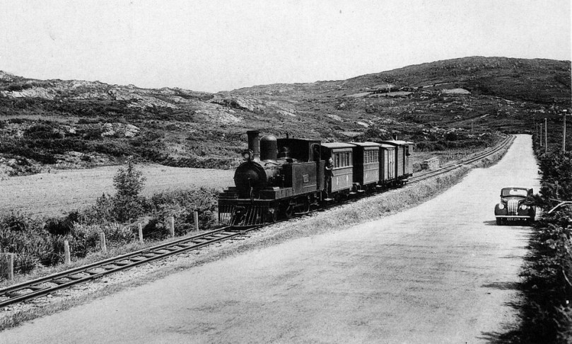
Iarnród – between Ballydehob and Schull 1939
In the heydays of transport by rail, the south of Ireland was served by a network of lines radiating out from Cork. Most of these were scenically picturesque – the nature of the countryside saw to that – and all were imbued with Stories, still recounted with relish by the local people who remember them, or whose mothers and fathers remembered them. Here’s one of the stories – told about the Chetwynd Viaduct, coming out of Cork on the way to Bandon.
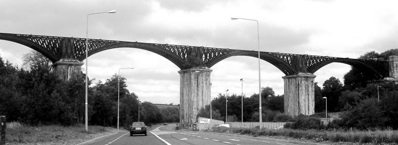
Chetwynd Viaduct today
This structure was designed by Charles Nixon, a pupil of Isambard Kingdom Brunel, and built between 1849 and 1851. It’s still in place today, passing over the main N71 road from Skibbereen, and is a scheduled monument. The railway, track and track bed have all gone. For quite a while after its construction it was known as “The Bowlers’ Everest”. Alert followers of these posts will know about Road Bowling already (don’t forget to pronounce it correctly: Road Bowelling) – a very skilful and ancient Irish sport involving hurling a heavy iron ‘bullet’ along a road, and getting it from one place to another in the shortest number of throws. For Bowellers, the viaduct presented an obvious challenge: to throw the ‘bullet’ on to it. This was attempted many times year after year, but it took a mighty man to do it: Mick Barry, widely acknowledged as the greatest bowlplayer ever. My informant was careful to add “…This has been said by many and denied by very few…” The Cork Examiner takes up the tale:
“…Barry conquered the Bowler’s Everest, the Chetwynd Viaduct on the Cork-Bandon Road on Saint Patrick’s Day, March 17th, 1955. He lofted the 16oz bowl on to the 100 foot high parapet; an incredible feat which required almost superhuman strength, virtually defying the laws of physics. This feat was witnessed by thousands of spectators…”

Bowlers’ Everest – the viaduct at Chetwynd and a 16oz ‘bullet’
Less commonly cited is another Chetwynd story: on September 8th, 1985, watched by over 10,000 people, Hans Bohllen from West Germany lofted a 28oz bowl clean over the viaduct, clearing the top by ten feet.
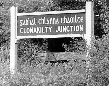 Lines from Cork eventually penetrated surprisingly far into the south west extremities of the state: to Kinsale, Bandon, Courtmacsherry, Clonakilty, Bantry, Baltimore, and – on a 3ft gauge narrow line snaking out of Skibbereen – to our two local towns of Ballydehob and Schull. It’s worth mentioning the colourful history of railway track gauges in Ireland: the standard now is 5ft 3in – something shared in the world with only Brazil, Australia and New Zealand – but earlier lines had 4ft 8½ins [UK and Europe standard], 6ft 2ins and 5ft 2ins, and when trams were first introduced to Dublin they had 5ft 2 and a bit.
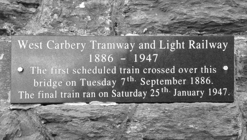
Local history: plaque on the viaduct at Ballydehob
In 1925 all the railway lines in the new Irish Free State were amalgamated to become the Great Southern Railway, and in 1945 the system was consolidated with road transport concerns and trams to become Córas Iompair Éireann. The logo used by CIÉ until 1964 was affectionately (and, perhaps, cynically) known as The Flying Snail.

‘The Flying Snail’
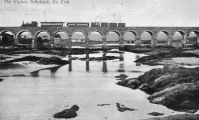 The line out to us here in West Cork was particularly eccentric and would have been a magnet for present day railway enthusiasts if it had survived. In places the narrow gauge track ran along the main road; it reached speeds of up to 15 miles per hour… But how we all wish it was still possible to catch a little train out of Schull, Ballydehob or Skibbereen and arrive in Cork in a bit. It would be grand!
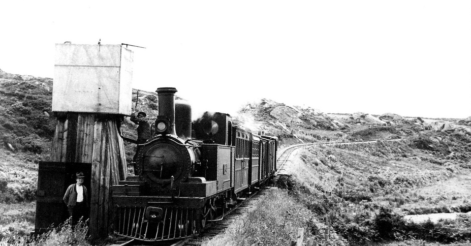
Water stop – with a view…
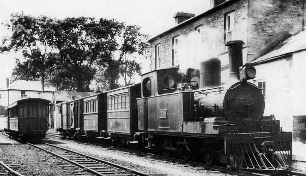
Leaving Schull Station, 1939
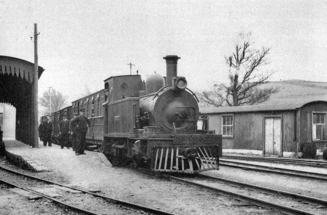
All aboard at Skibbereen!