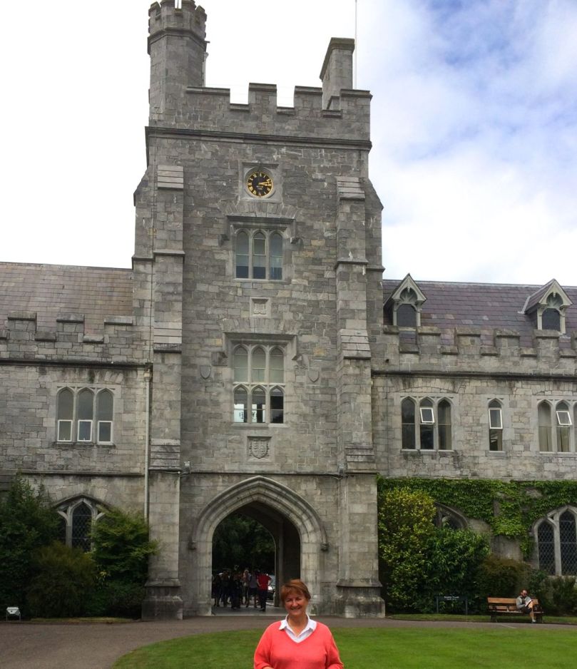
The Clock Tower, University College Cork
We have lovely friends visiting from Canada and we have been out and about every day showing off West Cork, so this is just a little post from me today. When we went to pick them up at Cork Airport we had some extra time, and spent it at University College Cork.
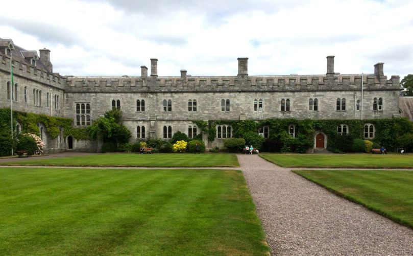
The Quad
I attended UCC from 1968 to 1973 and graduated with a BA and MA. The University (or De College as we called it) was much smaller then – I seem to remember there were a couple of thousand students, whereas now there are 20,000. Student life revolved around the Quad, the Rest (restaurant), the library and the lecture halls.
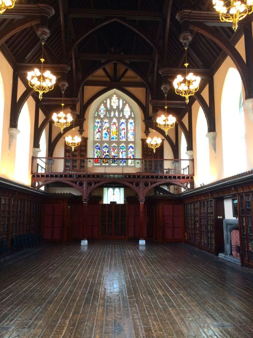
Aula Maxima
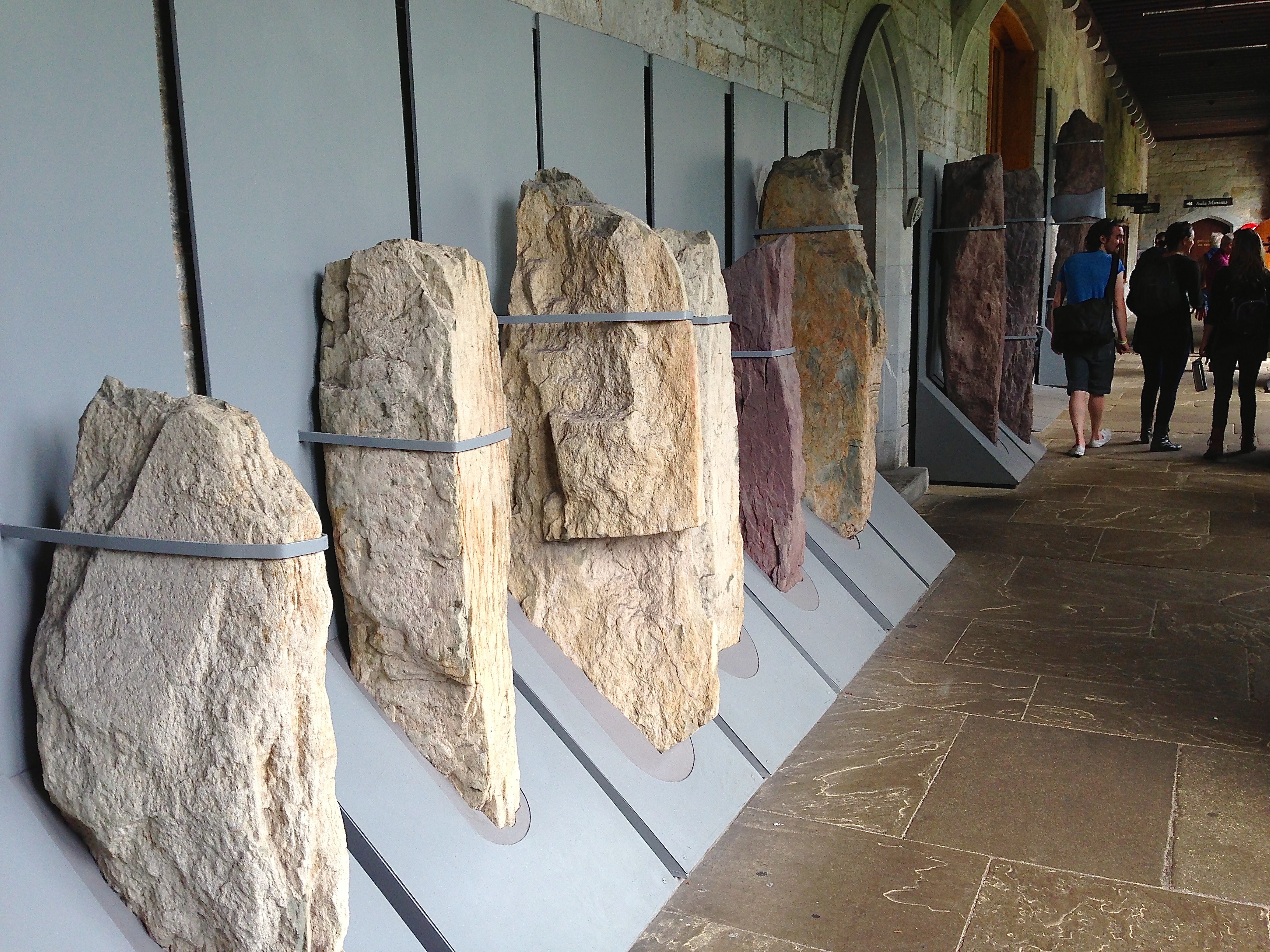
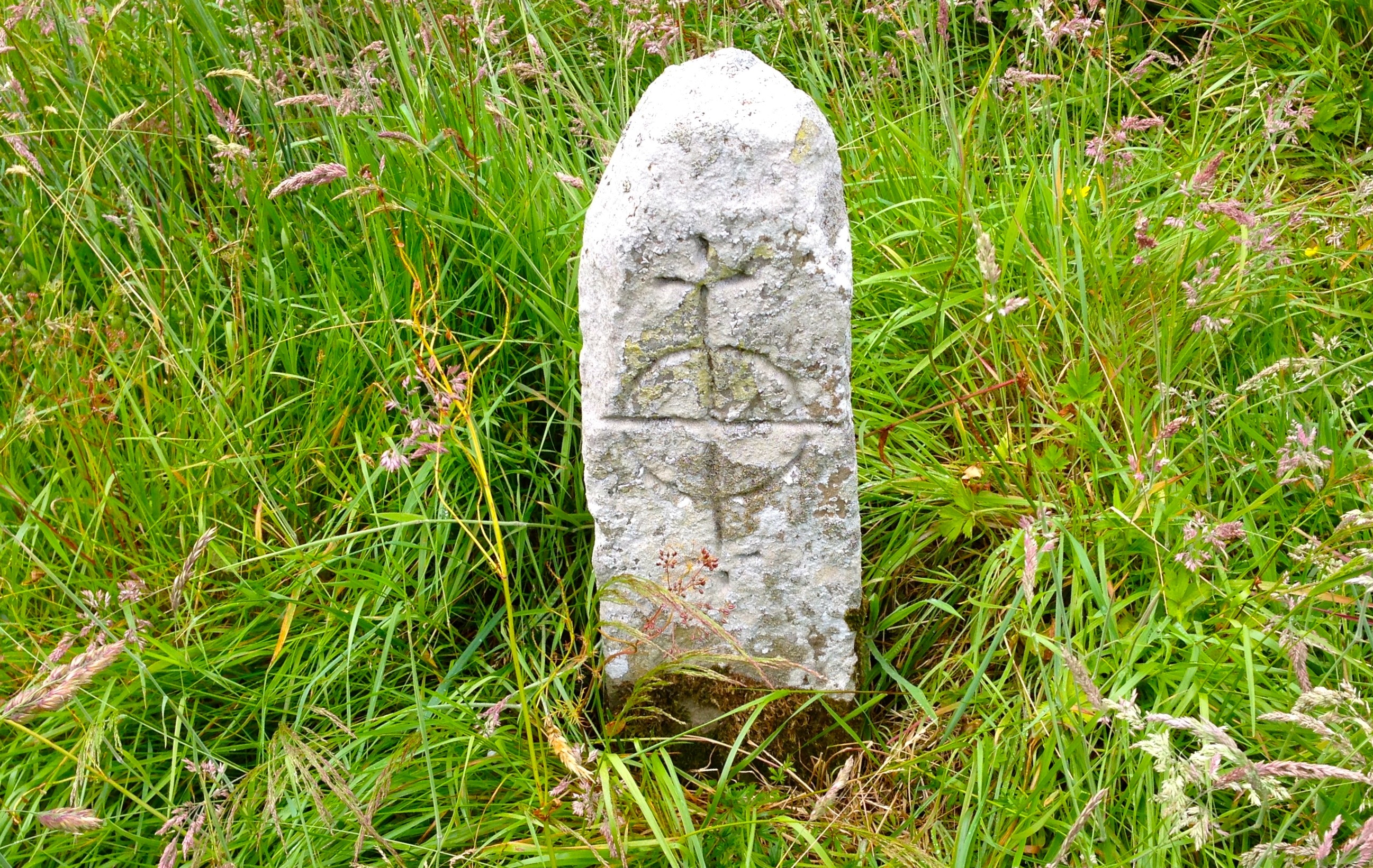
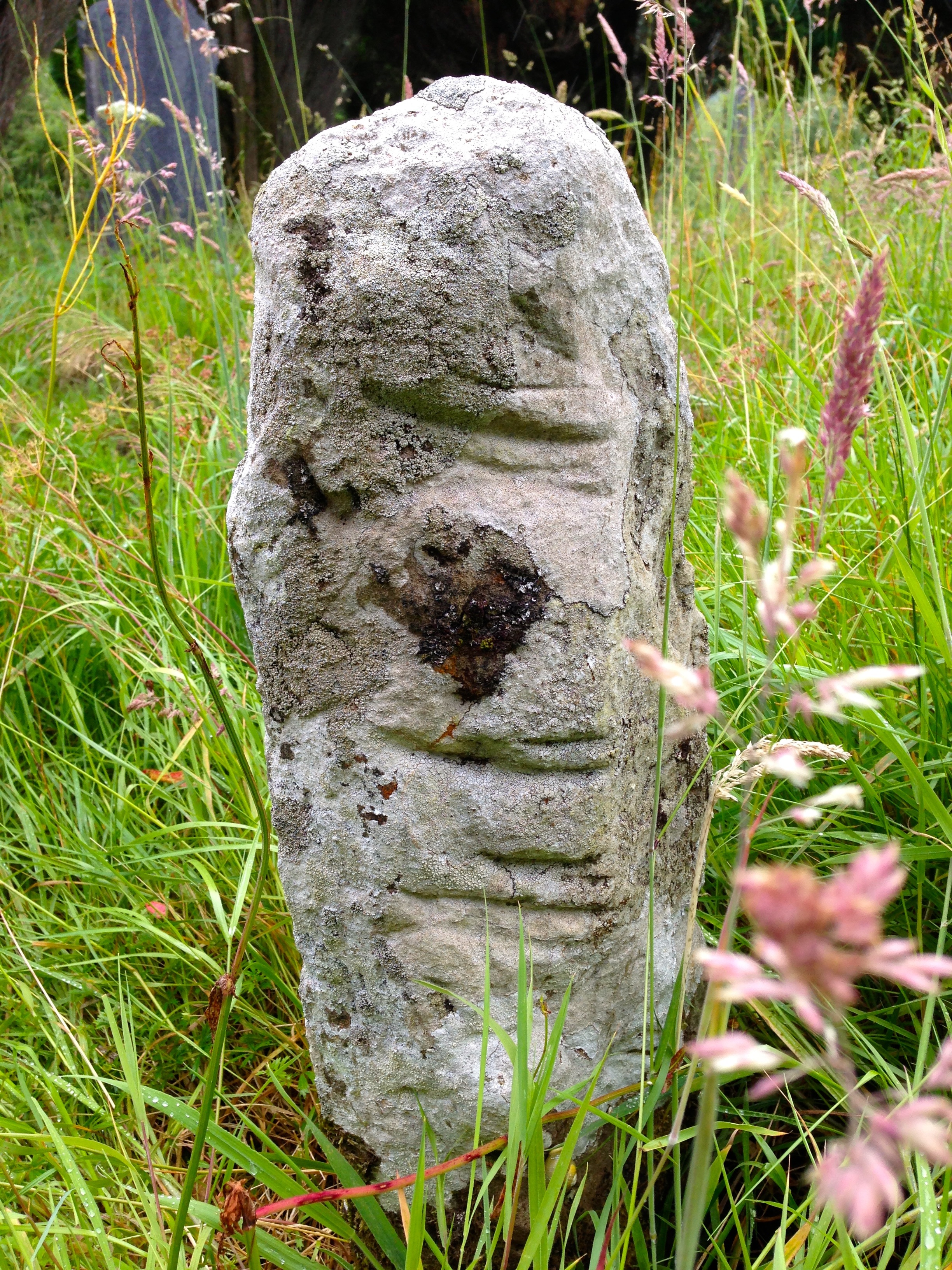
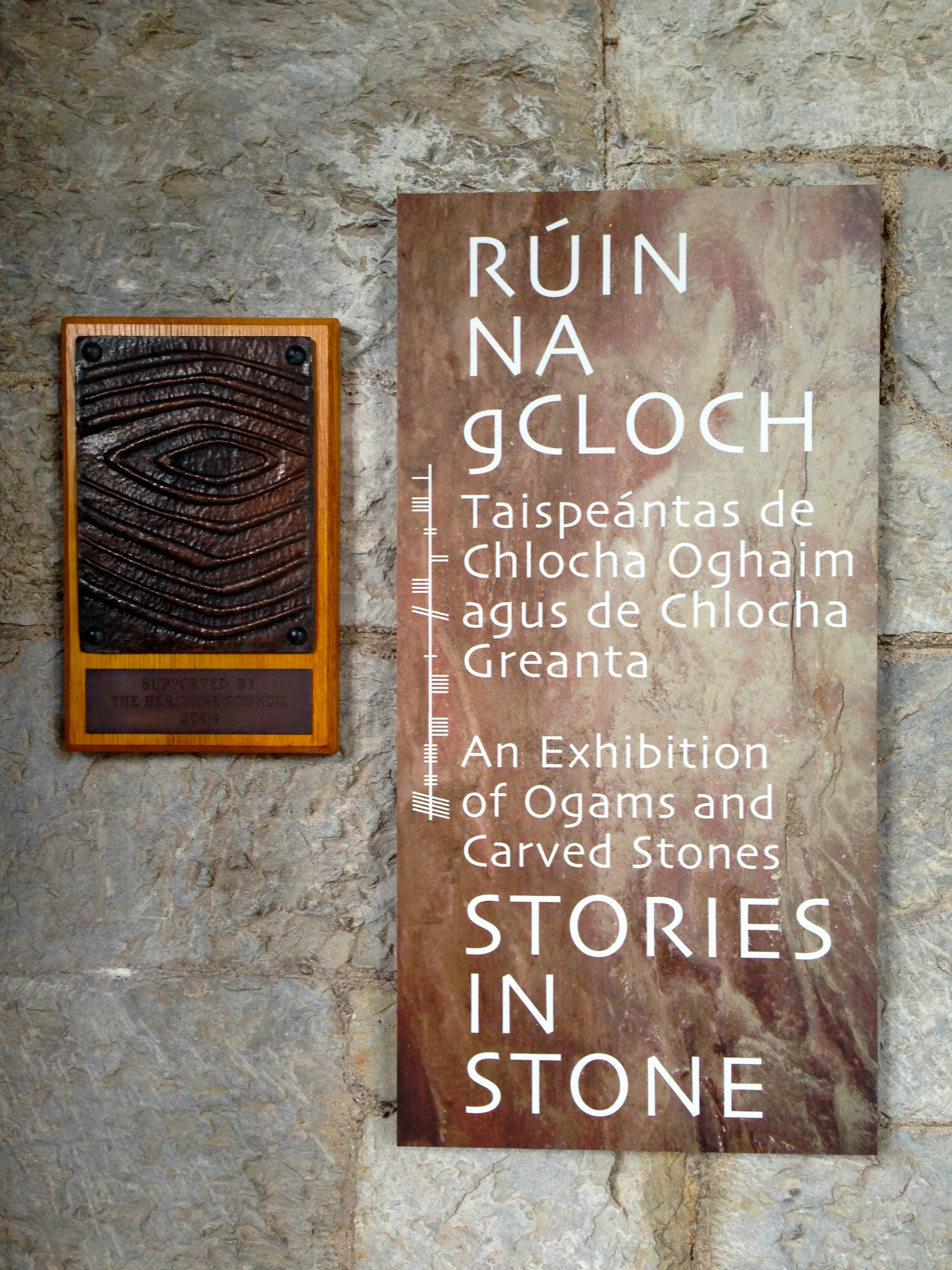
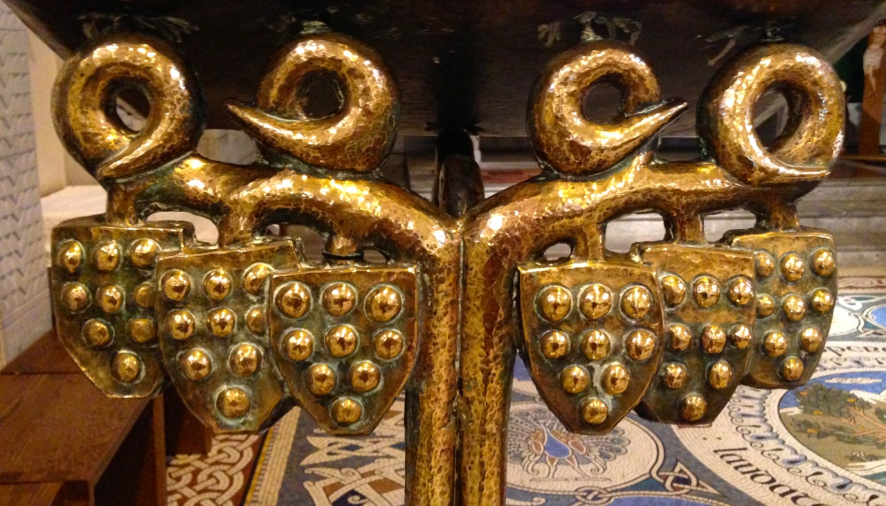
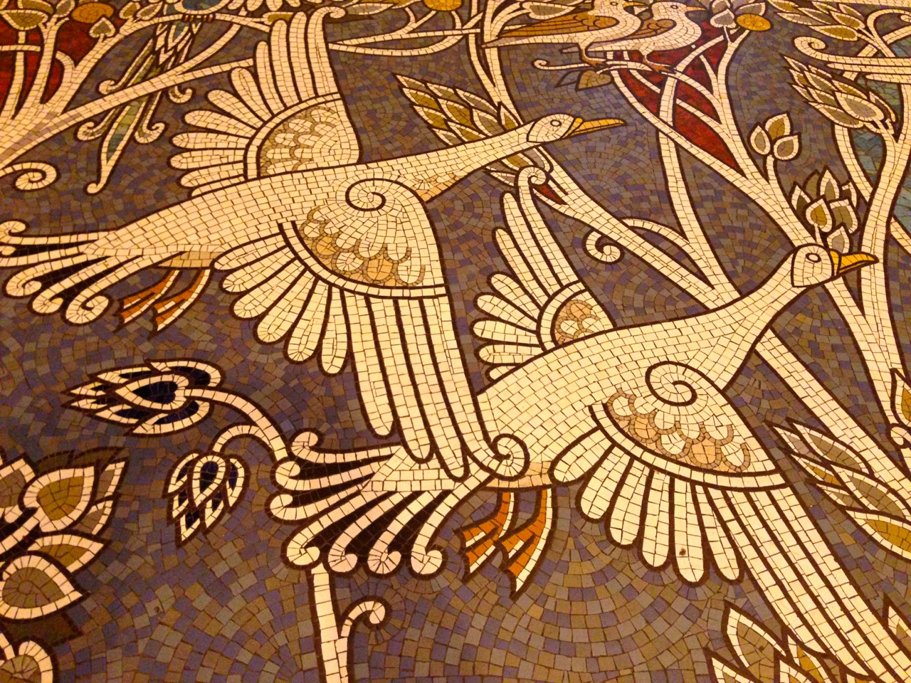
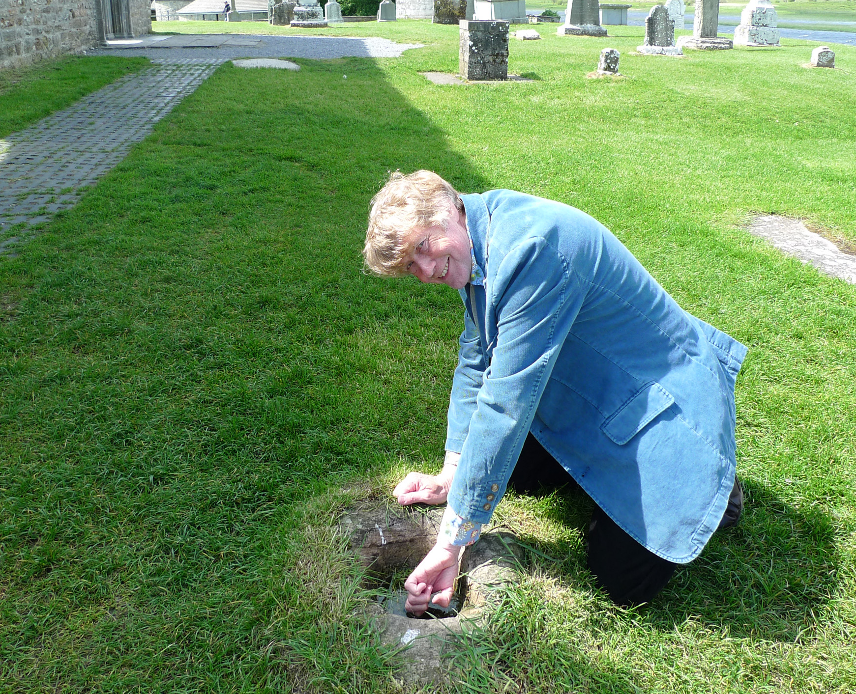
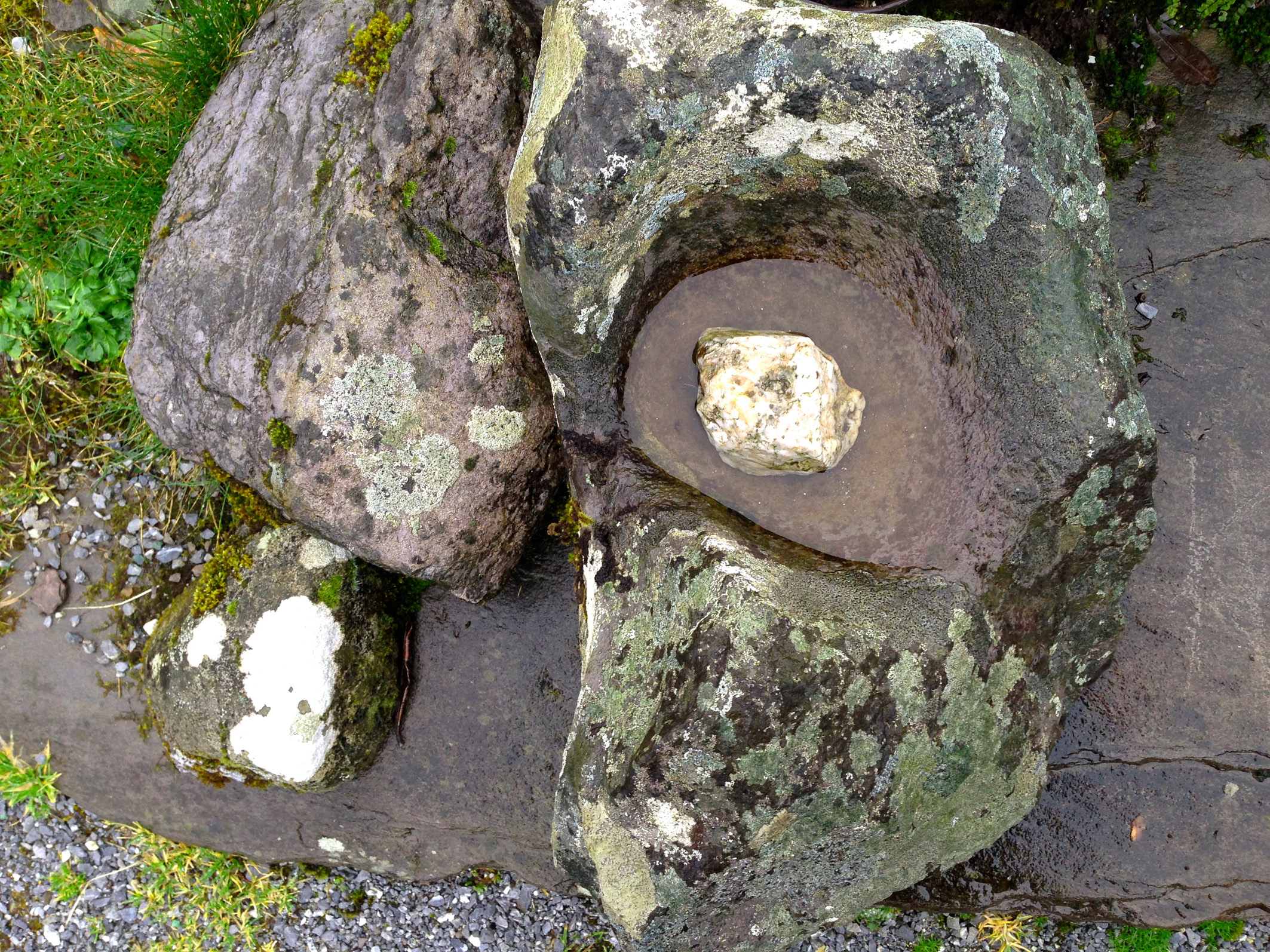
The Aula Maxima, a beautiful book-lined room, was used for exams, conferring ceremonies and concerts. I first saw The Chieftains there in the early 70s. As a student of history and archaeology, the Stone Corridor was important to me – see Robert’s post for more on this.
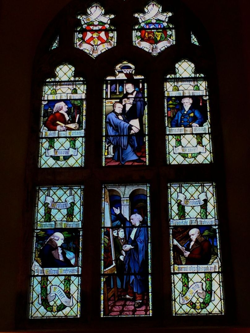
Window in the Aula Maxima
UCC was founded, as Queens University Cork, after Queen Victoria, in 1845. It’s motto, Where Finbarr Taught, let Munster Learn, reflects the importance of Cork as a centre of Early Christian learning led by St Finbarr. Today, it is highly regarded internationally for its research and innovation. Most of the teaching and learning takes place in smart new buildings with modern labs and high-tech facilities.
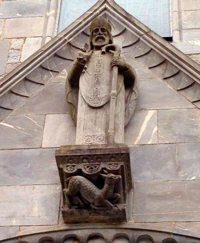
St Finbarr keeping an eye on things from the Honan Chapel
If you’re visiting Cork, drop up to UCC and soak in the ambience of a traditional university, with cloistered corridors, old oak floors and echoing stone hallways. And say hello to the the shades of St Finbarr.