A Lost Cross-Inscribed Stone – Found Again!

An exciting discovery by Robert has led us on yet another journey – this time to the Dingle Peninsula in the Early Medieval period. But the journey started in Adare Manor and I don’t think it’s finished yet. Let me explain…

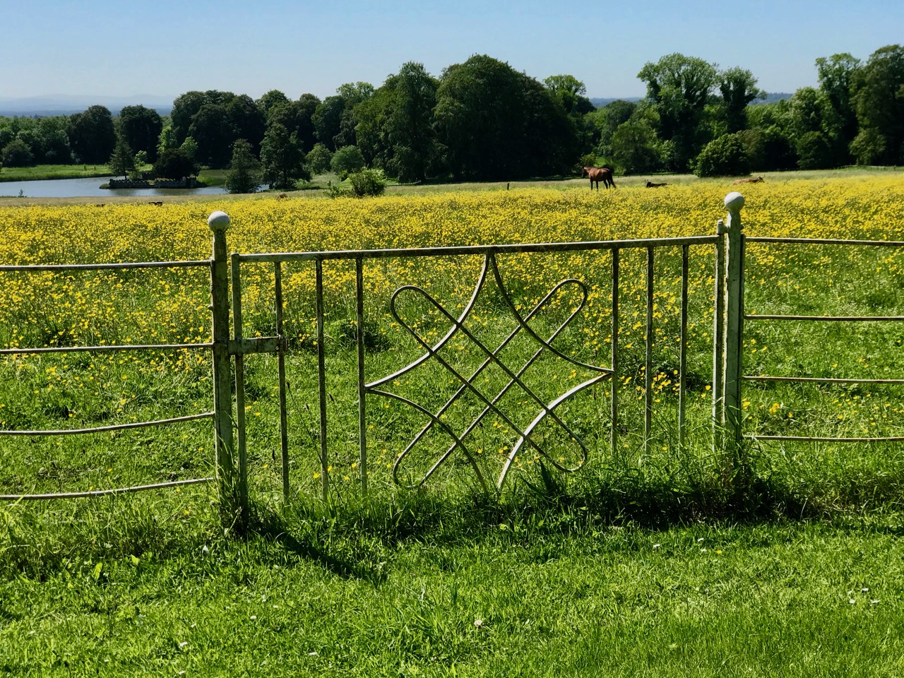
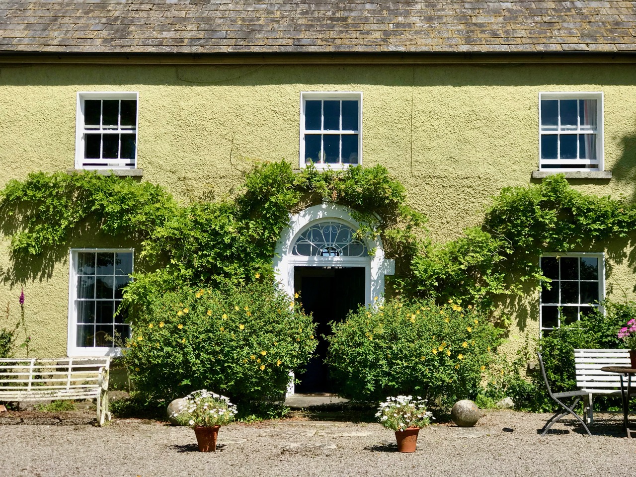
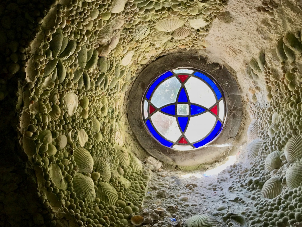
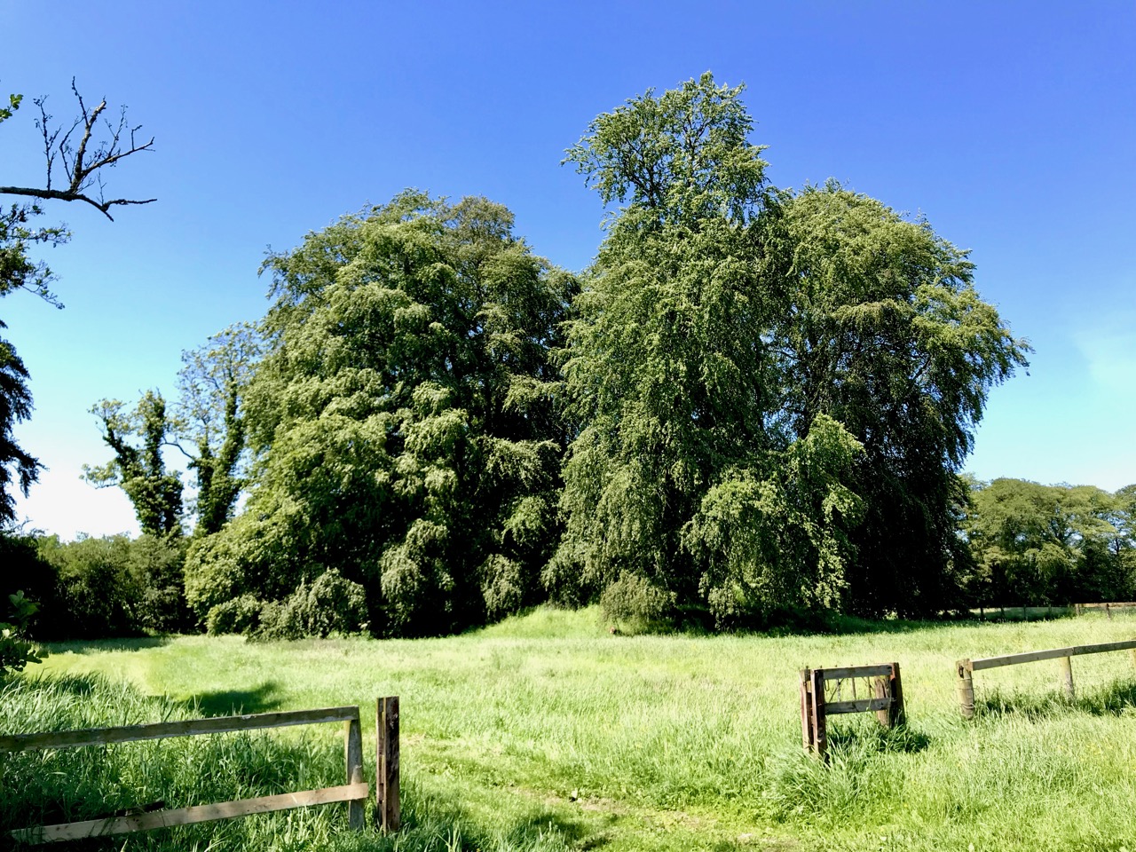
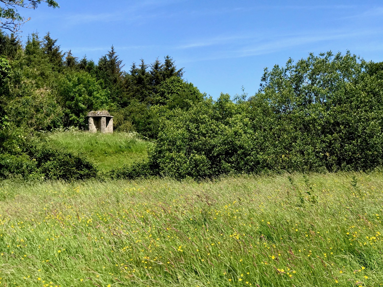
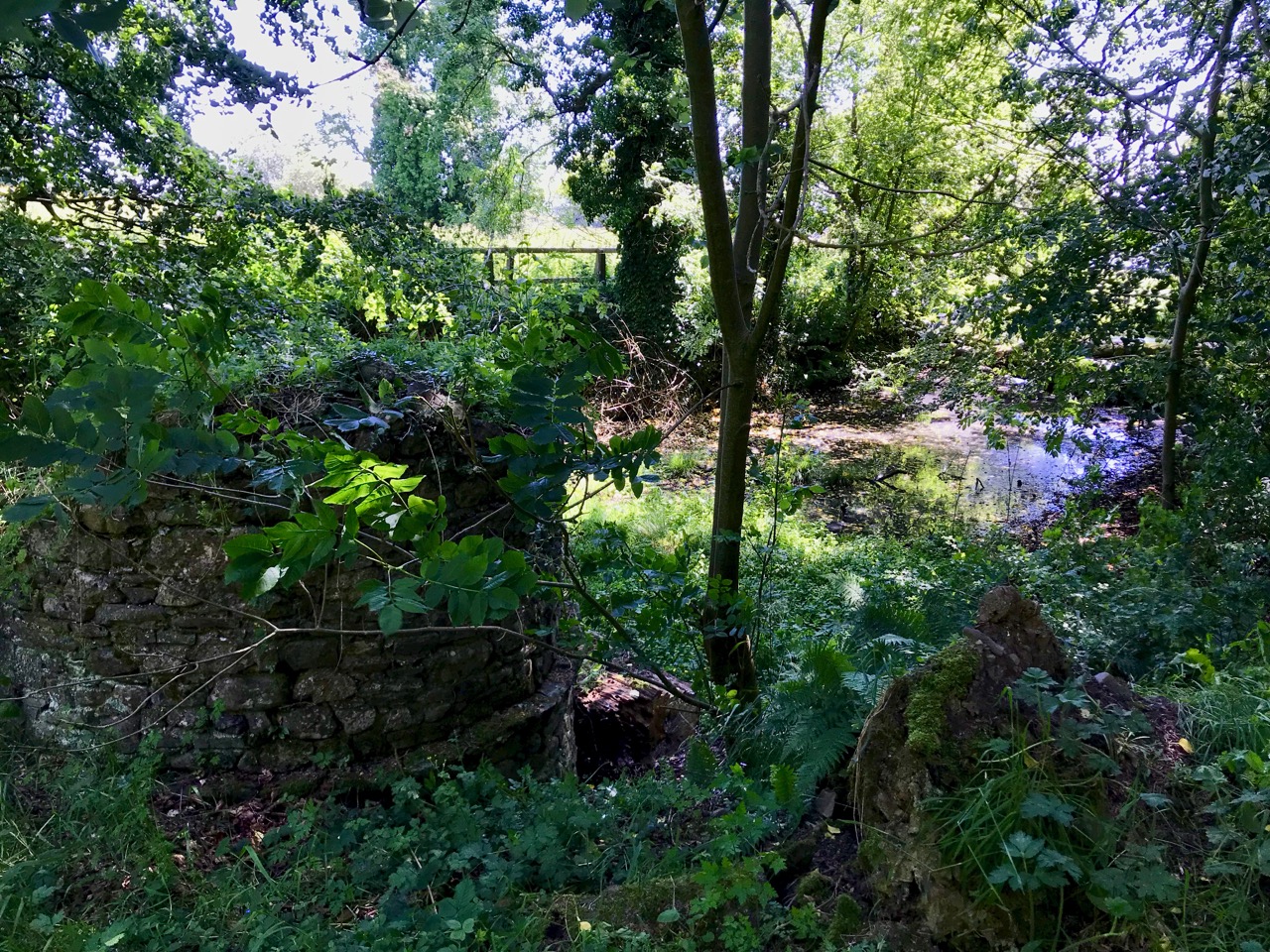
Our Christmas present to each other was a two night stay in Adare Manor – a favourite place full of history. Robert has written about a previous stay there when he was overwhelmed by the Gothic architecture and I wrote about our falconry experience. This time, we spent much time wandering the extensive and beautiful grounds. There’s a small grove of trees between the house and the golf club and this is where the Adare Manor collection of Ogham stones are located. These fine examples of Ogham, all of which came from Co Kerry originally, have been located at the Manor since the early nineteenth century. In recent years the grove has been cleaned up (older photos show it to have been quite overgrown and brambly) and the stones themselves have been straightened and cleaned. (Read more about Ogham in this post from a few years ago by Robert.)

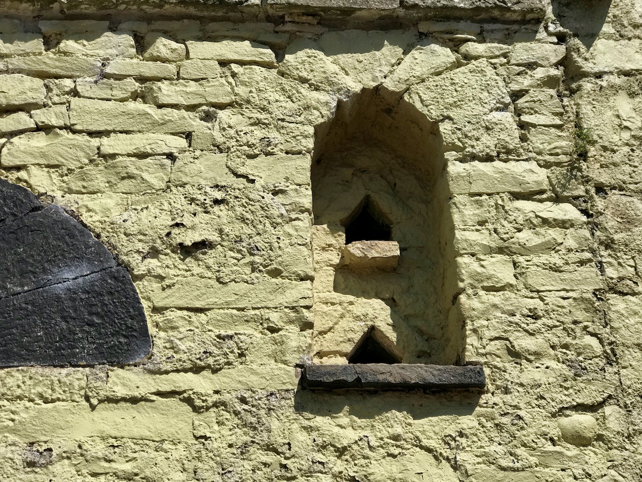
Robert spotted a flat slab lying in the ground among the stones. He has developed a keen eye for anything resembling a carving (remember his find at Inish Beg?) and called me over to look more closely. We took several photographs, trying to get the best light to show up the carvings – a difficult task underneath the trees. It was obviously something, and vaguely reminiscent of Early Medieval (or Early Christian as it used to be called) carvings we had seen elsewhere, but odd and indistinct.

Noting that there was no record of anything except Ogham stones at this location in the National Monuments inventory, I sent photographs to Chris Corlett, an archaeologist with the National Monuments Service and an authority on the Early Medieval period. He responded that he was pretty certain it was from that period and forwarded the correspondence to Caimin O’Brien, the NM archaeologist with responsibility for Limerick. That’s where we started to get some answers. Caimin immediately recognised the carving from an 1865 book!

The book is Memorials of Adare Manor by Caroline, Countess of Dunraven (it’s available online at that amazing resource, archive.org). Caimin sent me a screen print, from which it was obvious that this was the same stone. The Dunravens, like many educated people in the nineteenth century, were interested in antiquities of all sorts. They are referenced here and there as ‘rescuing’ ancient artefacts and stones from damage, and Lady Dunraven goes to some pains to explain that none of the pieces that ended up in the museum at Adare Manor were in situ when they were acquired.

Four cross-inscribed stones are described in the book, all of which came from the Dingle Peninsula in West Kerry, or Corca Dhuibhne, from the area around Ballyferriter, west of Dingle. It’s an area that is unusually rich in Early Medieval sites – Reask, Gallarus and Kilmalkader are only three of the well known monastic ruins. Of those four stones, three are now back in West Kerry and on display. Until we found it, however, nobody had any idea what had happened to the fourth stone!

Imaged above and below are the cross-inscribed pillar that came from Reask in the early 1800s – and returned there in the 1970s

The late Tom Fanning excavated the Reask site (Riasc, in Irish) in the 70s and it is now a monument in state care, carefully reconstructed to suggest what an early monastic site would have looked like. One of the Adare stones had come from Reask and it was sent back to the reconstructed site “. . .through the kind offices of Lord and Lady Dunraven.” My photographs are below, but if you want to see it in 3D, click here.

A group of Americans were enacted some kind of ritual at the Reask monastic site when I was there. There was a lot of shouting about darkness and light and and dancing in a circle

Two others of the original four also arrived back in West Kerry and are both now at the Músaem Corca Dhuibhne in Ballyferriter, under the knowledgeable care of Isabel Bennett, the curator, pictured below with the second cross-inscribed stone). I am assuming that the stones were returned at the same time as the pillar now at Reask. Isabel has poured over all the available documentation but, like me, she can’t quite figure out when or why the transfers were made.

The more elaborate of the two came from Reask, but may have been considered too worn to be displayed outdoors. I give Lady Dunraven’s drawing below (although I am not sure who actually did the drawings – it may have been our old friend George Victor du Noyer). You can view a 3d rendering here.

The smallest of the stones (below) is triangular in shape and came originally from the townland of Killvickadownig, a few kilometres south of Reask, near Ventry. There’s a faint carving of a cross on the back, but the front bears a lovely four-armed cross with curled ends. The stone appears to have been detached or broken off from something else.

But our piece, the Adare Manor cross-inscribed stone, where did it come from and why is it, alone of the four, still at Adare? Well, it appears from Lady Dunraven’s account that the stone came from Ballydavid (Baile Daith), not too far from the other stones, and ‘close to a ringfort.’ Caimin has now uploaded the record (screenshot below) with a provisional original location near the only ringfort in Ballydavid, but noting of course that the stone is located in Adare Manor.

I can find no explanation as to why this stone was left at Adare Manor when the others were moved. It seems that the Reask pillar was located among the Ogham stones also, while the other two may have been indoors. Perhaps our Ballydavid slab was covered in moss and brambles to the extent that it was simply overlooked. Whatever the reason, I am glad to have been part of the rediscovery of this curious stone. I never cease to be amazed at the variety of forms these early cross slabs take, and this one is certainly unusual. While a cross shape forms the upper core of the carving, the central part reminds me of the monks’ habits that you see on occasional high crosses, such as the ones at Kilfenora. But what about all those squiggles at the bottom? I can make no sense of them.

Nick Hogan of the Dept of Archaeology at University College Cork had graciously taken the images I sent and turned them into a 3D rendering: the image below is a still from that process. My photogrammetry skills need refining but he still managed to create an image that is clearer than any photograph.

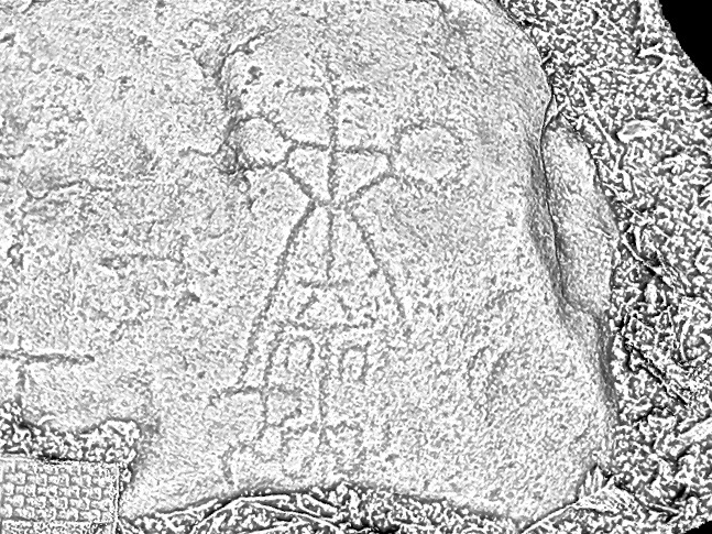
A close-up of the carved area. The grid at bottom left is part of a scale-arrow

There are still unanswered questions in this story, but the biggest unanswered question – Where is the fourth stone? – has at least been answered.

Still from a 3D render of the cross-inscribed stone

It’s been a fascinating bit of detective work to piece the story together and many people have contributed their expertise generously, particularly Chris Corlett, Caimin O’Brien, Nick Hogan and Isabel Bennet, while Sarah Ormston of the Adare Manor Hotel facilitated our access to the slab for recording purposes. Our thanks to all of them.

Mapping West Cork, Part 2: John Speed

John Speed was one of the greatest of Britain’s map-makers, but it is unclear how much actual original cartography he did. Much of the information in his maps appears to be based on Mercator’s maps, which we featured in Mapping West Cork, Part 1. What does appear to be original, as there are no previous records of them, are the city maps, so we can be reasonably sure that these were done from his own calculations – laid out by paces rather than by measuring implements.

Who was John Speed? Born in 1551, he trained as a tailor but his passion was for maps and he finally worked his way into a full time position as a historian and geographer, even being allocated a room for his research by Queen Elizabeth I.

His magnum opus was The Theatre of the Empire of Great Britaine, published in 1611 and 12. This marks them as later than Mercator’s maps, but earlier than Joan Blaeu’s (see Part 1).  They were also drawn with the collaboration of Iodicus Hondius, who had drawn Mercator’s, which also explains the similarities to Mercator’s maps.

The edition of Speed’s atlas that is most often referenced is the one published in 1676, and that is the one that the wonderful David Rumsey acquired and uploaded to his map collection site. Until I read the fine print, I hadn’t realised that the maps in fact dated to 1611/12 and therefore were older than the Blaeu atlas.

This is the period immediately following the Battle of Kinsale in 1603, which marked the decisive end to the Nine Year’s War, and to the old Gaelic way of life. The maps were also made in the period after the failed Desmond Rebellions of 1569–1573 and 1579–1583. They still name the great Irish families rather than the English planters who would so totally supplant them over the course of the next century. In this regard, it is an important record of what was happening on the ground in 1611.

Along with his Atlas he produced a work that combined history and geography – the Invasions of England and Ireland, in 1601 and 1627. He was, of course, a devoted subject of the Queen (‘her sacred maiestie’) and his political opinions tended to the conservative, if not puritantinical.

This map is accompanied by the history of invasions, with suitable illustrations. I am particularly taken with the depiction of ‘Desmond beheded’

True to his day, he depicted the Irish quite differently from the British – the lowest grade of English person was the Countryman or Country woman, whereas in Ireland it was the Wilde Man or Woman.

The city maps were all new and it seems that Speed, with one of his sons, actually travelled to the cities he includes in his atlas and paced out the distances, drawing the maps based on these calculations. They are a unique and invaluable record of a time when Ireland had walled cities, especially given that so few intact stretches of those walls remain. (We’ve visited some impressive remains, though – see Youghal’s Walls and our post on the walled town of Fethard.)

The Dublin map is from a later edition

The actual physical depiction of the land is recognisably based on the Mercator map but there is more information now about locations and families. I was delighted to see Rossbrin show up (Roßbrenon) along with Ardintenant (Artenay), since it is this castle that we look across to from our home. Mizen Head and Brow Head are both marked, and the Sheep’s Head is also noted as Moentervary (Muintir Bheara is the Irish designation for that Peninsula).

Besides the O’Mahonys, the O’Driscolls, the McCarthys, the O’Donovans, Sir Peter Carew occupies a chunk of land. Someday I will write about his claim to that land and the lengths he went to to secure the deeds to it. But perhaps I shouldn’t be too exclusive to West Cork: below is a section of North Cork and part of Kerry in 1612. What can you see?

Maps drawn by a colonising power, have an agenda far beyond simply charting the territory. John Speed’s became the defining maps of the expanding British Empire during the seventeenth century and indeed they influenced British people’s perceptions of the world until well into the eighteenth. For us in Ireland, and in West Cork, they are an invaluable social document.

Mapping West Cork, Part 1

Industrial Archaeology in Crookhaven

Roaringwater Journal has featured Crookhaven many times. This far south-western outpost of Ireland has layers of history: thousands of years ago people lived in this area and made marks on the rocky landscape while countless generations of seafarers forged a ‘haven’ from the naturally sheltered ‘crook’ of land upon which the settlement is based. Even into the twentieth century pioneering technological advances were being made in Crookhaven: in the early 1900s Marconi sent some of the world’s earliest radio communications from Brow Head to vessels in the Atlantic shipping lanes.

Header – the ‘old quarry’ dominates the landscape to the north of Crookhaven Harbour. Above – looking across the harbour from the ‘quarry quay’ towards Brow Head, one of the scenes of operation of Marconi in Ireland

I am fascinated by all traces of industrial history: for me it’s ‘modern archaeology’: some of it might survive long enough to puzzle historians of the far future. I couldn’t ignore, therefore, the huge steel and concrete structures which line the R591 road which approaches Crookhaven when travelling from Goleen. They are built into the hillside above the road, and tie in with a substantial stone quay which has been constructed below it.

The quay which was presumably built to serve the quarry to the north of Crookhaven: the village can be seen across the water

Looking at the construction of this quay, and particularly the wear on the masonry steps leading down to the water, it would be reasonable to assume that the quay predates the concrete and steel structures which abut the road above it – by a long way. You might suppose that such significant edifices would have a history attached to them which would be easy to find, either from local informants, or in written or electronic record. However, I have so far drawn a blank. Well – not quite: there are countless identical references in contemporary accounts of Crookhaven to ‘…the old roadstone quarry on the side of the mountain, which provided metalling for the roads of Wales until 1945…’ I did find one variant, a caption to a general view of the area: ‘…Looking up to the roadstone quarry along the north shore of Crookhaven Harbour. The quarry was a source of gravel for Welsh tarred gravel roads until the 1930s…’

The quay below the ‘roadstone quarry’ is a paradise for industrial archaeologists and photographers! It must have had generations of users, up to fairly recent times, all of whom have left behind traces of their presence, but no solid history. I’m hopeful that readers of this post might be stirred to recall stories or memories – or even point me to some documented history to explain the provenance of this little piece of the complex West Cork jigsaw. *In fact, I have received information since this post was published – see the last paragraph.

I’m borrowing this photograph of the Crookhaven quarry from the log of the MV Dirona, with thanks to Jennifer and James Hamilton, who hail from Victoria, British Columbia and are currently cruising the world in their Nordhaven 5263 vessel. They explored the south west coast of Ireland in June 2017 and, from the water, took this perfect view of the quay, the ‘roadstone quarry’ and the mountain face above it, from which the stone has been extracted. The rock face could have been worked for stone before the 20th century, although we don’t have hard evidence for this: in September 1846 a road was proposed between Rock island and Crookhaven, and the county surveyor provided an estimate of £1,857. Prior to this, the road which had been built by Richard Griffith, civil engineer for Munster, extended as far as Rock Island, and passage from there to Crookhaven itself could only be made by water. The 1846 road is today the R591 which passes below the quarry. It would be reasonable to suppose that locally available stone suitable for roadmaking could have been used, and the quarry may have had its origins at this time. The construction of the adjacent quay could have been contemporary with this early use of the quarry, but the huge concrete and steel structures we see today are certainly an incarnation of the quarry workings in the early 20th century.

One of the fascinations of old industrial sites is the way they are taken over by nature if left relatively undisturbed. This one is no exception. There is a monumentality here which is being eroded and softened as time goes by. What does the future hold? Interestingly a -presumably serious – proposal was made in a not-too-long-ago iteration of the Goleen & District Community Council Development Plan:

PROPOSALS

2.24 The old roadstone quarry-works at Crookhaven Harbour should be developed as an amenity – perhaps a hotel with a restaurant with observation deck at the top…

Hmmm… notions of grandeur there, perhaps – and little regard for practicalities, but it shows the power of imagination! I think it’s far more likely that the area will remain in its present state for many years to come and, perhaps, attract a level of ‘industrial architecture tourism’. Incidentally, it’s not too far away from the site of a fish palace run by William Hull and the Great Earl of Cork in the early seventeenth century: the remains of this are there to see to this day, although almost entirely returned to nature.

Below – a now impassable tunnel under the road connects the quarry workings with the quay; nature entangled with the leftovers of human activity

NOTE: in 2020 our friend, local historian and expert photographer John D’Alton of Schull has contacted Roaringwater Journal with some updated information about the Crookhaven quarry. John tells us that the quarry was never owned by the Roadstone Company. That was incorporated in 1949 by the Roche brothers who operated out of Dublin from the 1930s, but never operating this far south and west. John also adds that the company that operated the Crookhaven quarry was the Browhead Granite Company Limited, incorporated in London in 1917. The quarry opened for business in 1928 and closed in September 1939. It was this company that contracted for the construction of the impressive structure still there today. The company exported stone to various ports in England in particular, London especially, and Ipswich, among others, supplying stone for road surfaces. The Granite company was a successor to the Browhead Copper Mining Company that despaired of finding copper in mineable quantities in far West Cork. Interestingly, the structure is one of the earliest examples of this type of reinforced concrete construction in the country, the original Mizen (Cloughan Island) Bridge being another.

Many Thanks, John, for finding and sharing such detailed information which has been lacking until now!

Endpiece – the old workings and quay are directly opposite the centre of Crookhaven – here’s a view towards the quarry from the village:

Larchill – A Pastoral Paradise

One thing always leads to another, and when Finola took an interest in the lost demense at New Court, on the Ilen River close to Skibbereen, she didn’t know that she was going to discover the concept of Arcadian Gardens and – more particularly – the Ferme Ornée. On our latest expedition towards Galway, therefore, we couldn’t miss a visit to Larchill in County Kildare, which claims to be ‘the only surviving, near complete, garden of its type in Europe’.

Header – the ‘Shell Tower’ within the walled garden at Larchill. The garden walls are built up to, but not incorporated in, the tower structure, suggesting that the tower is earlier than the garden enclosure. Centre – the walled garden has been beautifully re-established and maintained. Lower – a typical view across the demense to the artificial lake

Ferme Ornée means, literally, ‘ornamental farm’, and was a departure from the idea of a farm or farmland being purely practical: from the middle of the 18th century, there was a move away from the formal gardens of the time and an embracing and enhancing of the natural landscape. Larchill’s leaflet for visitors explains:

Emulating Arcadia, a pastoral paradise was created to reflect Man’s harmony with the perfection of nature. As is the case at Larchill, a working farm with decorative buildings (often containing specimen breeds of farm animal) was situated in landscaped parkland ornamented with follies, grottos and statuary.  Tree lined avenues, flowing water, lakes, areas of light and shade and beautiful framed views combined to create an inspirational experience enabling Man’s spirit to rejoice at the wonder of nature. At this time in Versailles, Marie Antoinette enjoyed extravagant pastoral pageants, housed specimen cattle in highly decorated barns, while she herself is said to have dressed as a milk maid complete with porcelain milk churns.  Freed from the restrictions of the 17th century formal garden, the Ferme Ornée represented the first move towards the fully fledged landscape parkland designs of Capability Browne.

Upper – the elegant facade of the farmhouse at Larchill which commands views of the water meadows and lake (centre image). Lower – looking across the bullrushes towards one of the islands on the lake, known as ‘Gibraltar’

The word Arcadia is derived from a province in Greece, said to have been the home of the god Pan. In the European Renaissance, Arcadia was celebrated as an unspoiled, harmonious wilderness. After the fall of the Roman Empire, Arcadia remained a beautiful, secluded area, and its inhabitants were depicted as herdsmen leading simple, happy lives. The name has become associated with an imagined idyllic paradise, which the designers of Ferme Ornée tried to reflect in the use of vistas, landscaping, elegant buildings and follies. Finola has also touched on some aspects of this philosophy in her exploration of Belvederes in West Cork.

Upper – Thomas Cole The Arcadian State 1834: a romantic image of pastoral perfection. Lower – Ferme Ornée: architectural drawings by John Plaw (1746 – 1820) showing how the layout of villages (left) and the design of farm buildings (centre) and cottages (right) are conceived to reflect the principles of Arcadia

The gardens at Larchill are exceptional in that all the features of ‘The Arcadian State’ are clearly visible and have been rescued from decline by the de las Casas family who bought the demesne in 1994. Its 18th century glory has passed, perhaps, but everything is clear to see and the visitor can conjure up the elegance of life in this slightly off-the-beaten-track corner of rural Ireland. We enjoyed the hours we spent there and – after an enlightening meeting with Michael and Louisa de las Casas – we had the extensive grounds to ourselves. Larchill is a gem!

Above: details from Larchill – ‘shell houses’ were a feature of ornamental gardens. This ‘Cockle Shell Tower’ was made by the Watsons who leased the estate in the late 18th century: some restoration has been undertaken but most of the shells are as originally placed. There are some exotic and rare varieties from far flung regions of the world.

Views of the lake which is central to the vista from the farm at Larchill. The artificially constructed lake (which had been drained and has been refilled by the present owners as part of the overall restoration work) has four carefully placed features: an earth covered boathouse; ‘Gibraltar Island’, based on the fortifications on the Rock; a statue of Bacchus; and a temple which had a plunge pool. There are stories of guests who visited the house being cajoled into taking part in mock battles aboard boats on the lake!

Upper – the Feuillé: a mound landscaped with beech trees made from soil excavated when the lake was dug in the 18th century. Lower – the Foxes’ Earth

My favourite story from Larchill involves the Foxes’ Earth. This folly was made by the Watsons: Mr Watson was the Master of Foxhounds and had an epiphany moment one day when he realised how many foxes he had been responsible for despatching. He became convinced that he would be reincarnated as a fox and would suffer the fate he had visited upon so many animals. He built the Foxes’ Earth to provide an escape for any foxes who were being hunted on the estate (including himself in his next life!), and consists of a number of deep burrows which could not be accessed by the hounds: because of his repentance, I hope he managed to successfully escape the fate which he feared.

Larchill has dovecotes in its farmyard, but also the ‘owl roost’ or owlery shown in the upper picture. This is a rare feature, built to encourage owls which would hunt the vermin on the farm. The lower picture shows a stone lantern hidden away in the woods, close to an eel pond and ‘eel tower’ where the fish were harvested (below).

Please visit Larchill when you get the chance. In 1830 the Ordnance Survey described it as ‘…the most fashionable garden in all of Ireland…’ It’s certainly one of the most unusual and attractive designed estates we have visited. Check opening hours on the website or ring 01 628 7354.

Wildflowers of a West Cork June – a Musical Treat

A few years ago I set out to record as many West Cork wildflowers as I can. This is the kind of project that lasts a lifetime and it seems important as our environment is threatened on so many fronts. But it’s also a complete pleasure to wander our beautiful boreens, camera in hand, capturing what I can. This month I want to share with you a selection of images, all local and all taken in June 2019. So sit back, turn on the music and just enjoy.

This slideshow requires JavaScript.

One of our favourites pieces of music to go with the images – just click ‘start.’

Eyebright

If you’re a wildflower fan you can follow our Wildflowers of West Cork page on Facebook. Go on – give it a Like!

Mapping West Cork, Part 1

Old maps are magical places to get lost in. Pouring over them, trying to identify what I know now, attempting to look at the territory with a seventeenth or eighteenth century mindset – well, several hours have gone by and I realise it’s dinner time. I’m going to share some of my favourites with you in a couple of posts. Mostly, the maps I am using are from the marvellous David Rumsey Map Collection where the maps are free to use for non-commercial use under the Creative Commons license. We are very grateful to you, David Rumsey – what a service to mankind!

The first map here is by the famous Gerhard Mercator (1512-1594) and Iodocus Hondius (1563 to 1612) and it was published in an Atlas in 1607, after Mercator’s death. The map, therefore, predates the Atlas and was probably done in the late 1500s. The notes that go with the map tell us about Mercator:

Gerardus Mercator can confidently be called the greatest cartographer of the sixteenth century, he helped to establish Amsterdam as the leading center of 16th Century cartography. Gerard Mercator originally a student of philosophy, became an expert in land surveying and cartography, as well as a skilled engraver. His first maps were published in 1537 (Palestine), and 1538 (a map of the world). His most famous contribution to science is a technique of rendering the globe on a flat surface. In 1569 he published his masterpiece, the twenty-one-sheet map of the world, still known as “Mercator’s projection.

We can recognise some things in this map and not others. Croke is Crookhaven, Doun Logh is Dunlough or Three Castle Head and Doun boy is Dunboy Castle home of the O’Sullivan Beares. We can also see Roße – this is Rosscarbery, with the symbol of a church. But after that I am stumped – I am sure our clever readers will be able to identify much more.

The second map is from 1655 and it’s from Joan Blaeu’s Atlas Major. Blaeu, a Dutch cartographer, lived from 1596 to 1673 and this map is from his Atlas Maior of 1665, considered one of the greatest achievements ever in Atlas publishing. The first thing we notice, of course, is that it’s in colour. I’m not sure if this was original, added when the Atlas was created, or added later. If original, each one must have been hand-coloured.

There is much more detail now, and more recognisable elements. It’s a wonderful record of what the major sites were then – sites which nowadays hardly exist, or exist as ruins. Artenay, for example, is Ardintenant Castle, now one of the ruins of what was once a string of O’Mahony Castles. Ardintenant was the home of the Taoiseach, or clan chief, which is why it would be marked on the map. Other O’Mahony Castles are Dunmanus (Donemay) and Dunlough (Dow lough). The chief residence of the O’Driscoll clan is marked as C Perles – to this day, Baltimore is named in Irish Dún na Séad, Fort of the Jewels. Territories of the McCarthy’s, the O’Donovans, Sir Peter Carew and O’Mahonys are given, but also an O’Coner clan, about whom I have no knowledge.

What else do you recognise?

There are many more maps to explore but not all are free to download. One of the most intriguing is Jobson’s map of Munster, done for Lord Burleigh in 1589 and collected by George Carew. Although I can’t reproduce it here, you can view the complete map in the Trinity Digital collection. I can show you here a small section that I came across elsewhere – I like this because it shows the Sheep’s Head with the word ‘Rymers” across it. This, of course, is a reference to the O’Daly family, hereditary bards to the O’Mahonys and other families, and who had a Bardic School on the Sheep’s Head.

Next time, the maps get more detailed still…

Mapping West Cork, Part 2: John Speed